My most current blog entry:
Entries in Boats (36)
Road Trip USA: Lake Tahoe, California: Hiking the Rubicon Trail
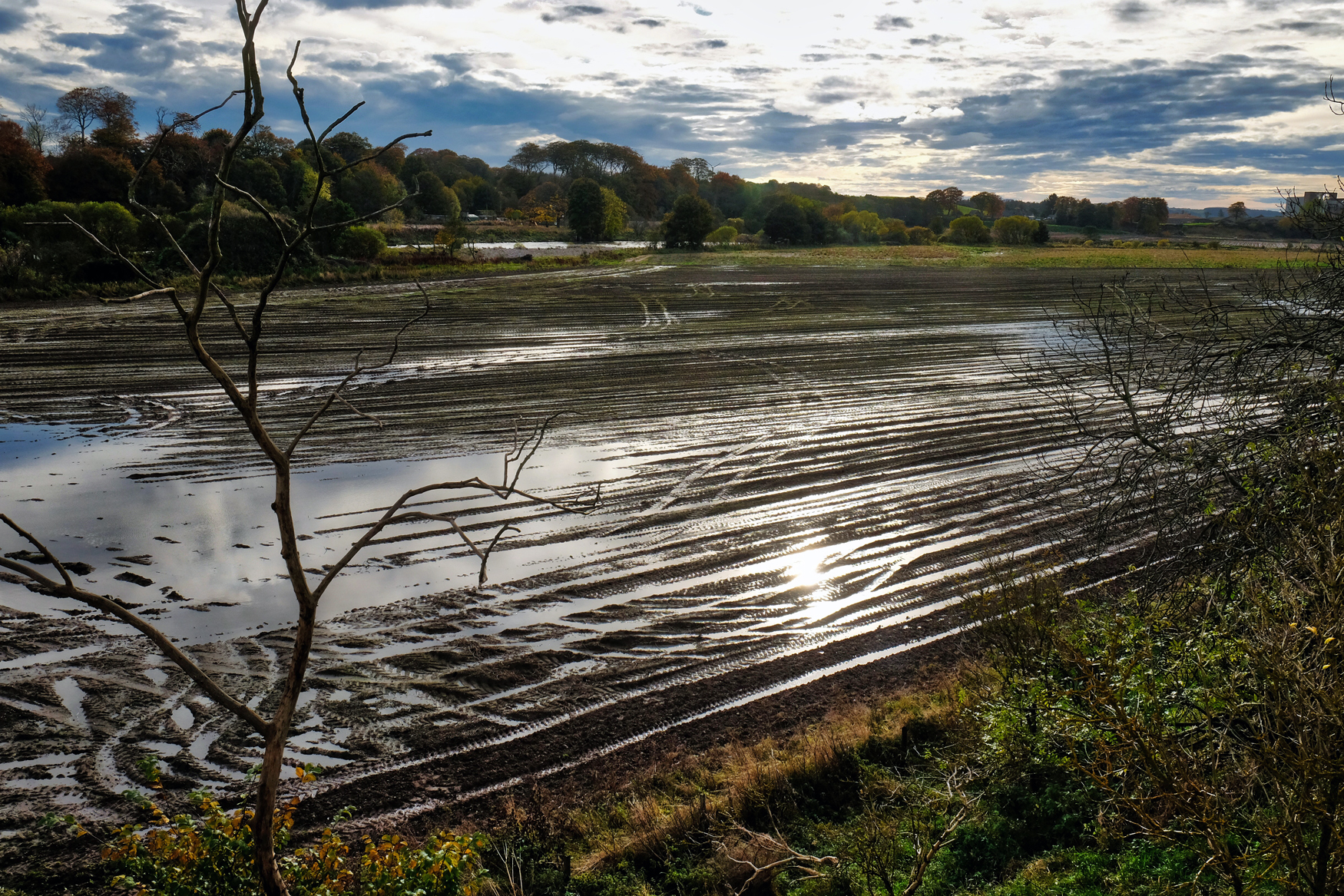
 Day one began at my friend's house . . . with this beautiful view out over a wetlands reserve.
 The wetlands and the hills nearby . . . amazing colors . . . first day of Autumn.
 Our hike would begin along Emerald Bay.
 Rocky forested mountains and clear blue sky and emerald waters . . . what more could a hiker ask for?
 Stunning trees in clear, bright light. Our trail was easy to follow, and indeed, we saw many other hikers.
 Views I will remember forever.
 This is my favorite topography: large pines, preferably Ponderosa pine, large boulders, dry forest floor, grand views.
 Such a lovely trail.
 As always, I find beauty in old weathered tree stumps and snags.
 It seemed like around every bend n the trail we would turn back to Lake Tahoe and another panoramic view.
 There was a stretch of trail that ran along a narrow ledge high above the lake.
 But mostly the trail was wide and not too steep.
 Nature's own arrangement.
 Our hike only lasted a couple of hours . . . I cold have stayed all day . . . and decided to come back the next day to 'finish the trail.'
 Evidence of a recent burn, perhaps two or more years ago.
 Remarkable light, pattern, and texture . . .
 The forest floor was strewn with debris in many places . . . no burn passed this way.
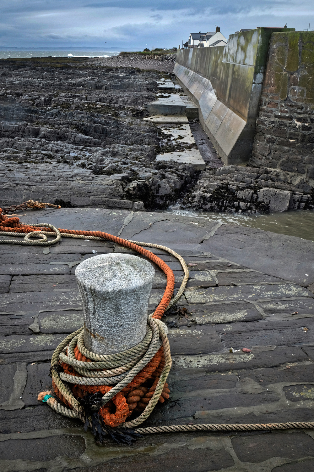
 We reached our destination at Calawee Cove, where we saw a casino cabin cruiser servicing the 'high rollers.'
 Calawee Cove Beach is a public park (see map at end of this entry). We turned around and took a different, steeper trail back to our car.
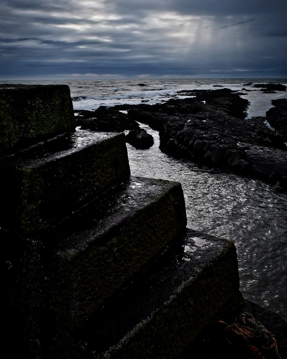
 Wonderful boulders.
 My favorite view of the day.
 Our trail.
 Our trail back to the parking lot. A great day with many great views.
 A fine 'hoodoo' rock formation framed by Lake Tahoe.
 Our trail map.
 The Rubicon Trail follows the ridges and contours of beautiful Emerald Bay of Lake Tahoe.
 The towering rocky cliffs of the Sierra Nevada mountains tower over the bay.
 A dry, rock strewn, late summer forest floor lined the trail throughout. Over two days I walked the length of the Rubicon trail.
 The popular Rubicon Trail is not a difficult trail to follow.
 Access to parts of the Rubicon Trail are on old service roads. The south part of the trail starts at the parking lot.
 The service road leads you to the lake shore where there is a dock (swimming not recommended because of the extremely cold water).
 There are also kayaks for rent.
 I had been told that there was an old Scandinavian homestead at the end of Emerald Bay, but I did not expect something so charming as the Vikingsholm!
 Is this 19th century Norway? No . . . . it's Lake Tahoe, California, USA in 2018!
 A fascinating sight: a sod-roofed shed.
 The Vikingsholm was laid out in typical Scandinavian farmhouse style with a central courtyard.
 A magnificent structure . . . from any period.
 Excellent folkcraft details.
 I marvelled at this old pump . . . gasoline?
 Vikingsholm was surrounded by beautiful natural grounds and small ponds.
 The Rubicon Trail ranger cabin (and gift shop . . . I bought the t-shirt!).
 The trail to the Lower Eagle Falls began behind the Ranger cabin.
 It has been a long, mostly dry summer, with a less-than-average snow pack in the Sierras, so the Lower Eagle Falls were not so spectacular . . . although the geology was interesting.
 The Lower Eagle Falls trail had some beautiful giant old cedars.
 The Rubicon Trail to the south shore of Emerald Bay began across this Eagle Creek bridge. I had a long conversation here with an Indian Motorcycle dealer from Phoenix, Arizona about the future of motorcycles. He agreed with me that there needs to be hybrid motorcycles that can be run on batteries for in-town commuting . . . and have a 'scrambler' frame and 650 gas engine for long out-of-town road trips with tent and gear.
 So many beautiful and dramatic geological features to see along the trail.
 Many natural wonders to look at.
 Lovely dry forest.
 A weathered old trunk.
 Quiet hiking . . . .
 I saw only four other hikers in three hours.
 There were a wide variety of trees.
 The trail came close to the bay at several points.
 I can understand why this place is called Emerald Bay!!!
 I sat here to take a rest.
 Near the point I headed back on the same trail.
 Back along the lake shore . . . .
 . . . and back along the Vikingsholm . . . .
 . . . and back along the beach . . .
 . . . and back along the crystal clear water of Emerald Bay . . .
 . . . and up the steep trail to the car park . . . overlooking the beautiful Fannette Island . . .
 . . . and the view from my camper in the parking lot. A perfect day.
 Two days of hiking the most beautiful mountain trails with a constant view of incredible Lake Tahoe. My map.
 Dr. Jeff Harper
Yes, we saw wildlife in Lake Tahoe . . . but it was all around the house!
 The hummingbirds enjoyed the feeder. They will leave soon on a migration ahead of the coming snows.
 A busy little fellow.
 A challenge to the feeder perch.
 A visiting white egret.
 This one was hunting fish . . . and eventually caught one that was too big to swallow whole!
 My host told me there were black bears living in the neighborhood, but this did not prepare me for the excitement of actually seeing one standing in the front yard! This is a real 450-500 pound bear! I had the wrong lend for the low light situation, and was so excited that I didn't check my settings! Oh no! I choked!
Gibraltar: Day and Night
 In February 2017 we made the short flight to the British enclave of Gibraltar. It is worth a three night stay . . . but perhaps not any longer . . .
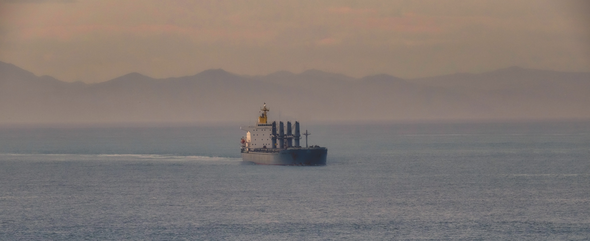 Gibraltar sits near the southern tip of Spain at the northern side of the Straight of Gibraltar. All ships that pass from the Mediterranean Sea to the Atlantic Ocean must pass through here. The North African coast can be seen across the Straight of Gibraltar.
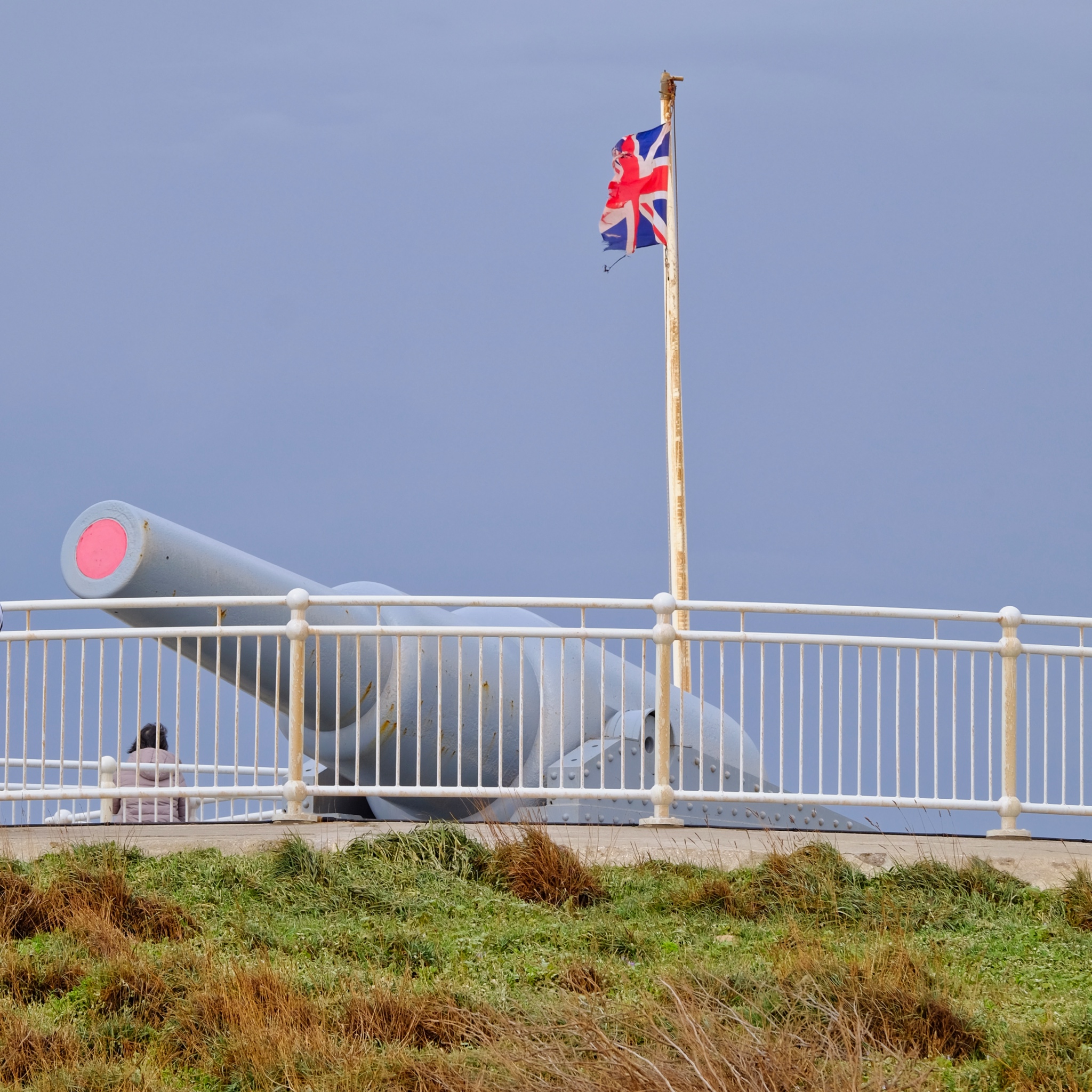 Gibraltar is a British territory . . . The residents recently voted 96% in favor of staying within the UK and not joining Spain . . . of course, they also voted 96% to stay within the EU during the Brexit vote!
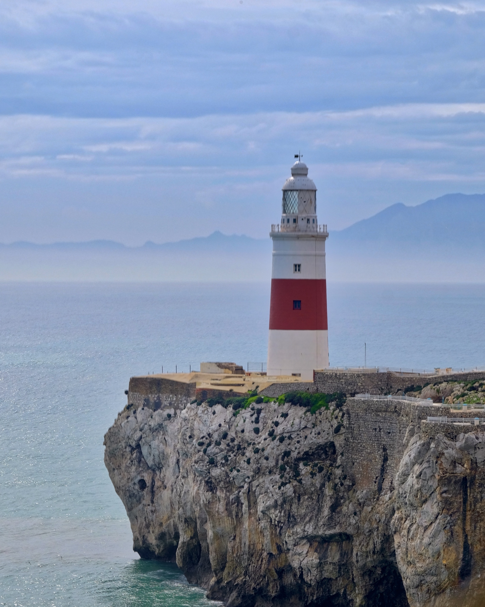 The lighthouse at the tip Gibraltar . . . this straight is also known as the Pillars of Hercules by the Greeks.
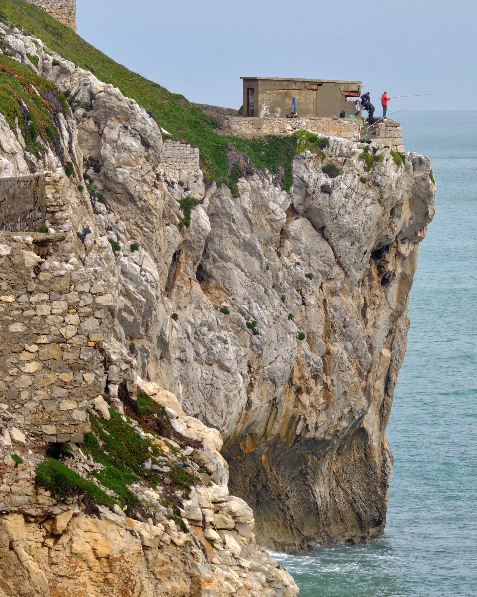 The 'rock' of Gibraltar falls directly into the Mediterranean Sea on the eastern side. Fishermen find good use of an old war pill box.
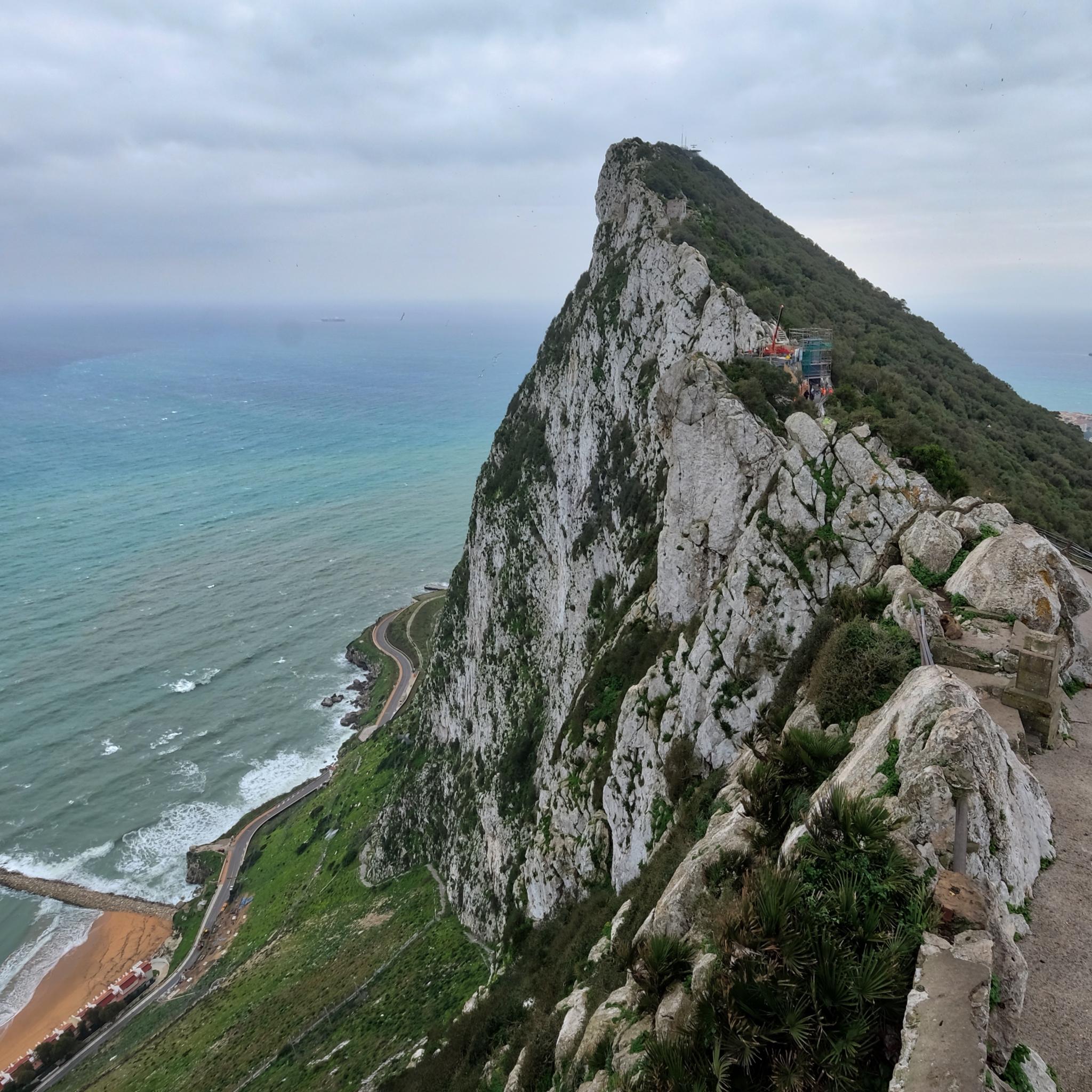
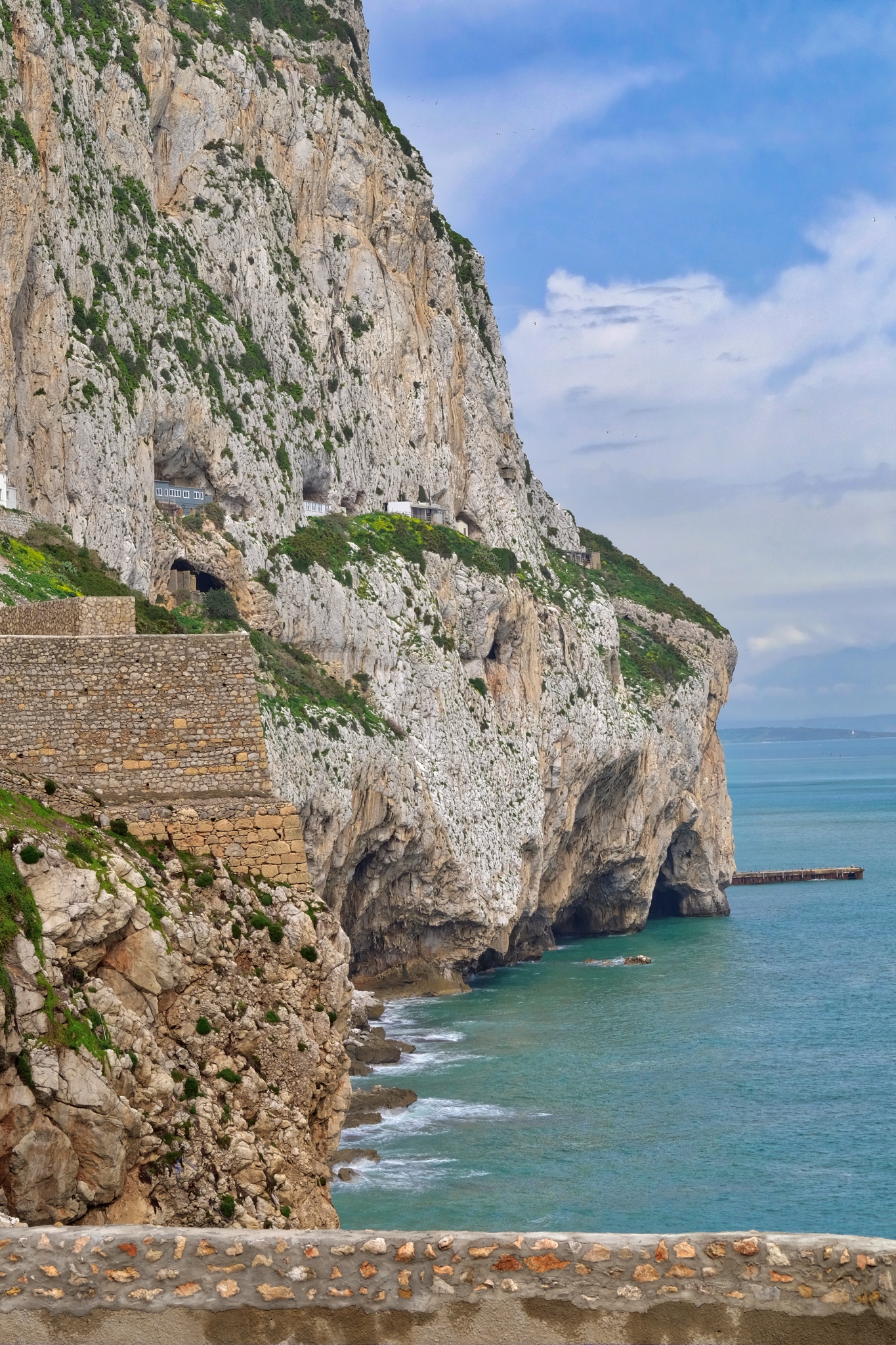 The cliffs of Gibraltar are compelling: their sheer size . . . and the remnants of structures left behind by the many former occupants over the millennia, draws the eye.
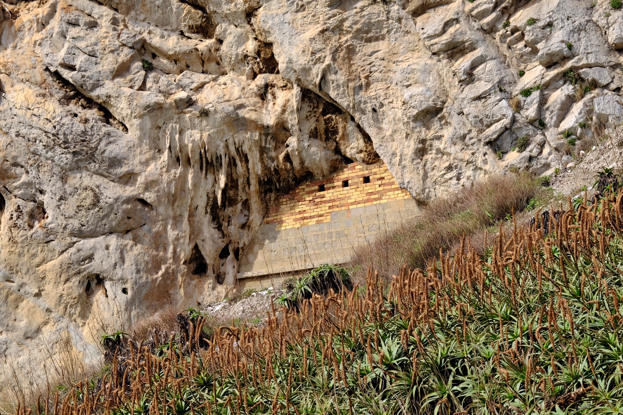 The whole of the rock is riddled with passages and tunnels used as fortified defensive emplacements.
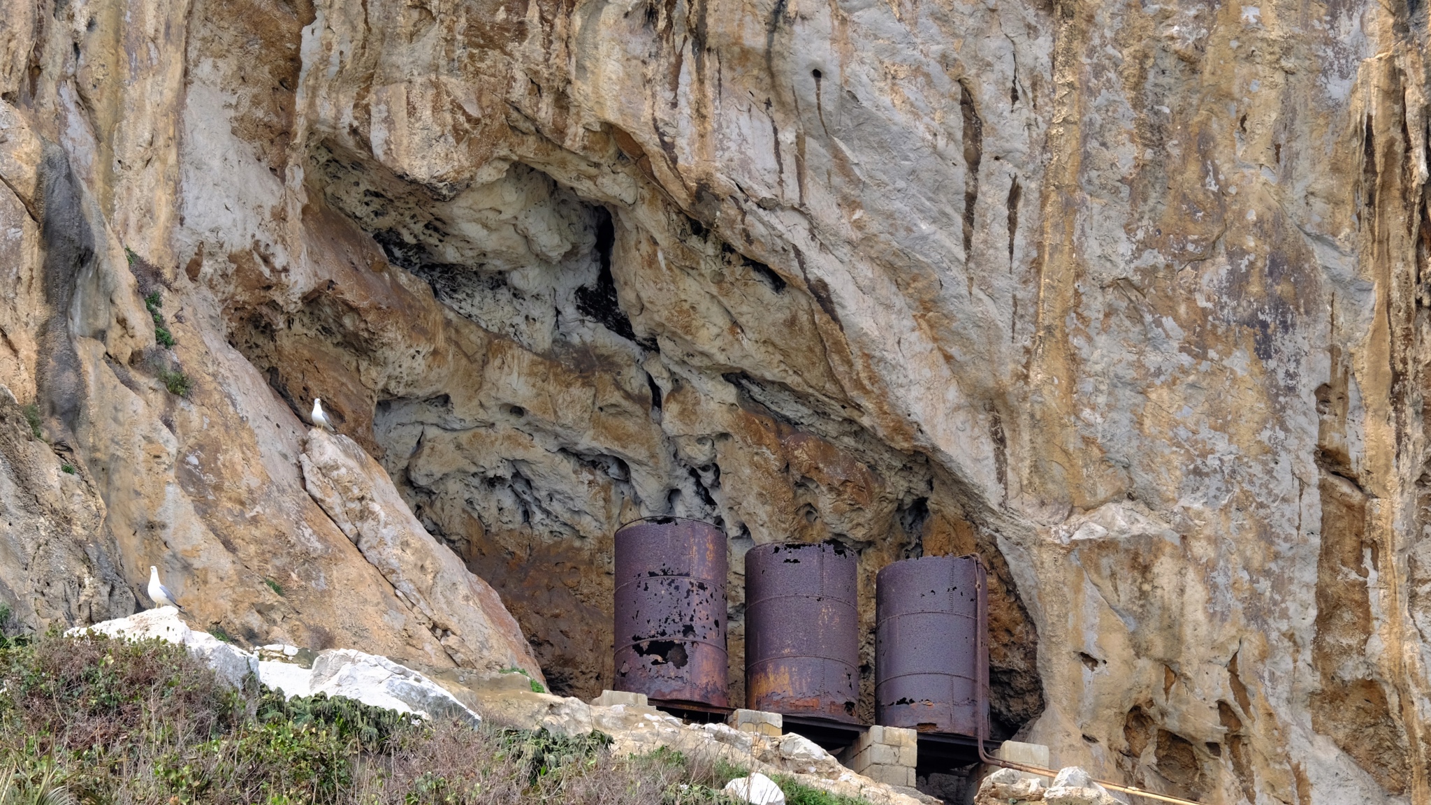 Some very old infrastructure left behind by a long forgotten project.
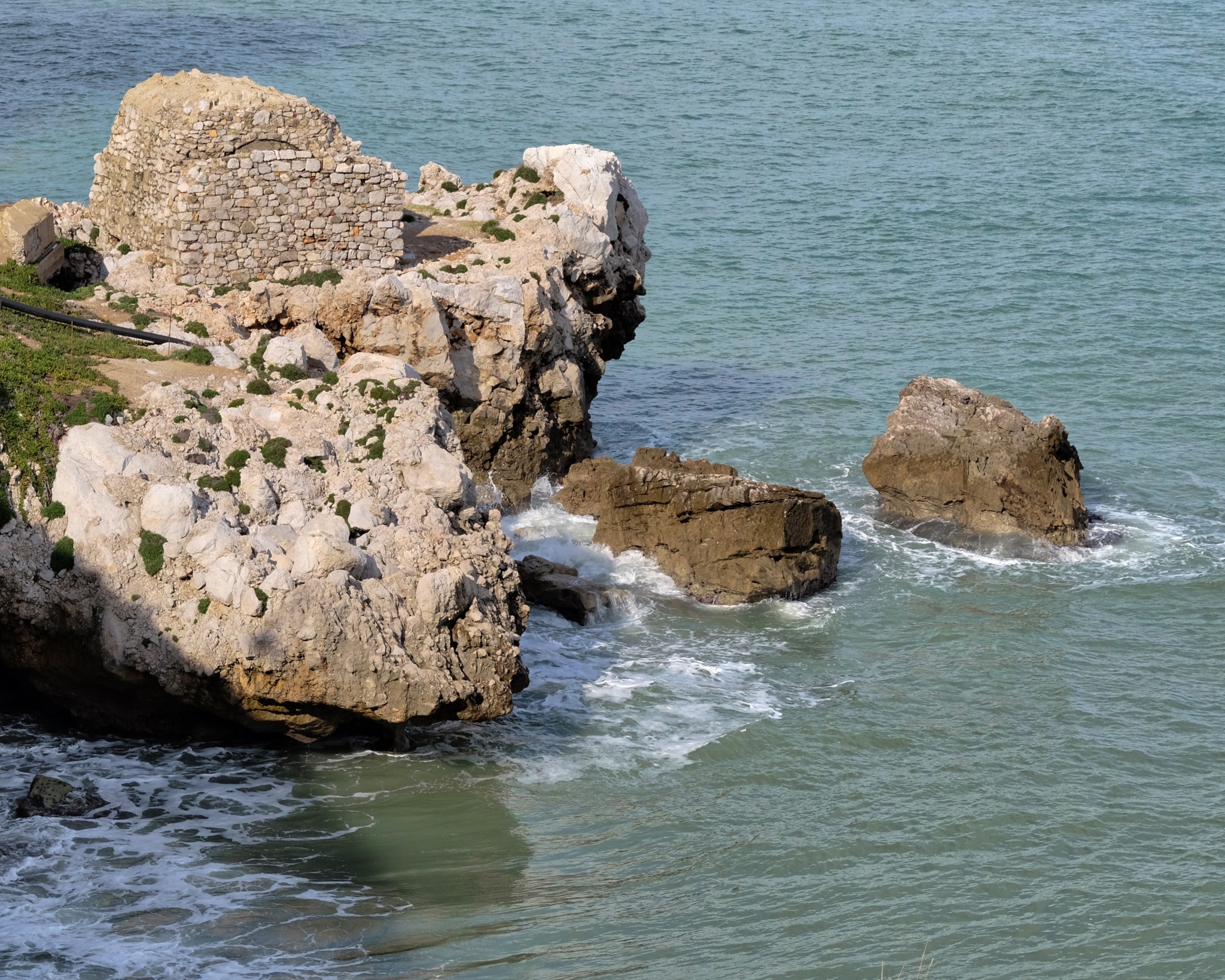 Everywhere a remnant of some previous occupier . . . Moorish?
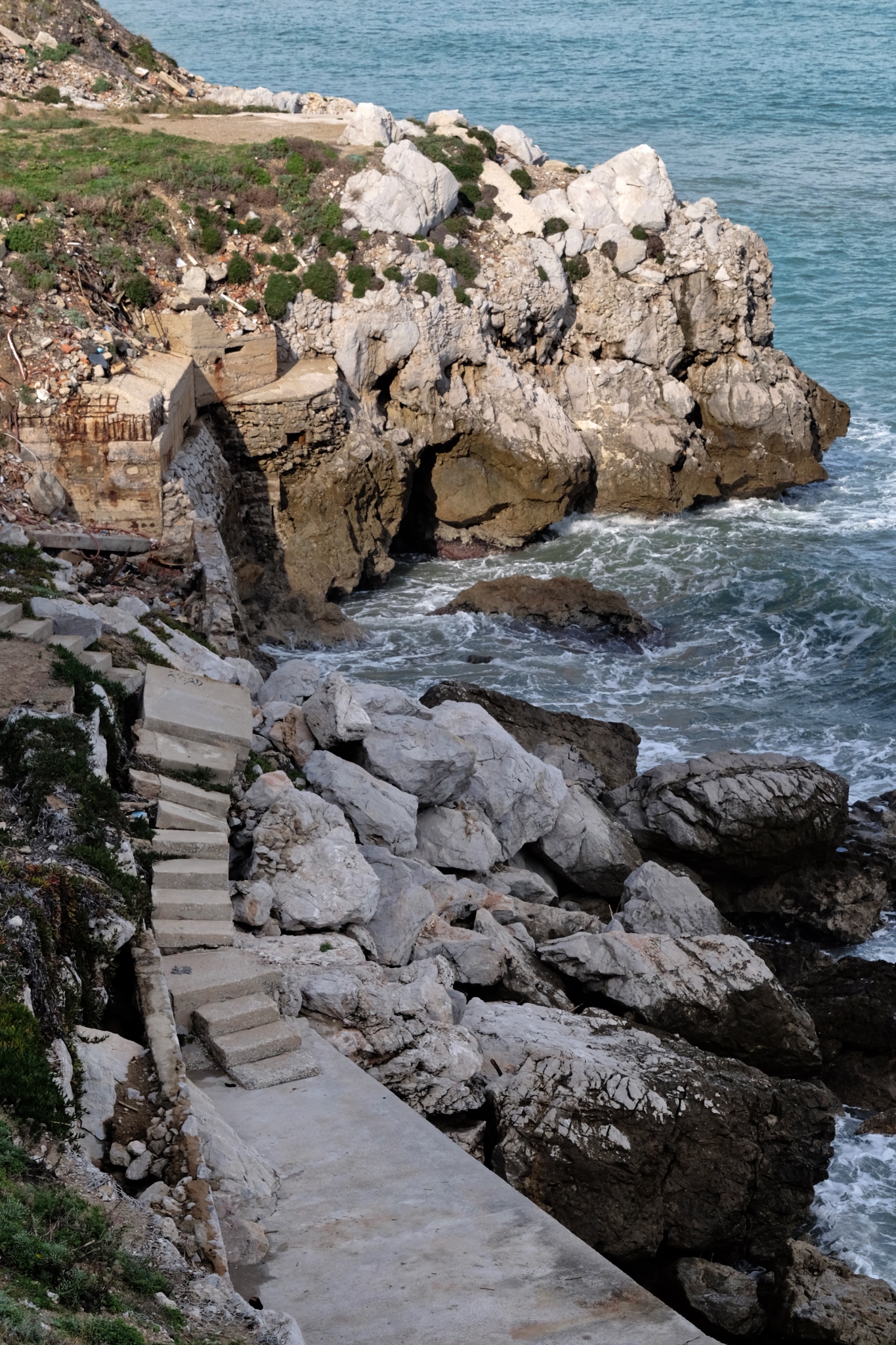 Many different building traces from many different eras all overlapping . . . . Gibraltar was occupied, at various times from 950BC, by the Phoneticians, Greeks, Carthaginians, Romans, Vandals, Goths, Visigoths, Moors, Nasrids, Medinas, Dutch, Spanish, and ultimately, the British.
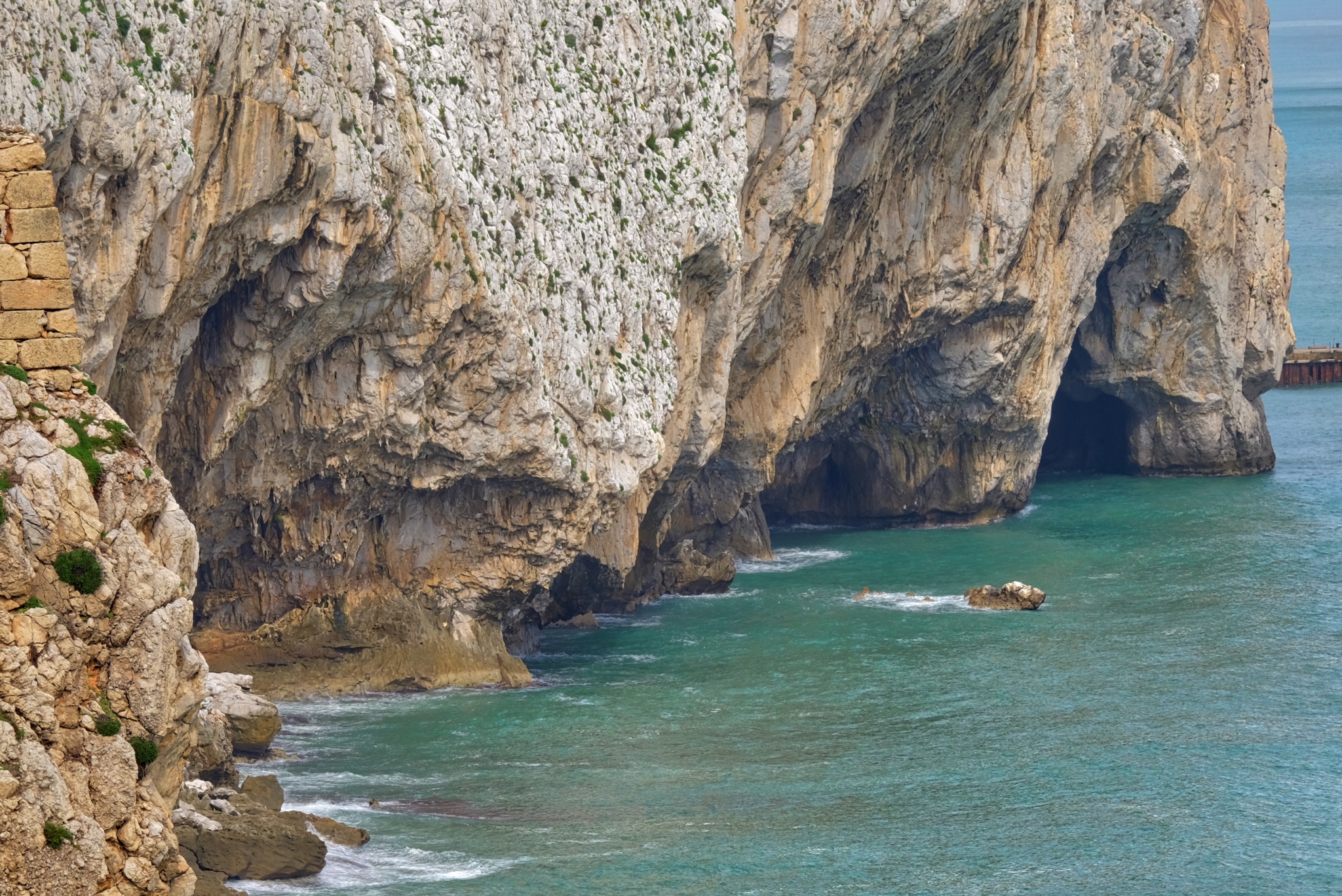 Near here, in Gorham's Cave, Neanderthal remains were found dating to 55,000 years ago.
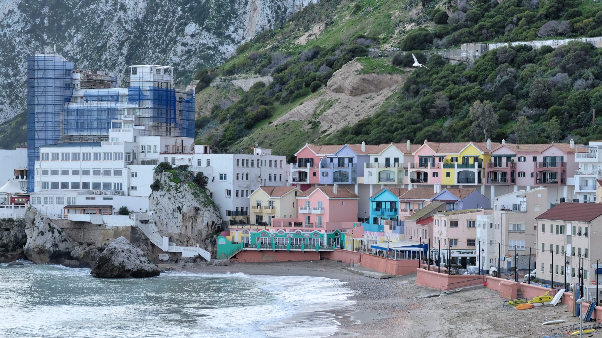 Today, Gibraltar is a Mecca for Mediterranean cruise ships and British retirees (pensioners).
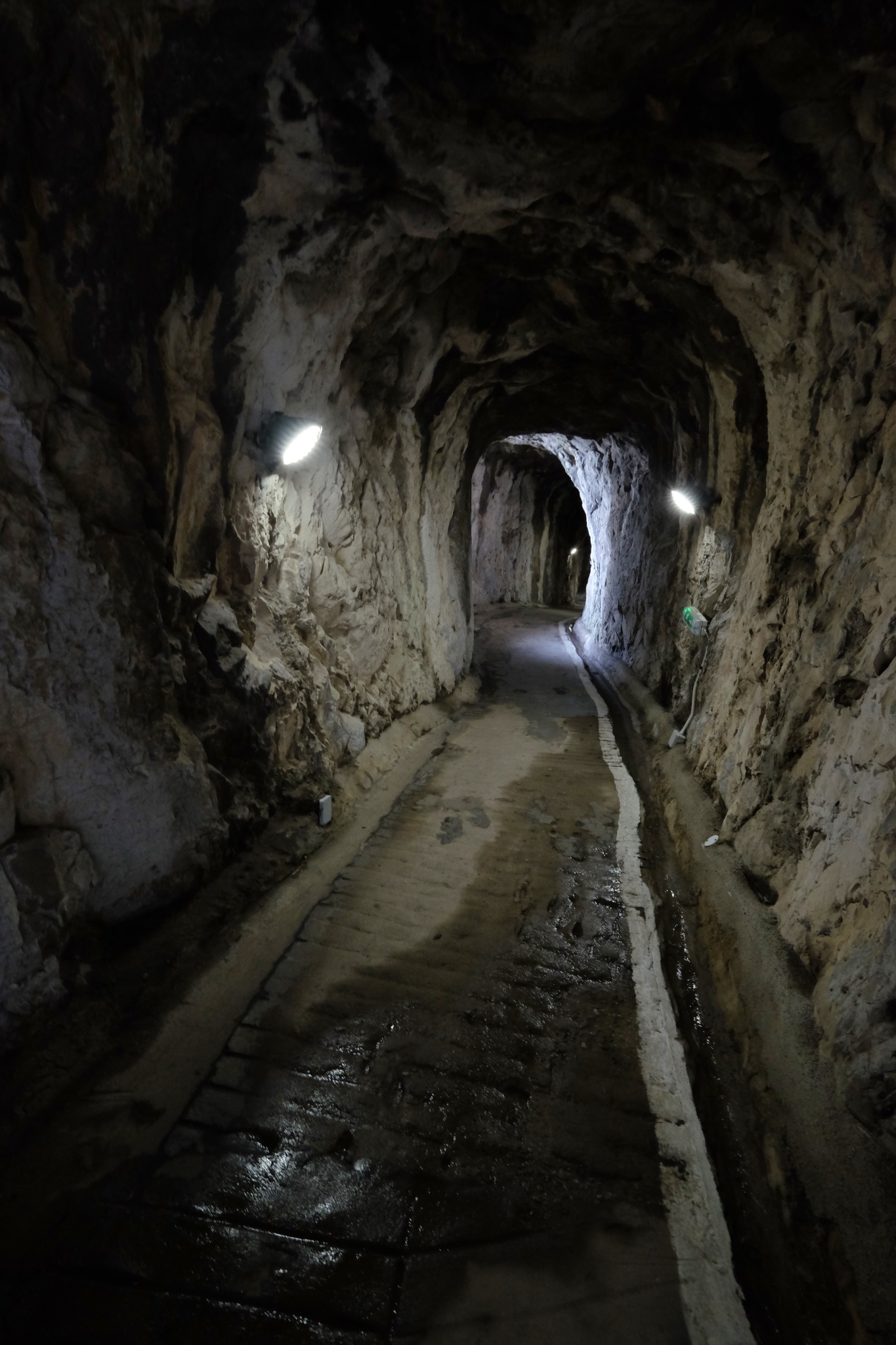 The Rock of Gibraltar is as riddled with caves and tunnels as a block of Swiss cheese. The massive rock was the ideal place to build hardened shelters during times of war, particularly during WWI and WWII. These tunnels date to even before those times when the British and the Spanish were at constant conflict.
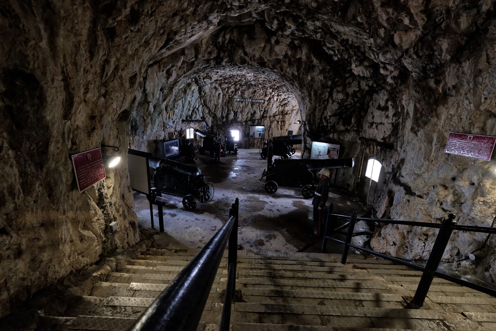 The St. George Tunnel is still equipped with the original cannon from the era.
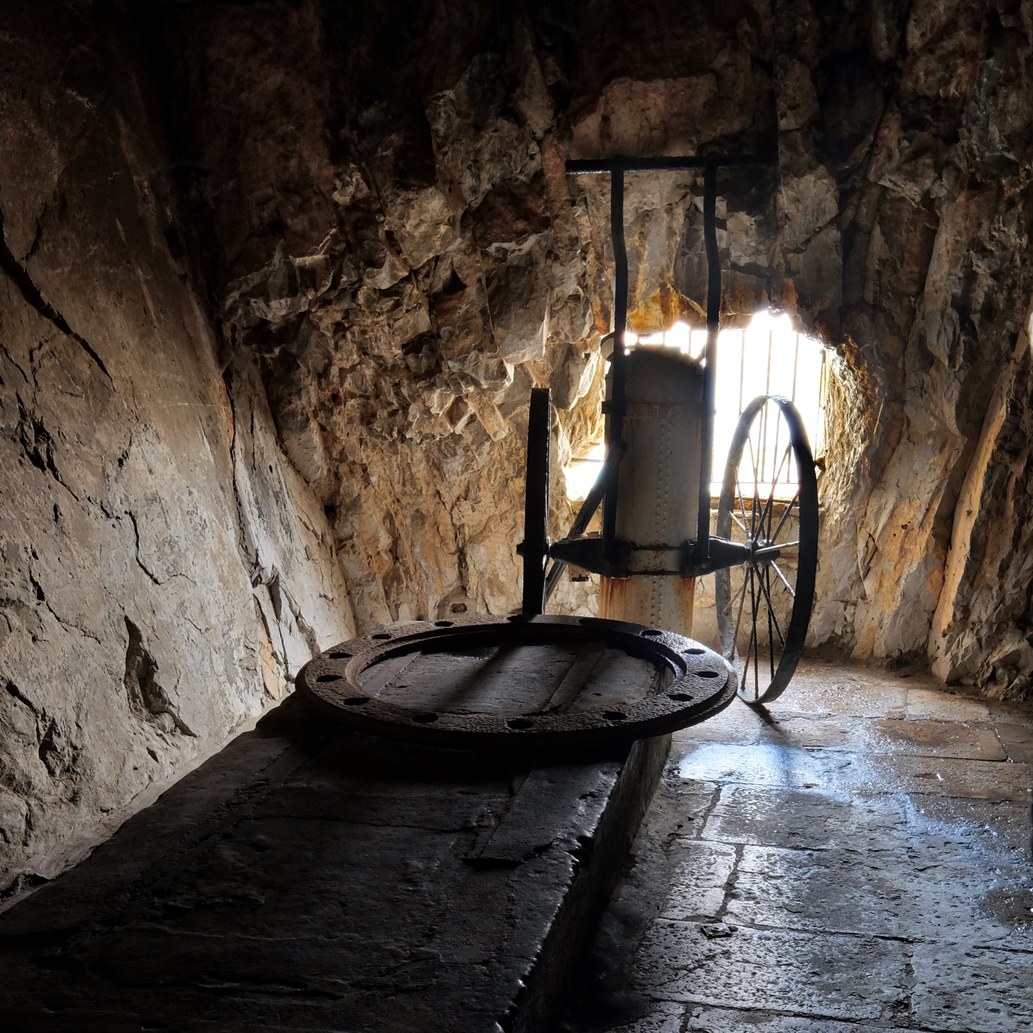 Although the cannon is missing, the turret and fire safety cart remains.
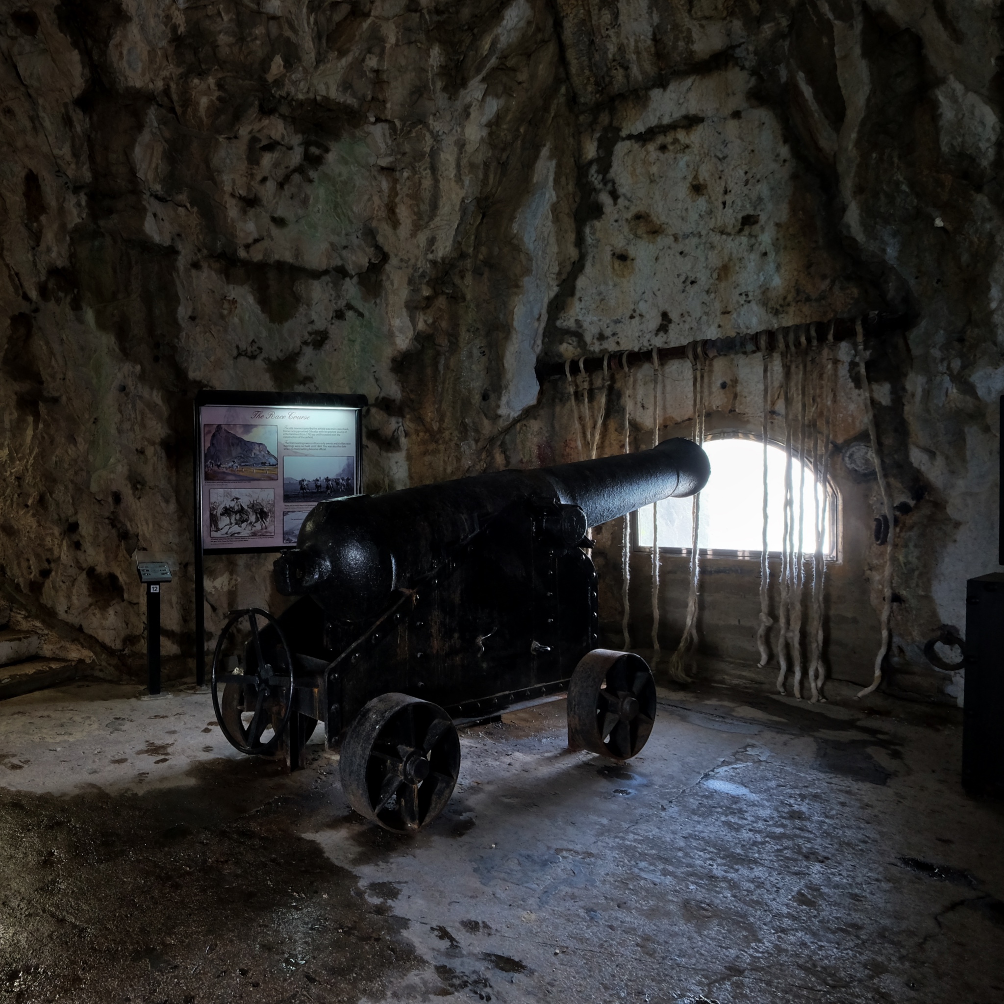 The historical placards were very informative and made the tunnel visit very interesting.
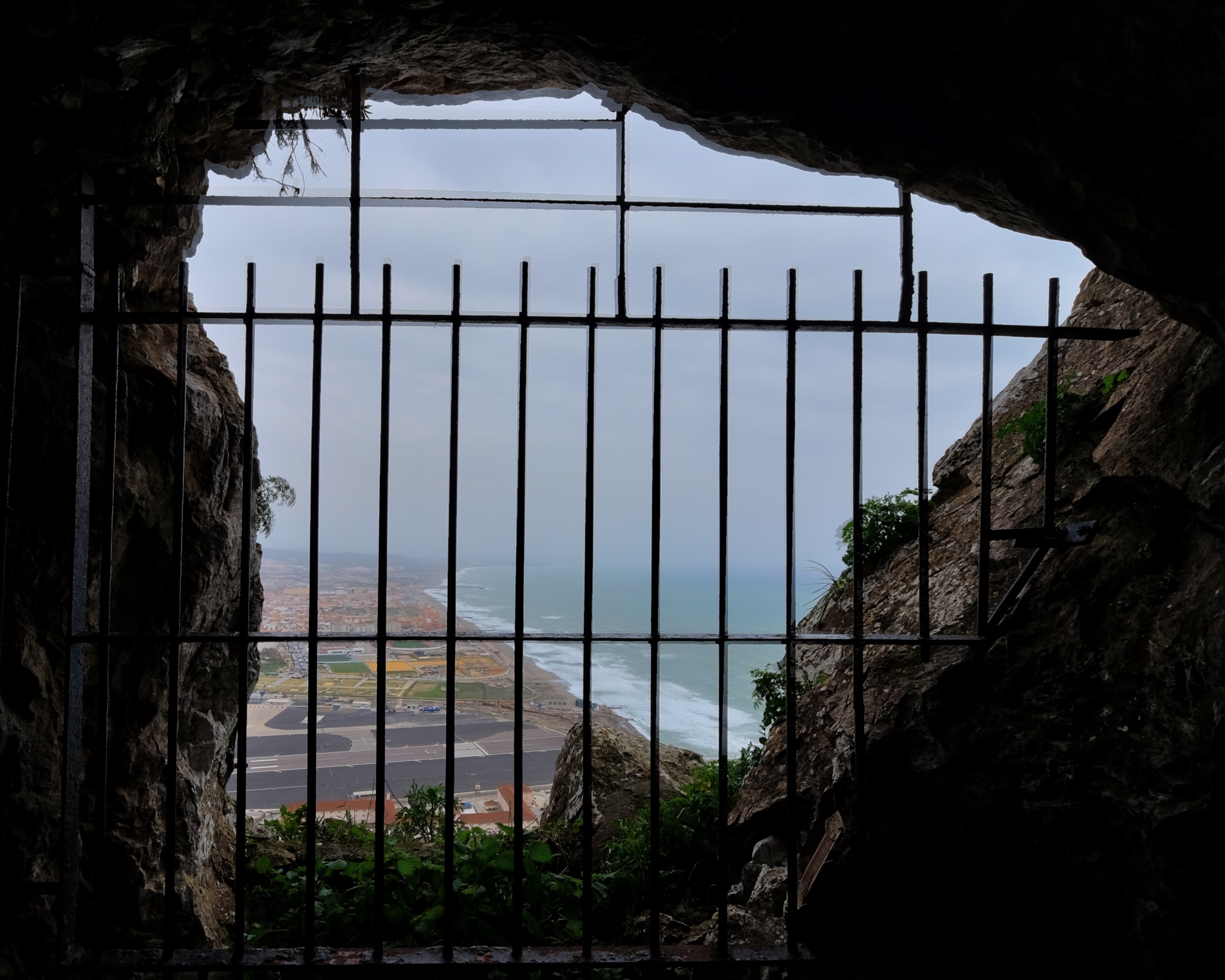 This view from a cannon emplacement is testimony to the strategic importance of these tunnels.
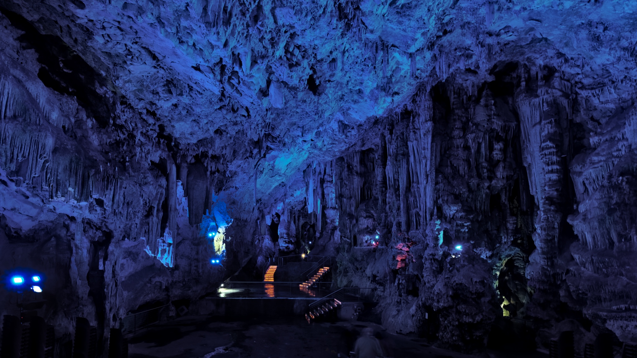 In addition to the military tunnels, there are also natural caves in the Rock of Gibraltar. For a nominal fee, you were treated to giant caverns lit by an ever-changing Xmas tree light.
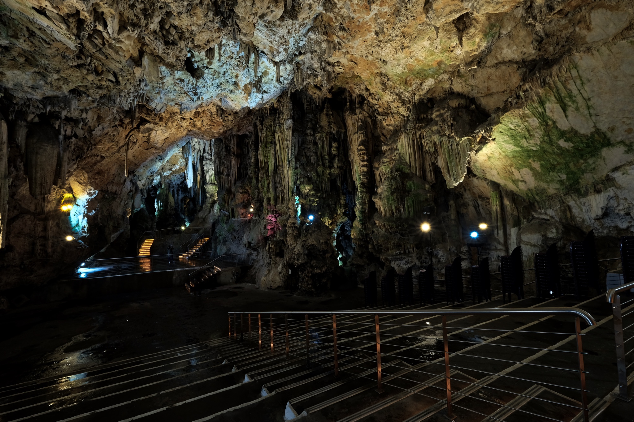 It appeared that they must hold musical events inside the cavern from time to time.
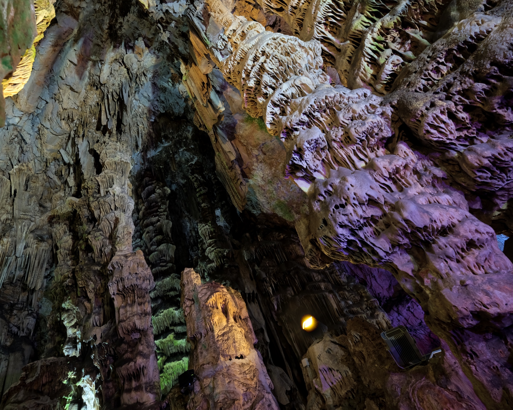 A very beautiful place indeed.
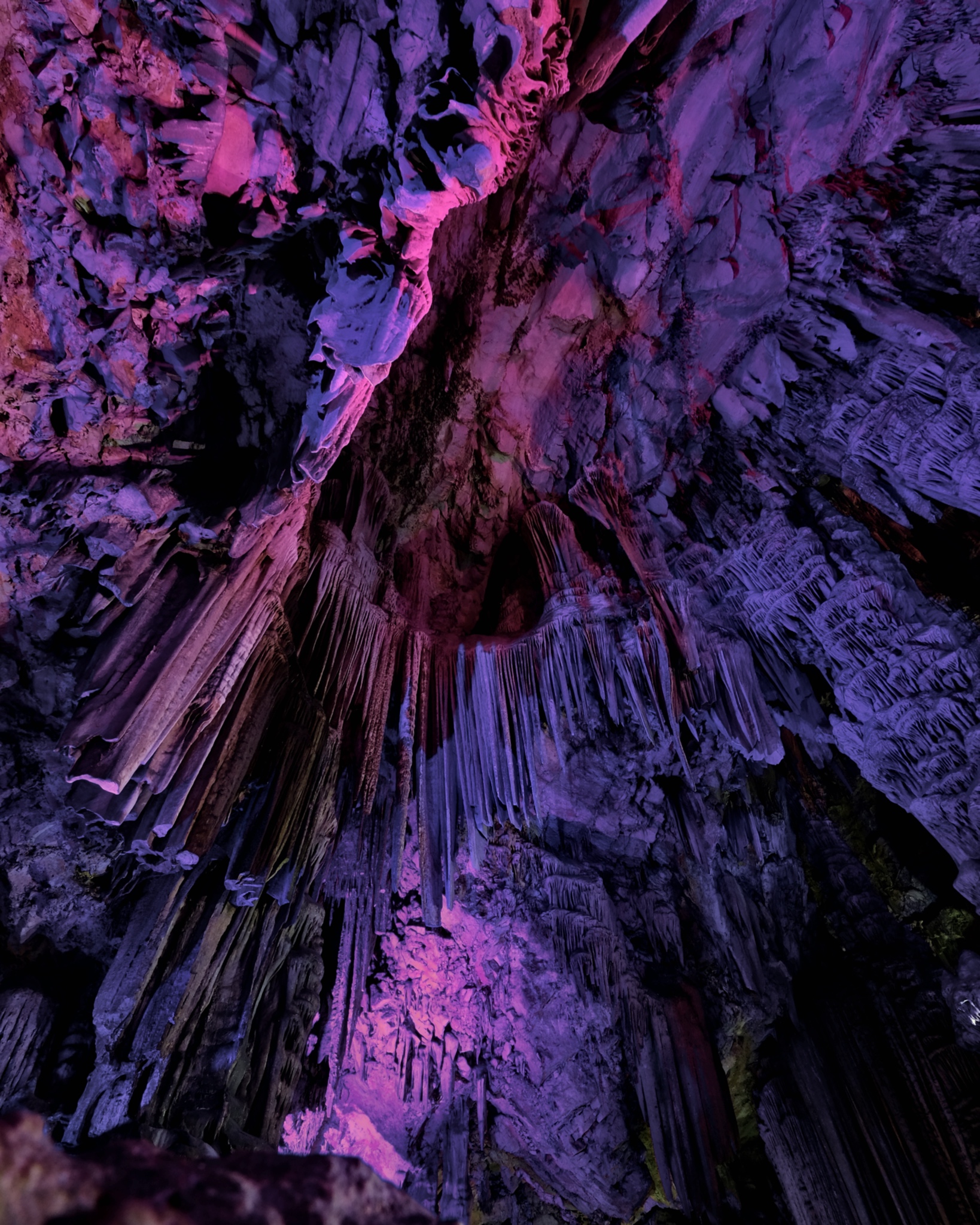 The colored lights grew on you after a while.
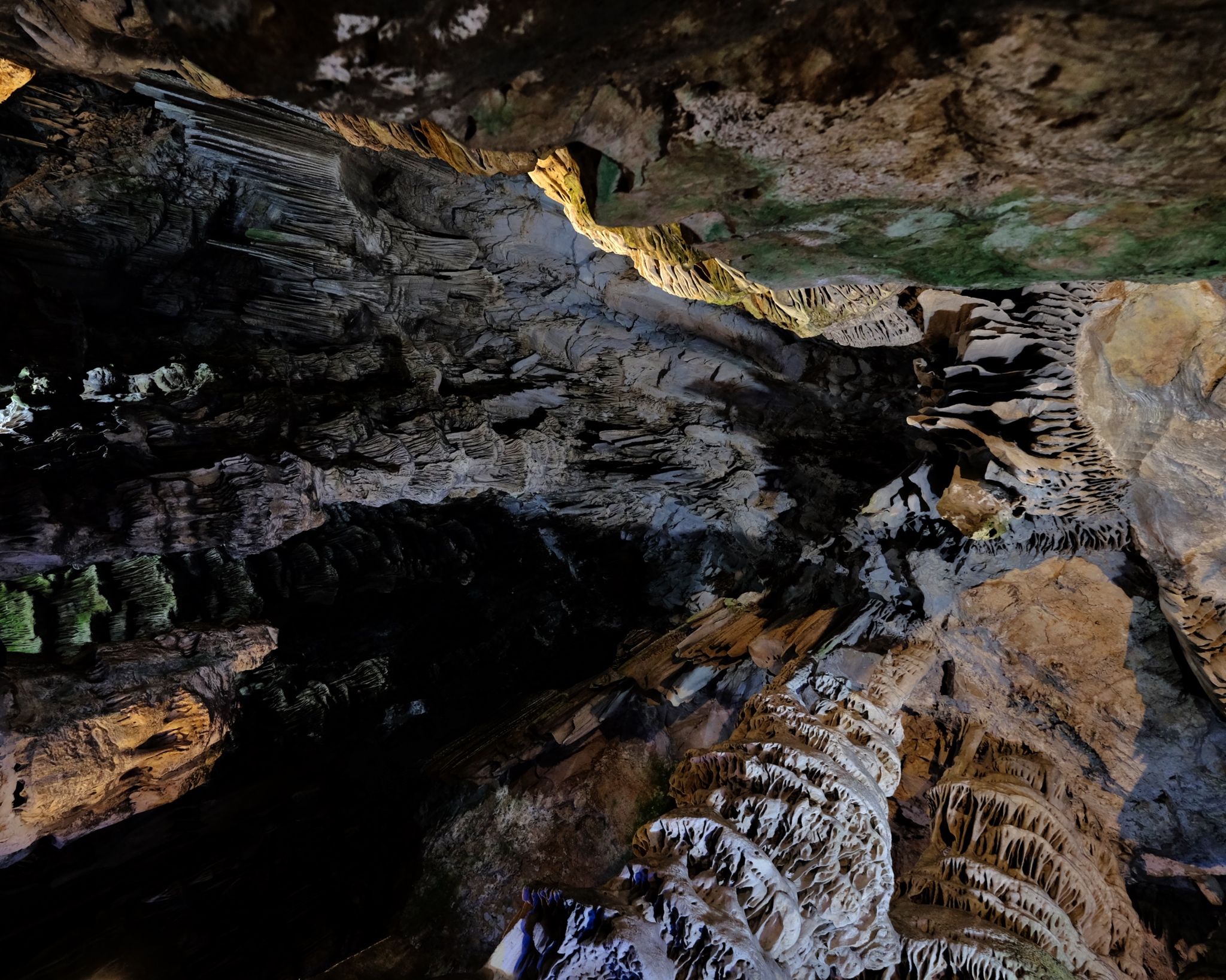 We enjoyed our walk-through of the caves. When we emerged were greeted by . . .
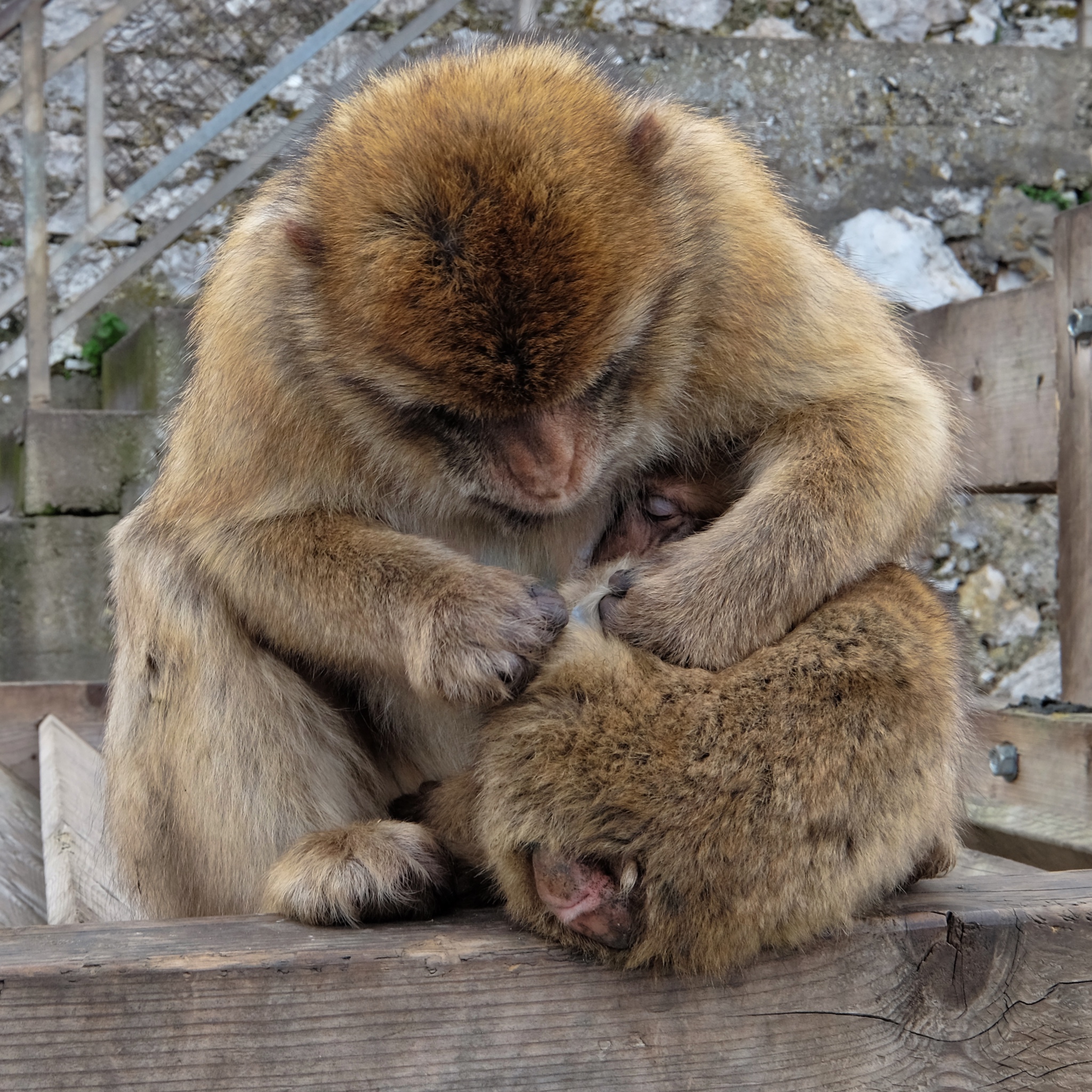 Monkeys! Lots of monkeys! We were warned about the monkeys . . . that they were little pickpockets! One does not associate monkeys with Europe . . . but there you are!
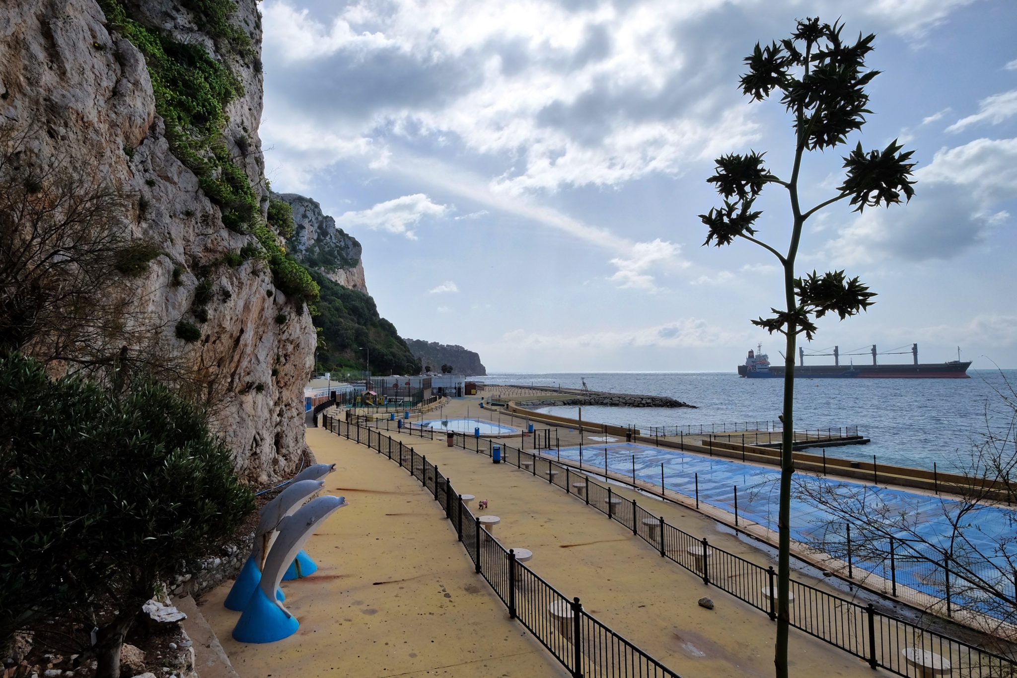
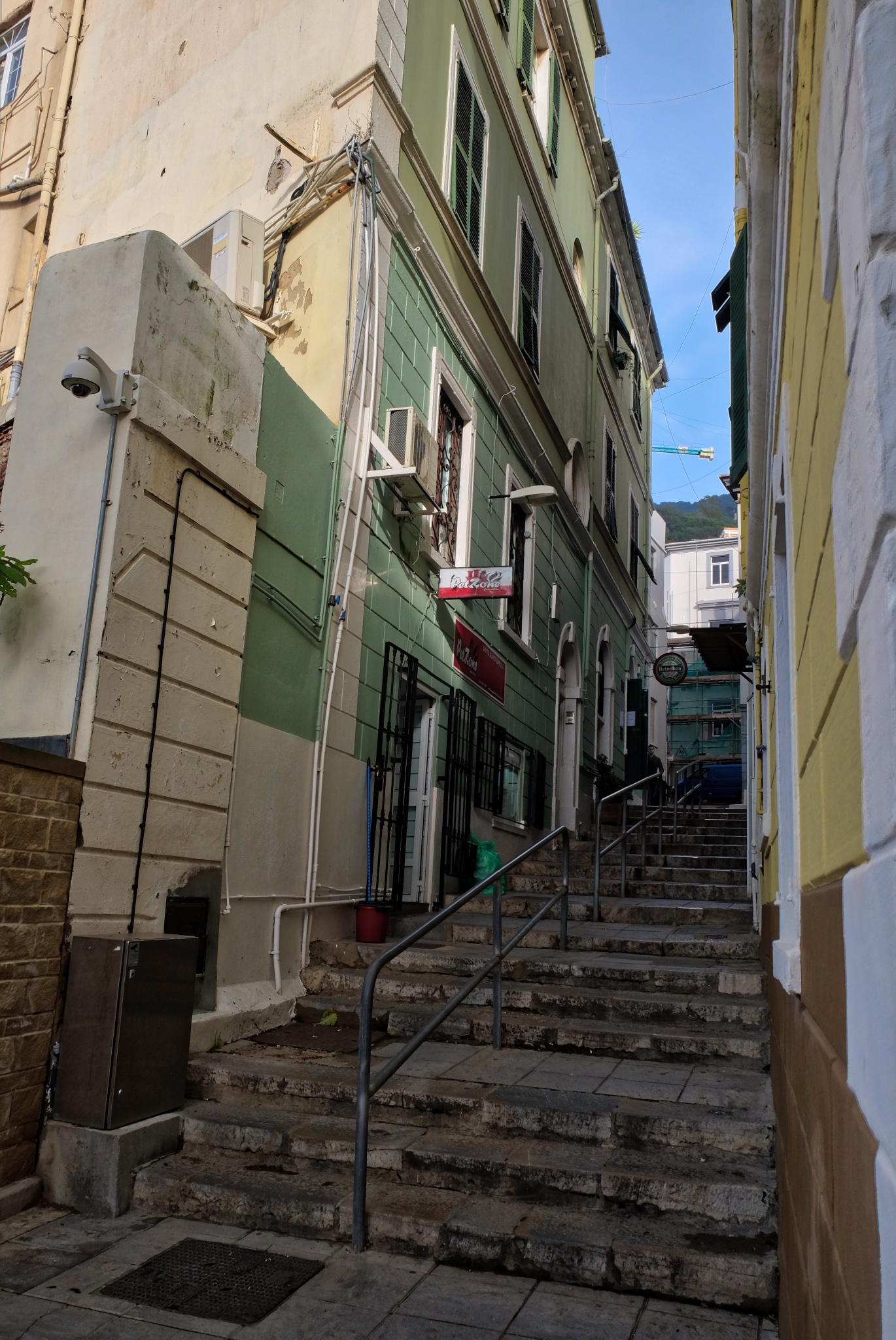 Gibraltar is, of course, built on the side of a big rock with little flat ground. As such, the streets and alleys are often just steep stairs.
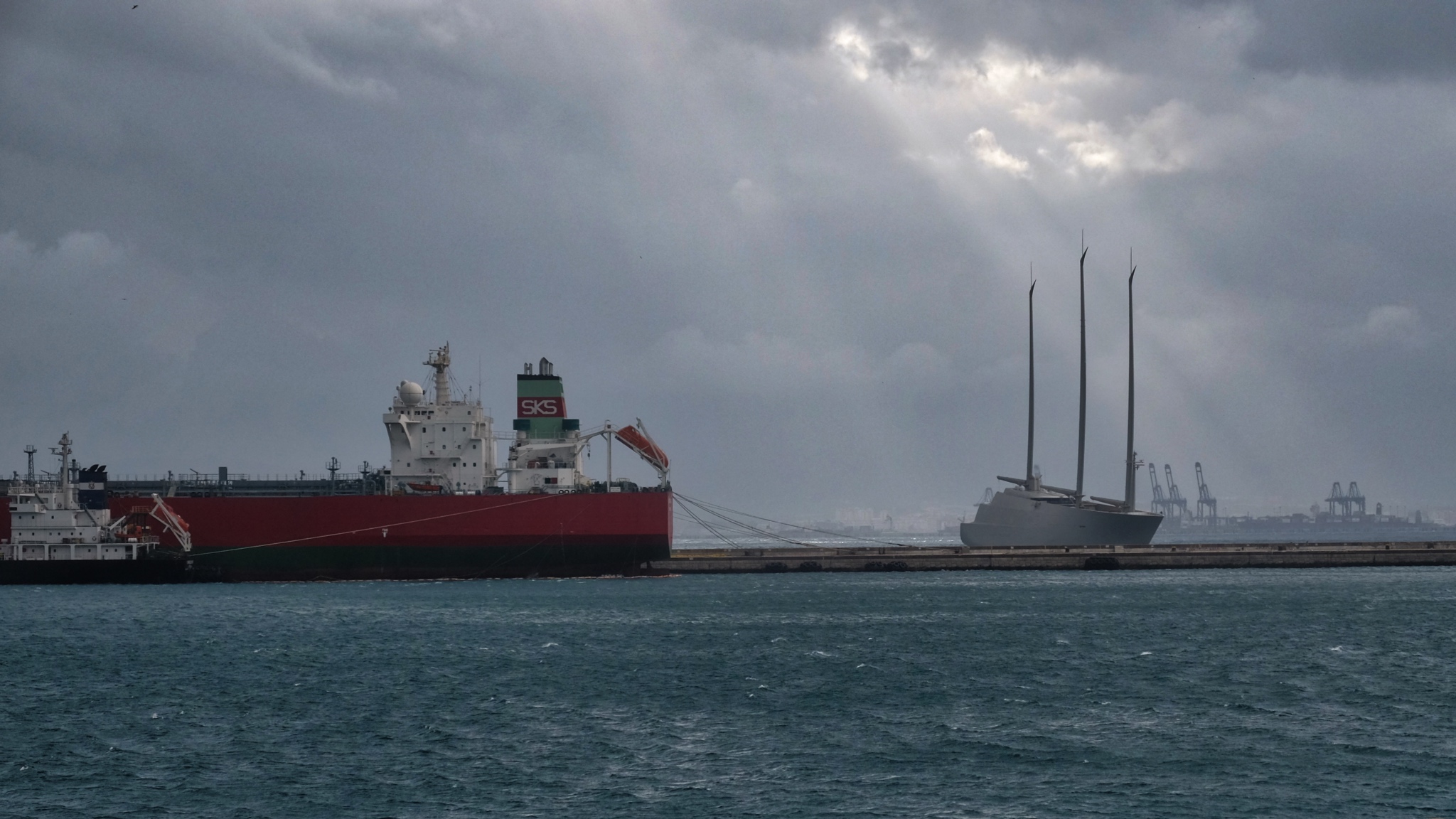 Gibraltar is also a port city . . . and a place for a 'mystery Russian' to came and try for sea trials and licensing of a stealth sailing ship. This Dark Boat was the talk of the town's permanent residents. It was gone in the morning.
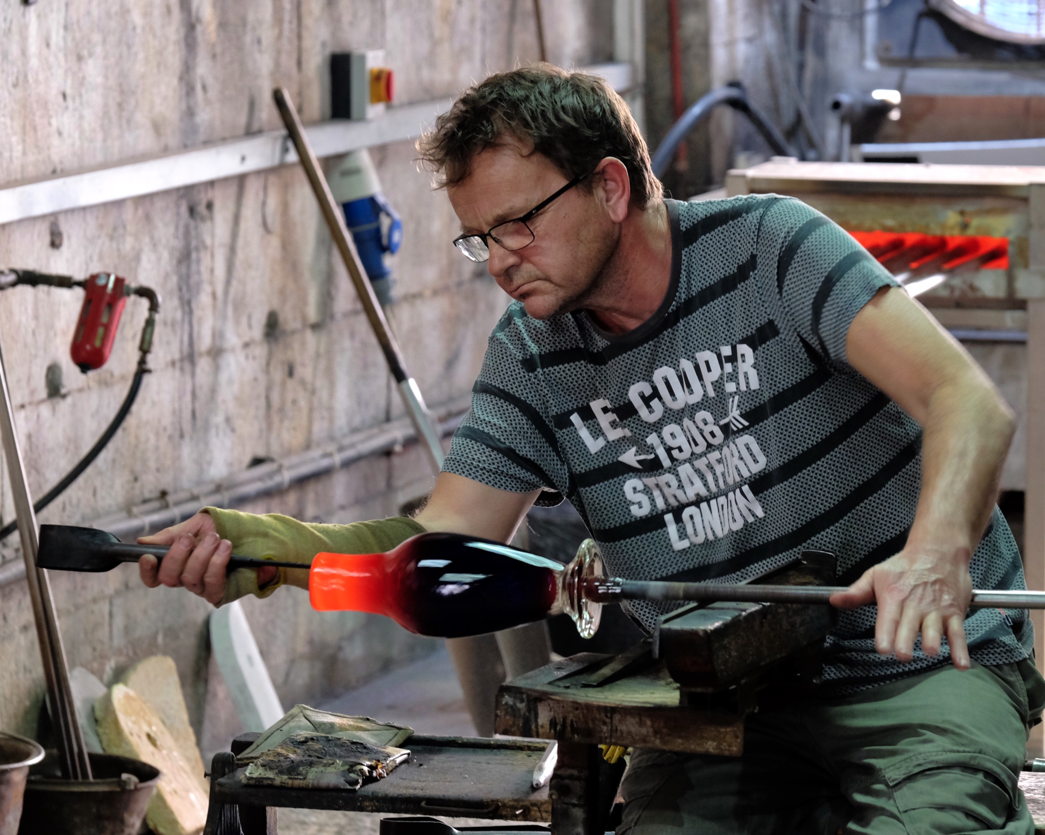 There are craft shops open to the public. Here a famous glassblower plys his trade.
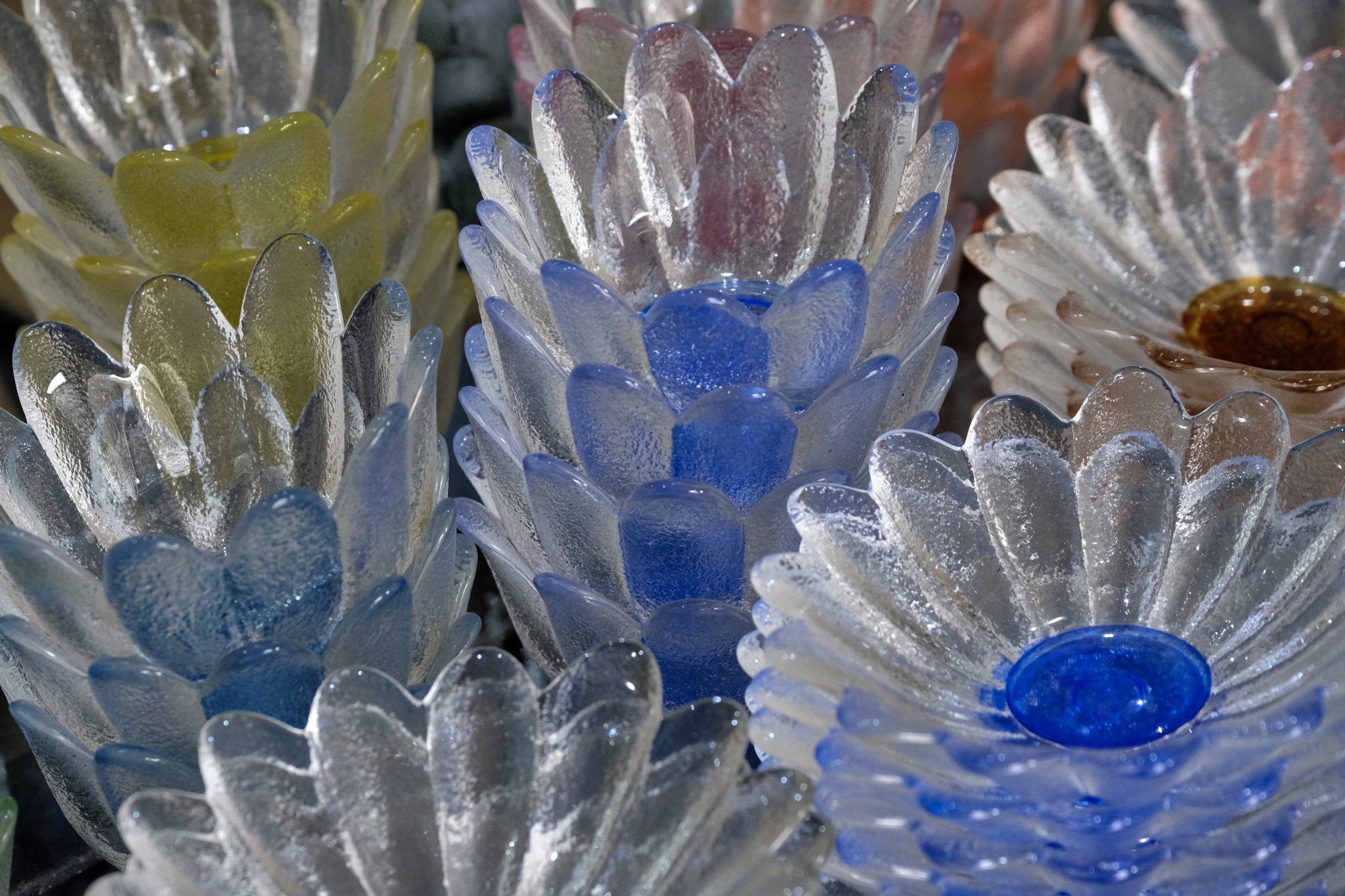 Beautiful work too . . .
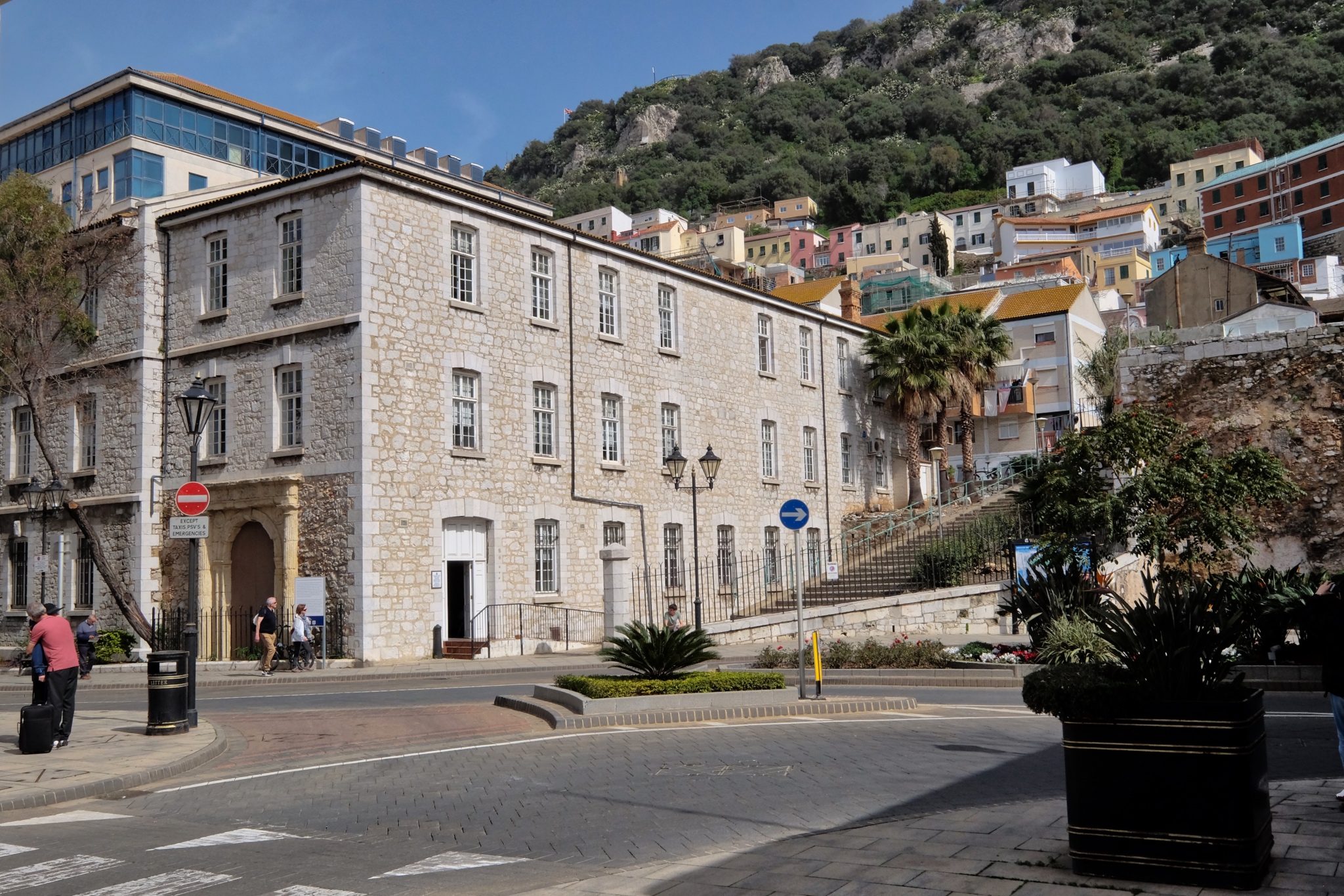 Gibraltar town sits fast against the famous 'Rock.'
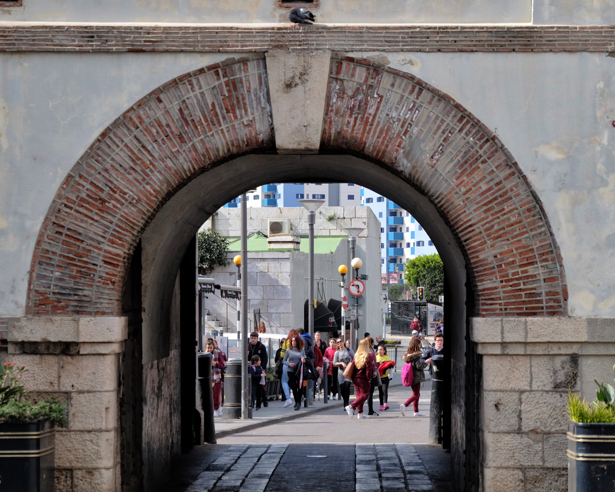 The south city gate . . . already a few tourists mixed in with the locals . . .
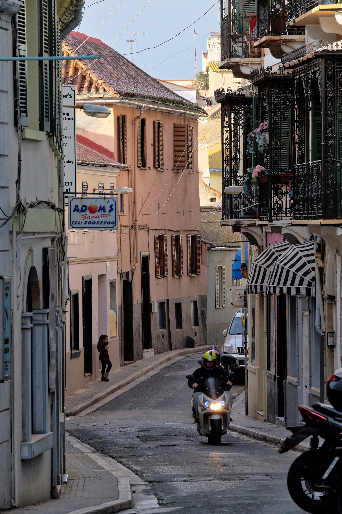 There are some beautiful curving streets through the old town.
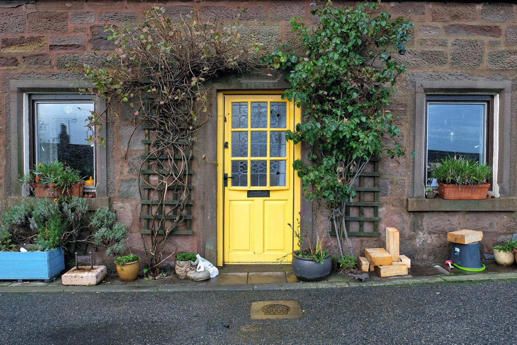
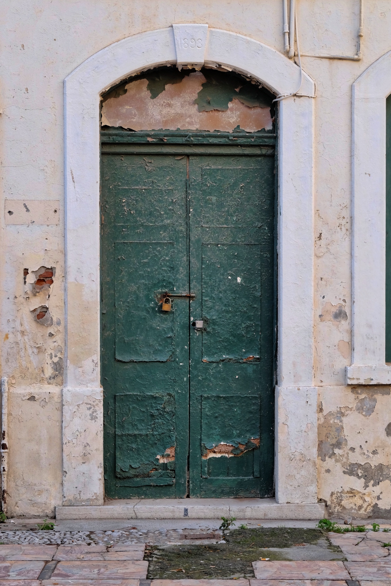 My Old Door Photo Fetish (ODPF) was completely satisfied in Gibraltar!
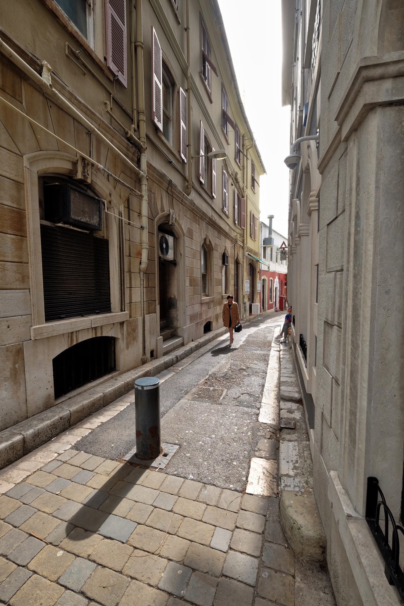 A pleasant place to stroll around . . . before the throngs of tourists arrived, the locals told us.
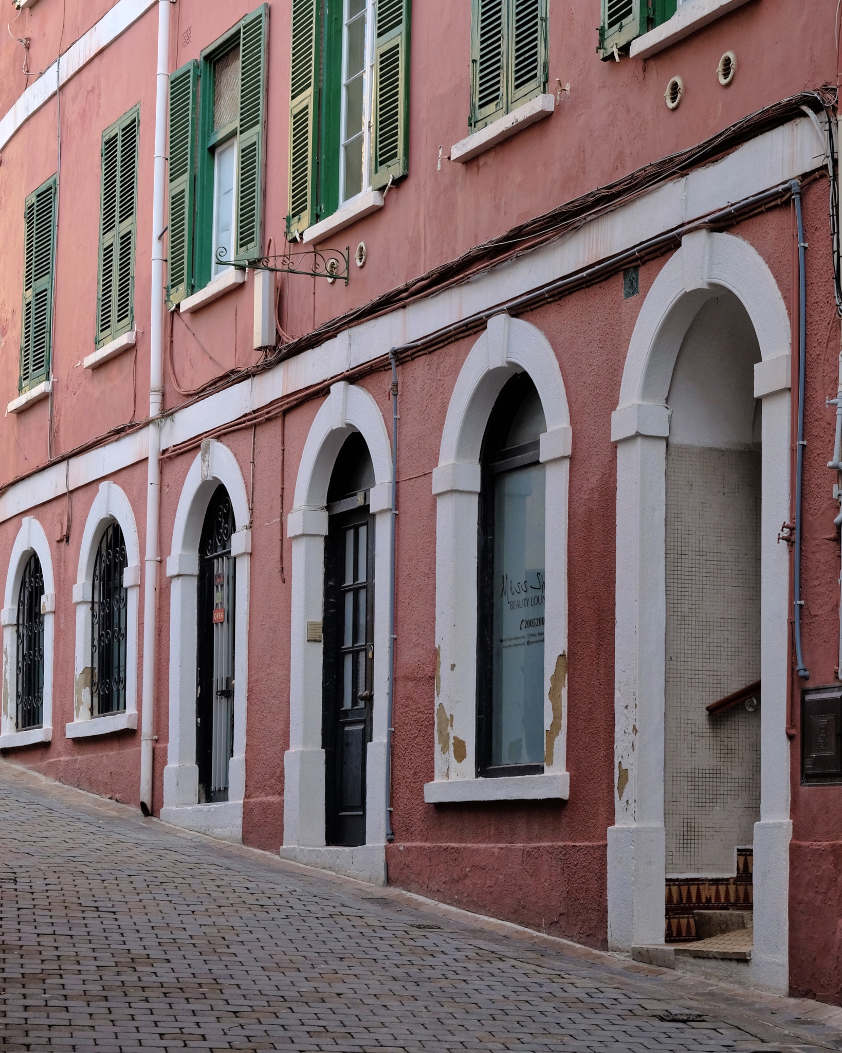 Steep streets . . . .
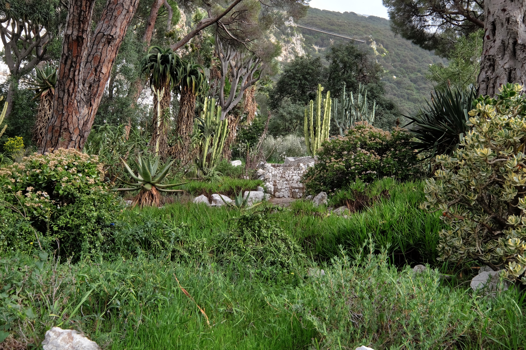 Gibraltar has a fine Botanical Garden . . . a favorite place to visit on all my travels.
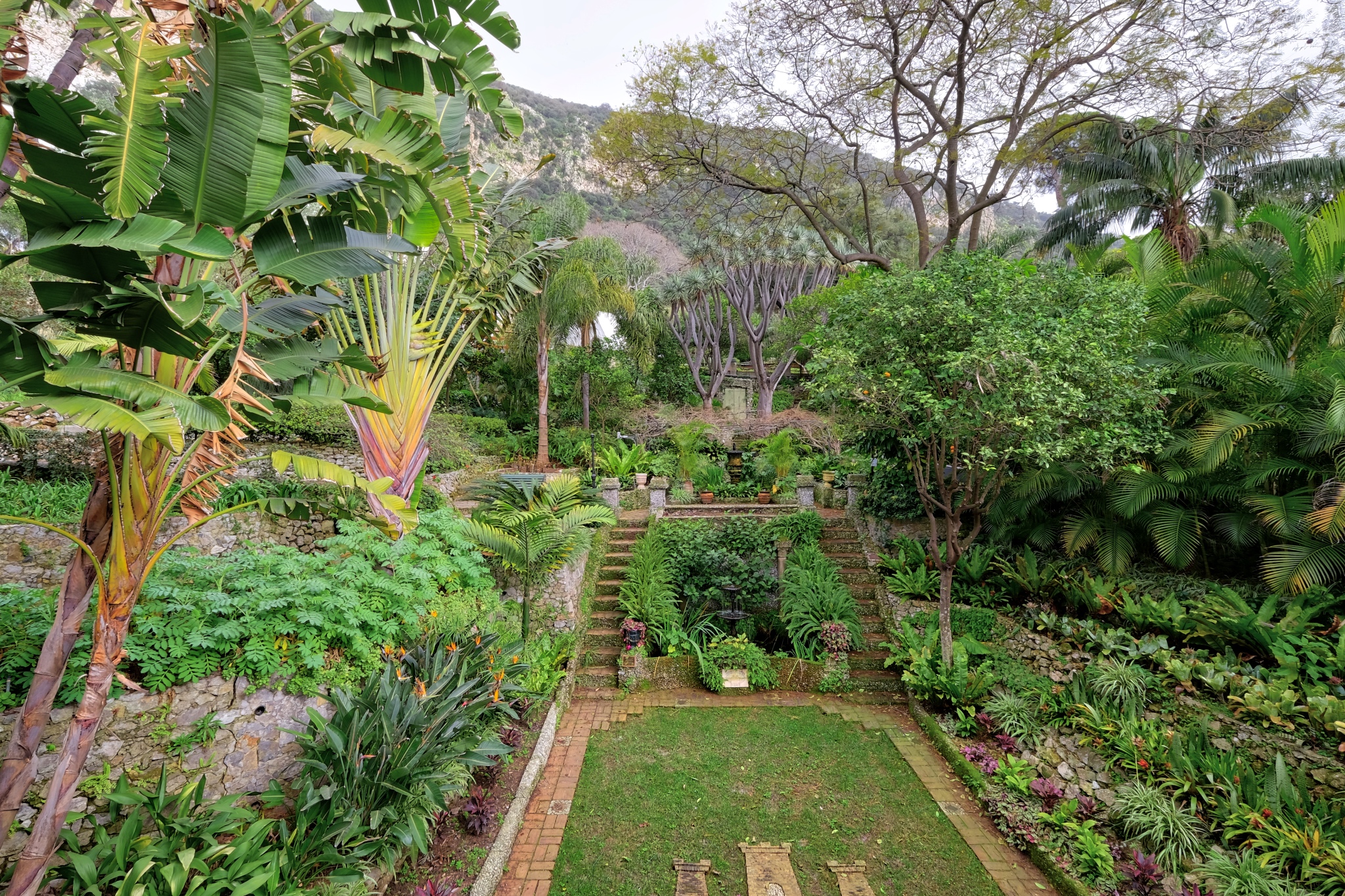 There is hardly any unused land on Gibraltar, so it was nice to see they valued their botanical garden enough to not build on it or pave it over.
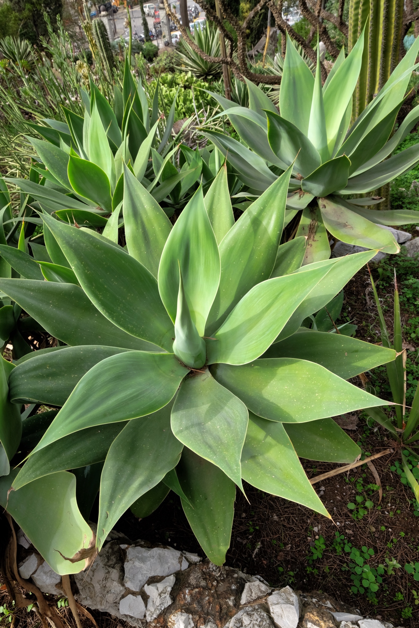 Being on the southern to of Spain, the climate is very mild. Many kinds of semi-tropical plants grow very well here.
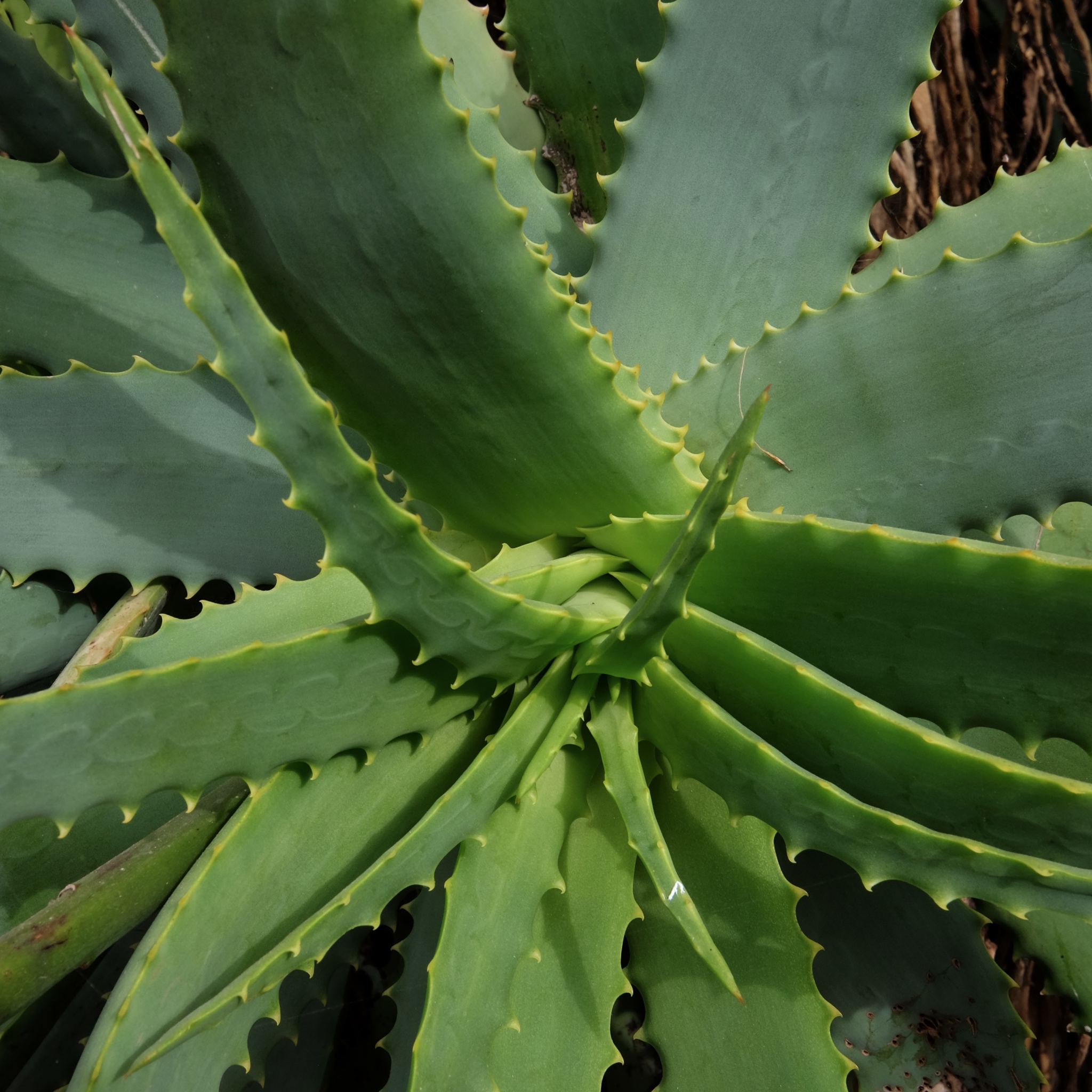 Aloe grew everywhere.
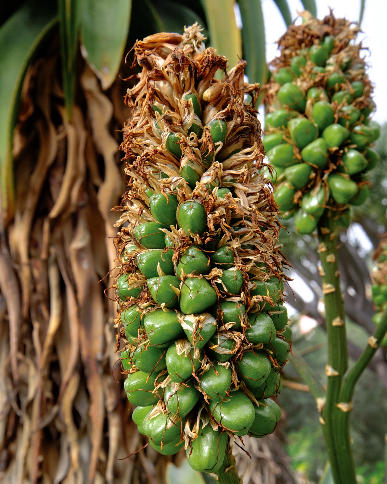 A few of the tropical plants were in flower or bud.
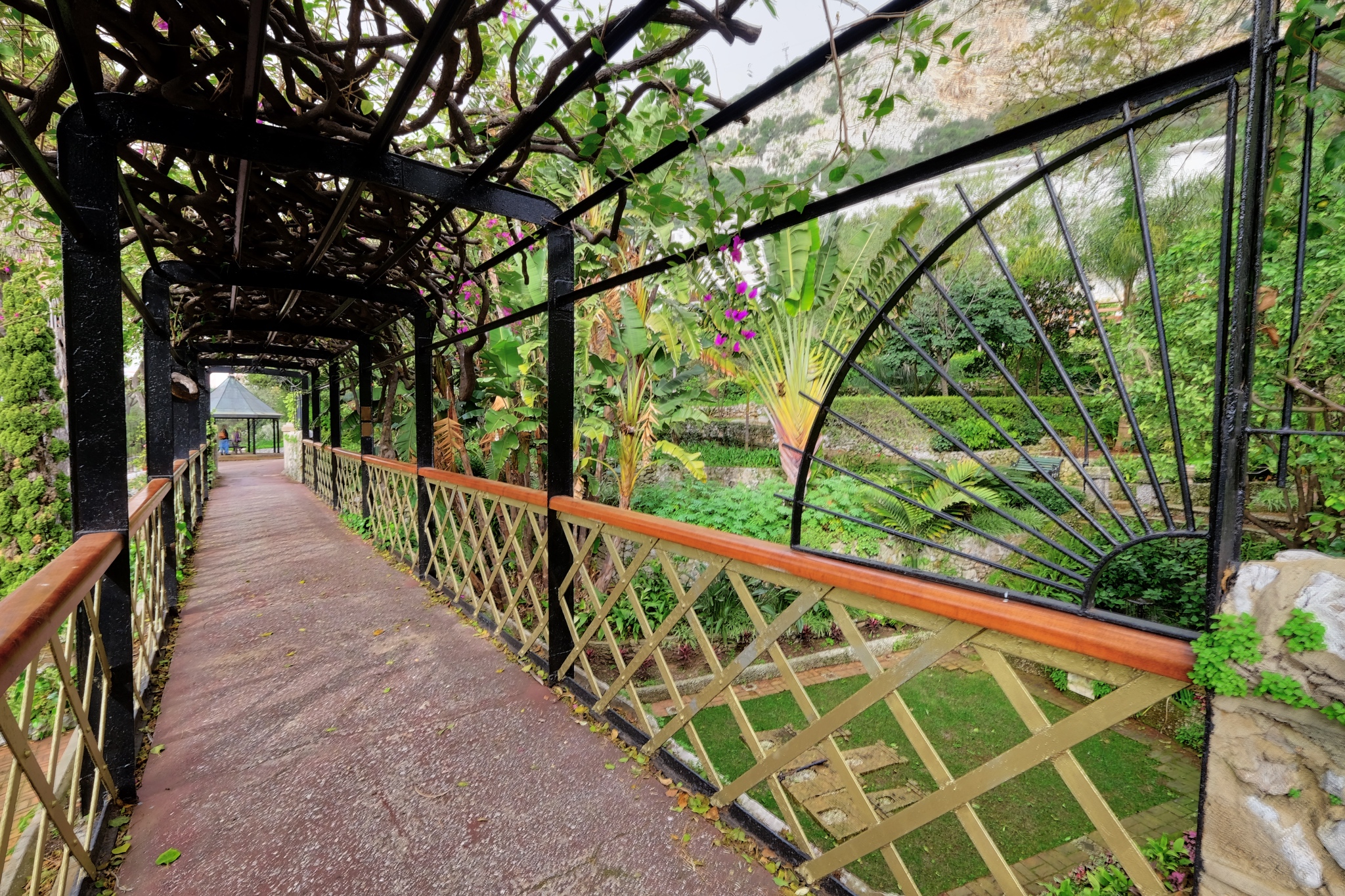 We spent art of a wonderful afternoon here . . .
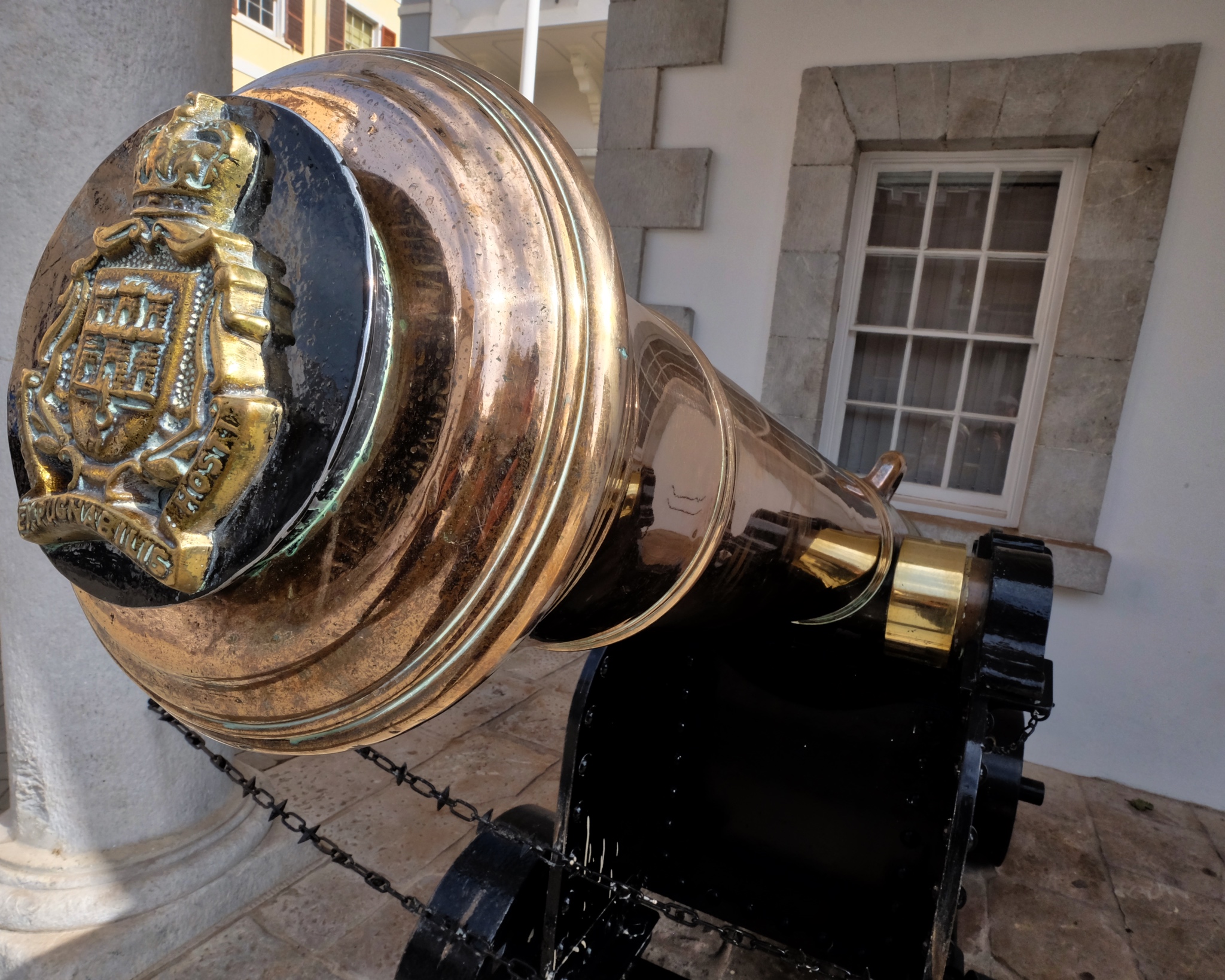 There is still a British military garrison on Gibraltar . . . complete with daily-polished brass cannon.
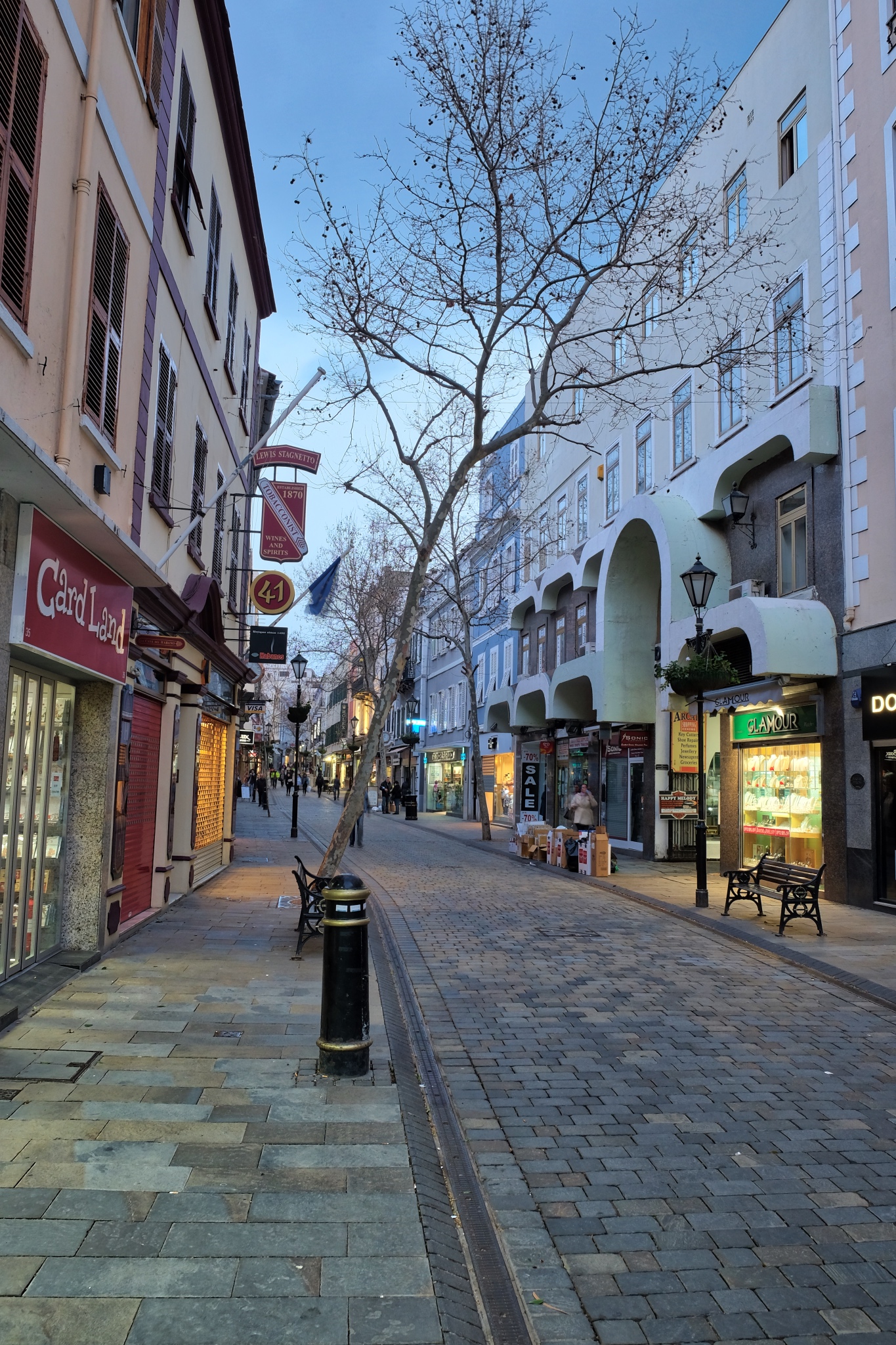 The central walking street is the focus of the town and the only developed commercial area. There are sweet cafes, bakeries, and shops all along here . . . as well as tawdry tourist curios shops where I bought a refrigerator magnet.
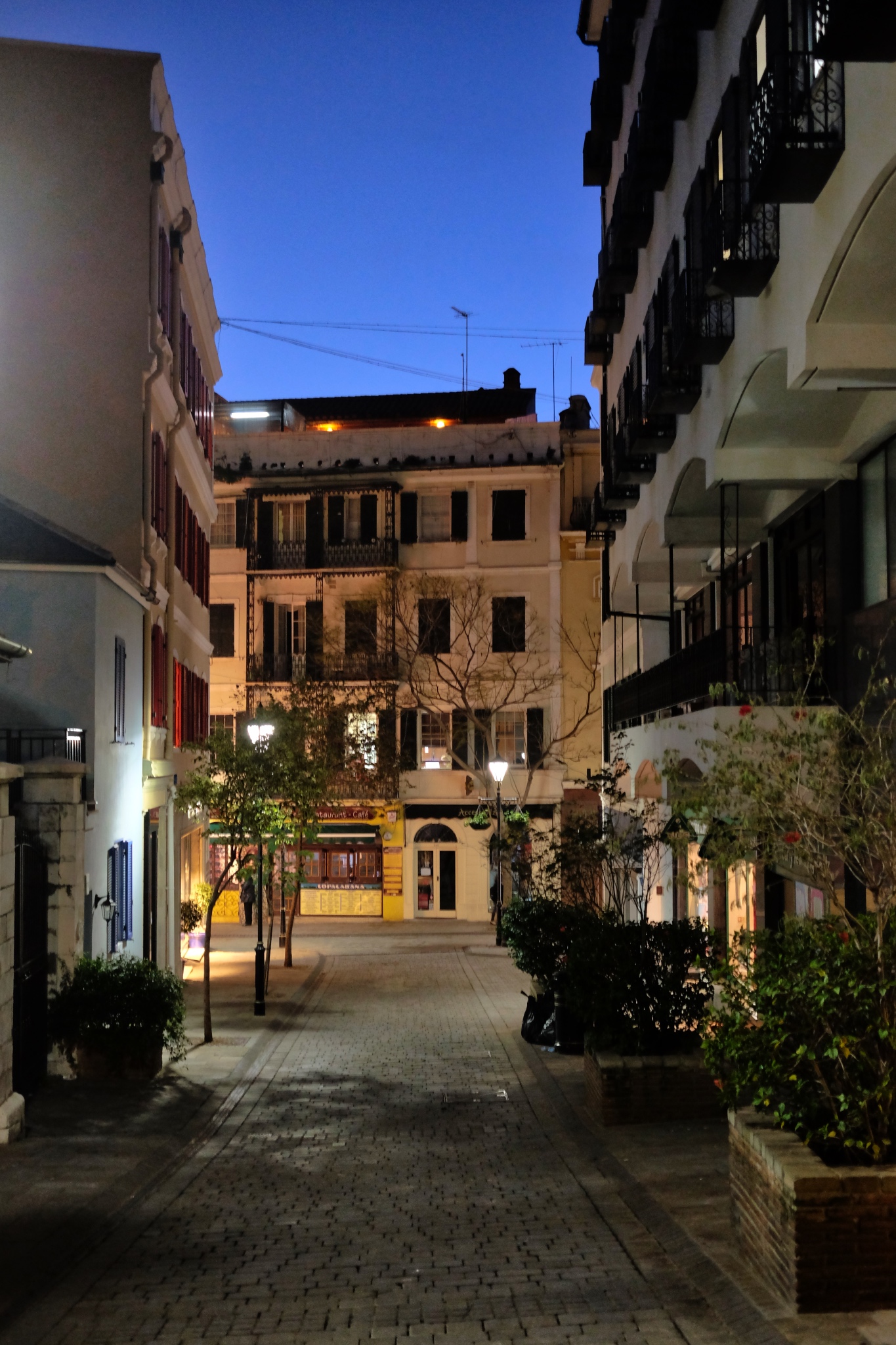 In my opinion, Gibraltar becomes even more interesting, and beautiful, when the sun sets.
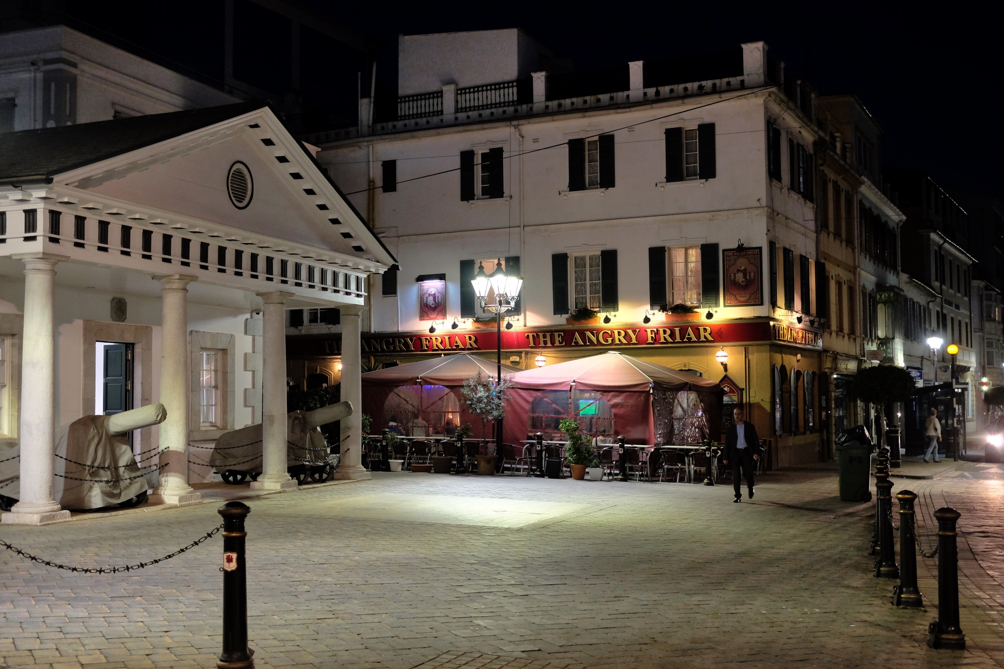 At night the squares are lit and the old government buildings stand out in all their old glory.
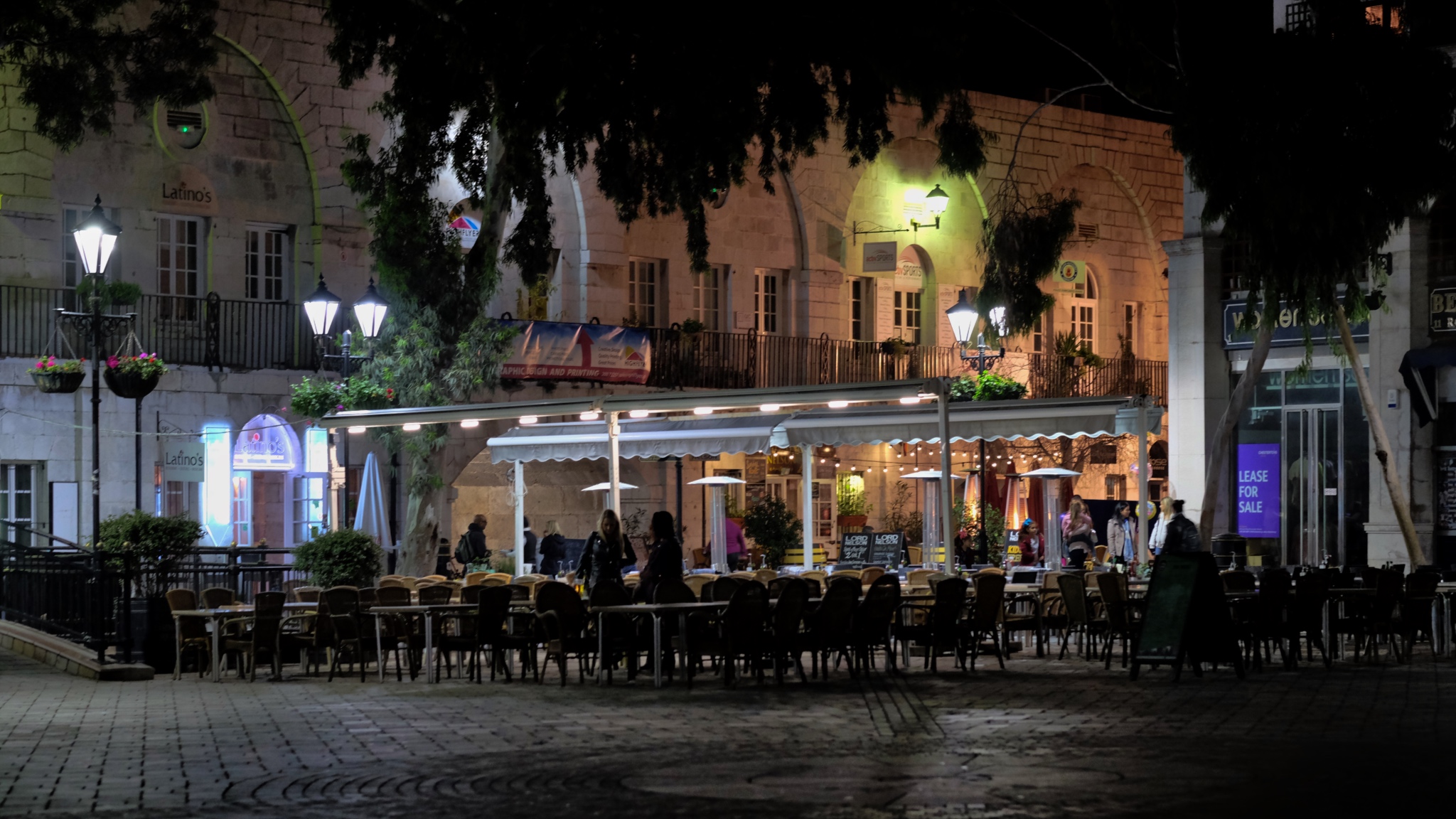 In the evening people, tourists and locals, come out to the cafes in Casement Square. One can imagine this space filled with thousands of cruise ship passengers later in the summer.
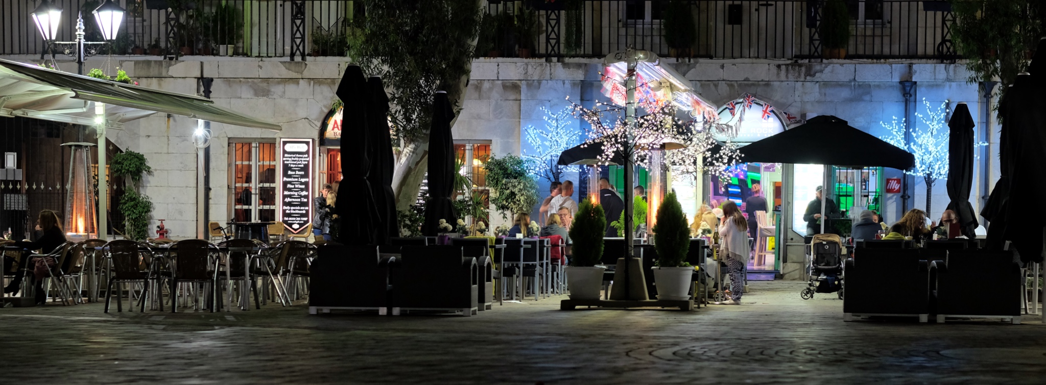
 The children wandered free around the square as the adults conversed over wine.
 A happy girl skipped into my photo . . .
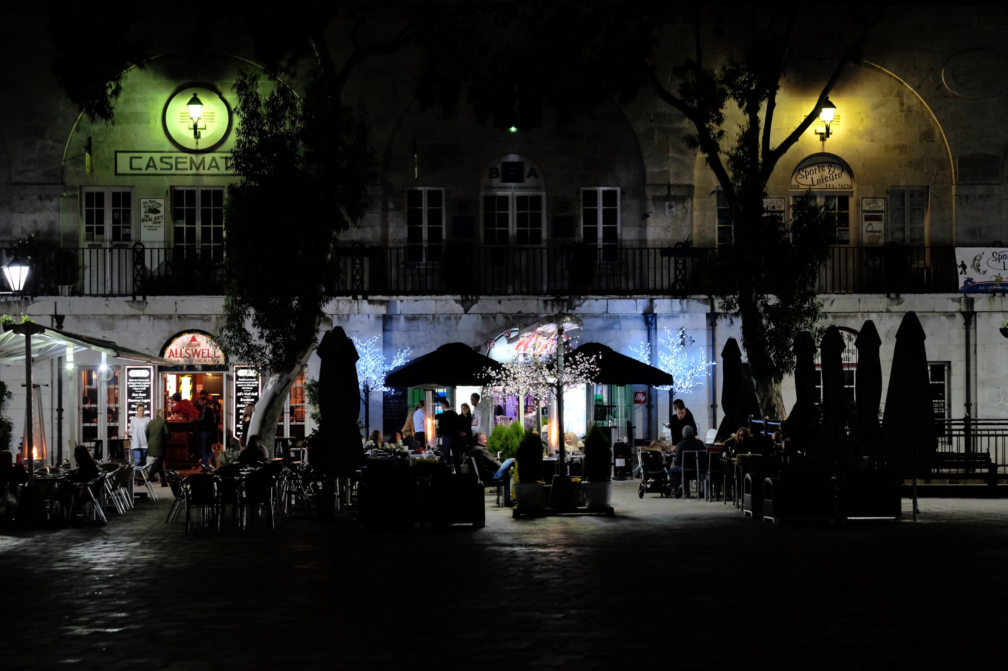 Casement Square.
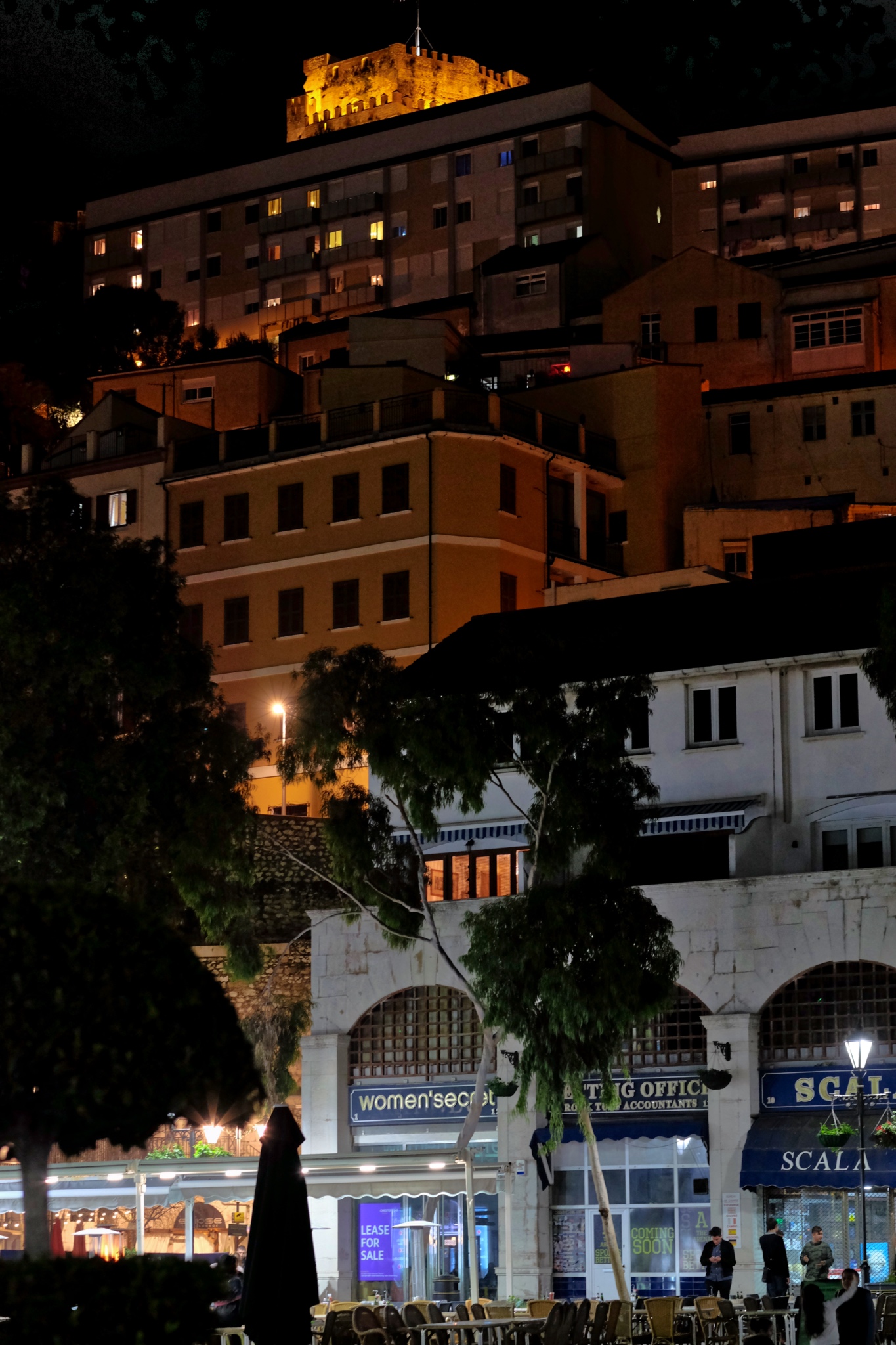 High above Casement Square, a Moorish castle looks on . . . .
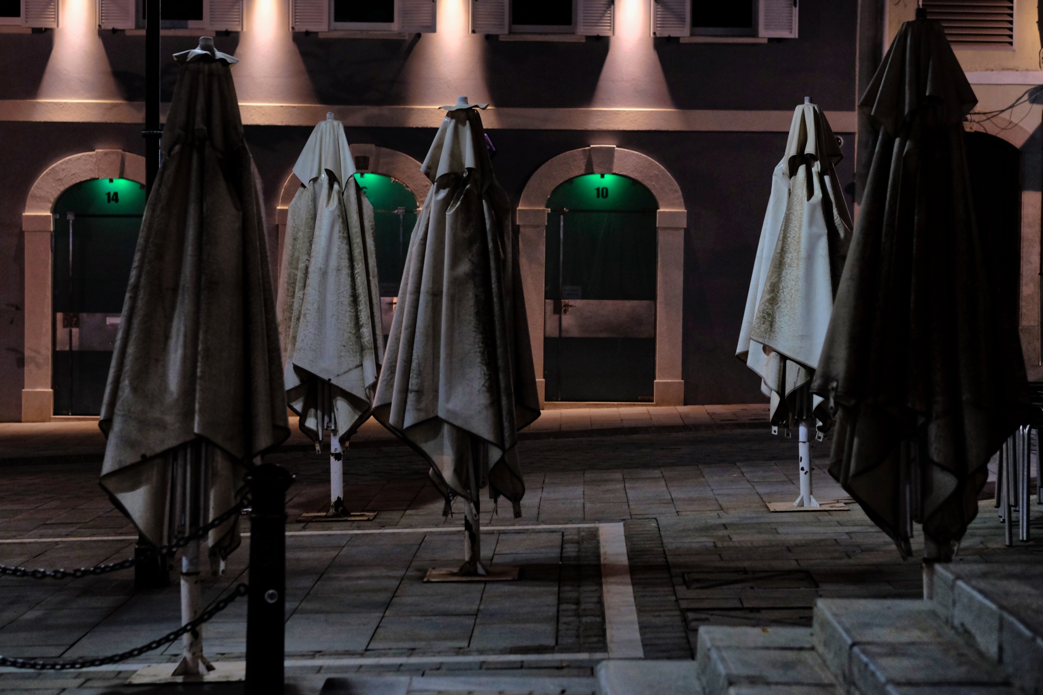 Later in the evening, the restaurants and cafes closed up . . . leaving their umbrellas like forlorn soldiers in a strange night.
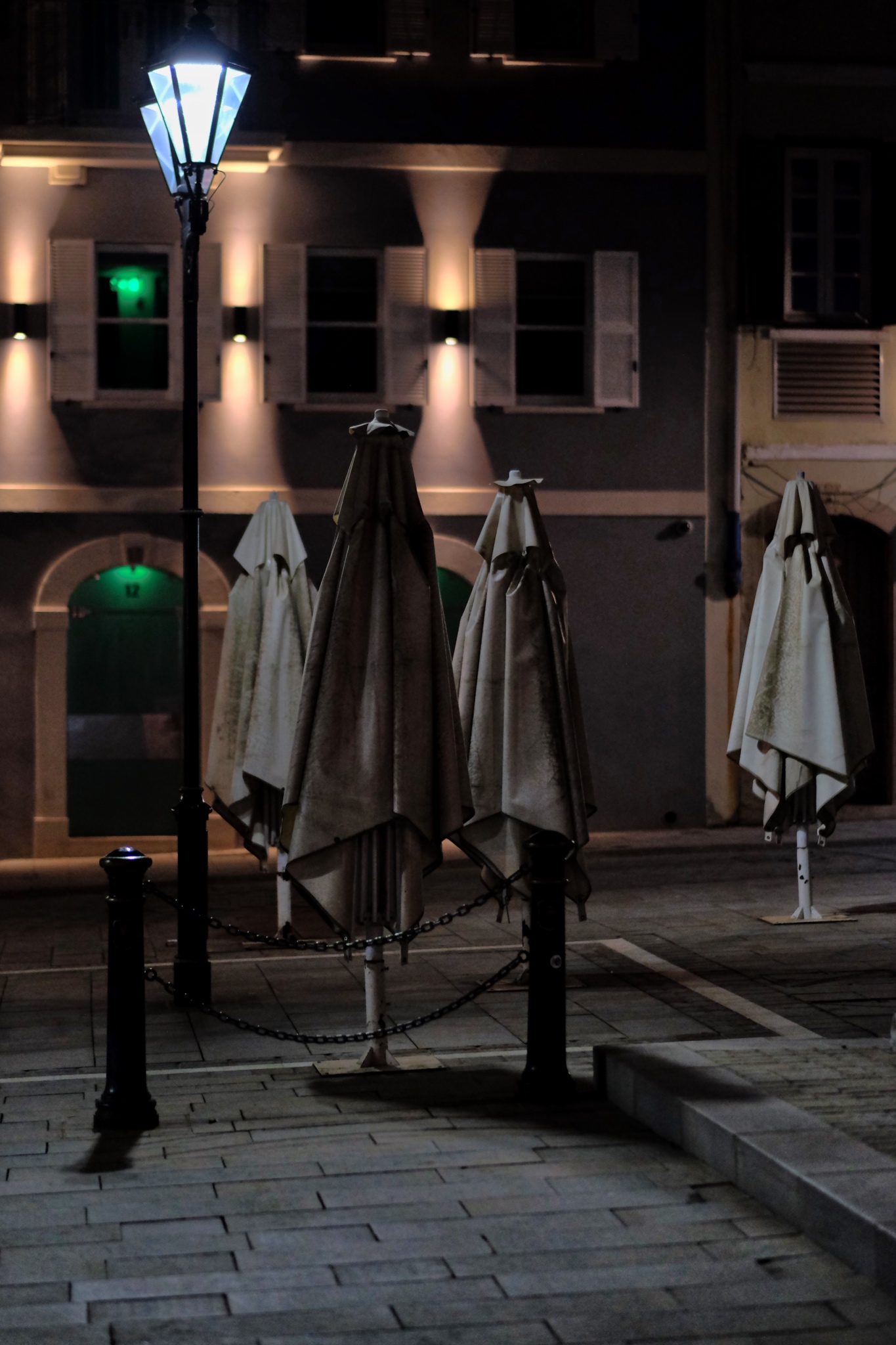 I was startled when I first saw these visages of another world!
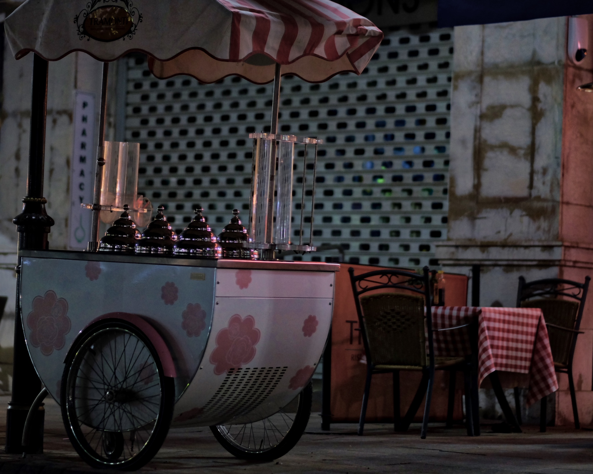 My other photographic subject obsession are push carts of all kinds. This ice cream cart waiting for another day was just fantastic.
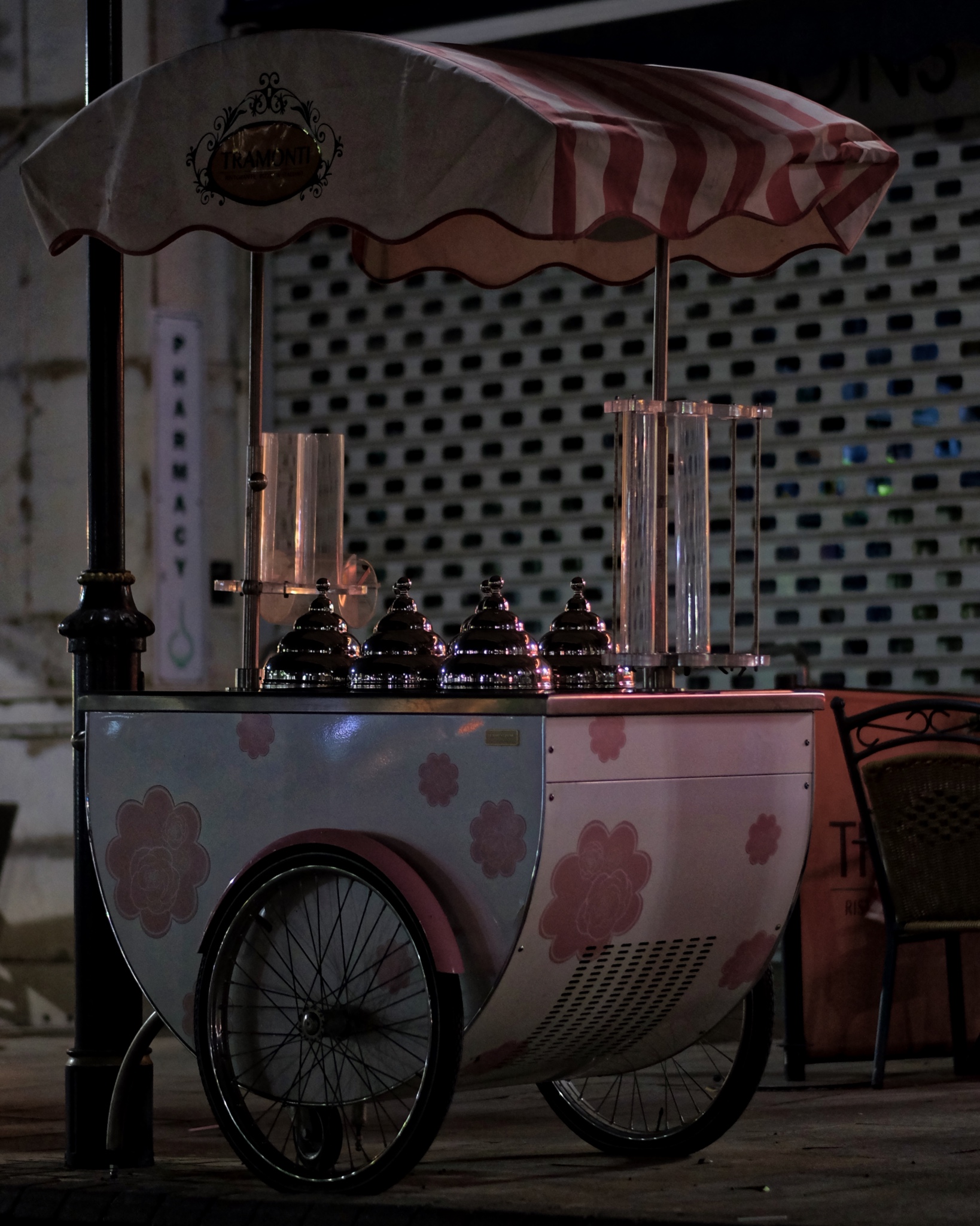
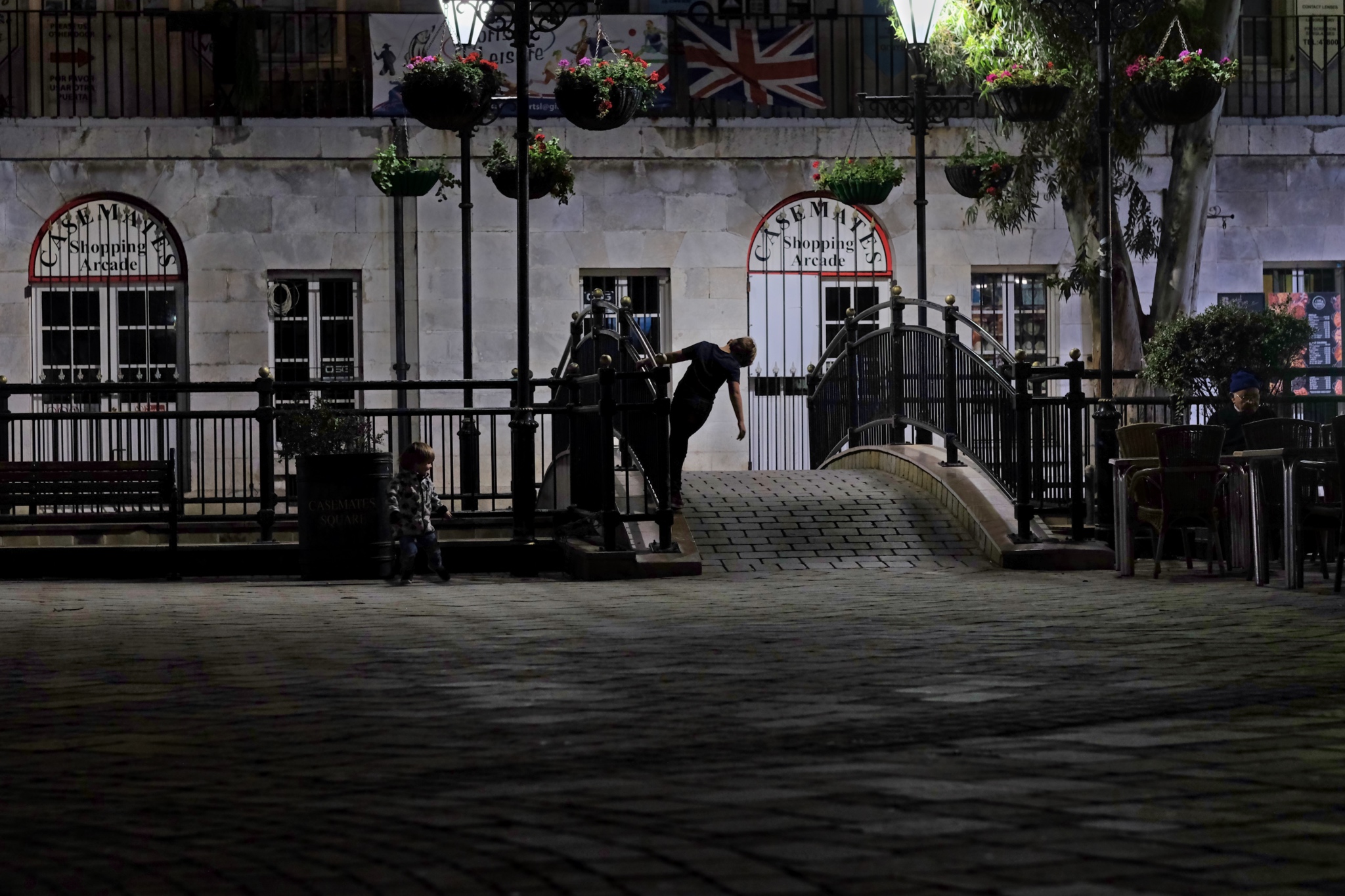
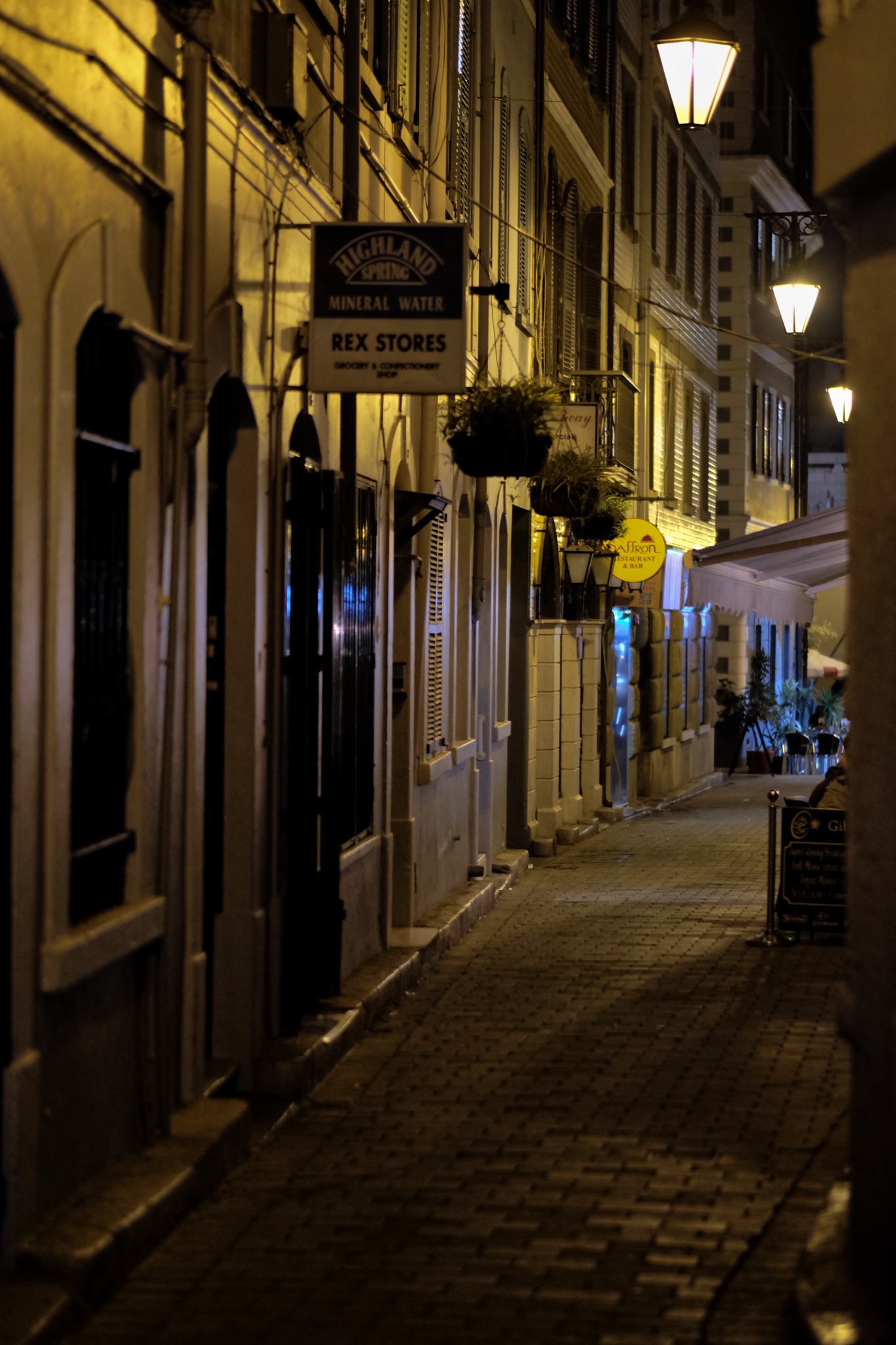 One evening (of the three) I went back out of the hotel late at night . . . to capture the abandoned streets and alleys.
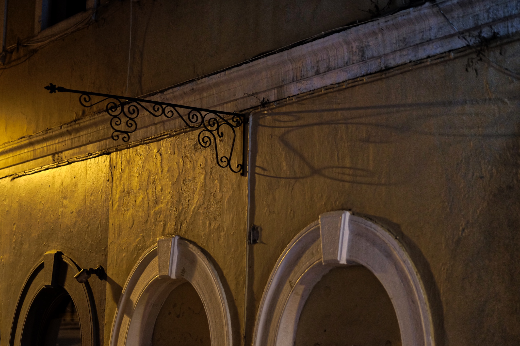 Light, textured surfaces, shadow, arches, color . . . wonderful.
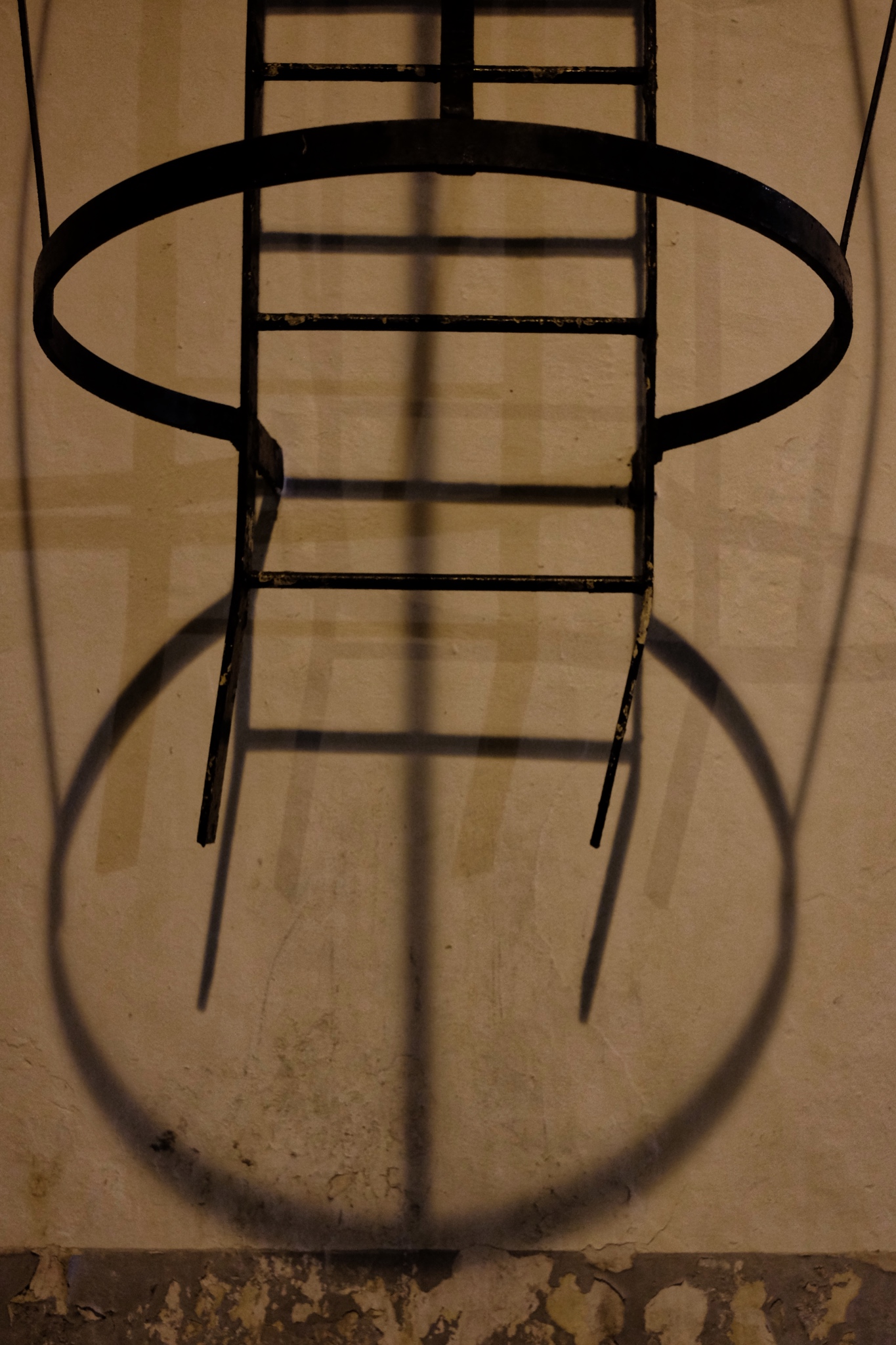 Ladder, light, shadow, and wall!
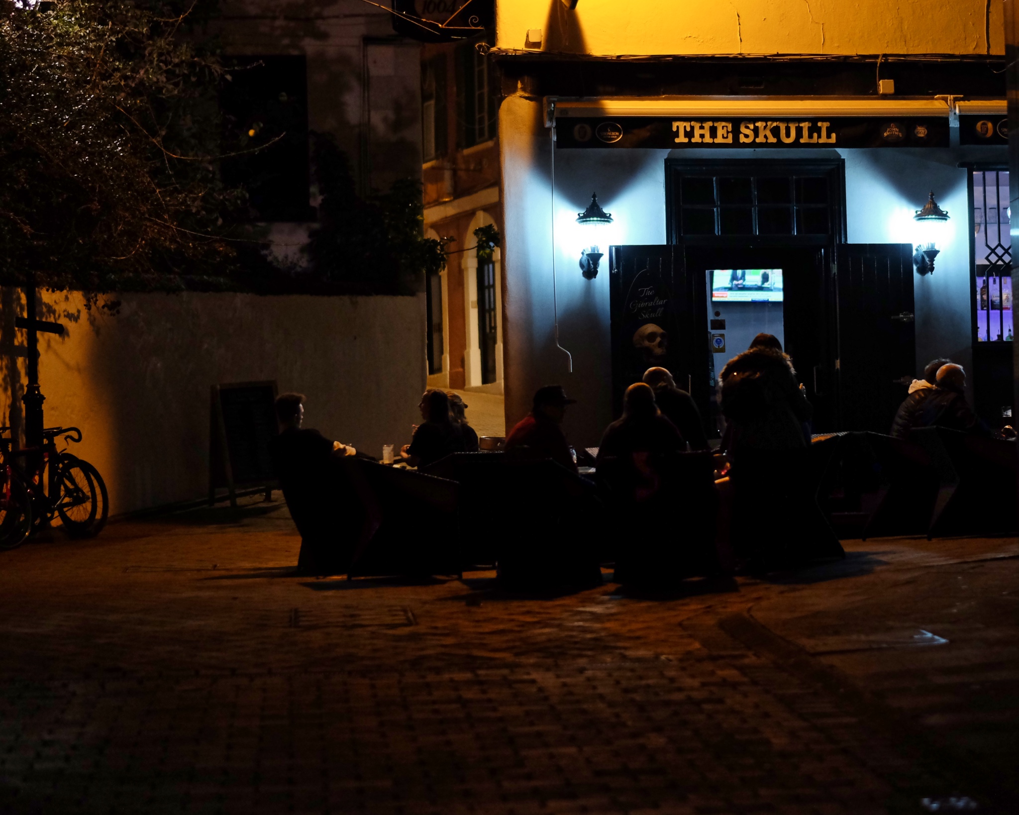 If the conversation is good, why go home? Well after midnight in Gibraltar.
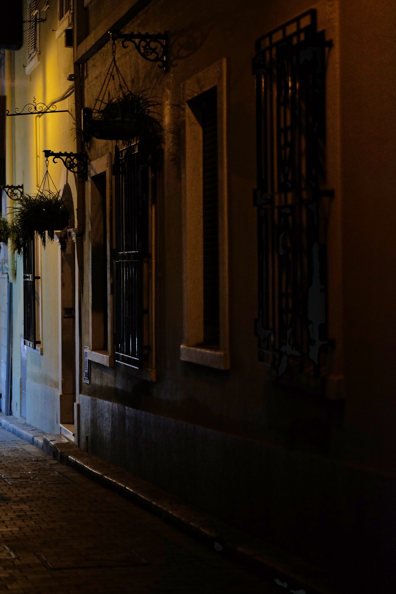 The dark streets where the only sounds were my footsteps.
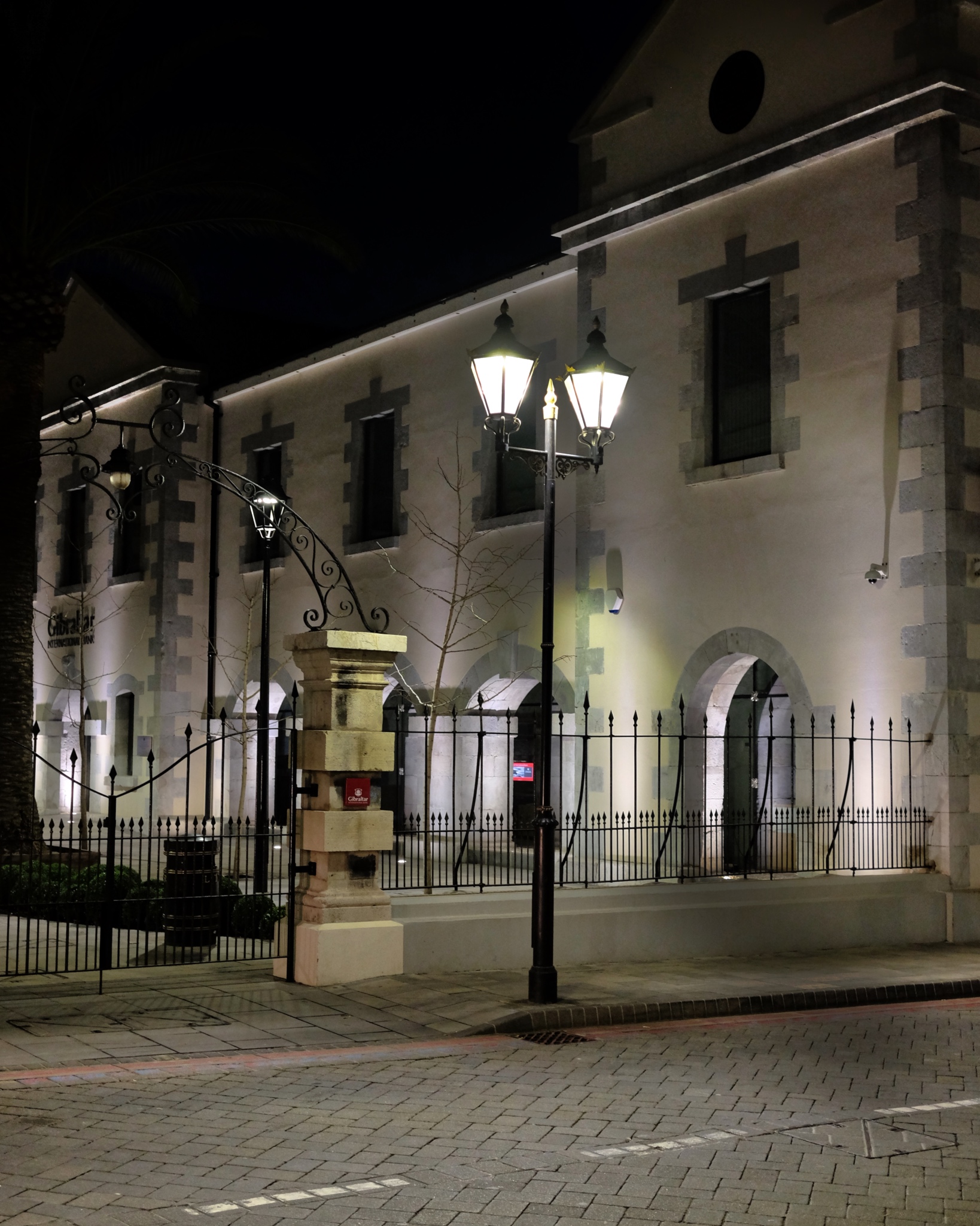 The historic government buildings were closed. Not a soul around.
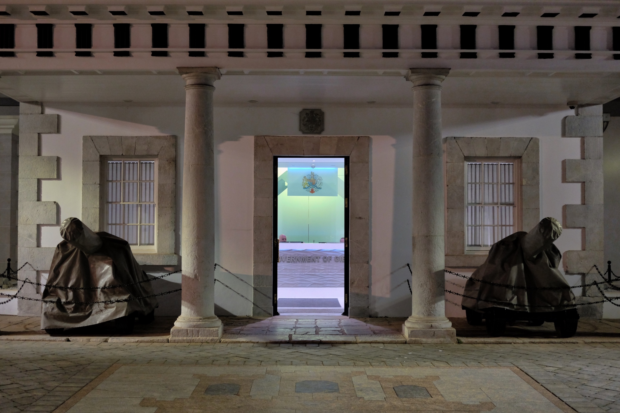 The "Government Of" . . . something or other at 01:00. Wonderful lighting . . . and only me there to see it. This must have been the police station; otherwise why were there still two men sitting behind the counter at that late hour?
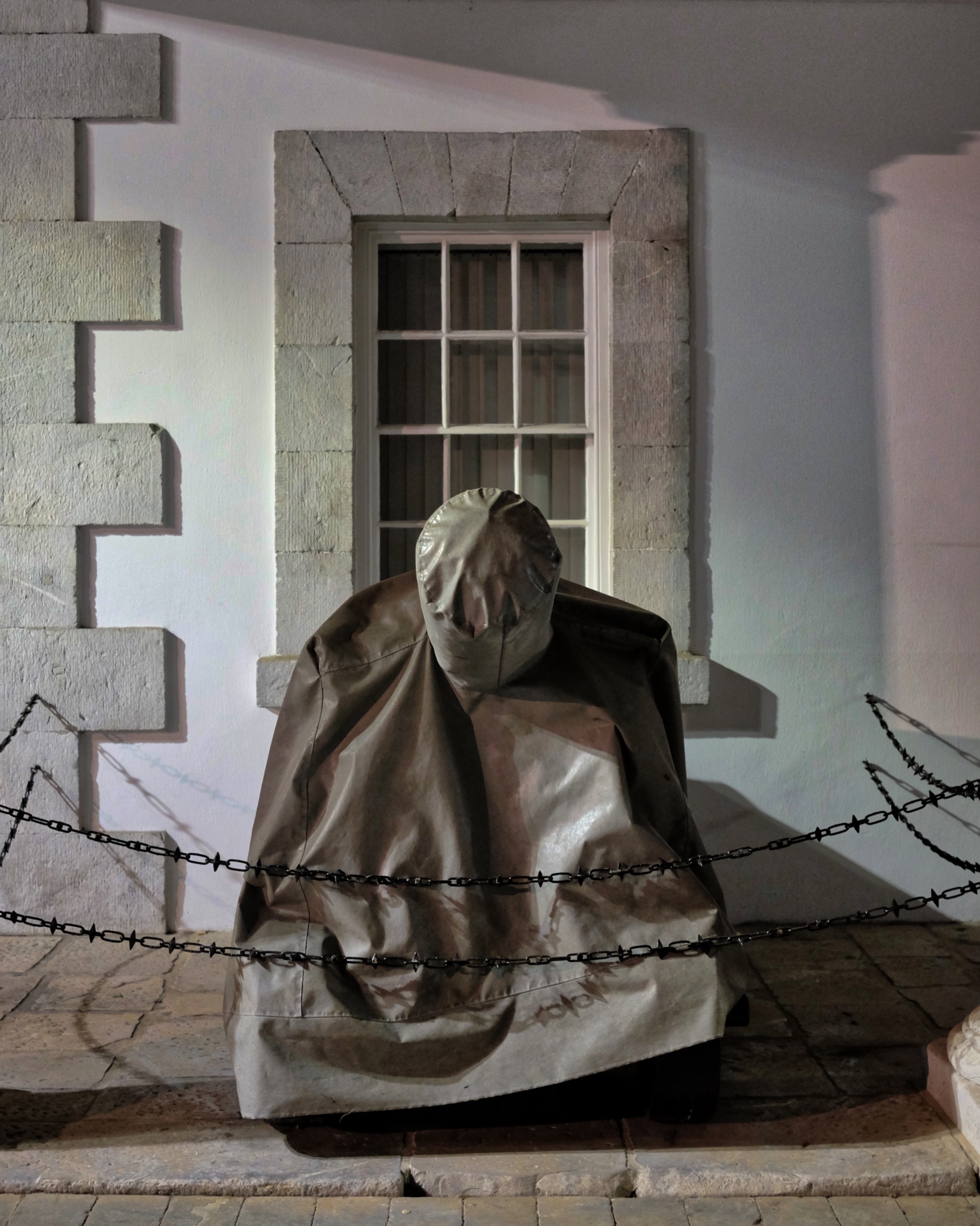 Such scrumptious shapes, line, color, shadow, and light.
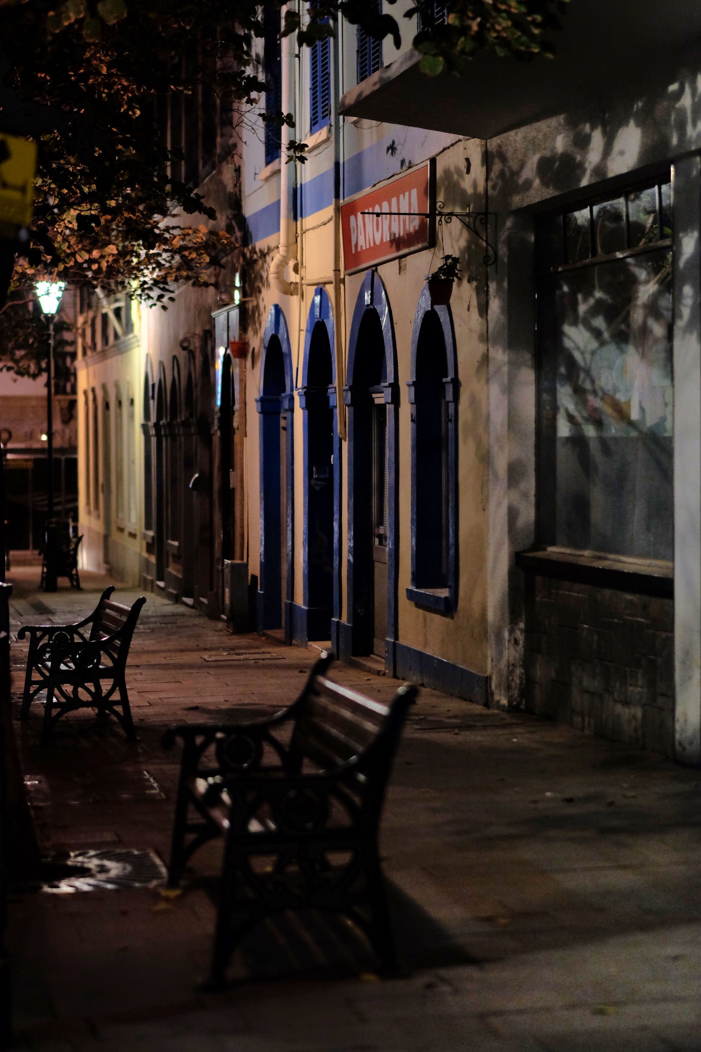 I walked through these same streets several times during the day without really noticing the relationships between shapes and structures . . .
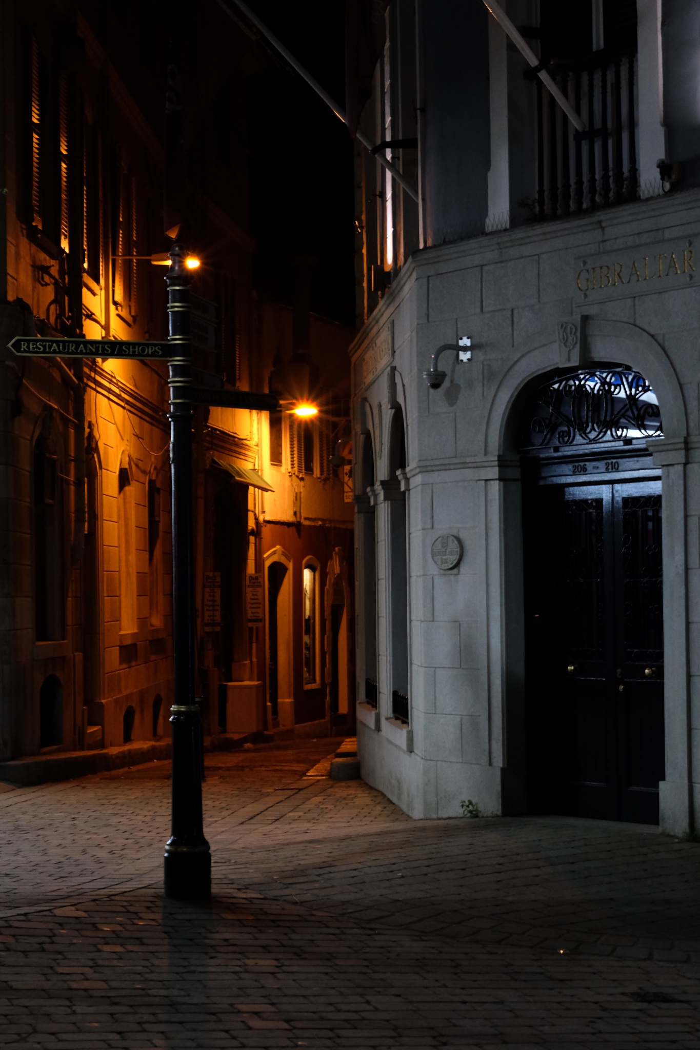 An inviting passage to . . . . who knows where.
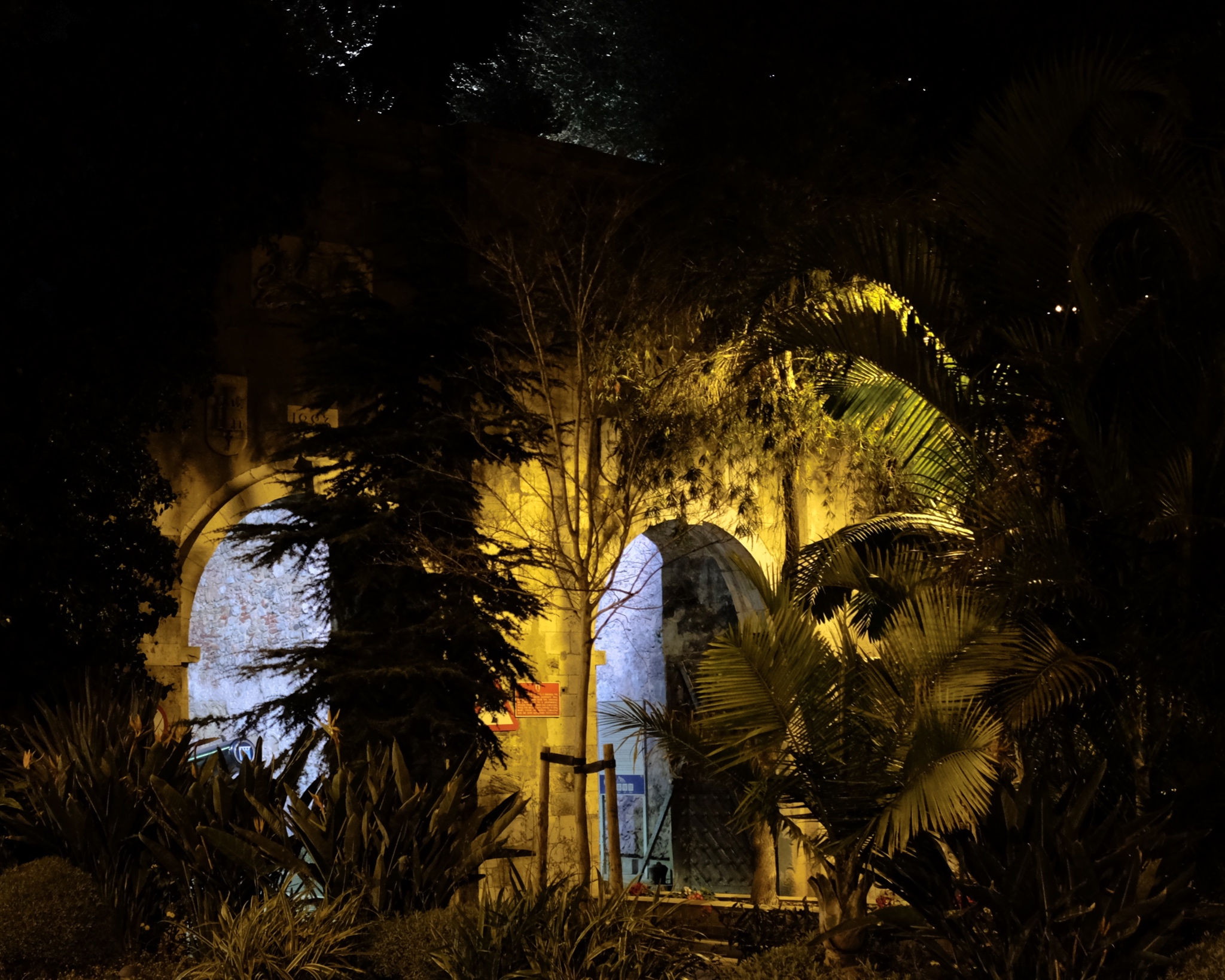 I literally walked from one end of the town to the other in only two hours . . . back out the southern city gate . . .
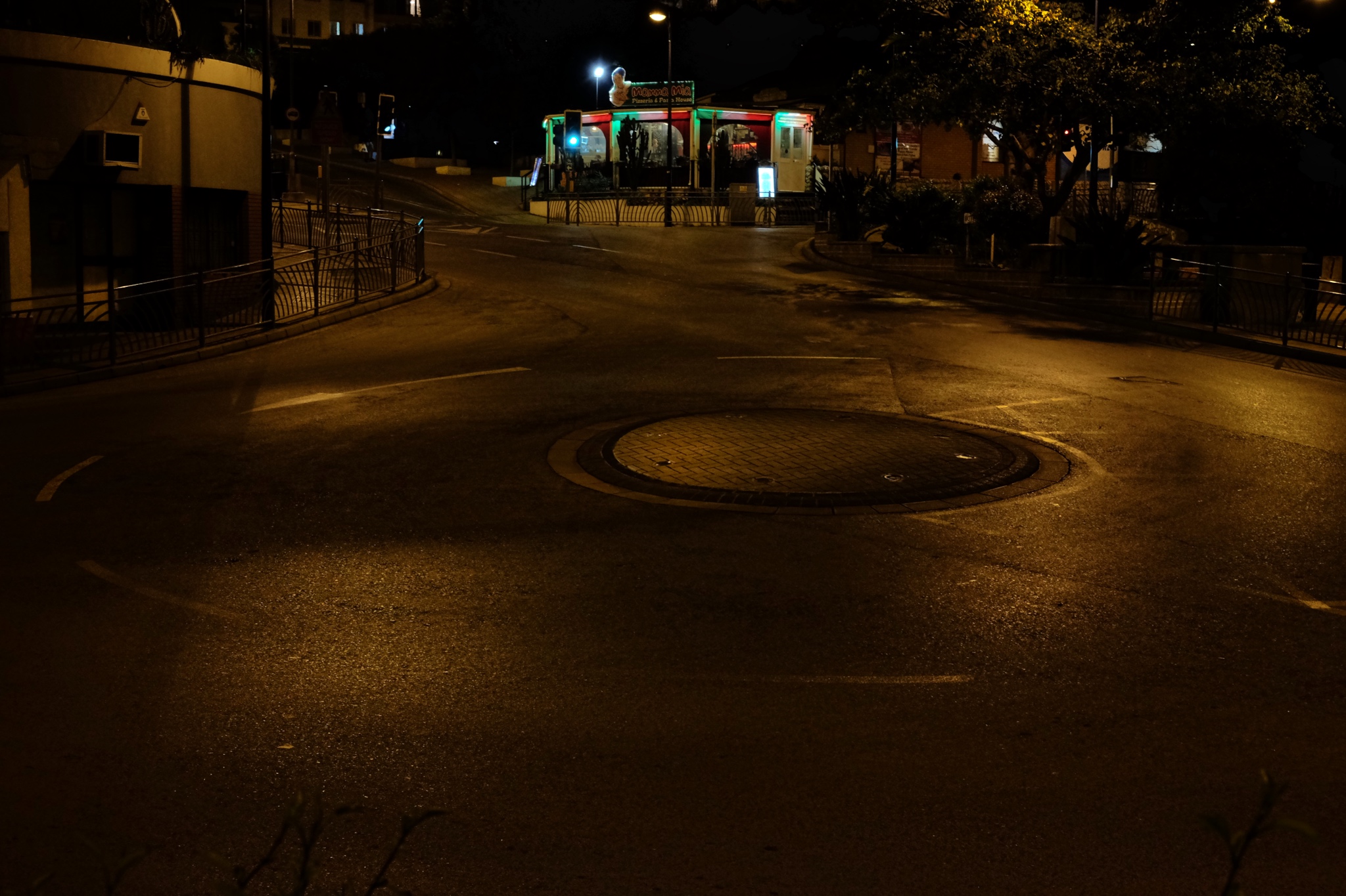 I walked all the eay back an abandoned traffic circle . . . and then back to my nearby hotel. I had had such an inspiring walkabout in the night streets of Gibraltar.
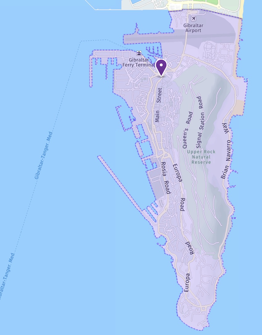
A Ramble in Scotland with a Visiting Friend (10/31 - 11/3, 2015)
Although I have left Scotland and am living back in Bangkok now, I am still going through photos I took on my many photographic rambles. This entry is of a three day ramble (mostly the northeast of Scotland) I took when my good friend John Stiles visited me. I took many, many photos on this ramble, so it will take some time for me to complete it. These are 'The Best of John's Visit.' Enjoy.
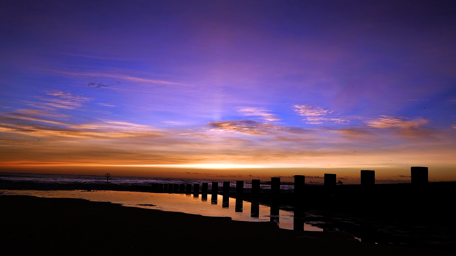 A North Sea sunrise along the Aberdeen Esplanade. Just above freezing.
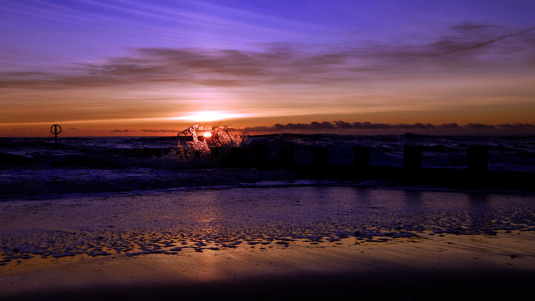 First Light. North Sea.
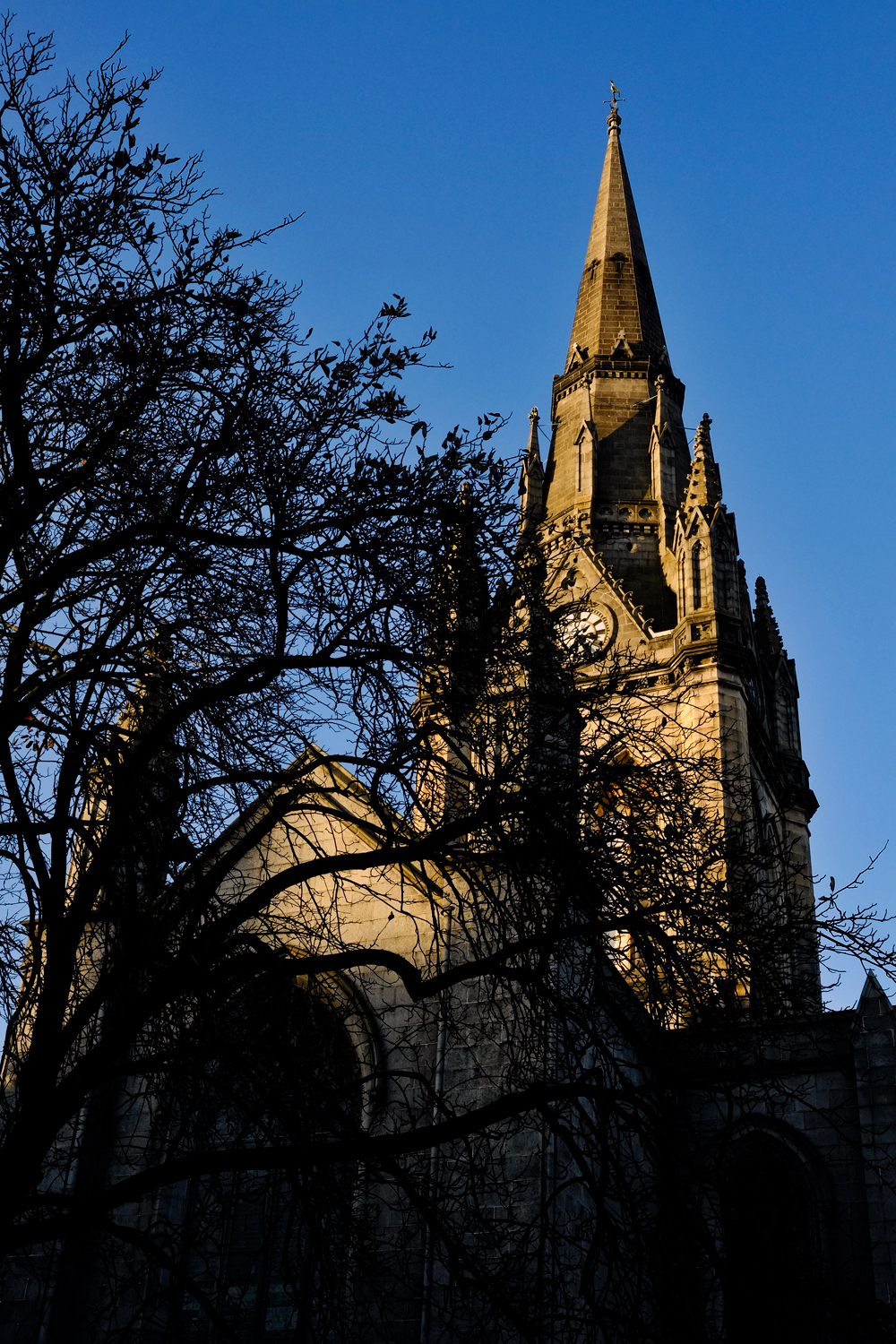
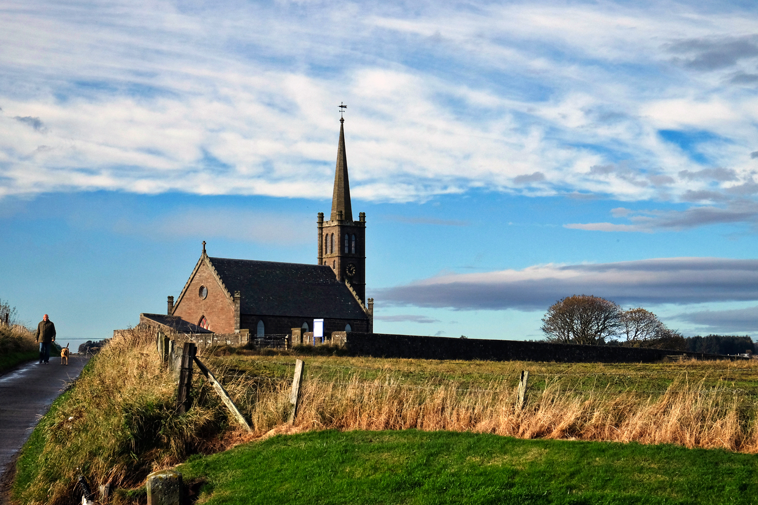
 A church along an Aberdeenshire rural road.
 Stunning November weather for northeast Scotland.
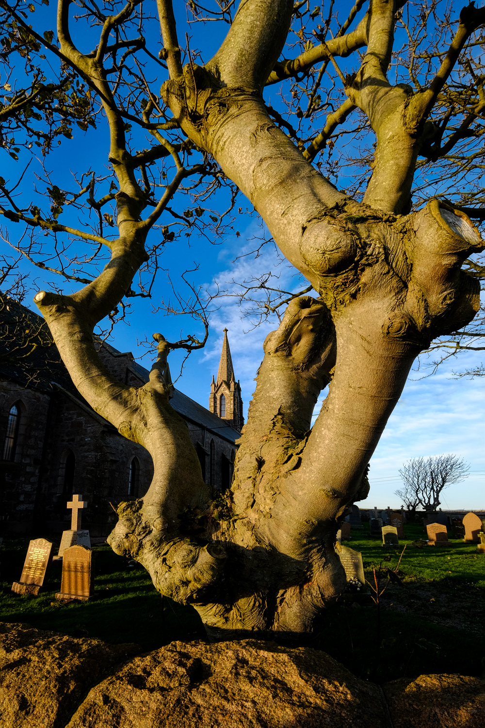
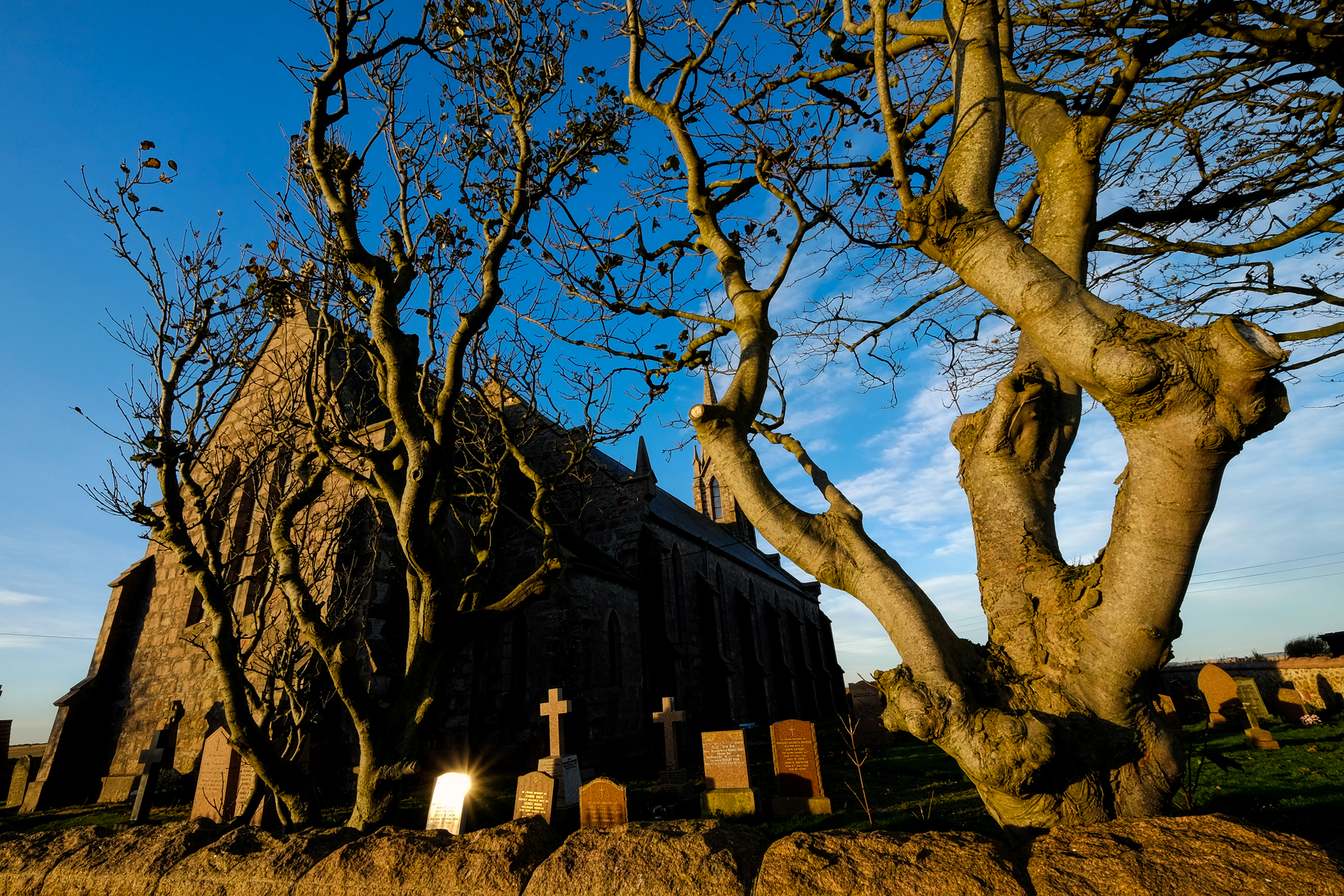
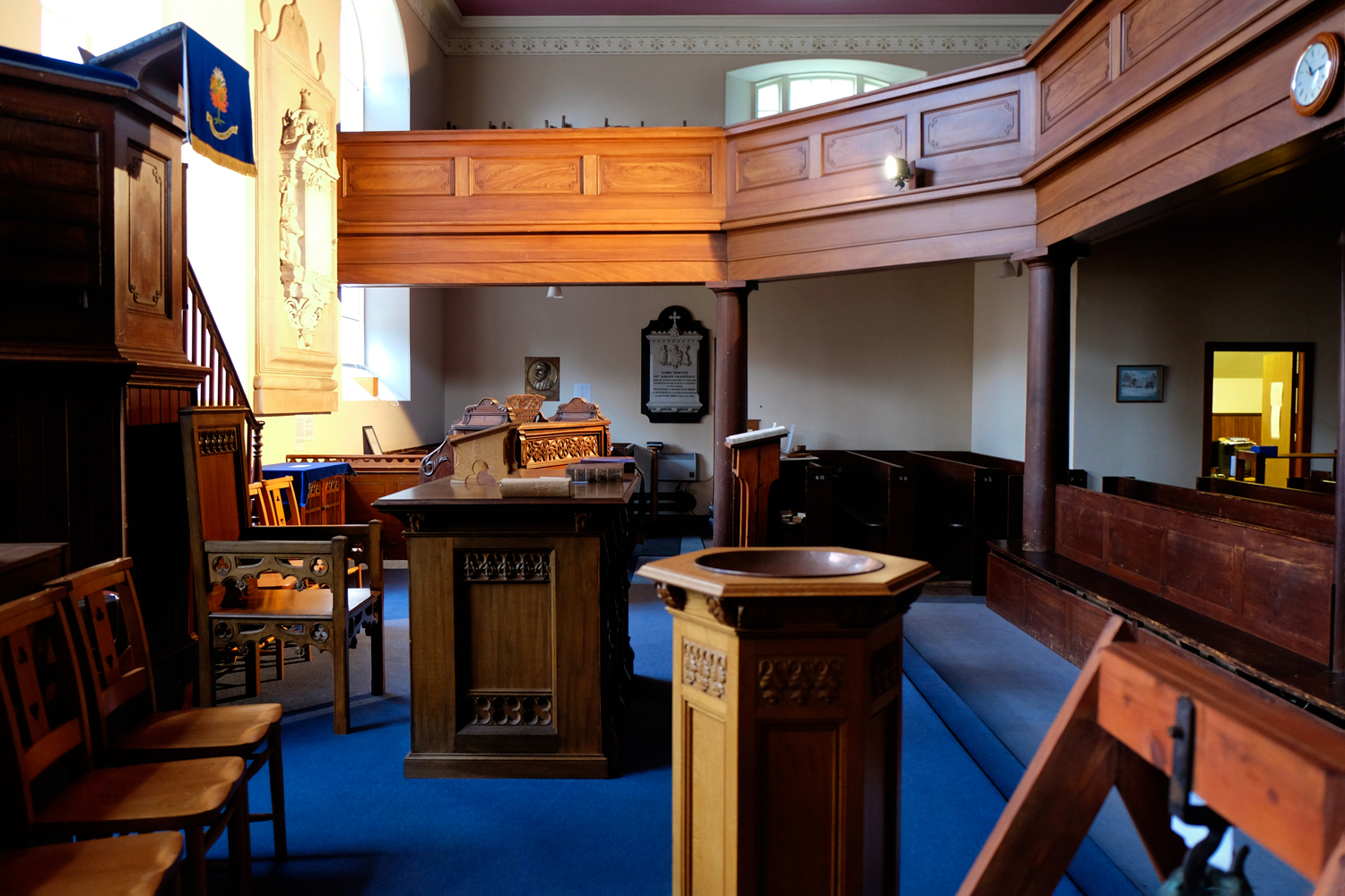
 I the middle of the Aberdeen city centre is a wonderful church and cemetery.
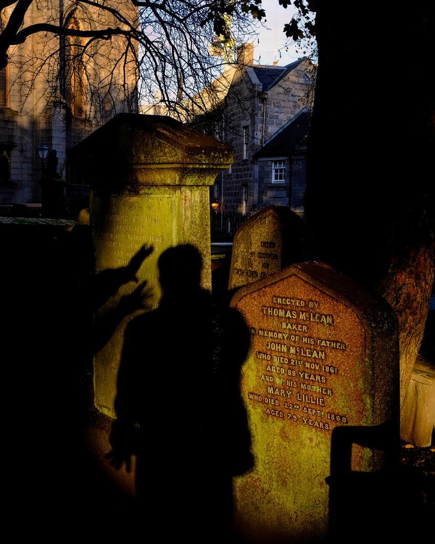 When an old friend visits that you haven't seen in a while, and it's Halloween, and you are in an old graveyard . . . you must play!
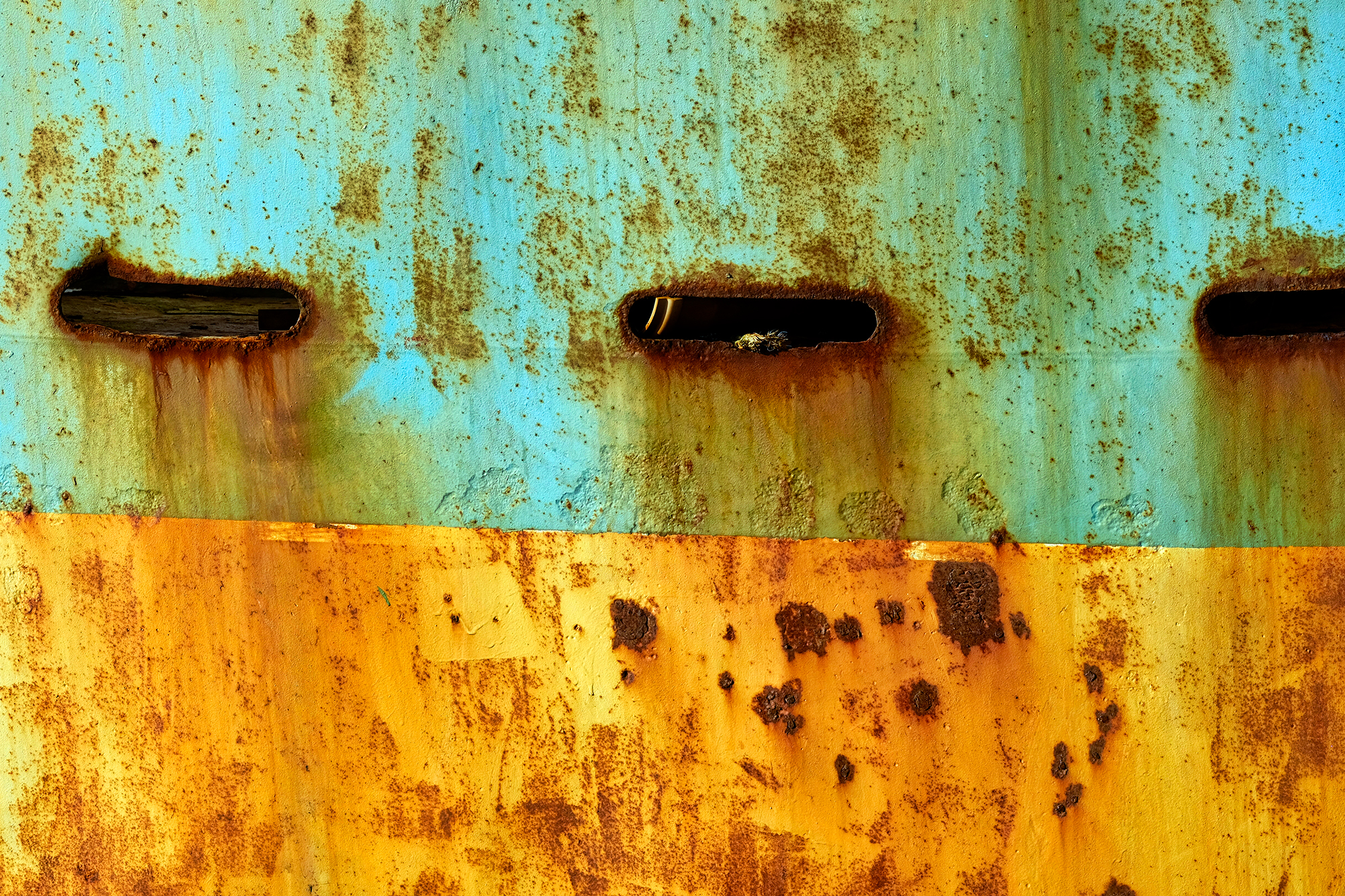 After that stunning sunrise at the Aberdeen Esplanade, our day one ramble took us up the coast to the little fishing berg of Baddam where the hulls of the beached trawlers provided extraordinary abstract studies in decay and color.
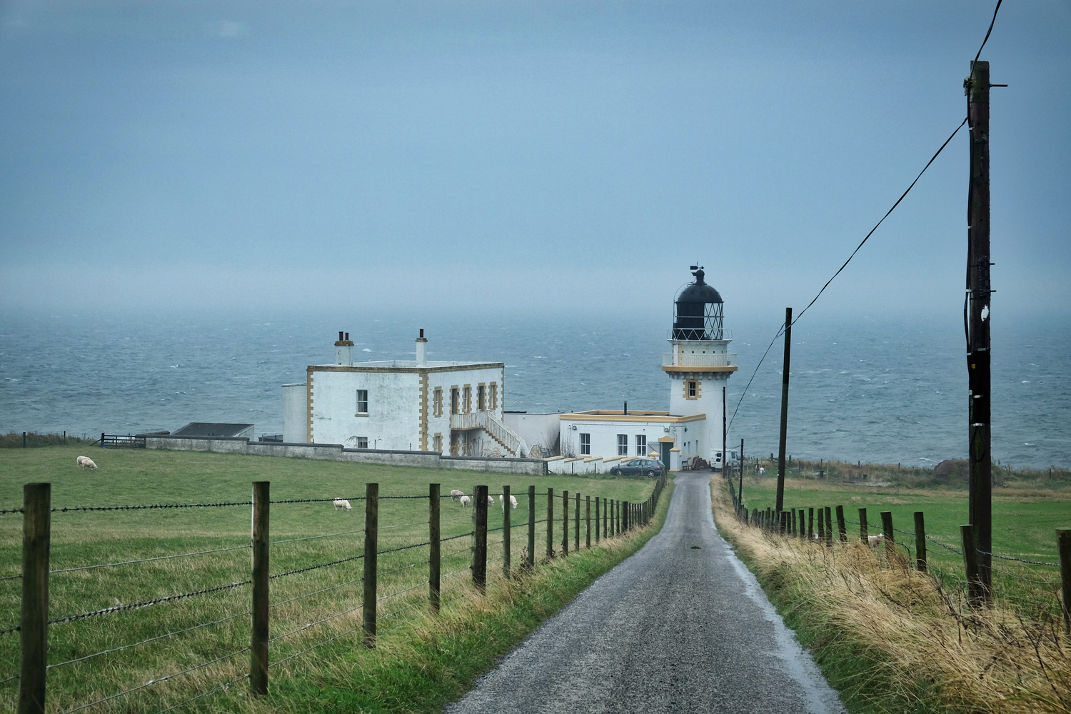
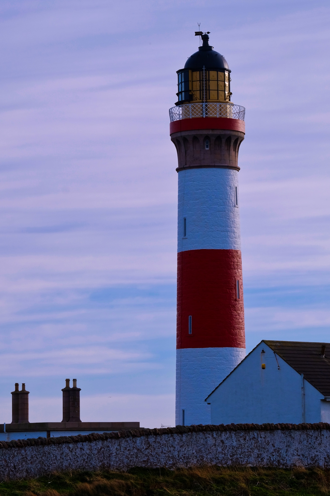 The lighthouse at Baddam.
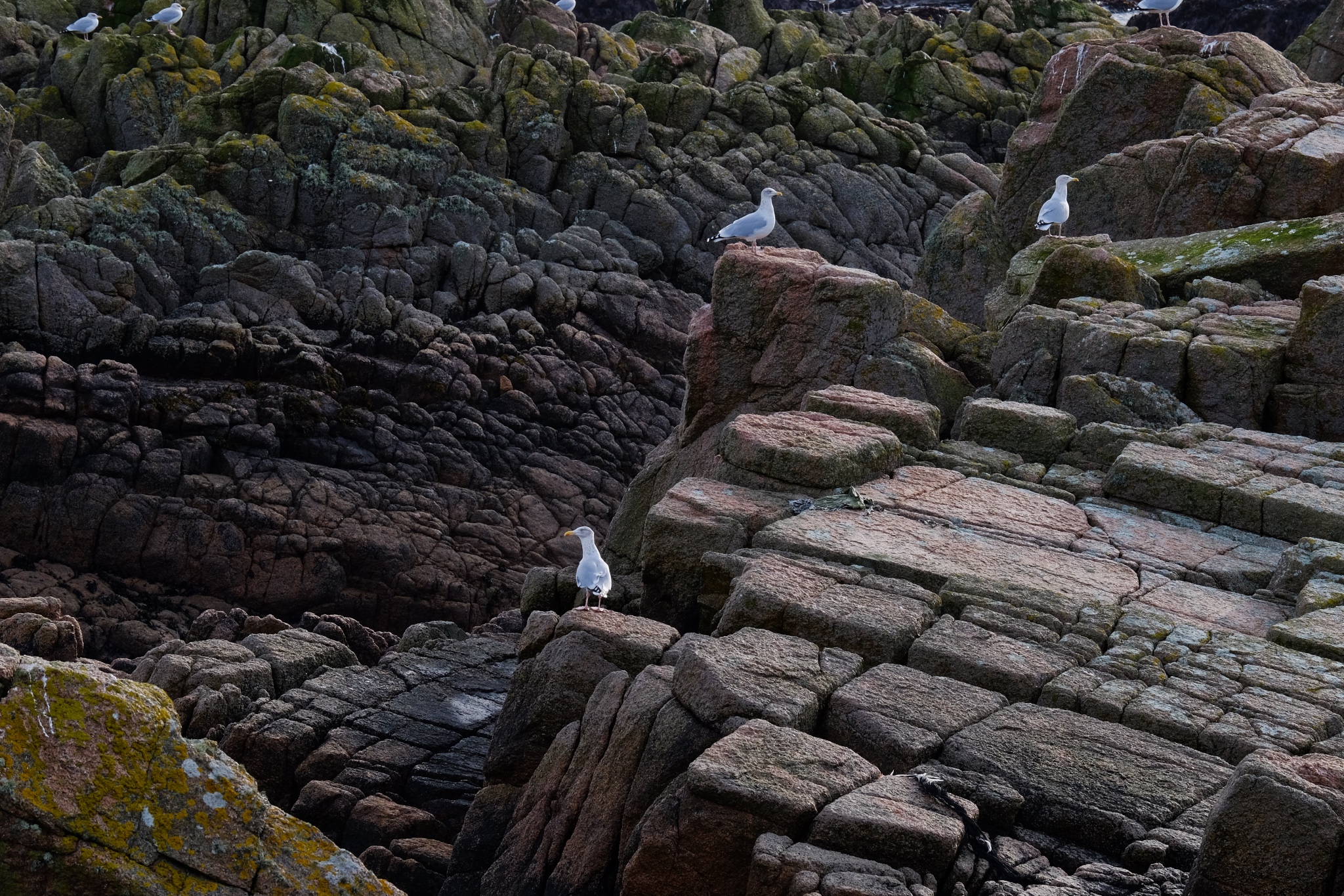 Exposed rocks near Baddam harbour.
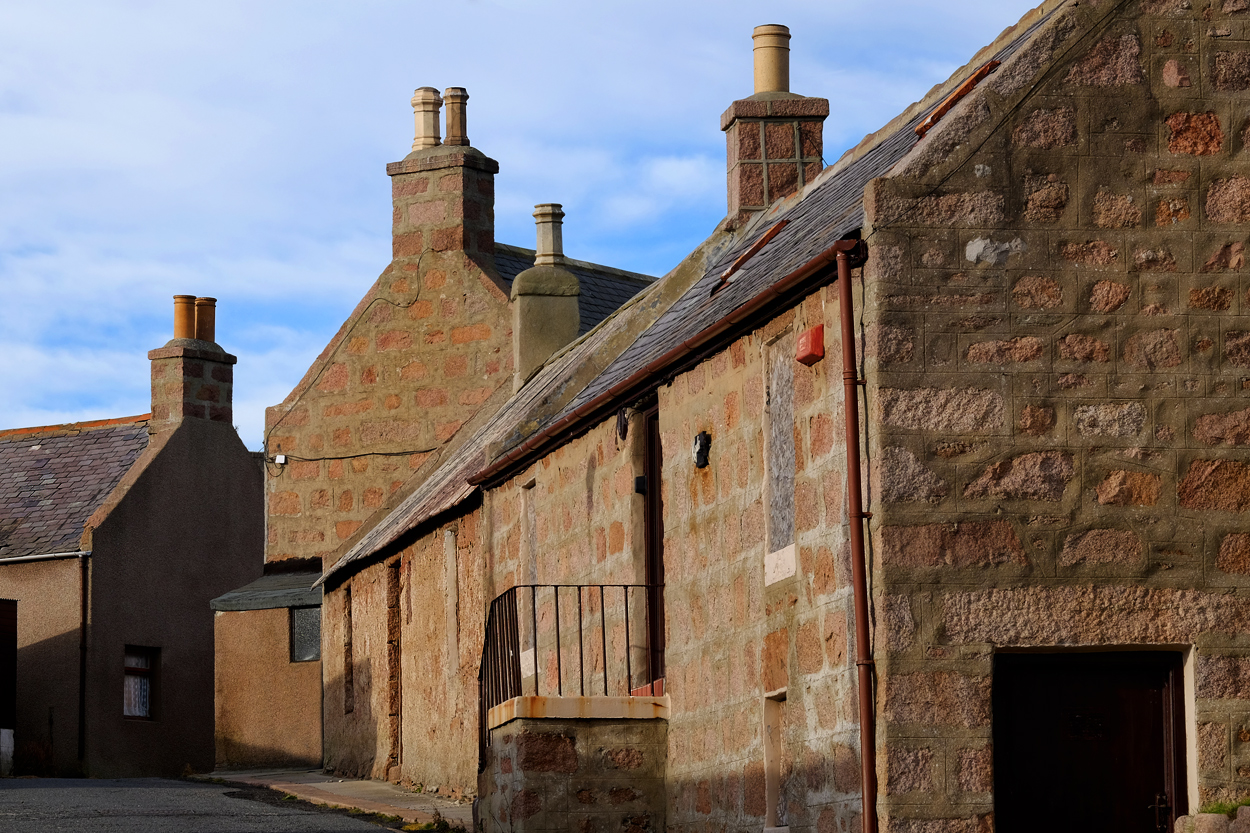 The austere old section of Baddam village.
 All along our small road route, we were continually 'discovering' fantastically beautiful scenes.
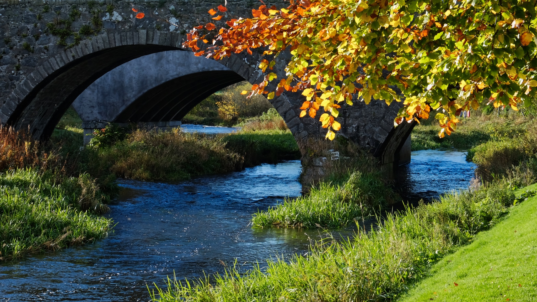
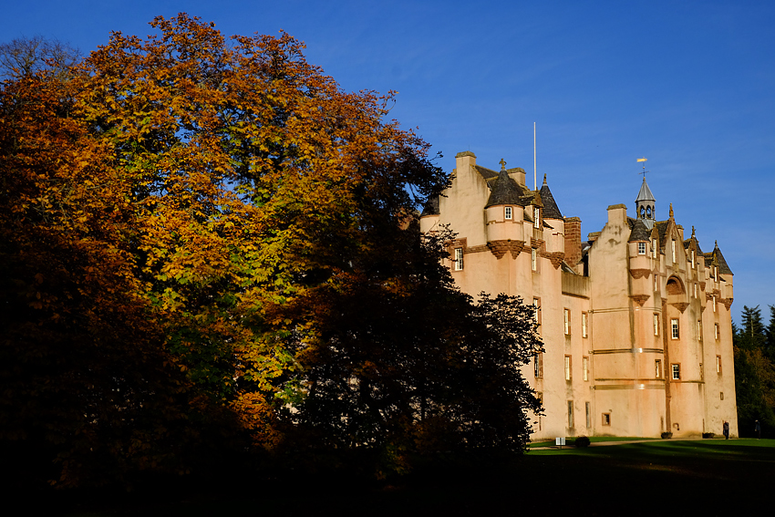 The stunning Fyvie Castle.
 Gorgeous autumn scenes all around the grounds of Fyvie Castle.
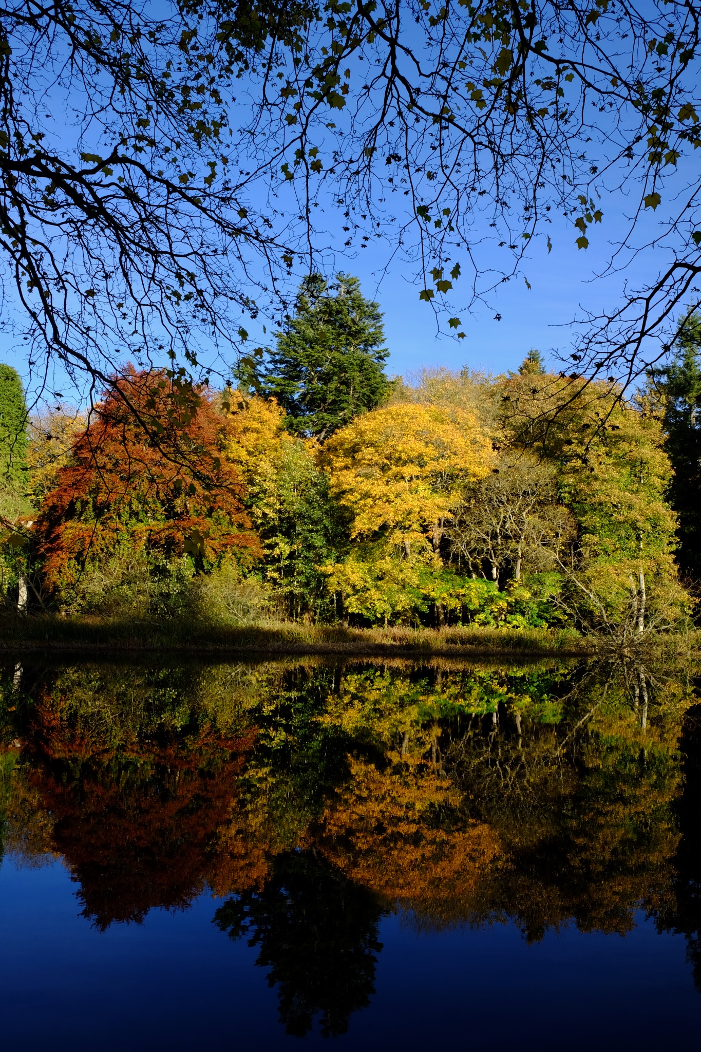
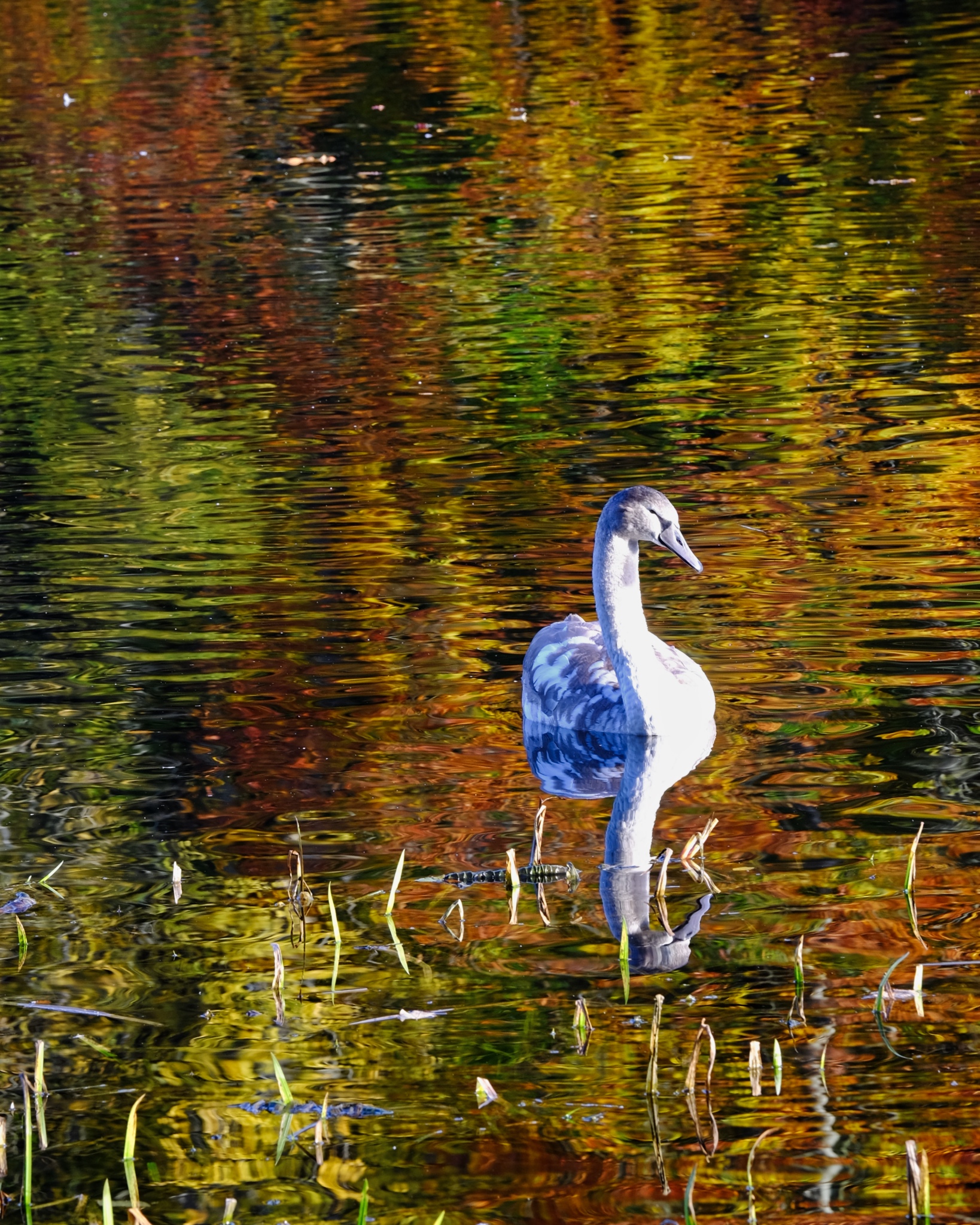 Superb Fall colors reflected in the castle goose pond.
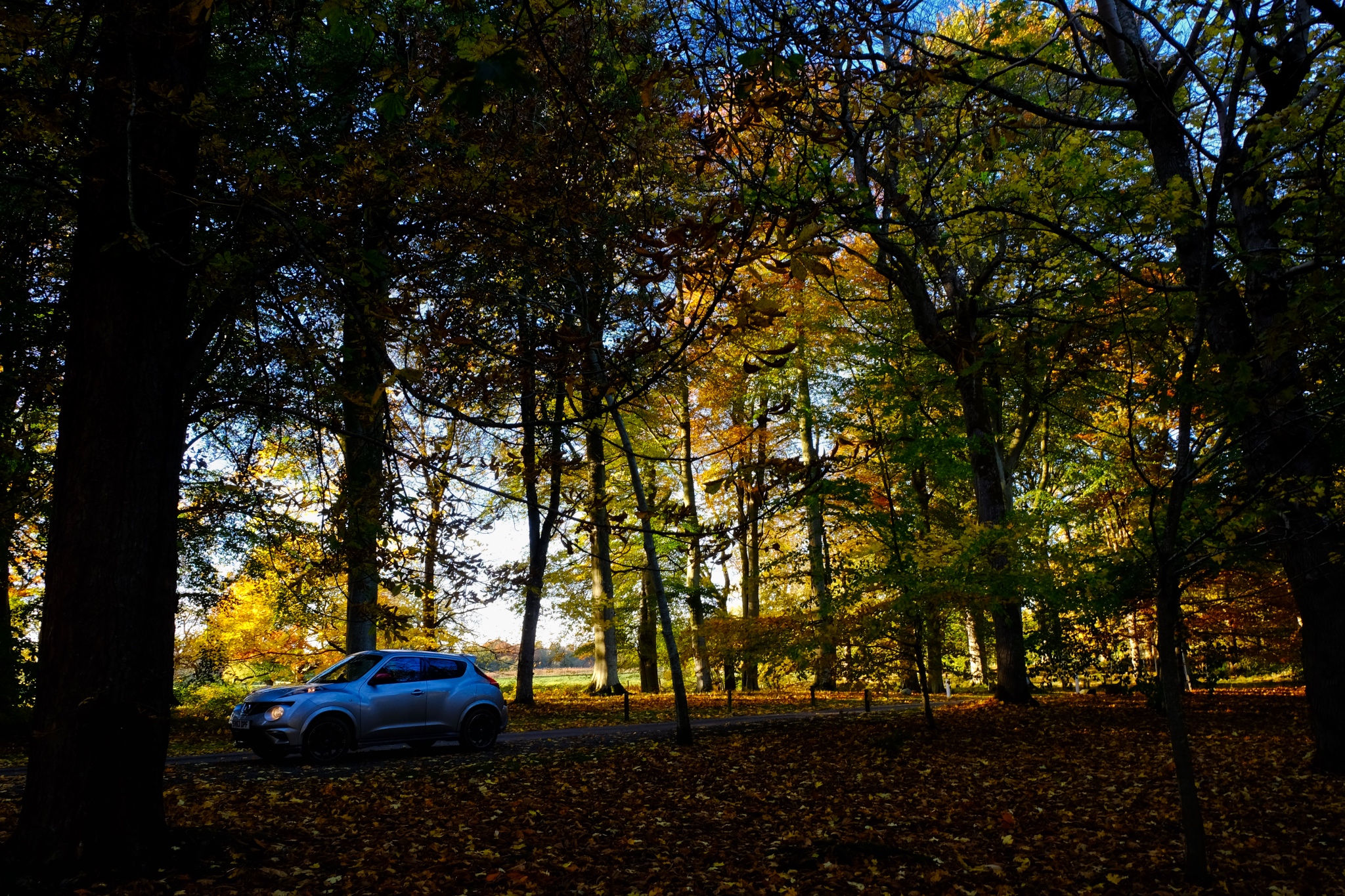 For three glorious days we rambled about the small roads of northeast Scotland. My AWD Juke NISMO was the perfect car for the narrow, winding, wet-leaf-covered country lanes.
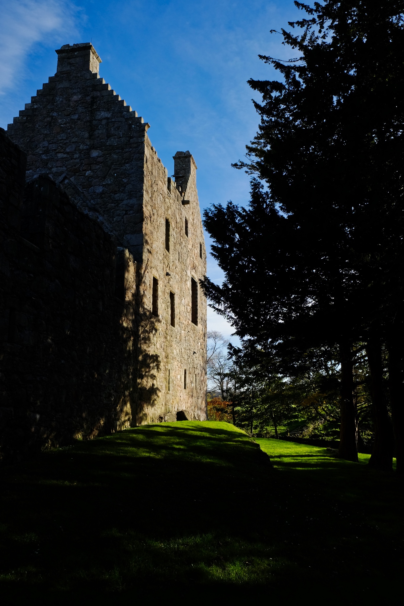 Castles and castle ruins everywhere in Aberdeenshire.
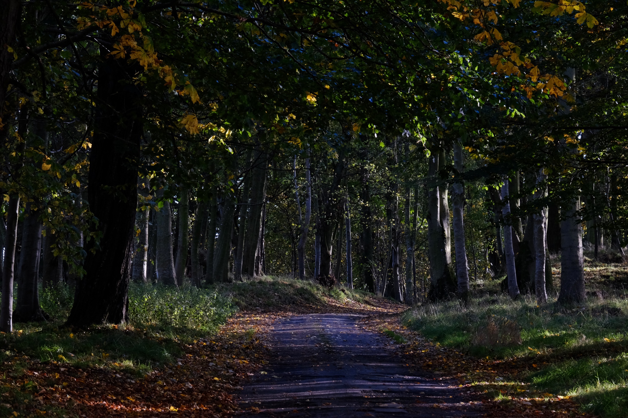 The Aberdeenshire roads would alternately suddenly diving into the deep shade of small forests . . .
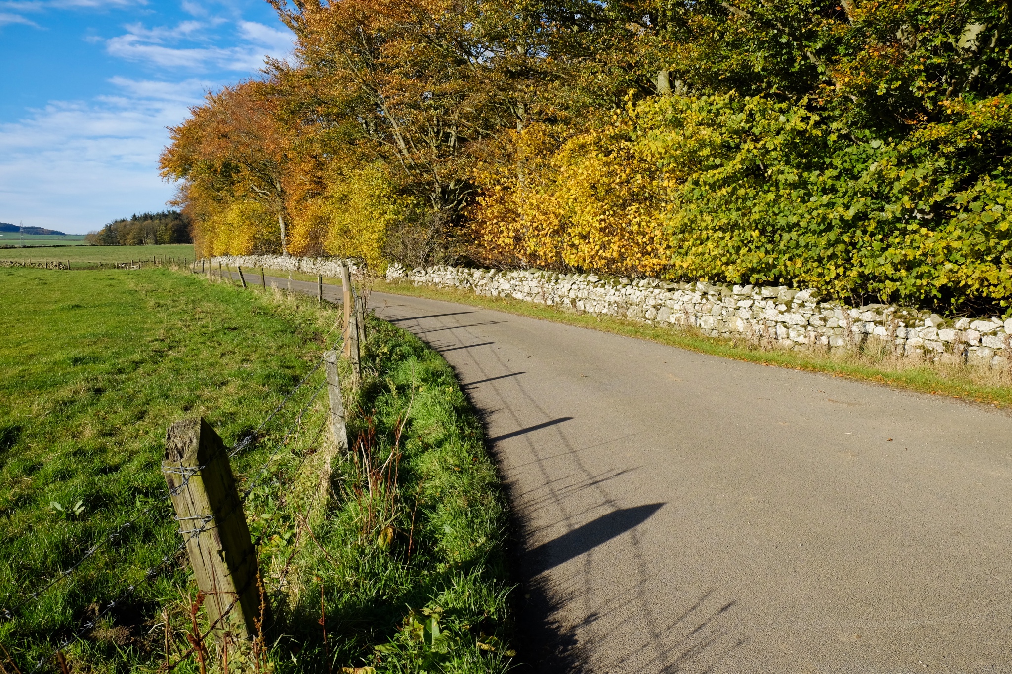 . . . and back out onto the bright, stone wall lined country roads.
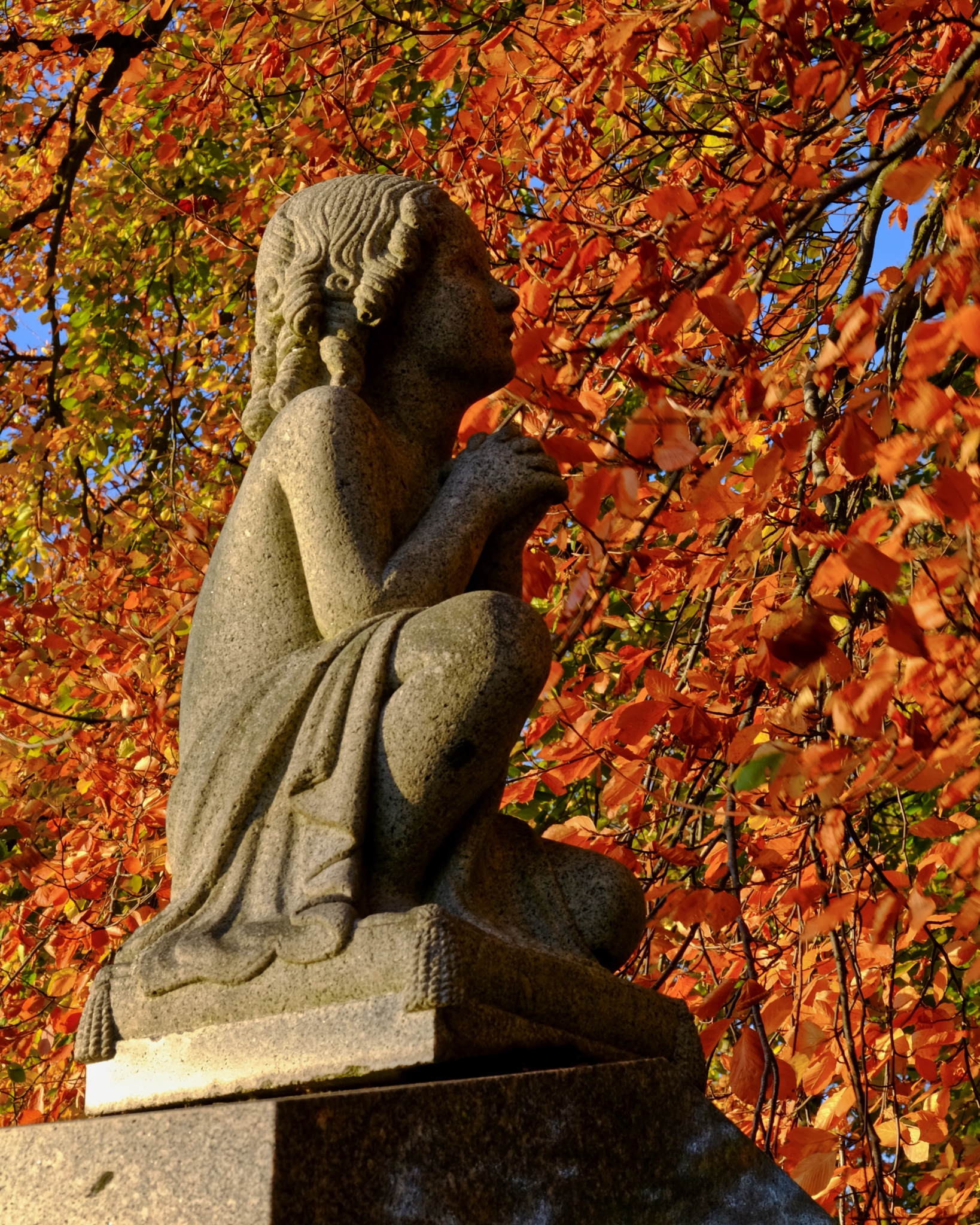
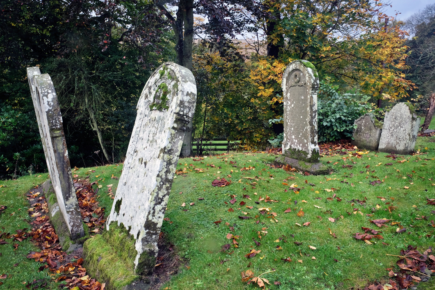
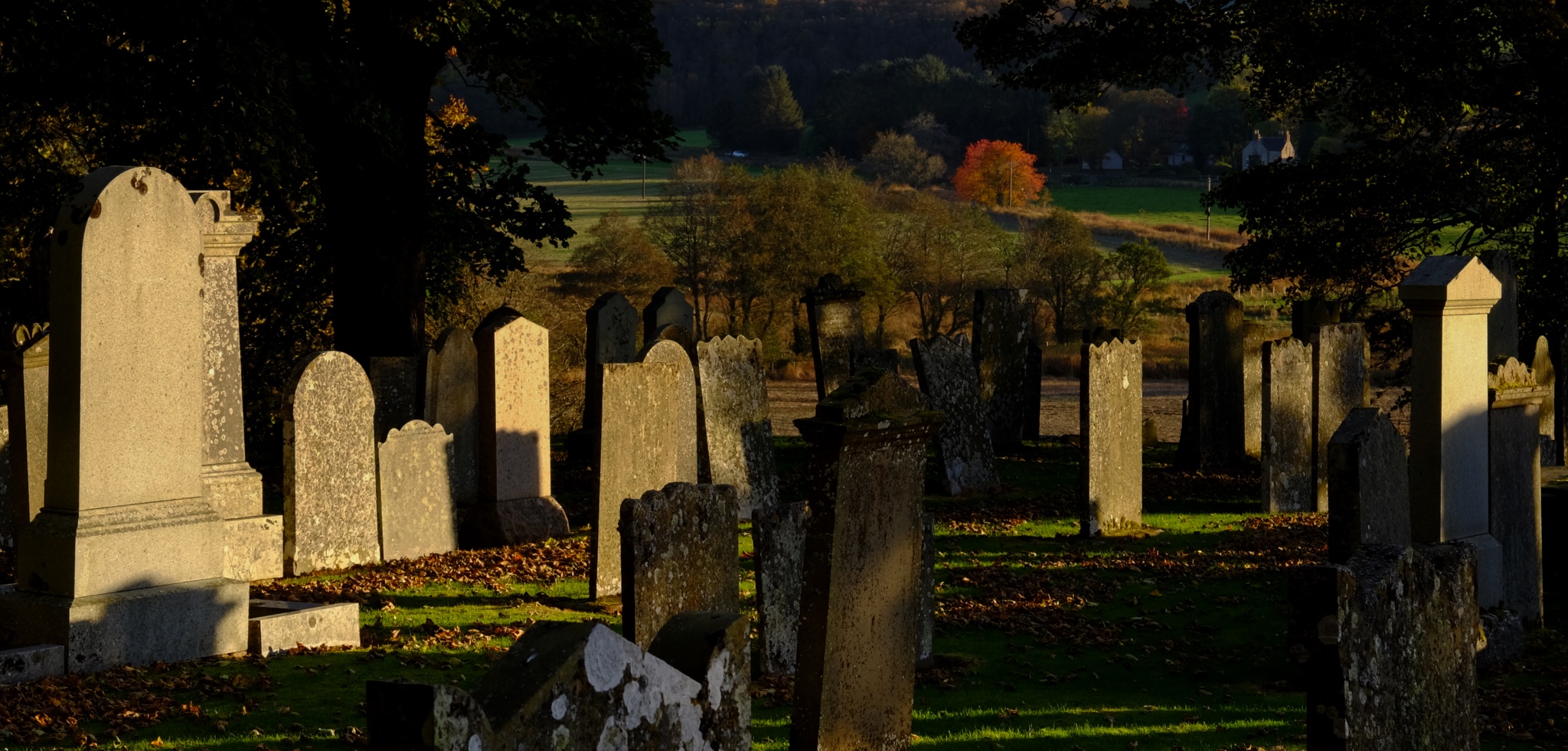 We were always up for a quick stop at an old country cemetery.
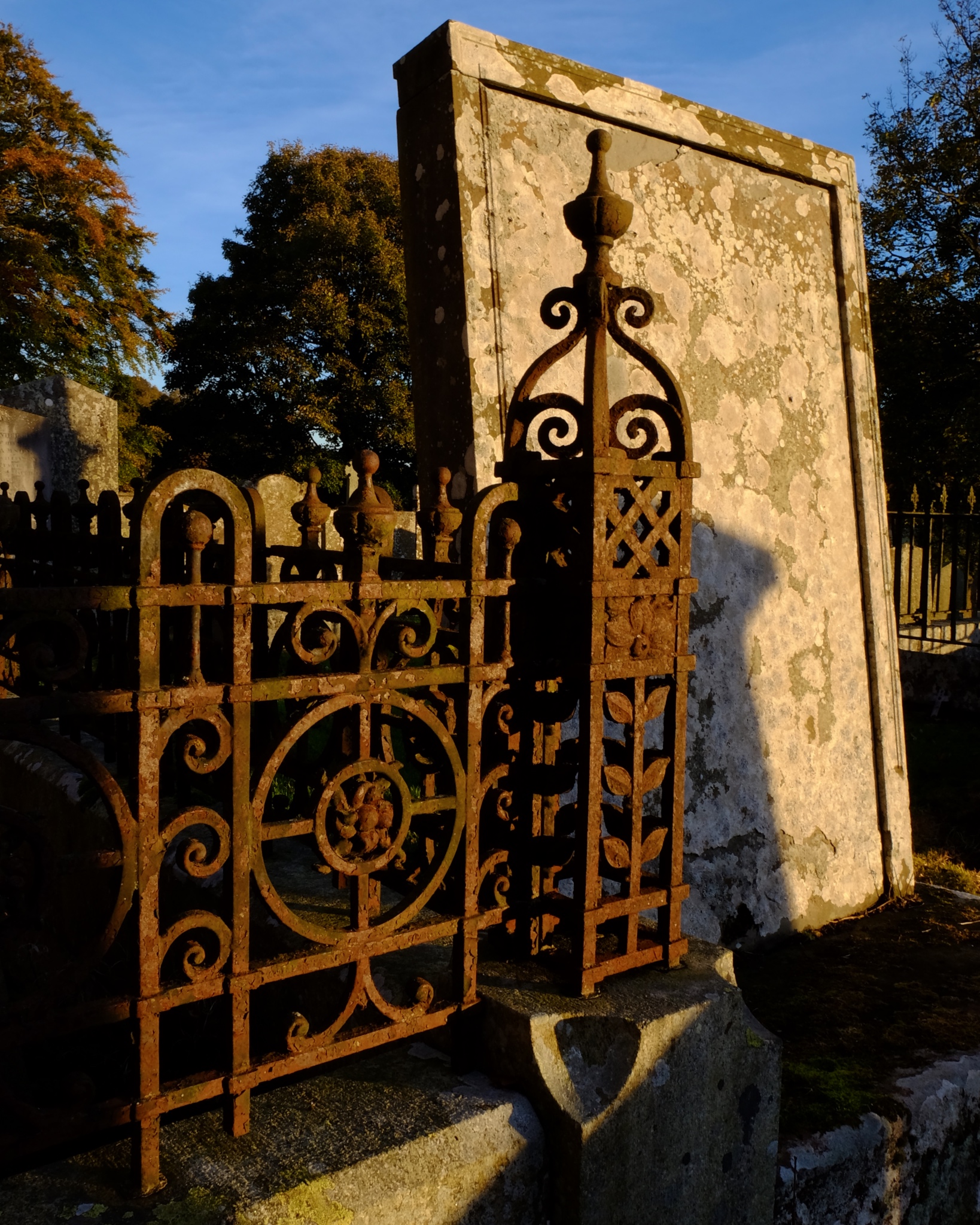 There is so much to see in the old cemeteries: colors, textures, old surfaces . . . . and . . . .
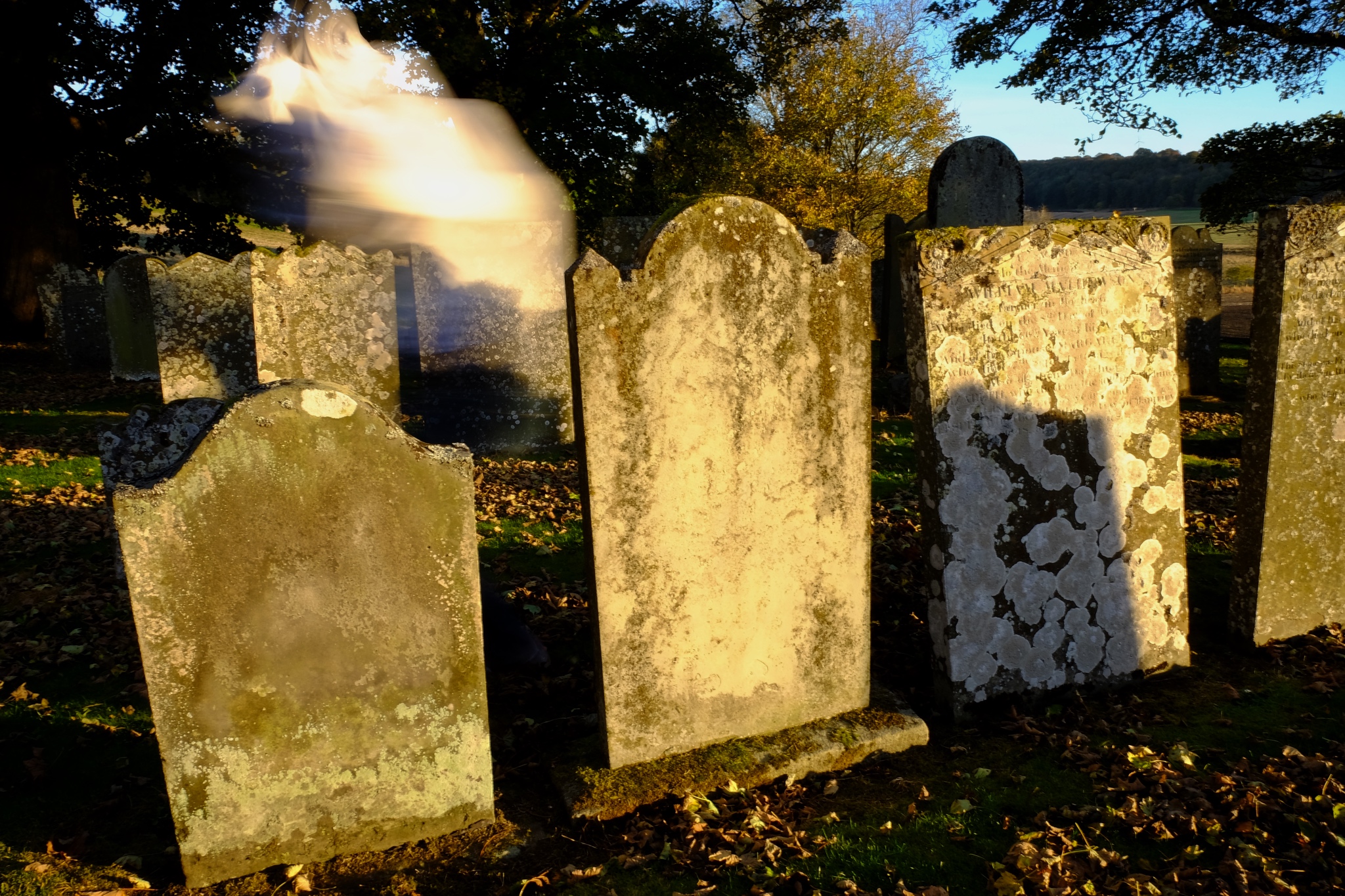 . . . and the occasional Class III freefloating spirit vapour.
 Autumn in a Scottish cemetery can be very beautiful.
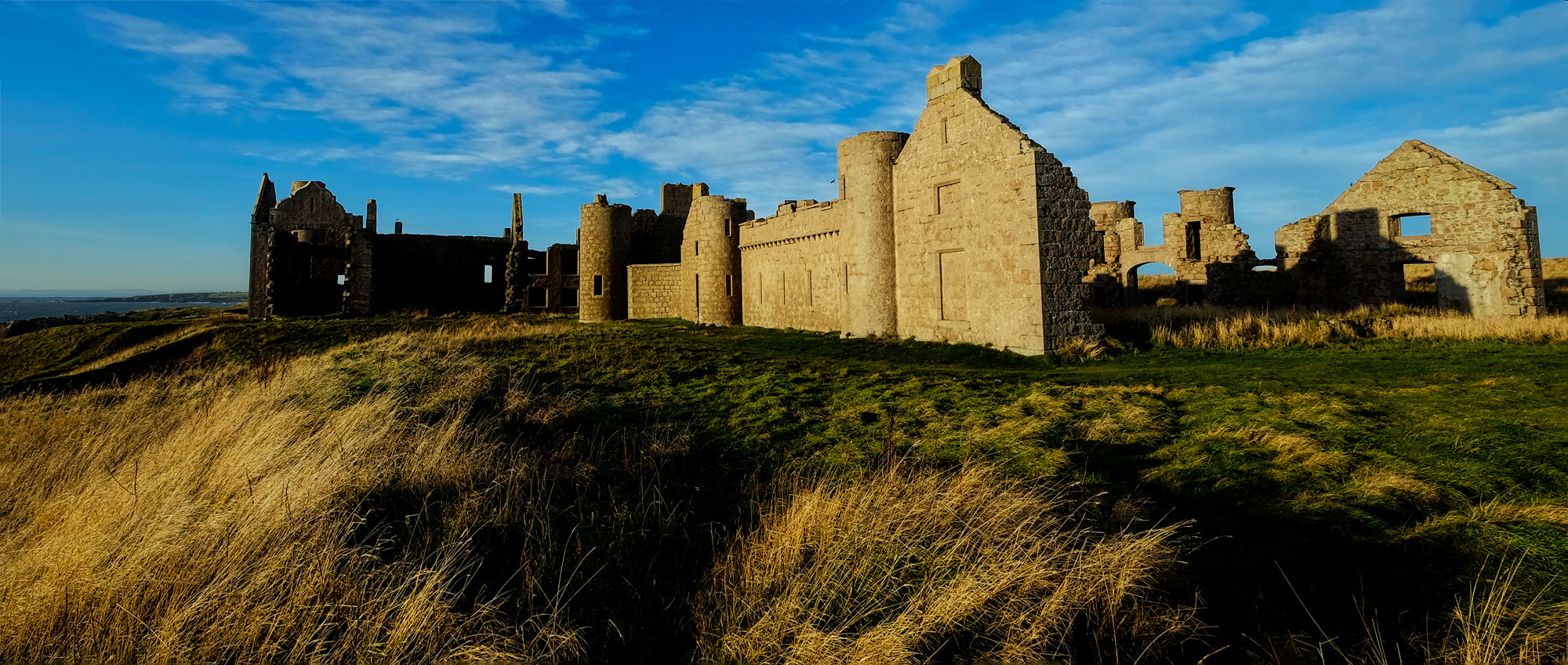 No trip to Aberdeenshire would be complete without a stop at New Slaines Castle . . . a photographer's paradise.
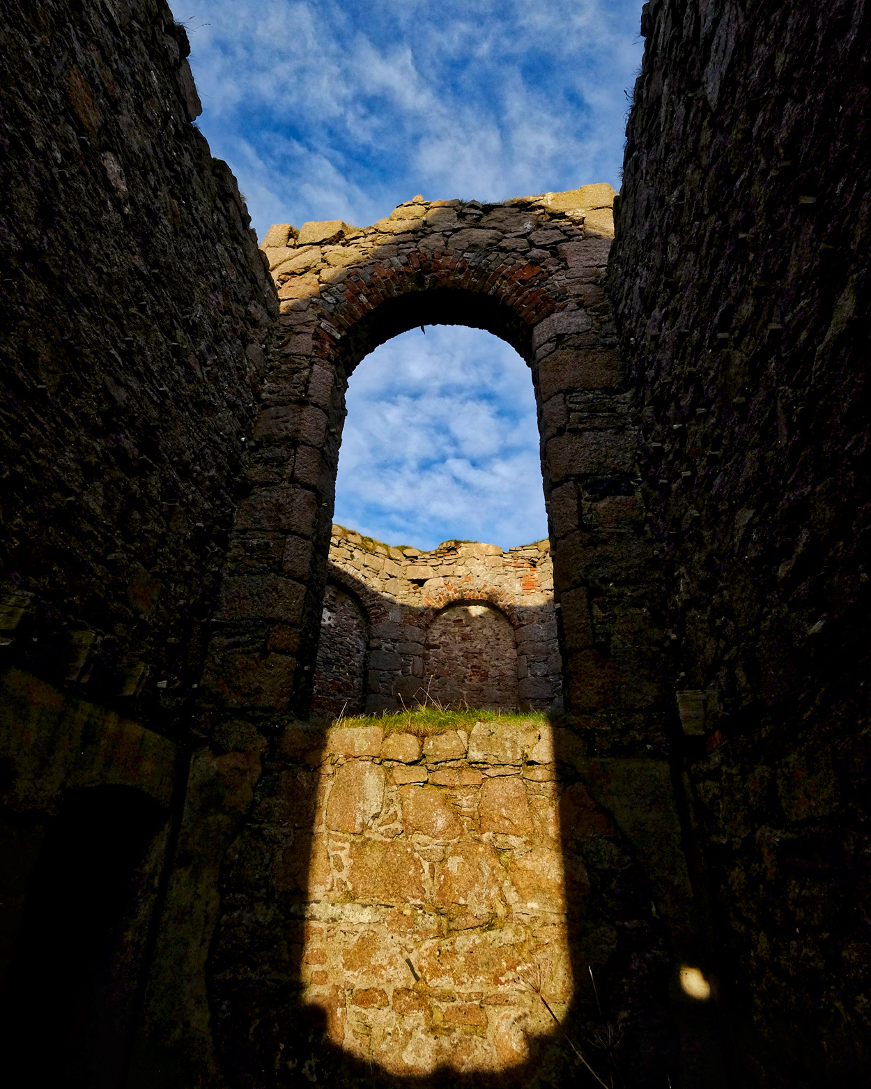
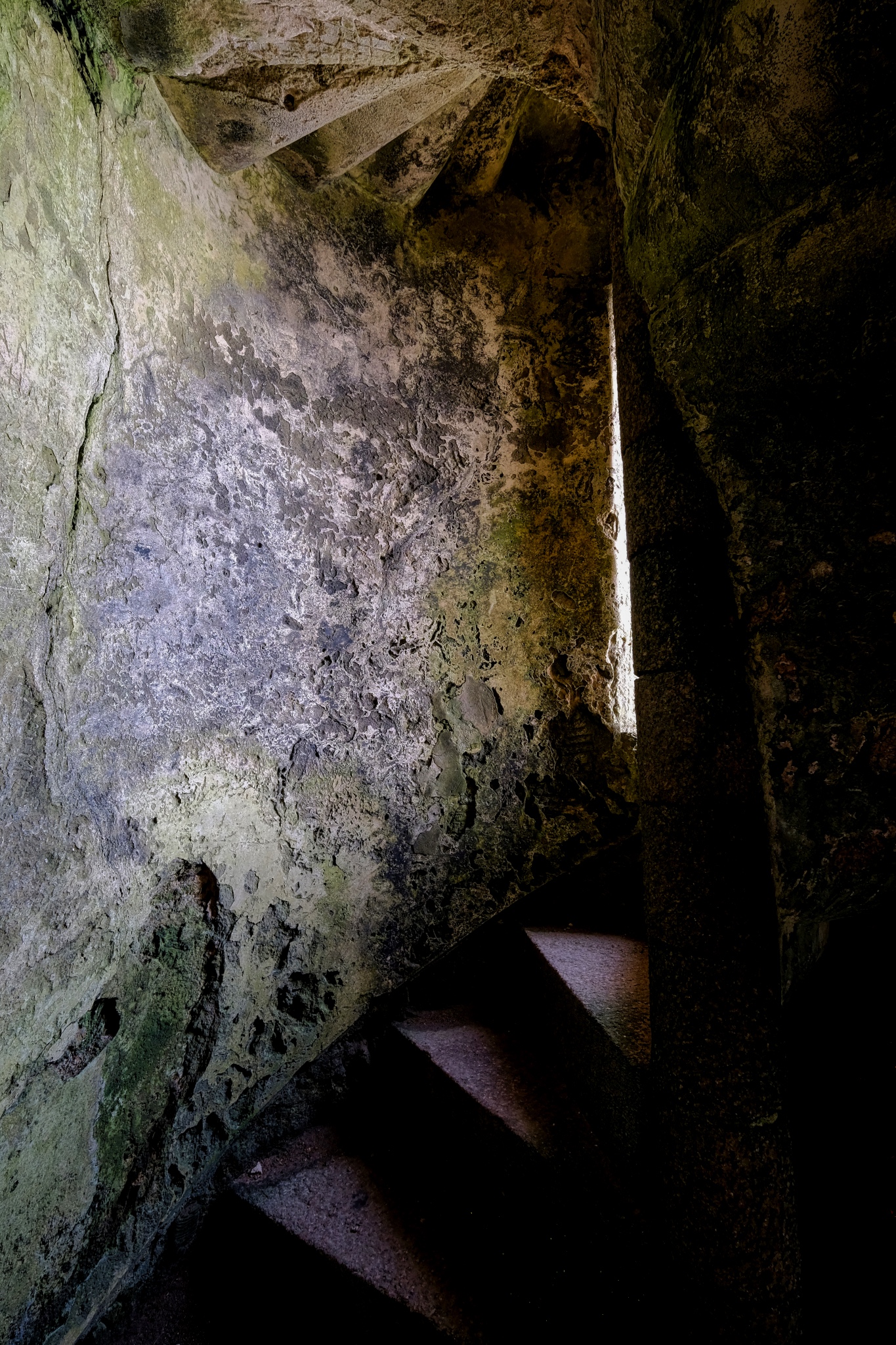 A stairwell in the ruins of New Slains Castle.
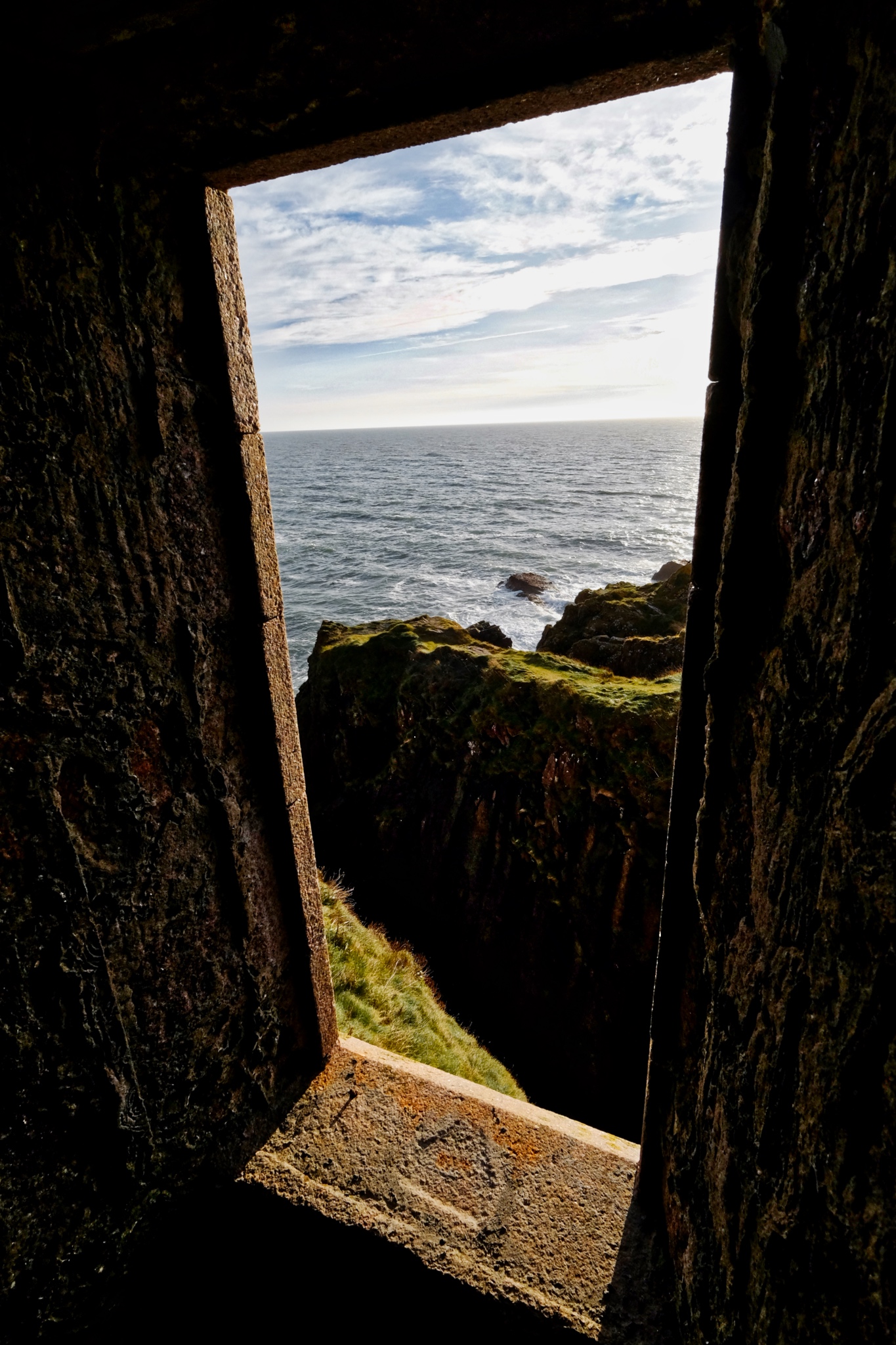
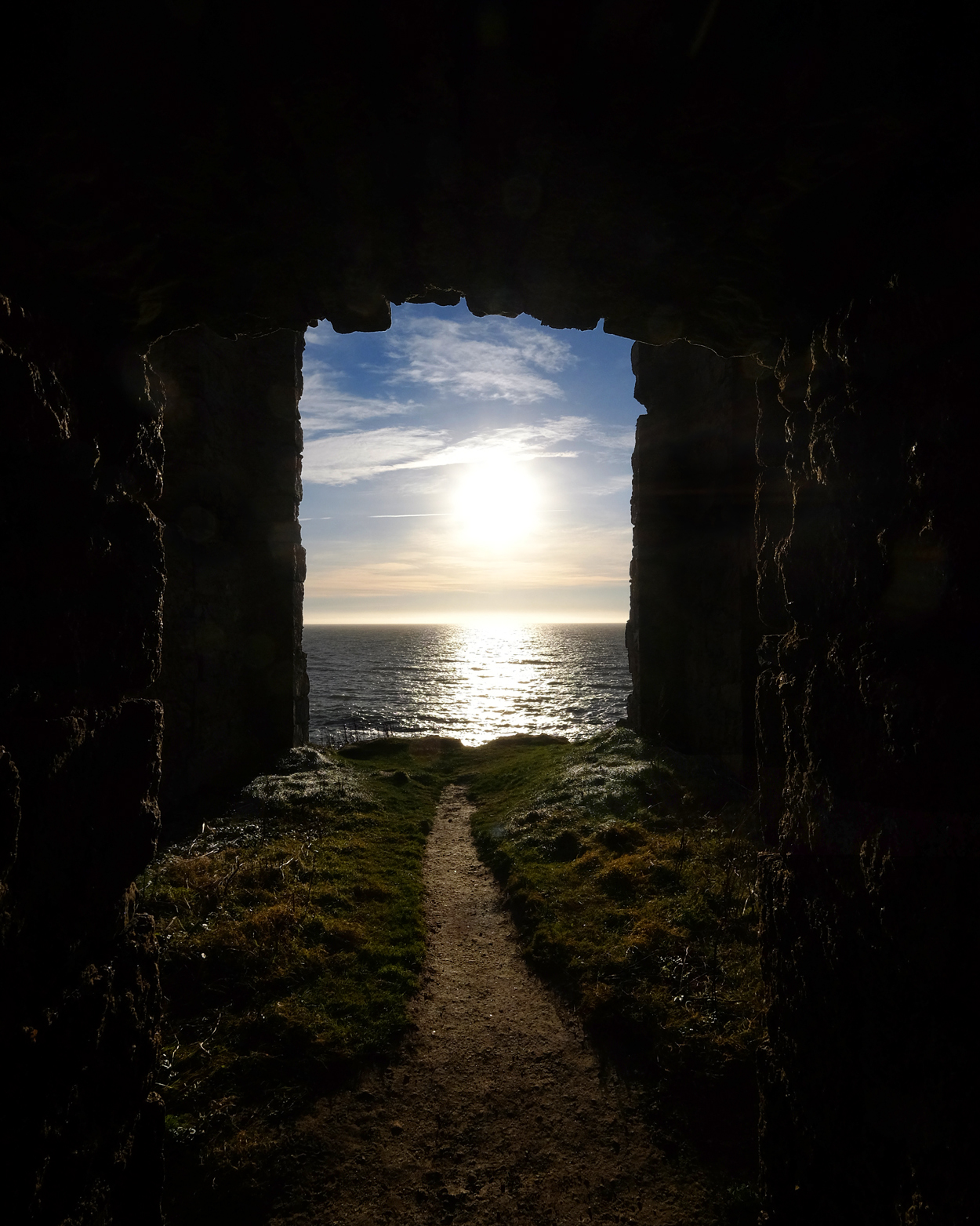 Some of the views from inside the castle ruins onto the North Sea were stunning.
 North Sea view from New Slaines Castle, Aberdeenshire, Scotland.
 John and I spent several hours wandering around inside the ruins of New Slaines Castle enjoying the play of light and shadow on the deserted halls and rooms . . .
 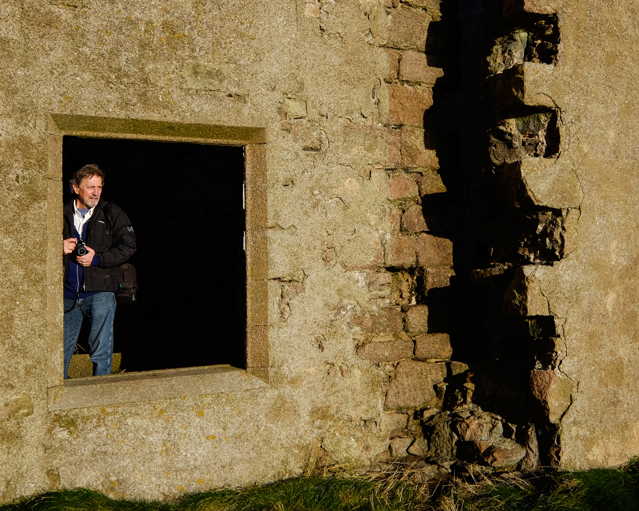 . . . as well as making portraits of each other among the ruins.
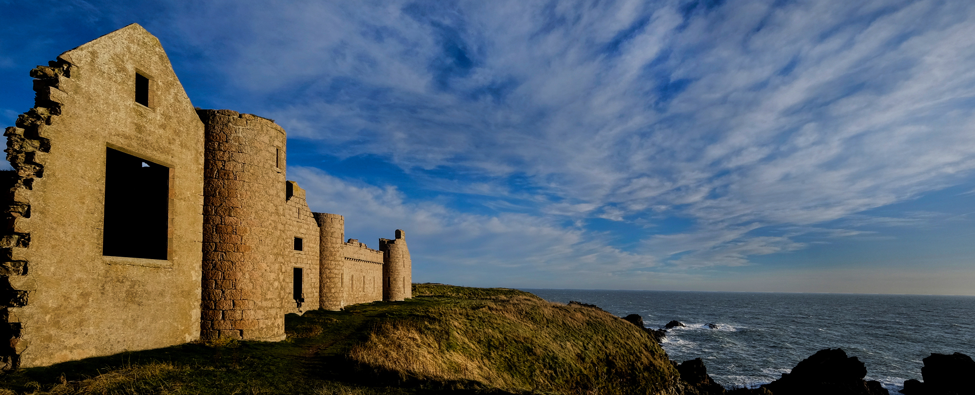 The castle on the North Sea cliffs, New Slaines.
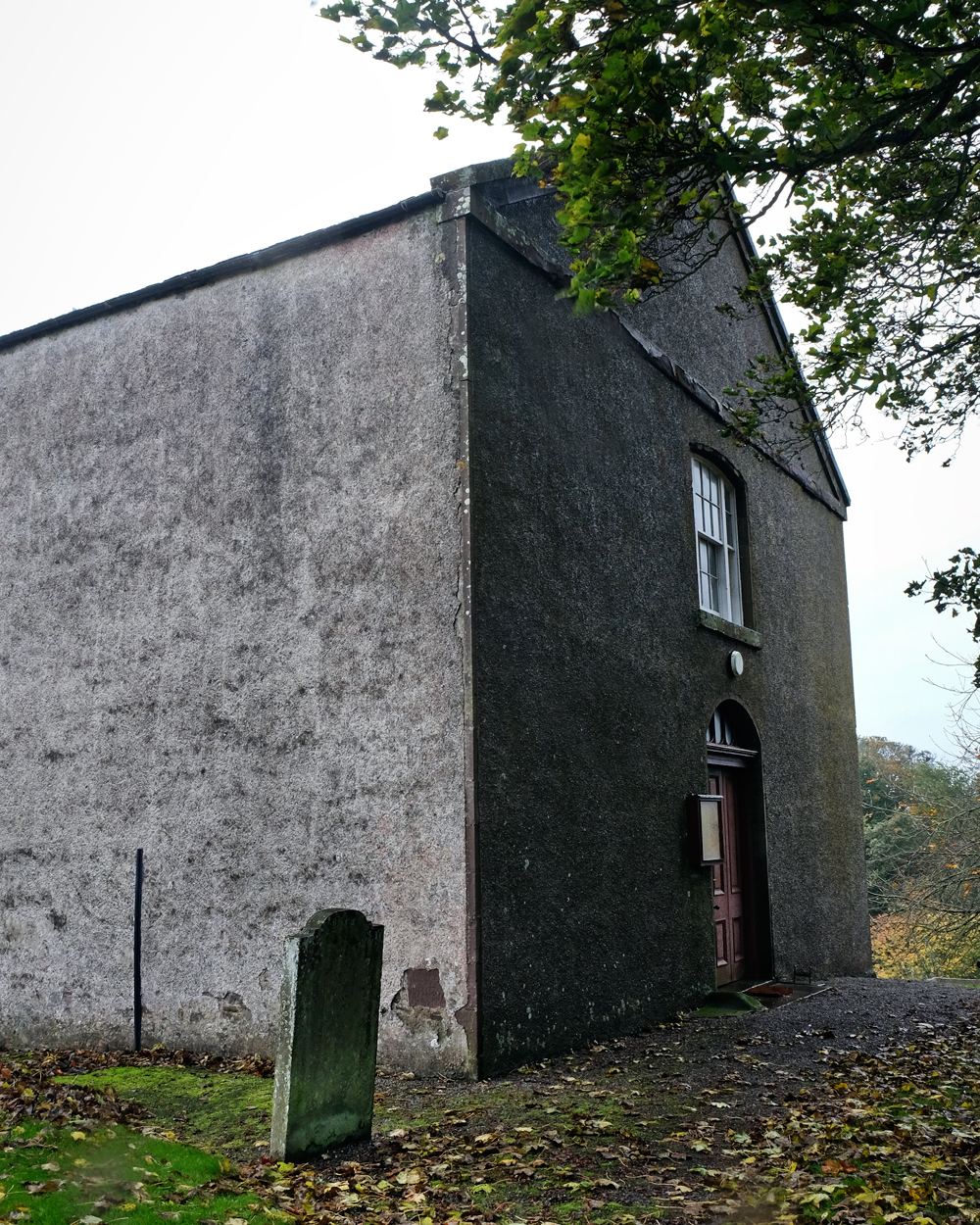 The Benholme Kirke, built on the site of a 9th century hermitage.
 Although we interrupted the Benholm Kirke bookkeeper . . . but he obliged with a tour and short history of this interesting place.
 Benholm Kirke had a fine old 'kirkegaard' as well.
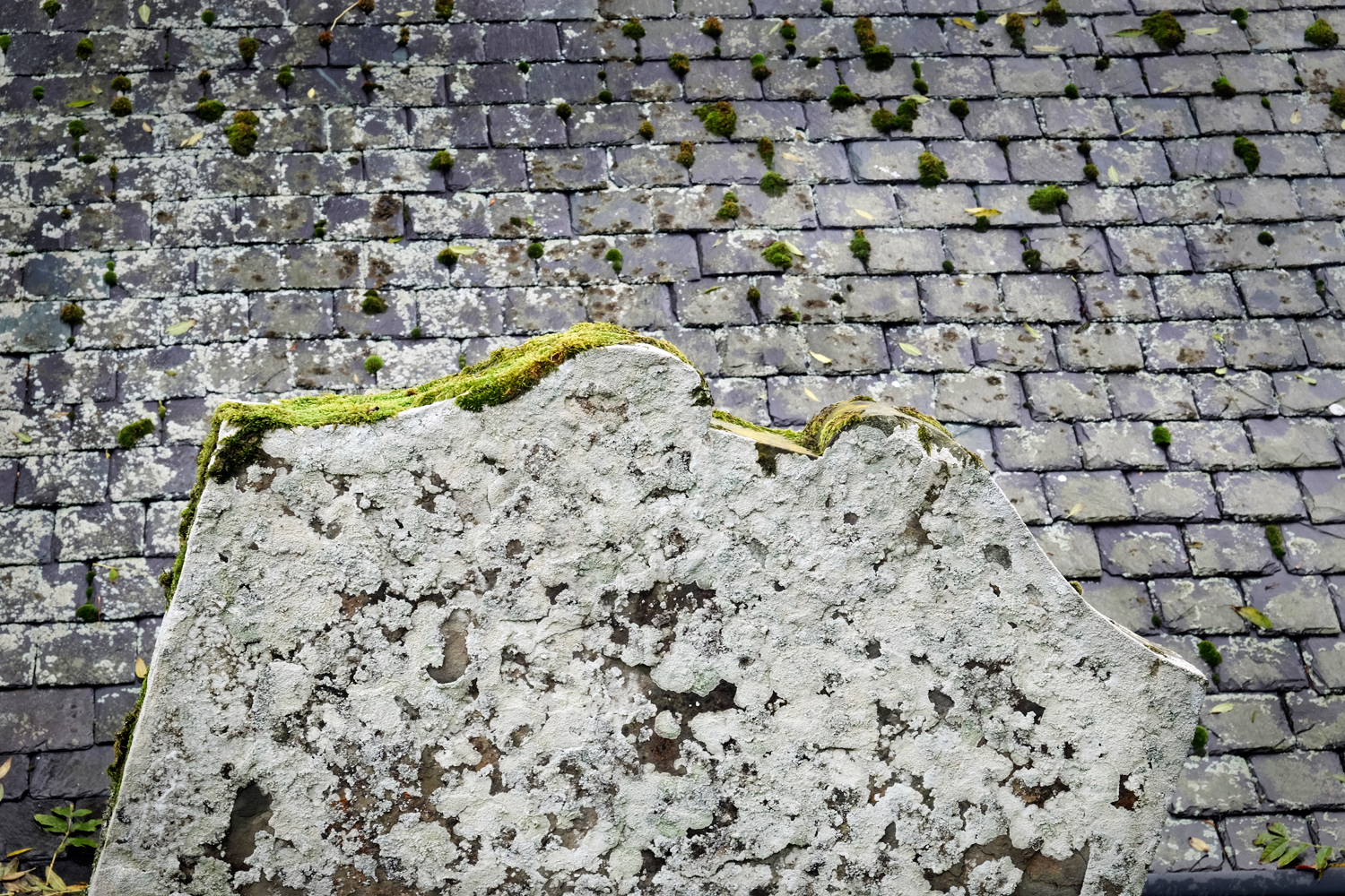 Moss and lichen-covered grave stone and ancient cottage slate roof . . .
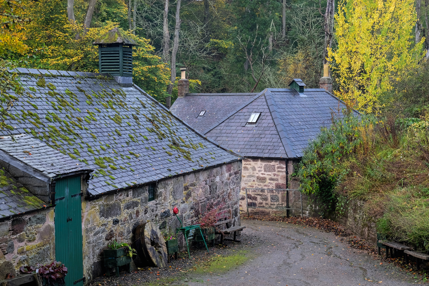 We sometimes consulted the GPS as to any 'points of interest' . . . and discovered this old mill.
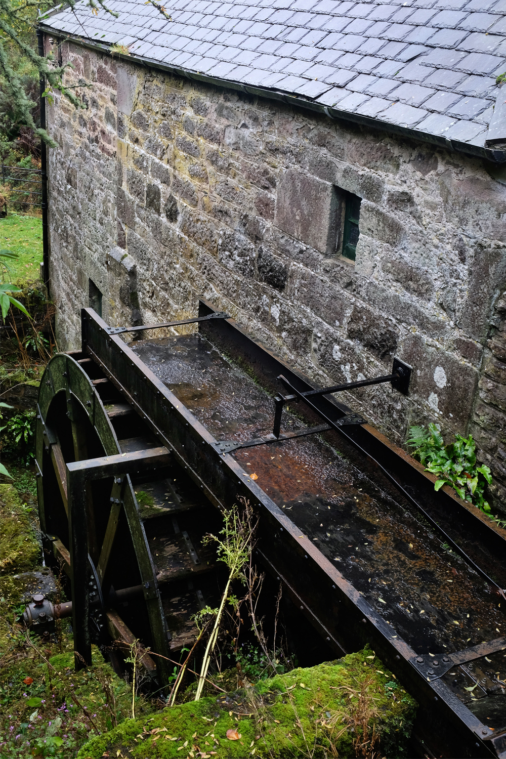 The sluice and water wheel were still there and still intact.
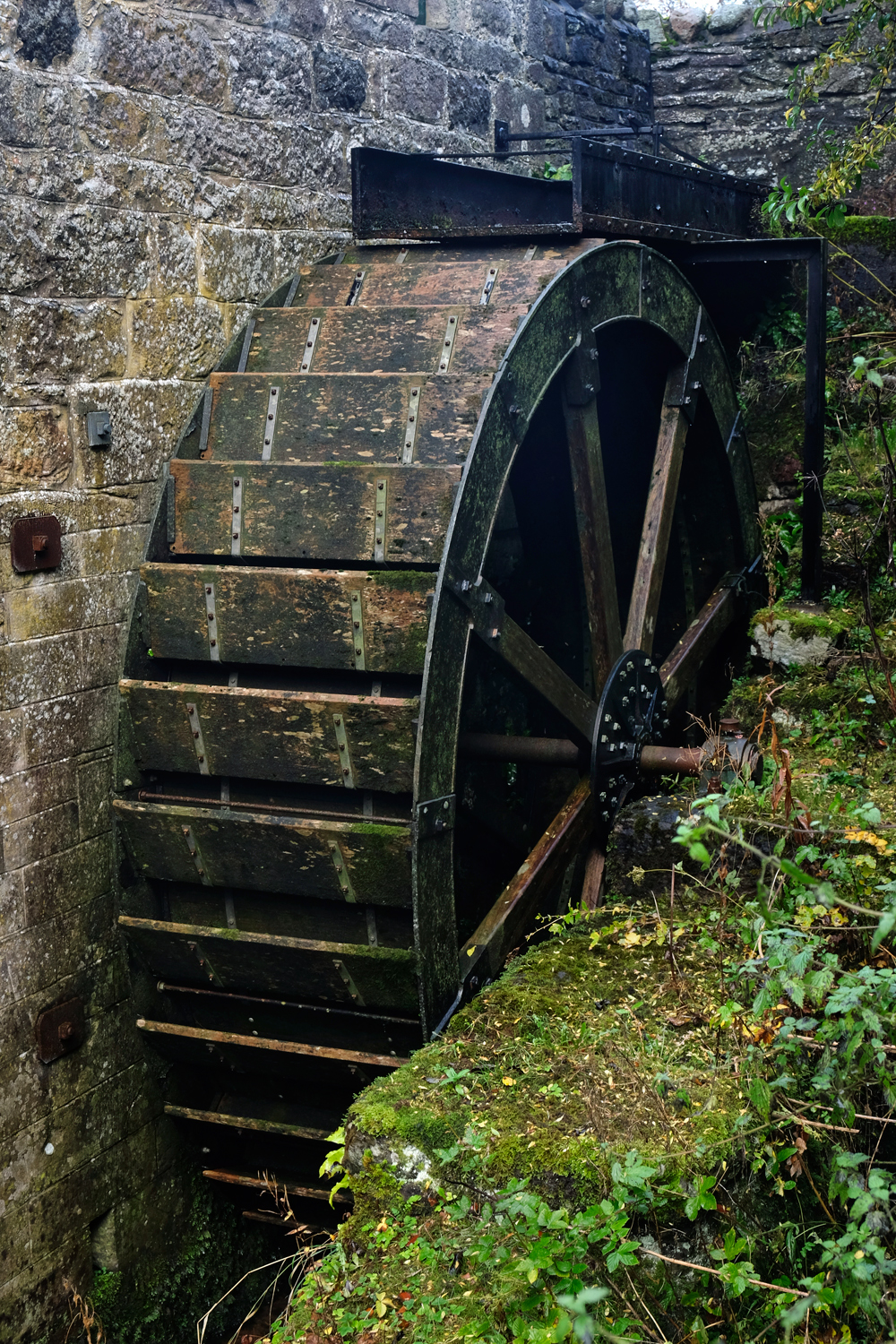 Down by the Old Mill Stream . . . A photographer's dream!
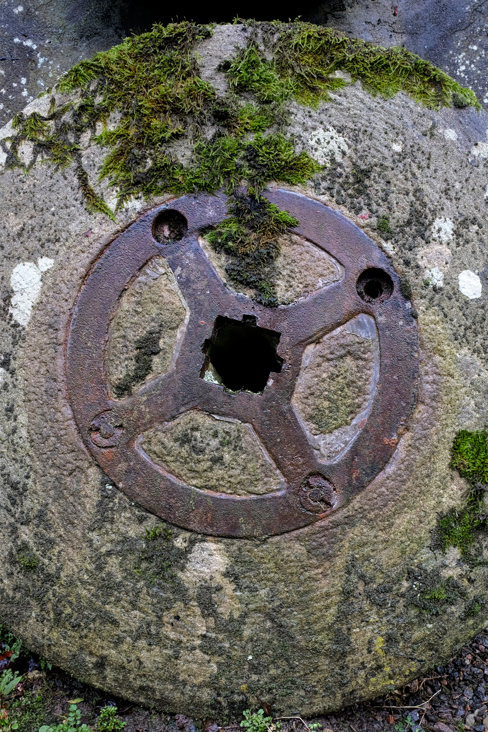
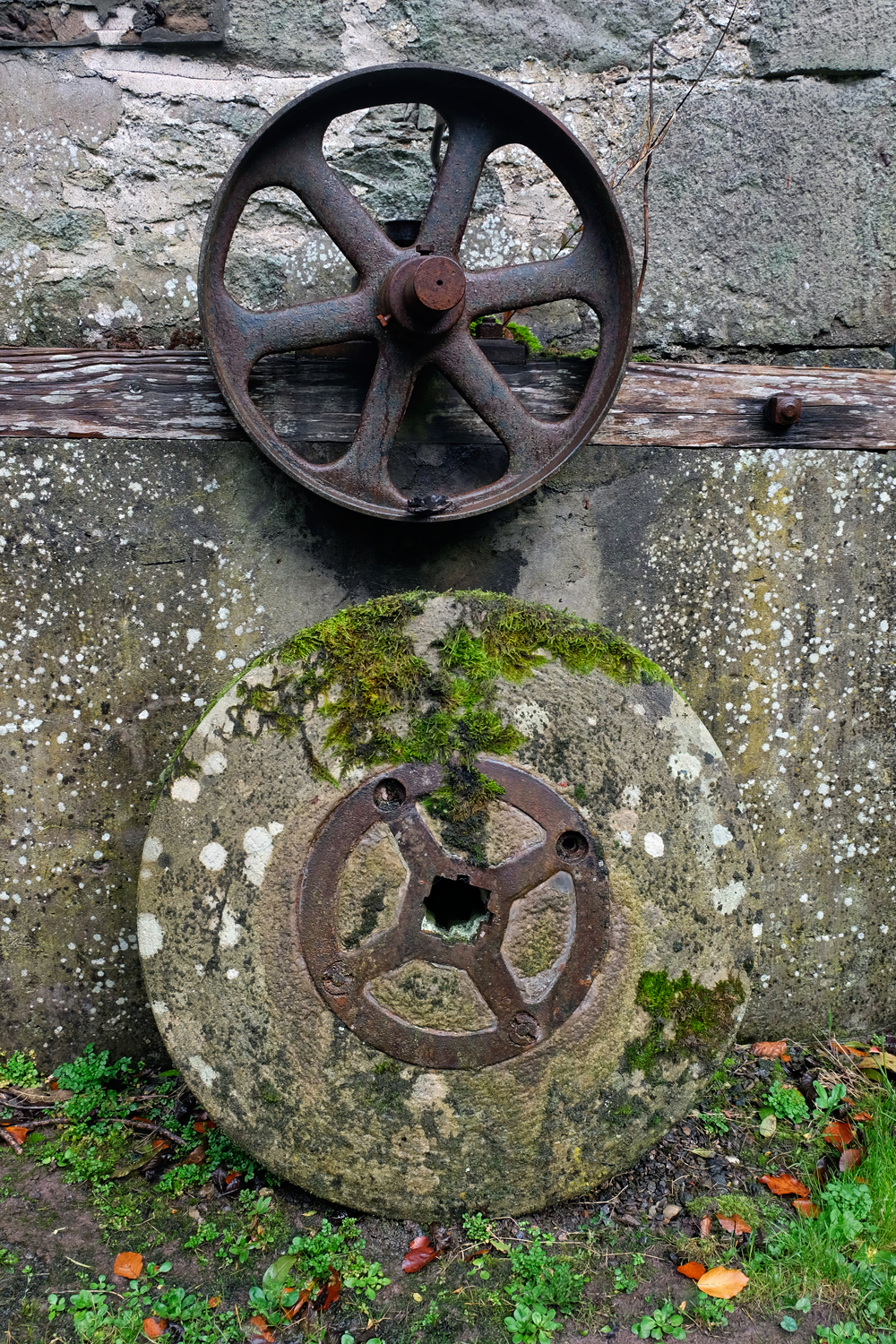 The opportunities for still life studies of mill paraphernalia was incredible. I enter only a few of the many beautiful photographs I took here.
 An old mill stone.
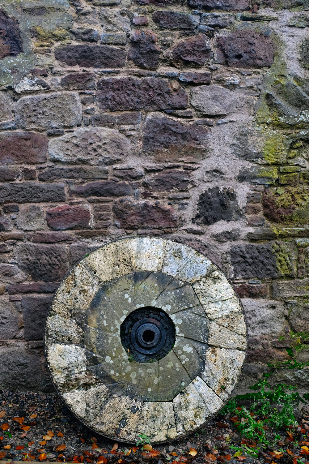 An old mill stone made of several stone segments.
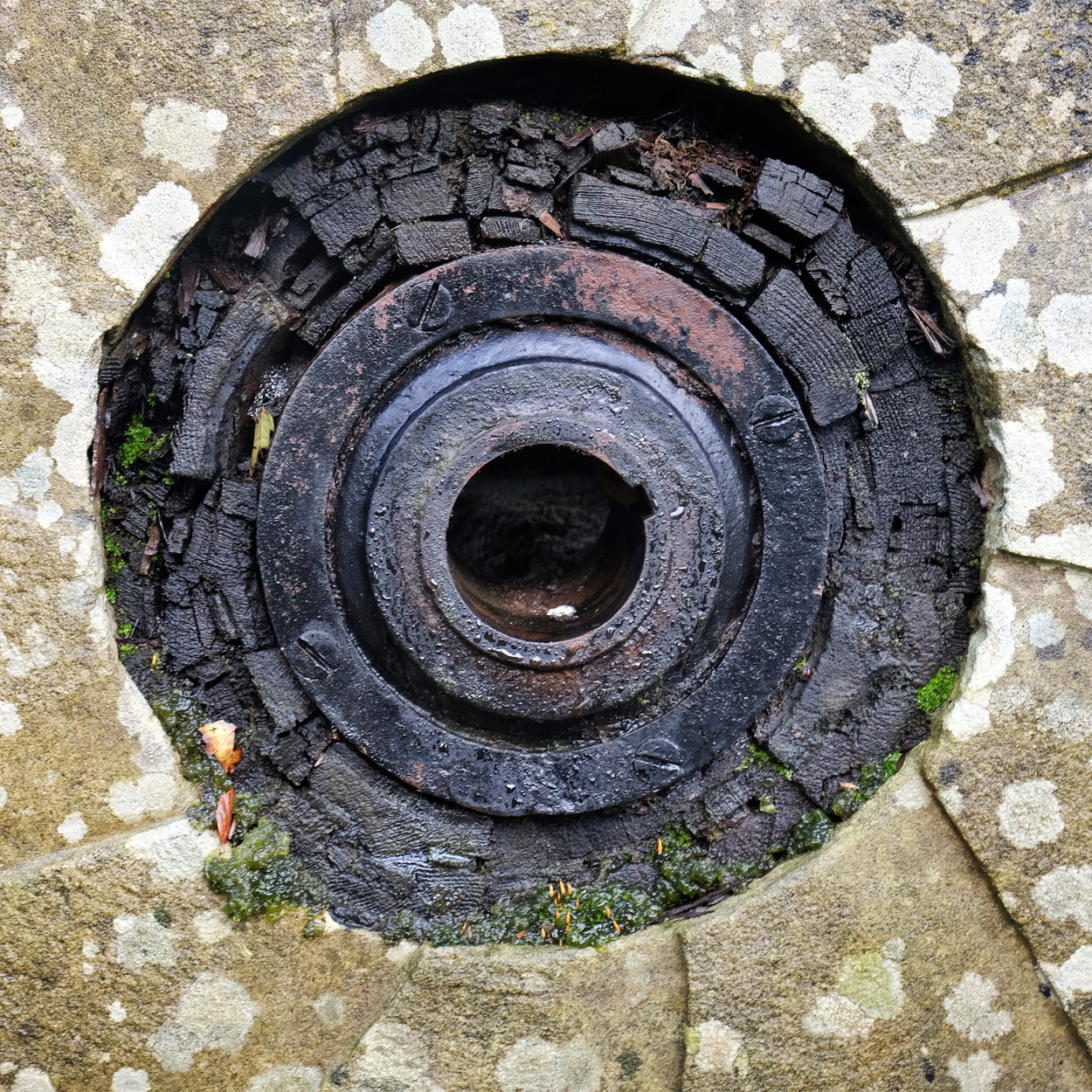 The wood-shimed center bearing of an old mill stone.
 One morning we drove south on the old coastal road to the fishing village of Johnshaven.
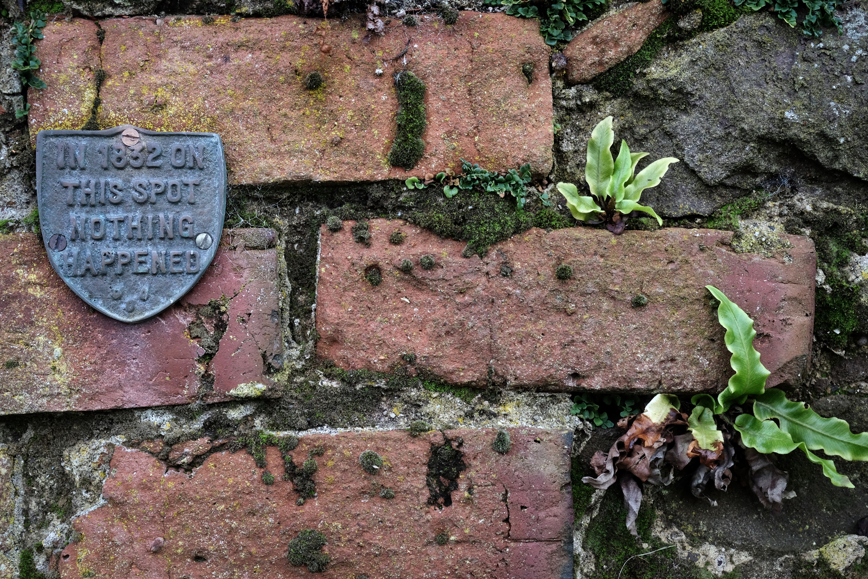 The Johnshaven townsfolk had quite the sense of humor!
 Johnshaven was a grey and austere village (like many Scottish villages) but with a splash of color here and there.
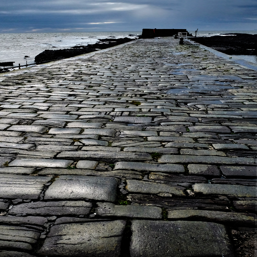 The fine old stone harbour jetty of Johnshaven.
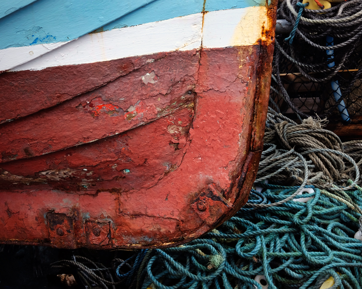 Johnshaven is a fishing village with many great nautical-themed photos to be had.
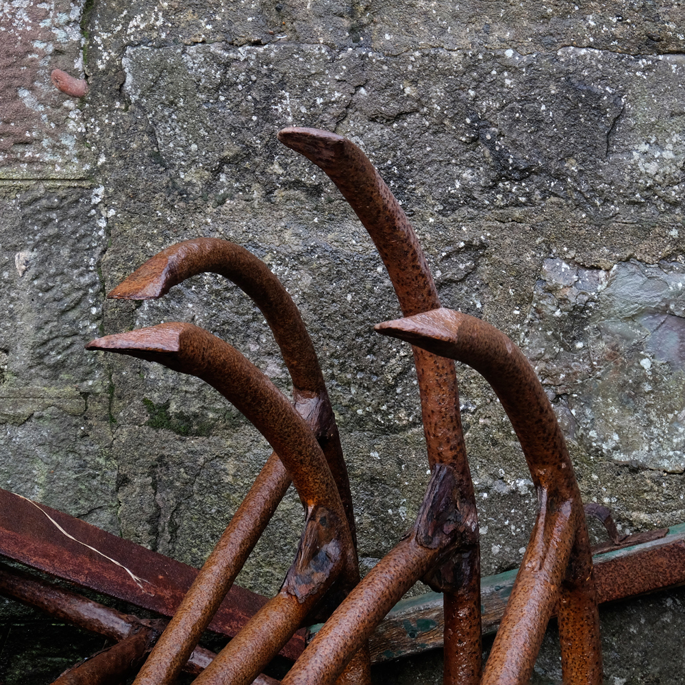 Old anchors in the boatyards.
 Low tide along the Johnshaven sea wall.
 The only bad weather we saw during three days. A stormy North Sea.
 Near Montrose there were signs of a recent flood of the River Esk.
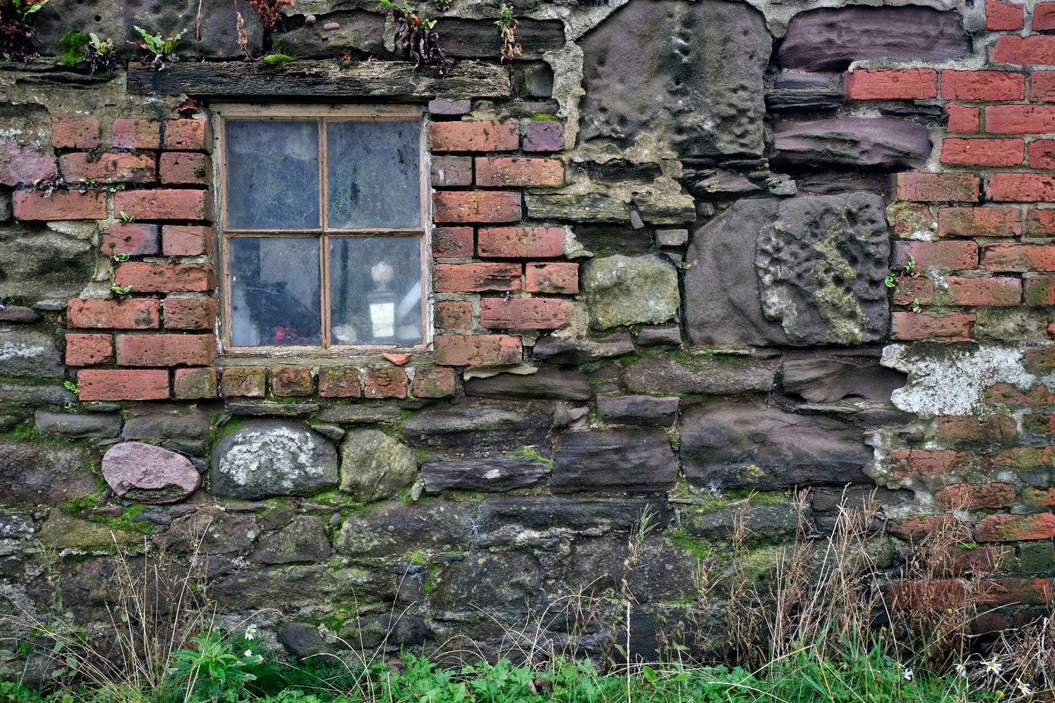
 Whenever we would see magic light on an old stone building we would stop and take photographs.
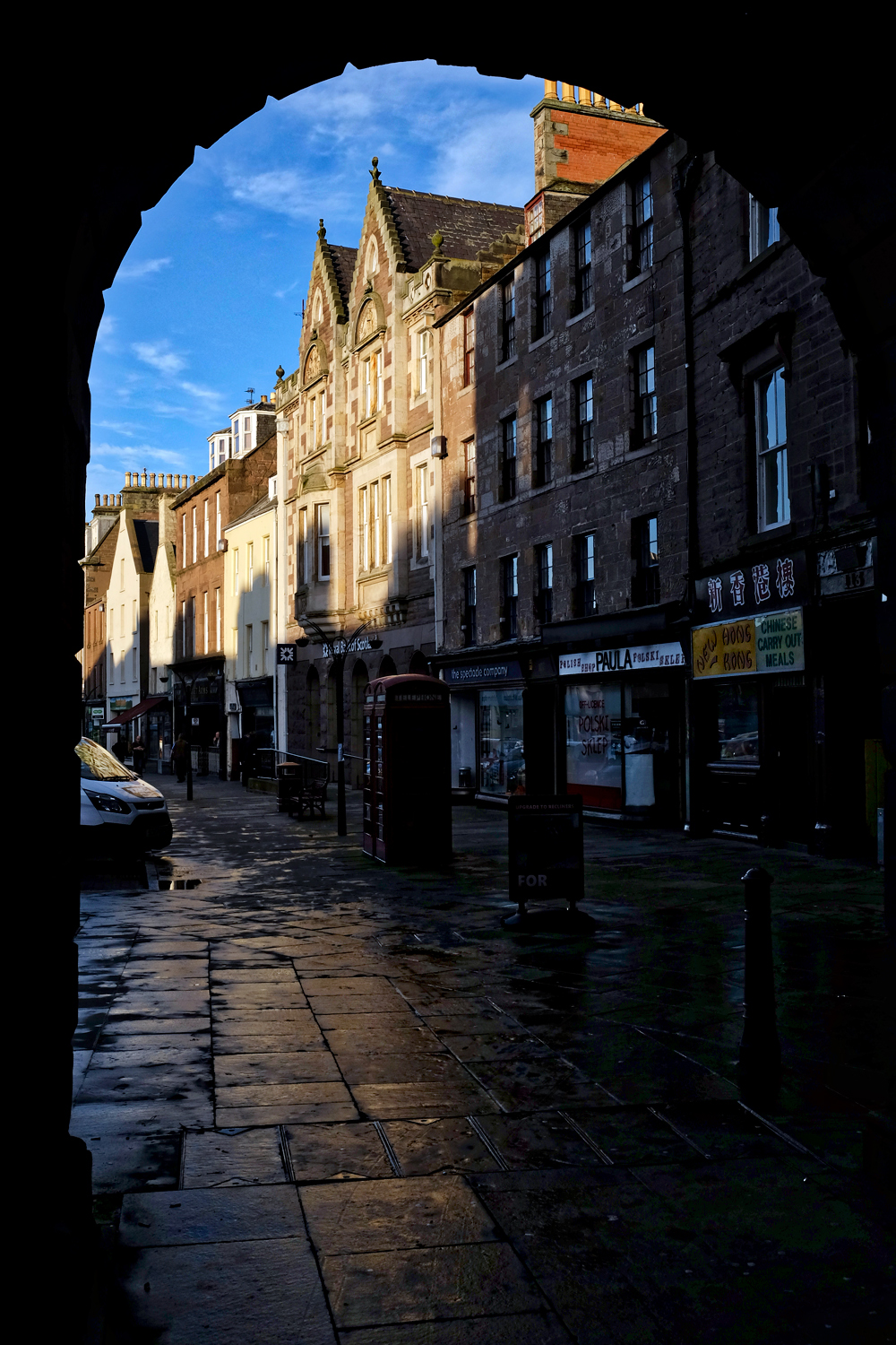 We stopped for coffee one late afternoon in the old market town of Montrose.
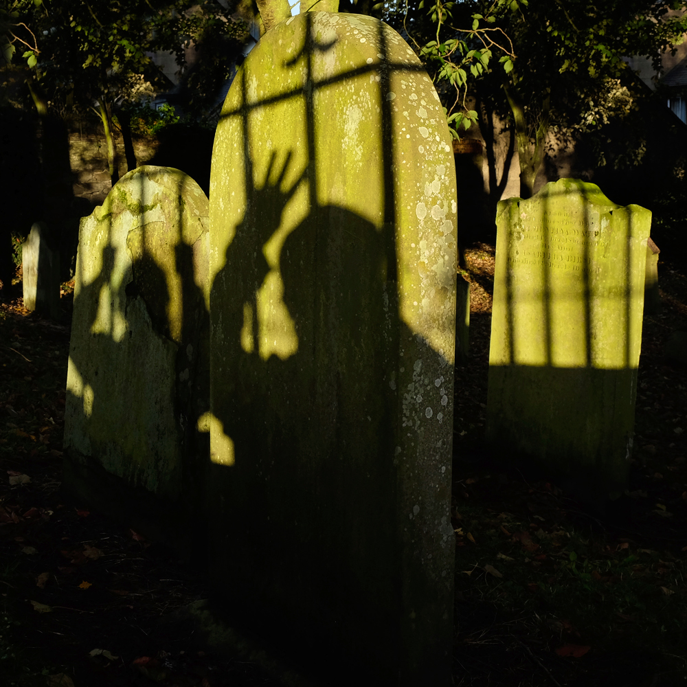 Yes, more ghoulish fun . . . in the Montrose Cemetery.
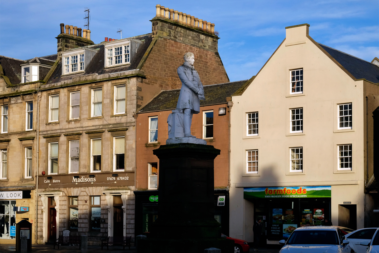 Montrose had some fine statues in the town square . . . here a good Samaritan was honored.
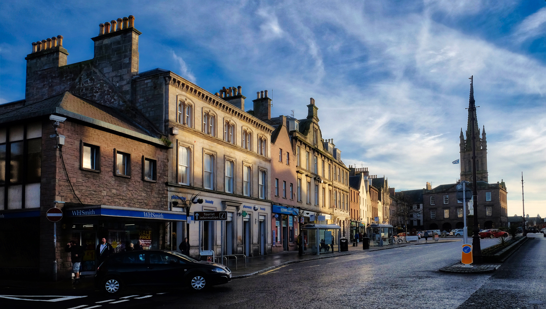 Montrose is typical of many Scottish towns.
 OK, maybe Montrose is not so typical after all.
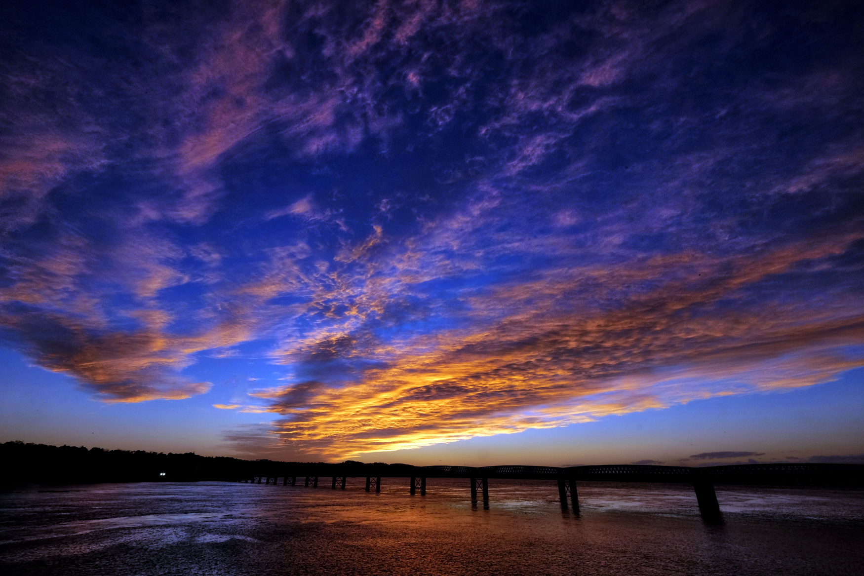 But what I will remember most about Montrose was the most incredible sunset of my life playing over us across the estuary bridge!
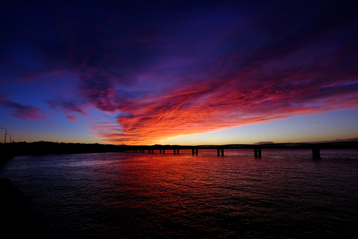 From beginning to end . . . we were completely enthralled.
 Another day along the small country lanes above the North Sea.
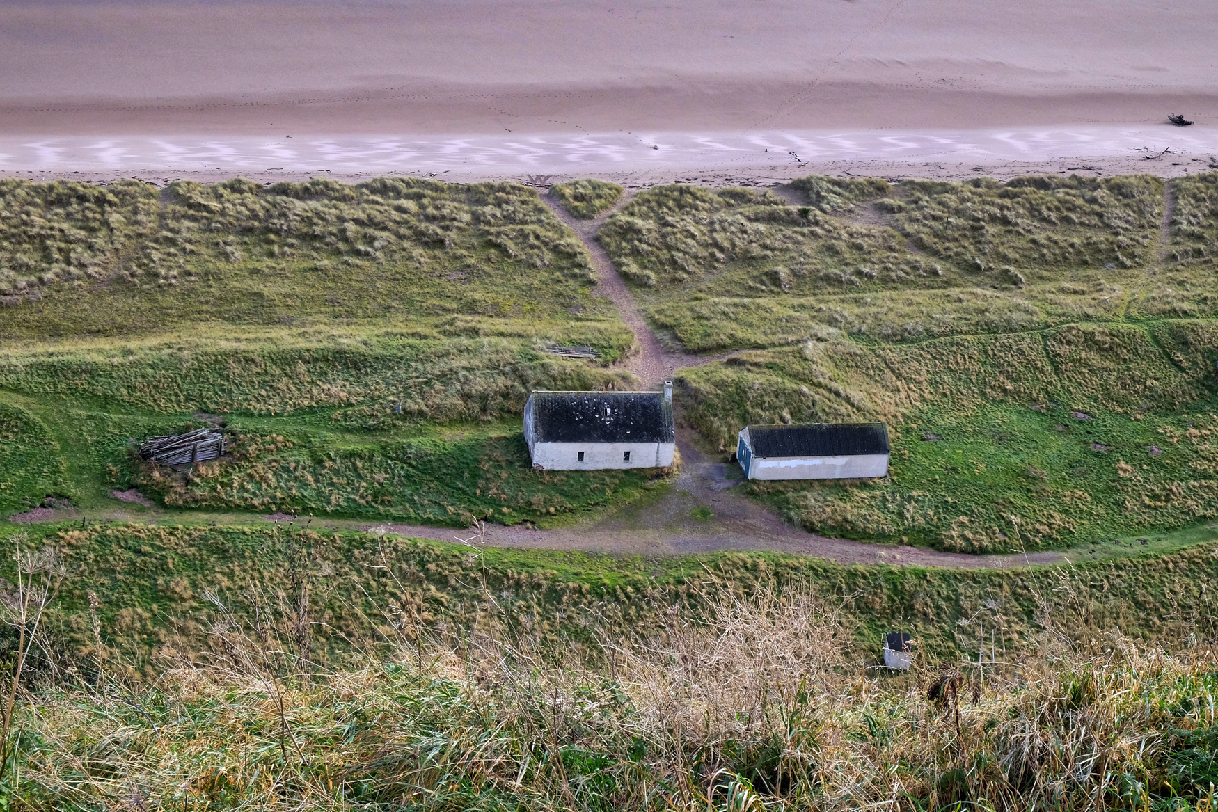 Old farm houses along a strand of the North Sea.
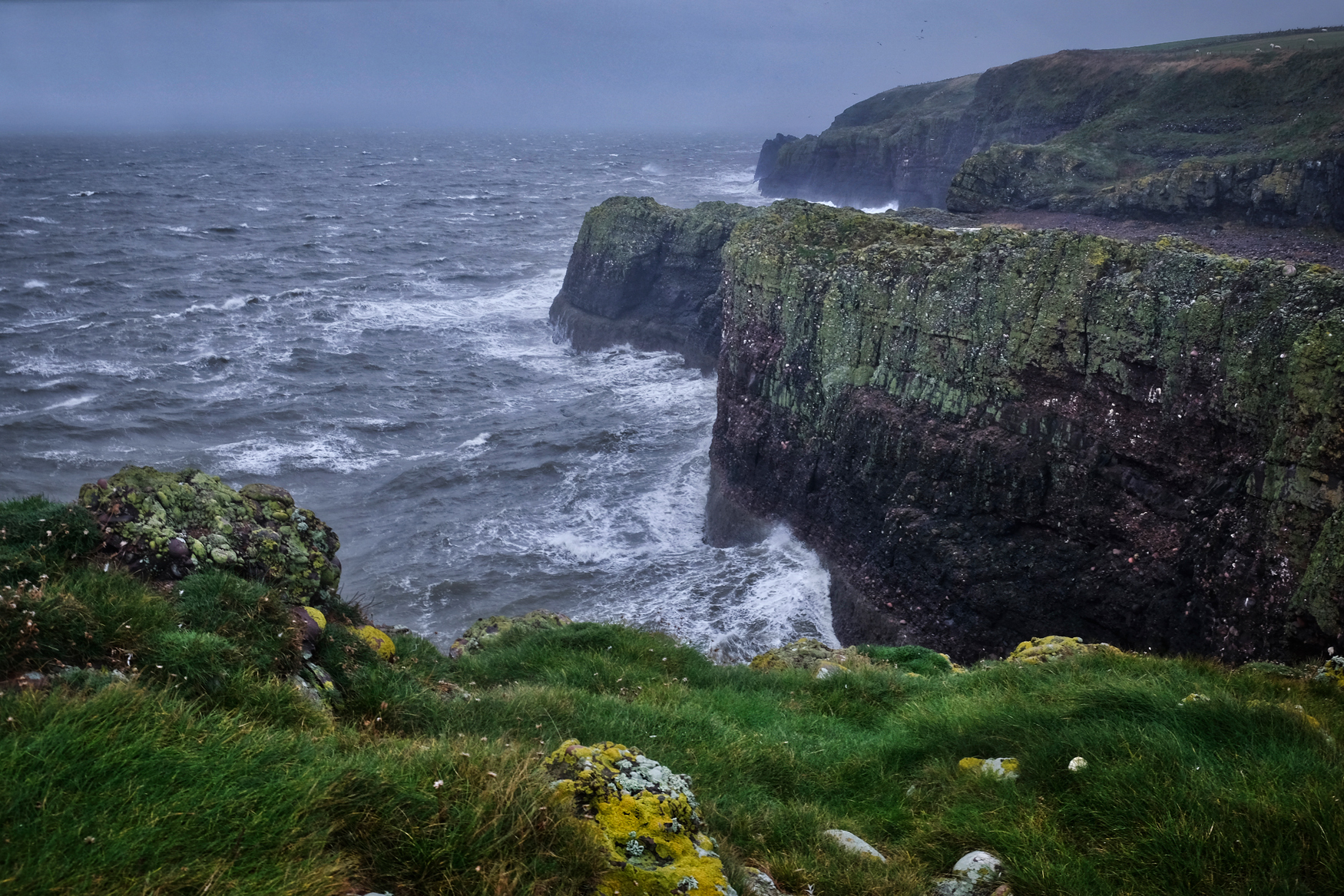 A wild North Sea below the cliffs of Aberdeenshire.
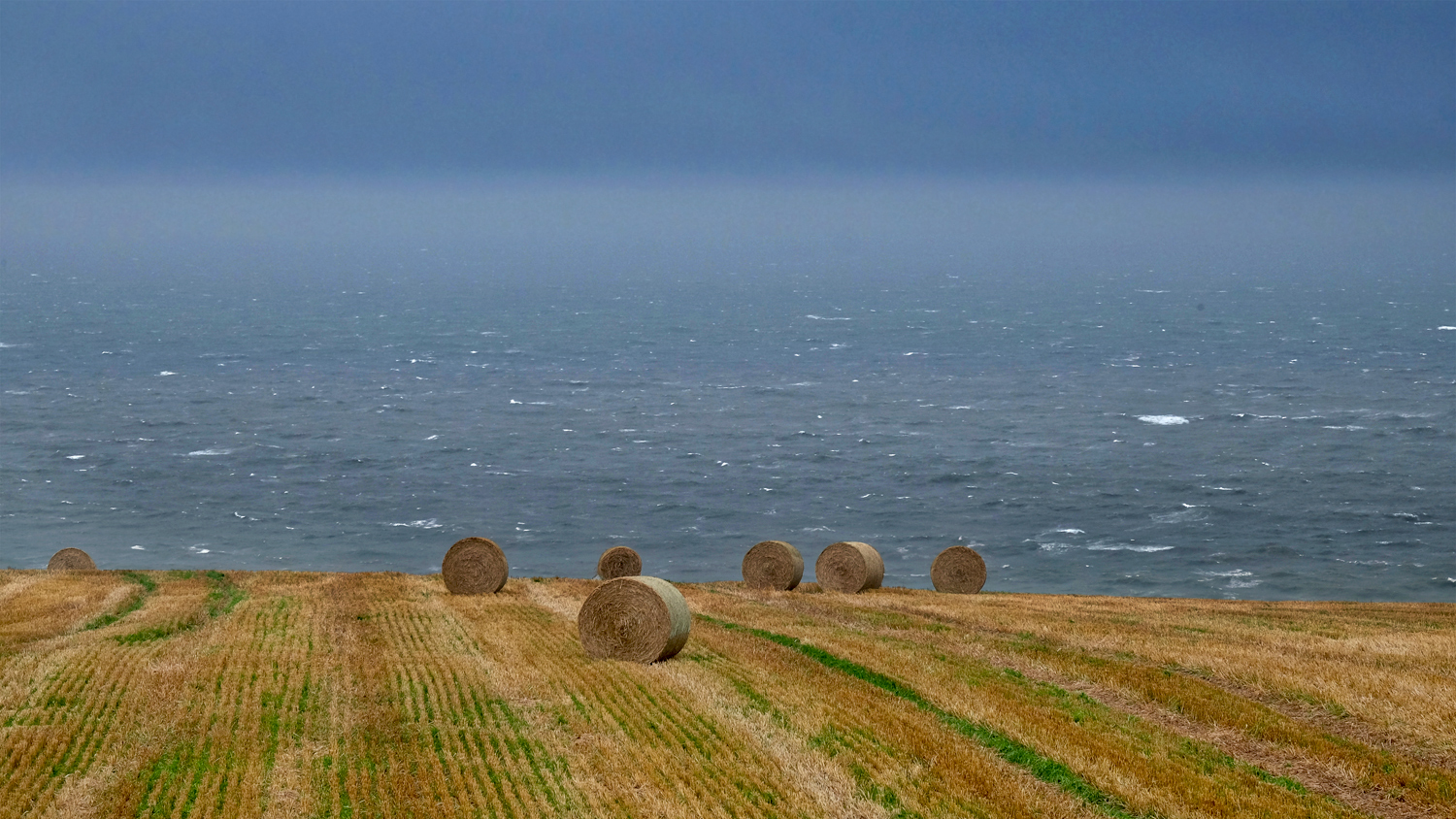 North Sea hay bales.
 We saw so much and did so much in those short three days . . . and this blog entry represents only a small part of it all. I may elaborate more on this entry at a later date, but for now, that is all.
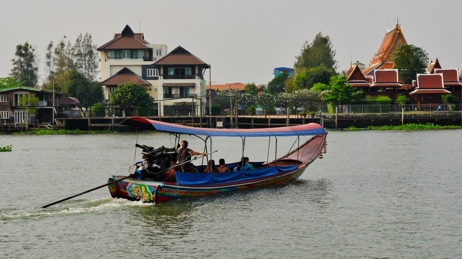
20K Bike Ride Around the "Green Lung of Bangkok"
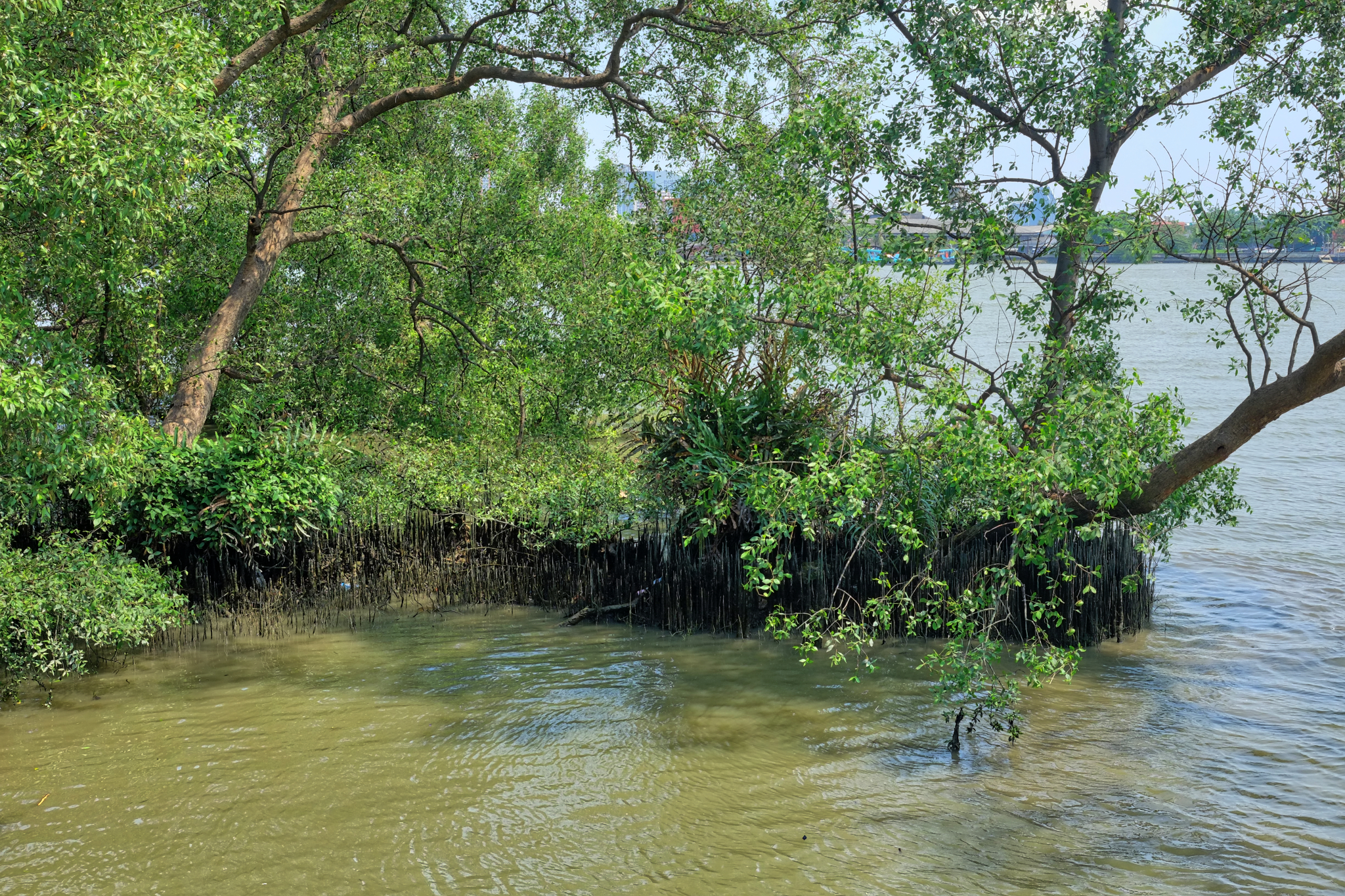
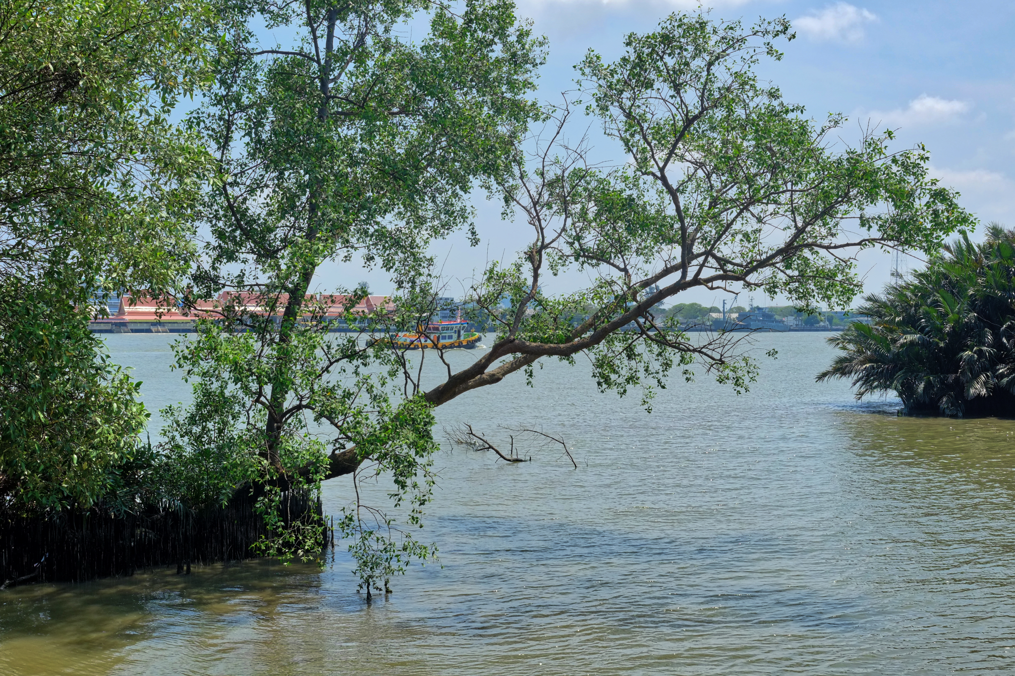
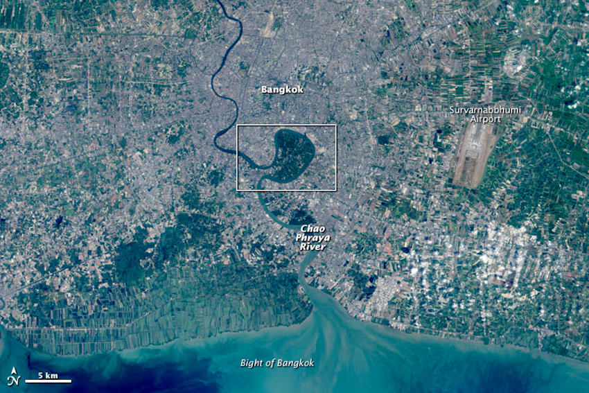 Prapadaeng Island, or more commonly known as 'the Green Lung of Bangkok,' is a large bend in the Chao Phraya River that, despite its close proximity to the city of Bangkok, remains surprisingly a beautiful slice of wild nature . . . mostly as mangrove swamps.
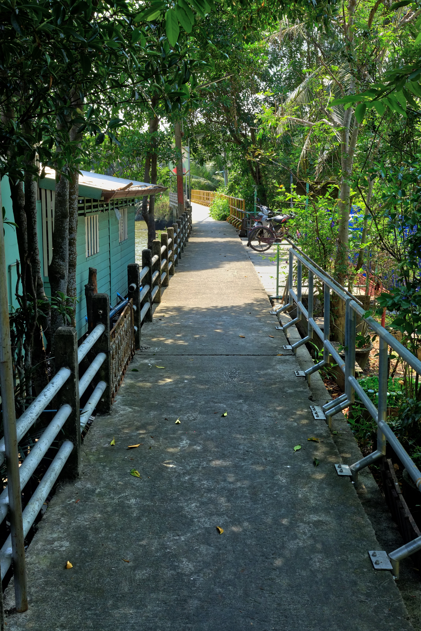
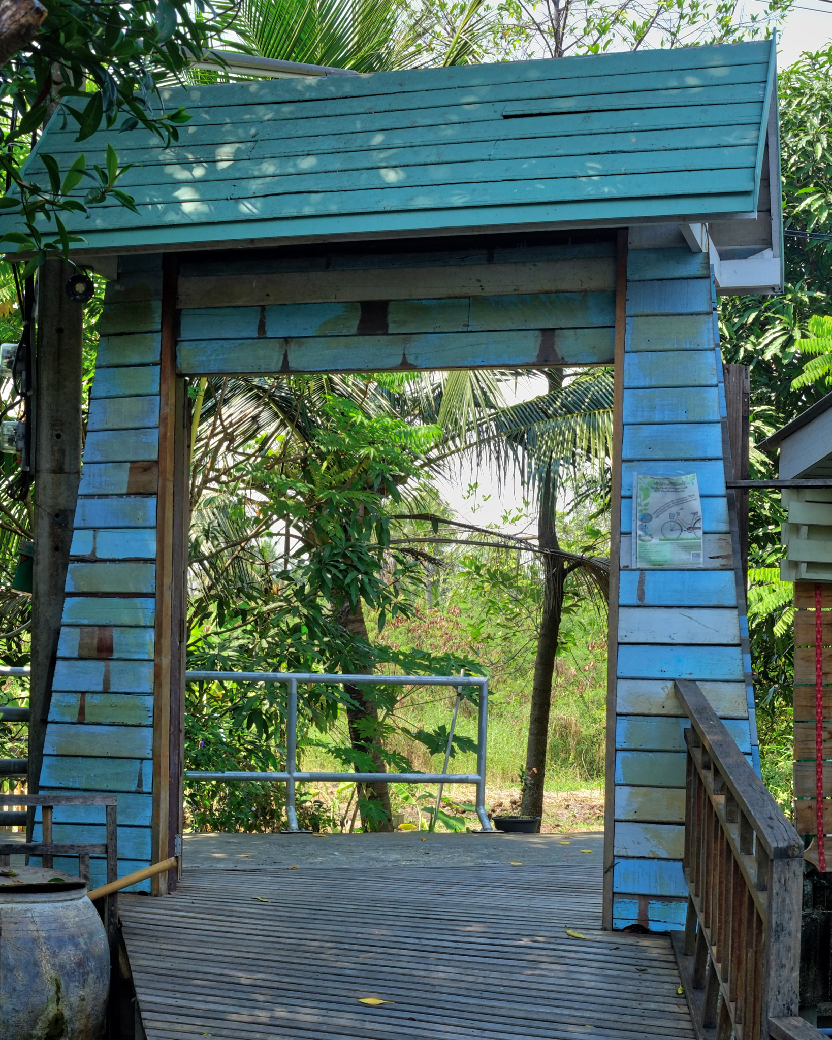
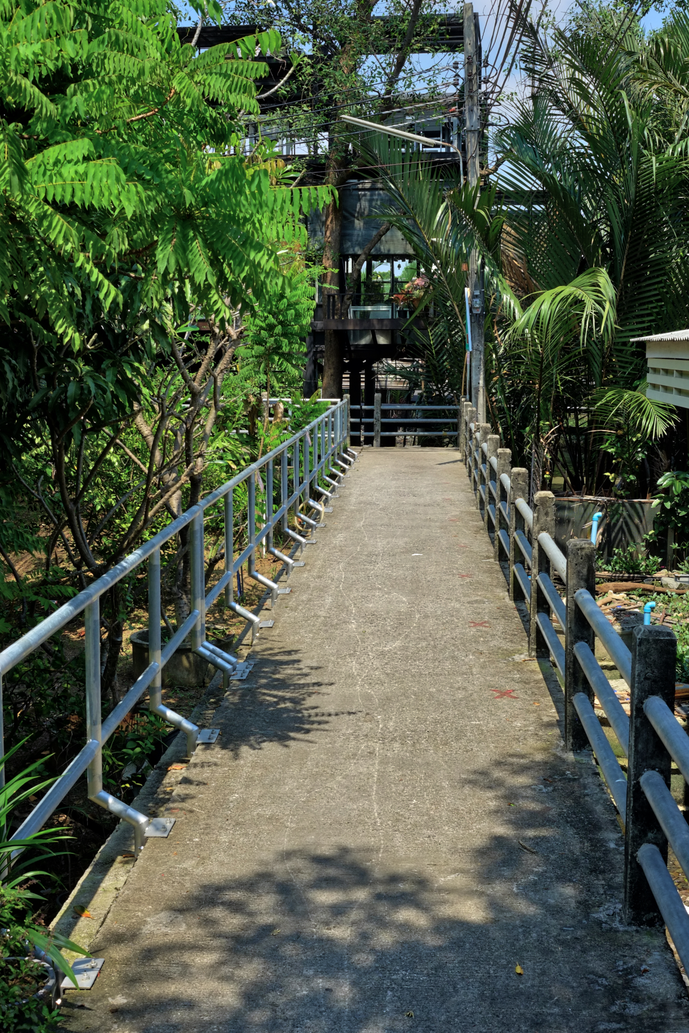
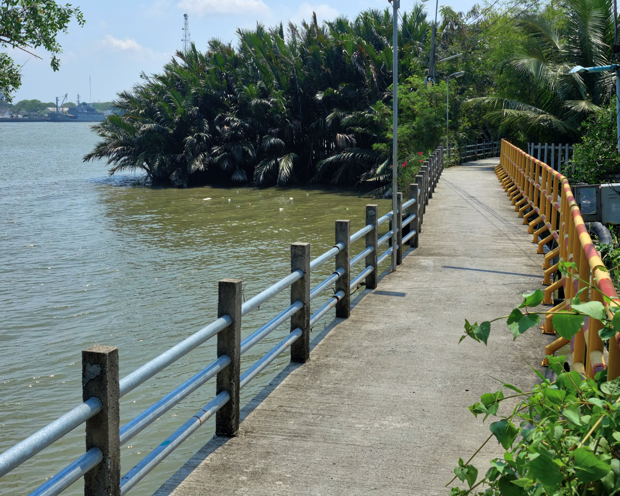 Prapadaeng is not very developed for cars, but is highly developed for bicycle riding on these elevated paths. Not all the bike paths have these guard rails, some are quite frightening . . . but fun.
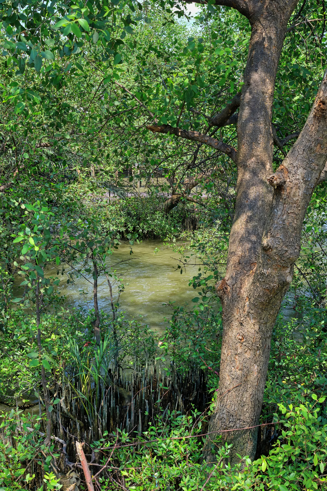
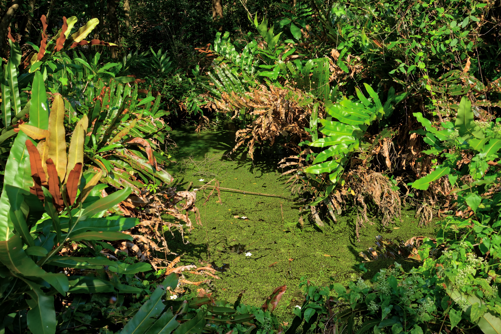
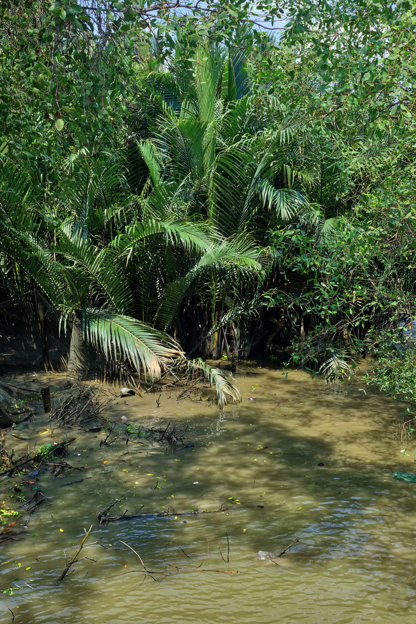 Although there are a few small roads, and a few cars around, most of Prapadaeng is still mangrove and palm swamp.
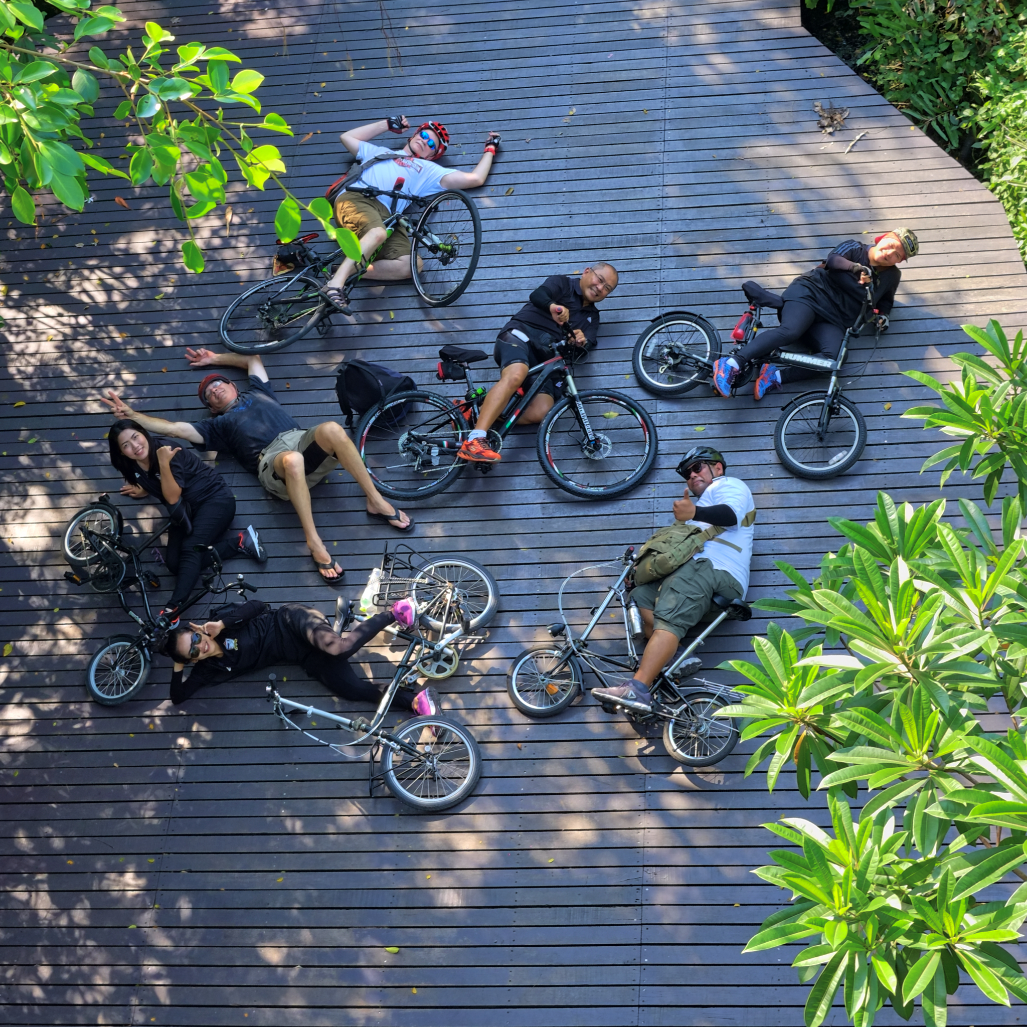 I did not go biking alone, but some of the fun-loving faculty, staff and administrators of the King Mongkut University of Science North Bangkok, where I am currently employed.
 Our ride was in three parts, first we rode to a Wat to receive a blessing form the monks.
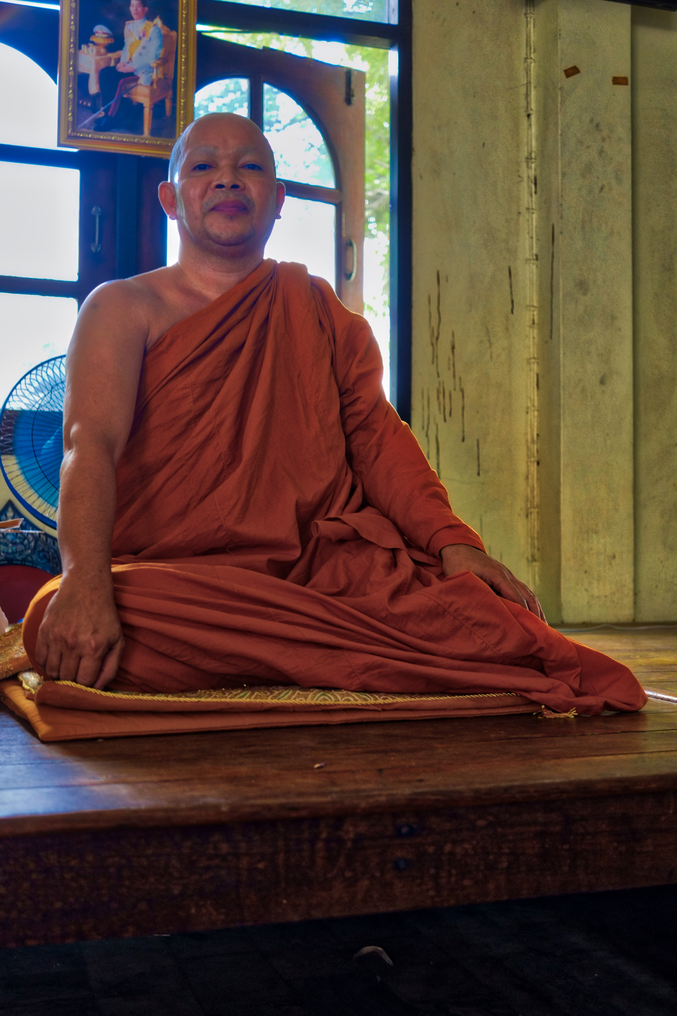 Our monk blessed us.
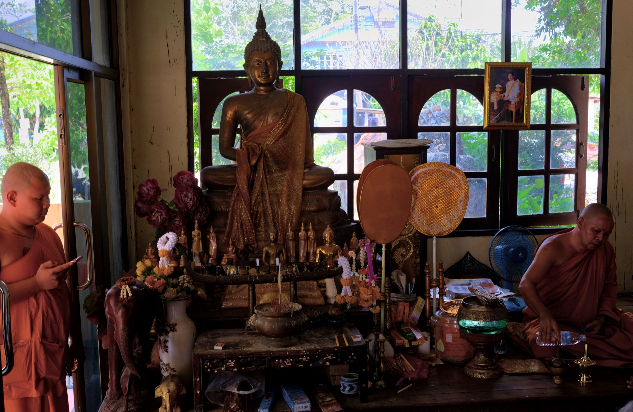 The small wat was very pleasant. The monk on the left held the ancient traditional Buddhist iPhone.
 The next leg of our journey was to a wonderful riverside restaurant for a tasty Thai lunch.
 The restaurant gate.
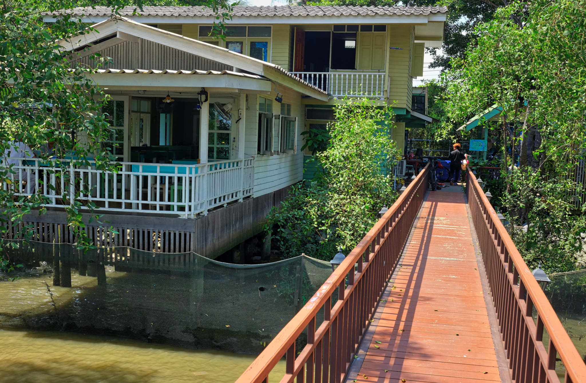 We took our lunch out on a sala over the river, but they had an old house section too for eating.
 Mick, an English teacher, was happy we were going to eat in the sala.
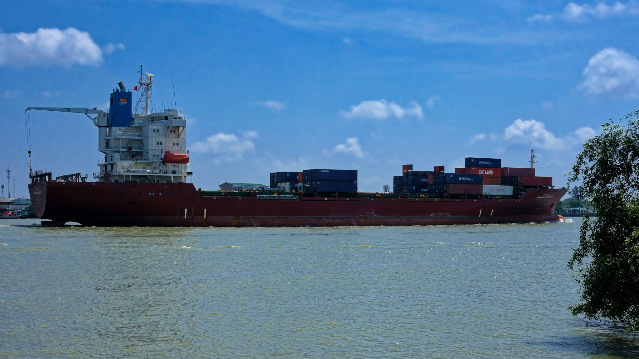 While we ate we watched several ocean going ships navigate up the river to the Port of Bangkok.
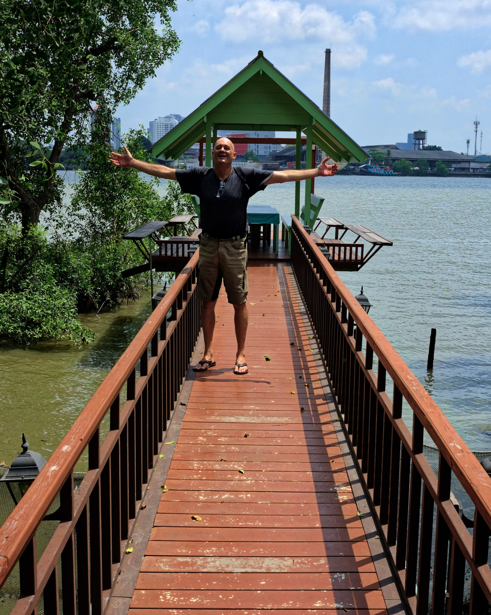
 After lunch we literally rode 20 meters to a coffee and dessert shop, Treetops, next door!
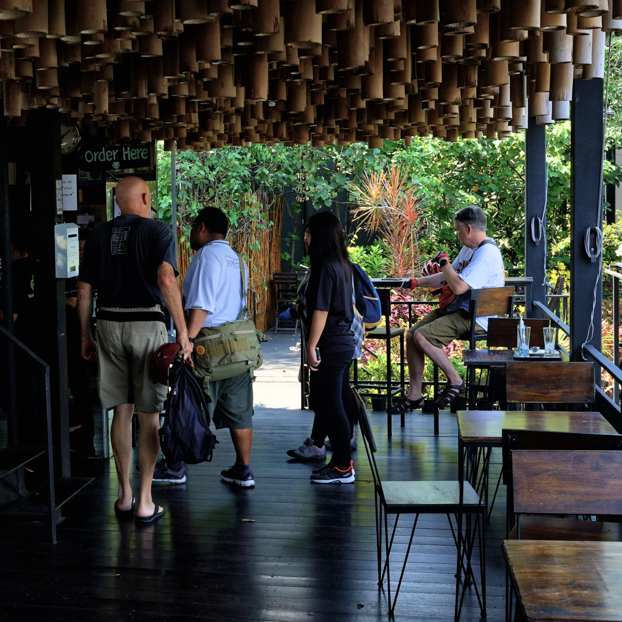 The Treehouse is a beautiful place. We ordered and enjoyed some excellent coffee and an array of desserts.
 The Treehouse has several rooms for rent. It would be nice to stay out there one night.
 After lunch, coffee, and dessert, we rode along the river toward the Botanical Garden.
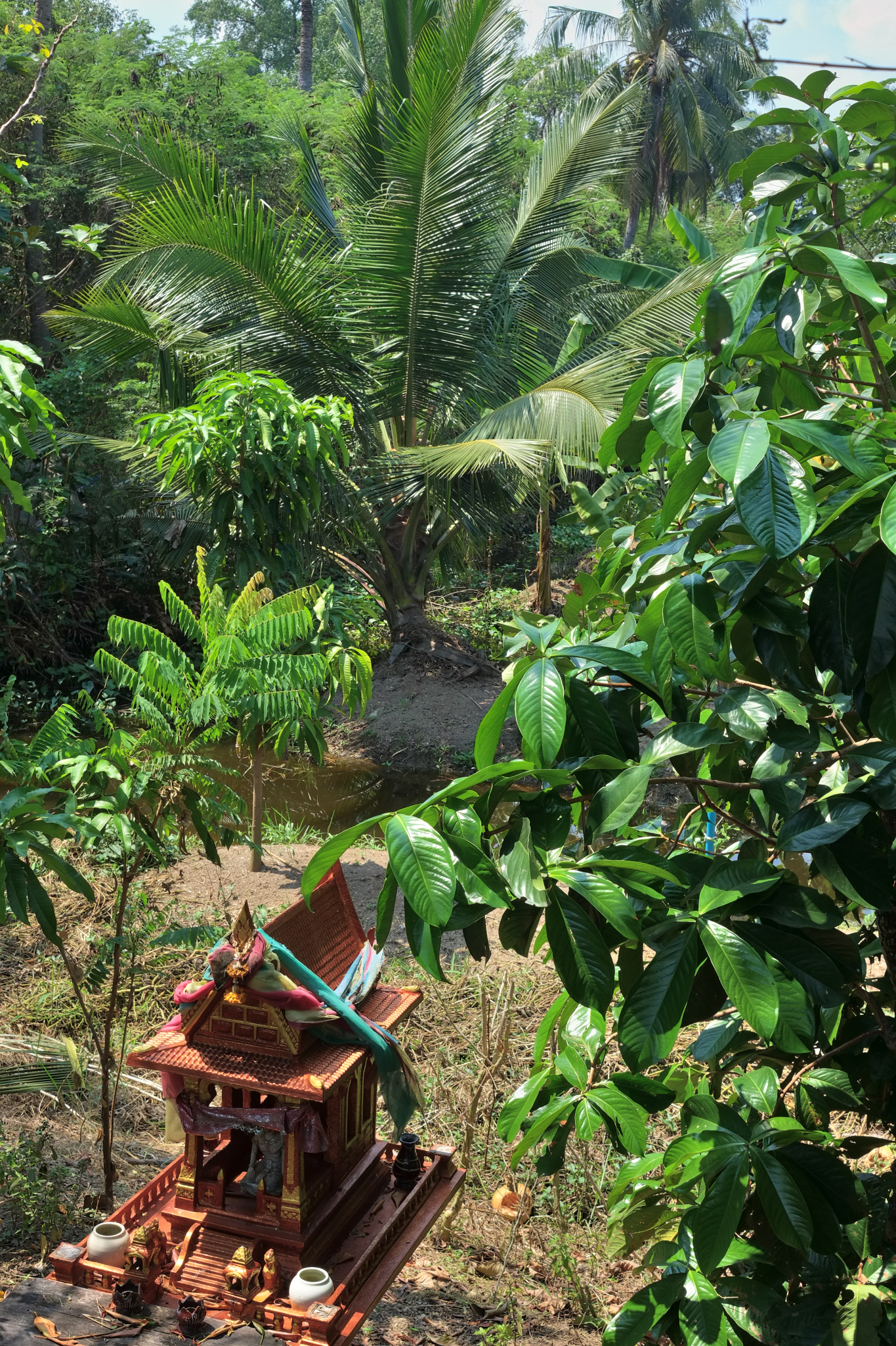 There was some small holding agriculture here and there . . and the requisite spirit houses too.
 Everyone commented about how wonderful it was that such pristine nature was so close to Bangkok.
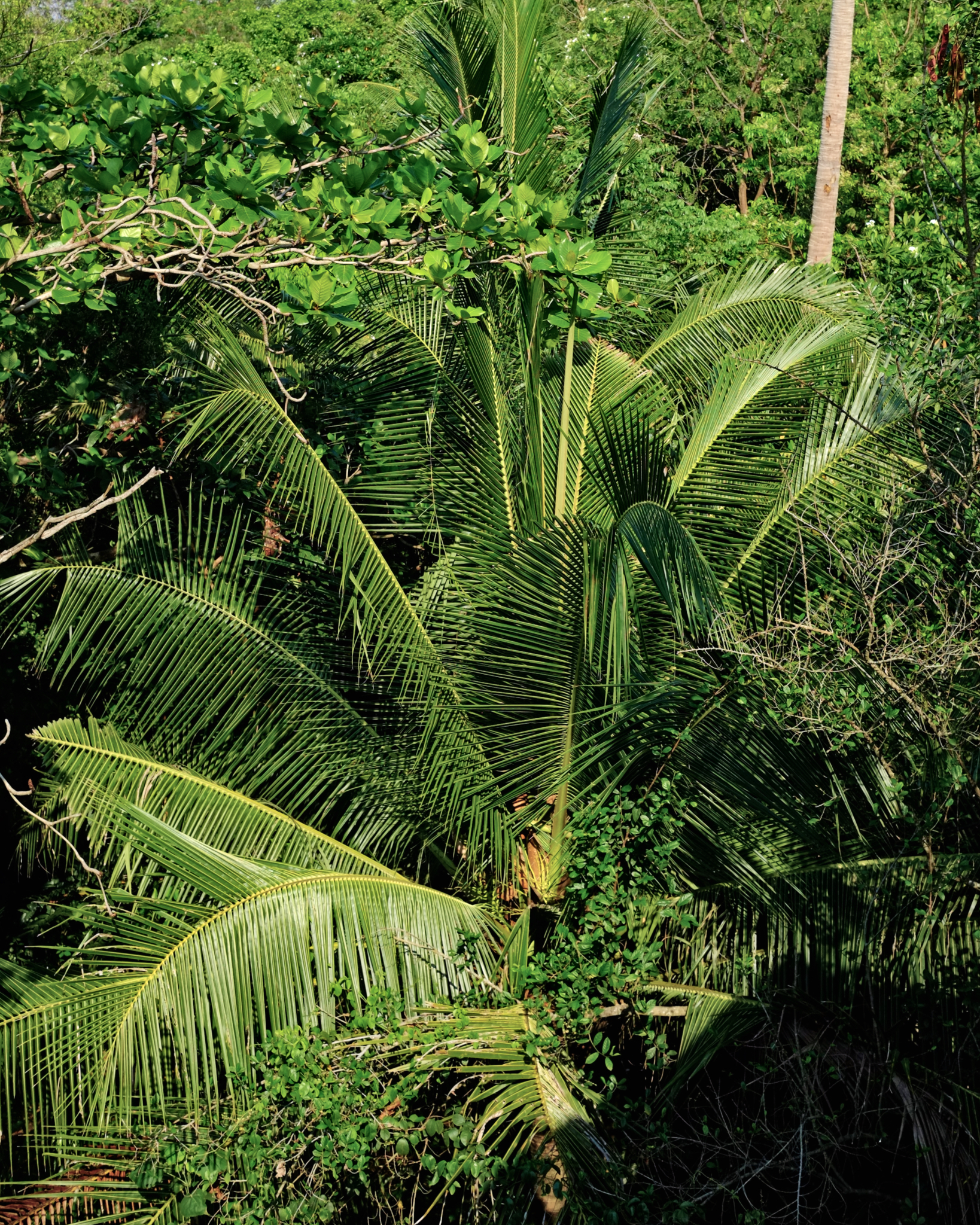
 There were many different kinds of plants in the Botanical Garden. Duh!
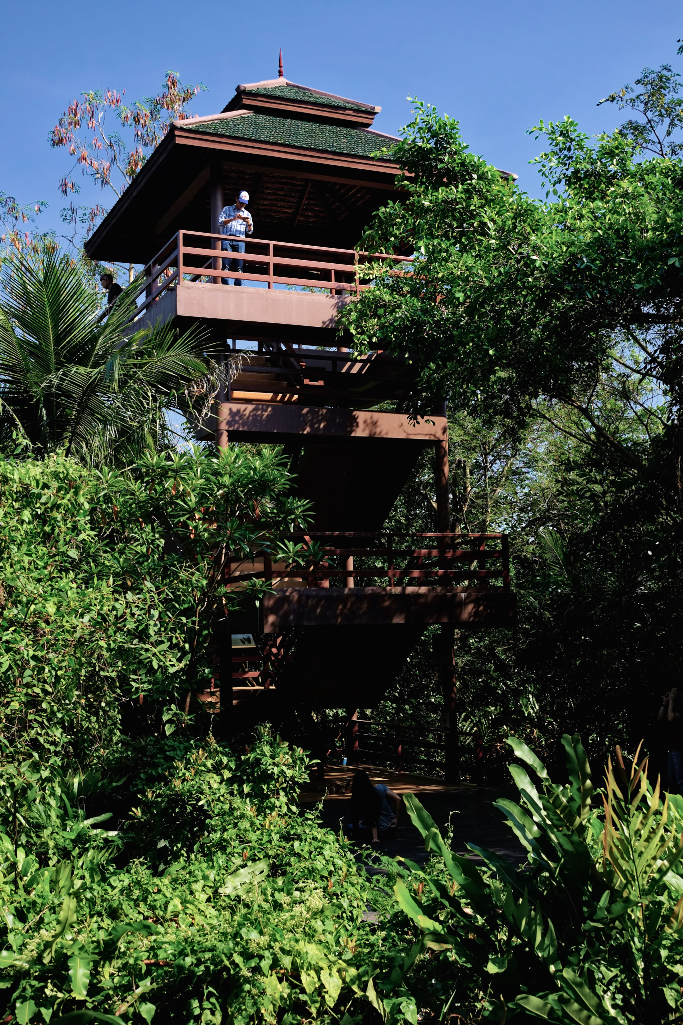 At the Botanical Garden, I climbed the observation tower to take some novelty photos . . . and ones of the wonderful nature.
 The view from the tower. Our university van picked us up at the Botanical Garden and took us home. We had a great day out and about.
Out and About in Pakkret, My Hometown
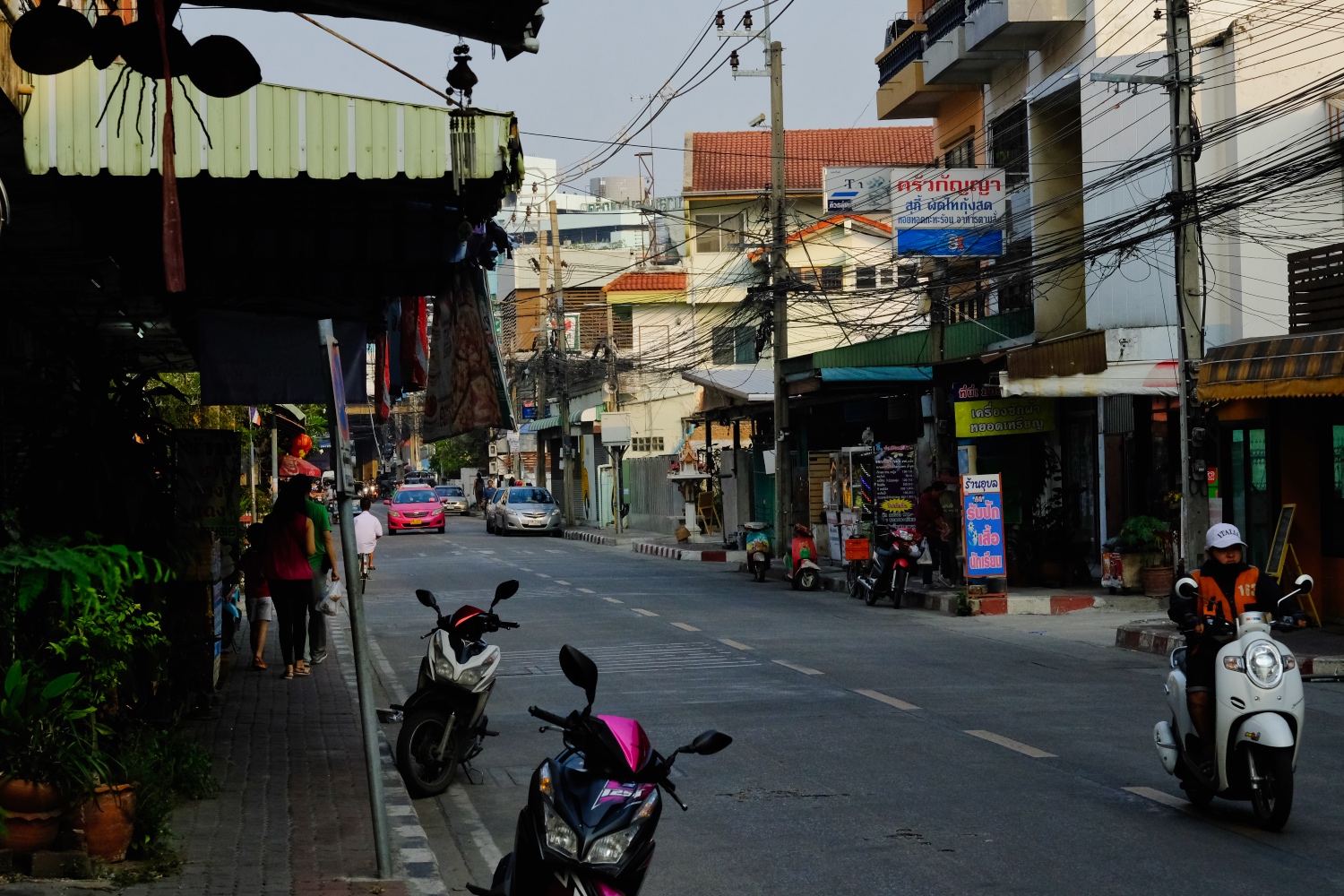 Pakkret* (variously Pak Kred or Pak Kret) is a small municipality (population 180,000) in the Thai province of Nonthaburi, 10 miles up the Chao Phayra River from the heart of Bangkok. [* The name Pakkret derives from the Thai, Ban Pak Tret Noi (บ้านปากเตร็ดน้อย), meaning village on the mouth of the lesser bypass.]
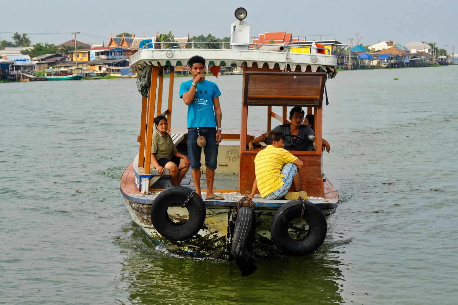
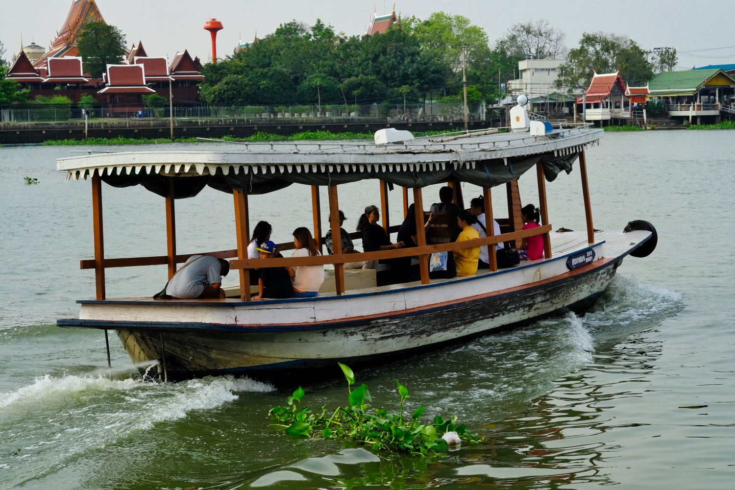
 Pakkret sits on the east shore of the busy river. Longtail boats and ferries move people across and around the river banks.
 Small government ferries take shoppers headed to the big Pakkret Market . . . for 3 baht (US$0.09).
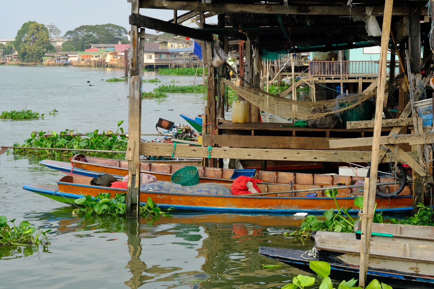 Many wooden houses on wooden pilings line the river at Pakkret. Many of these houses sit below the river flood level and the residents vacate their home for 2-3 months of the year.
 Shoppers going back across the river.
 When I think of Pakkret I think of the river . . . and the two grand markets.
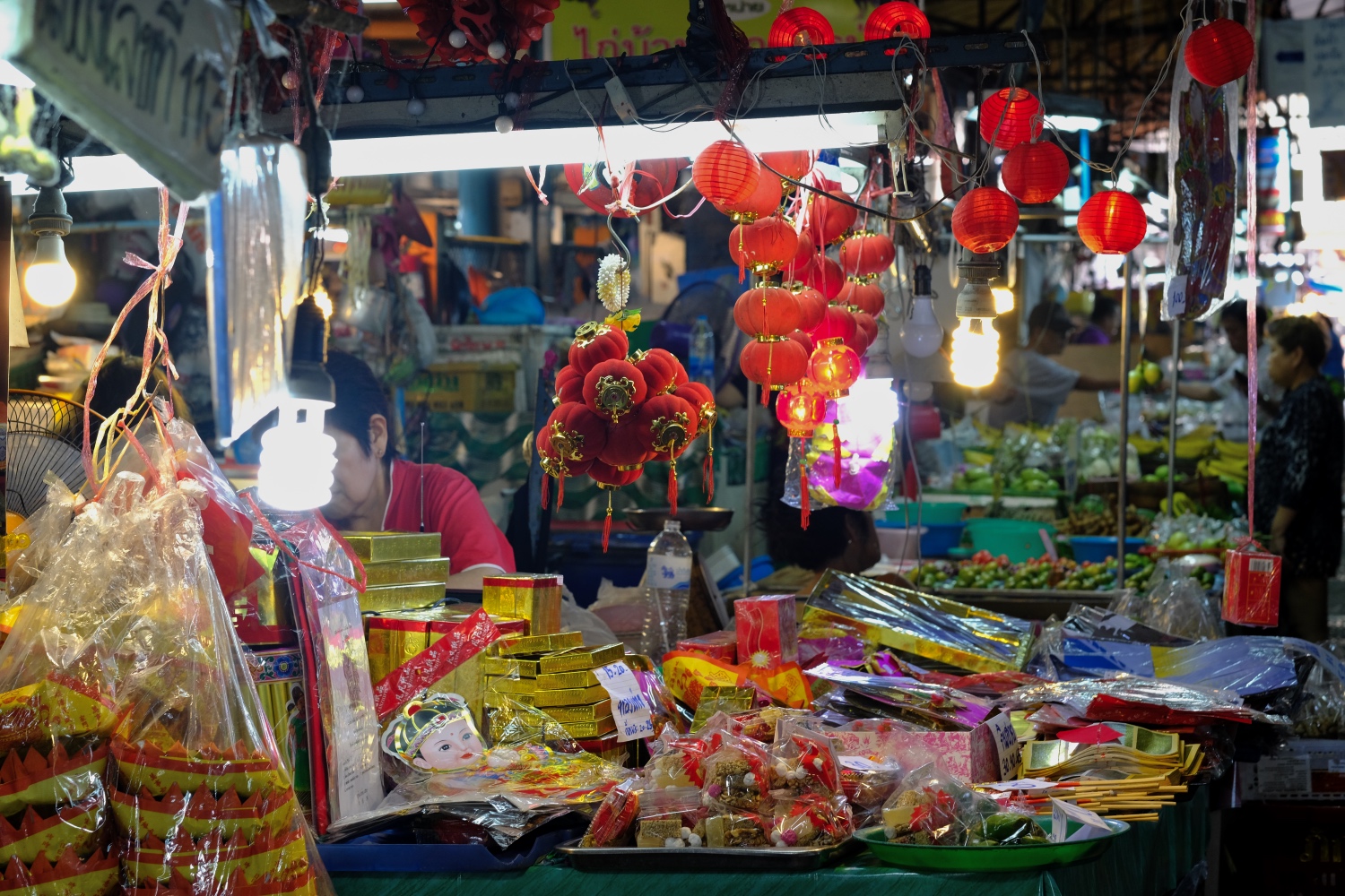 With Chinese New Year just a week away, the Pakkret market has taken on a festive feel.
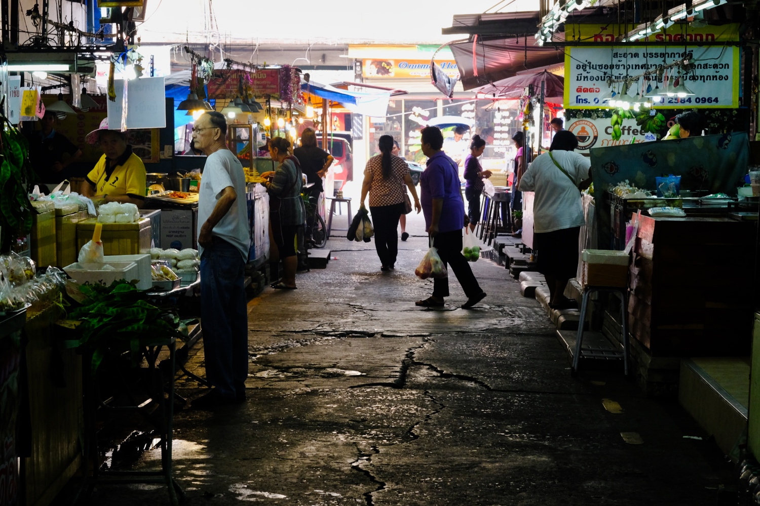
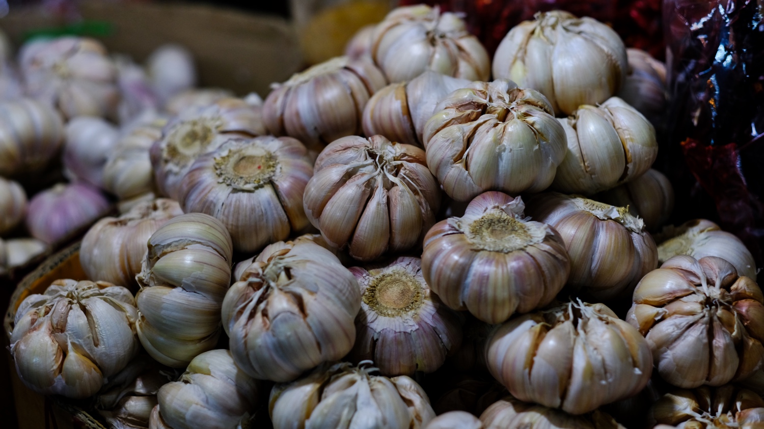
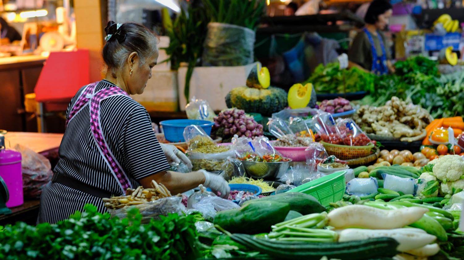
 The Pakkret market is a very visually stimulating place . . . and an olfactory stimulating place. Wonderful smells.
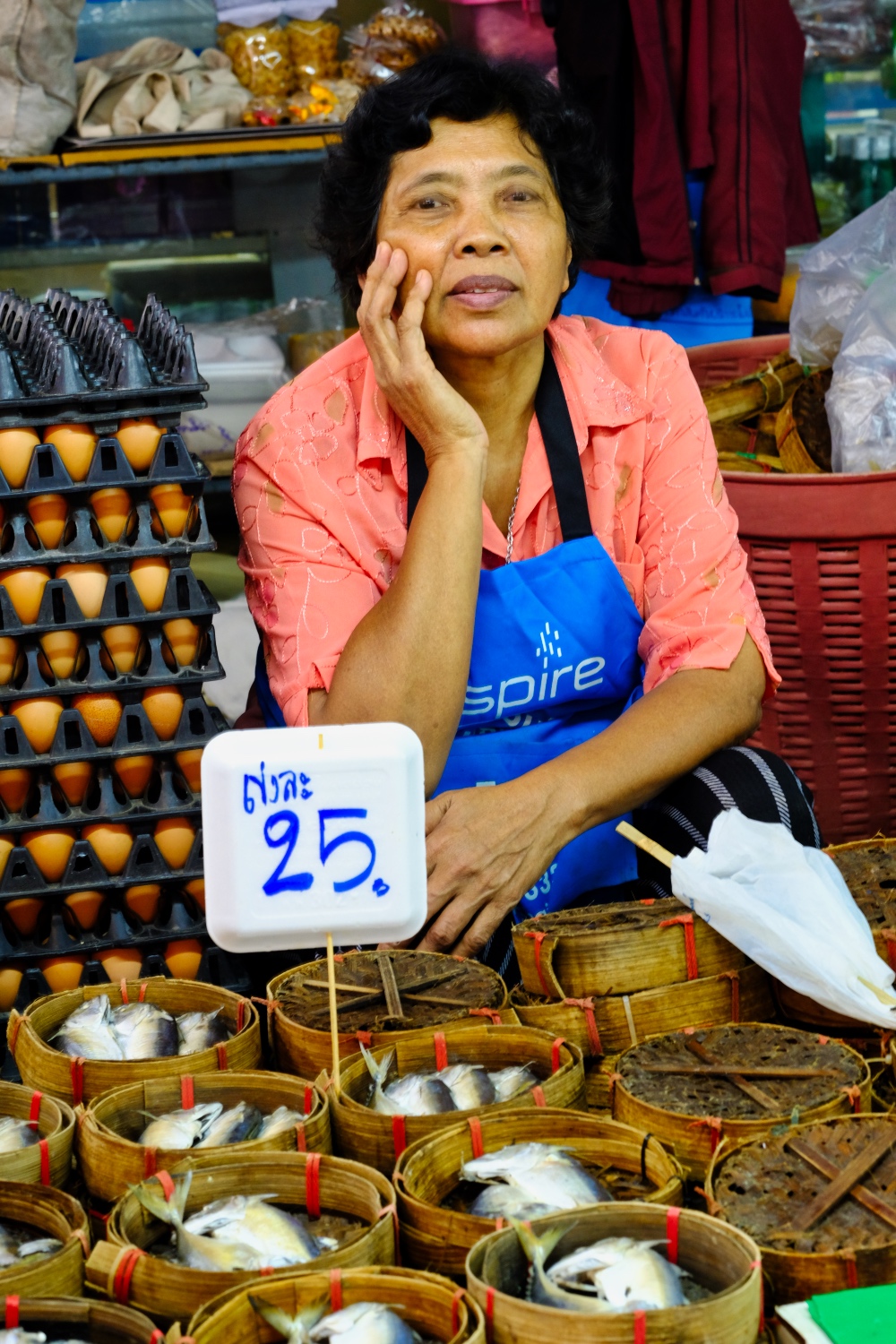 A Pakkret market fish hawker.
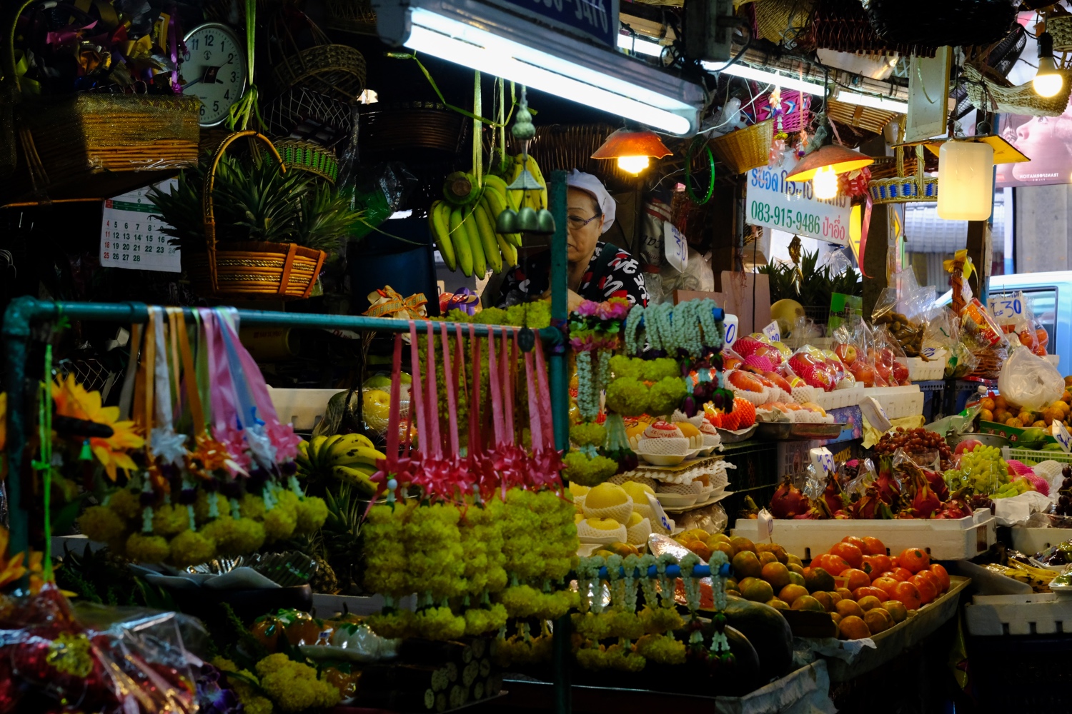
 So many still life studies everywhere I looked.
 All that great tasting Thai street food has its origins in these 'wet markets.'
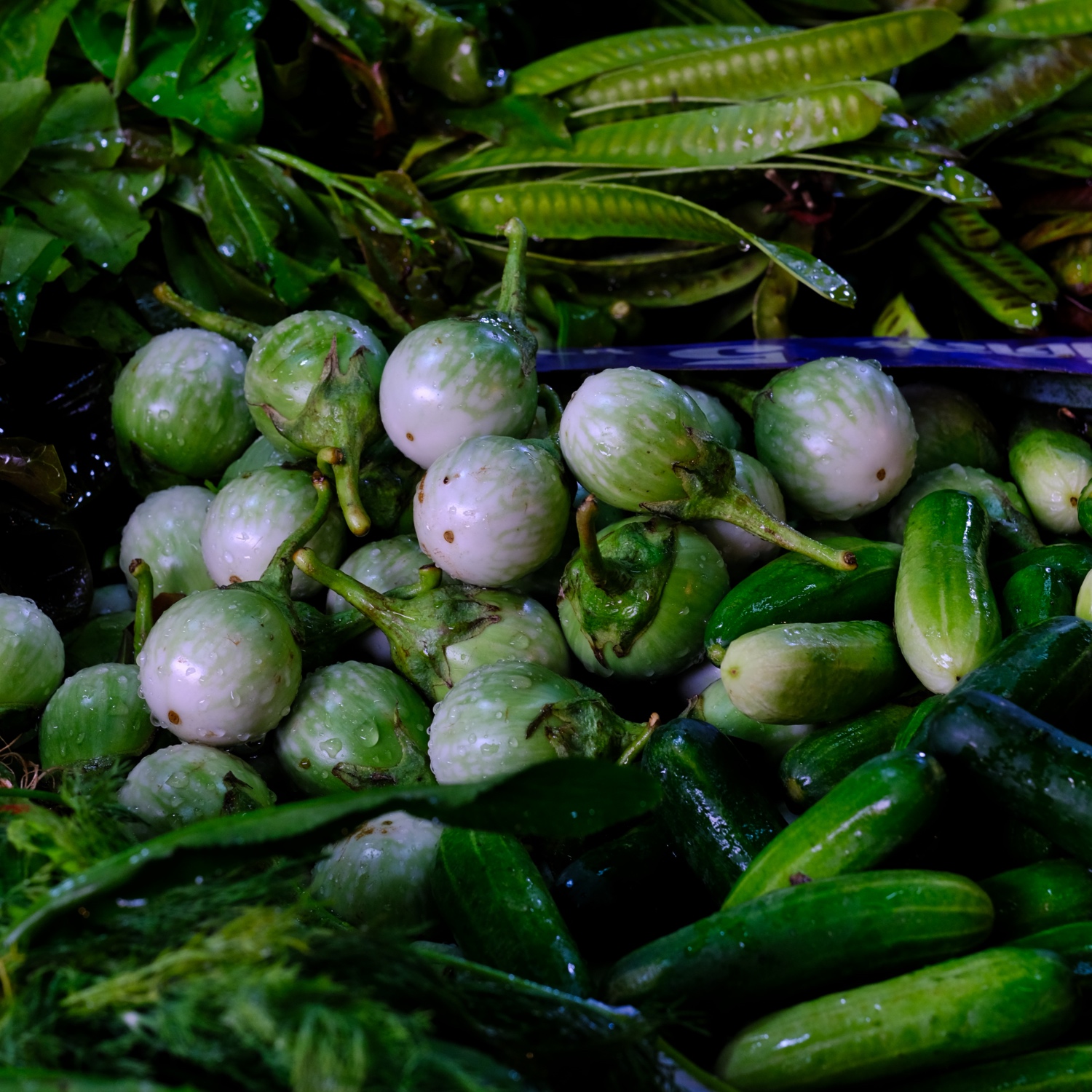
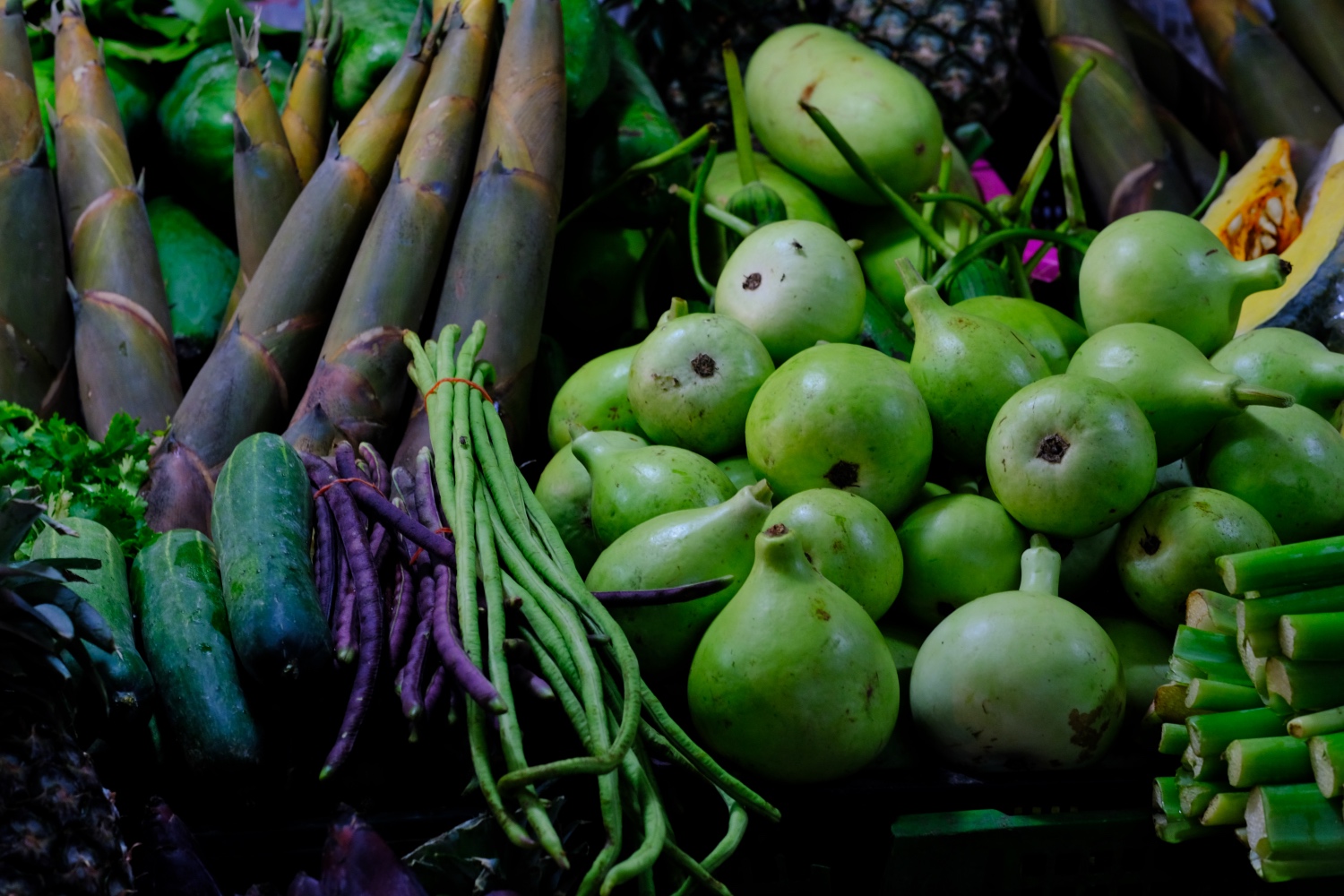 I am not even sure know the names of all of these interesting vegetables. I can't remember ever eating purple green beans . . .
 It was a late Saturday afternoon, so it was not a crowded as usual.
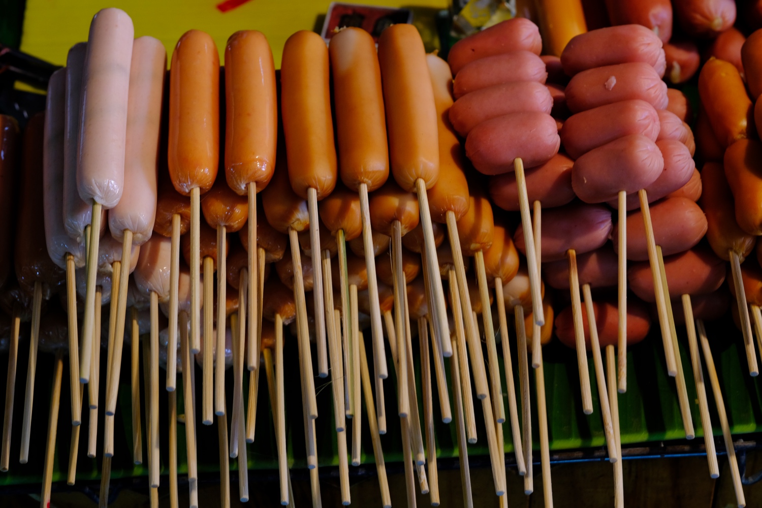 What would a Thai market be without the ubiquitous stuff-on-a-stick!
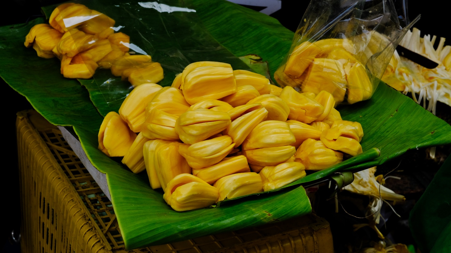 Delicious Jackfruit.
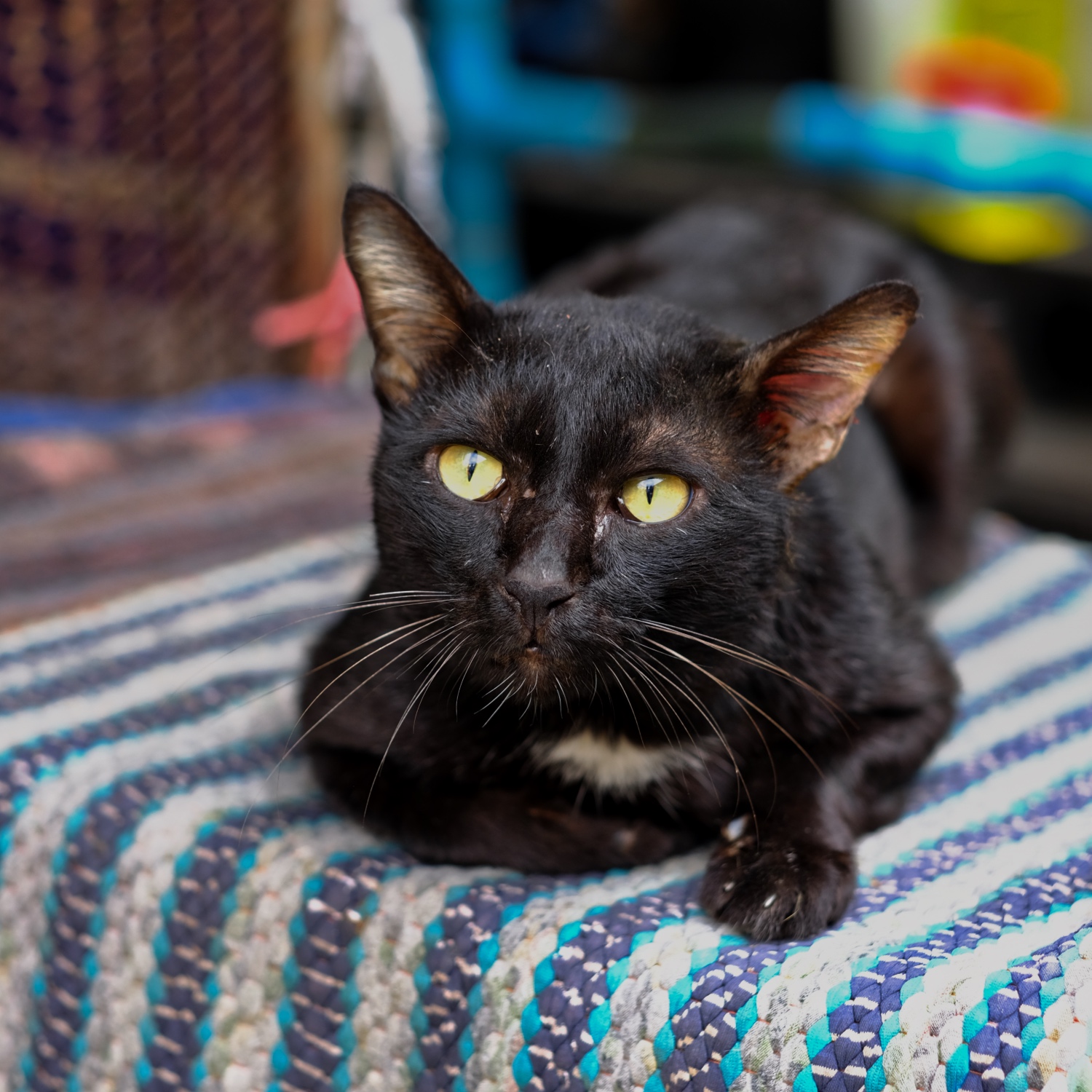 I don't normally take cat photos, but this forlorn market mouser with a recently chewed ear caught my eye.
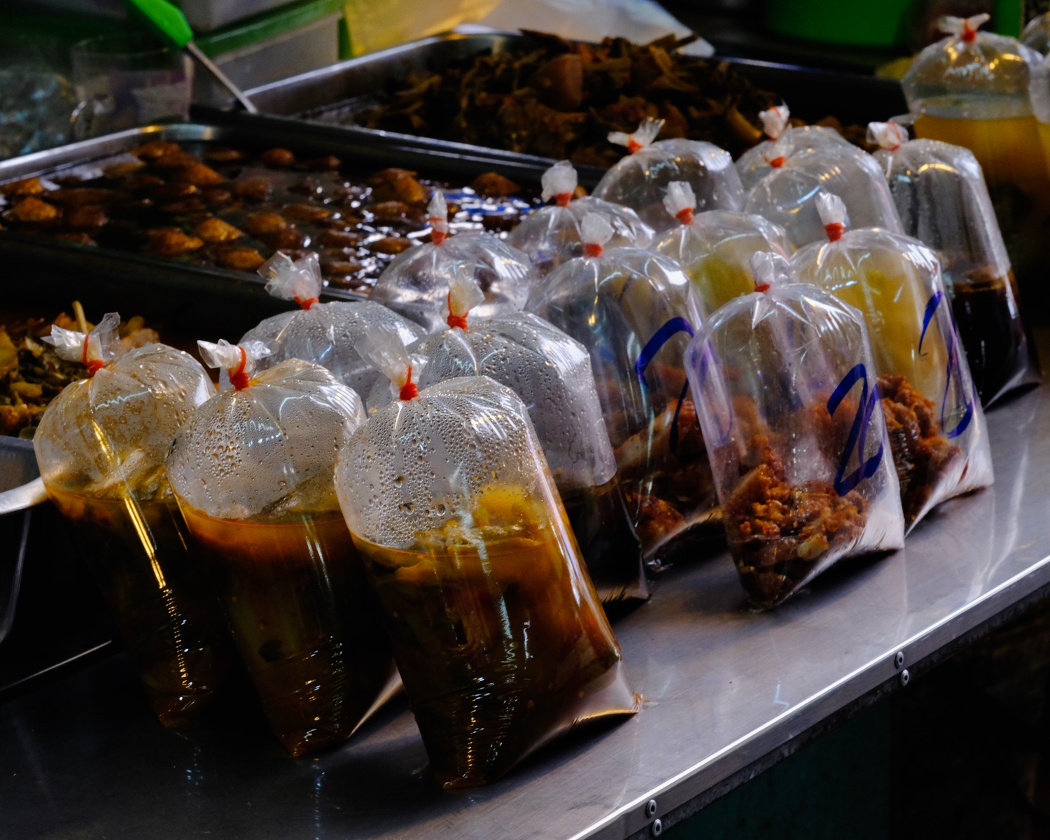 Food is very inexpensive in Thailand. Most markets have stalls selling these 'meals in a bag' for commuters. Just pick one of these up on the way to or from work.
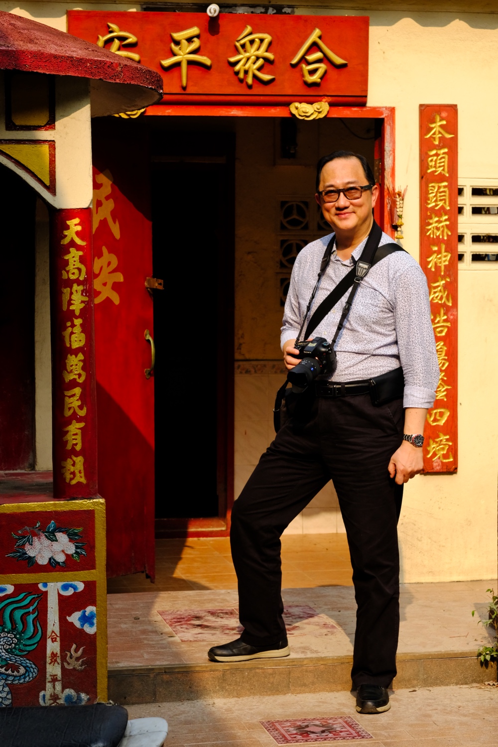 My brother-in-law from Hong Kong, and fellow photo buff, was the excuse to explore the market and riverside attractions. We found the little Chinese temple sandwiched in an alley.
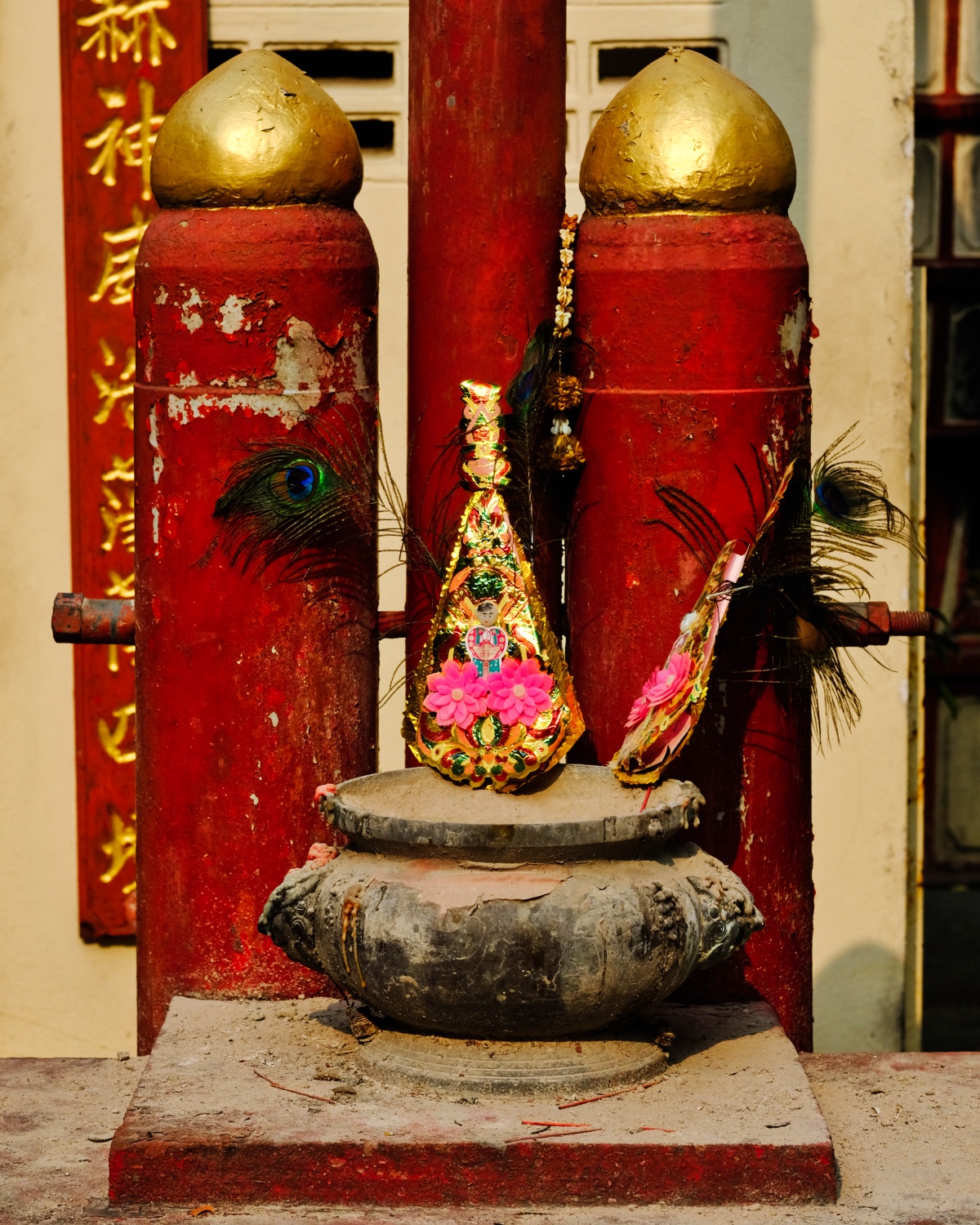 Chinese Temple detail . . .
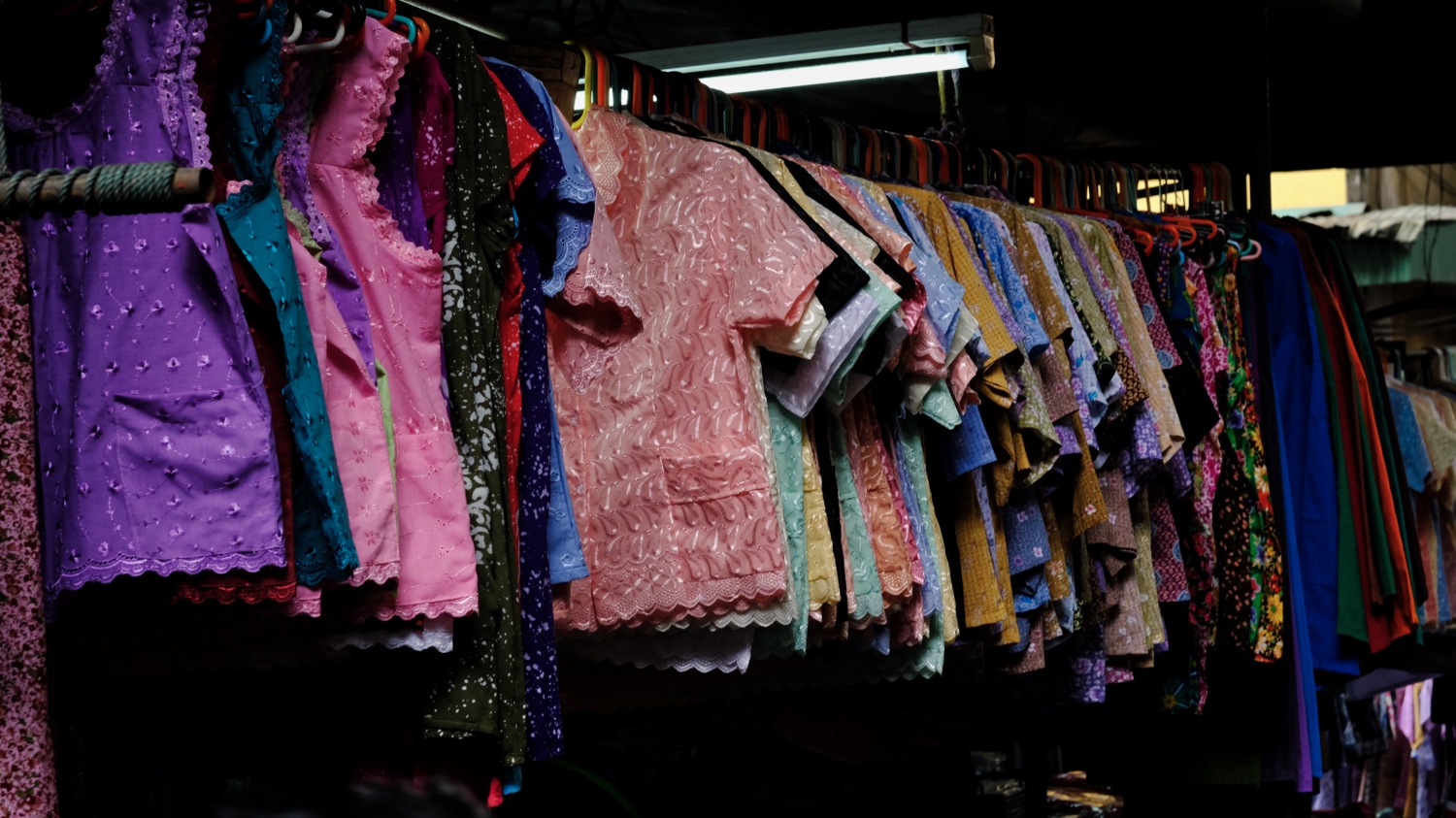 In addition to food, the Pakkret market also has sections for [old lady] clothes.
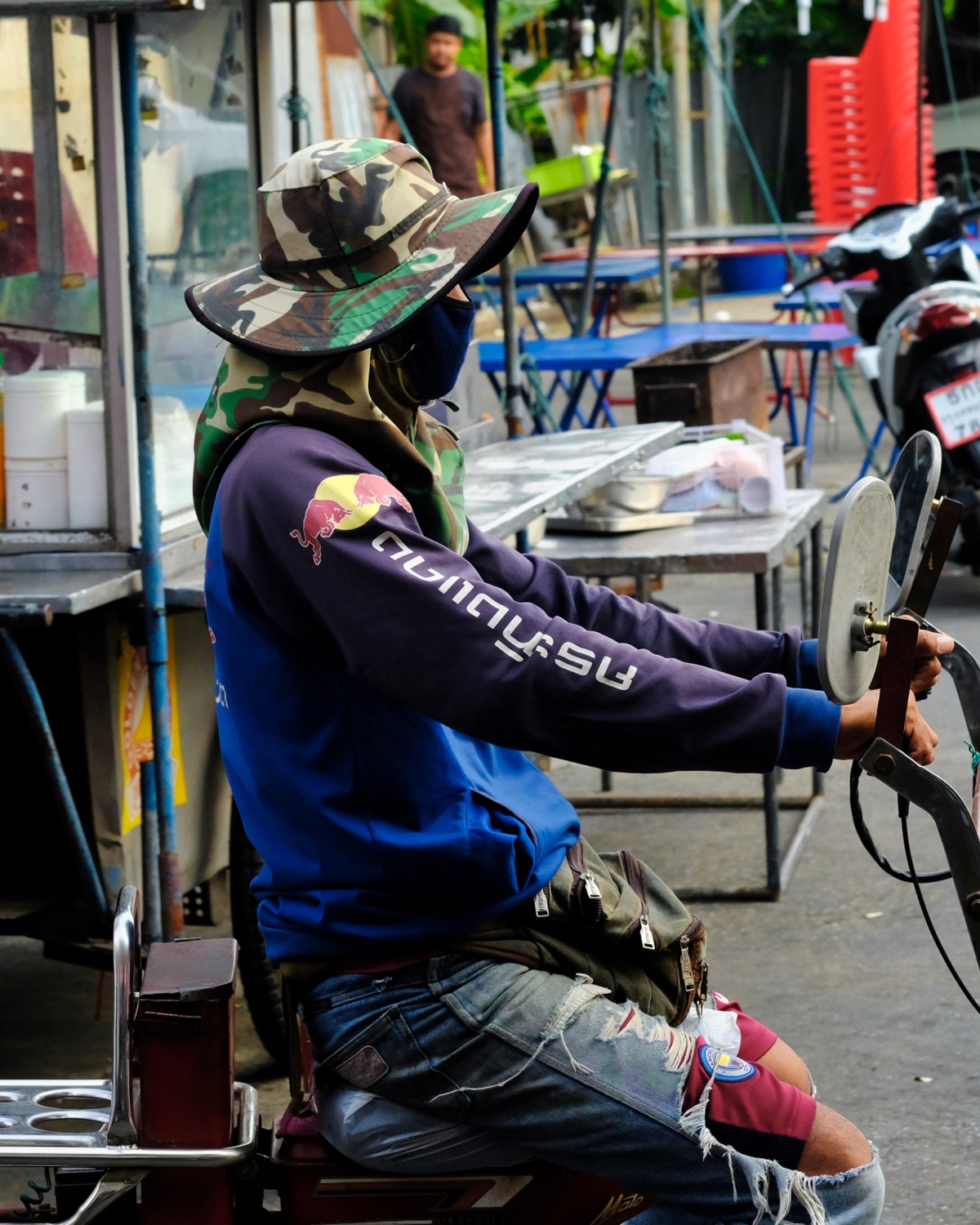 After shopping for your restaurant or market stall, you can hire a motorcycle taxi truck to get your stuff where you want it to go.
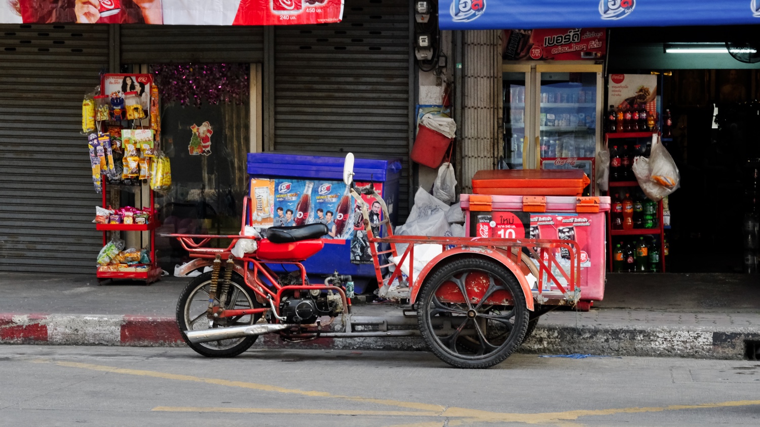 Motorized carts for moving produce and products around the market district.
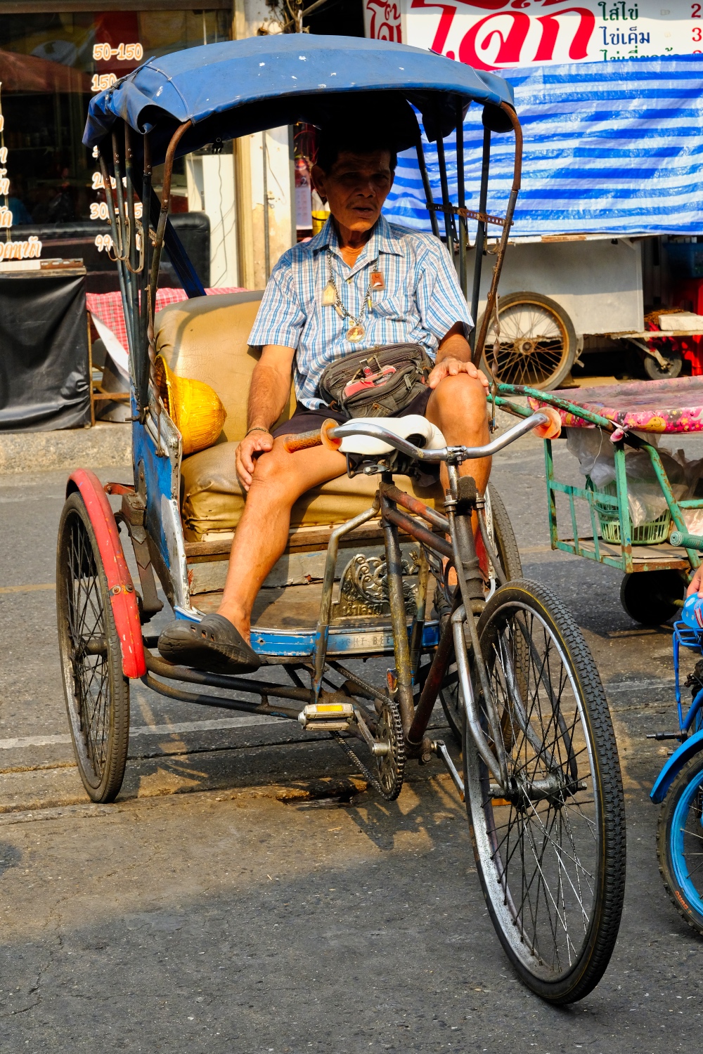 A traditional, and less expensive, means of transportation is the samlor.
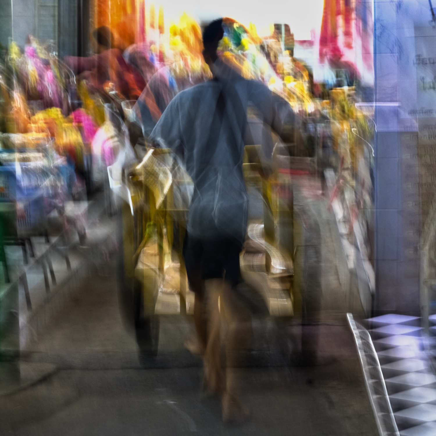 The Thai markets are places of constant action and movement.
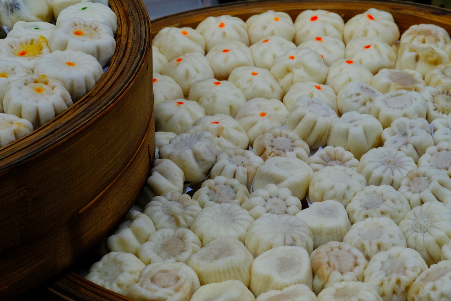 Outside the market, on the street, are even more edibles . . . steamed dim sum.
 I am always amazed at the artistry of Thai artificial flowers!
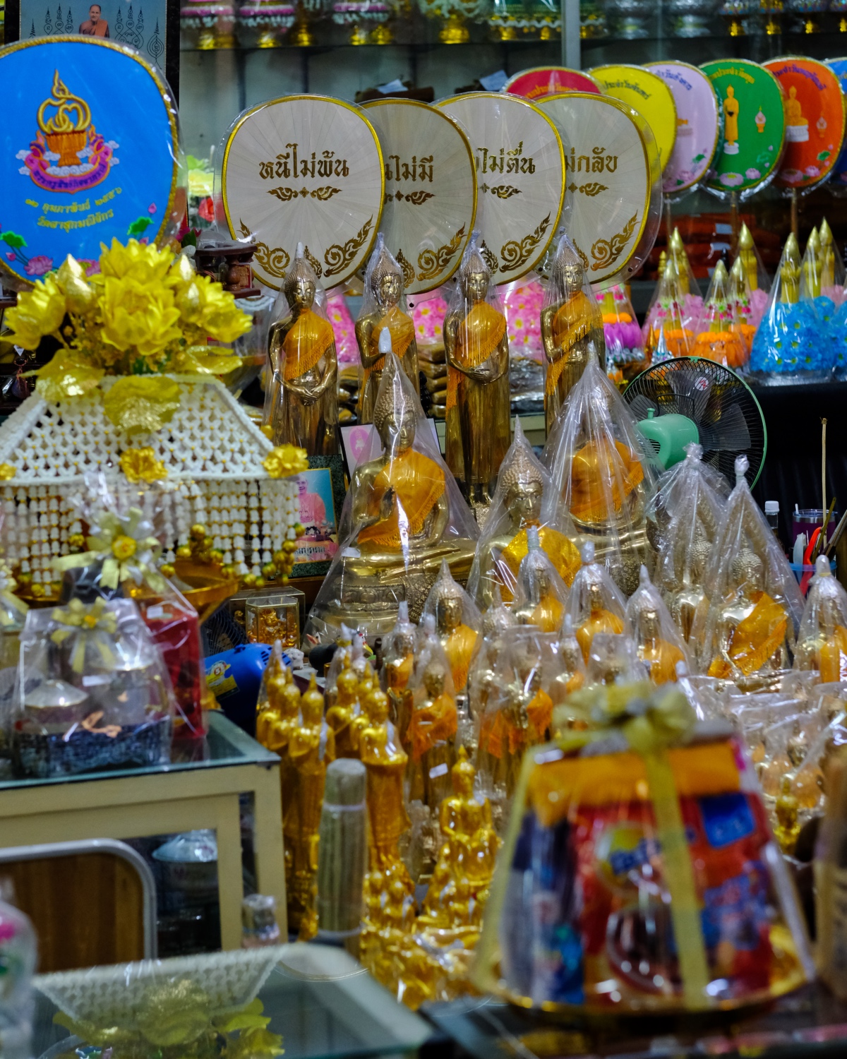 We wandered around in some alleyways along the river and discovered a Buddhist Temple Supply Shop.
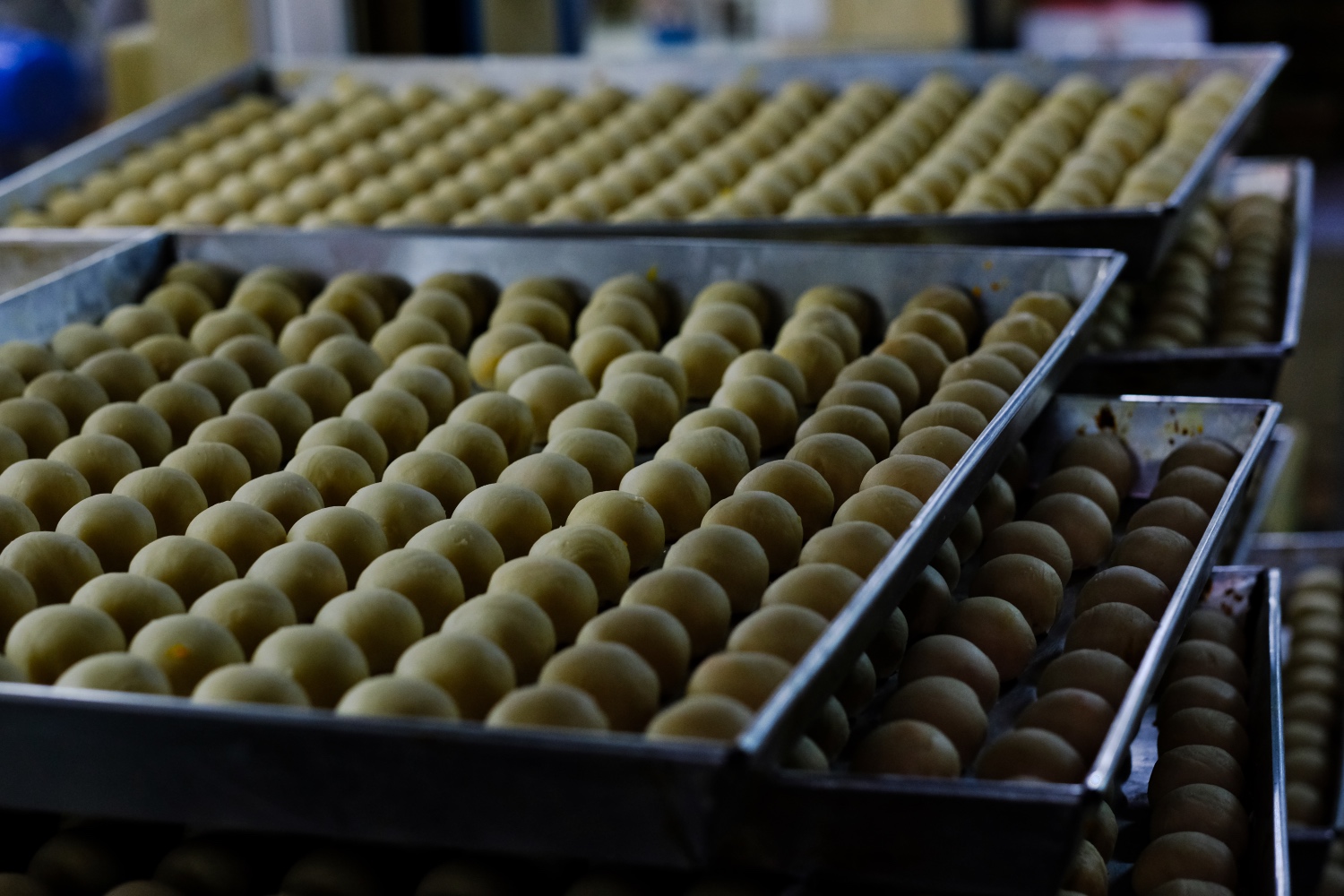 A back alley home cookie factory making traditional Chinese treats.
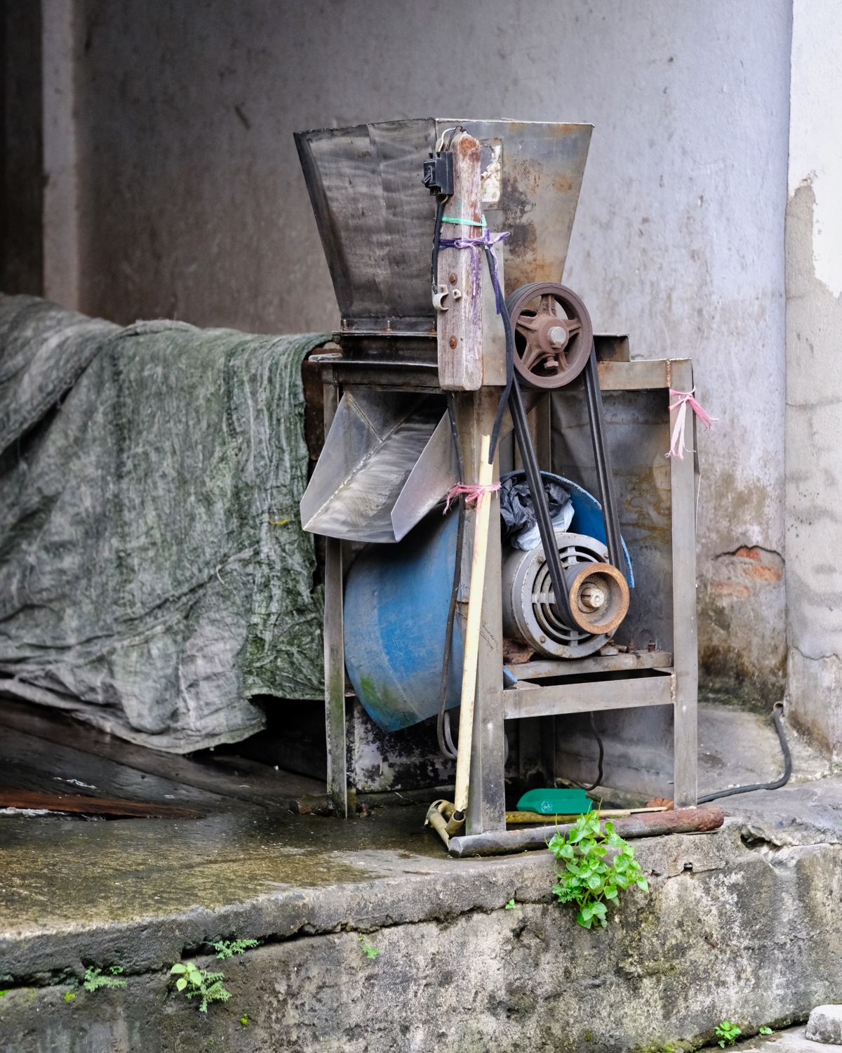 Somebody's business: crushed ice.
 Down along the river . . .
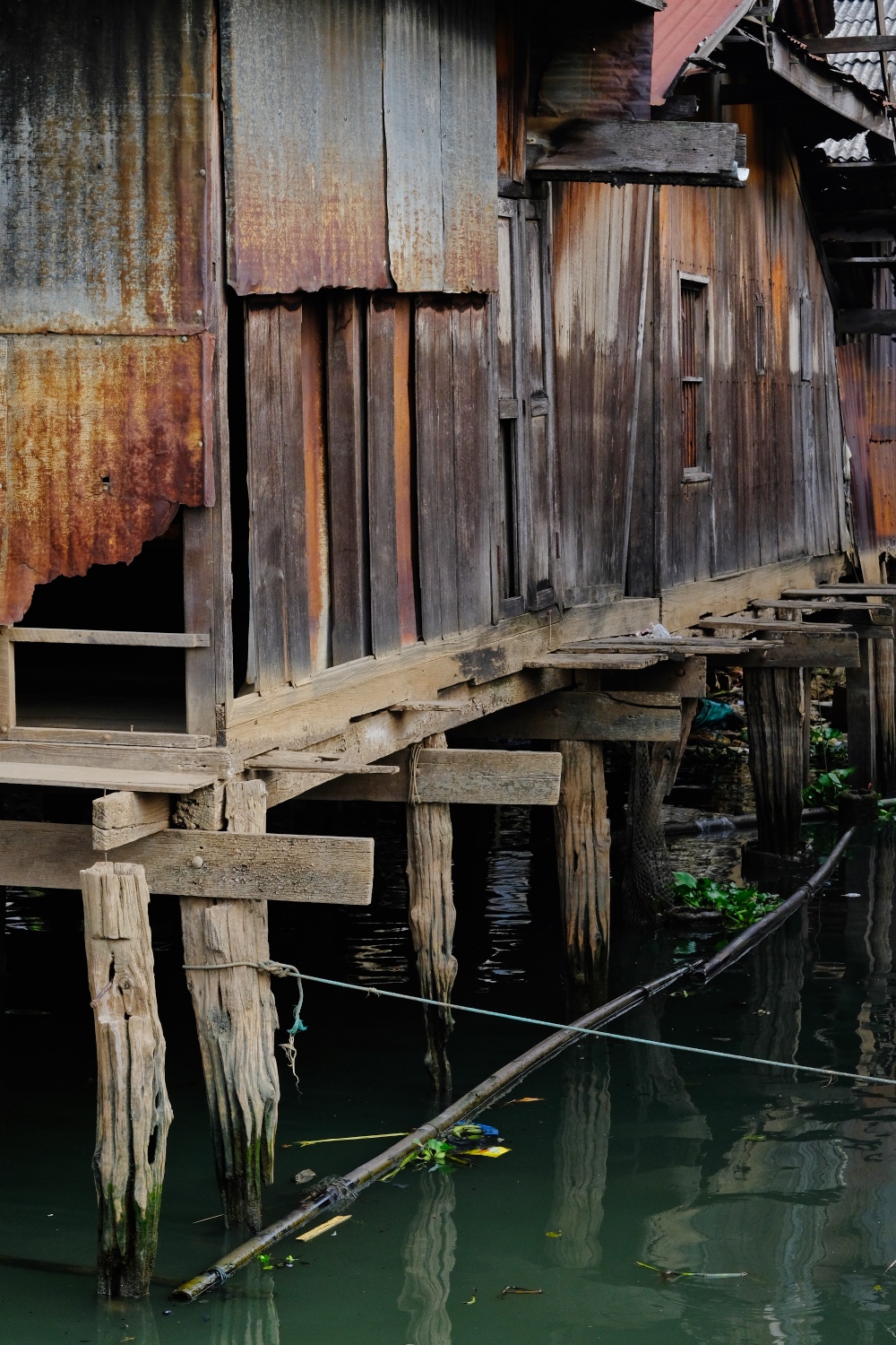
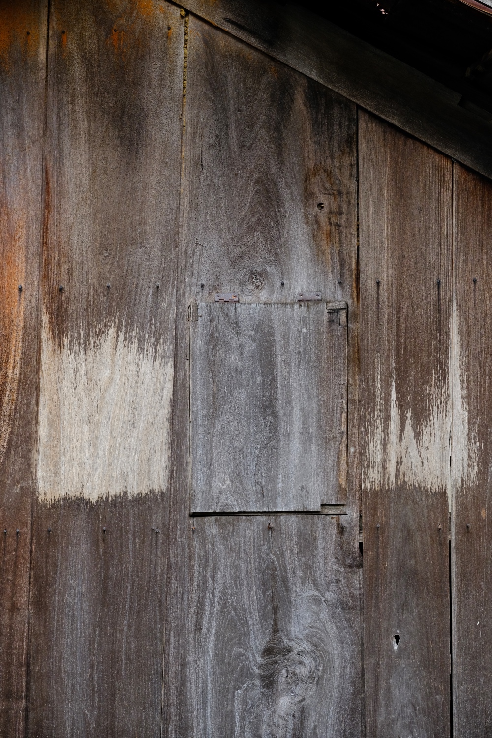
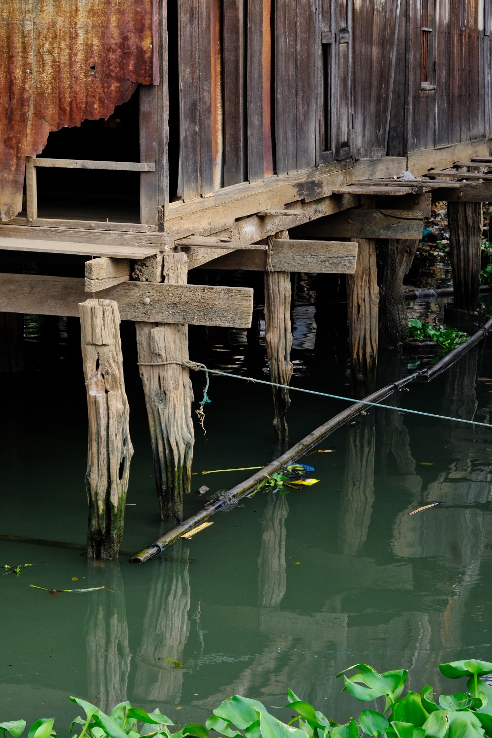 Our late afternoon walk brought us to the riverside . . . and this fantasticly weathered and decaying old wooden house . . .
 The high water lines of recent river flooding clearly shown on the old house.
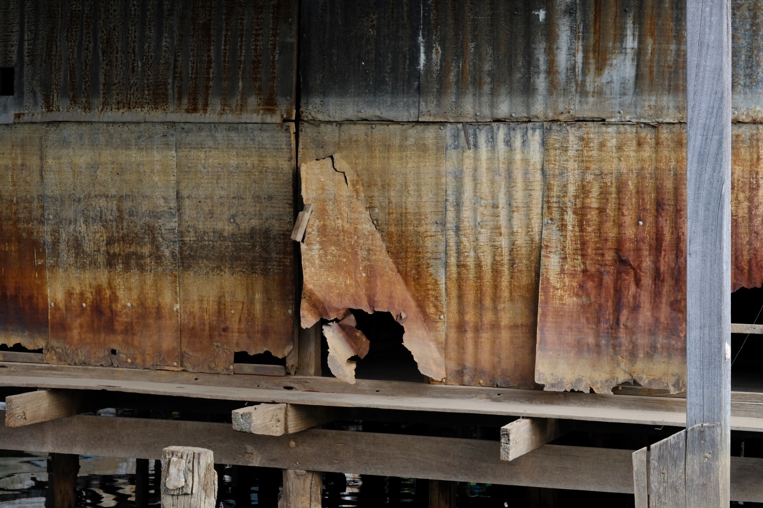
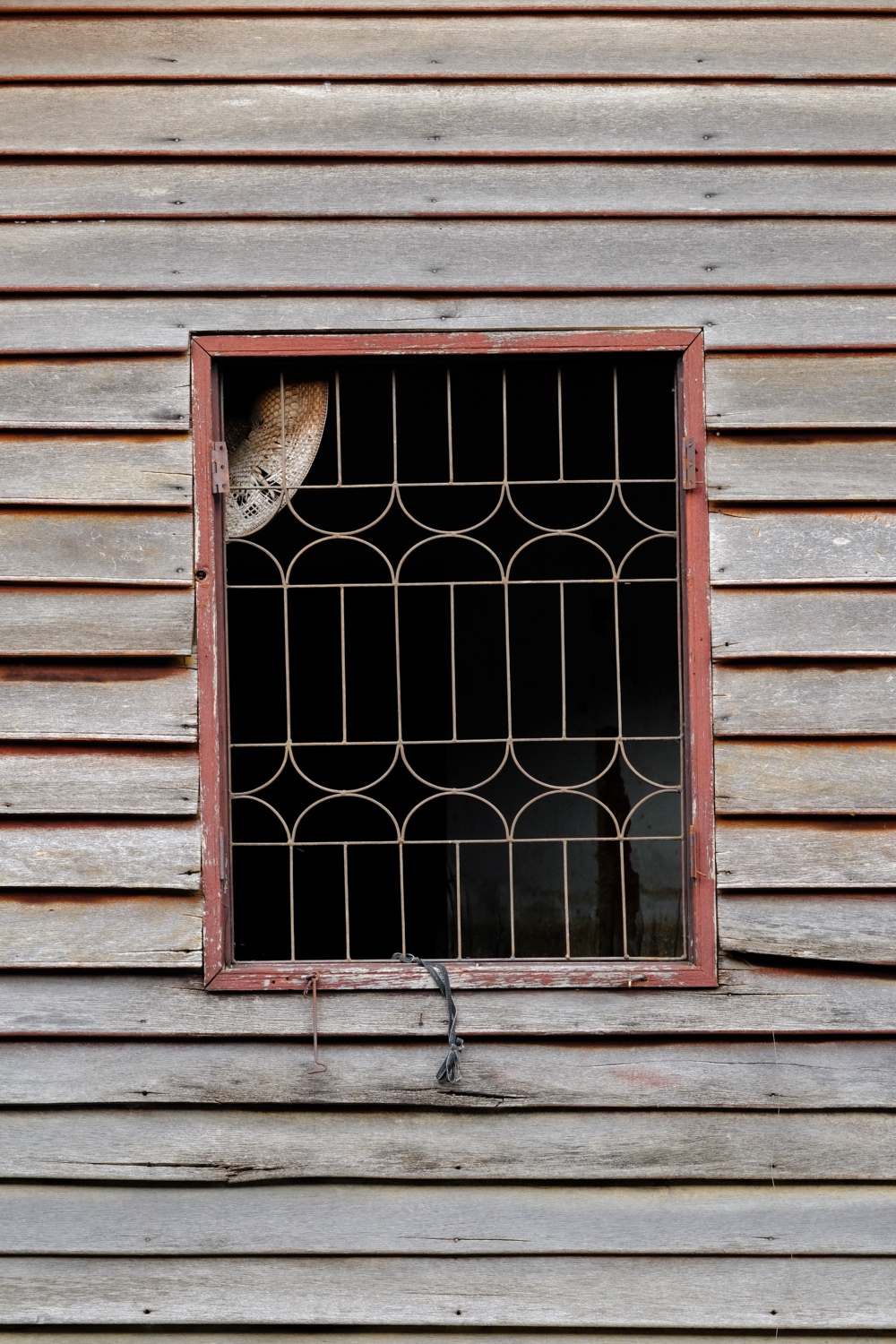
 I love the textures of deteriorating wood on old doors and windows. This particular riverside house had absolutely scrumptious surfaces.
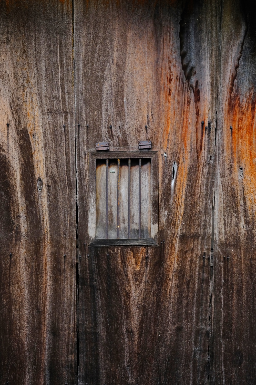 Yes, these are the actual colors . . . fantastic.
 I think of the surface variegation on these surfaces as their histories.
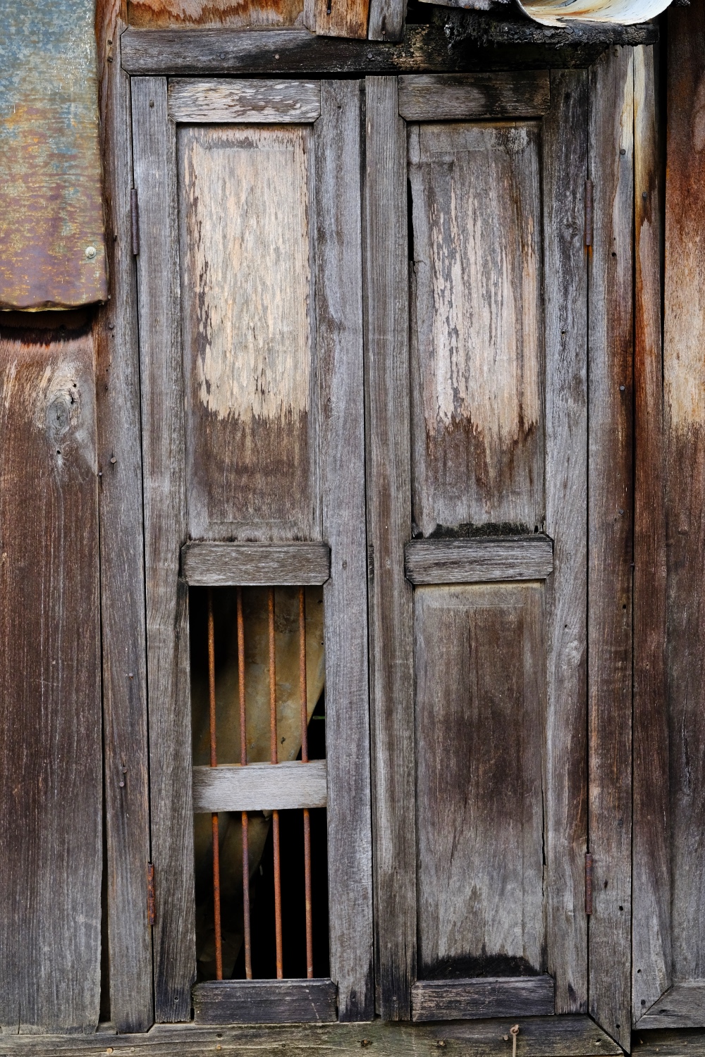
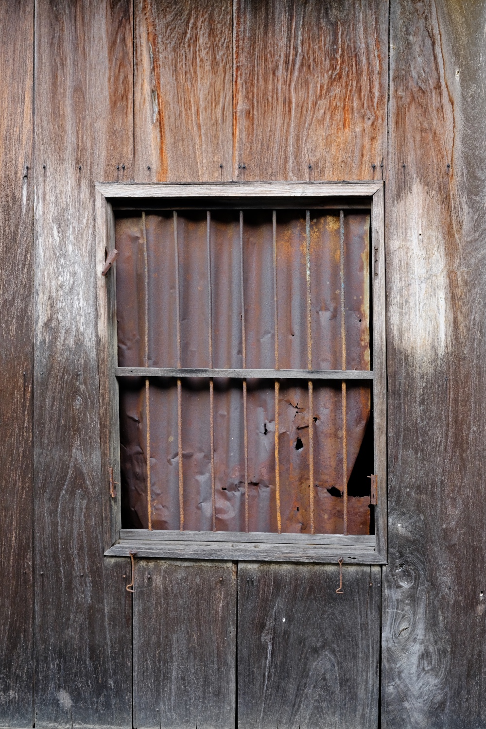 This window has everything I want in a photo: dilapidation, corrugation, and decay.
 This window and those above are all on the same old wooden house sitting on pilings in the Chao Phraya River.
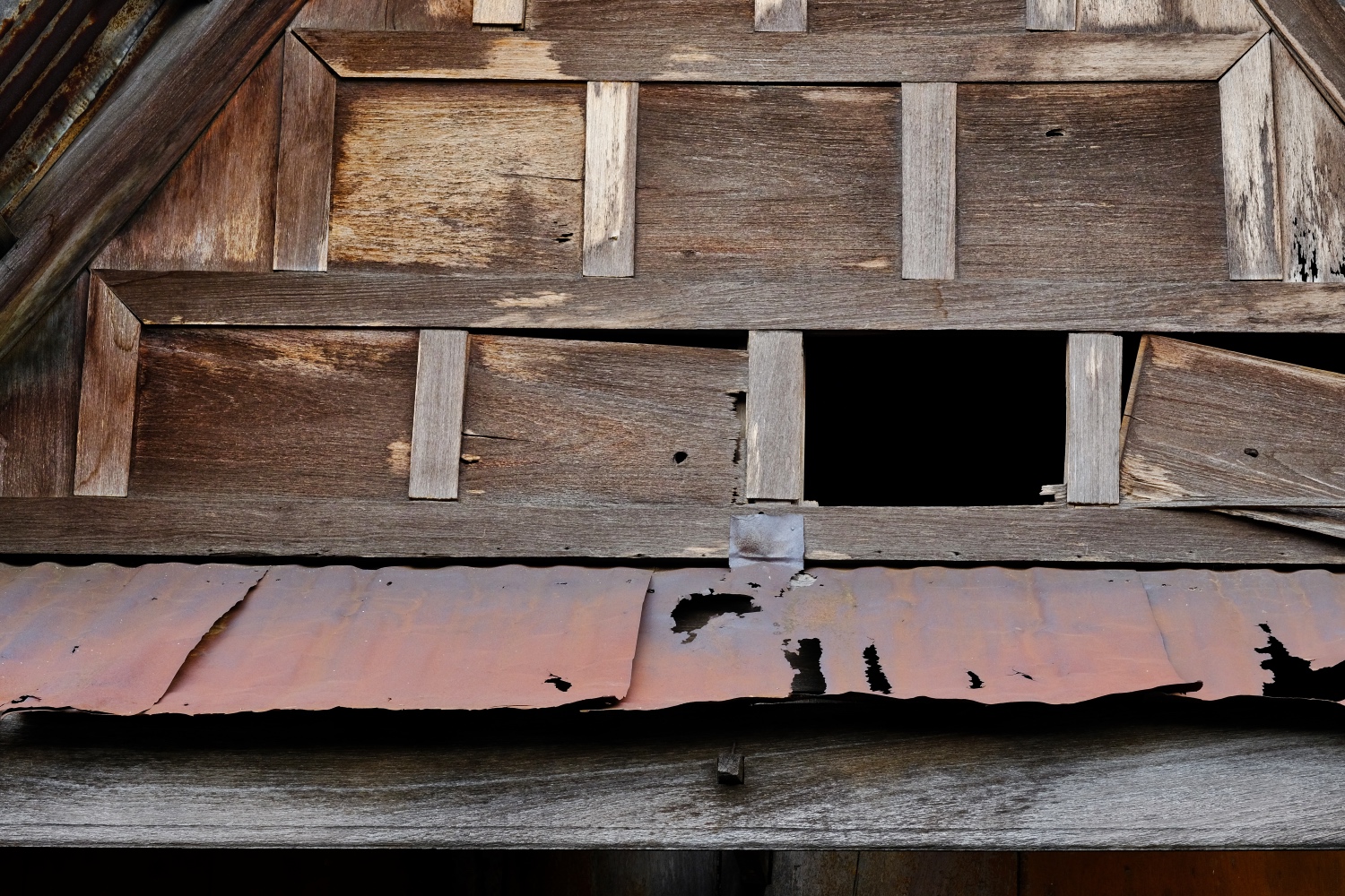 The Thai-style gabled roof . . . showing the age of this magnificent structure.
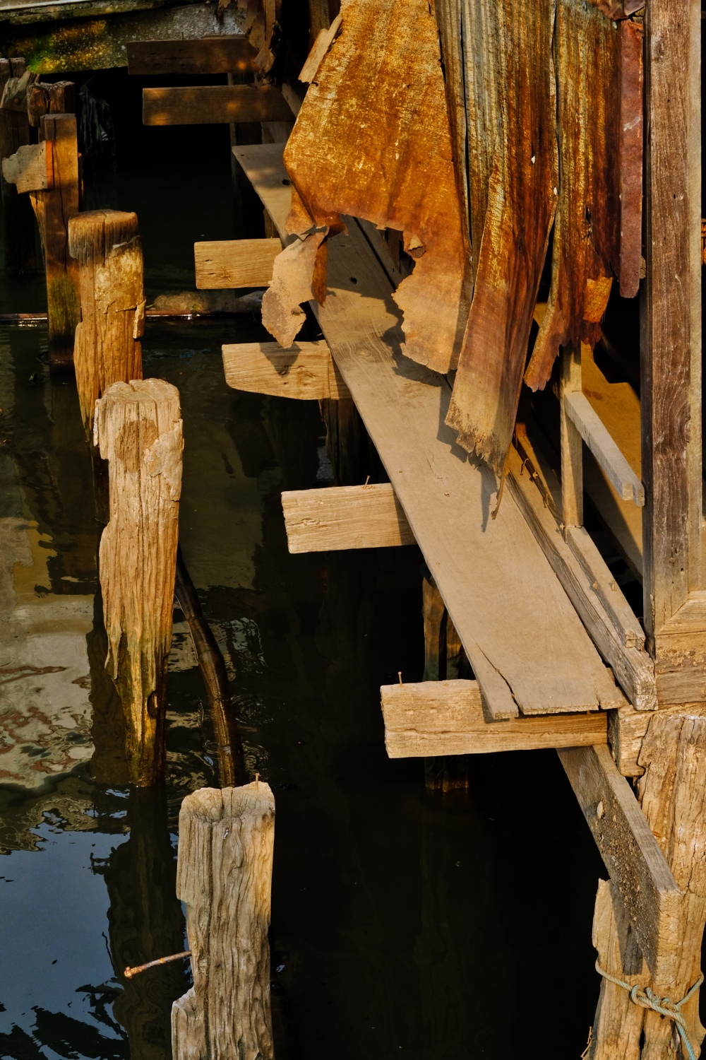 Just as we were leaving this beautiful place, the sun came out and shown magic afternoon light on the rotting piers of the old house.
