 The Outer Hebrides are filled with archeological wonders!

Magnificent views around every corner of the winding single track roads!
 Otherworldly scenes . . .
-----------------------------------------------------
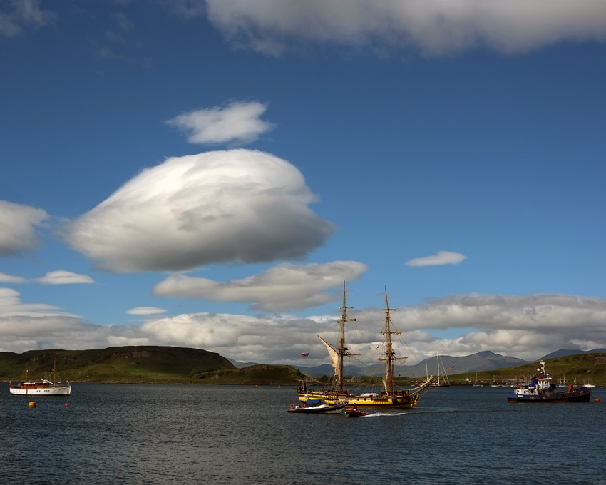
Our journey from the mainland of Scotland began on a fine late June day in Oban harbour.
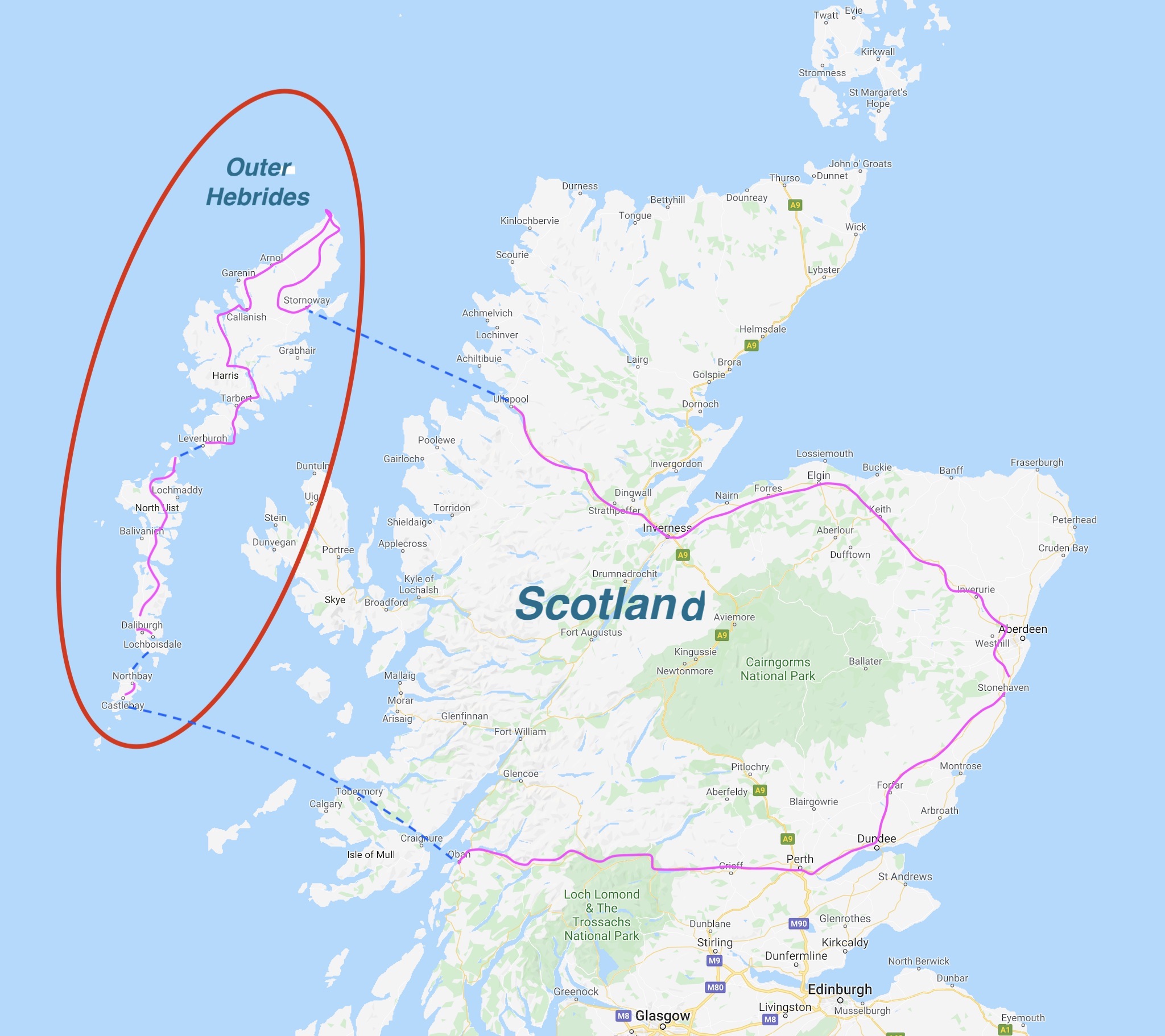 Our 10-day road and ferry trip began at our [then] home in Aberdeen, on the east coast. We spent six of those wonderful days out on the one-lane roads and ferry crossings of the Outer Hebrides.
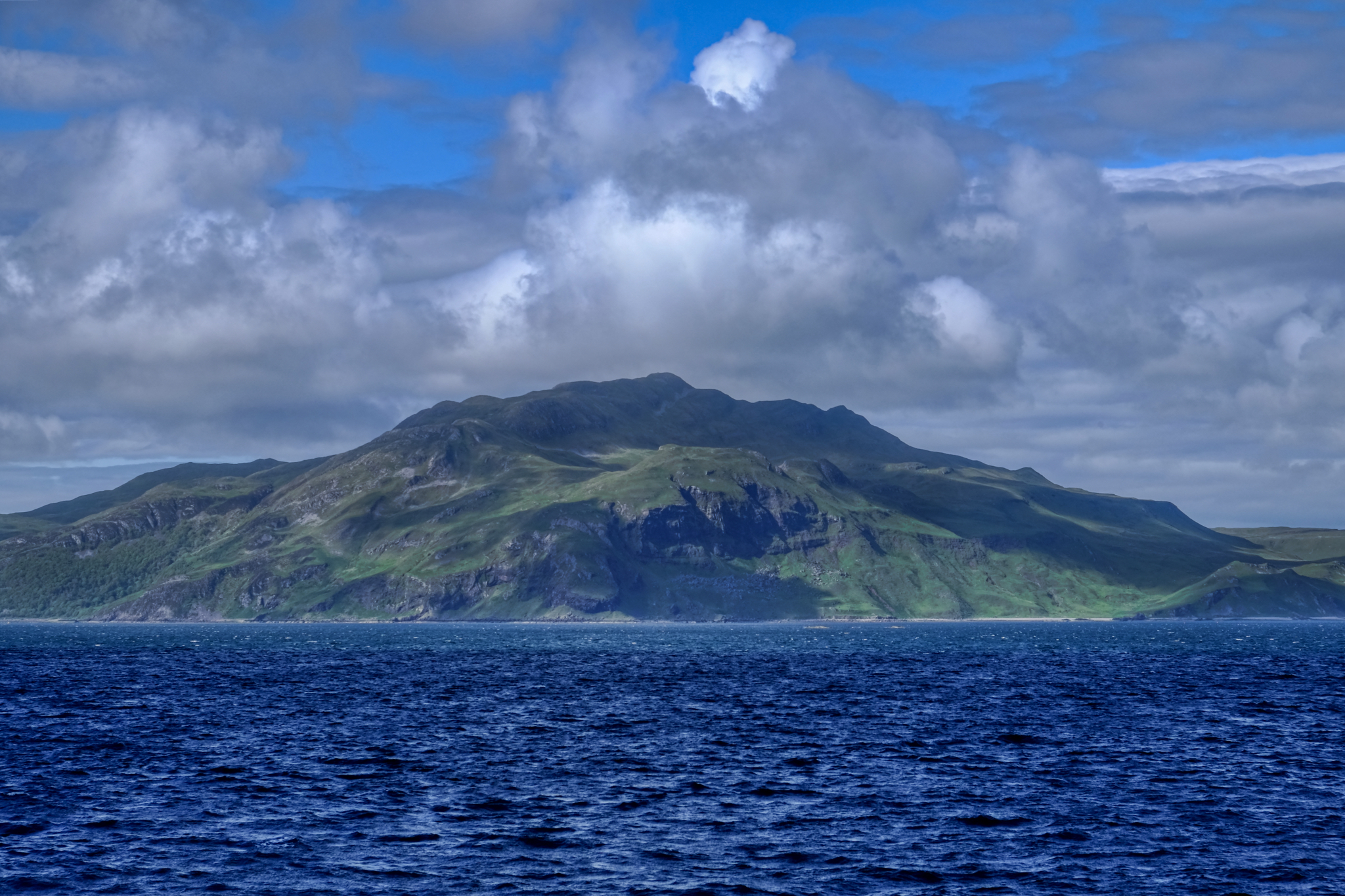
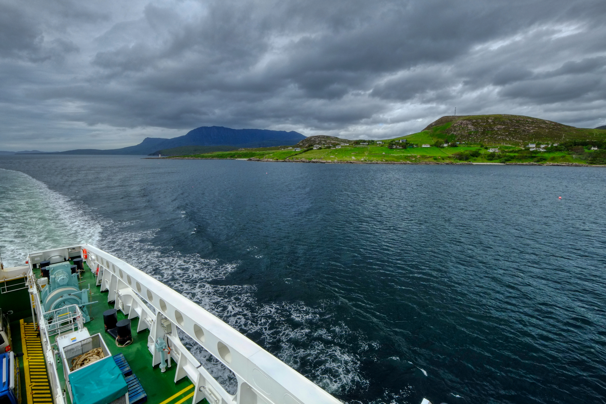
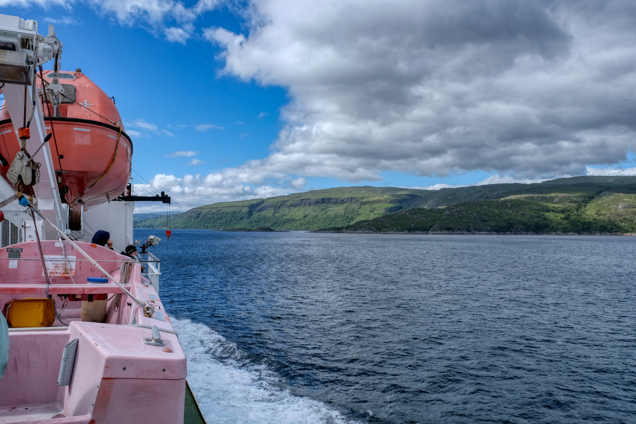
The ferry out of Oban passes through a straight with views of the Isle of Mull on one side.
 It was a gorgeous 4 hour and 45 minute ferry trip . . . it is important to book your ferry well in advance in the summer months, including the small inter-island ferries out in the Outer Hebrides.
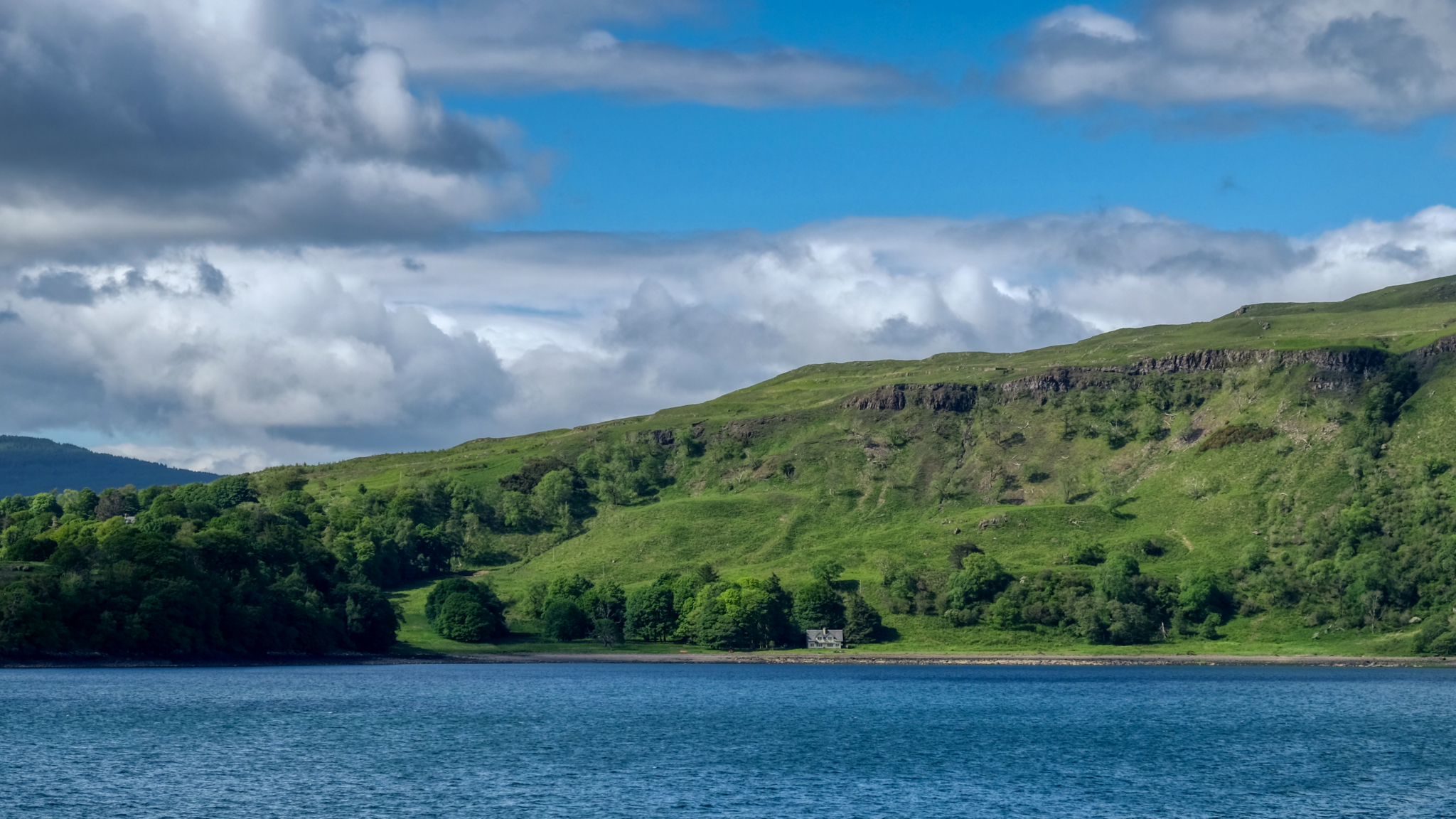 Yes, I would live here . . . .
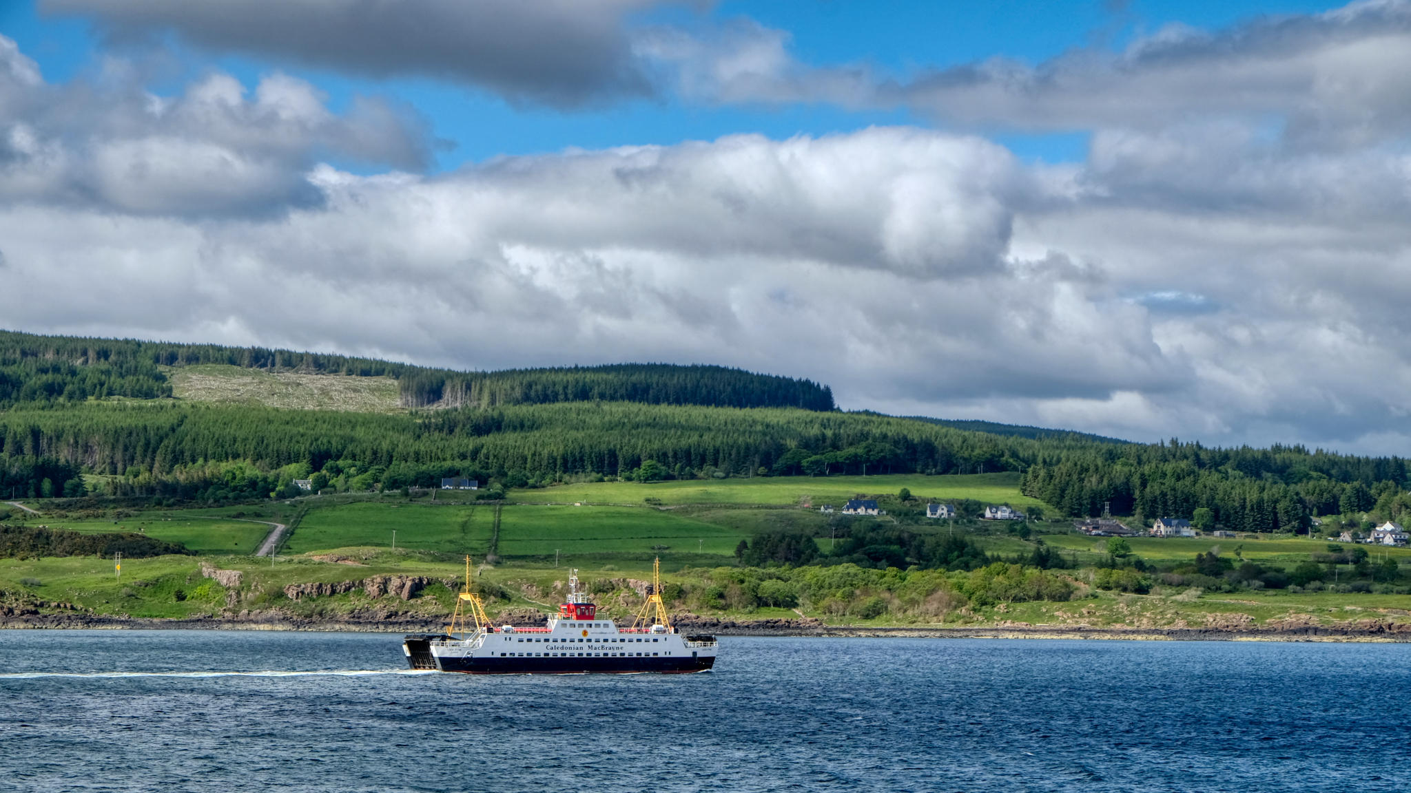 With so many islands off the west coast of Scotland, there are many small ferry routes.
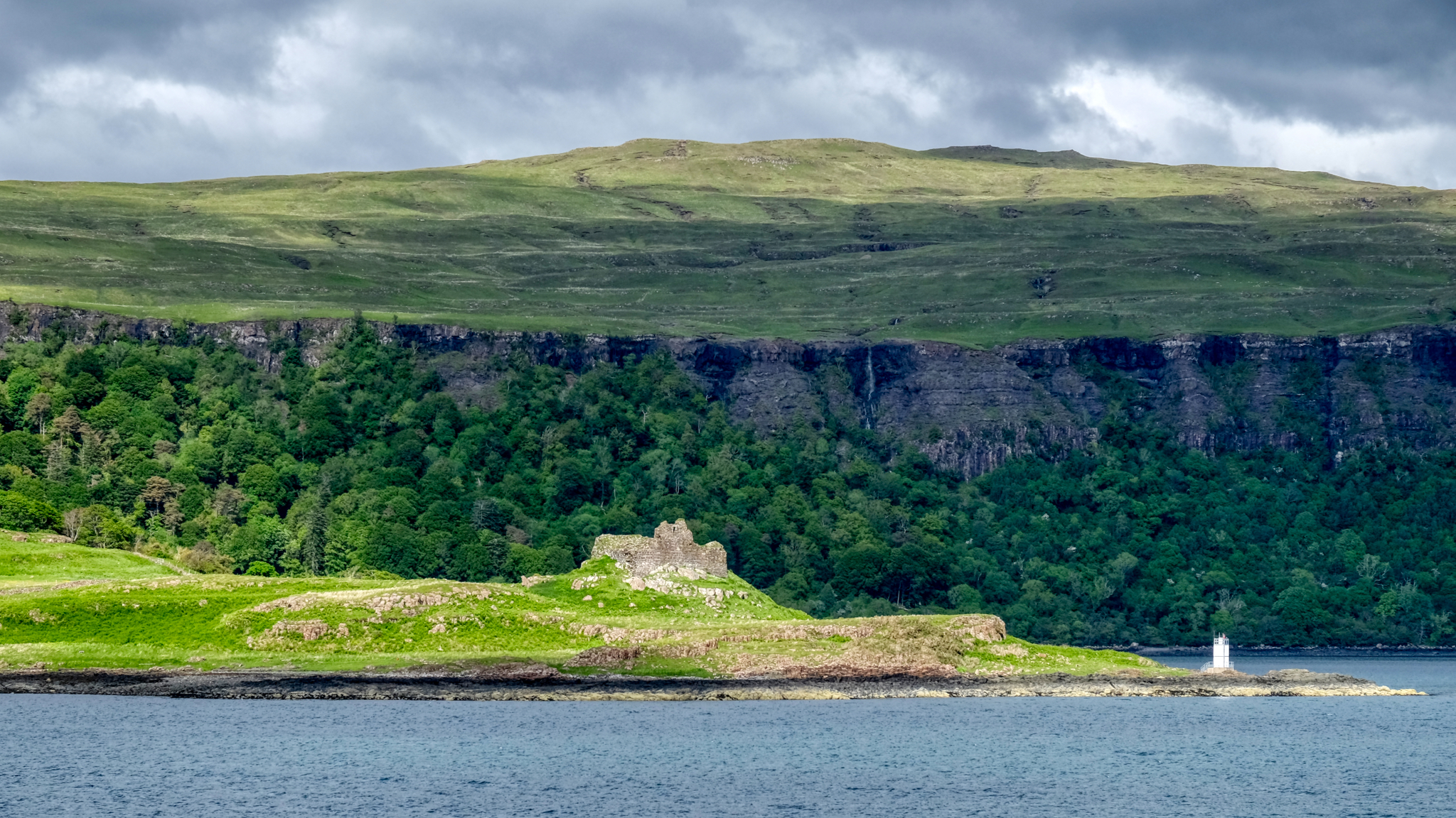 History is everywhere along our route. Castle ruins seem to dot the landscape.
 Such a relaxing way to travel.
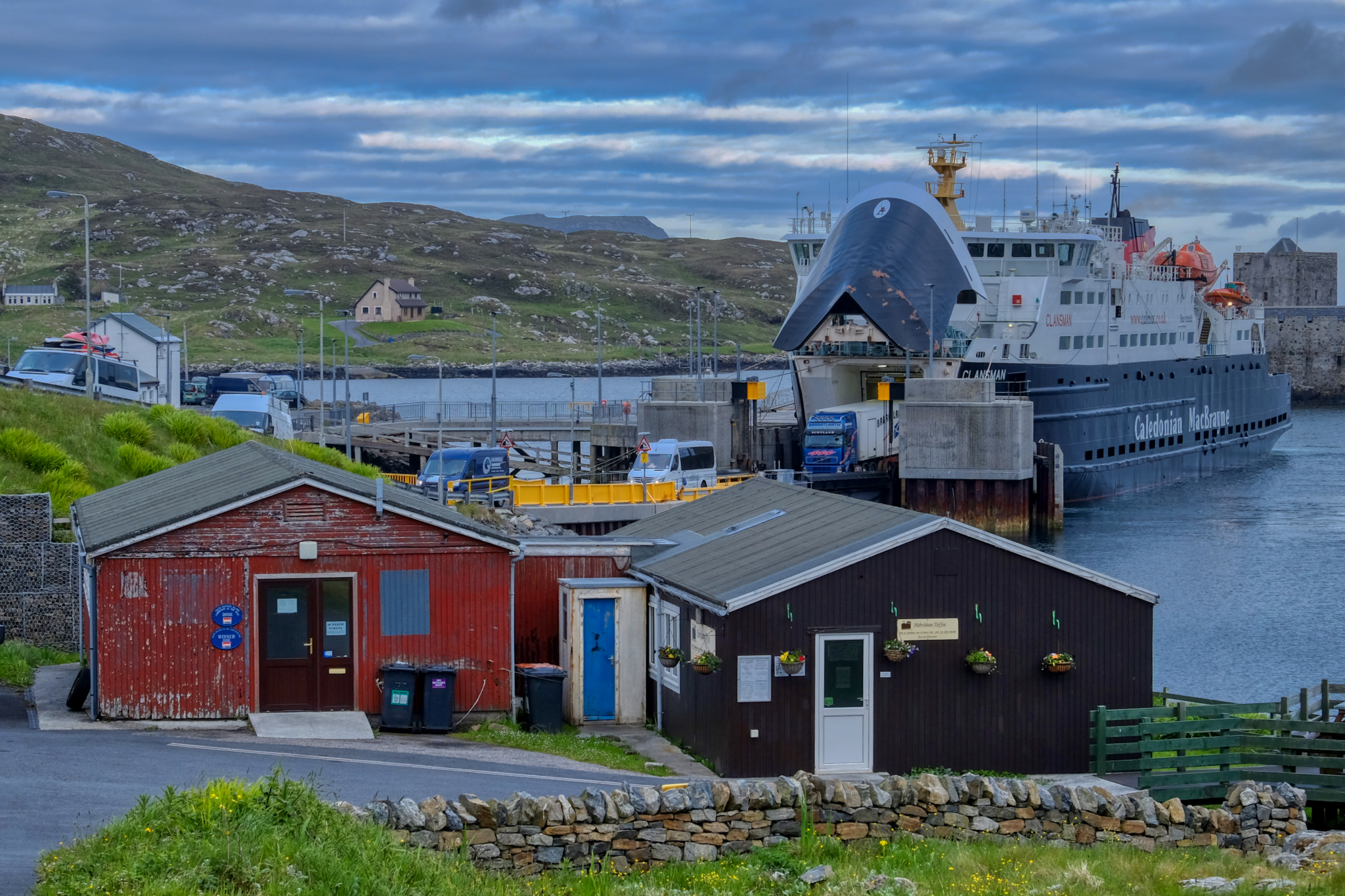
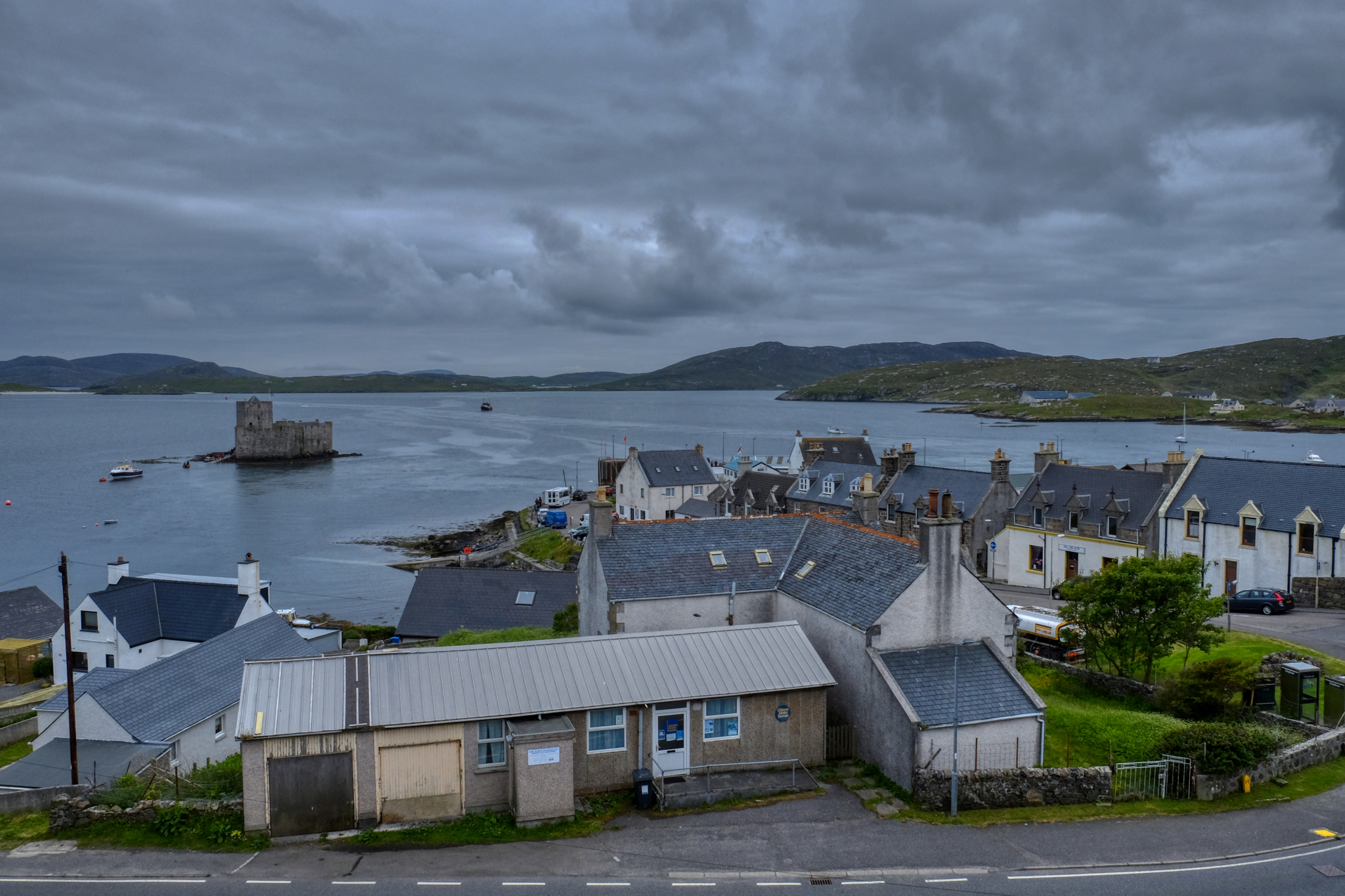
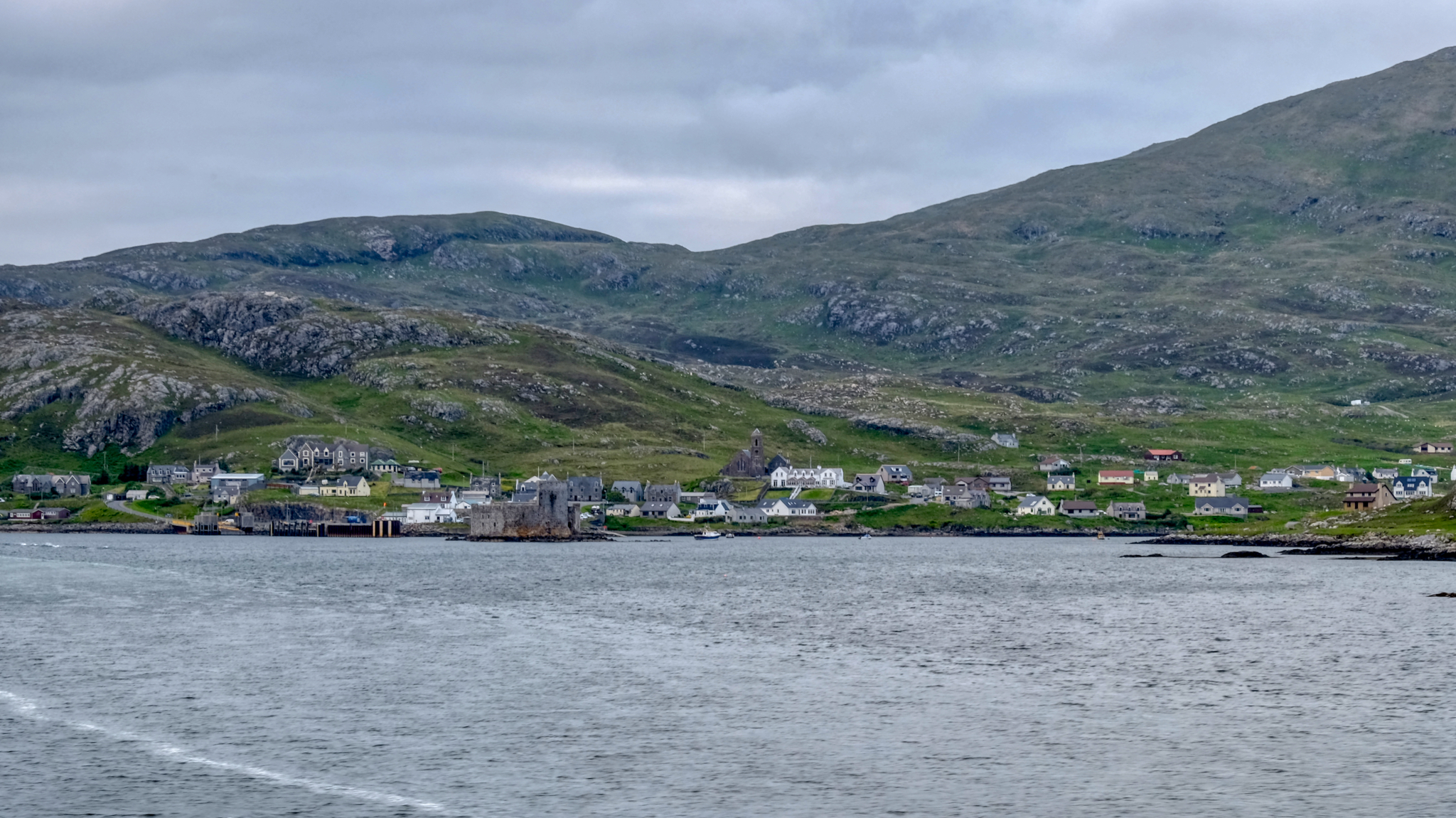 Time passed quickly and we found ourselves nearing Castlebay, the southernmost port on the Outer Hebrides, the Isle of Barra.
 This castle sits in the bay of Castlebay . . . perhaps having something to do with the naming of the town . . . perhaps.
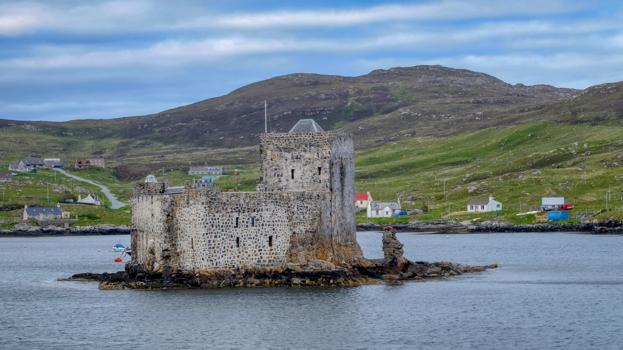
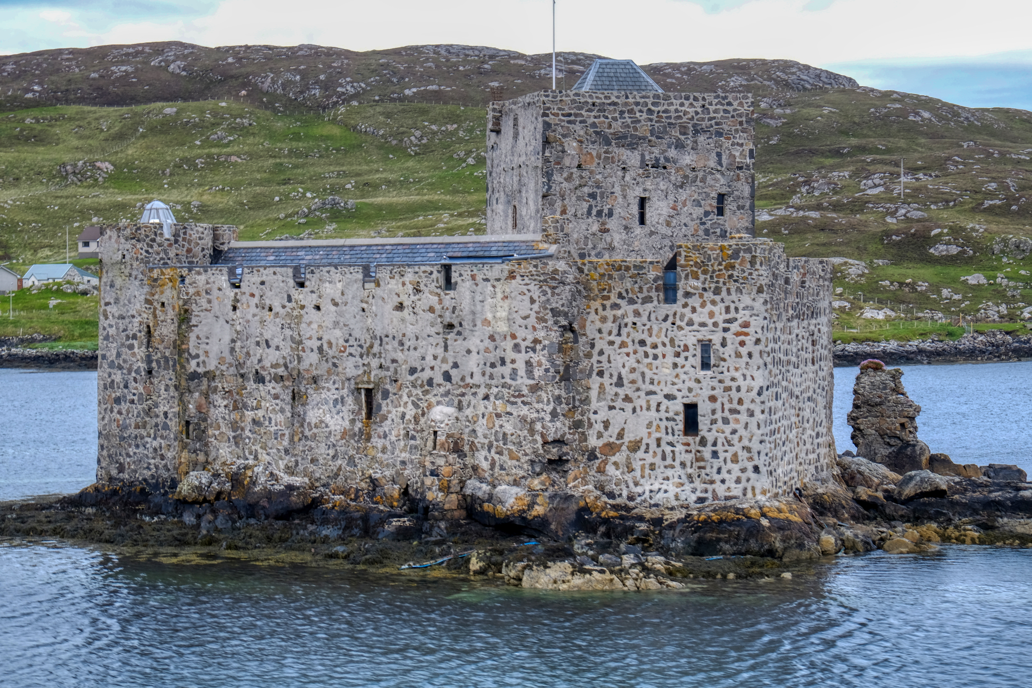 The castle in the bay of Castlebay is Kisimul Castle, dating from the late 16th century. It is now leased to Historic Scotland Trust by the Clan MacNeil for 1 pound a year. It is a castle with an interesting history (see link).
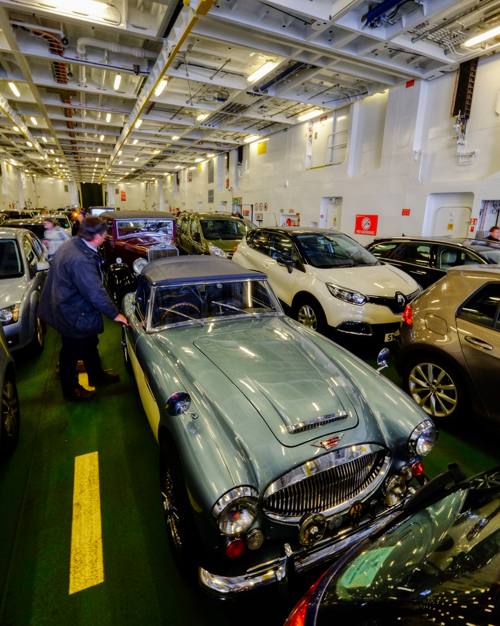
We were called to the car deck just before docking in Castlebay . . . what a surprise to see several antique and collector cars there (they must have loaded after we did). Perhaps there was a collector car rally . . . or they were returning from one.
 We drove off the ferry and turned, stopped to take a look at where we had come from.
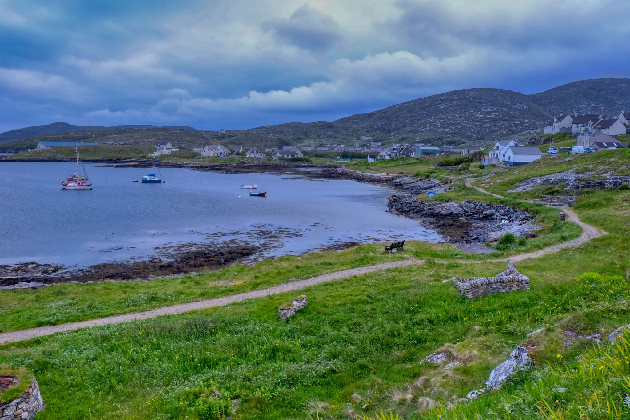 Castlebay has an 'End of the World' feeling of remoteness about it like no other place I have ever been.
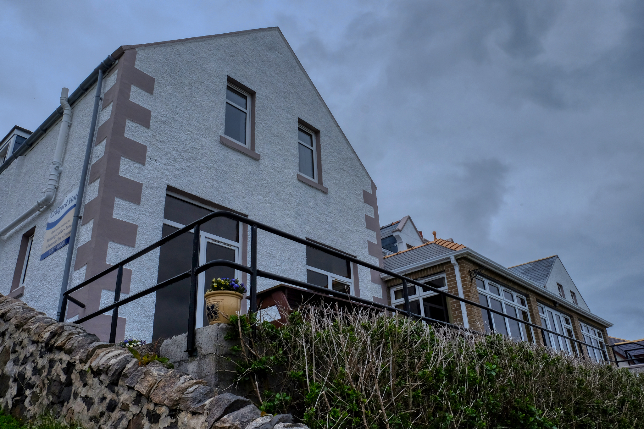 We found our old hotel (it wasn't too difficult!) and checked in.
 The view of Castlebay from our hotel room. Very nice.
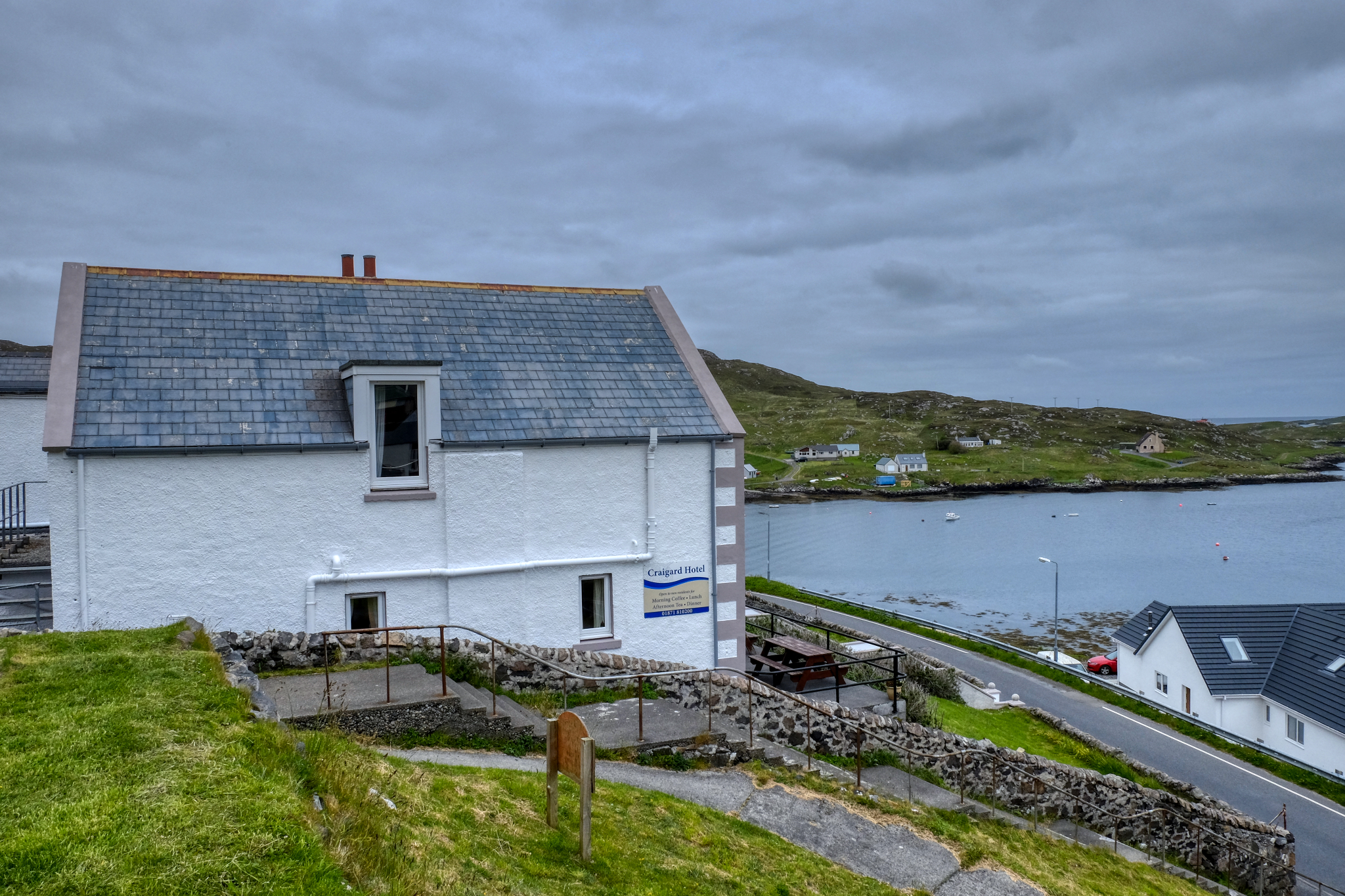 The sun stays up very late in June this far north. I took a walk from our Craigard Hotel at 10:30pm.
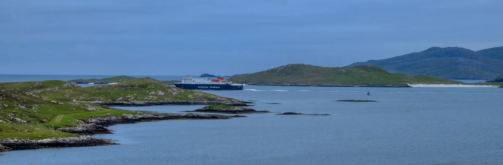
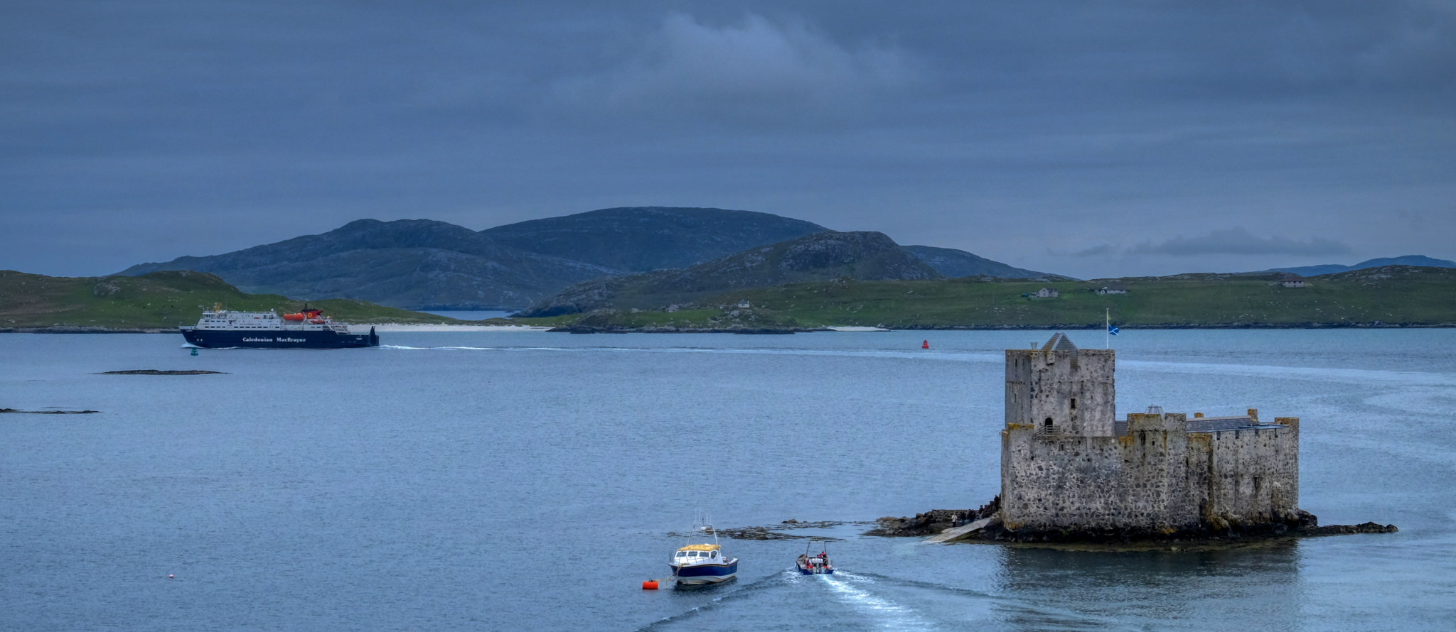 From the hill behind our hotel I saw our ferry, reloaded, making its return voyage to Oban.
 I sat in the evening gloom and watched the ferry pass out of sight.
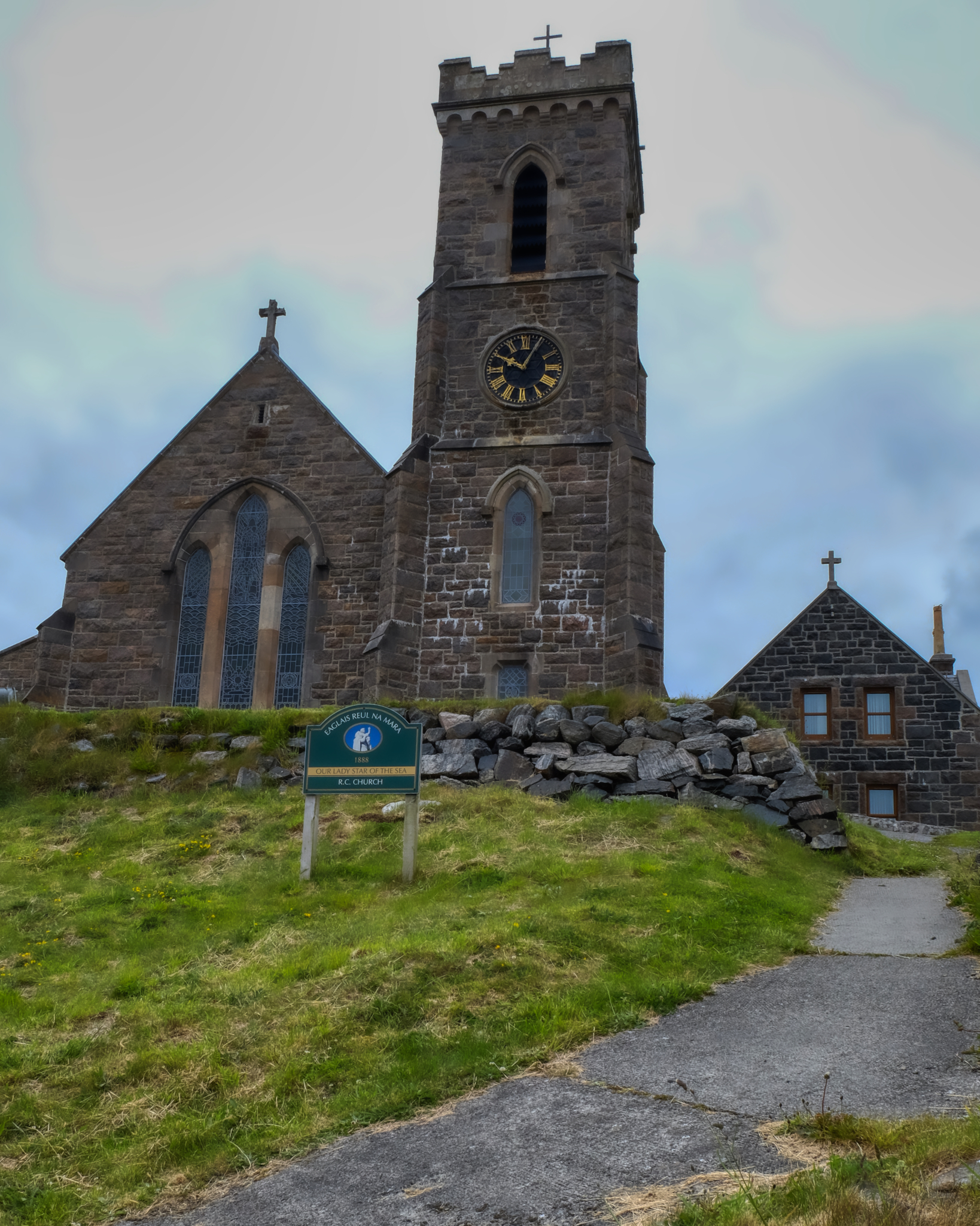 An old church, Our Lady of the Sea, behind our hotel.
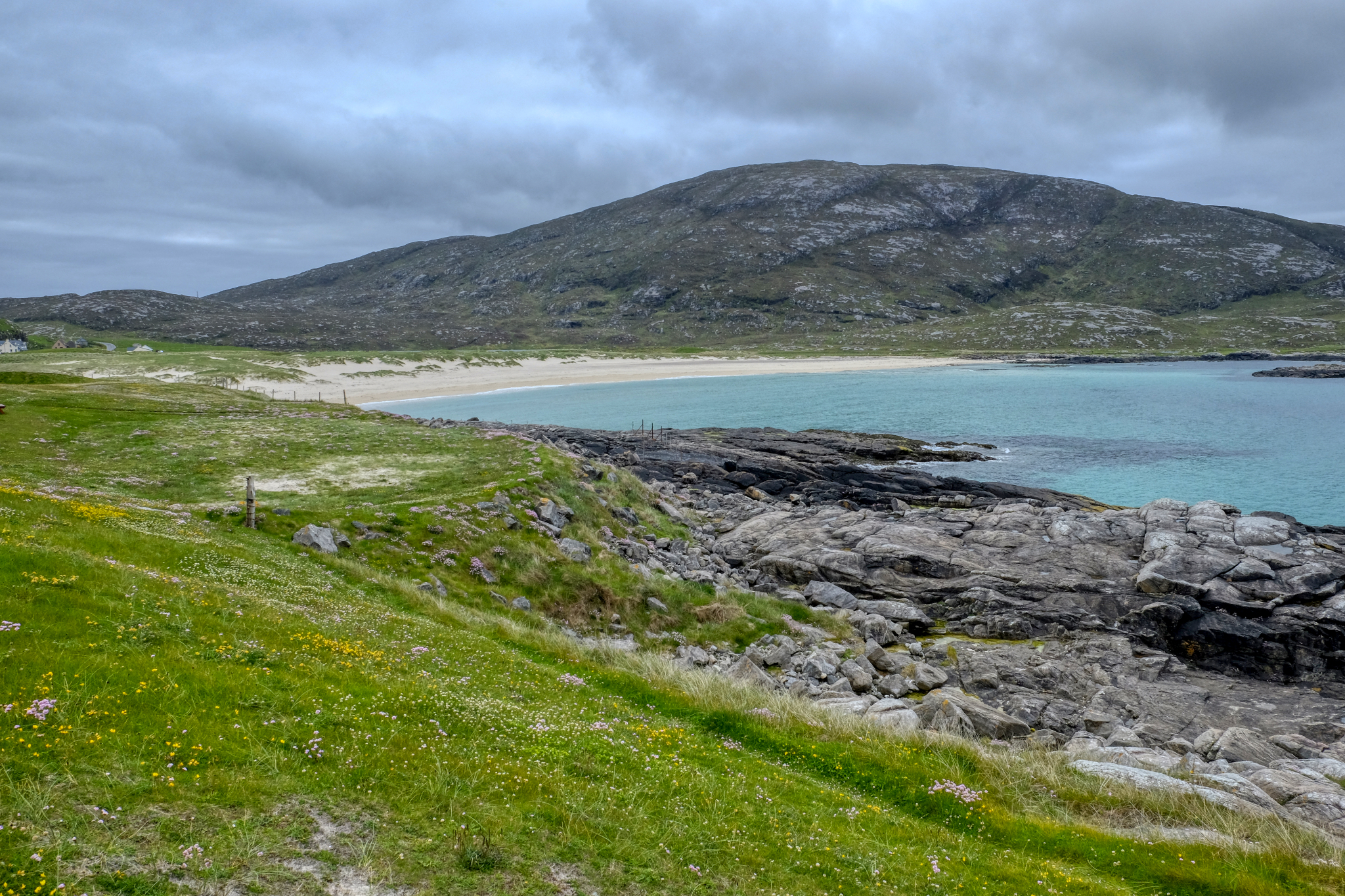 And off we drove up the west coast of the Isle of Barra. Magnificent bay views, white sand and aqua waters.
 Such a pleasant place.
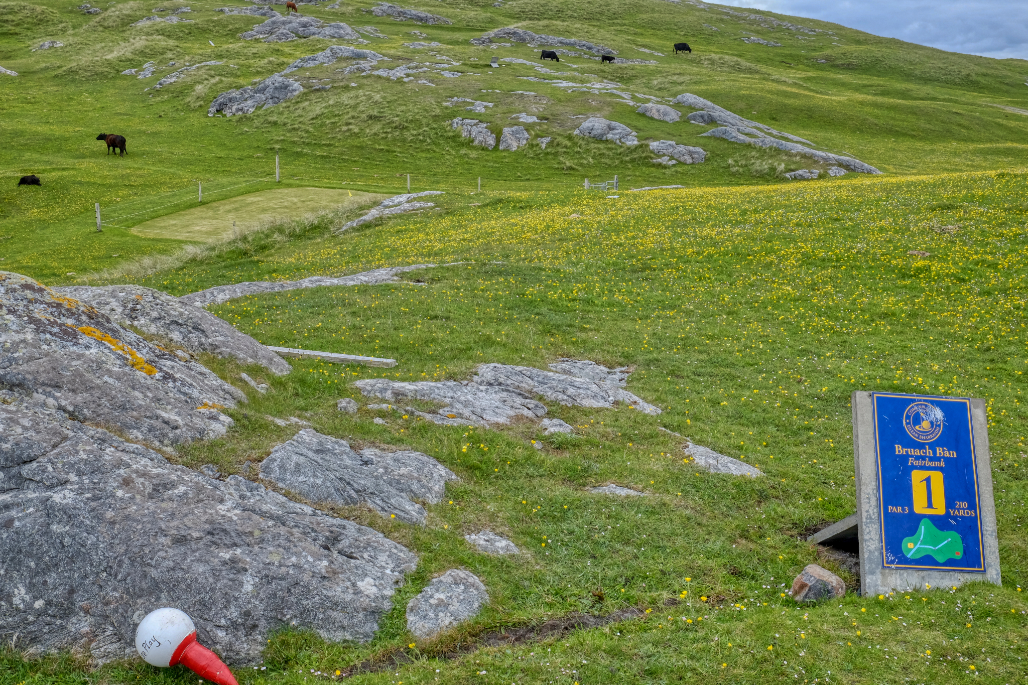 My wife is an avid golfer, so of course we stopped in at the amazing Barra Golf Course.
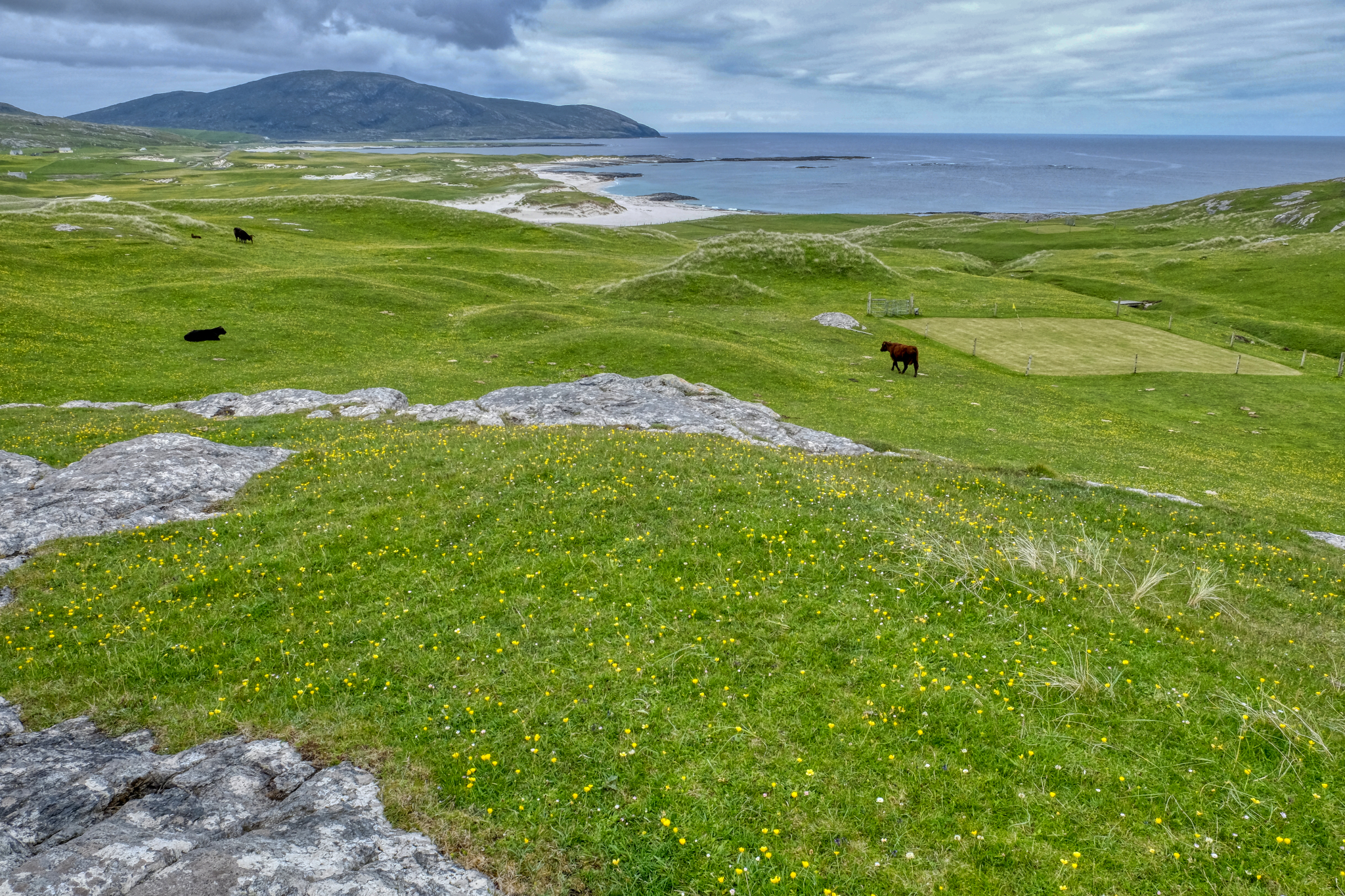 Small yellow wild flowers, the sea, cows, and a fenced off putting green (to keep the cow paddies from becoming a 'green hazard'!!!). Lovely.
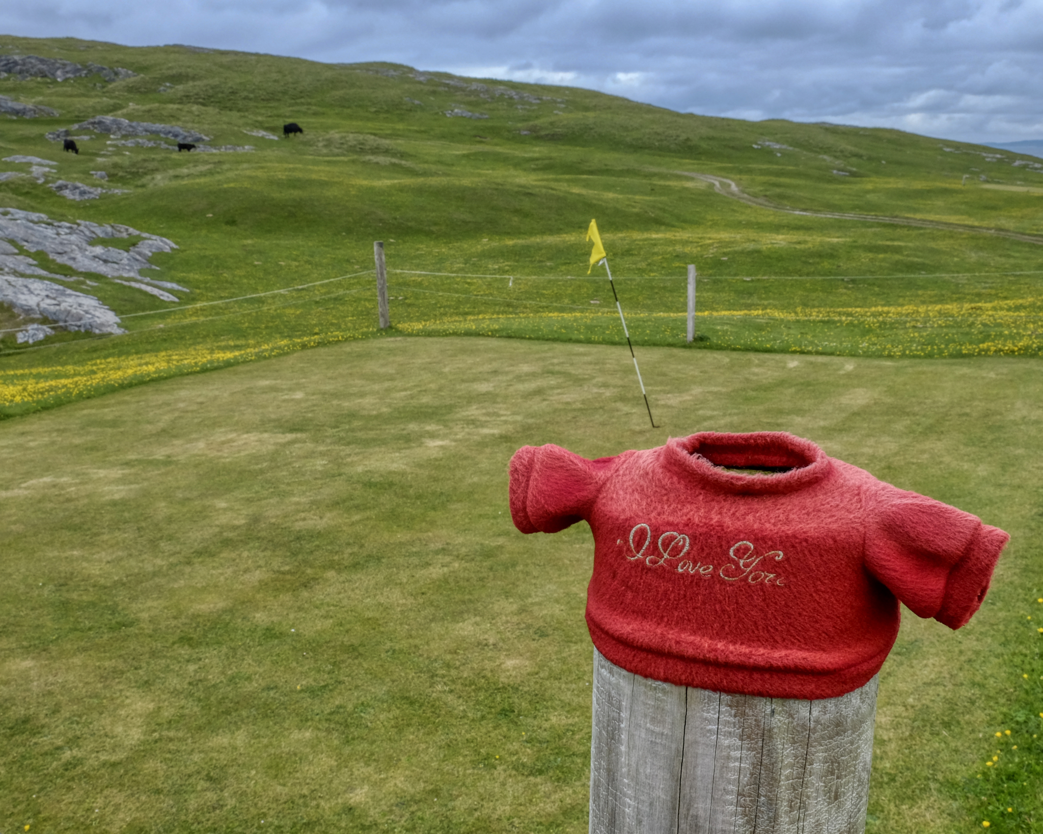 Cute . . .
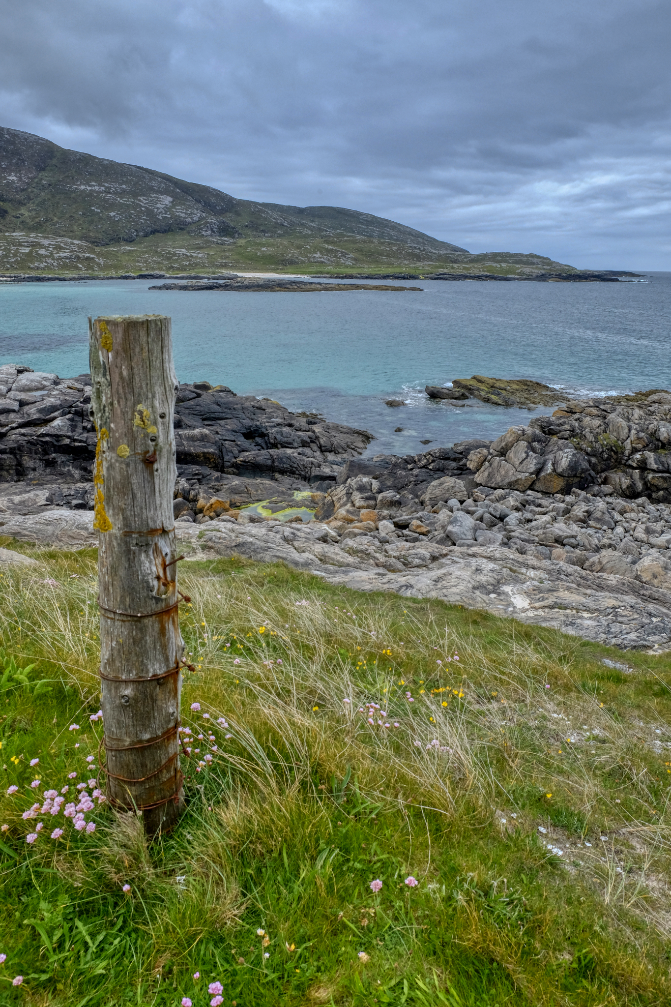
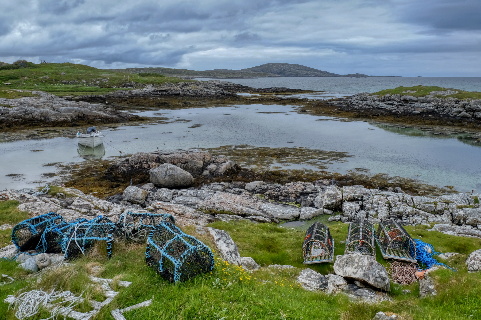 Lobster/Crab pots along a rocky cove. The scenery constantly changes.
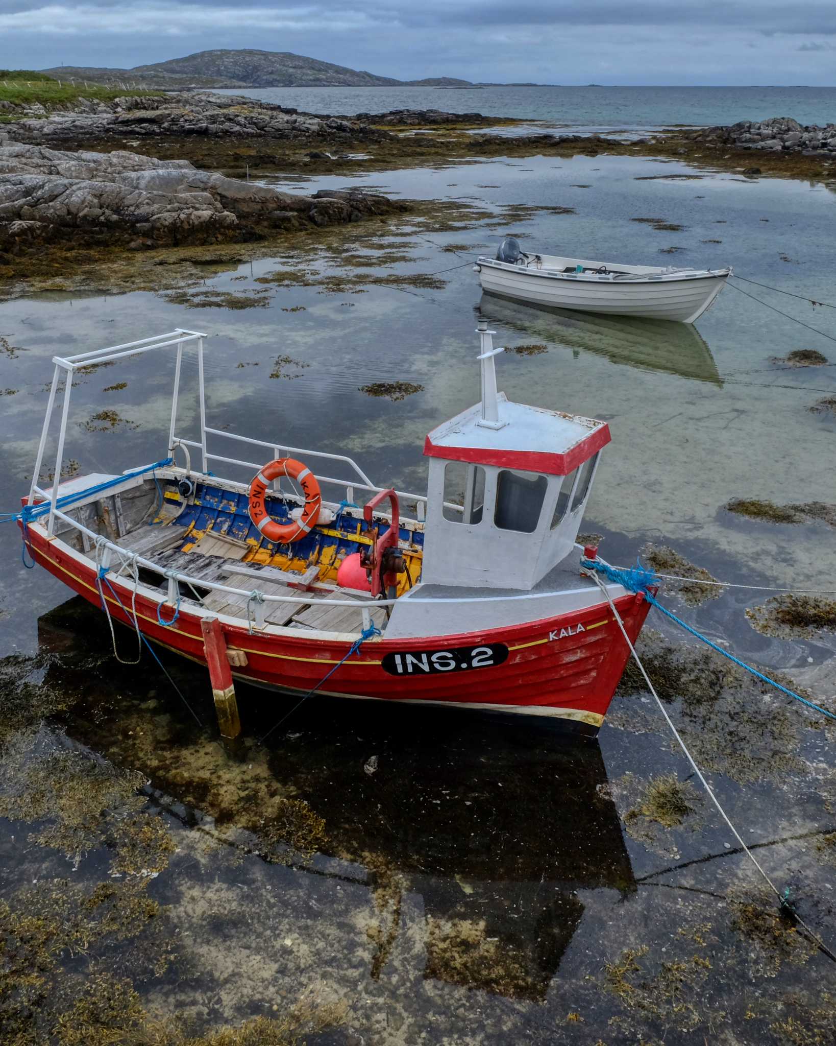 Gorgeous scenes of island life, so connected to the sea.
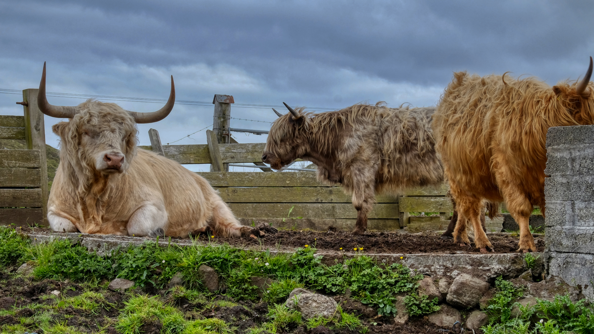 We met these fine fellows along the road. Highland cows.
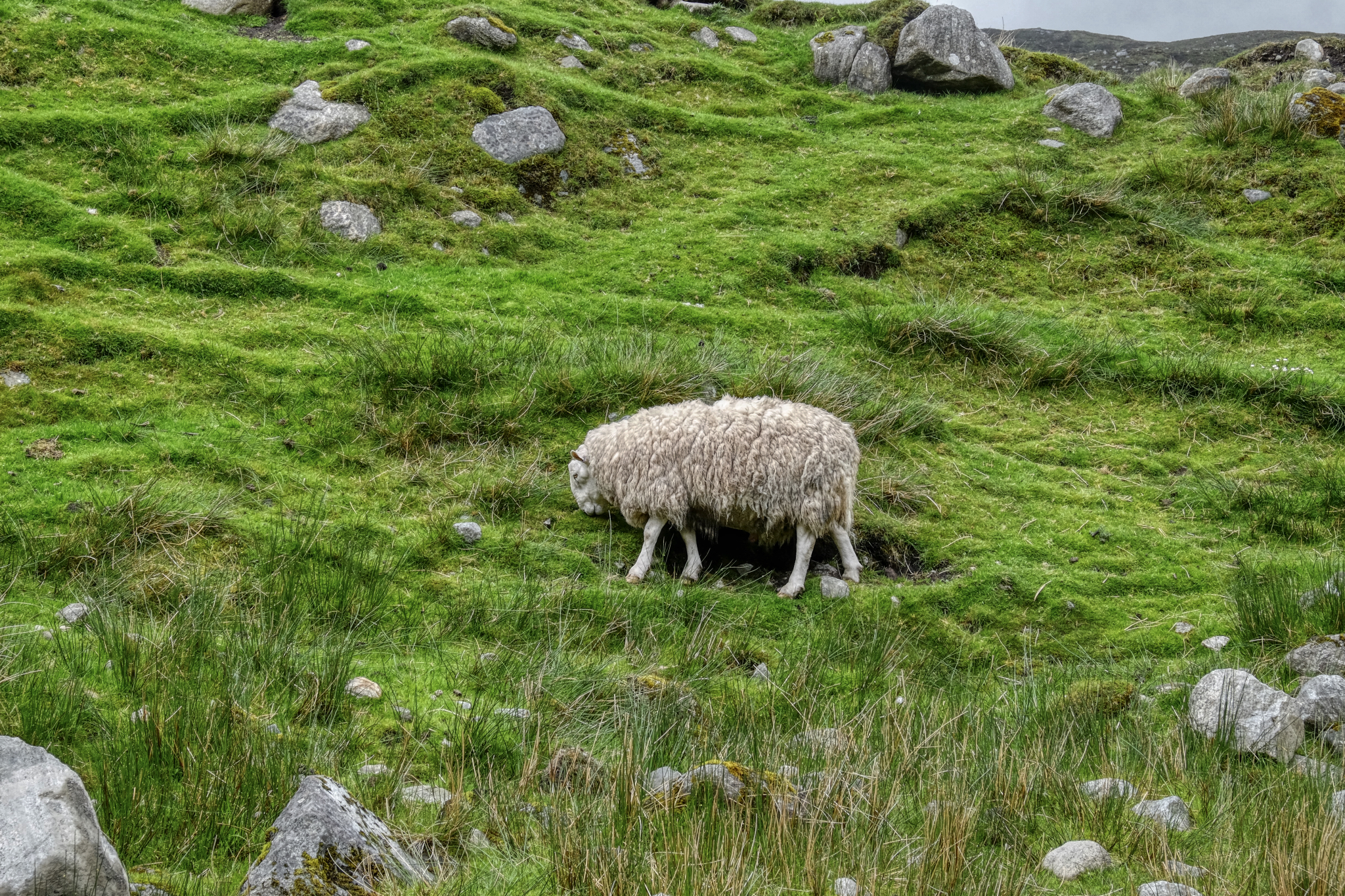
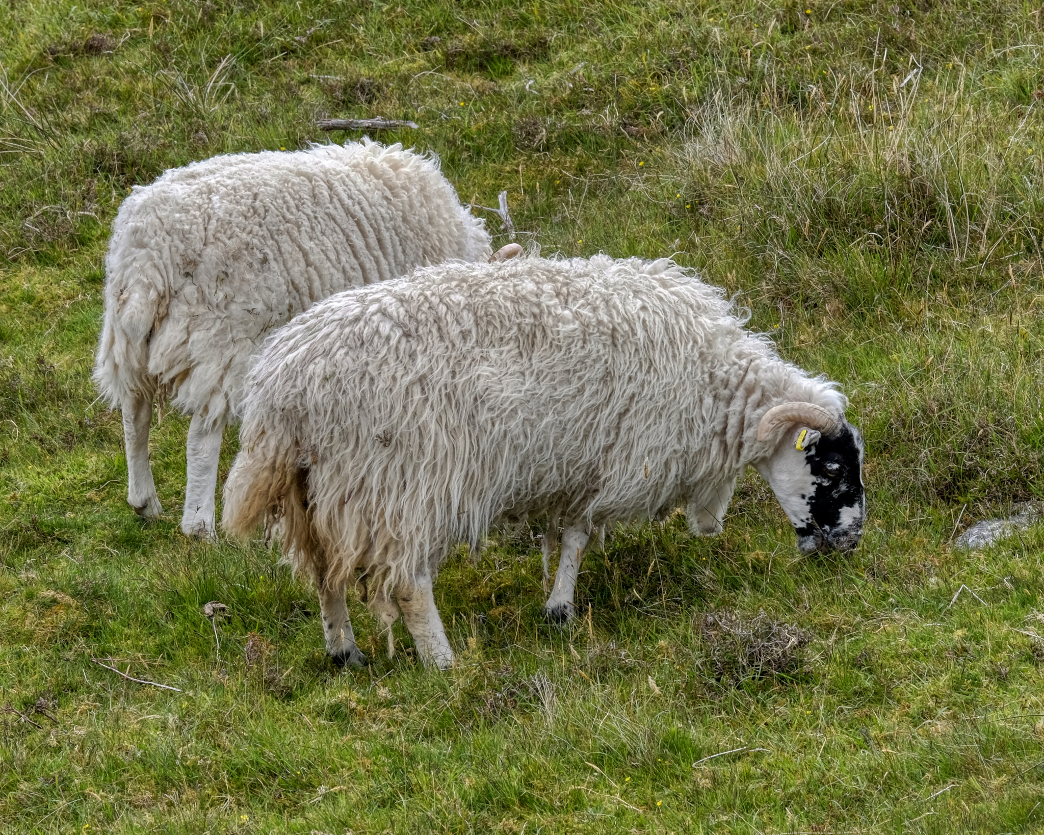 The ever-present wet sheep. We joked that all of the wool from the Outer Hebrides is already 'pre-washed.'
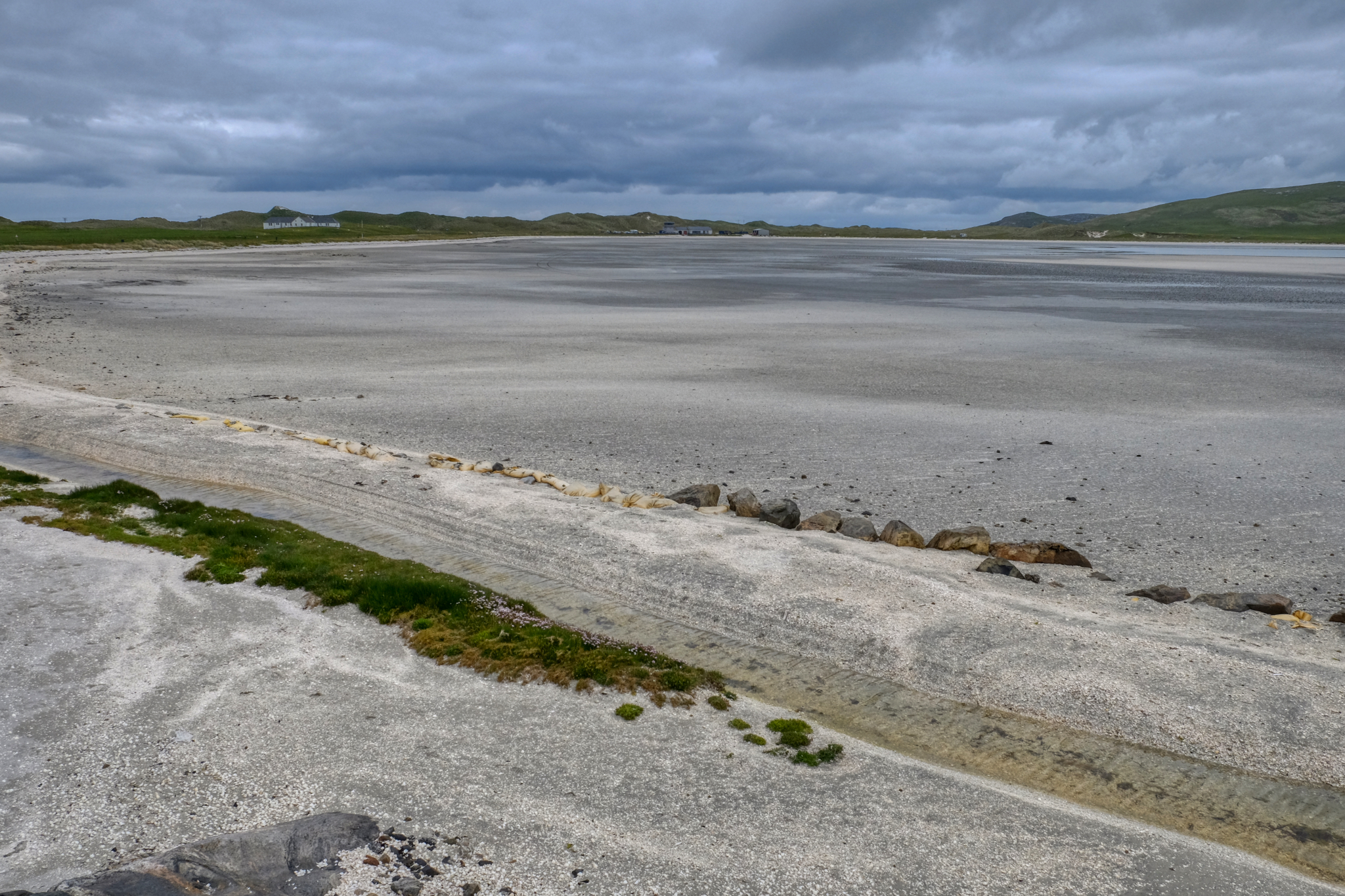 A vast stretch of the white sandy beach of a bay at low tide. Barra Airport in the background.
 The sight of the small airport drew our attention and we drove along the bay to take a better look.
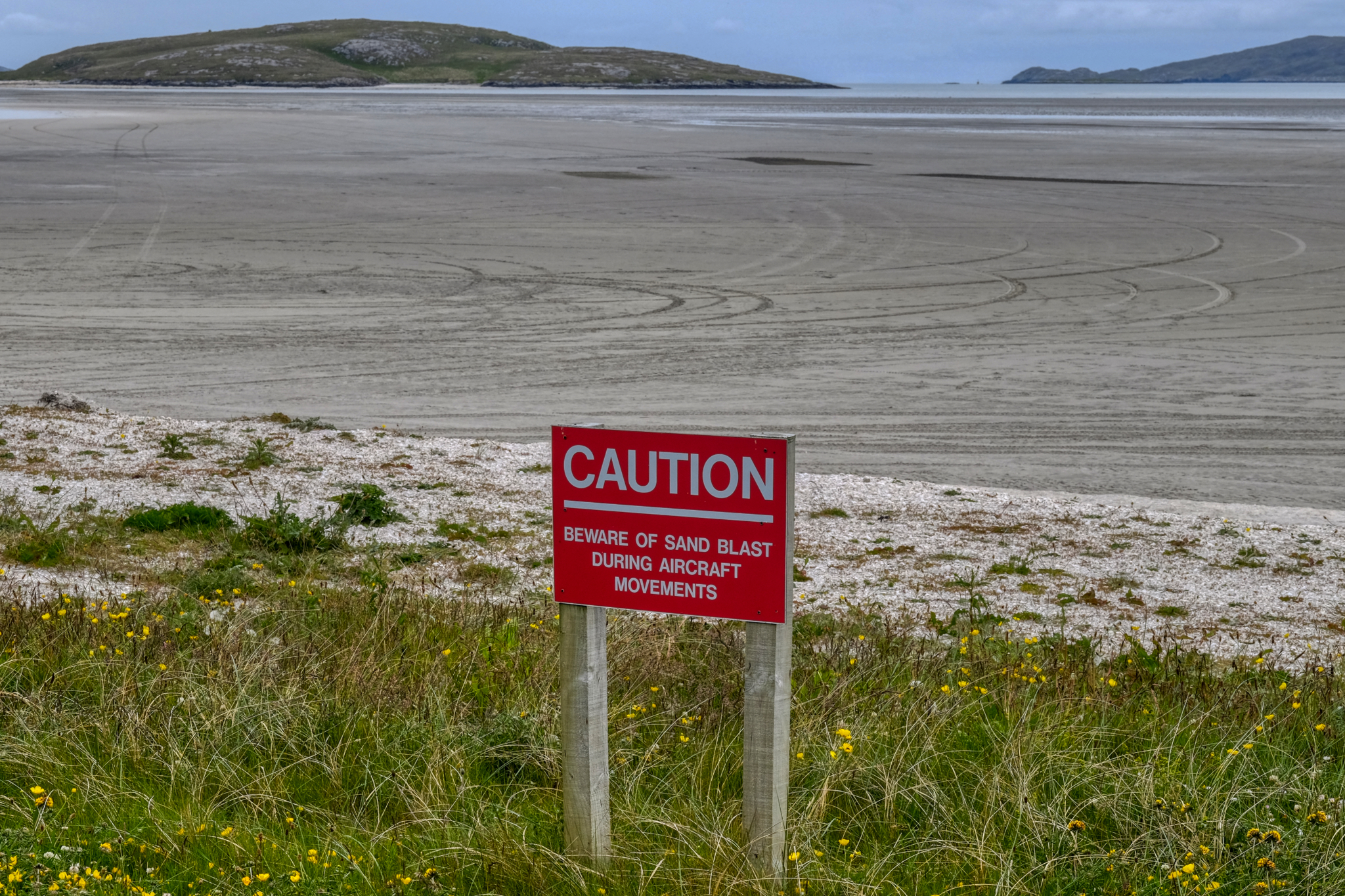 Barra Airport is the only airport in the world with regularly scheduled flights that use a sand beach for a landing strip!
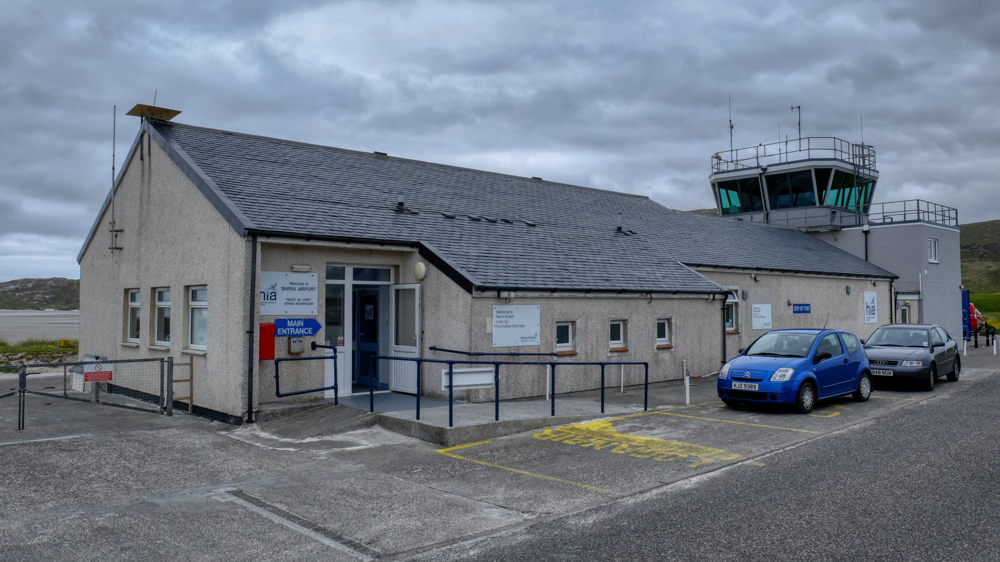 We went in the Barra Airport Terminal . . . for a cup of coffee and a snack. While we were there many people started to show up. There was a plane expected any minute. We stayed to see the big event!
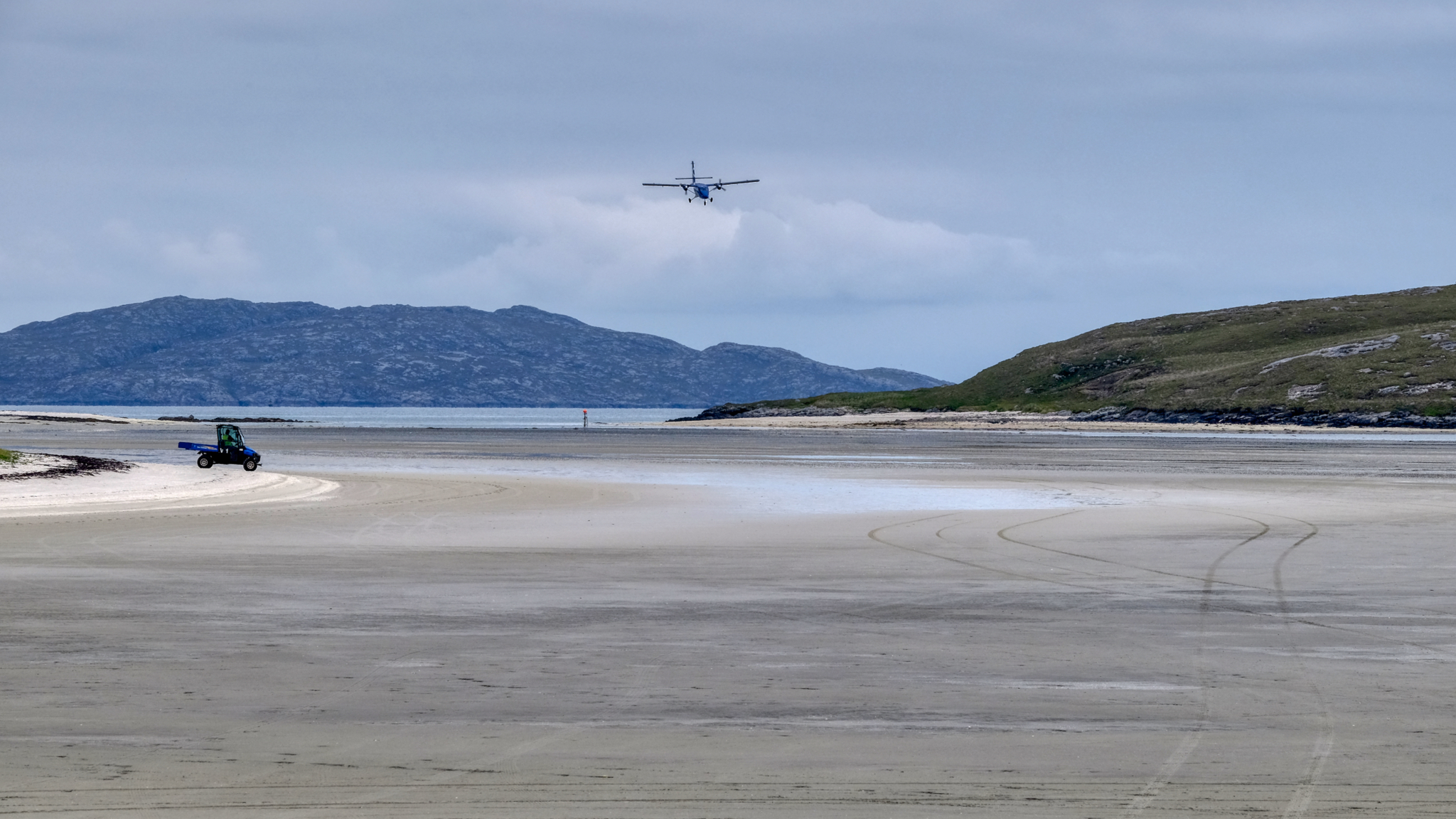 Someone called out, "There it is" . . . and we all turned to look at the airplane approaching from a distance.
 Landing on the wet beach . . .
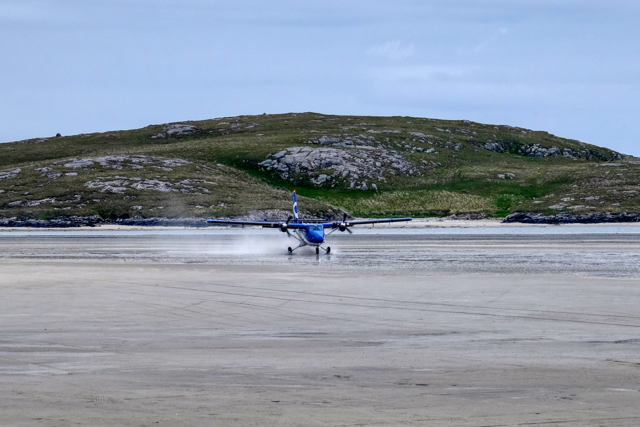
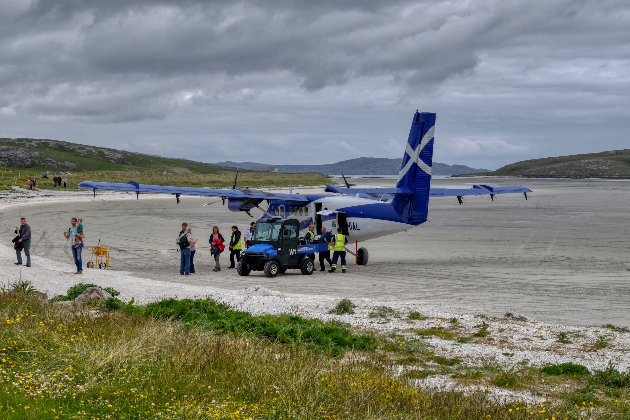 The passengers disembarked onto a sandy runway . . . as they have been doing since 1936. The only destination from this airport is Glasgow.
 And onward we drove north on these marvelous one lane roads.
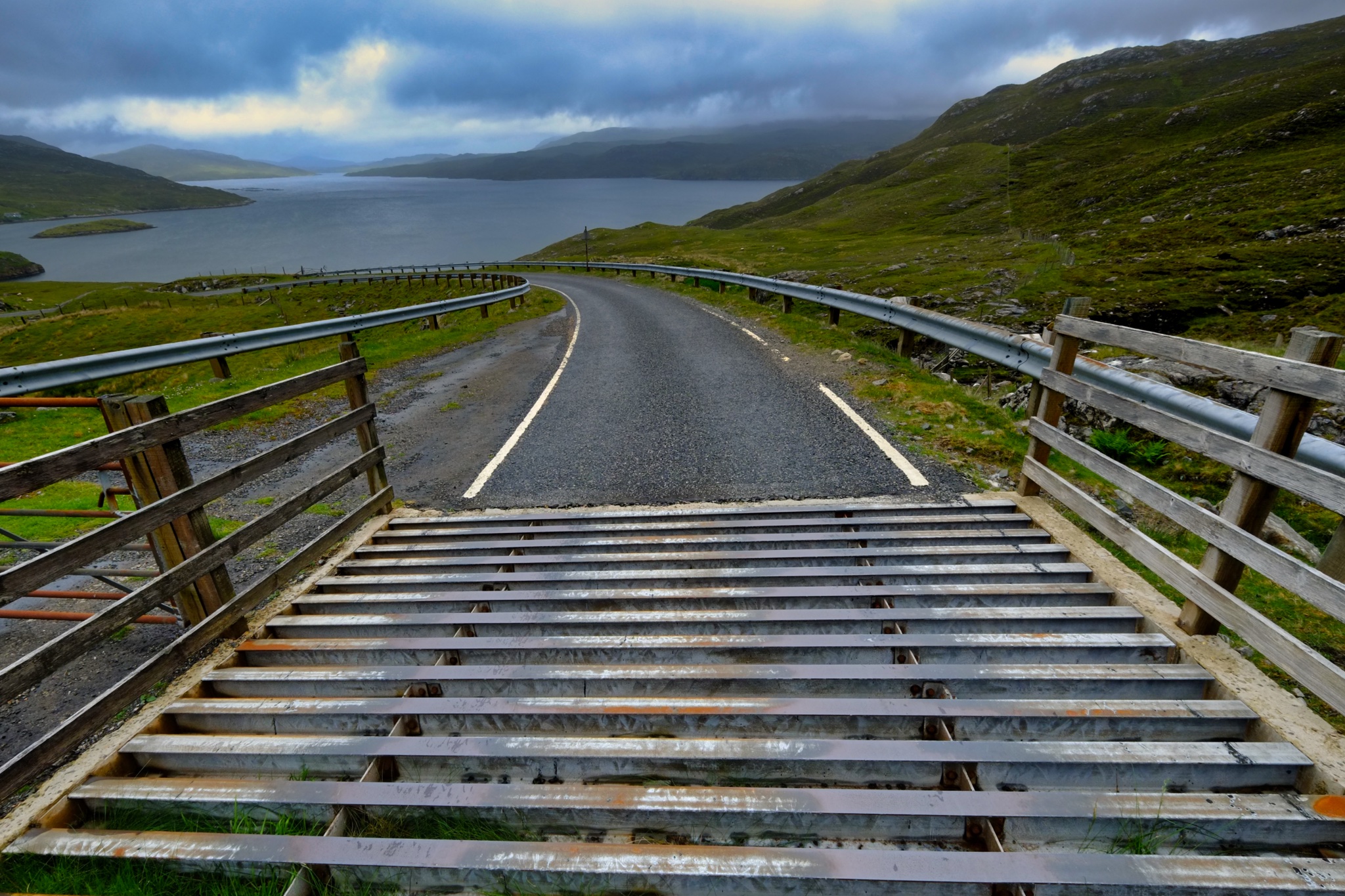 With sheep and Highland cows grazing everywhere, we encountered many of these 'cattle guards.'
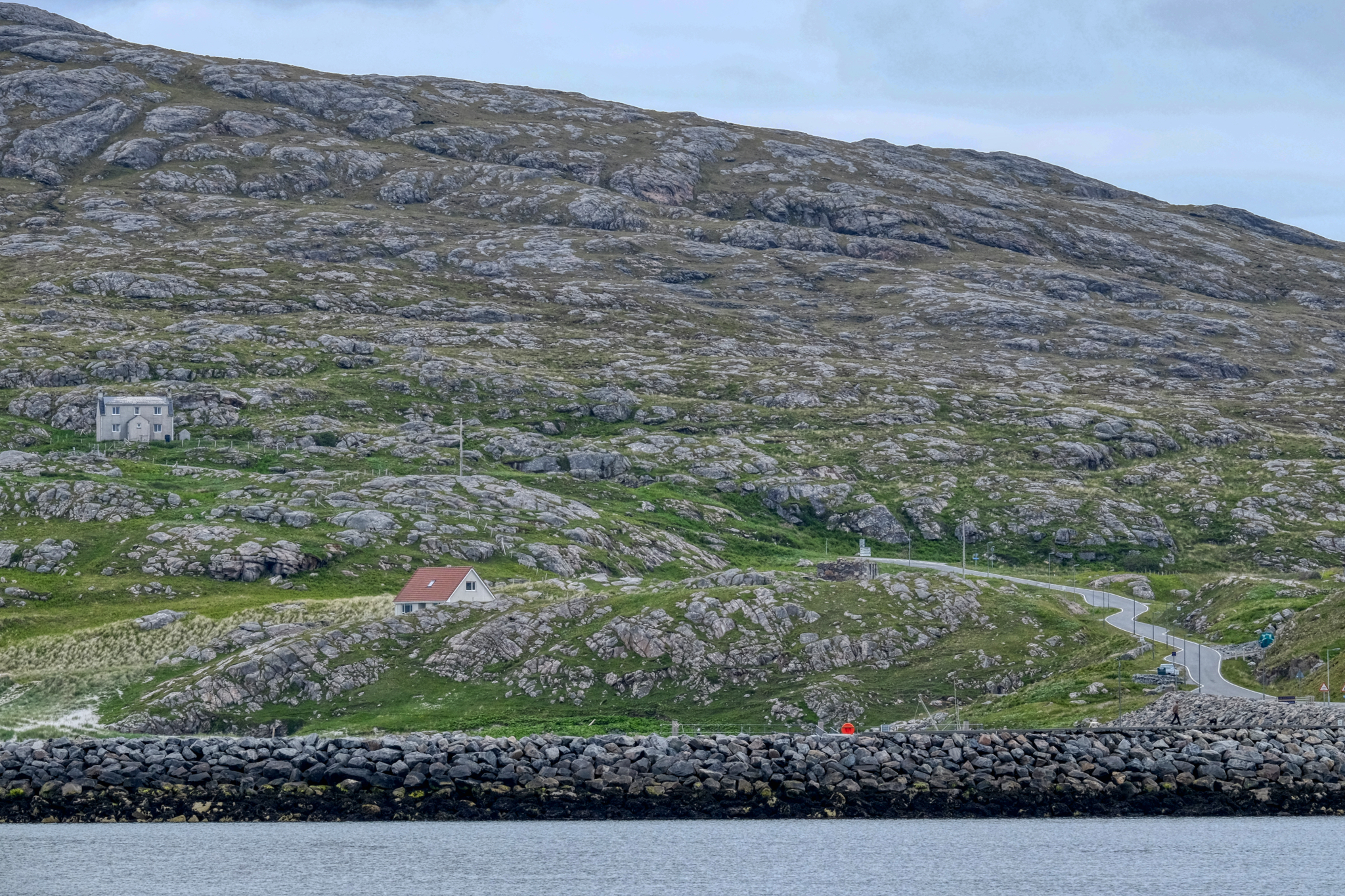
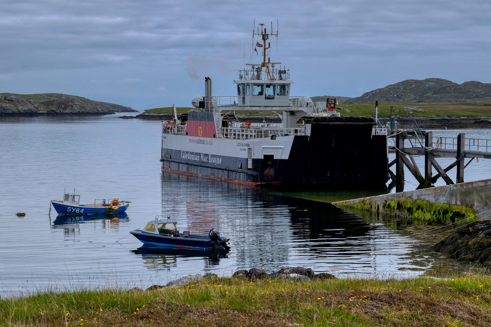 At the northern tip of Barra Island we reached the Ardmhor to Eriskay ferry. There are 5 round trips a day, each carrying only 18 vehicles. With only 90 possible places on this ferry to drive north up through the length of the Outer Hebrides, it is important to book in advance. We had.
 We arrived at the ferry terminal a little early . . . which allowed me some time to explore the area.
 Such a remote and fascinating place.
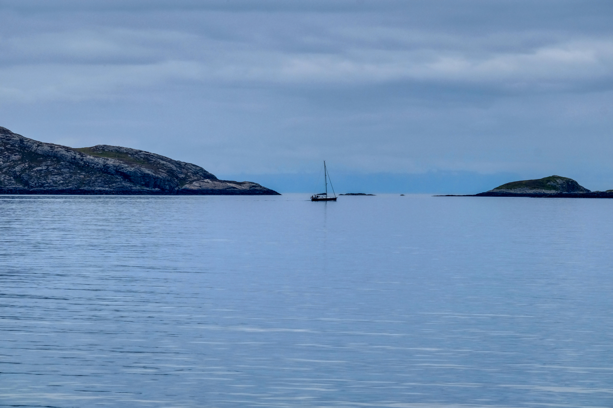
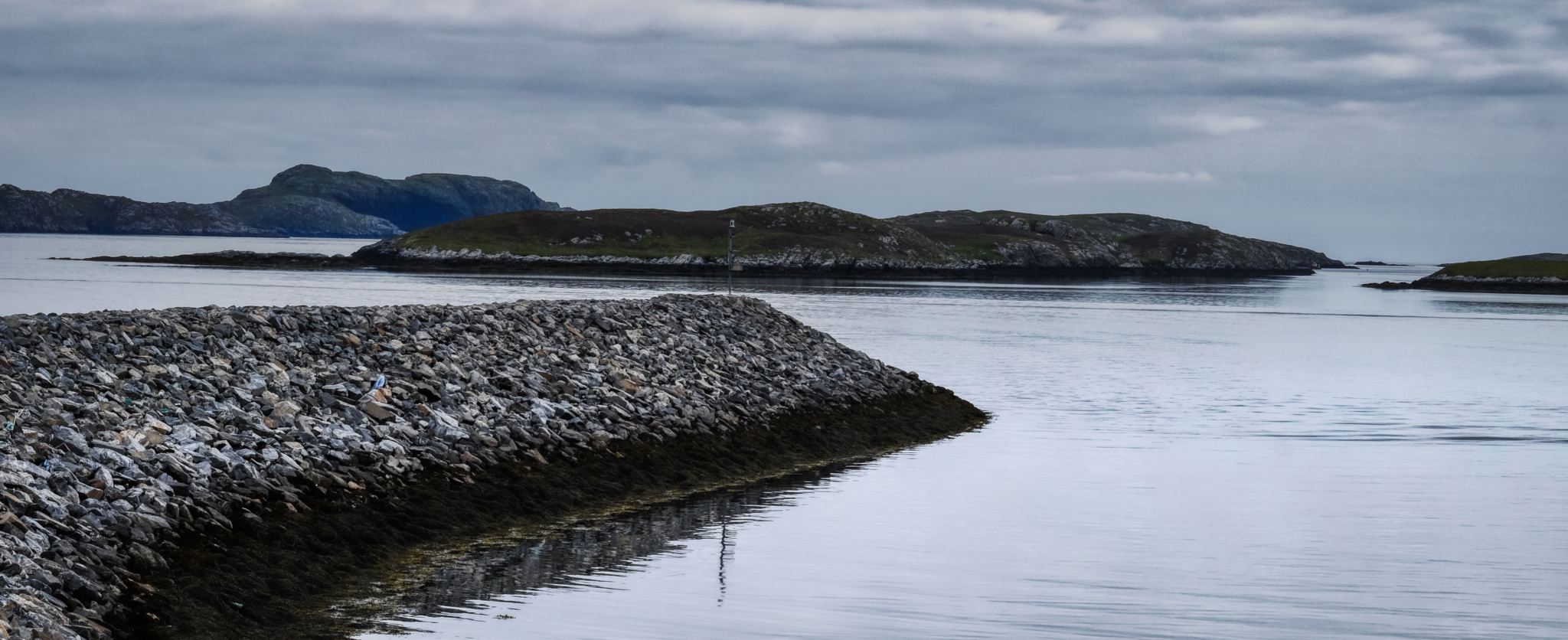 The sea always framed by outcrops of stone islands . . .
 The passage between Barra Island and Eriskay Island was eerily mystical . . .
 My memory of the passage was of the total silence . . . hardly a sound beyond the quiet thumping of the ferry diesel at work. Calm. Remote.
 There was a bit of commotion among my fellow passengers. Someone remarked, "Look. Seals." And there they were.
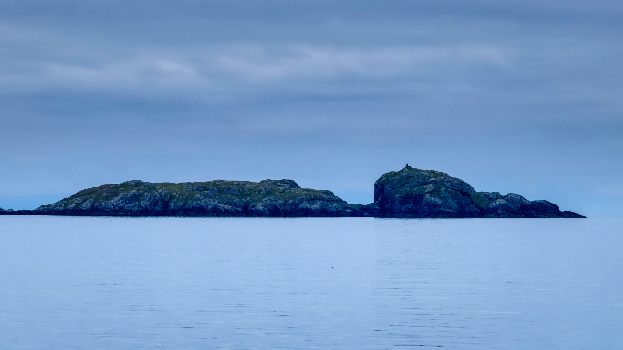
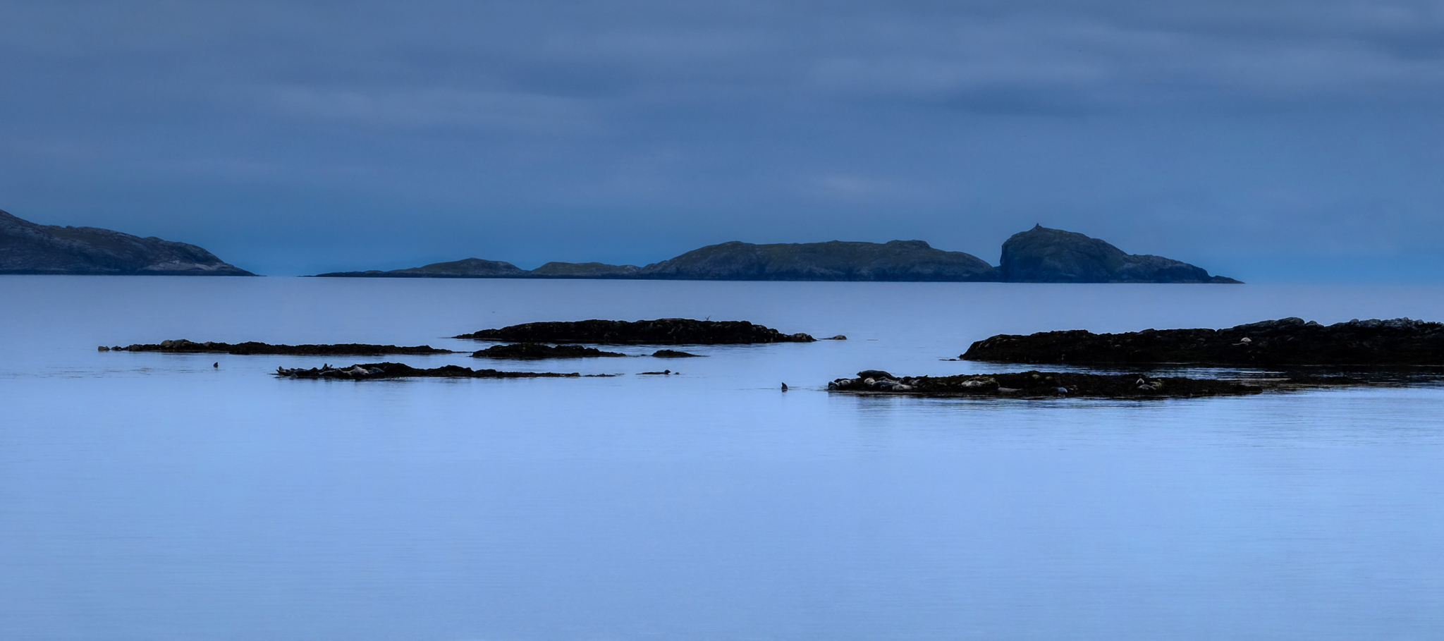
 A strange, captivating, natural beauty.
 Arriving on the Isle of Eriskay.
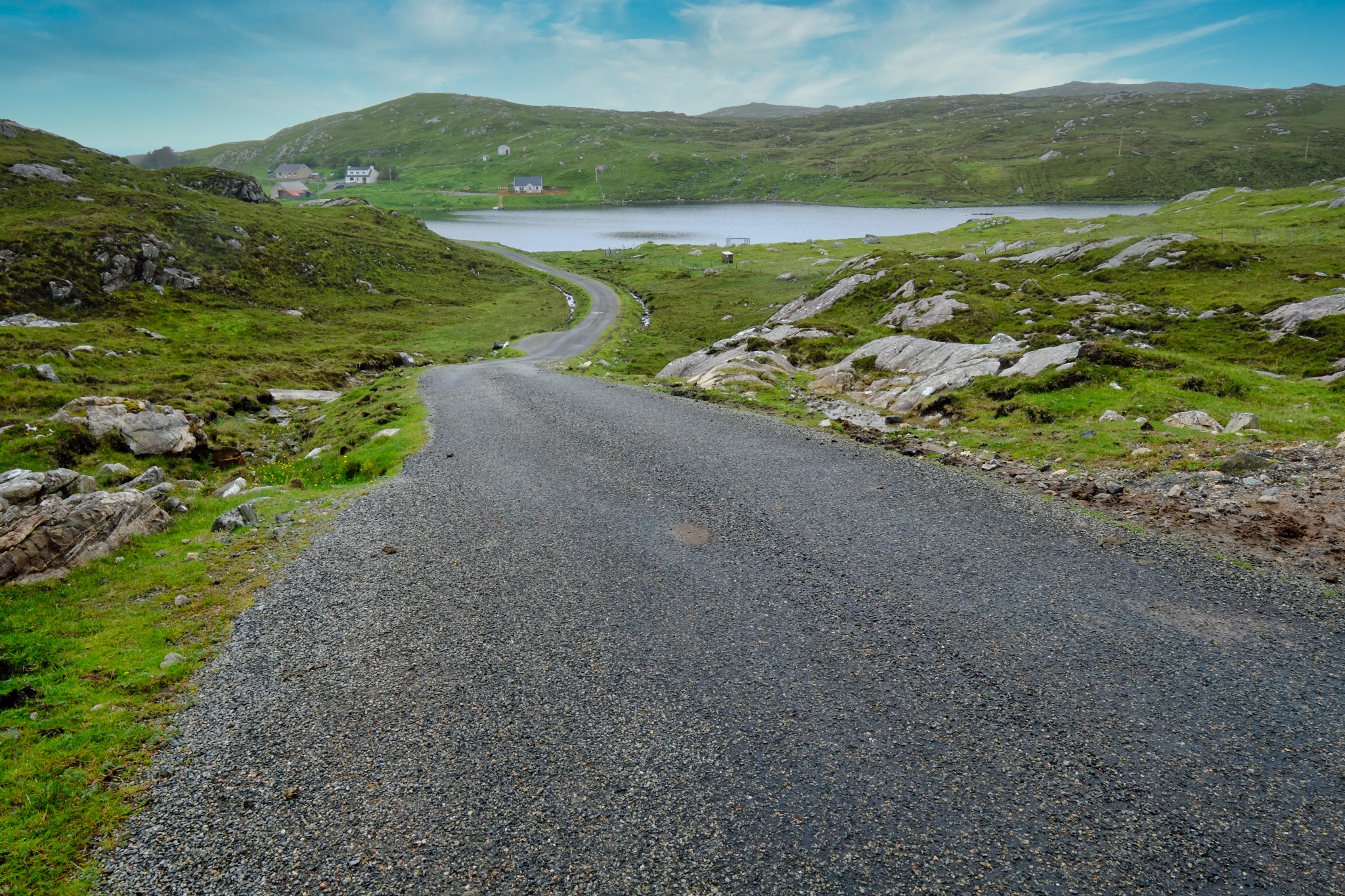
 Rocky, barren hillside . . . and the one-lane road that will take us further up the Outer Hebrides chain of islands.
 We quickly crossed Eriskay Island and drove up and across a causeway to South Uist Island.
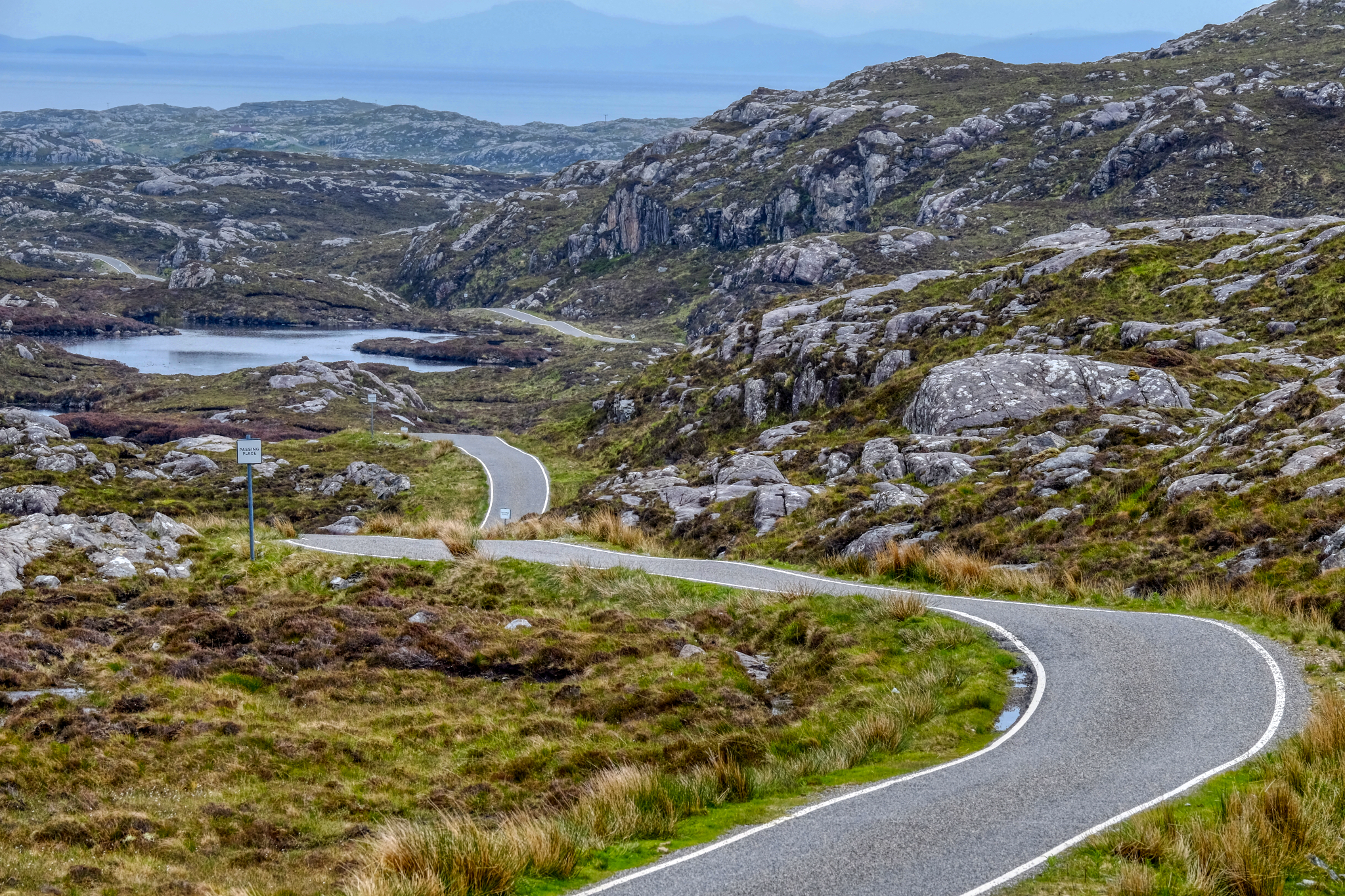 I absolutely loved driving on these narrow, winding, one-lane roads through this unique topography.
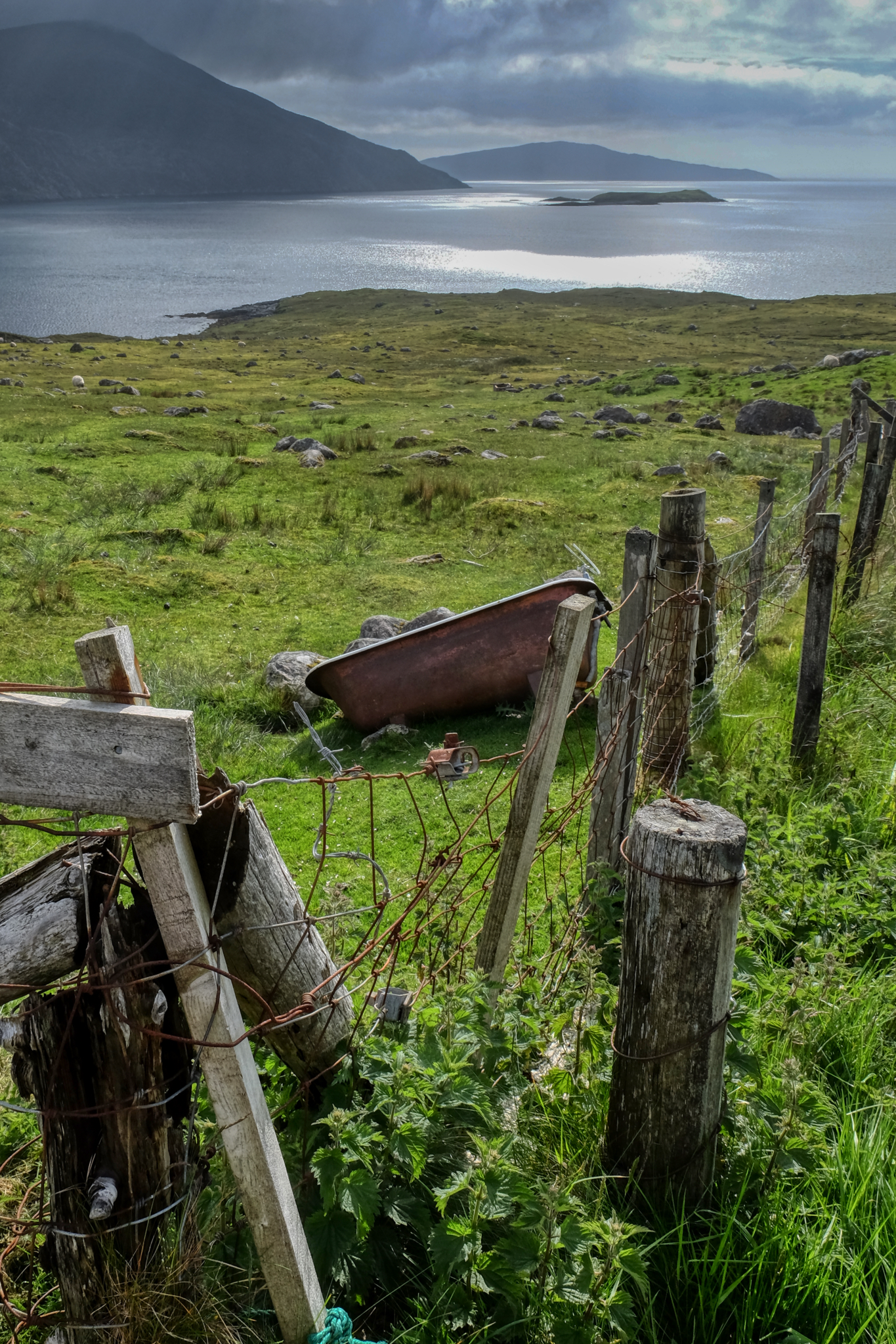
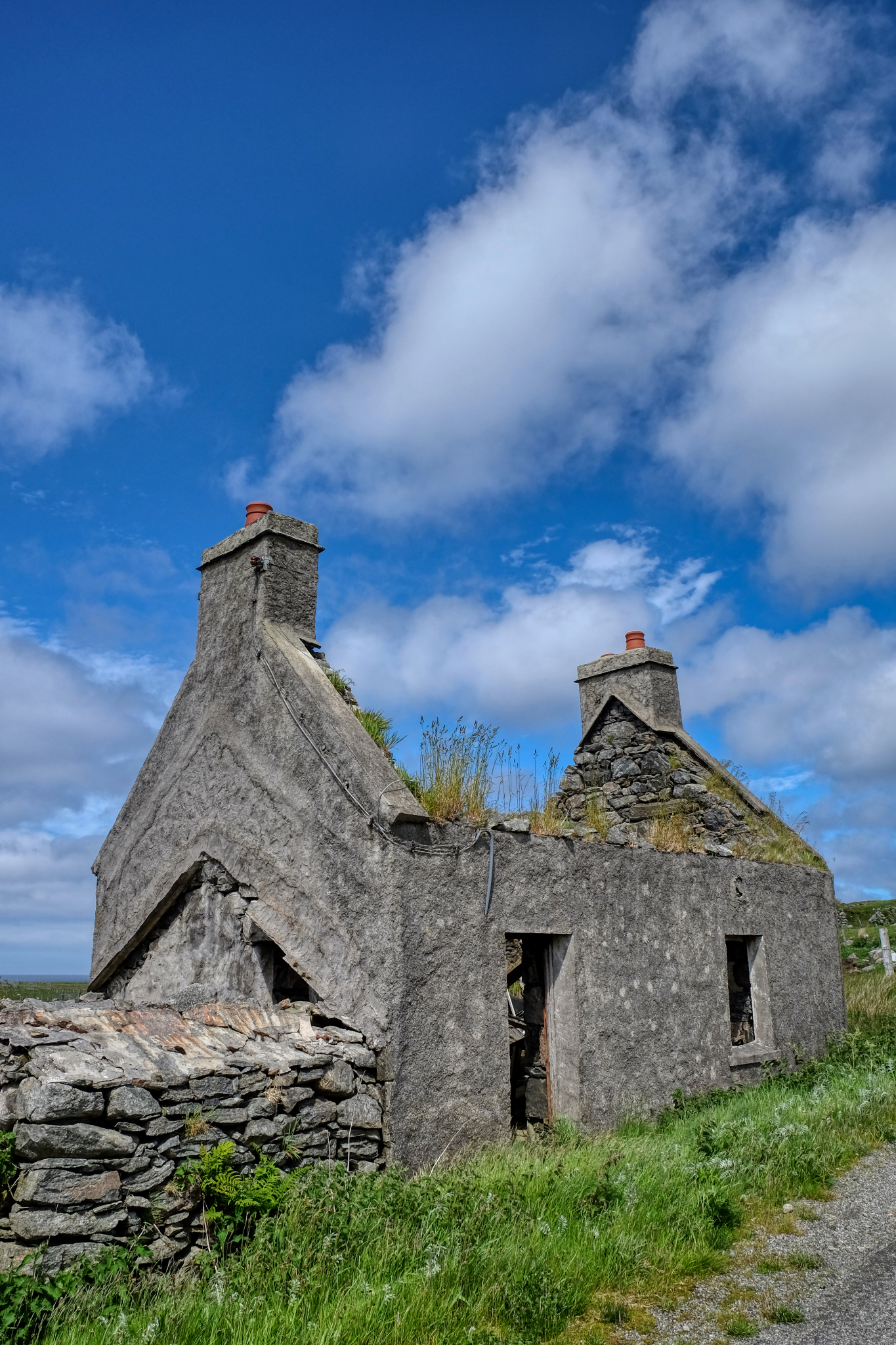
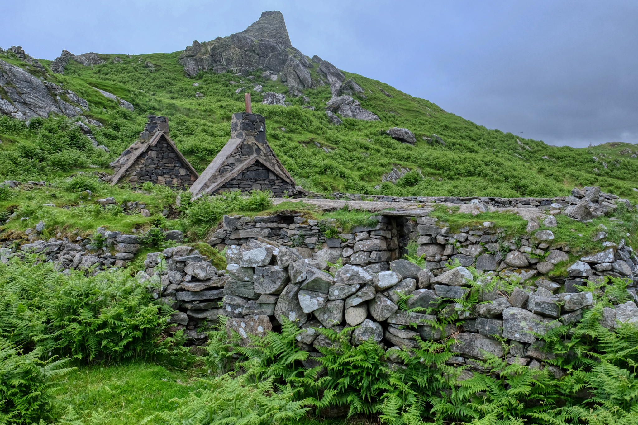 The remains of an old stone crofters house . . . and a stone tower on the hilltop.
 Midsummer flowers, grey skies, dilapidated stone ruins . . . . The Isle of Lewis.
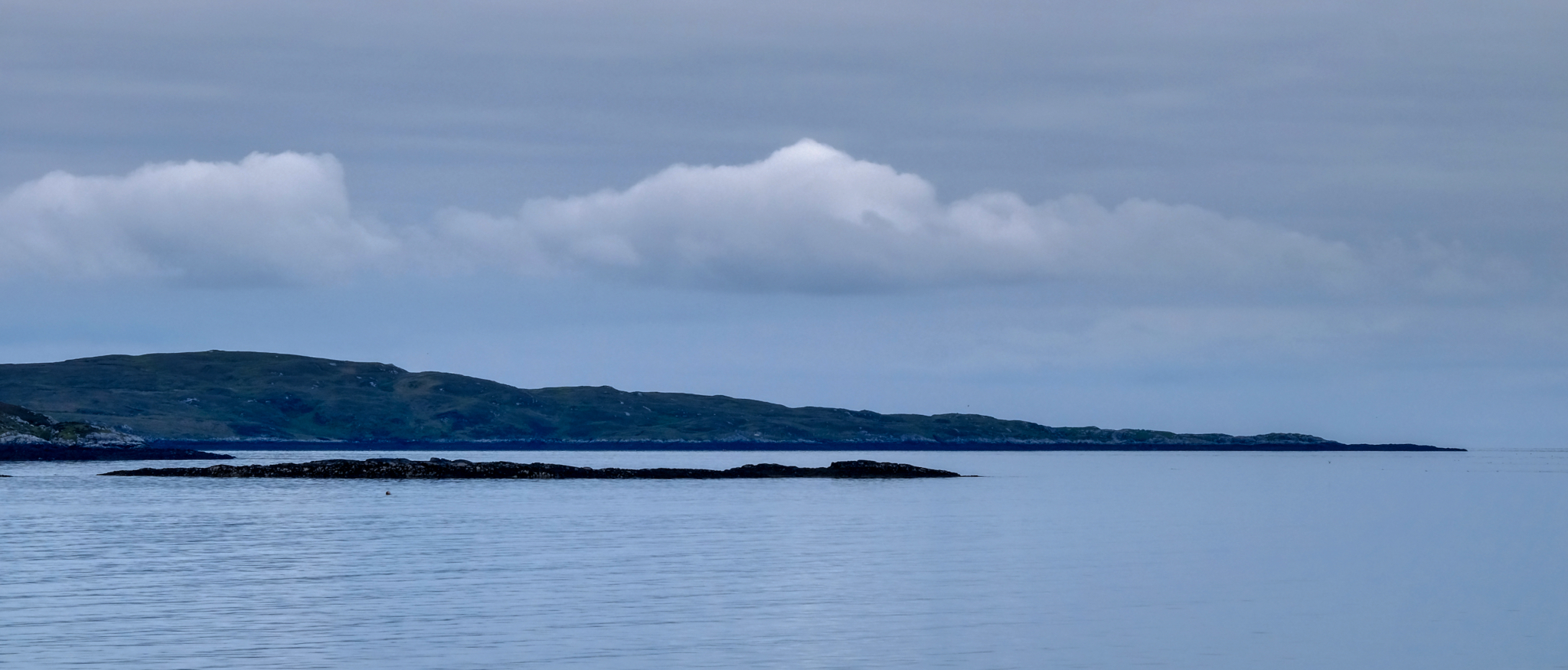
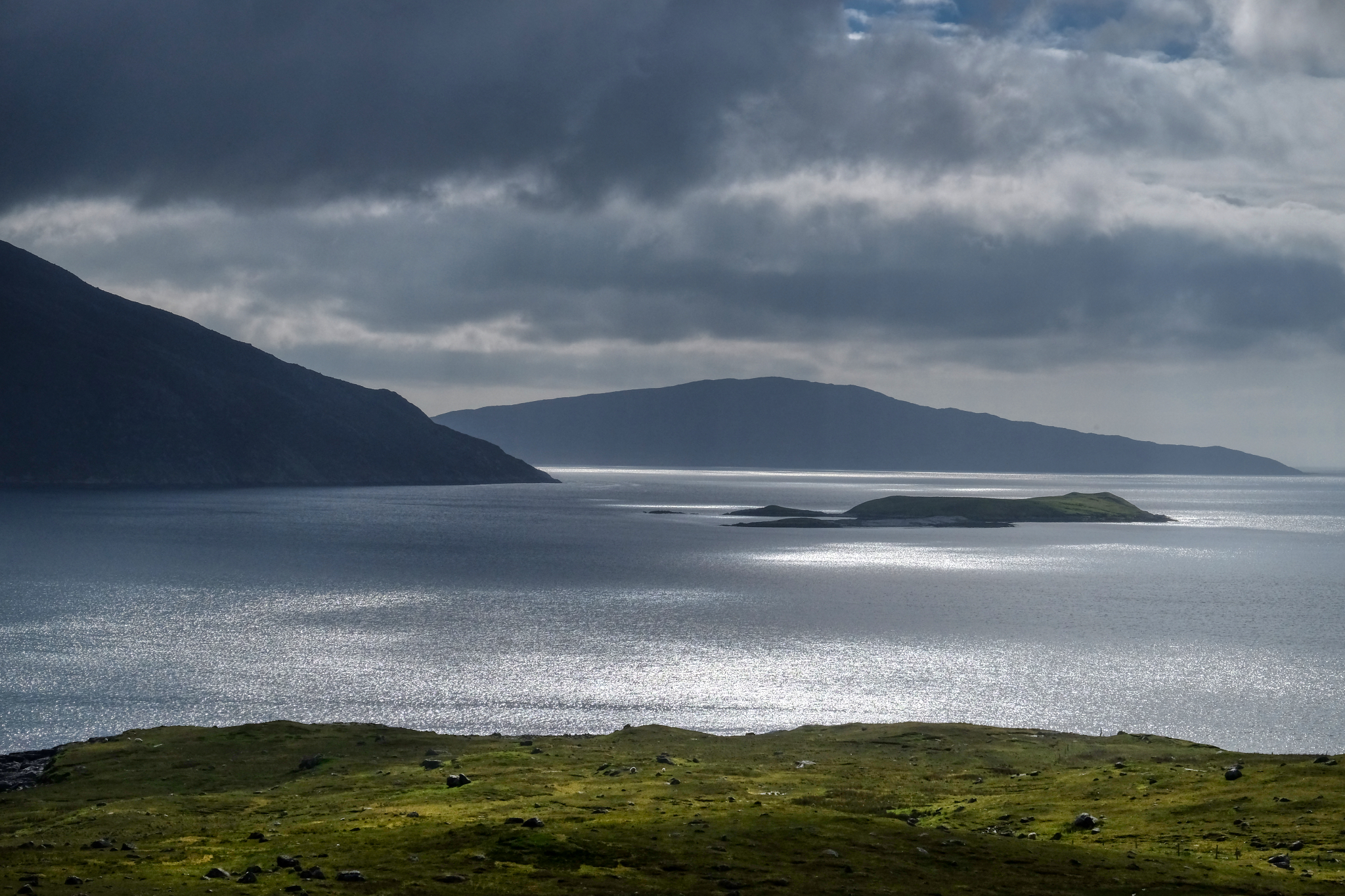
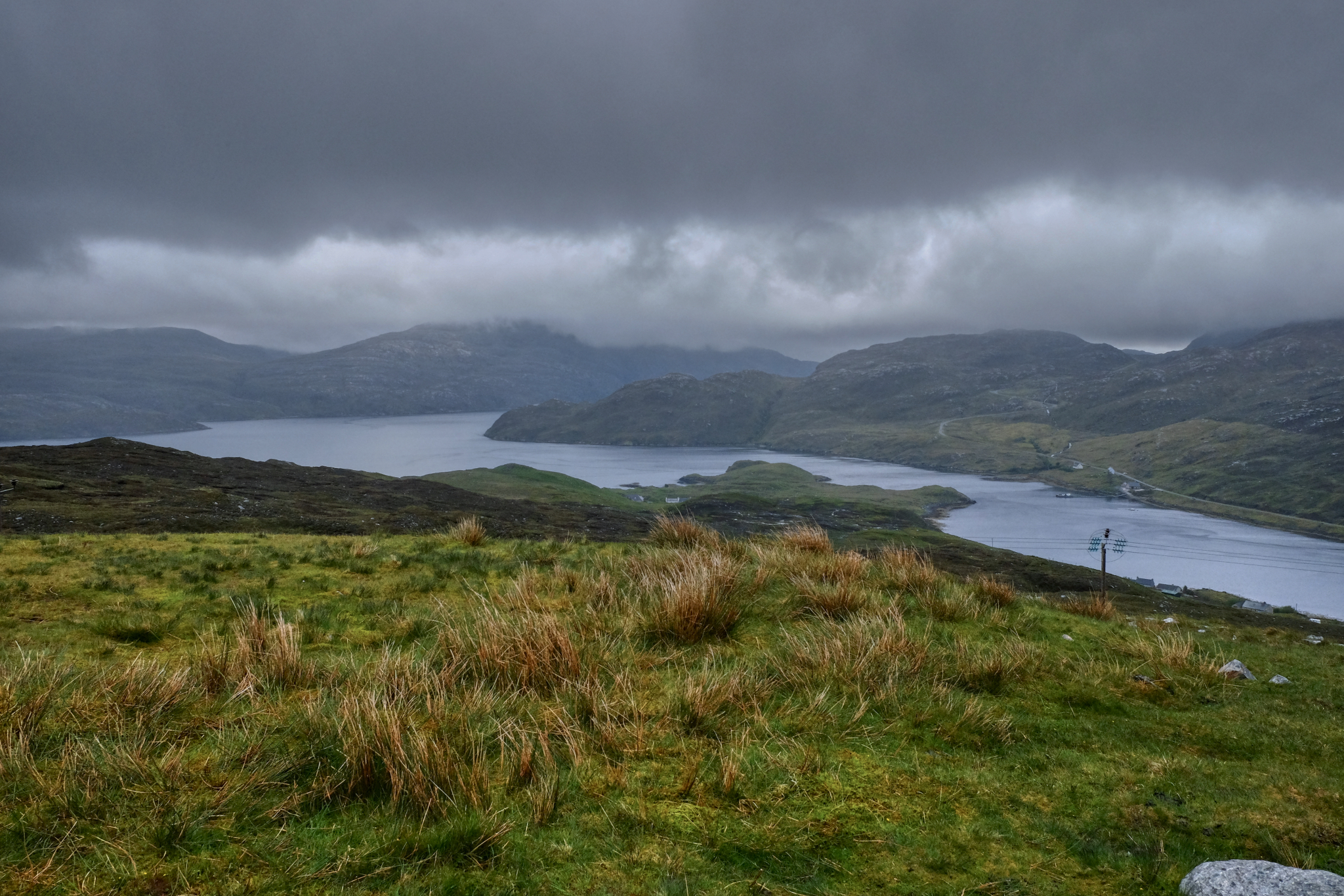
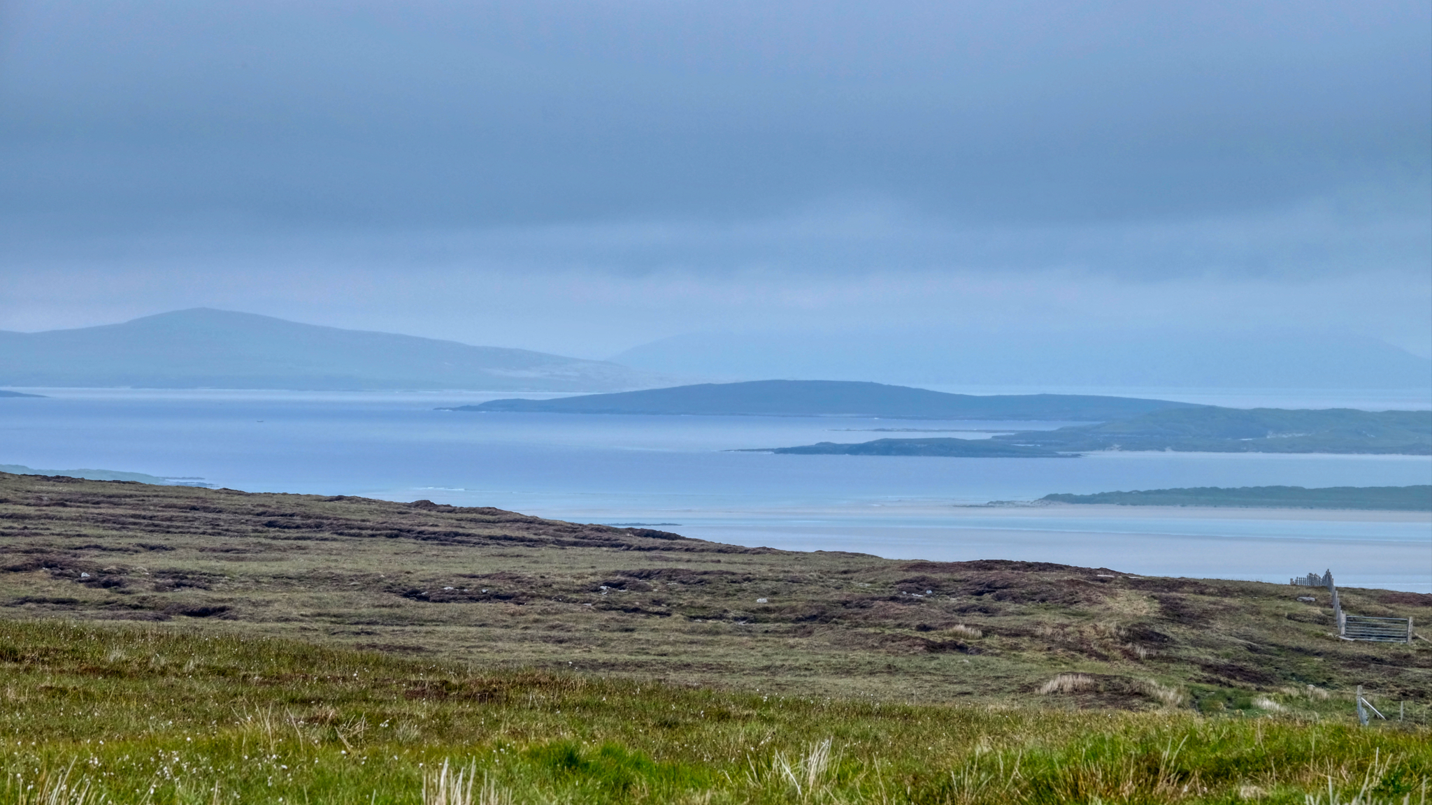
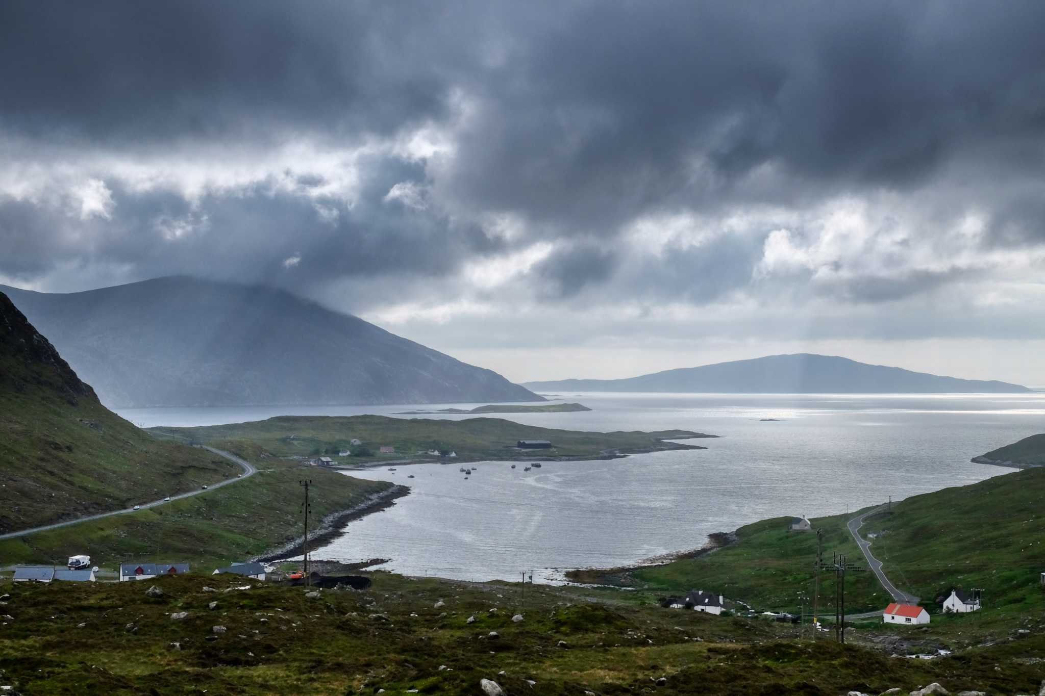
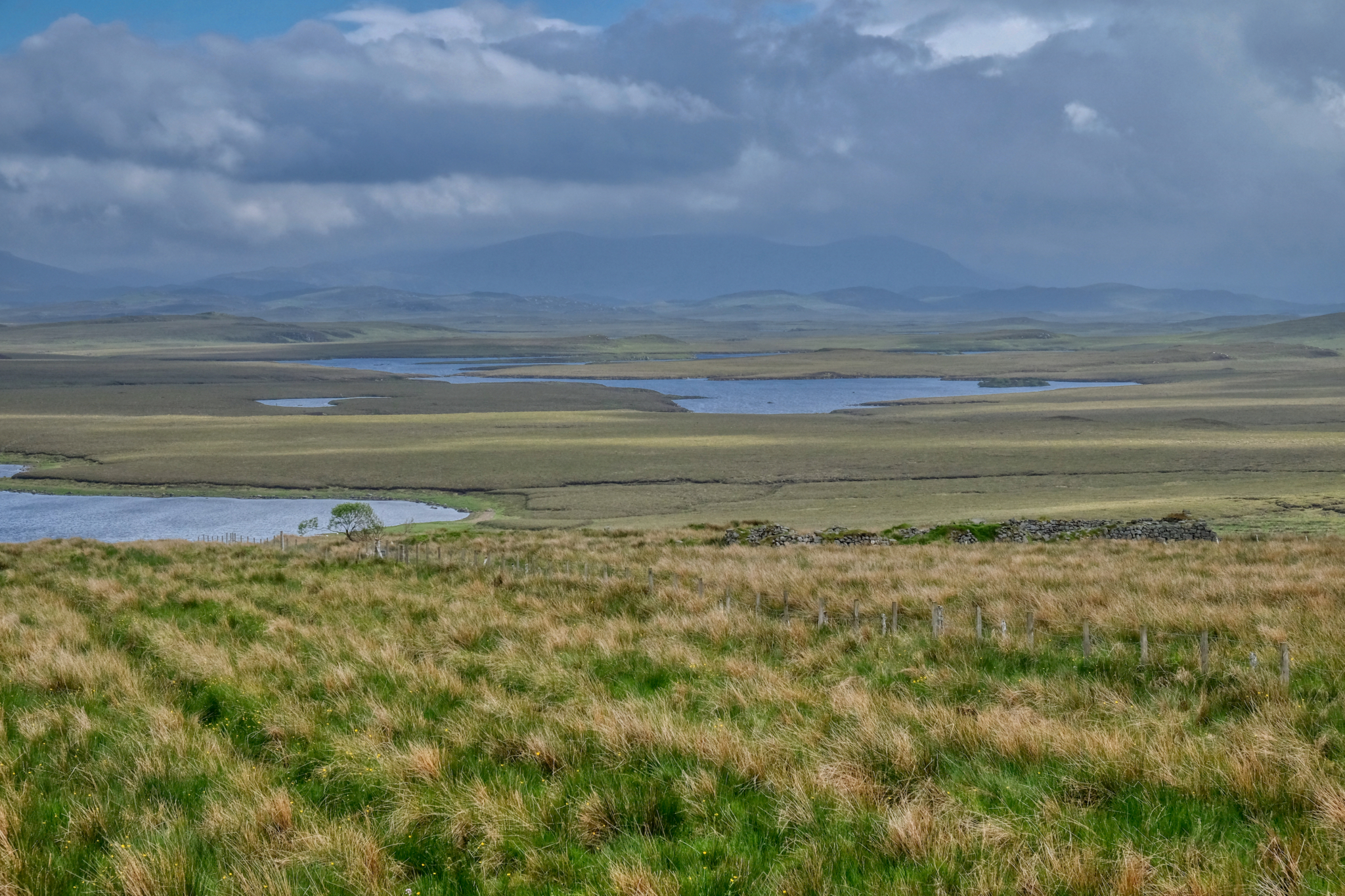
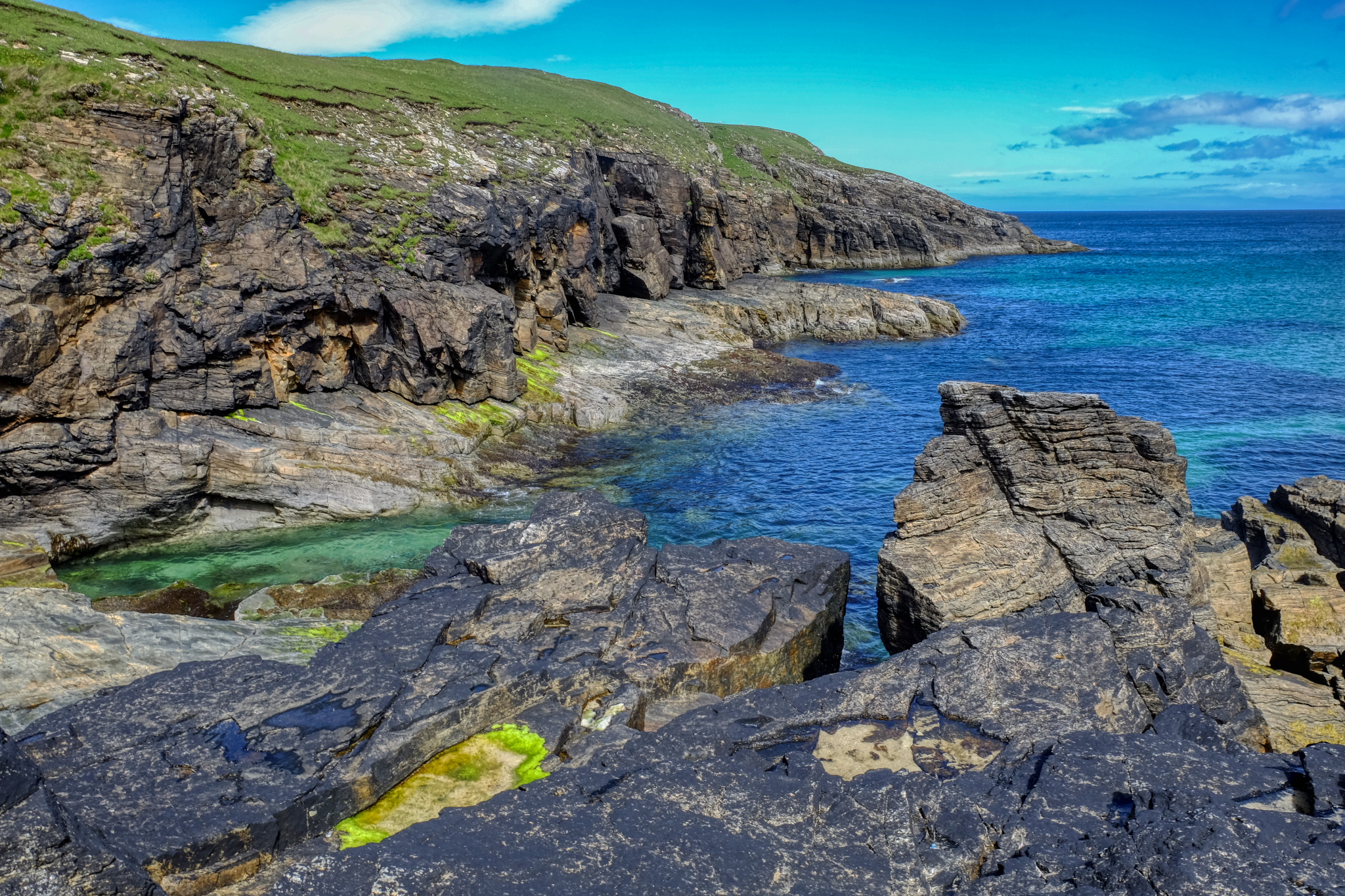
 In and around mountain passes, sudden grand views out across the bays to the outlying islands. Magnificent scenery. Like no other place I have ever been.
 Grand views like no place else.
 Patches of light on the sea . . .
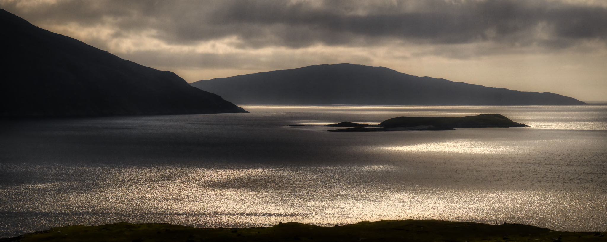 I am not usually partial to added photo 'artsy' technique, but this scene seemed to demand a sepia tone. Amazing.
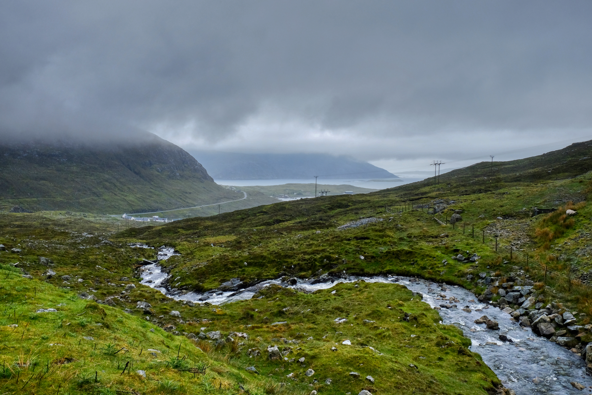 Driving up the small winding road along side a rushing stream . . . .
 And around the bend at the hilltop . . . another magnificent view of a picturesque inlet . . . in the rain.
 Wet sheep . . . everywhere . . .
 Wild Hebridean stream running down out of the rugged hills.
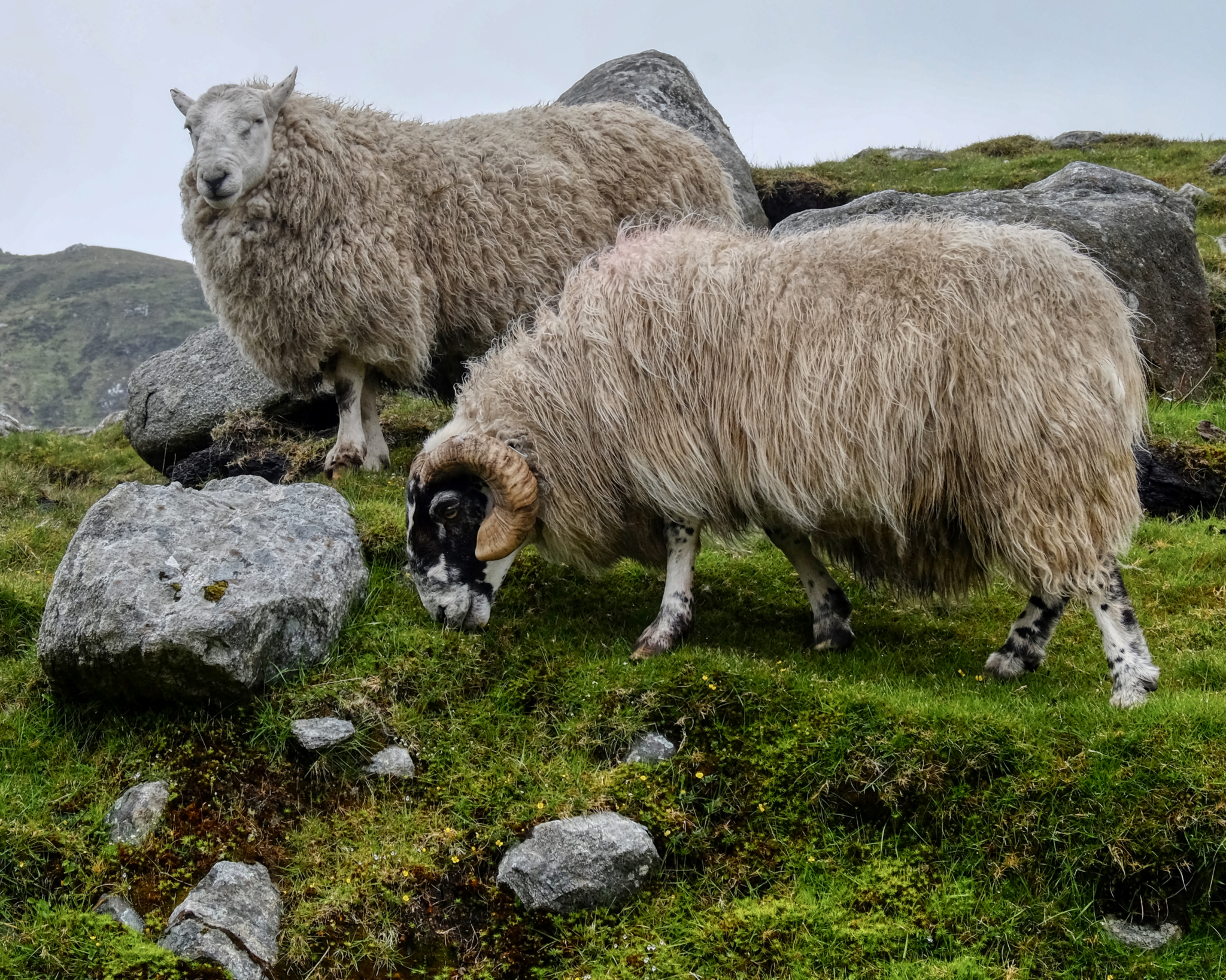 Portrait of two wet sheep. Why not?
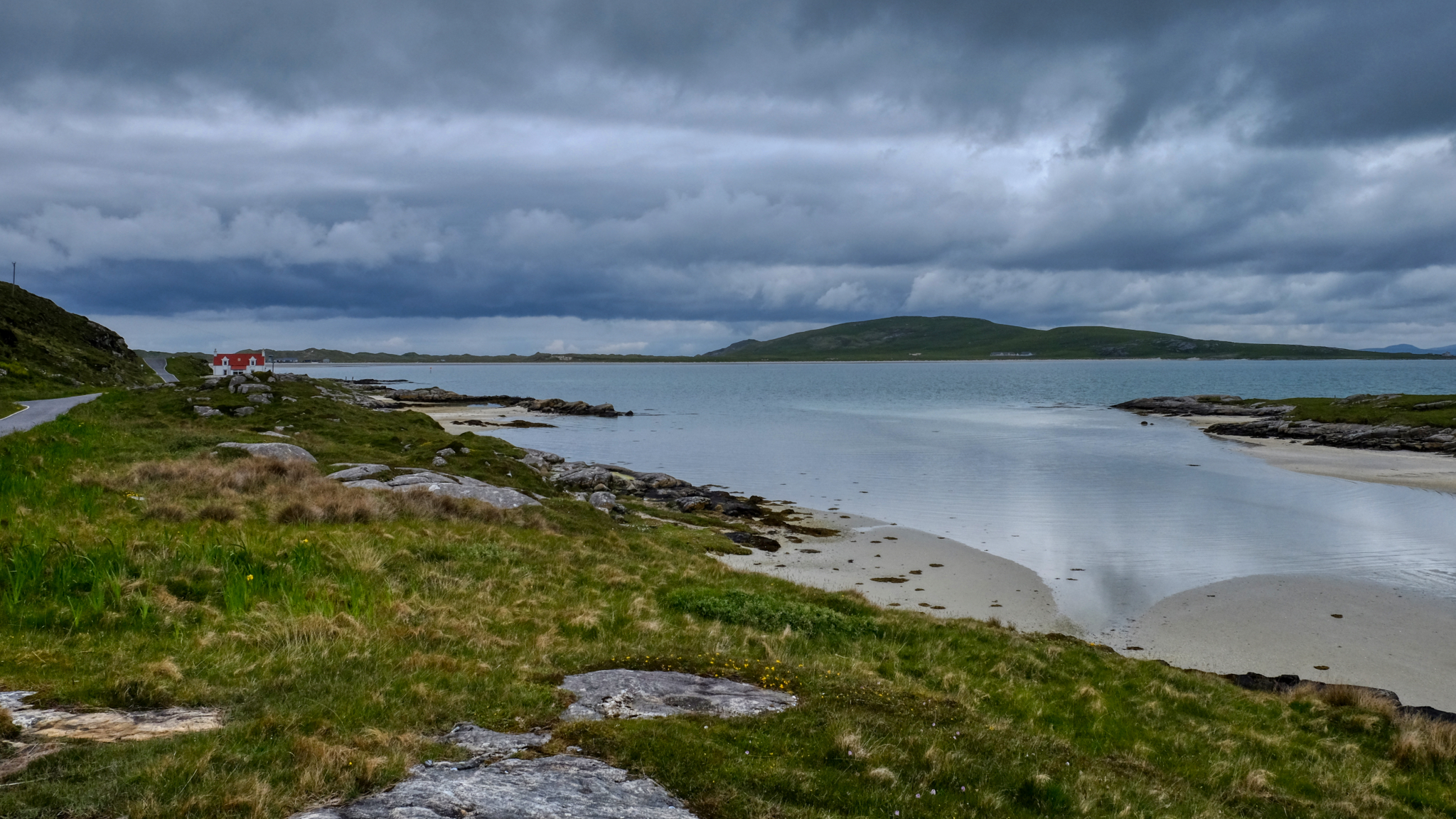
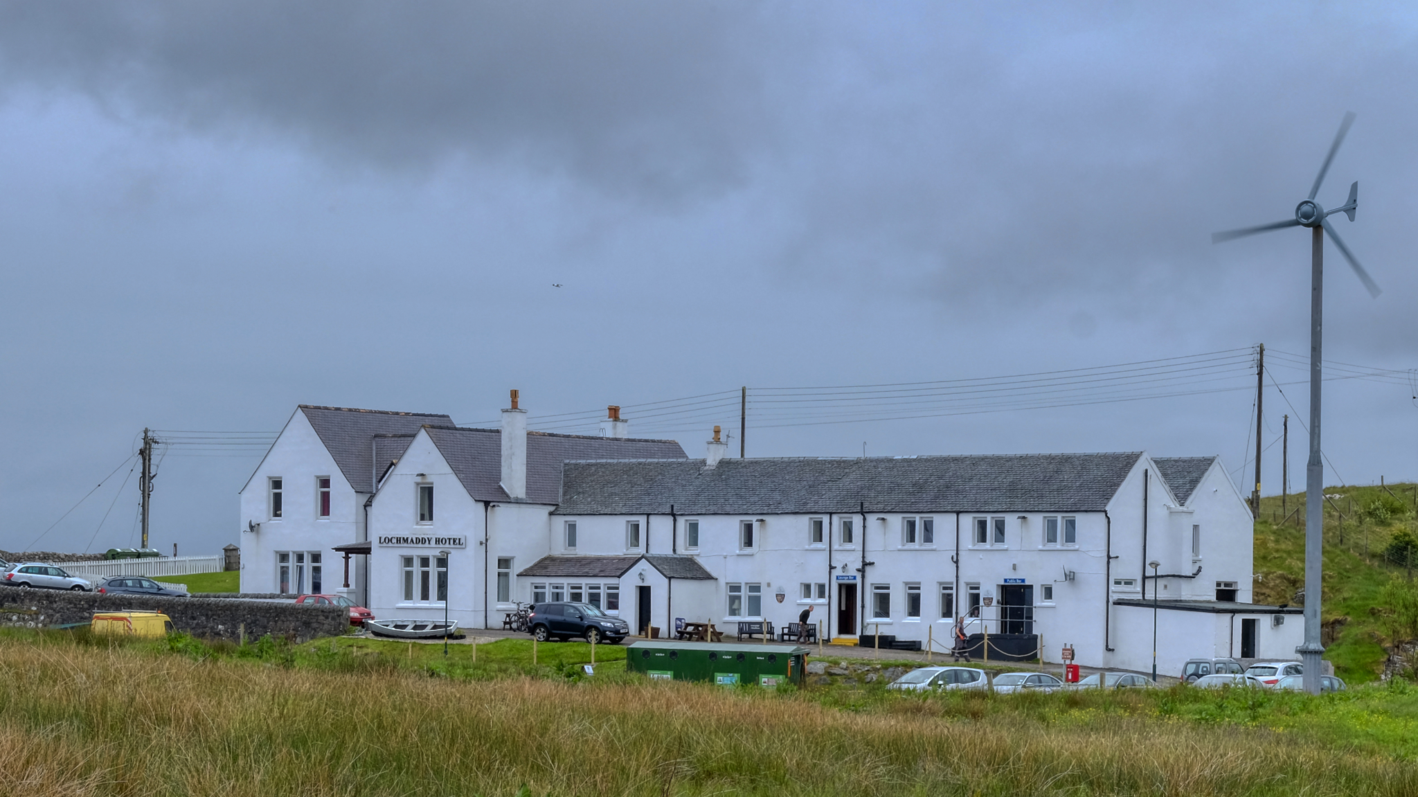 We spent one night at the charming and remote Lochmaddy Hotel on North Uist Island.
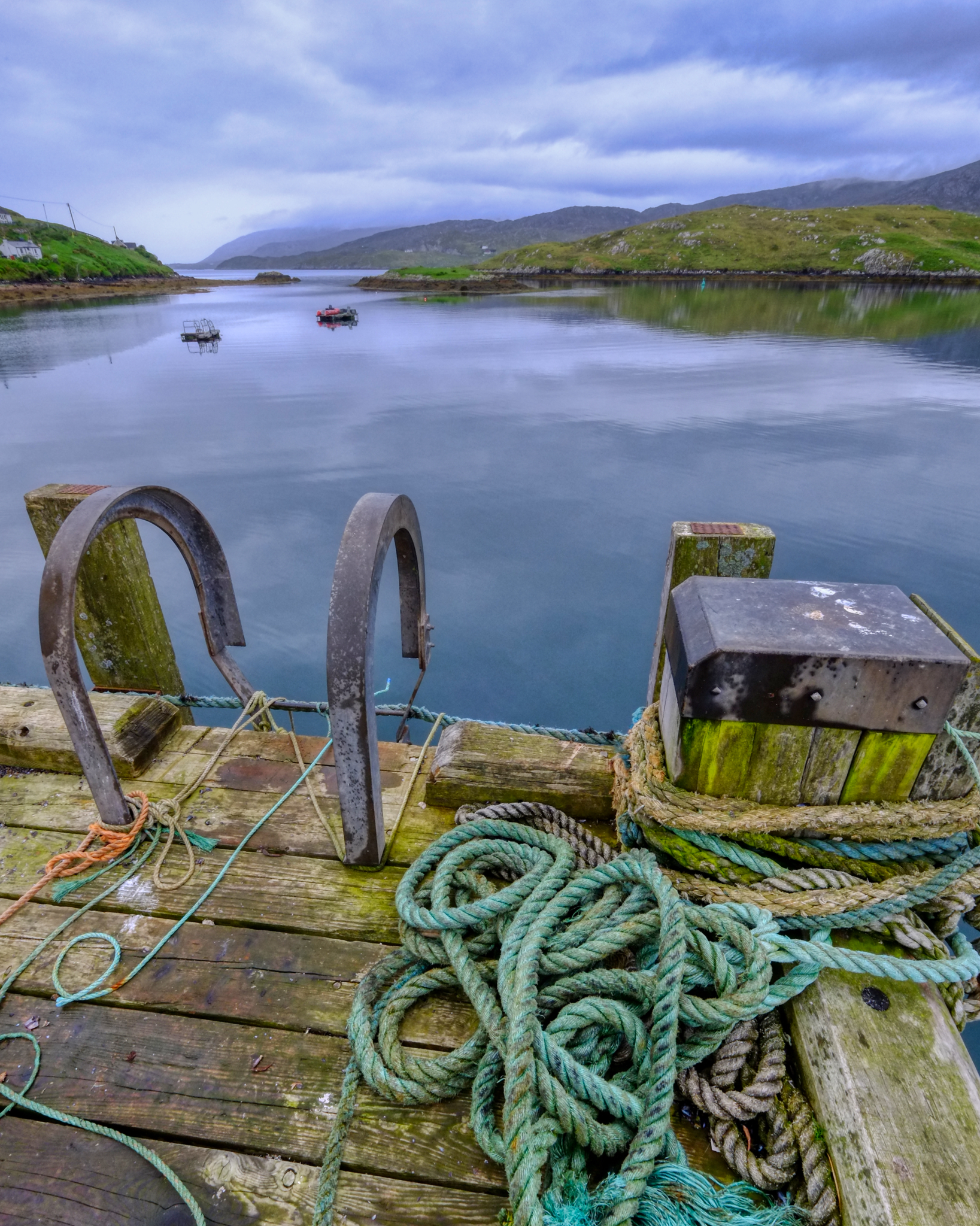
 Out along the rocky bay.
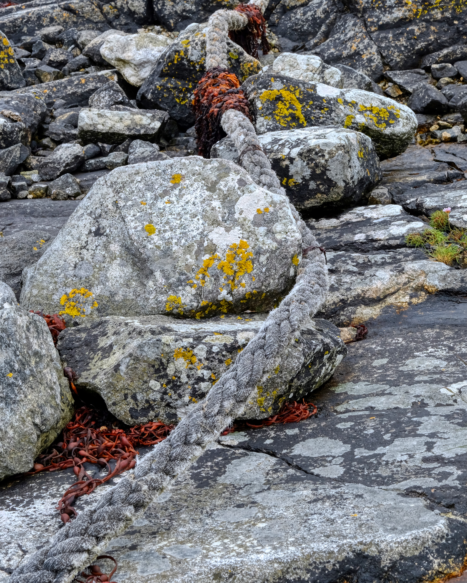 Rope mooring and stones.
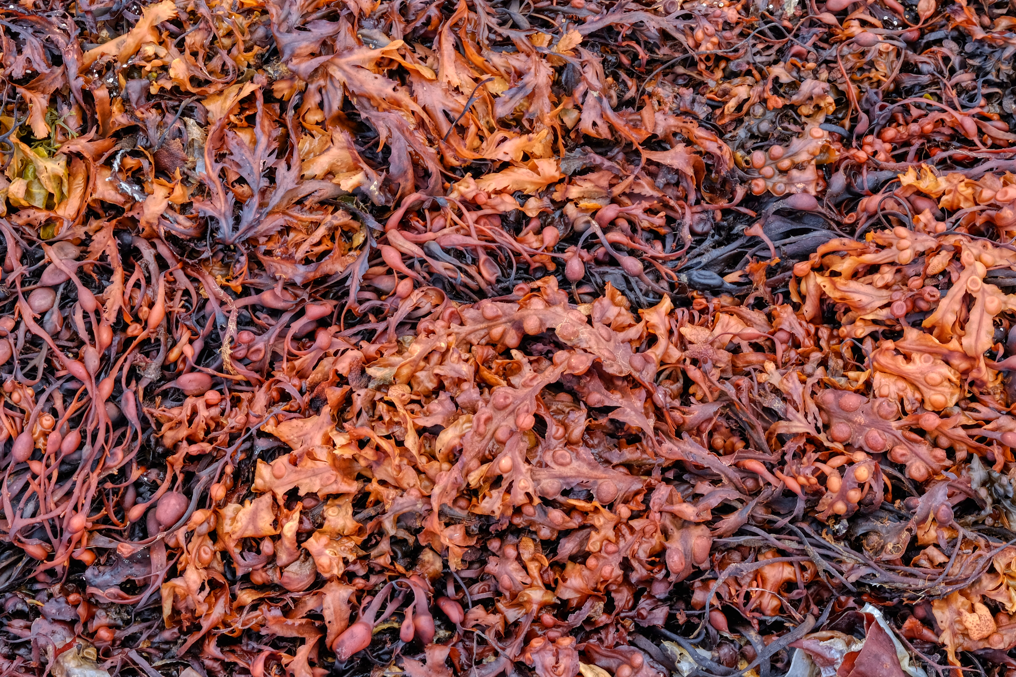 Incredibly fascinating seaweed in a North Uist bay.
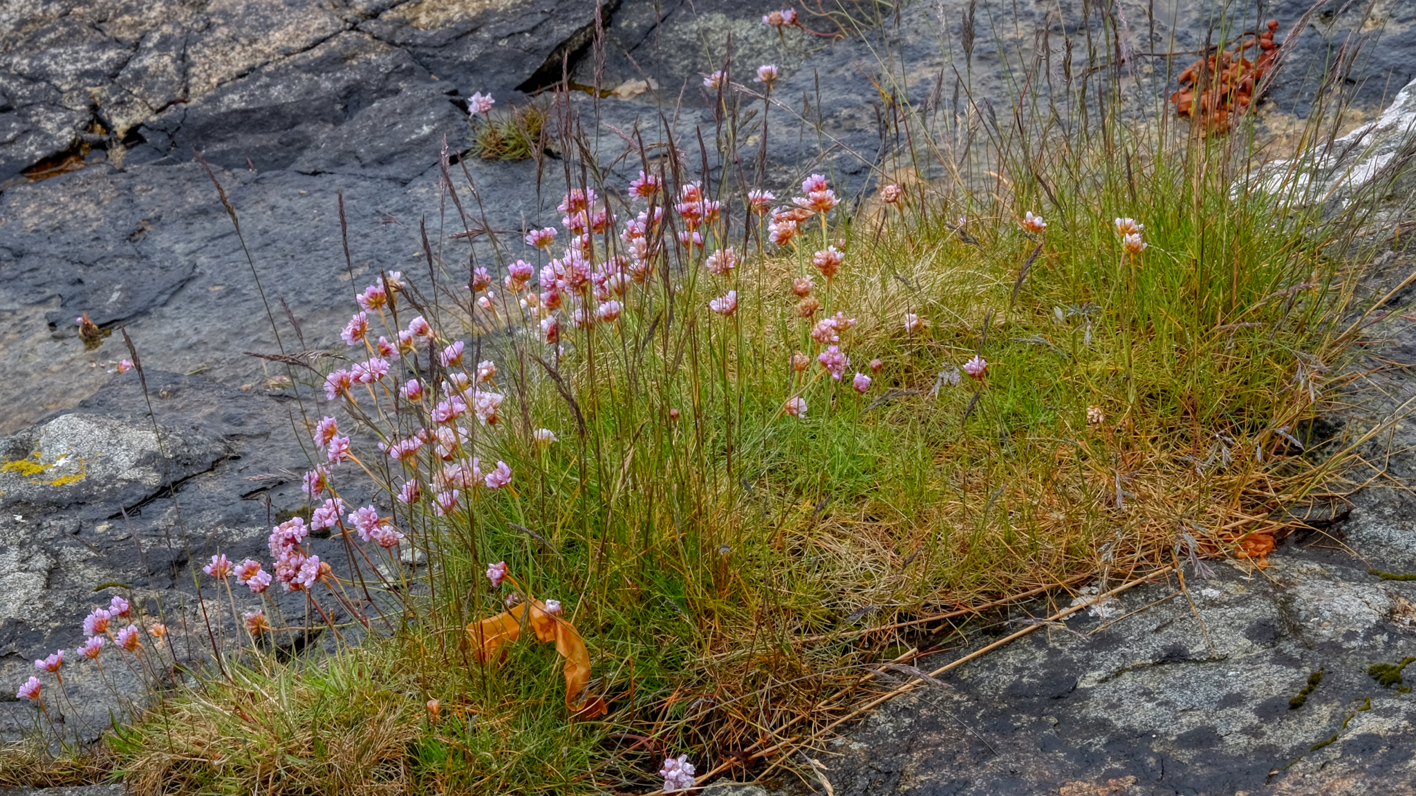 Wild flowers growing in the stony shore.
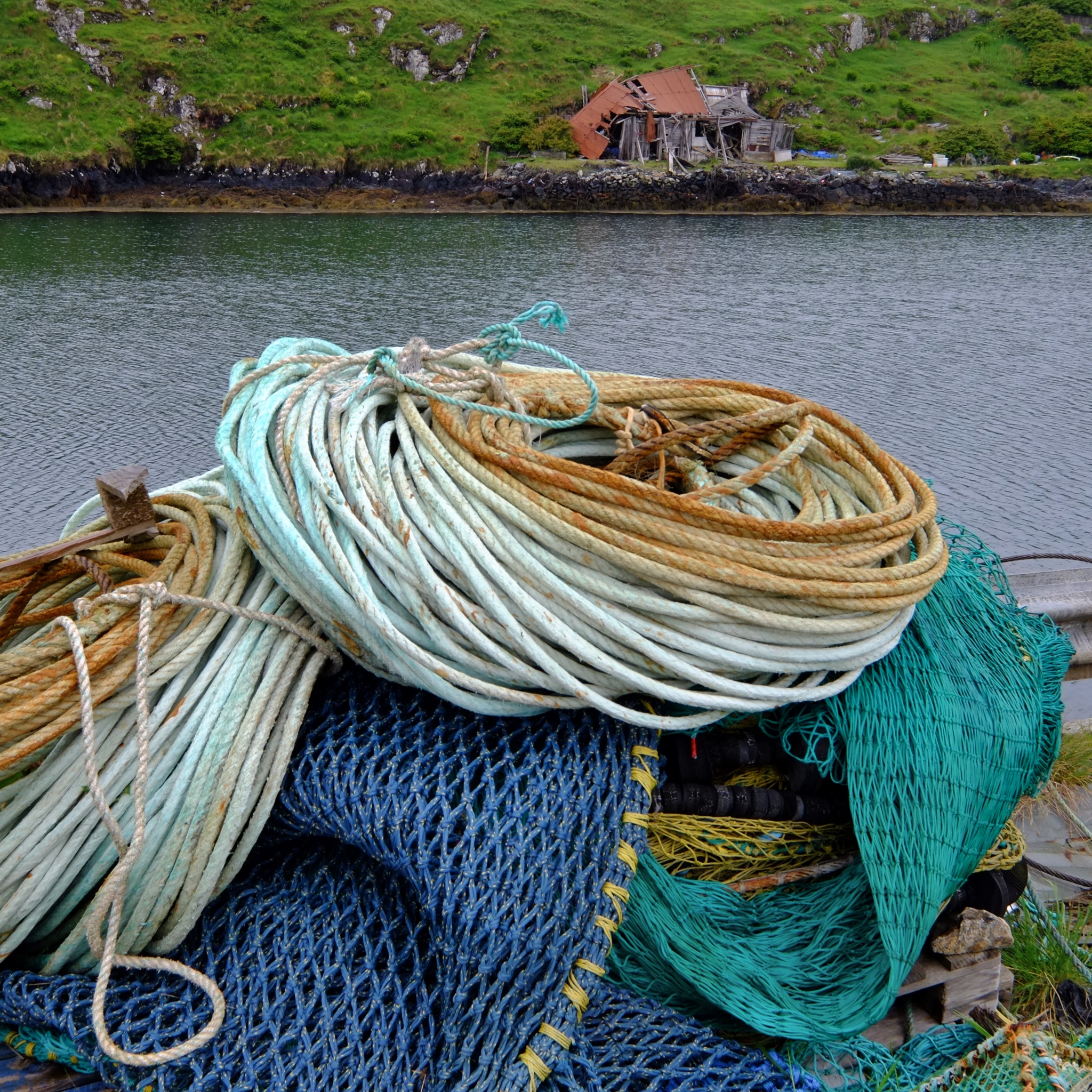
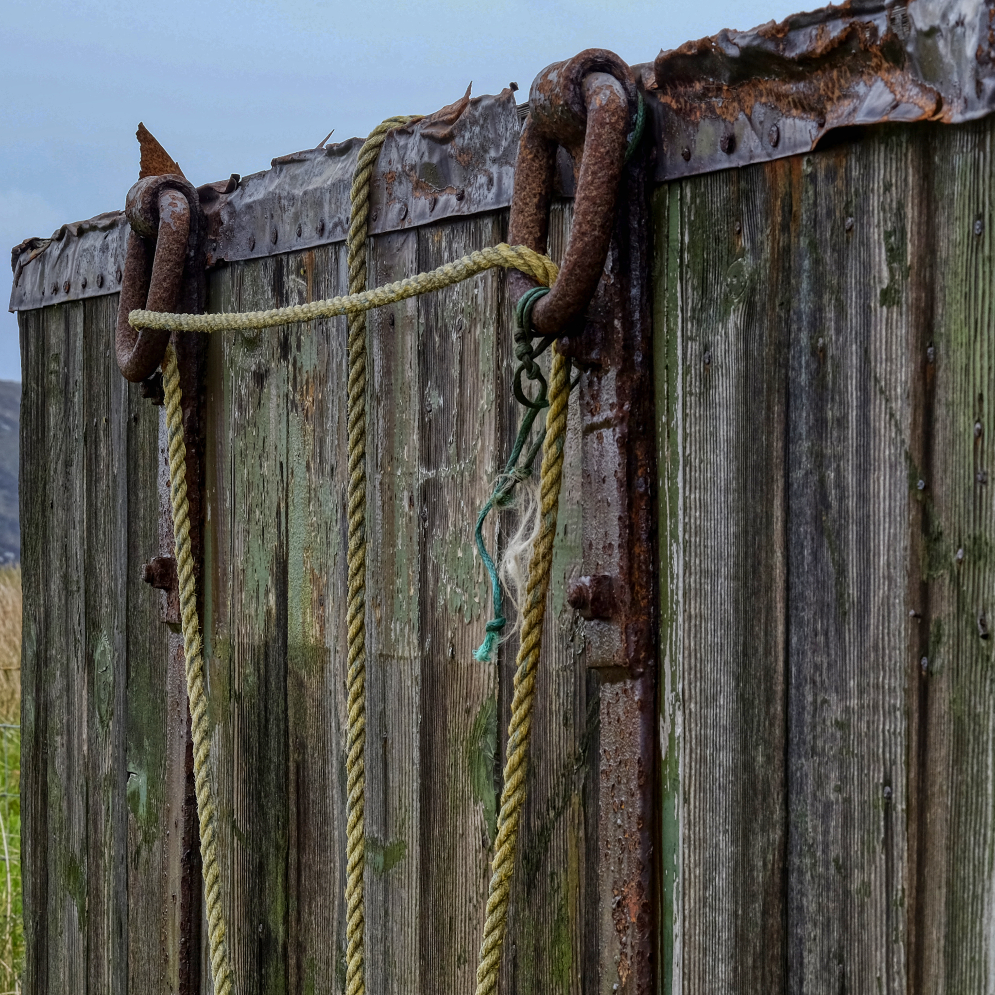 Leftover signs of fishermen long gone.
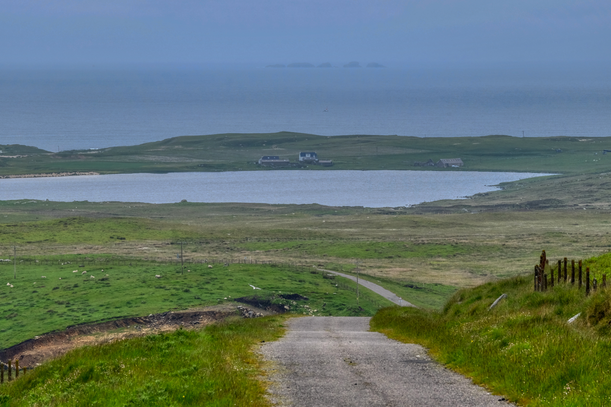 Off we went in the morning mist on the tiny roads . . .
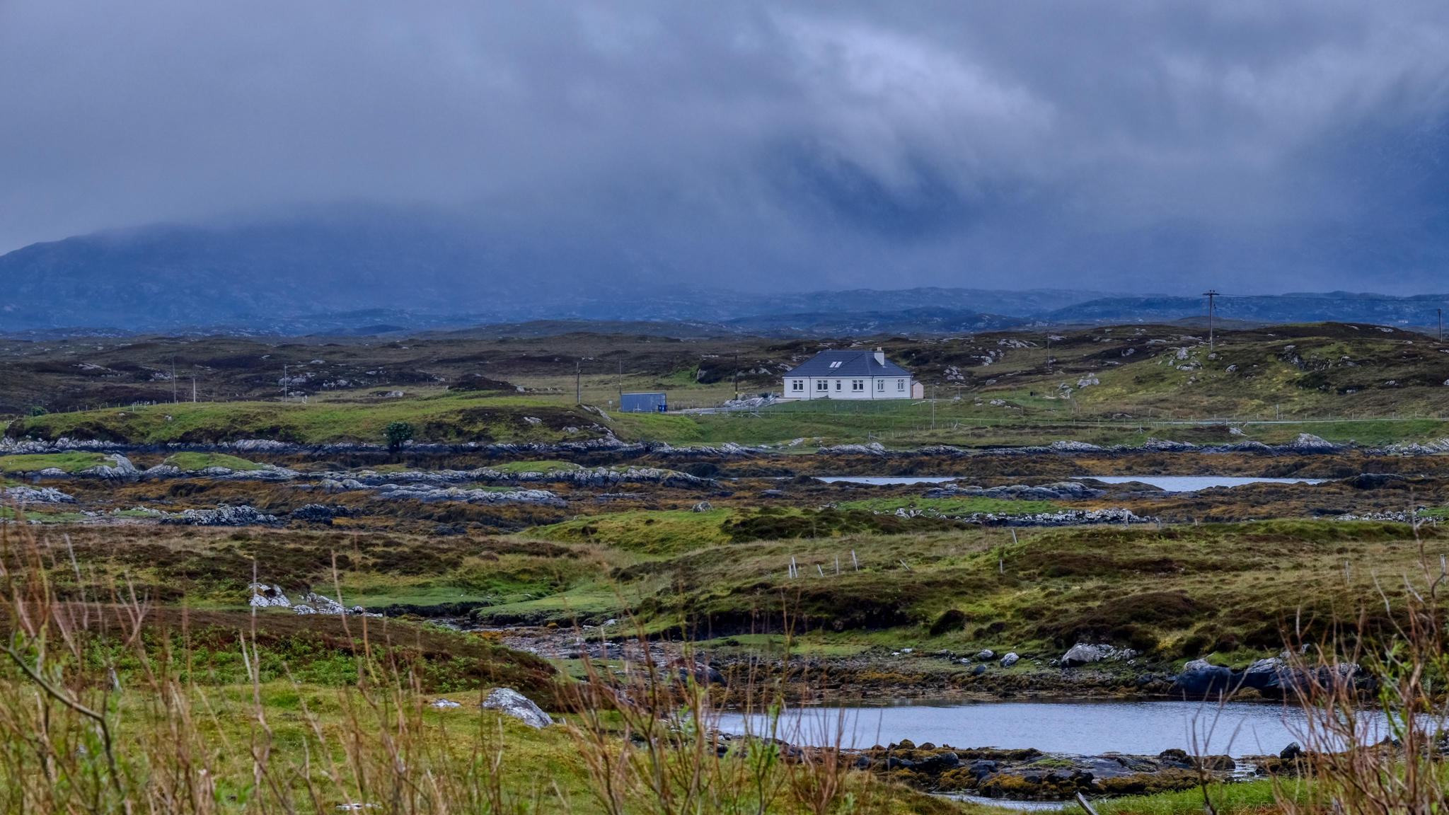
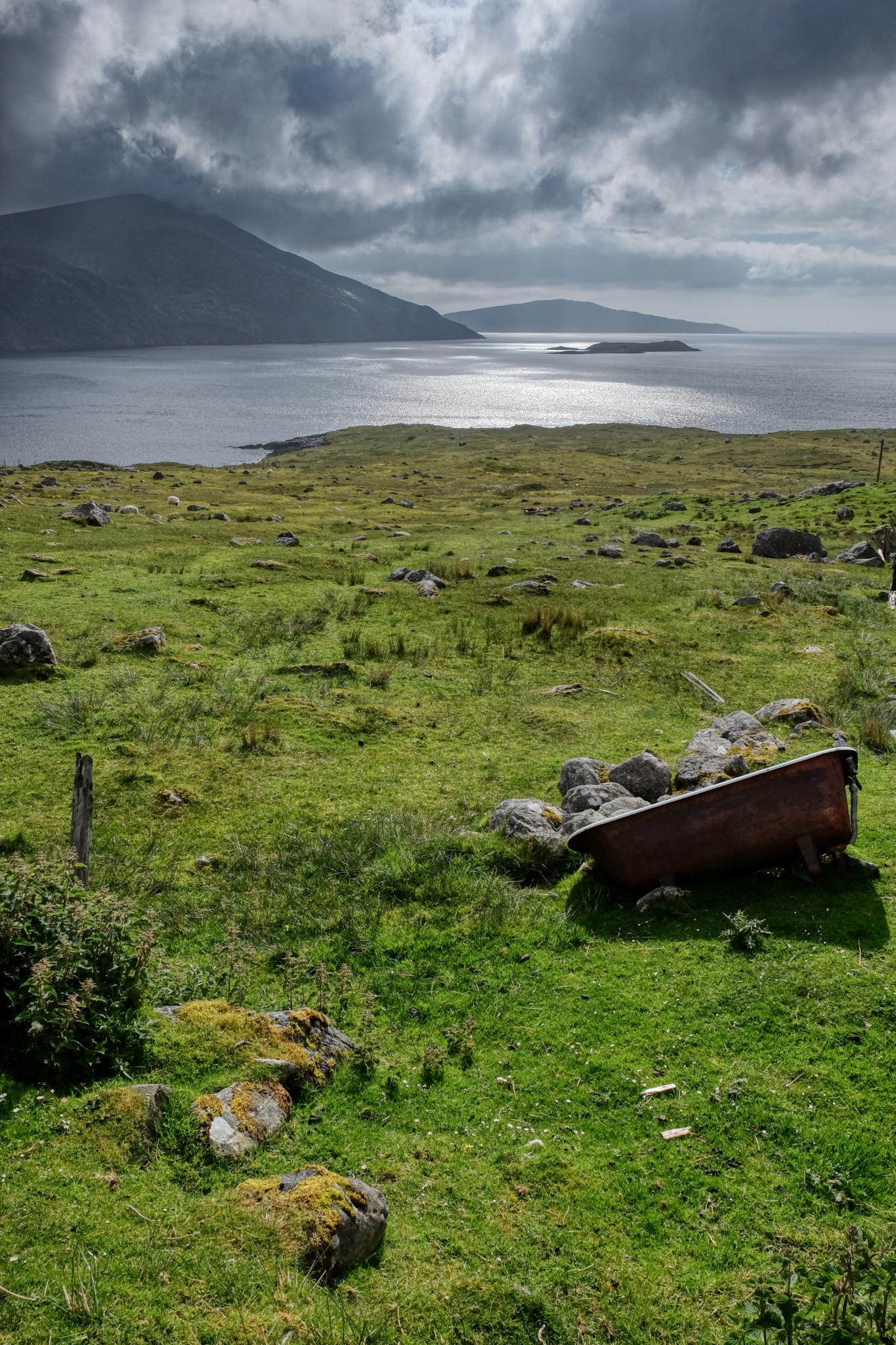
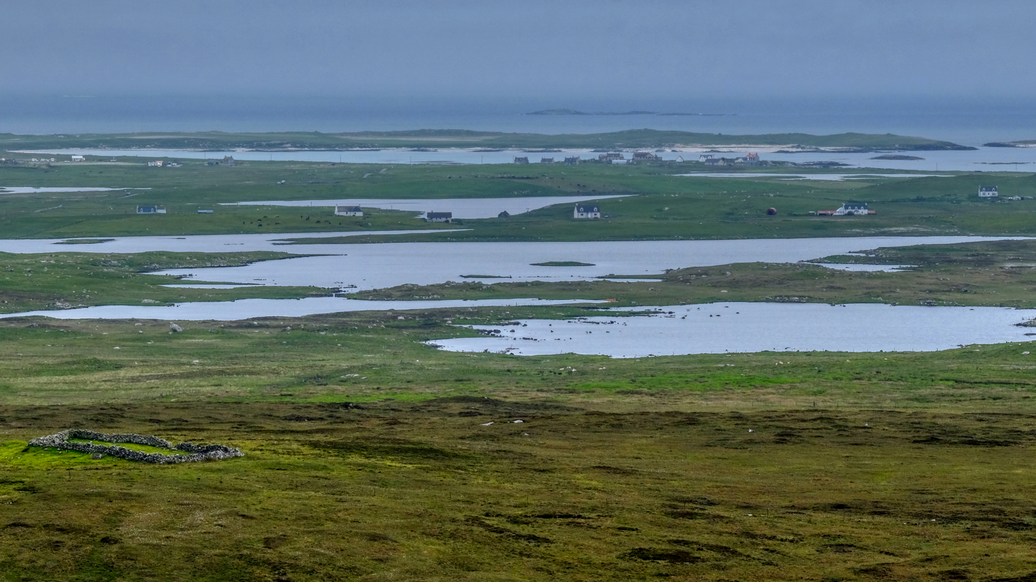 A most unusual landscape. I have never seen anything like it. Fantastically beautiful. I always have a compunction to think I would love to live in one of those houses . . . but stop myself by thinking there would be nothing for me to do there.
 We learned there was a good restaurant out in these soggywet landscapes.
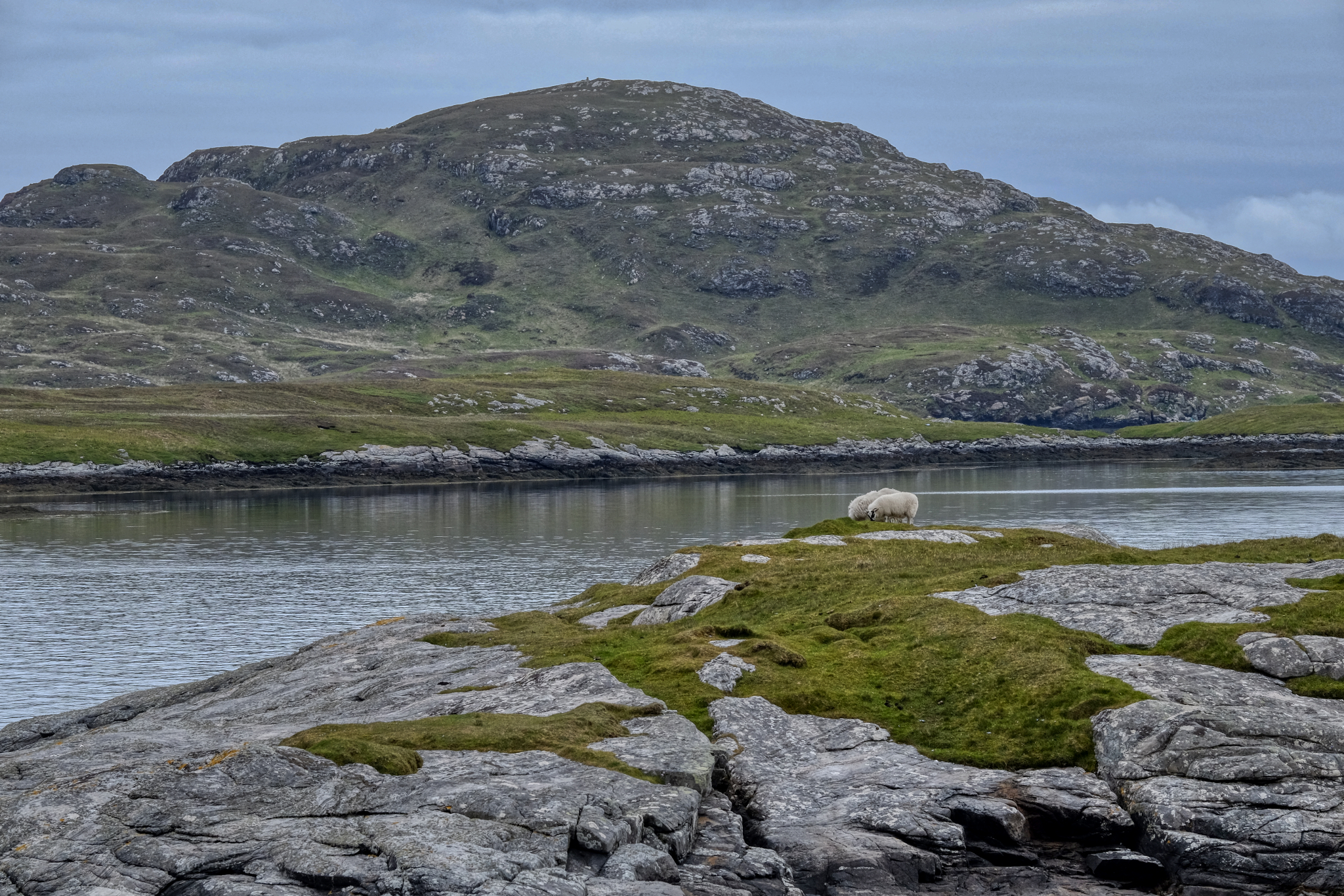
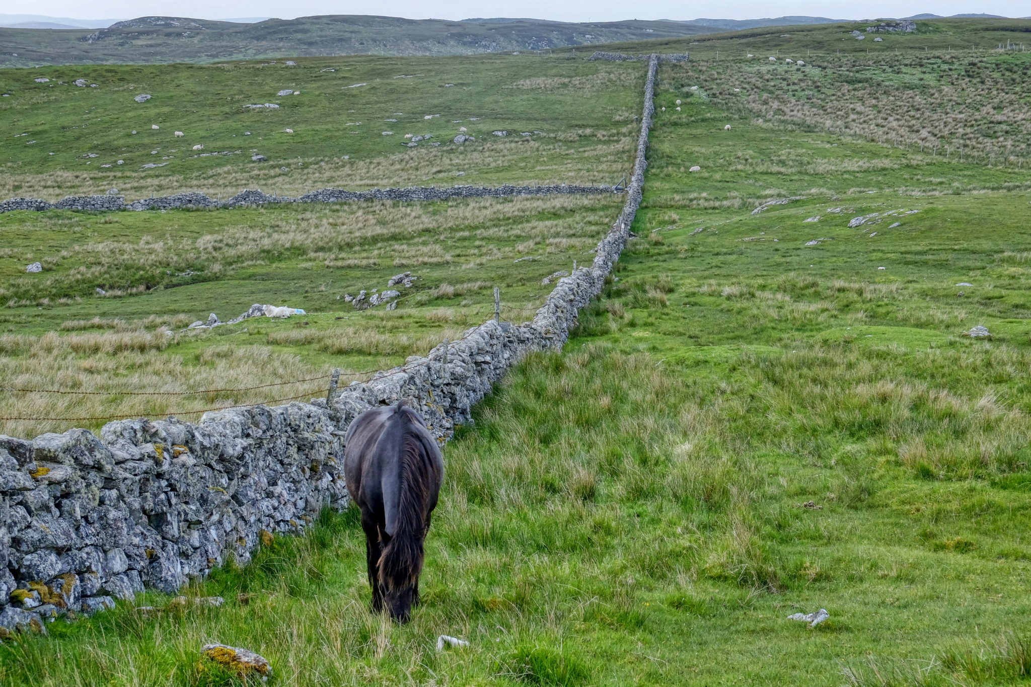
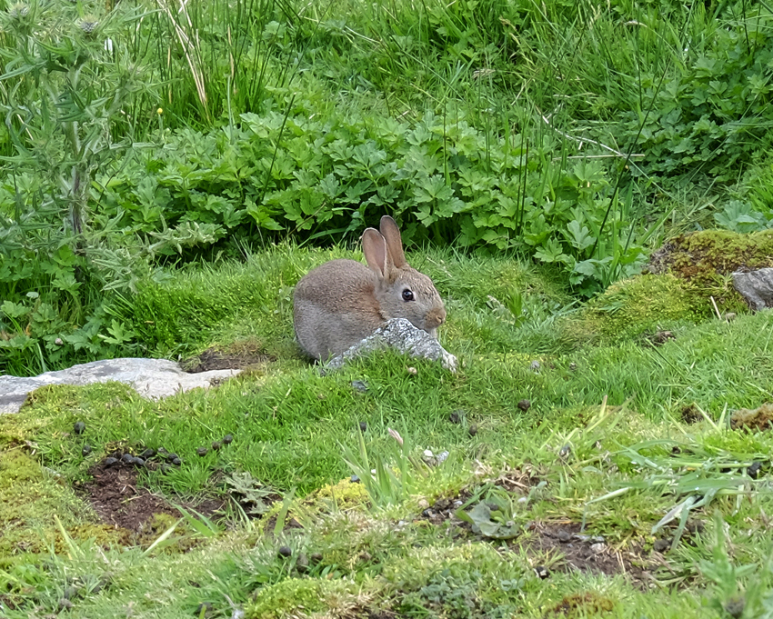 More Hebridean wildlife!
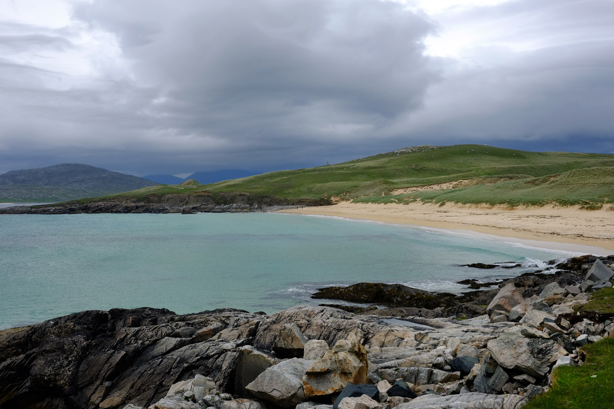 And here and there, around a bend, a sudden, almost tropical, turquoise sea and white sandy beach. Marvelous.
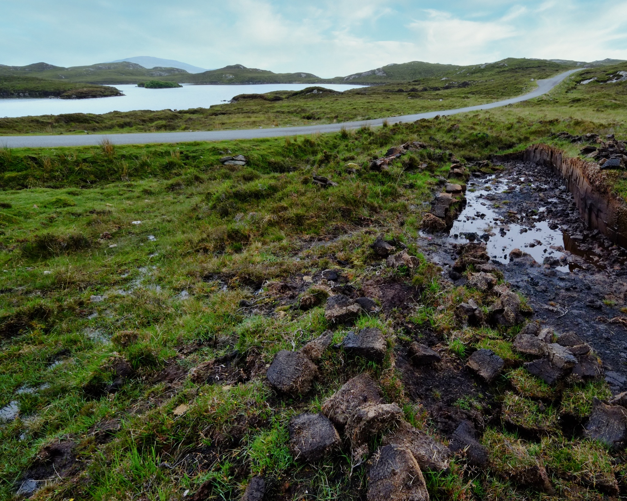 And around another bend a vale with deep cut peat harvesting in progress.
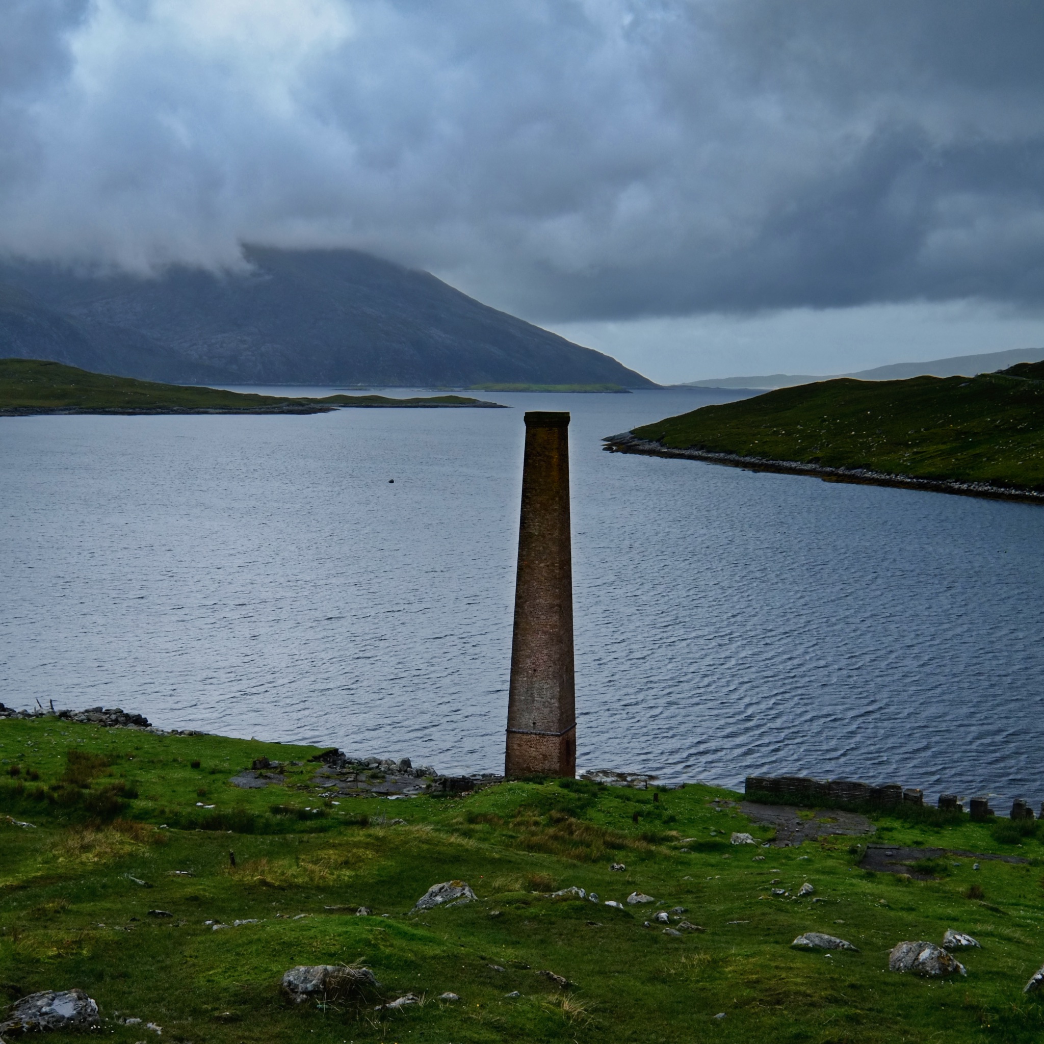 A tall smokestack . . . a monument to some previous industrial endeavor . . . all the way out here.
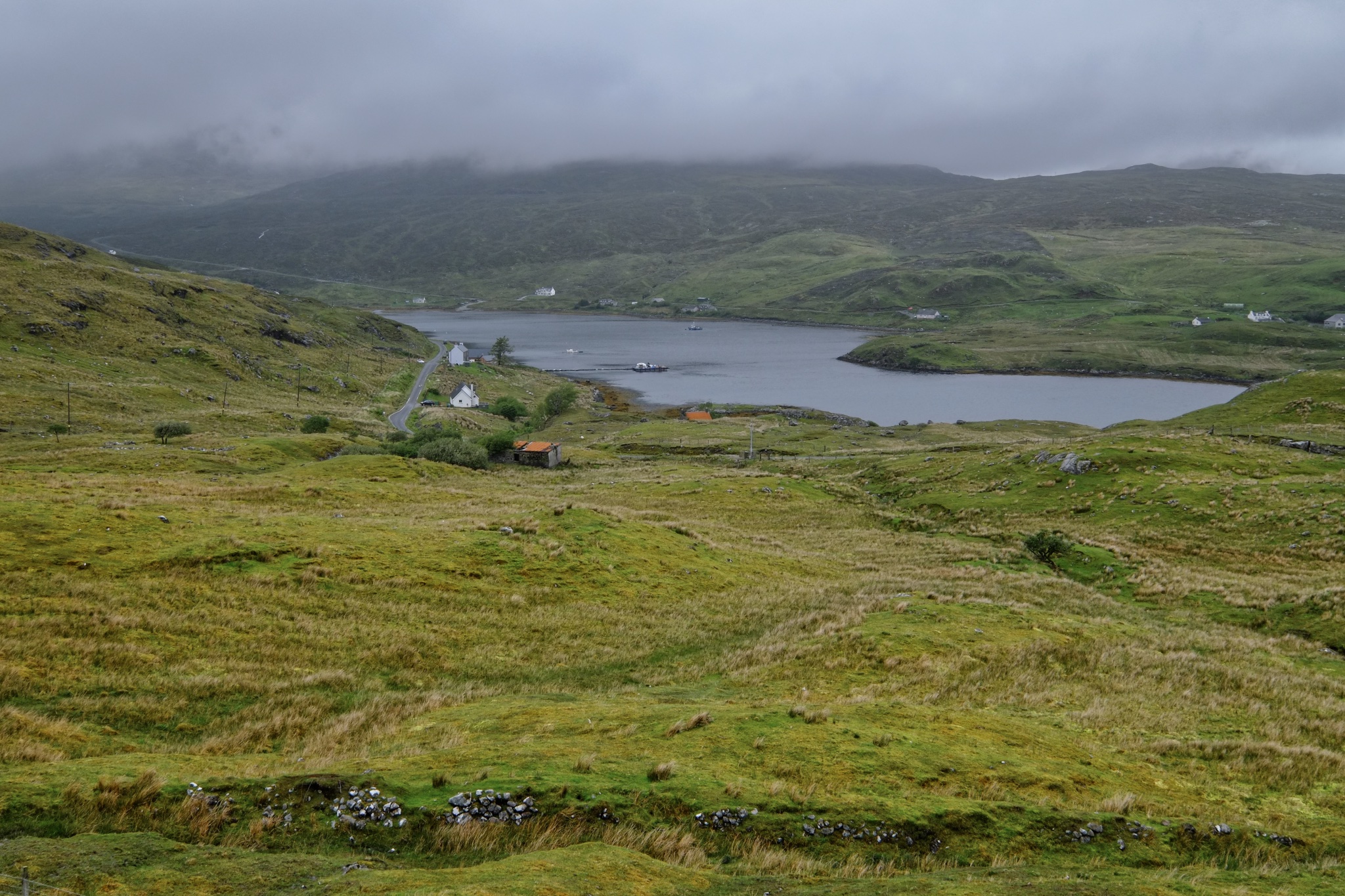 Driving the single track road in and out of the strange hills . . . always a new view . . . sometimes of a narrow bay dotted with small houses, a pier, and a fishing boat.
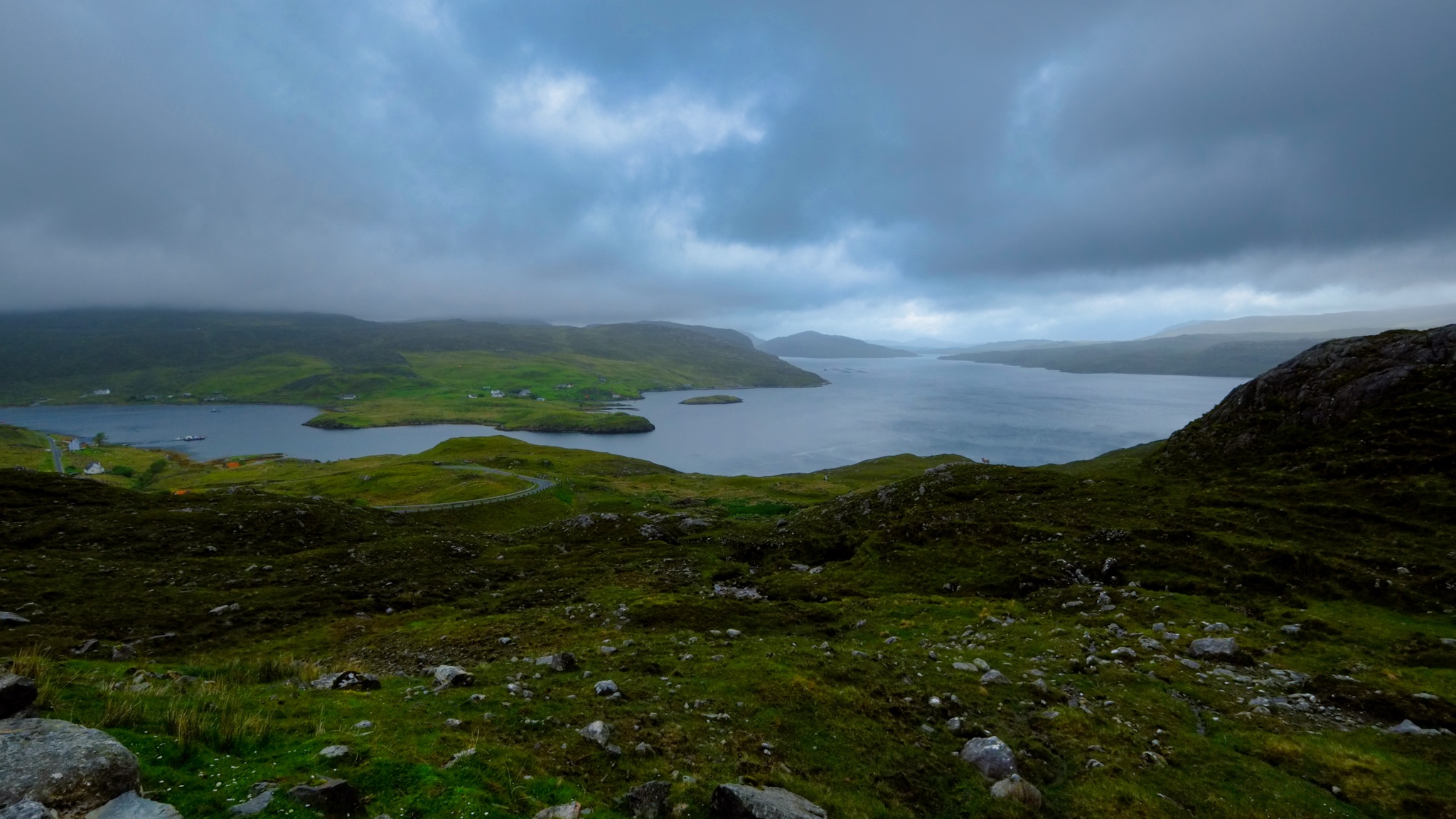 These views! The gloom!
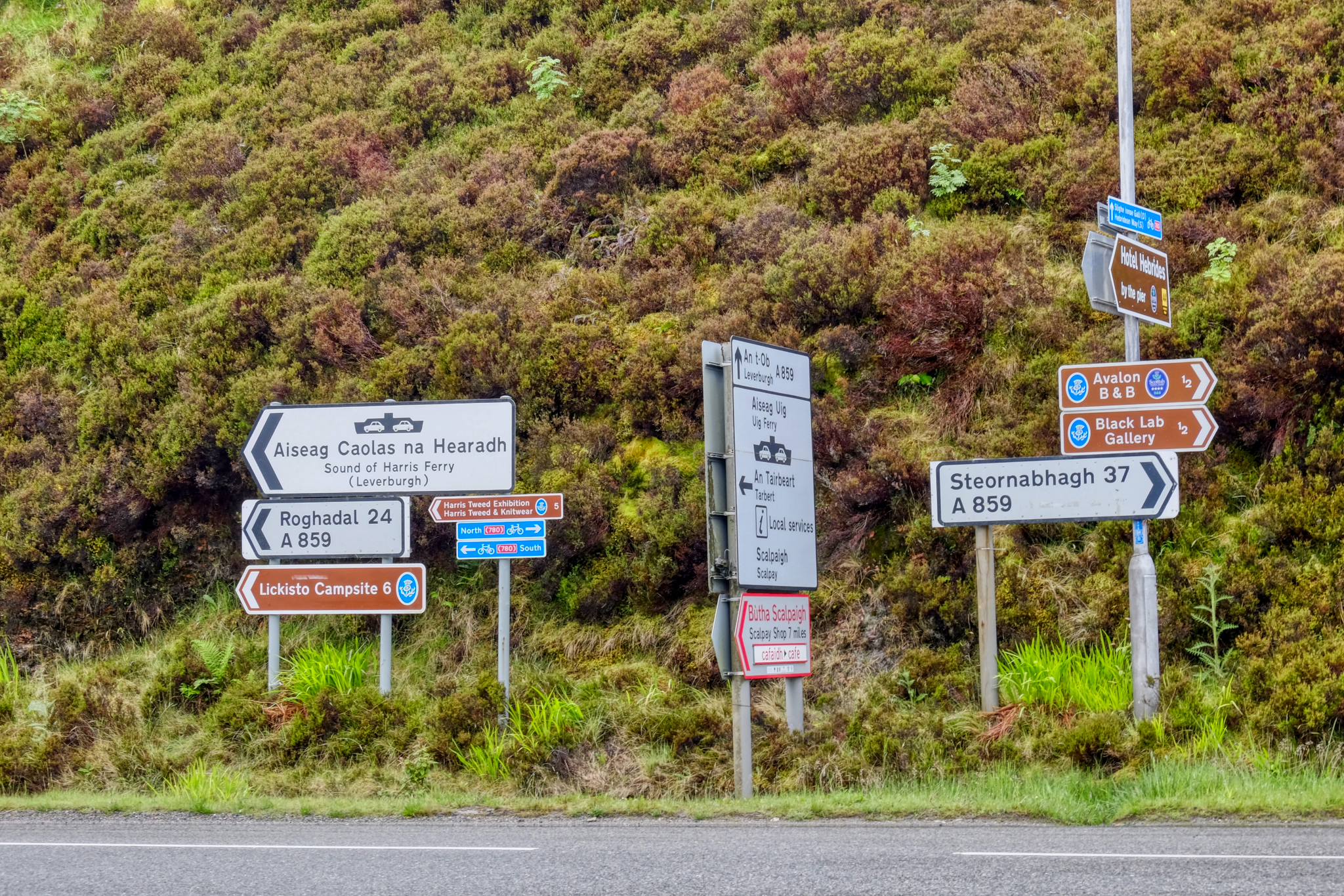
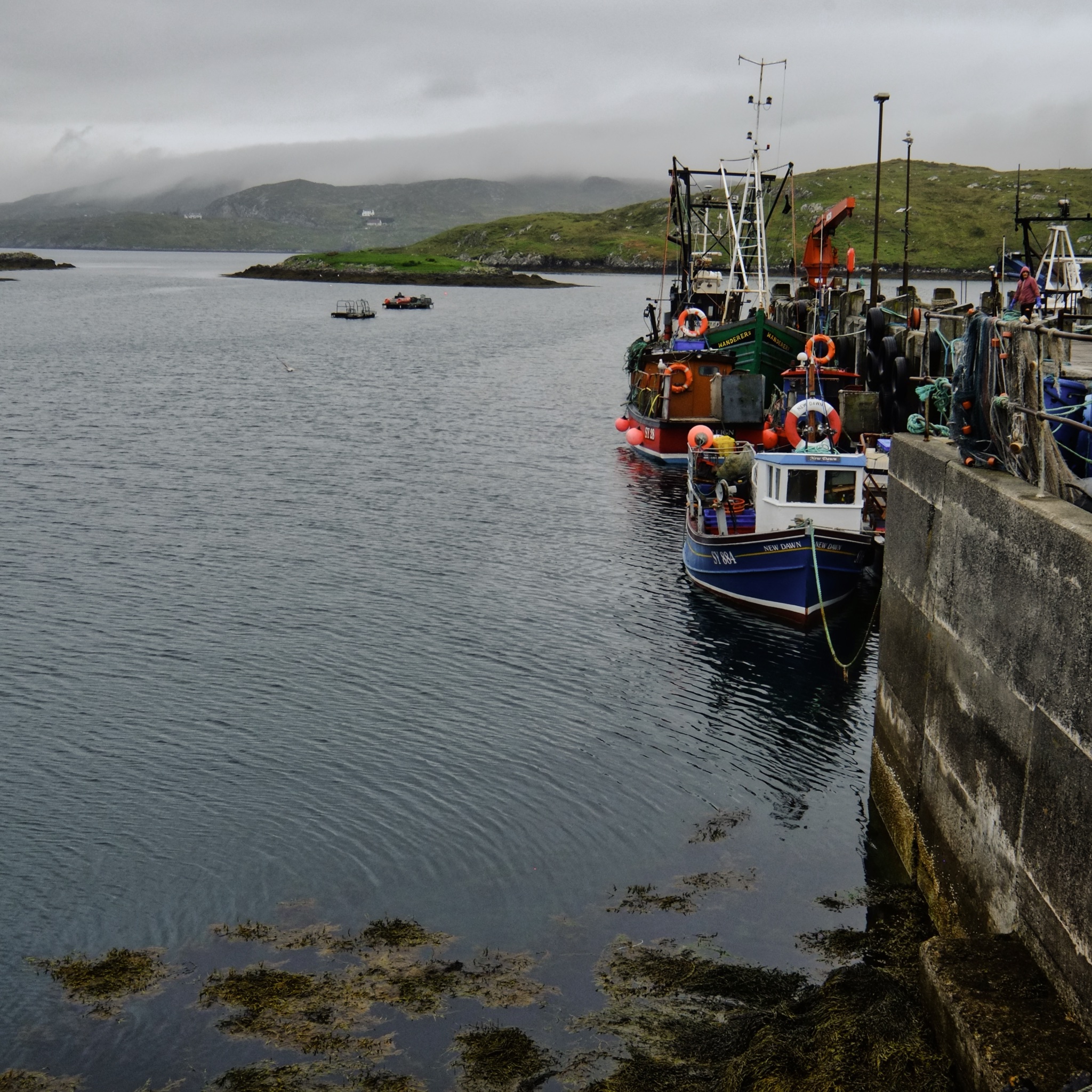 We rounded a bend in the road and arrived at a tiny fishing village, Scalpay.
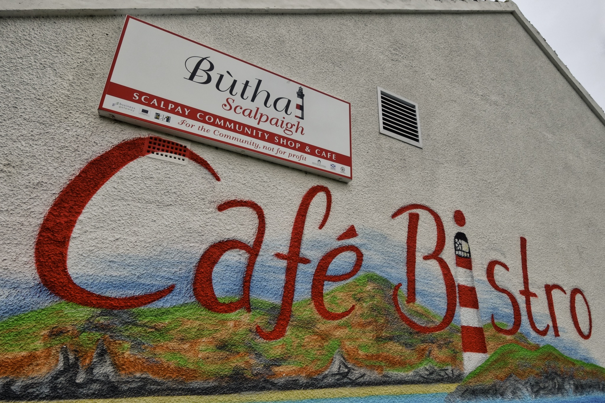
"The island used to have more than 10 shops over 30 years ago but due to lack of people and work, the last shop closed in 2007. There also used to be a salmon factory, which was a major local employer from 2001 until its closure in 2005. In the spring of 2009, local newspapers reported that the factory was to reopen as a net washing facility to support the local fish farming industry. In 2012, the Scalpay community bought and opened a community shop/café, Buth Scalpaigh." We had a delicious lunch here with friendly service . . , soup, rolls, and fried fish.
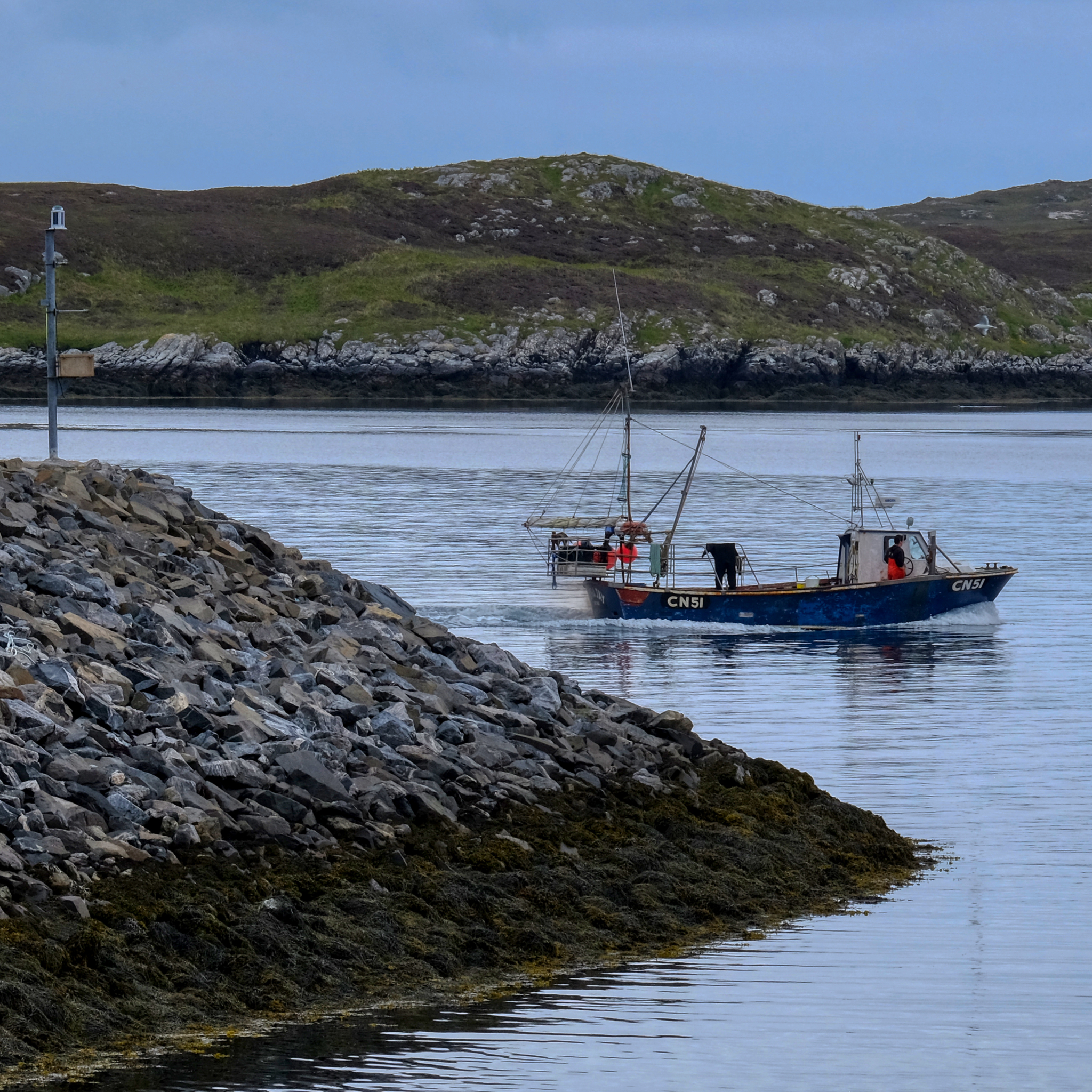
 Some fishing activity survives these remote places along the craggy inlets of the Outer Hebrides.
 People have to eat and people have to make a living.
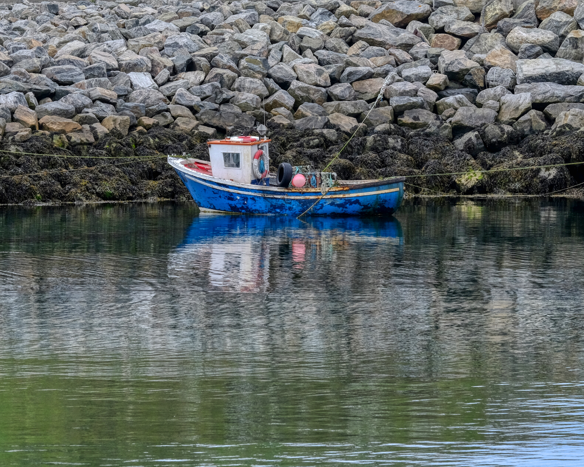
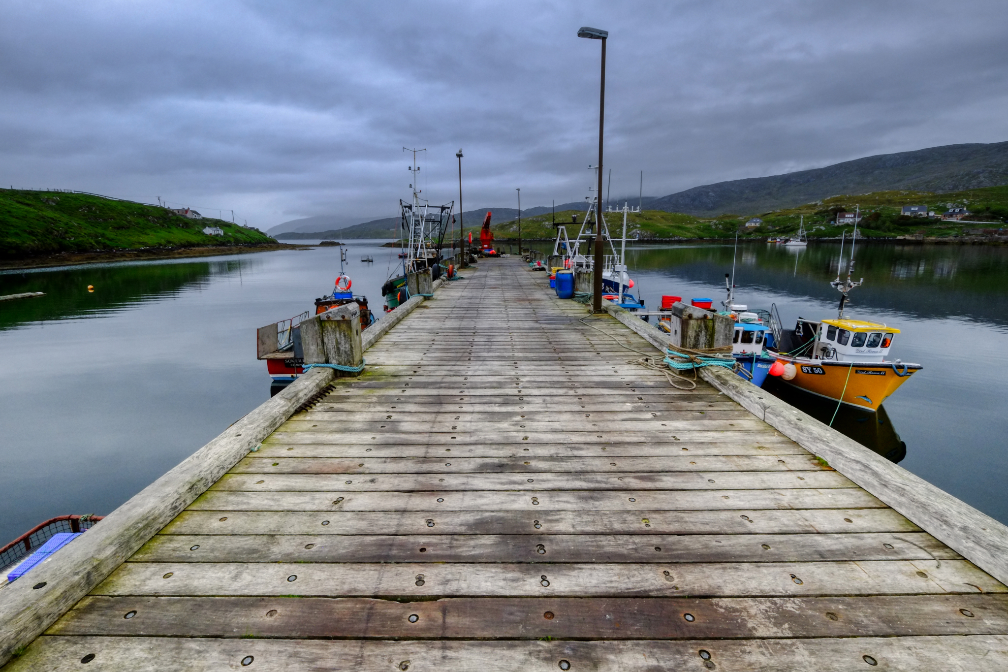
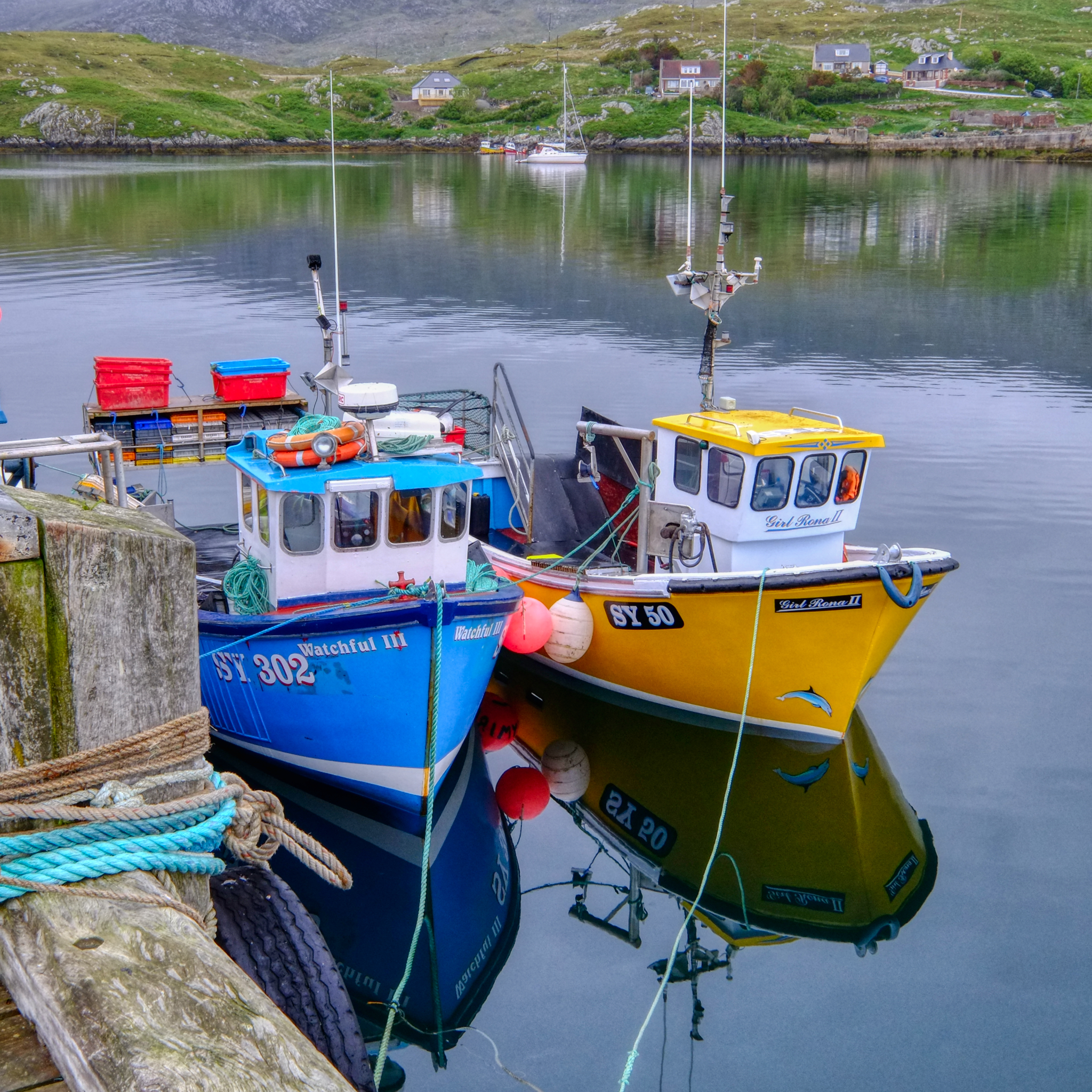 Picturesque little fishing boats.
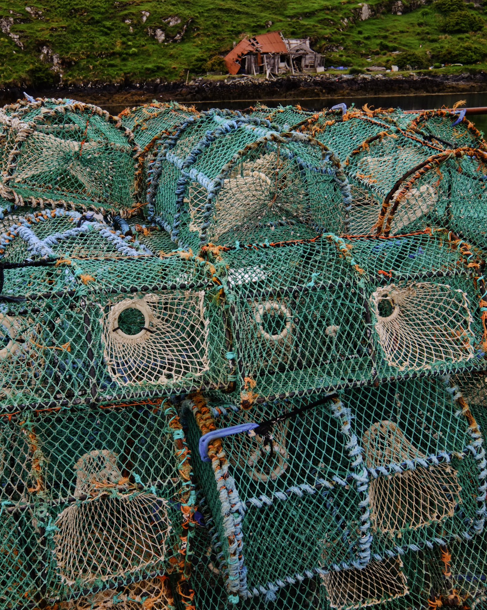 Crab or lobster pots . . .
 We drove North up into the Isles of Lewis and Harris.
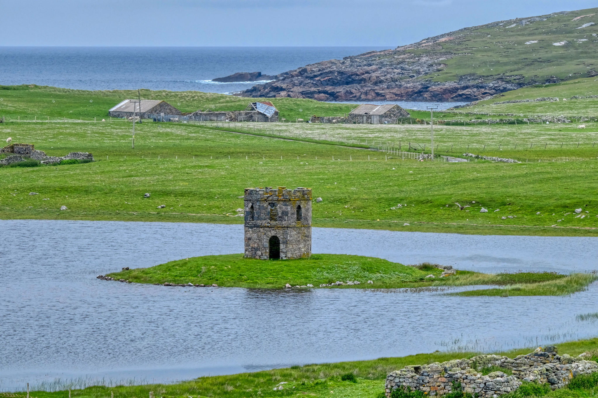 An old tower keep on a crofters place.
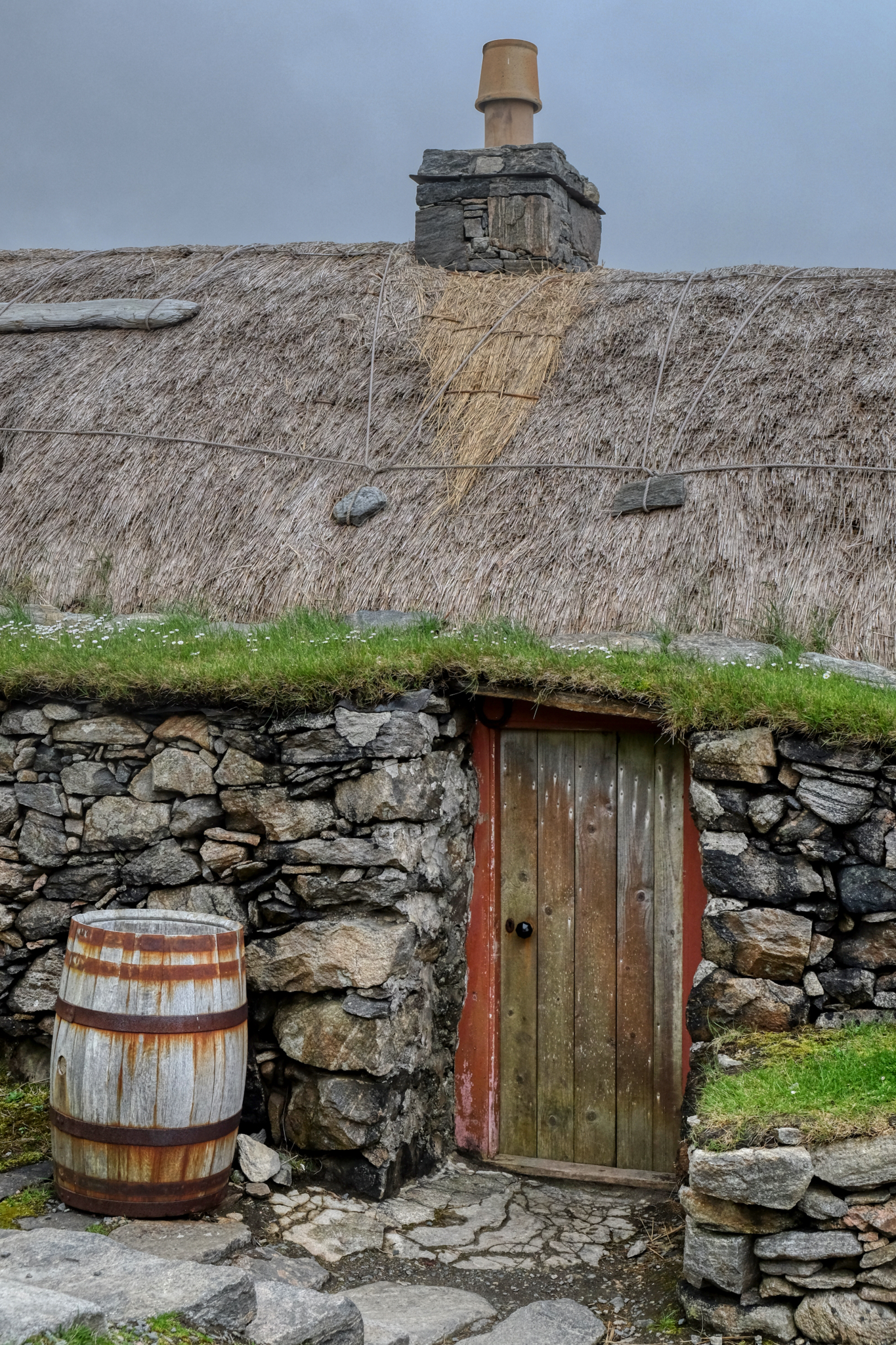
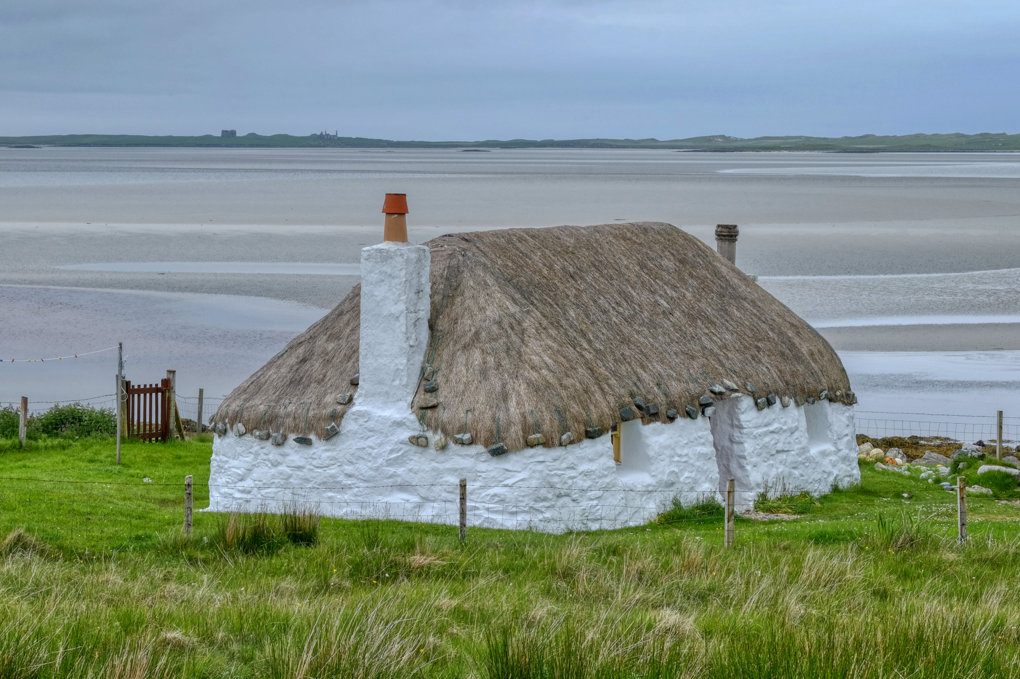 An old whitewash, thatched-roof cottage on the dandy bay. Charming.
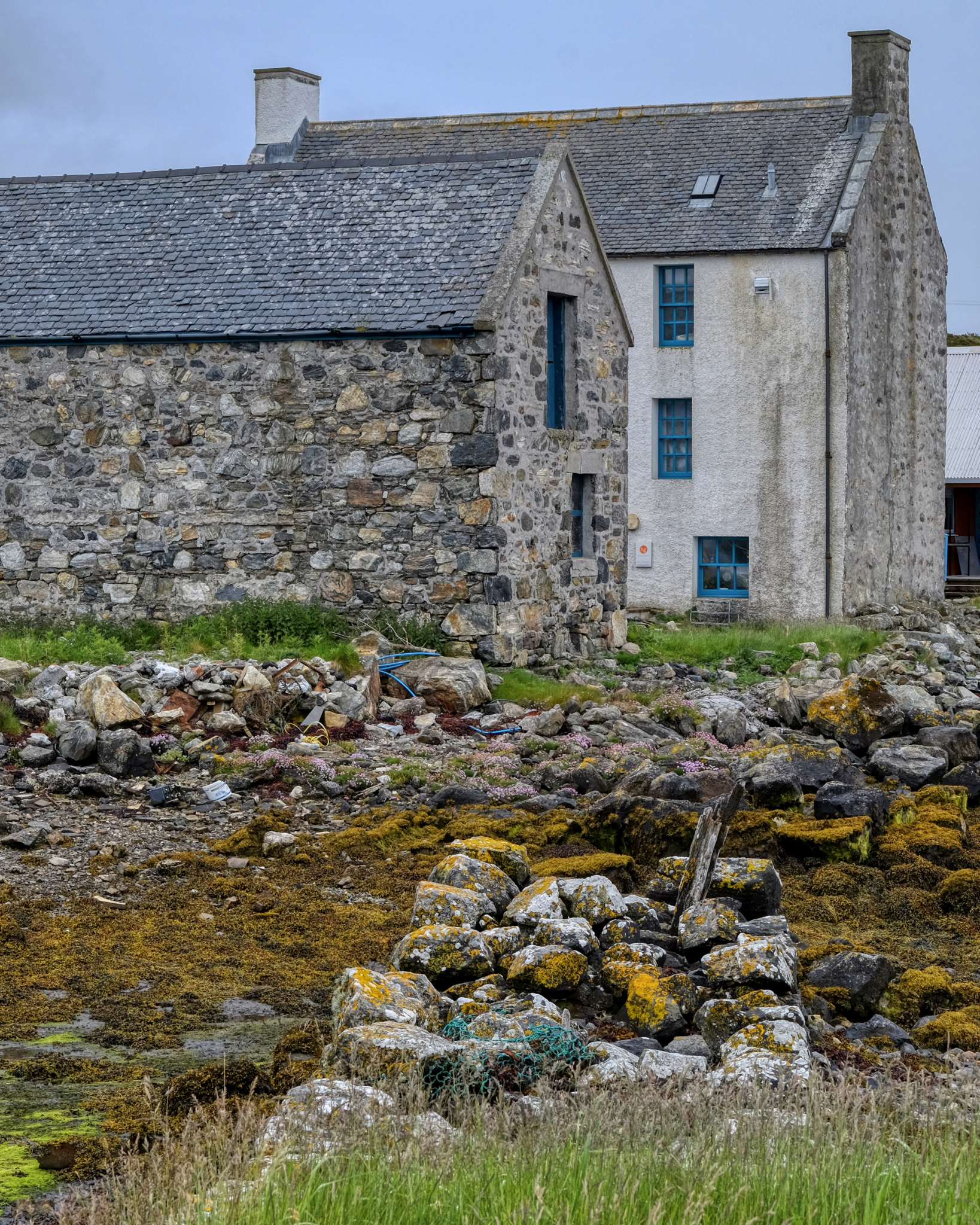
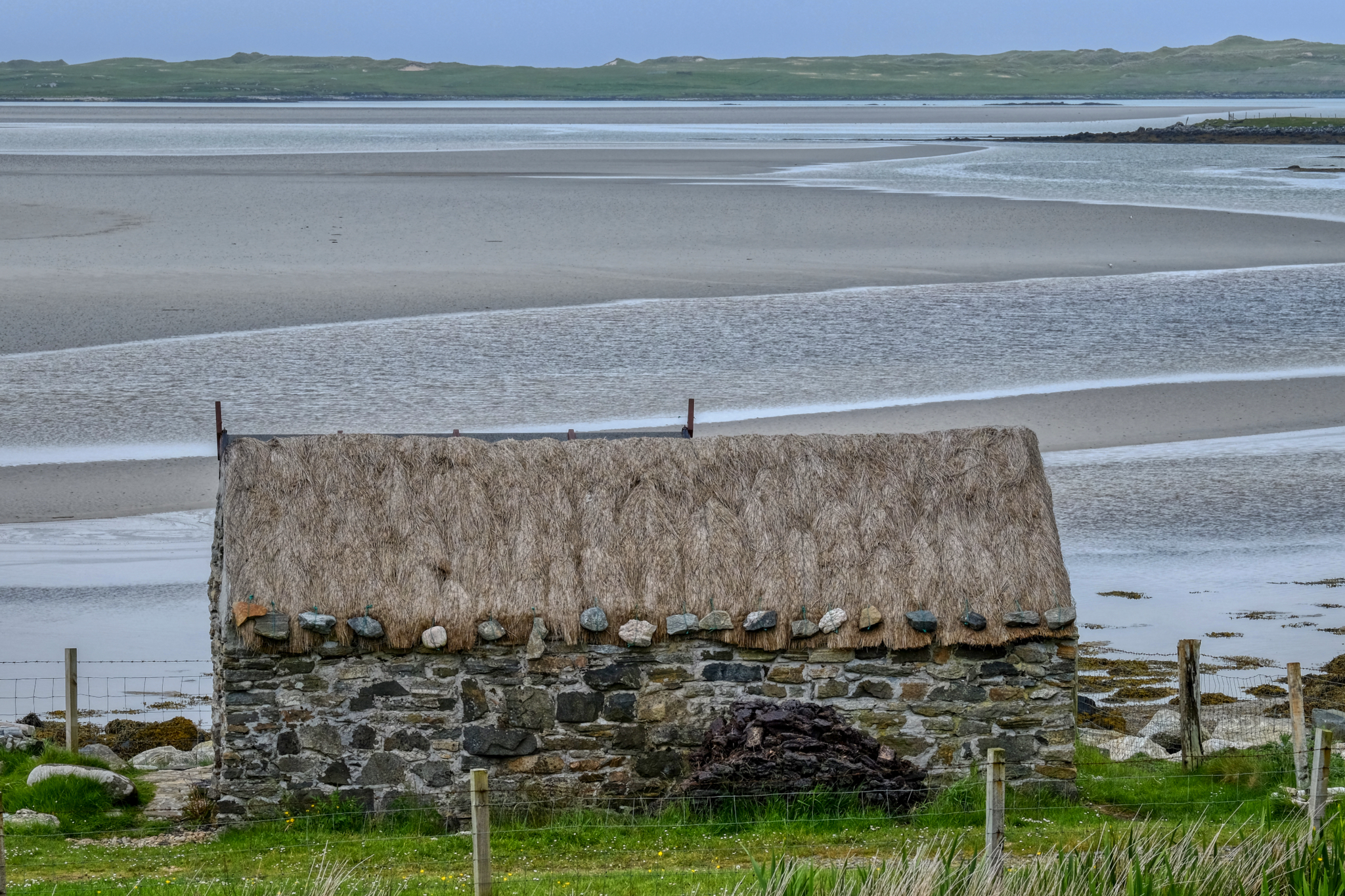 A lovely old crofter's stone barn.
 The views! Literally around every bend in the road . . . so many stunning landscapes!
 Mountains, light, sea, sky.
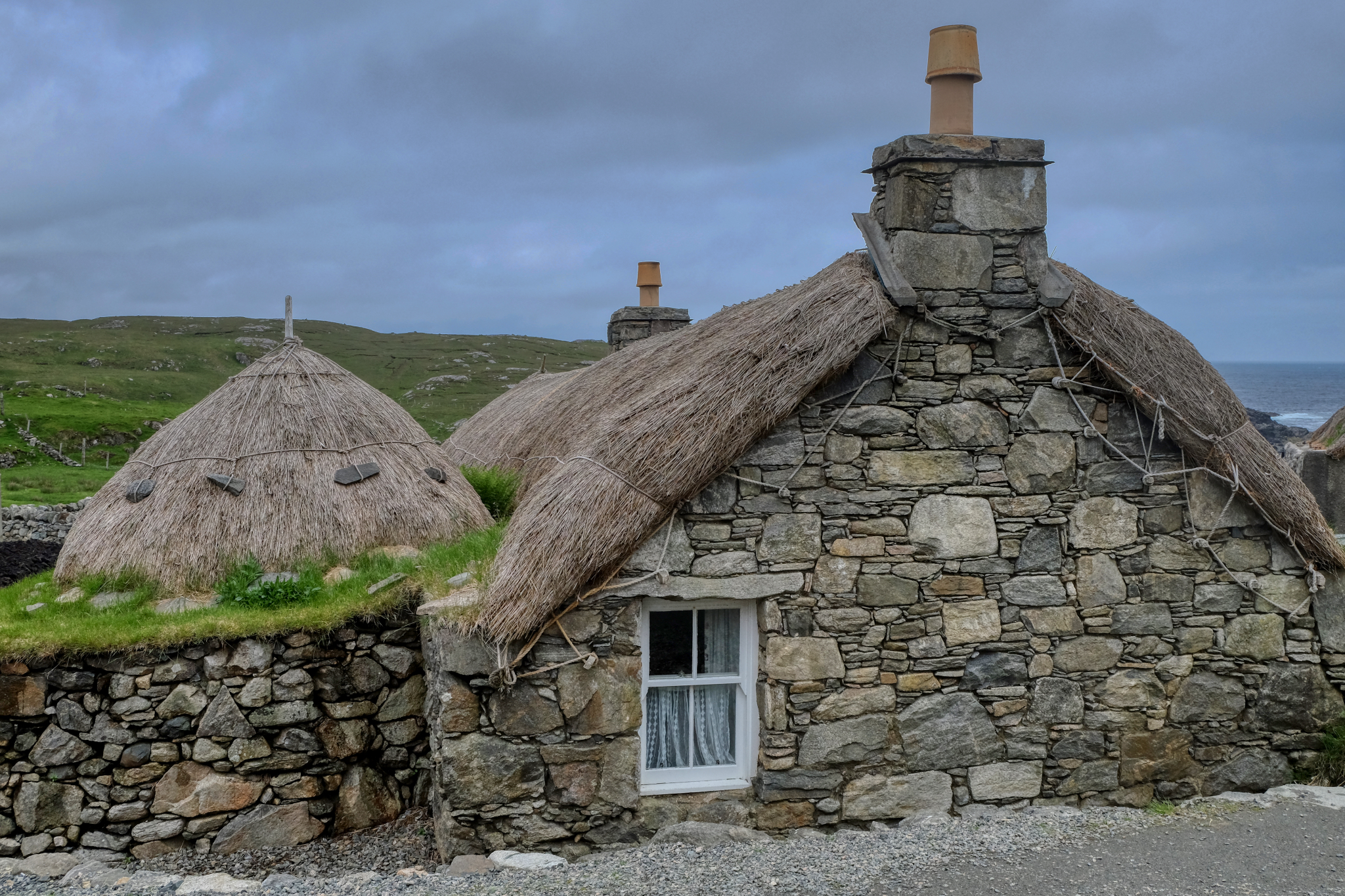
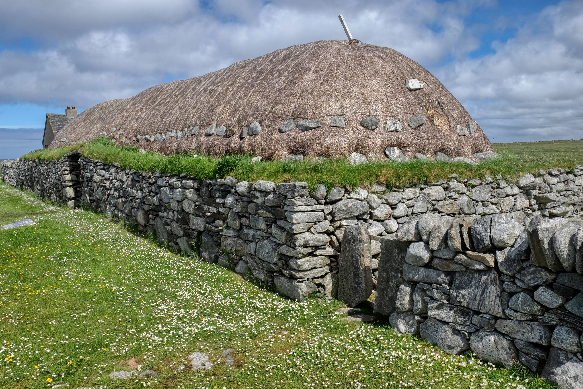
 We diverted west, following a sign to Gearrannan Black House Village.
Gearrannan Black House Village
The Black House Village was a well-preserved museum of old thatched stone houses.
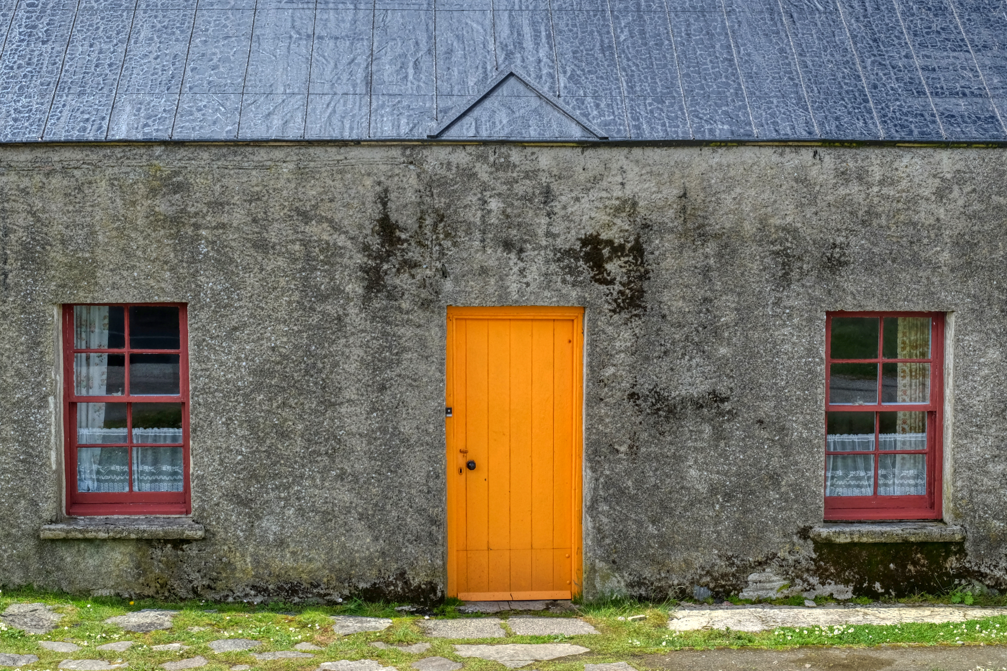
 The houses here are all occupied . . . one is even a bed and breakfast . . . if we had only known!!!
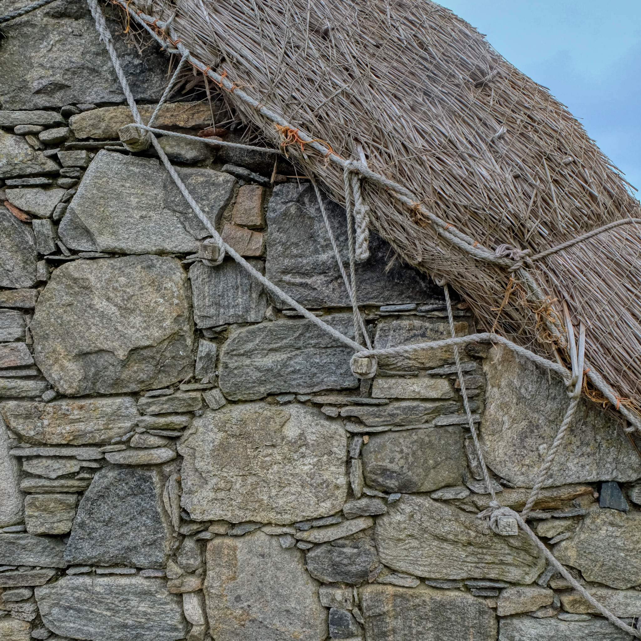 Beautifully detailed construction craft.
 An unbelievably picturesque place.
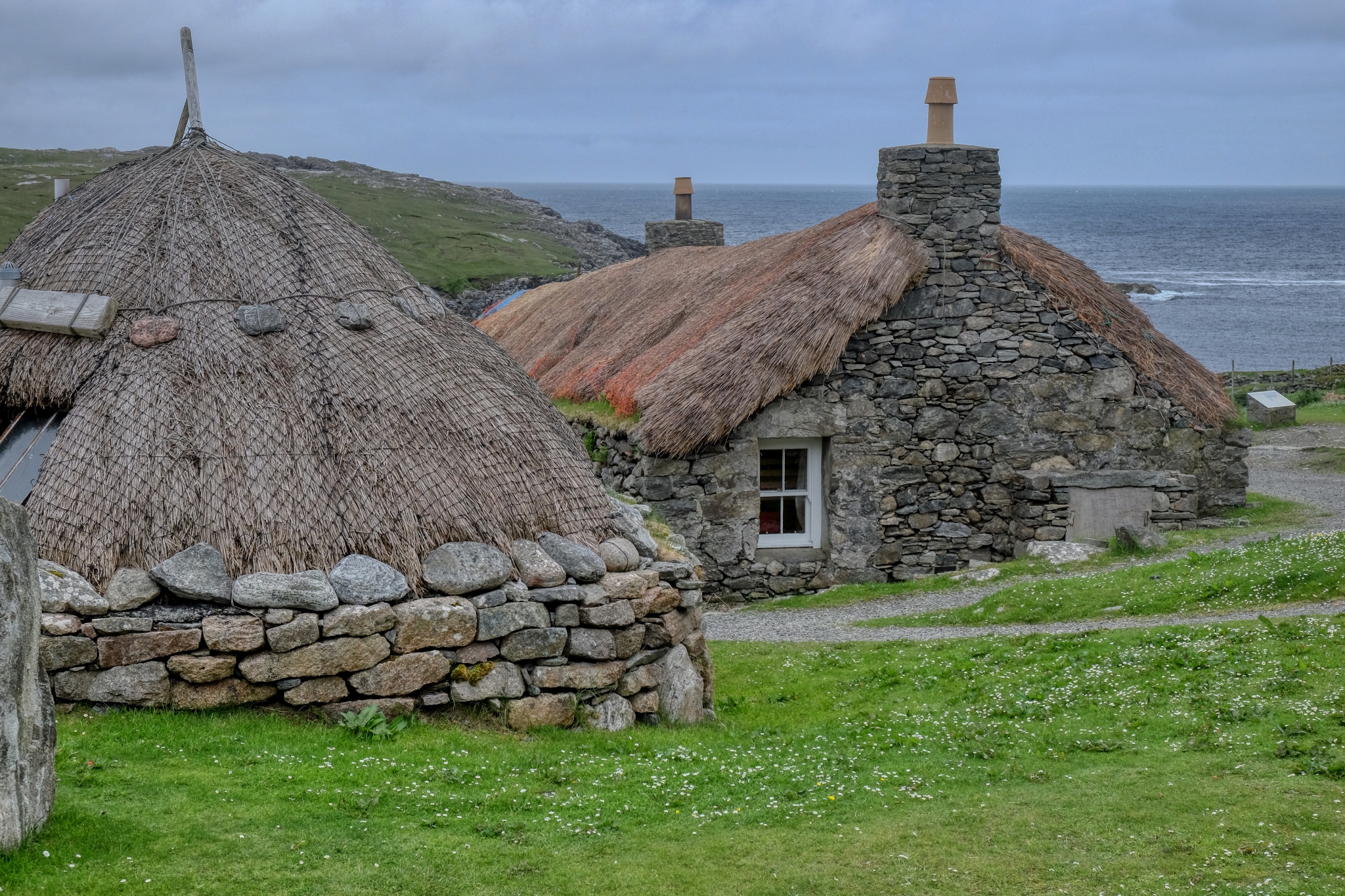 The village served as fishermen's cottages on a small bay.
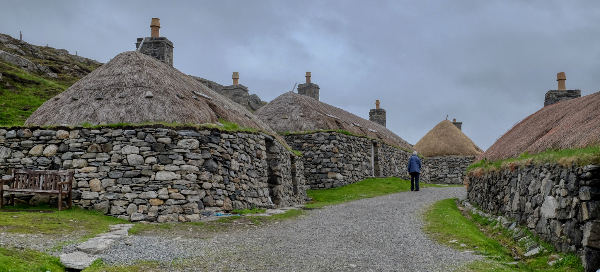 We strolled around this wonderful place for hours.
 I have to confess: I took over 100 photos here . . . I couldn't help myself, I was overcome by the charming beauty.
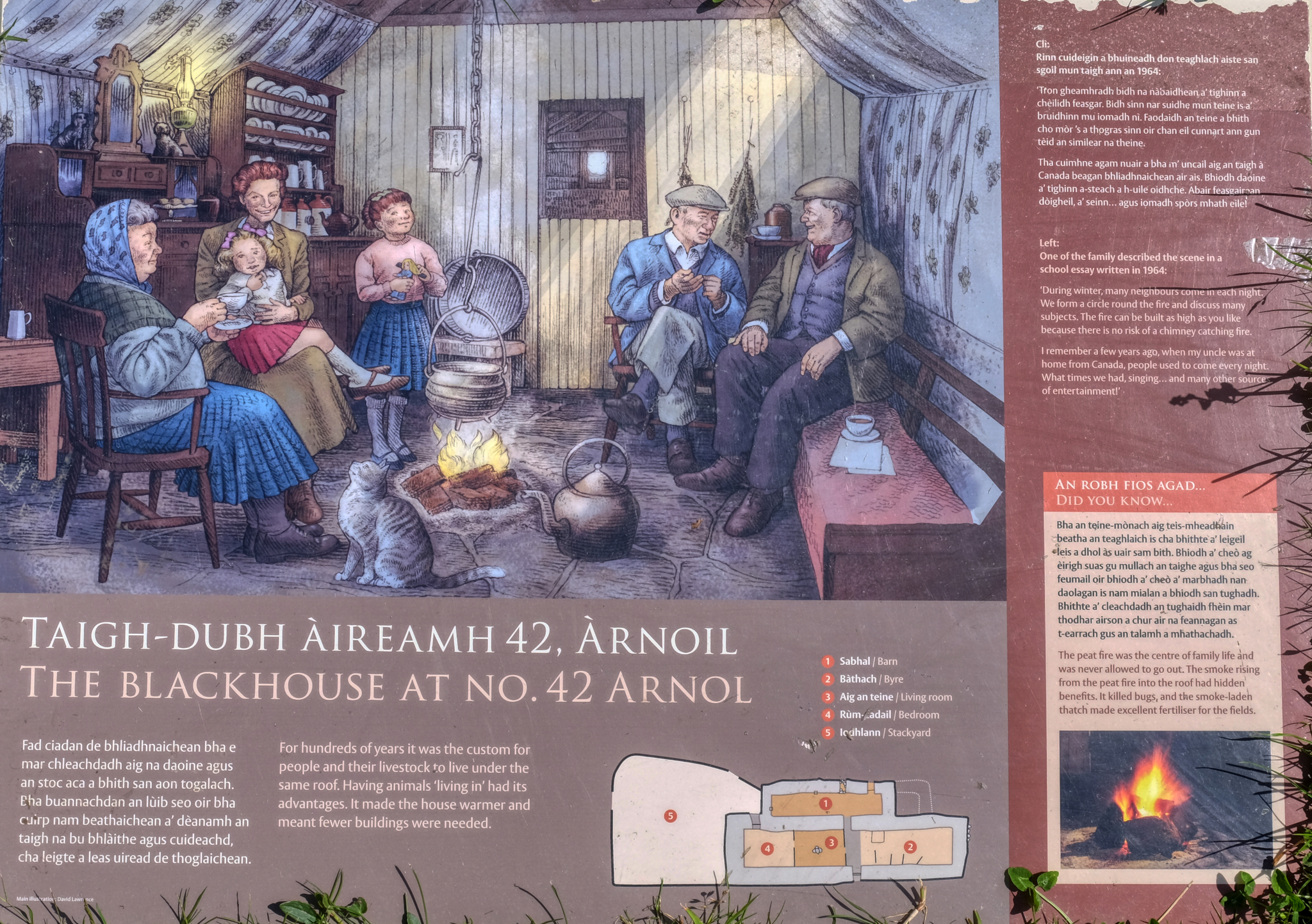 An historical marker on one of the black houses. Fascinating.
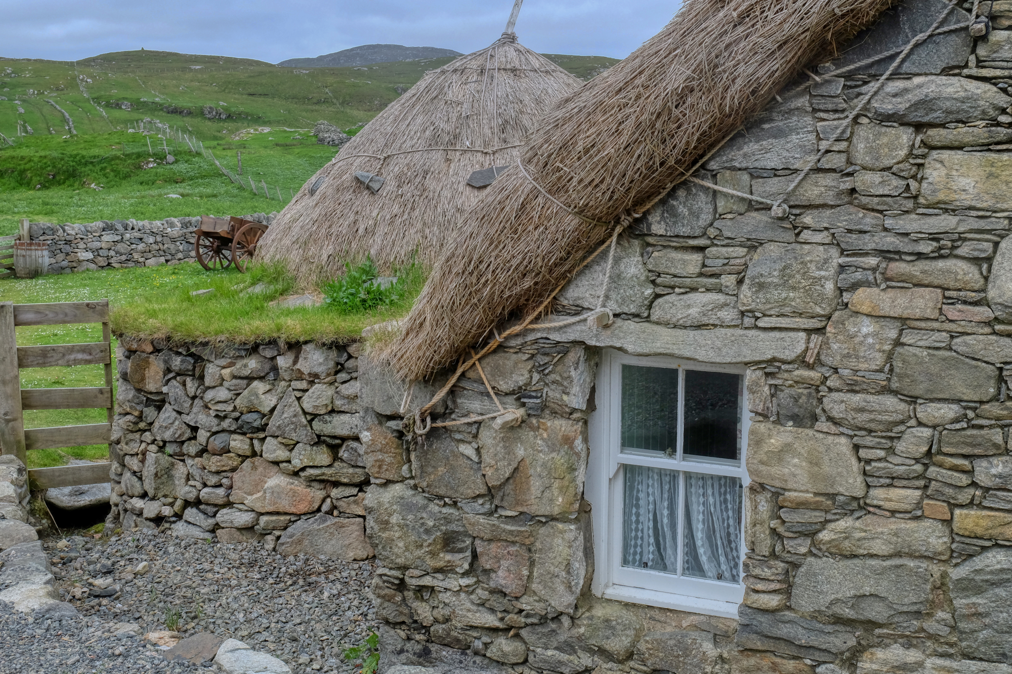
 Out along the seaside west coast road of the Isle of Harris. A crofters barn, freshly thatched . . . and still in use.
 The houses here are very simple and austere . . . almost no decoration at all.
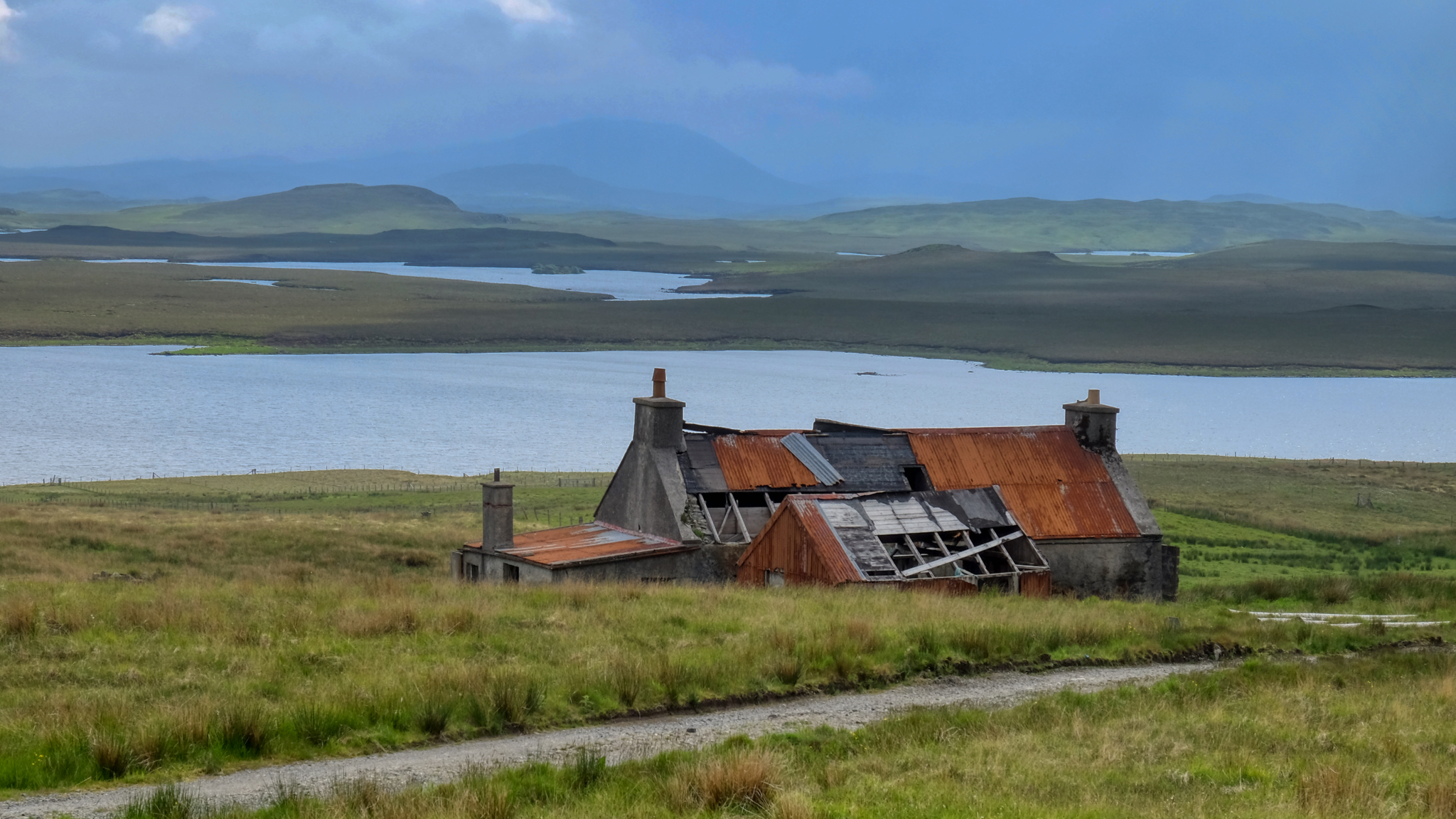
 There are many abandoned houses in the west of these islands. There has been a steady drop in population as younger people move to towns and cities on the mainland of Scotland for jobs. However, some of the old houses are being restored by pensioners from as far away as London.
 And on and on we went . . . north to see an amazing landmark . . .
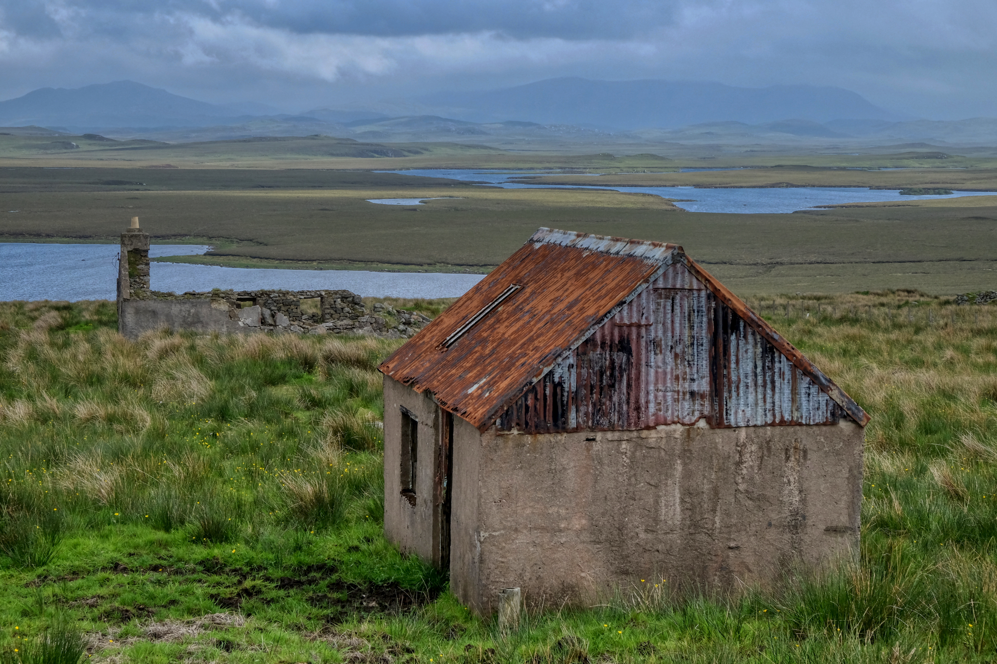 Out on a remote stretch of the north of the Isle of Lewis, more abandoned crofters cottages.
 The views became more fantastical, otherworldly.
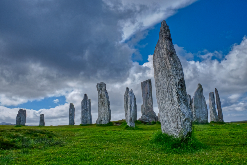
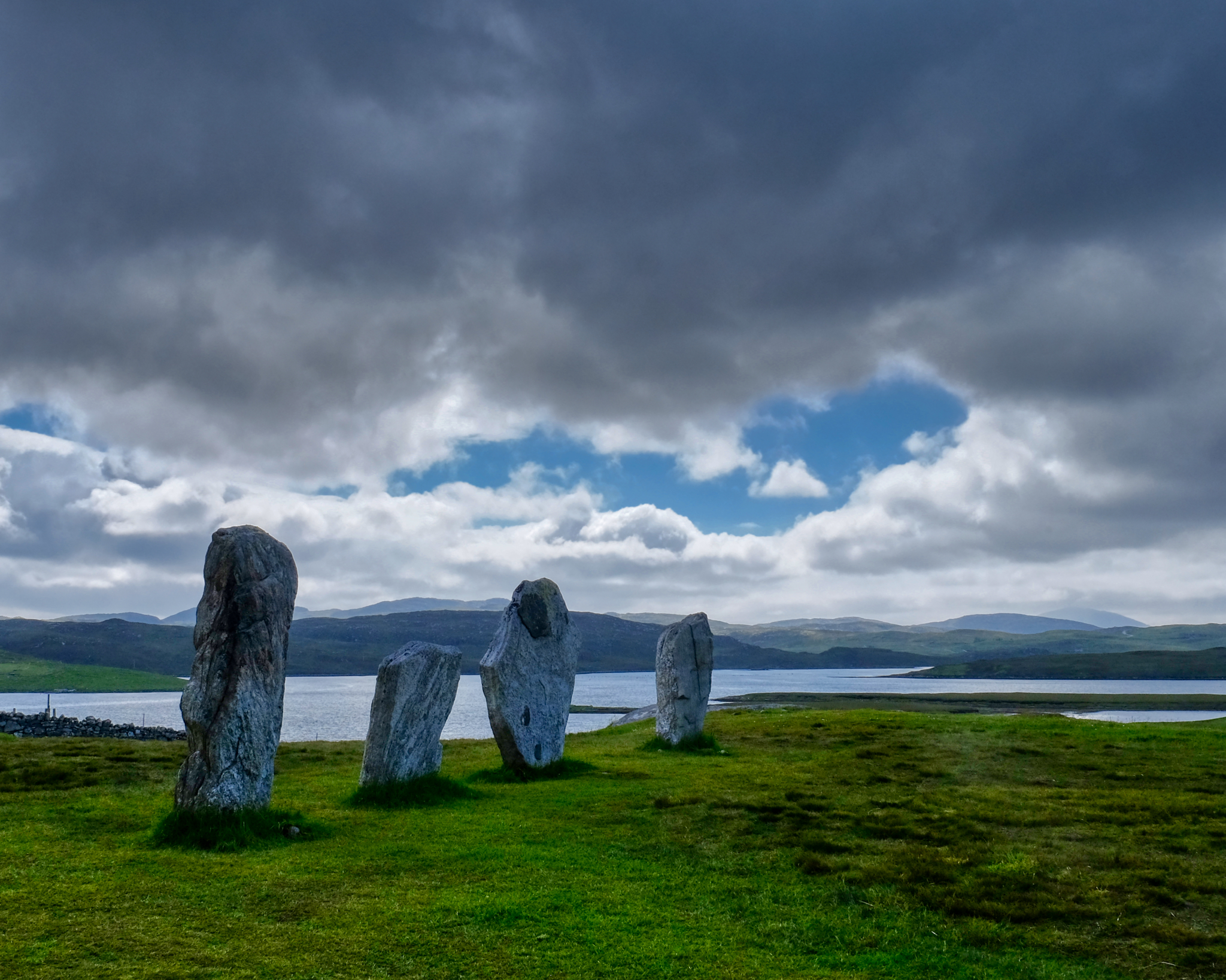
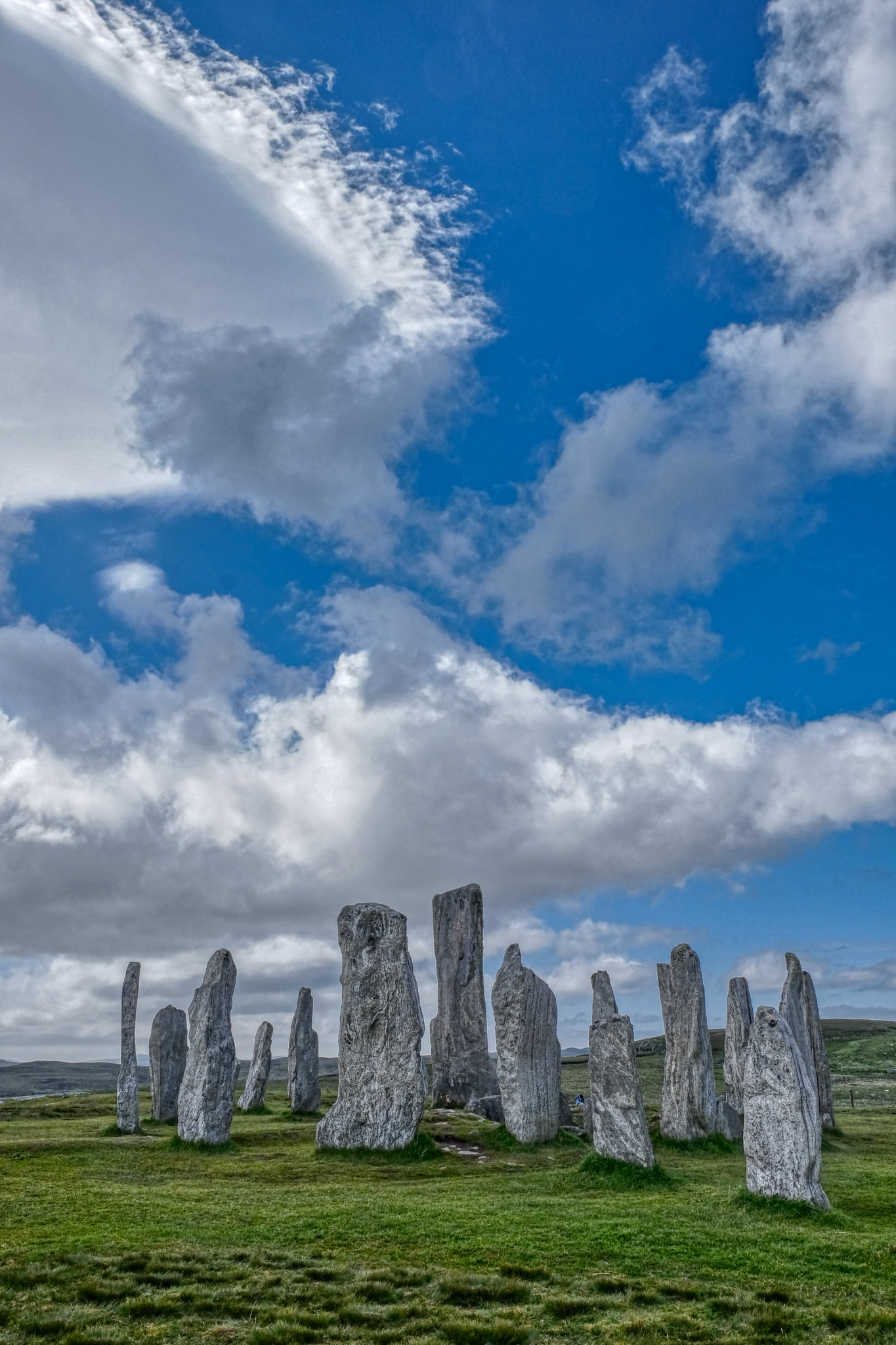
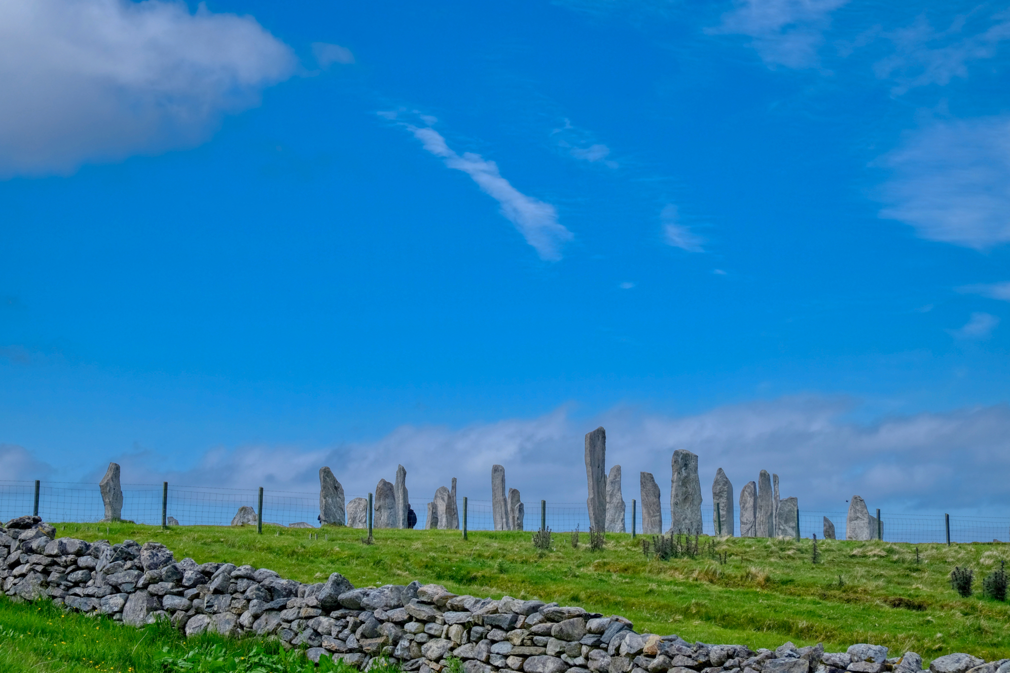 At last we had arrived at our destination: The Callanish Standing Stones!
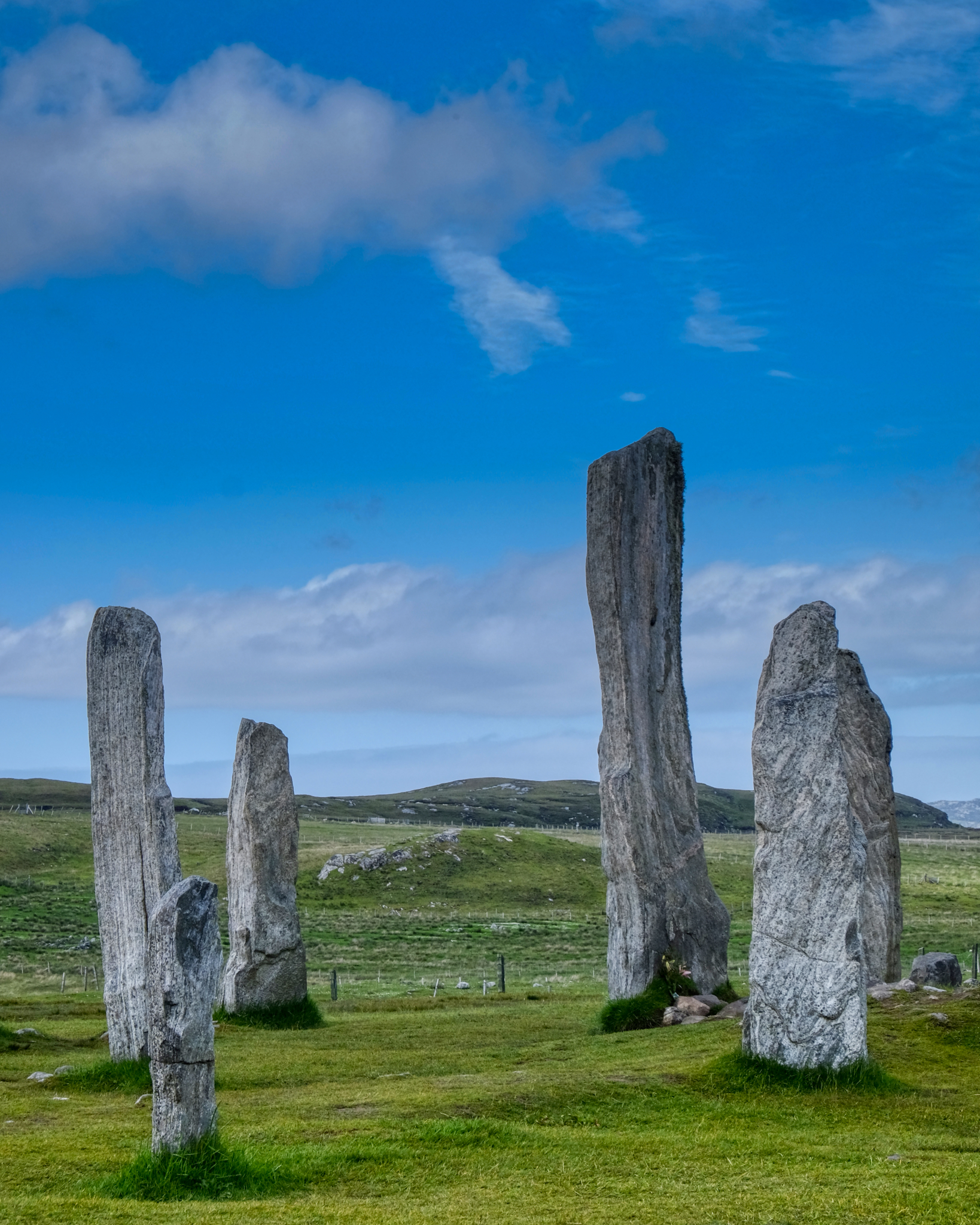 I have been to Stonehenge, but these were far more magnificent!
"The first traces of human activity are indicated by a broad ditch (no longer visible above ground) which appears to have belonged to some structure or enclosure. This may have been ritual, but could instead have been domestic. In the centuries around 3000 BC, however, the site was turned over to agriculture, which obliterated most of the earlier traces. After this, the site was allowed to grass over for a time." - Callanish Standing Stones
 The stones sit on a hill with awesome views.
 Under a stunning, ever-changing sky . . . the sun popping through now and again.
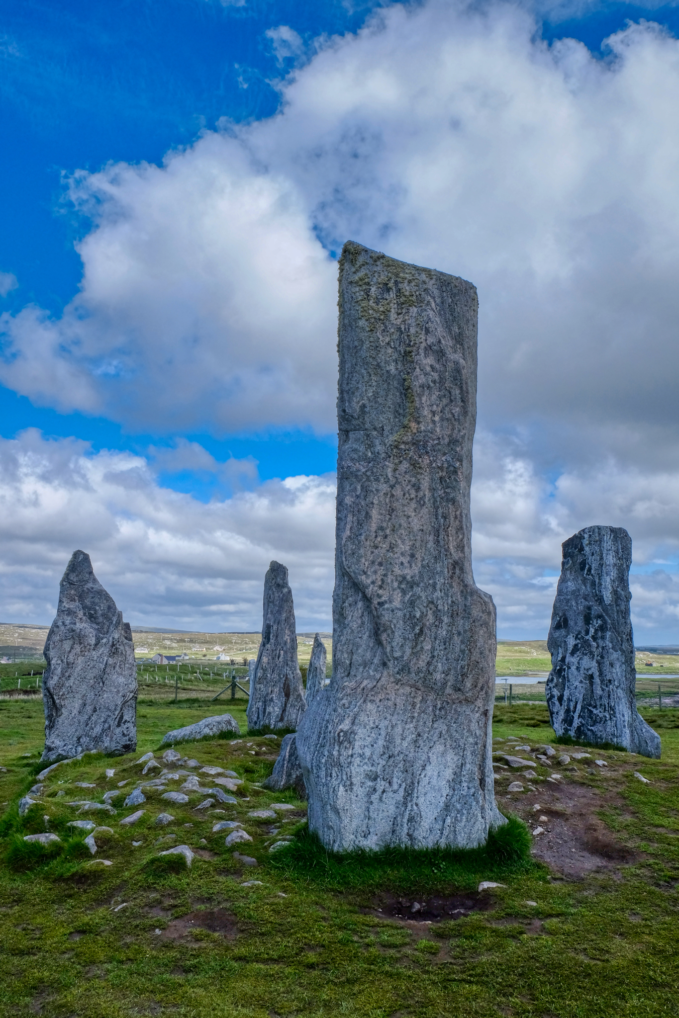 Magic.
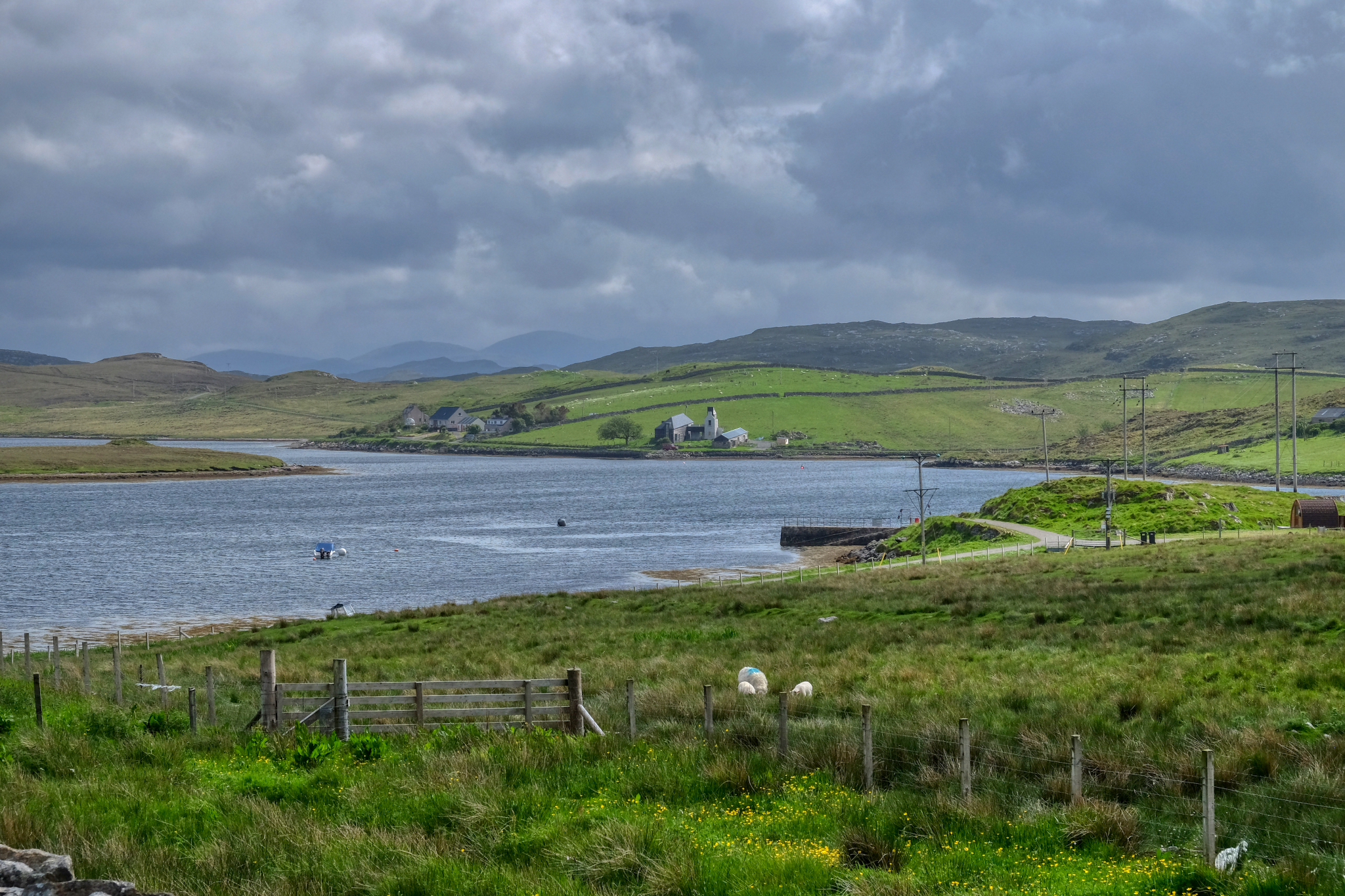 A view from the standing stones. Imagine living in a farm like this . . . in this place.
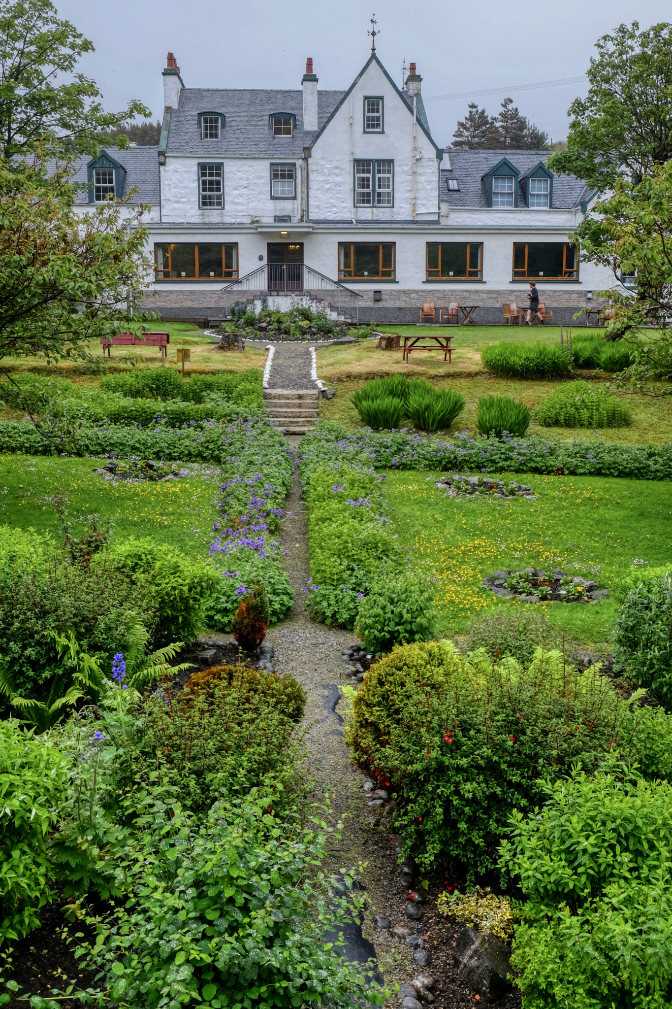 We stayed a lovely evening at the Harris Hotel, Isle of Lewis and Harris.
 Ah! Harris tweed that way!
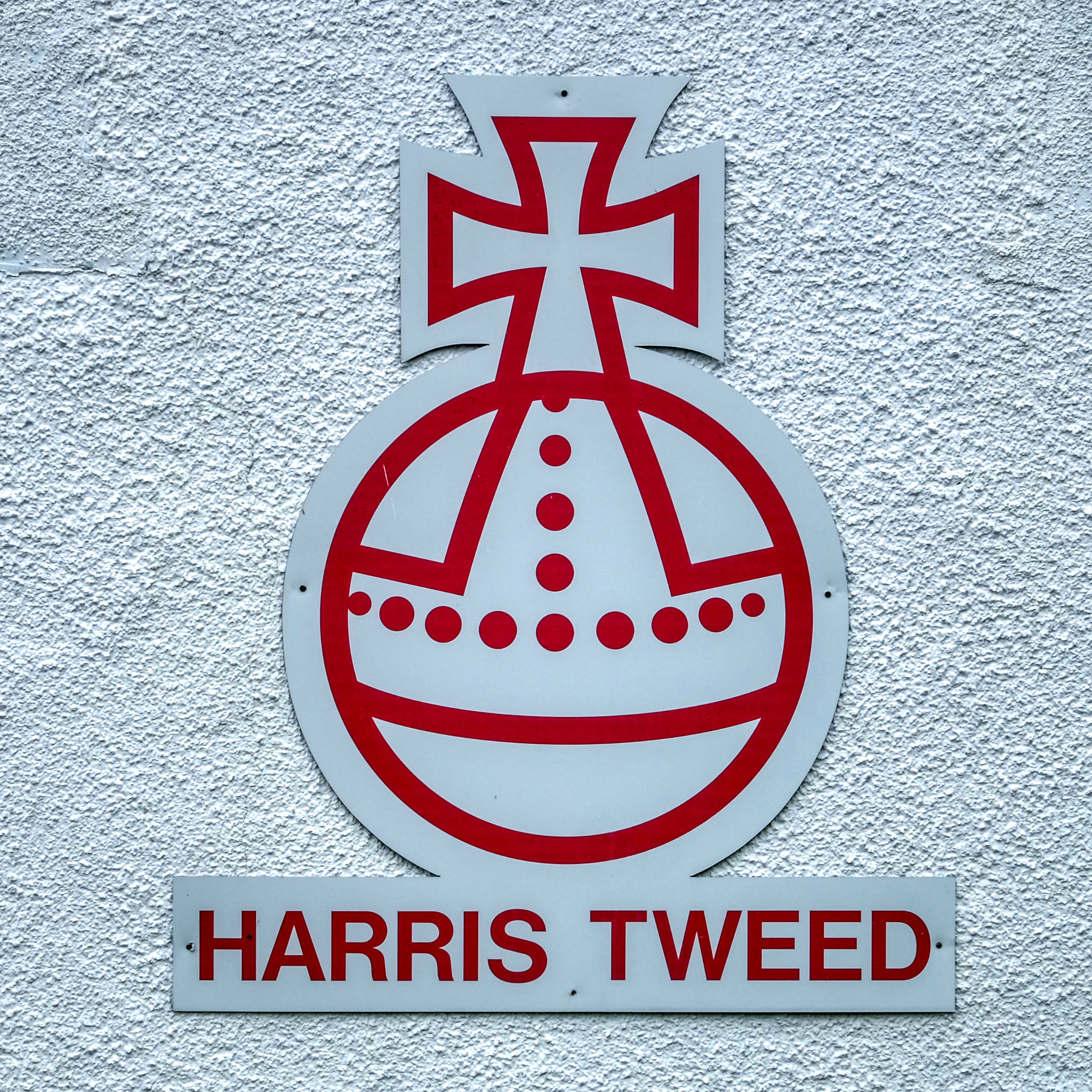 Only tweed that has been woven on the Isle of Harris can be called Harris tweed. It is famous all over the world.
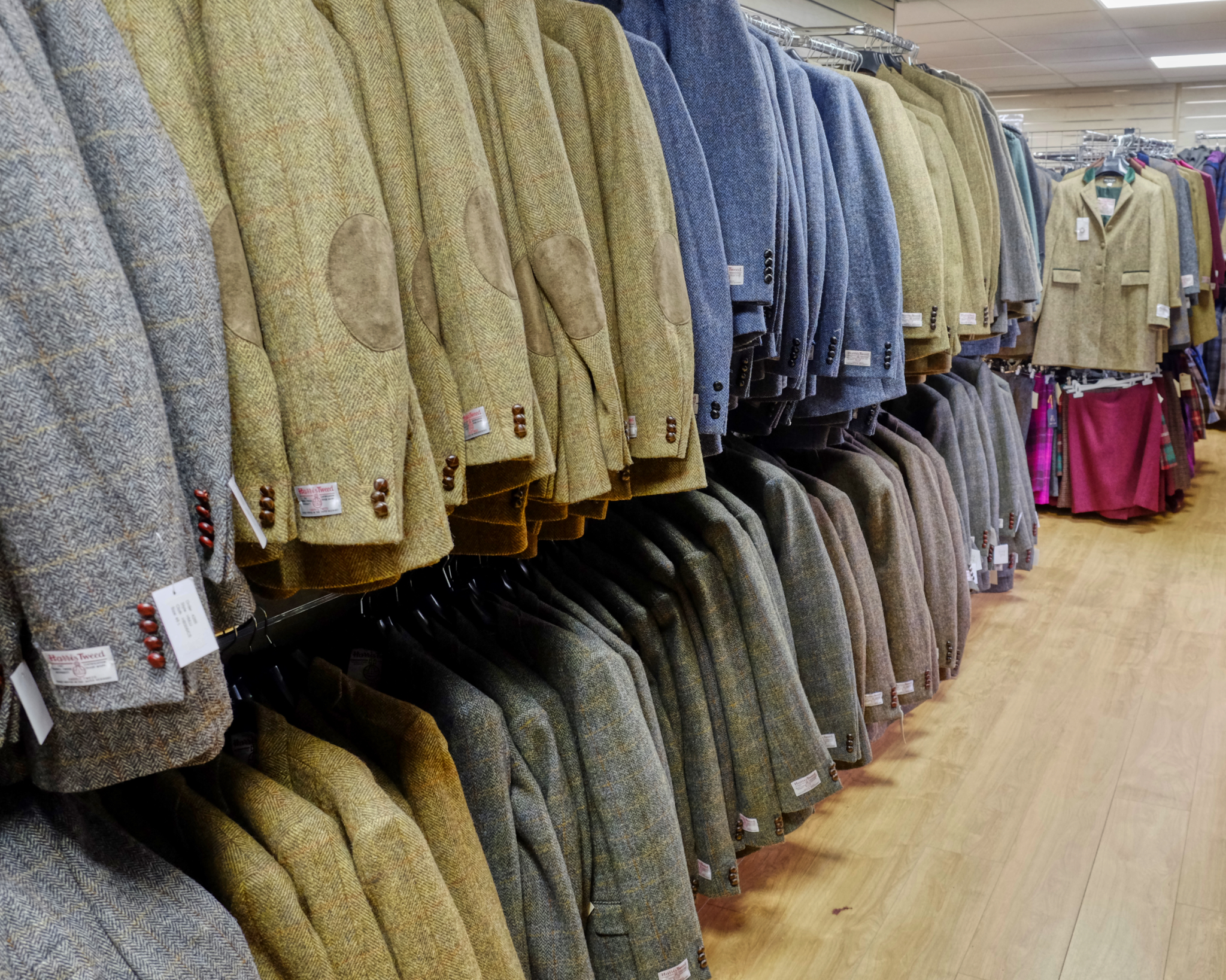 When I lived in London many years ago, I had a very nice Harris tweed sport coat. I tried several of these on . . . but they felt too old fashioned . . . and professorial.
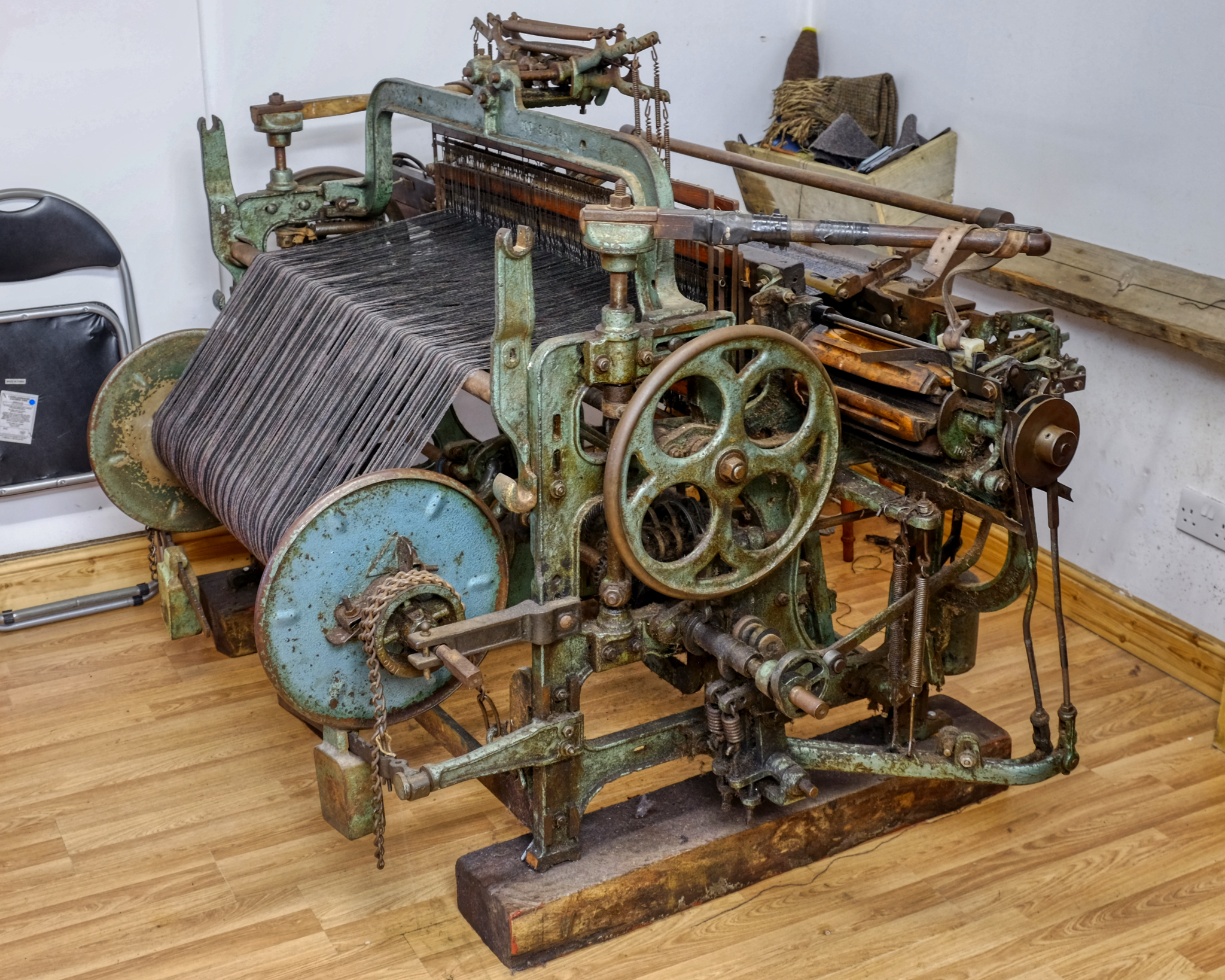 The winter nights on the Outer Hebrides are long, dark, cold, and windy. Local residents have spent the dark months weaving the distinctive tweed the island is famous for on these looms.
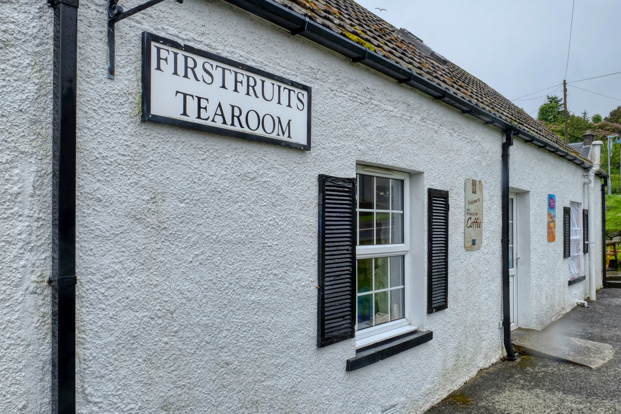 We eagerly explored the few small villages out on the islands. A nice cup of coffee and scones was very welcome.
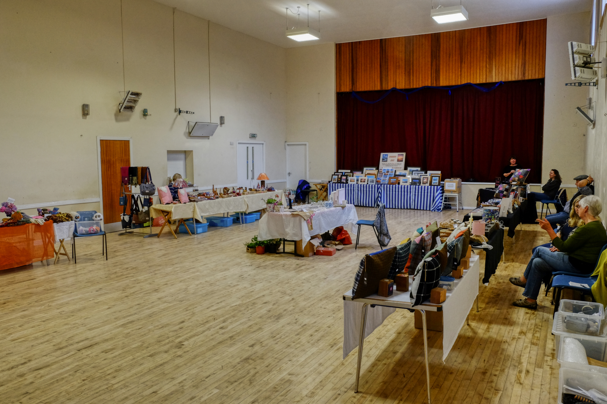 We always stop whenever we see a "craft sale" sign. You never know what amazing things you might find . . . and we have found and purchased many fantastic things on our world travels in these kinds of places . . . but not at this place. We always try to buy something, but could not find a thing we wanted here. Sorry ladies.
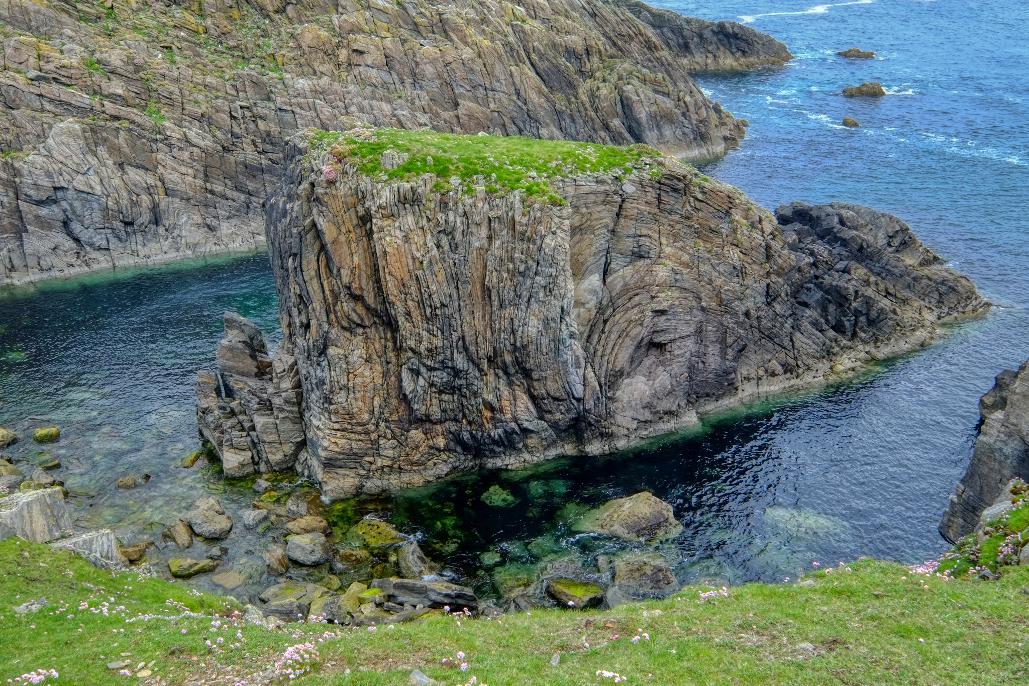
After five days on the small roads, we eventually made it to the very tip top of the chain of islands that make up the Outer Hebrides. And we were not disappointed!
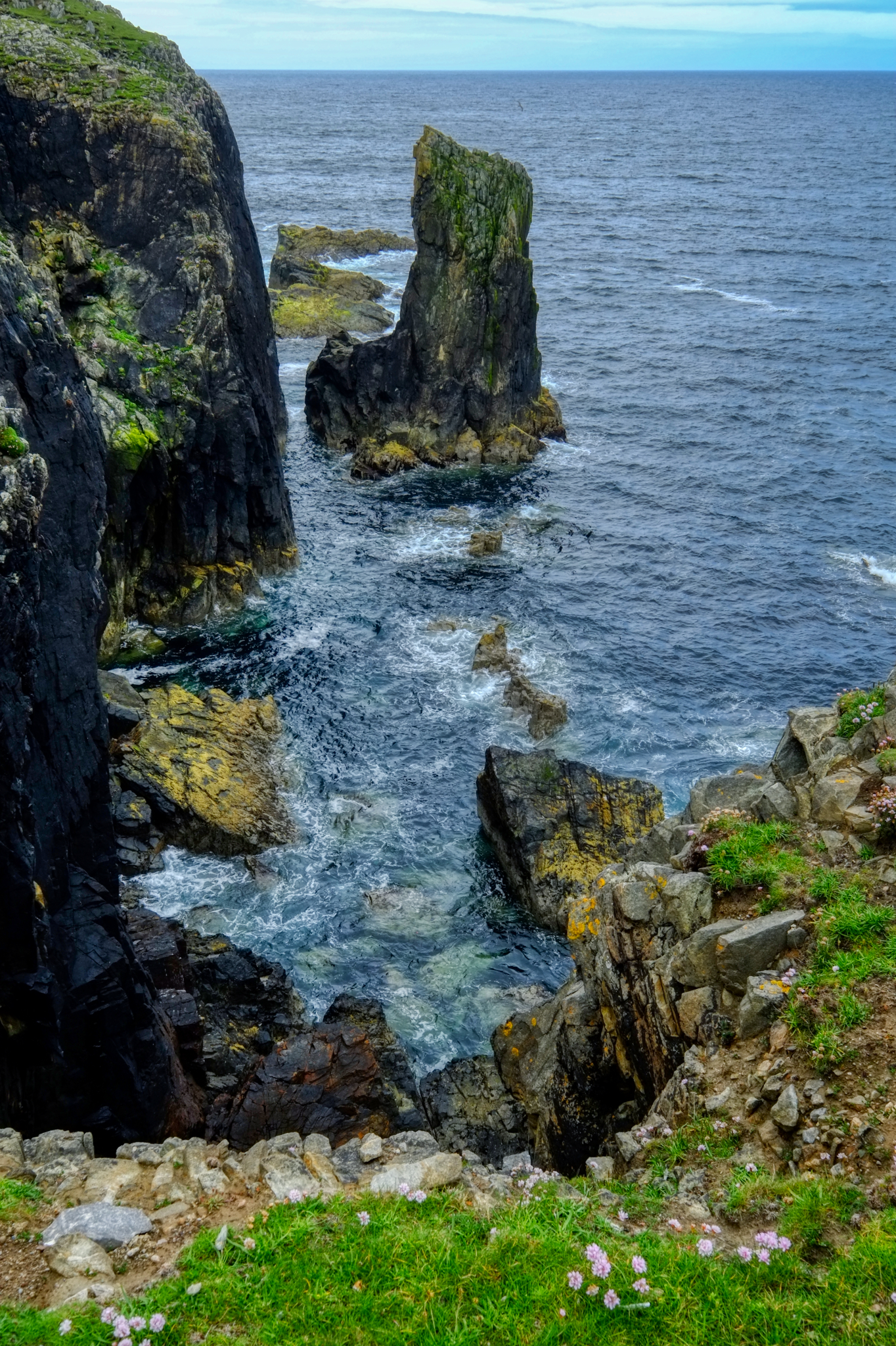 Fantastic cliff top views at the northernmost tip of the Hebrides.
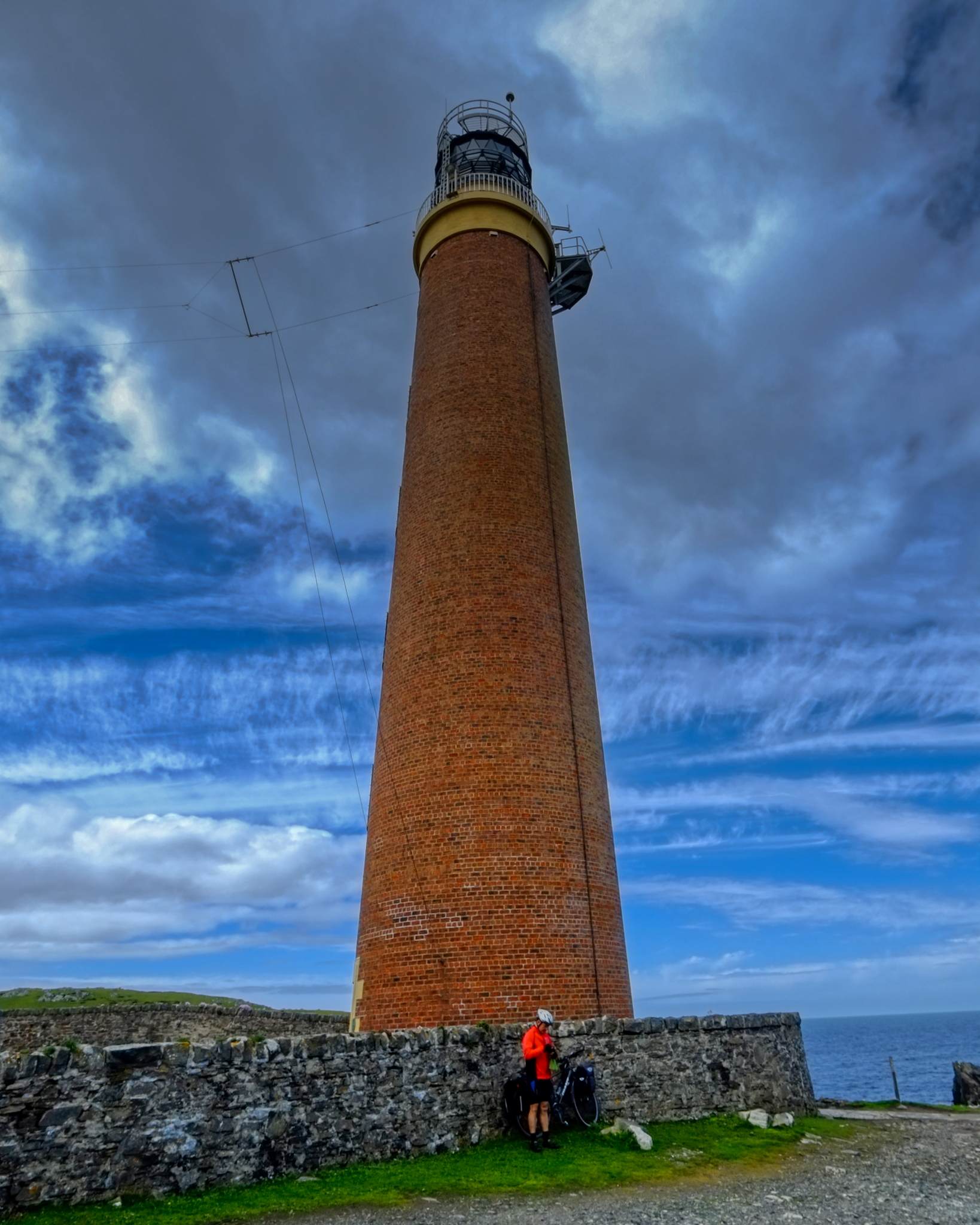 A lighthouse sits at the tip of the Isle of Lewis and Harris. This man rode his bicycle all the way from his home in London, England. He was going to turn around here and ride back down the east coast to get home.
 We drove back along the north coast as much as possible toward Stornaway and our ferry back to the mainland of Scotland.
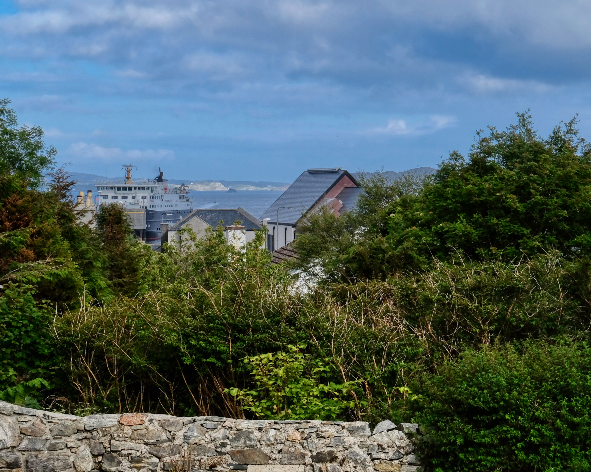 In Stornoway with our waiting ferry . . . but not until morning of the next day.
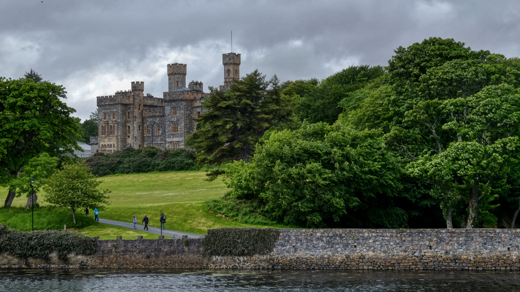 Lews Castle on Stornoway yacht harbour.
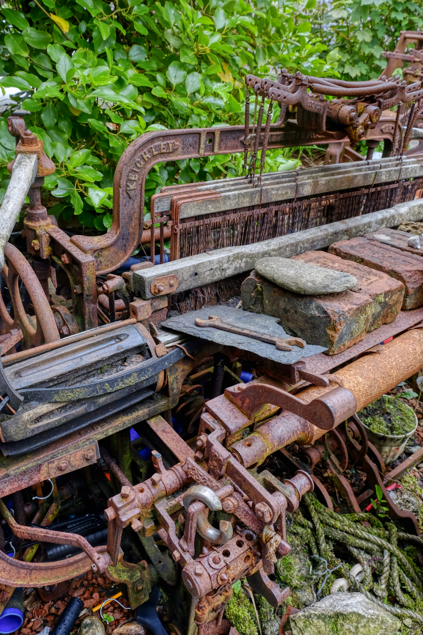 We explored the small town of Stornoway. I loved this old weathered rusty loom sitting outside a tweed museum.
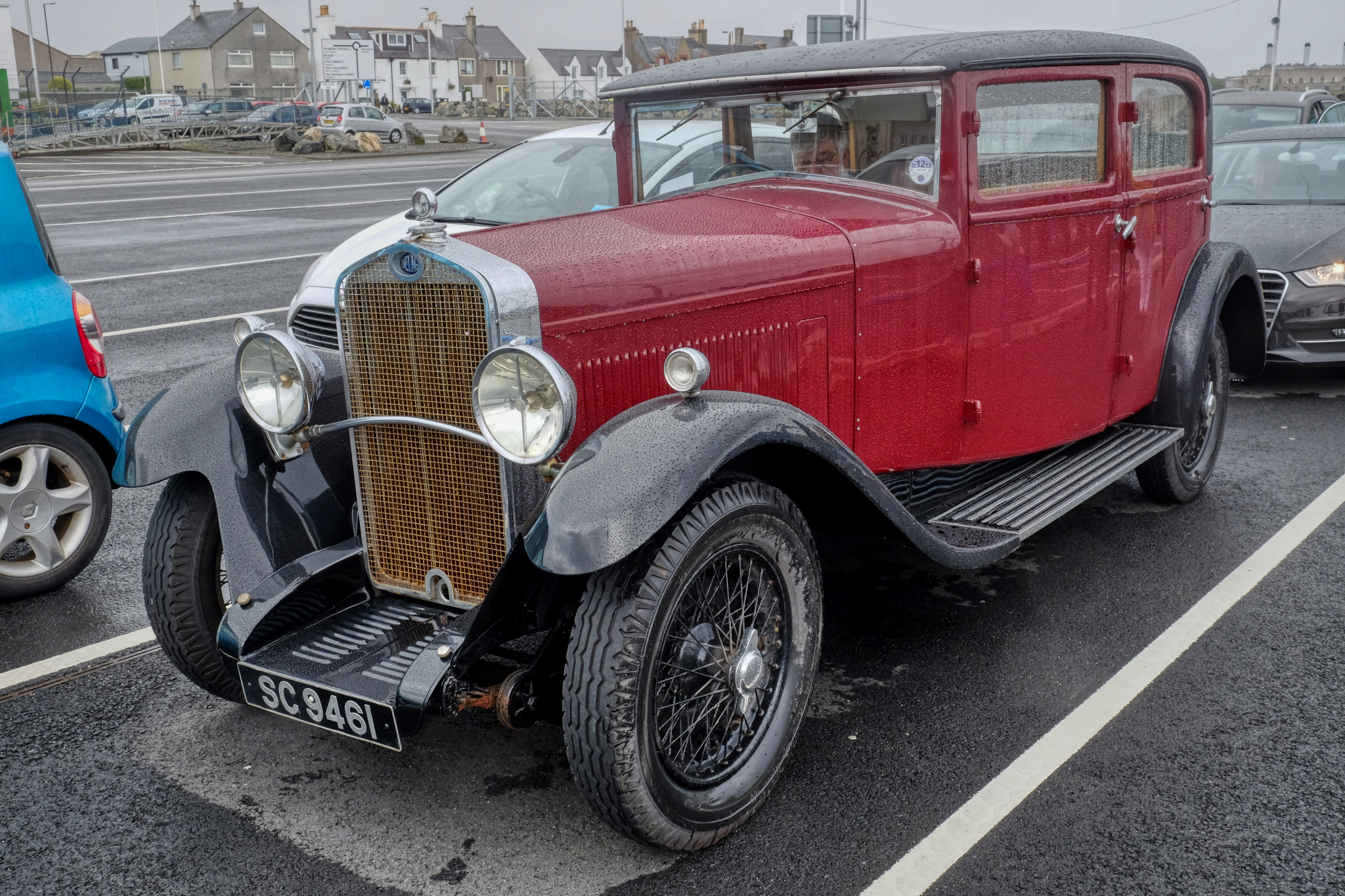 The next morning we joined the line-up at the ferry terminal for our passage home. Again, in the rain, there were many old classic cars waiting, including this Delage.
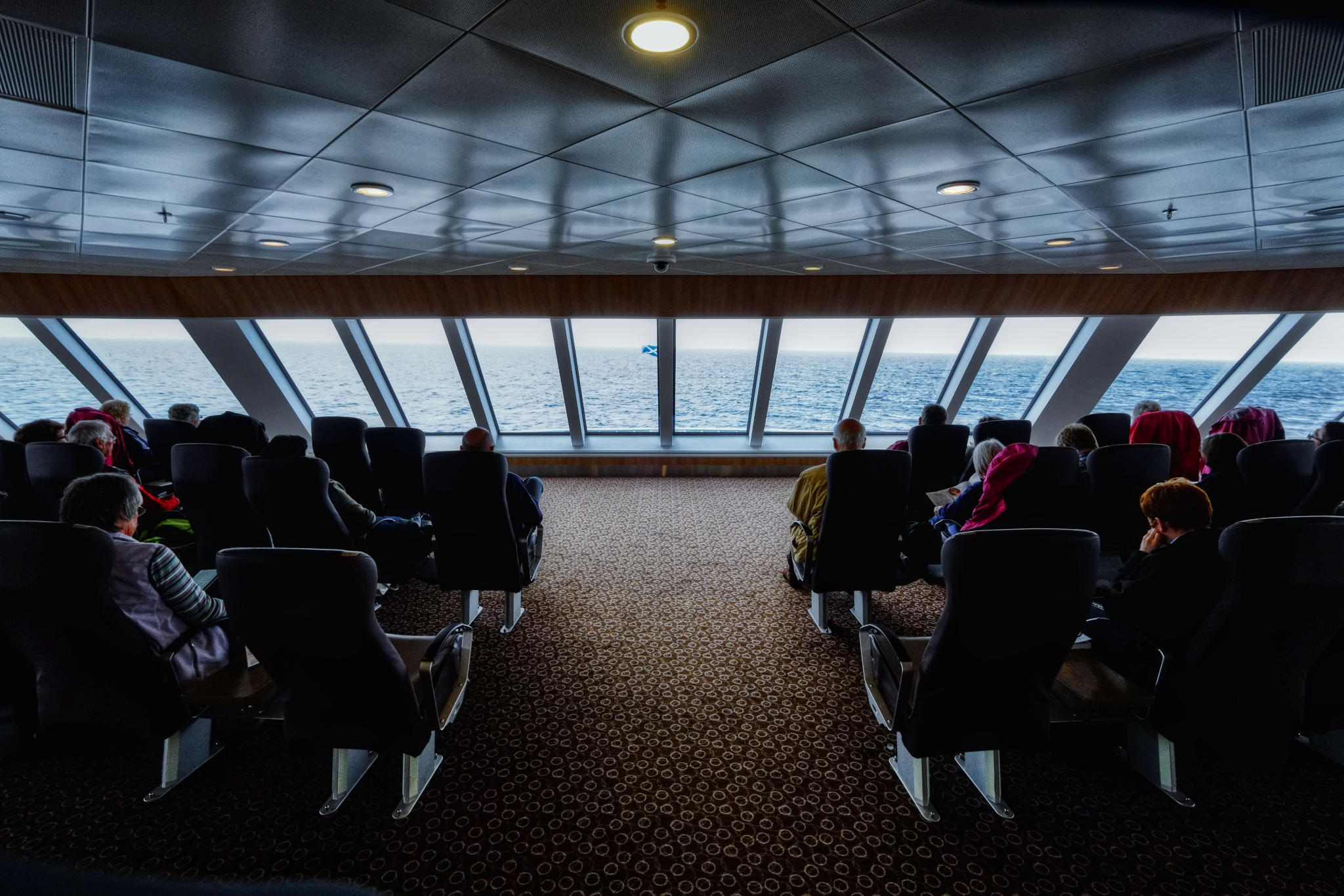 Heading home on the big ferry.
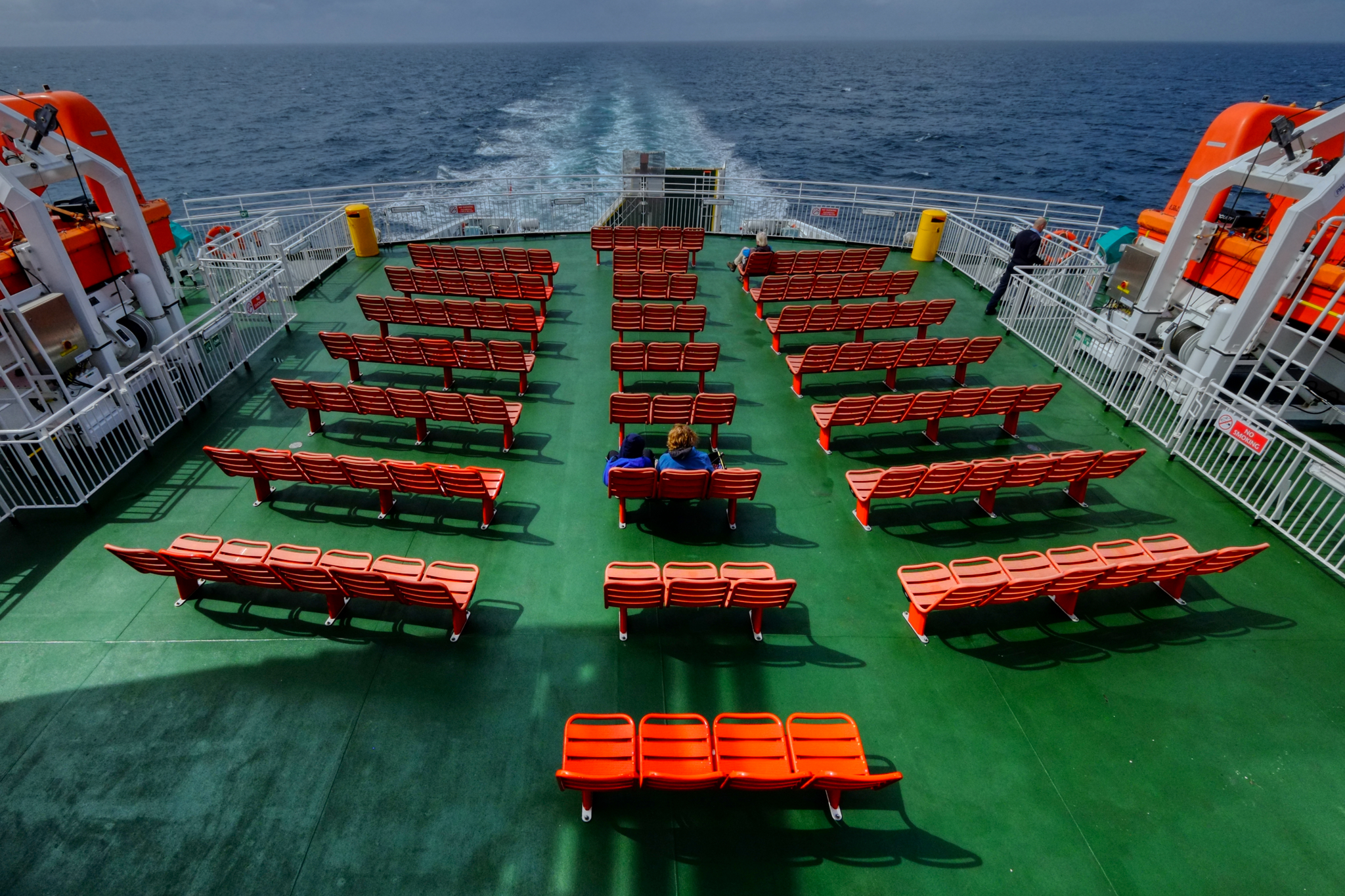 I spent most of my time on the return ferry trip sitting out n the wind on the aft deck. Glorious.
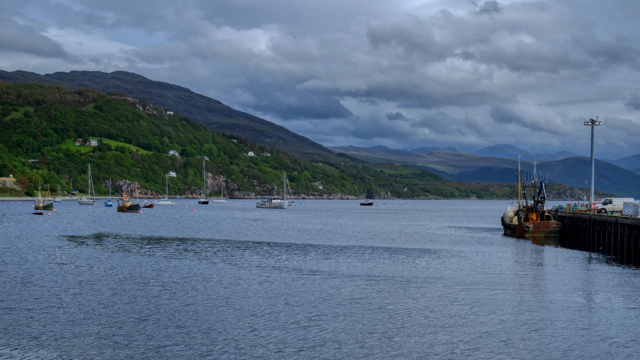 Arriving in Ullapool Harbour after a 3 hour cruise.
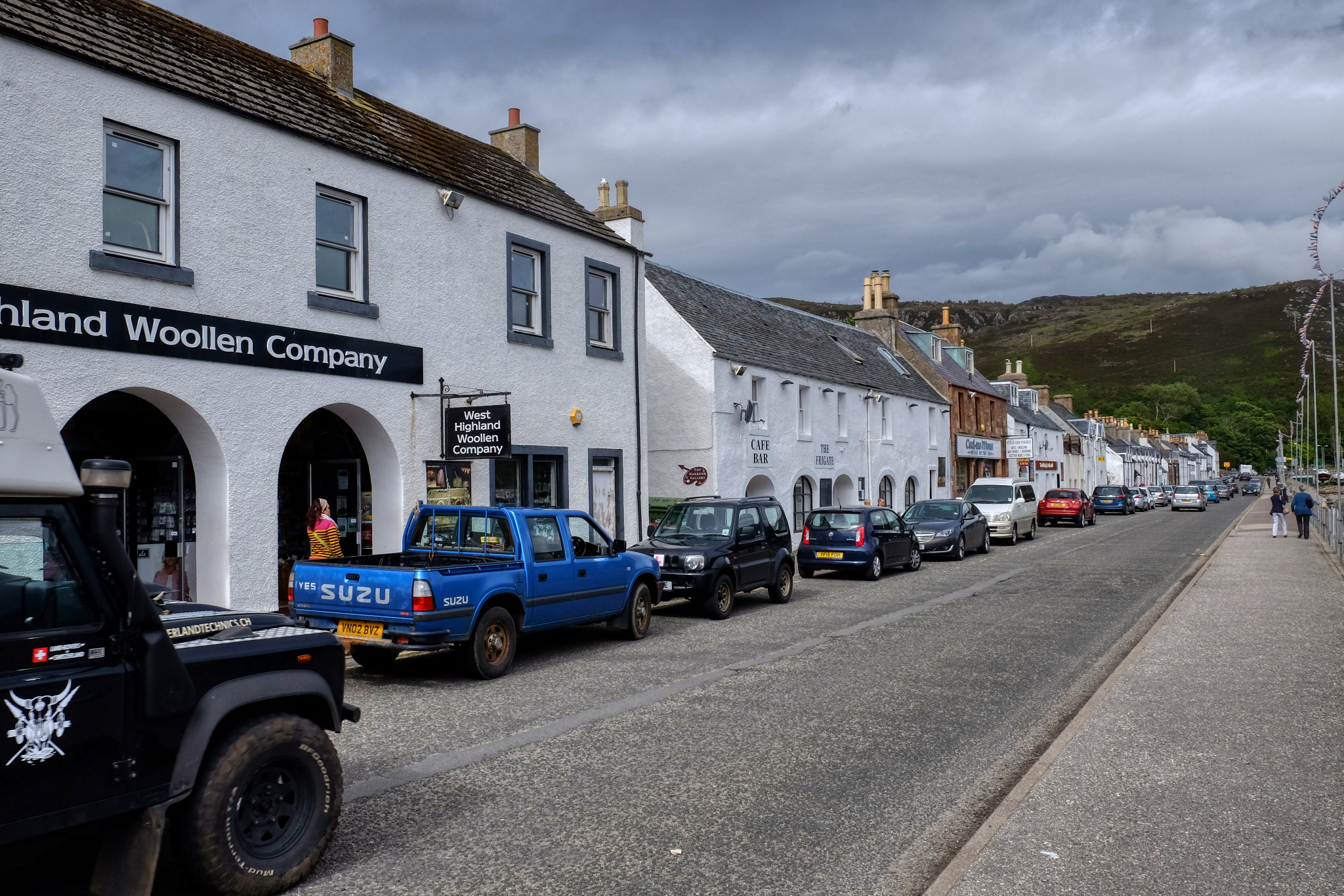 Harbour Street Ullapool.
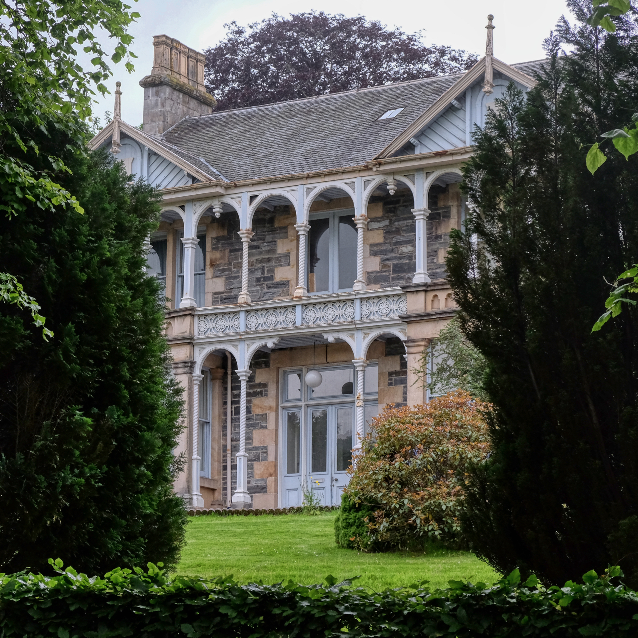 We stopped halfway home between Ullapool and Aberdeen at a rural hotel that turned out to be on a tour bus company hotel with a HUGE dining room full of French and Hungarian bus tourists. It was loud and fun!
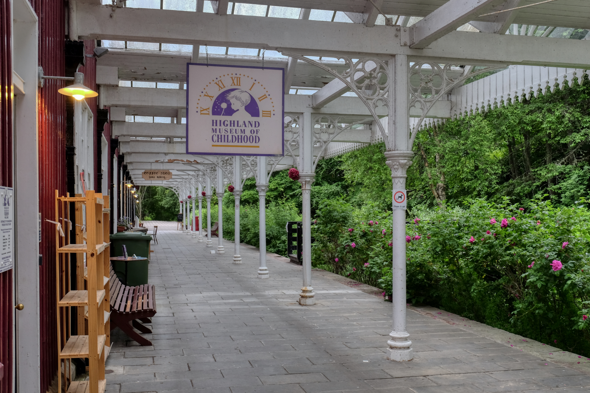 We walked around the small village near the tourist hotel and discovered the Highland Museum of Childhood . . . an interesting name. It was closed . . . like my childhood.
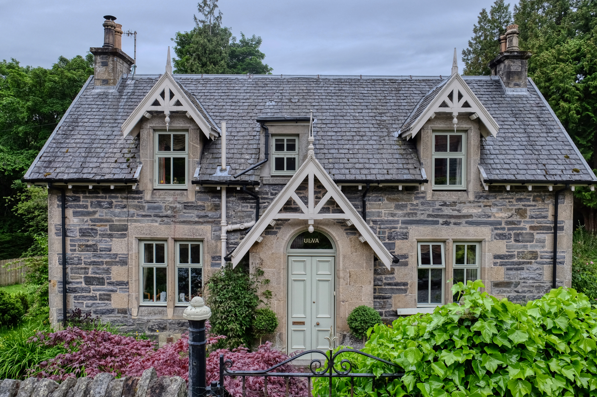 All the houses in the village were named. Ulva . . . named after an island in the Inner Hebrides of Scotland, off the west coast of the Isle of Mull.
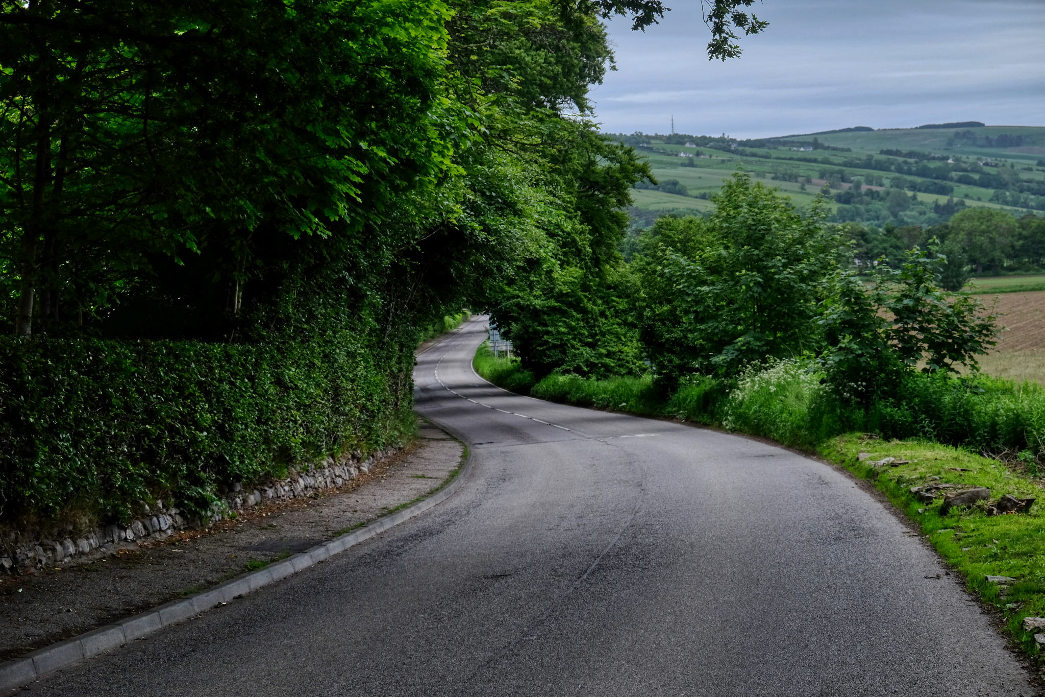 The next morning we were off down the Scottish country roads toward our home in Aberdeen.


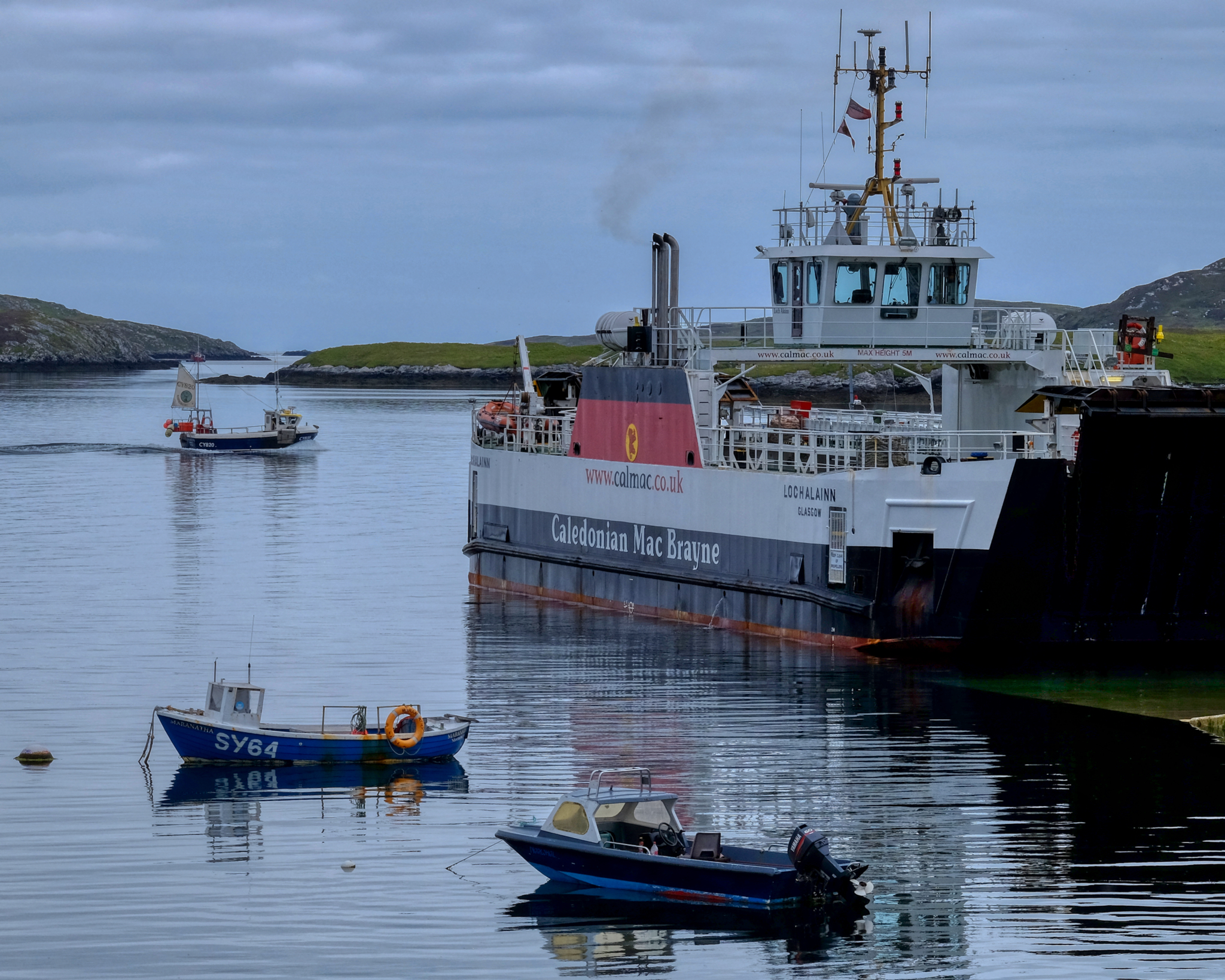
 Boats,