My most current blog entry:
Entries in Road Trip USA (25)
USA Road Trip: Bull Bend Campground - Deschutes National Forest, Oregon
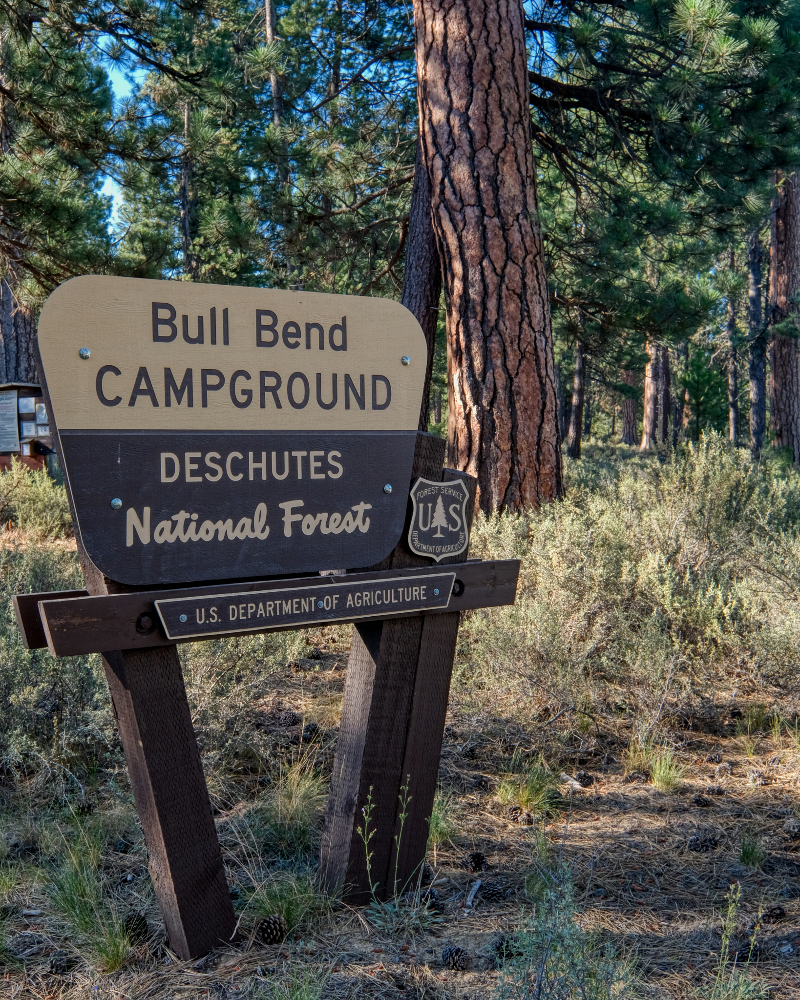 At the start of a long road trip to the Grand Canyon, Zion and Bryce National Parks, my wonderful wife and I stopped off for a two days of camping along the Deschutes River on the eastern slopes of the Cascade Mountains of Central Oregon. Bull Bend Campground was lovely!
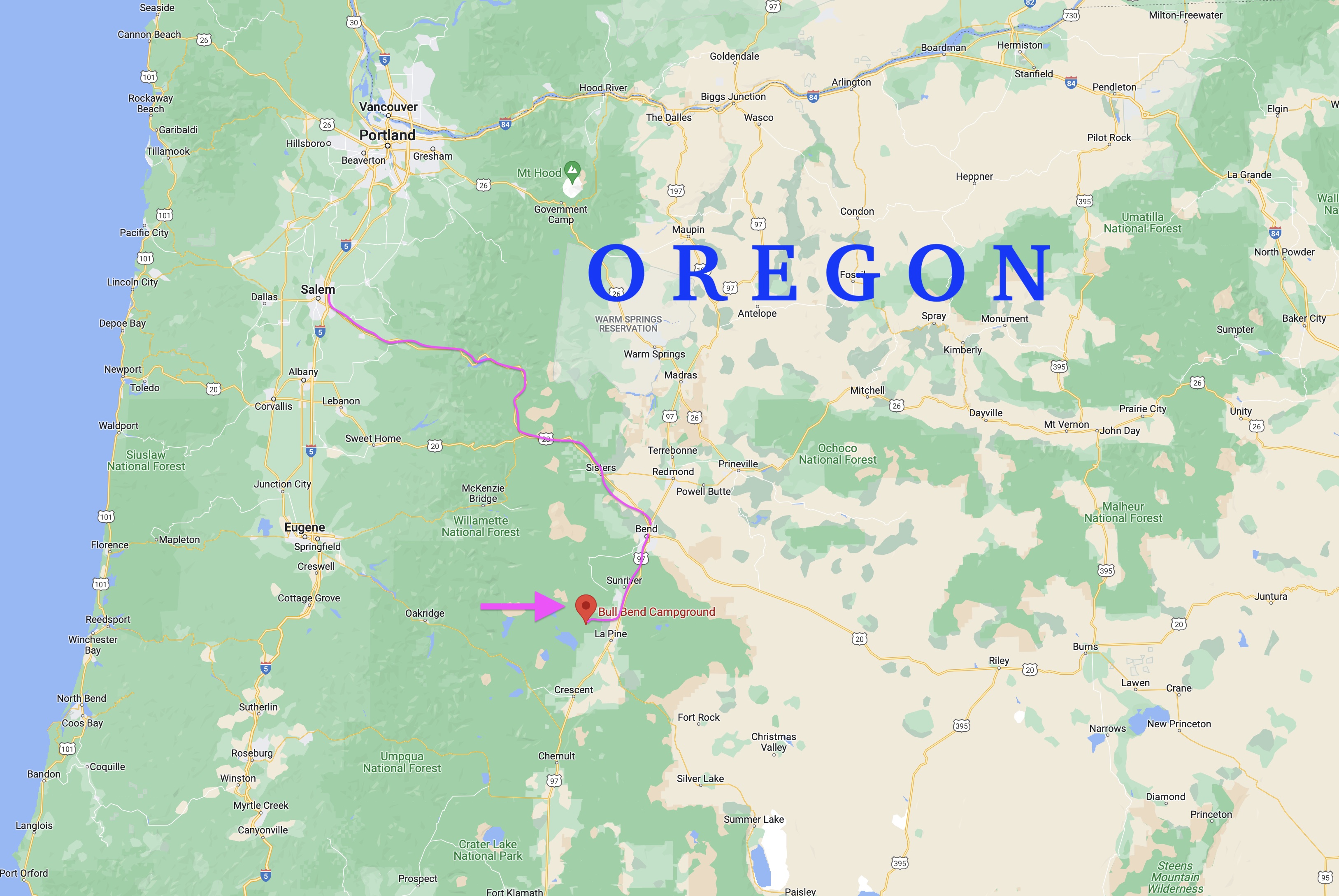 A 3 1/2 hour drive from our starting point in Keizer, Oregon to the Bull Bend Campground through the beautiful Santiam Pass . . .
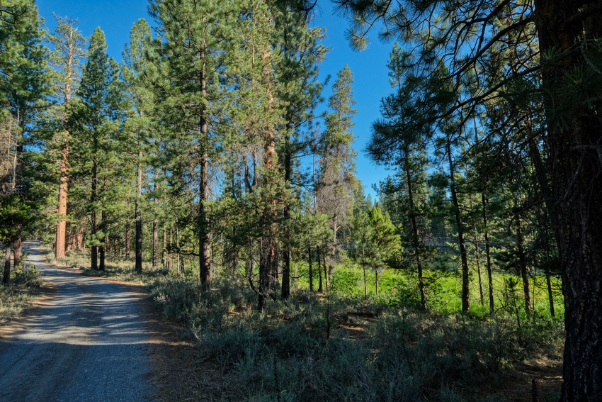 There was a somewhat bumpy and dusty 2-3 mile drive off the paved road through the dry Ponderosa Pine forest to get to Bull Bend Campground.
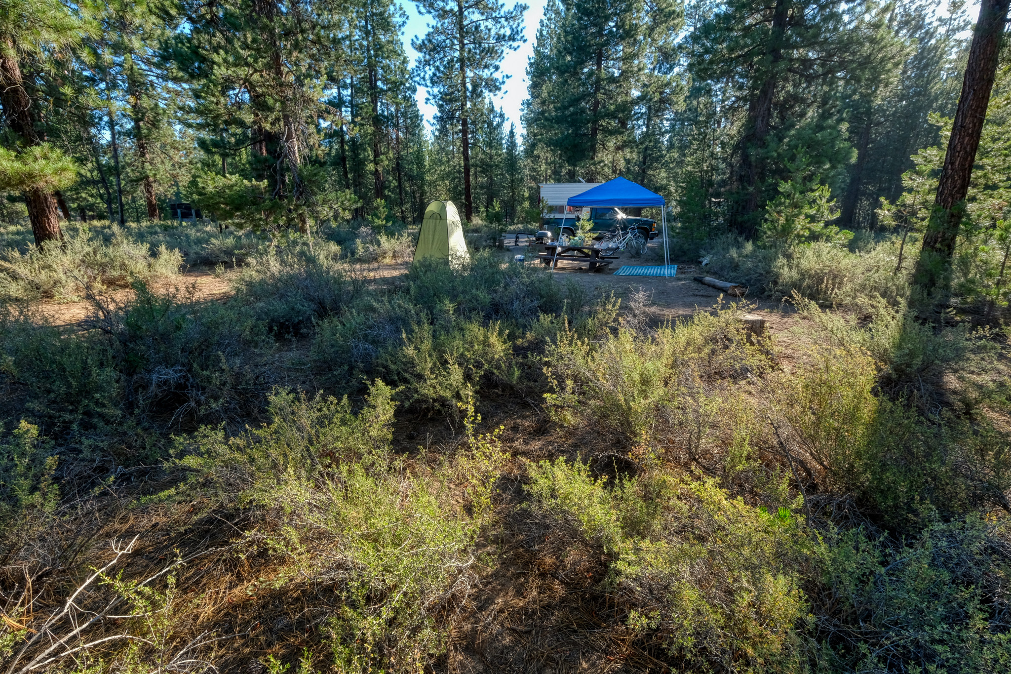
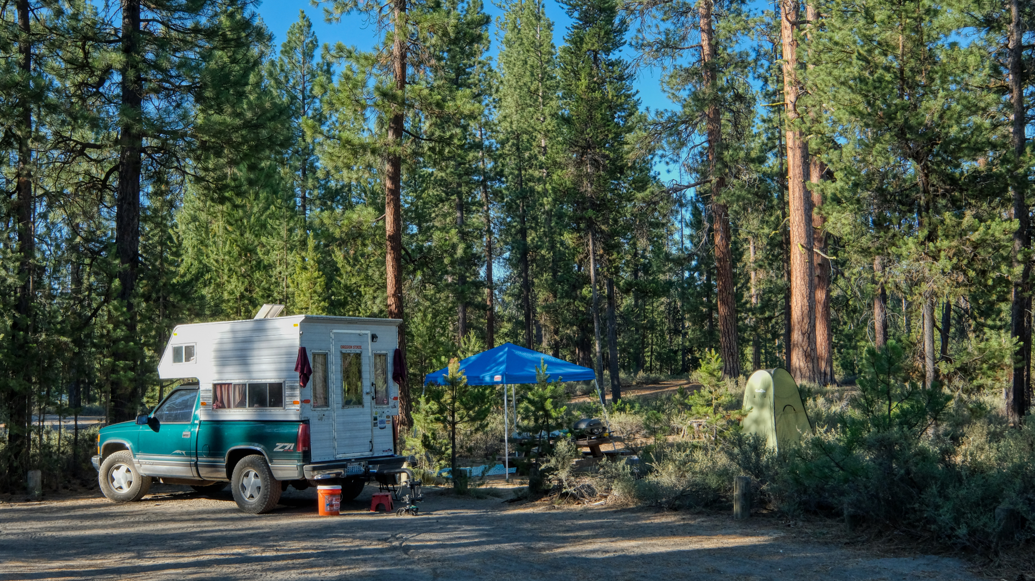 The campground was very nice with all the sites actually on the river. We found a nice one and went about setting up camp.
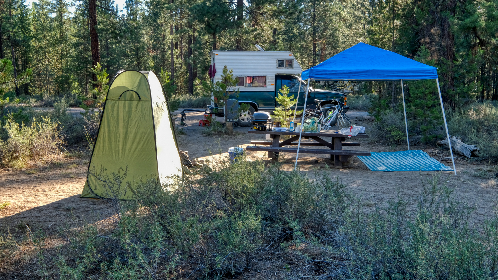 With our camp set up (complete with our "shower/toilet" tent), we took of for a quick look around.
 We were situated in a beautiful forest on a perfect, clear 80f day.
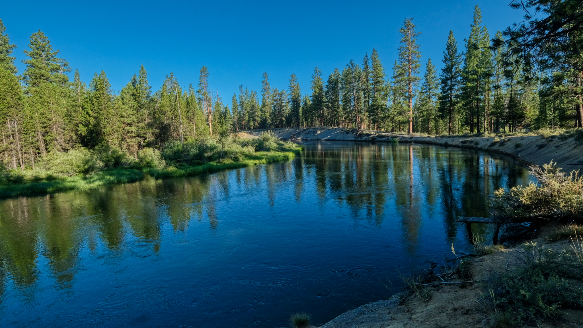
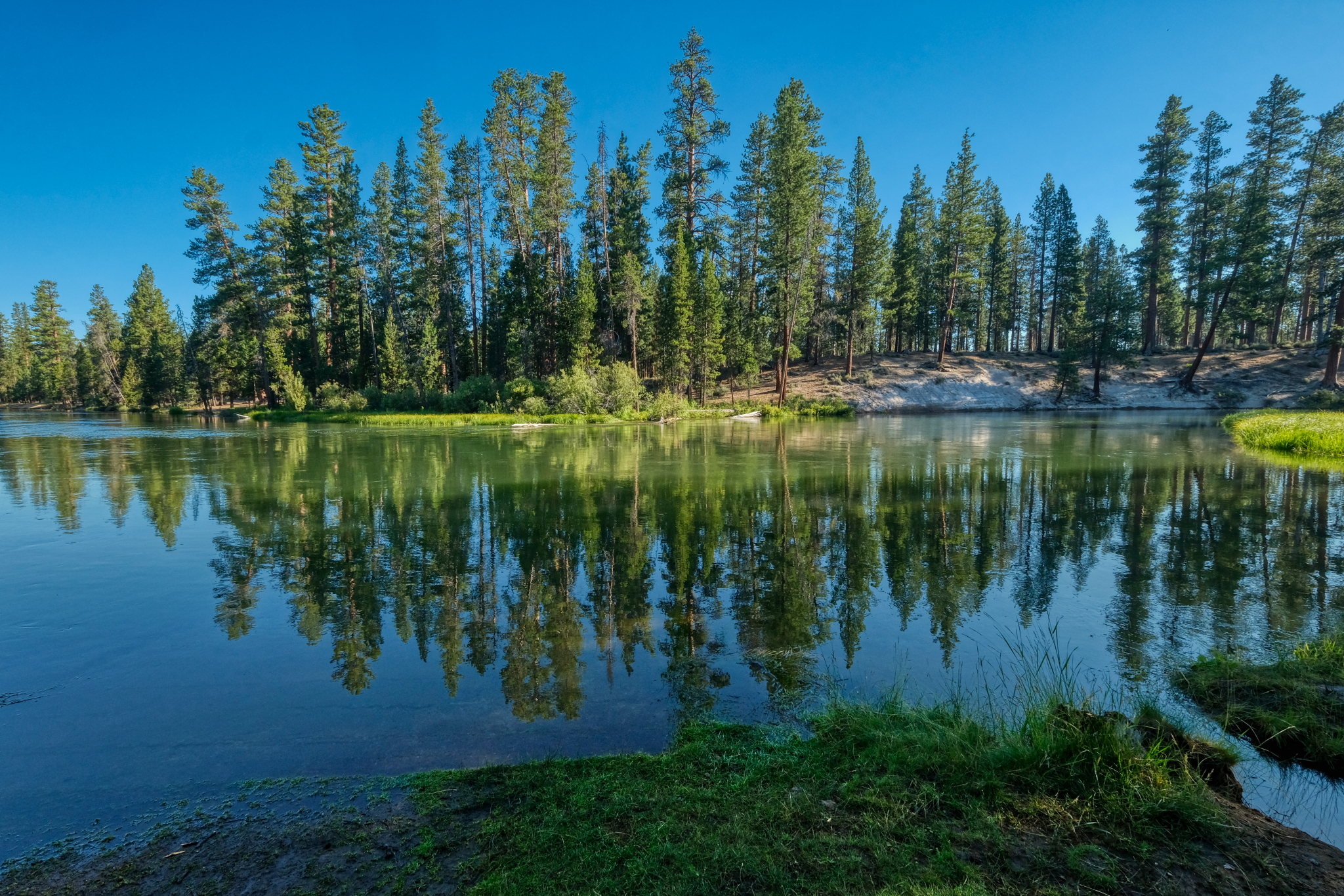
 30 feet from our campsite we had the Deschutes River. Spectacular!
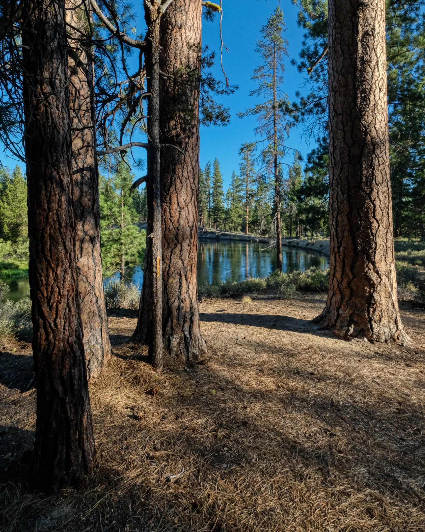
 There is a big 300 degree bend in the river which almost creates an island, where the campground is situated.
 Incredible nature!
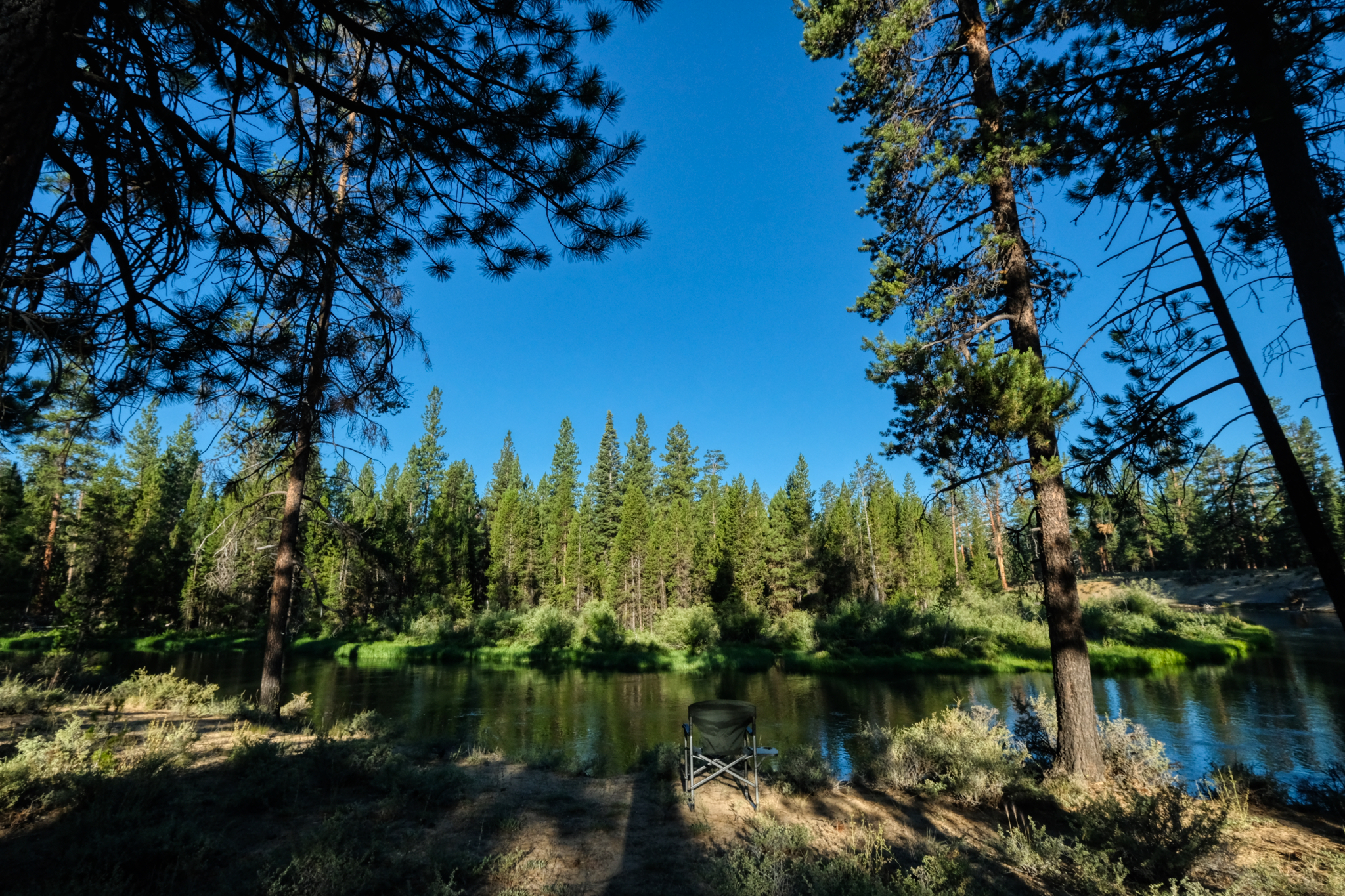 I immediately went back to our camp site and grabbed my camping chair and took it down to the river banks. This is where I wanted to sit and enjoy life.
 The view from my camp chair. Heaven.
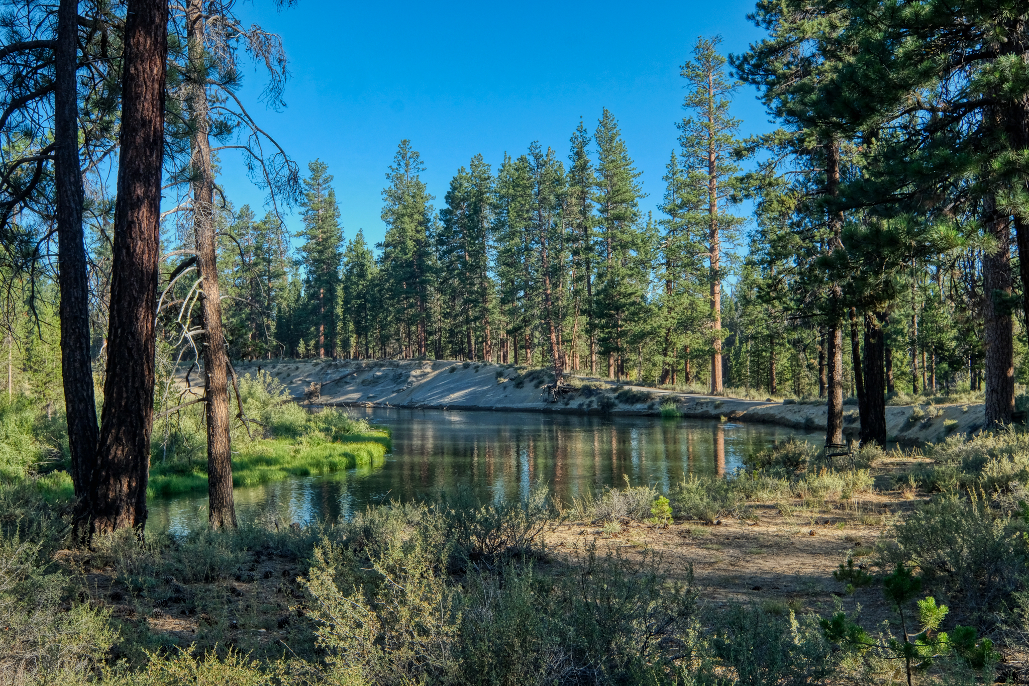
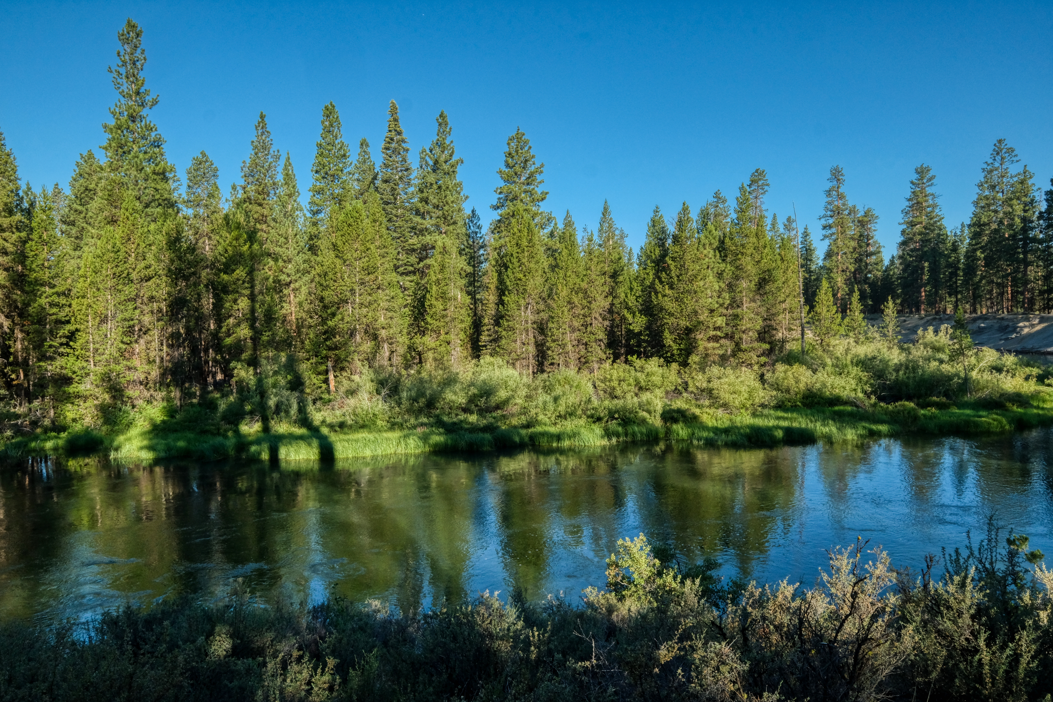
 Looking to my left from my camping chair the river bends out and around in a big arch which surrounds the campground.
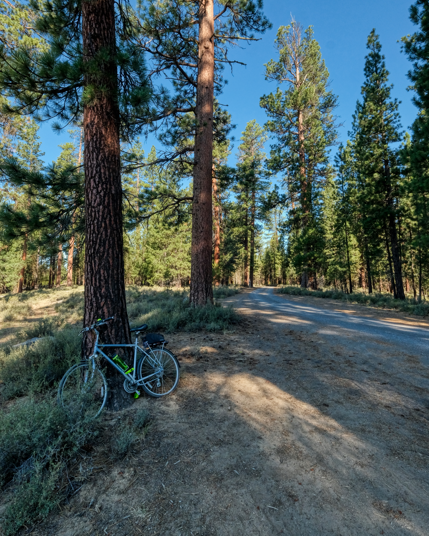 I took my bike out for a spin around the campground . . .
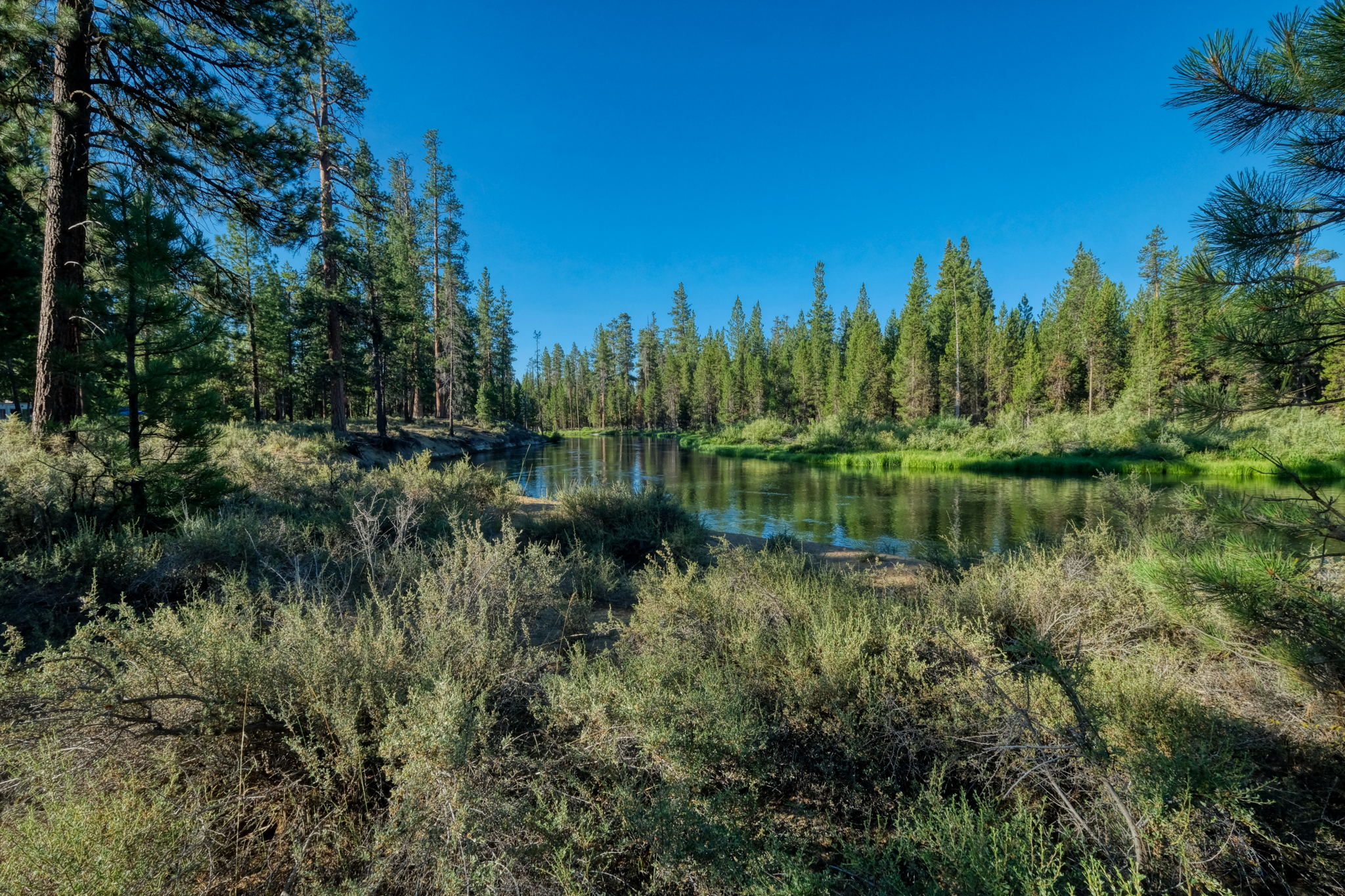
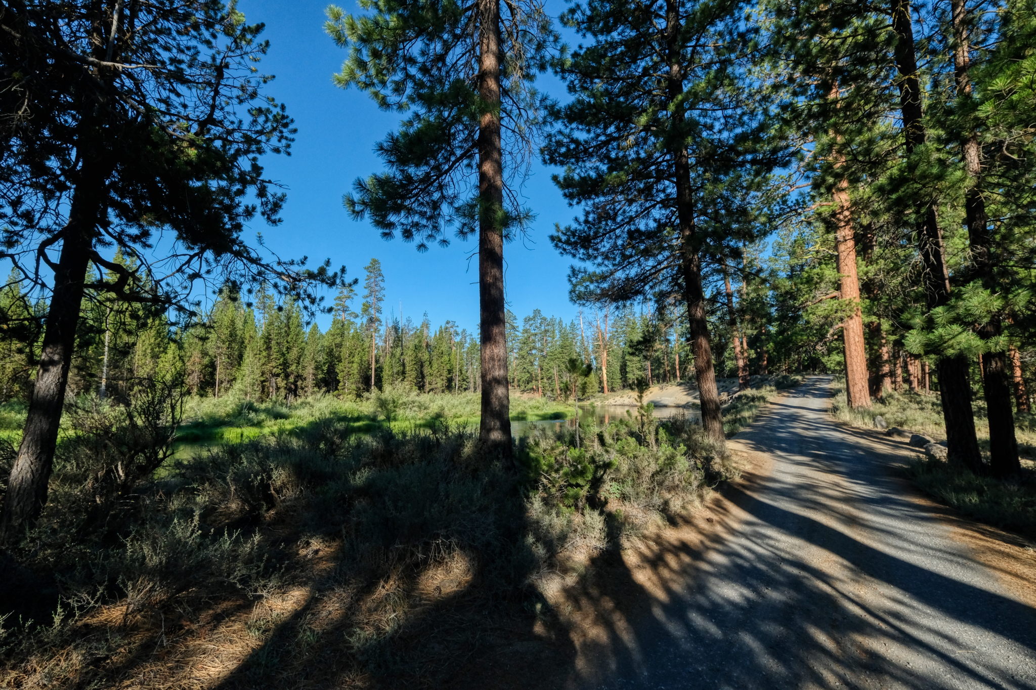 Then I rode the road out of the campground . . . for some different views of the river.
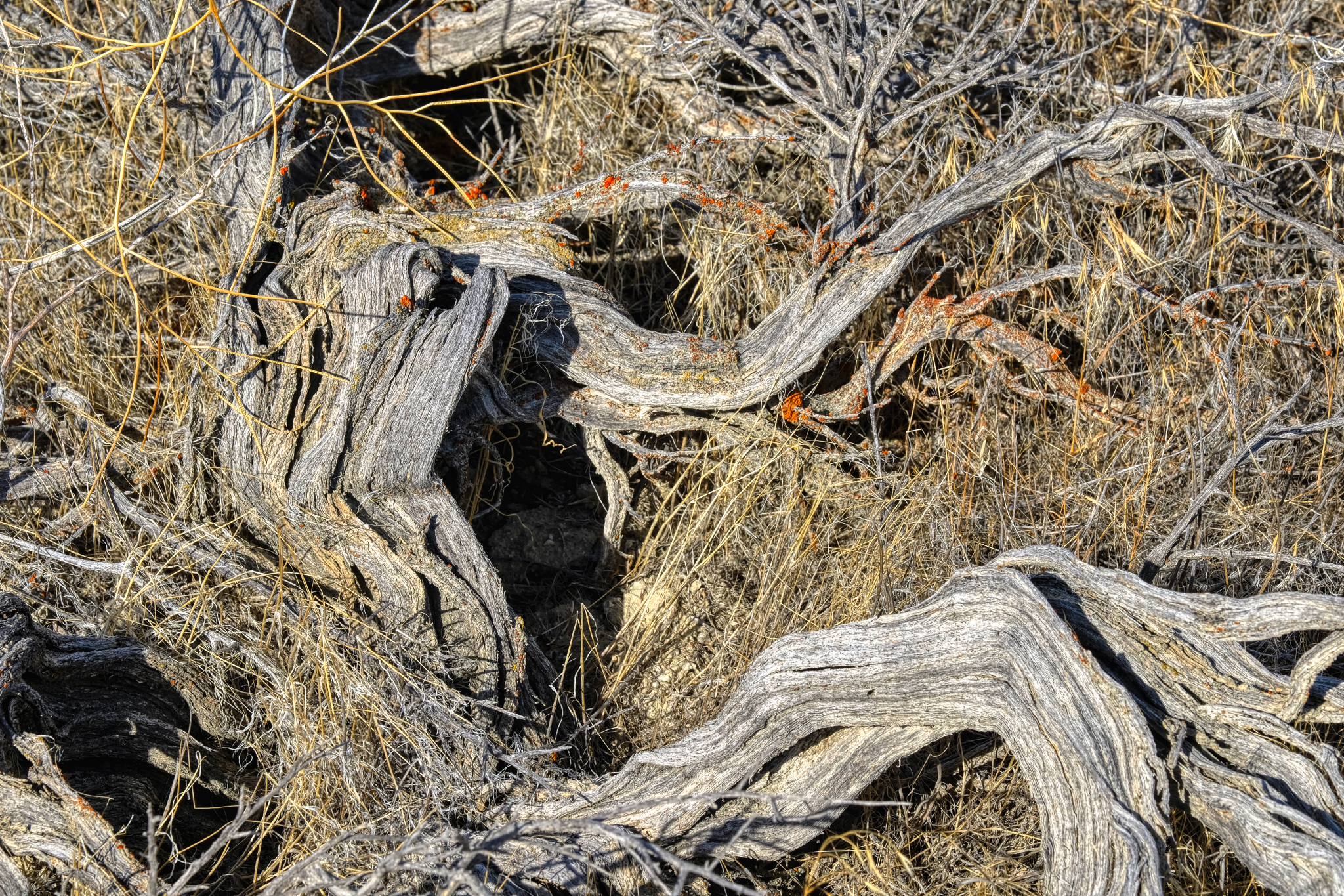
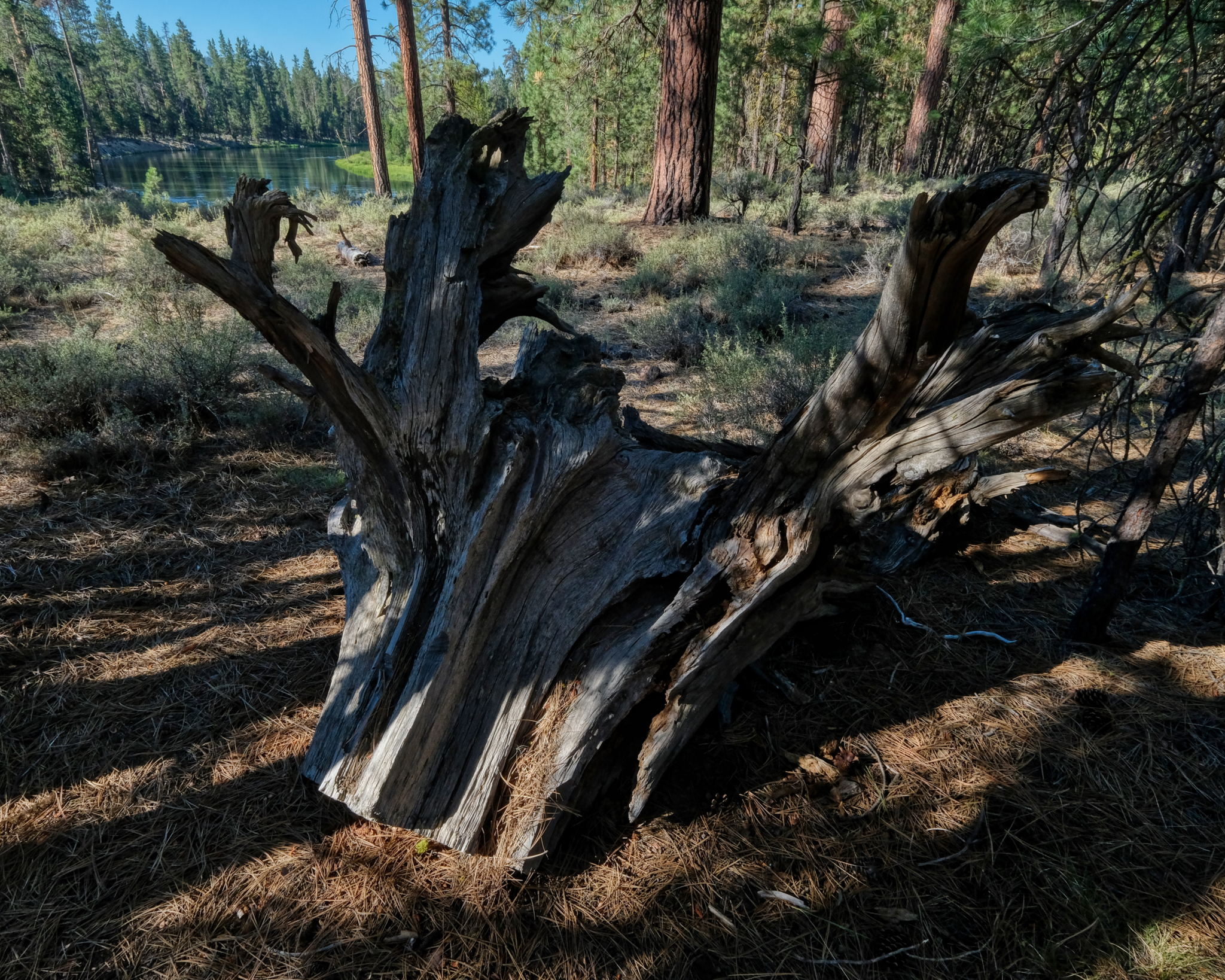 The Dechutes River floods at various times of the year eroding the banks. These sawed-off root snags can be found along the banks.
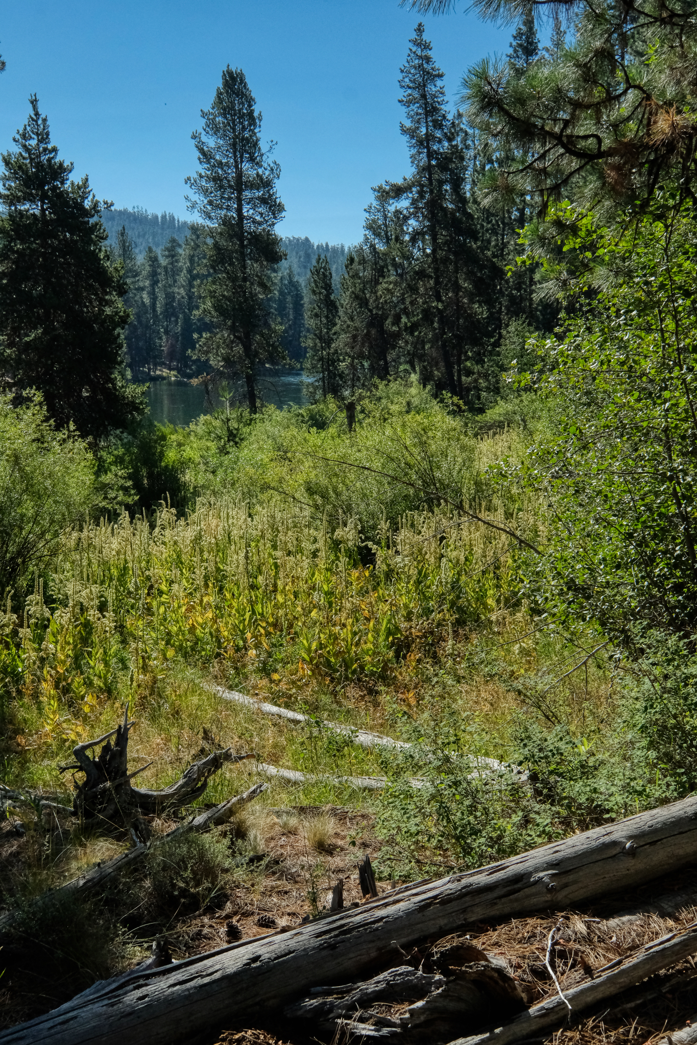
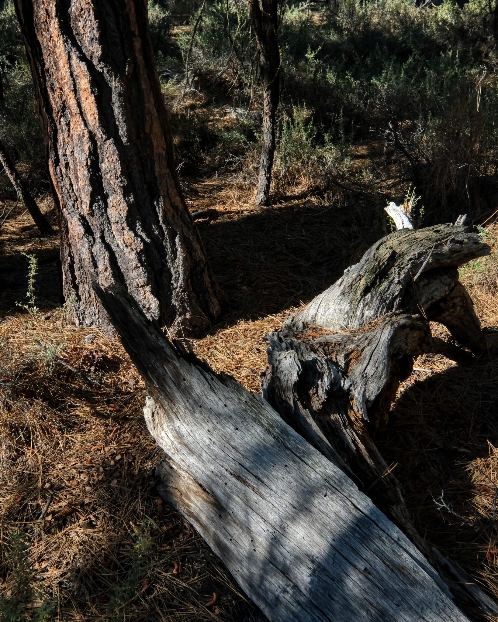 The forest floor is a complex and beautiful environment . . .
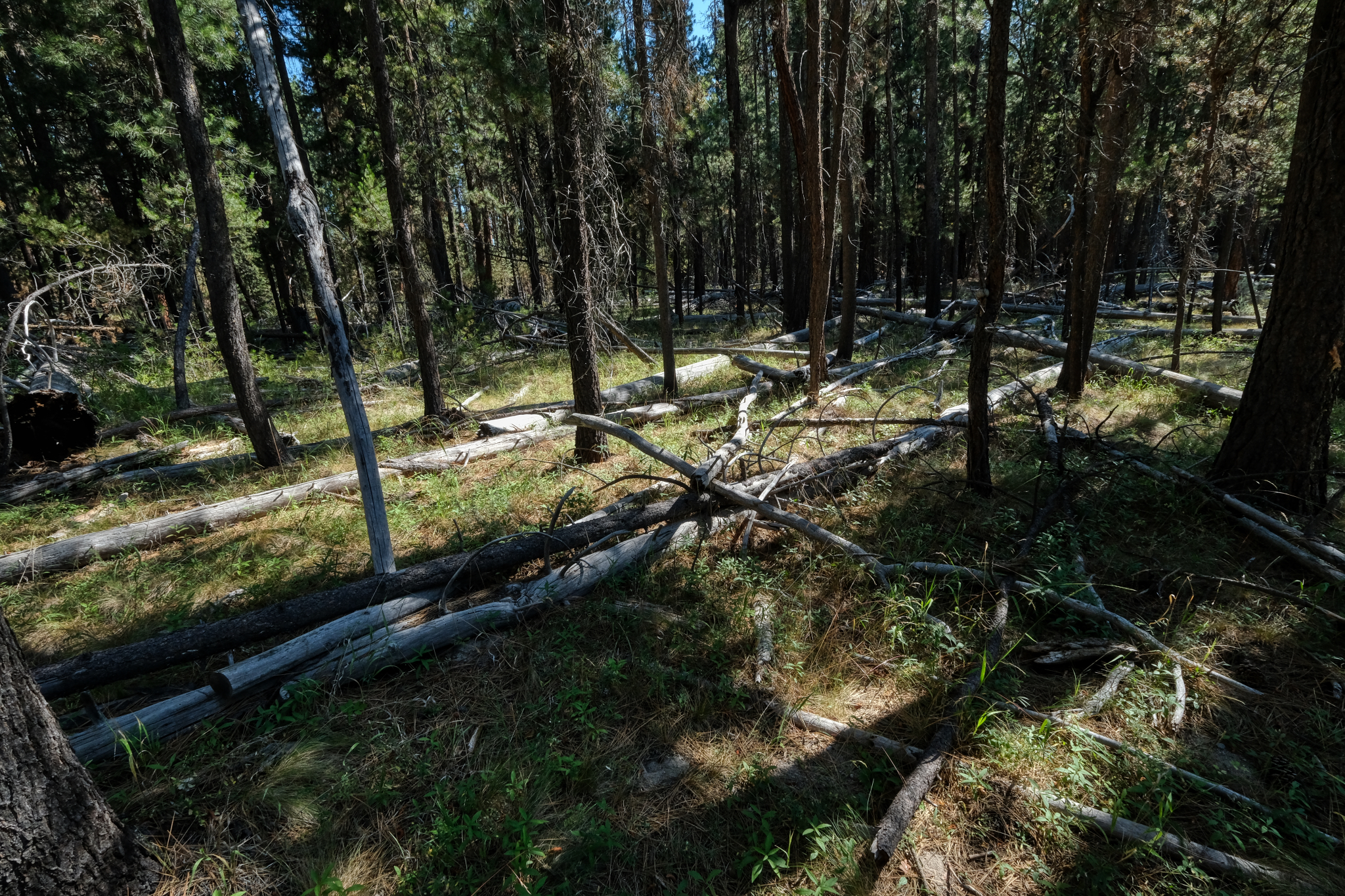 Various tree falls from fires and thinning.
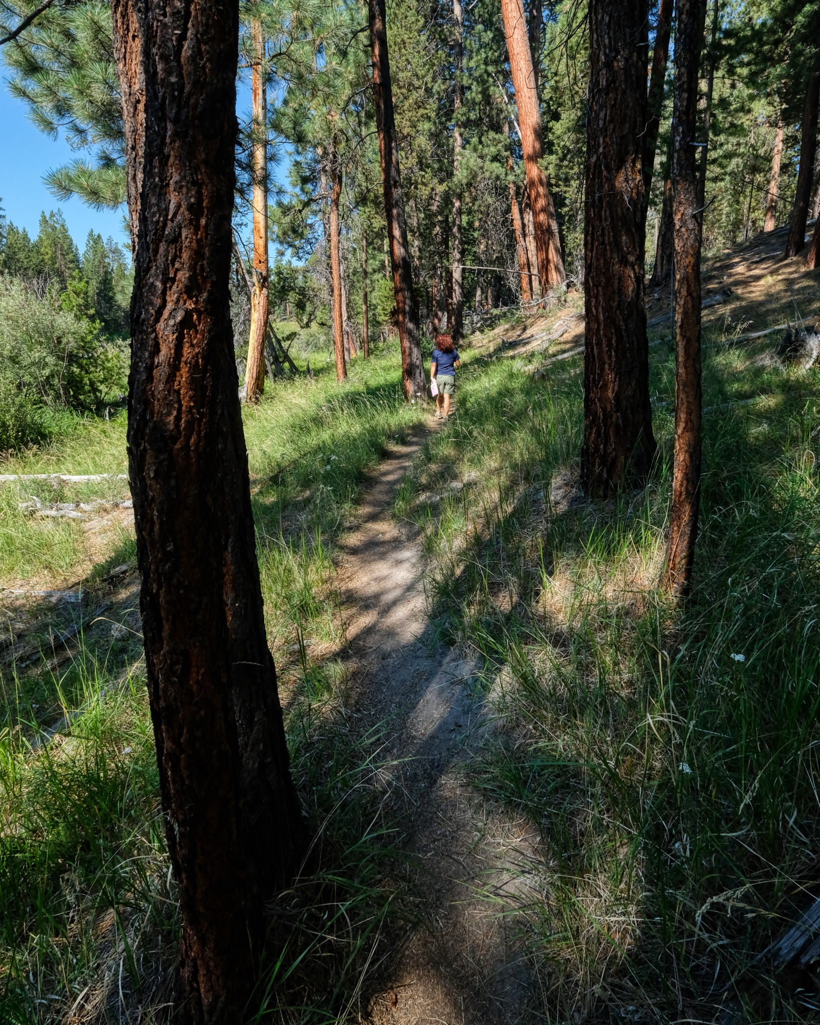 On the next morning my wife and I took a walk out into the forest on a random trail leading away from the river.
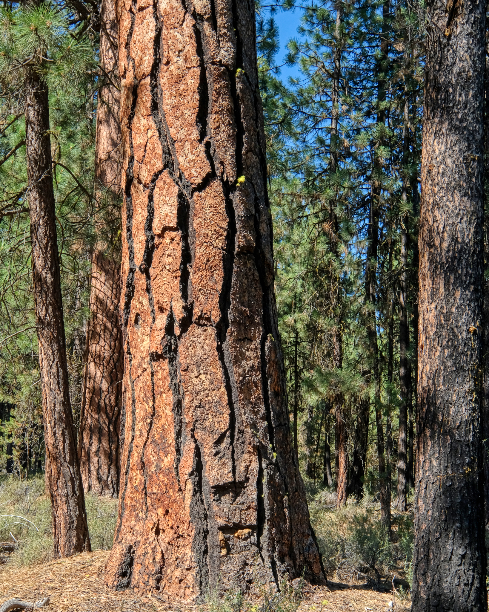
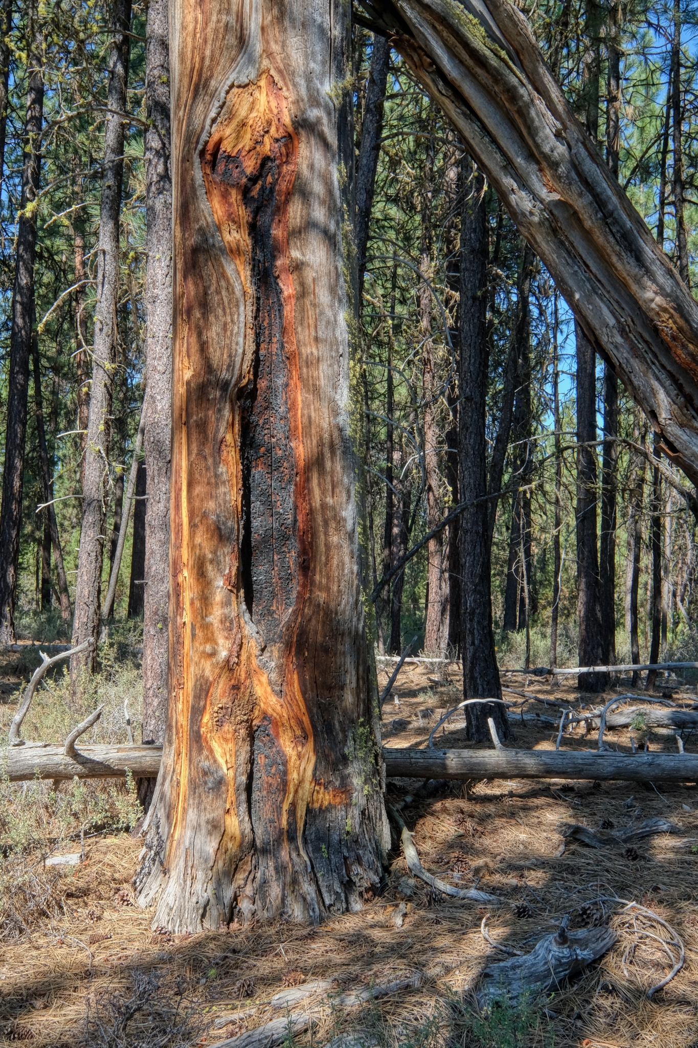 There was plenty of evidence that there had been a big burn in the not-too-distant past. Of course, these Ponderosa pines depend on fire to help their seeds propagate.
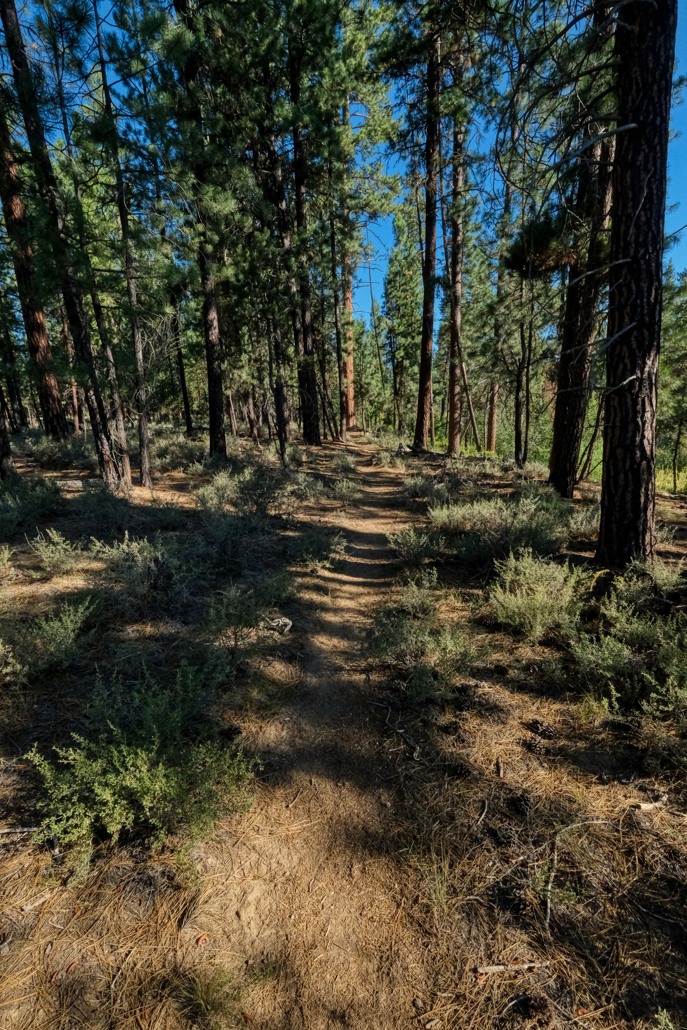 Such an inviting forest trail . . . on such a gorgeous day!
 Our trail "away from the river" eventually lead us back to another bend in the meandering Dechutes River.
 I am not sure if I will ever get back to this wonderful place, but I will always remember these fantastic trees.
 An absolutely gorgeous place to camp for a couple of days . . .
USA Road Trip: Black Rock Desert Camping - Nevada
 My big USA road trip took me on the small roads from Oregon south across the Nevada border and into the town of Winnemucca, where I washed clothes, showered, and cleaned out my camper at an RV park next to a casino.
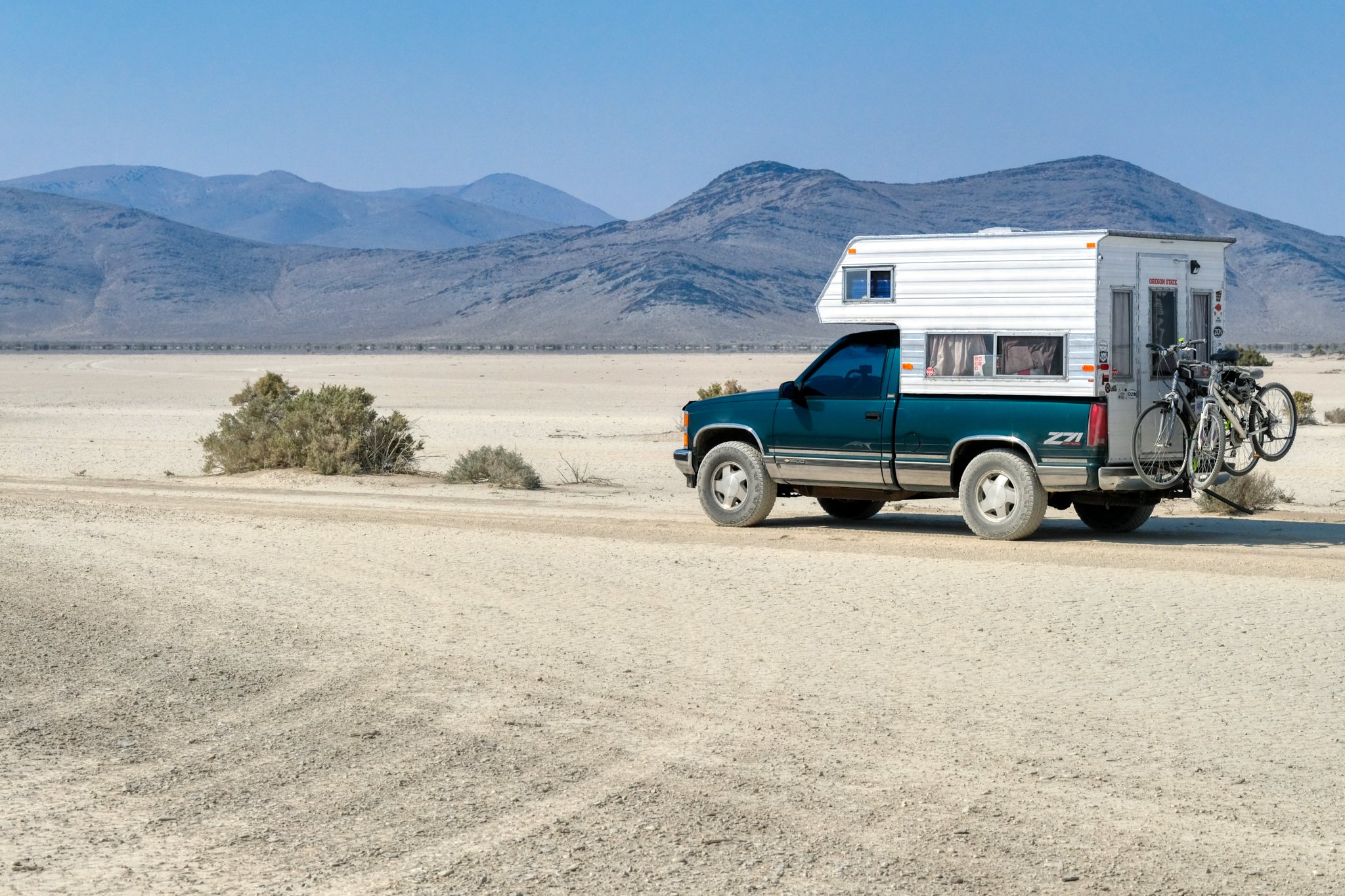
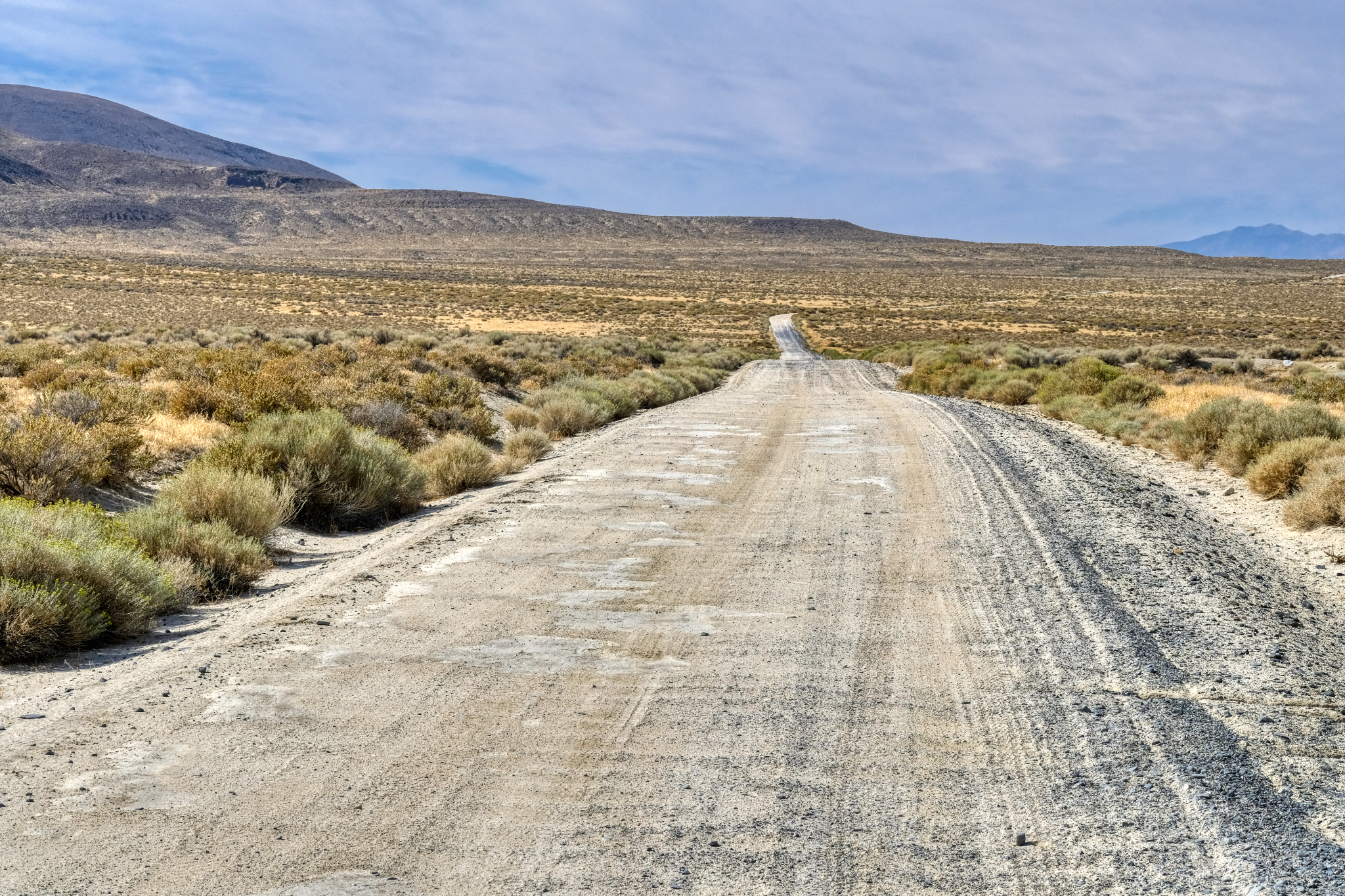
 Heading out on gravel and sand Nevada Highway 49 out of Winnemucca across dried lake beds and desolate desert landscapes. My kind of place.
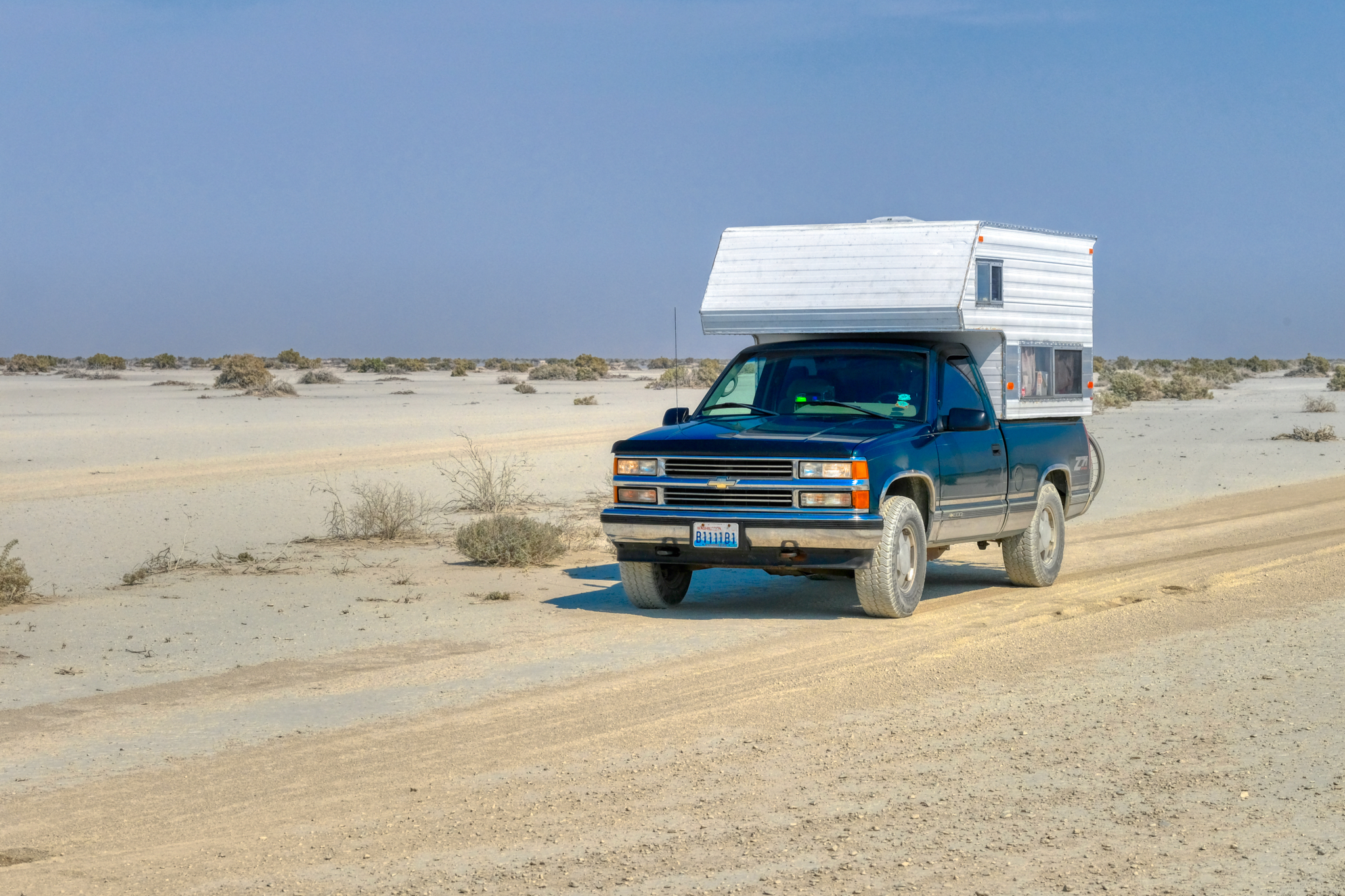
 Ready for anything that comes my way in my brother's trusty 4X4 Chevy camper (now sold).
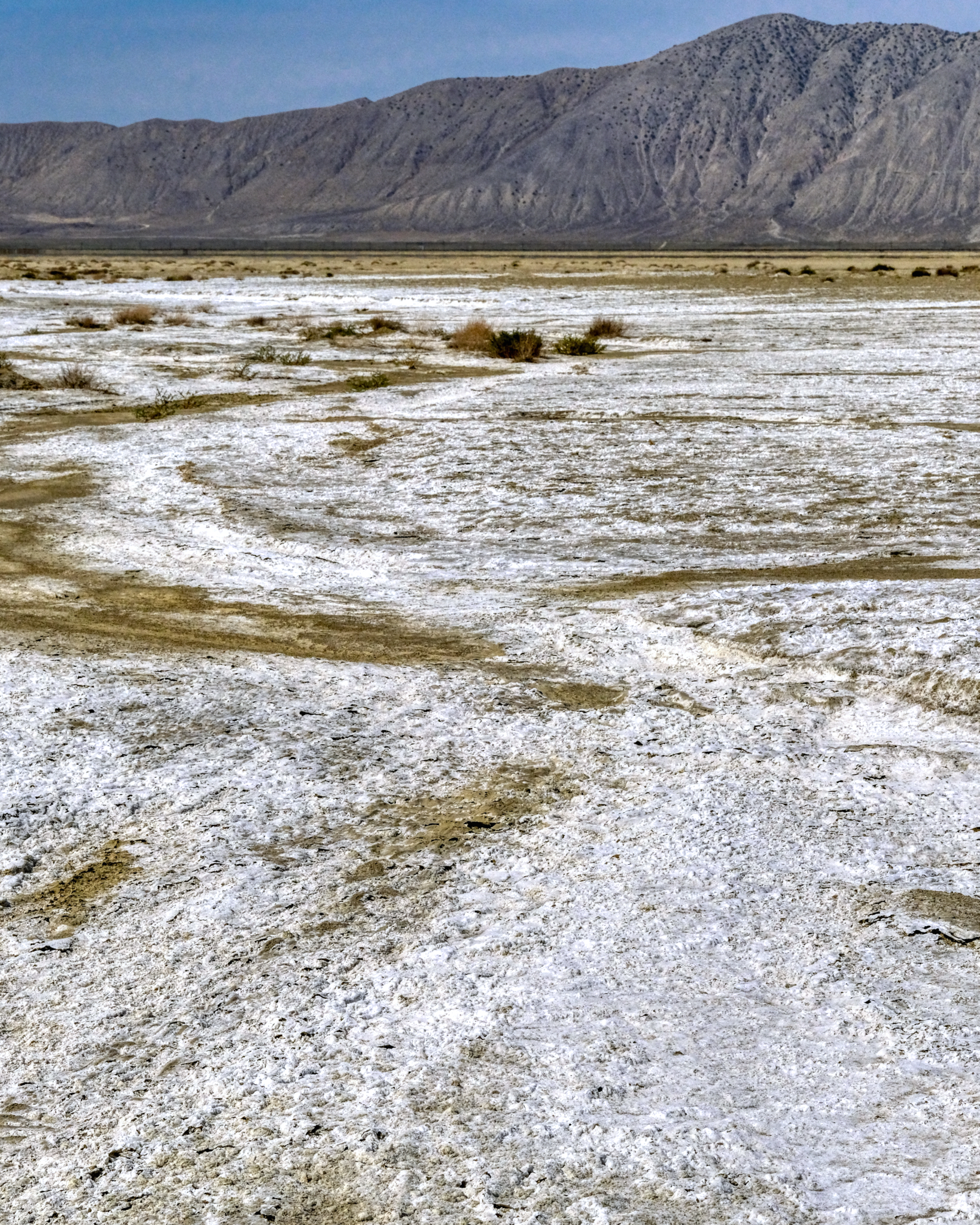
 Nevada Highway 49 swerves across several alkaloid flats on the way out to the Black Rock Desert.
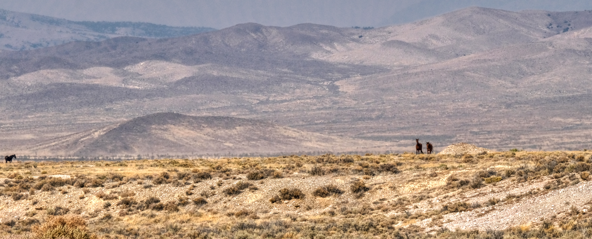 Wild country . . . with wild horses still running free.
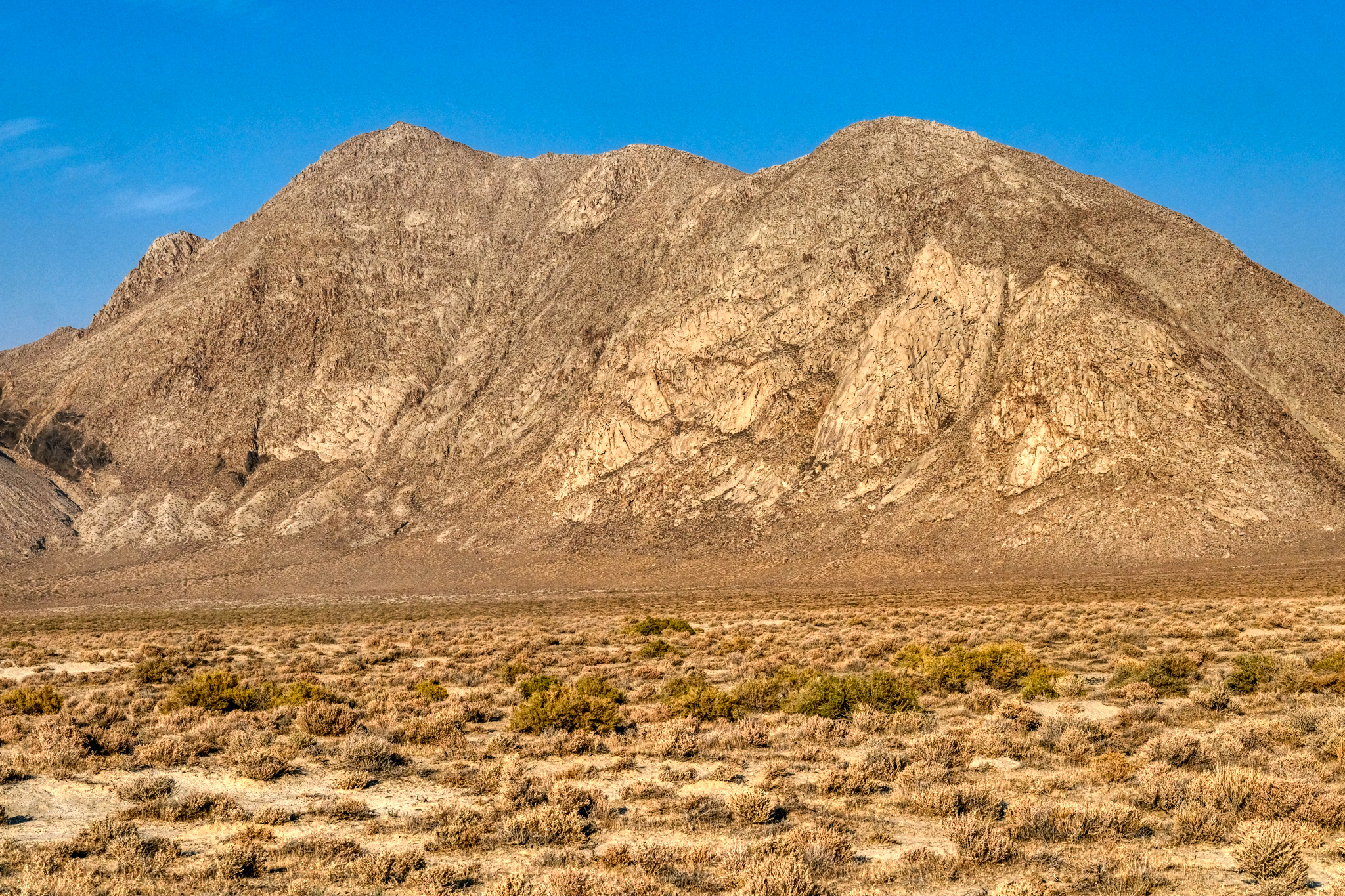
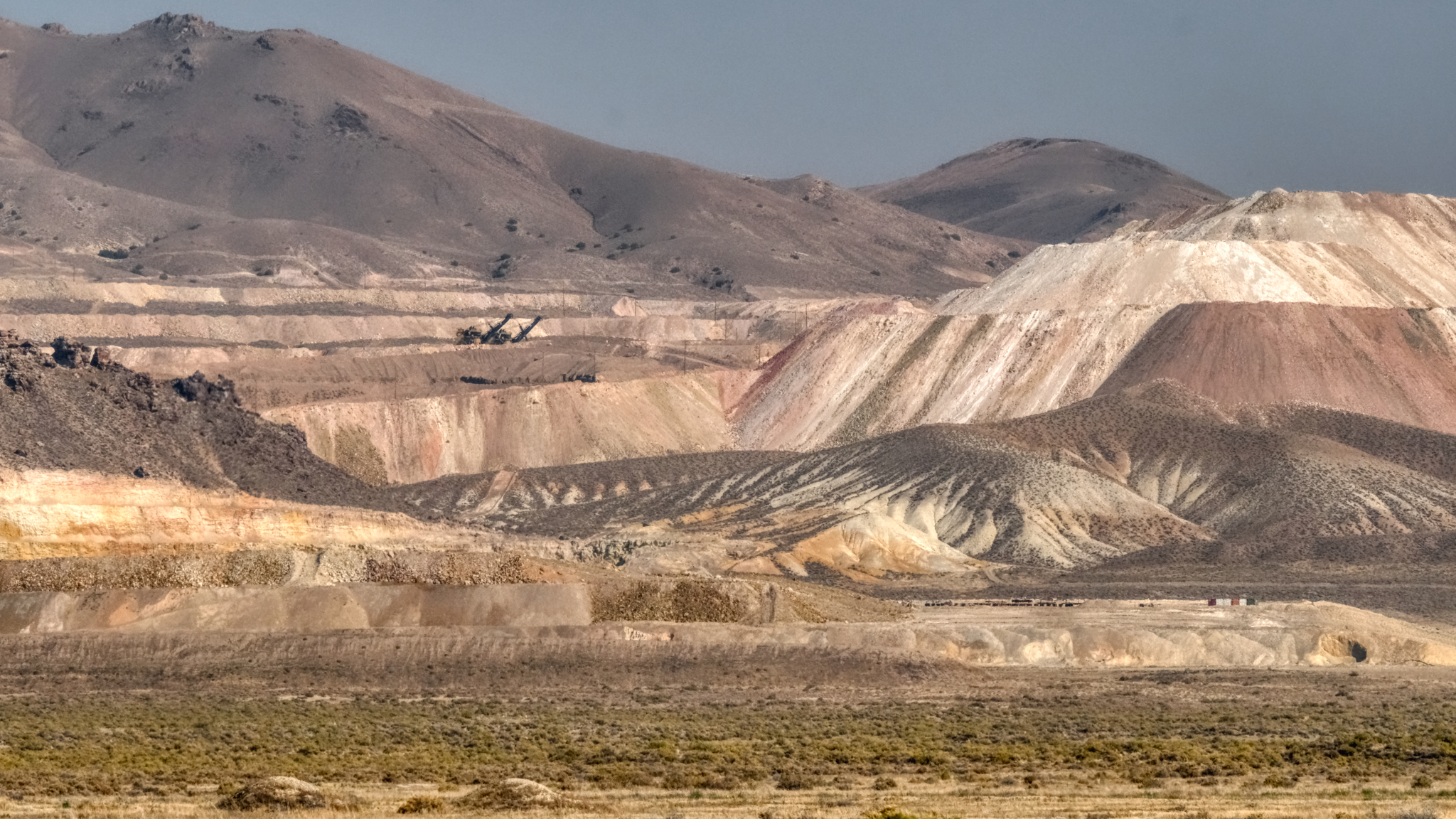 The Allied Nevada Hycroft Gold Mine is along Nevada Highway 49 . . . a very large mining operation.
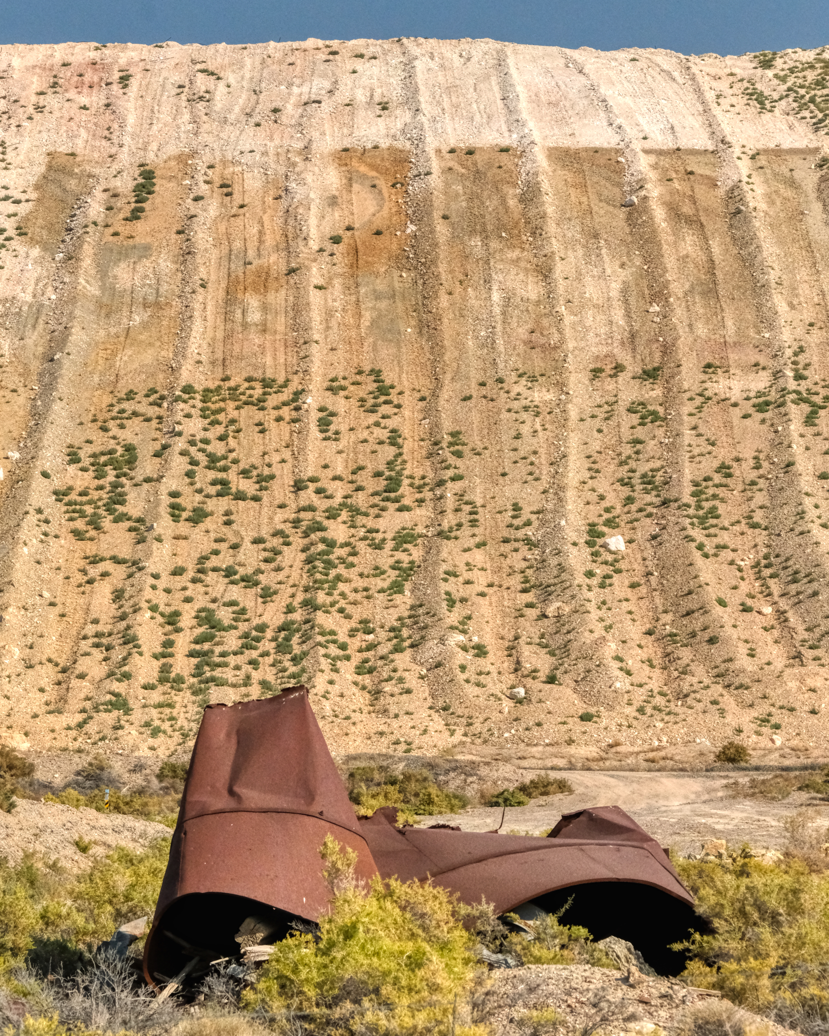 The gold mine moved a lot of dirt around . . . they stripped the face off of quite a few hills to be able to see the color of the rock and sand beneath. Huge scars.
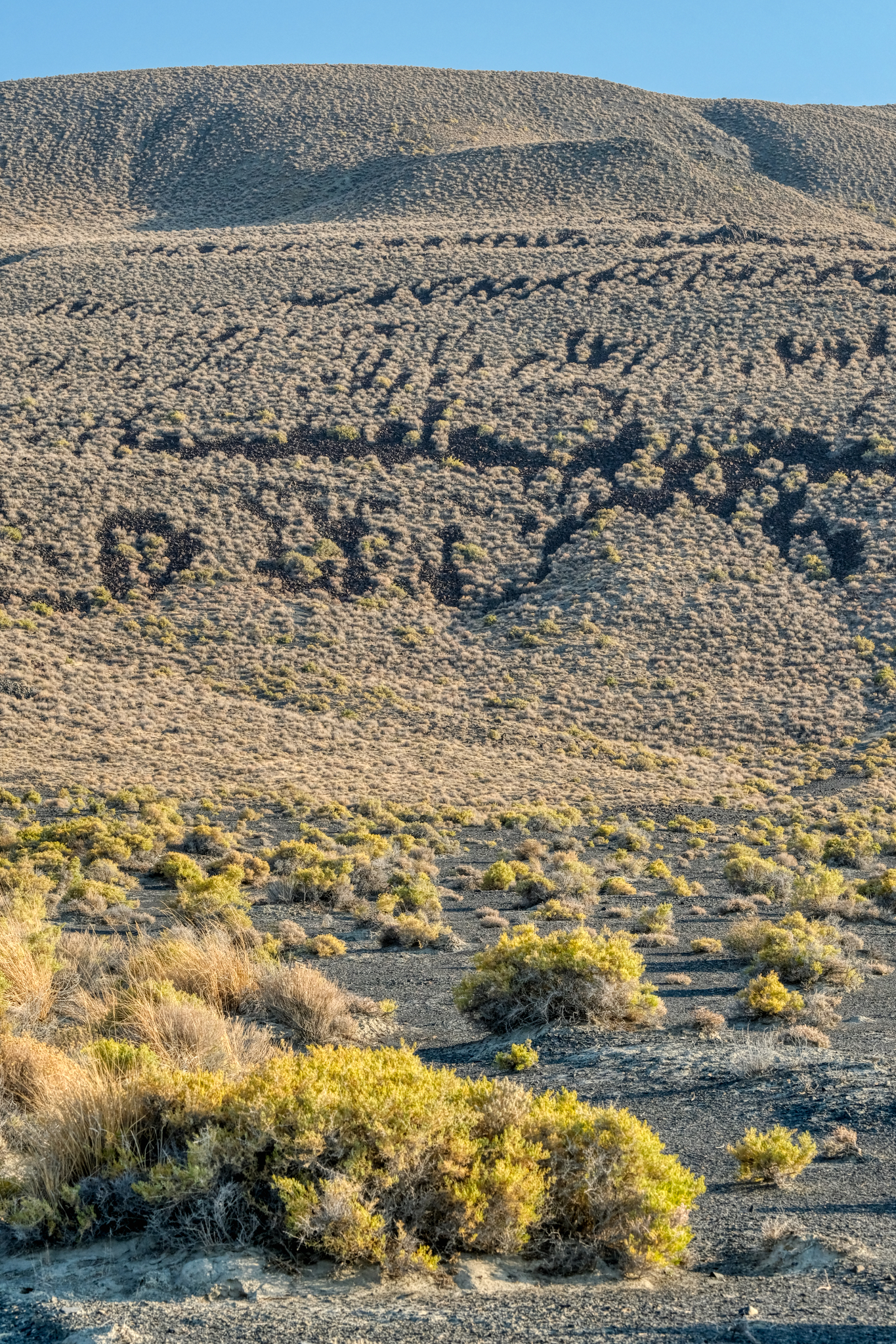
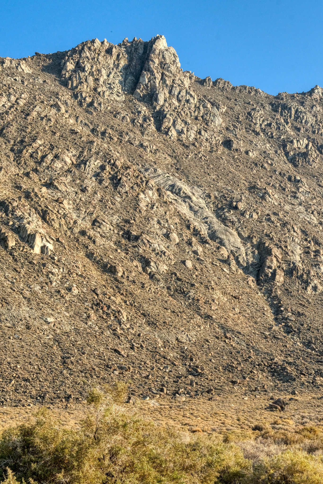
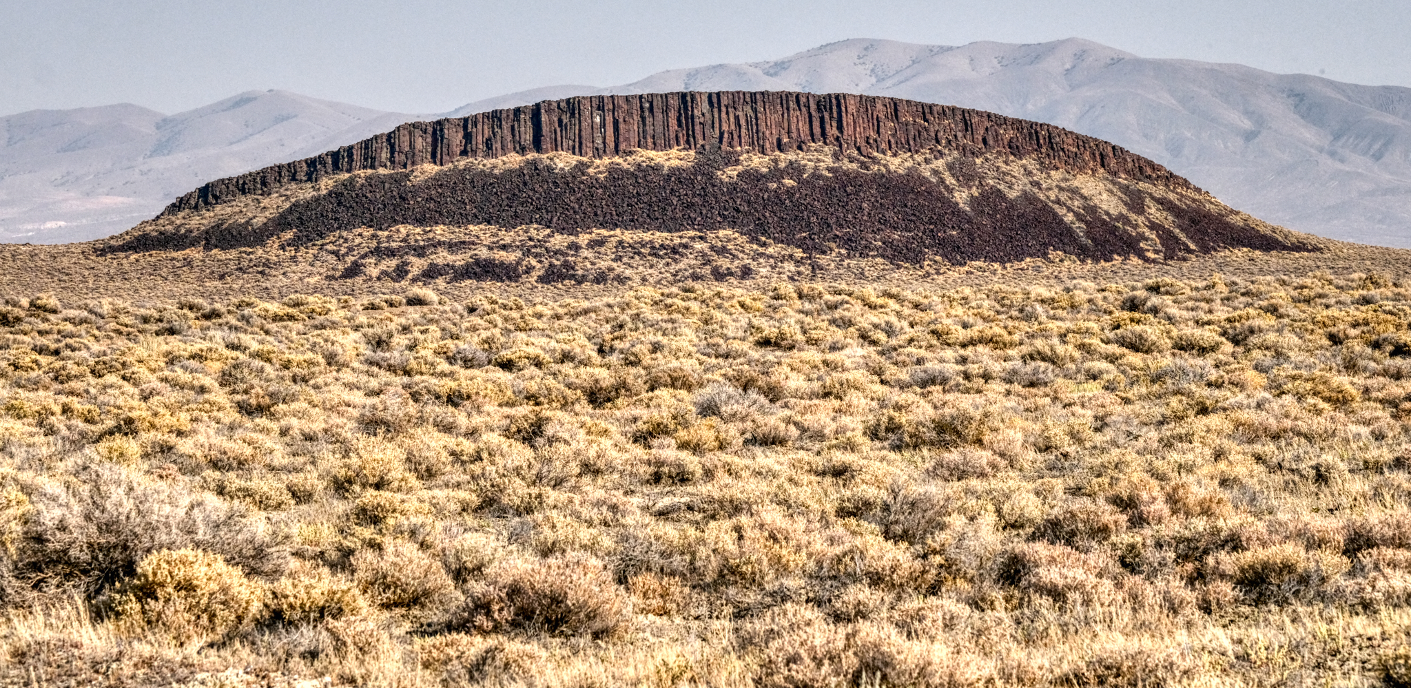 Highway 49 passes through some truly amazing desert. This volcanic spine was marvelous . . .
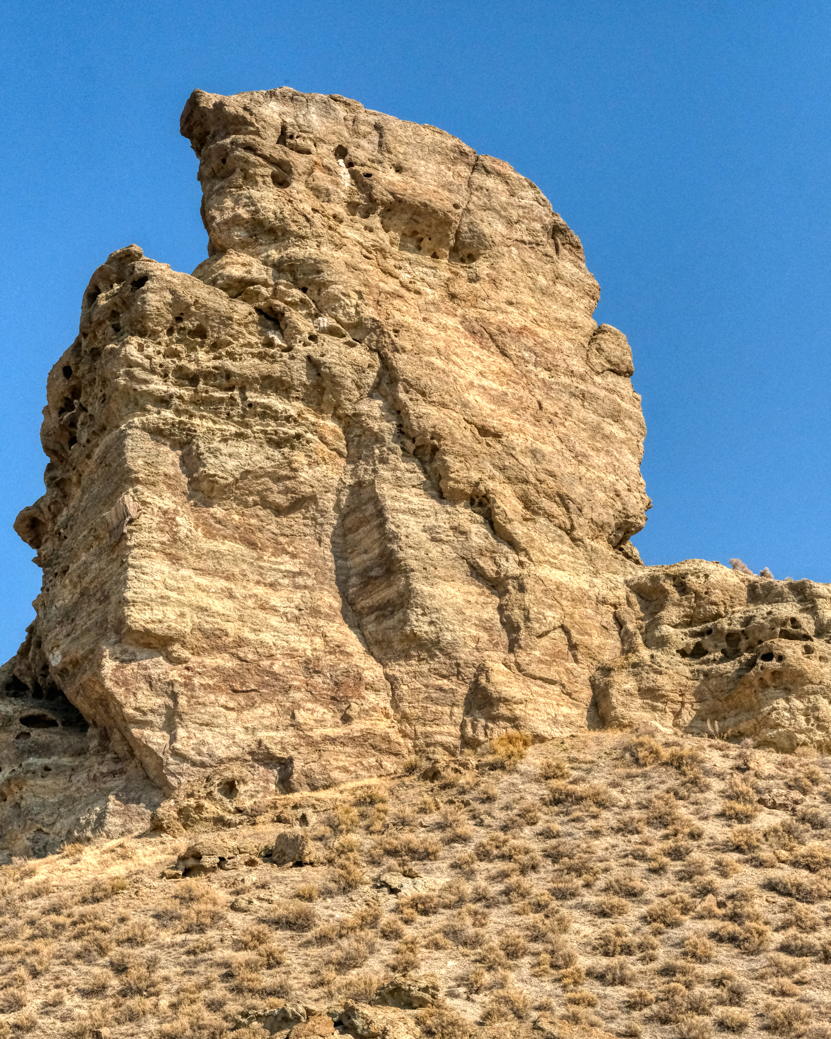
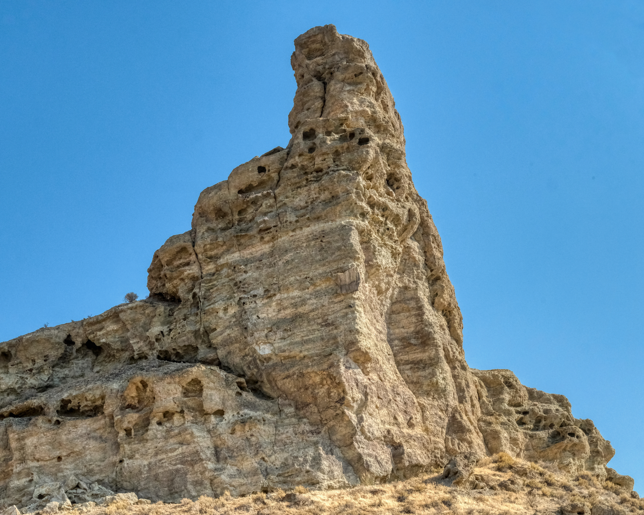 Here and there along the road were rock outcroppings in fantastic shapes. Unfortunately, the sky was still full of smoke from the many wildfires out West that summer . . . making photography very difficult.
 The desert.
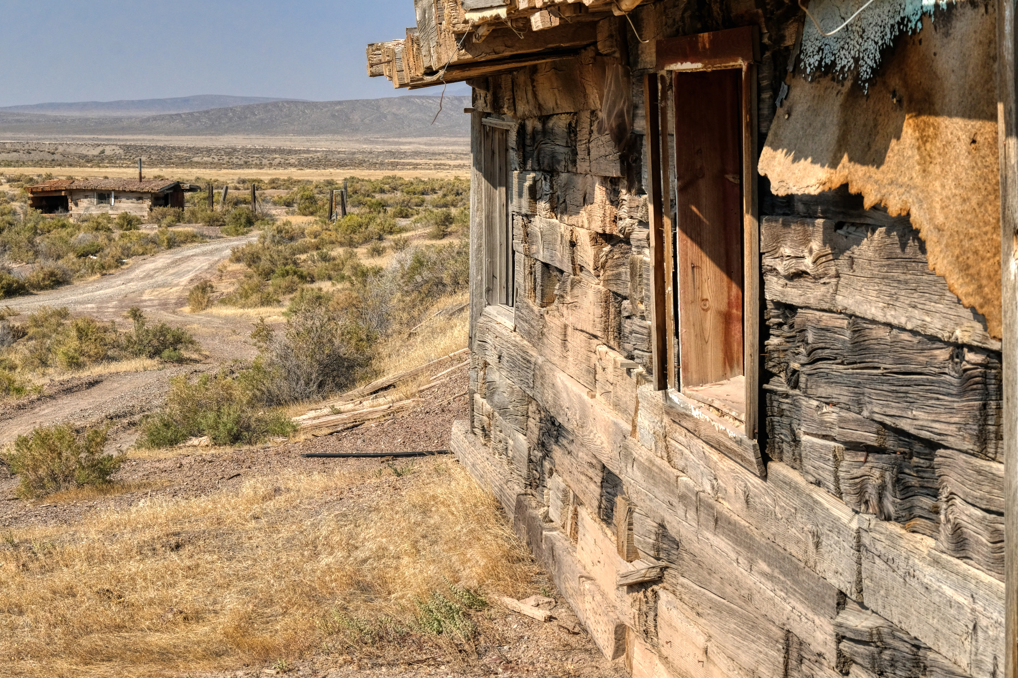
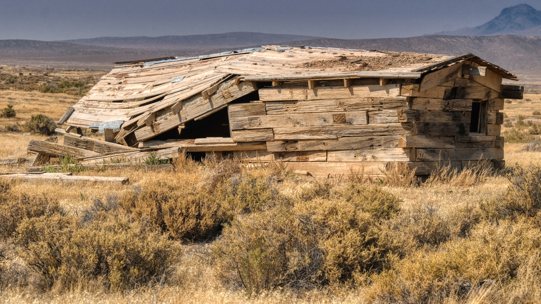
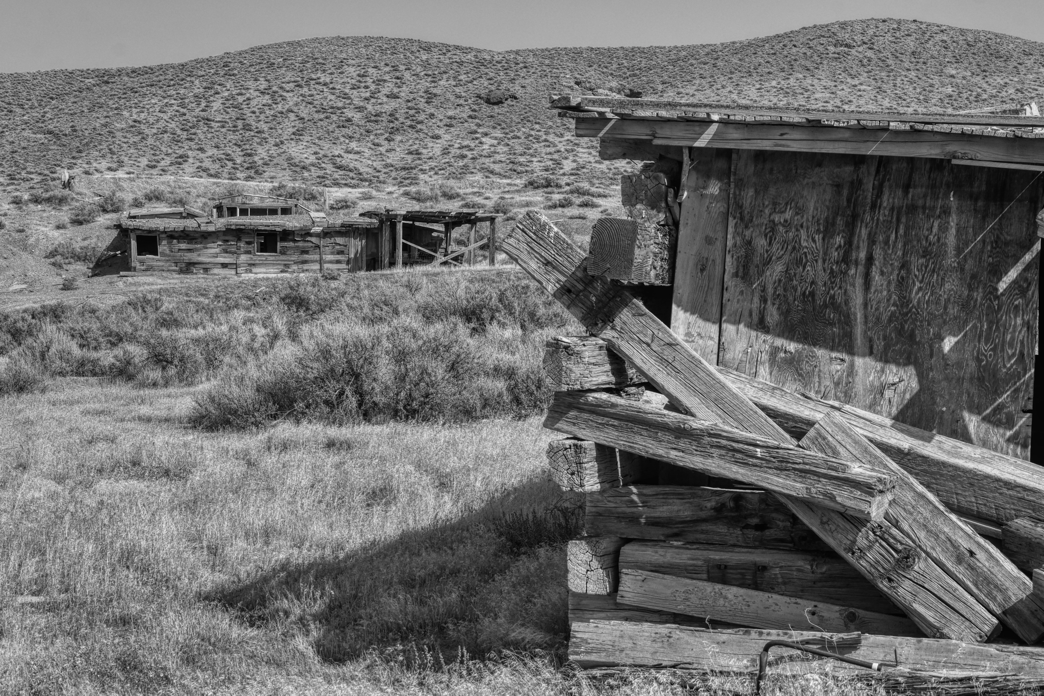
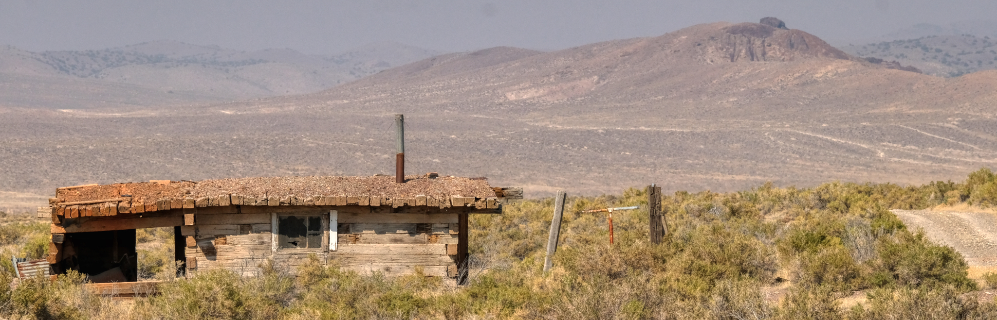 Driving on these sand and gravel desert roads means you are always on the lookout for bumps and ditches . . . and occasionally scanning the horizon for something interesting . . . like an abandoned homestead. I spotted this one off in the distance and drove out to in on a two track trail. I always respect "Private Property" and "Keep Out" signs . . . but this place had no such signage. I went in.
 What was life like living out in this remote place?
 These old abandoned desert homesteads offer great photo opportunities.
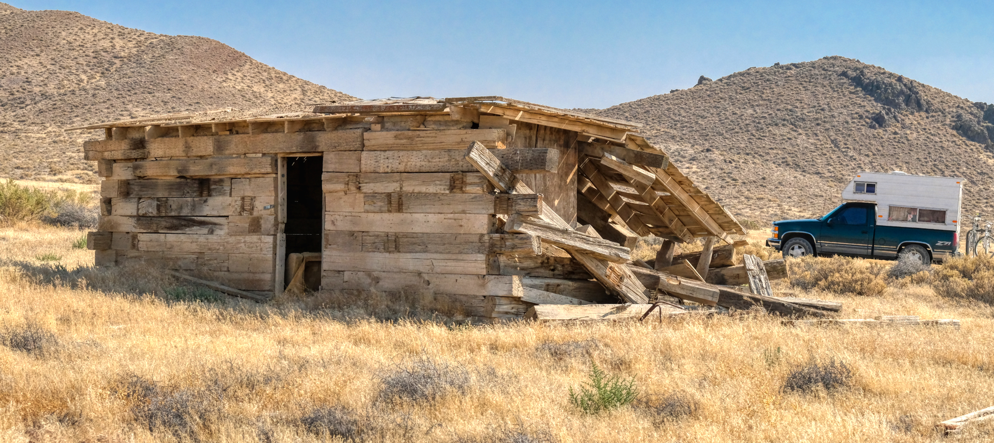
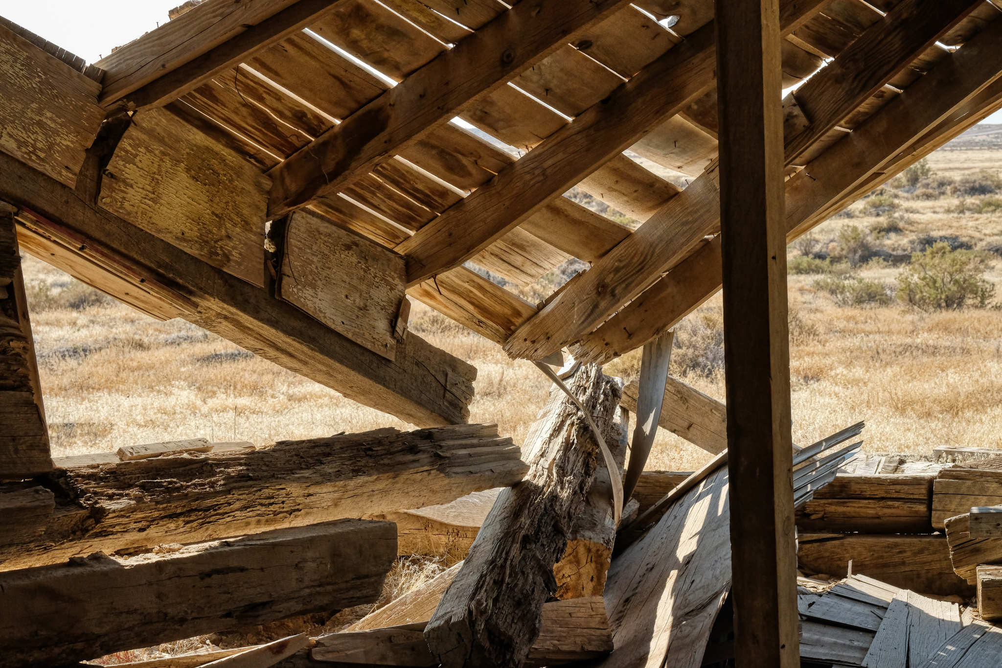
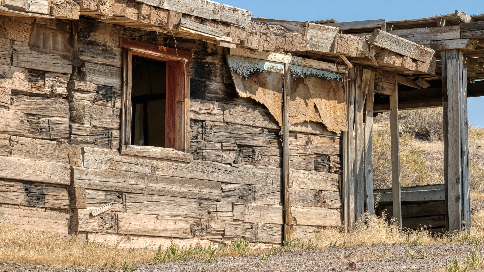
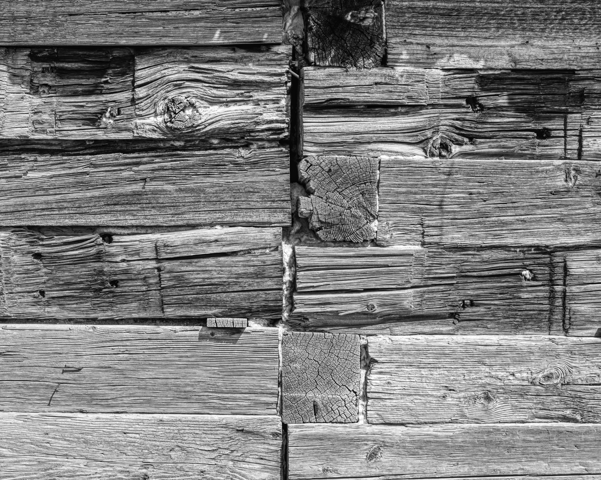
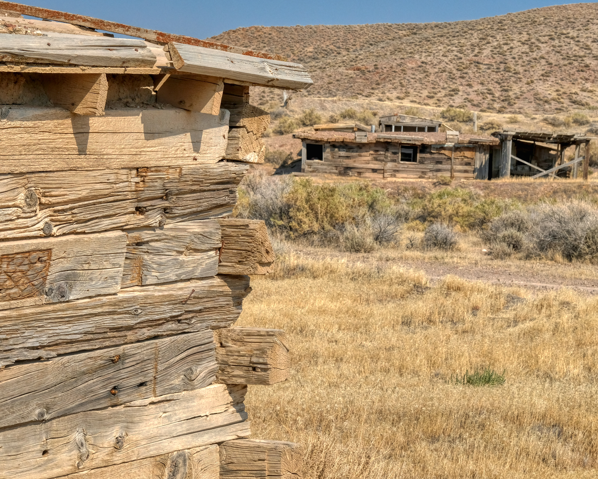 They used some very large wooden beams to construct these buildings. Looks like something salvaged out of old mines.
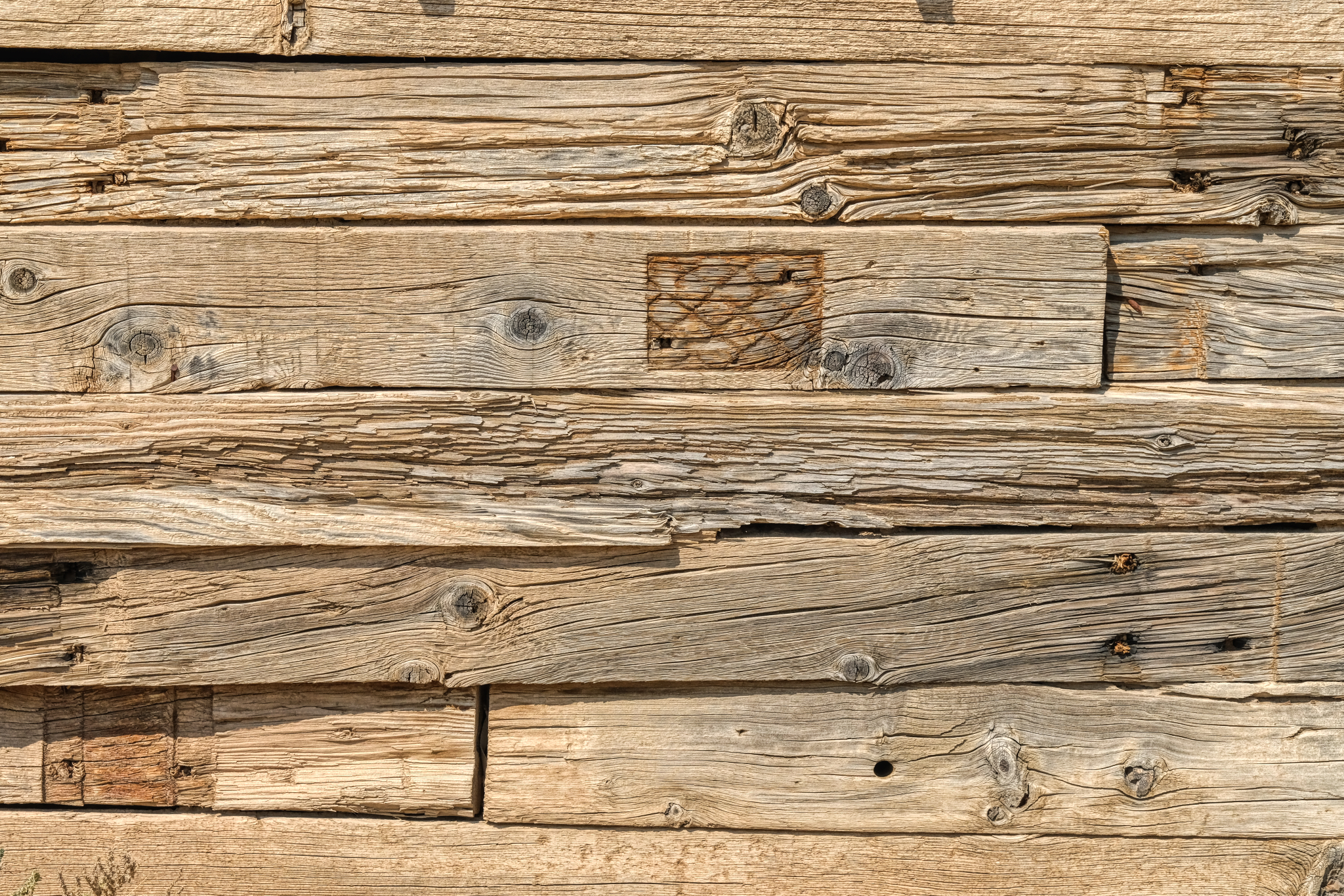 The textures! WOW! One of my favorite photographic subjects: weathered wood.
 I spent quite a long time exploring this visually interesting place.
 Stunning arrangements everywhere . . . just waiting for printing and framing.
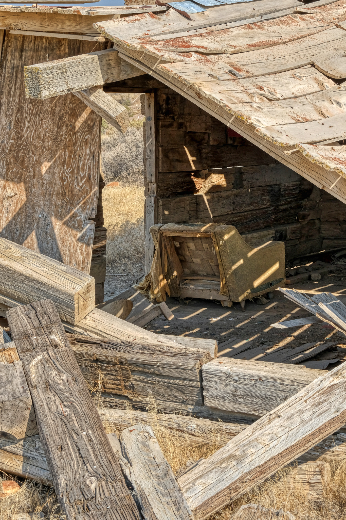
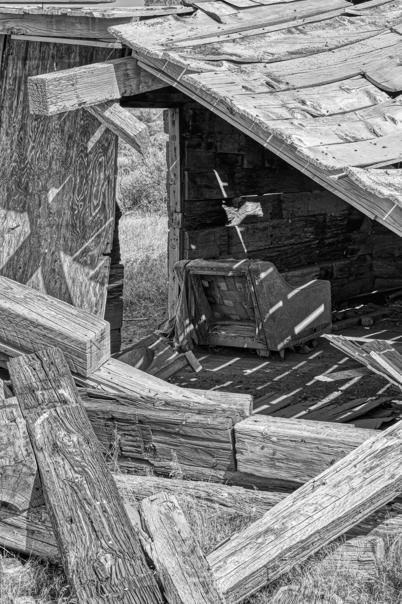
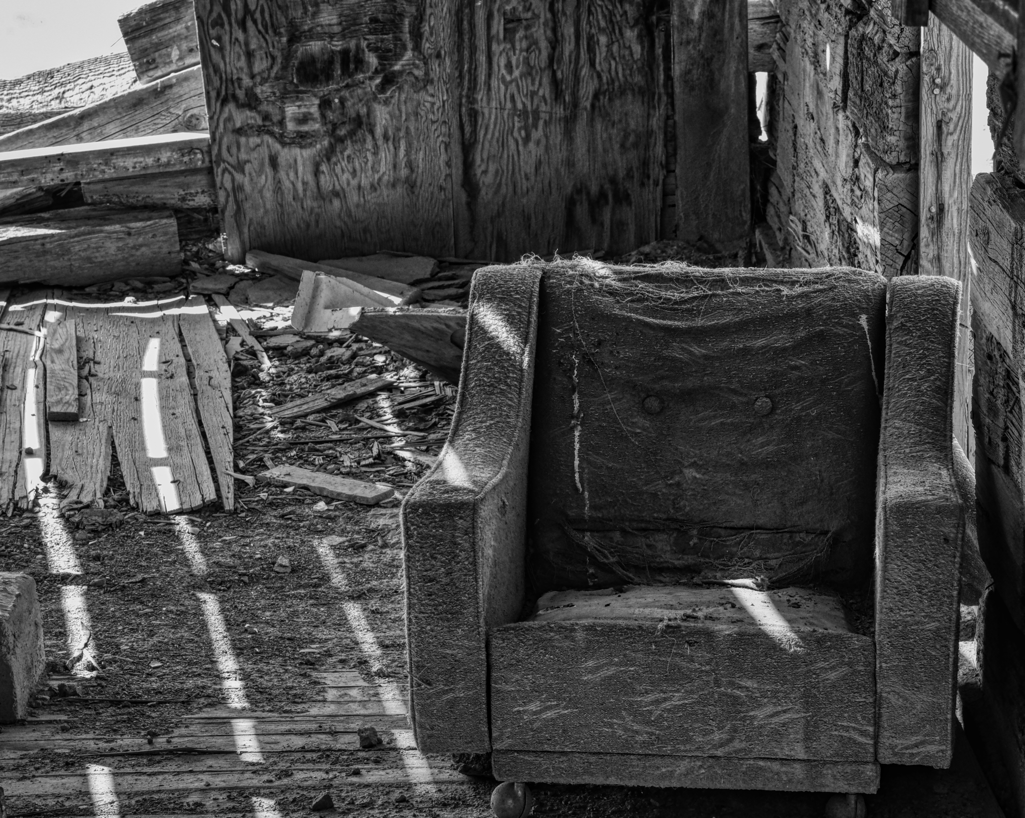
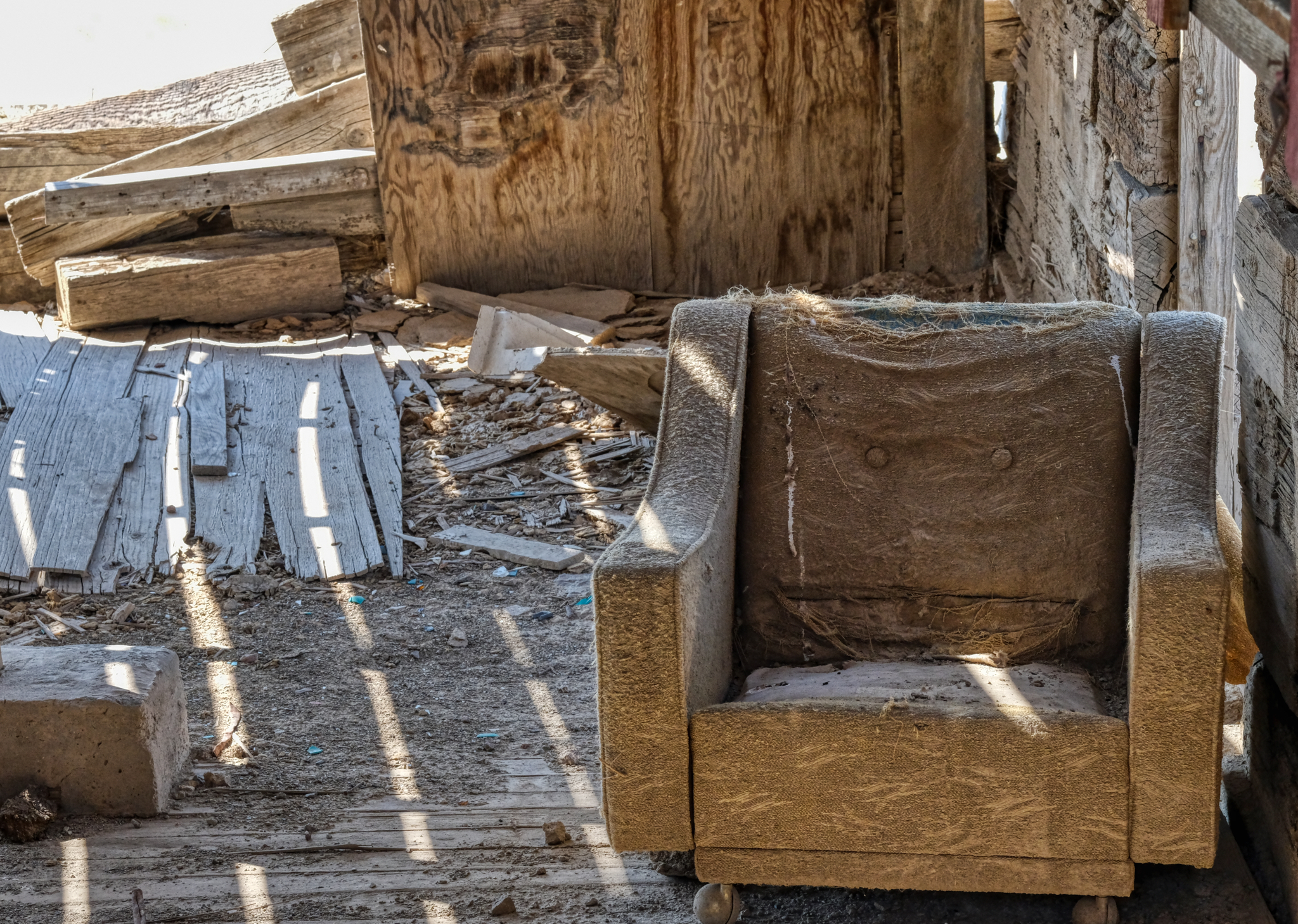 I guess they decided NOT to bring the good chair along with them when they left.
 Lovely light, shadow, and shape.
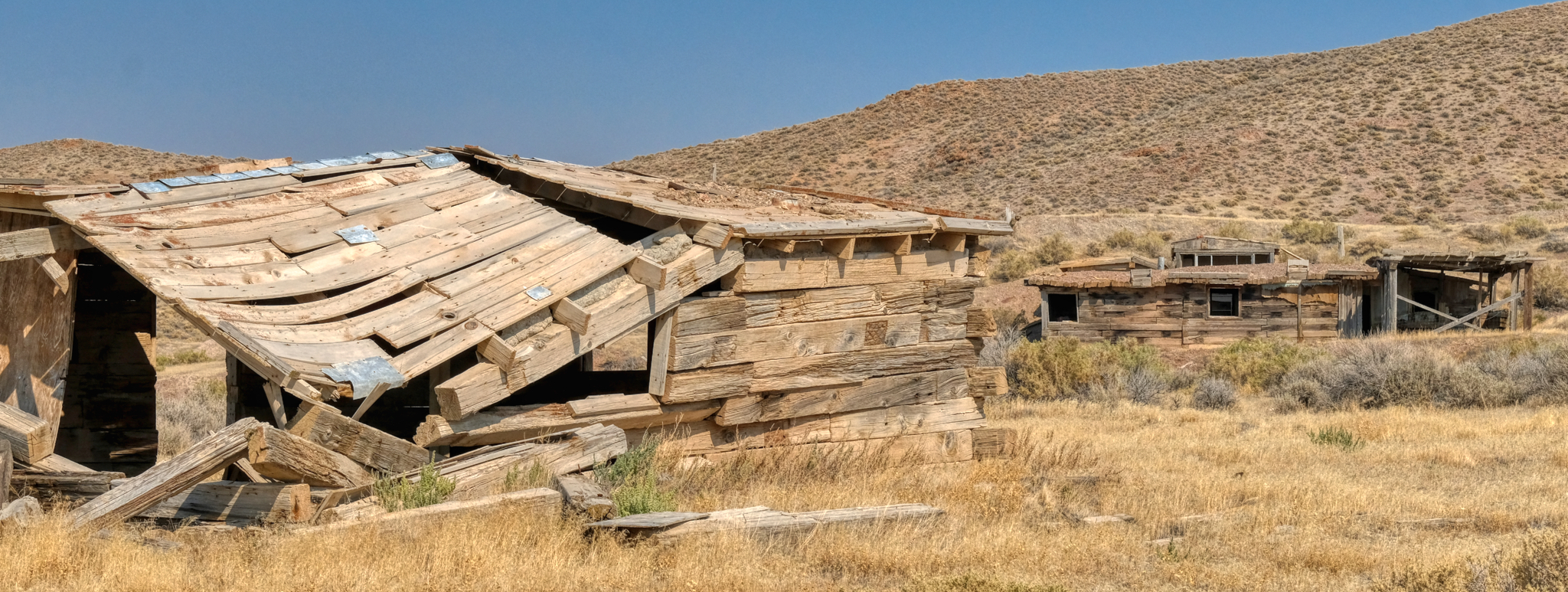
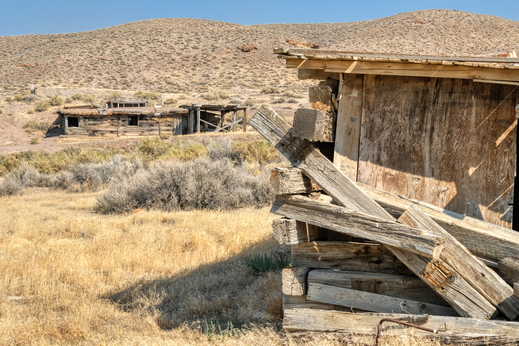 There were several houses on this site. I imagined that there must have been a place name . . . a "town" name at one time, but I could find no mention of this site on any online maps I could find.
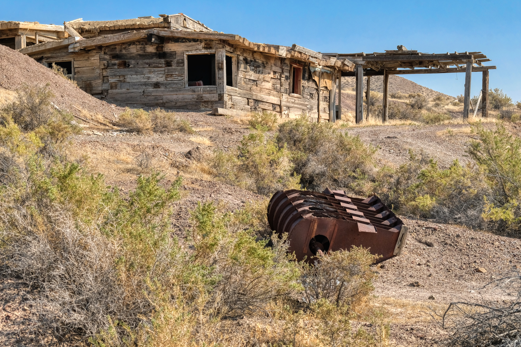 This house was larger than the rest of the cabins. There was a mine opening on the hill above.
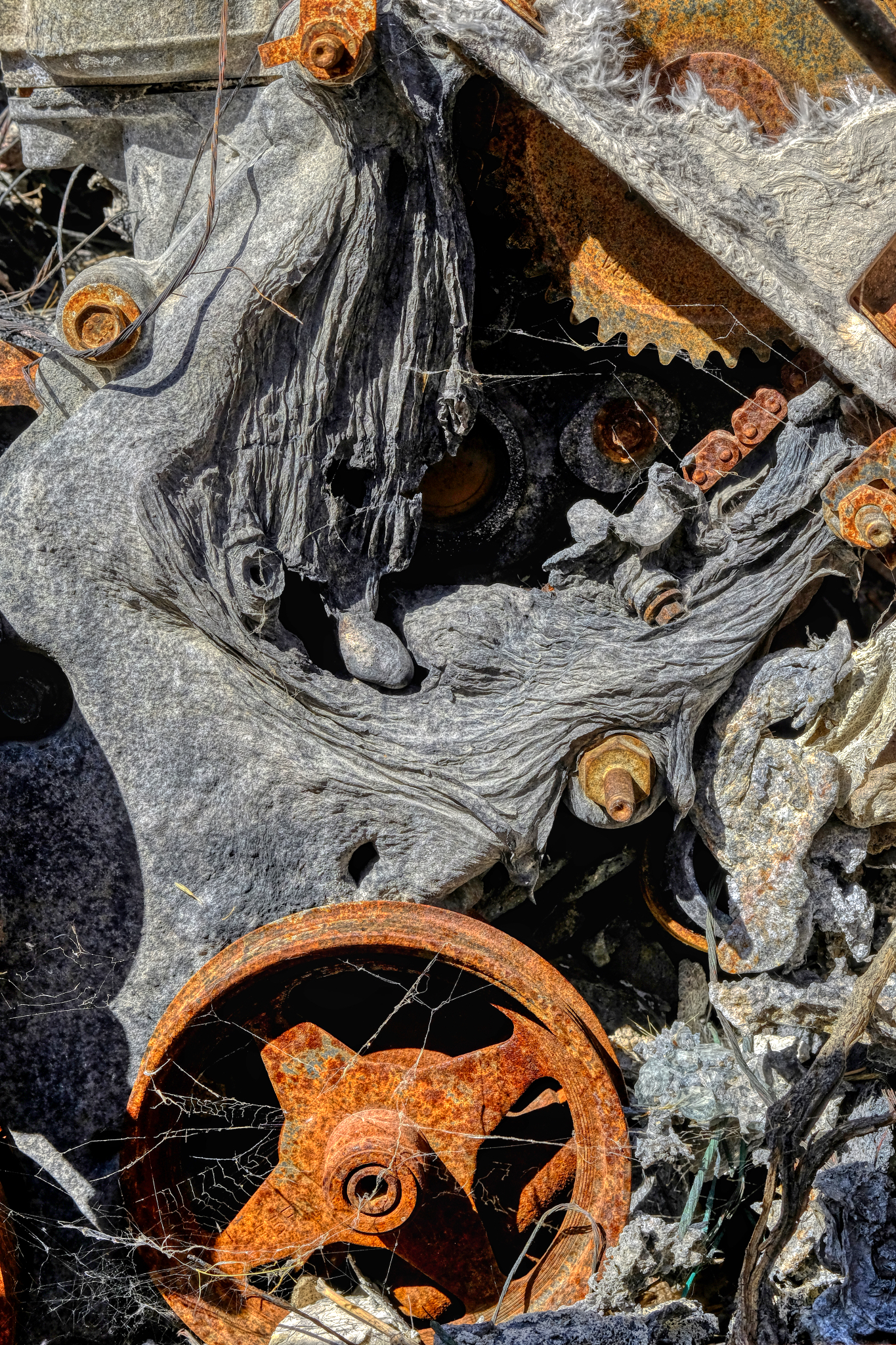
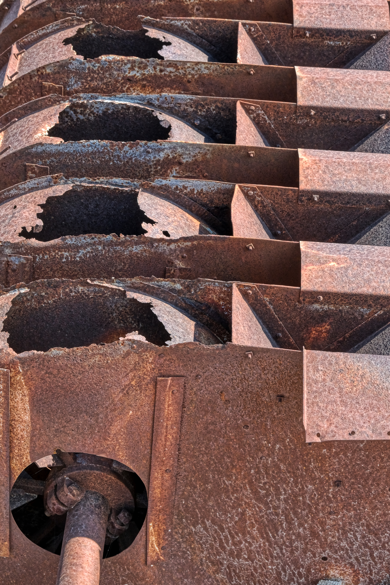 A piece of rusting mining machinery. I do not know what this could have been used for . . . sorting and separating something, I suppose.
 The 'Big House' . . . looks like it had fibreboard and tarpaper covering at one time.
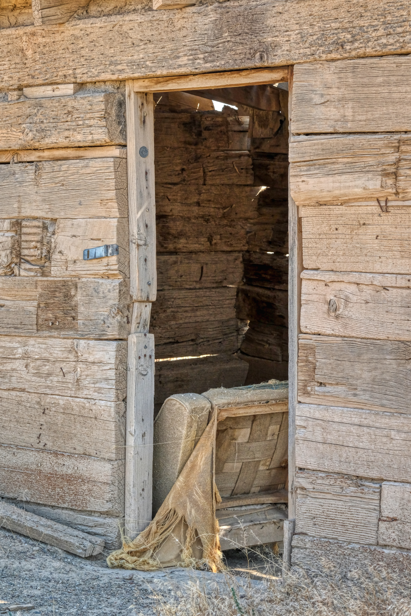
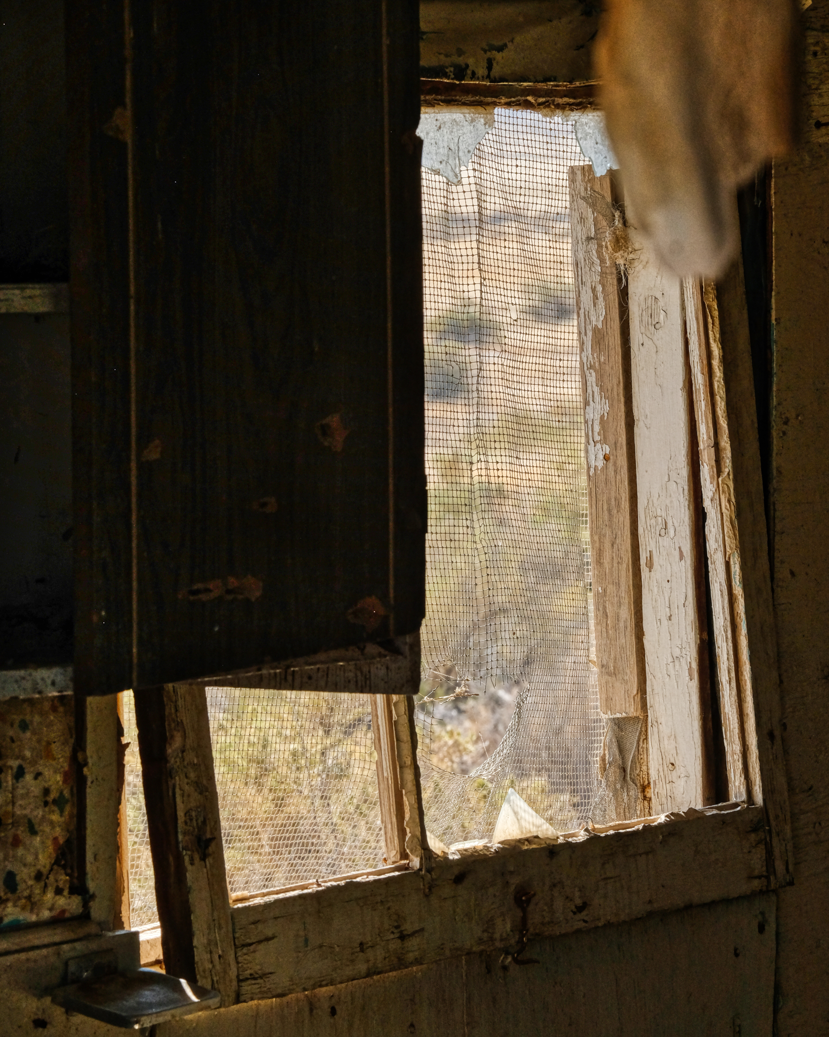
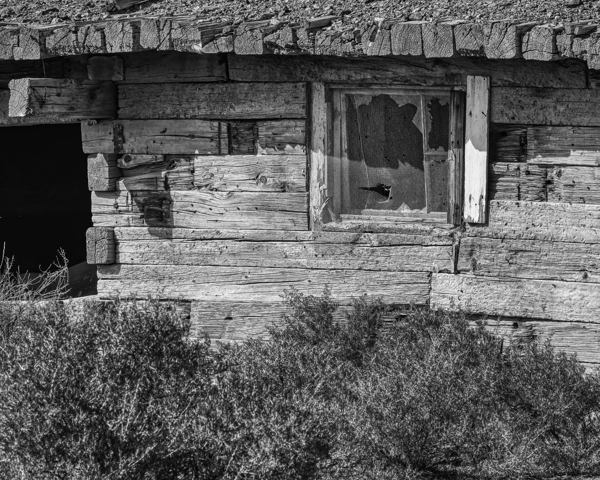
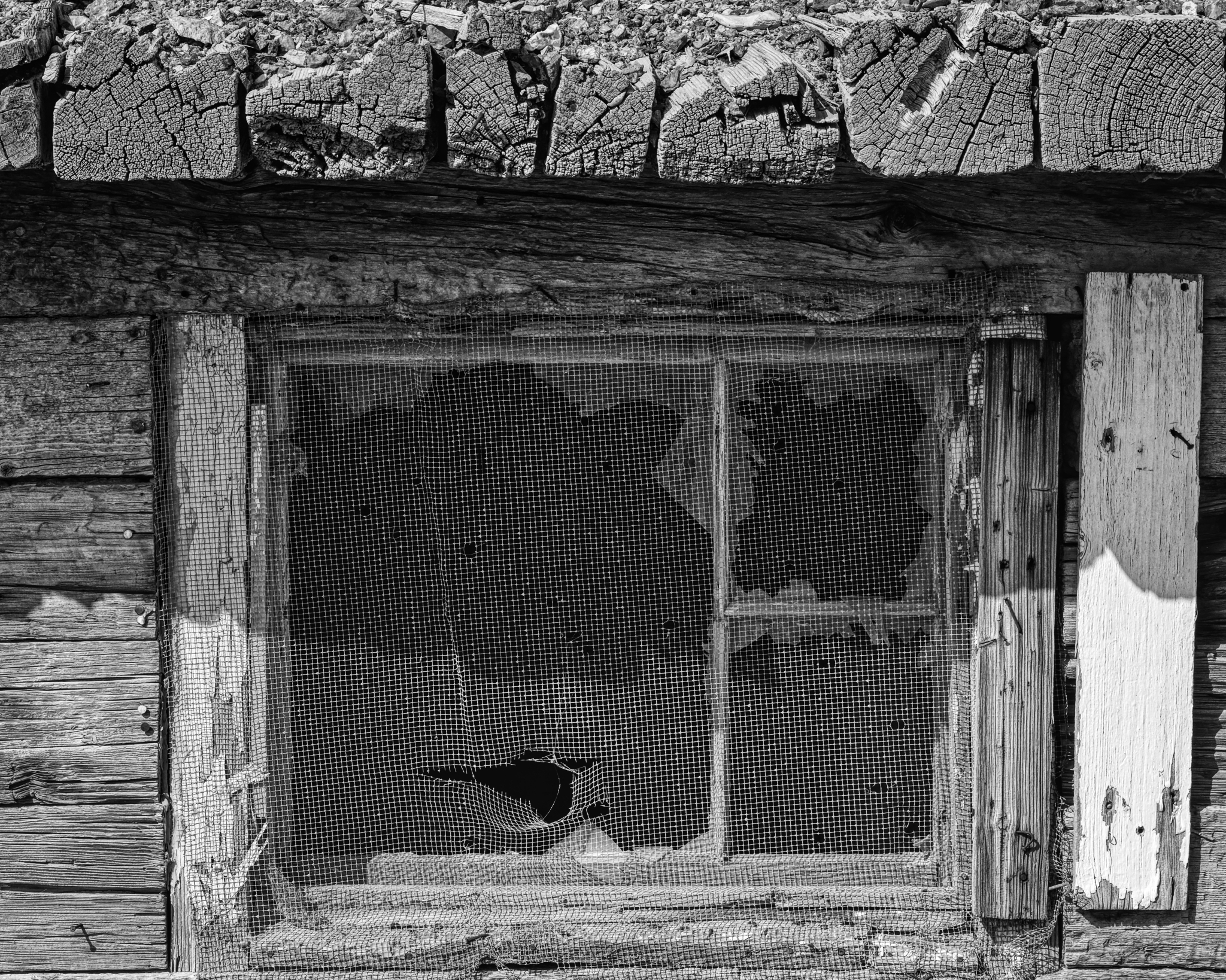
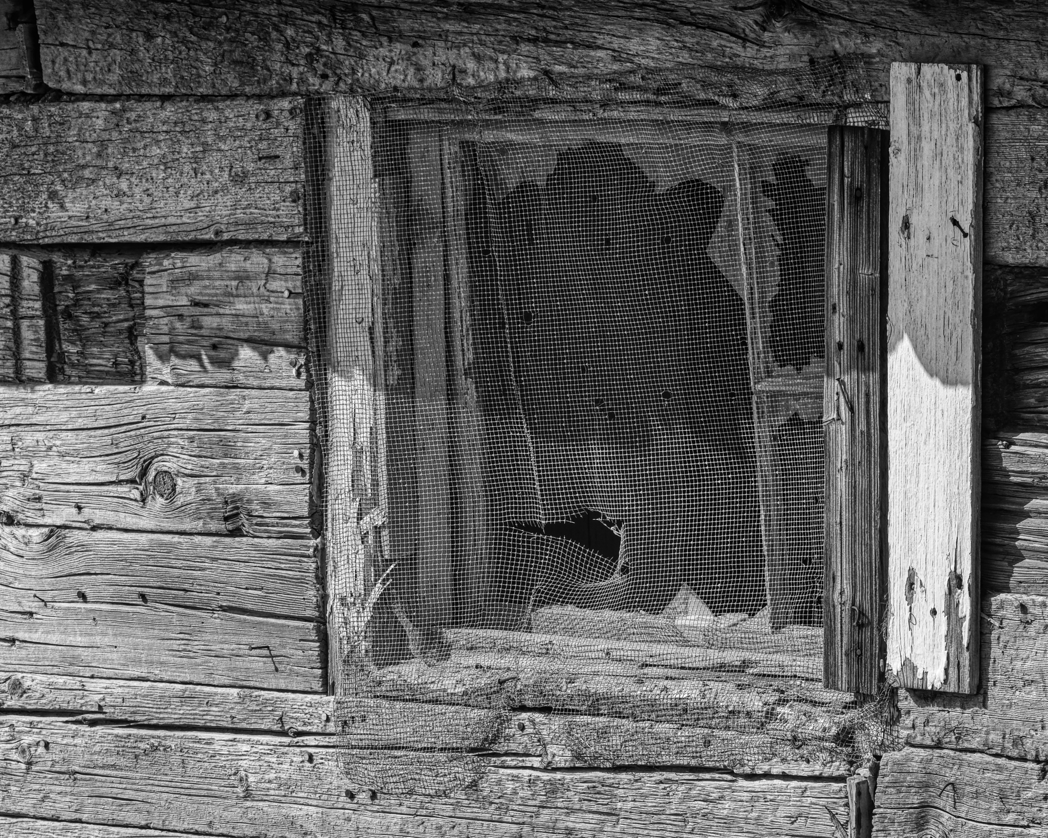
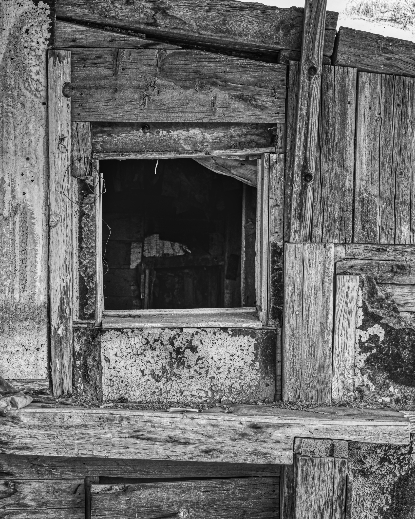
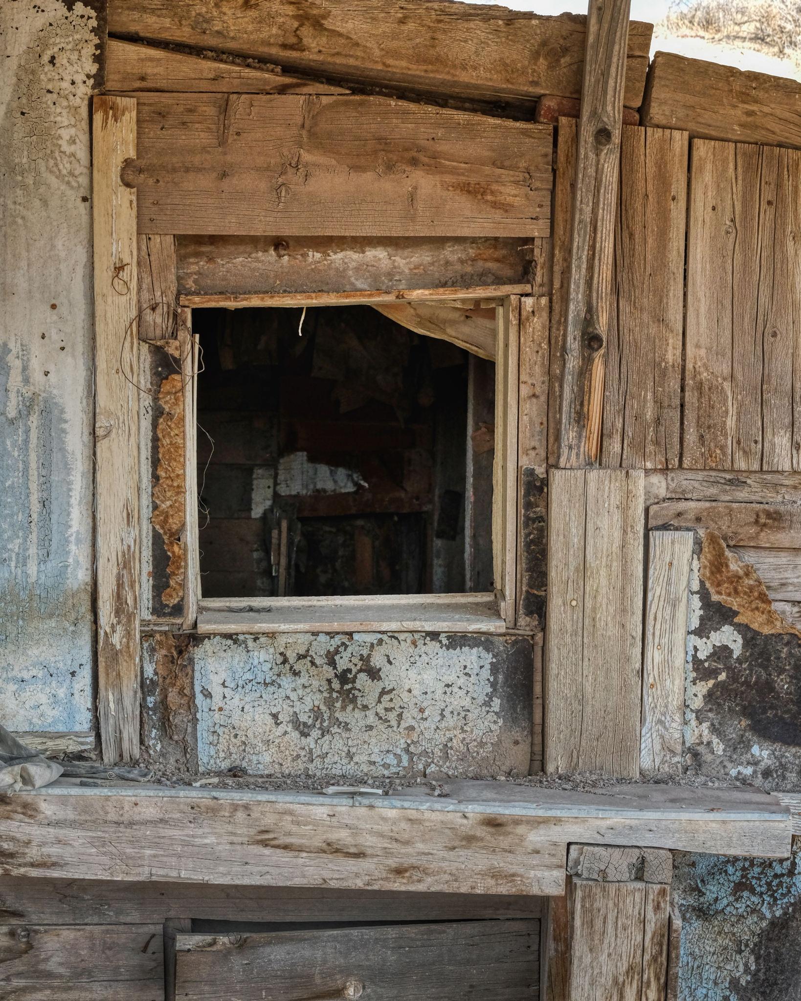 I poked my nose into the Big House . . . .
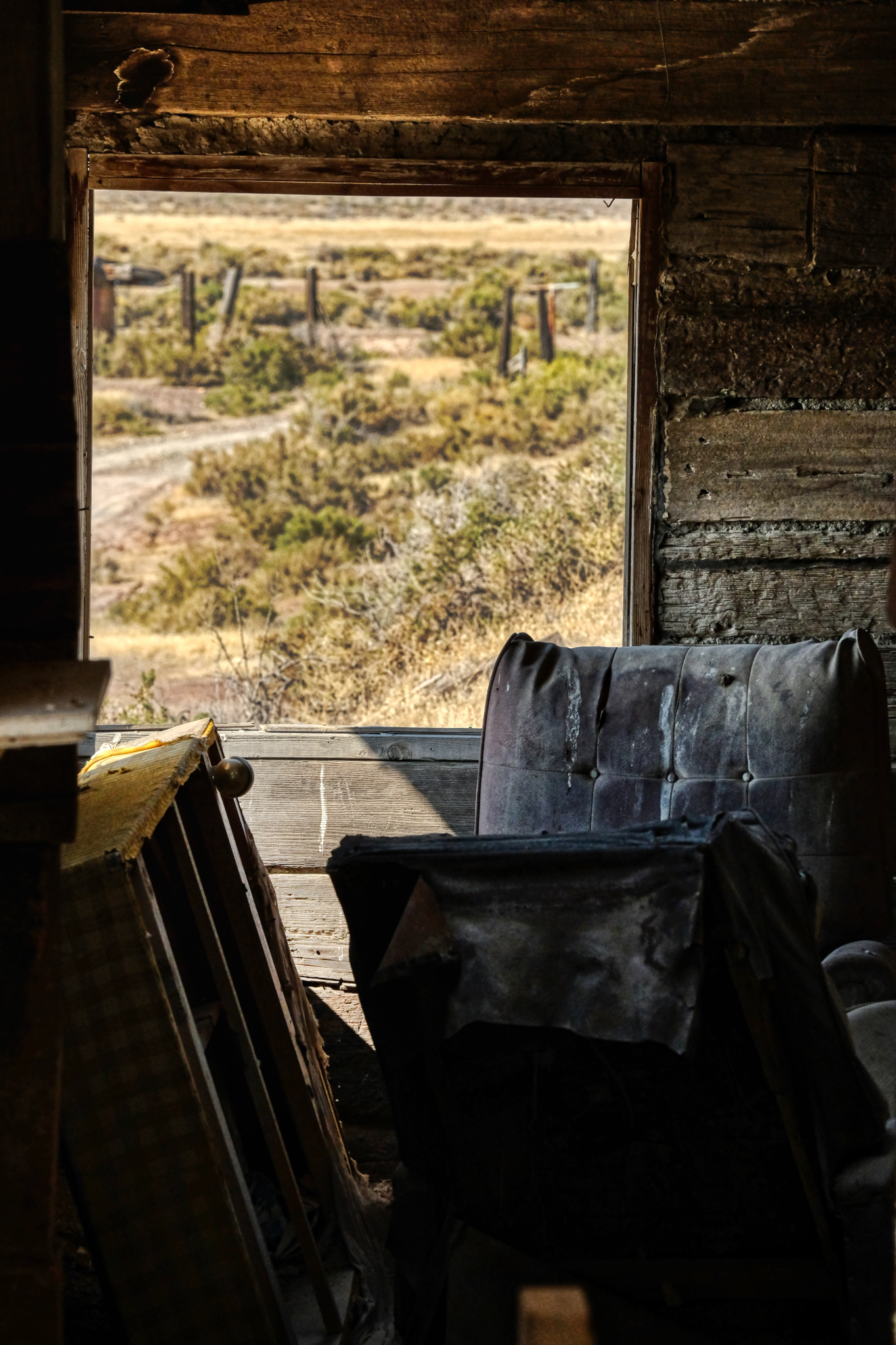 . . . and the view from the inside of the 'main house'. It was a mess . . . perhaps whoever had lived here left in a hurry . . . .
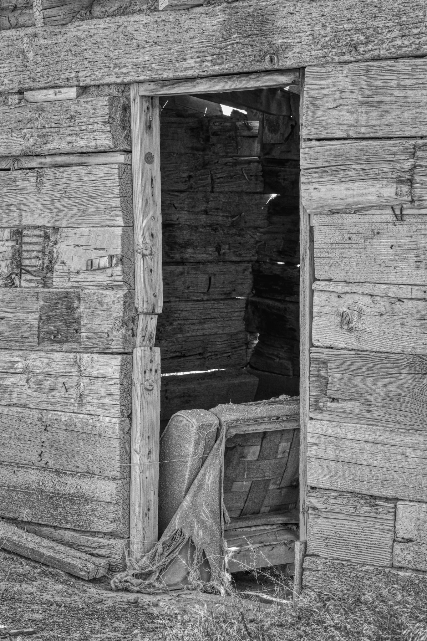
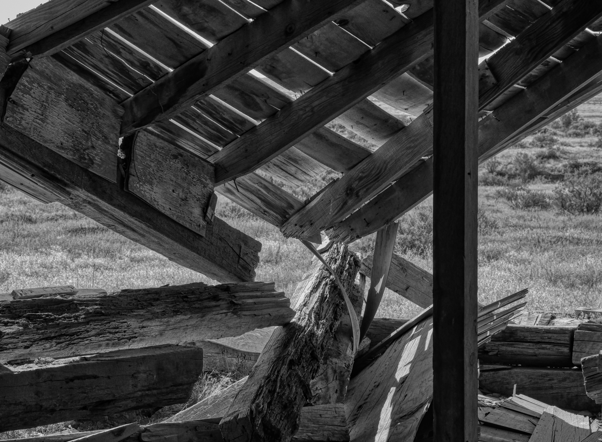
 I walked down the hill to another abandoned old wood cabin.
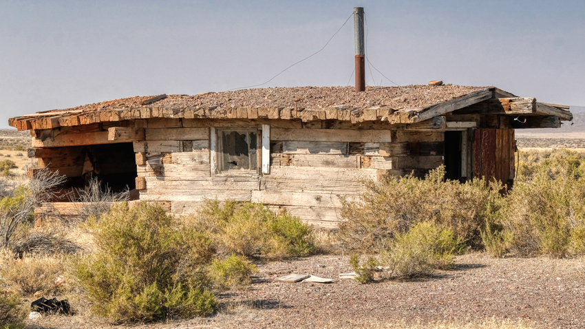 Another house made of these very large wooden timber beams.
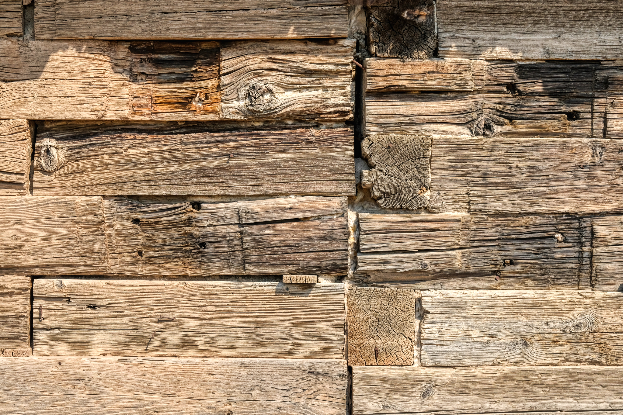
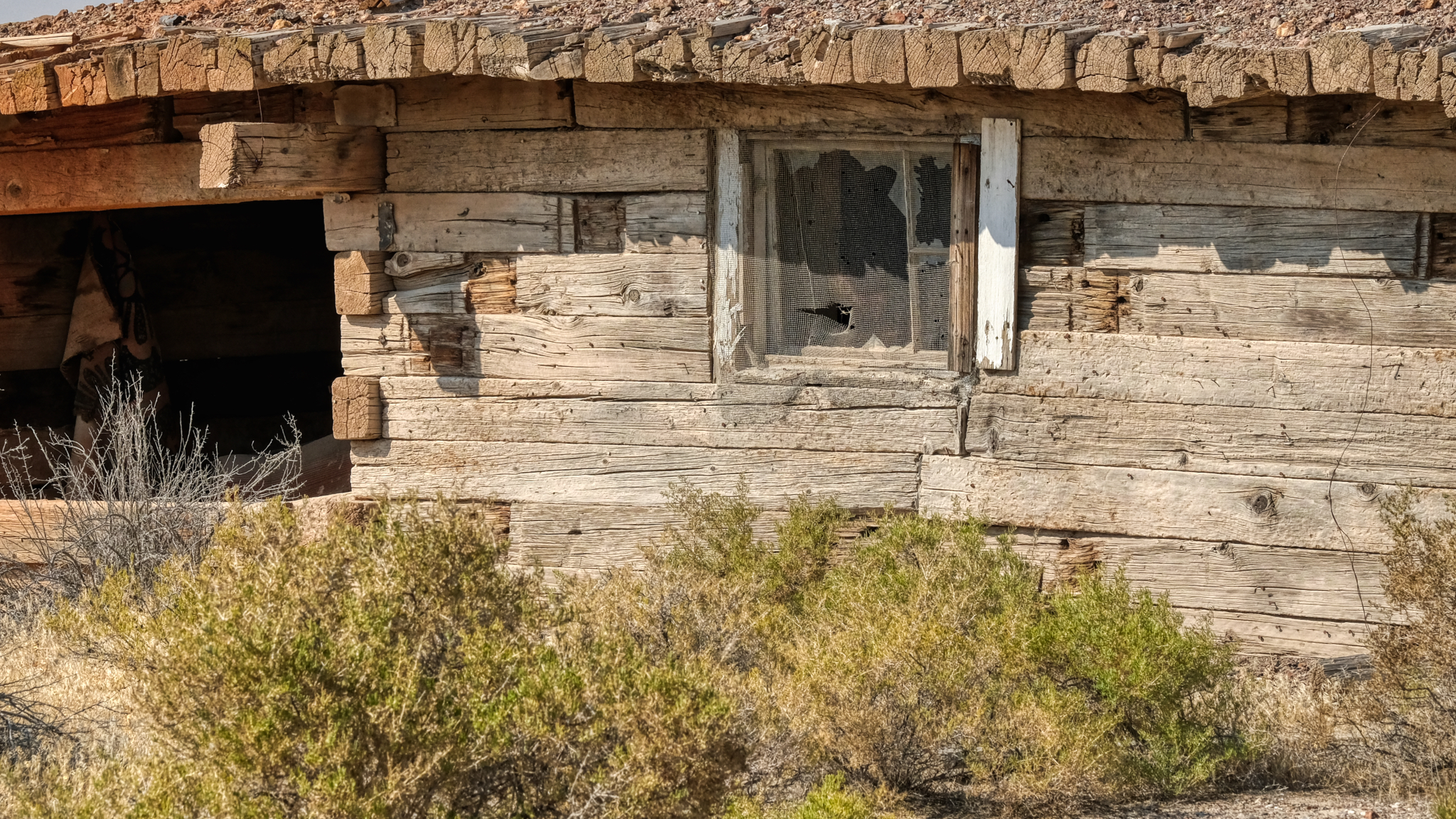 Fantastic old, dry timbers . . . the textures and patterns!
 A picture tells a story . . .
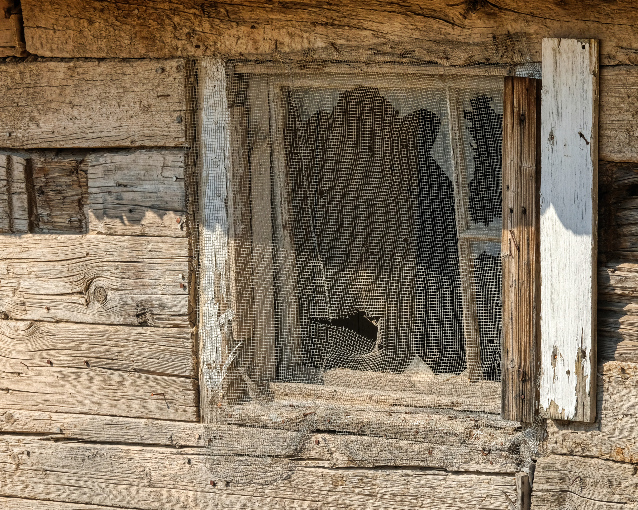
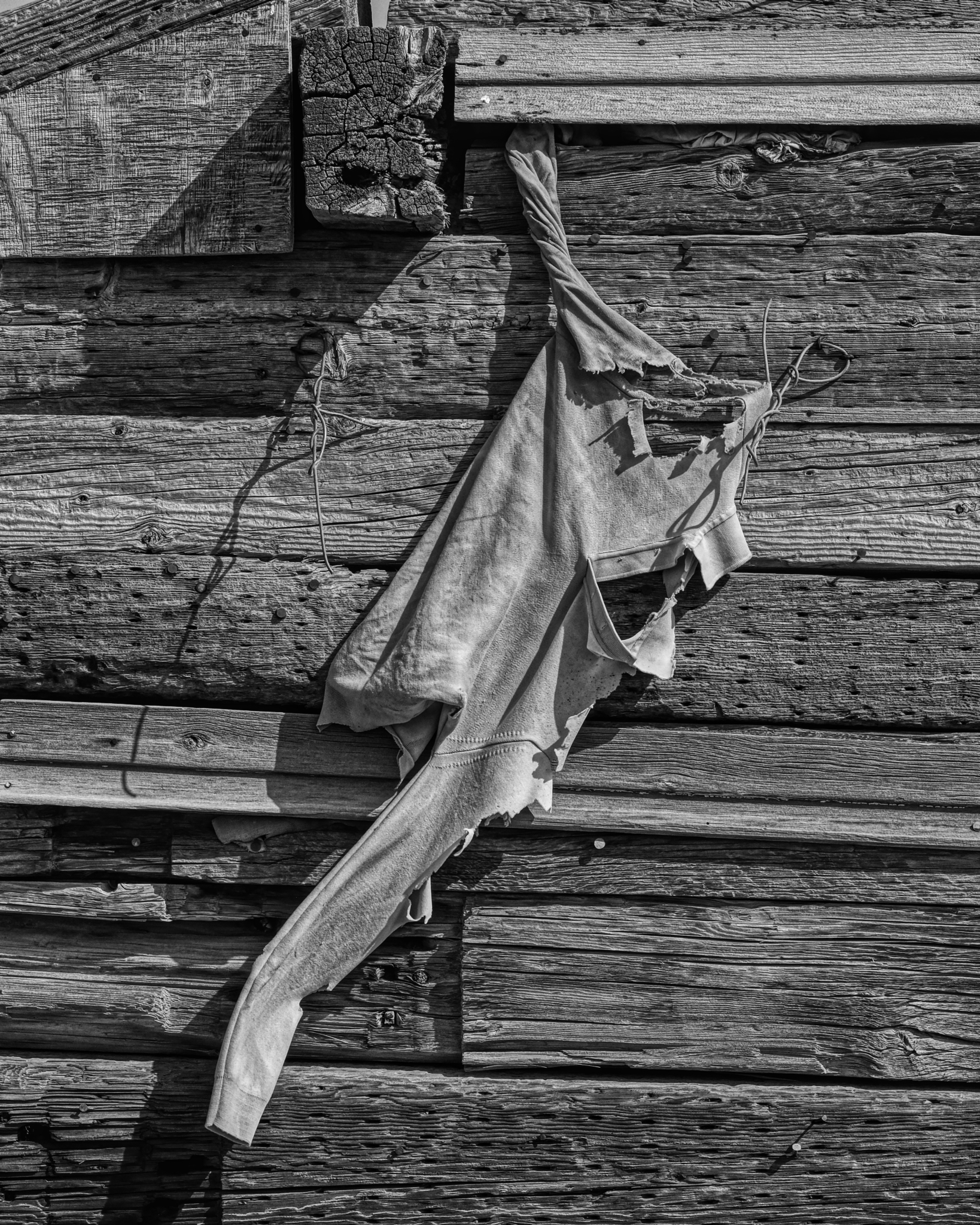
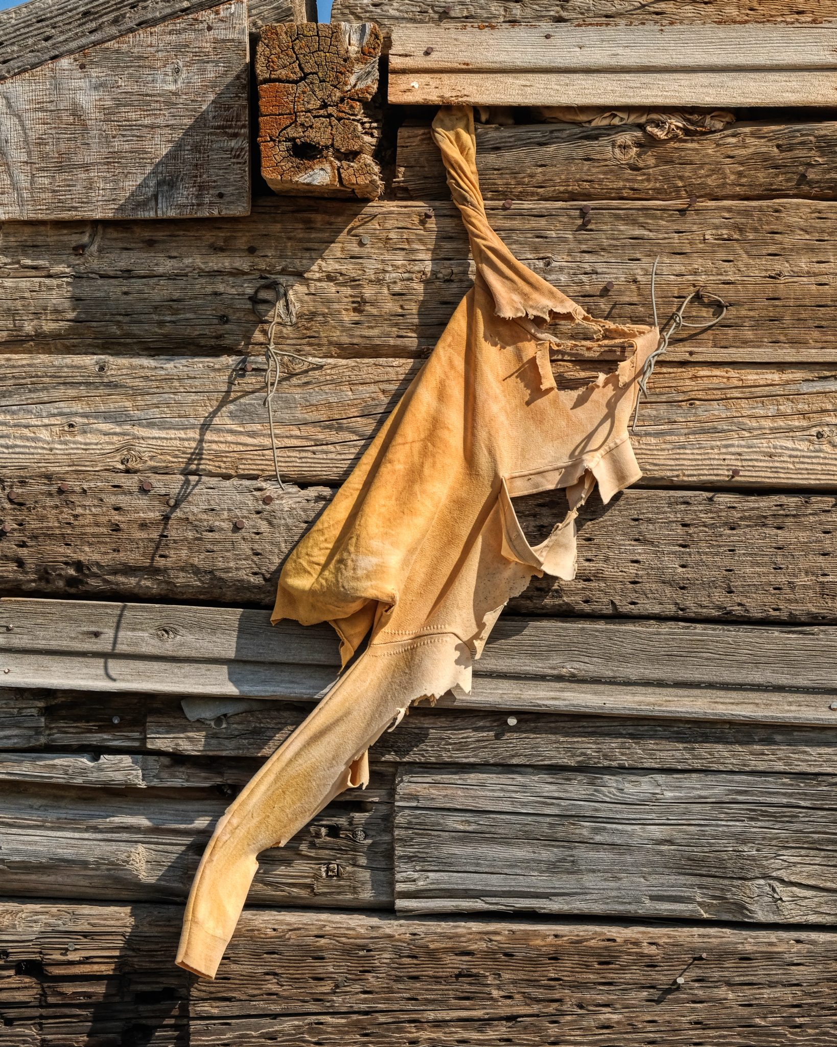 I had apparently stumbled upon the site of the National Sweatshirt Testing Facility (NSTF).
 A perfect 'screen saver' photo . . .
 All I could think was that the flying insects around here must have been pretty big.
 Yet another abandoned miners house from a bygone era . . . not all that long ago . . . .
 It was early September when I was in northwest Nevada . . . and there is always some fauna that thrives at every time of the year on the desert.
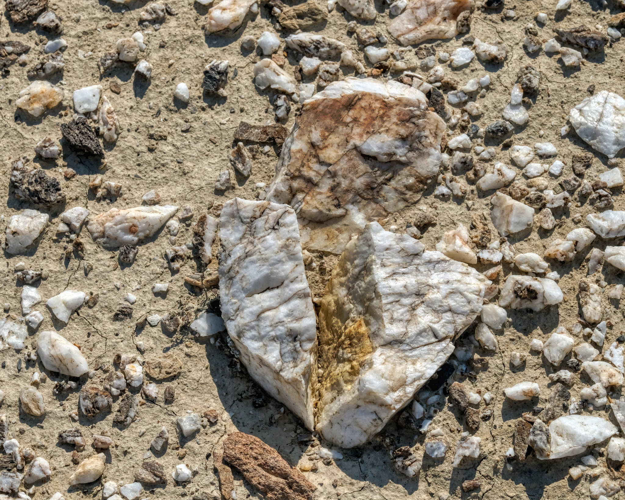 The desert floor around the old mining community was littered with this white quartz . . . I wonder what they were mining for here? I left the abandoned miner houses and drove back out on Highway 49 . . . to look for a place to set up camp.
 This is what I was looking for: a track that led up and away from the road and into the wild desert. I drove about a mile up this track before I decided that this isn't what I wanted . . . and I do not know why. But I was tempted.
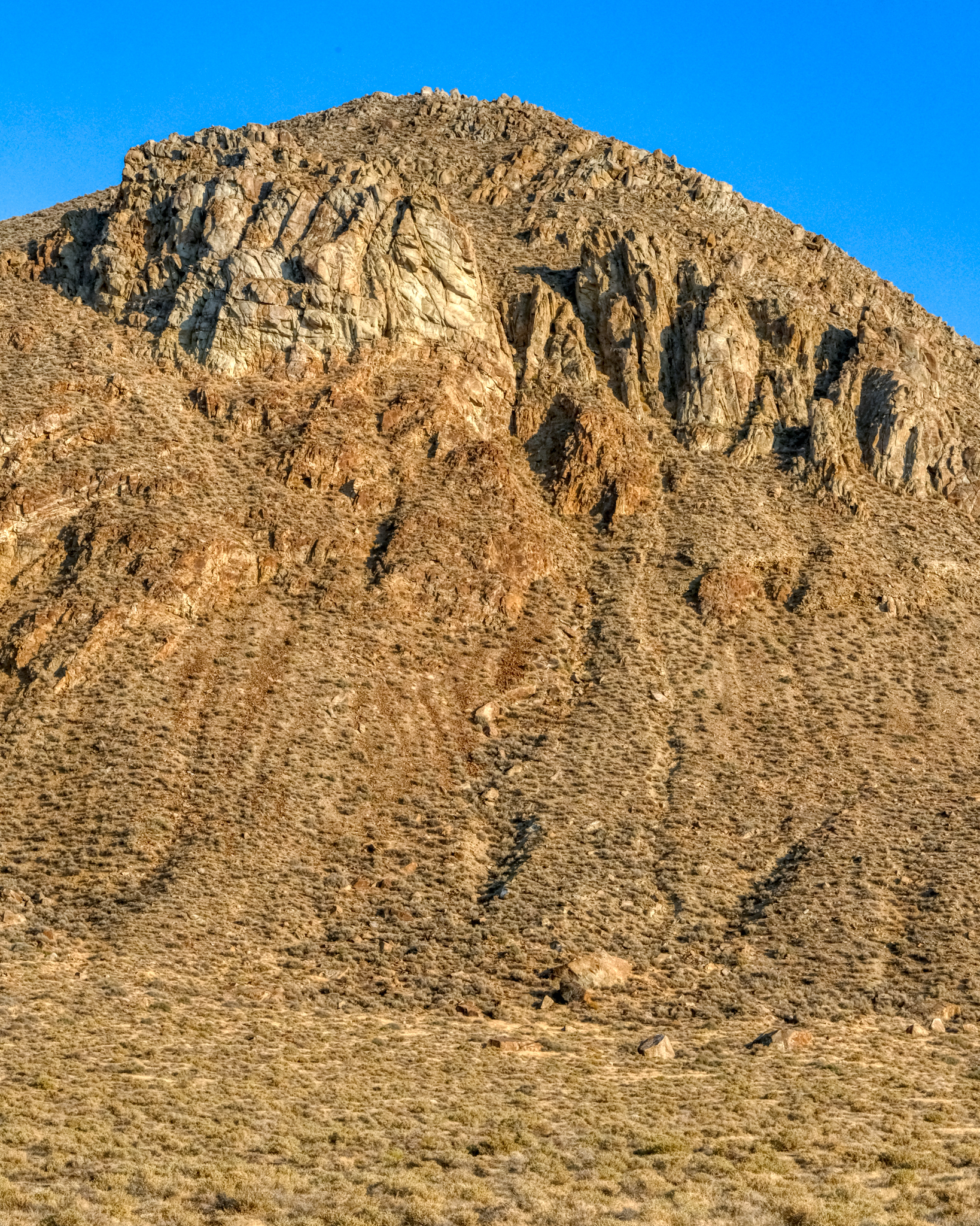
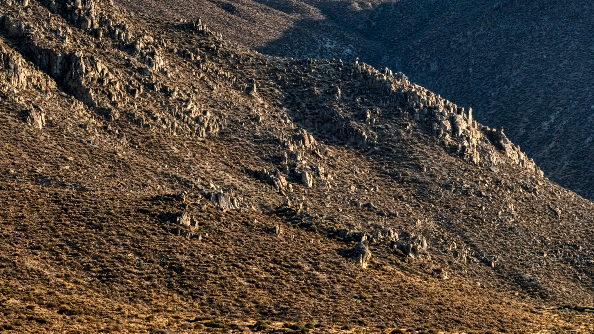
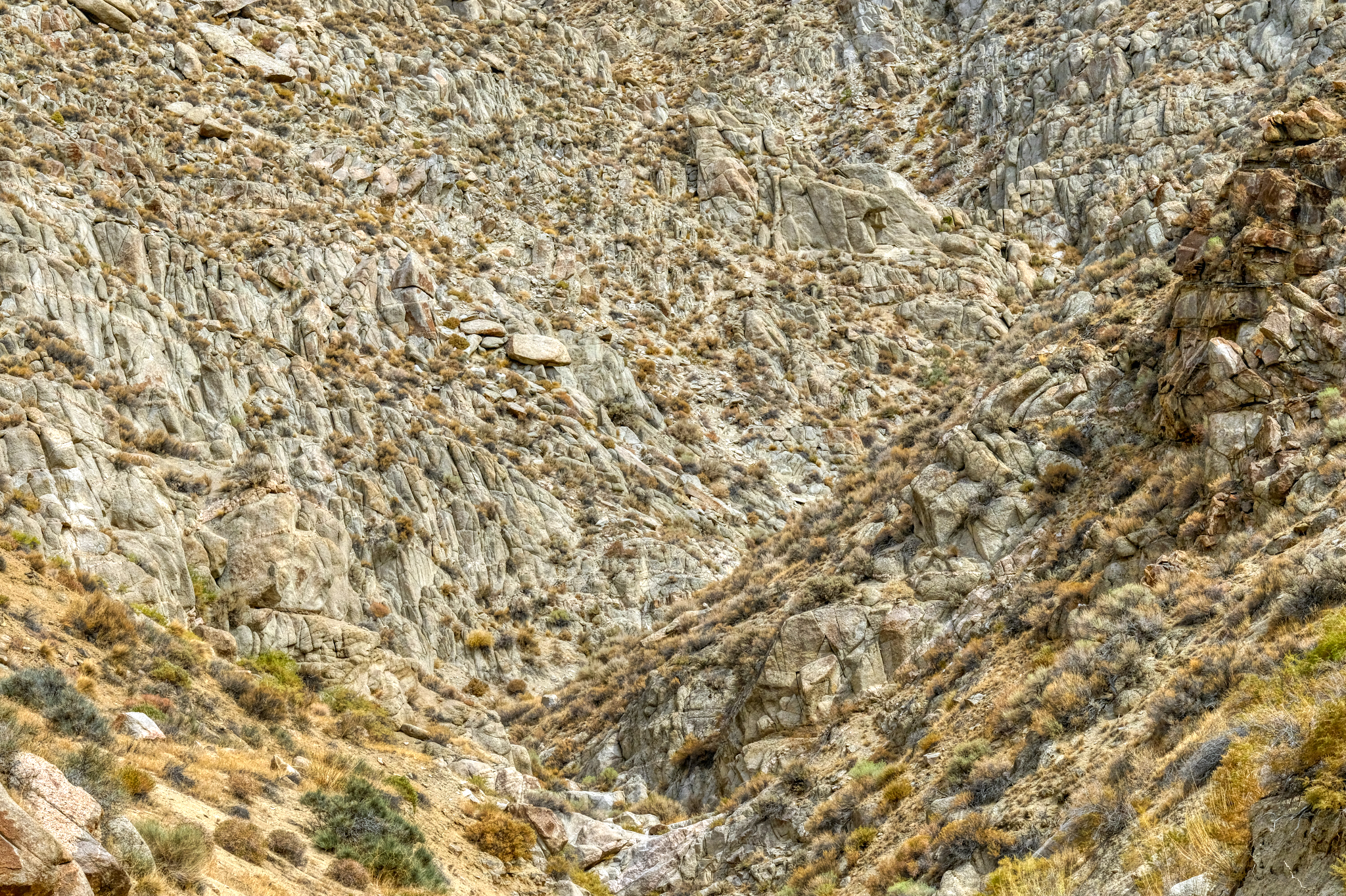
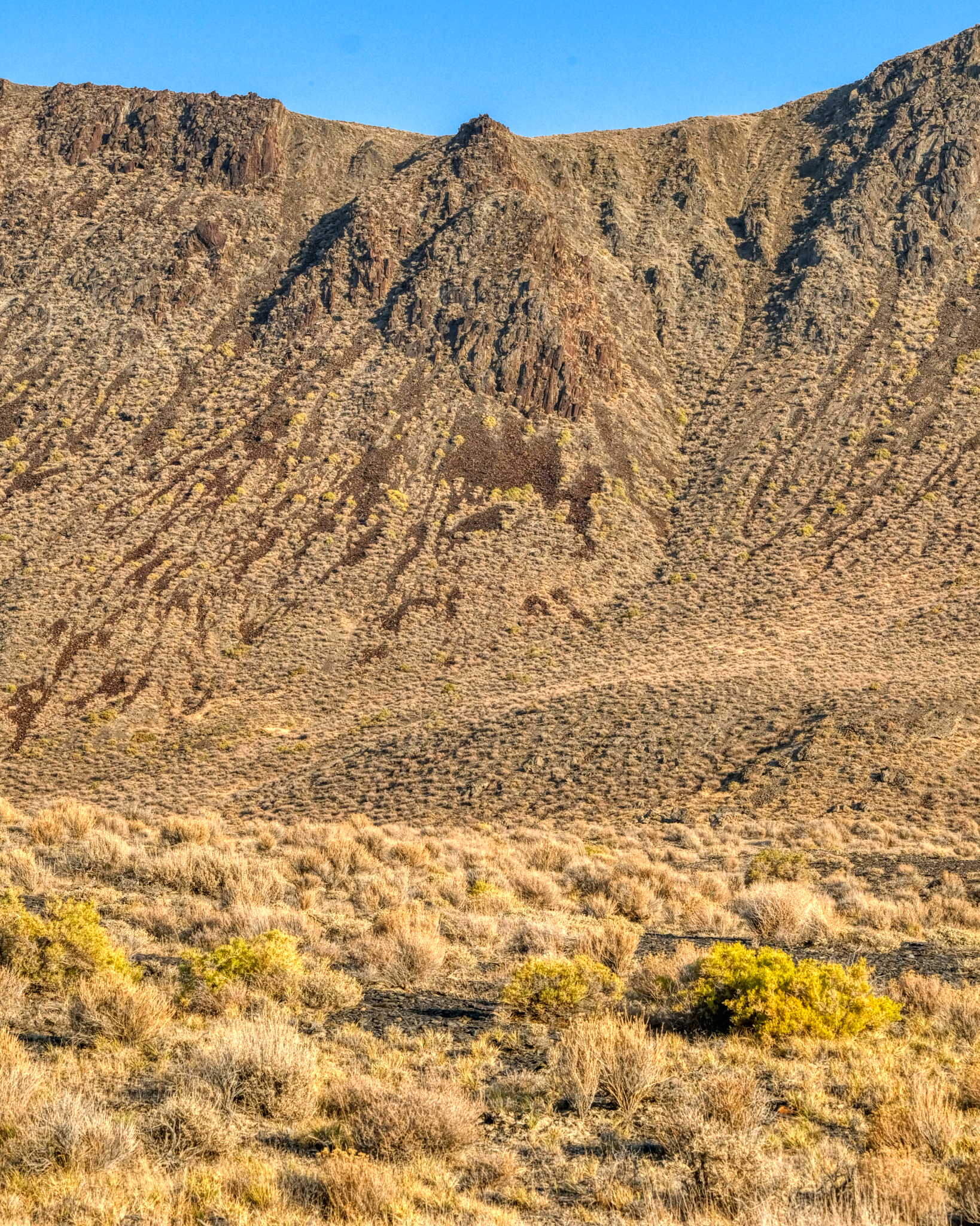 The view to my left as I drove toward the Black Rock Desert was always a sharp escarpment, with ever-changing geology and brush covering.
 I stopped here in wonderment! There seemed to be giant petroglyphs on this volcanic hillside. What language was this? Of course, I knew it was just bald spots on an old lava flow . . .
 Such an amazing desert mountain landscape . . . but look closely . . .
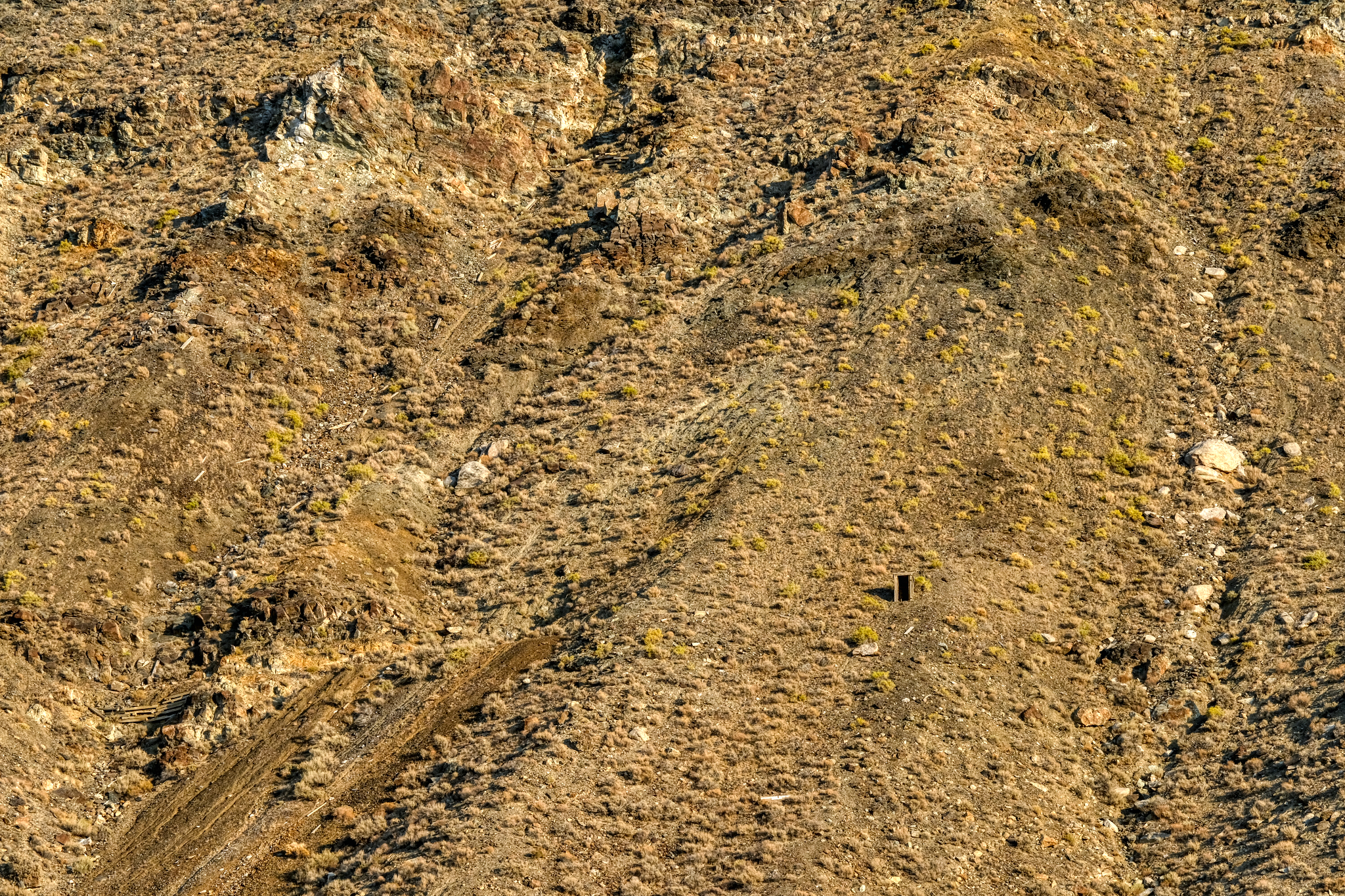 . . . but look closer . . . and you see the remnants of an old mine entrance way up on the mountainside. Astounding!
 I drove for an hour alongside this rocky ridge . . . always scanning for something interesting . . .
 I stopped and contemplated climbing up to this "dry waterfall ' . . . but it was much further away and much taller than I thought.
 The shadows were getting longer and I felt the need to find my camping spot . . .
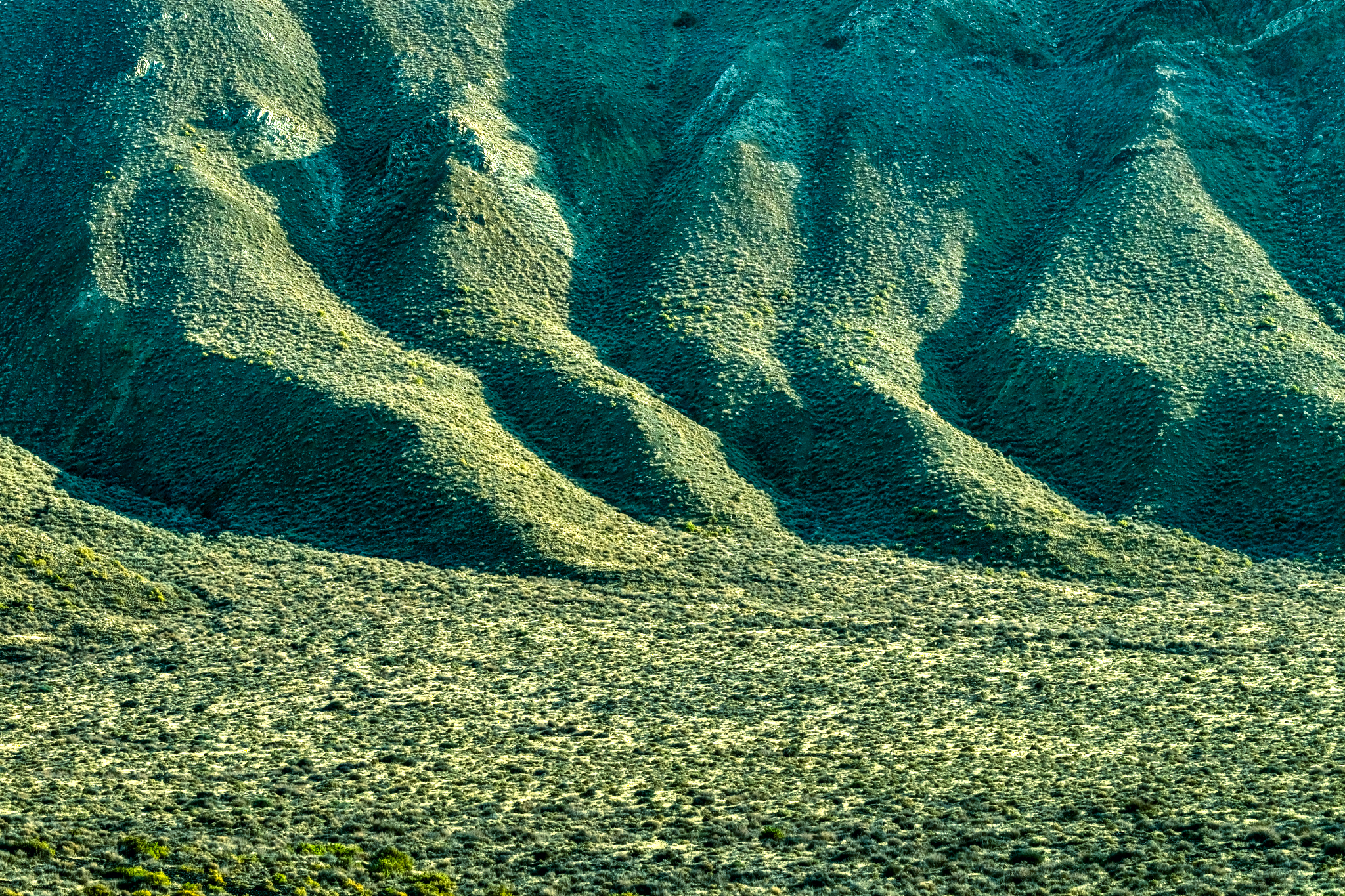 Long shadows on the desert hills.
 In the five days I spent out of Winnemucca on the desert roads, I saw only two other cars . . . I caught up with this truck . . . but turned off before I got too close.
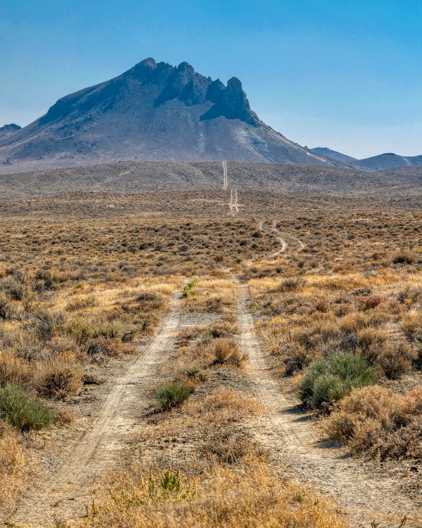
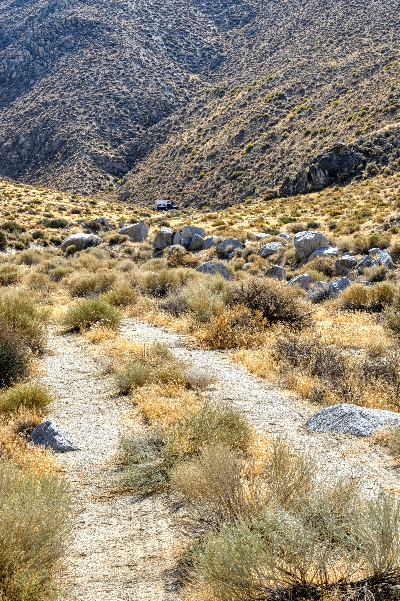
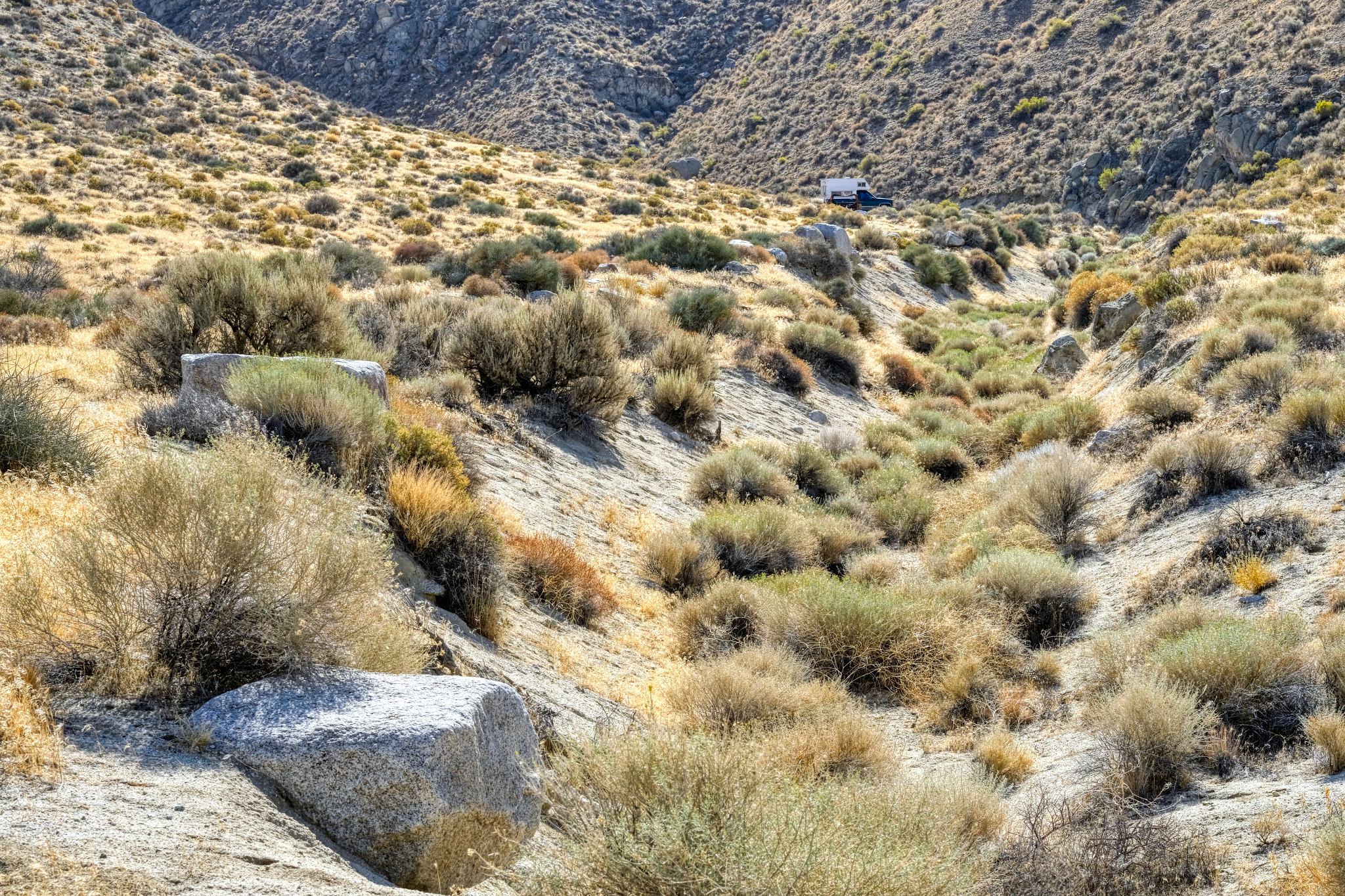
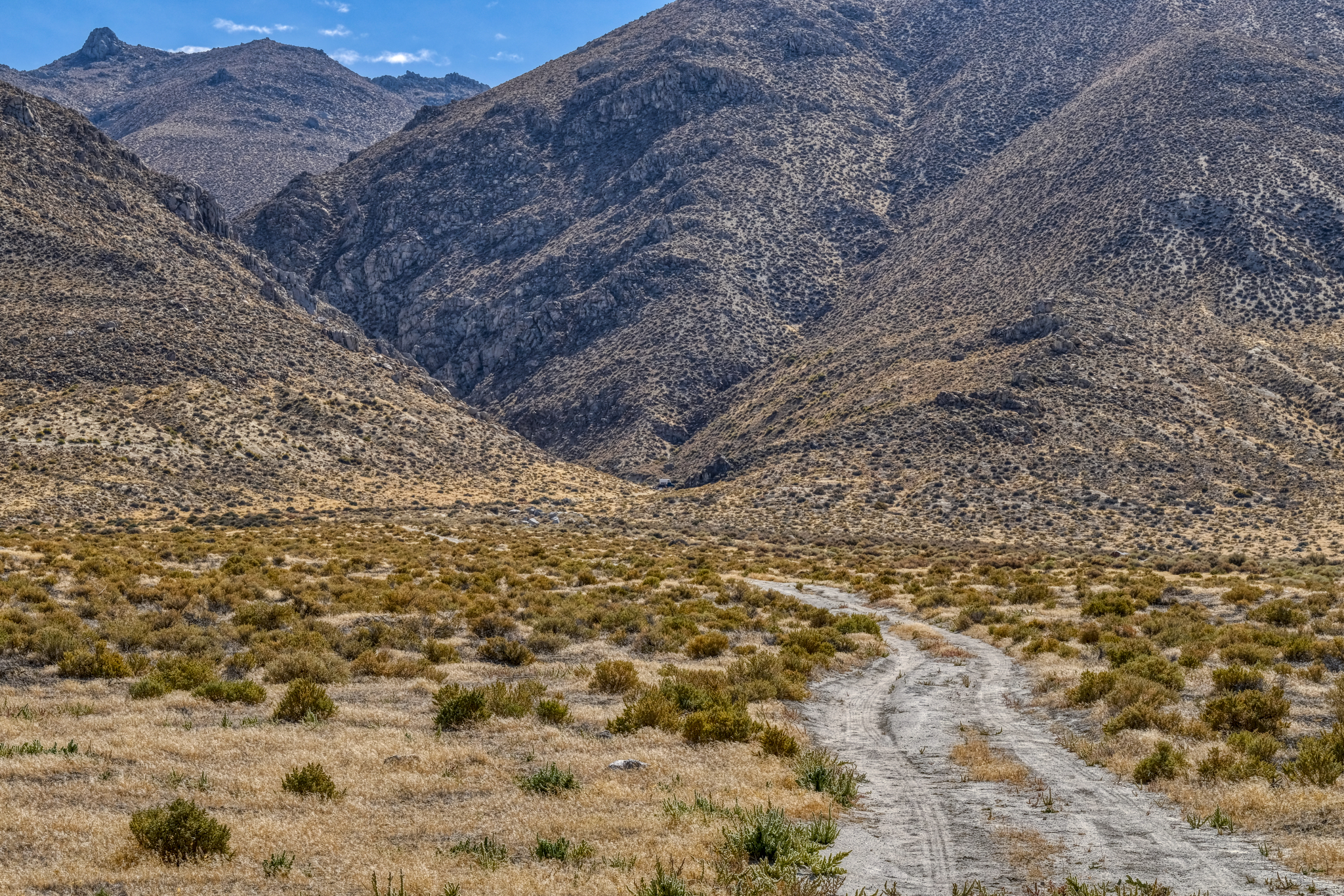 I eventually spotted this little track heading up into a gap in the rocky hills and thought it might be an interesting place to park my camper . . .
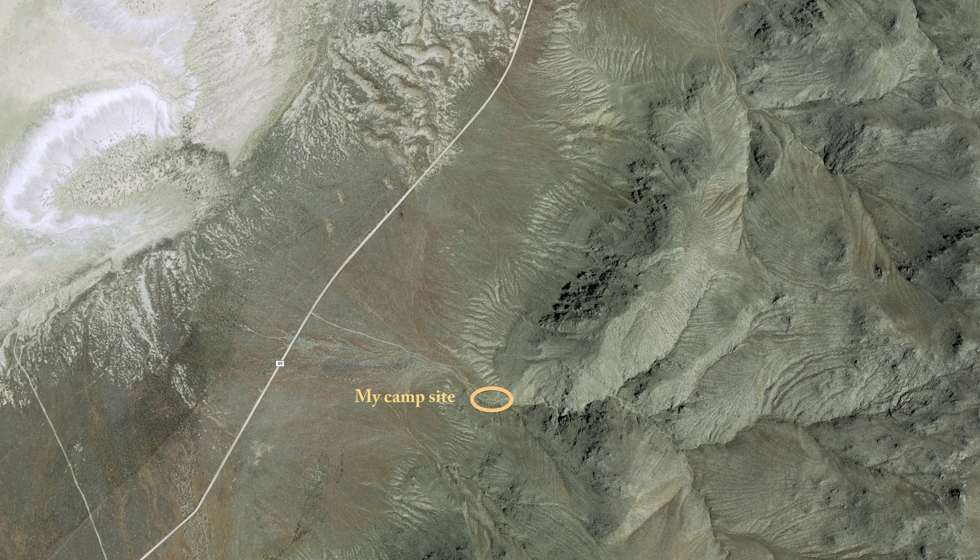 GoogleMaps photo of my campsite . . . . a dream location for me!
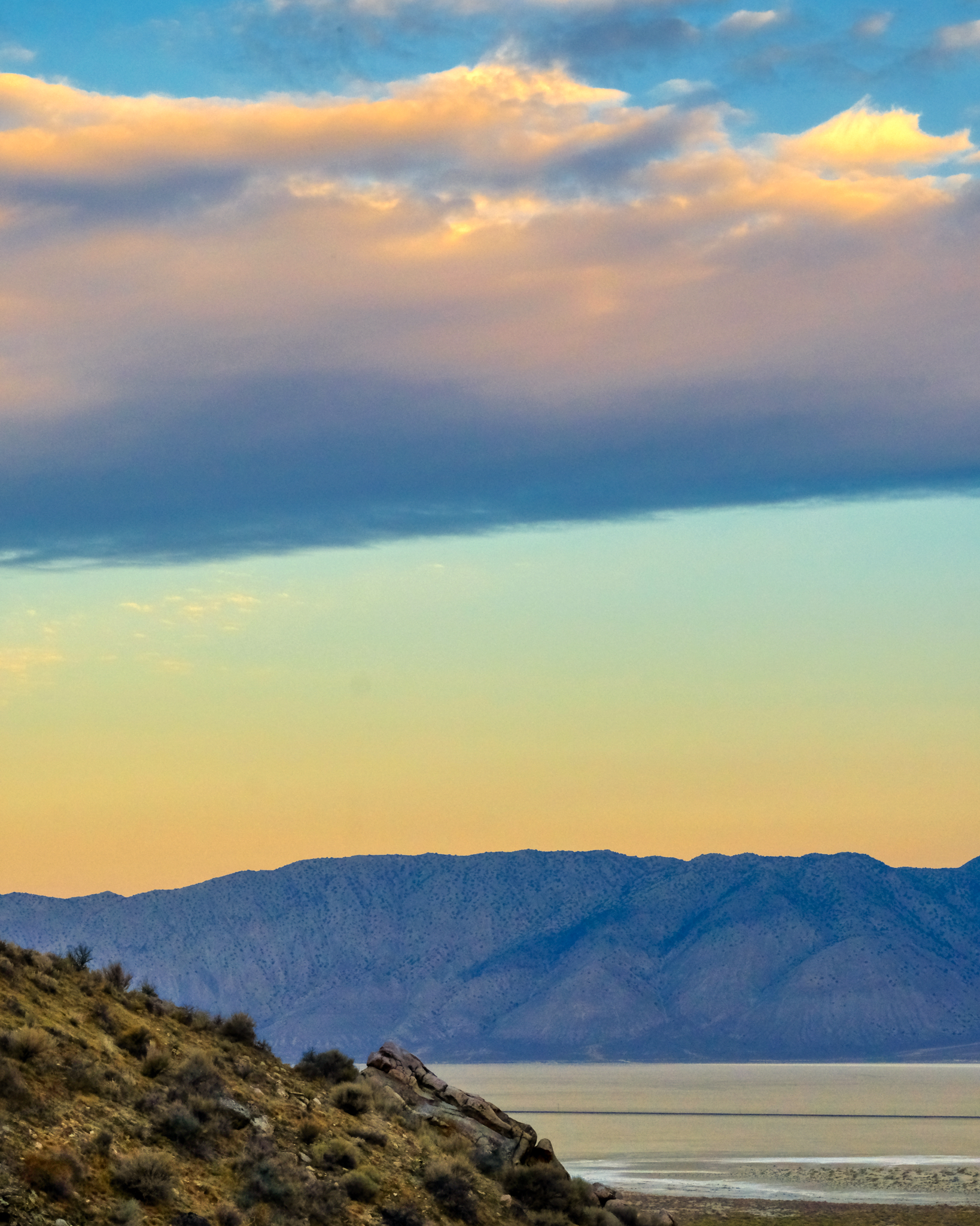
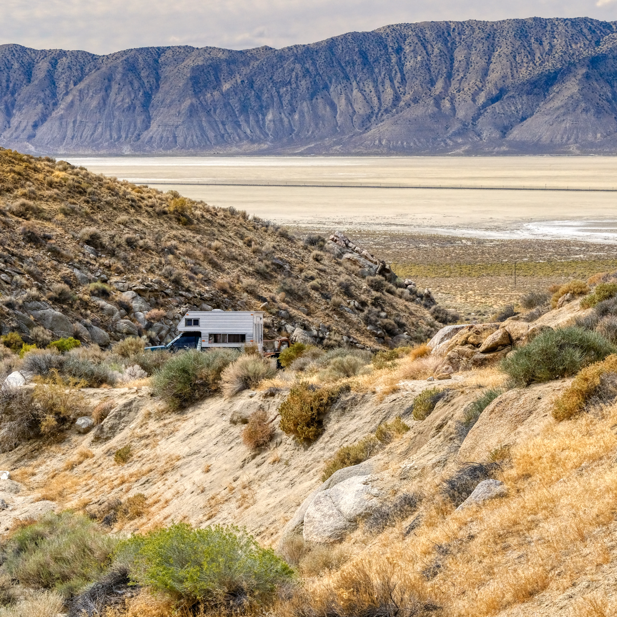 I drove up the sandy track and found a flat place to park . . . . the next morning I took this photo of the fine place I found . . . with a grand view of the Black Rock Desert.
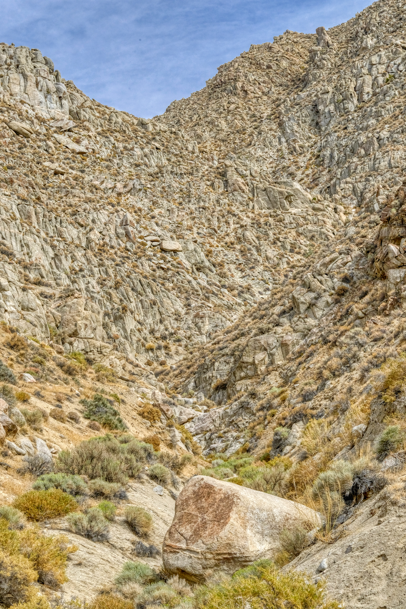
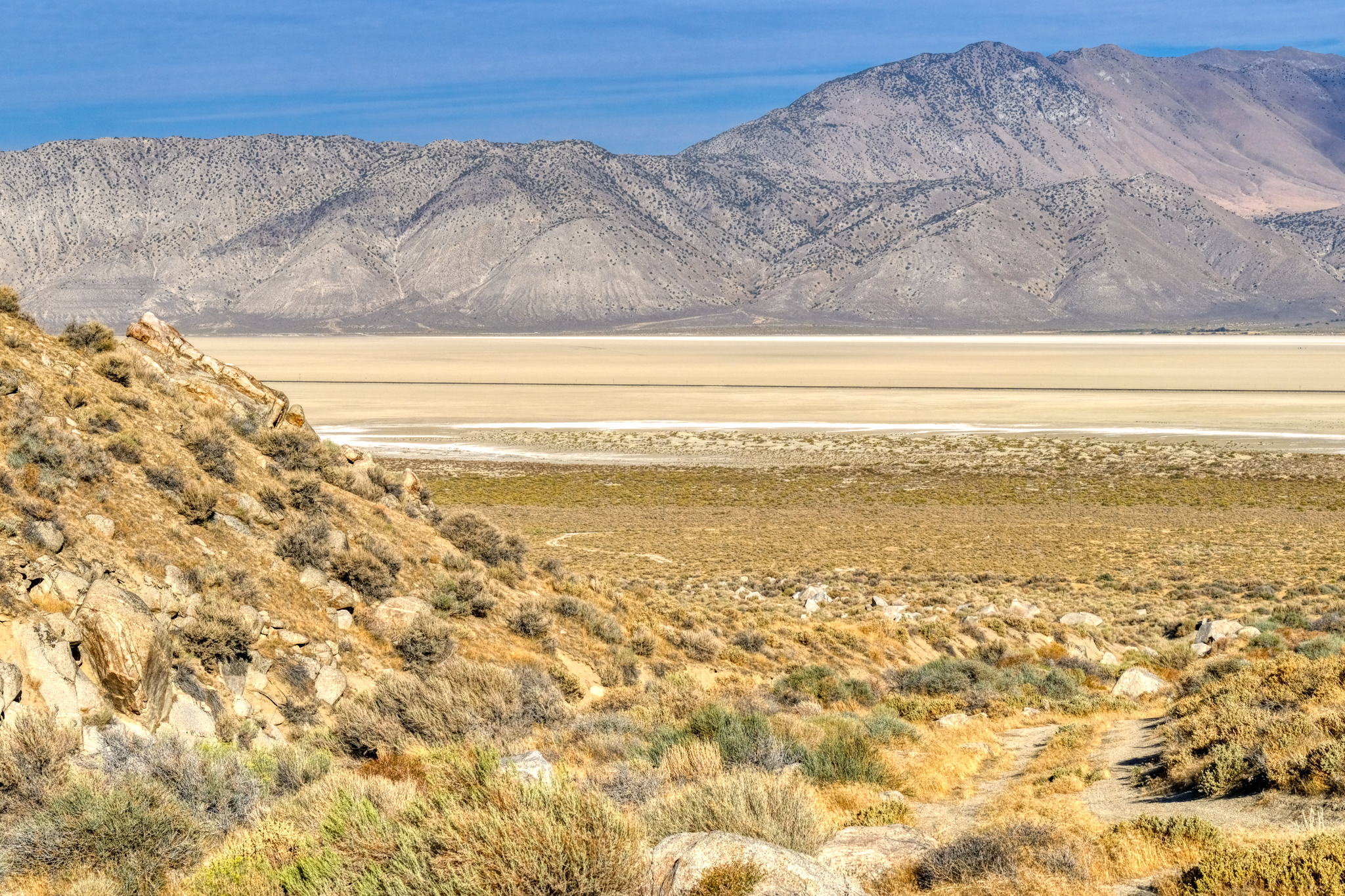
Looking away from the Black Rock Desert I had this view . . .
 My incredible desert canyon view . . . I wasn't sure which way to point my chair . . . the dry lake or the rocky canyon!!!
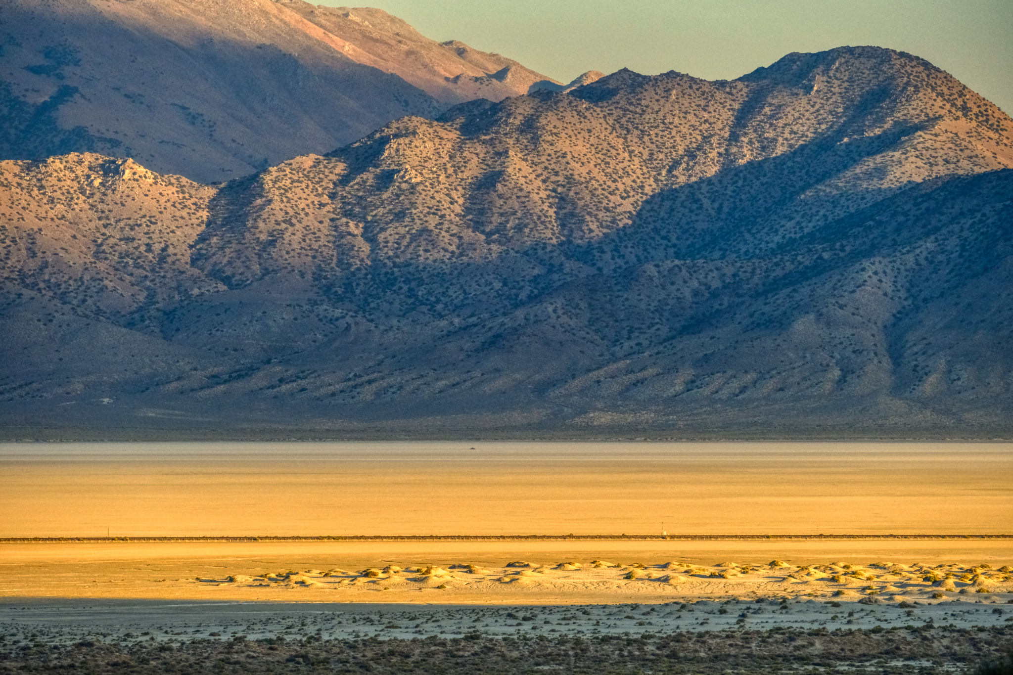
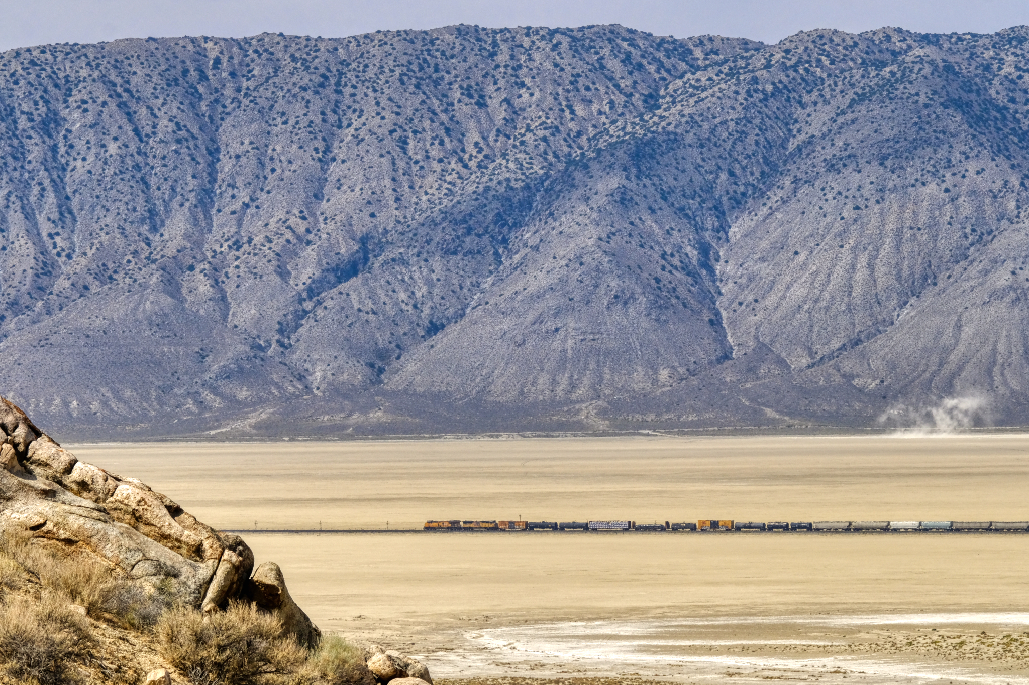 My view of the dry lake included an active train line . . . a couple times a day long freight trains would slowly pass below.
 My morning Grand View . . . I think I will go for a walk.
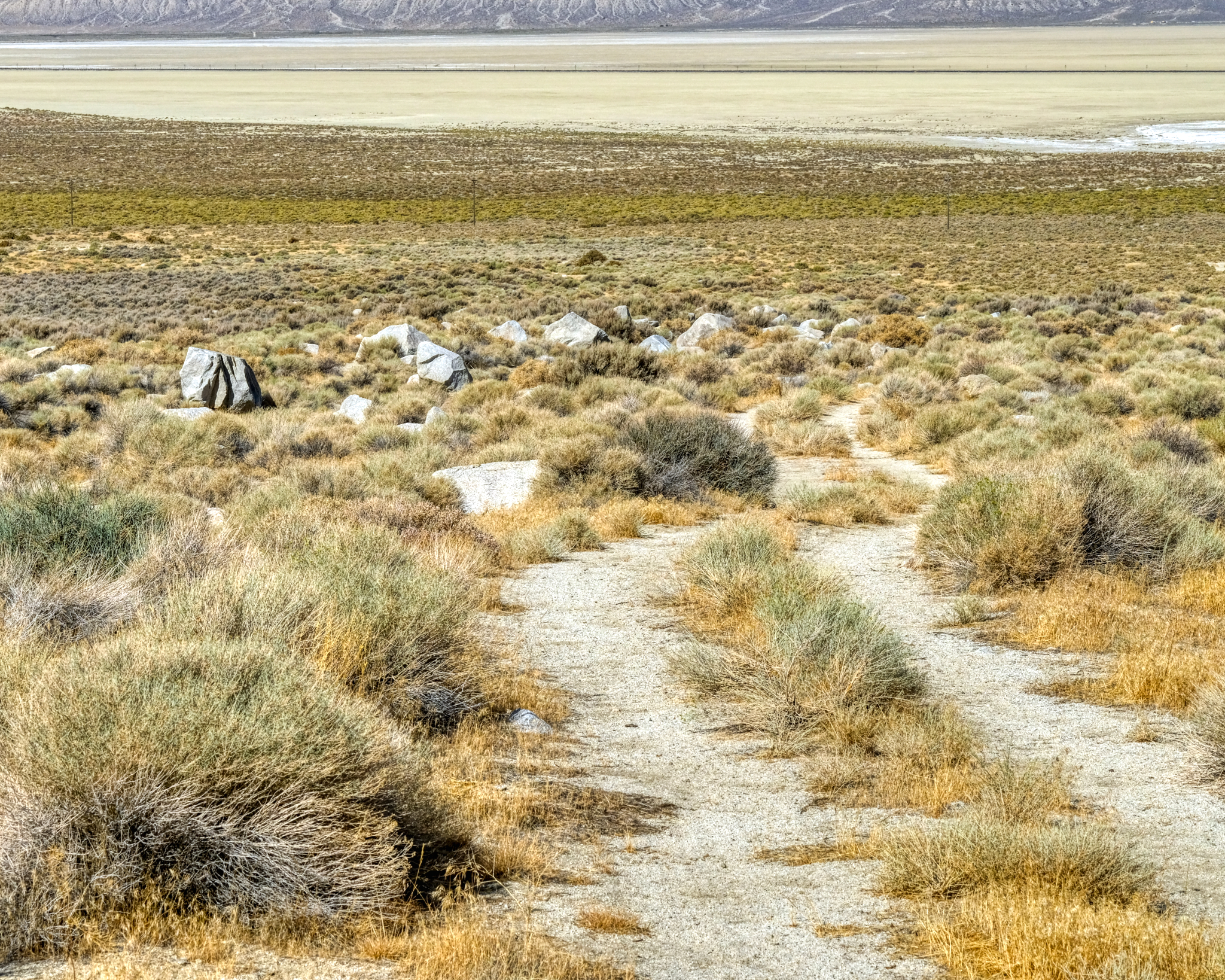
 One morning I decided to walk down the sandy track and out onto the dry lake bed . . . for exercise . . . and curiosity.
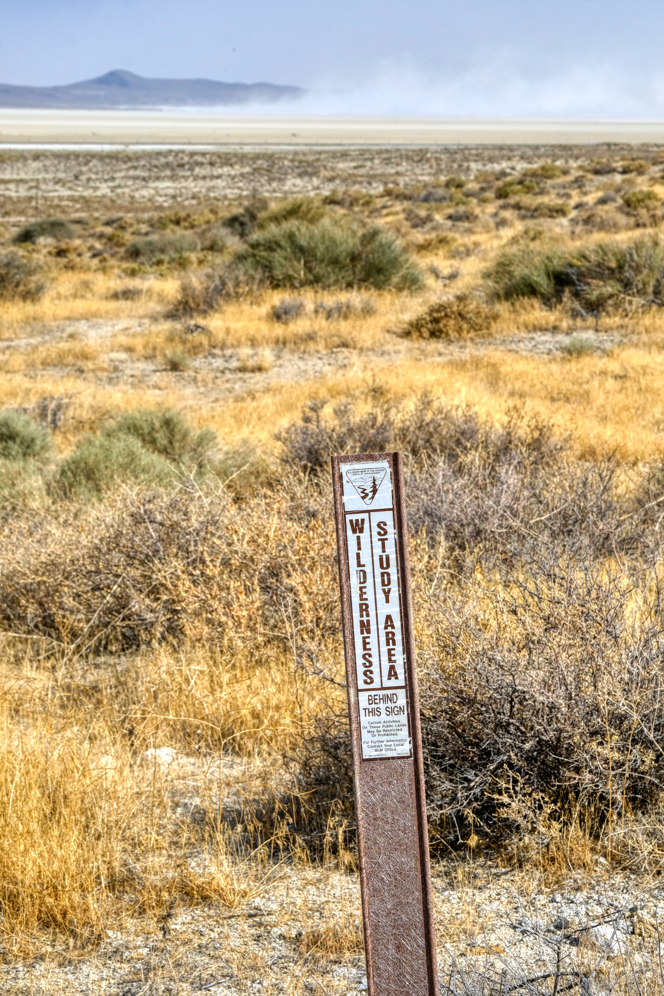 I was happy to see this sign . . . glad the area was being protected.
 At some point after I set up my camp, probably while I was staring at the mountainside, somebody rode a horse across my tire tracks on the sandy track. An interesting walk indeed!
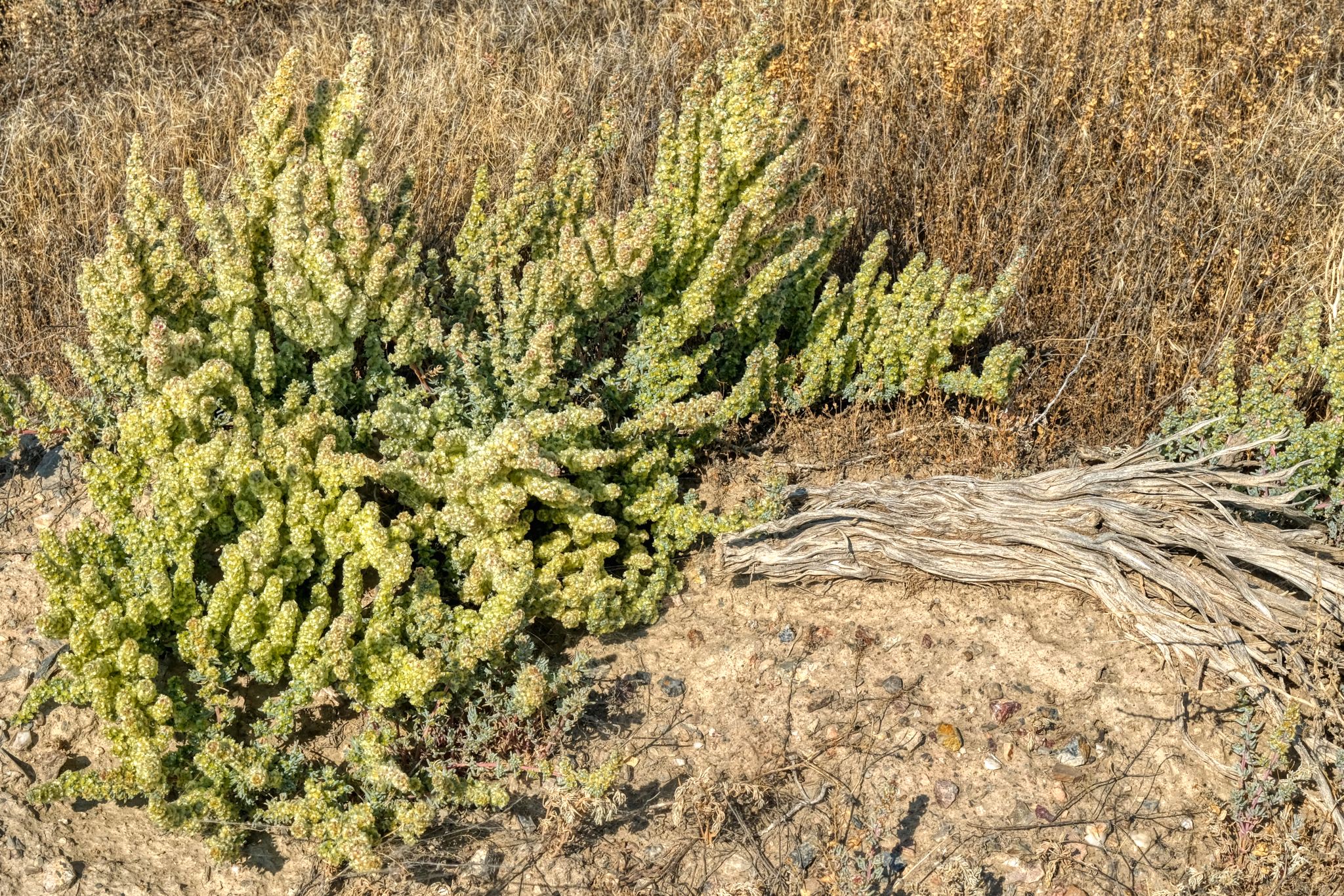
 The marvelous morning light made for great photography of the desert flora.
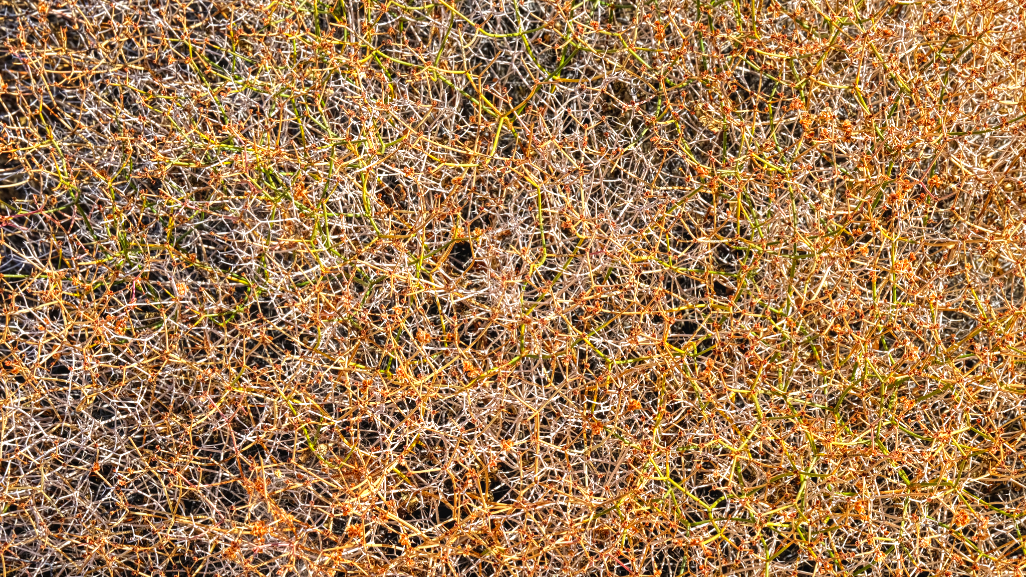
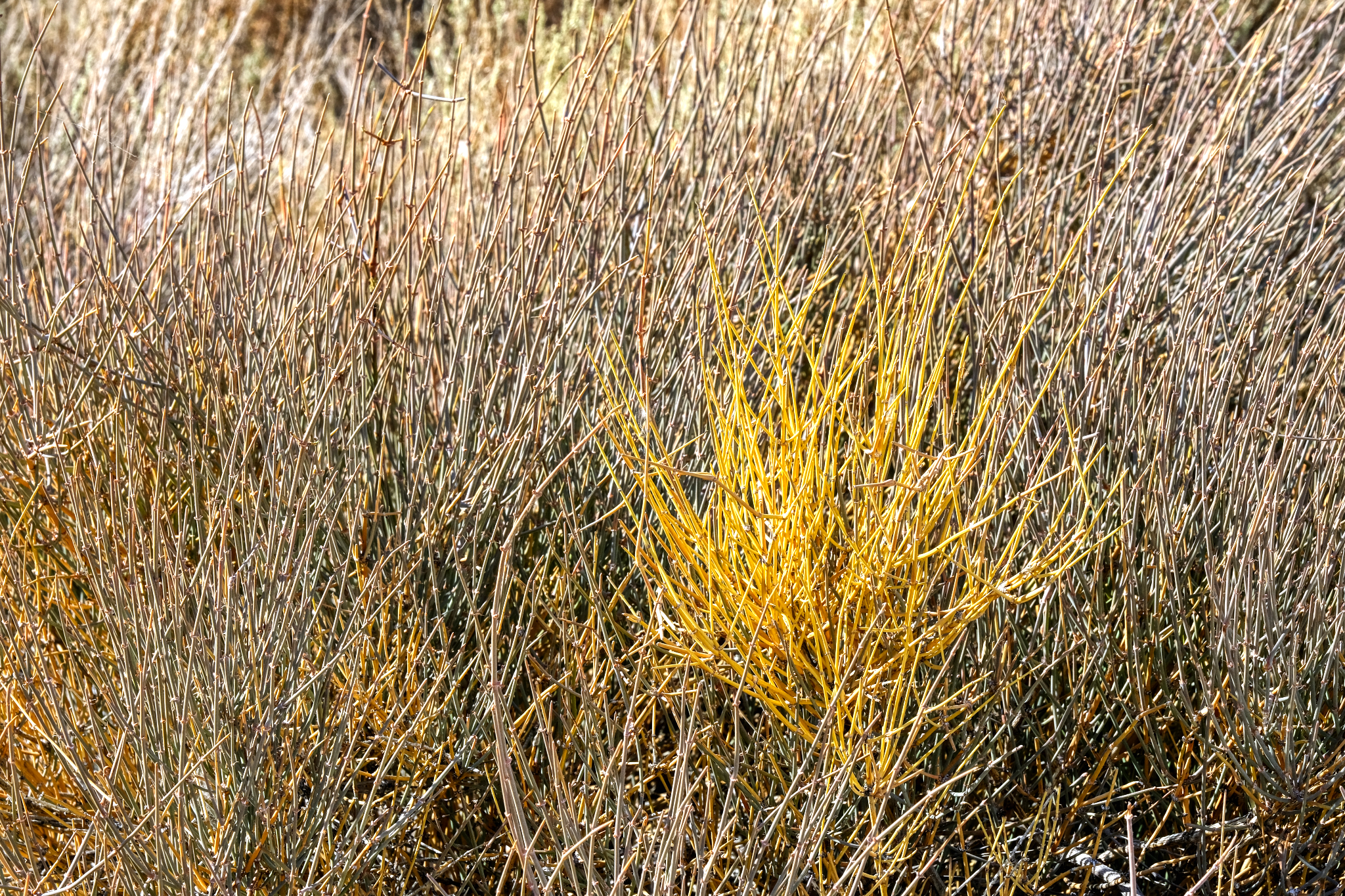 These "desert reeds" was a complexity of beauty.
 Wonderful complex patterns out here in "the middle of nowhere" . . .
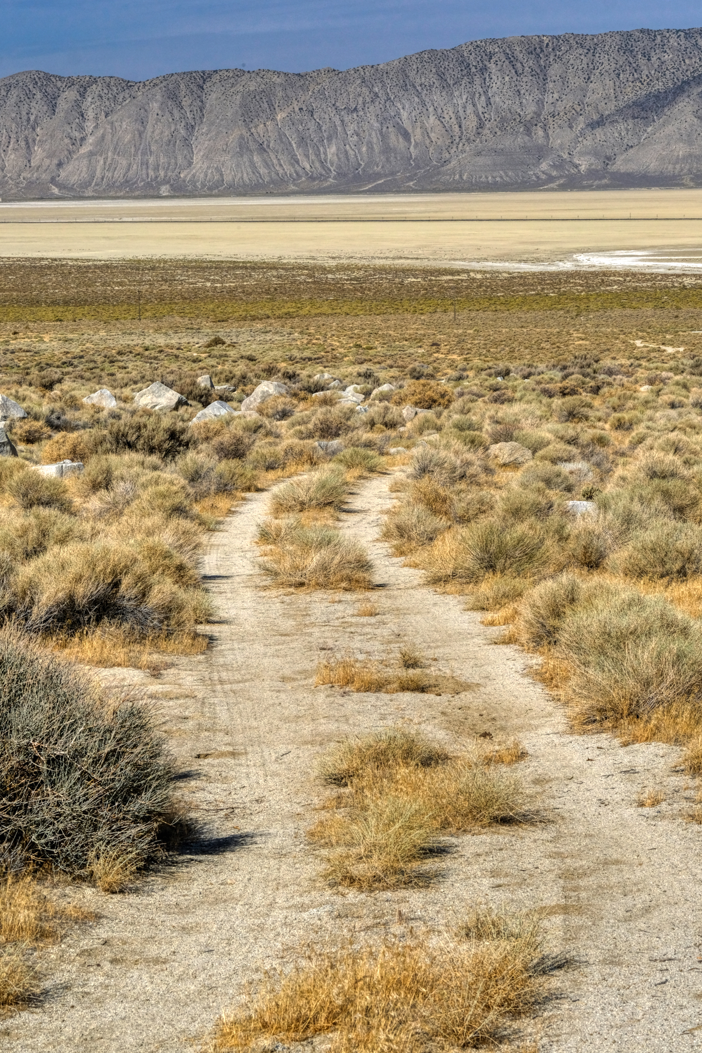
 Looking back up the track to my camper in the canyon.
 Walking further, I crossed Nevada State Highway 49 as I approached the wide dry lake bed.
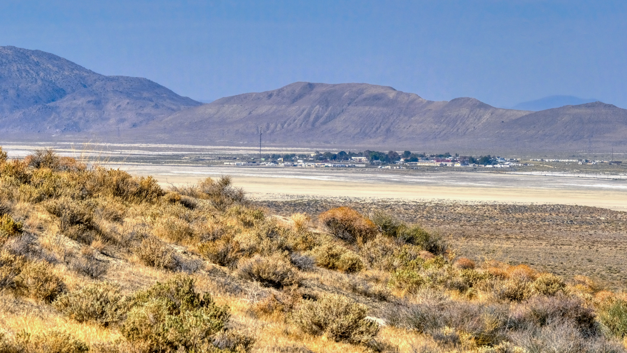
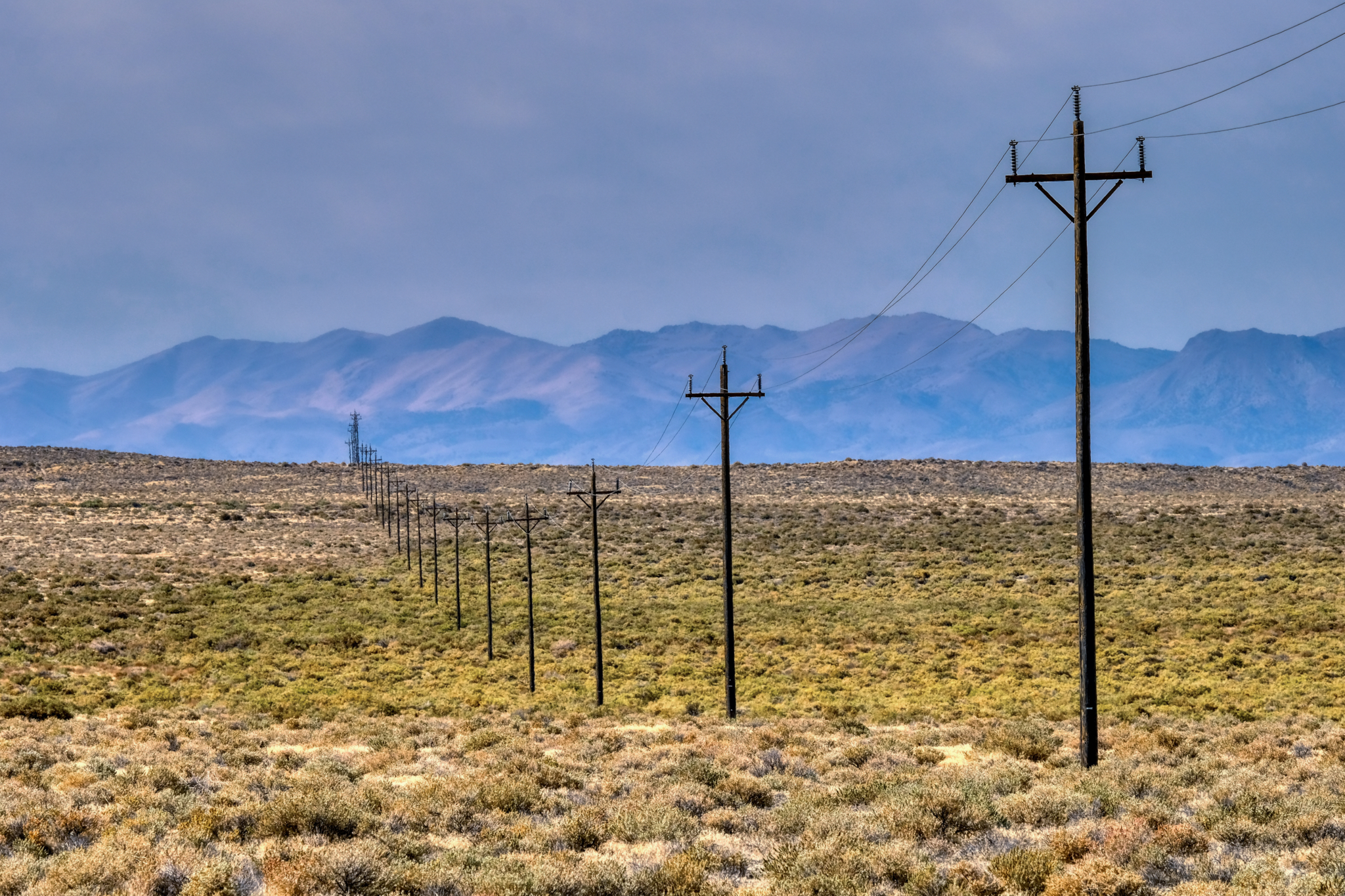 A short stretch of scrub brush with phone poles leading to the little town of Gerlach, Nevada (pop. 107).
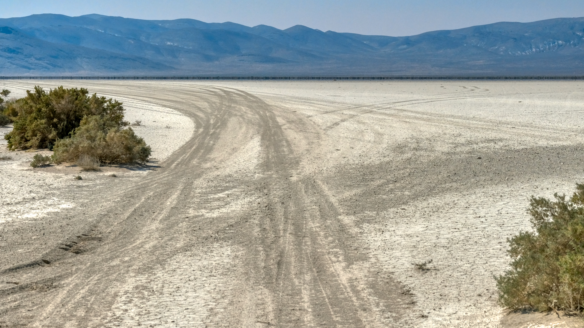
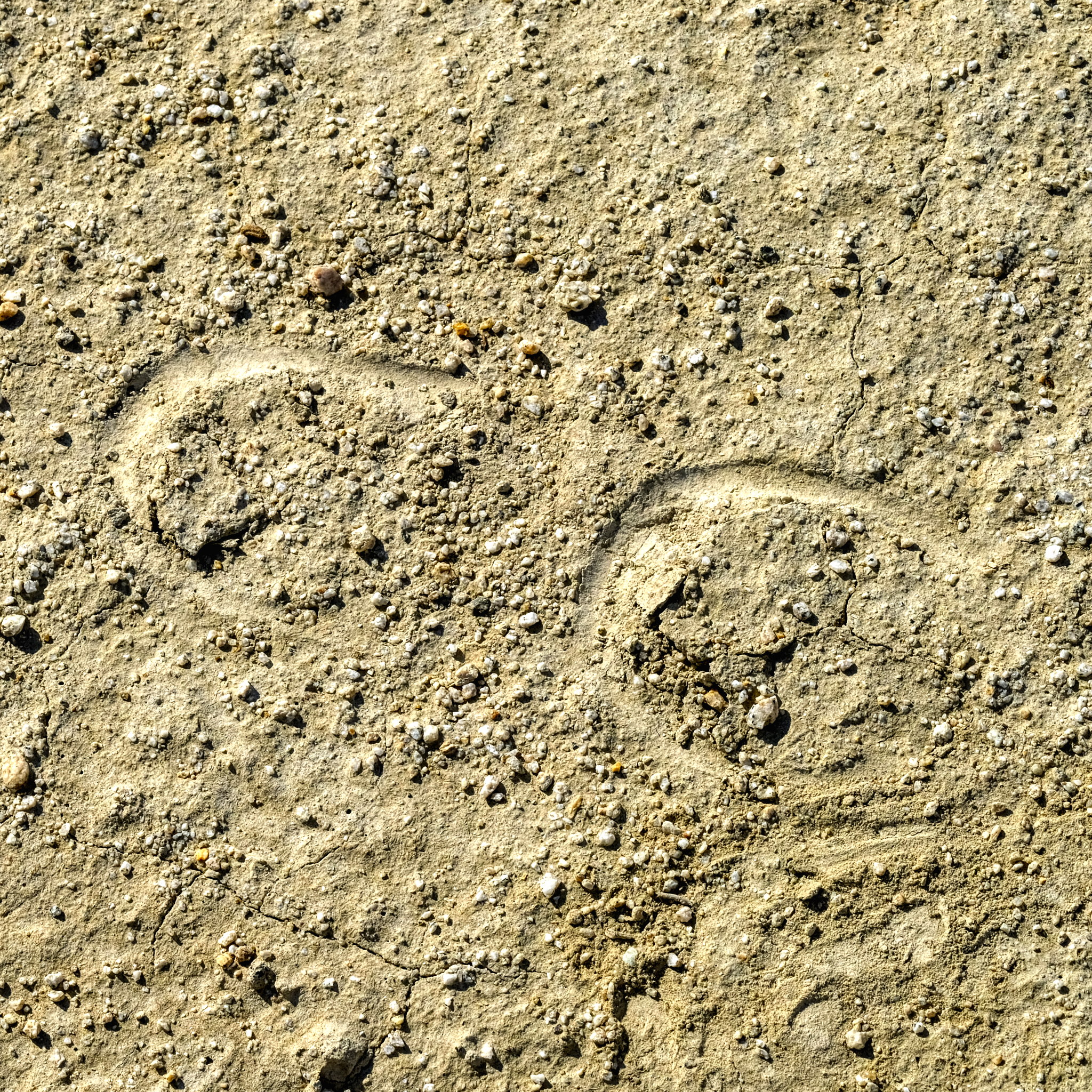
 . . . and at last I stepped out onto the amazing surface of the Black Rock Desert.
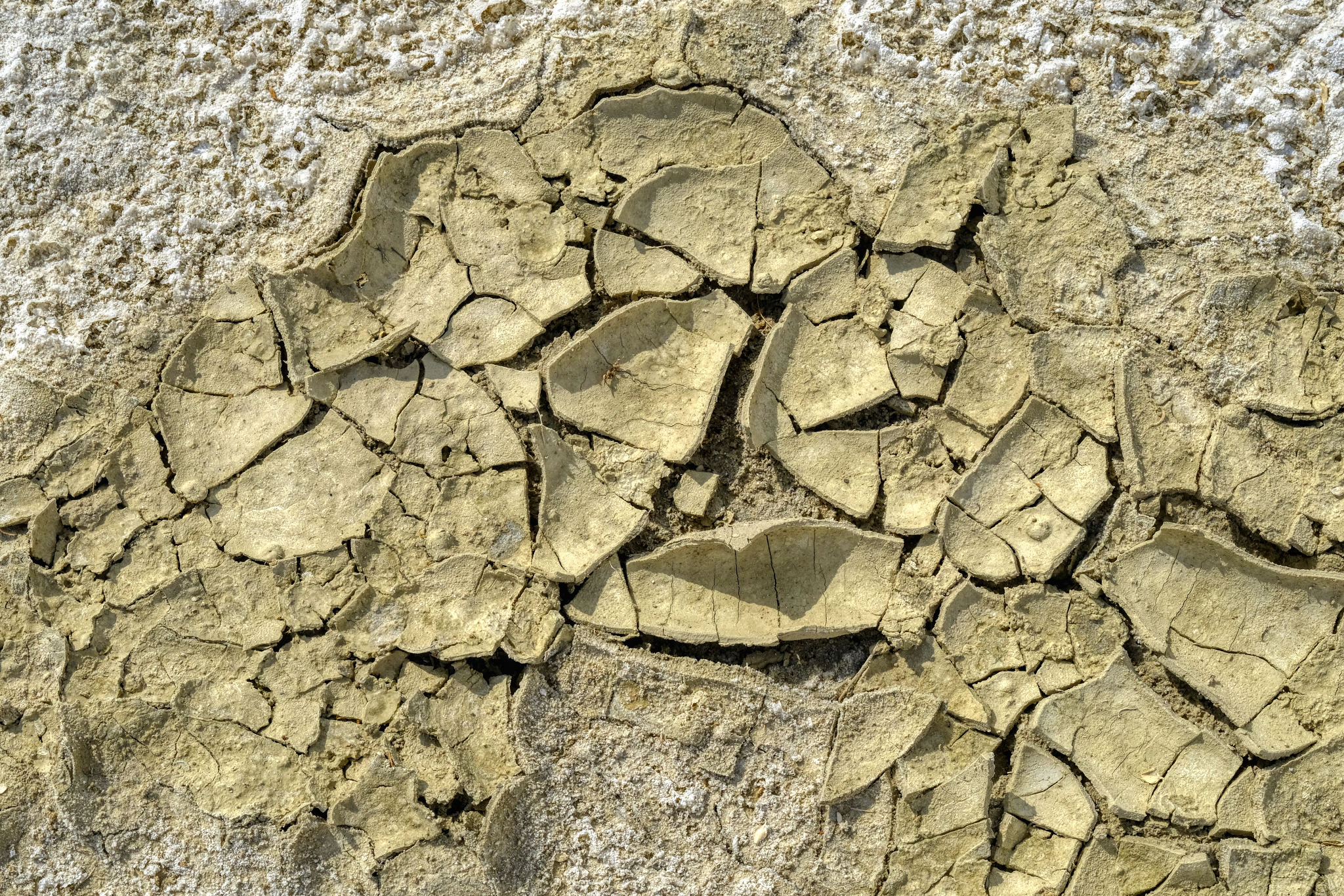
 I love these desert/dry lake bed textures as photographic subjects. I was not disappointed here!
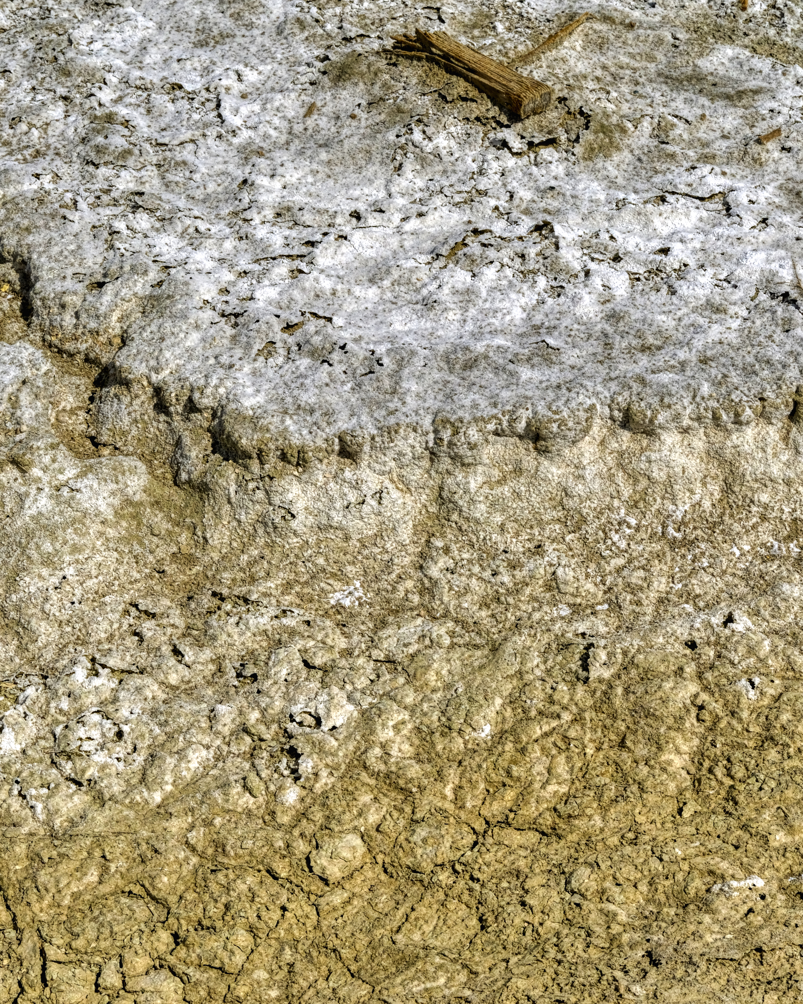
 Such delicately thin wafers of minerals spread out underfoot . . . I tried to avoid stepping on them.
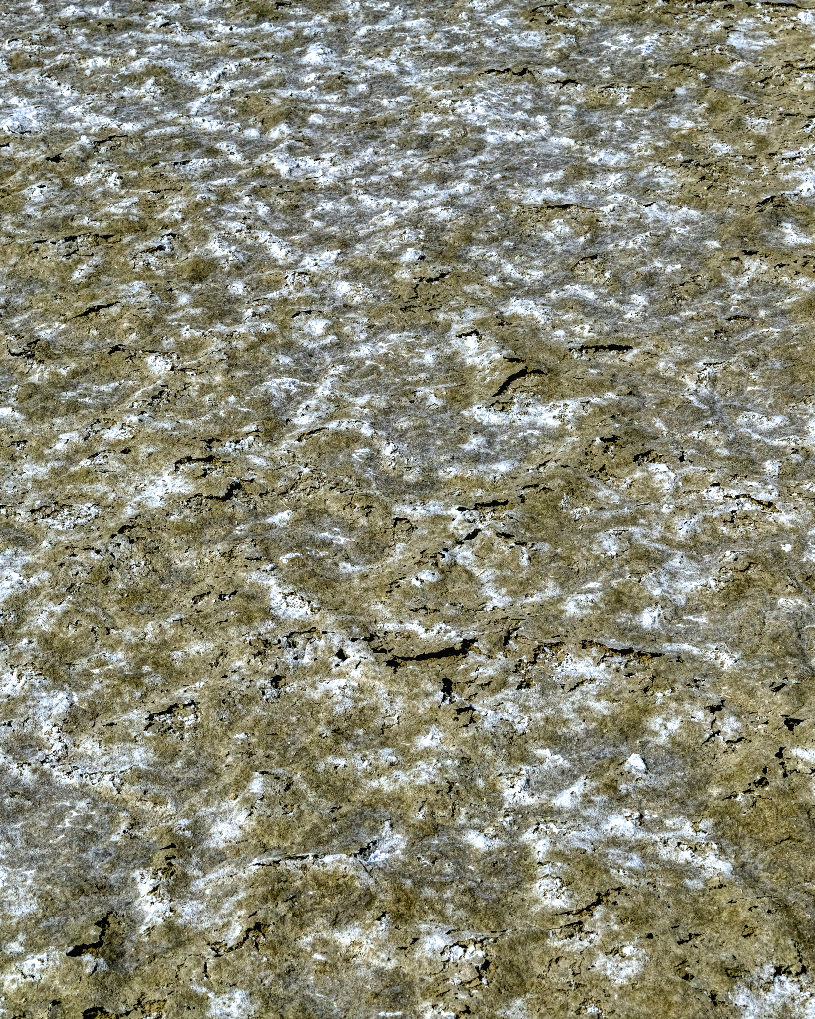
 Salt or alkaline crusting . . . I do not know . . . I did not taste it.
 Water had pooled here in the not too distant past.
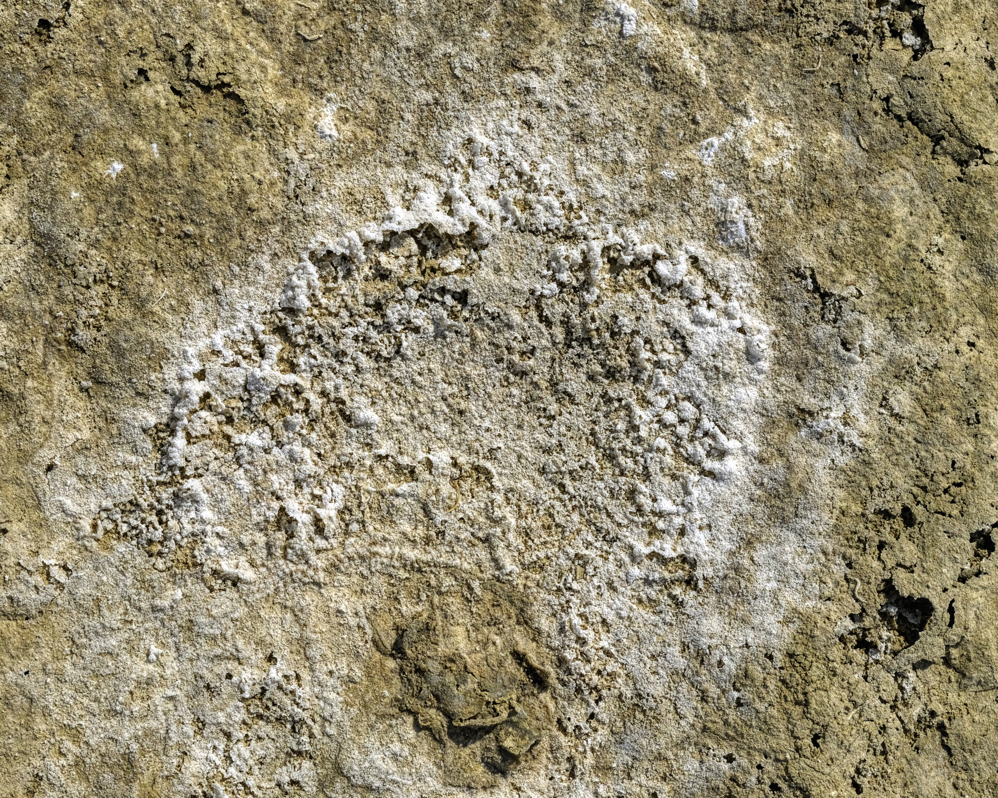
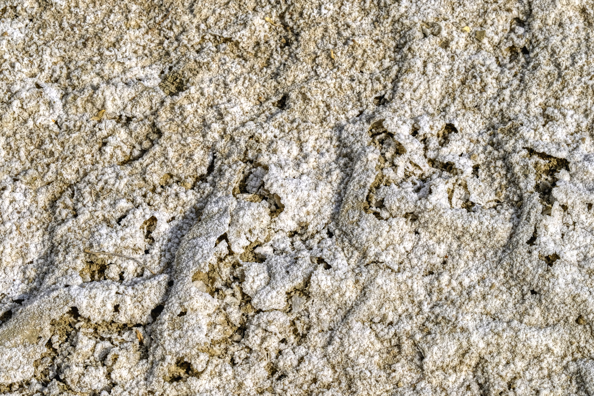
 Much of this vast surface had this texture . . astonishing beauty!
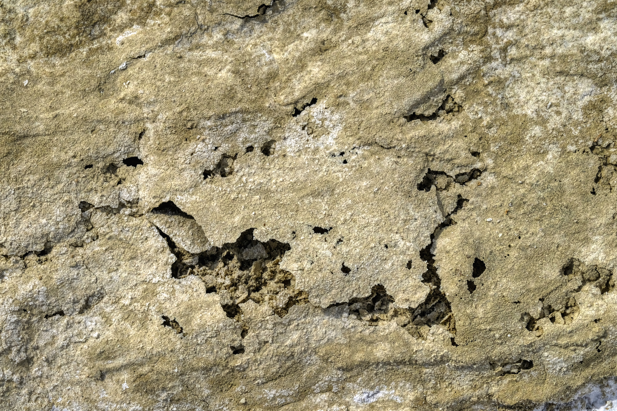 Thin mineral wafers . . .
 I crunched around on these amazing surfaces for quite awhile before turning back to my camper.
 I walked back to my camper by way of this little canyon . . .
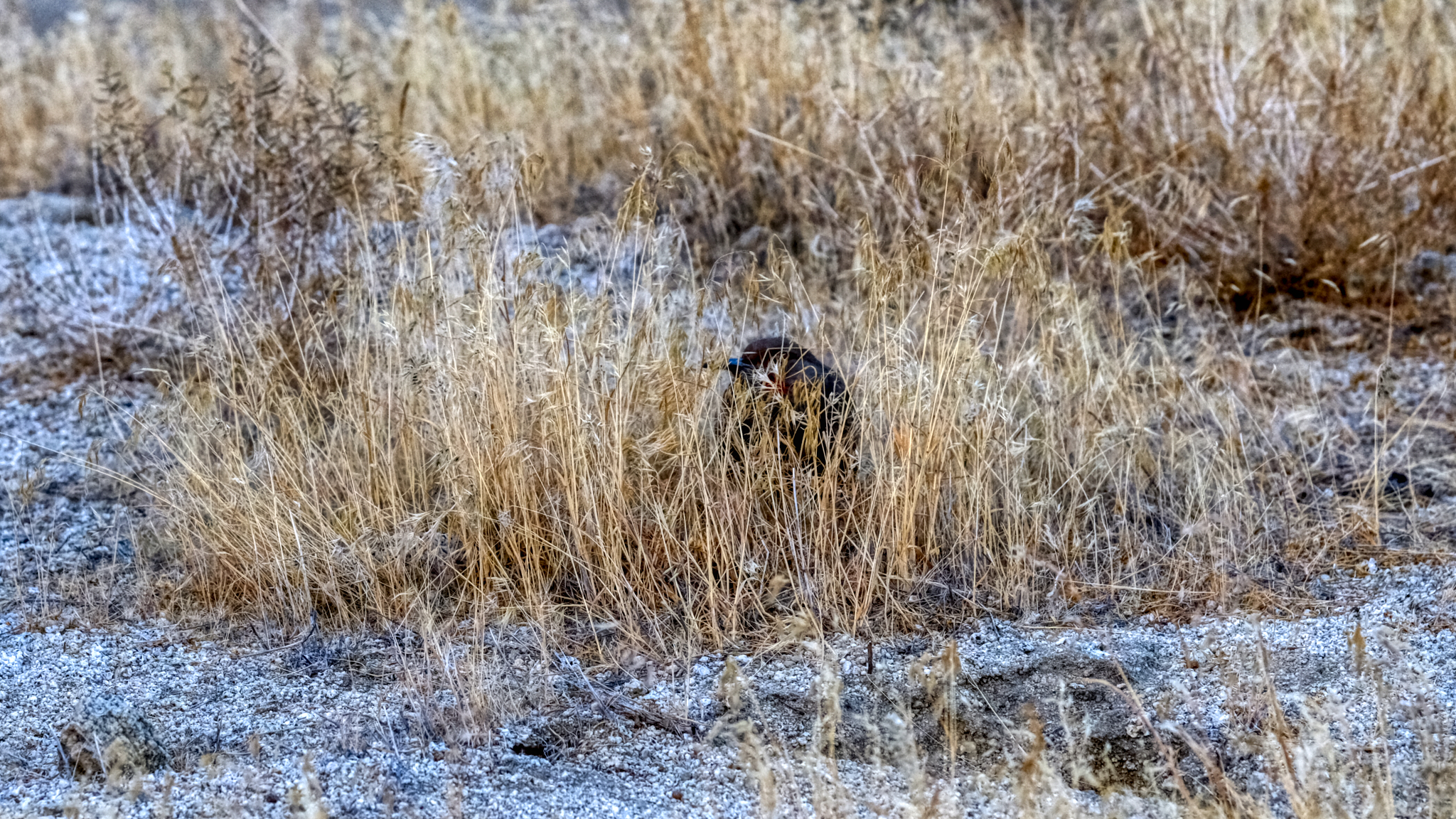 . . . the only wildlife I saw during my five days in the Black Rock Desert . . . one lone bird. There weren't even any insects.
 What I did have in the place of wildlife was geology . . . lots of fascinating geology.
 Back at my campsite, settled into my camp chair, I sat enjoying the rest of the day . . . reading, snacking, drinking lots of water . . . and, yes, checking my iPhone for messages . . . as there was very good (4 bars) Internet way out there!
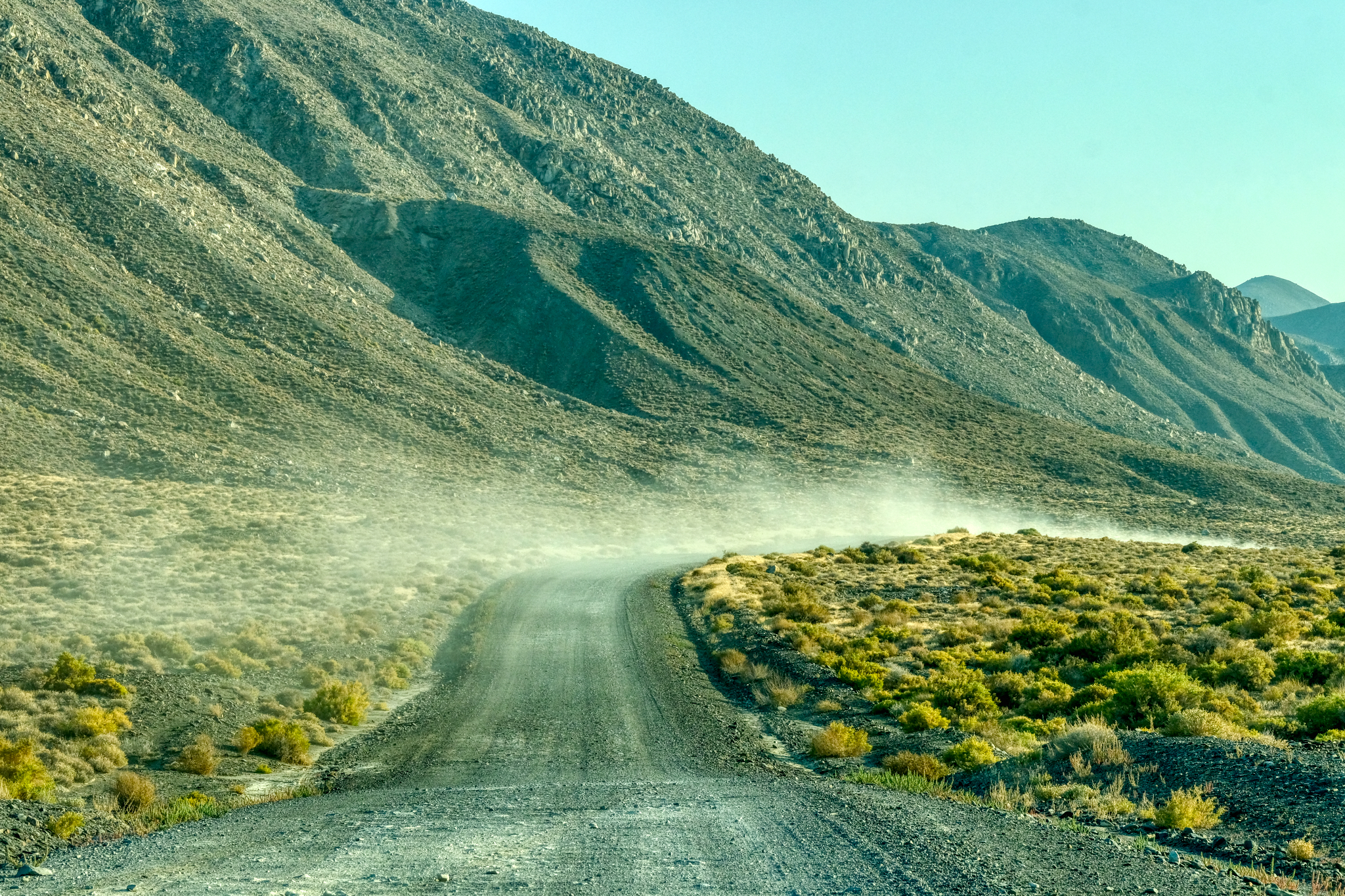
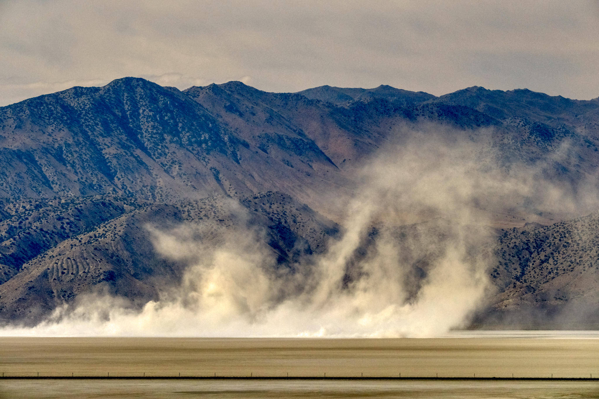 A nice dust storm blew up mid afternoon . . .
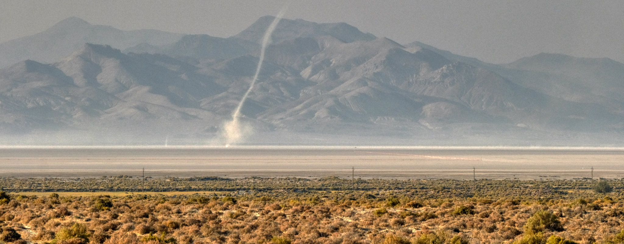 . . . and then a wonderful 'dust devil' blew across the dry lake bed. (Excuse the quality of this photo - a lot of dust in the air at this time).
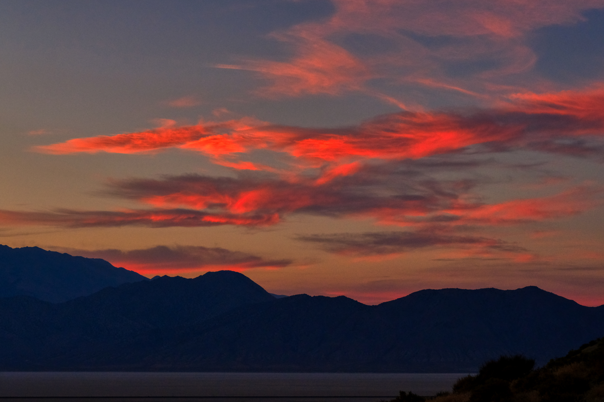
 The sunsets were magnificent!
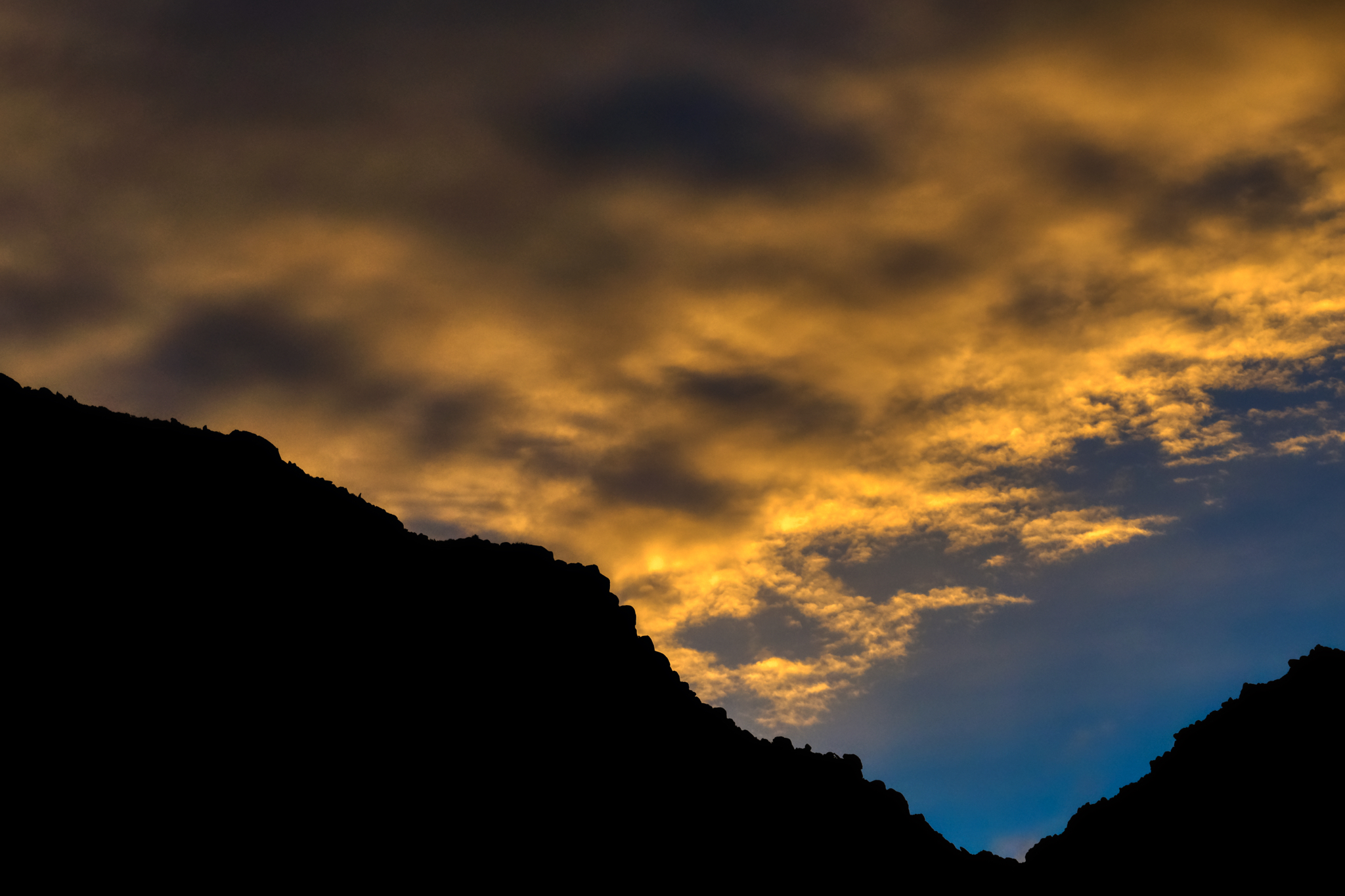 The colors!!!
 "You are in the forest, but you are on the desert."
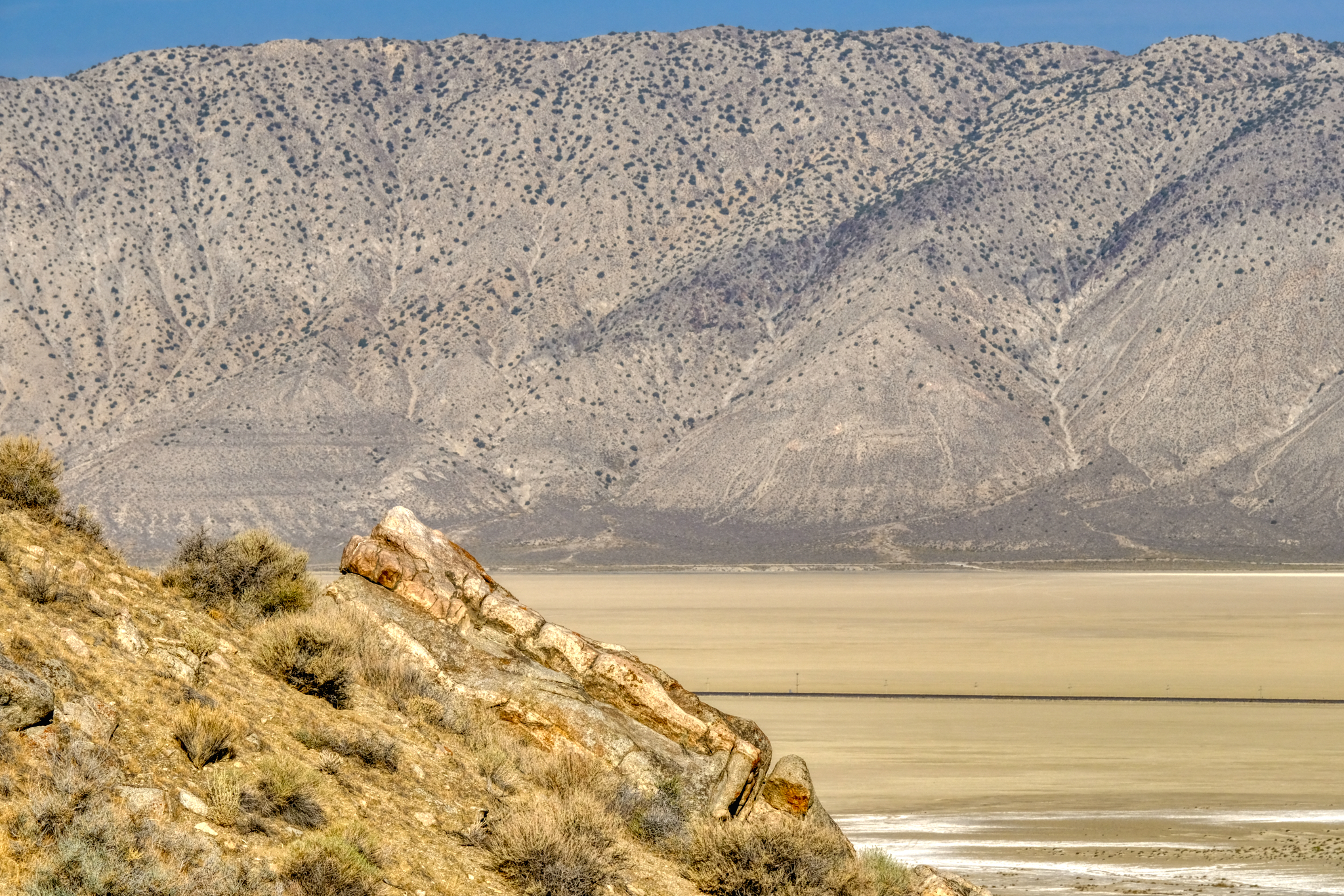
 A morning view out over the dry lake bed of the Black Rock Desert.
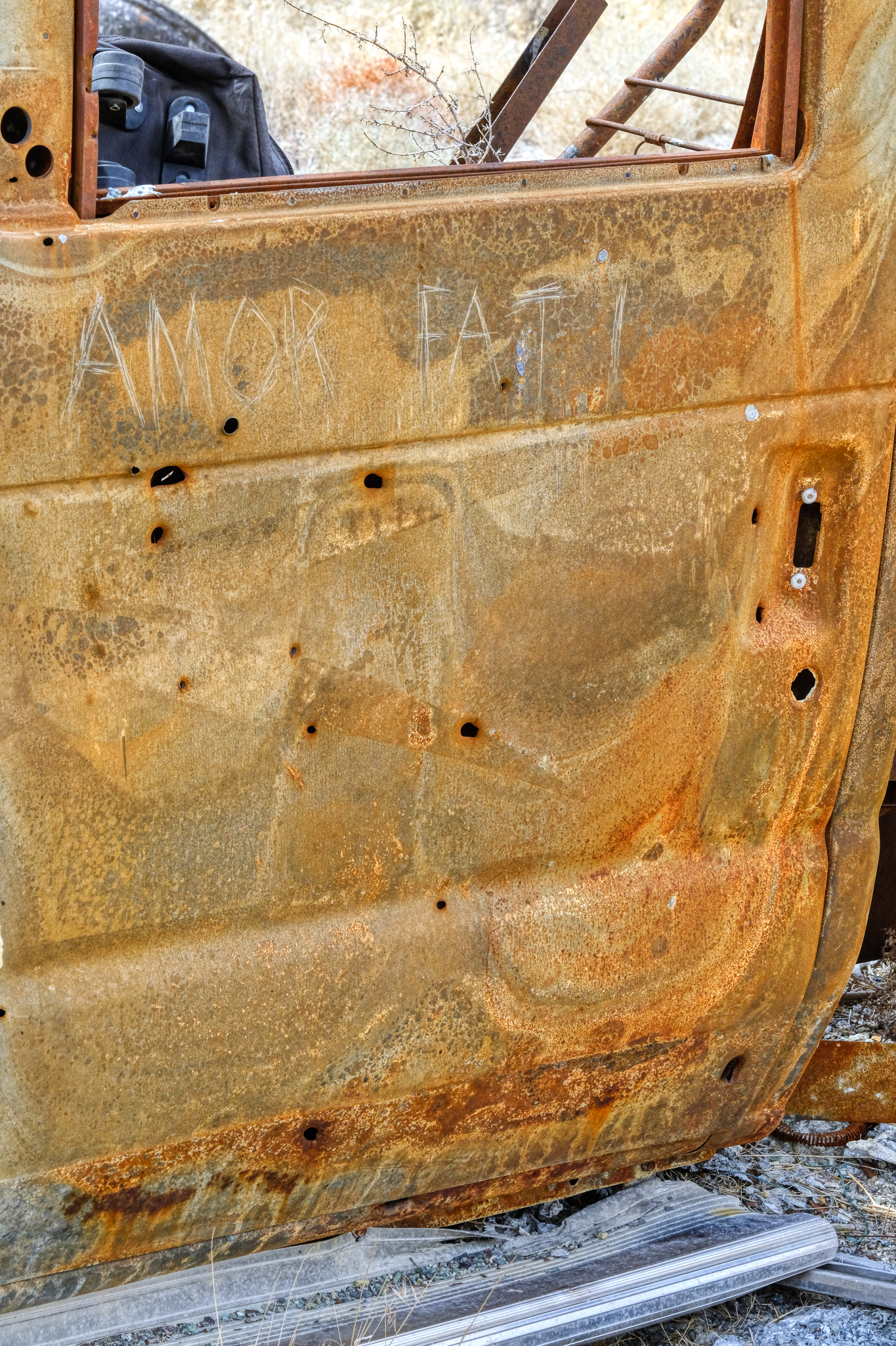 As I discovered, my 'lucky' campsite had not been so lucky for a former visitor to the spot. There was the charred remains of a burned out motorhome not far away. I left this message for future visitors, "Amor Fati."
 I diagnosed the motorhome's problem as an 'overheating problem in the engine.'
 After five days my camper batteries had gone down, so I folded up my sun shade and loaded the table, chairs, porta-potty, and BBQ back into the camper and headed back down the hill. I had had a wonderful and relaxed time just sitting, reading, thinking, wandering around the desert, and enjoying the view. Perfect.
 And then back out on Nevada Highway 49 into Gerlach (pop. 107) . . . and civilization! I stopped in at the only cafe and had a 'real' breakfast and good coffee. I also stopped in at the Burning Man Main Office to find a harried woman dealing with major complaints of some of the attendees . . . the Burning Man event was just two weeks before . . . I intervened and counseled peace and understanding. People calmed down. My work was done. I stopped at the little store and bought a large bag of Cheetos and a couple of Coke Zeros for the drive back to Winnemucca.
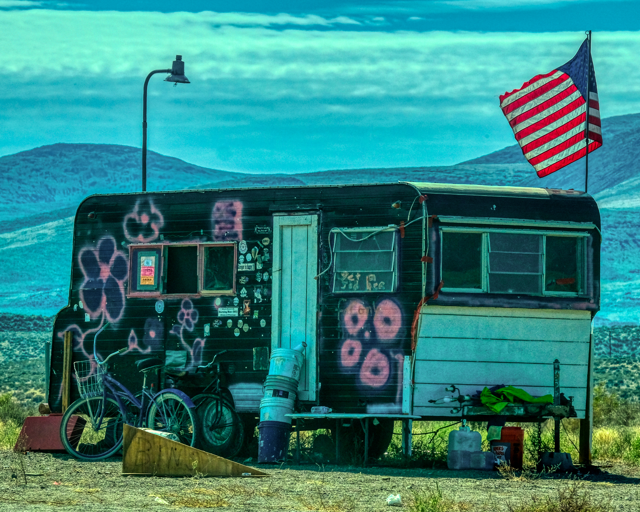 From Gerlach I headed south on Nevada Highway 447 toward Interstate 80 and then back to Winnemucca. But I could not resist stopping and getting this photo of REAL AMERICAN FREEDOM! "Turn on, tune in, and drop out" anyone?
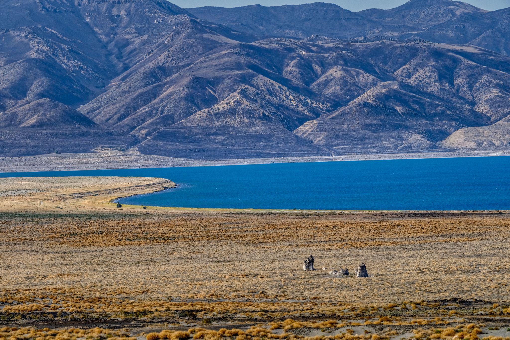 Ancient Pyramid Lake and the town of Nixon was my last stop before I entered I-80. A shower, washing machine, and NFL games in the casino lounge were waiting for me.
 A great trip!
 Dr. Jeff Harper
Some of the photos of the abandoned miners' 'town' demanded black and white post-processing . . . here they are without comment:
USA Road Trip: The Wild West - Pipe Springs and Cove Fort
PIPE SPRINGS, ARIZONA
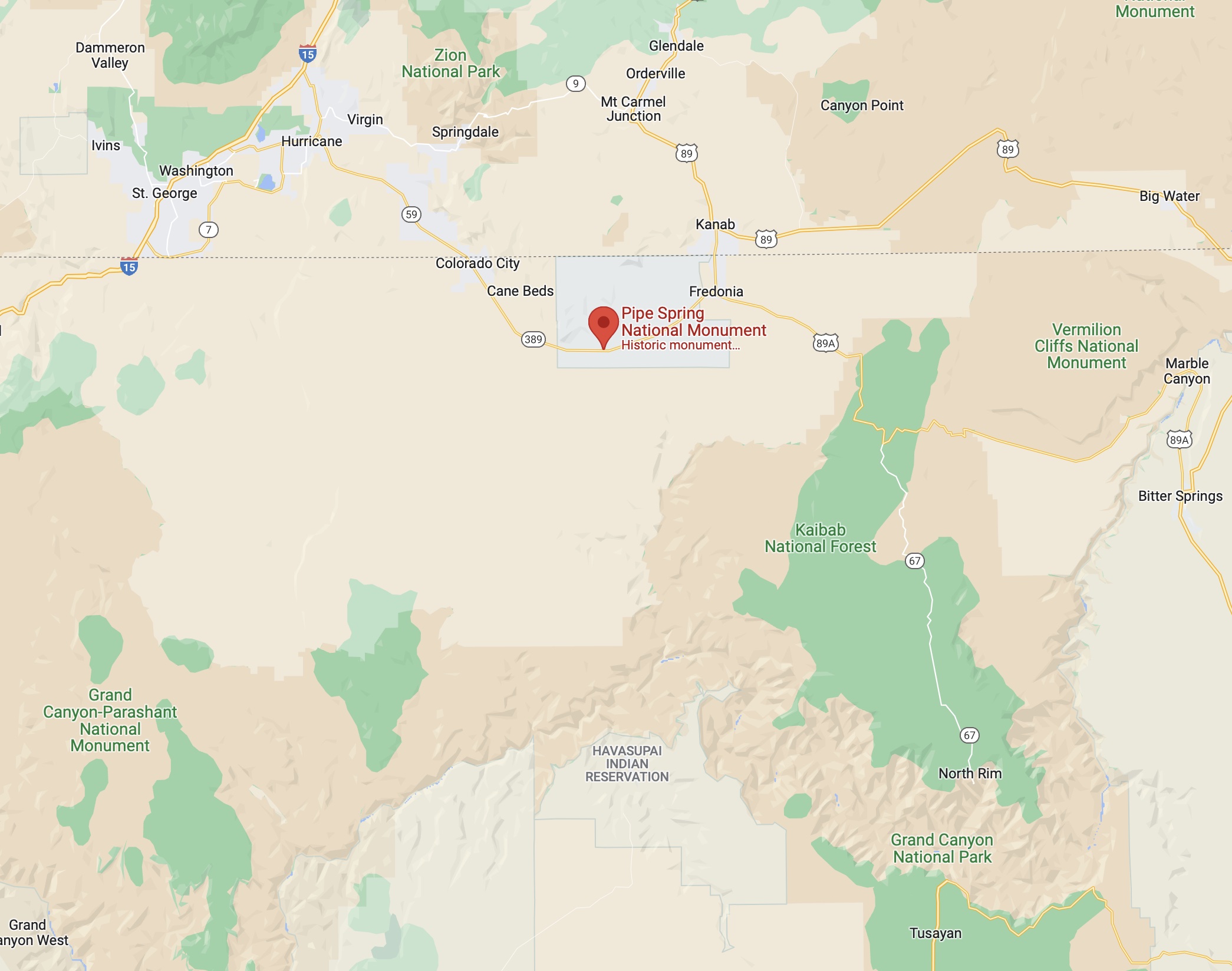
 Out on the dry, high elevation chaparral of Northern Arizona, along the road between Zion National Park and the North Rim of the Grand Canyon . . . a remnant of a bygone era . . . The Wild West . . . Pipe Springs National Monument.
 My road trip took me along many wonderful roads.
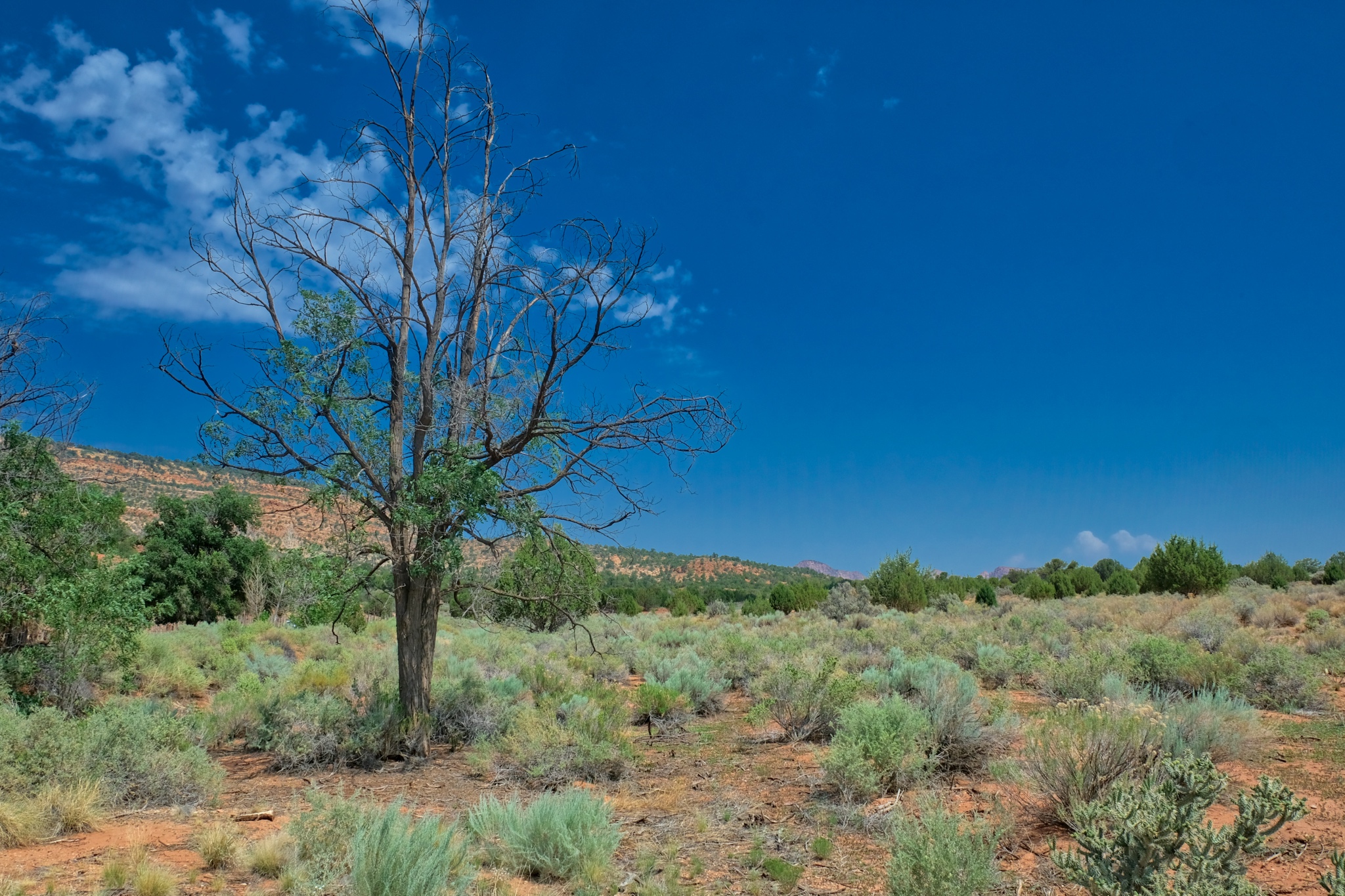 Pipe Springs is established as a grasslands preservation area to reestablish the area as it was before settlers arrived in 1850.
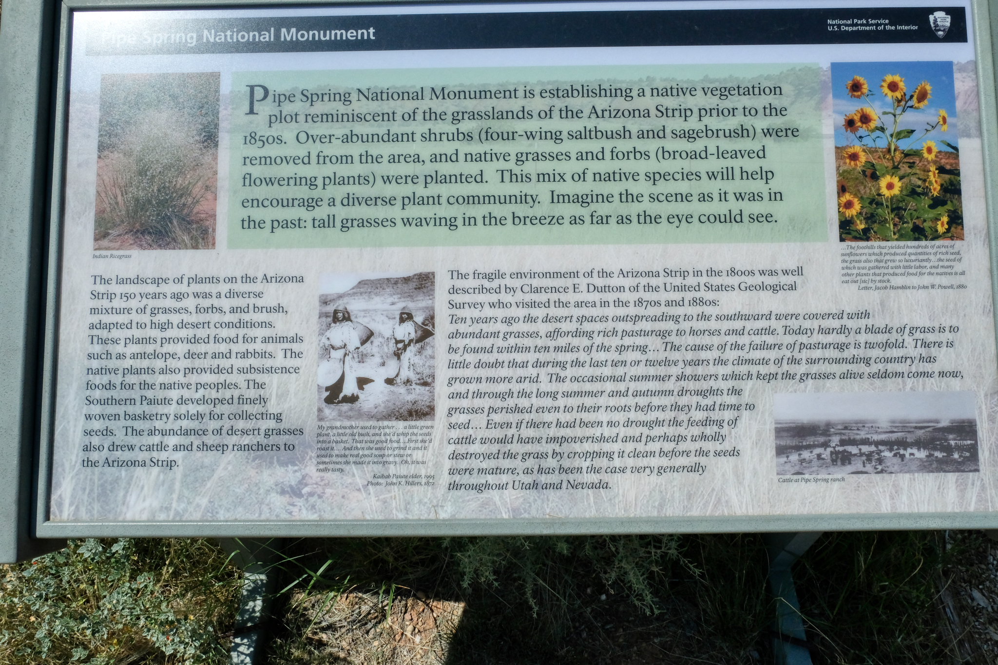 In addition to very informative signage, there was also a fine visitors center.
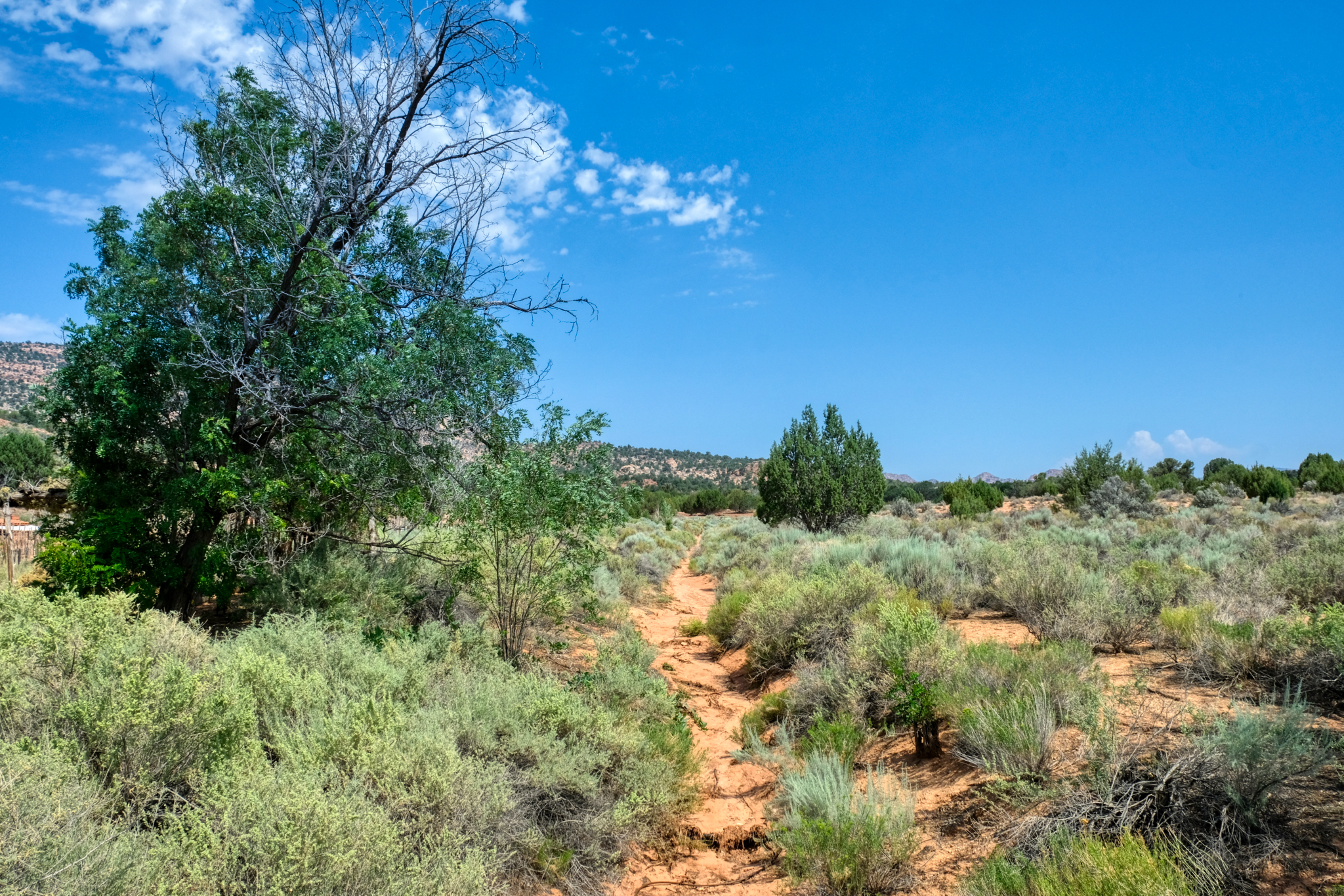 A nice place for a walk to nowhere.
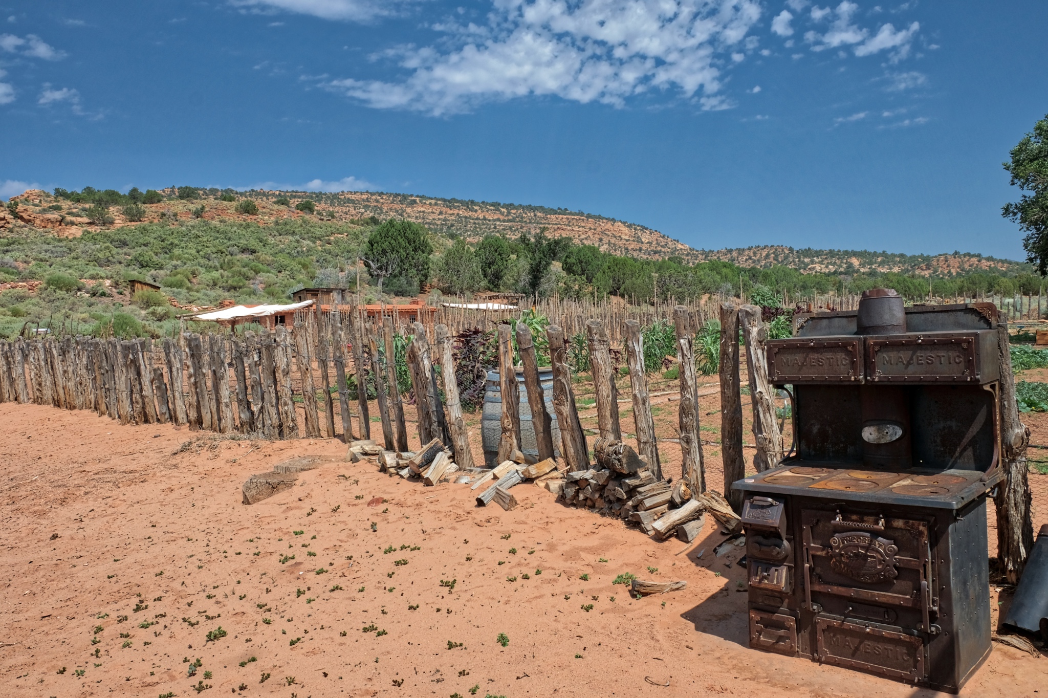 Pipe springs was established at a natural spring as a U.S. Army Calvary Fort, but it was also a self-sustaining farm to support the soldiers stationed there during 'The Indian Wars' in the region.
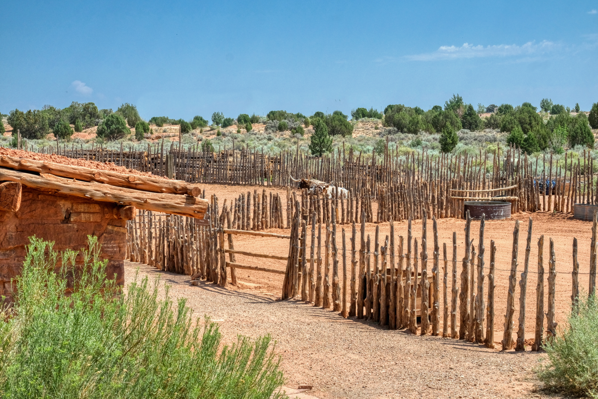 The National Monument still maintains a farm on site in the manner of the settlers and soldiers around 1850. A very nice depiction of the living conditions and methods of the early Western settlers.
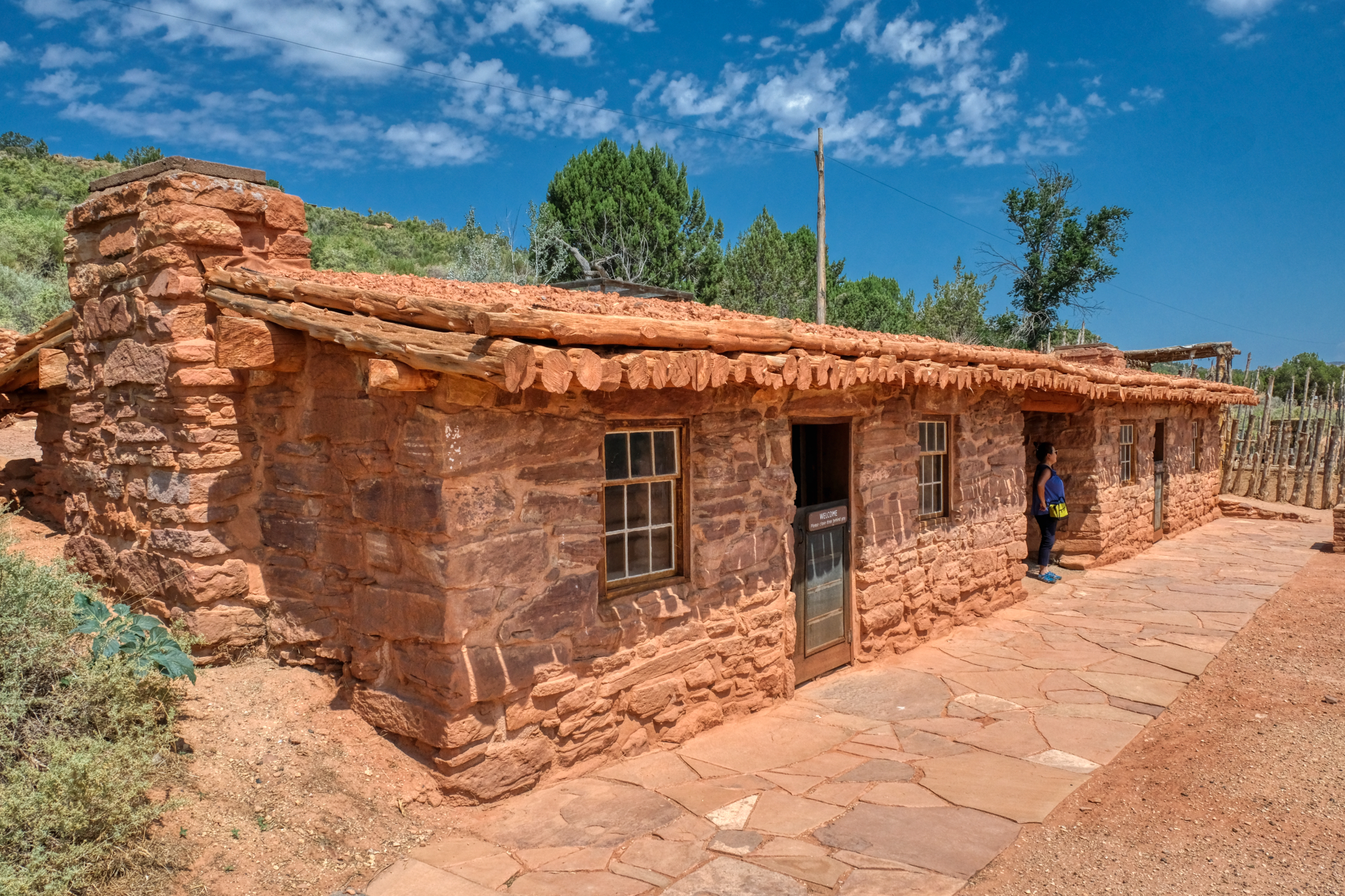 A nicely restored period blacksmith shop and tack house.
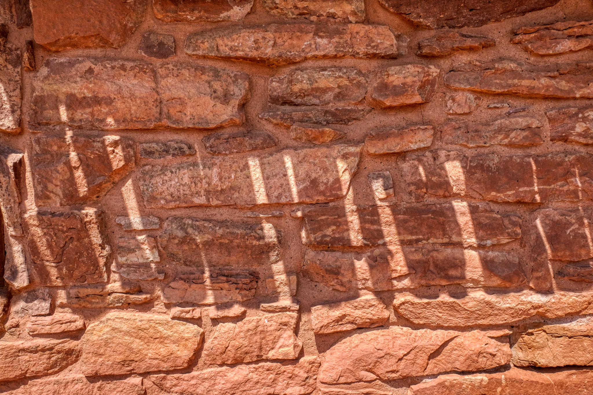
 Beautiful stone construction.
 It was a hot day near noon when we arrive . . . wonderful shadows on the orange stone tack house.
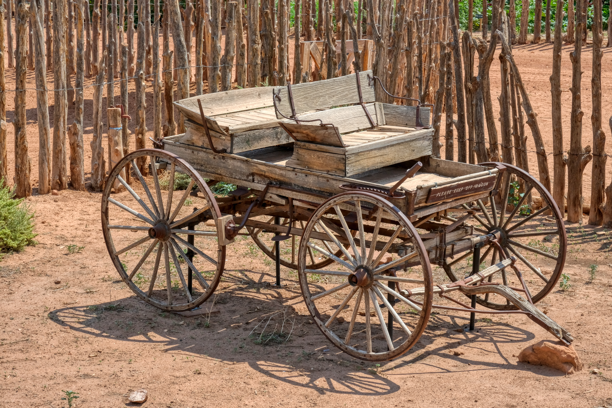 There were some beautiful antique wagons sitting about the grounds. This buggy was fantastic.
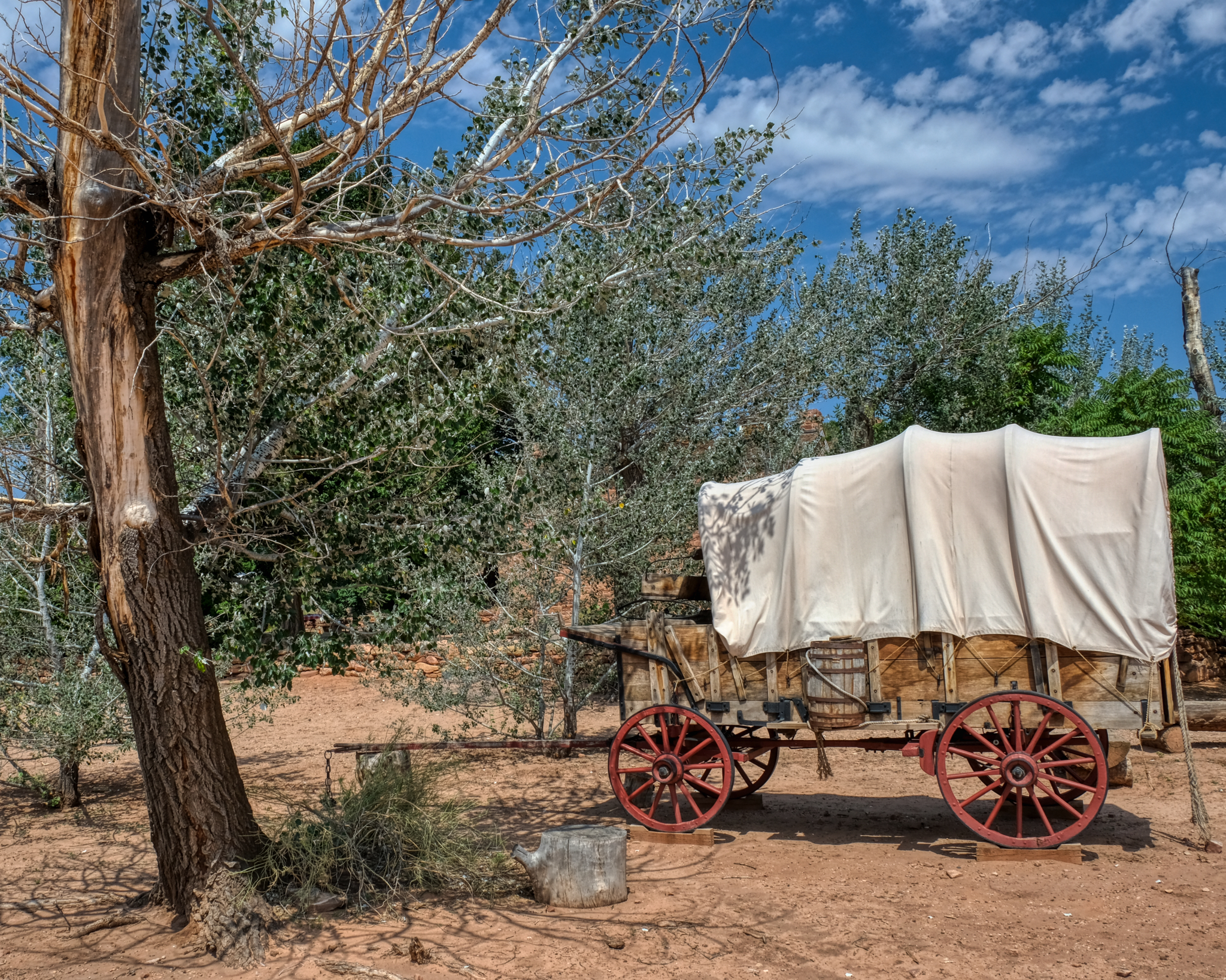 The classic western covered wagon.
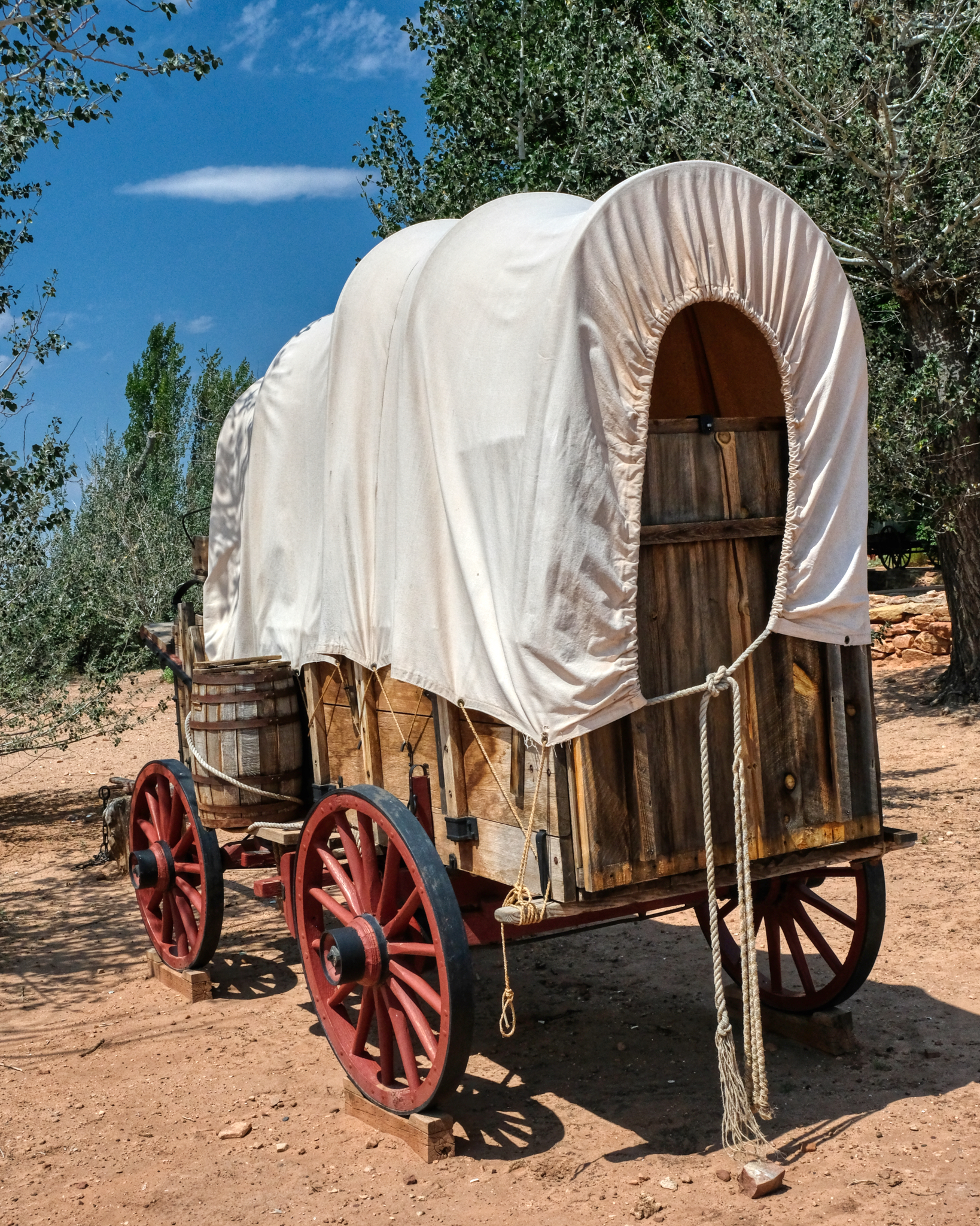 Can you imagine being one of the many thousands who crossed the breadth of America in one of these covered wagons. The faith, hope, and fortitude they must have had!
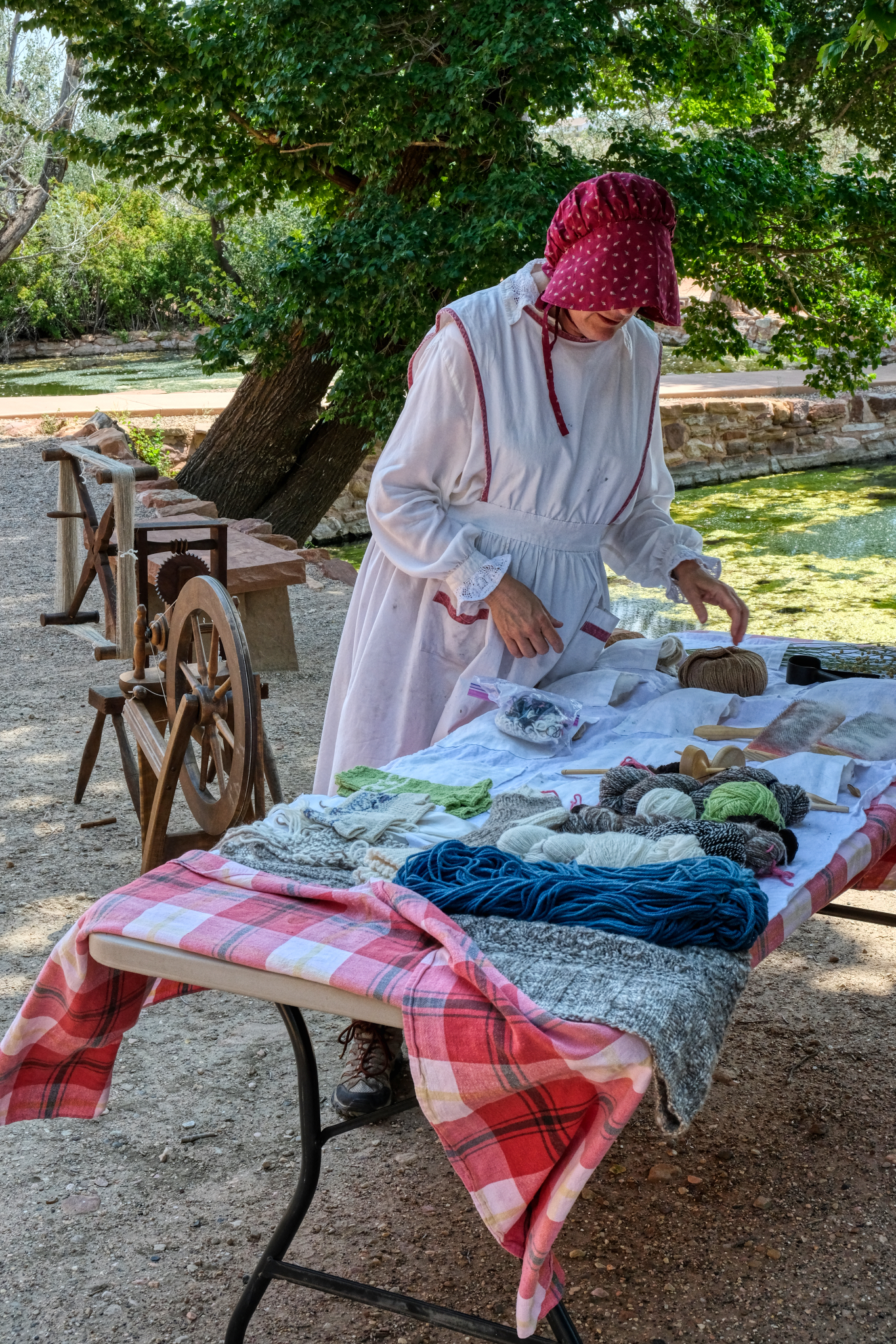 One of the park staff dressed in period costume displaying the kind of textiles the pioneers there would have been making in the 1860s.
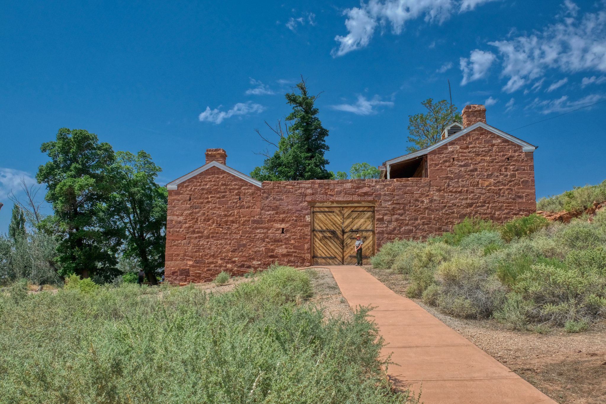 The real purpose of Pipe Springs was as a military fort to provide safety and security for settlers and ranchers during periods of 'Indian trouble.'
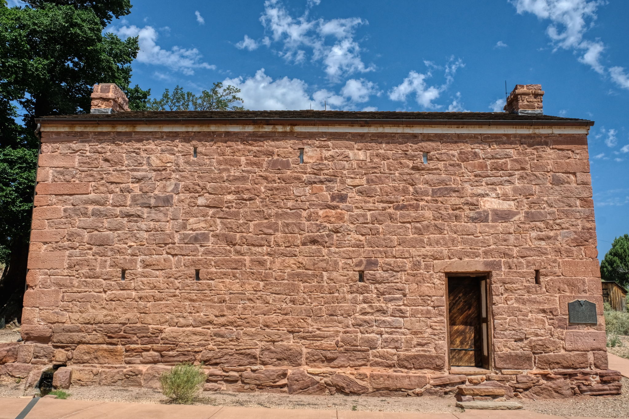 It looks very secure to me. We did not go on the inside.
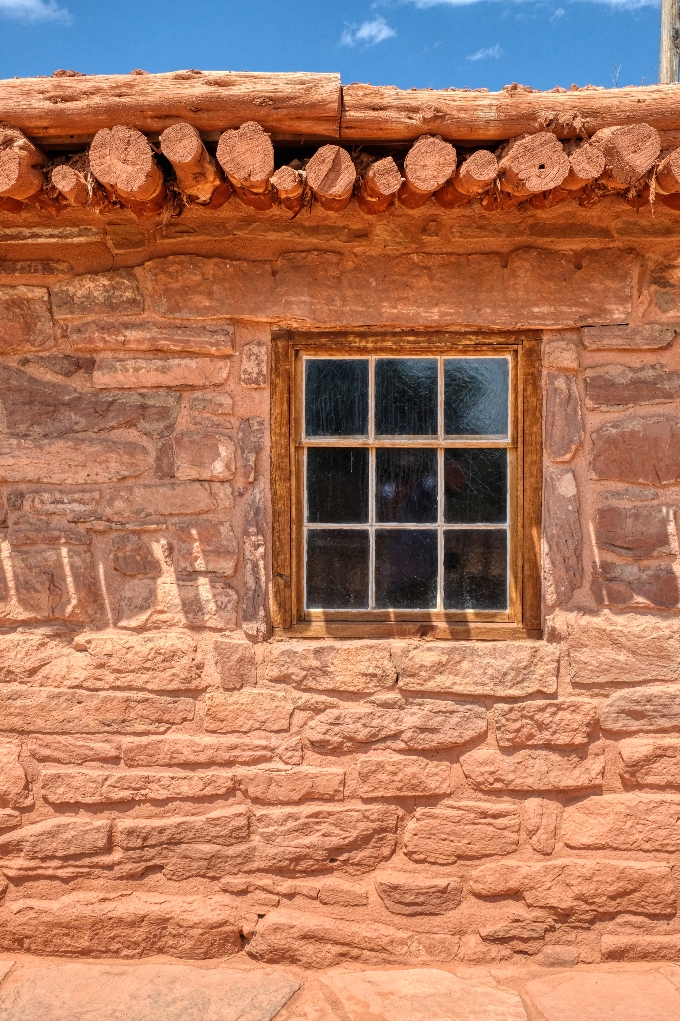
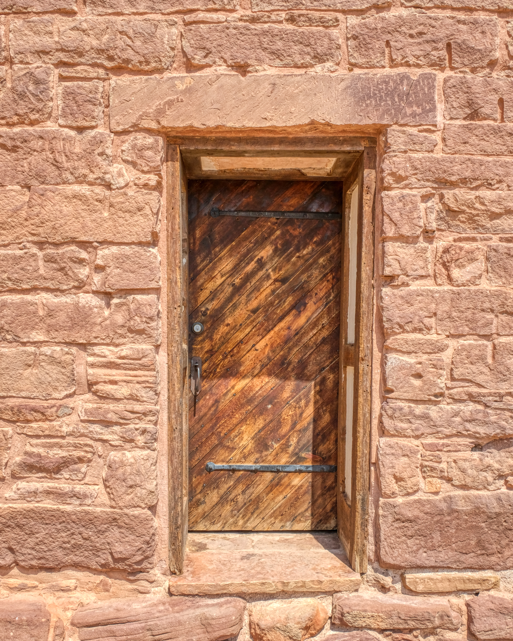 A very photogenic old door at Pipe Springs Fort.
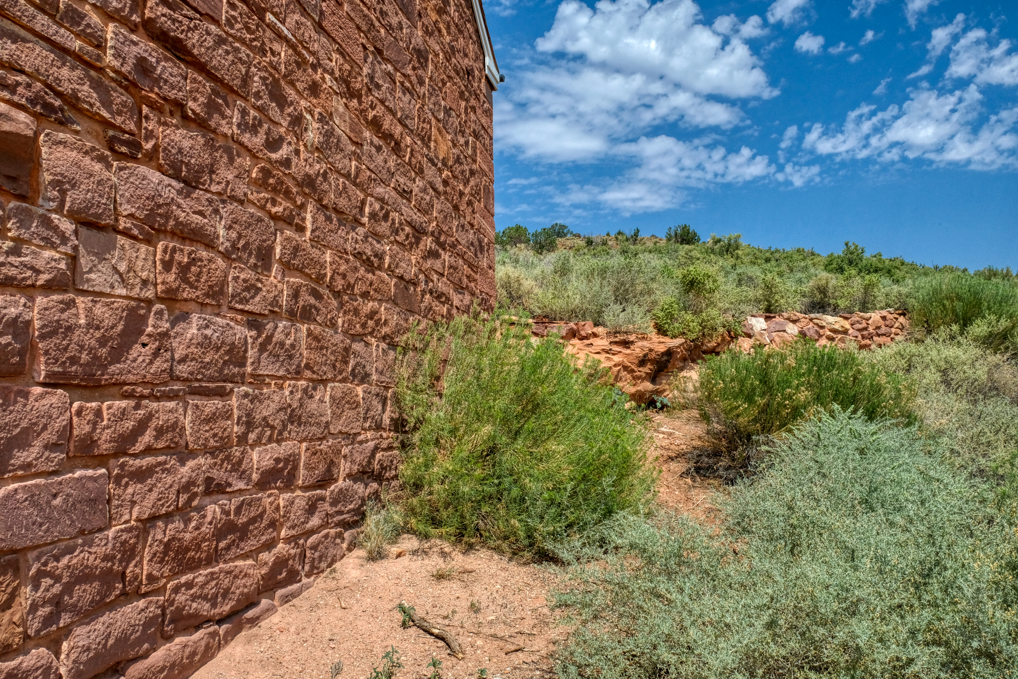 This photo represents, for me, the isolation of the fort within the vast western landscape.
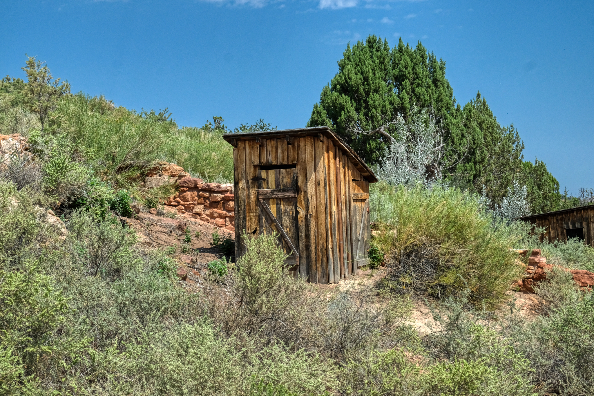 Yep, the outhouse.
 And so we left Pipe Springs to drive on toward the North Rim of the Grand Canyon.
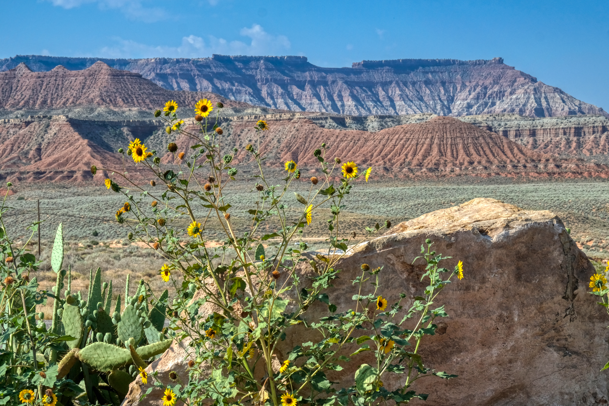 Driving along Arizona Highway 389 trough beautiful mesa country . . .with sunflowers?
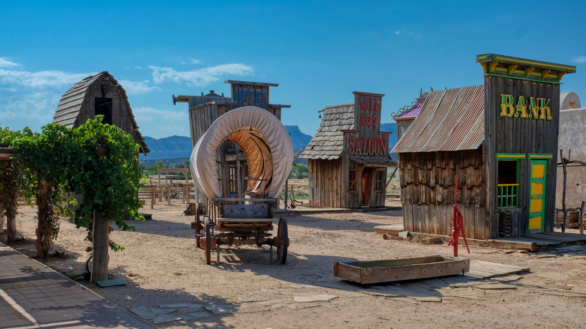 "Just another roadside attraction" . . . a "Wild West Souvenir Store" out along the highway with a cartoonish Wild West Town "Photograph You Family and Friends!" the sign said. I didn't pay the US$5.oo, but instead took photos through the fence . . . duh!
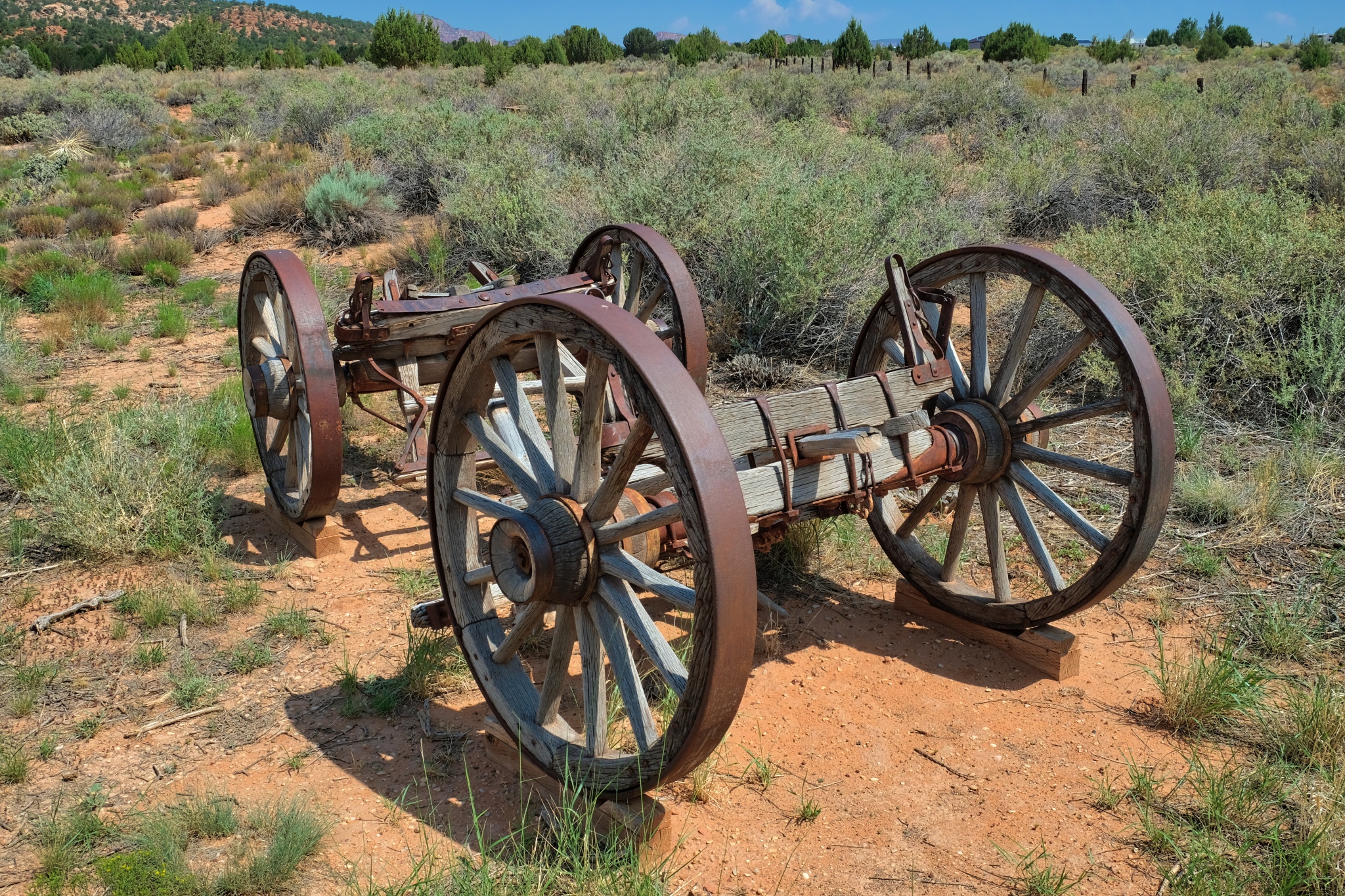
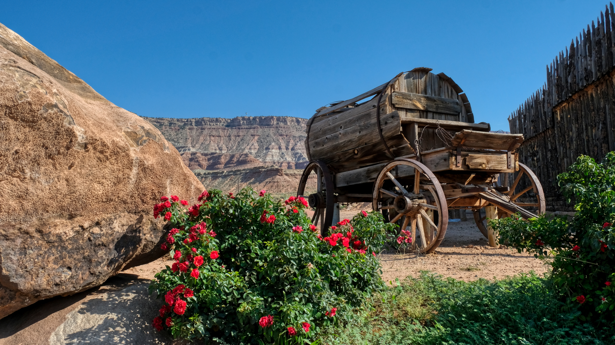 There was a magnificent antique water wagon out back of the store . . . a reminder of the realities of trying to survive in such a dry climate a century-and-a-half ago.
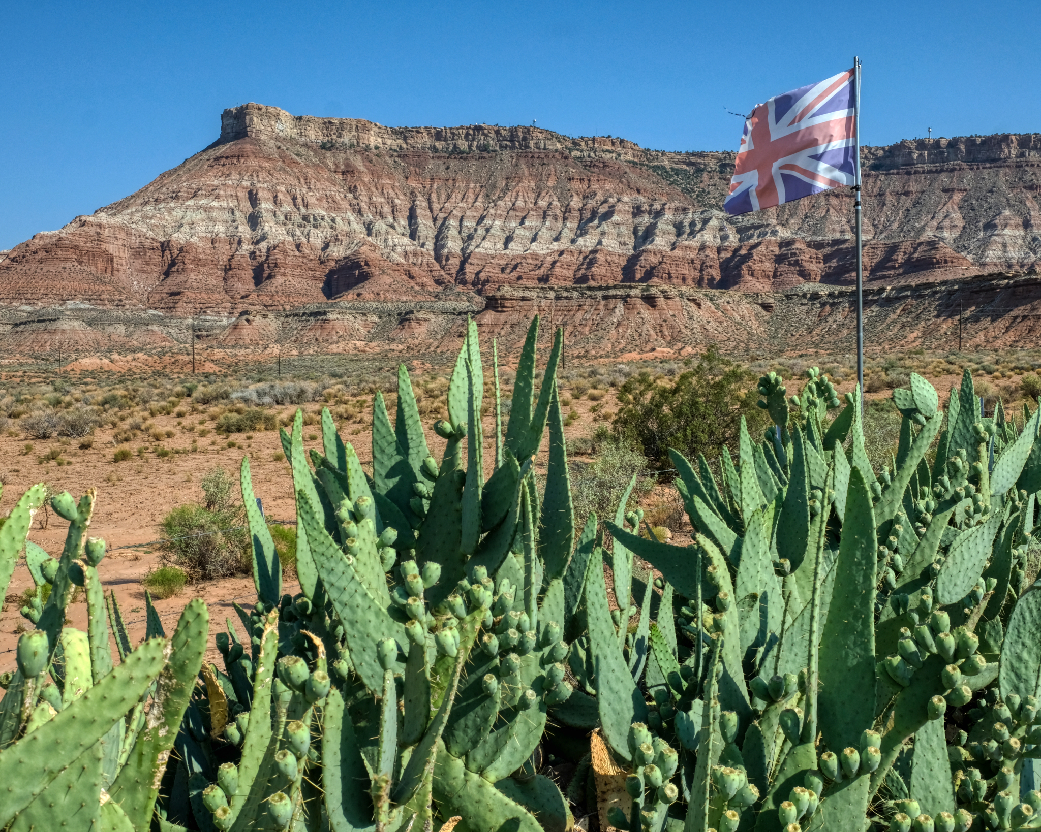 The Western Store was trying to lure tourists from the UK apparently.
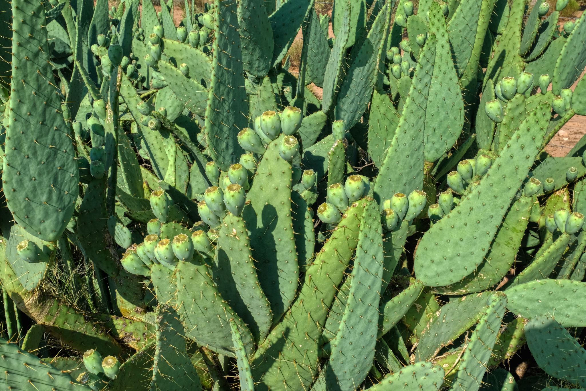 There was a fantastic clump of prickly pear cactus next to their fence.
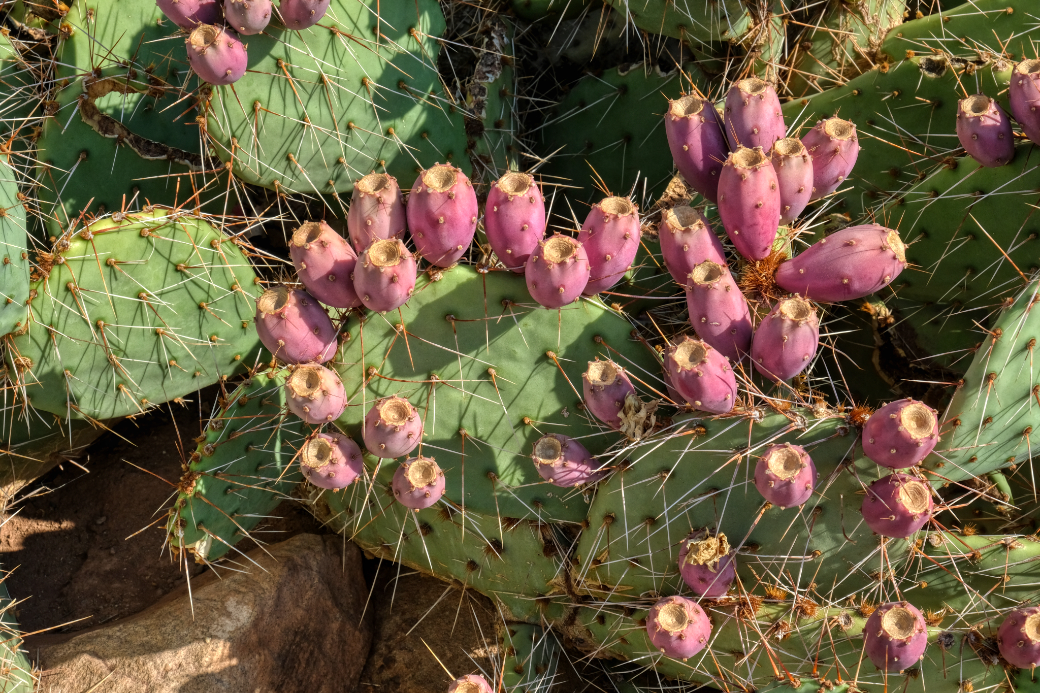 "The fruit of prickly pears (Opunita), commonly called cactus fruit, cactus fig, Indian fig, nopales or tuna in Spanish, is edible, although it must be peeled carefully to remove the small spines on the outer skin before consumption. If the outer layer is not properly removed, glochids can be ingested, causing discomfort of the throat, lips, and tongue, as the small spines are easily lodged in the skin. Native Americans like the Tequesta would roll the fruit around in a suitable medium (e.g. grit) to "sand" off the glochids. Alternatively, rotating the fruit in the flame of a campfire or torch has been used to remove the glochids. Today, parthenocarpic (seedless) cultivars are also available. The seeds can be used for flour." ****
_____________________________________________
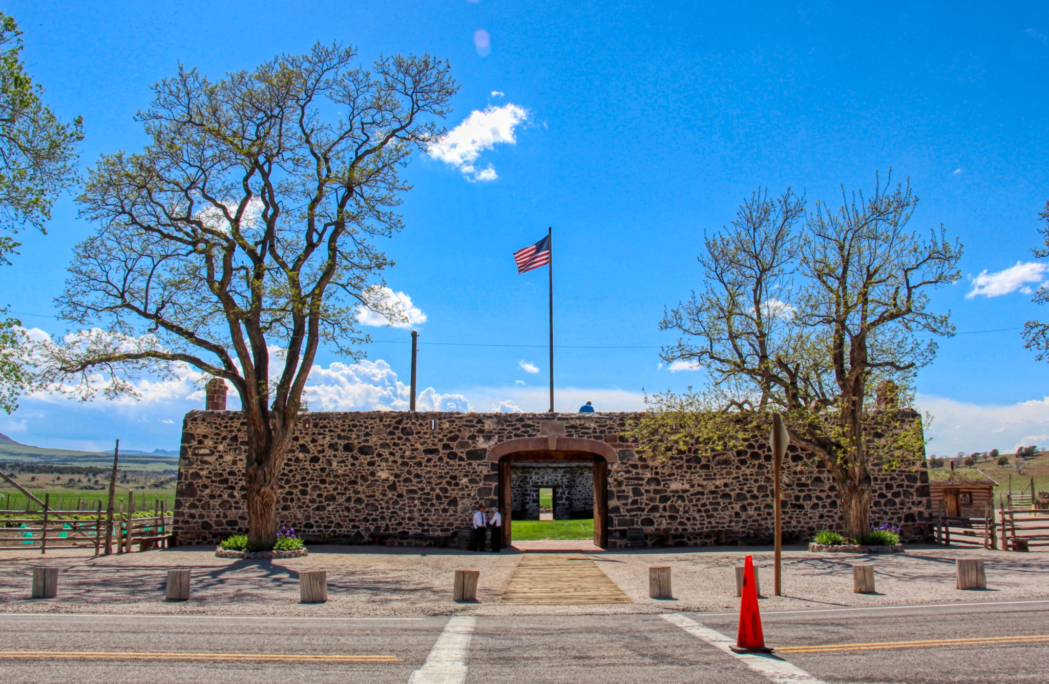
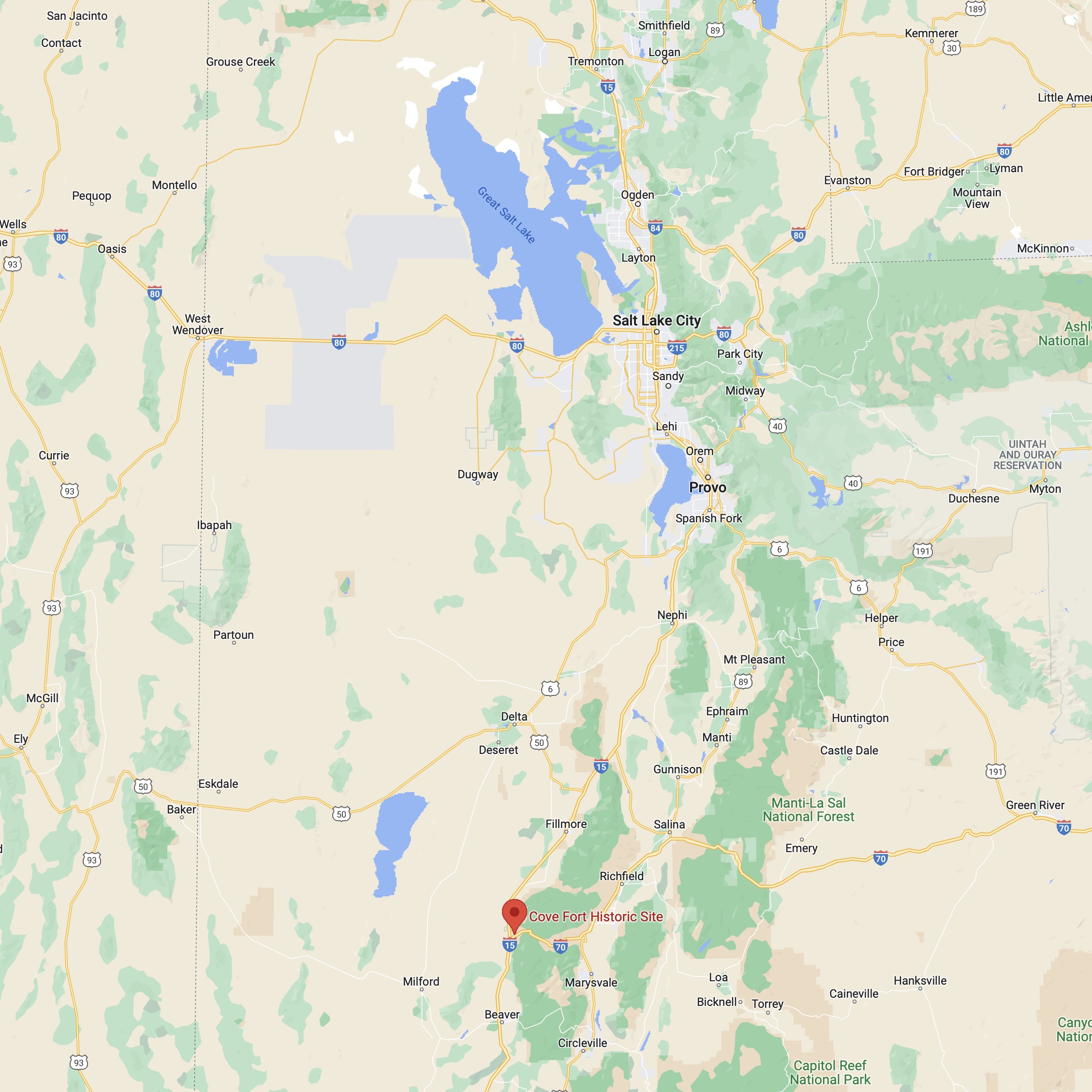
COVE FORT, UTAH
 One of the joys of a road trip in the USA are the highway signs announcing "Historic Site Next Right Exit. Fort Cove". So, you take the next right off of I-15.
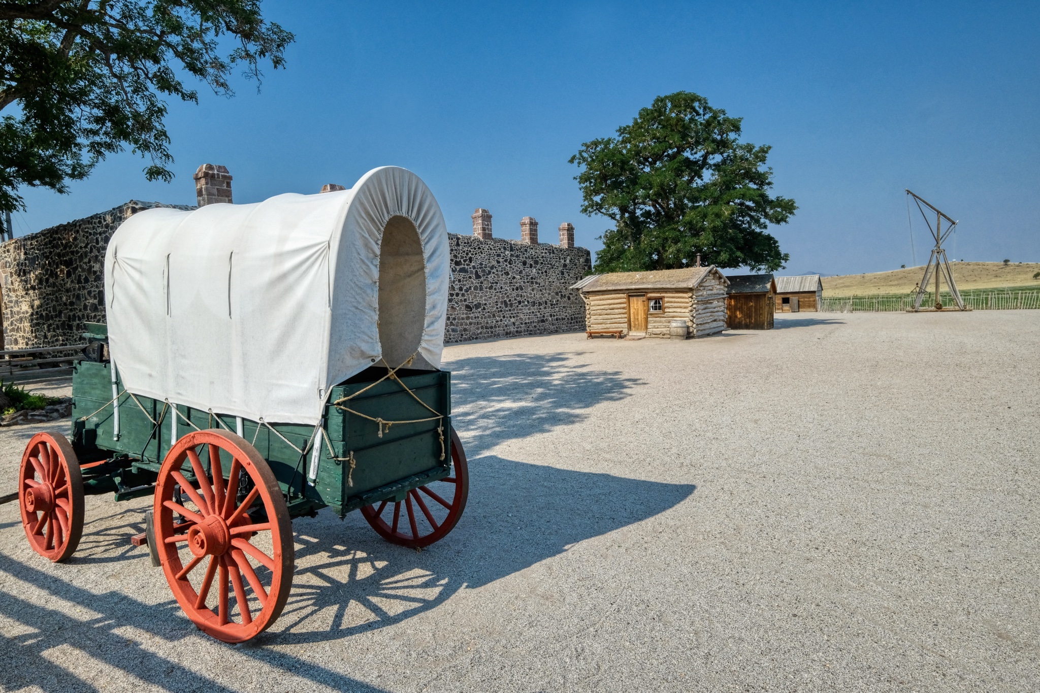
"Cove Fort is a fort, unincorporated community, and historical site located in Millard County, Utah. It was founded in 1867 at the request of Brigham Young. One of its distinctive features is the use of volcanic rock in the construction of the walls, rather than the wood used in many mid-19th-century western forts. This difference in construction is the reason it is one of very few forts of this period still surviving." ***
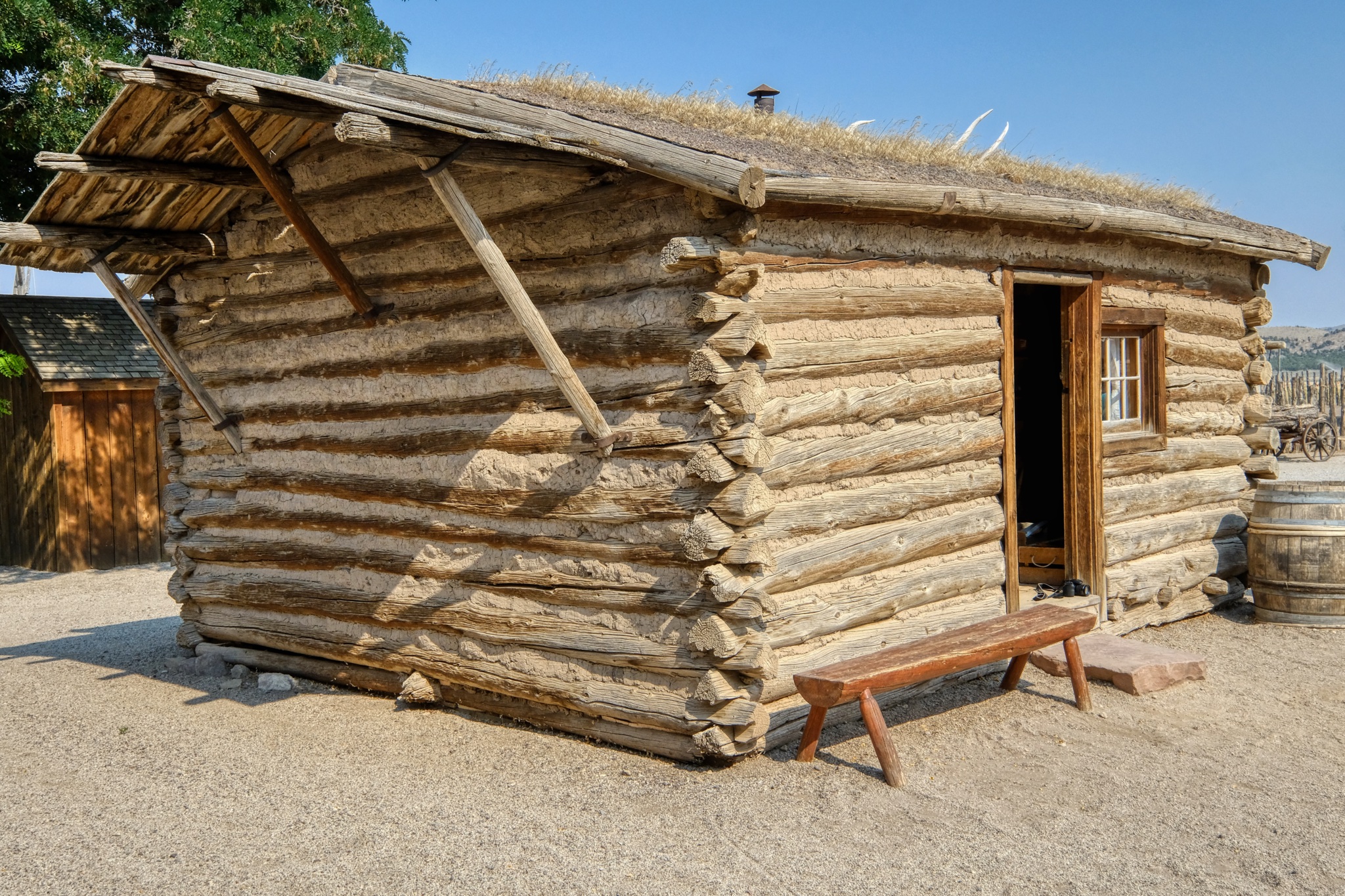 A very nice recreation of an early pioneer cabin.
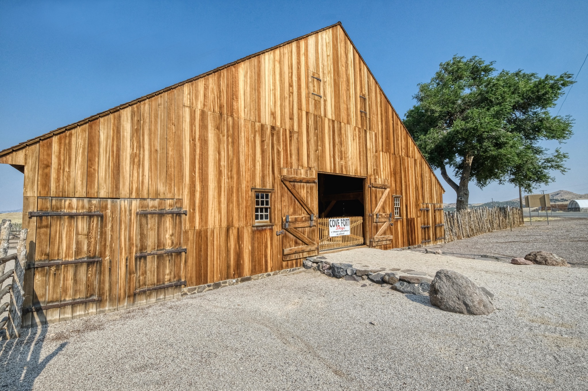 There was a fine reproduction barn, nearly new.
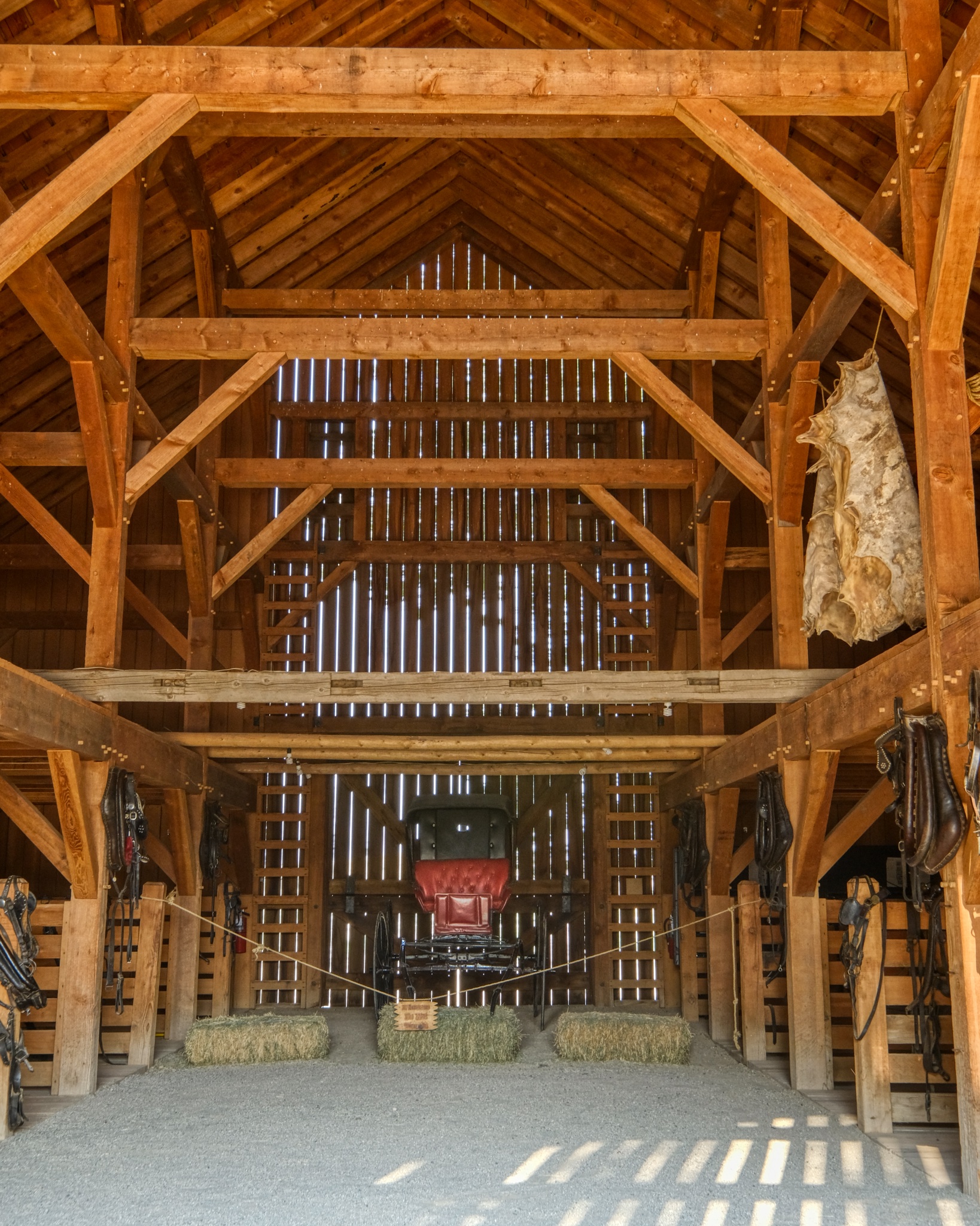 The interior of the big barn had displays of period items, well, related to barns.
 Fort Cove, Utah (Photo from Wikipedia)
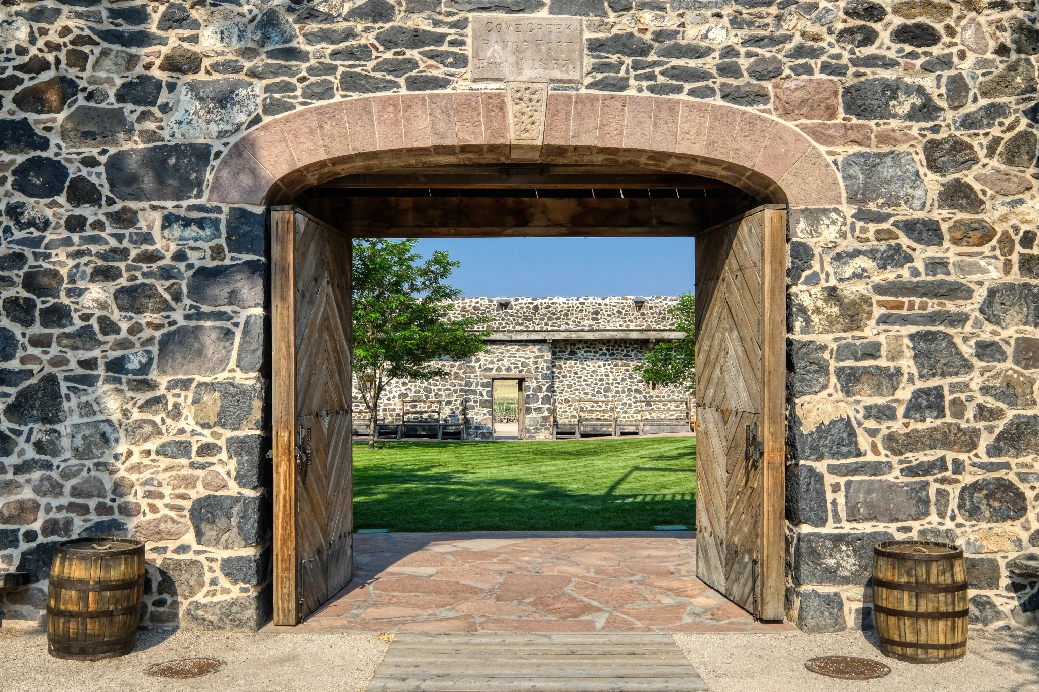 The 1867 Fort Cove gate.
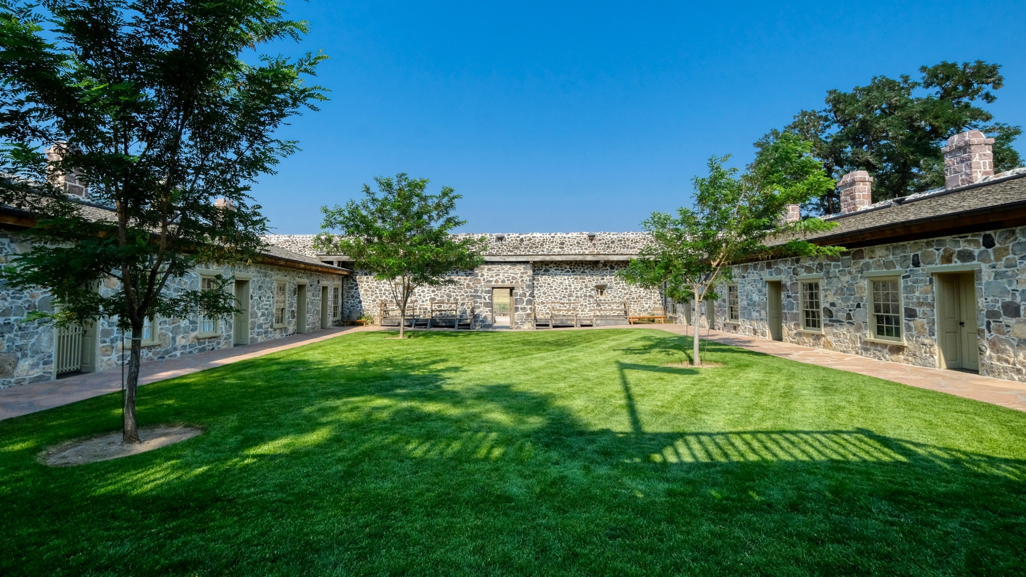 I was surprised by the verdant green, lush lawn in the fort's inner courtyard. Imagine how wonderful this would have been to the soldiers posted here and the passing visitors in their covered wagons!
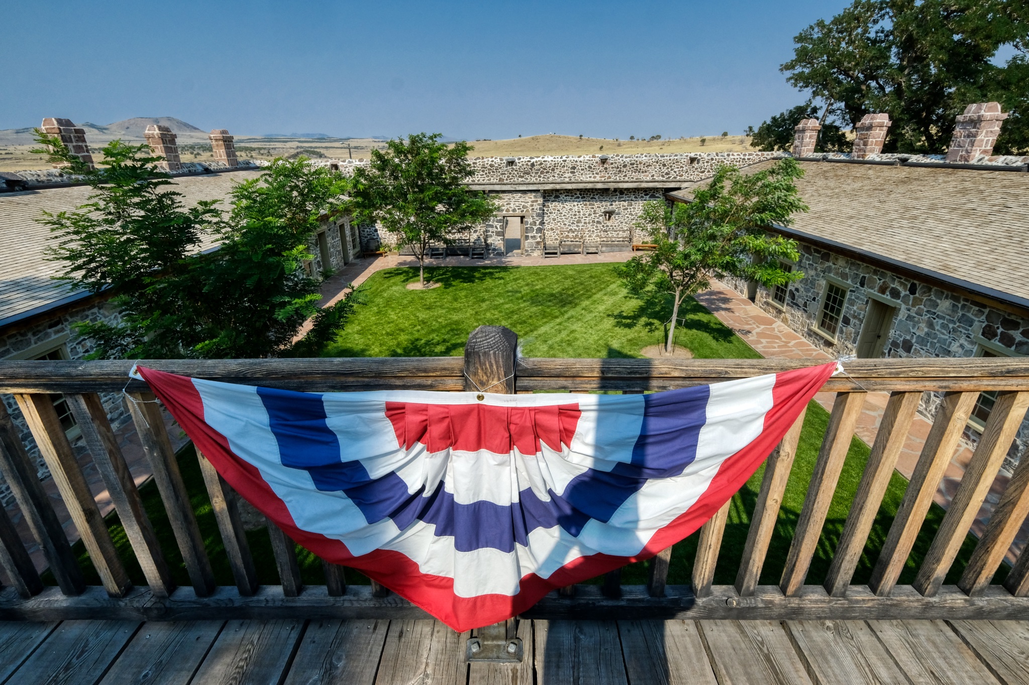 We went up the stairs to the roof of the fort for the view.
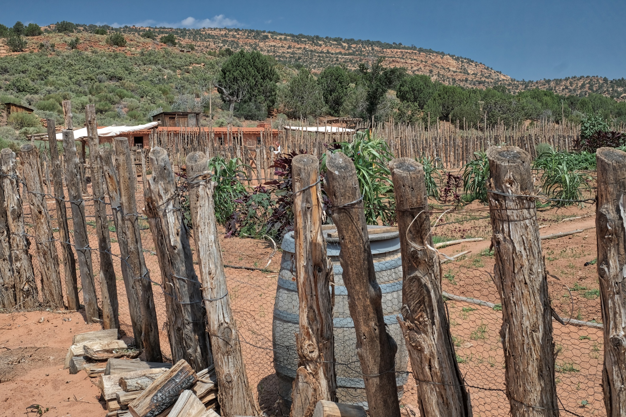
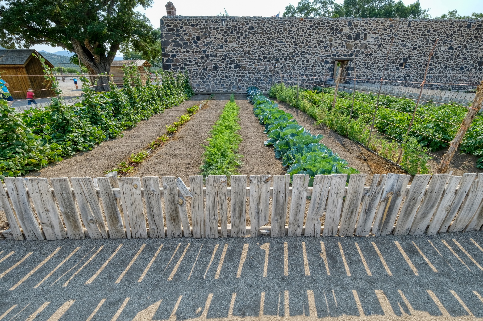 Behind the fort was the vegetable garden.
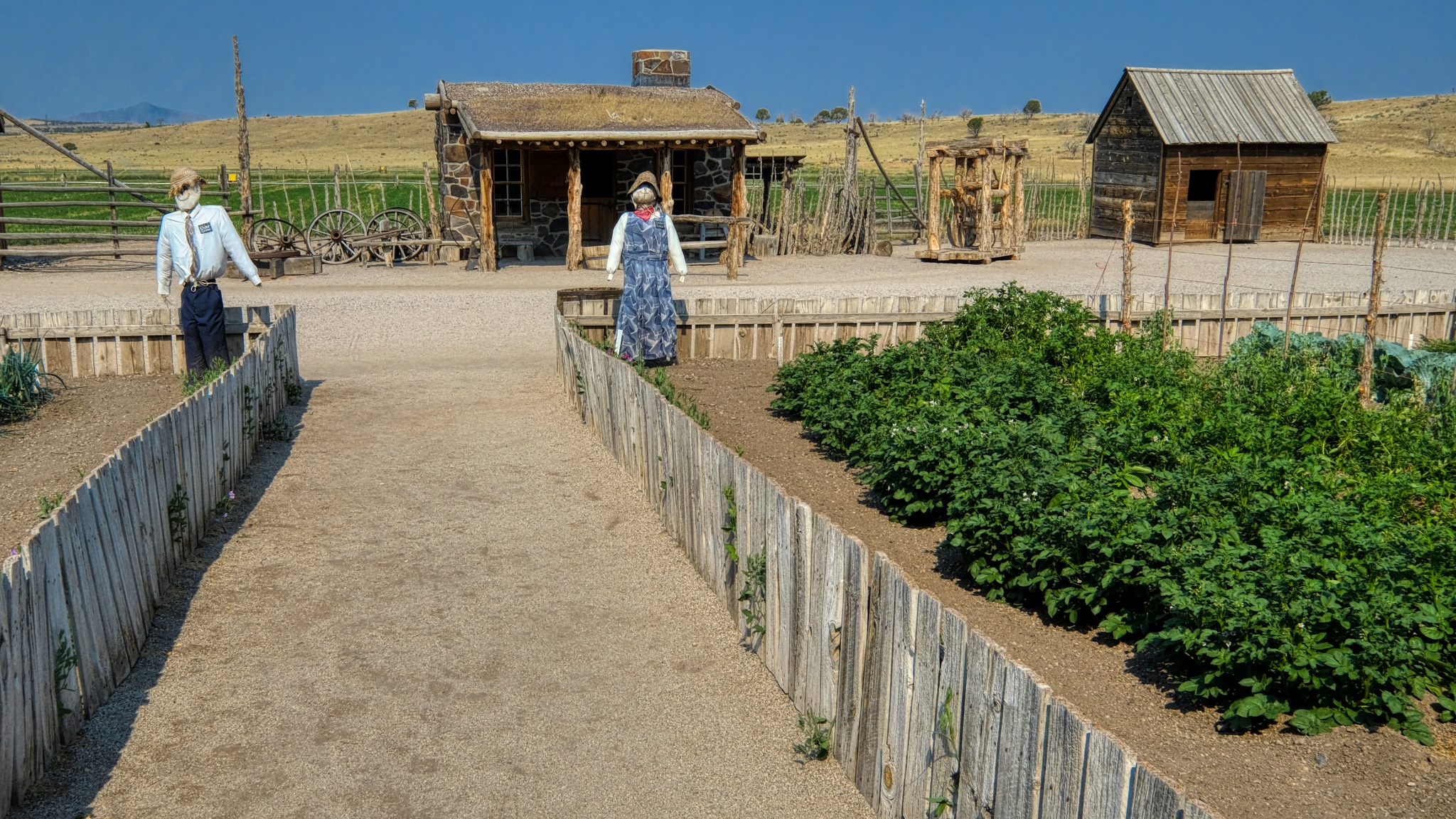 The garden path leading to displays of various Mormon settler shacks, sheds, and cabins that were trucked to the site and restored.
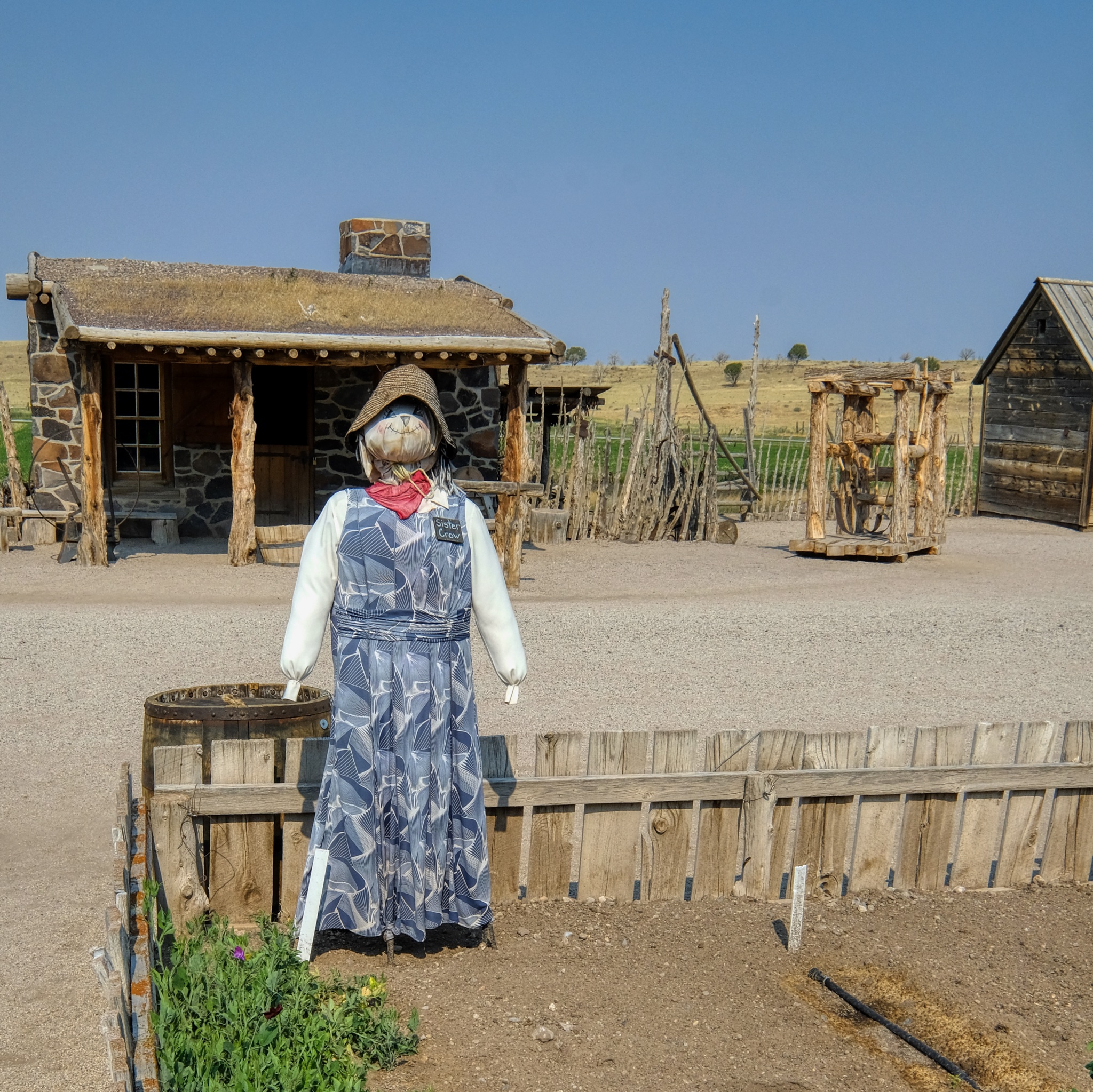 A superb scarecrow!
Then back out on the highway I-15 north . . . and an Allison Krauss and Willy Nelson concert in Bend, Oregon!!!
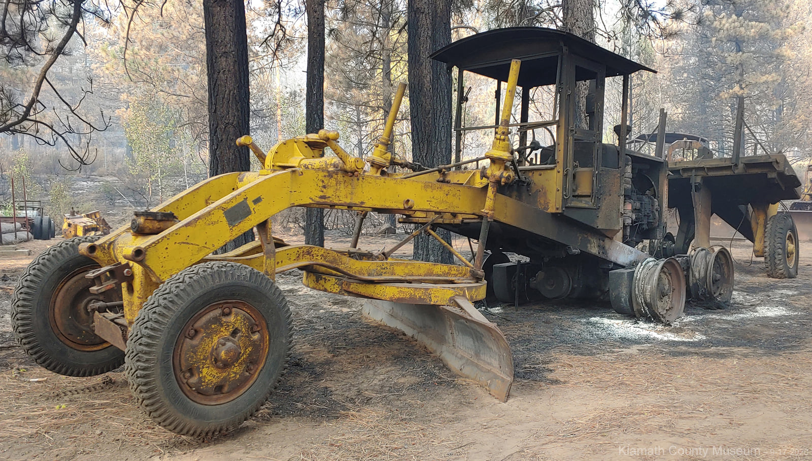
USA Road Trip: Collier Logging Museum, Oregon
 Heading south on old highway US97 -- taking the long way from Bend, Oregon to Lake Tahoe, California -- we happened upon the Collier Logging Museum. Of course I had to stop.
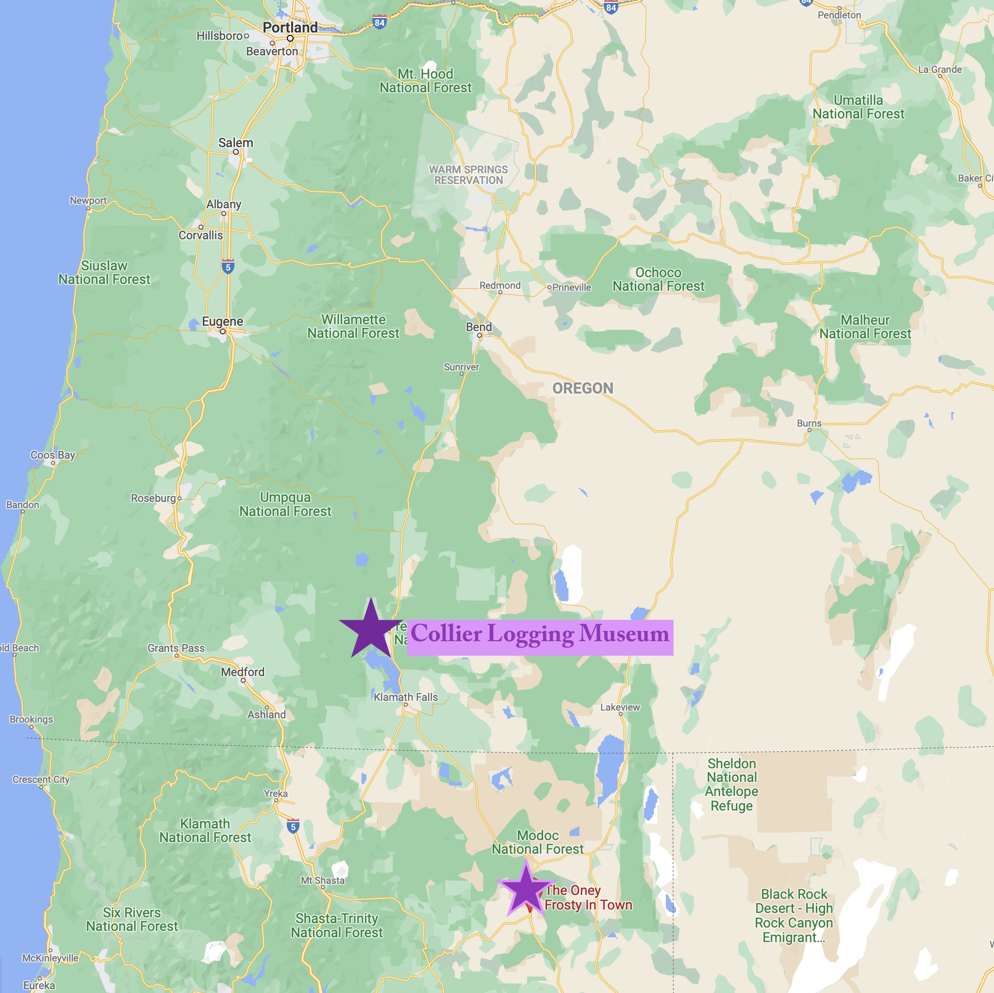 In southern Oregon, not too far from the California boarder . . . The Collier Logging Museum.
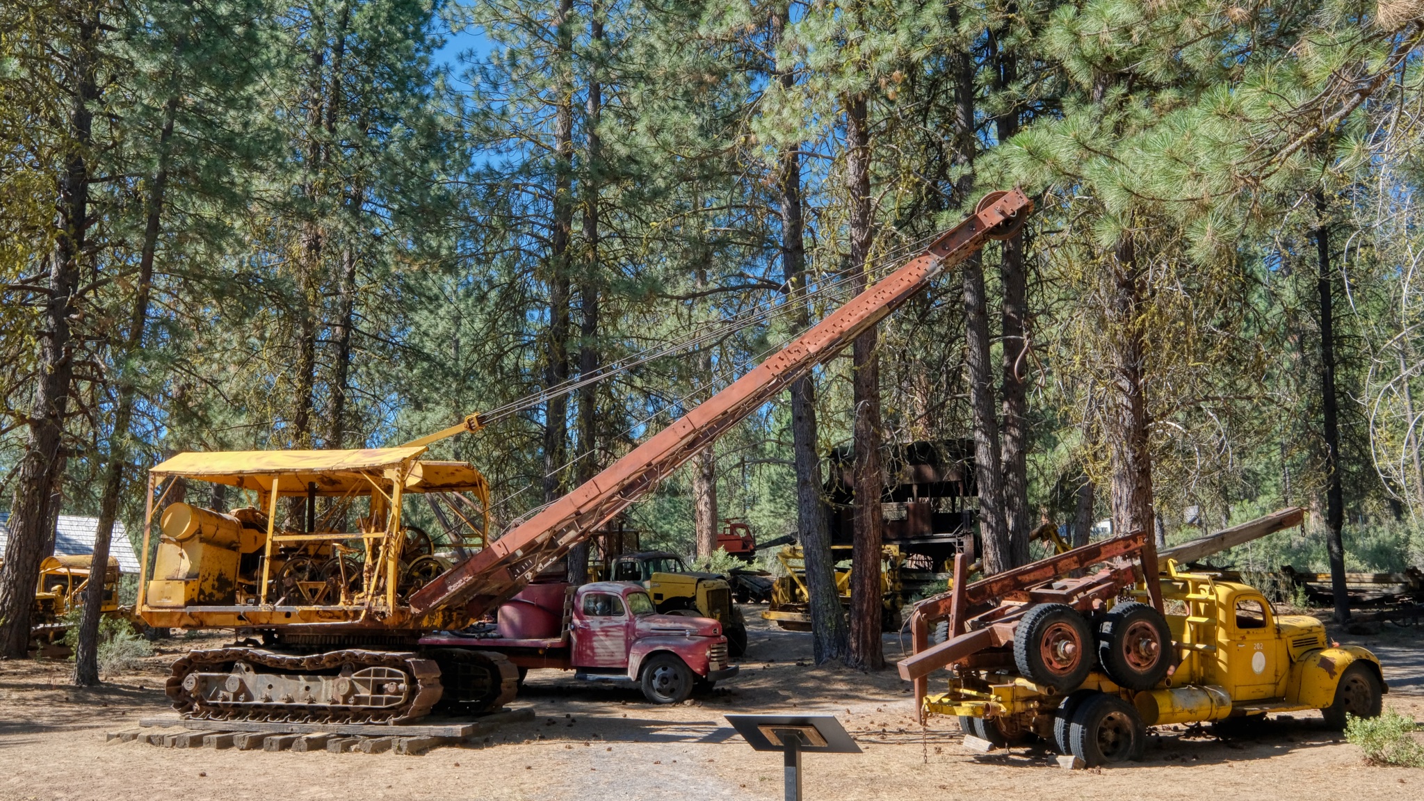
 I HAD to stop. I love these old machines . . .
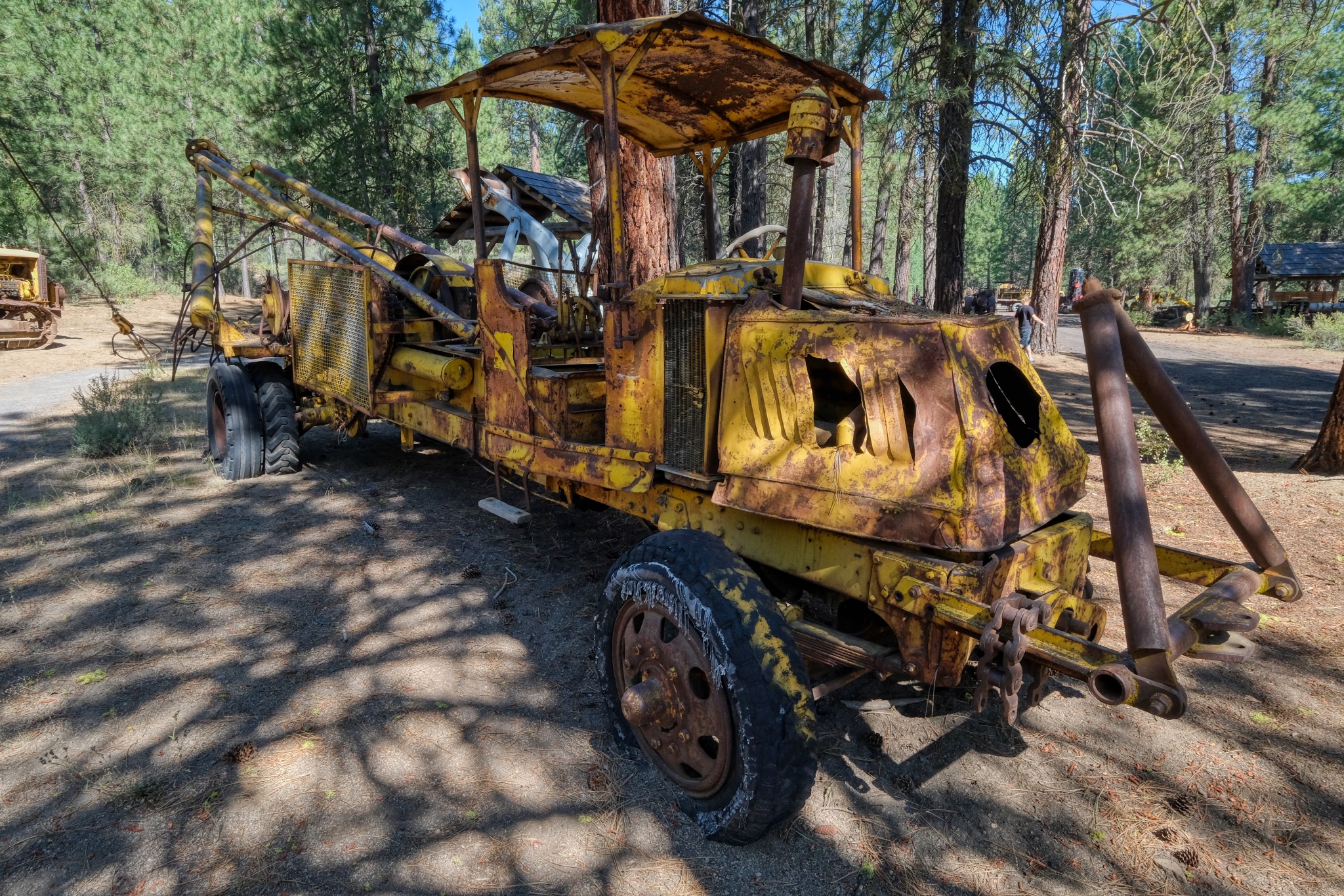 As a child I loved trucks of all kinds.
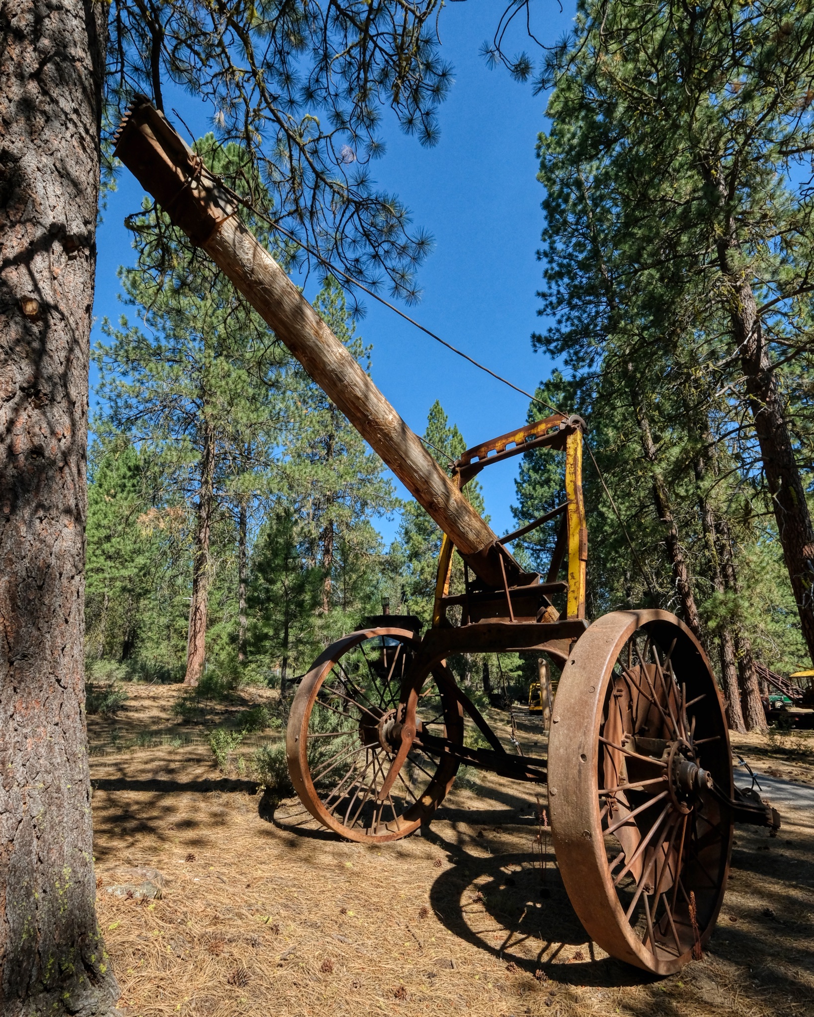
 Giant steel wheels on this ancient road grader meant to be towed by a bulldozer.
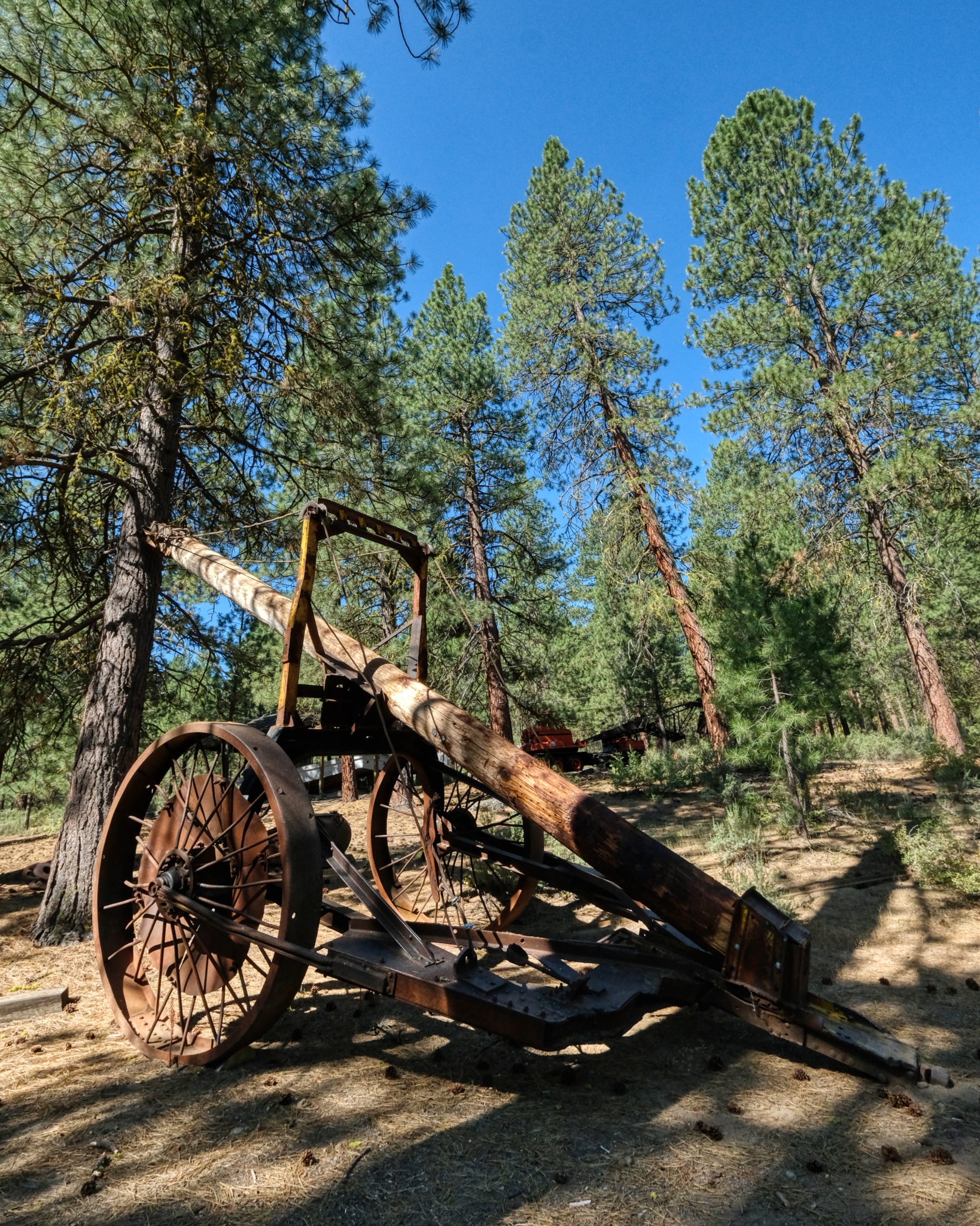
 A pull along log skidder, also pulled by a bulldozer.
 The front of a giant log would be lifted by this rig and then the other end dragged ("skidded") along in the forest floor.
 Another approach for skidding logs . . . .
 The front of a log, or logs, were lifted and then skidded out of the forest to a roadhead for loading on trucks, or small gauge rail systems.
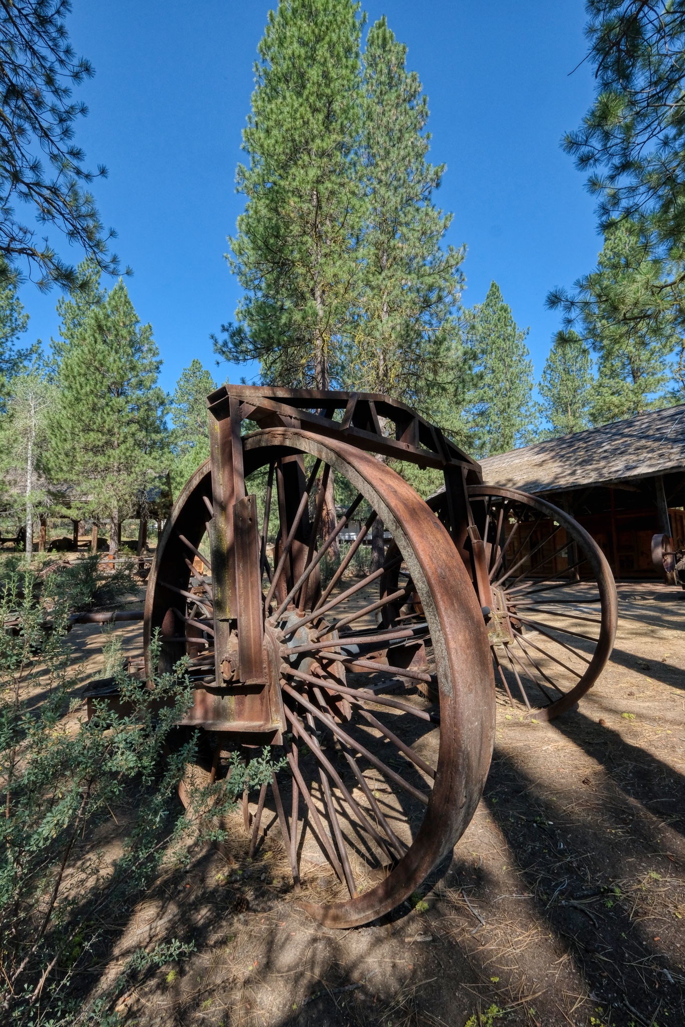
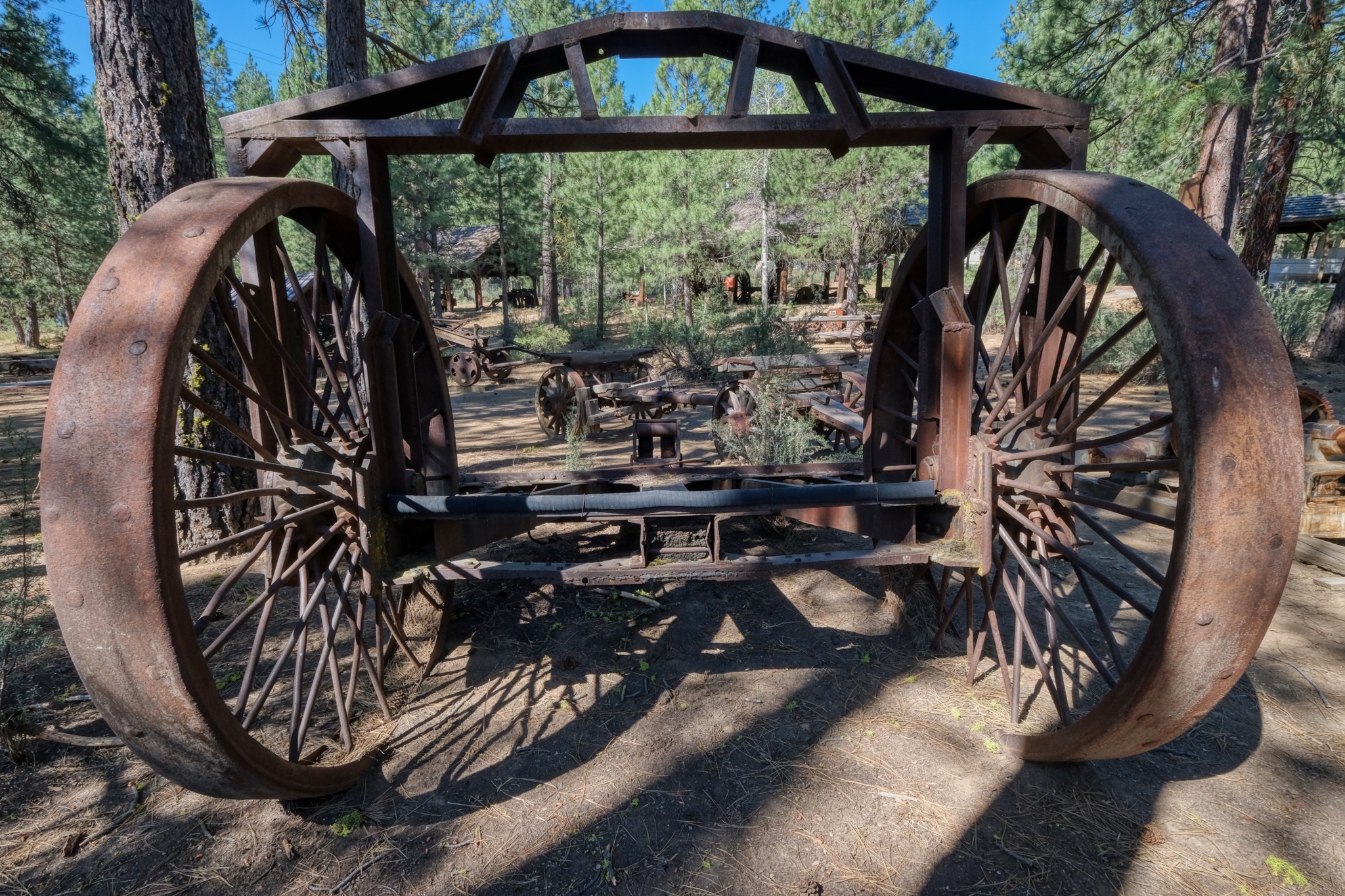
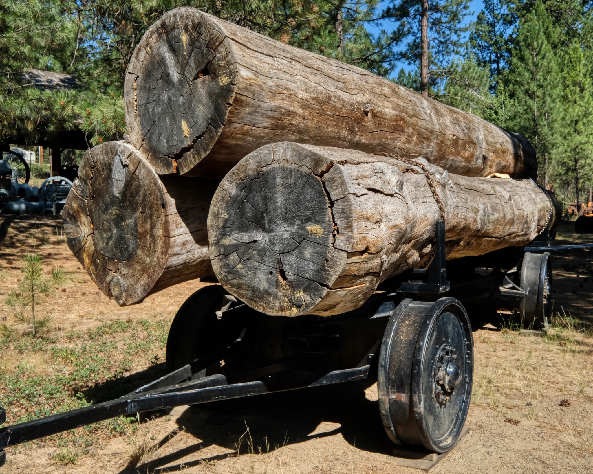
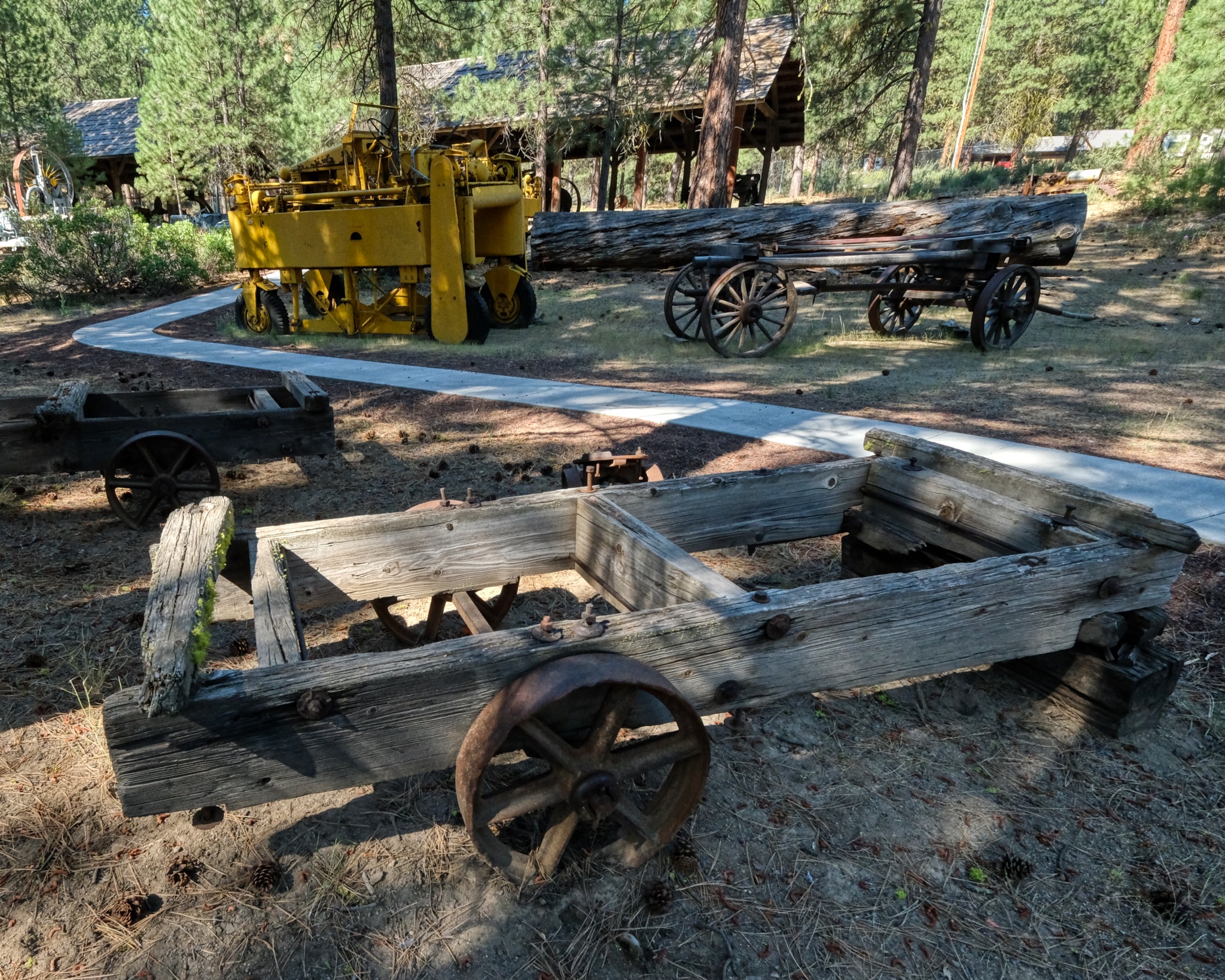
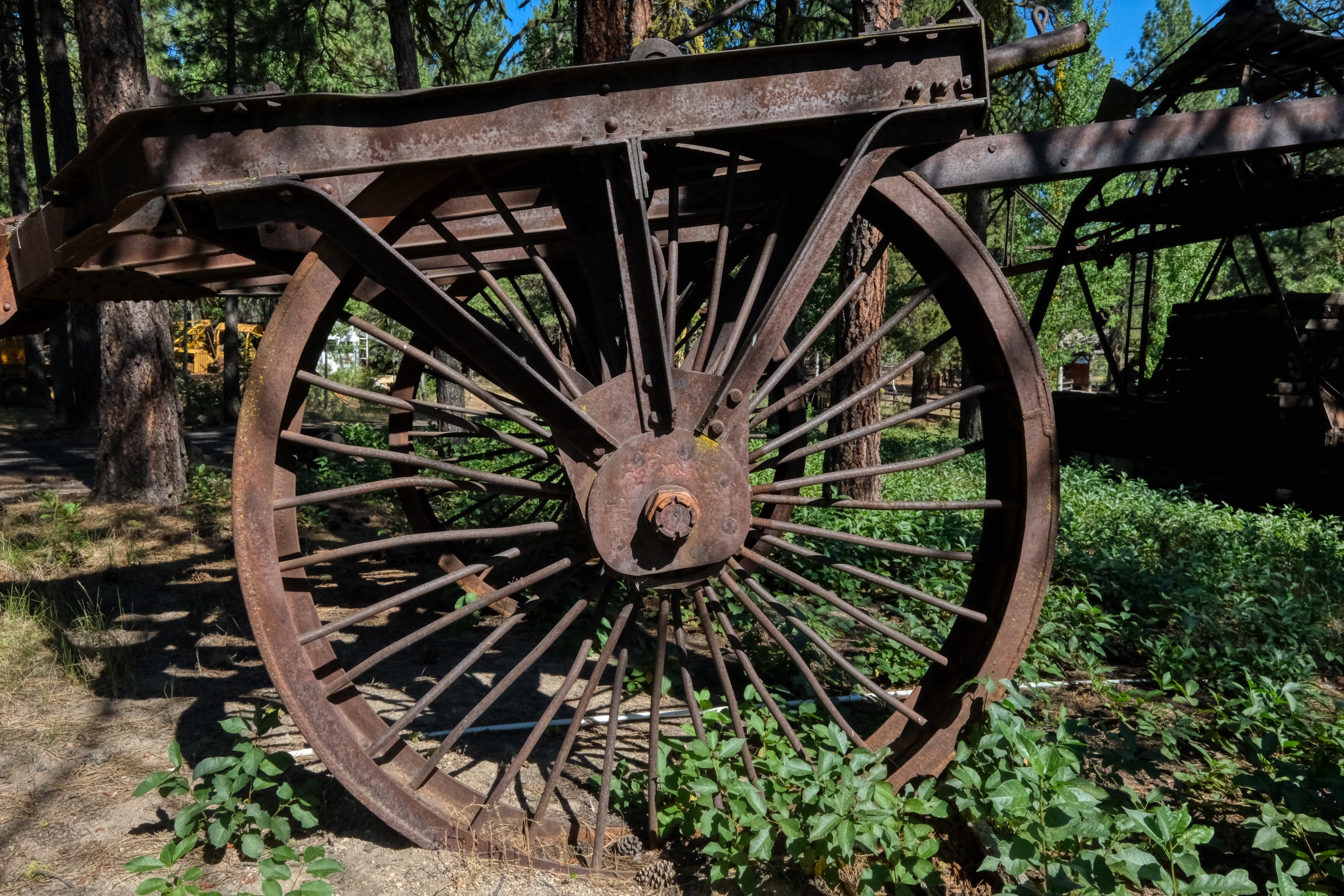 There were many of the large iron-wheeled wagons sitting out in the forest of the museum.
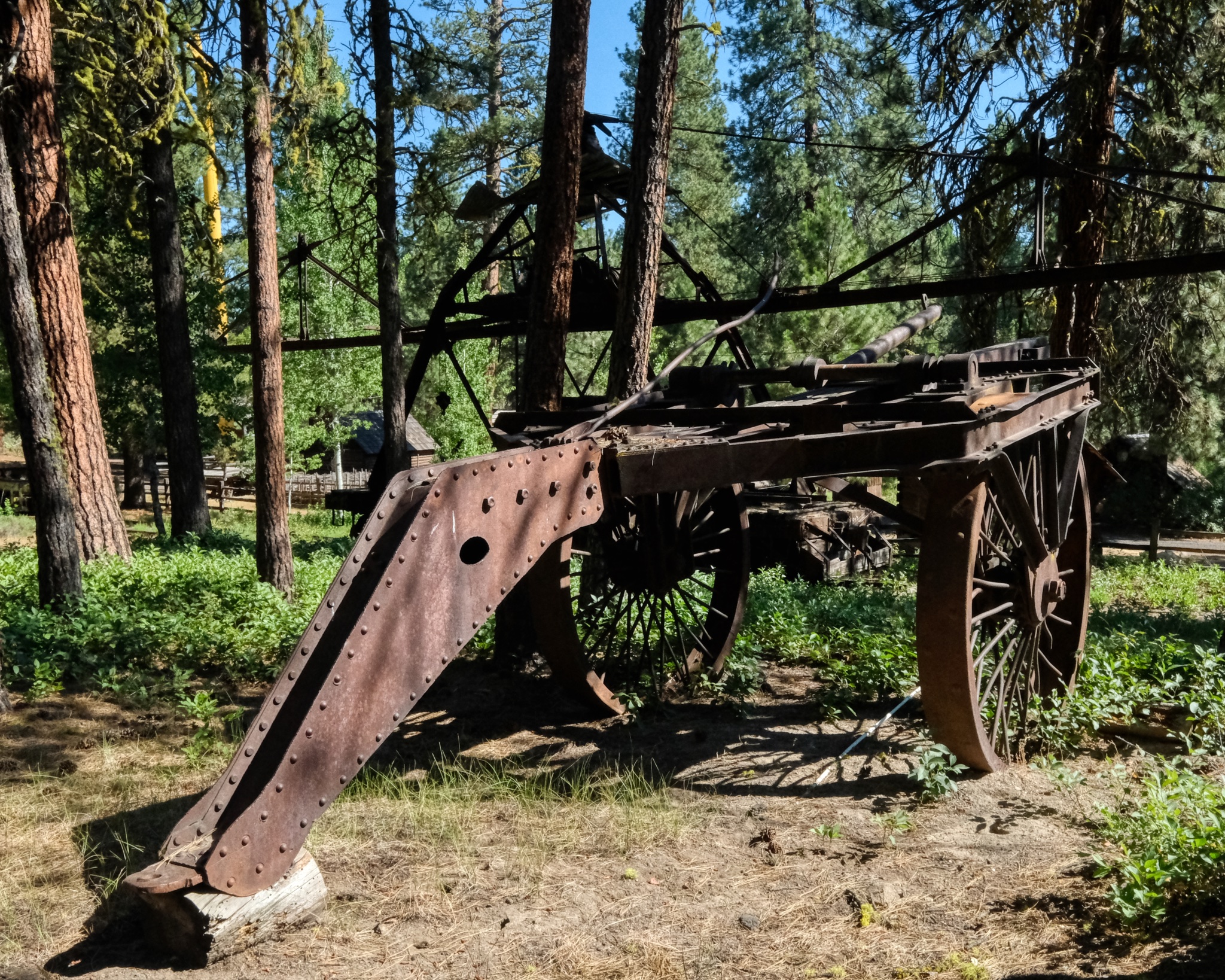 Big wagons for big work in the big forests of Oregon.
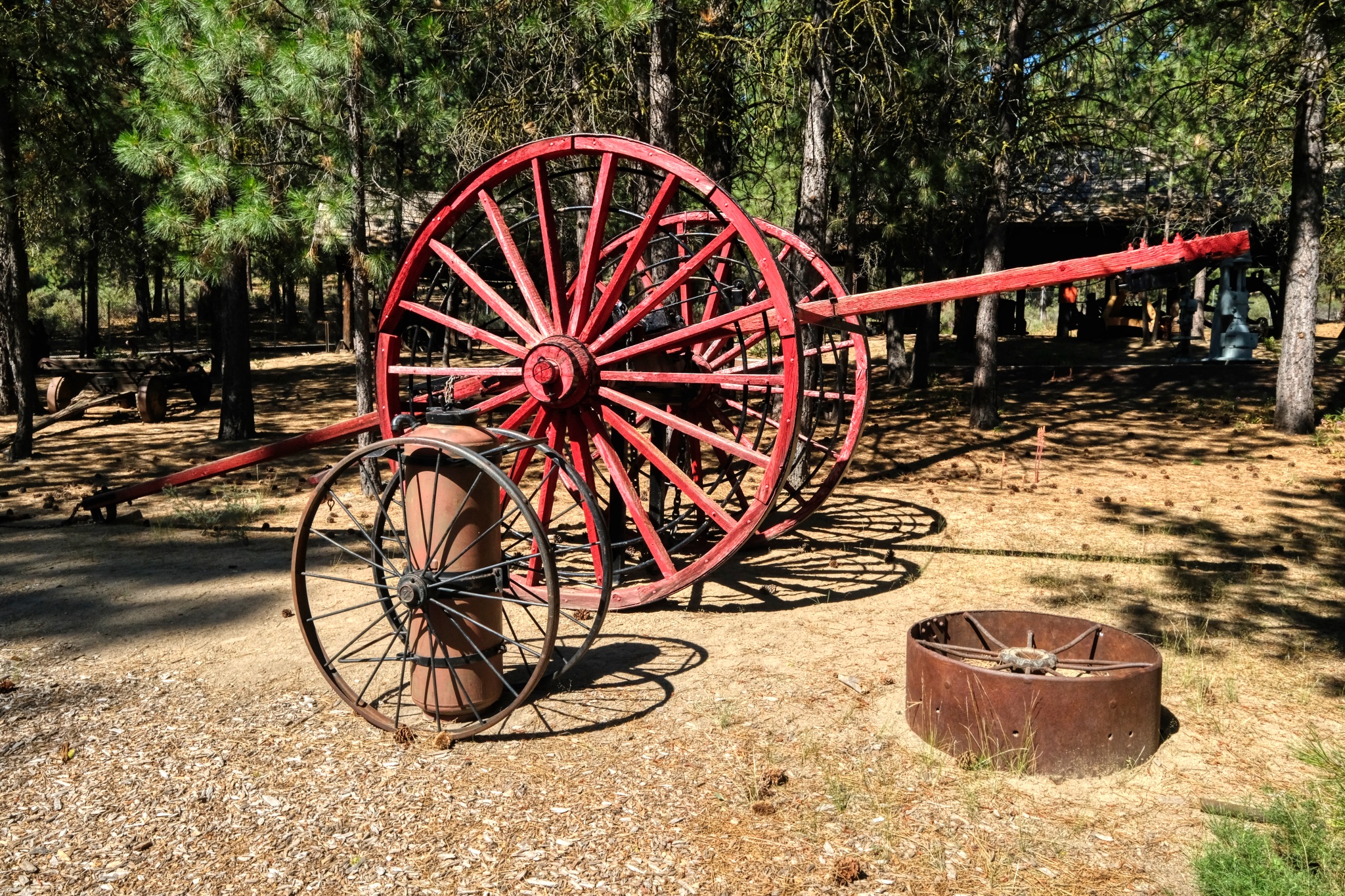 Big red wagon wheel . . . .
 One can imagine an old dozer chugging through the forest pulling one of these steel-wheeled skidders.
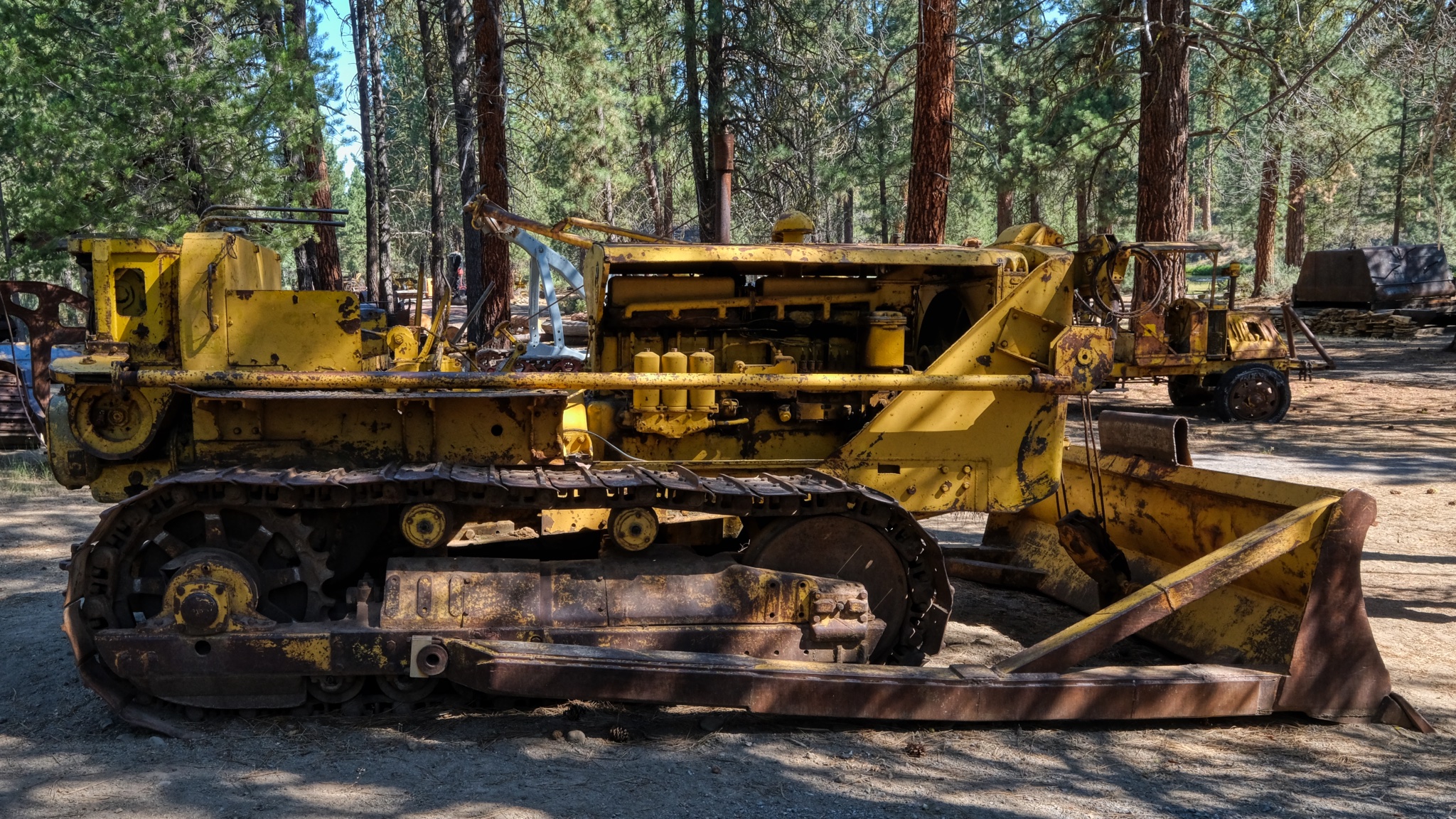
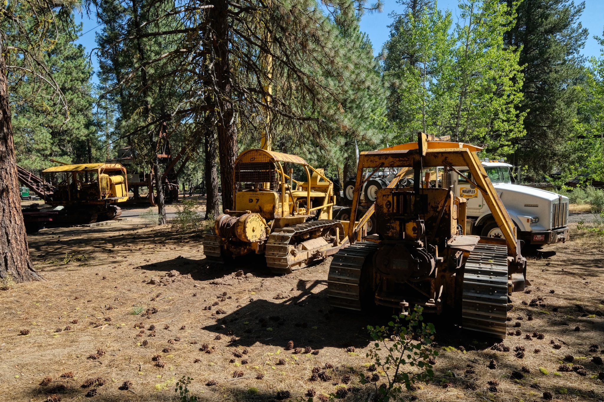 There were many old dozers sitting around in the pine straw.
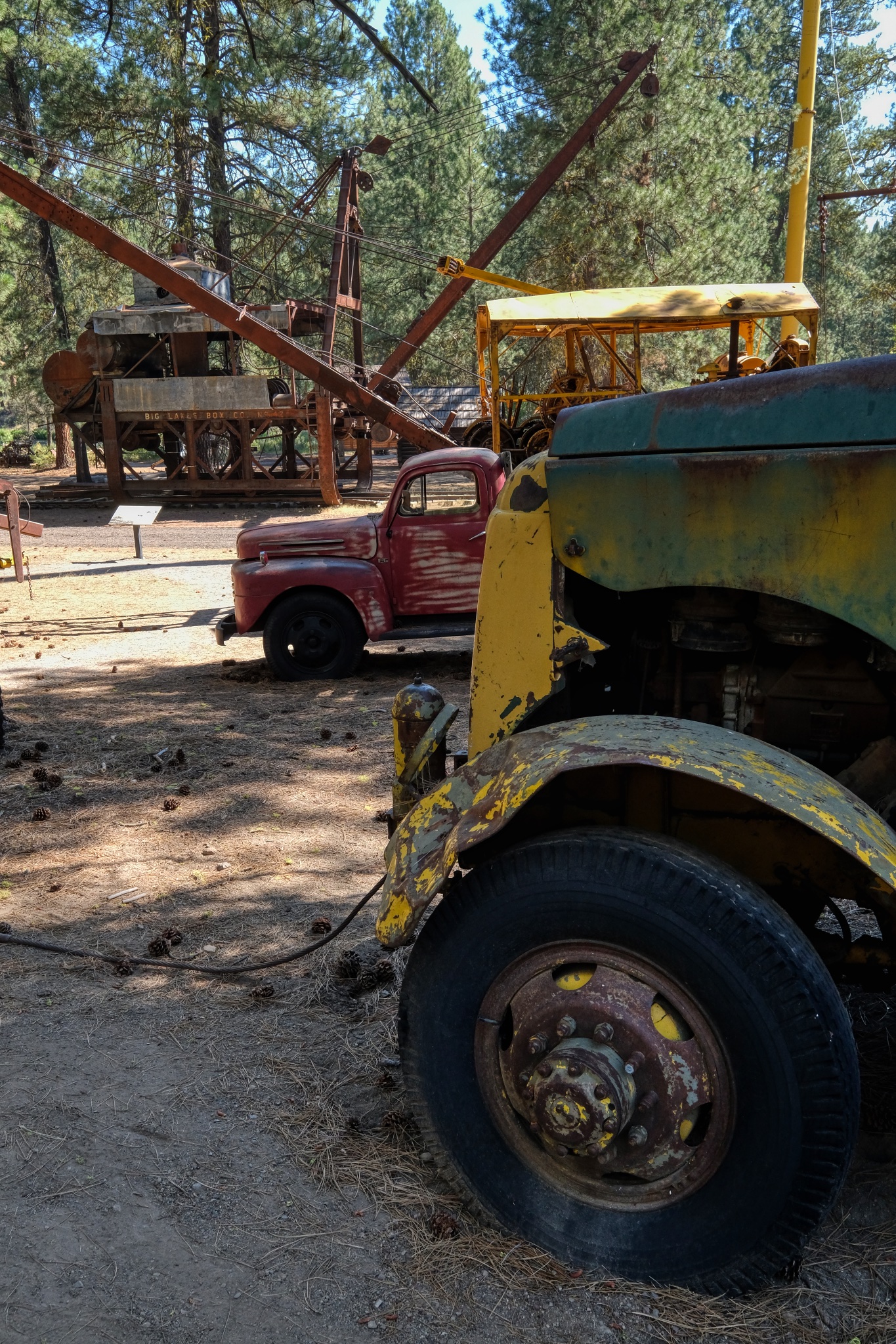
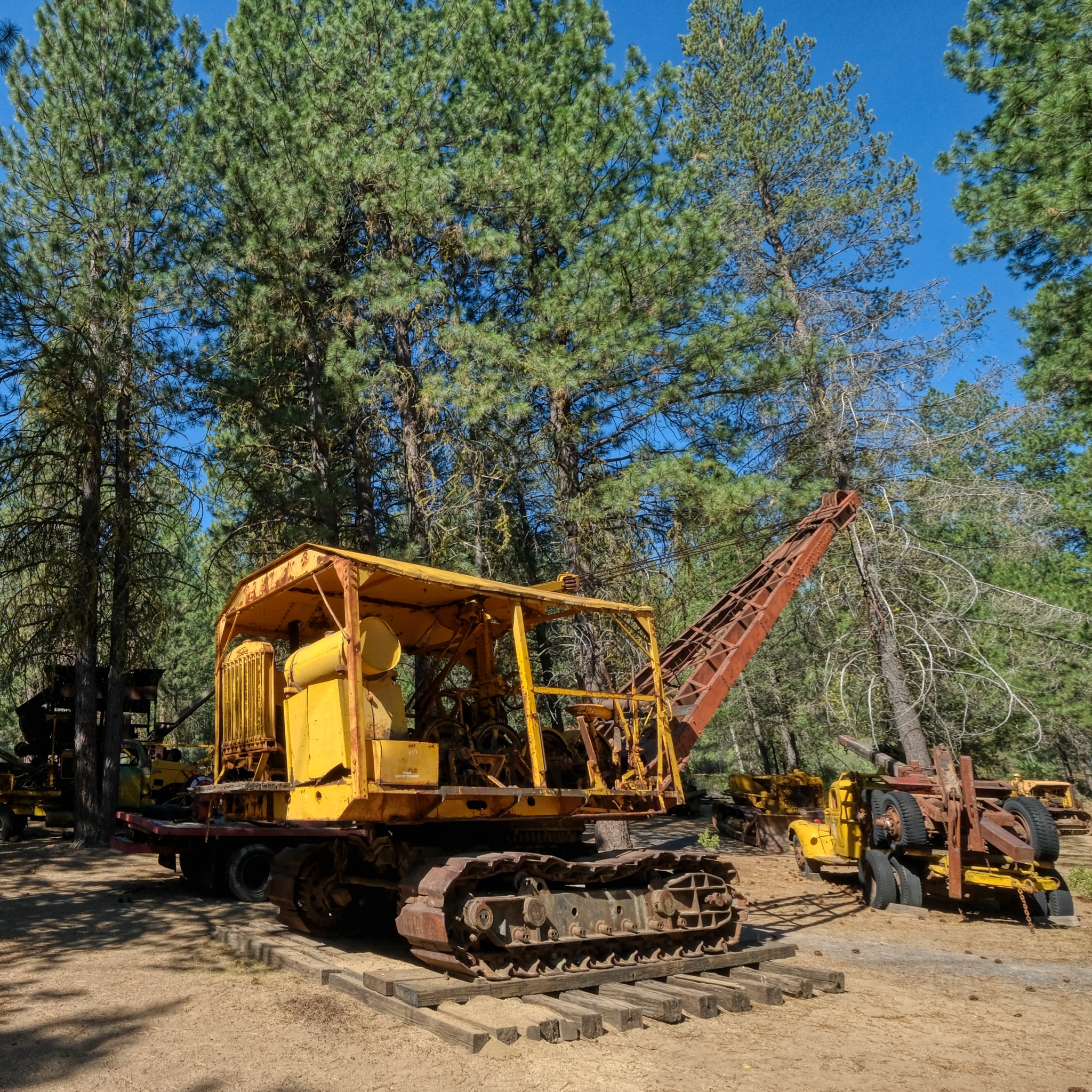 Once the logs had been skidded to a landing, a crane, perhaps like this one, would load the logs onto trucks or a rail car.
 Very early on, a steam powered crane/log loader would be rolled out on rails.
 In the foreground is an old "mule" diesel locomotive used to push around cranes and other rail cars out in the logging site. By the 1950s and 60s, road worthy truck-mounted cranes, like the one in the rear, became more widely used.
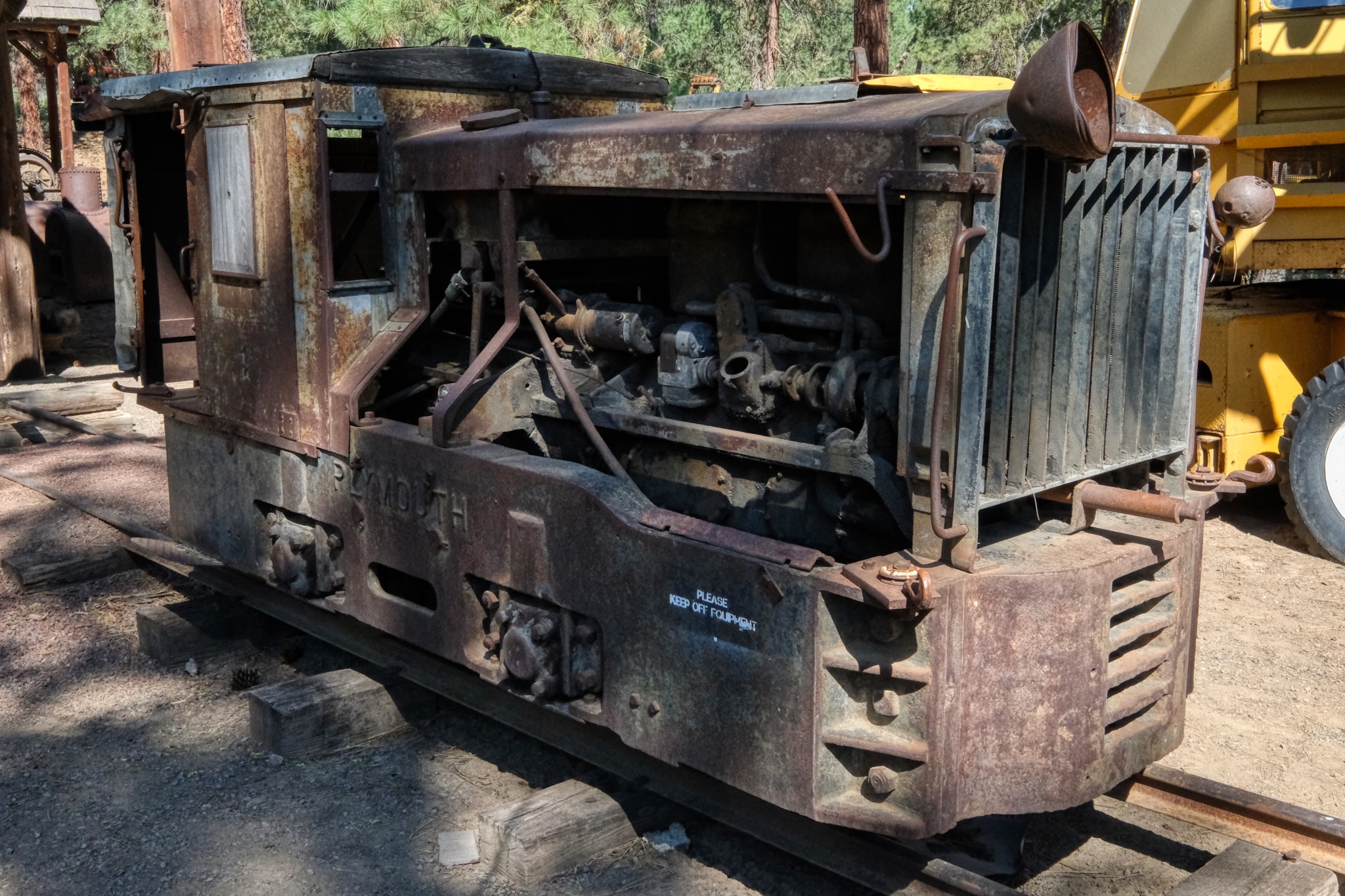 The little "mule" diesel locomotive.
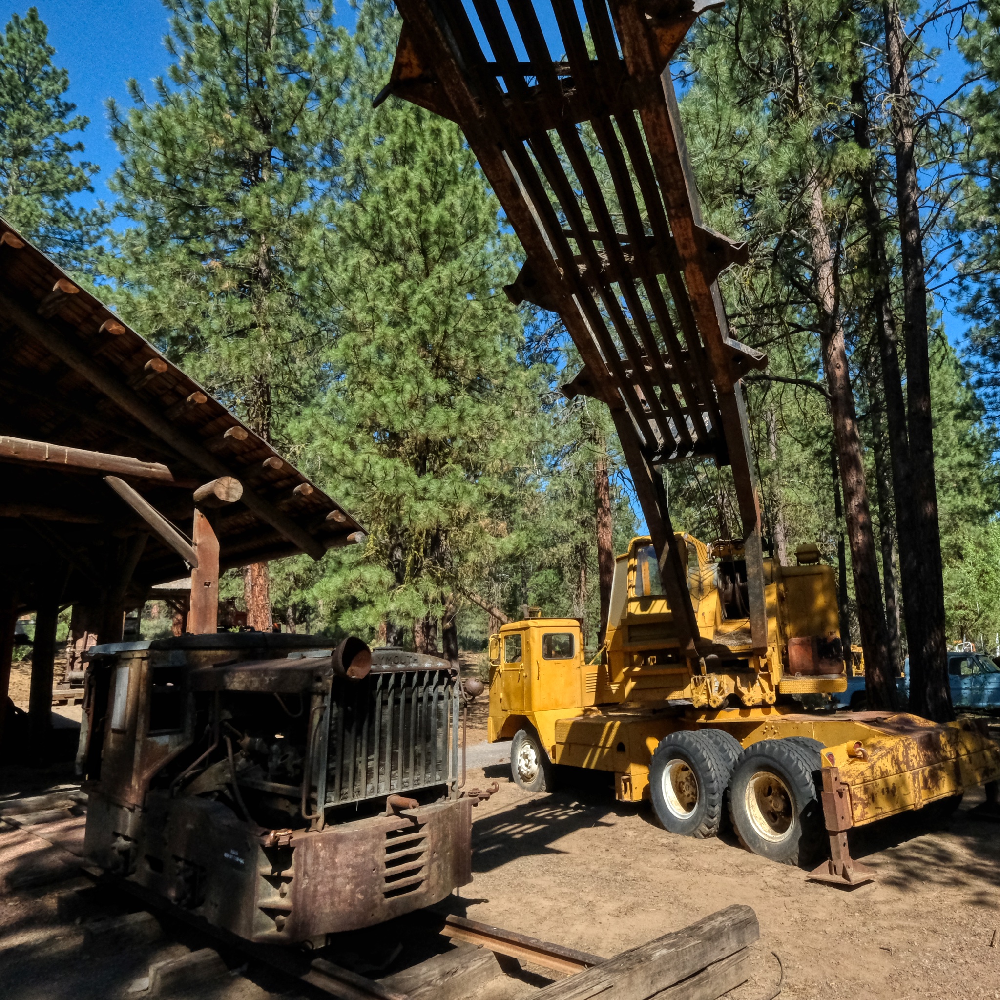
 Old log trucks and log loaders to satisfy my little heart's content!
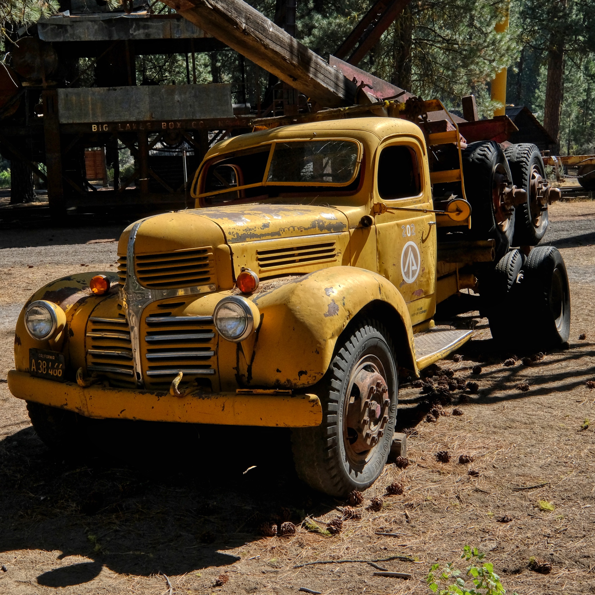 Much of the lumber used to build the houses on the west coast of the USA rode to the lumber mills on trucks like these.
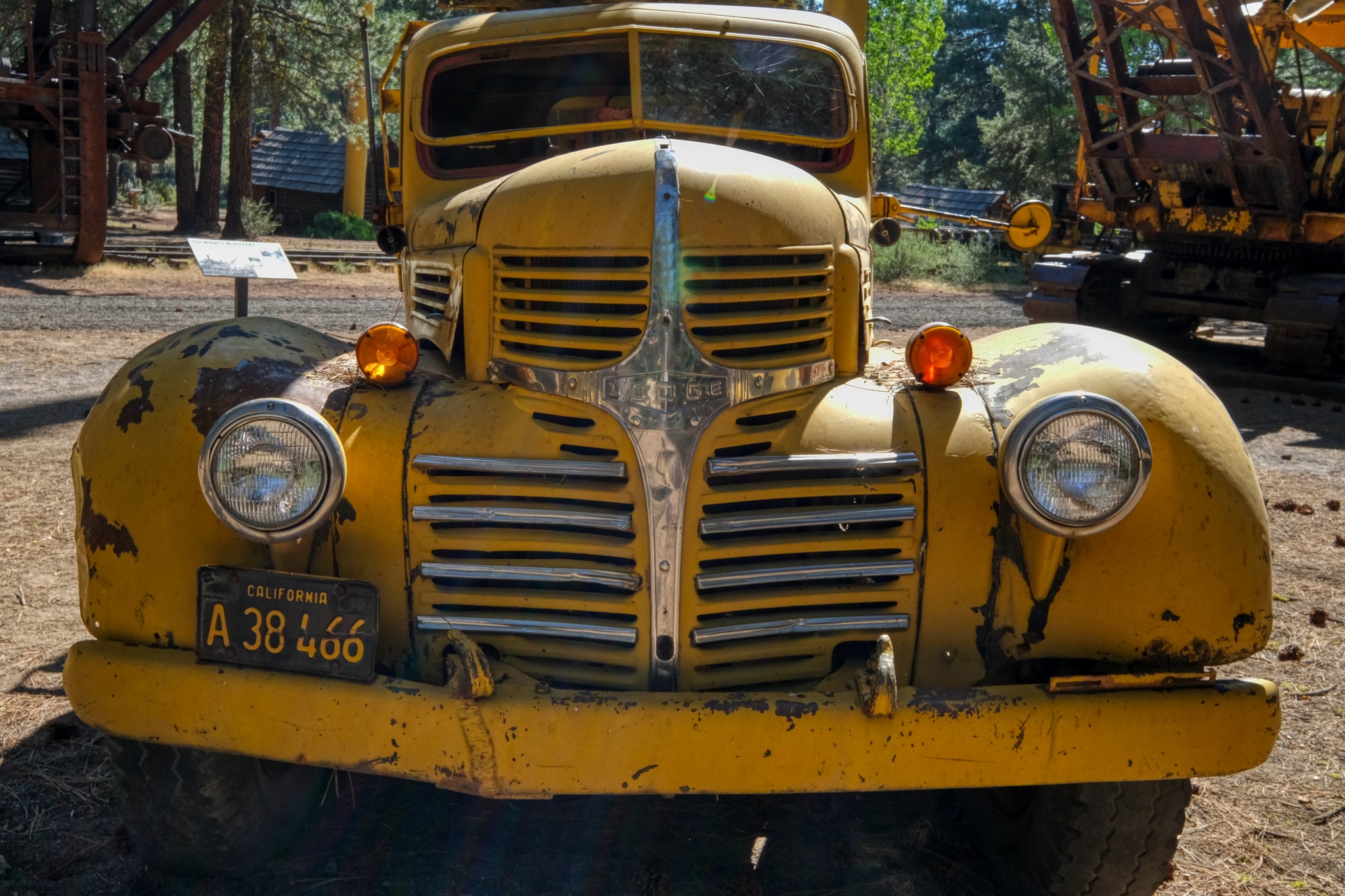 Not something you would want to see in your rear view mirror while going down a steep hill!
 A very old steel-wheeled log trailer.
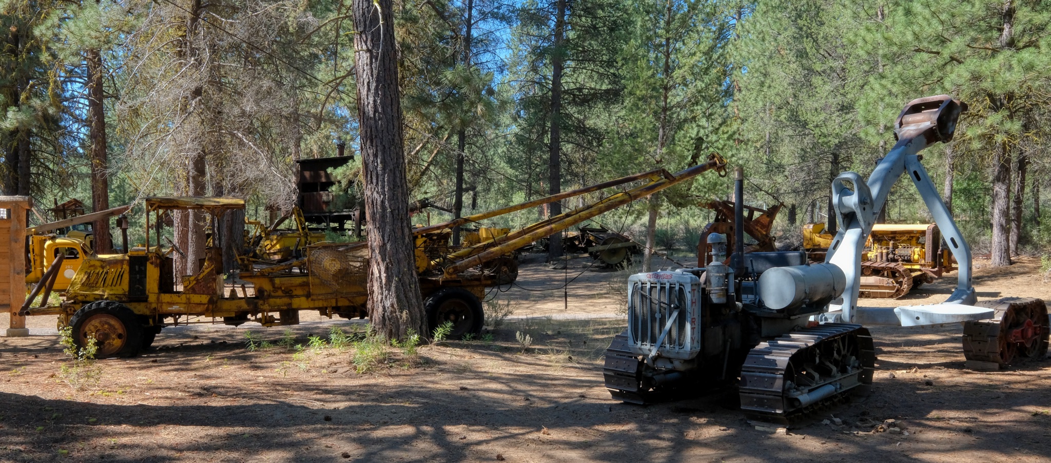
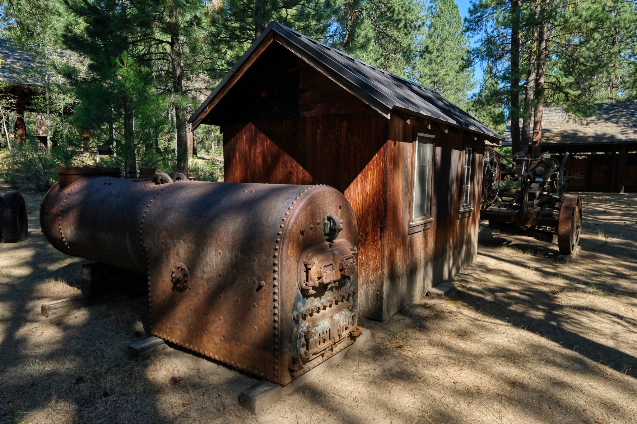
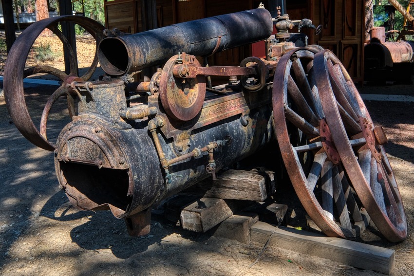 Steam powered pumps used in the wild woods early last century.
 An antique steam powered winch . . .
 Steam winches mostly used for powering 'high lead' cables to drag logs up steep hills and across deep canyons.
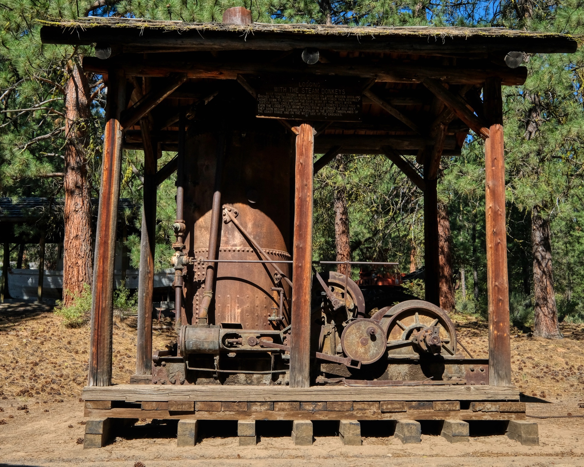
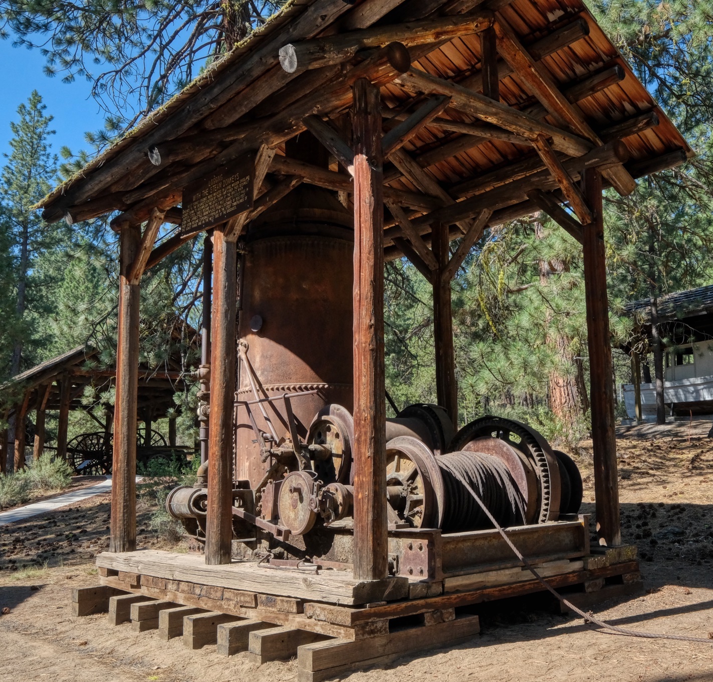
 Remnants of big steam power systems laying around. Imagine dragging these up into the woods a century ago!
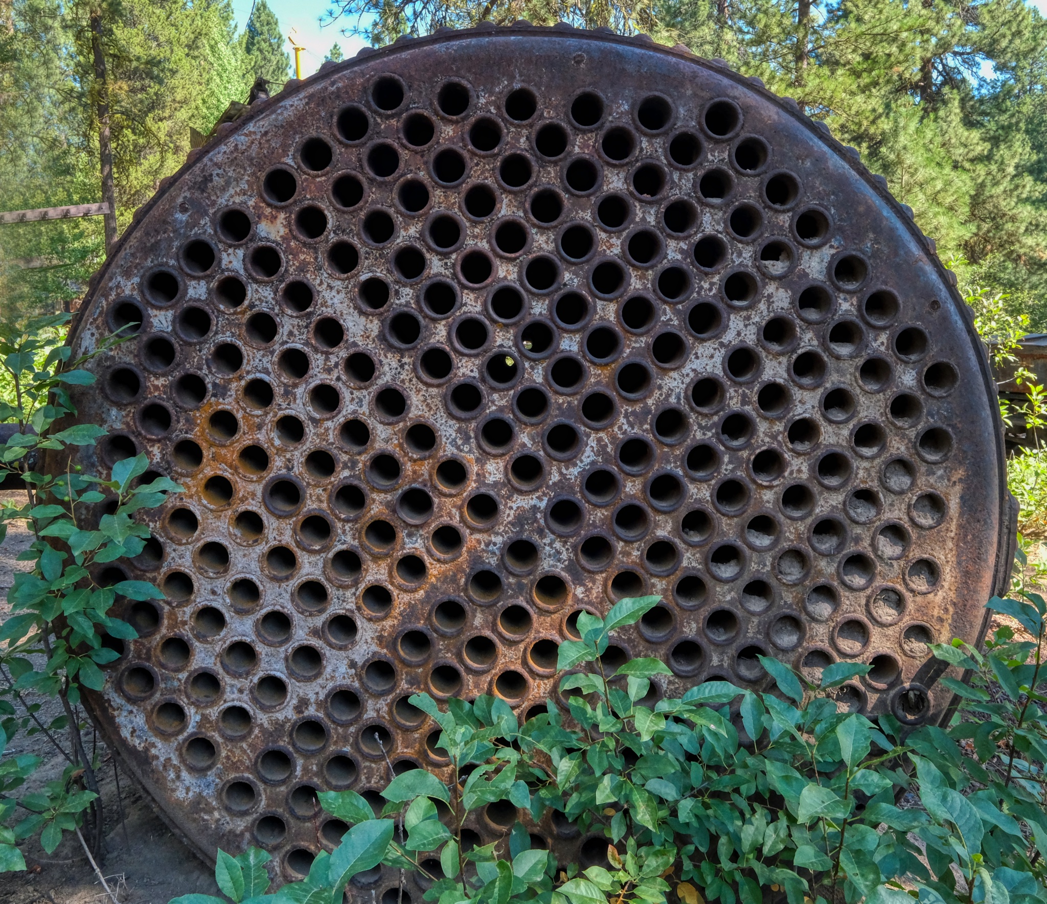 Boiler tubes.
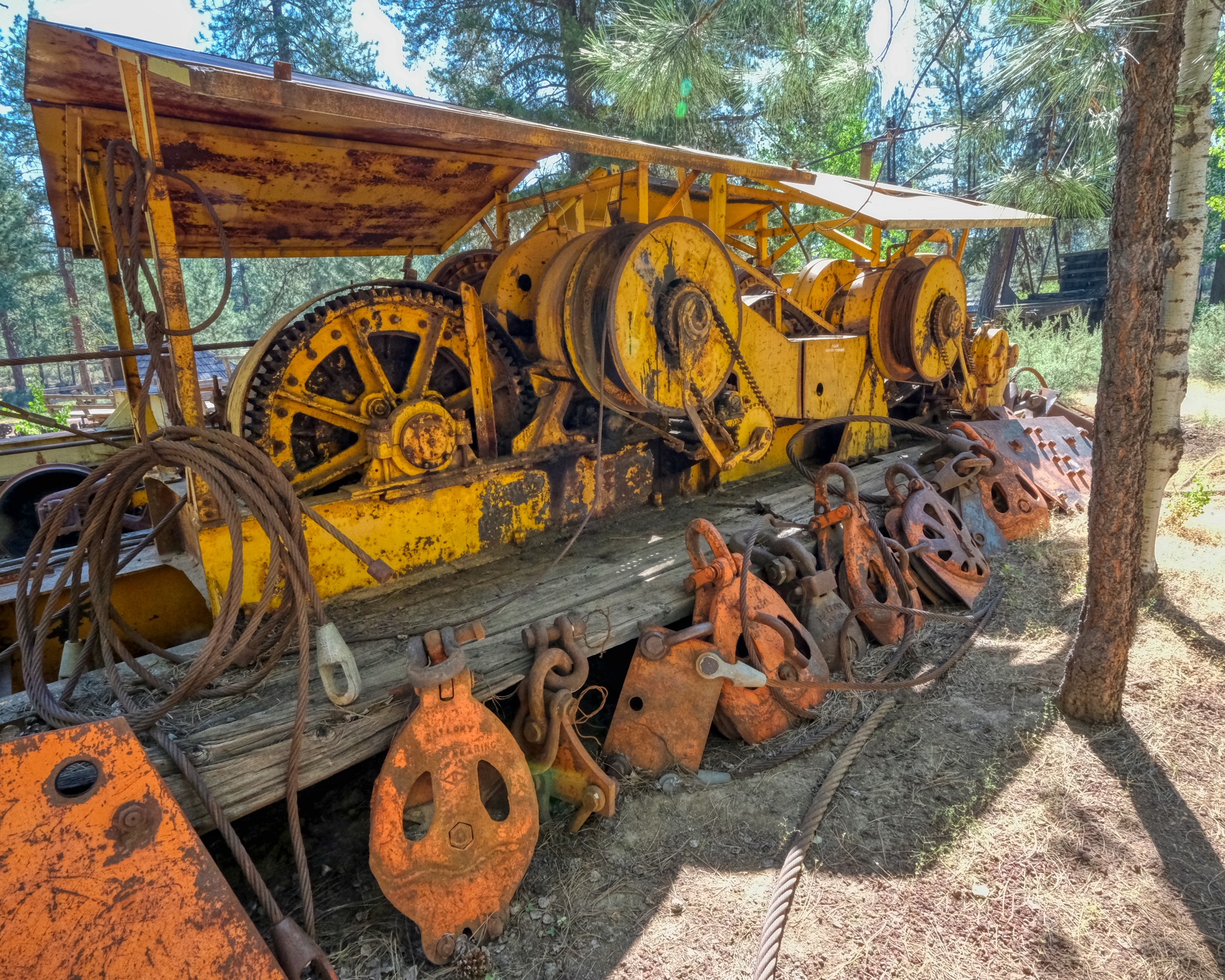 Big sled winch used for high lead logging. Nice rigging blocks.
 Wheeled steam pump wagon.
 Marvelous machine work from a bygone era.
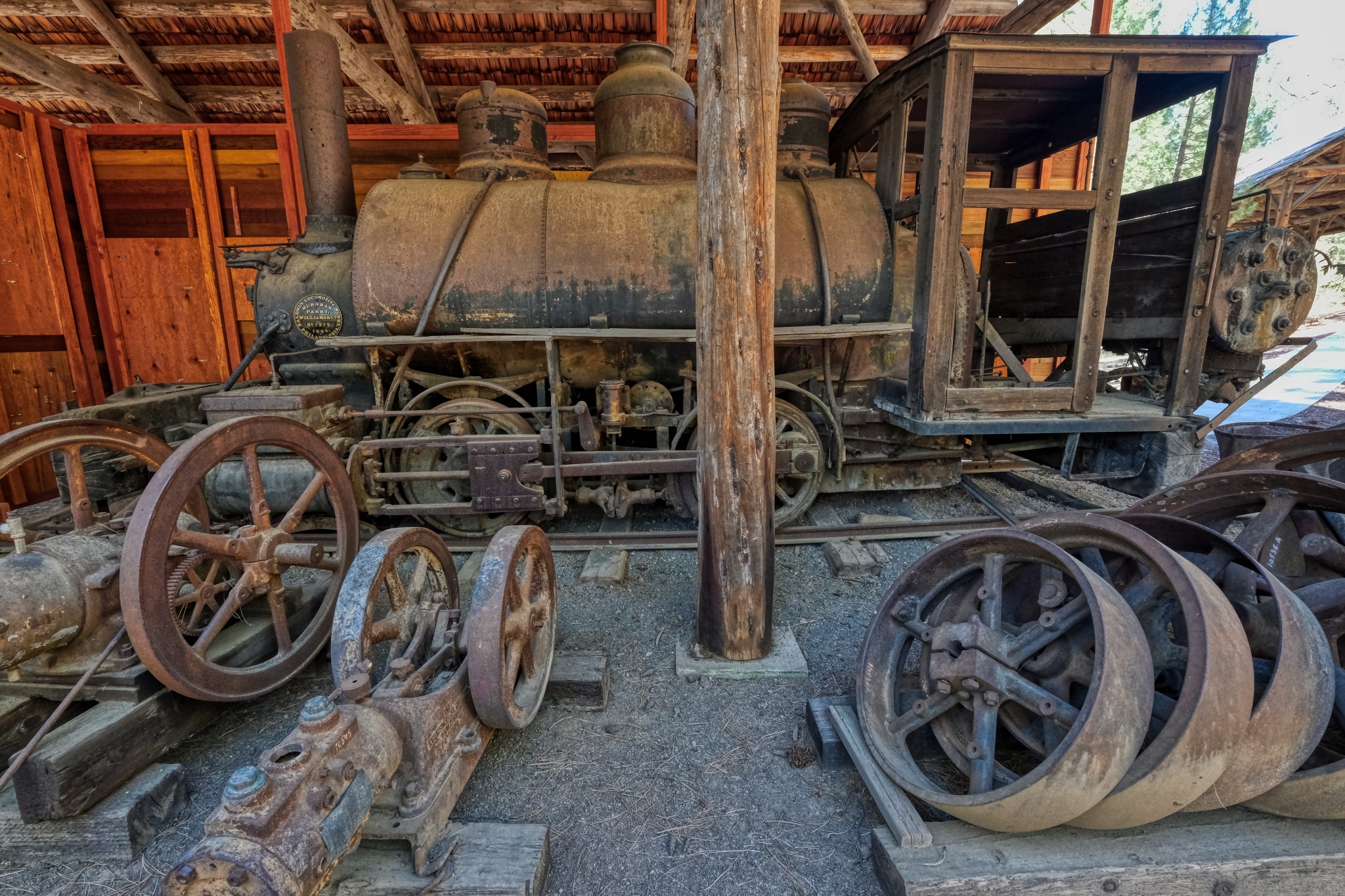 1880s locomotive shed with lots of old machinery here and there.
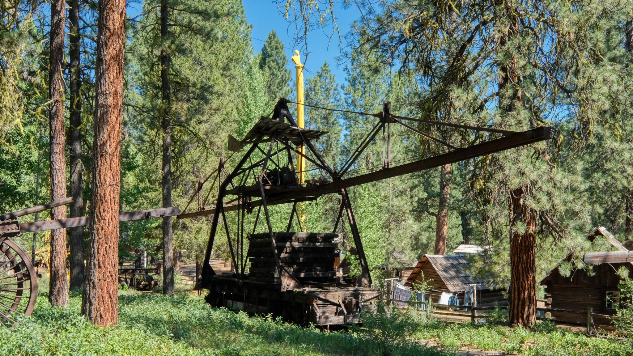 A rail track-laying crane needed to build access rail lines into the old forests.
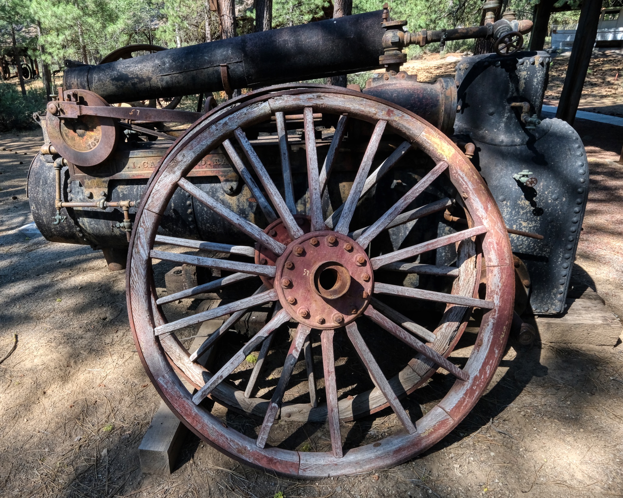
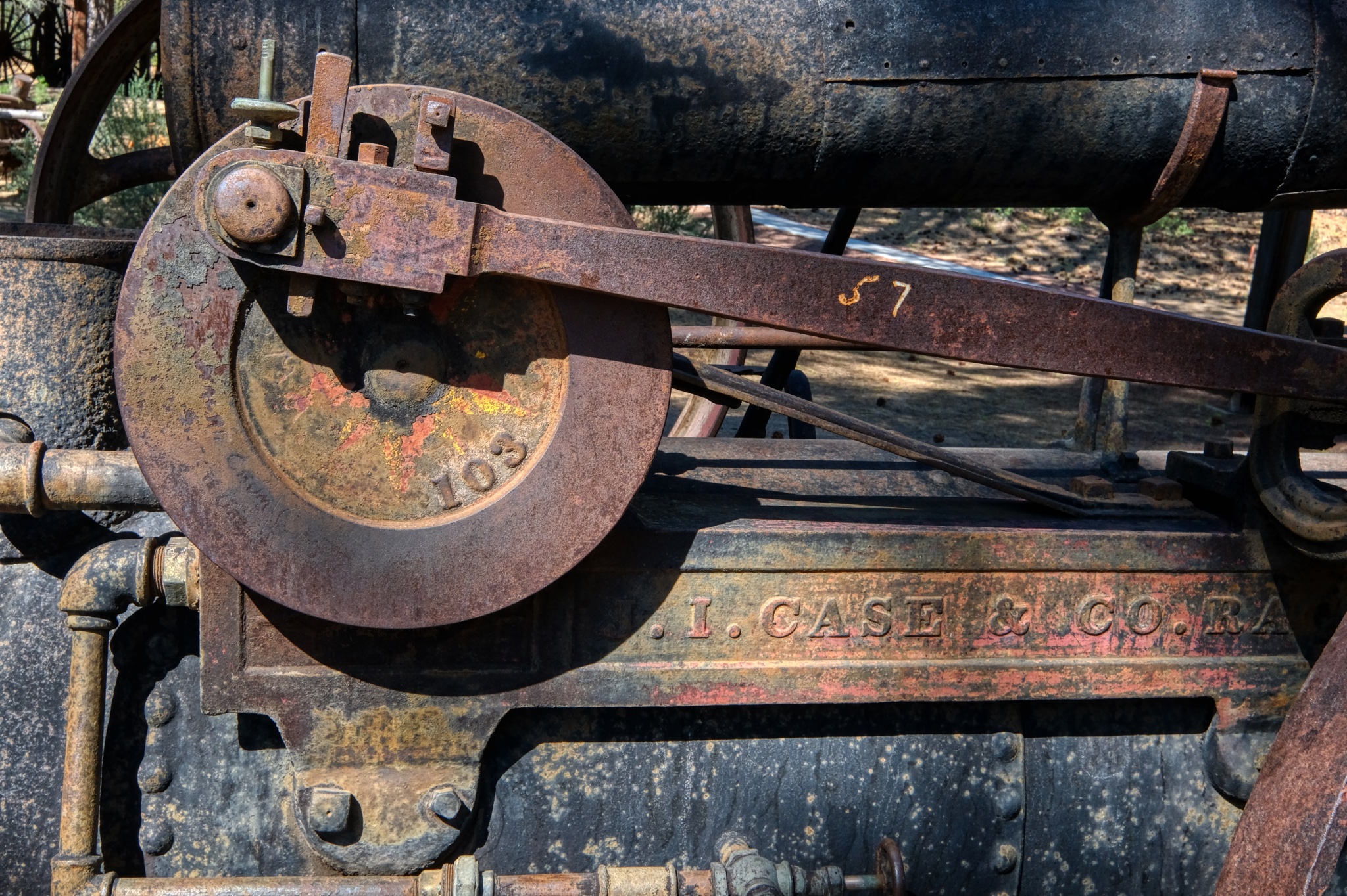
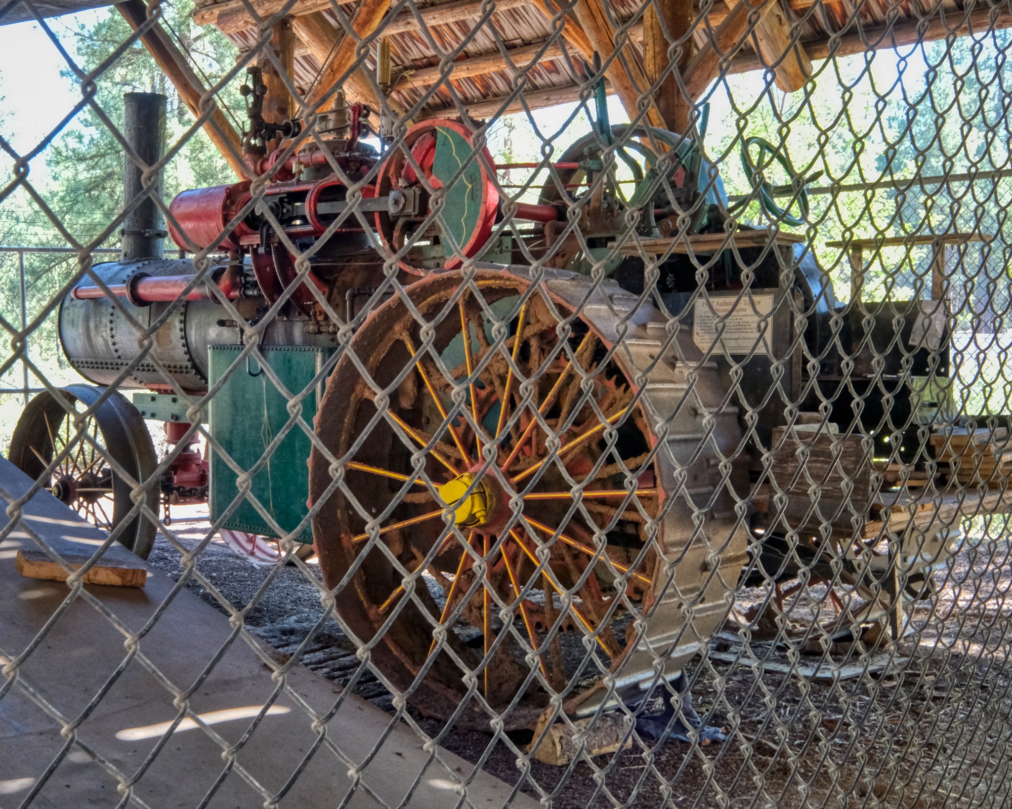 1912 Aultman-Taylor steam engine . . . WOW!
 These lumber movers (yellow machine in the back) were still common in Oregon lumber mills in the late 1970s (when I worked in Oregon lumber mills!).
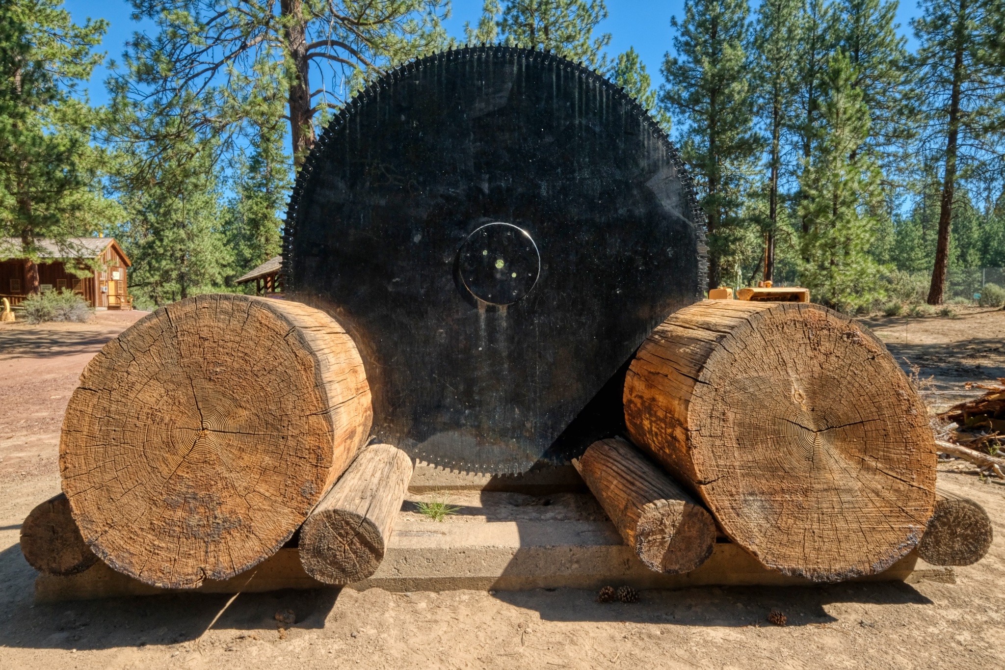 Yep, you need a saw blade ("head saw") this large to cut some of these giant trees in the lumber mill.
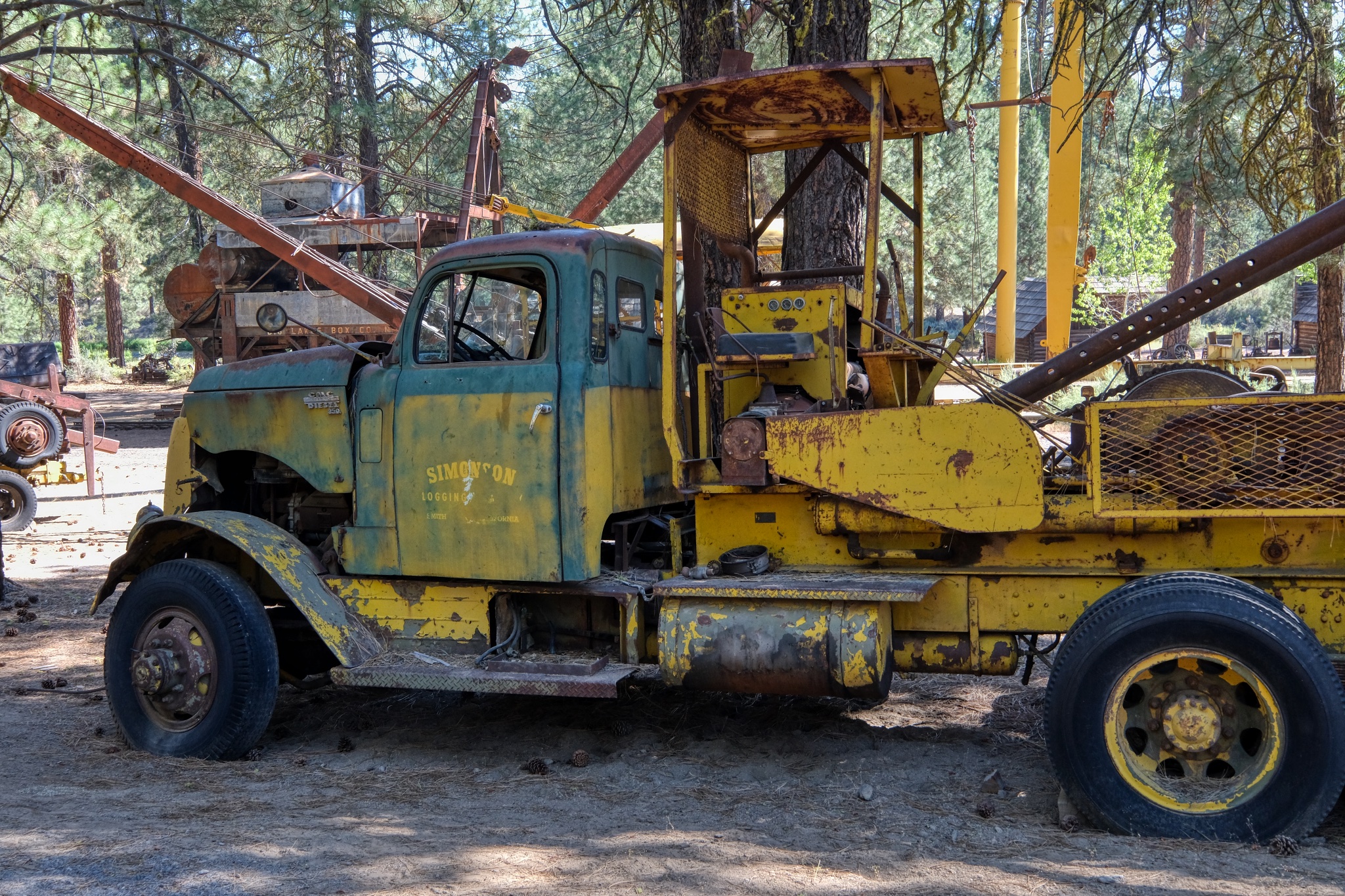 A well used high lead winch truck . . . Simpson Lumber Company.
ONEY, CALIFORNIA
 Located in the extreme northeast corner of California, Oney is a beautiful place . . . but the winters must be severe in such an isolated place.
 "The Oney Frosty In Town". -- in Oney, California. After driving a long stretch on winding two-lane mountain roads from Klamath Falls, Oregon, the Frosty was a welcome sight.
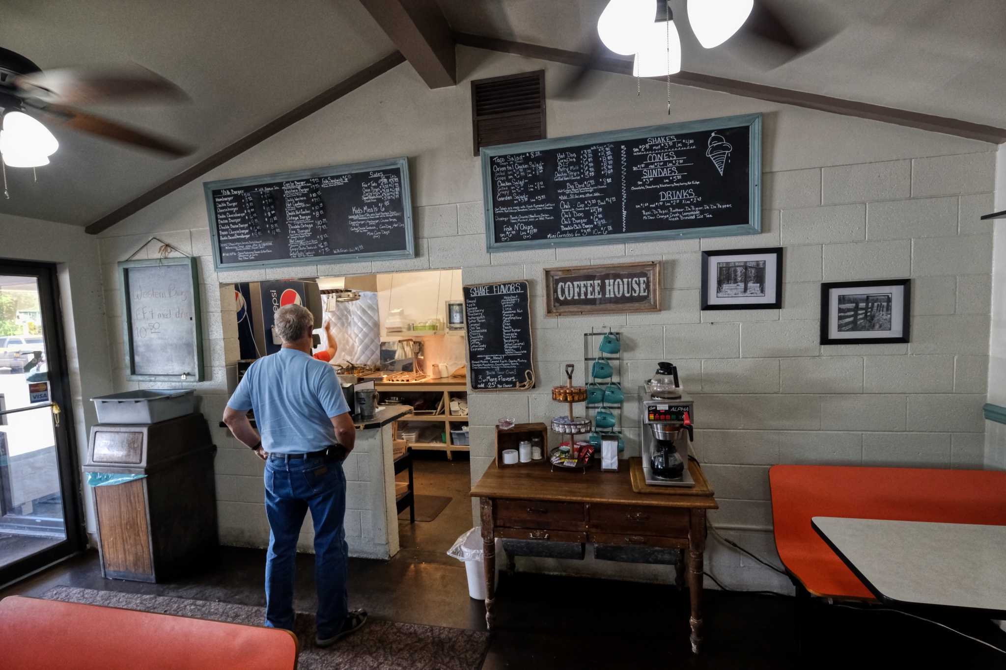 I was not disappointed! The choices were pure Americana . . . and delicious.
Dr. Jeff Harper
Unfortunately, the following year a major forest fire burned all around the Logging Museum . . . . but fortunately, only a few of the antique machines were damaged. The firefighters saved 90% of the collection!
USA Road Trip: Moab & Dead Horse Point, Utah
My year-long USA camper road trip/sabbatical continued on from Winslow, Arizona to Moab, Utah. Early October 2018.
 Rain. Yes, it rains in the desert.
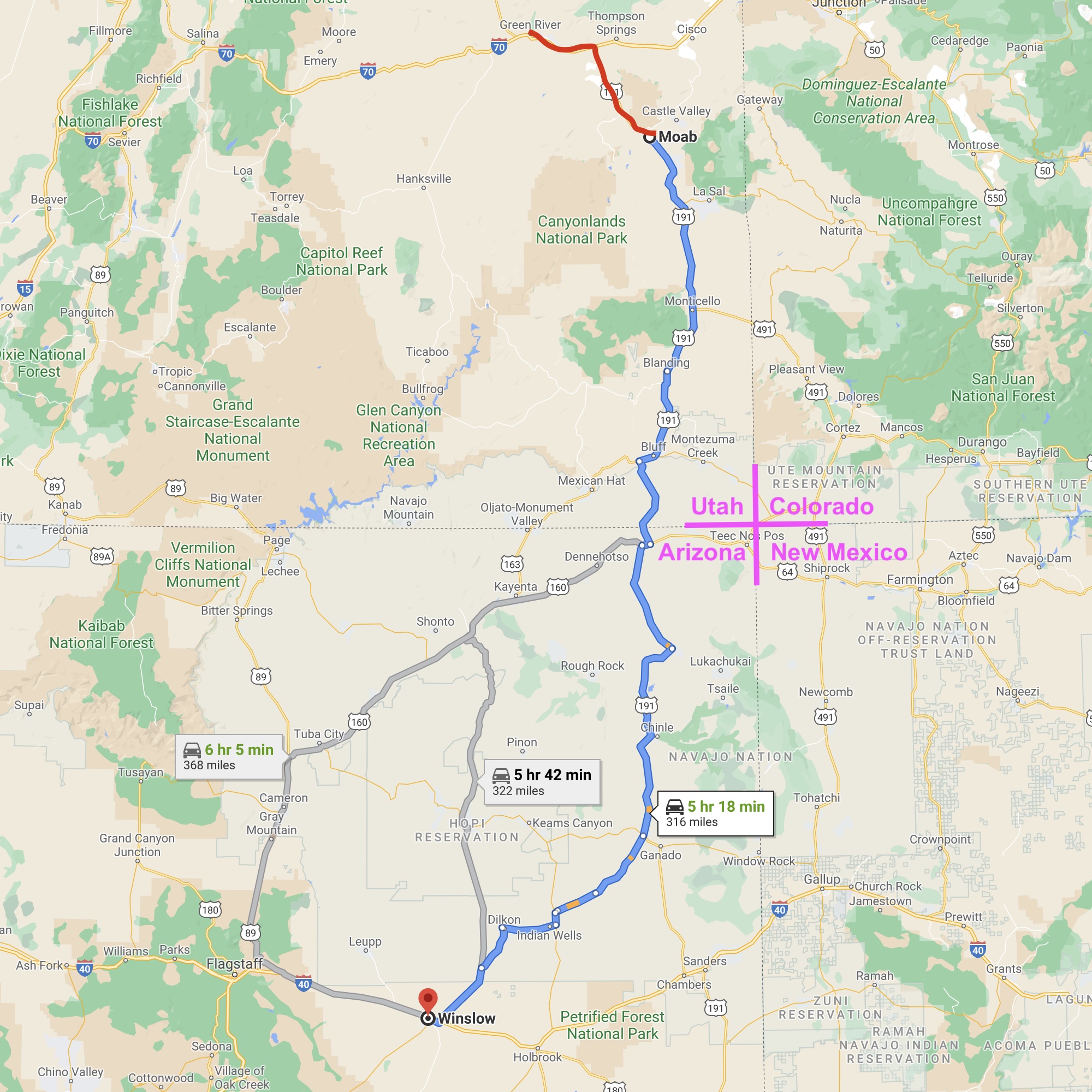
After an all day drive from Winslow, Arizona - through beautiful desert country in the Four Corners area of the American Southwest, I arrived in Moab, Utah in the middle of a major rain storm . . . record rain and a danger of flash flooding. I wanted to stay a night in a motel rather than in my camper . . . dry and warm. I Googled motels in Moab, looked up quite a few: all expensive and showing FULL . . . but one . . .
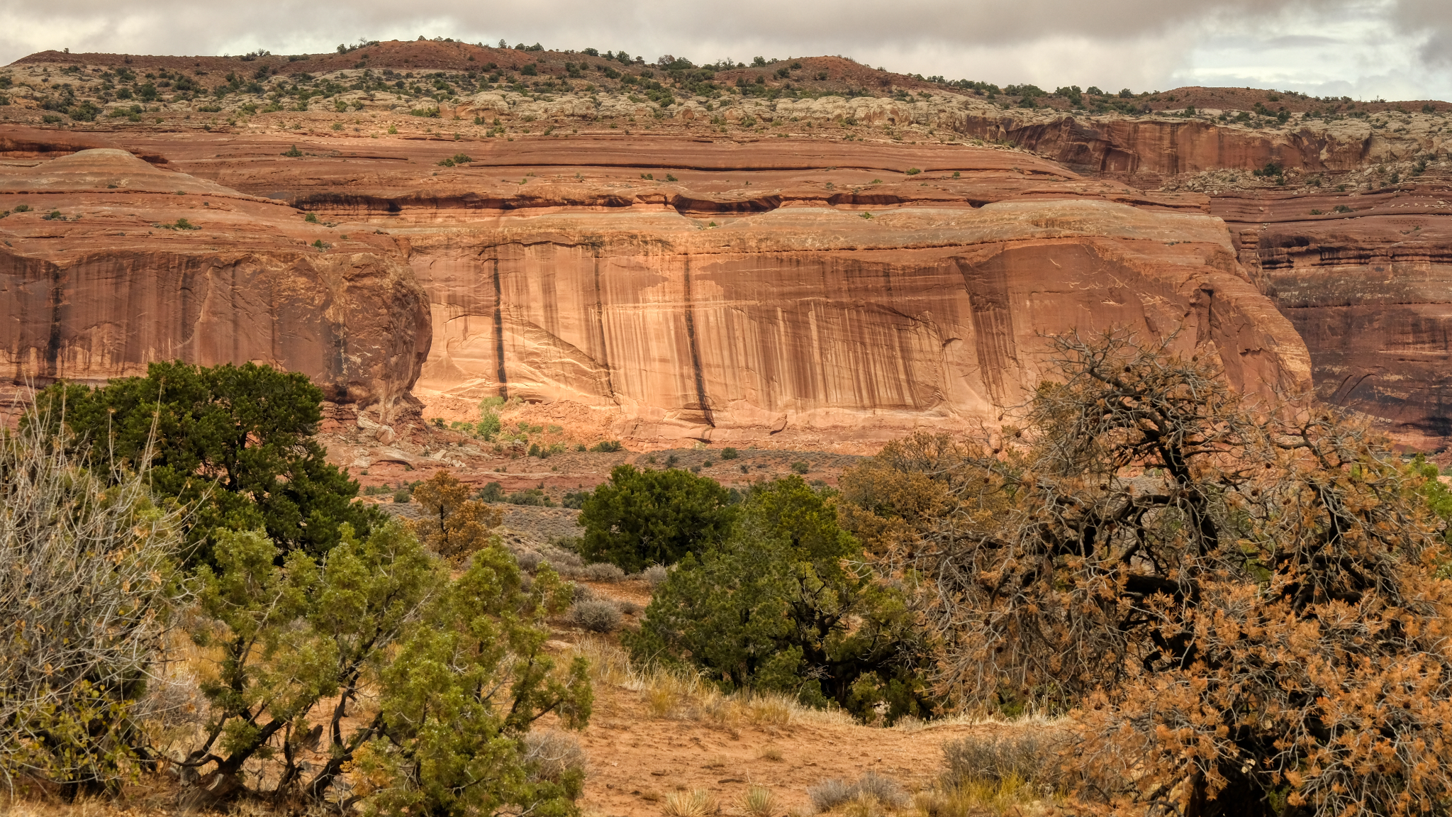 As I neared the town of Moab the rain increased, streaking the red cliffs.
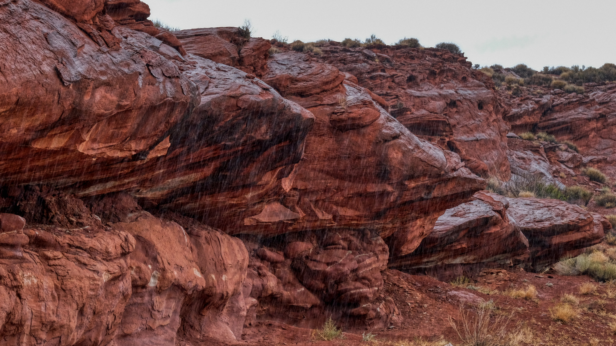
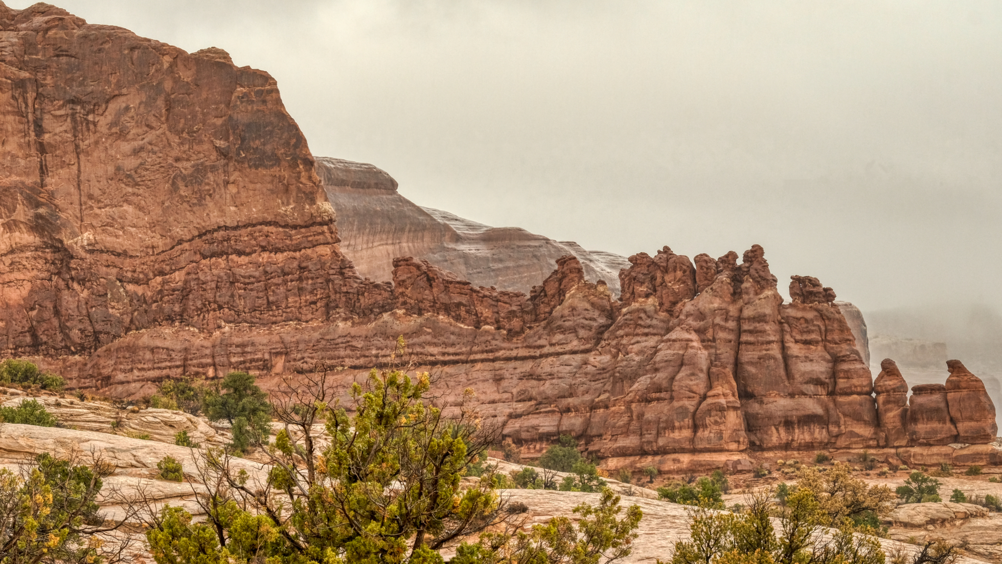 The red rock formations got wetter and wetter as I approached Moab.
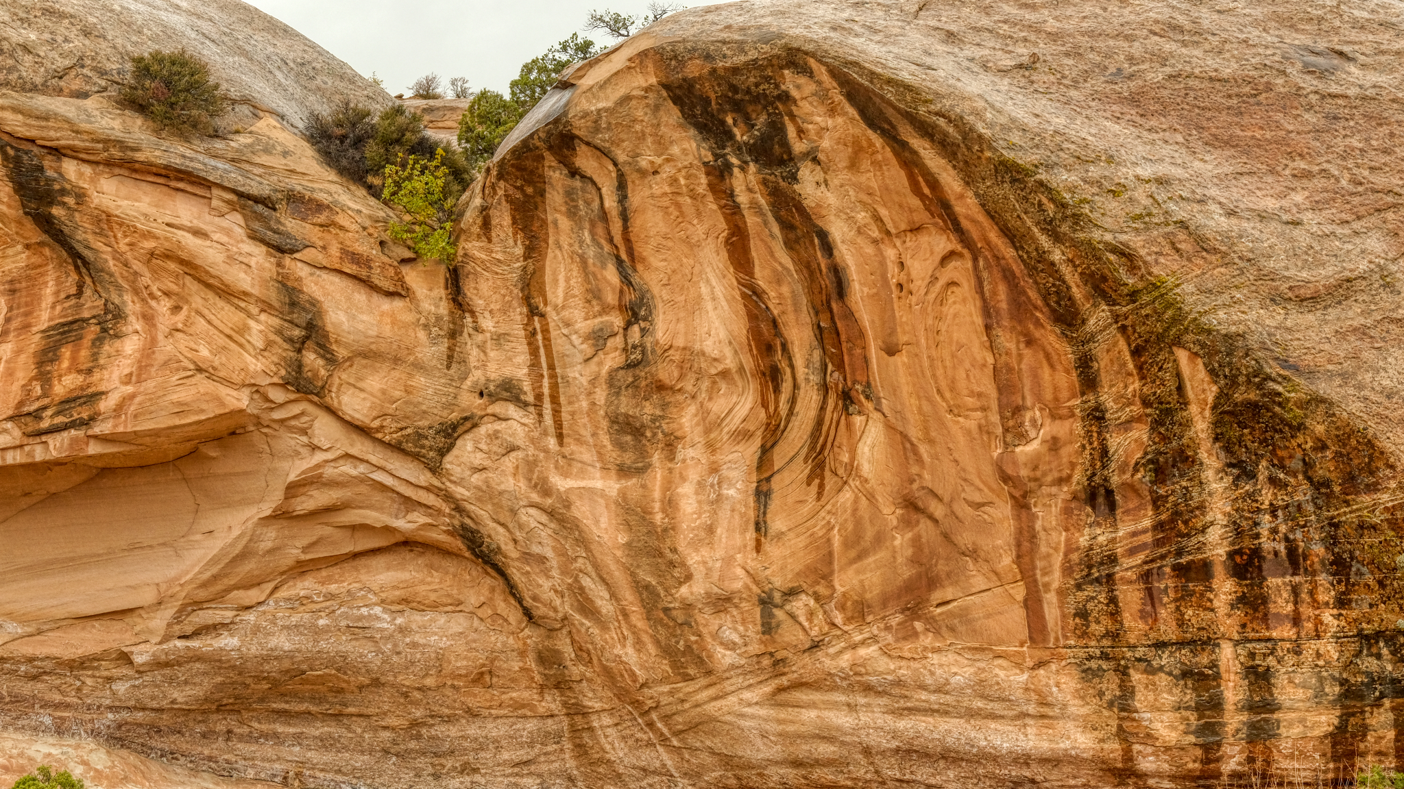 I discovered desert rock formations become even more fascinating when they are wet.
 And the rain continued to come down harder and harder. When I arrived at the only motel showing vacancies in Moab, I found out that the last room had just been taken, but I could come back the next day and stay for two nights. I booked it and went up the highway for 51 miles to Green River, Utah, on Interstate 70 where I found a room for the night.
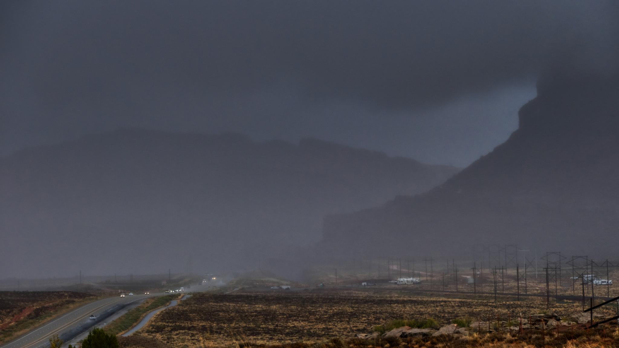 Driving north on Highway 191 out of Moab in a driving rain storm.
 Water poured off of the mesas and buttes.
 After a Sunday night in a Green River, Utah roadside motel (where I was able to watch an NFL game), I drove back to Moab to check for motels there . . . still in a light rain. I found one and sat out the day on the internet and watching Monday Night Football, as the rain became heavy all day. The next morning it was cloudy, with clear spots, so I headed to an RV park and bought a slot for camper next to a German couple who had been on a one year camper road trip in the USA.
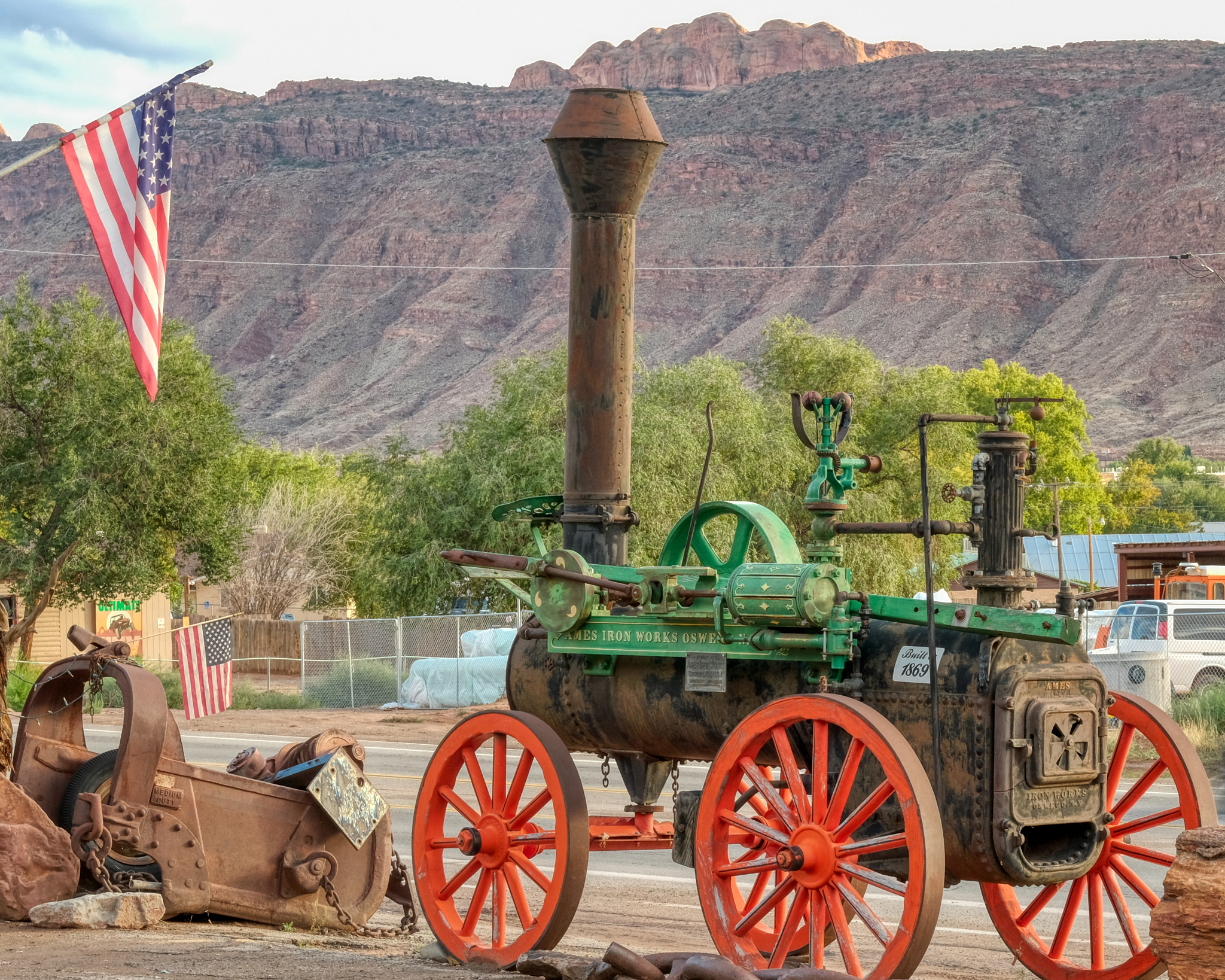 Moab is the "Outdoor Adventure Capitol of the USA" . . . and also a very interesting old mining town. I stopped in a gems and fossil shop to look for dinosaur fossils for my grandson at a place that had lots of antique mining equipment laying about . . .
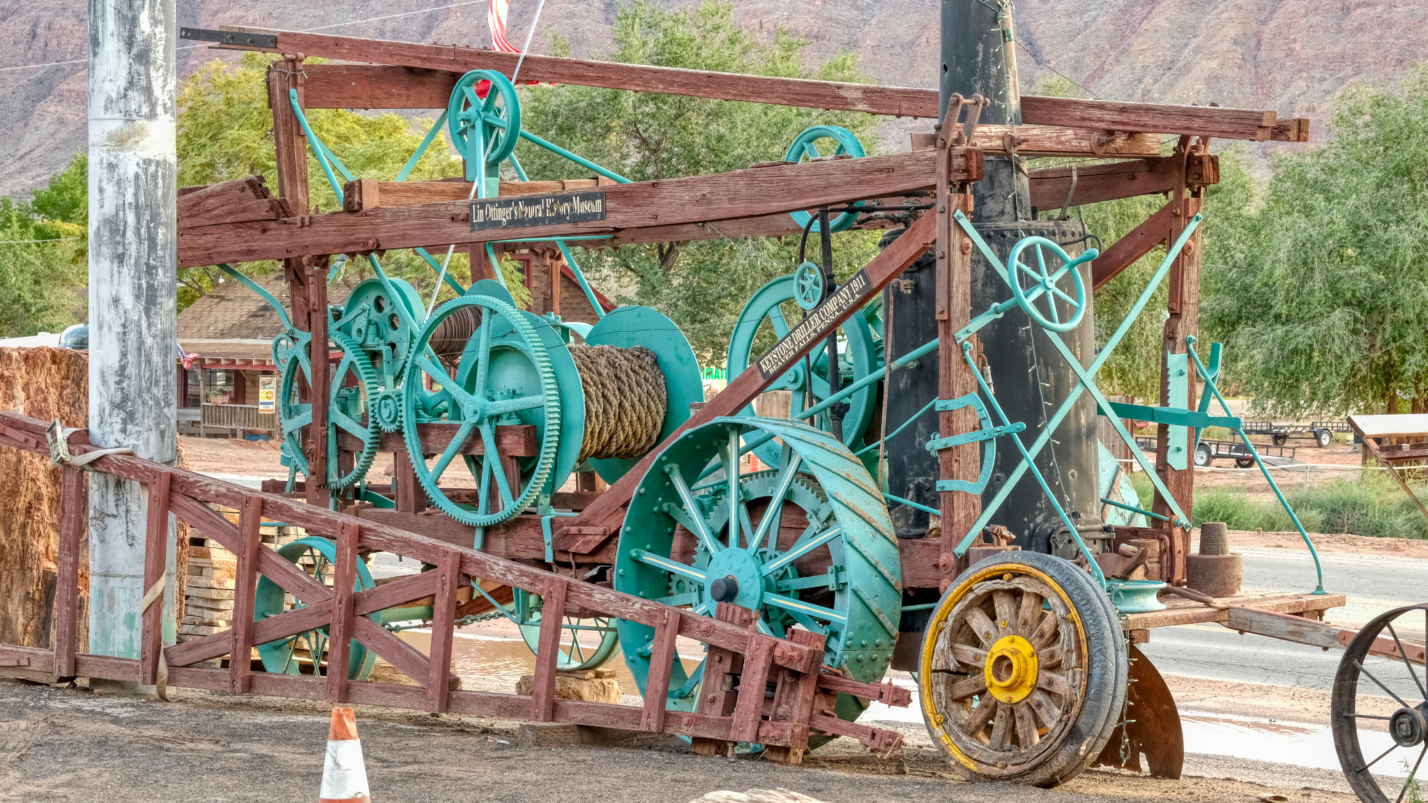 . . . an old mine winch . . .
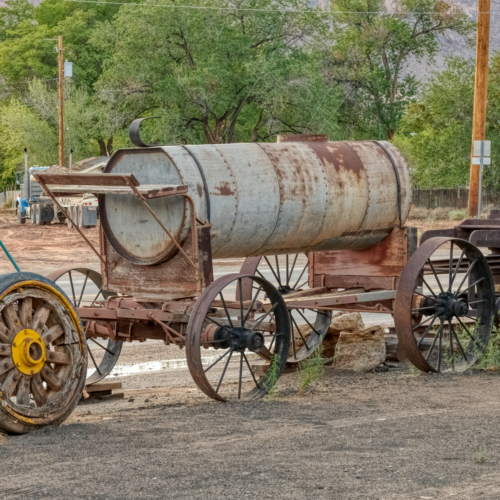 . . . a water wagon that once services a long forgotten mining operation.
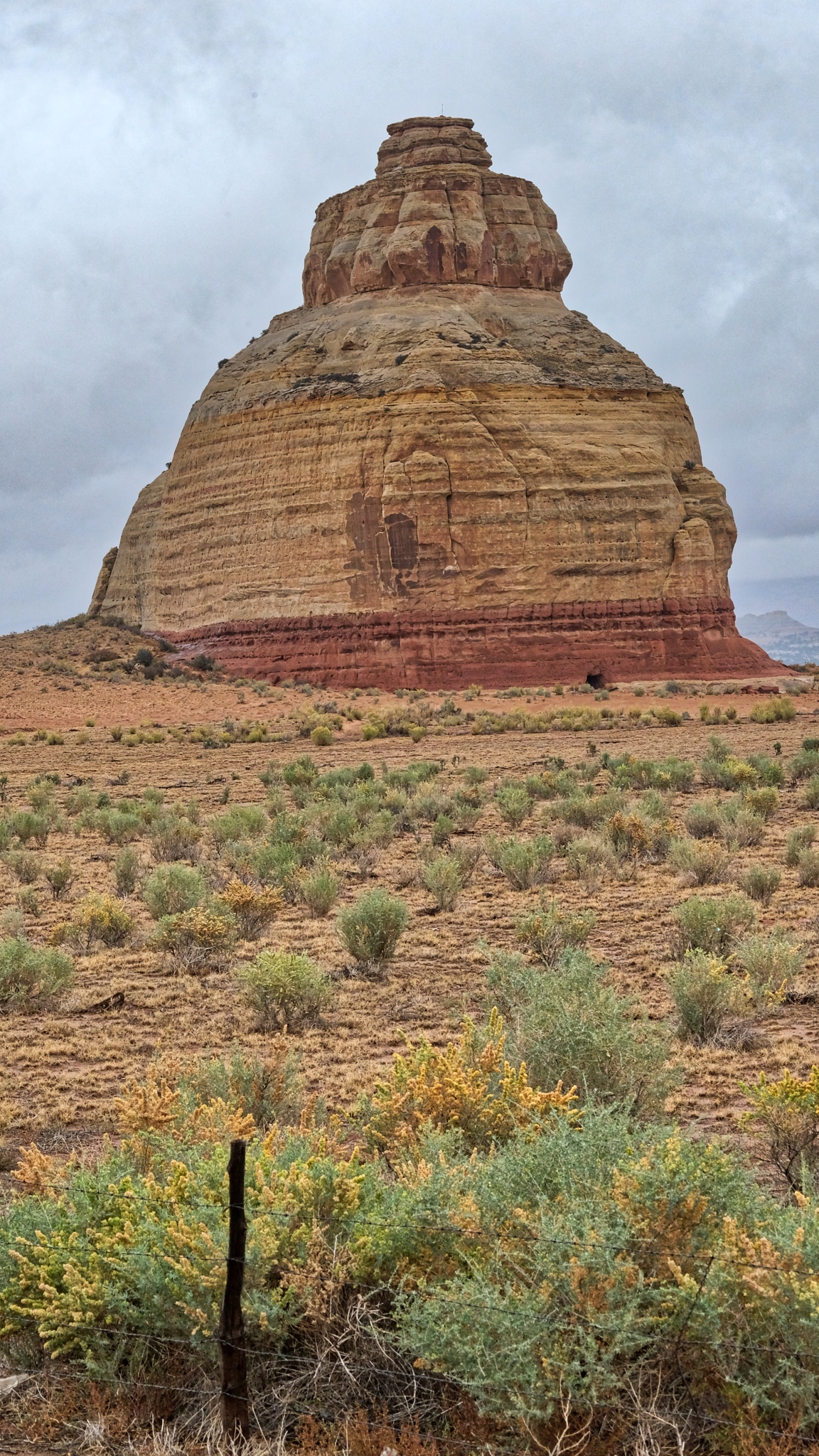
 The good people in the rock shop advised that I go and see Dead Horse Overlook State Park, about 20 miles out of town . . . and through fantastic high desert chaparral country.
 The small paved road out to Dead Horse Overlook was GRAND!
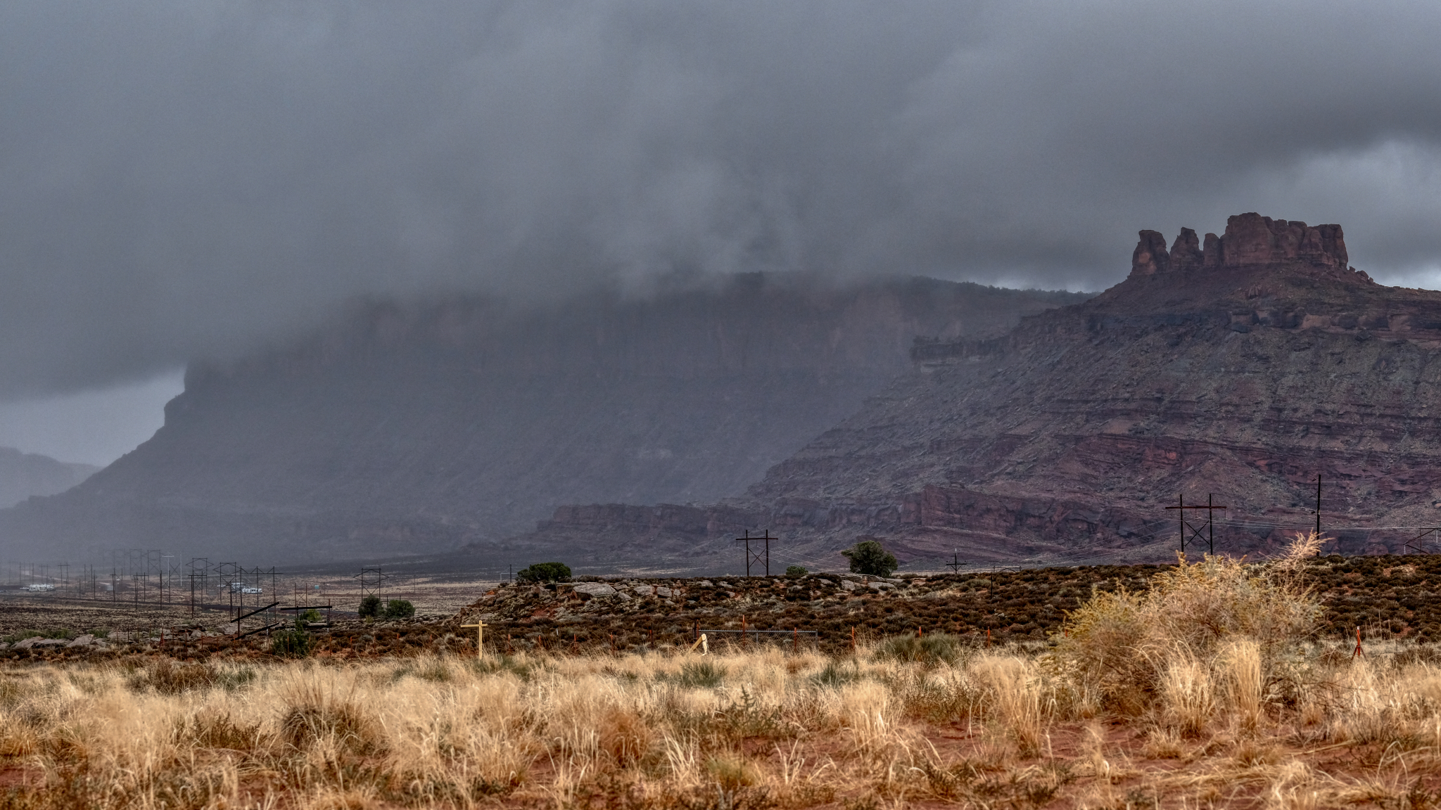
 The sky became very dark and I was worried that I would lose another day in bad weather . . . I pushed on to Dead Horse Overlook.
 As I neared the overlook I knew I was in for something truly wonderful.
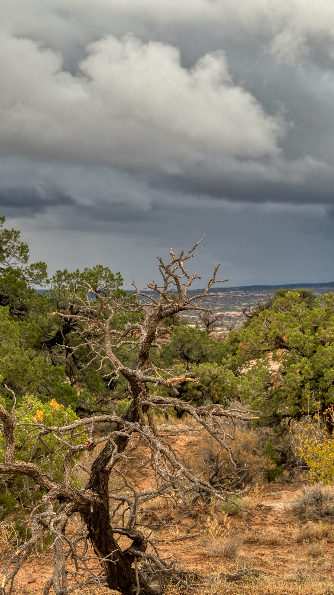
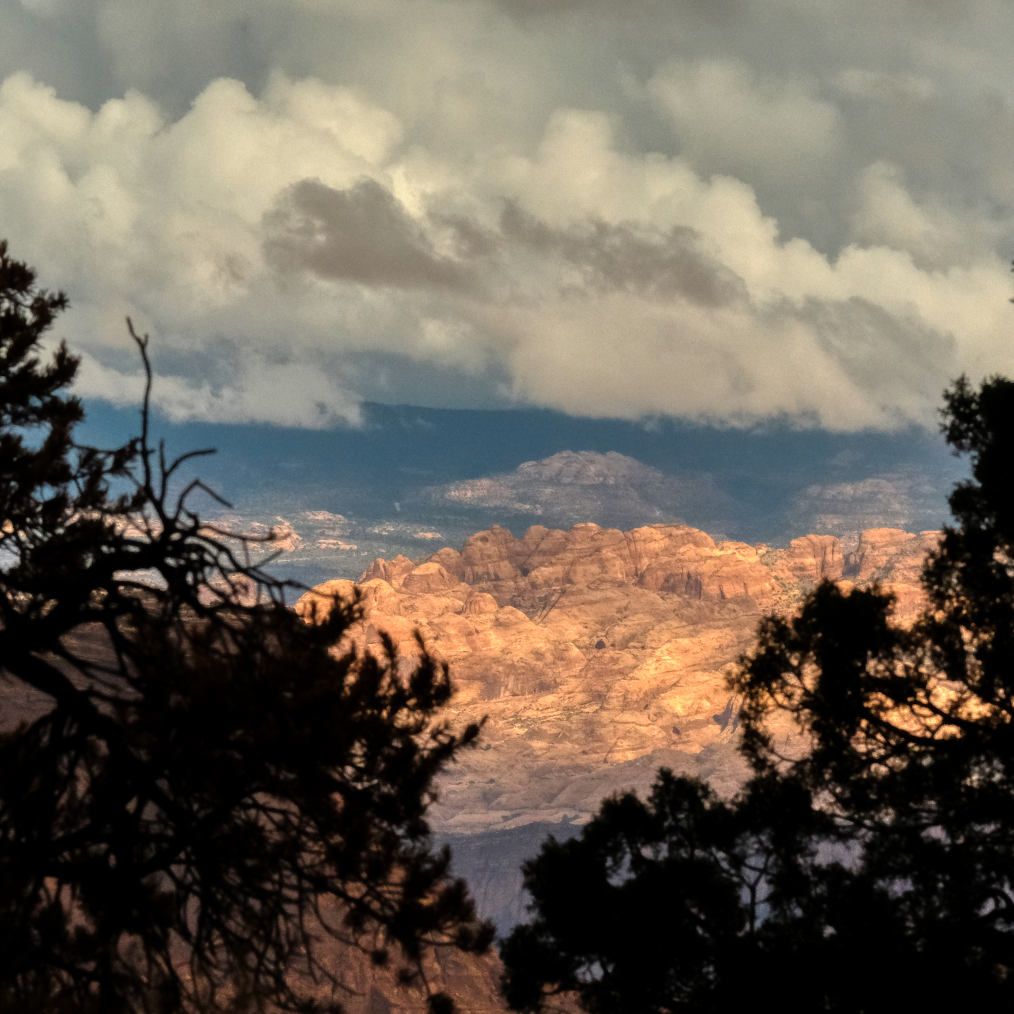 Now and again I would get a glimpse through the roadside shrubbery of a grand landscape . . . .
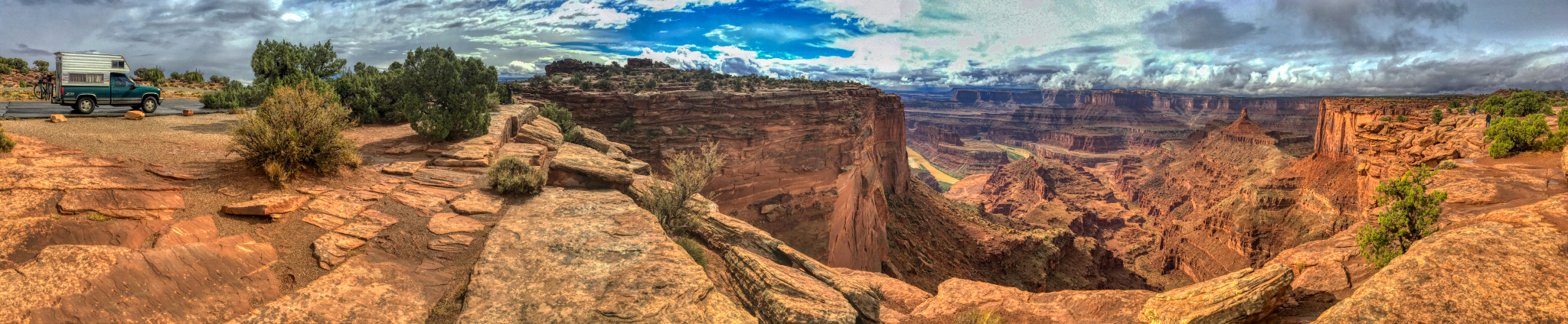
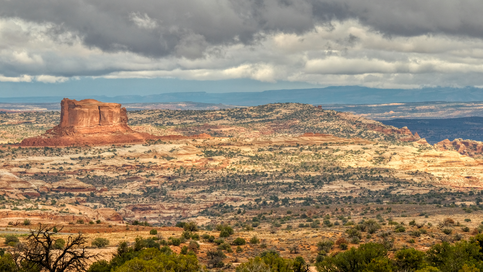
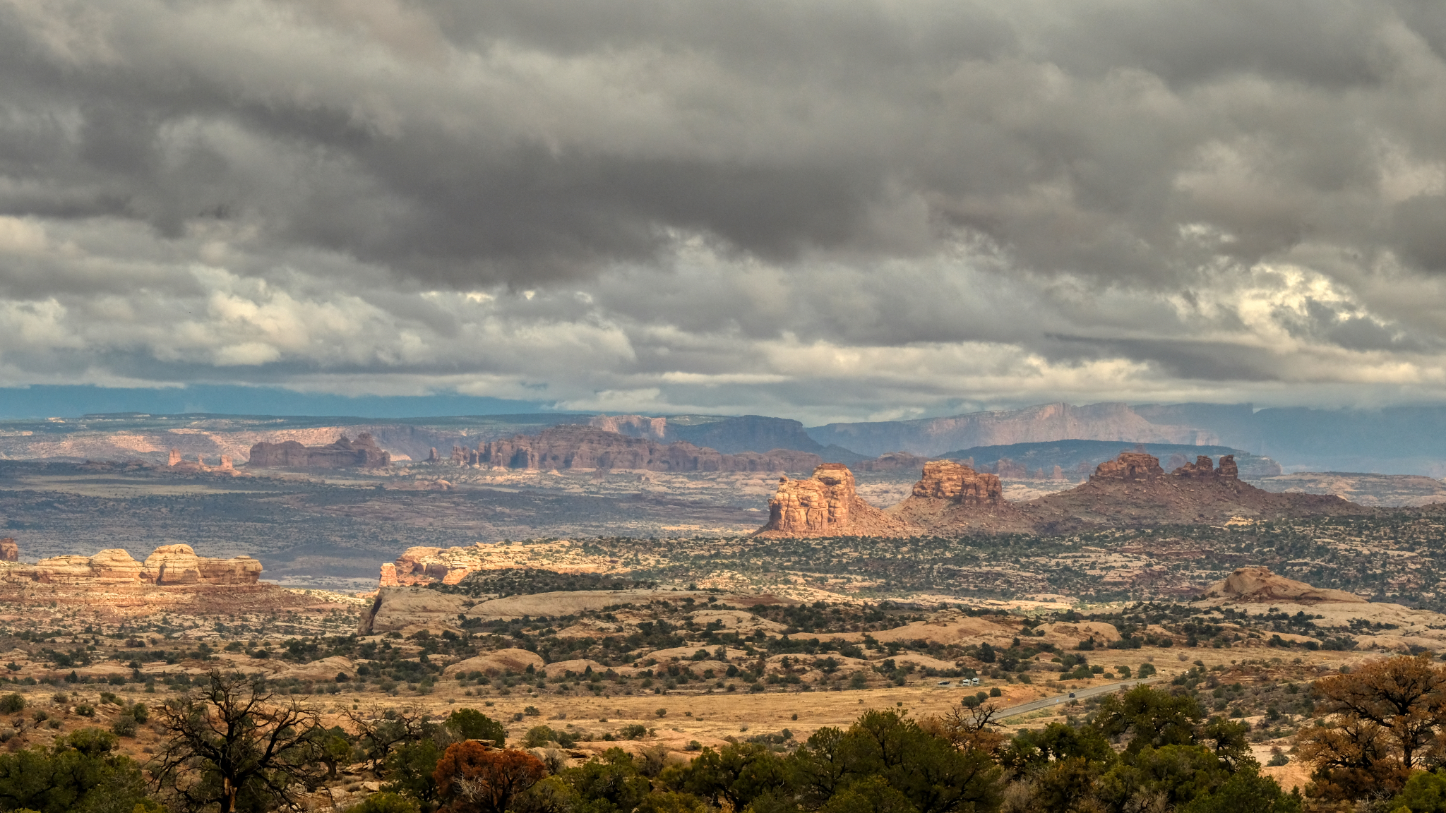
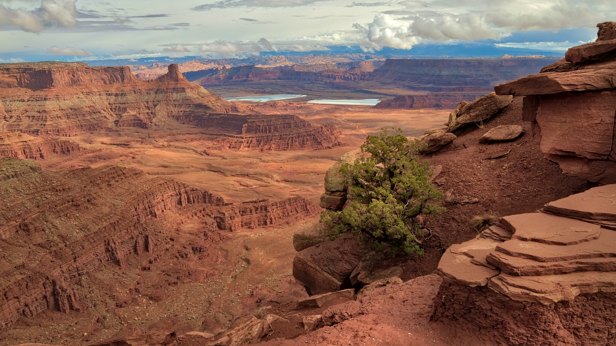
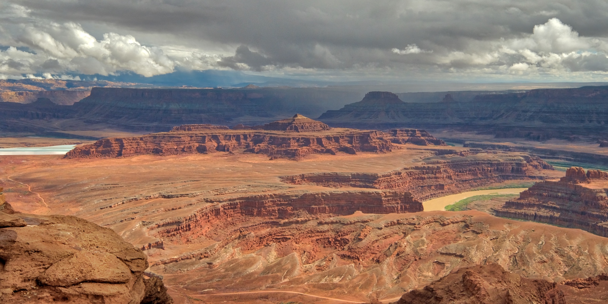
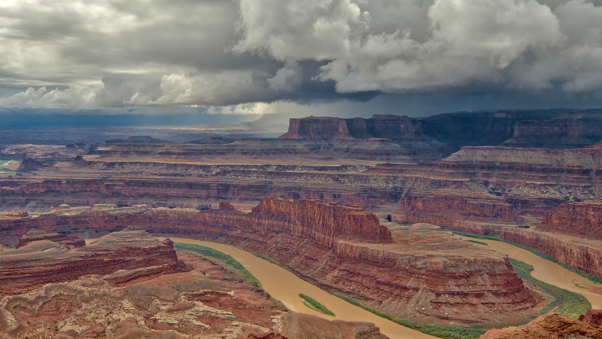
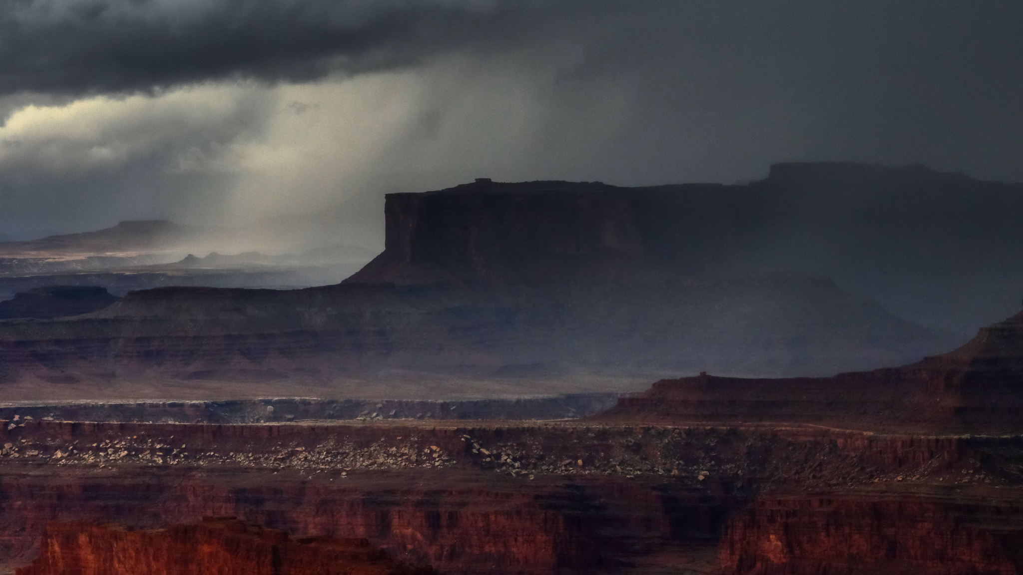
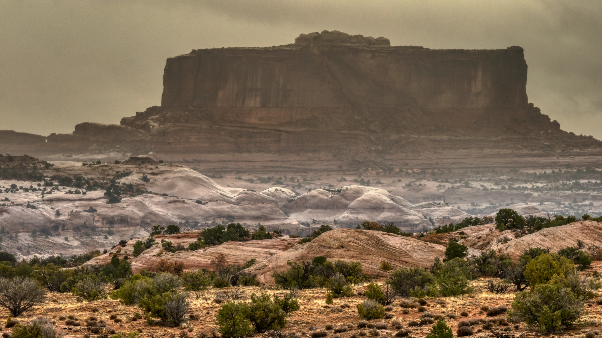
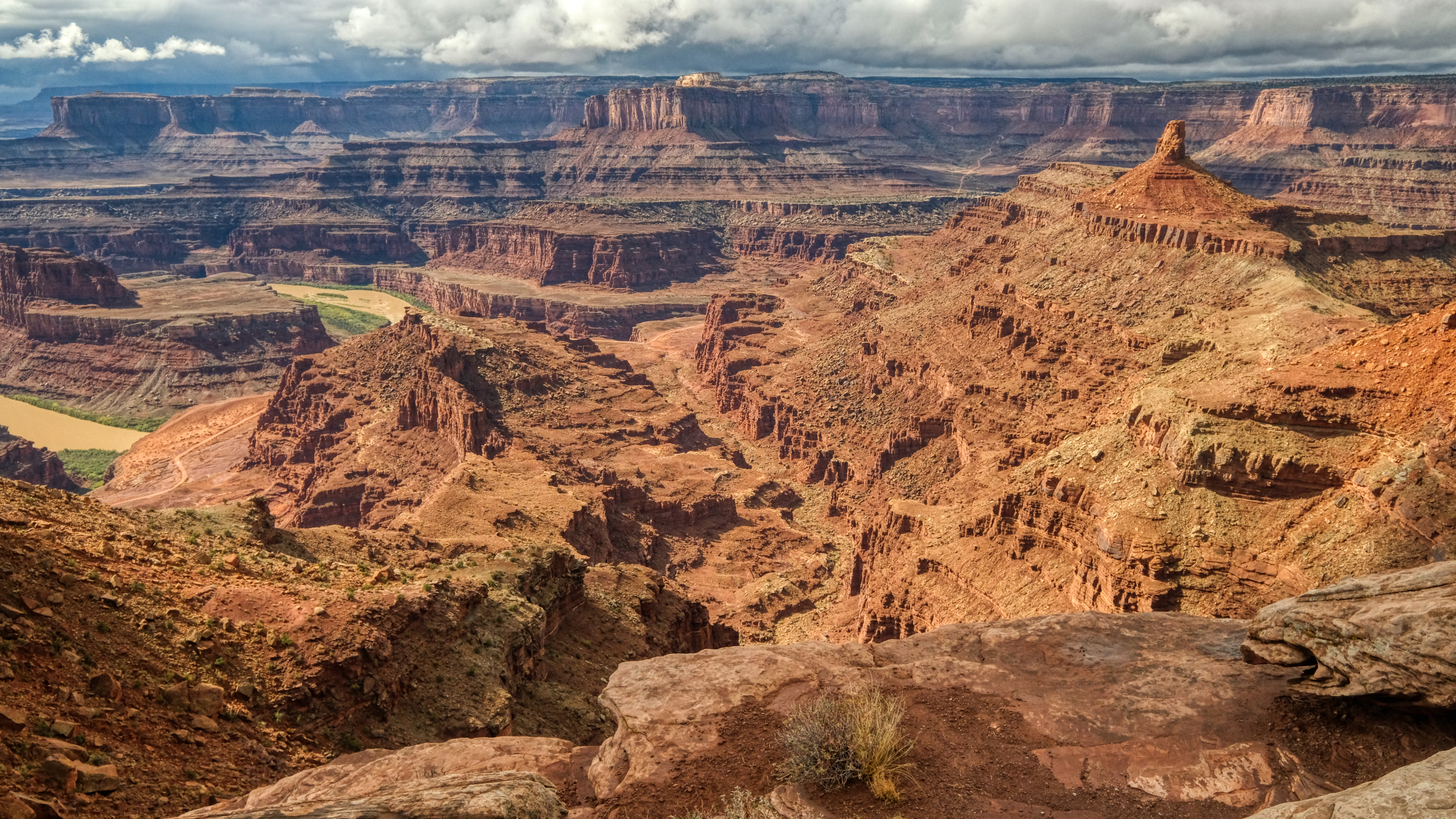 When I finally arrived at Dead Horse Overlook I parked right next to the precipice of this amazing sight! The grandest view I have ever seen! I was parked out on a ridge that jutted out into this spectacular canyon! There was a 300 degree view from where I stood. This view is looking north.
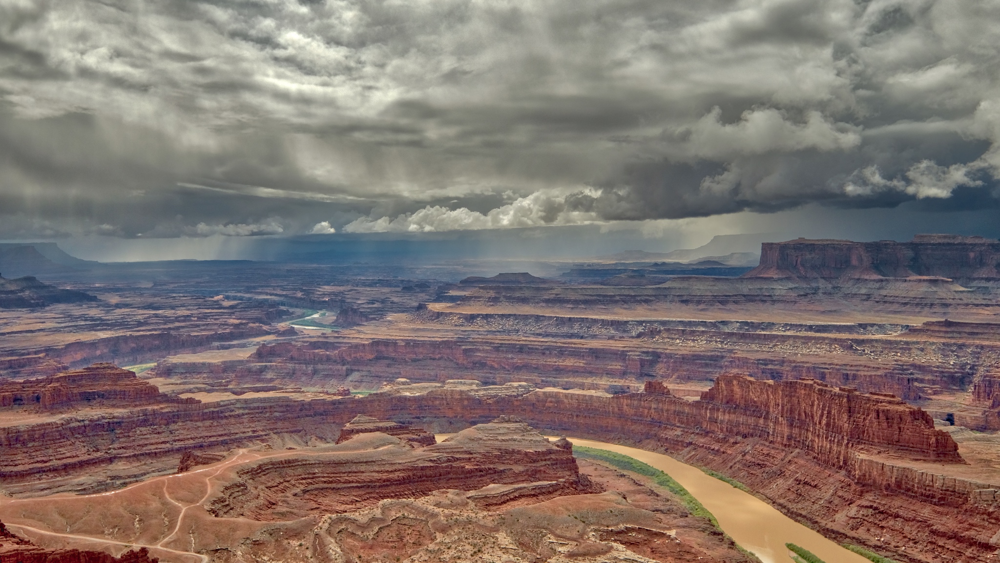
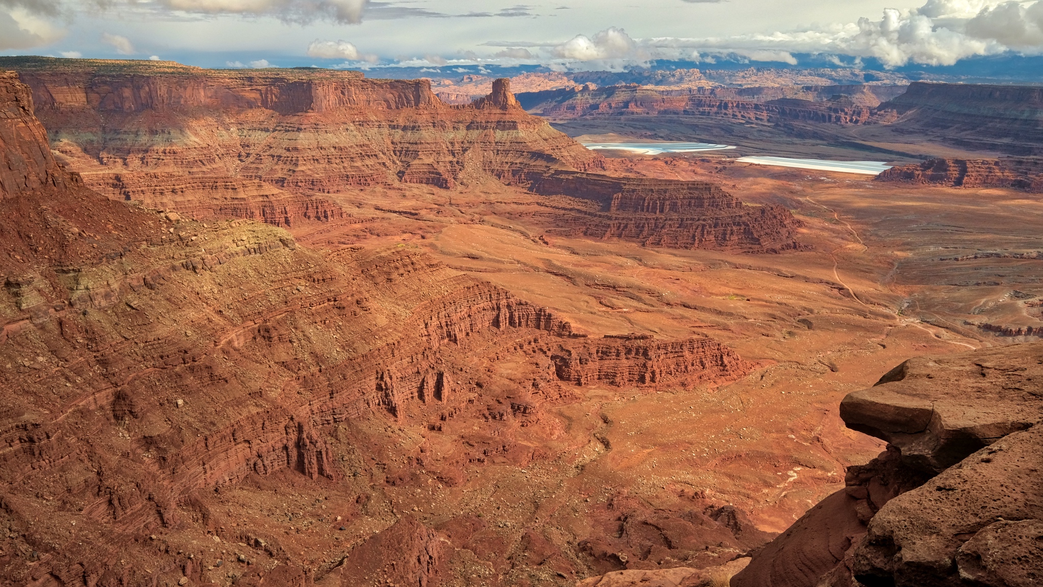 I walked across the road to this south facing view of the mammoth canyon!
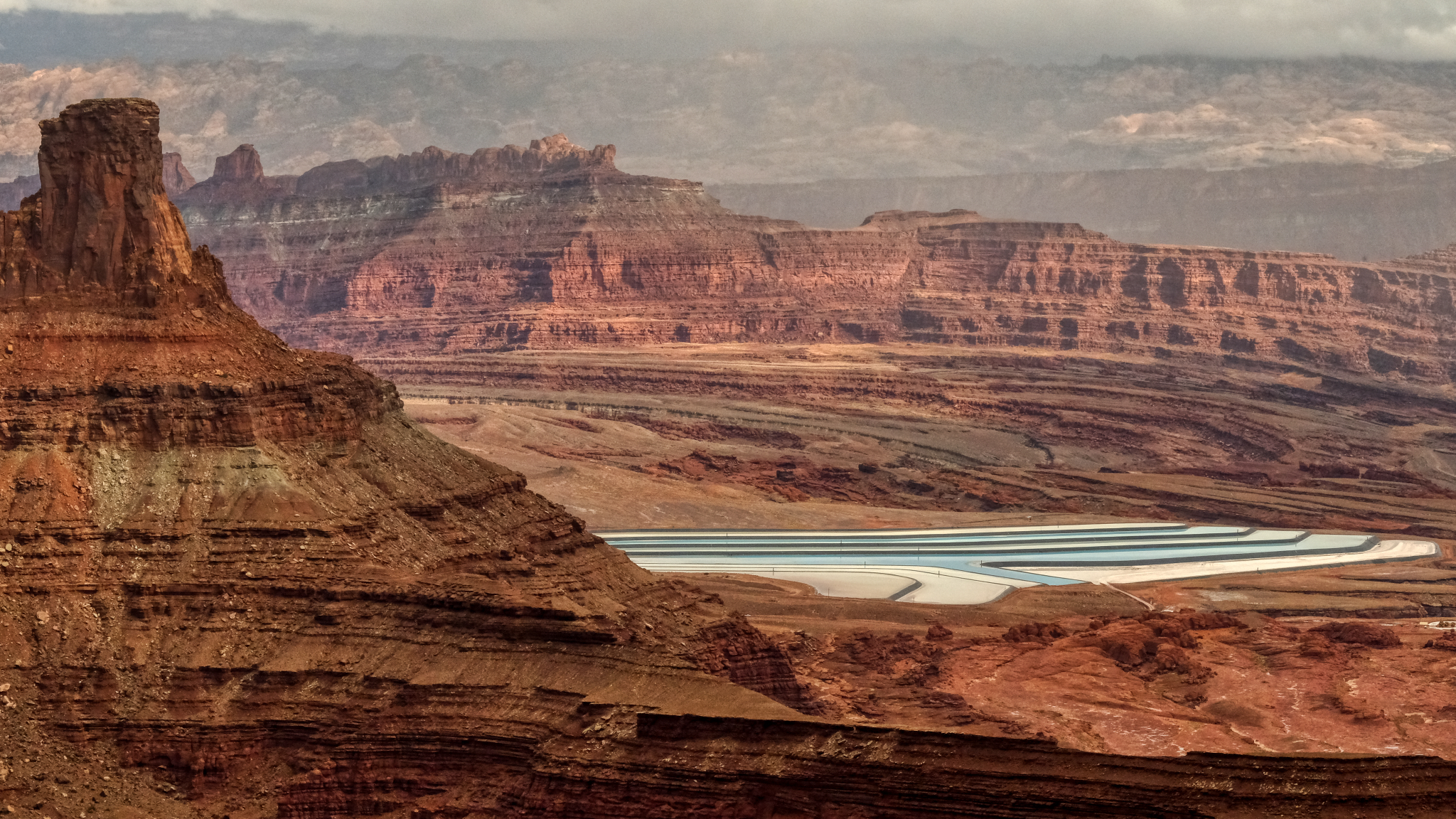
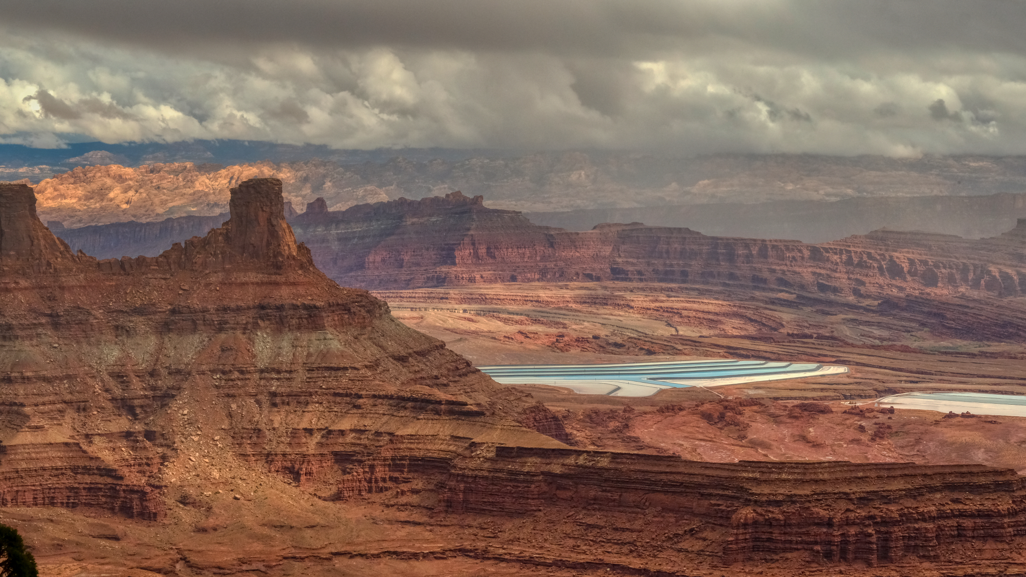 Potash evaporation ponds could be seen in the distance in the south side view.
 I was left speechless by the grandeur of this place . . . and so were the 15-20 other tourists there . . . walking around very slowly with their mouths open . . . in complete silence.
 Astonishing beauty.
 I walked along the south edge toward the outermost point of the ridge . . .
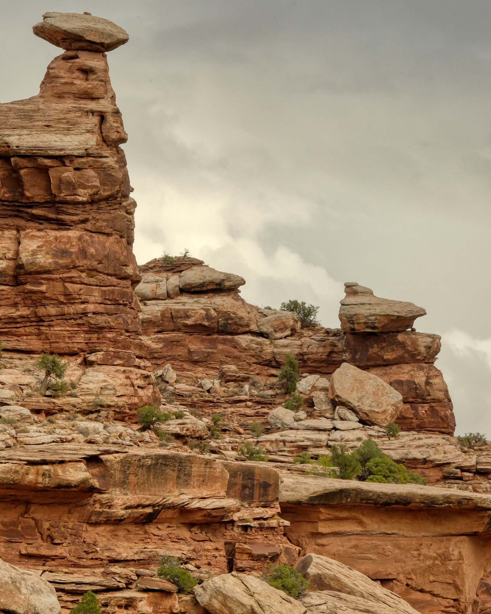
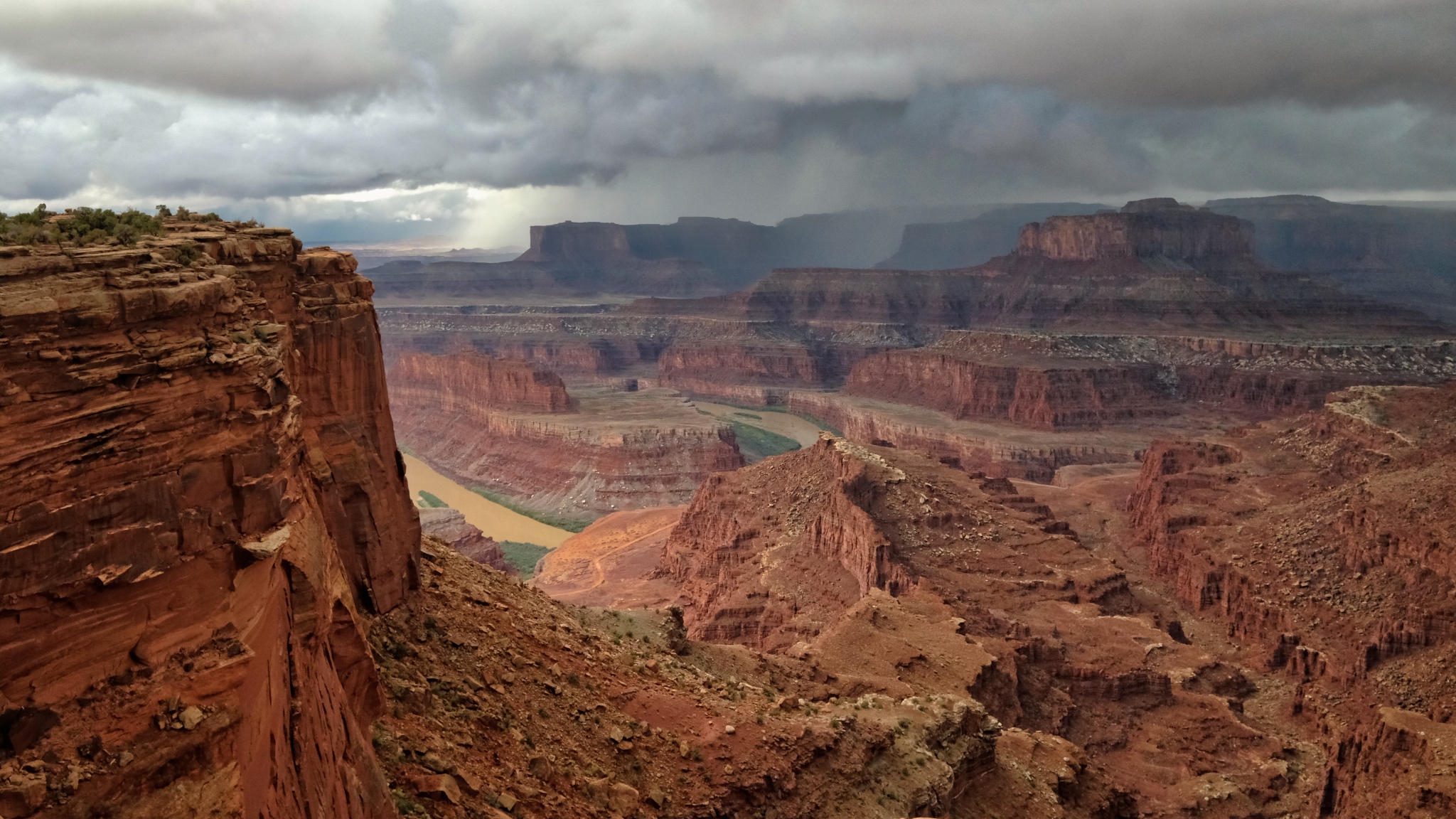
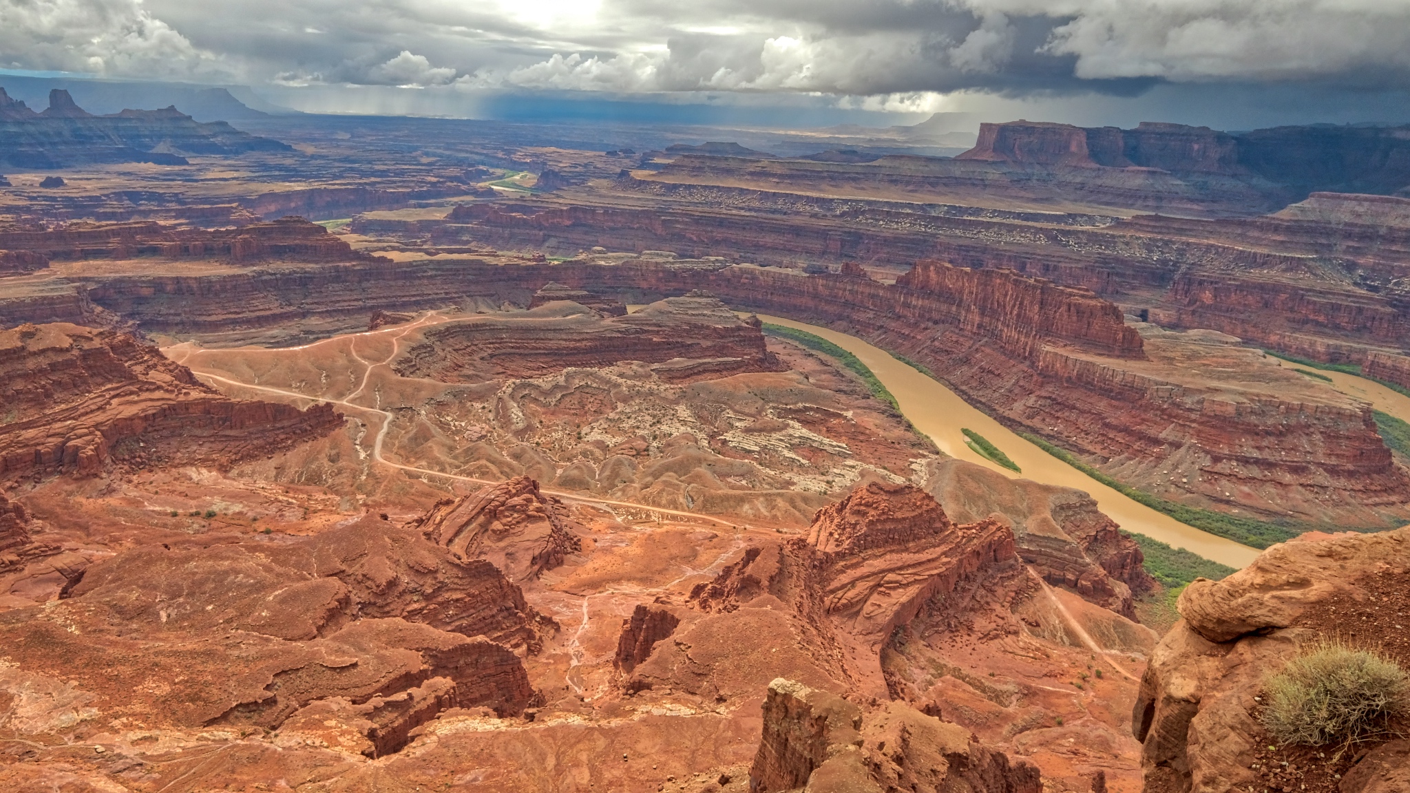 A meandering Colorado River cuts its way through the red rock.
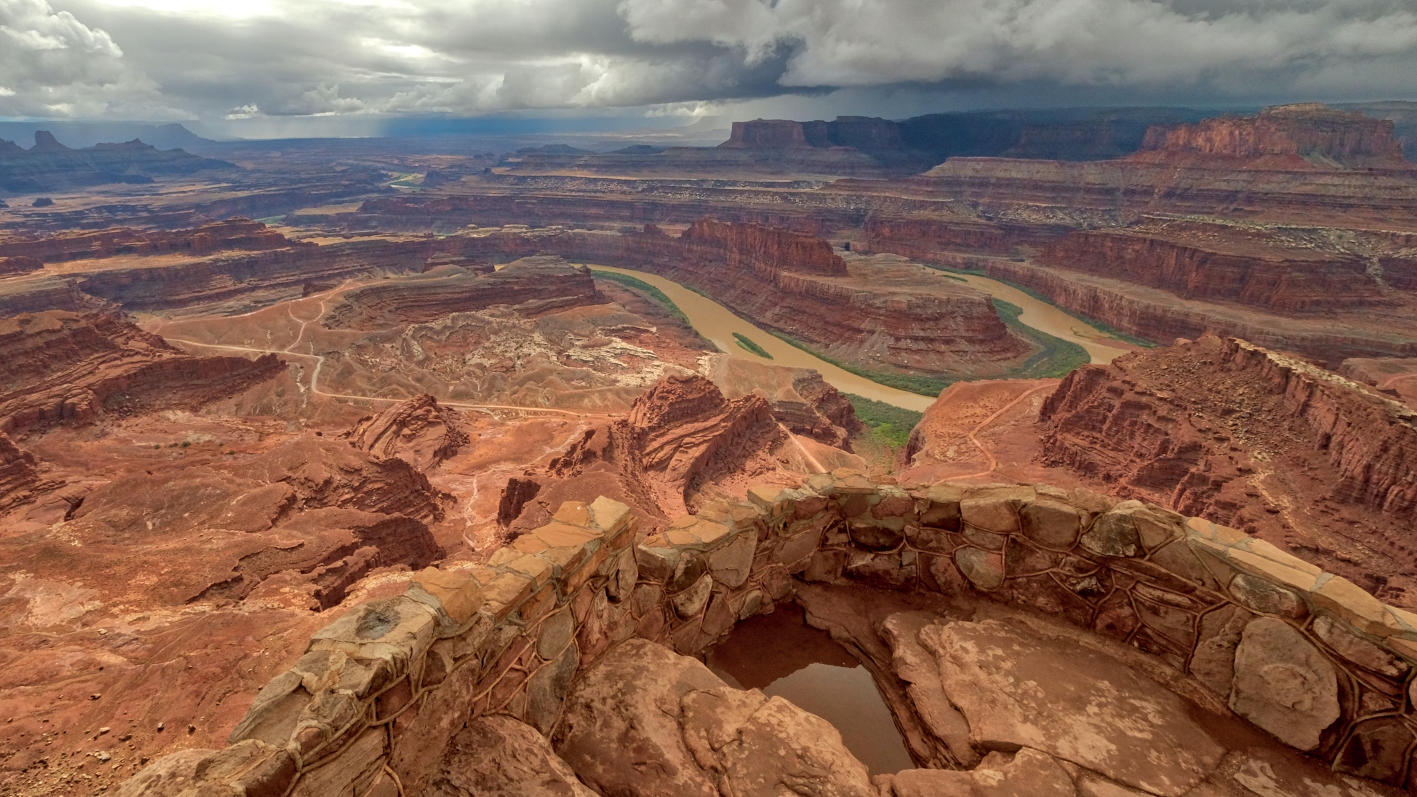
At last I stood out at the end of the ridge . . . with the entire canyon below . . .
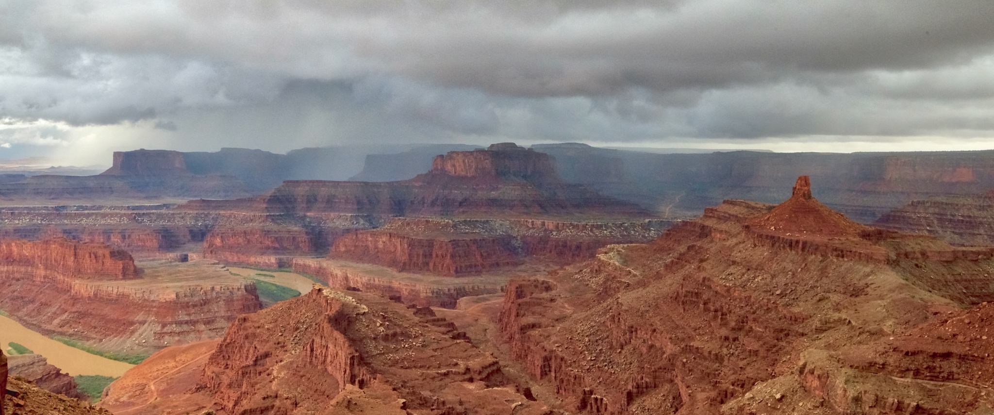
 Looking north from the ridge point I could see the storm clouds gathering on the far canyon rim.
 Indescribable beauty.
 The rain moved rapidly across the canyon.
 The rain came swiftly . . . I ran to my camper.
 I hated to have to leave this incredible place . . . I slowly drove away from Dead Horse Point State Park, Utah.
 Back down the road through the rain toward my motel room in Moab . . . too cold and wet for a campground . . .
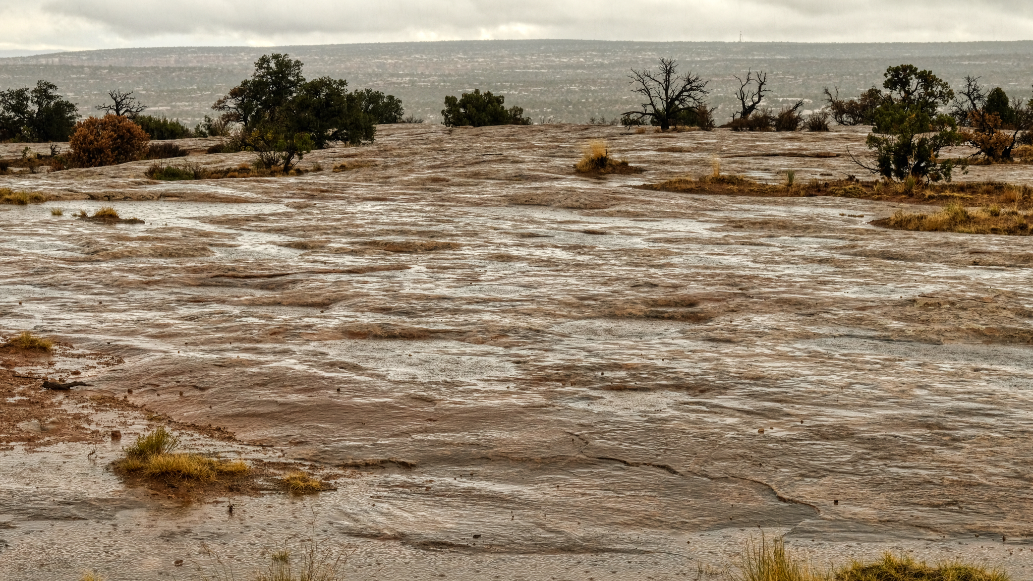 Hard rain on hard flat rock.
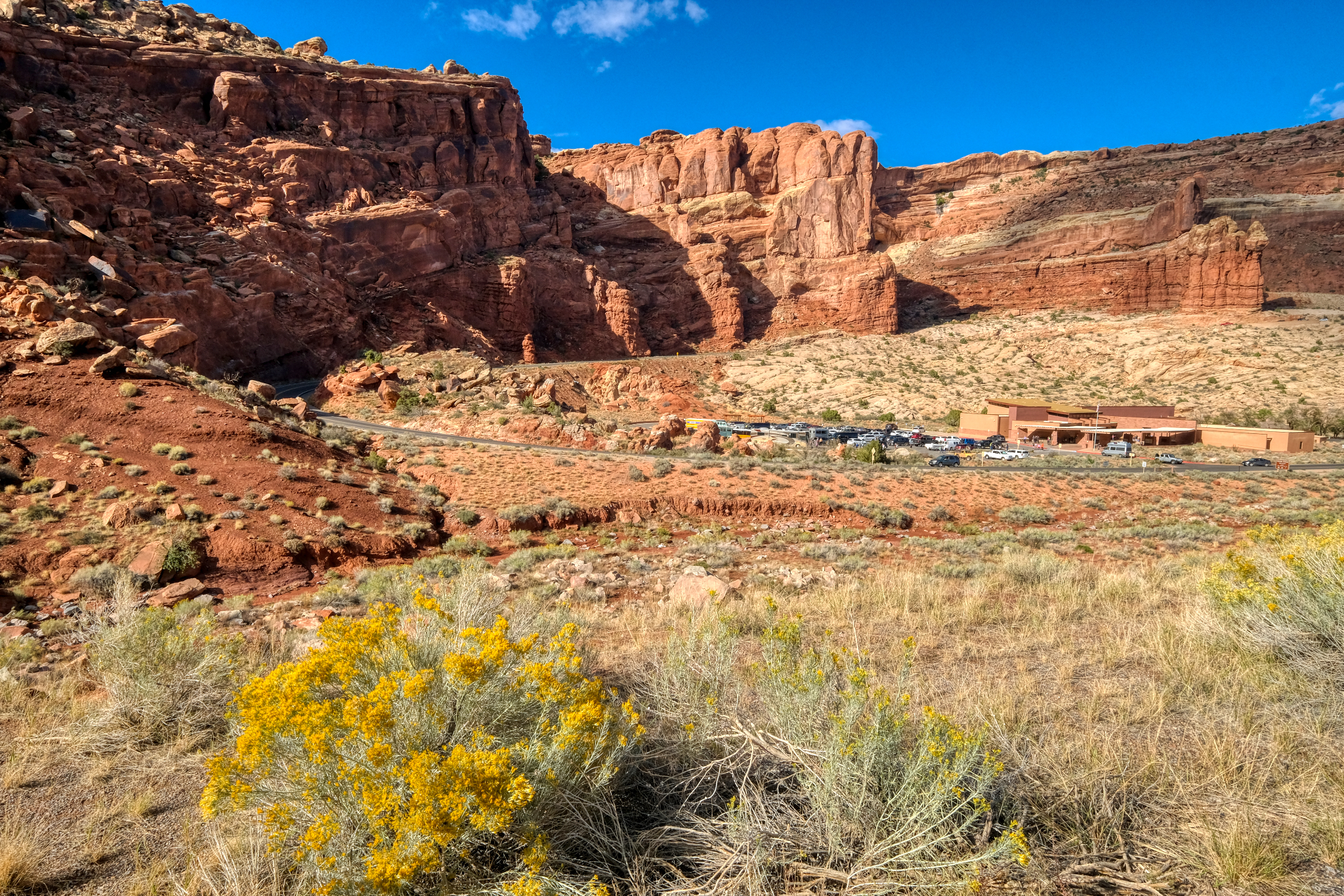
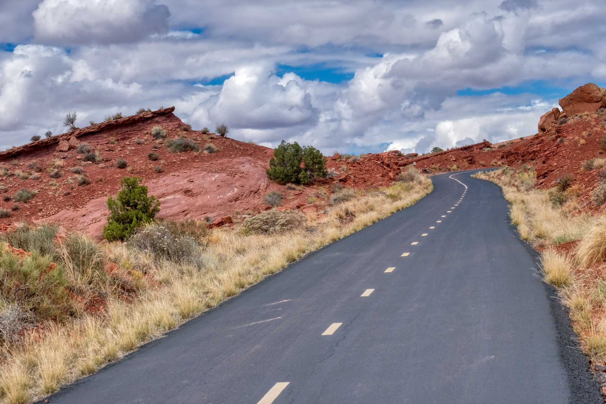
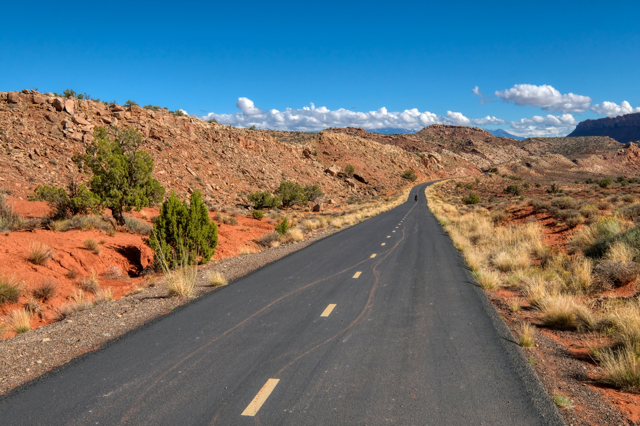
 The next morning broke bright and sunny. I left my motel and found a nice RV park at the edge of town, got a space, set up, and set off on my bicycle. As it turned out, my RV park was at the beginning of a long and paved bike trail that led out of town and up into the red rock canyons.
 The trail was beautifully paved and at a not too steep grade. Perfect.
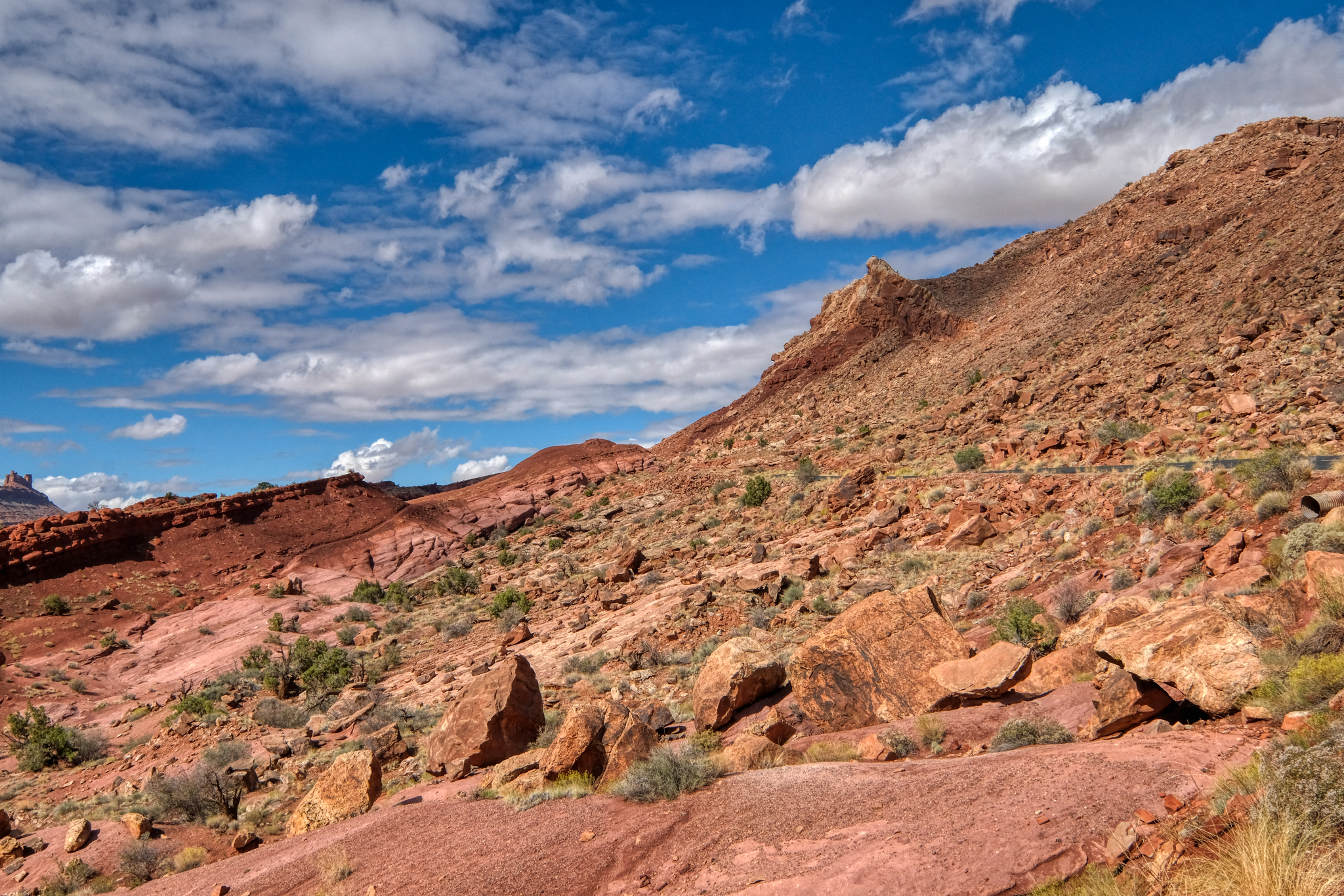
 The views coming up the bike trail out of Moab were spectacular!
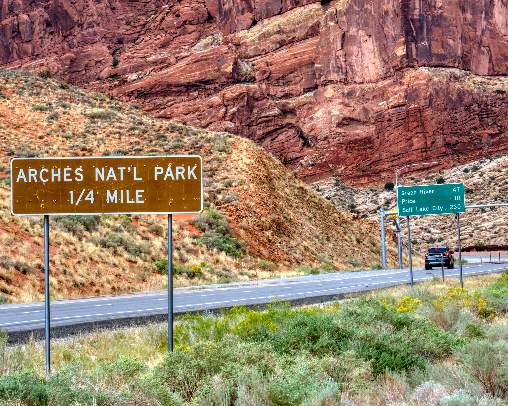 The cut-off road to the Arches National Park was just outside of town . . . .
 I thought about going into the Arches National Park, but the road was always busy . . . and so was the Visitors Center. I couldn't imagine seeing anything more impressive than Dead Horse Point overlook.
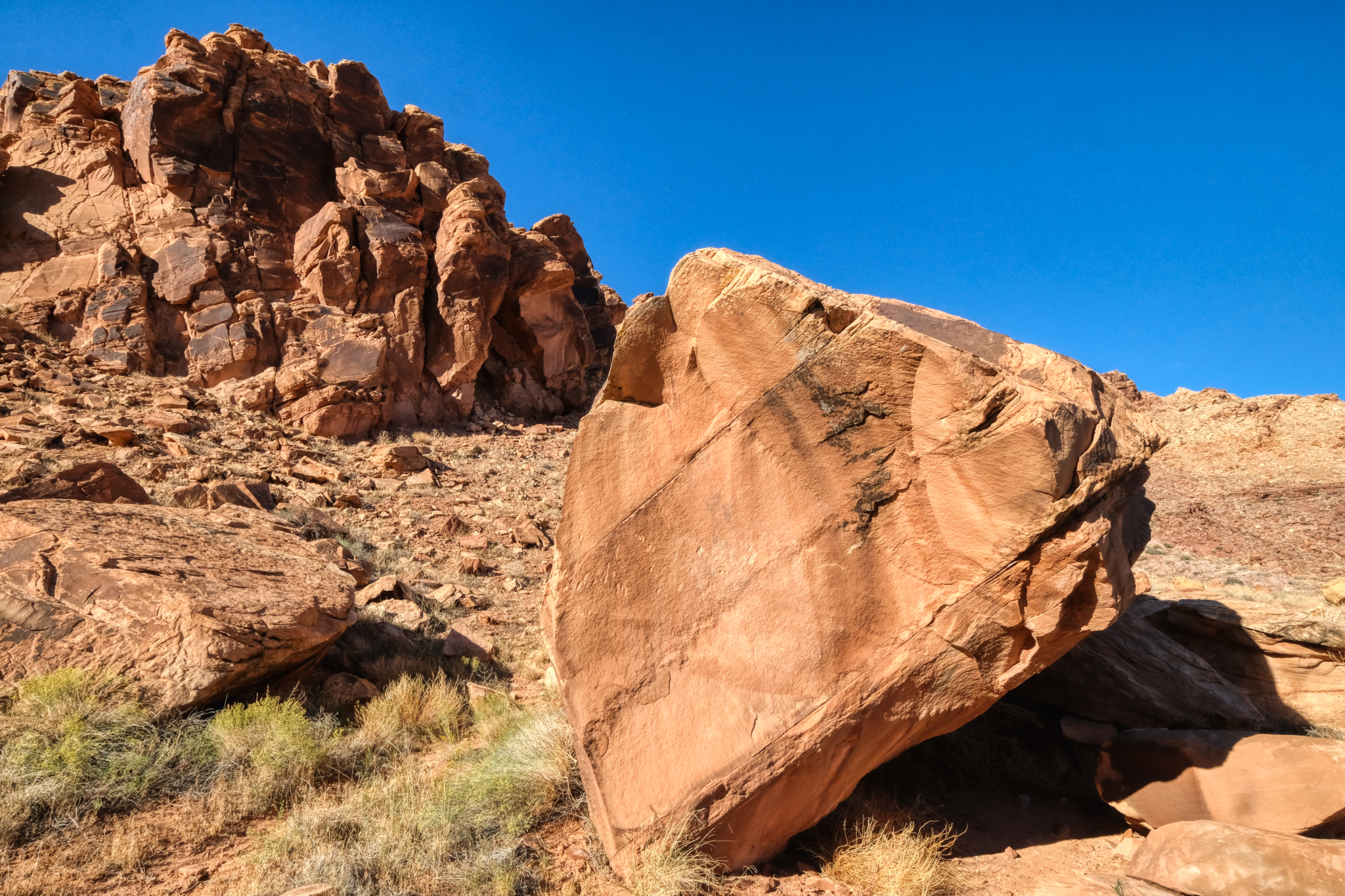
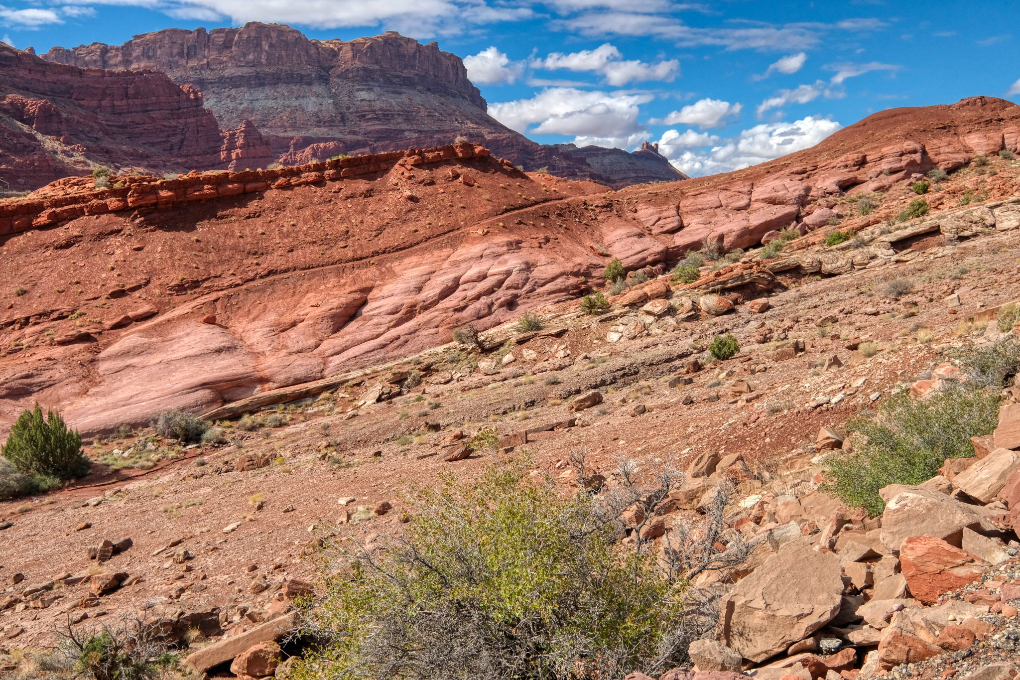 I must have been a geologist in a previous life. My college roommate was a 'geomorphologist' and I guess I got the geology interest from him. This scenery fascinates me no end.
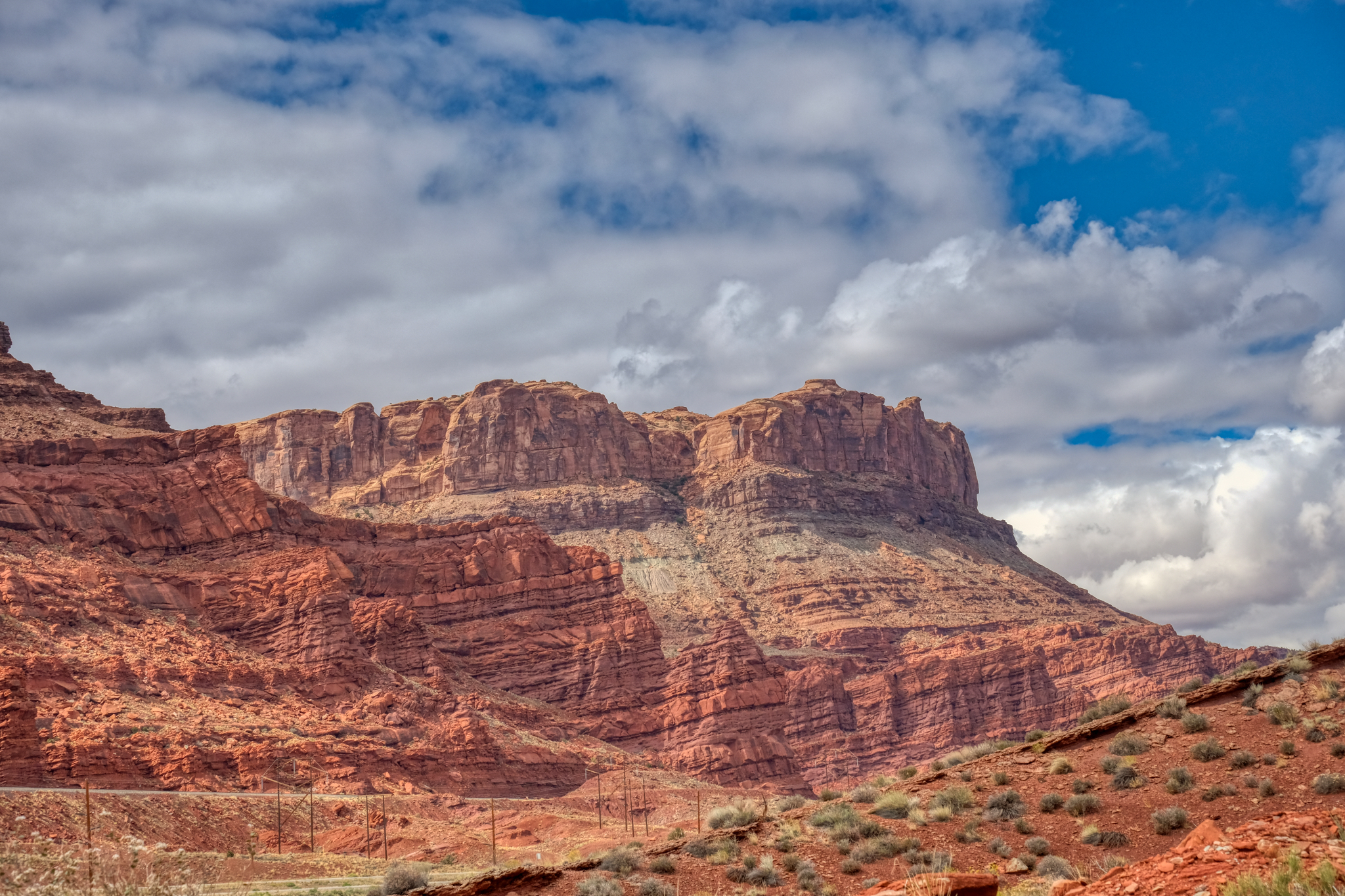
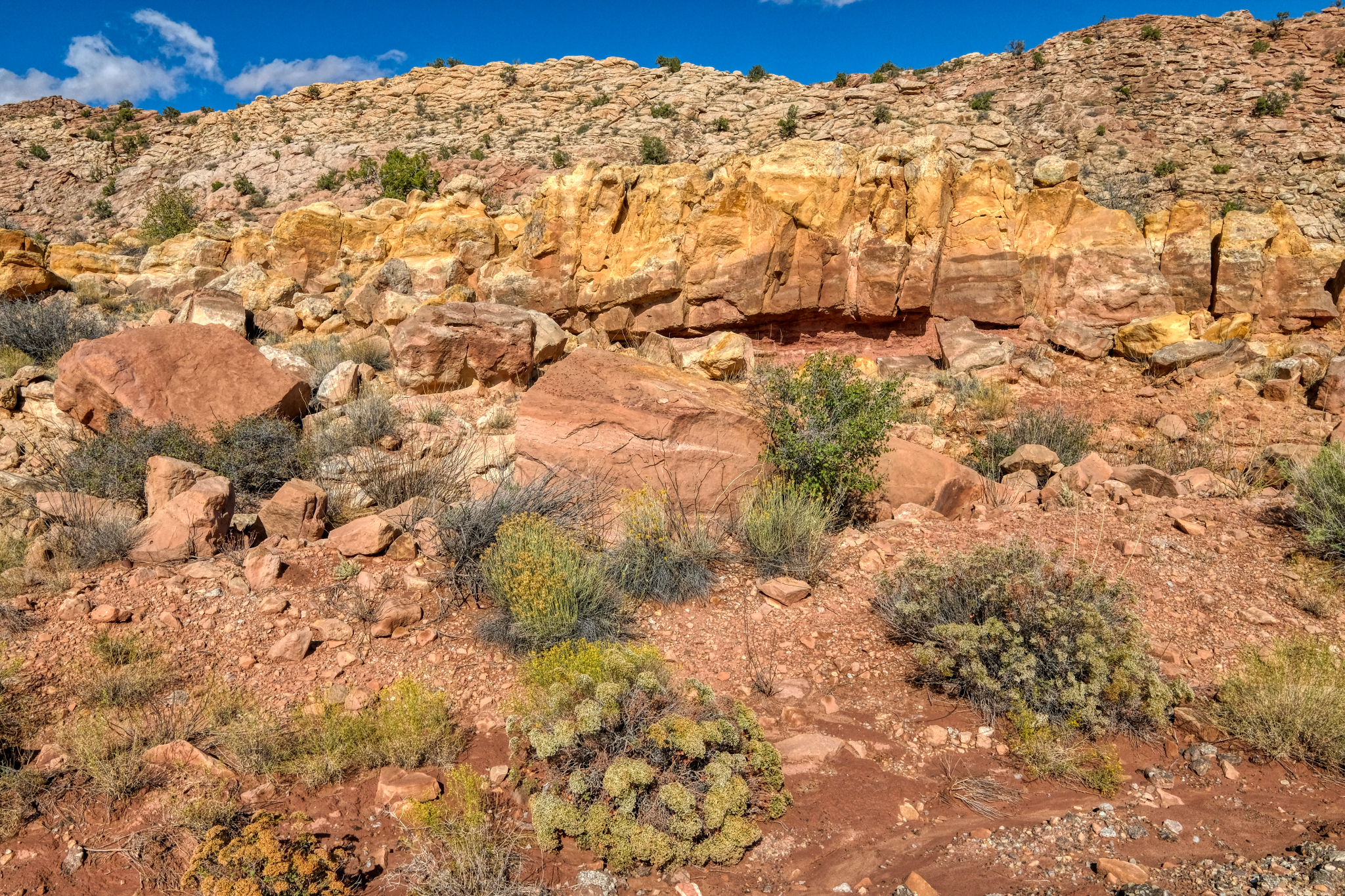
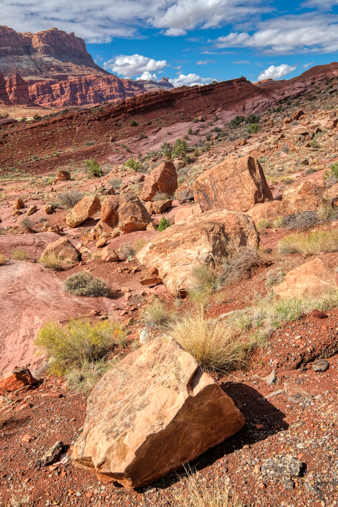
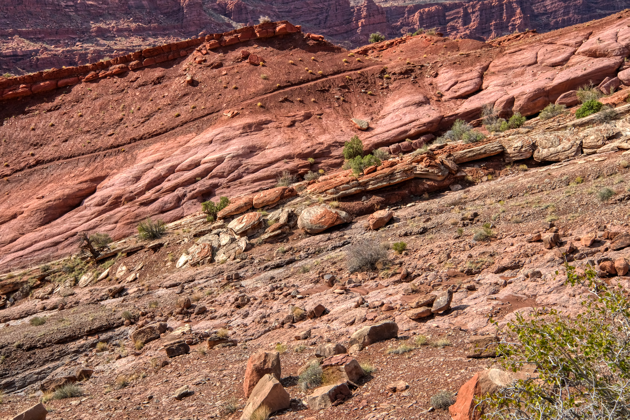
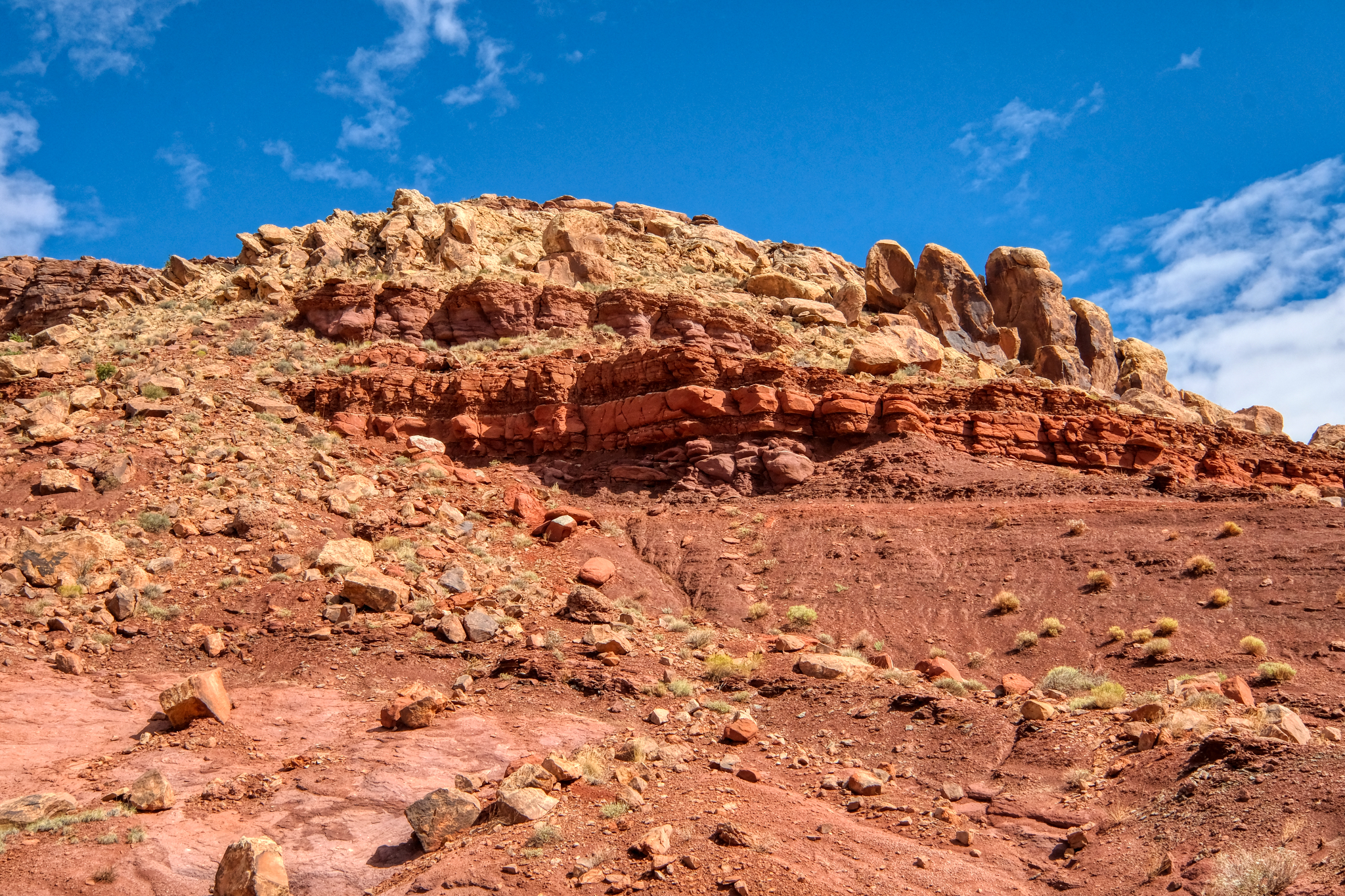 Layered rock outcrops lined the bike trail.
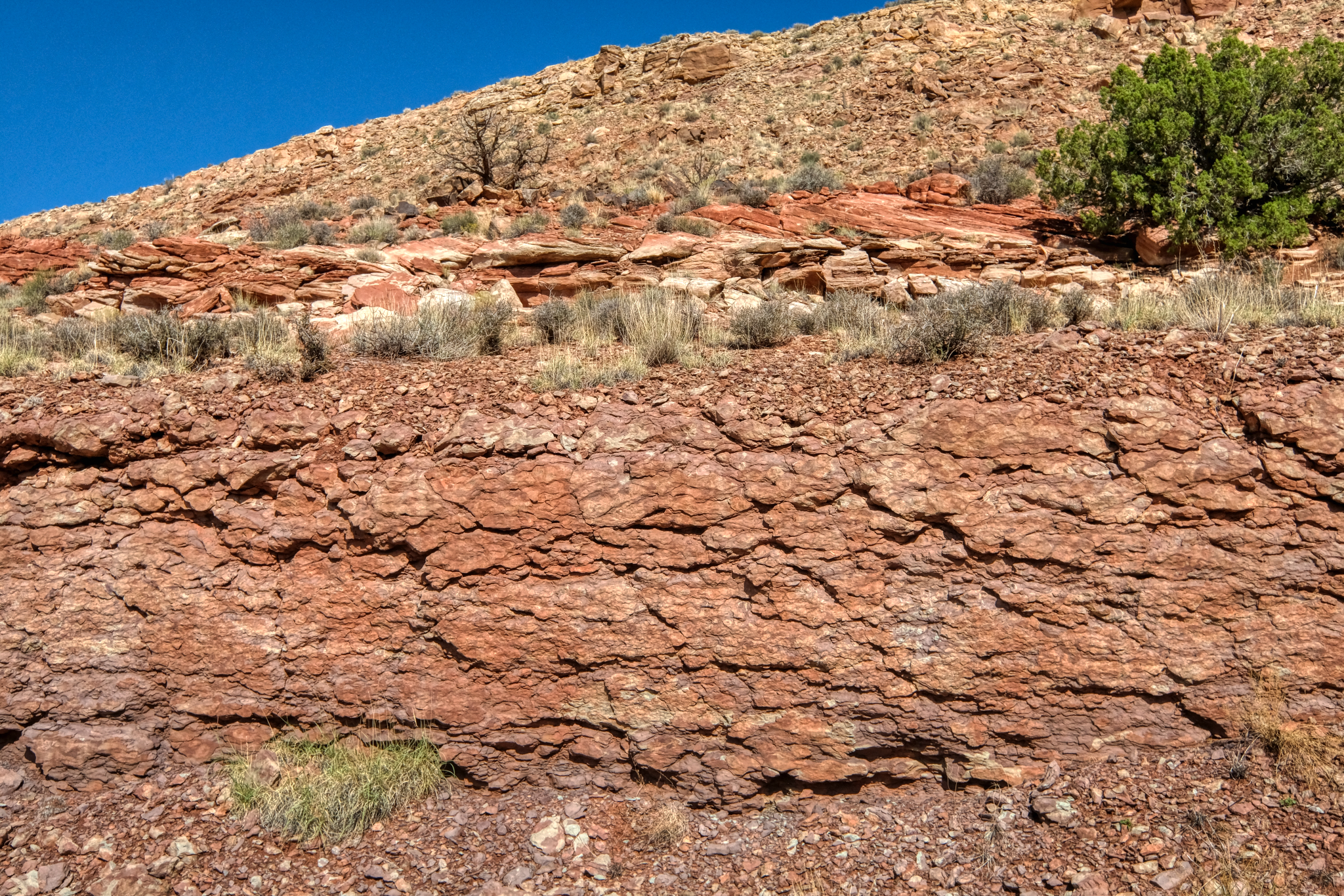 Layers of ancient, solidified mud (?) along the way.
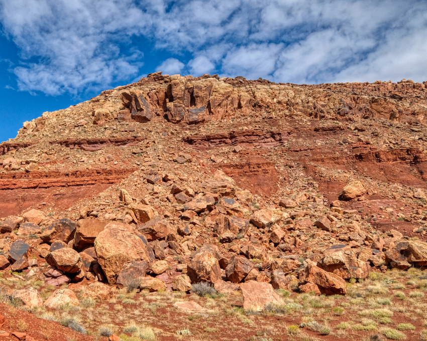
 The geological formations seemed to completely change every 200-300 meters.
 I stopped often (especially when the bike trail got steep) to snap photos and drink water. I packed a nice lunch too.
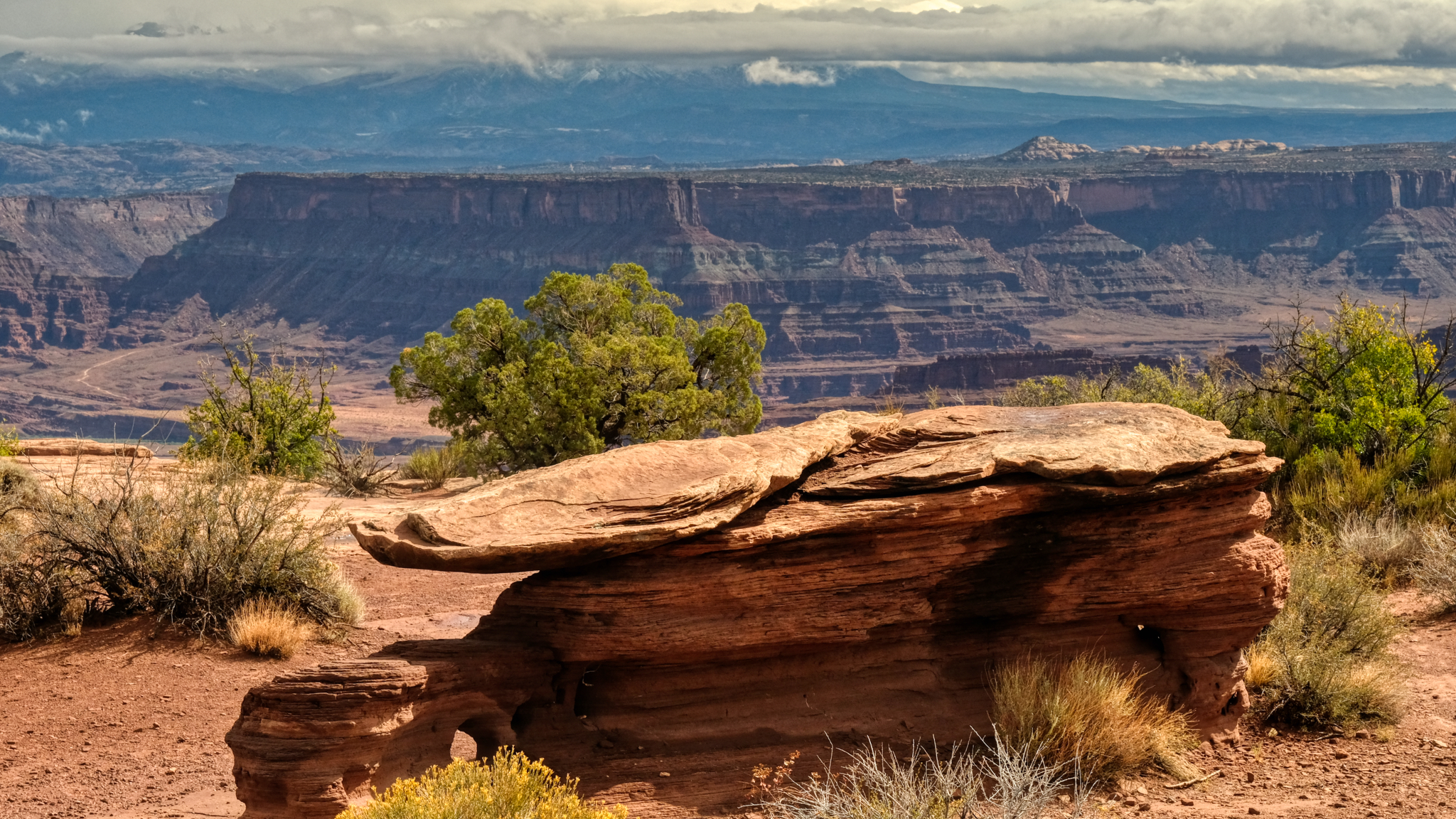
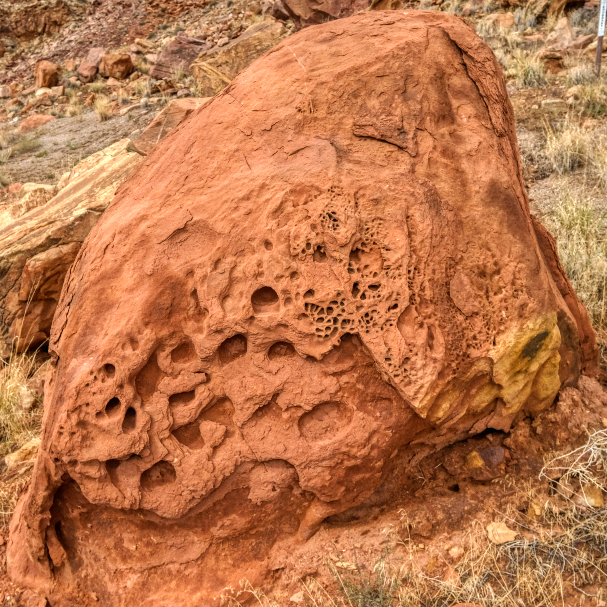
 A lovely spot to stop and be amazed by the geology of this fabulous place.
 The opportunities for dramatic nature photos were endless.
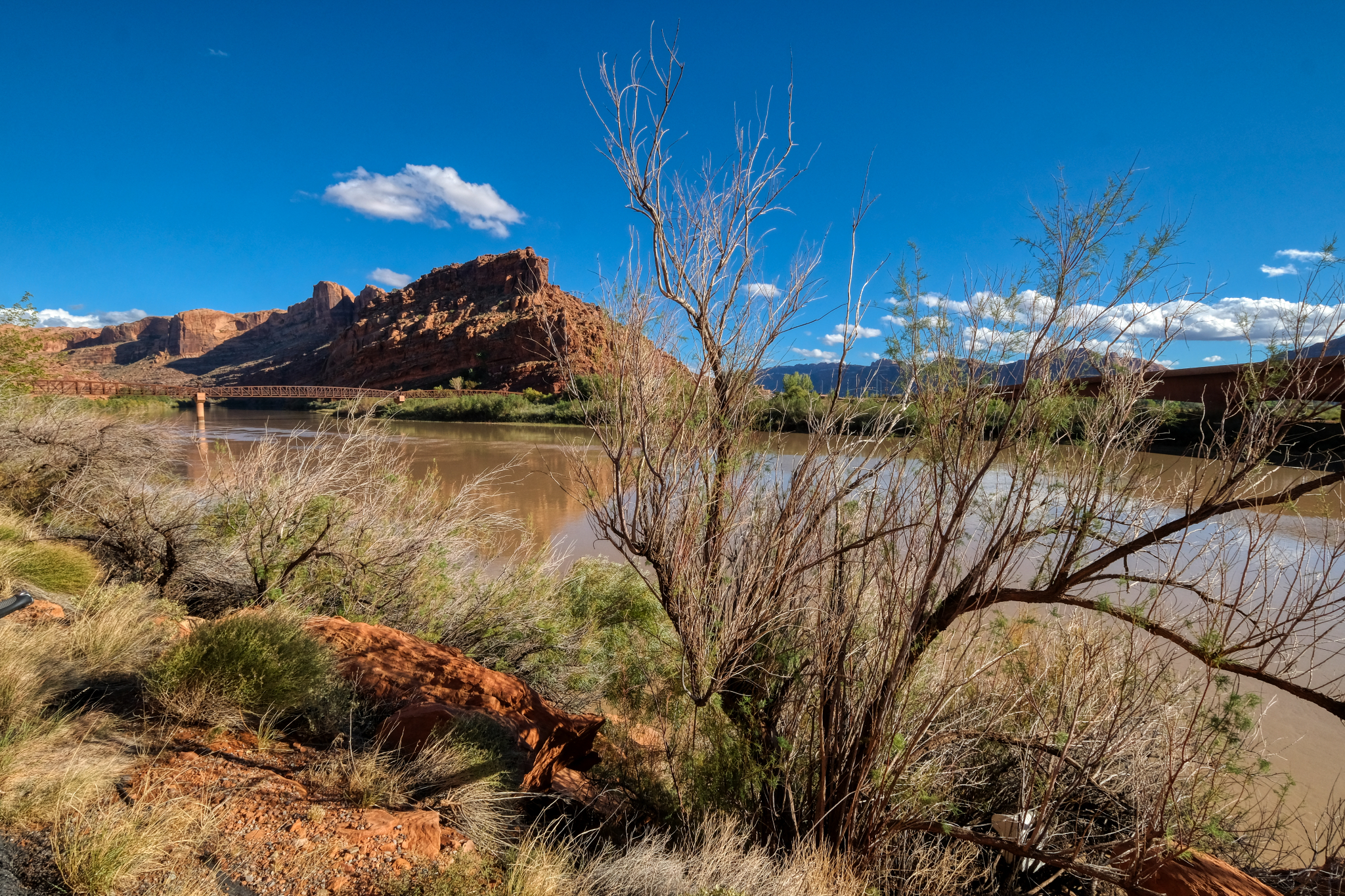 At one point just out of Moab, the canyon widened out as the Colorado River crossed under the bike path. It was the best bicycle bridge I had ever seen.
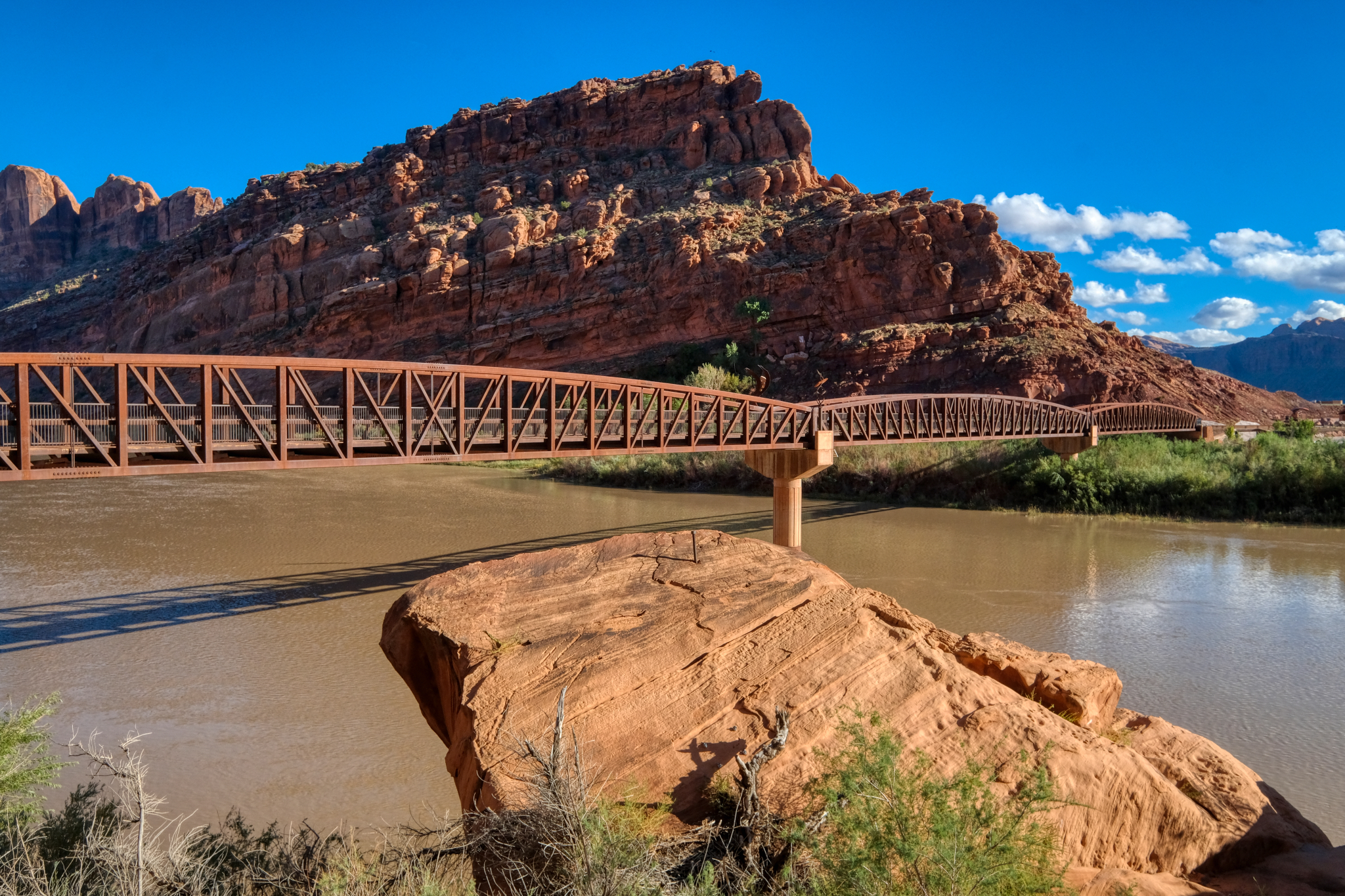 Such a wondrous place for a long bike ride.
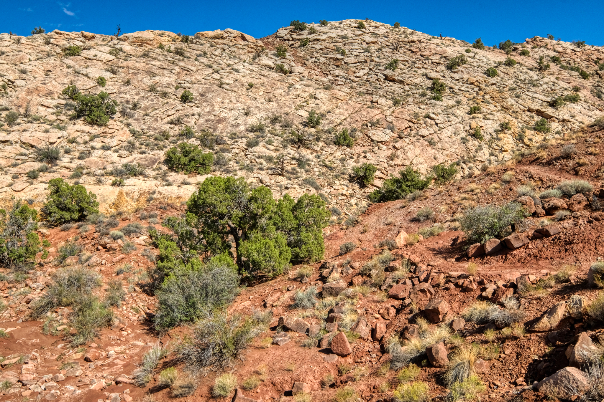
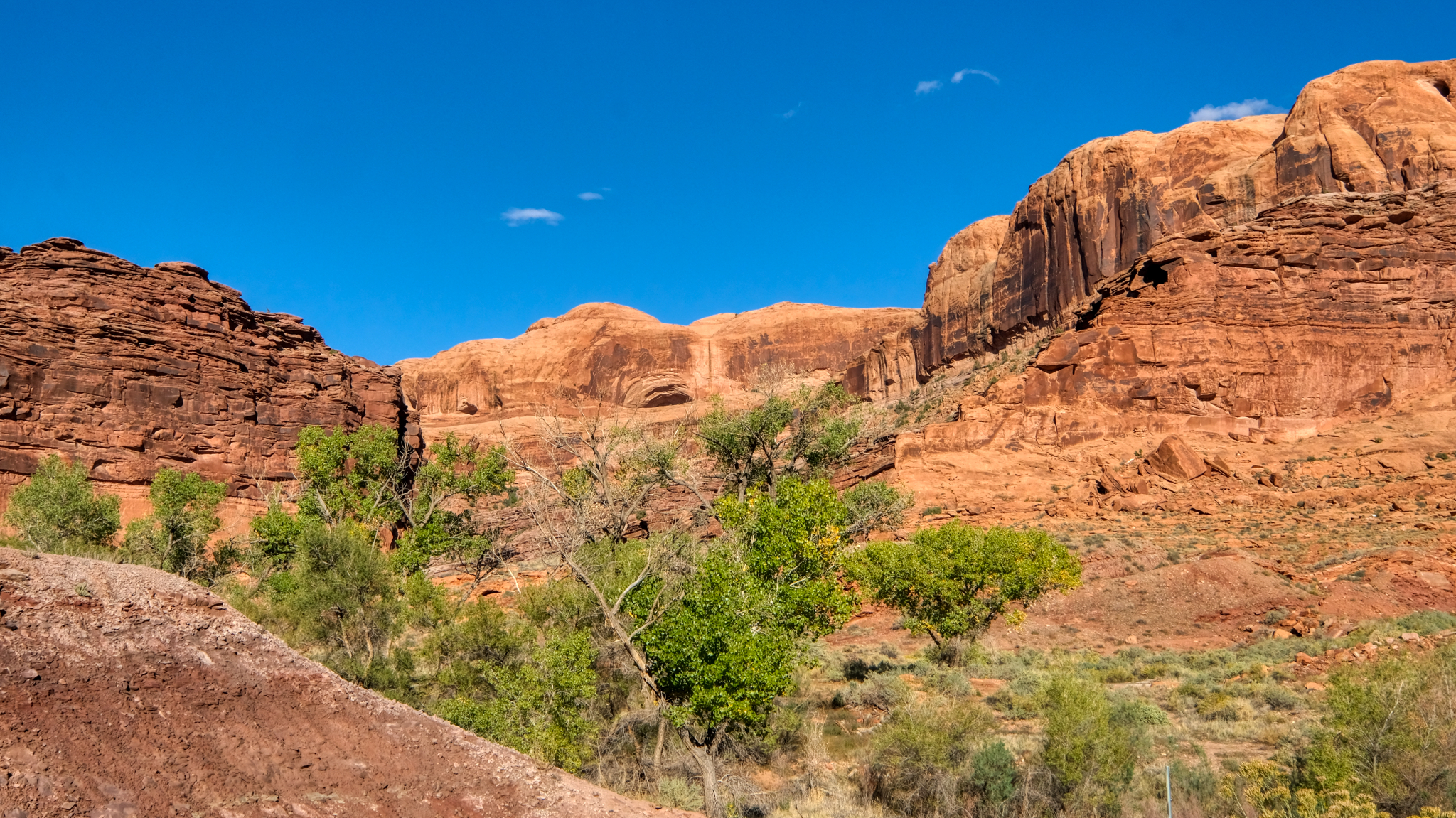 There were only occasionally patches of large plant life . . .
 I rode my bike on up the very long steep uphill trail . . . noticing more "cactus" type plants the higher I went.
 More and more geological changes.
 Rocky desert portrait.
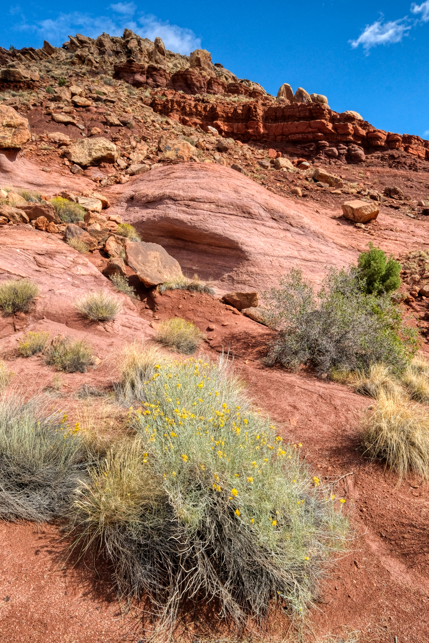 Rocky desert flora portrait.
 After riding uphill all day I was getting ready to turn back in the late afternoon . . . after I climbed this last steep hill.
 My last steep climb.
 At last I reach my 'this is far enough for the day' point . . . and it was beautiful. I consoled myself with the knowledge that it would be all downhill to my RV camp site in Moab.
 I felt that it must get pretty windy and dusty up here . . . and turned around right here . . .
 And downhill I went . . . and saw the very first bike rider all day . . . a woman from South Africa. She stopped and we asked each other where we were from. I said Bangkok, Thailand . . . and she laughed. On we rode, she uphill, and I coasting back to my camper.
 The bike trail ran next to Highway 191 for a short while on my way back.
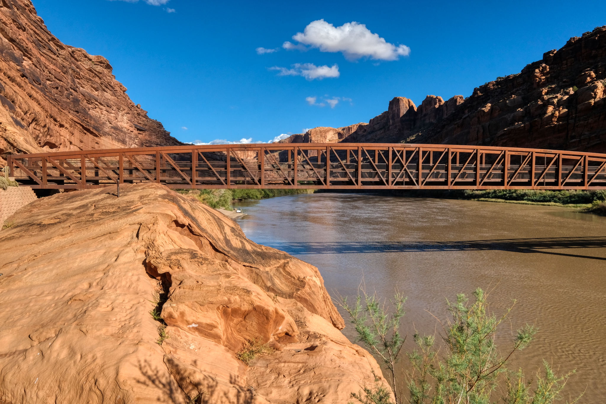 And back across the Colorado River bike bridge . . .
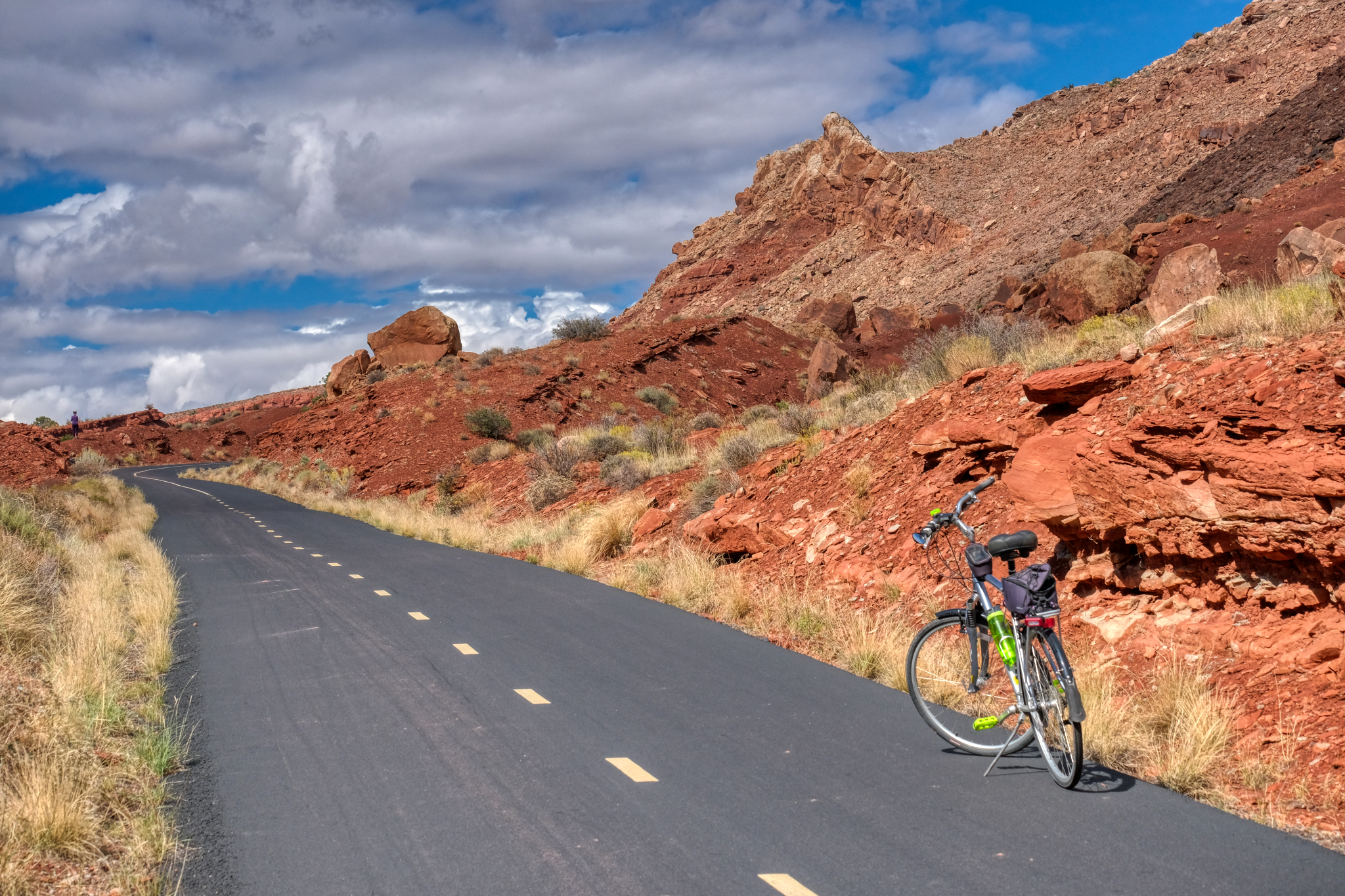
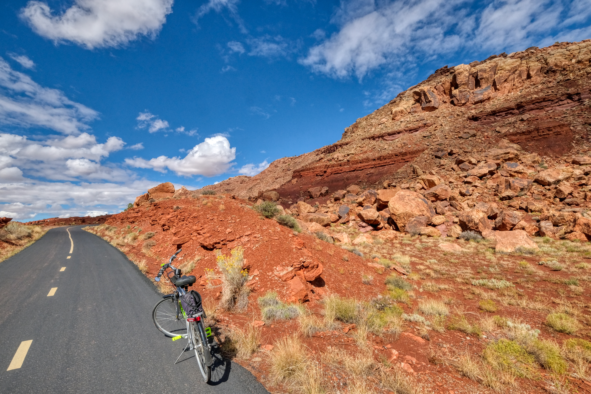
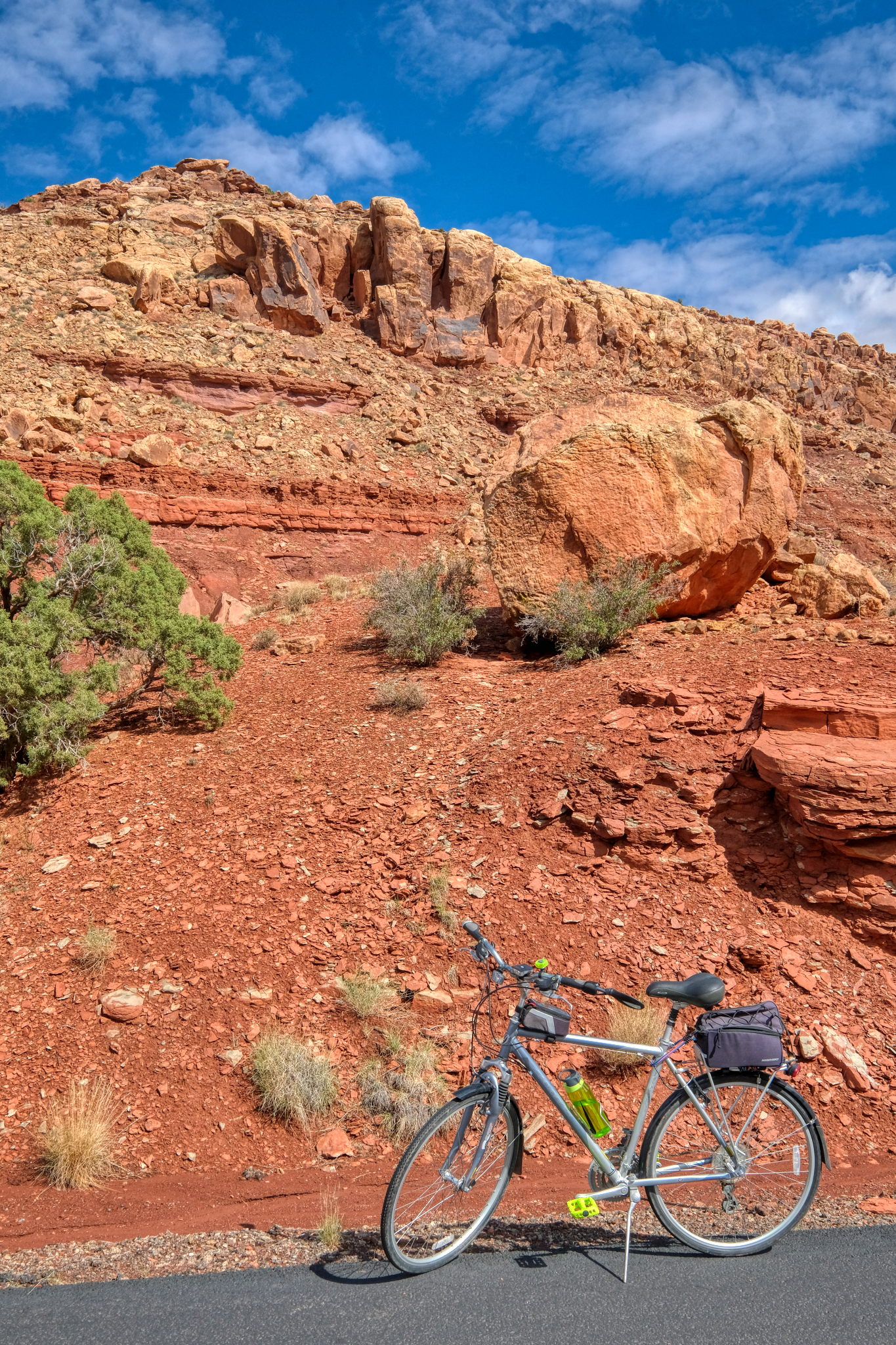
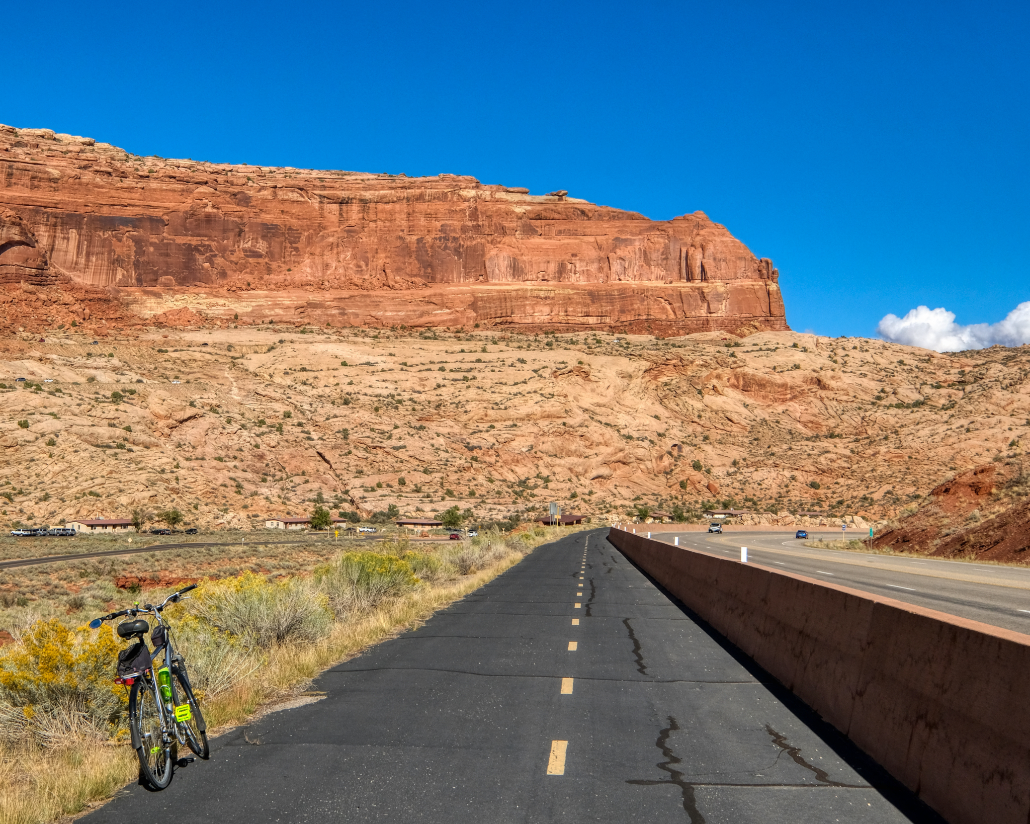
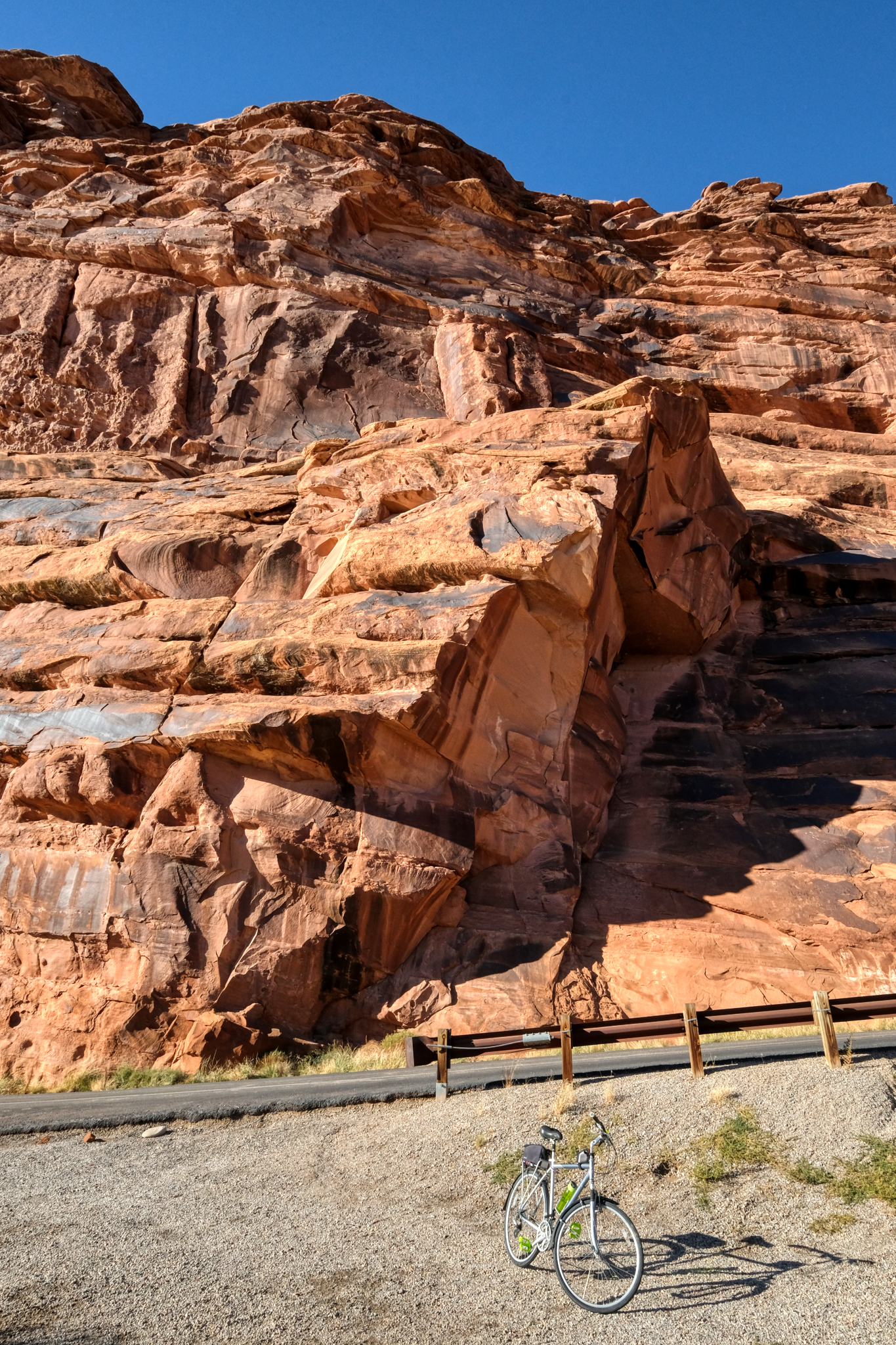 My last stop for a photo of my bike and a stone cliff . . . not far from my Slick Rock RV Campground (very nice place with very nice people working there). The next morning I would wake before dawn . . . and before coffee . . . for the long drive over the Rocky Mountains to my next destination: visiting an old high school friend in Colorado Springs, Colorado.
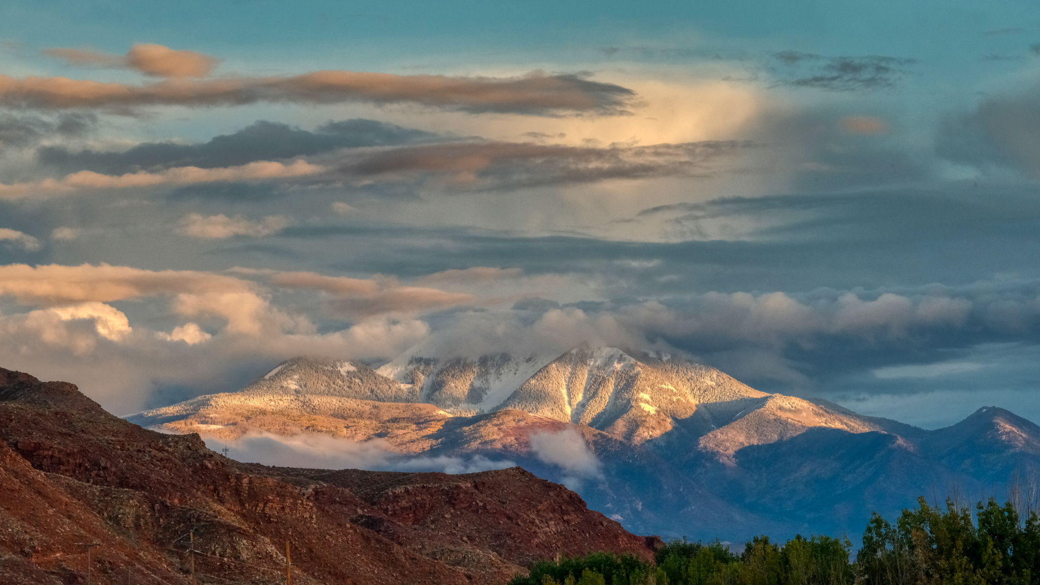 I headed out of Moab on my birthday on highway I-70 heading east to Colorado . . . this was the last view of Utah . . . snow on the mountains . . . little did I know that I would drive across the high Rocky Mountain passes during the very first snow storm of the season . . . but that is another story.
