My most current blog entry:
Entries in Forest (19)
USA Road Trip: Grand Canyon (North Rim)
 The morning of our Grand Canyon adventure began here . . .
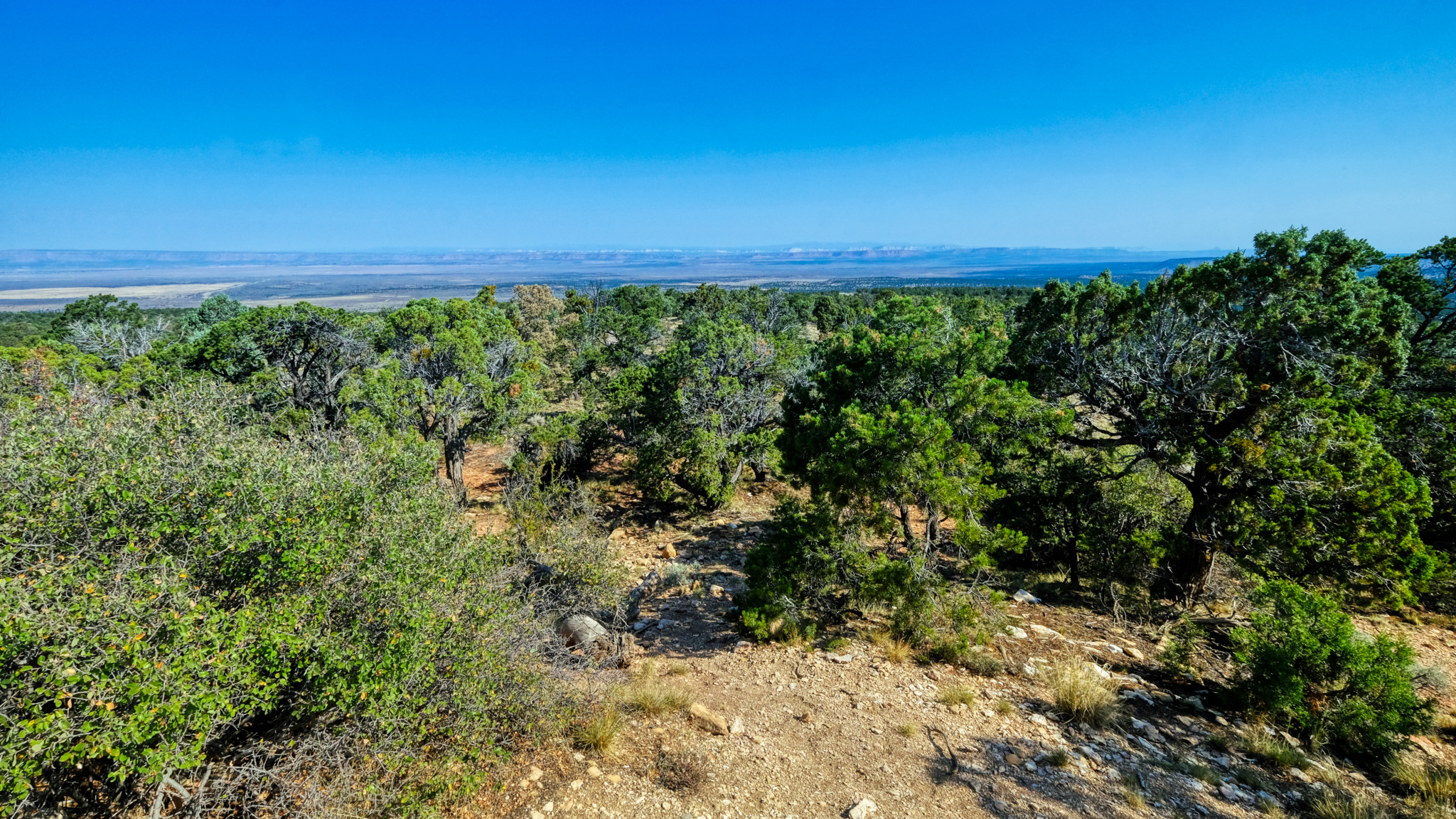 The Grand Canyon (North Rim) barely visible in the distance. We stayed in Kanab, Utah and drove up to the canyon on a full day trip.
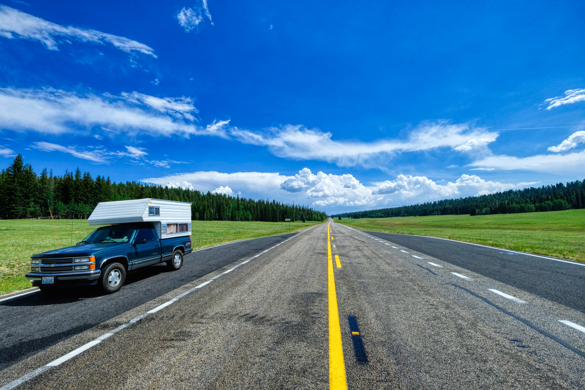 It was a very long climb up to the north rim. The road eventually flattened out in a series of high meadows.
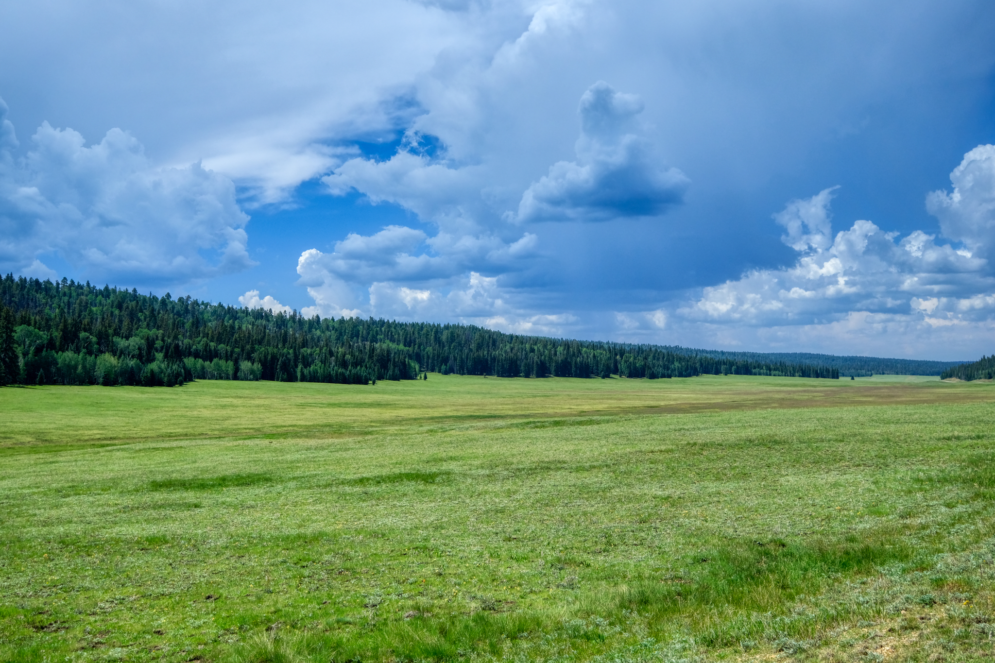 We didn't see any bears here, but we stopped for coffee nearby and were told that there had been many sightings that day.
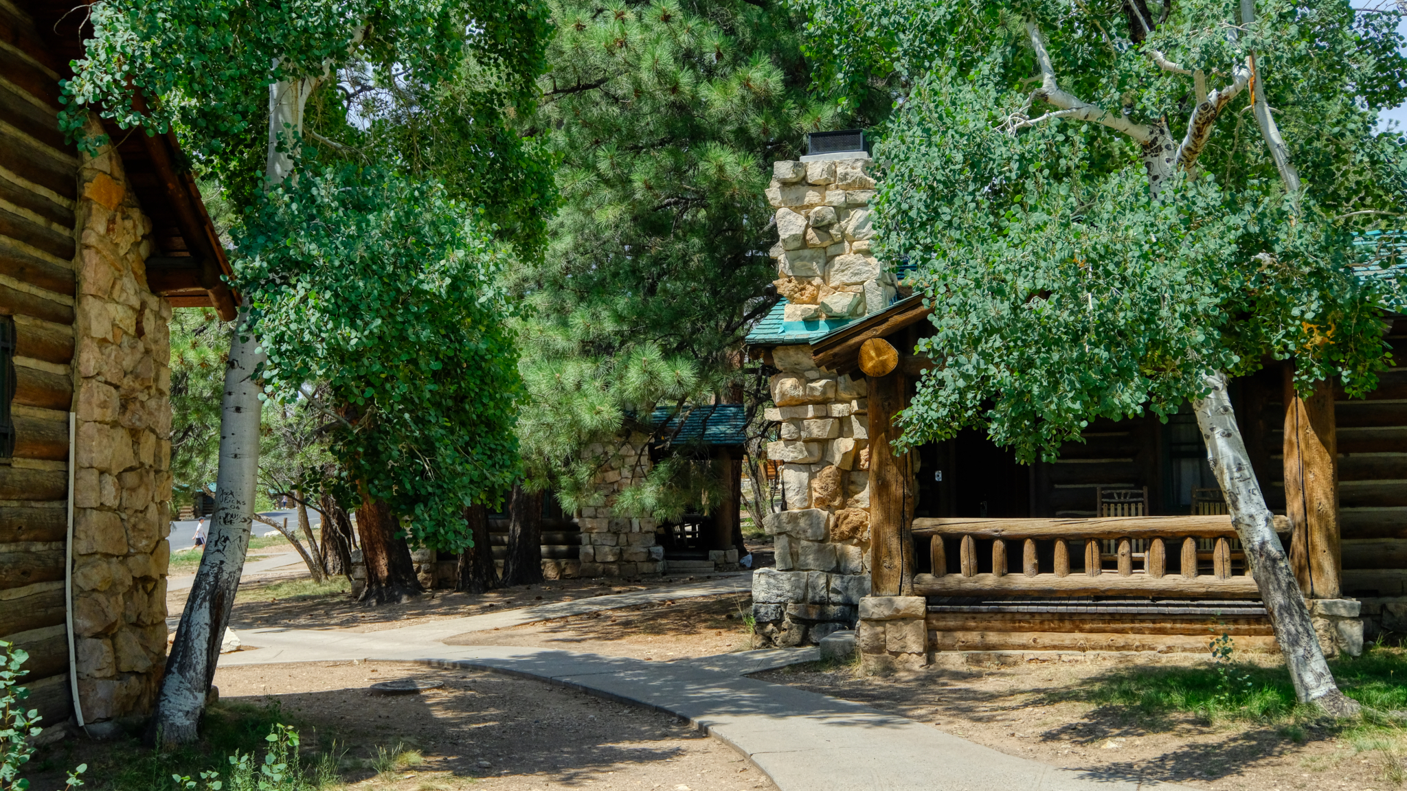 The National Park Service offers these cabins for rent at the lodge on the canyon rim.
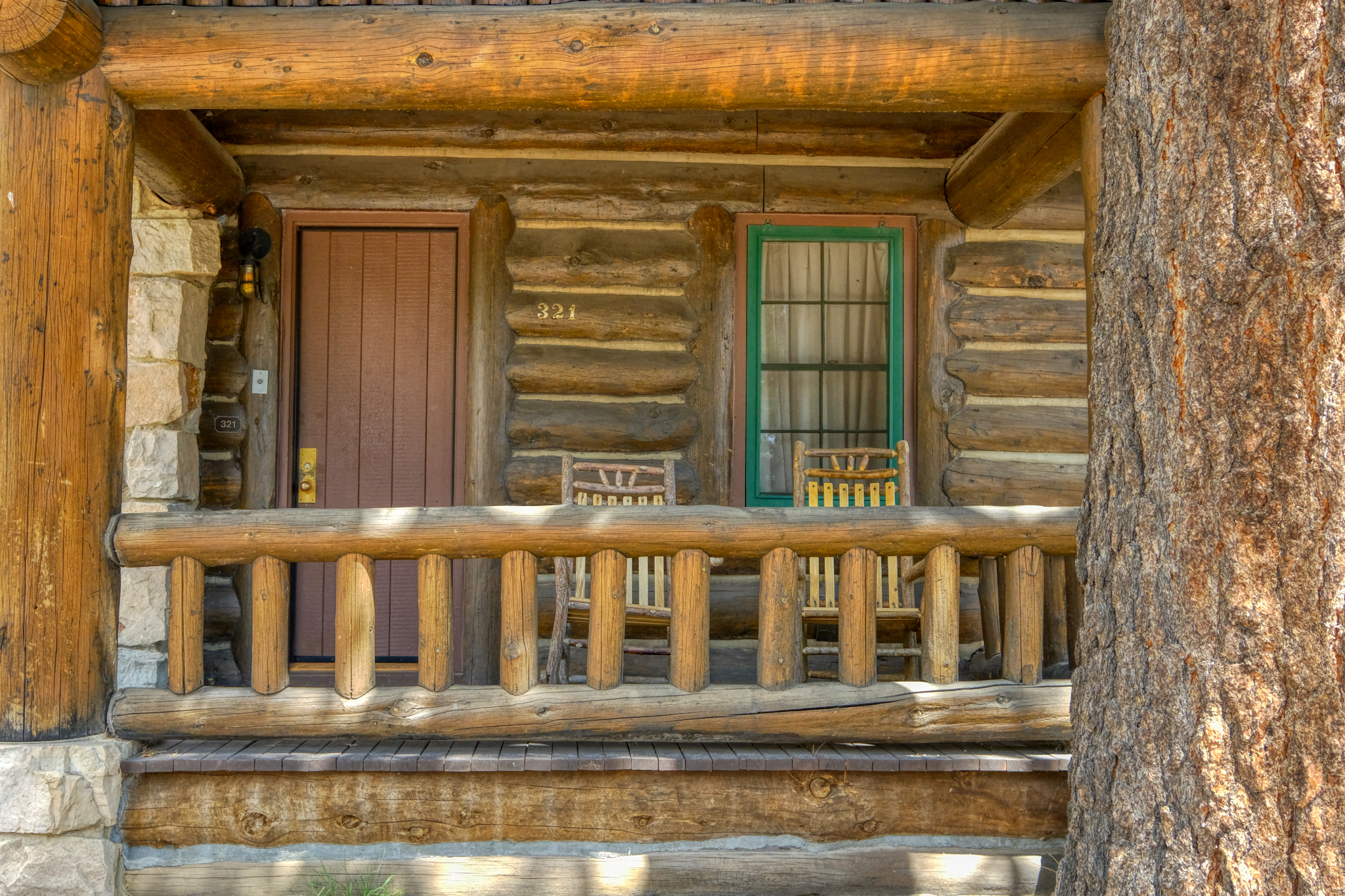 Very sweet cabin. We stayed in one like this at the Grand Tetons National Park in Wyoming many years ago.
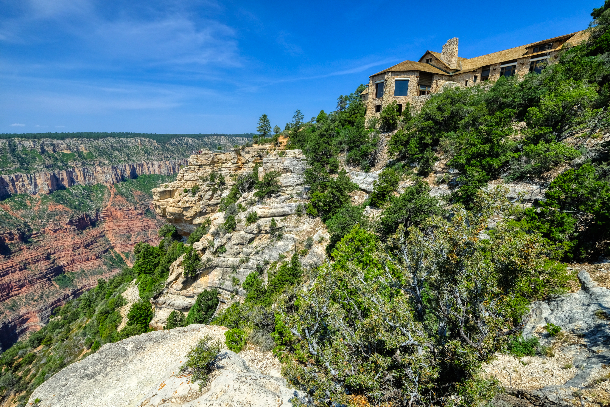 The park lodge is magnificent.
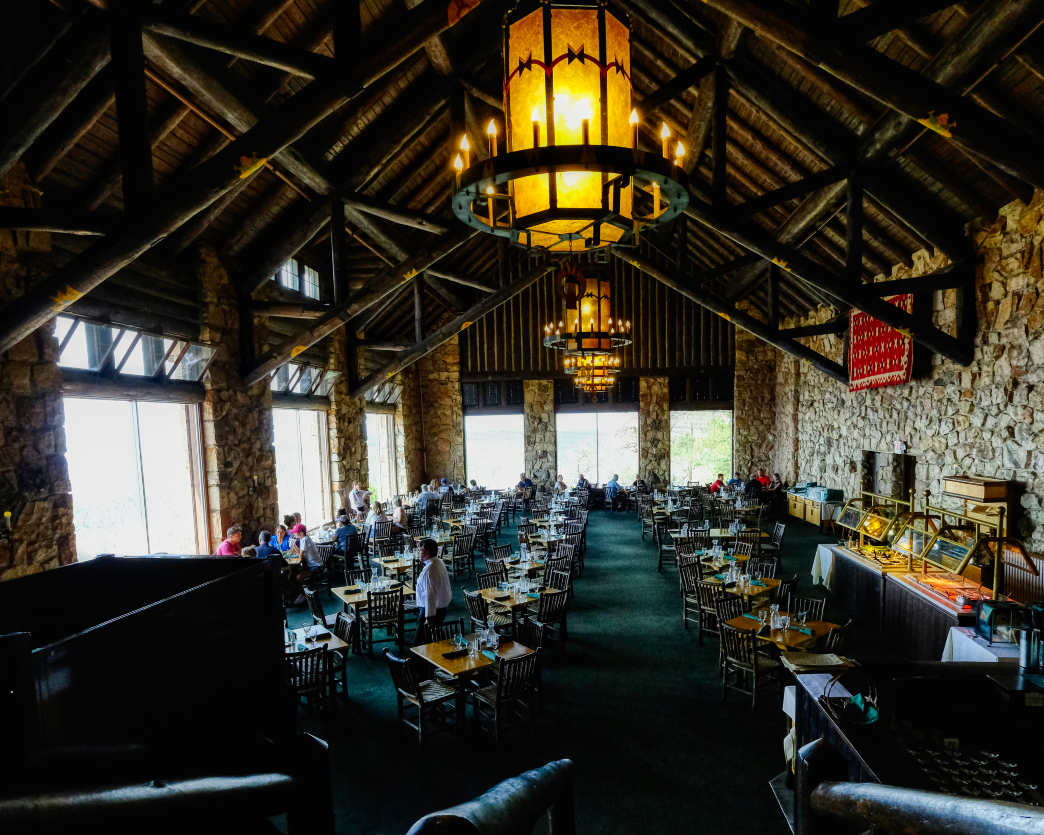 We had a surprisingly good brunch in the lodge cafe. Highly recommended, if a bit expensive. But, of course, we didn't come all this way for the brunch . . . . .
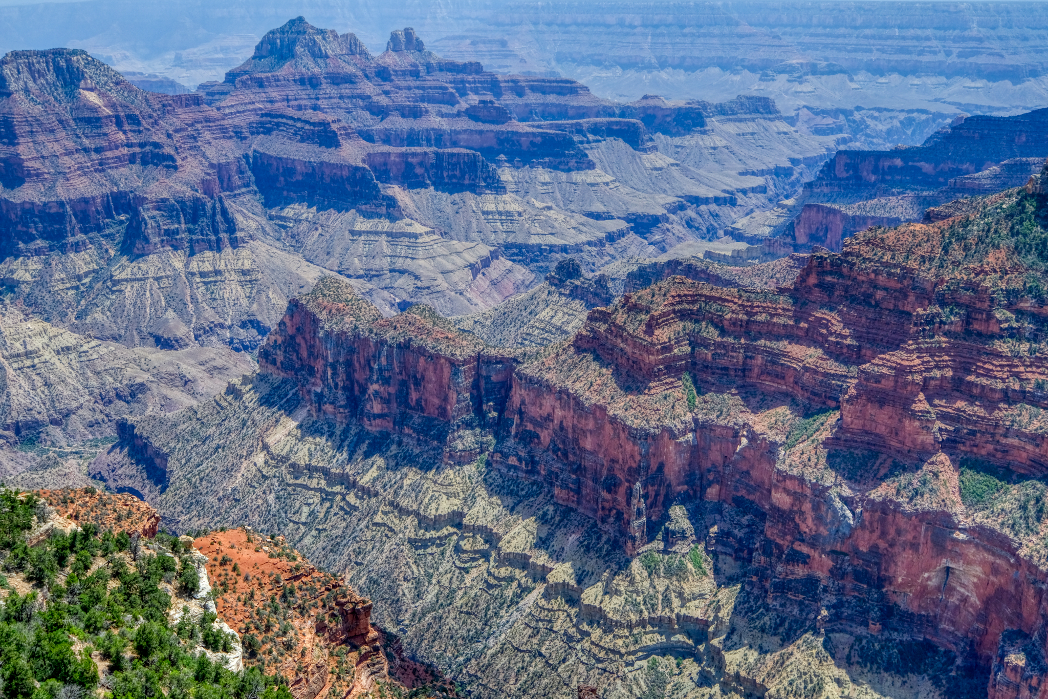 As far as canyons go, this one is definitely grand . . . as grand as a canyon can get.
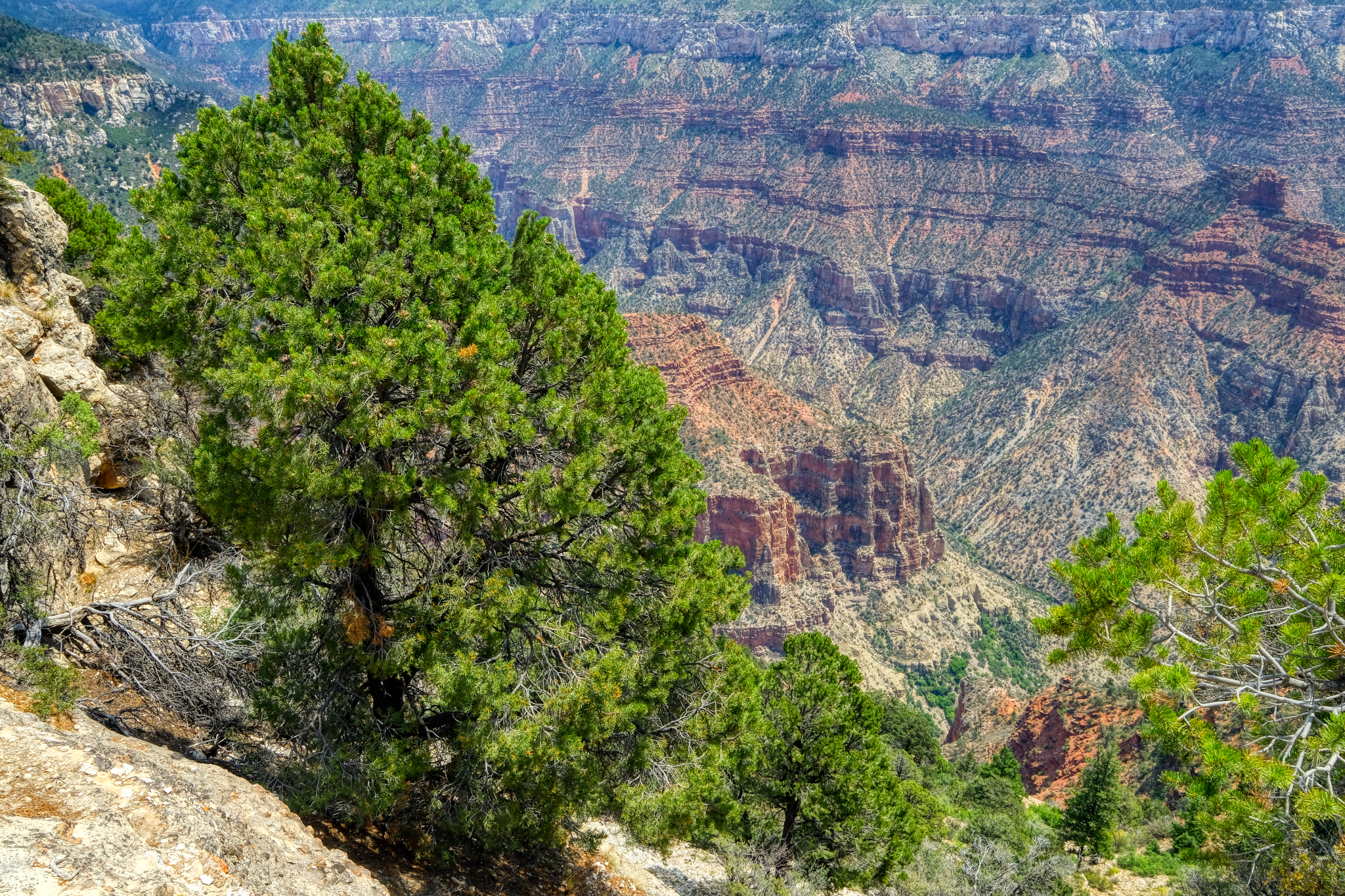 The Grand Canyon is so immense it is difficult to capture the true size of the place. Yes, panoramas can give the scope of the image, but you would need to plaster that panorama on the side of a sports arena to really get the true awesomeness. A first peek of the canyon. The first overlook, just below the park lodge. Jaw dropping . . . .
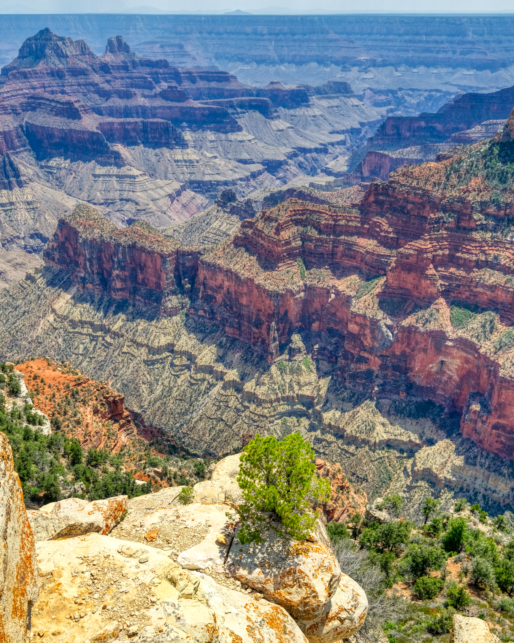 Awe inspiring views at every turn.
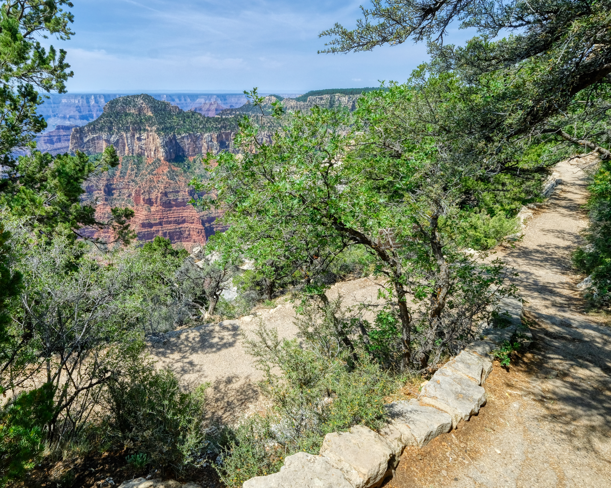 There are many foot paths up on the ridges and rim of the canyon leading to different viewing overlooks.
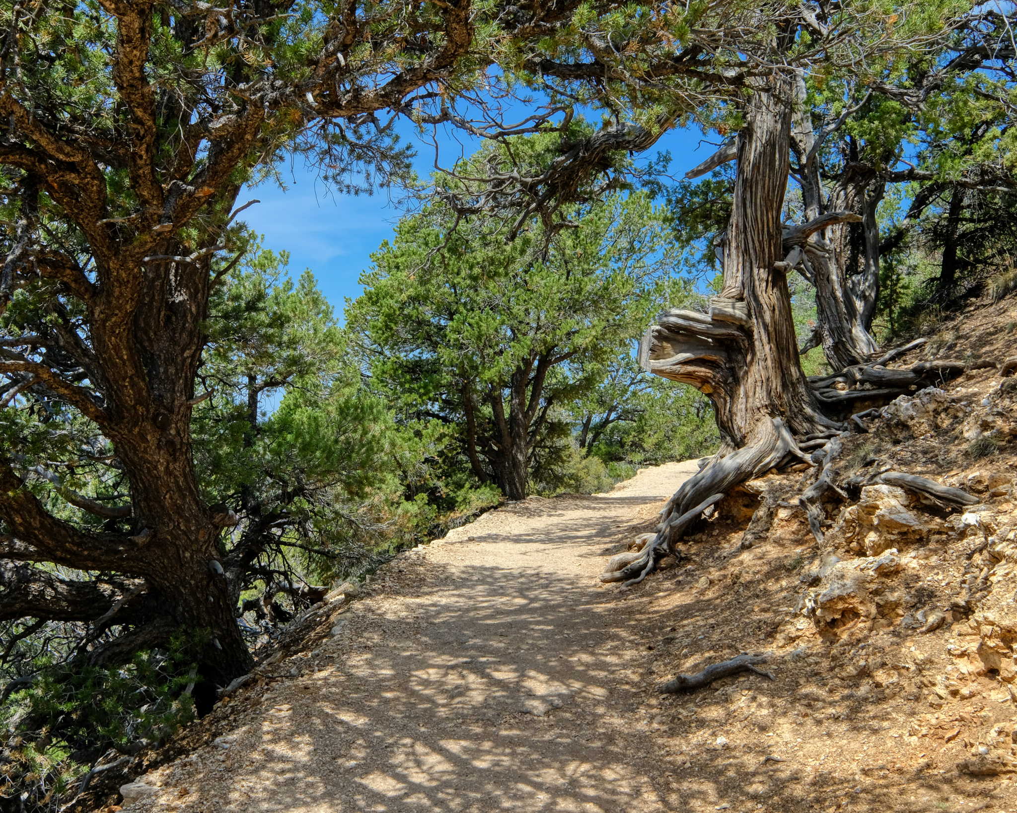 It was a very pleasant day to be up at this altitude . . . much cooler than the 100f+ (40c+) we had seen in the valleys.
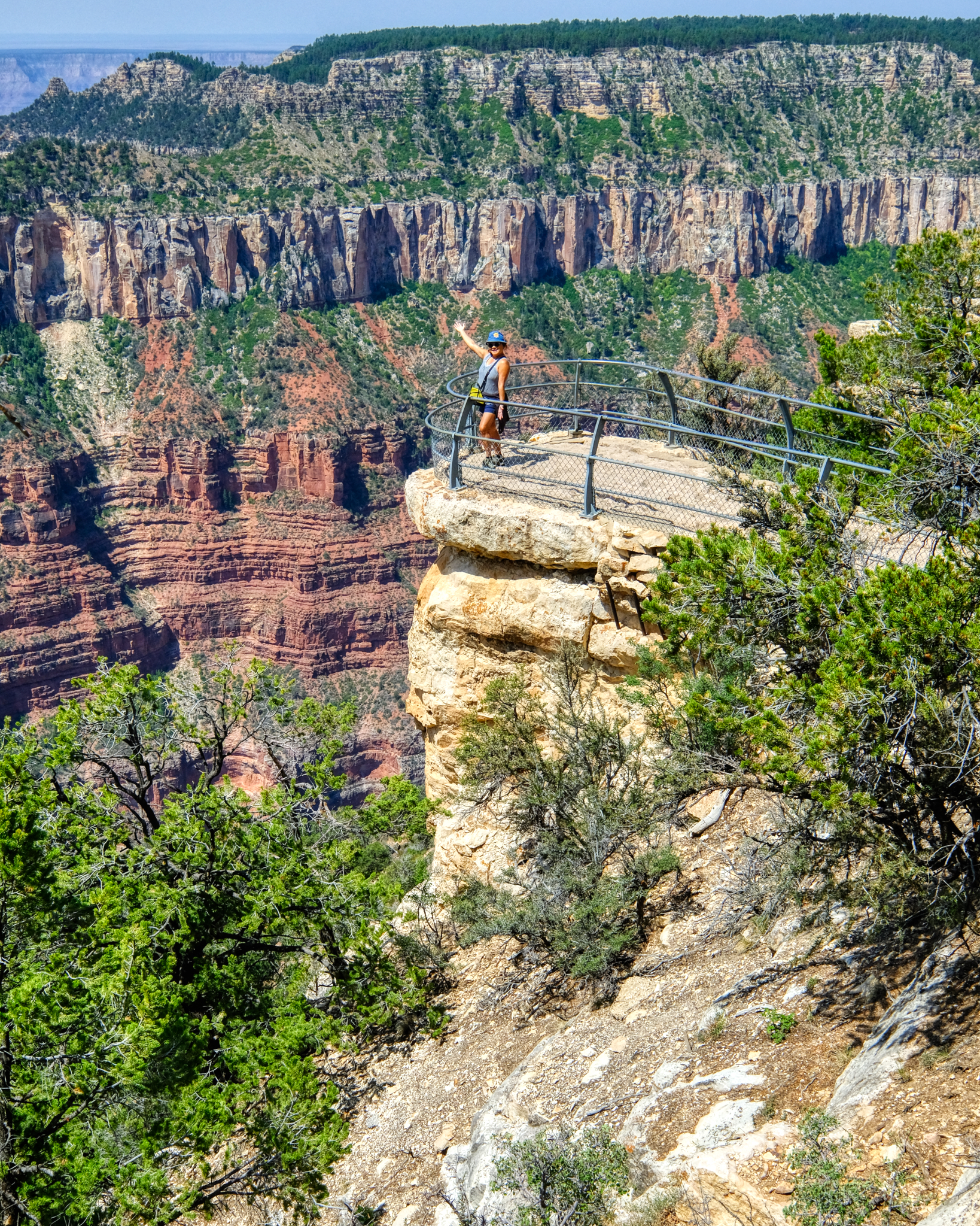 The overlooks were situated in very dramatic, and frightening locations. This very beautiful and friendly tourist posed for me. Sweet.
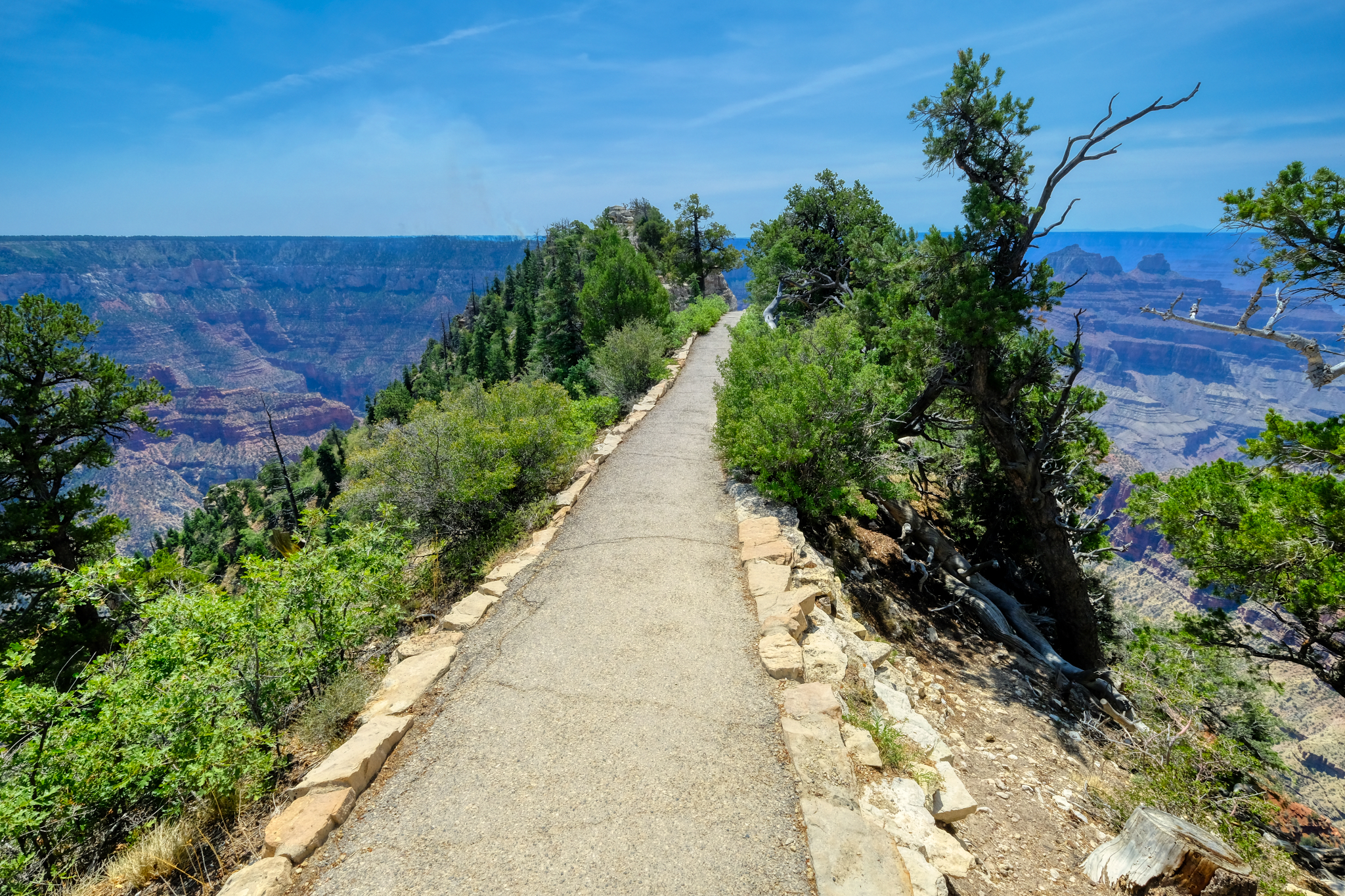 The path led us out to a precarious viewing point high above the canyon floor.
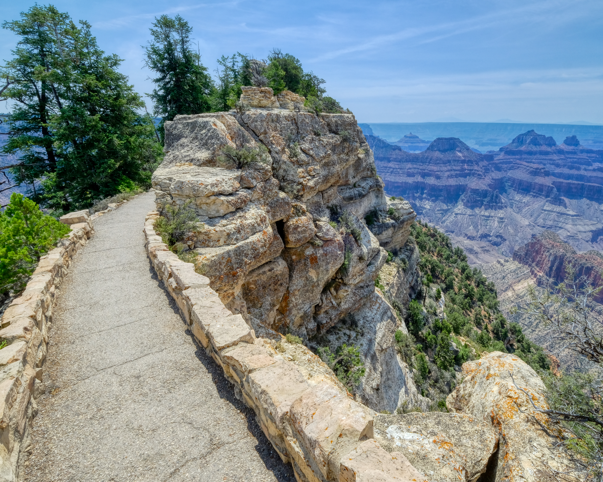 A wonderful walk. A new view.
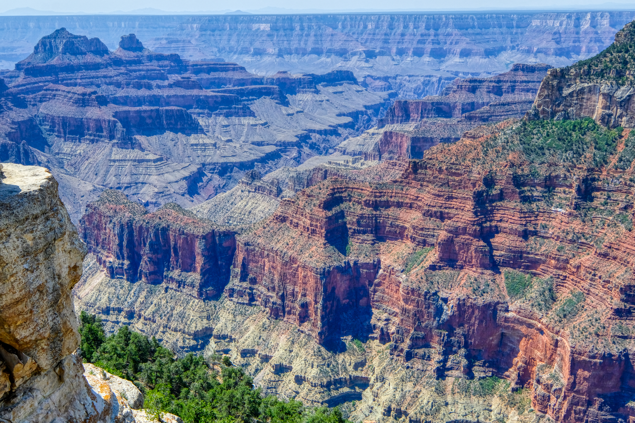 I have, like most of us, seen many TV documentaries on the geology of the Grand Canyon. Each strata in the rocks representing millions of years. The age of the planet on display, like the rings of a tree.
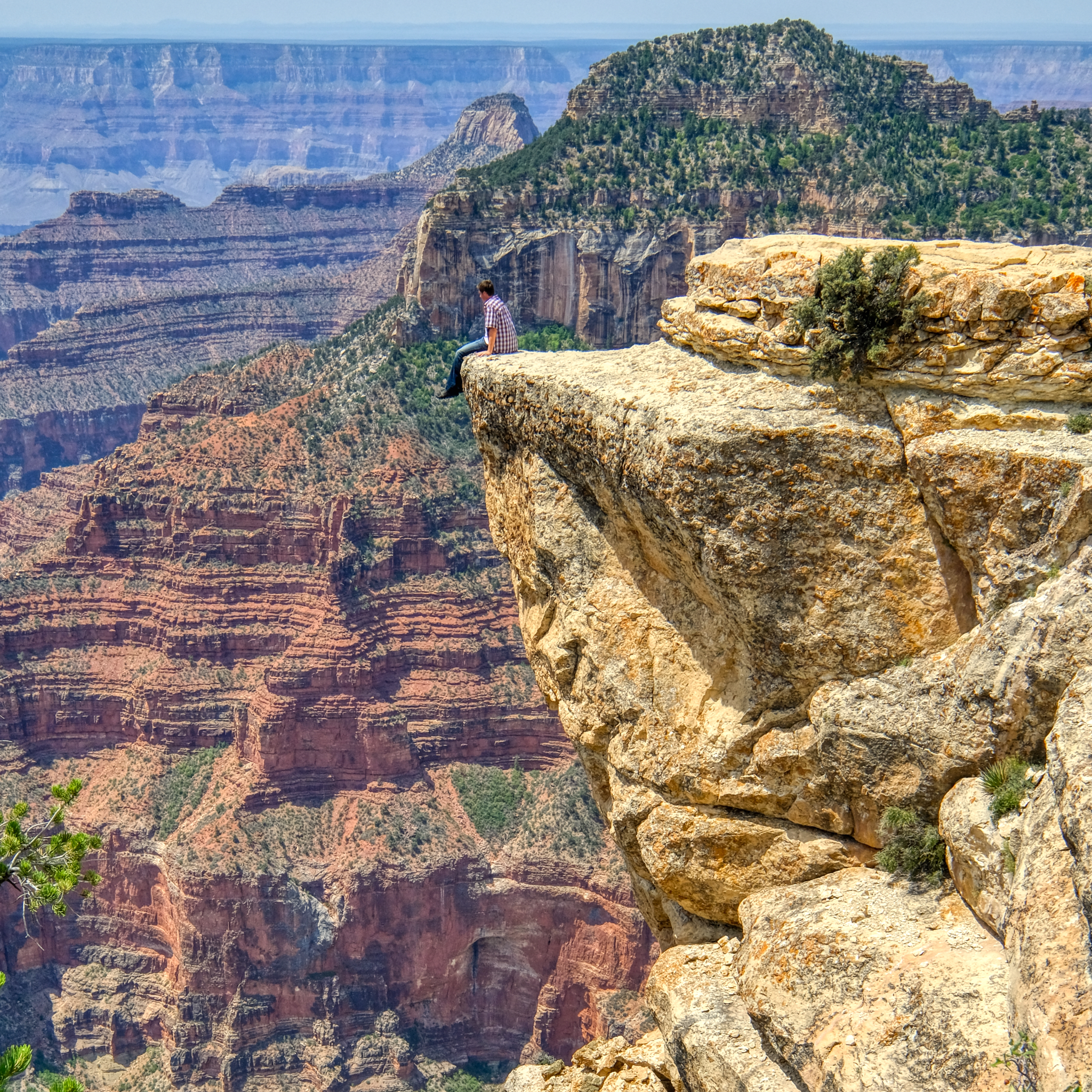 Not all 'view points' are authorized. We saw several fools doing this kind of thing. Not recommended.
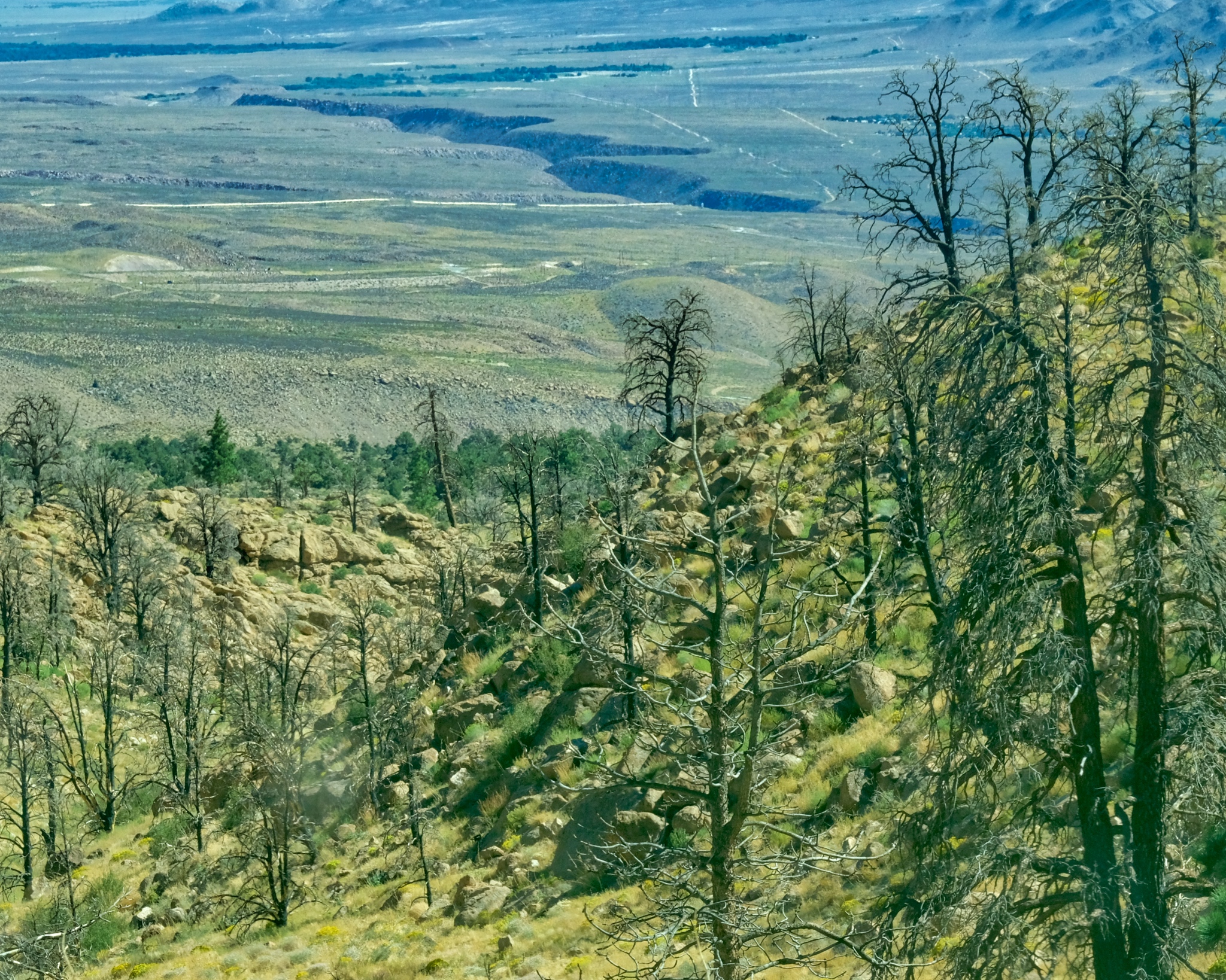
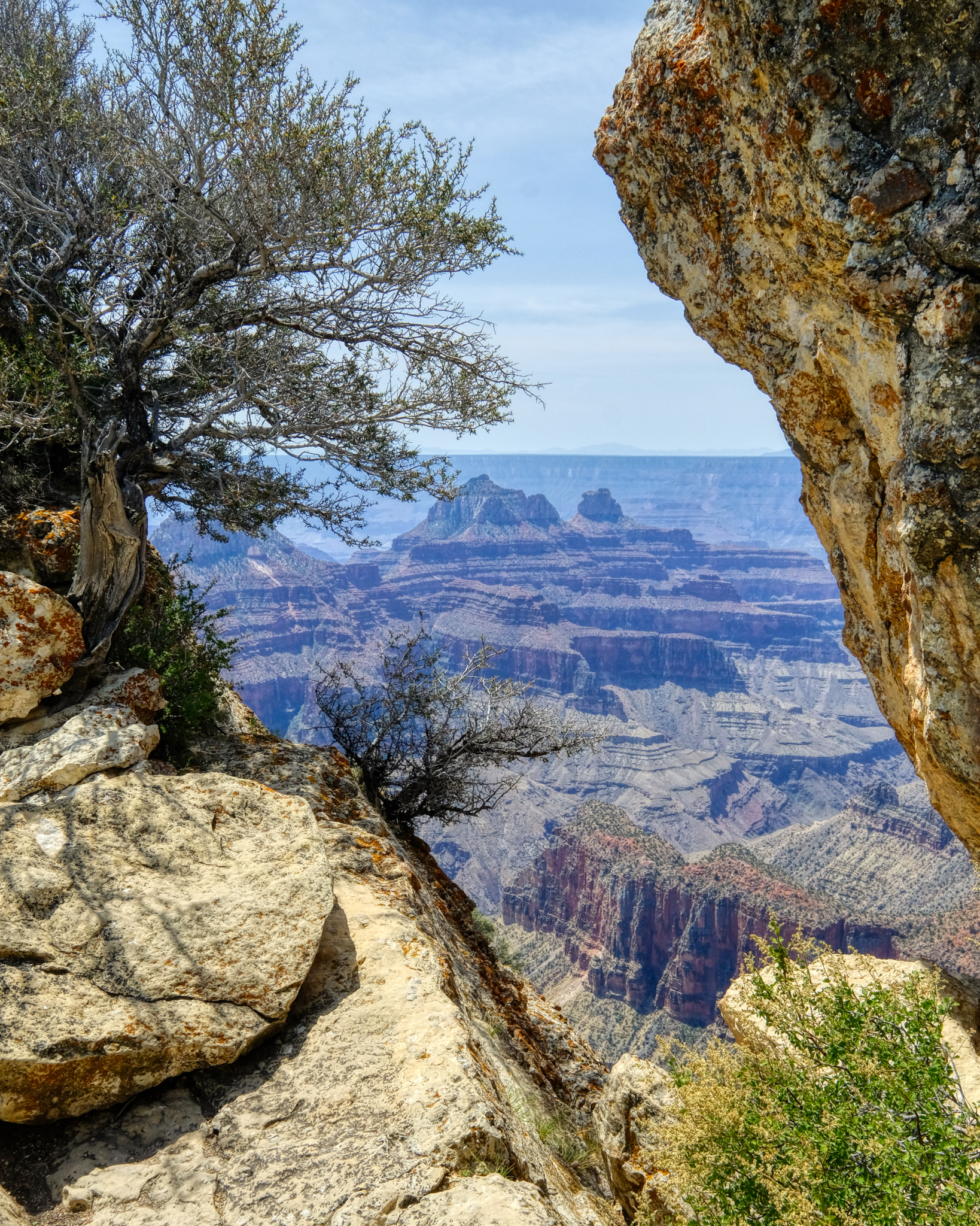 I love these framed views of the canyon. You can see the excessive smoke on the far horizon from the many wild fires in the western States. There was also a small lightening fire on one of the nearby ridges. It was extinguished by the end of the day.
 The lightning fire can be seen in the middle left of this view. This is also a nice view point for observing the geological strata. Looks like a storm coming.
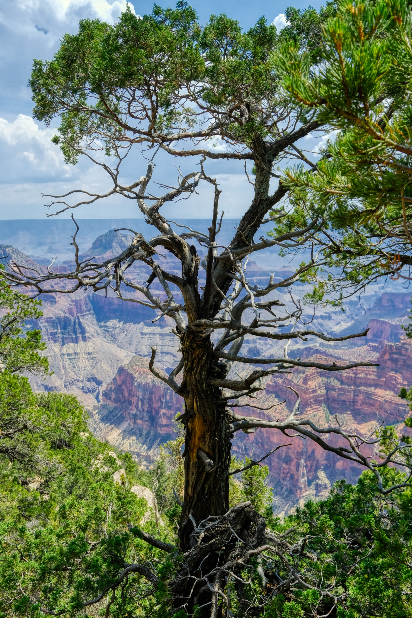 There were some very beautiful trees along the rim path. I love trees.
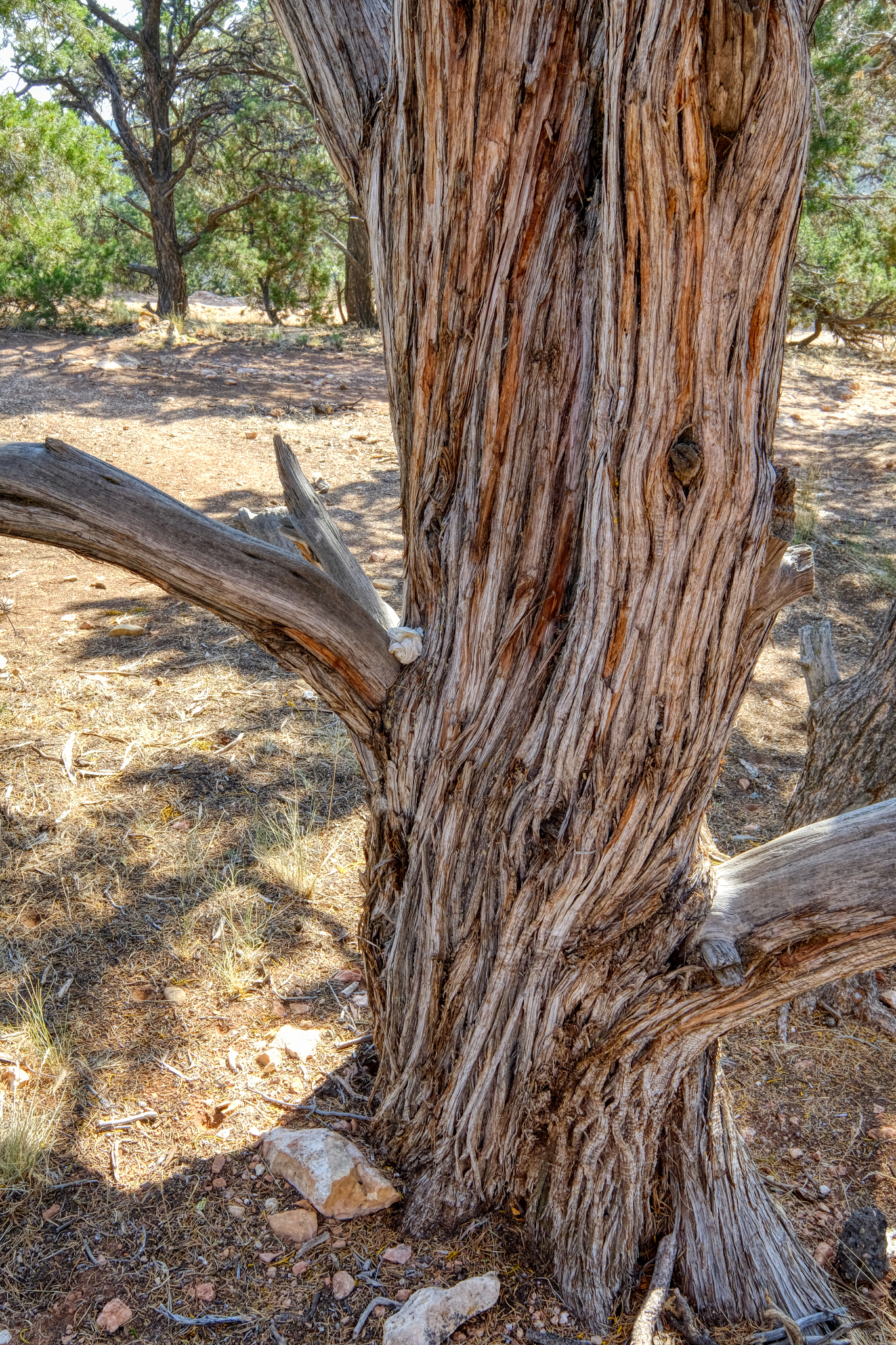 Lovely tree.
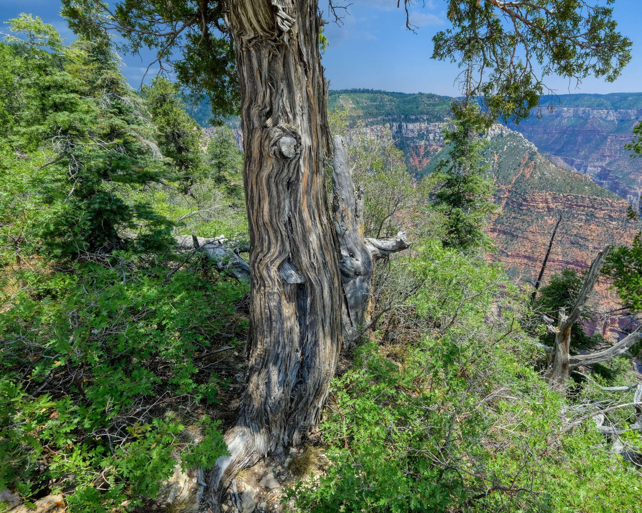 The North Rim of the Grand Canyon is closed from late Fall to late Spring because of the deep snow. This old tree shows snow weight damage.
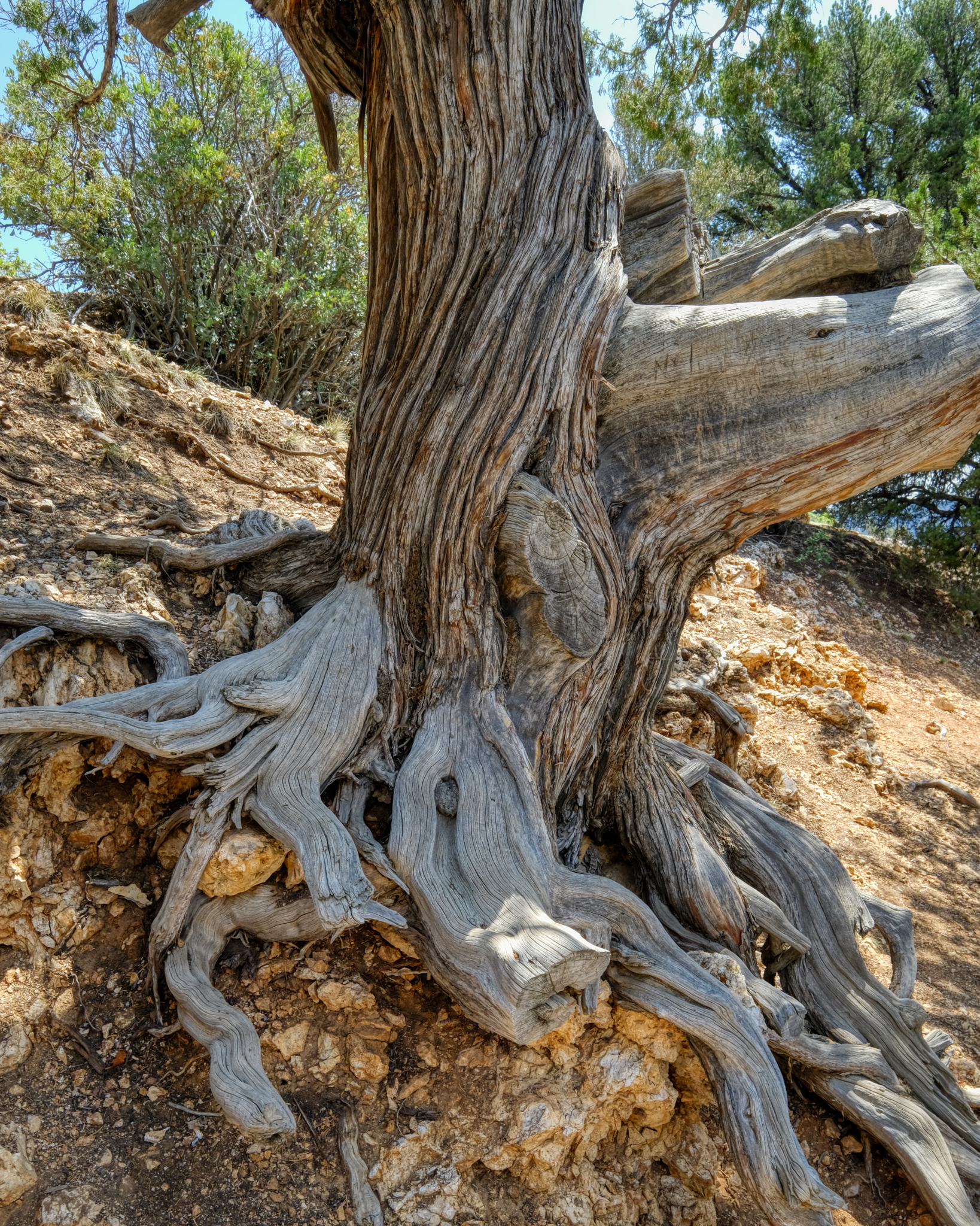 Old tree. A New Yorker left his/her mark. Dumb.
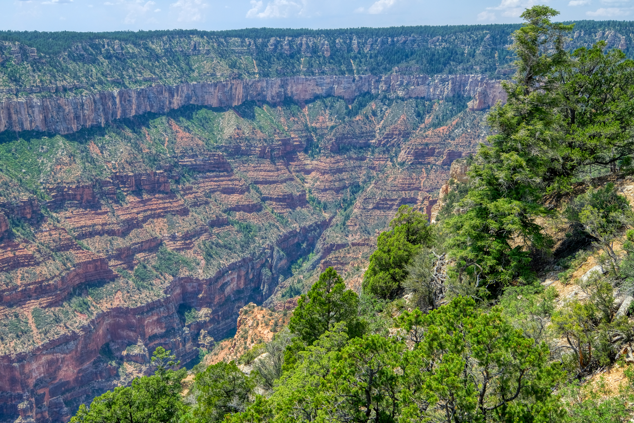 Photographing the Grand Canyon is not as easy as one would think. The grand vistas can indeed be capture in several photos, but then what? The huge panoramas can end up all looking the same. Even moving a half mile one way and the other still yields pretty much the same perspective. I tried to add interest in the shots.
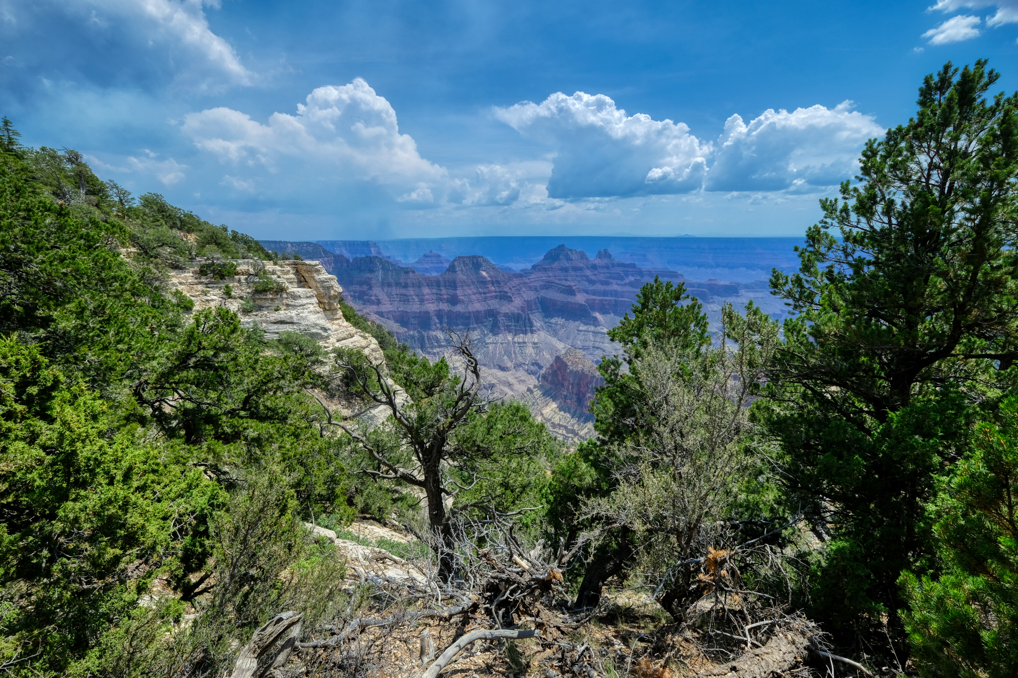 Such a pretty view of the canyon.
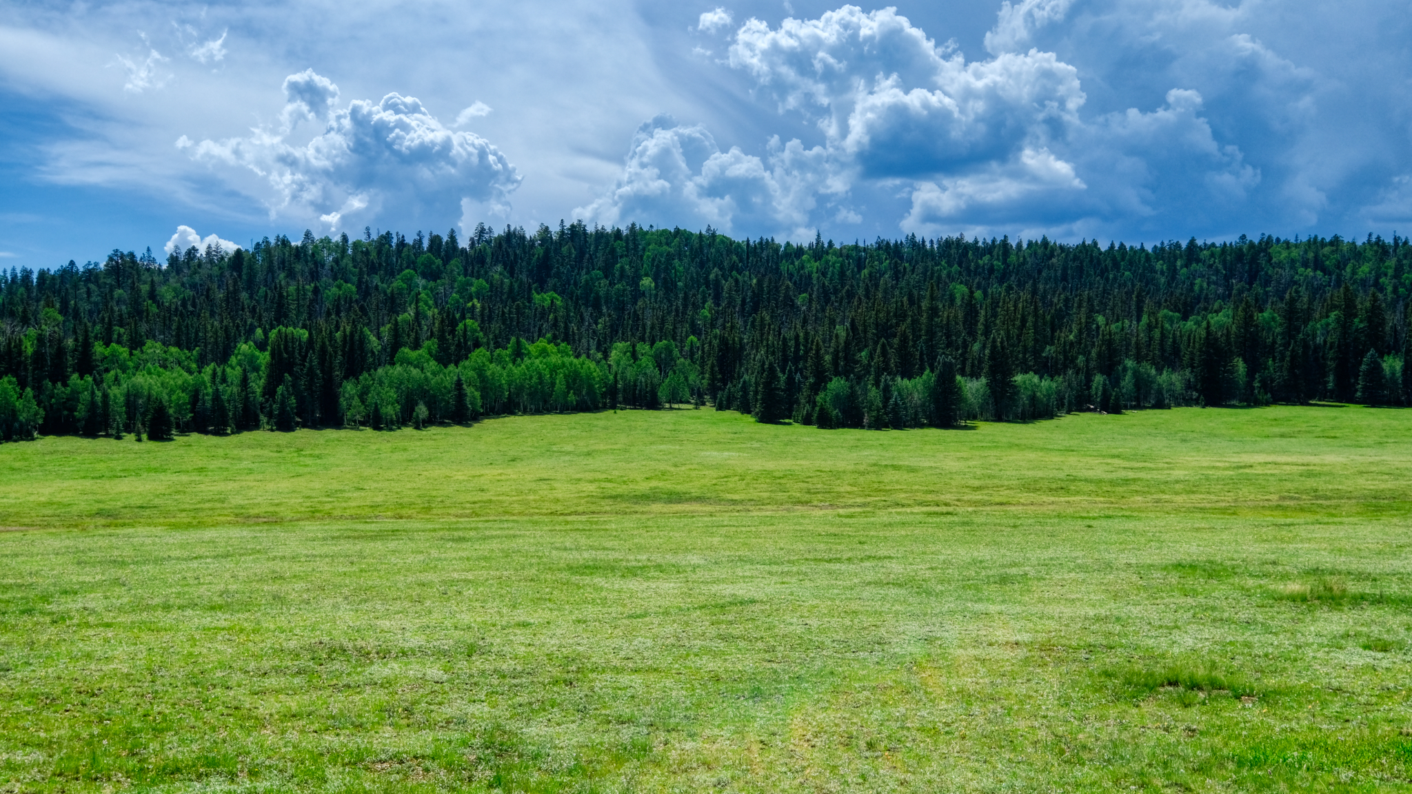 After a wonderful day spent at the North Rim, we headed back to our hotel . . . to plan the next day's adventure!
 Dr. Jeff Harper
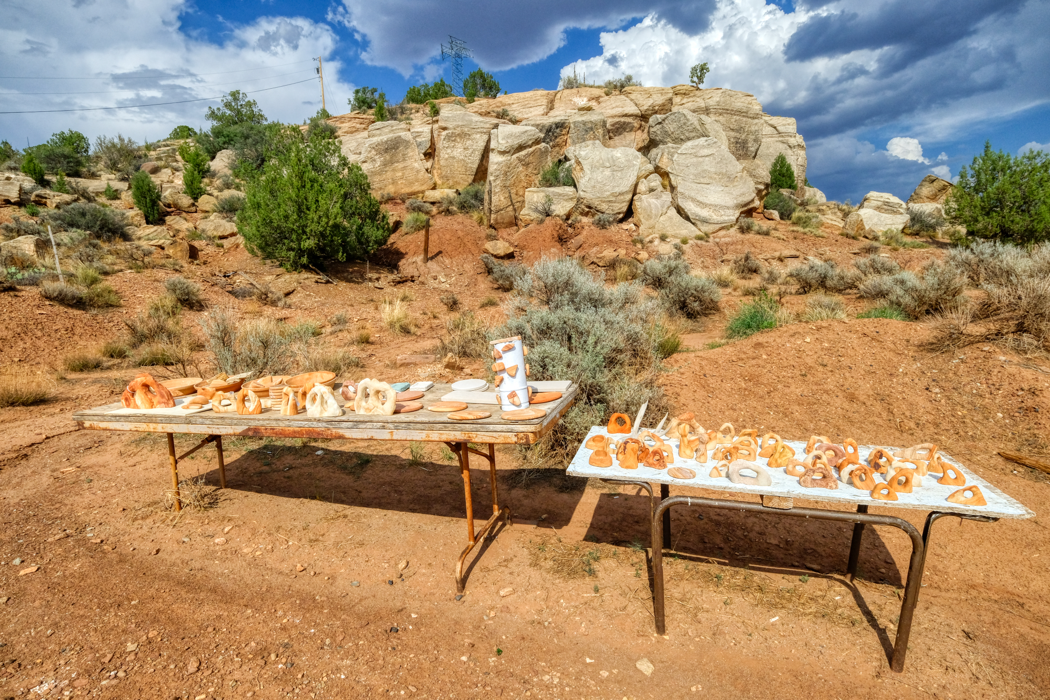 As we neared our hotel I spotted this display of sandstone carvings and petrifies wood.
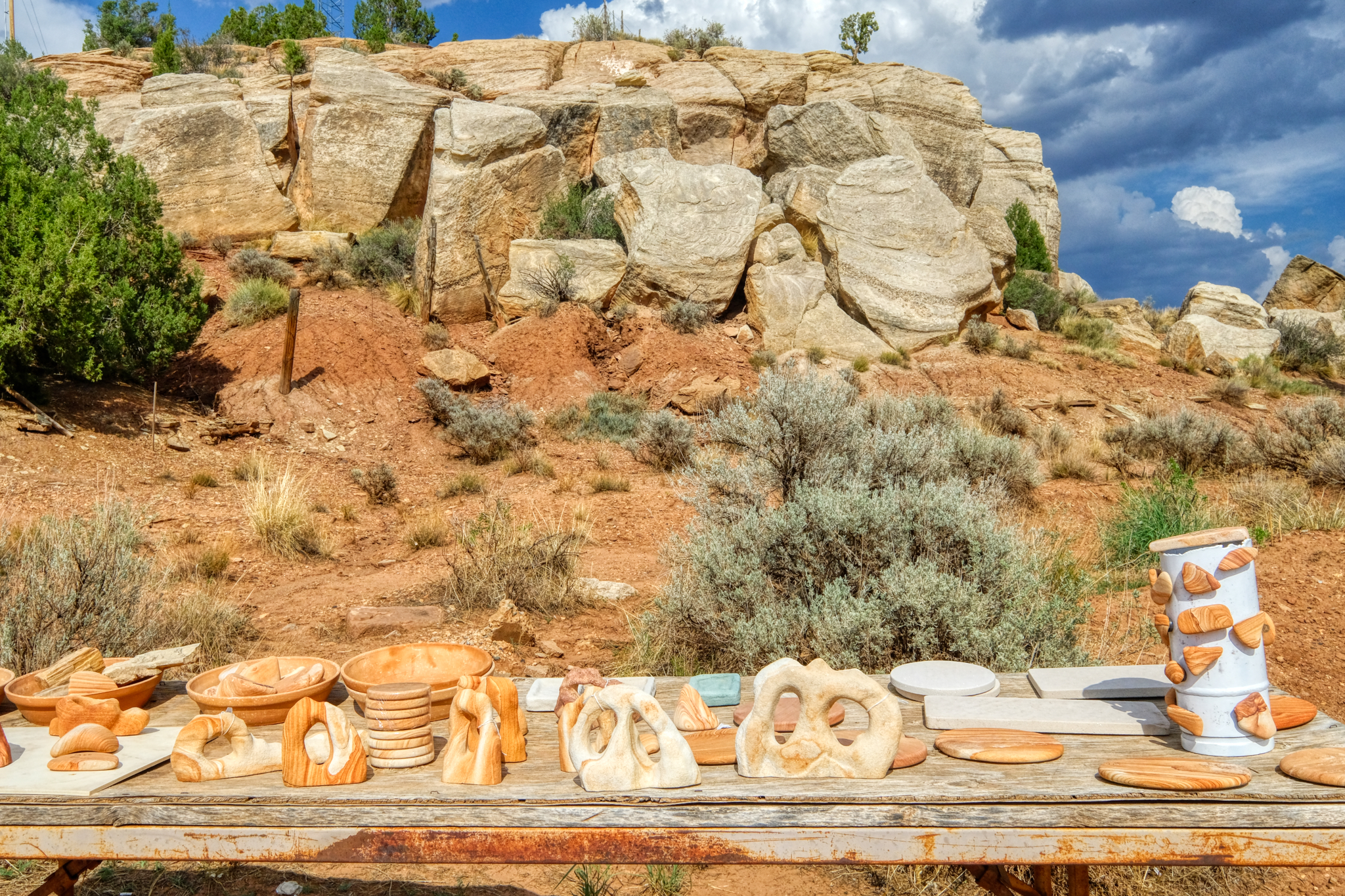 I pulled over to take a look.
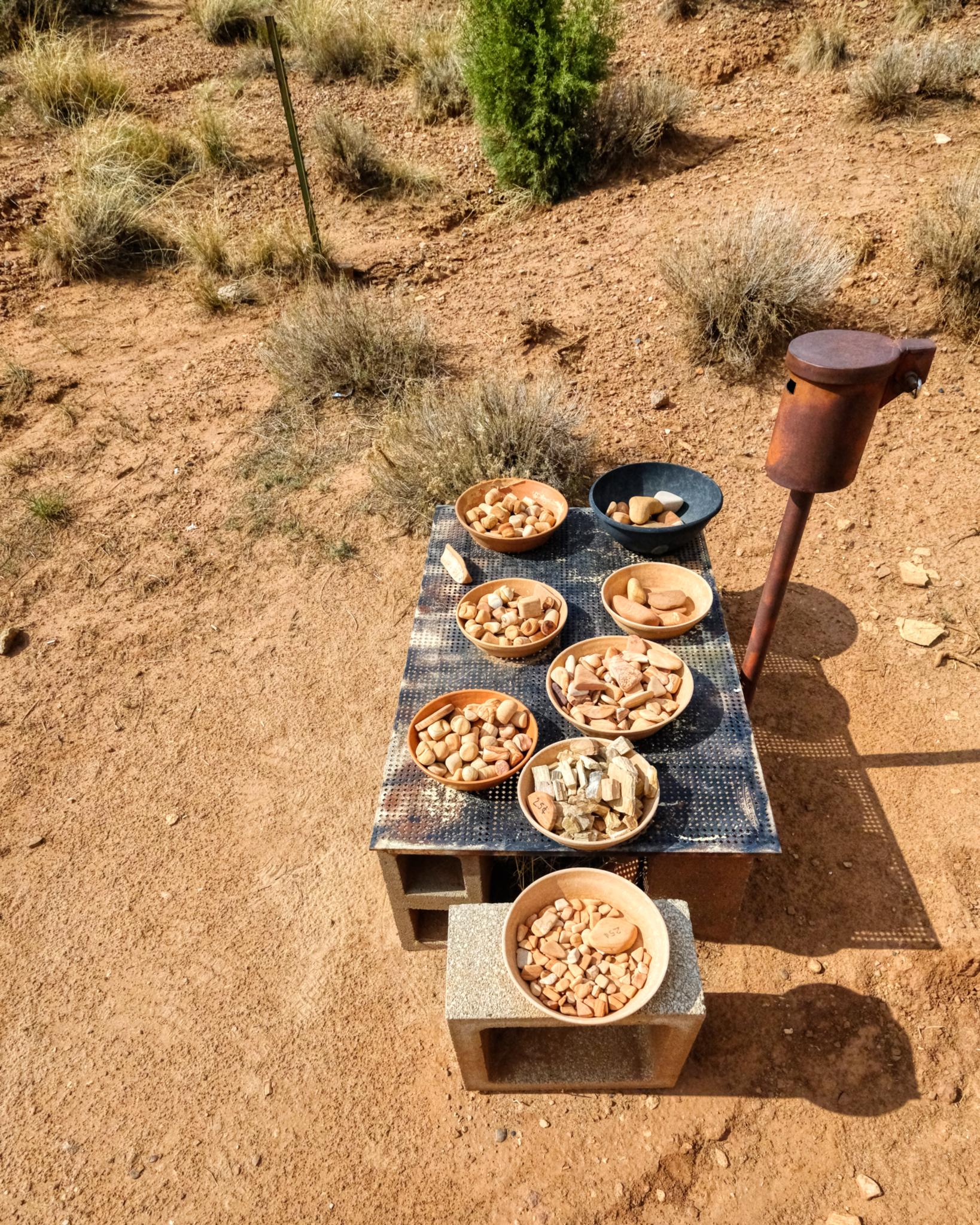 The 'system' for payment . . .
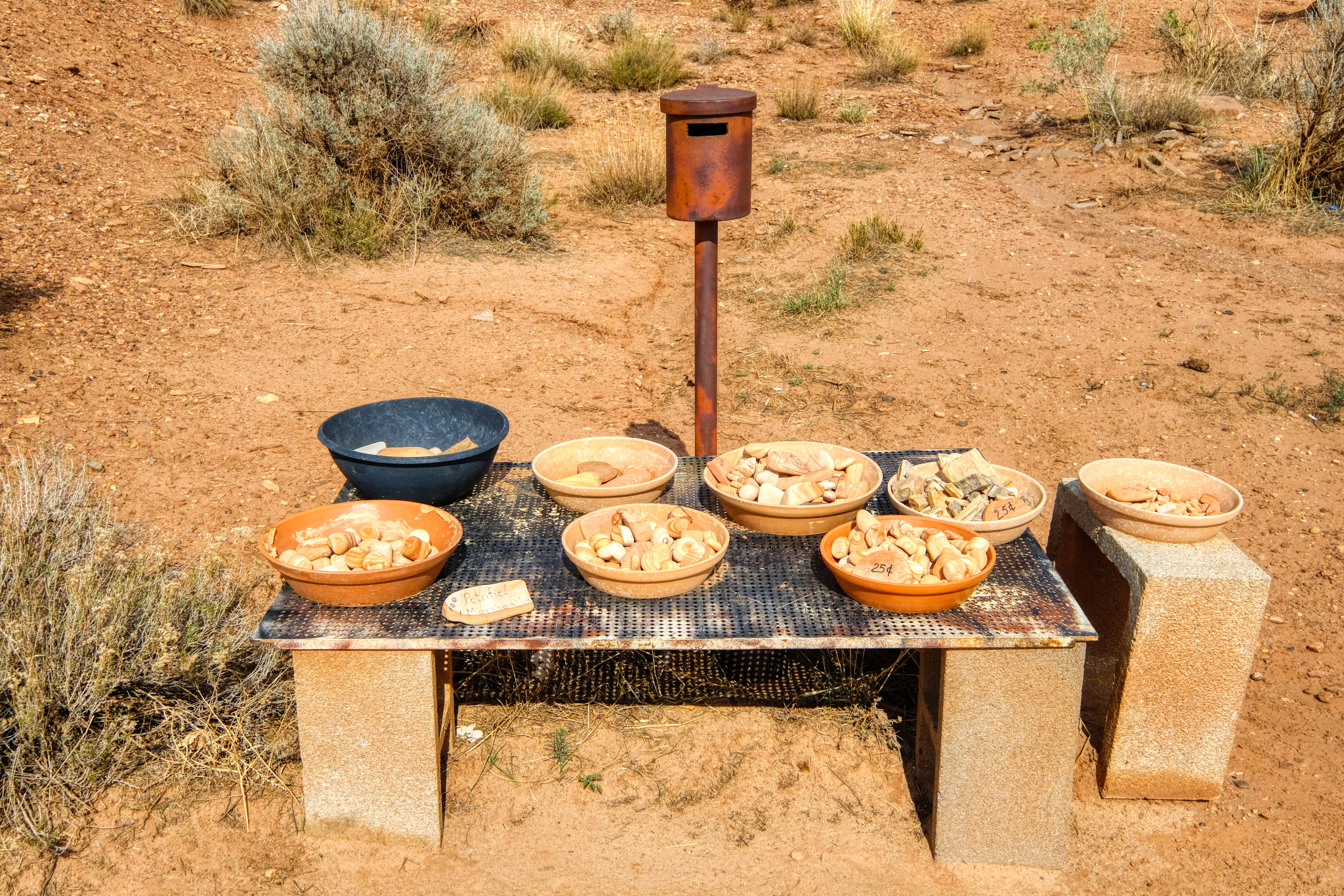 . . . take what you want, and leave your money in the can. I did. I passed on the petrified marshmallows.
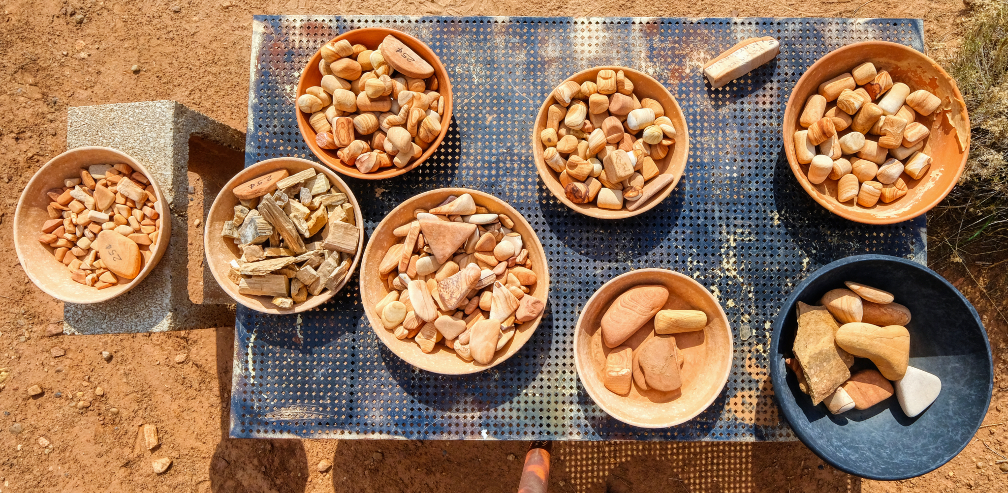 A nice collection . . . I took a couple of pieces of petrified wood for pocket flotsam.
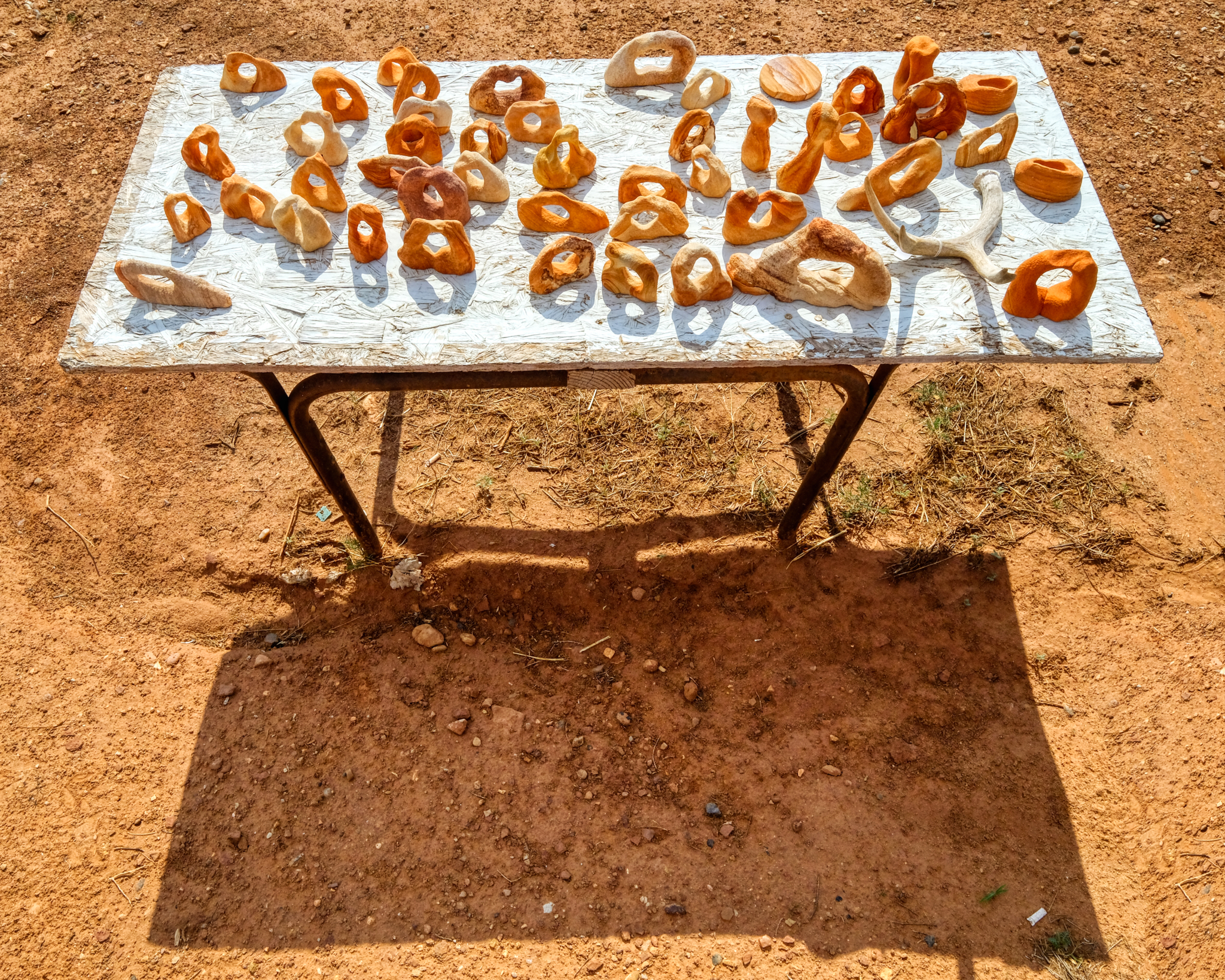 A table full of organic shapes.
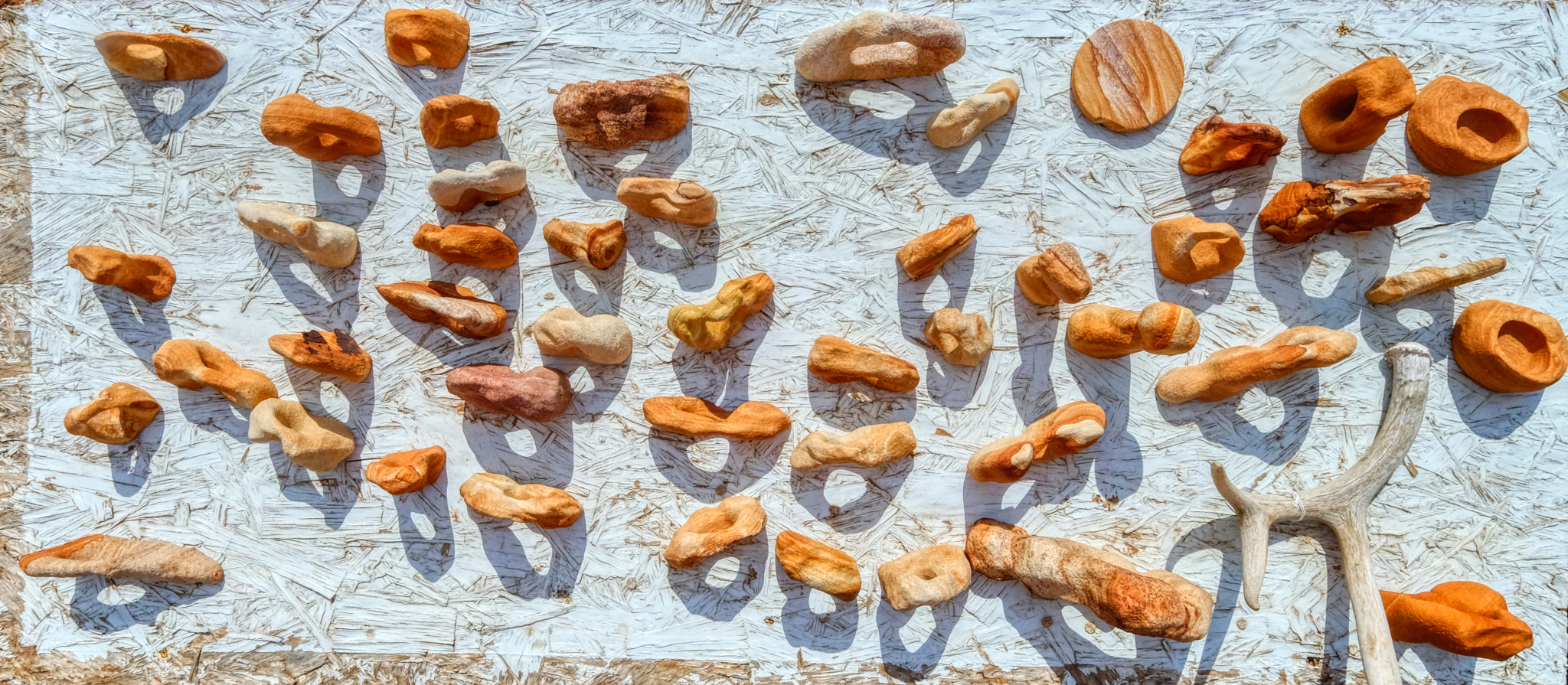 Wonderful shapes and shadows.
Road Trip USA: Five Days Camping in the Buttermilk Country
_______________________________________________
DAY ONE: Leaving Swall Meadows for the Buttermilk Country of the Eastern Sierra Nevada Mountains, California. Early September 2018.
 My adventure in the high Buttermilk Country of the far eastern Sierra Nevada Mountains in California began at the home of good friends in Swall Meadows.
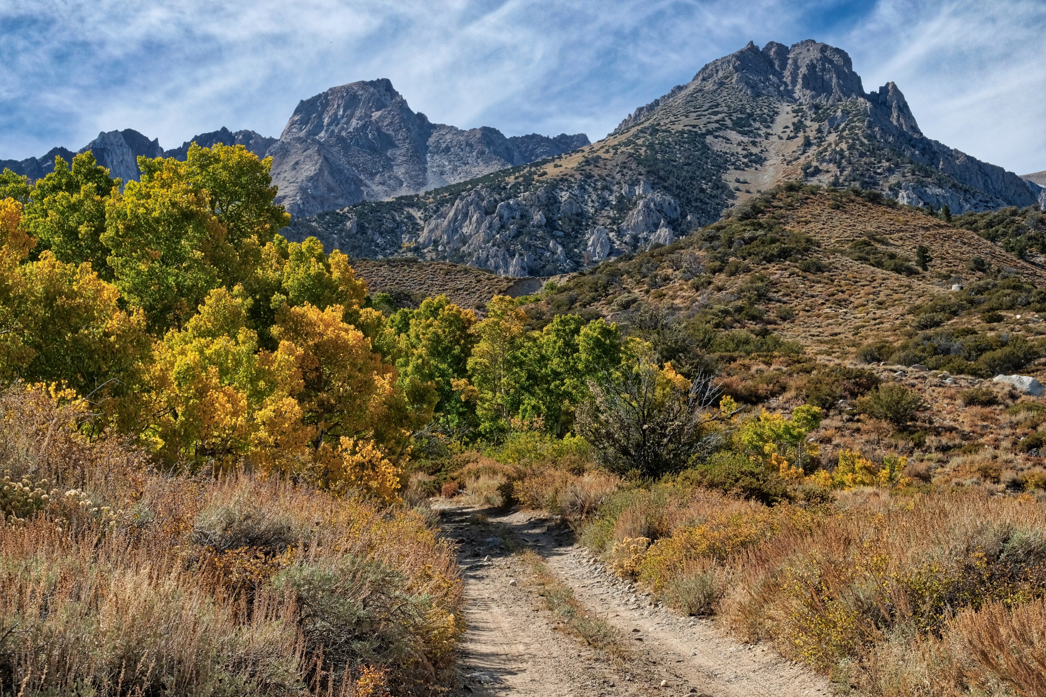
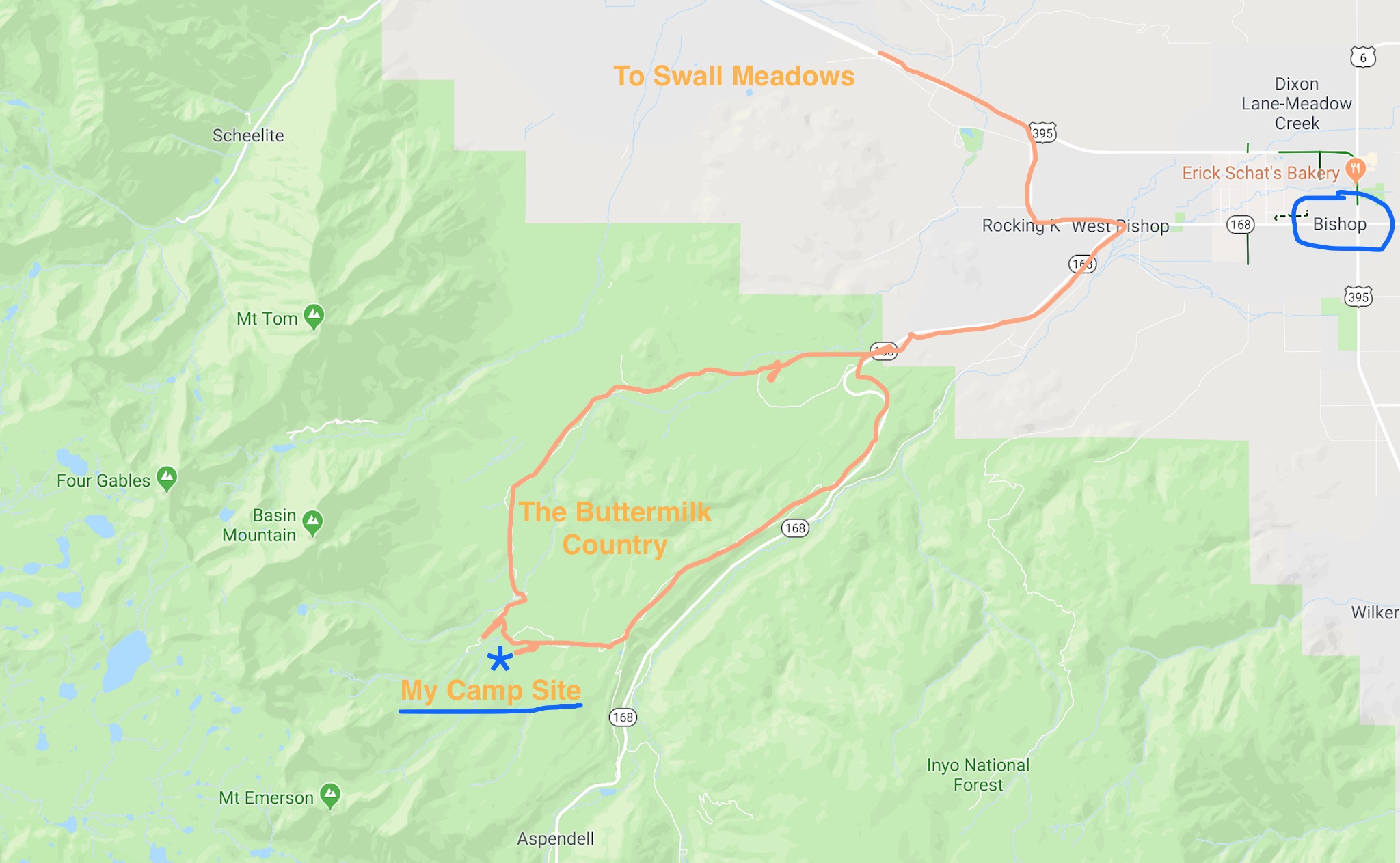 I left the small village of Swall Meadows one clear morning and drove to Bishop, California and then up State Highway 168 before turning up the jeep tracks to my camp site in an aspen grove high in the Buttermilk Country.
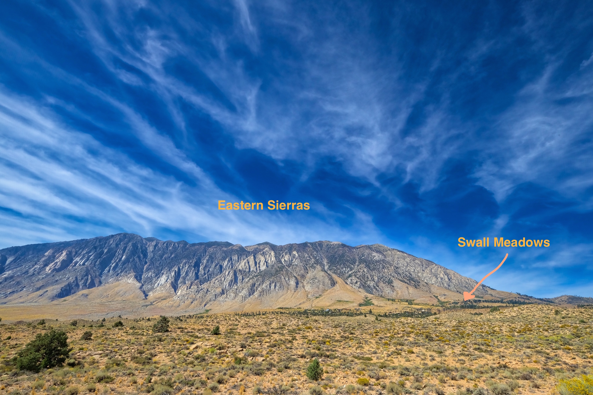 Swall Meadows is beautifully situated at the foot of the eastern Sierra Nevada mountains.
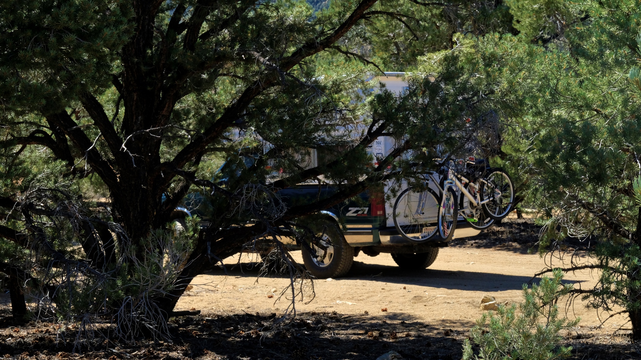
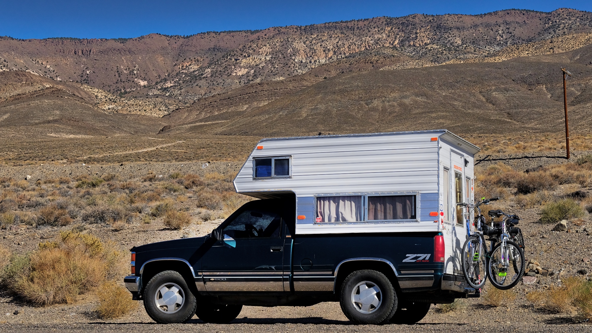
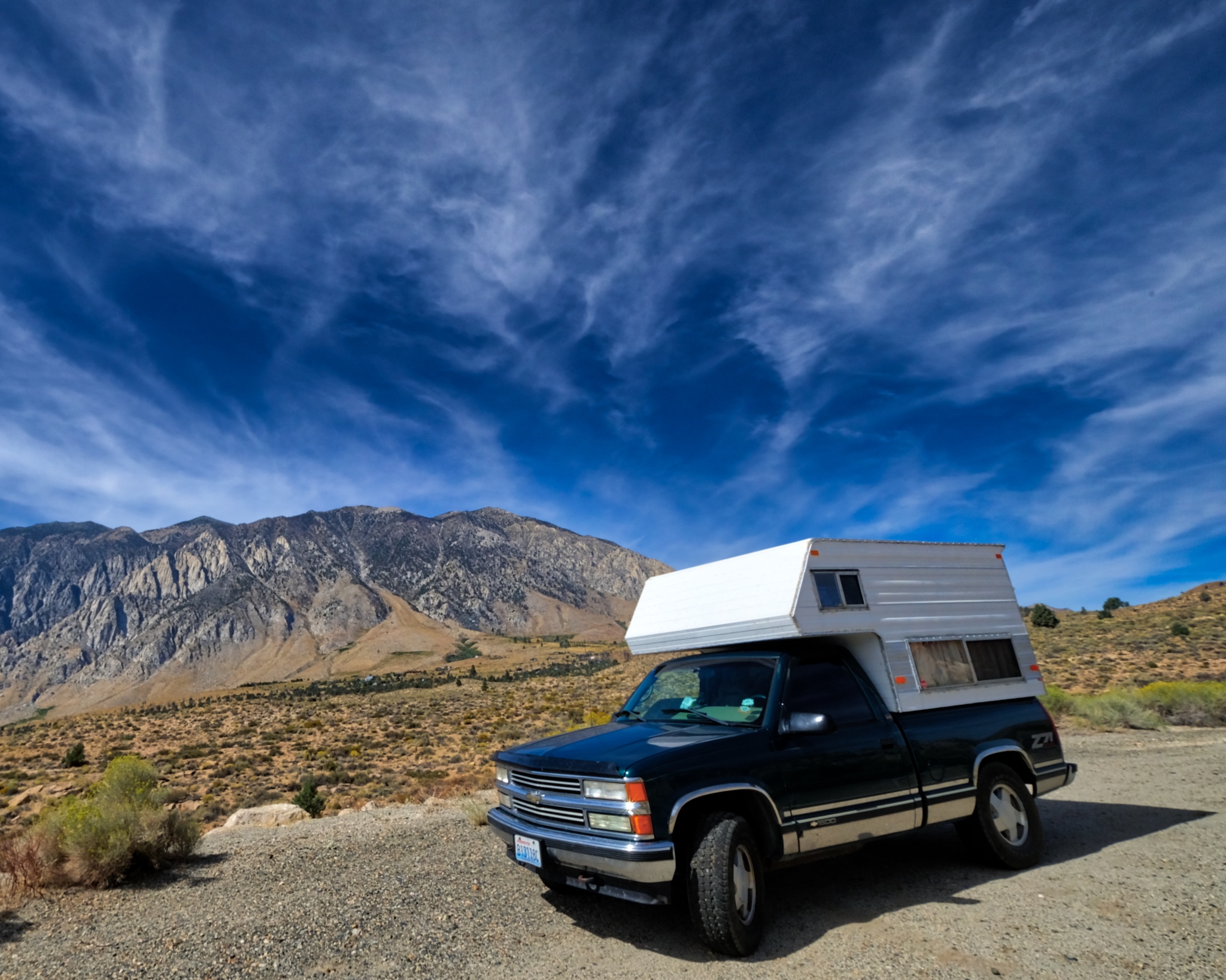 It was a beautiful morning when I set off . . . the camper fully provisioned for many days in the wild.
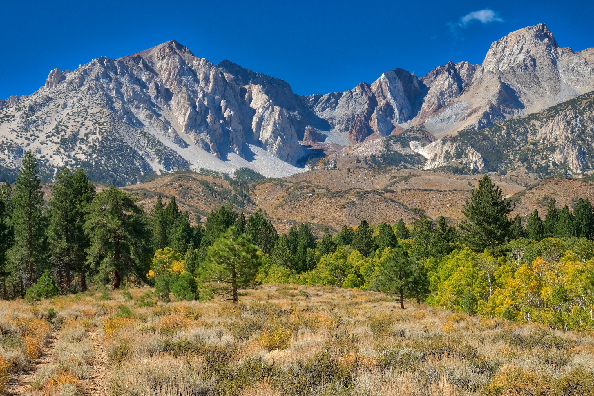
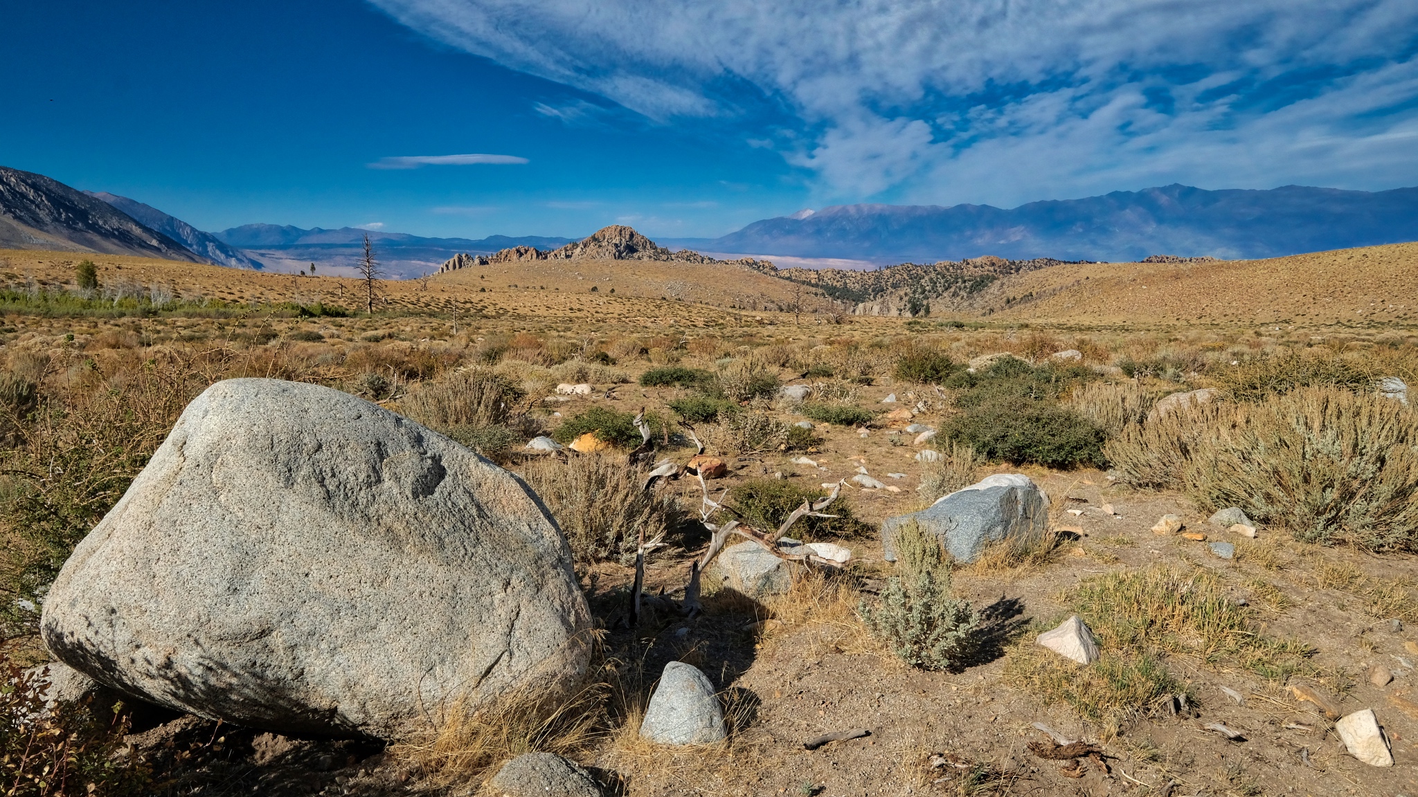
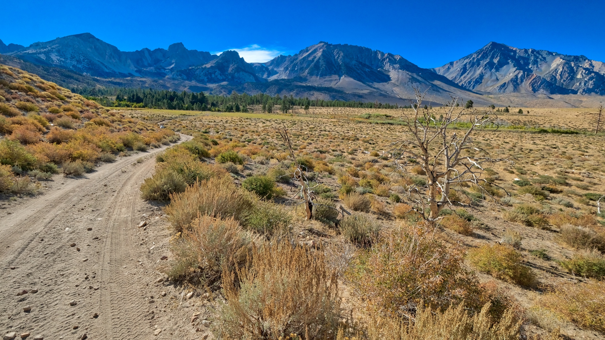
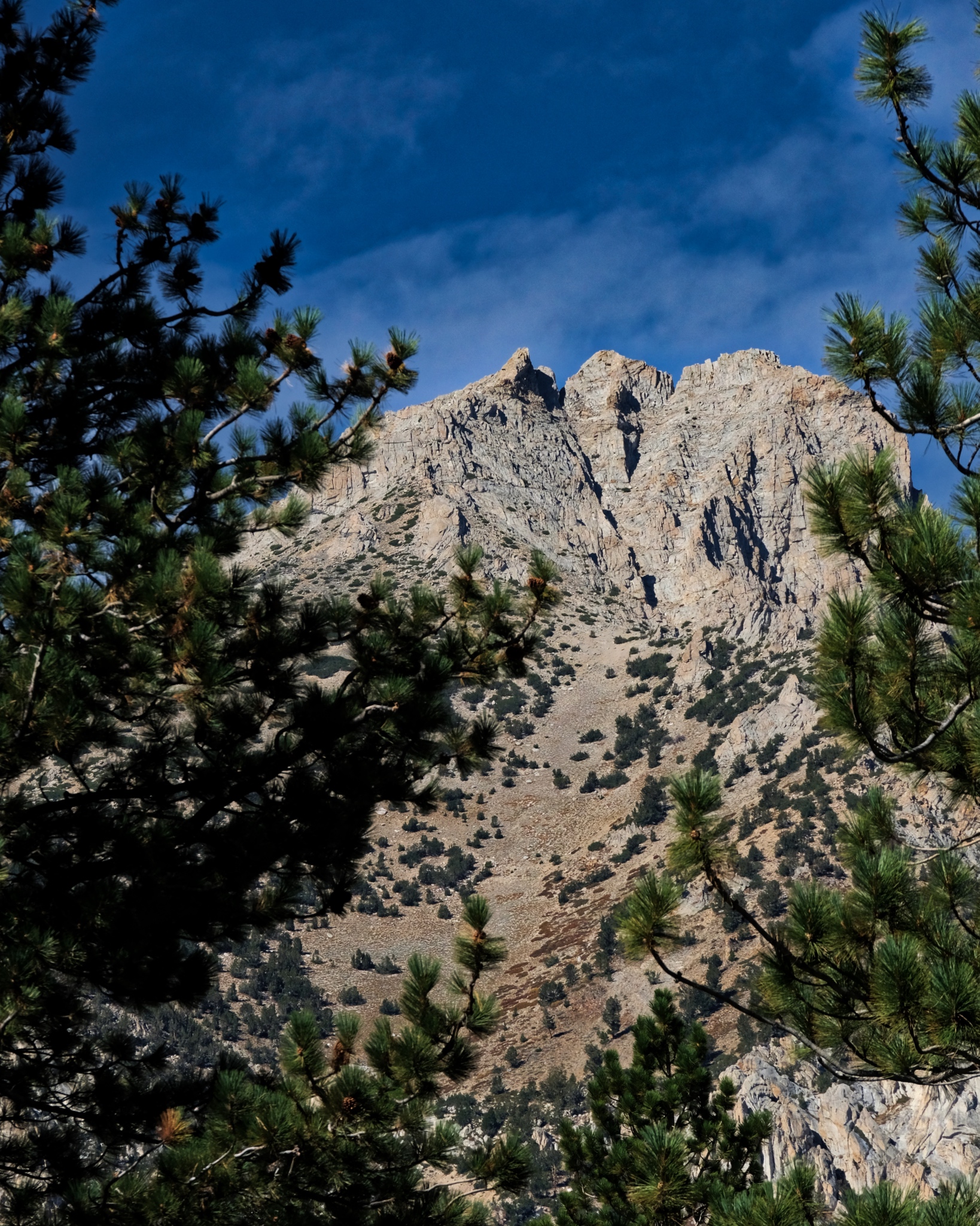
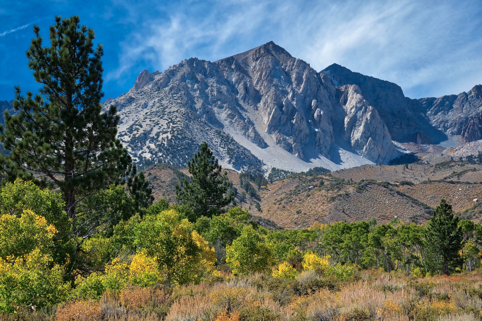
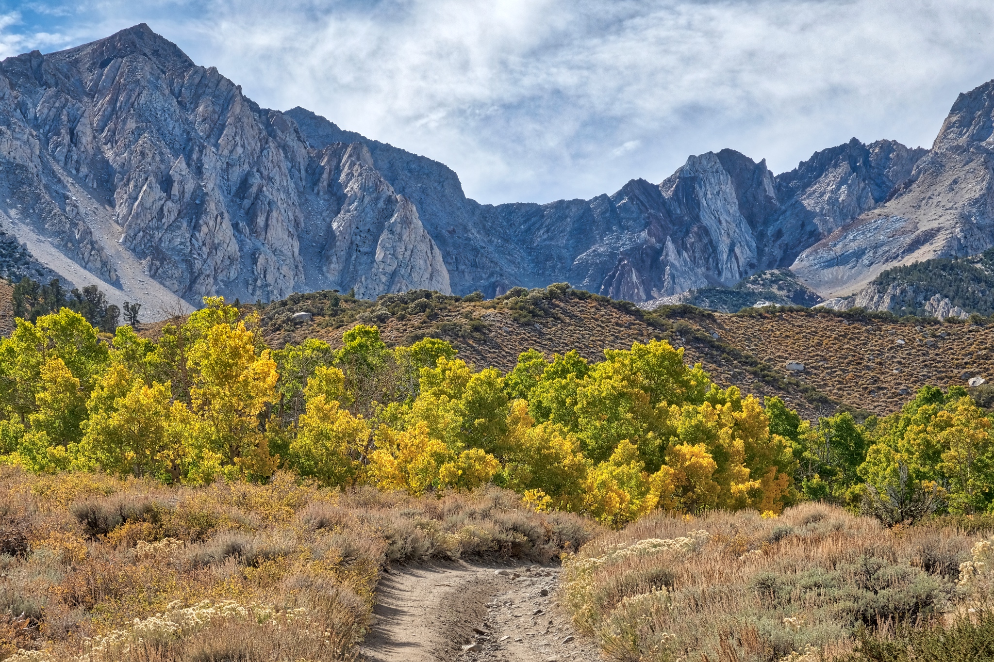
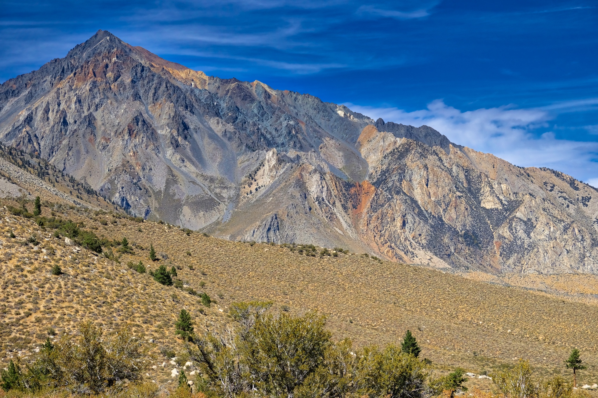
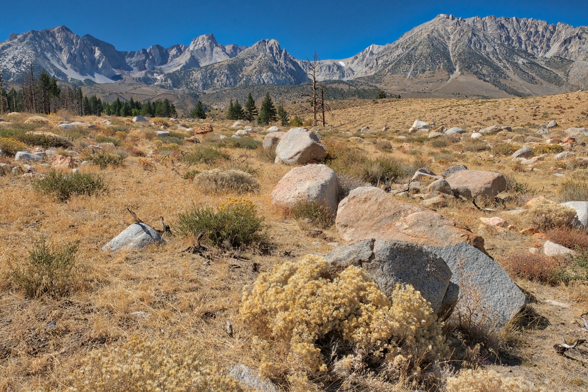
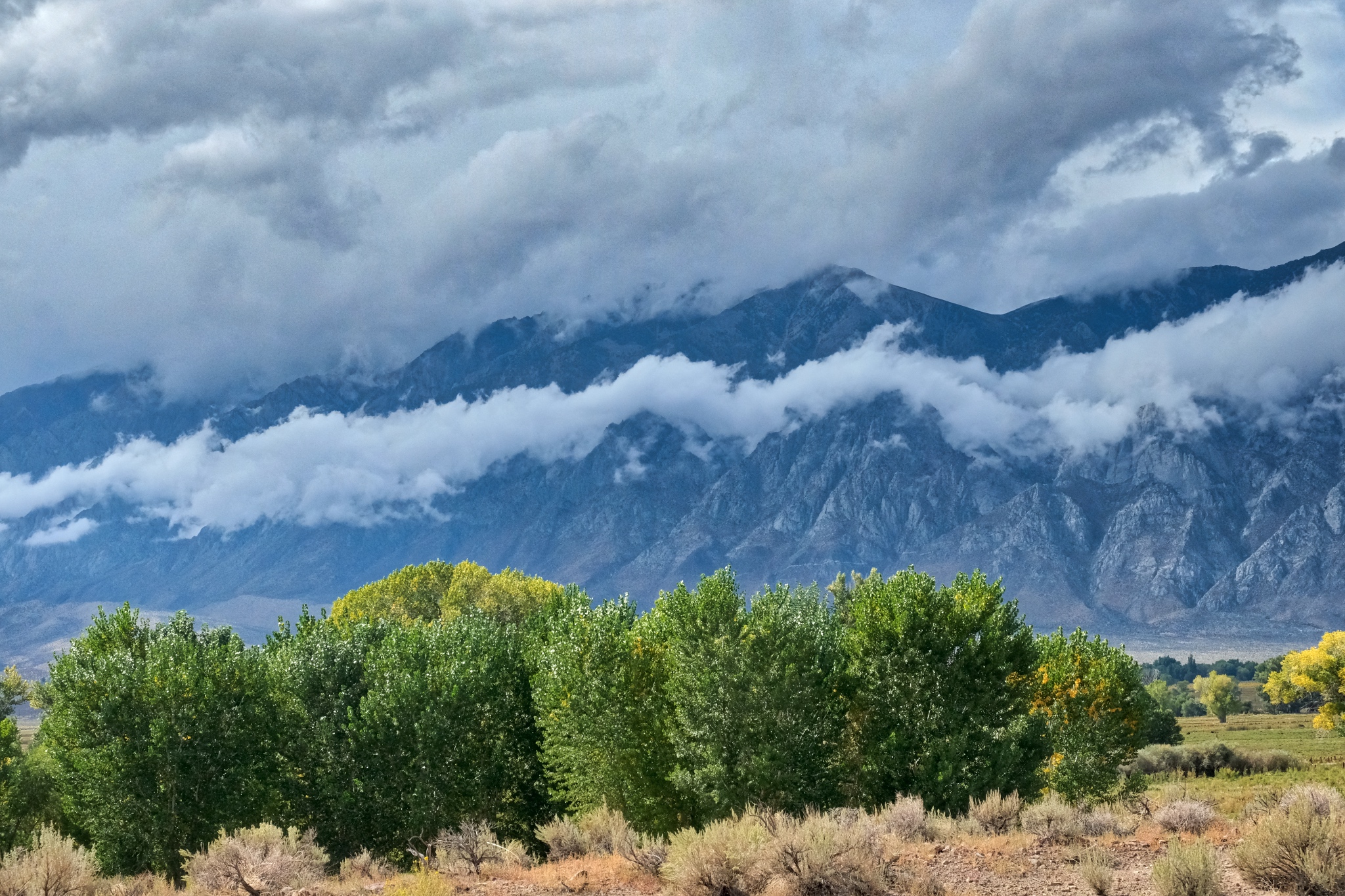
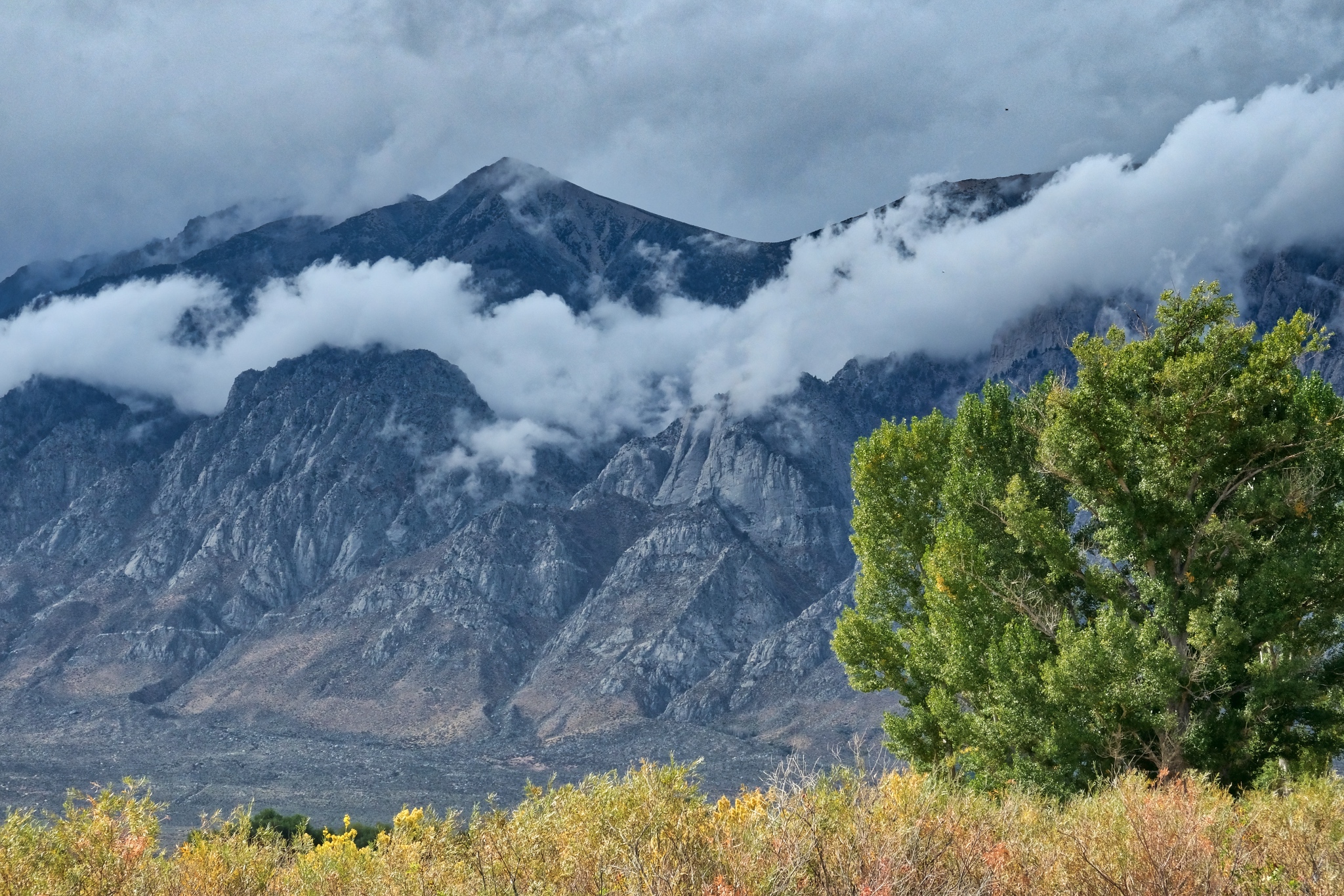
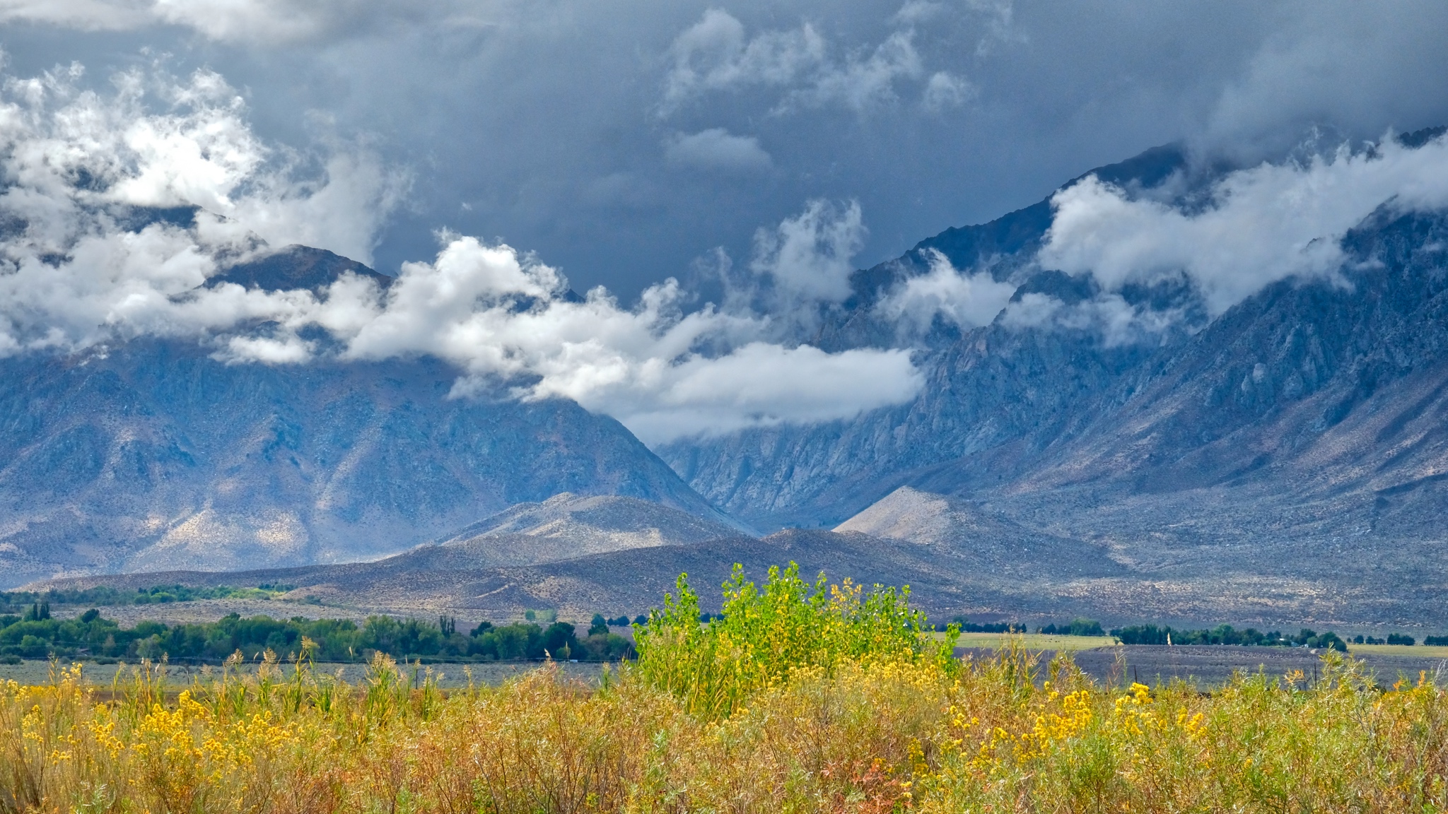
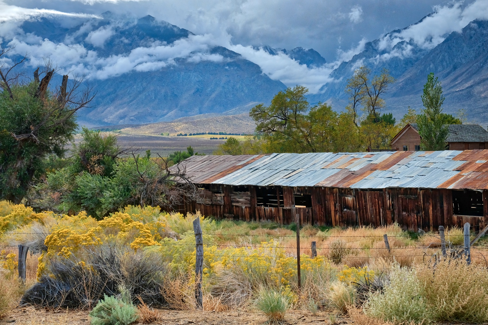
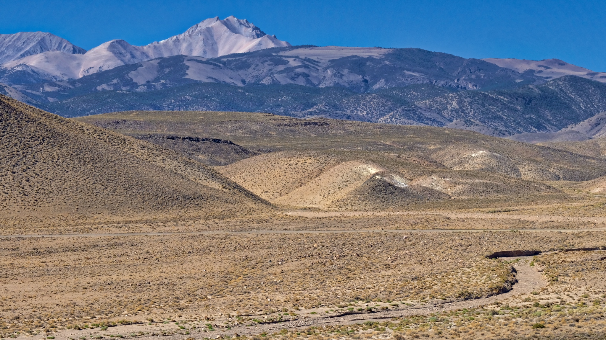
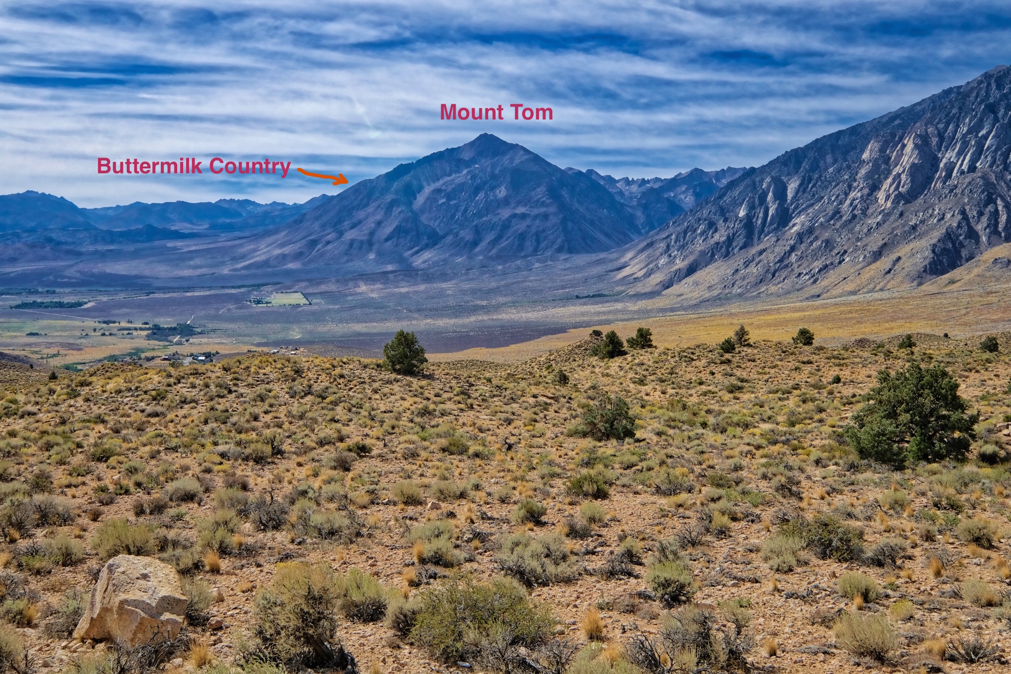 I stopped to get the lay of the land. The Buttermilk Country was on the other side of Mount Tom, up a gradual incline toward the high peaks.
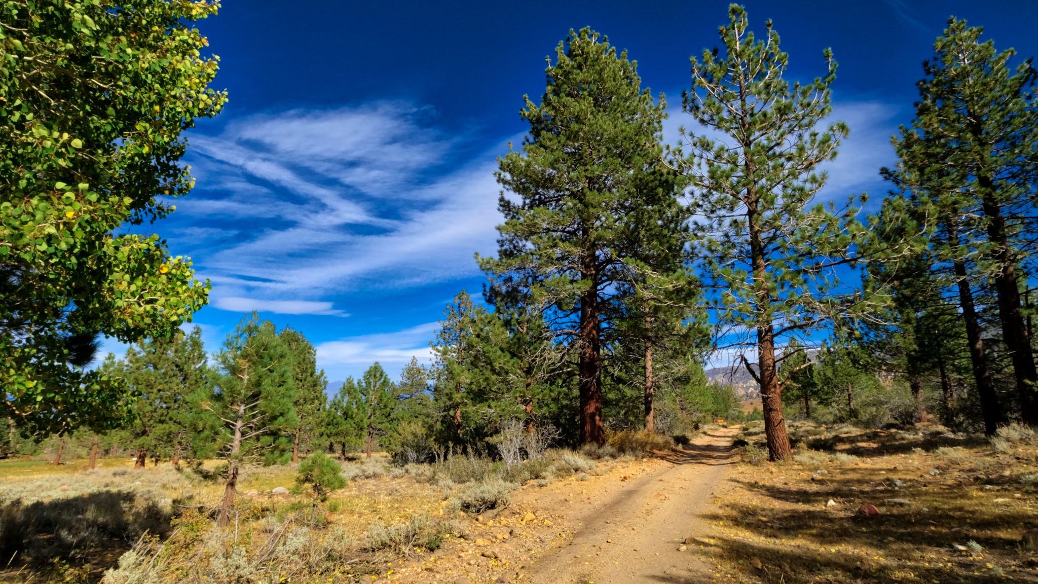
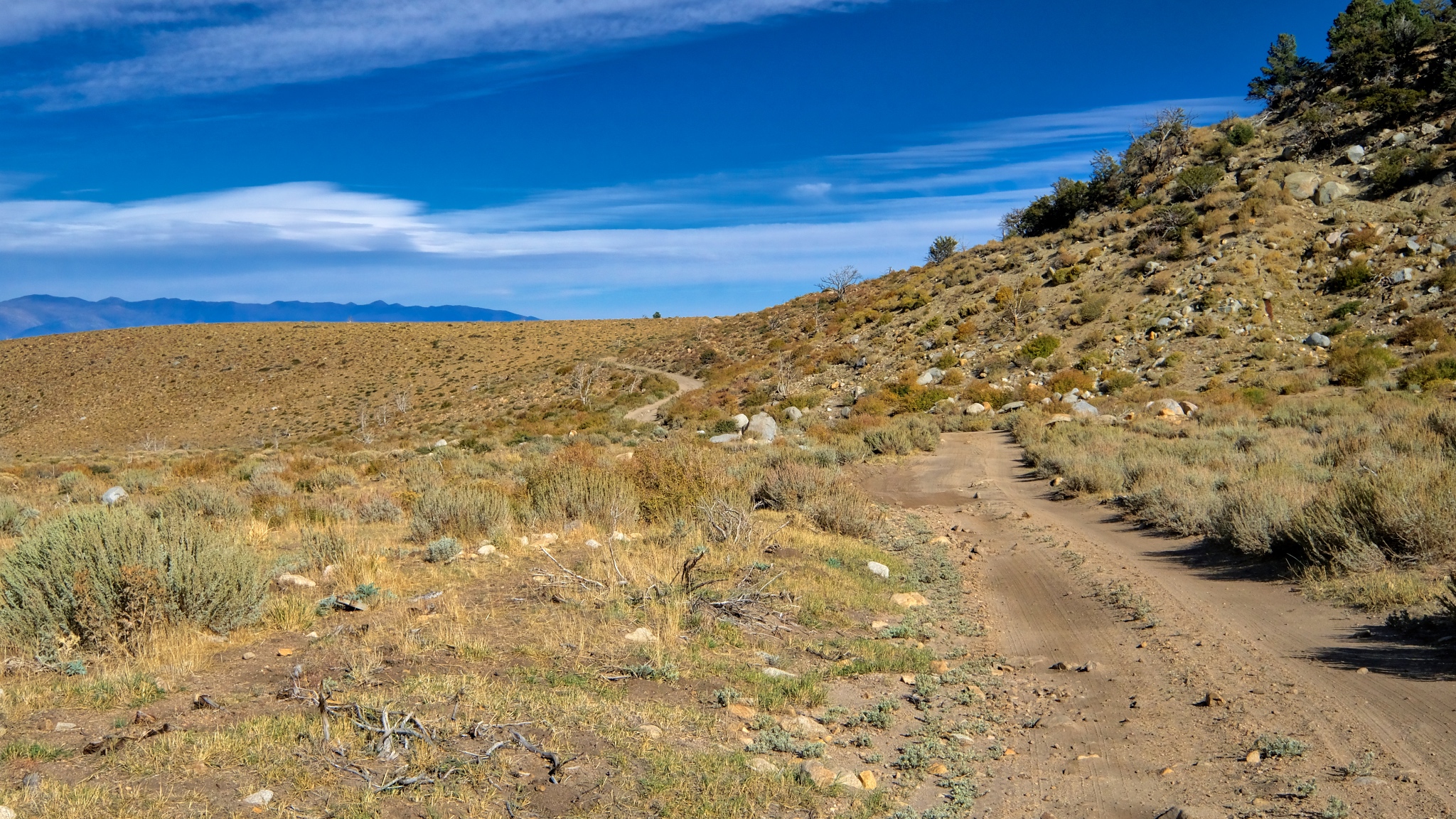
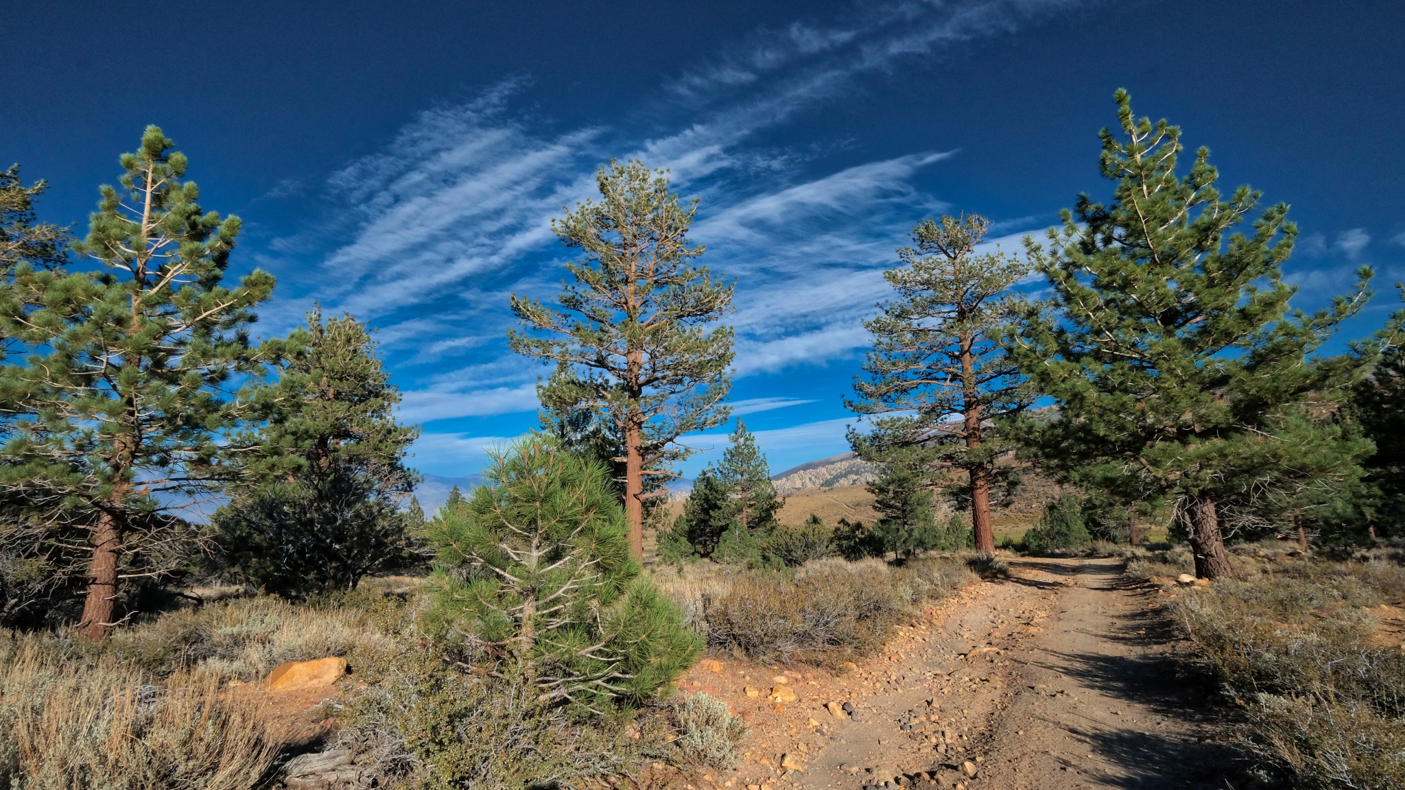
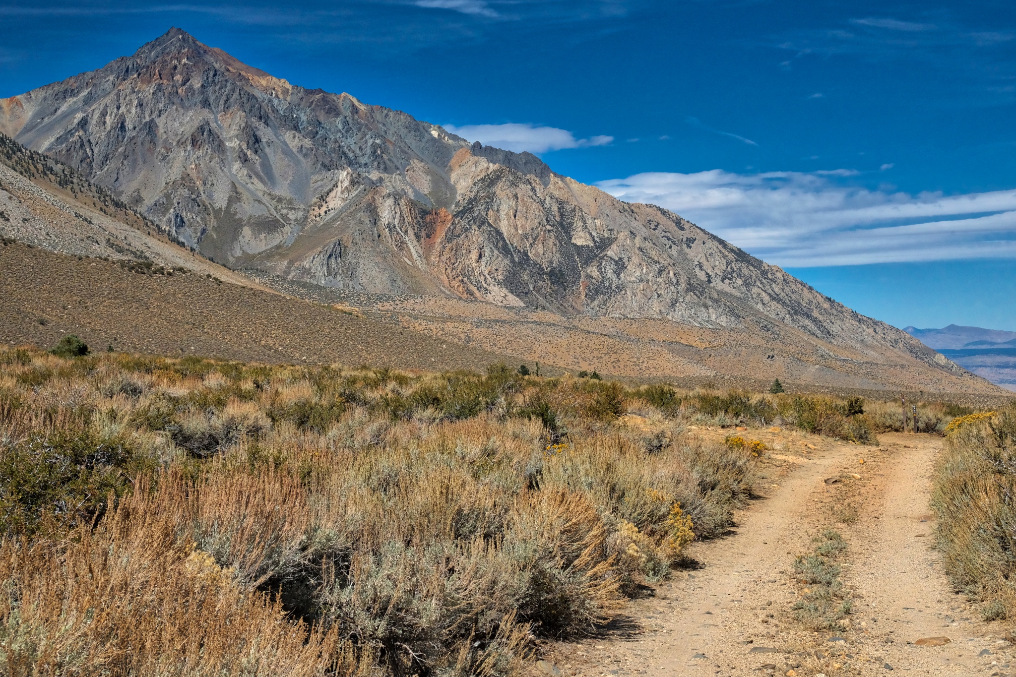
 Driving up into the mountains on the sandy and rocky jeep trail.
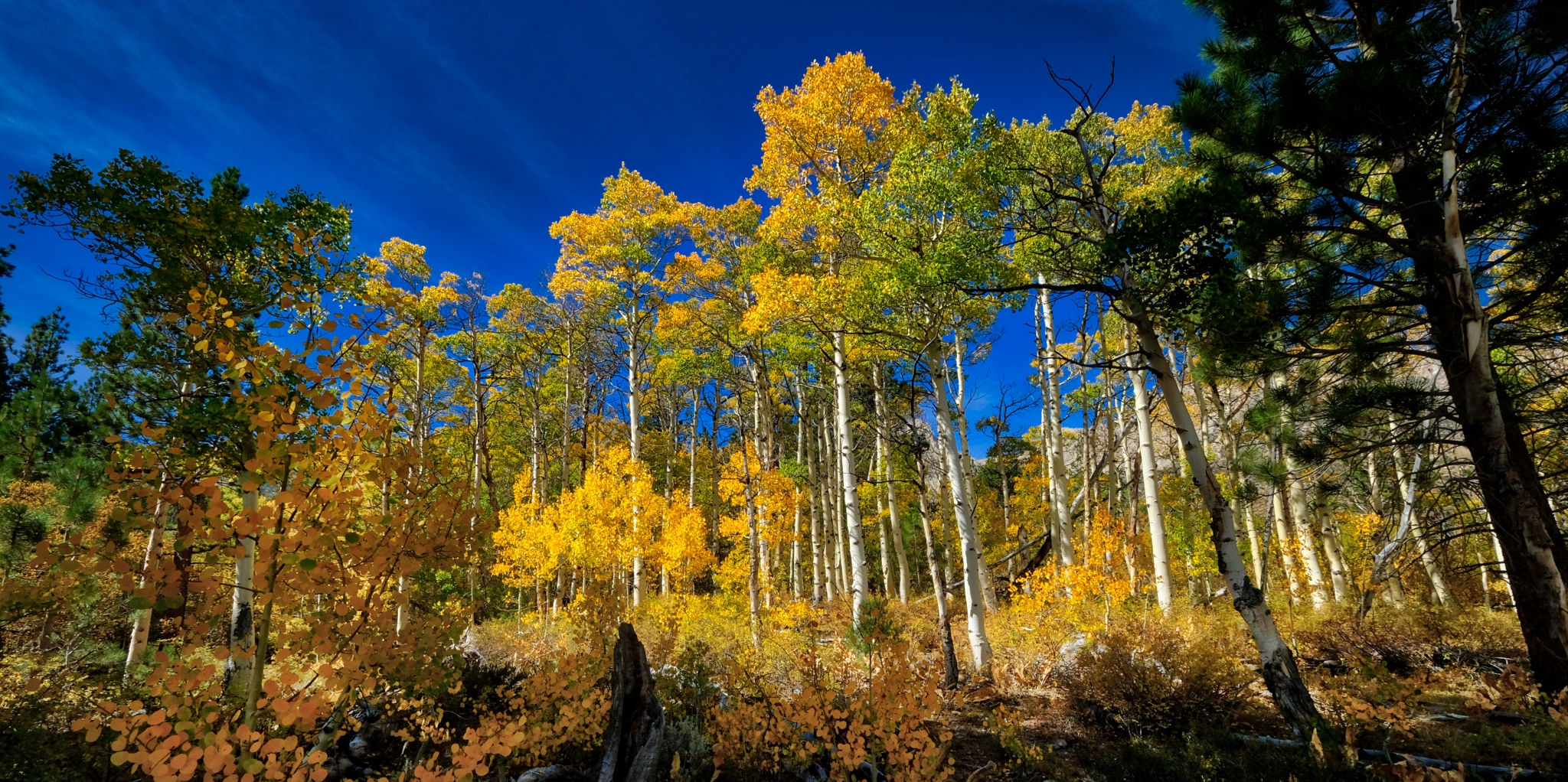
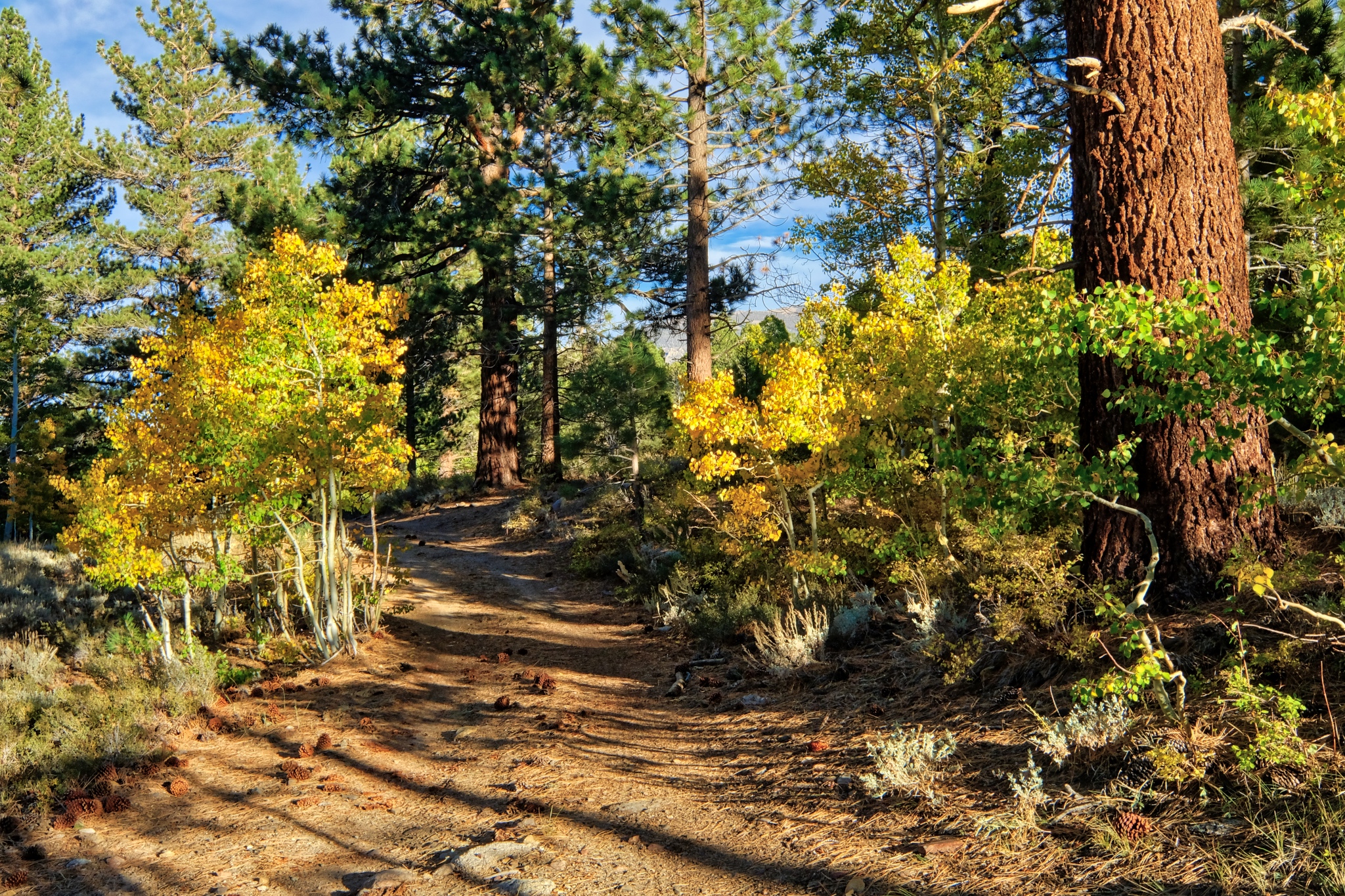
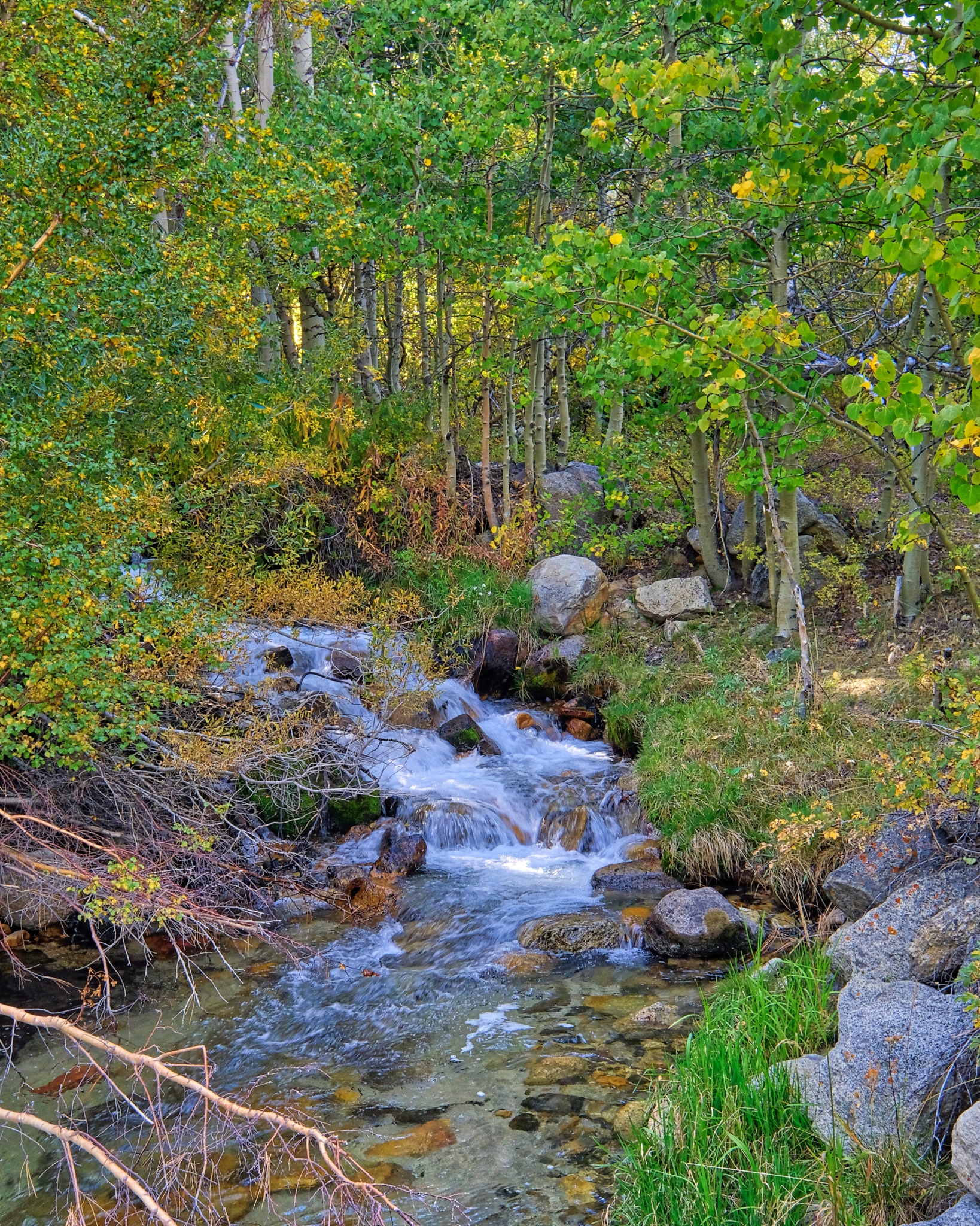
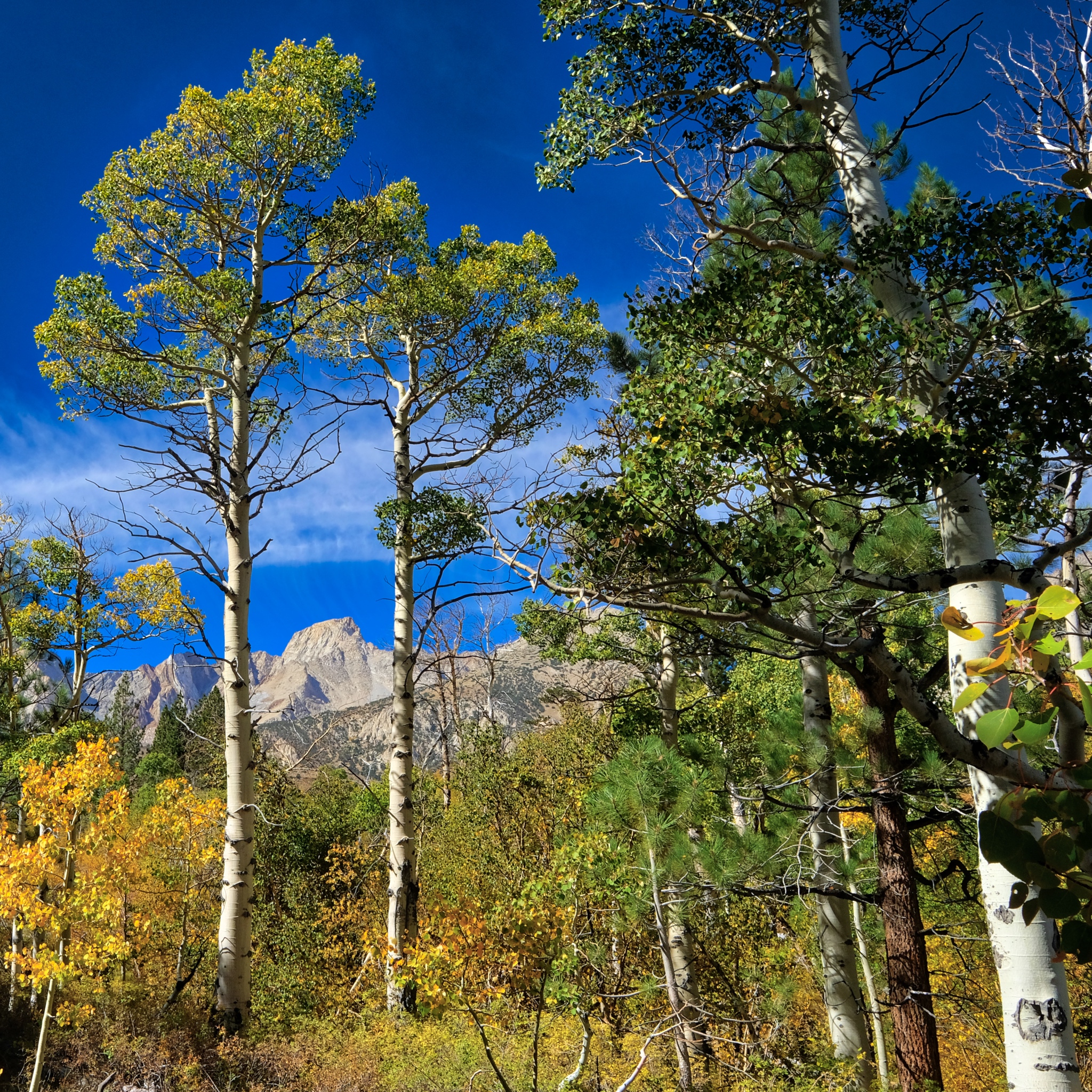
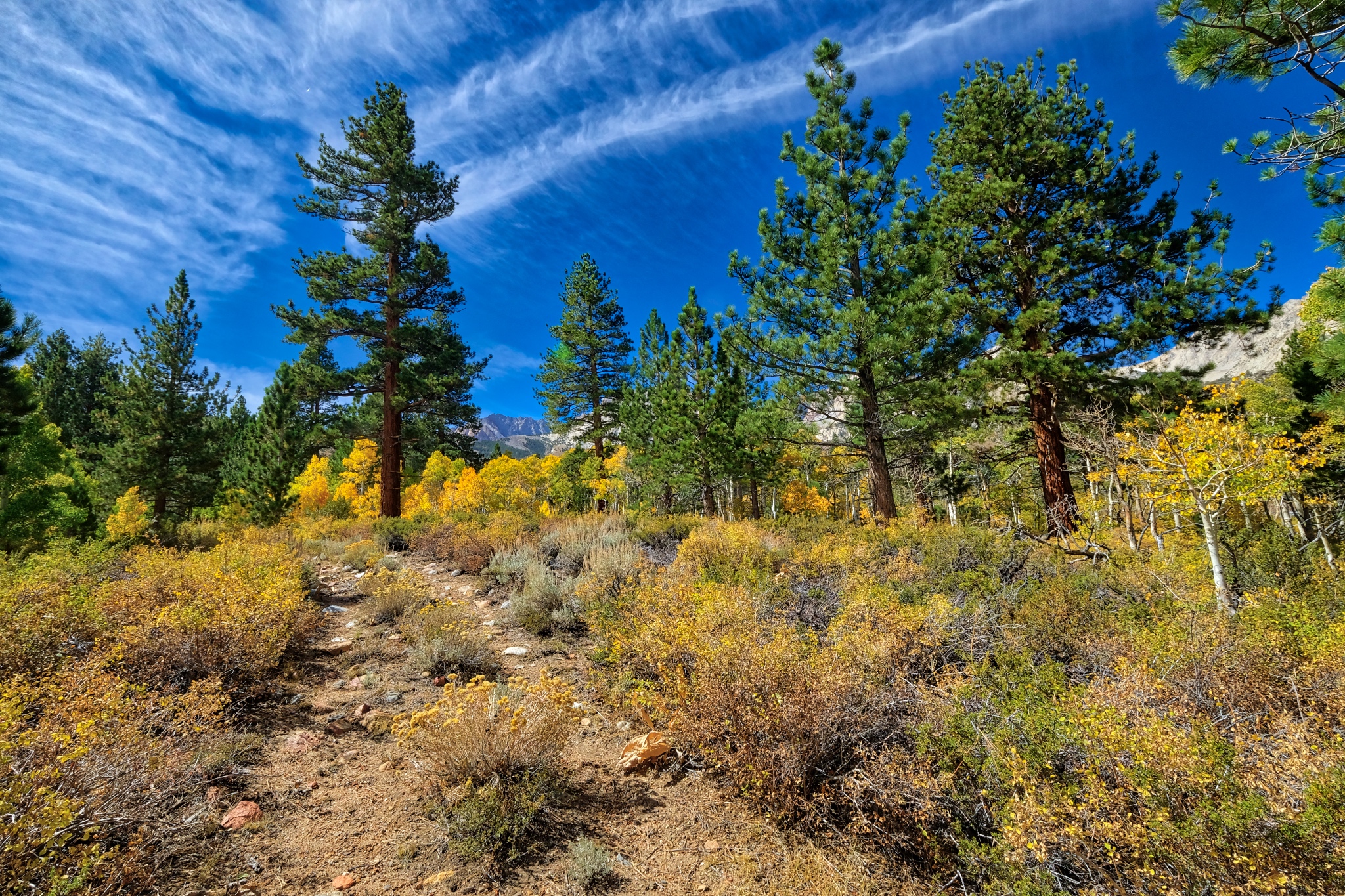
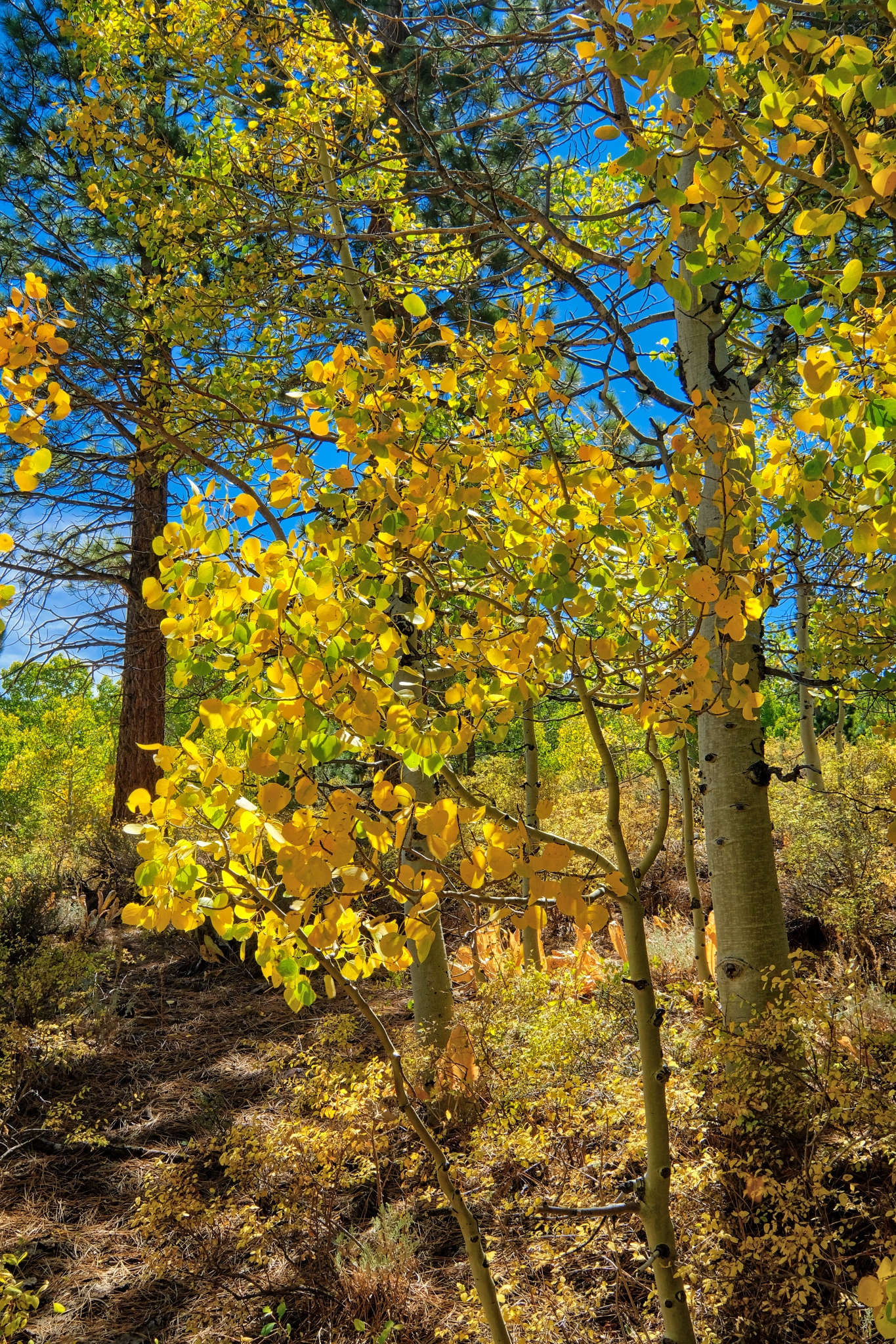
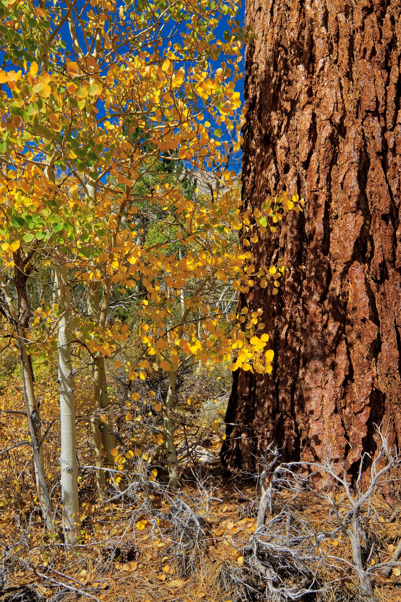
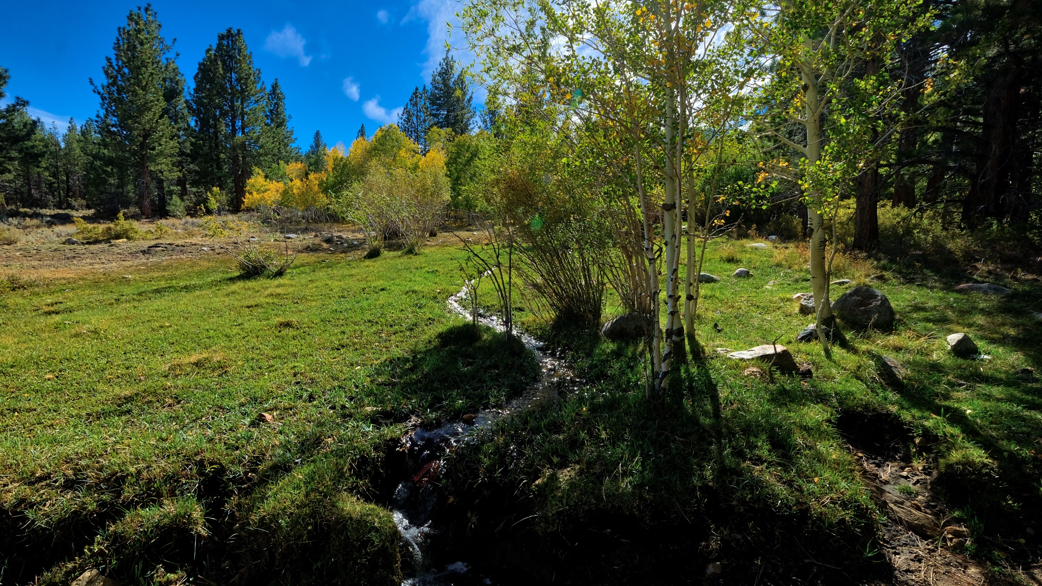
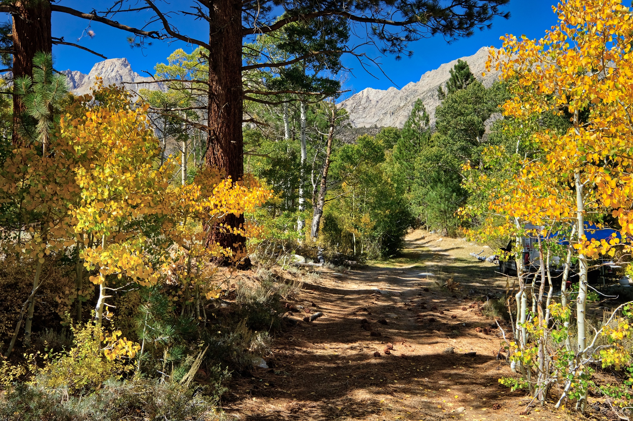
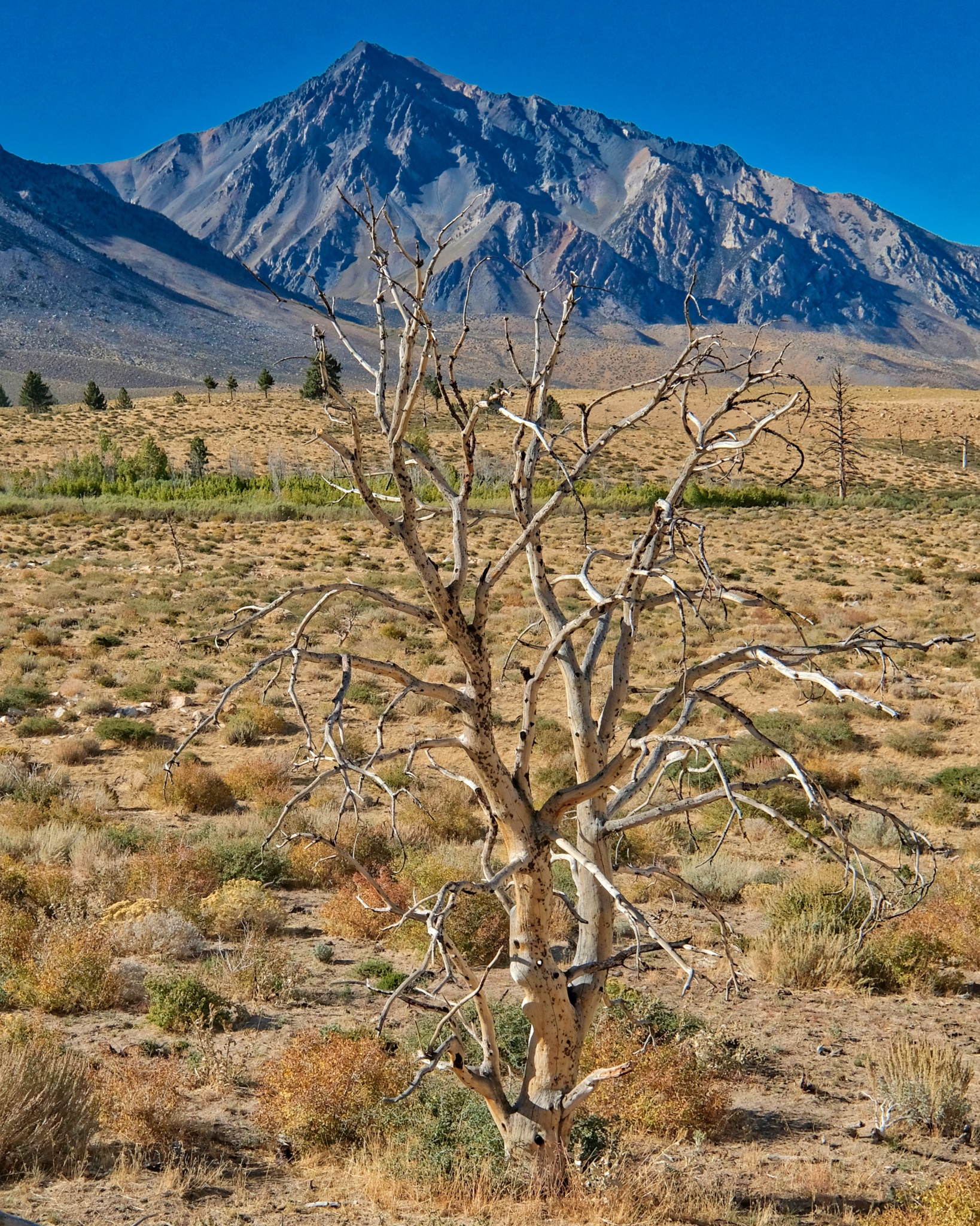
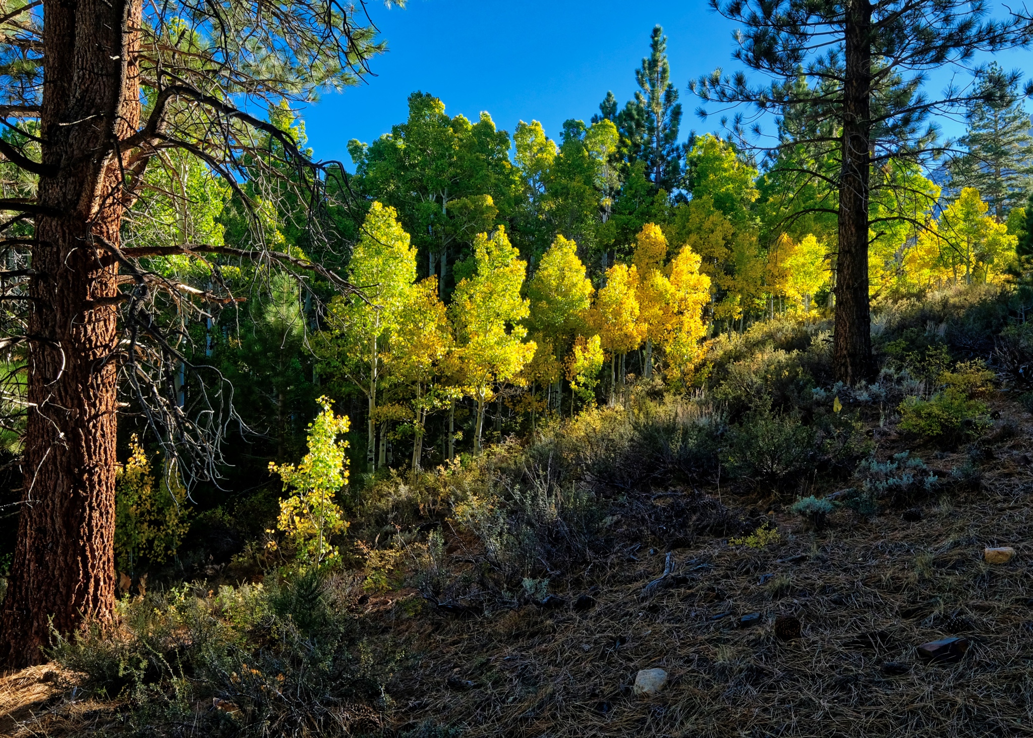
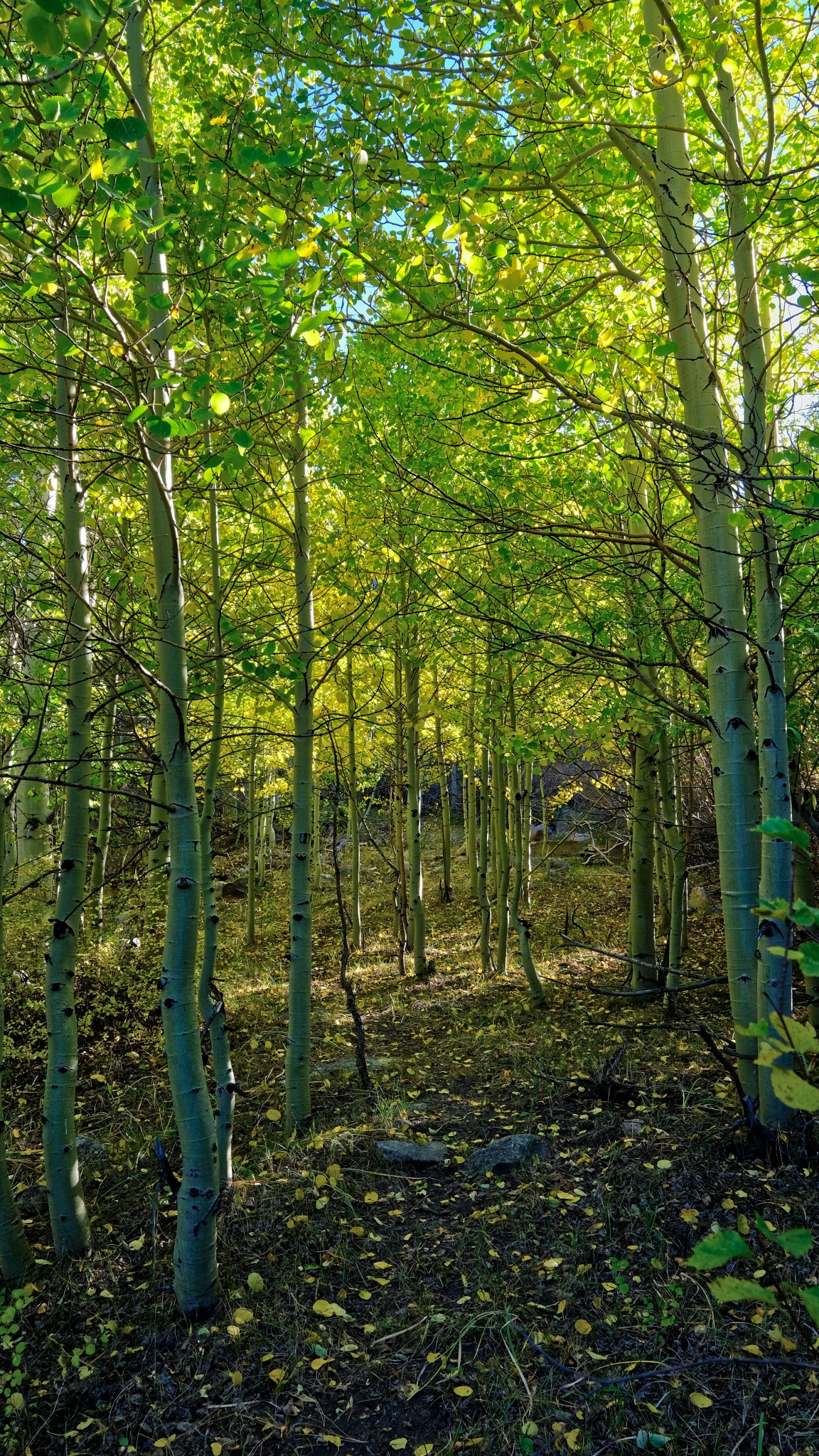
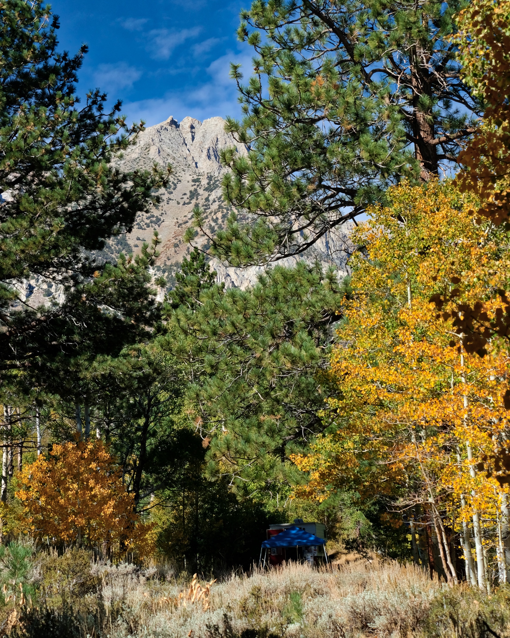
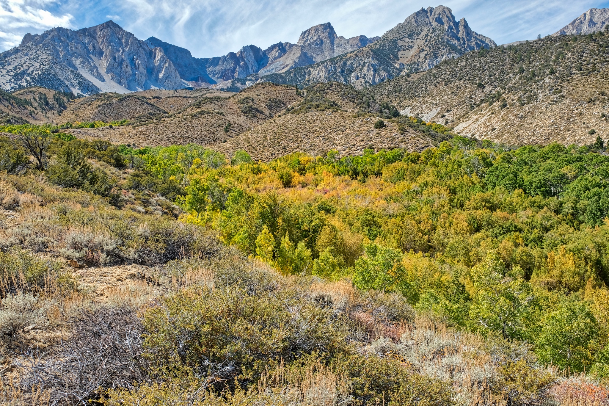
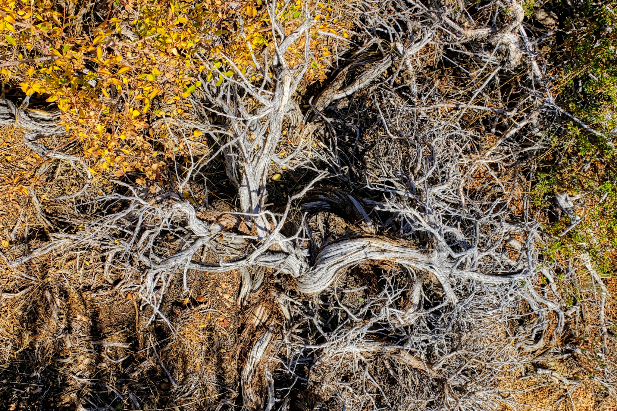
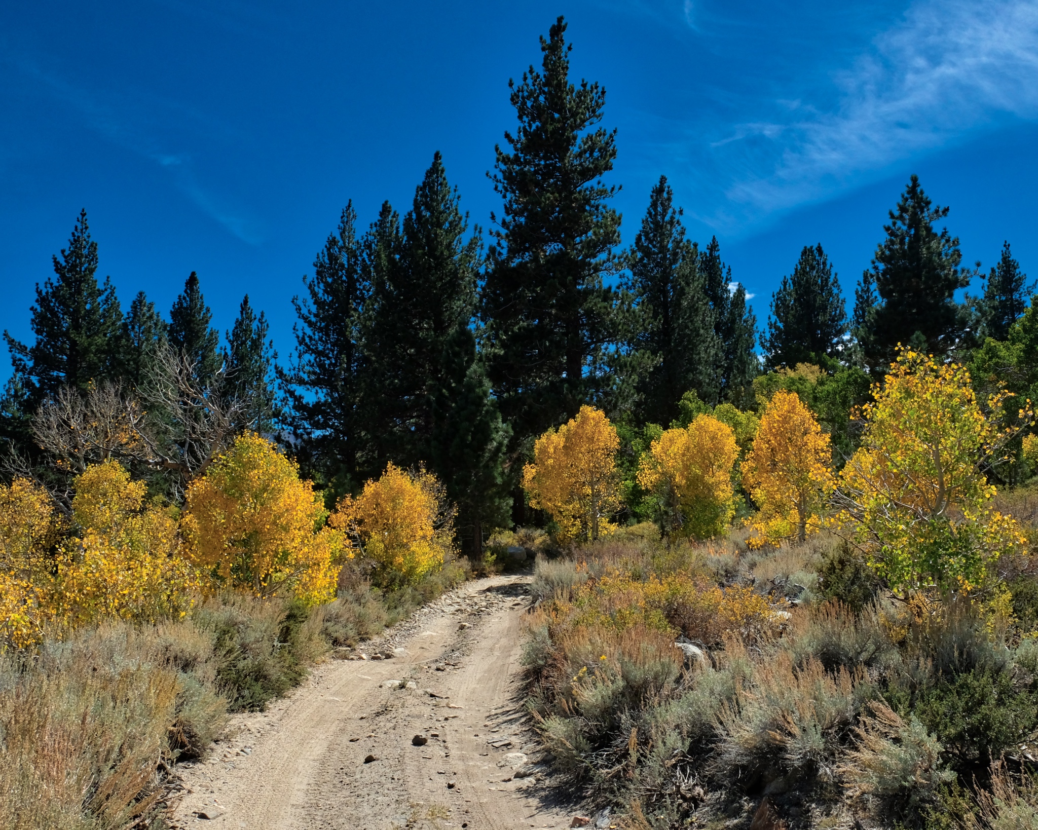
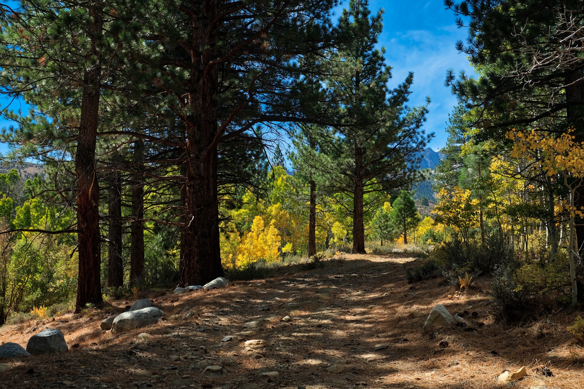
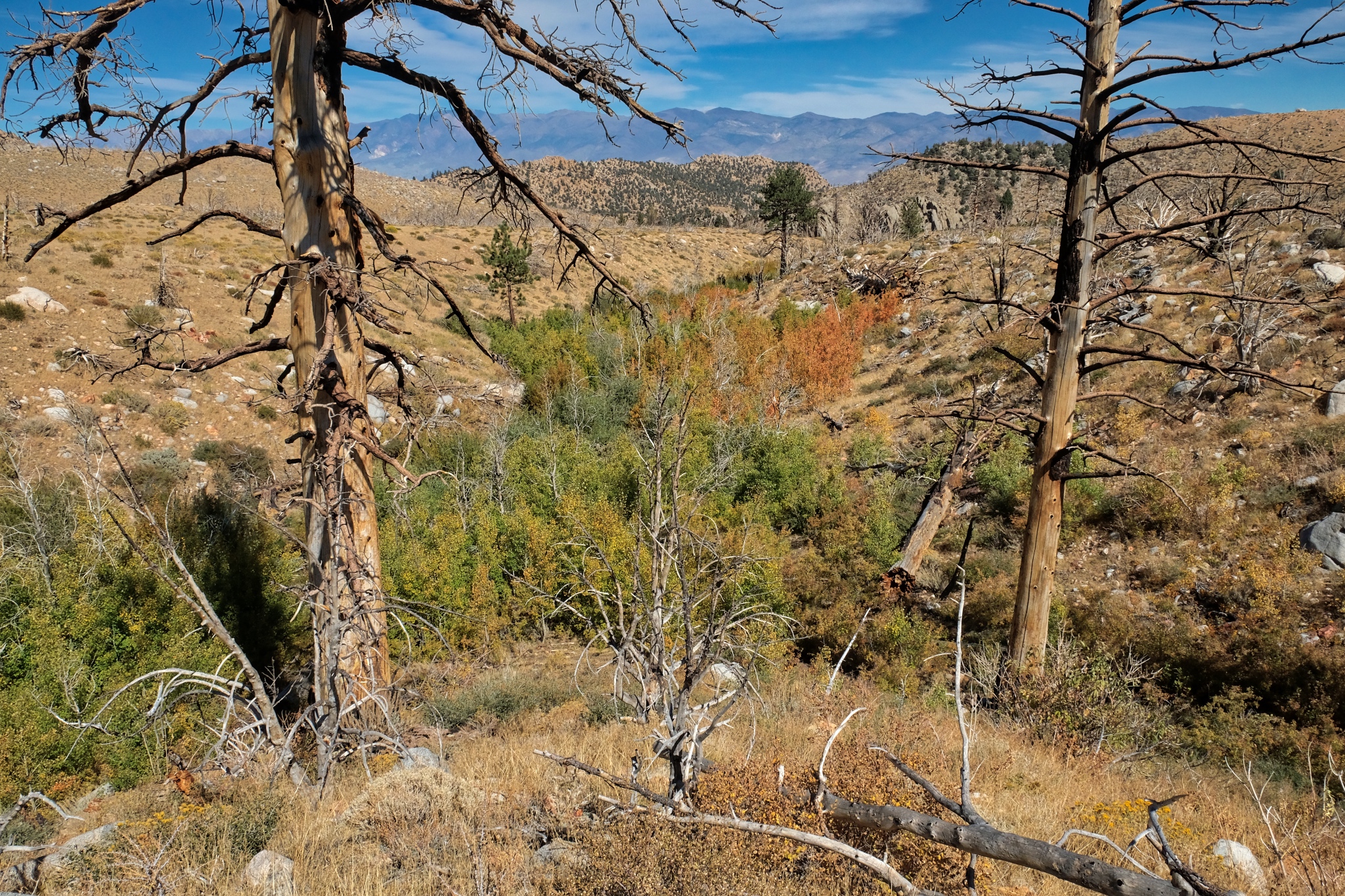
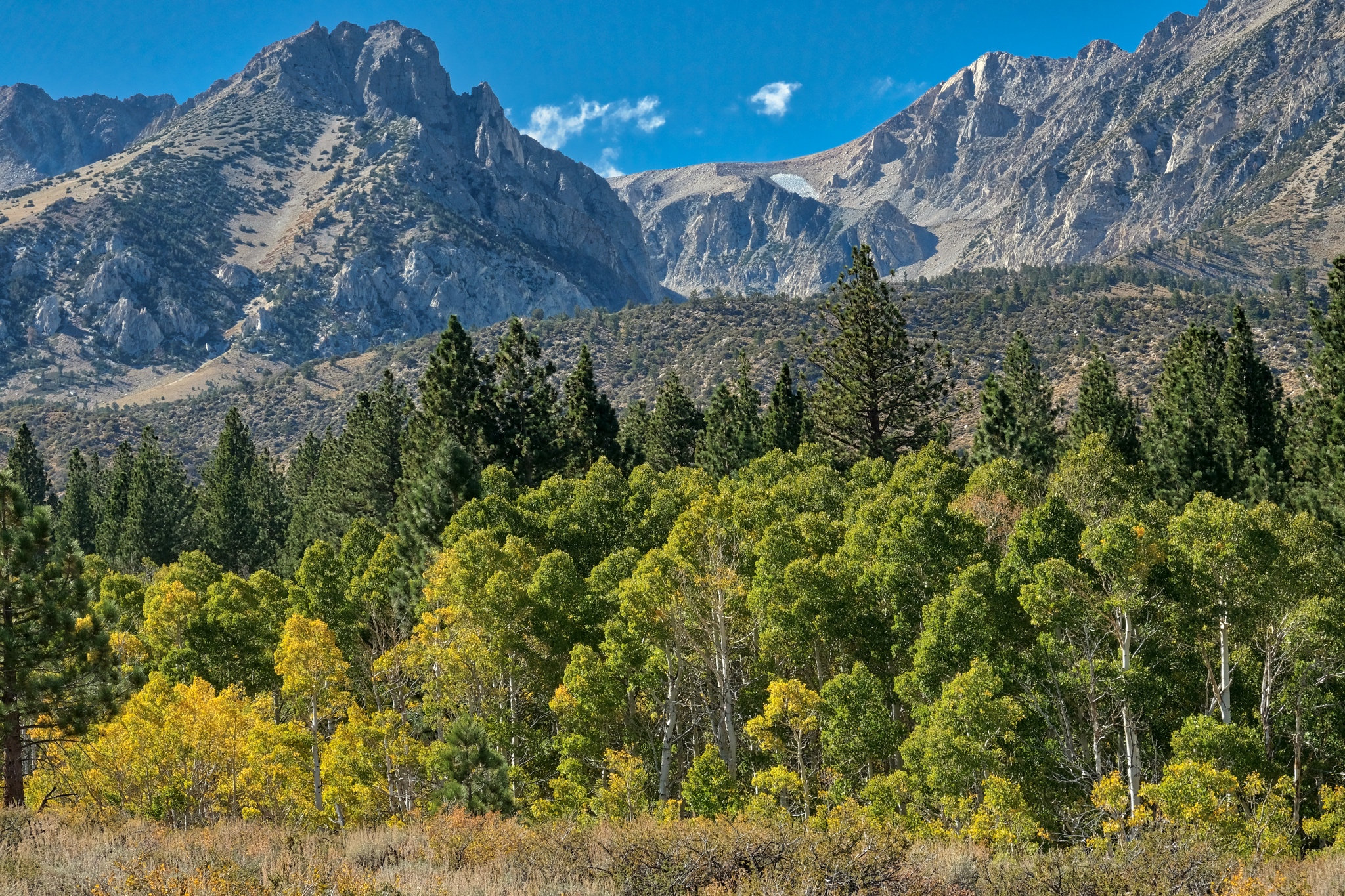
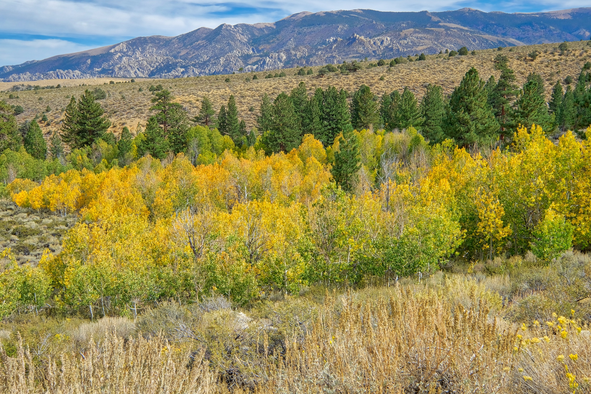 My first view of the aspens along a stream . . . the yellow color is a sign they are a little water stressed . . . and the nights are getting cold up here.
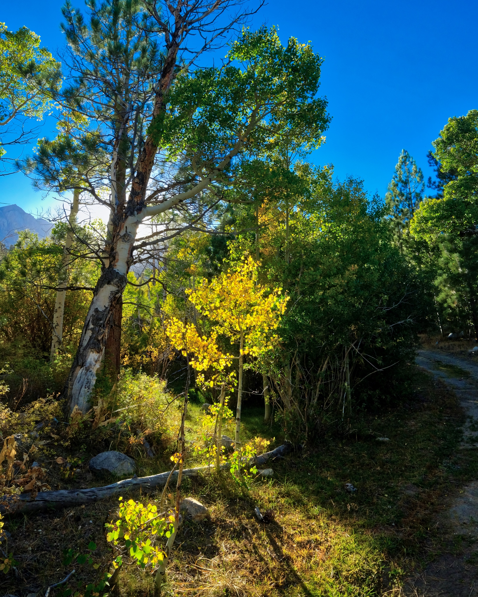
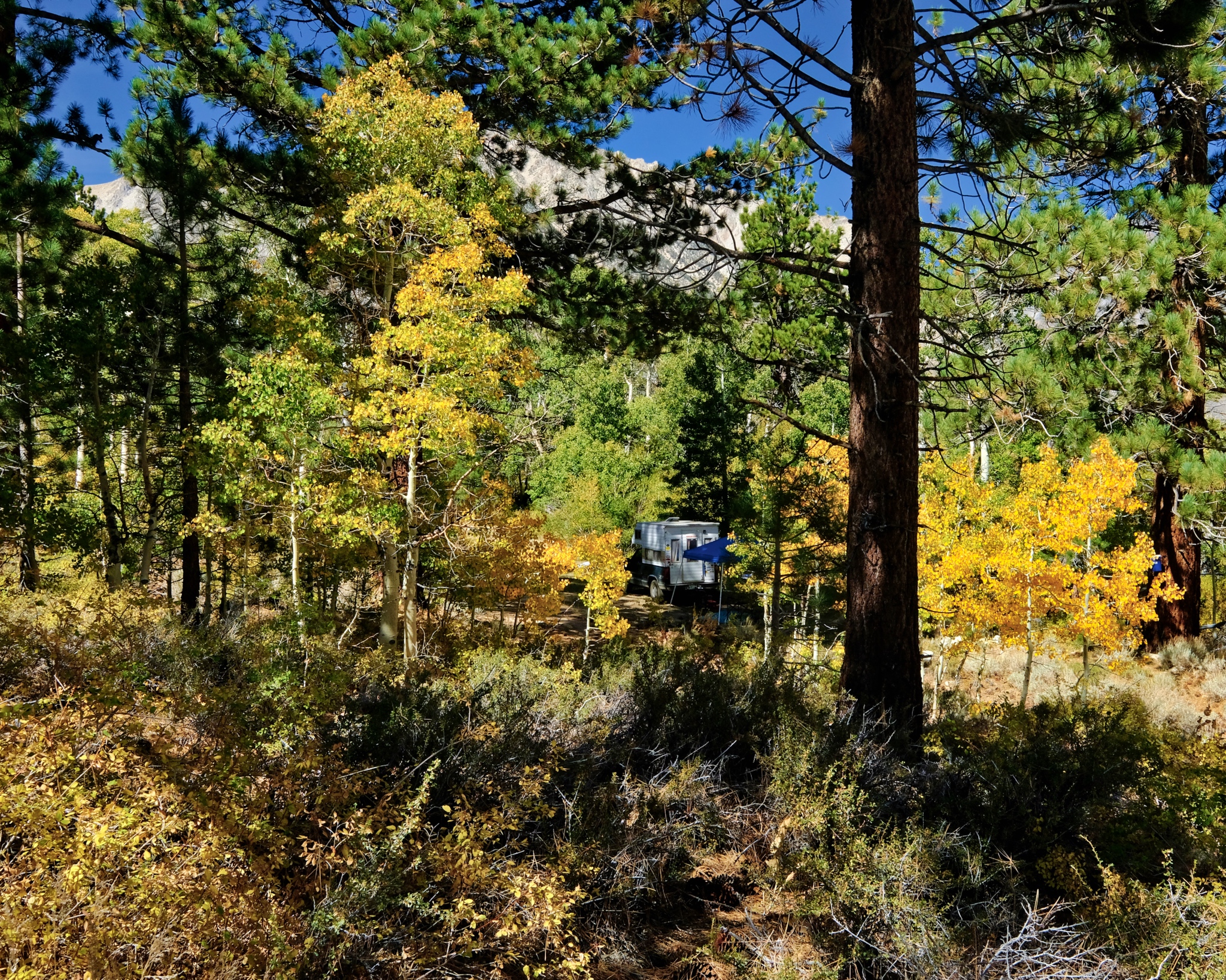
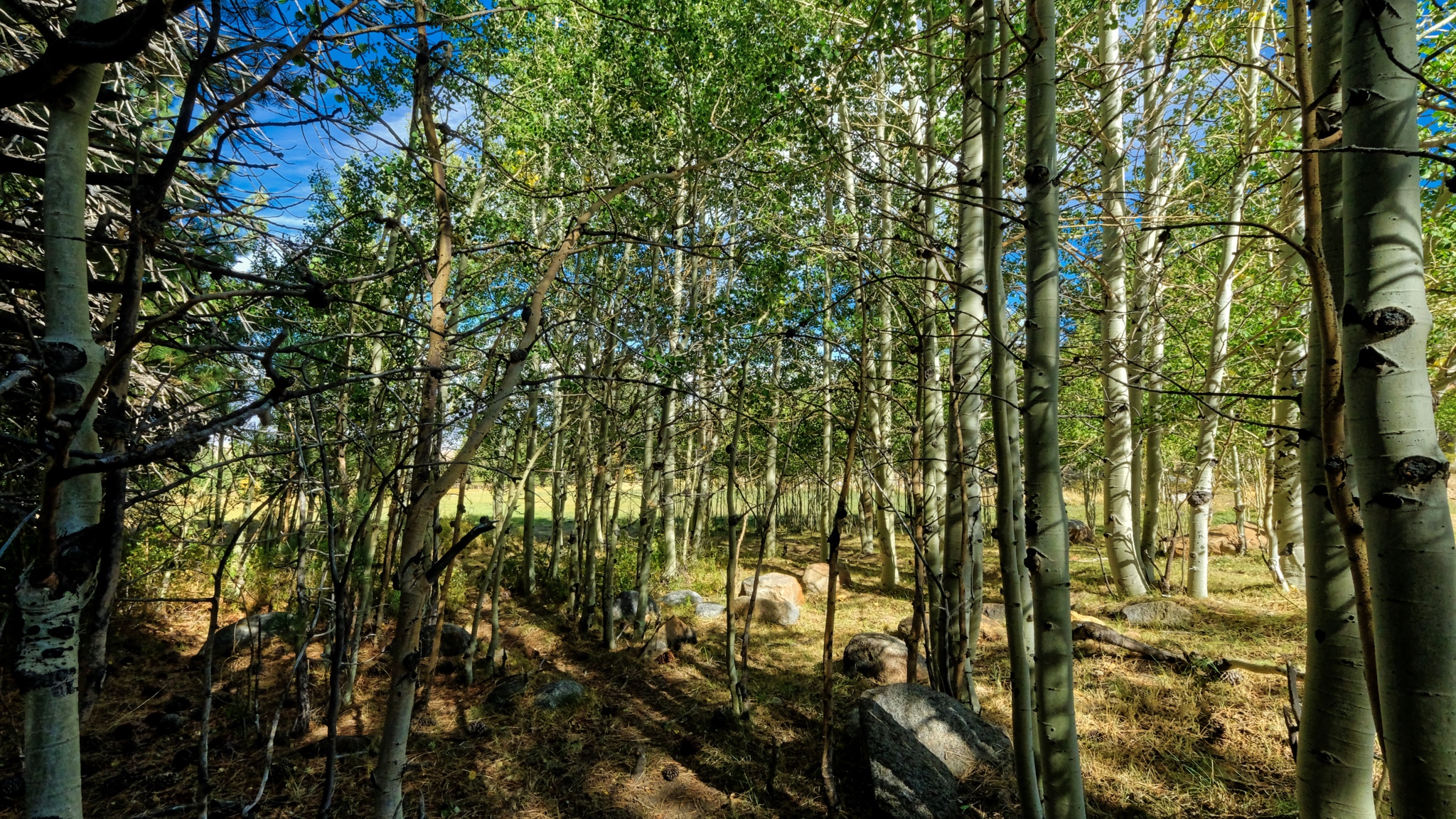
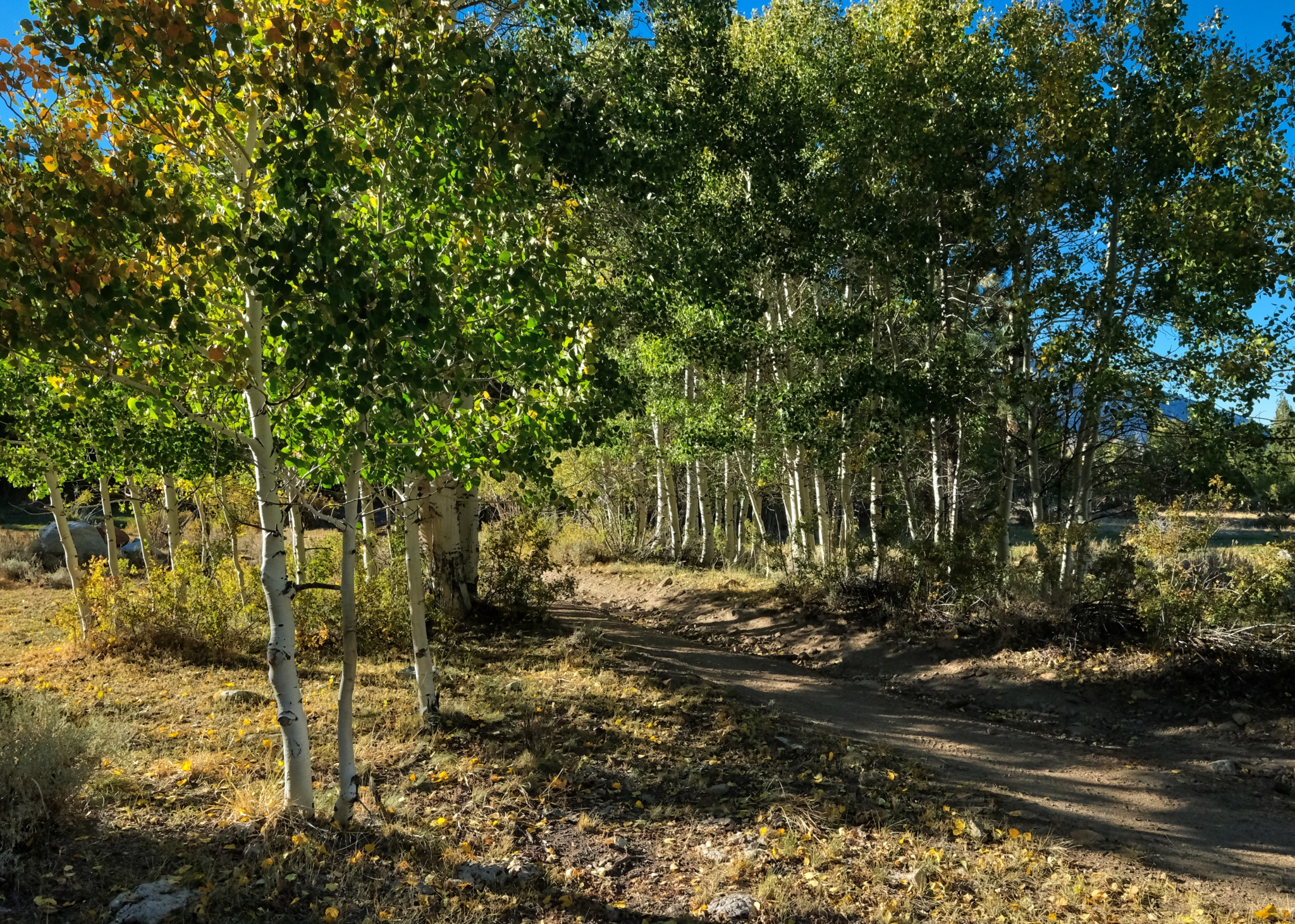
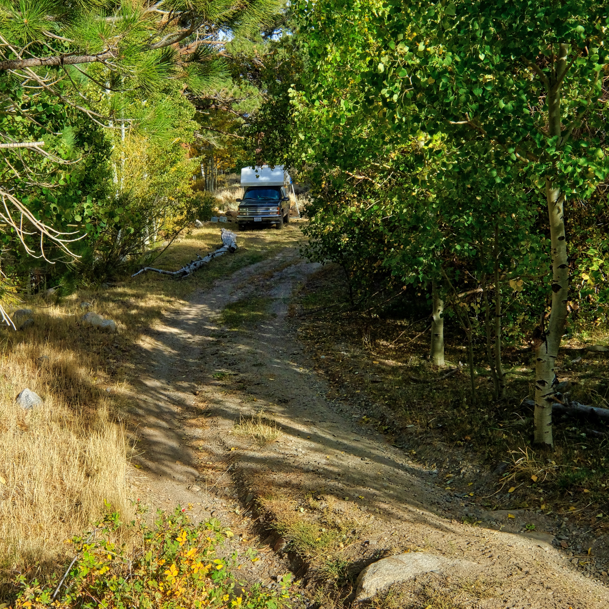 I drove deep into the high country and found a level spot next to a stream along a jeep track in an aspen stand.
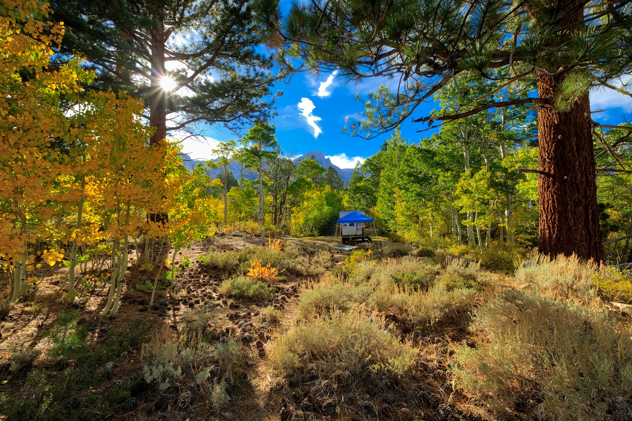
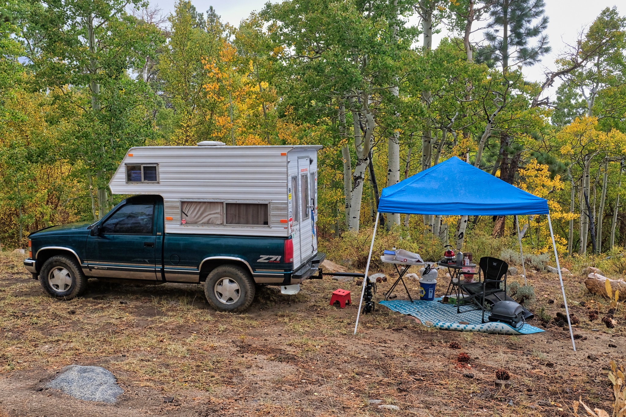
 It was late afternoon when I found my flat camp site. I set up the shade tent . . . but left the rest of my setting up for later . . . the steep and clear sunlight begs for a ramble with my camera.
 I walked up the jeep track from my camp. A glorious afternoon.
 I had found a magical place to camp.
 The sun was low in the sky . . . and an early shadow was expected as the sun was going to go behind the nearby high mountains of the Sierra Nevada.
 Such incredible light and color.
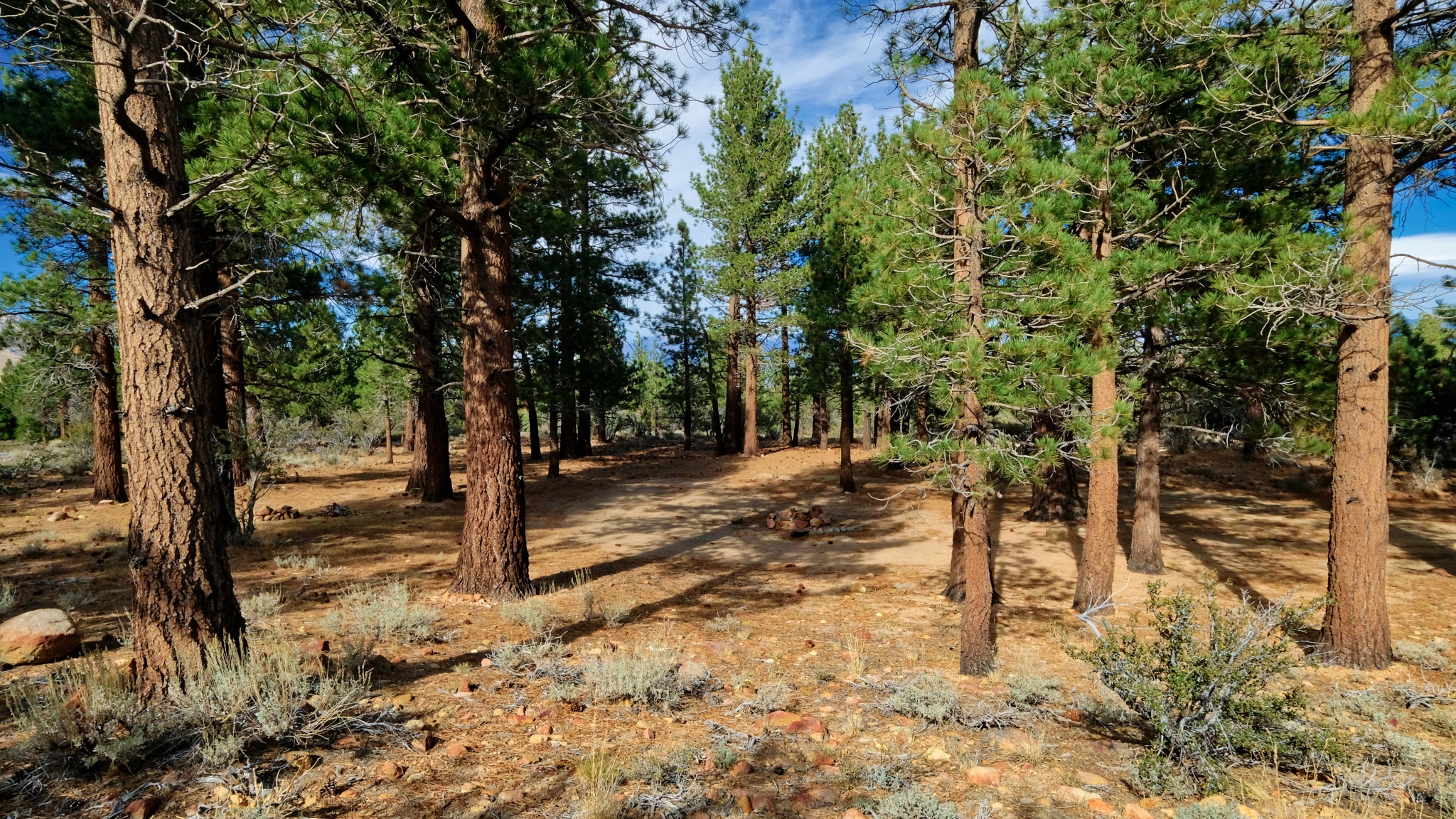
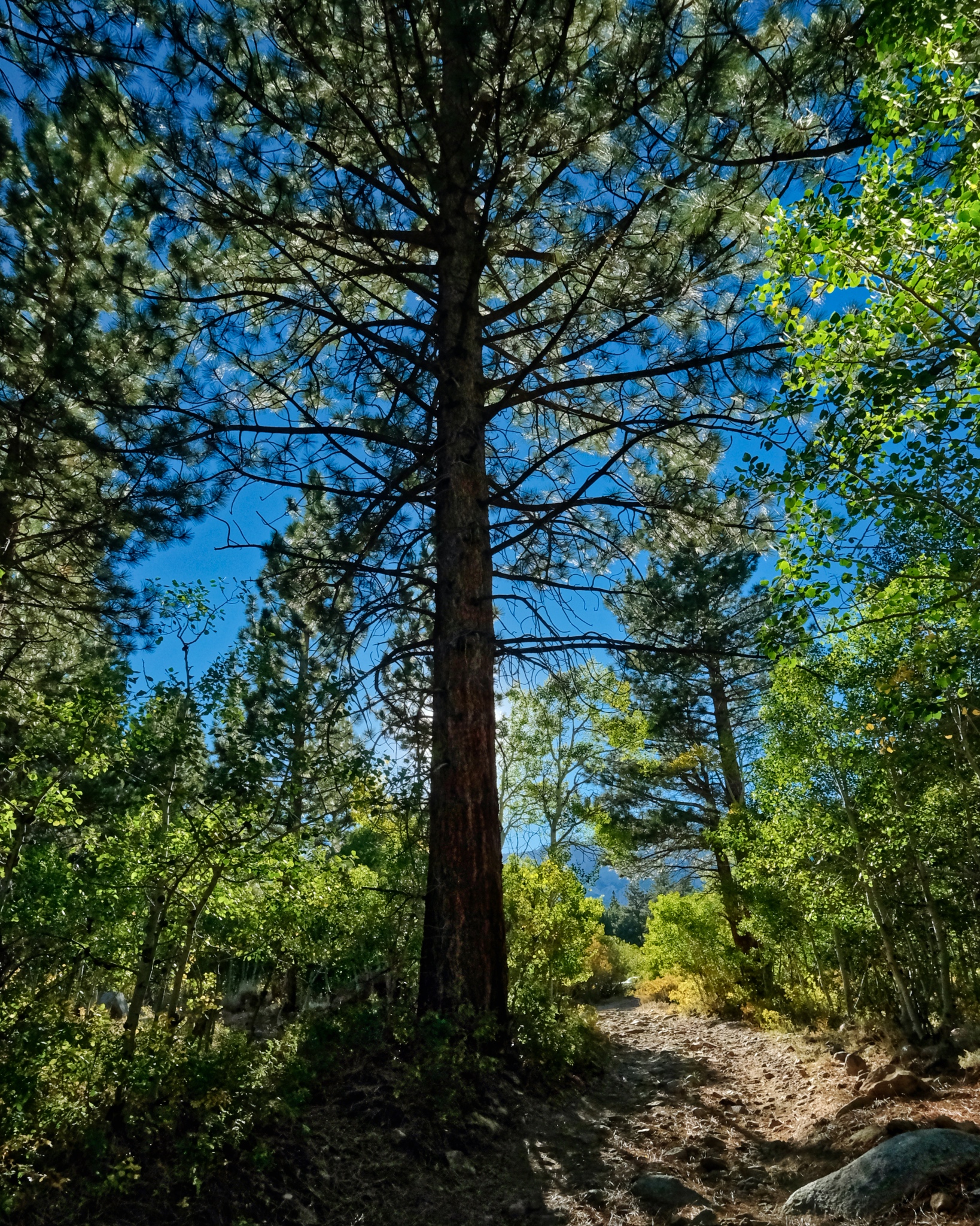
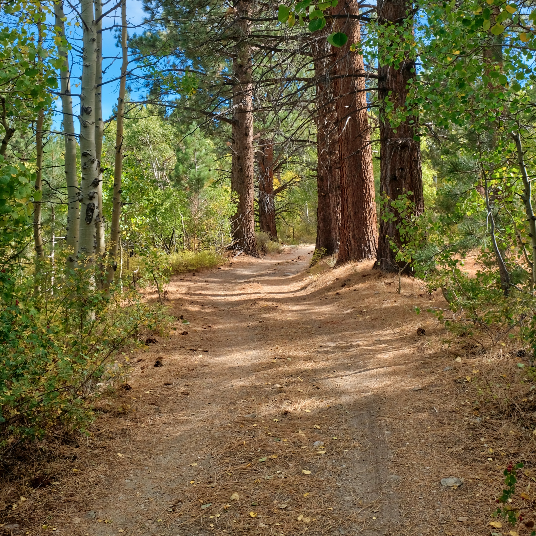
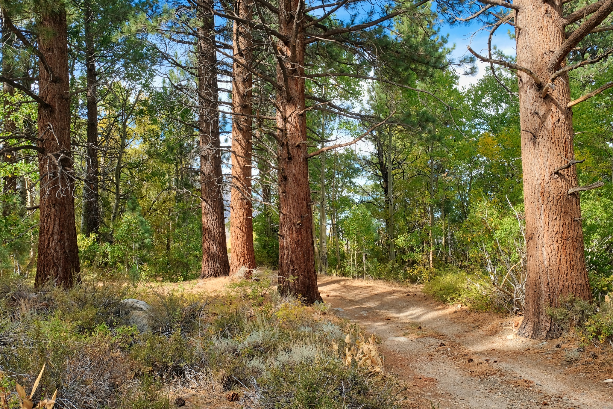
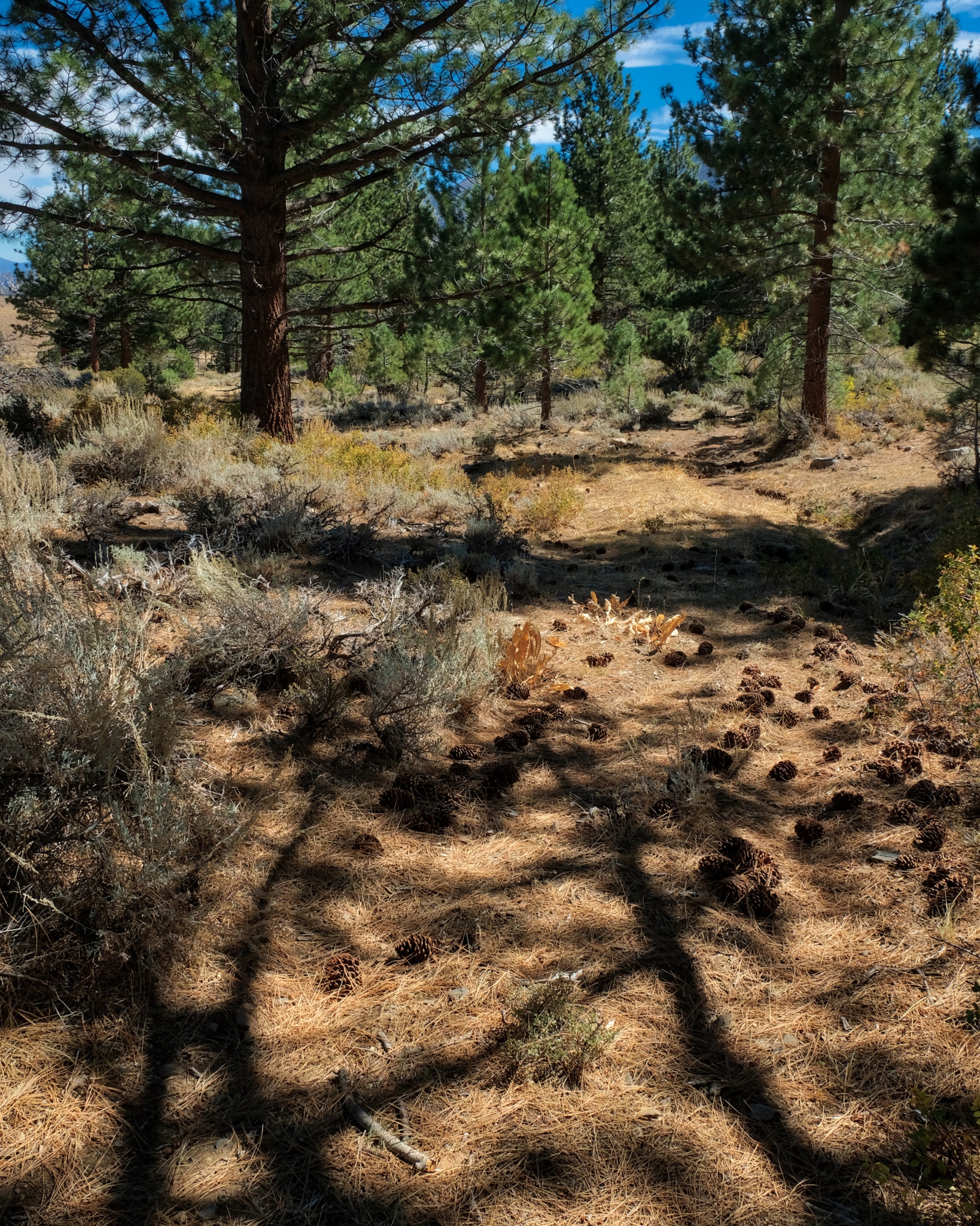
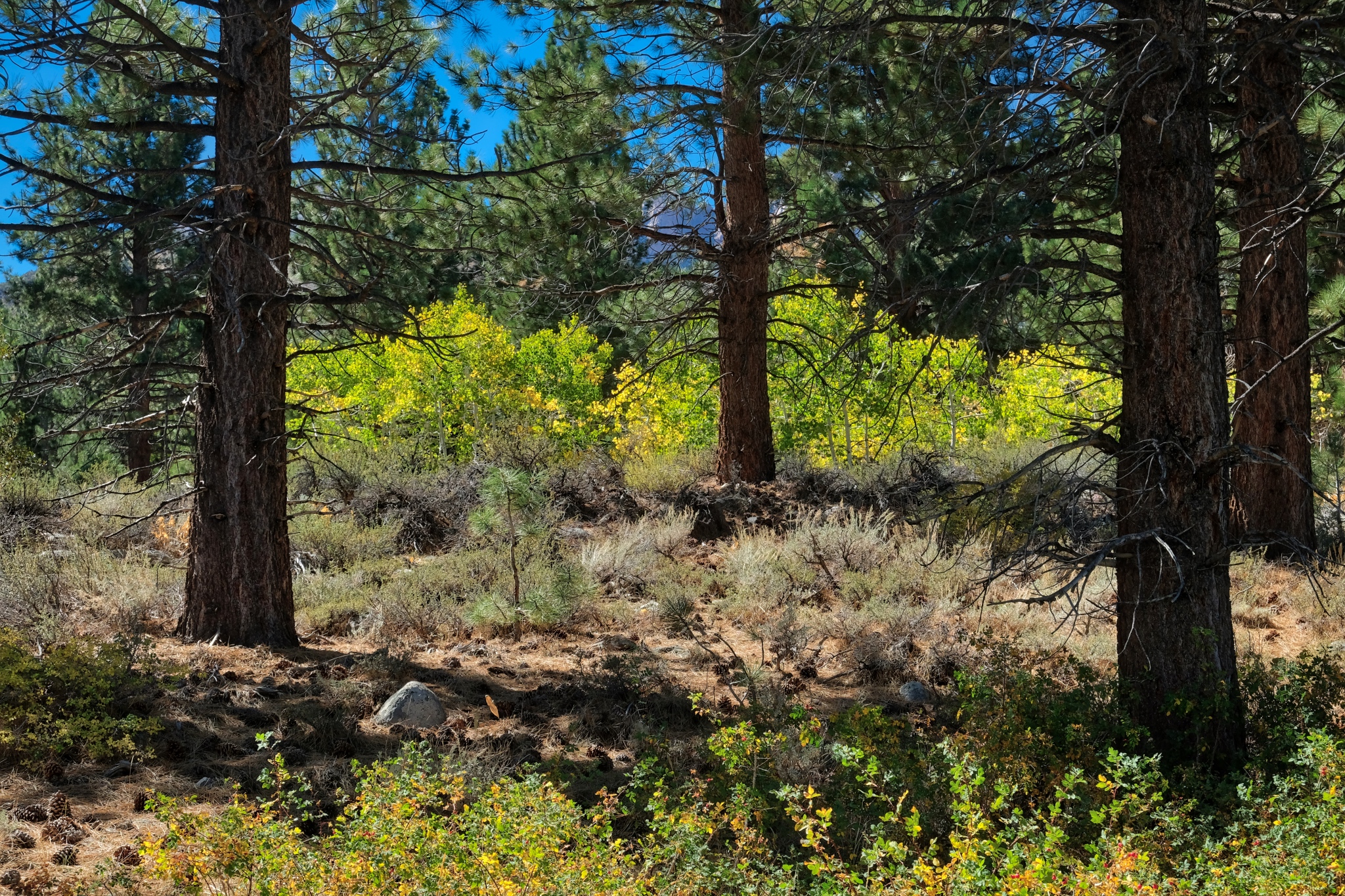
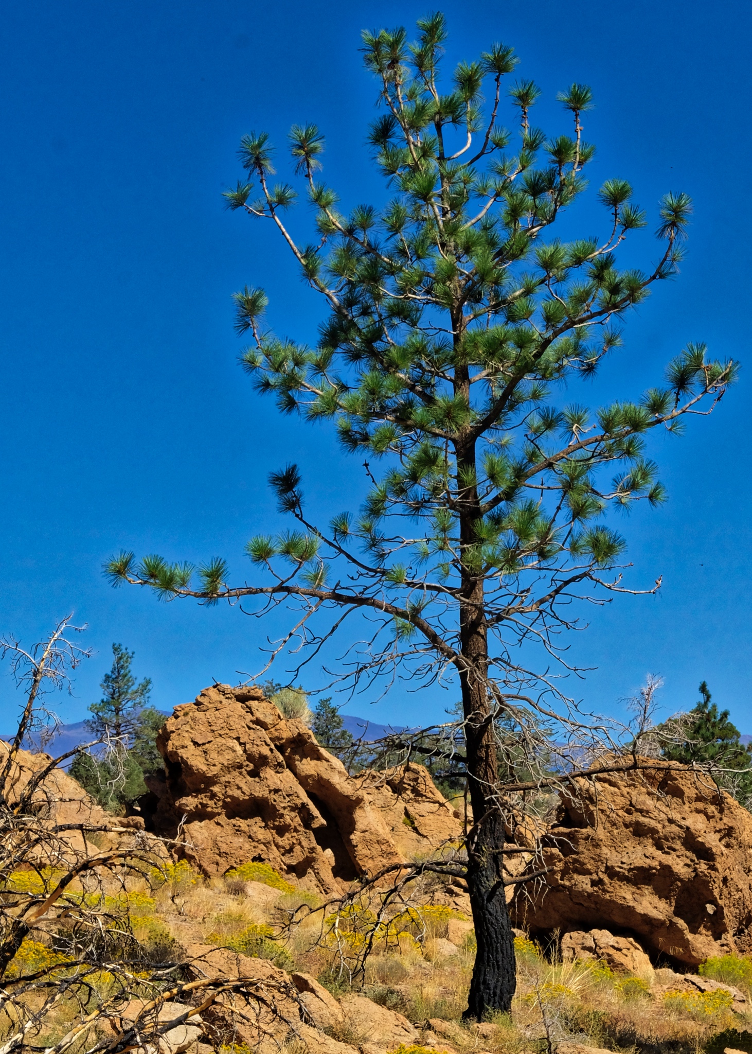
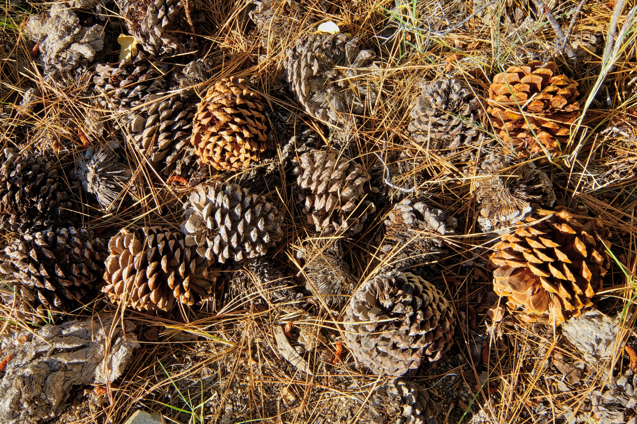 The forest floor under the giant Ponderosa Pines, all cones and needles.
 As the mountain shadow descended over the aspen grove, I followed the sound of a babbling stream nearby.
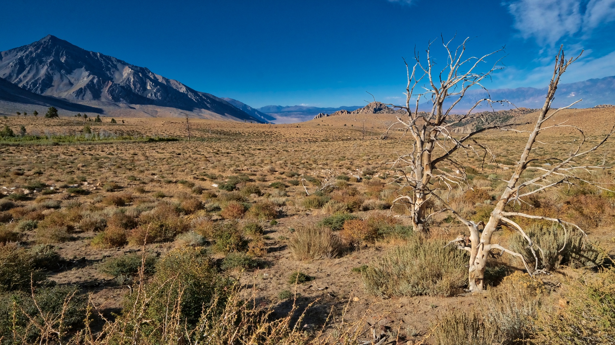
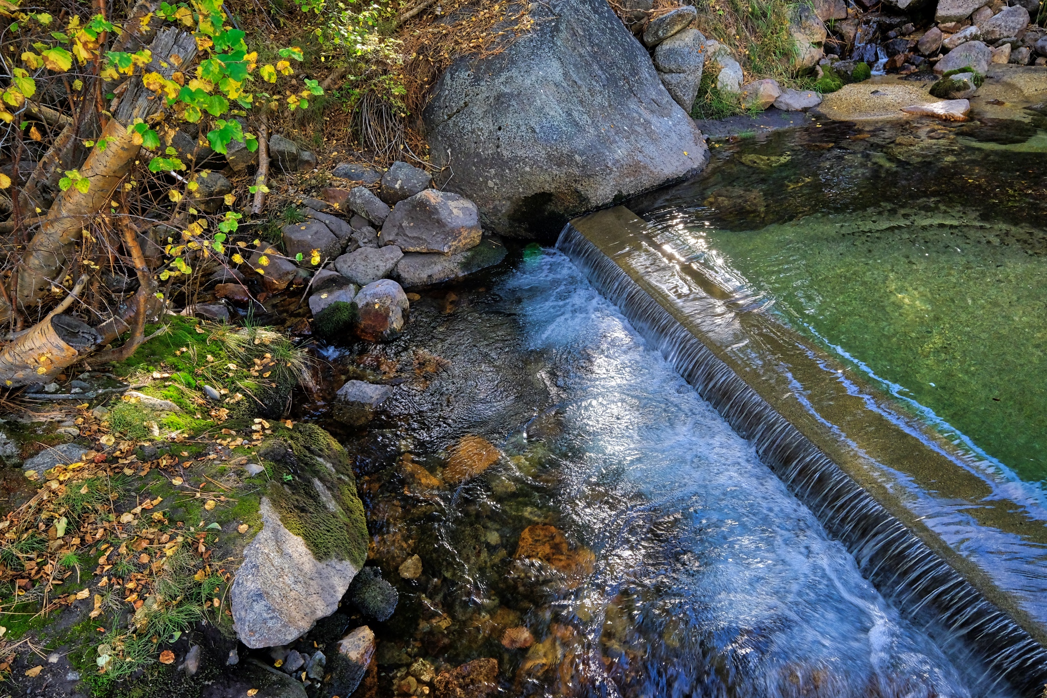 Believe it or not, the water here, at 8800 feet on the eastern slope of the Sierra Nevada mountains, is diverted through a system of pipes and small waterworks like this . . . to serve the city Los Angeles many hundreds of miles away. Gotta have those green lawns!!!
_______________________________________________
DAY TWO: Exploring my immediate surroundings
 I was up when the first light hit the high peaks.
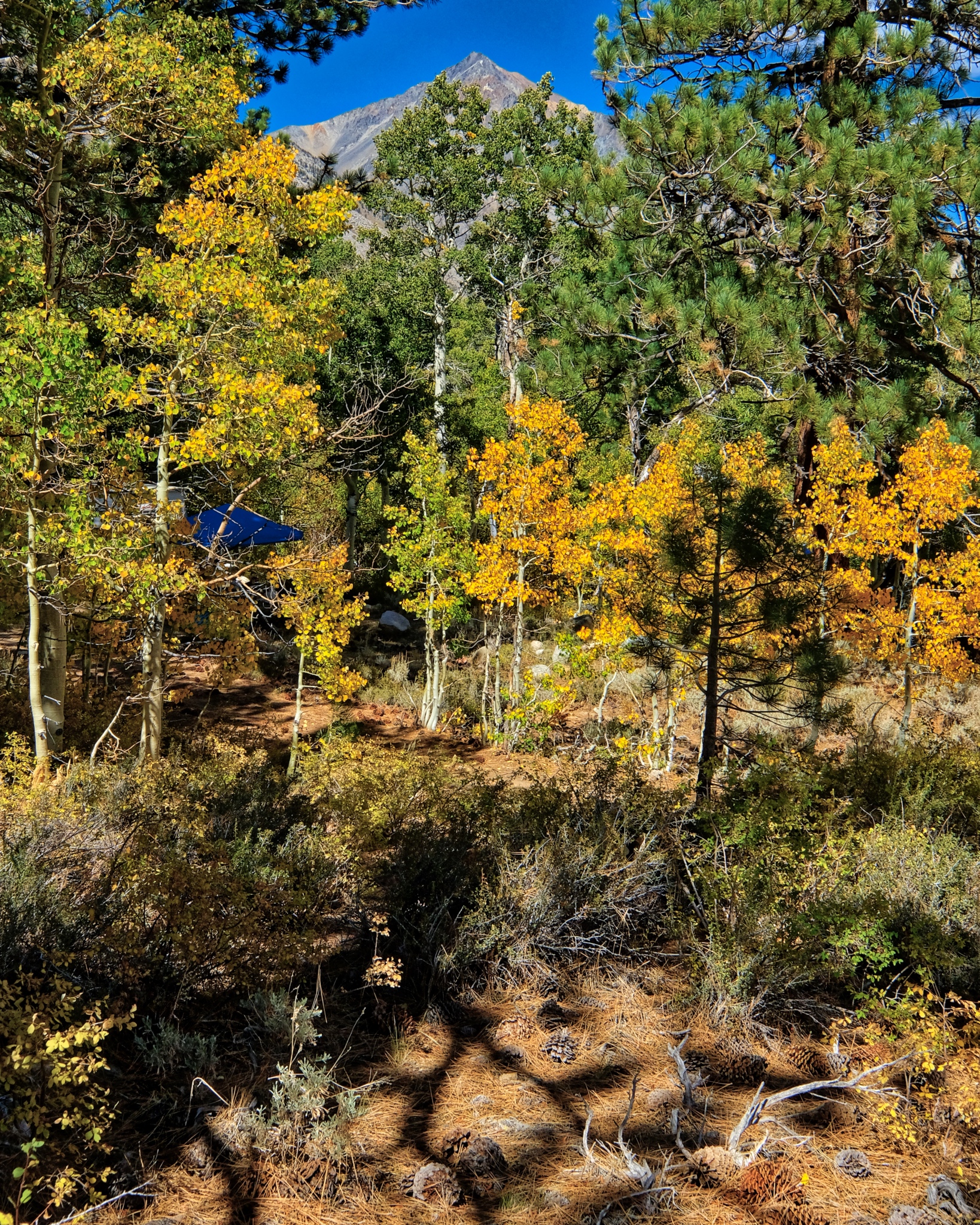
 When the light finally hit my little patch of forest . . . the scene was like a fairyland!
 I was camped way up close to the Eastern High Sierra Nevada mountain peaks.
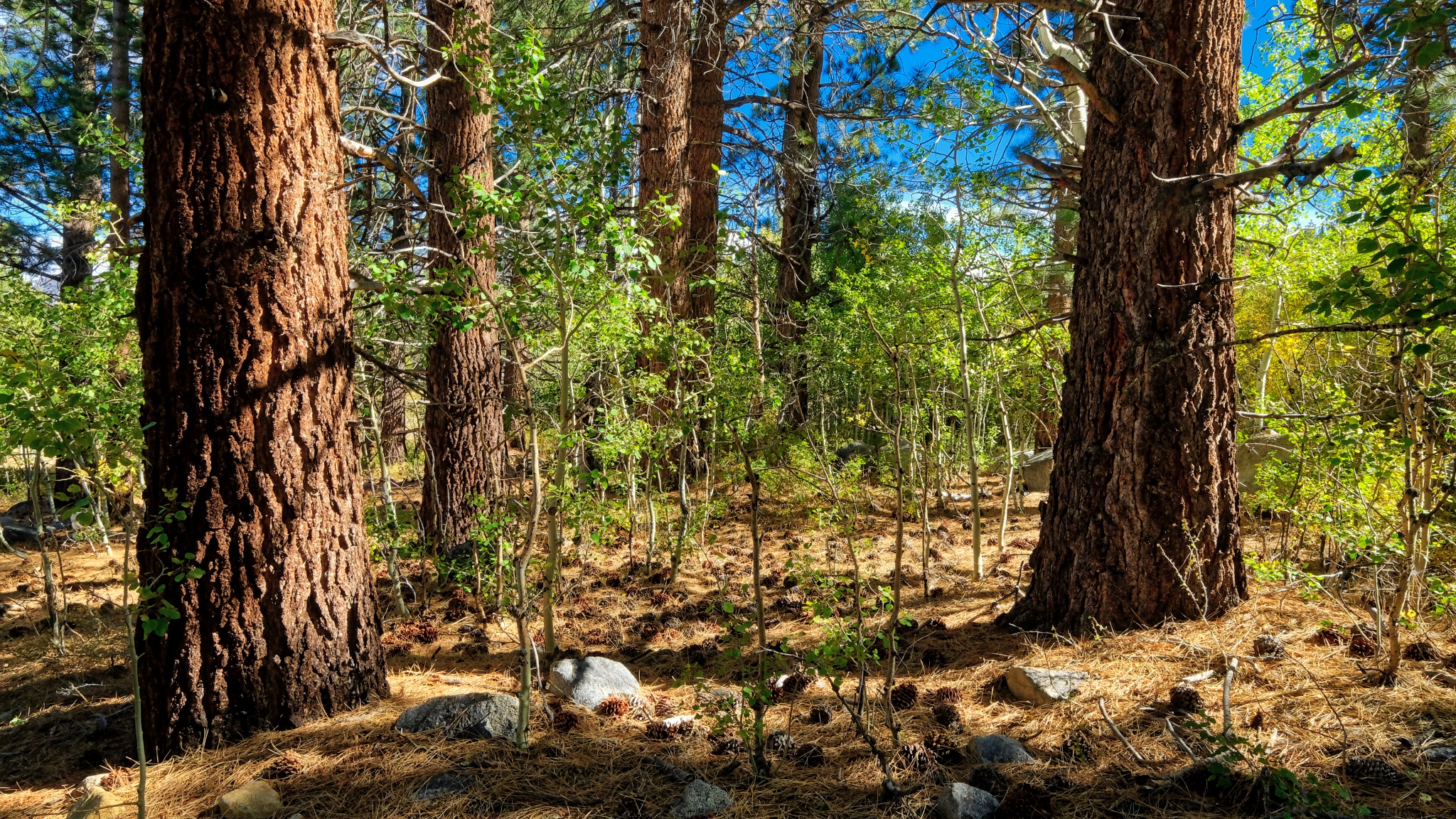
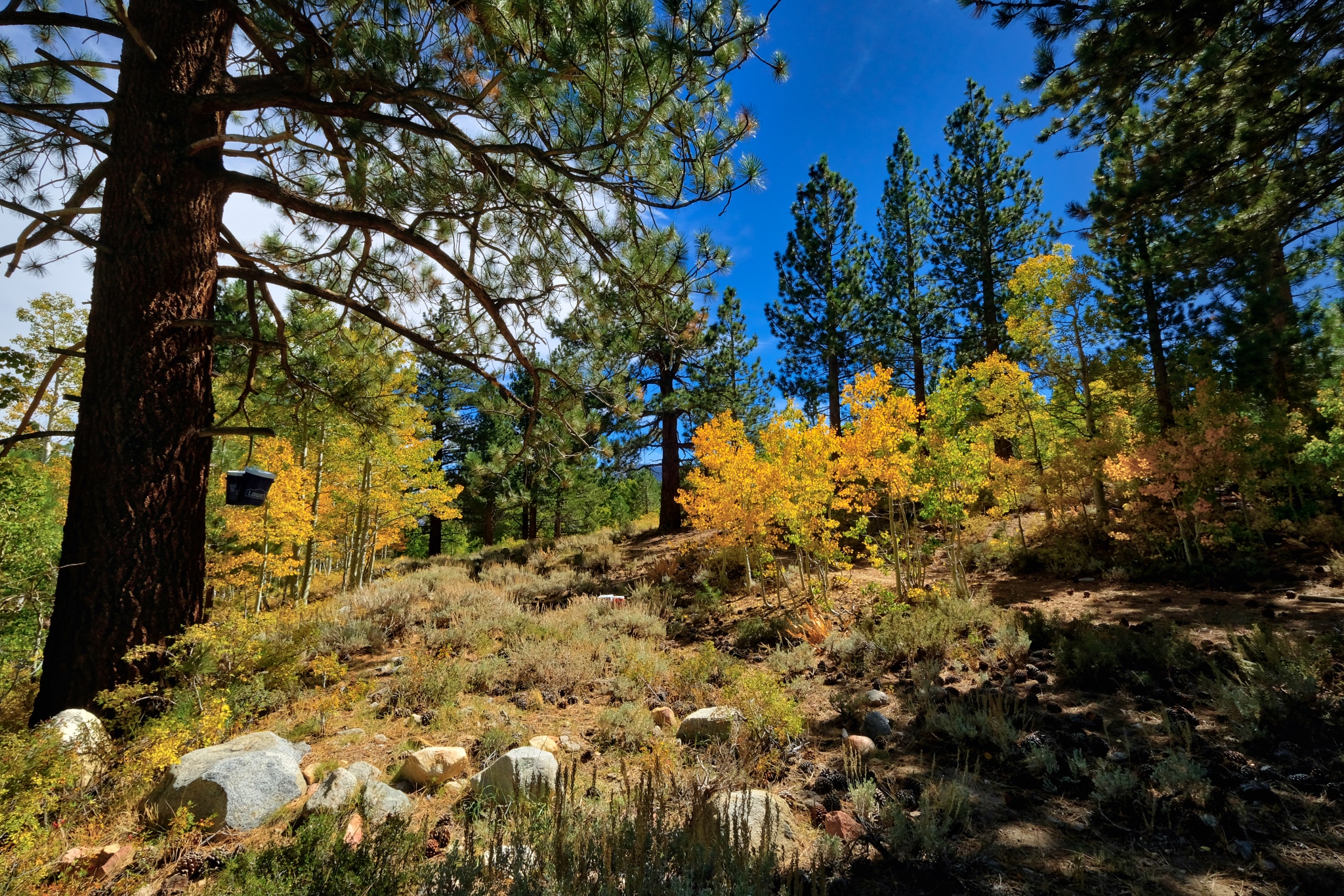
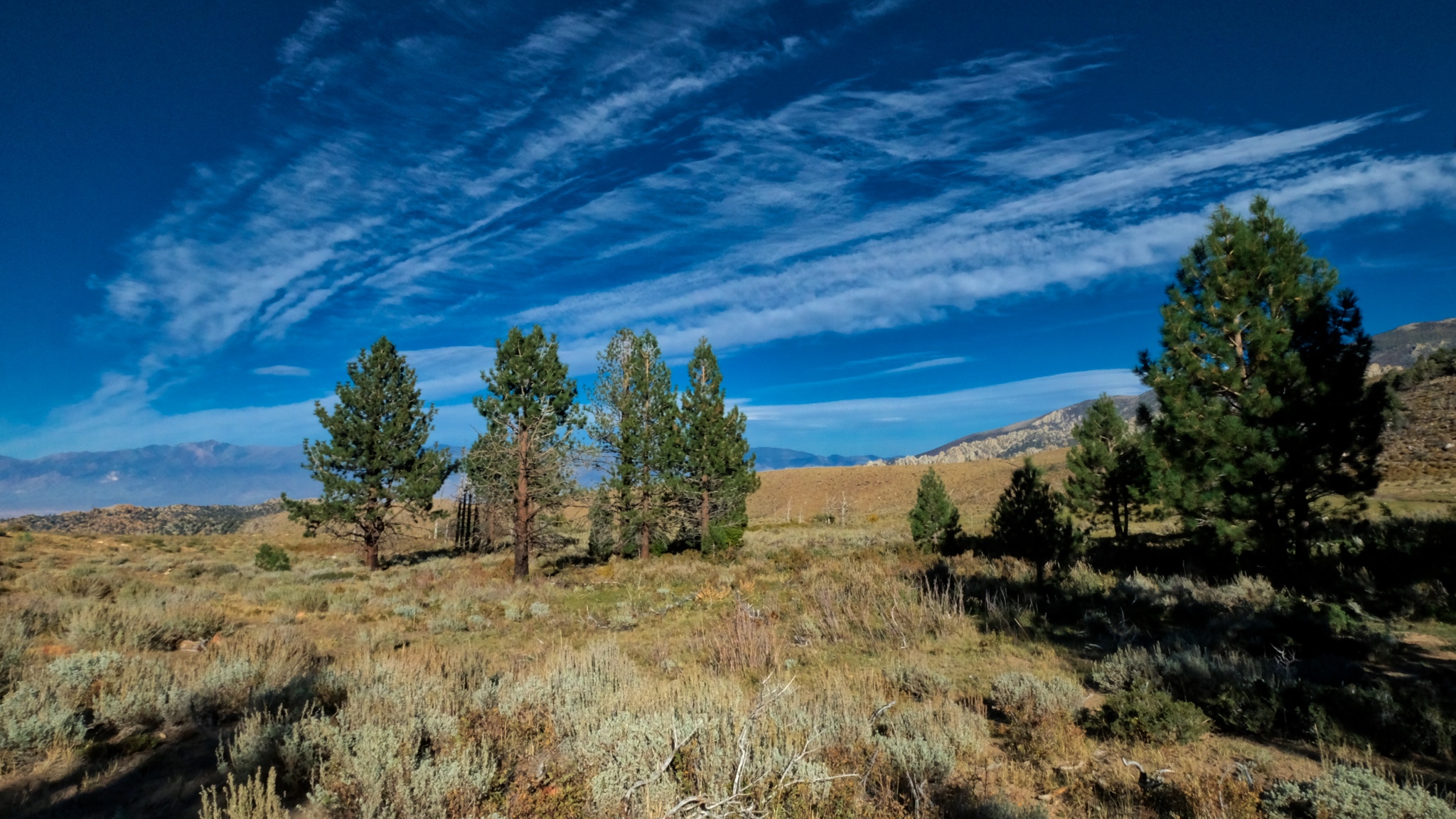
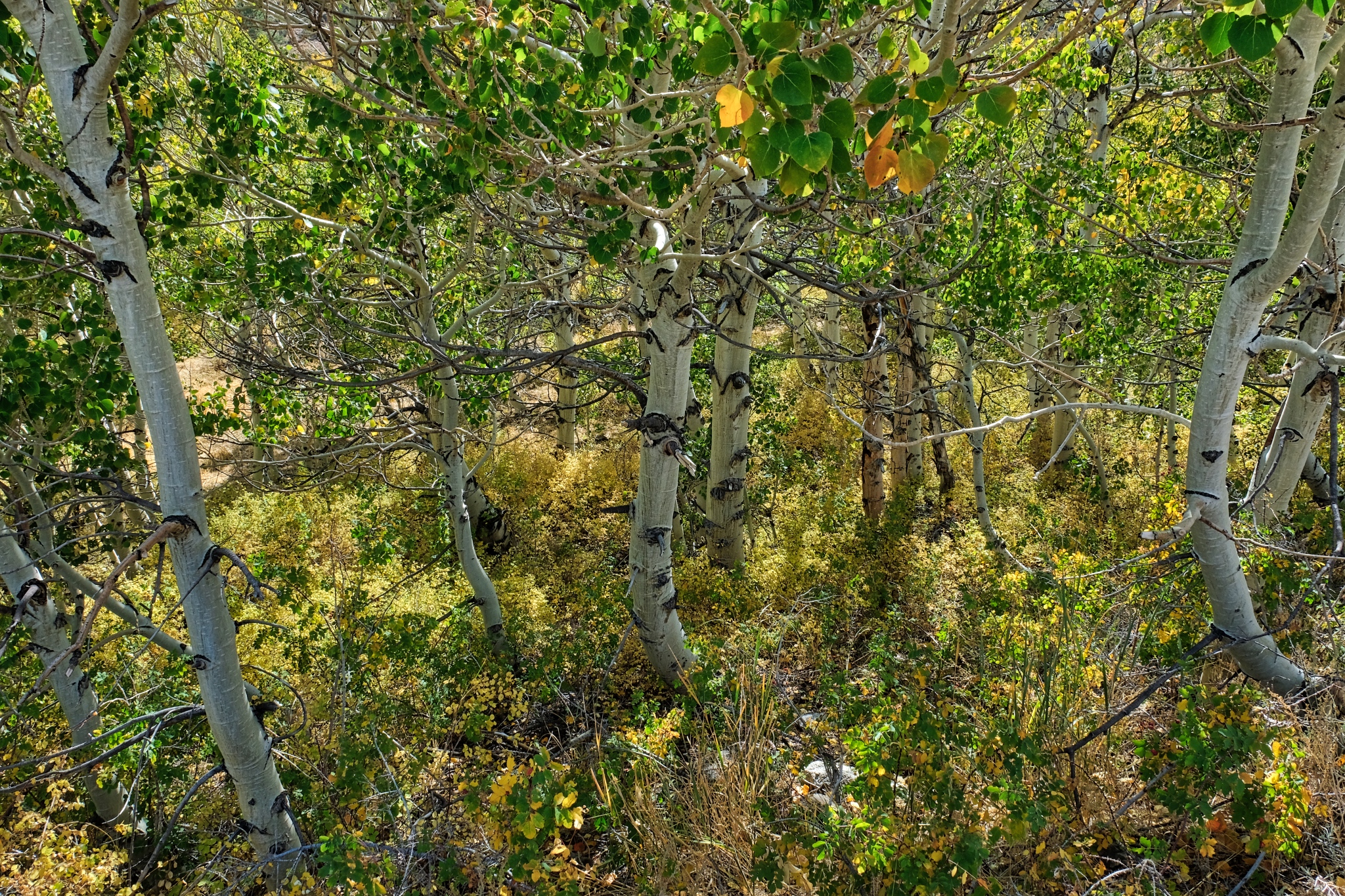
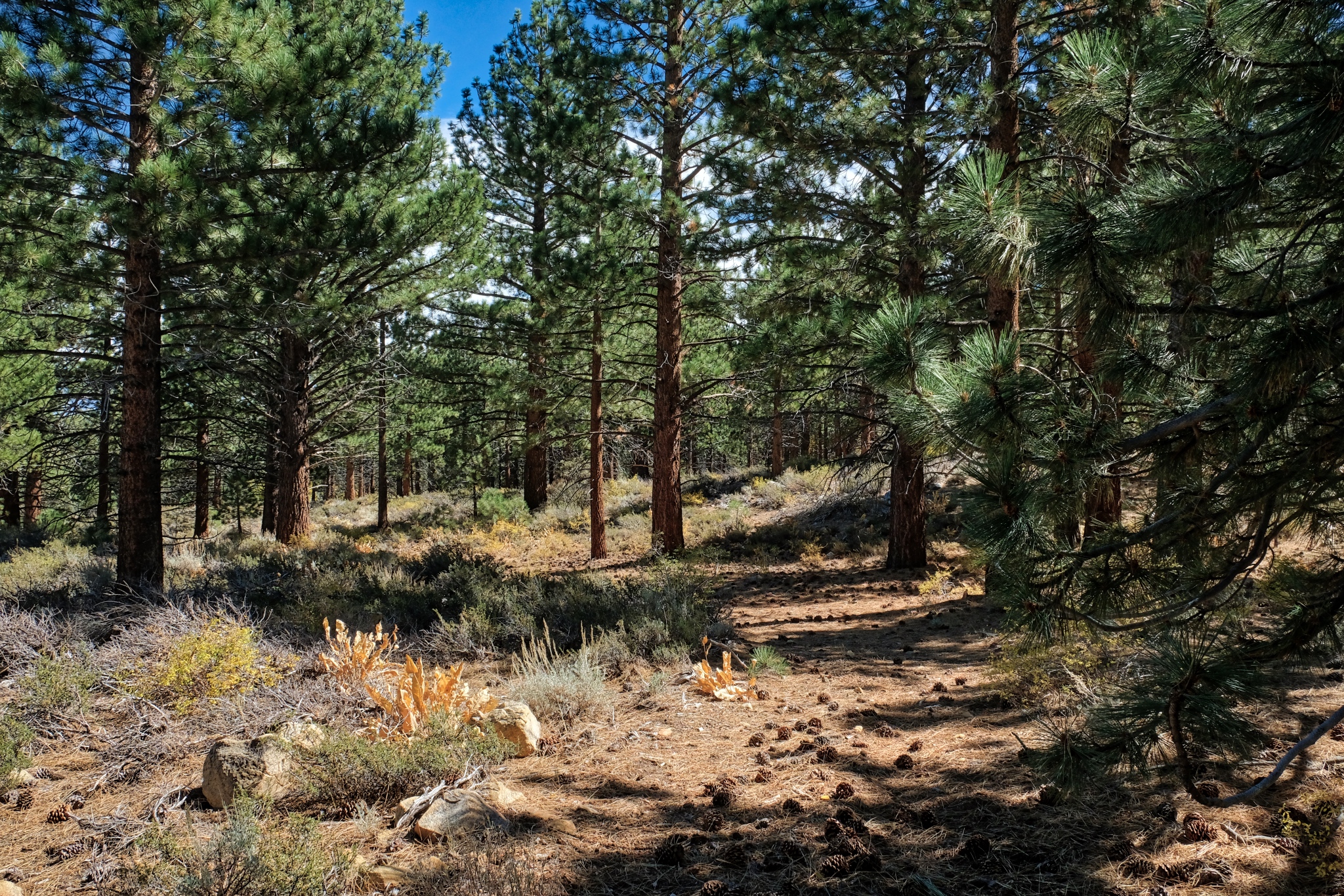
 I was camped in a mix of dry Ponderosa Pine, small aspen thicket, and rocky forest.
 Clear light, bright forest.
 A big mix of trees . . . size and type.
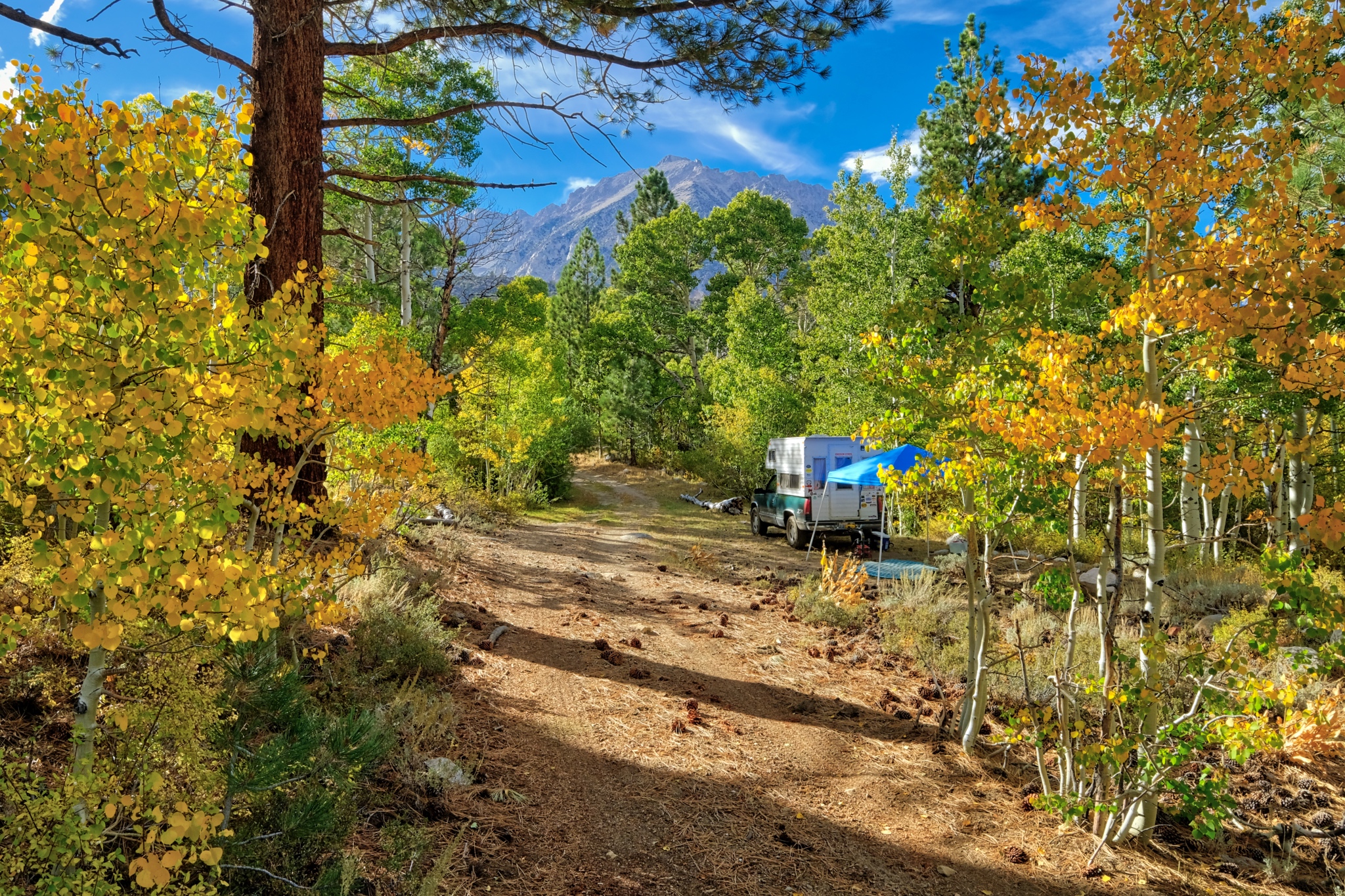
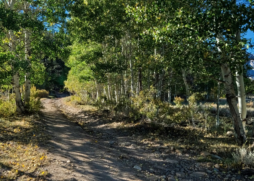
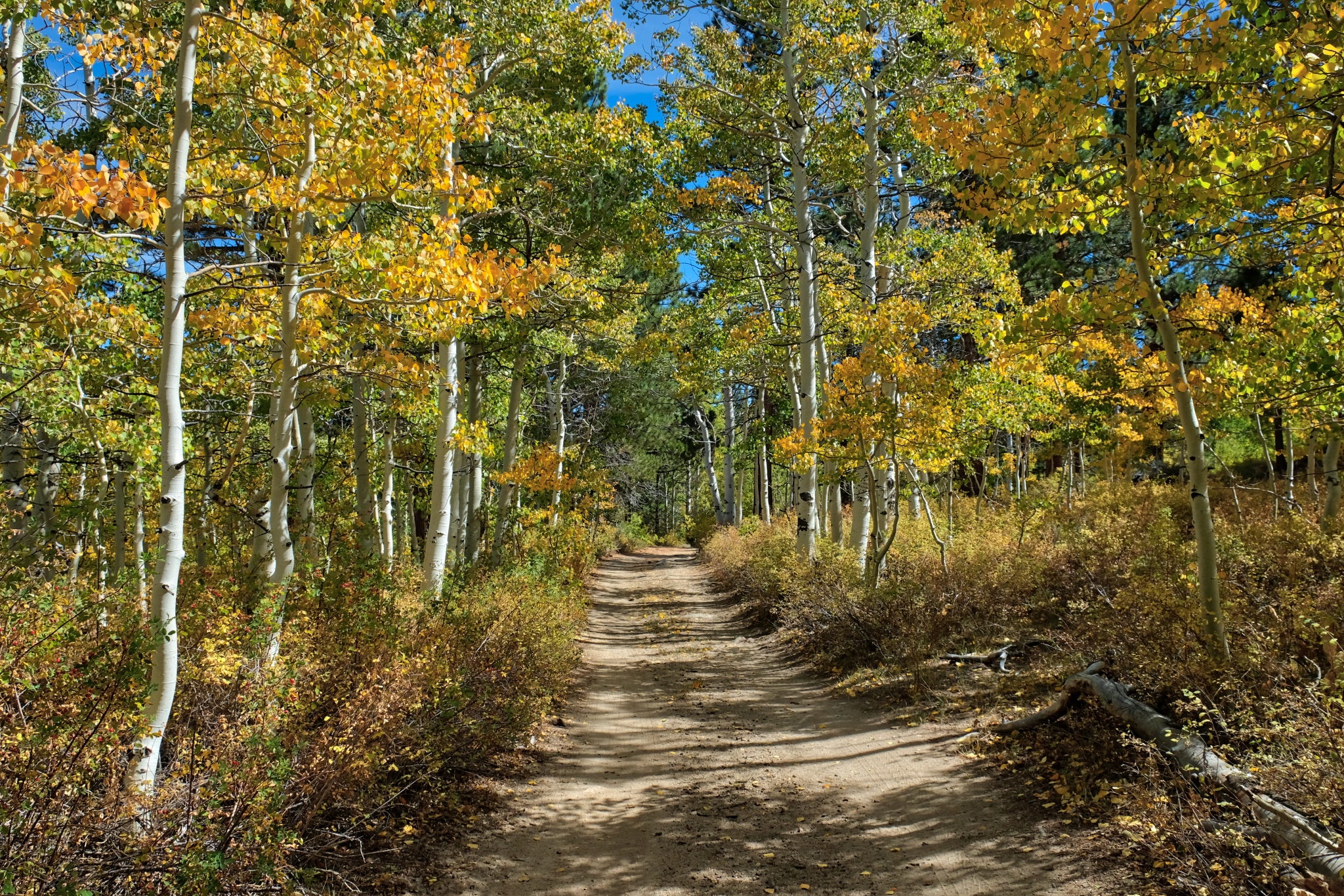
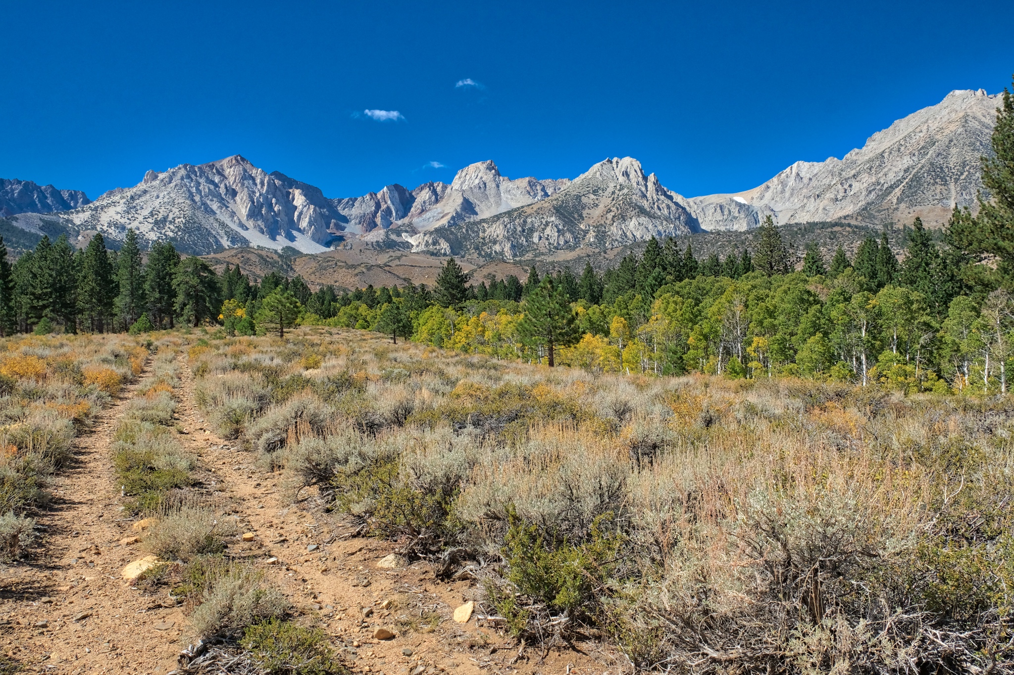
 After a light breakfast and coffee, I grabbed my camera for a walkabout near my campsite. I first followed this nearly obscured old jeep track up into a nearby stand of bright aspens.
 I was amazed by the colors and clarity of light and air.
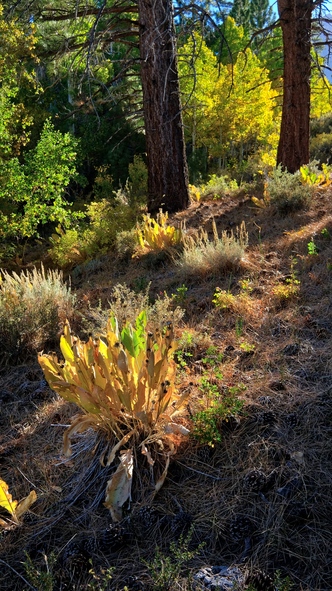
 The summers' succulent growth had dried after a long summer in the sun.
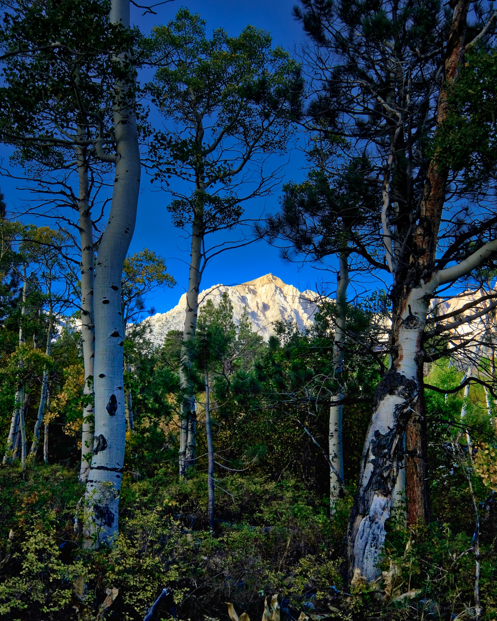
 And throughout my walk -- always a quick glimpse of the tall Sierra Nevada.
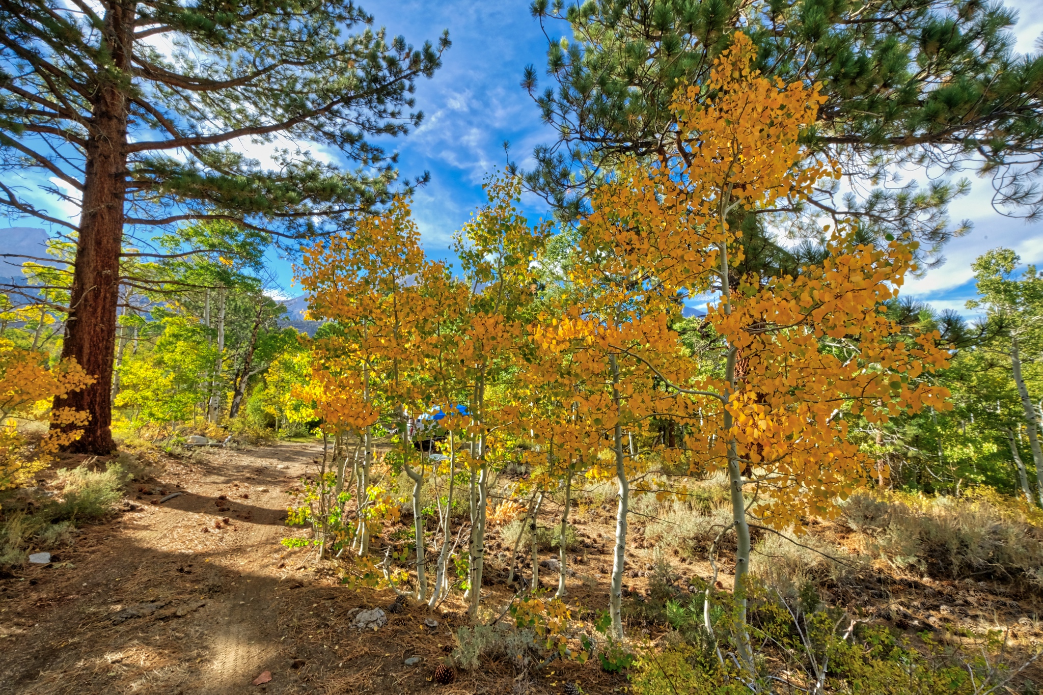
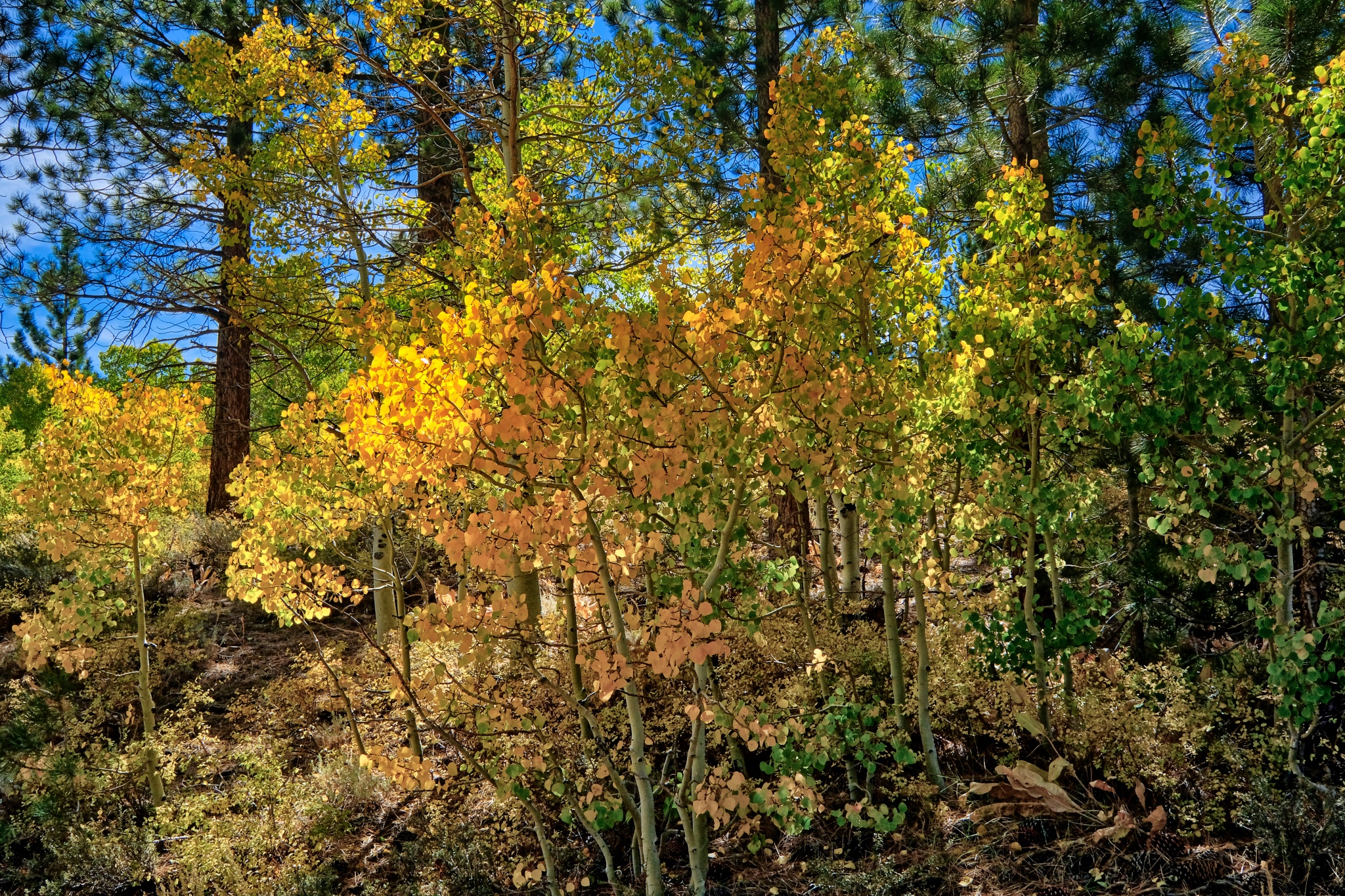
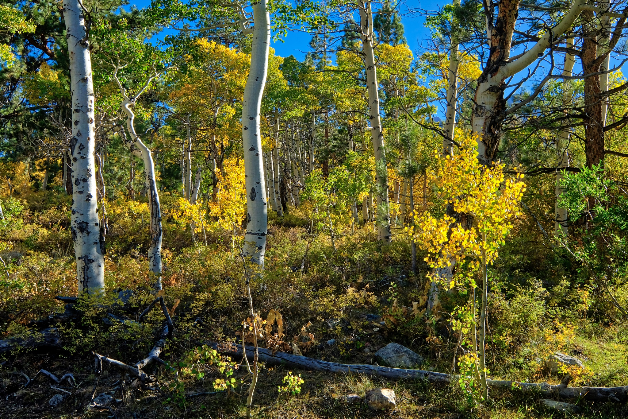
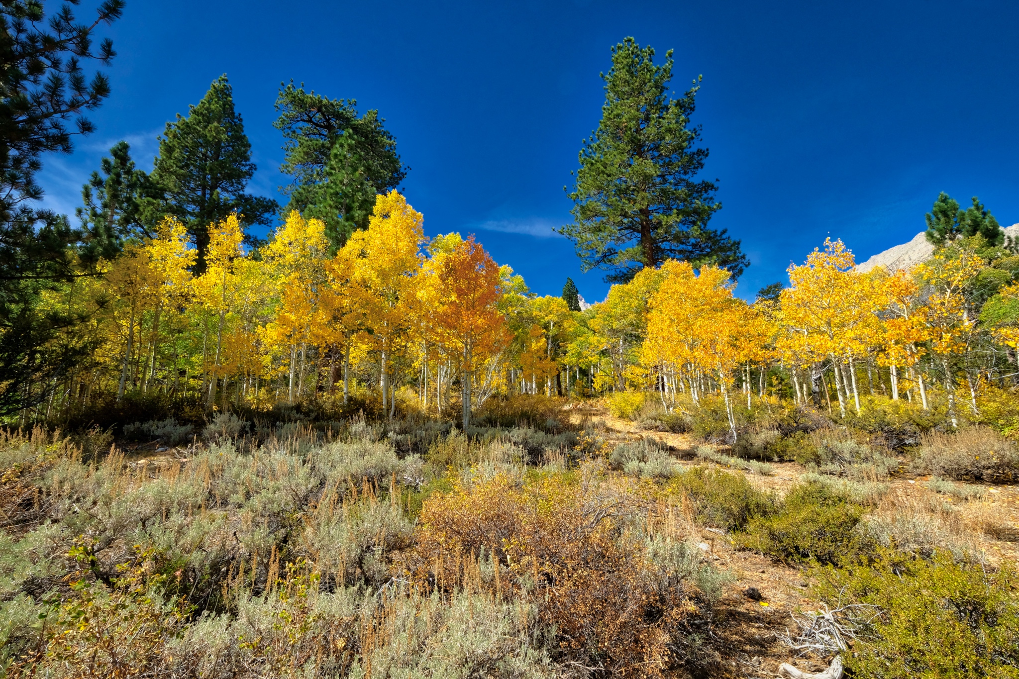
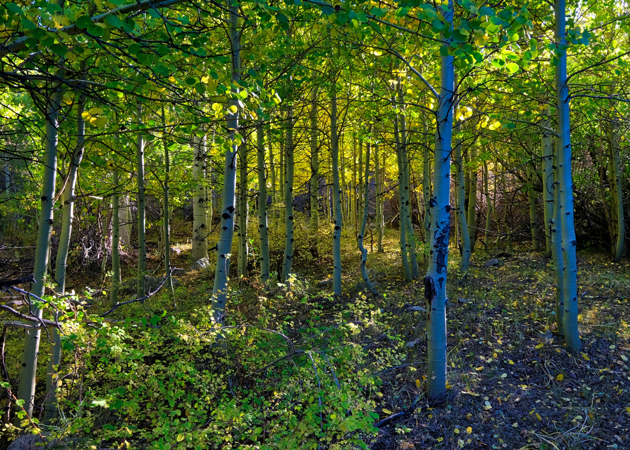
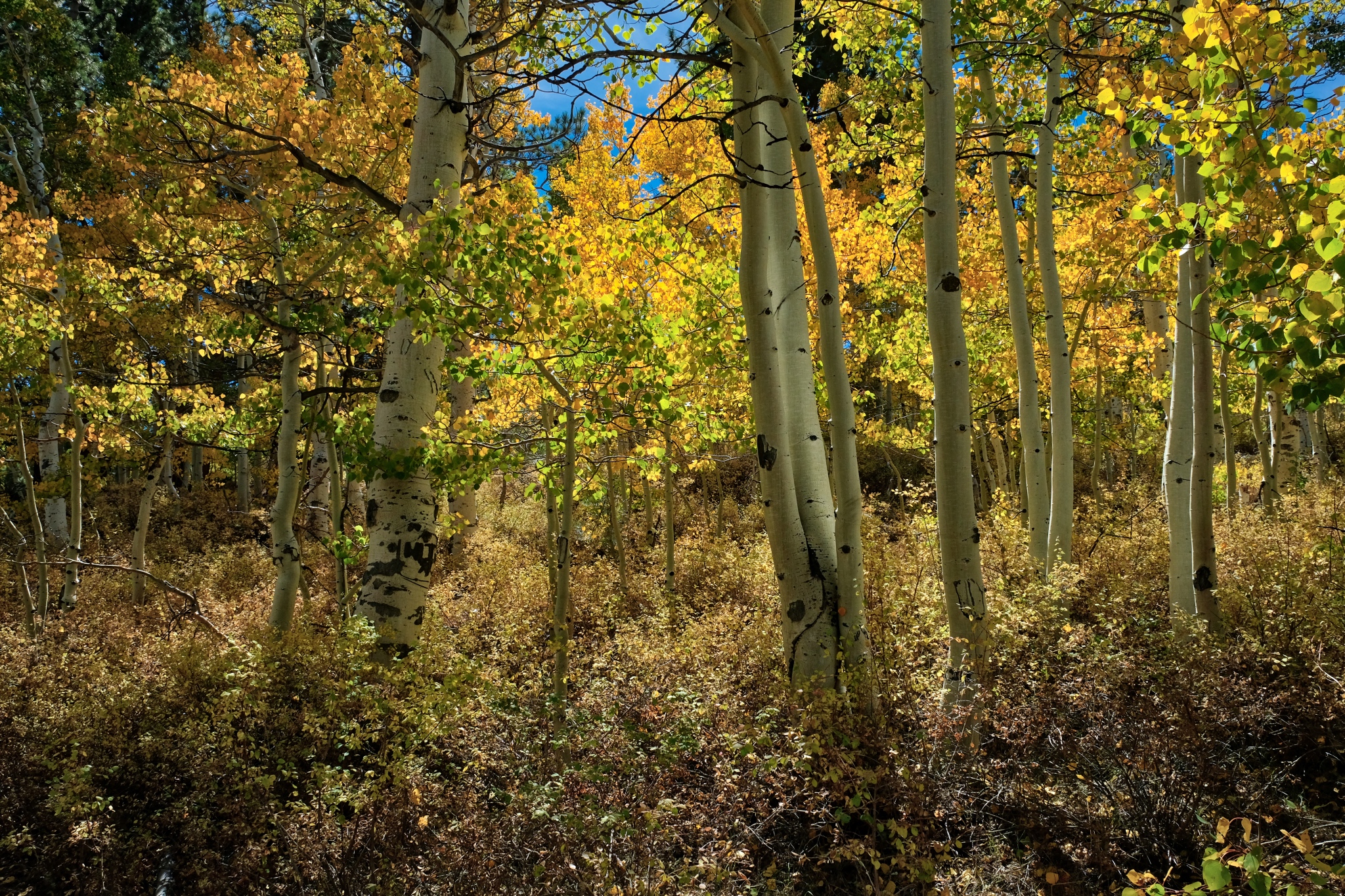
 The brightness of the autumn yellow aspen leaves was astonishing. I have not bumped or oversaturated these colors . . . these aspens were THIS bright.
 Such a glorious place to camp. This photo brings back such a strong memory for me: This is where I camped up in the high Buttermilk Country.
 A delightfully cool, clear, and still morning.
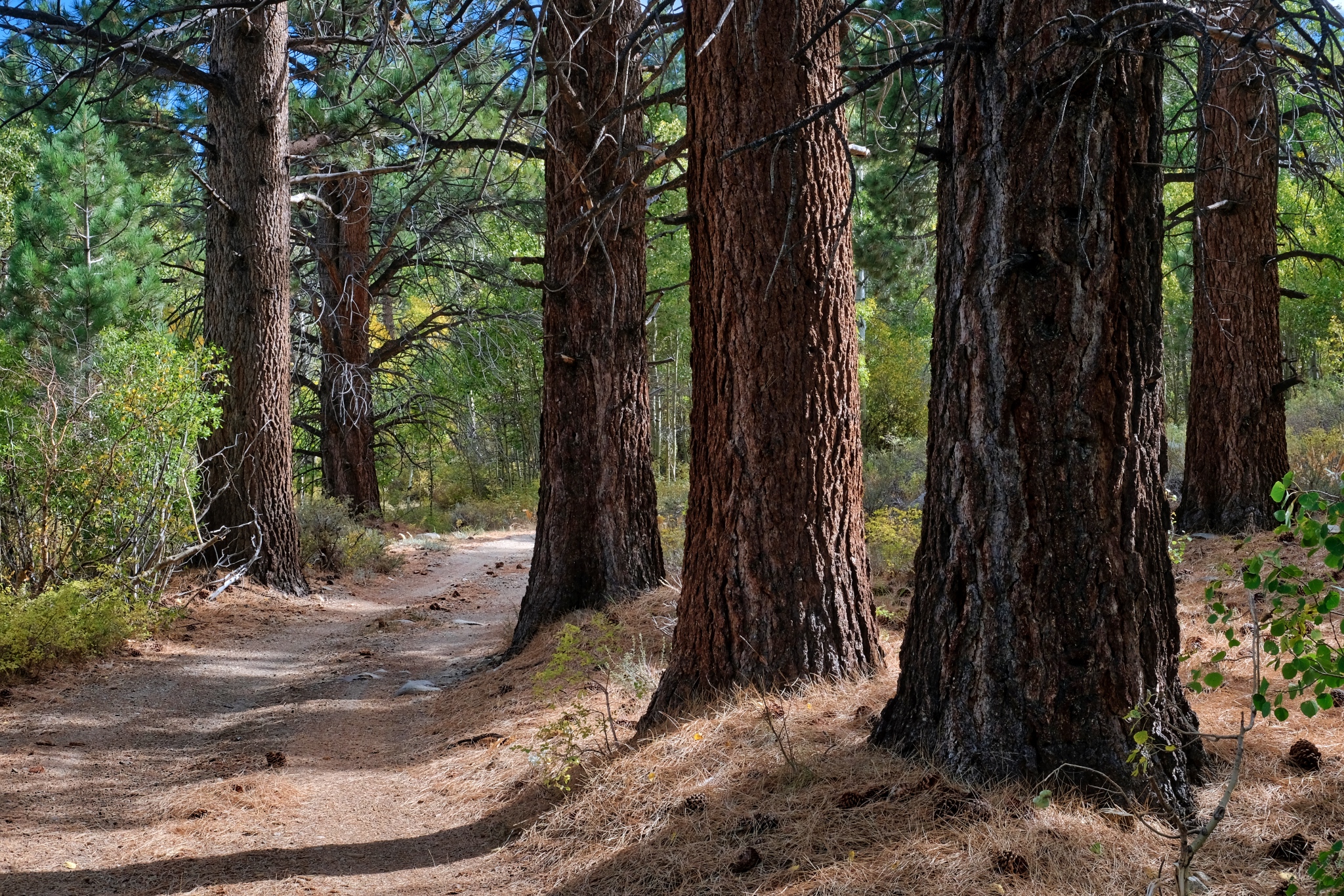
 I love the look of these old, grand Ponderosa Pines in the transition from high country to desert.
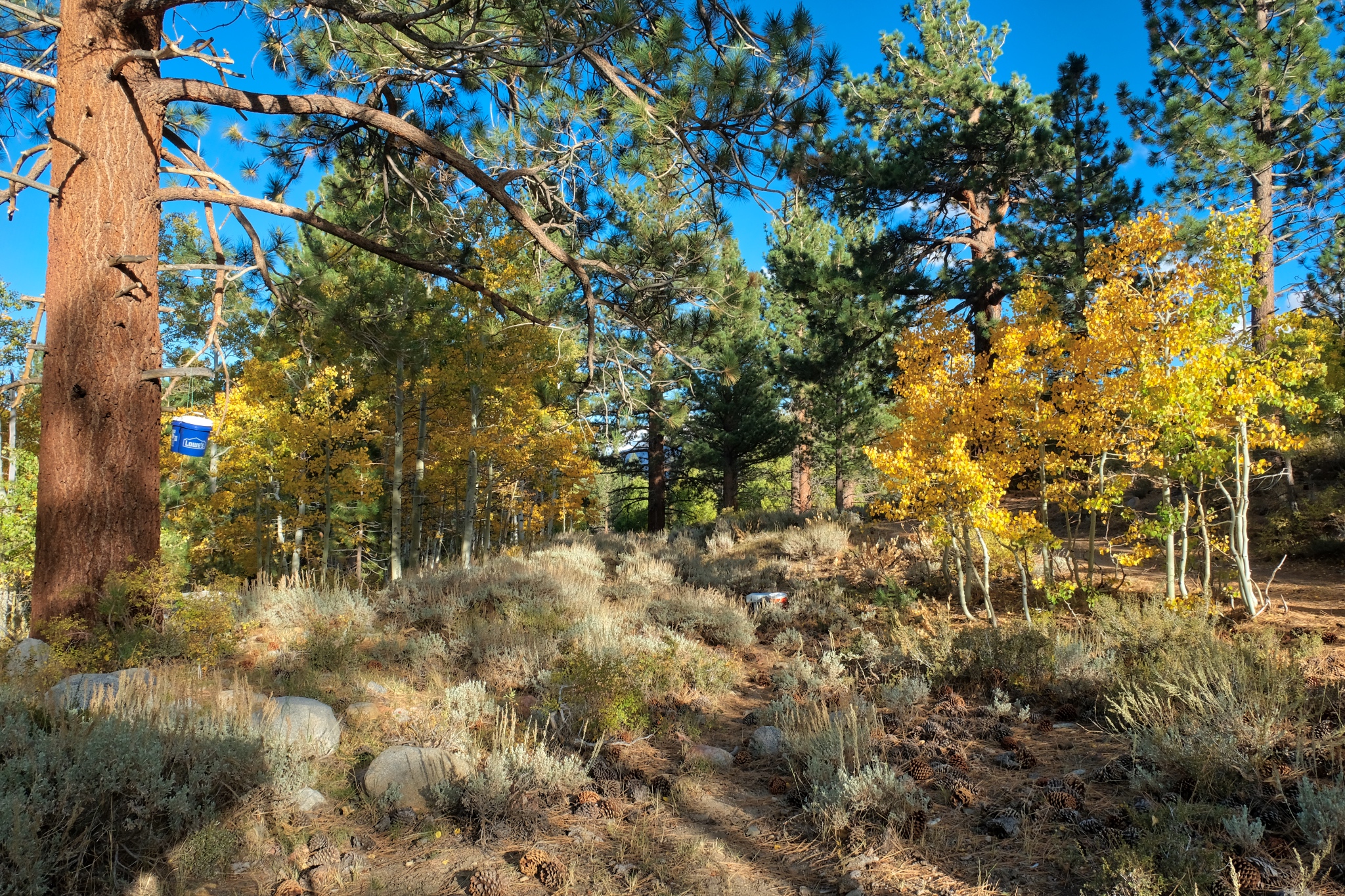
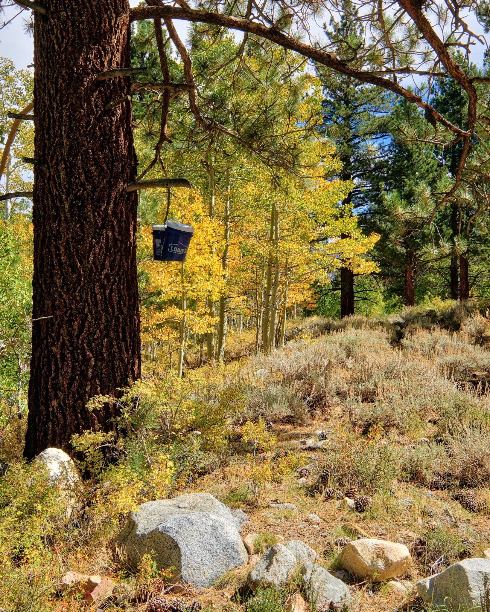 I slung a rope up over a big branch and hoisted my food pails up there . . . bear-proofing?
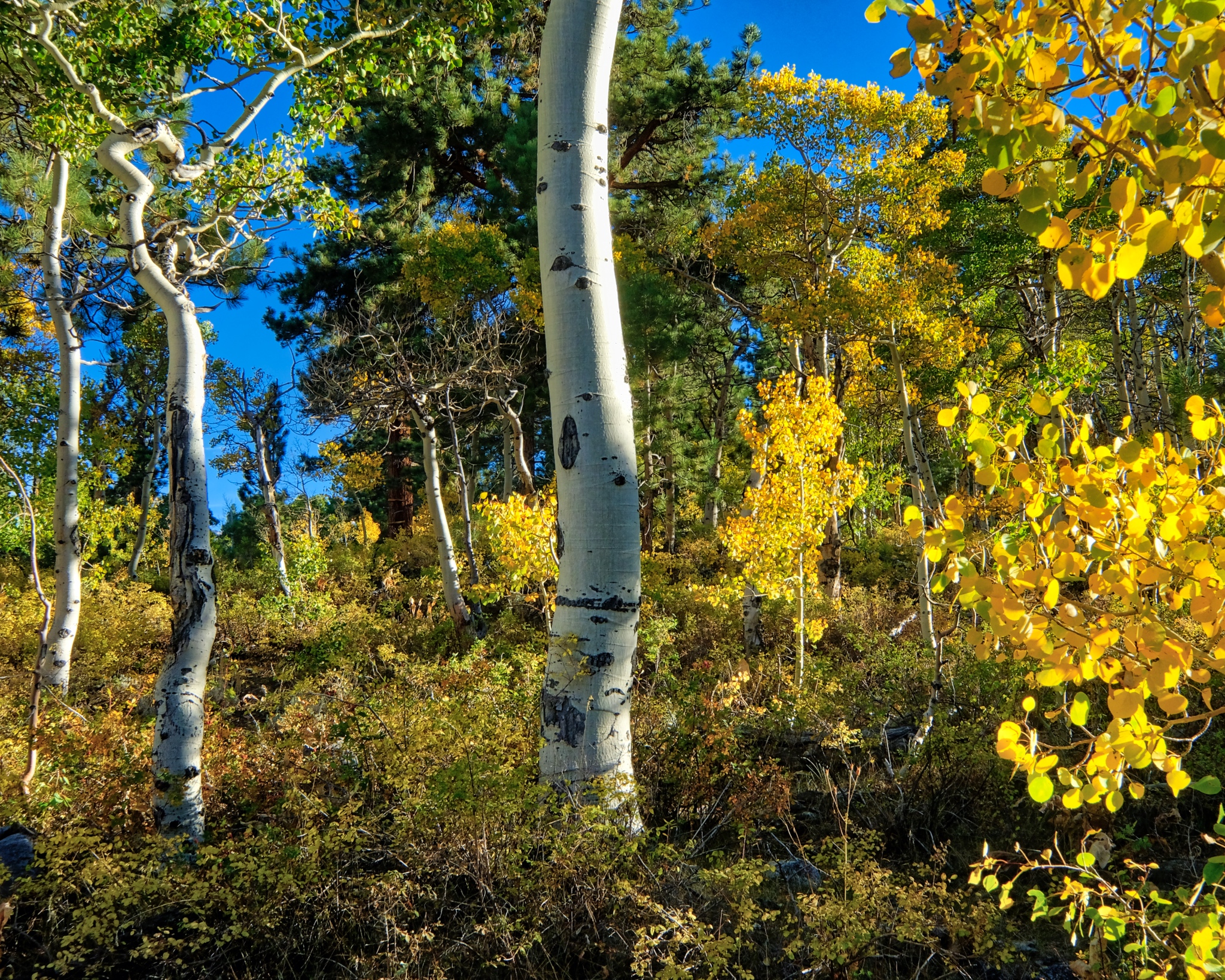
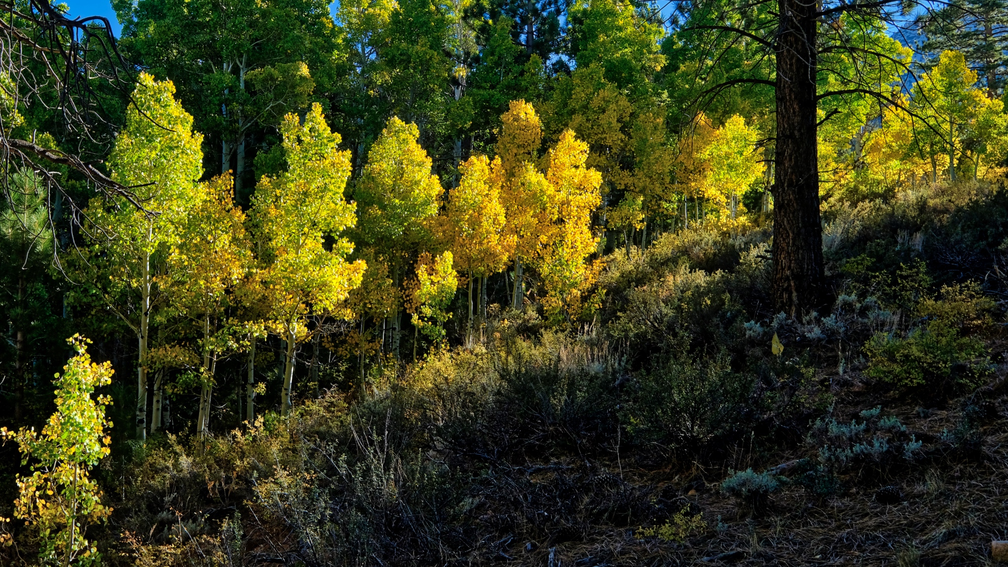
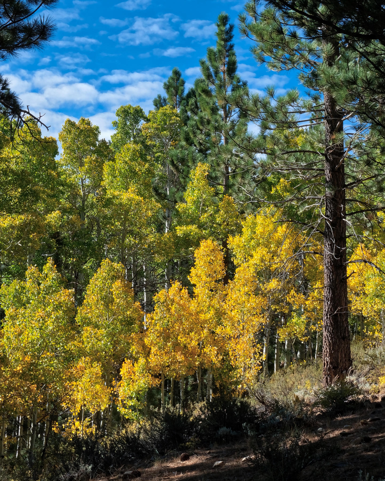
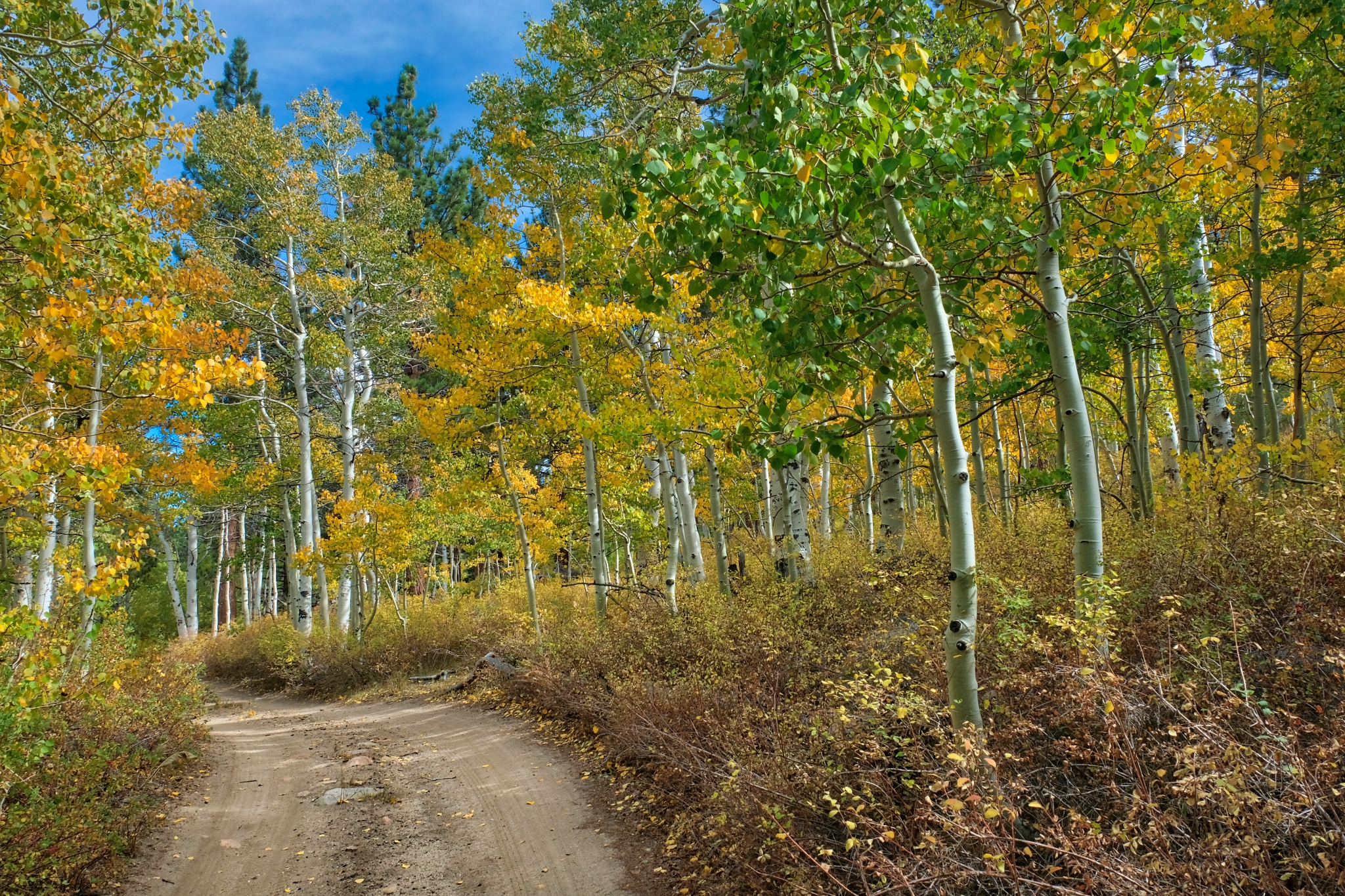
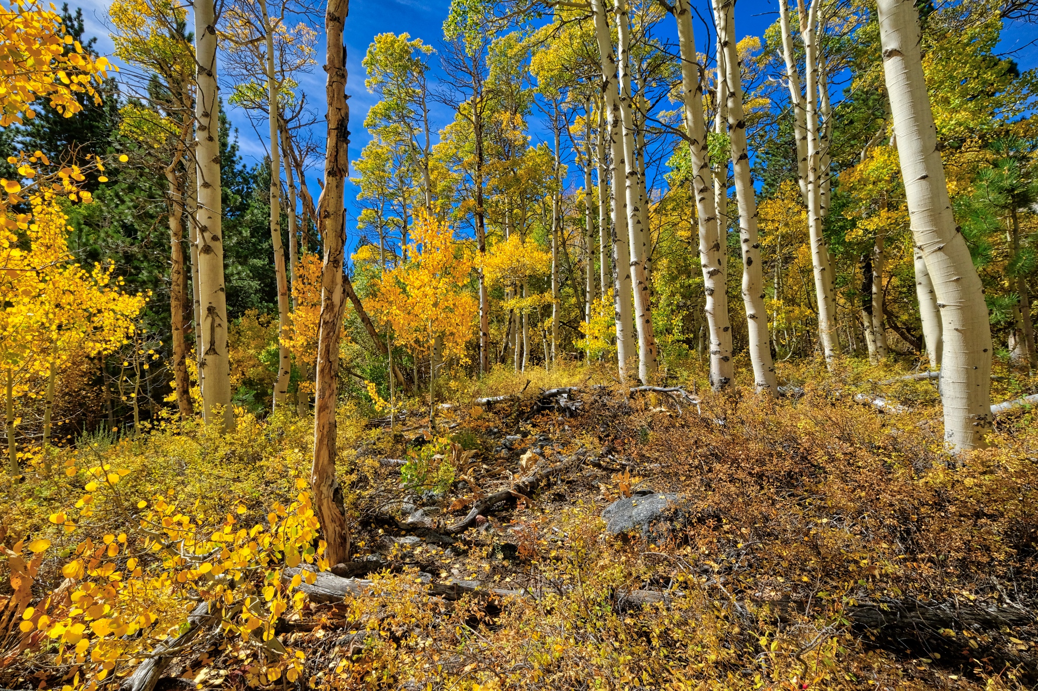 The yellow aspen in the bright, clear morning sun . . . at 8000 ft. elevation.
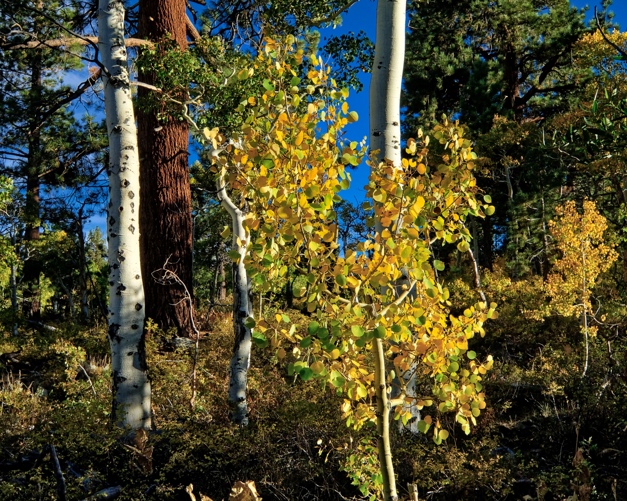
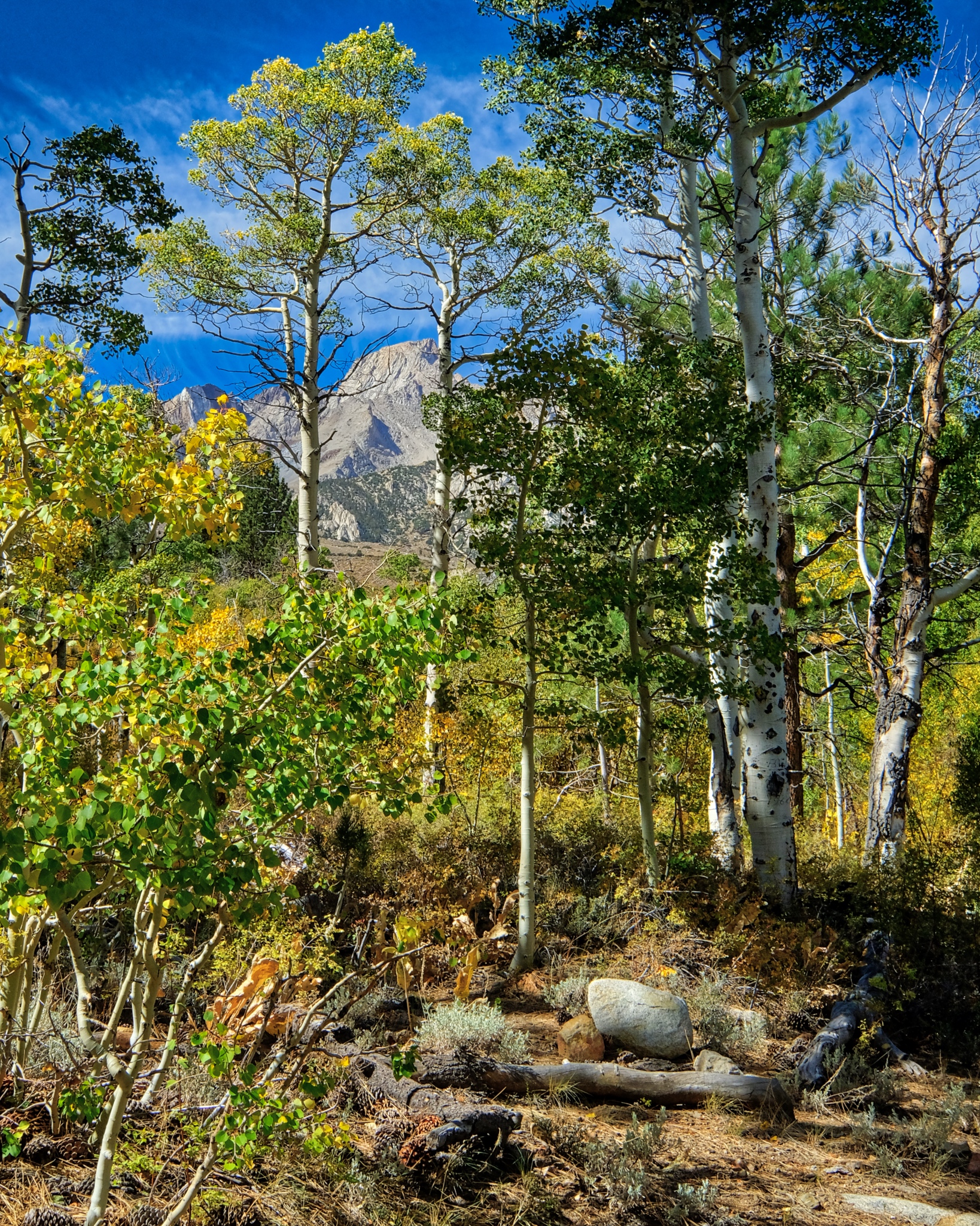
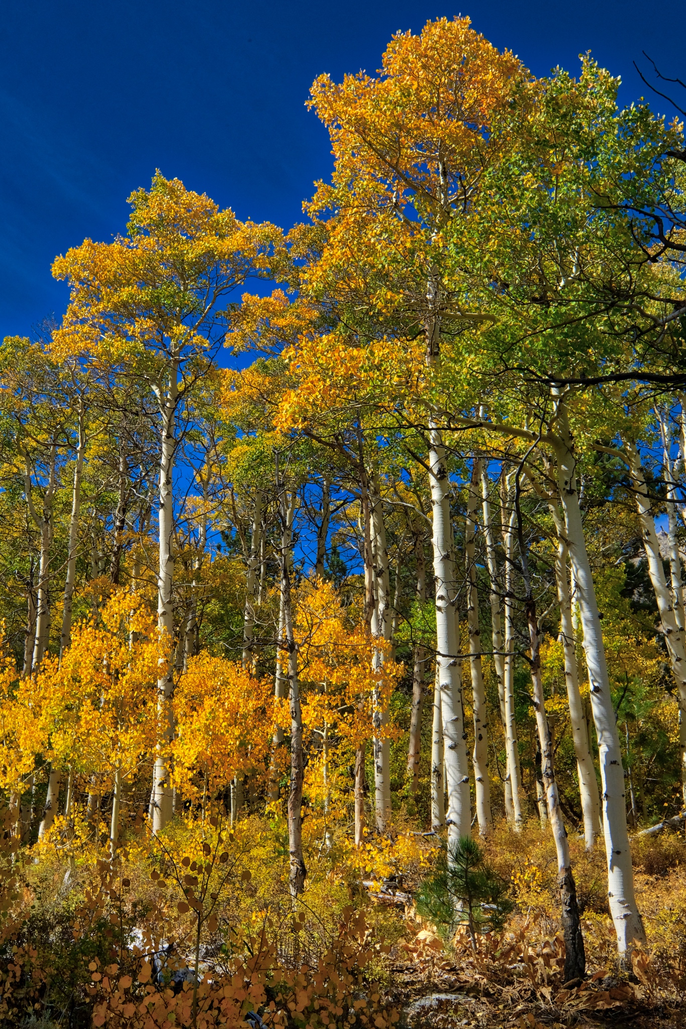 Tall yellow aspens against a deep blue mountain sky.
 Absolutely quiet; not a breath of air movement . . . only the sound of my boots crunching on the pine needles . . . .
 A forest portrait.
 I took a mid-day walk out along the road I came in on . . . heading out of my little grove of pine and aspen.
 Pretty views opened up as I walked down the hill.
 After a drop in elevation of only 200 feet, the aspens were no longer yellow . . . either there is more ater here or the night temperatures have not turned the leaves yet.
 Yes, a soaked meadow above the track . . . a mountain bog and a babbling brook even at this late summer day.
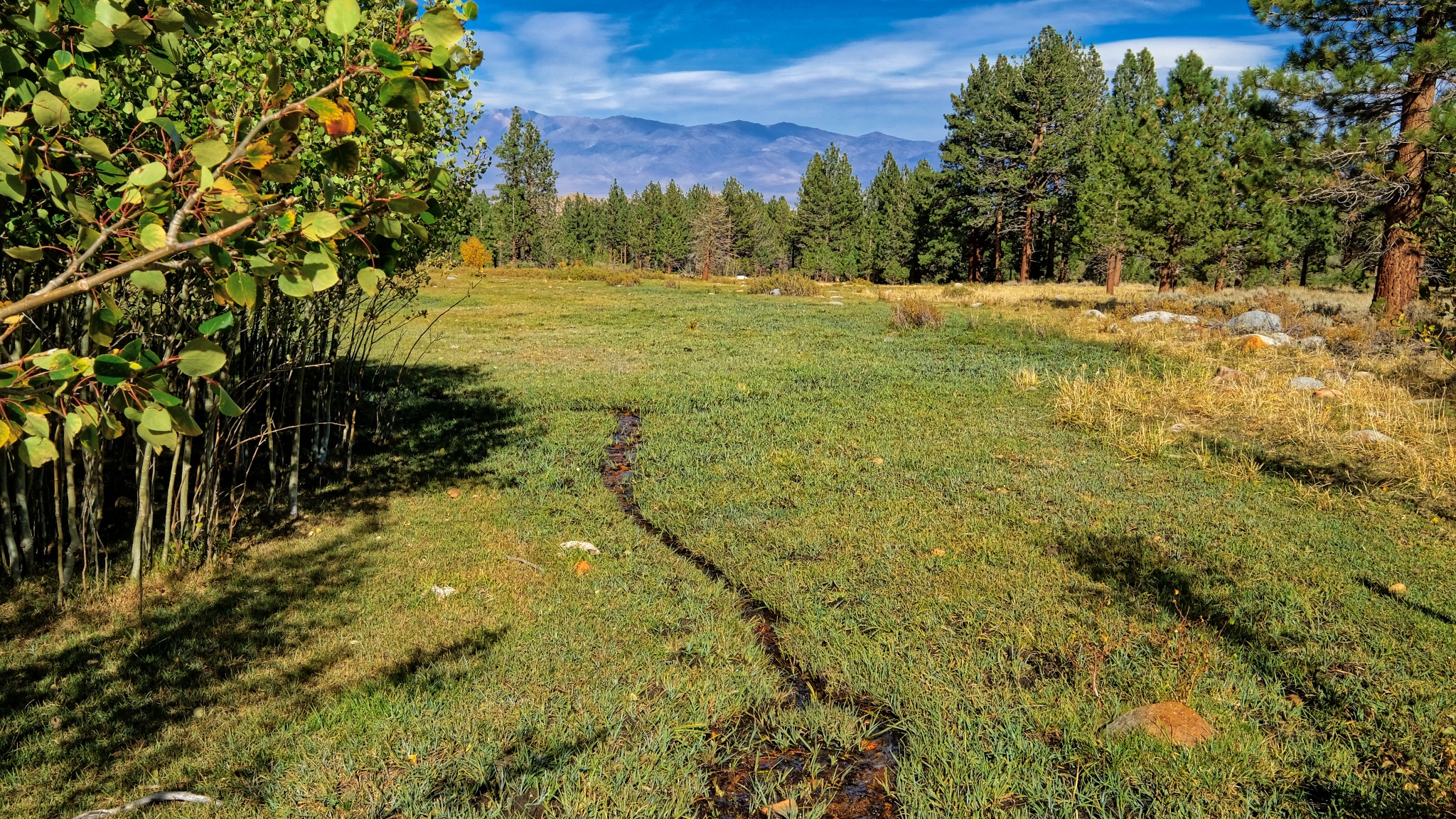 Another wet meadow below the track . . . .
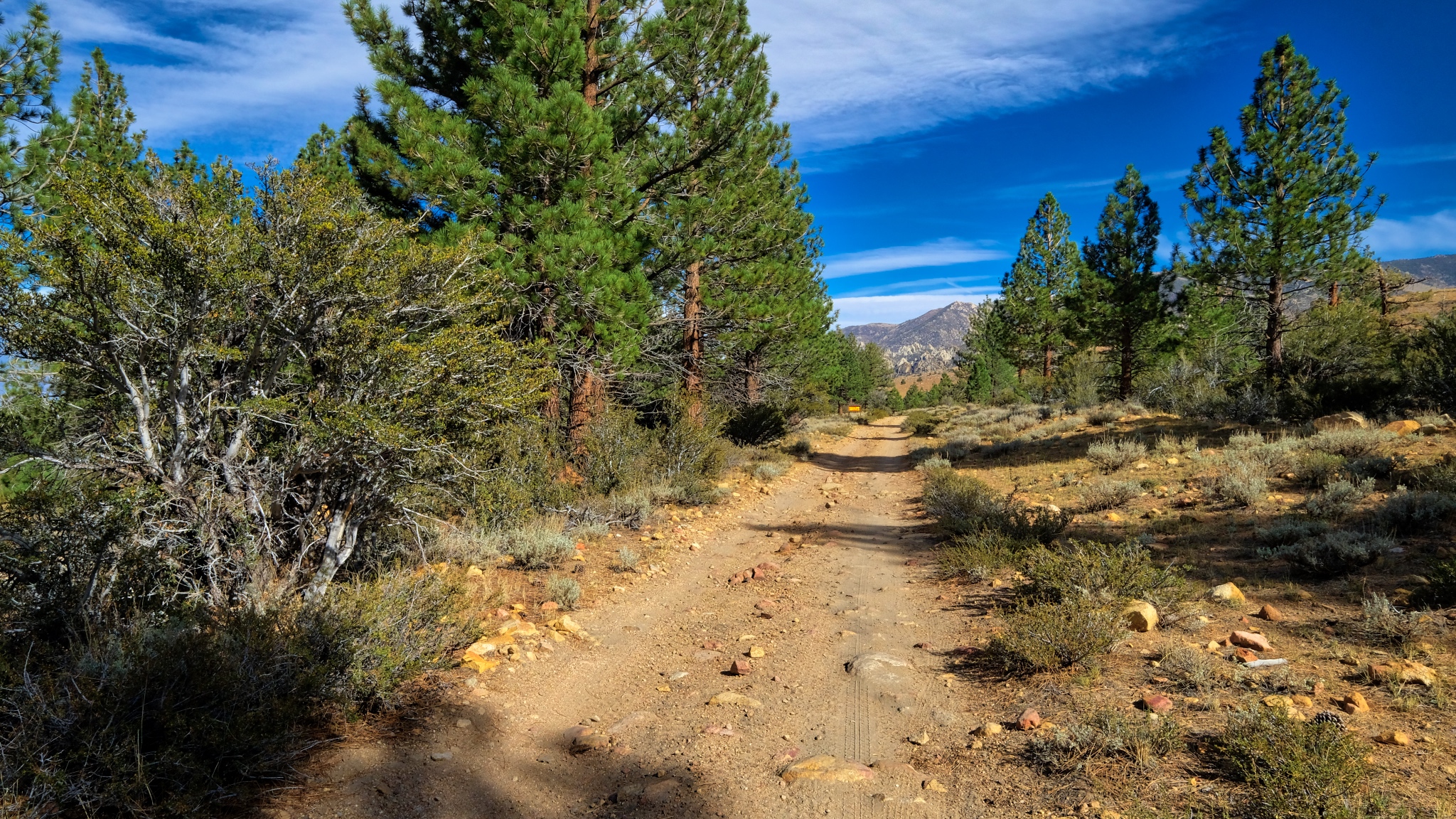
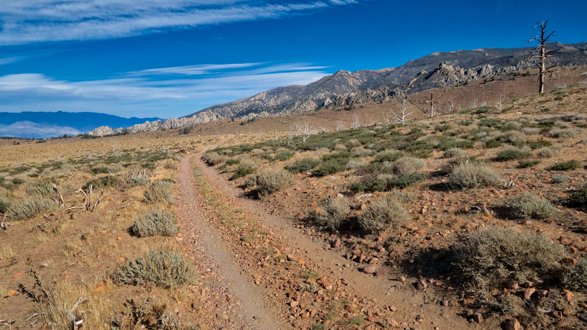
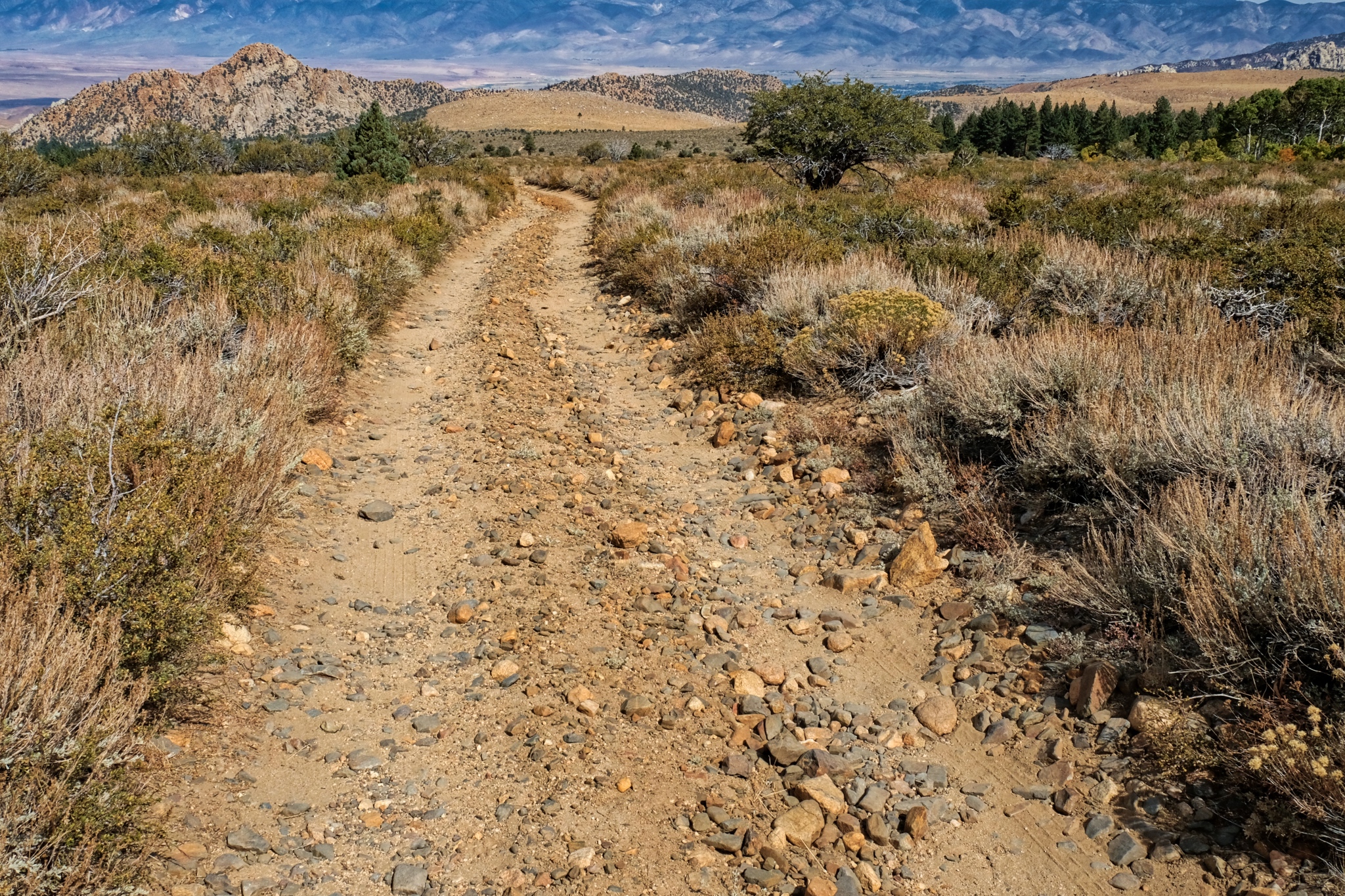
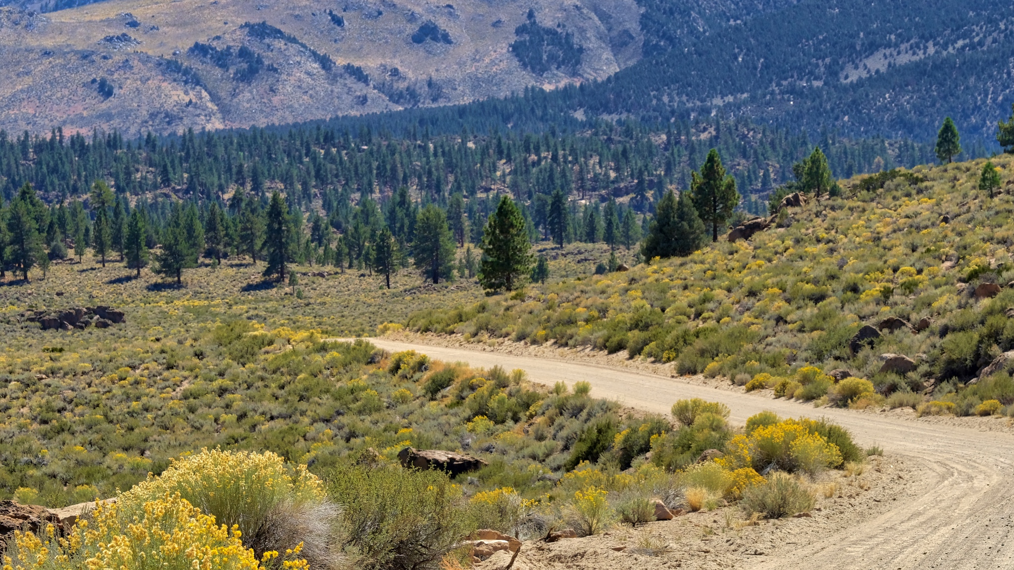
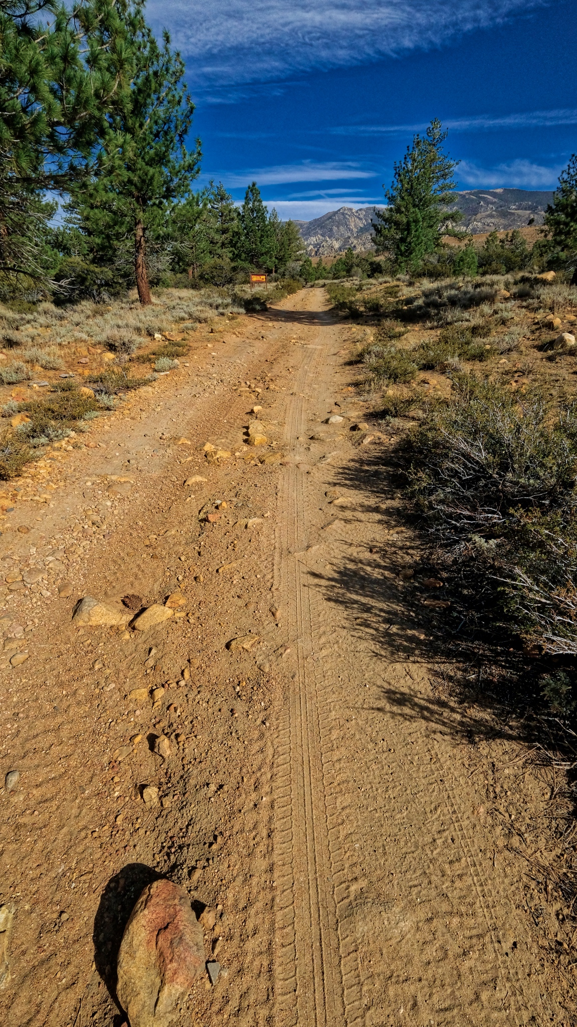 The long track . . . I would hear about one 4X4 a day pass on this jeep track. Although it does not look too rough right here, there are some very bad patches that definitely require four wheel drive and high clearance to get by.
 I turned around here and walked back up to my campsite. I would take a much more challenging hike the next day.
 I was so pleased when I arrived back at my camper . . . to see the fantastic spot I had found.
 I was happy to sit in my camp chair behind my camper and look at this view . . . for the rest of the day.
_______________________________________________
DAY THREE: A WALK OUT OF THE WOODS INTO THE DRYLANDS
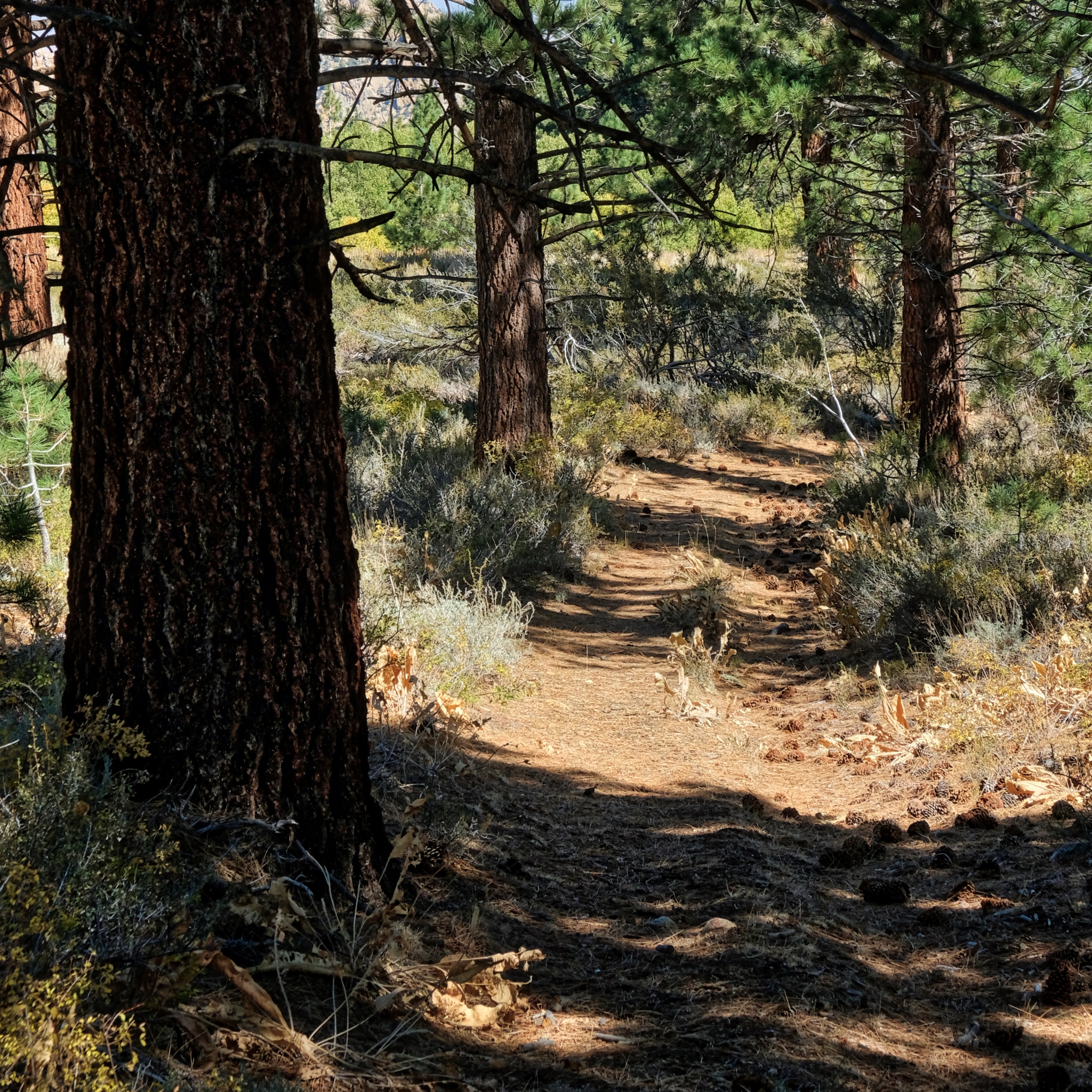
 All of my walkabouts begin with walking out of the forest grove where I camp.
 The trees become sparser and the ground drier.
 On this walk along the jeep track I noticed a camp site that had been used quite a bit in a stand of ponderosa pines. A nice place for several vehicles on a family outing.
 Further out of the woods.
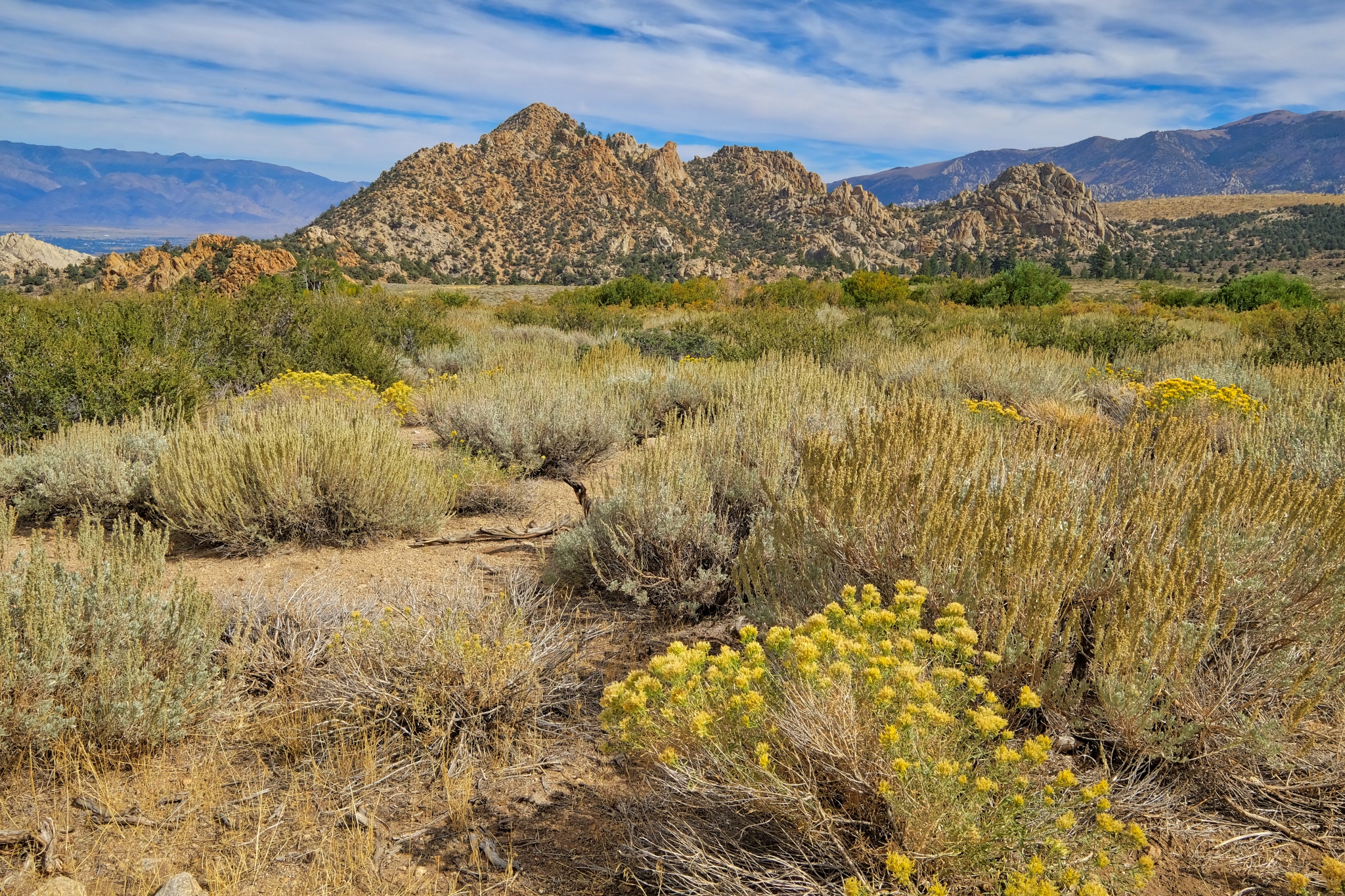
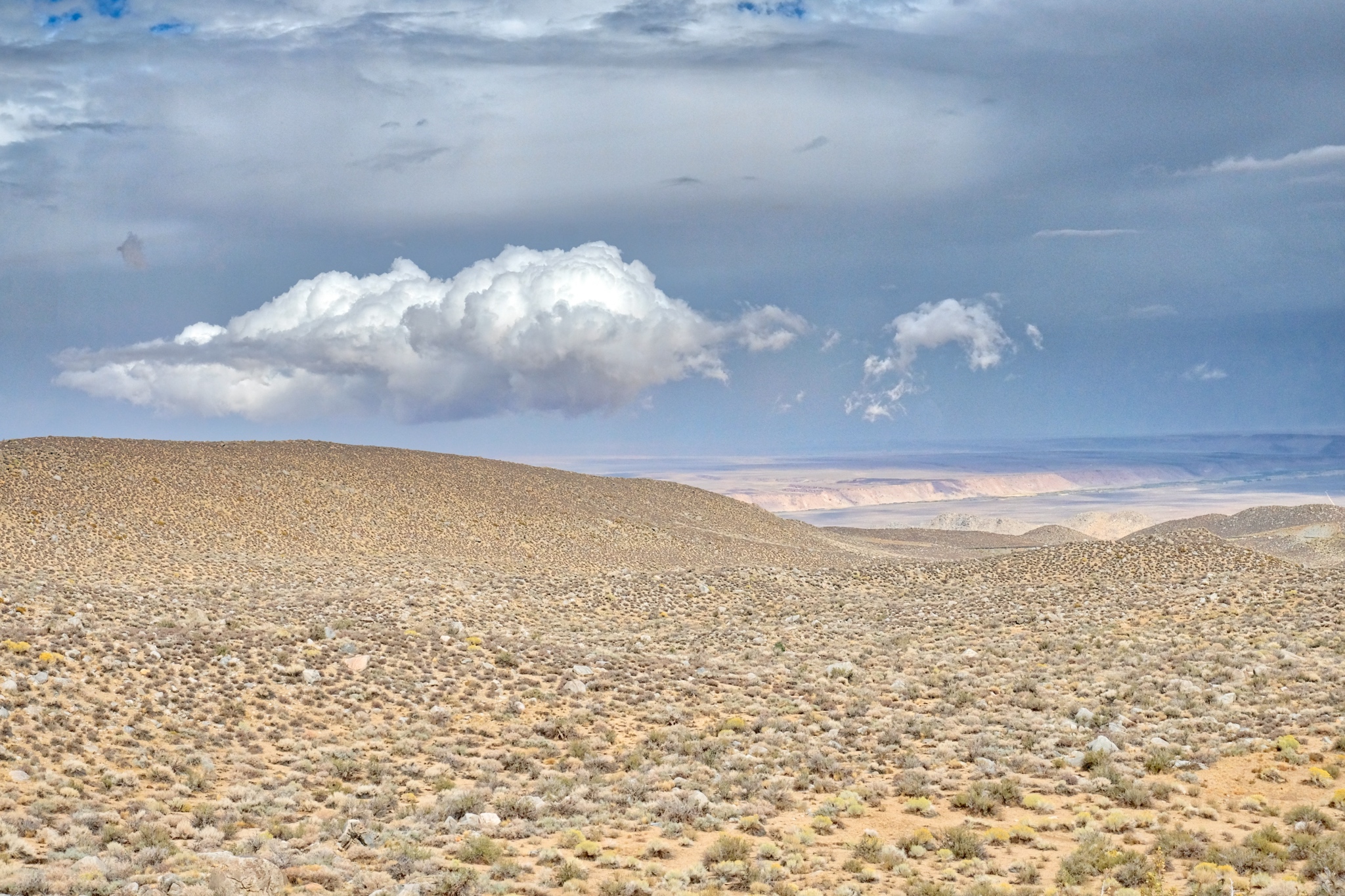
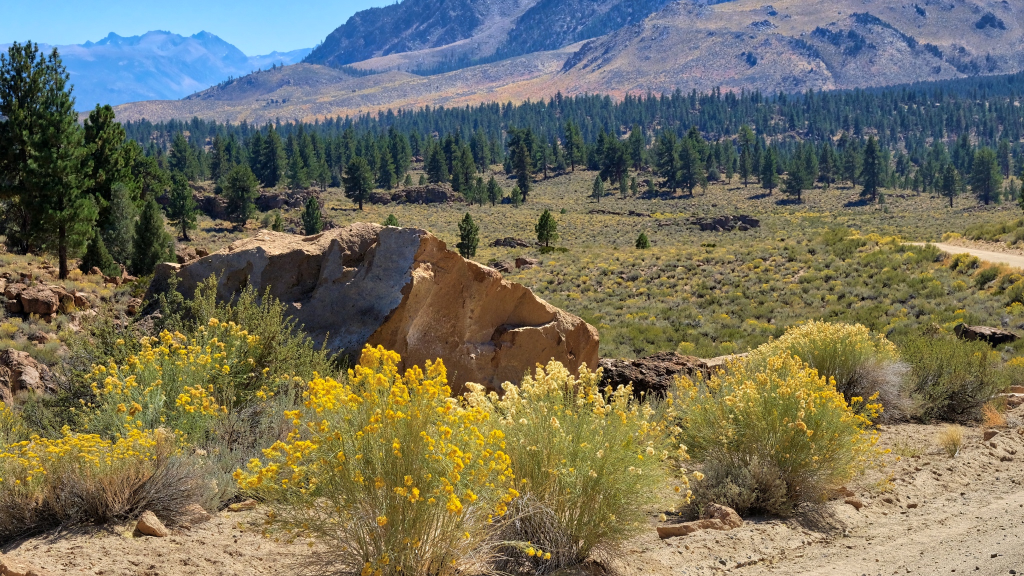
 The drylands beyond.
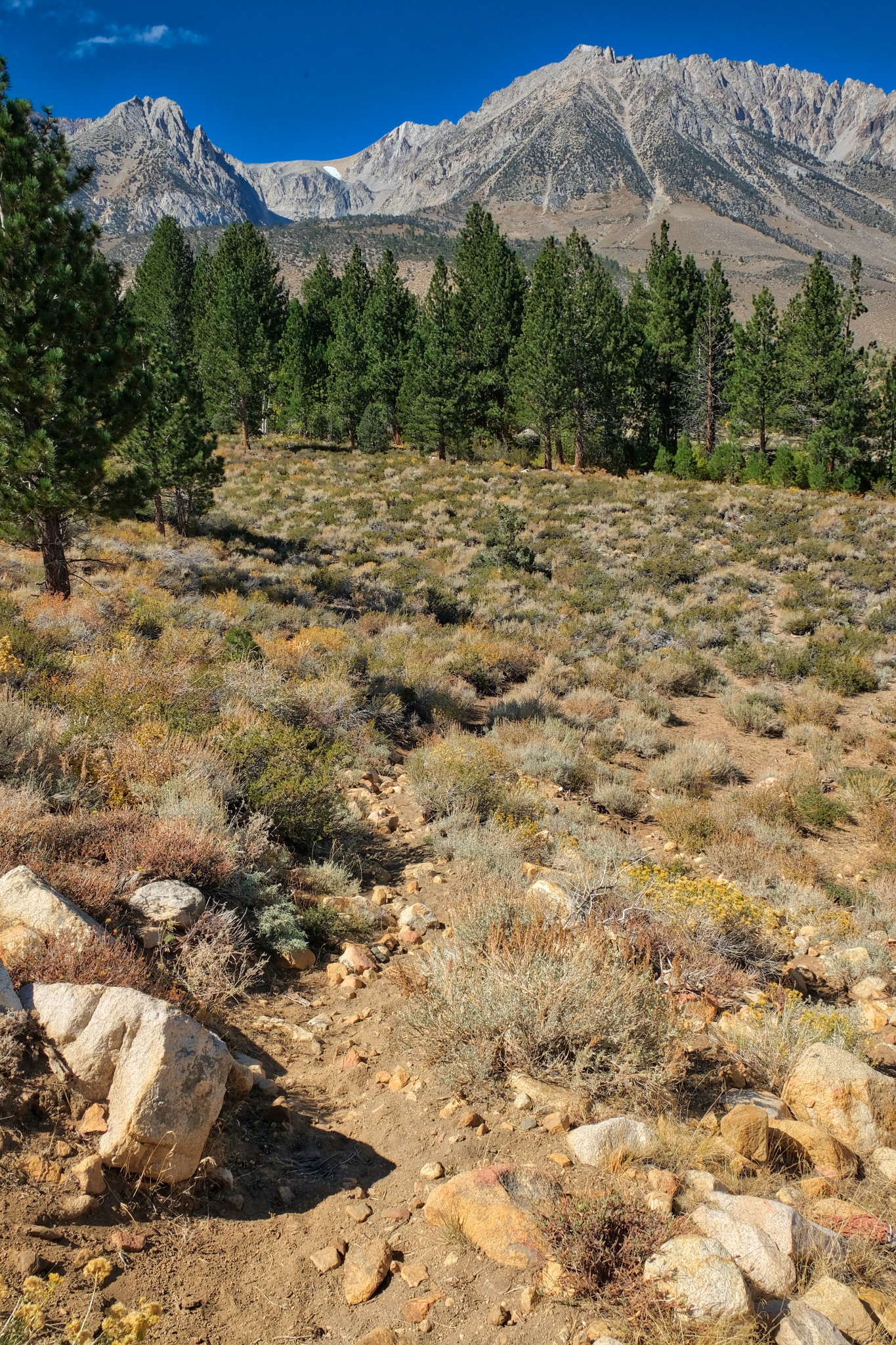
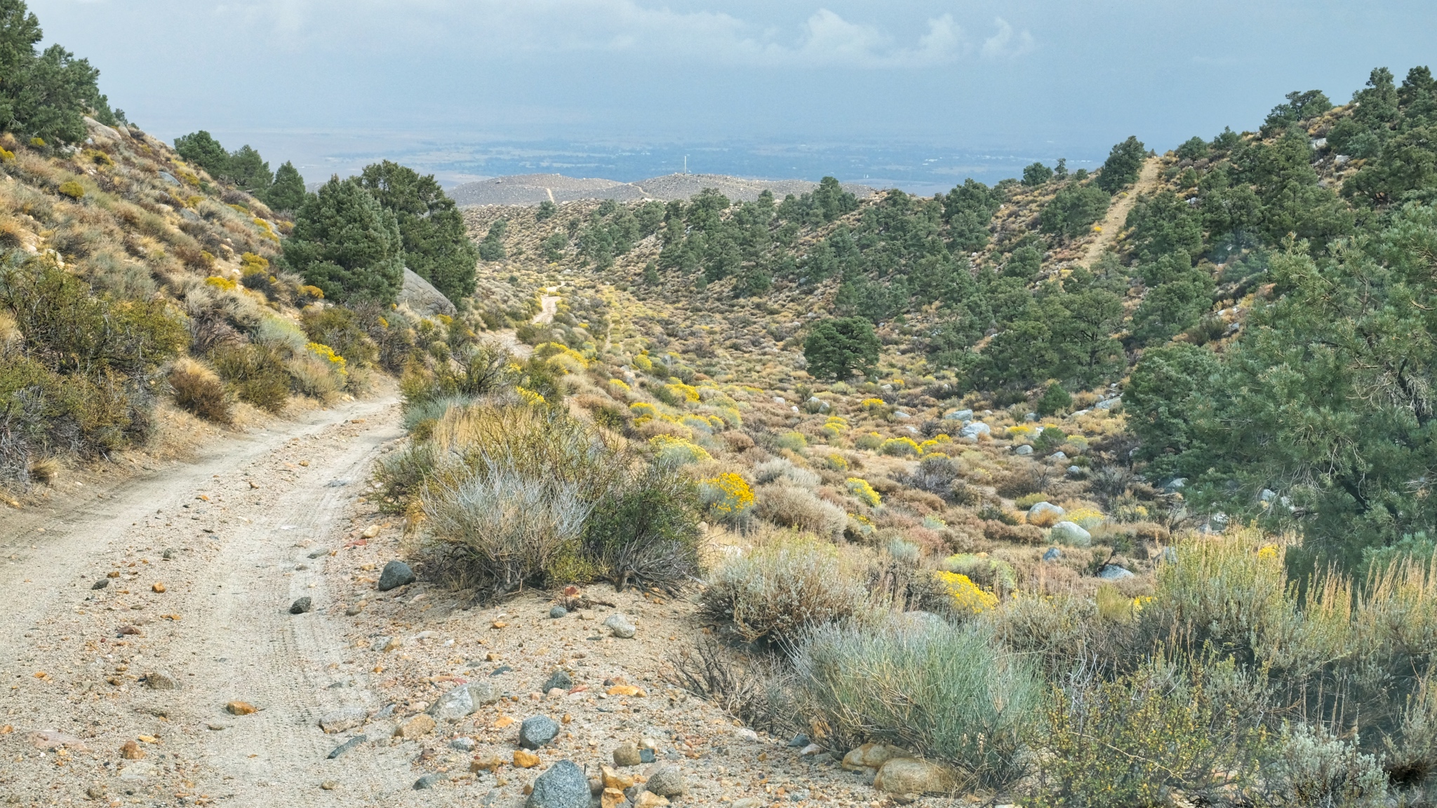
 Further towards the high altitude drylands.
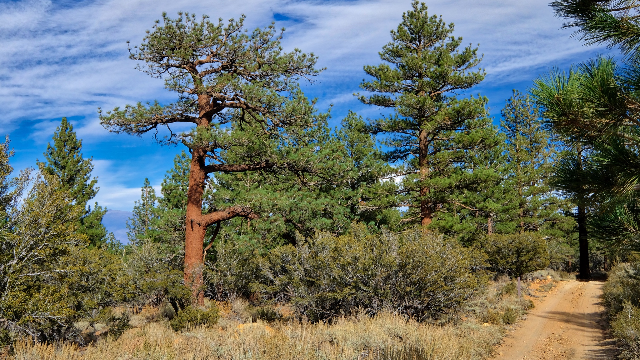
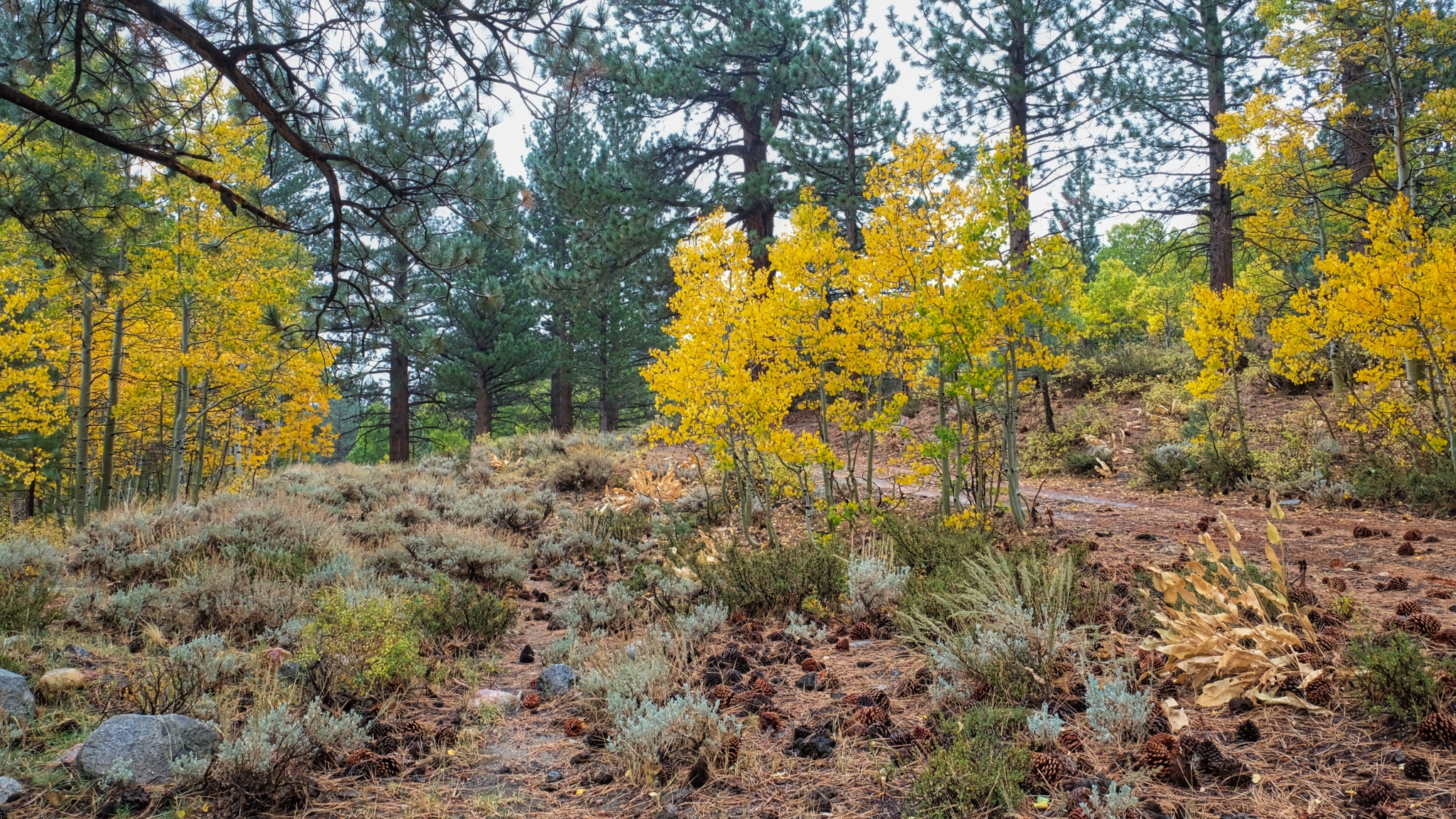
 Pines in the dry landscape.
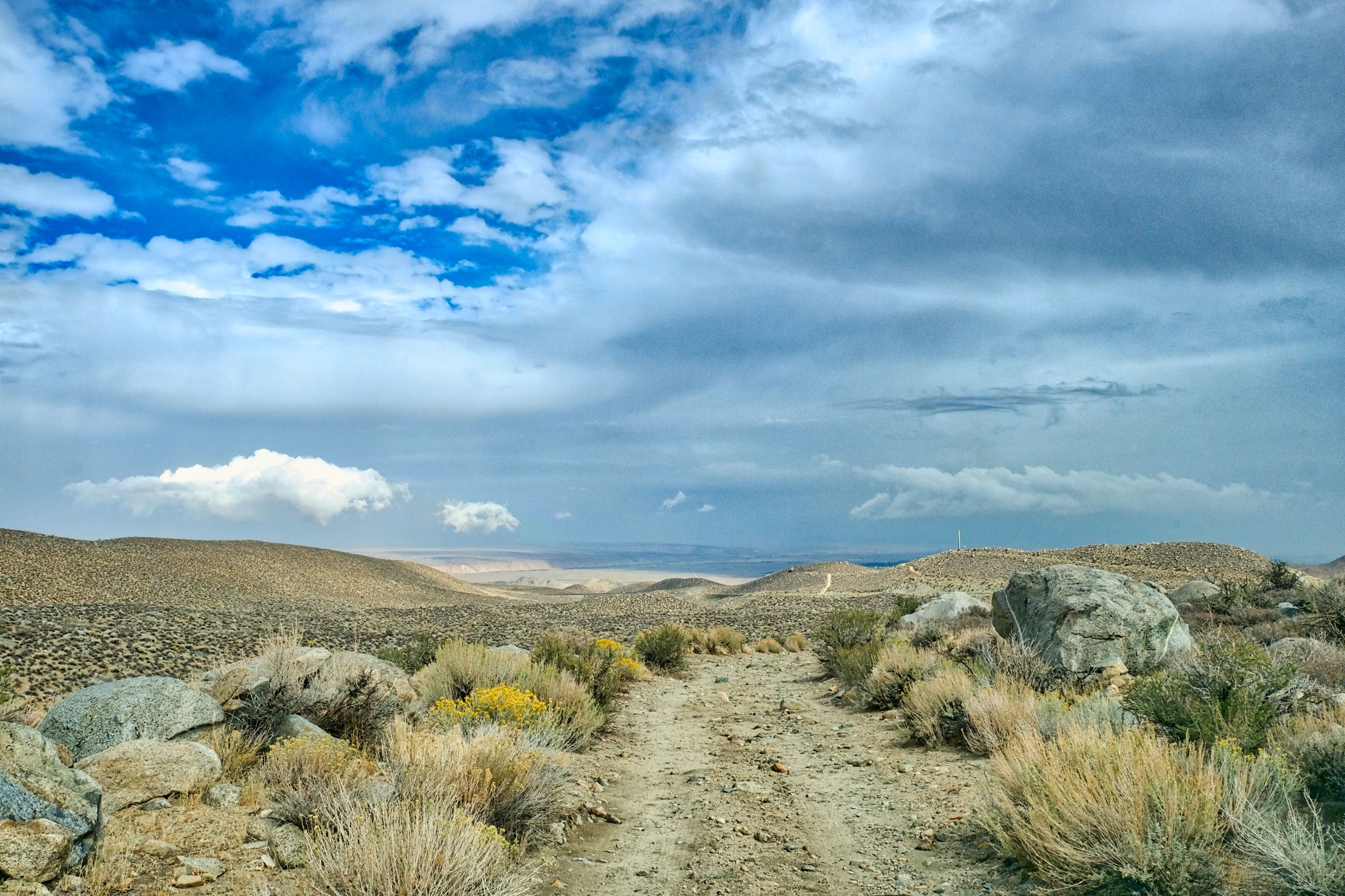
 Out ahead a desert track. I have missed this kind of topography during my many years in the wet tropics.
 Contrary to what some may think, there is so much to see out here.
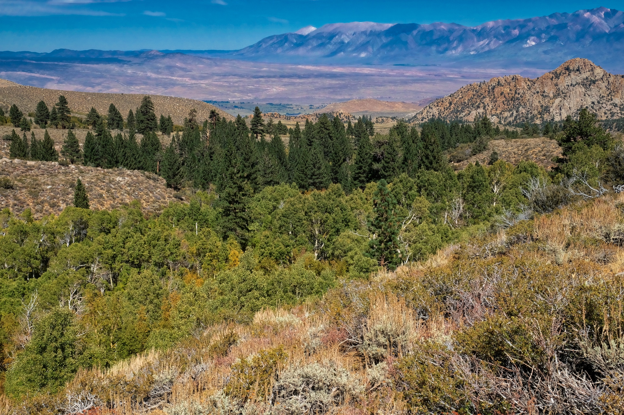
 Looking down the valley toward Bishop, California, many miles away and many feel lower in elevation.
 What is over that hill?
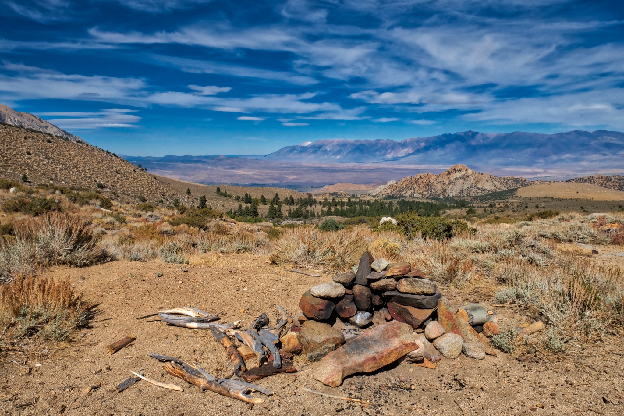
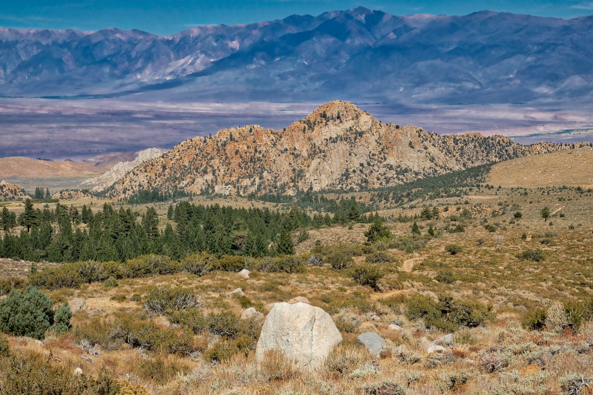
 A large erratic stone and a view down valley to the Buttermilk formation of large boulders.
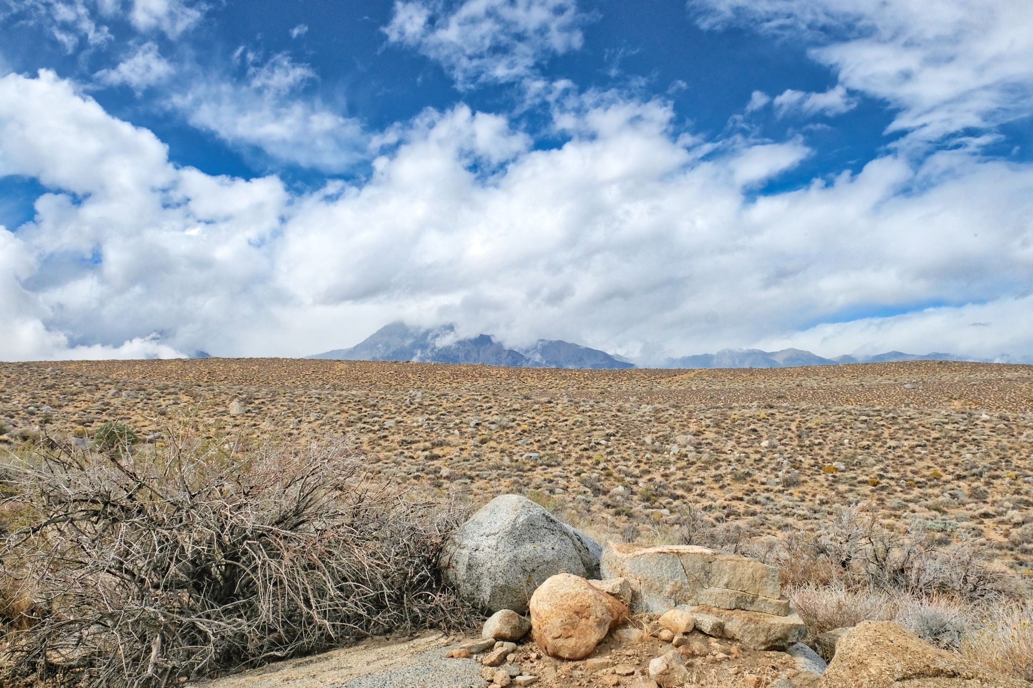
 Beautiful view back to Mount Tom.
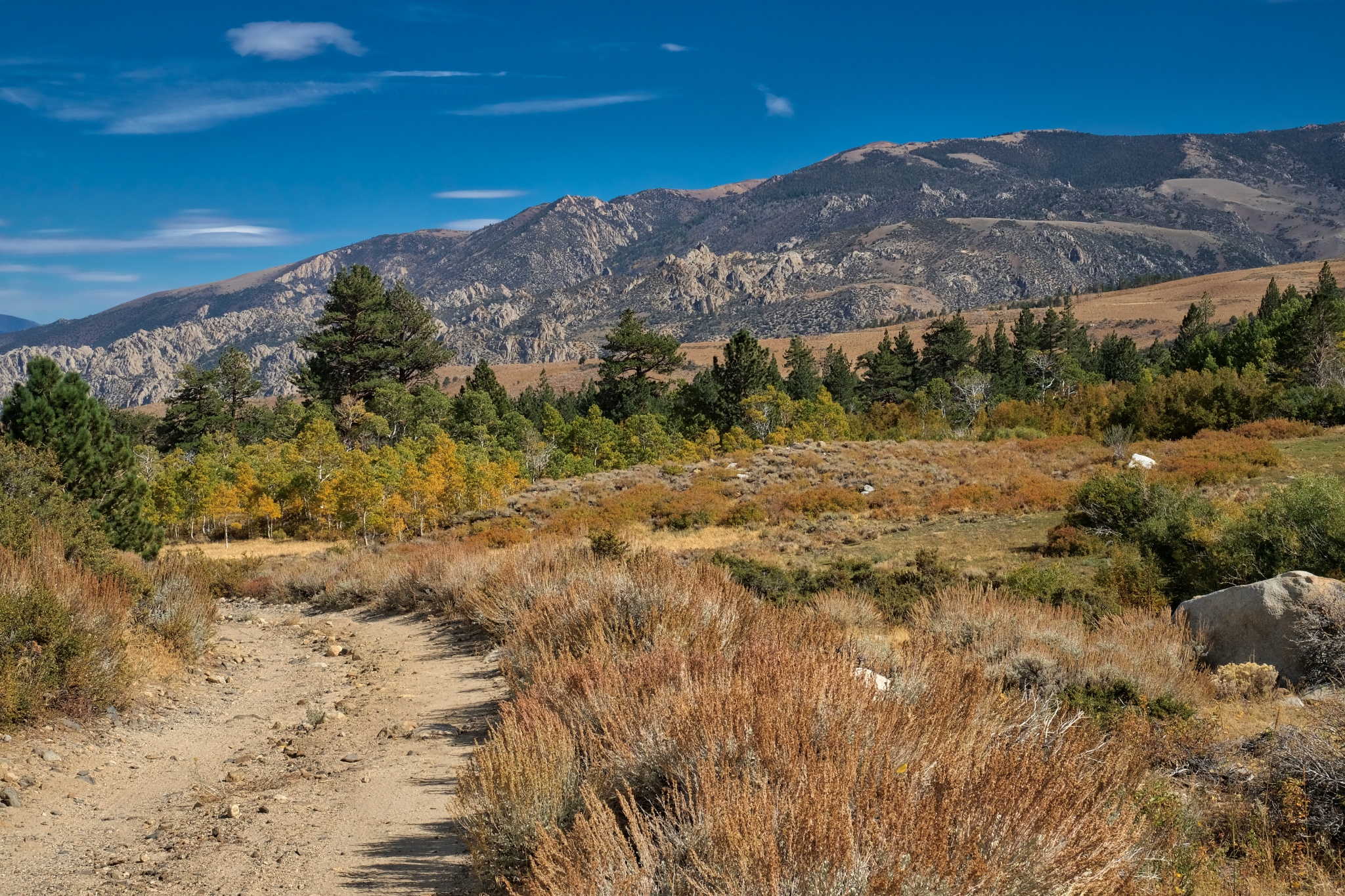
 Looking back up the road on my walk I see a beautiful grand view.
 I took a second look back up the jeep track and noticed a hiker coming my way. He was backpacker from nearby Bishop who had been walking, camping and climbing at higher elevation for five days. He stopped for a chat about the local water rights battles involving stream diversion to meet the water needs of an ever-expanding City of Los Angeles. He felt that if any more mountain stream water were diverted 'over the hill', this whole region would become a completely arid region . . . absolutely no plants whatsoever . . . another Death Valley.
 I sat out in the desert sage awhile before walking back into my stand of trees in a powerfully clear afternoon light.
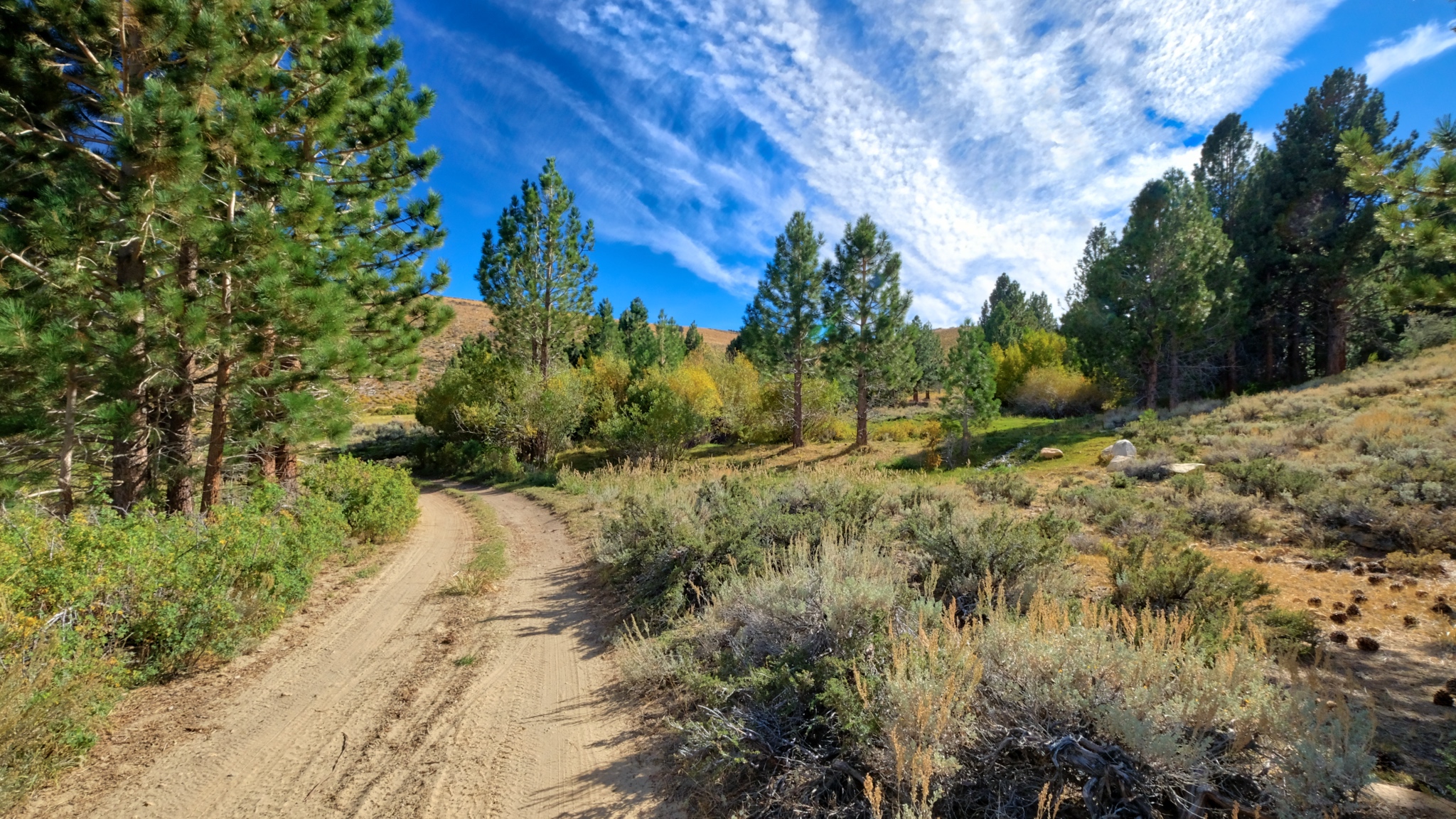
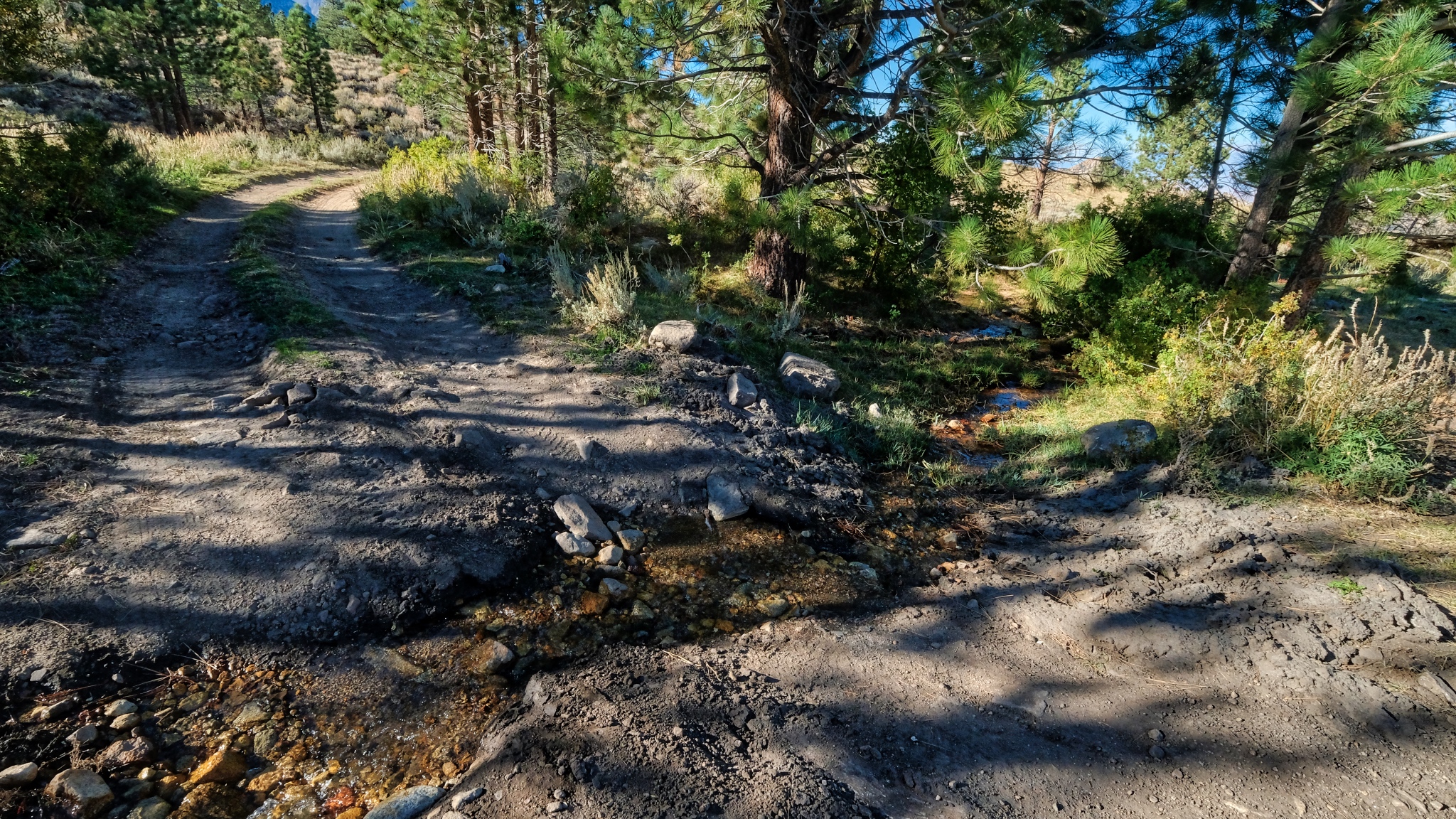 A little stream crossed the track as I entered the dry woods.
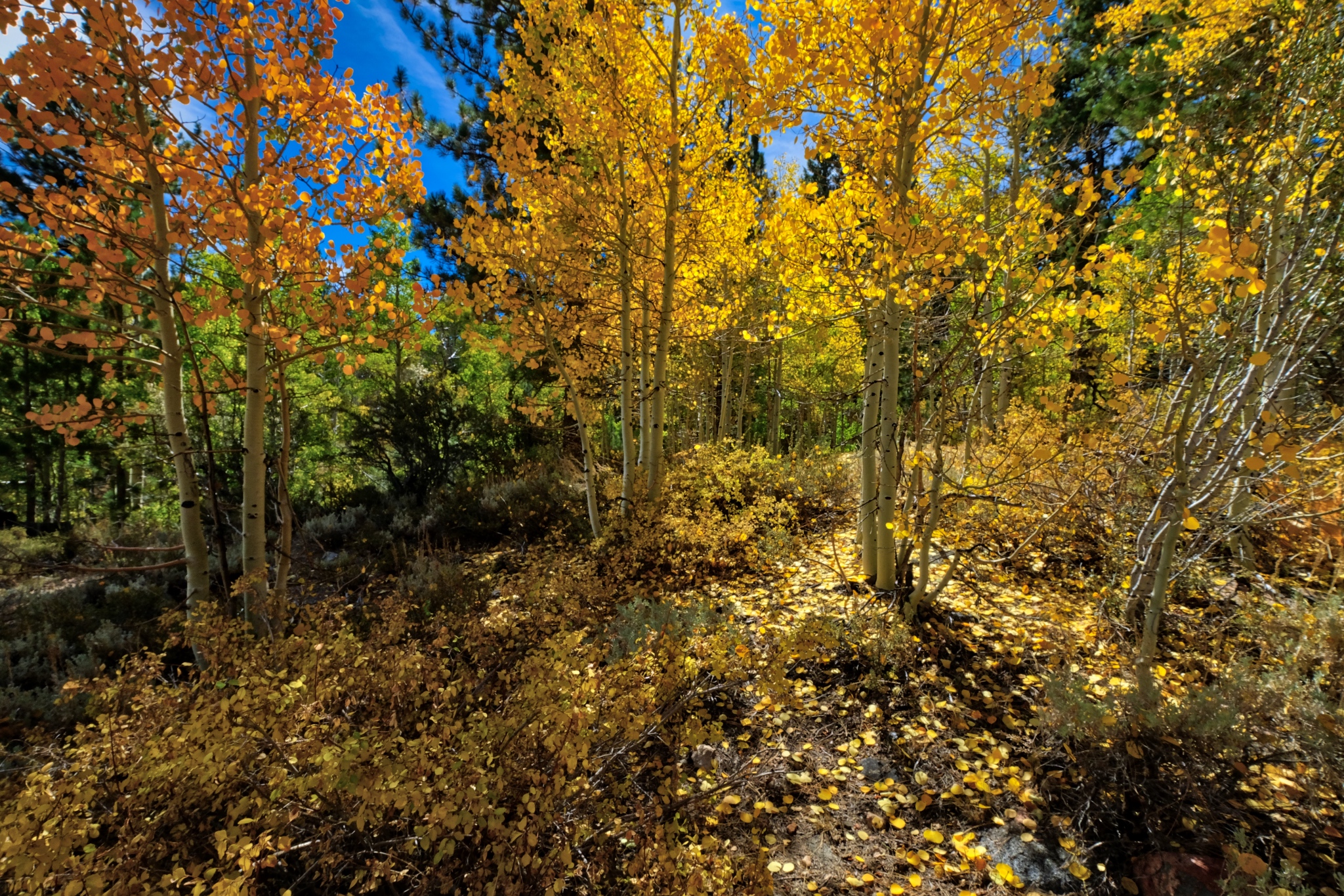
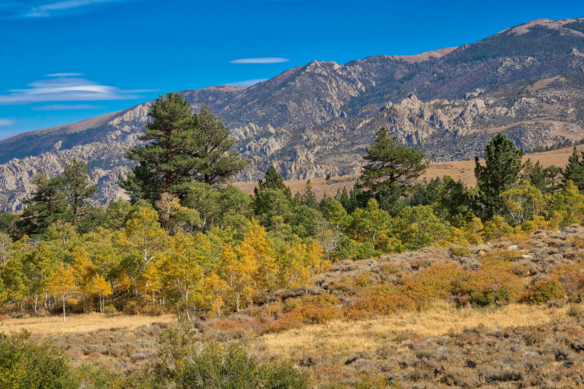
 On my way back up to my campsite I couldn't help but notice that the sun was now backlighting the bright aspen leaves.
 I have to say that this view nearly took my breath away! Rare natural beauty I will remember for the rest of my life!
 I stopped all along my return walk and marveled at the light and beauty.
 I took many, many photos of this backlit stand of yellow aspens, each with different camera settings to make sure I captured the perfect image. My posting here, on my photo blog, is only at 850px wide . . . but the uncropped version of this photo is amazingly sharp.
 I deviated off the jeep track a few times to stand in the middle of the bright aspens.
 I could have stood right here FOREVER.
 I took a photo about once every ten steps, such was the natural beauty and the fantastic light.
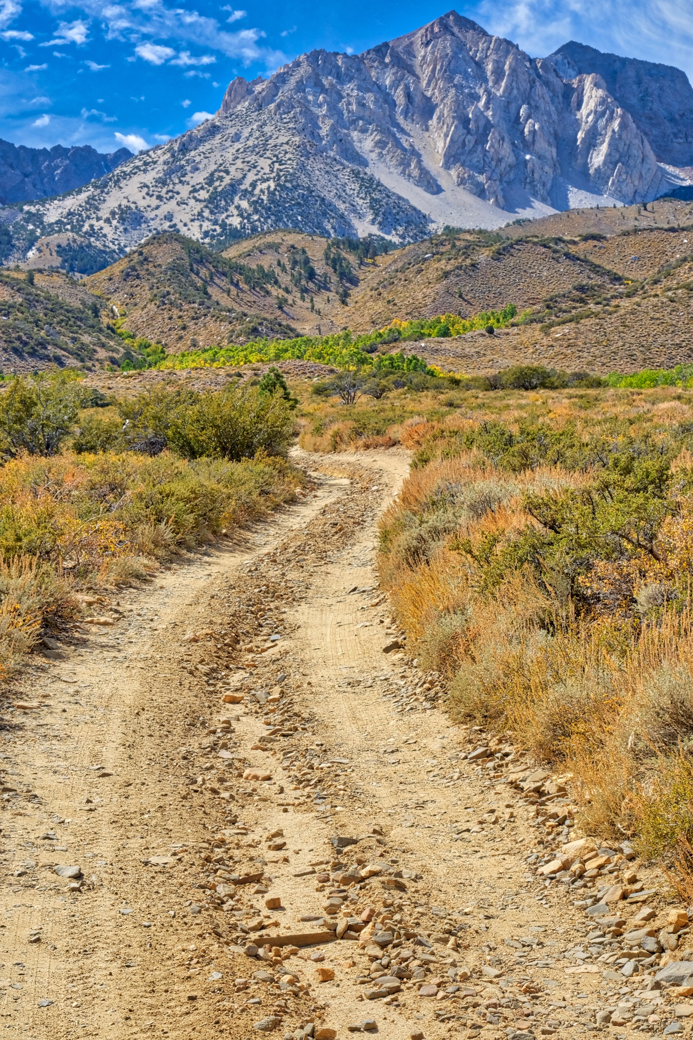
 When I got back to my camper I changed to a very long lens (335mm) to capture this compressed depth of field photo of the jeep track and the rocky hills many miles away.
__________________________________________
DAY FOUR: OUT OF CAMP AND UP INTO THE MOUNTAINS
 I woke up late and stepped out into this: another bright clear day high in the Sierra Nevada Mountains.
 Over breakfast and good coffee, I looked out through the forest and caught glimpses of the high peaks that surrounded me.
 I decided I would walk up a jeep track I had driven in on . . . it looked like it went up to the base of these mountain slopes.
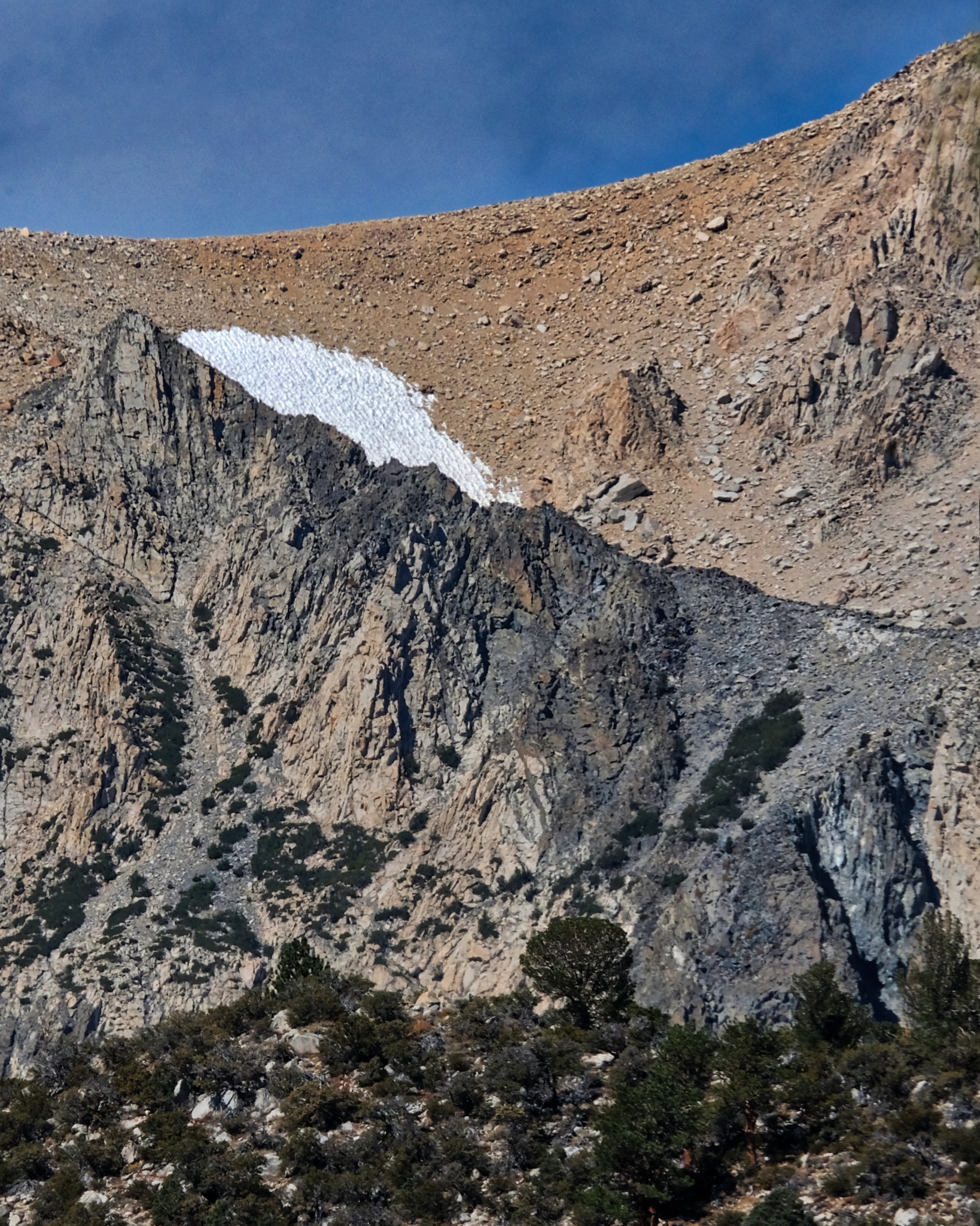 It was early September and there were only a few remaining patches of snow high up left from last winter.
 After cleaning up, and making the campsite bear-proof, I set off on my forest track in the other direction.
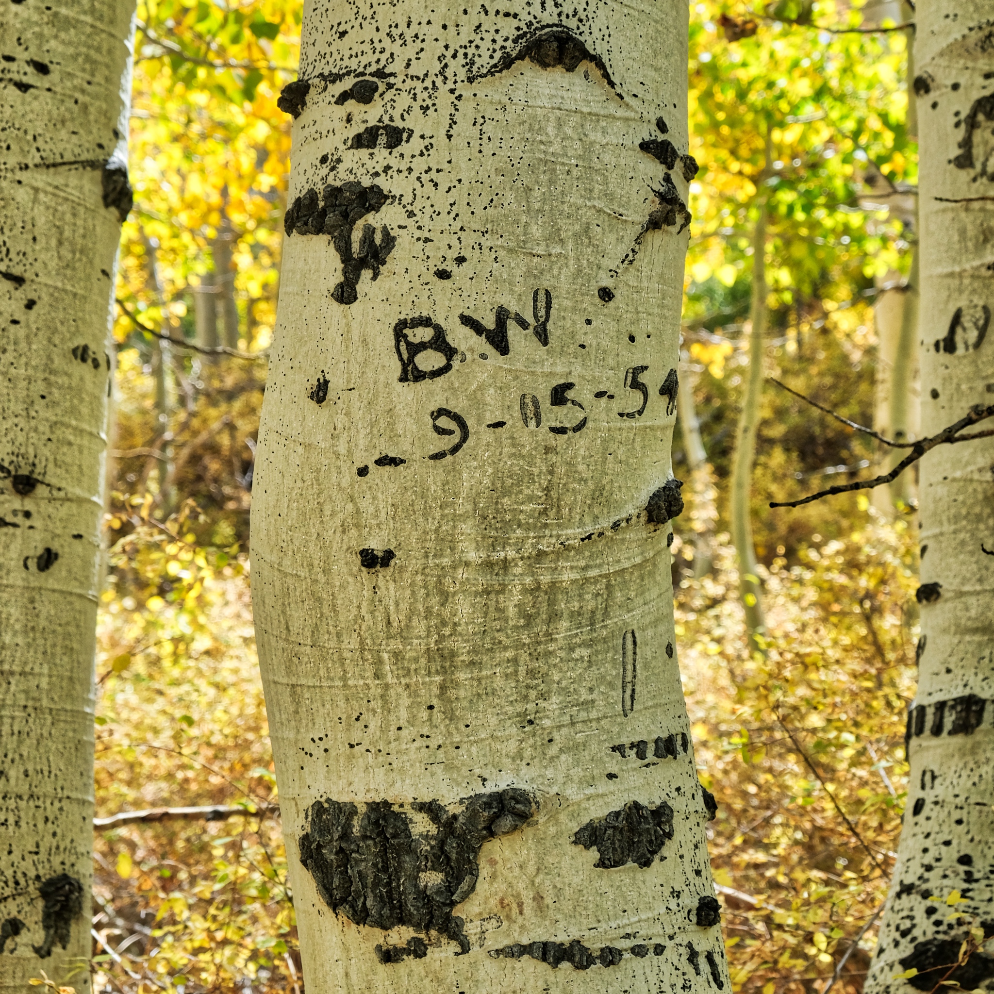 I already knew I wasn't the first person to experience the beauty of this place, but I found it interesting that "B.W" was here exactly 64 years ago . . . to the day (9/5/1954 to 9/5/2018)! So they must have been here at the time of the yellow leaves too!
 To say it was another glorious day would be understatement!
 This time as I walked out of my aspen woods I was walking uphill. I was glad I had four-wheel-drive coming in . . . the road is very rough.
 The mountains revealed themselves as I left the aspen stand.
 It might be easy to get lost up here as there are several jeep tracks going in all directions, but they were well marked, and matched my Google Maps. [I had surprisingly good 4G reception throughout my stay in the mountains!]
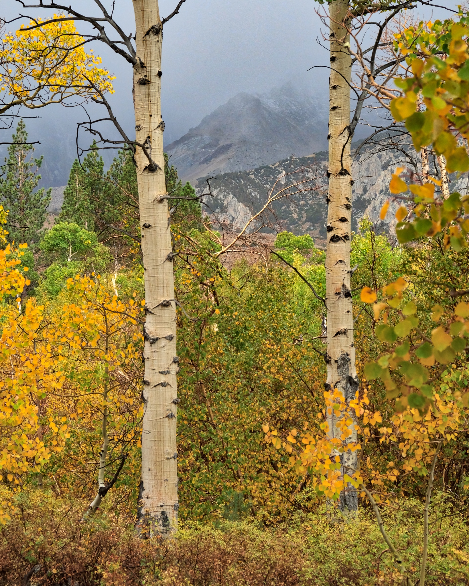
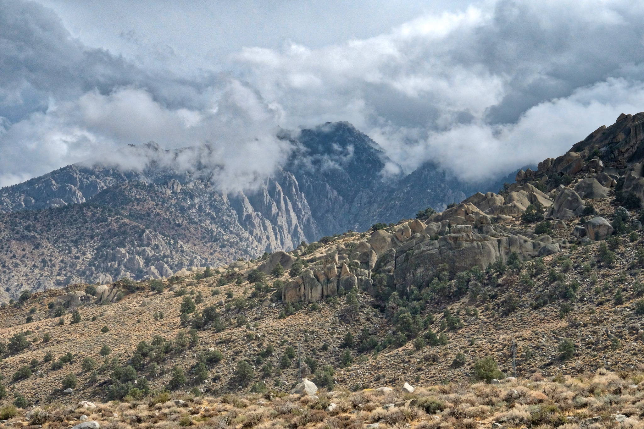
 Looking to the right, I had a huge view down to the valley below and the Boundary Range mountains (the Nevada boarder) well beyond.
 Looking to the left I had a view of flowering panoramas framed by high mountains. This might be the most beautiful spot I have stood in my entire life!
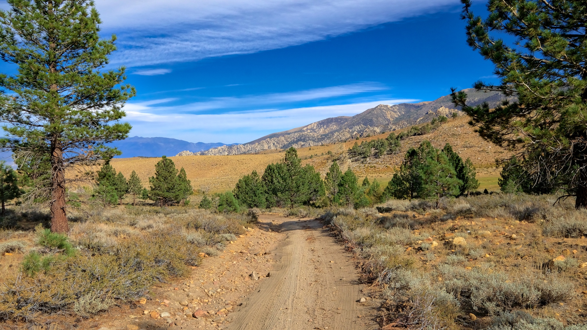
 I took a track that would lead me in this direction.
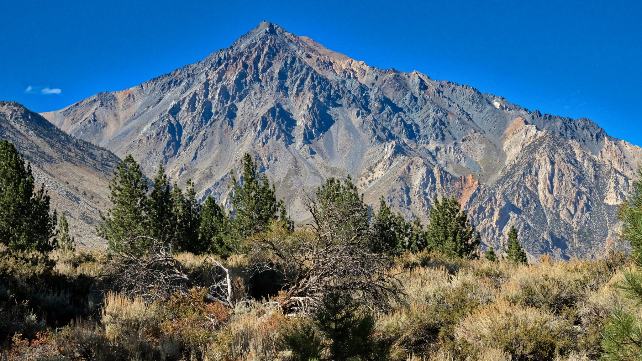
 The jeep track with Mount Tom in front. If you look closely you can see the traces of an old manganese mine. The brown/orange streaks are rich deposits of manganese which now sit in protected National Forest land.
 I came to a 'T' in the track . . . this way went back down the valley and to the paved road into Bishop . . .
 . . . and this direction, the one I took, went up into the mountains.
 As I walked further toward the mountains I gained a view of a hidden valley full of aspens.
 A look down into the hidden aspen grove, but I did not see any path to get down . . .
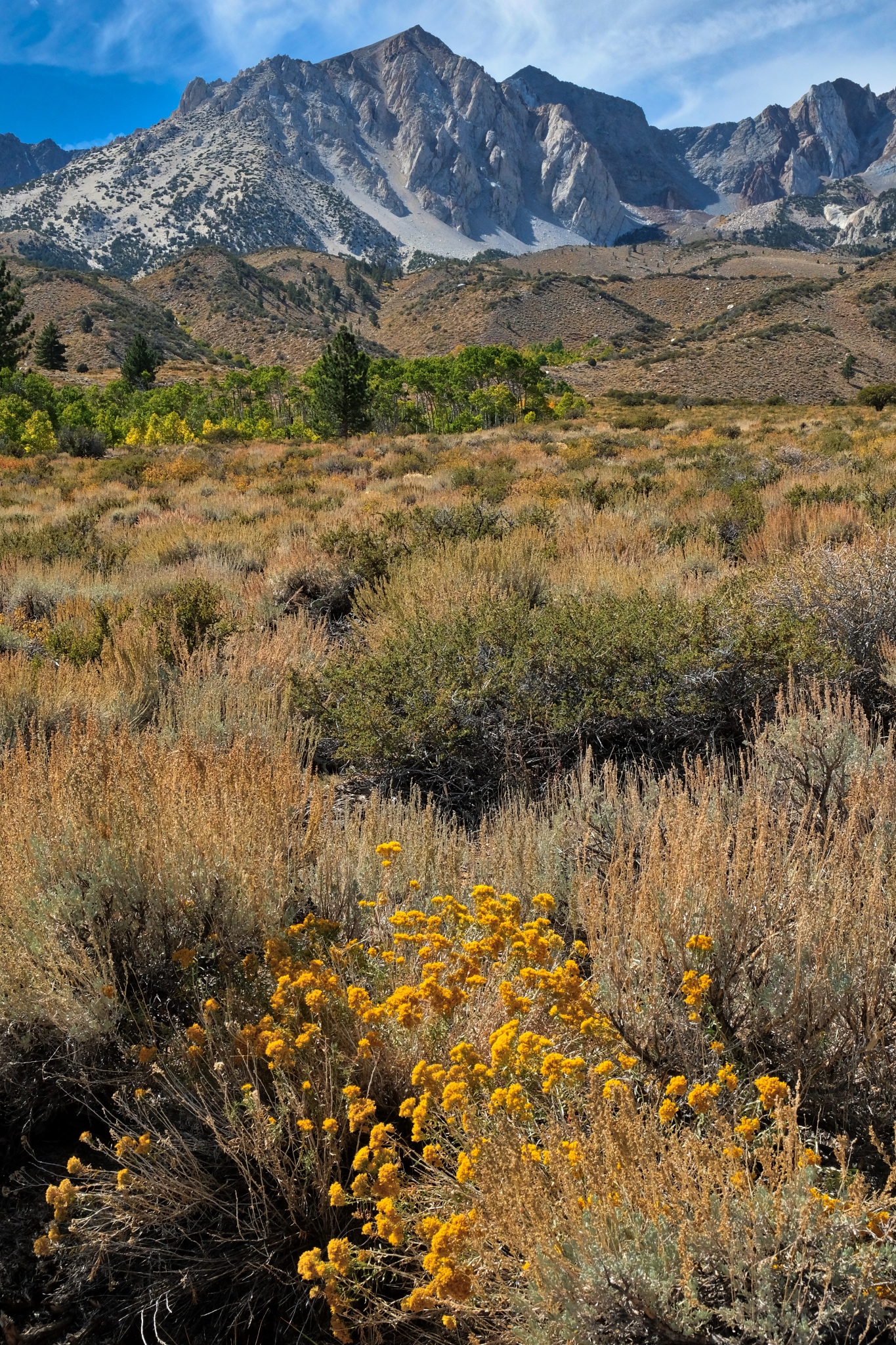
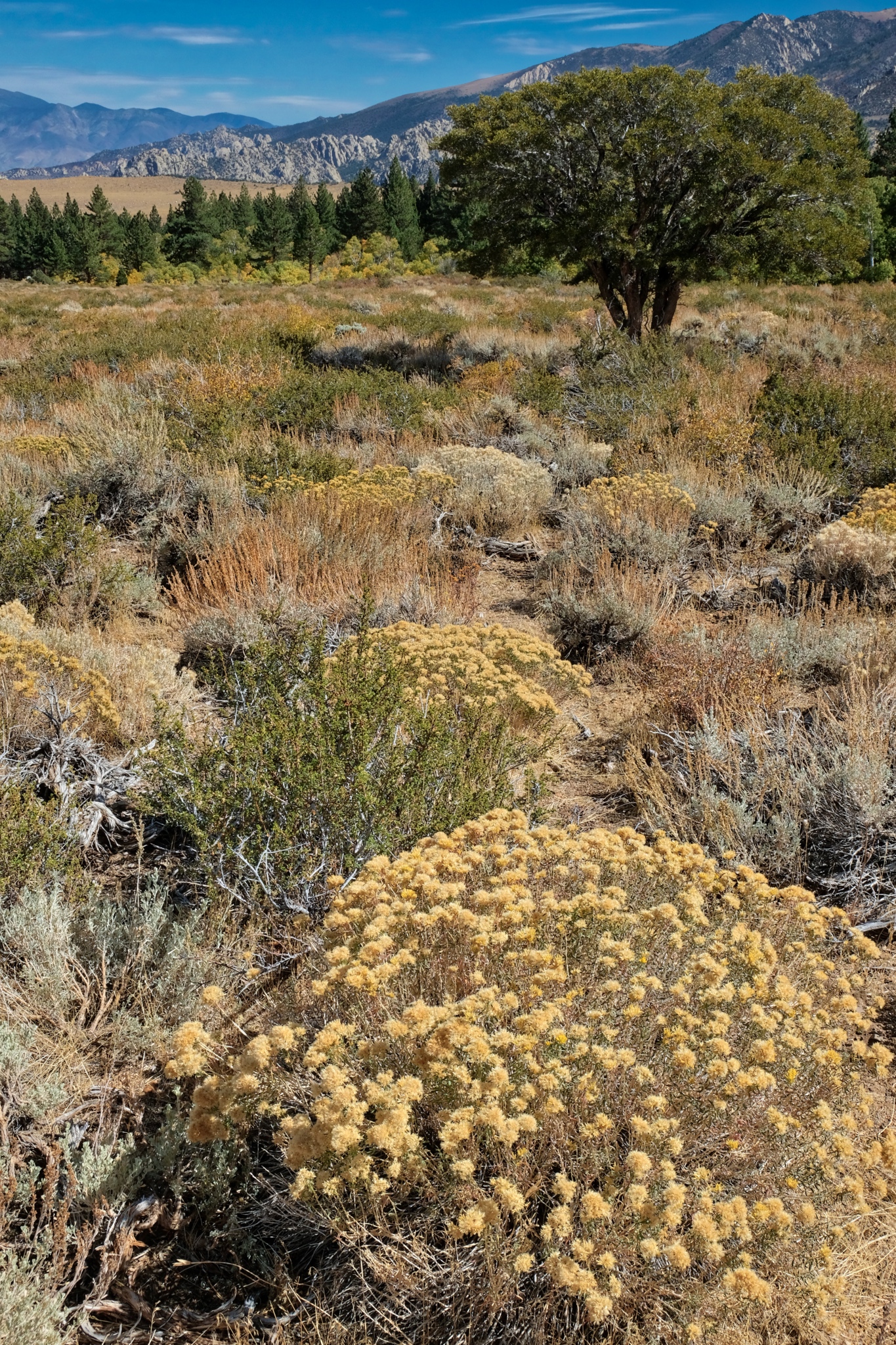 Looking back across the late summer wild and wonderful flora at this altitude was extraordinary.
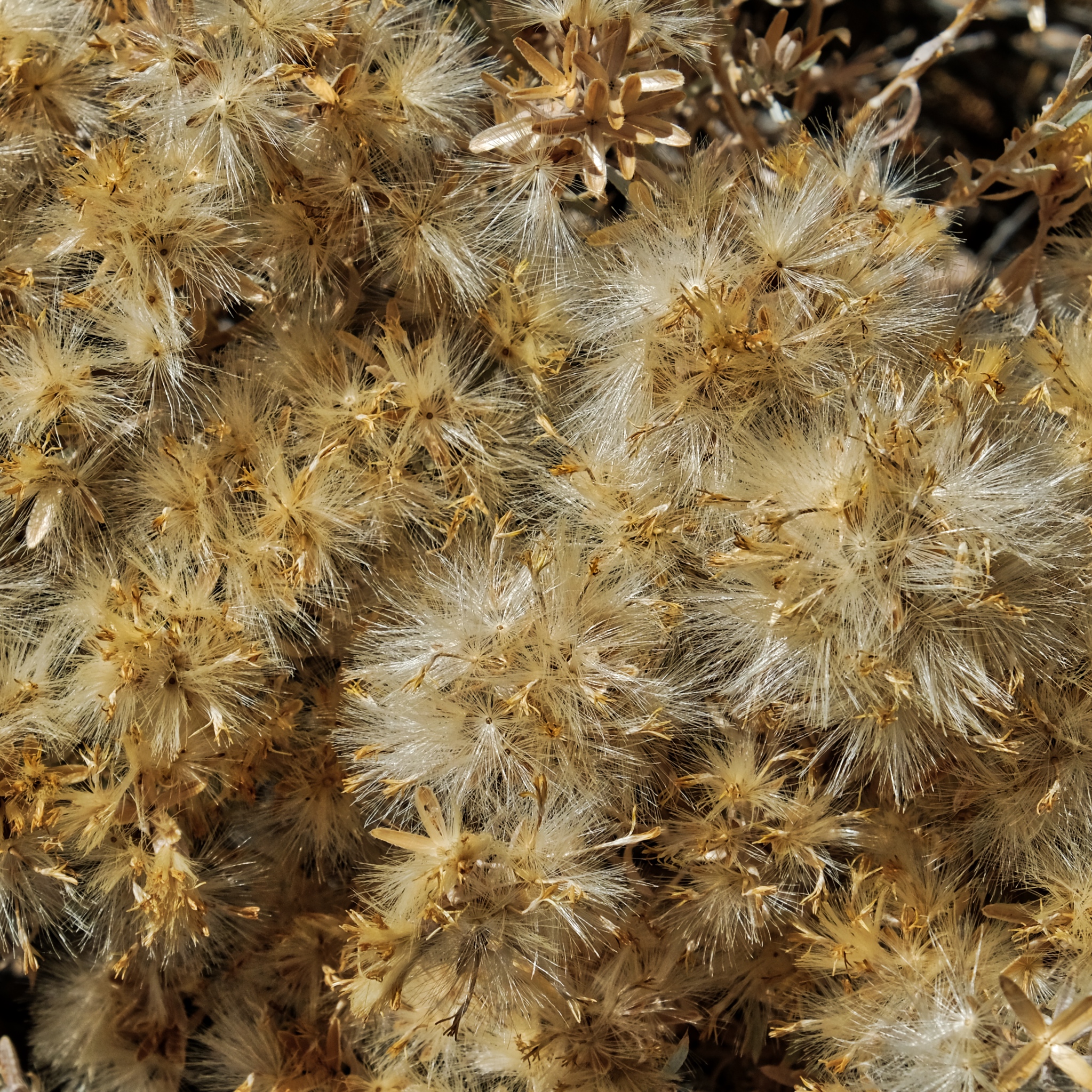 The dried flowers with their seeds readying for dispersal.
 Such a beautiful place.
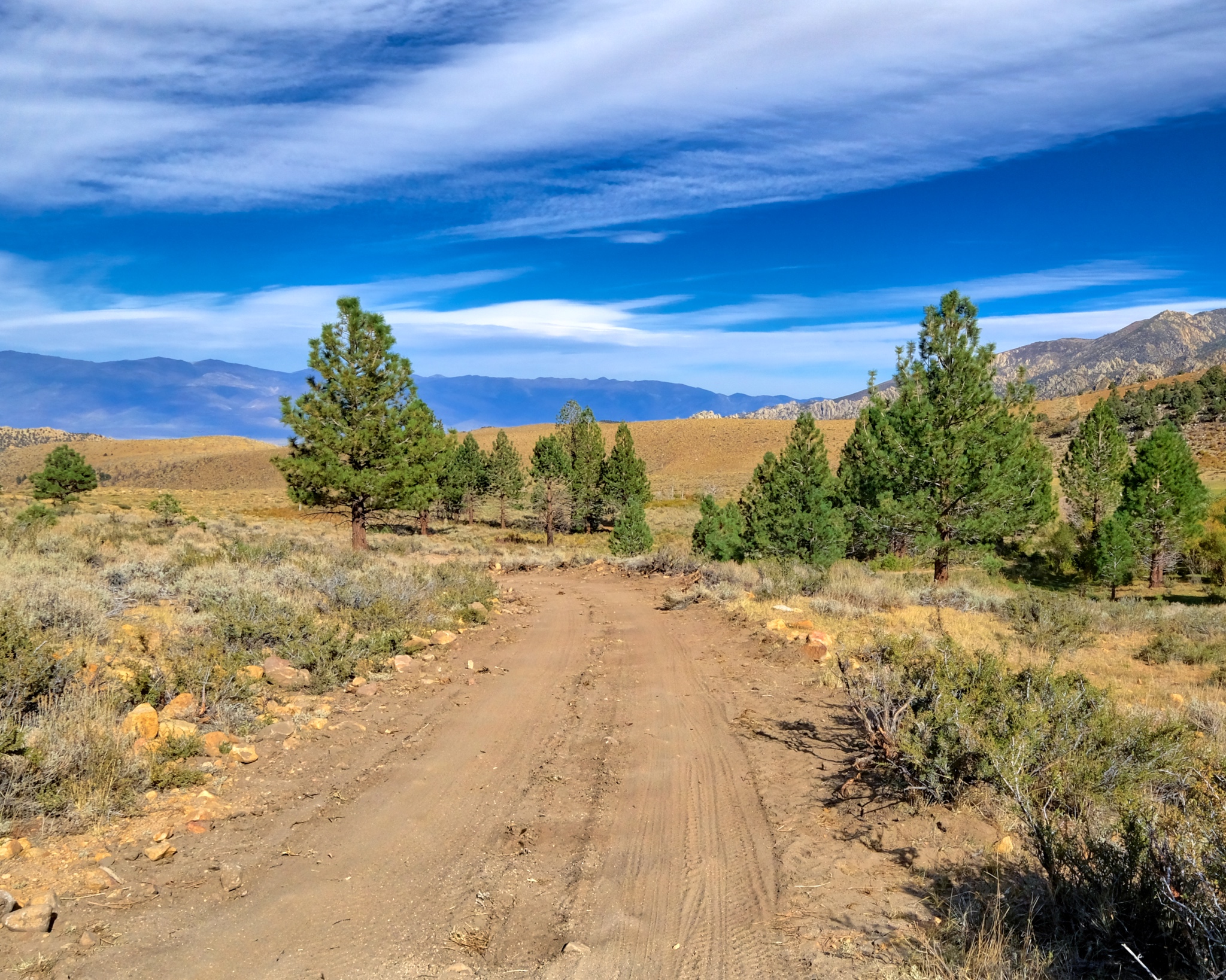
 Further and further up in altitude toward the high peaks.
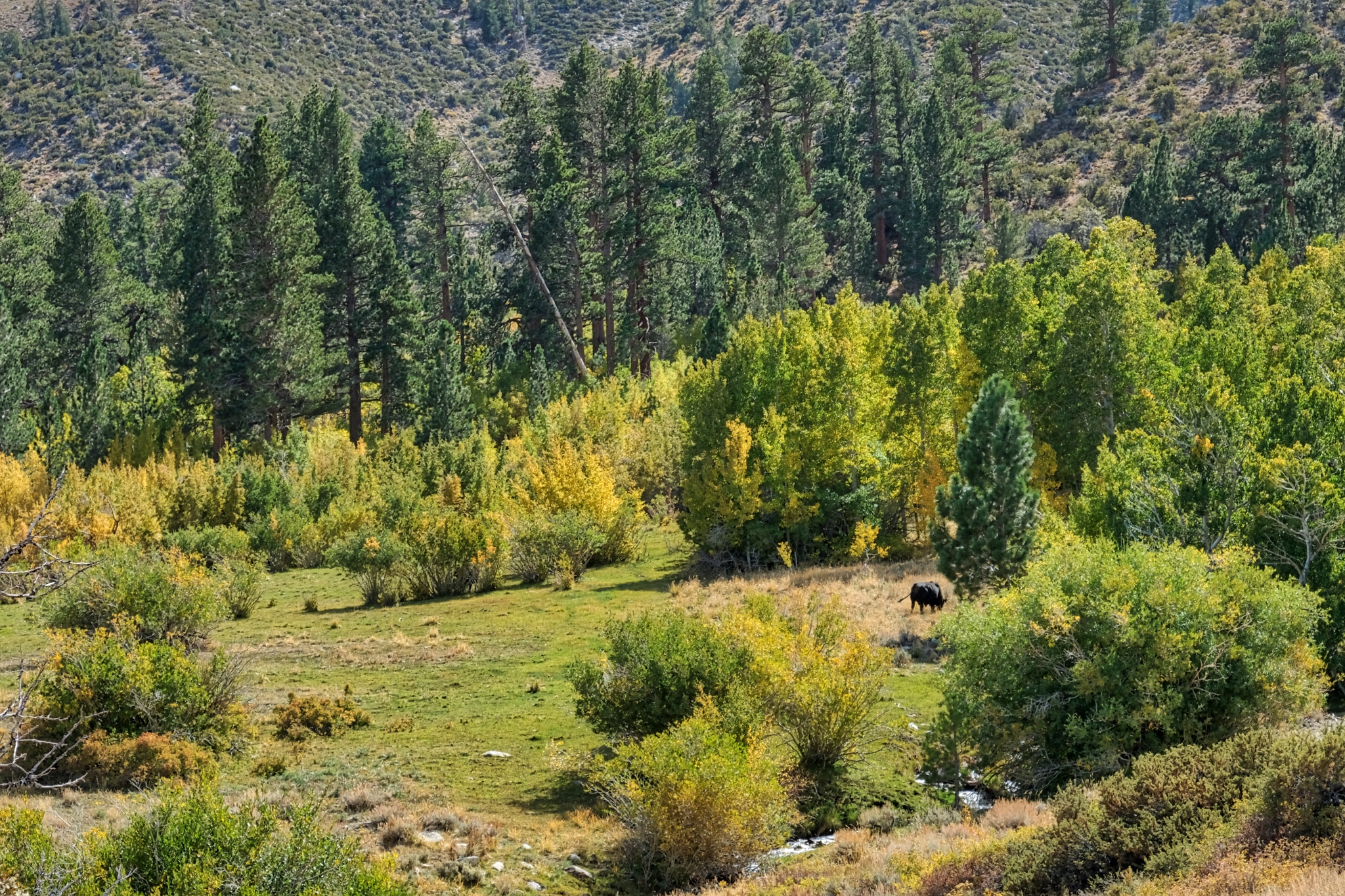 I had been seeing salt licks here and there near the road and wondered if there were still any cows grazing this high up . . . yep, there was one cow, way up here grazing in a lush green spot.
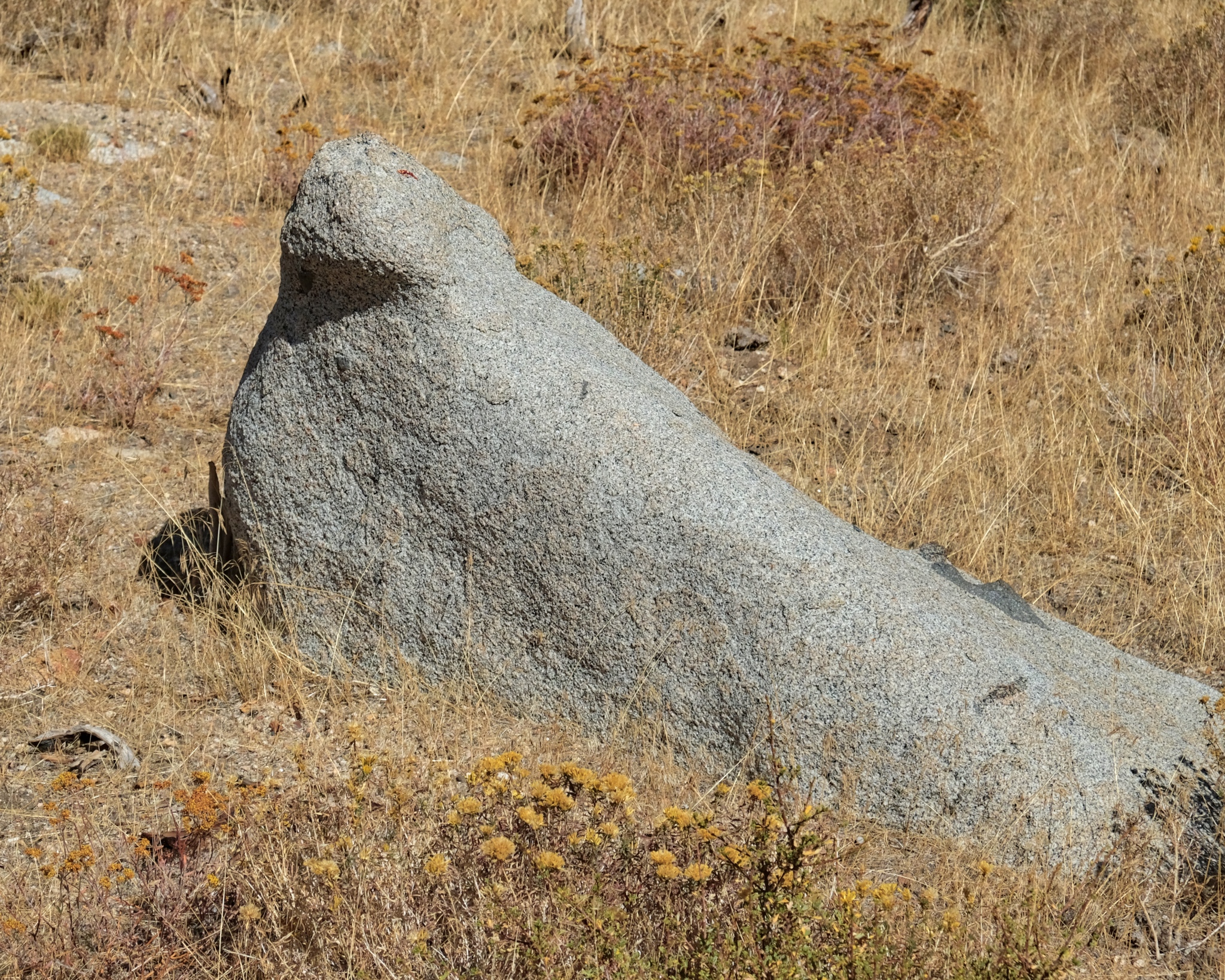
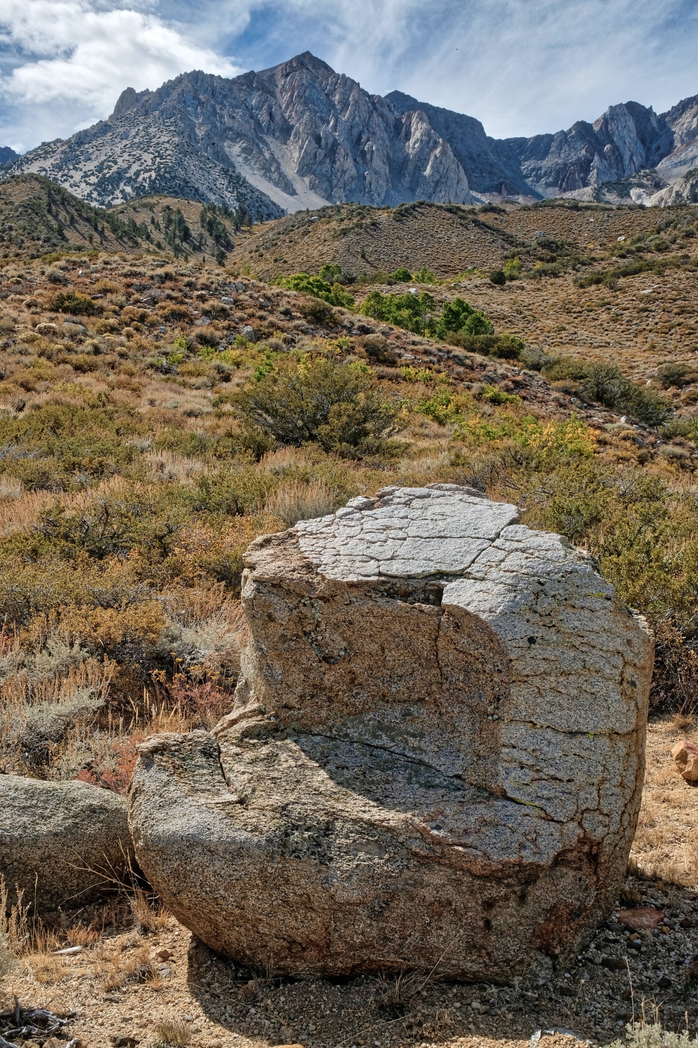 I took a rest on this perfect 'chair' stone! Very comfortable.
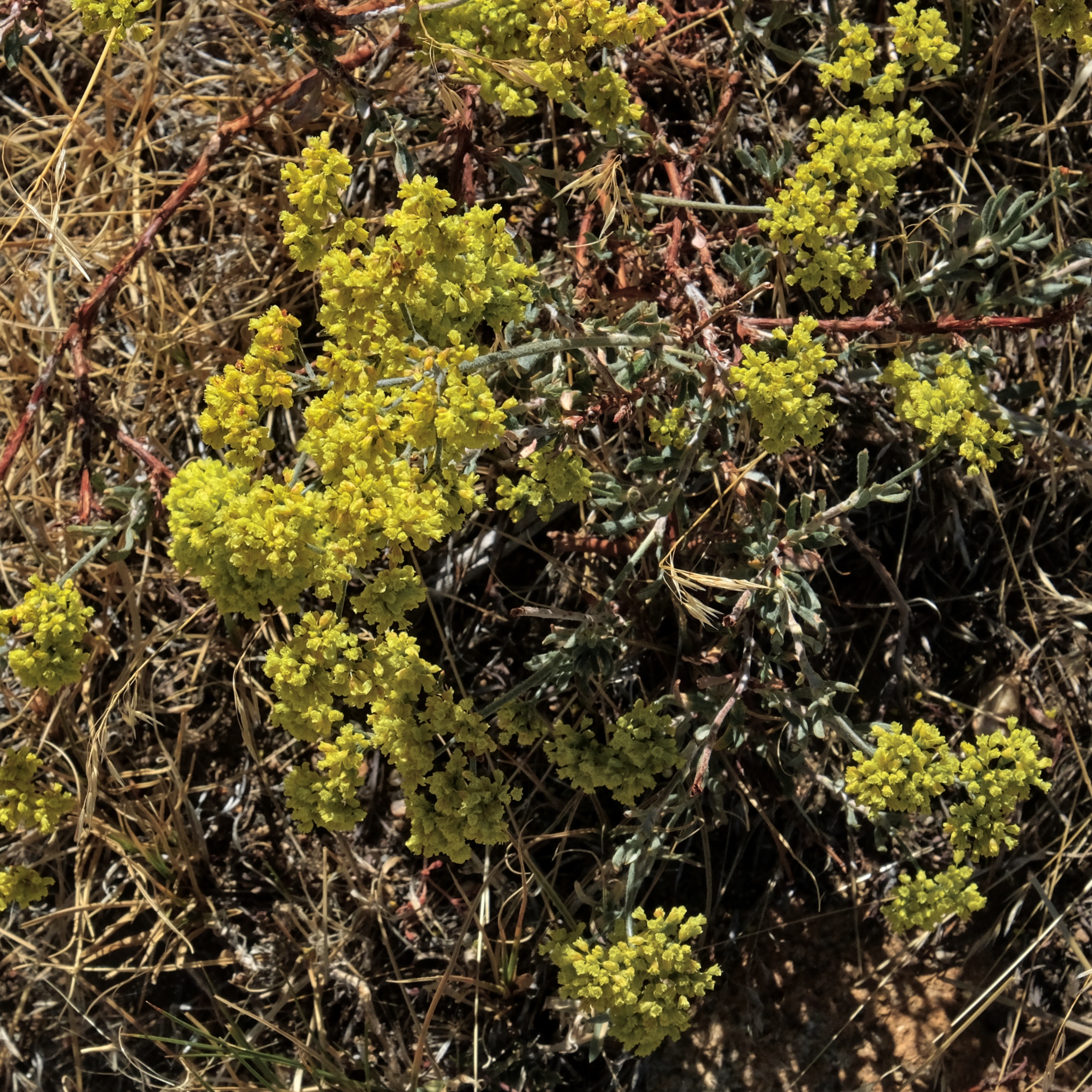
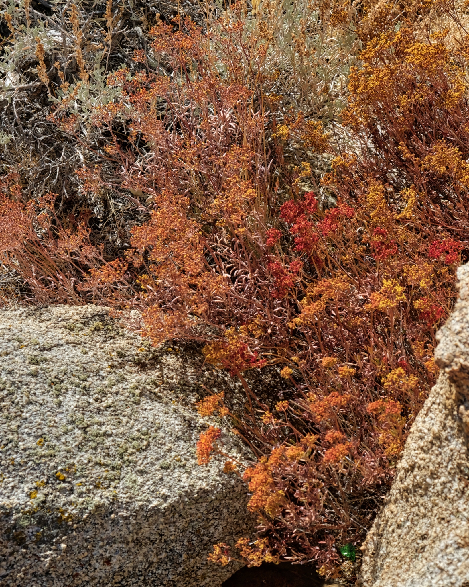 I took may time enjoying the amazing wildflowers at this altitude.
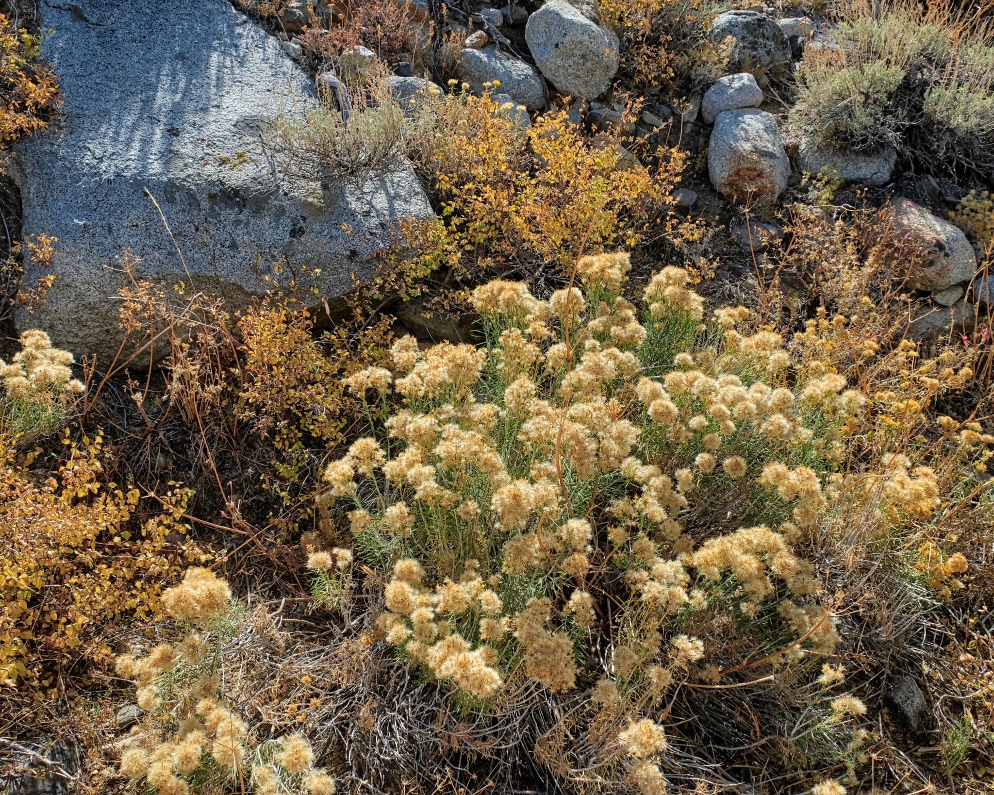 There were many outstanding compositions to photograph here.
 And up and up I went . . .
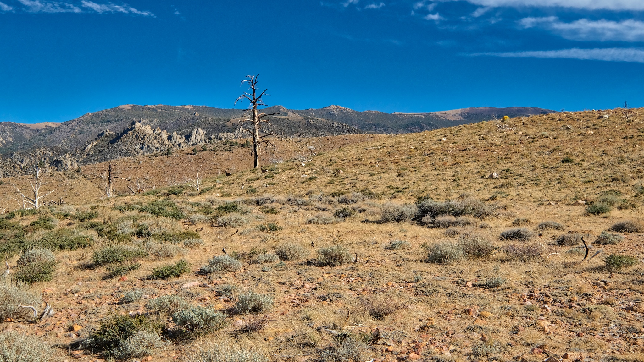
 This was the last of the aspens, or any trees, before the tree line.
 This is as far as I went up the old jeep track: a camp site with an incredible view back down the mountain. I considered moving my camp up here, but was glad I didn't . . . . there was a big wind storm the next night and my camper and tent would have been blown off the mountain!
 A view I will never forget!
 So, I turned around and walked back down the track toward my camp site.
 My aspen grove does not look very large from up here . . . I believe the tallest pine was next to my camper.
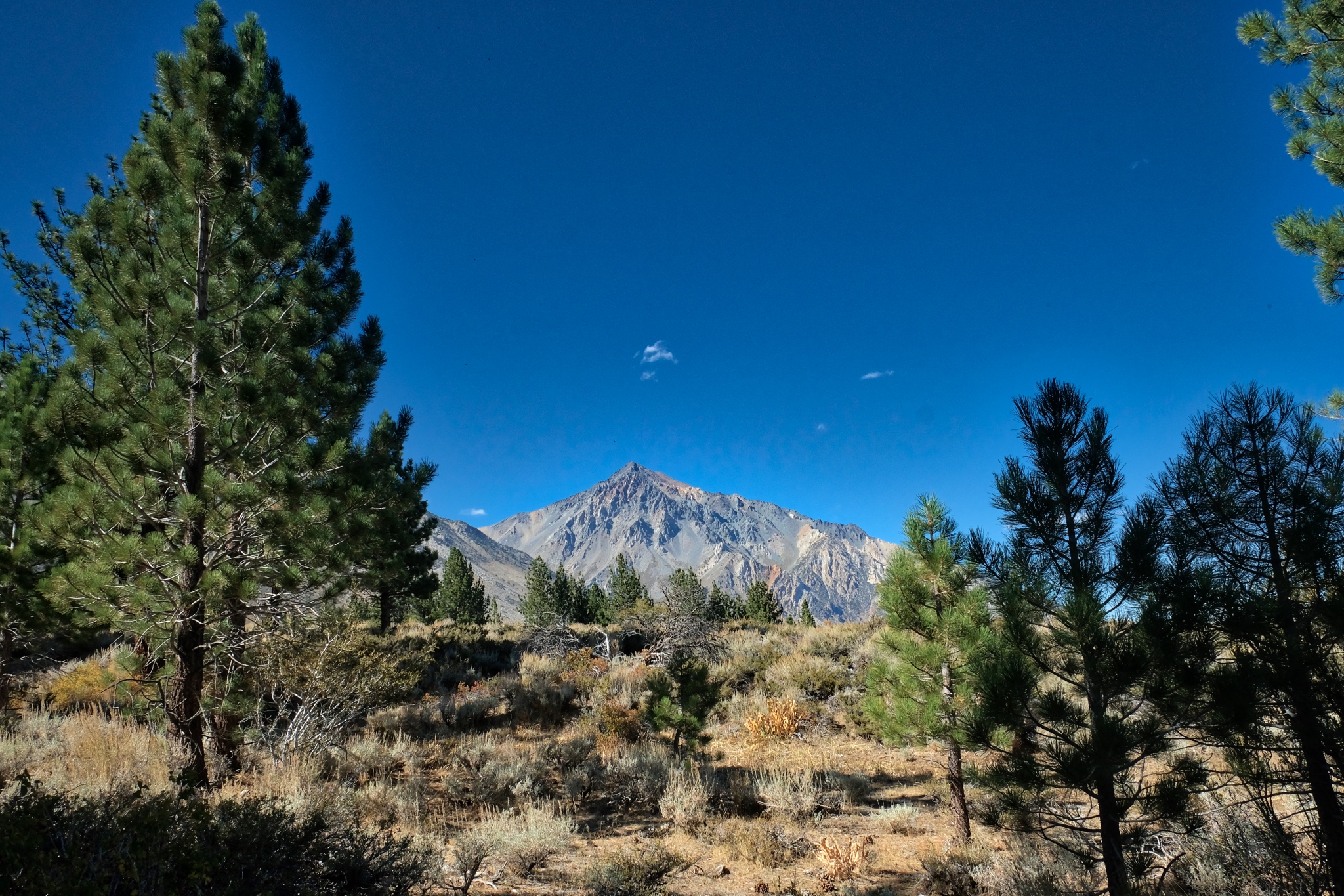
 I enjoyed another view of Mount Tom on the way back down.
 I walked back into the stand of aspens and my camp.
 I took my time walking back in my woods.
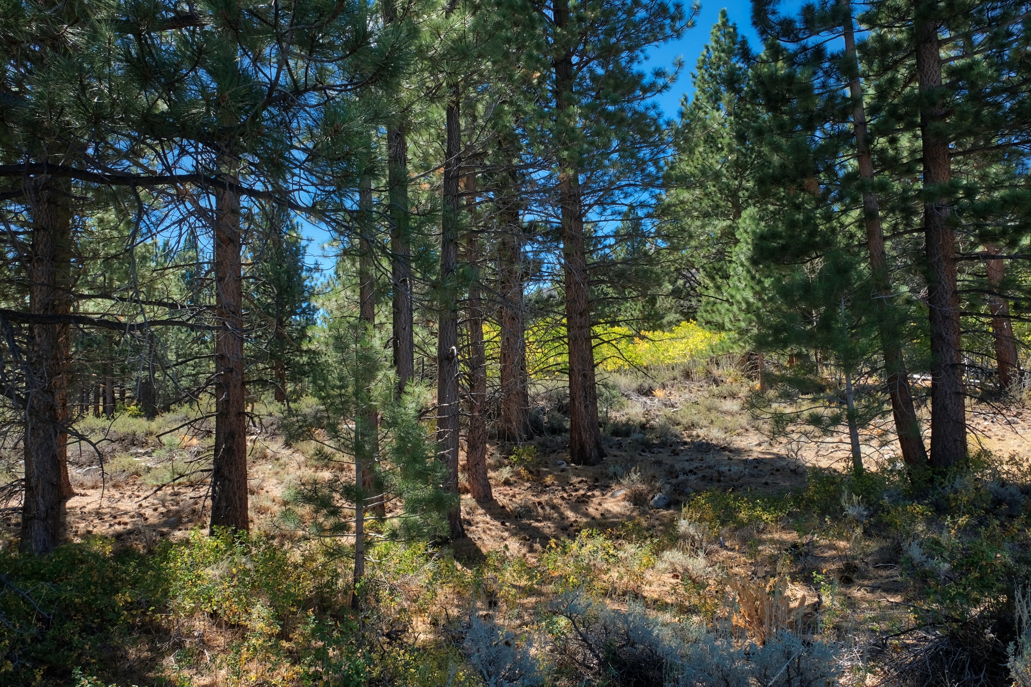
 There were some large pines that surrounded the aspens.
 Another clear and bright day. Wonderful light!
 Beyond the pines and into the bright yellow aspens. Marvelous.
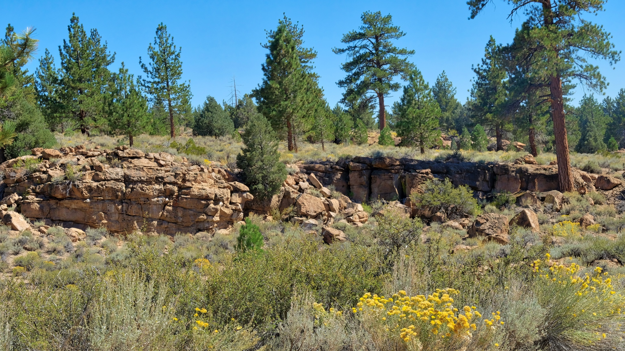
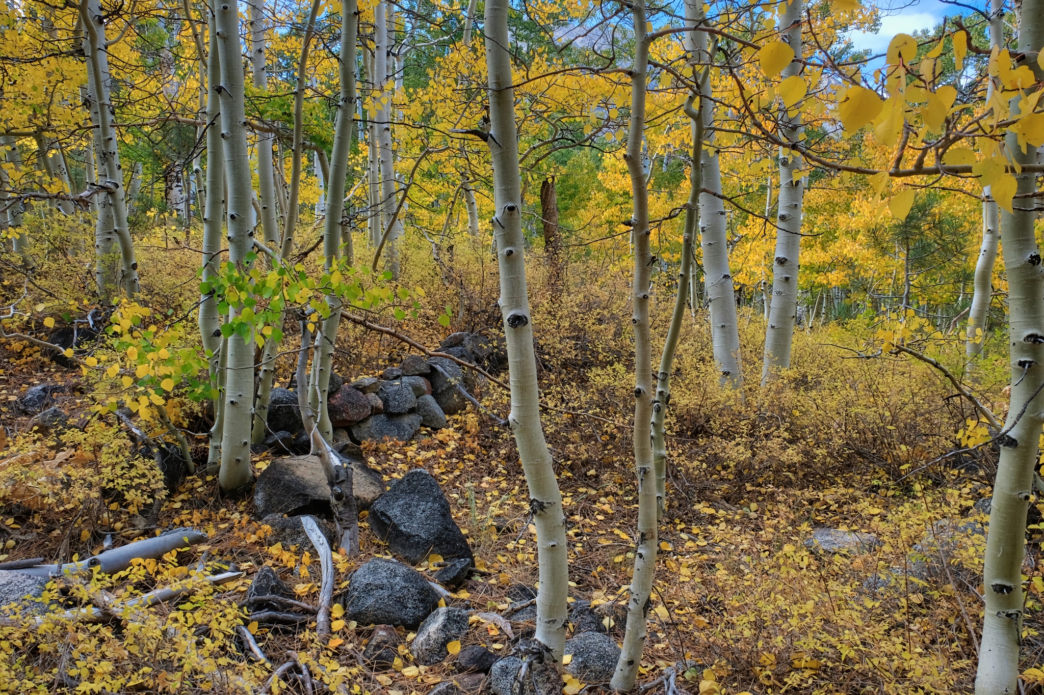 Not far from my camp I found the foundation stones for what must have been a settlers cabin or hunting lodge.
 Nearing my campsite.
 Up this obscured jeep track and then my camper . . . I was hungry!
________________________________
DAY FIVE: A LONG WALK DOWN A STREAM BED
 The hiker I encountered two days ago kindly gave me a NFS map of the area. I saw a small dotted line on the map and decided to see if I could find it . . . it appeared to lead to a stream and rock formations. I found the trail: an unused jeep track.
 It was such a thrill to walk out this old disused track . . . where does it lead?
 The old jeep track went through a dry pine forest . . . .
 . . . through a carpet of pine needles and cones.
 The track left the pine woods and I arrived in the arid scenery . . . and more views of the Sierra Nevadas.
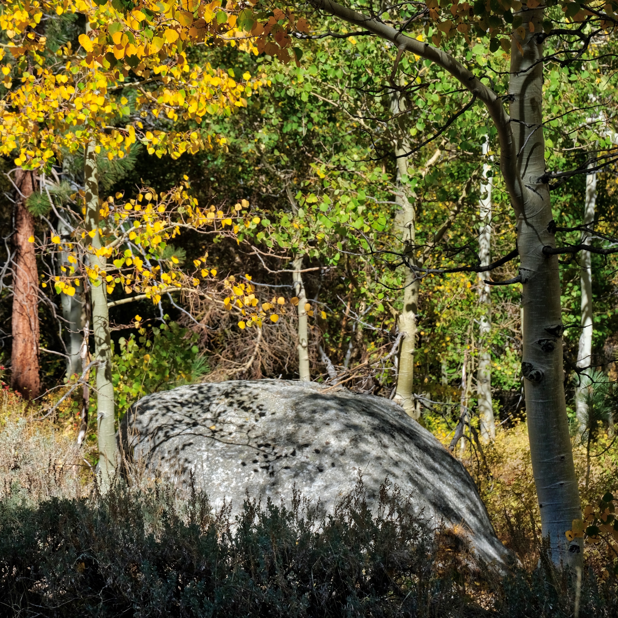
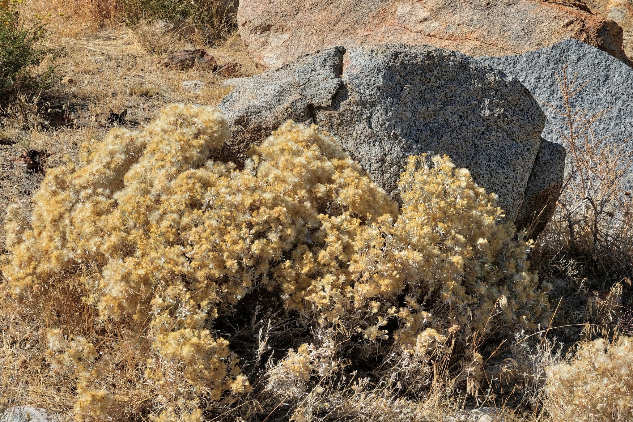
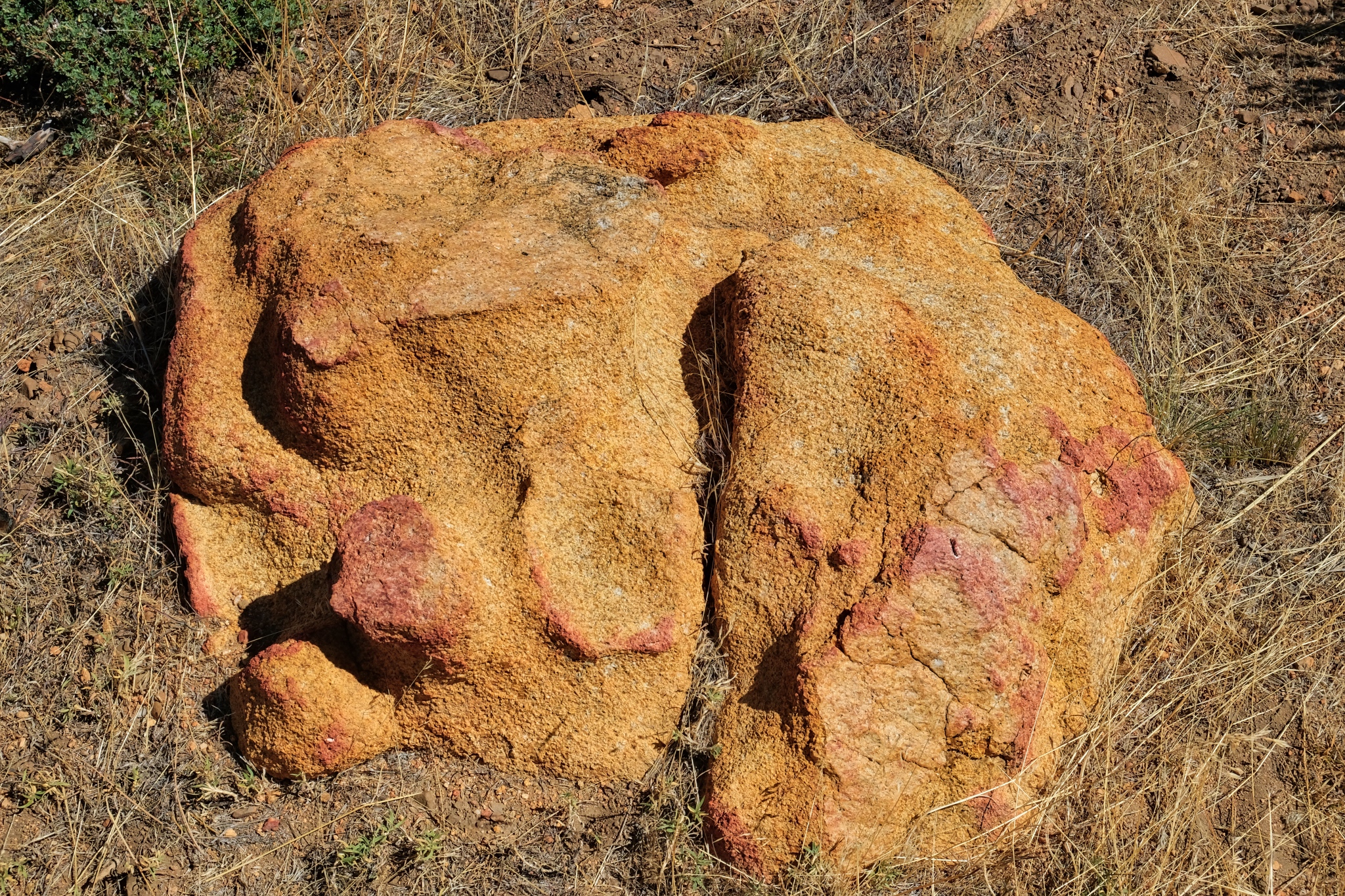 When you are rambling out n the drylands with no particular place to go, you sometimes stumble on interesting objects. This stone was like nothing else I saw in the area . . . just sitting there.
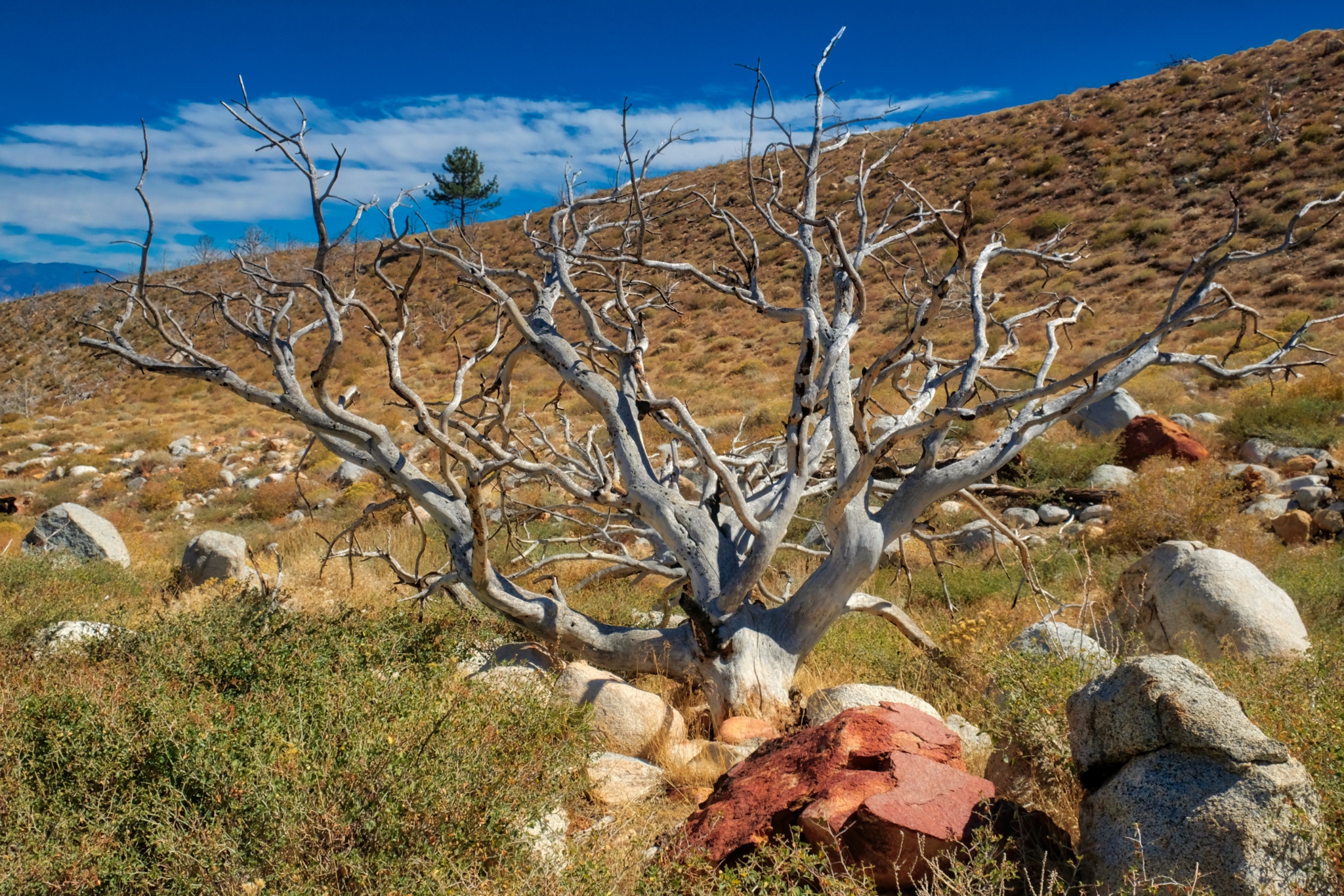
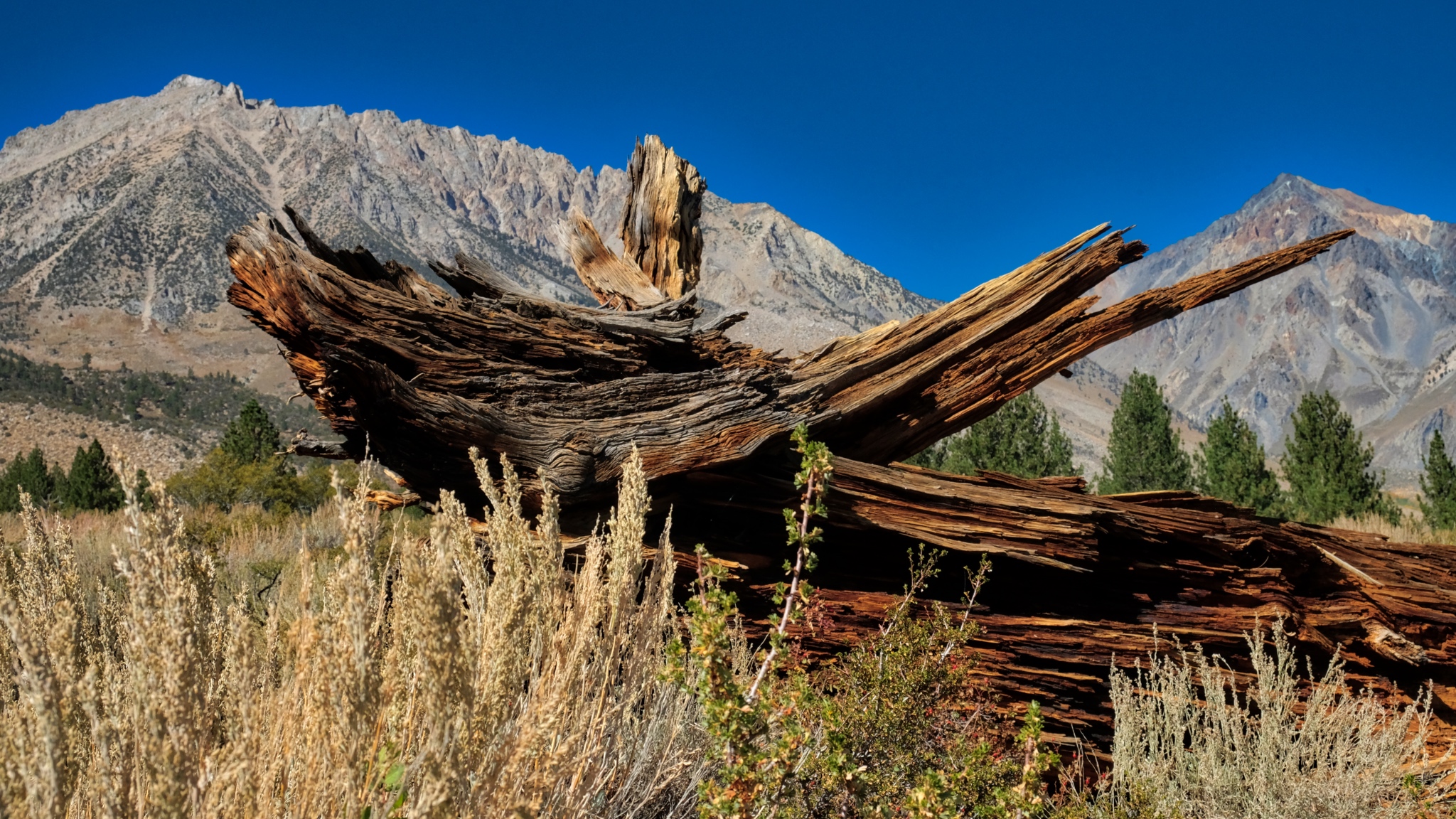 The snag of a burnt pine.
 Eventually the trail disappeared and I was left to wander around among the stones. Wonderful. It was a clear day, but the temperature had fallen . . . to the low 50s(f) today.
 I enjoyed trying to suss out the geological processes that formed particular stones.
 Some of the flora was different at this lower elevation and greater exposure.
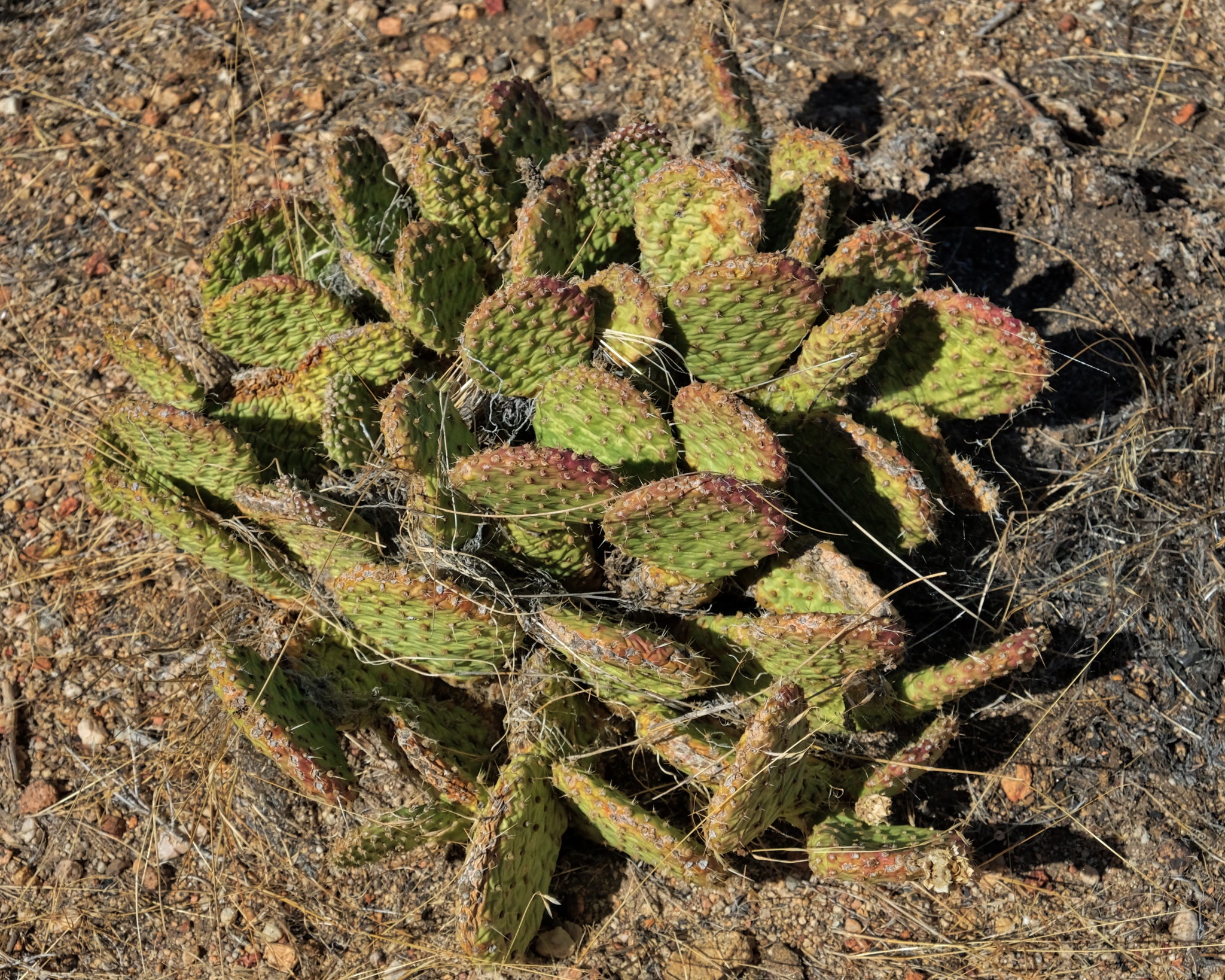 There were even a few cactus plants. This area is covered in deep snow for many months of the year, so this cactus species must be very well adapted.
 I found it remarkable that there were still flowers at this late date. Snow was expected here any day, ending the summer/fall season for good.
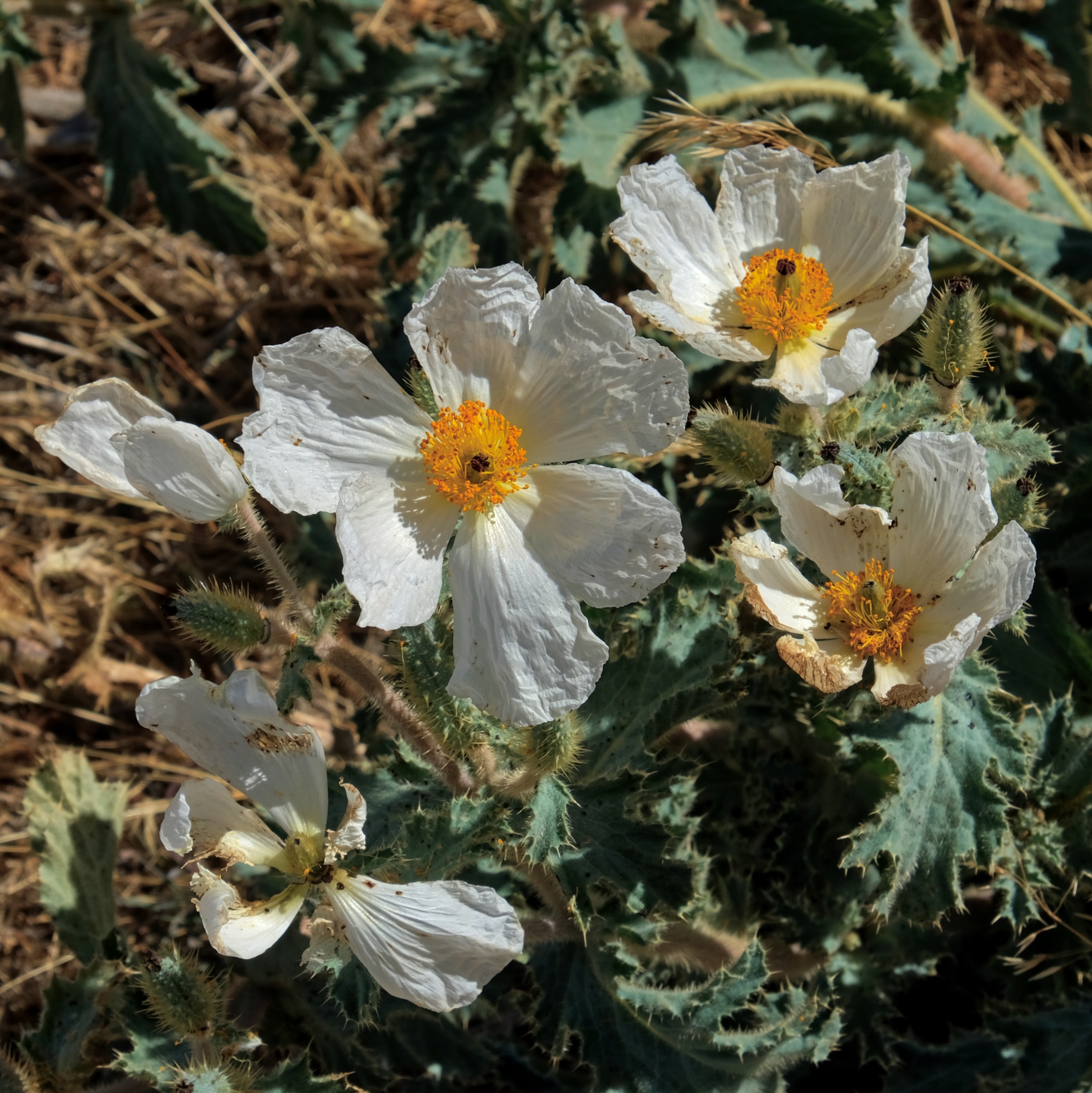 I expect these seeds are meant to last over the winter, under the snow, until the temperature, light, and moisture are right for their germination.
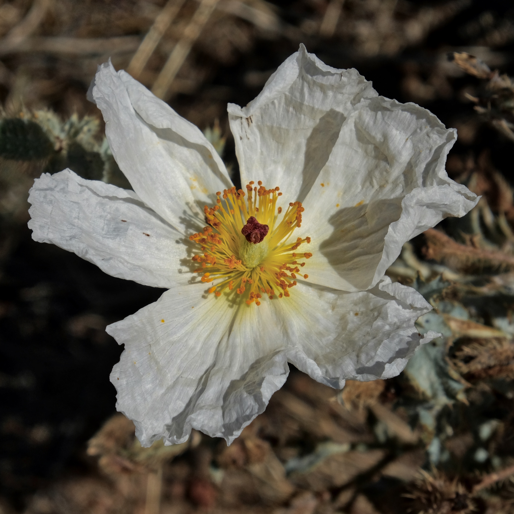 Absolutely beautiful.
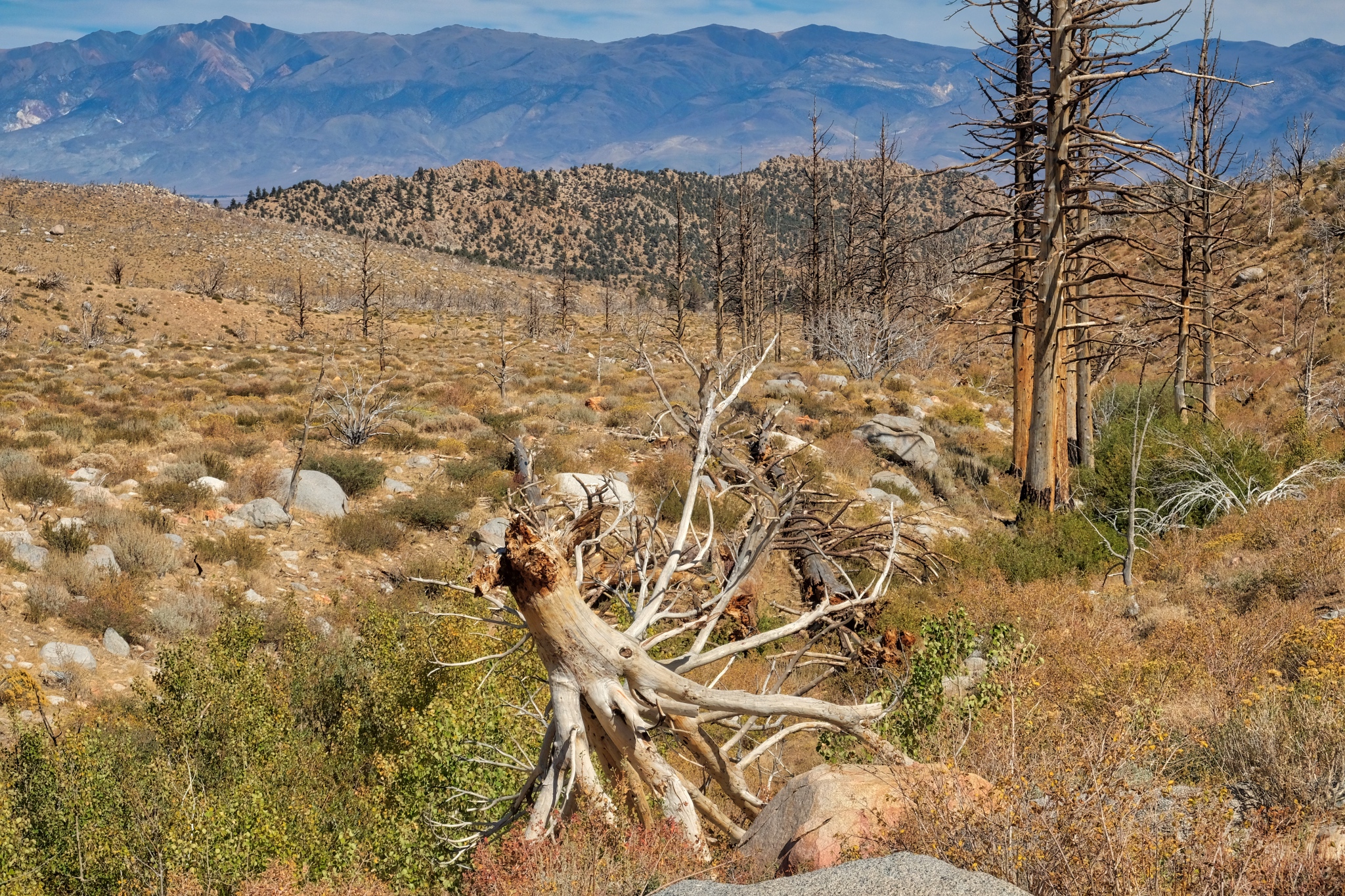
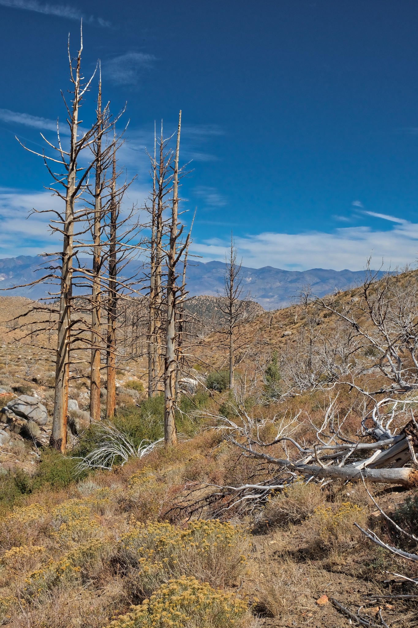
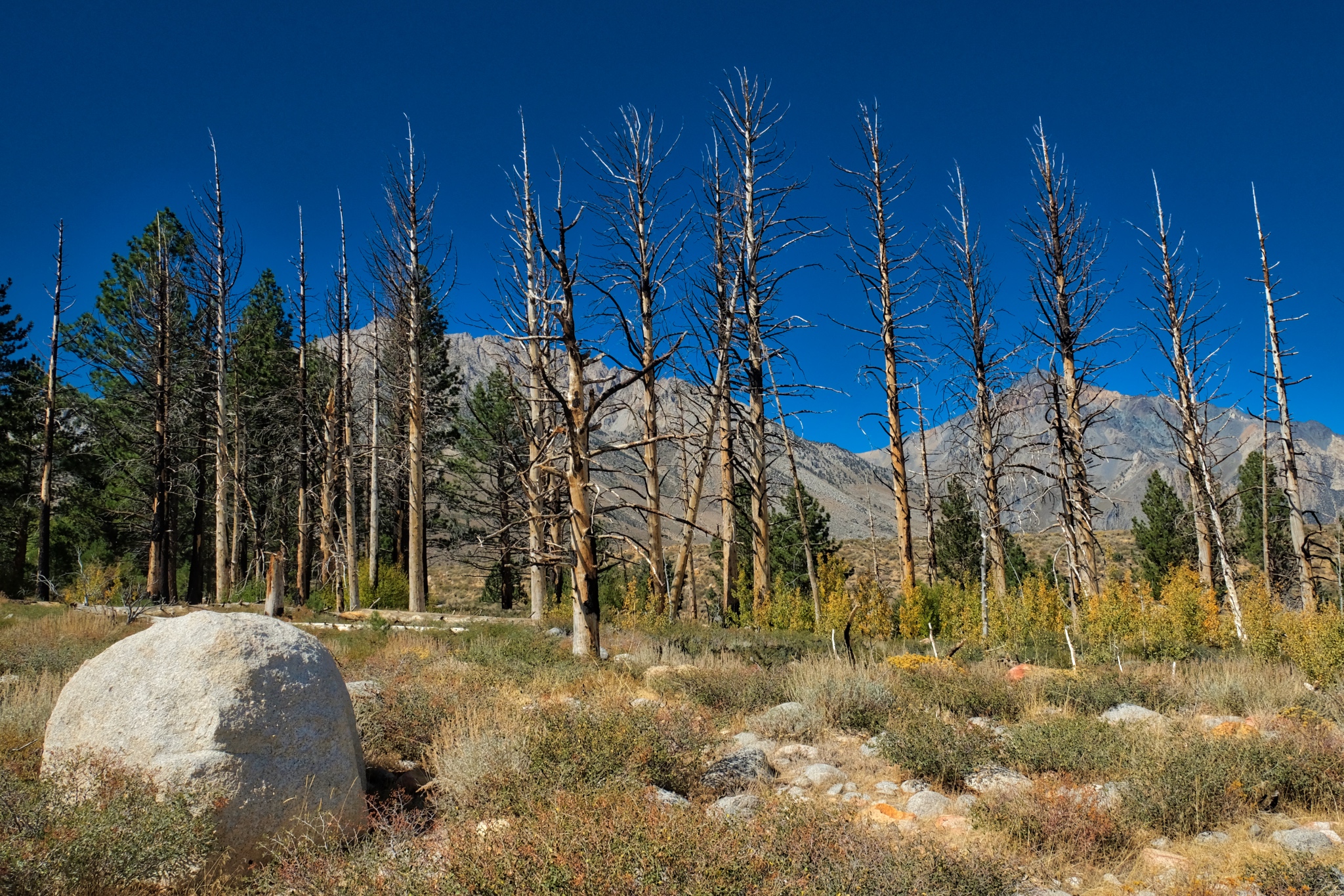 I followed my USFS map to where a stream was indicated and discovered there had been a fire in the recent past. This is the point the fire ended and the unburned trees resumed.
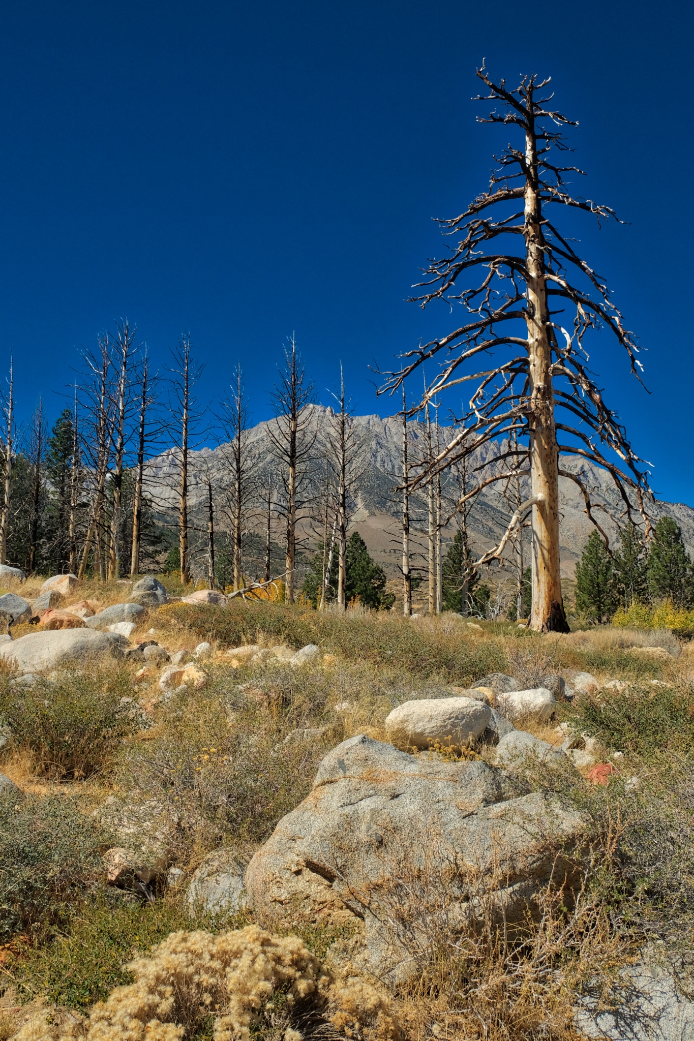 A giant burned snag towering over the arid scenery.
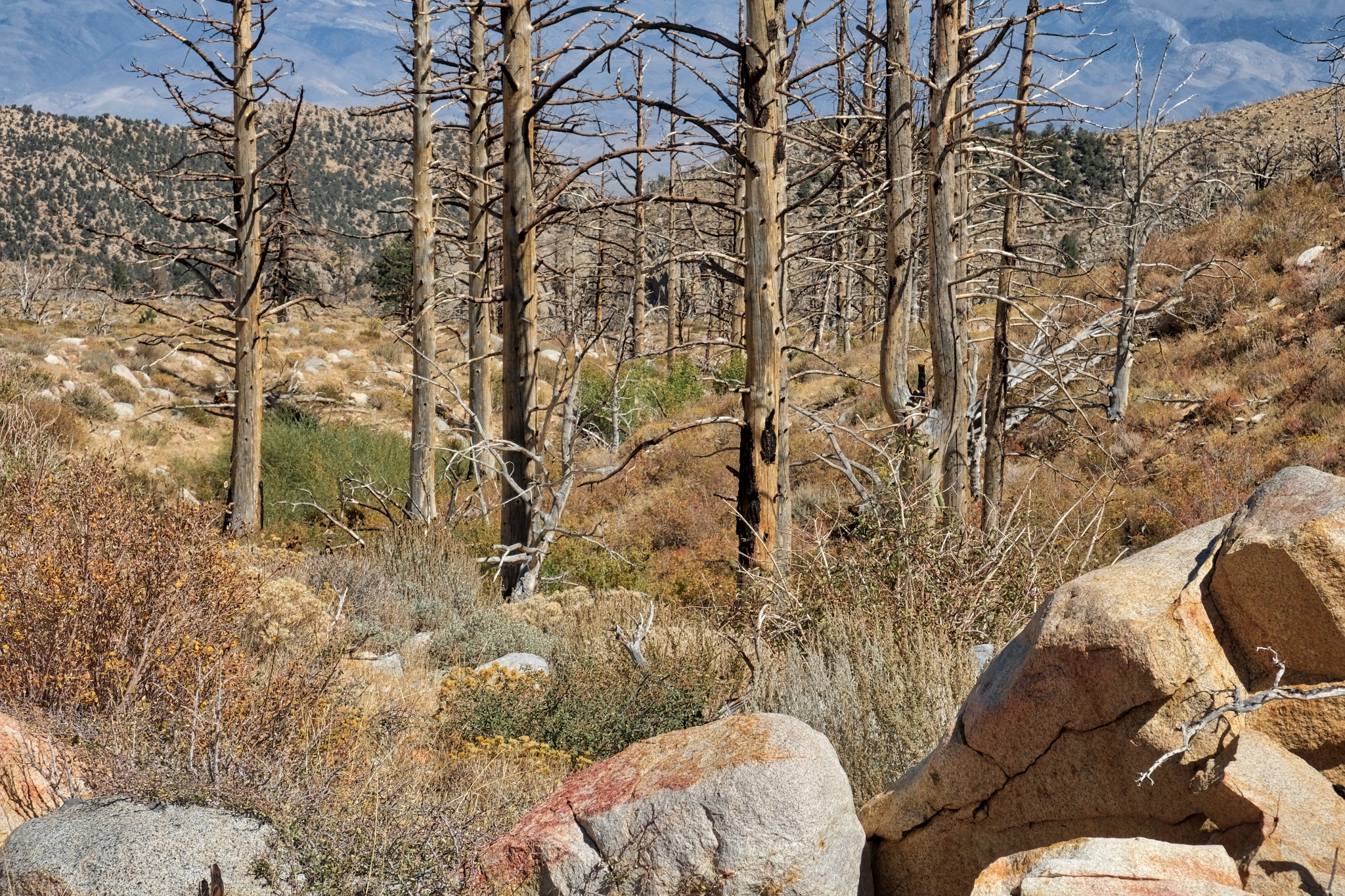
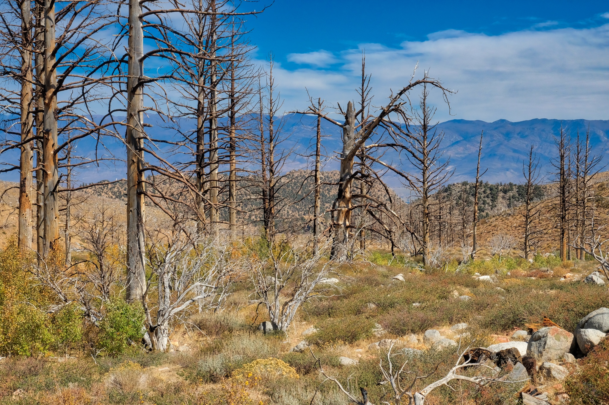 I continued to follow the burnt tree line down the valley. There was a small trickle of water in the streambed.
 A strange beauty permeates these old snags . . . perhaps it is the clarity of light that enhances a sense of connectedness to actuality.
 I walked all morning beside the stream amid the remnants of the old burn.
 I crossed over the stream here.
 Another beautiful day.
 At this point I am just picking my way between the stones and the brush . . . there is no trail . . . but it is very beautiful.
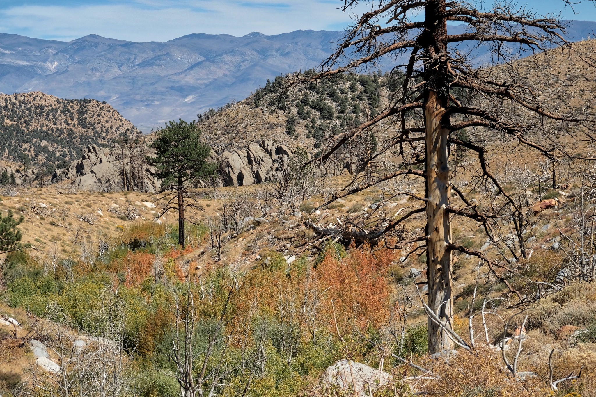 I made it this far down the valley. I had hoped to get to those large boulder formations in the distance, but I grossly miscalculated the distance and the time it would take.
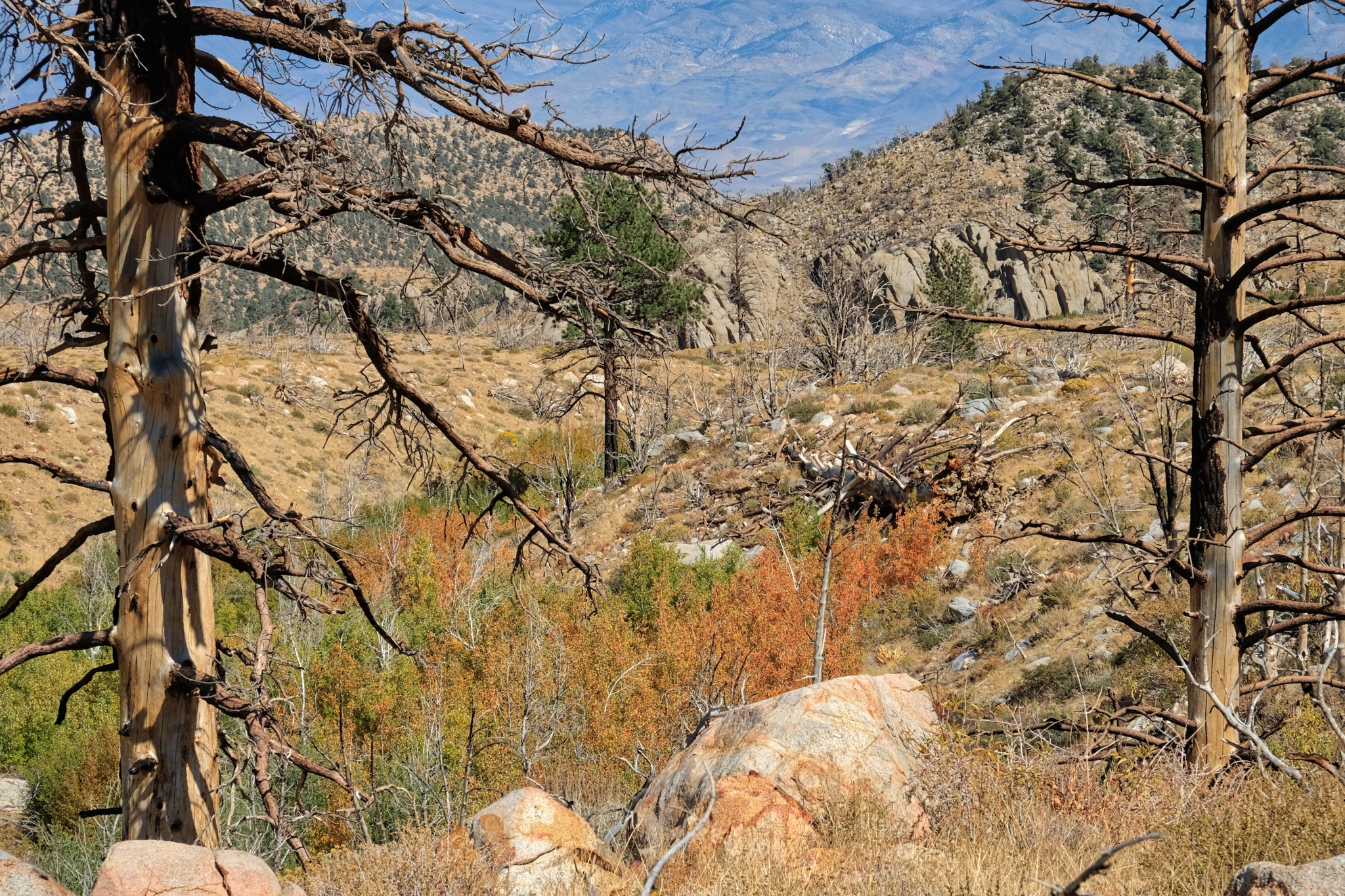 I sat here and ate my packed lunch and drank a bottle of tea. I was not disappointed I had not made it all the way to the boulder formation . . . there was no shortage of beauty right here.
 My last look down the valley streambed (I believe it to be 'Birch Creek' from the maps).
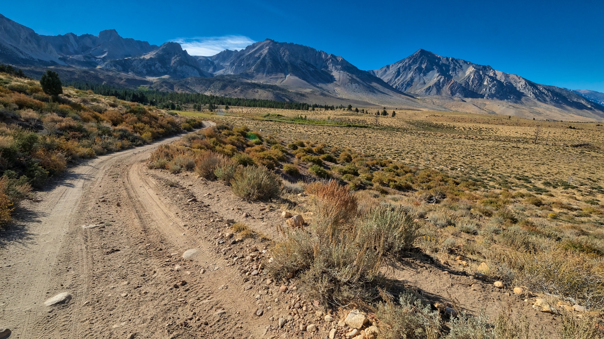
 The walk back to camp on the abandoned jeep track was marvelous, with the grand mountain view always up ahead.
 Although I have lived in the tropics for 30+ years, this is still my favorite countryside.
 Mount Tom . . . always present in this stunningly clear air.
 Nearing my camp in this stand of aspens.
 Back into my dry woods.
 I was happy to be back in my camp. The weather report was for a big storm to blow in that night with strong winds and snow likely. I was a little concerned about driving down the mountain in the snow and ice . . . if it came.
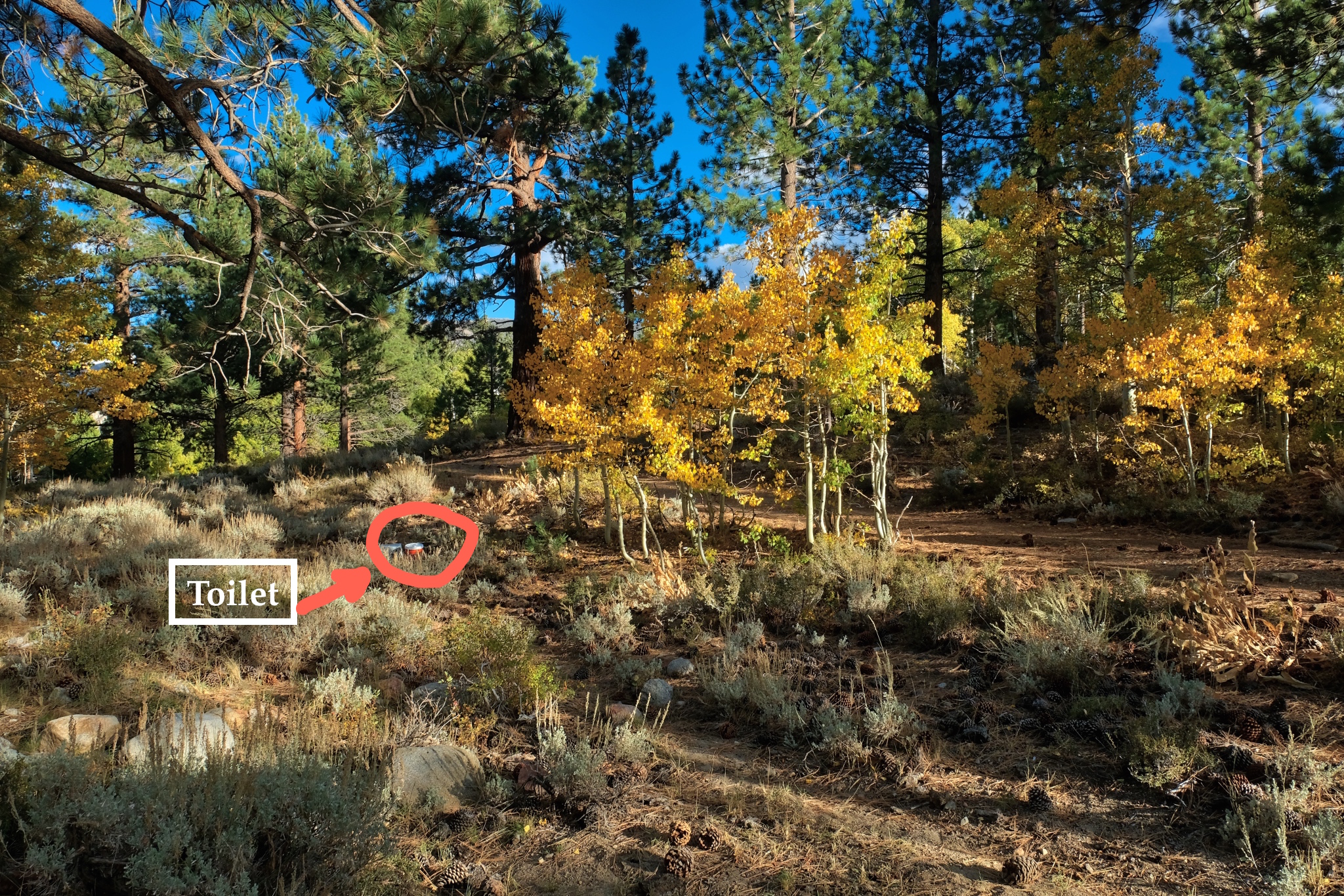 A magnificent place for a portable recycling throne!!!!
_________________________________________________
DAY SIX: DEPARTURE . . . BACK TO SWALL MEADOWS
 The morning of my departure was bitter cold (28f) with a mix of rain and sleet falling on my camp. I quickly packed it all back up into my camper.
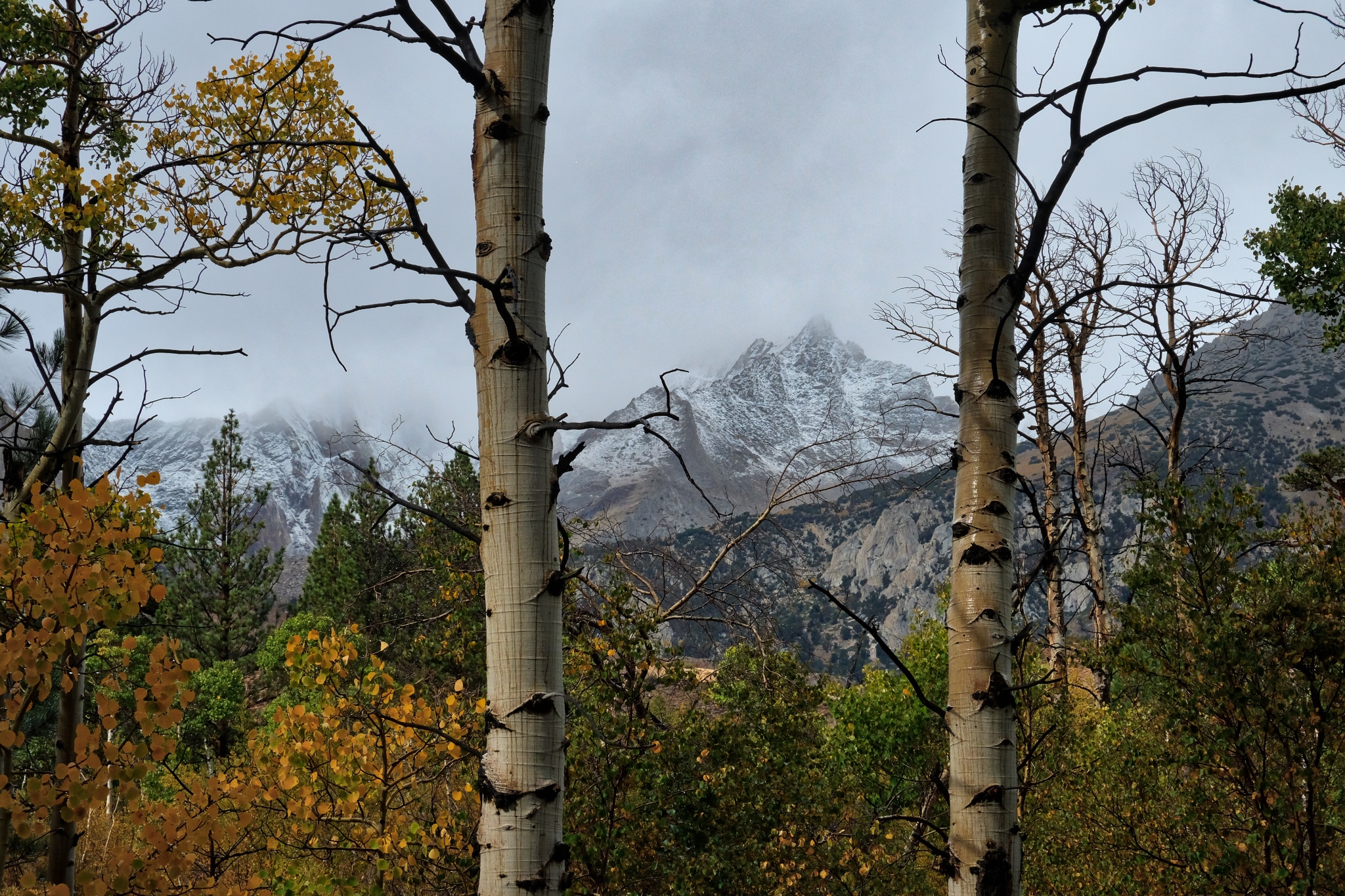
 Wisps of snow on the high peaks.
 I left no trace at my campsite.
 My last look up to the mountains before I drove out of The Buttermilk Country. The first snow . . .
 I took the southern route on the Buttermilk Country Loop down the mountain.
 The road out was a little frightening in a few places.
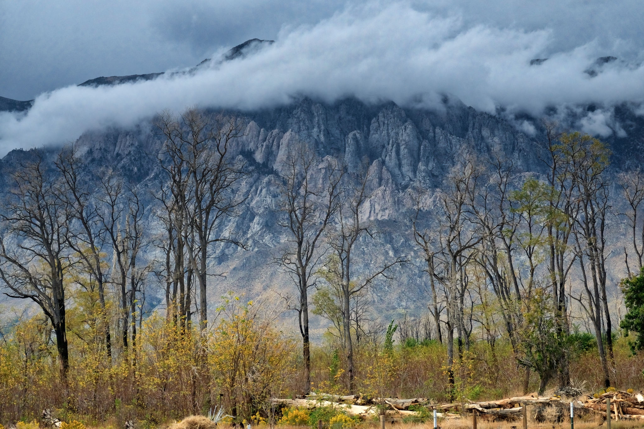
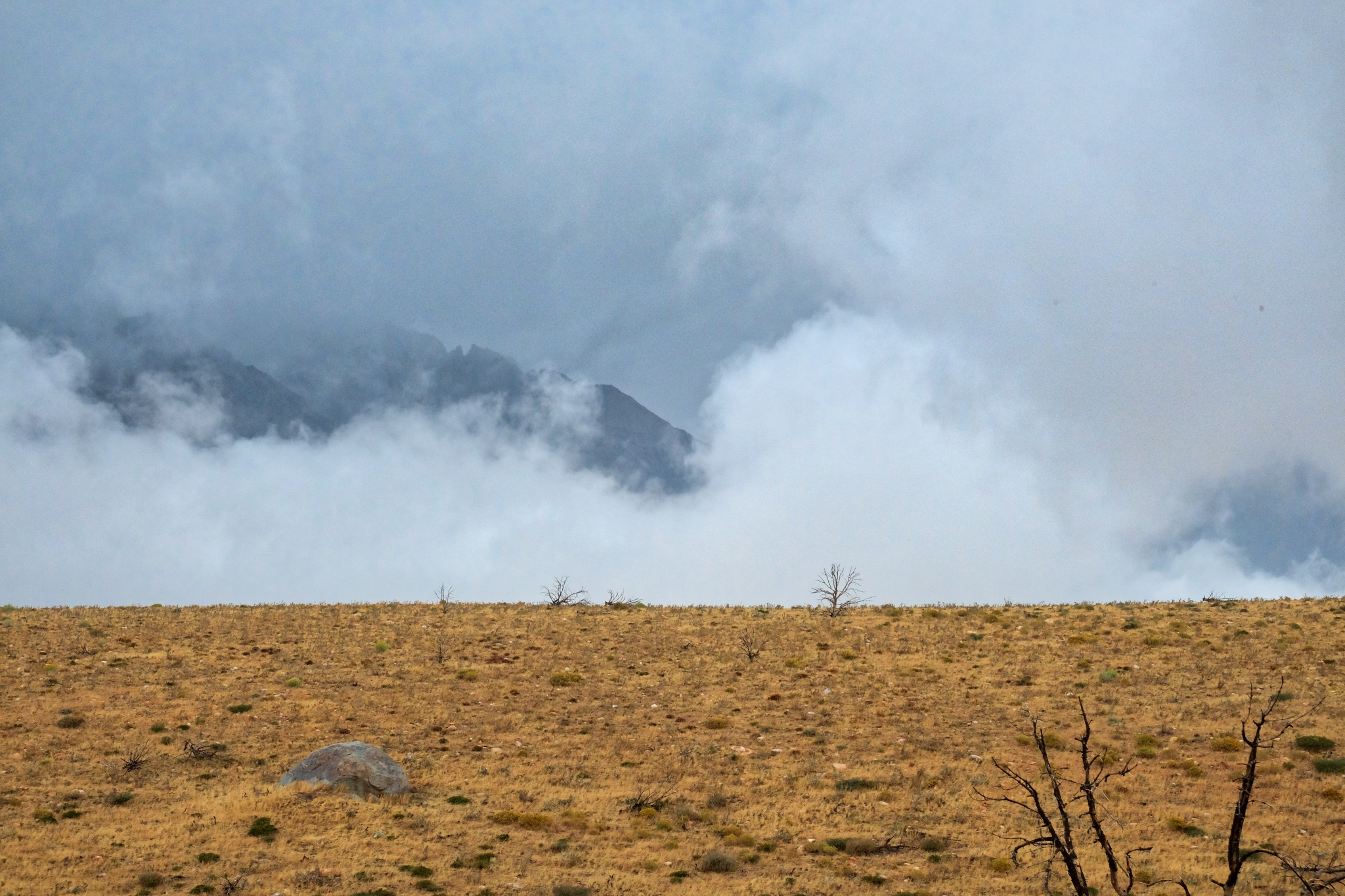 Looking toward Mount Tom, shrouded in clouds.
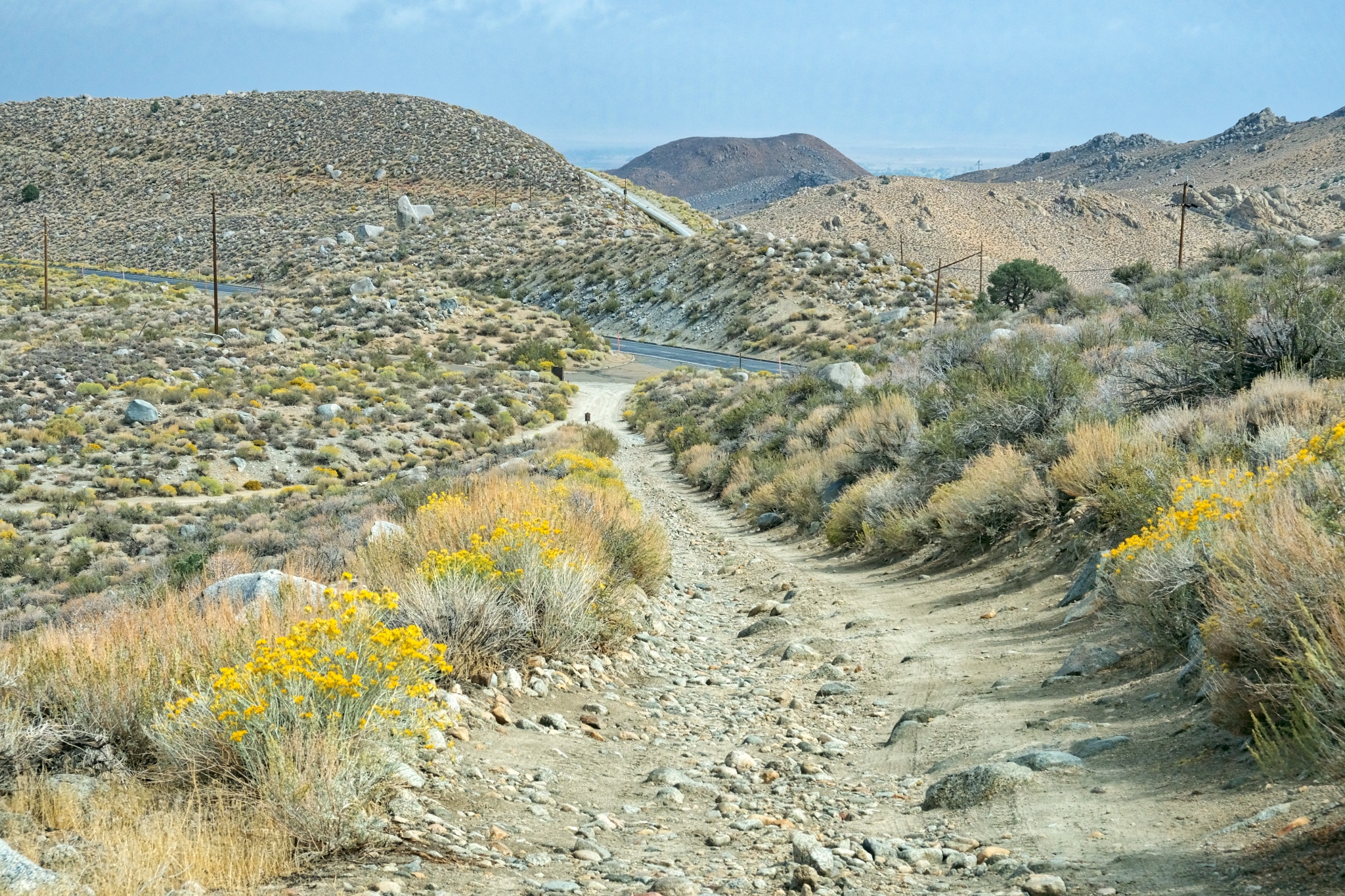
 The 'back way' off the mountain goes across this dry plane.
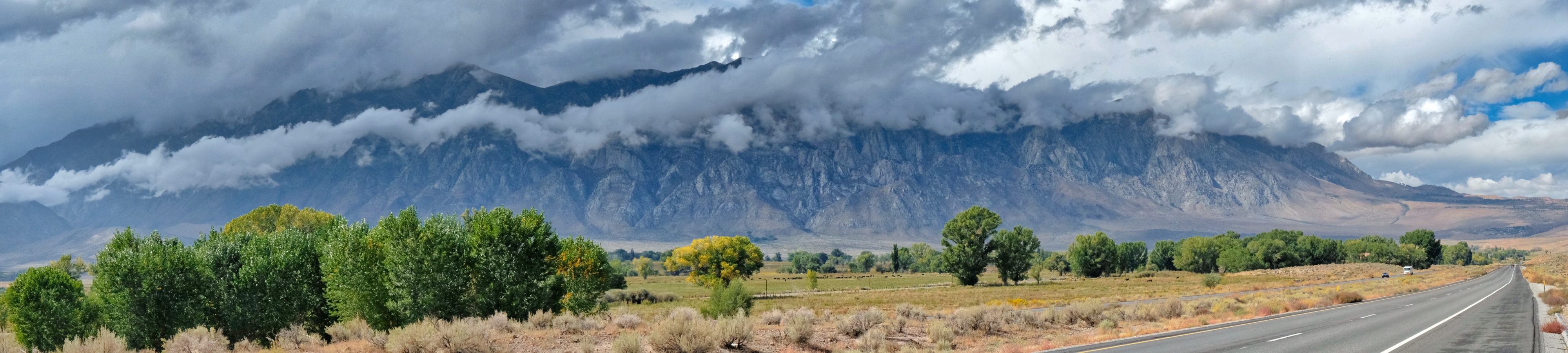
 Beautiful clouds were hanging over Bishop, California.
 Nearing the paved road . . . I have been looking at these rocky hills from my camp for days and now I see them up close.
 The last steep hill to the paved Route 168. Civilization at last.
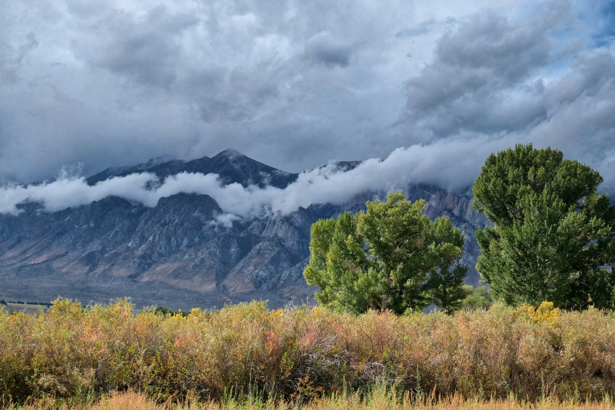
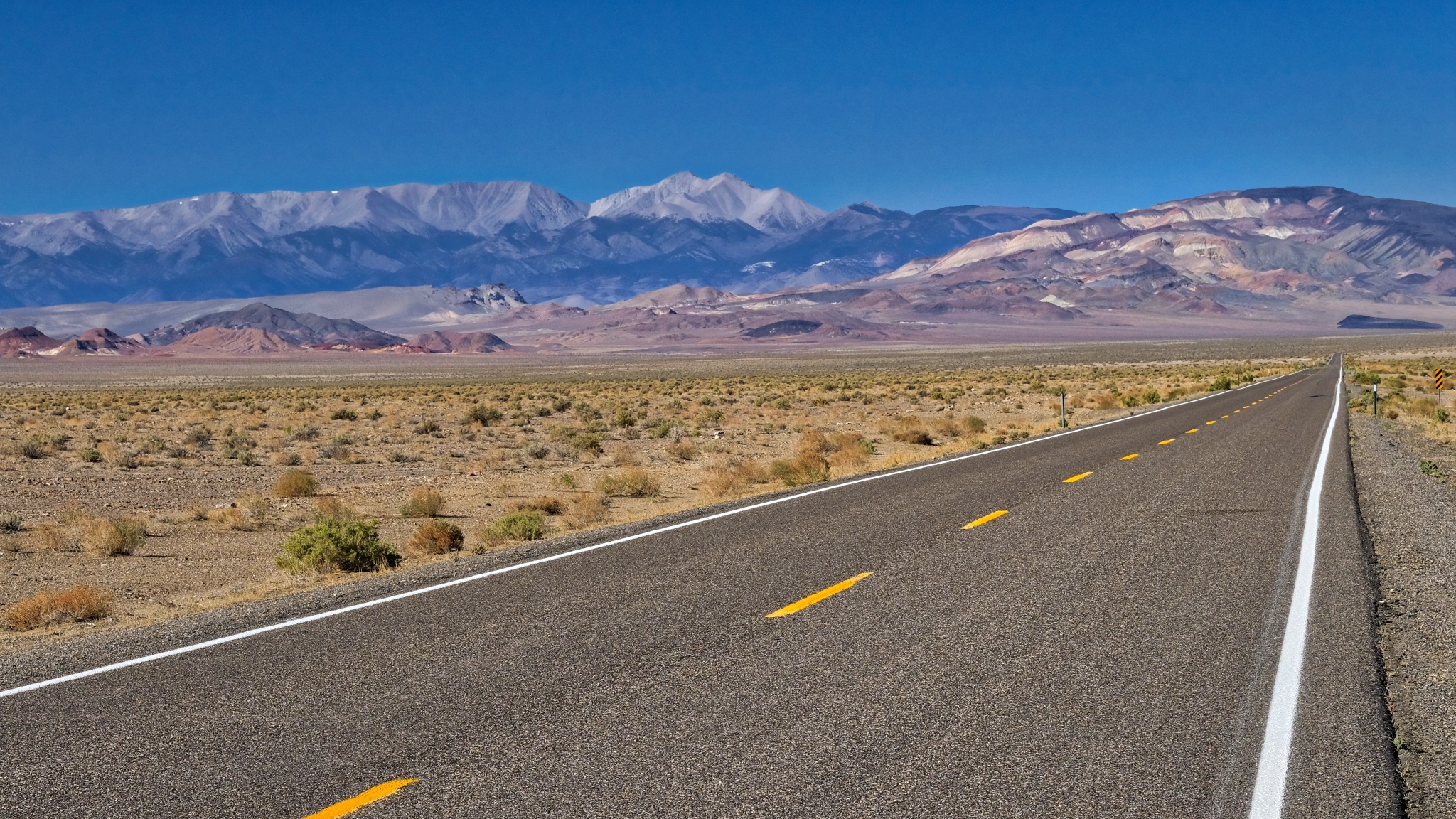
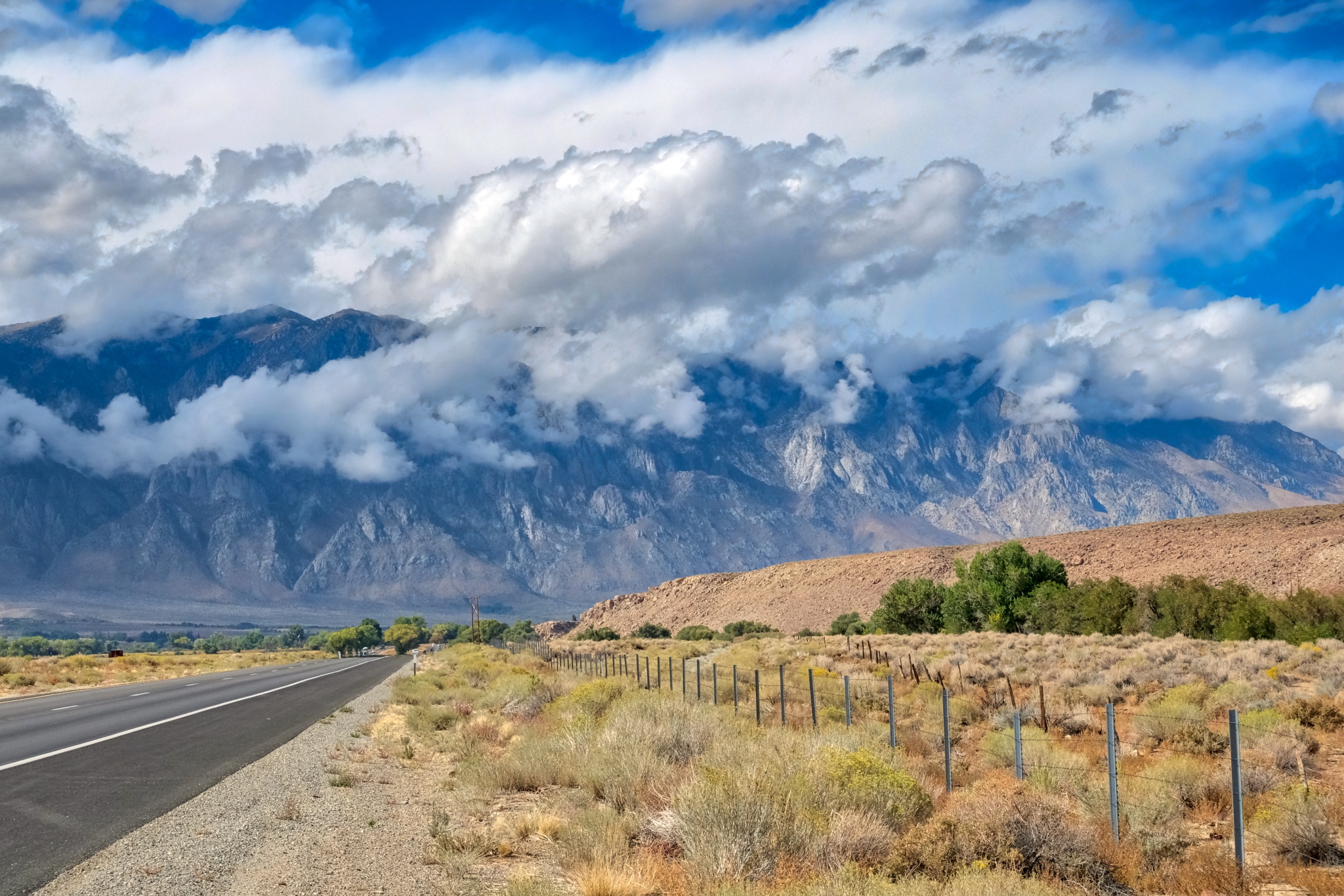 My drive north on US395 was unbelievably beautiful.
 A ribbon of cloud dressed the front slope of the Eastern Sierra Nevada Moutains. WOW!
 Incredible.
 Back up the river canyons, the mountains in an early Autumn storm.
 Part of a weathered old homestead on the valley floor.
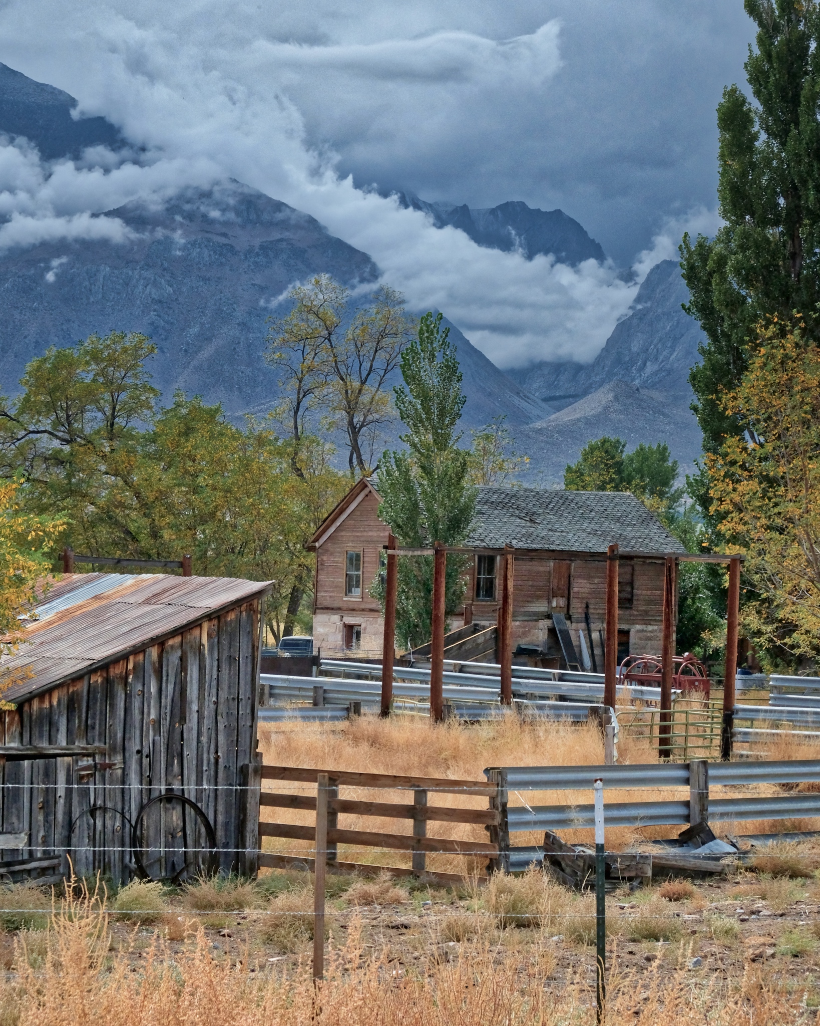 I could live here . . .
 A painterly scene . . . glorious.
 Stunning beauty. I must have stopped 10 times along the road back to Swall Meadows.
 Nearing Swall Meadows.
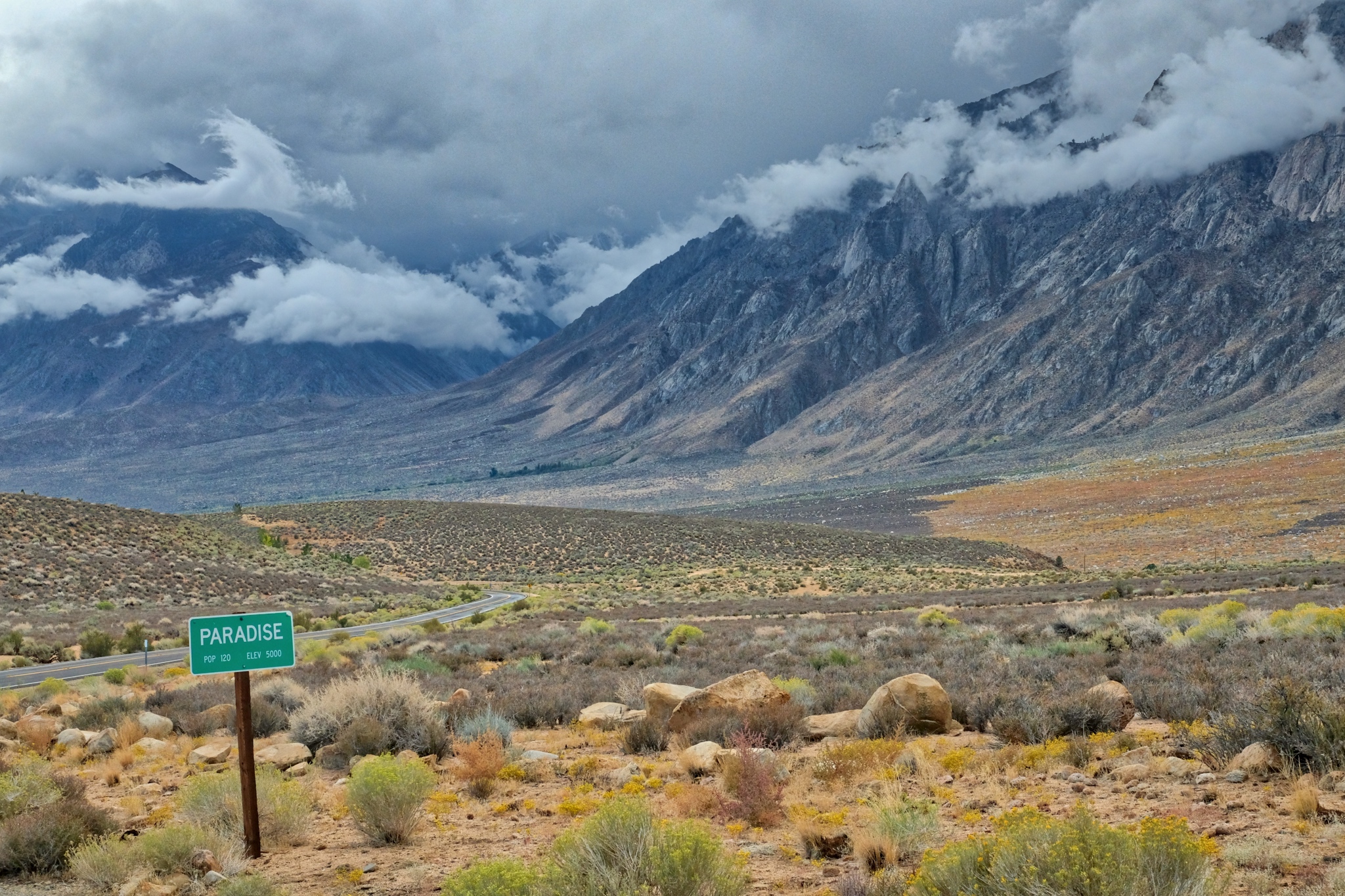 Looking back to from where I have come. I could not have waited an additional day to go camping here . . . I managed the last week of dry/warm camping in the mountains for the year. Yes Paradise!
Road Trip USA: Bonneville, Utah to Swall Meadows, California
In early September 2018, after camping/spectating at the World of Speed land speed event on the Bonneville Salt Flats, I drove at a 45 degree angle across the state Nevada to get to Swall Meadows, California in the Eastern Sierras.
On the road again!!!
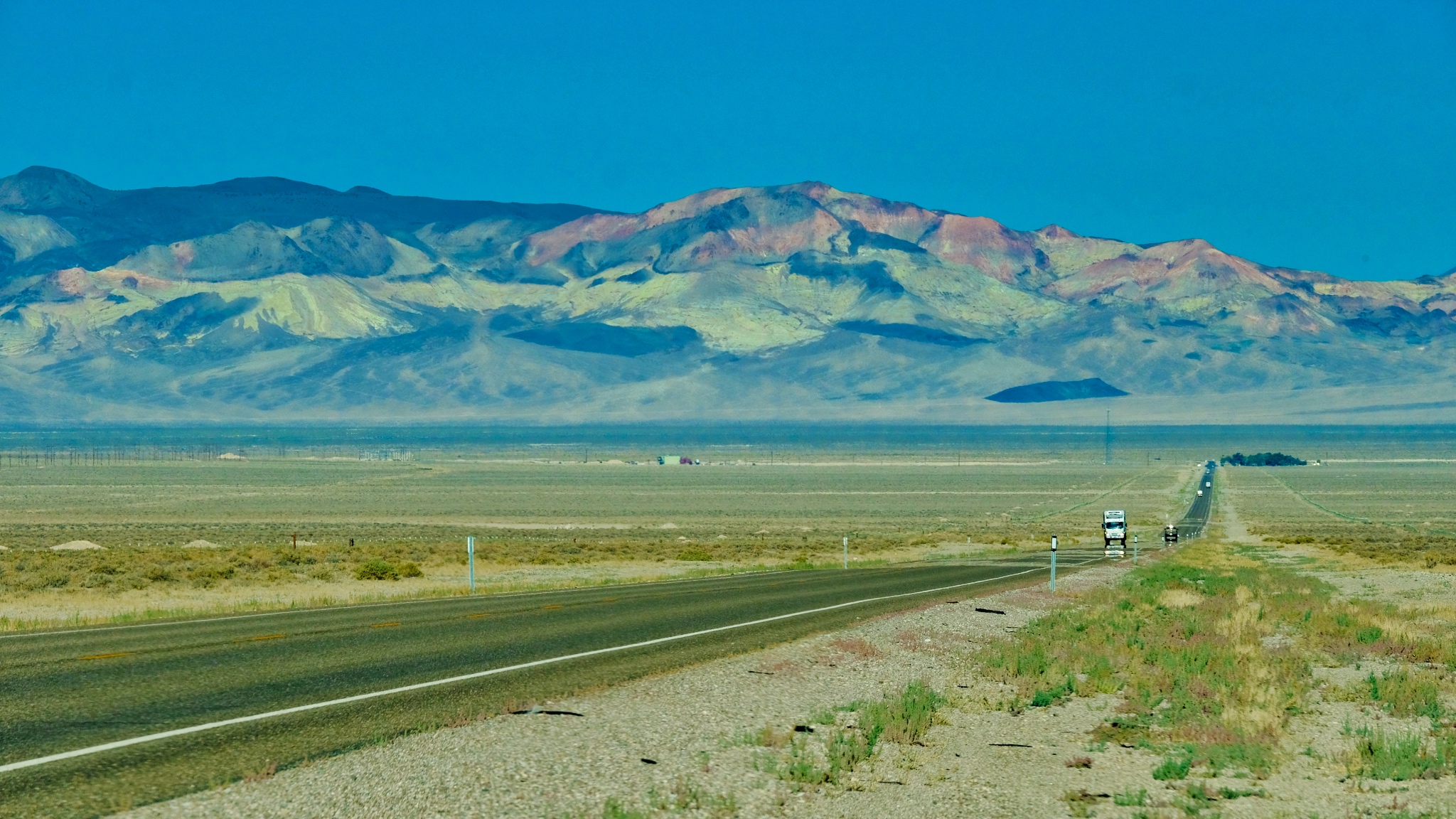
 The road out of Utah went through some very deserted landscape. There were miles and miles between any sign of human activity.
 A little human activity after the first hundred miles . . . a roadside stop up ahead on the right.
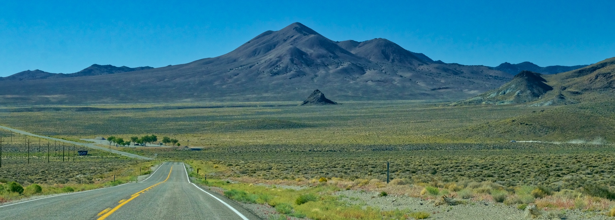
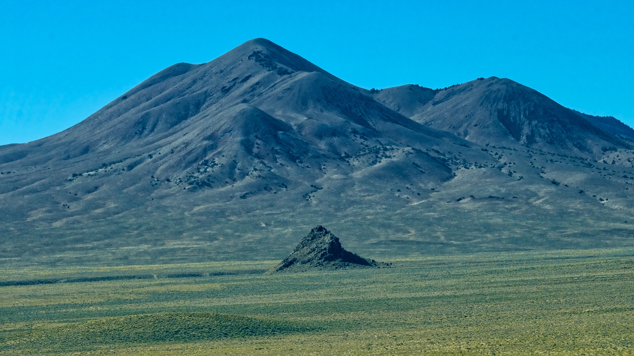 I suppose these geological features exist all over the world, but they would be obscured by forests and towns, and farms. Out here, in this high scrubland, every little remnant of a cinder cone still stands out.
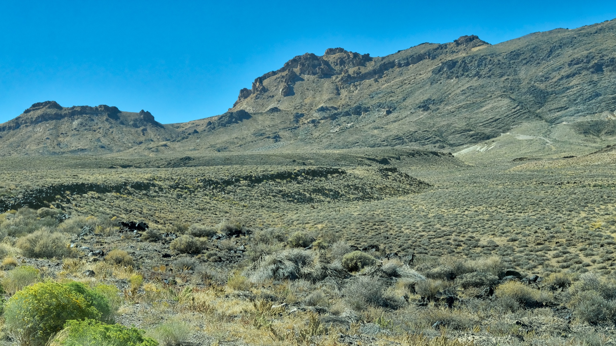 I absolutely love this type of landscape . . . and I don't know why . . . maybe the expression "high lonesome" explains it. I feel pulled to just wander around these hills . . . for years.
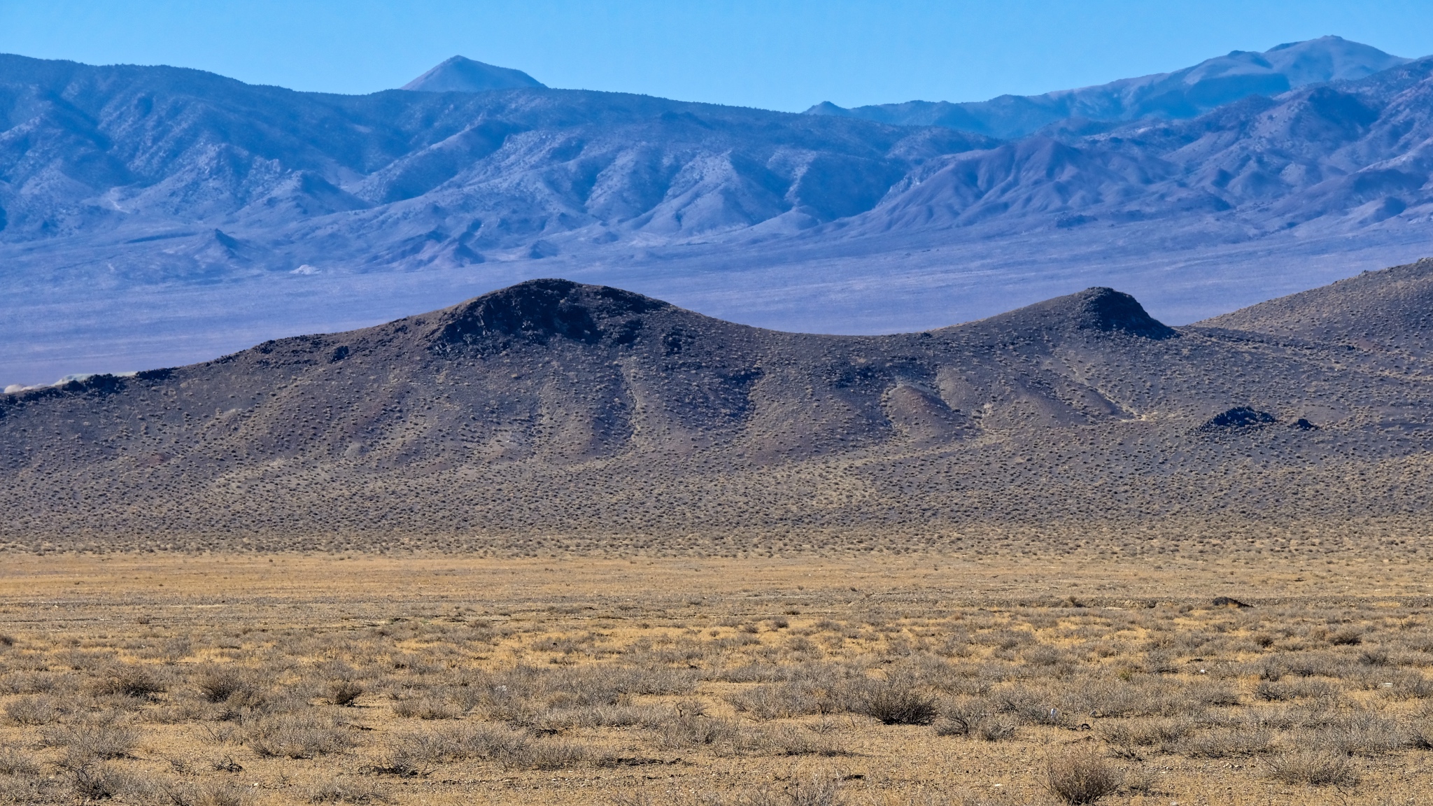 An endless expanse of an endless variety of shapes and colorful vistas.
 Here and there can be seen traces of former mining operations in the scars on the mountains.
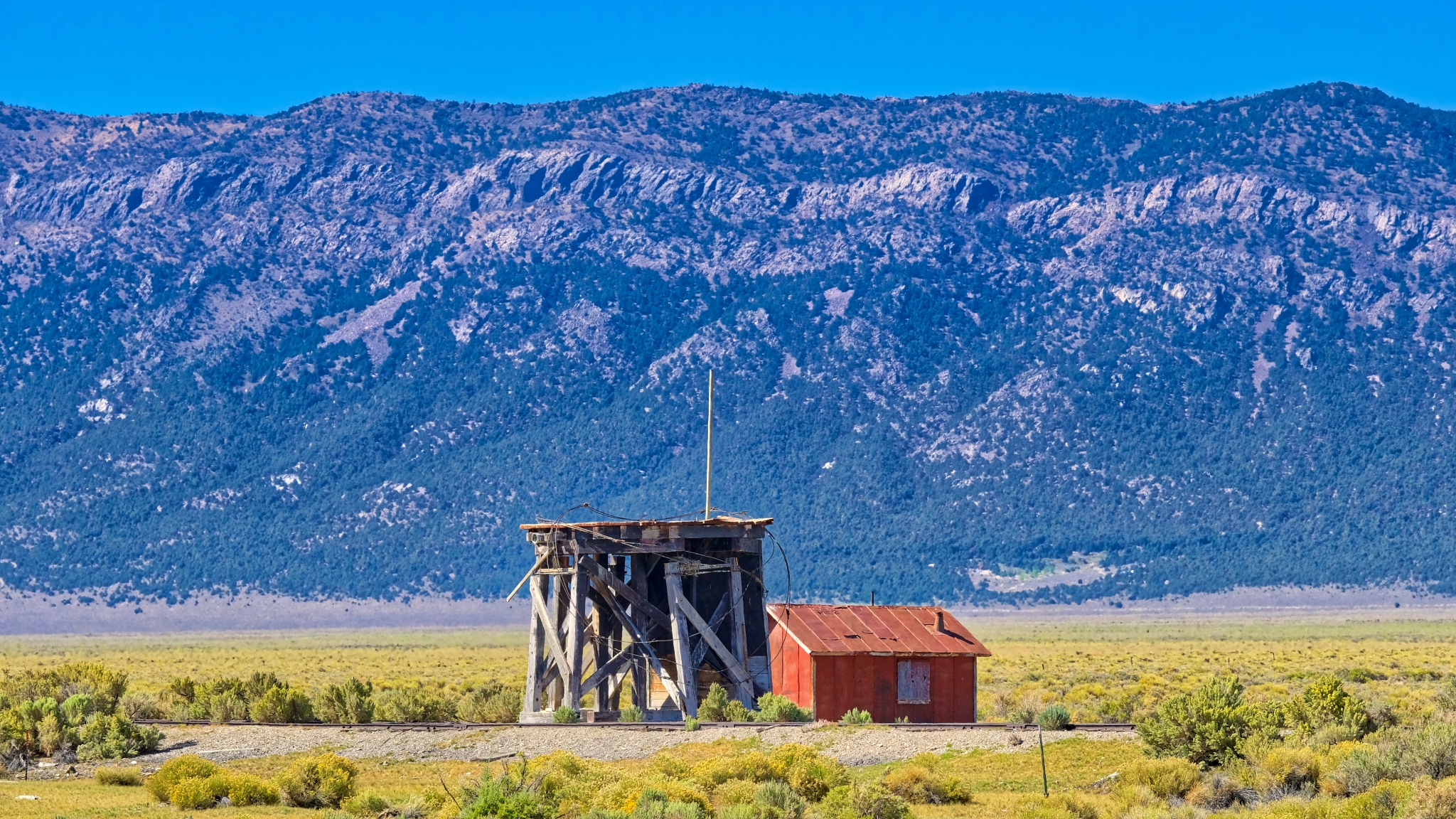 An abandoned water tower servicing an abandoned rail spur near Cherry Creek, Nevada.
 I passed by many roads I didn't have time to explore.
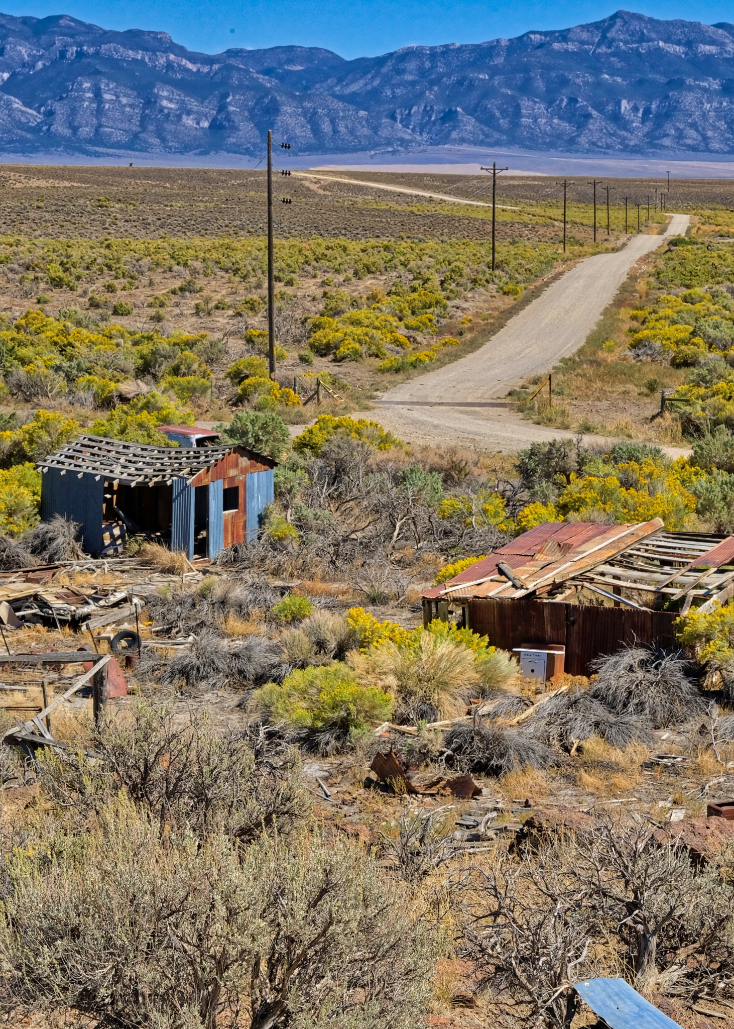
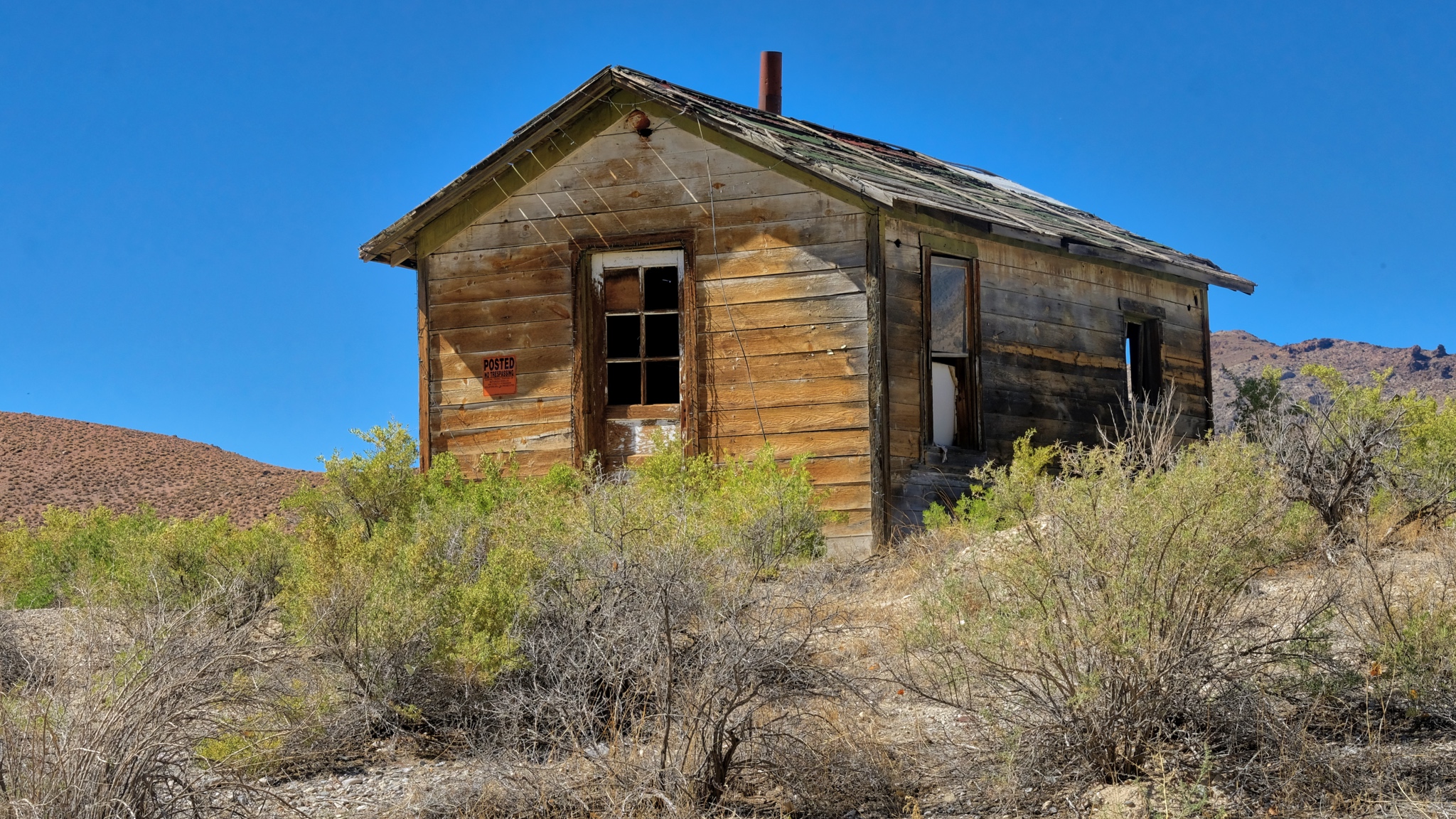
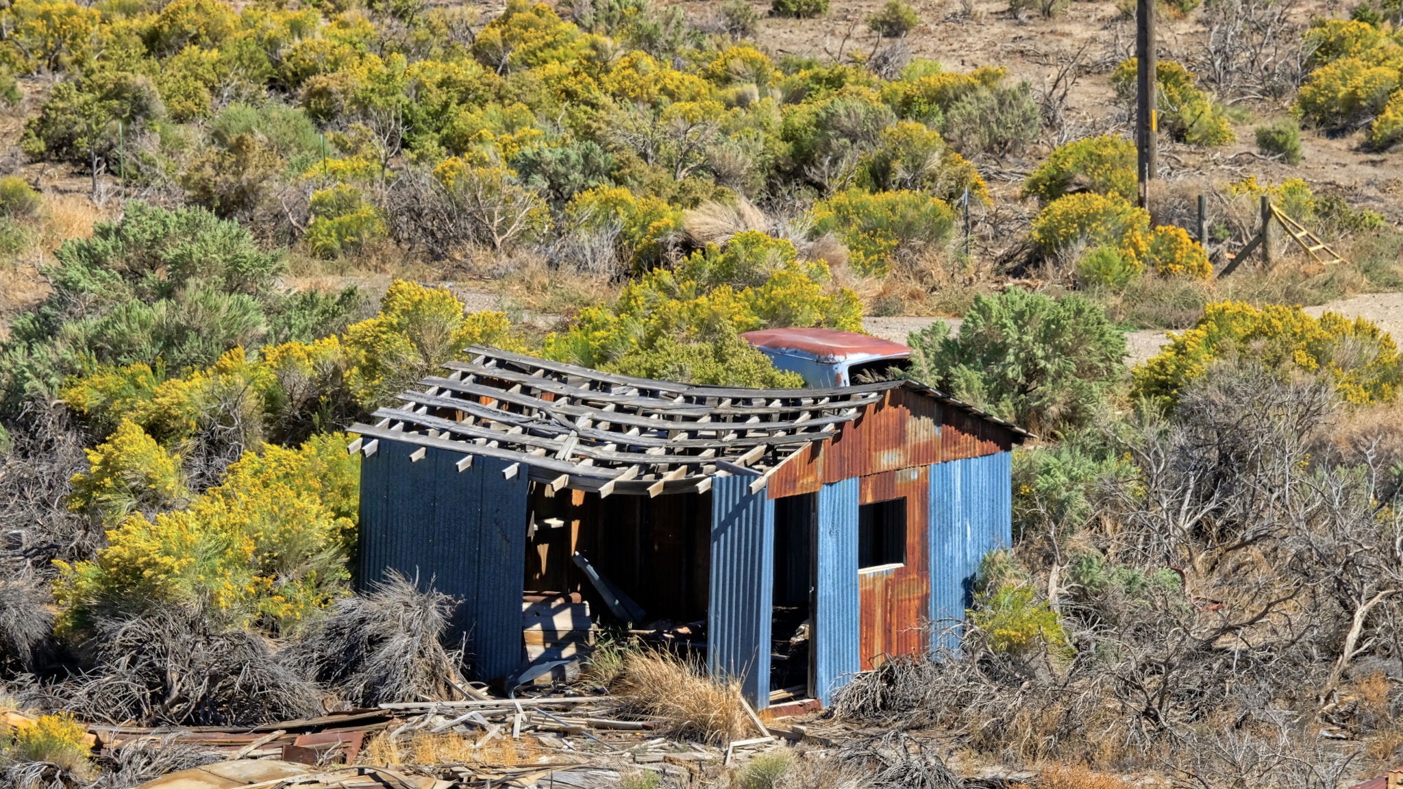 A story for each abandoned shack out here . . . a story never to be told.
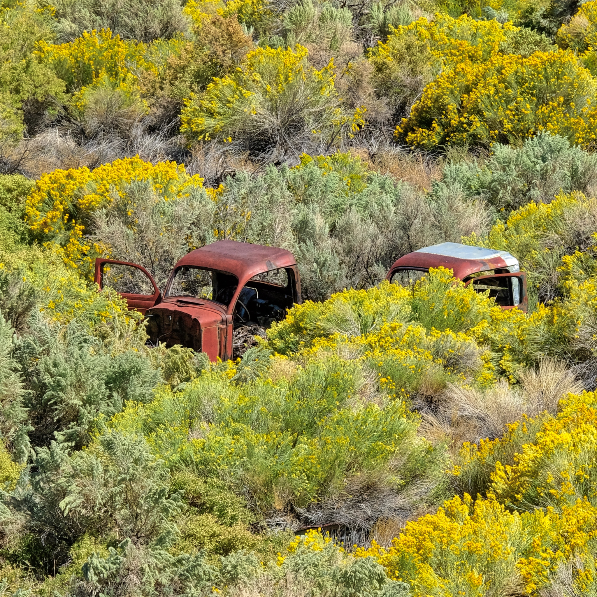 Used and left behind. I'm surprised the hot rodders and rat rodders haven't scavenged these old truck cabs.
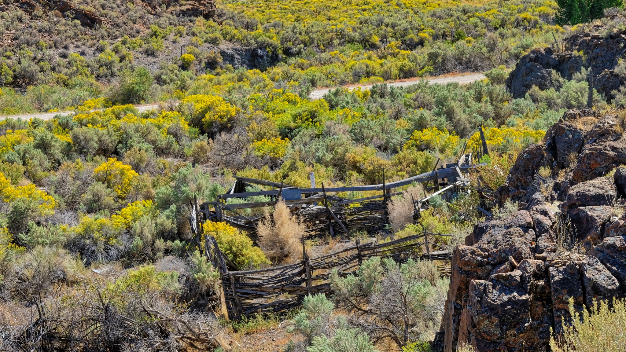 Hopes of ranching left behind with the decaying split beams.
 It is good to have four wheel drive when nature calls.
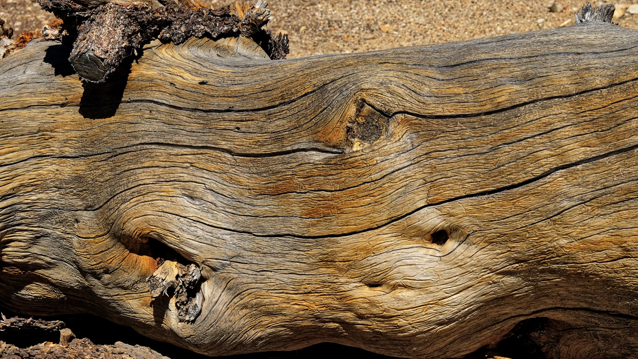 An ancient bristle cone pine trunk.
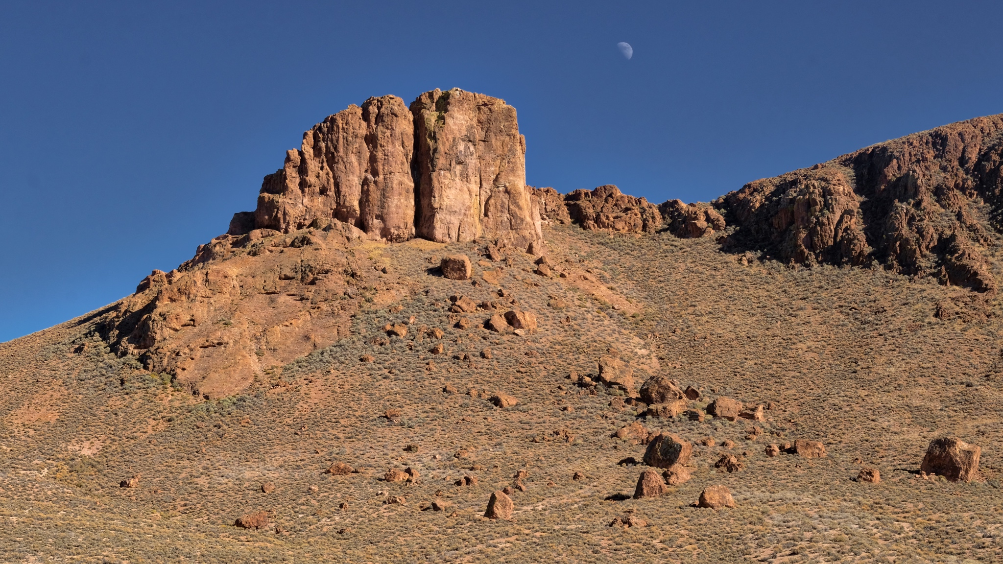 A left behind moon on a clear Nevada morning.
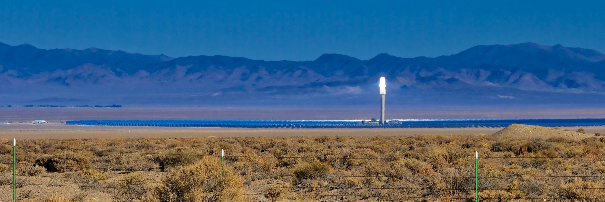 A solar reflector energy farm way out in the desert. Amazing technology . . . you could almost smell the fried birds from the road!
 Loving my life on the road!
 A long road to an other abandoned mountainside mine.
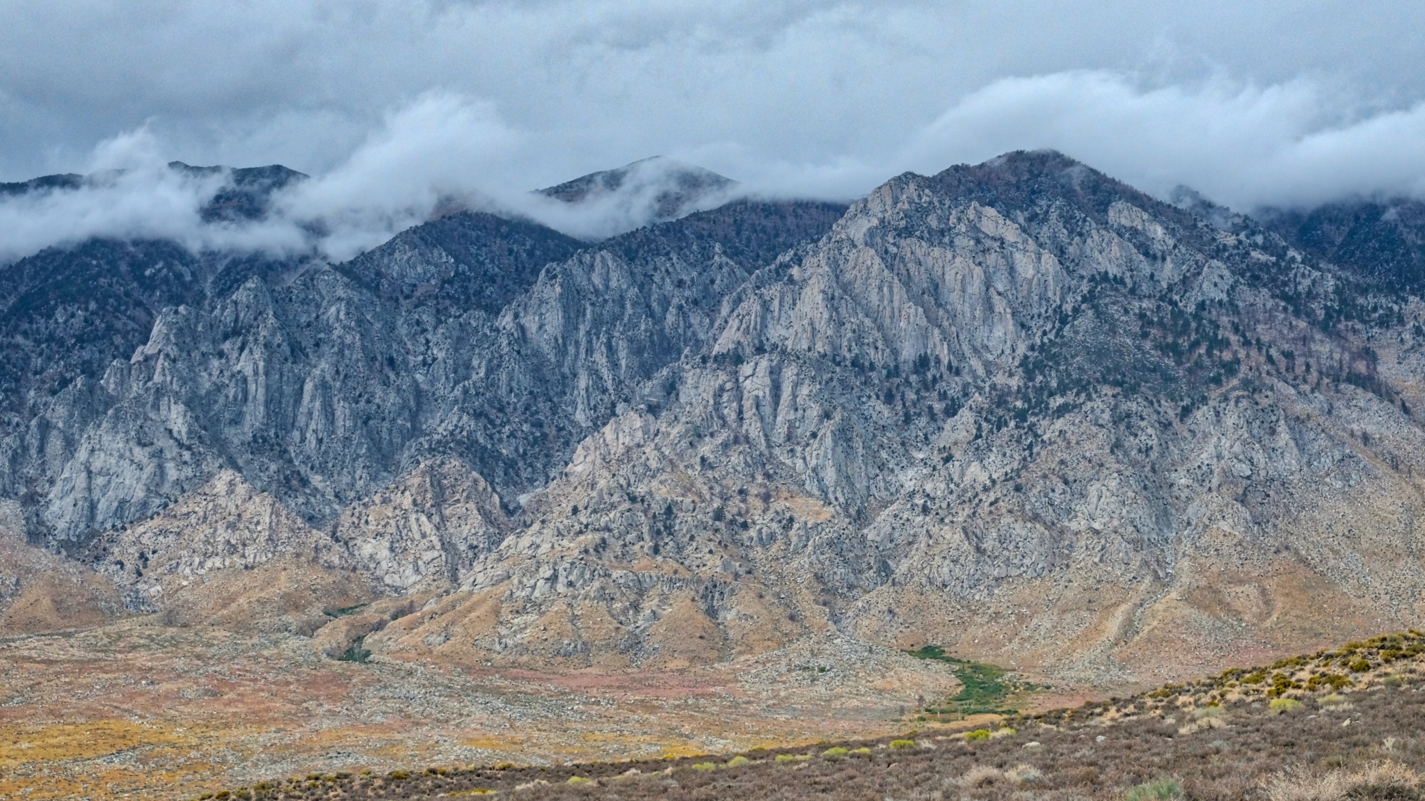
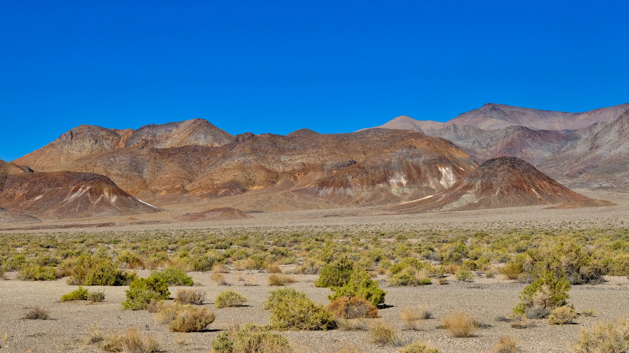
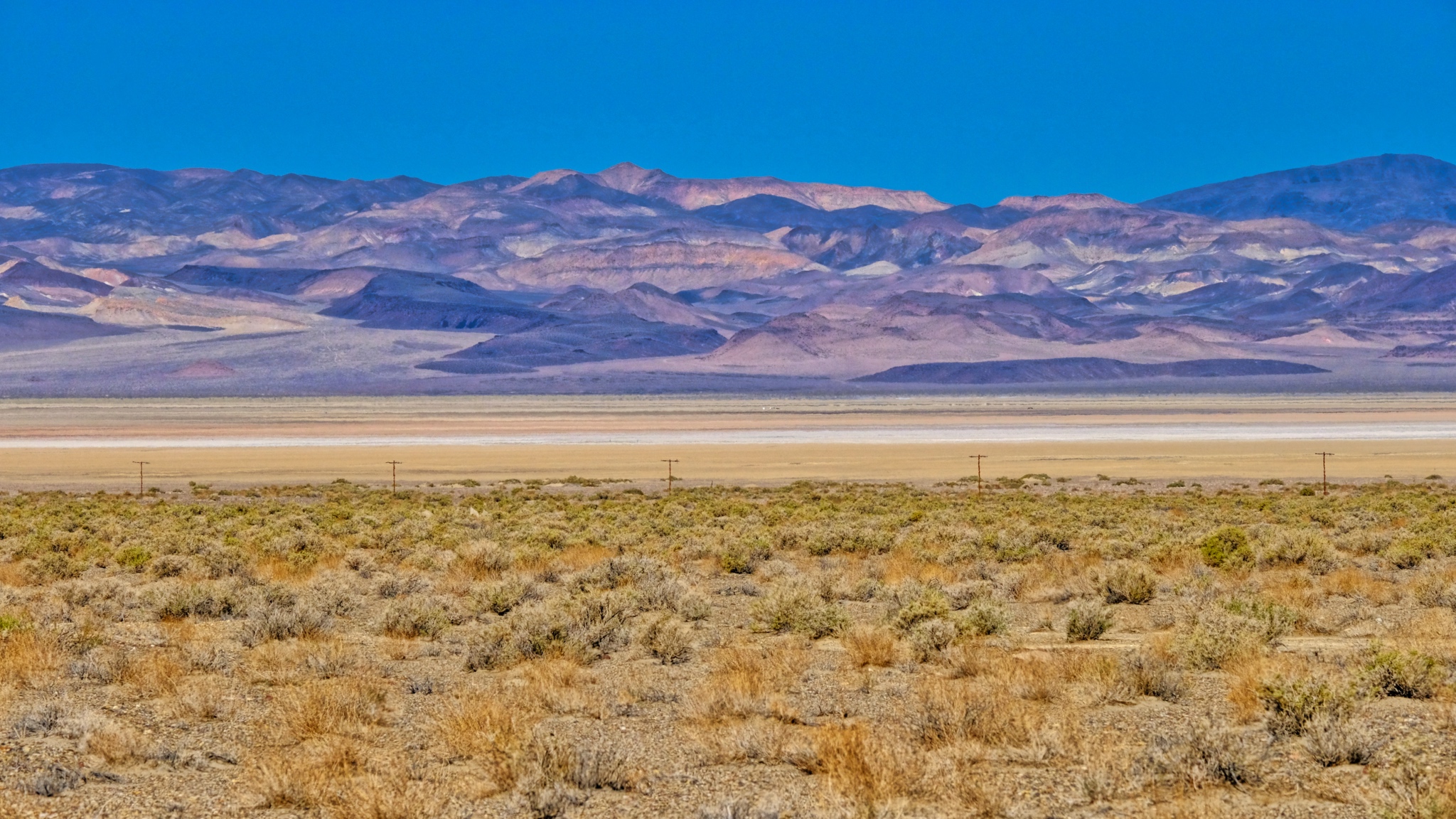 Scrub brush, dry lake, and mineral rich mountains.
 With so few structures around, I stopped at each one . . .
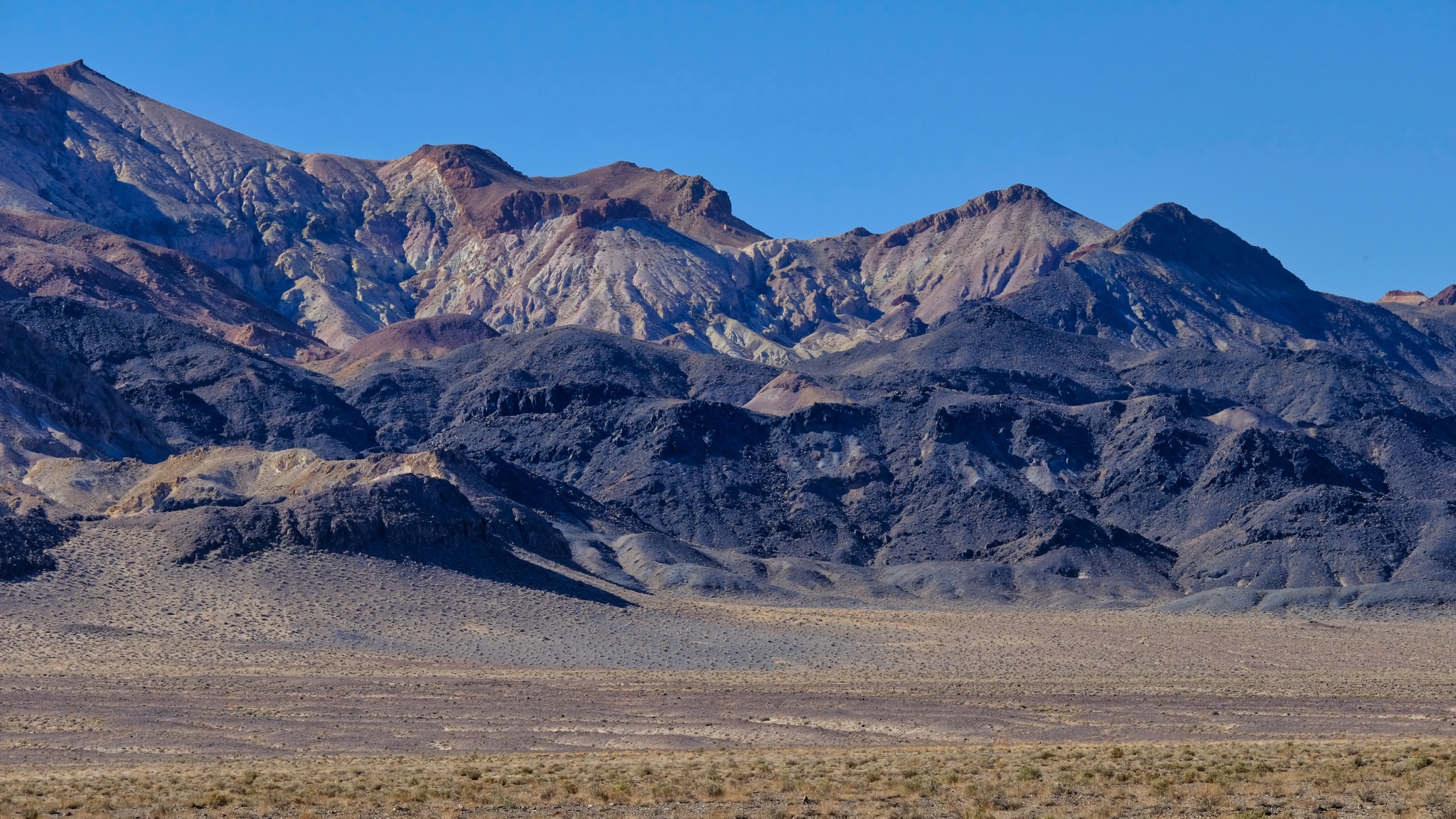
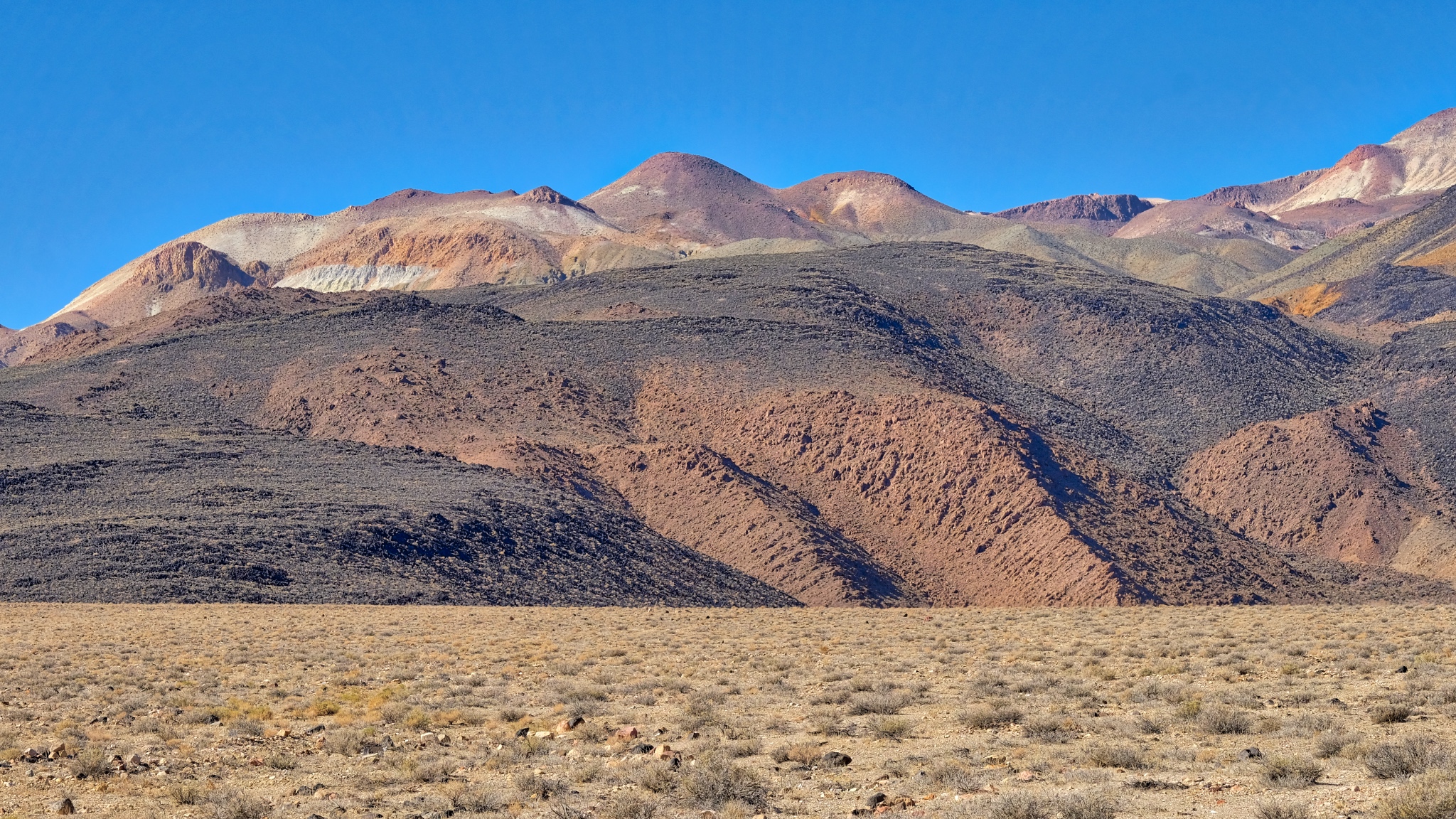
 Mineral rich hills . . . another abandoned mining operation.
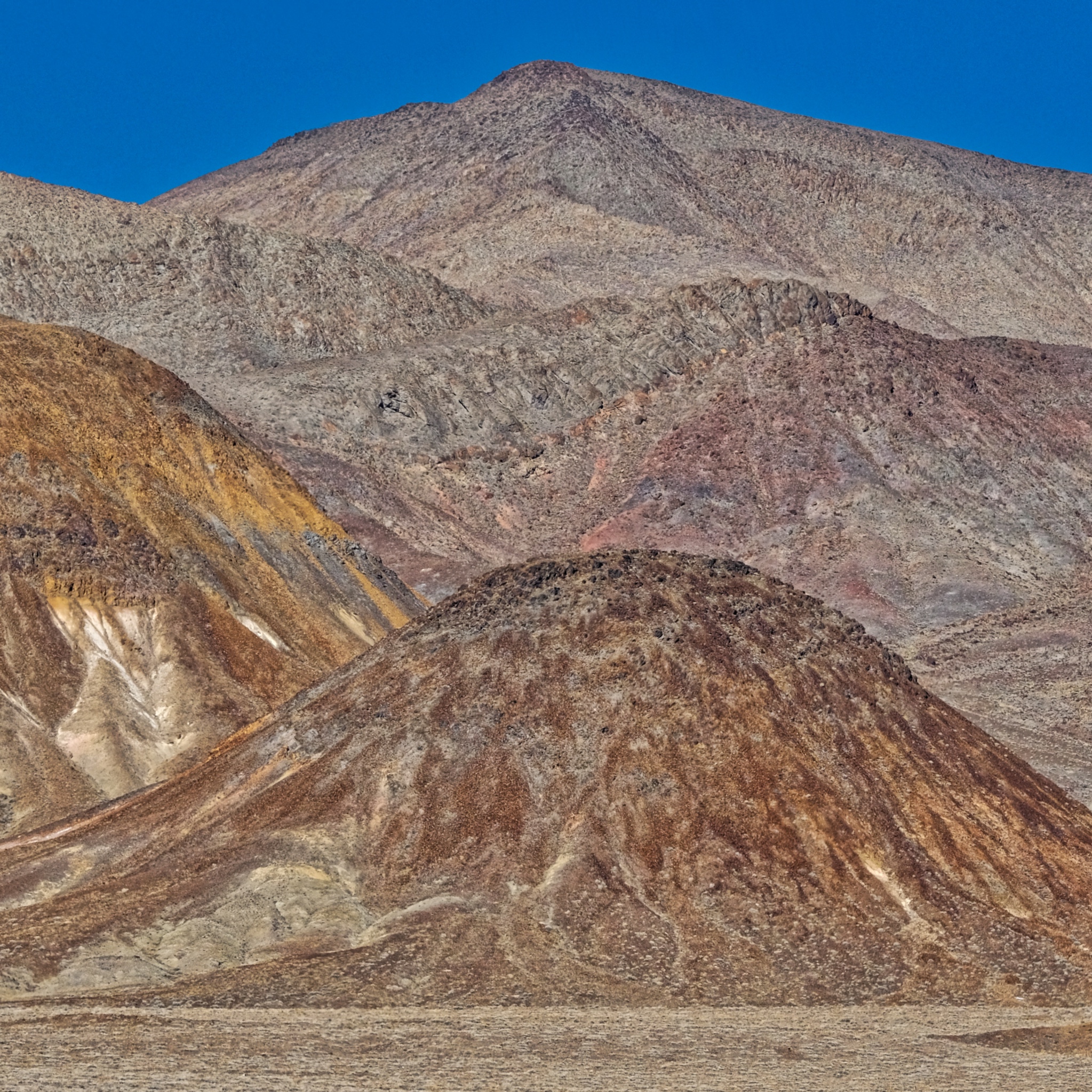
 Strange hills left behind to weather after mining. This looks like a tungsten vein.
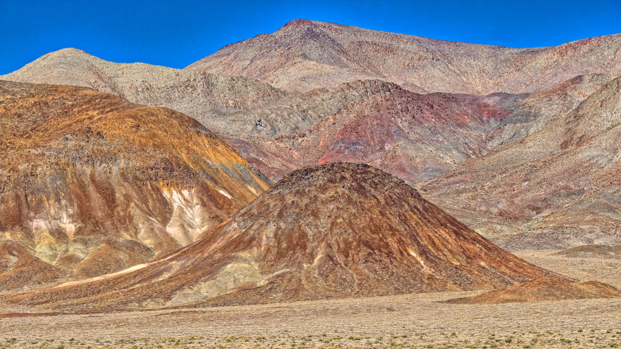
 The colors, shapes, and textures of these mined hills were simply fantastic.
 Geology everywhere (of course).
 Along the highway a gypsum deposit.
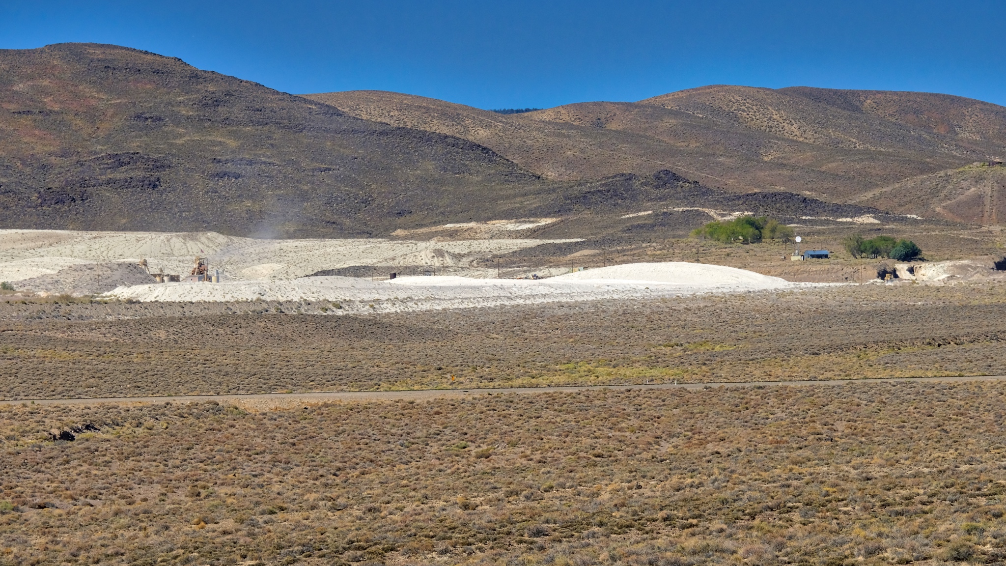 An active gypsum mine.
 Coming up on the Boundary Range, which separates Nevada from California.
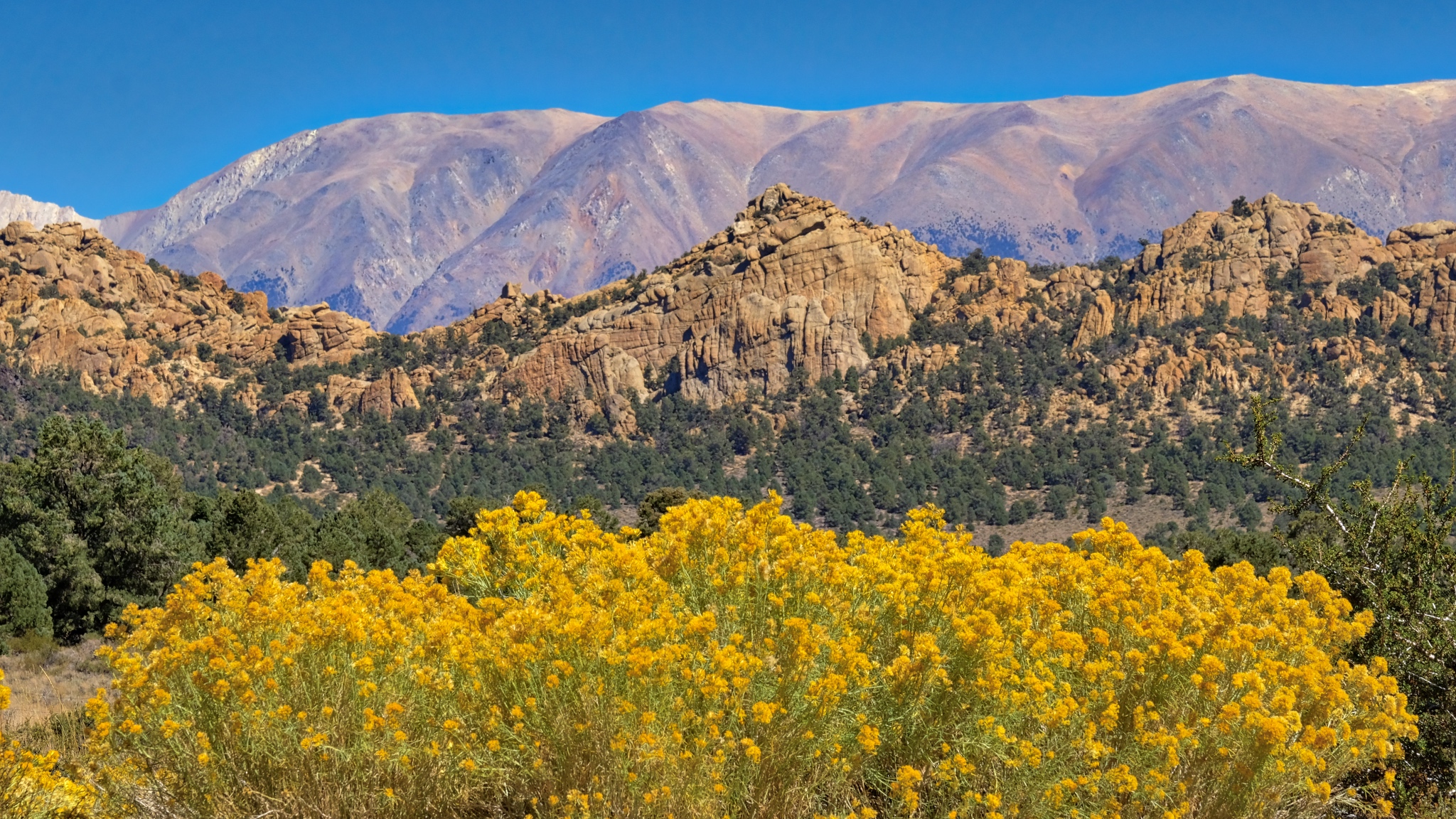 Some stunning flowering scenes as I began to gain in elevation into the Boundary Range.
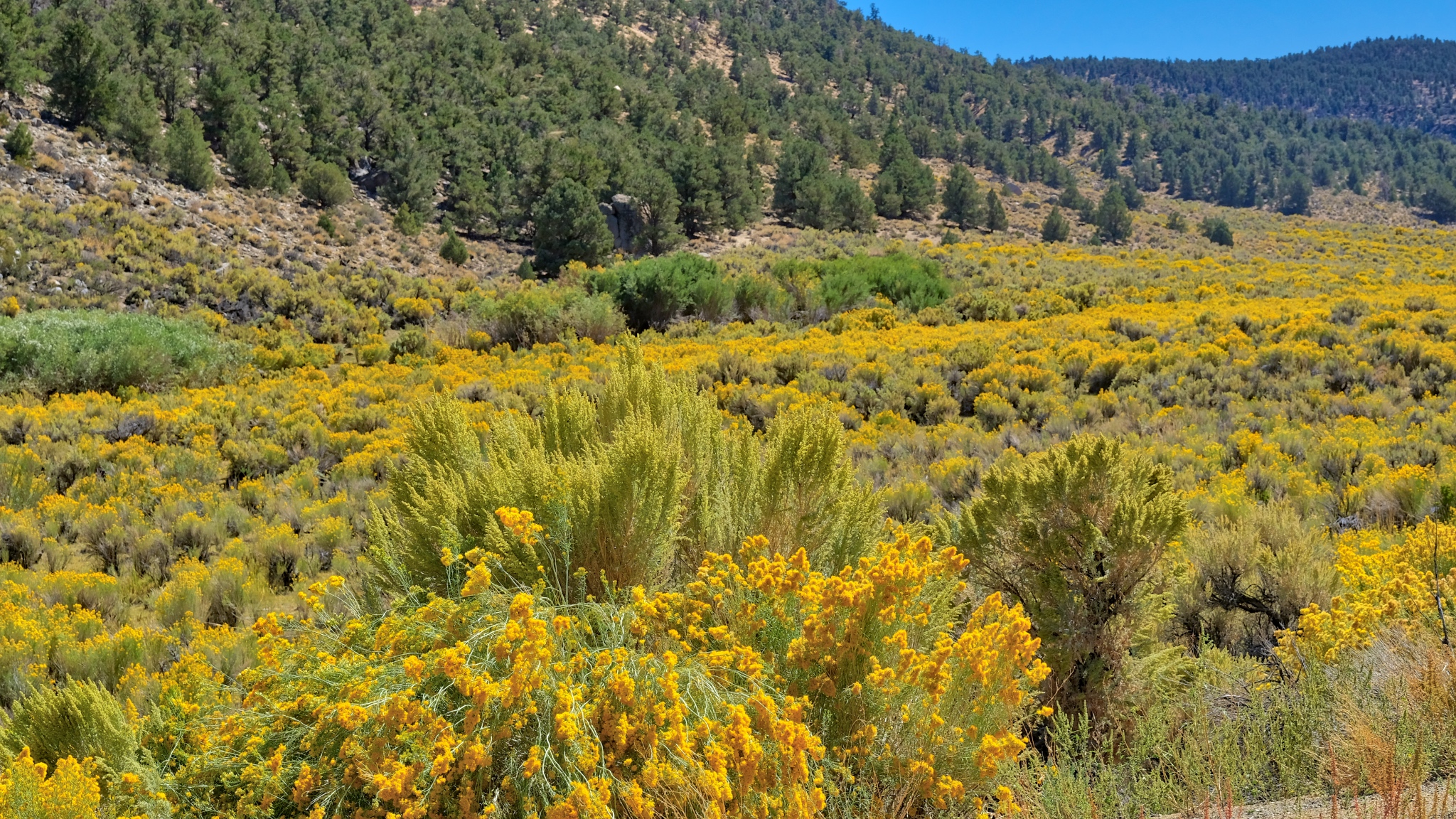 Up and over a mountain pass through a sea of yellow!
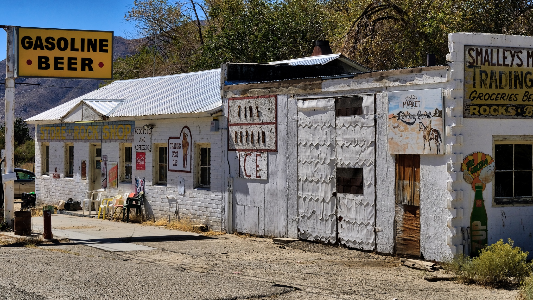 There were a few wide spots in the road along the way . . . here in Benton, California.
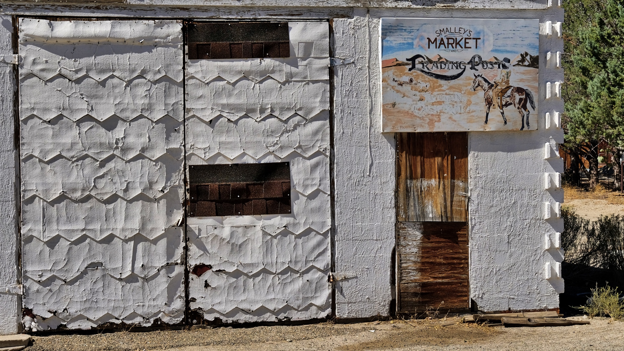 Fabulous textures of age.
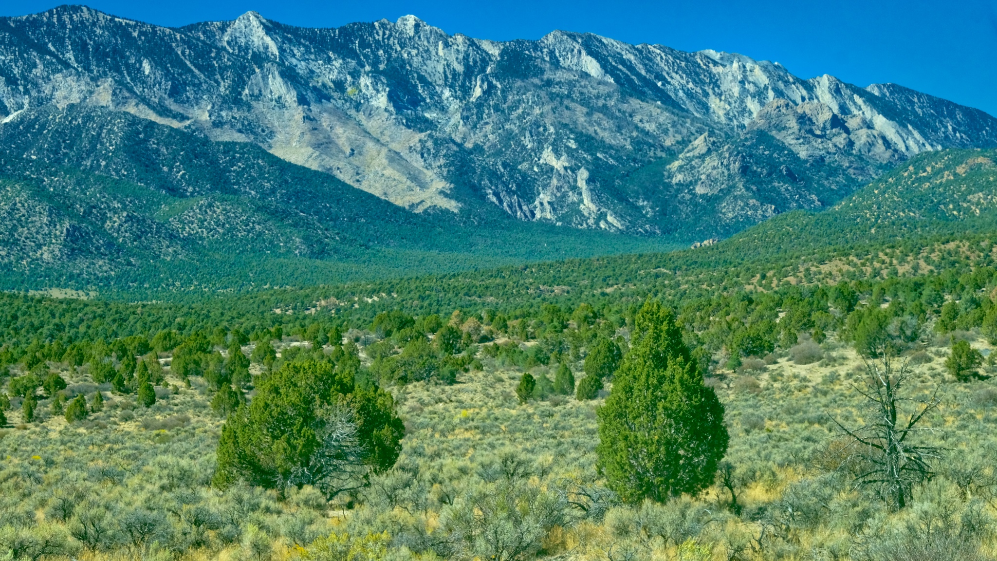 After Benton (and Benton Hot Springs), the GPS took me down 120 miles of gravel road to my destination. I was very happy about it too!
 100 miles of this! I took my time.
 I drove for two hours on this gravel road and did not encounter a single other vehicle.
 The trees became larger the more altitude I gained.
 Up and over and up and over many steep passes . . . .
 And on such a beautiful day . . . .
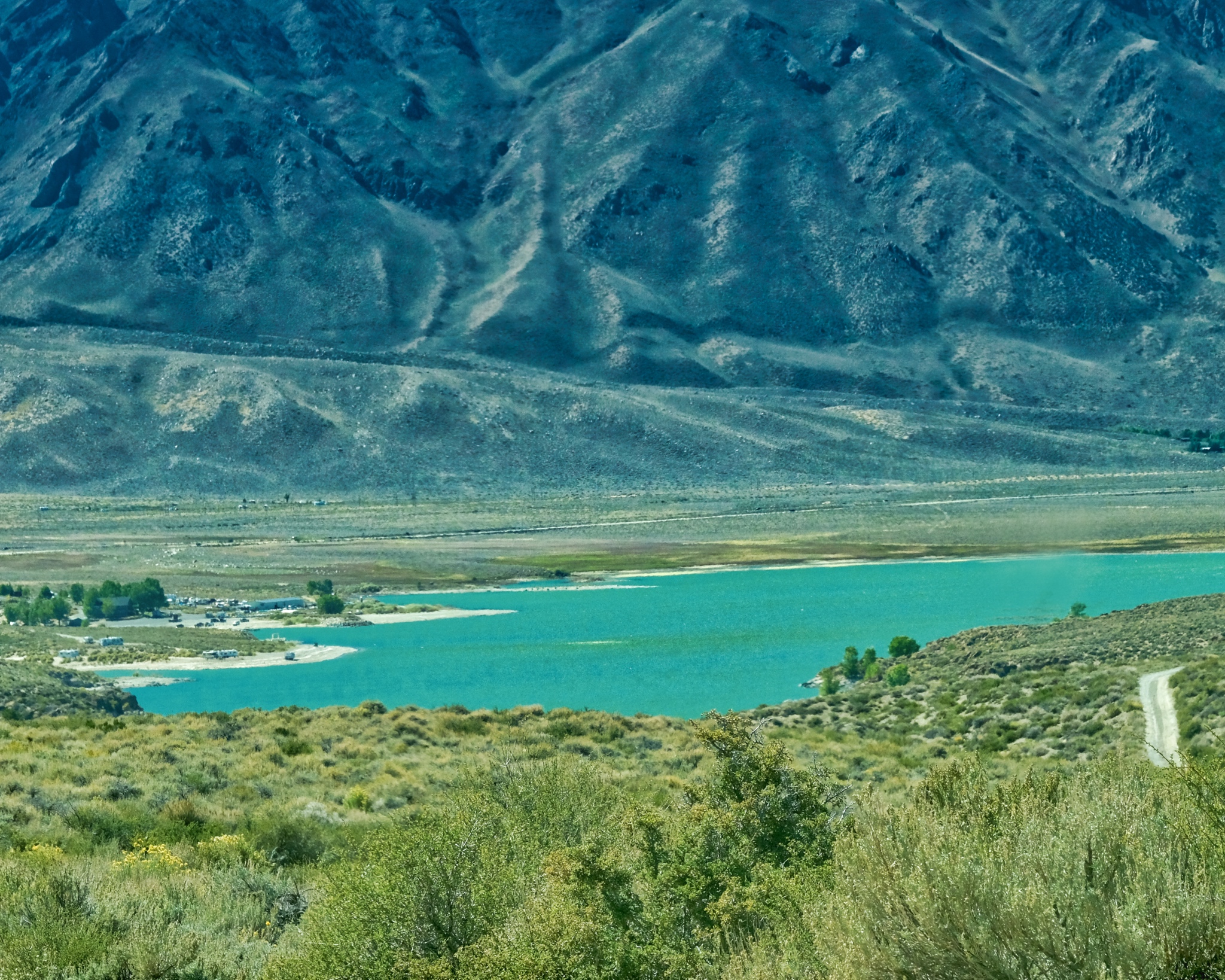
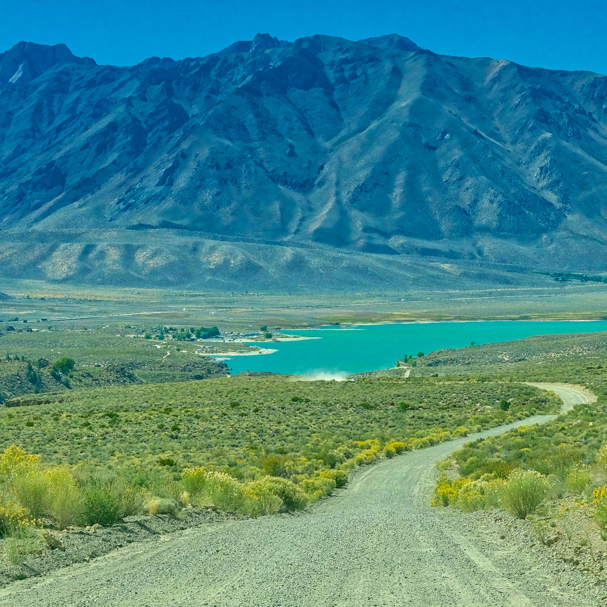 After two hours on Owens George Road I crested a hill to see Crowley Lake, just 15 miles from my final destination.
 Civilization At Last!!!!!
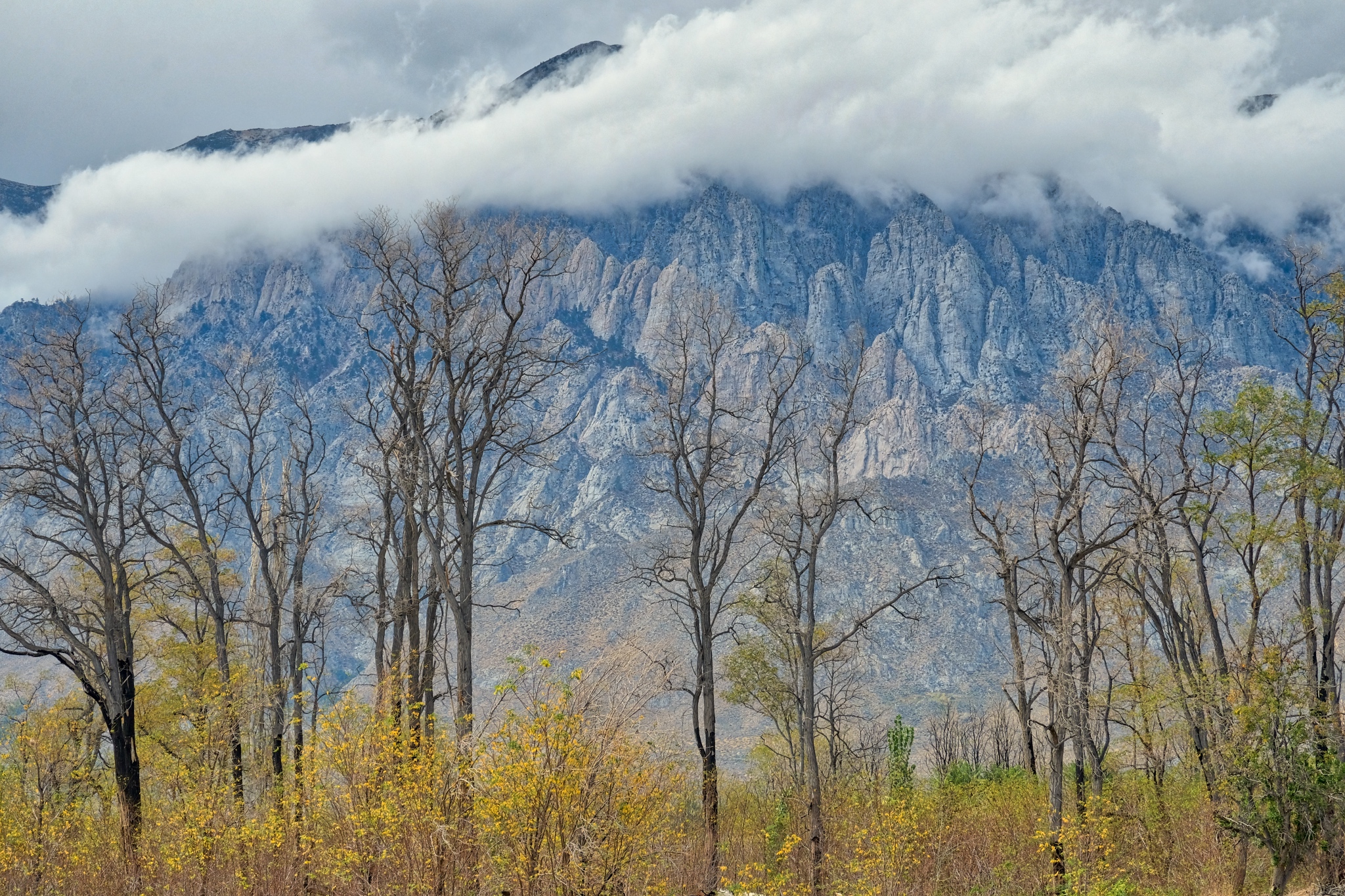
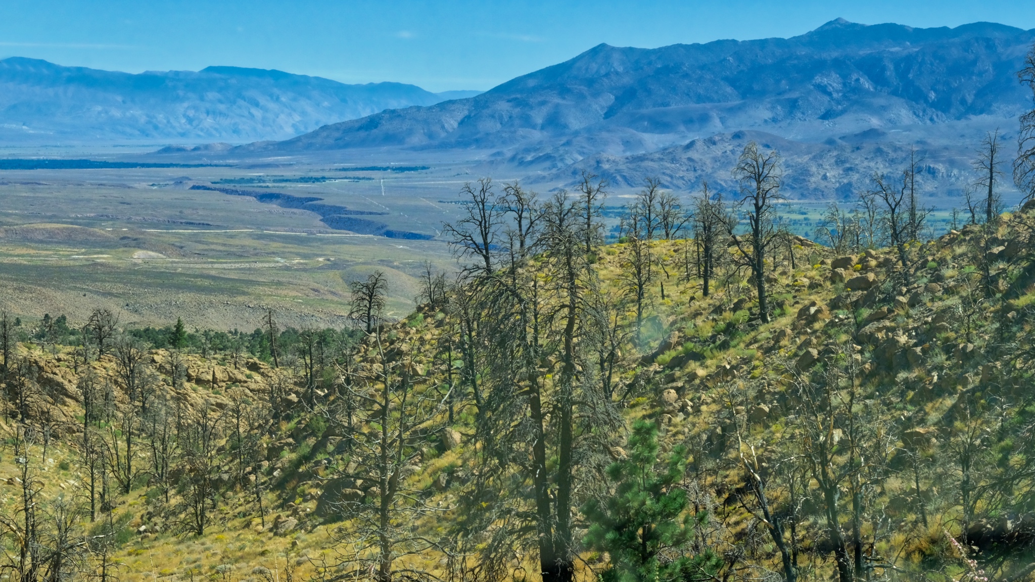 The view approaching Swall Meadows; looking toward Bishop, California in a recent burn.
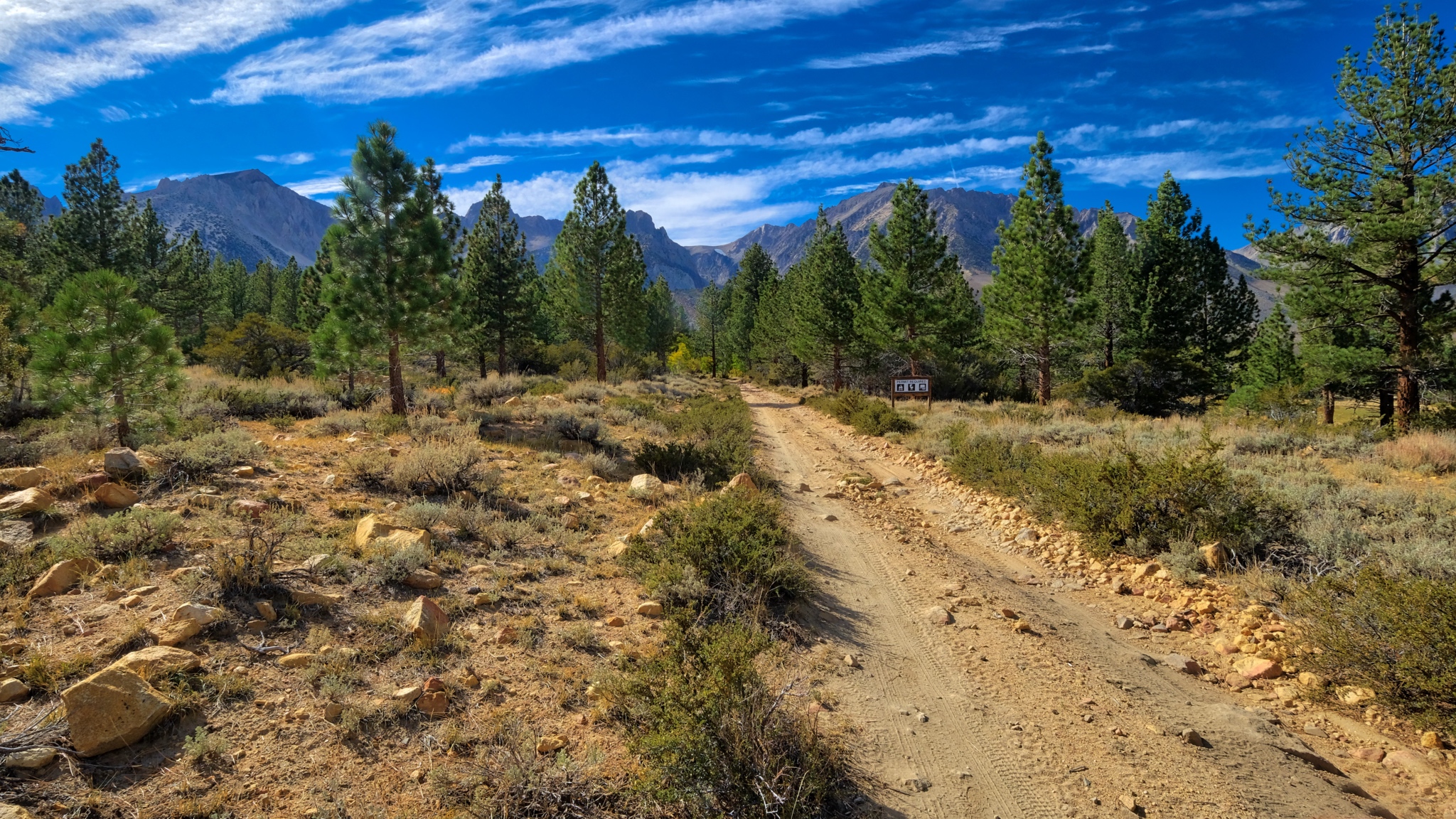
 Near Swall Meadows where I would base myself for my next adventure: camping up in The Buttermilk Country.
Road Trip USA: Delaware Nature Walks - Chesapeake & Delaware Canal + Iron Hill Park
 I am spending winter with my daughter and her family in the USA state of Delaware. Their house is only about a mile from the Chesapeake & Delaware Canal. I like to ride mt bicycle on bike paths, so I made an effort to get out and explore the area using my Google Maps. As it turned out, there is a very nice path alongside the canal . . . and a nice road through an Autumn forest to get there.
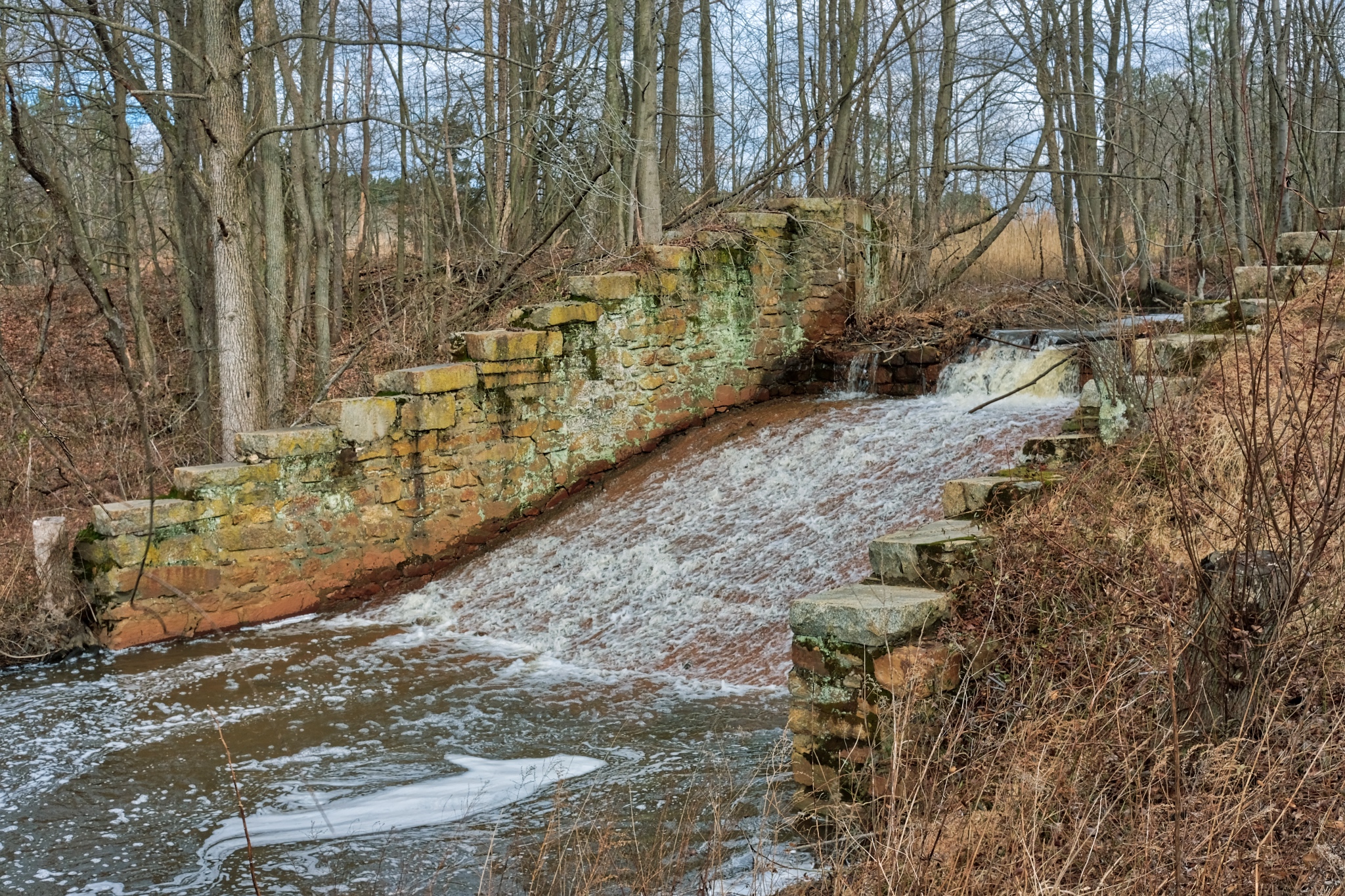 Old flood control structures near the canal.
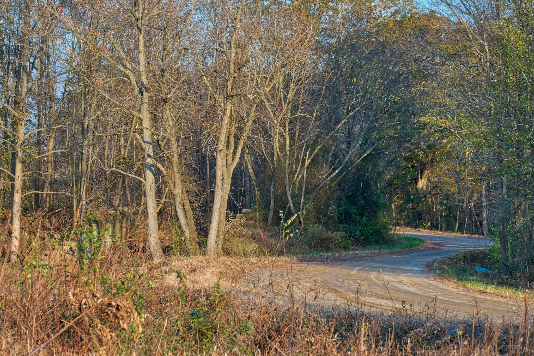
 The path begins at a parking area next to a stream as it enters the canal.
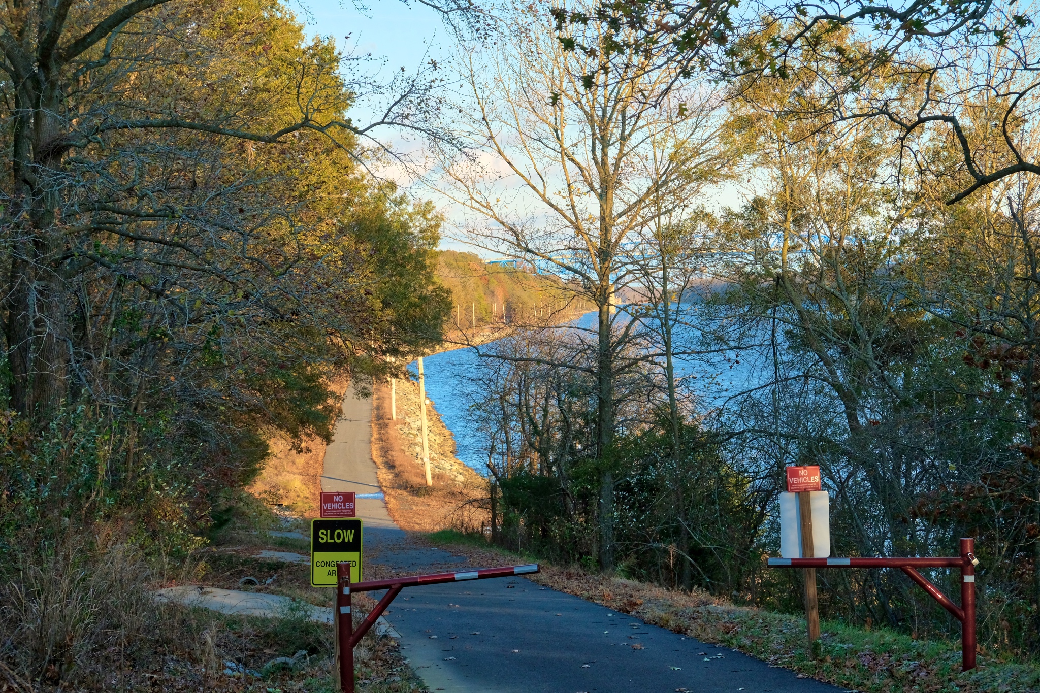 A very nice paved bike path runs alongside the canal.
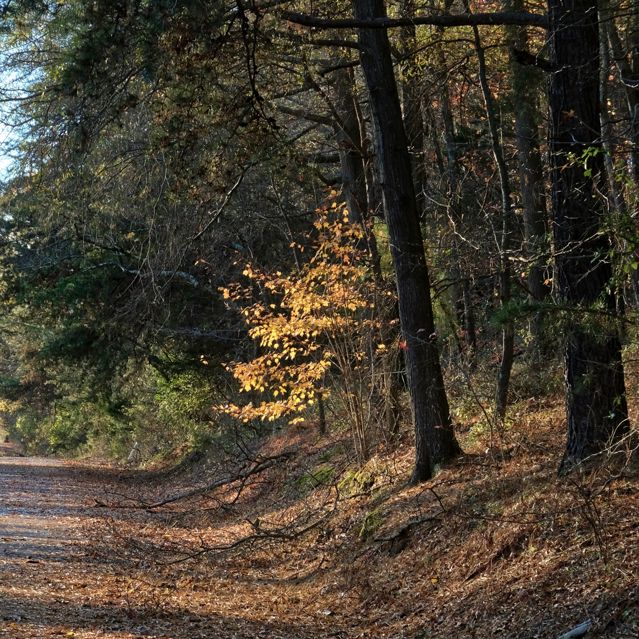 It was a clear and crisp autumn day. The Autumn colors were almost gone in some places.
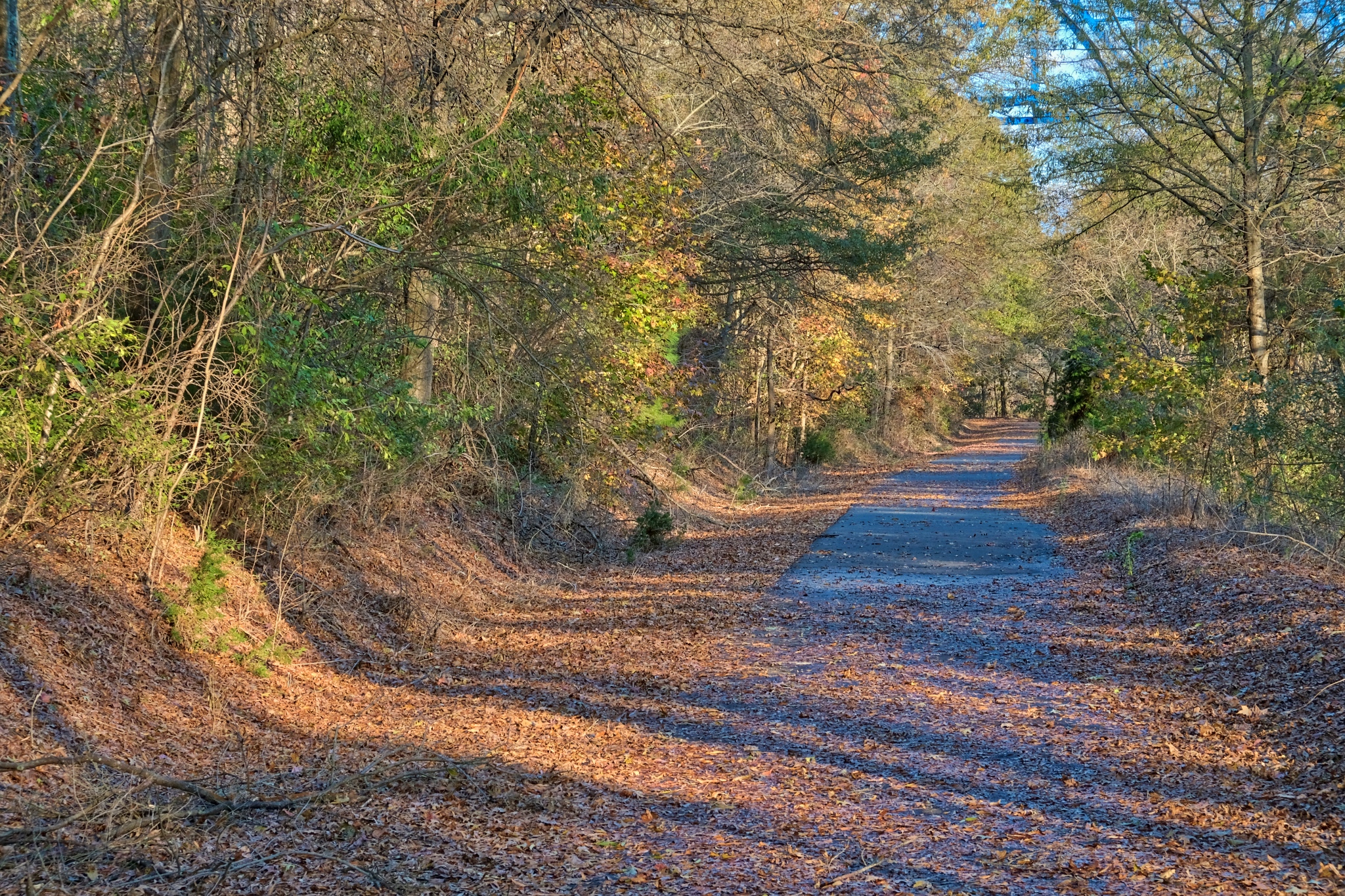 A big winter storm came through Delaware a few days earlier and blew most of the colored leaves off the trees.
 There is a bike path, and above it, an access/service road.
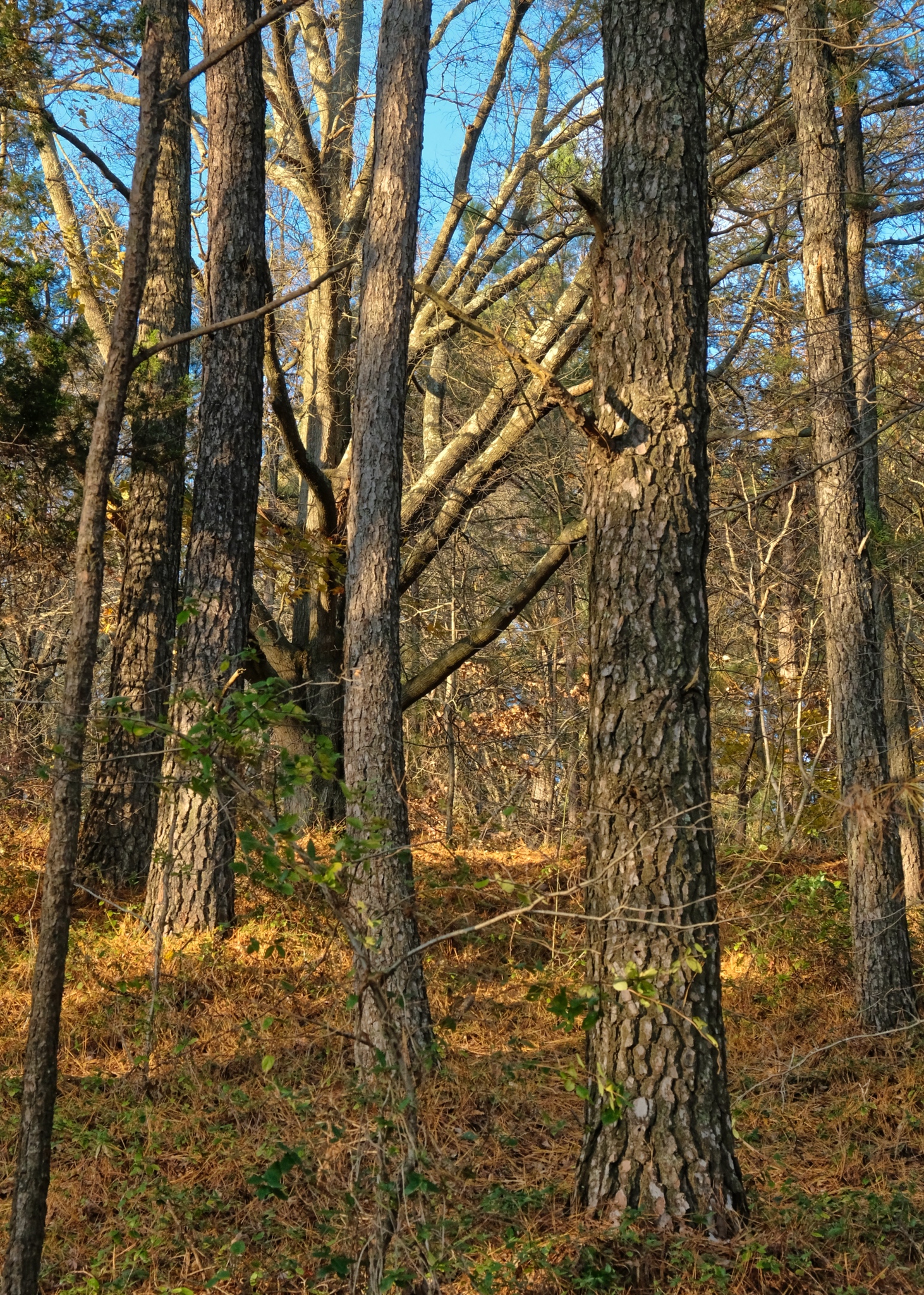 Ah! Autumn. I have seen the Fall from across the USA: from the High Sierra of California, through Utah and Colorado, to Texans and now into the Northeast.
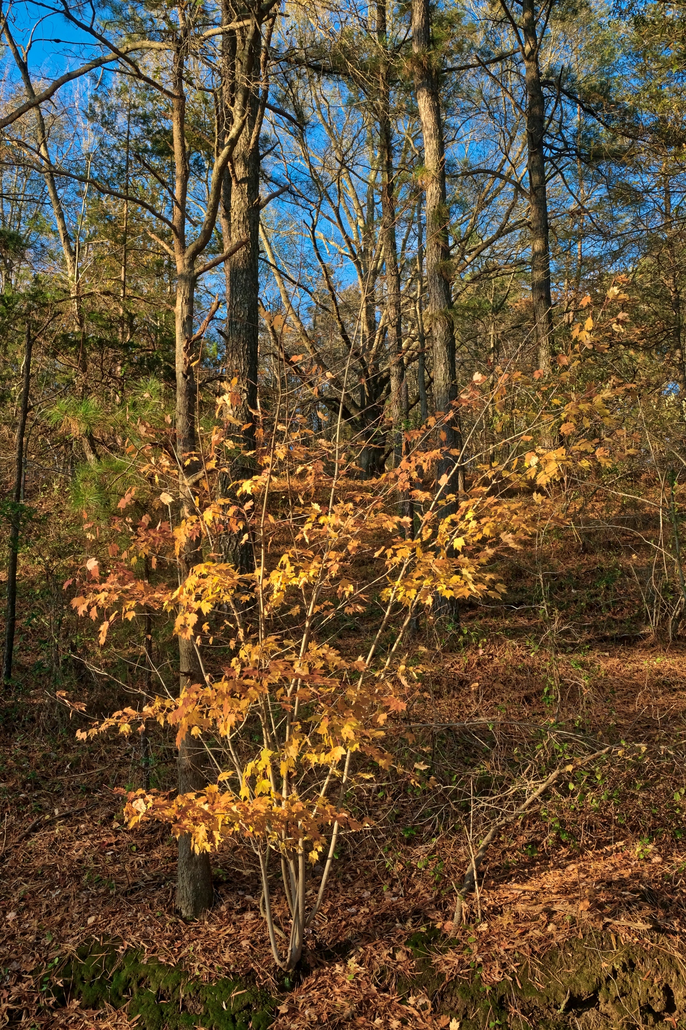 A beautiful Autumn day.
 I miss these kinds of woods after so many years living in the tropics.
 Such clear air and perfect light . . . these kinds of scenes can be very difficult to photograph.
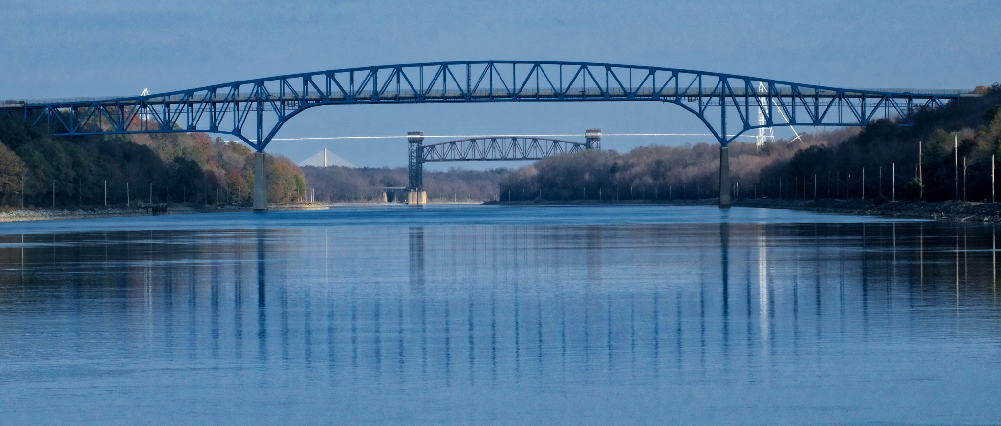 My first gimps of the Summit Bridge over the canal.
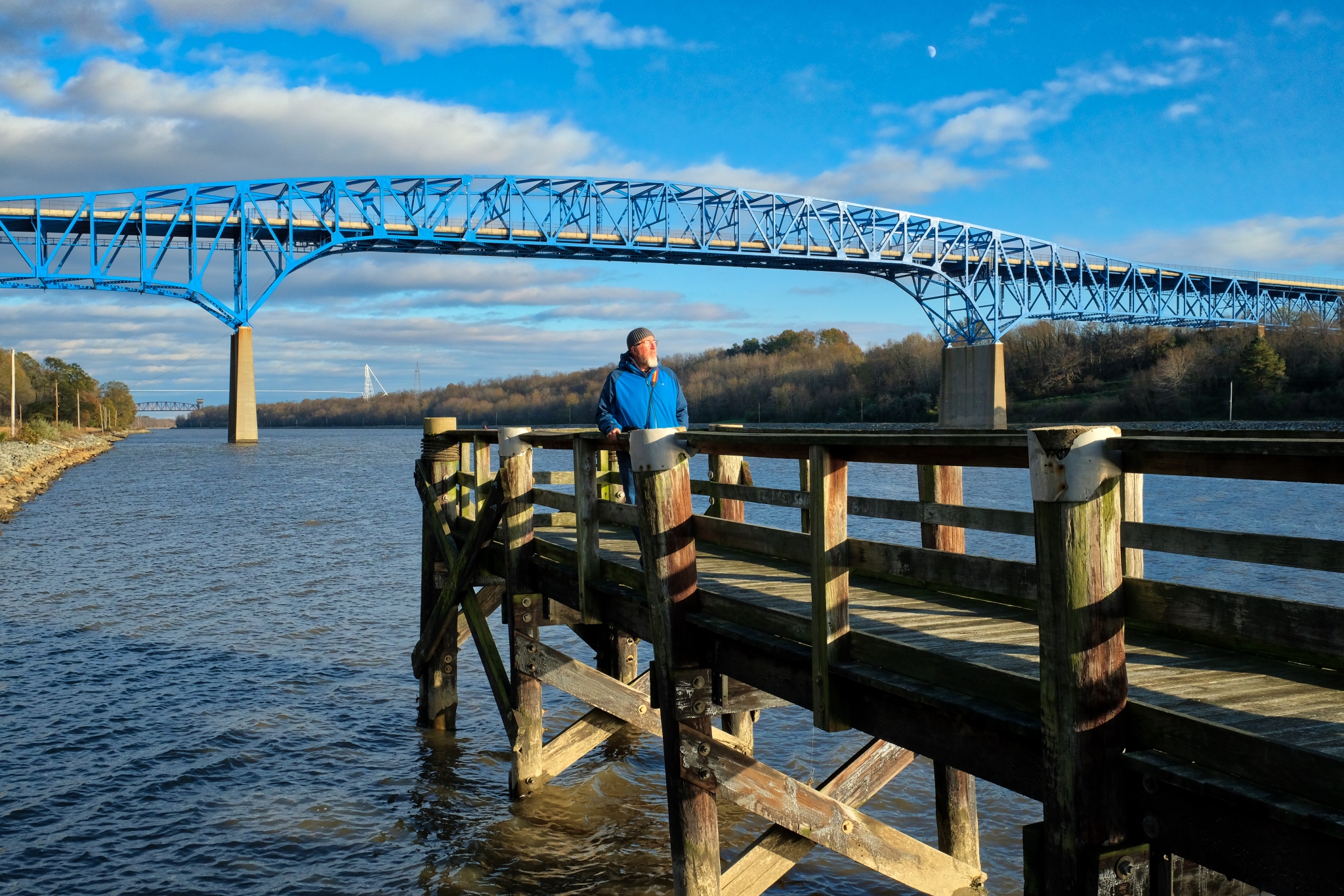 I took the opportunity of the railings on this old pier to take a few self portraits. Cold to the bone.
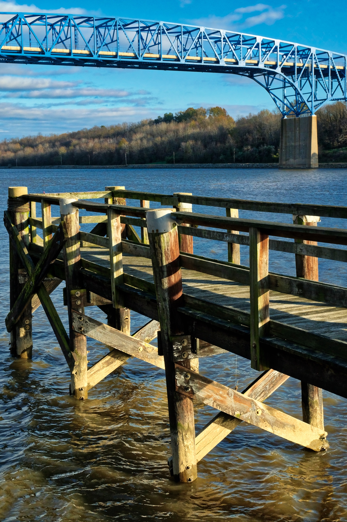 Such a photogenic scene.
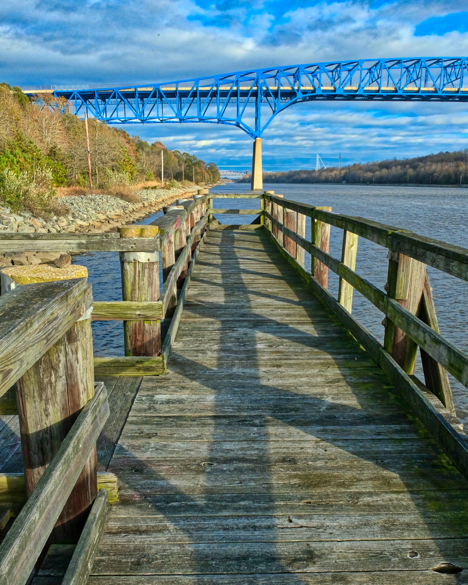 I had fun composing various shots and angles.
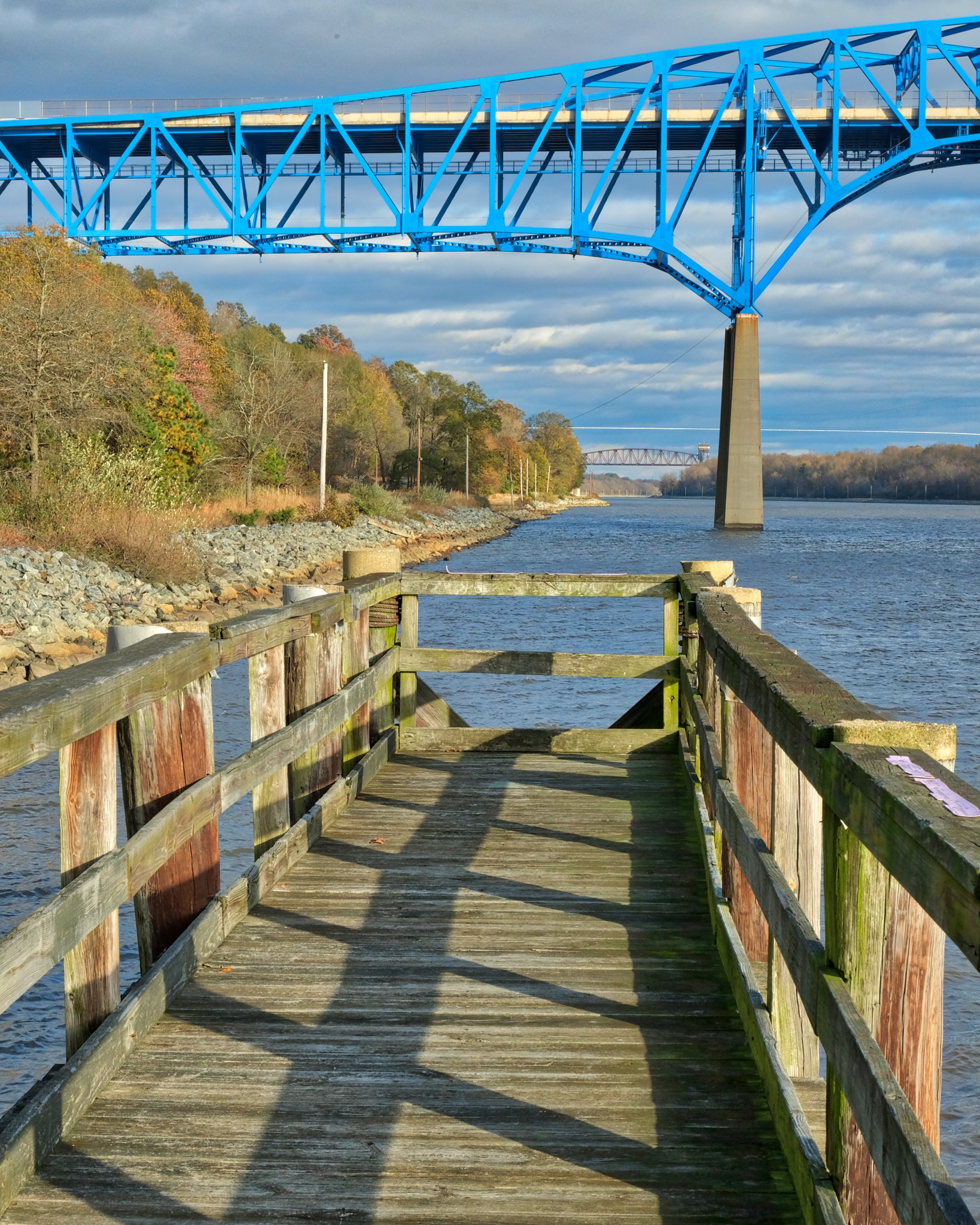 The sun came out from behind the high clouds at exactly the right moment.
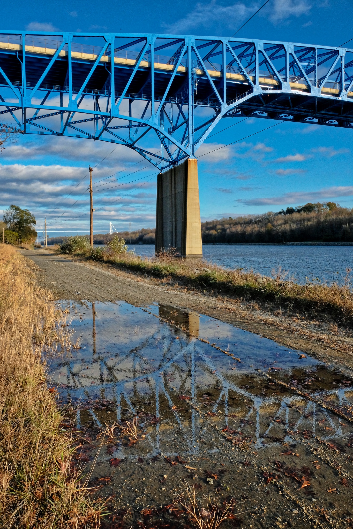 Standing water allowed a nice reflection.
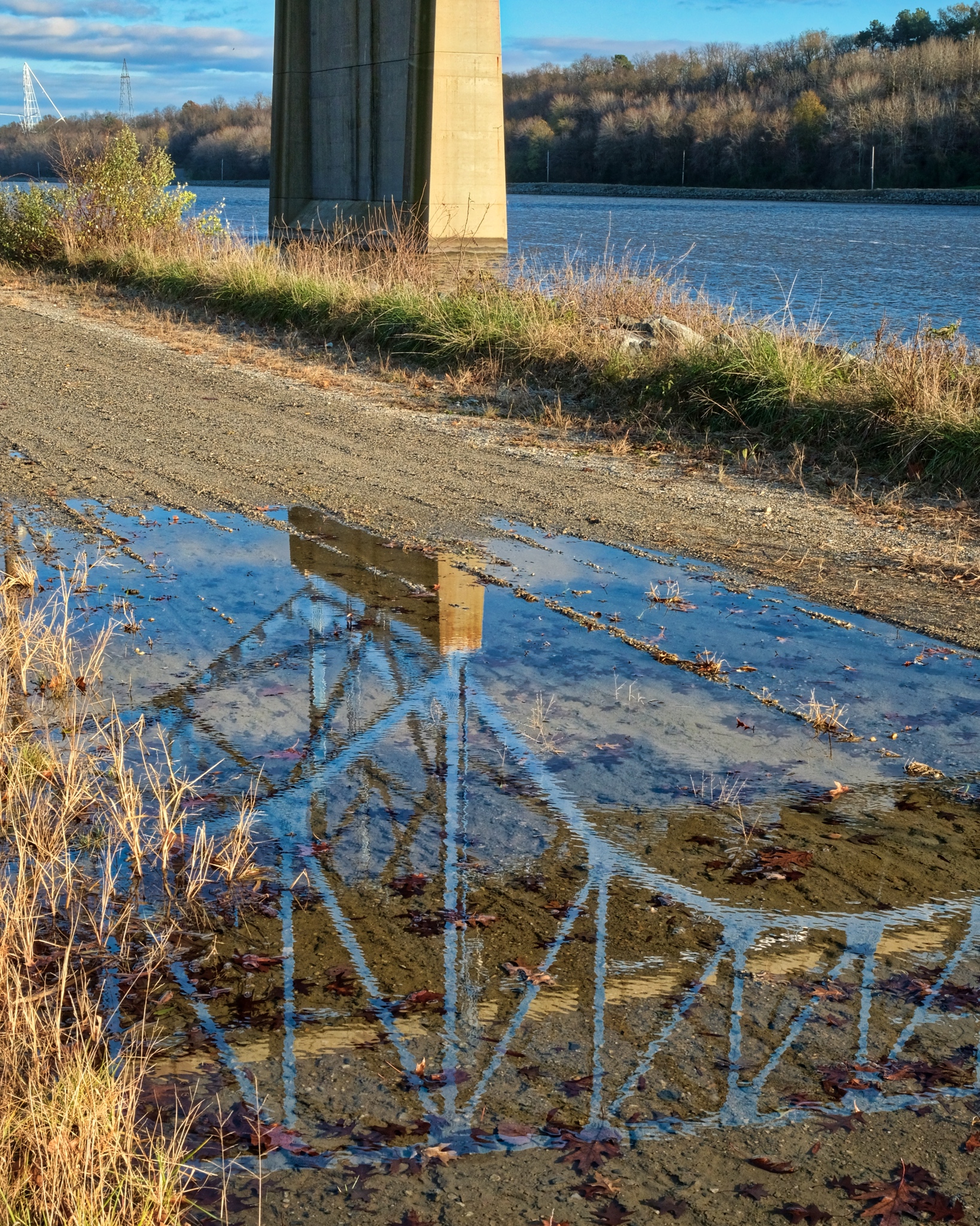 It is a strange experience standing under such a huge man-made structure while out in a natural setting. Like some other, and very large, creature has been here and built the thing.
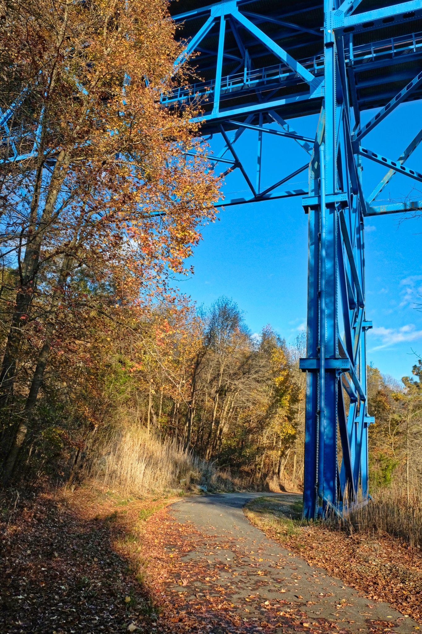 The bridge supports seemed too small . . . .
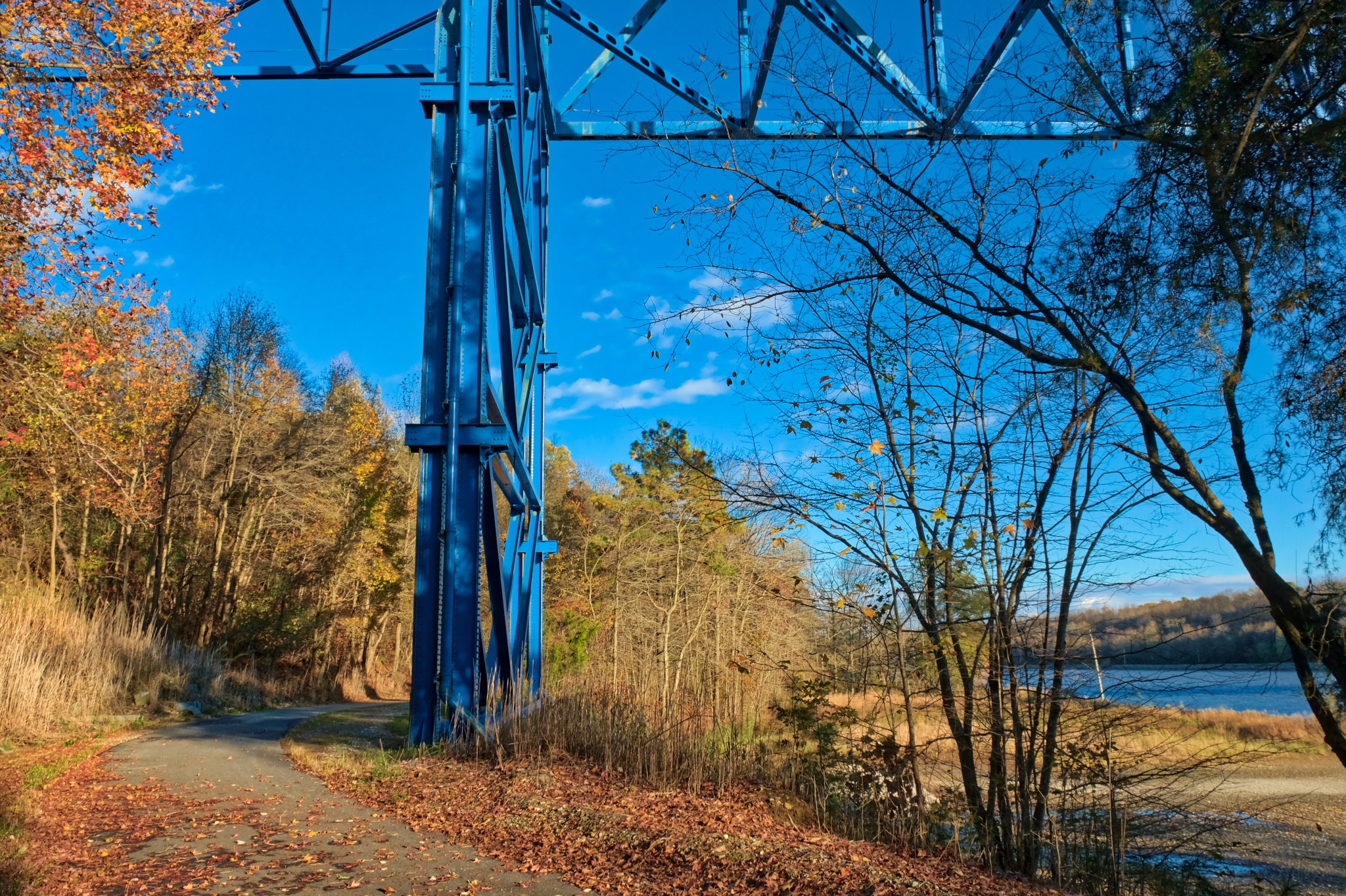 I will come back tomorrow with my bike and explore further up the path.
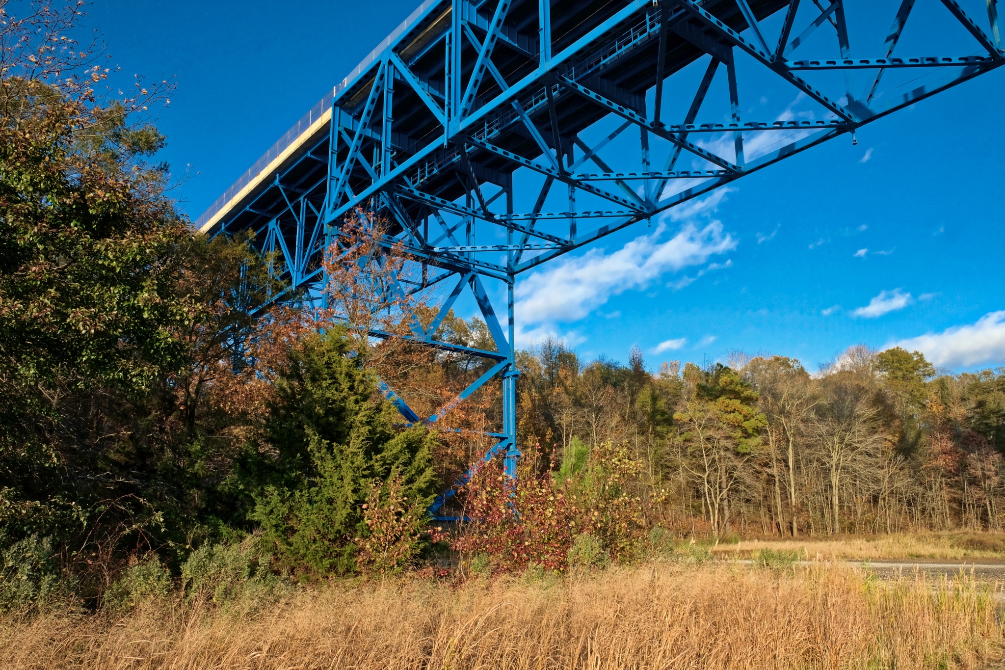 Surreal bridge rising above such a beautiful Autumn forest.
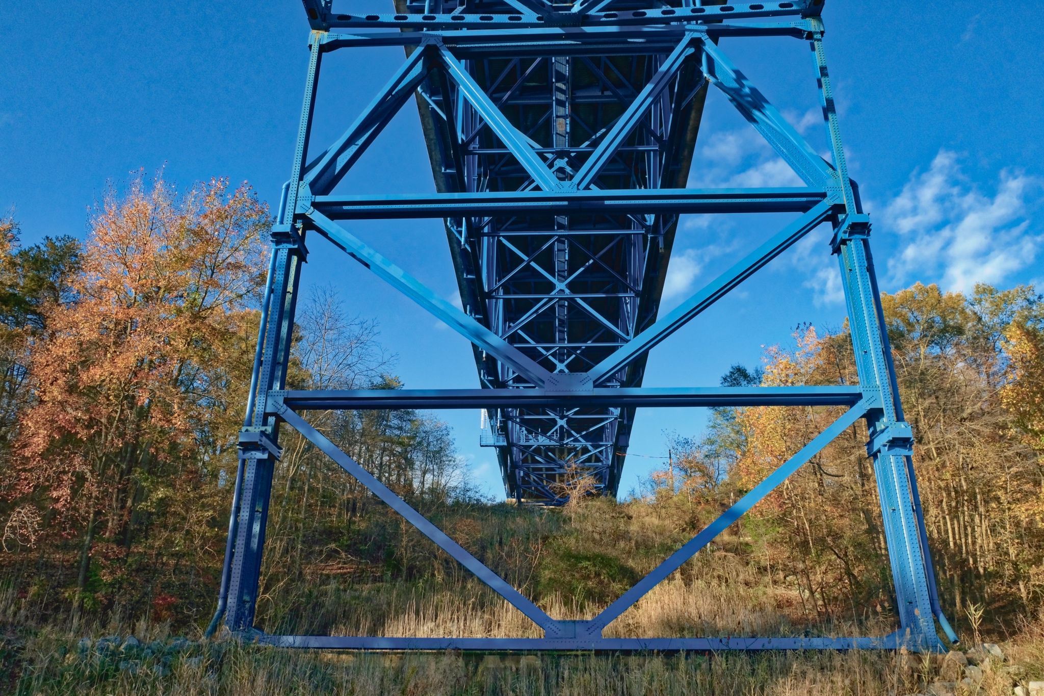 Directly under the bridge . . . I could hear the amplified noises of the cars and trucks speeding overhead. I turned around at this point and walked back into the sun.
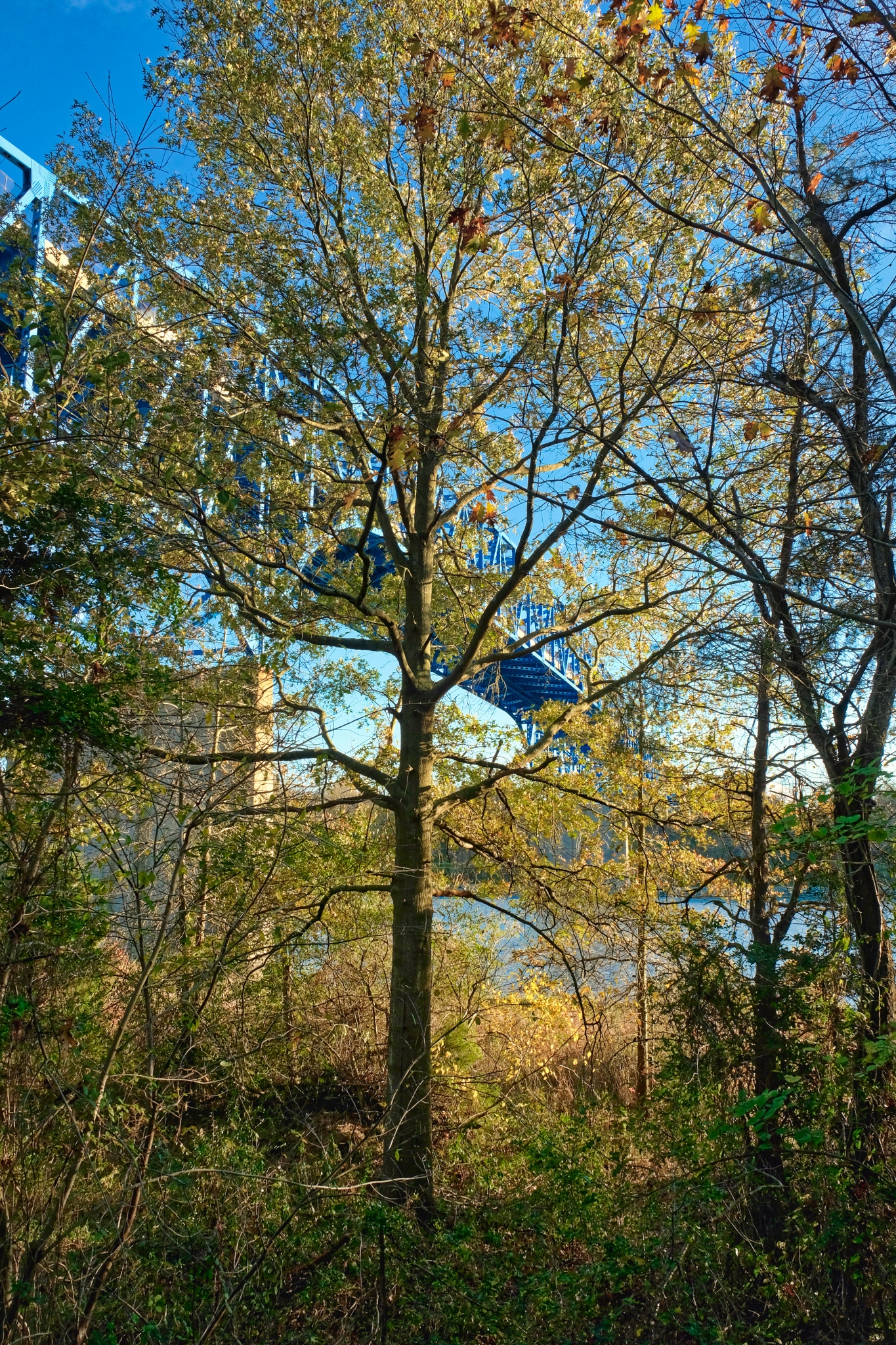 Such a marvelous spot.
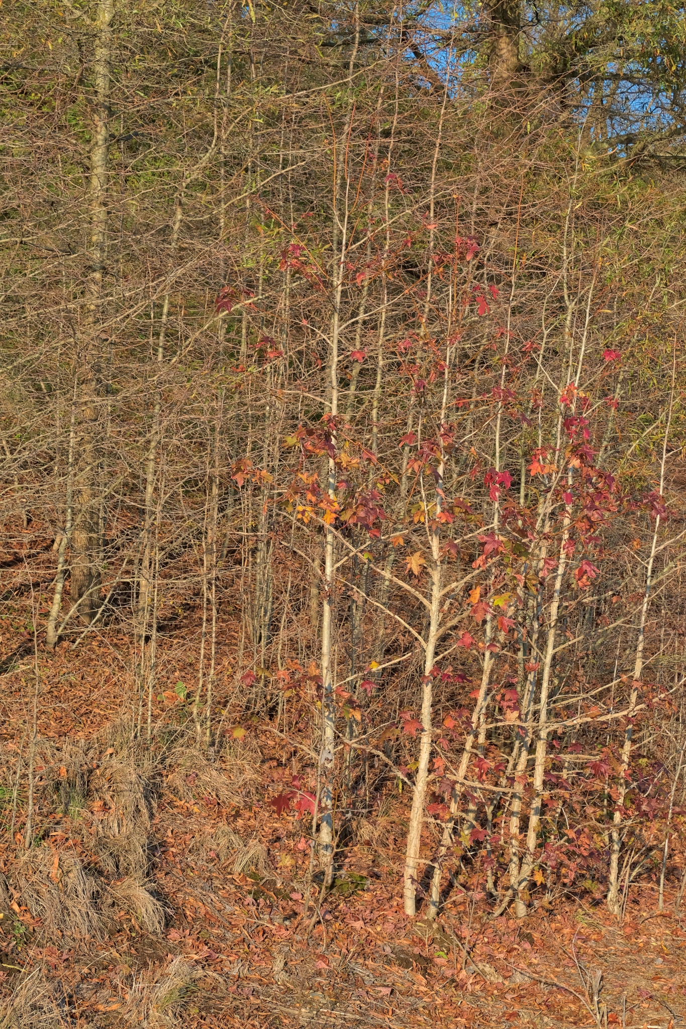 The underbrush was very dense in some places.
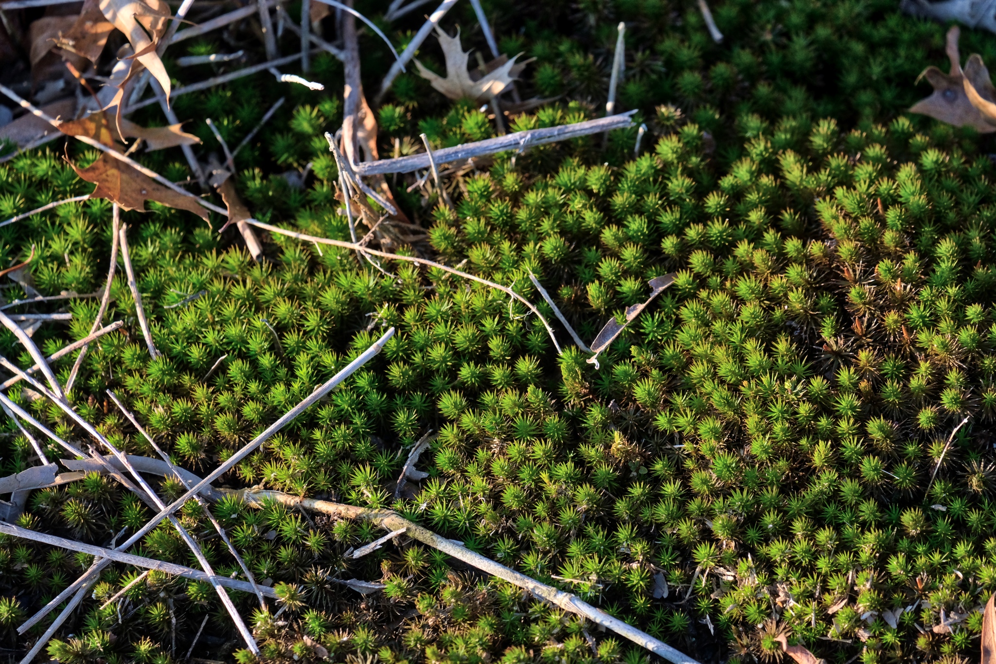 Plants employ different strategies for survival. These little green mosses are taking advantage of the lack of tree shade for a quick growth spurt before the frigid winter arrives.
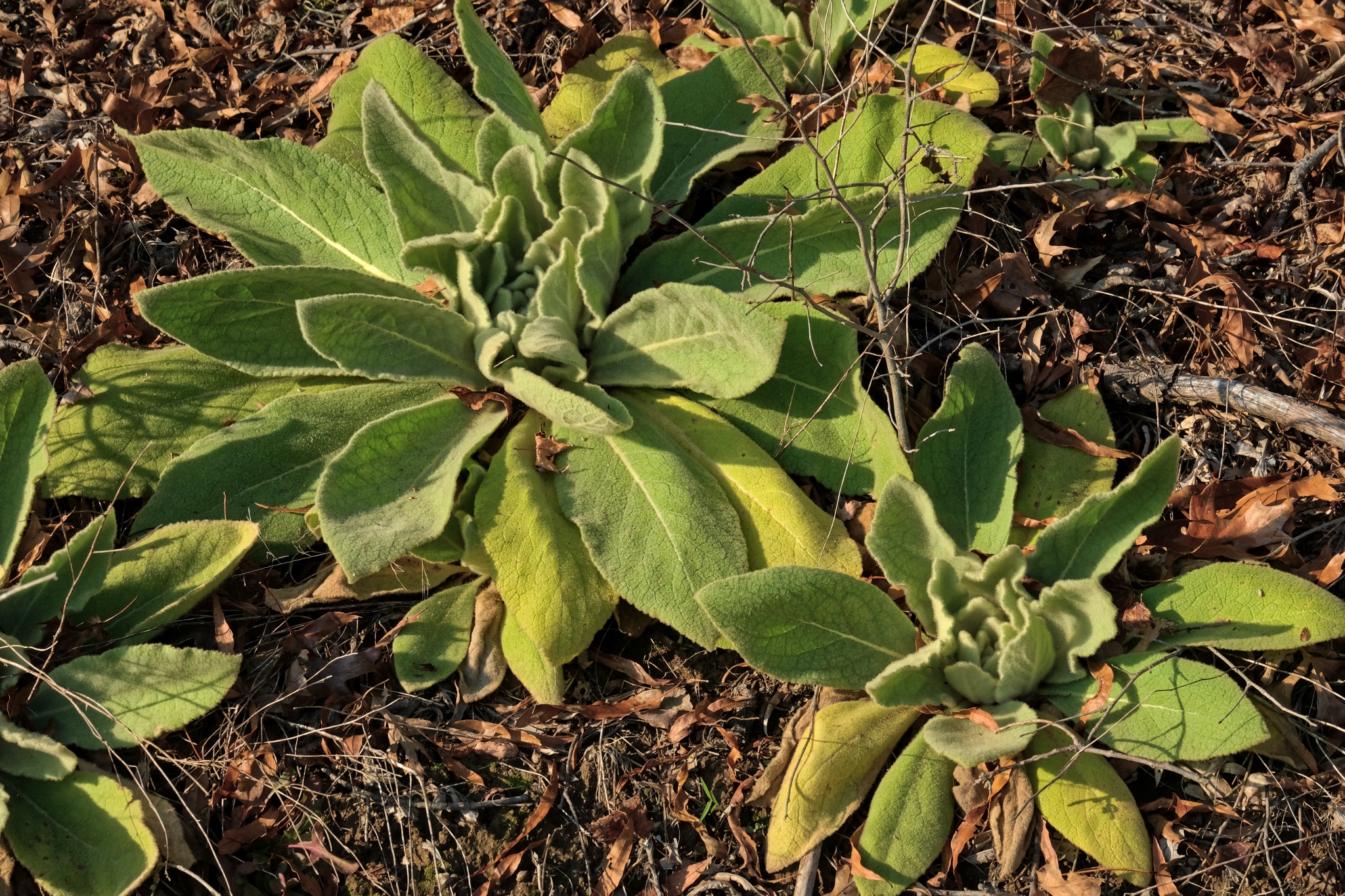 I cannot imagine these lush plants lasting the winter . . . but they are thriving now.
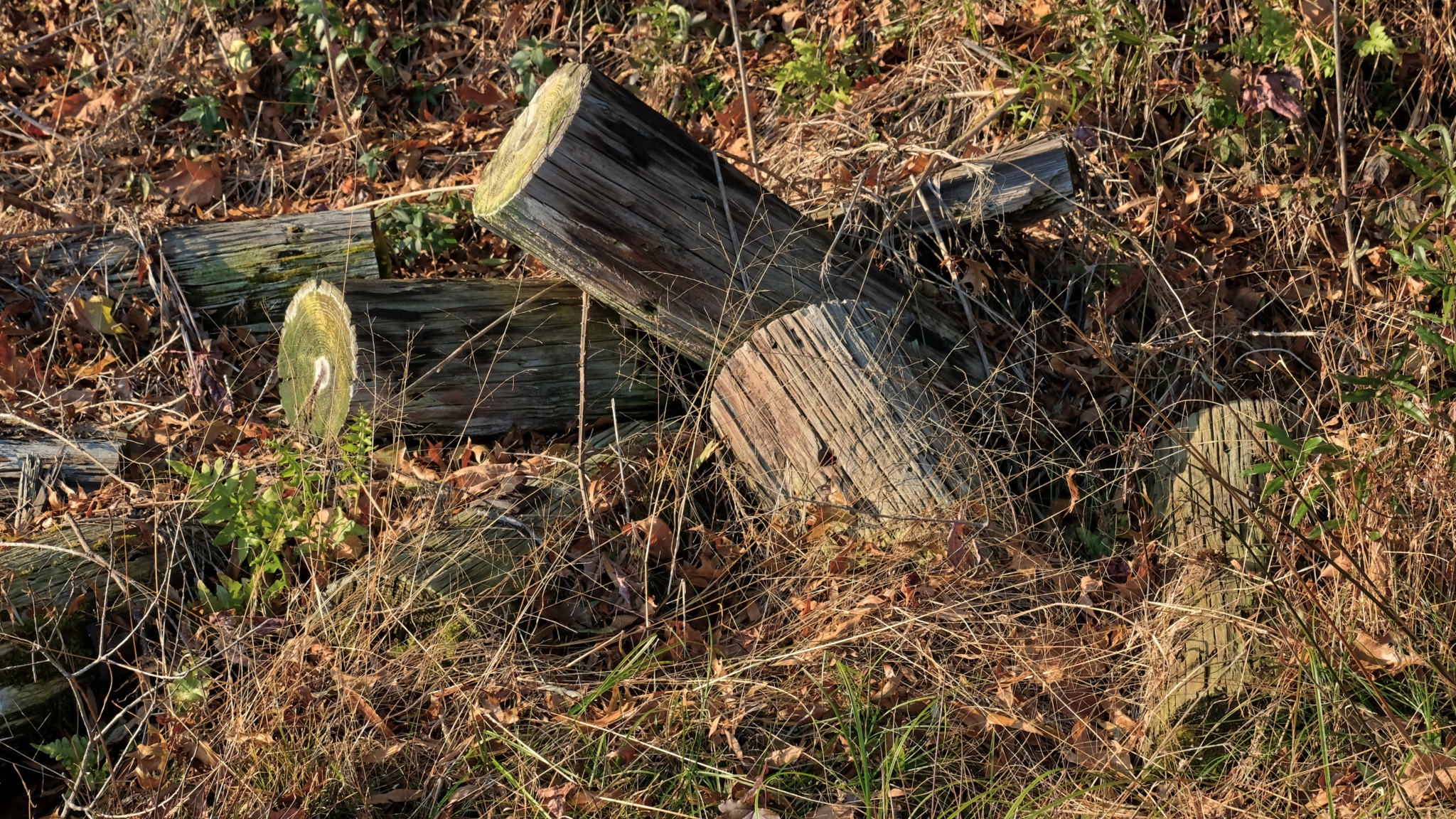 Cut and bucked . . . but left behind.
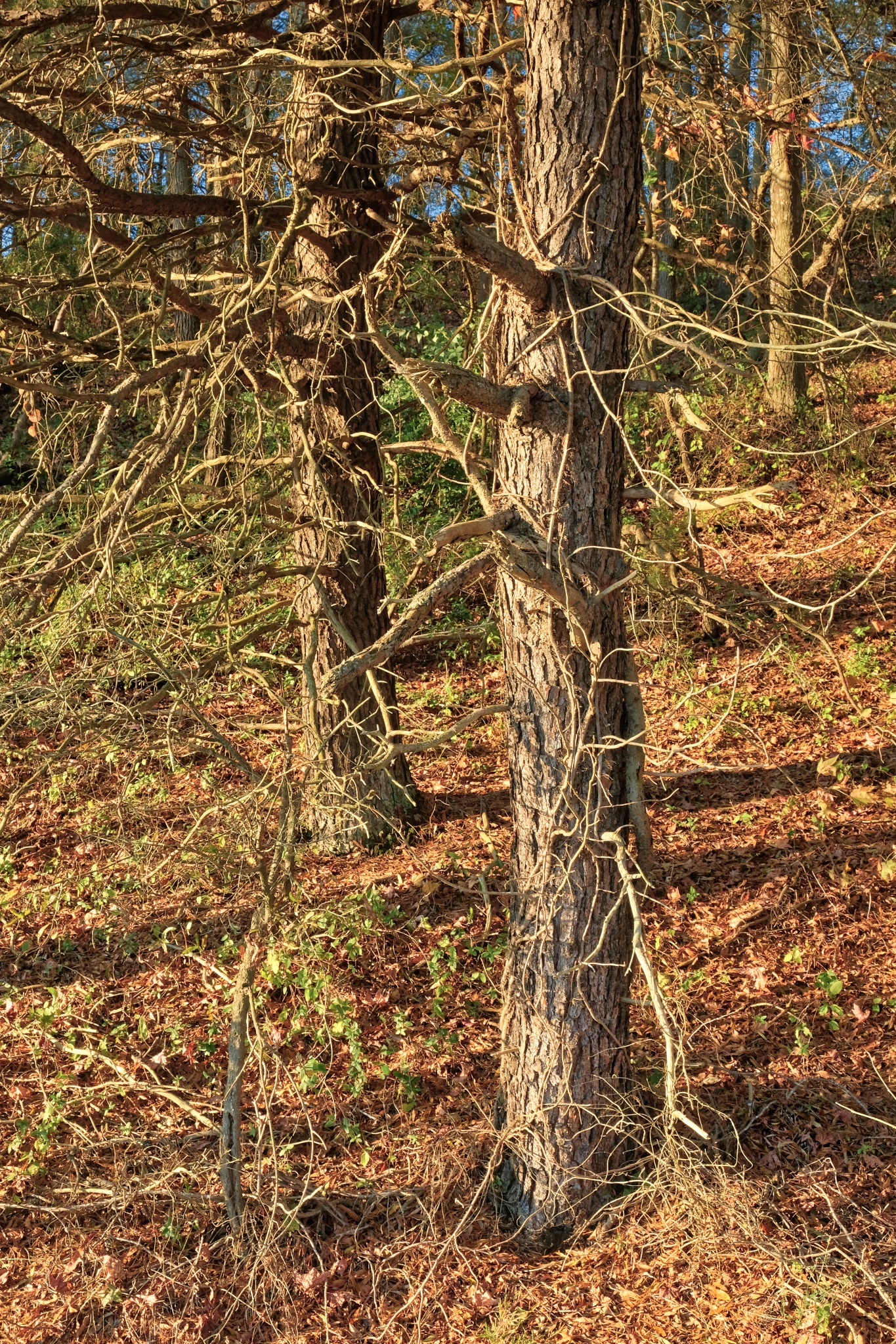 The 'magic hour' arrived . . . lovely honey colored light makes everything beautiful.
 A few boats made their way back along the canal to their moorings.
 The canal was built in 1839 as a short-cut between the Chesapeake and Delaware Bays to shorten the time for ships and barges between Philadelphia and Washington, D.C. However, it is also used by pleasure craft and small fishing boats as well.
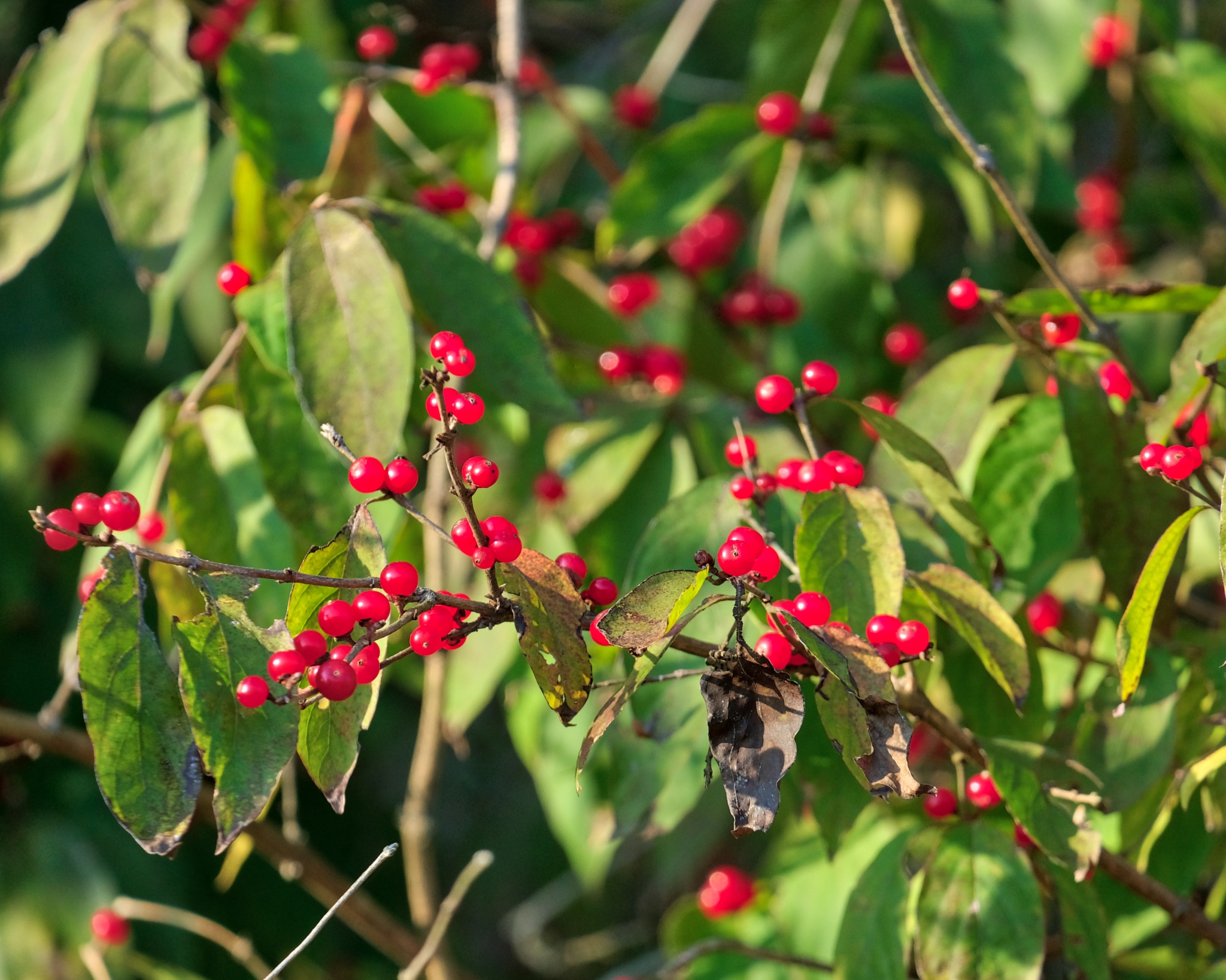 The last of the red berries . . .
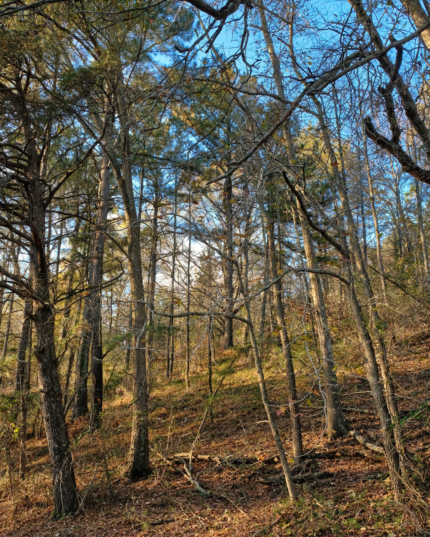 The Autumn forest . . . .
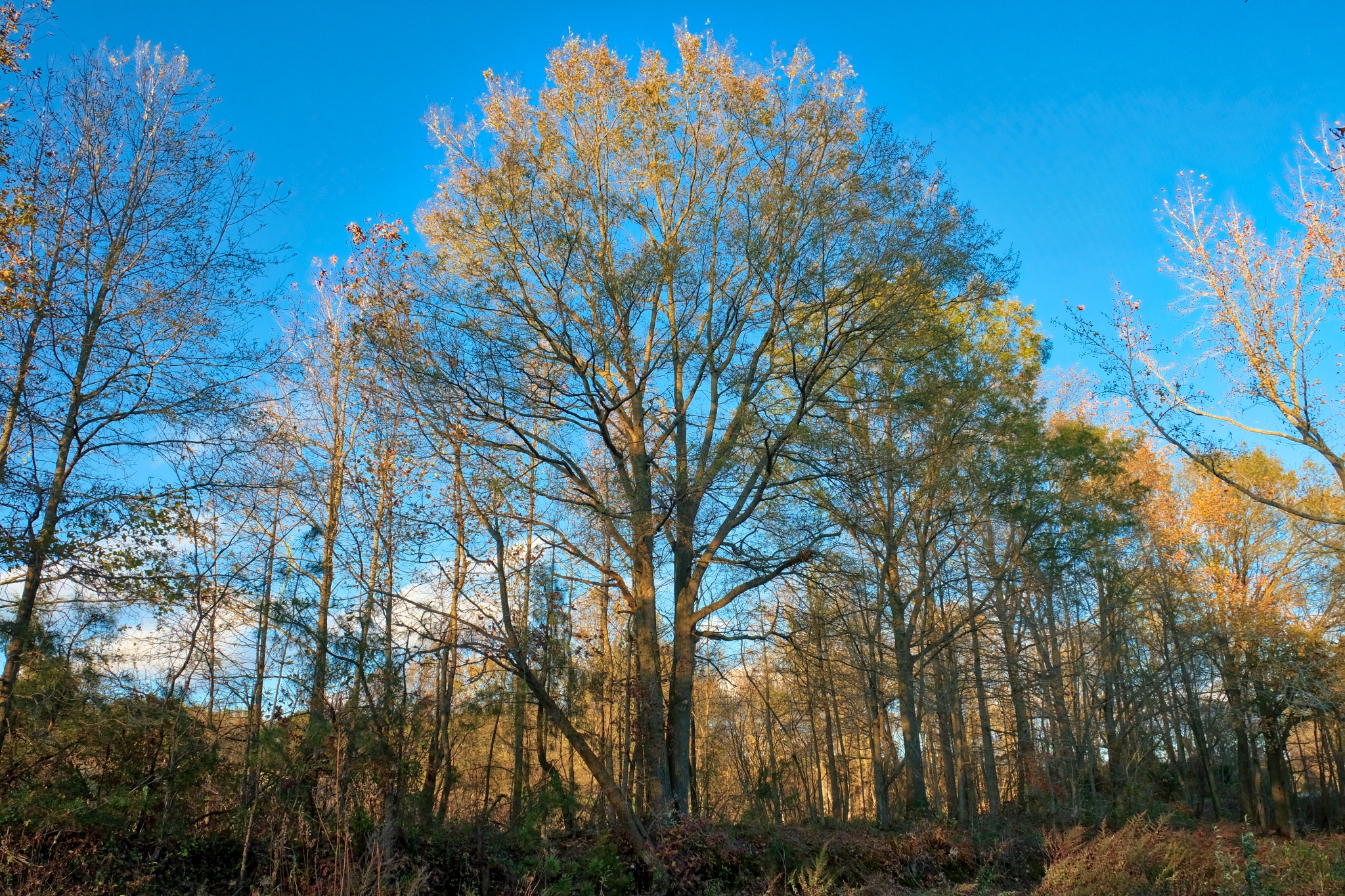 Nearing my camper the sky and trees stood out more sharply from each other.
 An Autumn hillside in late afternoon.
 Yummie color!
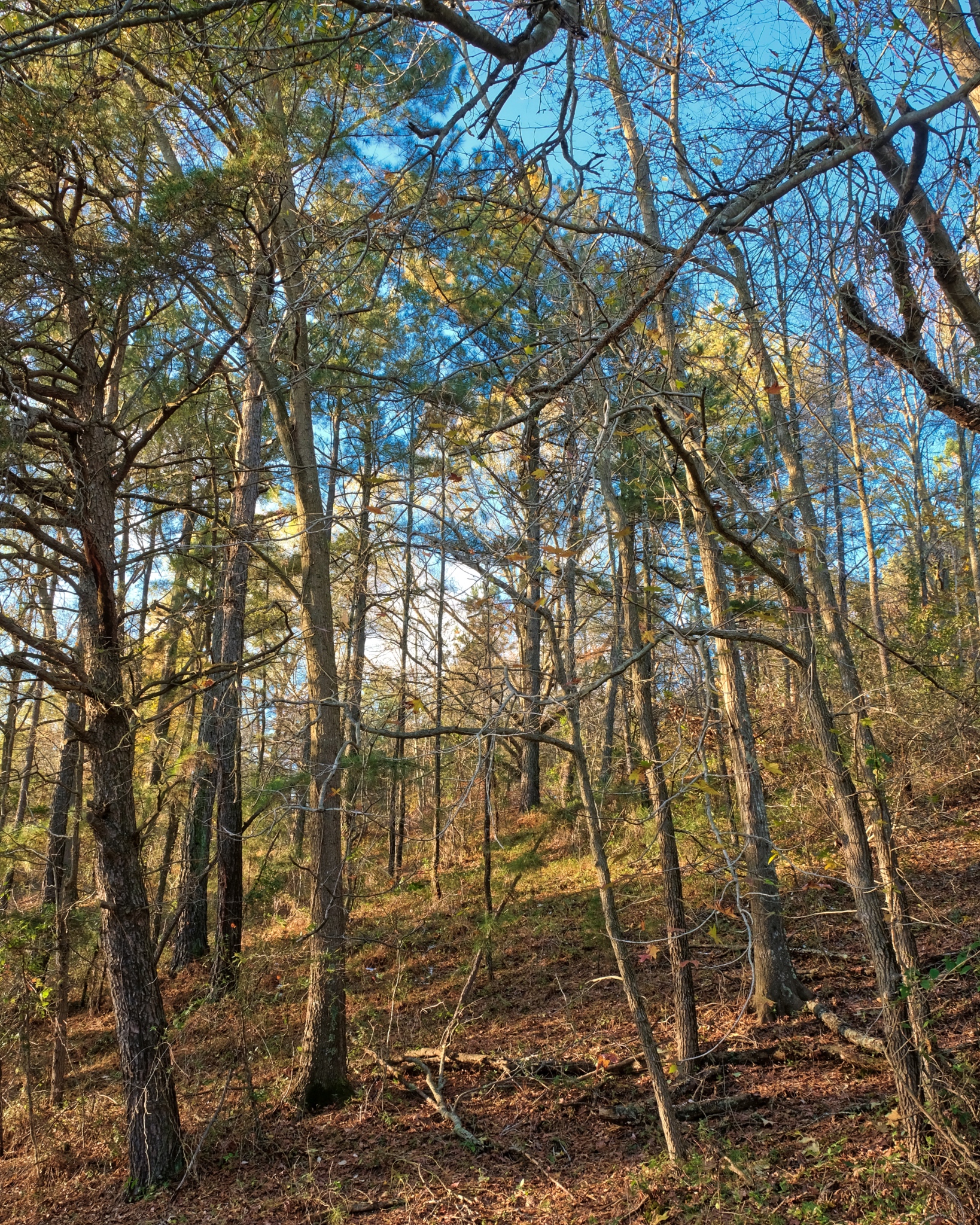 That sky!
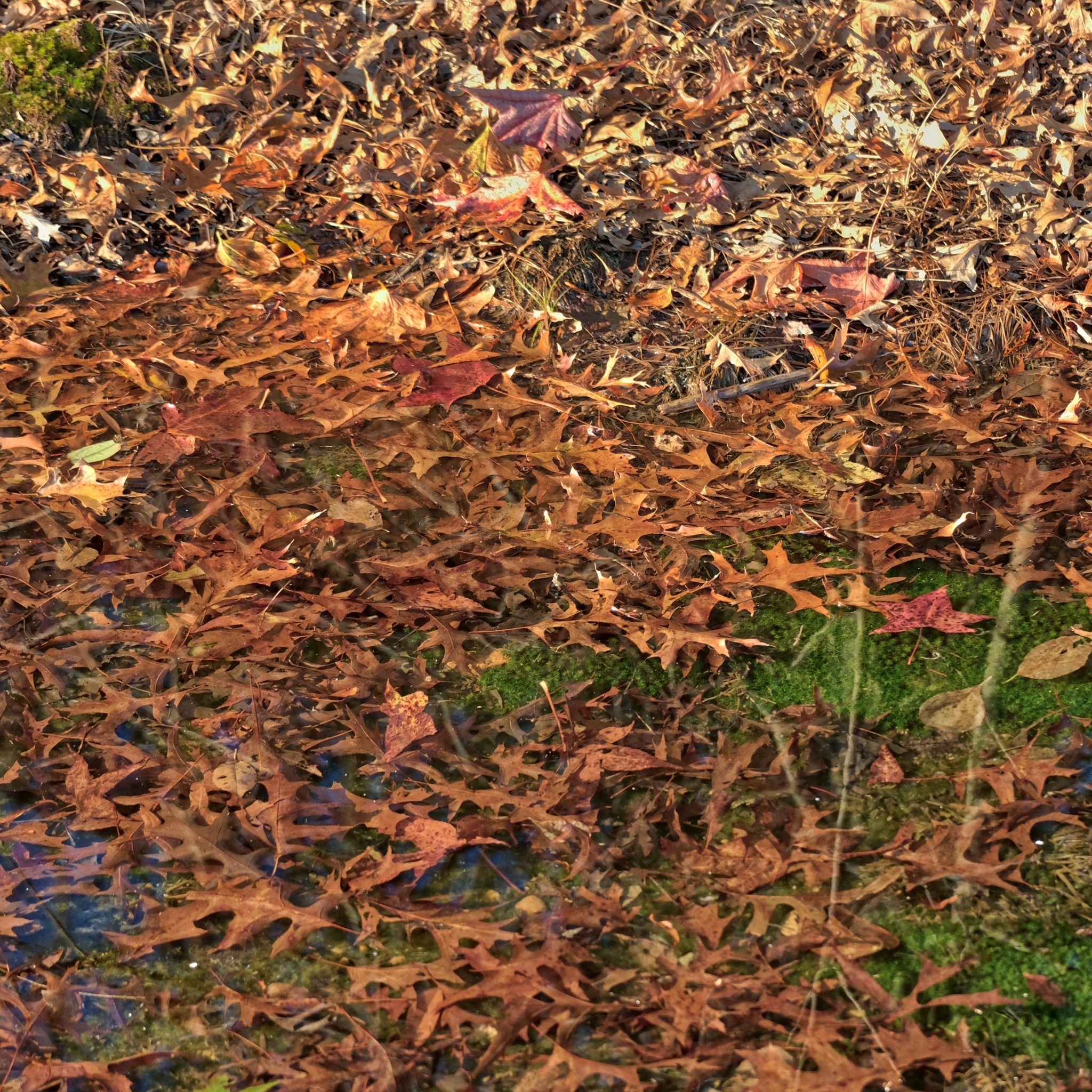 Autumn leaves . . . under water.
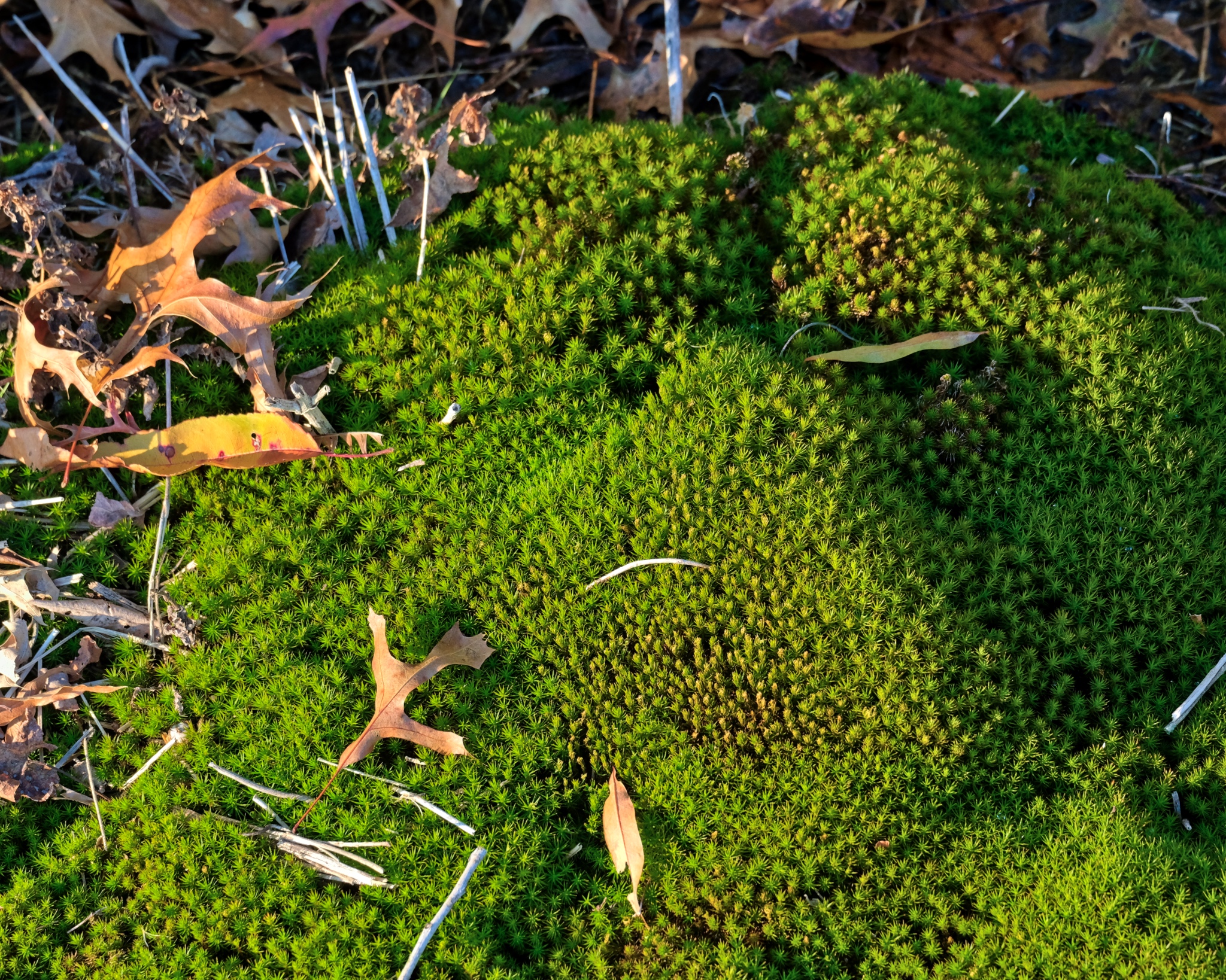 I love these winter green mosses.
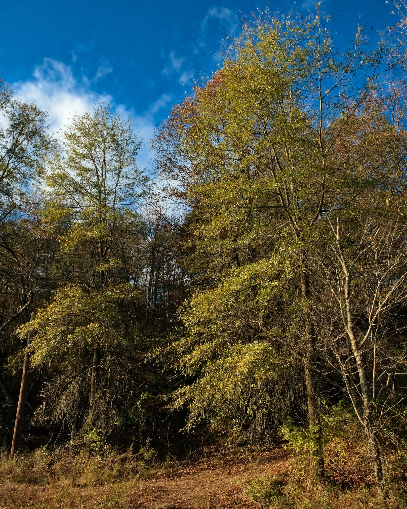 Autumn trees and sky.
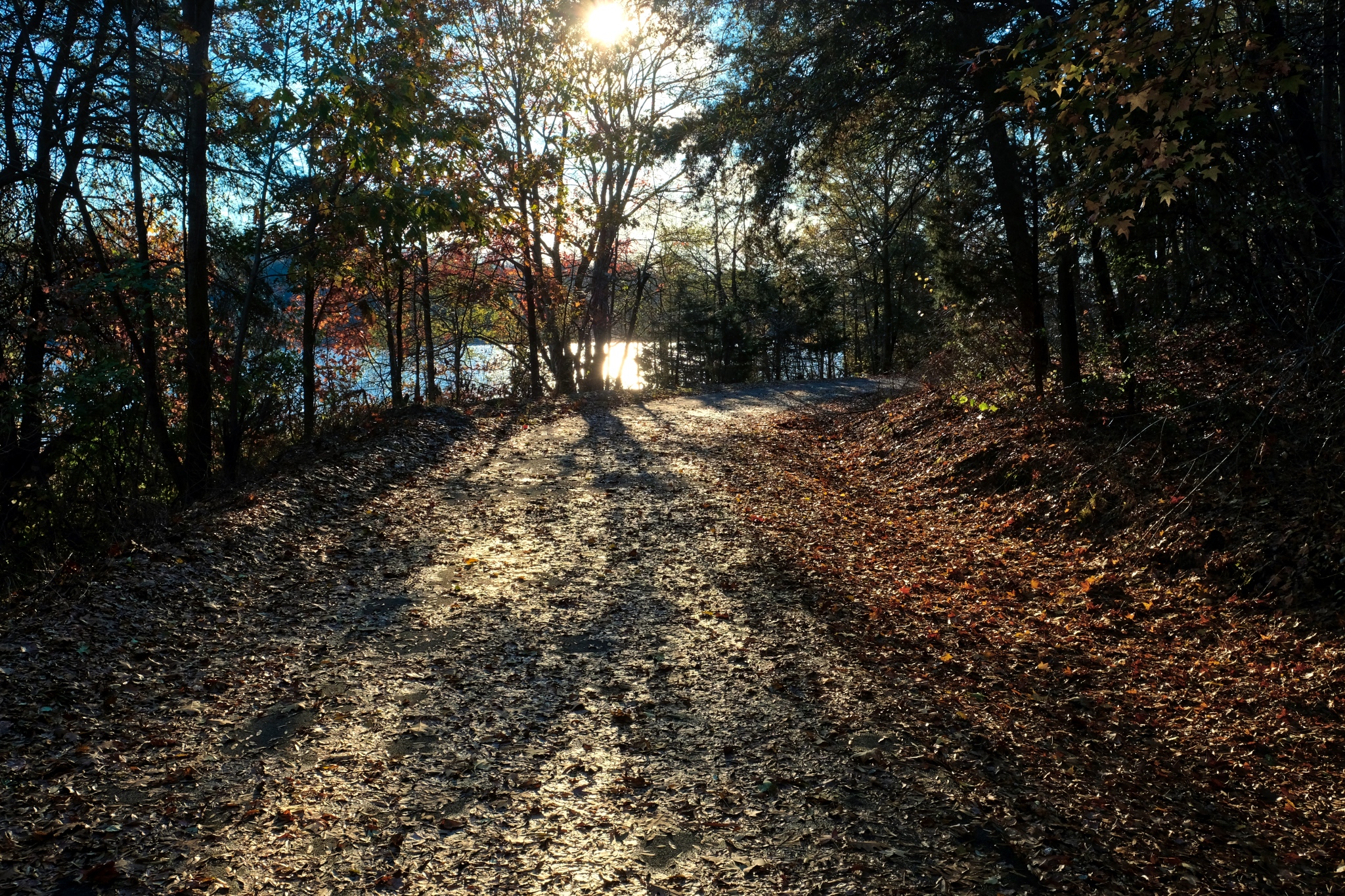 Such a fine Autumn day.
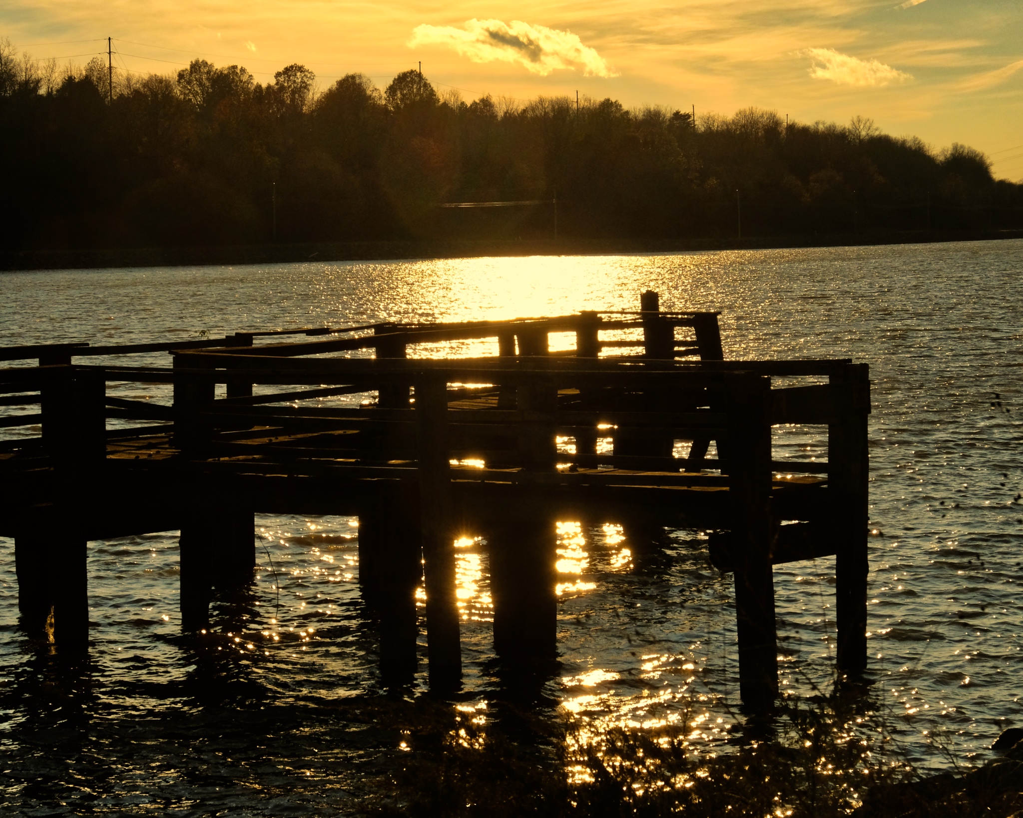
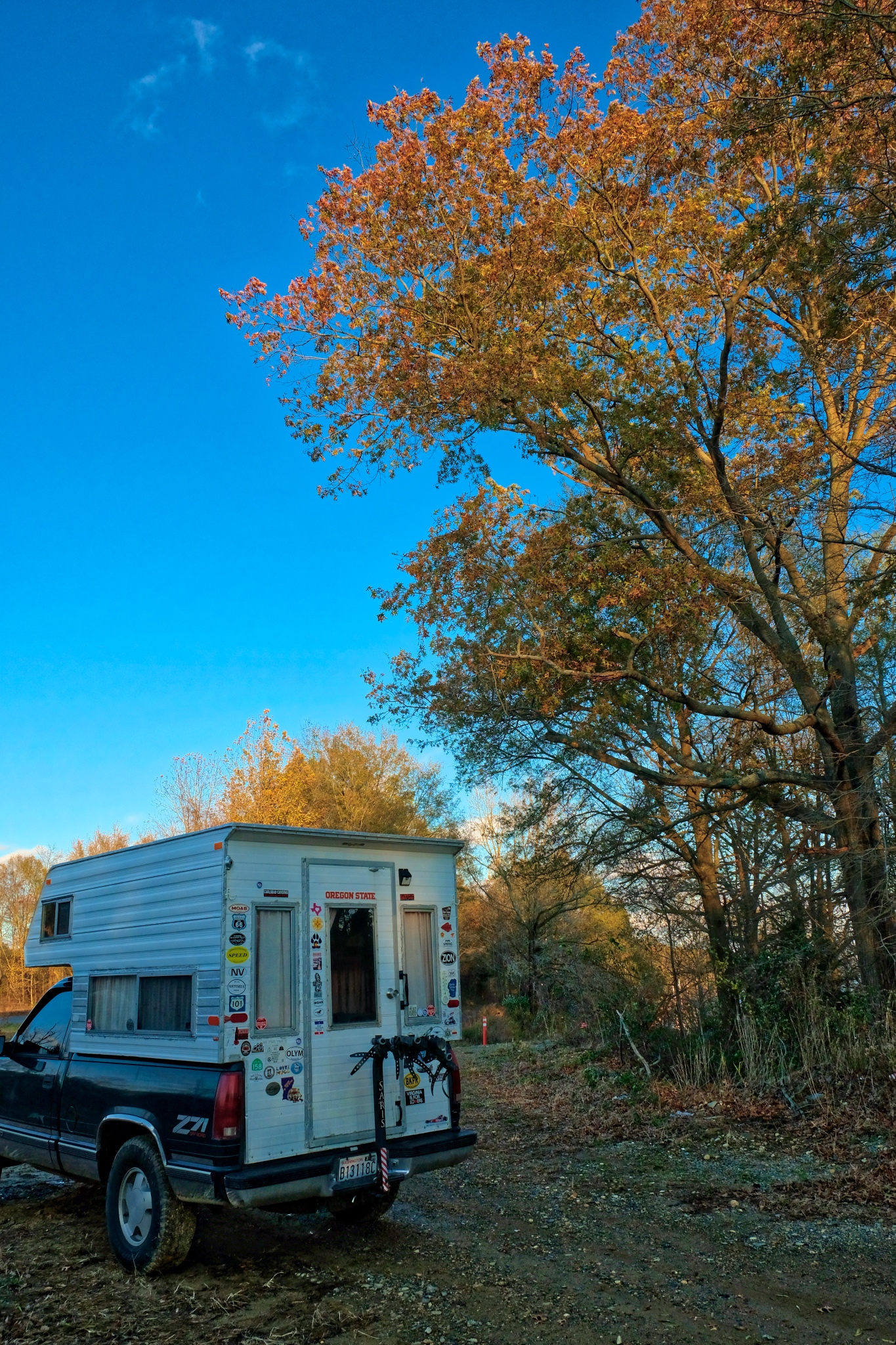 The old truck and camper have served me well.Dr. Jeff Harper
Bonus Photo: Your intrepid travelling photographer contemplating the absolute meaninglessness of existence.
Dr. Jeff Harper
Iron Hill Park in Winter on Christmas Day 2018
 I had never been to Delaware before this winter . . . .
 The Delaware woods are unlike any forest I have ever seen.
 My daughter's family felt that after so much food and drink over the holidays, we needed a nice long walk.
 Iron Hill Park is not an especially large state park, but it is fabuluusly beautiul.
 The forest varies from widely spaced trees, to rather thick stands.
 And here an there a dense, impenetrable thicket of trees.
 The terrain is not flat . . . dips and hills describe the landscape. Nice for walking.
 Many trails crisscross the airy woods.
 Such a strange and beautifully spiritual place.
 A favorite summer swimming hole visible only in the winter.
 40(f), clear and calm. Such a pretty place.
 These are the places photographers die for!!!
 Only a few very large trees to be seen.
 We spent a fine couple of hours just wandering in the quiet beauty.
Road Trip USA: Steens Mountain, Oregon


 The road ahead . . . phone poles and mirages. (Color caste is from tinted front windshield.)
 A road to forever.
 To get to The Steens from my base in western Oregon (Keizer) meant I had to drive across the Eastern Oregon high desert.
 Eastern Oregon has a very special barren beauty. It is anything but empty.
 A failed homestead in Eastern Oregon.
 The further east and south I went in Oregon, the more mountainous the countryside became.
 The road to The Steens passed nearby the Malheur National Wildlife Refuge . . . a vast plain of colorful wetlands.
 I drove nearly all day under cloudy skies, but when I stopped to take photos of the Malheur Basin the sun shown through. Extraordinary color and pattern. This photo has not had the color bumped!
 The beauty of the Malheur Basin.
 I worried it might rain . . . it never did. The clouds and the wind blew away the wildfire smoke that pervaded the entire western third of the USA over the summer.
 At last I arrived in The Steens!
 The tiny old cowboy town of Frenchglen is the front door to the Steens Mountain Loop. The Frenchglen Hotel is a listed building that still operates as a hotel to this day - you will want to book well in advance. I went there for lunch one day (more on this later). My goal was the Jackman Park Campground up 20 miles of washboarded gravel road.
 The flora changed from high desert scrub . . . .
 . . . to sparse grasses and rocky soil.
 Driving up a lower section of the Steens Loop.
 I arrived here just before dark . . . my campground was down in that stand of aspen trees!
  I found this campsite and quickly unpacked the camper and made camp and went straight to sleep. I woke in the middle of the night, as old men do, to see more stars in the black sky than I have ever seen in my life!
 My campsite in the morning . . . very dry . . . and very quiet. There were only 8 camping spots in the campground . . . and only one other was occupied, although I never saw or heard them. The next two nights I was the only person there.
 With the help of my good friend, Jeff Milligan, I carefully selected my camp gear. This was my set-up everywhere I went (except sometimes I used my own table when there was none provided.) Coffee is very, very important.
 After breakfast I took a short walk in the aspen grove that surrounded the campground.
 I could not explain why these aspens were all twisted.
 After clean-up, I drove up the loop to near the edge of the East Rim . . . and Kiger Gorge.
 The Steens Mountain Loop road is normally closed due to deep snow from late November until late May. This is the very last bit of snow left on The Steens in early September 2018.
 I loved walking along the path on the edge of Kiger Gorge . . . looking down into amazing and grand scenes of Nature.
 It is nearly 4000 feet to the bottom of Kiger Gorge. An incredible view.
 Magnificent geology.
 Steens Mountain wild flower against Kiger Gorge.
 I left Kiger Gorge along the Loop Road, hugging the great escarpment. I love this road!
 There are several points along the Loop Road where you have a grand view of the Alvord Desert below. Unfortunately, the massive wildfires in the western USA left thick smoke at lower elevations, obscuring what is normally a panoramic view. It is, nevertheless, a wonderful sight.
 Craggy cliffs form the eastern edge of the great hinge fault that made Steens Mountain.
 Photographically, perhaps the wildfire smoke helps define the rows of sharp ridges . . . .
 This is why I came back to Steens Mountain: this is the view I had in my memory for 30 years . . . . now renewed.
 Driving along the Steens Loop Road toward Wildhorse Lake.
 The road to Wildhorse Lake had marvelous views of Lower Indian Creek Canyon.
 The view from the Wildhorse Lake parking area . . . .
 At the southwest point of the Loop Road is Wildhorse Lake (aka, Alvord Lake). Magnificent, smoke and all.
 Wildhorse Lake. If you look closely you can see a trail to the lake . . . and two small tents on the lakeshore.
 Again, the views from the Wildhorse Lake overlook down to the Alvord Desert were fantastic, in spite of the wildfire smoke.
 I sat here for quite awhile . . . enjoying the grandeur of this actuality.
 I walked out on the Jeep trail I came on . . . a road to the sky.
 Back in the camper and along the rim loop road . . . incredible views wherever I looked.
 At the southern end of the great Steens hinge fault the road begins to wind down the escarpment.
 More ancient, deep glacial valleys fell out of the high plateau on the south end of the Steens.
 I stopped often to take in the beautiful scenery more closely.
 Majestic.
 Ancient trees cling to life and the cliffs.
 I turned back to my campground at this point, knowing that I would be driving up from Frenchglen along the south section of the Loop Road the next day. I was hoping that tomorrow would be clearer . . . without the wildfire smoke.
 I was treated to a beautiful sunset that evening.
 The next morning I woke up to find a camper van had arrived in the campground. As luck would have it, he was a professional photographer from Portland, Oregon. We met and chatted and I took him to the twisted aspen grove for a morning of photography in amazing light.
 Scrumptious morning scenes.
 I finally figured out why these aspens were twisted: There must have been very deep and heavy snow covering them when there ere very small saplings.
 Snow-twisted aspen.
 Morning magic light in a grove of twisted aspen . . . magic indeed!
 Before heading into Frenchglen, I took a three mile walk to check out this stand of aspen trees.
 The grove was fed by a small spring coming out of the hillside.
 I had read that sometimes the early Basque shepherds would camp in these groves and carve their names and their home Basque village names on the aspens.
 Such a calm and peaceful aspen grove.
 I found an old cast iron stovetop among the aspens.
 I found the Basque shepherd tree carvings.
 These carvings are said to date from the 1870s . . . nearly 150 years old.
 There were many of these small isolated aspen groves - each a world of their own. I wanted to explore all of them . . . but couldn't.
 I drove down off the mountain to the little village of Frenchglen.
 The Frenchglen Hotel is run by the State of Oregon and is an old cowboy rest spot. I had delicious home made lunch here.
 When I was last here 30 years ago this was an old cowboy bar and provisions store.
 The Frenchglen Mercantile as it is today . . . a general store and souvenir store with a gas pump (thank goodness!).
 The interior of the Frenchglen Mercantile had been cleaned up and reorganized since I was here. A few dollar bills were still on the ceiling as a reminder of the drinking games the old cowboys liked to play when it was still a bar.
 It is still a very interesting old space . . .
 Out front of the Frnchglen Mercantile.
 An old shepherds chuckwagon stands near the Frenchglen Mercantile.
 Imagine the old time reality of these Basque shepherds.
 I grove out on the paved Oregon Route 205 to the southern entrance to Steens Mountain Loop Road. I love this high desert landscape.
 Although beautiful, the southern portion of the Loop Road had awful washboarding. I was reduced to 10mph for 10 miles of bone-shaking and teeth-chattering driving. Perhaps they only grade it a few times of the year. I would check before you attempted it.
 The road eventually smoothed out and began to wind up into the edges of Steens Mountain. This is Indian Creek. I stopped for a leg stretching.
 Such an idyllic mountain stream.
 The babbling stream echoed against the canyon walls.
 The road climbed back up onto the high Steens ridges. The light today was the best since I arrived . . . the wildfire smoke was beginning to dissipate.
 I stopped often to take in the grandeur.
 More glacial valleys to the left . . . . and to the right of the Loop Road:
 . . . Big Indian Gorge . . . a glacial valley and source of Indian Creek. Magnificent!
 In the late afternoon 'magic light' overlooking this glorious glacial gorge. Overwhelming beauty.
 These cliffs! This light!
 Yellow lichen growing on the sunny side of Big Indian Gorge walls.
 The geology here was fantastical!
 A rocky spine jutting out above the gorge . . . and a path to follow. This may be my favorite photo from my Steens Mountain experience.
 Approaching the spiny outcrop.
 I took this photo from a bench next to a sign that said, "A Good Place To Meditate." Gotta Love Oregon!
 Looking out to the opposite cliffs of Big Indian Gorge.
 I took the path out to the end of the outcrop . . . . stunning . . .
 Nearing the tip of the spiny outcrop. I was overwhelmed with the natural beauty.
 At the very end was this old scrub tree . . . hanging on.
 The view up Big Indian Gorge from the outcrop.
 The next outcrop to the south.
 I took my time walking back to the camper along this path . . . composing photographs to take advantage of the extraordinary light.
 As the sun dropped lower toward the horizon, the colors became richer and richer.
 I enjoy taking photos of my camper in these environments . . . it's like pinching myself to prove that it is real!
 I could walk on these wild high desert paths forever . . . .
 So much fascinating geology everywhere.
 Back on the Loop Road taking photos . . .
 These grouse stopped to pose for me among the dry bush.
 The scenes of vast landscapes of tufted grasses were lit in golden light.
 I find this complex scenery incredibly fascinating.
 The Loop Road ahead in magic evening light. I loved driving through this grand landscape.
 I arrived back on top of the East Rim as the last light was fading.
 Big Indian Gorge in amber shadow.
 I waited outside in the very cold evening until the red sun sank into the thick wildfire smoke . . . .
 My last sunset in The Steens. I left the next morning for Lake Tahoe and more adventures.
 I awoke on my last day to glorious light and color in my campground. I decided to take a short walk with my camera before I packed up and left.
 I walked out across the Loop Road and over this hill to see what I could see.
 What I found was this hidden little valley full of bright yellow aspens.
 I miss this place.
 Looking out and down the Steens hinge fault to the bank of wildfire smoke below.
 I stopped to study the interesting geology on the way back to the campground.
 These almost looked hand made!
 These appeared to be Scottish thistle, just as I have seen in my years in Scotland.
 Surprisingly, I saw very few insects during my entire stay.
 Steens wildflowers.
 I walked back down the hill to take a last look at my camper among the aspens.
 I took a shower at this hand pump every morning . . . there were no people around to see me.
 After packing the camper, I stopped to take a photo of my campground sign on the way out.
 And then I drove down the Loop Road to Frenchglen and a very long drive.