My most current blog entry:
Luang Prabang, Laos - In The Markets
 Like most Southeast Asian towns, villages, and cities, there are always markets to be found and explored; Luang Prabang, Laos was no exception.
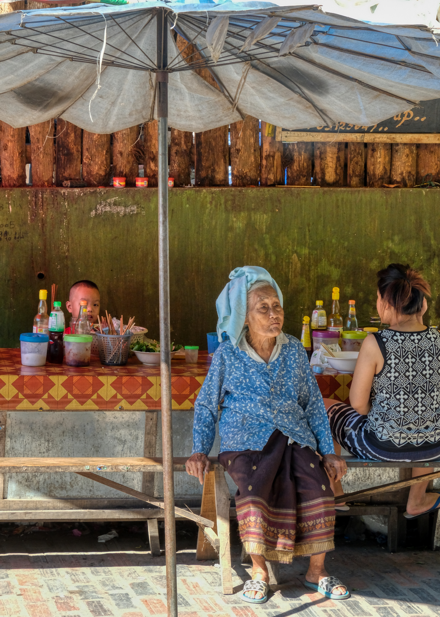 The markets are the perfect place for people watching and photography. This elderly woman nodded approval for this photo.
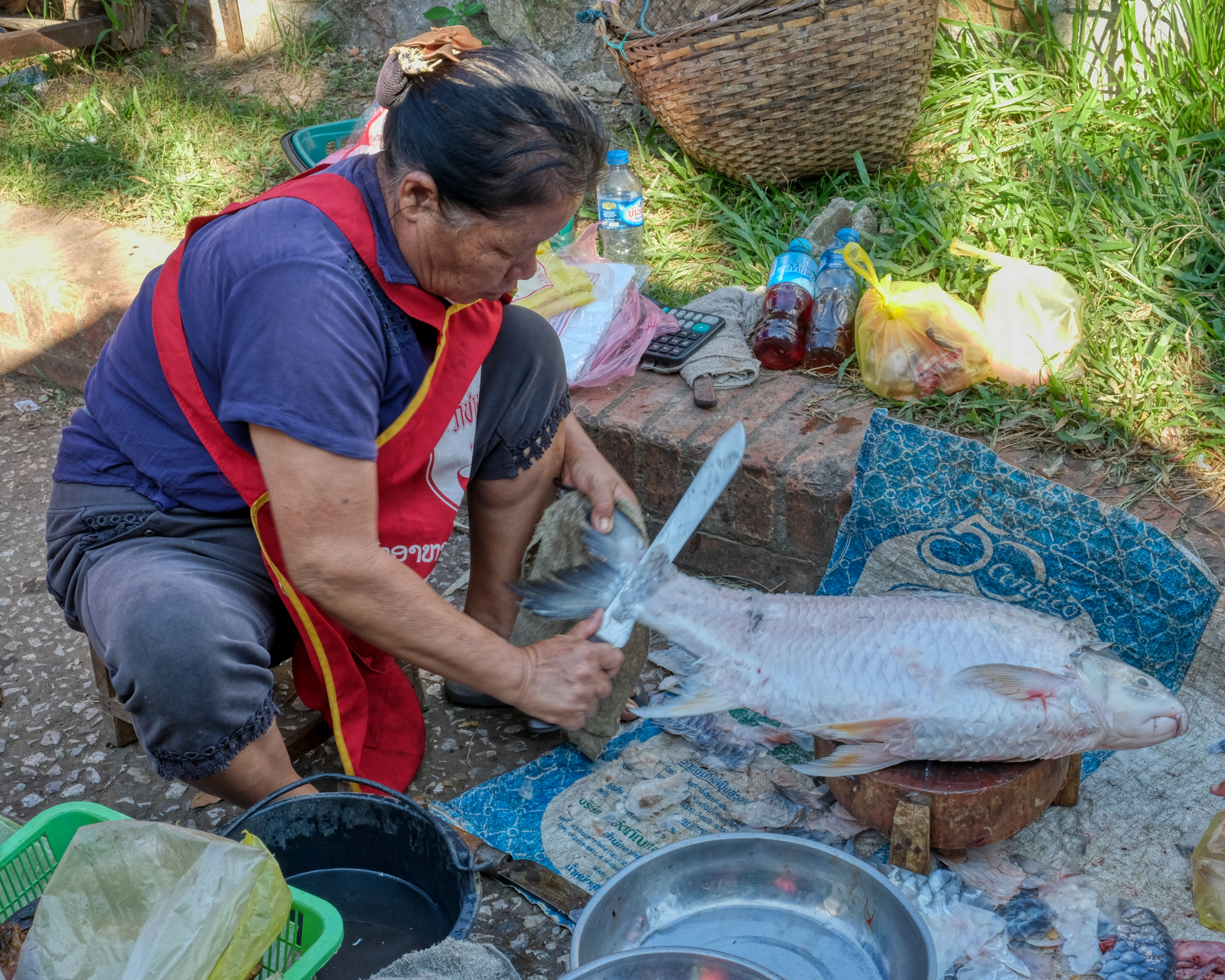 There is always a buzz of activity in the market . . . work to be done . . . preparing fresh fish for sale.
 The market is where the citizenry come to buy things, of course. They come for food, clothing, household items, and company.
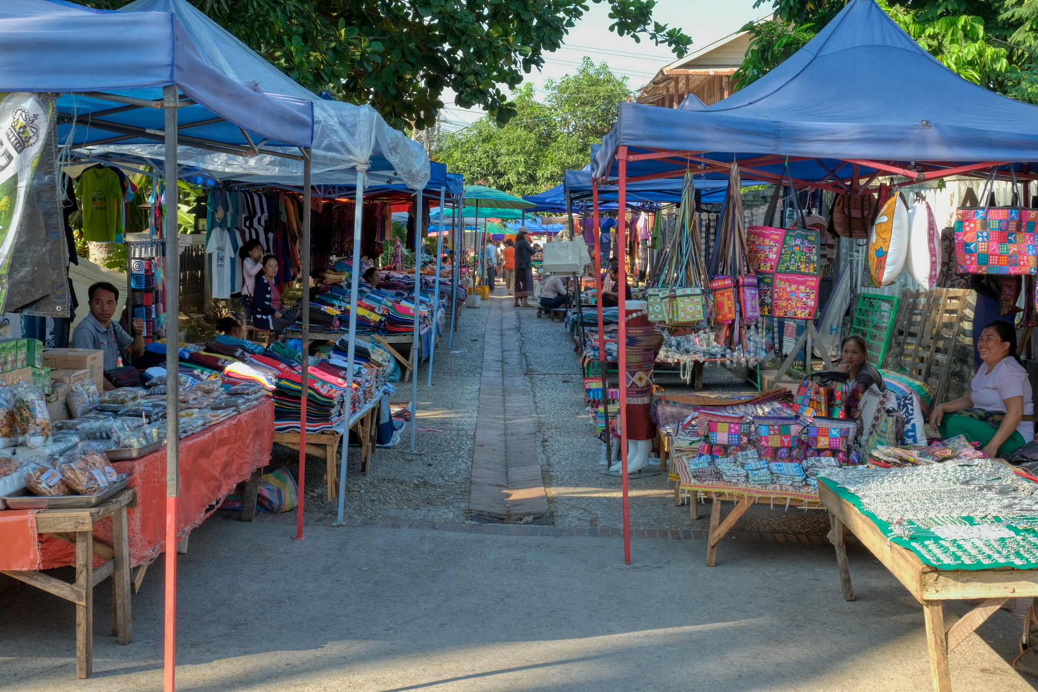
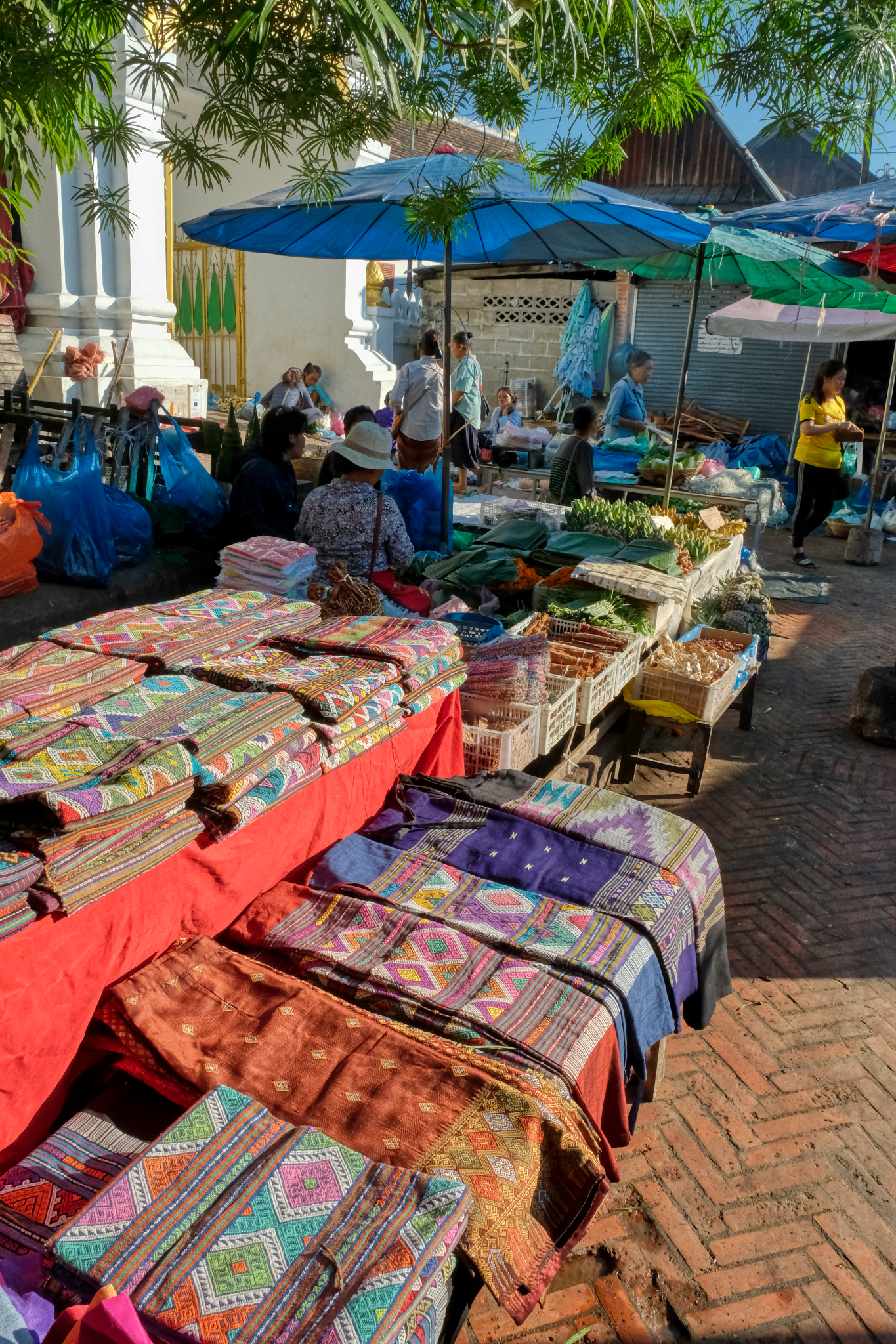 Many kinds of beautifully hand-woven Lao textiles to be found.
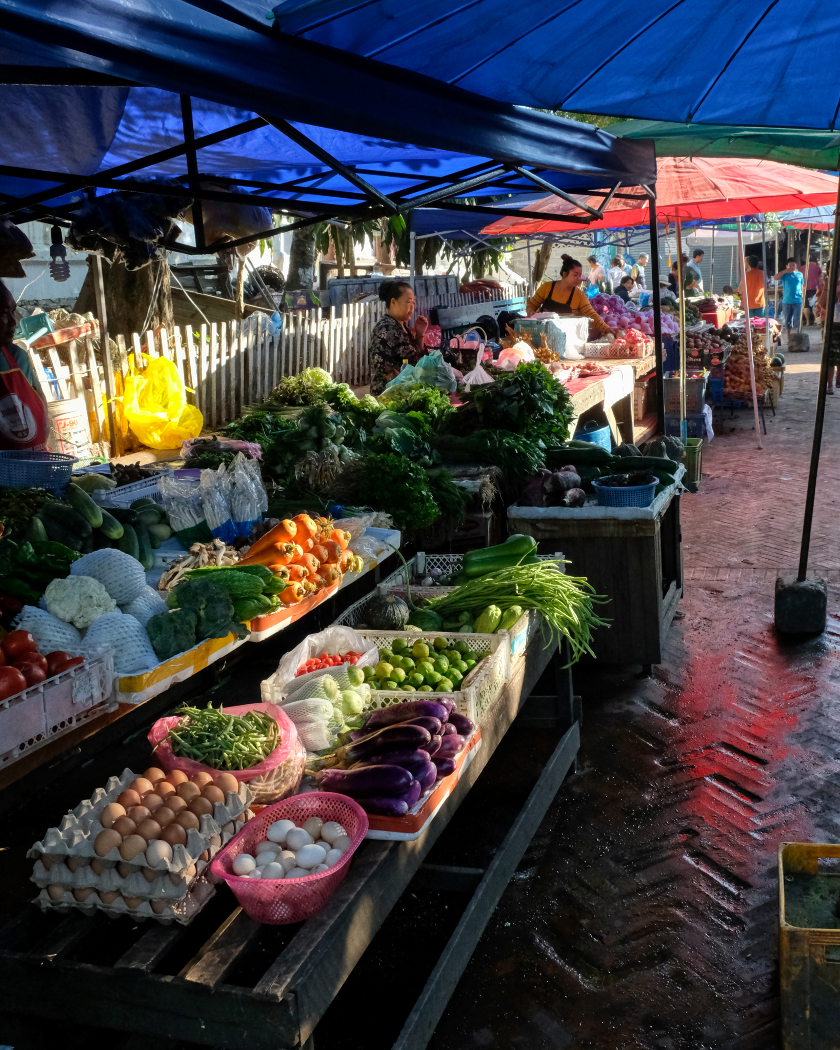 Beautiful morning light in the on the Luang Prabang market fruit and vegetable stalls.
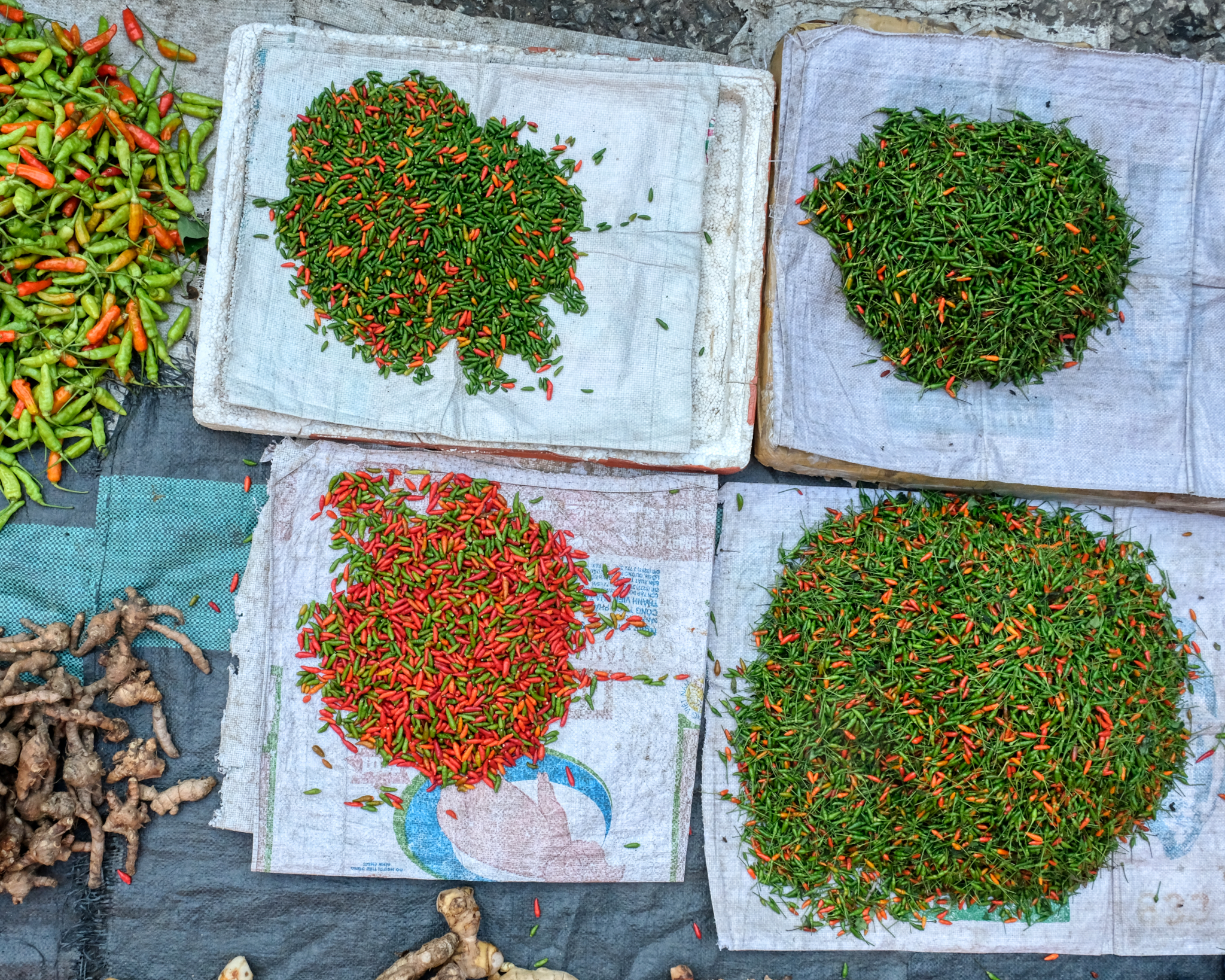 Lao food is similar to Thai food in one important aspect: its HOT! Market chilies ("prick" in Thai).
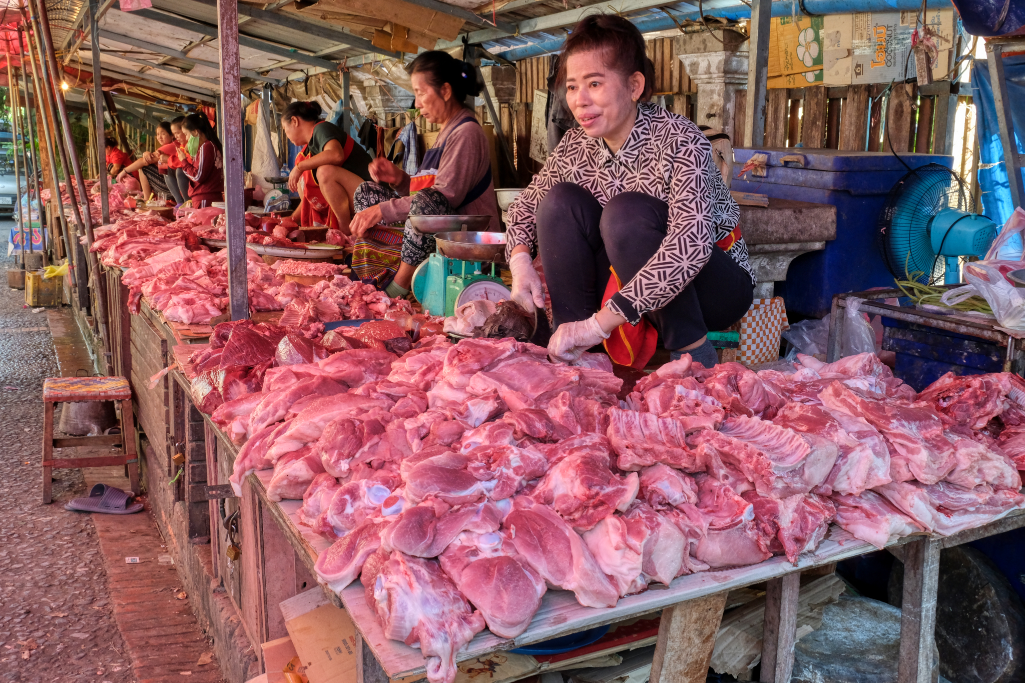 The meat section of the market: pork. Lots of pork.
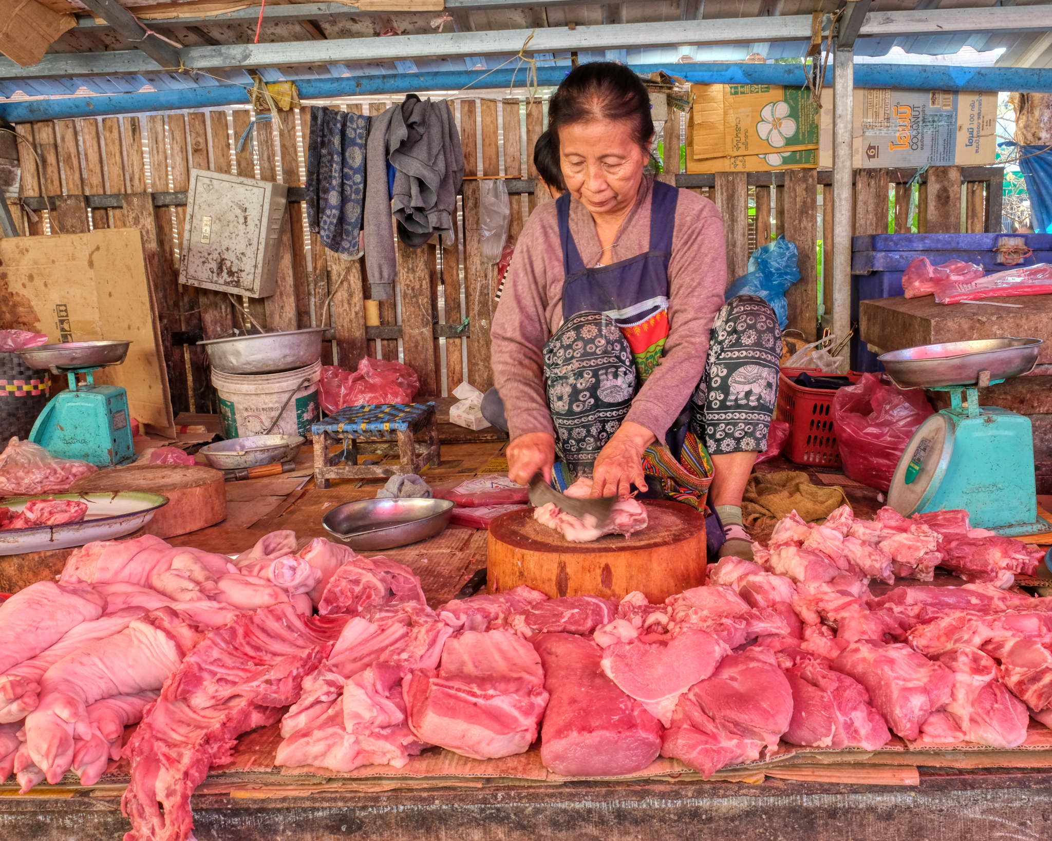 Portrait of a Laotian meat hawker.
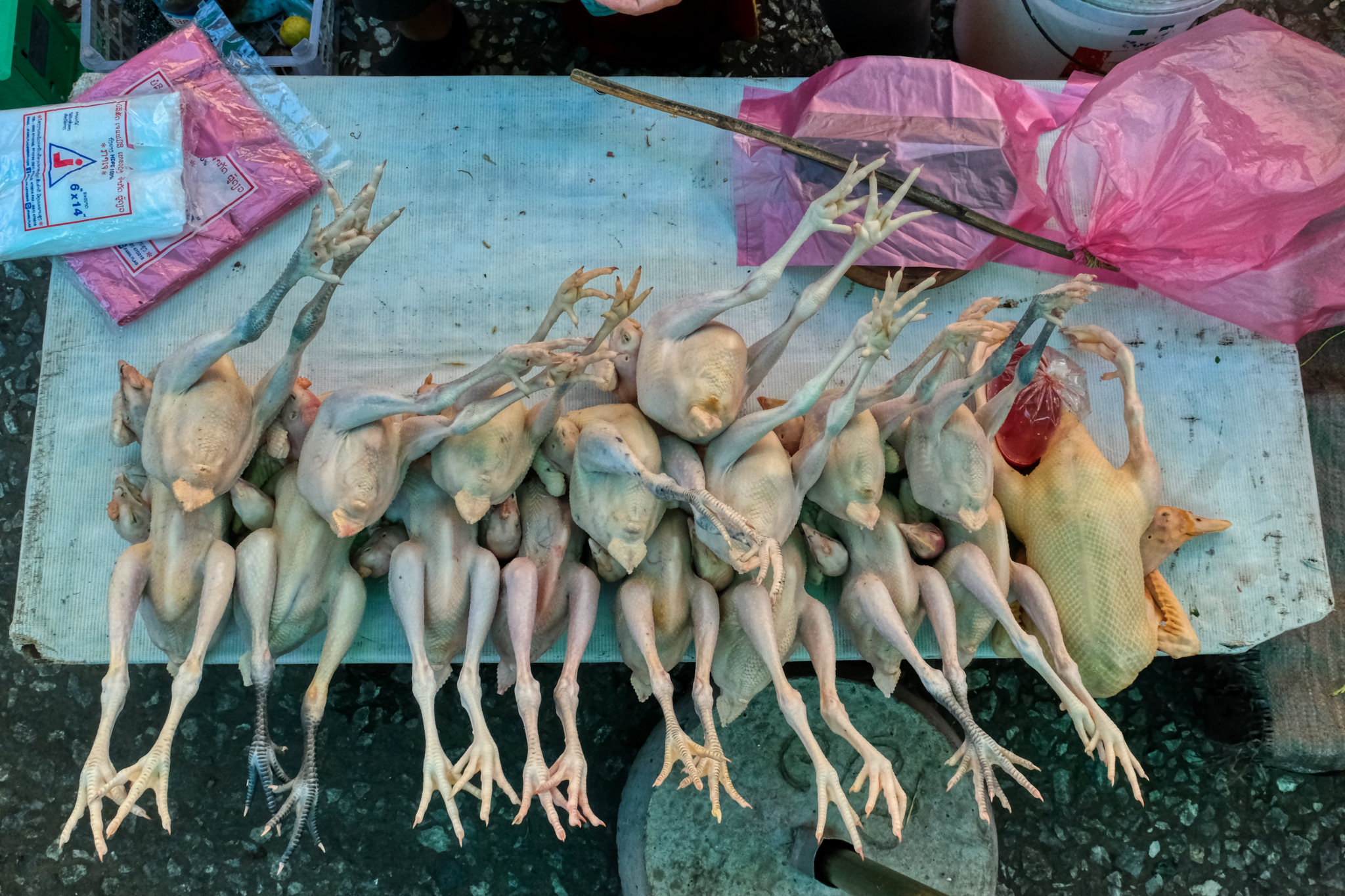 If you prefer poultry (chicken and duck) to pork, they have that in the market too.
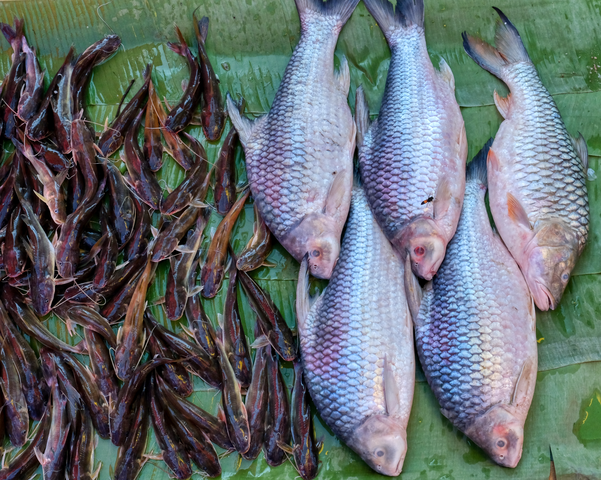 The Mekong River fish was plentiful at the market.
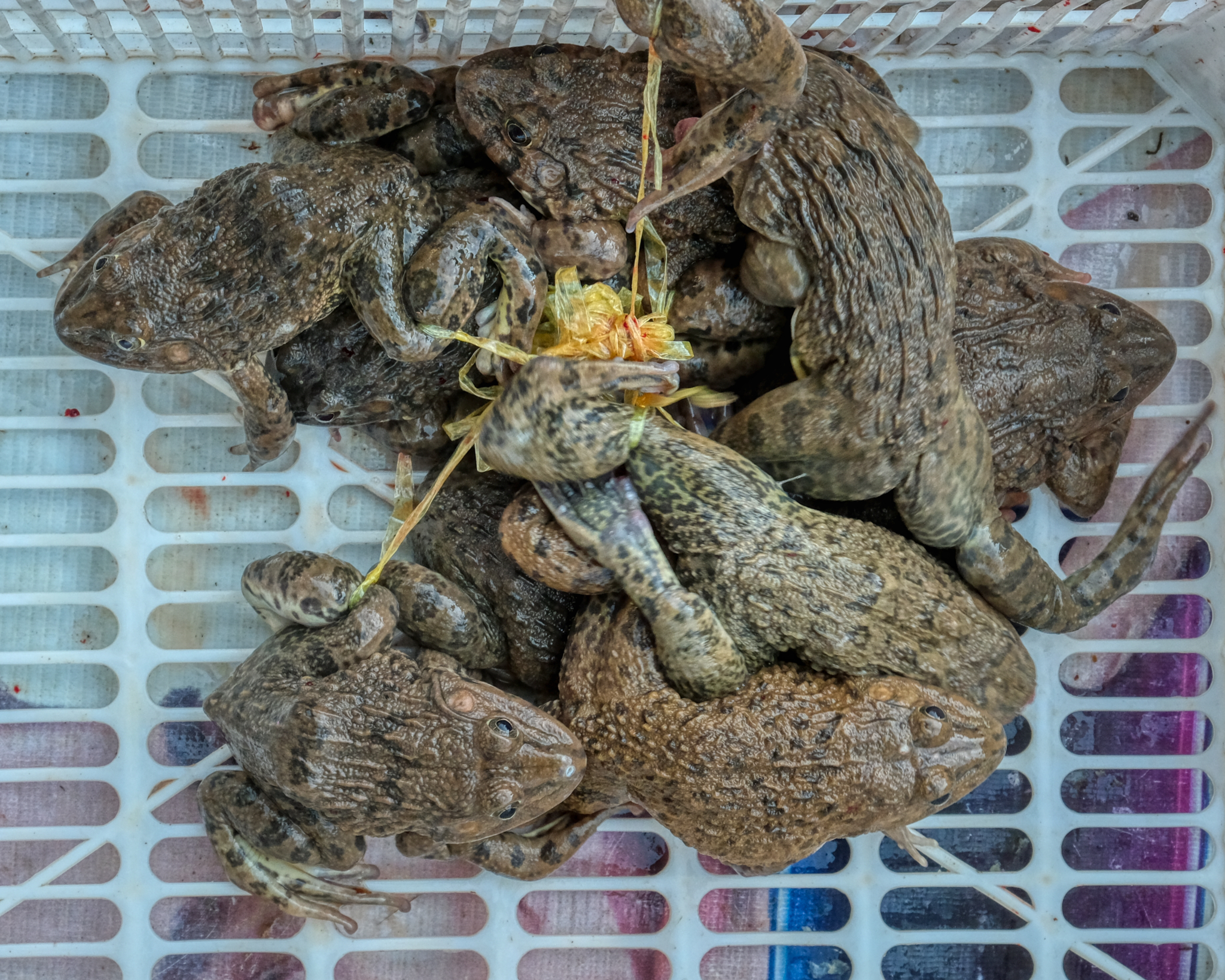 Yummie frogs . . . very fresh and squirming.
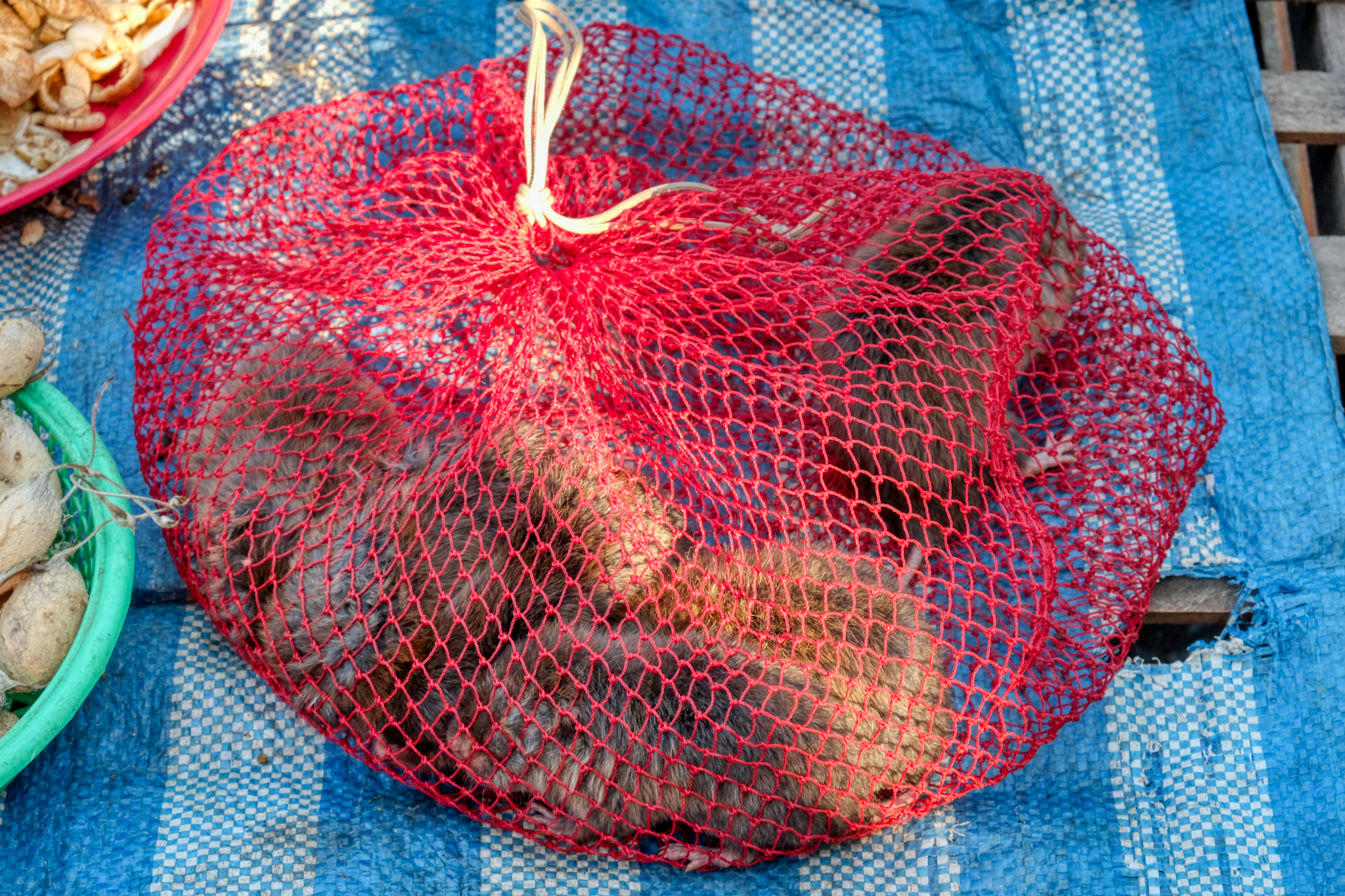 A bag of live gerbils. I didn't ask what these are for . . . (a) eating, (b) feeding to reptile pets, or (c) fun pets for the children. My guess is (b).
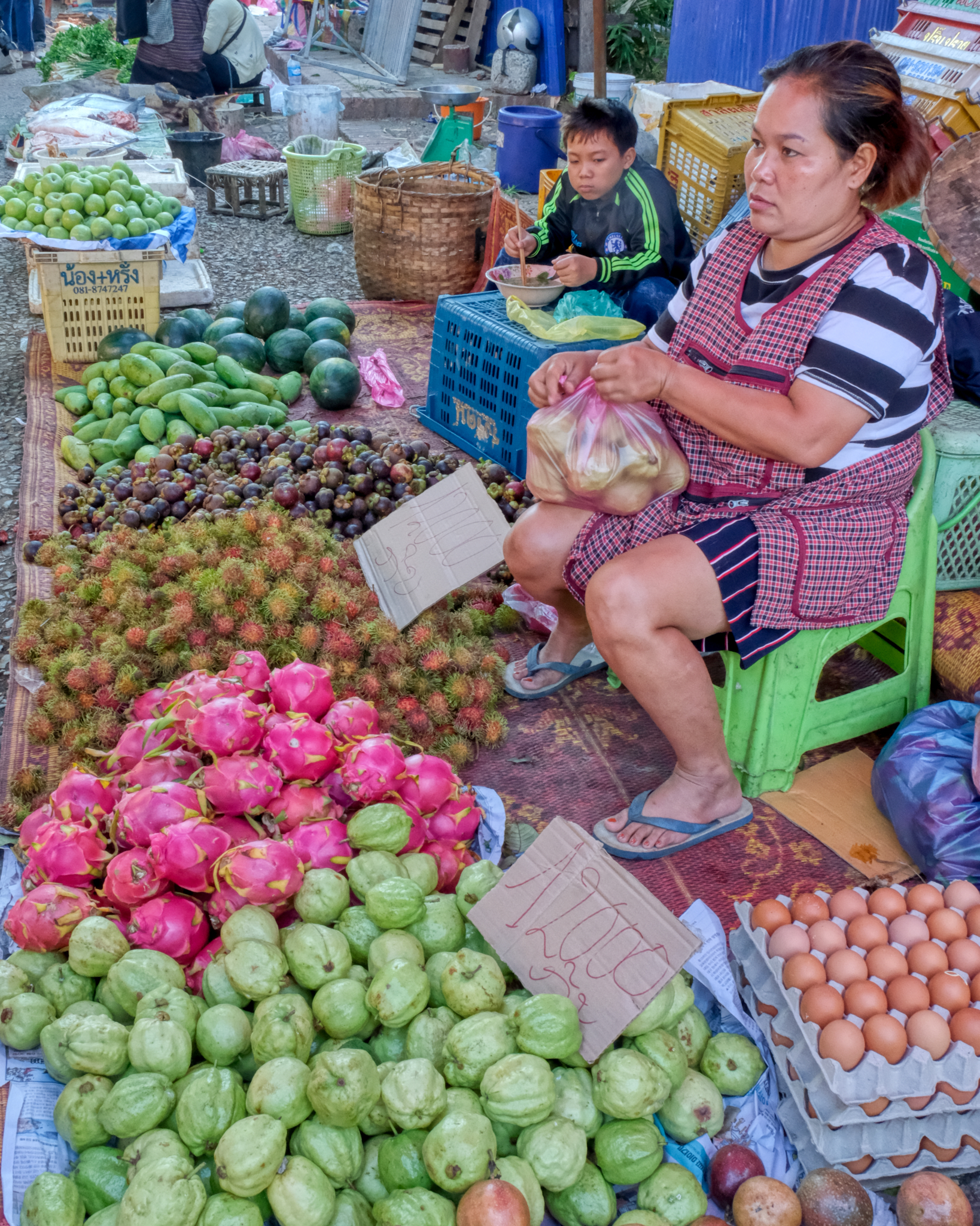 Beautiful tropical fruit. I bought four of the pink dragon fruit.
 The family business is herbs and spices.
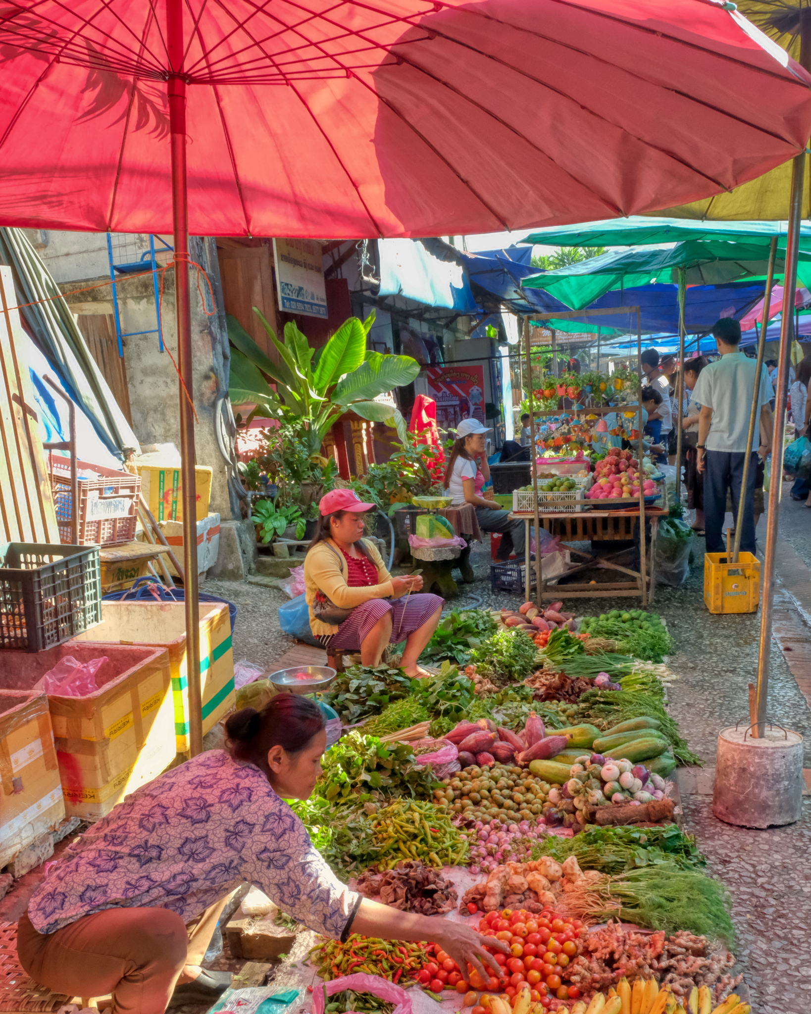 A veritable cornucopia of vegetables.
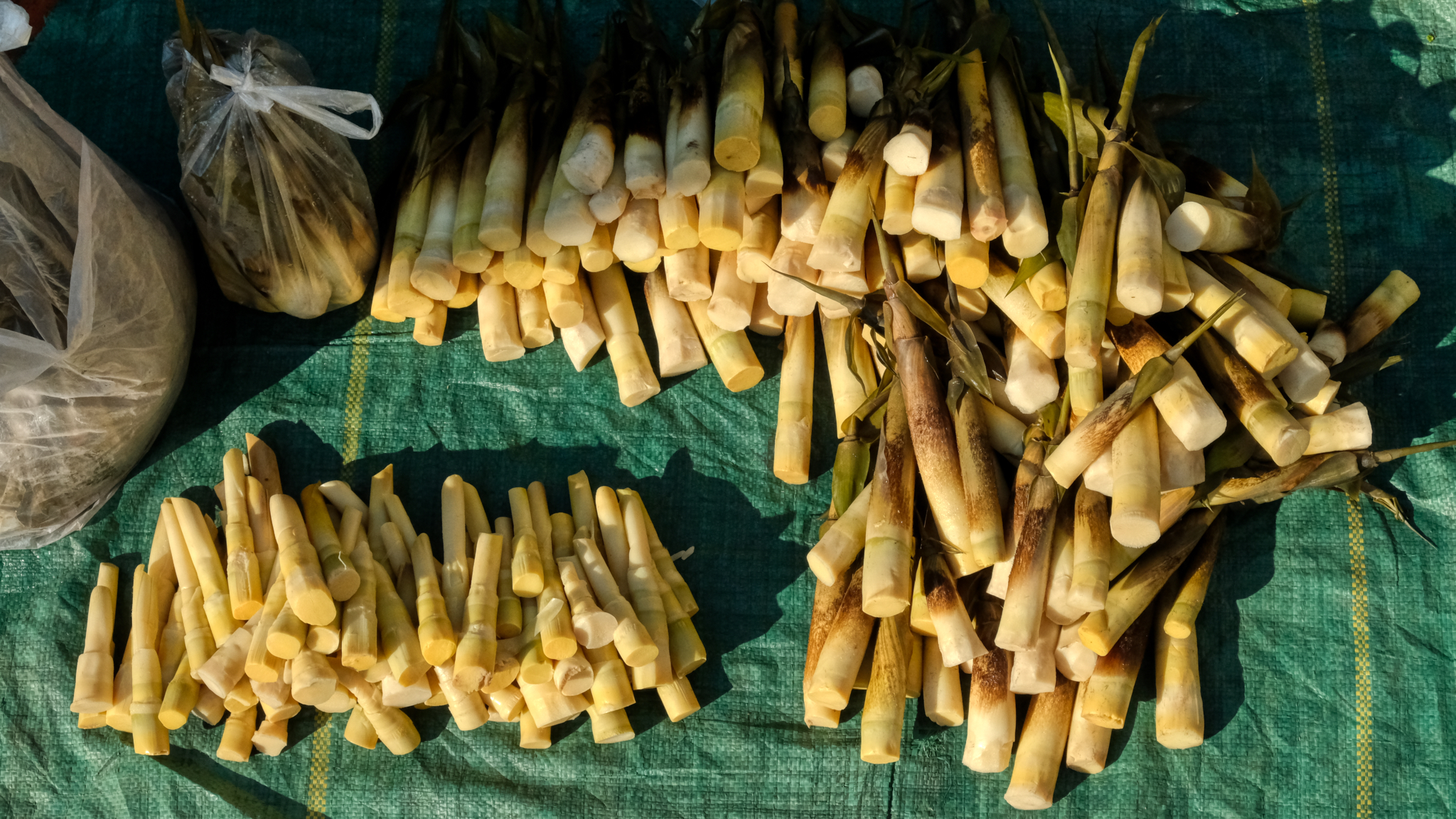 All the ingredients for a wonderful Lao meal . . . . bamboo shoots . . .
 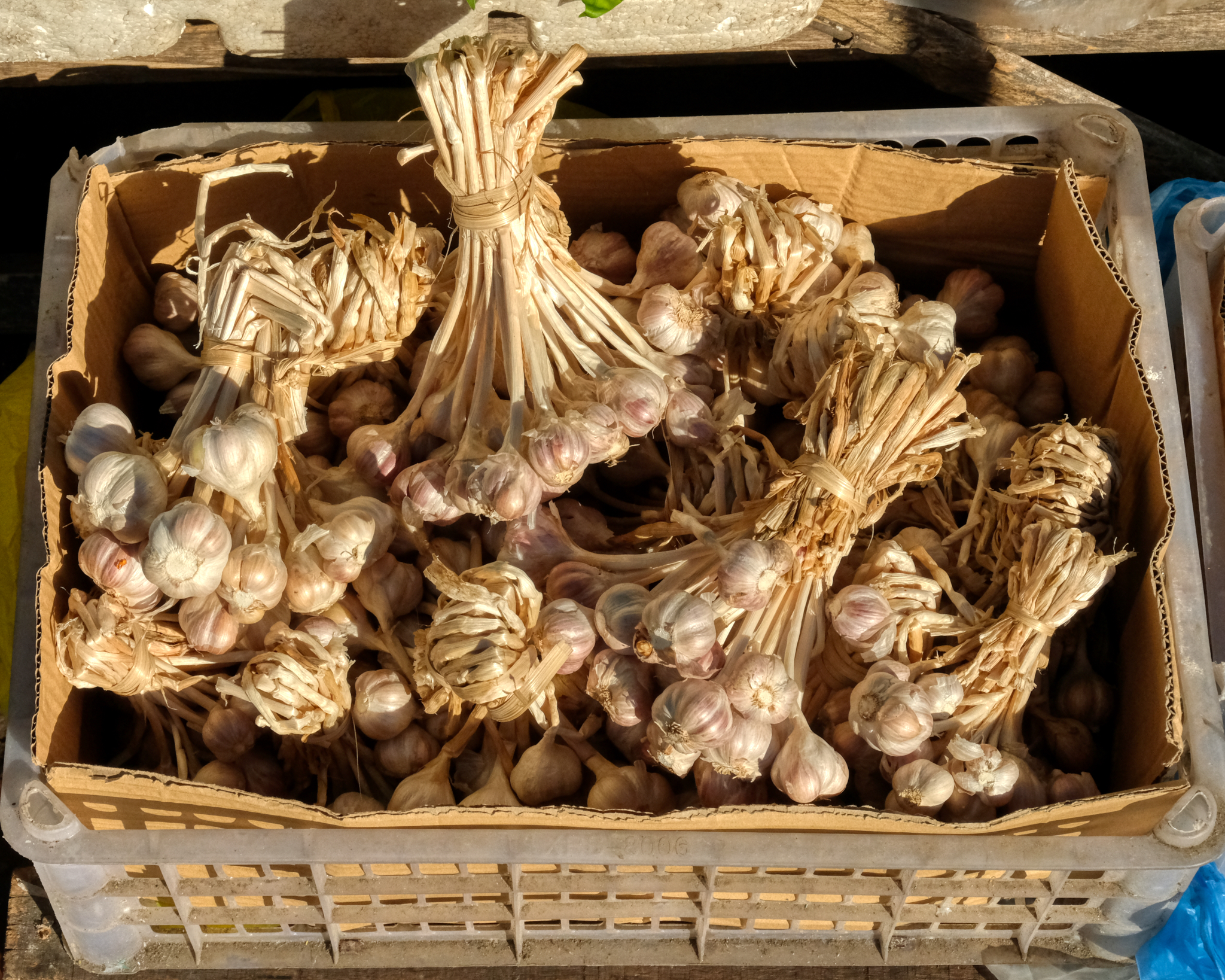 . . . beautiful garlic . . . .
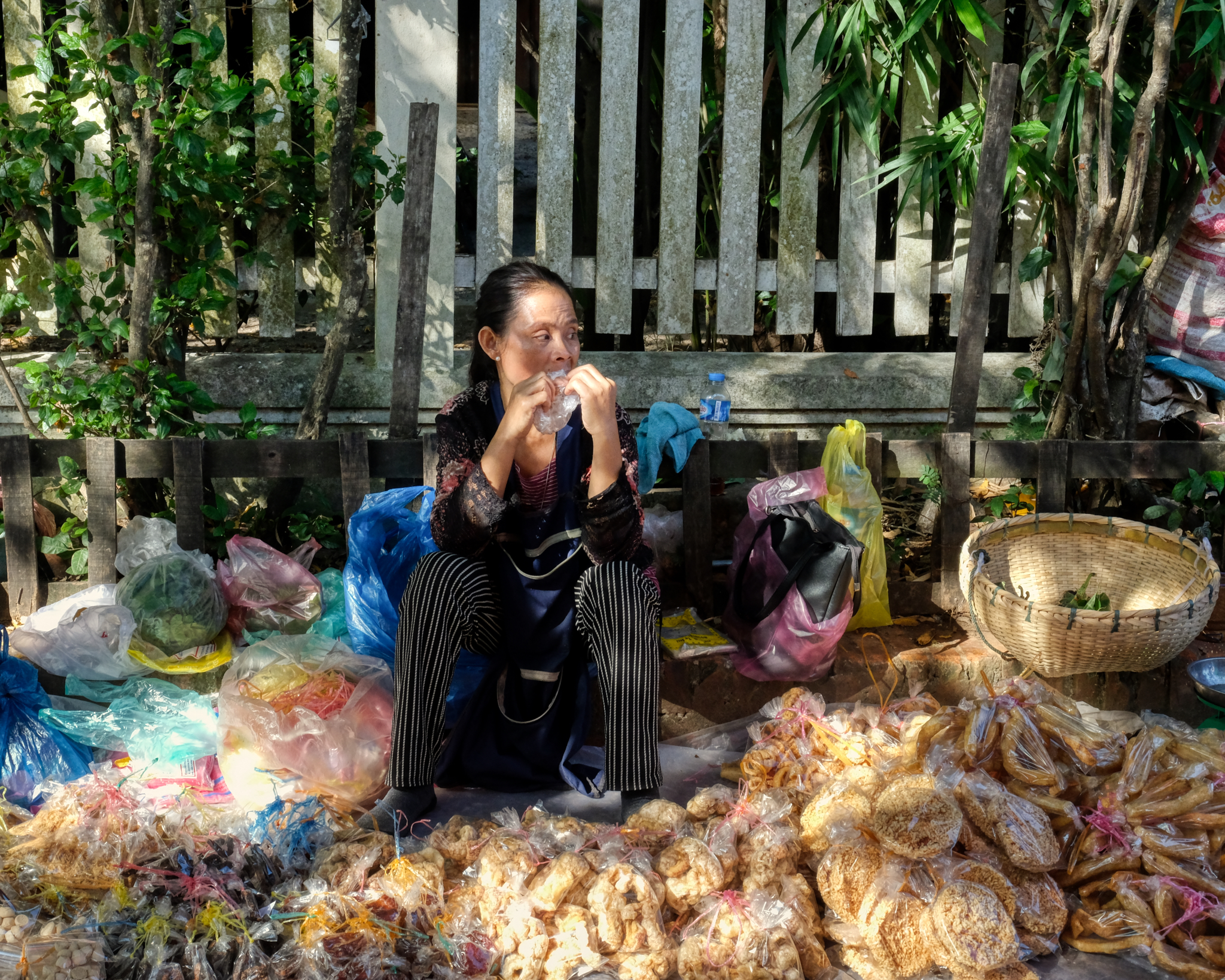 Not all of the street vendors had mastered the art of displaying their wares!
 Beautifully displayed dried fish . . . to add to soups and fried rice dishes.
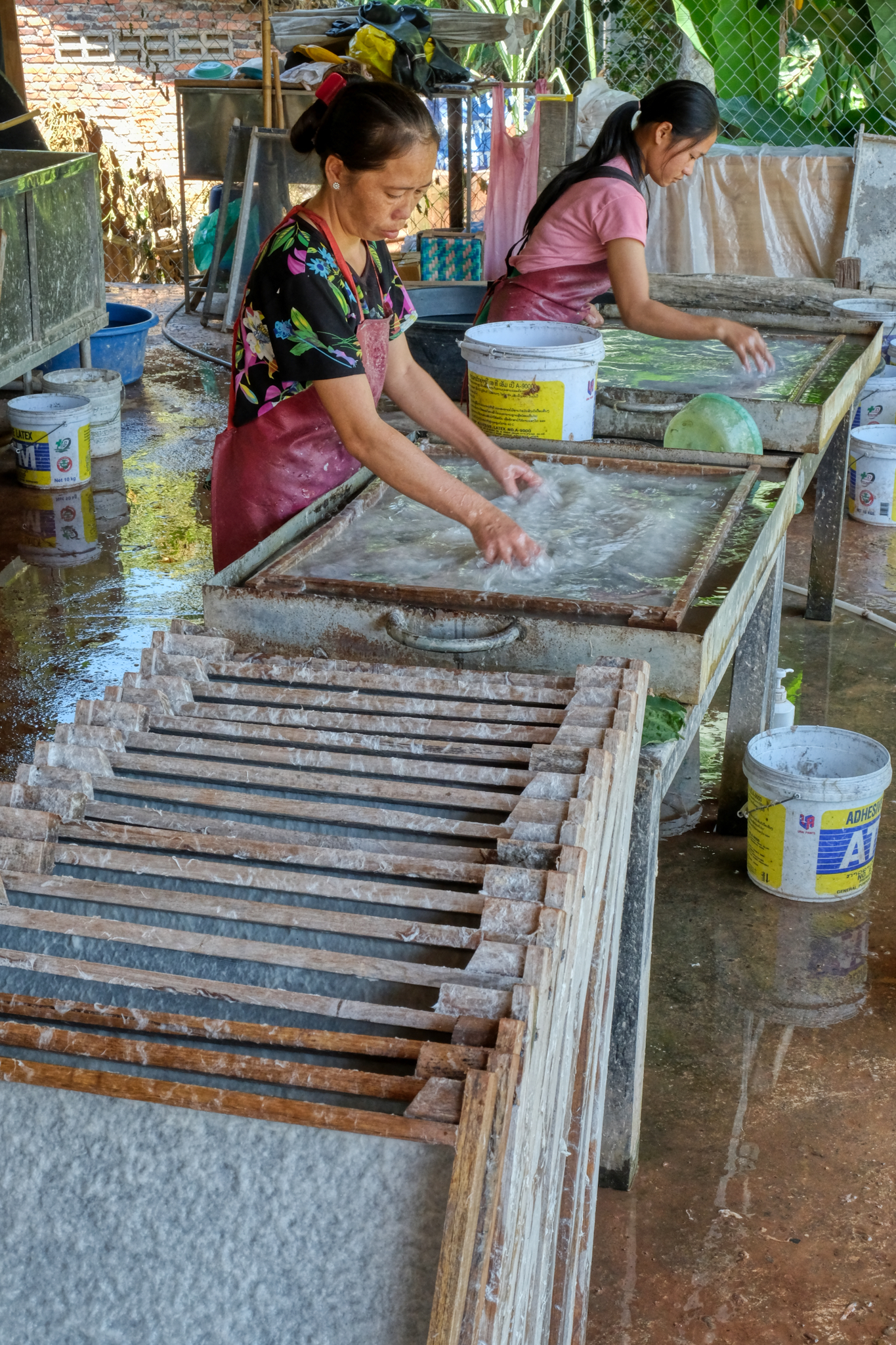 Just off the market was a small shop where they manufactured hand-made paper.
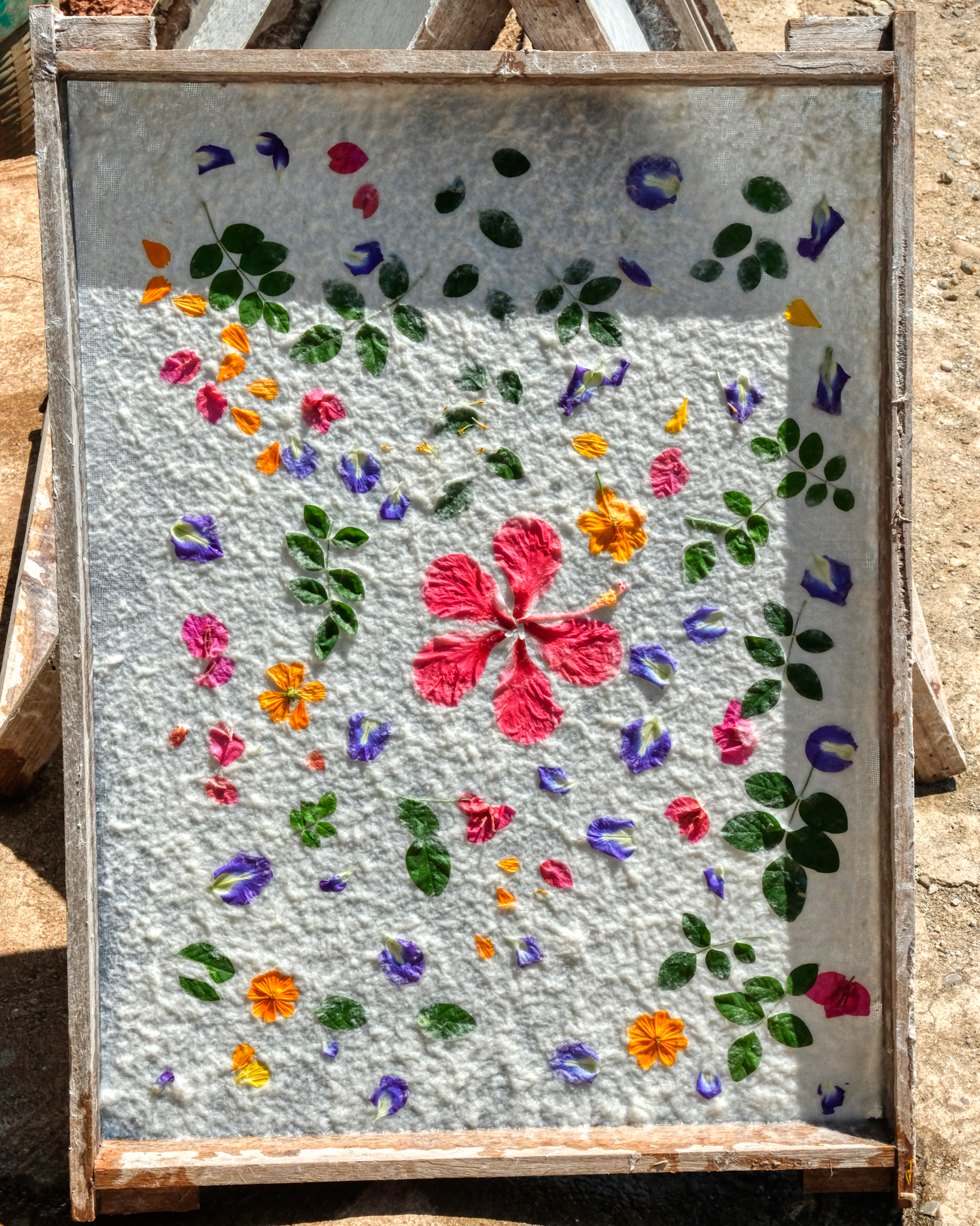 They were making these beautiful paper wall hangings with leaves and flowers.
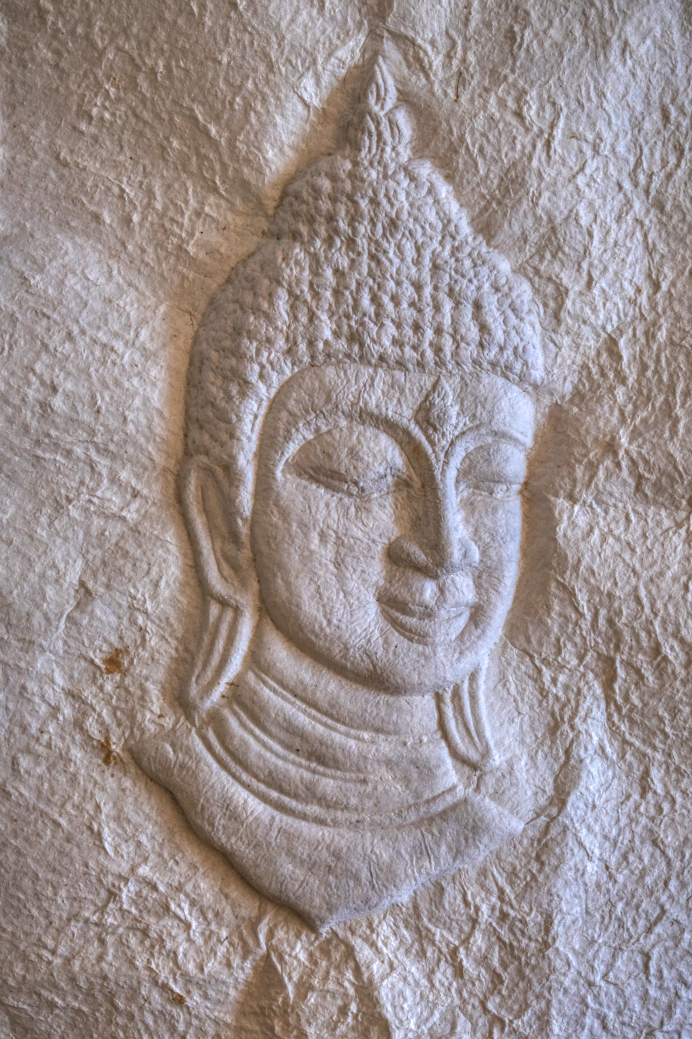 Hand-made embossed paper Buddha image.
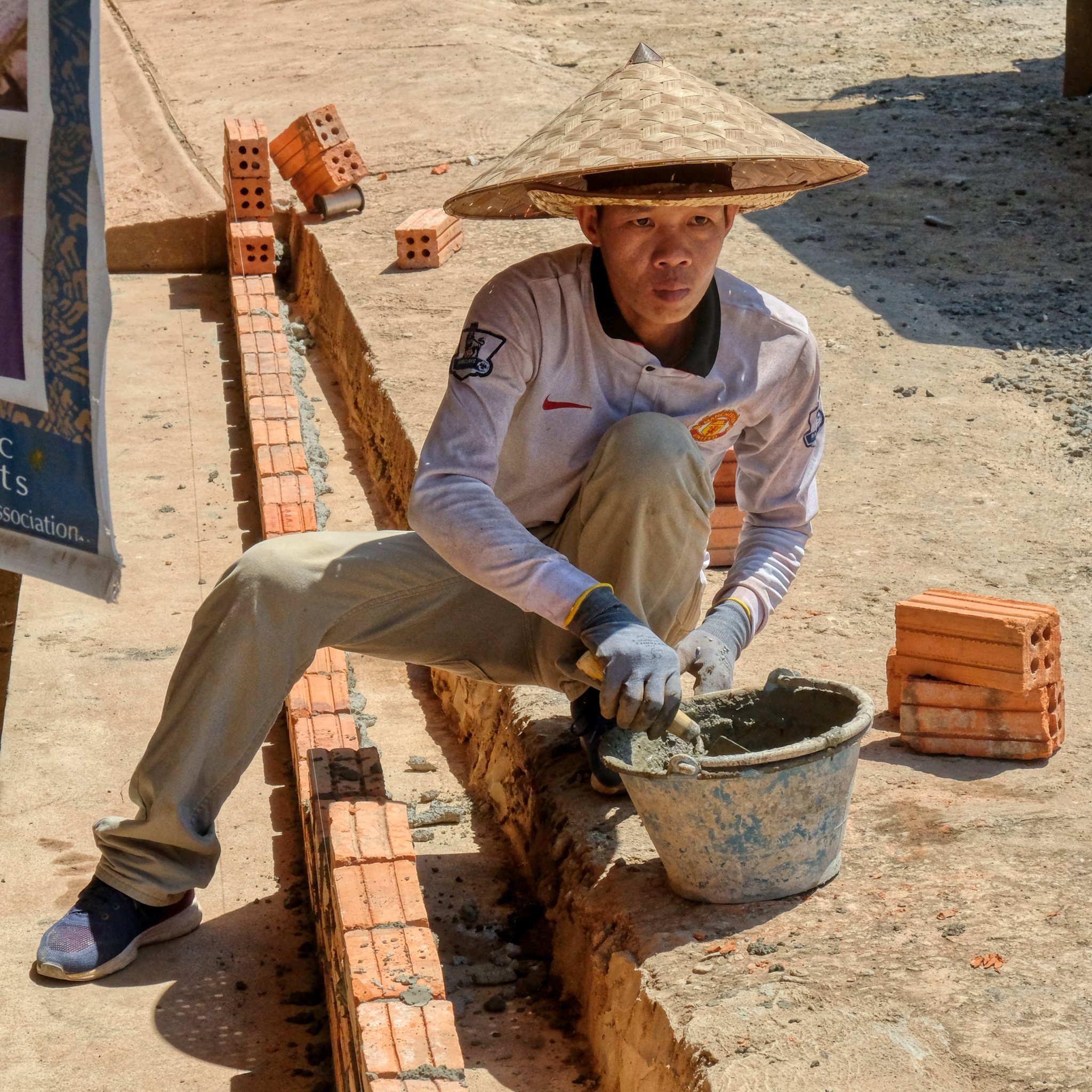 A young Lao Manchester United fan doing some masonry work while wearing two hats.
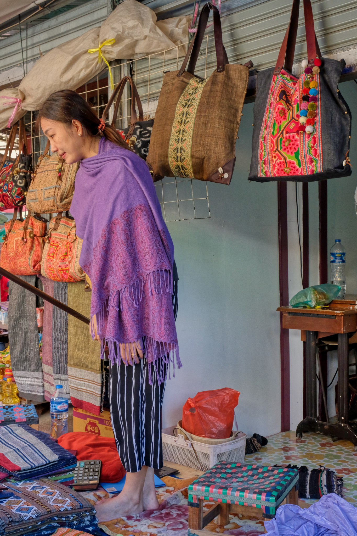 There were some beautiful traditional Laotian textile for sale in the market.
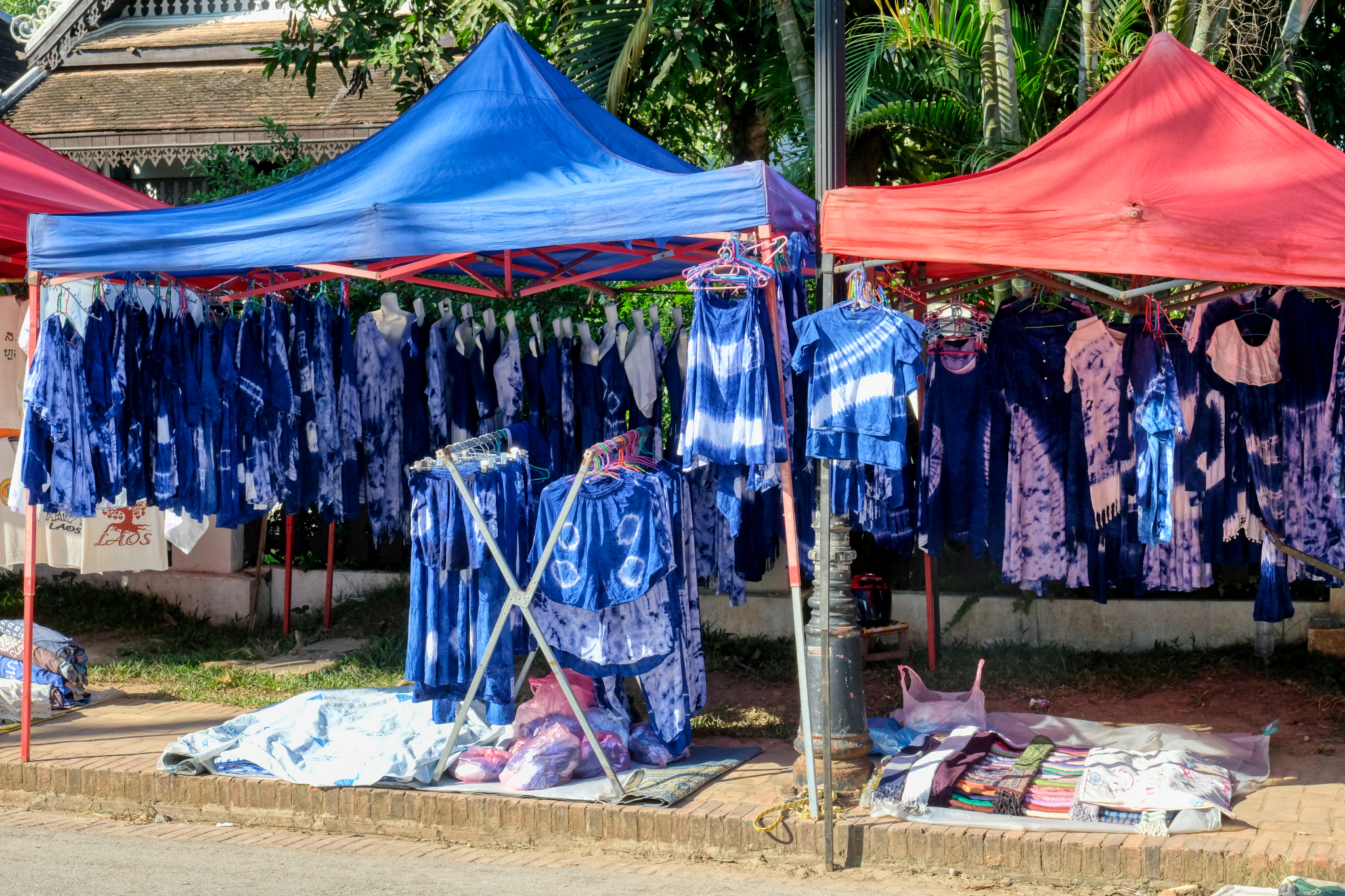 Blue tie dye . . . very cool!
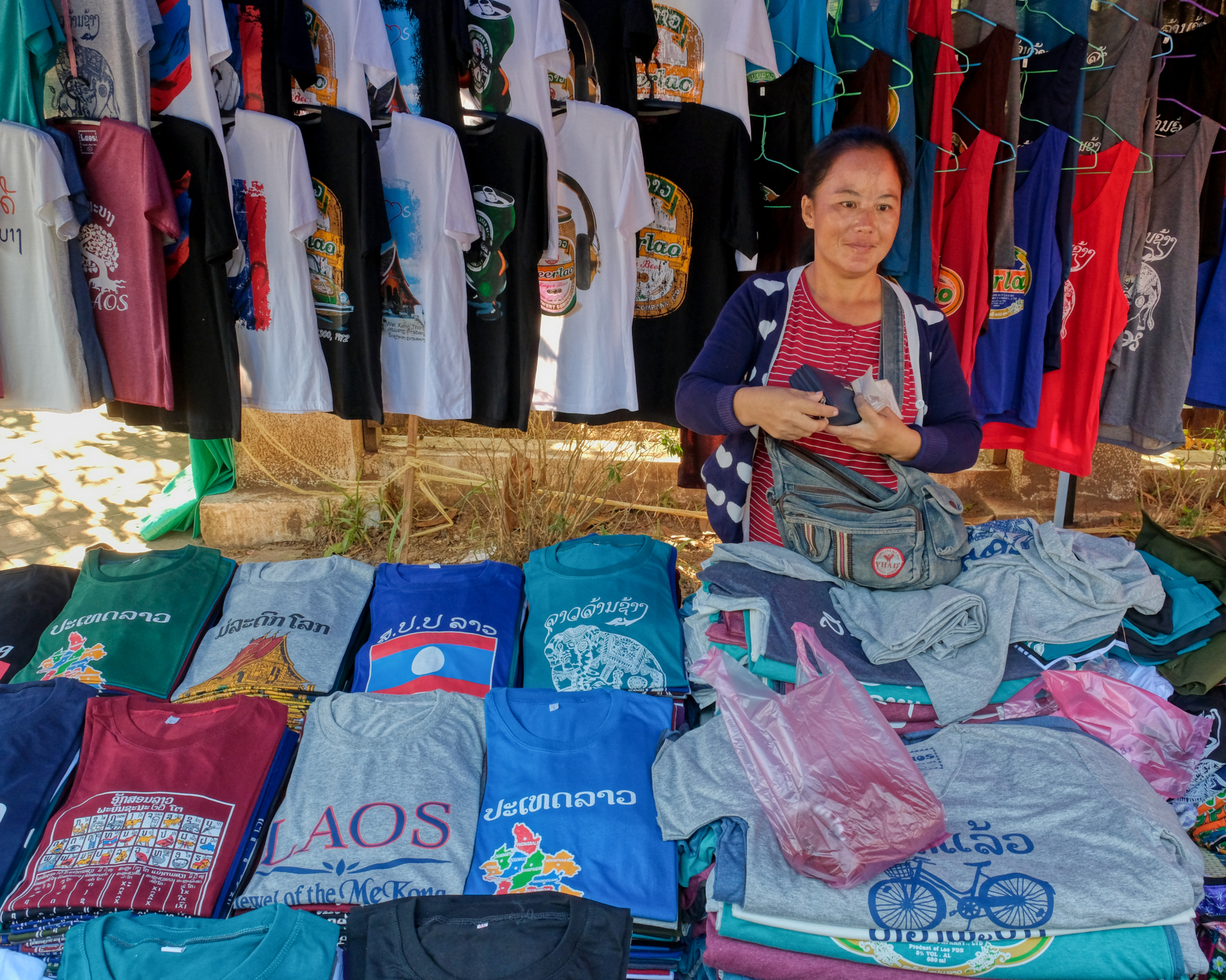 Preparing for tourist season . . . a variety of souvenir t-shirts. I bought one here.
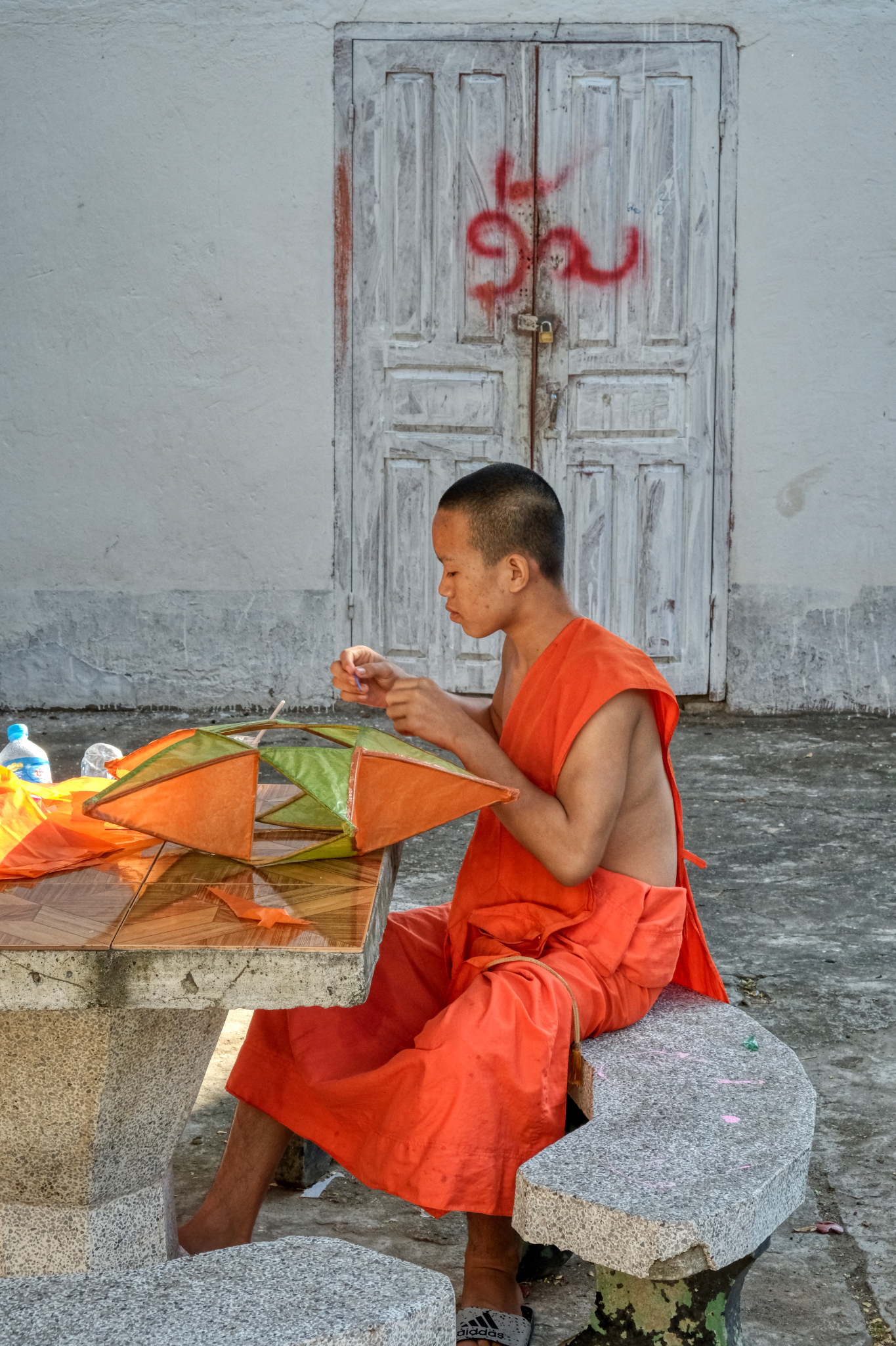 There are Buddhist temples seemingly everywhere in Luang Prabang . . . I turned up a little alley and found myself in an old wat . . . where a young monk was making paper stars.
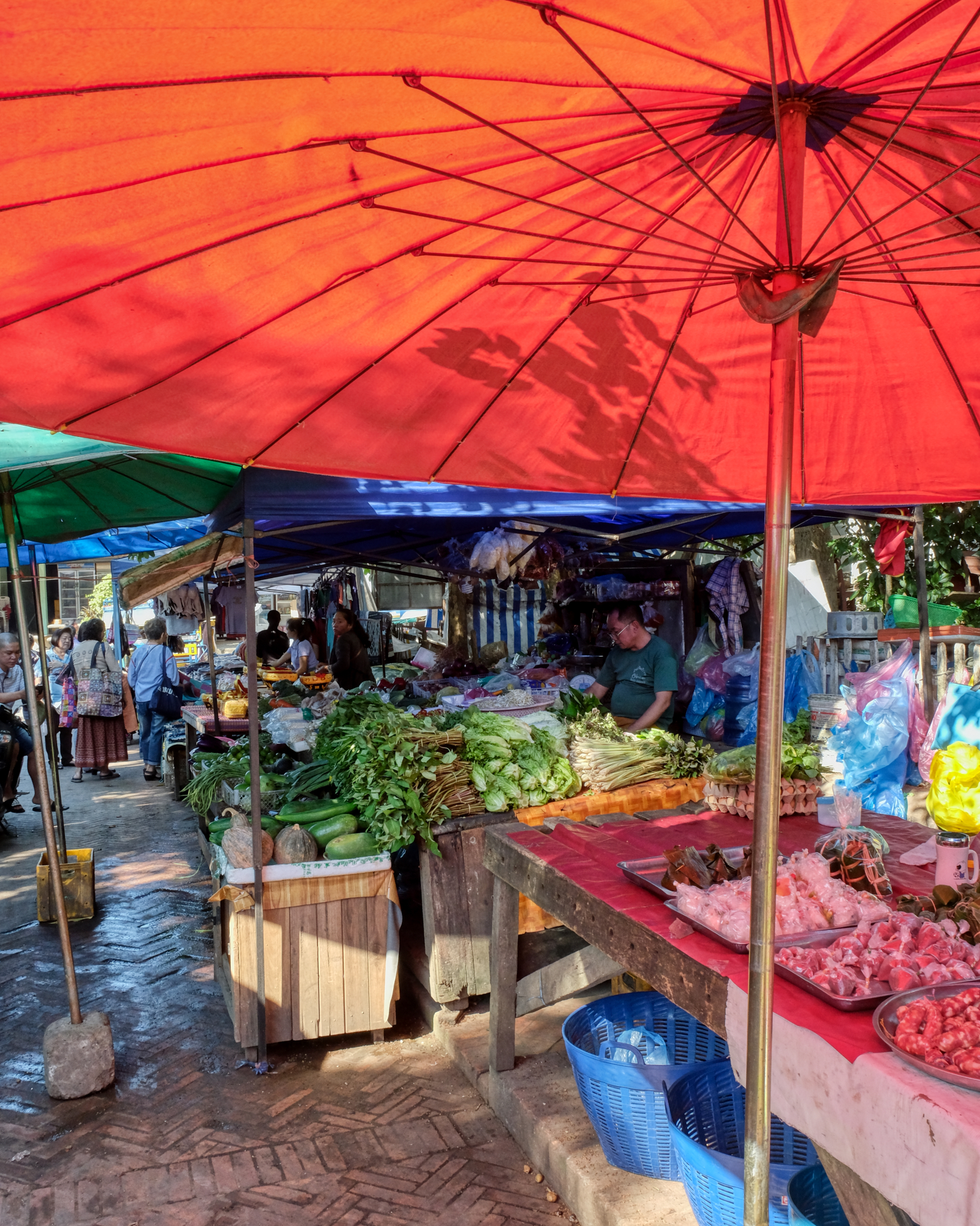 We spent a wonderful morning wondering around this market. But time to move on . . . more adventures to be had.
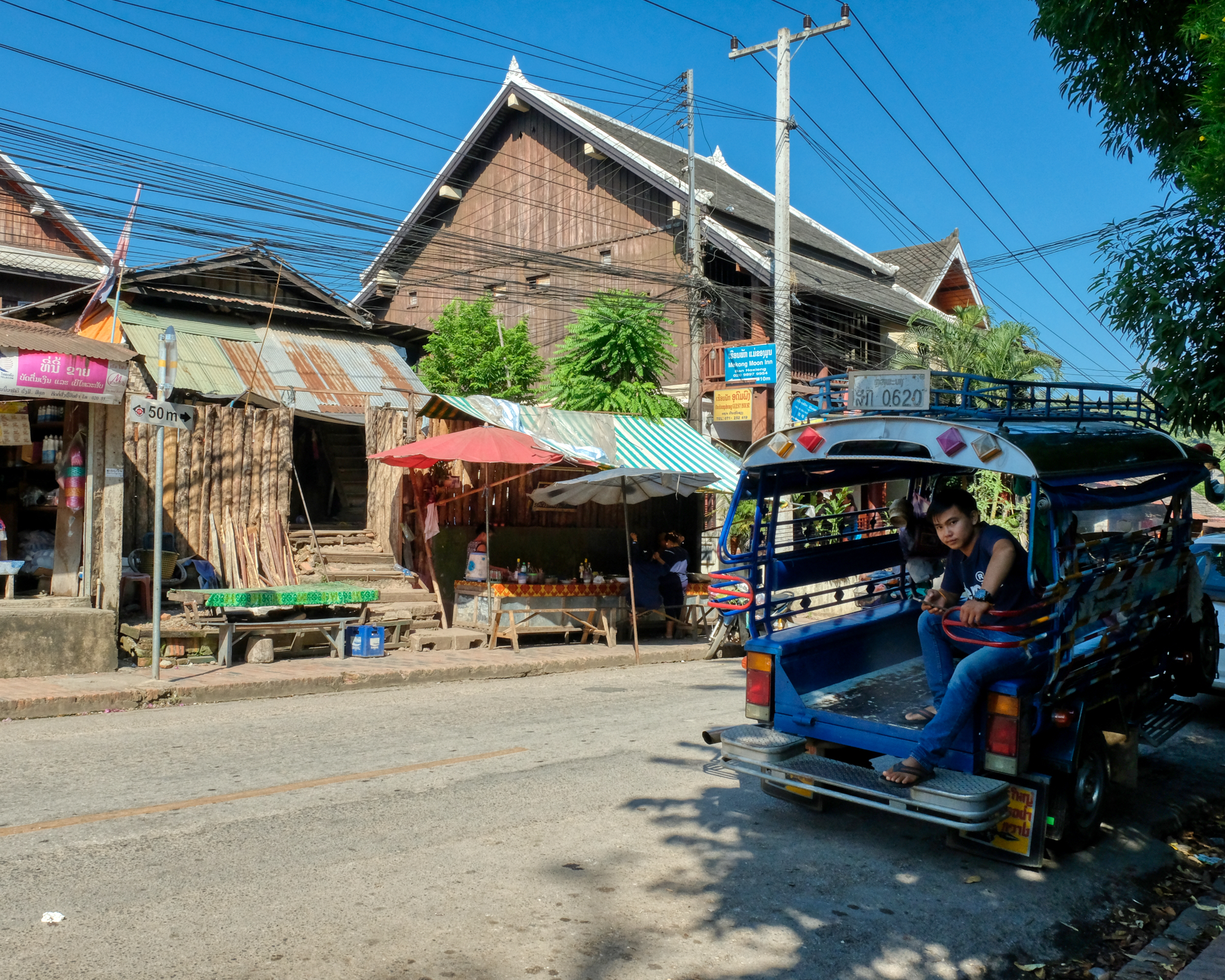 Our tuk-tuk driver was waiting for us when we left the market . . . on on!
Luang Prabang, Laos - A Wonderful Little Town
 The old French colonial town of Luang Prabang (pop. est. 56,000) in west central Laos is a noted UNESCO World Heritage Centre, and with good reason.
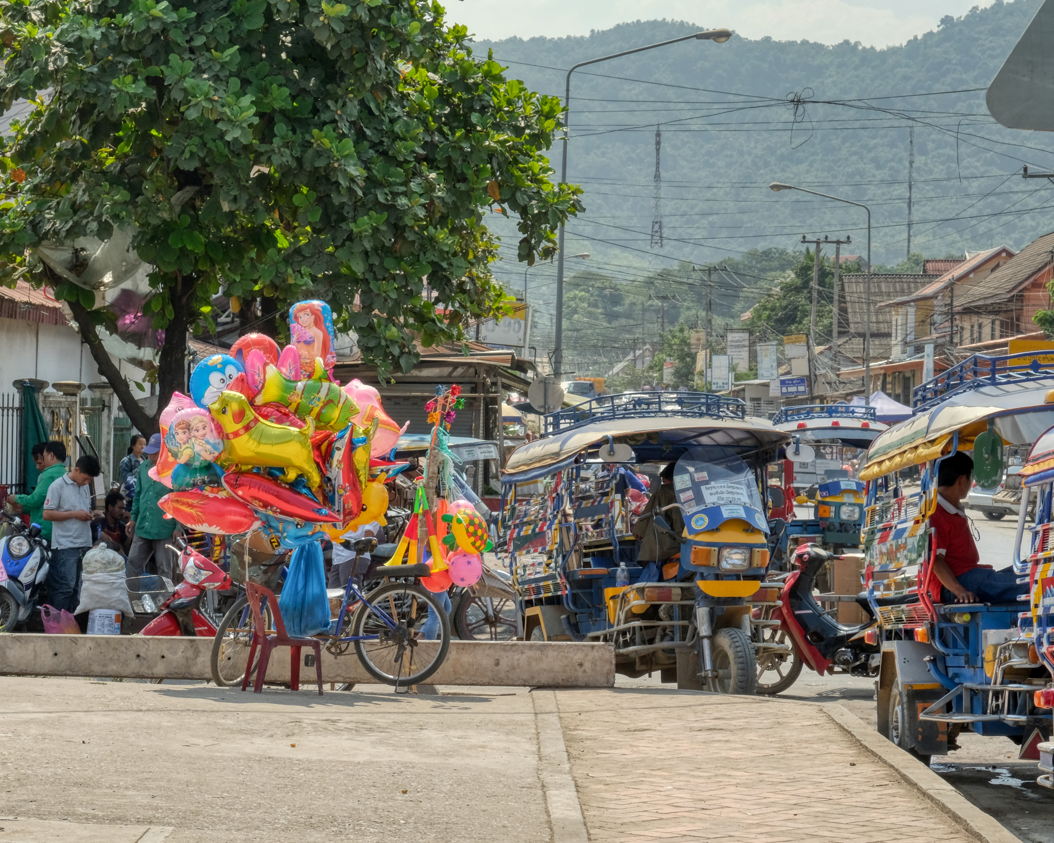 Although I was in Luang Prabang a month before the start of the busy tourist season, it was still a very active little town, especially in and around the city centre market.
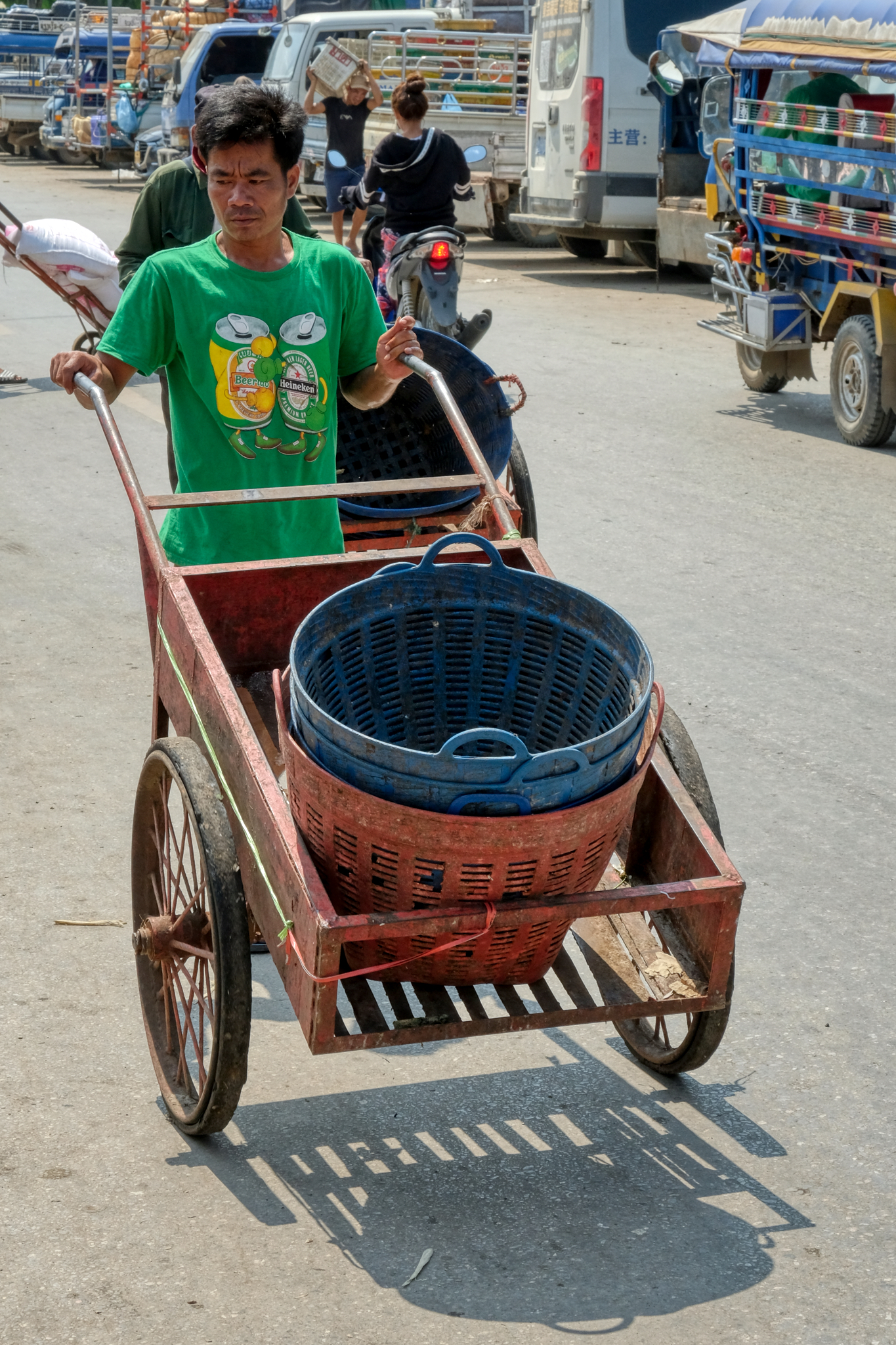 I have a photographic infatuation with the draymen . . . those who push carts by hand. They are still widely used in and around crowded marketplaces in Asia (and Africa) as the best way to get goods in and out of the crowded lanes and alleyways.
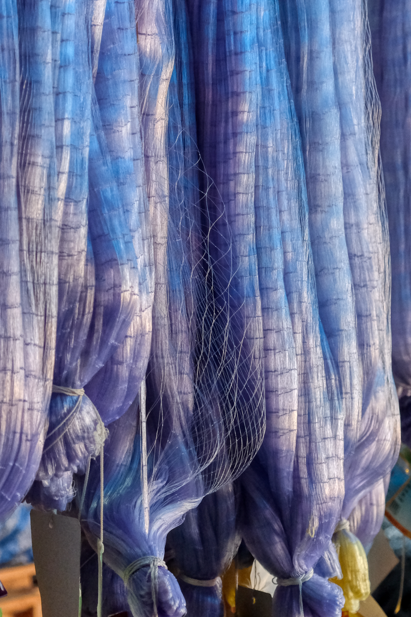 If you didn't already know that this town was on a large river, the goods in the town market would tell you.
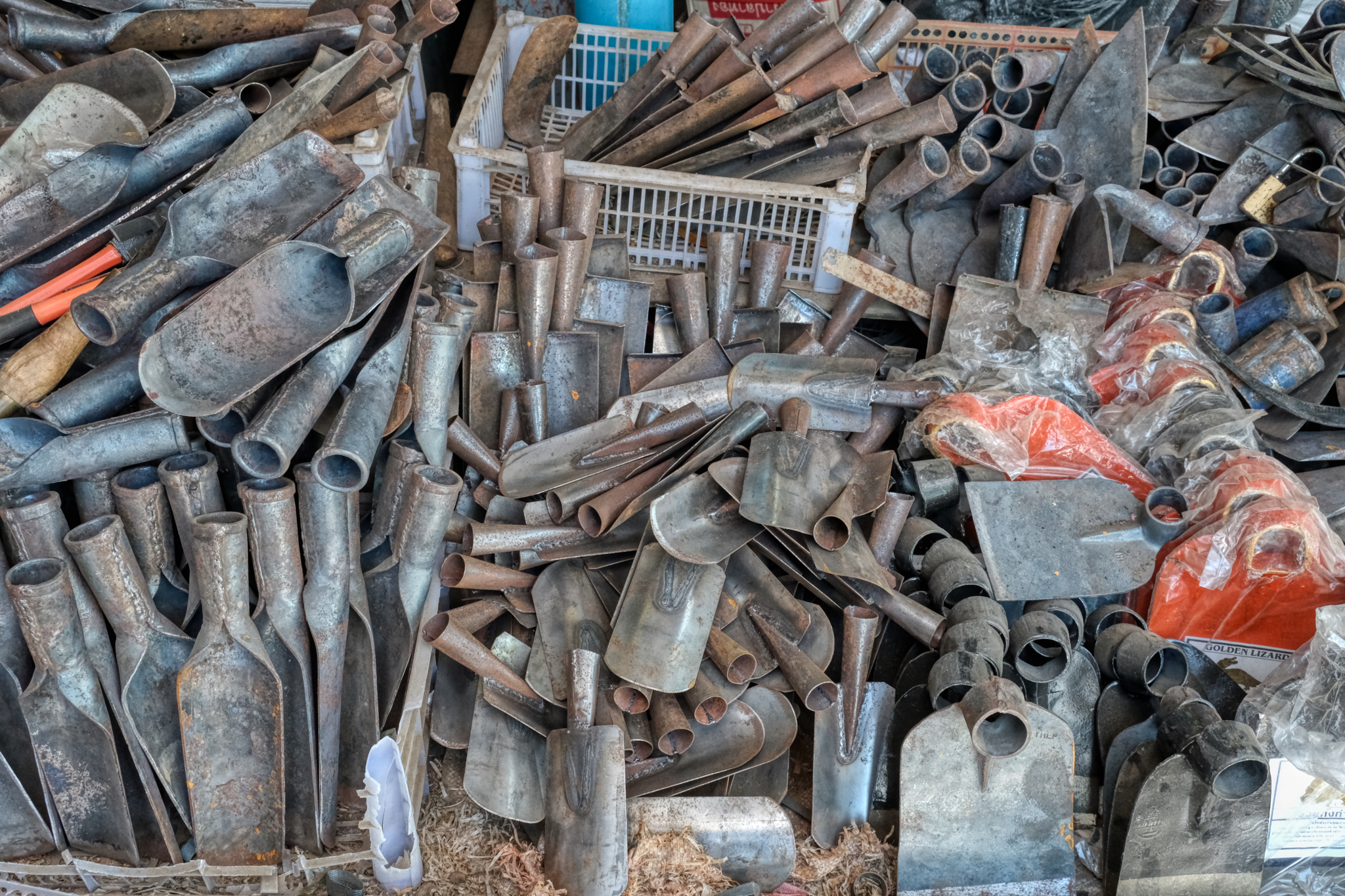 You would also learn from the market that there was still a lot of manual labour being done nearby.
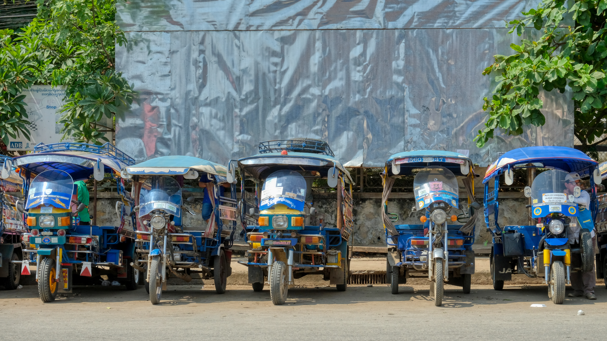 The ubiquitous Asian 'tuk-tuk' takes on a slightly different flavor in each country in the region . . . these are the Laotian version.
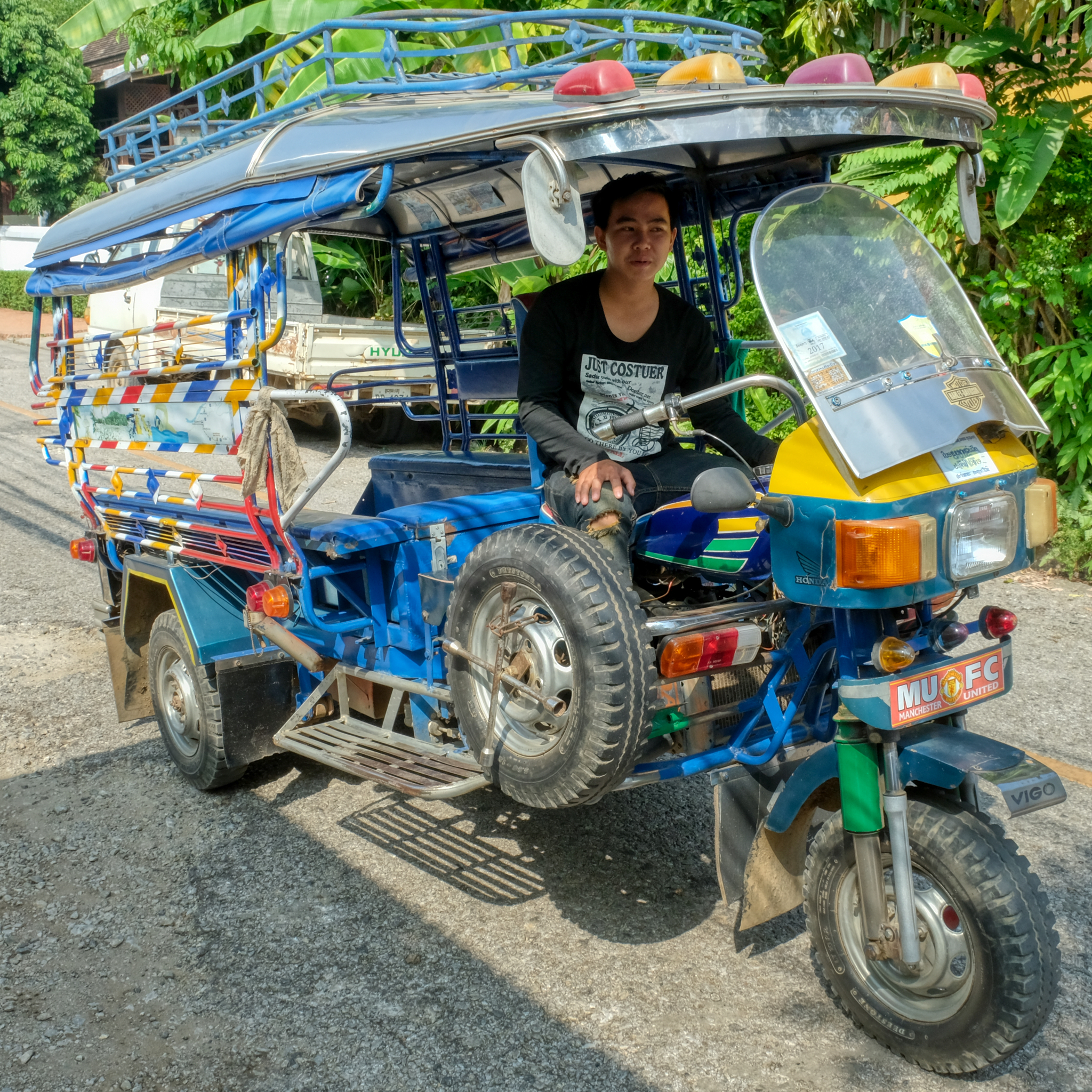 Since we were going to be in town for four days, we decided to employ our own tuk-tuk for the duration. We were very lucky to hire this 18-year old who spoke very good English . . . and doubled as a tour guide.
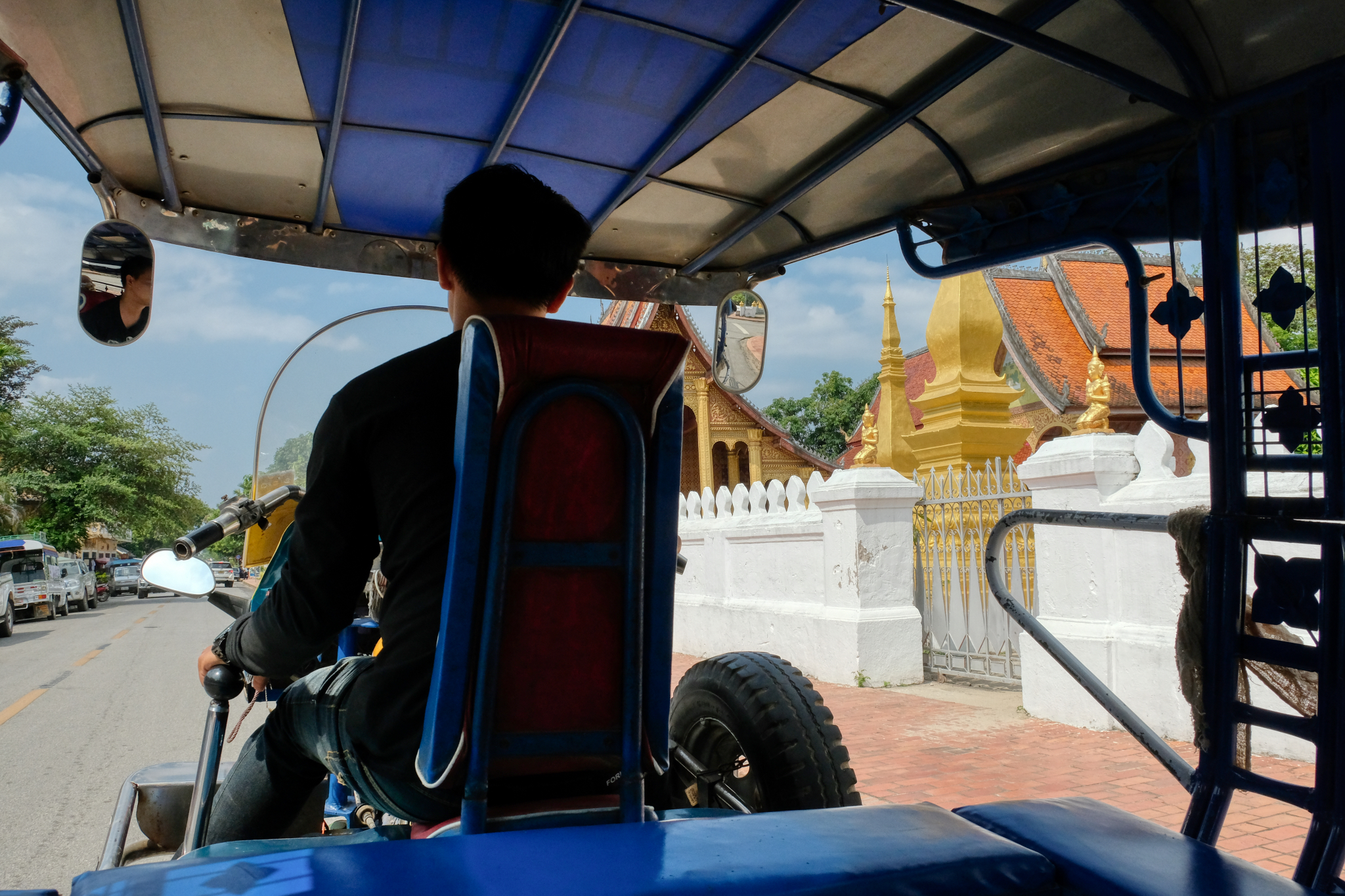 This is a very good way to get to know a small town. If you see something interesting/photogenic, just ask to stop.
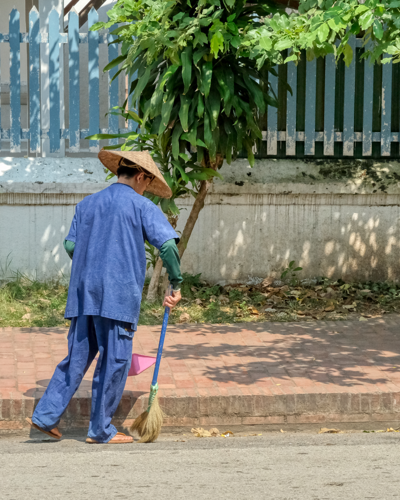 Luang Prabang was a very, very clean city. They take pride in their World Heritage Center designation.
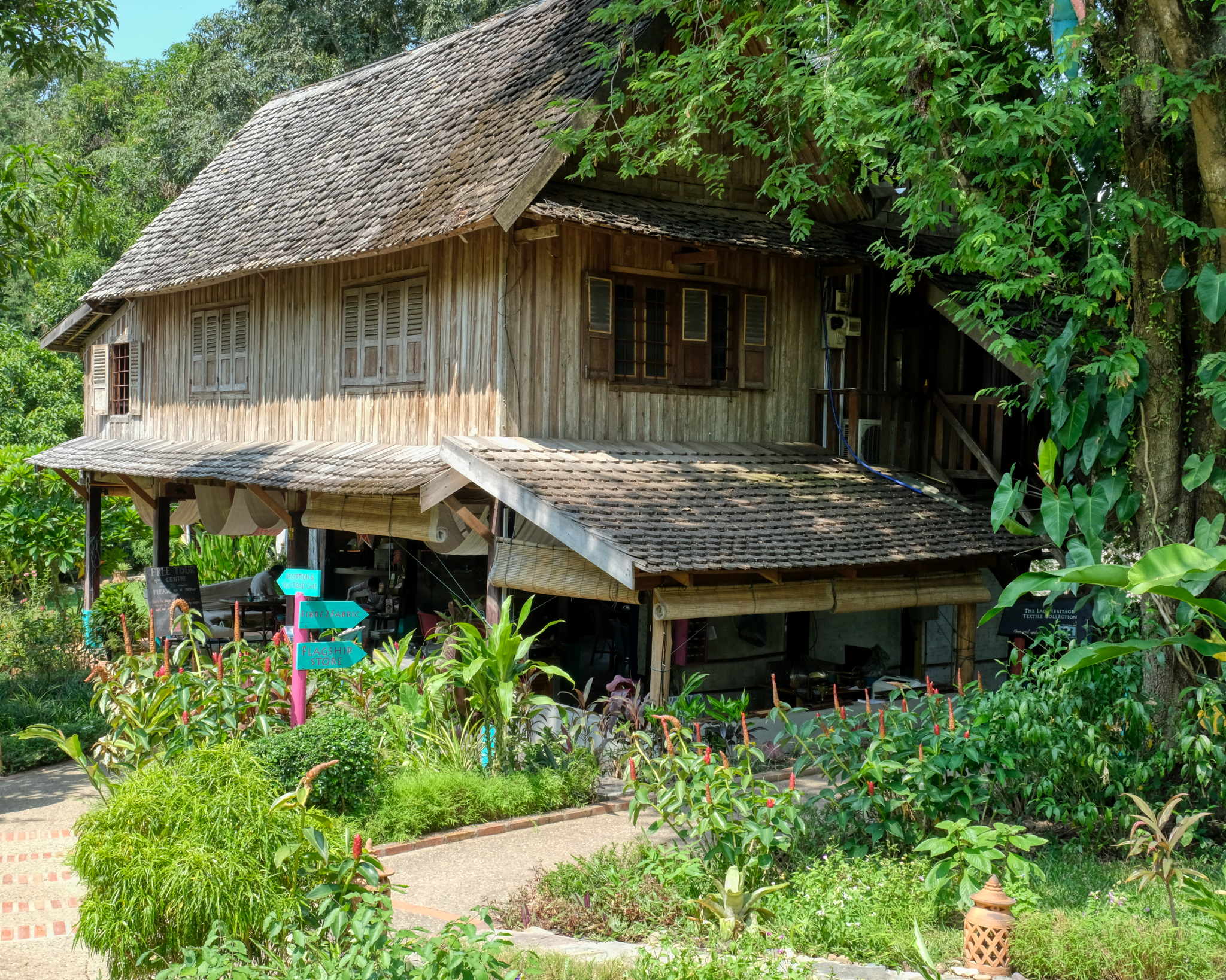 We asked our tuk-tuk jockey what might be interesting to see . . . he recommended the Craft Center. He was correct, it was fascinating.
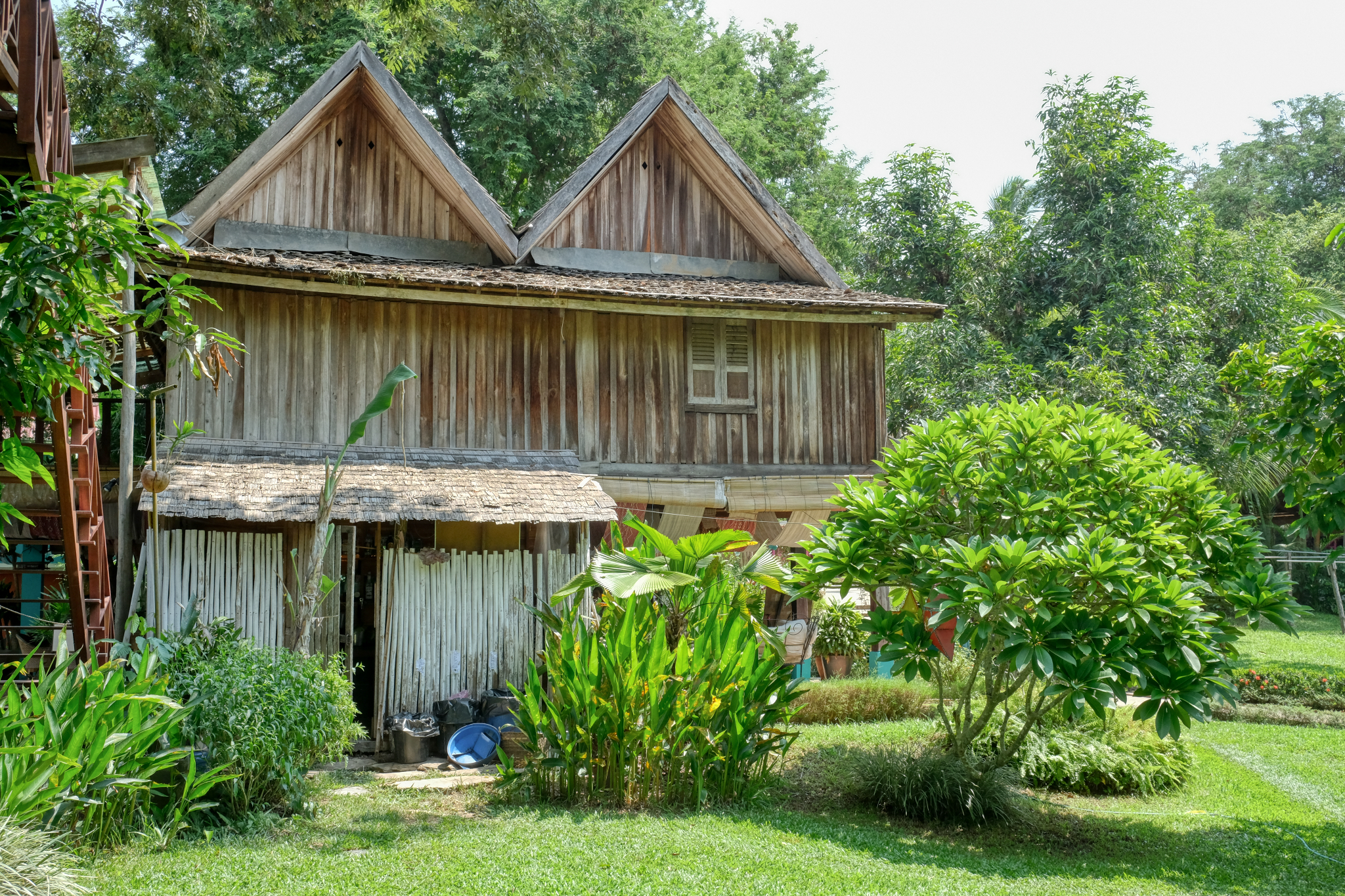 The Craft Center was a collection of old wooden buildings in a tropical garden setting.
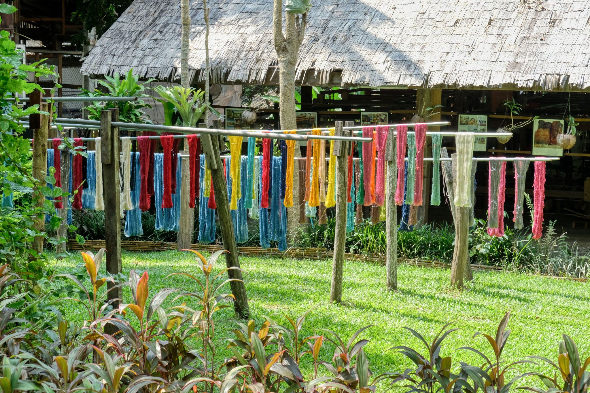 The craft that was being practiced here was silk-making, natural dying, and weaving . . . here recently dyed silk being dried in the sun.
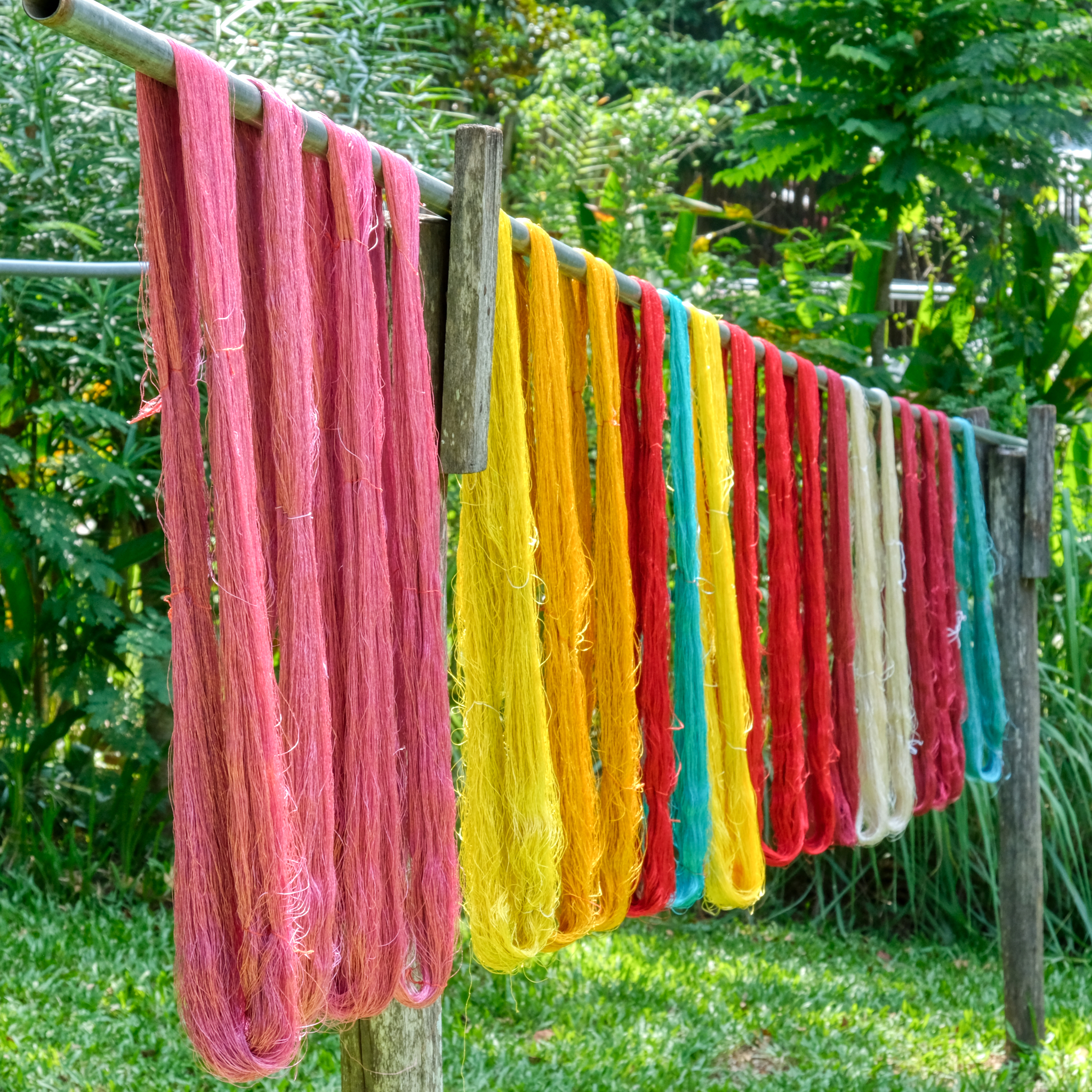 Such marvelous colors . . . and all from natural plant-based dyes.
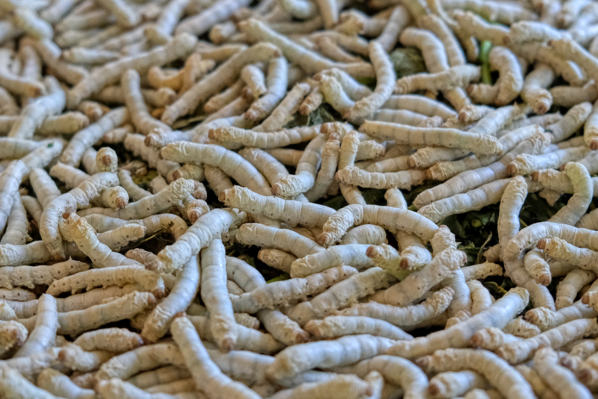 Silk worms. We took a brief tour of the silk-making facility by a very eager young man with very good English wearing a badge that said "Trainee." The tourists are coming!
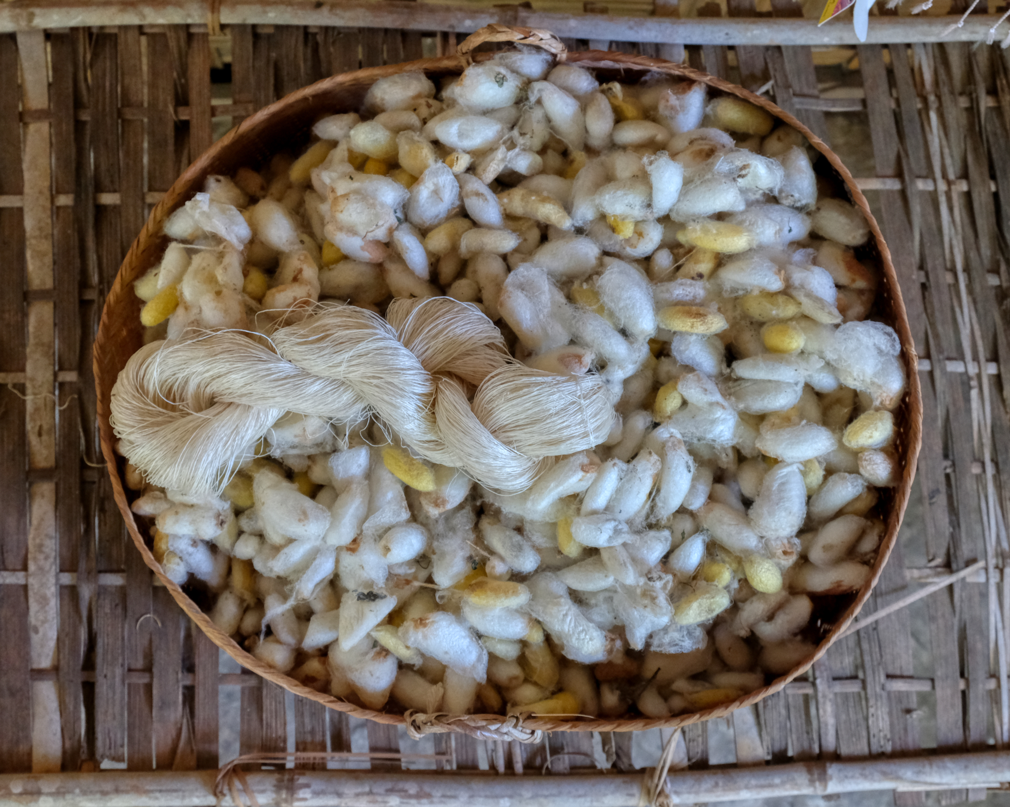 The silk worms spin these silk pods for their larvae. These must be unwrapped. There are many grades of silk, some fine and some rough and coarse.
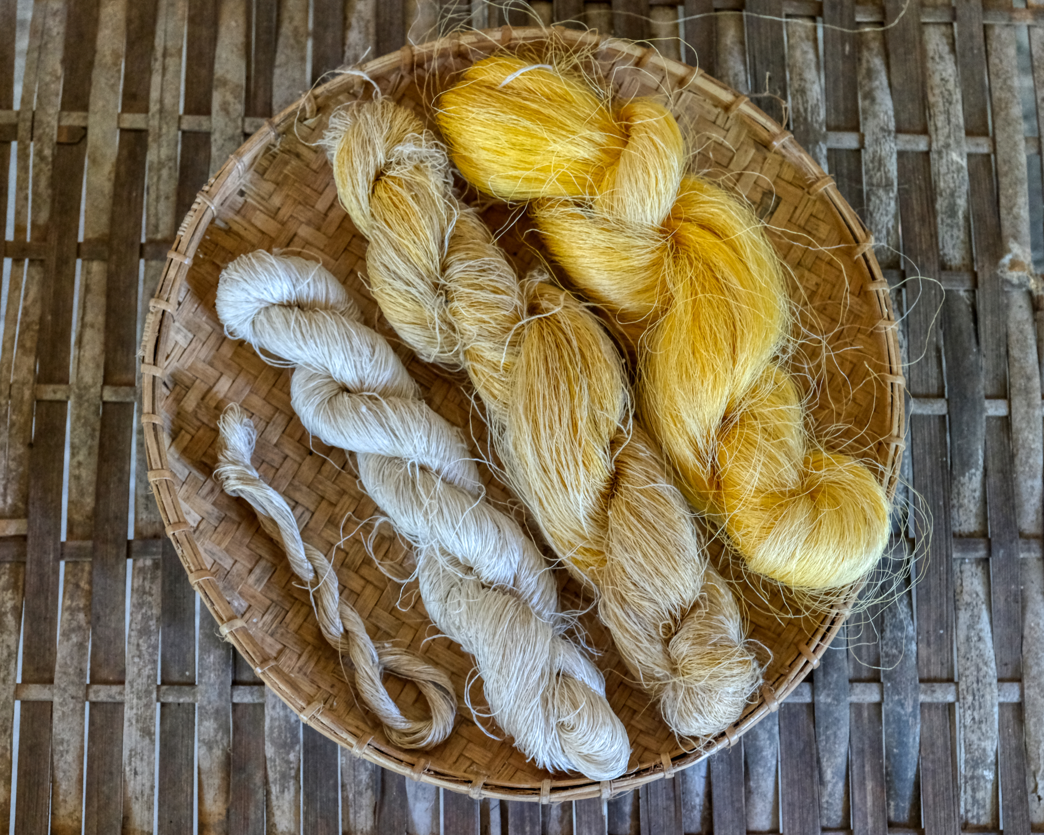 The rough raw silk.
 Ancient knowledge: what plant juices produce what colors.
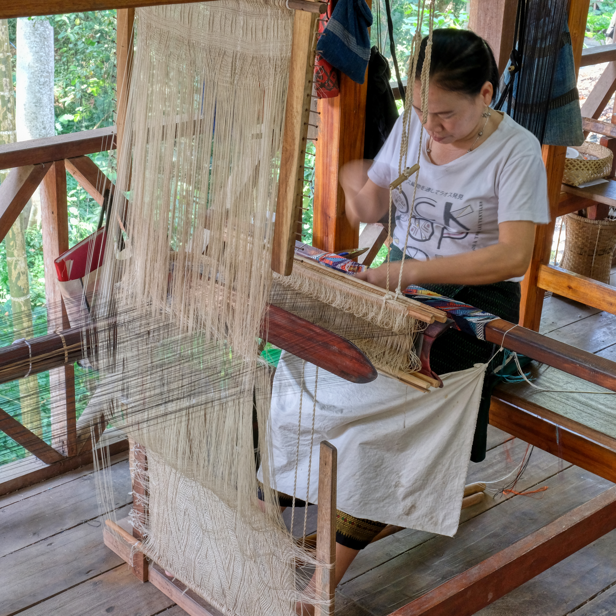 The Craft Center was also a woman's fair trade cooperative for silk weavers.
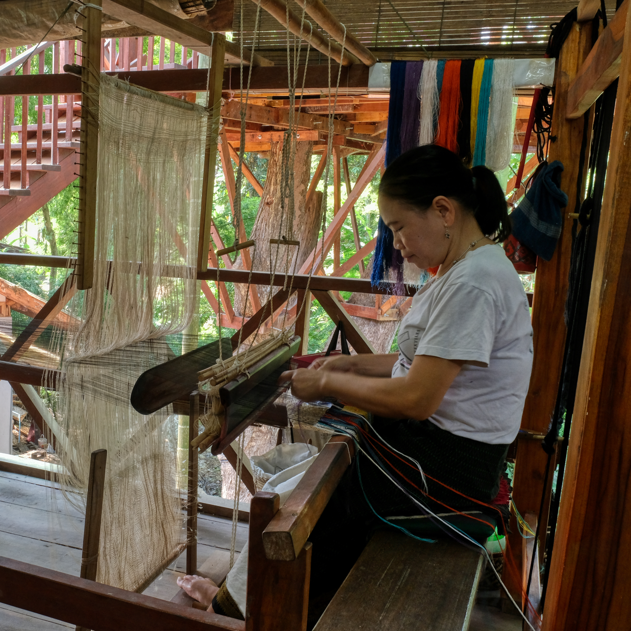 Such fine and beautiful work (available at the gift shop).
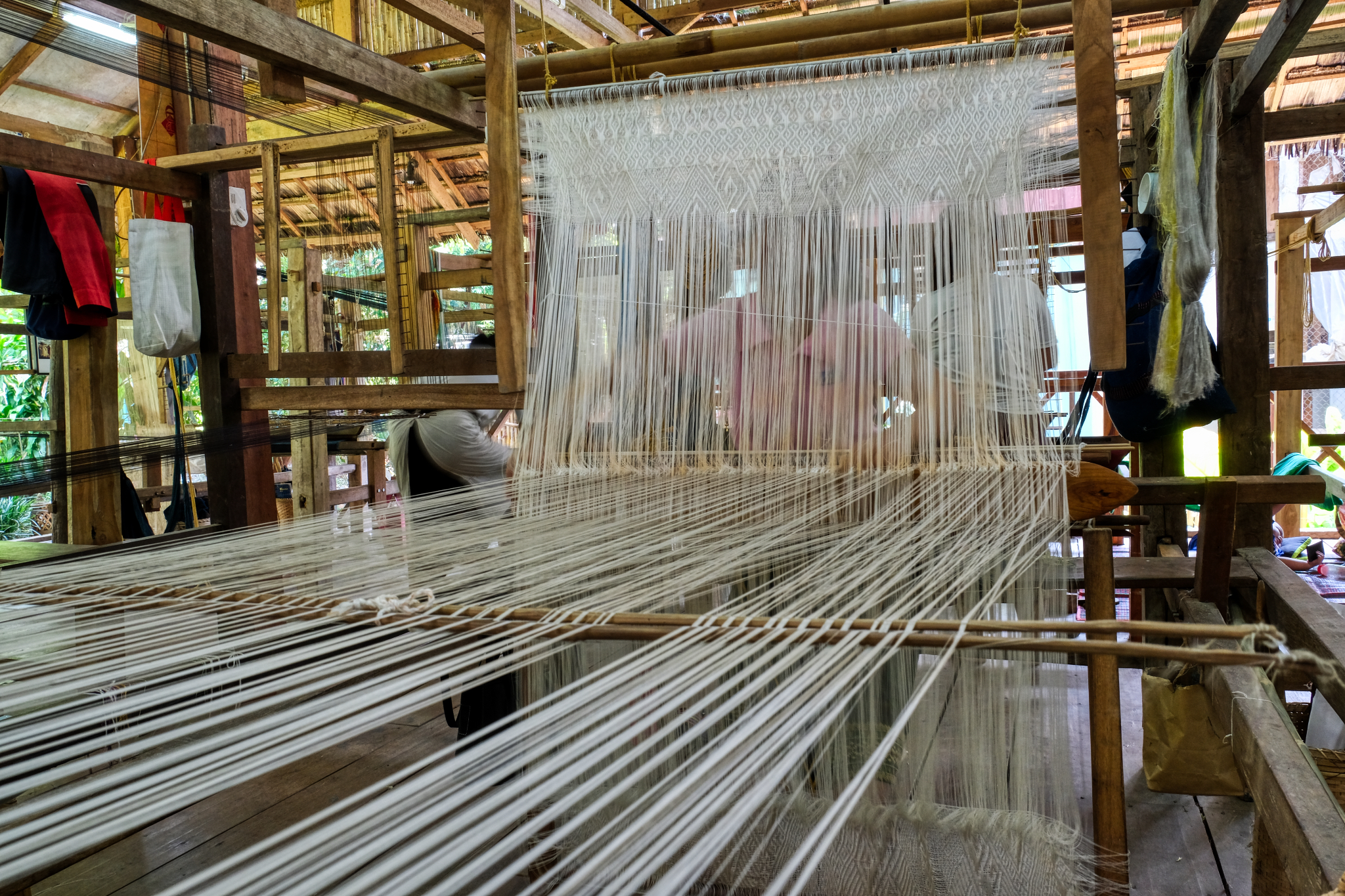 Artistic hand-weaving is hard and intricate work.
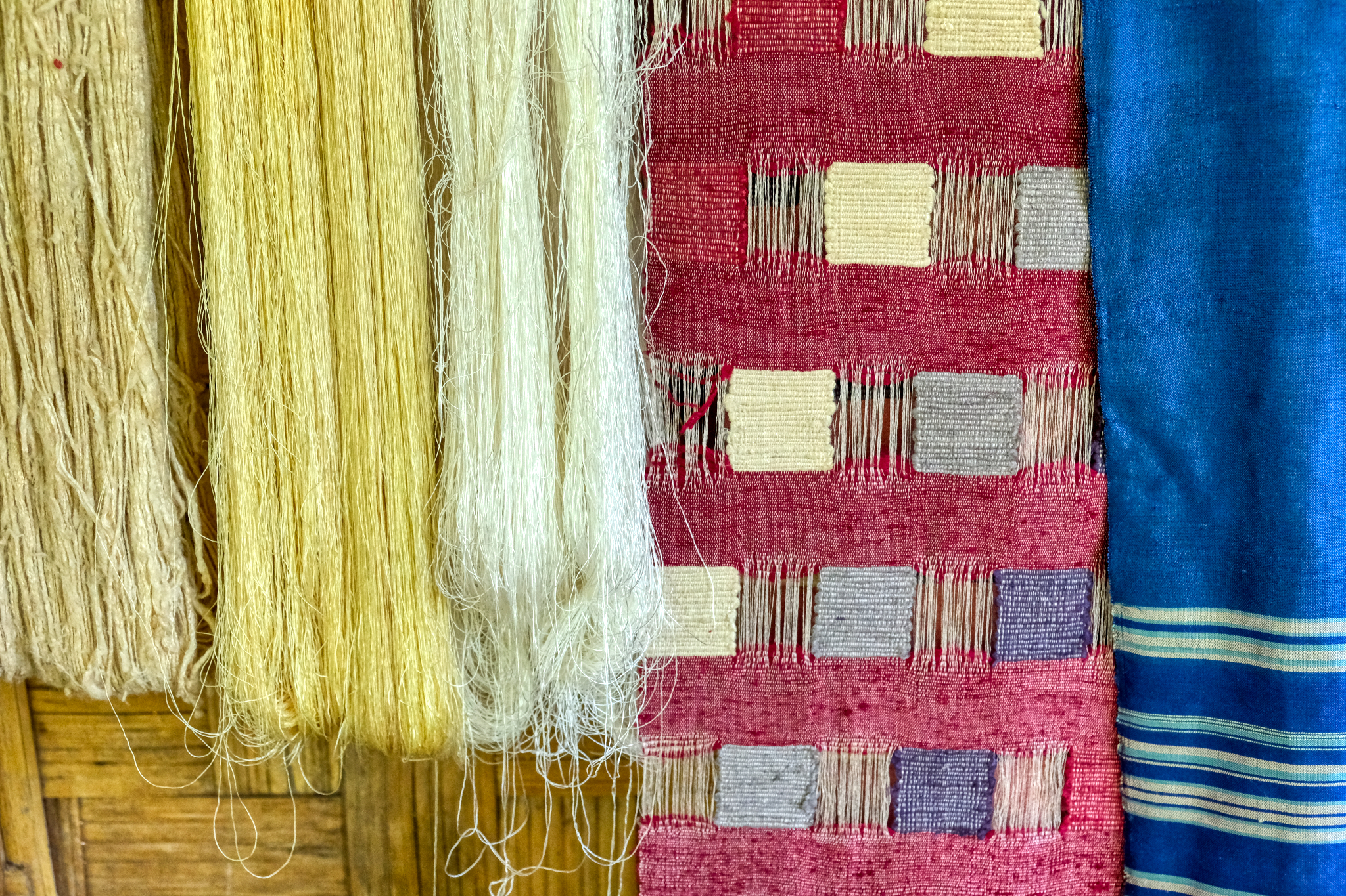 From coarse raw silk to beautiful textiles.
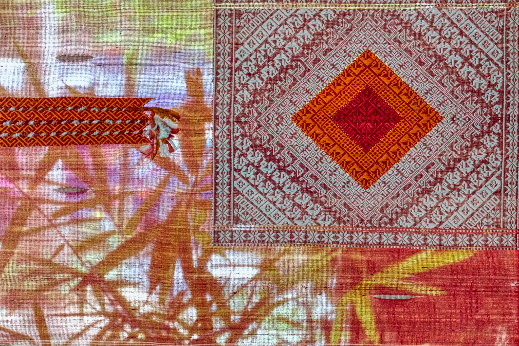 A display of old silk patterns in the museum.
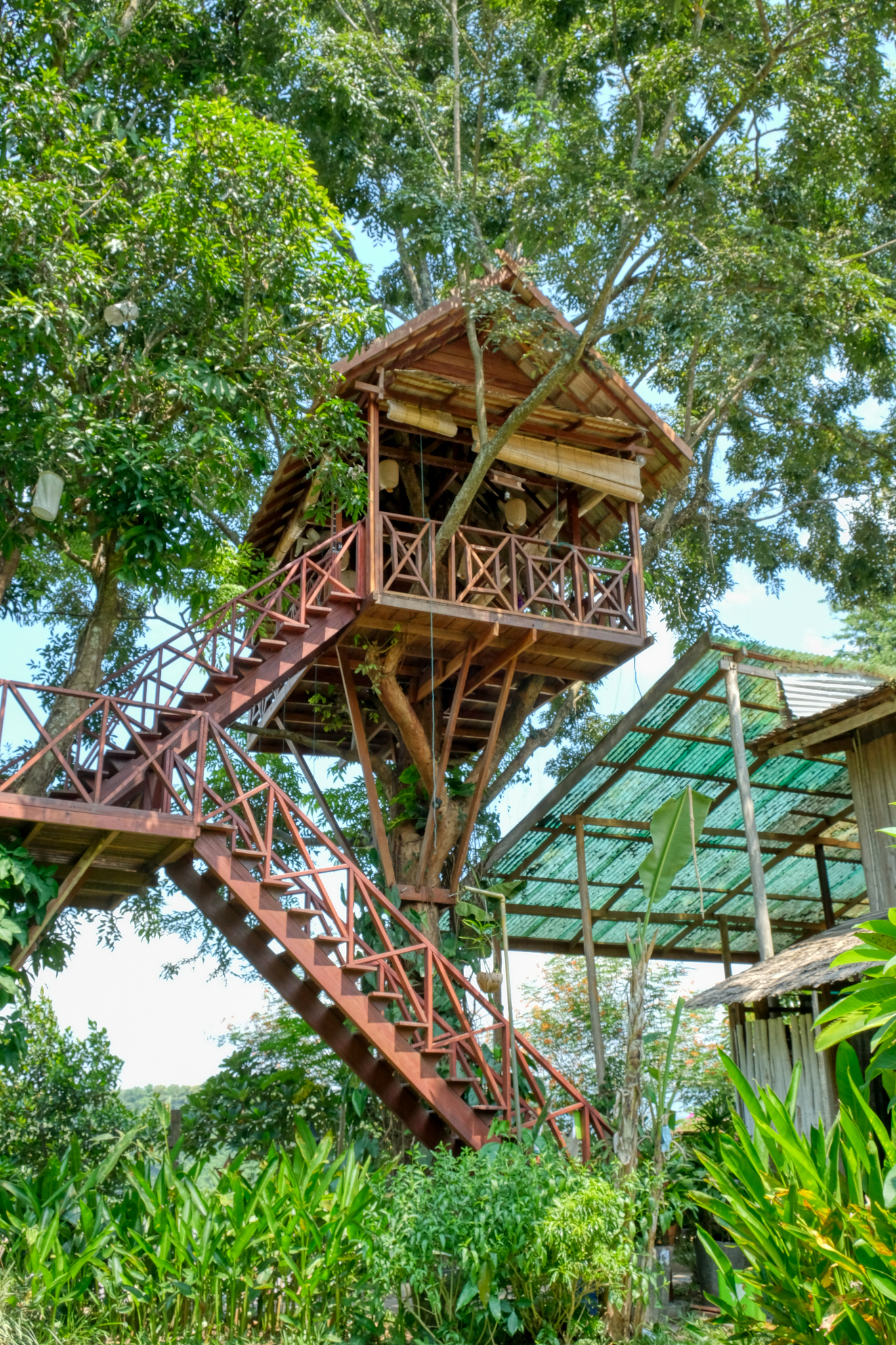 The Craft Center had a marvelous tree house with views to everywhere . . . but I was chicken, I mean, in a hurry to get some water.
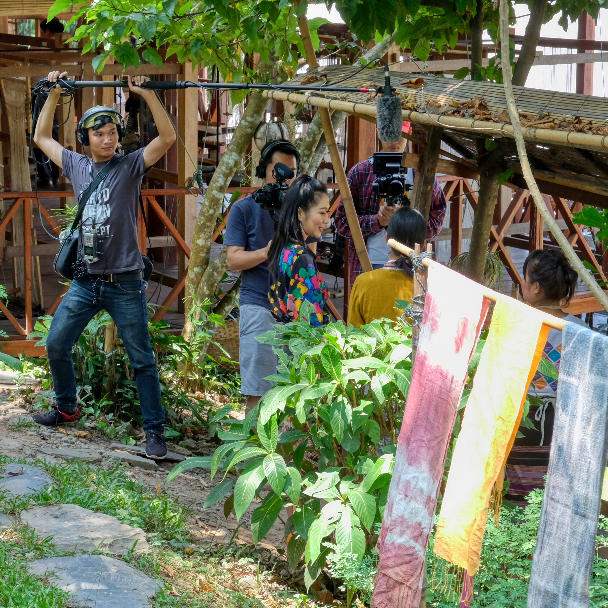 As it turned out, we weren't the only ones who were finding the Craft Center interesting that morning . . . a crew, and talent, were filming a piece for Lao TV.
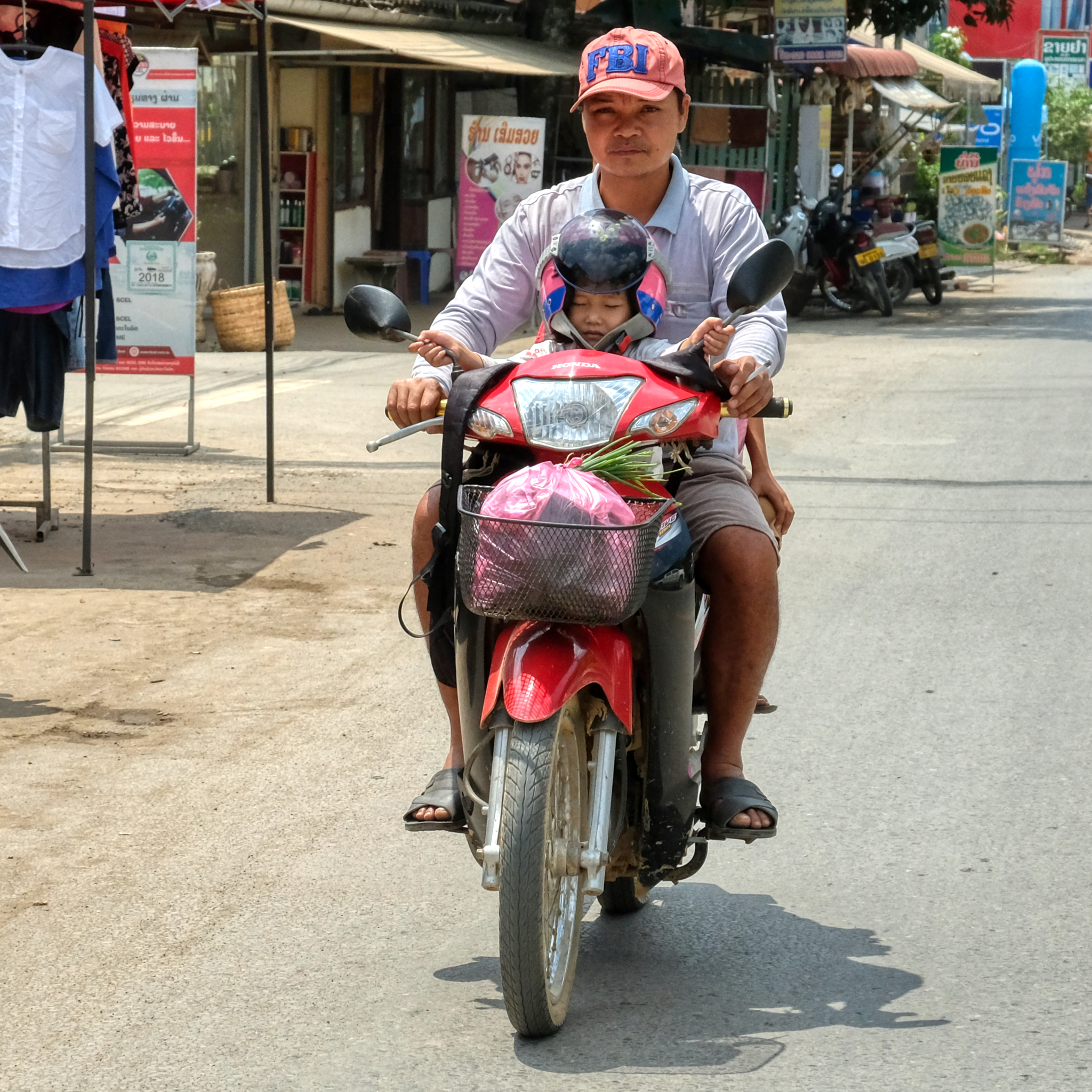 After the Craft Center we rode around for a while in the tuk-tuk looking for a recommended French Café and lunch . . . and taking photos out the back of the tuk-tuk along the way.
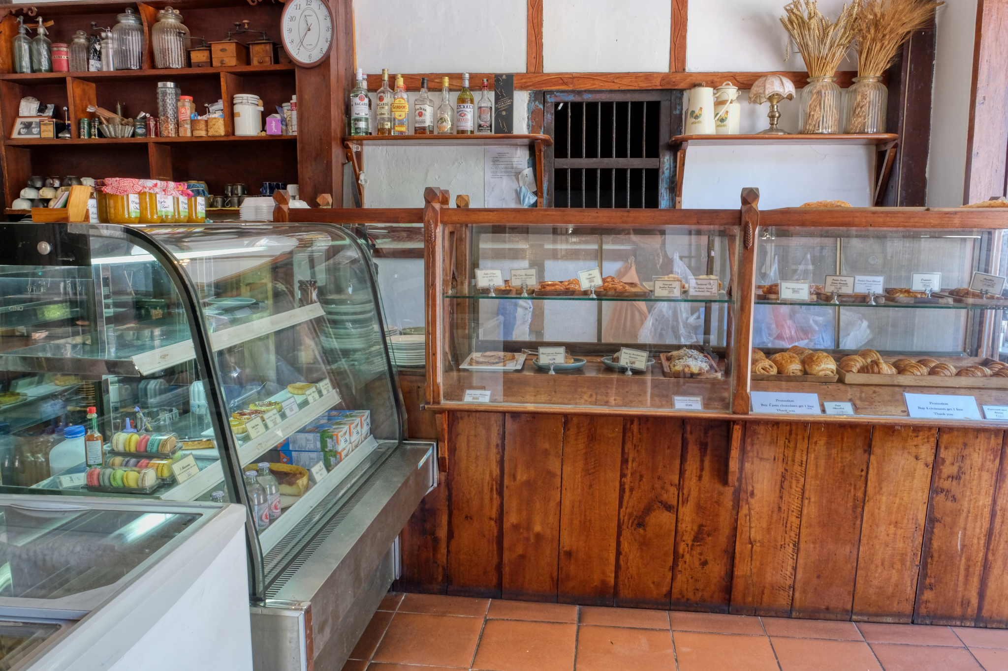 We found our French Bakery & Café where we had a delicious meal out on the sidewalk.
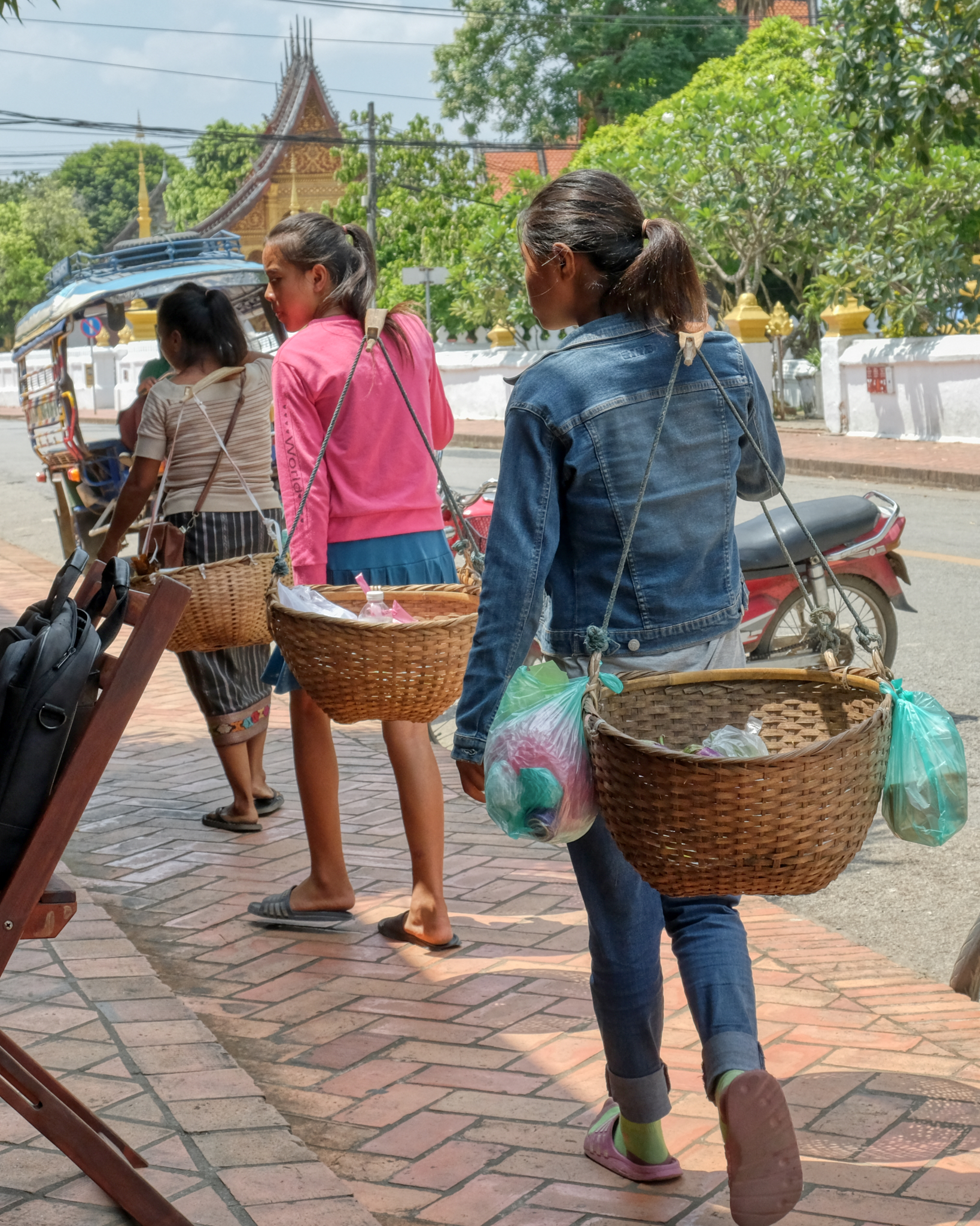 These street hawkers walked by on their way into the town center. They seemed to be practicing, or taking their first foray along the sidewalk . . . getting ready for tourist season to begin.
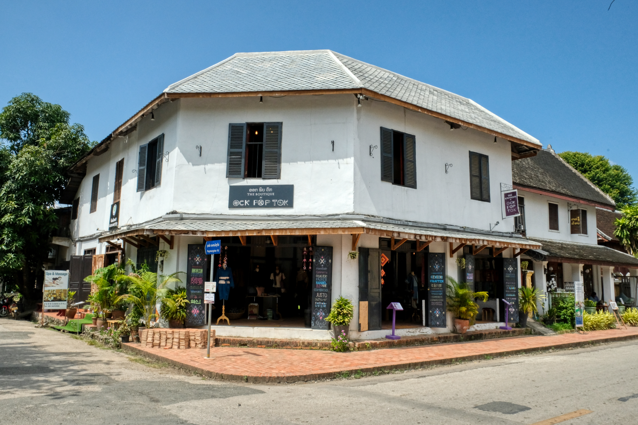 After lunch we went back into town and walked around among the shops.
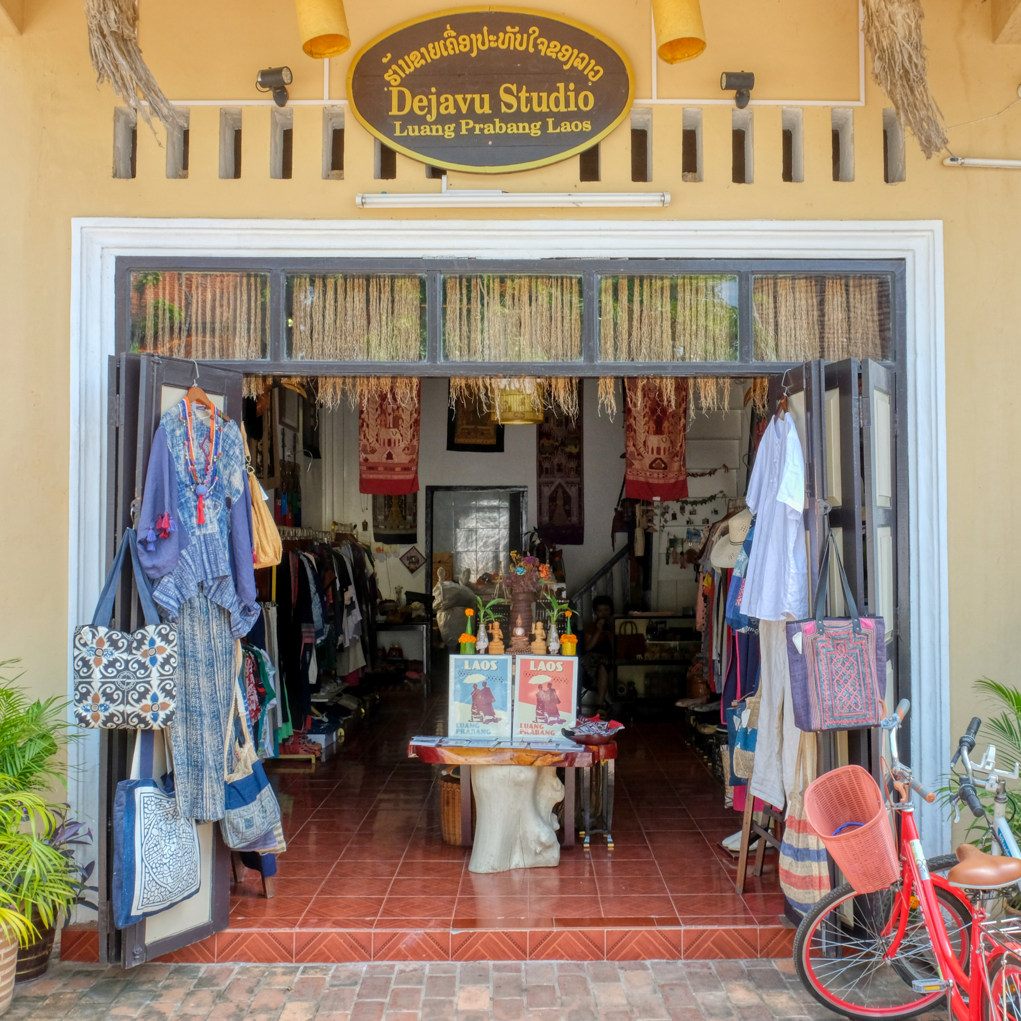 The shops were bulging with goods in anticipation of the 15,000 mostly French tourists a day who would begin to arrive within weeks. The fashions and styles were really wonderful. My wife bought several fabulous outfits here.
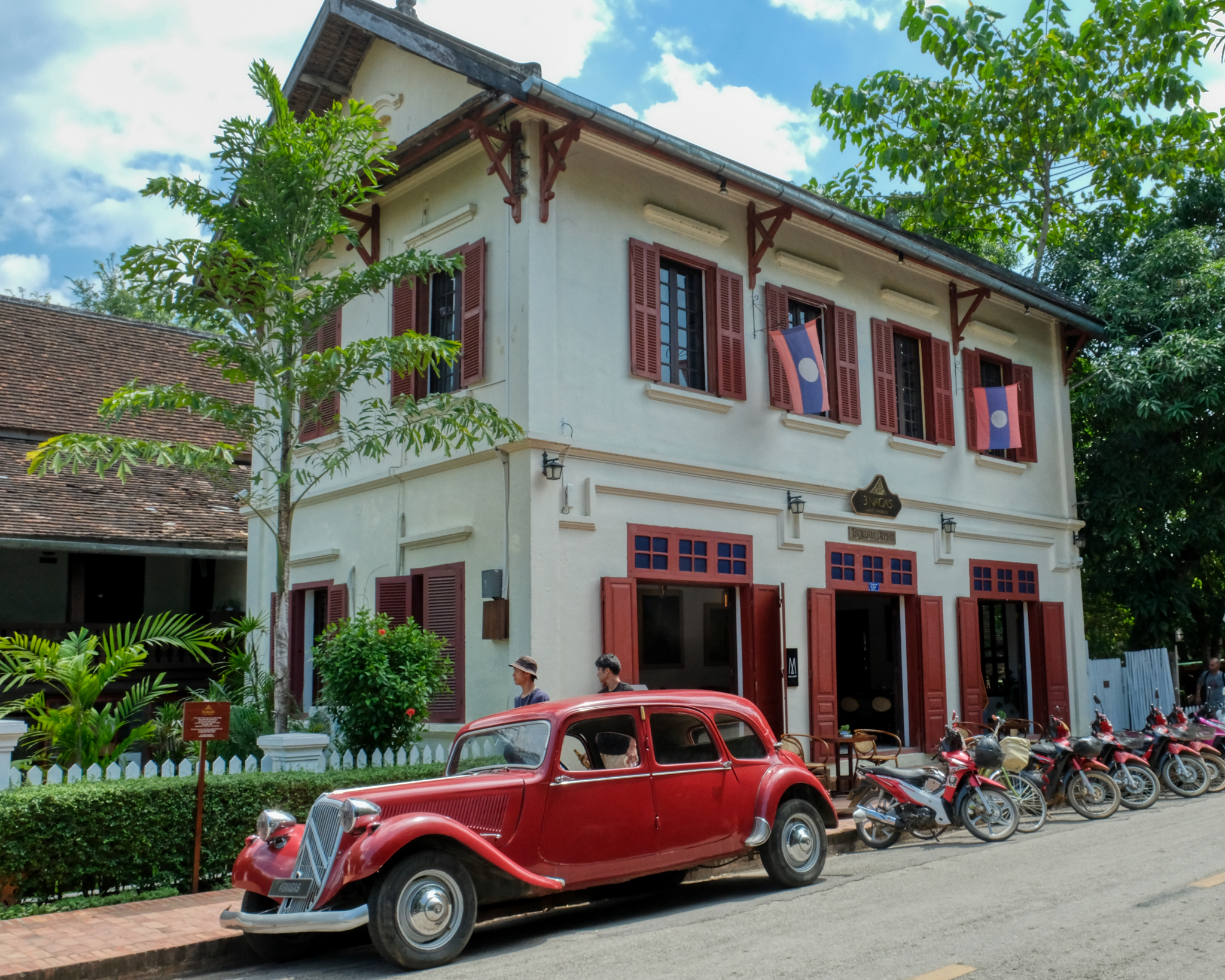 I'm sure the sight of this old Citroën will bring a big smile to the French tourists.
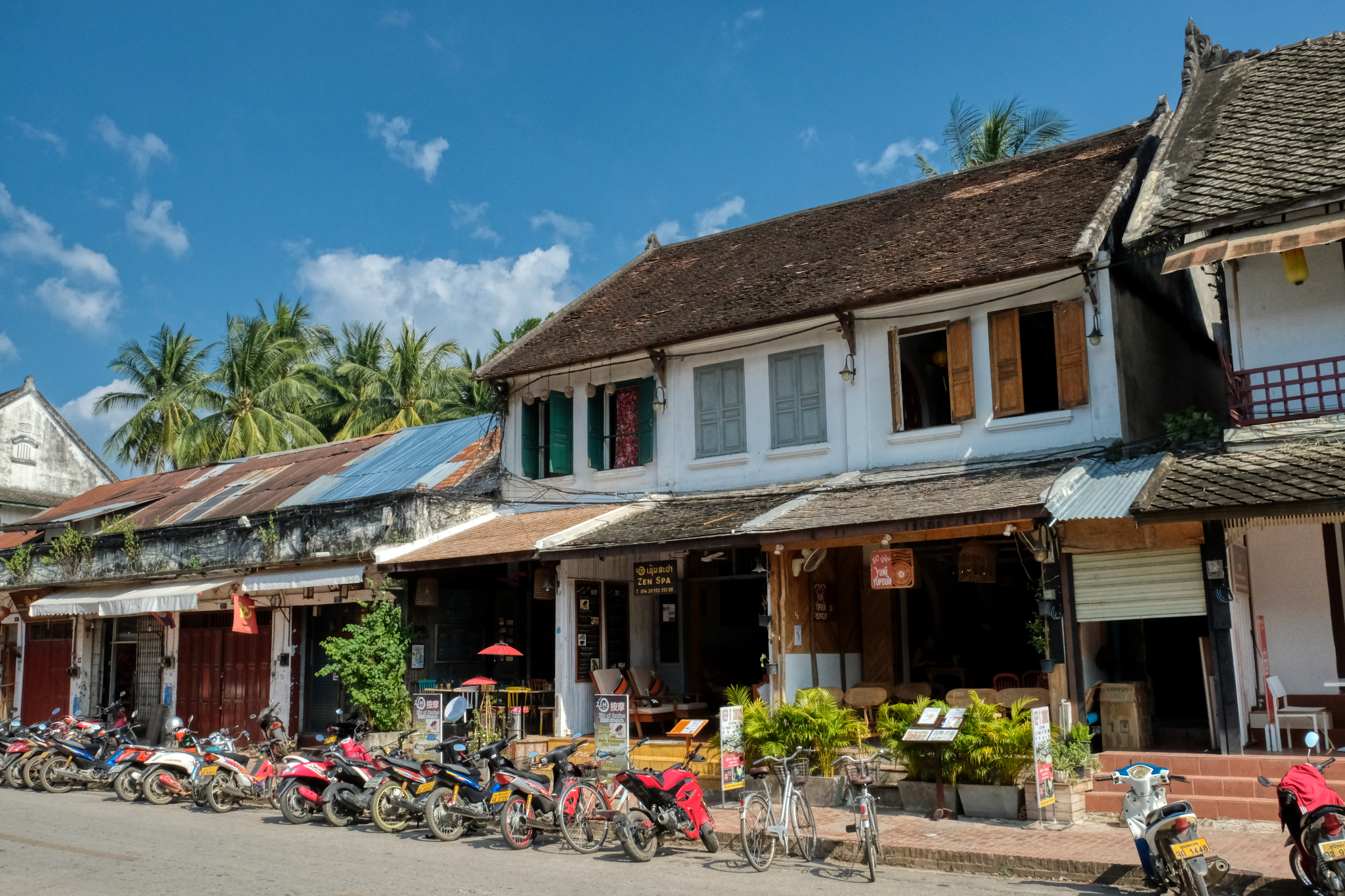 I love the feel of this old town.
 Well dressed patrons of a high end fashion shop.
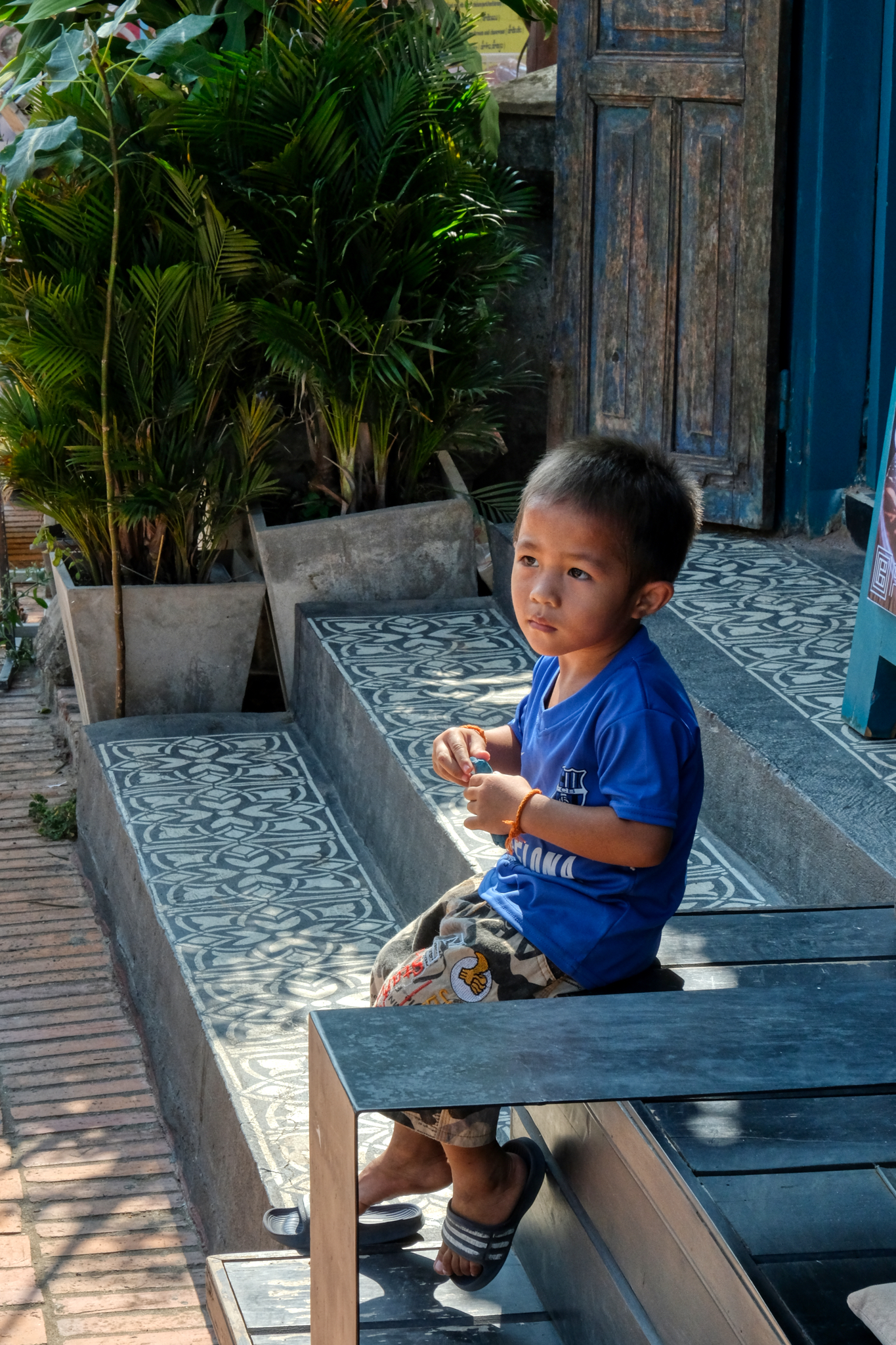 This little guy sat quietly out in front of his parent's shop.
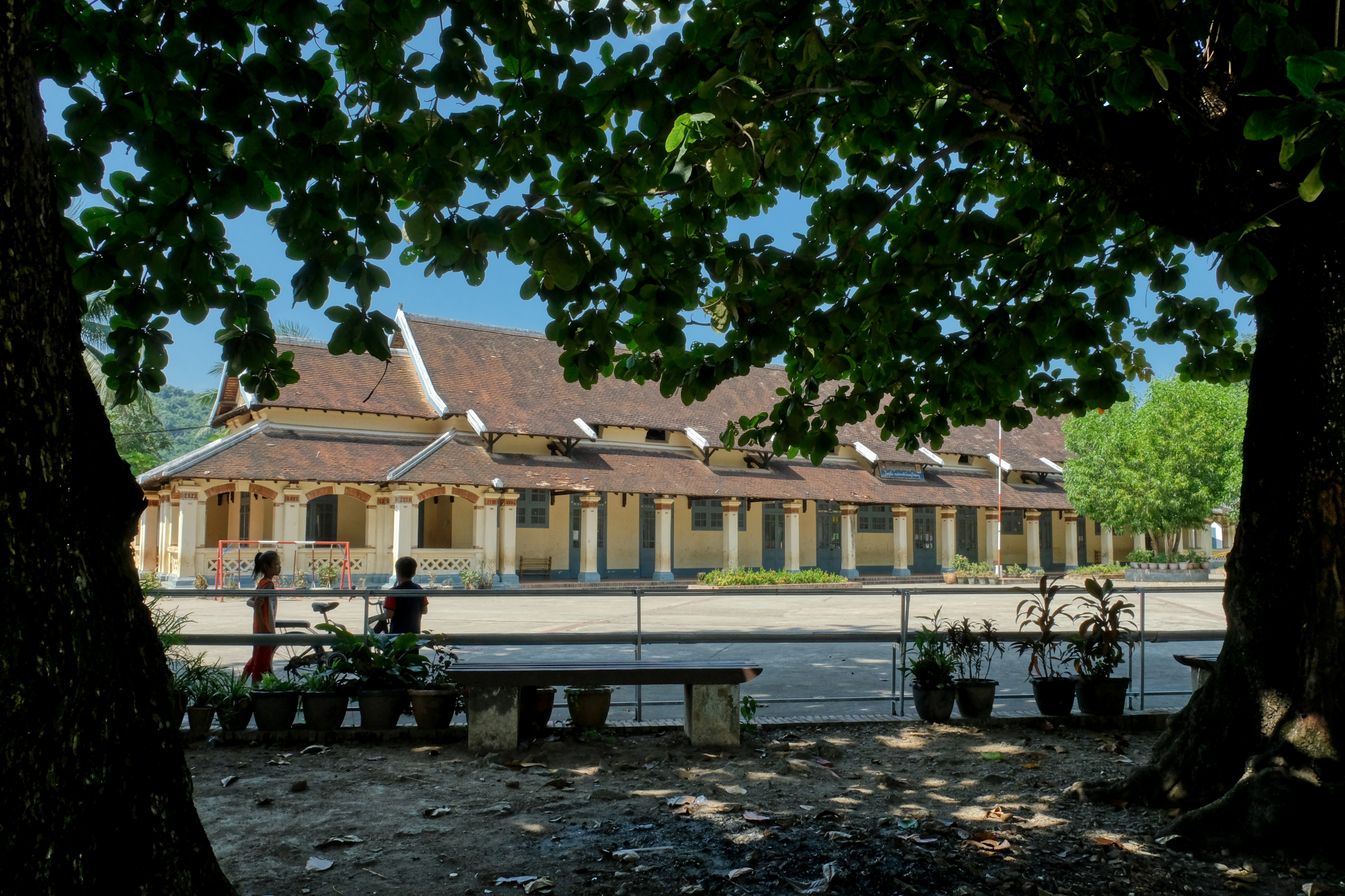 The Luang Prabang School . . . right on the main street.
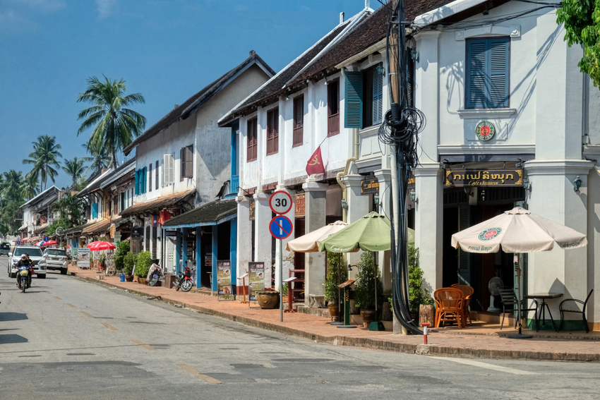
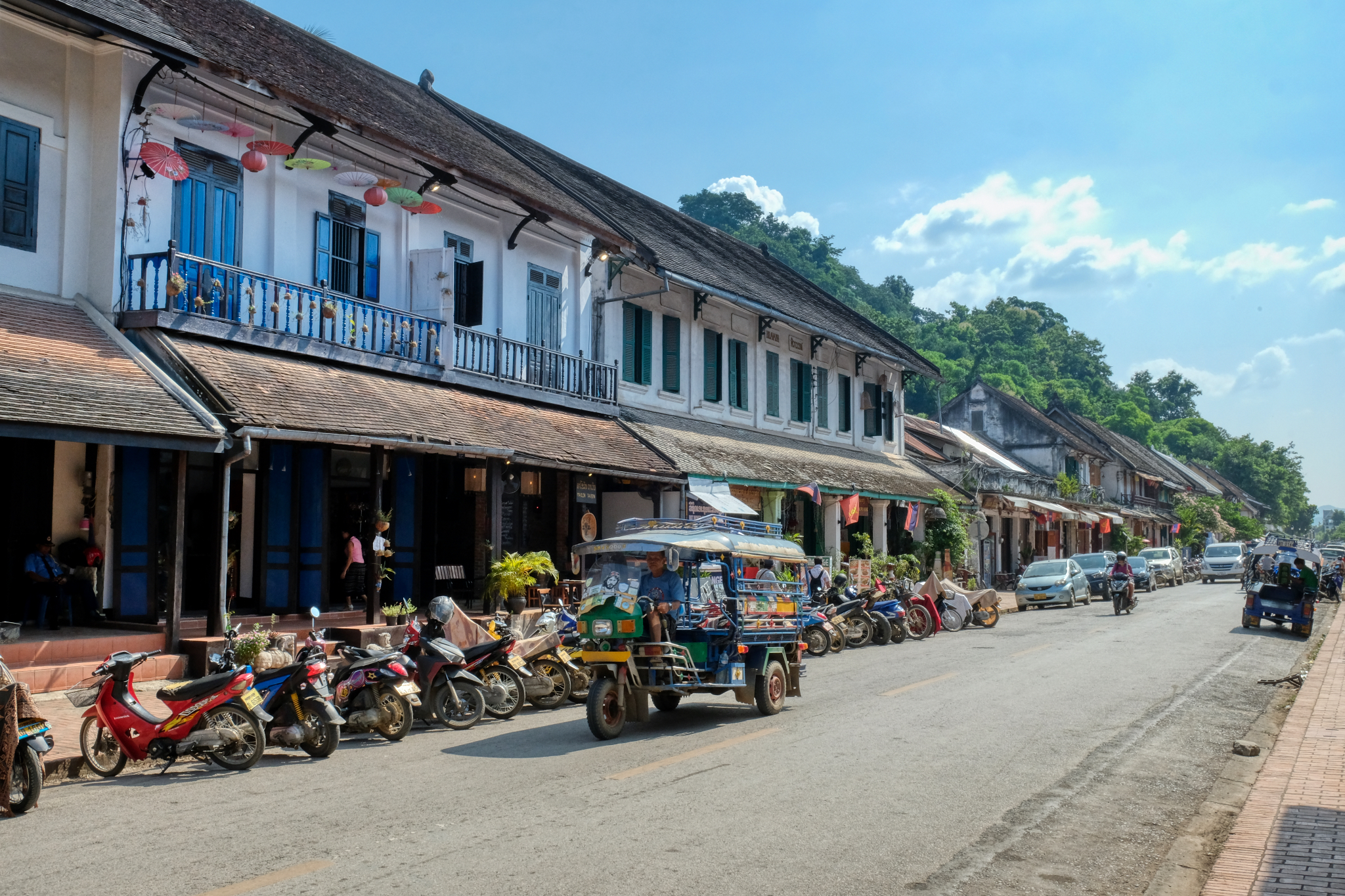 Coffee shops, textile stores, and curious shops dominate the old downtown now. When I first visited Luang Prabang 22 years ago there was very little in the way of catering to tourists . . . the World Heritage Center designation seems to have changed all of that.
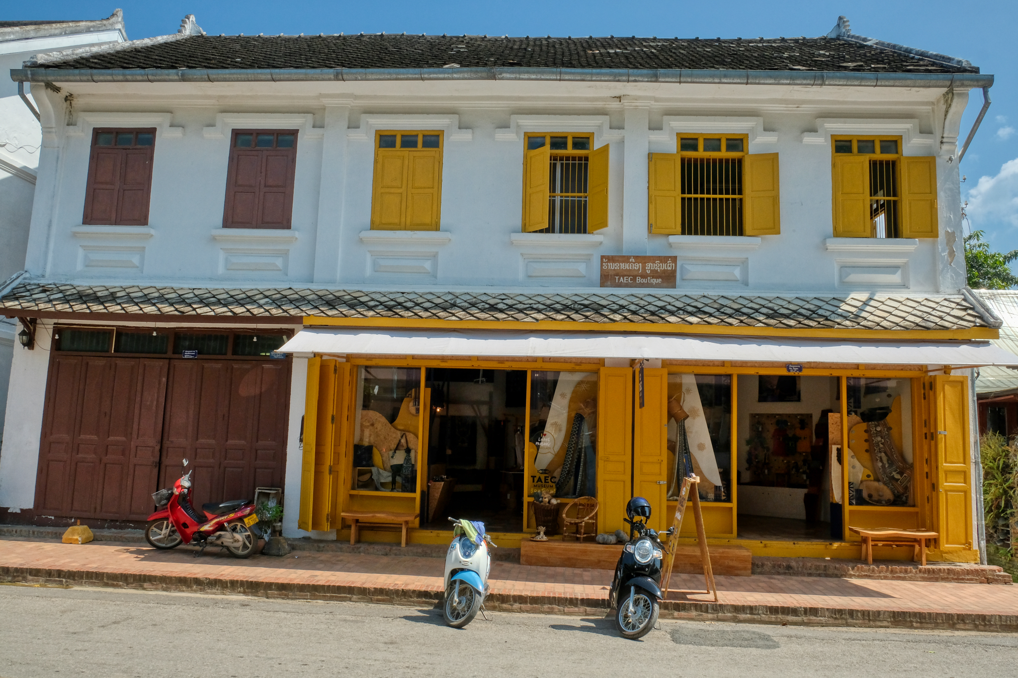 Another of the many fine boutiques.
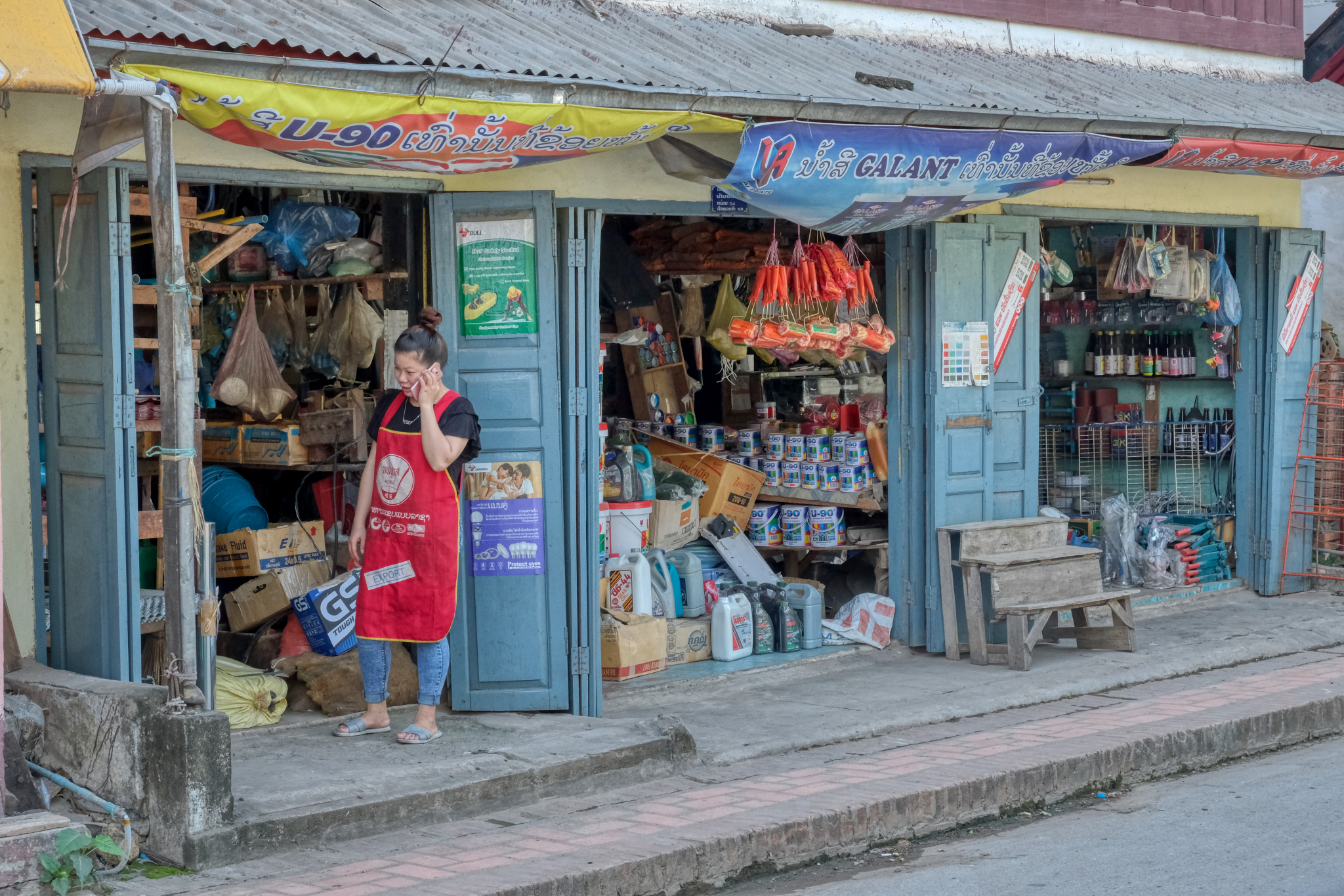 Of course Luang Prabang is not entirely a tourist town. There are the daily needs of the Lao who live here to be met. A lovely hardware store.
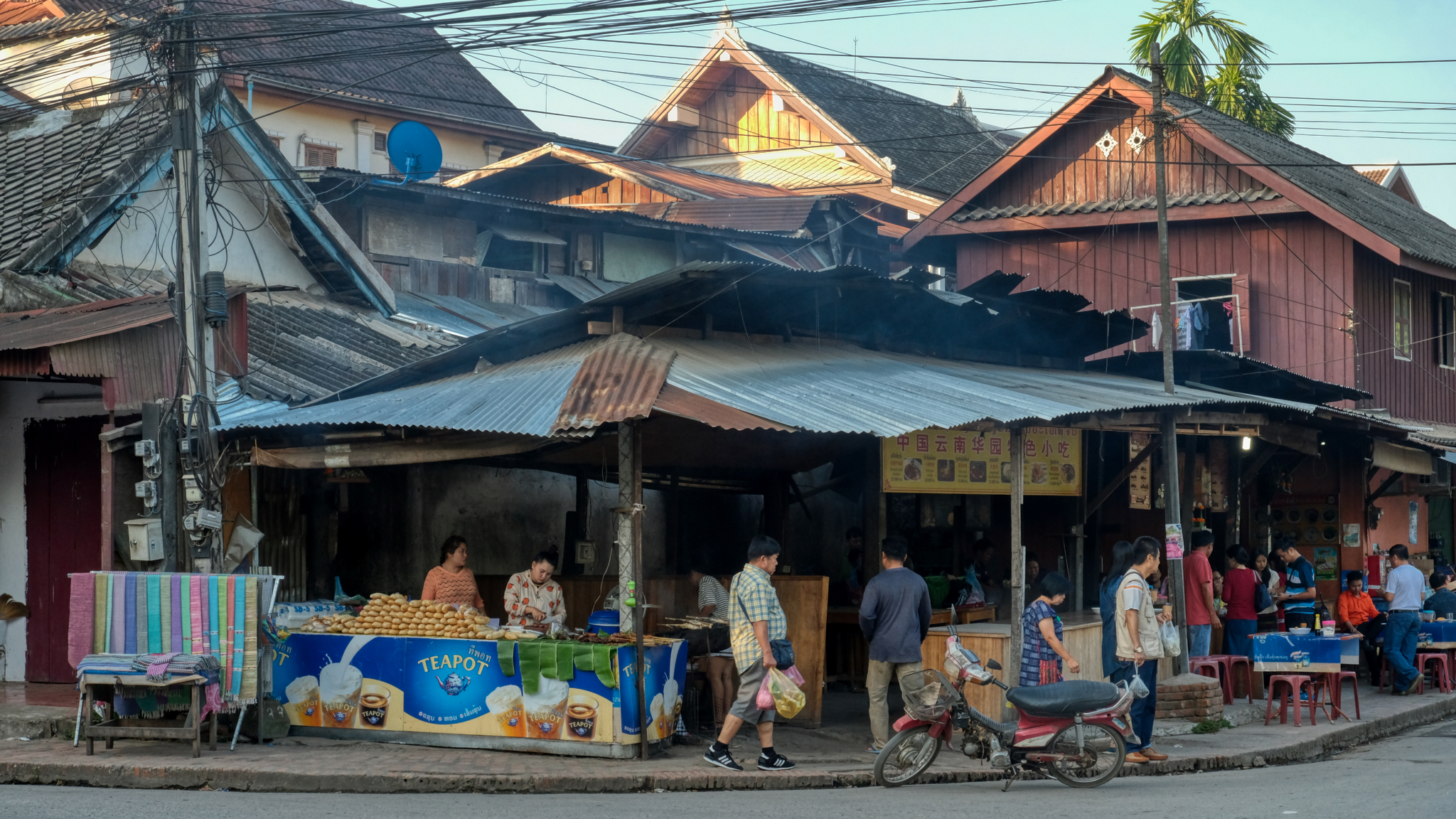 We knew of a favorite place the locals went to for breakfast of hot congee and fried bread, in this parade of shops next to the river.
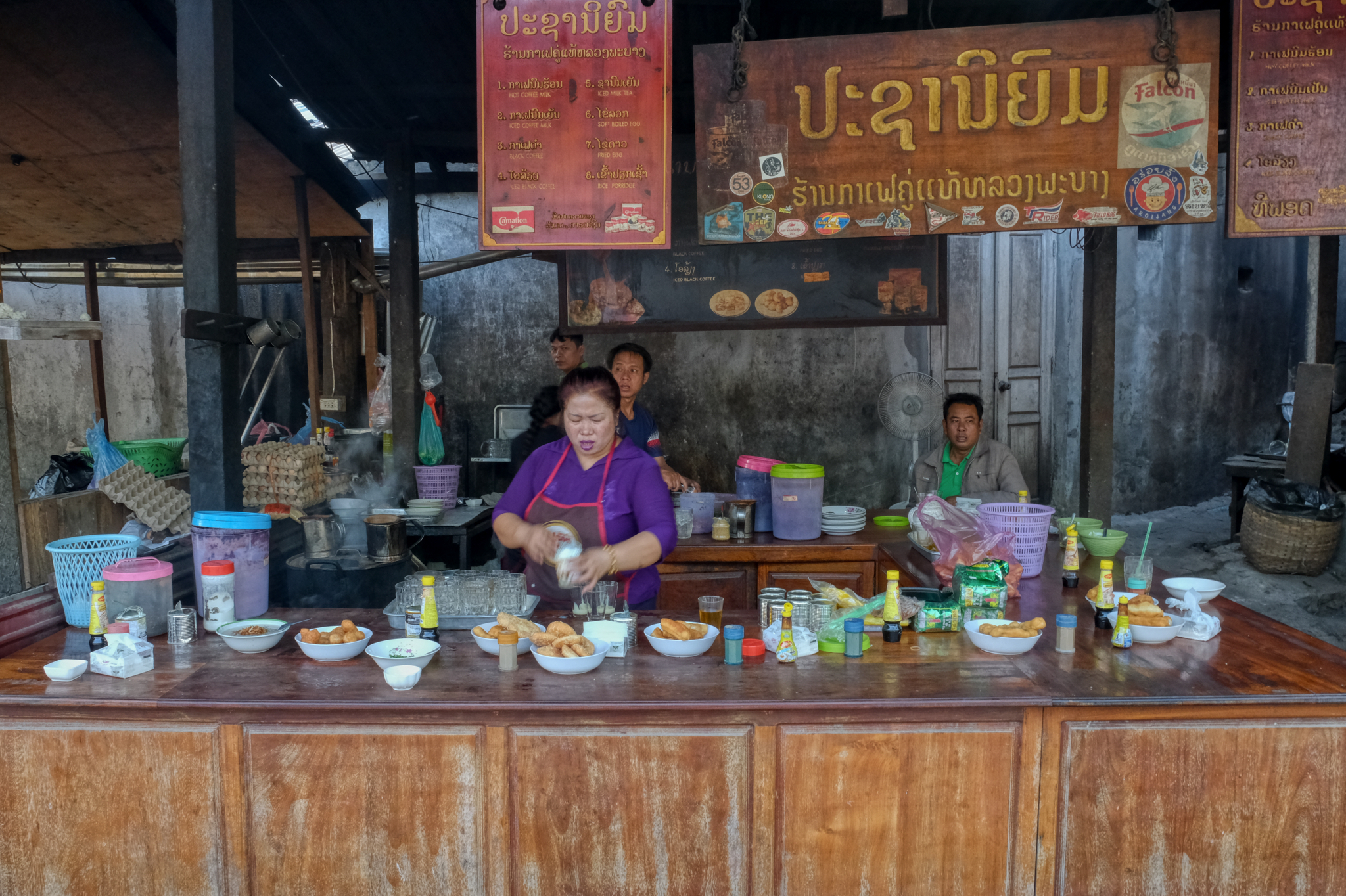 The proprietress readying the side dishes and the strong thick milk coffee.
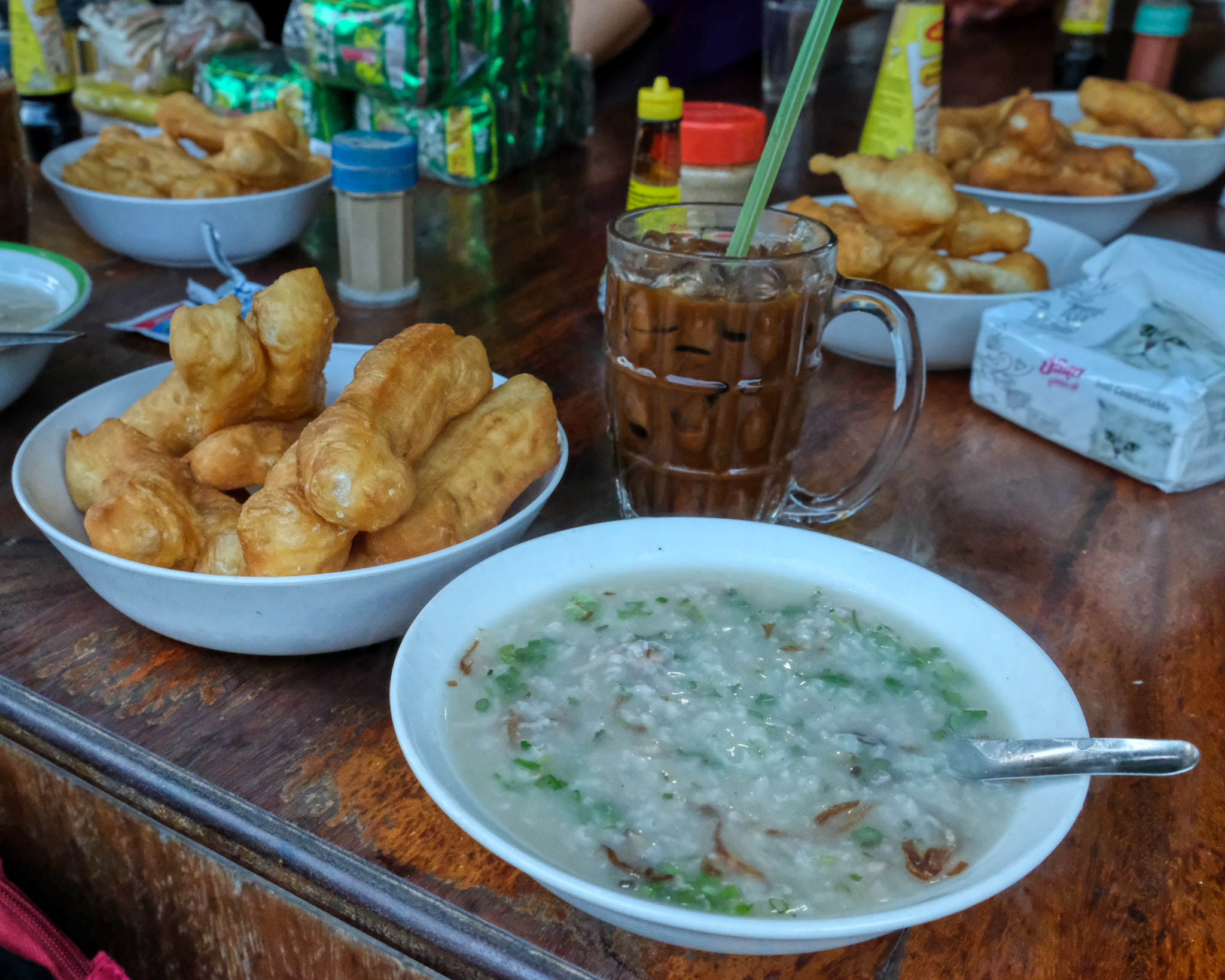 This is what we had come for: Lao congee, fried bread, and strong milk Lao coffee. Based on chicken stock, it was full of goodness!
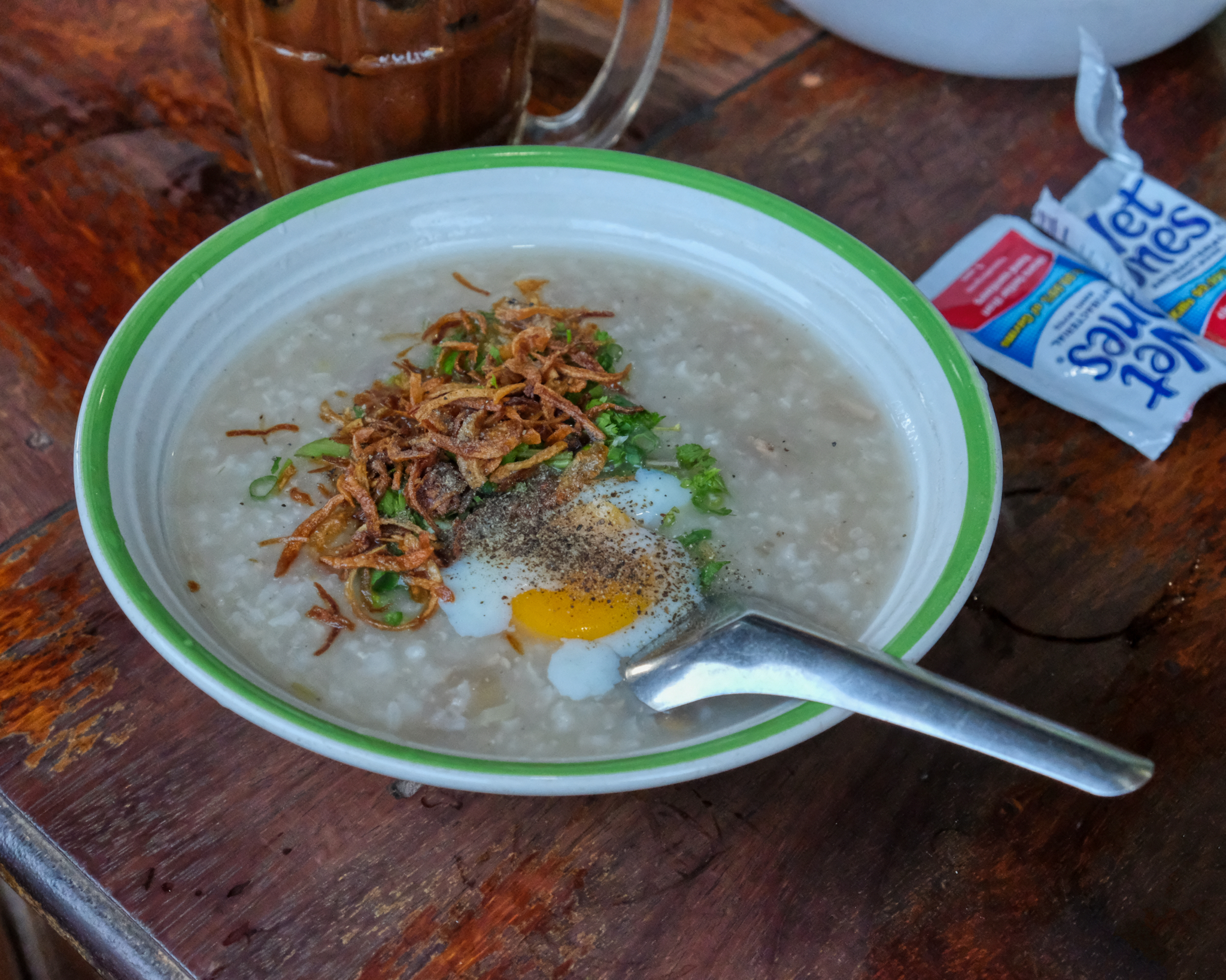 There were several variations on the menu for the delicious congee - like a raw egg that cooks in your congee!!!
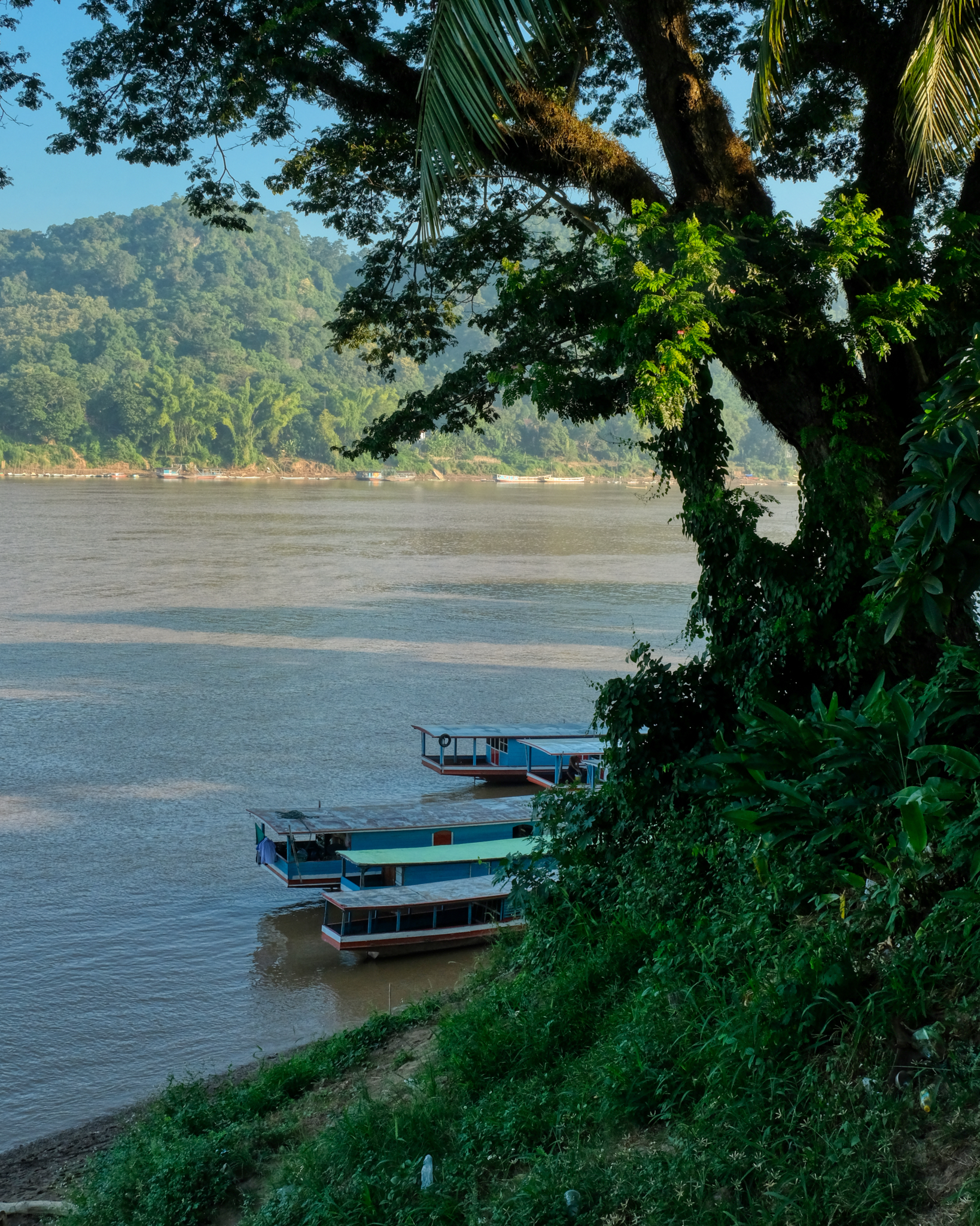 Just across the road from our congee shop was the mighty Mekong River.
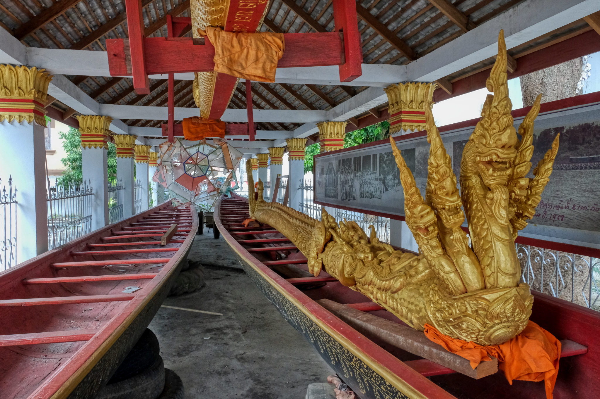
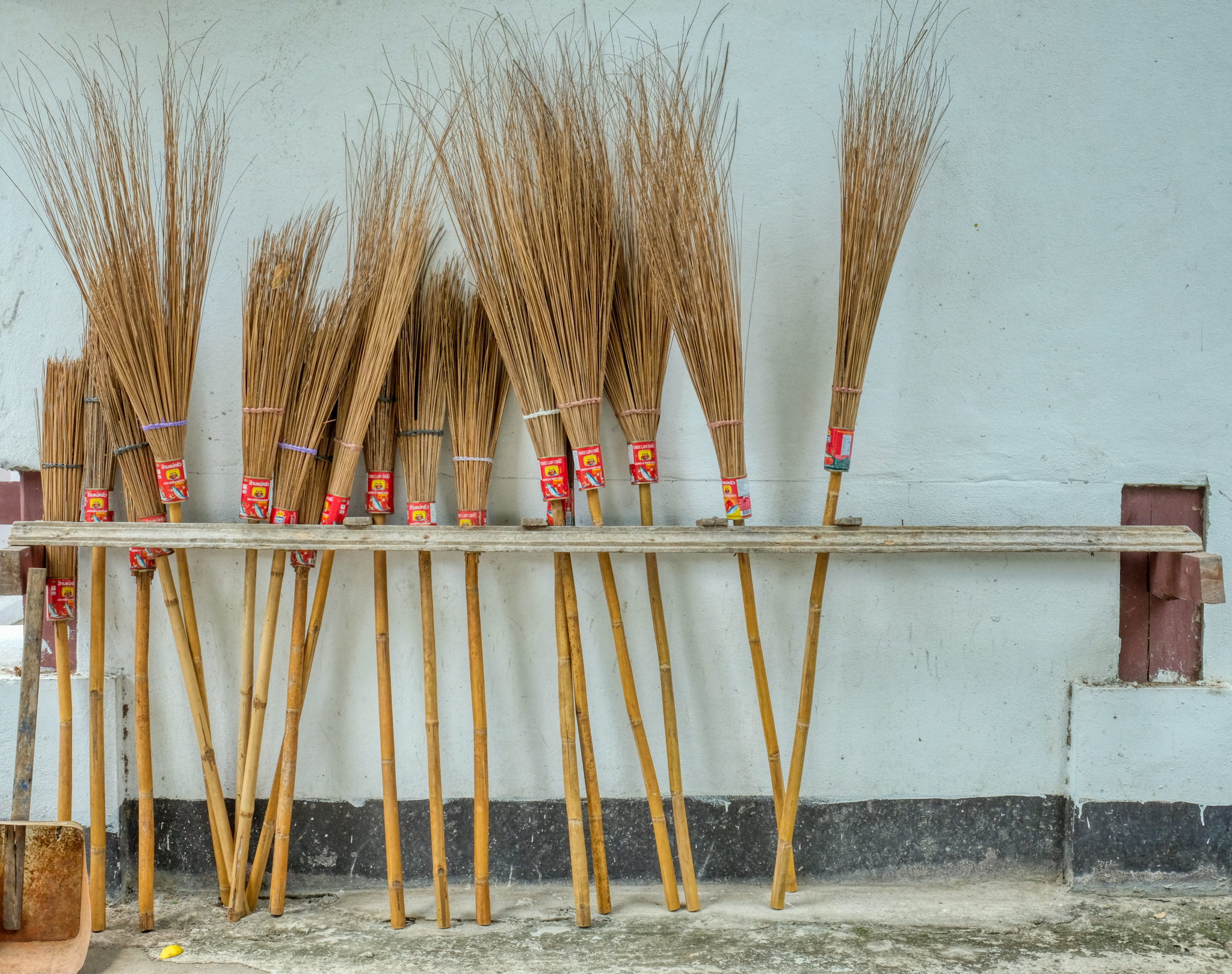 Luang Prabang is a photographer's dream . . . new brooms for the Wat.
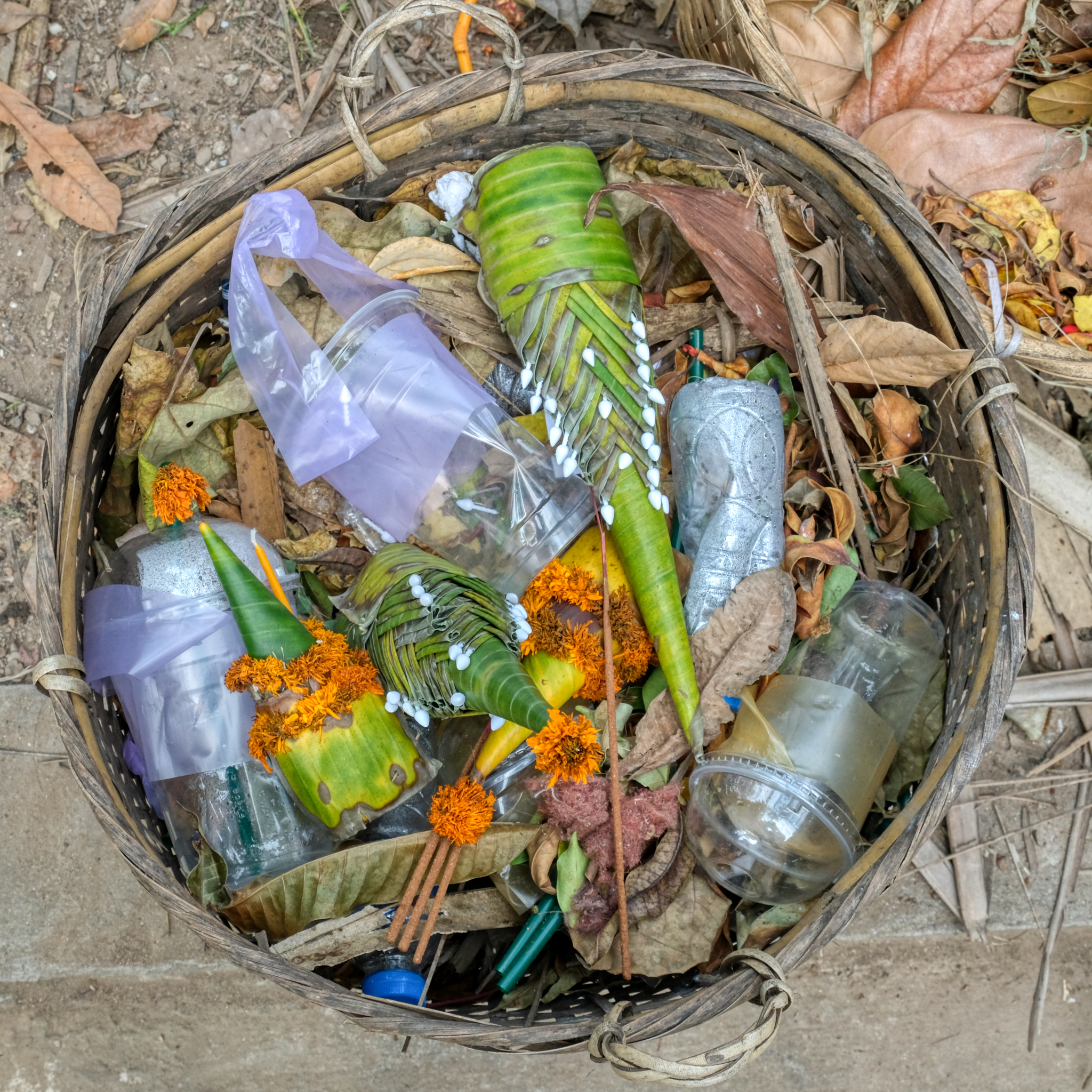 Even the garbage cans are interesting . . . .
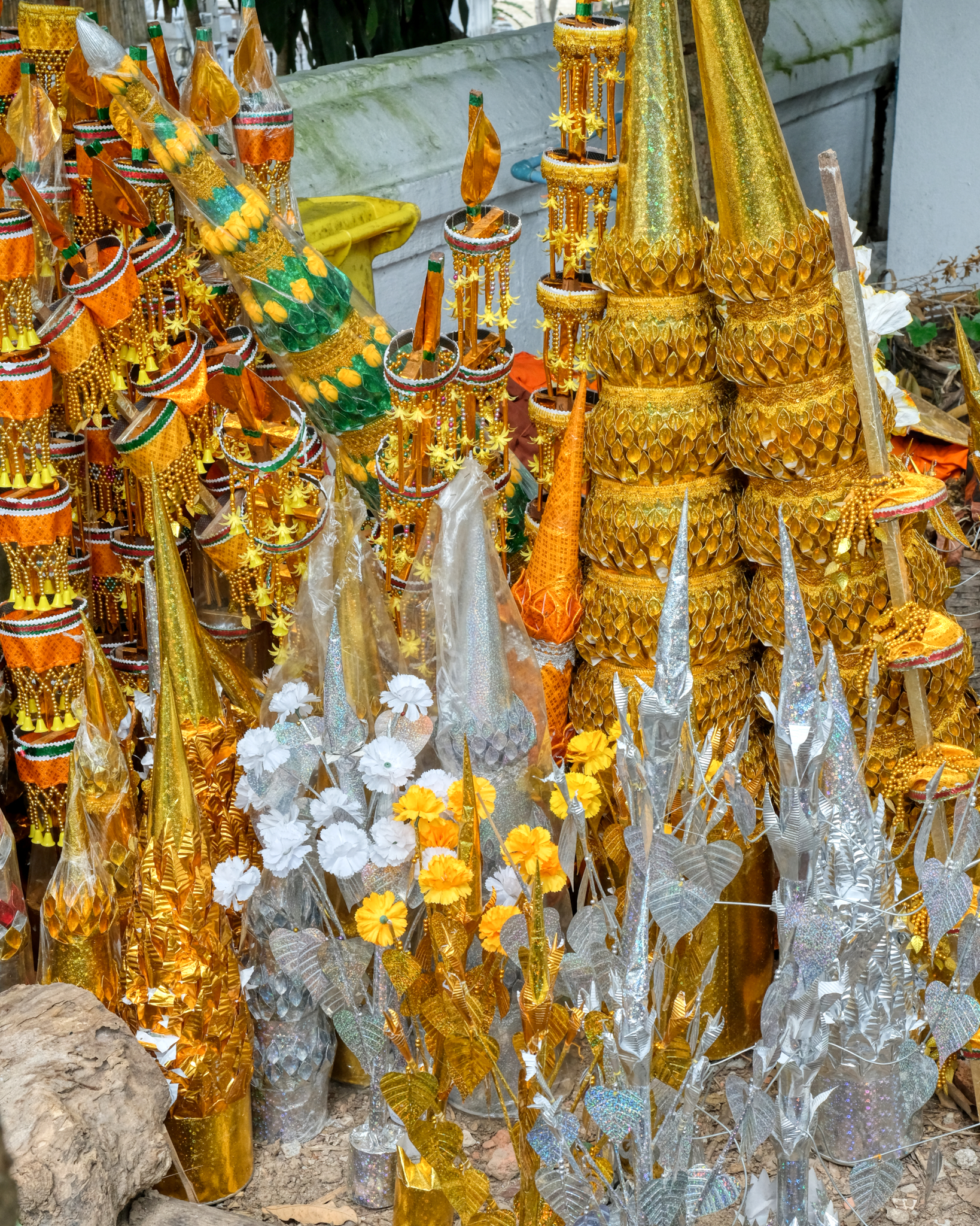 . . . this pile of ceremonial votive items were stacked up around some garbage cans . . .
 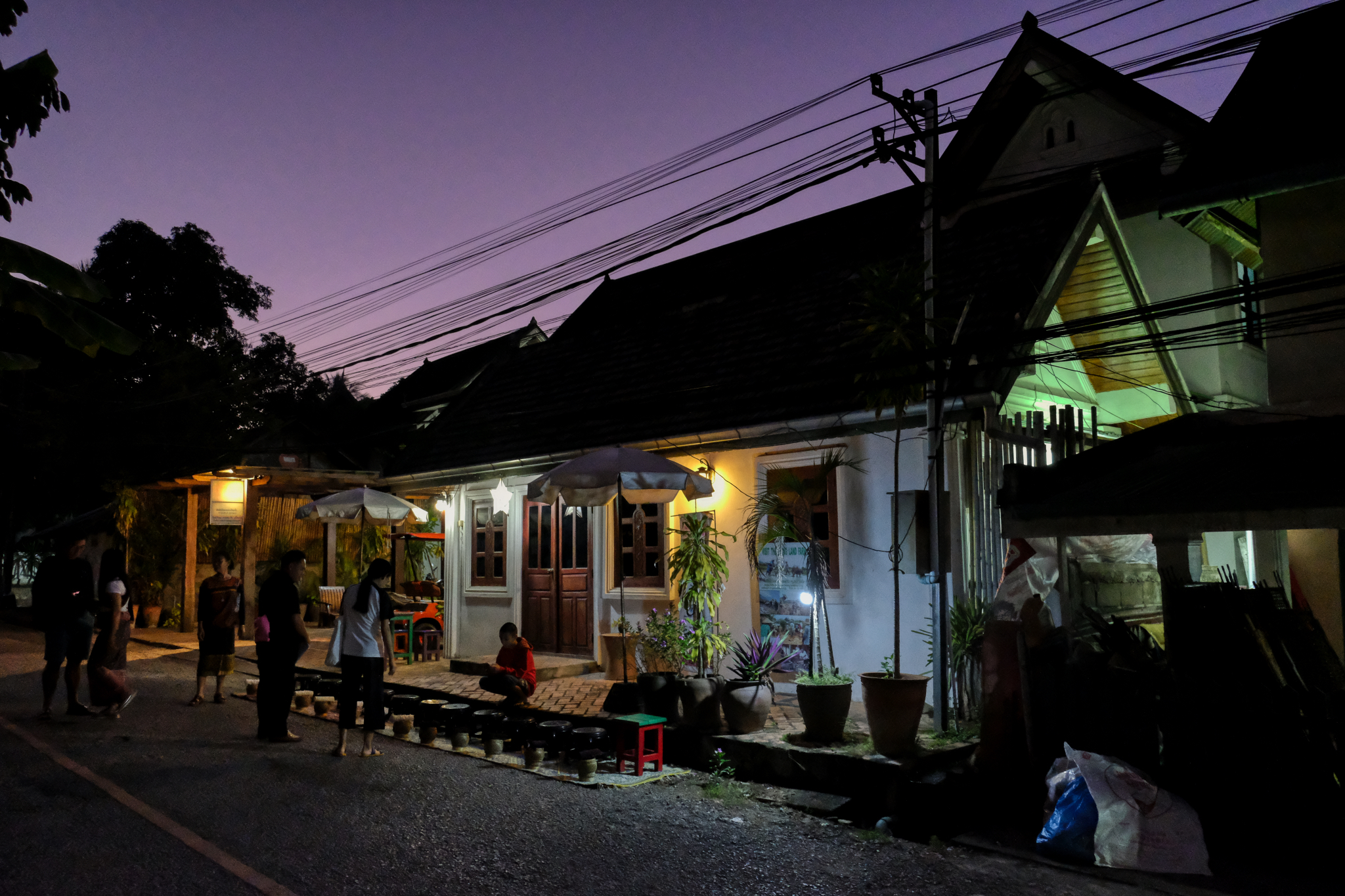 One of the most interesting and important activities one does when visiting Luang Prabang is to wake up at 5:00am and go out to the street and participate in the almsgiving. Your hotel or guesthouse may organize this for you.
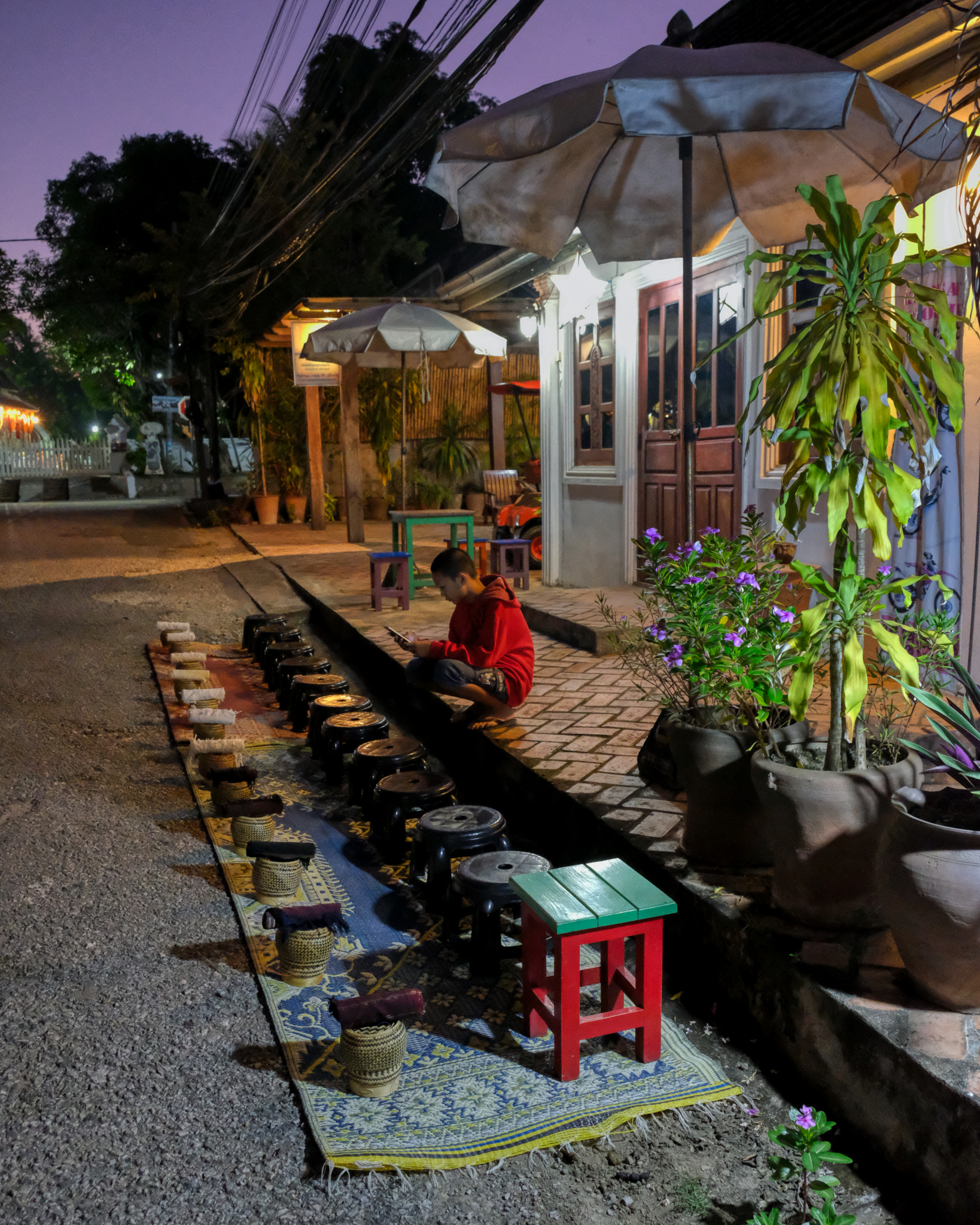 A small covered basket is filled with rice for distribution to the monks who will file past.
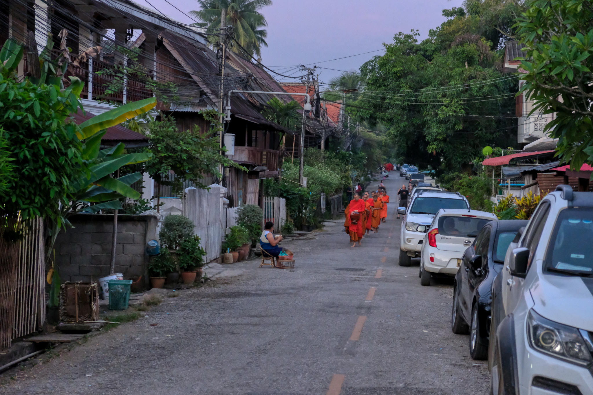 And . . . as the sun is beginning to light the sky, the line of monks begin to walk up our small lane.
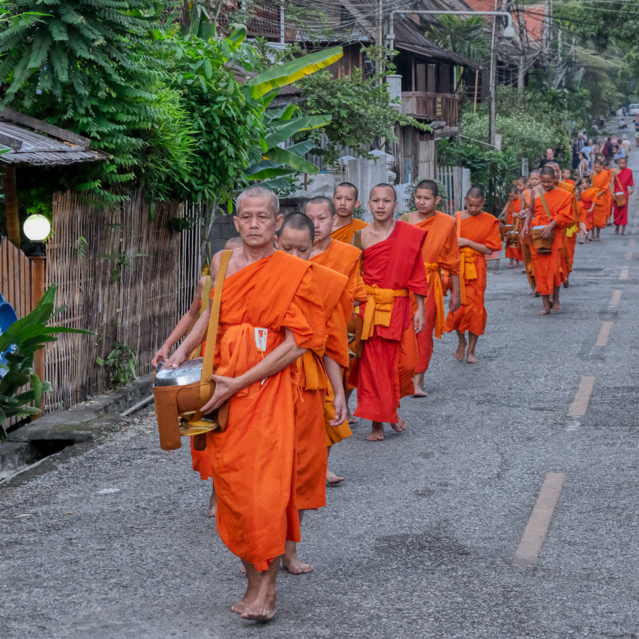 Monks on their morning walk for alms.
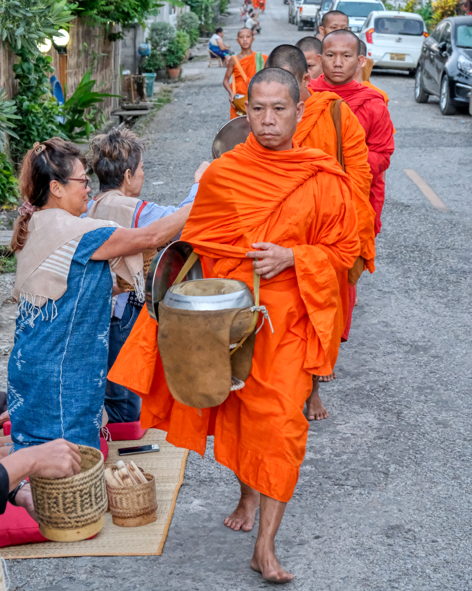 A small amount of rice is placed in each monk's bowl. Town folk take more substantial food directly to the Wats.
 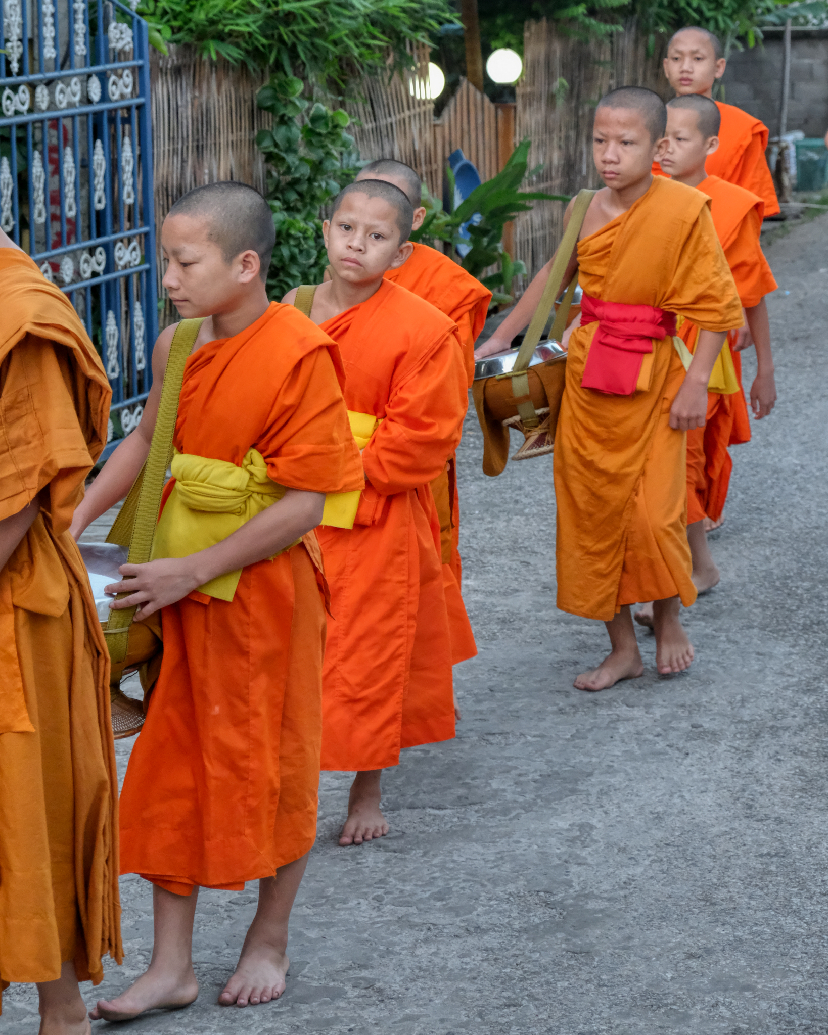 Some of the monks were surprisingly young.
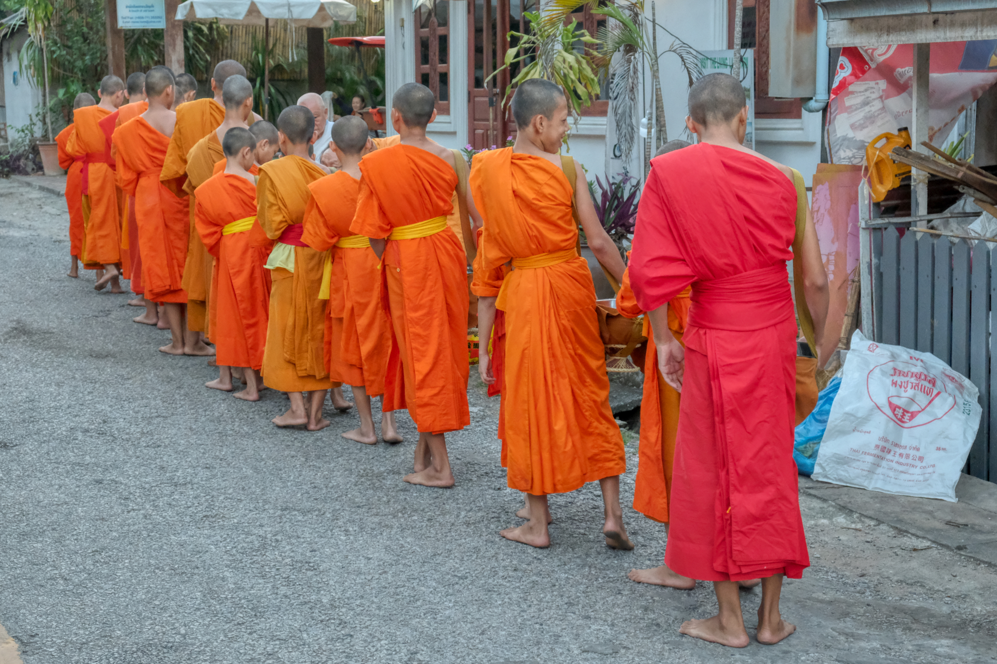 Many monks, over 200, passed our spot across from our hotel. It was a very moving and spiritual experience.
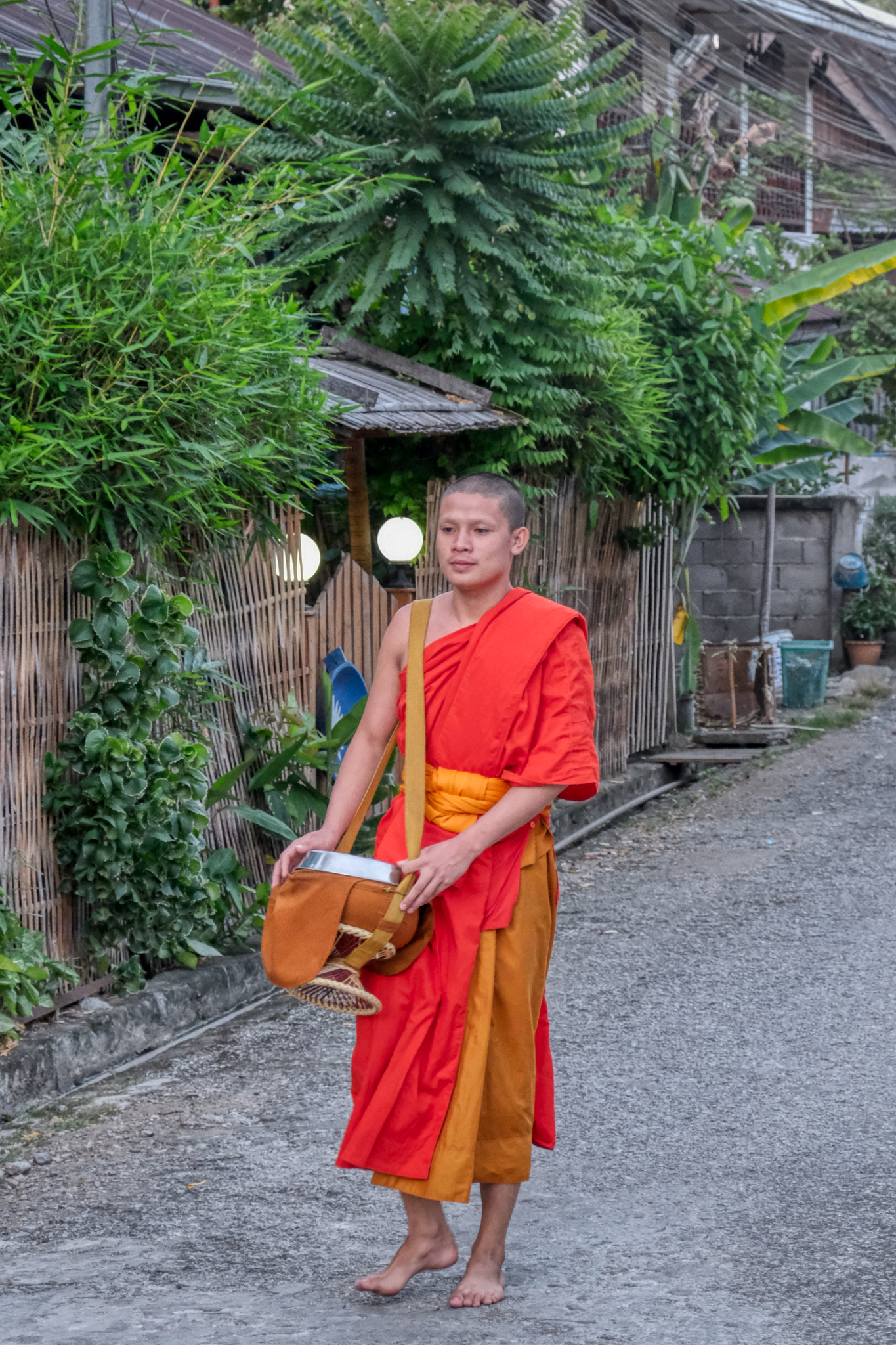 The last monk . . . he may have overslept . . . I am not sure . . .
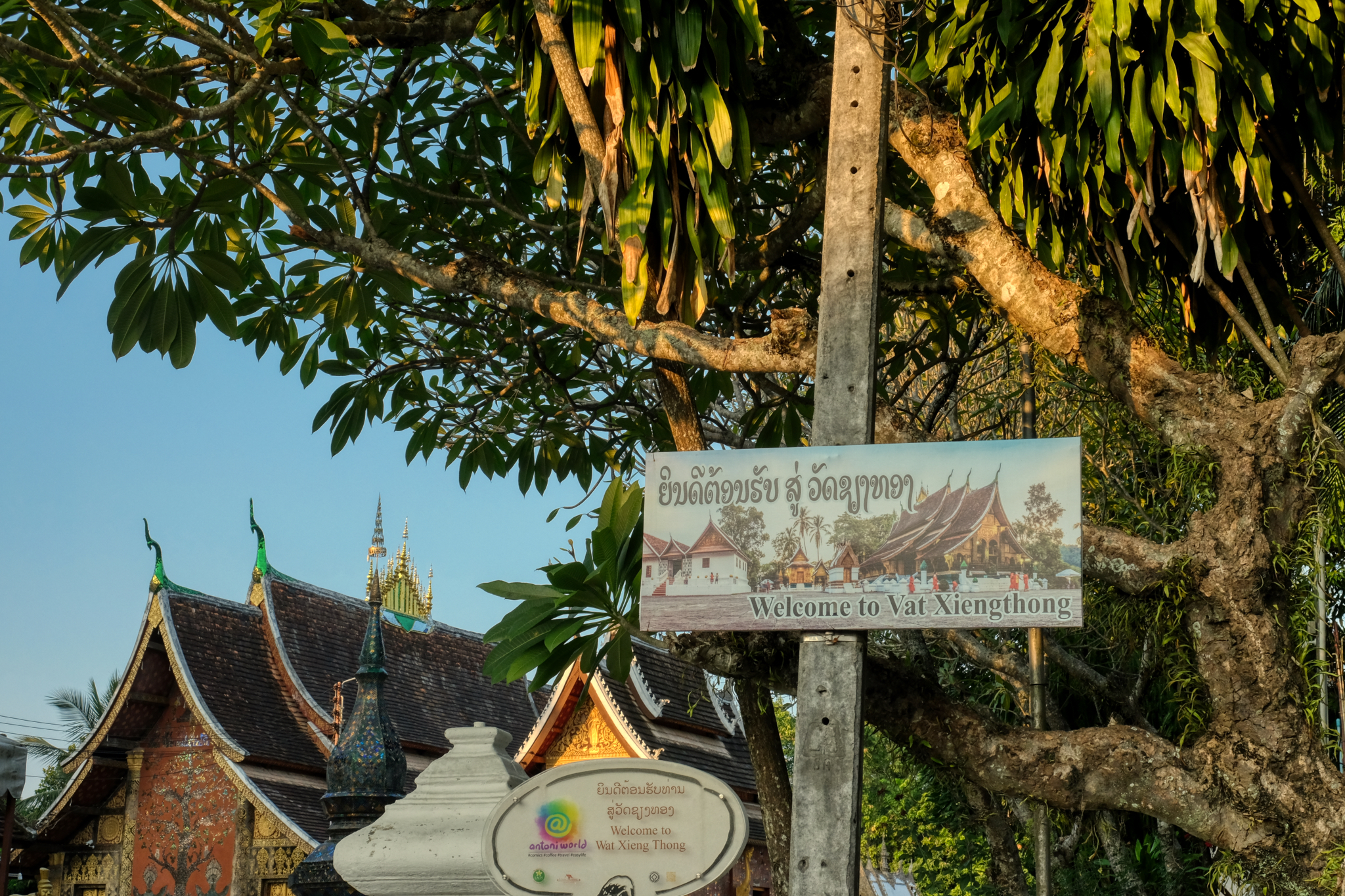
Luang Prabang, Laos - Wat Xieng Thong
Luang Prabang is a UNESCO Word Heritage Site locate in west-central Laos. I was last here 22 years ago and always wanted to go back. I finally did . . . and I was very happy I did.
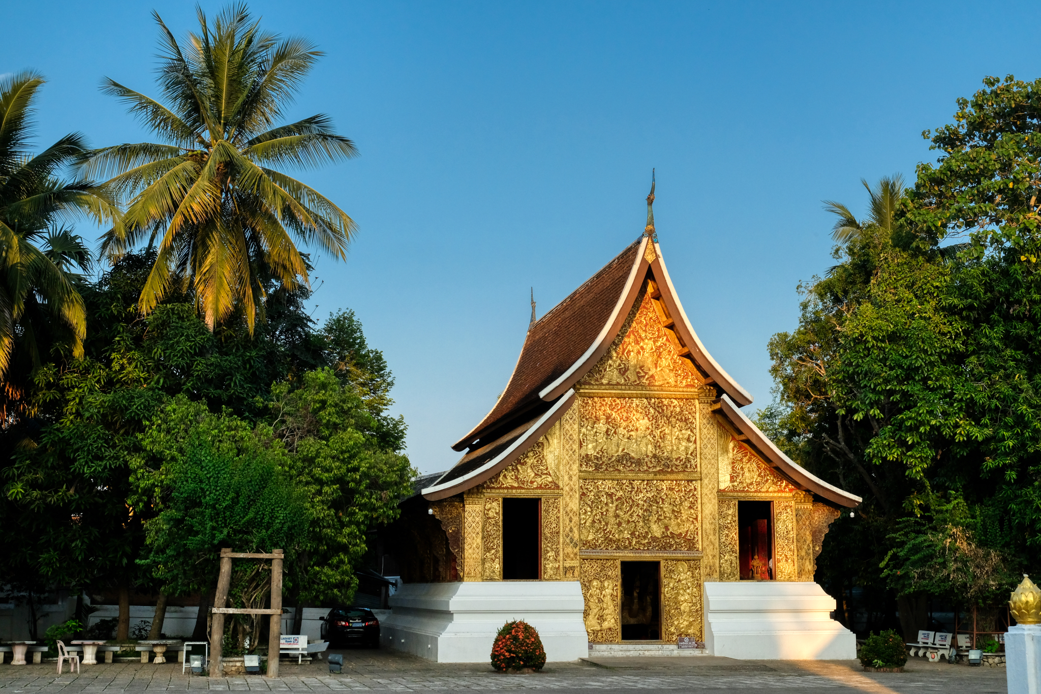
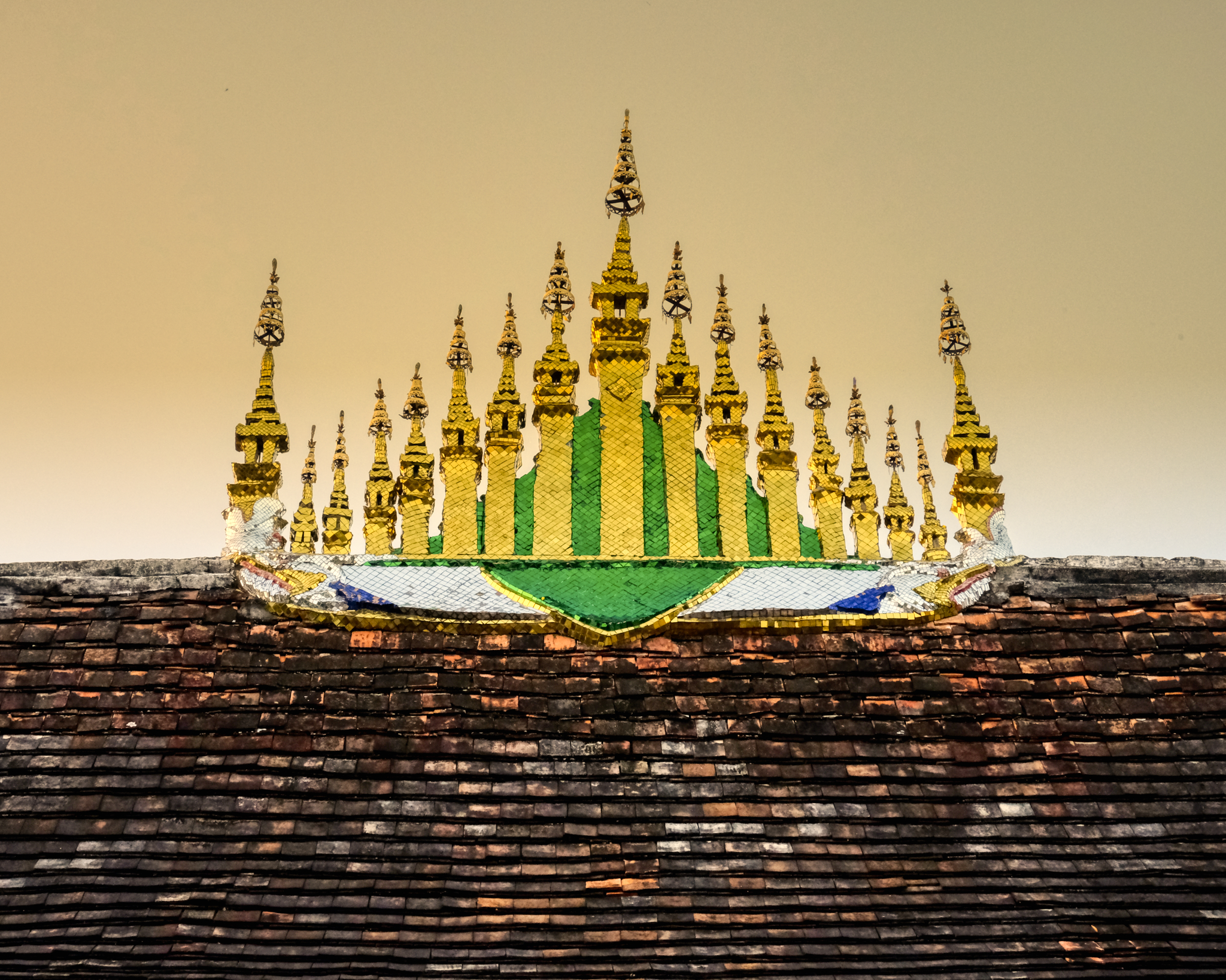
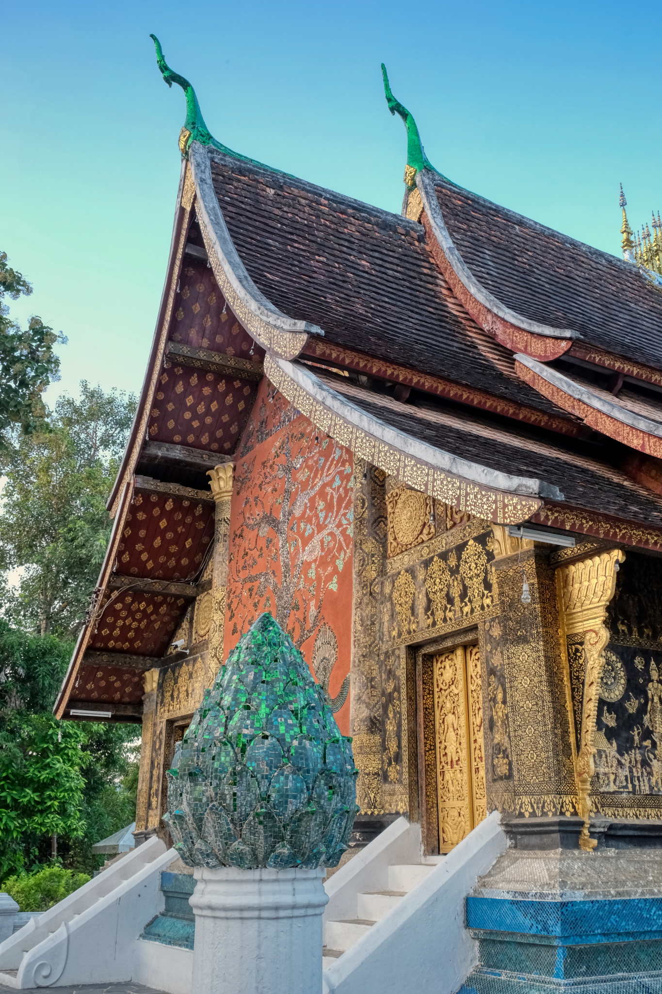
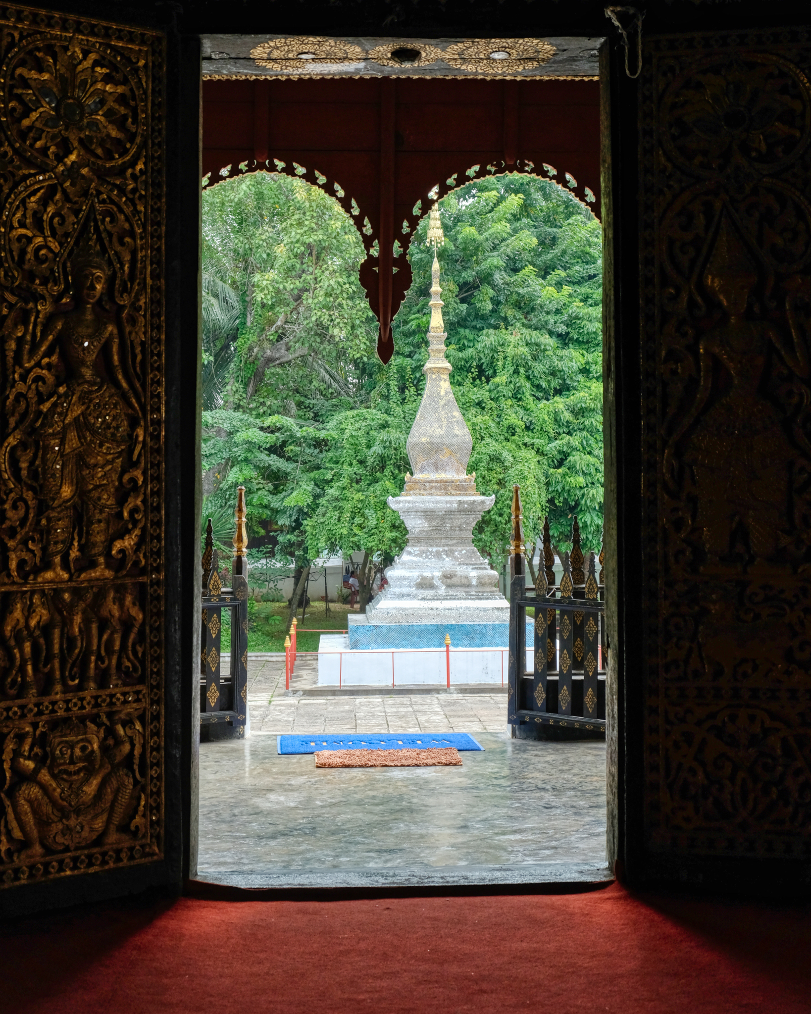
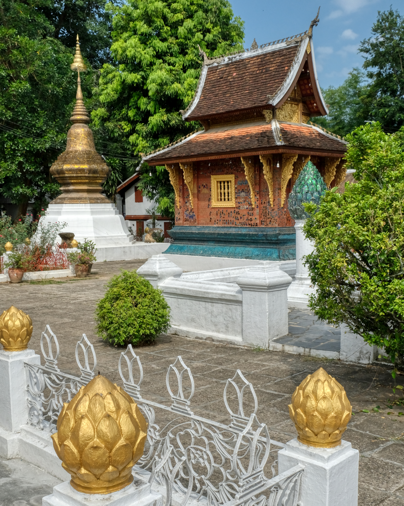
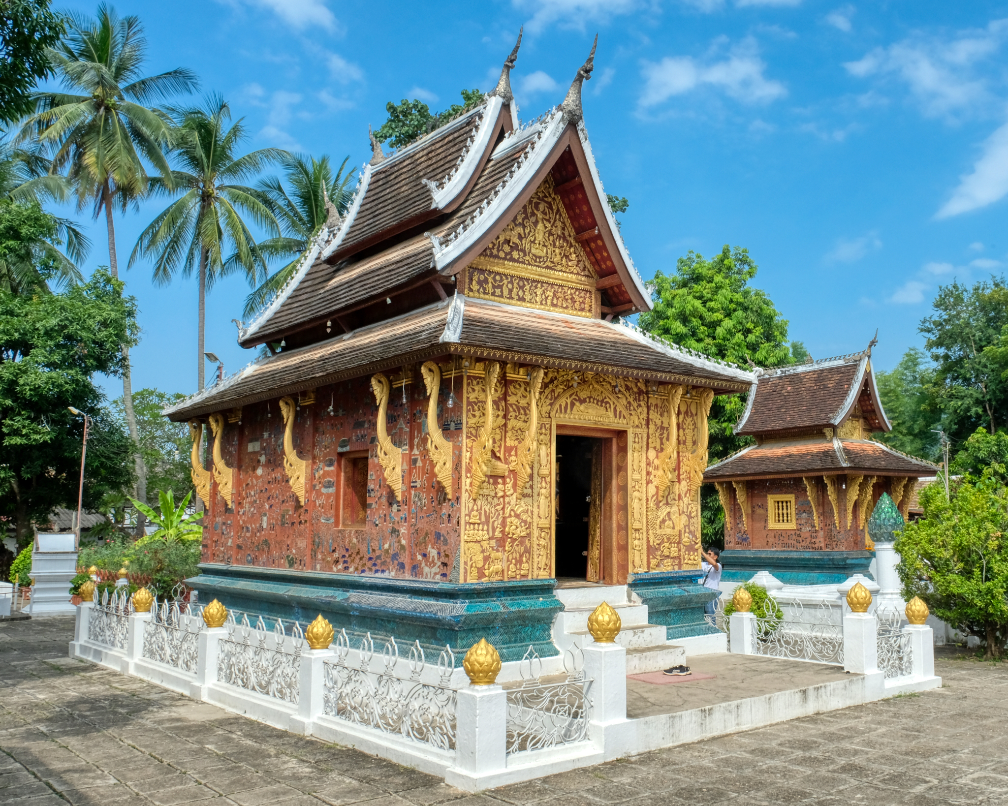
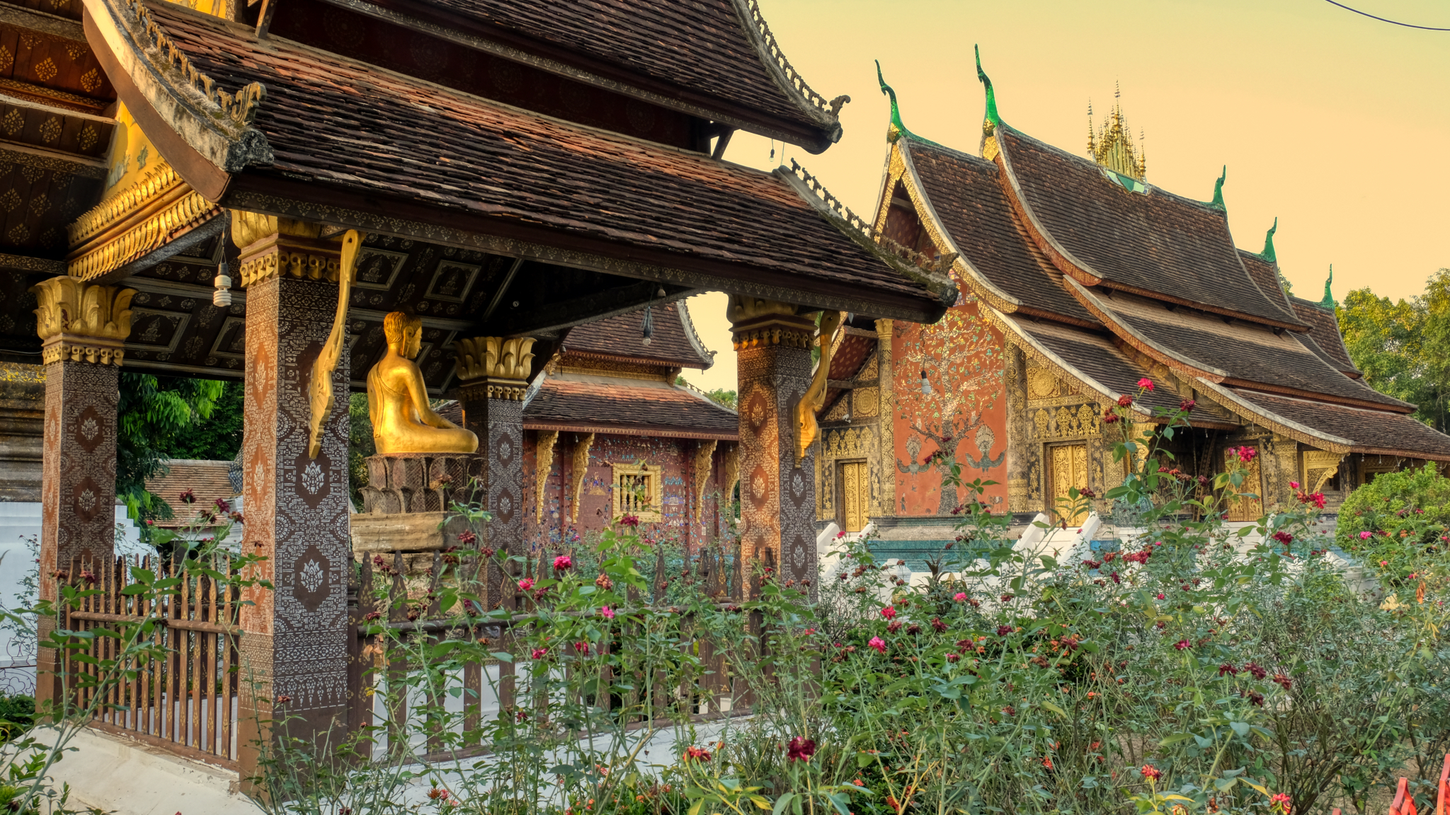
Wat Xieng Thong (c.1559) is the most revered Buddhist temple (wat) in all of Luang Prabang.
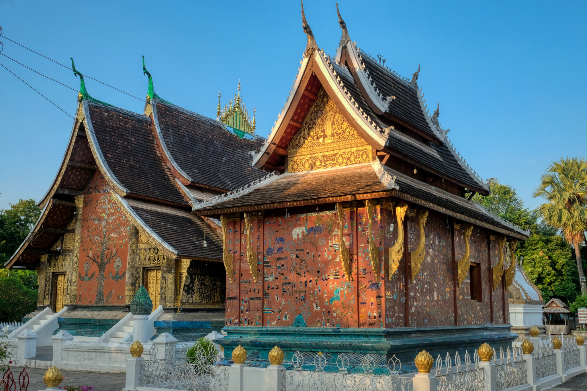
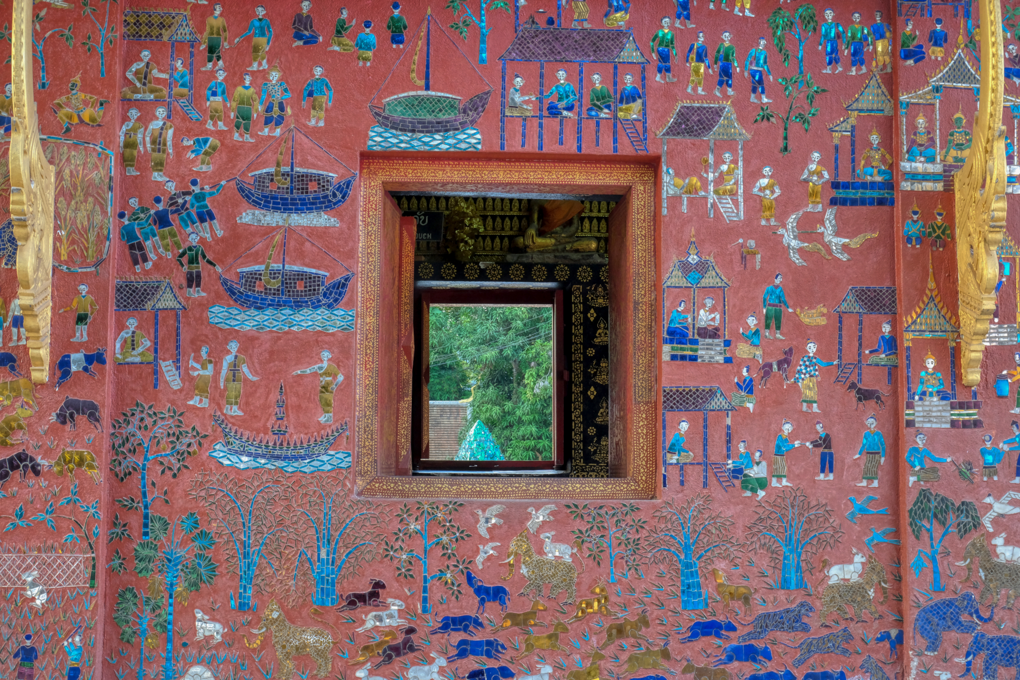
Wat Xieng Thong had many buildings within the grounds. Many had fine, primitive mosaic depictions of life in long gone times.
 The state of preservation, restoration, love, and care of all of the wats in Luang Prabang was exemplary.
 Ancient stenciled patterns on many walls.
 Lovely work.
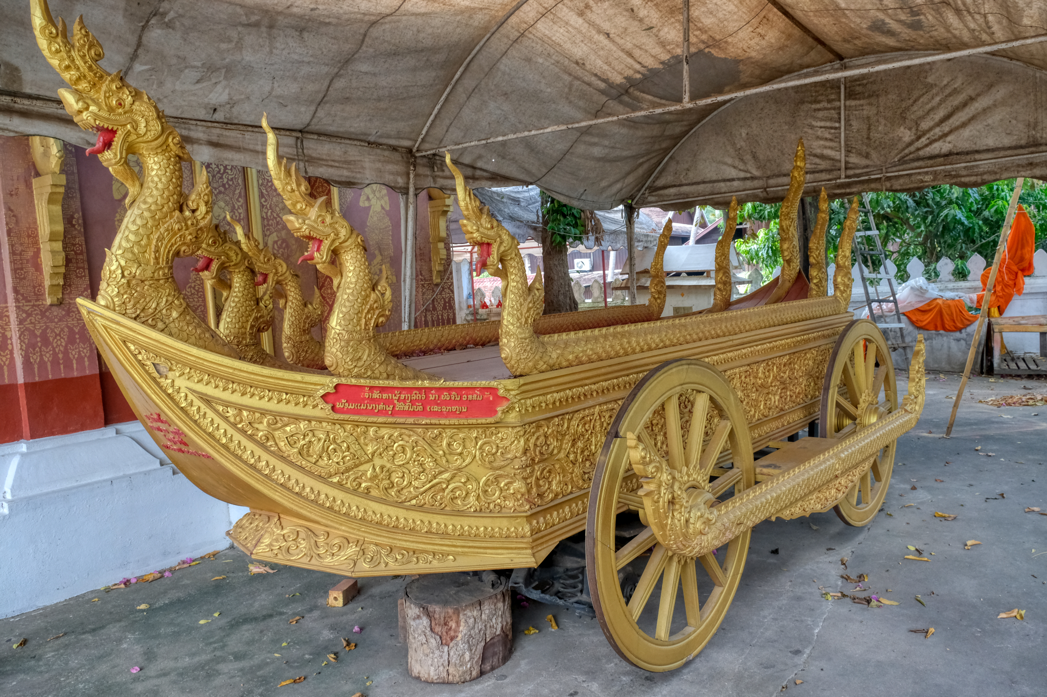
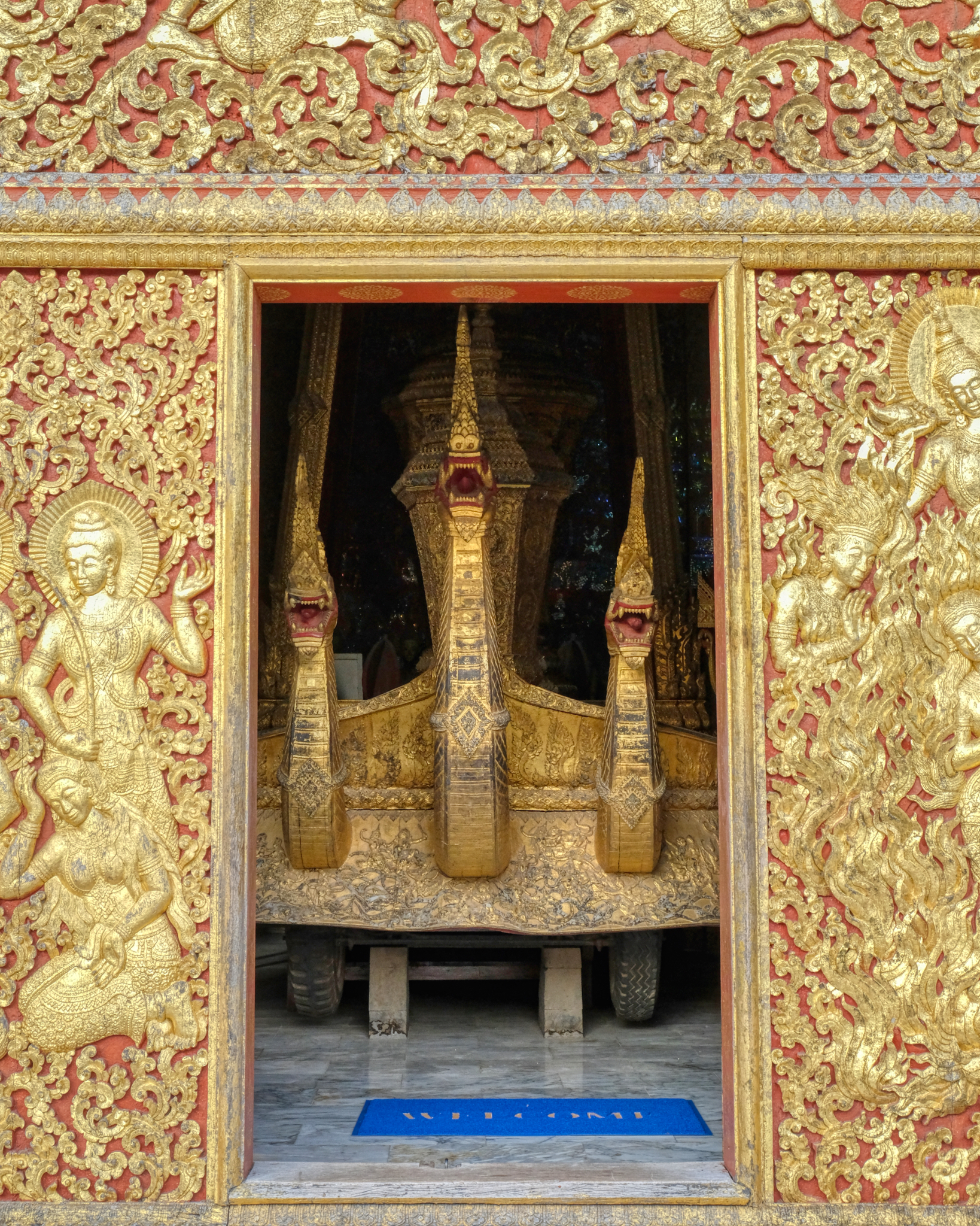 A special building was built to house this gold leaf funerary carriage.
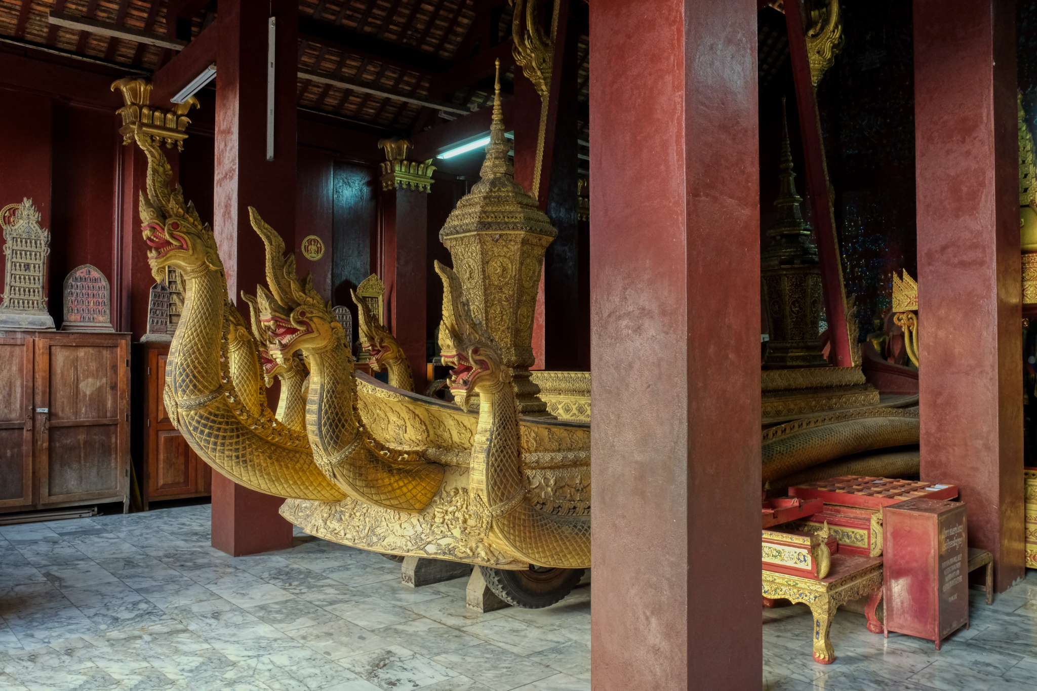 The inside of the funerary carriage temple was astounding! Such a surprise . . . and many nooks and crannies to look into.
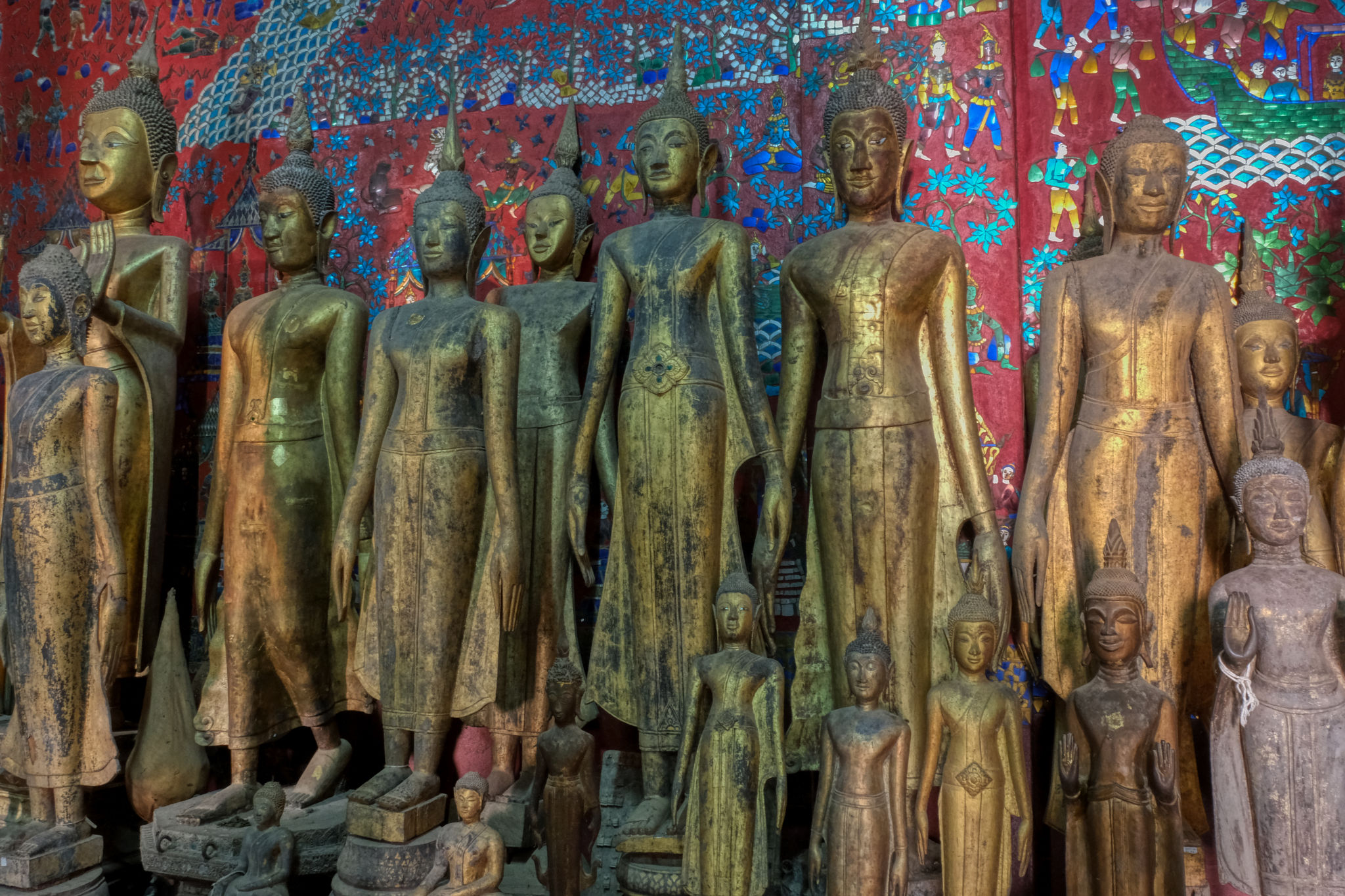
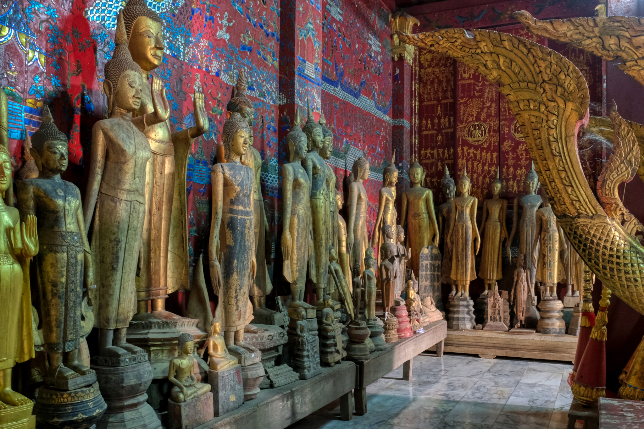 A mosaic covered wall with a line of ancient Buddha statuary.
 Spiritual simplicity depicted.
 There were many structures to explore at this wat. I came twice with my camera as it was very close to our hotel.
 An inviting open temple.
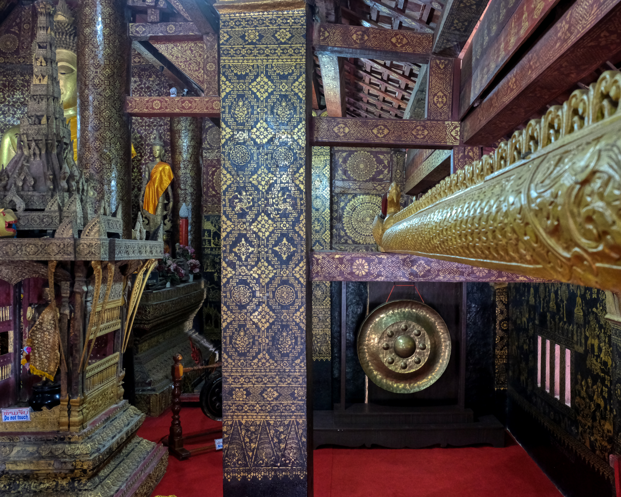
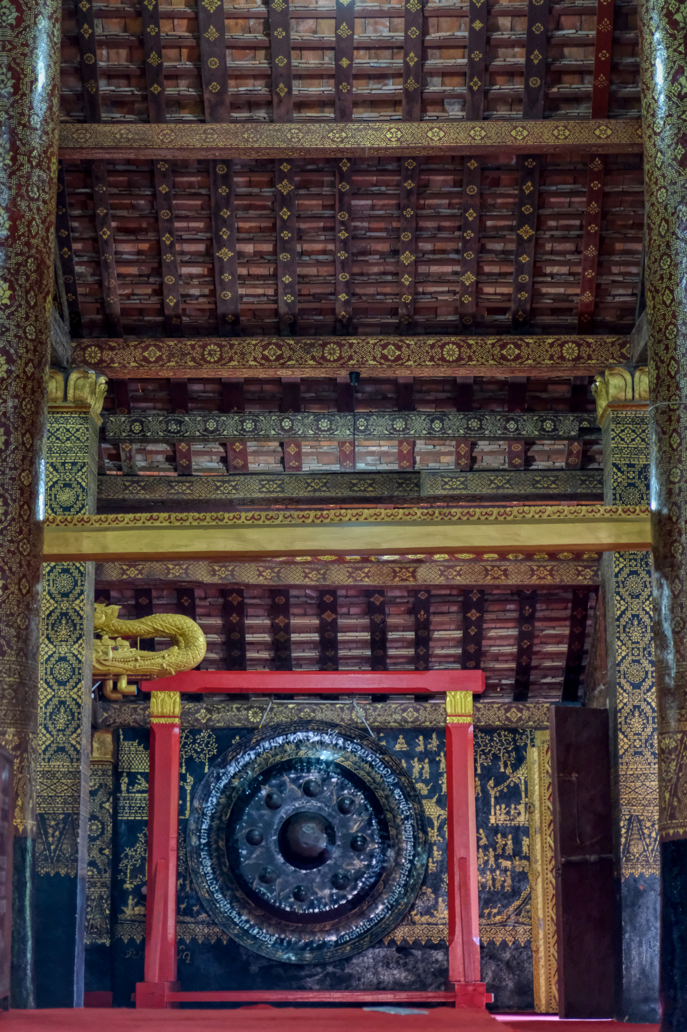 A temple gong.
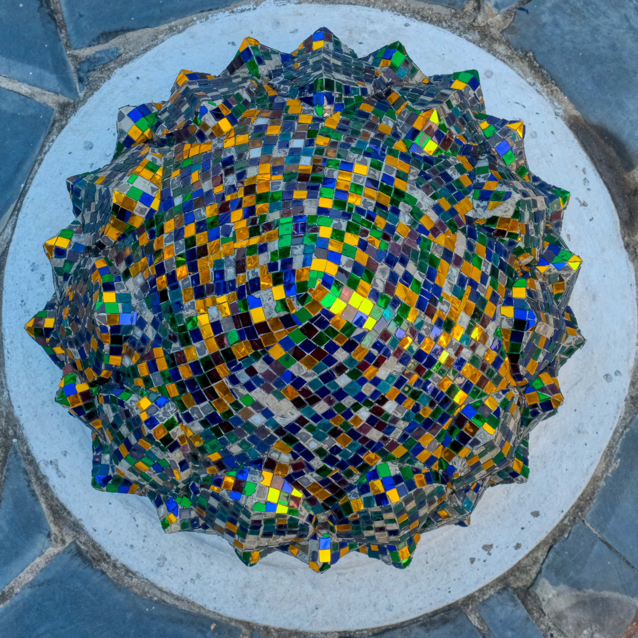 Shiny outdoor decoration.
 This looks inviting . . .
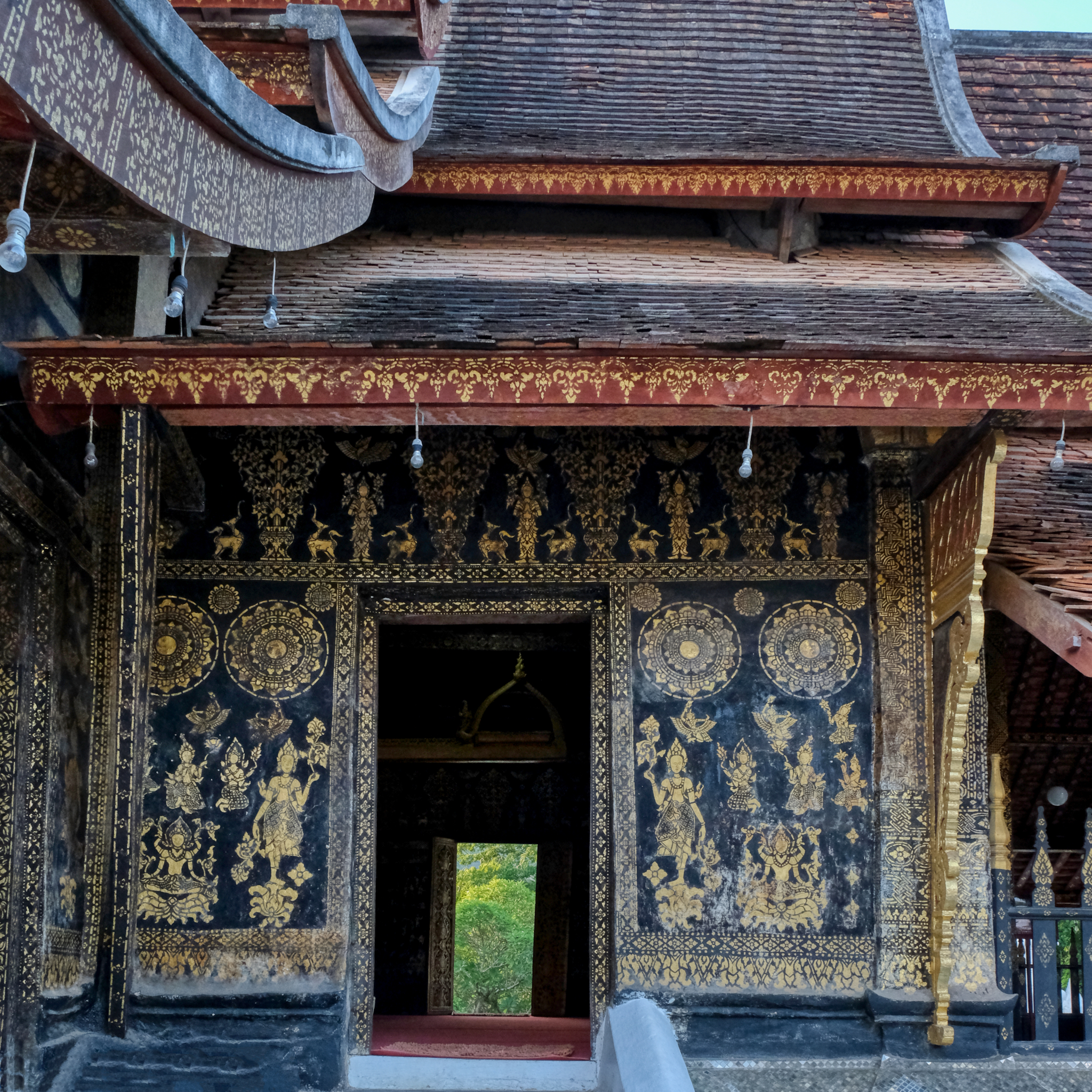
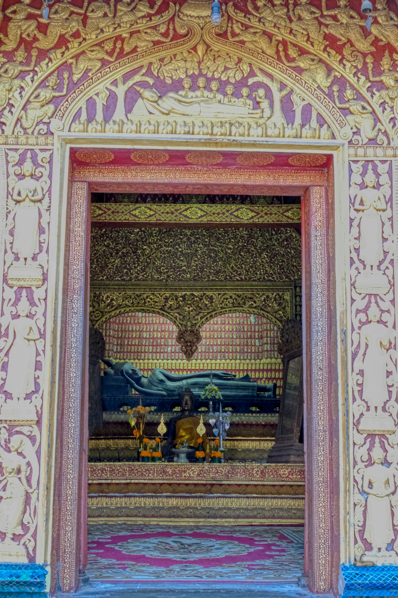
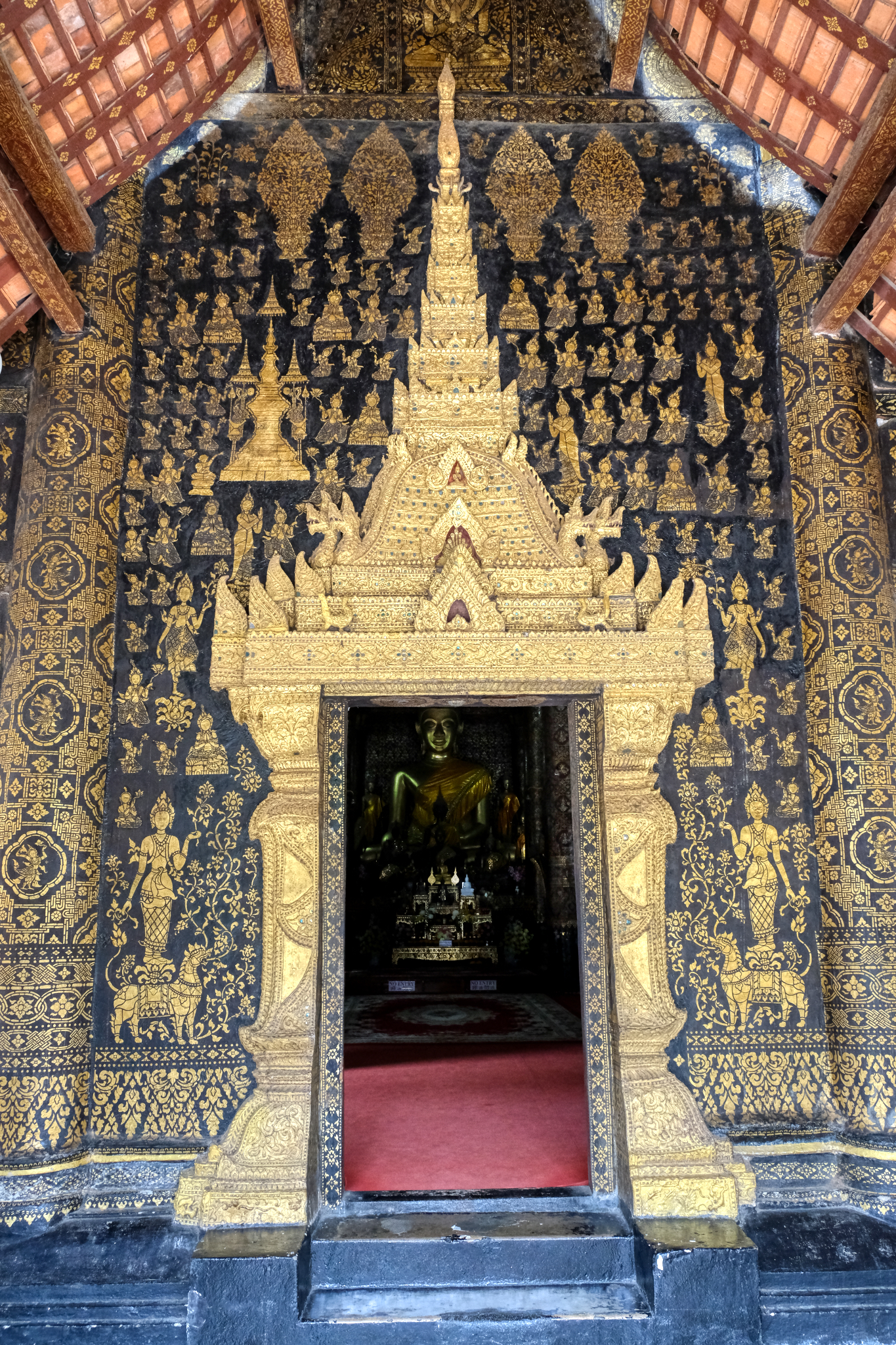
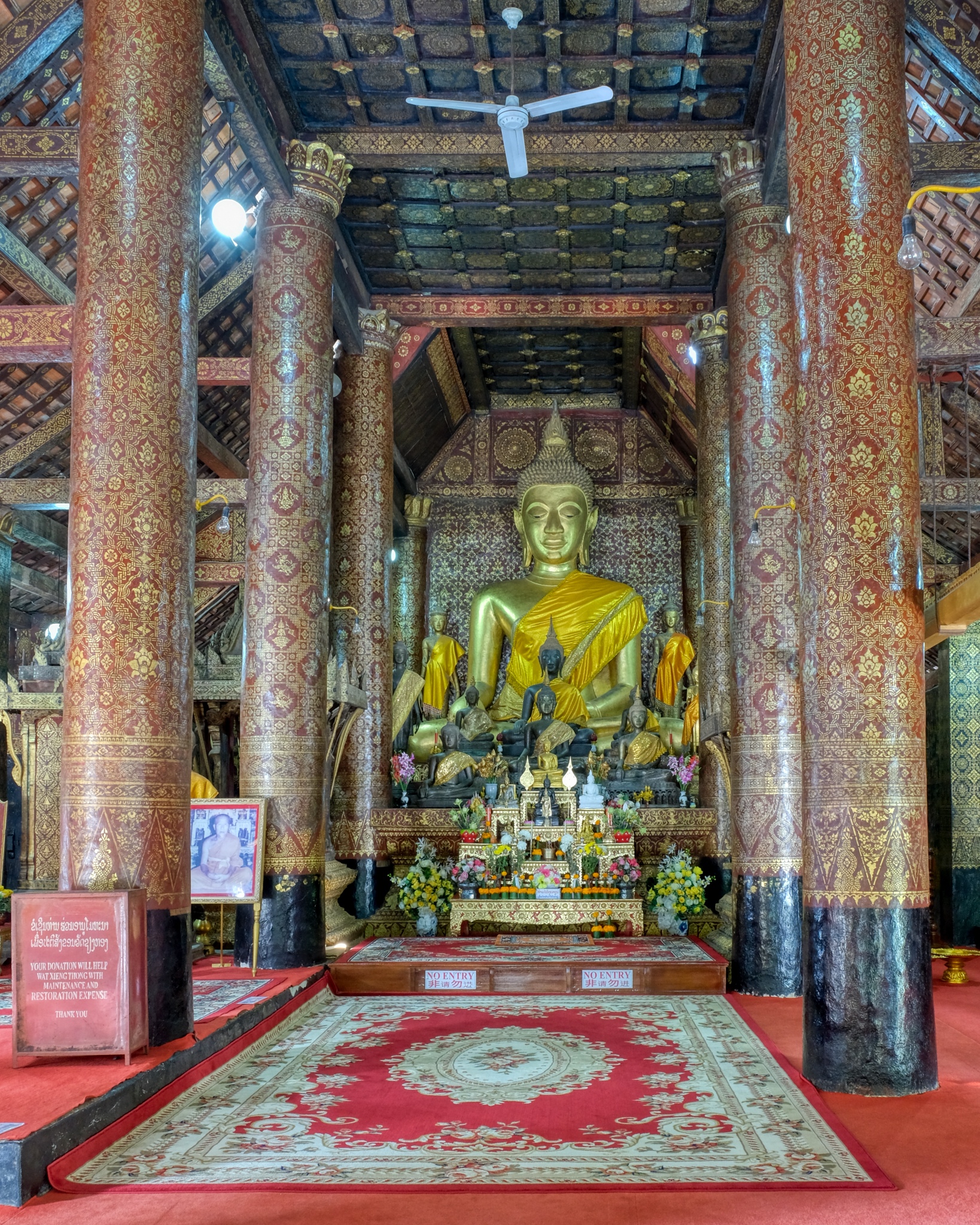
 A view to the Buddha altar in the main hall. Magnificent architecture.
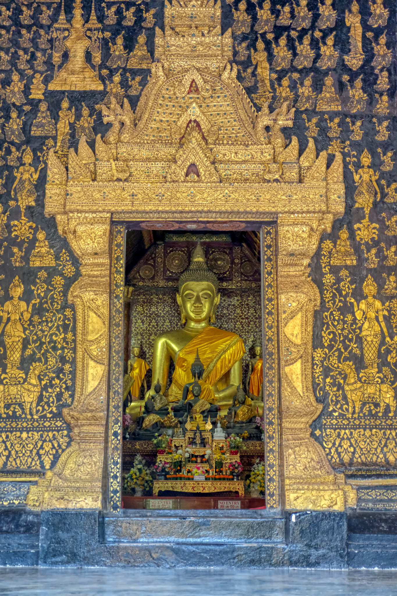
 The main altar of Wat Xieng Thong.
 A favorite altar.
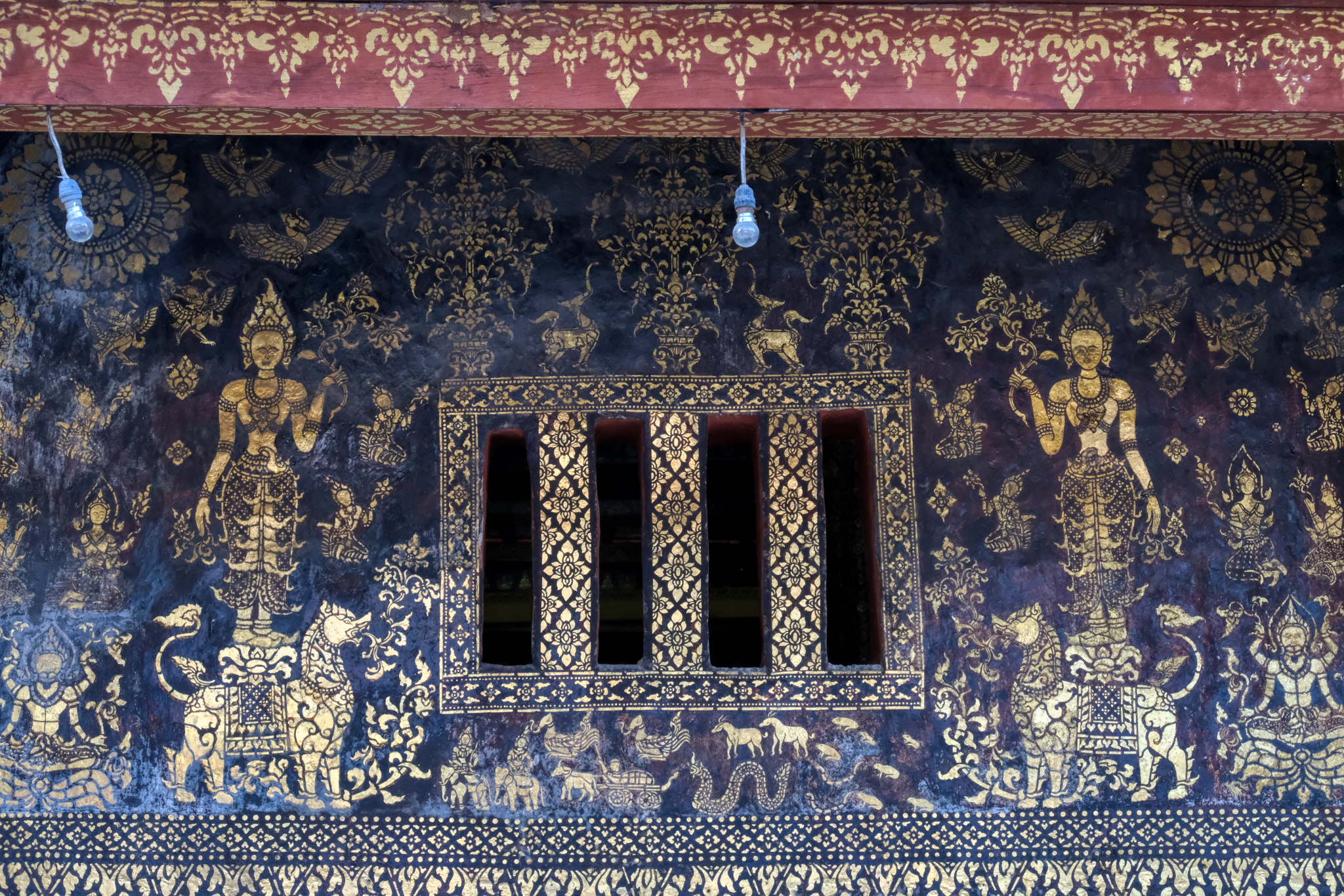
 Rich detail in the main hall decoration.
 A view from inside the main hall to a glowing chedi on the temple grounds.
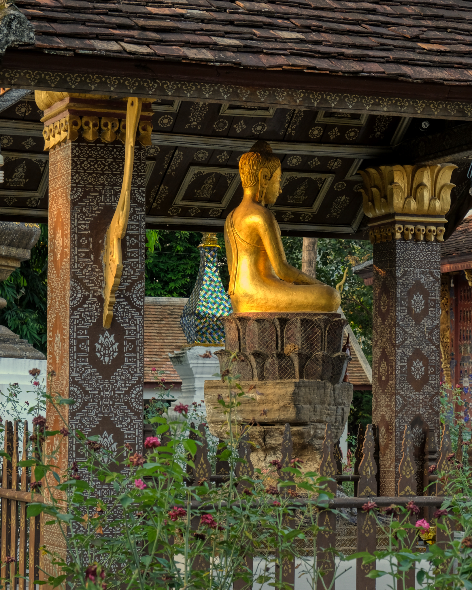
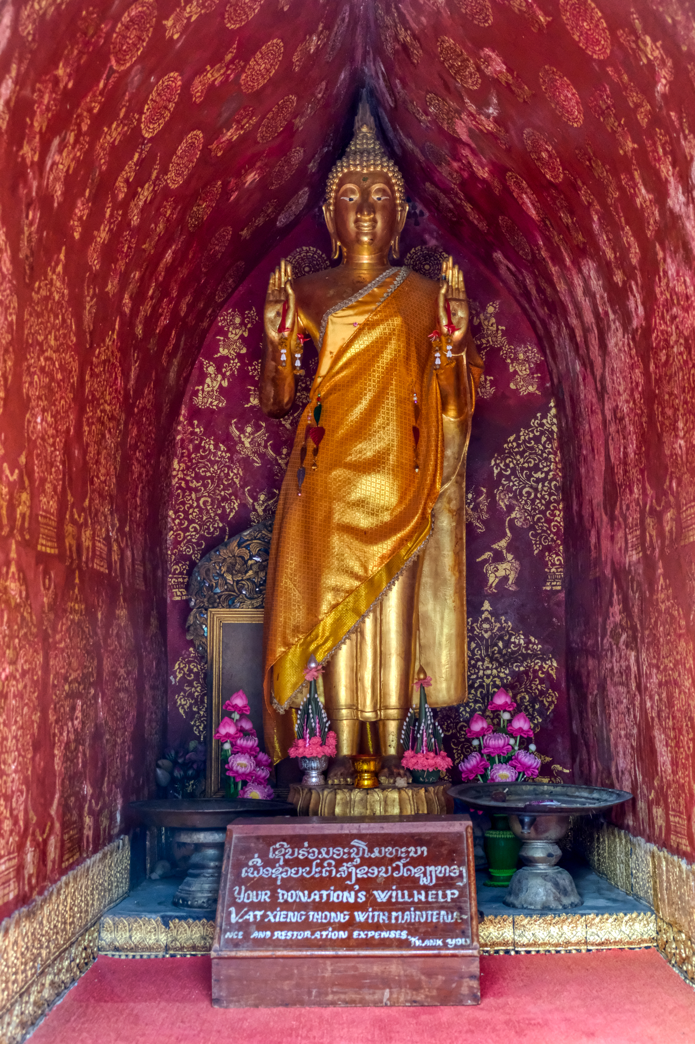 A lovely standing Buddha in a small grotto.
 Such a pleasant and peaceful place.
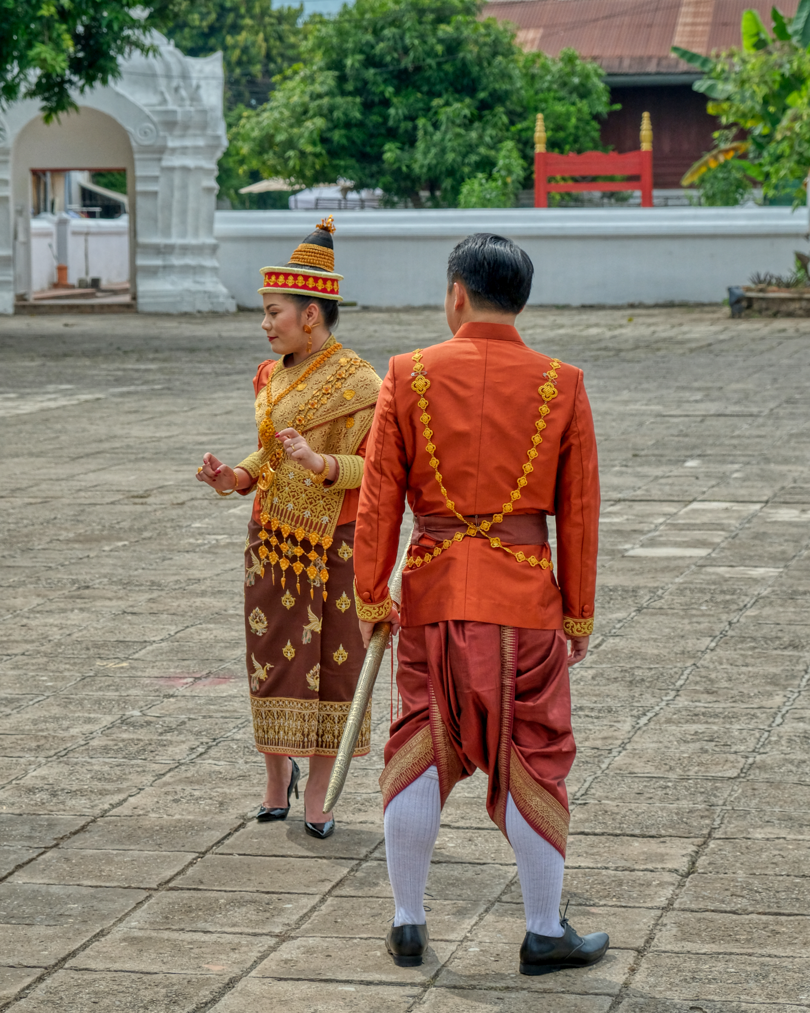 It was my good luck to be at the temple when a soon-to-be-married couple showed up for their bridal photo shoot in traditional Lao costume.
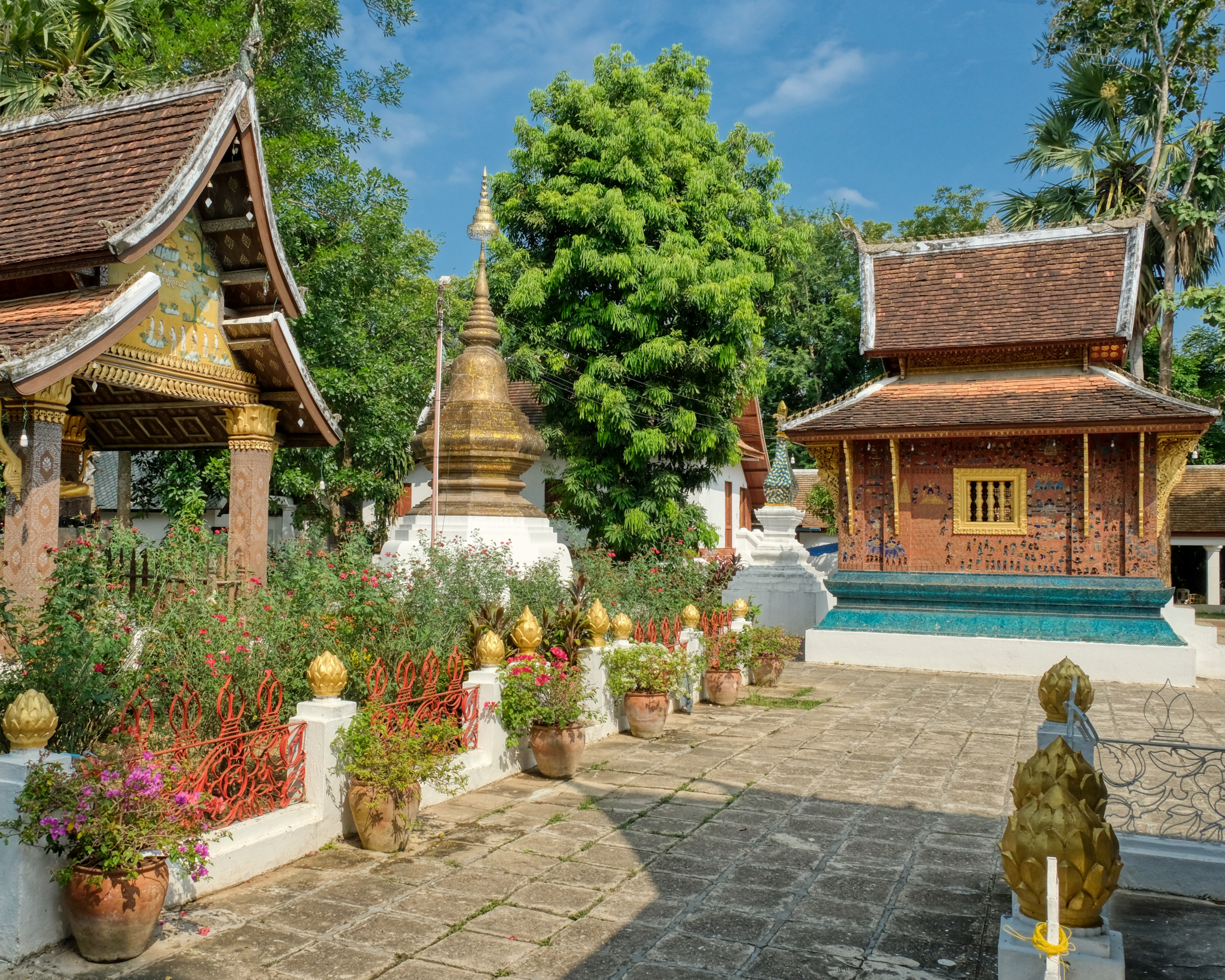
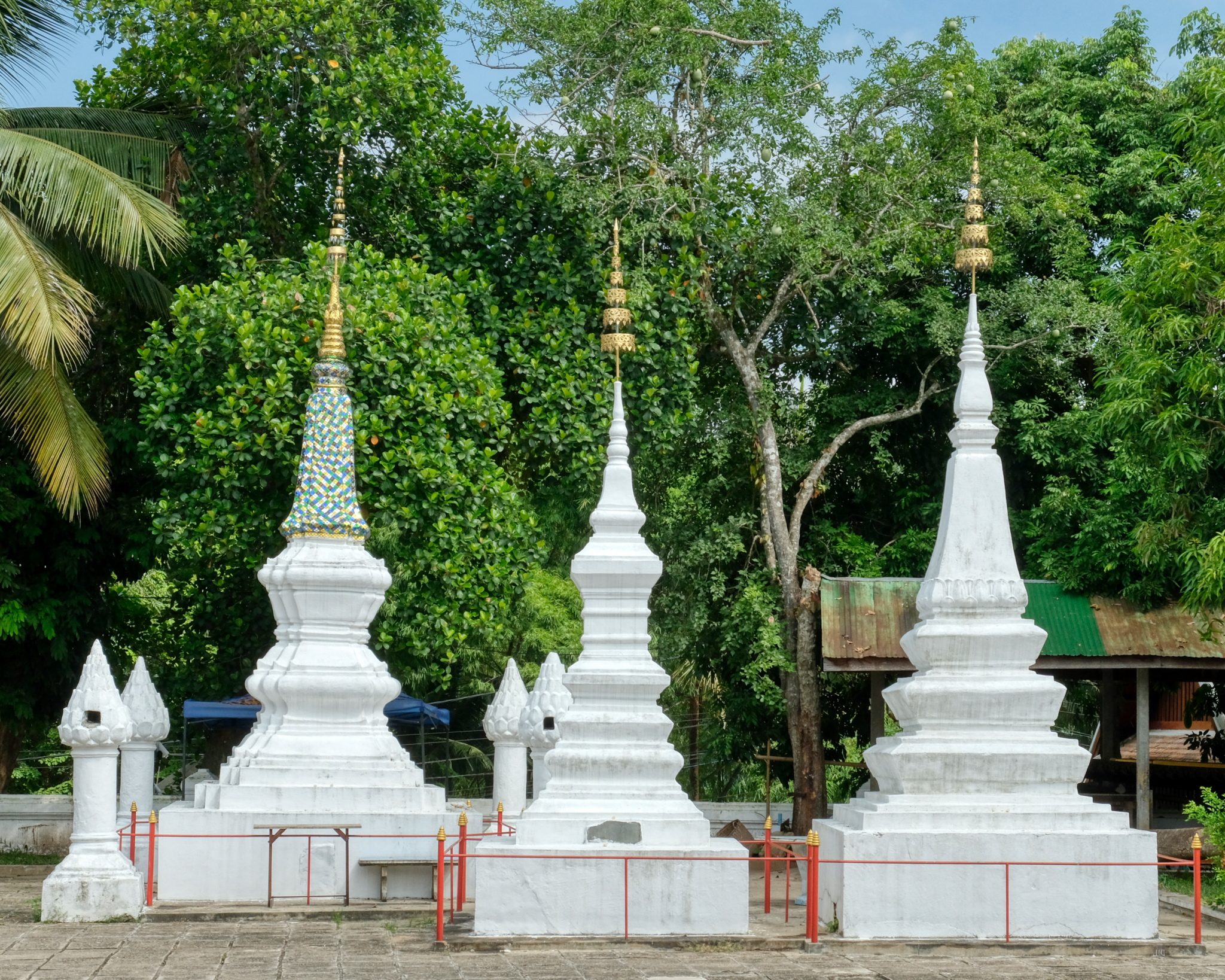 These chedis likely contain the remains of revered monks, abbots, and those who have made big donations to this wat.
 I have been to many, many Buddhist temples in many countries, but this one is one of the most beautiful.
 Many small structures for individual Buddha altars.
 I came back one evening after dinner when the light was changing to a golden hue.
 Magic light.
 I will be back to Luang Prabang, and when I do, I will revisit Wat Xieng Thong.
USA Road Trip: Driving the Oregon Coast to the California Redwoods
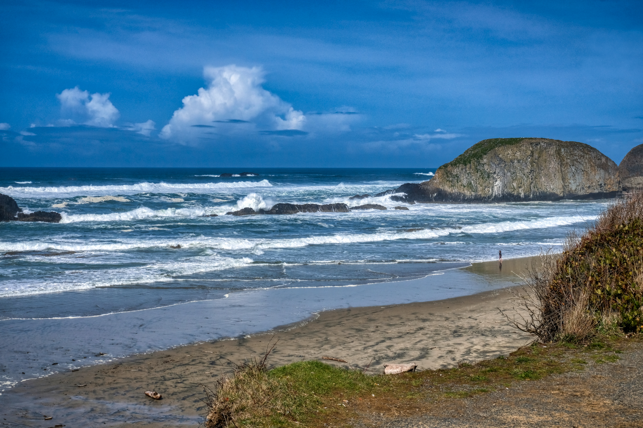 The beautiful southern Oregon coast in early April.
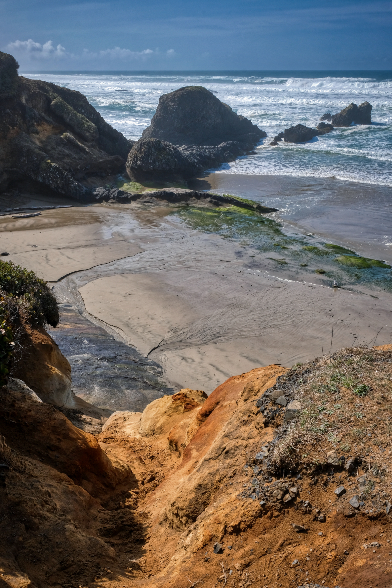 A rugged coast for several hundred miles.
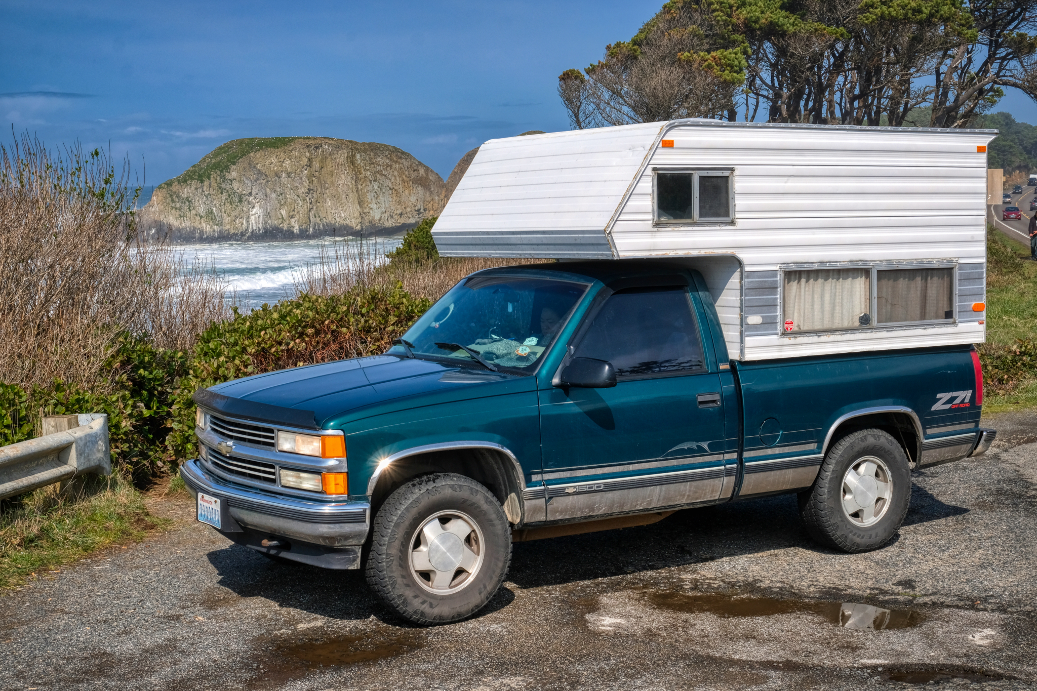 The old 1996 Chevy 4X4 camper truck working well.
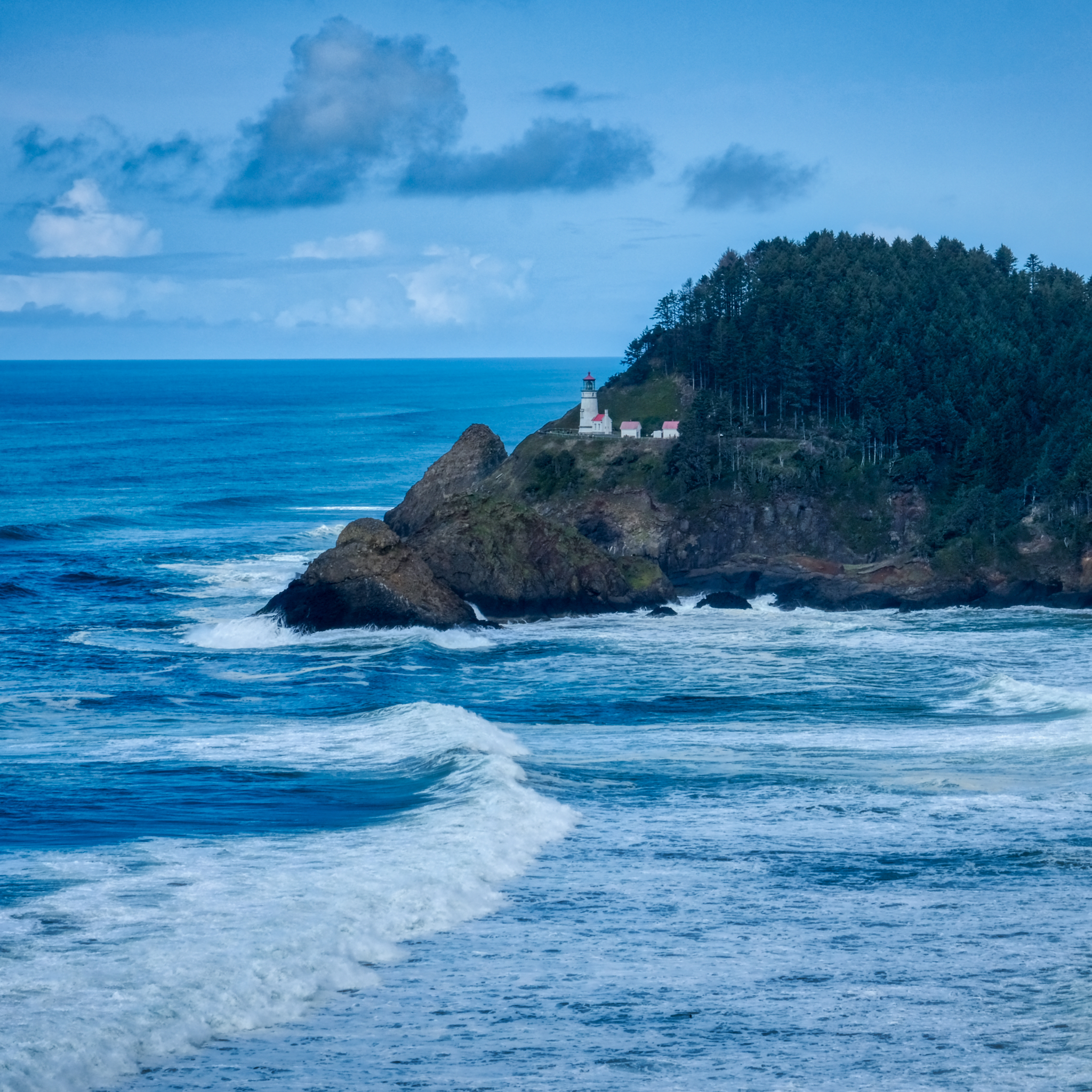 A classic lighthouse on a high bluff above the raging Pacific Ocean.
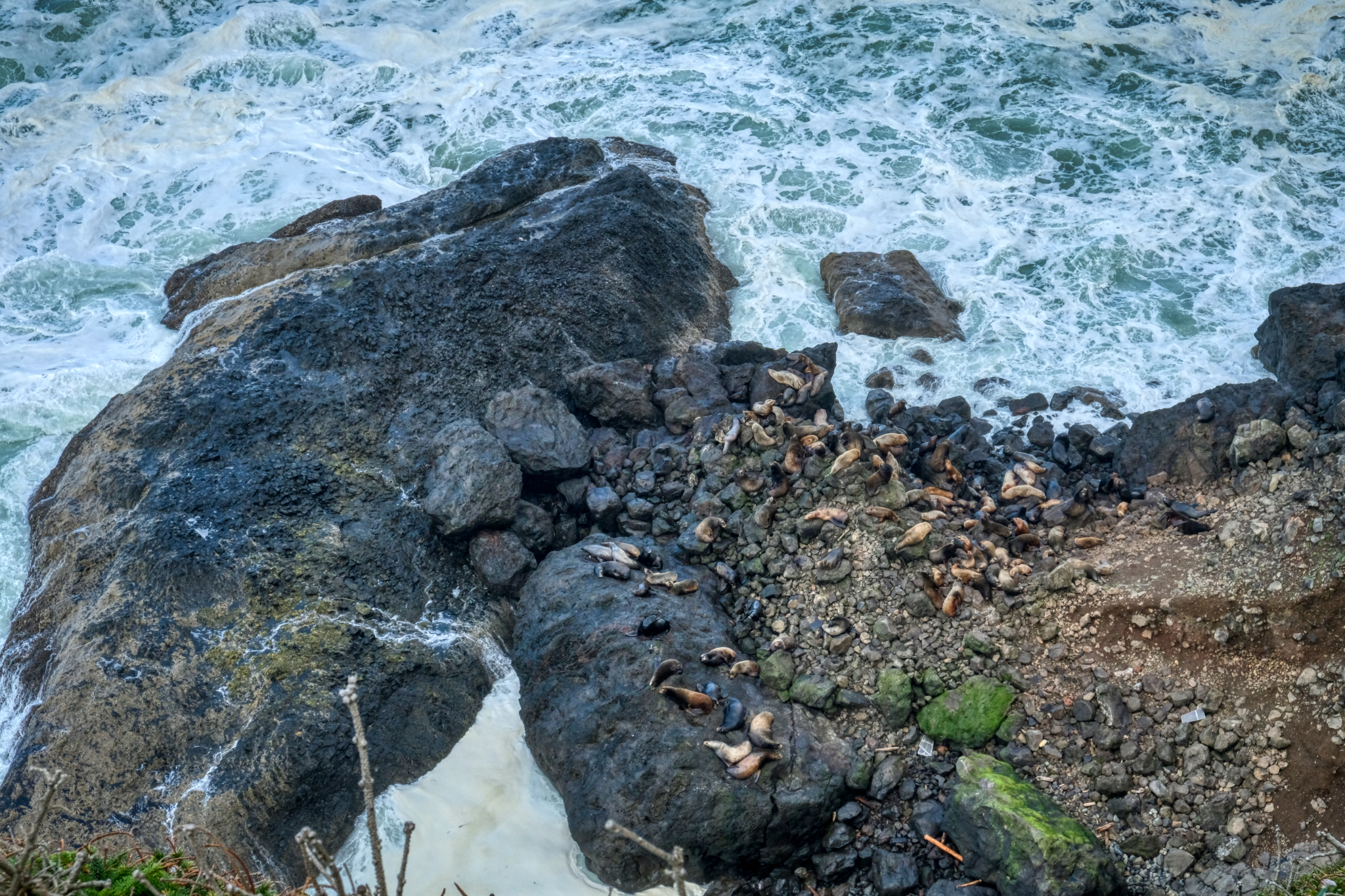 Sea Lions abound along the southern Oregon coast. We saw them at almost all our stops.
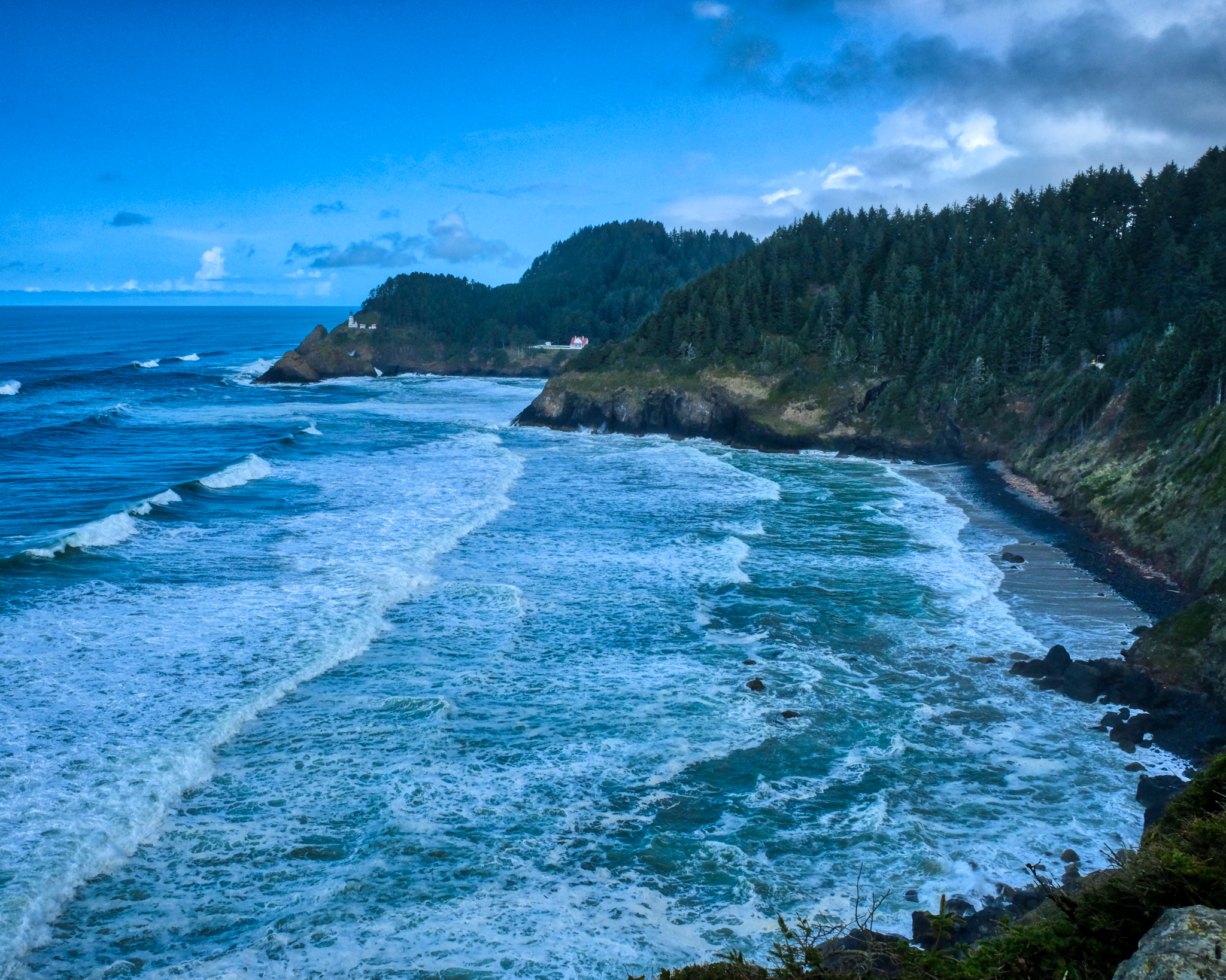 The famous beauty of the Oregon coast in all its magnificence.
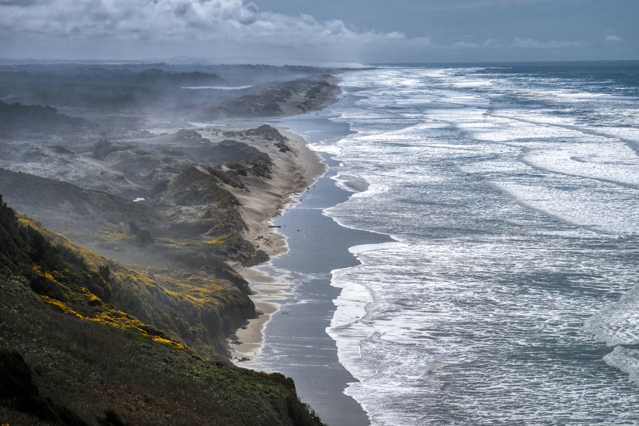 The drive south on the Oregon coast is wonderful because at every turn there is a new sweeping panorama . . .
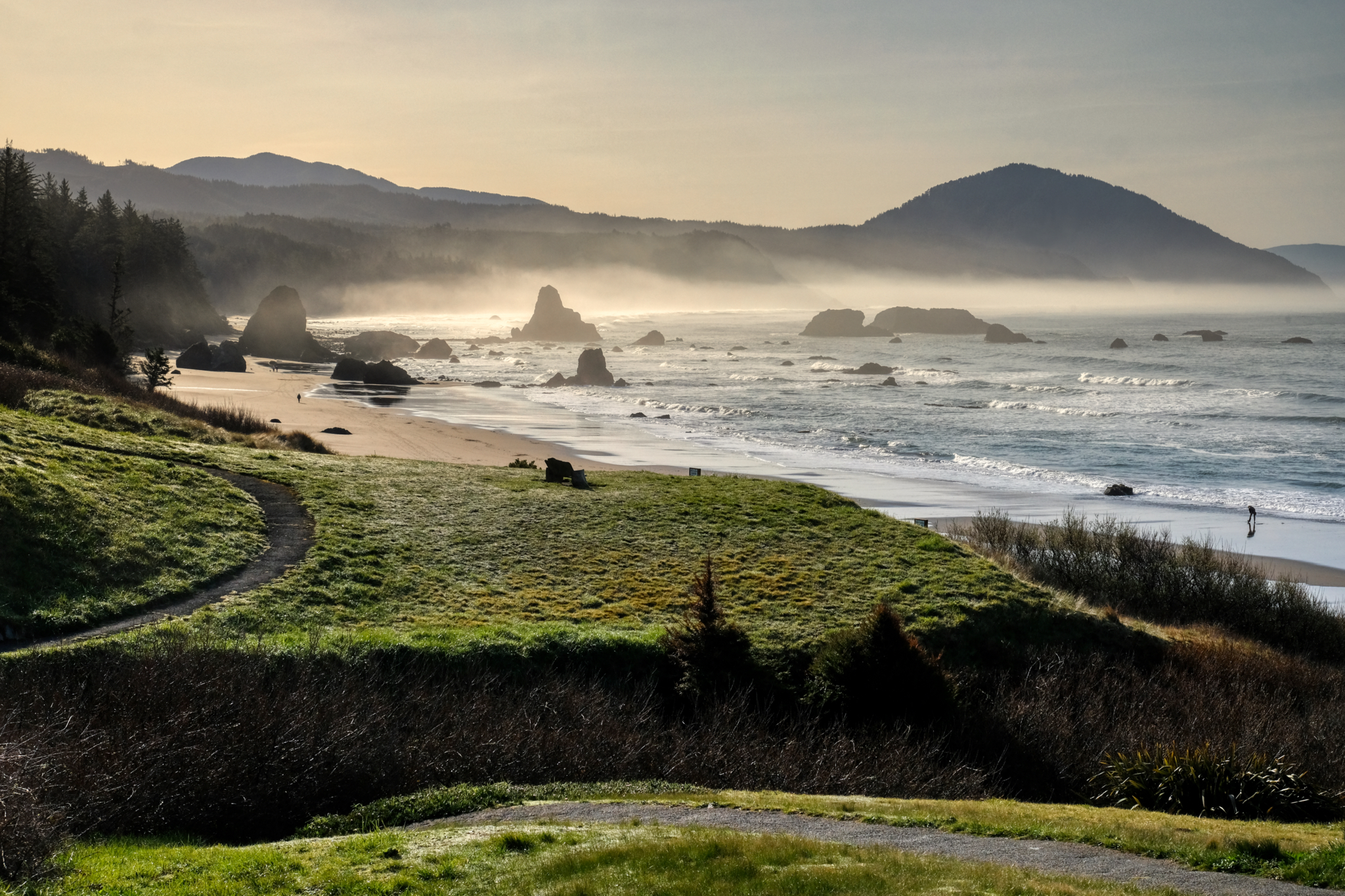 A beautiful bay just south of Crescent City, California after sunrise.
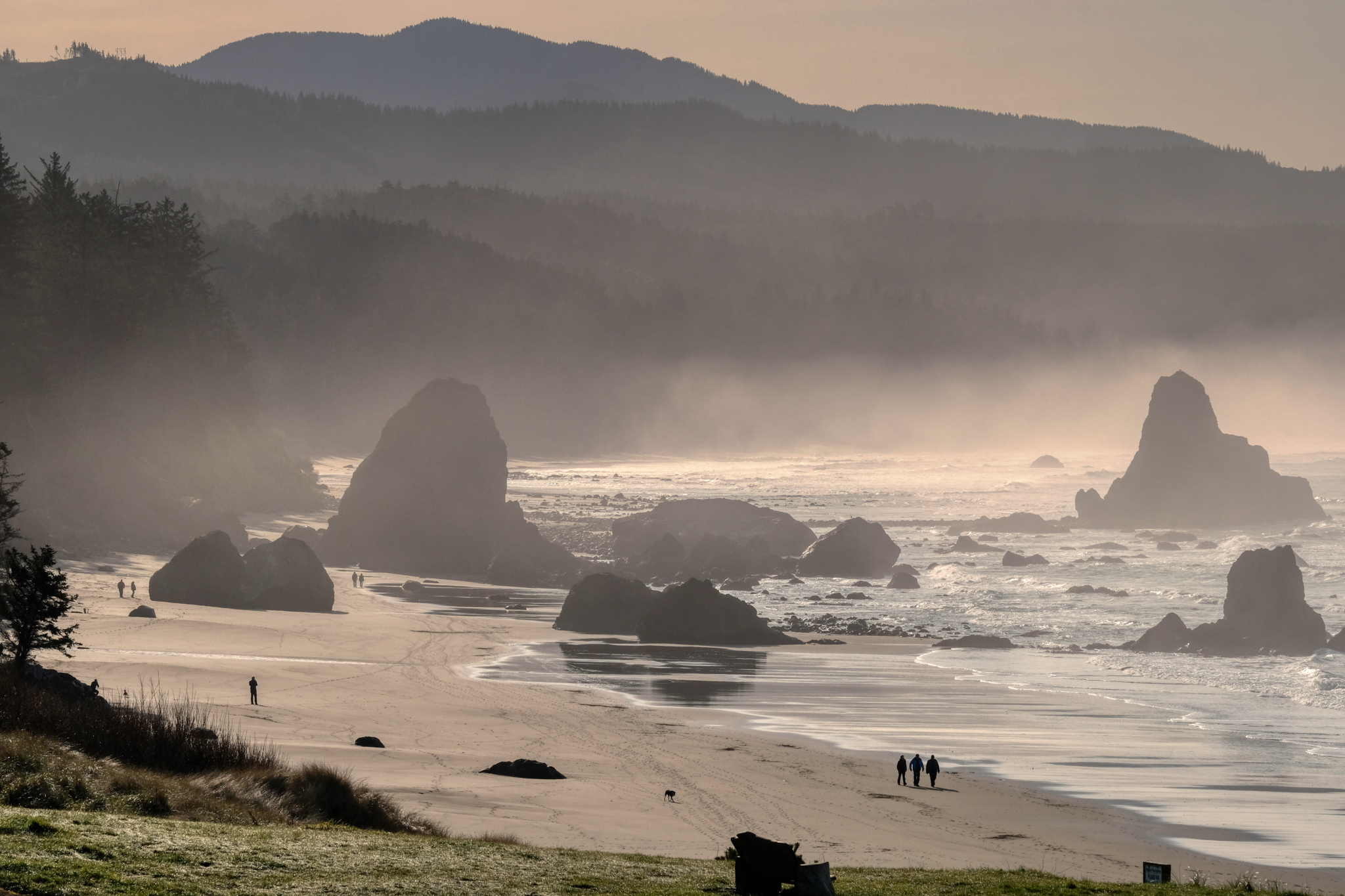 People out on their morning beach walk.
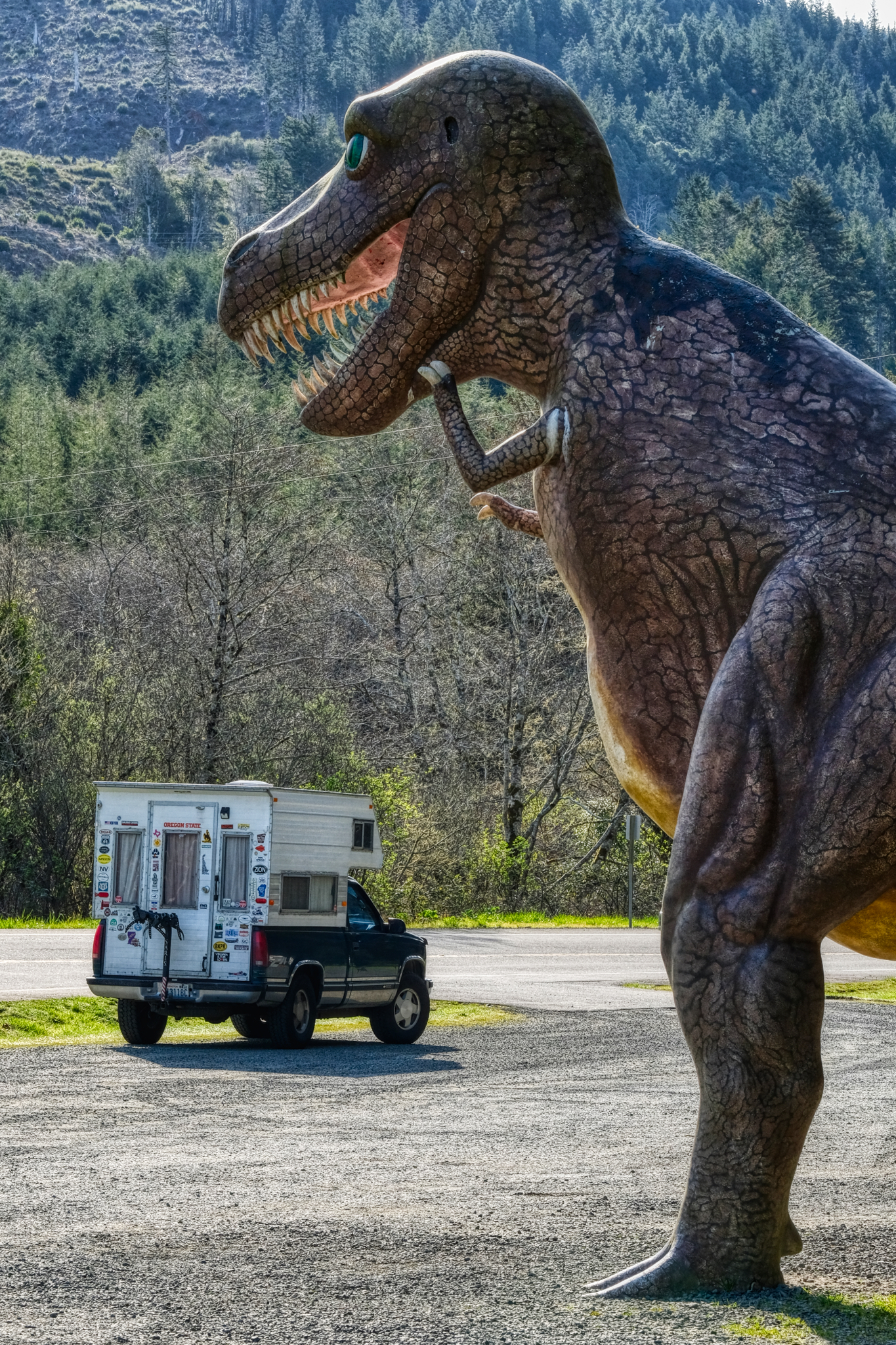 I'm glad I had the V8! Not exactly a tourist trap . . . but a pretty good dinosaur park roadside attraction.
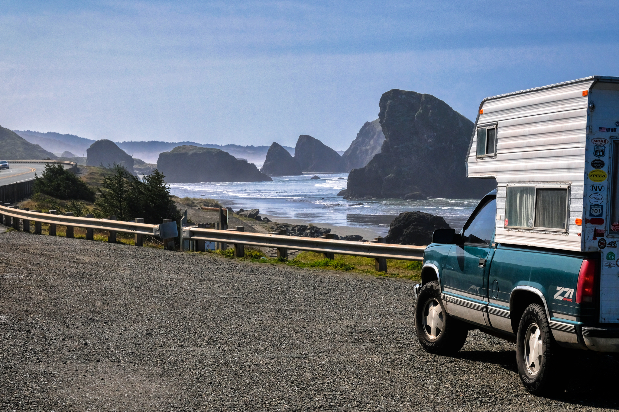 We made many stops along Highway 101 to ogle at the incredible scenery.
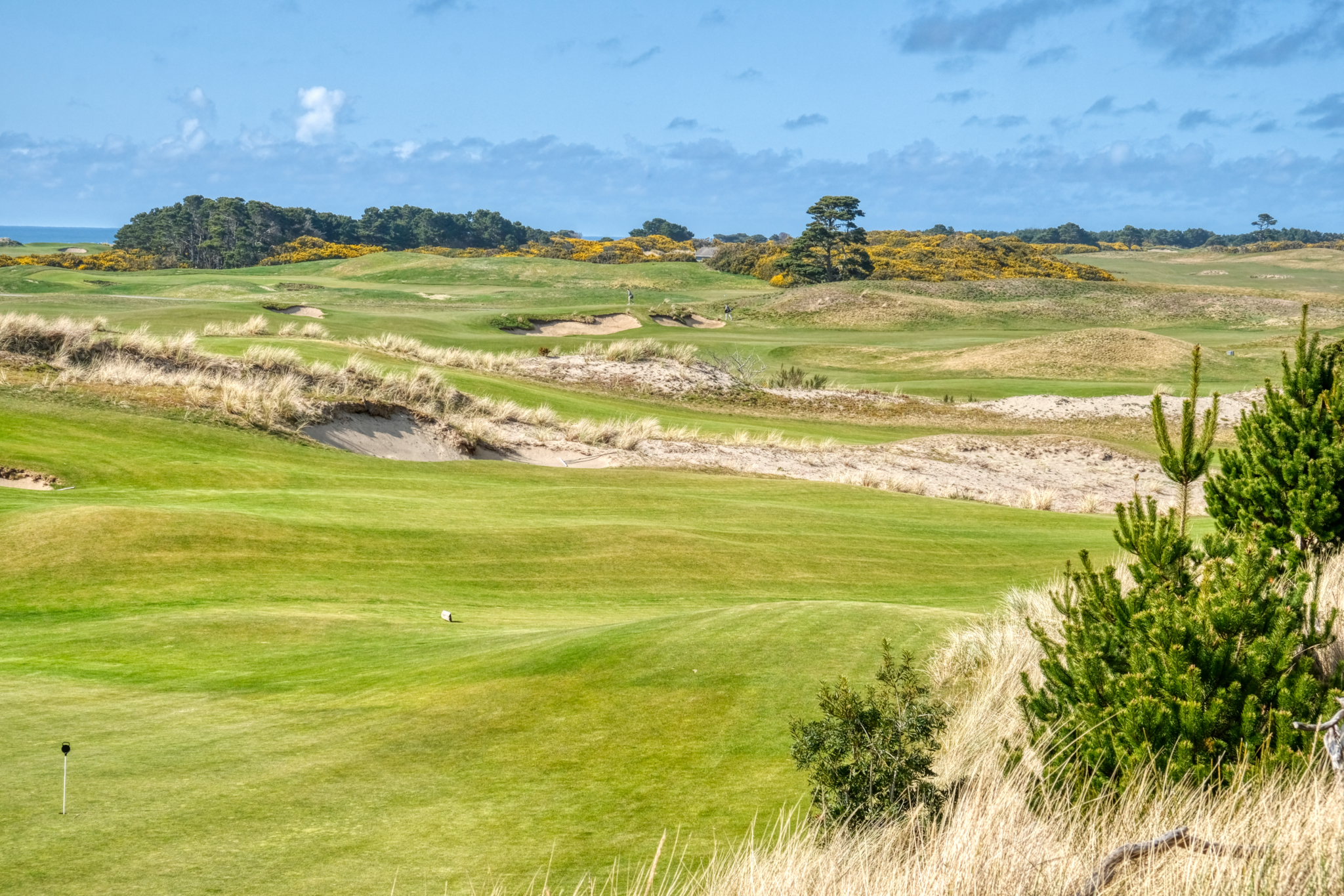 Of course, my wife wanted to stop and look at every golf curse along the way. This one, near Brookings, looked so Scottish! A real links curse, yellow gorse and all!
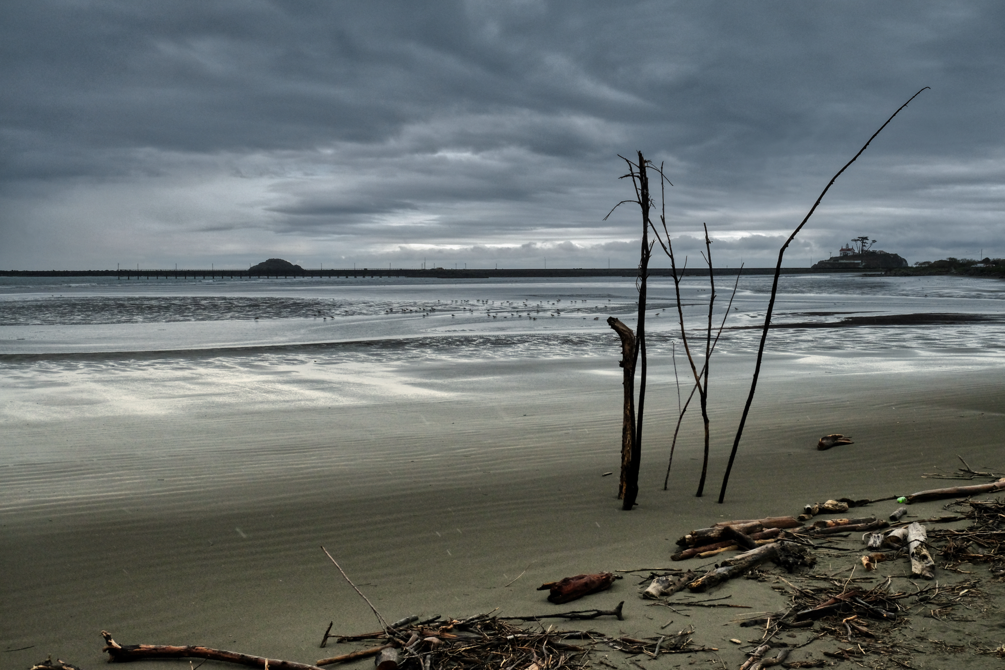 Arriving at the Crescent City bay.
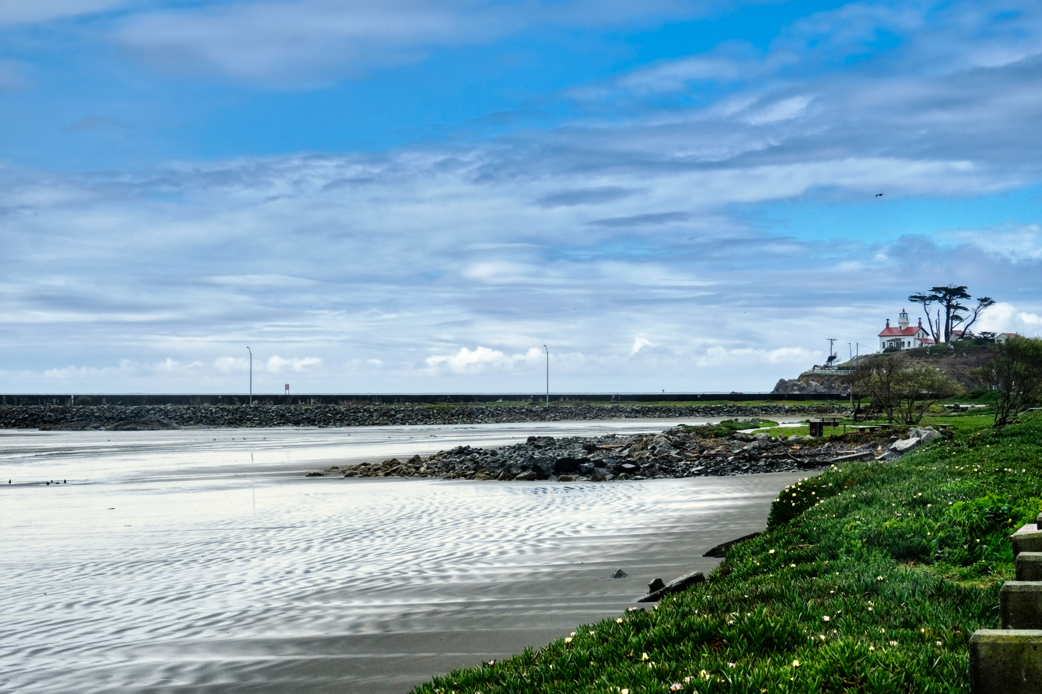 Crescent City bay and lighthouse.
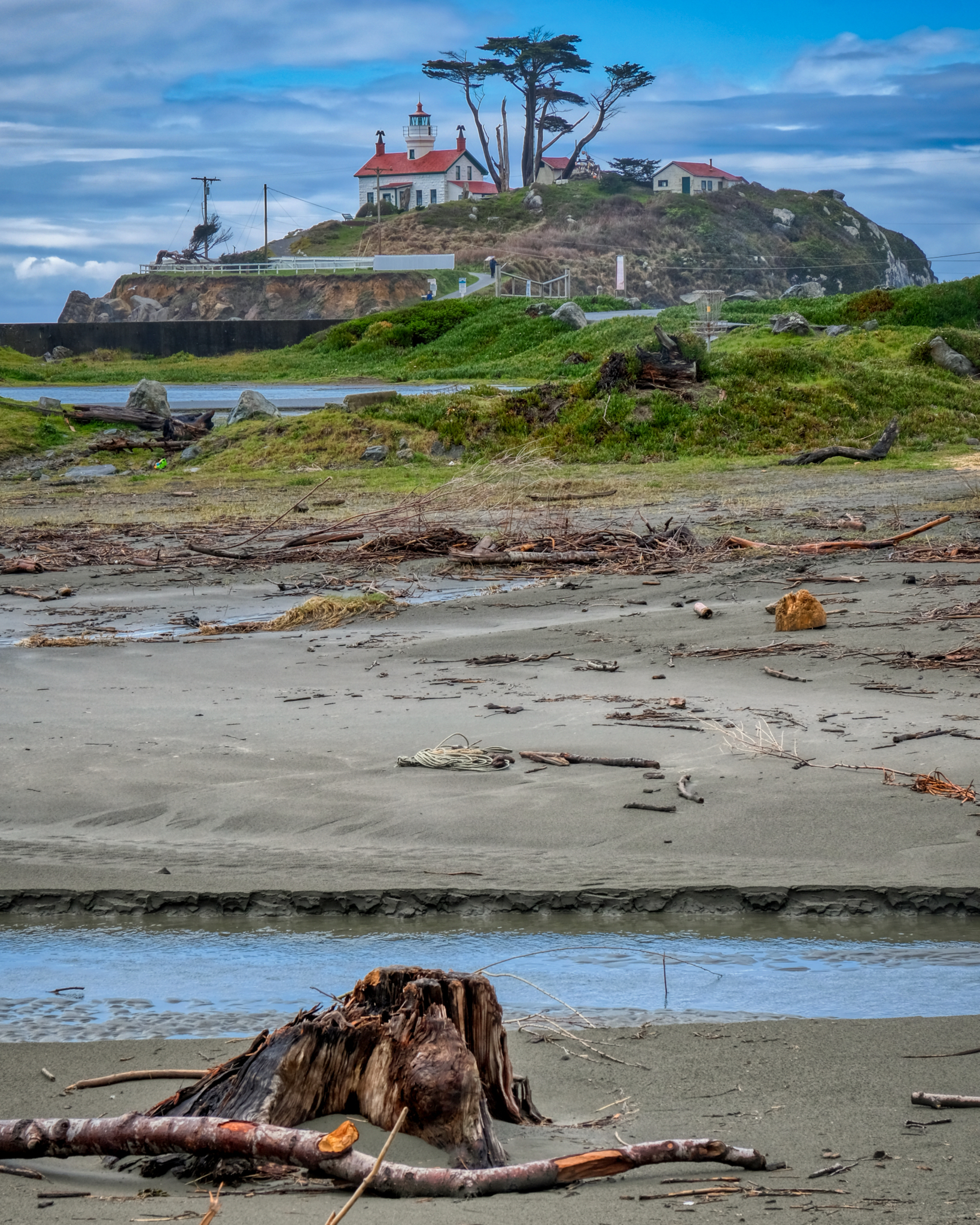 Crescent City lighthouse.
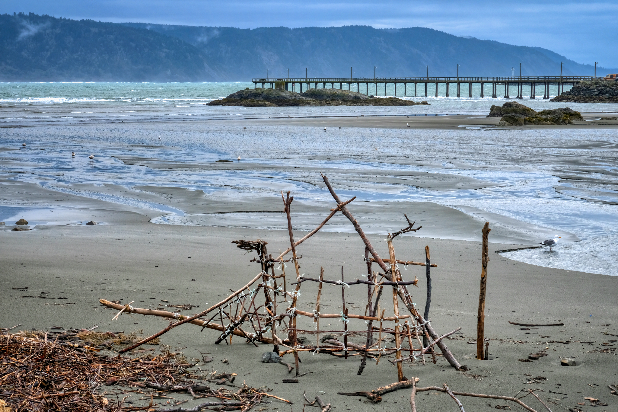 A beachcombers' stick sculpture.
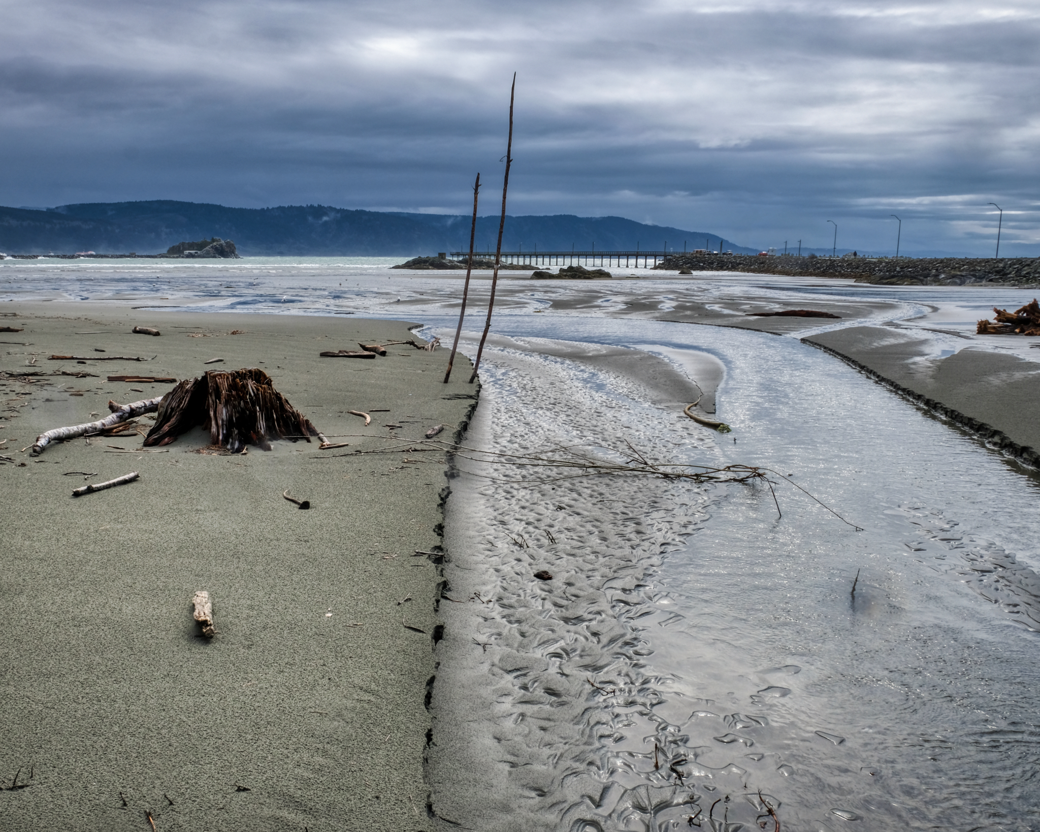 I love these Pacific Northwest coastal scenes.
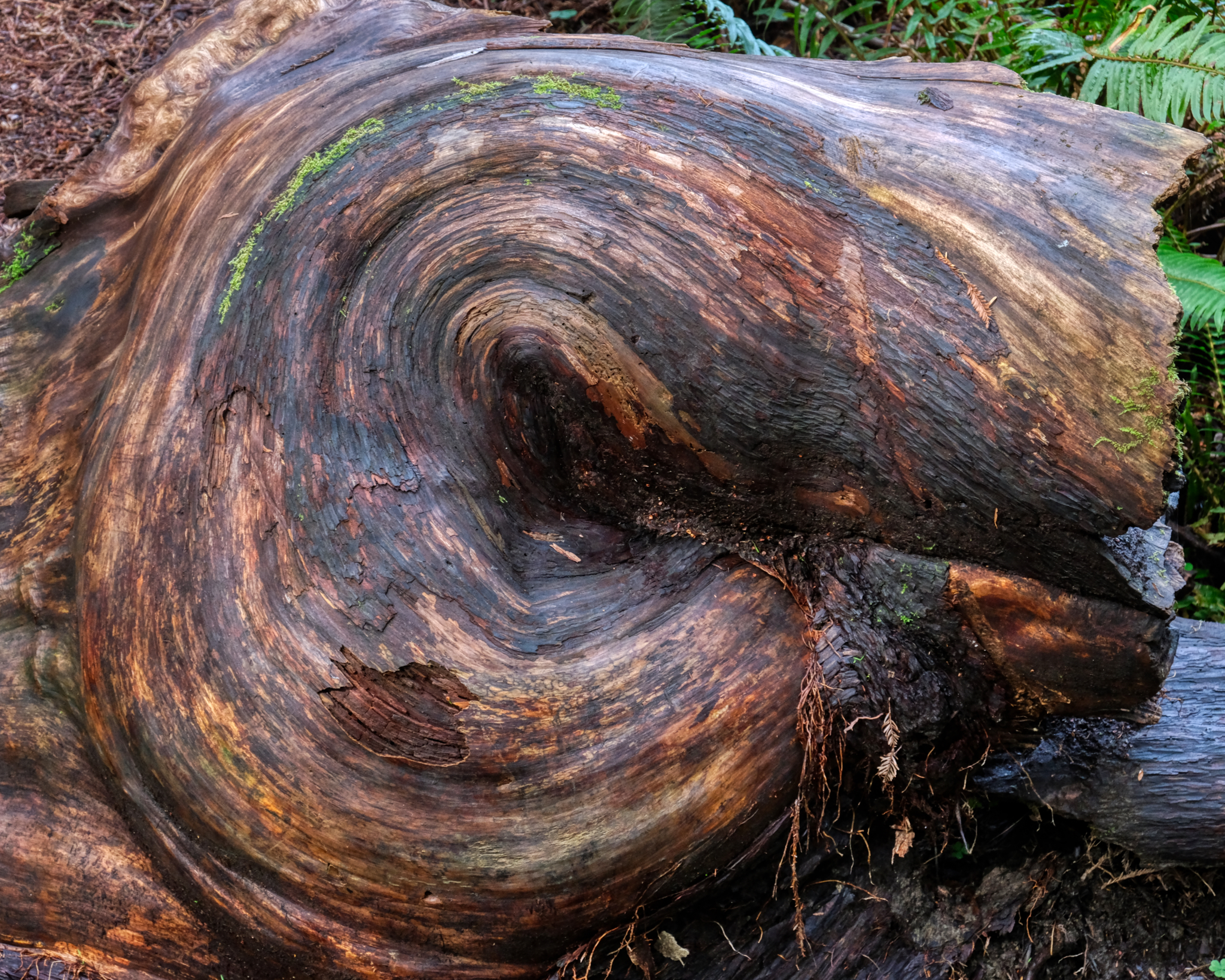
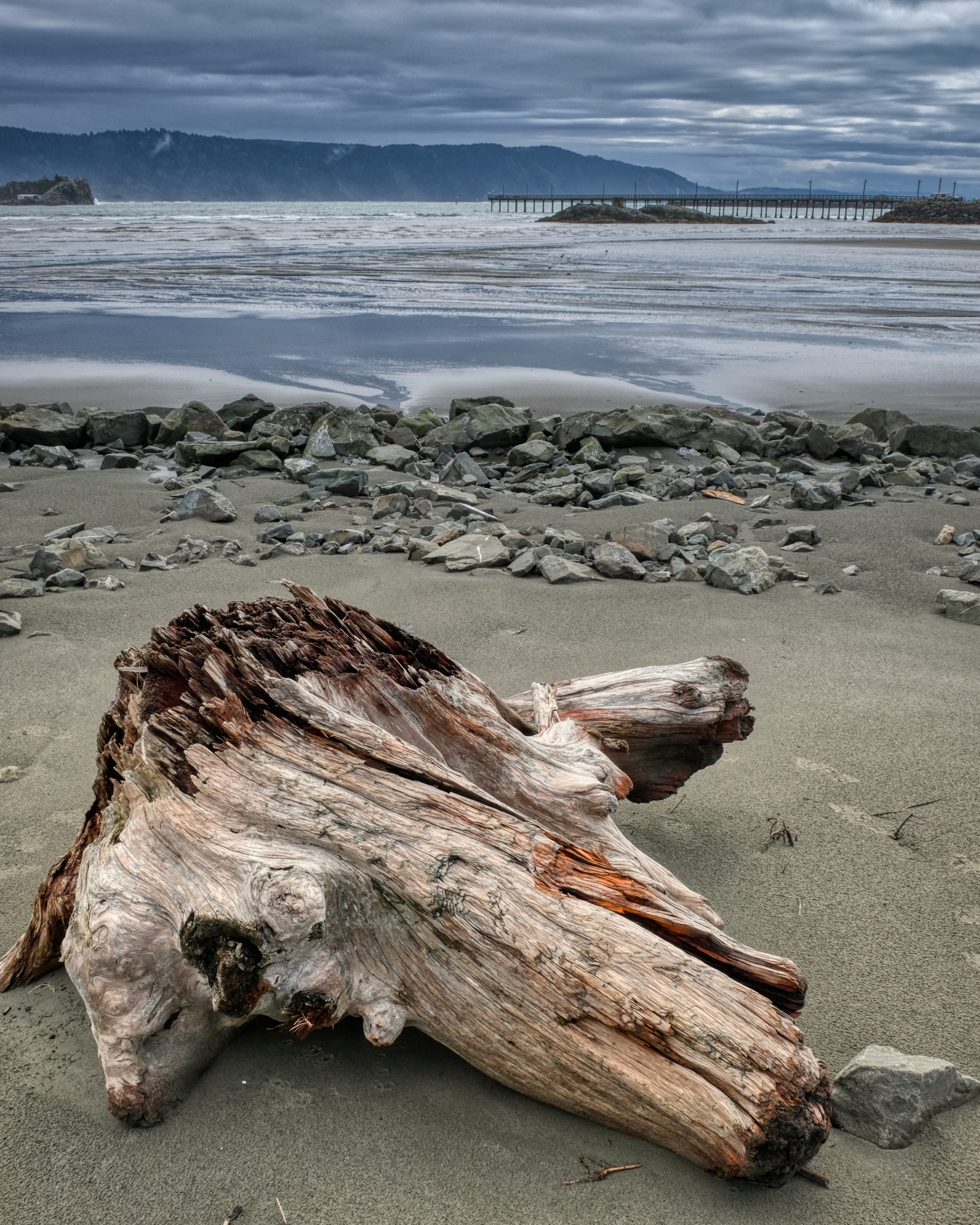 On of my favorite photographic subjects: driftwood.
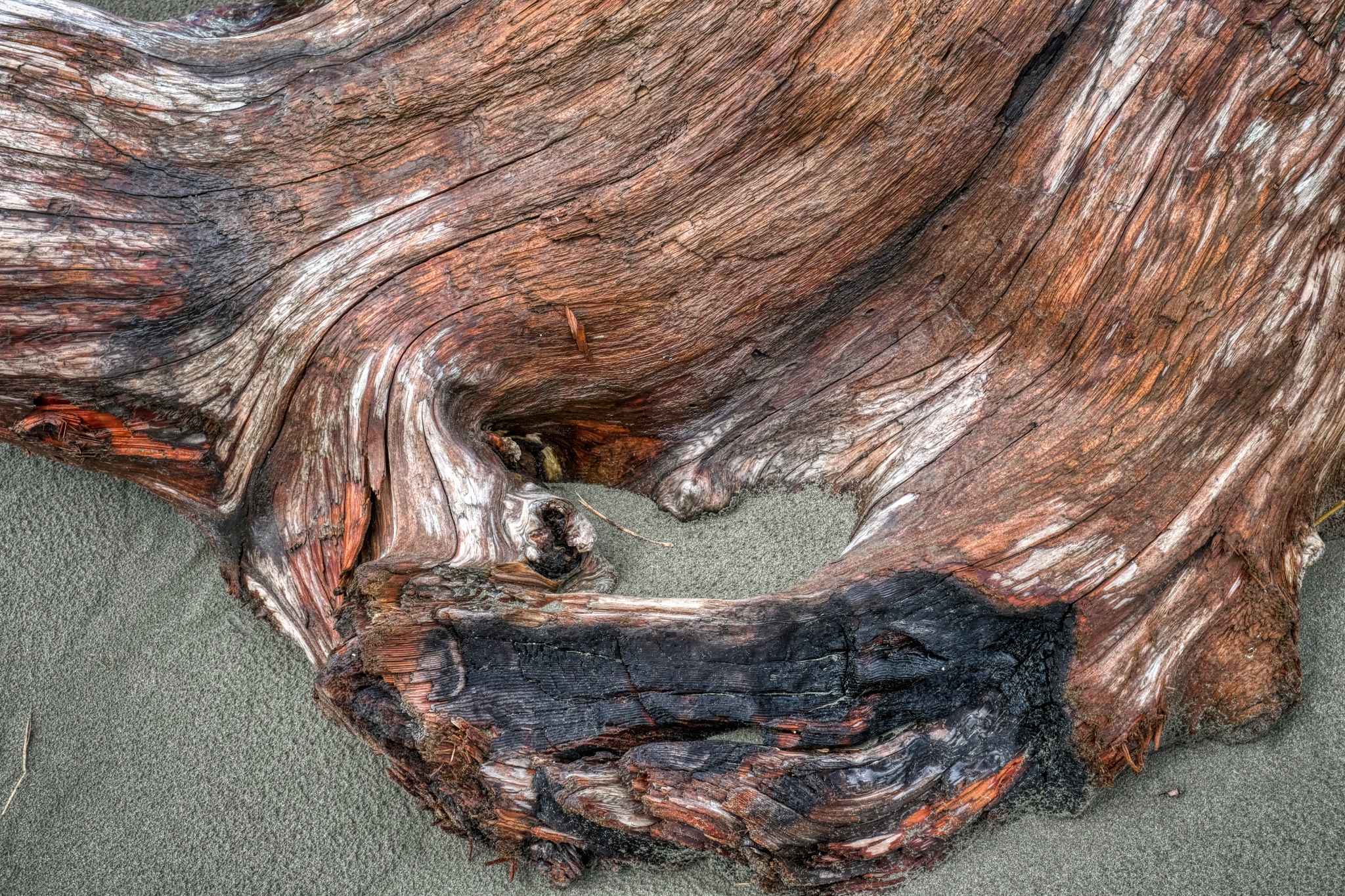 Worn by sea, sun, and sand into fabulous textures and patterns . . .
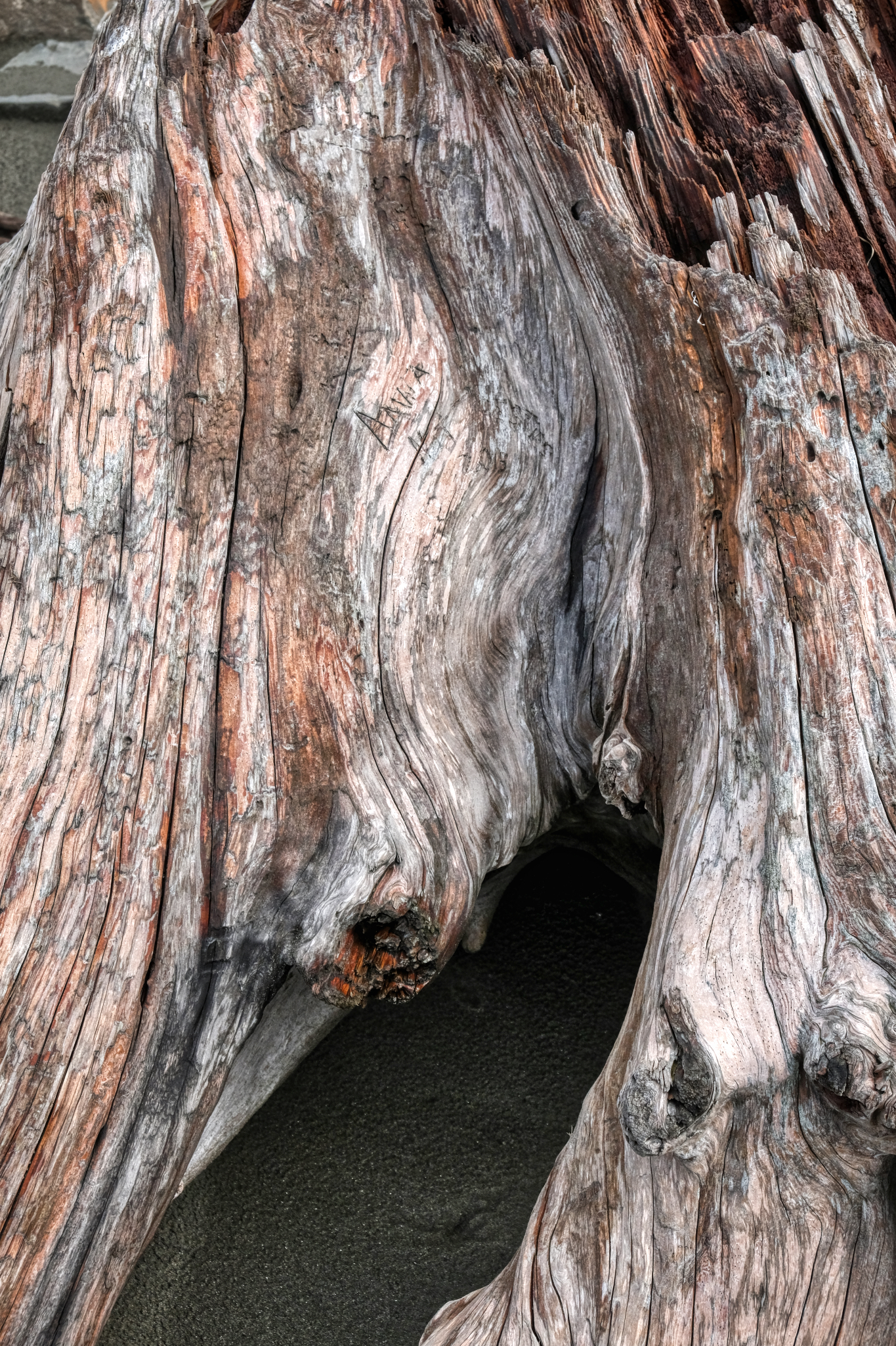 A visitor's cartouche . . .
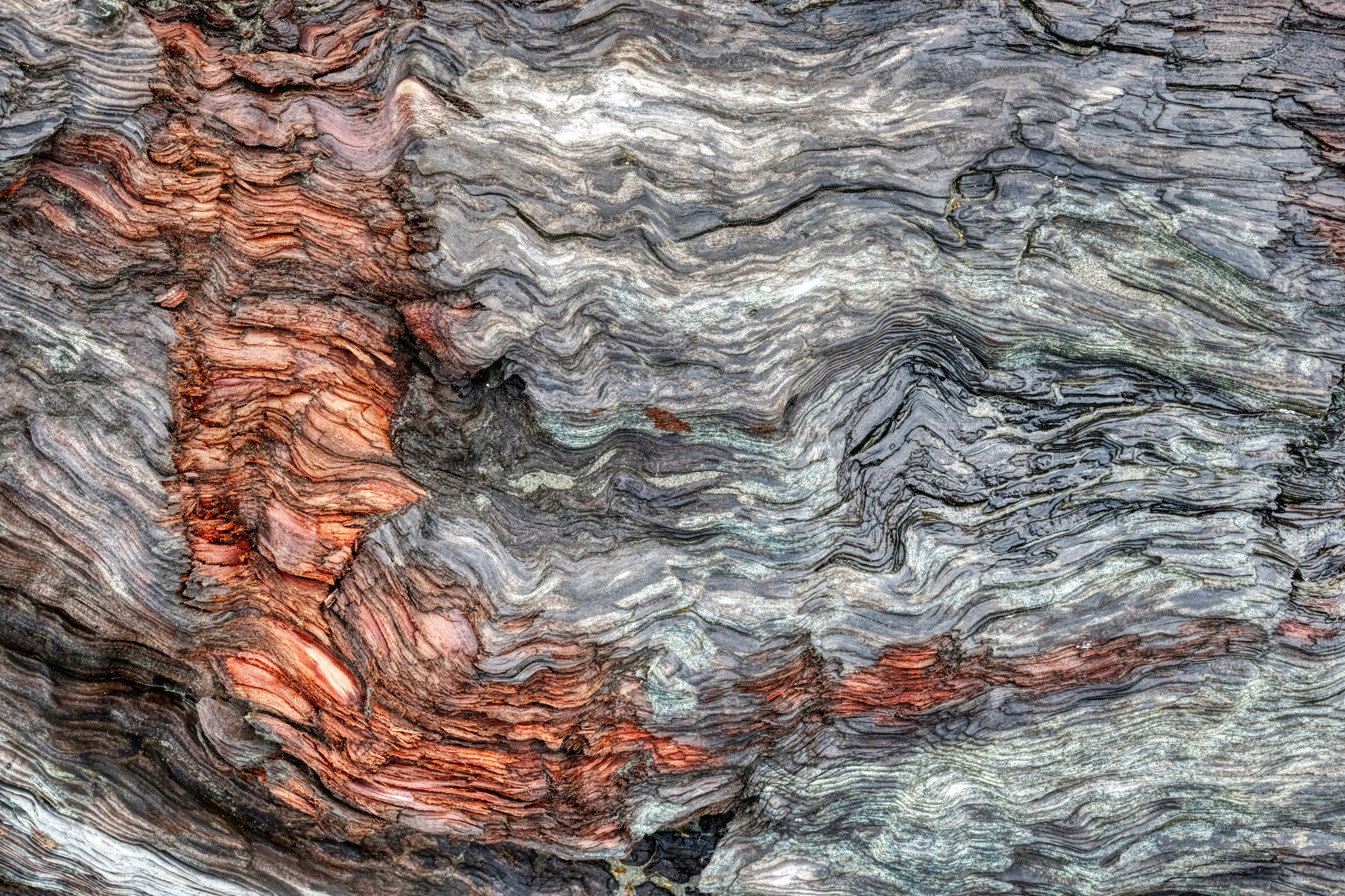 A damaged surface. The orange scrape revealing the natural color behind the grey aged driftwood.
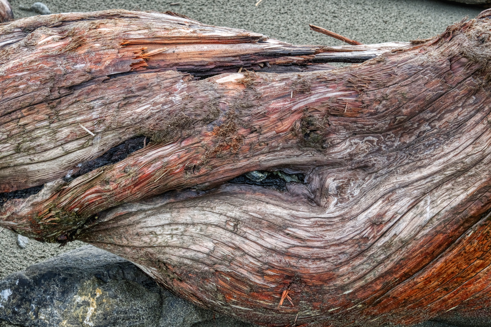 Twisted driftwood.
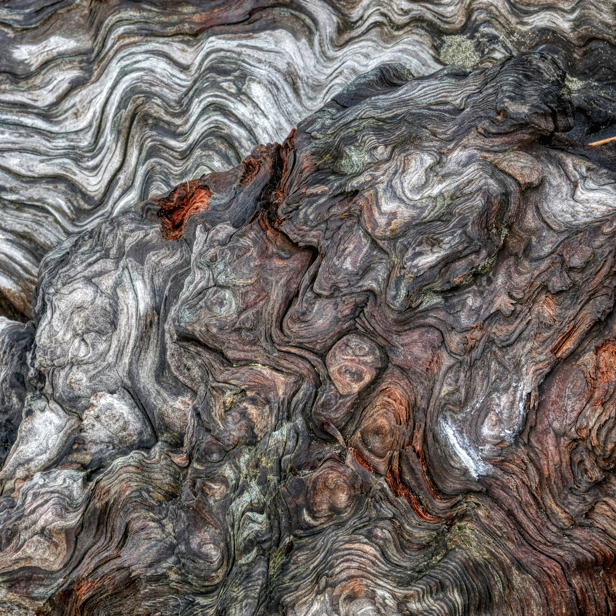 A revelation of the history of the forces and conditions this particular tree has experienced in the past represented in these patterns.
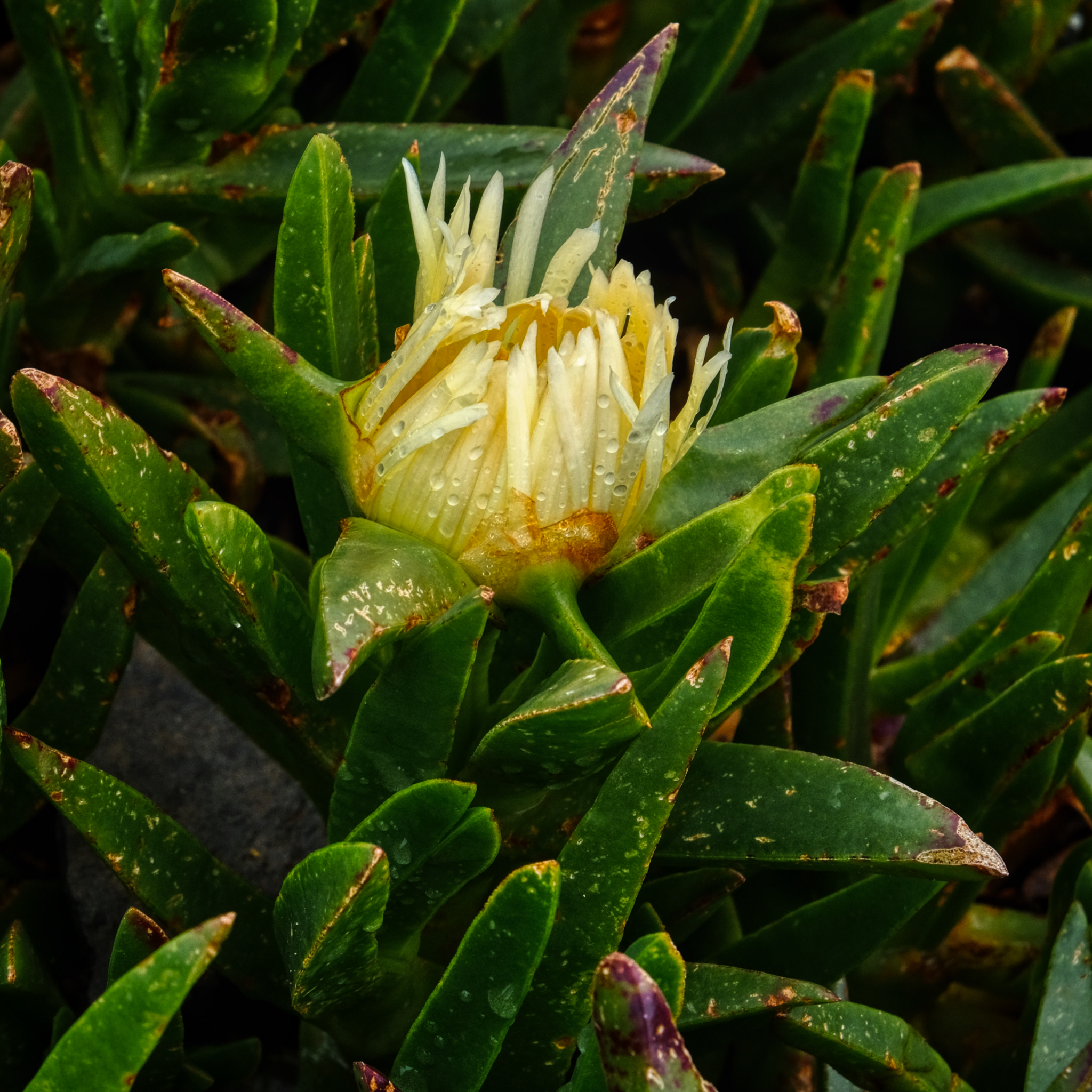 Ice plant! Stained all my clothes as a child. Here, at Crescent City, in flower on a rainy morning.
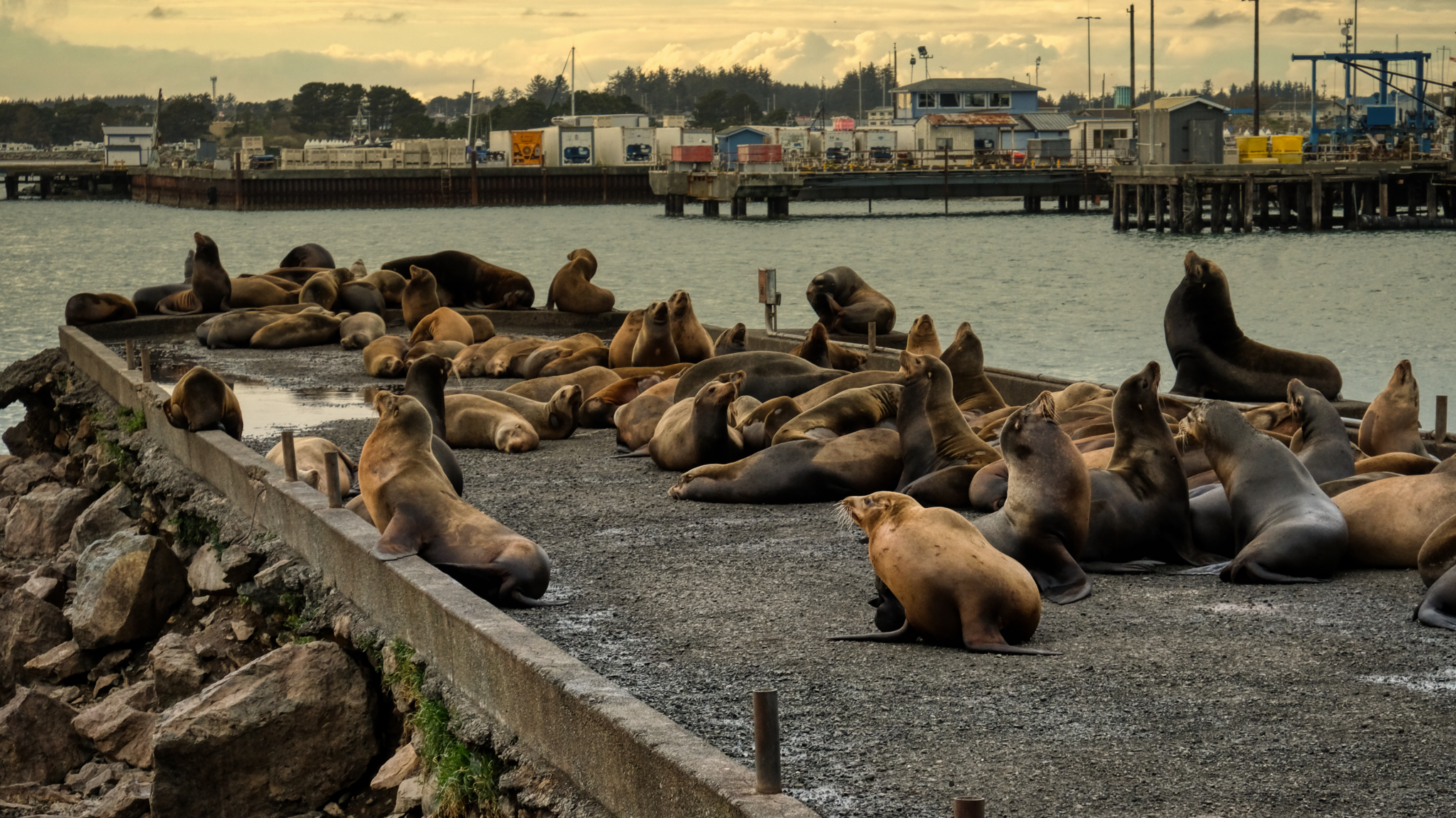 We stayed the night in a motel in Crescent City, California and went out for seafood on the pier . . . and discovered the sea lions at sunset.
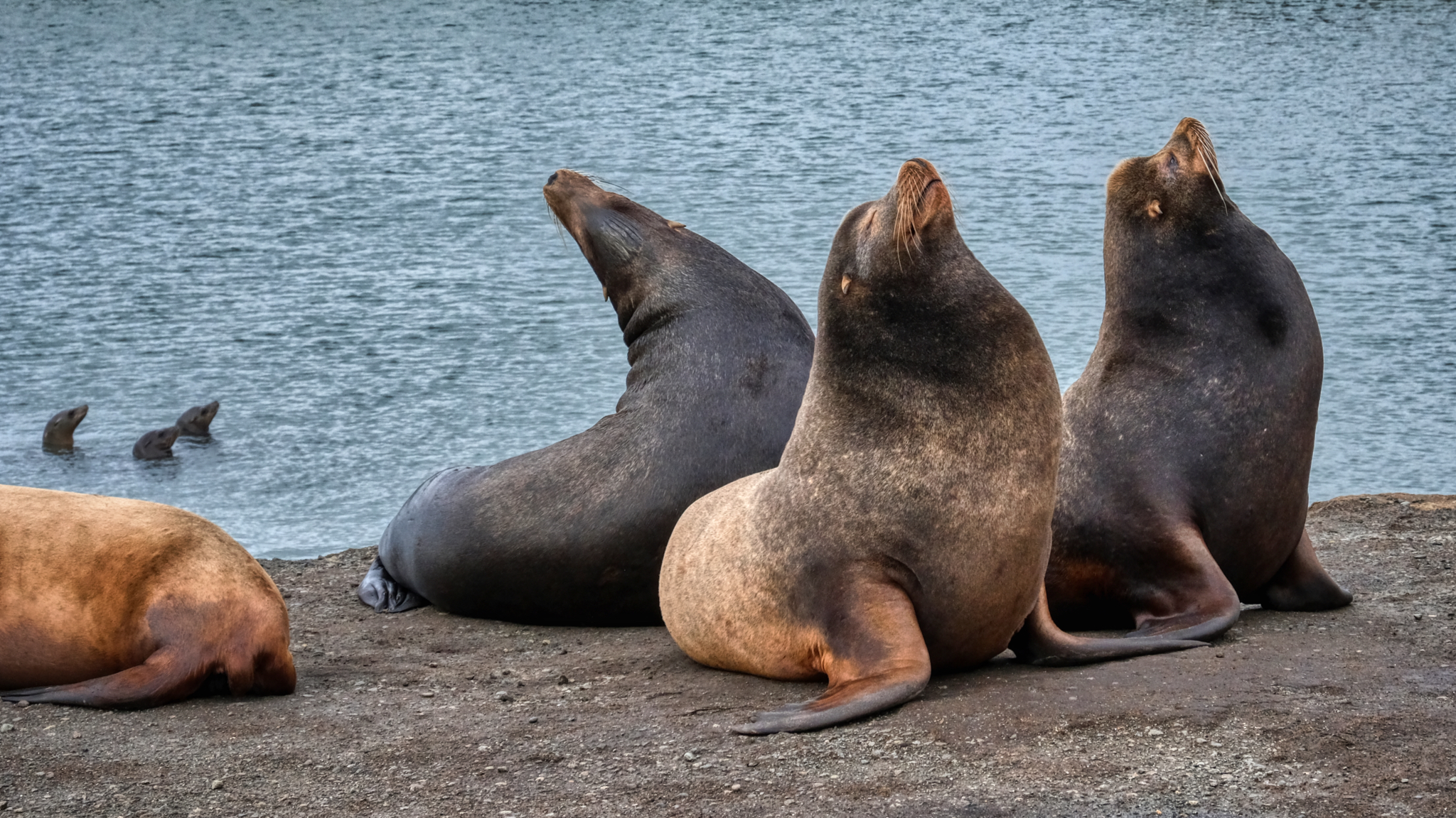 Sea lions are fascinating to watch. Very entertaining sea mammals!
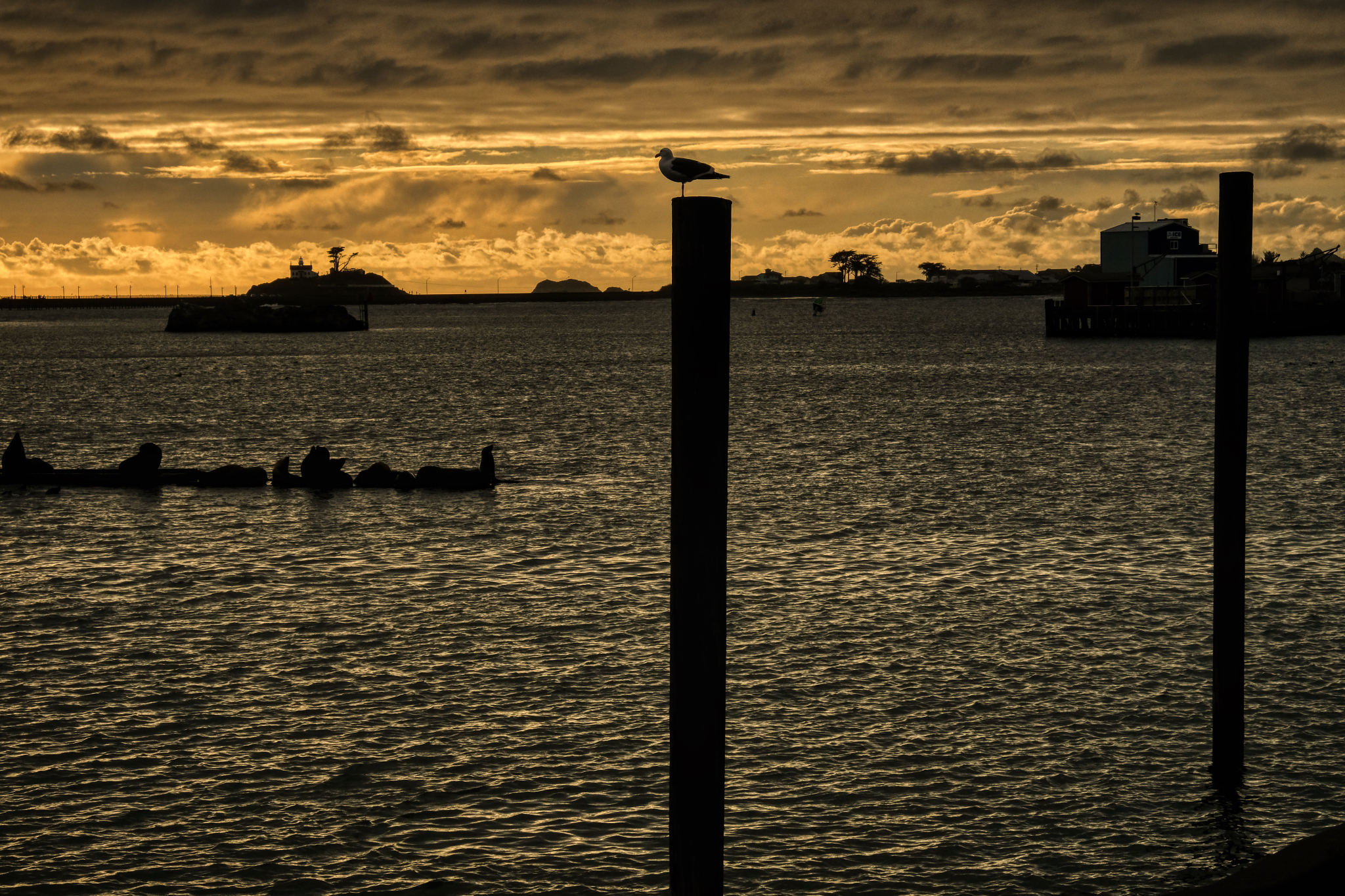 The Crescent City harbor . . . a gull supervises a log-full of sea lions.
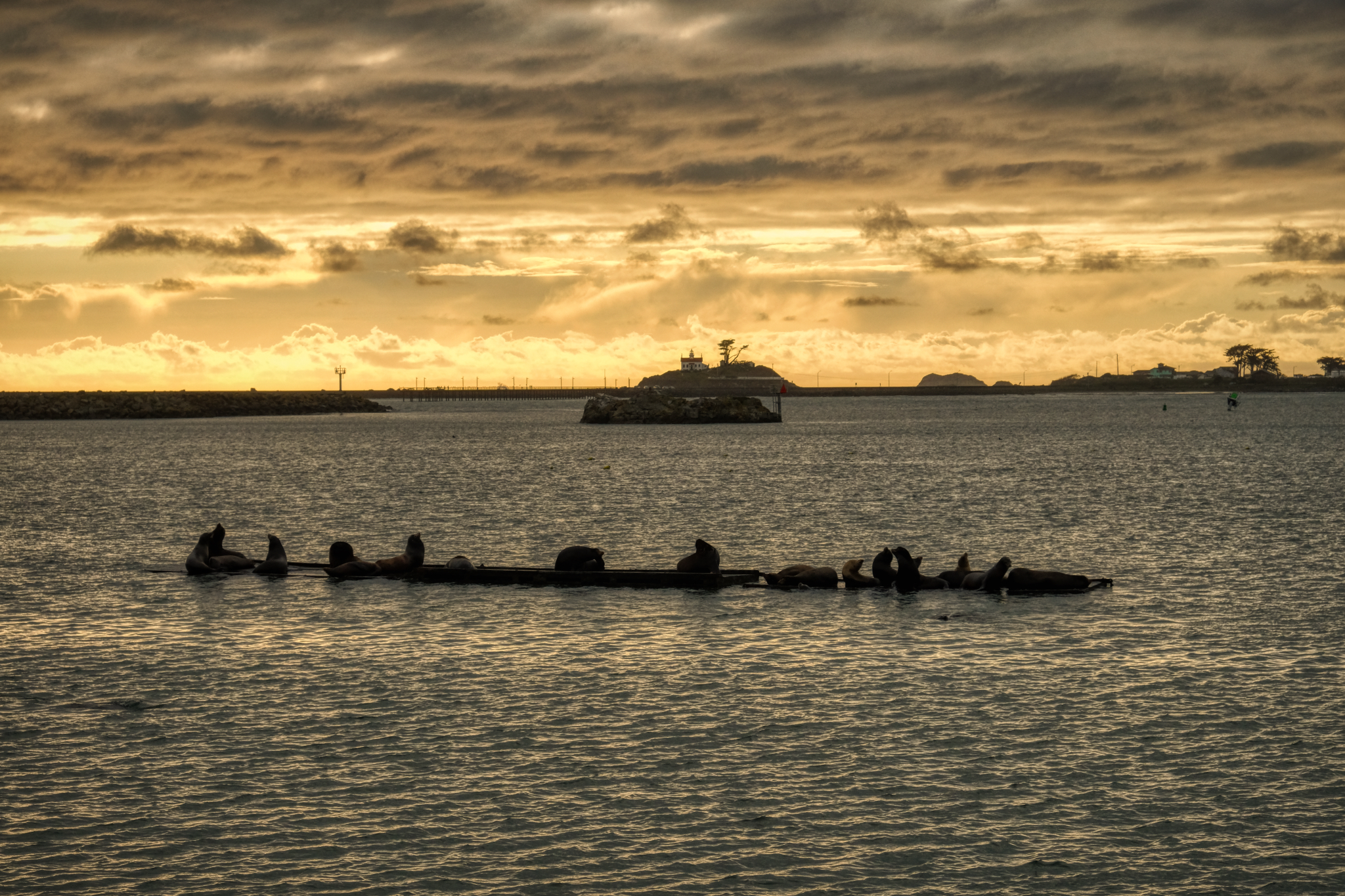 Sea lions on a log in the sunset.
 It was early April . . . time to take down the Christmas decorations . . . but cute.
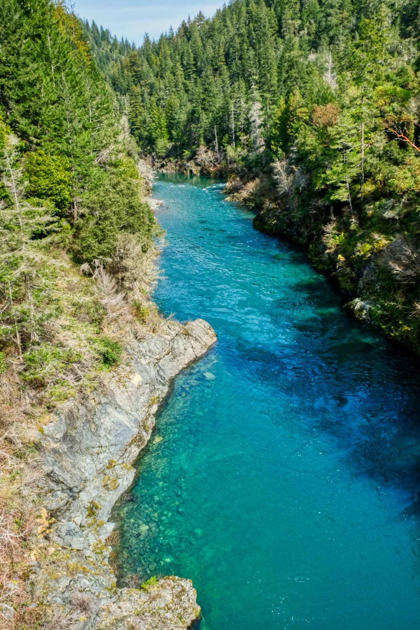 Crossing the Smith River on the way to a redwood stand.
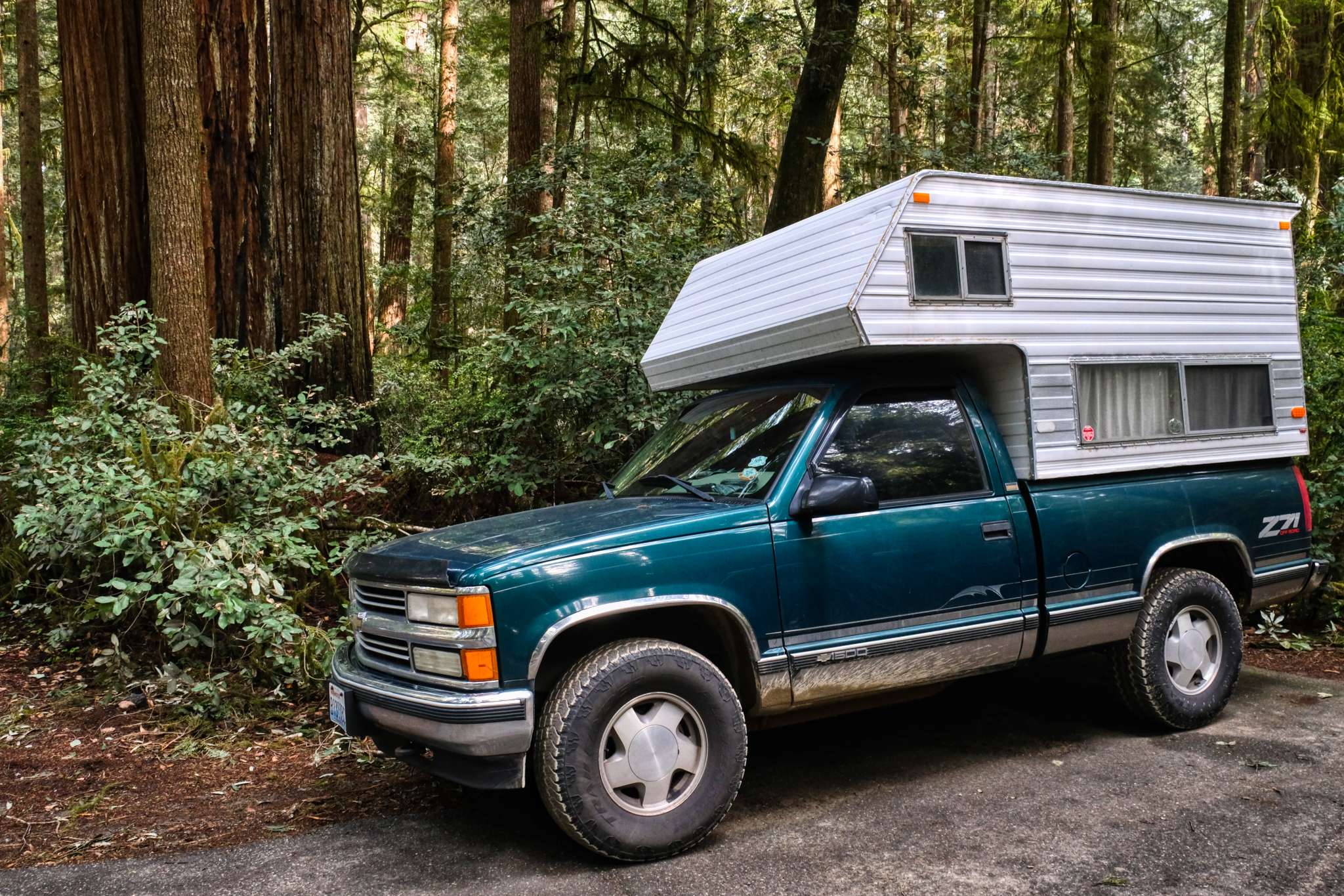 Arriving at Jedediah Smith Redwoods State Park.
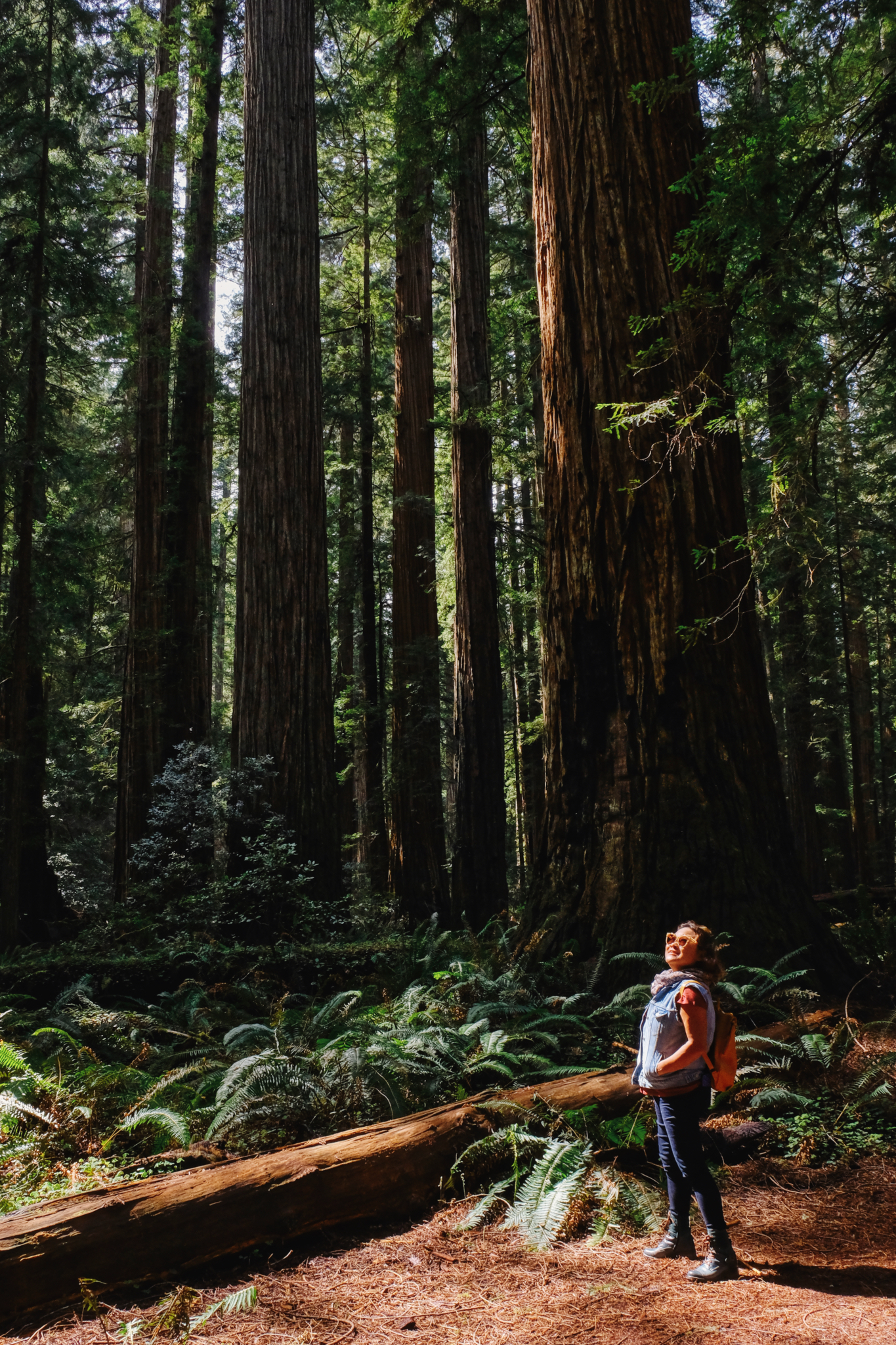 One of many foreign tourists that visit the giant redwoods of California every year.
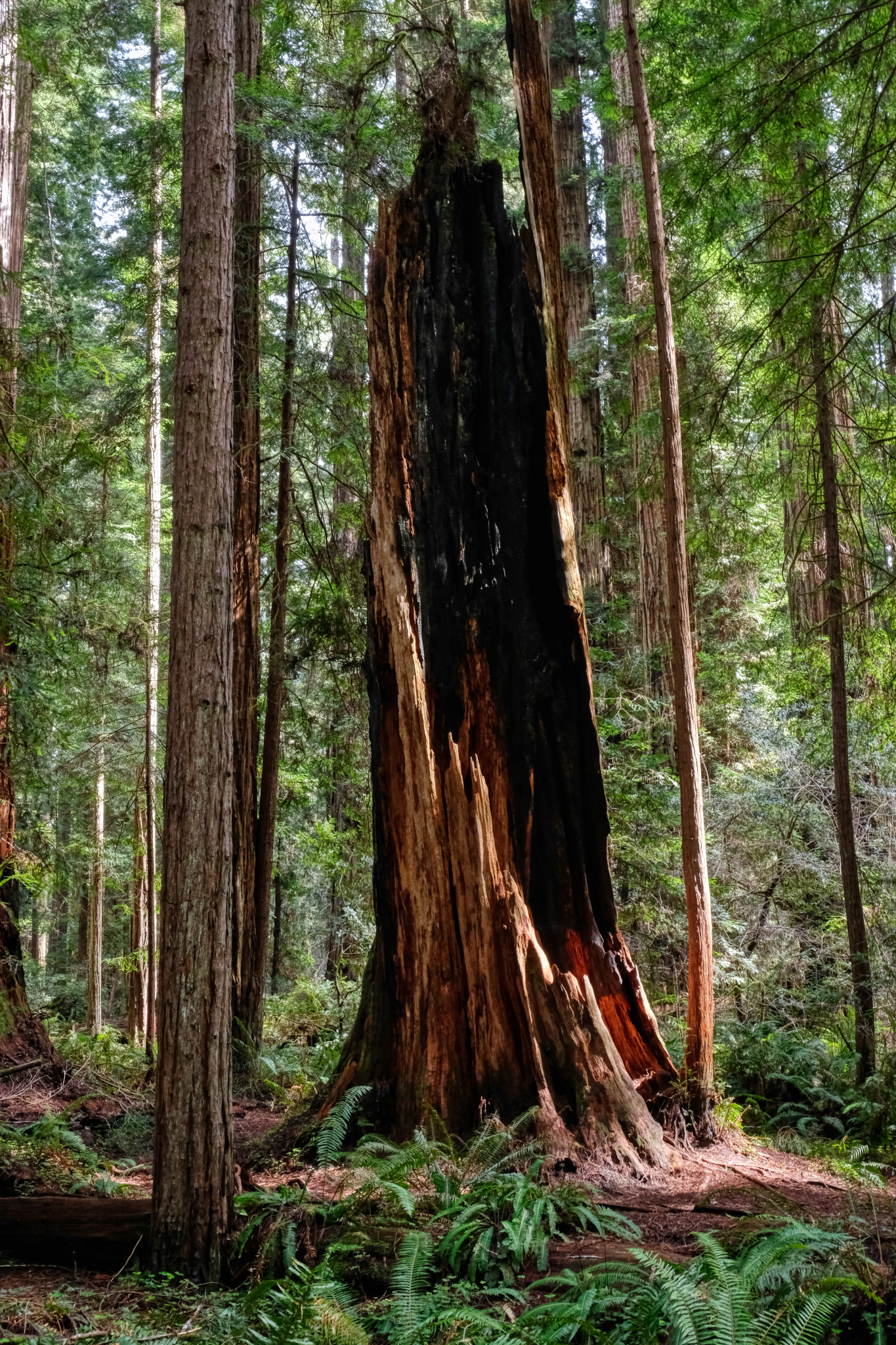 A fantastically dramatic redwood snag left from some past burn.
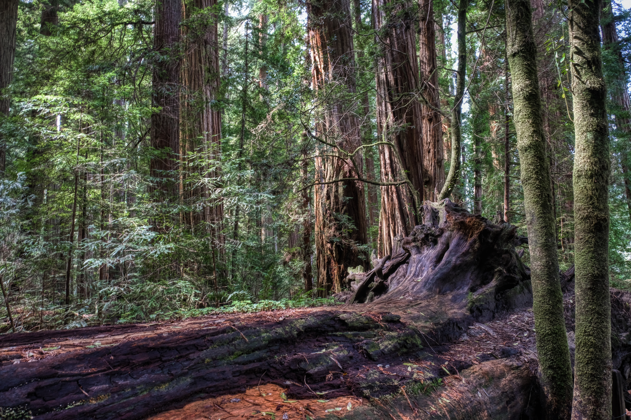 Ancient giant redwoods.
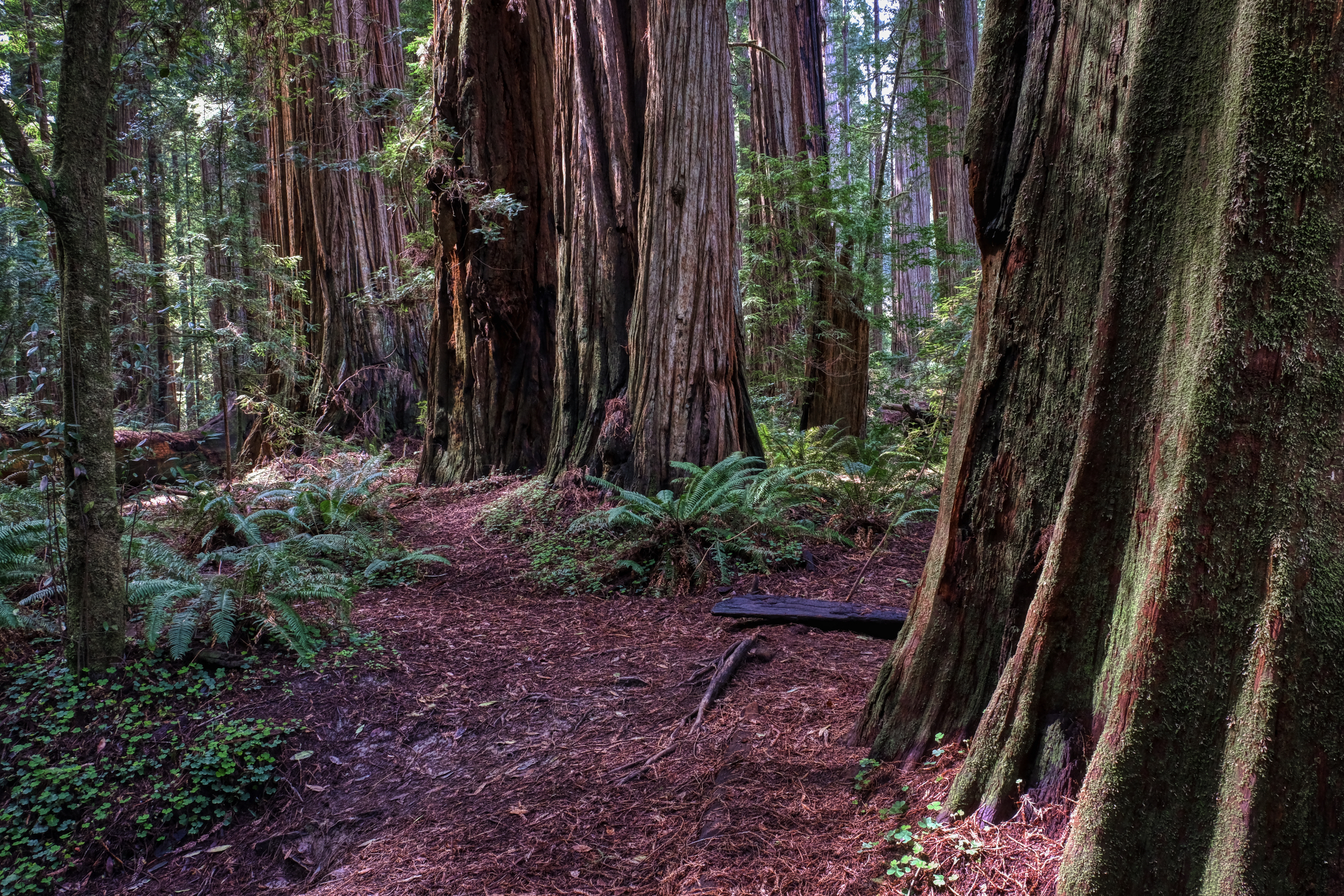 We walked for hours on the park paths among the towering redwoods.
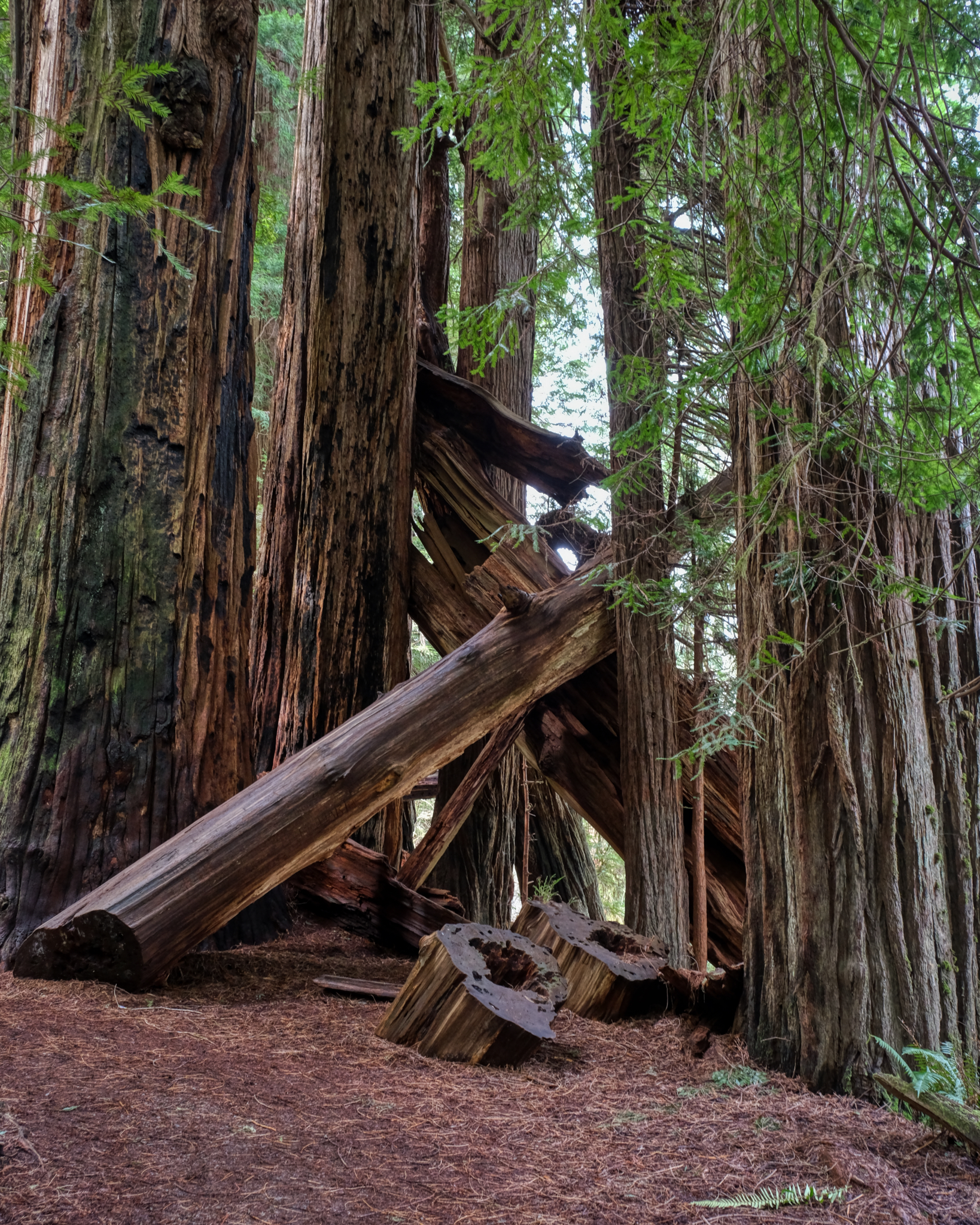 The park service did a good job of keeping the paths easily accessible by cutting back fallen redwoods.
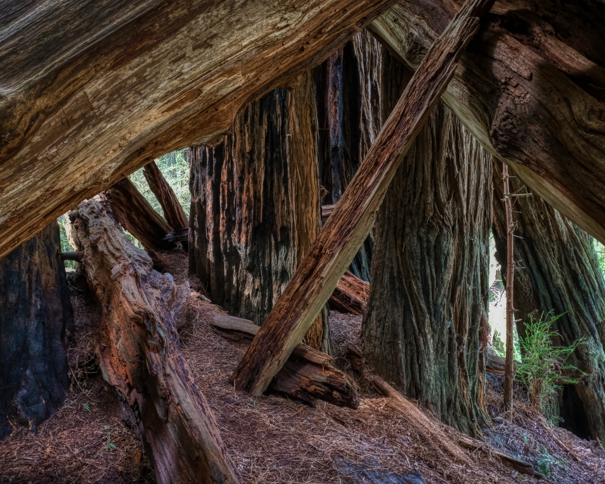 An incredible space, line, color.
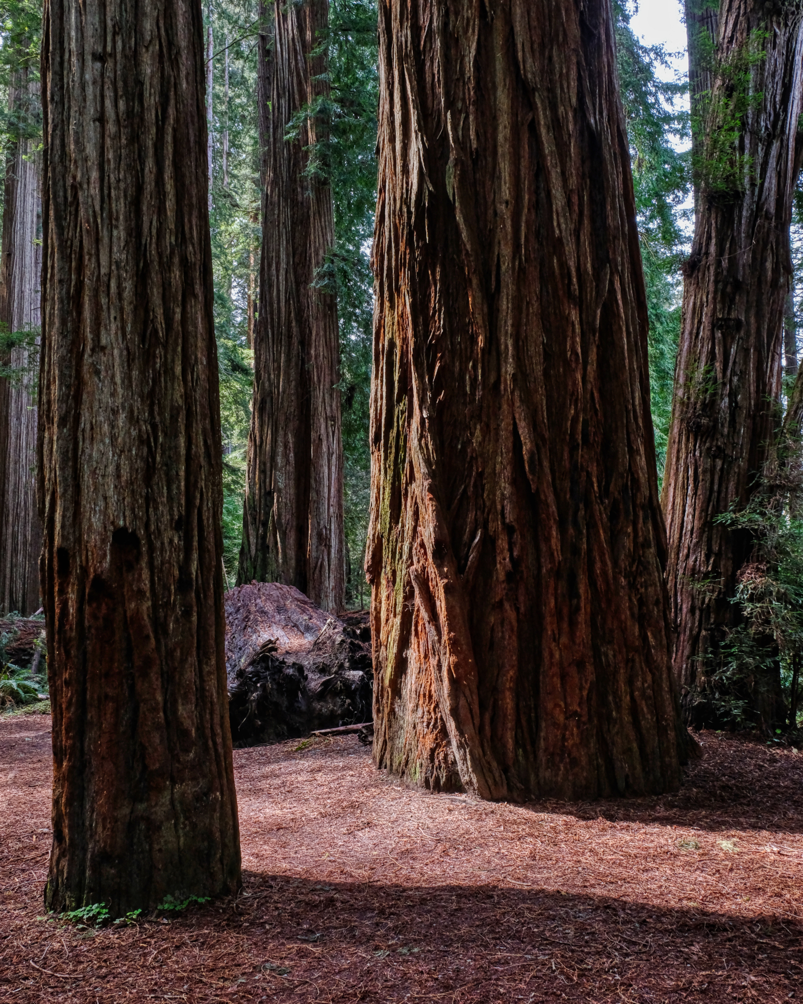 Ancient plant spirits . . .
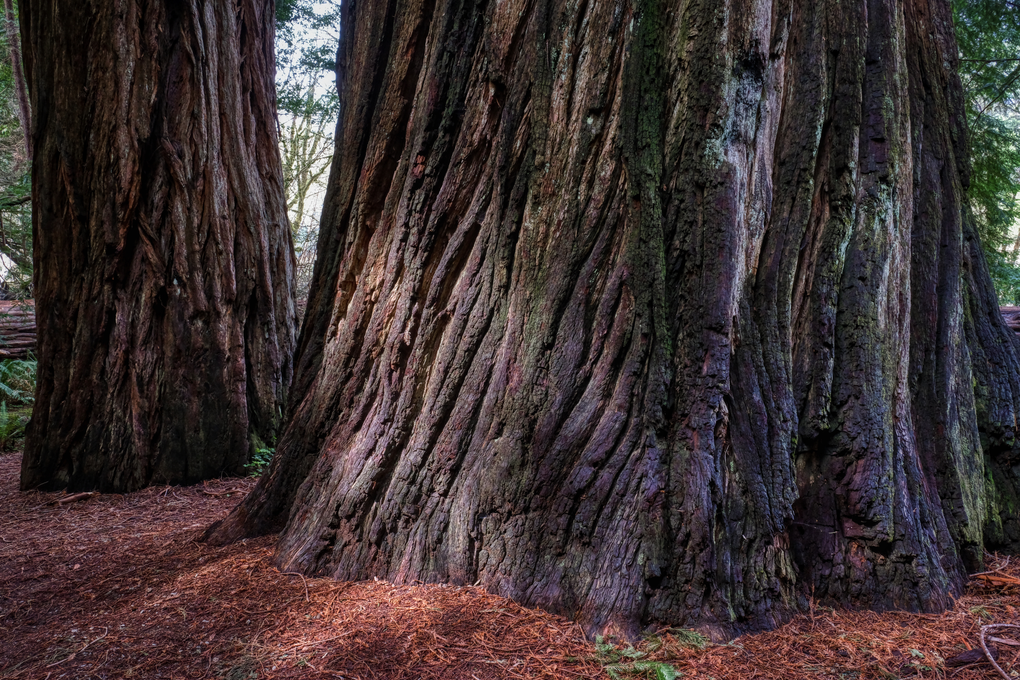 Sturdy, solid, immense, strong, tall . . .
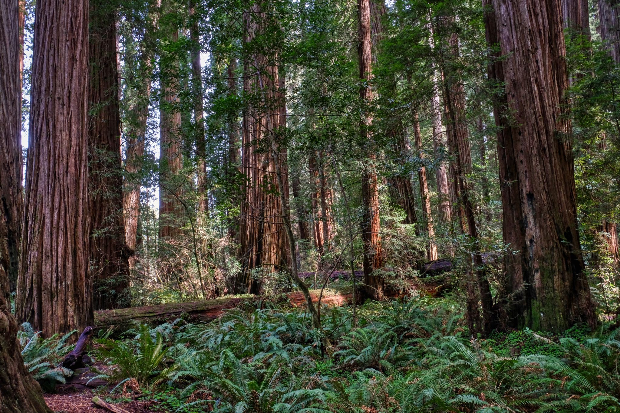 Walking in the giant redwood forest is a spiritual experience.
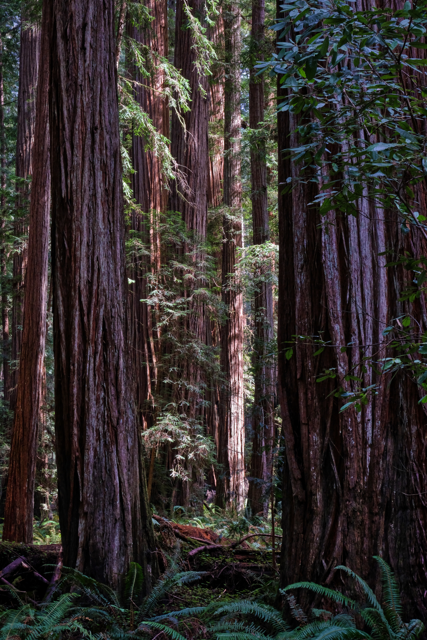 Wonderful shafts of clear, bright light illuminated the forest.
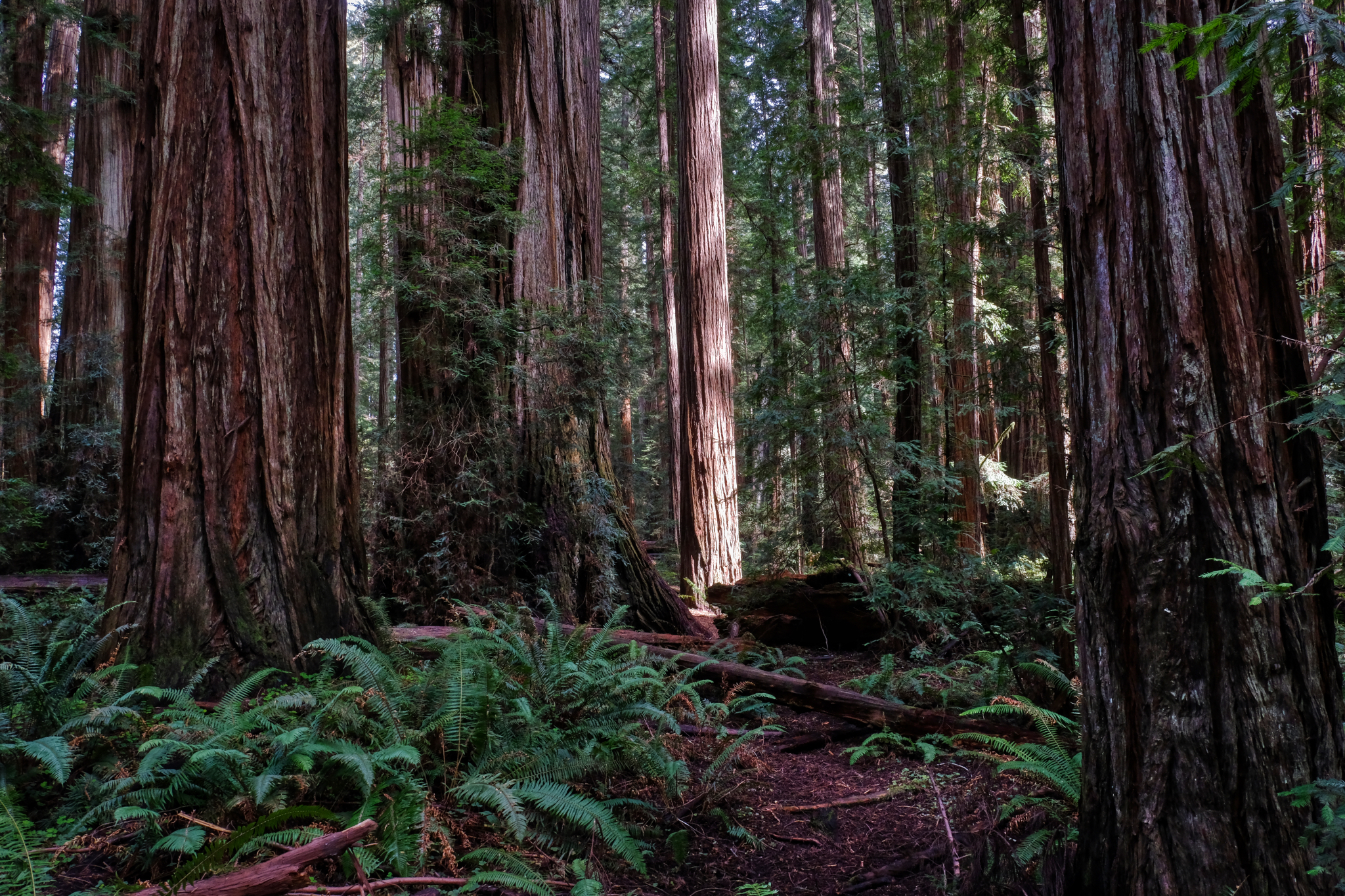 A single lit redwood in the dense forest.
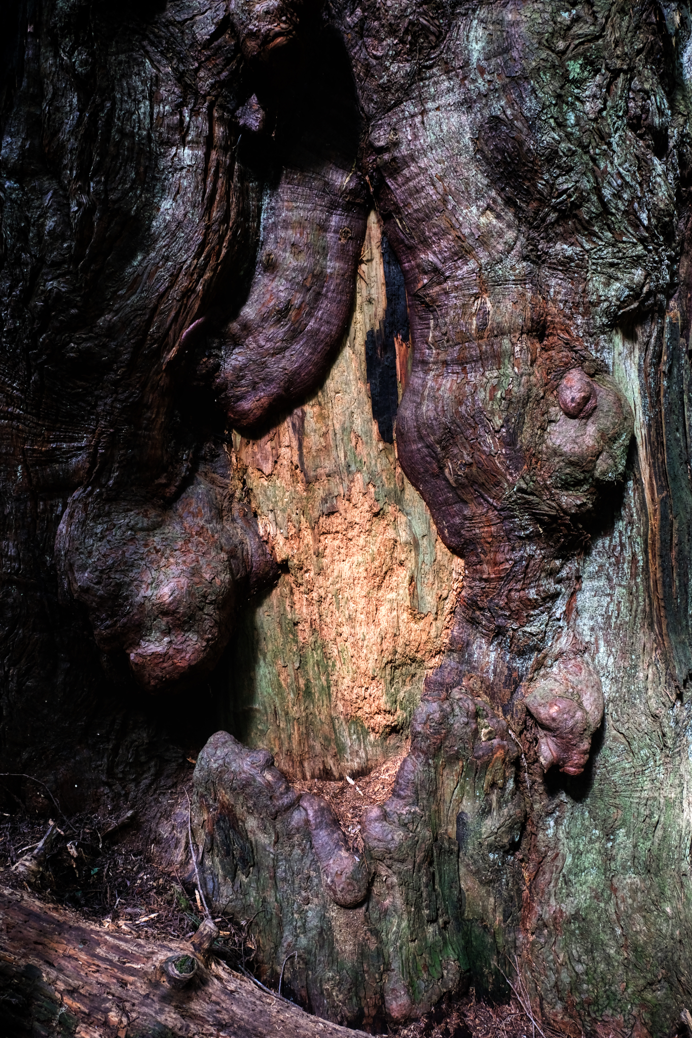
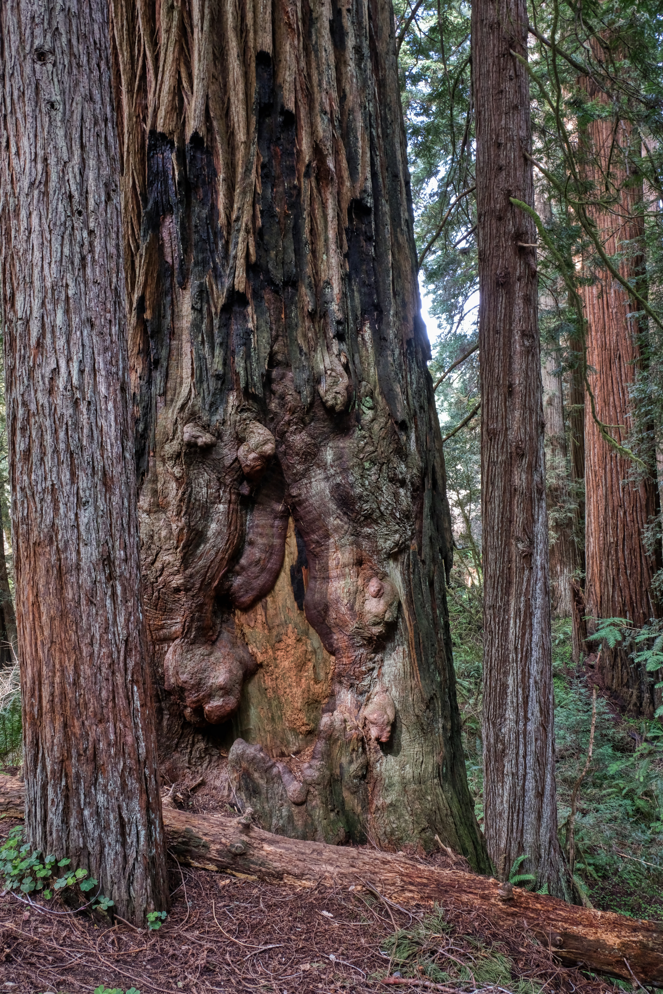 A giant redwood healing an old wound.
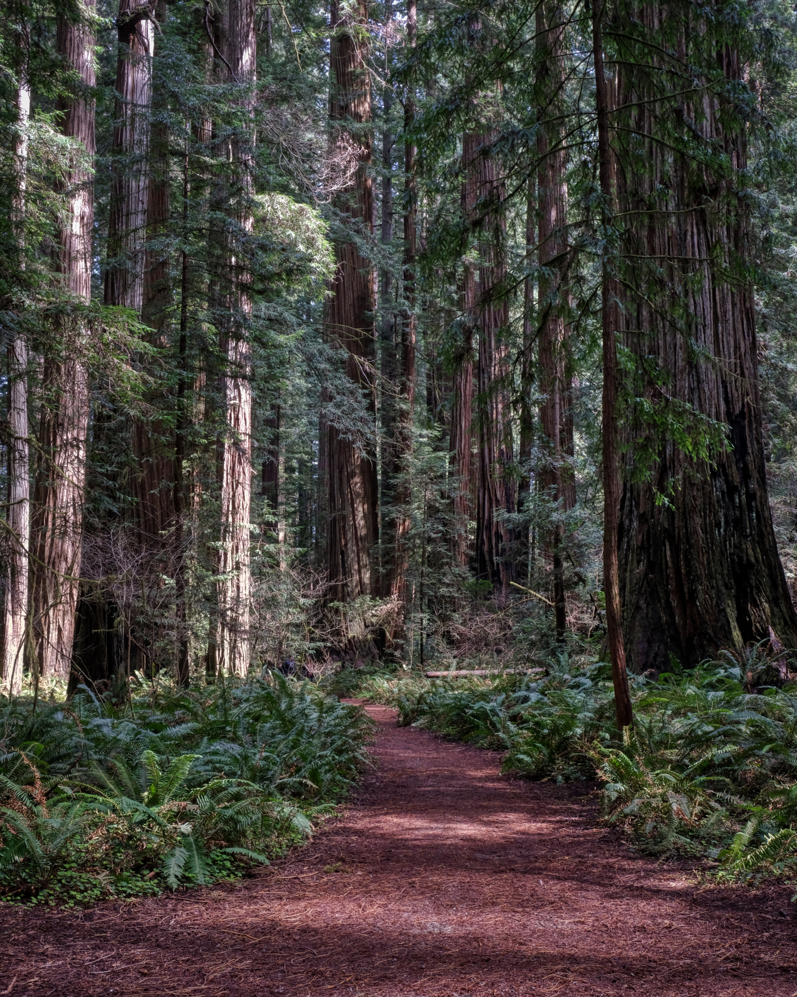 A beautiful path through a magical forest.
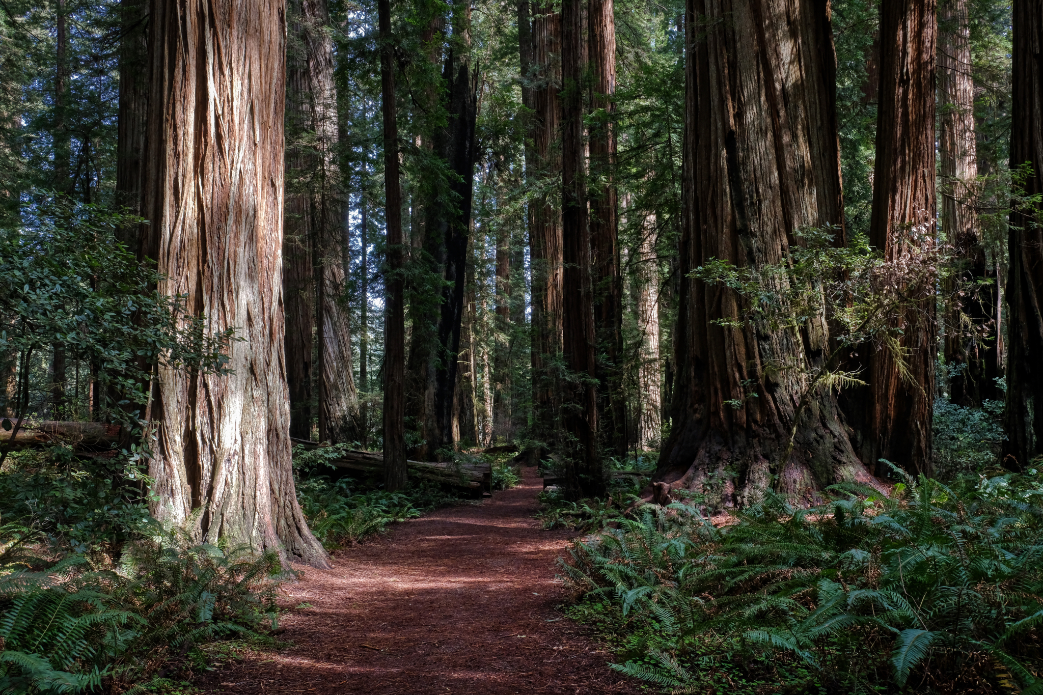 Deeper into the redwood forest.
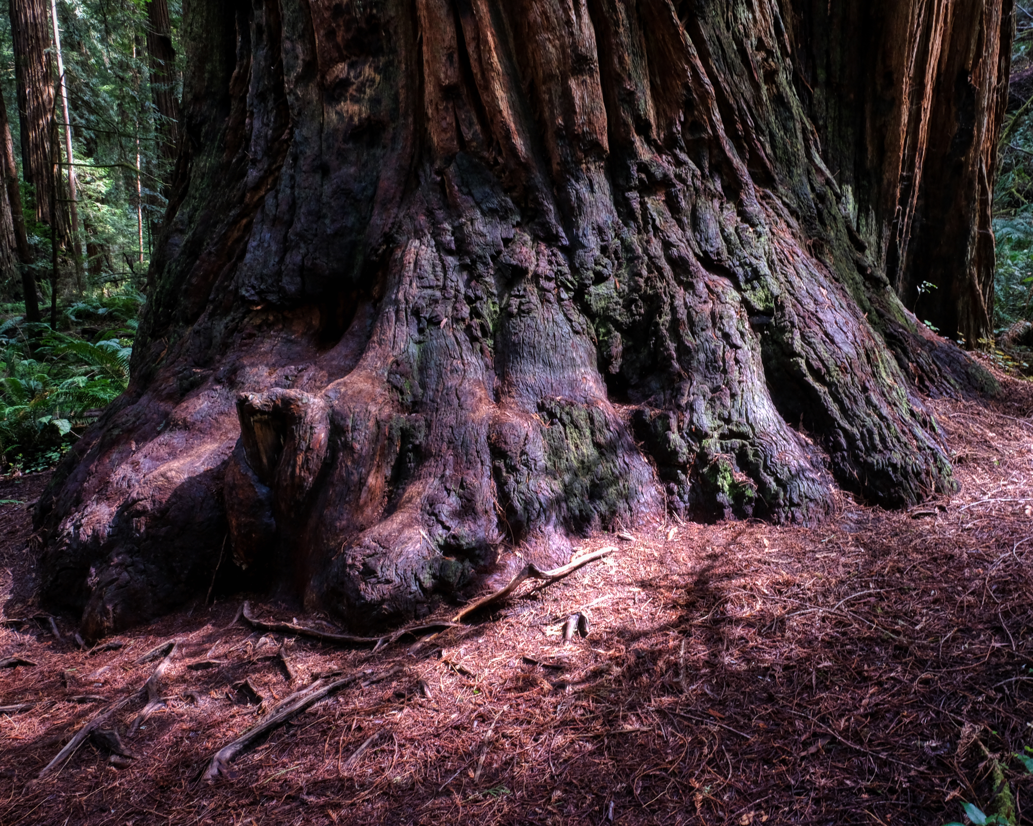 The sturdy foot of a giant redwood.
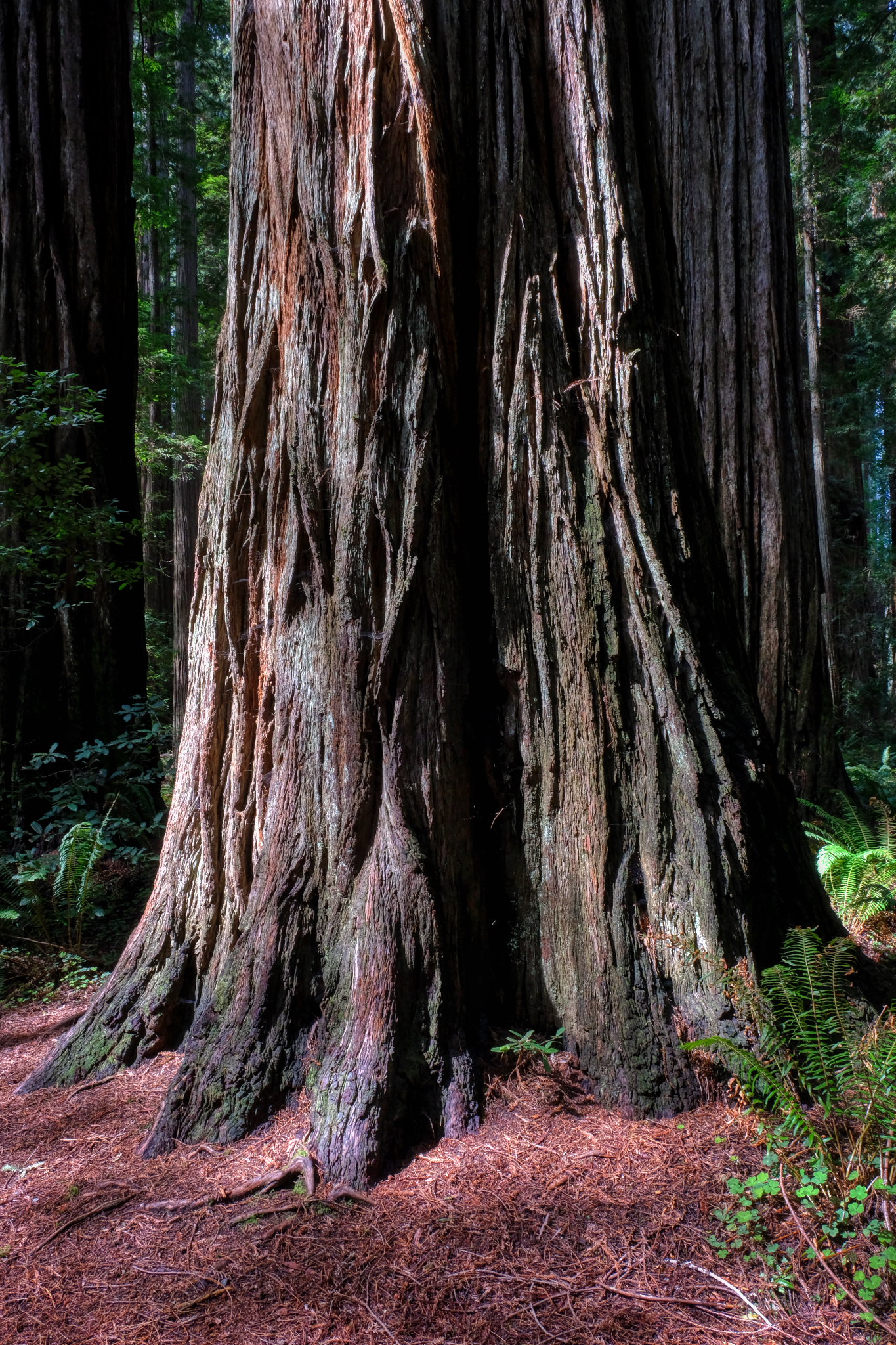 The existential redwood.
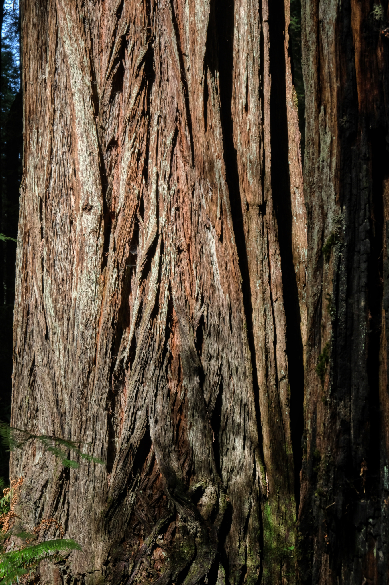 Redwood bark.
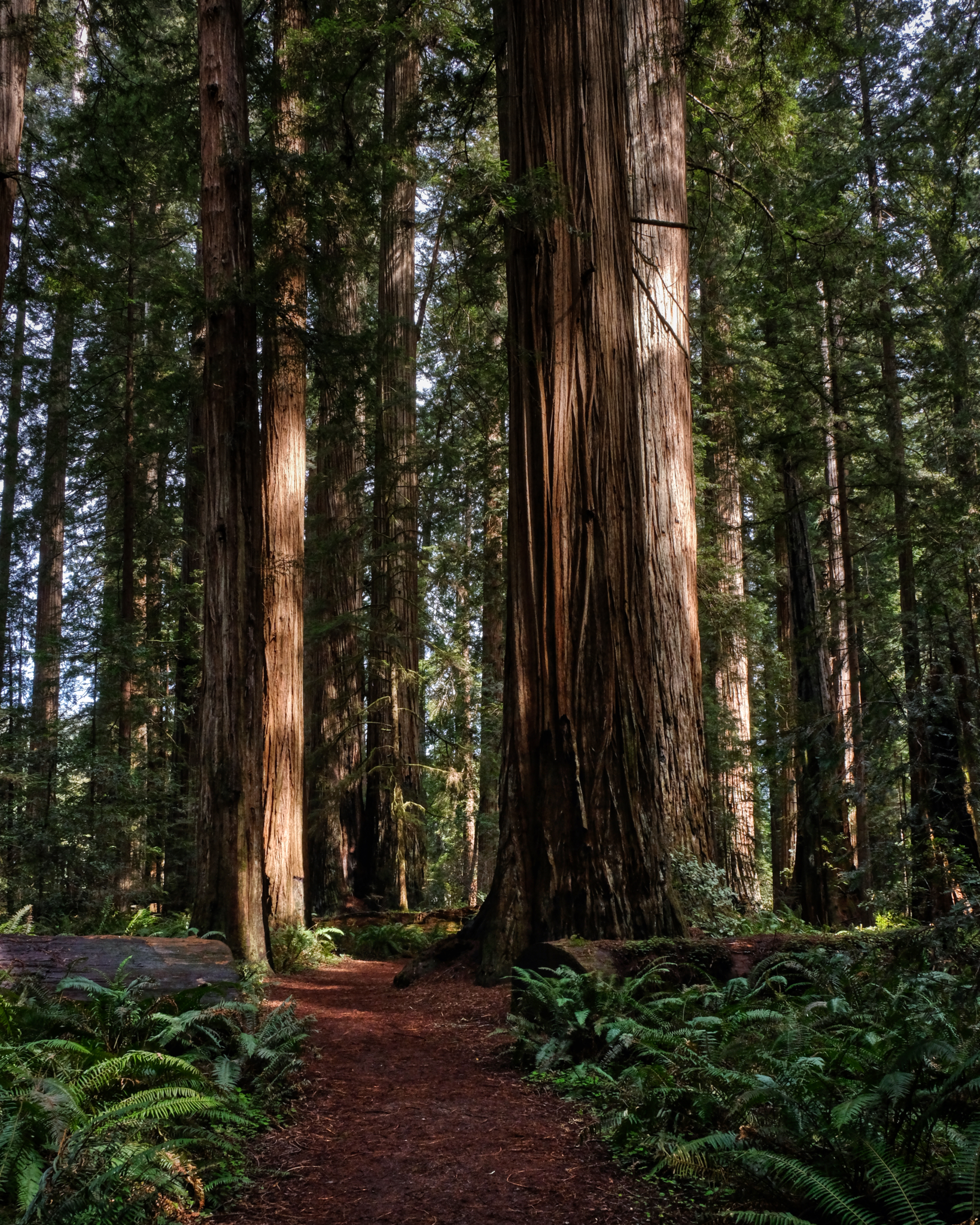 We could have stayed in these woods all day . . . but the call of a seafood dinner beckoned.
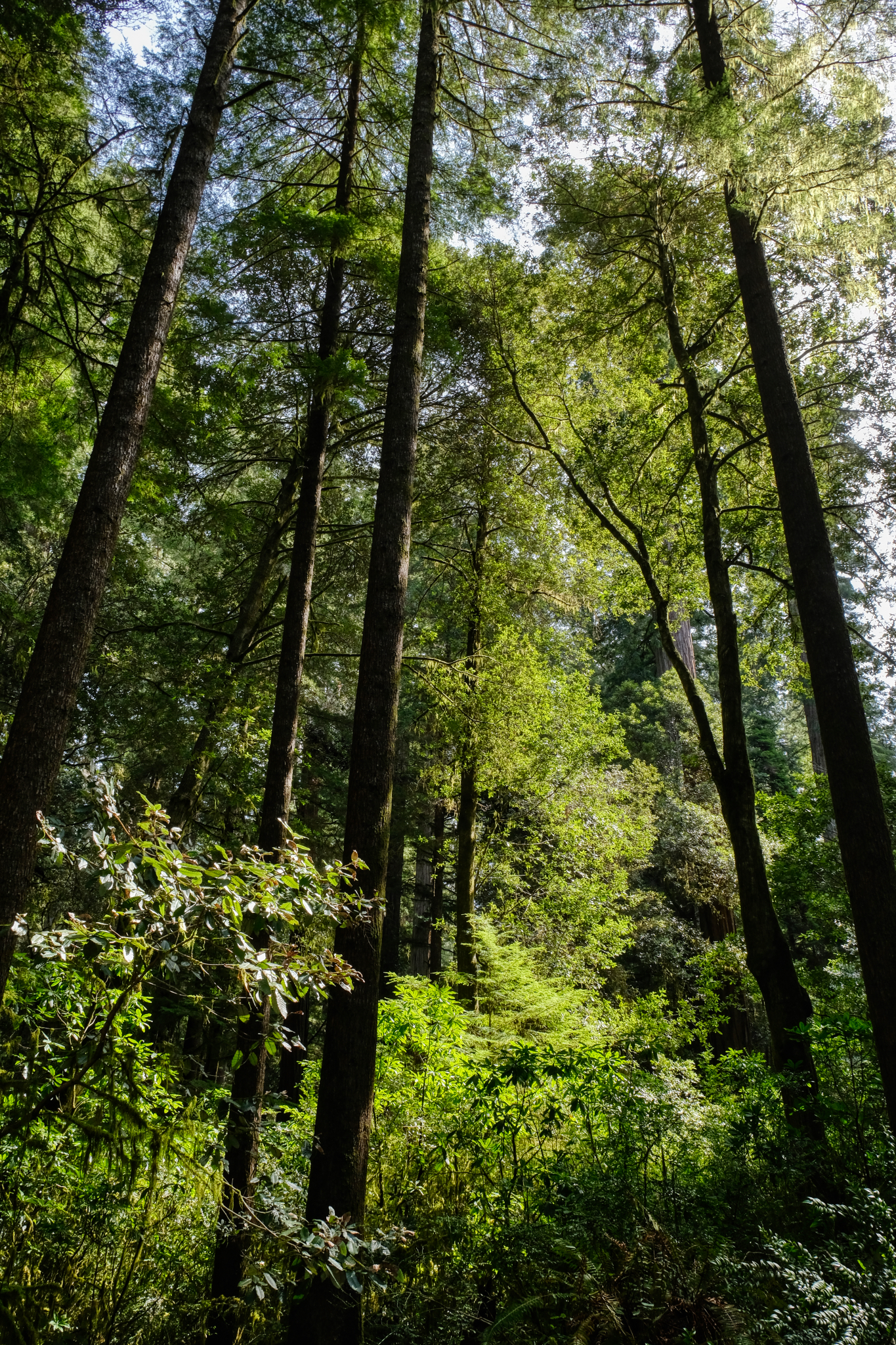 Out through the small trees to the camper . . and then, the next day, back to Keizer, Oregon on I-5.
 Dr. Jeff Harper
Redwood Burls
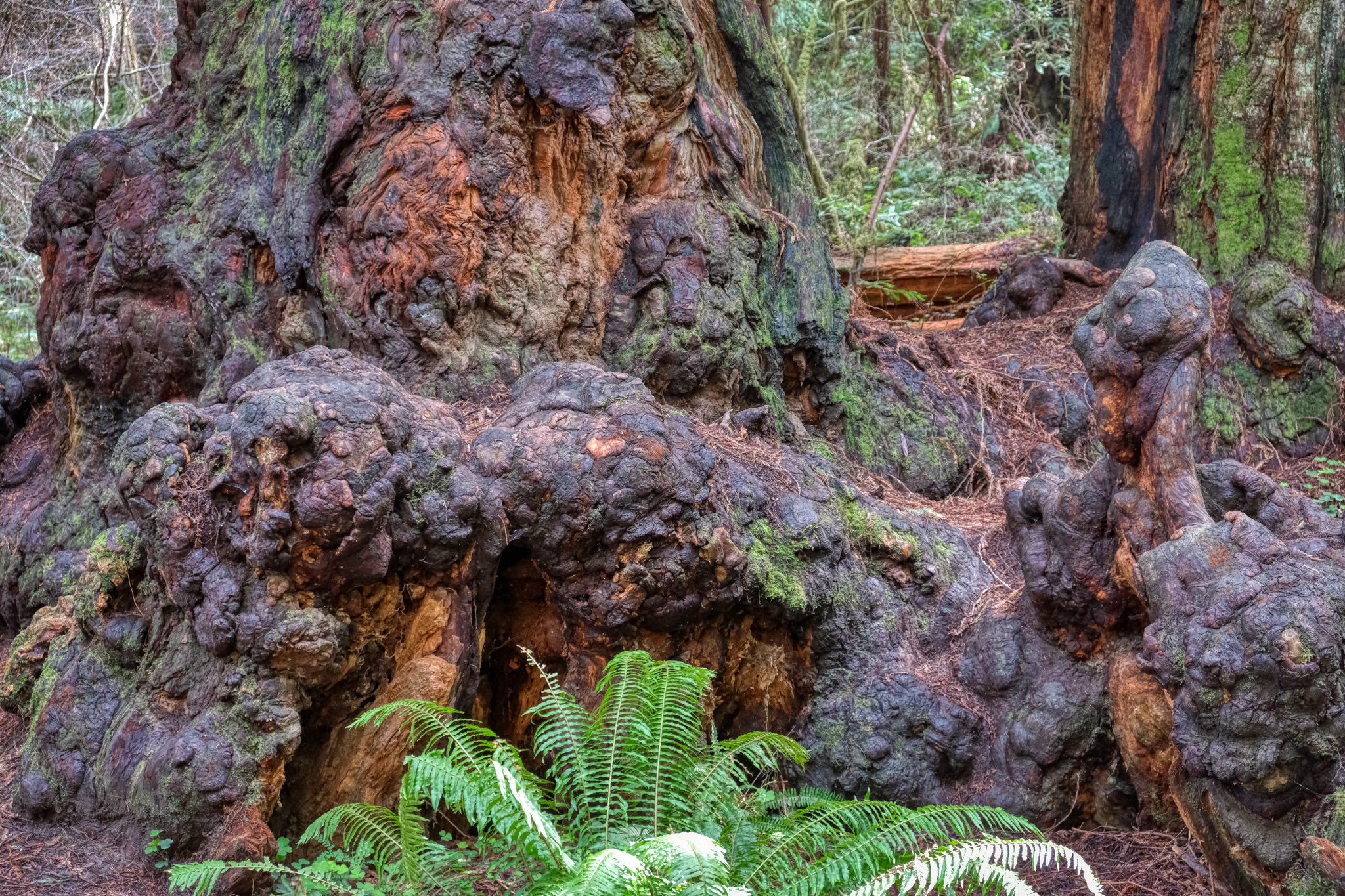 I became fascinated with the redwood burls in this forest.
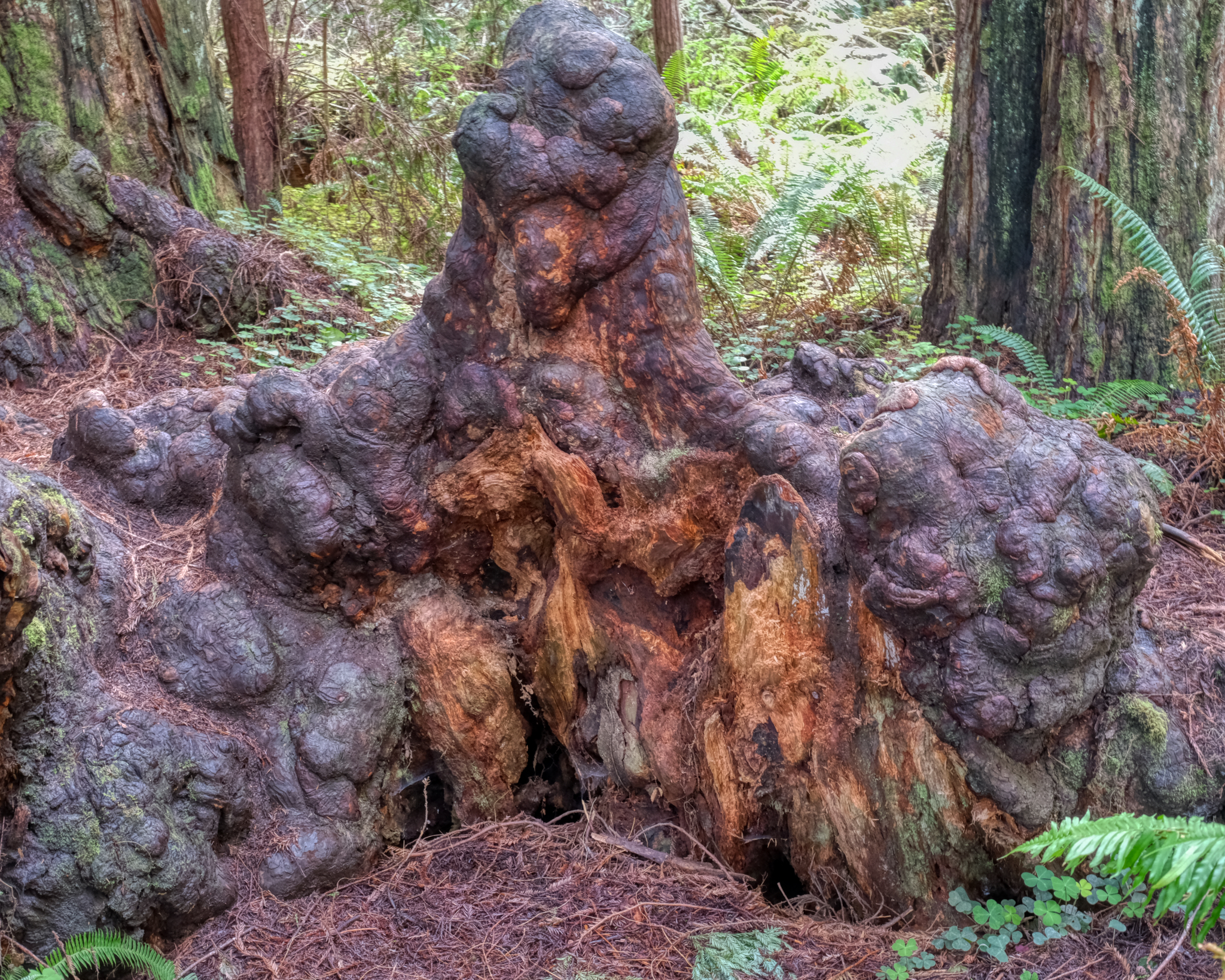 Burls are growth gone astray . . .
 Every burl is different.
 fascinating.
A Beach Week-End: Hua Hin, Thailand
 It wasn't a Thai holiday, so it was a good time to drive the 2 1/2 hours from Bangkok to the seaside town of Hua Hin.
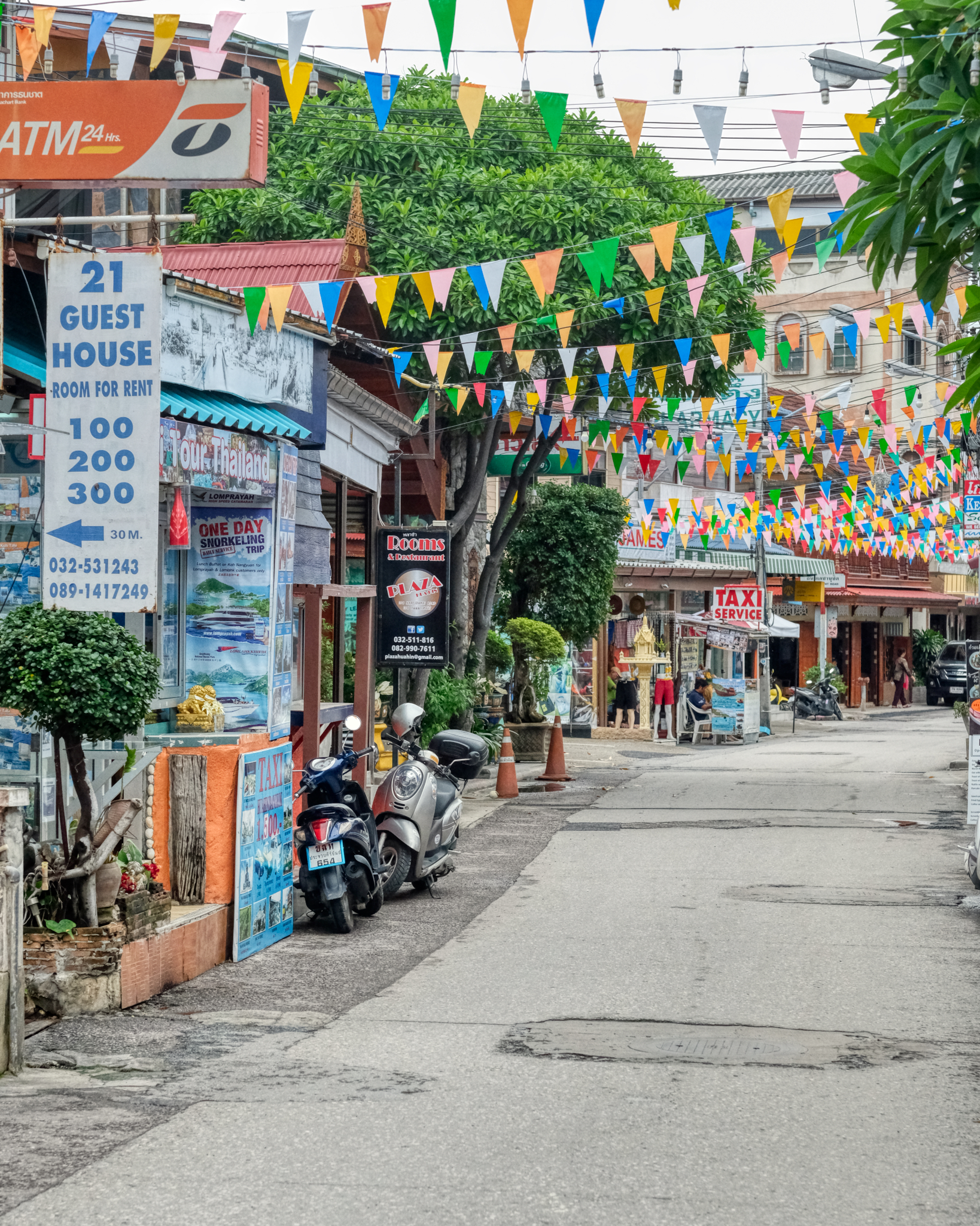 Hua Hin is a sweet little seaside town with just enough tourism to have a variety of restaurants and shops of interest. We are here in the Not The Tourist Season. It is growing fast.
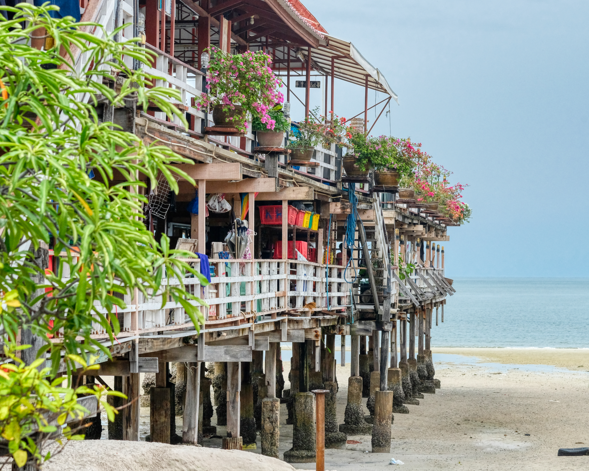 There are interesting seafood restaurents built on piers over the Gulf of Thailand.
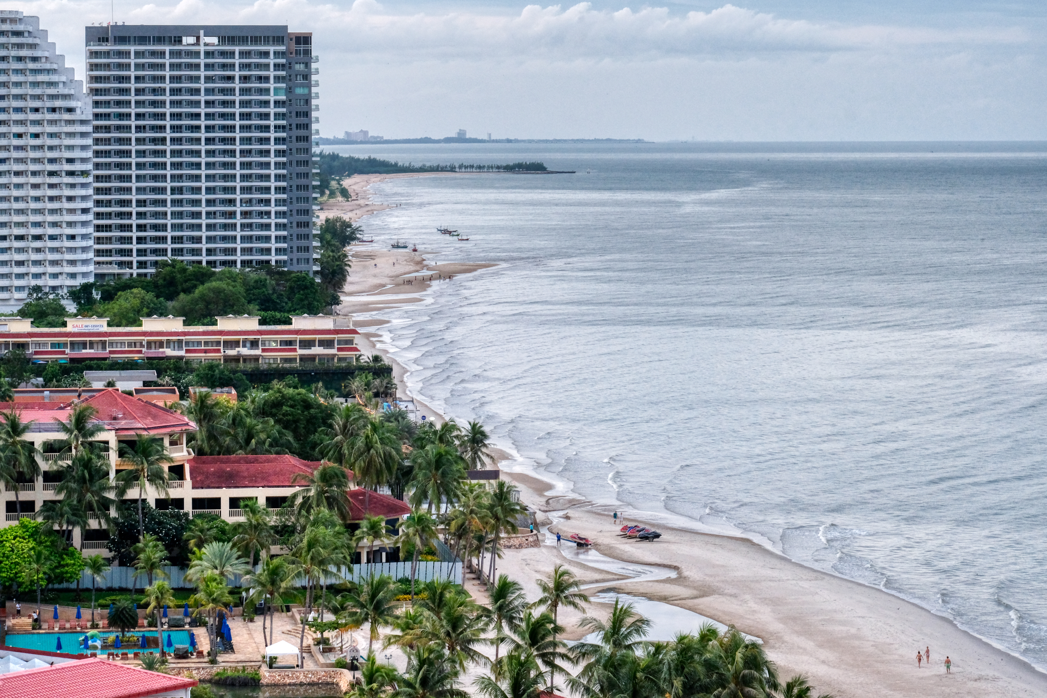 There are a number of large hotels and beach front condominiums along this part of the coast.
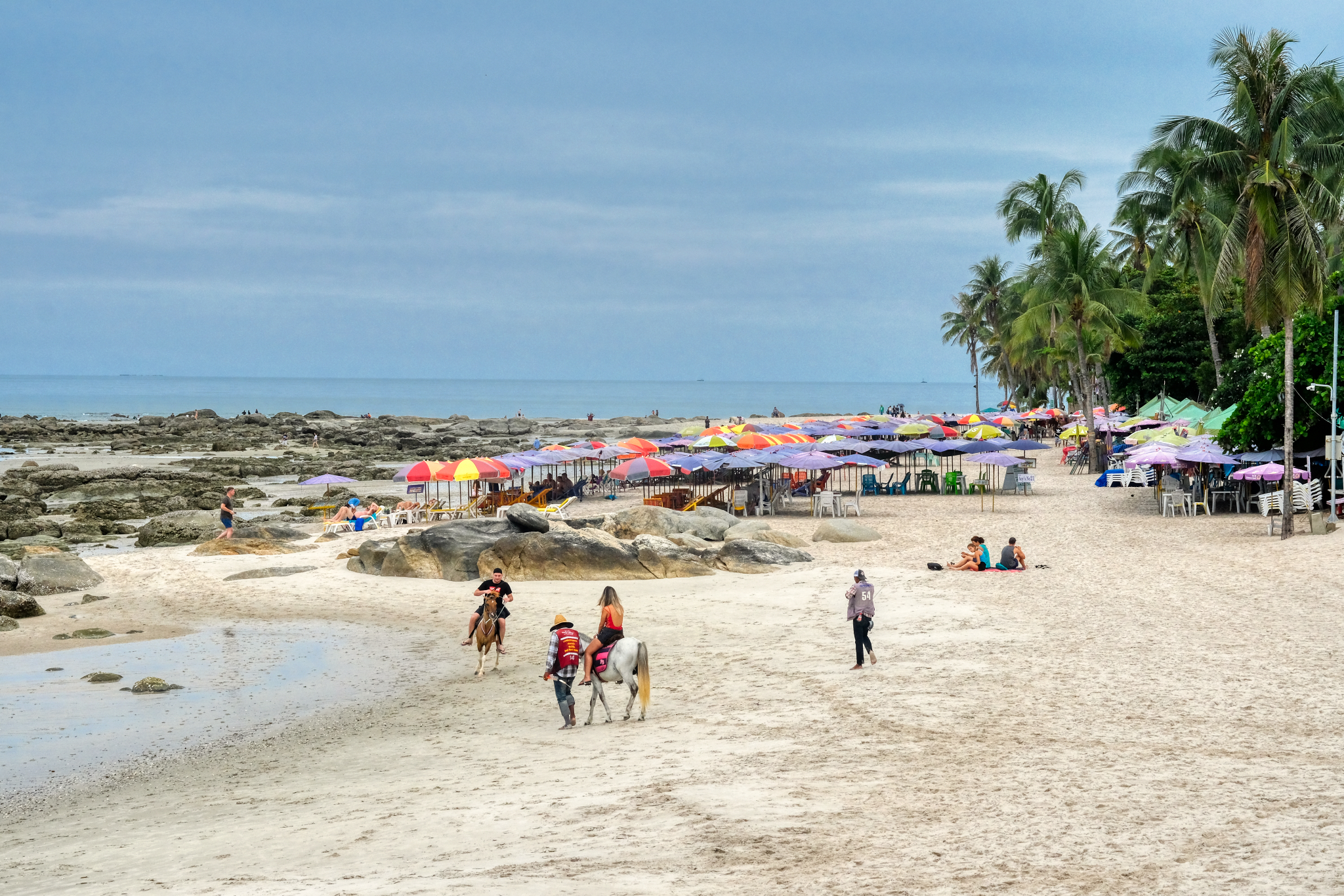 There was a surprising lack of tourists at the hotel beach areas. The weather was fine . . . there were occasional afternoon tropical showers to keep the temperature down.
 This artist serves the tourist trade by making family portraits from photos from iPhones.
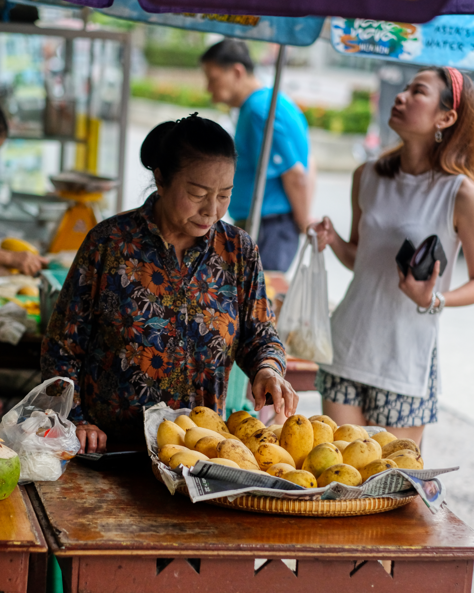 Hua Hin is a nice place to stroll around in to sample the wonderful Thai treats . . .
 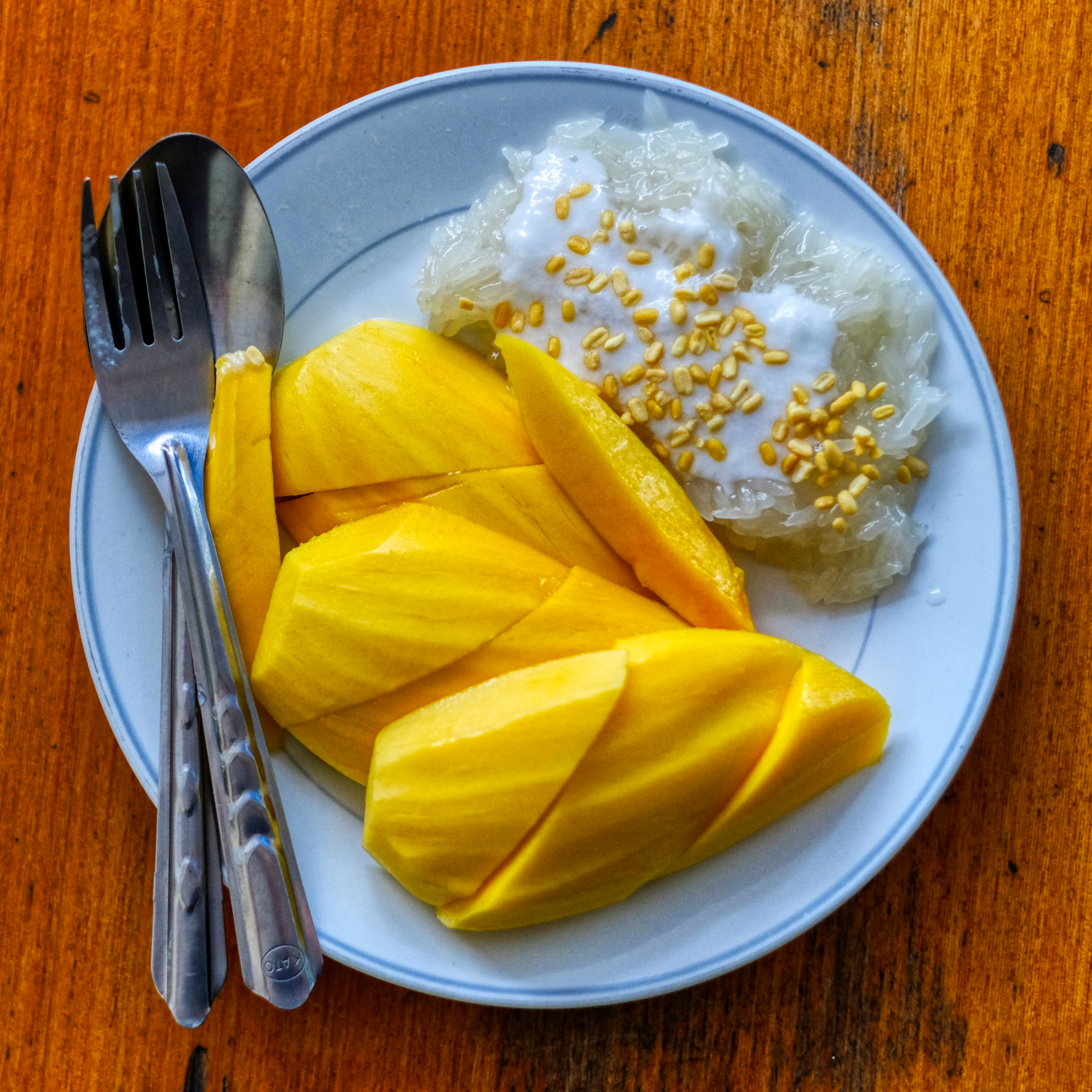 . . . like sticky rice and mangoes. The best dessert on earth (in my estimation).
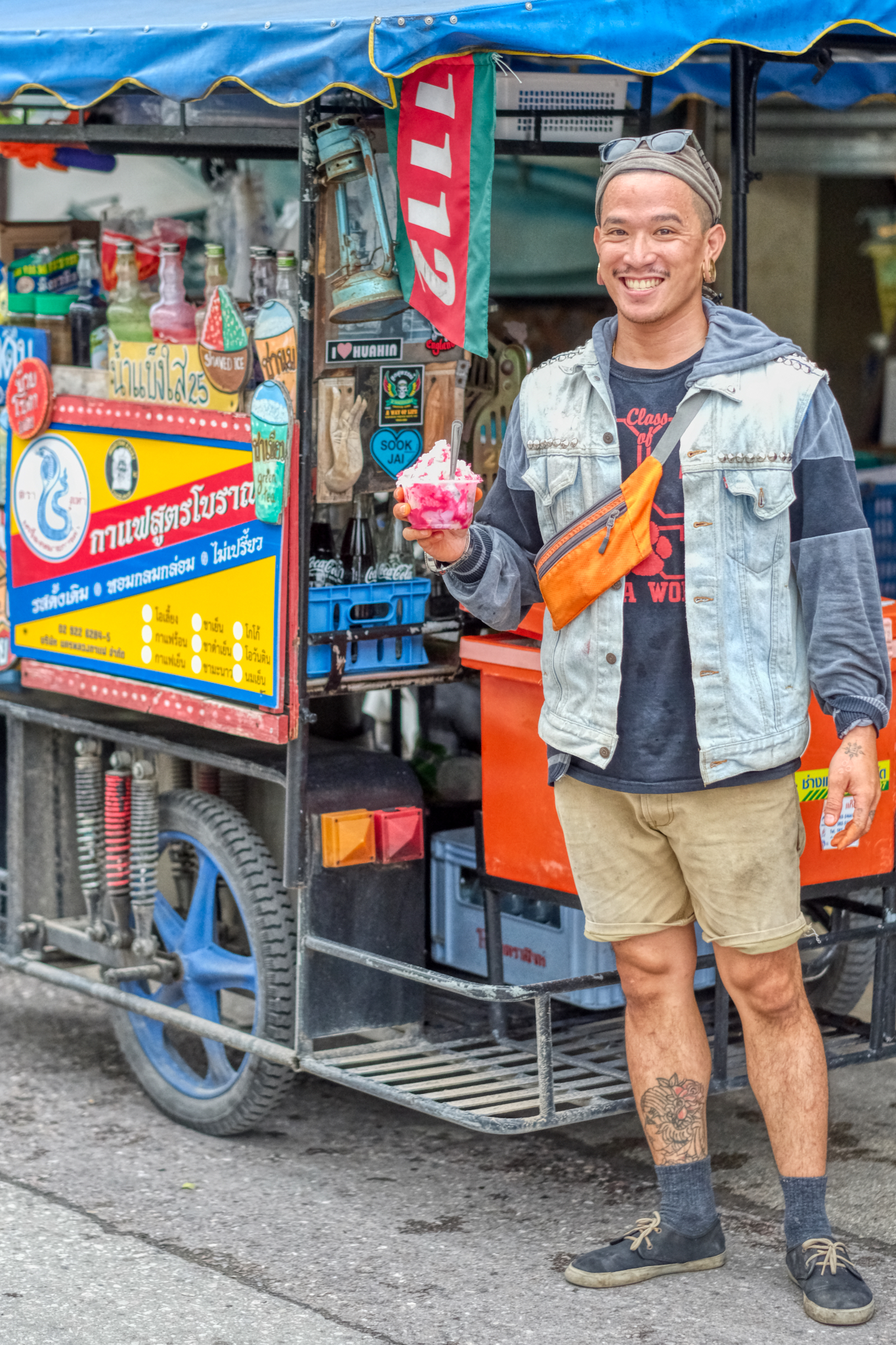 You never know who you will run into. This young man lived in Los Angeles, California for many years before deciding he had a better life in Thailand as a street cart barista. "You don't know the difference until you lived somewhere else. I love my life in Thailand."
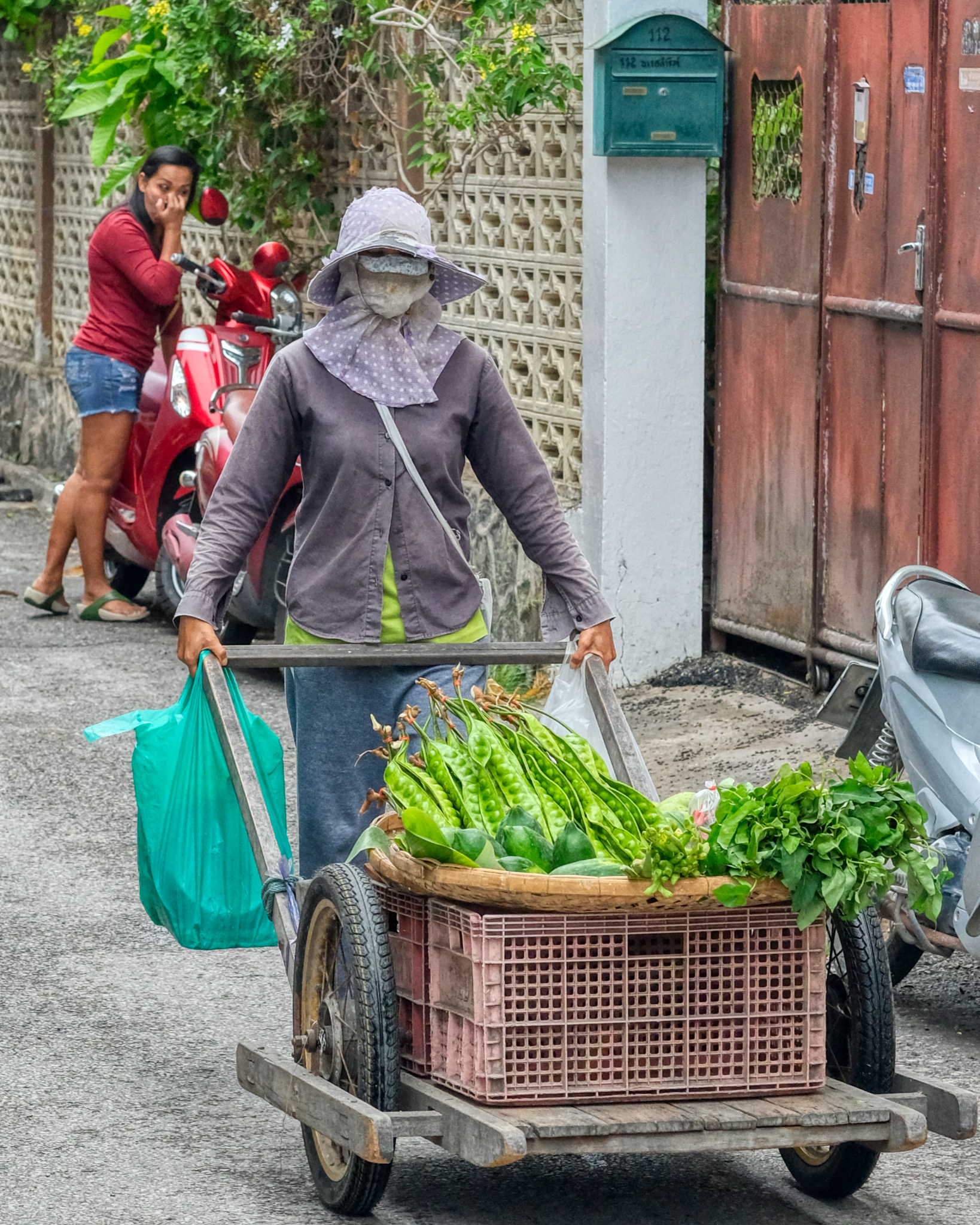 Making a living selling vegetables door to door in Hua Hin.
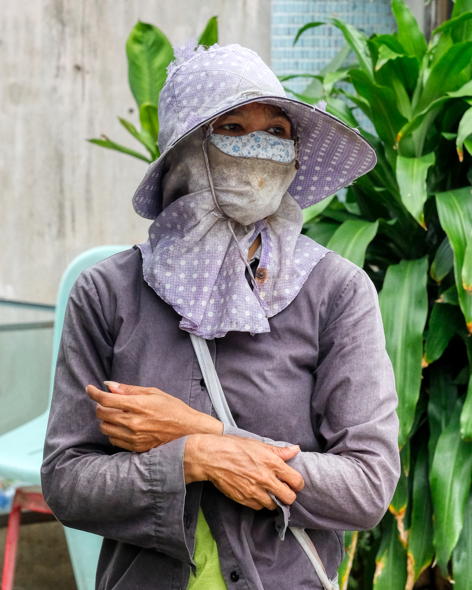 People who work outside in the sunshine often completely cover themselves from head to toe.
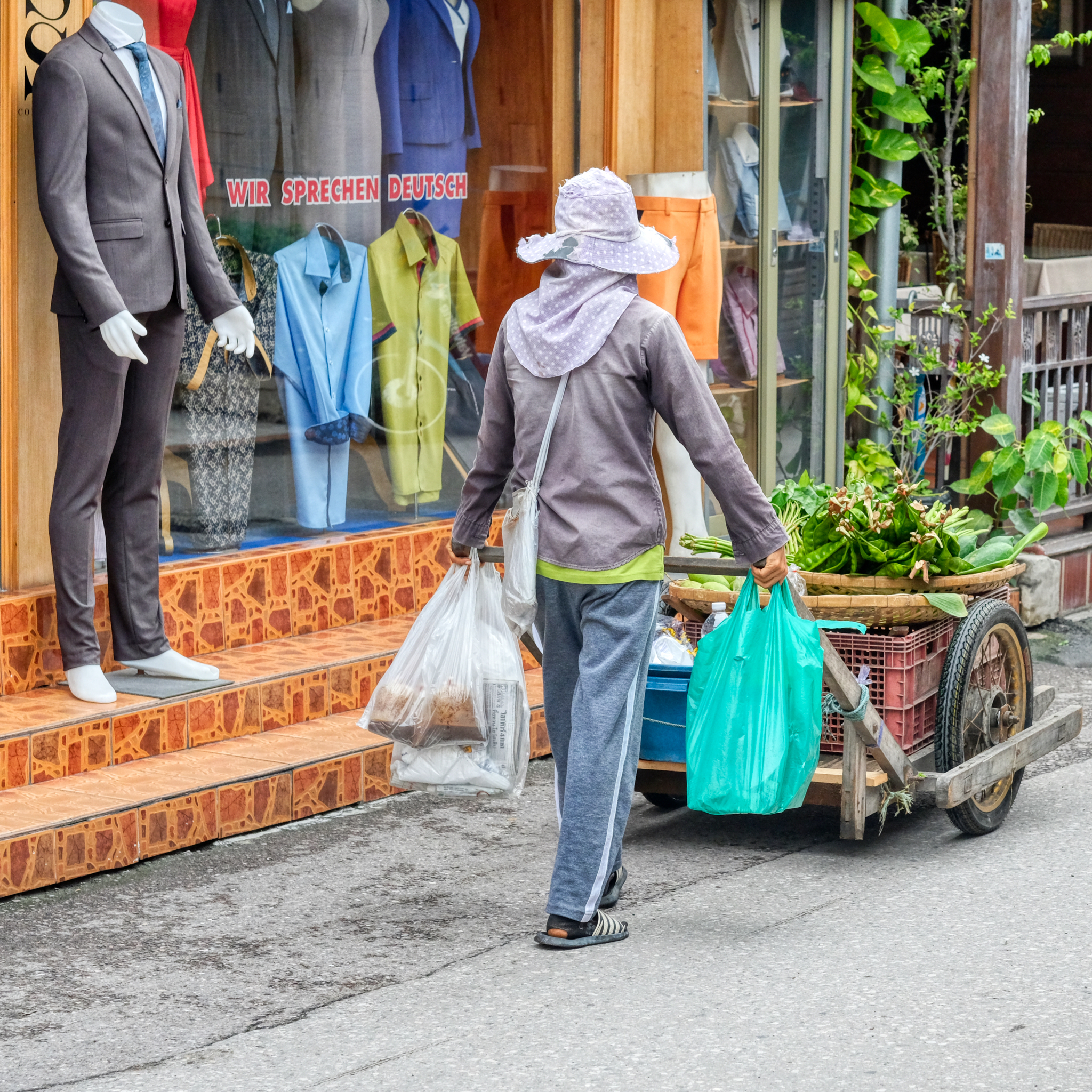 It looks like she has dome a little grocery shopping for herself as well . . .
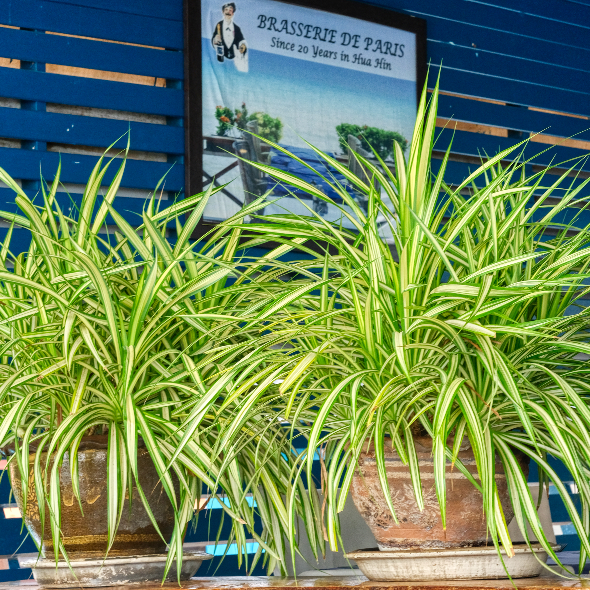 Hua Hin sees many new European retirees every year. In this case, a Frenchman came to Hua Hin 25 years ago and opened up this beach side French restaurant. It serves delicious food. Real French food.
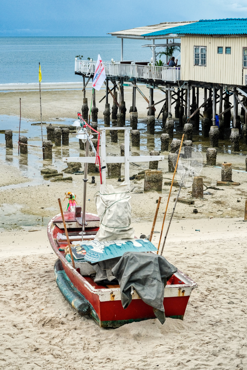 The view from the French restaurant is very relaxing.
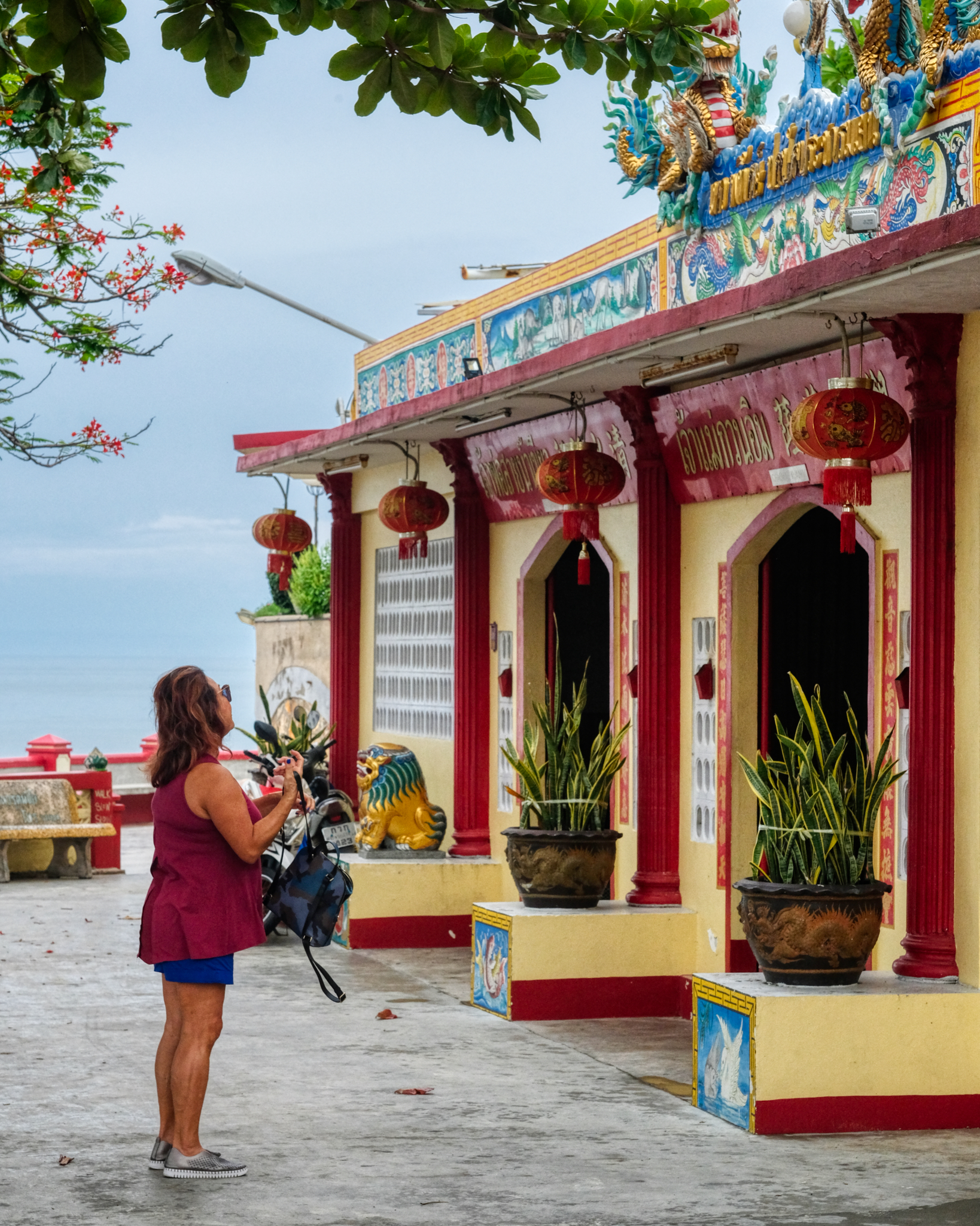 After lunch we strolled over to a nearby Chinese Buddhist Tempe.
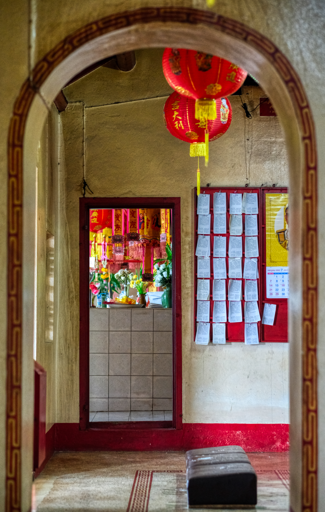 I love exploring these temples . . . and paying respect to The Buddha and what he hoped for all of us.
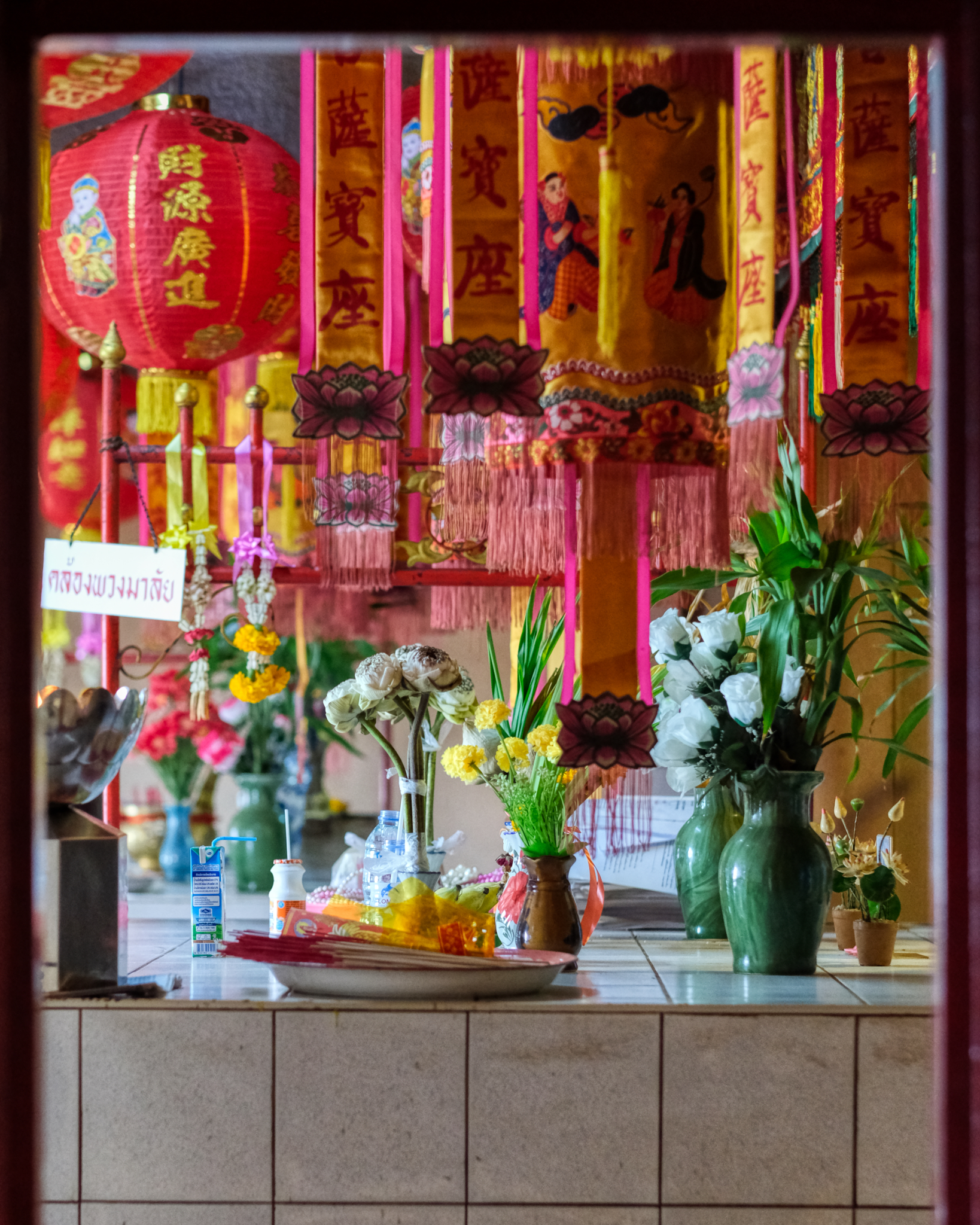 I love the decoration and the array of colorful votive items at these Chinese temples.
 A small incense pot and altar. Touching.
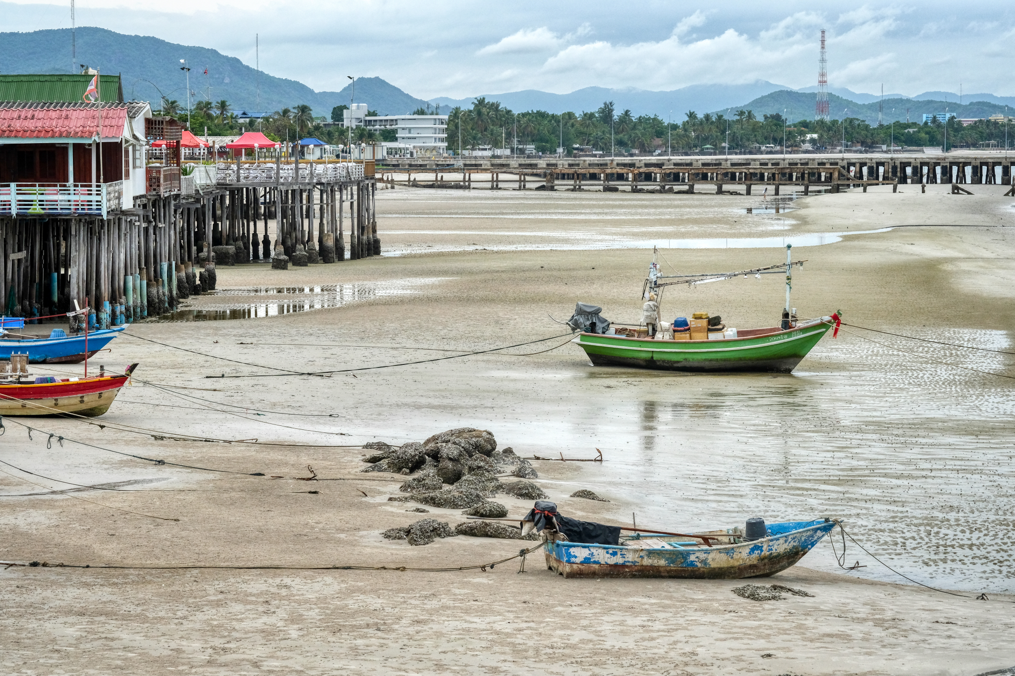 The view from the Chinese temple back to Hua Hin town. As can be seen, Hua Hin sits on a narrow coastal shelf between low hills and the Gulf of Thailand.
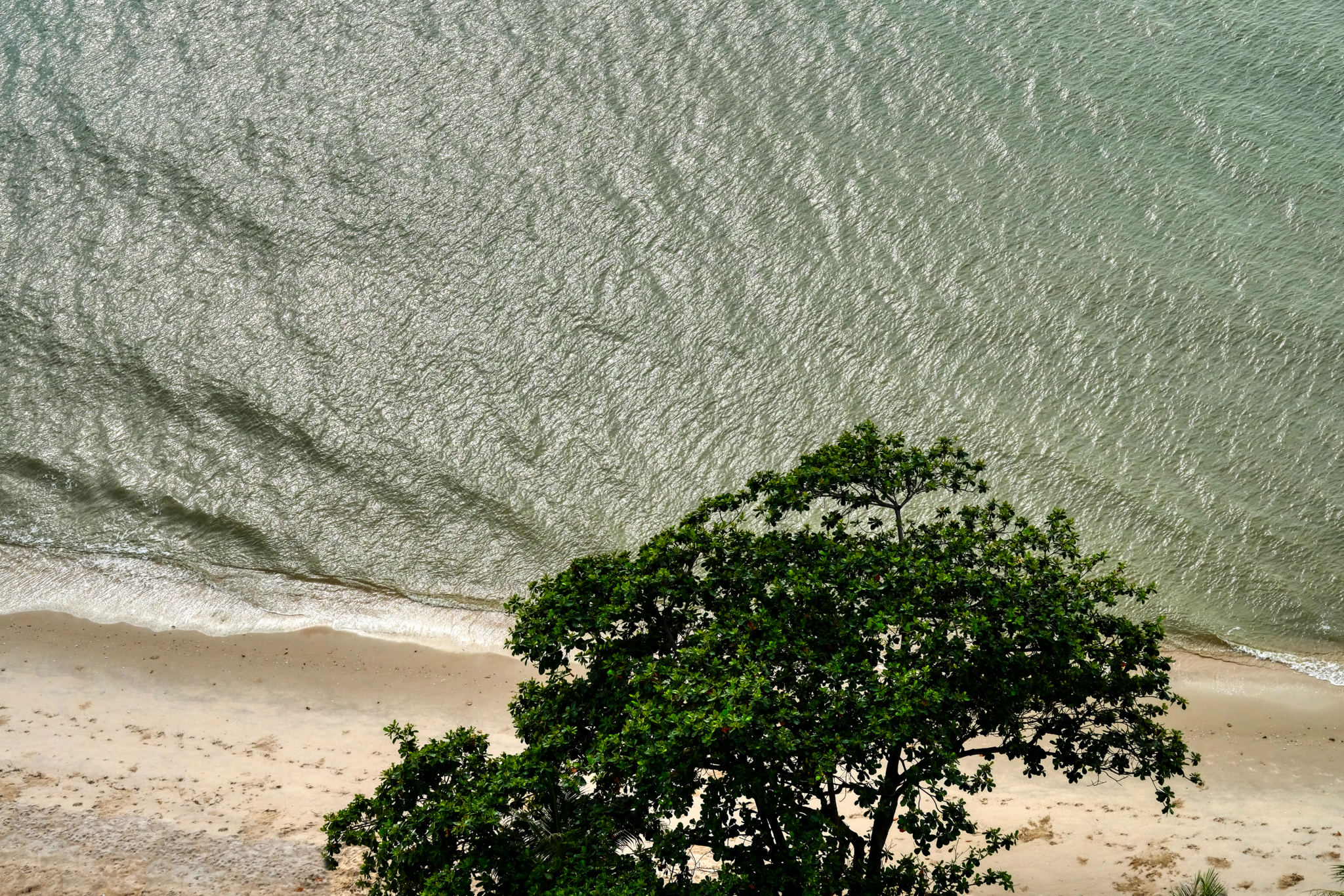 Back at our seaside lodgings . . . the view from above.
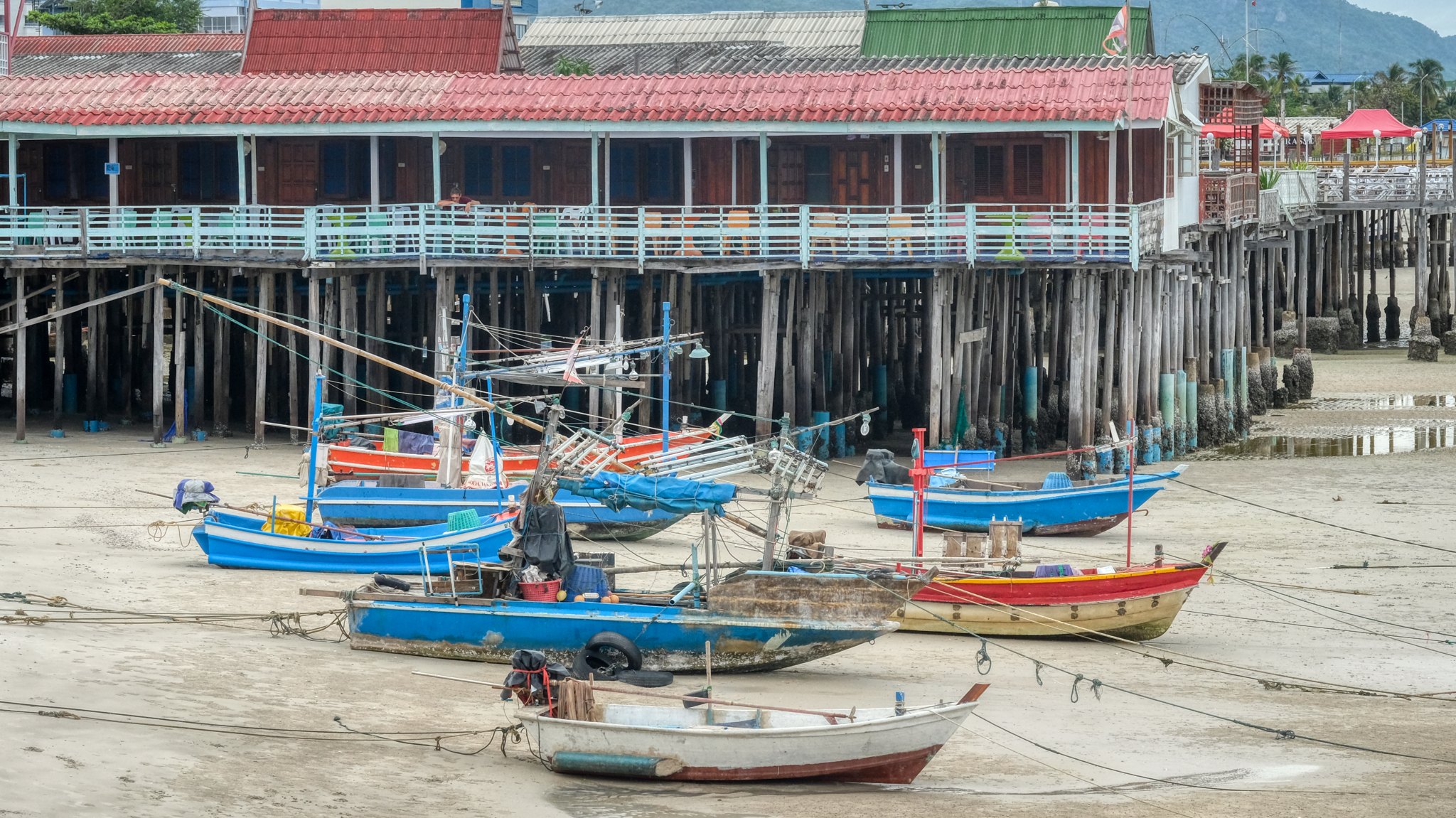
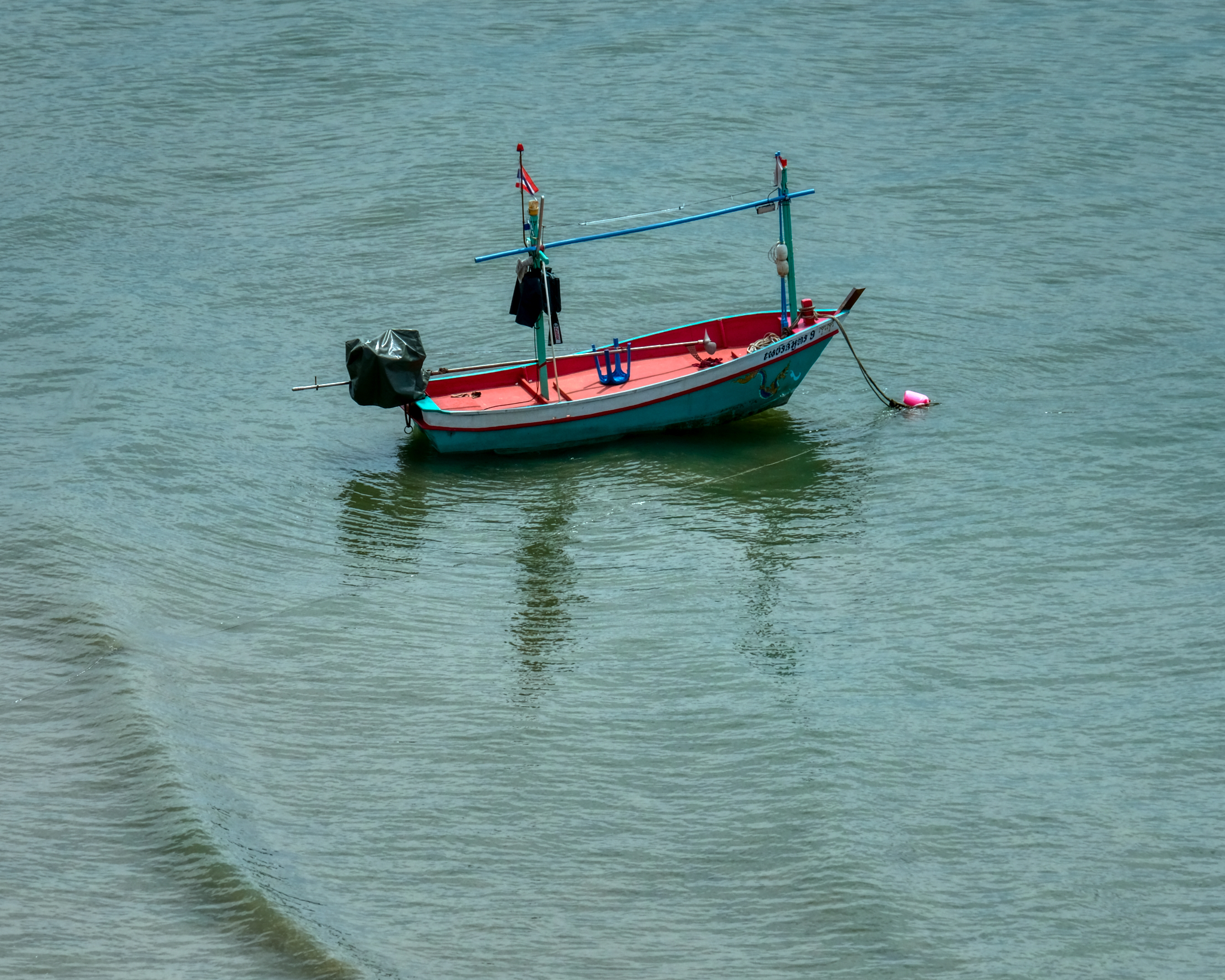 A lone fishing (squid) boat waiting for the crew.
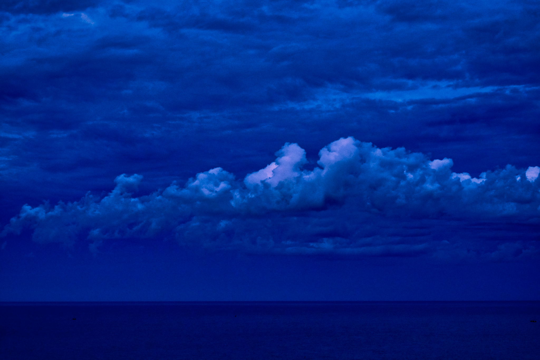 A Hua Hin blue hour sunset (looking east, away from the setting sun).
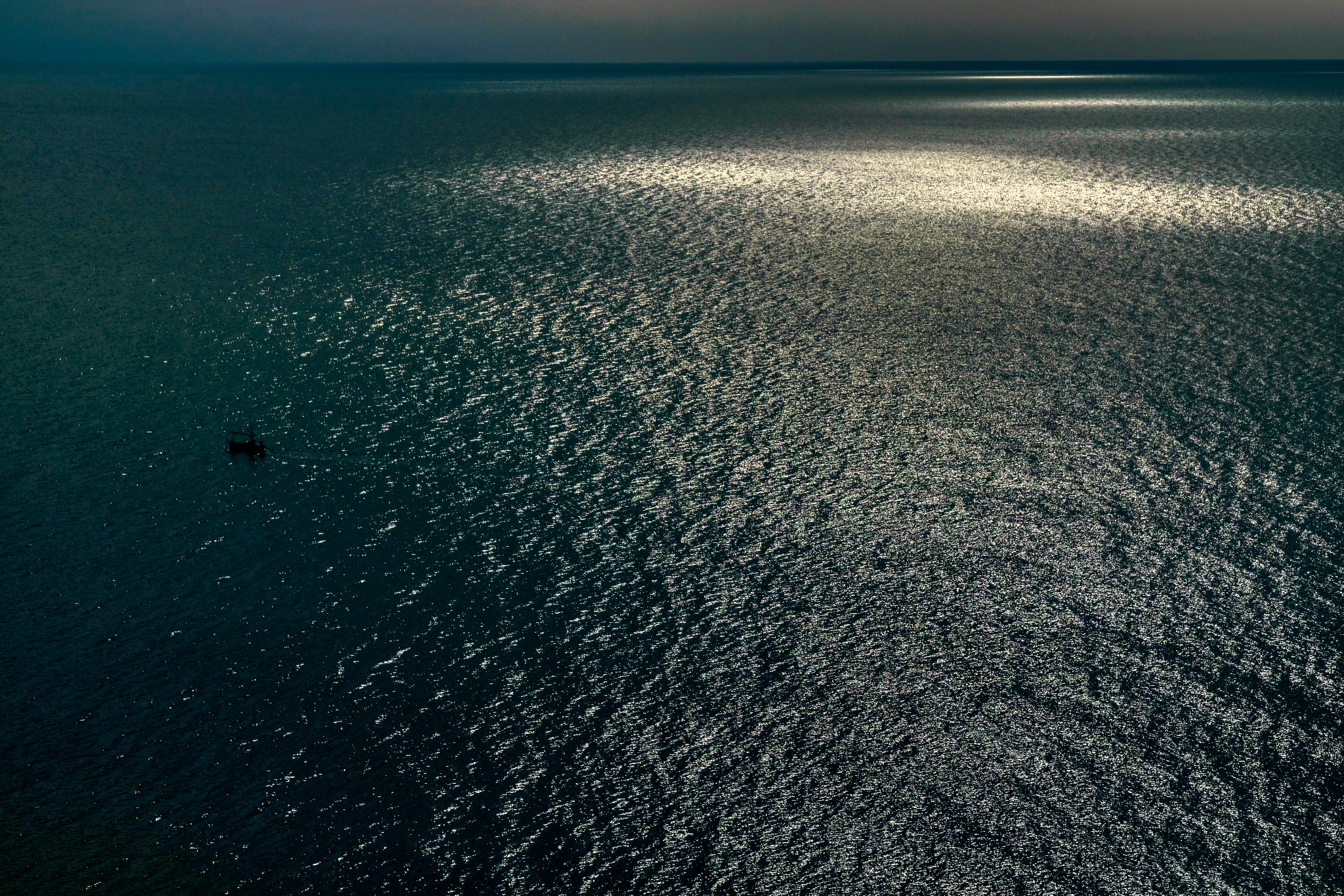 A Hua Hin sunrise sea.