My most current blog entry:
Entries by Dr. Jeff Harper (343)
A Beach Week-End: Hua Hin, Thailand
 Wednesday, July 10, 2019 at 6:45PM
 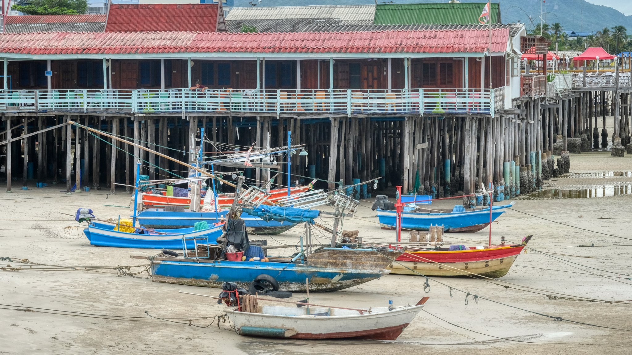 It wasn't a Thai holiday, so it was a good time to drive the 2 1/2 hours from Bangkok to the seaside town of Hua Hin.
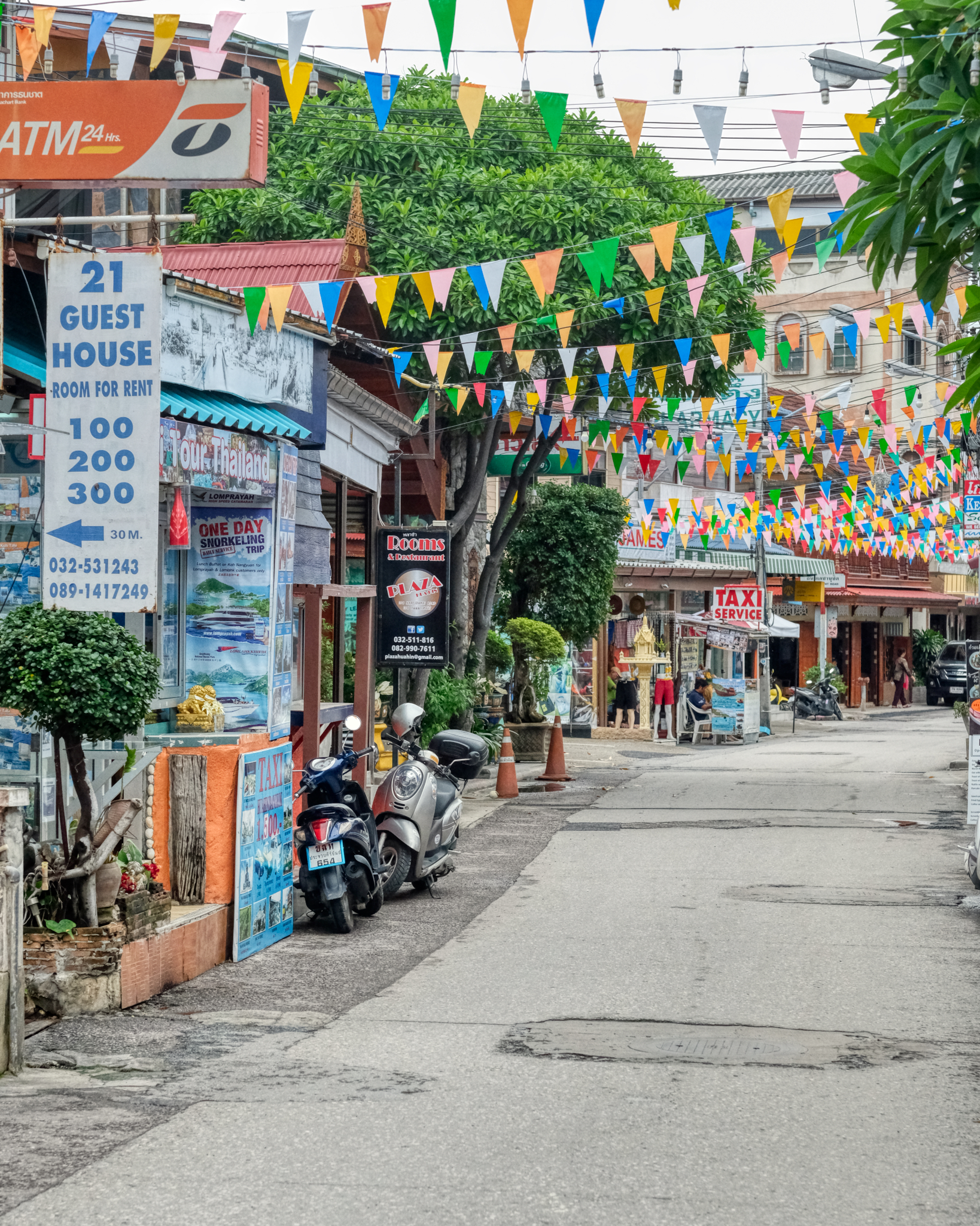 Hua Hin is a sweet little seaside town with just enough tourism to have a variety of restaurants and shops of interest. We are here in the Not The Tourist Season. It is growing fast.
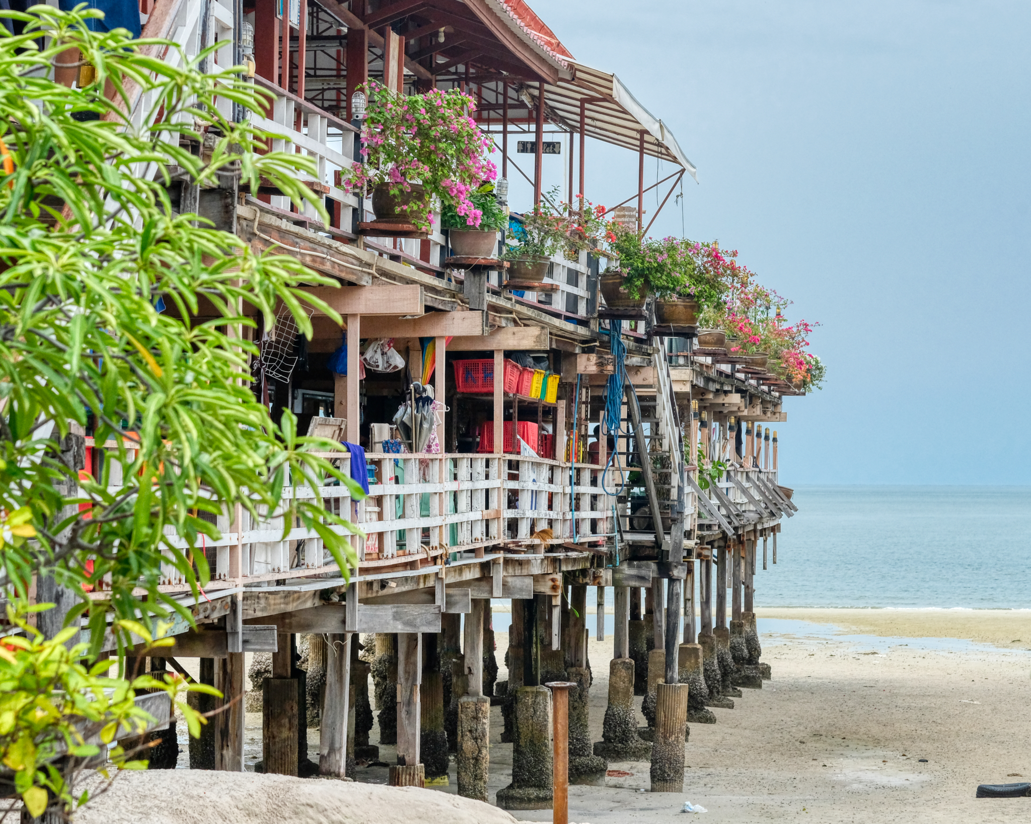 There are interesting seafood restaurents built on piers over the Gulf of Thailand.
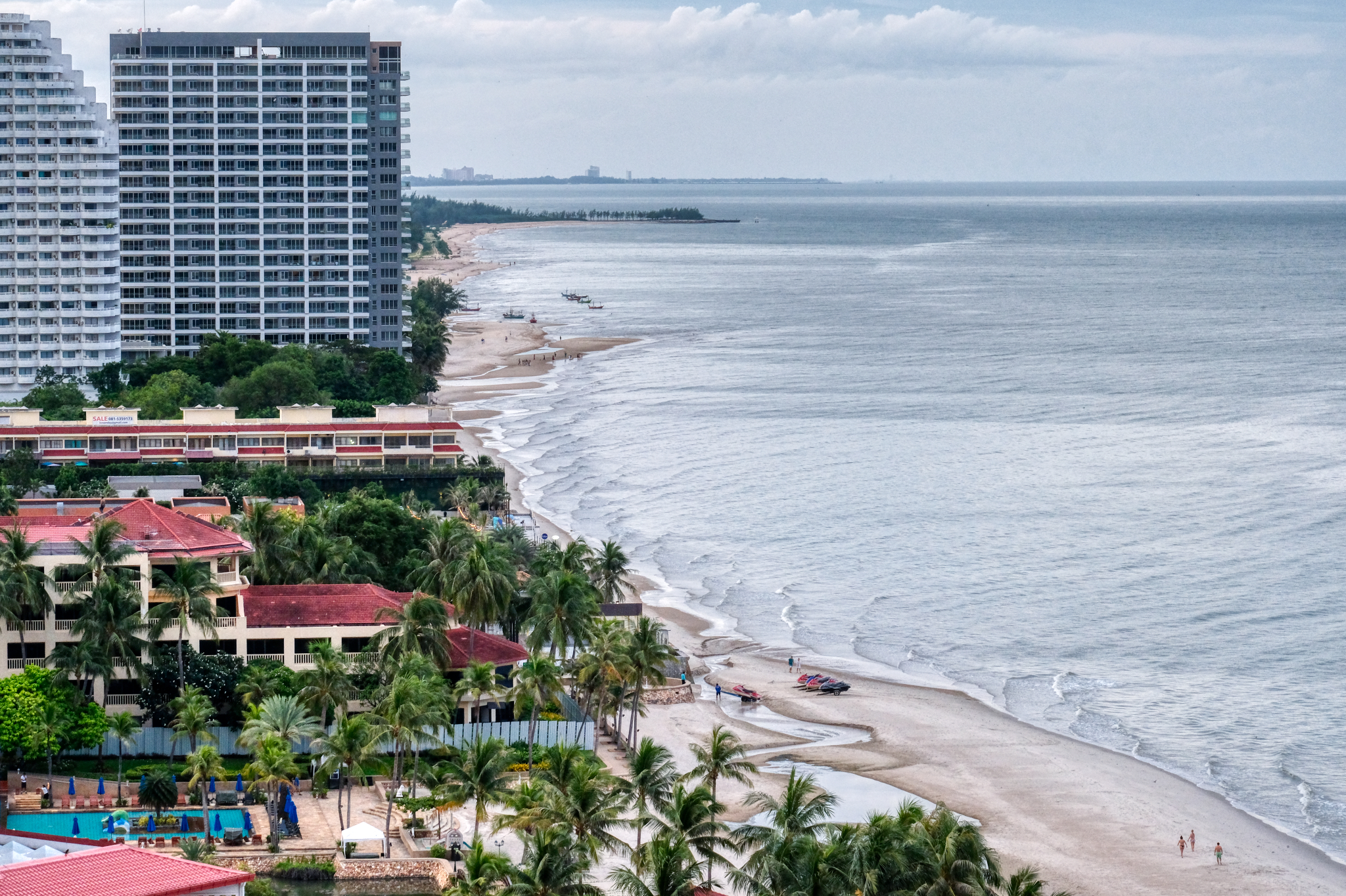 There are a number of large hotels and beach front condominiums along this part of the coast.
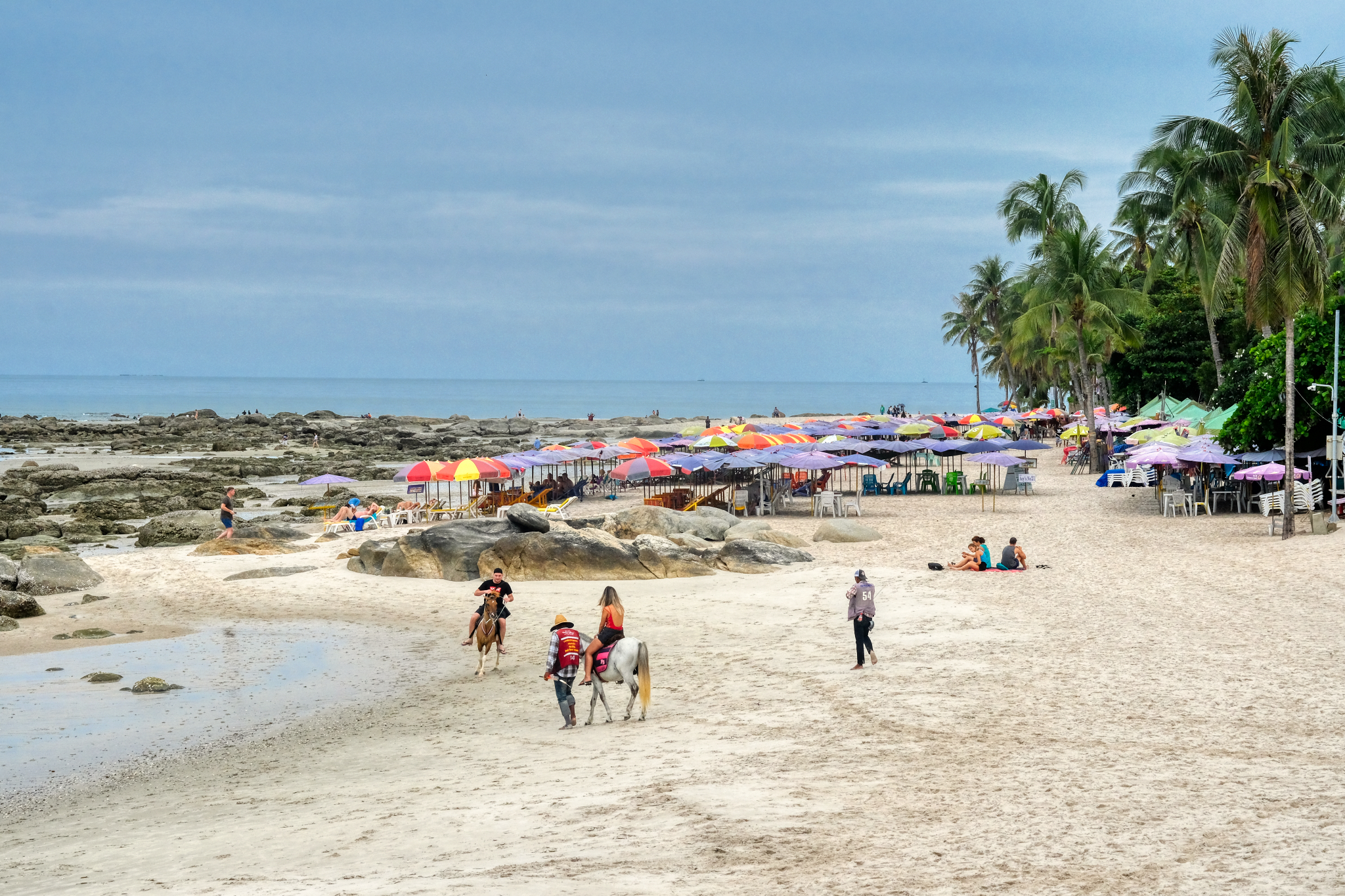 There was a surprising lack of tourists at the hotel beach areas. The weather was fine . . . there were occasional afternoon tropical showers to keep the temperature down.
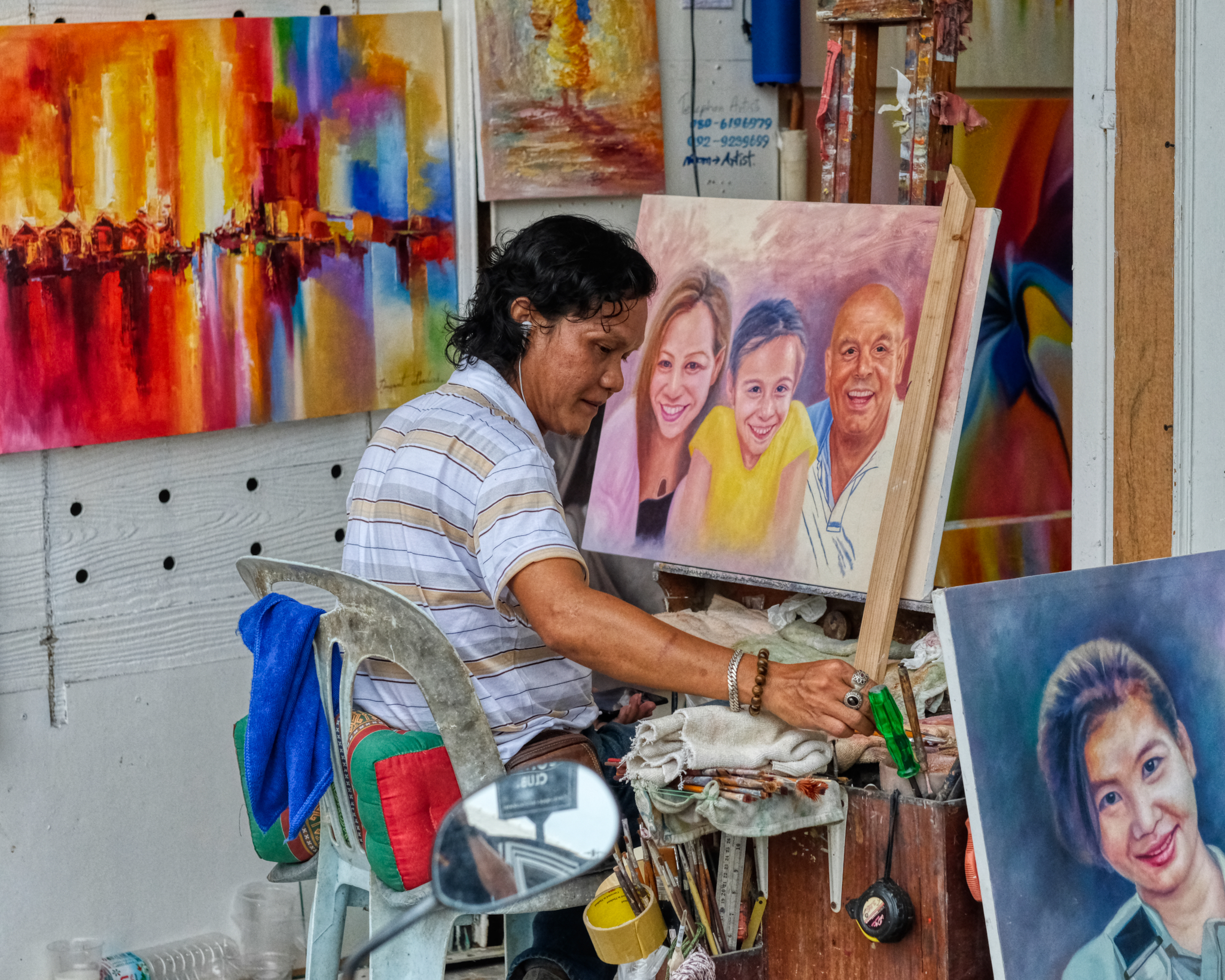 This artist serves the tourist trade by making family portraits from photos from iPhones.
 Hua Hin is a nice place to stroll around in to sample the wonderful Thai treats . . .
 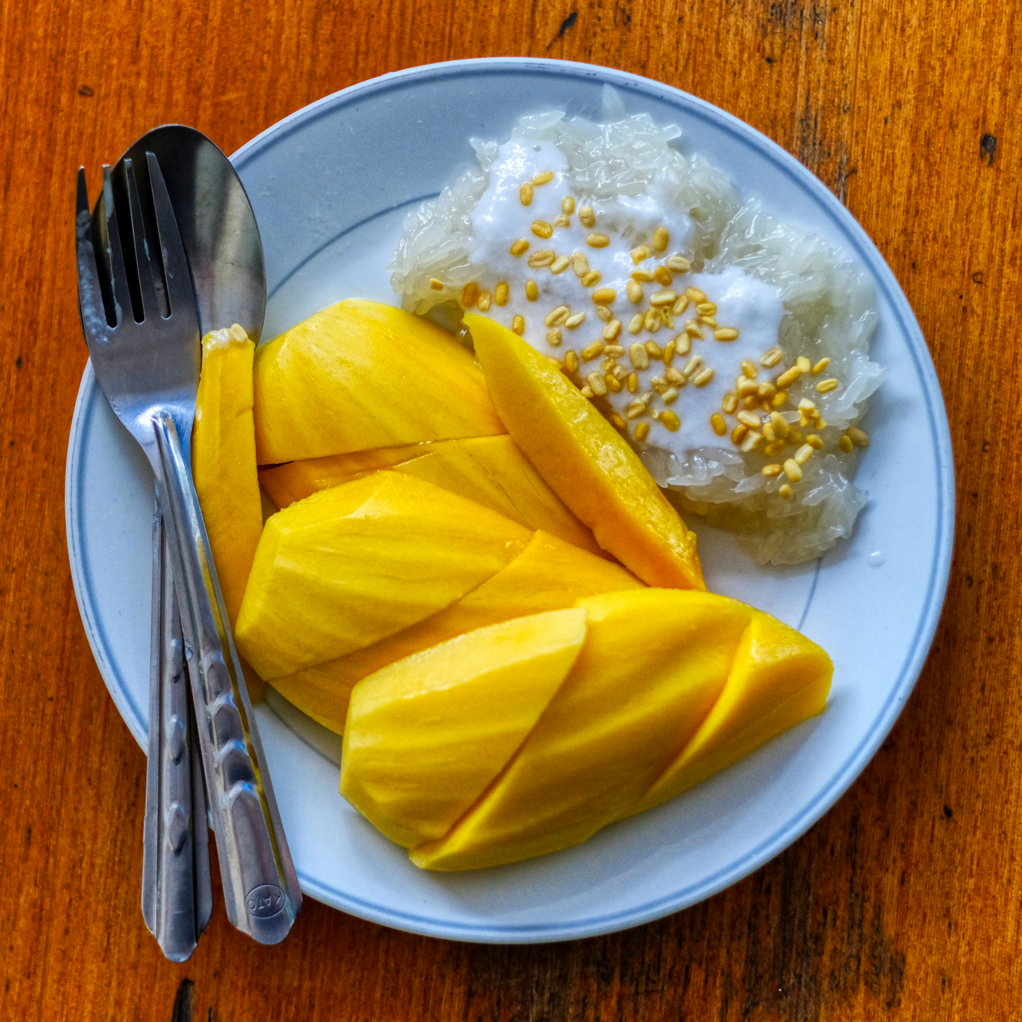 . . . like sticky rice and mangoes. The best dessert on earth (in my estimation).
 You never know who you will run into. This young man lived in Los Angeles, California for many years before deciding he had a better life in Thailand as a street cart barista. "You don't know the difference until you lived somewhere else. I love my life in Thailand."
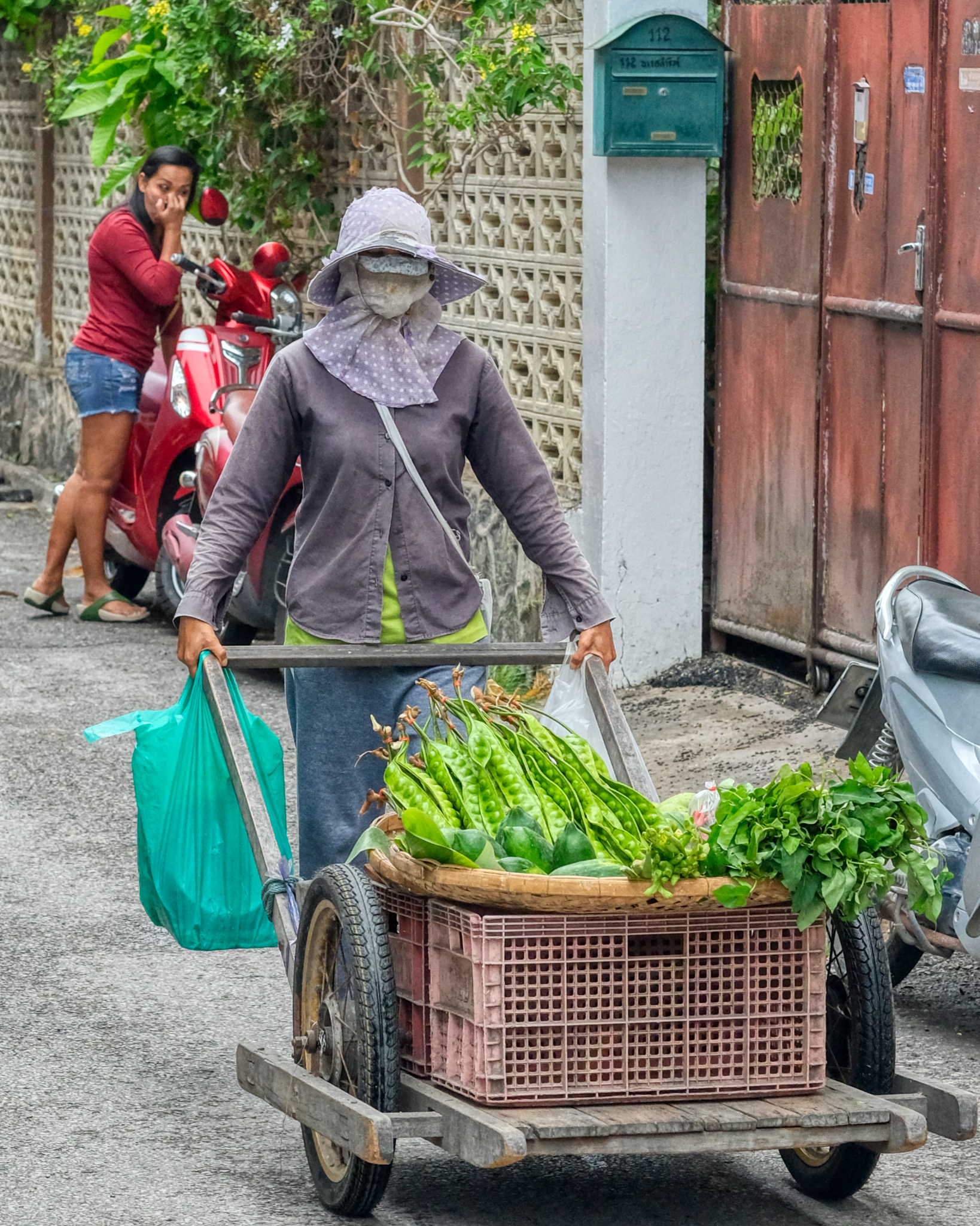 Making a living selling vegetables door to door in Hua Hin.
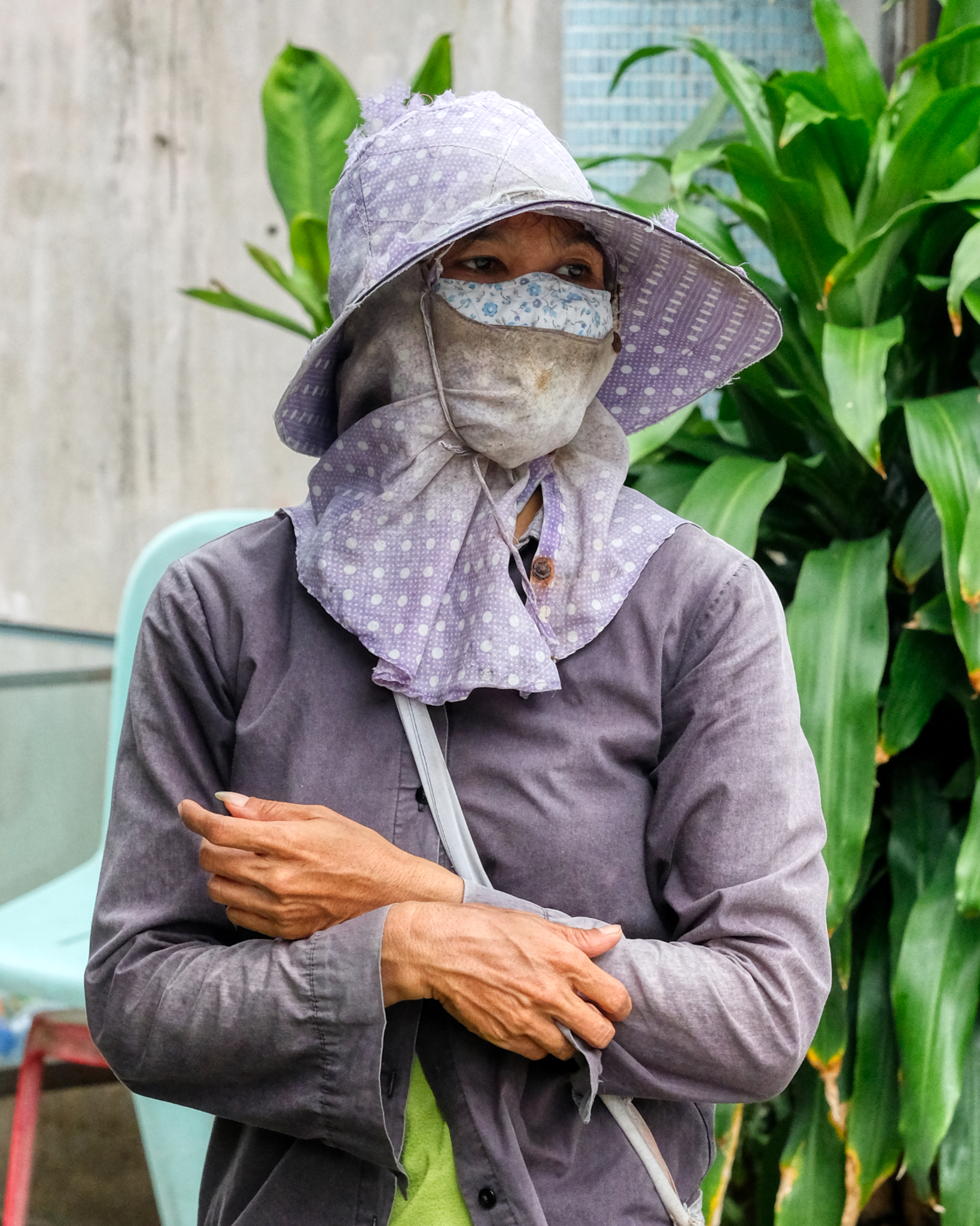 People who work outside in the sunshine often completely cover themselves from head to toe.
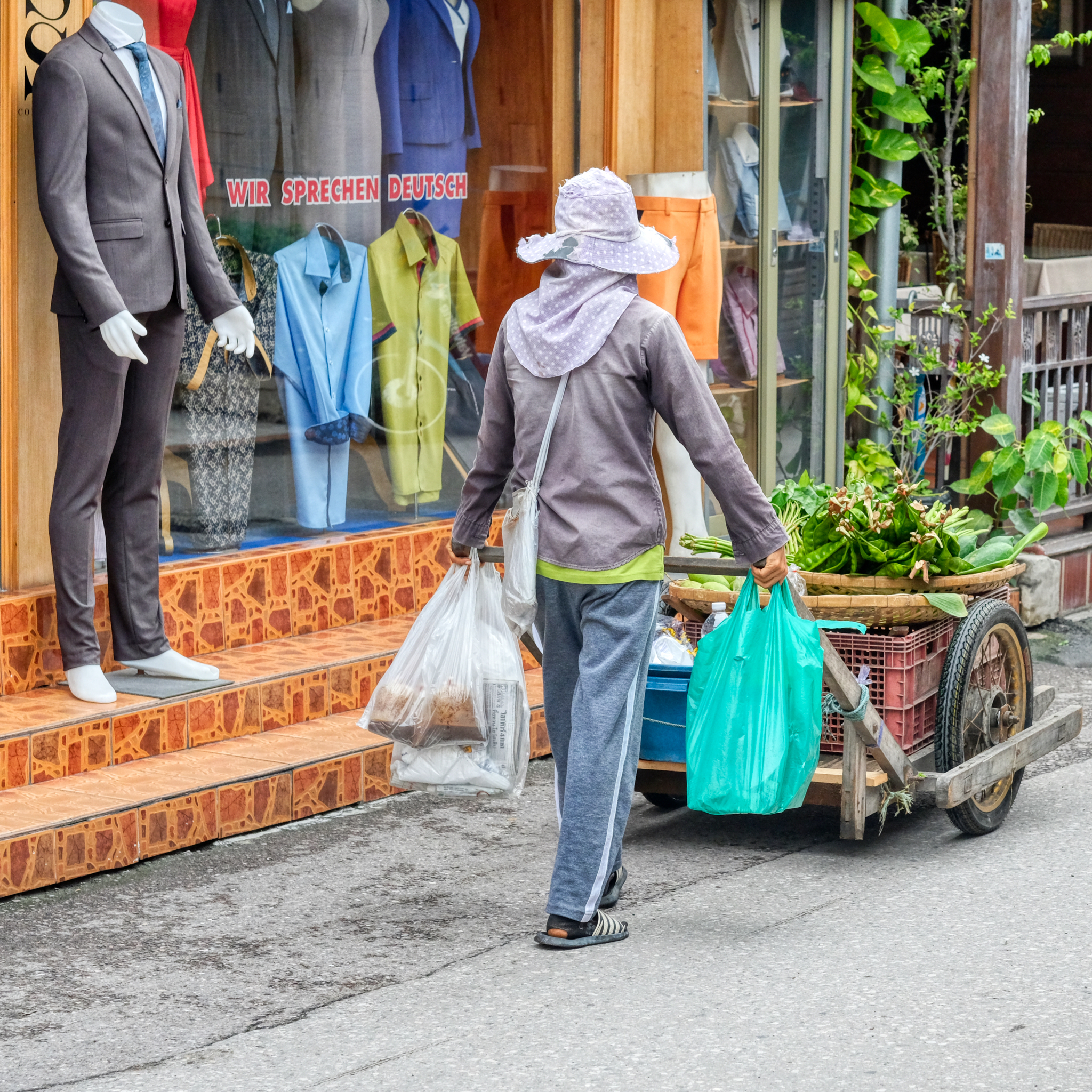 It looks like she has dome a little grocery shopping for herself as well . . .
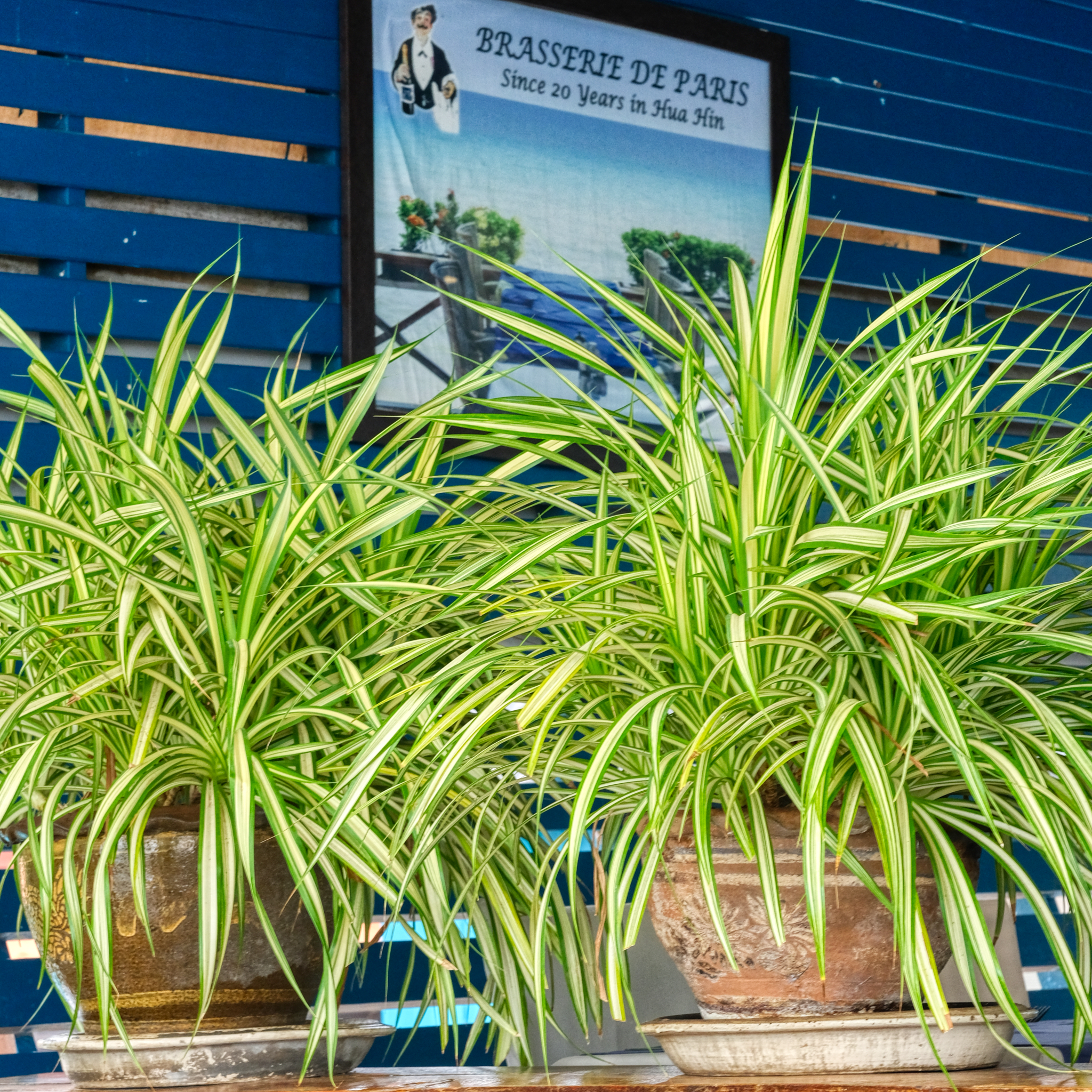 Hua Hin sees many new European retirees every year. In this case, a Frenchman came to Hua Hin 25 years ago and opened up this beach side French restaurant. It serves delicious food. Real French food.
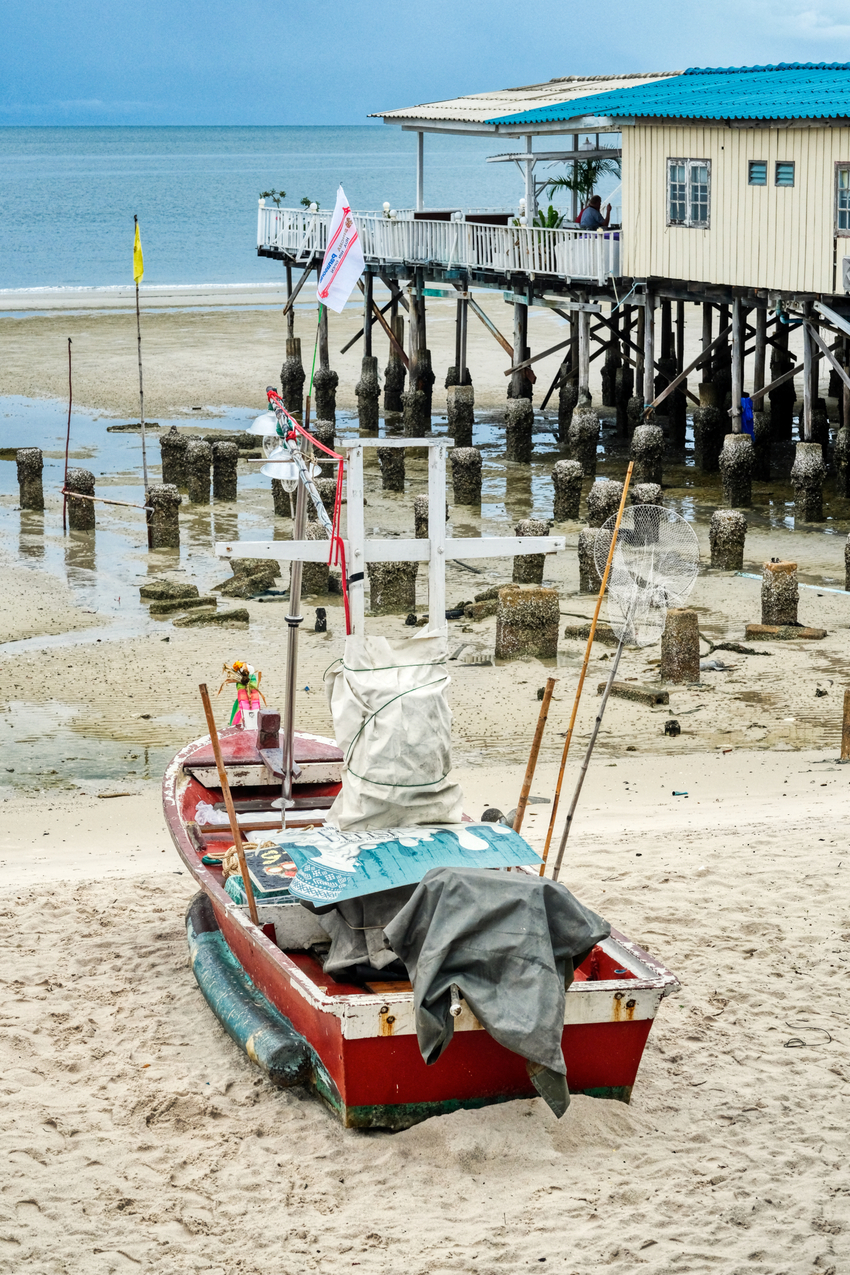 The view from the French restaurant is very relaxing.
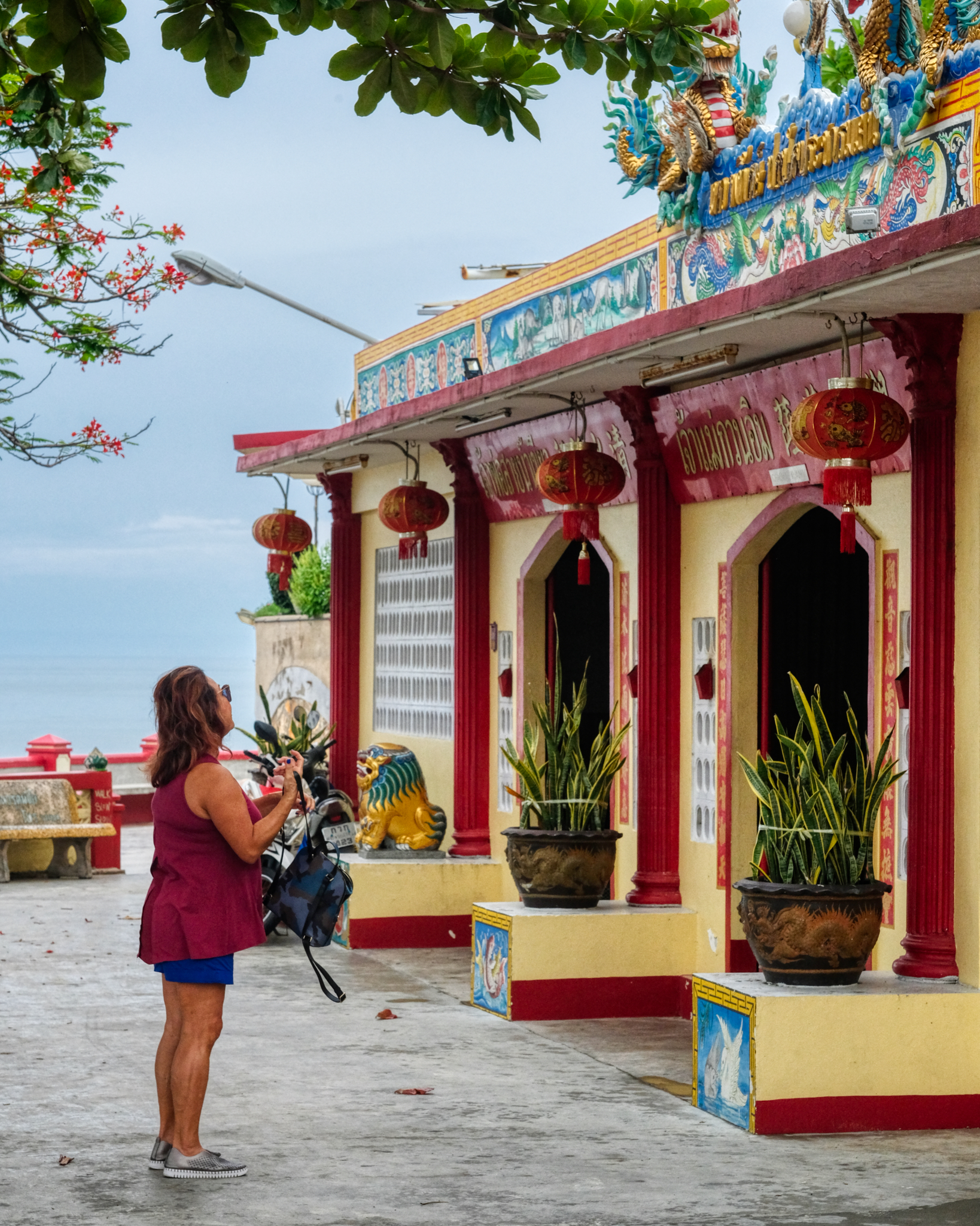 After lunch we strolled over to a nearby Chinese Buddhist Tempe.
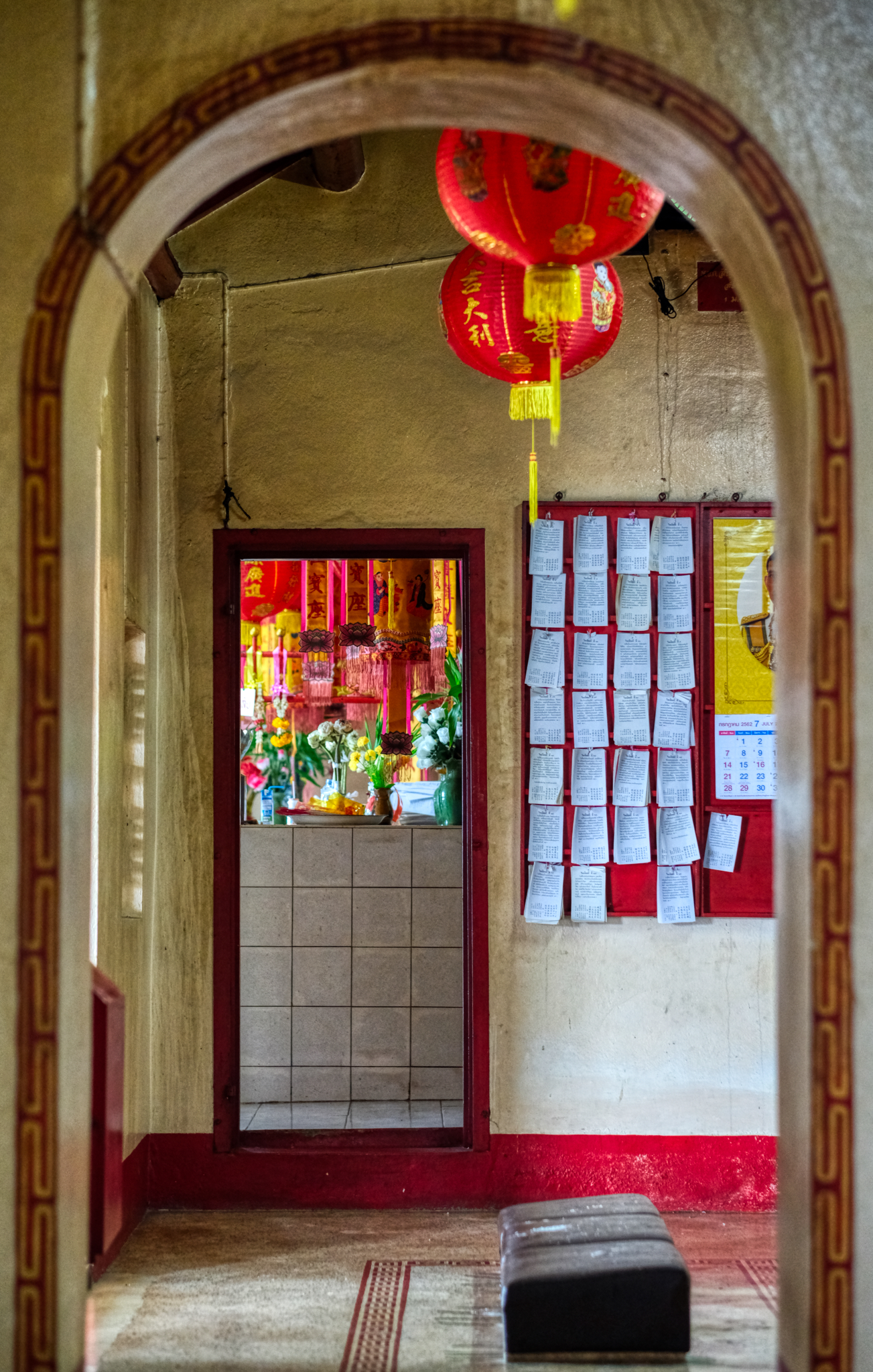 I love exploring these temples . . . and paying respect to The Buddha and what he hoped for all of us.
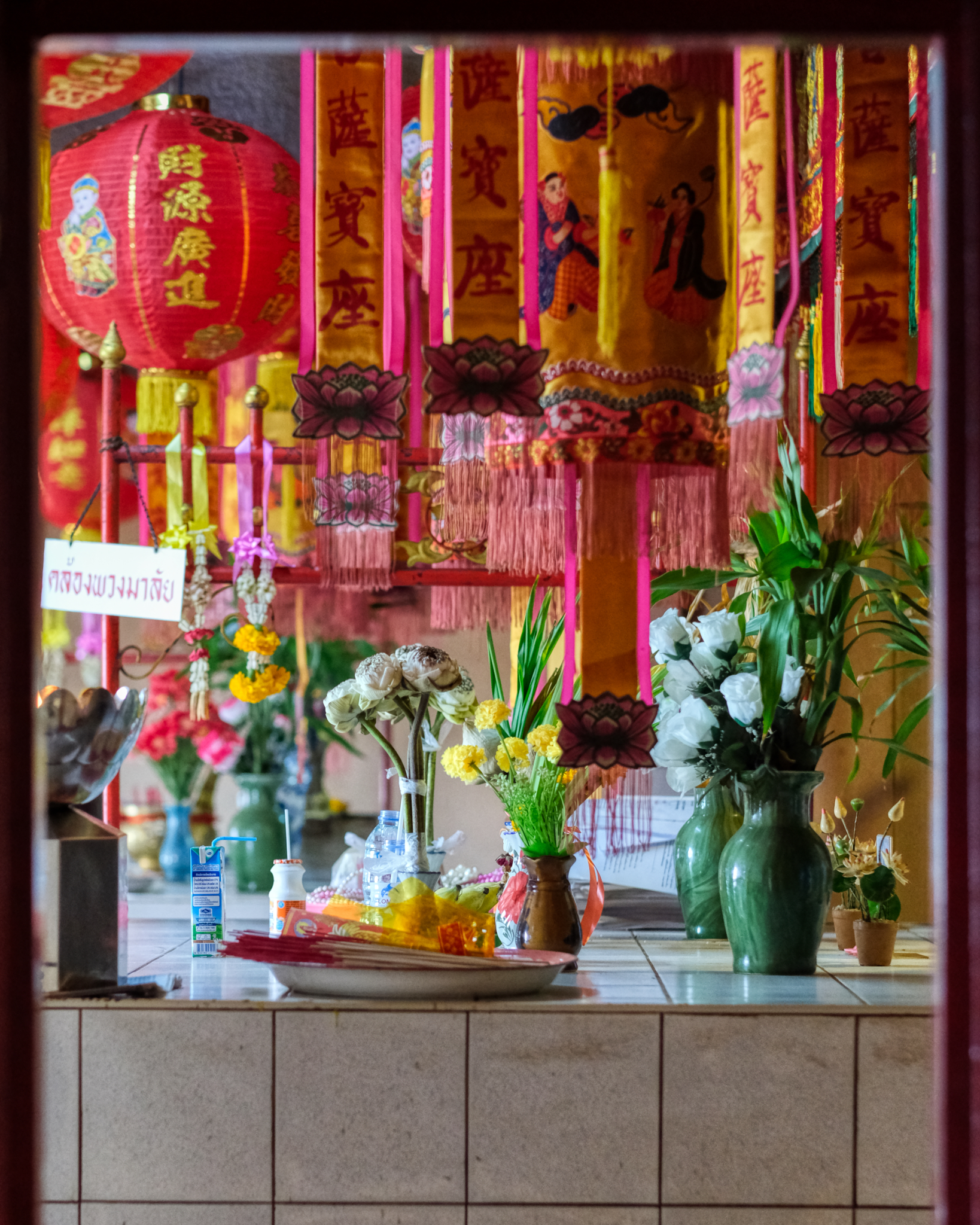 I love the decoration and the array of colorful votive items at these Chinese temples.
 A small incense pot and altar. Touching.
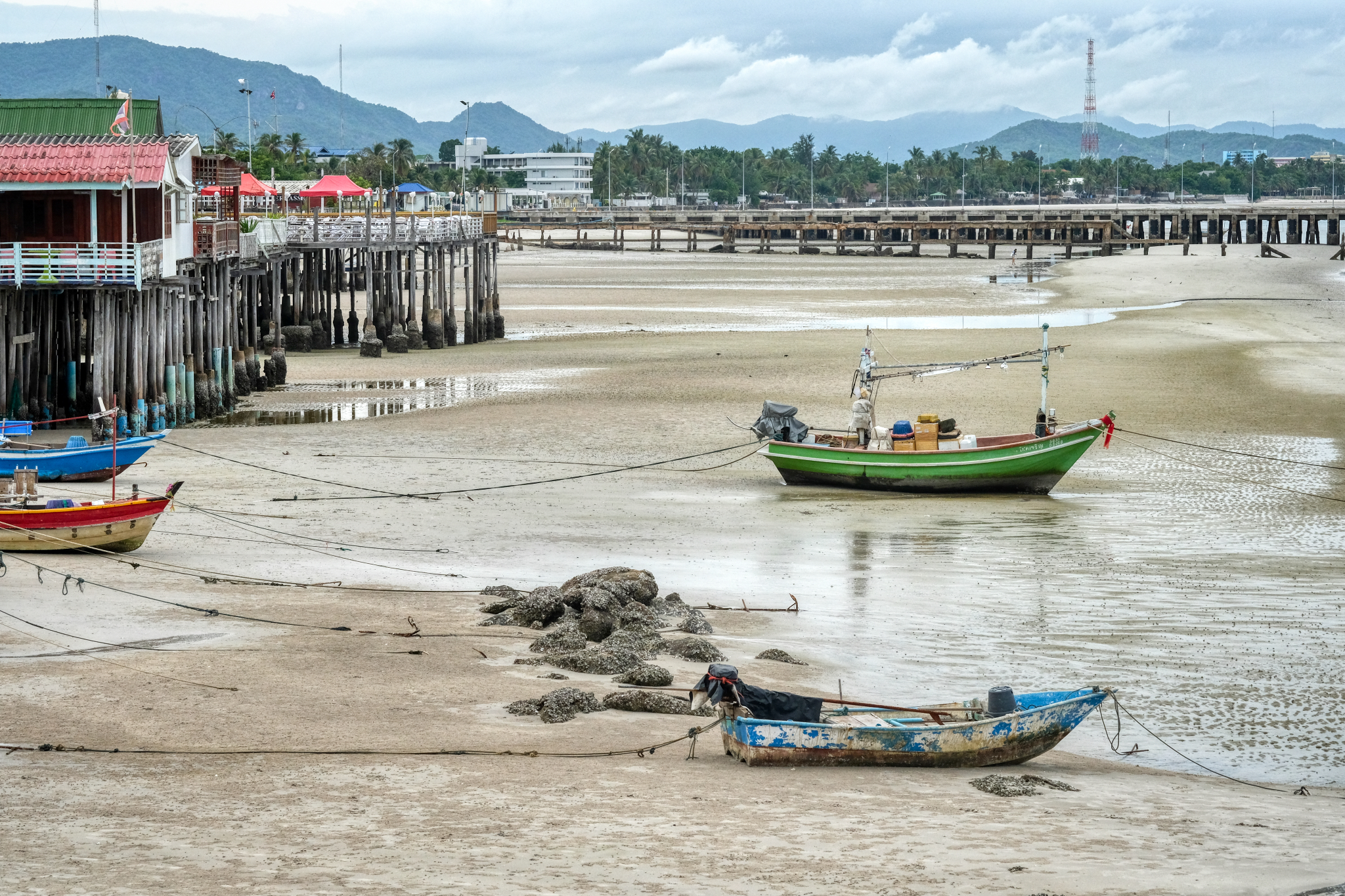 The view from the Chinese temple back to Hua Hin town. As can be seen, Hua Hin sits on a narrow coastal shelf between low hills and the Gulf of Thailand.
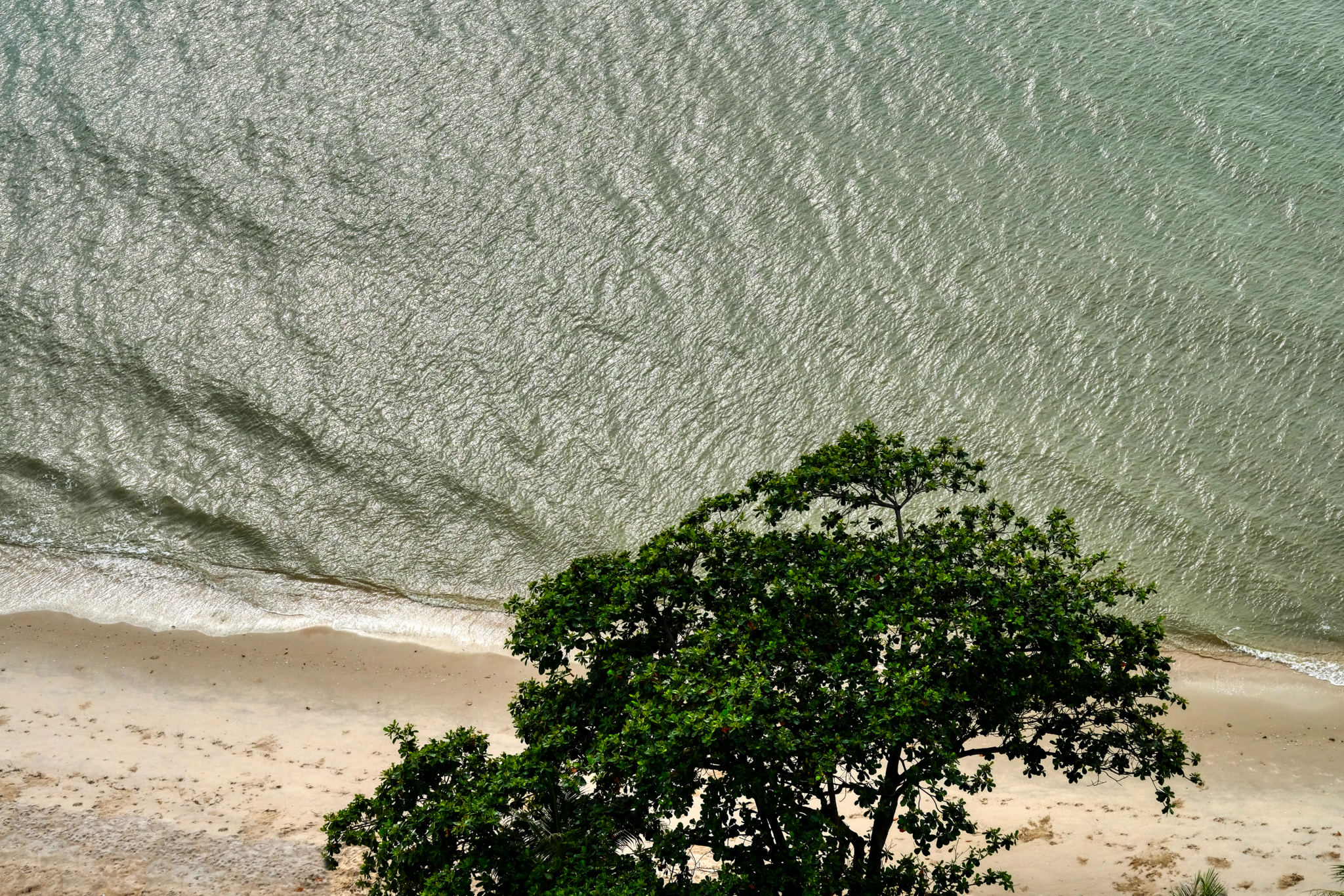 Back at our seaside lodgings . . . the view from above.
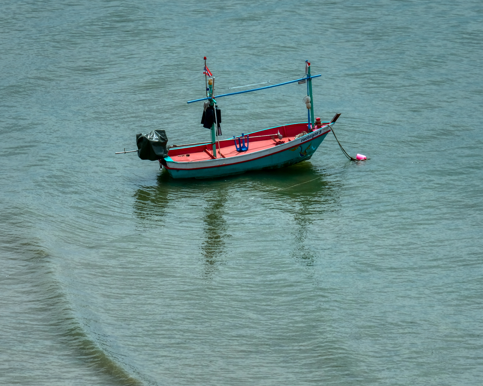 A lone fishing (squid) boat waiting for the crew.
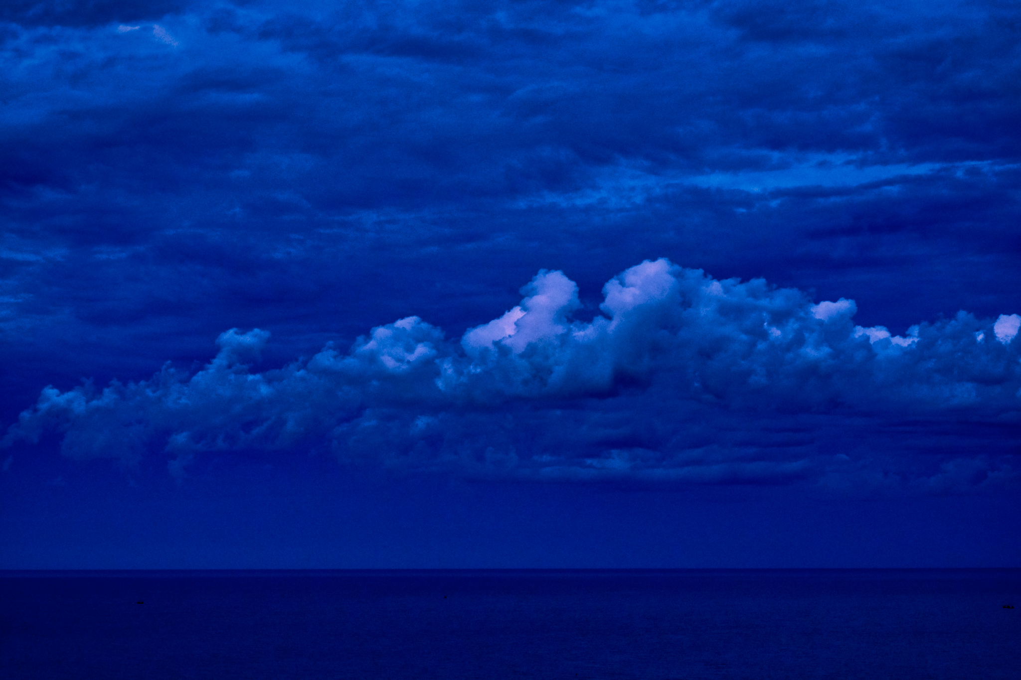 A Hua Hin blue hour sunset (looking east, away from the setting sun).
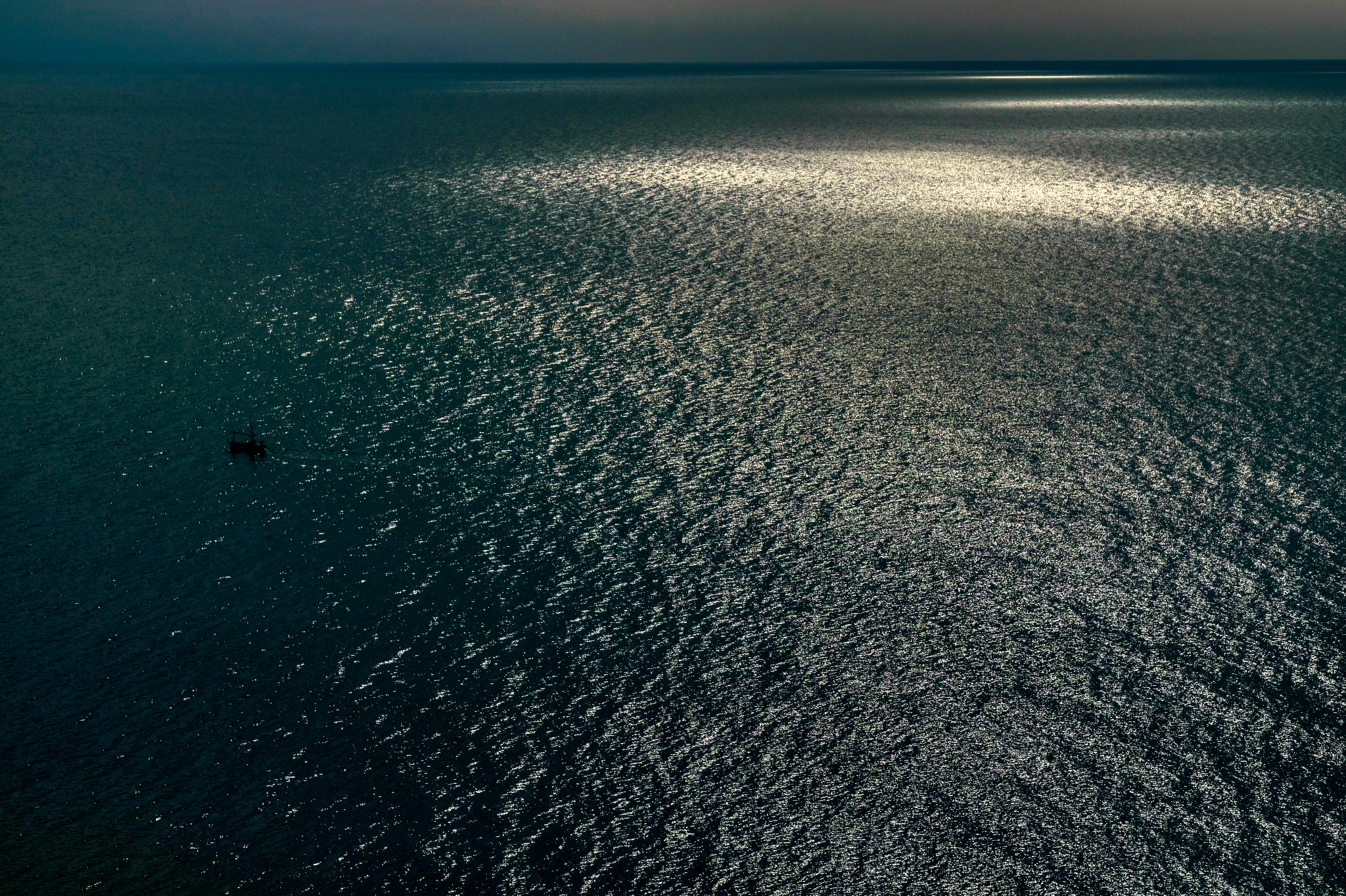 A Hua Hin sunrise sea.
Samut Songkhran & Amphawa Village - A Good Day Out and About in Thailand
 Sunday, May 26, 2019 at 2:16PM
 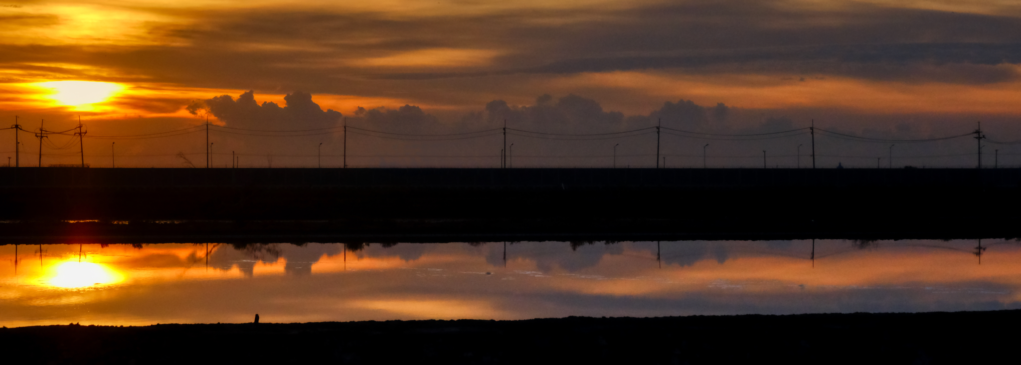 Up and out the door at 4:30am to catch the sun rise over the salt pans of Samut Songkhran with a couple of buddies . . . and for a day of photography.
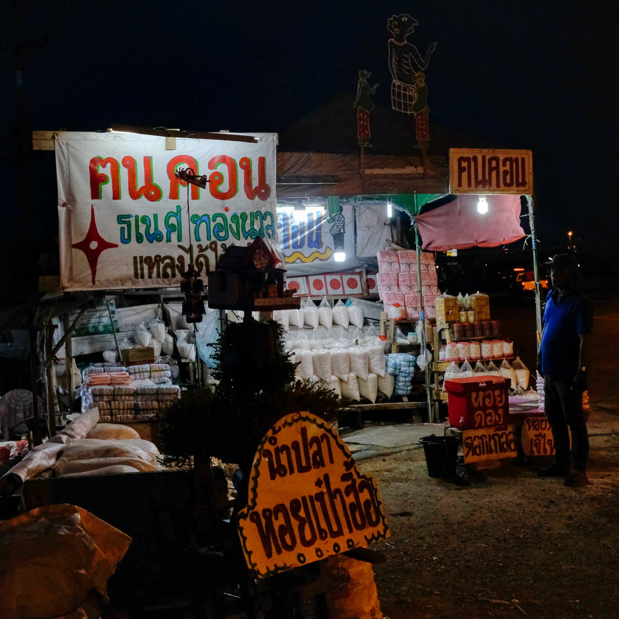 Roadside salt sales before sunset.
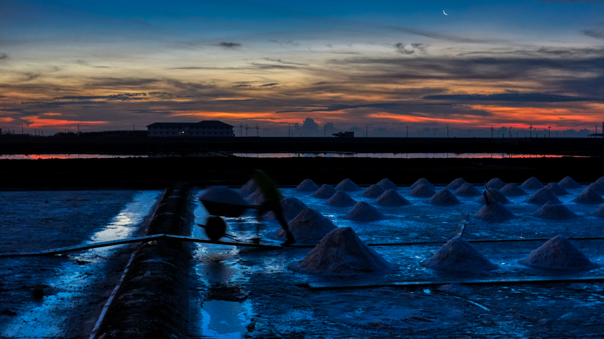 A workman is a blur in first light.
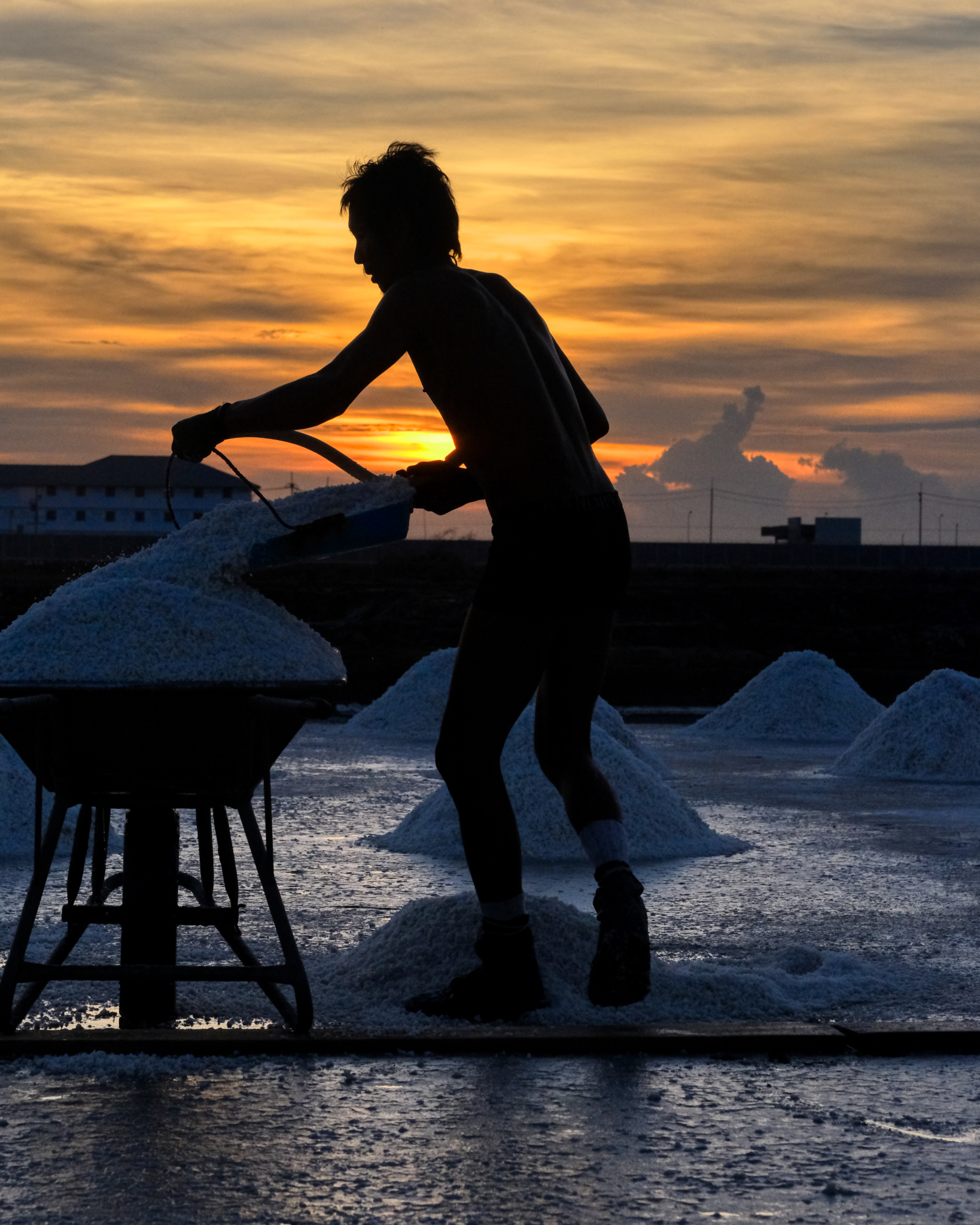 At 5:45am the ambient temperature was already 89f . . with a heat index of 105f!
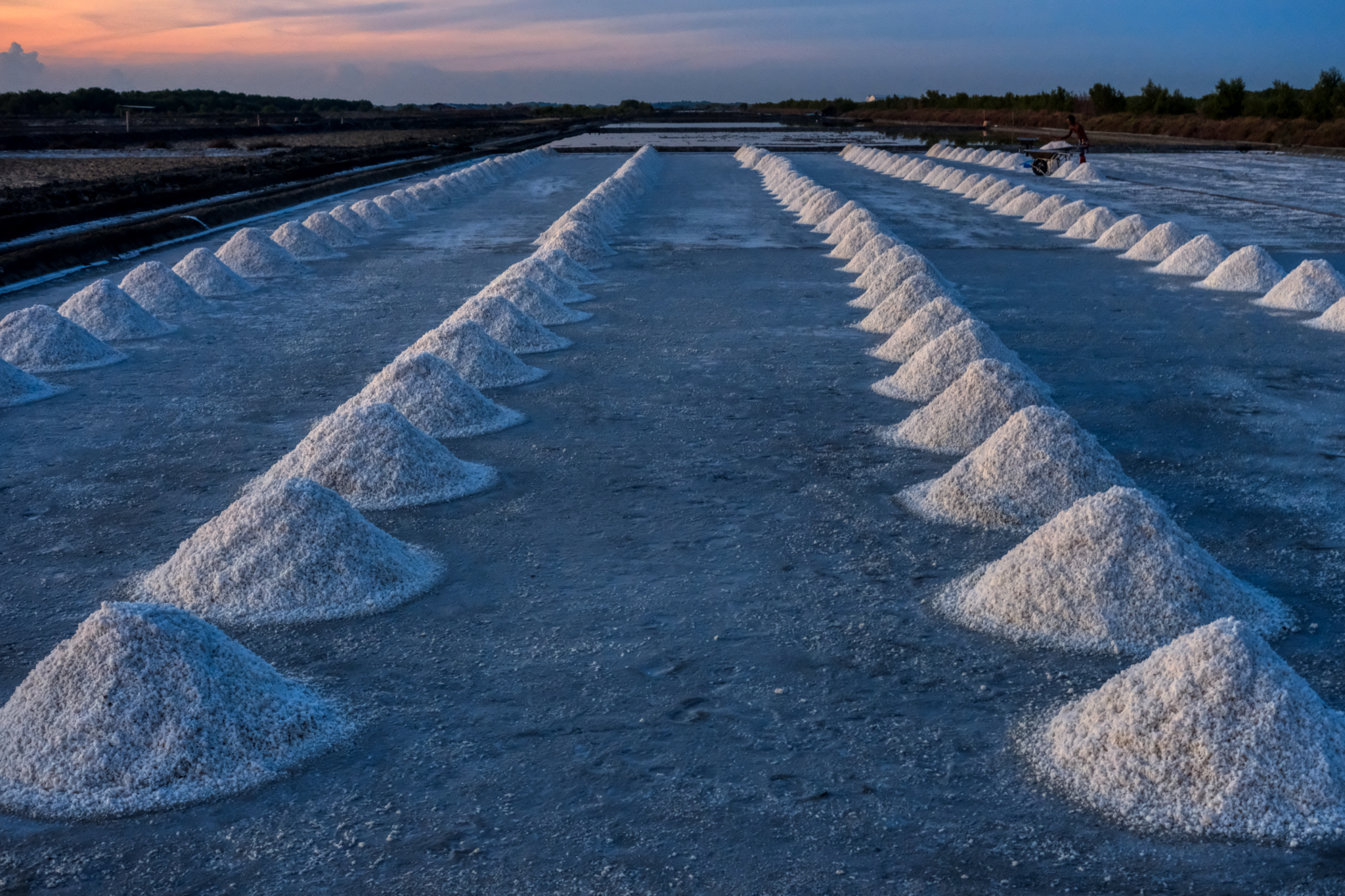 Early morning salt pan. The salt is raked up into cones by one crew, and picked up and hauled by wheelbarrow to a large pile near the highway for transportation.
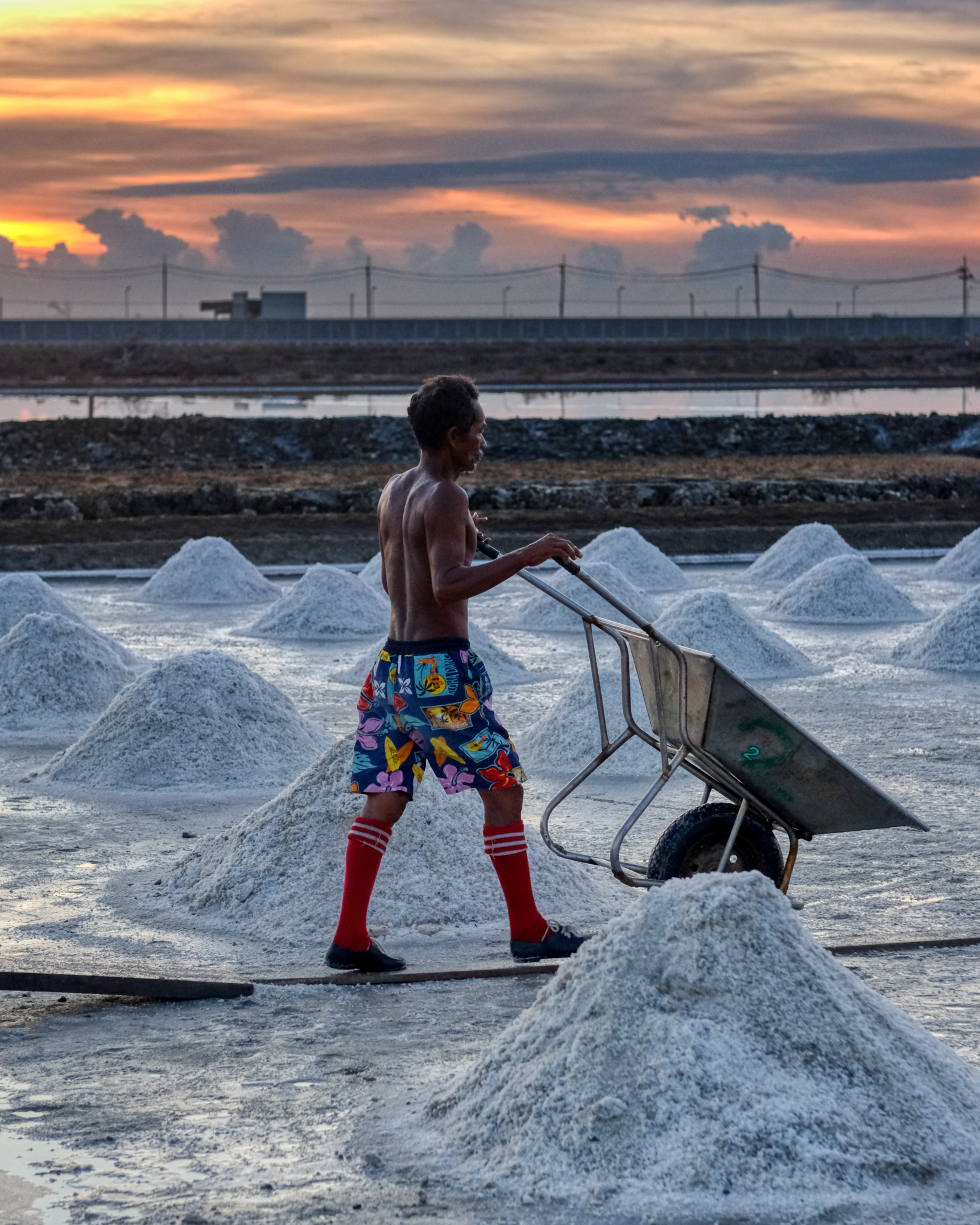 The salt workers were working hard at first light to get as much done before the blistering heat to come.
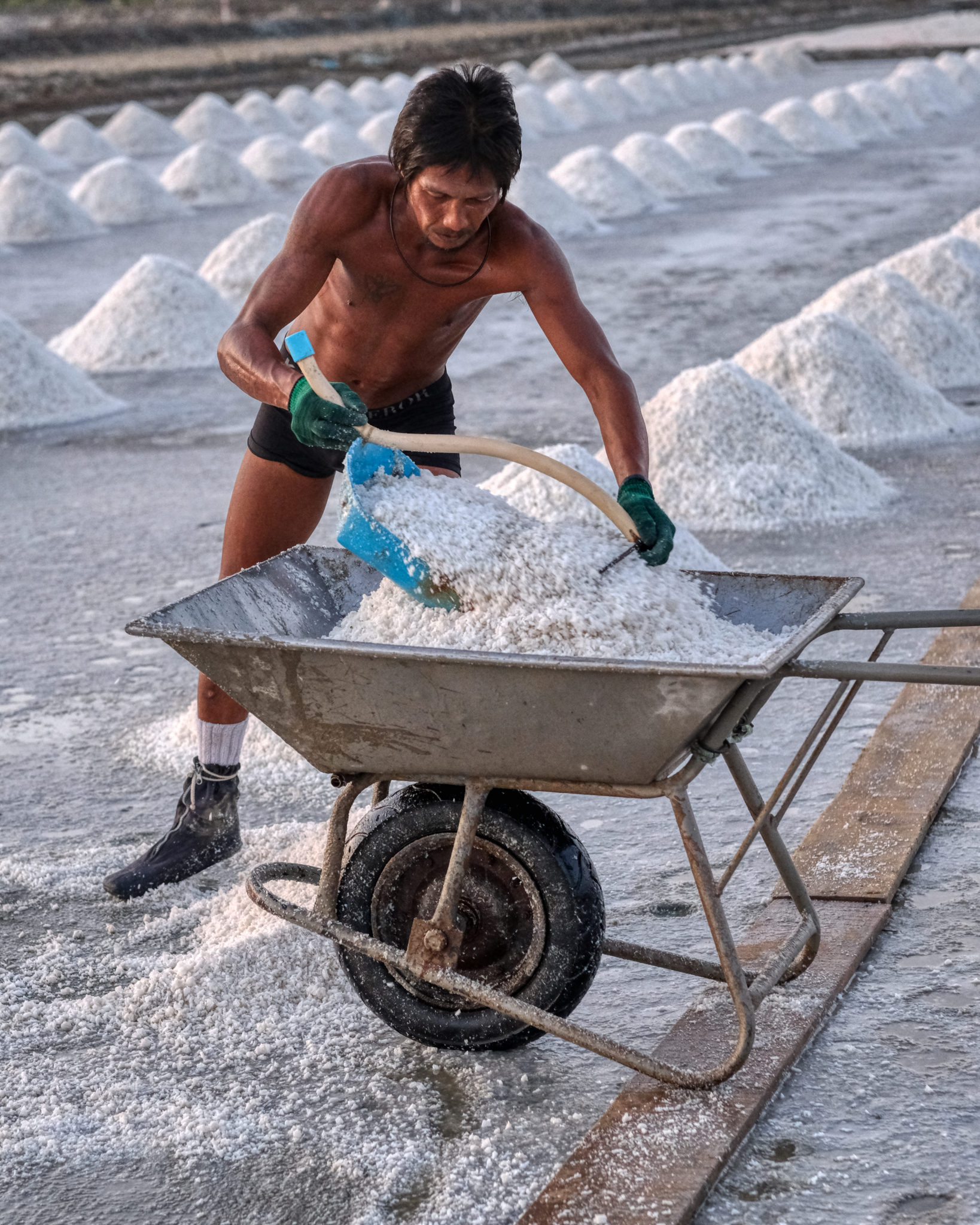 Scooping heavy, damp salt.
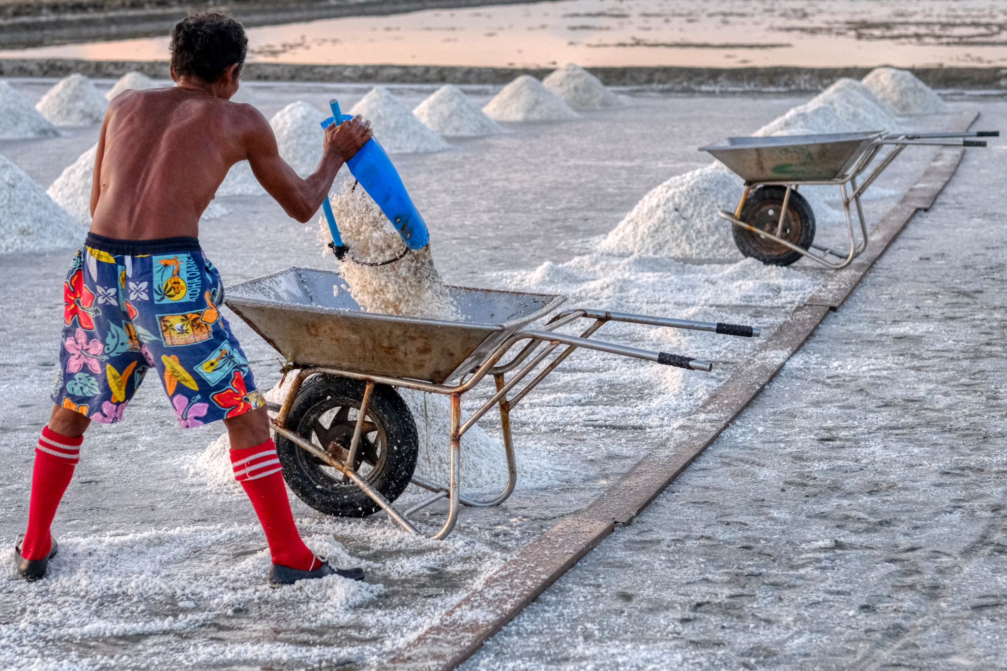 Loading the wheelbarrow for another trip to the highway.
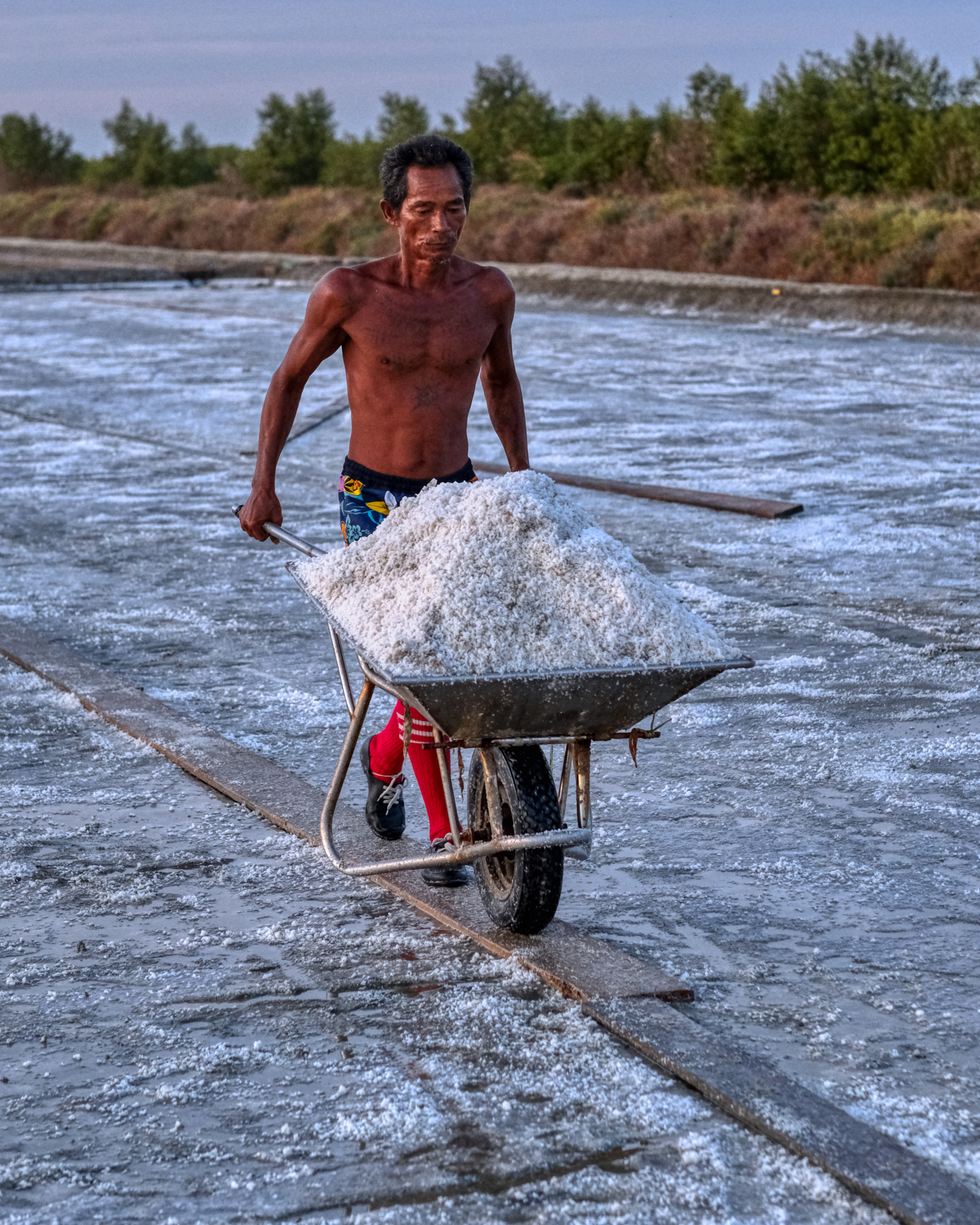 Another load full to wheel out . . .
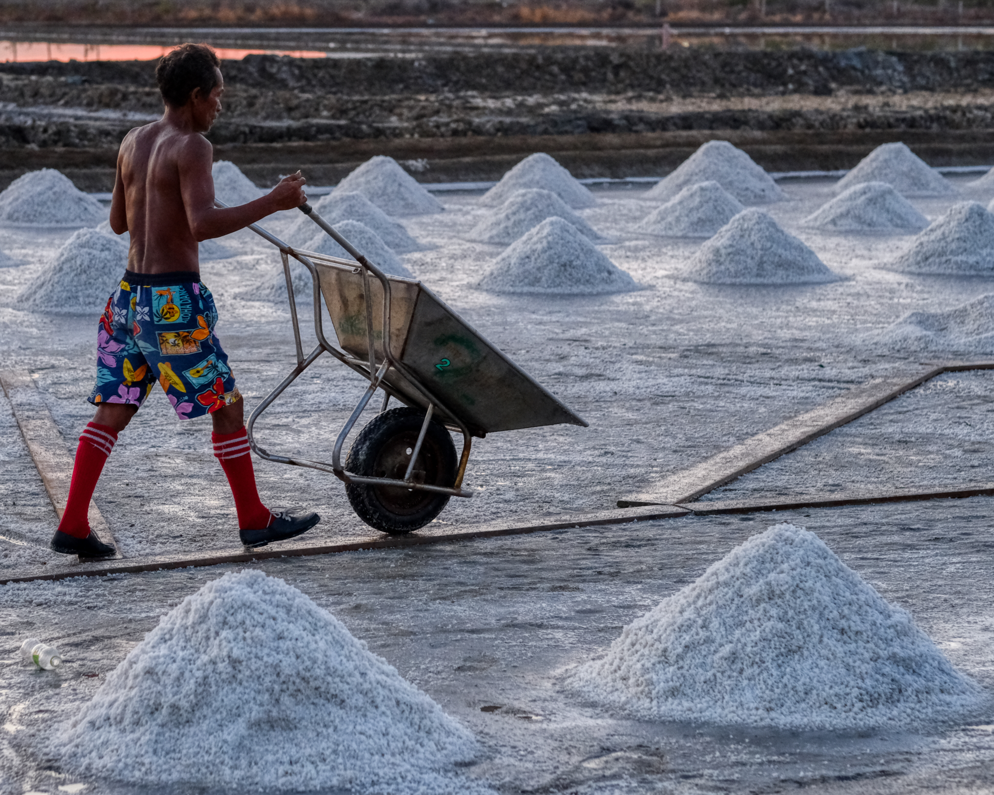 . . . and then back again in an endless loop of scoop, haul, return, scoop . . .
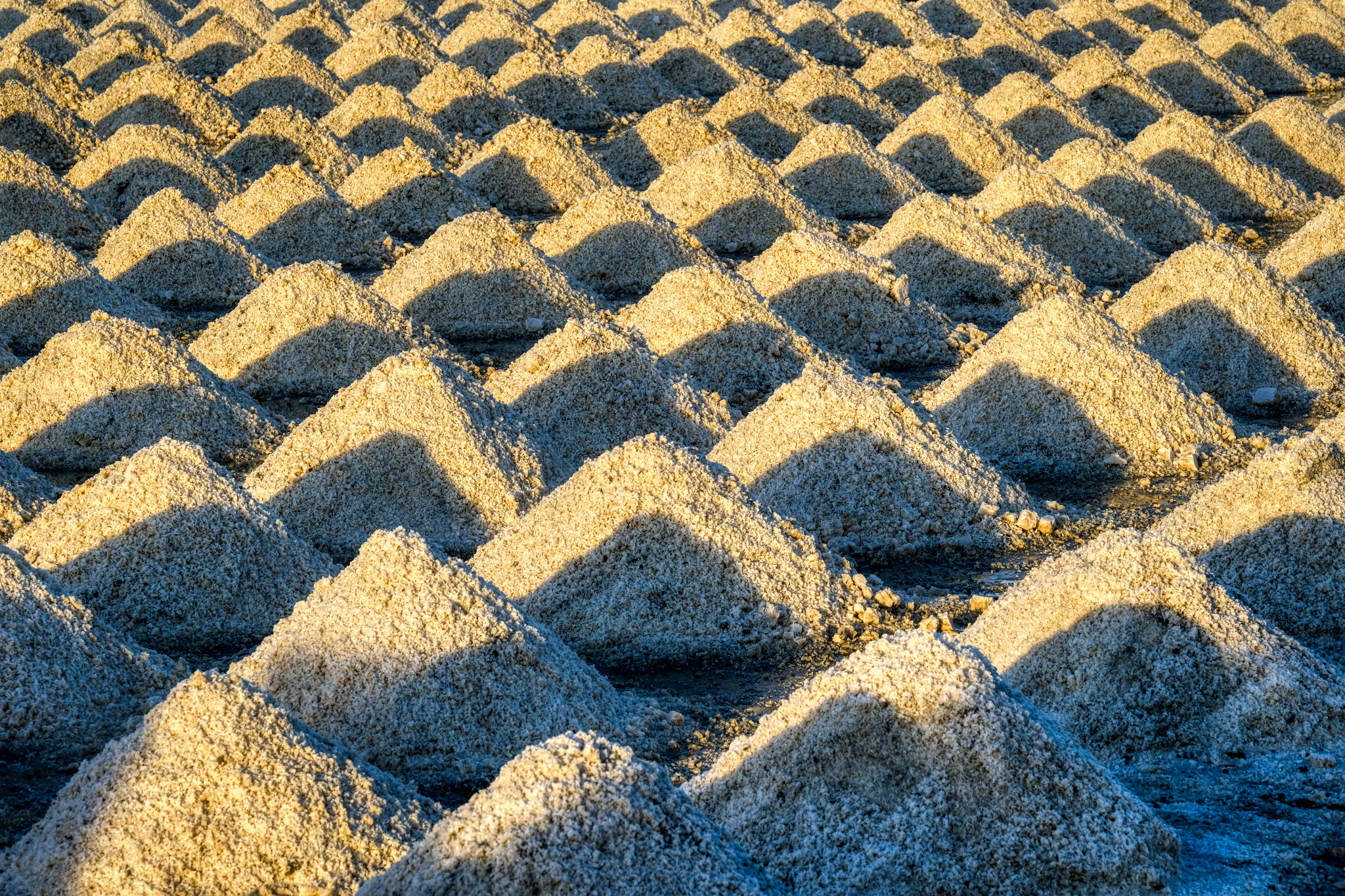 Marvelous patterns of salt cones in the morning magic hour light.
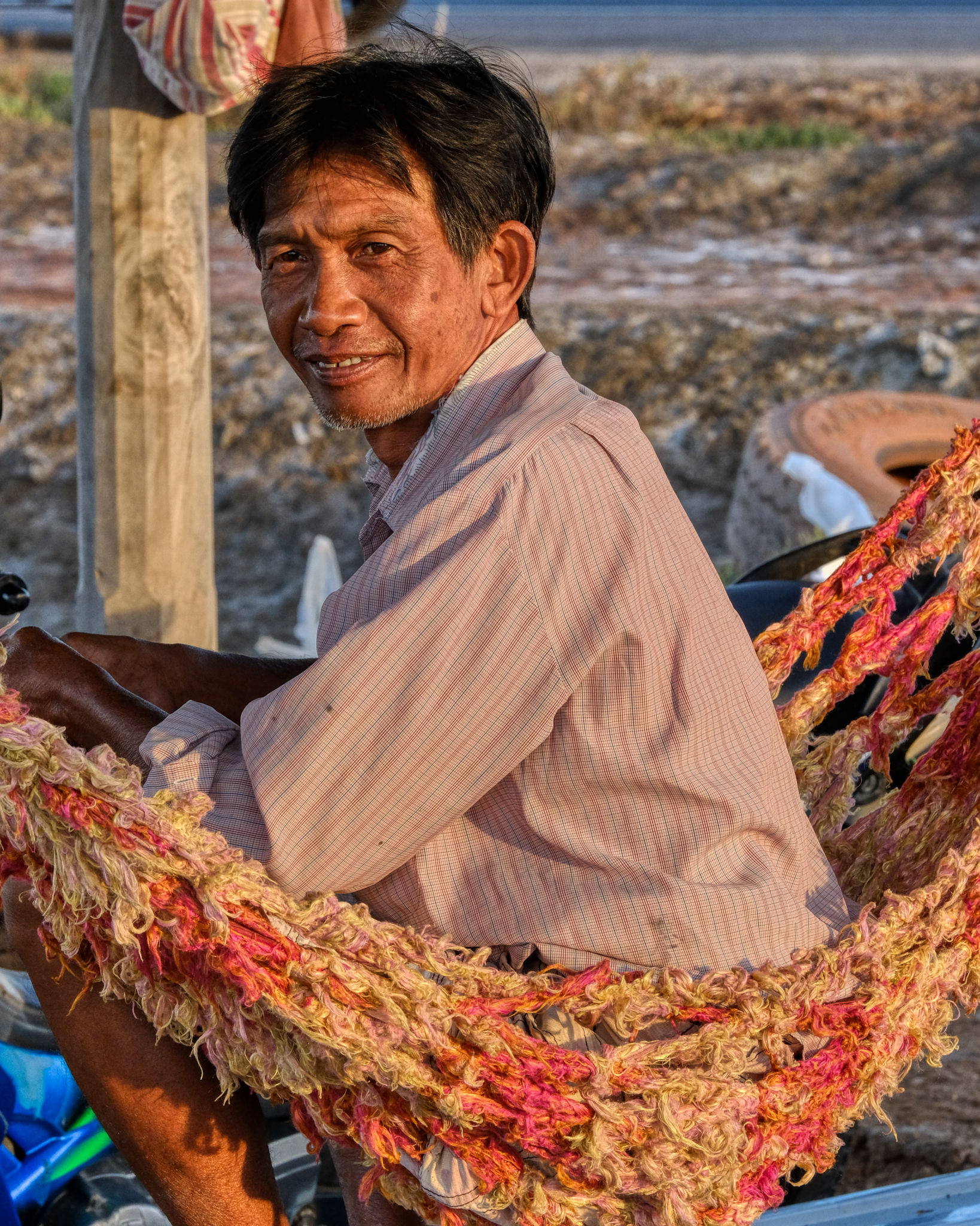 A kindly looking salt worker on a hammock.
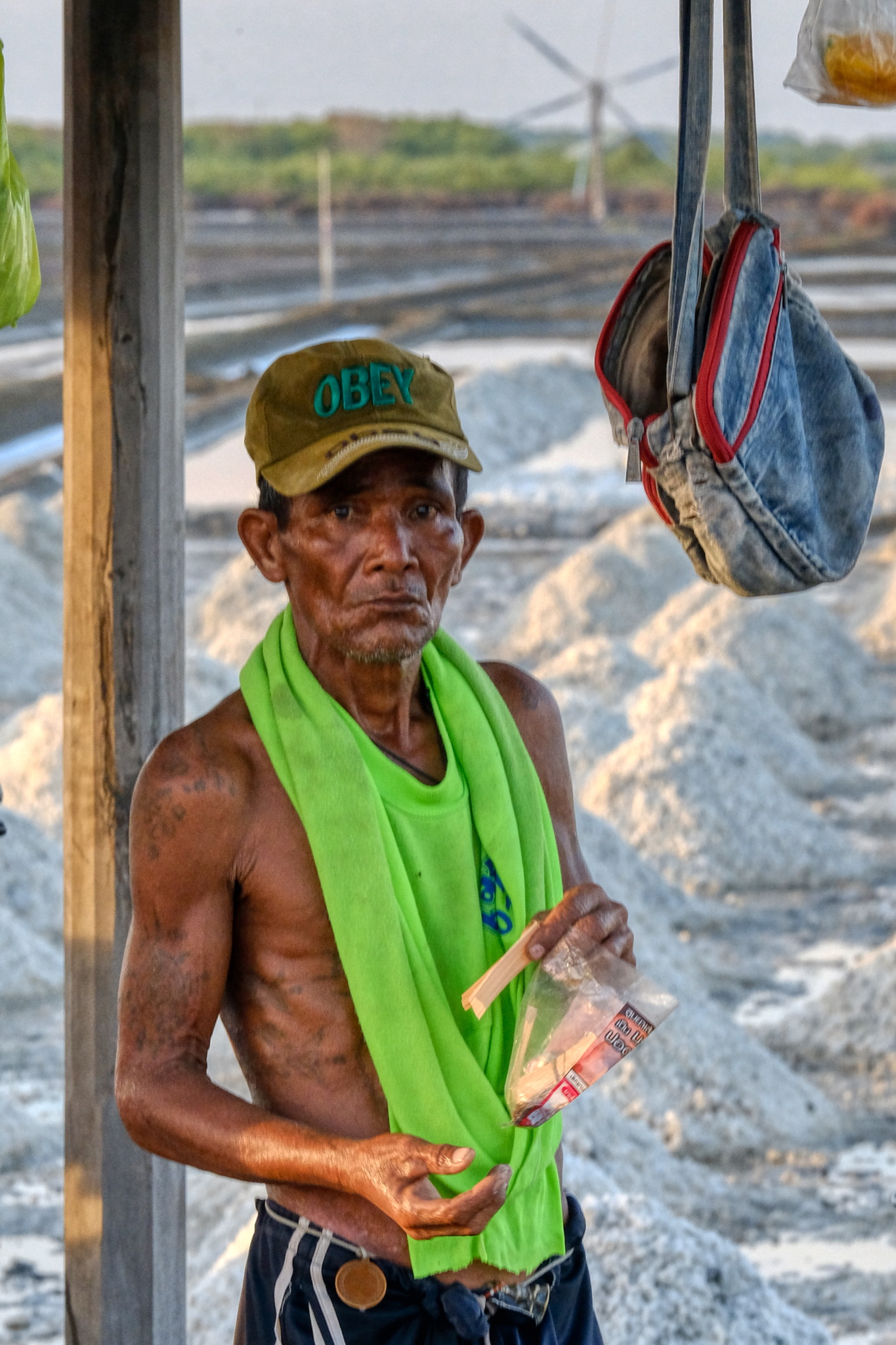 Obey. Indeed.
 Meanwhile, in another salt pan down the road . . .
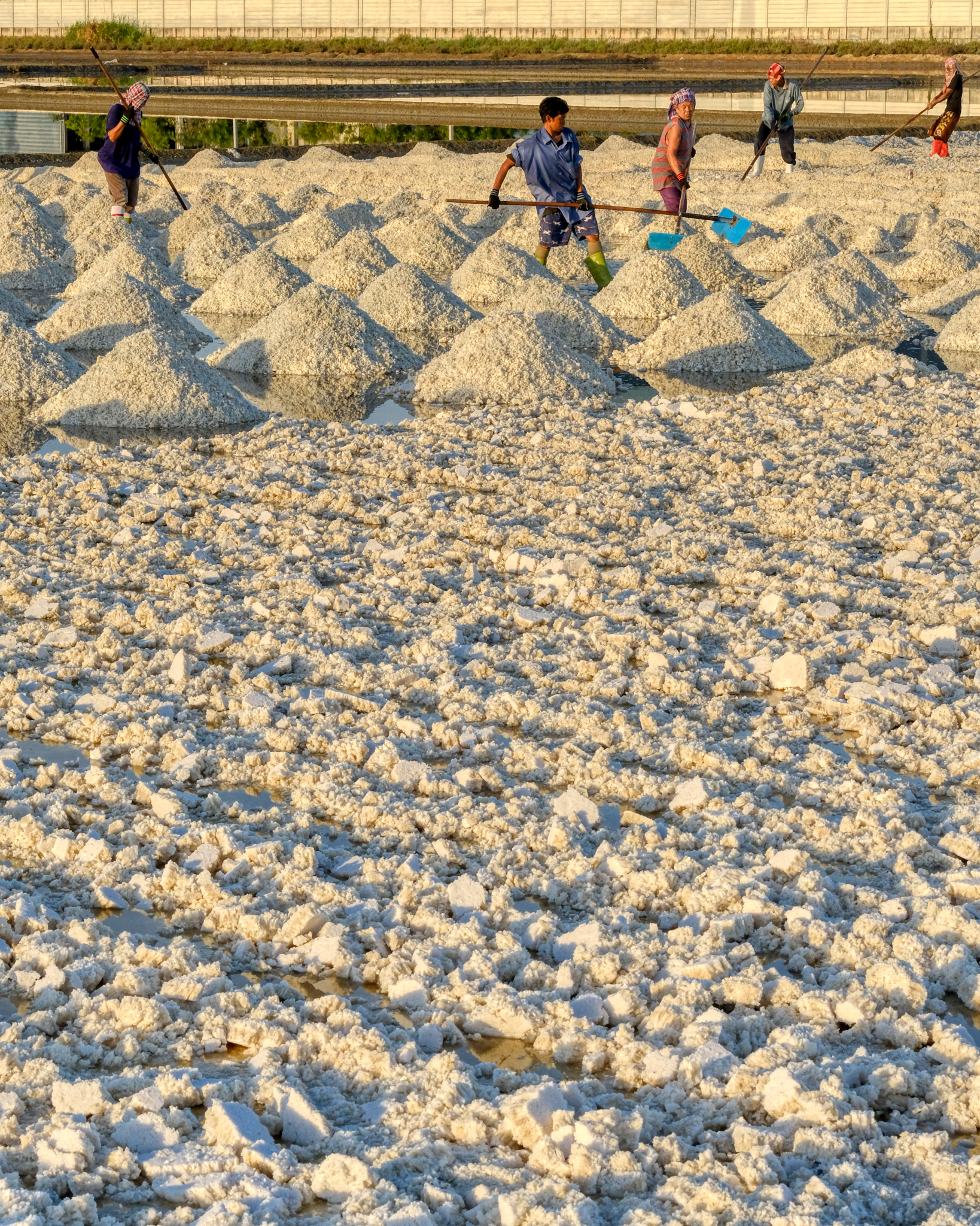 After an hour at the sunrise pans, we drove a kilometer up the road and found a big crew out in a damp pan raking the salt into the cones. Hard work in the morning sun.
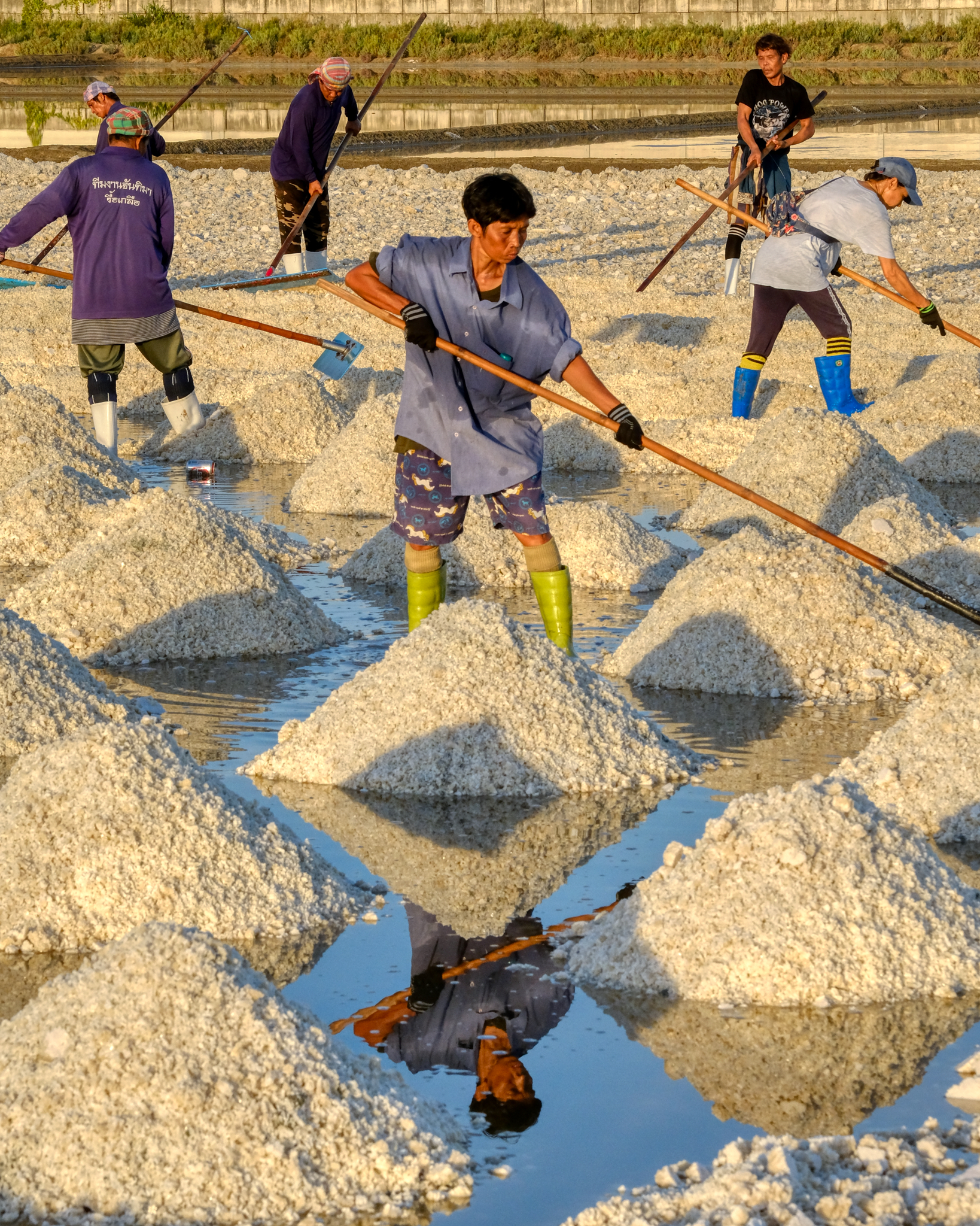 Hard at work while standing in supersaturated salt water.
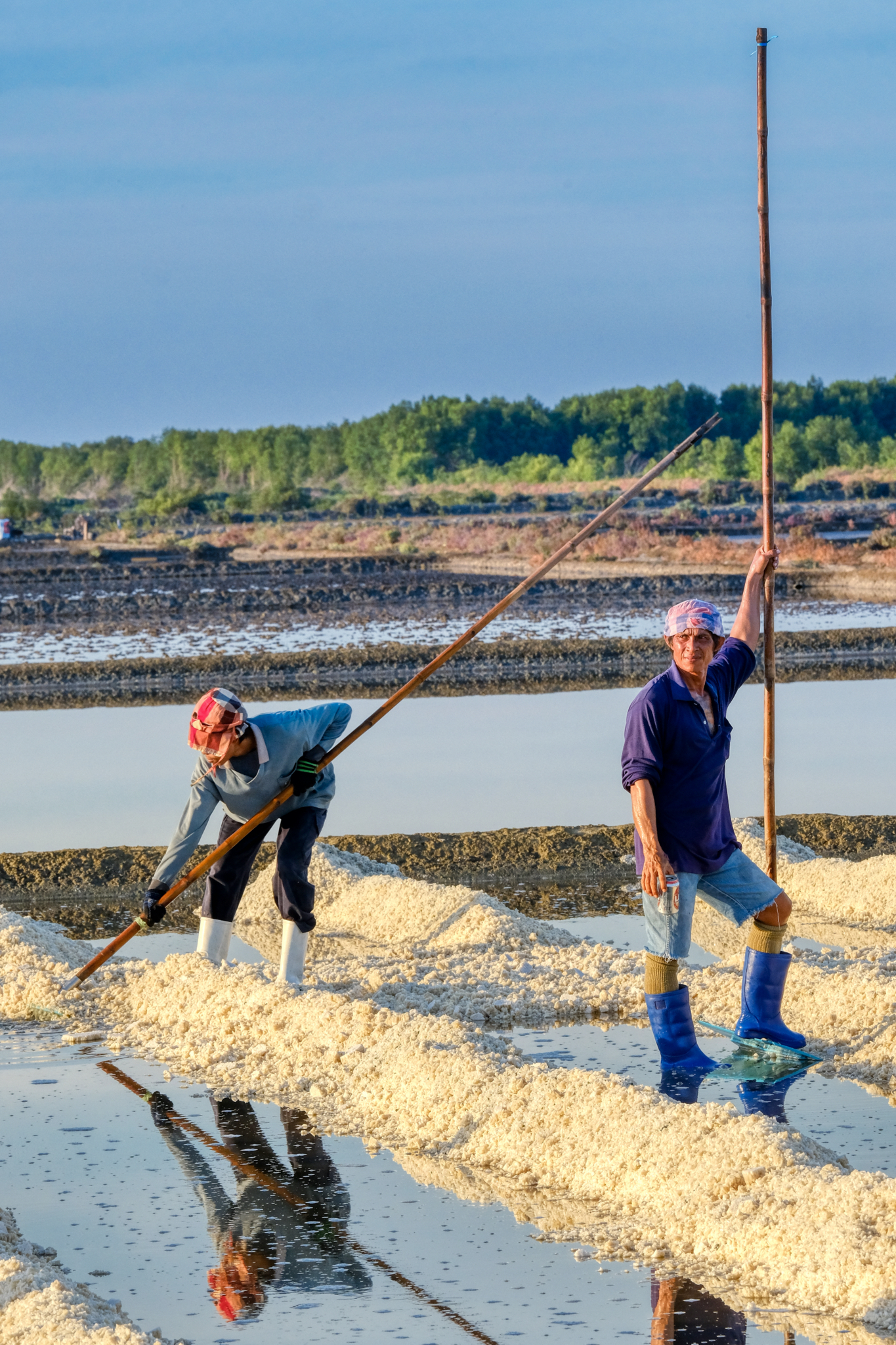 Such a photogenic scene . . . especially when the salt workers pose for you!!!
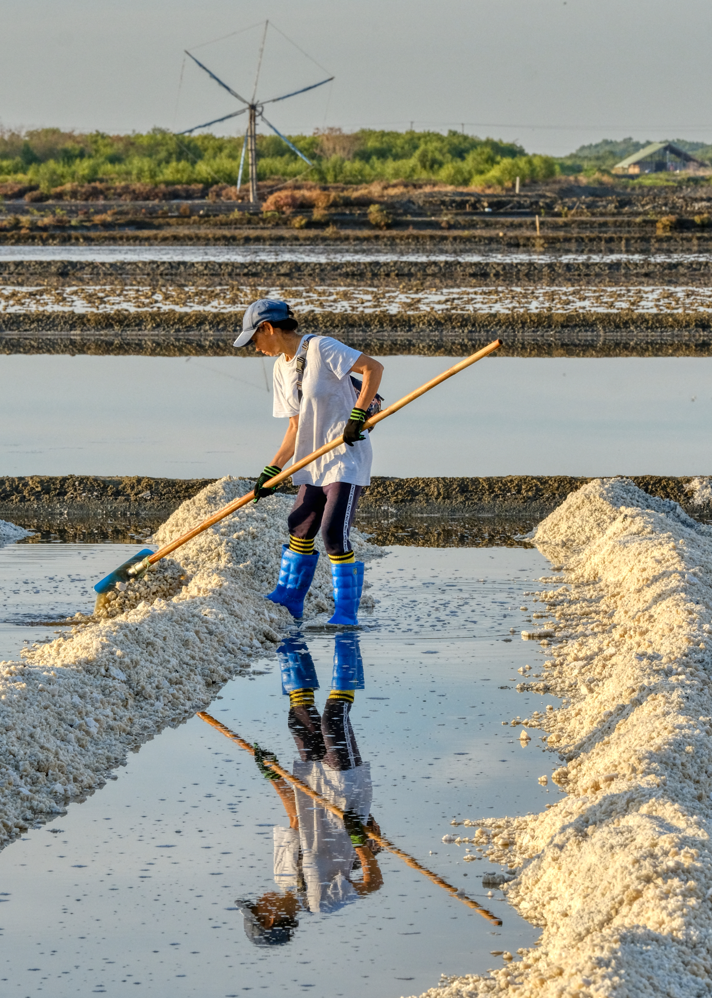 Windmills, salt, humanity, reflections . . .
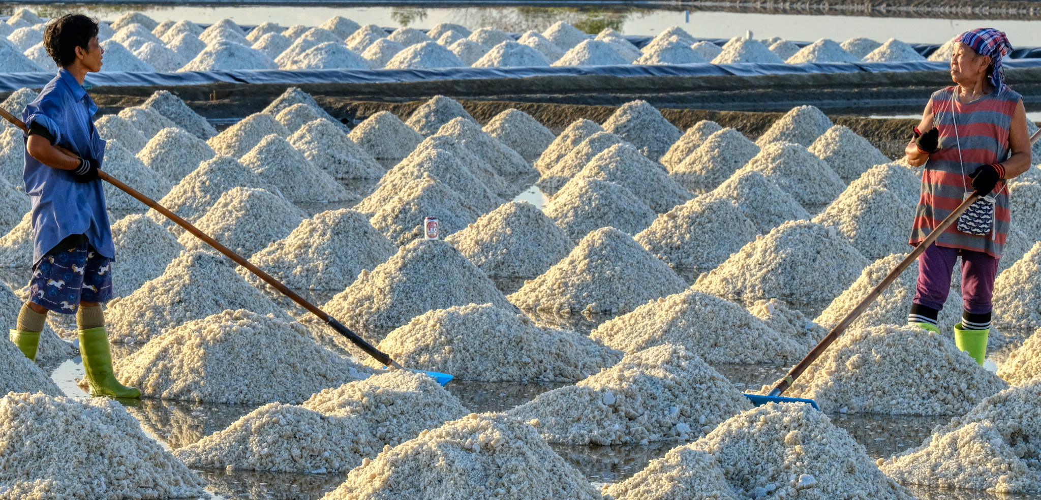 Having a chat while working . . .
 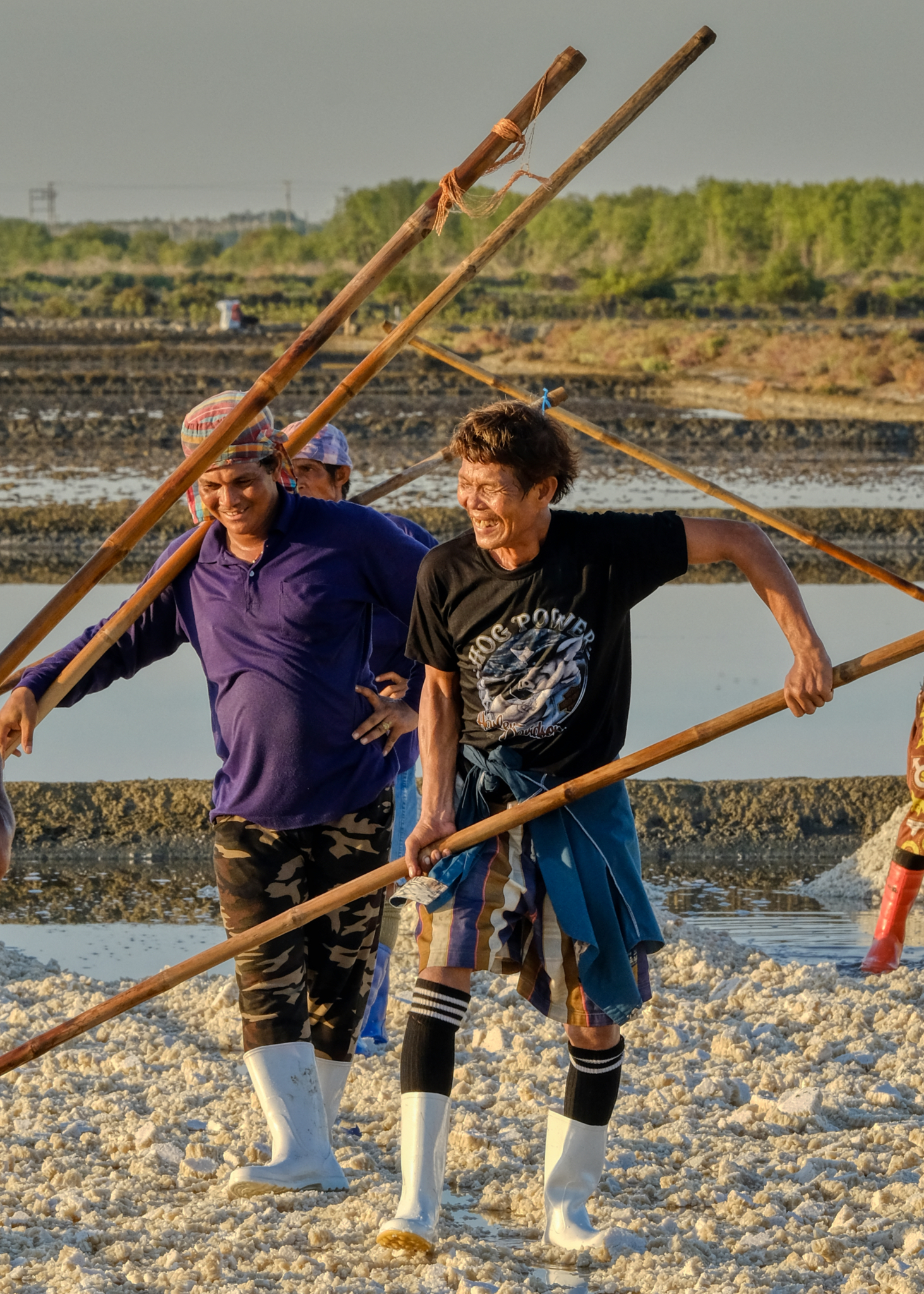 The salt workers seemed to know each other well . . . it's more enjoyable to work while sharing a joke with your friends.
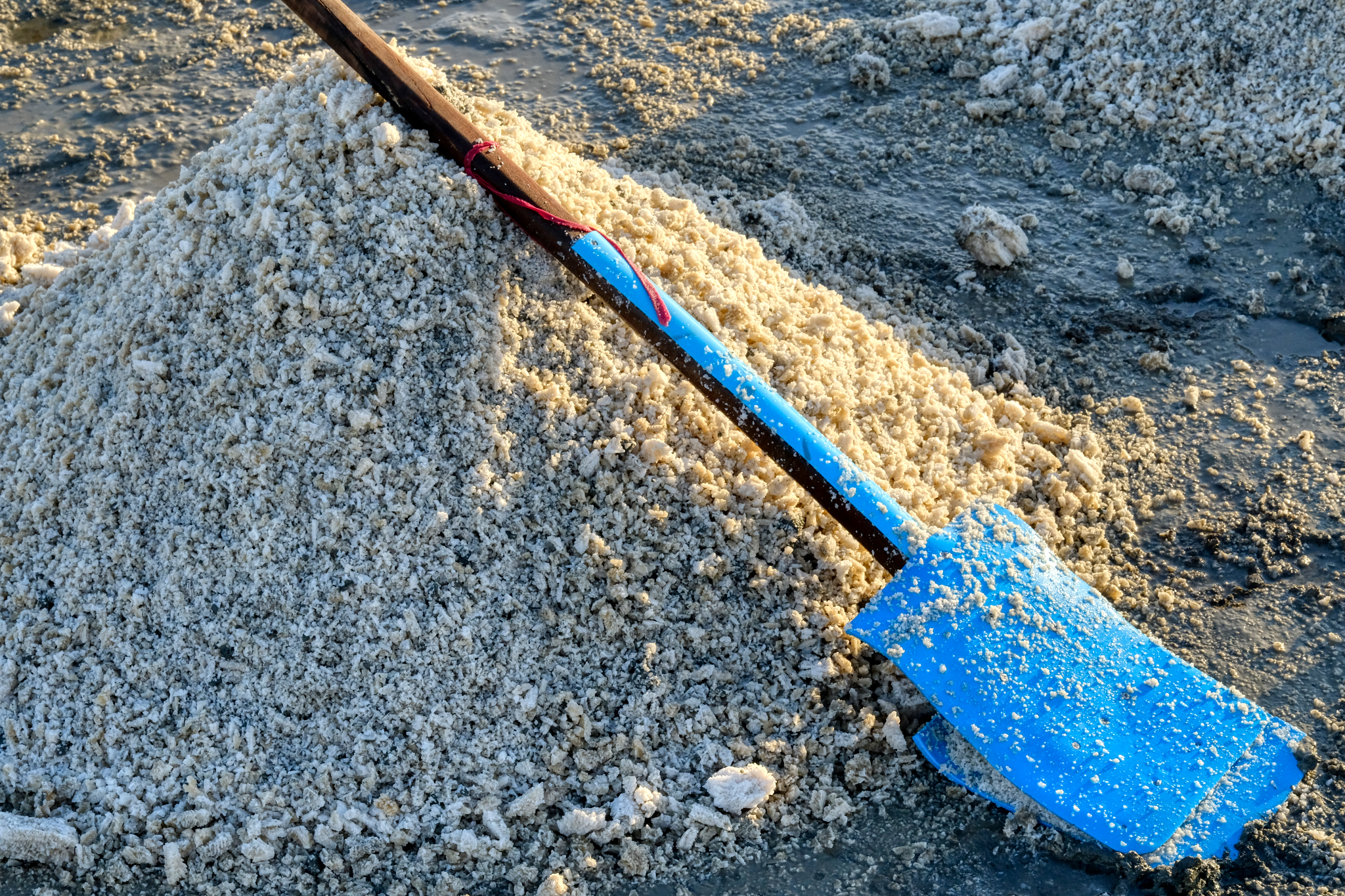 Home made crude scrapers for piling the salt into cones.
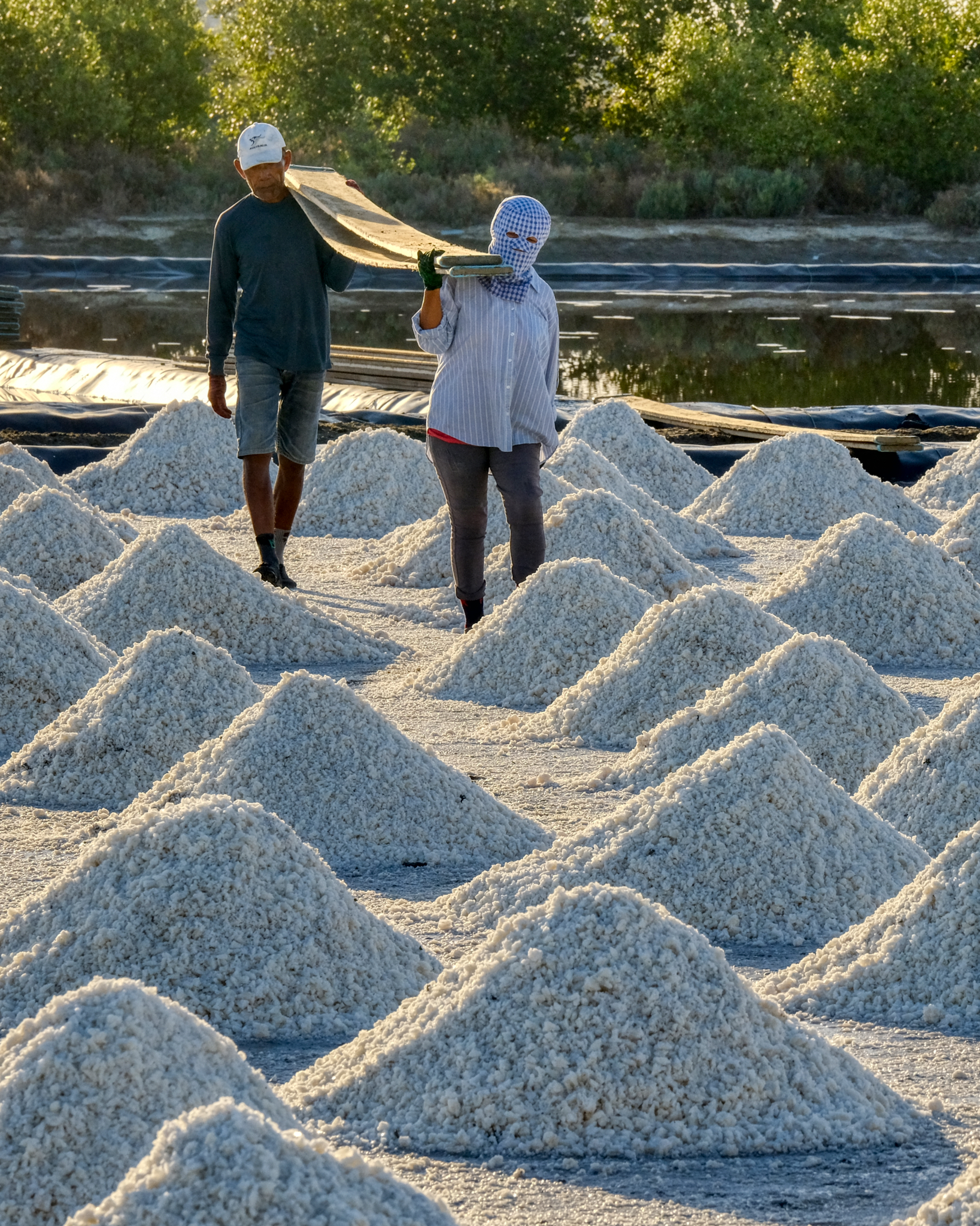 Moving and placing heavy planks for the wheelbarrows that will come to remove the salt from the pans.
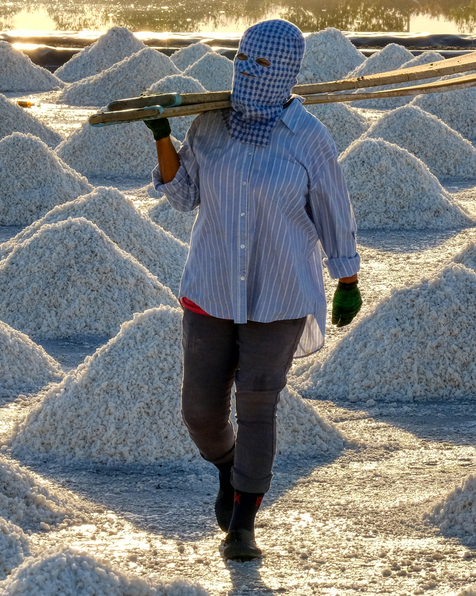 Protection from the sun . . . .
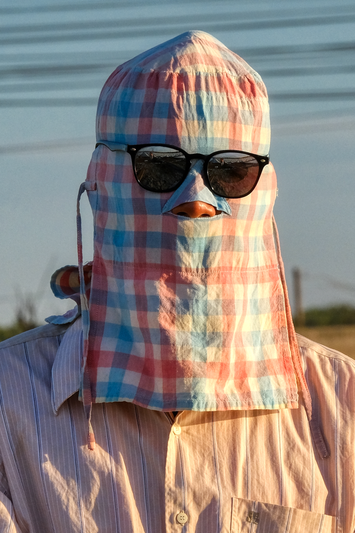 Extreme sun protection . . . it must be very hot under that hood in this oppressive heat and humidity.
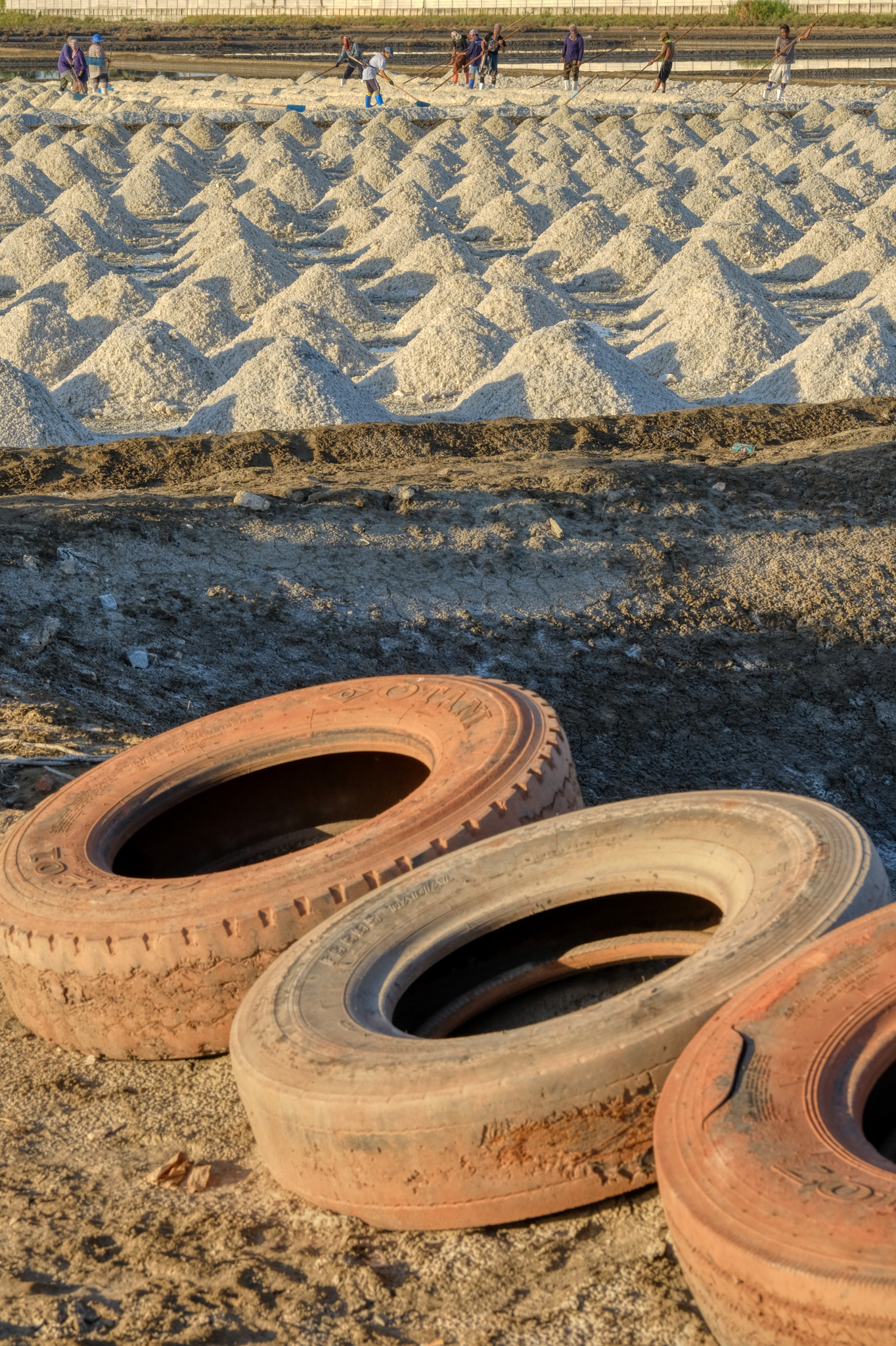 The is much to see in the area, so we moved on . . .
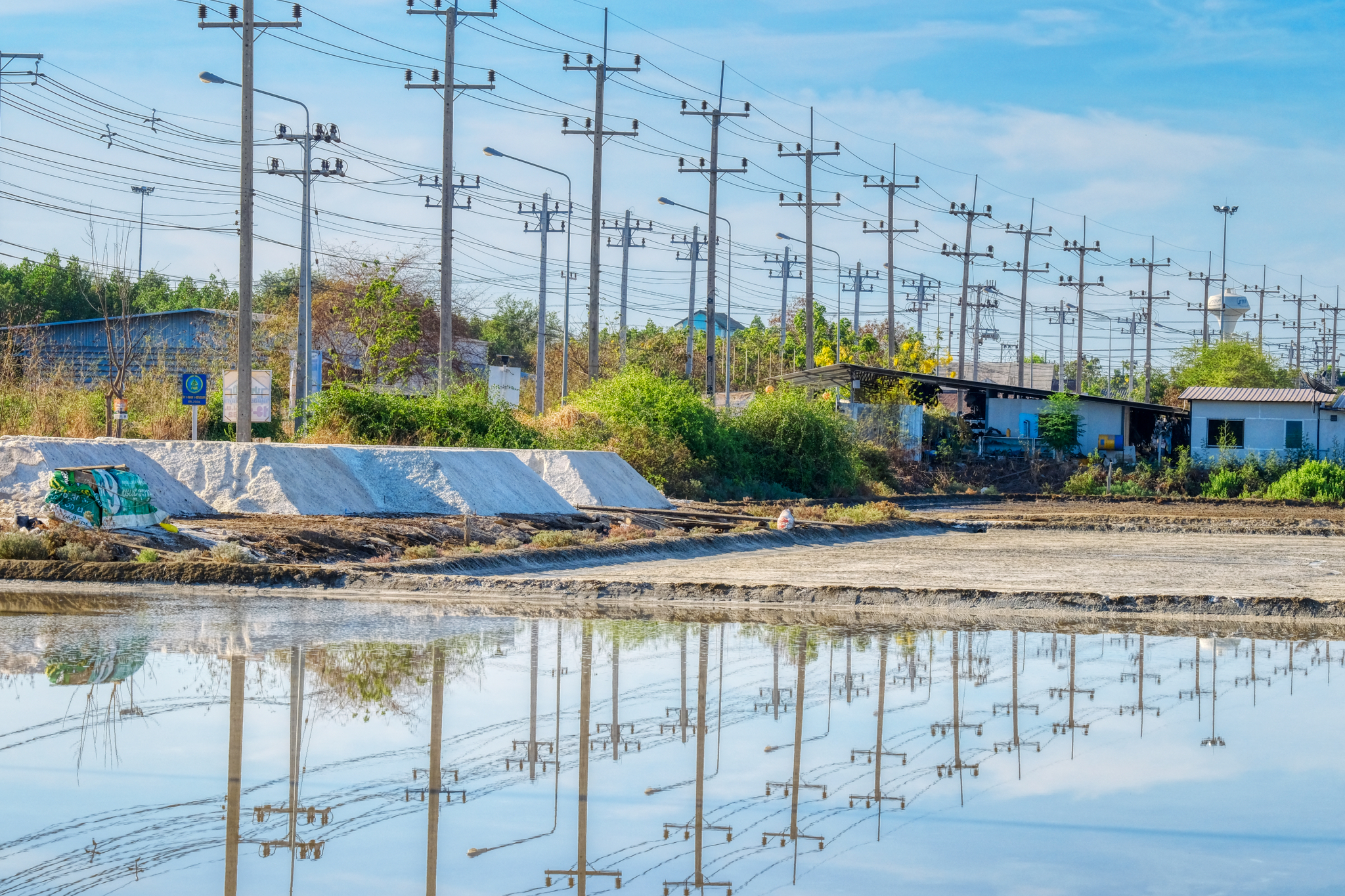 Rural roads are few and far between - valuable land is not used up for roads. As such, the roads that do exist serve for arterials for power, phone, and water. This is Thai local highway 2001.
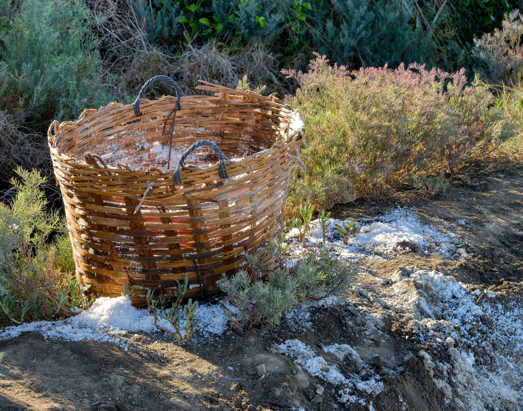 In the next salt pan, baskets were used to collect a special salt from the surface.
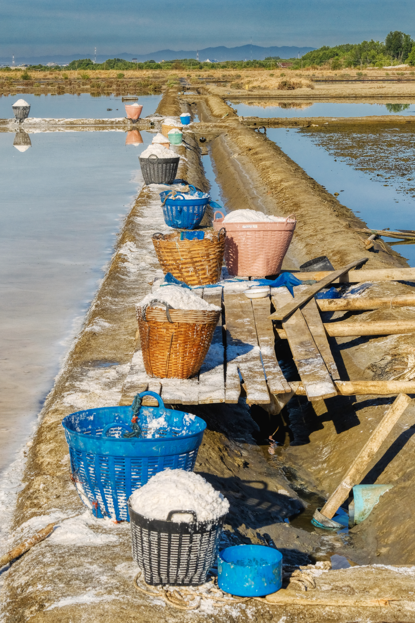 Ongoing salt harvesting.
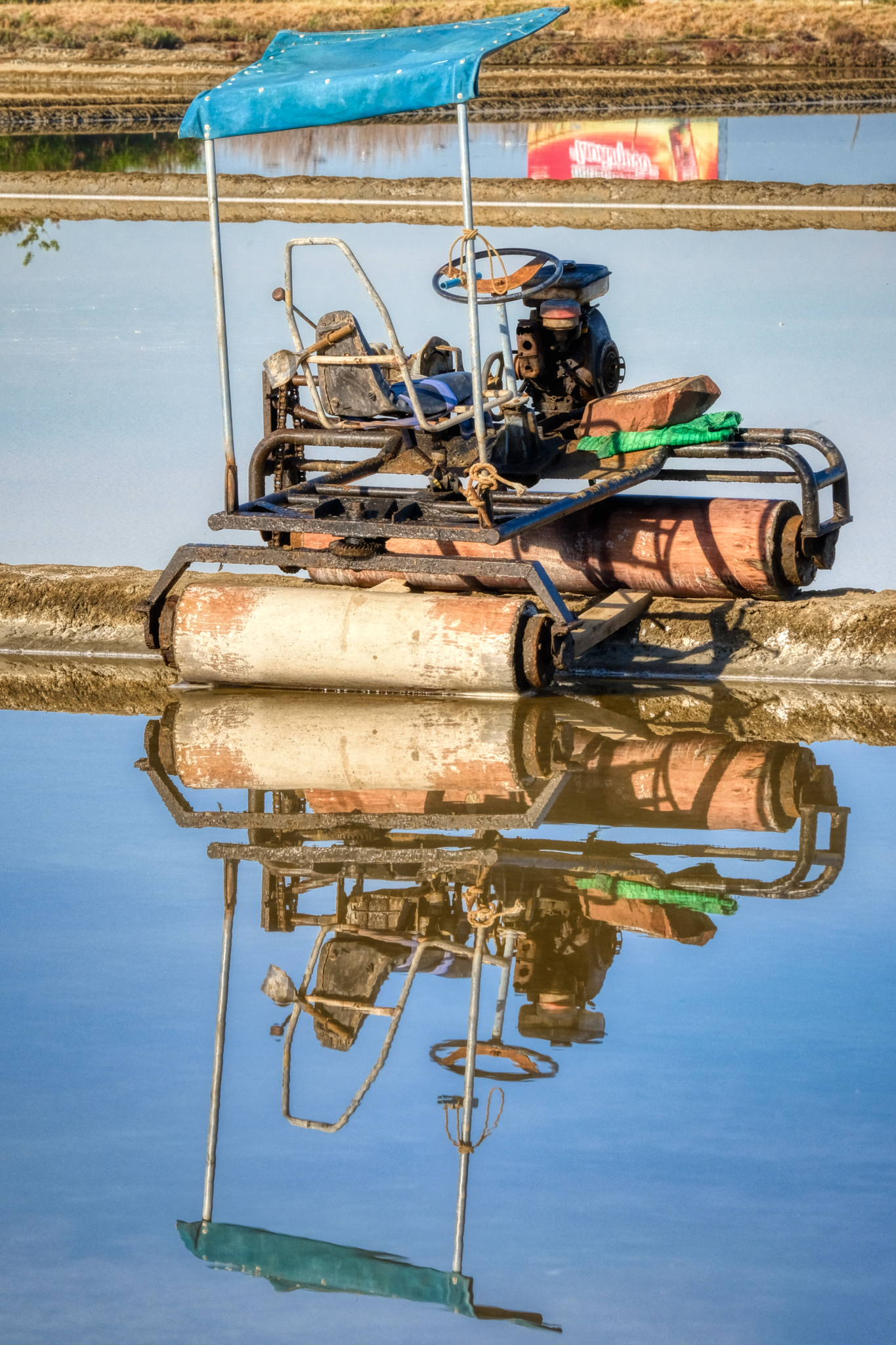 I love these amazing contraptions . . . used to flatten the pans after the salt has been removed.
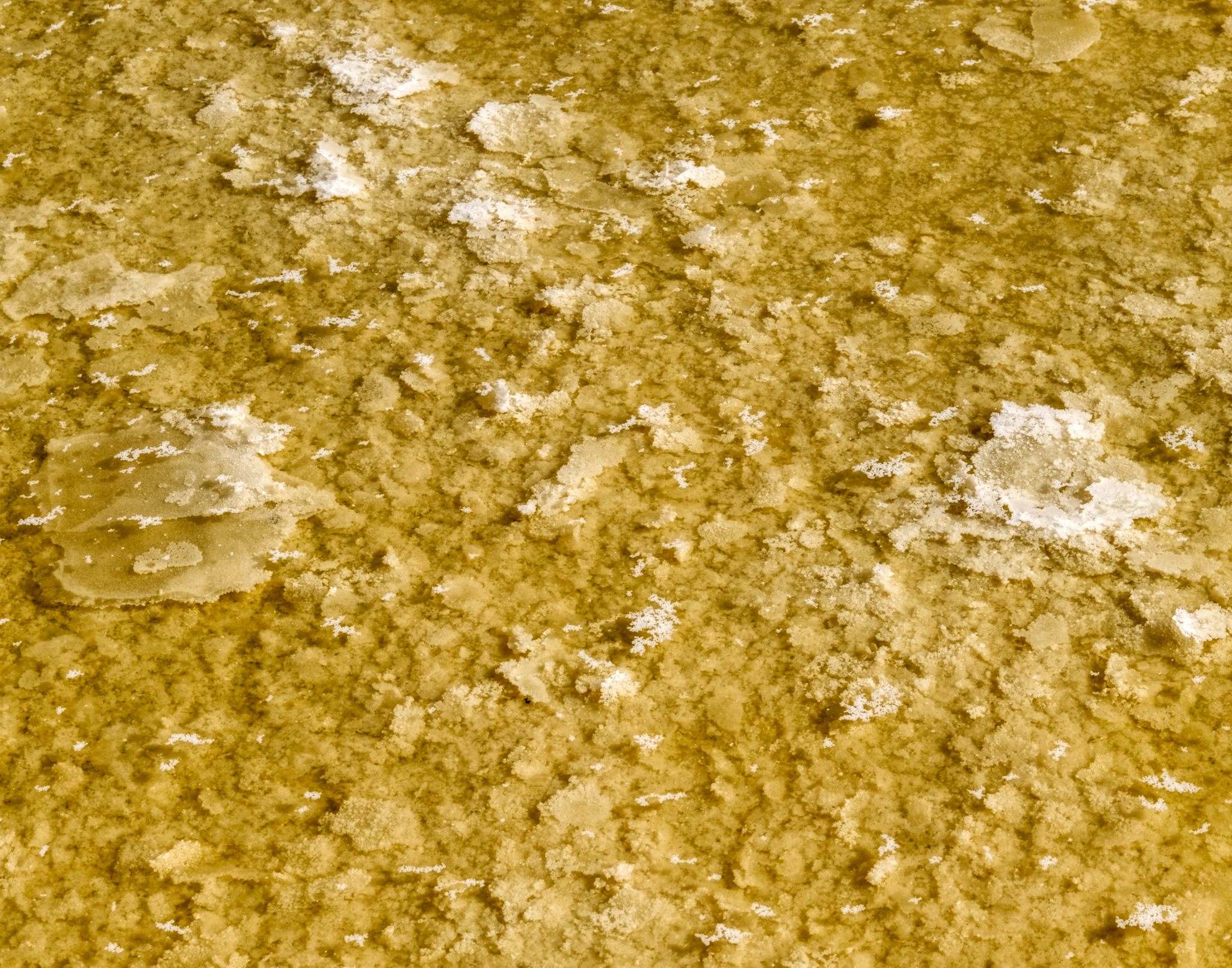 This is a rare (and valuable) form of flake salt favored by chefs . . . it floats on top of the supersaturated pans and is harvested in baskets (above).
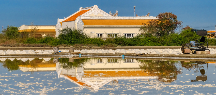 A beautiful Chinese-style Buddhist temple reflected in the salt pans.
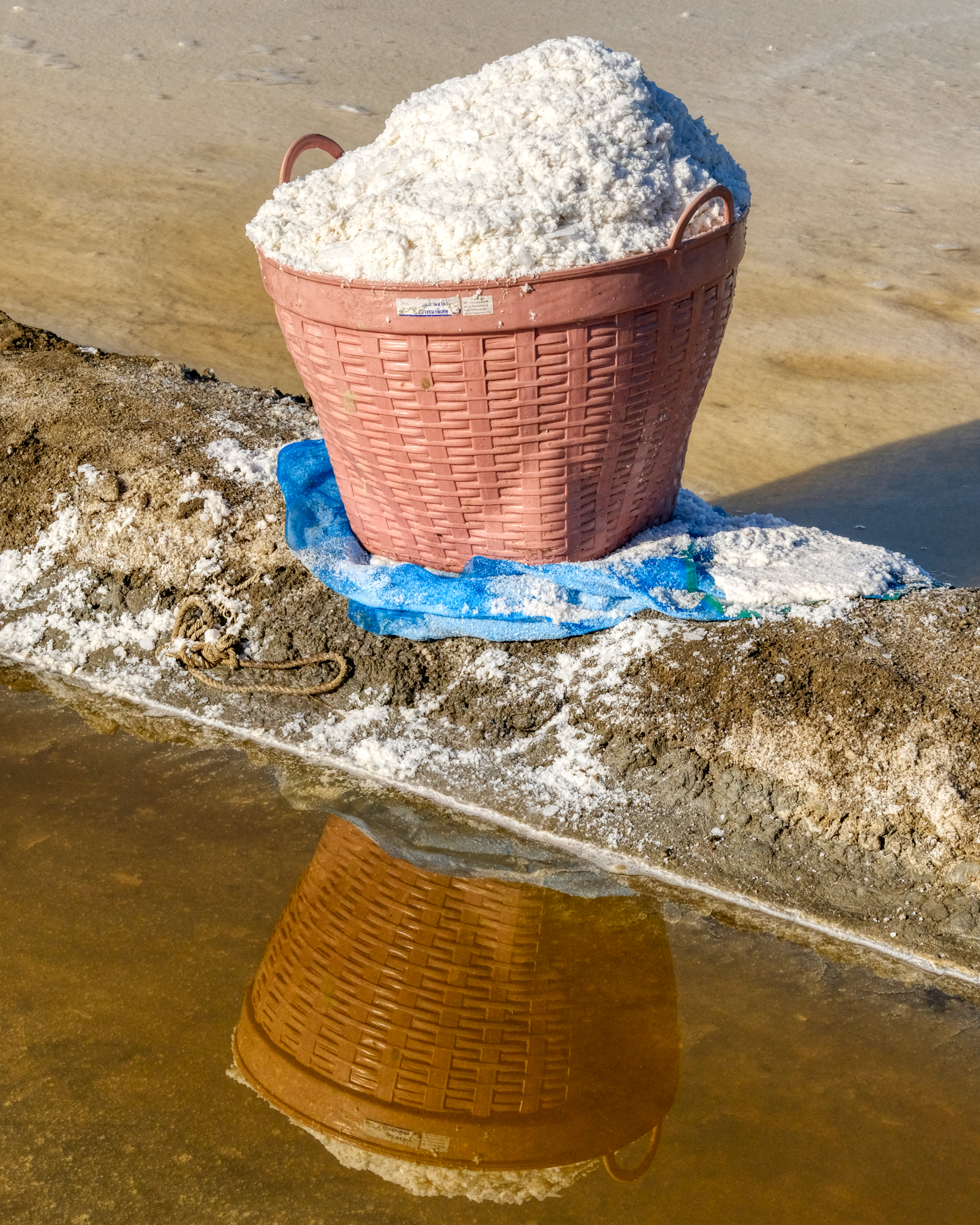 Light and flakey salt -- very valuable and sought after.
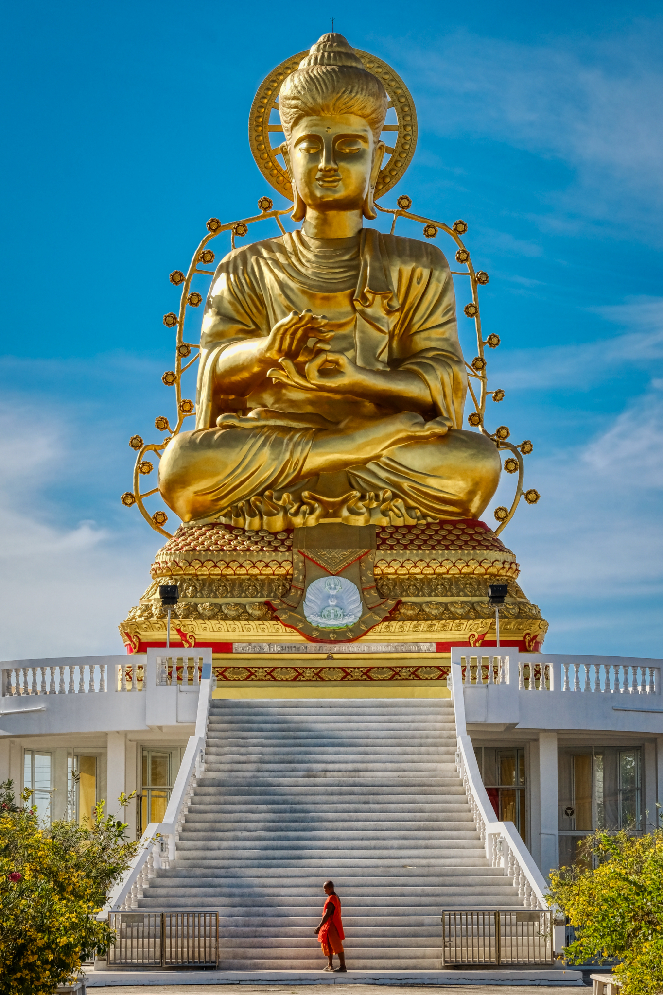 Directly across from the flake salt gathering was the Buddhist Wat I came to see after 5 years . . . . Wat Lat Yai with the Buddha colossus.
 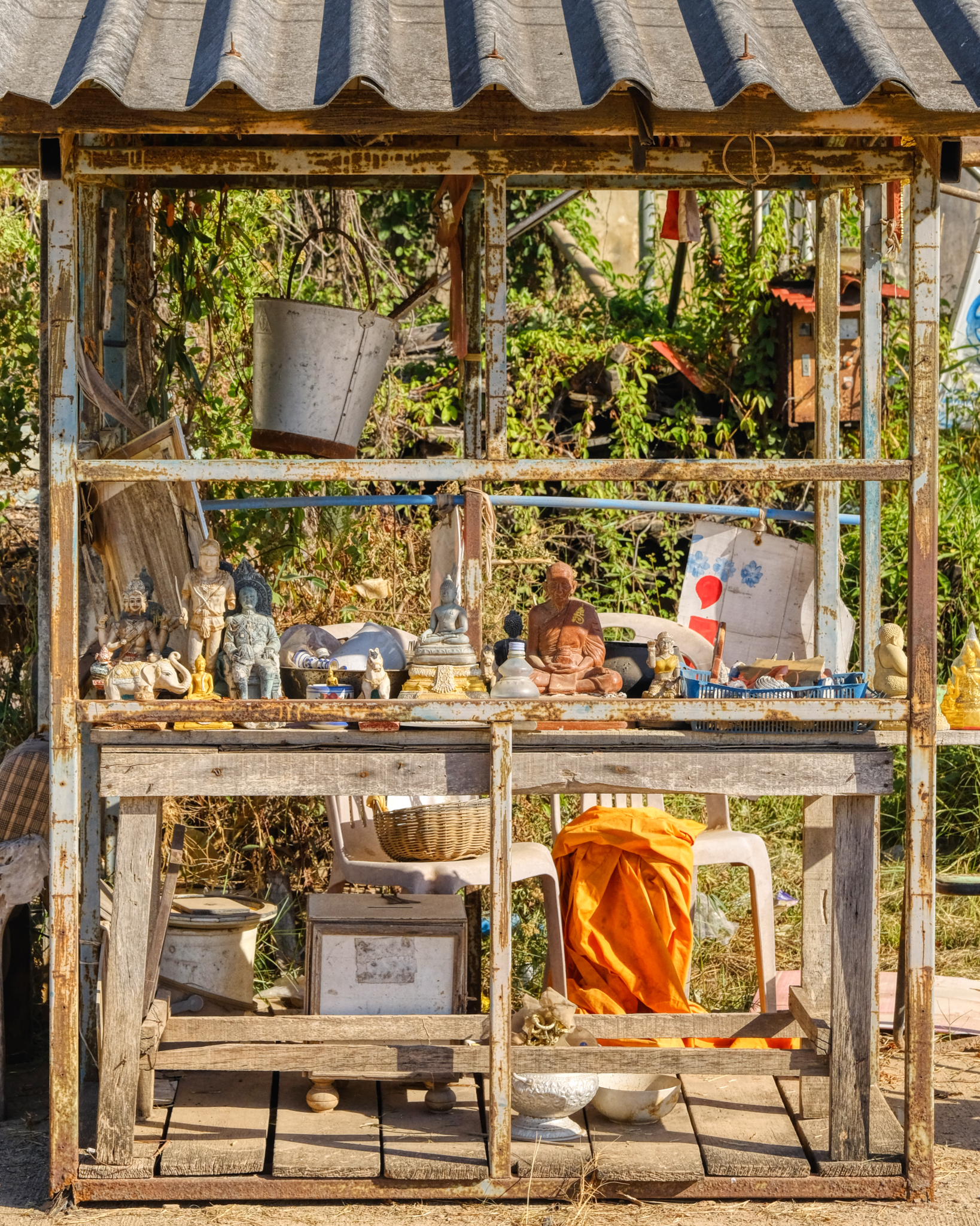 I had such wonderful memories of the spirituality of this Wat when I last visited. There are always interesting and unexpected things to see in a Wat. Some of what you see are what the monks themselves have arranged (like this small altar), but most of what is seen in a Wat are the results of what the big, rich donors want there to be.
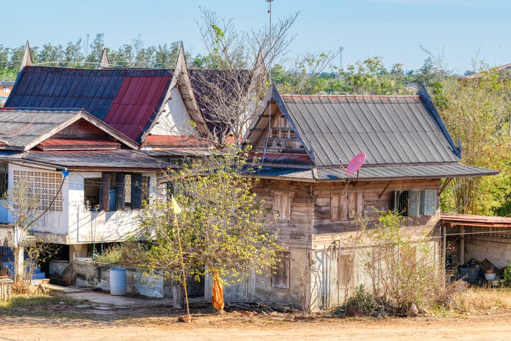 The surviving old monk quarters. I am always amazed to see a satellite dish in a Buddhist temple . . .
 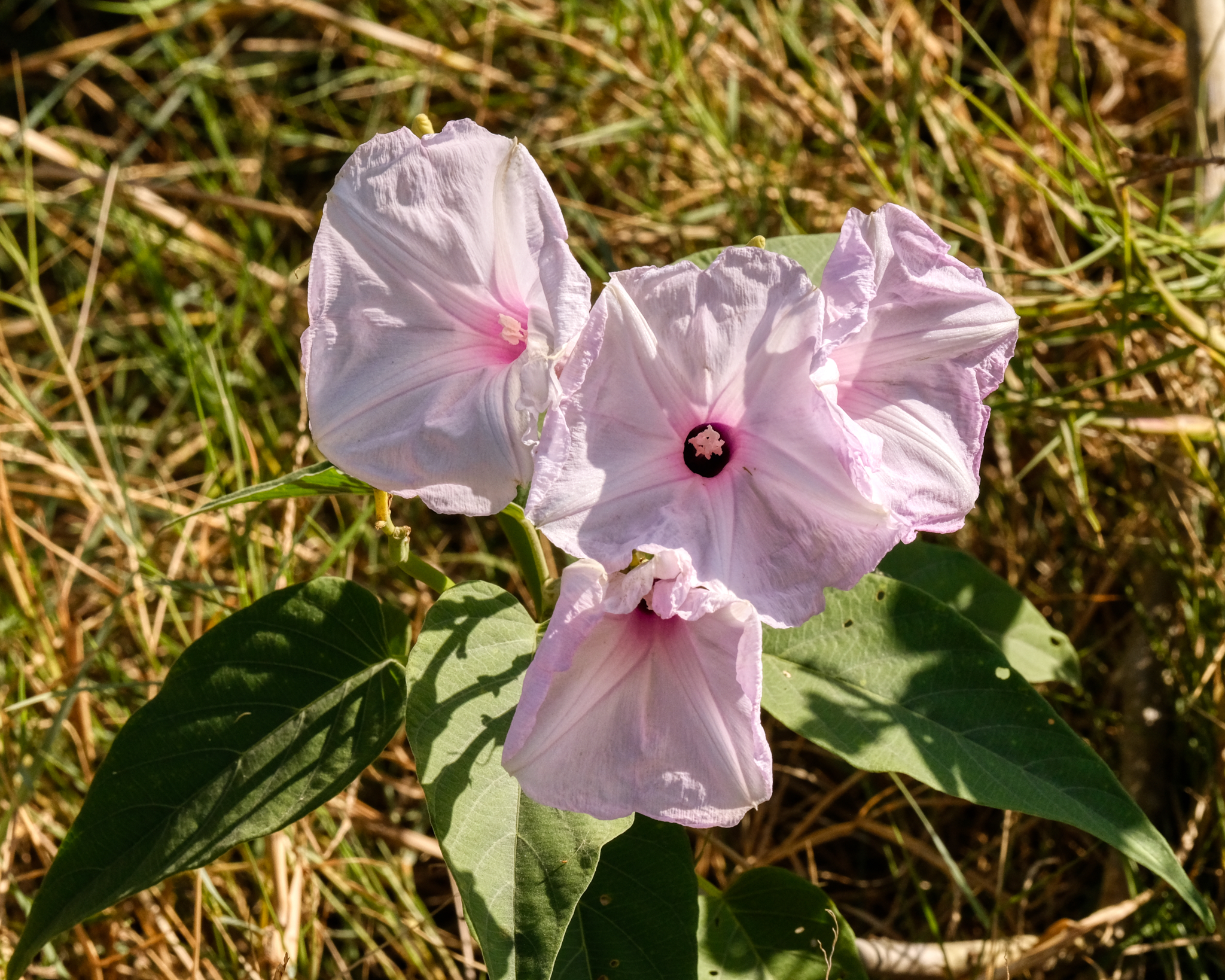 Always beautiful flowers to be seen in a Wat.
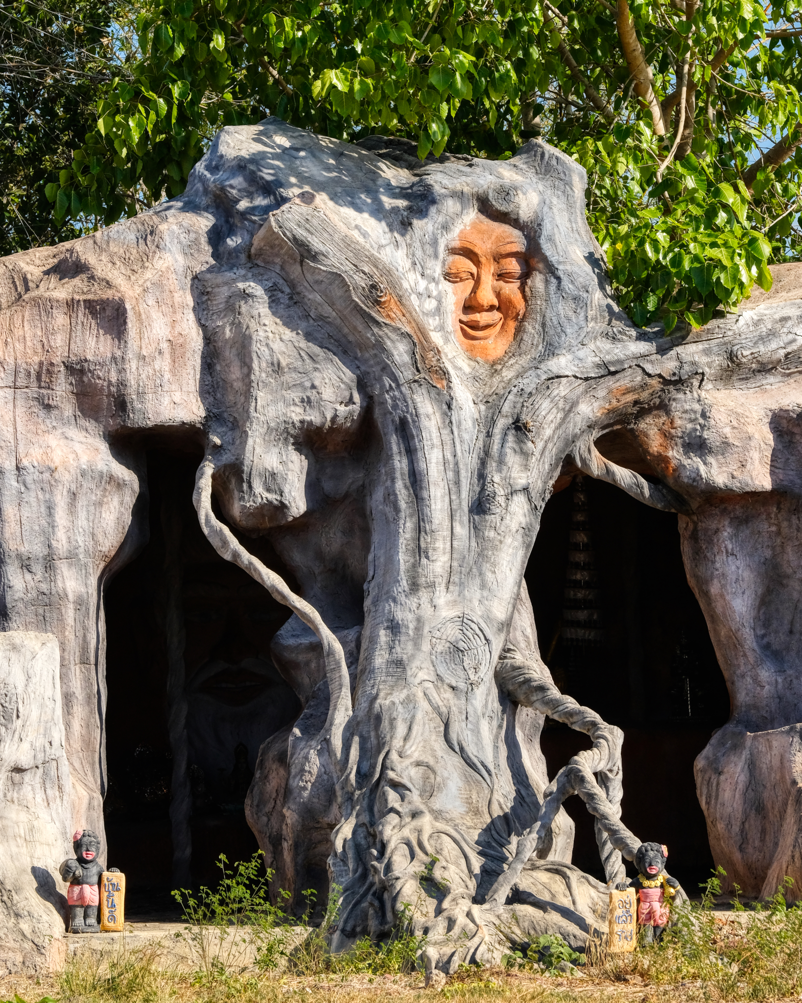 Wat Lat Yai has some of the strangest 'grottos' I have ever seen. From the outside they are just plain weird . . .
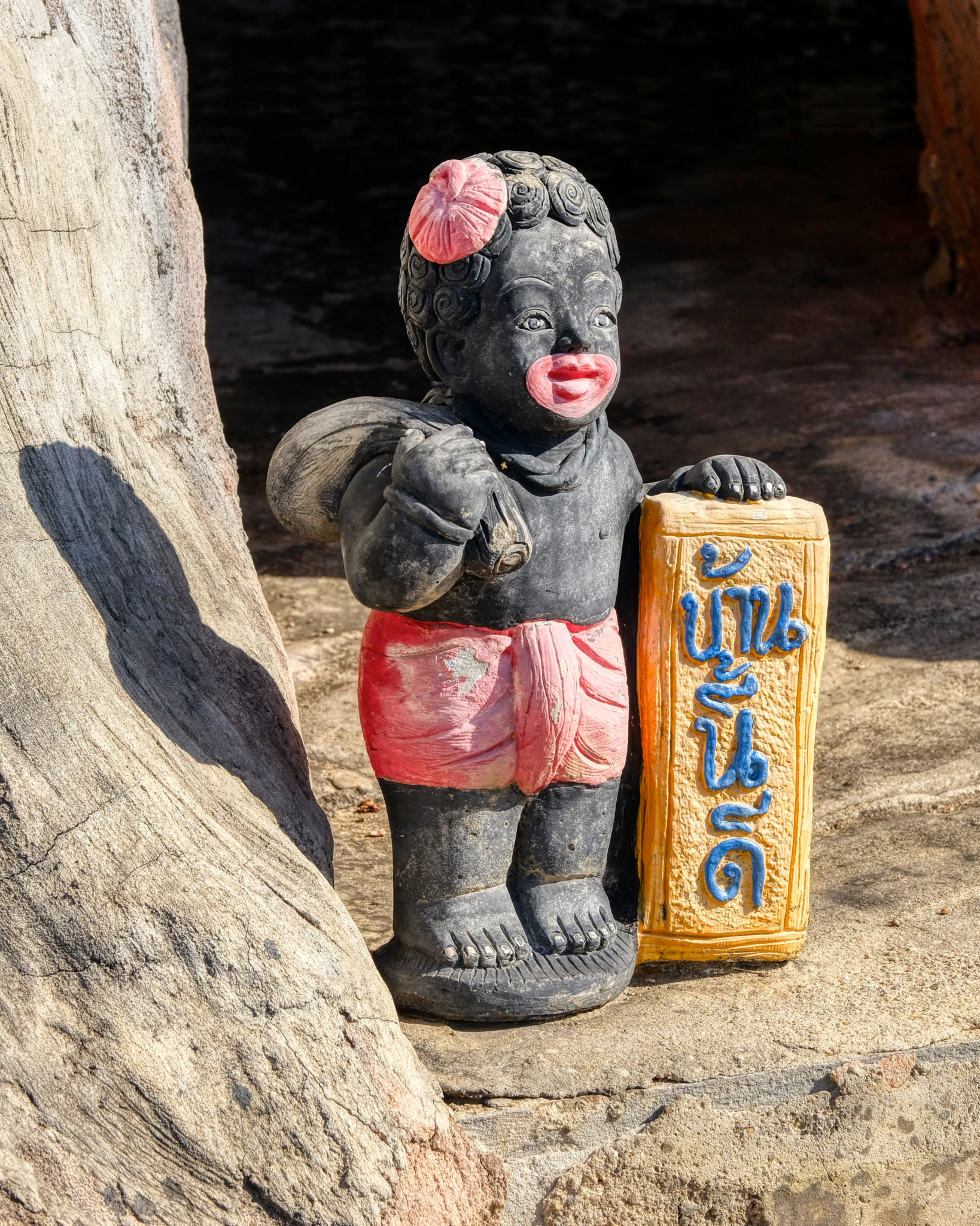 What exactly is going on here? Remember, these things are placed in temples by the doners, not by the monks, who renounce material things. But still . . . .
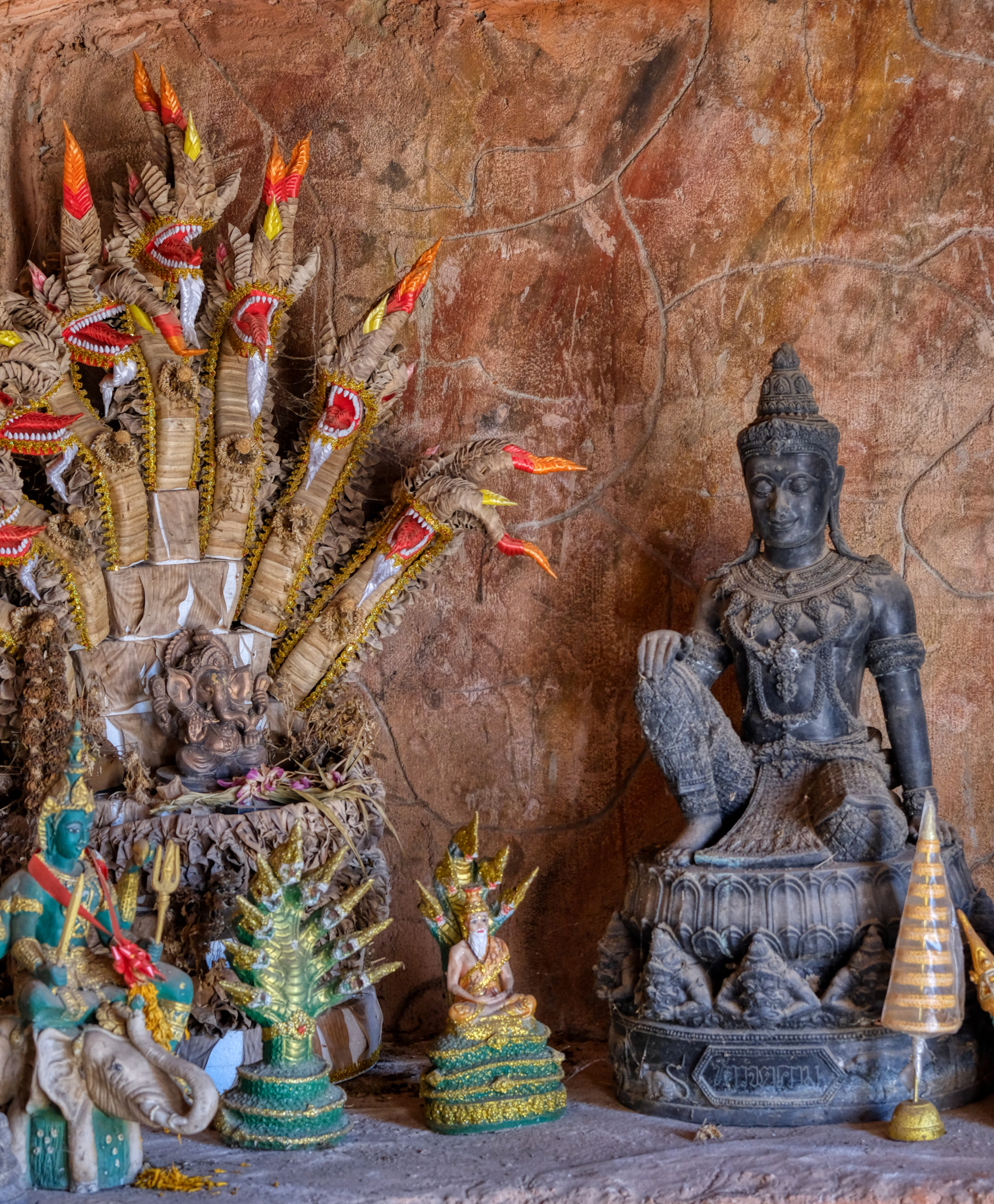 Although the outside of this man-made grotto was a little strange, the inside was magic.
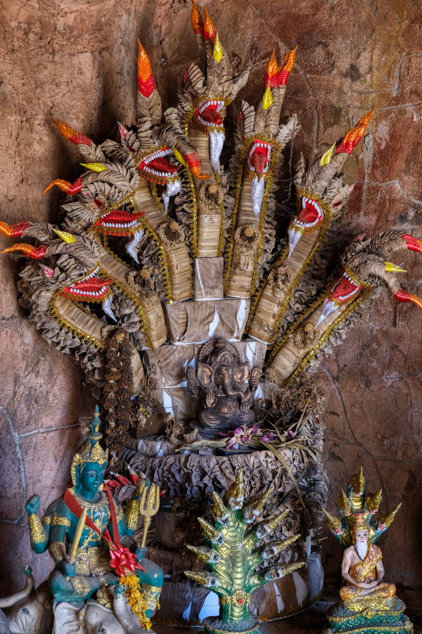 The banana leaf origami on this altar piece was stunningly beautiful. I felt a little like Indiana Jones discovering a lost tomb or ancient temple never seen before. These are Hindu religious items revered in Thailand along side The Buddha.
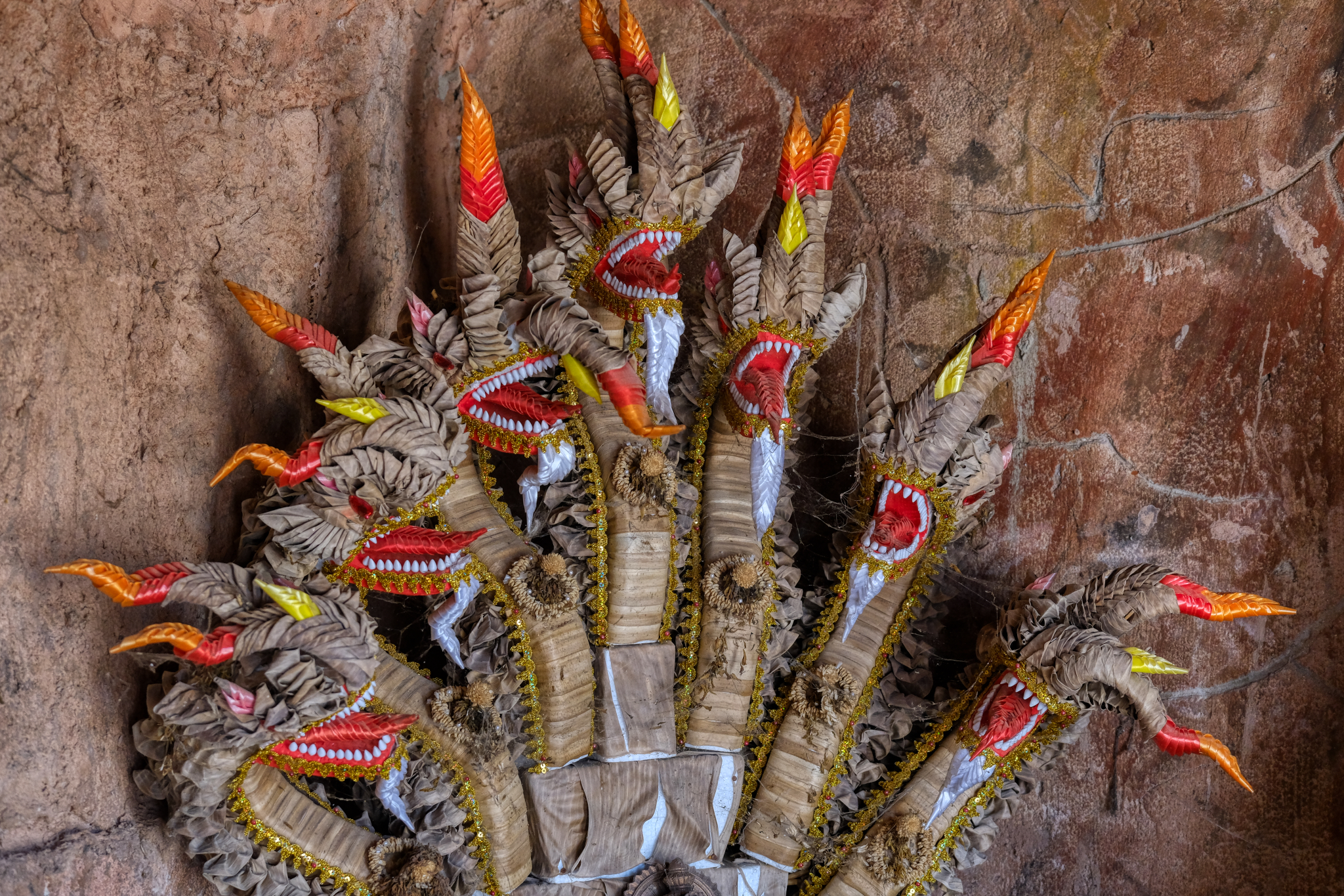 Remarkable fine detailing.
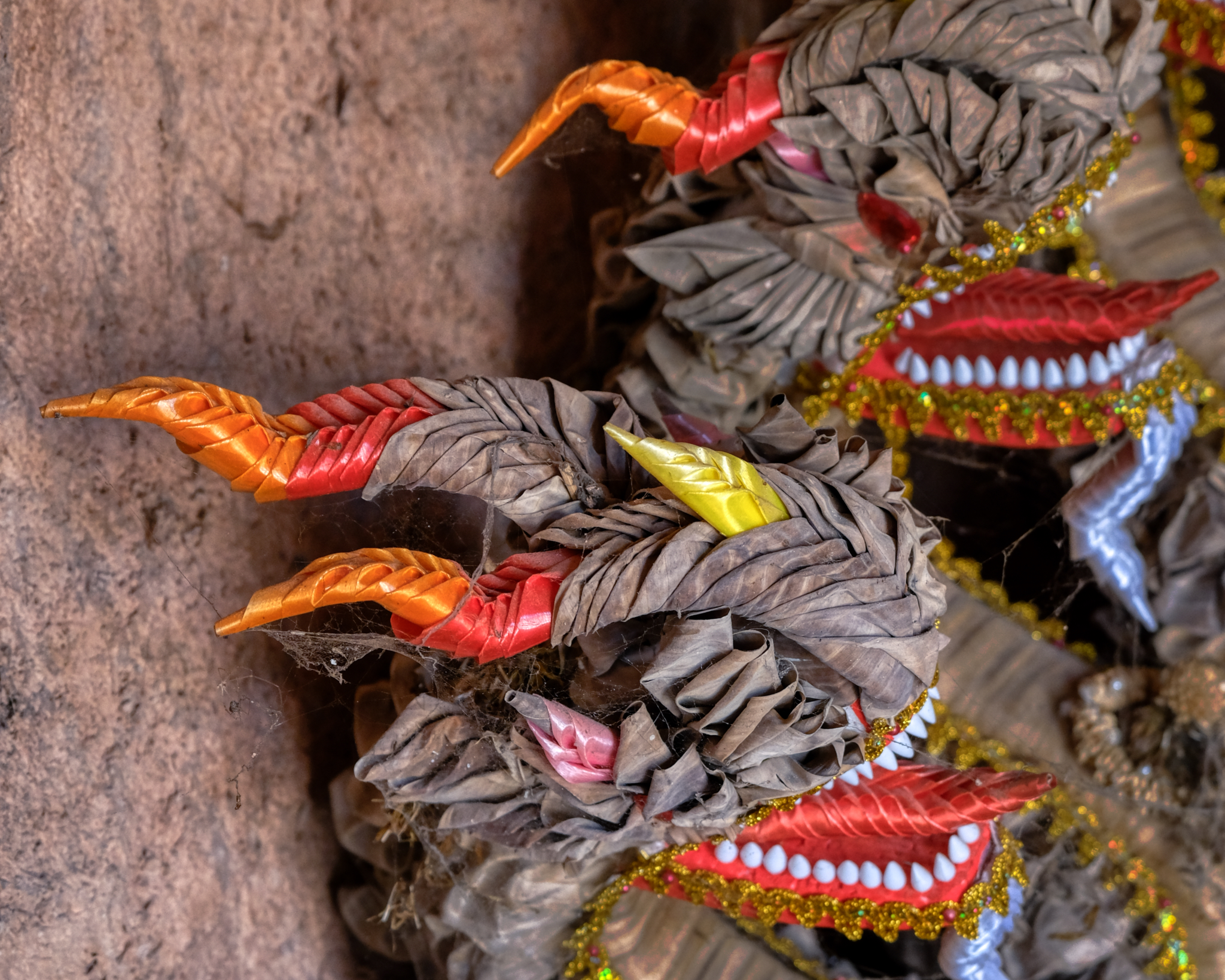 Even the cobwebs seem to belong; adding to the spiritual power of this votive object.
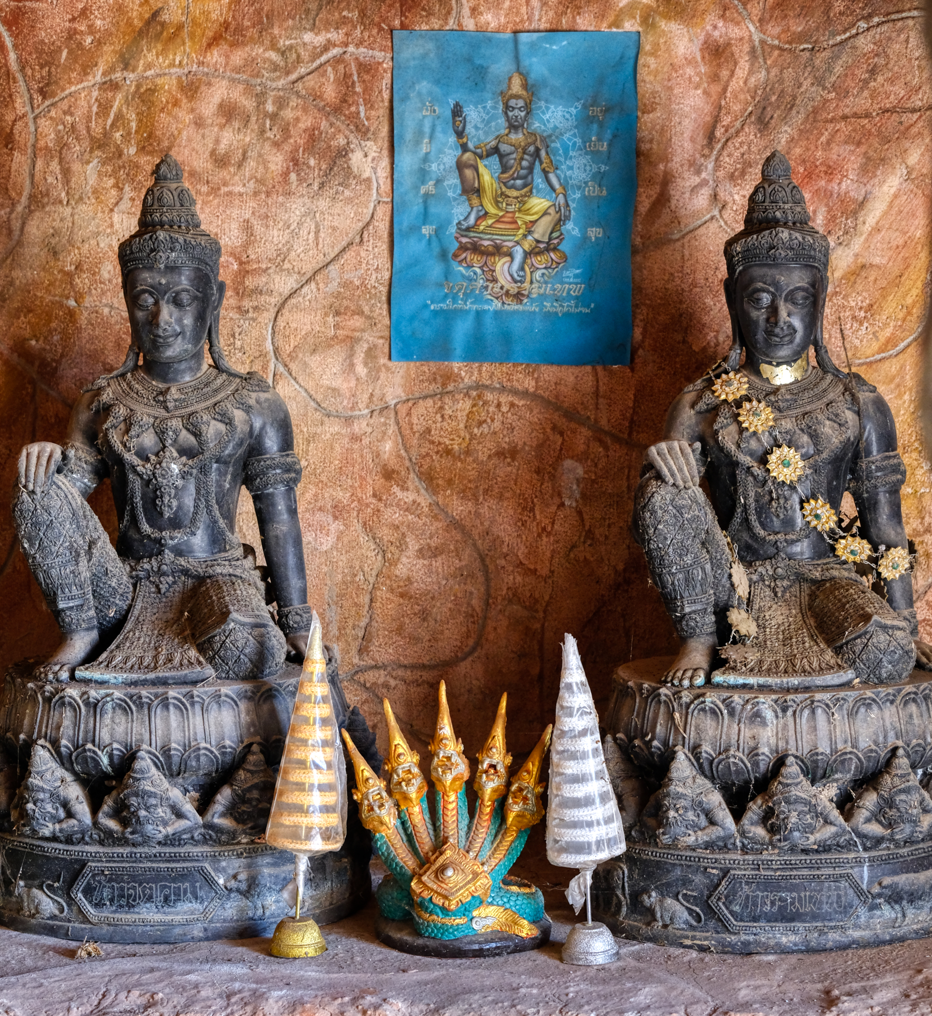 Bikkus, listeners of the Buddha teaching the dharma.
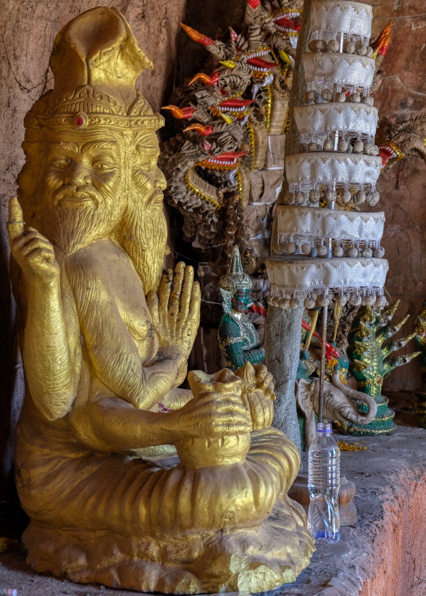 Another Hindu reference . . . a four face sadhu.
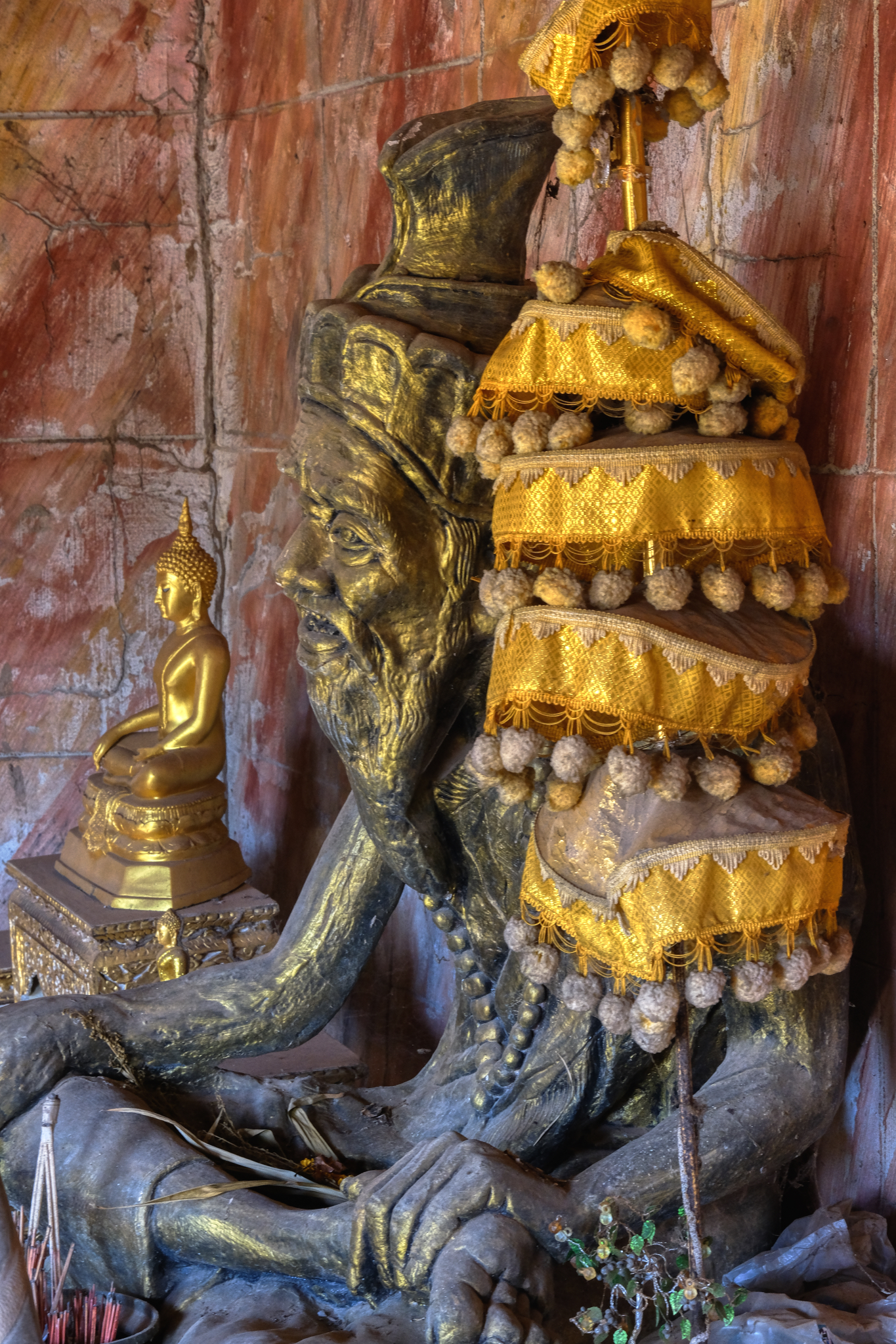 Sadhu and Buddha images in the grotto. I loved being in that space . . .
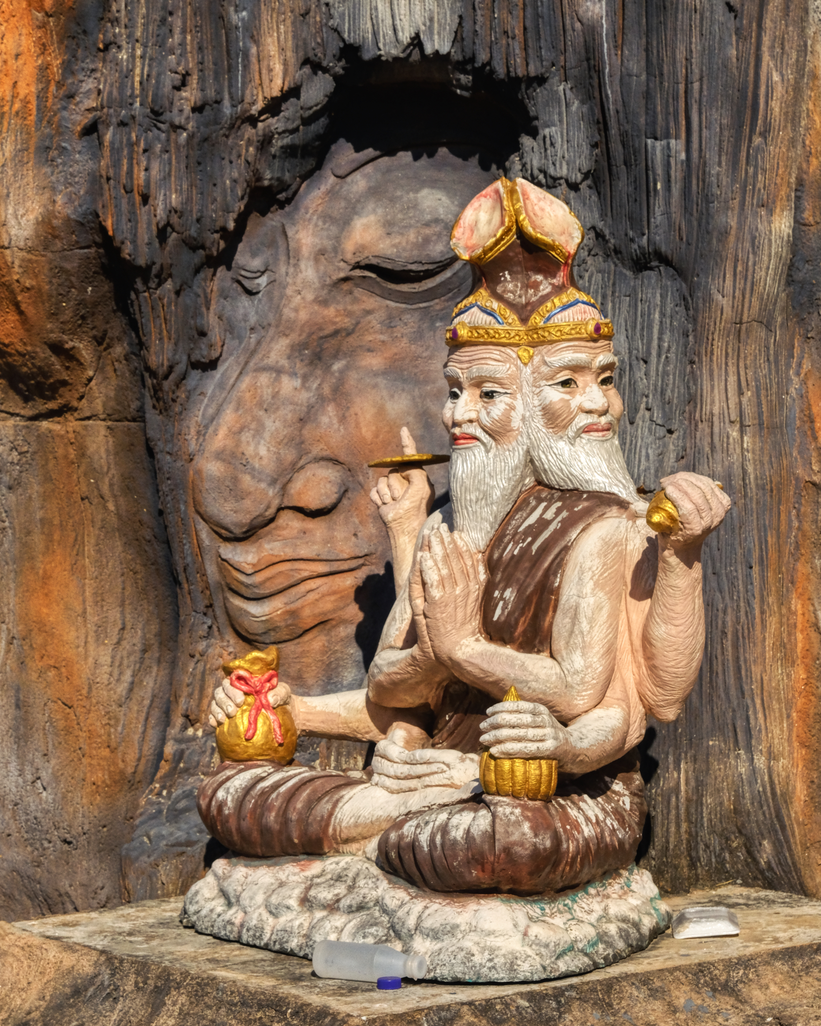 There were also a series of enclave altars around the outside and back of the grotto structure.
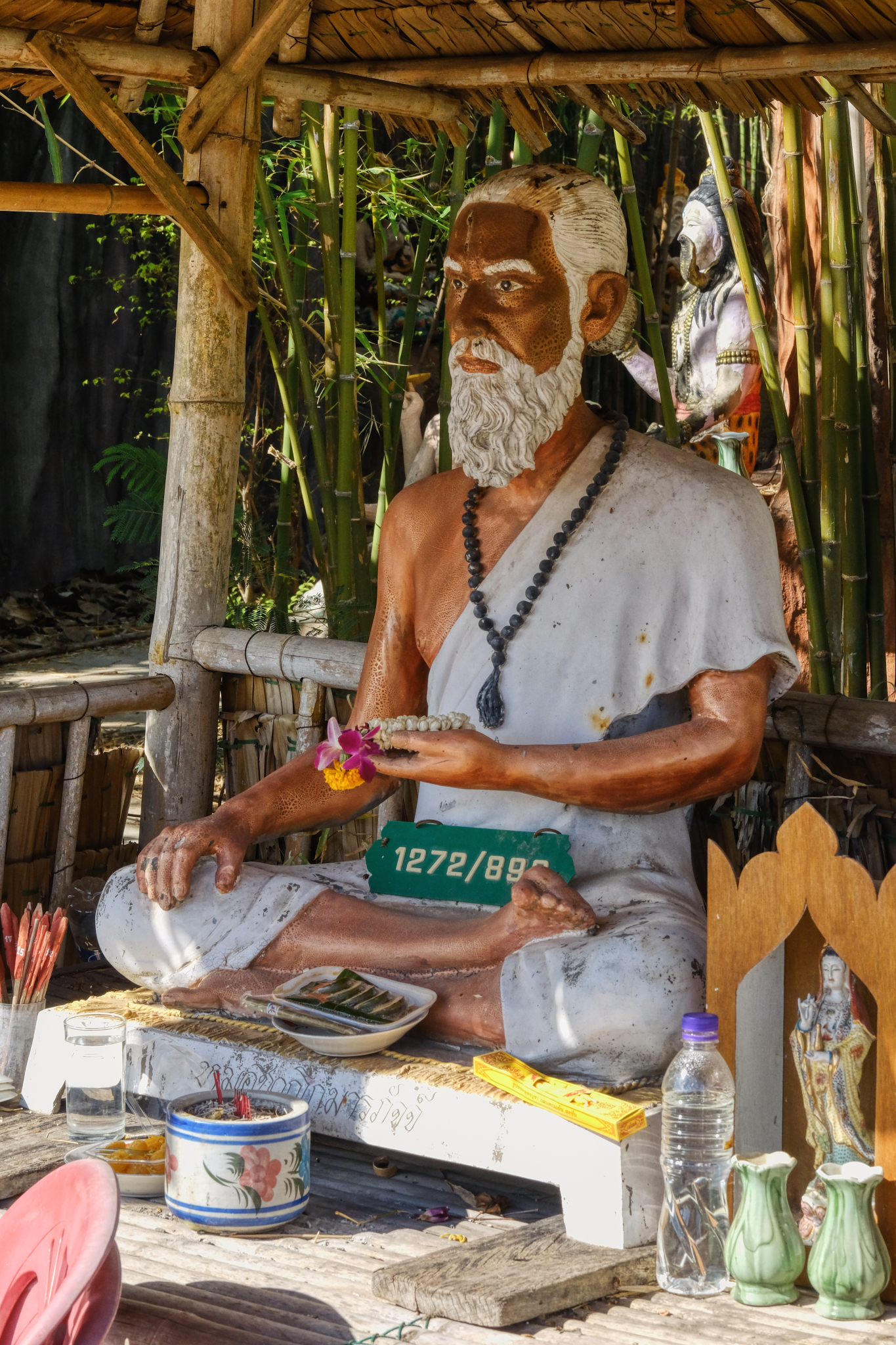 These are living altars. As can be seen, people bring offerings, usually wishing or hoping for good luck. Notice that someone has left the address plate from their house on the altar . . .
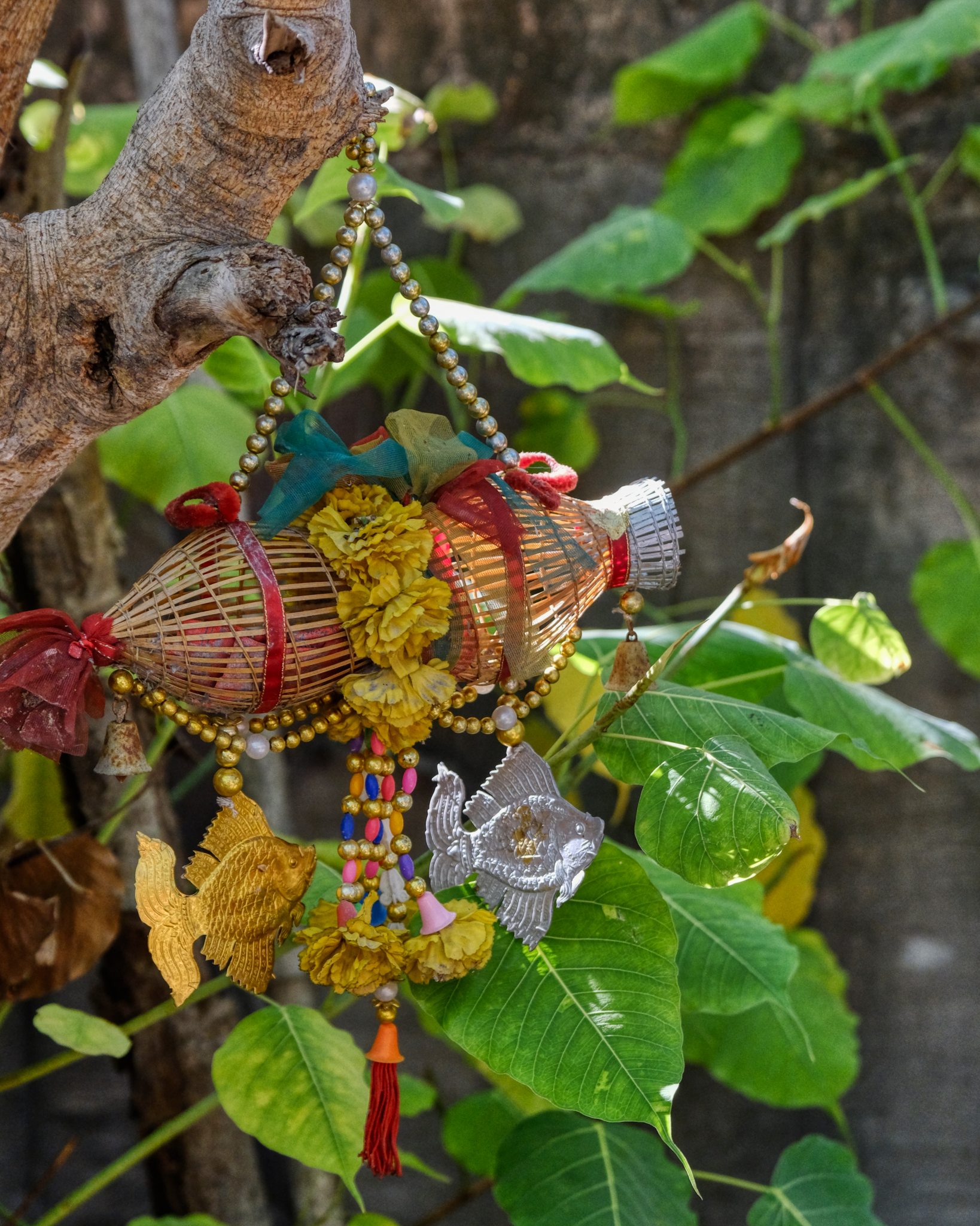 Slung here and there, votive charms festoon the temple trees.
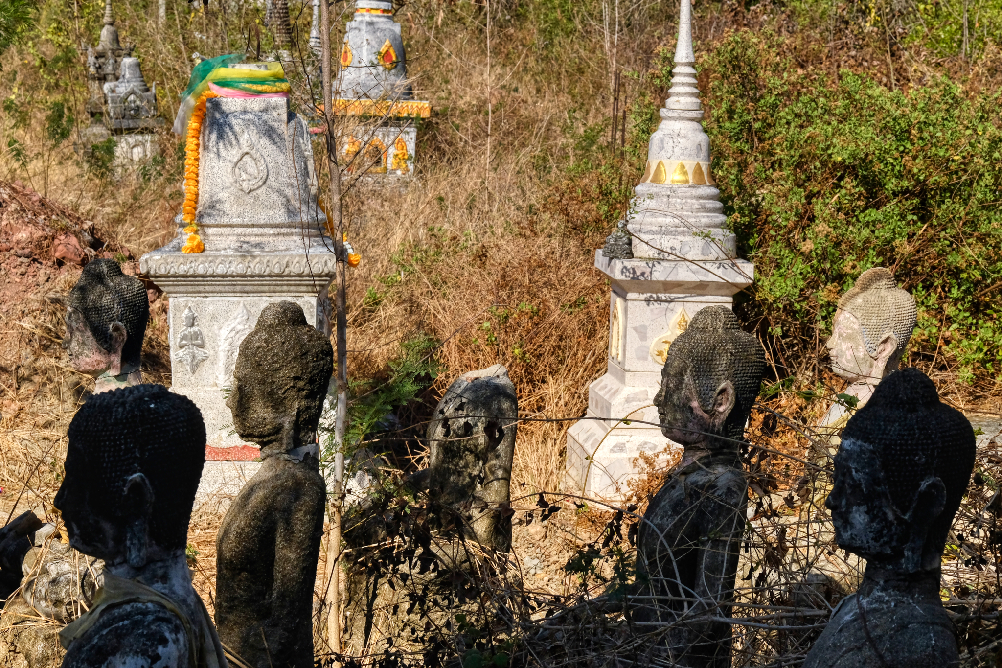 The reason I wanted to return to this Wat and bring friends, was because there used to be a tropical pine grove with old Buddha images in it . . . covered in pine needles. The pine forest is gone: slashed because they did not fit the plan of a doner with a new vision for this temple. The old Buddhas were still there, but looking like they have been 'mothballed' . . .
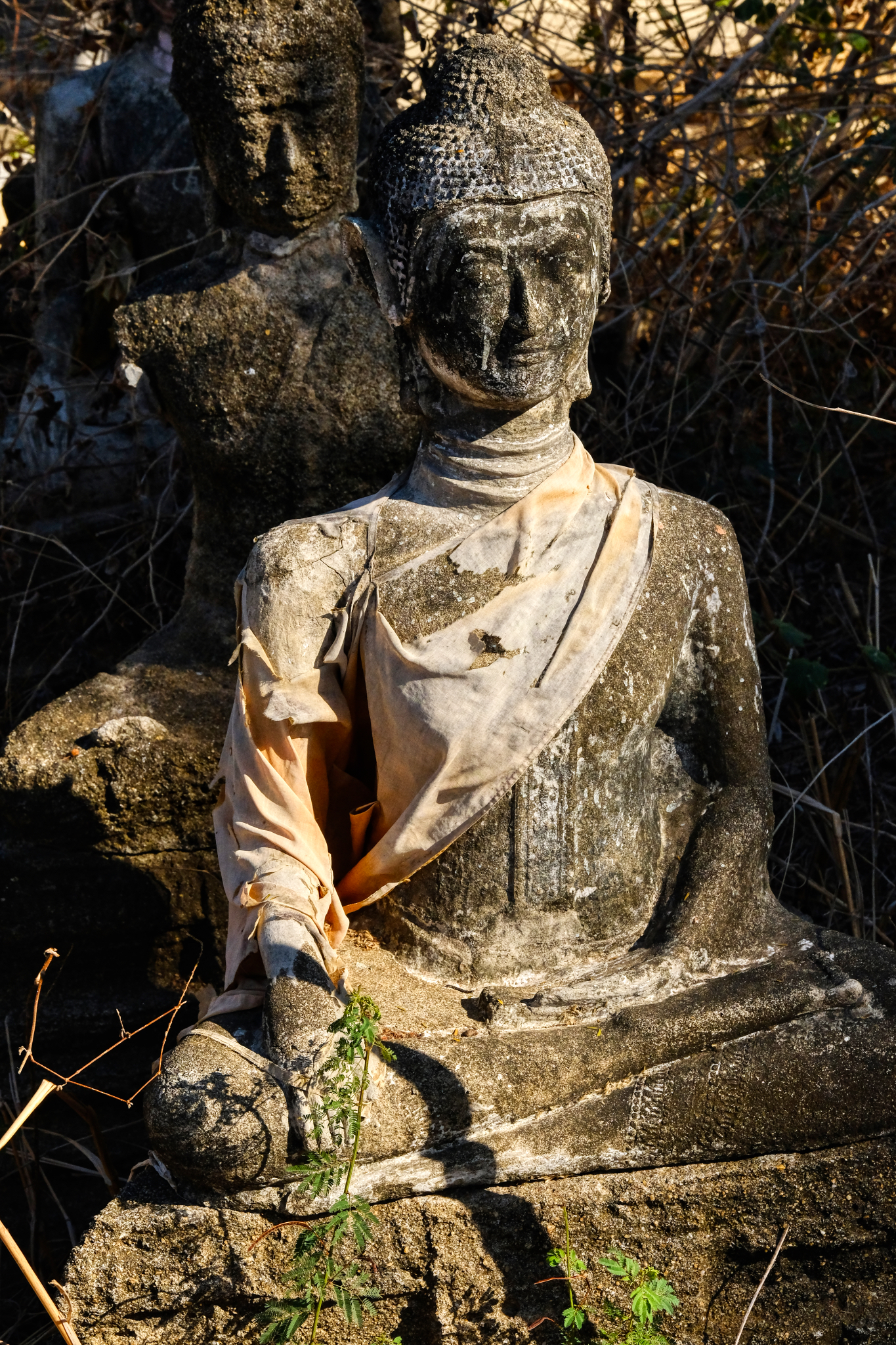 These old, and seemingly discarded, Buddha images seemed to me to be highly spiritual reminders of the project that the Buddha called us to try.
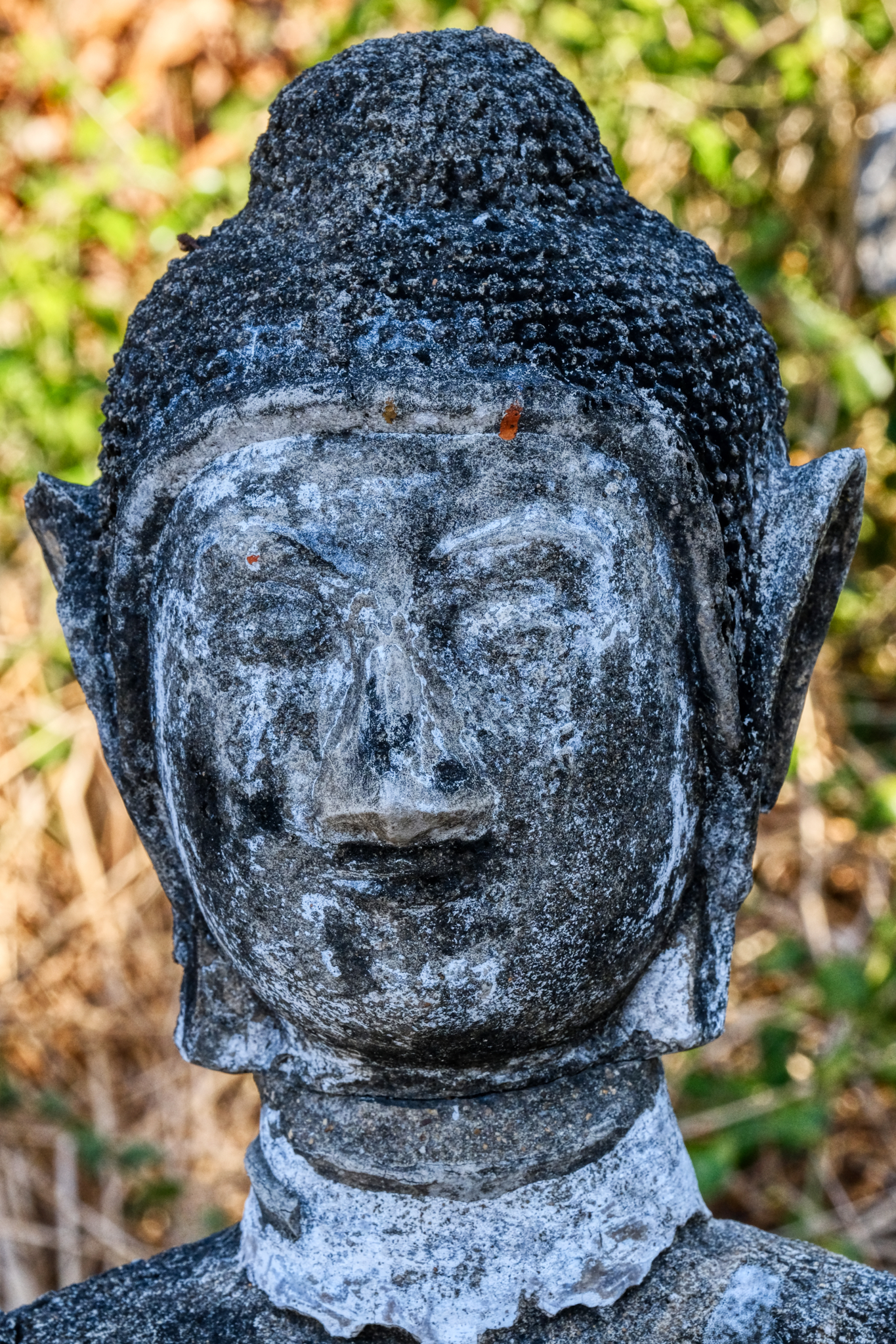 It seems like someone has taken a scraper to clean some of the moss of of this Buddha image.
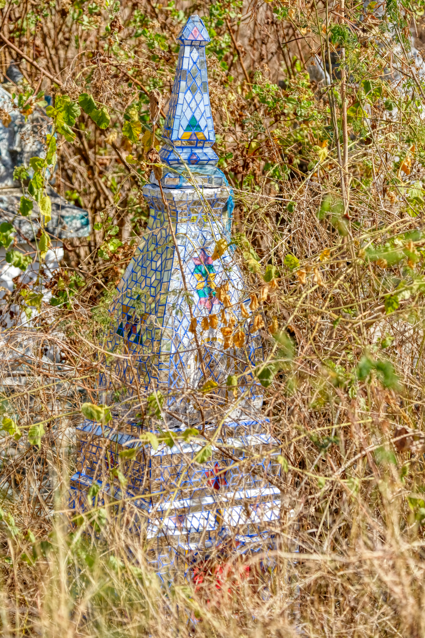 Still bright and shiny . . . an overgrown mirror chedi.
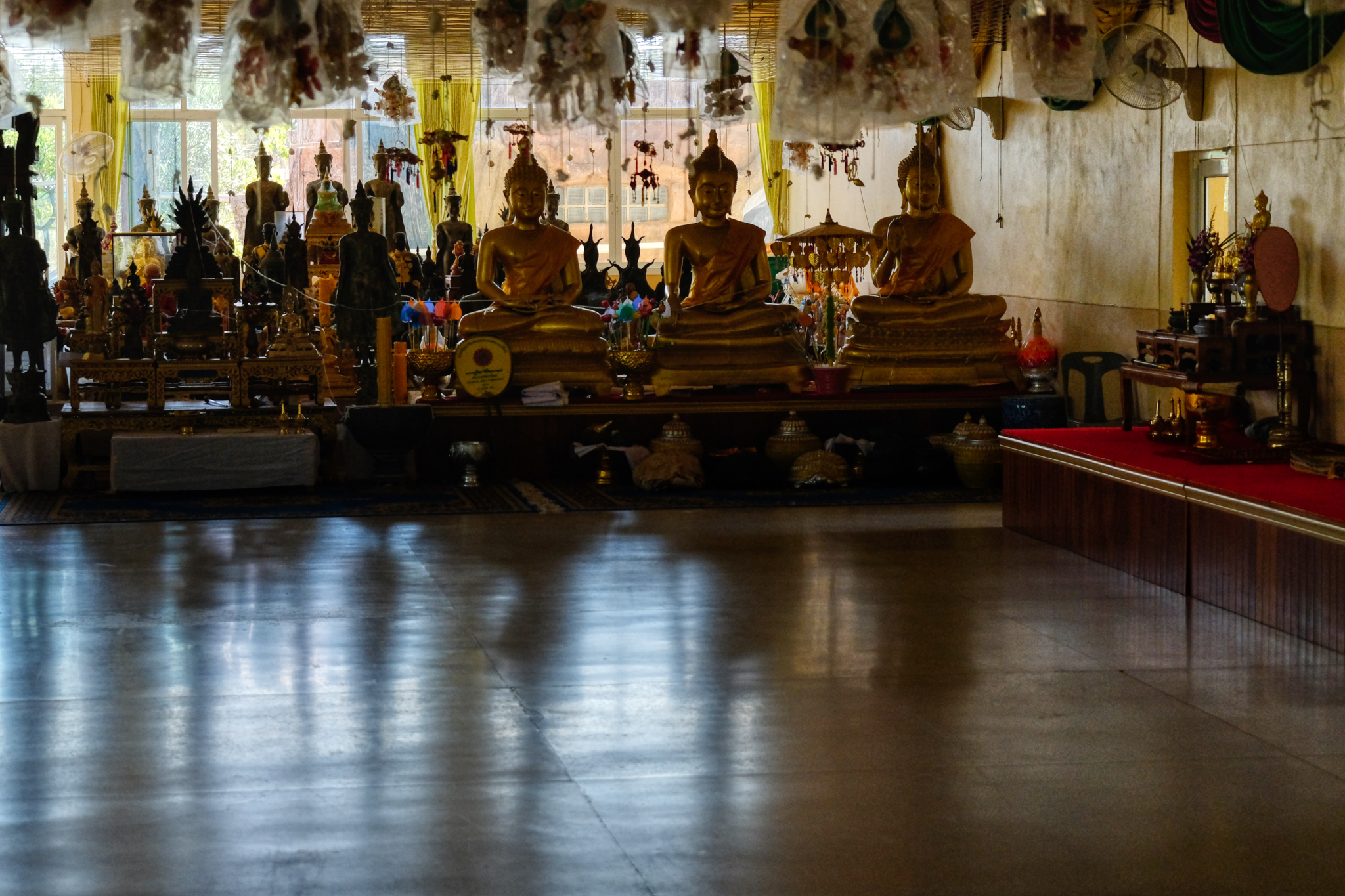 By this time of the morning (9:00am) it was already devilishly hot: well over 40c. We went inside to the shaded hall where two nice old ladies (helpers) brought us bottled water. The hall seemed temporary, perhaps being used until some other structure was being built.
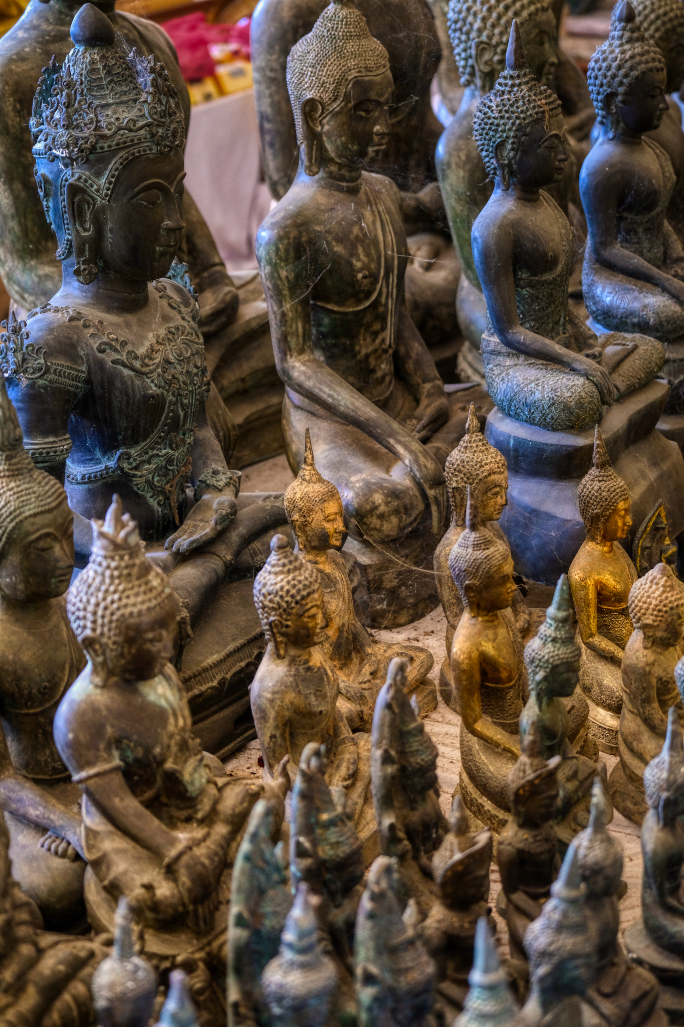 The altar was crowded with Buddha images. Fascinating.
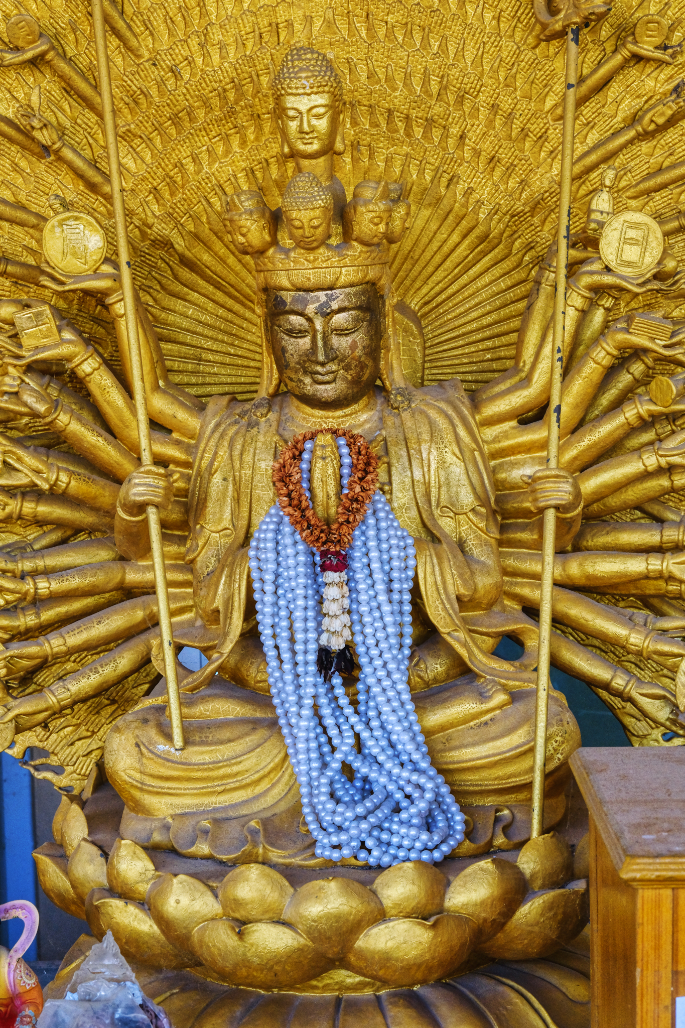 There seemed to be many more Hindu symbols in this Wat than others I have visited. I want a hat like this!
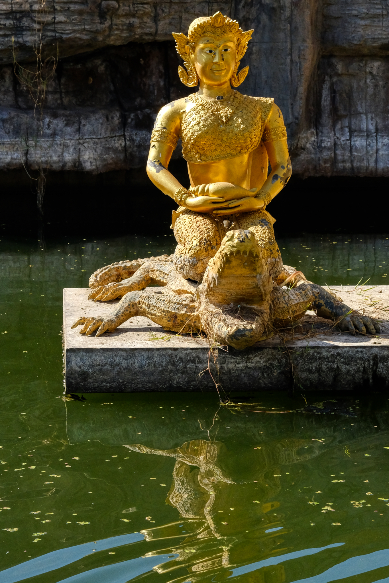 "What, me worry?" Supreme detachment. We left the Wat and headed back to the highway where we saw a sign pointing to small road and the name of another Wat . . .
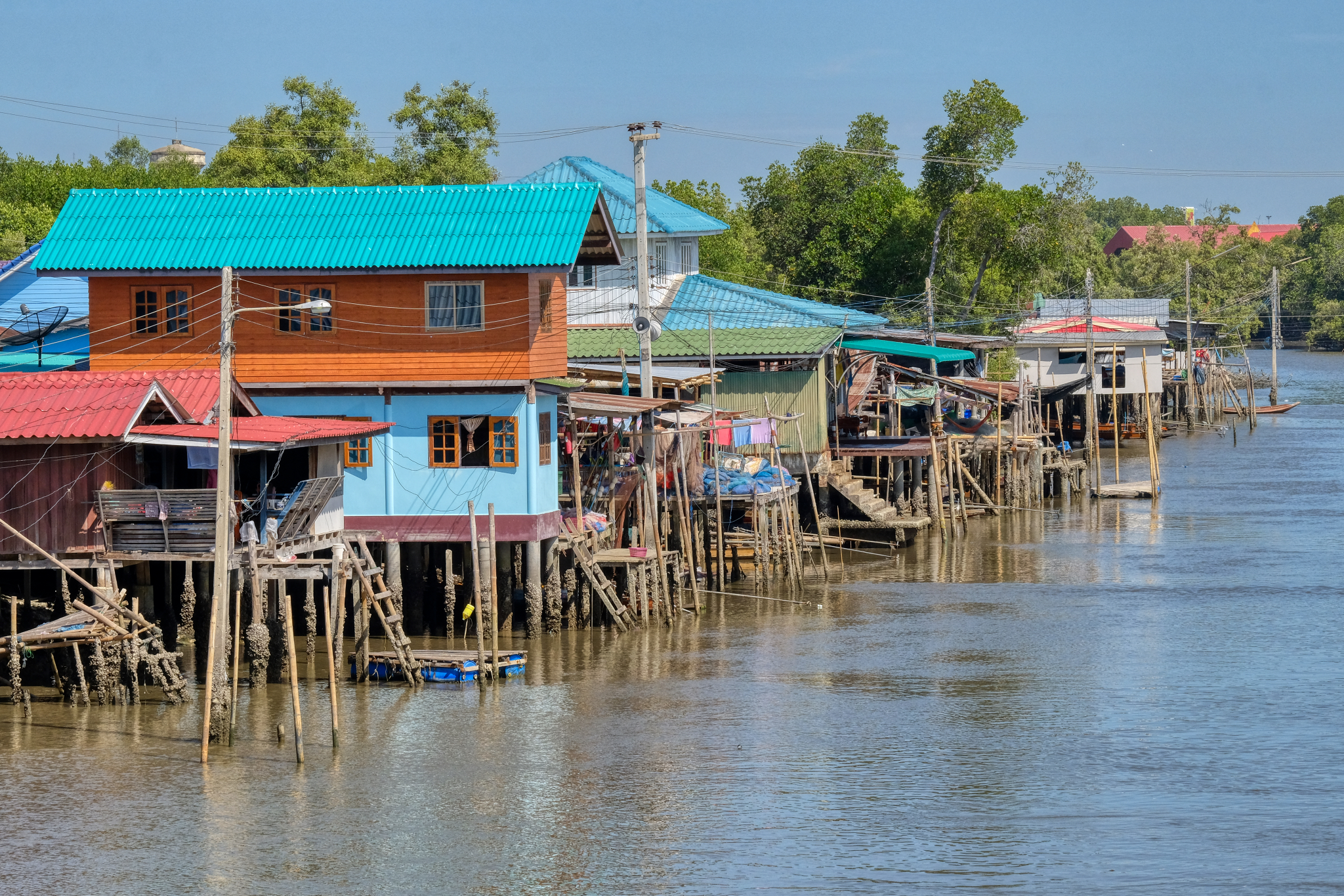 A short drive up a small rural road in search of another Buddhist temple to explore. We didn't find the temple, but we did find this wonderful village built on a canal not far from where it emptied into the Gulf of Thailand.
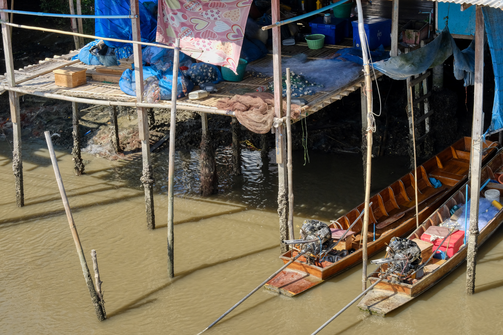 I love these canal side fishing villages . . . they are so picturesque . . . and visually complex.
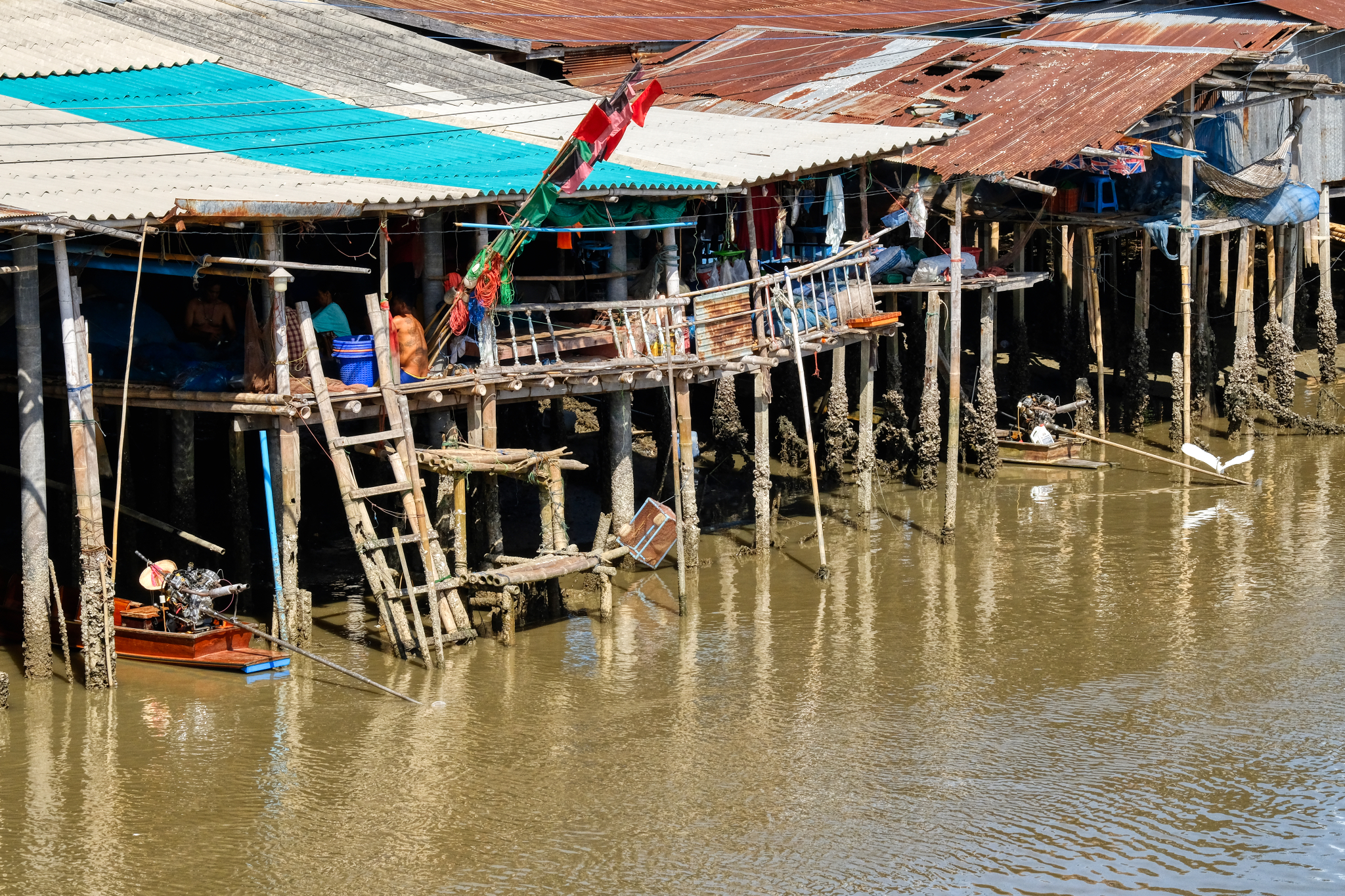 Too hot to do anything other than to sit around with your friends and family and mend nets . . . unless you are a falang photographer, that is!
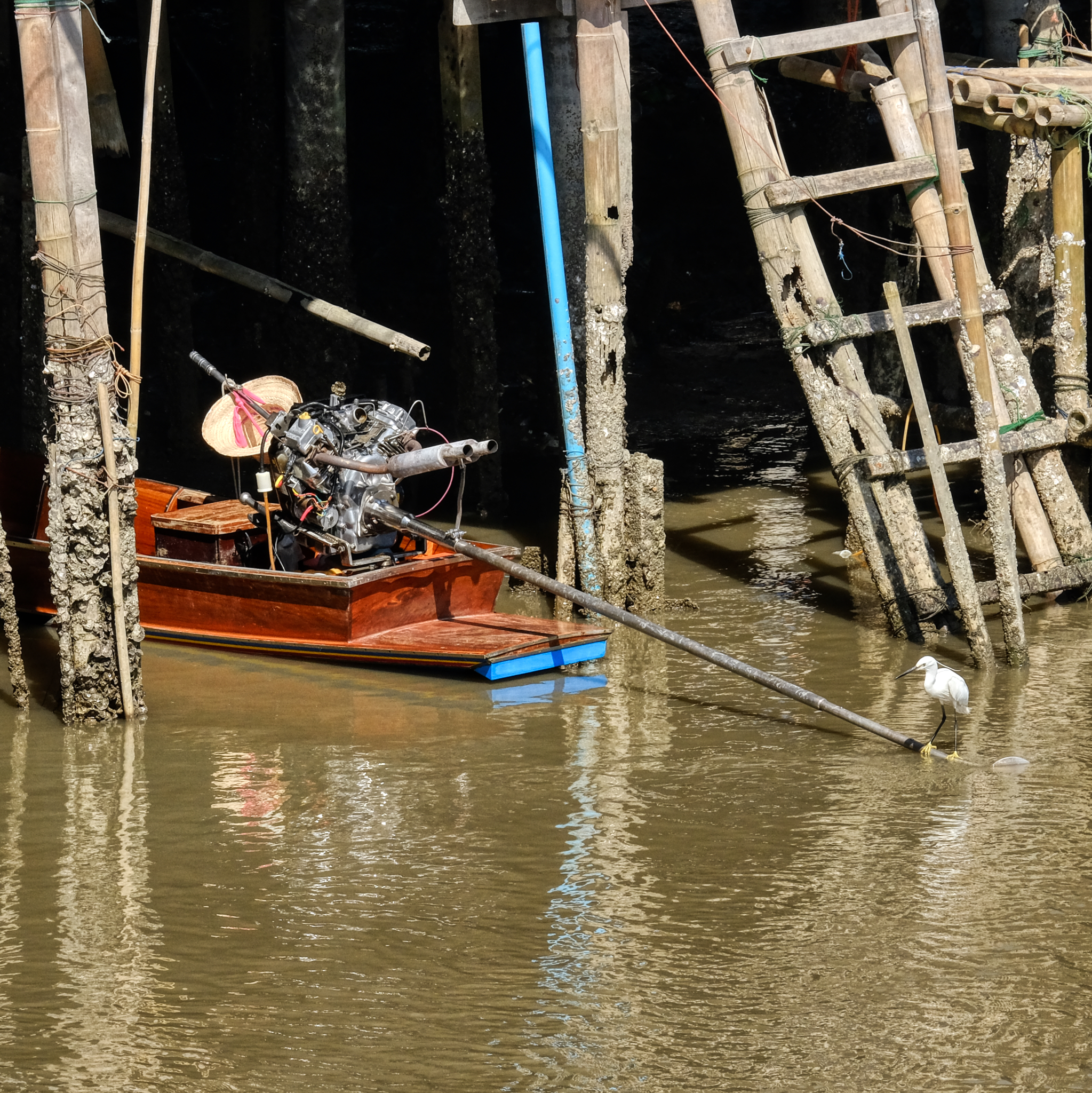 I'm not sure what the make of this V-2 long-tail boat engine is, but it was a beautiful scene.
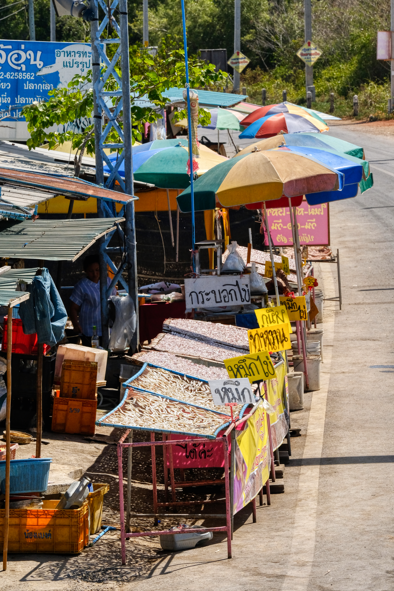 There was a lovely roadside fish market just outside the hamlet.
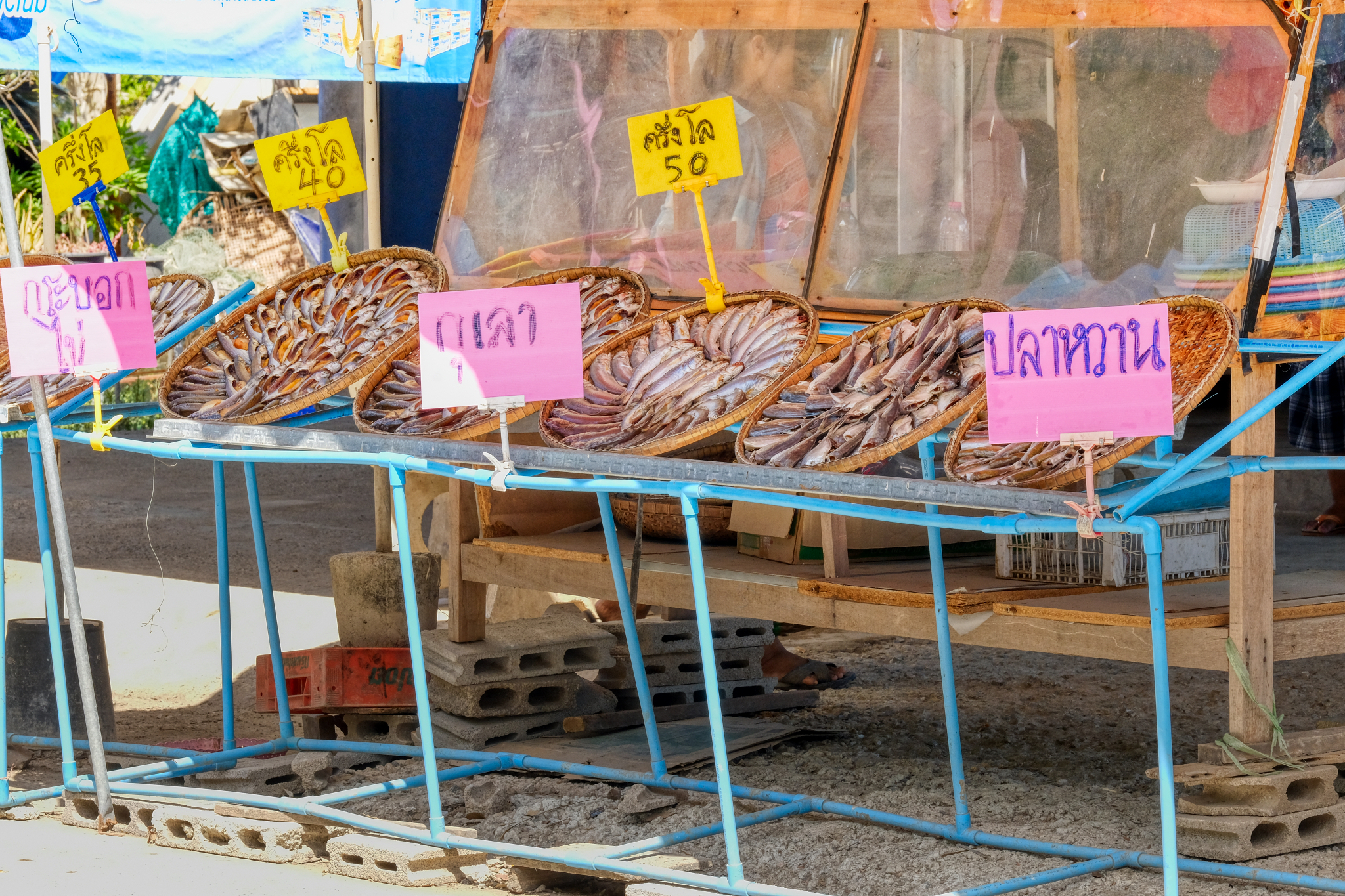 Many different kinds, sizes, and colors of fish . . . all inviting visual exploration.
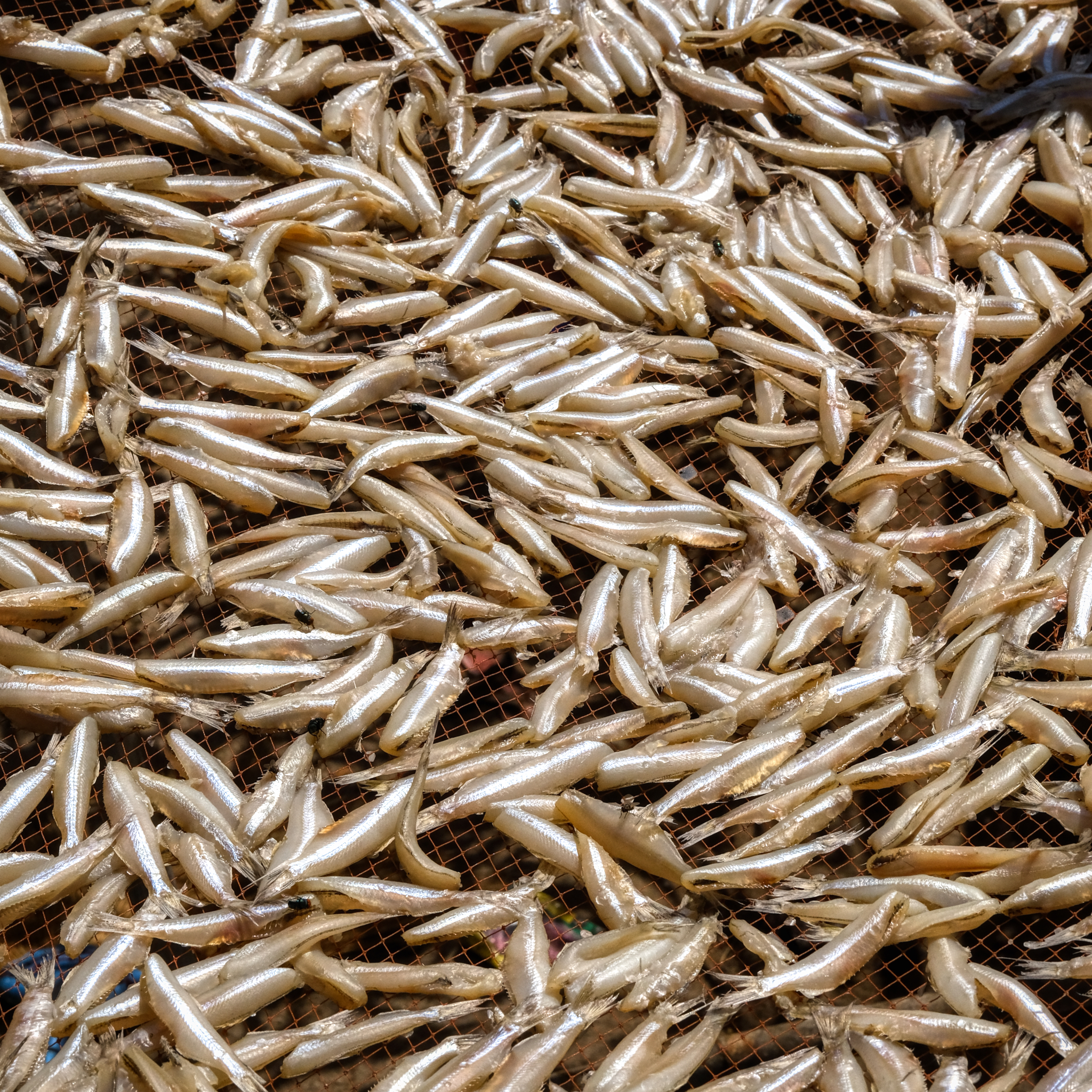 These small 'smelt' are very tasty when deep fat fried. One of my favorites.
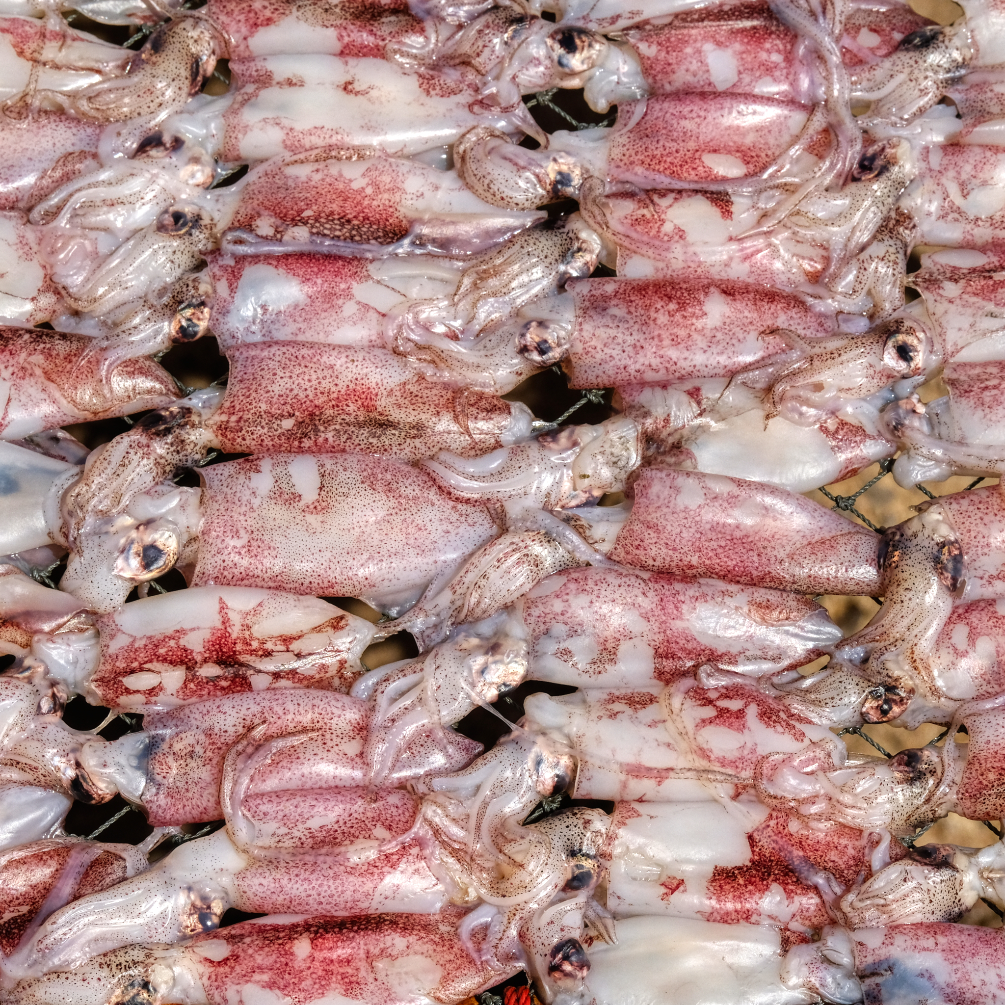 Delicious-looking baby squid. My favorite.
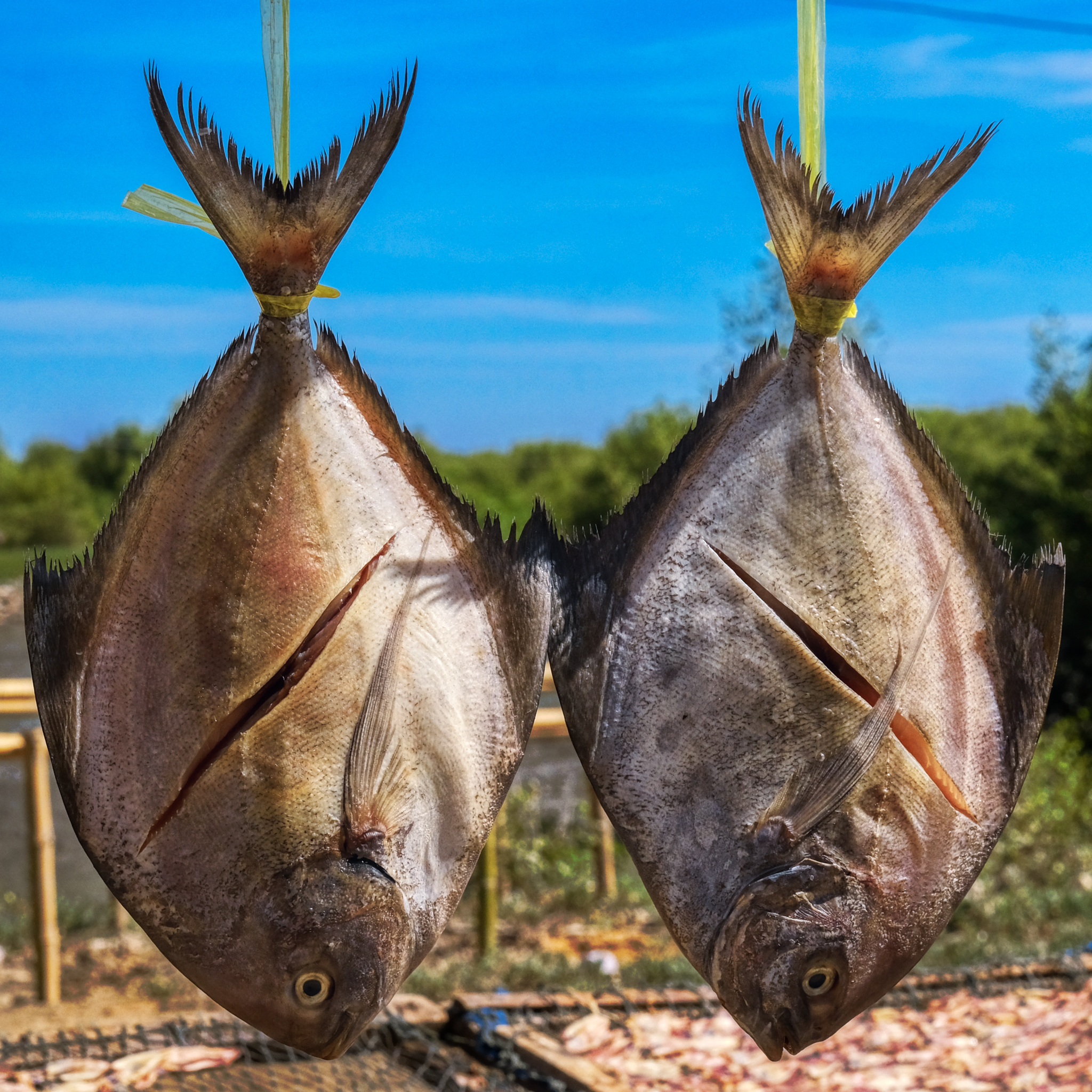 Good looking fish.
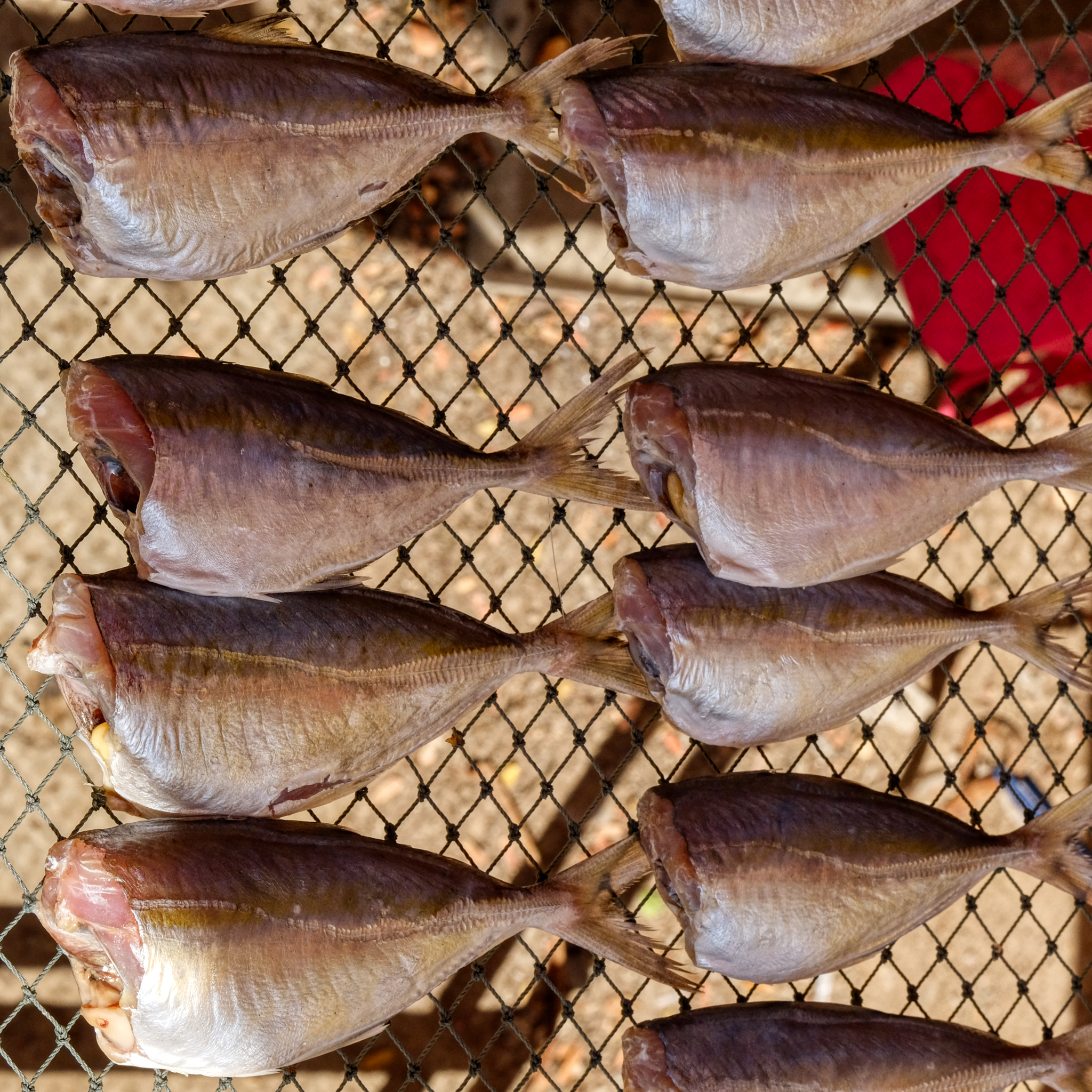 The drying fish are meant to be used in soups and curries.
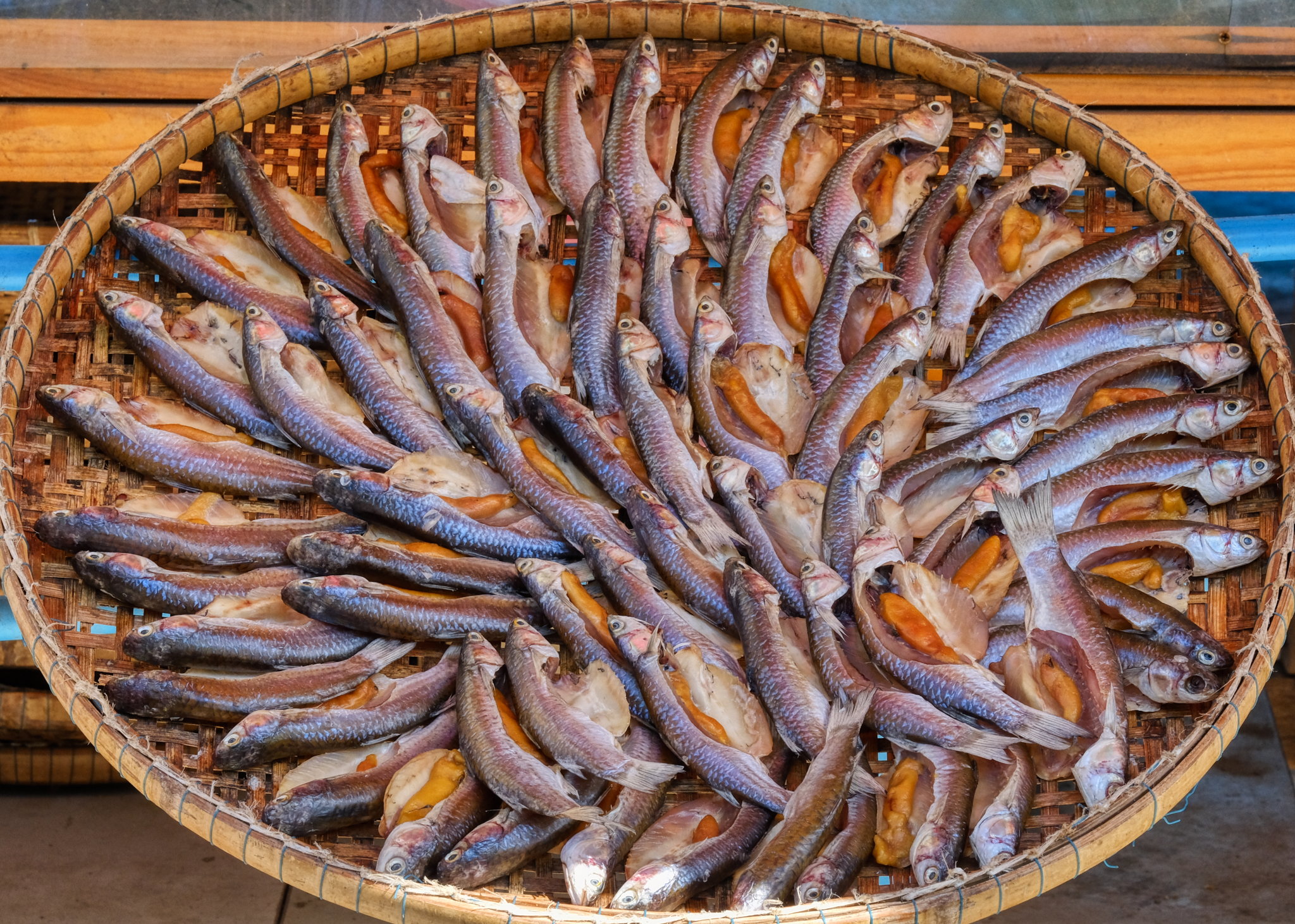 But, of course, the most visually interesting fish were the baskets with their intricately patterned fish on display.
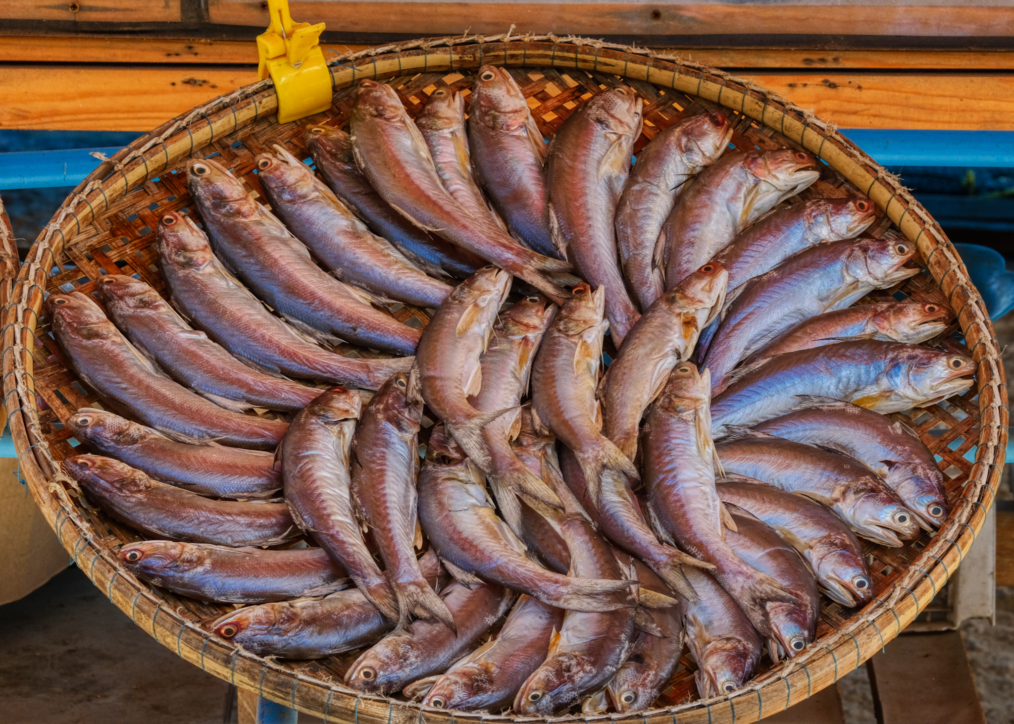 While I was photographing these fish baskets, I was thinking that these would print and frame very beautifully as a set.
 Perhaps I should come back here with a big tripod and reflectors for more professional, and better framed, shots . . .
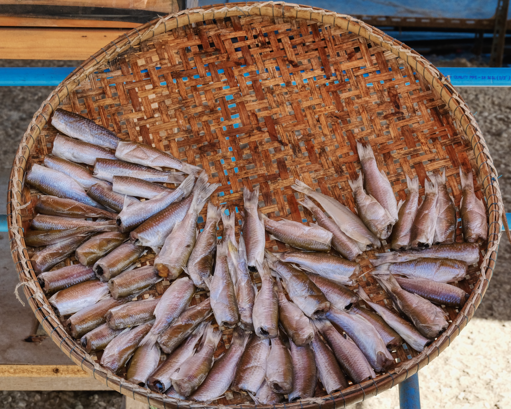 I took many, many photos of these beautiful fish baskets, but only post a few here.
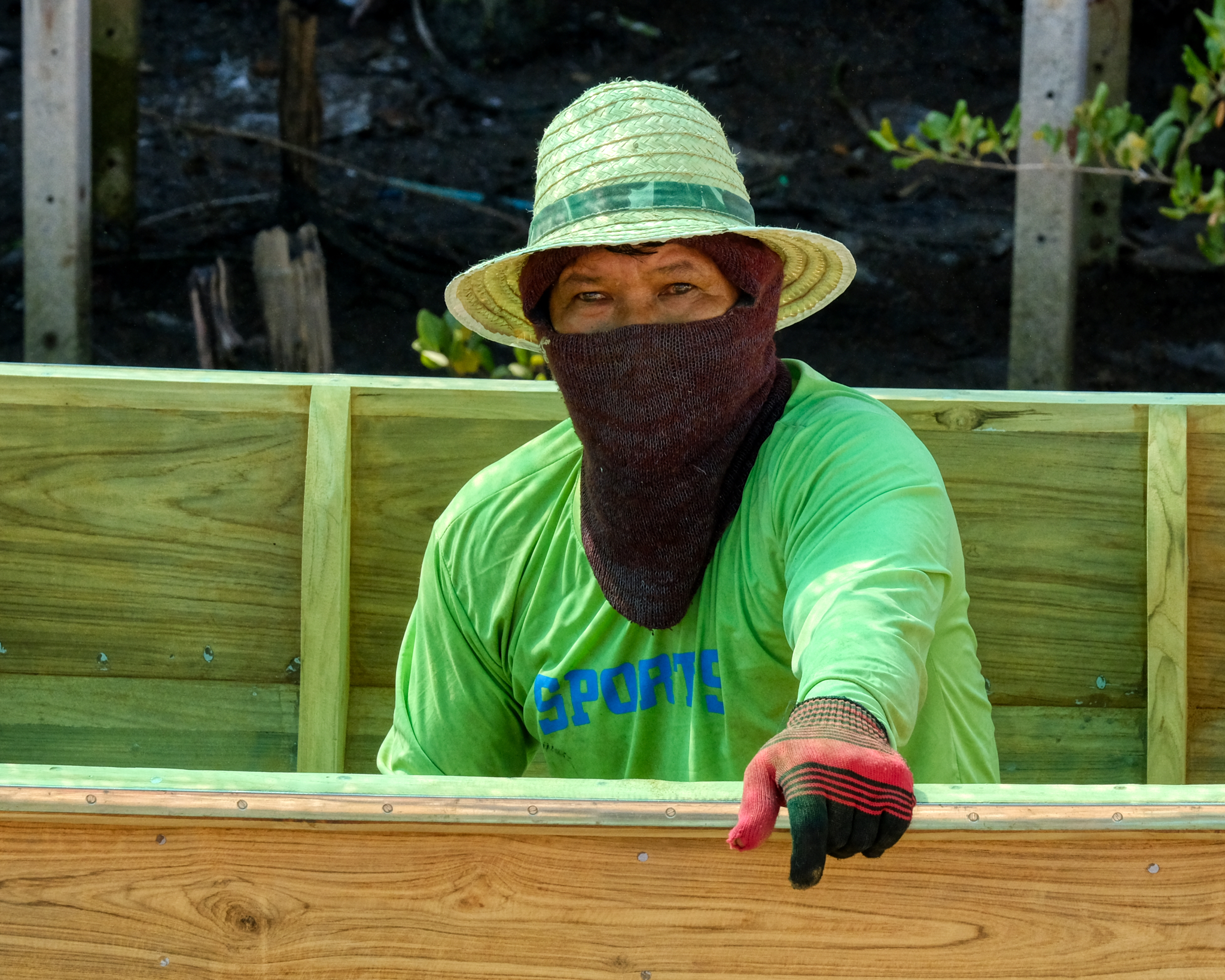 We asked one of the fish hawkers how to get to the seashore and they pointed to a small road. We passed this woman busily building a boat on the roadside in tremendous heat and humidity.
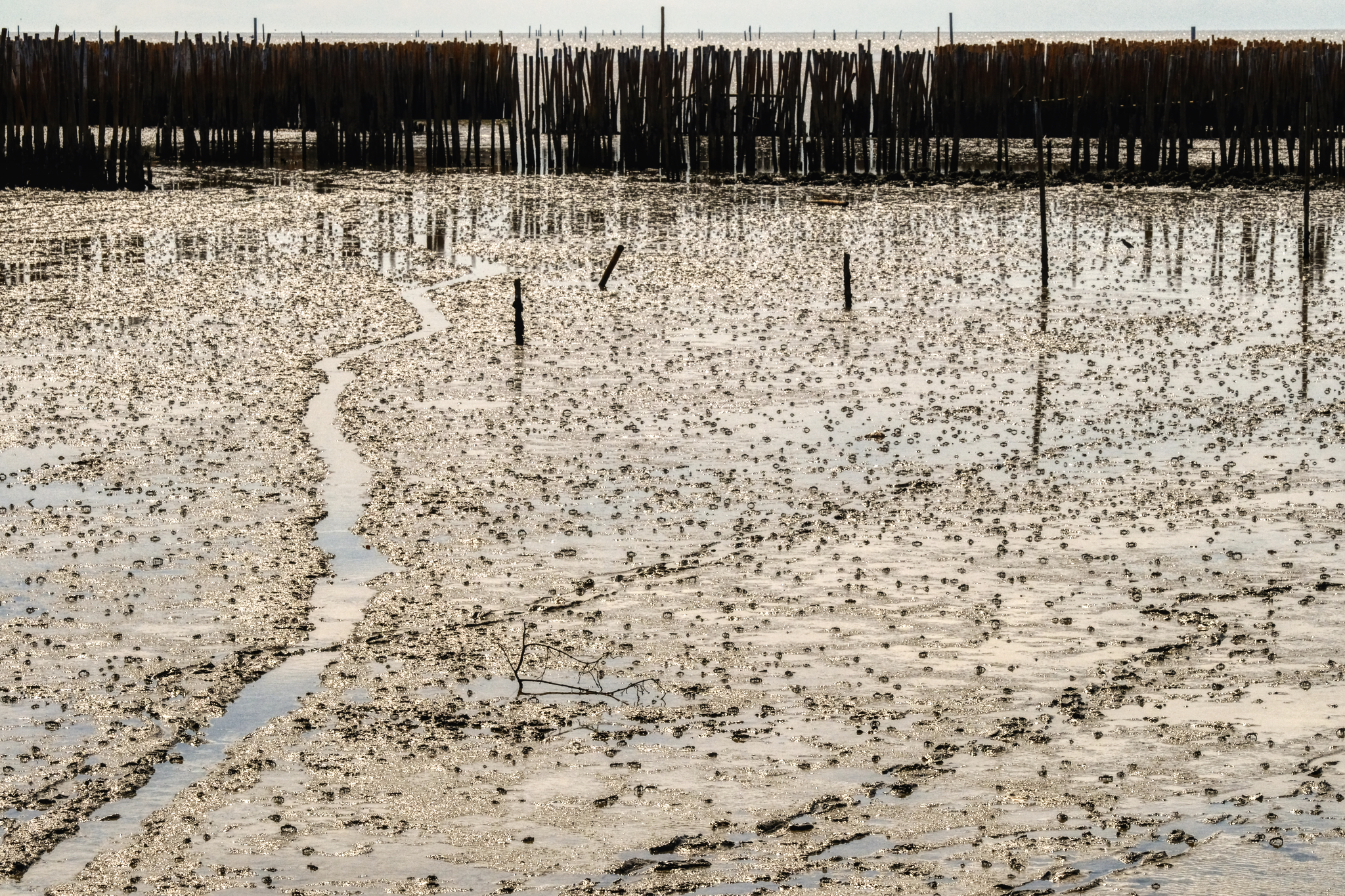 The small dirt road dumped us out at the foot of these mud flats . . . crawling with small crabs. These are the mud flats famous for a particular type of small clam that the Thais absolutely love to eat.
 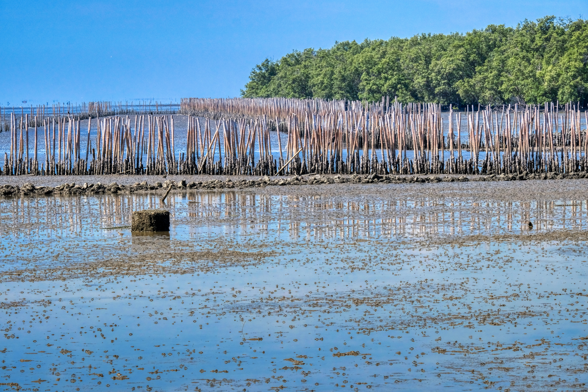 The elaborate bamboo barrier works extended for miles and miles along these mud flats . . . and off into the horizon of the Gulf of Thailand.
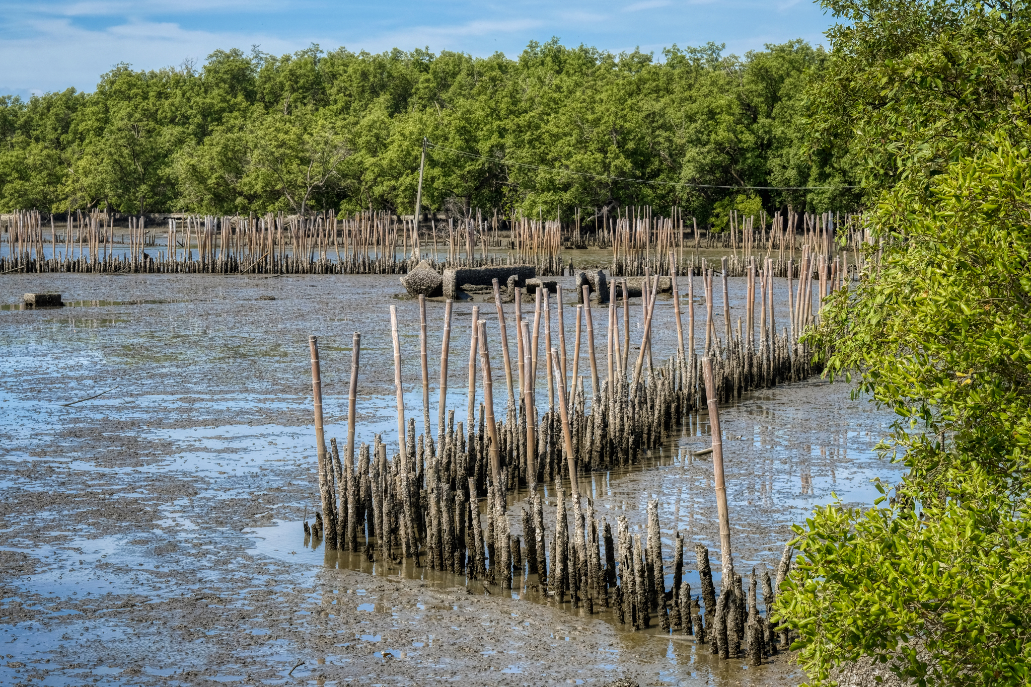 At a point of a small canal entering the mud flats there were many kinds of barrier works.
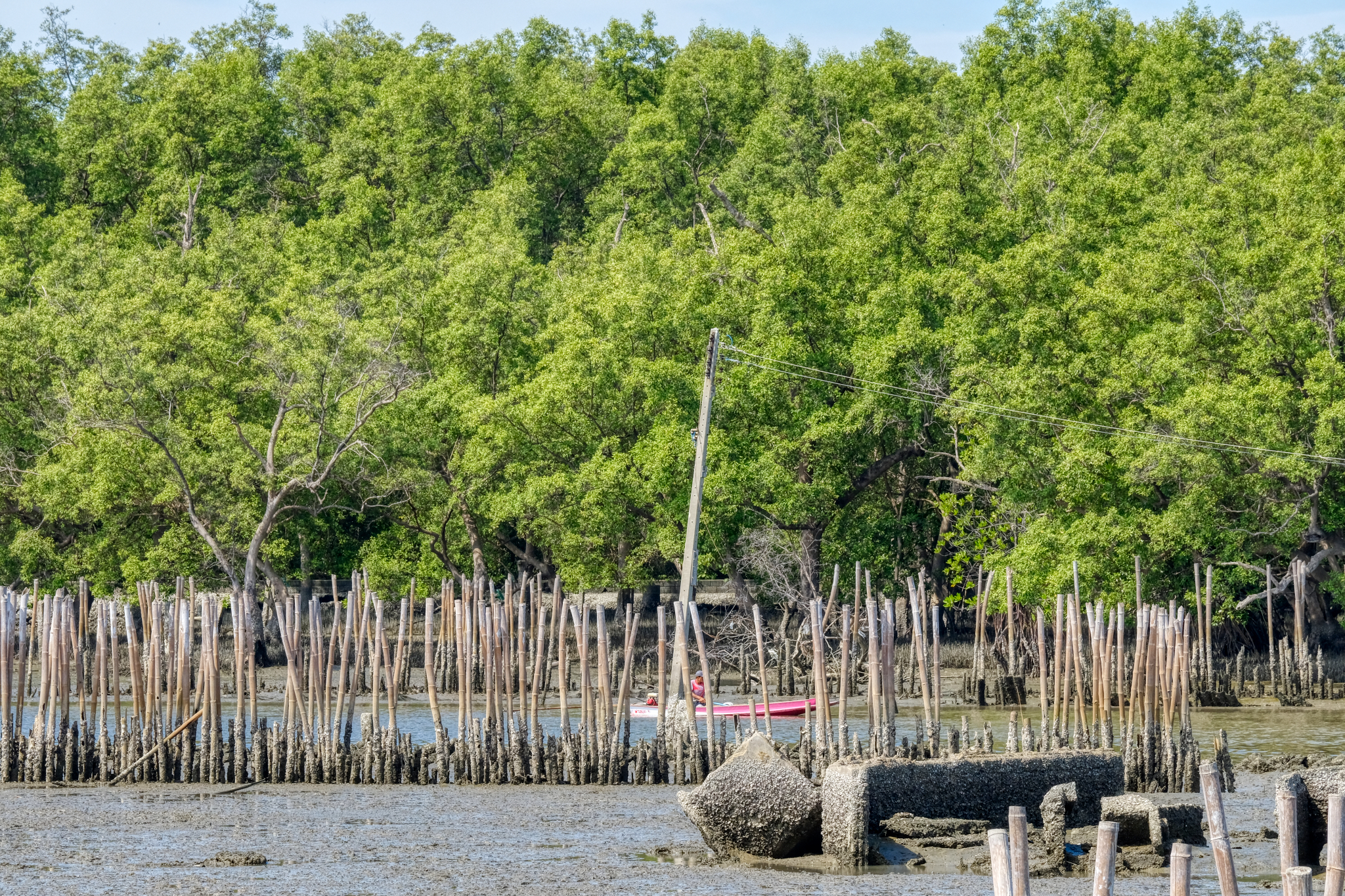 A workman out doing maintenance on the bamboo works.
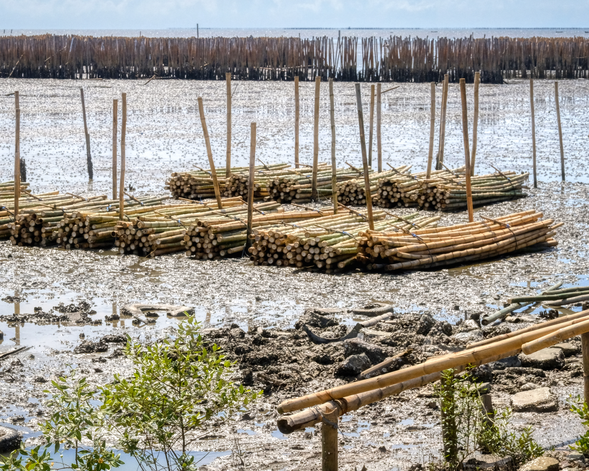 Fresh cut bamboo was being unloaded and made into rafts to bring out into the sea. This was a huge project . . .
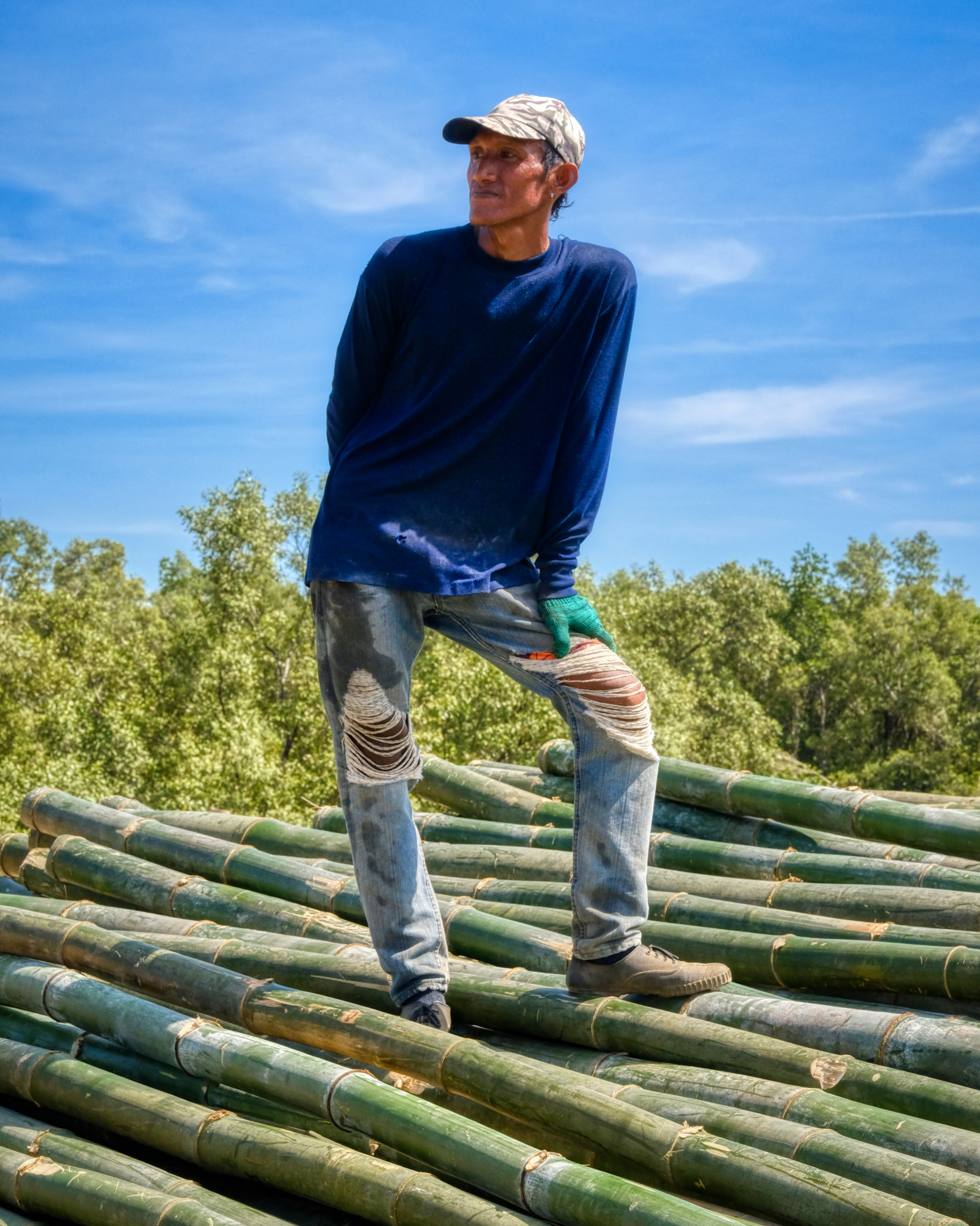 A Samut bamboo wrangler.
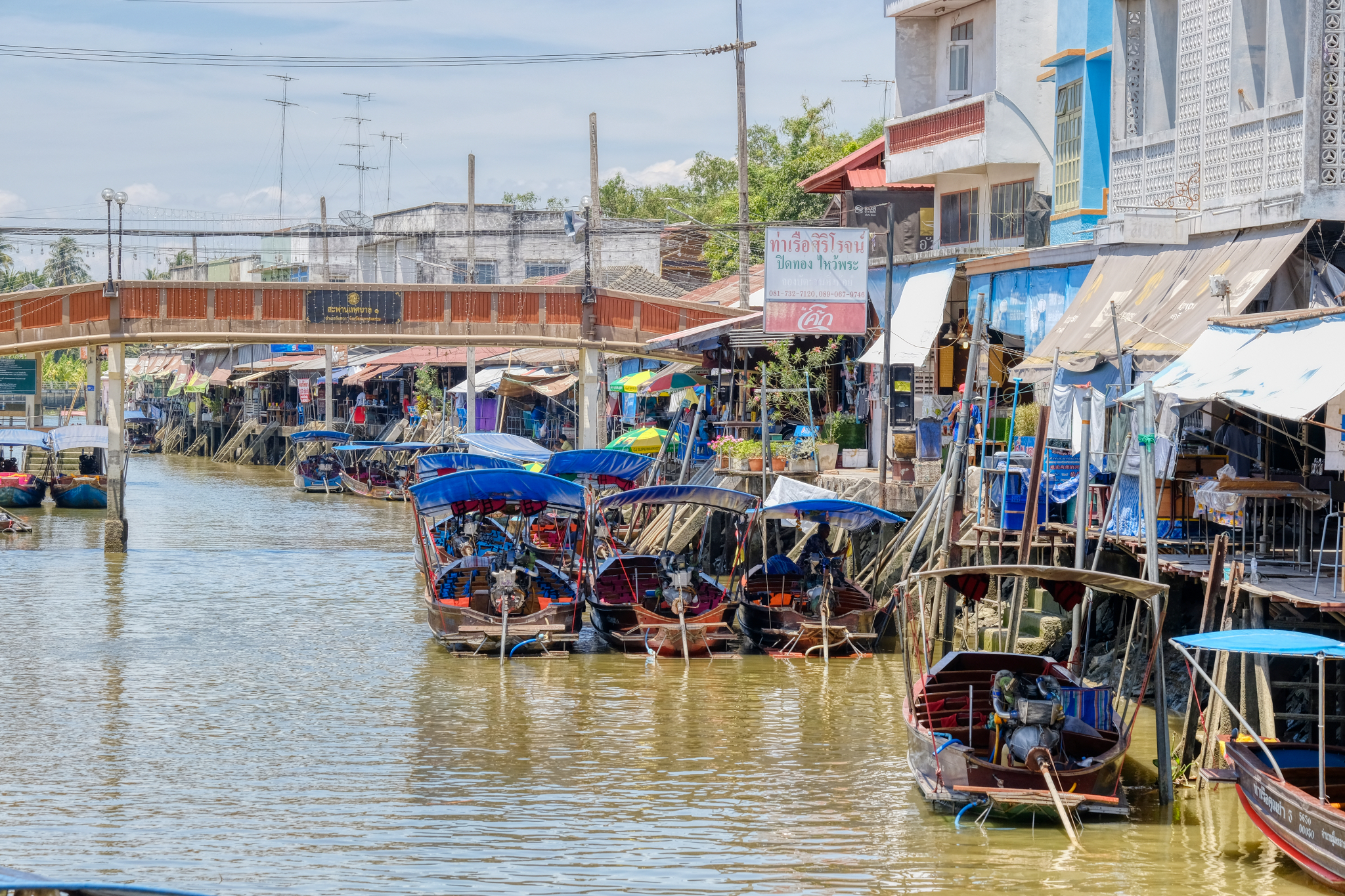 Our next stop was at the village of Amphawa, a floating market. Too much tourism has changed the feeling of this place since I last visited it nearly 20 years ago. It is still very charming . . . and visually interesting.
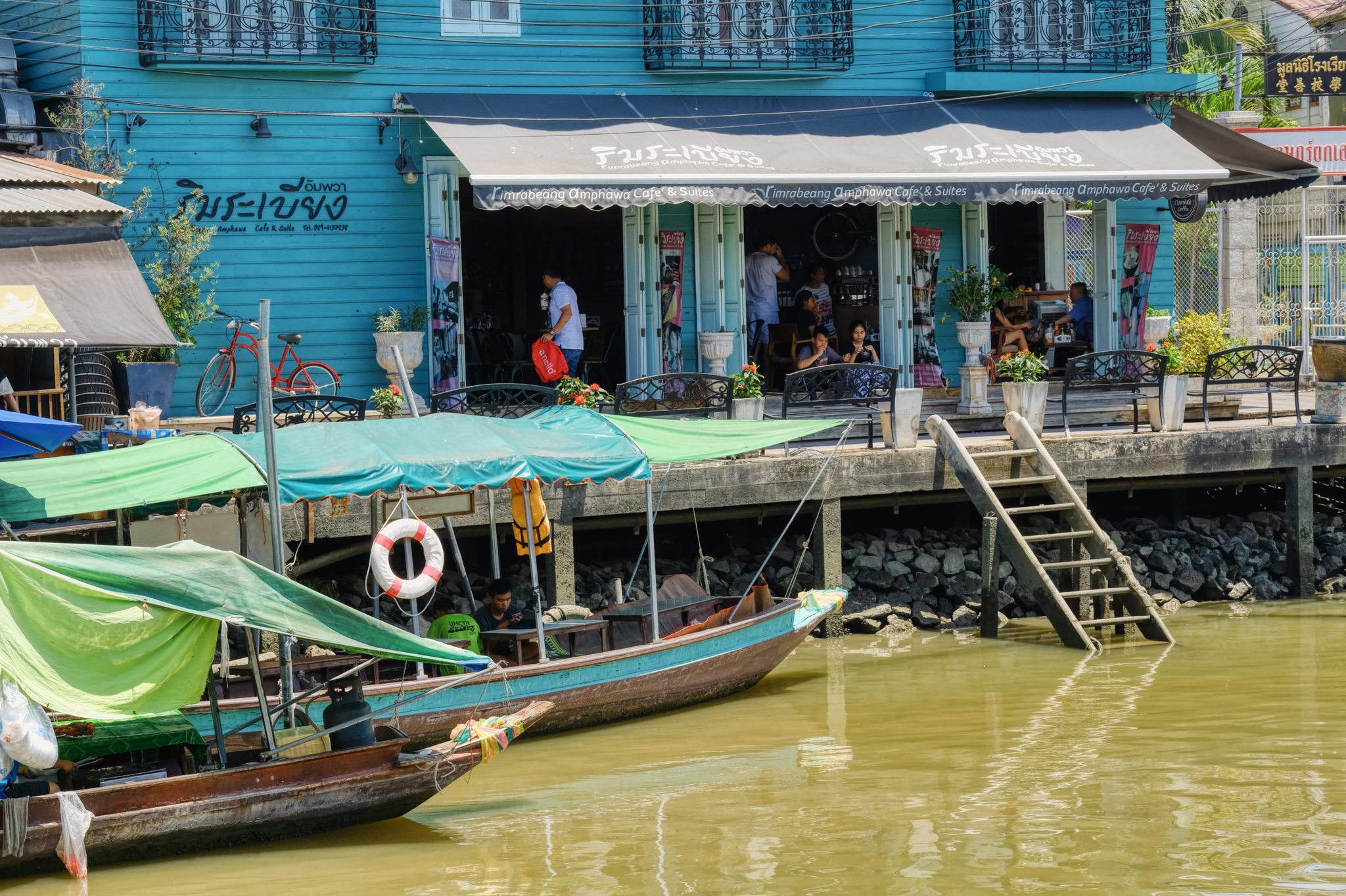 There are many very nice, upscale coffee shops and nice restaurants . . . a big change from an authentic fishing and market village.
 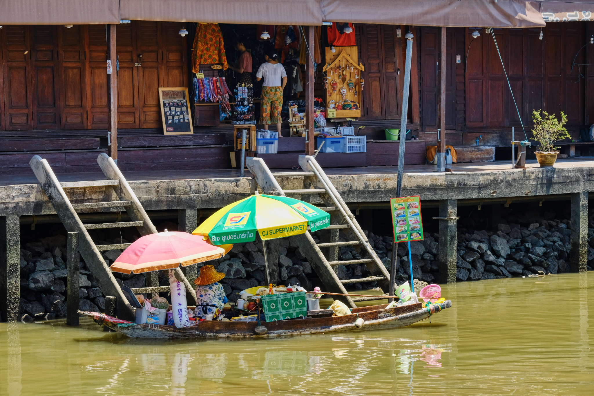 With the ambient temperature above 105(f) with high humidity, it was little wonder there were few people out and about.
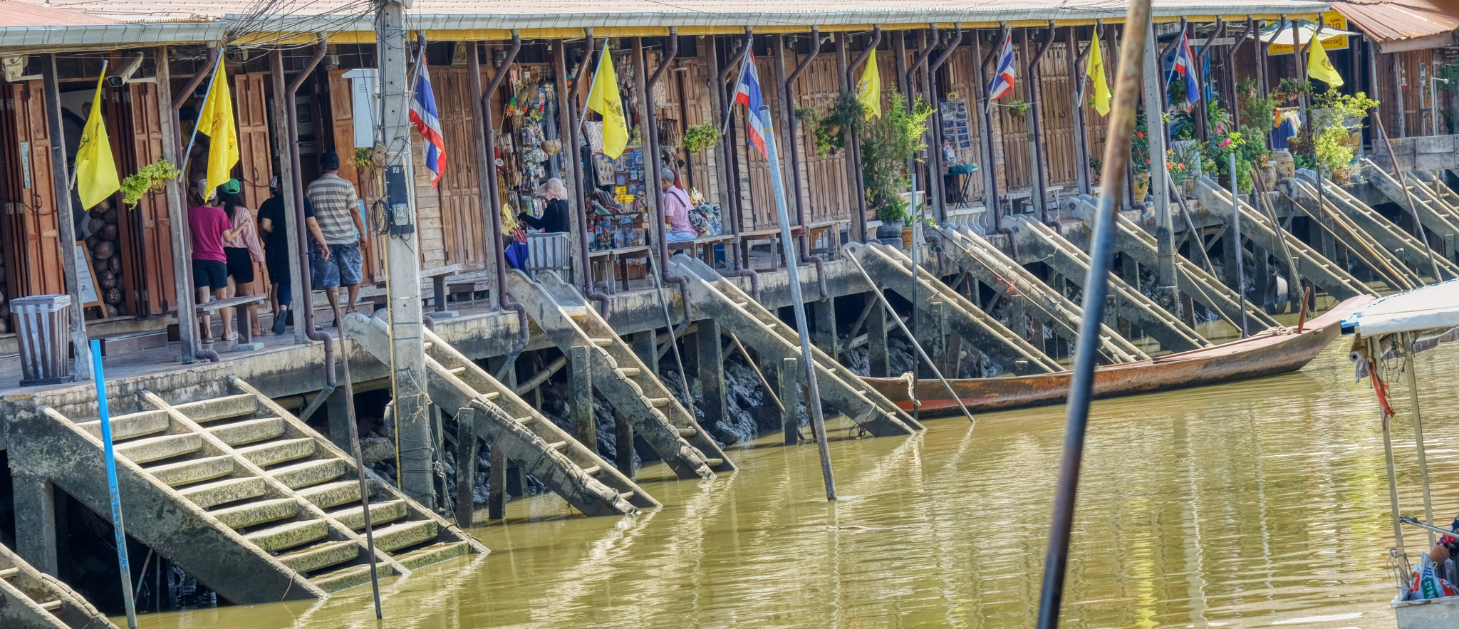 The repeating patterns of the klong access steps made for a fascinating study.
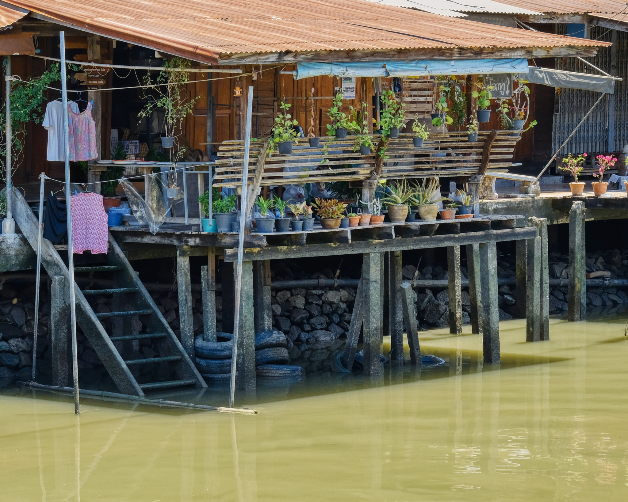 Life along the canal (klong) . . .
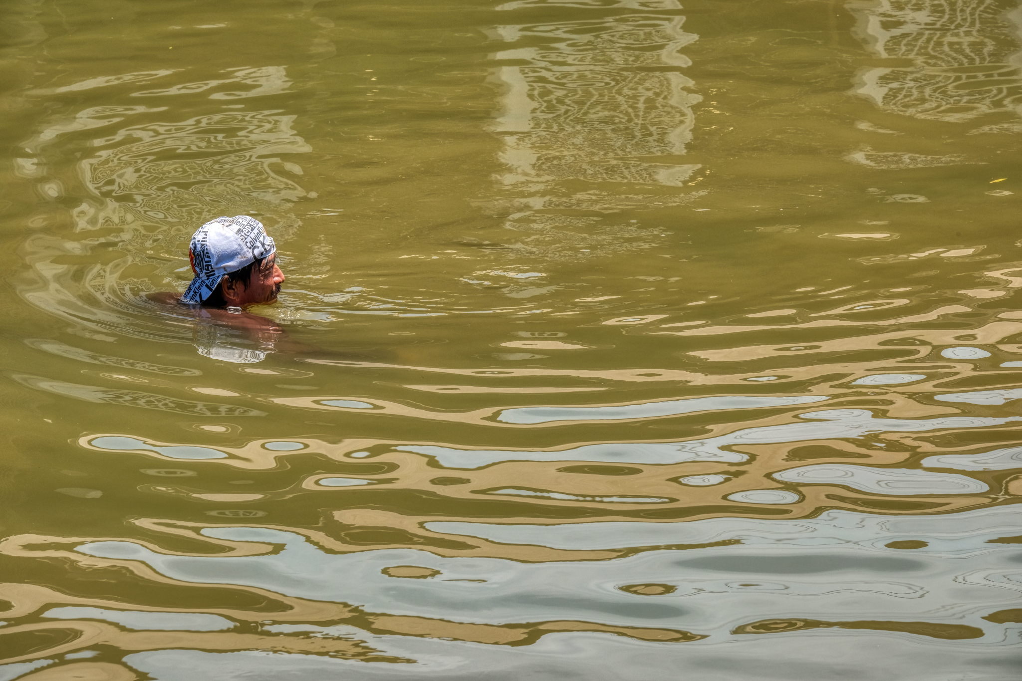 Swimming to beat the heat? No . . . fishing for bottom feeders with a long-handled net.
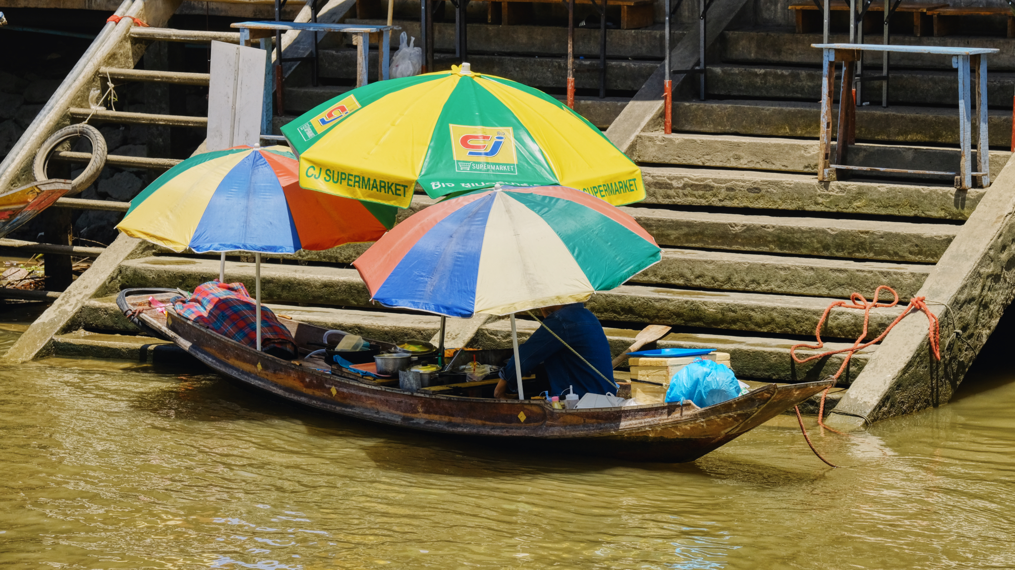 With few tourists around, and crushing heat, the boat vendors sat in quiet repose . . . waiting for a sale.
 When the canal is full of tourists in their small boats, these floating restaurants serve the water traffic.
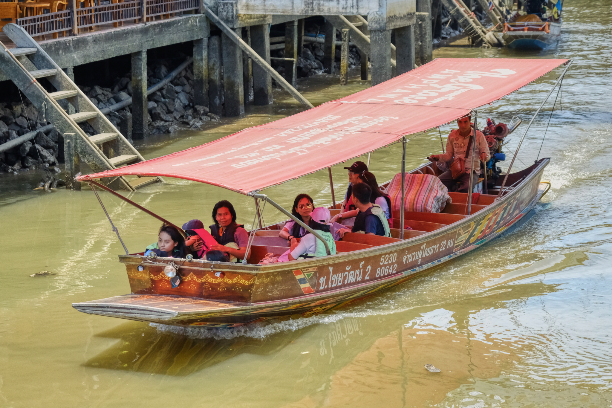 This was the only tourist boat we say all afternoon . . . and they looked HOT!
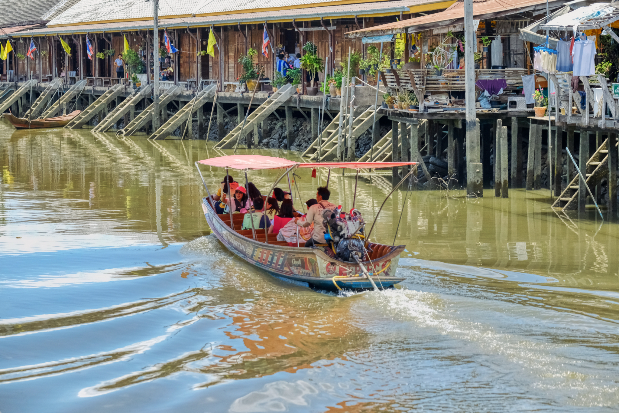 In some respects, this might be the best time of year to visit Amphawa . . . the rest of the year it is overcrowded with tourists. They had the place to themselves.
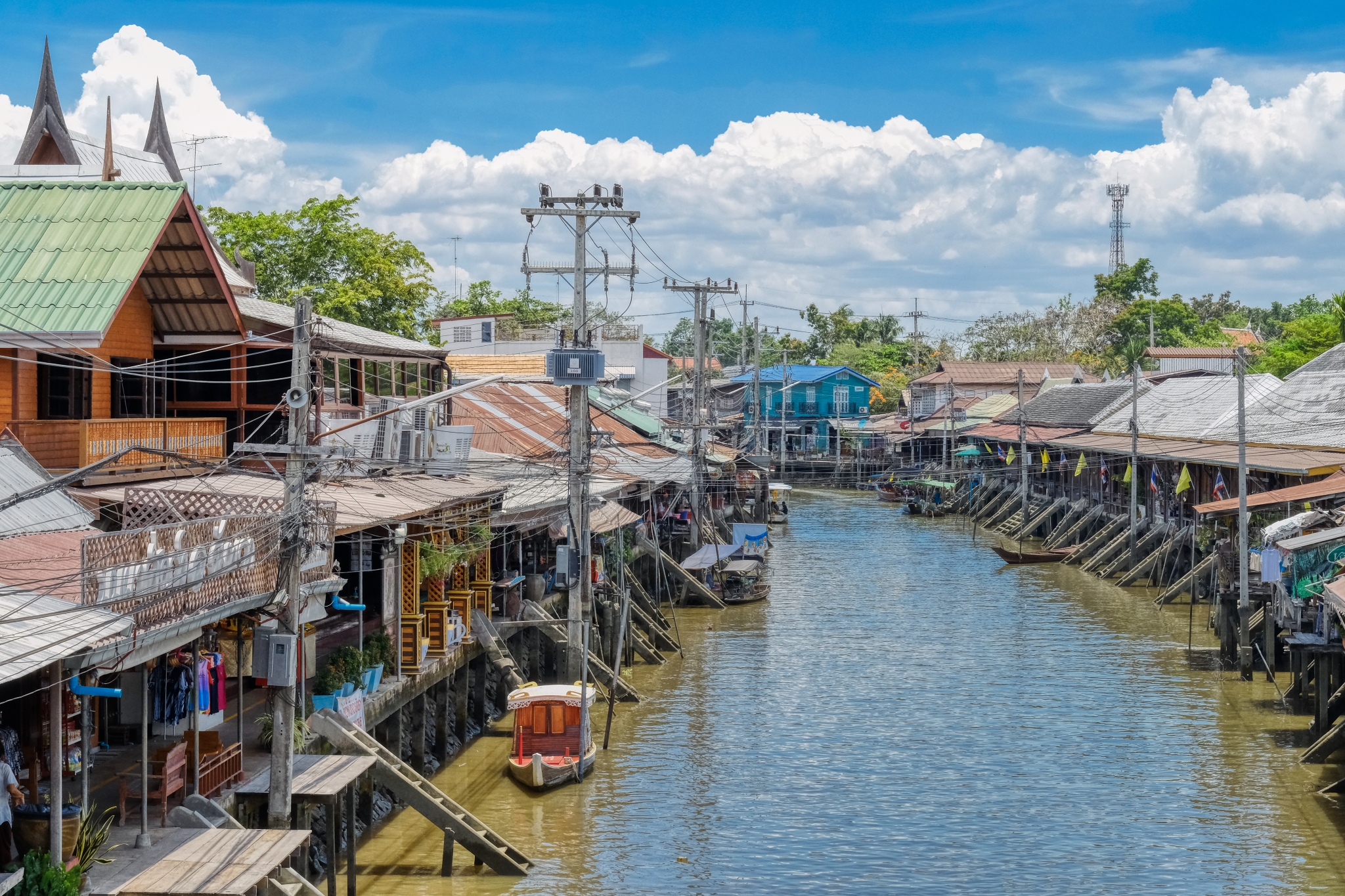 Standing on a bridge over the canal . . and a view one way . . . and . . .
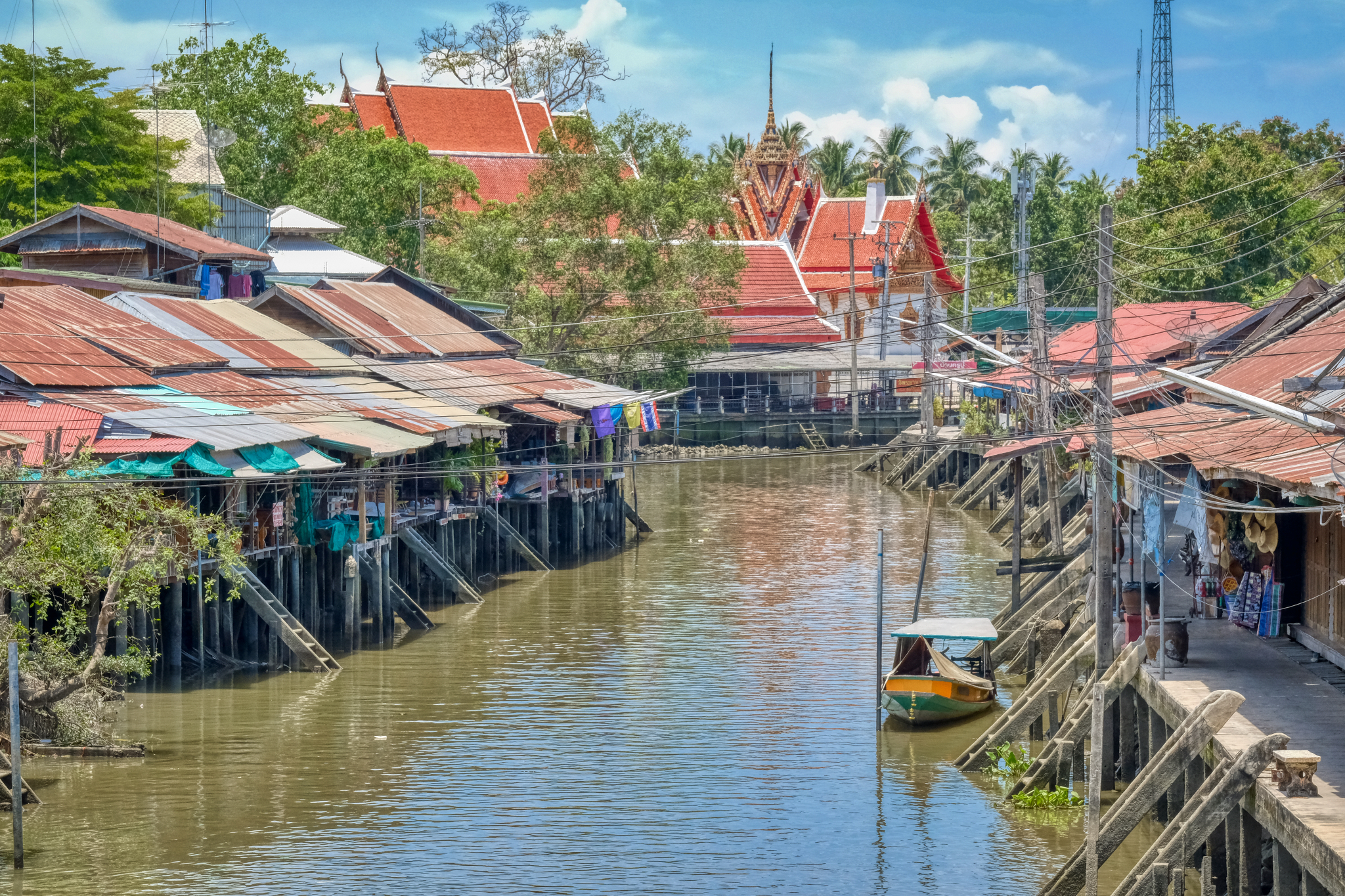 . . . the view in the other direction toward a Buddhist temple (wat).
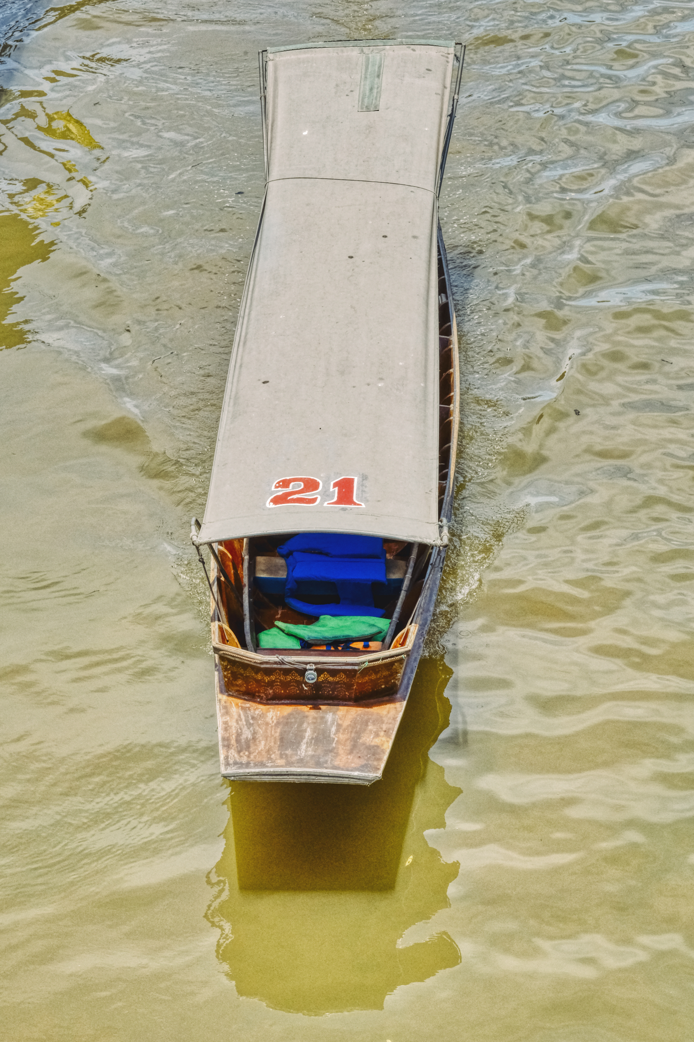 A tourist boat cruising for a fare . . . unsuccessfully.
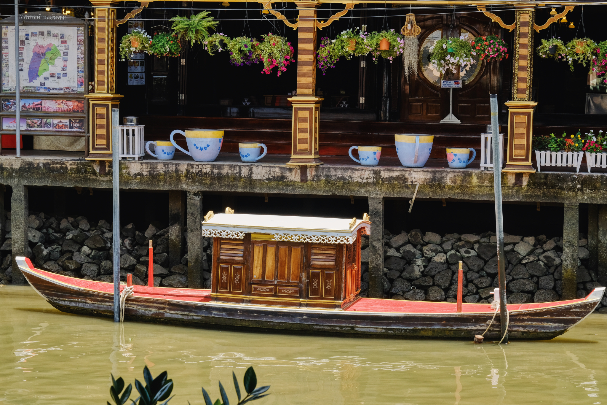 That looks inviting. We went over to this marvelous Old Thai style coffee house for some ice coffee and cold water.
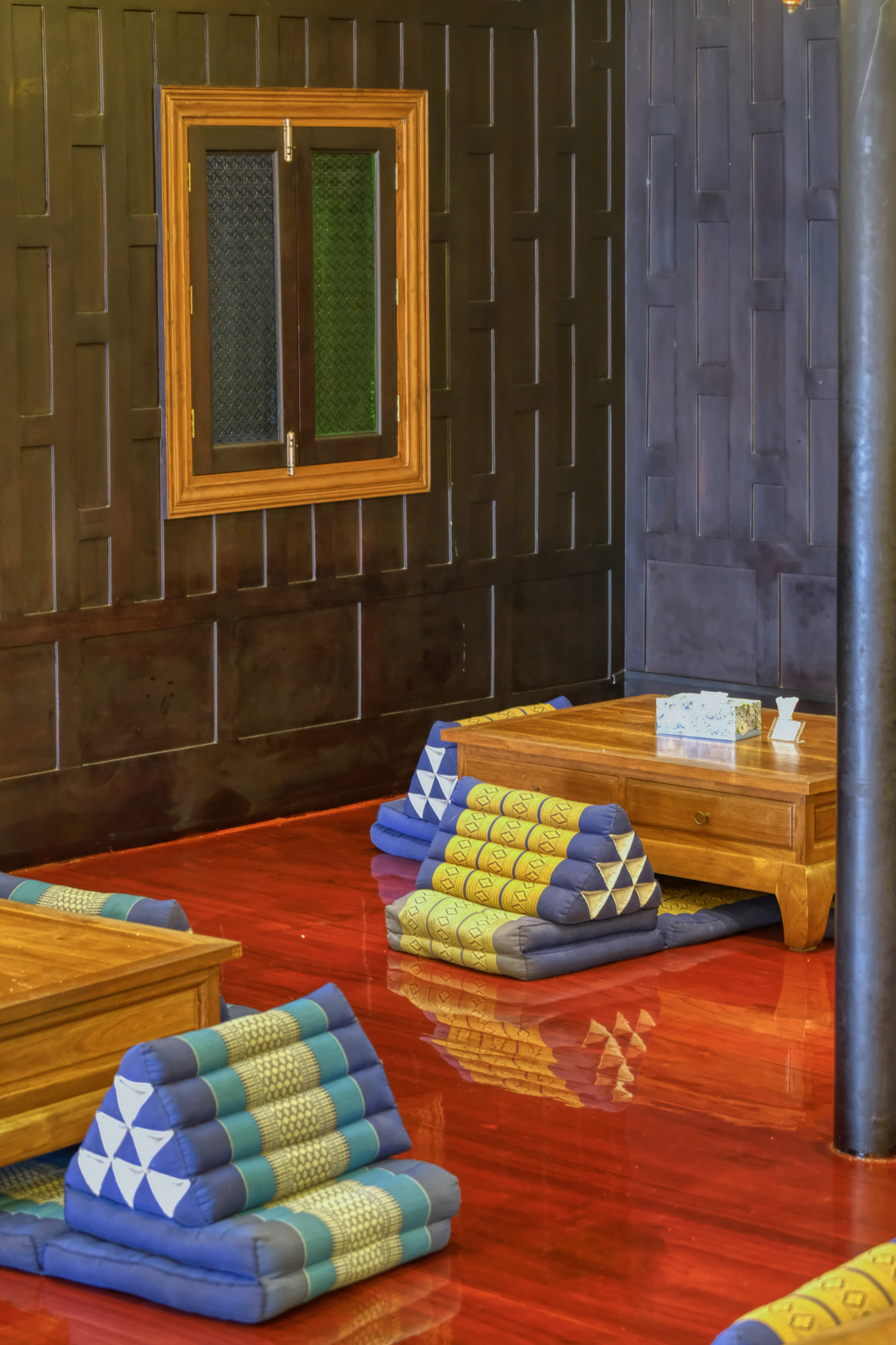 Such a beautiful place to rest, replenish, hydrate, and sit in front of some fans.
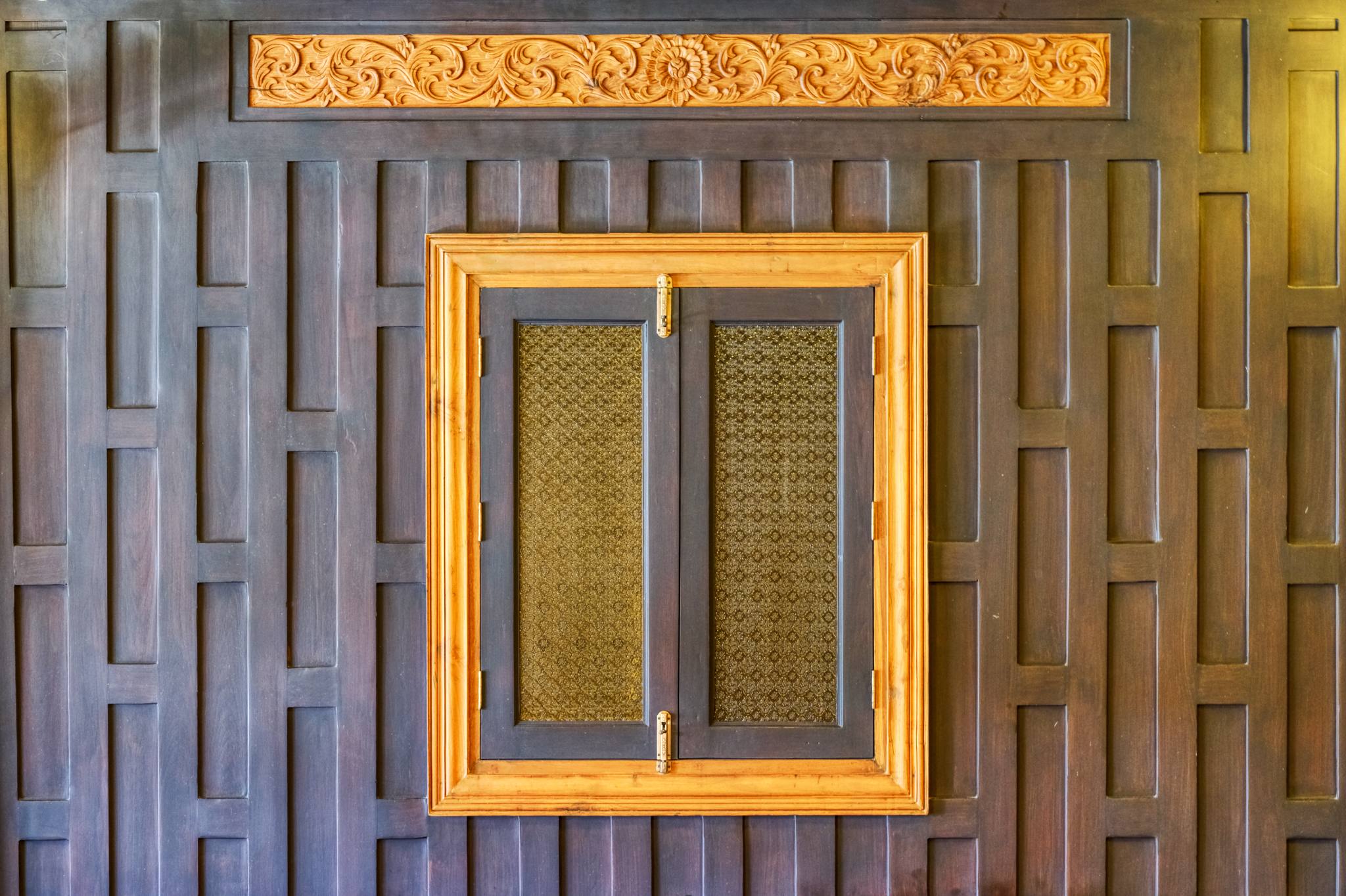 Old Thai style wood panels are so beautiful.
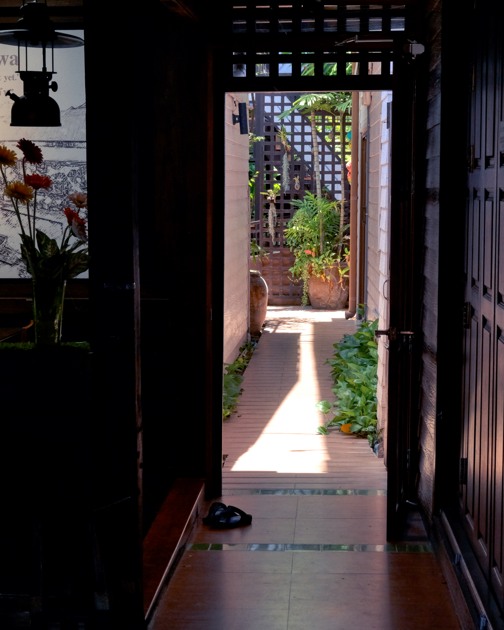 After a break we walked along he wooden boardwalks and secretly peaked into the houses. Such serene stillness in the oppressive heat and humidity.
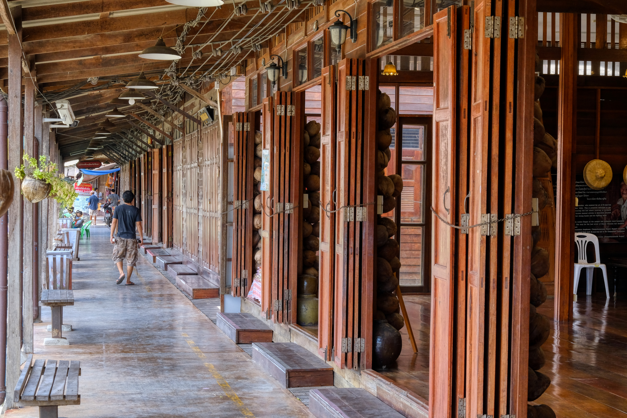 We took our time meandering along the shops . . . and this nice museum of the history of canal life.
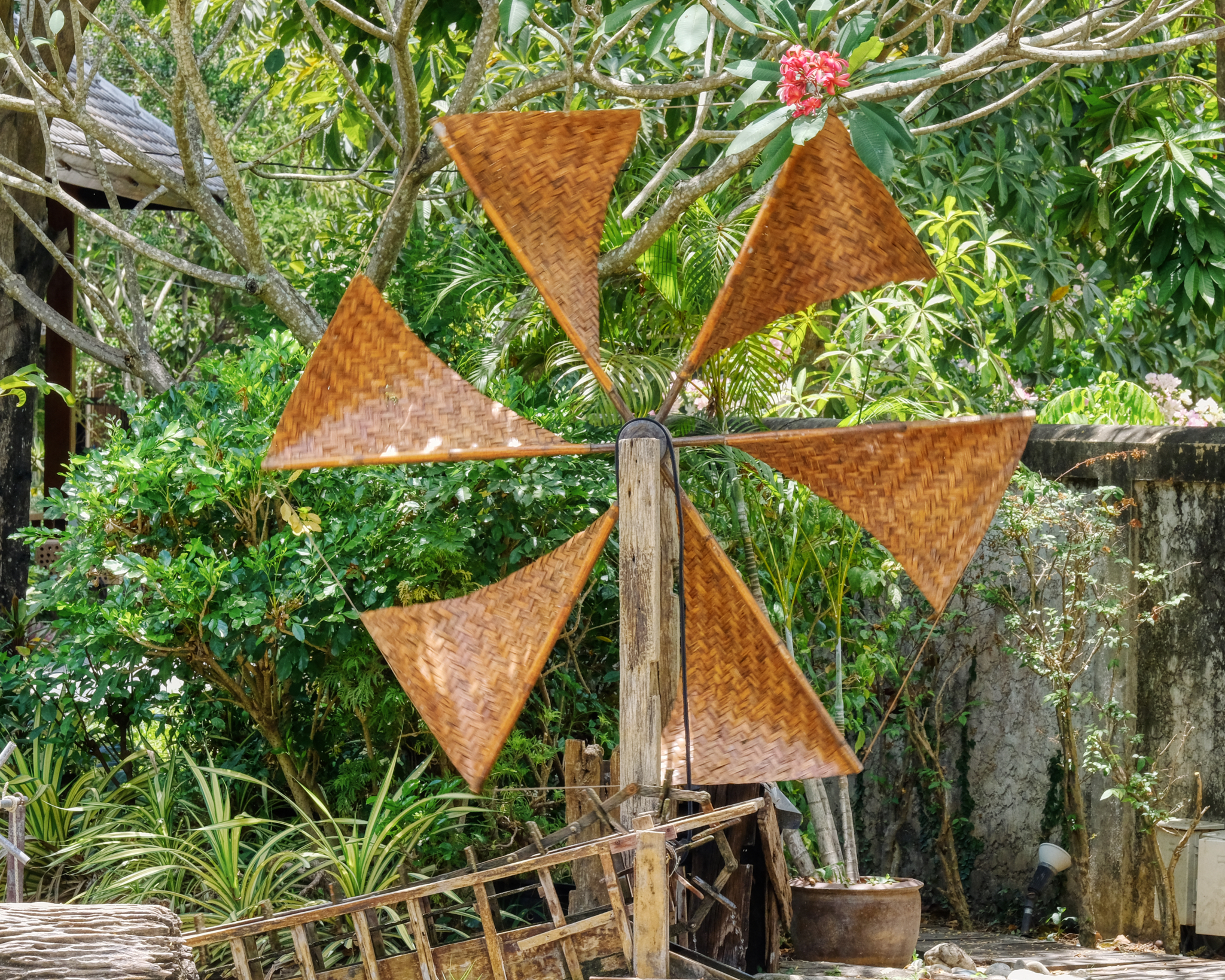 A spinning windmill behind the museum.
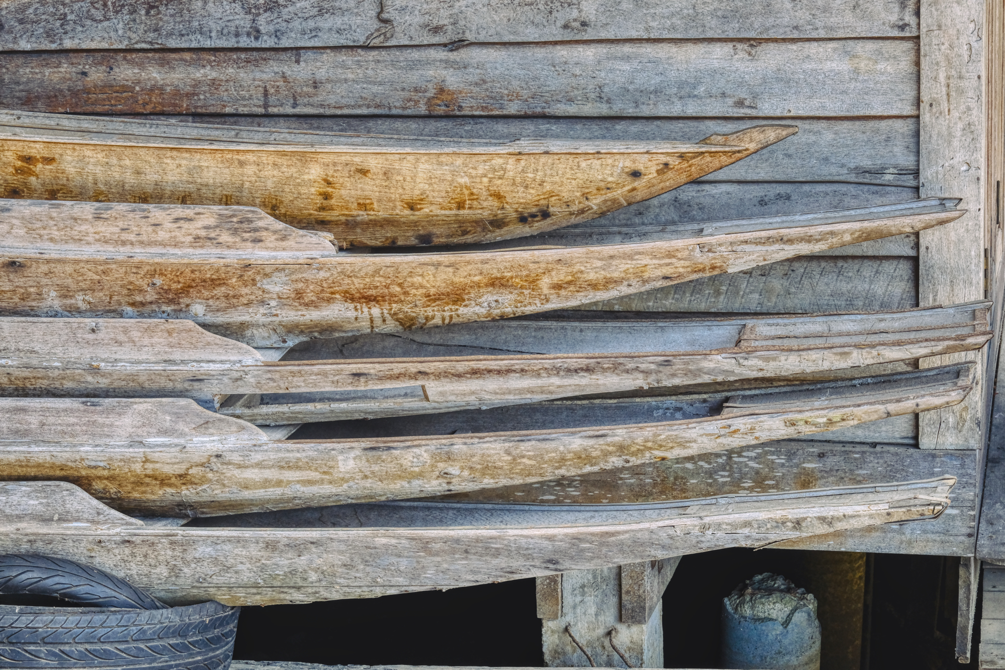 Antique canoes stacked along side the museum.
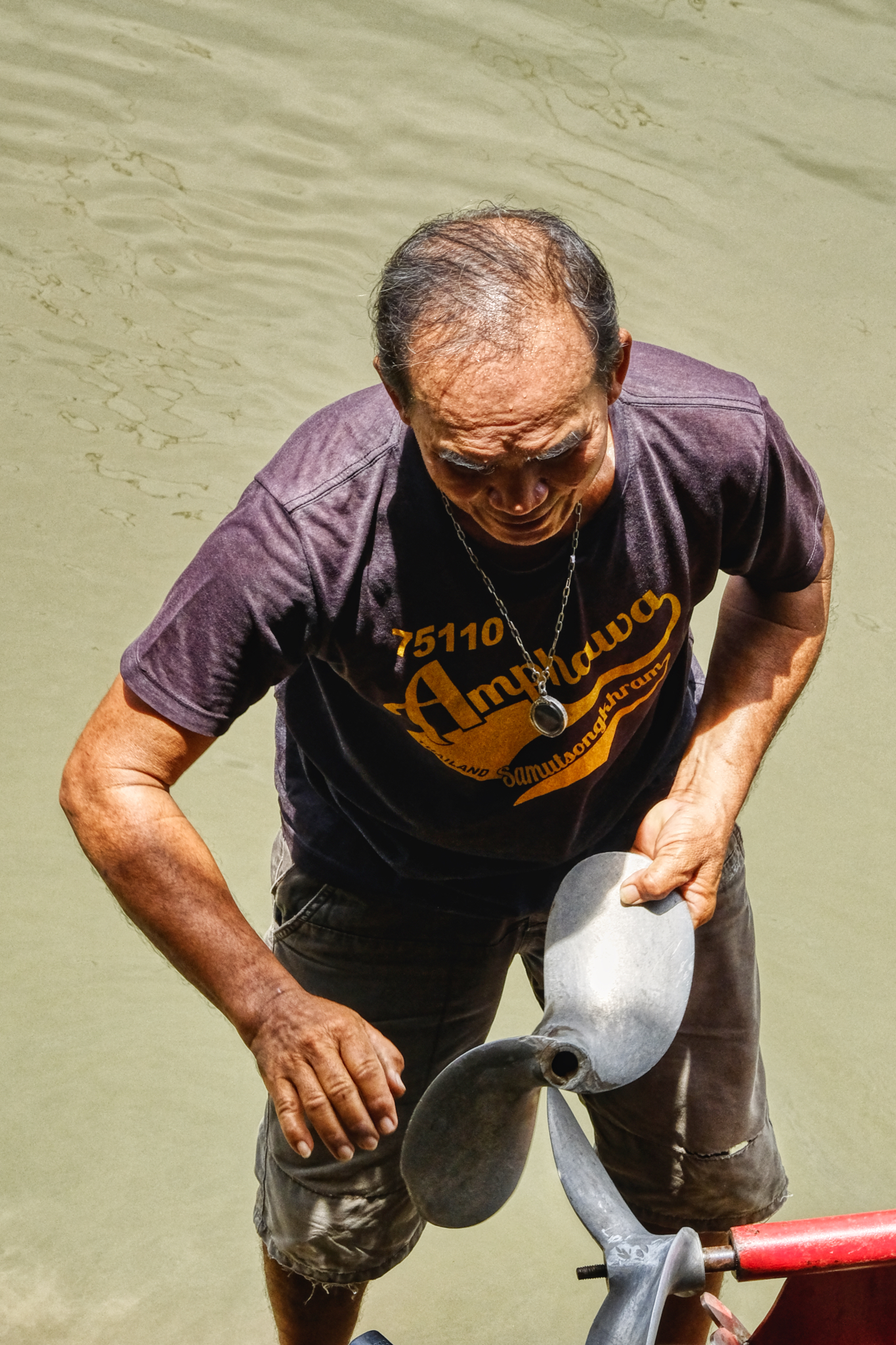 Even as hot as it was, the propeller still needed repairing.
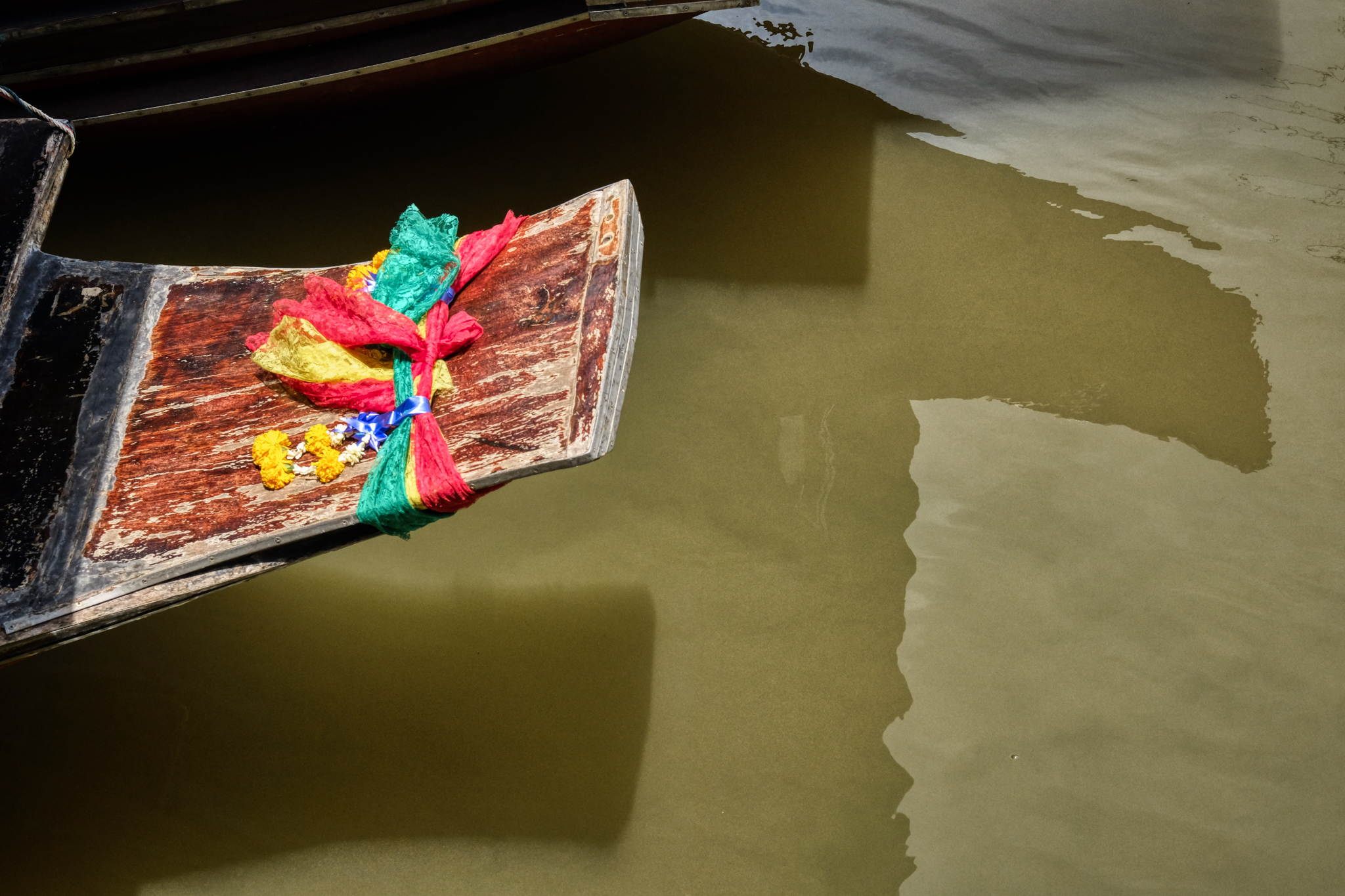 The tourist boas were beautifully decorated . . . in hopes of attracting business . . . which never came on this scorching day.
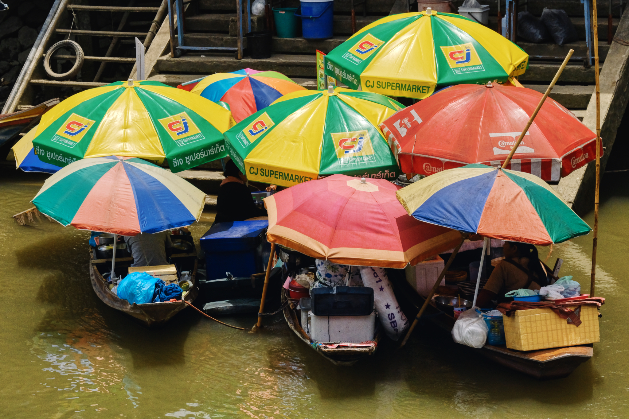 The ladies in their food stall boats congregated to swat flies and swap lies, as they say. Not much else to do.
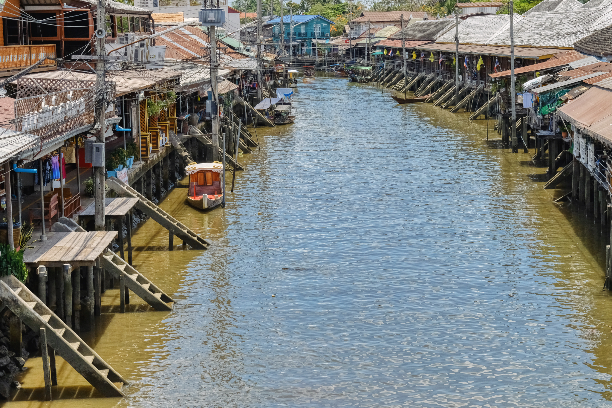 Back over the bridge toward the car. The hot day nearly over . . . the car air-conditioner is calling.
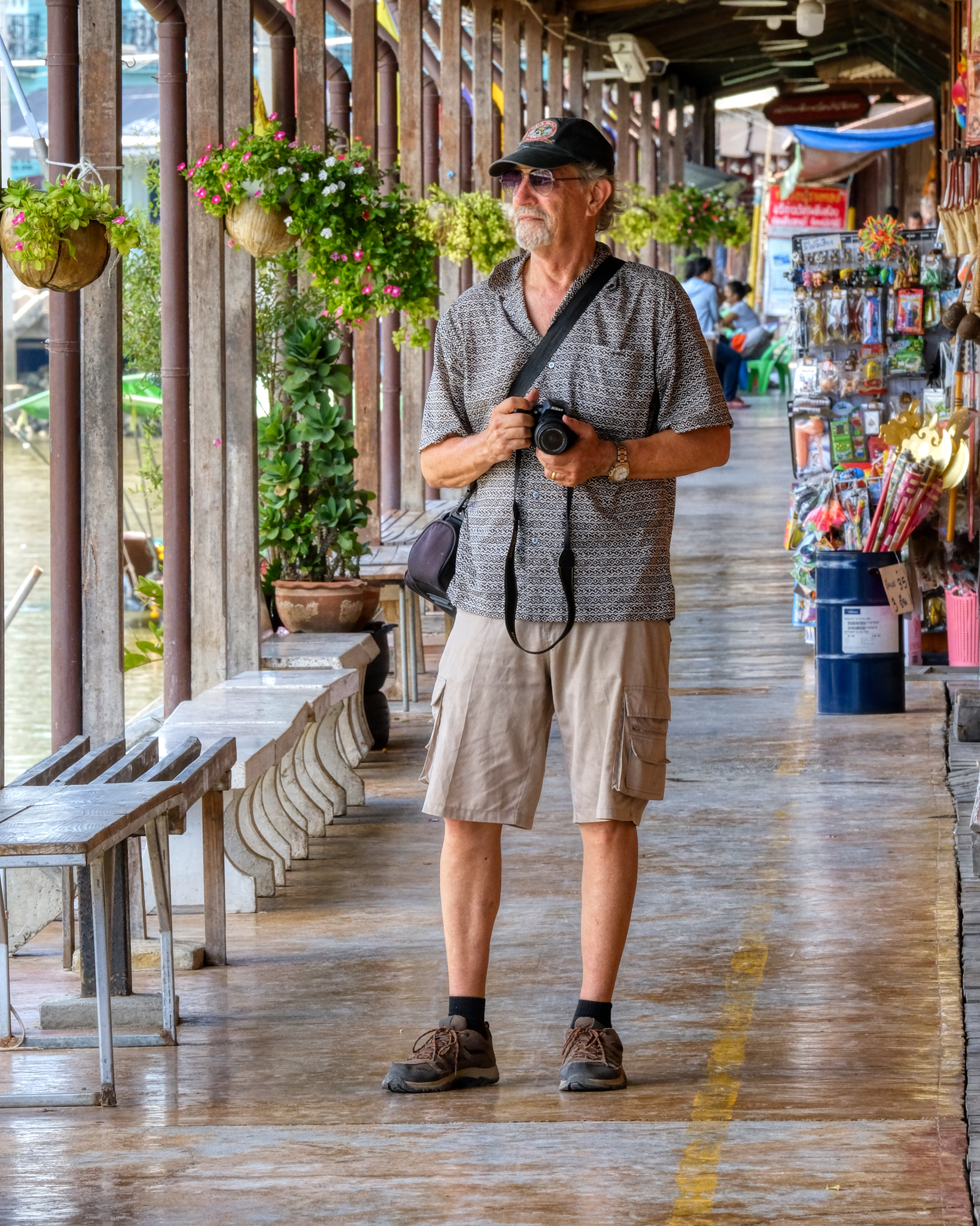 My friend John always on the look out for an amazing image.
 We descended down into the sea of sun parasols and the tourist curios.
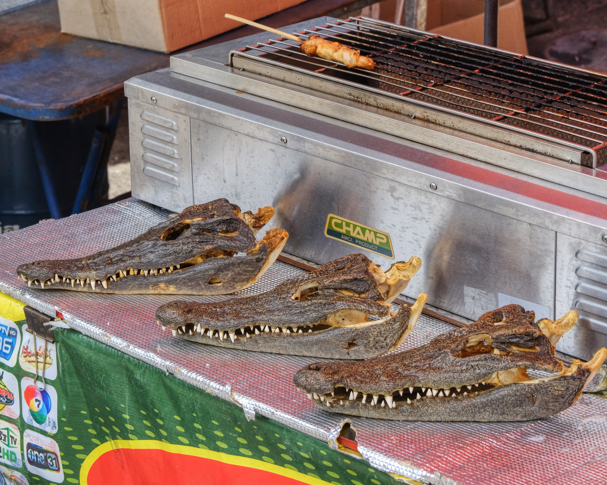 Our last act was to buy a 'croc-on-a-stick' brochet . . . Yes, it did taste like chicken, which makes a kind of sense since crocodiles are actually surviving dinosaurs . . . and birds are dinosaur descendants. We worried all the way back home that we could have eaten 'bad crocodile' . . . . but we were fine . . . no intestinal turmoil after all.
 USA Road Trip: Grand Canyon (North Rim)
 Tuesday, April 30, 2019 at 4:13PM
 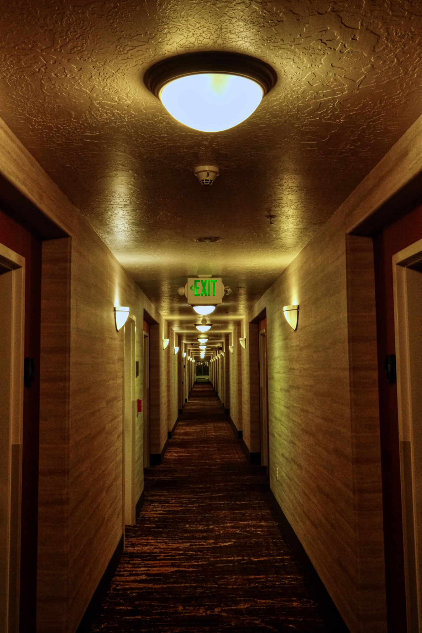 The morning of our Grand Canyon adventure began here . . .
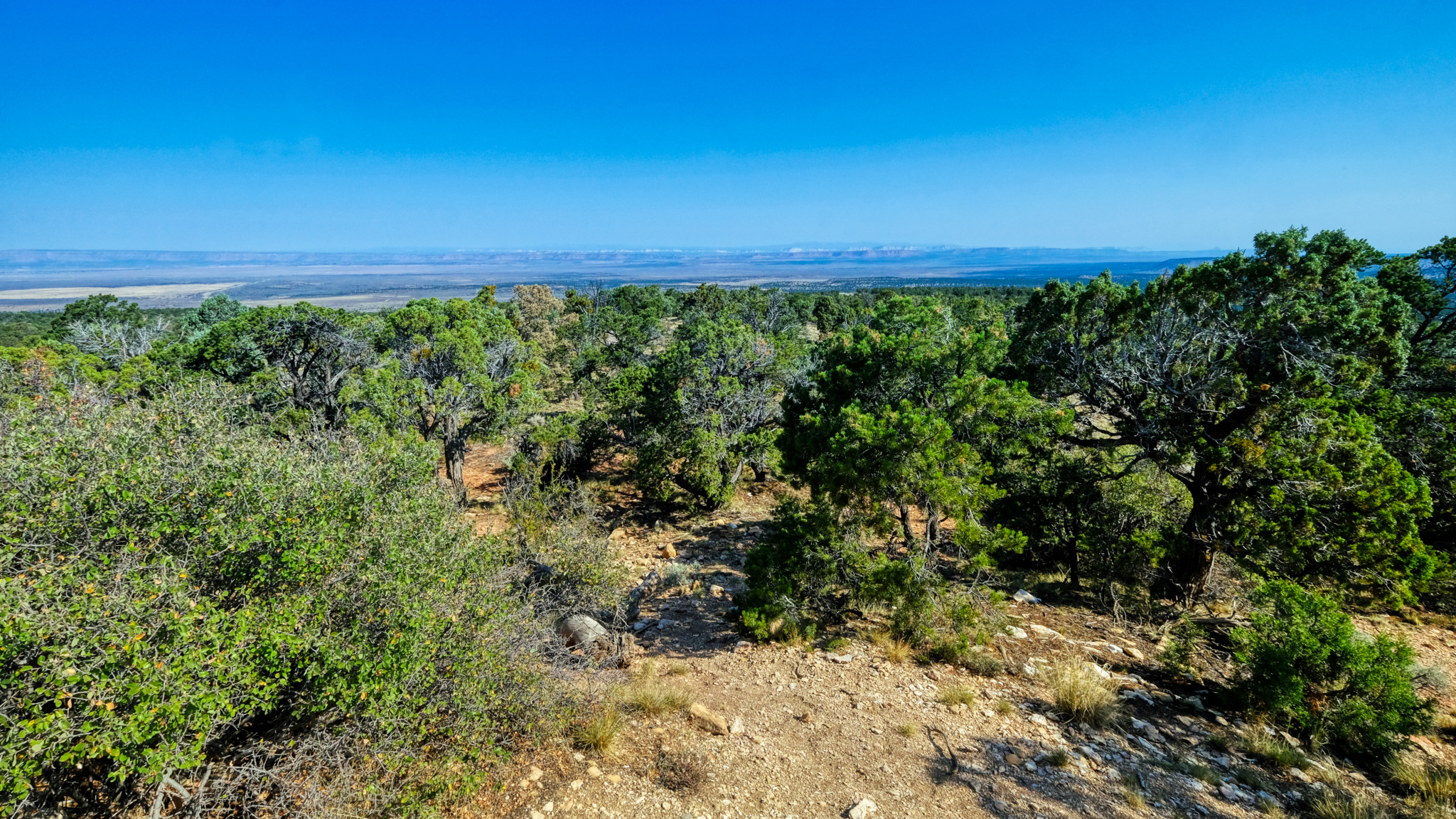 The Grand Canyon (North Rim) barely visible in the distance. We stayed in Kanab, Utah and drove up to the canyon on a full day trip.
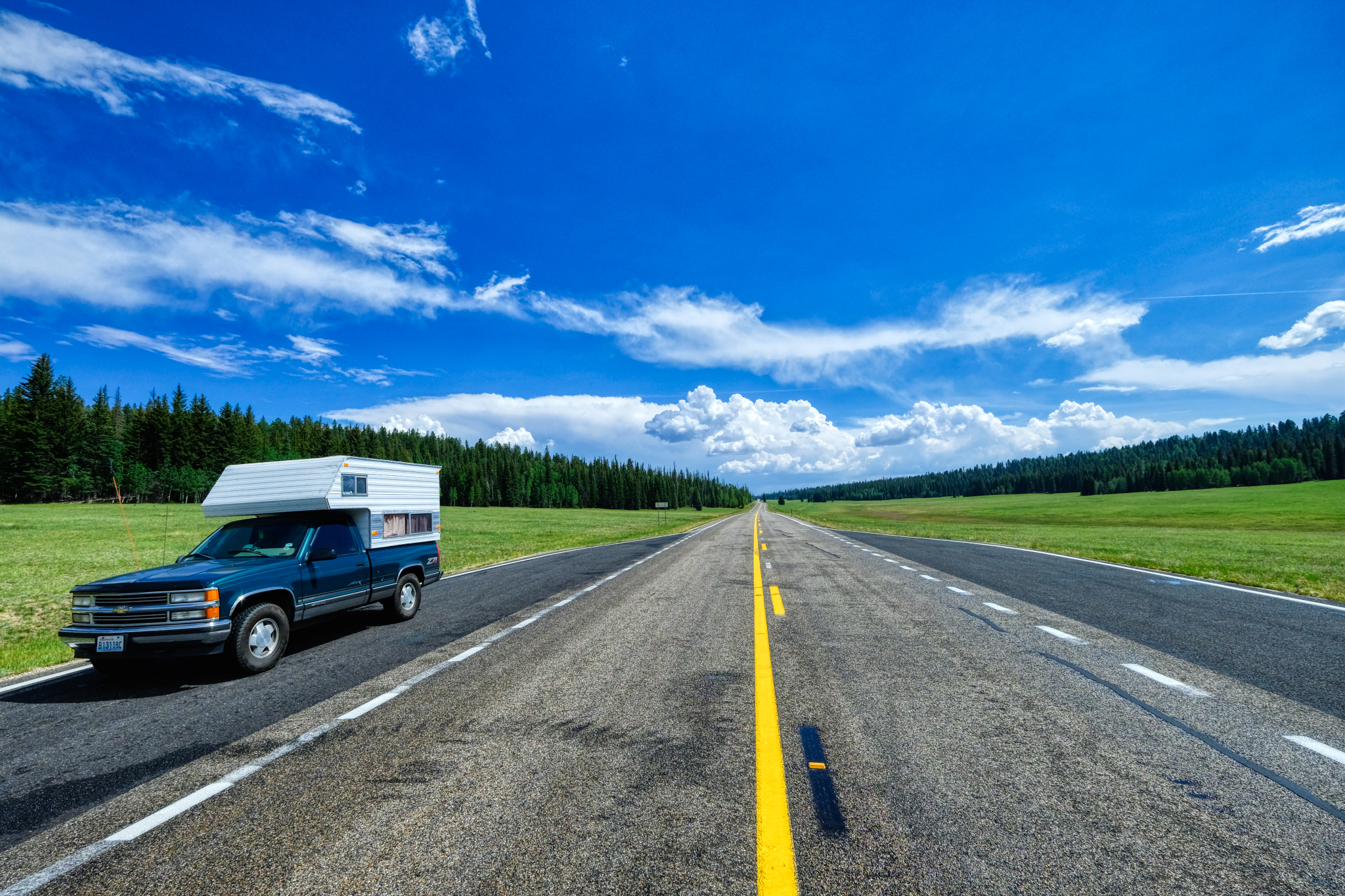 It was a very long climb up to the north rim. The road eventually flattened out in a series of high meadows.
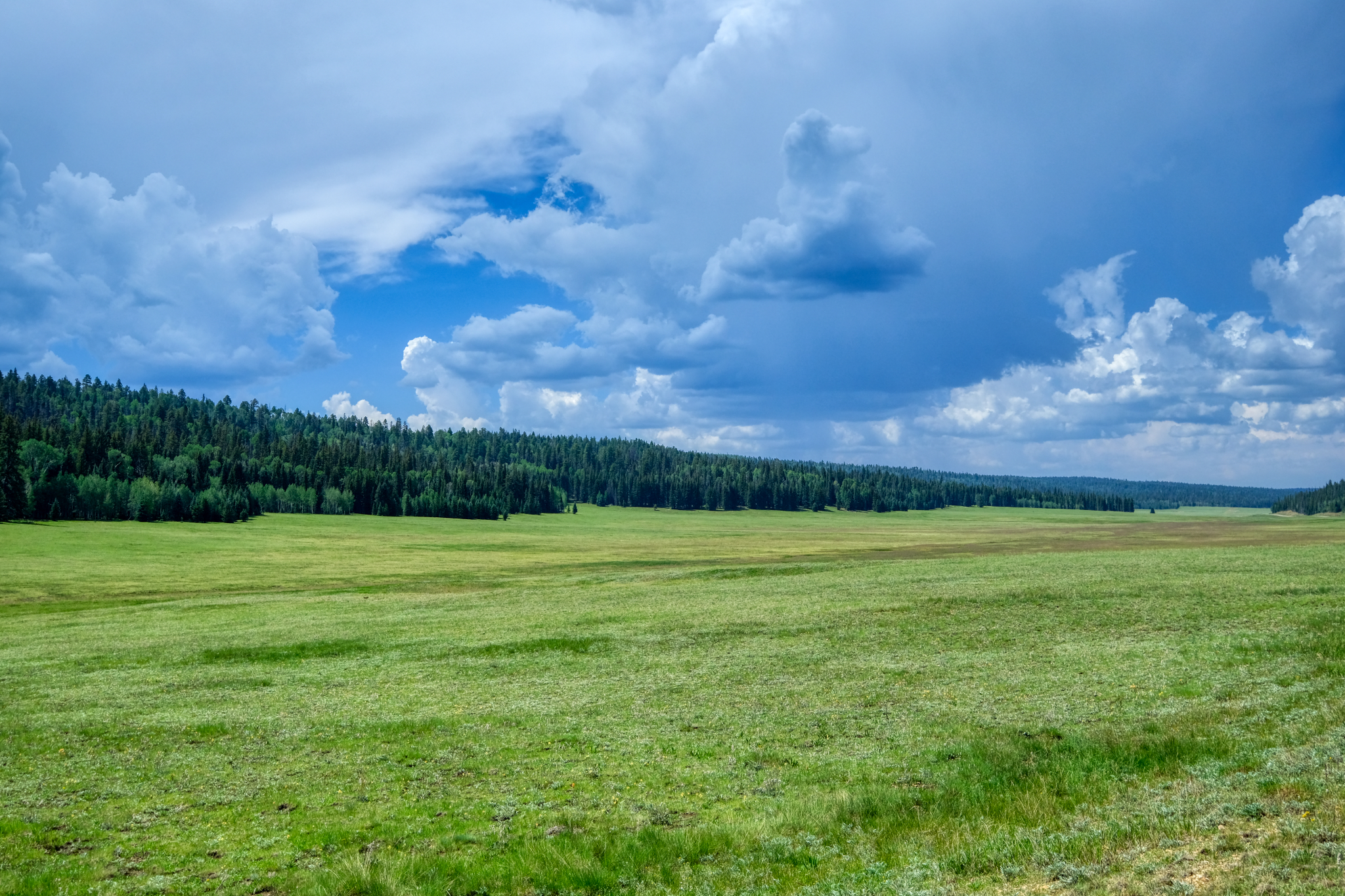 We didn't see any bears here, but we stopped for coffee nearby and were told that there had been many sightings that day.
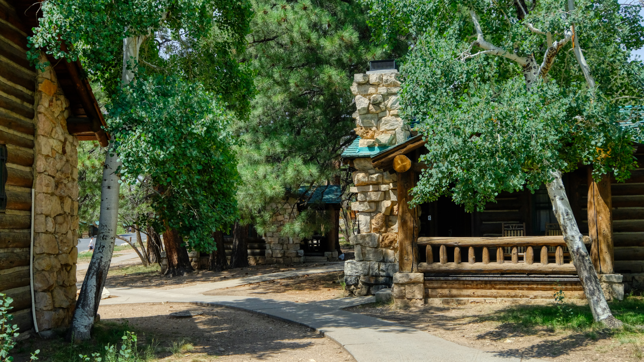 The National Park Service offers these cabins for rent at the lodge on the canyon rim.
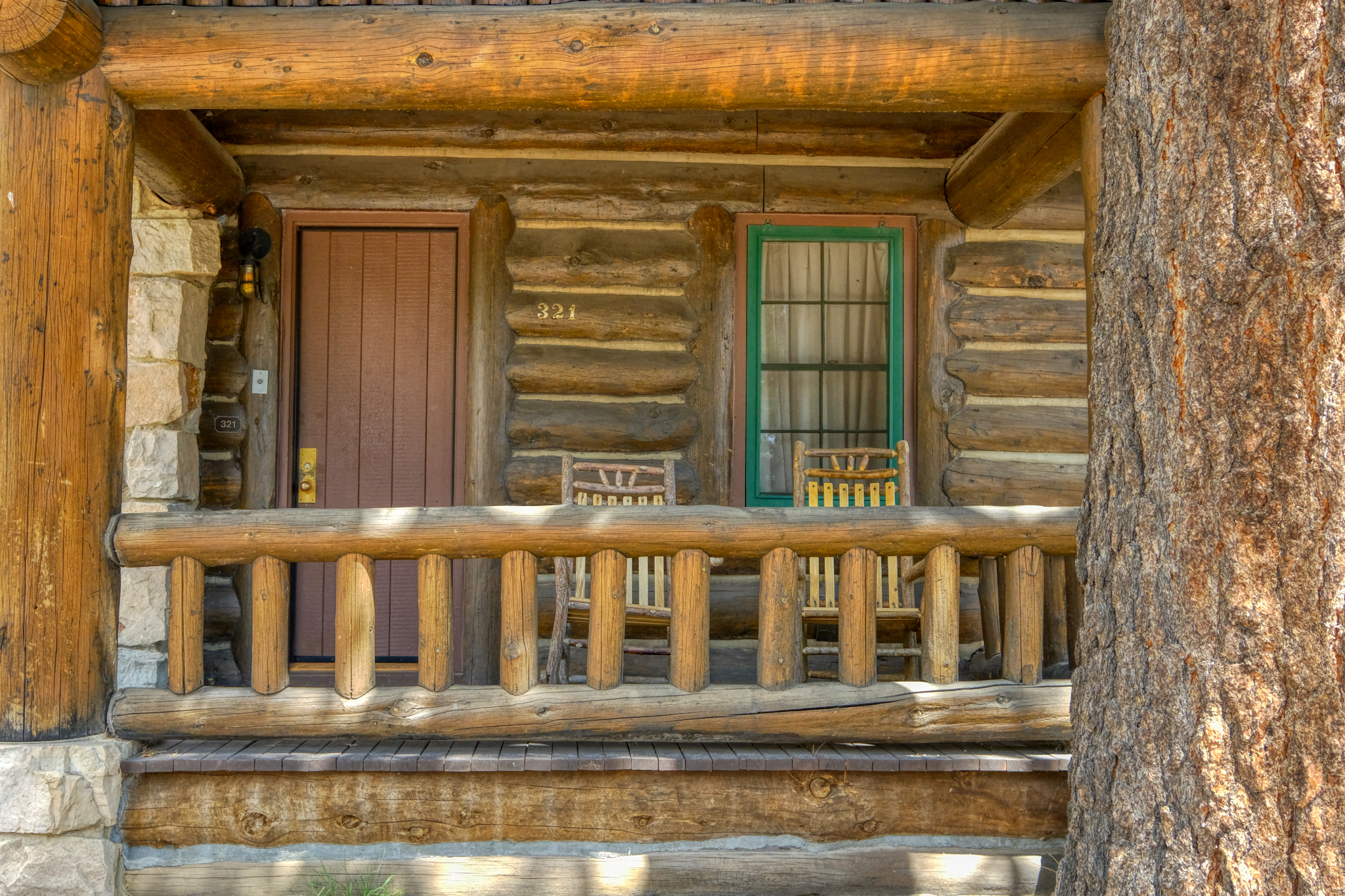 Very sweet cabin. We stayed in one like this at the Grand Tetons National Park in Wyoming many years ago.
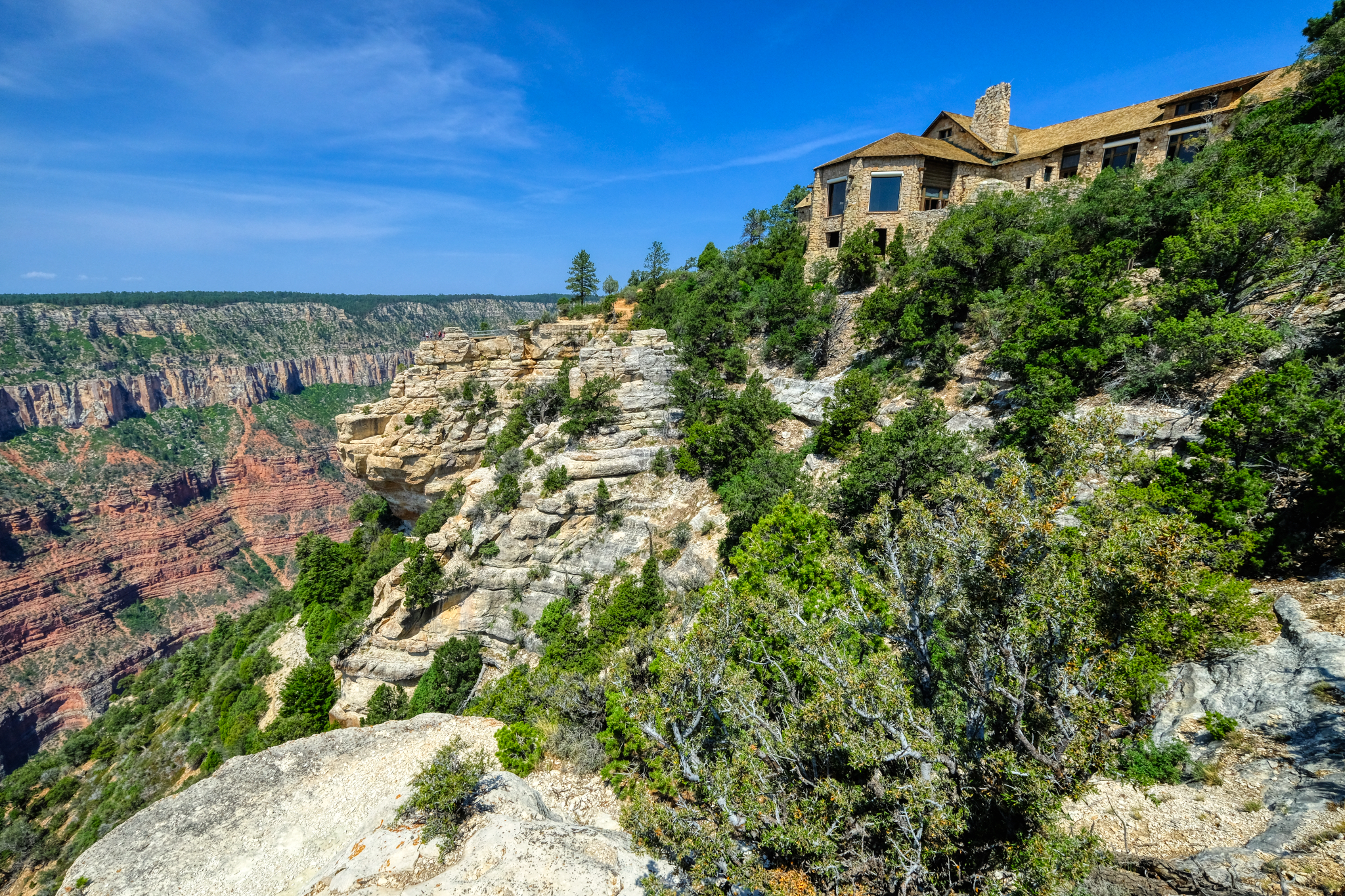 The park lodge is magnificent.
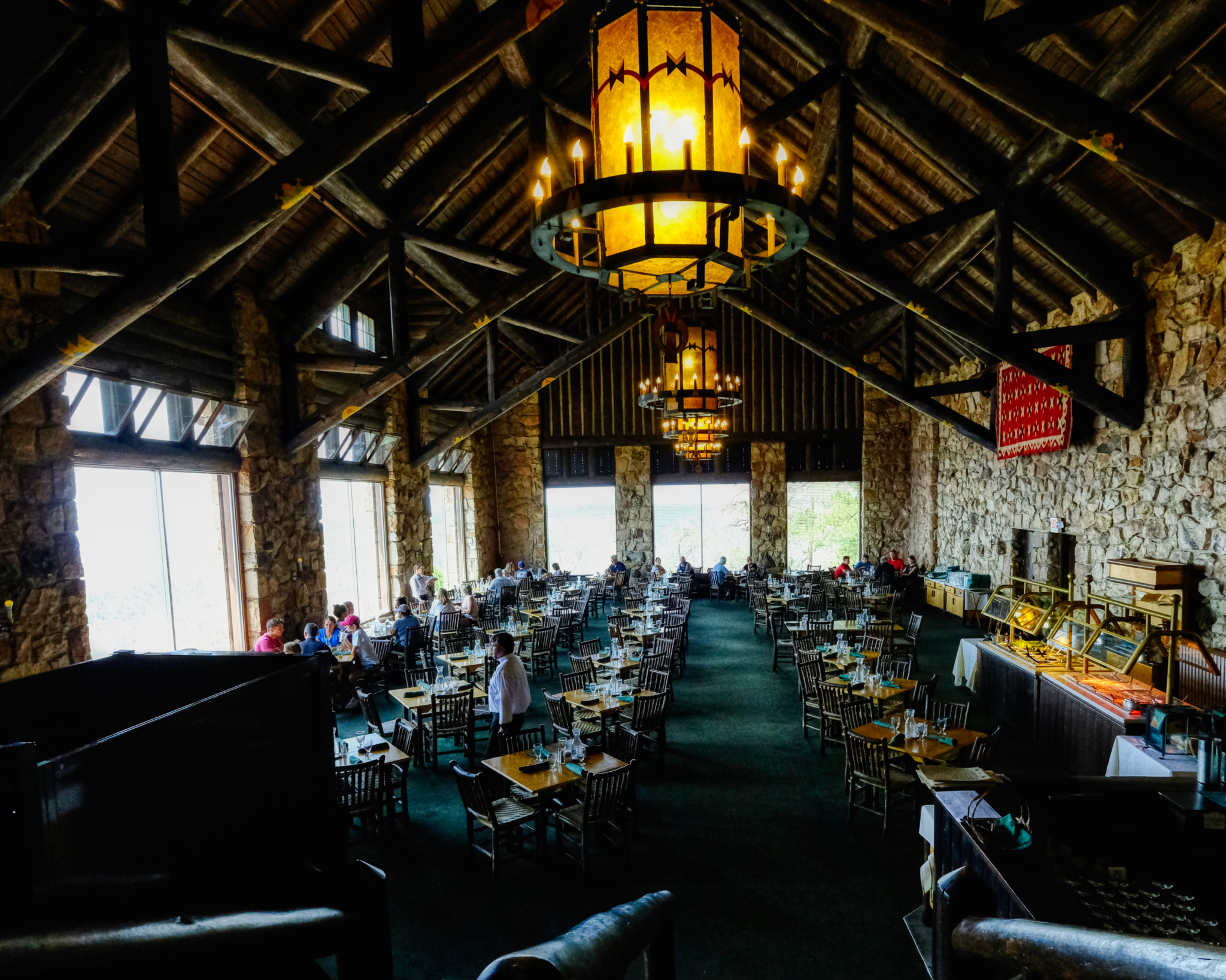 We had a surprisingly good brunch in the lodge cafe. Highly recommended, if a bit expensive. But, of course, we didn't come all this way for the brunch . . . . .
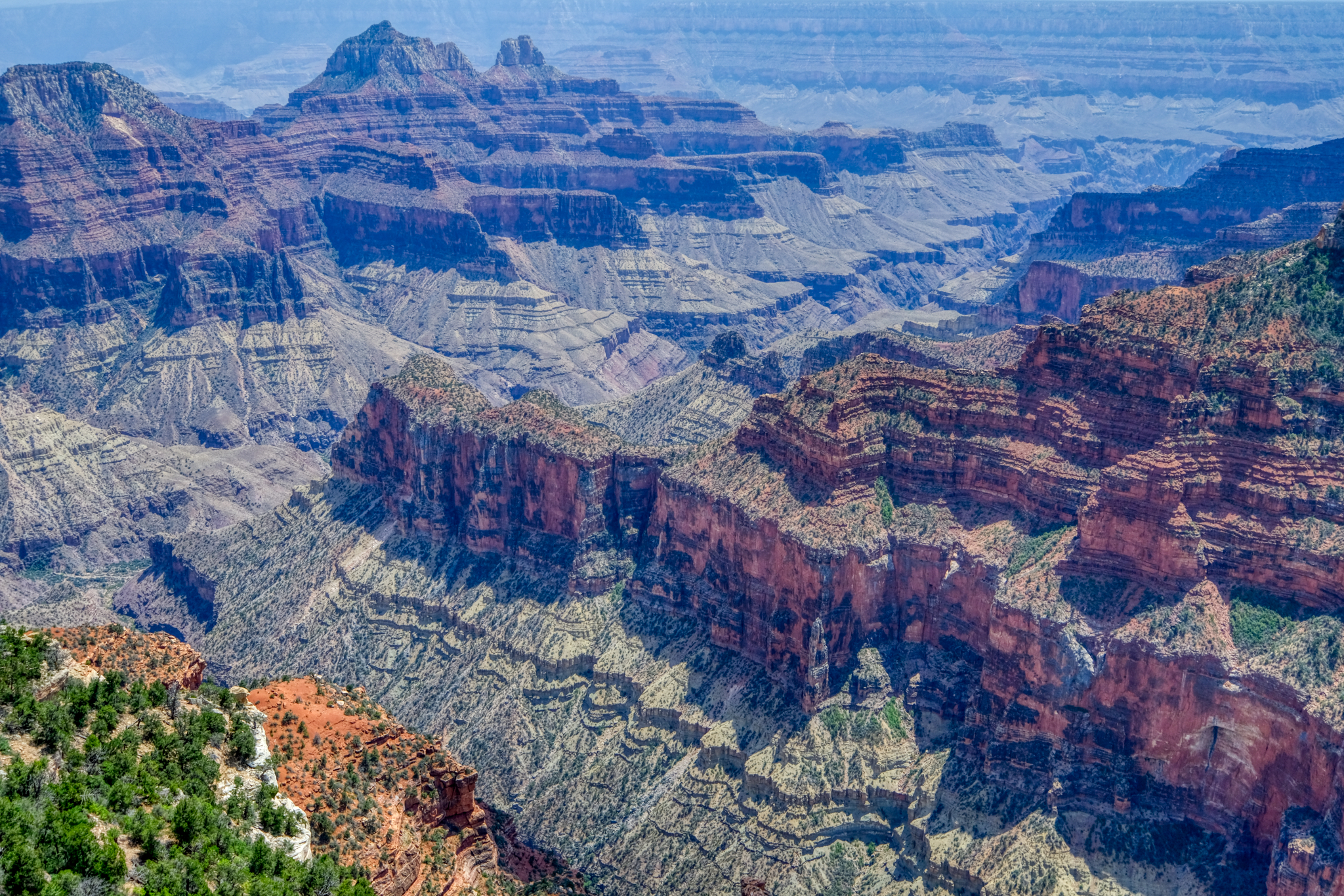 As far as canyons go, this one is definitely grand . . . as grand as a canyon can get.
 The Grand Canyon is so immense it is difficult to capture the true size of the place. Yes, panoramas can give the scope of the image, but you would need to plaster that panorama on the side of a sports arena to really get the true awesomeness. A first peek of the canyon. The first overlook, just below the park lodge. Jaw dropping . . . .
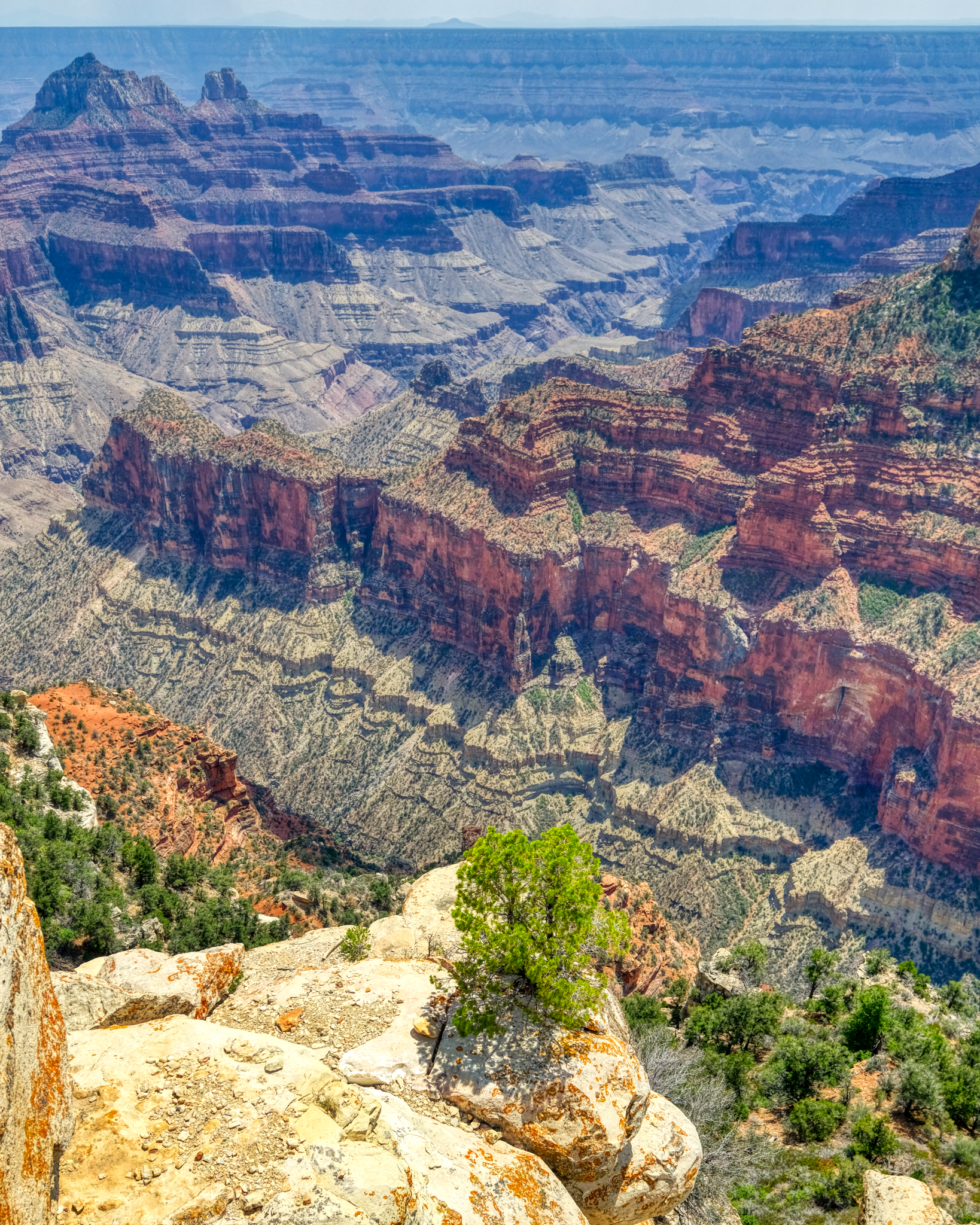 Awe inspiring views at every turn.
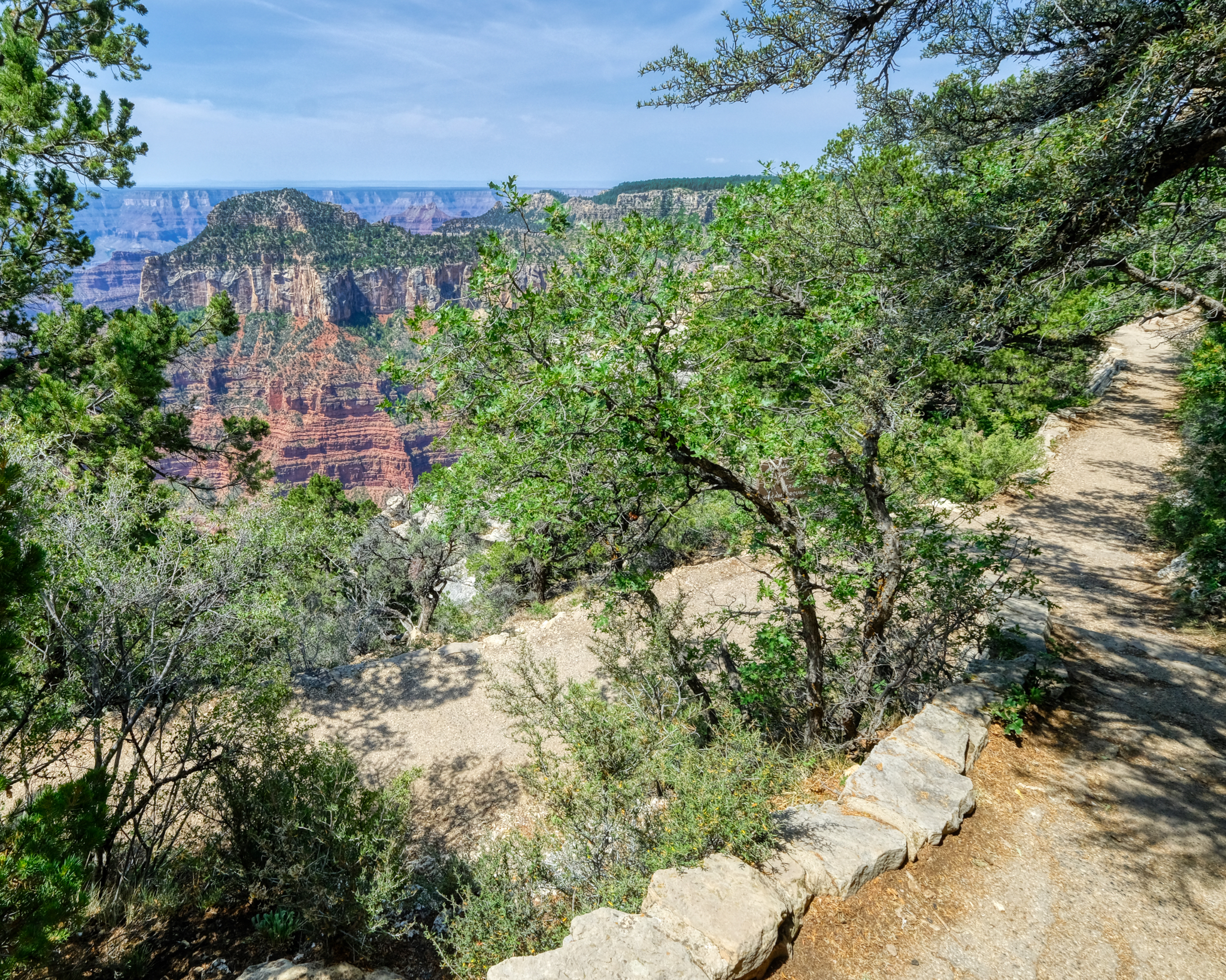 There are many foot paths up on the ridges and rim of the canyon leading to different viewing overlooks.
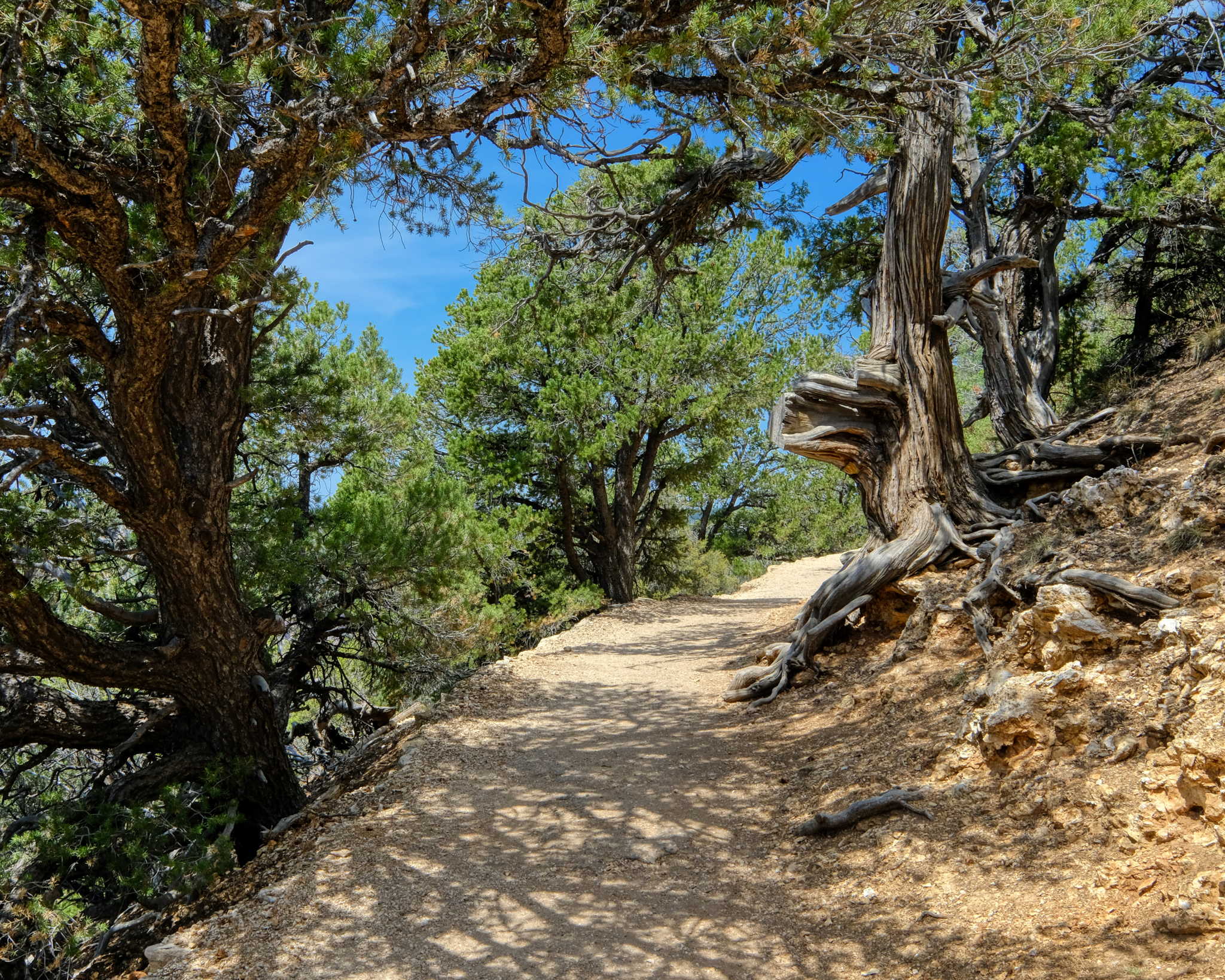 It was a very pleasant day to be up at this altitude . . . much cooler than the 100f+ (40c+) we had seen in the valleys.
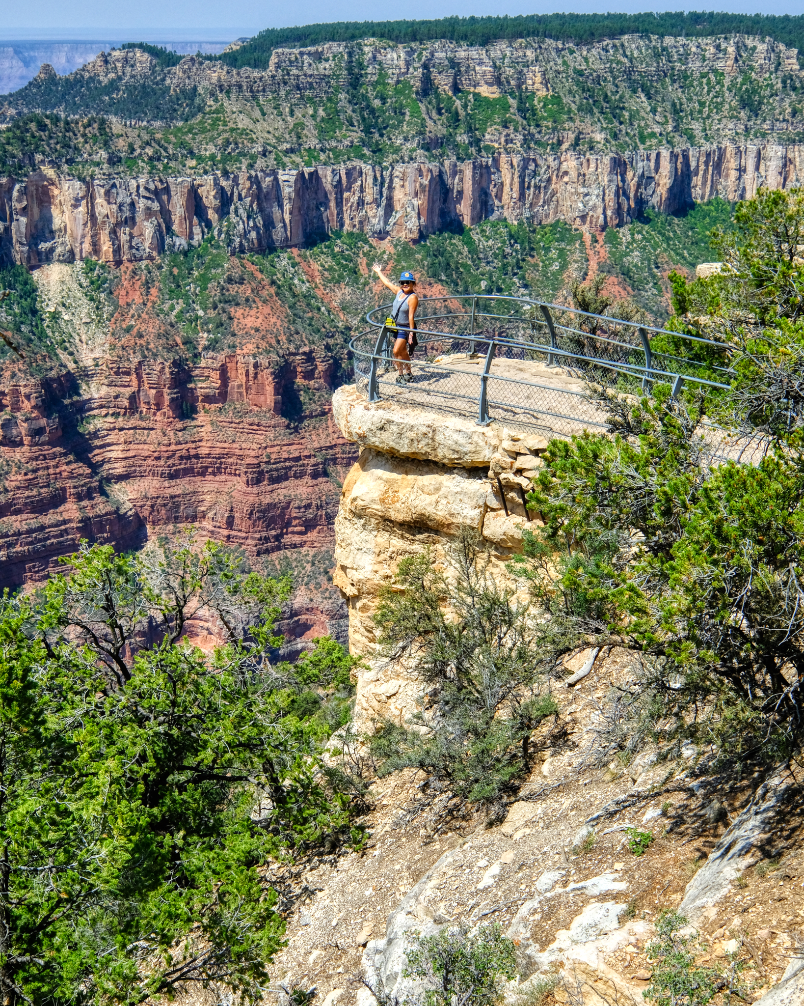 The overlooks were situated in very dramatic, and frightening locations. This very beautiful and friendly tourist posed for me. Sweet.
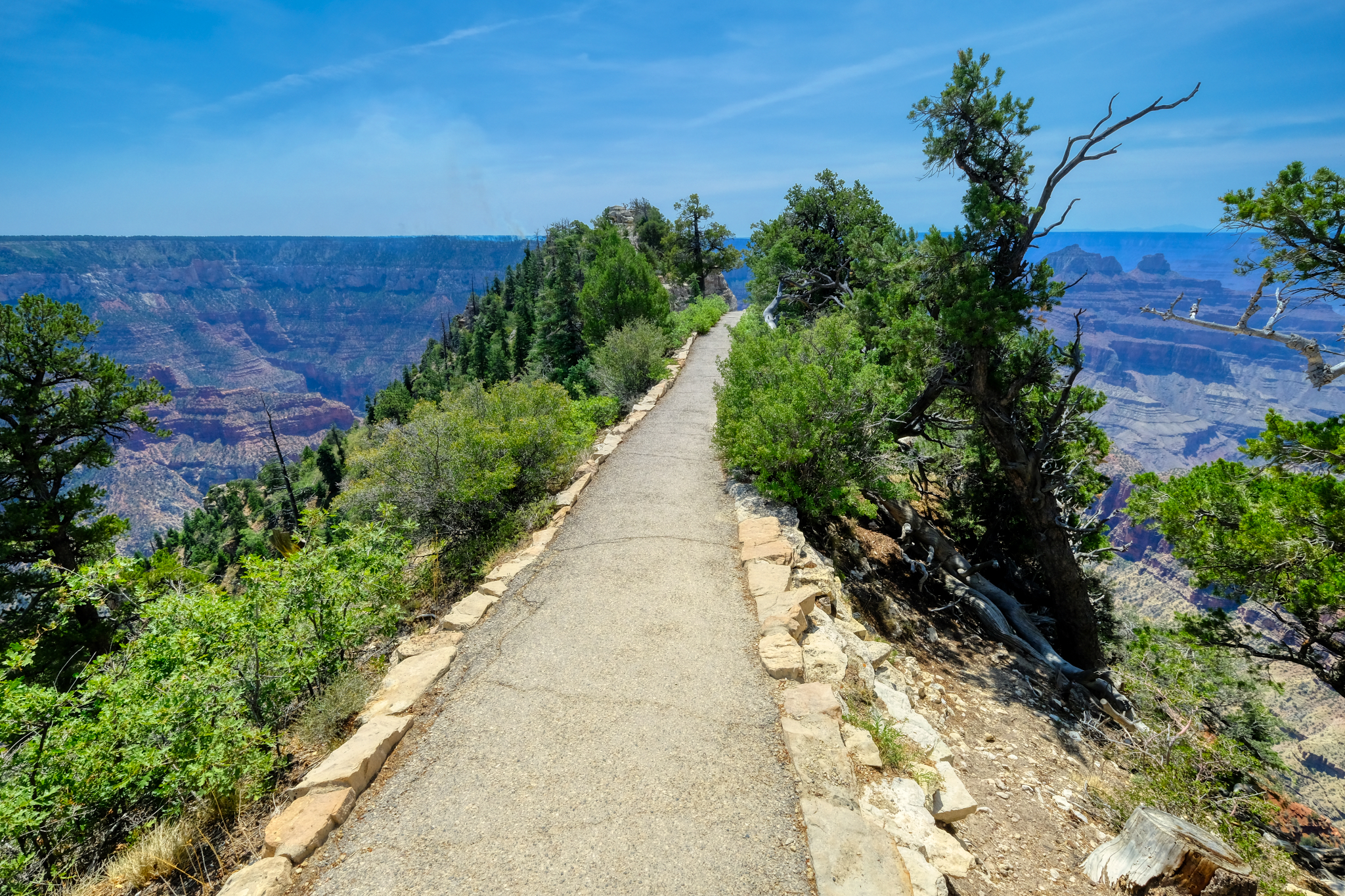 The path led us out to a precarious viewing point high above the canyon floor.
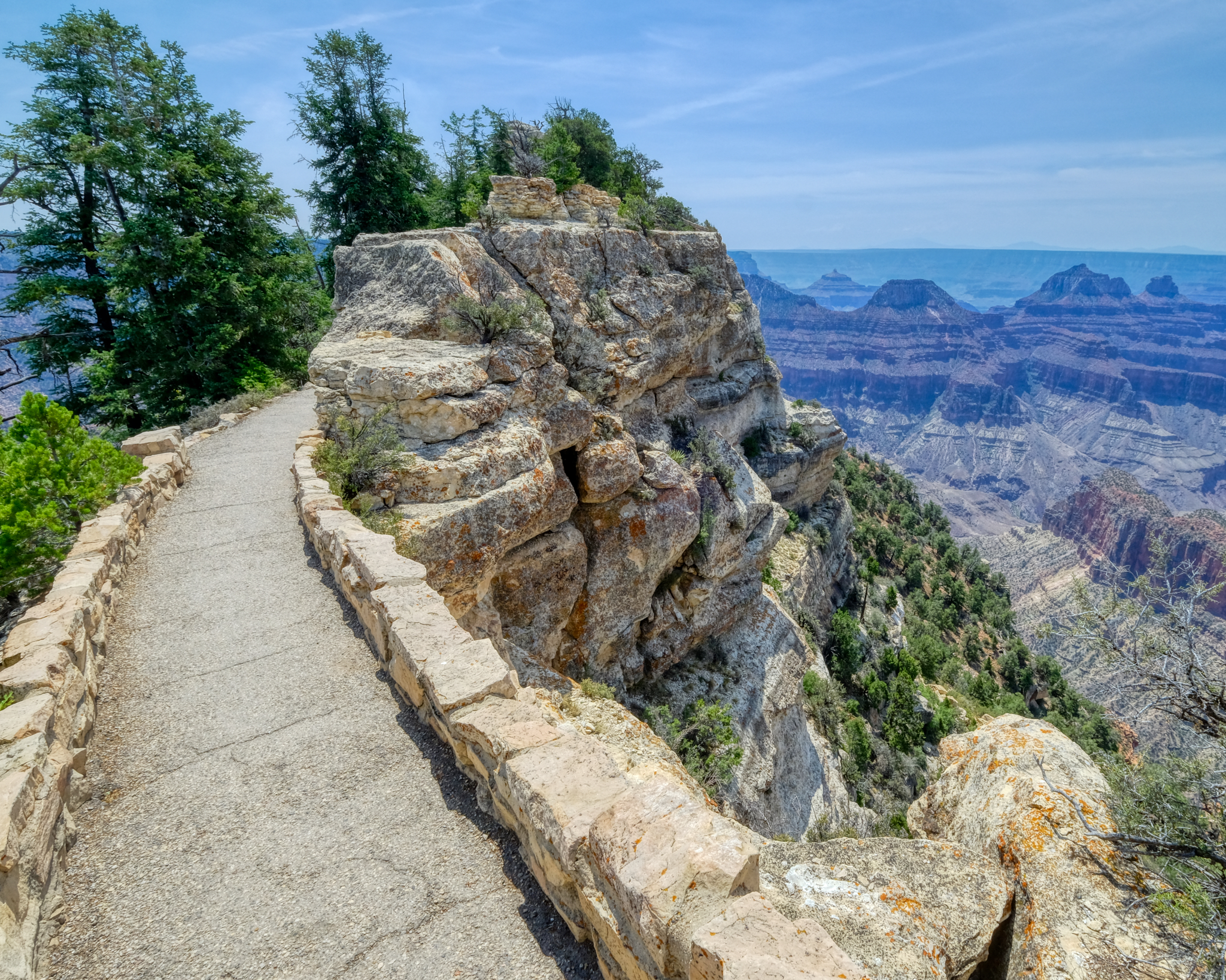 A wonderful walk. A new view.
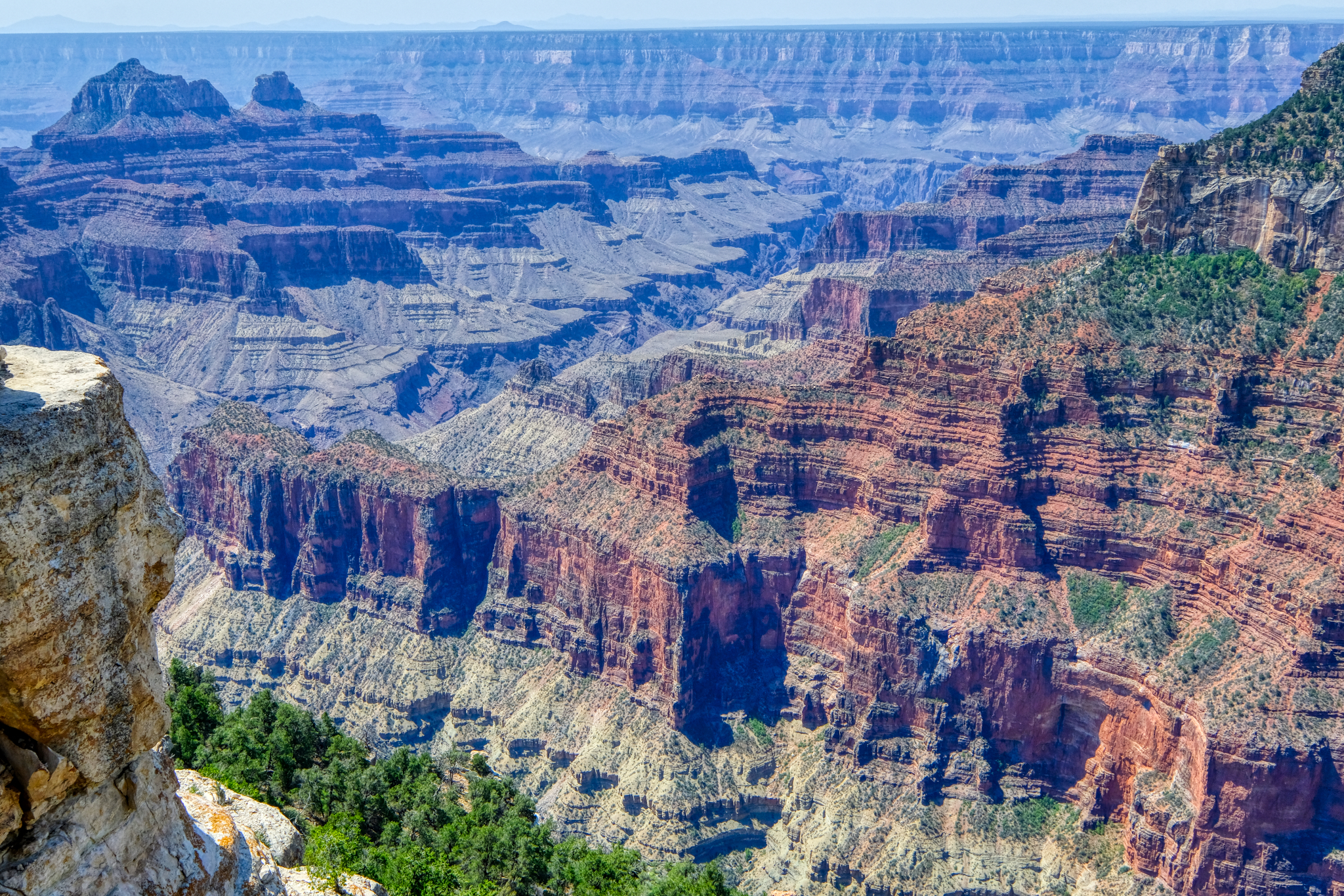 I have, like most of us, seen many TV documentaries on the geology of the Grand Canyon. Each strata in the rocks representing millions of years. The age of the planet on display, like the rings of a tree.
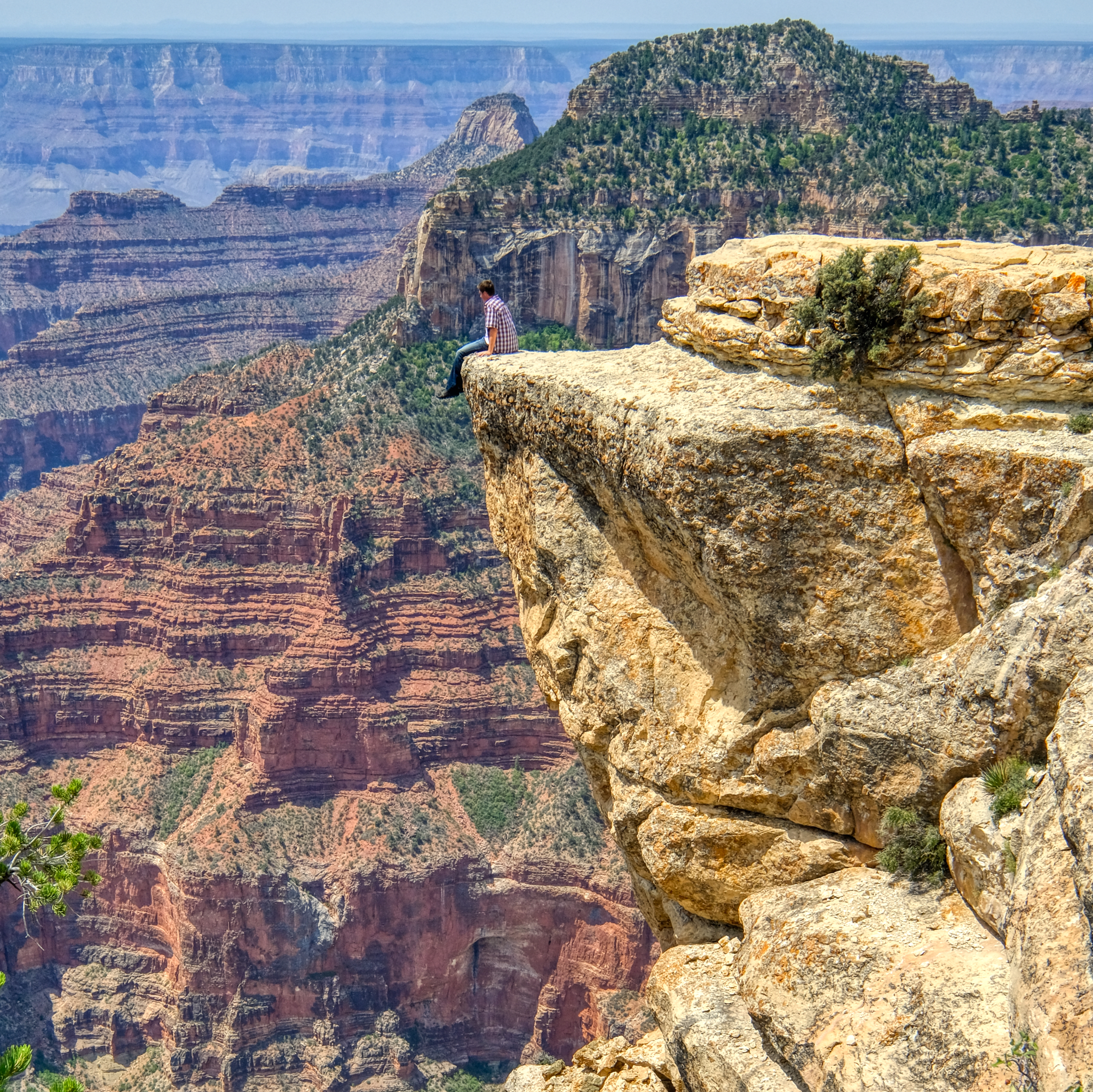 Not all 'view points' are authorized. We saw several fools doing this kind of thing. Not recommended.
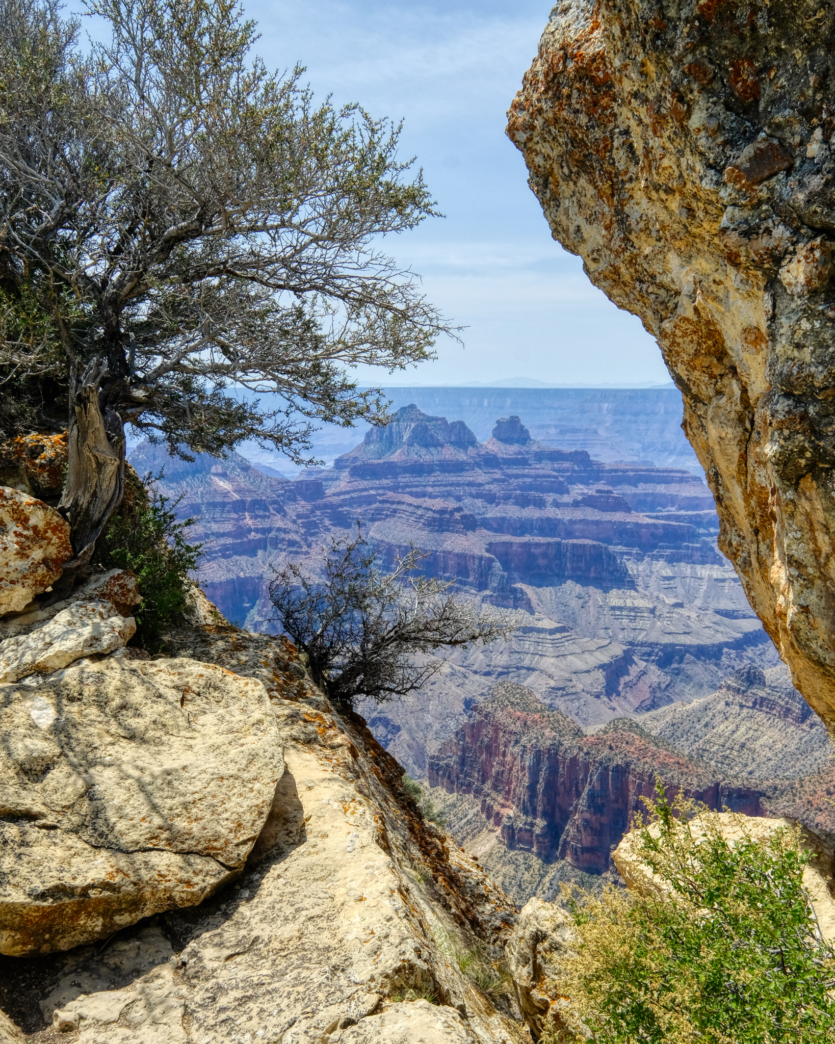 I love these framed views of the canyon. You can see the excessive smoke on the far horizon from the many wild fires in the western States. There was also a small lightening fire on one of the nearby ridges. It was extinguished by the end of the day.
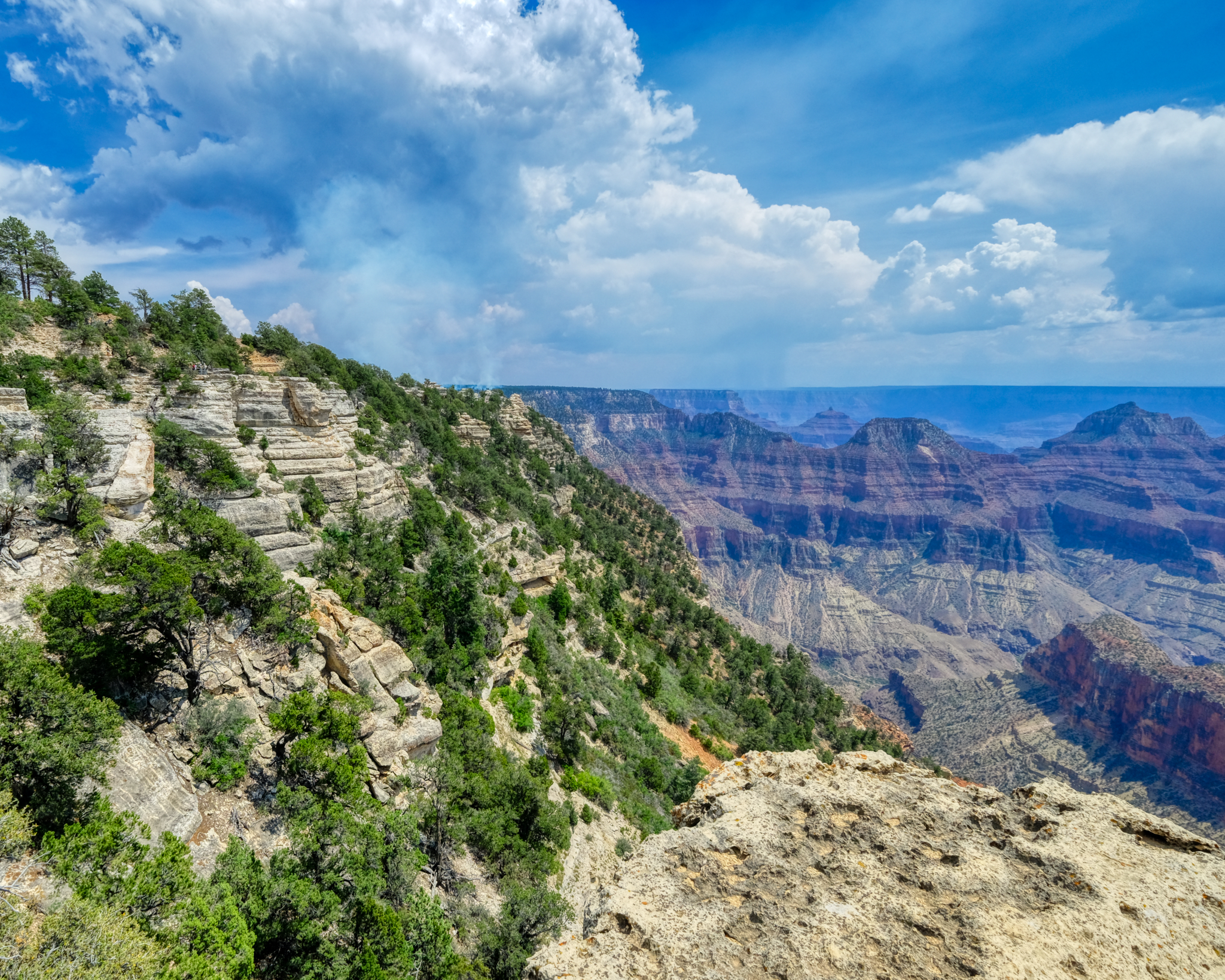 The lightning fire can be seen in the middle left of this view. This is also a nice view point for observing the geological strata. Looks like a storm coming.
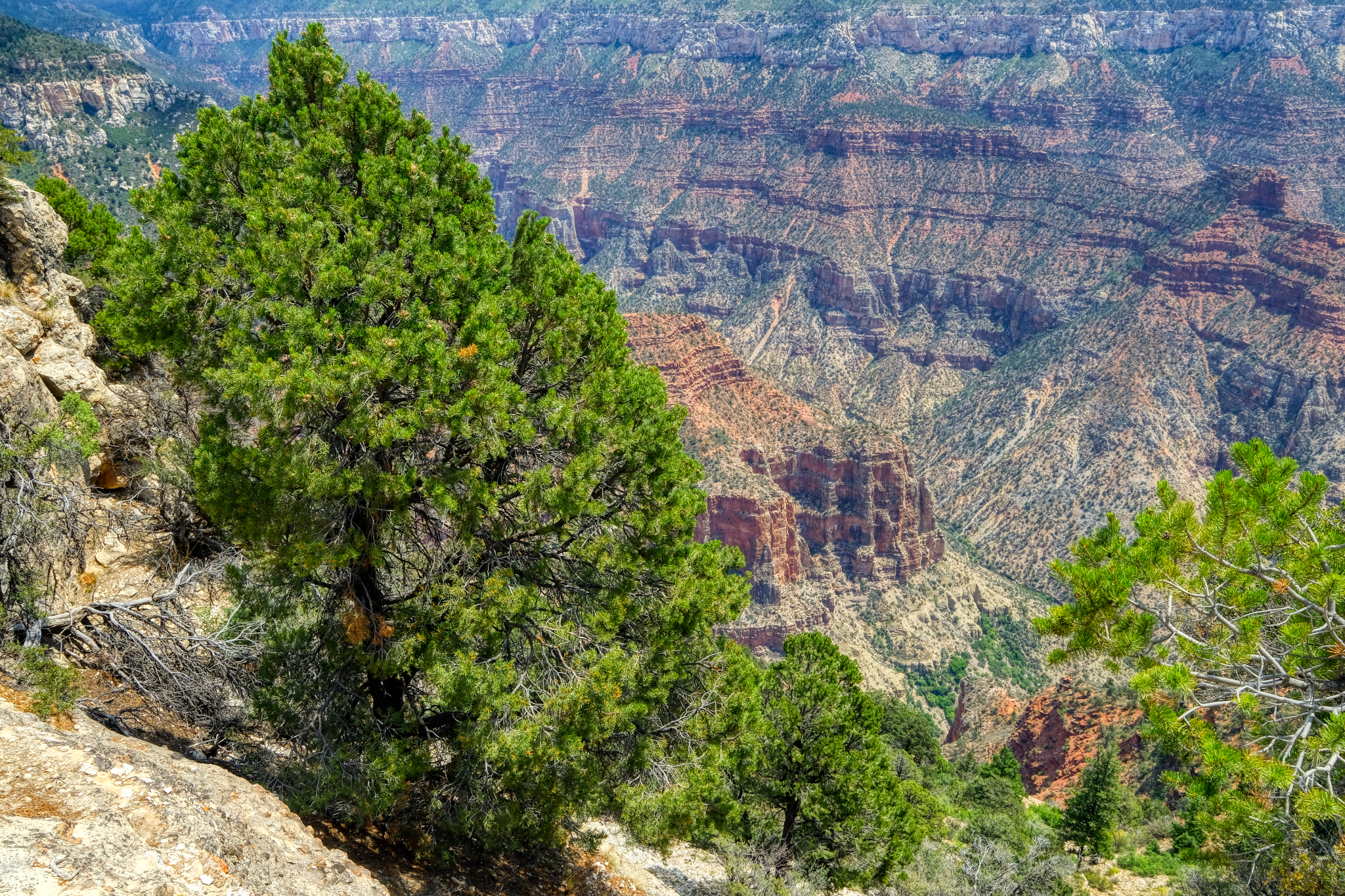
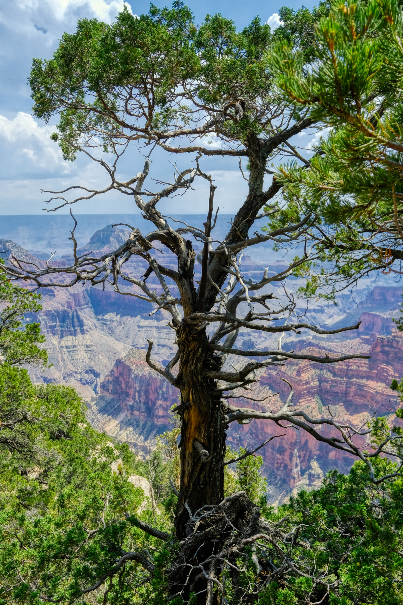 There were some very beautiful trees along the rim path. I love trees.
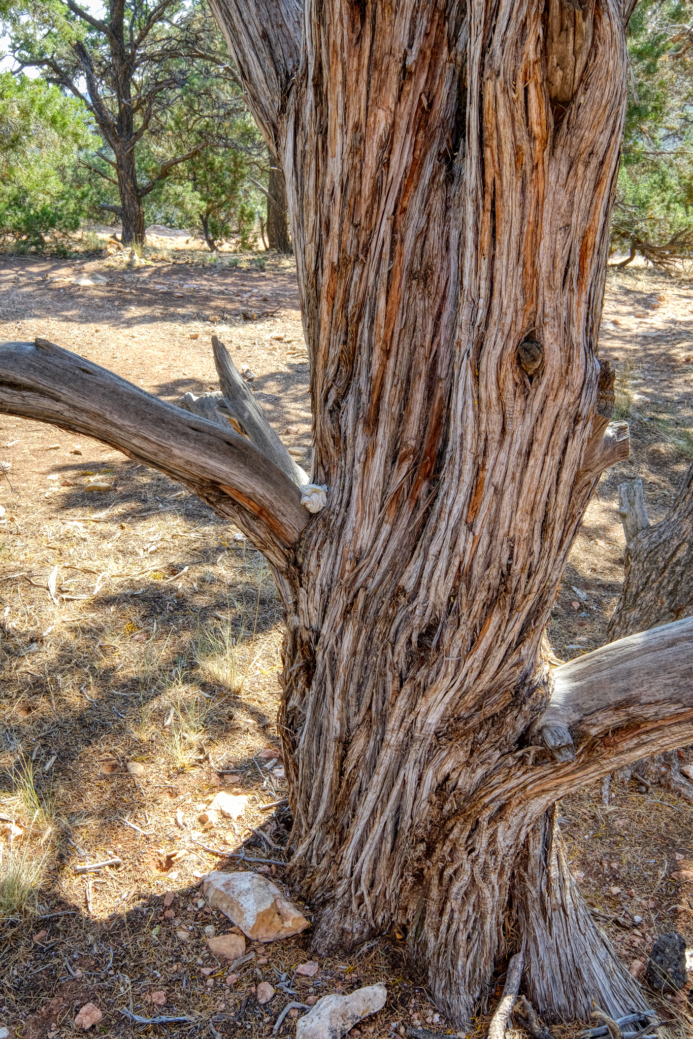 Lovely tree.
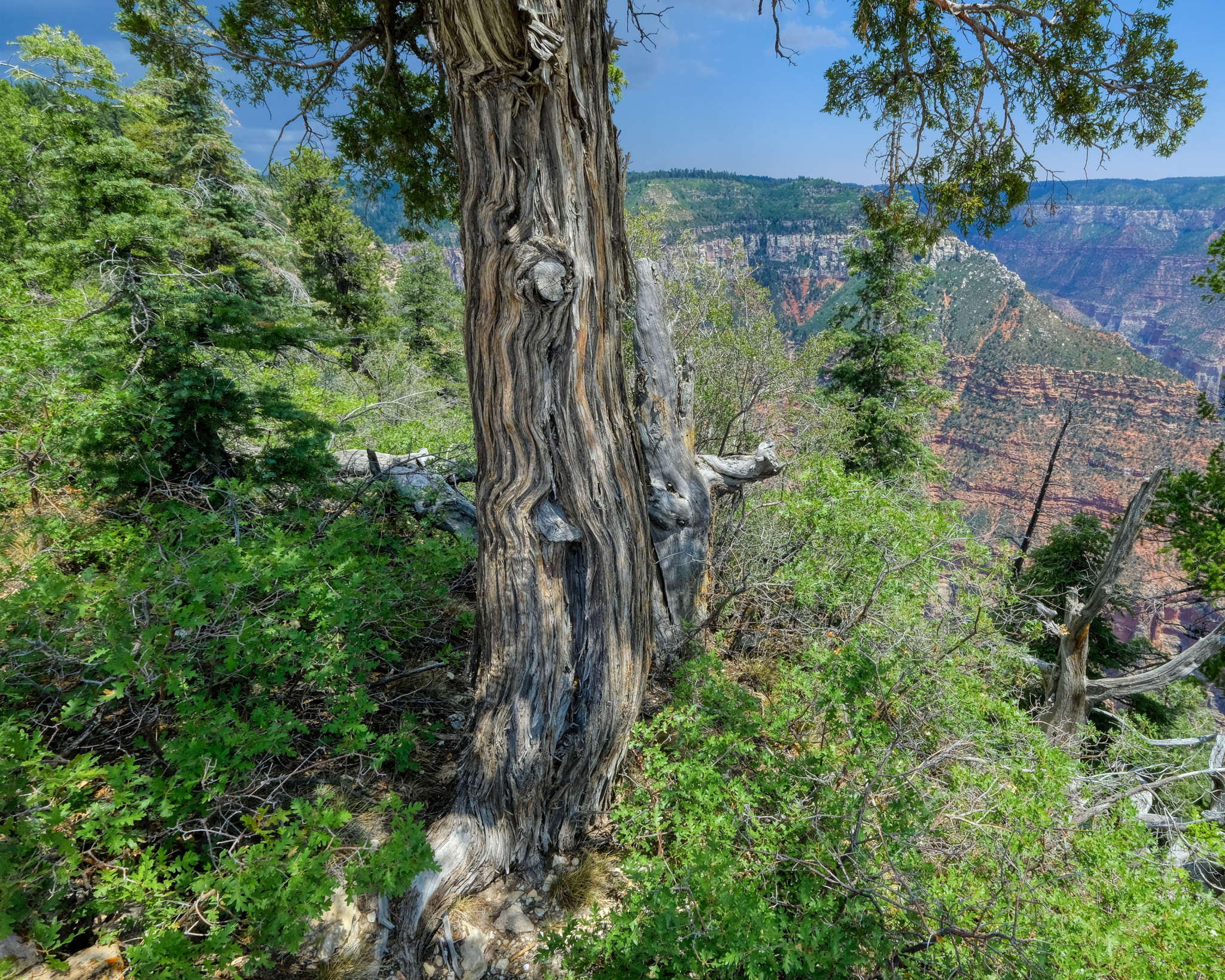 The North Rim of the Grand Canyon is closed from late Fall to late Spring because of the deep snow. This old tree shows snow weight damage.
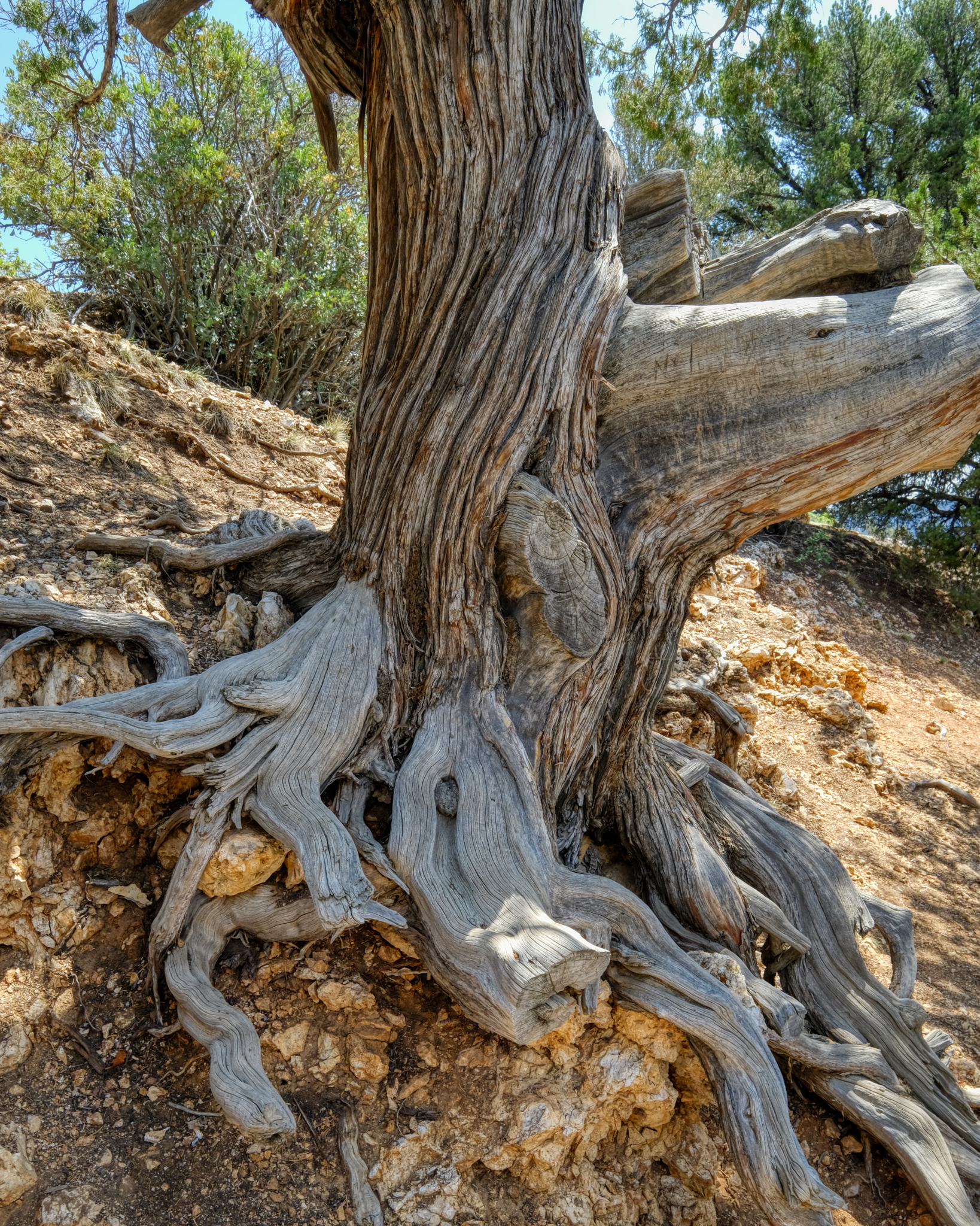 Old tree. A New Yorker left his/her mark. Dumb.
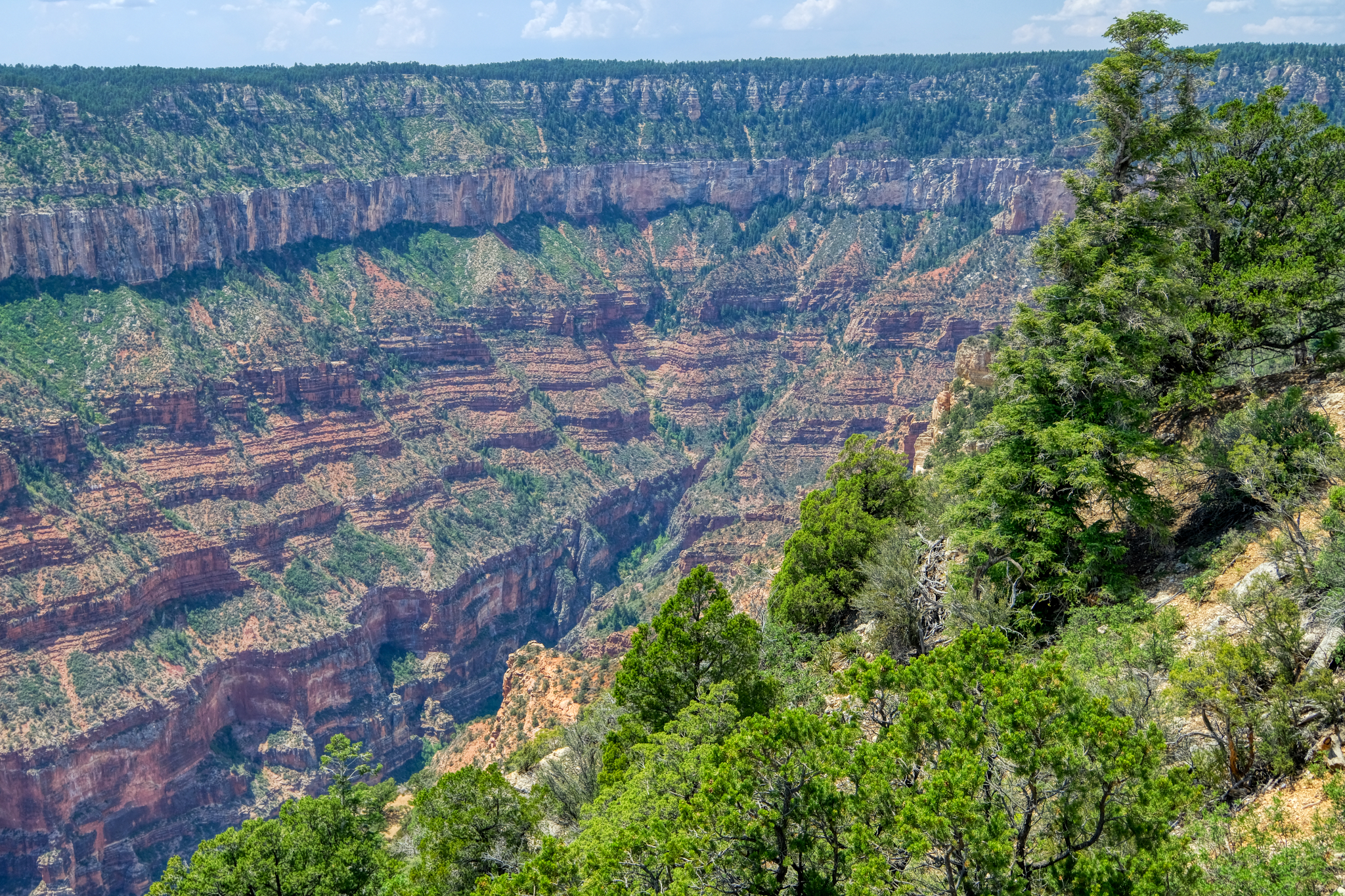 Photographing the Grand Canyon is not as easy as one would think. The grand vistas can indeed be capture in several photos, but then what? The huge panoramas can end up all looking the same. Even moving a half mile one way and the other still yields pretty much the same perspective. I tried to add interest in the shots.
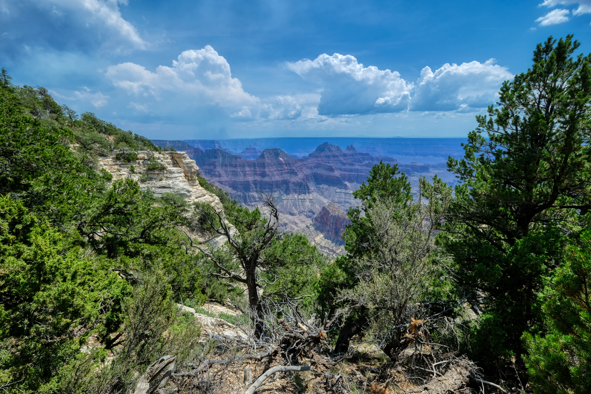 Such a pretty view of the canyon.
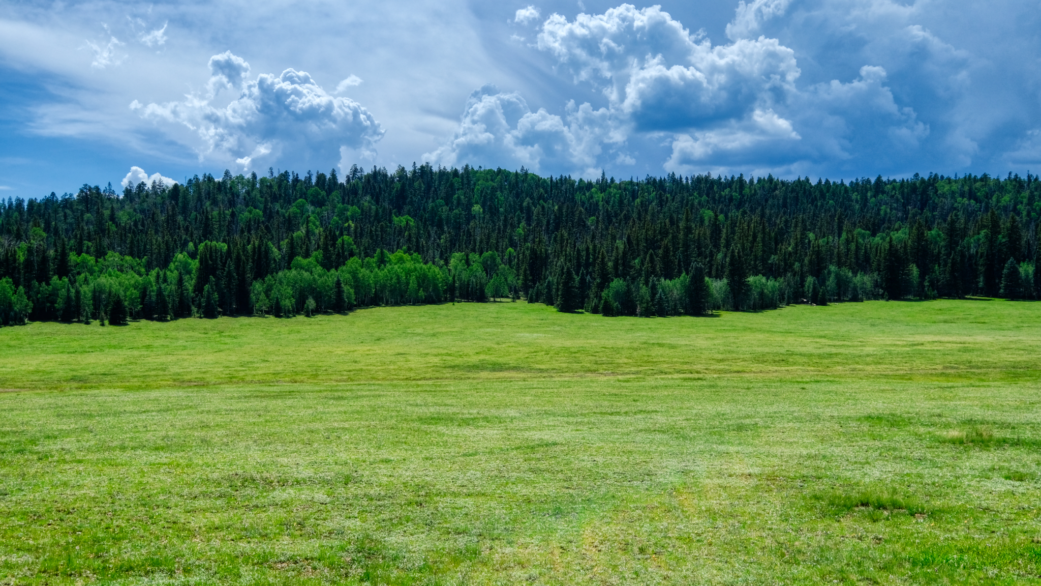 After a wonderful day spent at the North Rim, we headed back to our hotel . . . to plan the next day's adventure!
 Dr. Jeff Harper
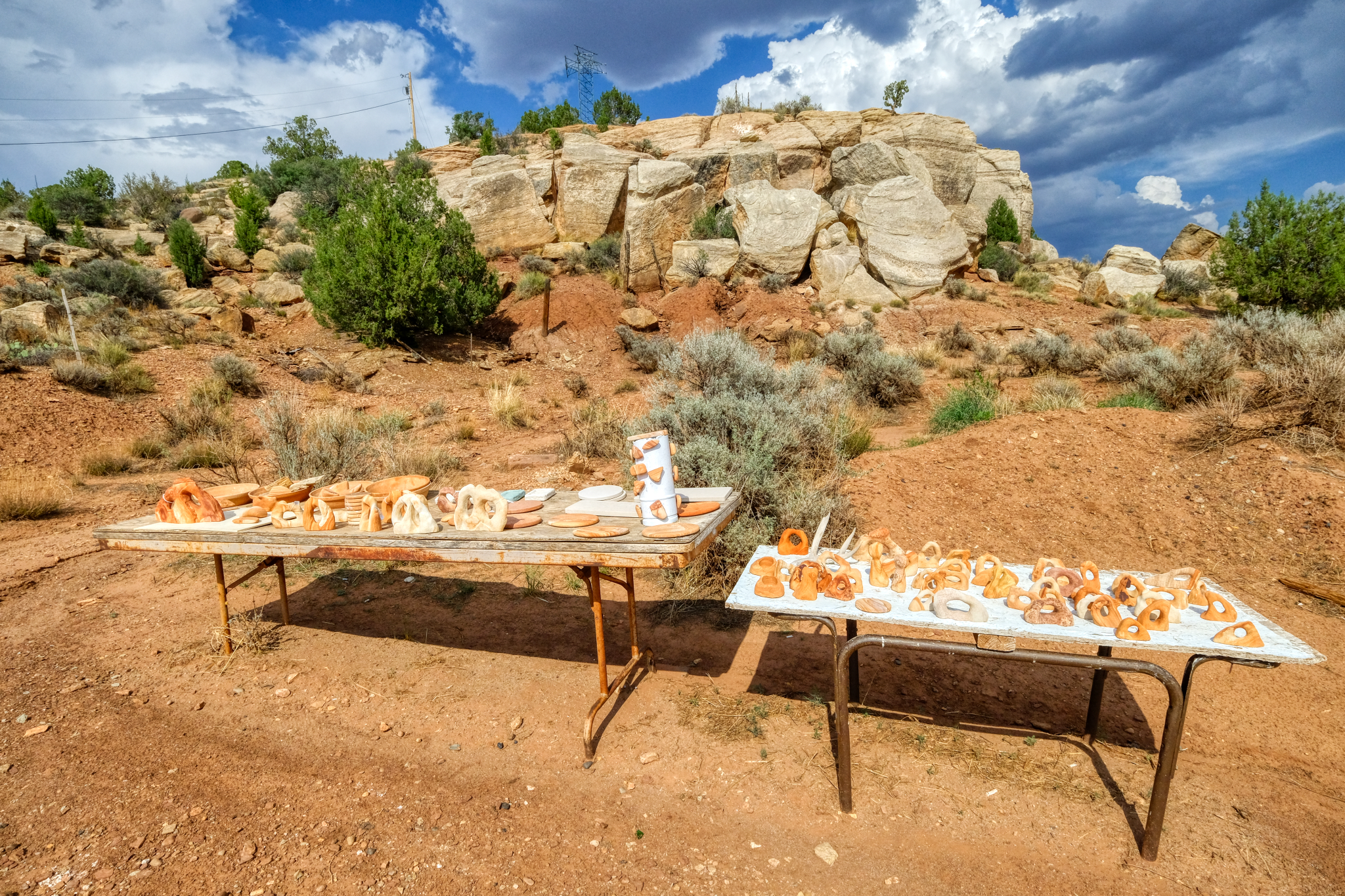 As we neared our hotel I spotted this display of sandstone carvings and petrifies wood.
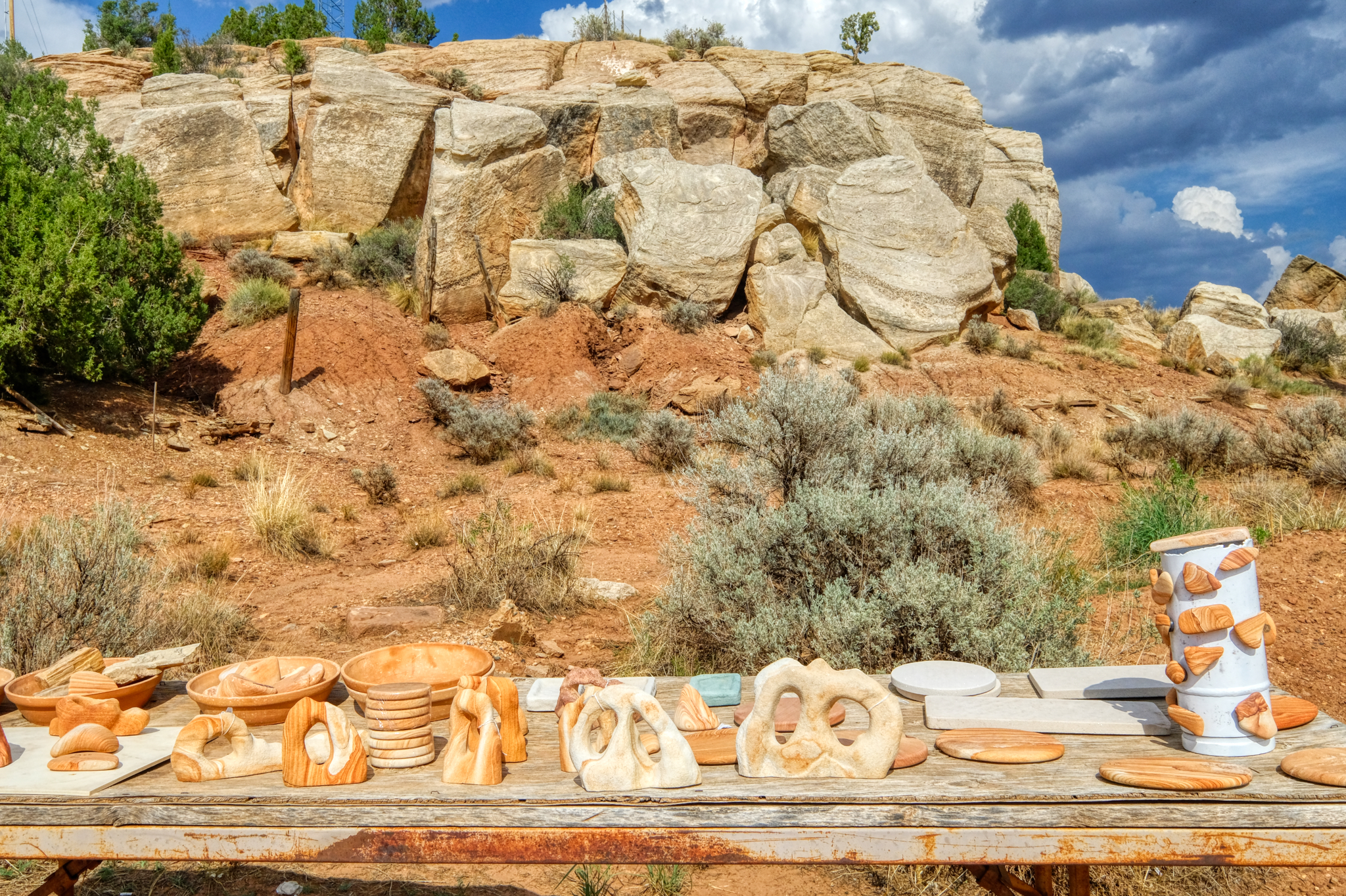 I pulled over to take a look.
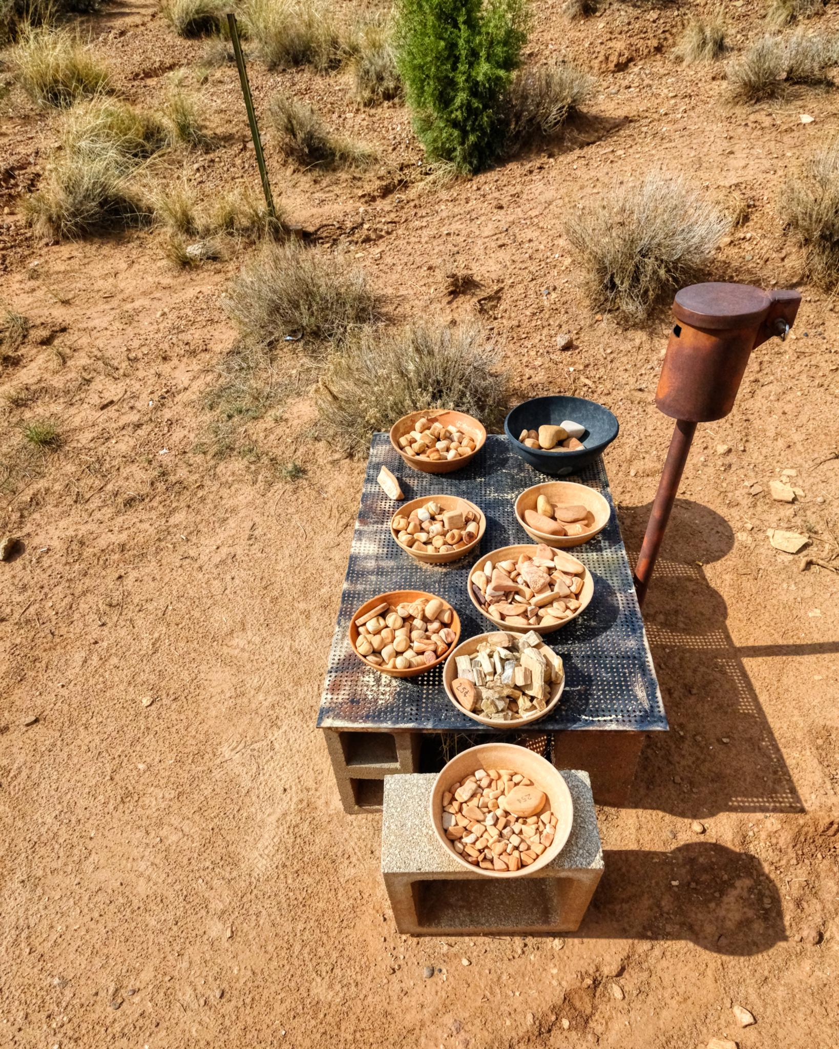 The 'system' for payment . . .
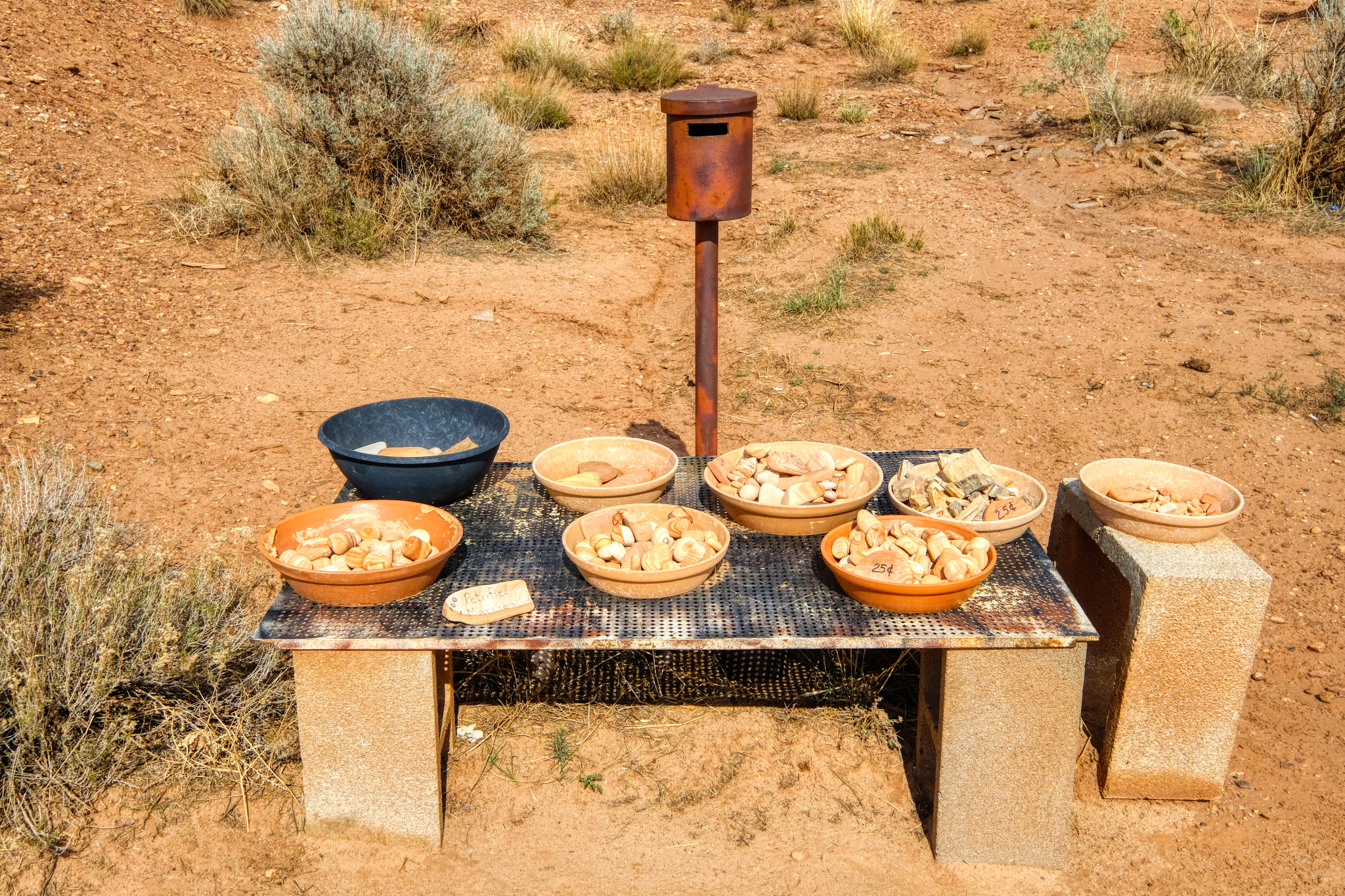 . . . take what you want, and leave your money in the can. I did. I passed on the petrified marshmallows.
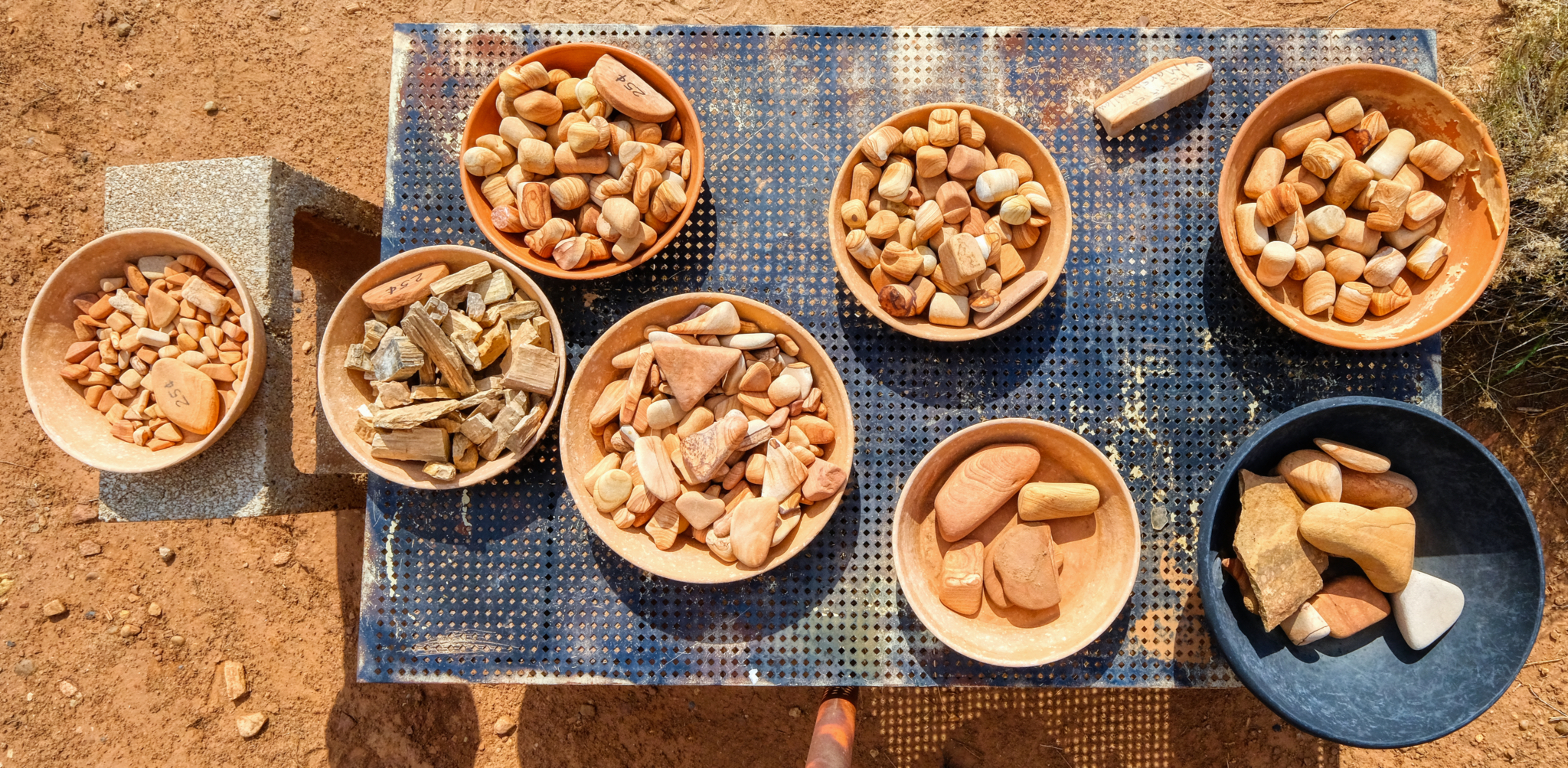 A nice collection . . . I took a couple of pieces of petrified wood for pocket flotsam.
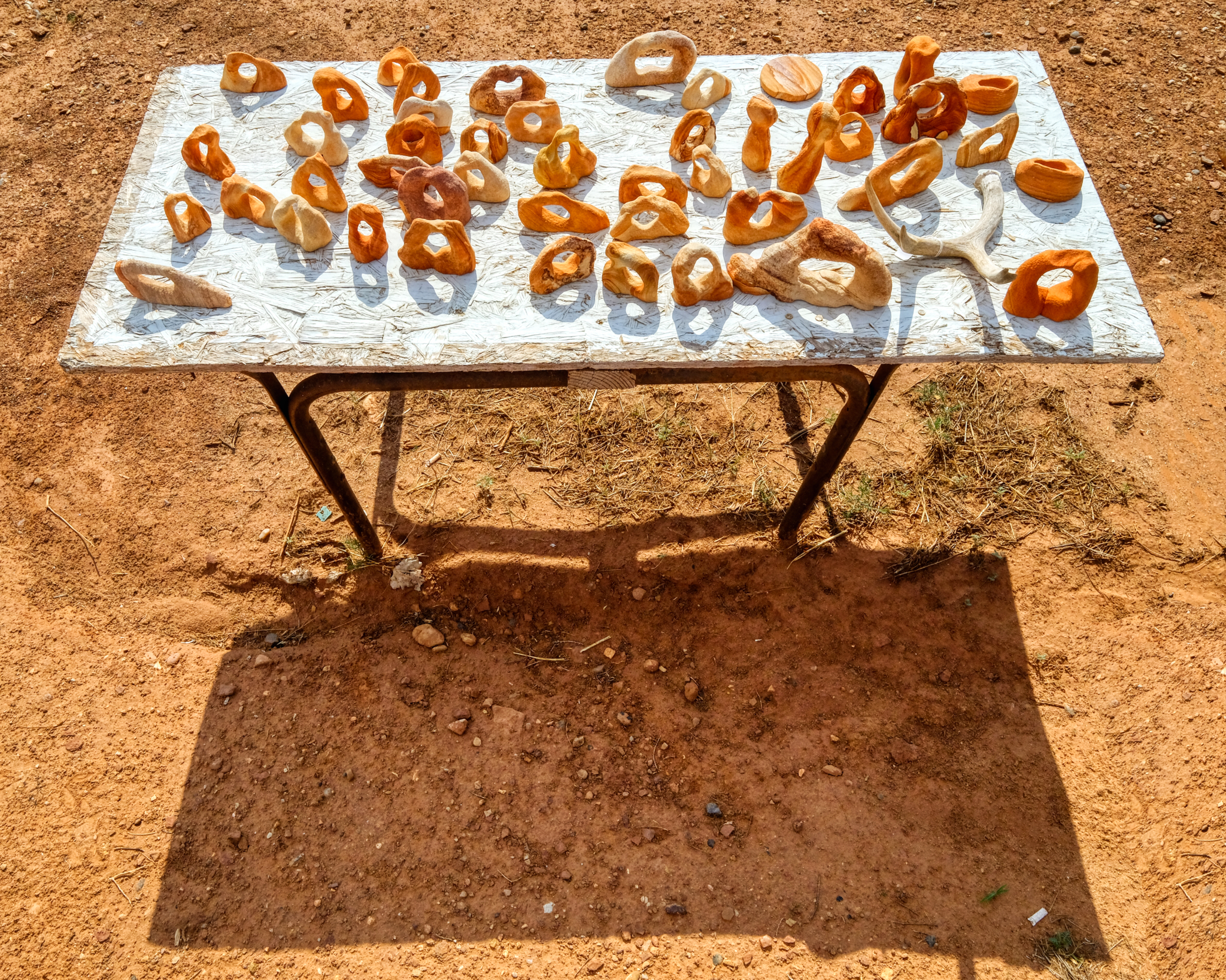 A table full of organic shapes.
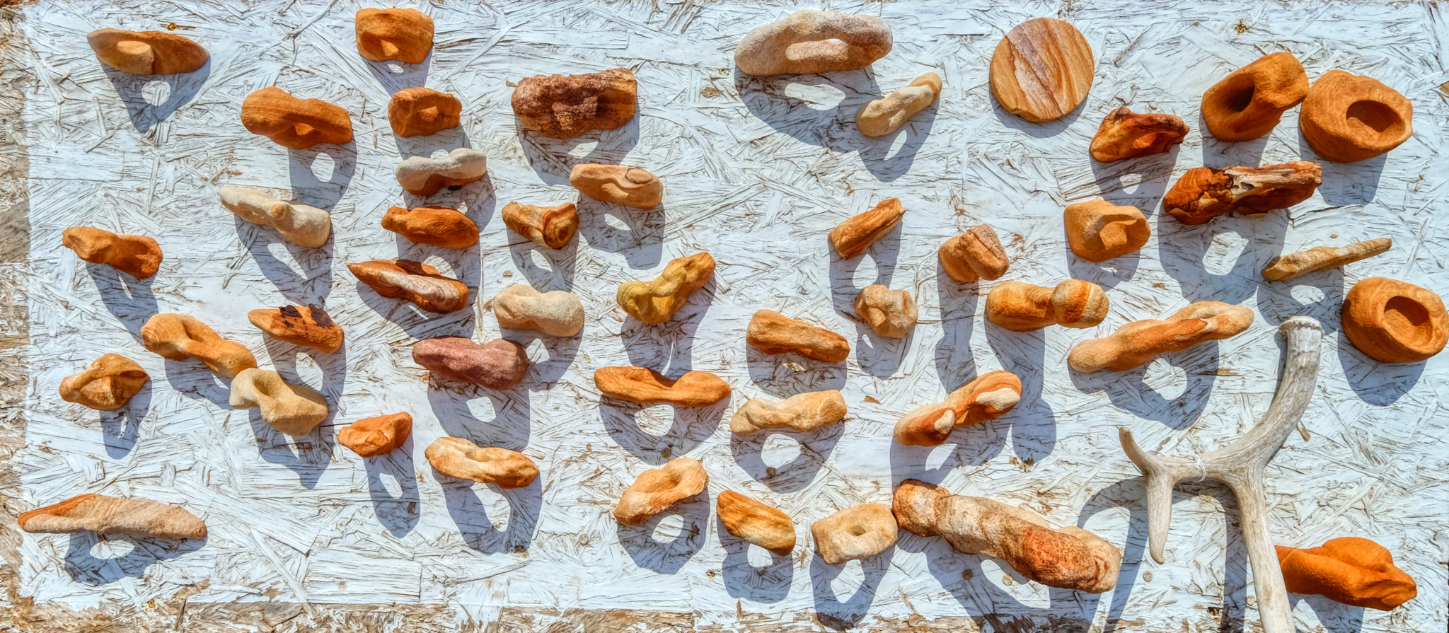 Wonderful shapes and shadows.
Road Trip USA: Leesville, Louisiana - A Childhood Home
 Saturday, April 27, 2019 at 6:10PM
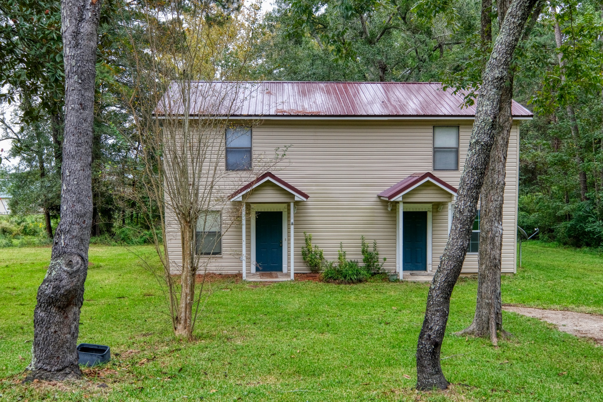
I lived in Leesville, Louisiana from 1958 to 1960, three years in all, from the age of 8, 9, and 10. The house I lived in is now gone, but I noticed this house and it fit my memory of the kind of house we live in . . . a two story wooden duplex.
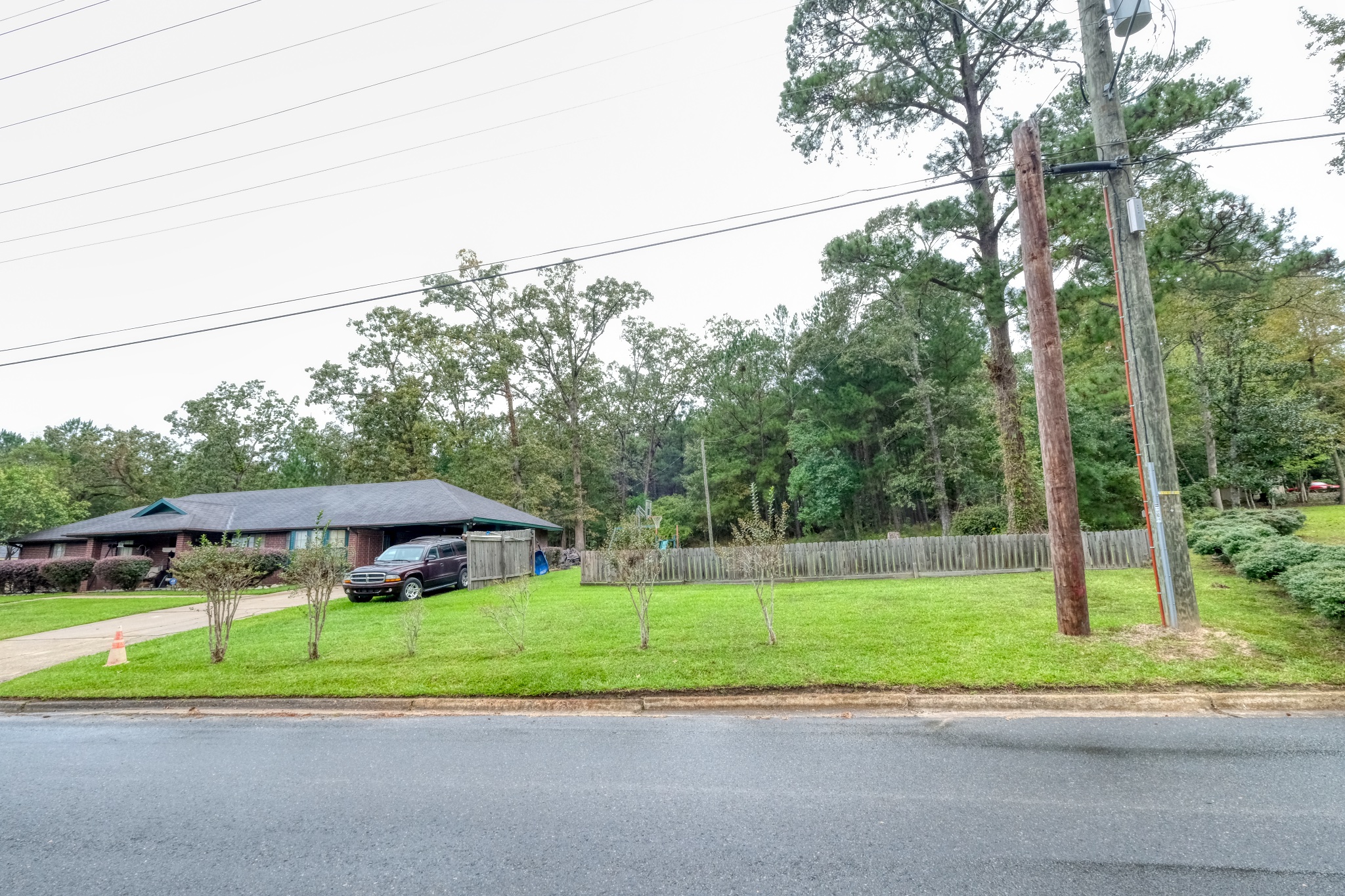 This house sits at the actual address of our old home - Vernon Terrace. It is now across the street from a modern hospital and medical offices. I played for hours and hours and had innumerable adventures in that forest behind this house. At that time the forest and wetlands within it went on for miles and miles and were teeming with snakes, wild boar, fish, salamanders, frogs, and bugs of all kinds. Yes, I was a little disappointed that our old house was not there any more. I was also disappointed that the area behind the houses were not accessible . . . I wanted to go back there and look around.
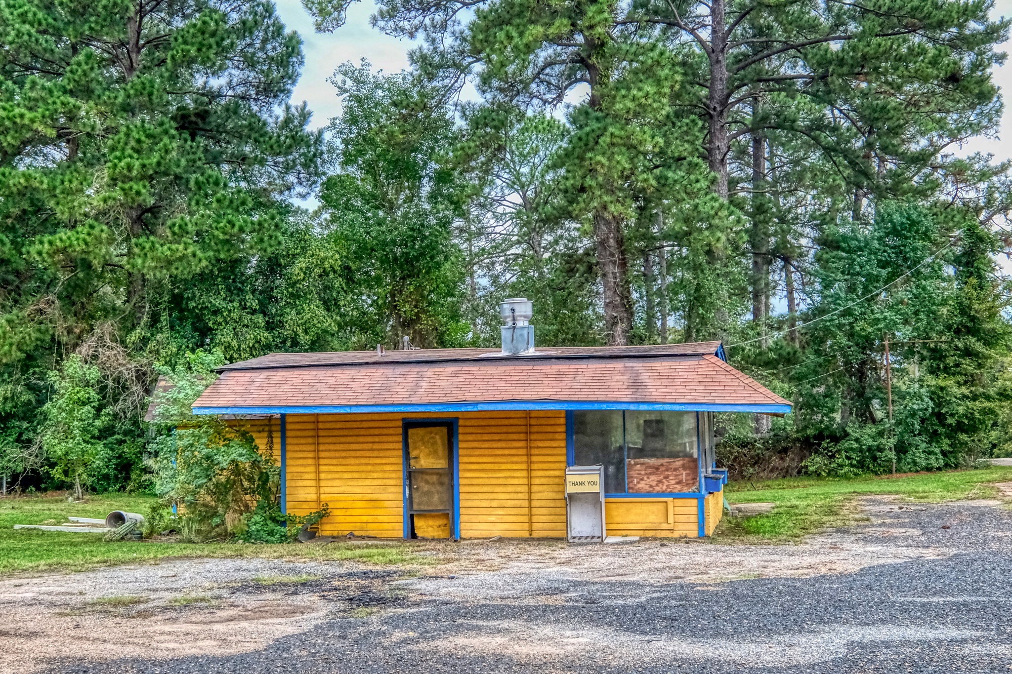 I had the family chore of riding my bicycle the 1/2 mile from our house to this very burger stand and fetch the family order . . . and ride like the wind to get the burgers and fries back home before they were cold. I remember these burgers as the best I have ever eaten. I am amazed it is still there . . . and that I remembered it.
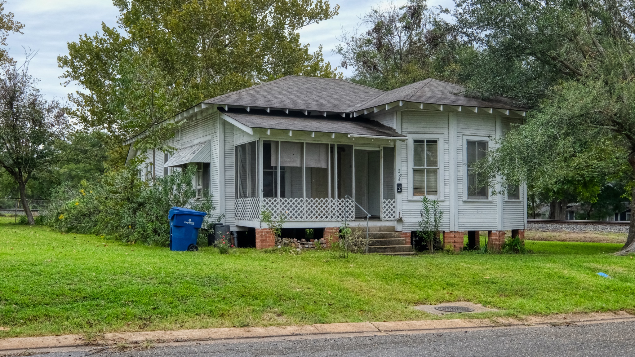 There are still houses around the old neighborhood that have survived from the older times.
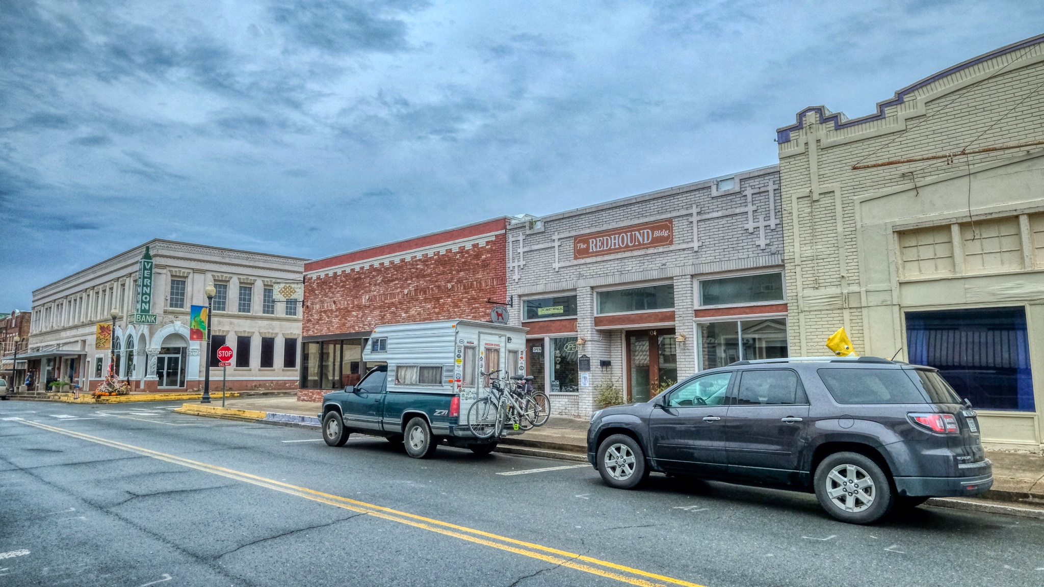 I was very curious about the downtown of my childhood memories. We used to ride our bicycles the 7-8 blocks to the movie house there for the double features. Downtown Leesville showed all the signs of the consequences of a Walmart somewhere on the road leading out of town. The businesses had mostly died a silent death, but it looked like the city fathers had, and might still be, fixing it us.
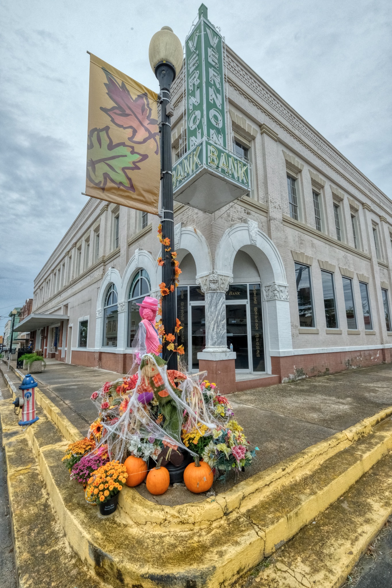 Halloween was only a week away . . . and I was racing to Delaware to trick-or-treat with my two grandchildren. These decorations reminded me of that. Everything here seems to be named 'Vernon', after the name of the Parish. All the fire hydrants in town are painted this red, white and blue.
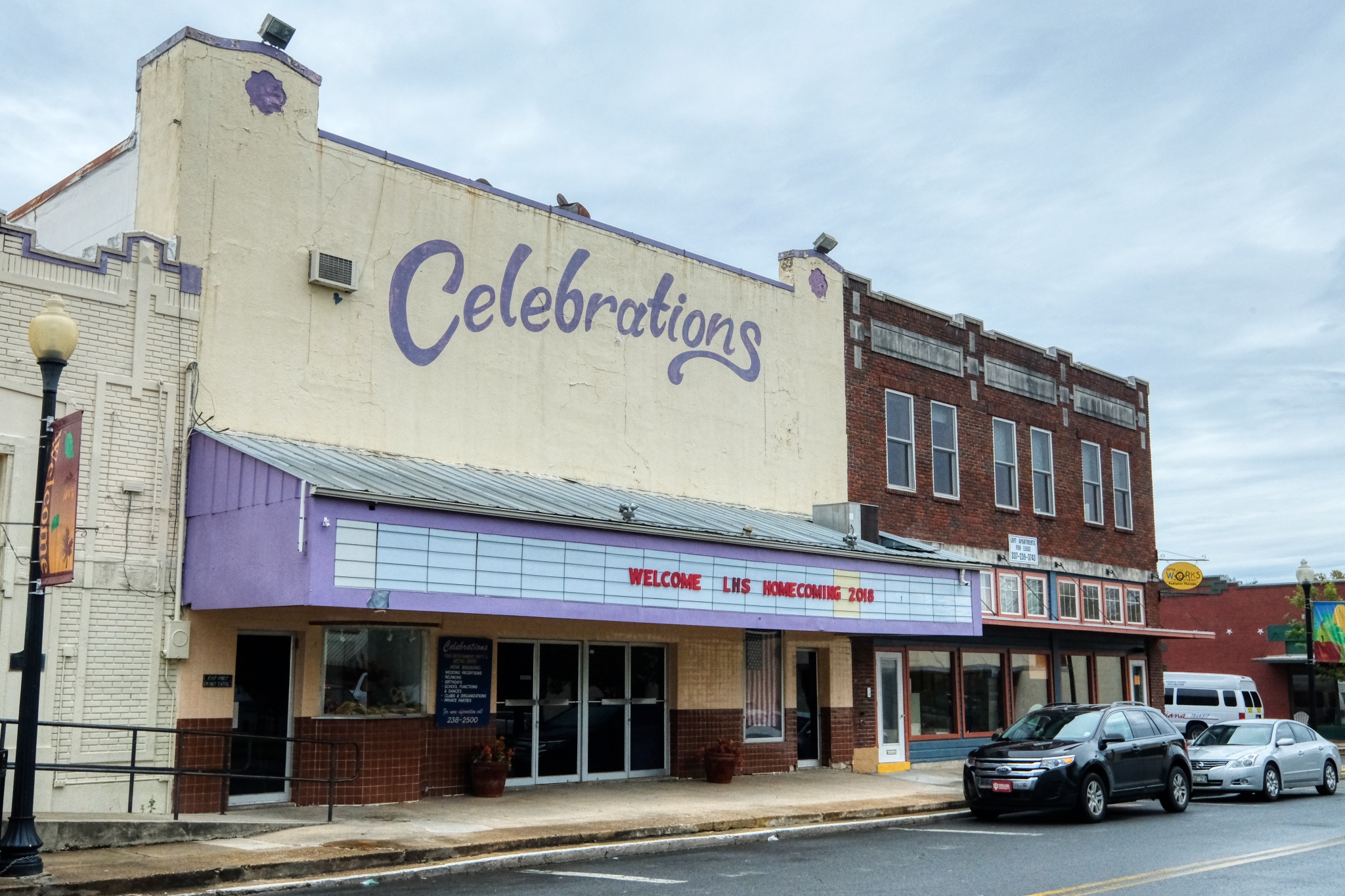 The old Dreamland Theatre is now an event venue. This is the movie house I remember so well as a child . . . watching cowboy movies, cartoons, and news reels. Also, I have a memory of the entire balcony collapsing during the middle of a movie . . . fortunately we were sitting up near the screen, and there weren't other people in the movie house at the time! Leesville High School had just held its Homecoming Dance there!
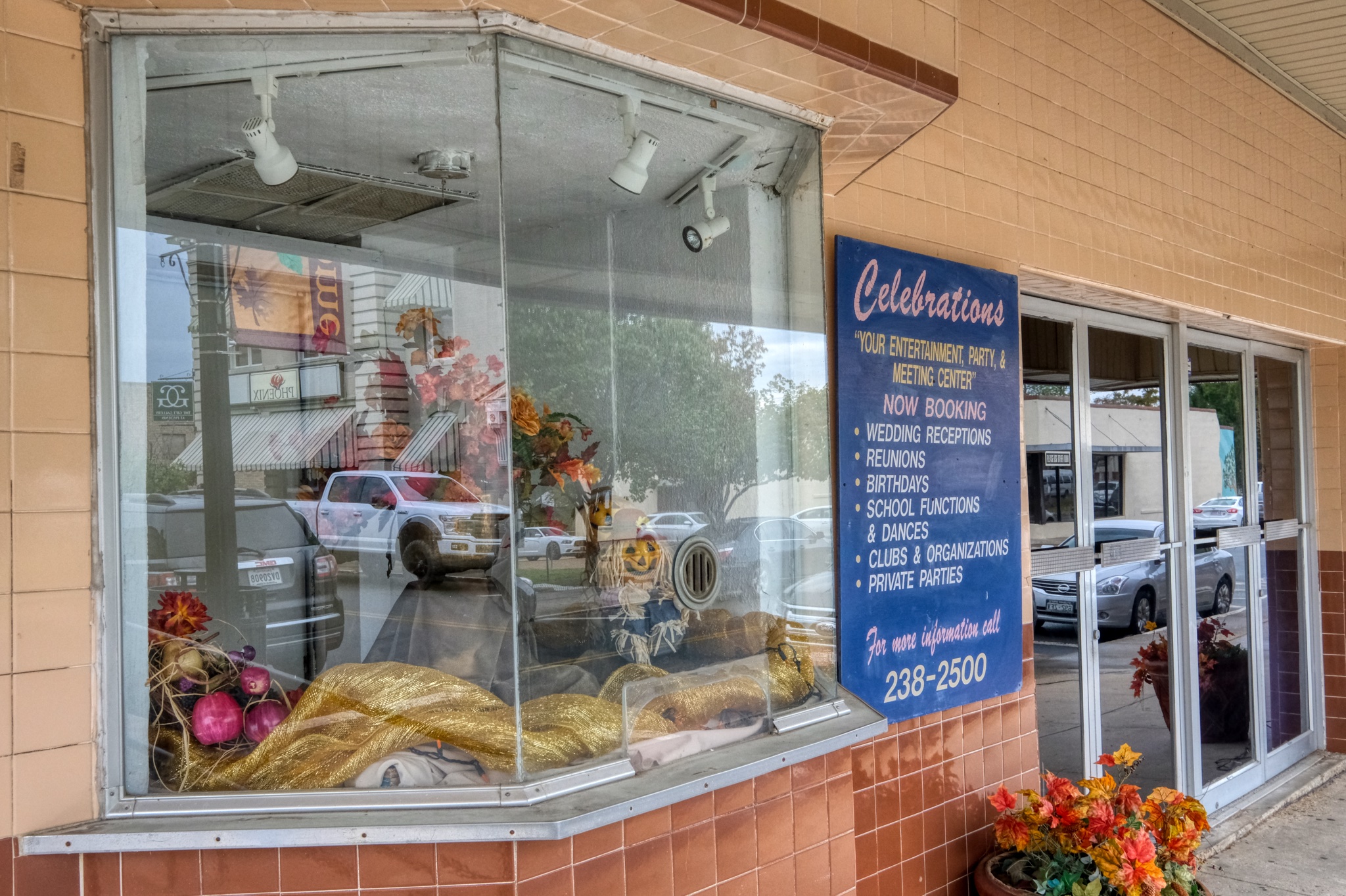 I distinctly remember this ticket booth . . . and buying my tickets with such eager anticipation. I also remember the Milk Duds and Necco Wafers I bought inside before the movies.
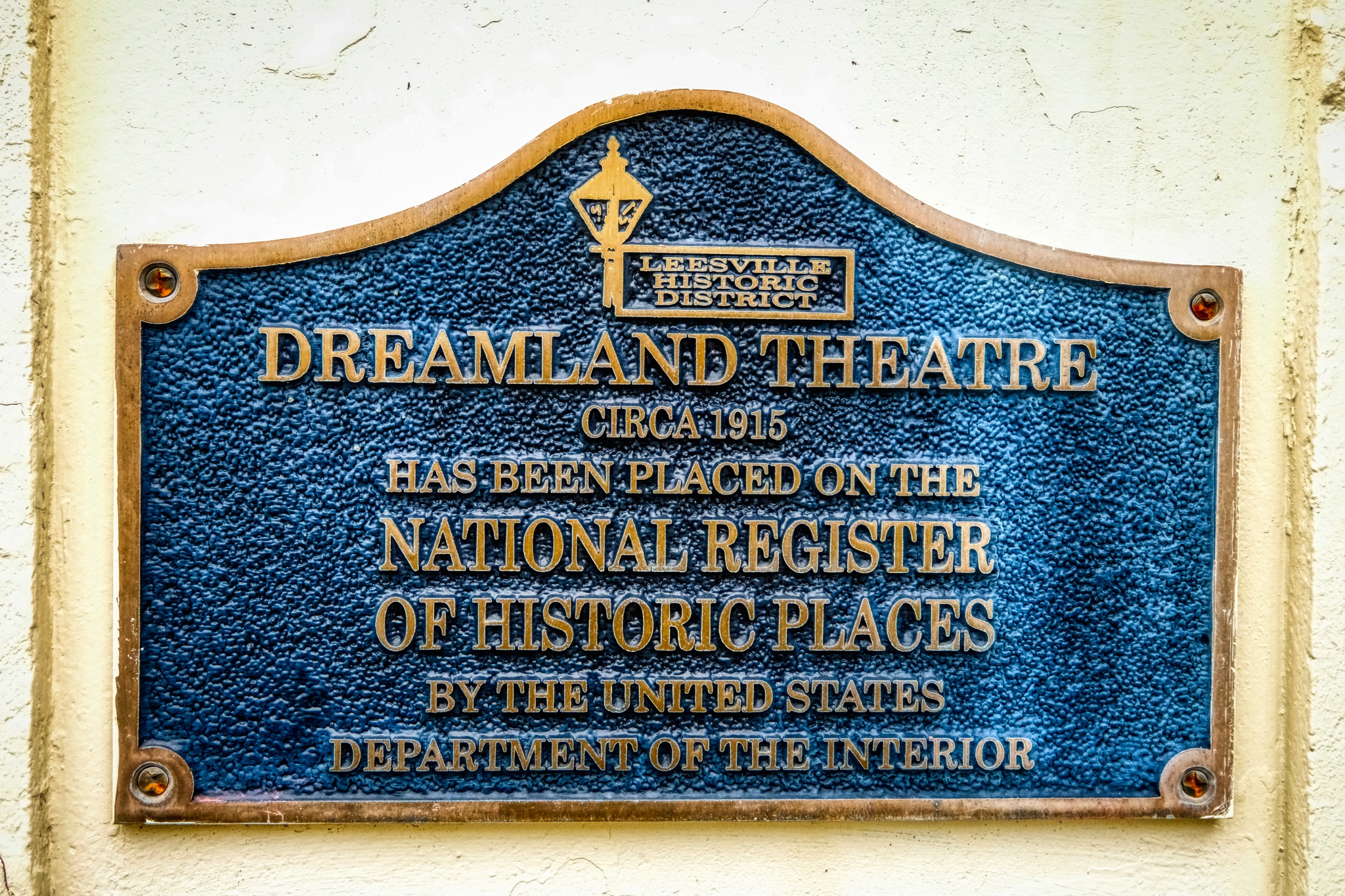 It's nice to see that someone other than me remembers this wonderful small town movie theatre. There is (was?) a large military base nearby, Fort Polk, where my father was stationed while we lived there. There were always a few soldiers sitting alone in the dark theatre, quietly sobbing. Homesick.
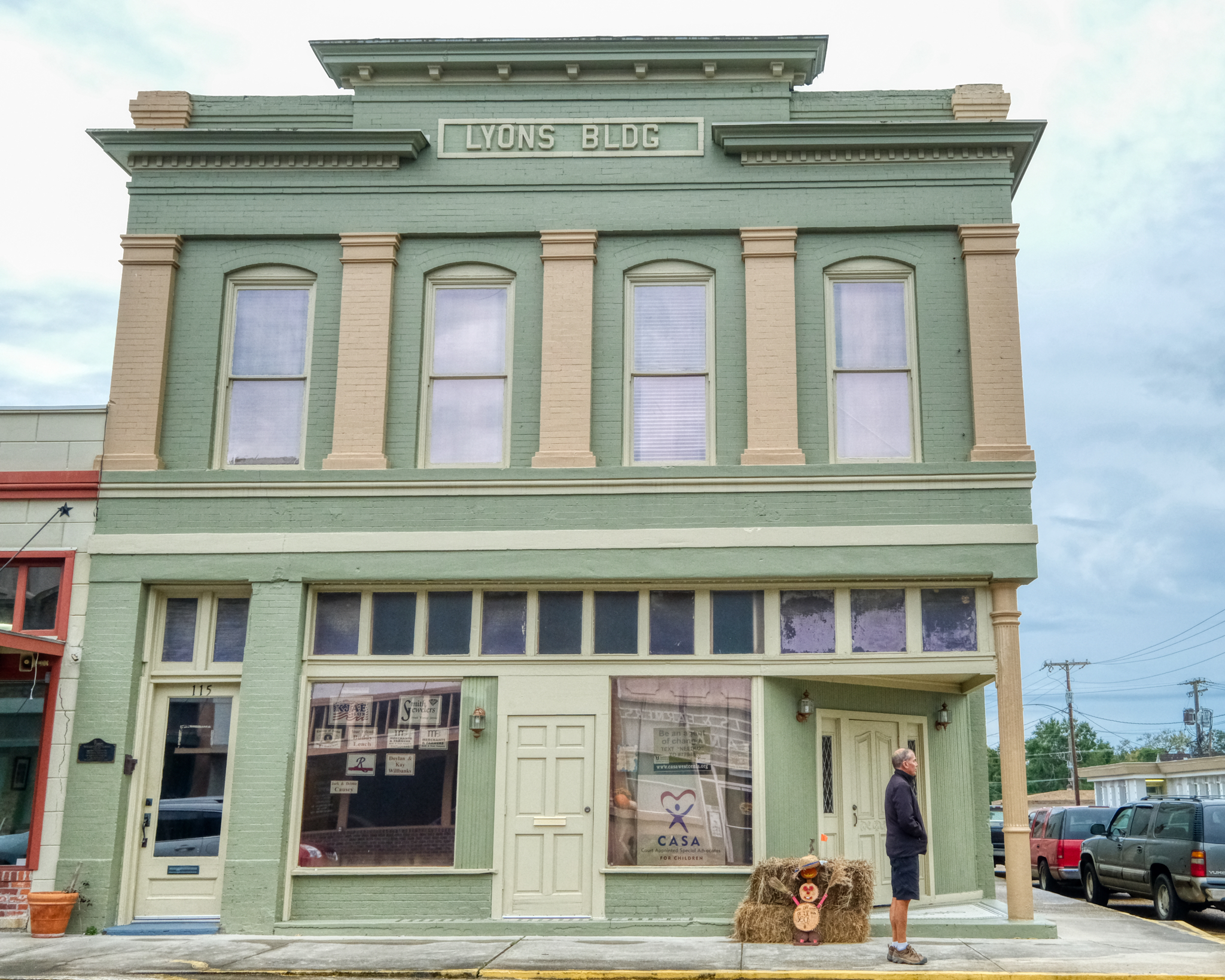 There is a charm to these old 'dead' small town commercial districts that have been brought back to life.
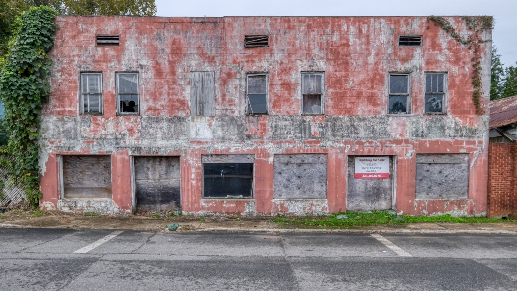 The task of bring the Leesville Historic District back to life is not complete. This building has an asking price of US$37,000.
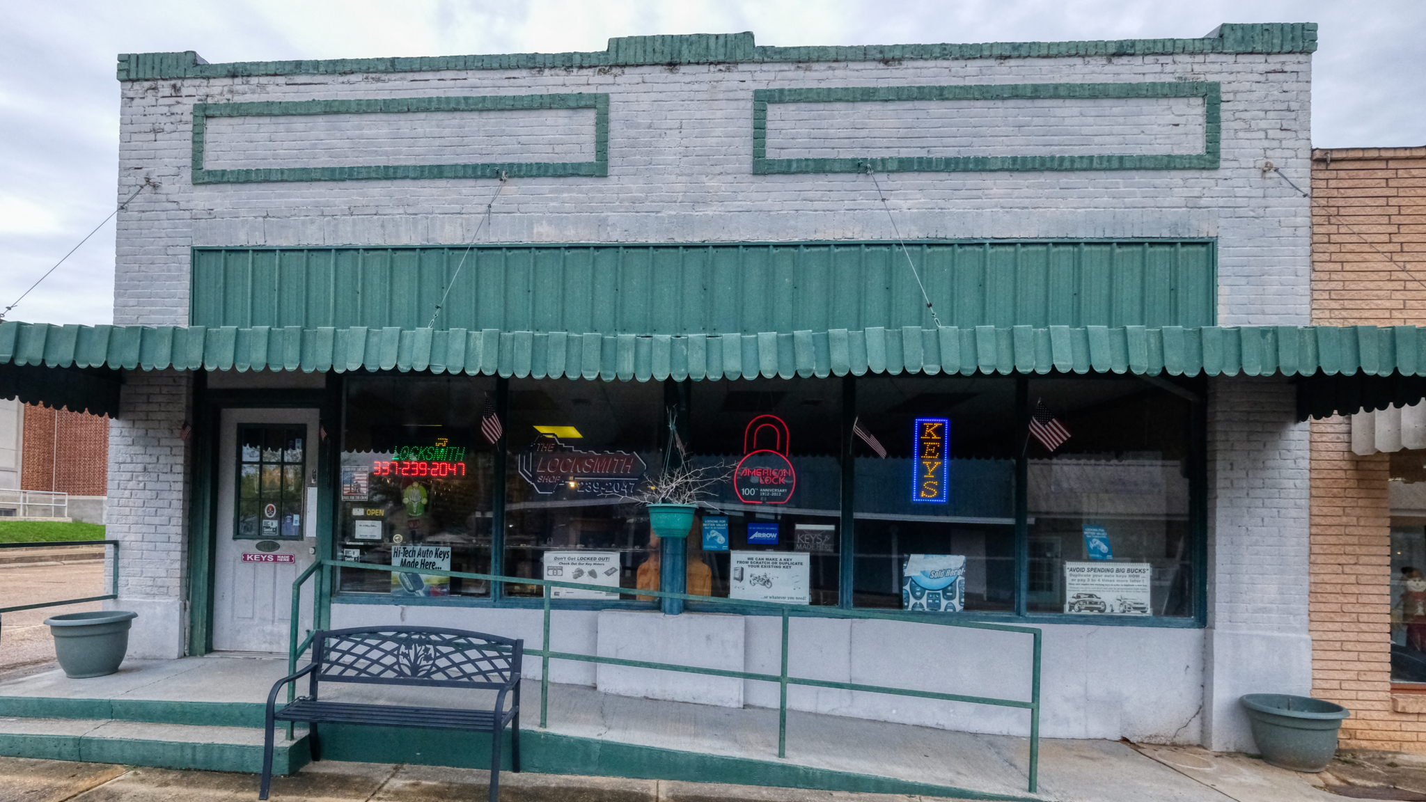 There is very little real business going on in downtown Leesville. Still, this key shop caught my eye. I went in.
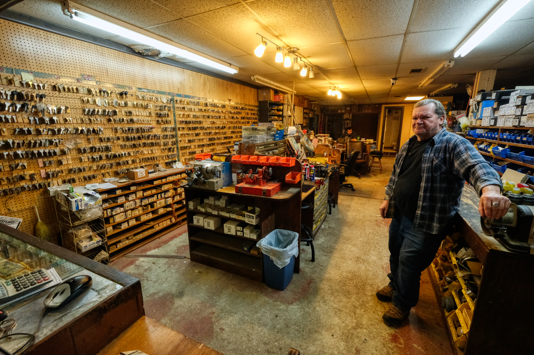 This man, and his son, have been running this key shop. for 36 years, since they bought it from the old man who had it for 55 years. Yes, this shop would have been here when I was 9 years old . . . more or less exactly as it looks now.
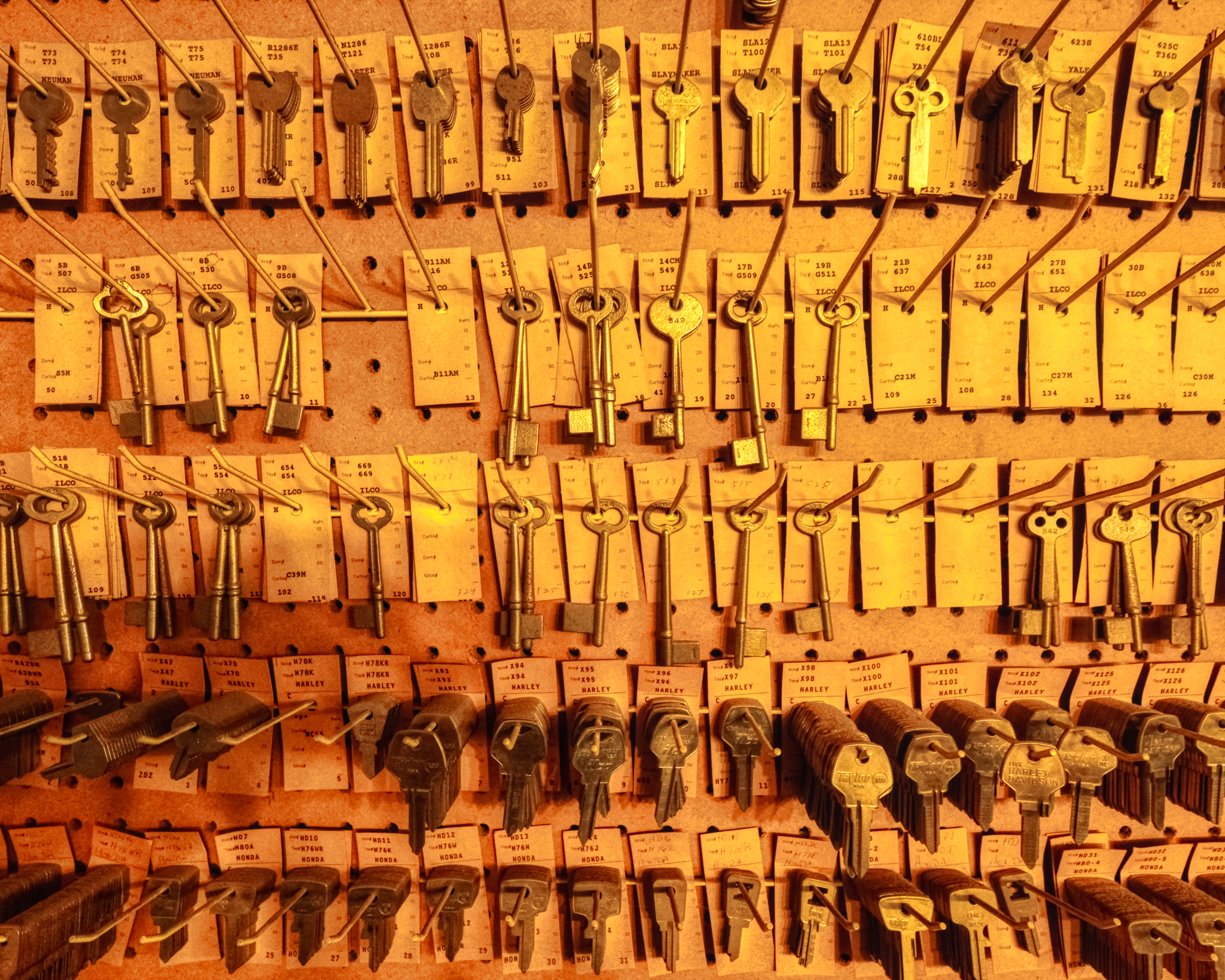 These keys gave me an idea of what kinds of doors are in the area . . . still some old skeleton key doors.
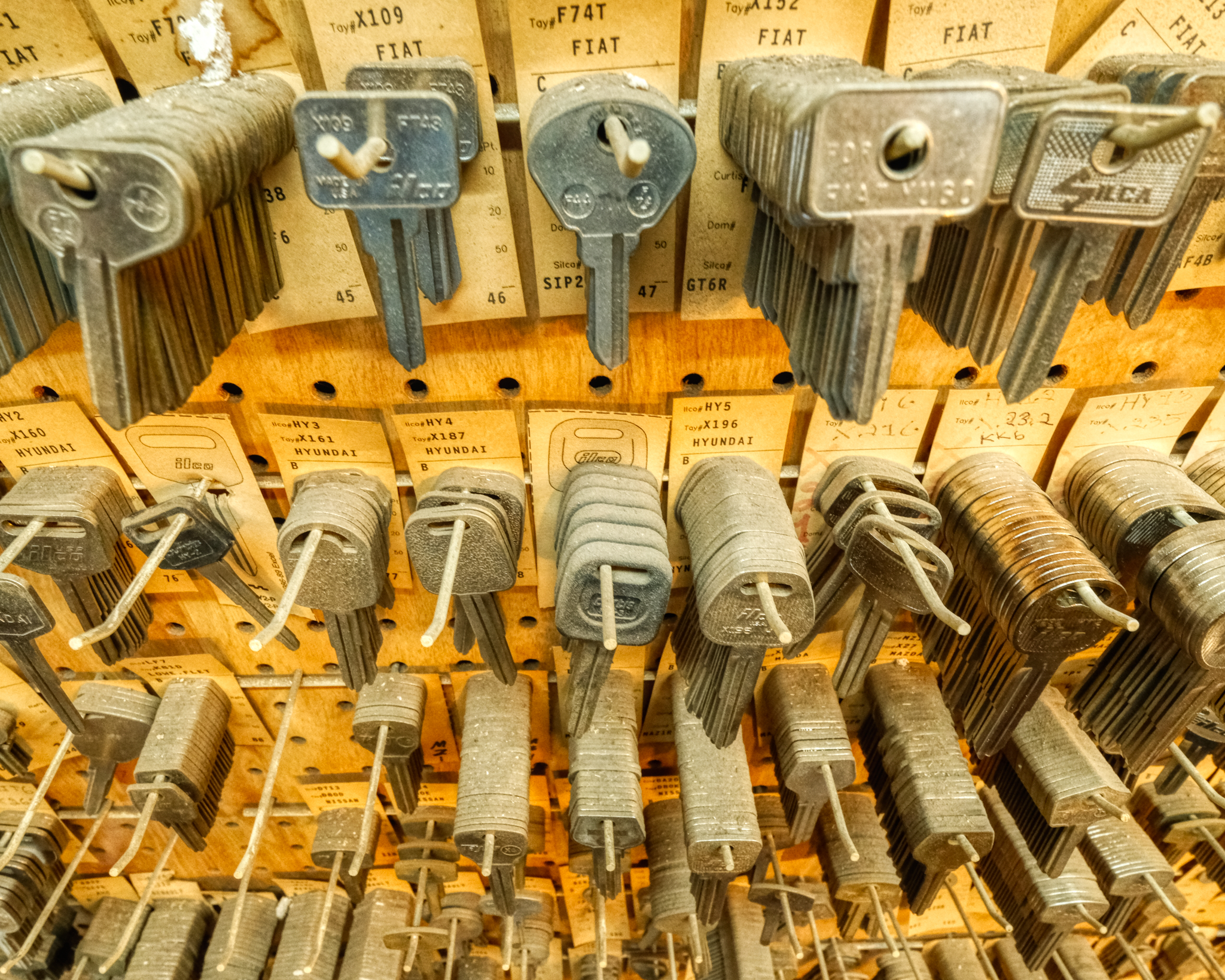 Assuming Hundai changes their car key masters every few years, there were either very few Hundai's sold in Leesville, or the local Hundai owners were very responsible. Dusty Keys . . . potential income locked up in blanks.
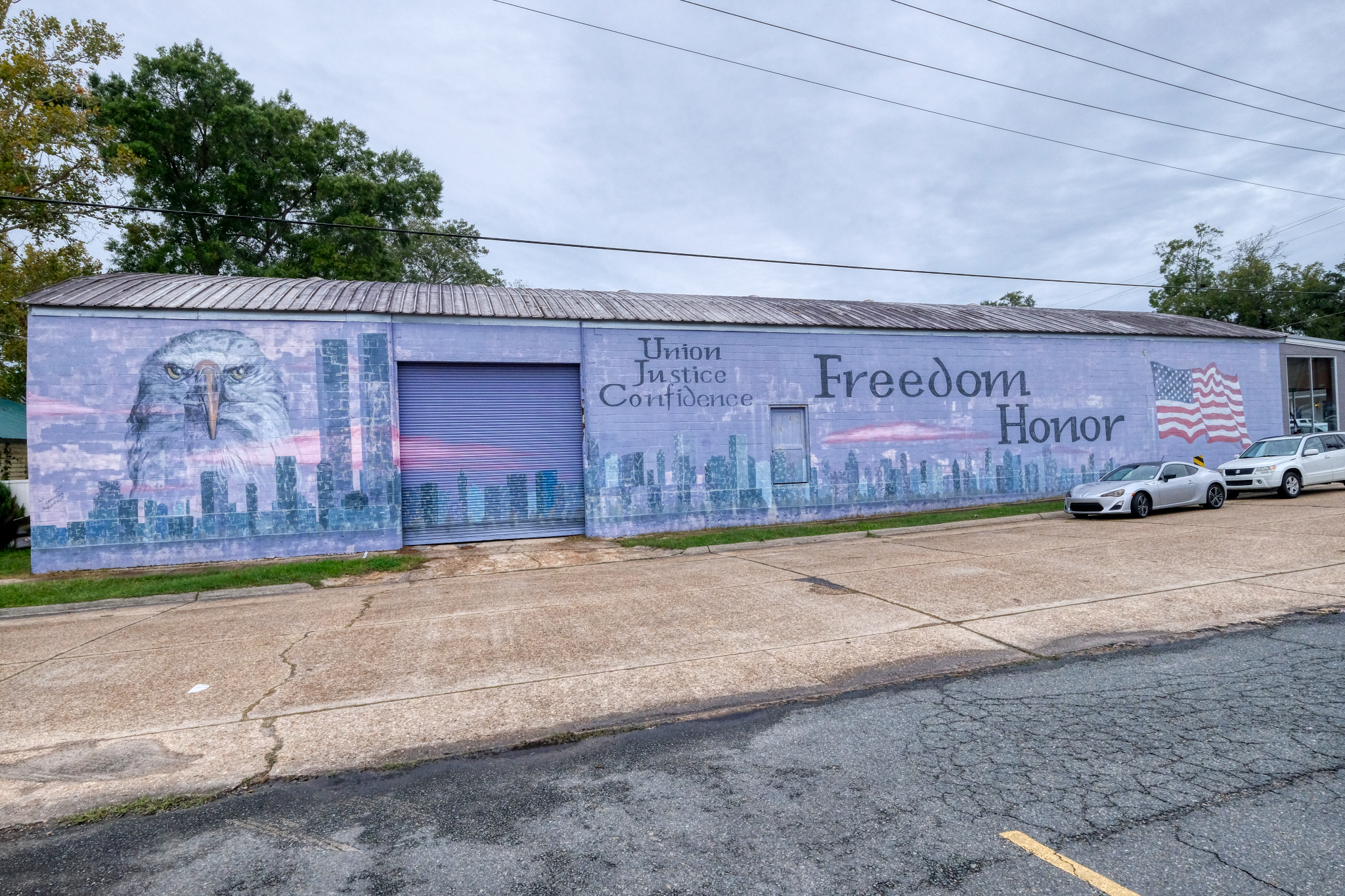 This mural of the New York City skyline with the World Trade Towers intact really caught my eye. Leesville is in the deepest of the Deep South, so one would not expect to find anything about New York City, but the impact of the 911 bombings had a profound effect on Americans everywhere. The sense of having our country 'invaded' meant something in small town Louisiana.
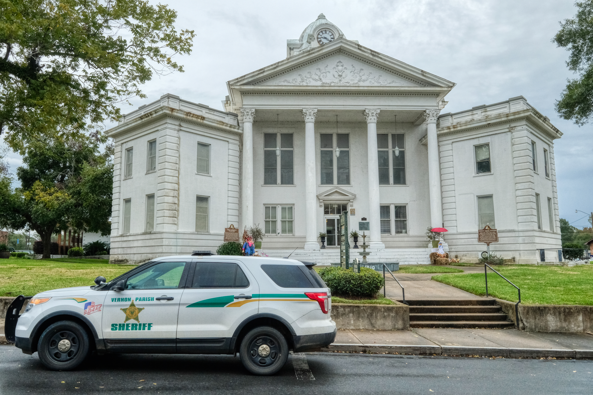 The old Vernon Parish Courthouse . . . decorated for Halloween.
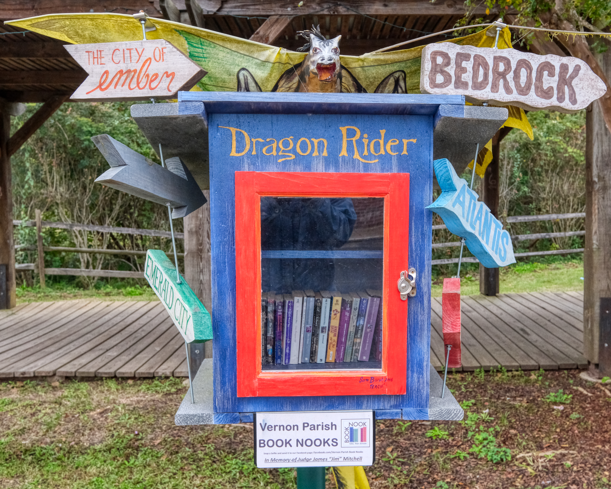 A public 'book nook' in old Leesville.
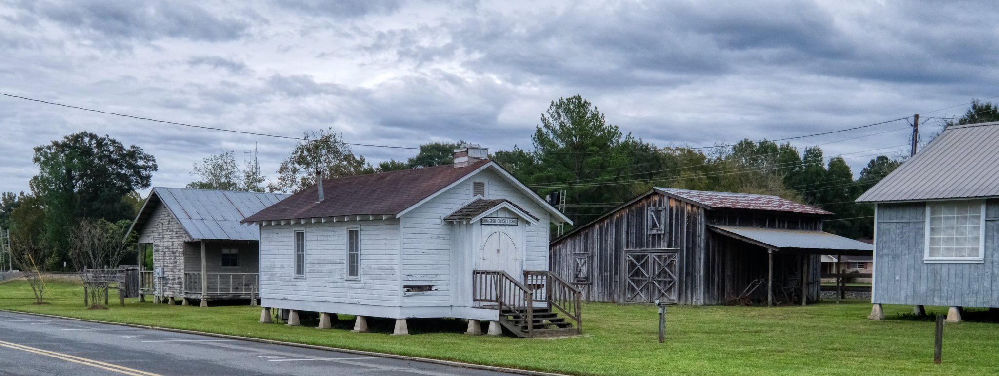 A walk up 3rd Street, the old 'main drag', brought us to the Museum of West Louisiana. In addition to these old historical buildings that had been reassembled on their grounds, there was also a restored historic train station.
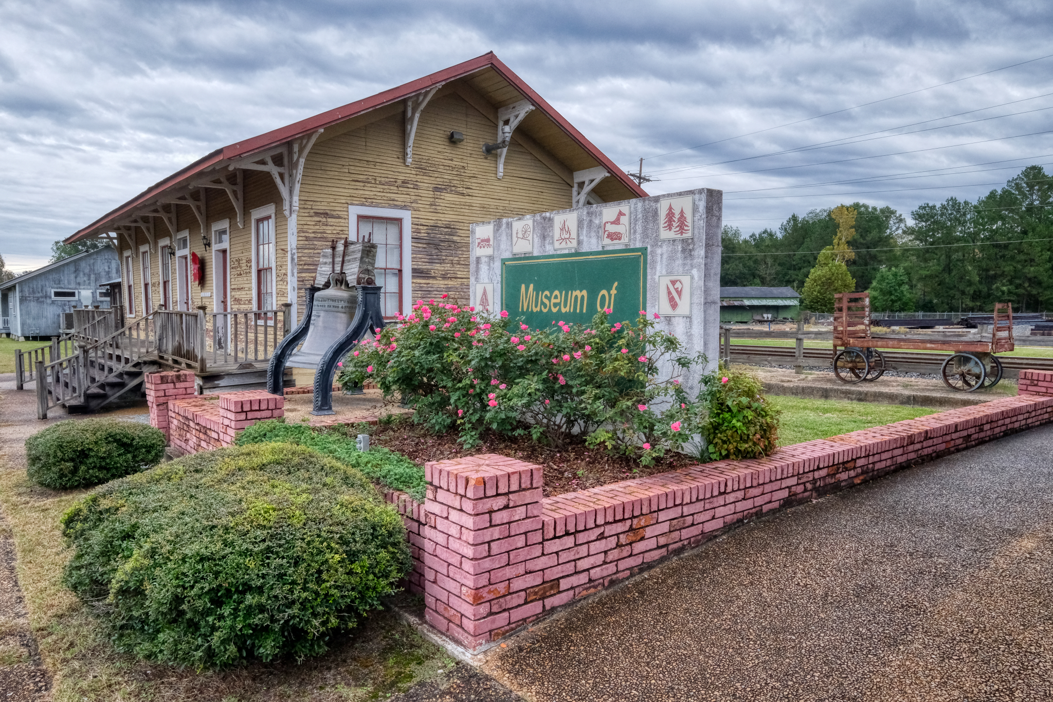 The old rail station, now the Museum of West Louisiana. A lot of young soldiers passed through here on their way to and from Fort Polk . . . especially during the Vietnam War era. "In 1962, Fort Polk began converting to an advanced infantry training (AIT) center. A small portion of Fort Polk is filled with dense, jungle-like vegetation, so this, along with Louisiana's heat, humidity and precipitation (similar to Southeast Asia) helped commanders acclimatize new infantry soldiers in preparation for combat in Vietnam. This training area became known as Tigerland. For the next 12 years, more soldiers were shipped to Vietnam from Fort Polk than from any other American training base. For many, Fort Polk was the only stateside Army post they saw before assignment overseas." (Wikipedia, Fort Polk). And a lot of those young soldiers never came back from Vietnam . . . the rail station is full of their ghosts.
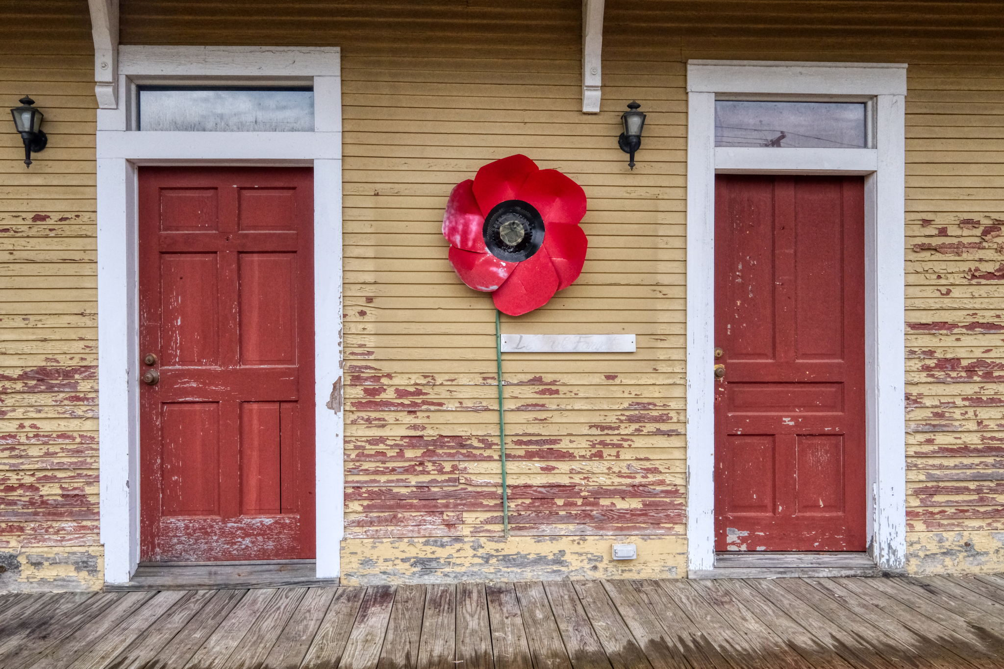
The rail station doors. Imagine the emotional send-offs from this platform. The station was closed in 1968 when regular passenger service ended.
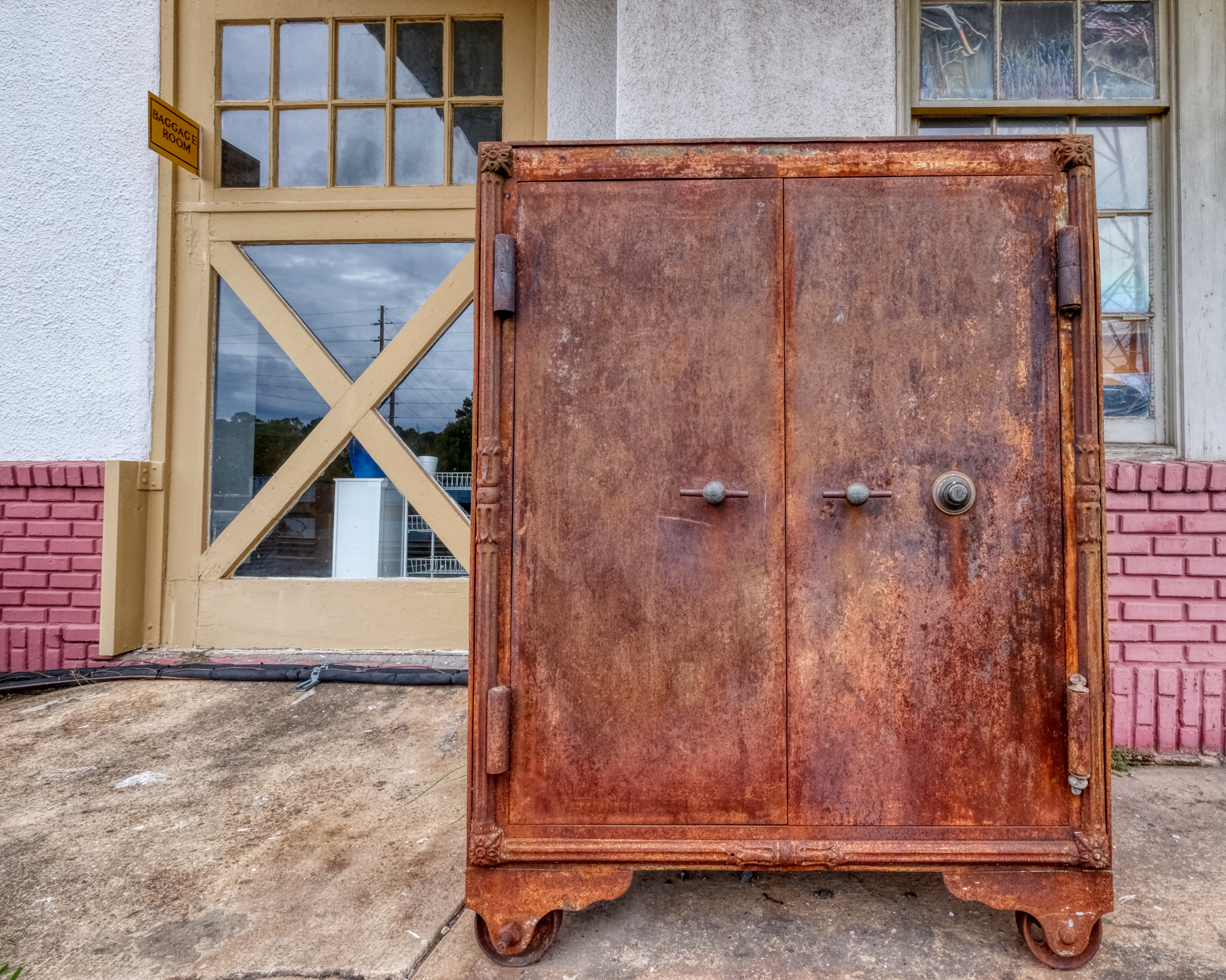 I assumed this to be the old station safe sitting outside rusting away.
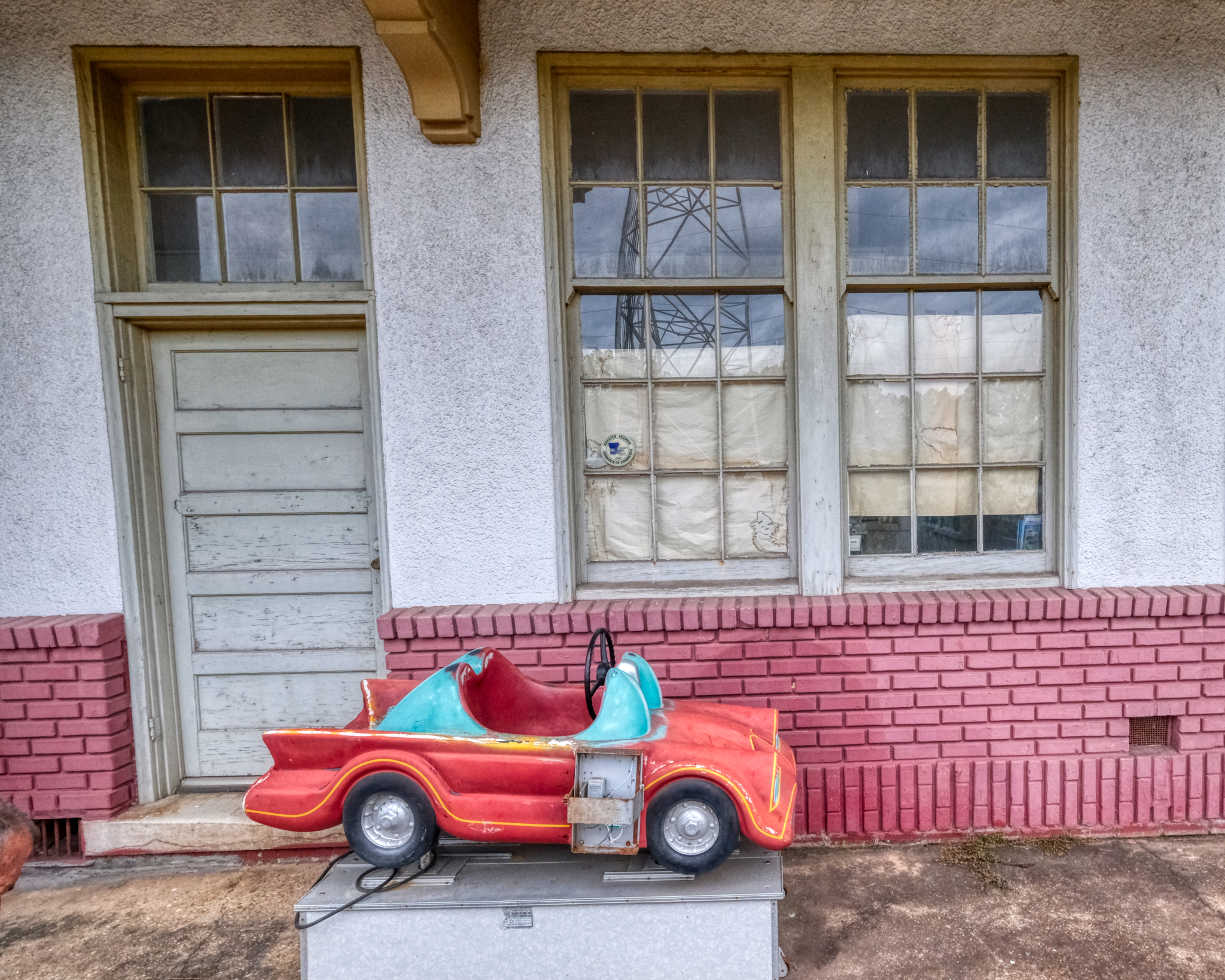 This coin operated kiddie car still sits outside the rail station waiting room. This relic is actually too new to have been there when I was a kid in Vernon Parish.
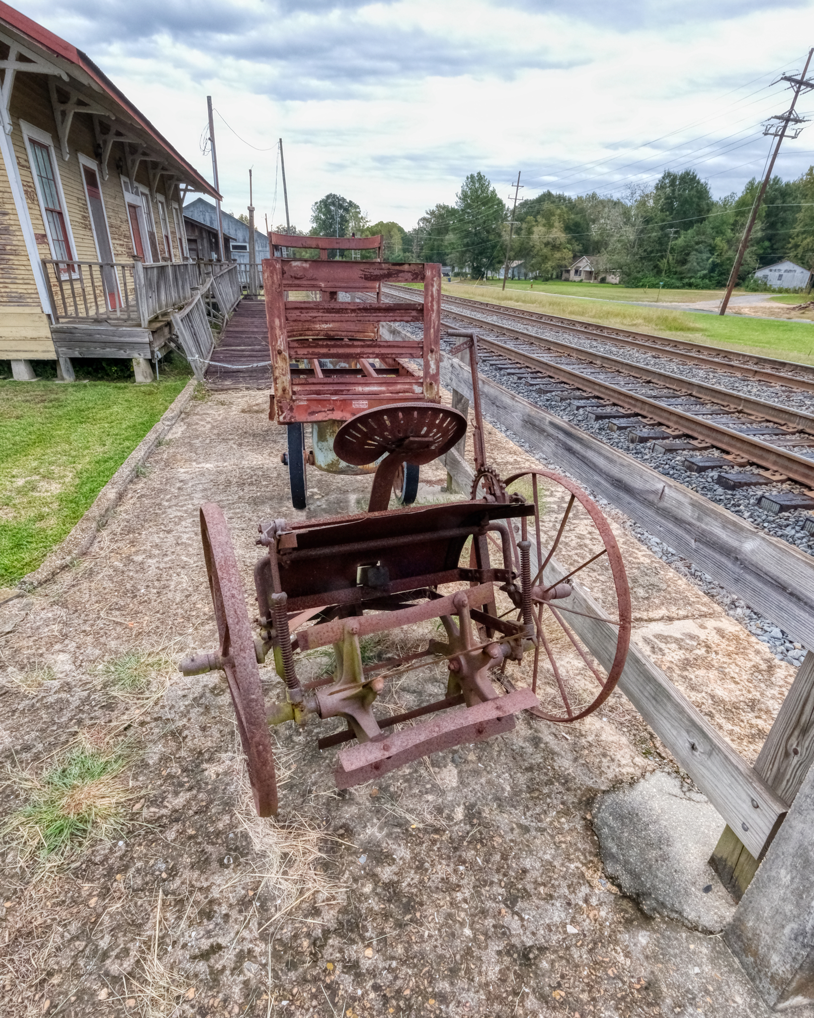 The Museum of West Louisiana placed a few old farm implements around the rail station. This old horse drawn tiller was fascinating.
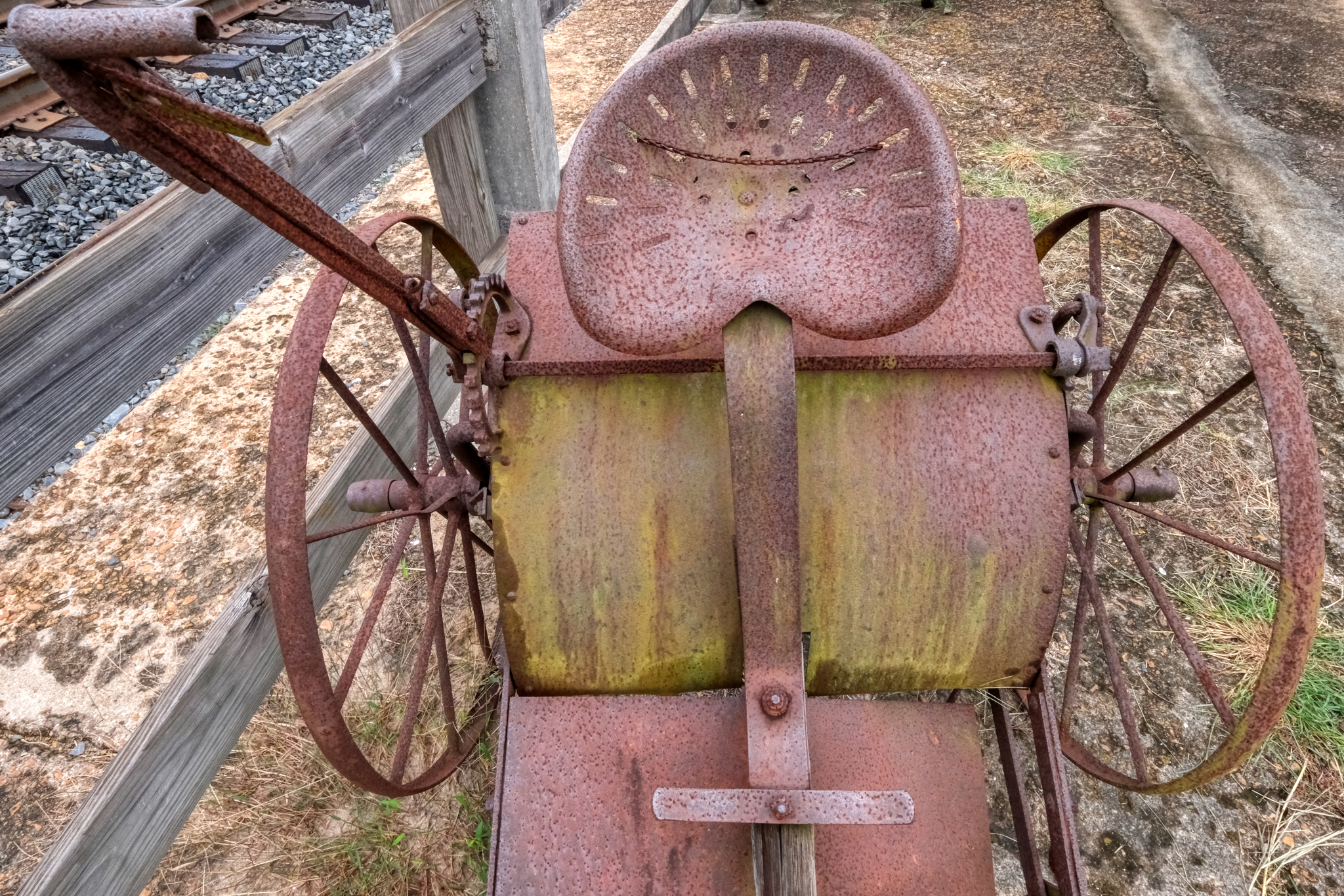 Old tiller seat.
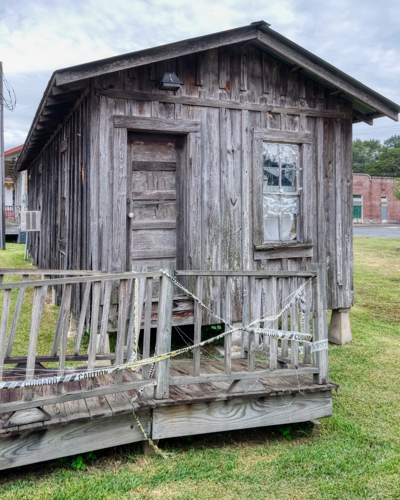 The old rail workers' bunkhouse had fabulous color and texture.
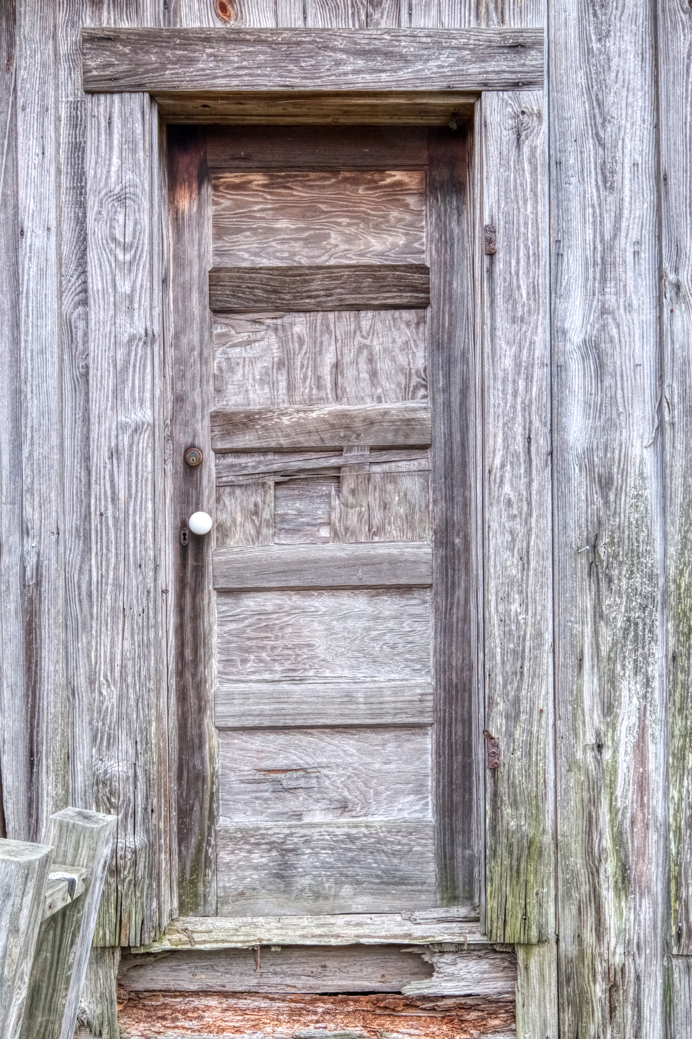 The weathered old bunkhouse door.
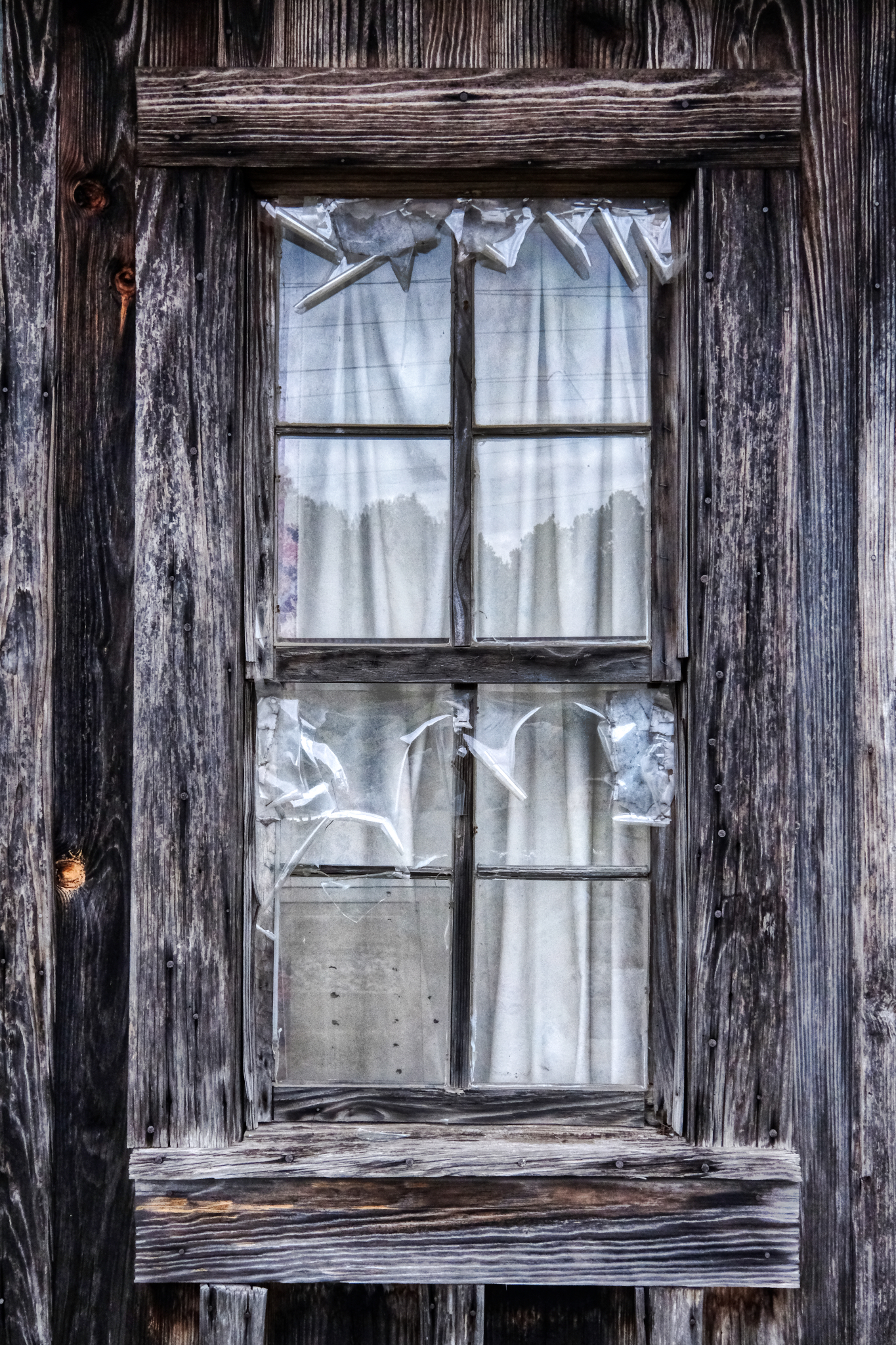 An old bunkhouse window, darkened from the light rain that was falling.
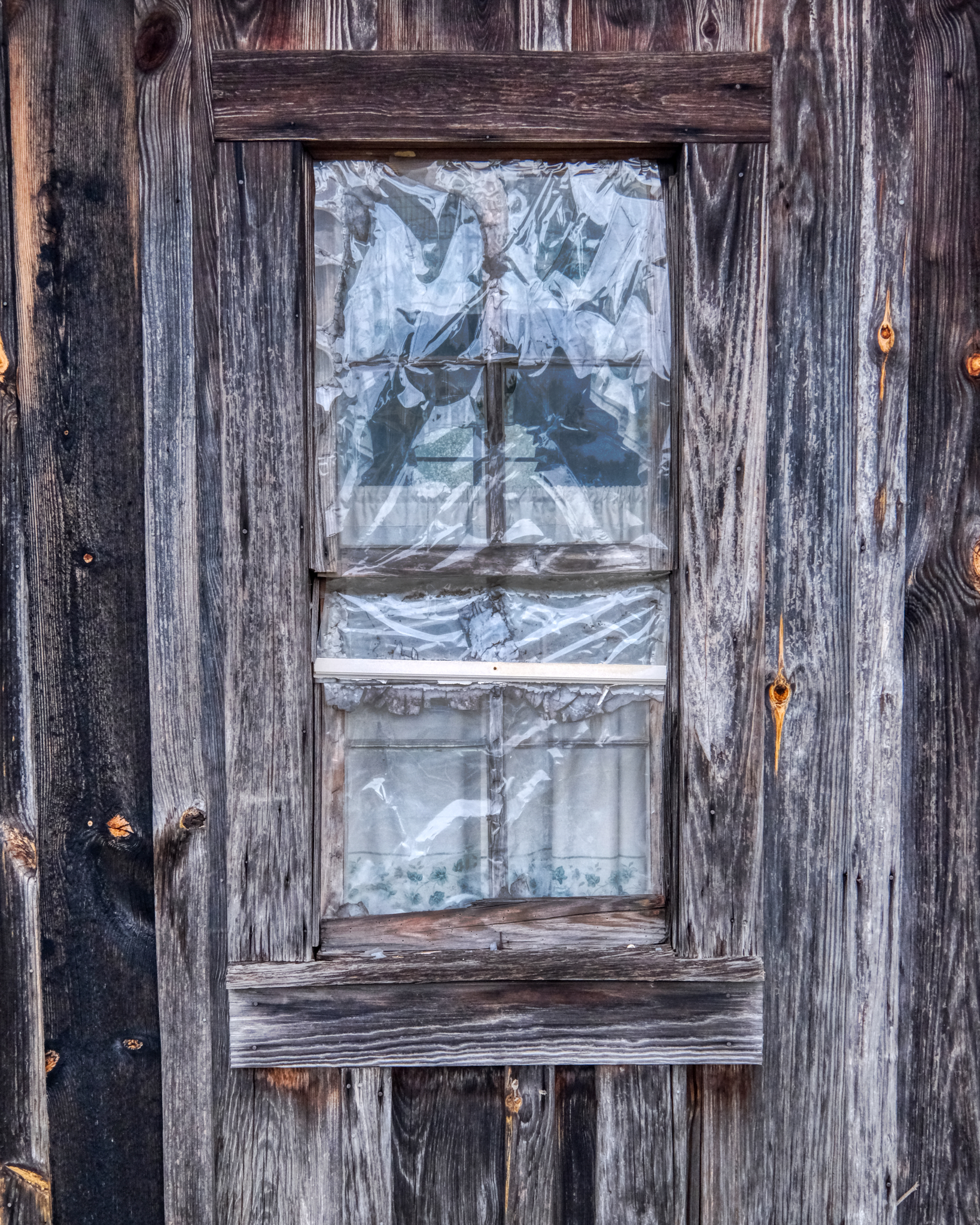 Whenever I see these old, weathered windows and doors I am made aware of the man or woman who made and installed it. What kind of day was it? What did they have for lunch?
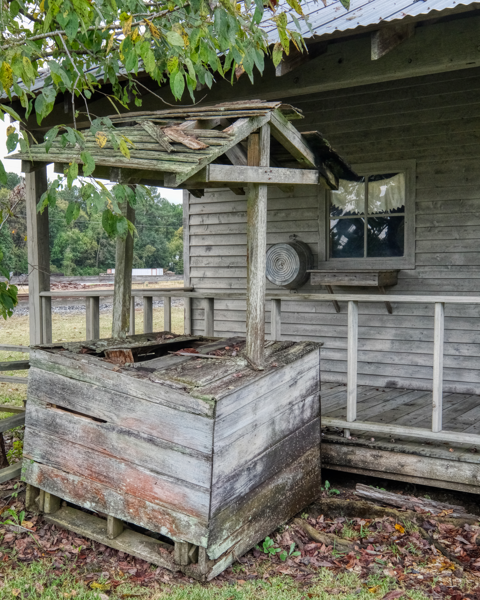 Among the old buildings the museum transported to Leesville was this broken well.
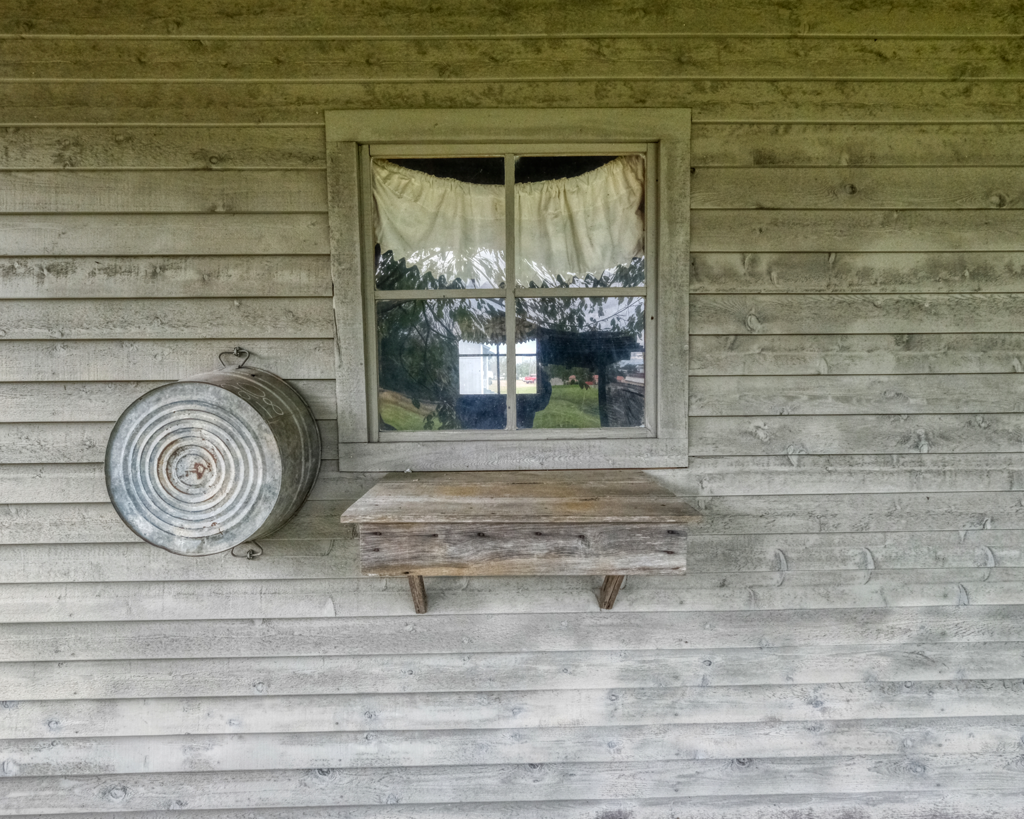 There was no shortage of artistic still life arrangements around Leesville.
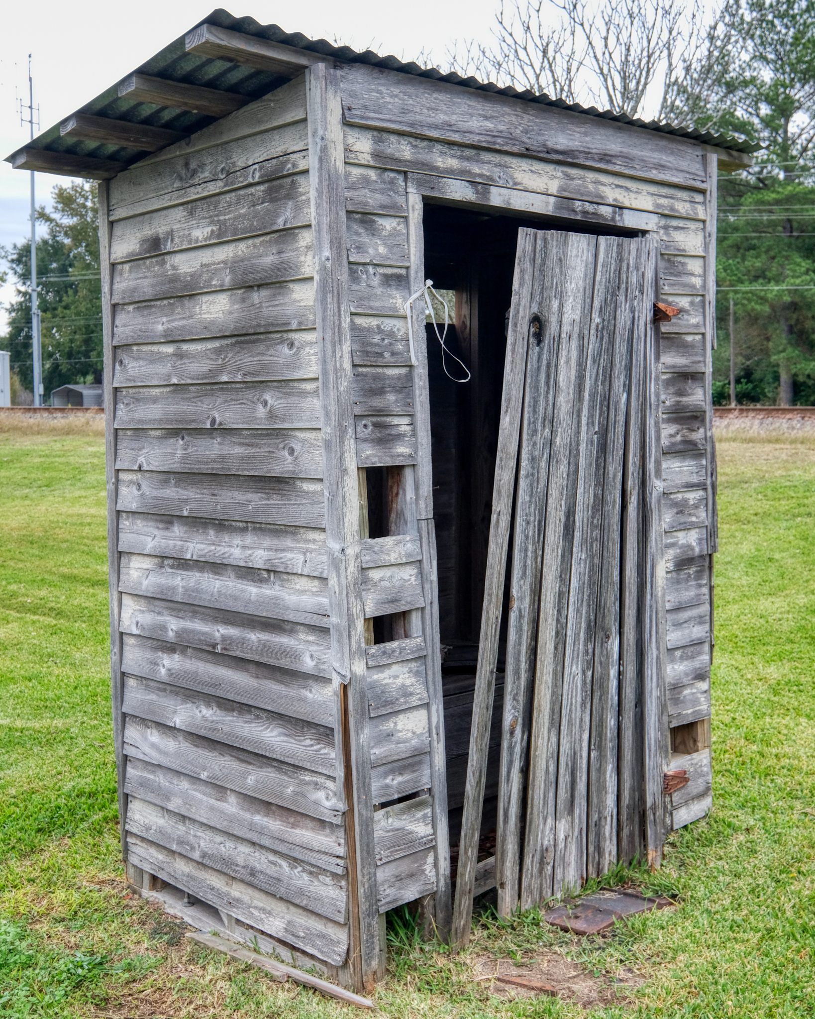 The Museum of West Louisiana spared no effort in obtaining authenticity!
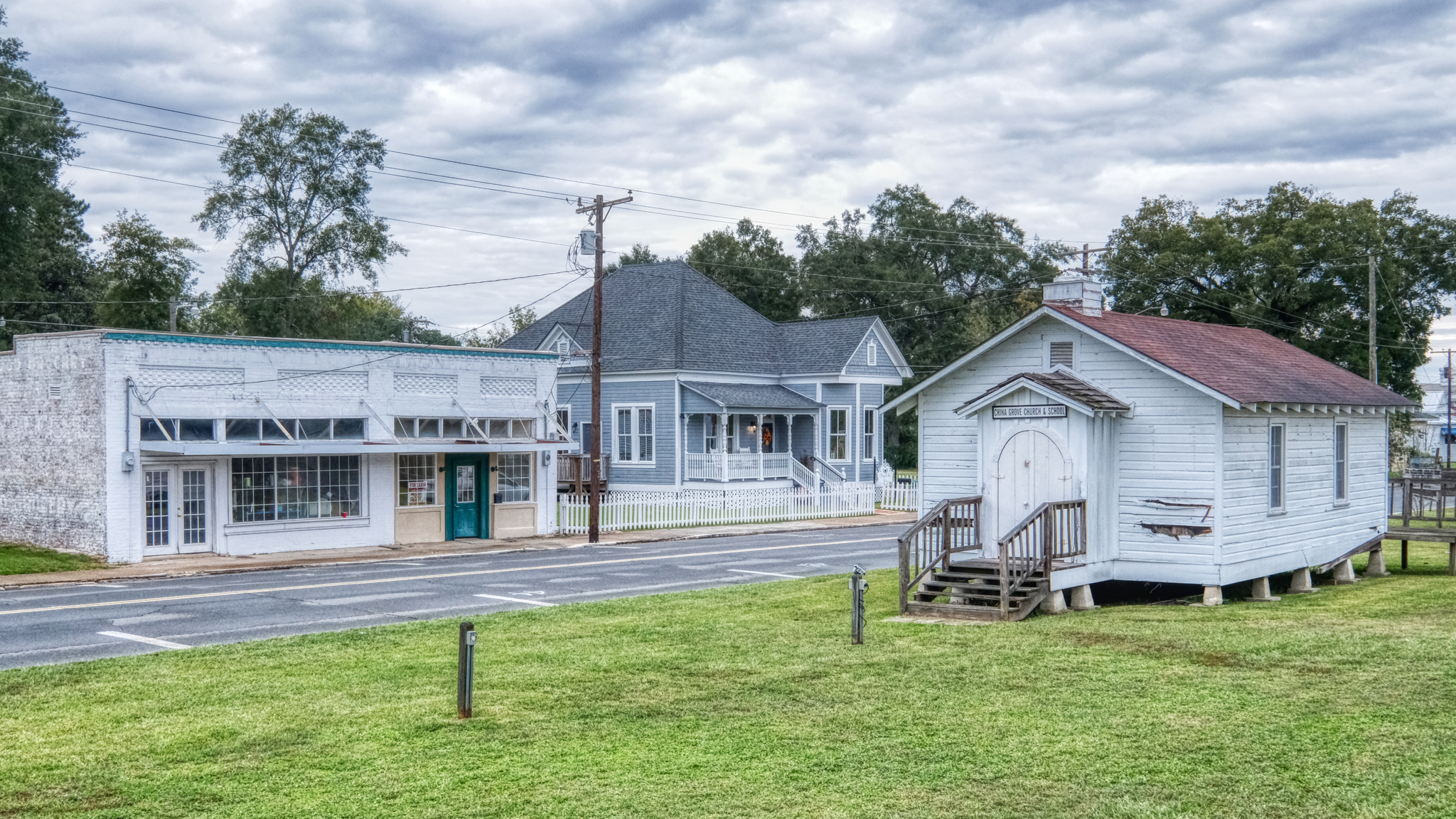 The view back up 3rd Street. That tea house looks promising.
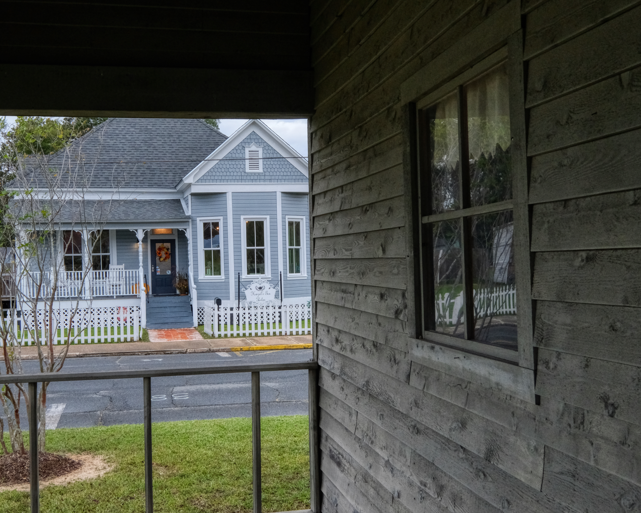 Hazel's Tea Parlor . . . and its open!
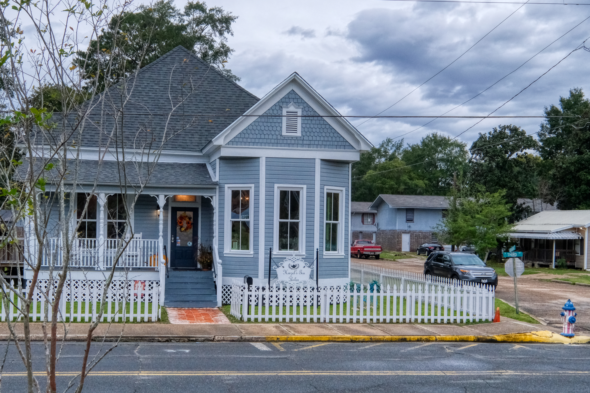 Hazel's Tea Parlor is somewhat new to Leesville. A retired military man and his wife, originally from Philadelphia, came back to Leesville after being posted to Fort Polk many years ago. It was their lifelong dream to open a tea house.
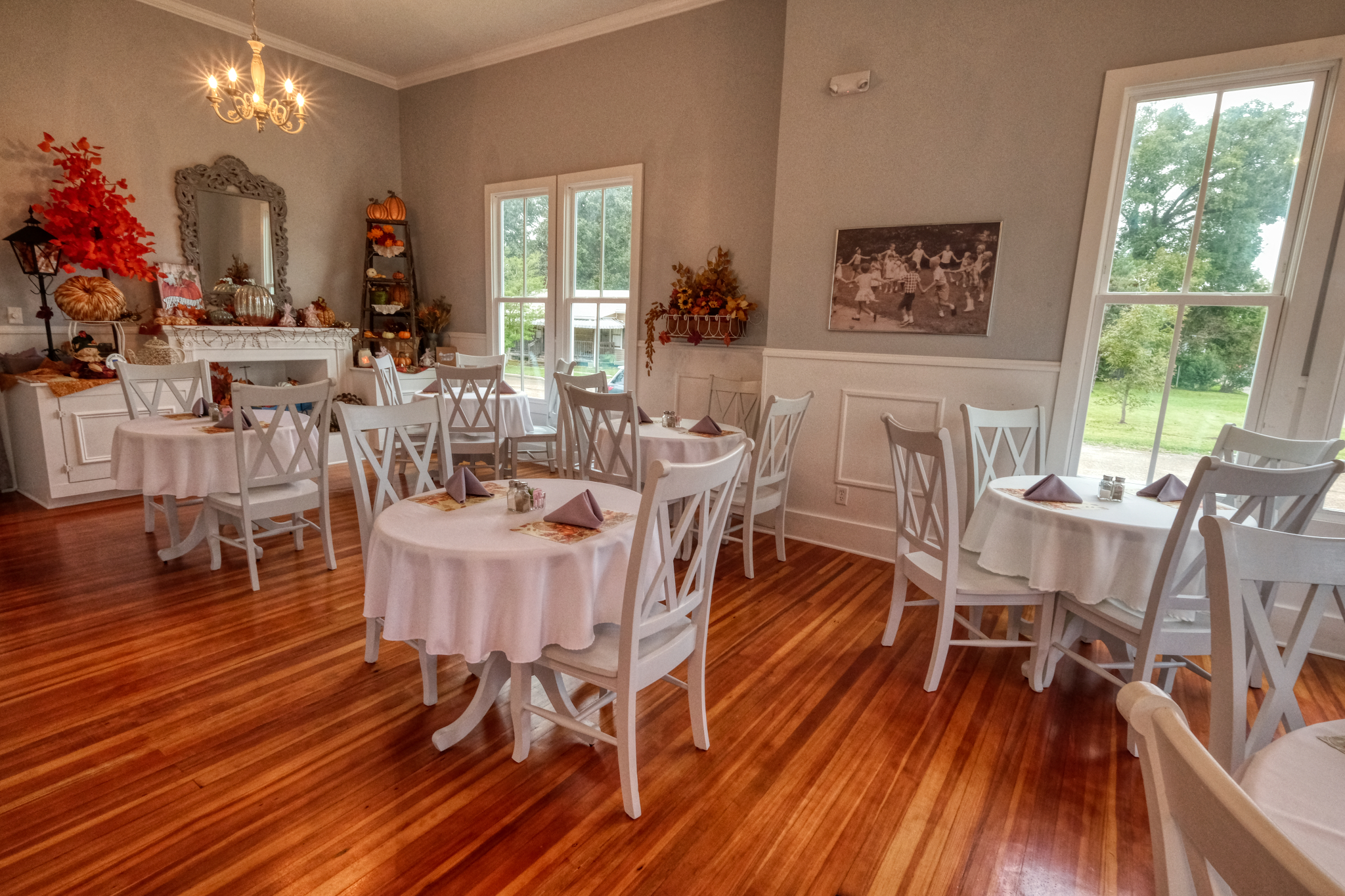 A very cozy place . . . and the scones and tea were excellent.
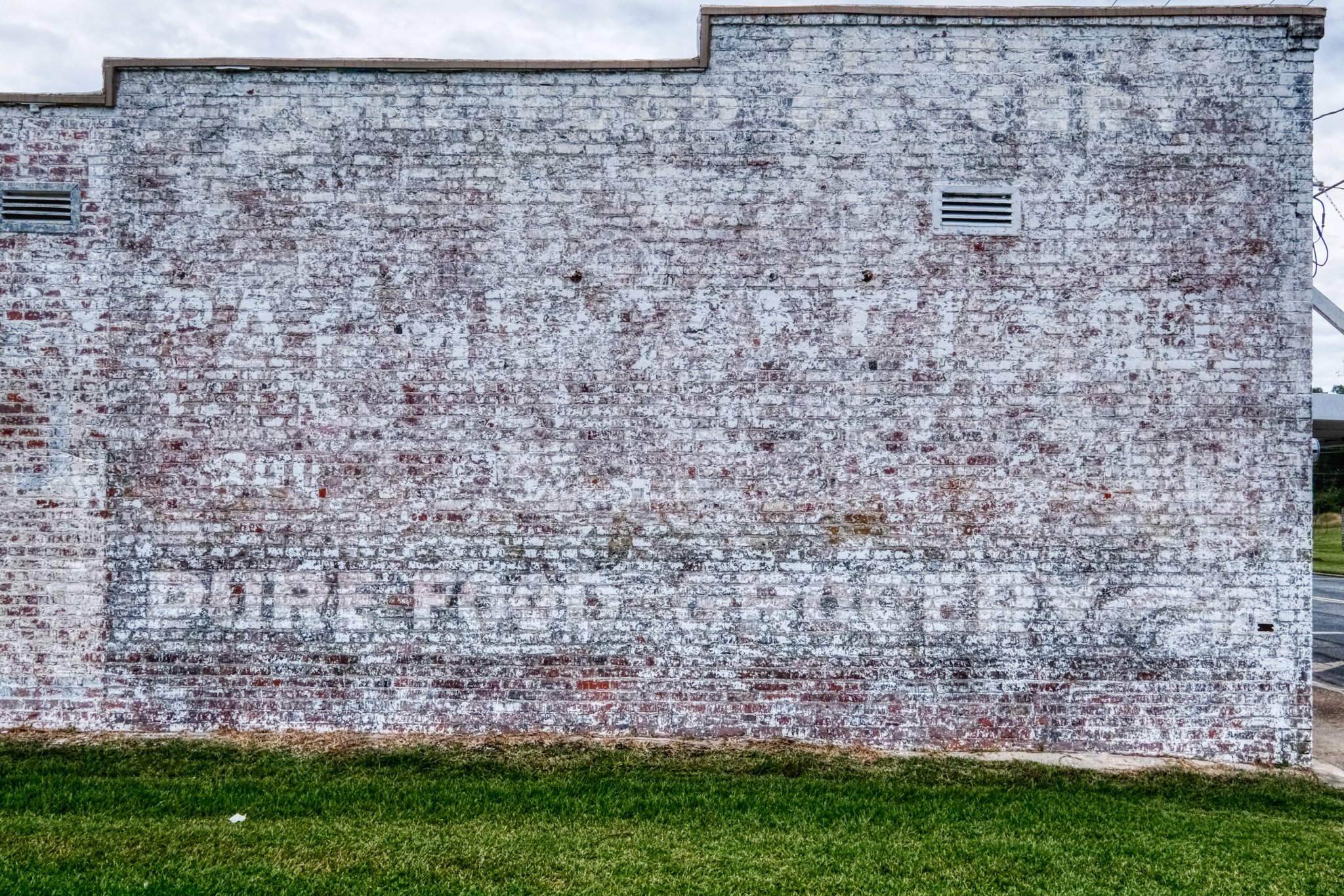 This is what I expected to find of my childhood memories of Leesville. An old wall with the grocery store sign fading . . . and it was actually there!
Road Trip USA: Five Days Camping in the Buttermilk Country
 Wednesday, February 6, 2019 at 8:21AM

_______________________________________________
DAY ONE: Leaving Swall Meadows for the Buttermilk Country of the Eastern Sierra Nevada Mountains, California. Early September 2018.
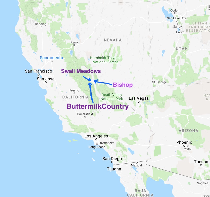 My adventure in the high Buttermilk Country of the far eastern Sierra Nevada Mountains in California began at the home of good friends in Swall Meadows.
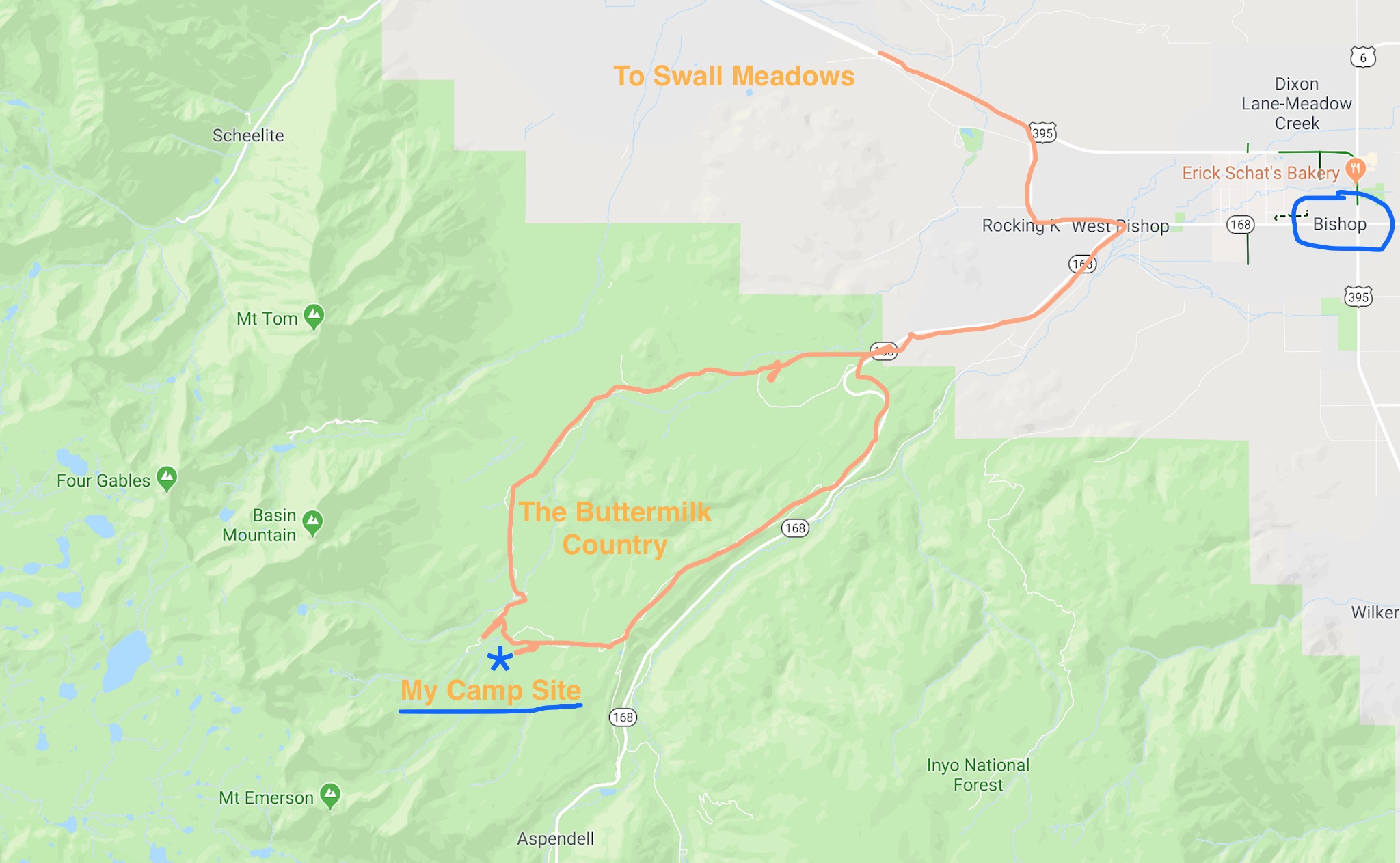 I left the small village of Swall Meadows one clear morning and drove to Bishop, California and then up State Highway 168 before turning up the jeep tracks to my camp site in an aspen grove high in the Buttermilk Country.
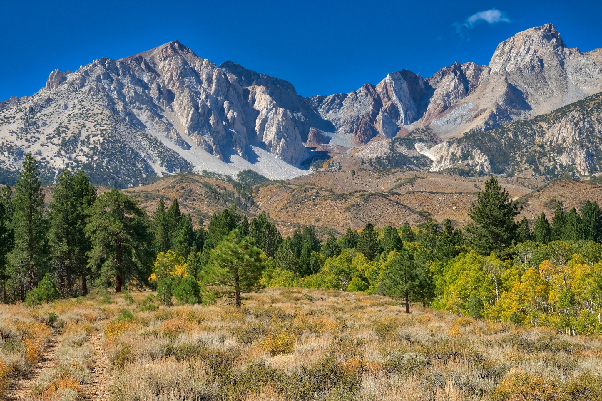
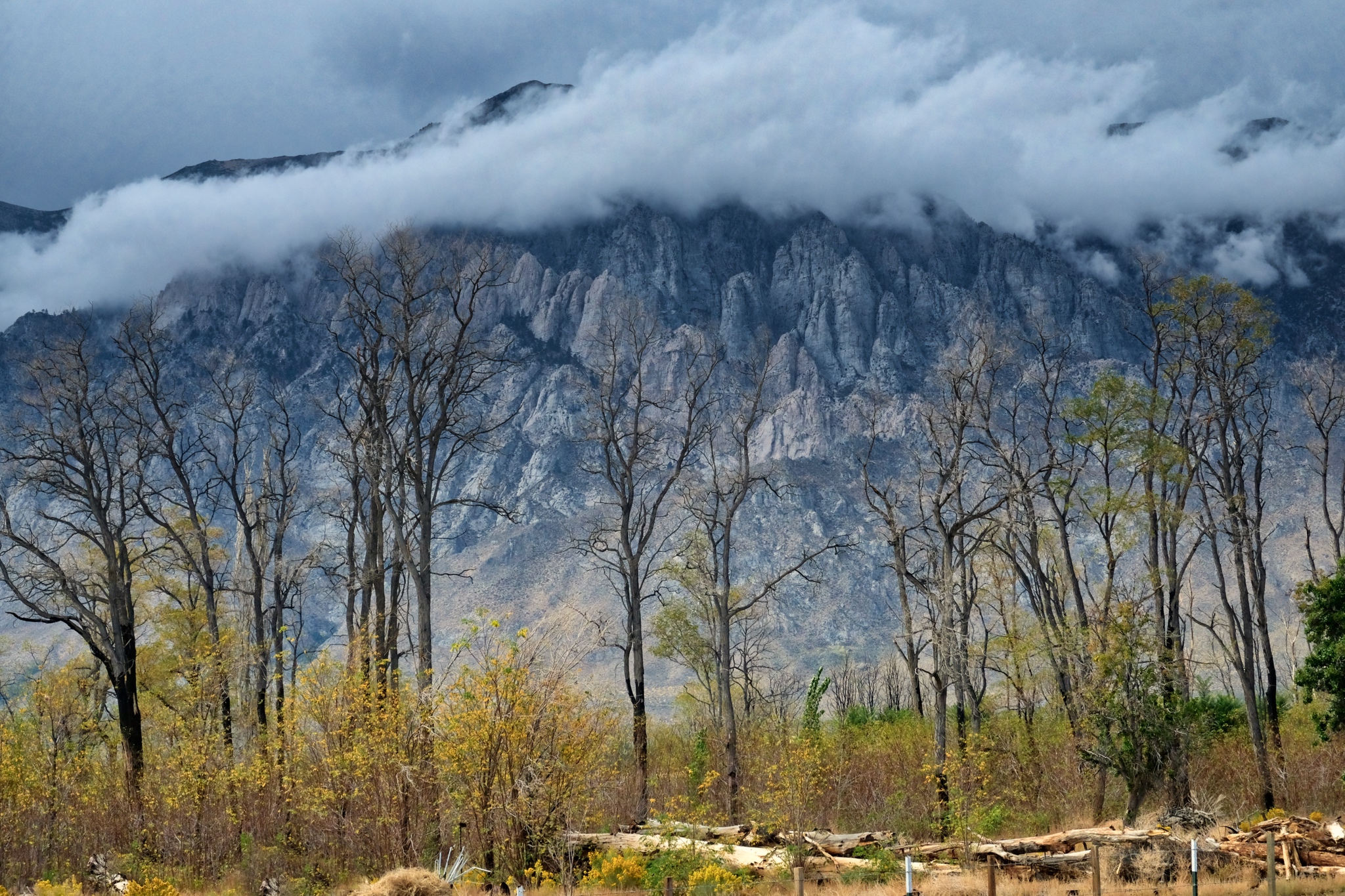
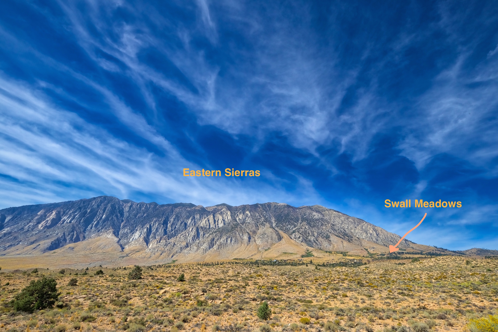 Swall Meadows is beautifully situated at the foot of the eastern Sierra Nevada mountains.
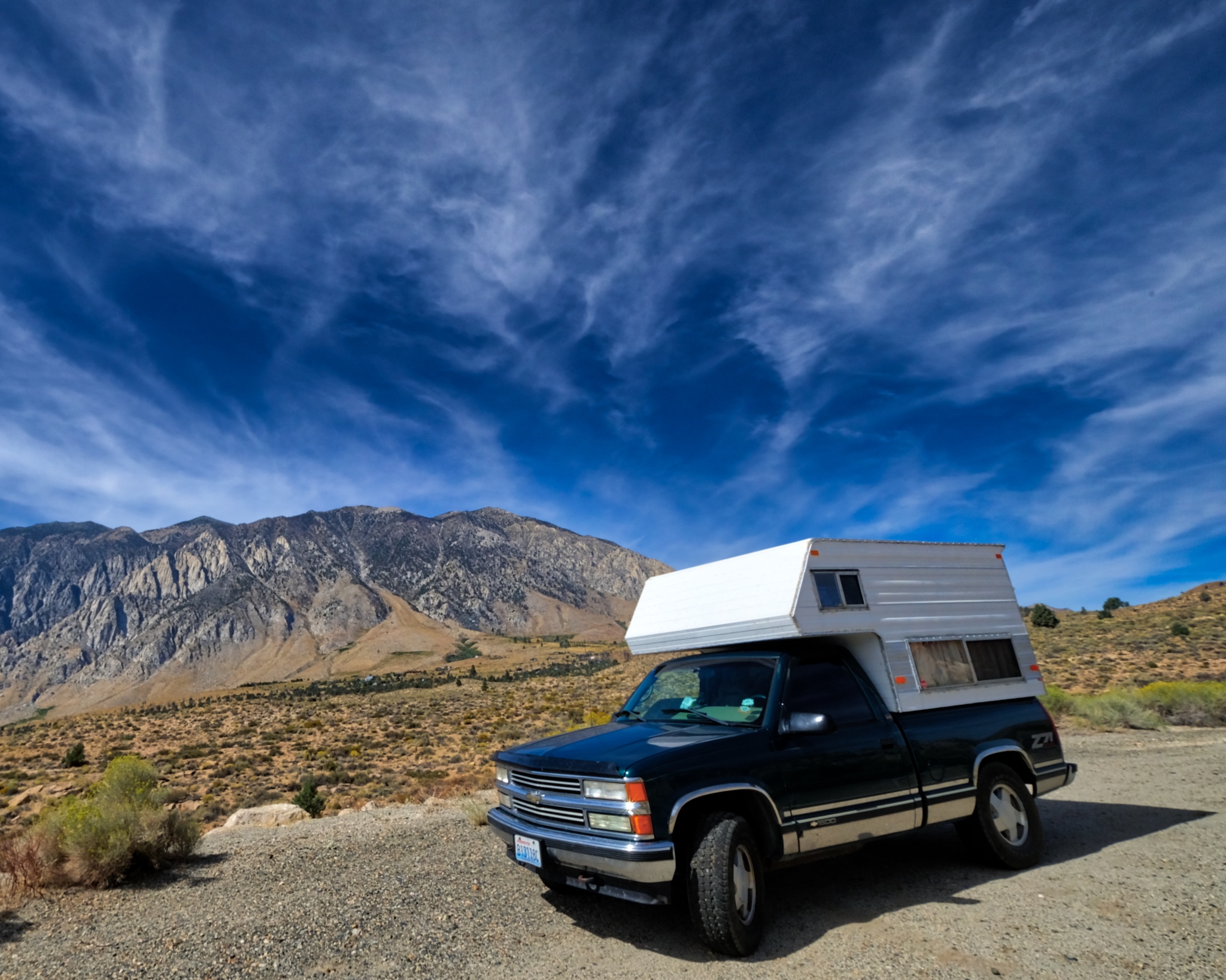 It was a beautiful morning when I set off . . . the camper fully provisioned for many days in the wild.
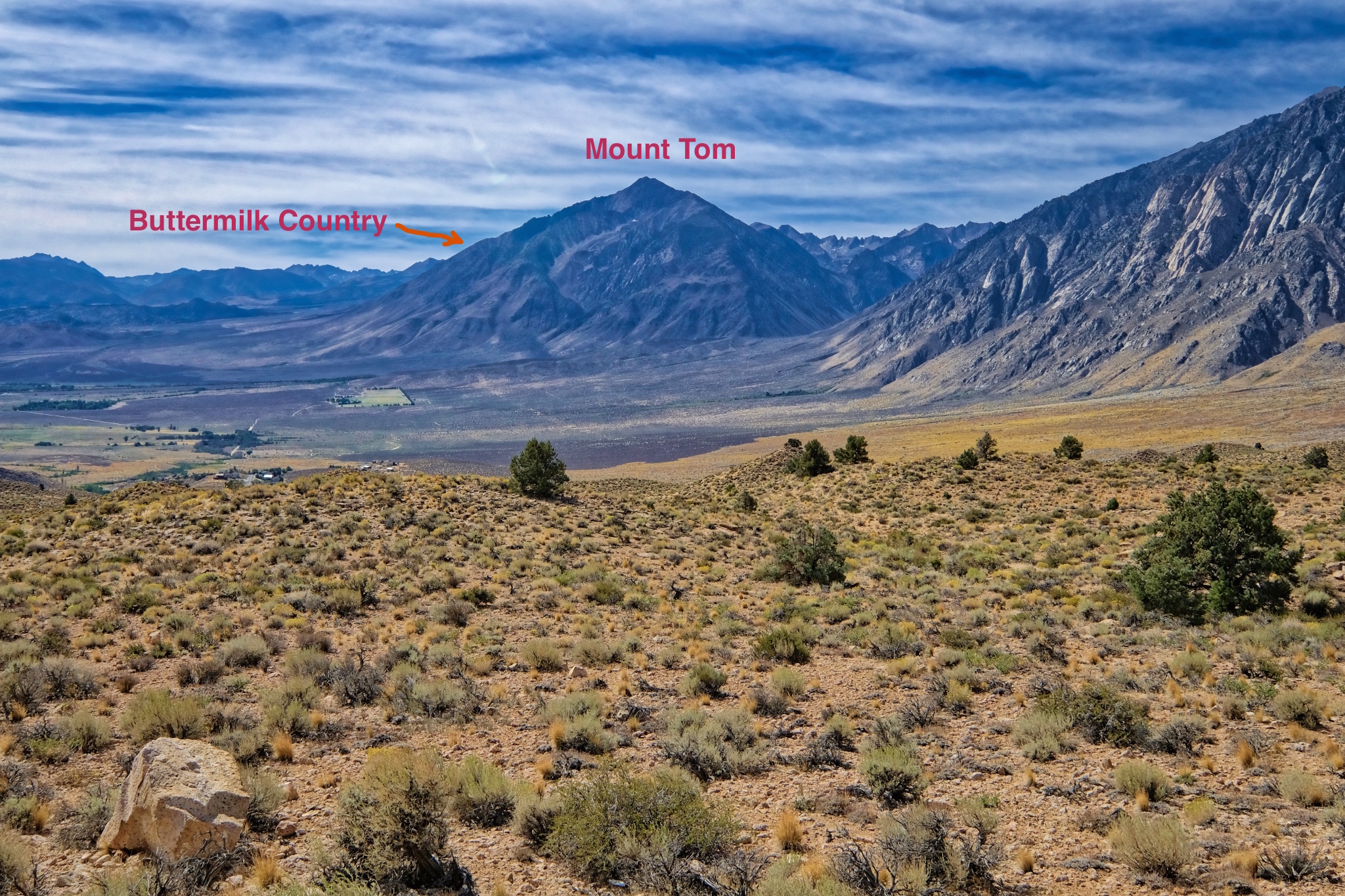 I stopped to get the lay of the land. The Buttermilk Country was on the other side of Mount Tom, up a gradual incline toward the high peaks.
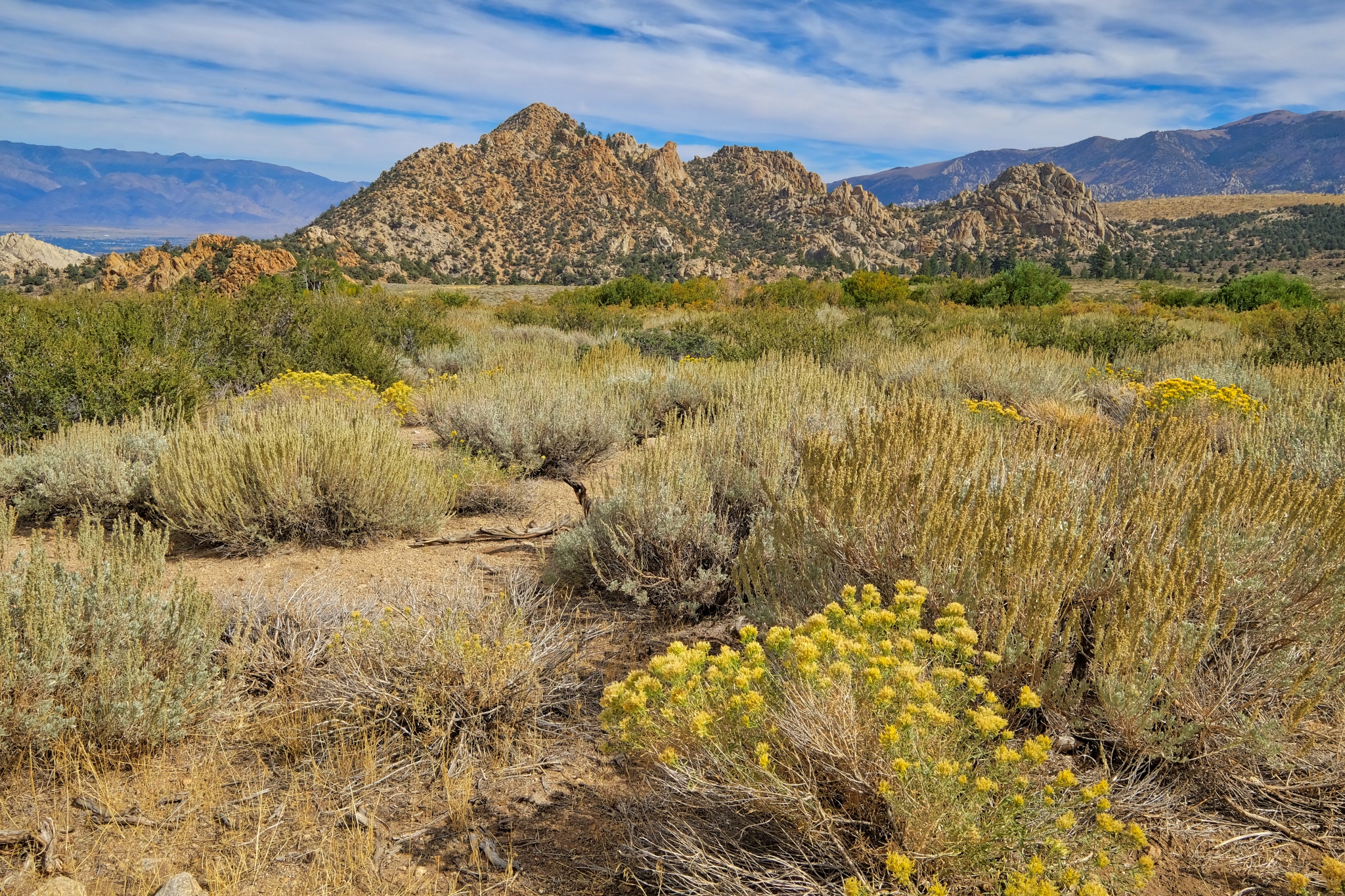 Driving up into the mountains on the sandy and rocky jeep trail.
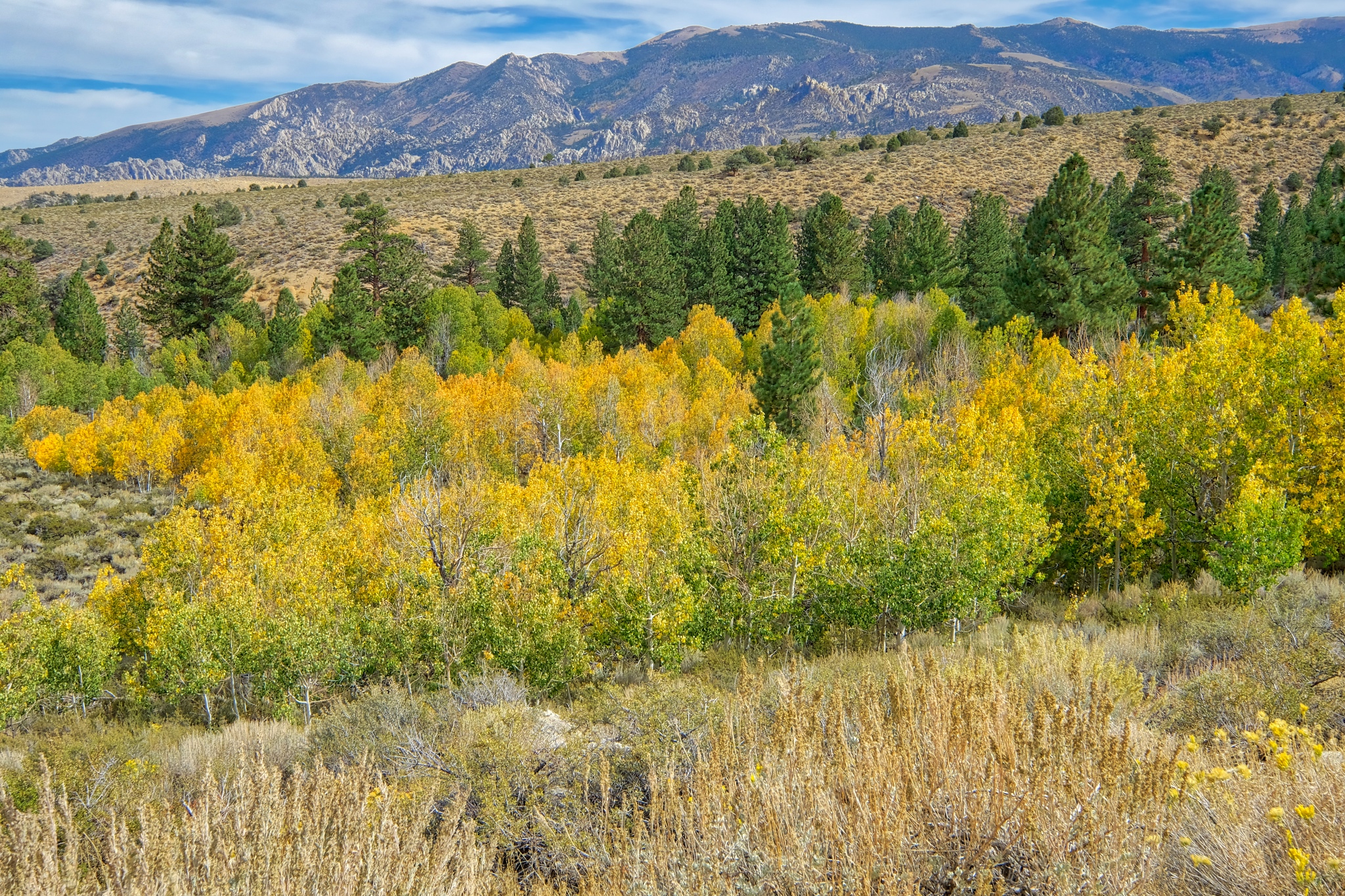 My first view of the aspens along a stream . . . the yellow color is a sign they are a little water stressed . . . and the nights are getting cold up here.
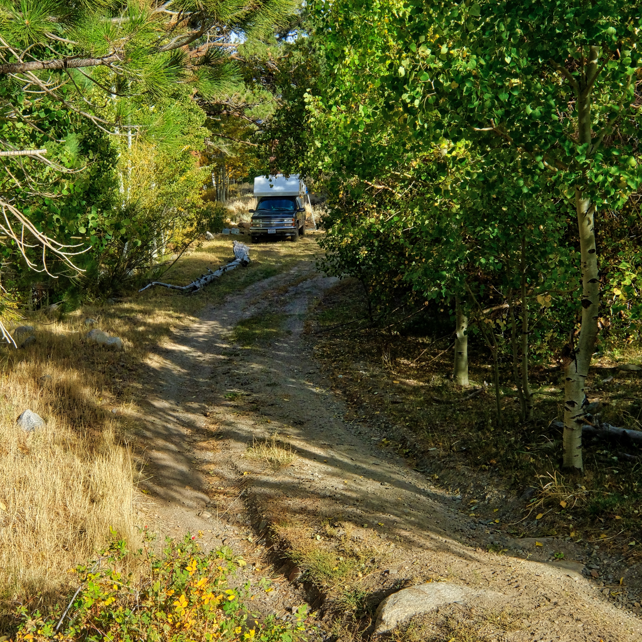 I drove deep into the high country and found a level spot next to a stream along a jeep track in an aspen stand.
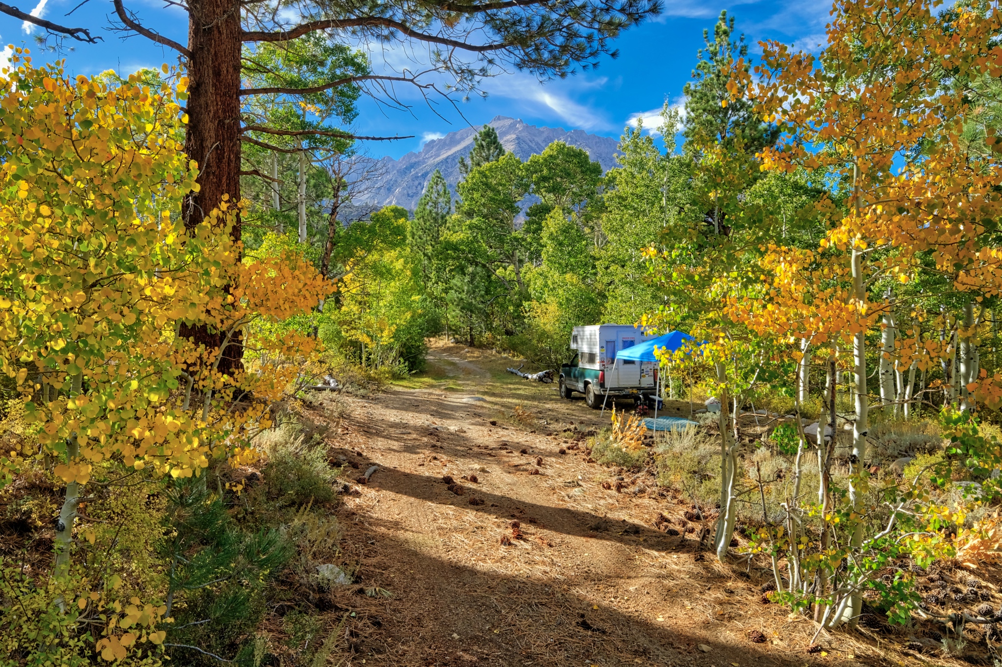 It was late afternoon when I found my flat camp site. I set up the shade tent . . . but left the rest of my setting up for later . . . the steep and clear sunlight begs for a ramble with my camera.
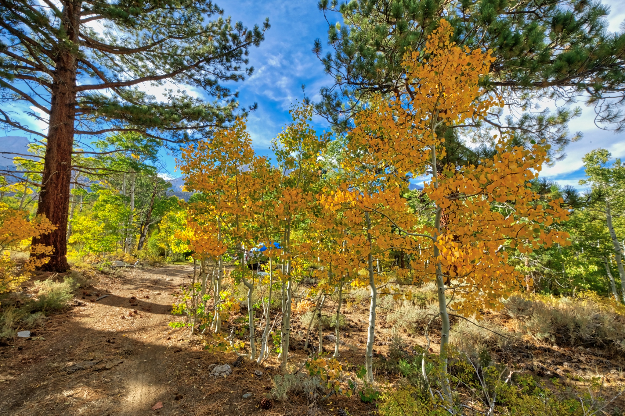 I walked up the jeep track from my camp. A glorious afternoon.
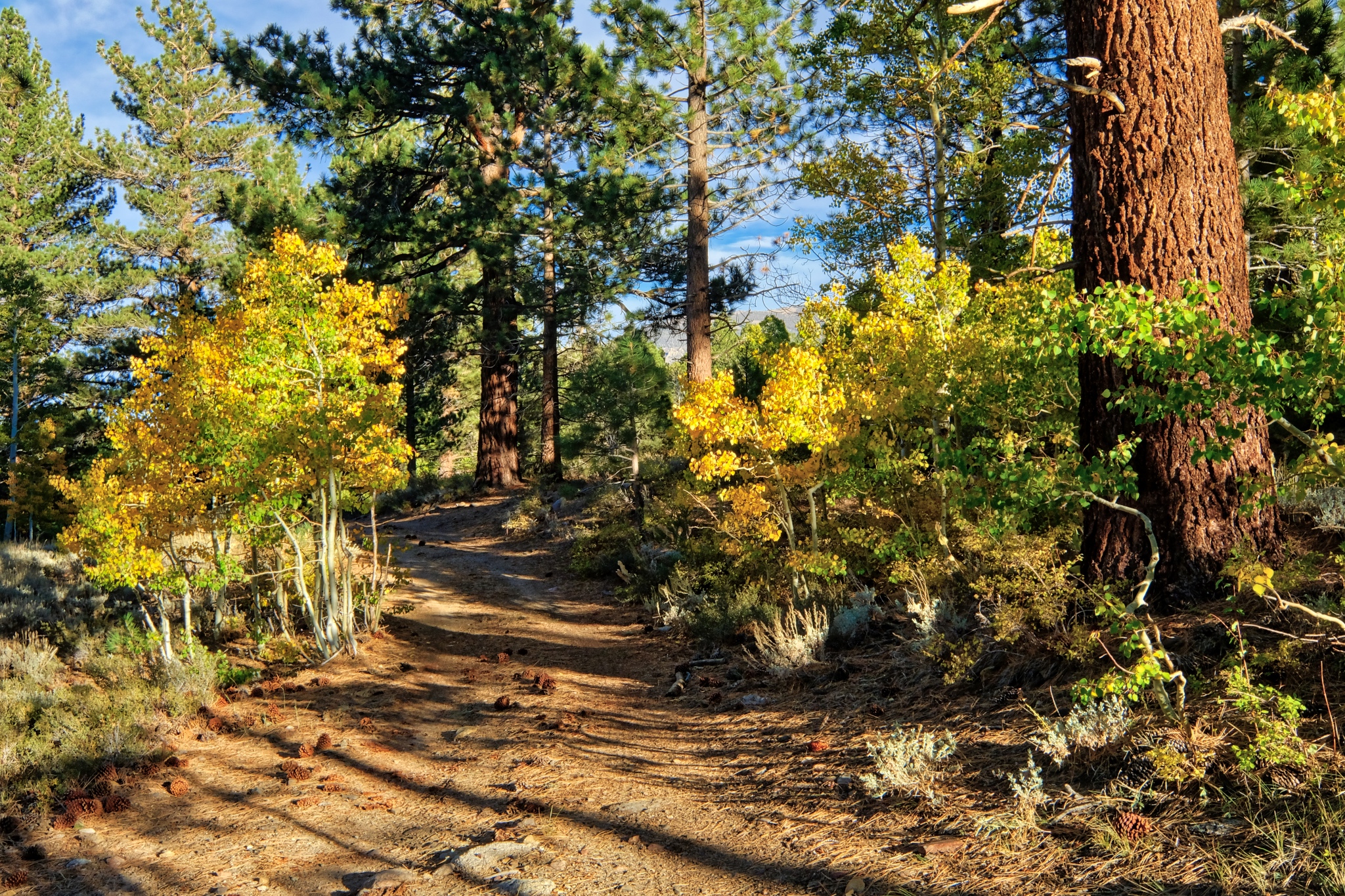 I had found a magical place to camp.
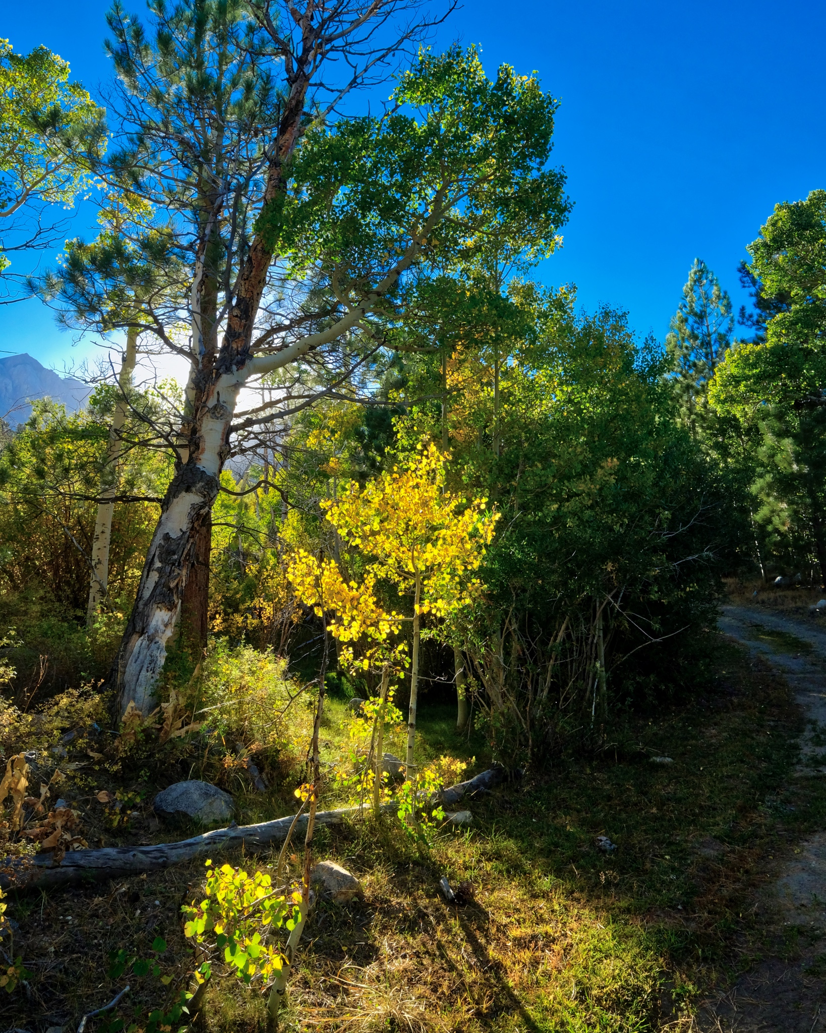 The sun was low in the sky . . . and an early shadow was expected as the sun was going to go behind the nearby high mountains of the Sierra Nevada.
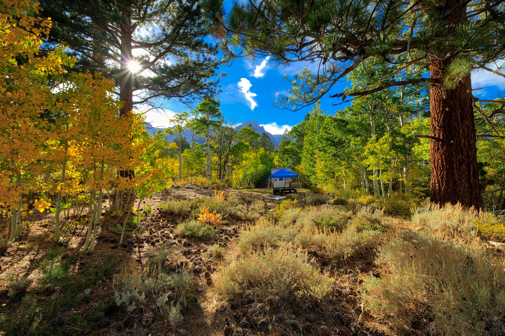 Such incredible light and color.
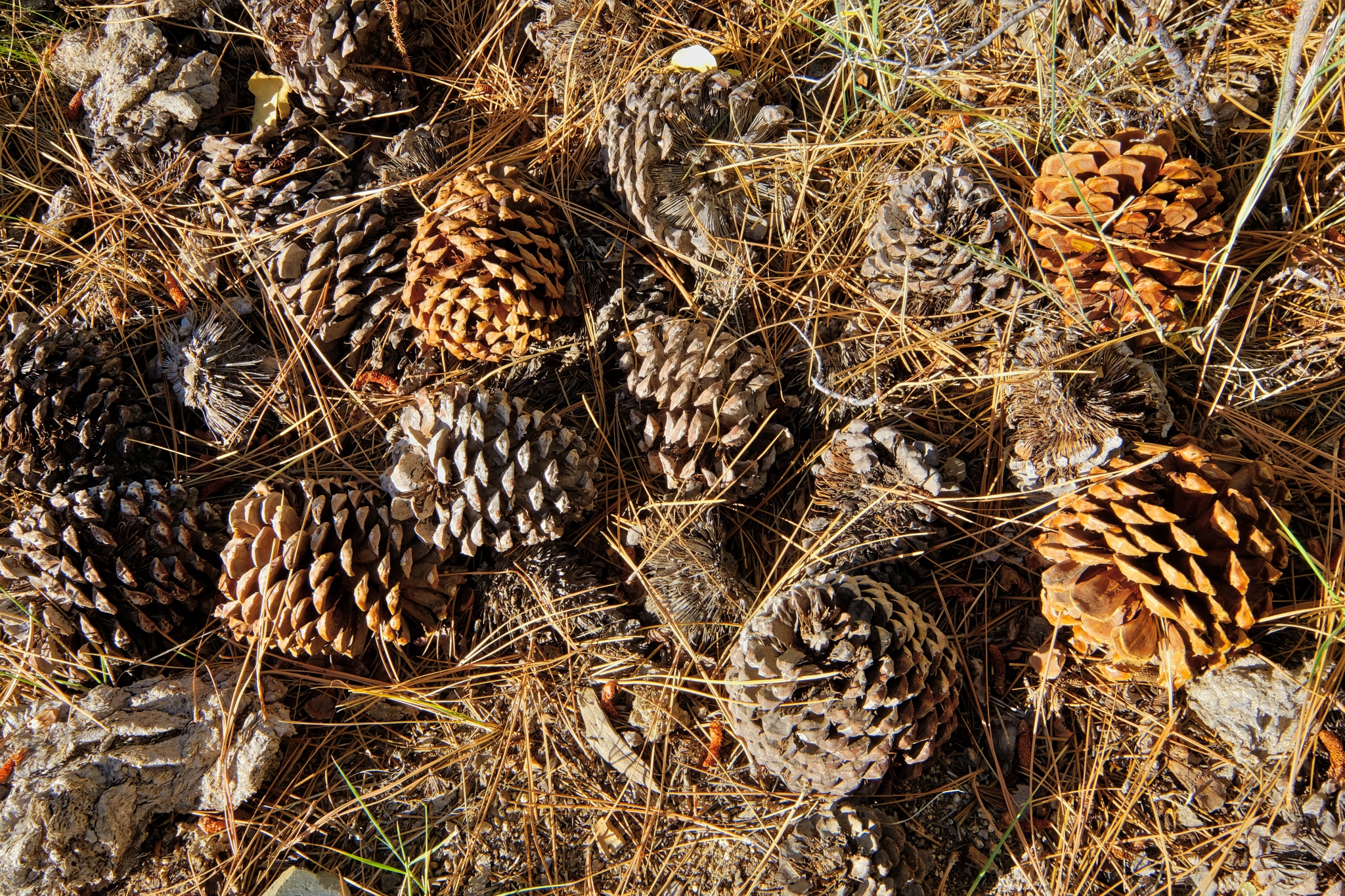 The forest floor under the giant Ponderosa Pines, all cones and needles.
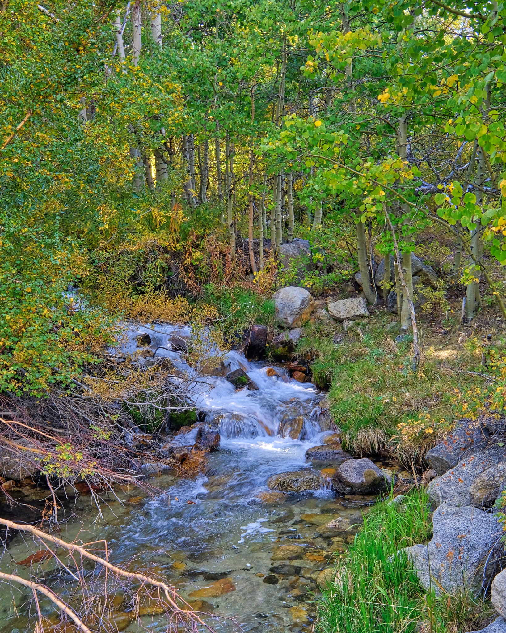 As the mountain shadow descended over the aspen grove, I followed the sound of a babbling stream nearby.
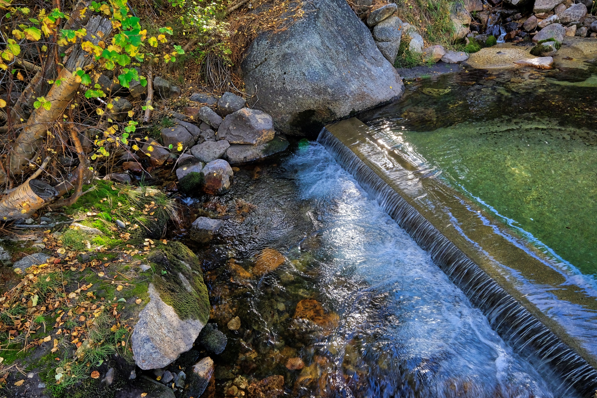 Believe it or not, the water here, at 8800 feet on the eastern slope of the Sierra Nevada mountains, is diverted through a system of pipes and small waterworks like this . . . to serve the city Los Angeles many hundreds of miles away. Gotta have those green lawns!!!
_______________________________________________
DAY TWO: Exploring my immediate surroundings
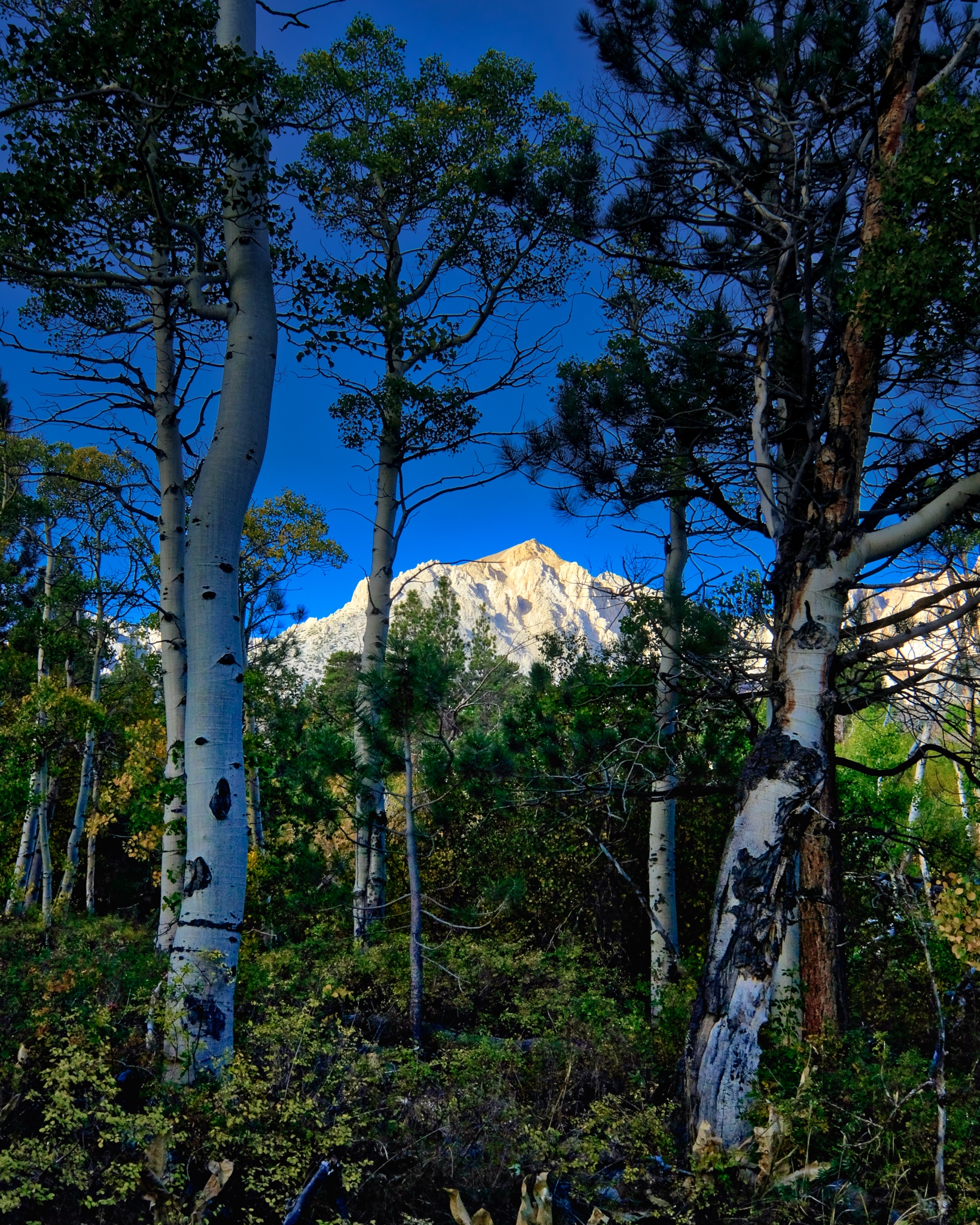 I was up when the first light hit the high peaks.
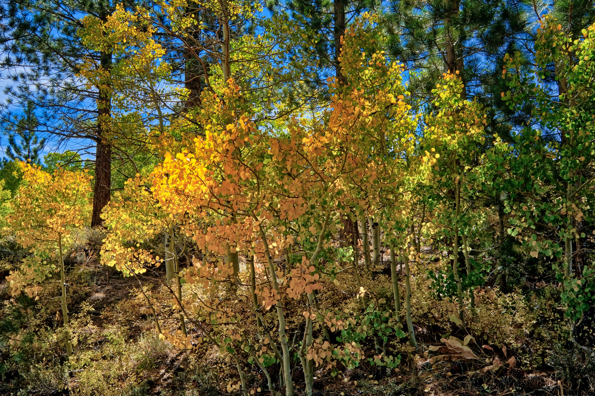 When the light finally hit my little patch of forest . . . the scene was like a fairyland!
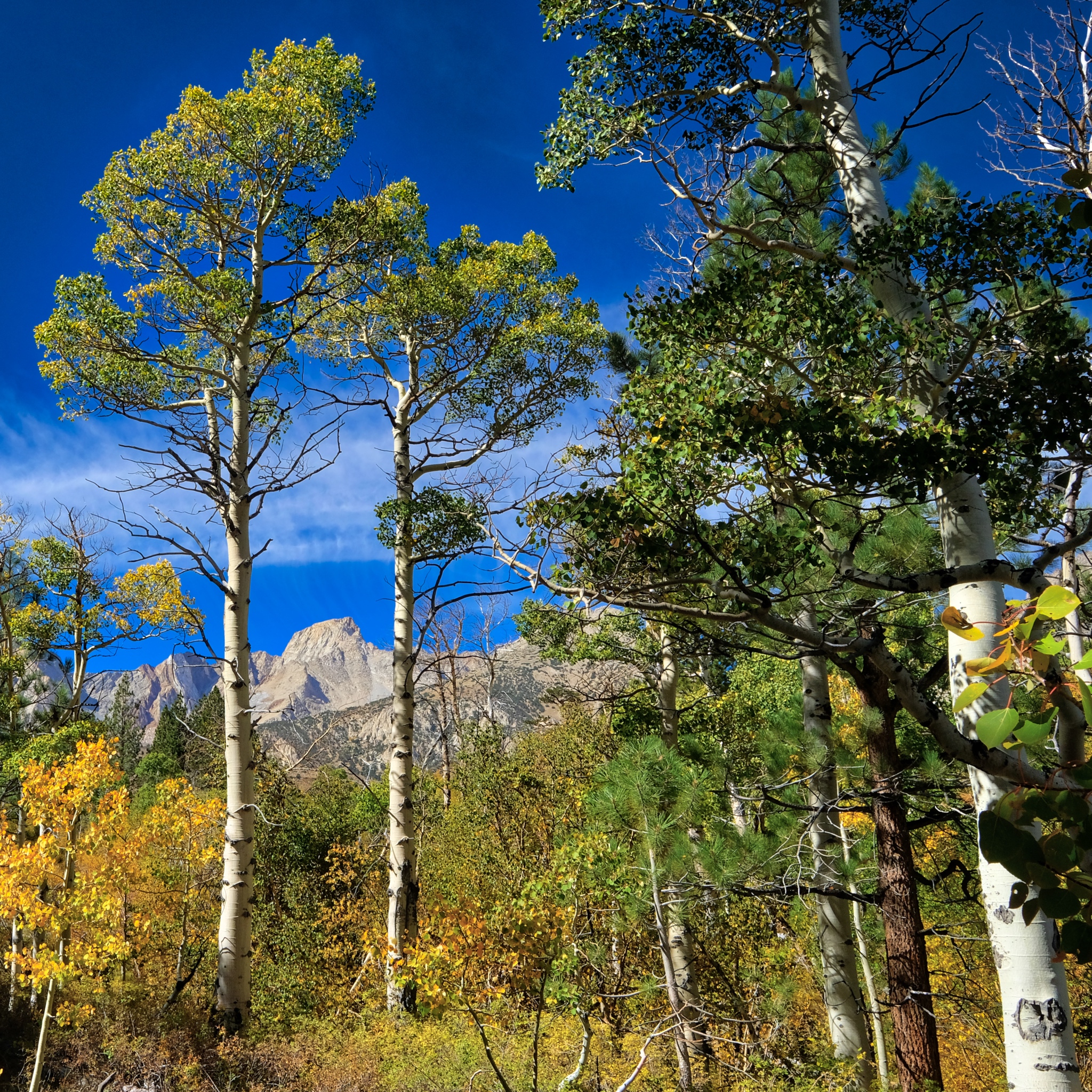 I was camped way up close to the Eastern High Sierra Nevada mountain peaks.
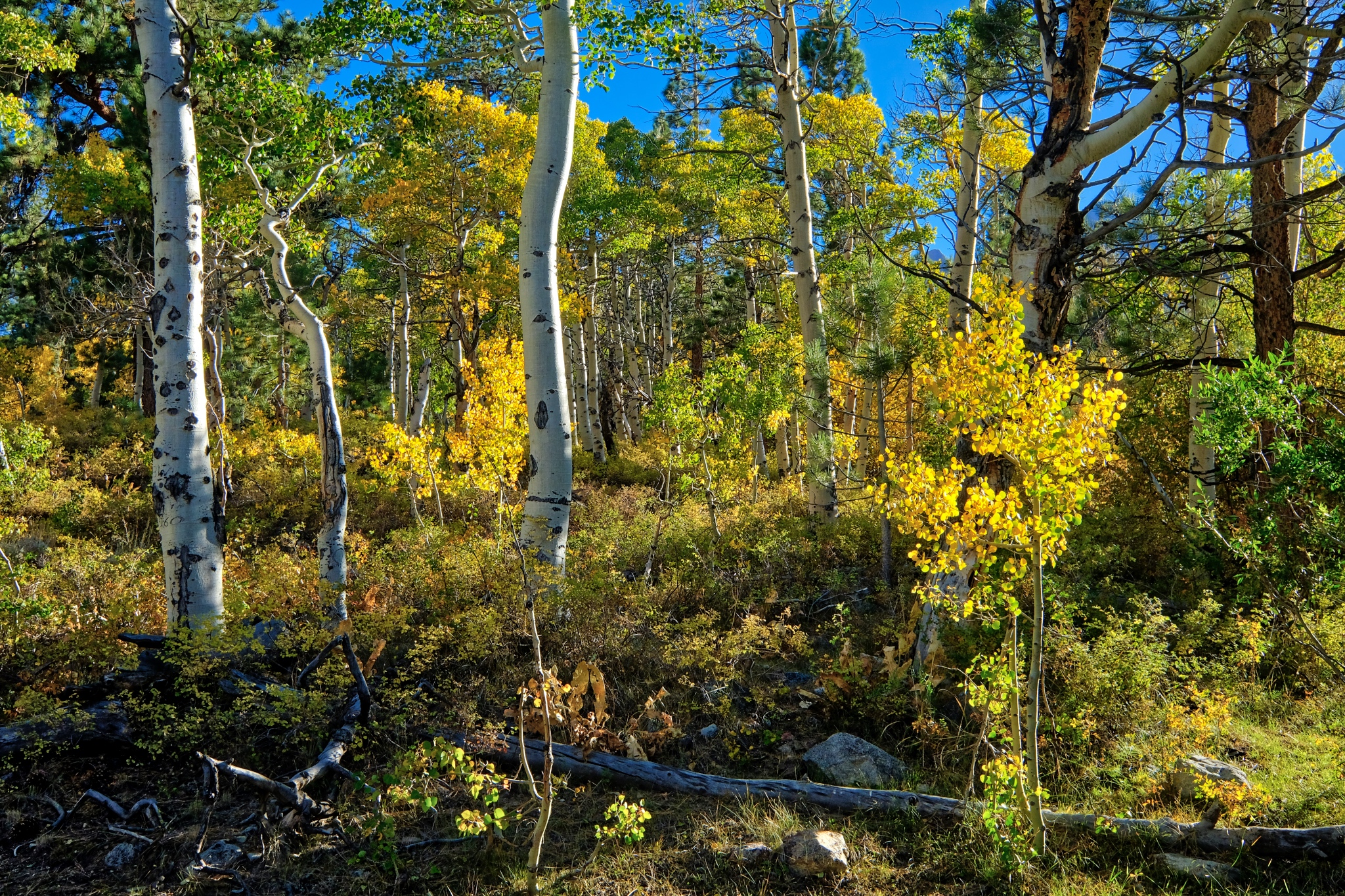 I was camped in a mix of dry Ponderosa Pine, small aspen thicket, and rocky forest.
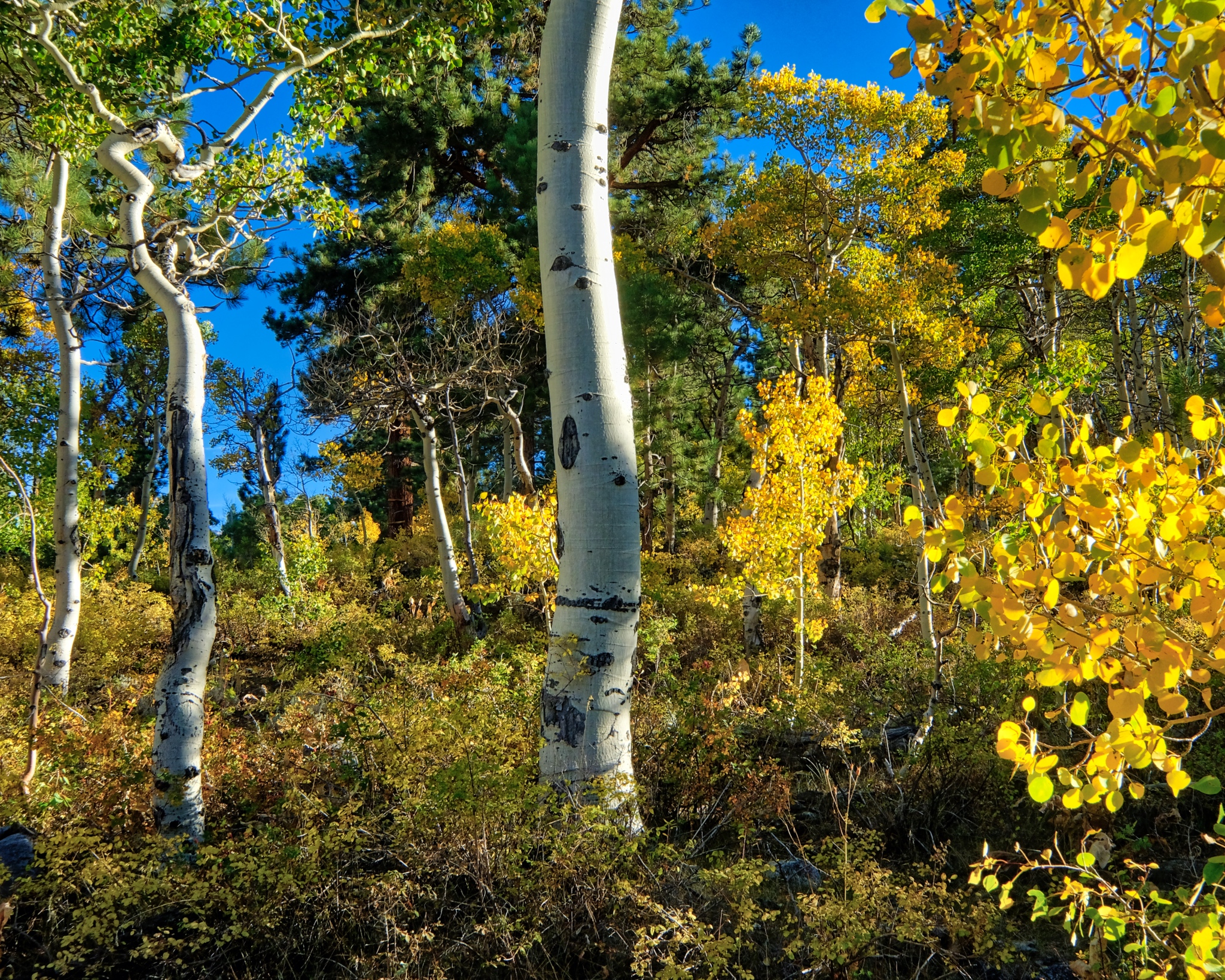 Clear light, bright forest.
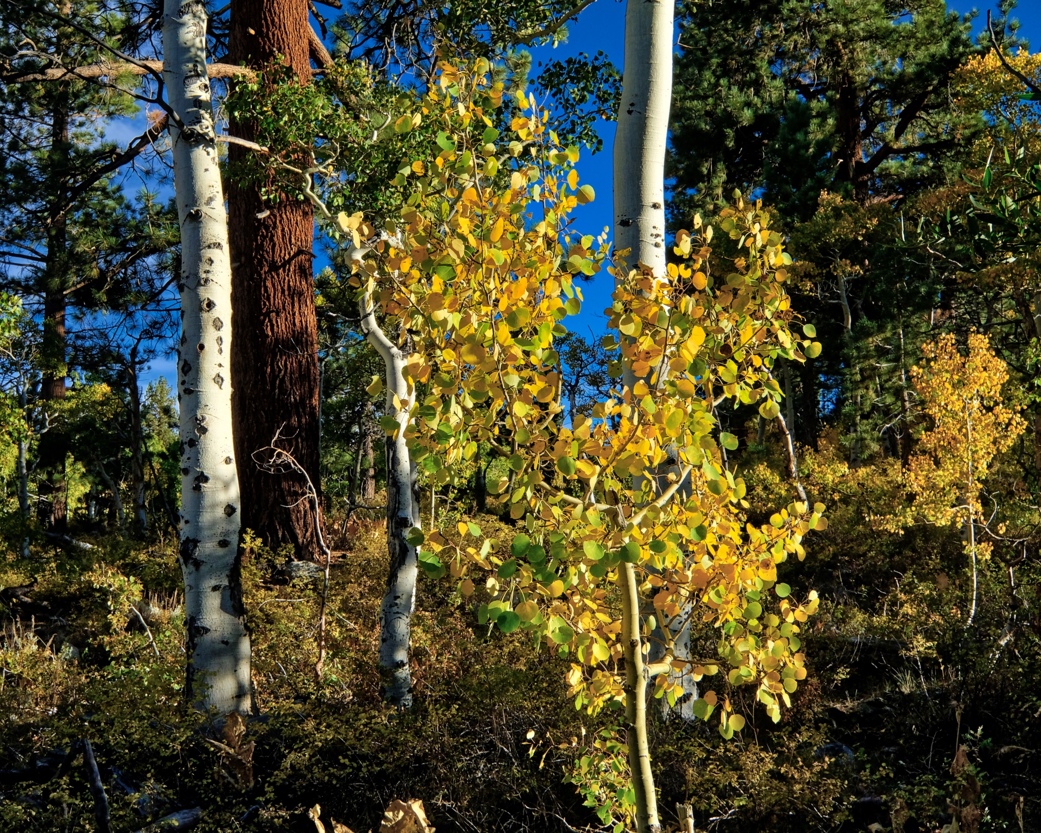 A big mix of trees . . . size and type.
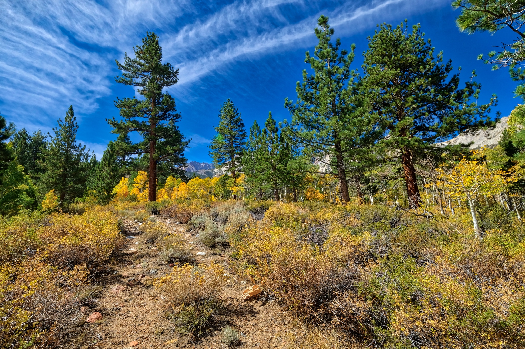 After a light breakfast and coffee, I grabbed my camera for a walkabout near my campsite. I first followed this nearly obscured old jeep track up into a nearby stand of bright aspens.
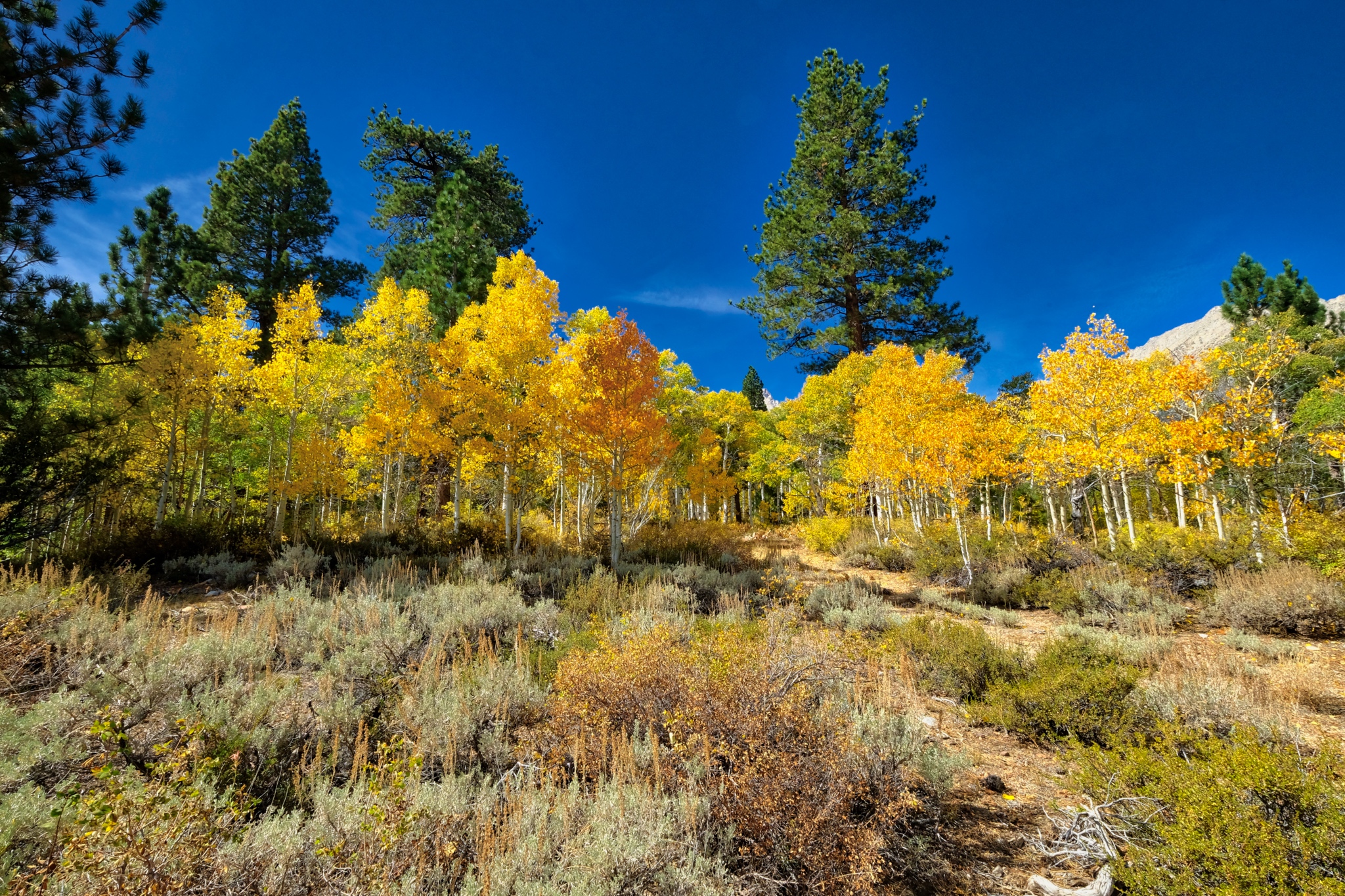 I was amazed by the colors and clarity of light and air.
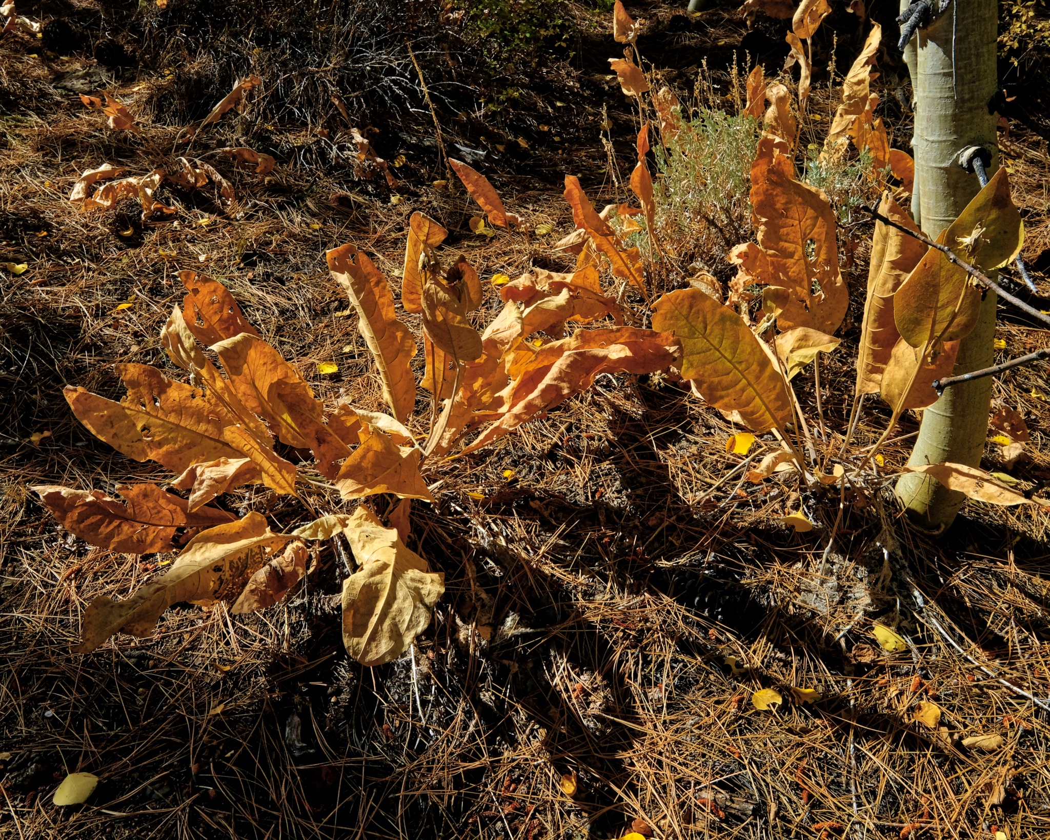 The summers' succulent growth had dried after a long summer in the sun.
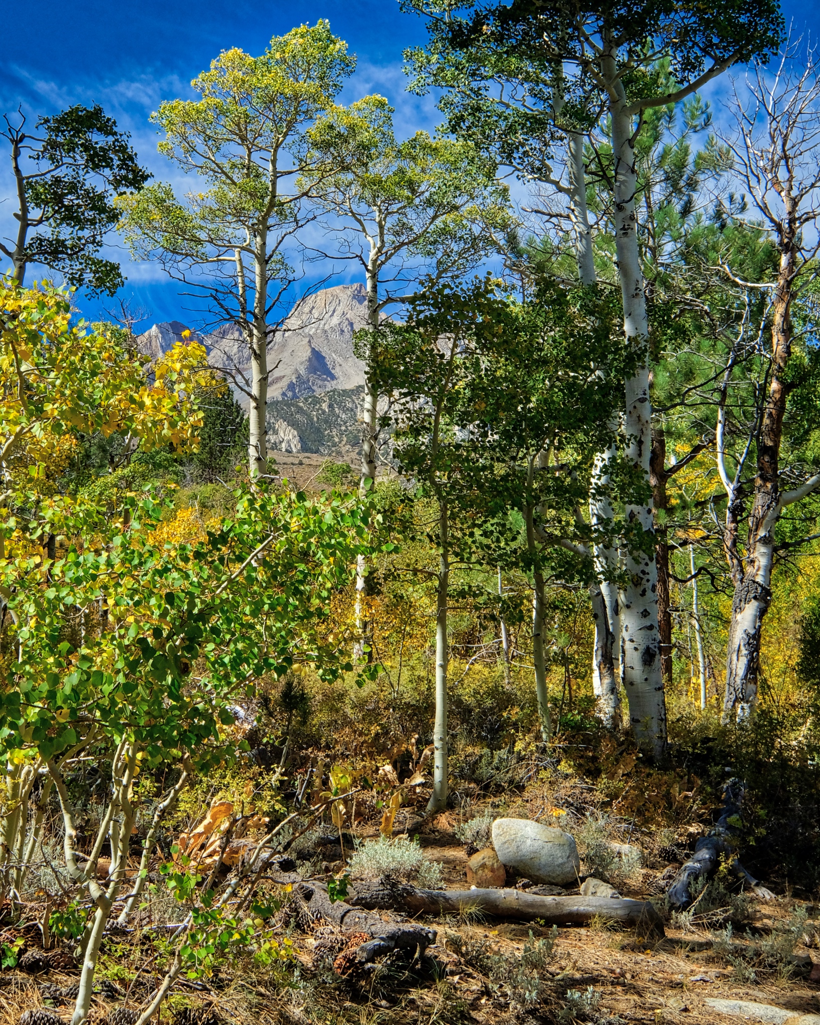 And throughout my walk -- always a quick glimpse of the tall Sierra Nevada.
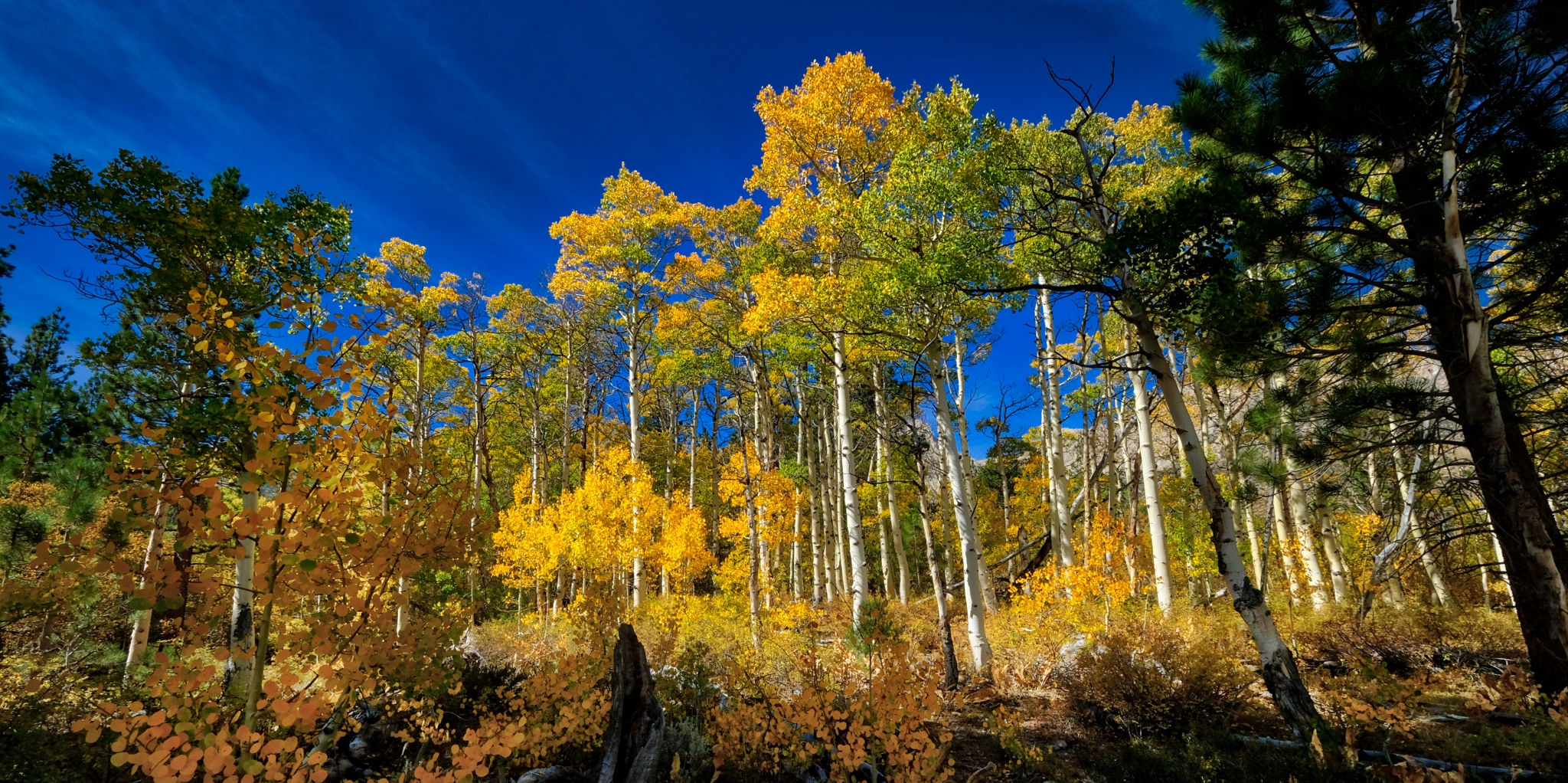
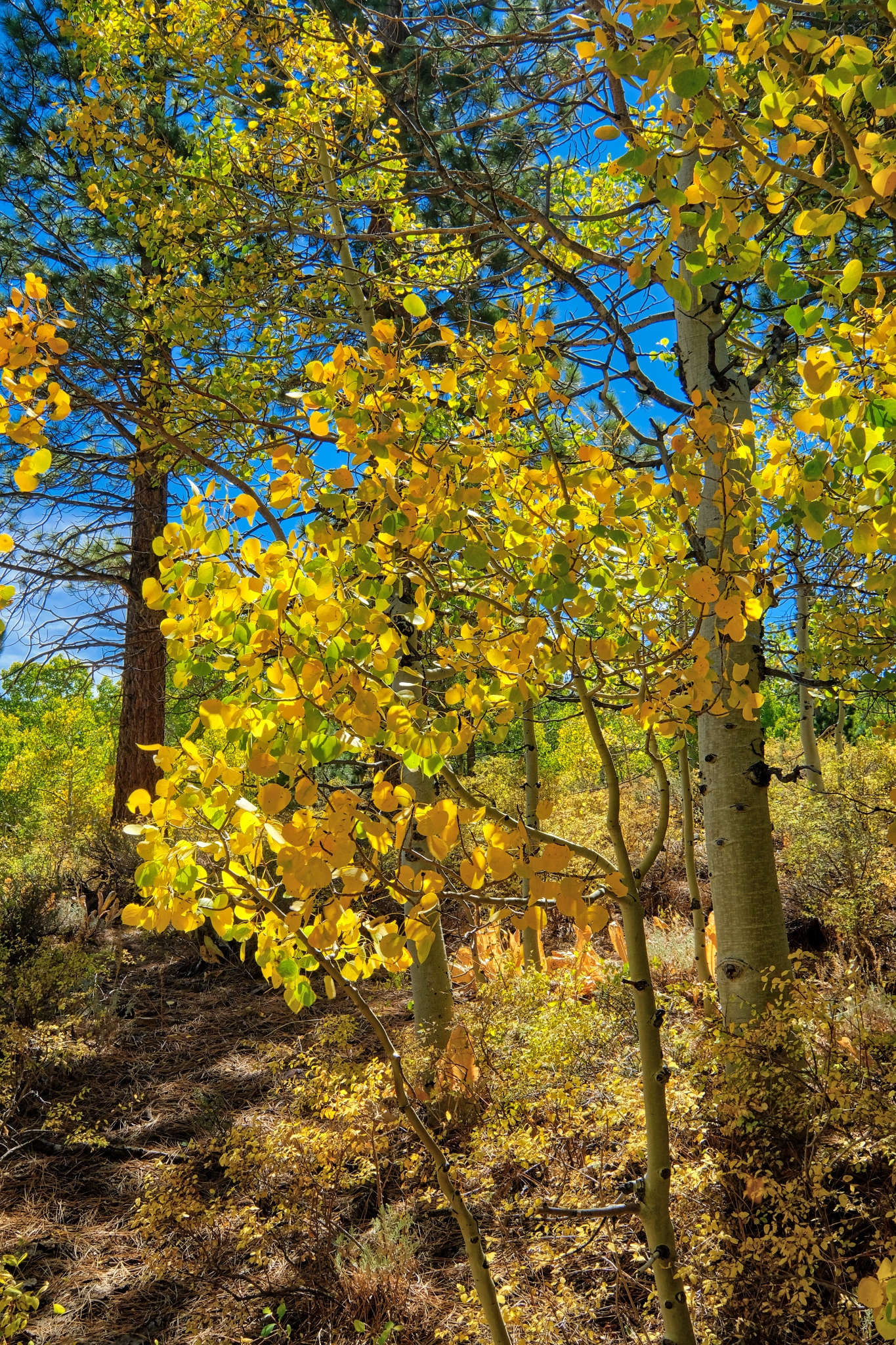 The brightness of the autumn yellow aspen leaves was astonishing. I have not bumped or oversaturated these colors . . . these aspens were THIS bright.
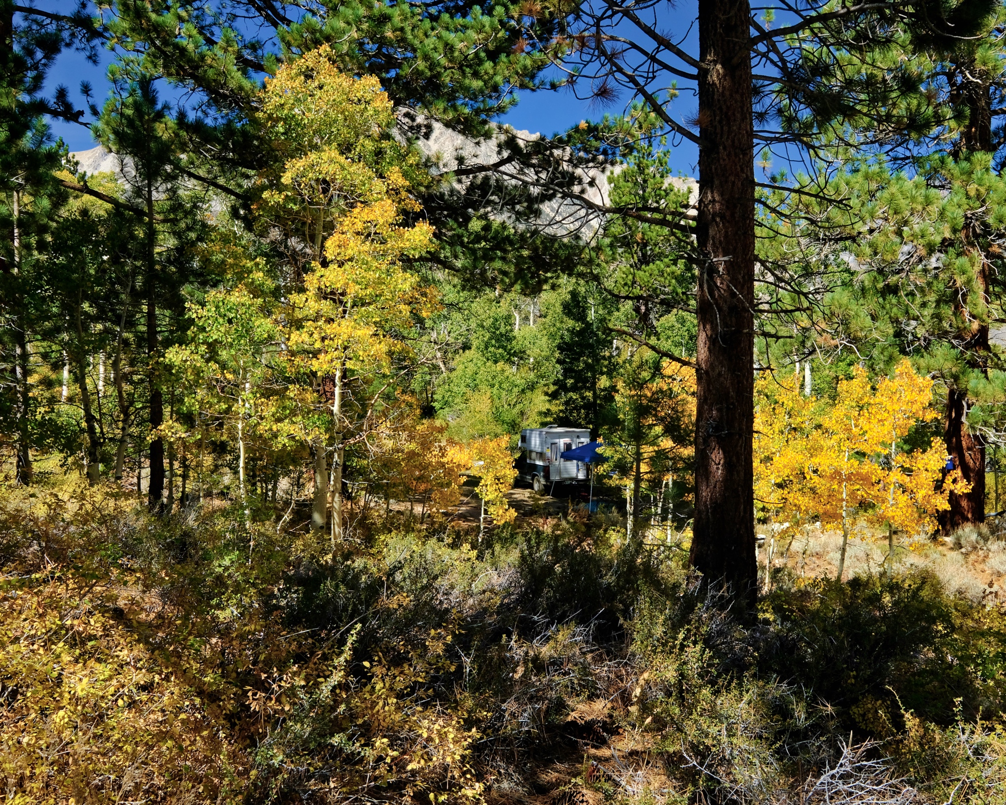 Such a glorious place to camp. This photo brings back such a strong memory for me: This is where I camped up in the high Buttermilk Country.
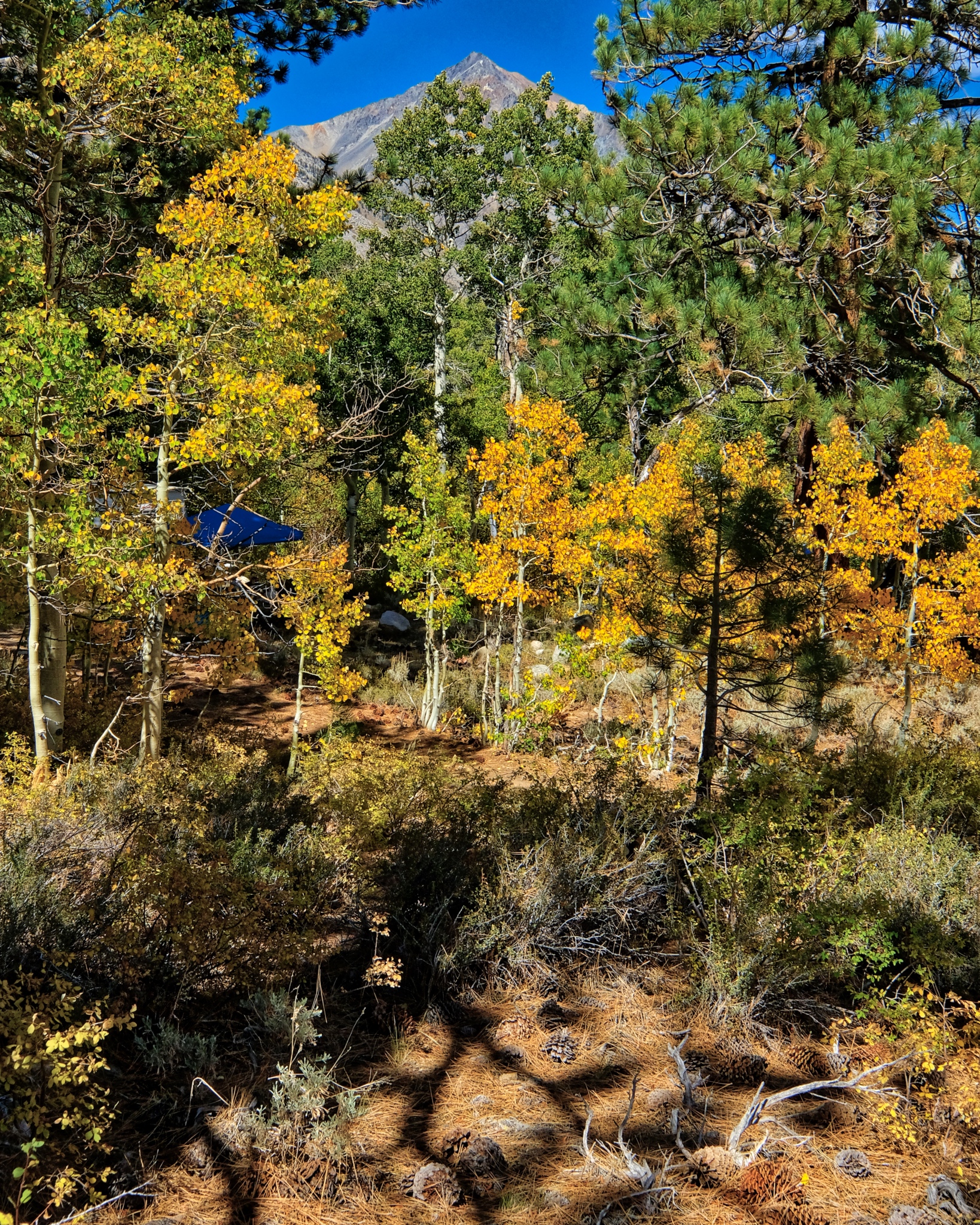 A delightfully cool, clear, and still morning.
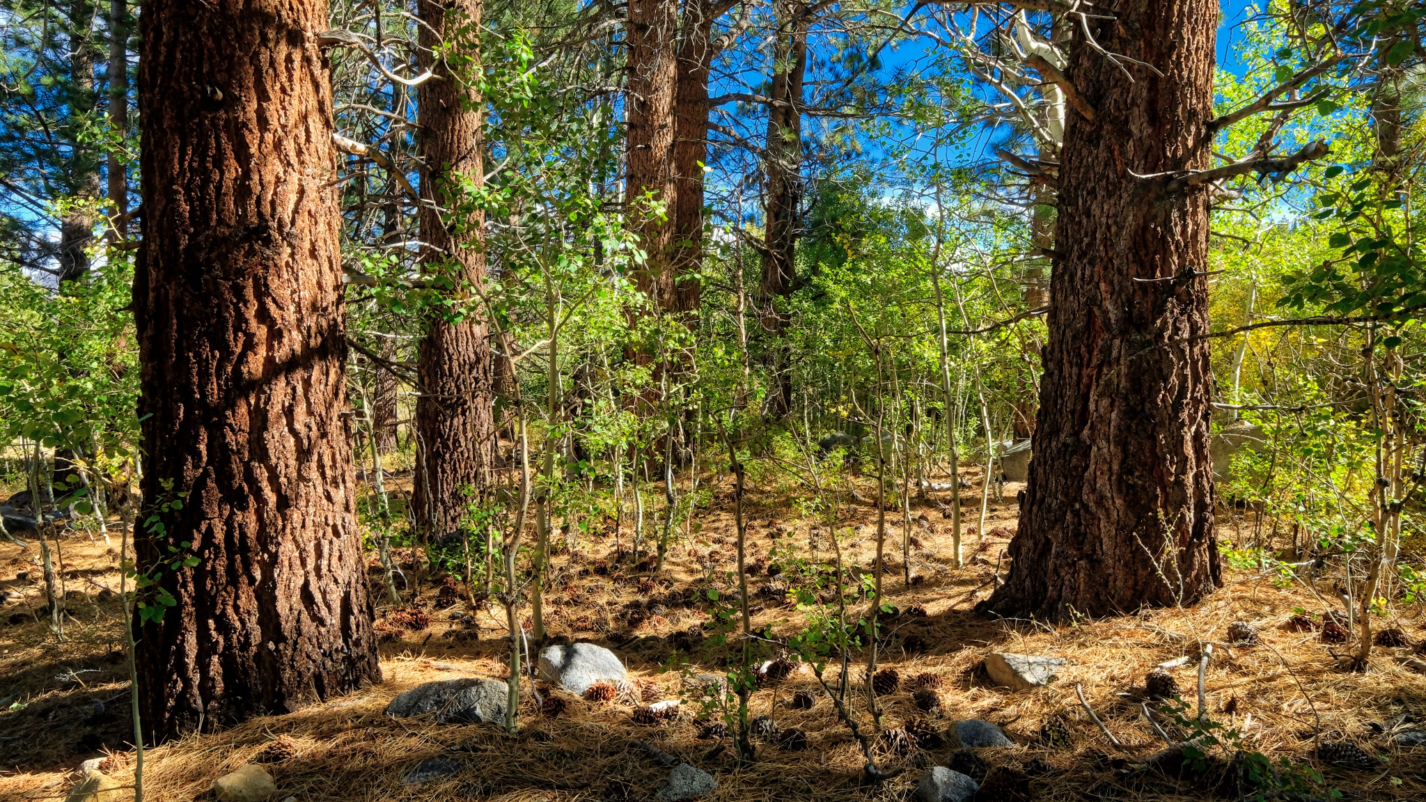 I love the look of these old, grand Ponderosa Pines in the transition from high country to desert.
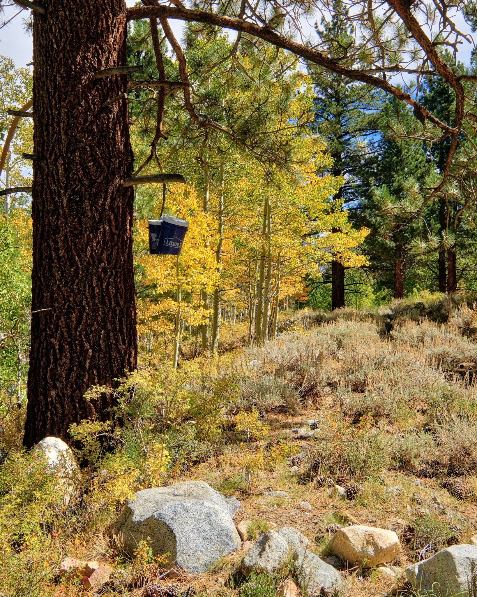 I slung a rope up over a big branch and hoisted my food pails up there . . . bear-proofing?
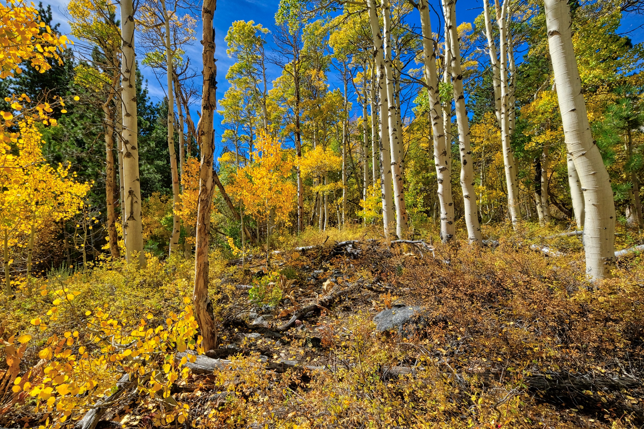 The yellow aspen in the bright, clear morning sun . . . at 8000 ft. elevation.
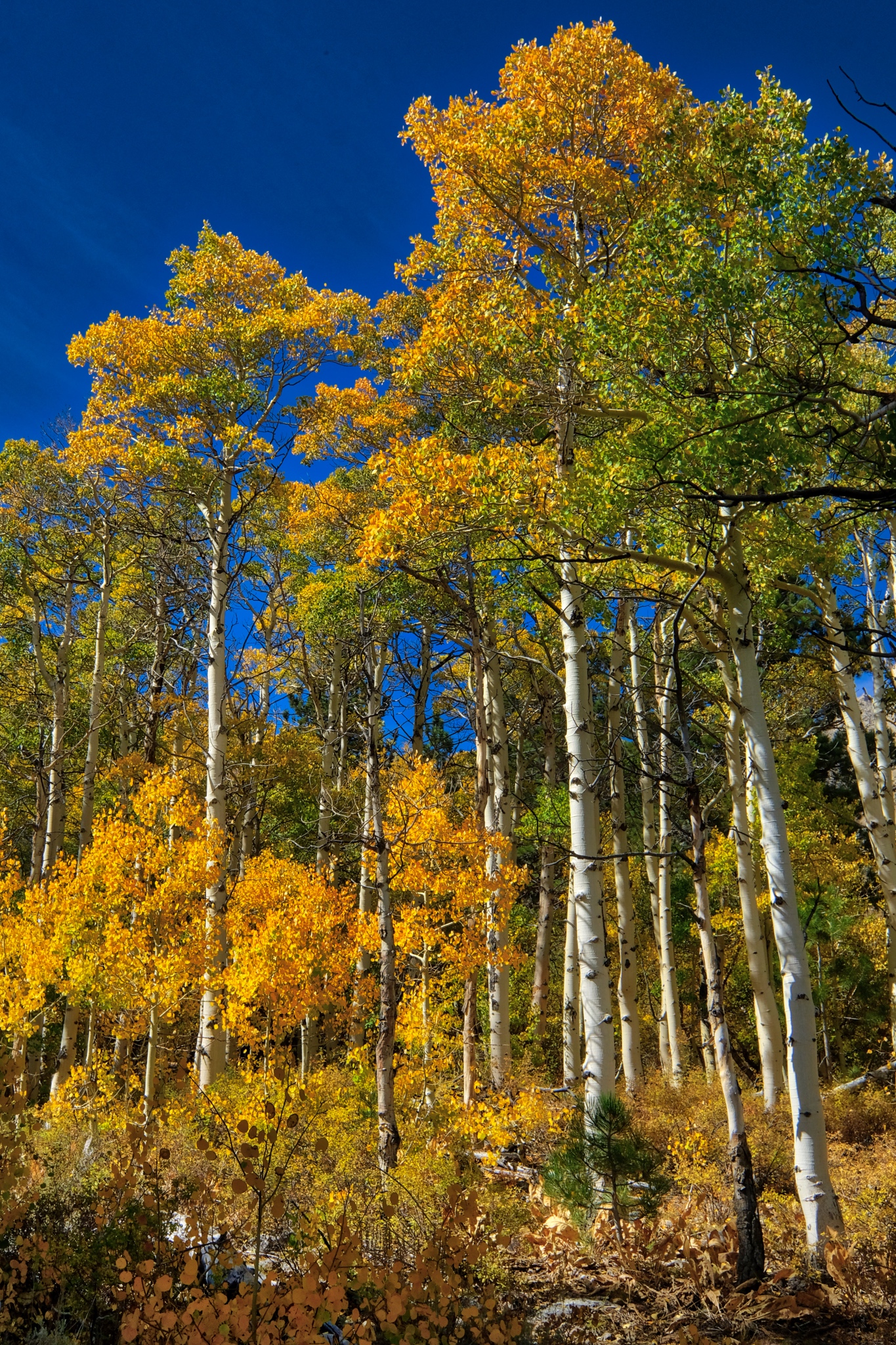 Tall yellow aspens against a deep blue mountain sky.
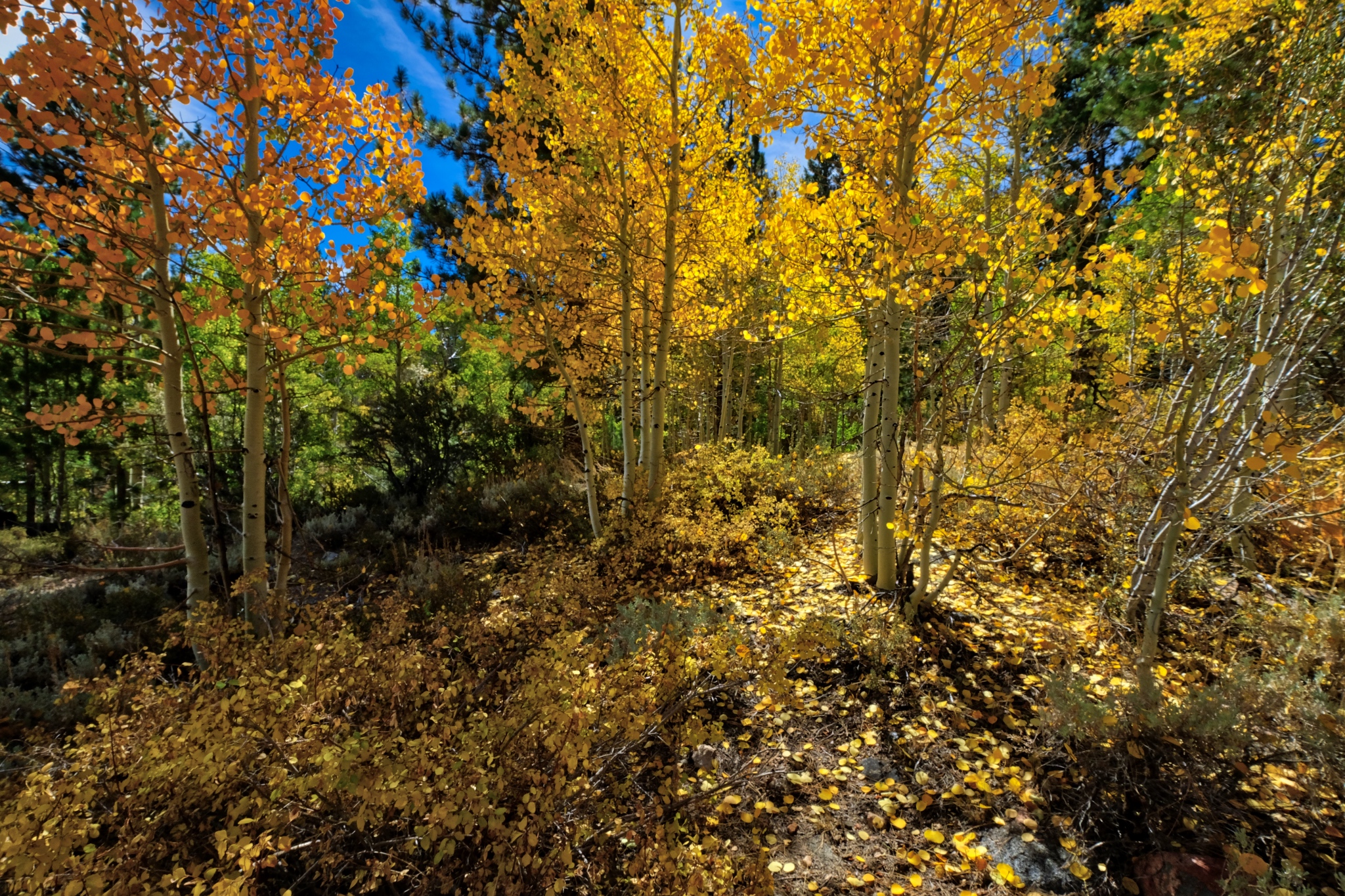 Absolutely quiet; not a breath of air movement . . . only the sound of my boots crunching on the pine needles . . . .
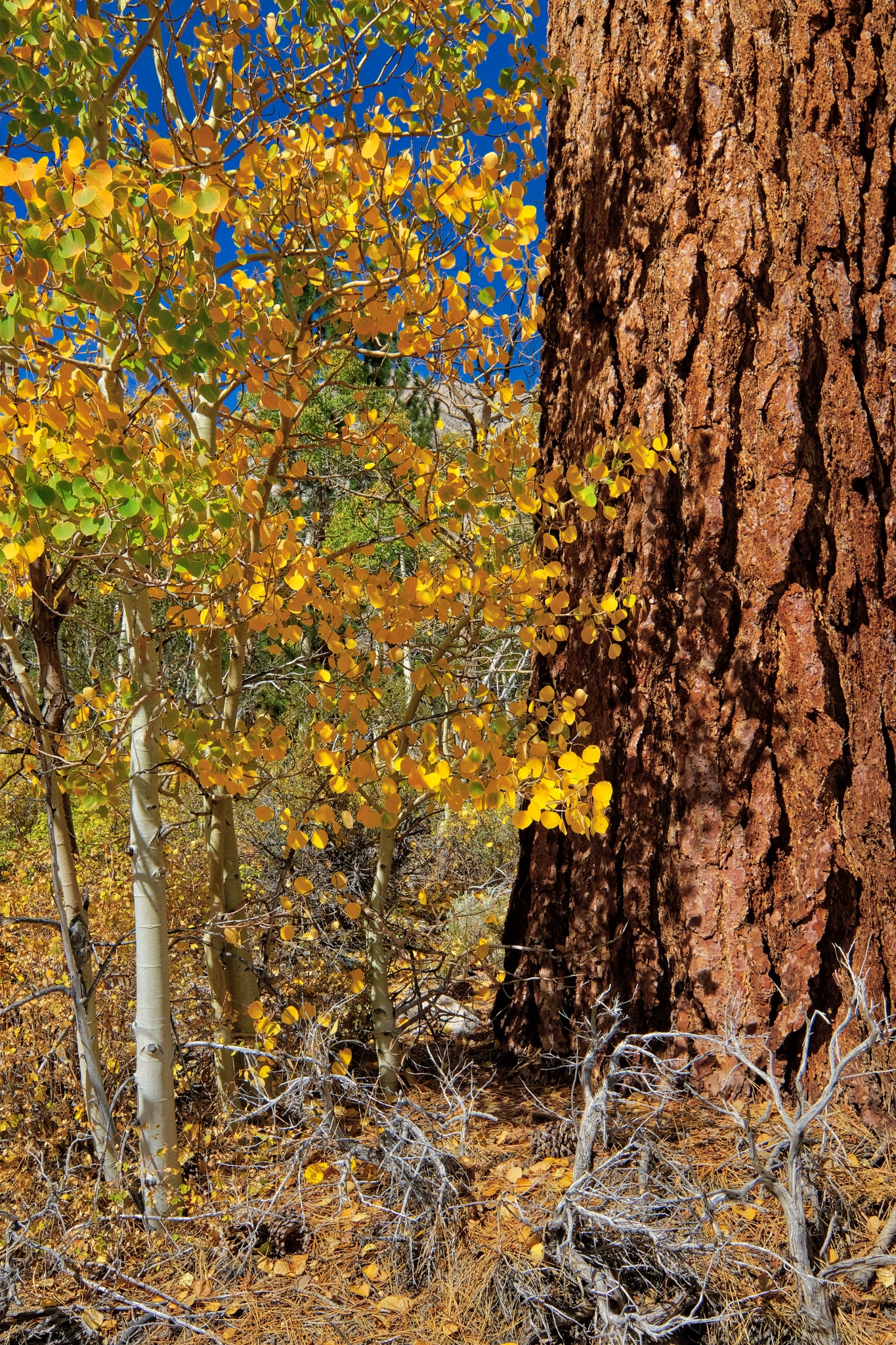 A forest portrait.
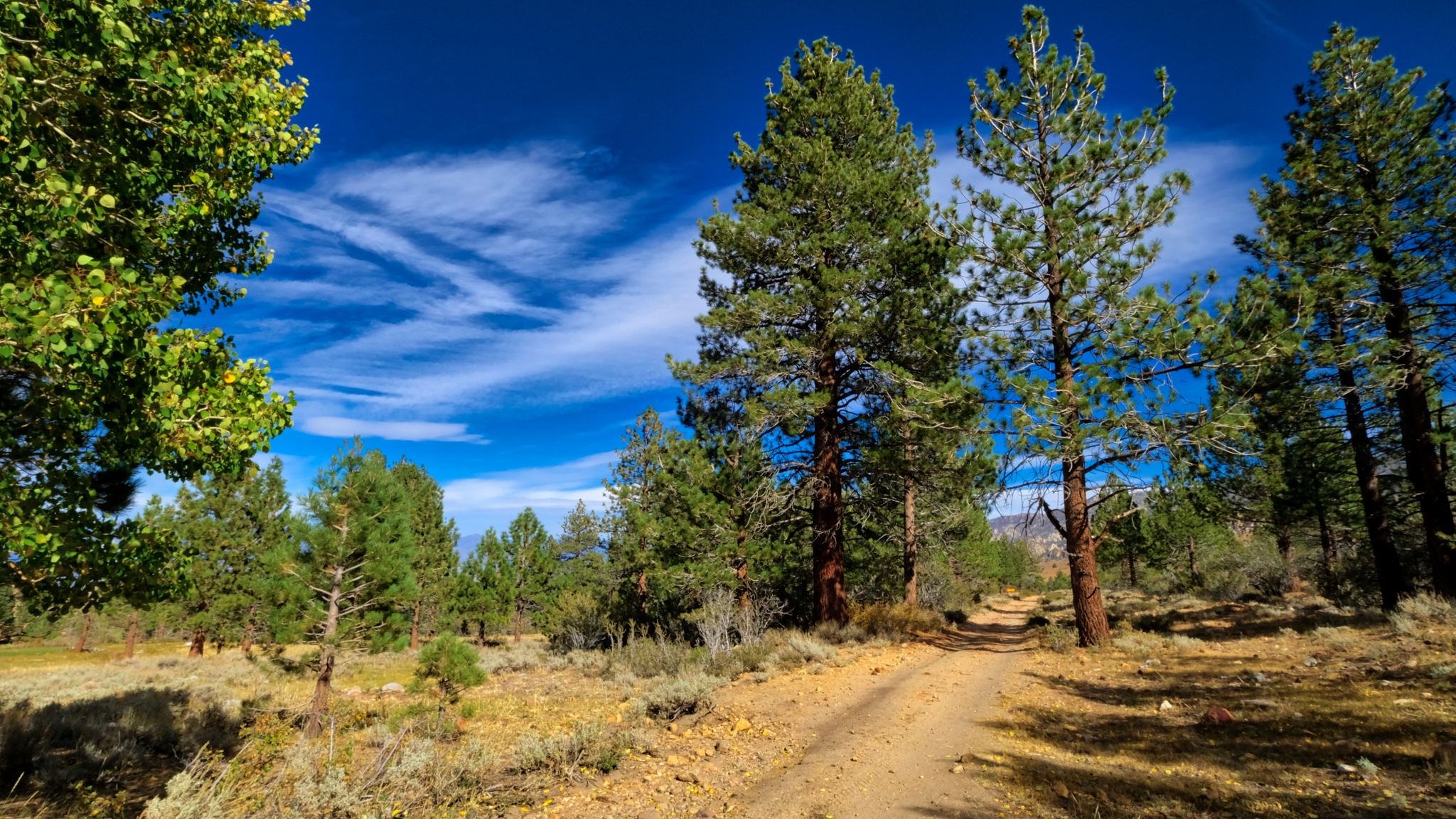 I took a mid-day walk out along the road I came in on . . . heading out of my little grove of pine and aspen.
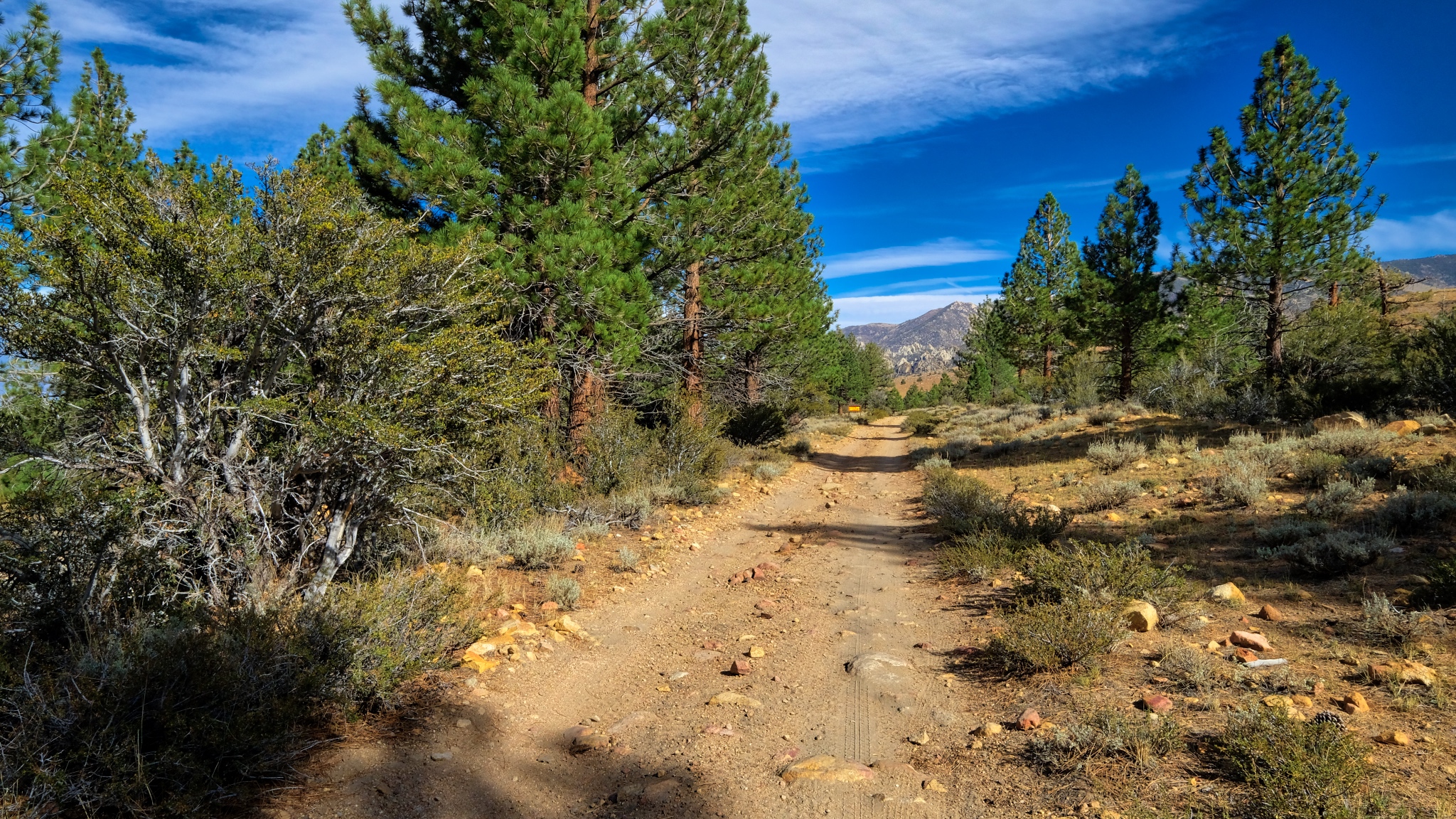 Pretty views opened up as I walked down the hill.
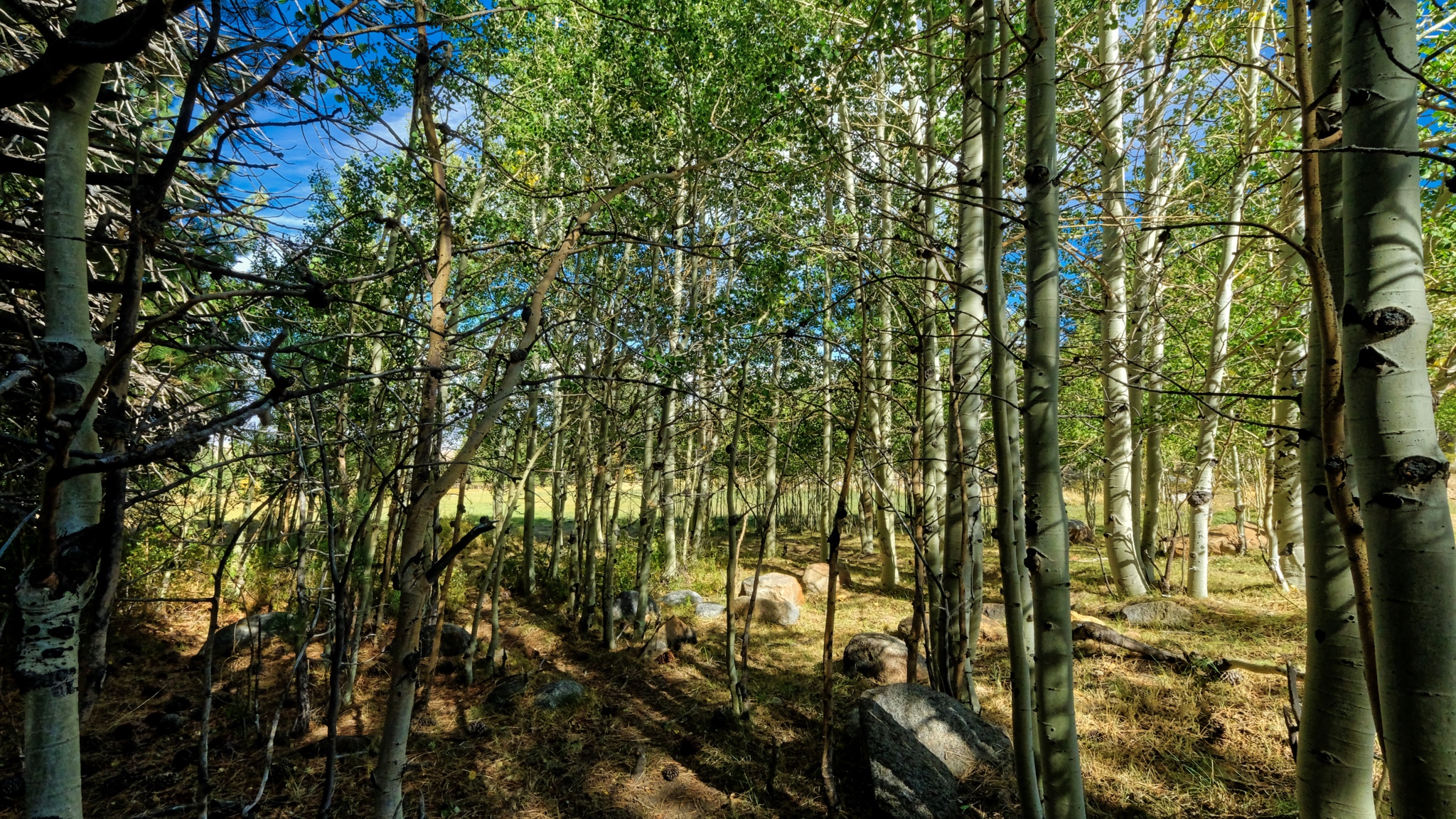 After a drop in elevation of only 200 feet, the aspens were no longer yellow . . . either there is more ater here or the night temperatures have not turned the leaves yet.
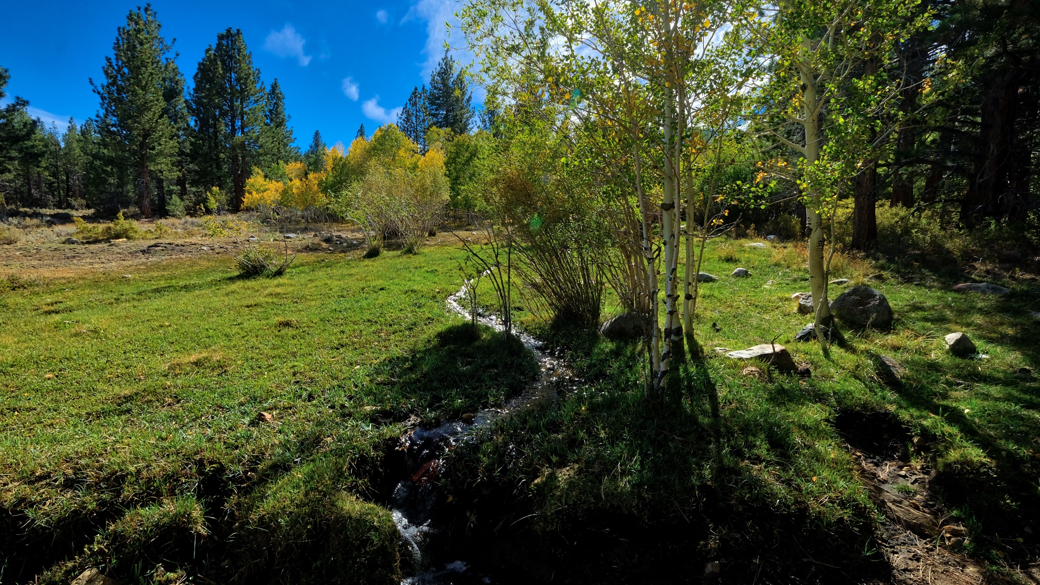 Yes, a soaked meadow above the track . . . a mountain bog and a babbling brook even at this late summer day.
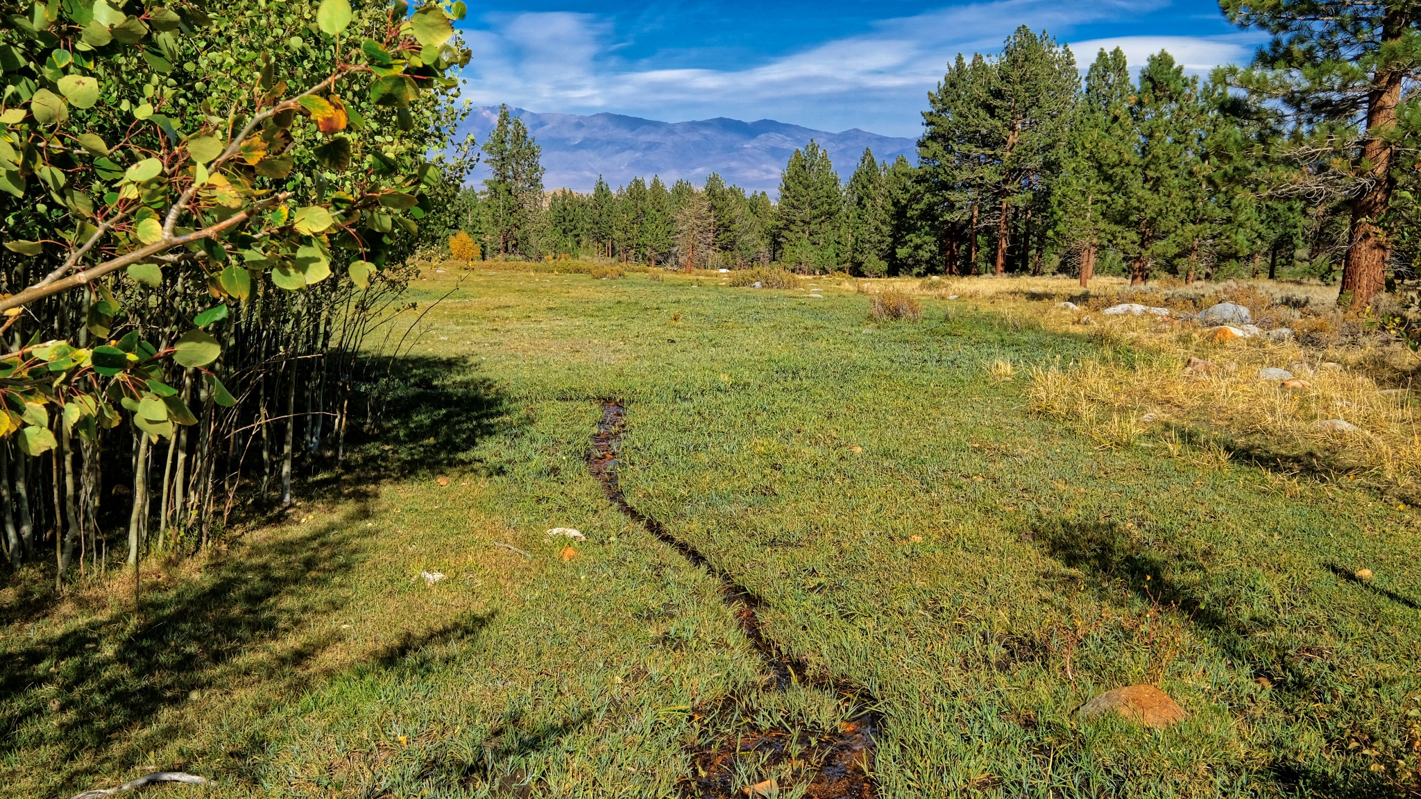 Another wet meadow below the track . . . .
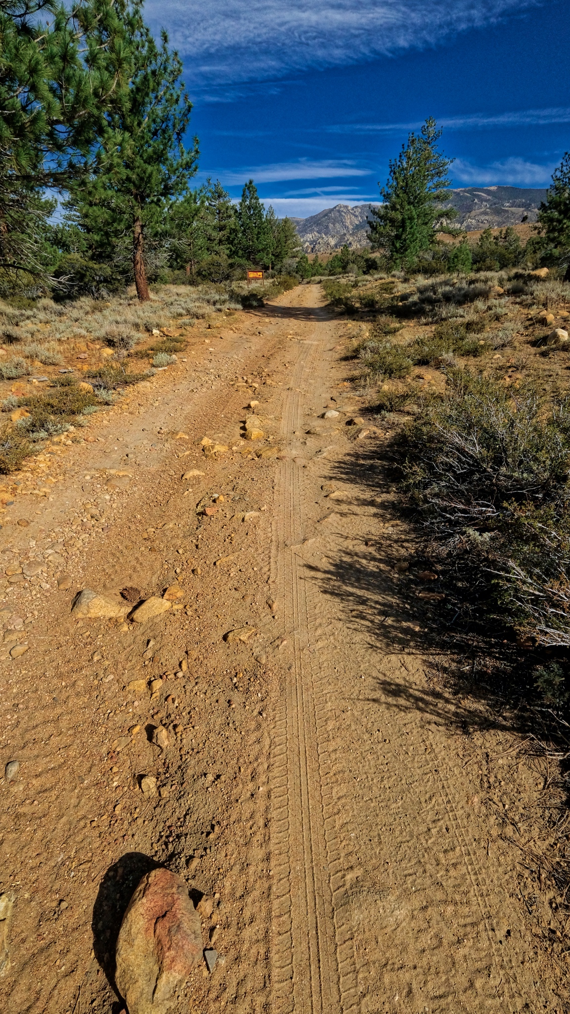 The long track . . . I would hear about one 4X4 a day pass on this jeep track. Although it does not look too rough right here, there are some very bad patches that definitely require four wheel drive and high clearance to get by.
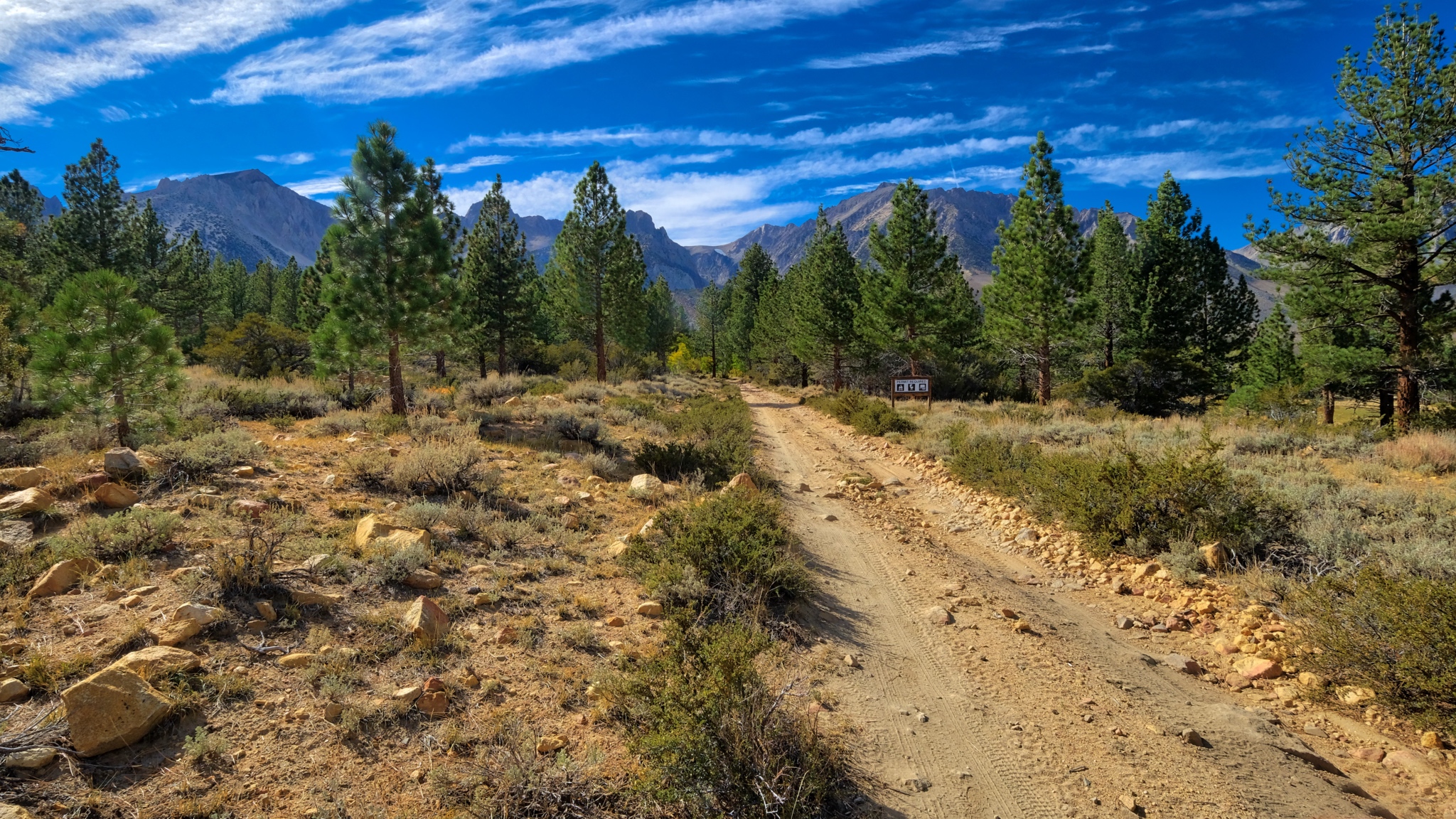 I turned around here and walked back up to my campsite. I would take a much more challenging hike the next day.
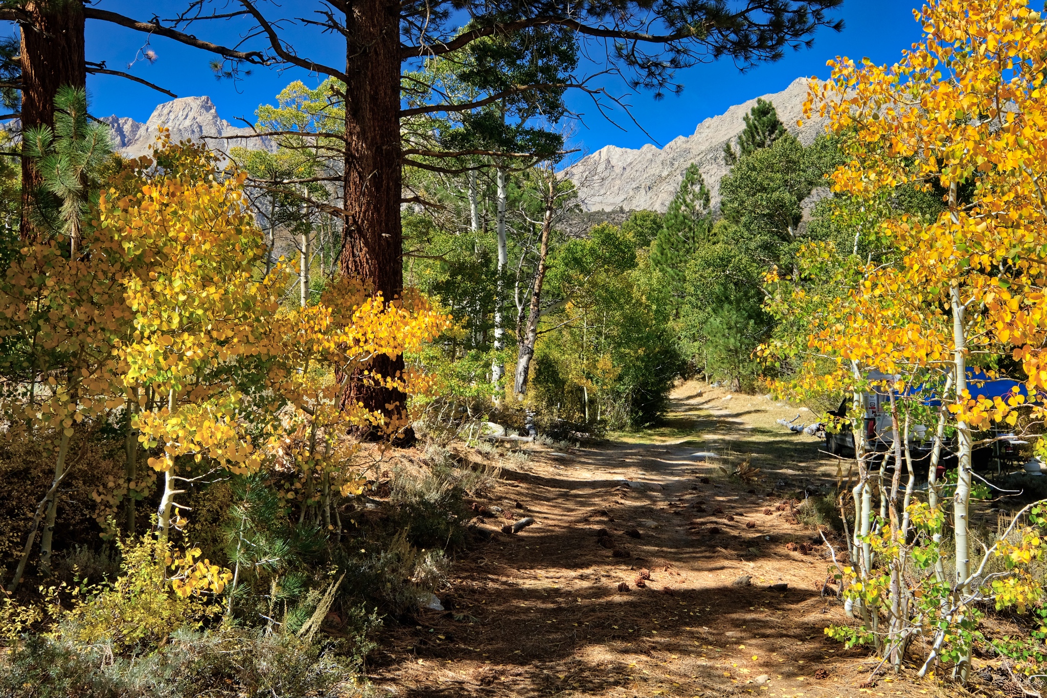 I was so pleased when I arrived back at my camper . . . to see the fantastic spot I had found.
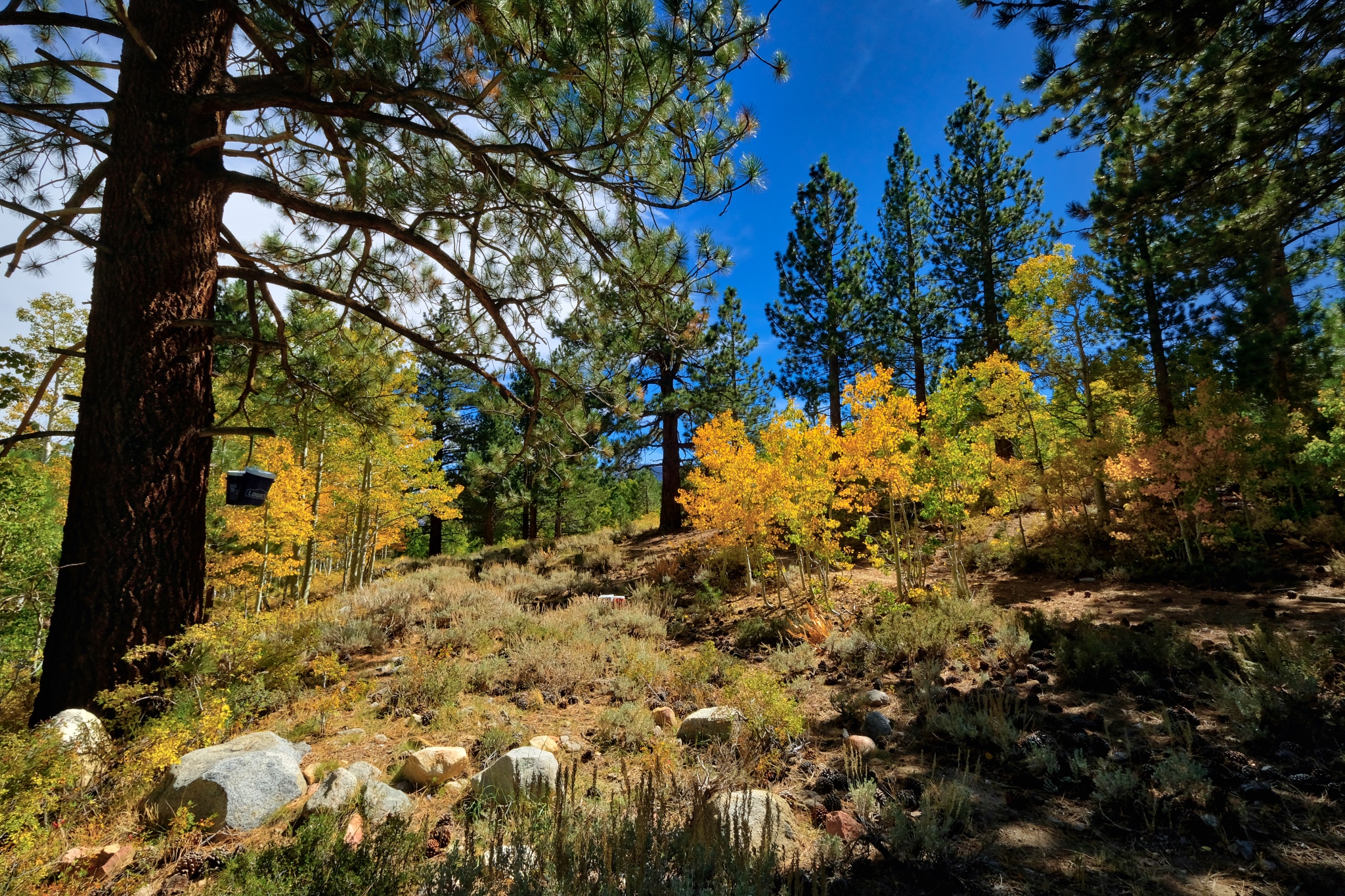 I was happy to sit in my camp chair behind my camper and look at this view . . . for the rest of the day.
_______________________________________________
DAY THREE: A WALK OUT OF THE WOODS INTO THE DRYLANDS
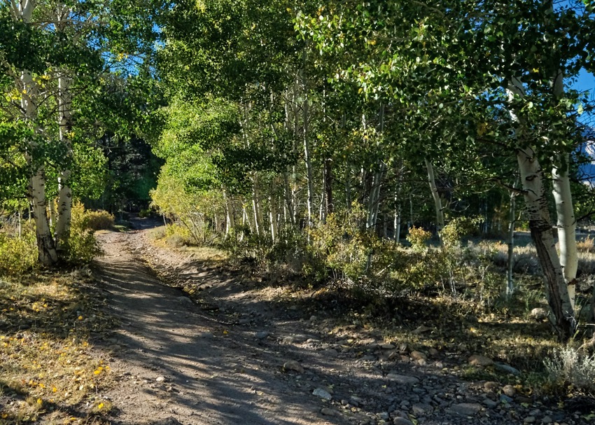 All of my walkabouts begin with walking out of the forest grove where I camp.
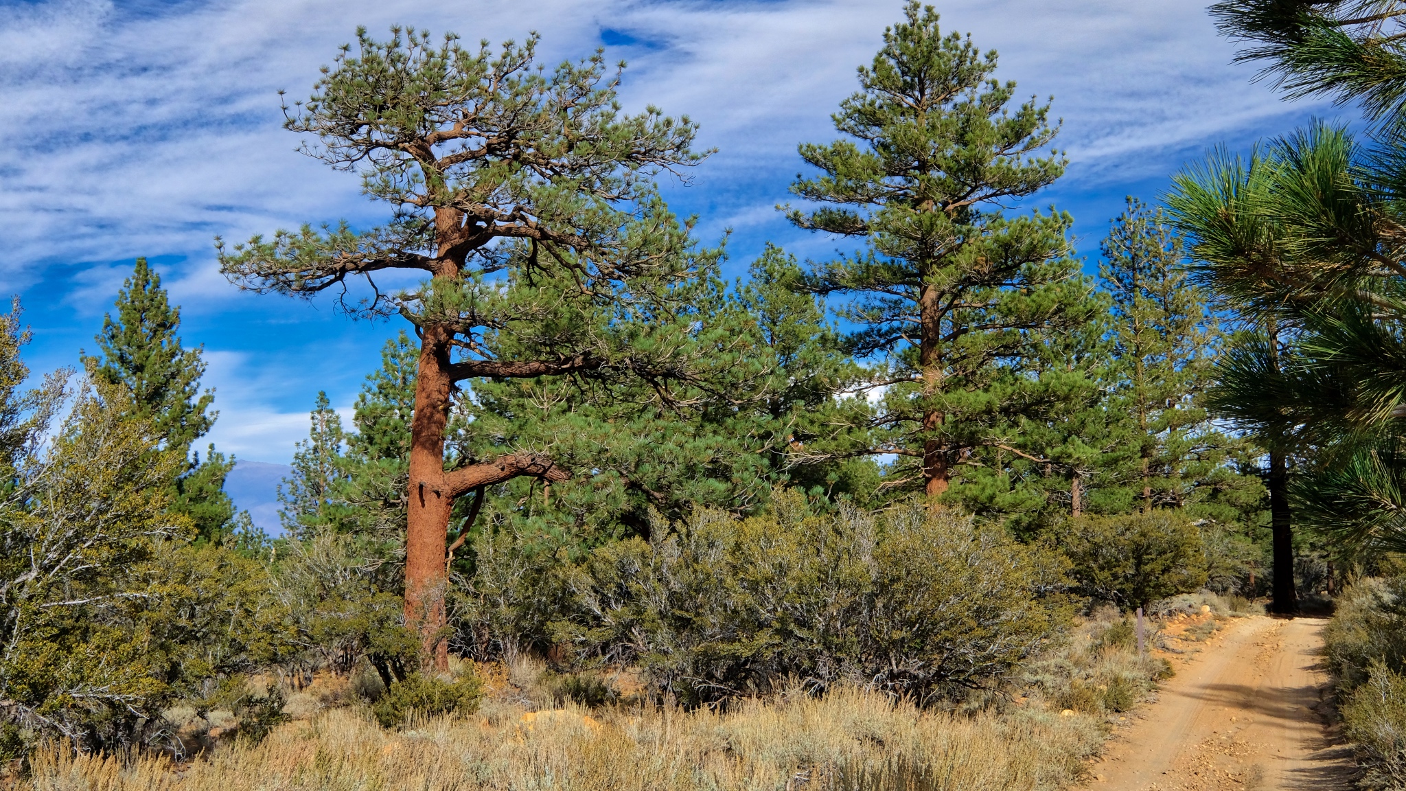 The trees become sparser and the ground drier.
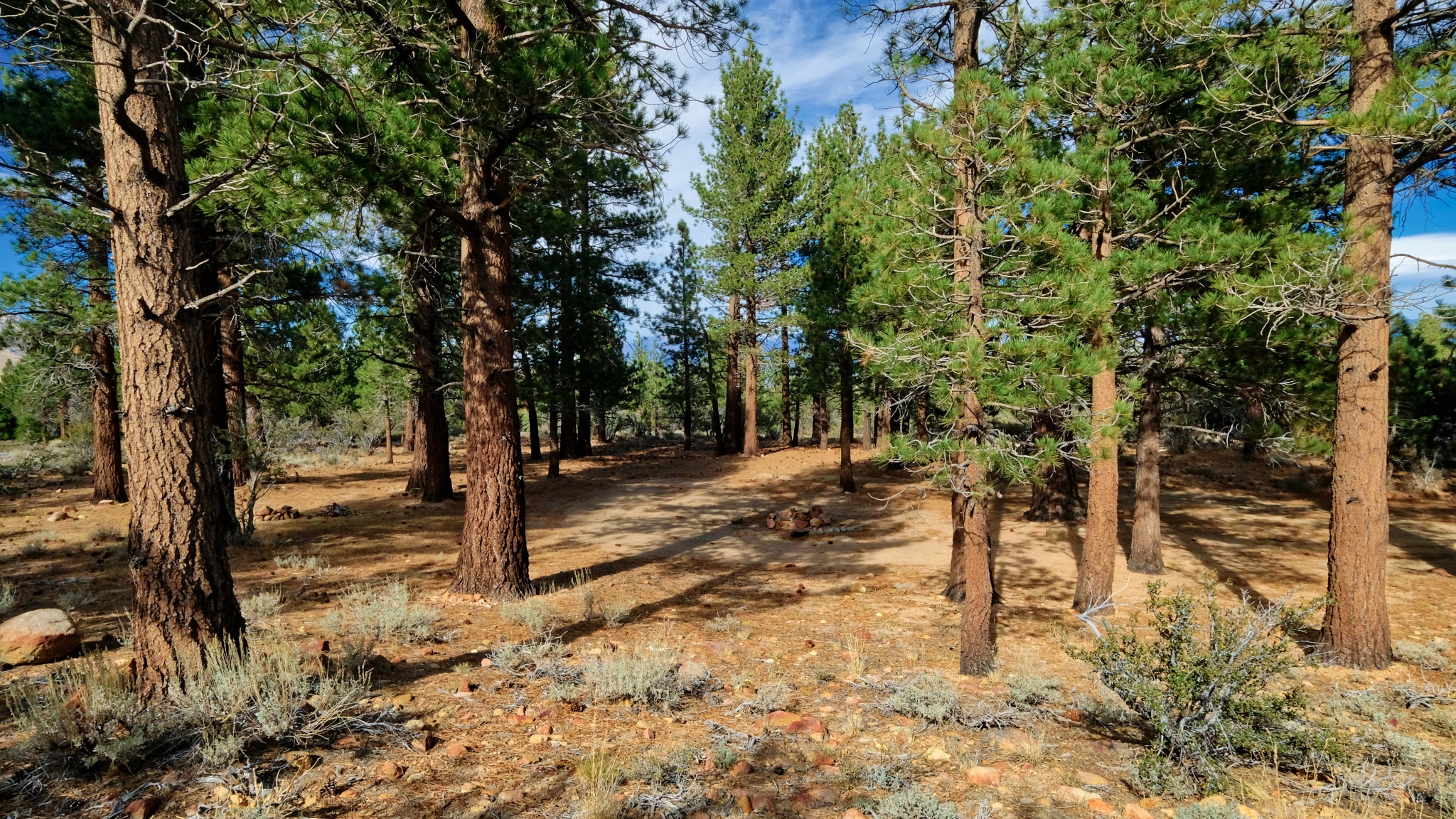 On this walk along the jeep track I noticed a camp site that had been used quite a bit in a stand of ponderosa pines. A nice place for several vehicles on a family outing.
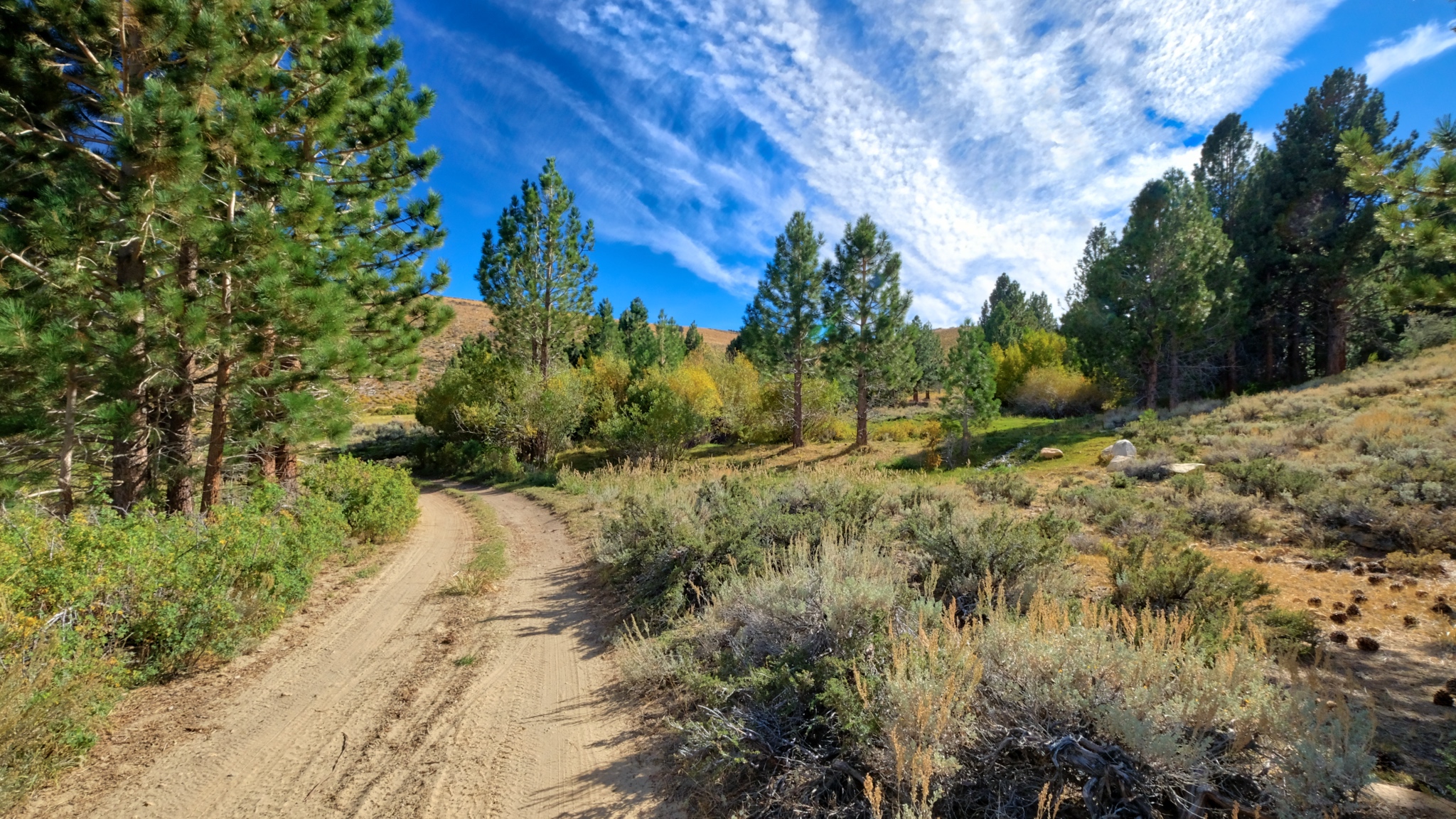 Further out of the woods.
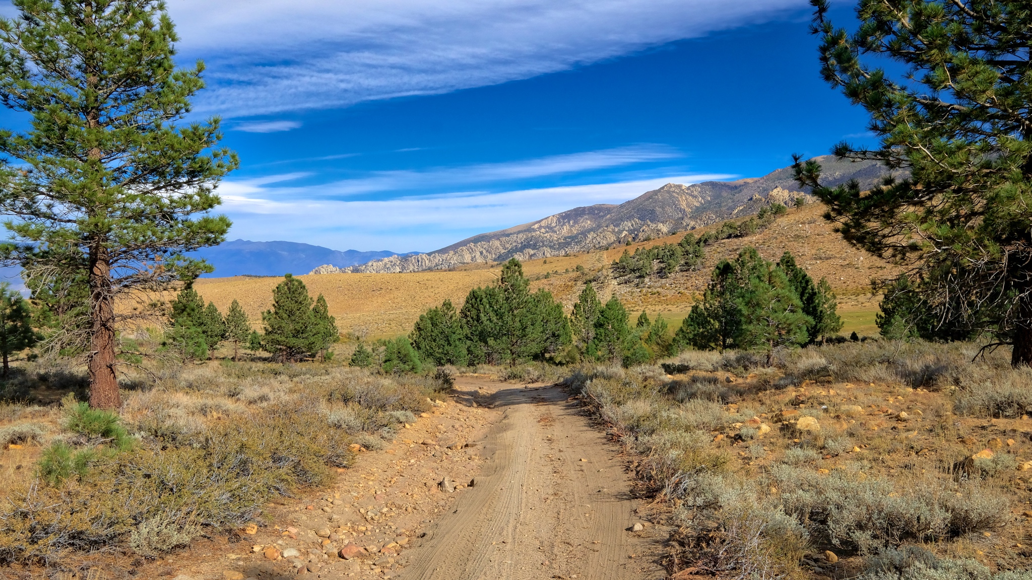 The drylands beyond.
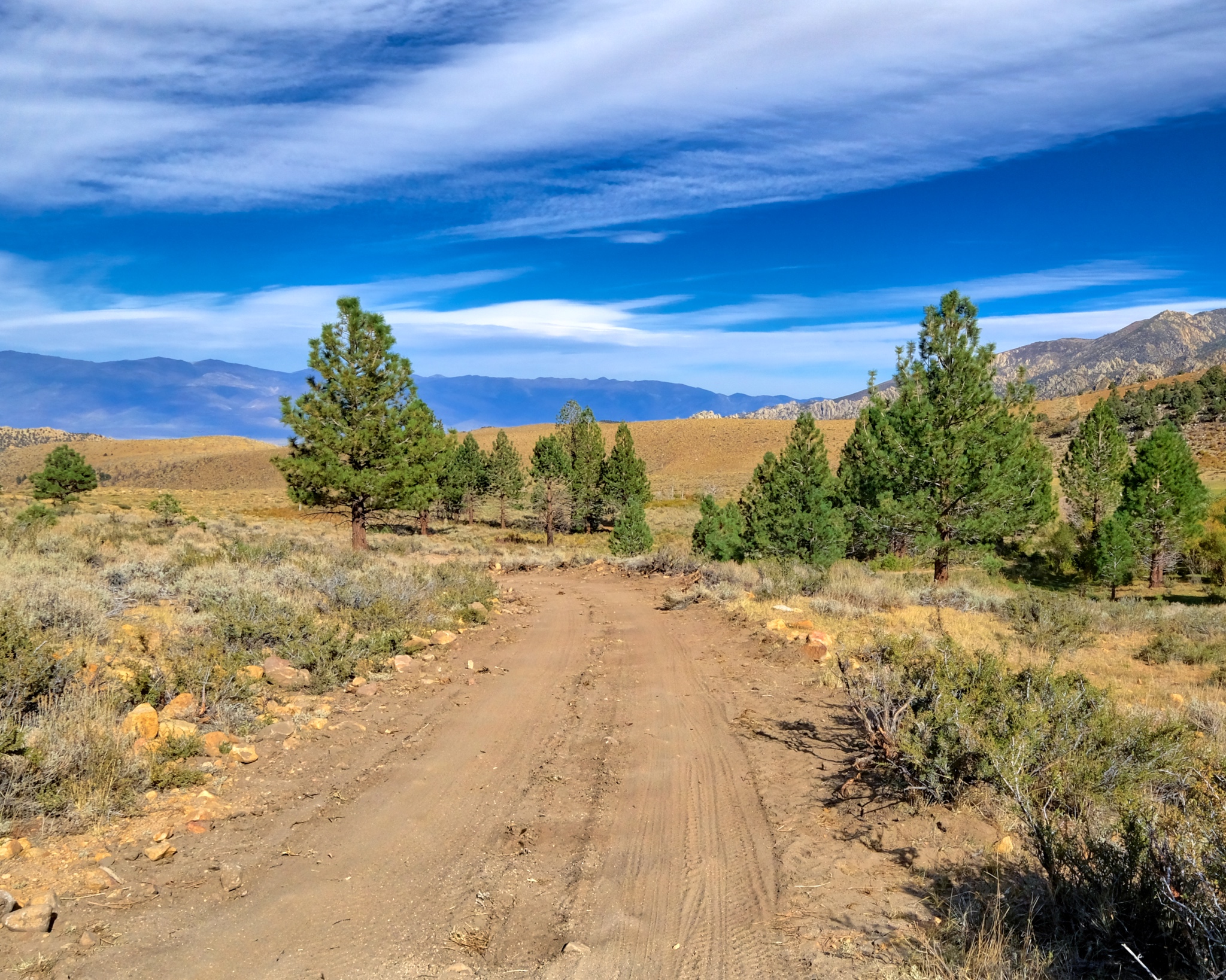 Further towards the high altitude drylands.
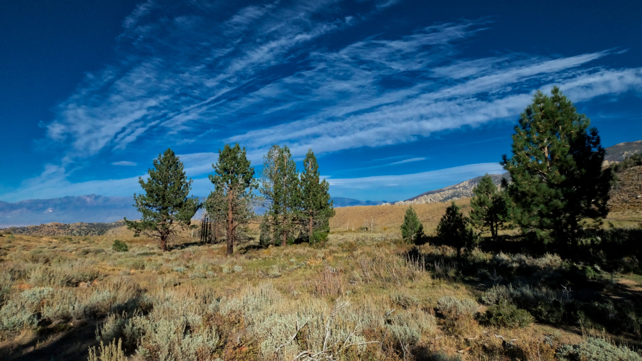 Pines in the dry landscape.
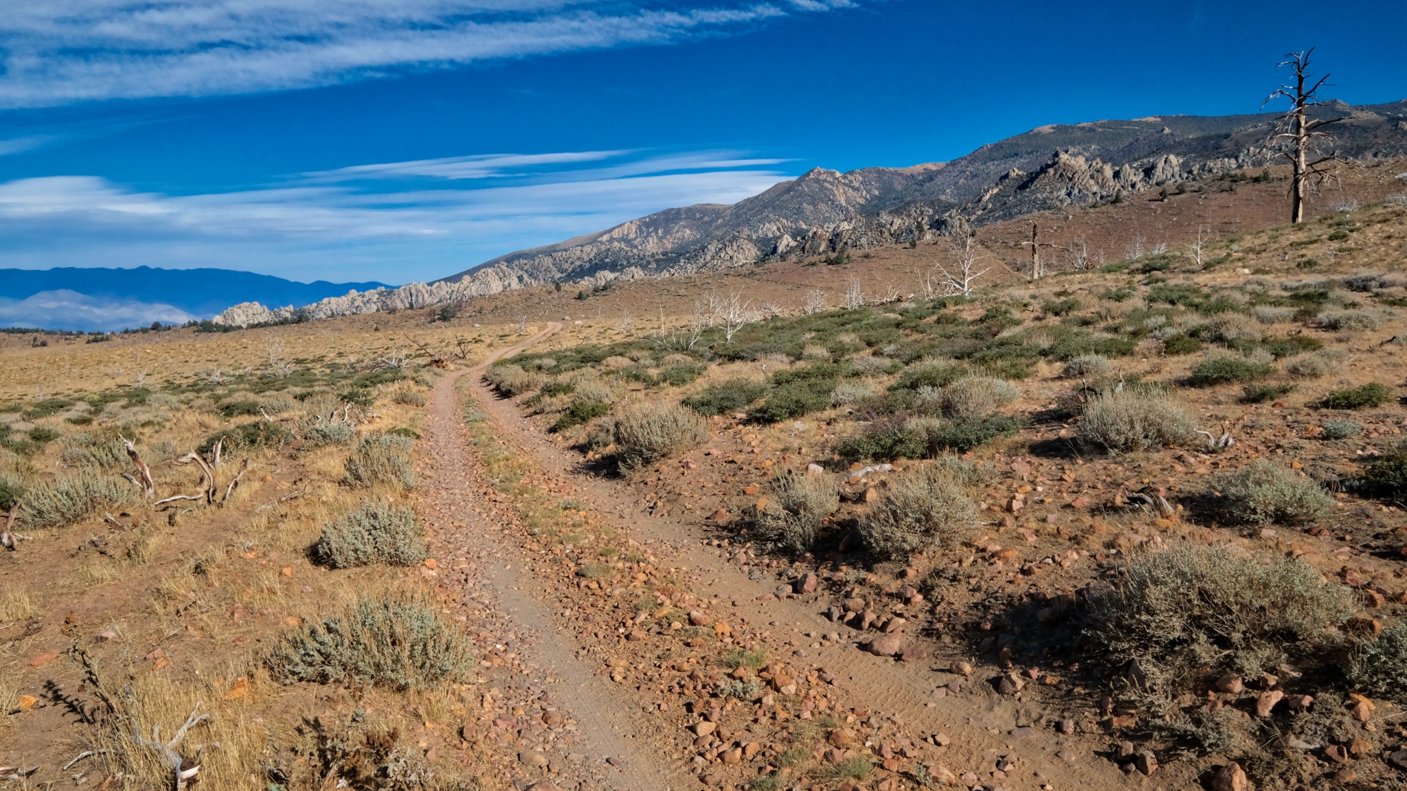 Out ahead a desert track. I have missed this kind of topography during my many years in the wet tropics.
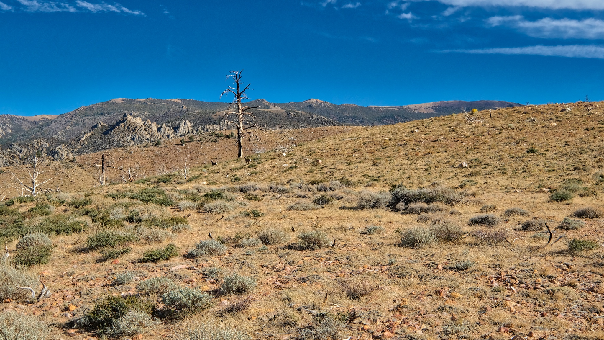 Contrary to what some may think, there is so much to see out here.
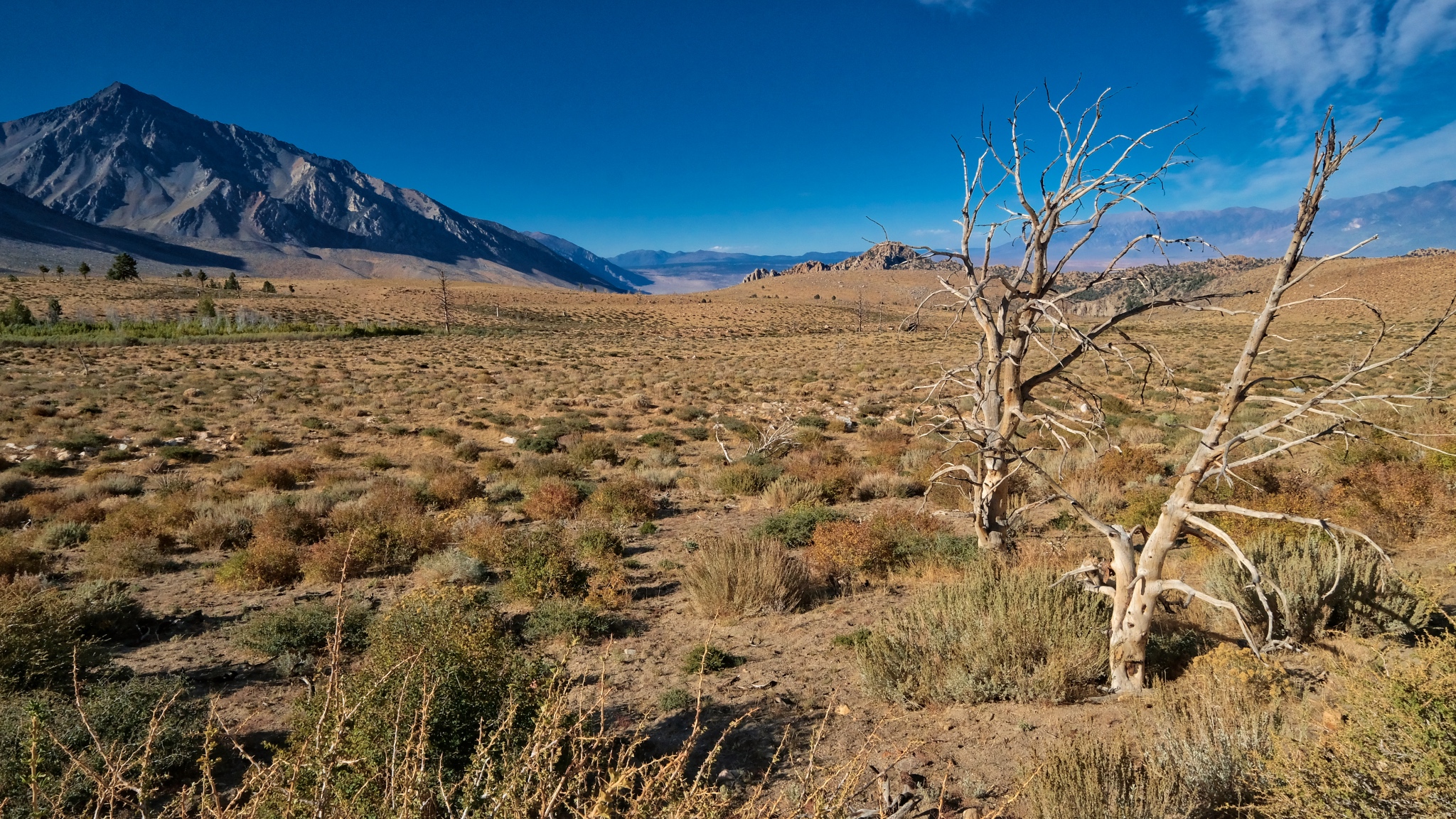 Looking down the valley toward Bishop, California, many miles away and many feel lower in elevation.
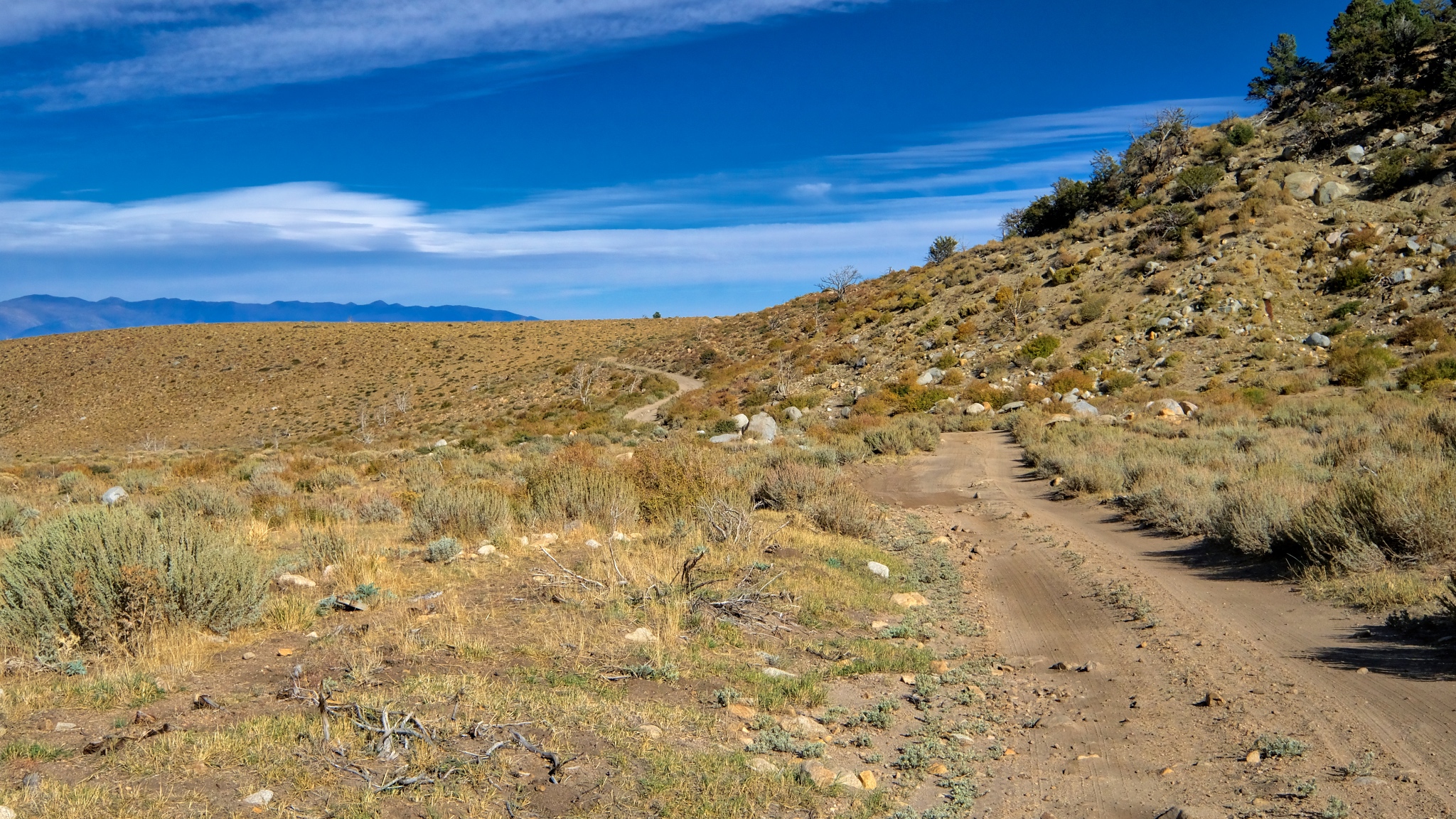 What is over that hill?
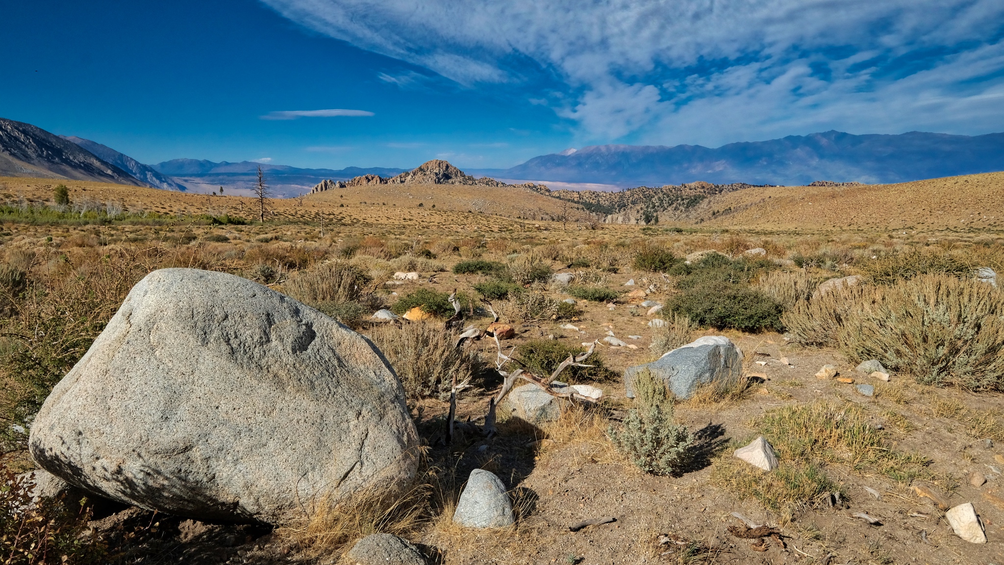 A large erratic stone and a view down valley to the Buttermilk formation of large boulders.
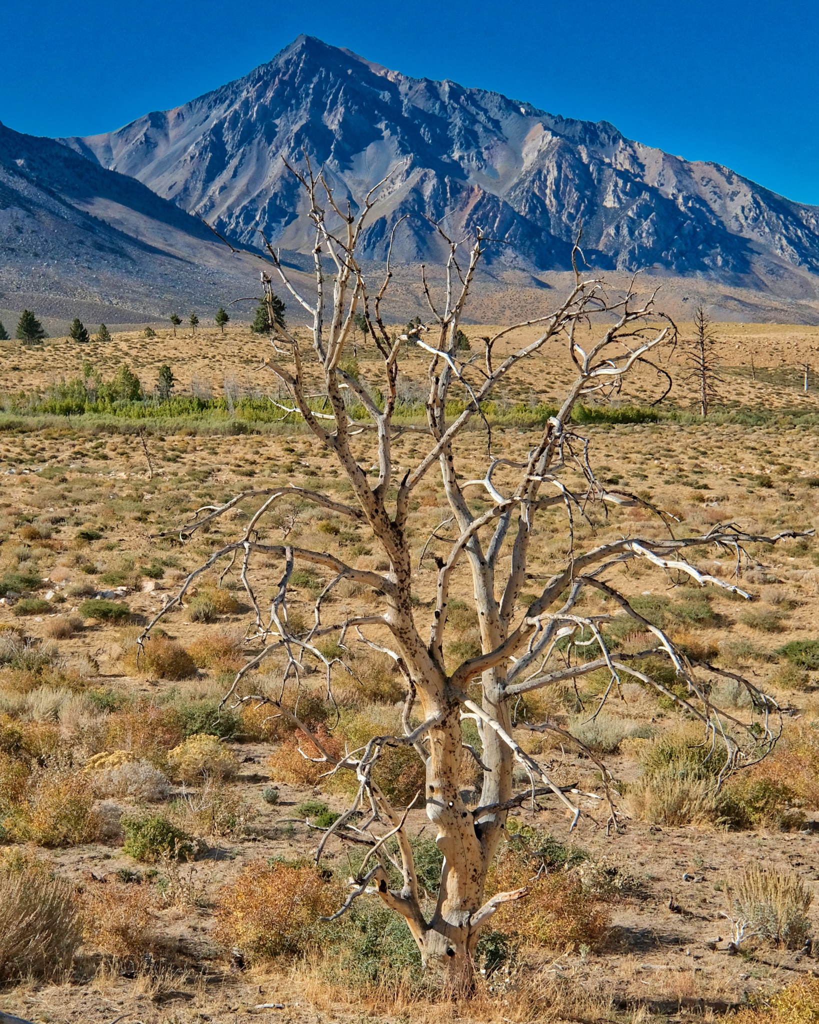 Beautiful view back to Mount Tom.
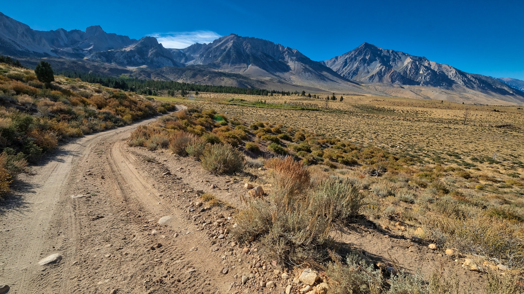 Looking back up the road on my walk I see a beautiful grand view.
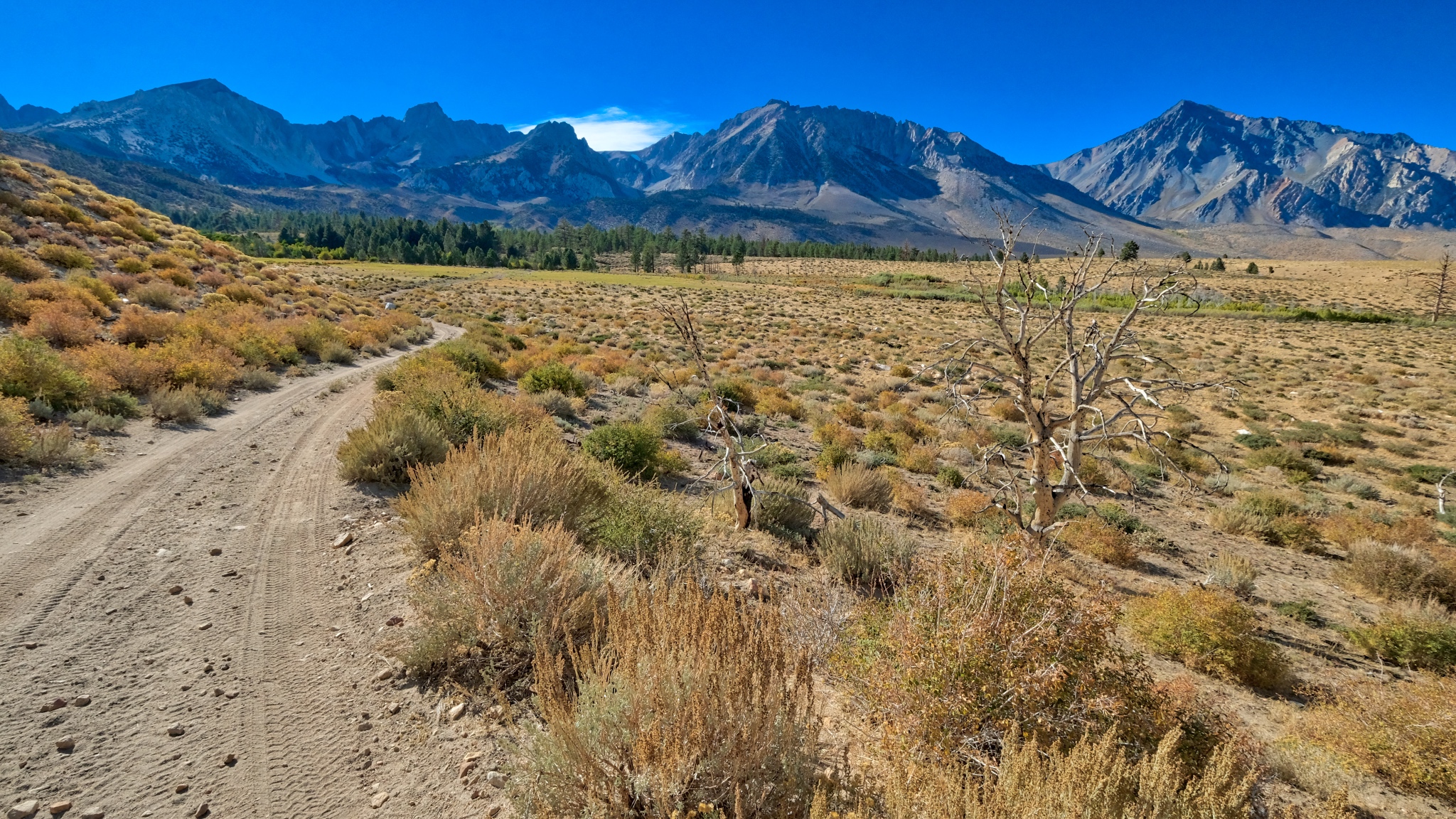 I took a second look back up the jeep track and noticed a hiker coming my way. He was backpacker from nearby Bishop who had been walking, camping and climbing at higher elevation for five days. He stopped for a chat about the local water rights battles involving stream diversion to meet the water needs of an ever-expanding City of Los Angeles. He felt that if any more mountain stream water were diverted 'over the hill', this whole region would become a completely arid region . . . absolutely no plants whatsoever . . . another Death Valley.
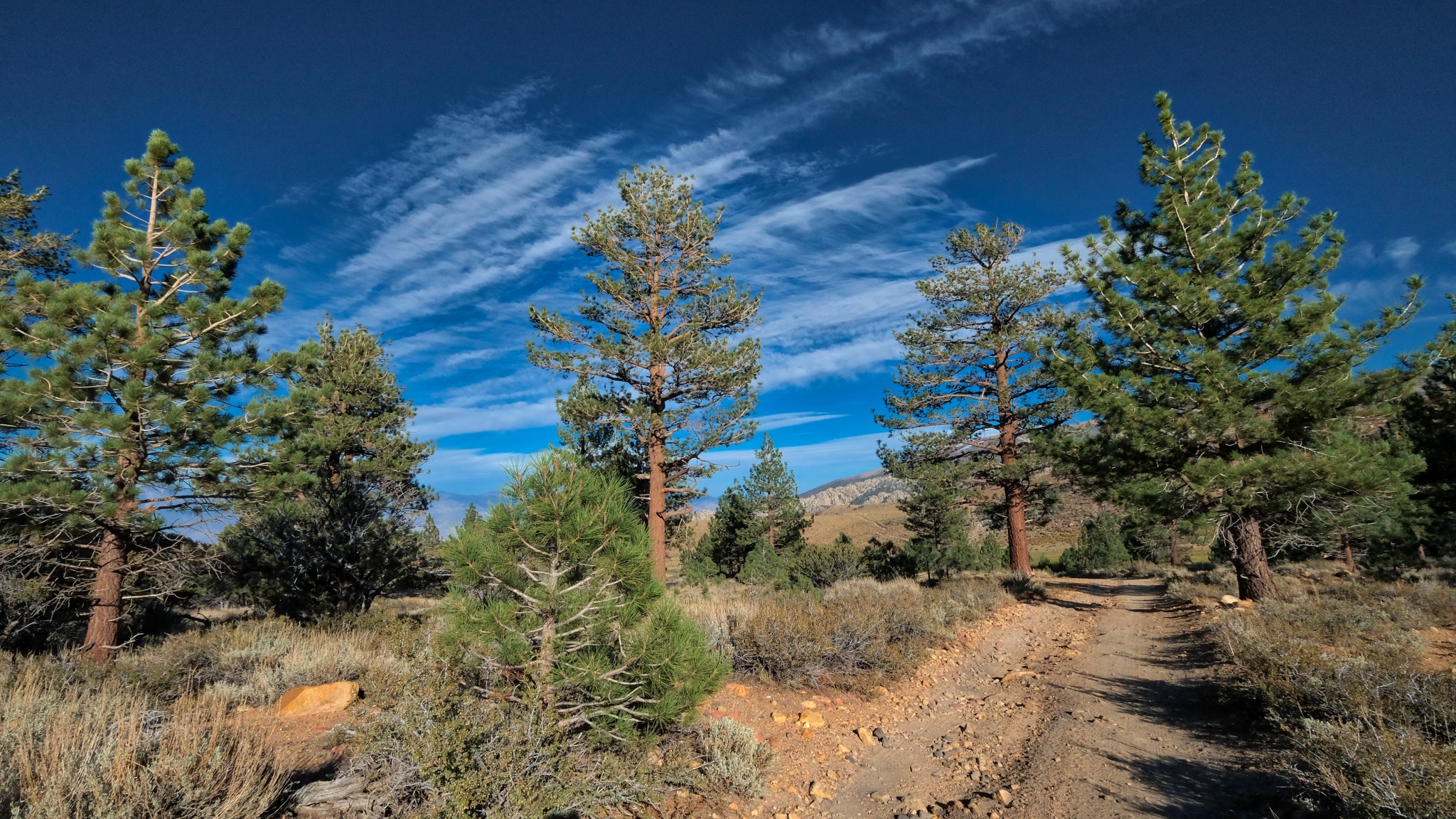 I sat out in the desert sage awhile before walking back into my stand of trees in a powerfully clear afternoon light.
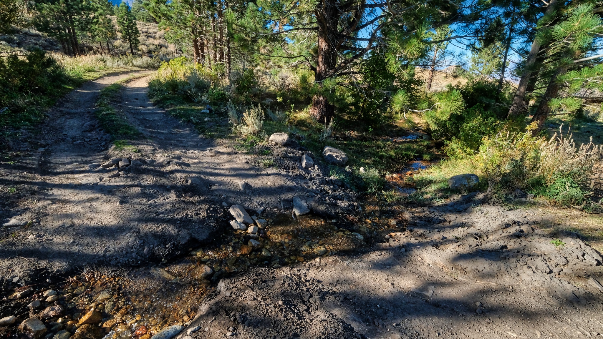 A little stream crossed the track as I entered the dry woods.
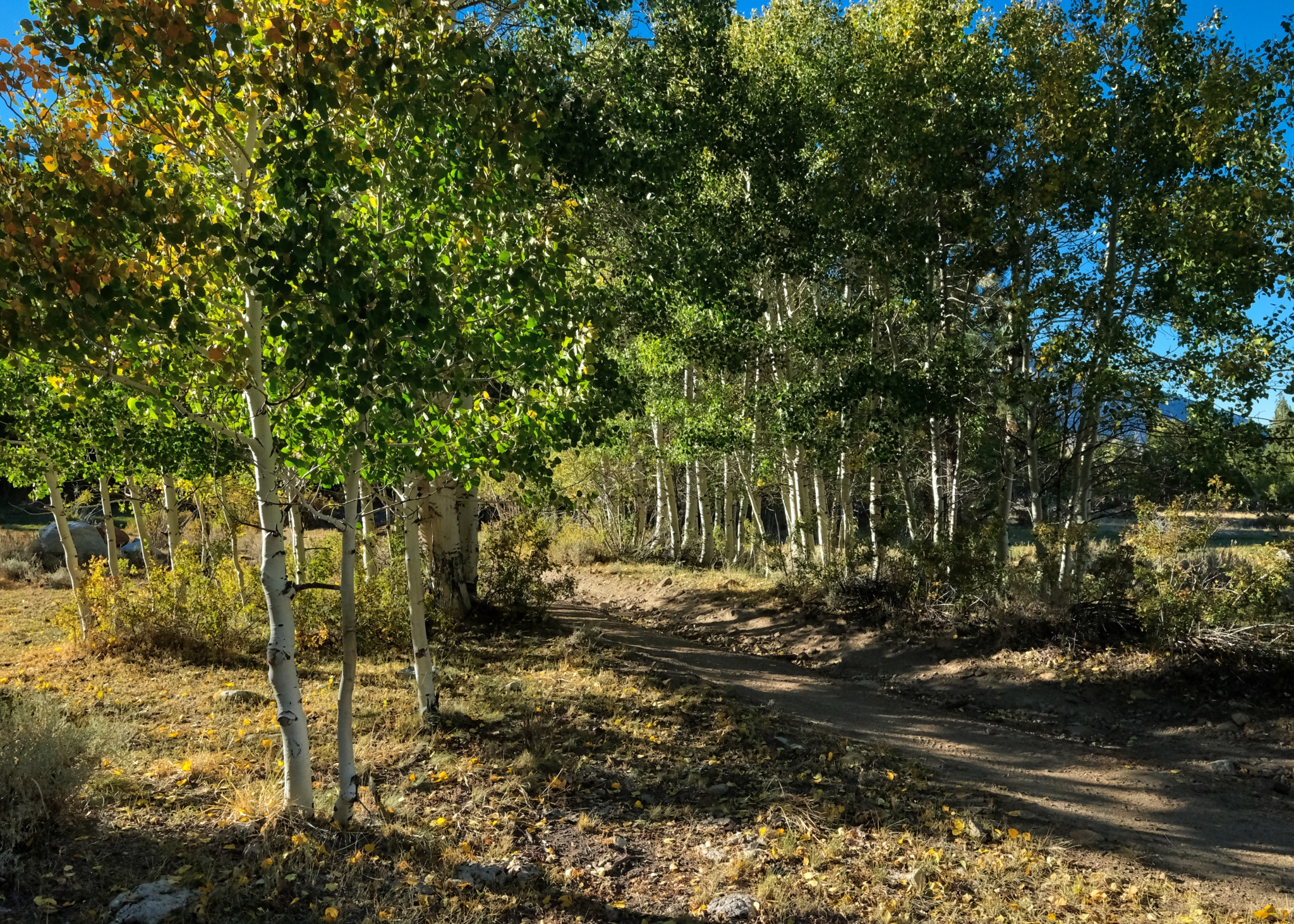 On my way back up to my campsite I couldn't help but notice that the sun was now backlighting the bright aspen leaves.
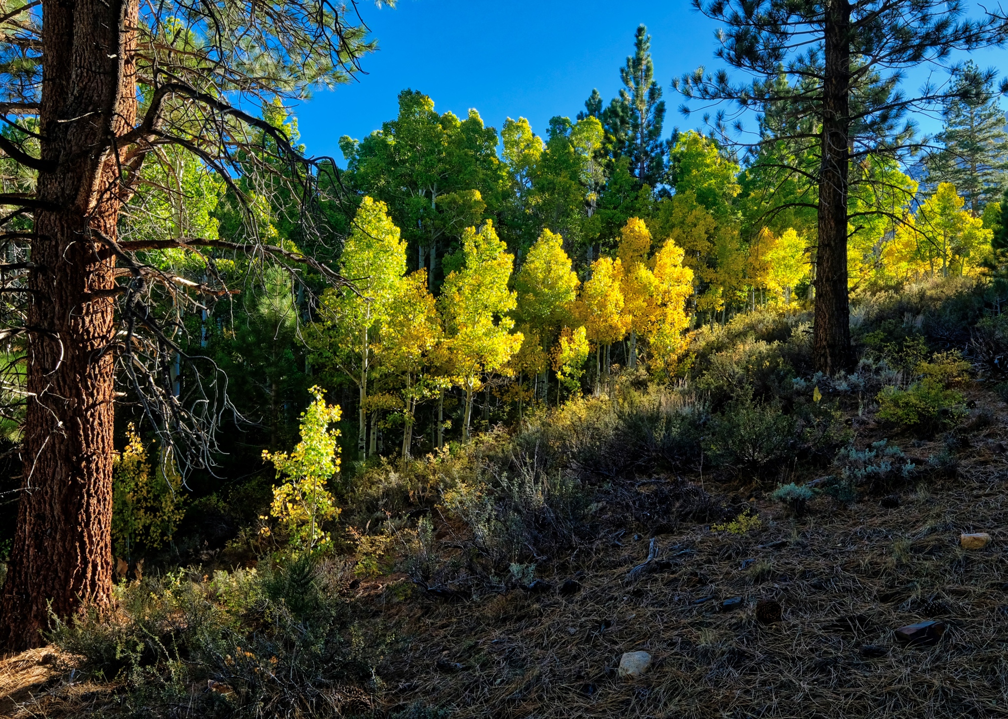 I have to say that this view nearly took my breath away! Rare natural beauty I will remember for the rest of my life!
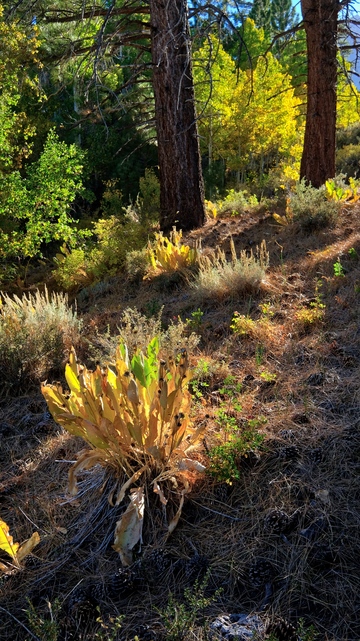 I stopped all along my return walk and marveled at the light and beauty.
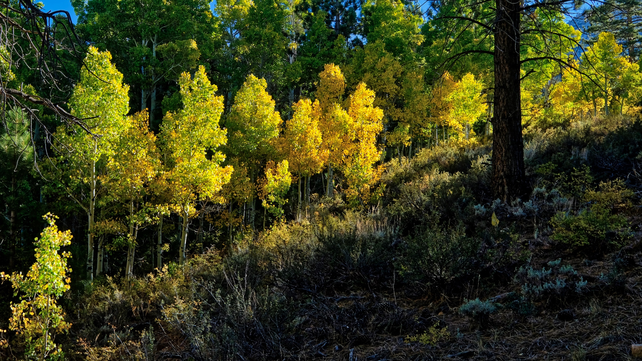 I took many, many photos of this backlit stand of yellow aspens, each with different camera settings to make sure I captured the perfect image. My posting here, on my photo blog, is only at 850px wide . . . but the uncropped version of this photo is amazingly sharp.
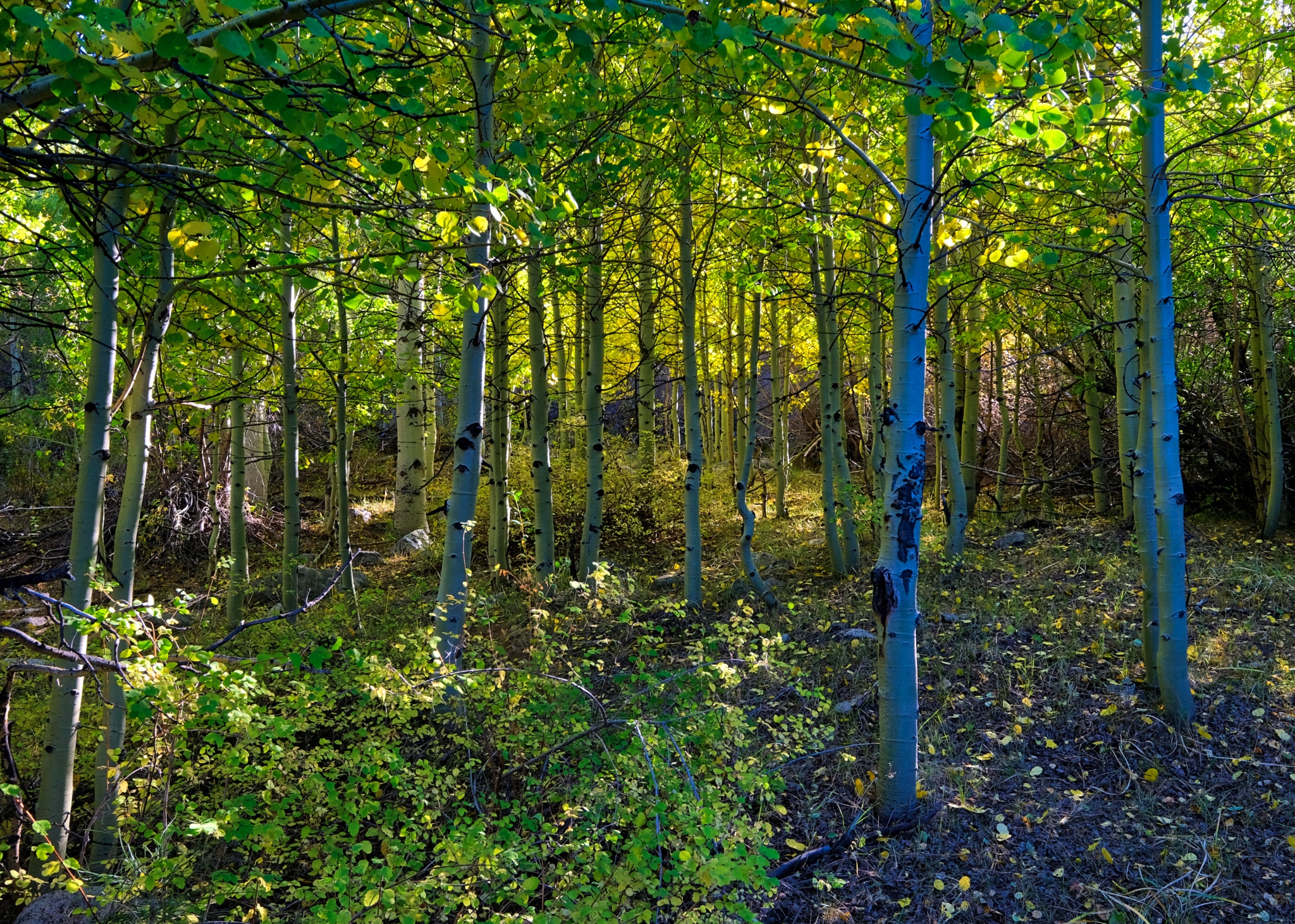 I deviated off the jeep track a few times to stand in the middle of the bright aspens.
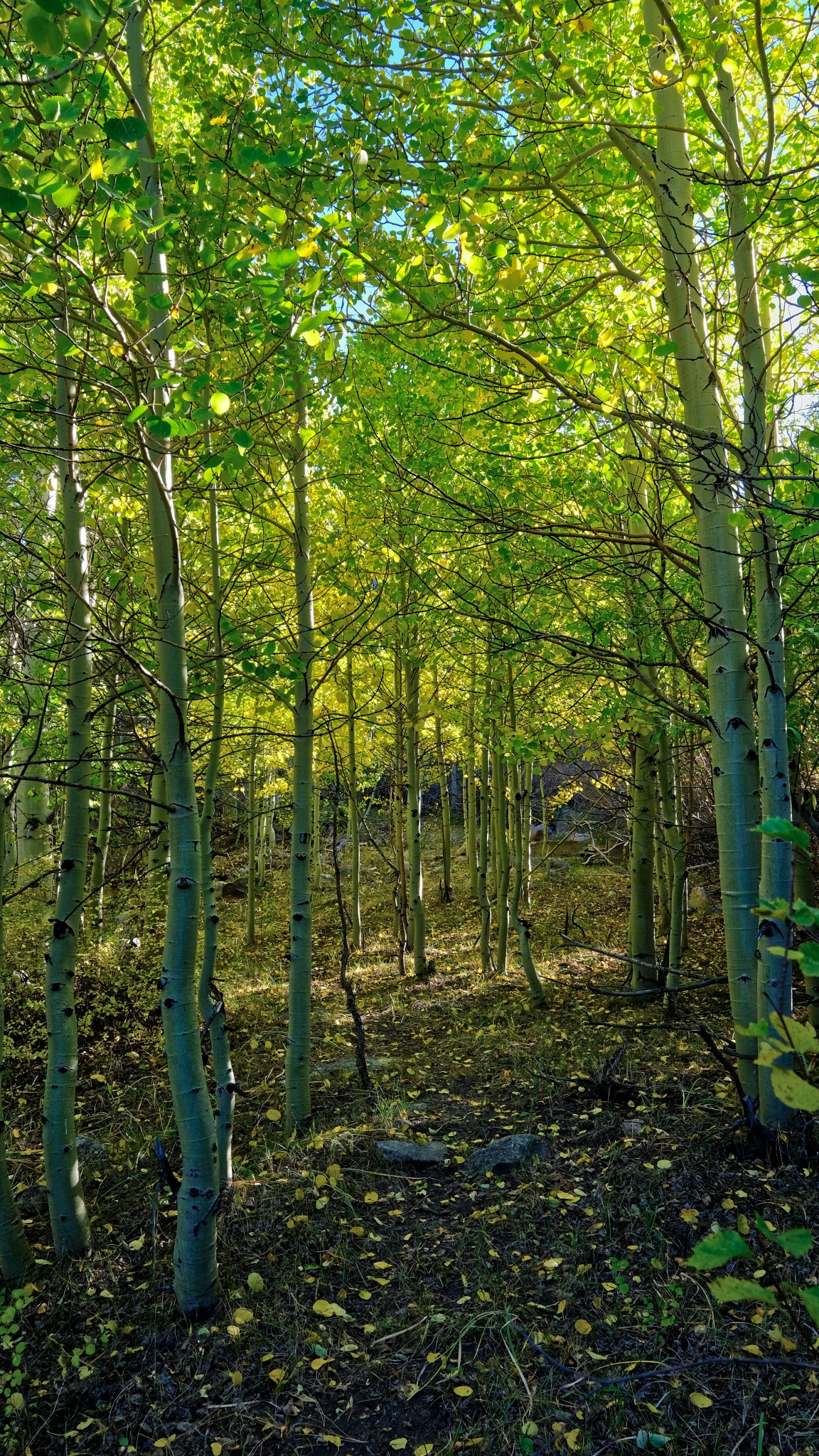 I could have stood right here FOREVER.
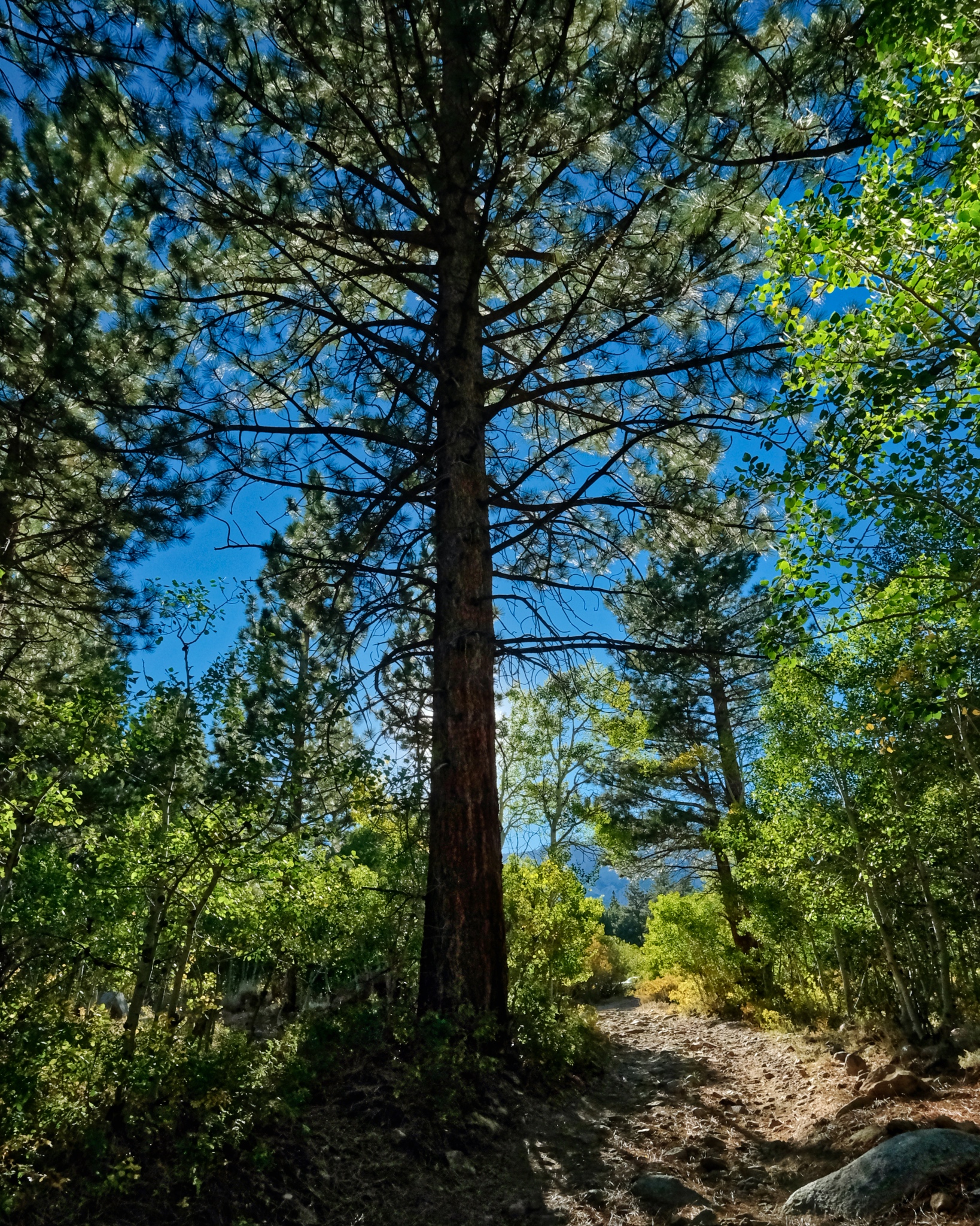 I took a photo about once every ten steps, such was the natural beauty and the fantastic light.
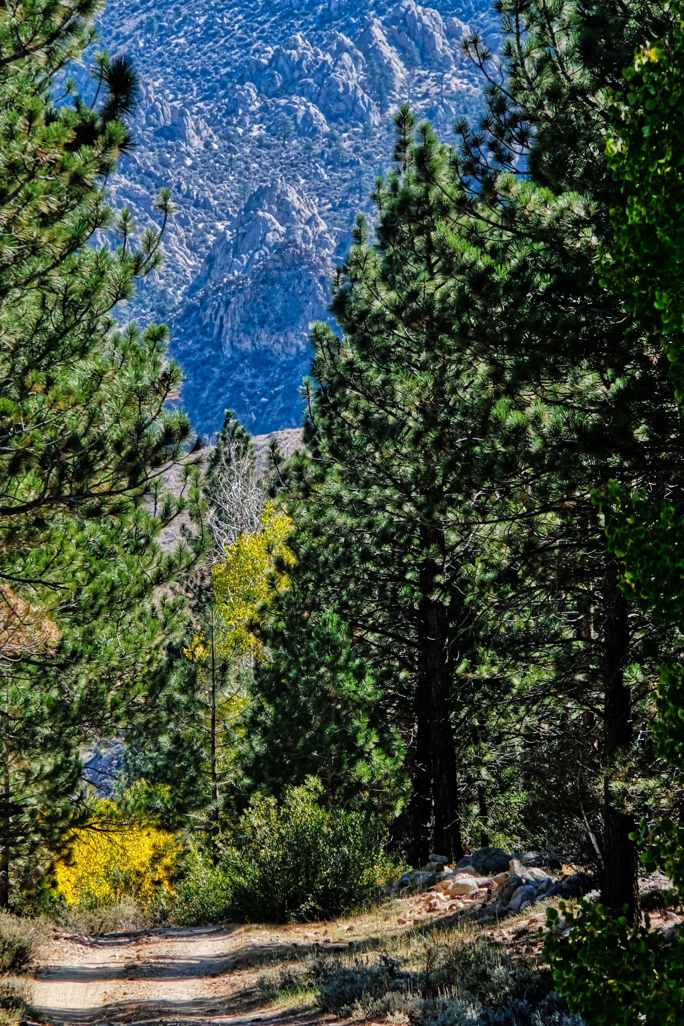 When I got back to my camper I changed to a very long lens (335mm) to capture this compressed depth of field photo of the jeep track and the rocky hills many miles away.
__________________________________________
DAY FOUR: OUT OF CAMP AND UP INTO THE MOUNTAINS
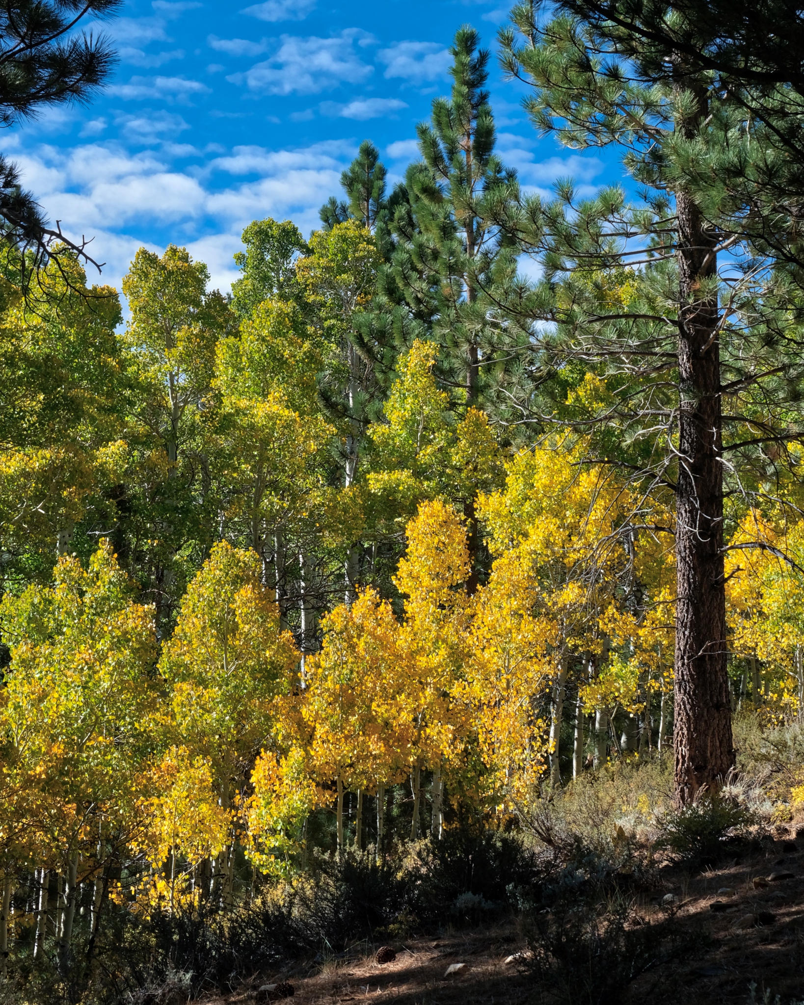 I woke up late and stepped out into this: another bright clear day high in the Sierra Nevada Mountains.
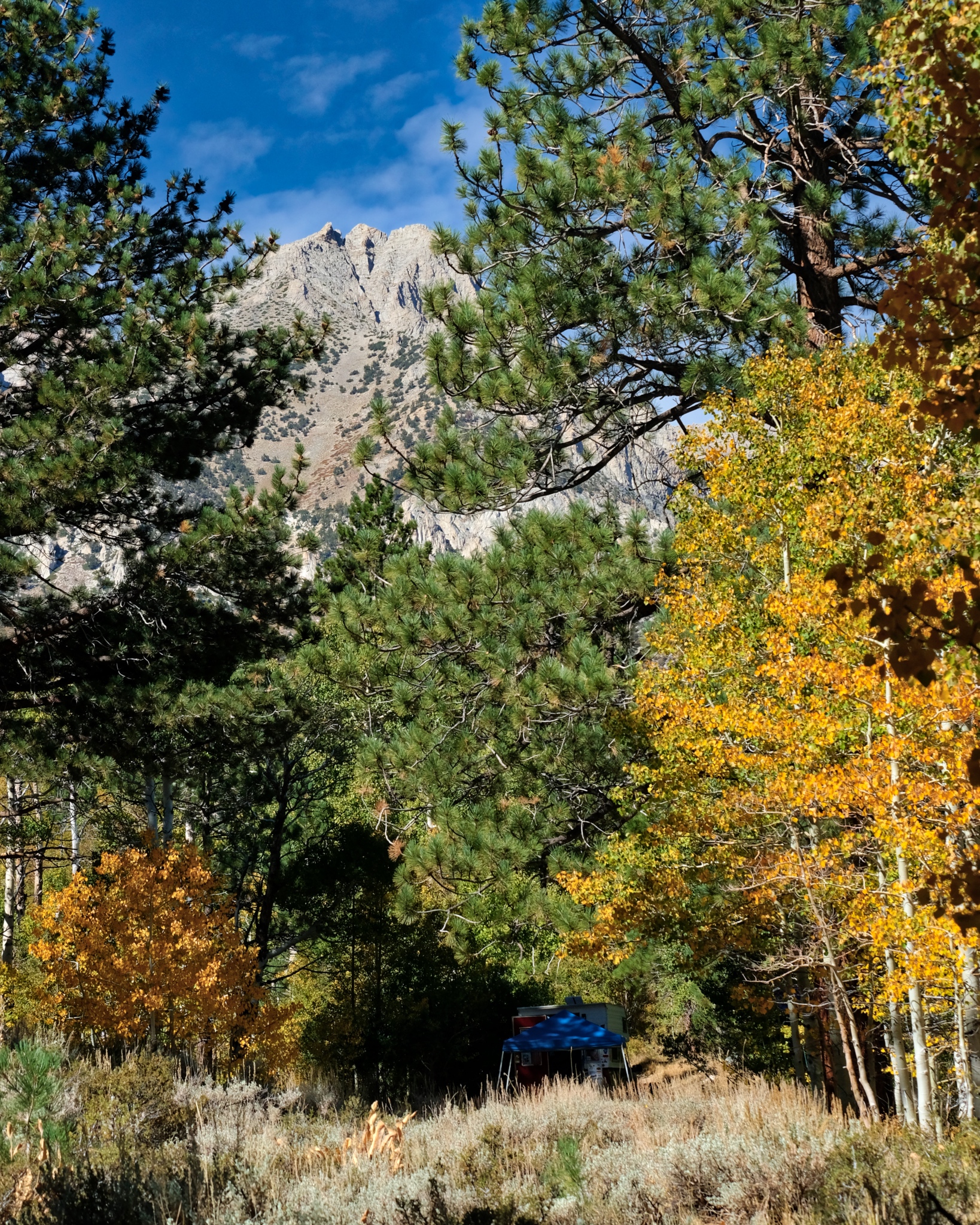 Over breakfast and good coffee, I looked out through the forest and caught glimpses of the high peaks that surrounded me.
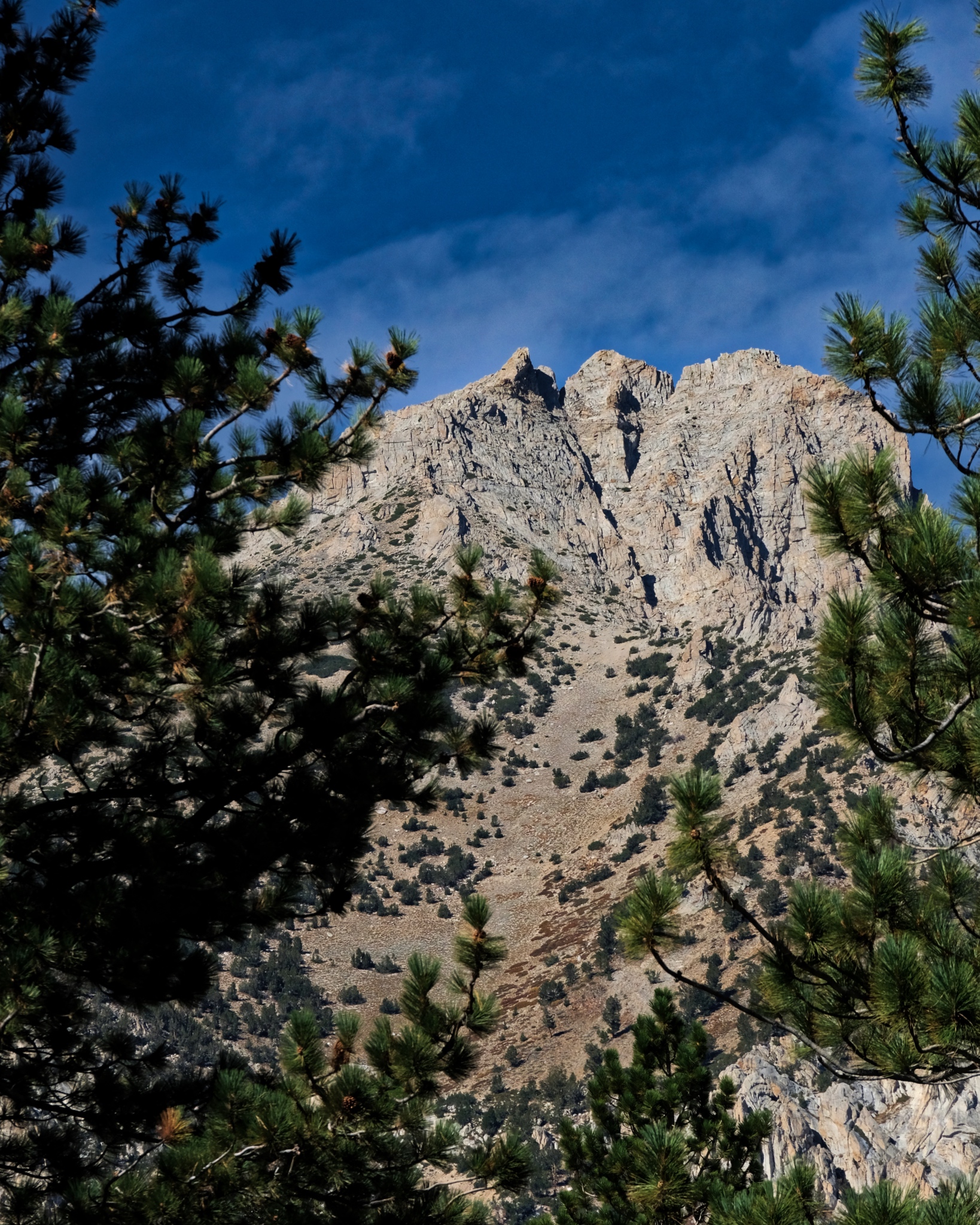 I decided I would walk up a jeep track I had driven in on . . . it looked like it went up to the base of these mountain slopes.
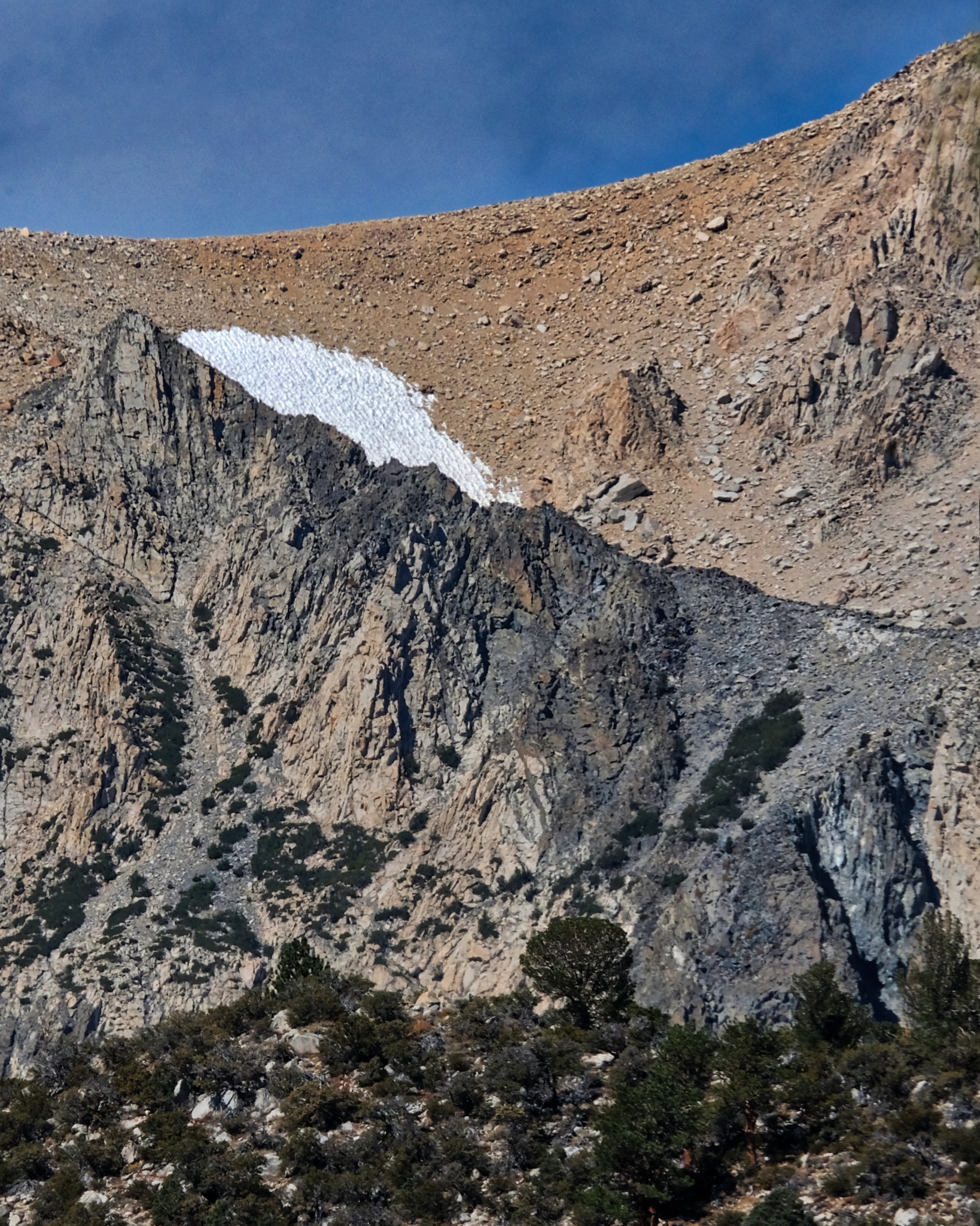 It was early September and there were only a few remaining patches of snow high up left from last winter.
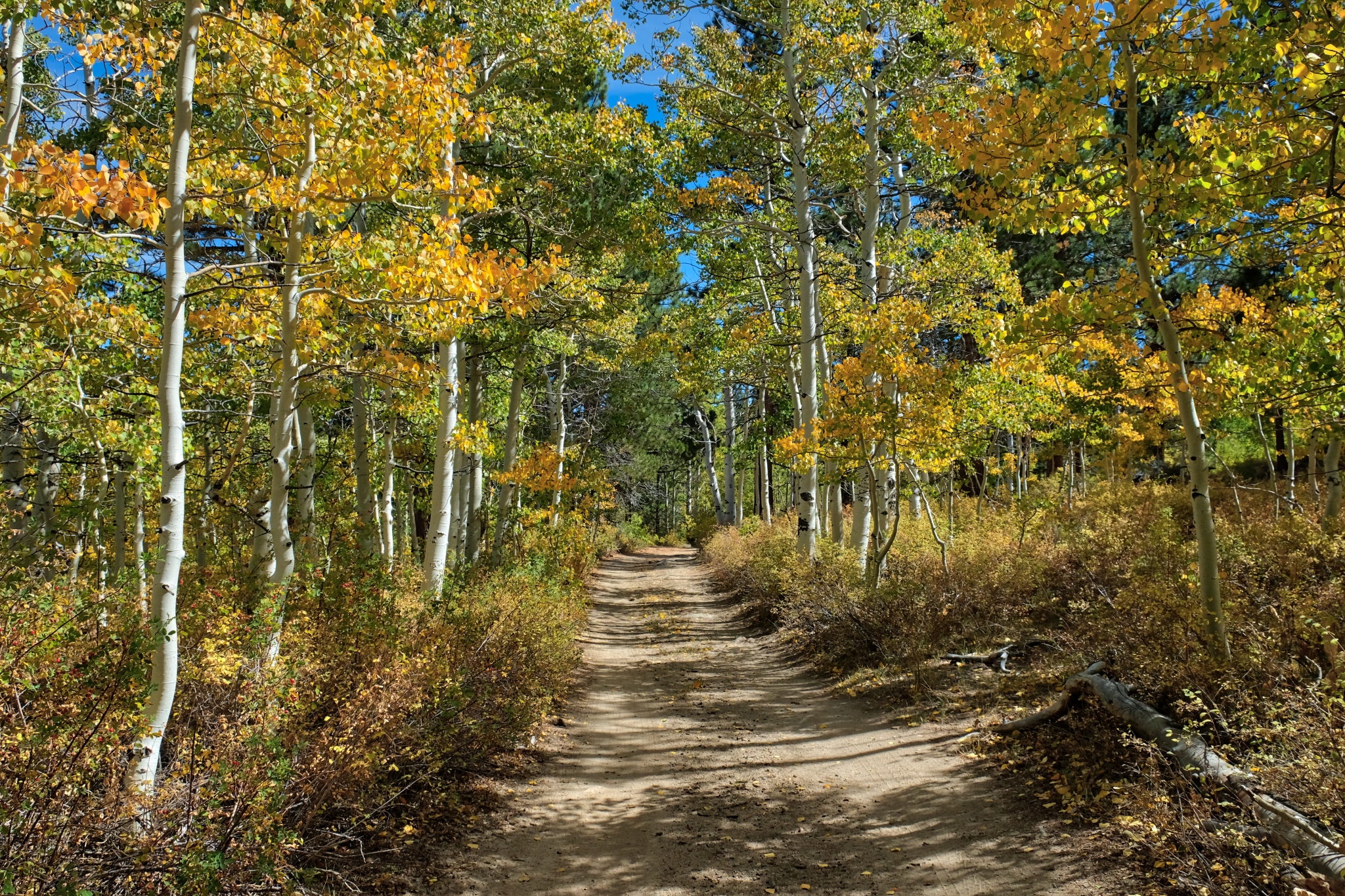 After cleaning up, and making the campsite bear-proof, I set off on my forest track in the other direction.
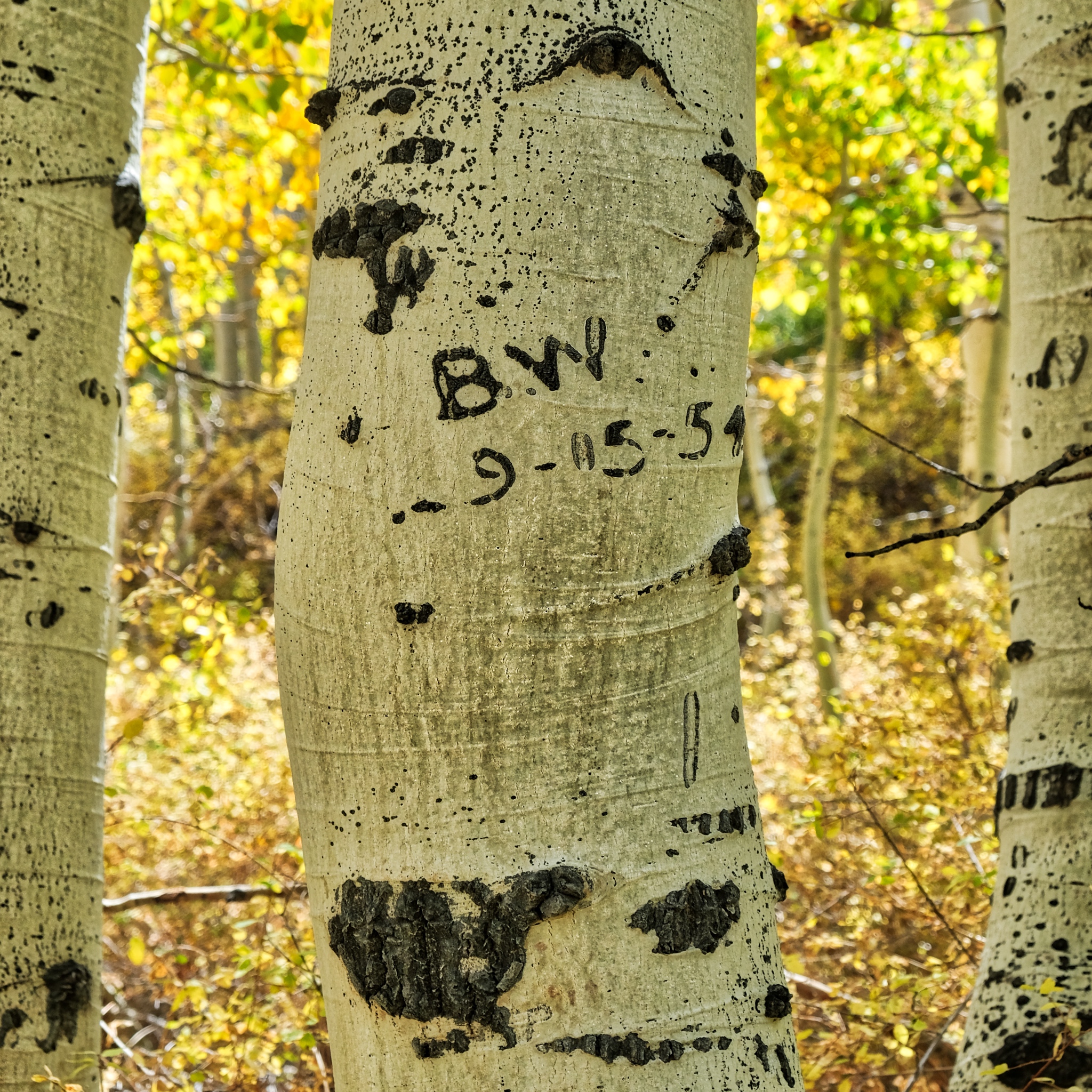 I already knew I wasn't the first person to experience the beauty of this place, but I found it interesting that "B.W" was here exactly 64 years ago . . . to the day (9/5/1954 to 9/5/2018)! So they must have been here at the time of the yellow leaves too!
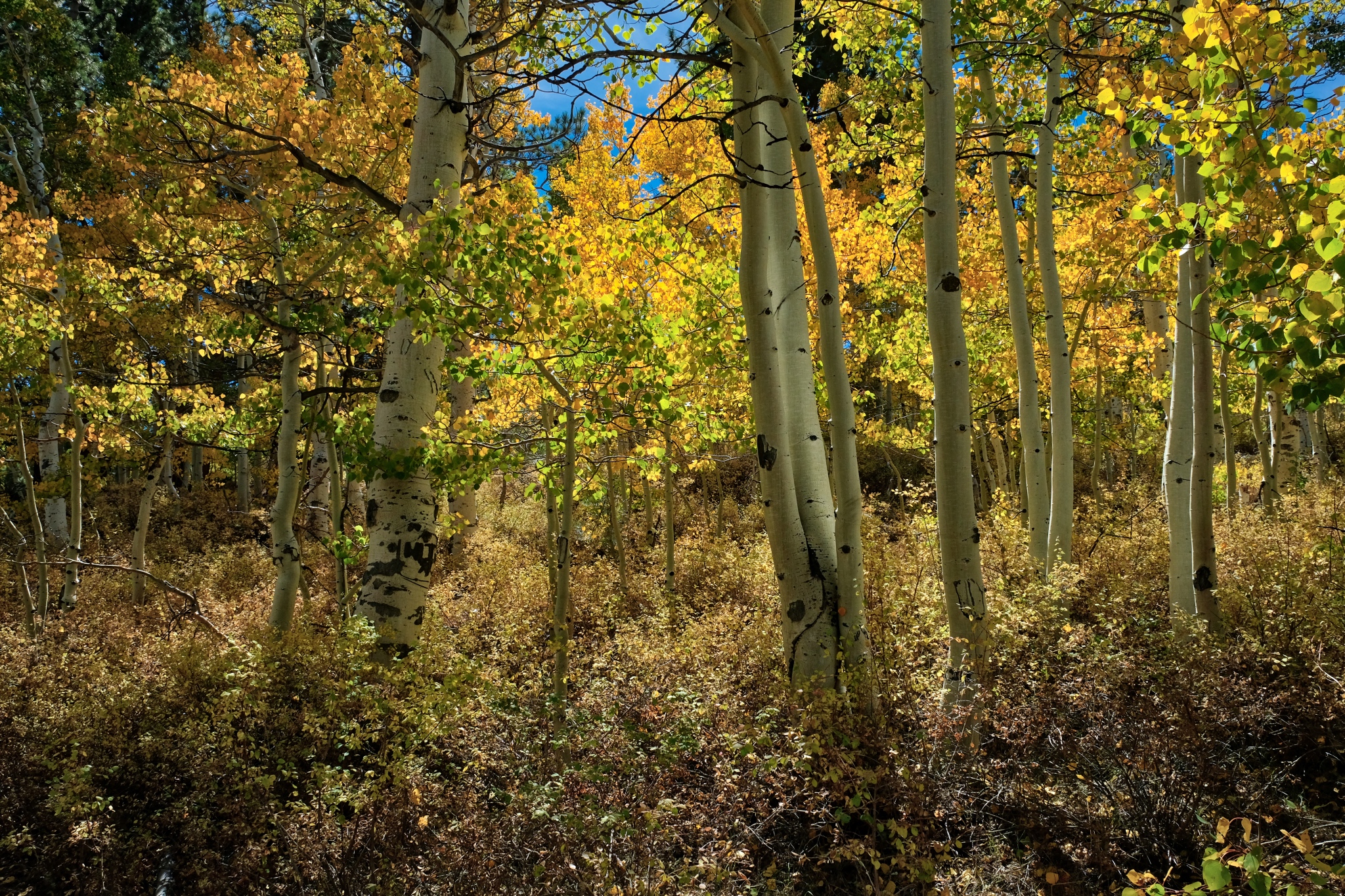 To say it was another glorious day would be understatement!
 This time as I walked out of my aspen woods I was walking uphill. I was glad I had four-wheel-drive coming in . . . the road is very rough.
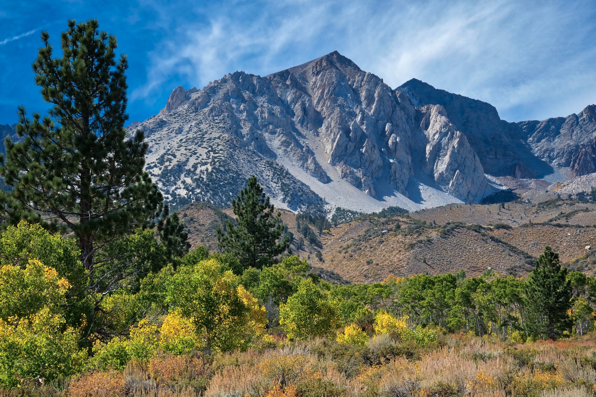
 The mountains revealed themselves as I left the aspen stand.
 It might be easy to get lost up here as there are several jeep tracks going in all directions, but they were well marked, and matched my Google Maps. [I had surprisingly good 4G reception throughout my stay in the mountains!]
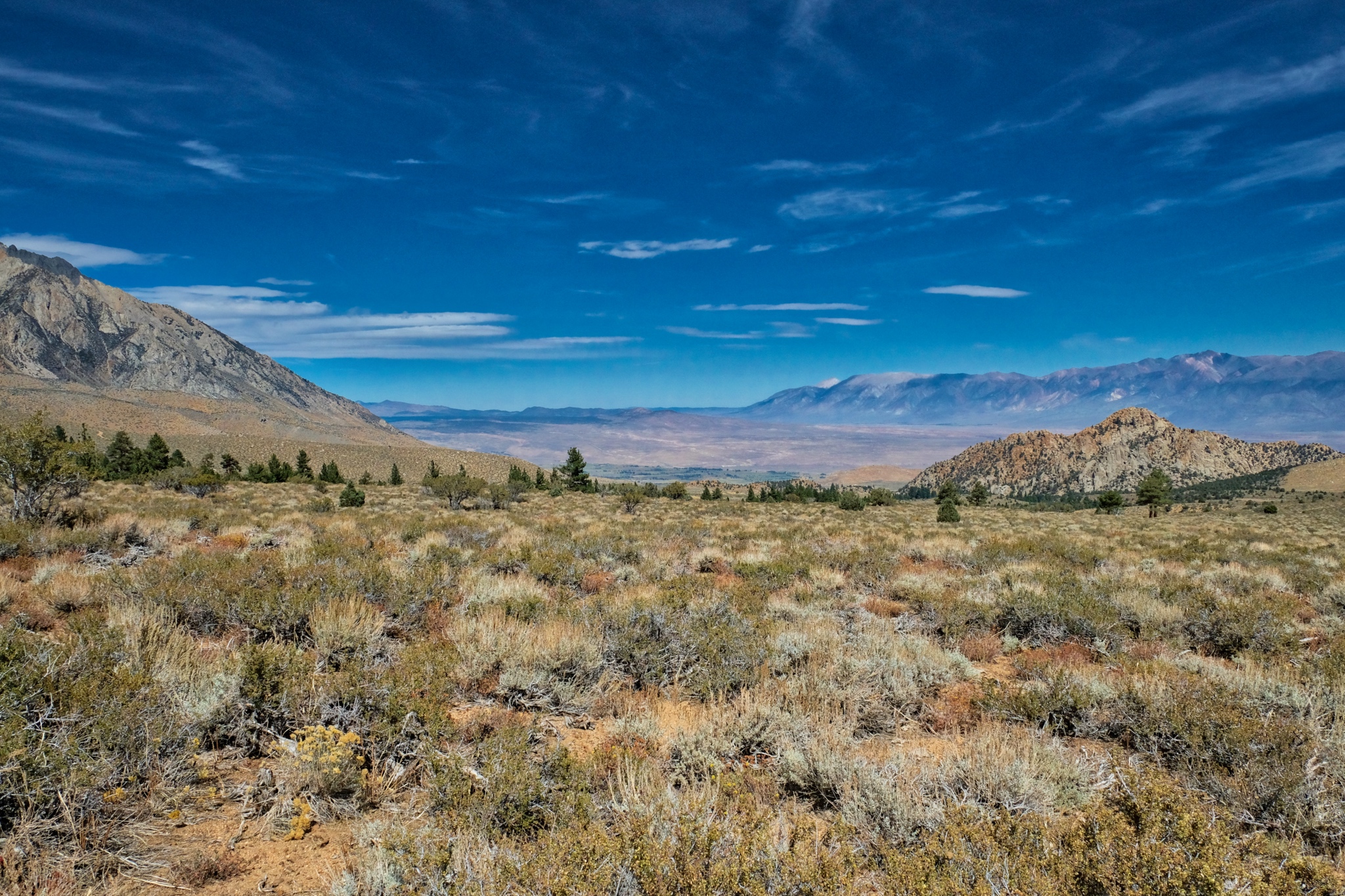 Looking to the right, I had a huge view down to the valley below and the Boundary Range mountains (the Nevada boarder) well beyond.
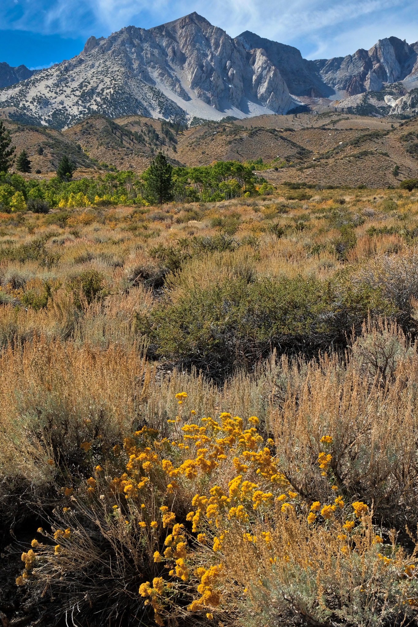 Looking to the left I had a view of flowering panoramas framed by high mountains. This might be the most beautiful spot I have stood in my entire life!
 I took a track that would lead me in this direction.
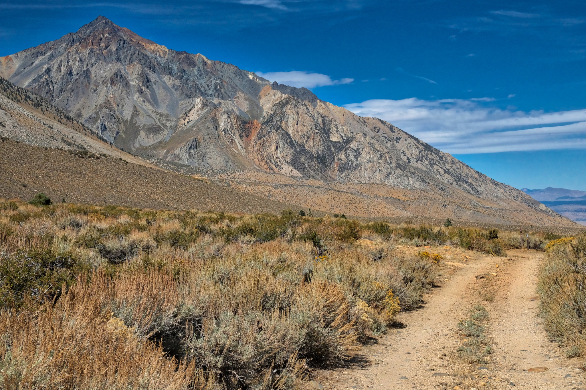 The jeep track with Mount Tom in front. If you look closely you can see the traces of an old manganese mine. The brown/orange streaks are rich deposits of manganese which now sit in protected National Forest land.
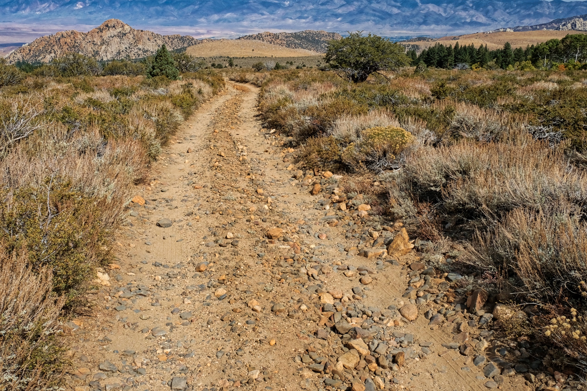 I came to a 'T' in the track . . . this way went back down the valley and to the paved road into Bishop . . .
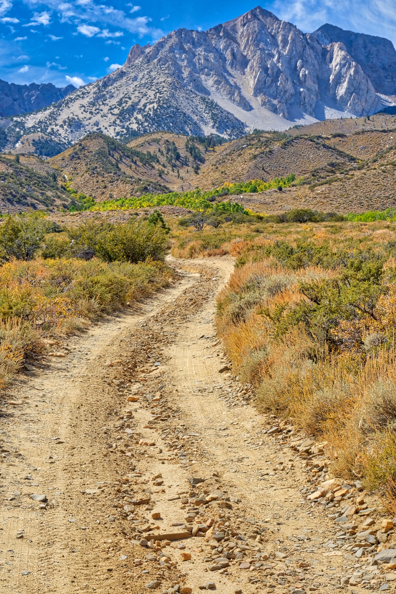 . . . and this direction, the one I took, went up into the mountains.
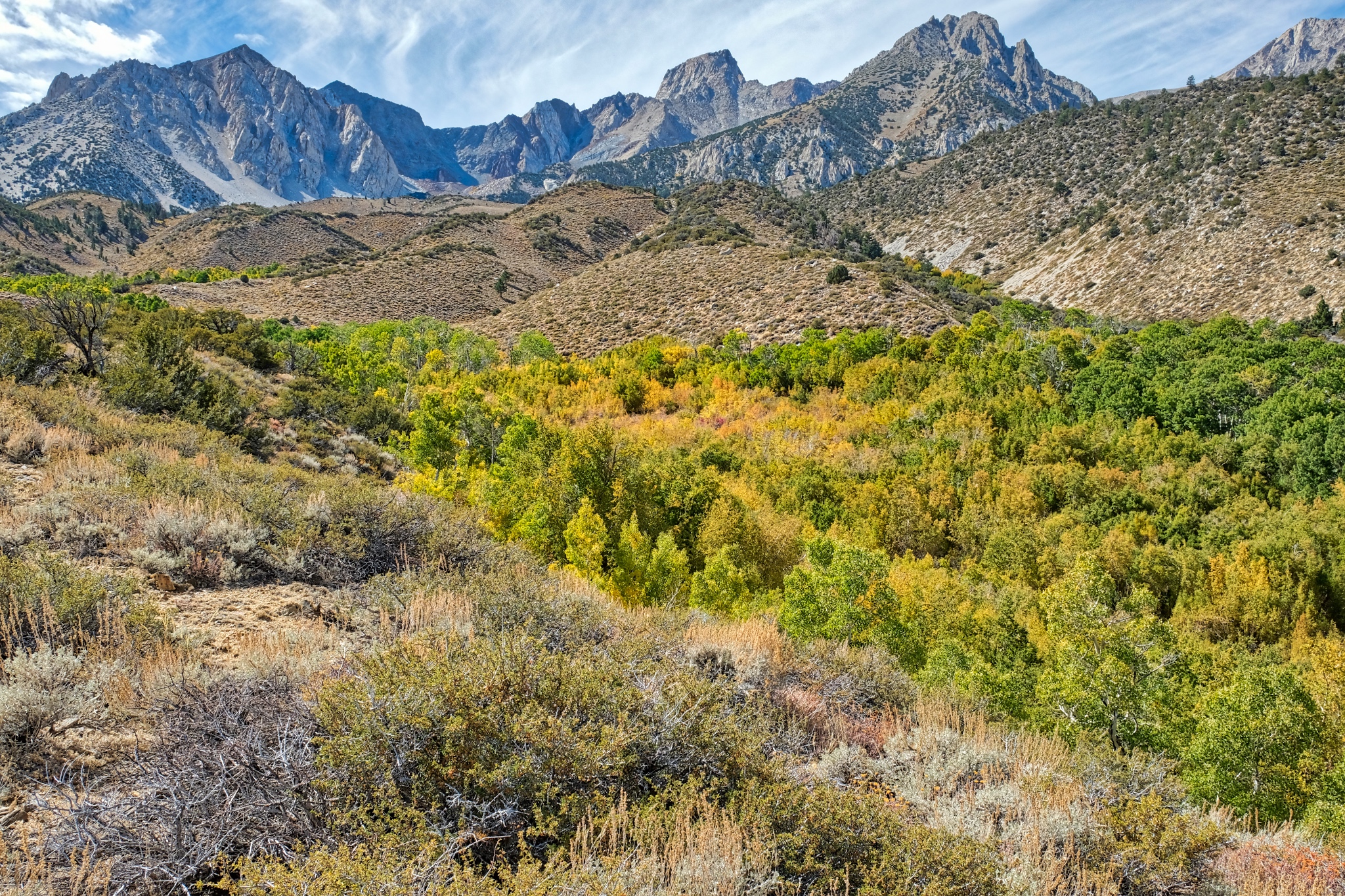 As I walked further toward the mountains I gained a view of a hidden valley full of aspens.
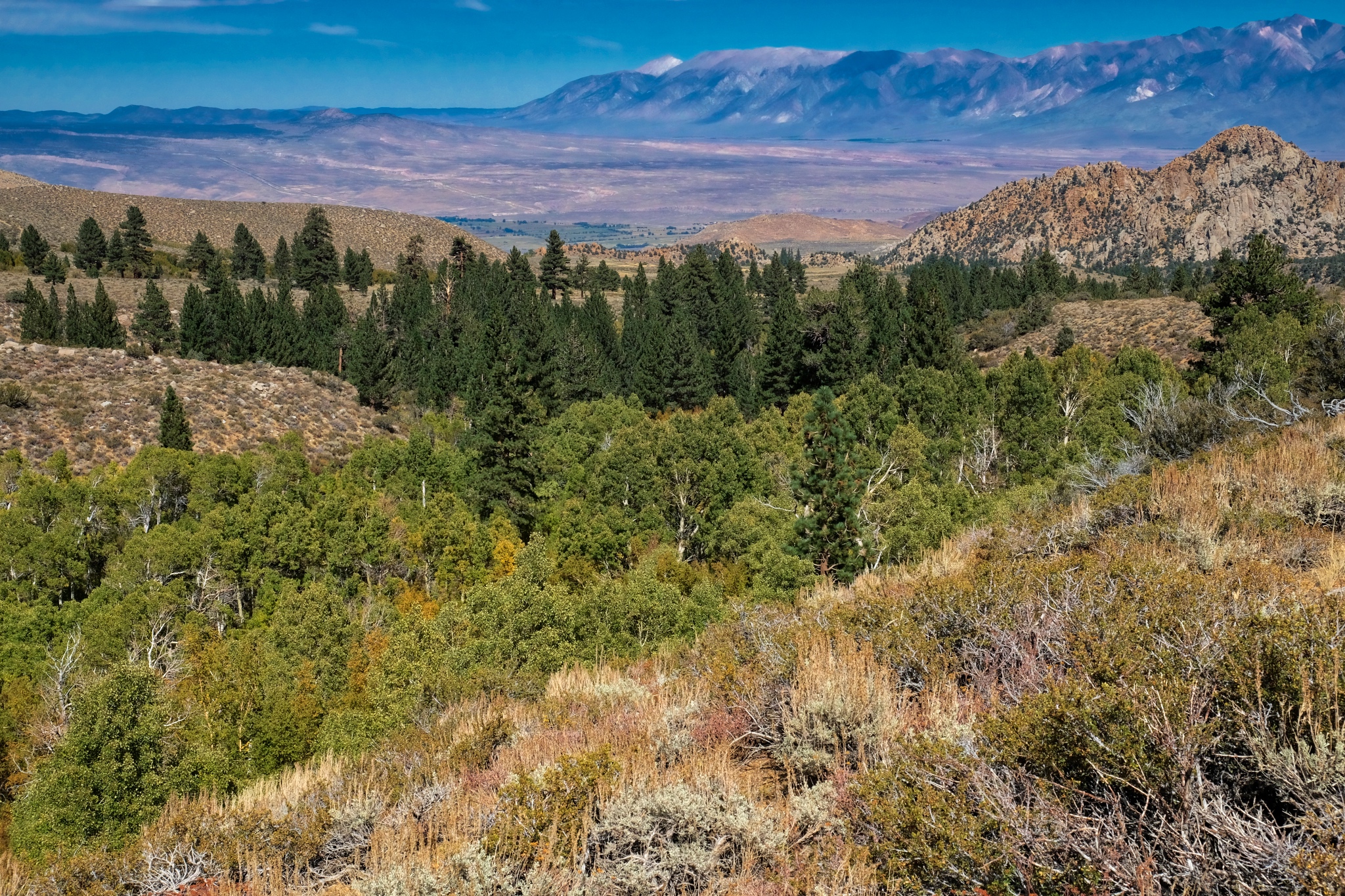 A look down into the hidden aspen grove, but I did not see any path to get down . . .
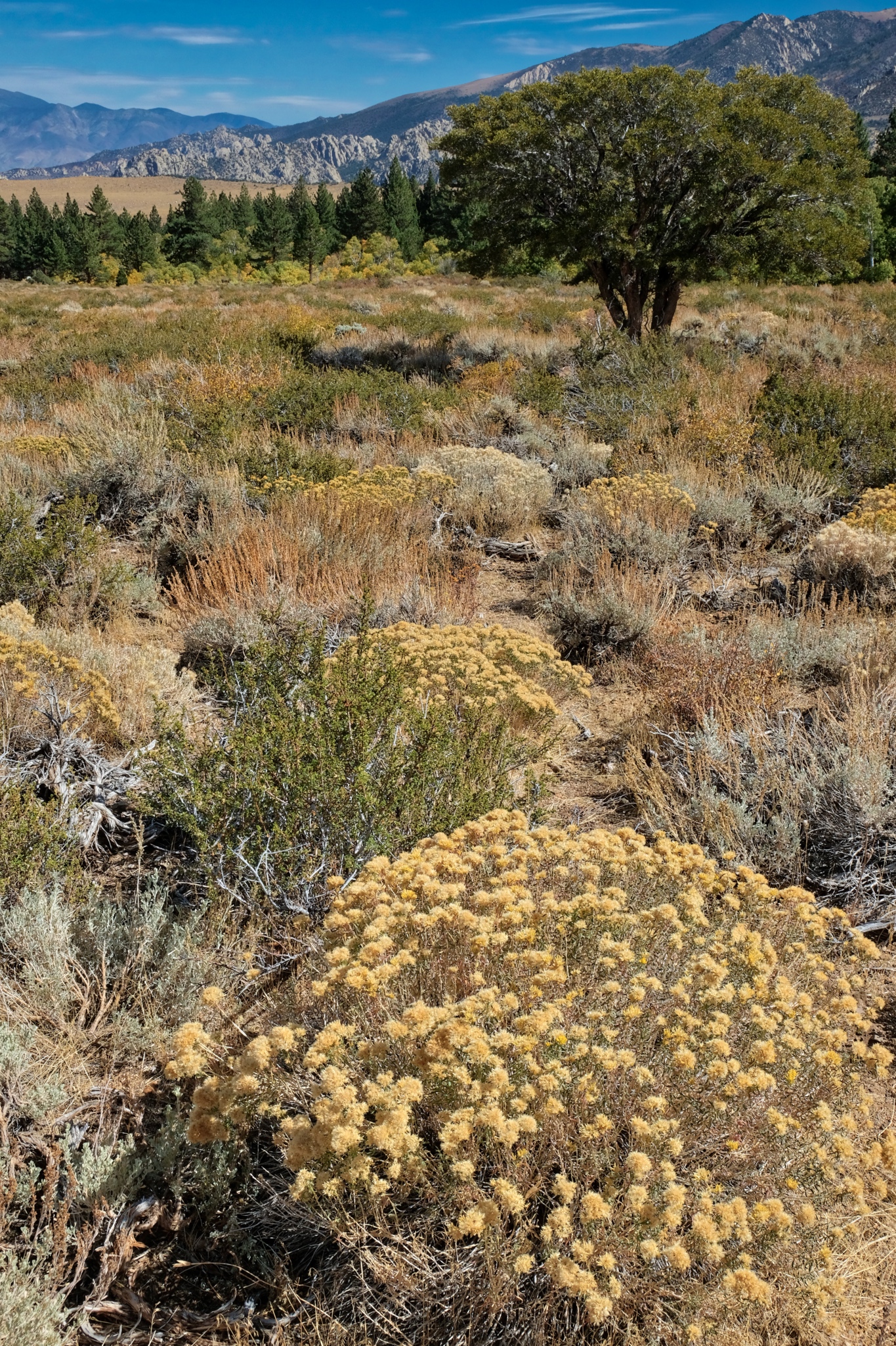 Looking back across the late summer wild and wonderful flora at this altitude was extraordinary.
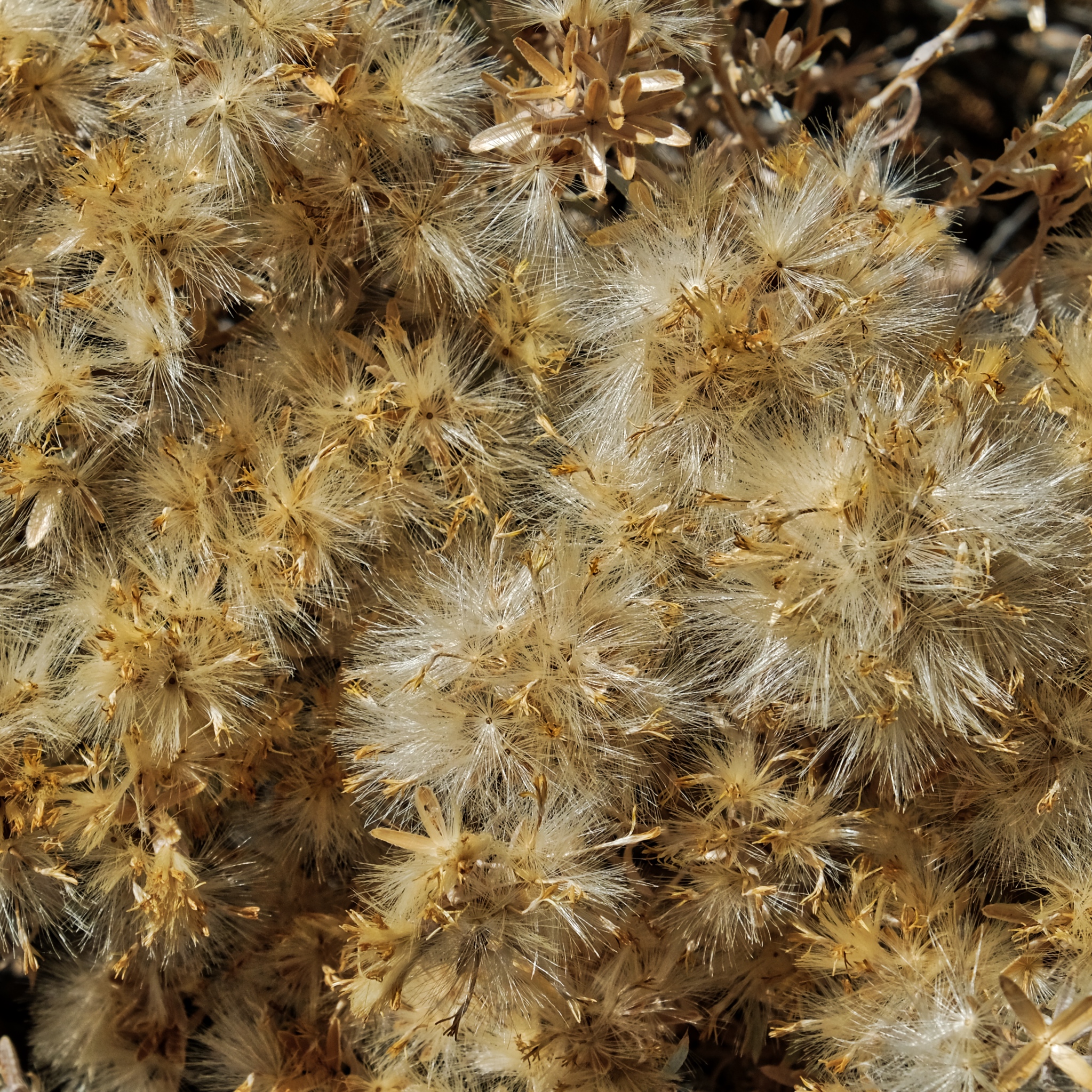 The dried flowers with their seeds readying for dispersal.
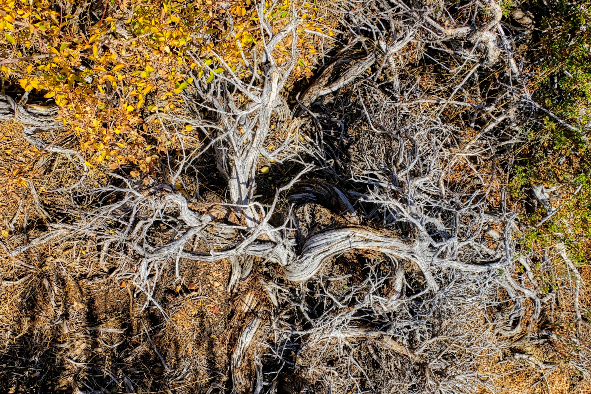 Such a beautiful place.
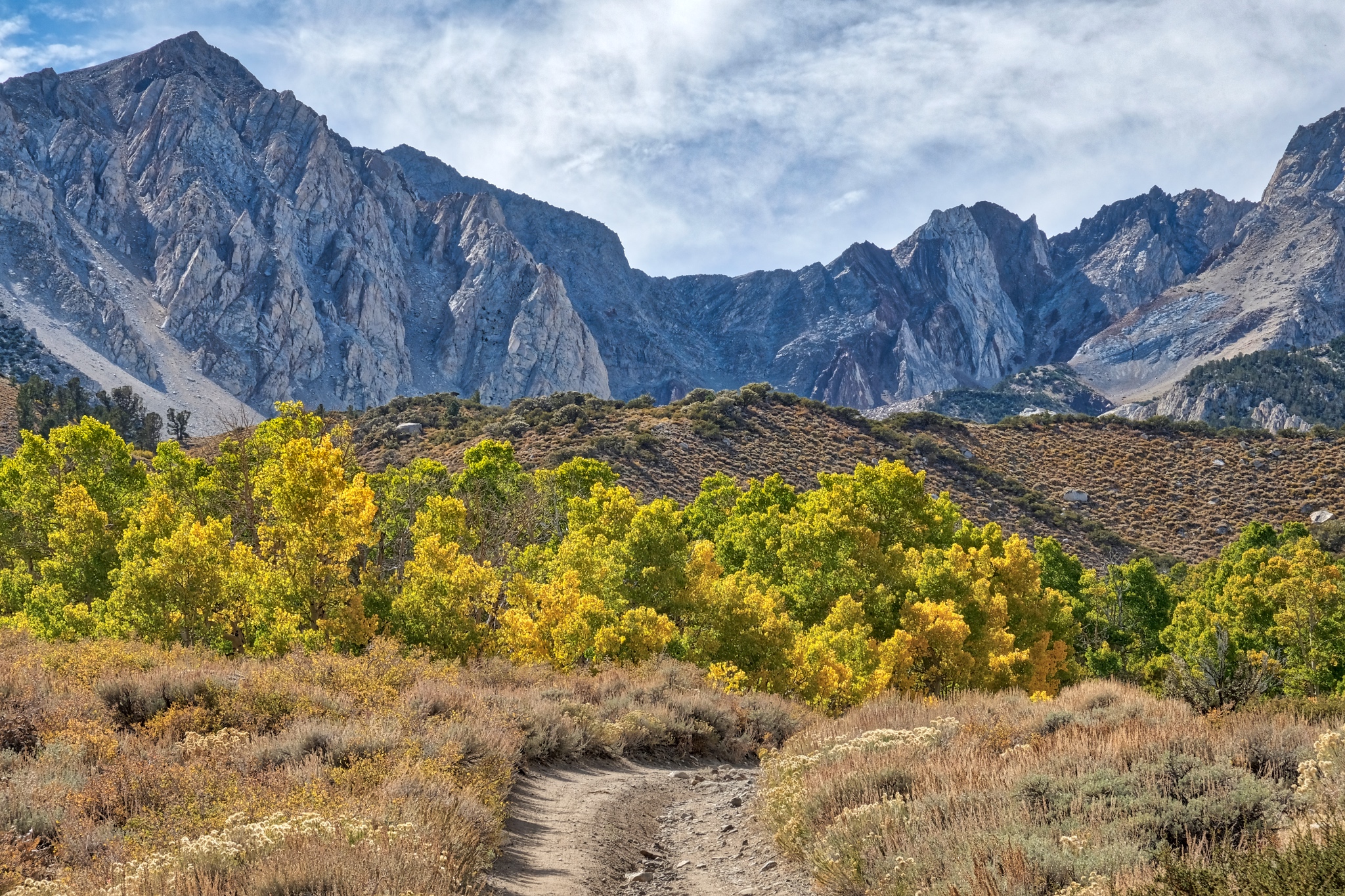 Further and further up in altitude toward the high peaks.
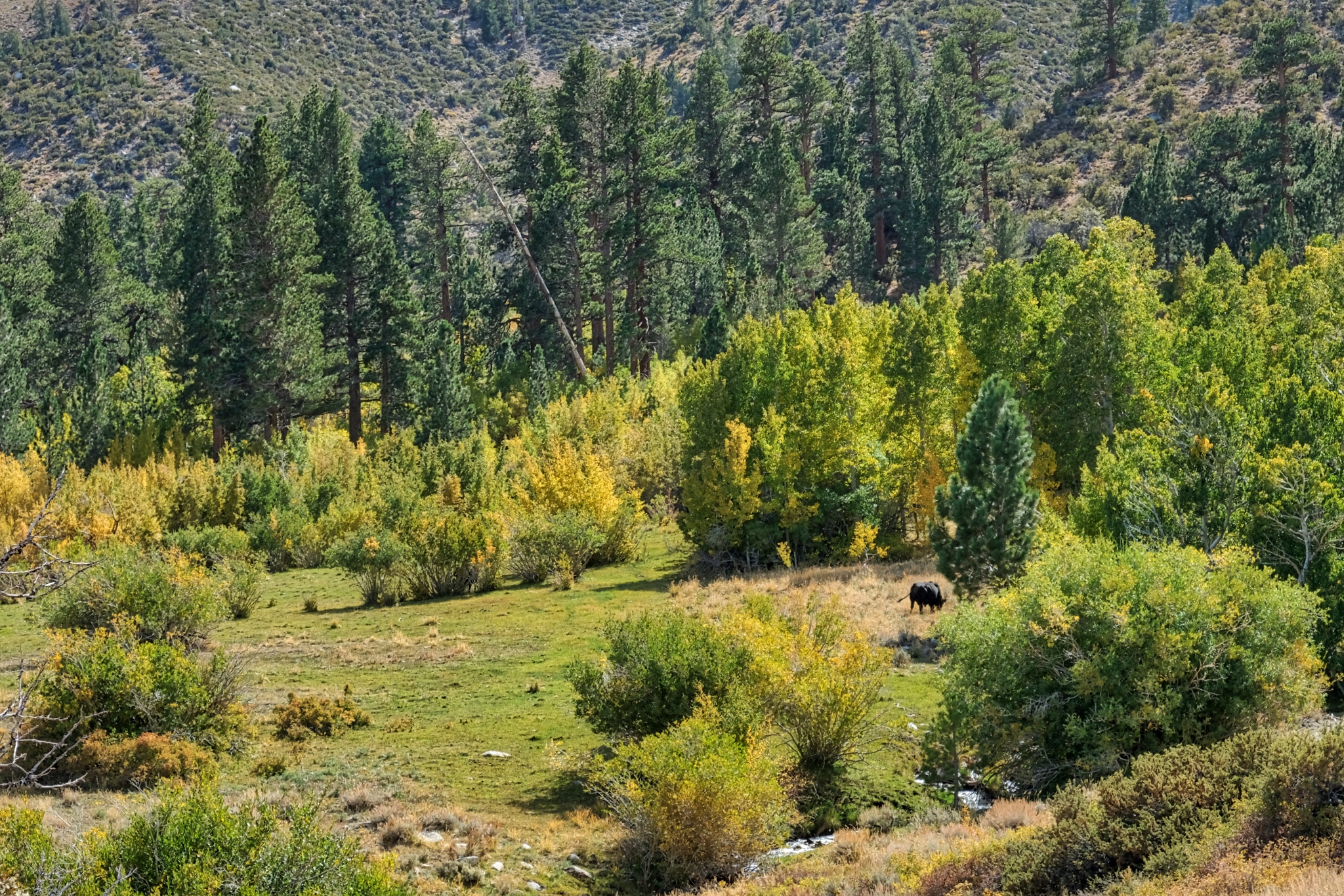 I had been seeing salt licks here and there near the road and wondered if there were still any cows grazing this high up . . . yep, there was one cow, way up here grazing in a lush green spot.
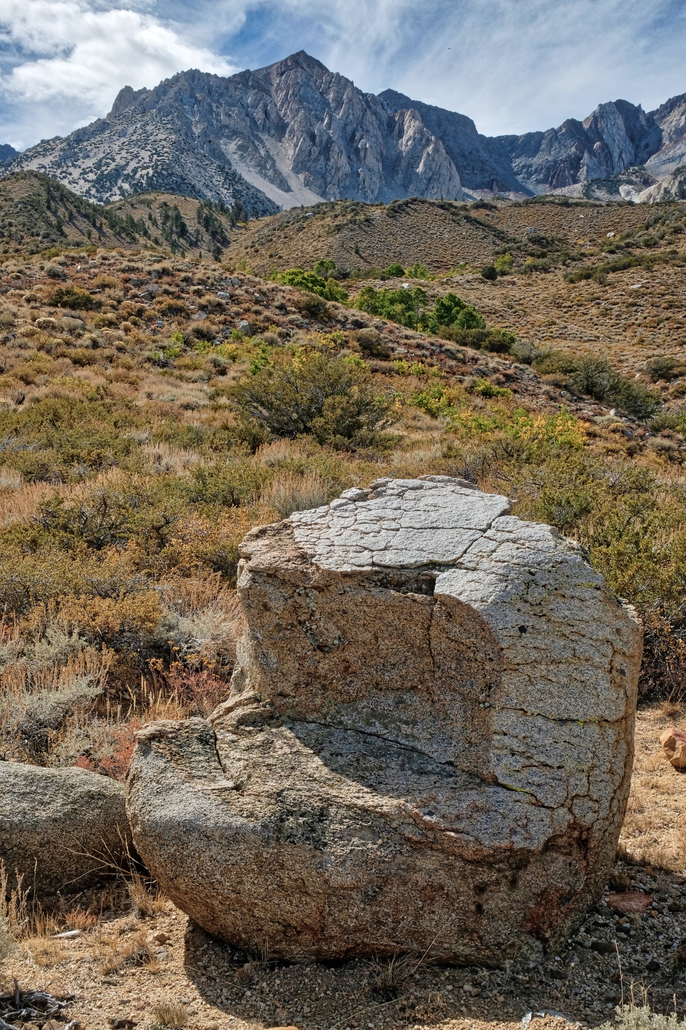 I took a rest on this perfect 'chair' stone! Very comfortable.
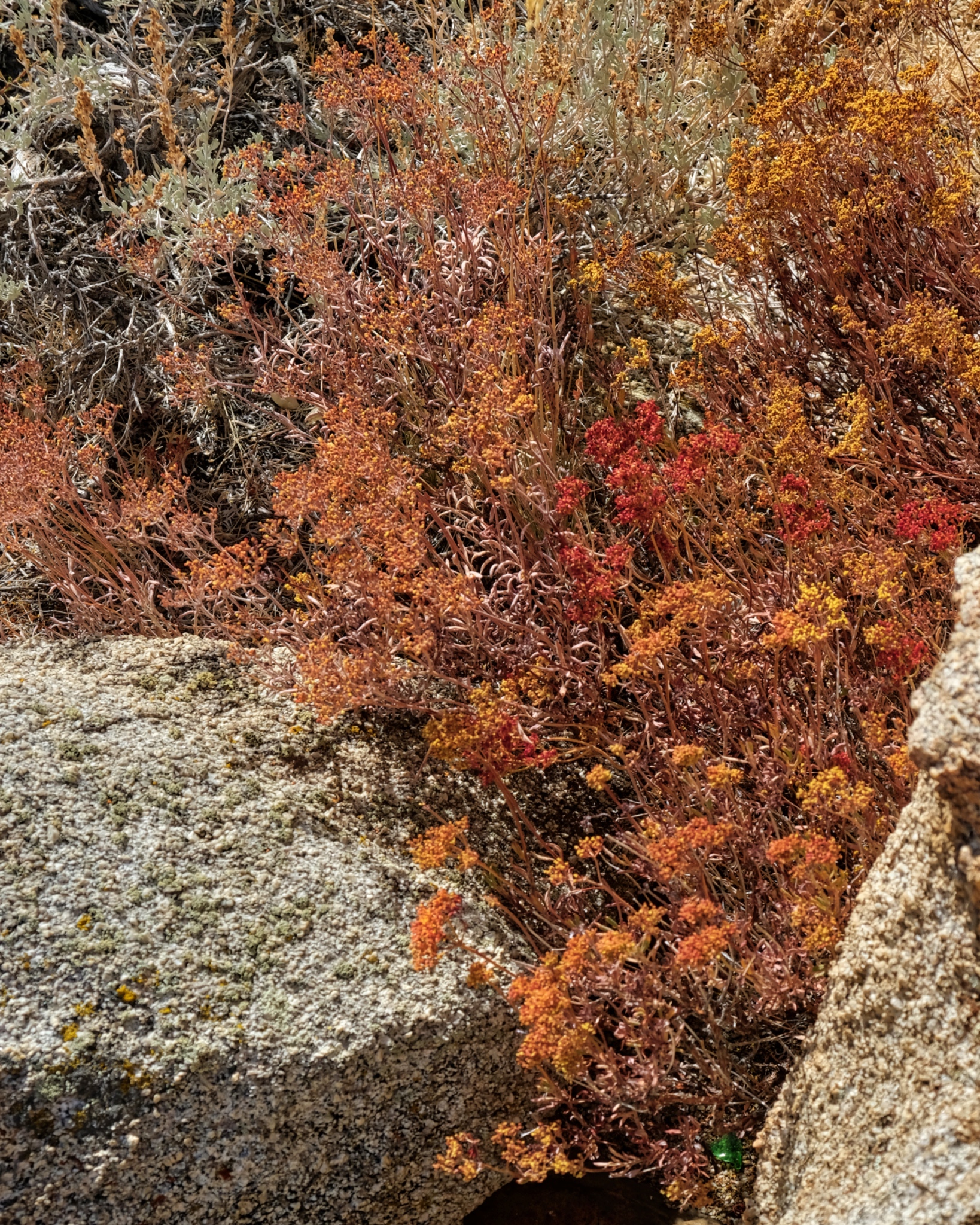 I took may time enjoying the amazing wildflowers at this altitude.
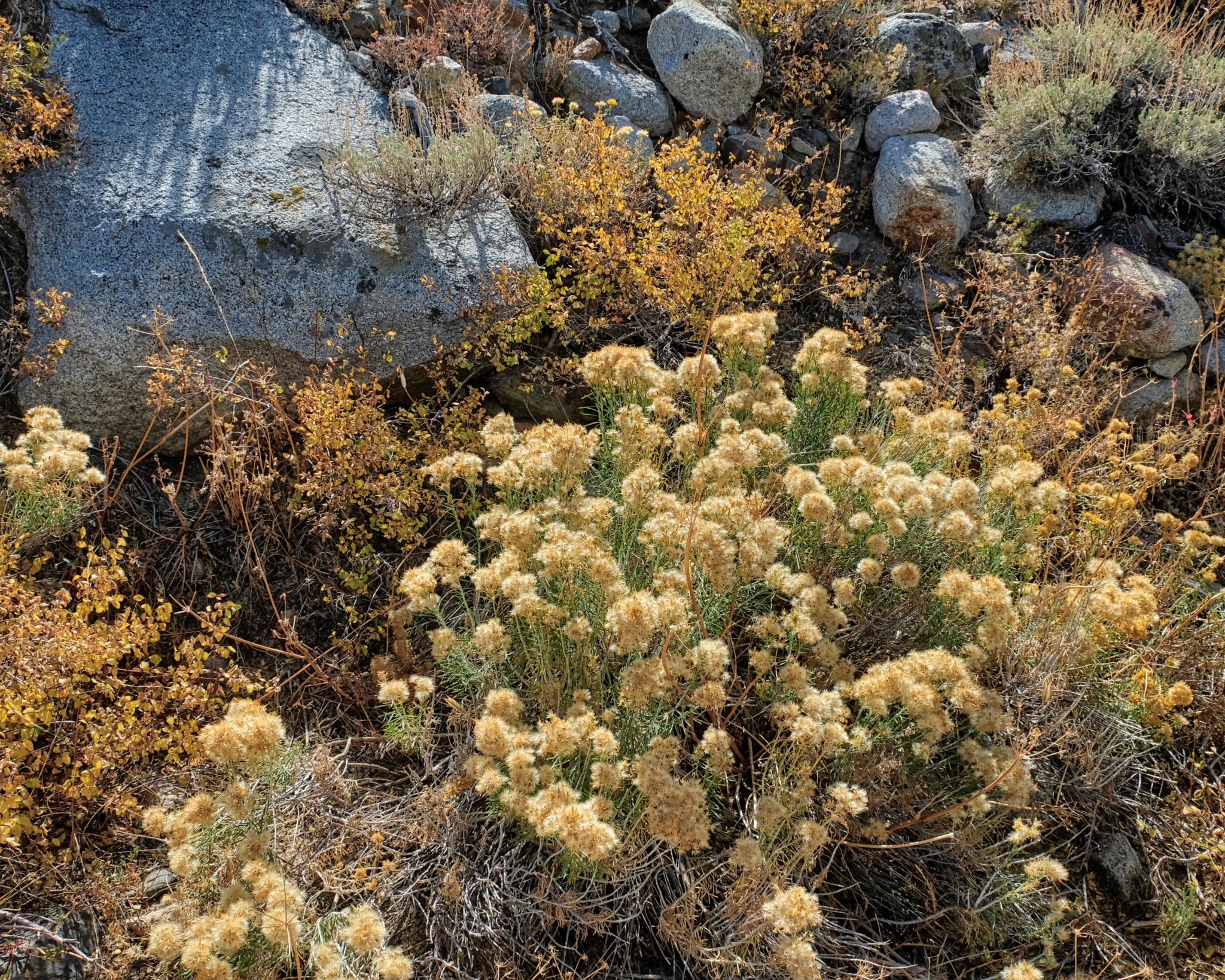 There were many outstanding compositions to photograph here.
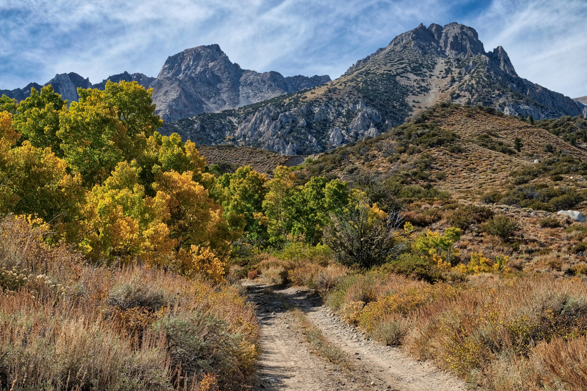 And up and up I went . . .
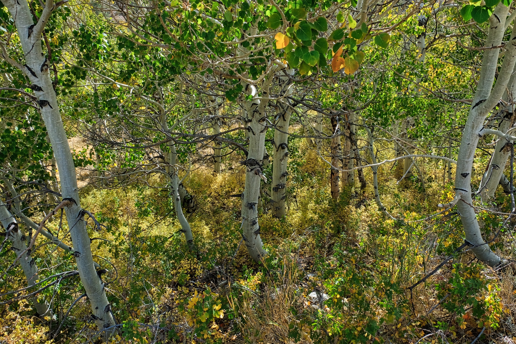 This was the last of the aspens, or any trees, before the tree line.
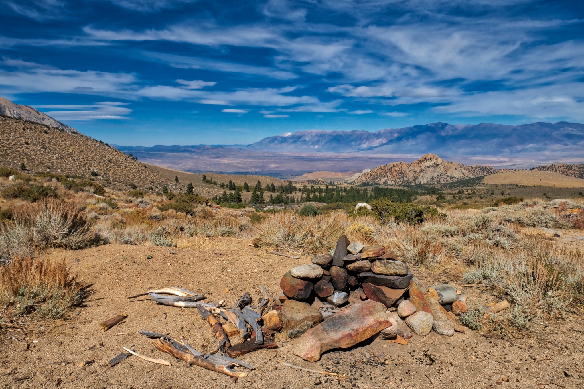 This is as far as I went up the old jeep track: a camp site with an incredible view back down the mountain. I considered moving my camp up here, but was glad I didn't . . . . there was a big wind storm the next night and my camper and tent would have been blown off the mountain!
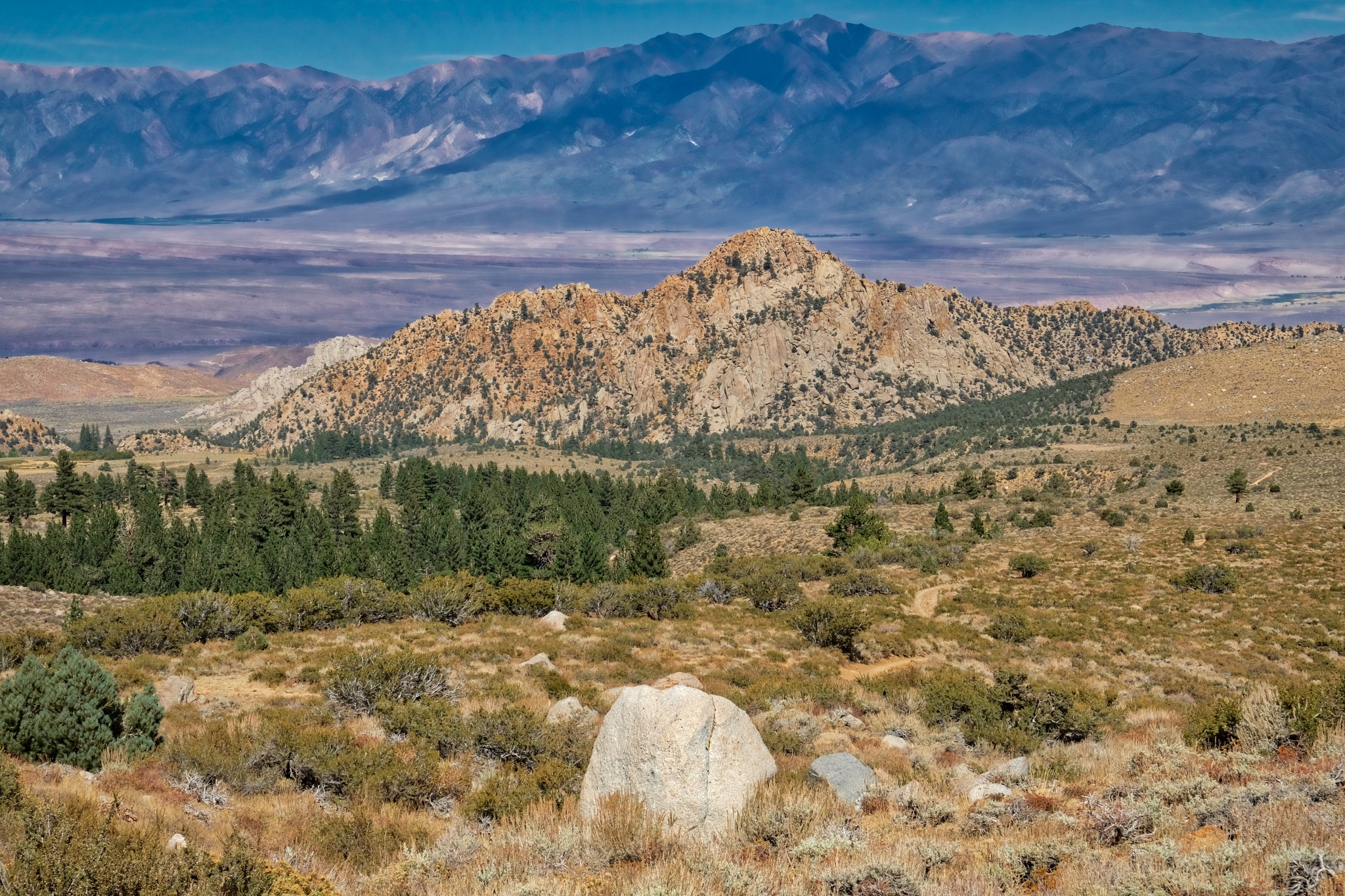 A view I will never forget!
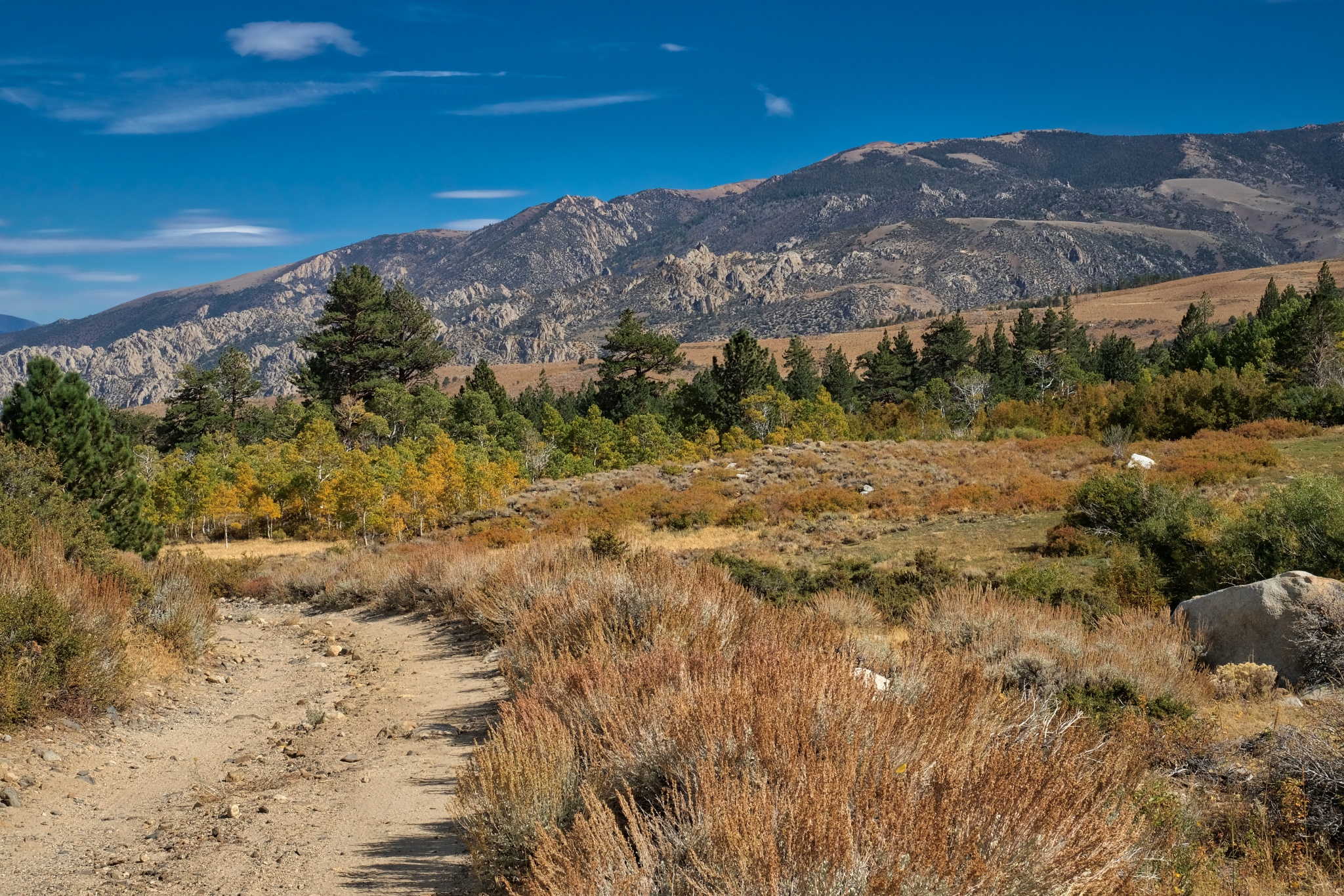 So, I turned around and walked back down the track toward my camp site.
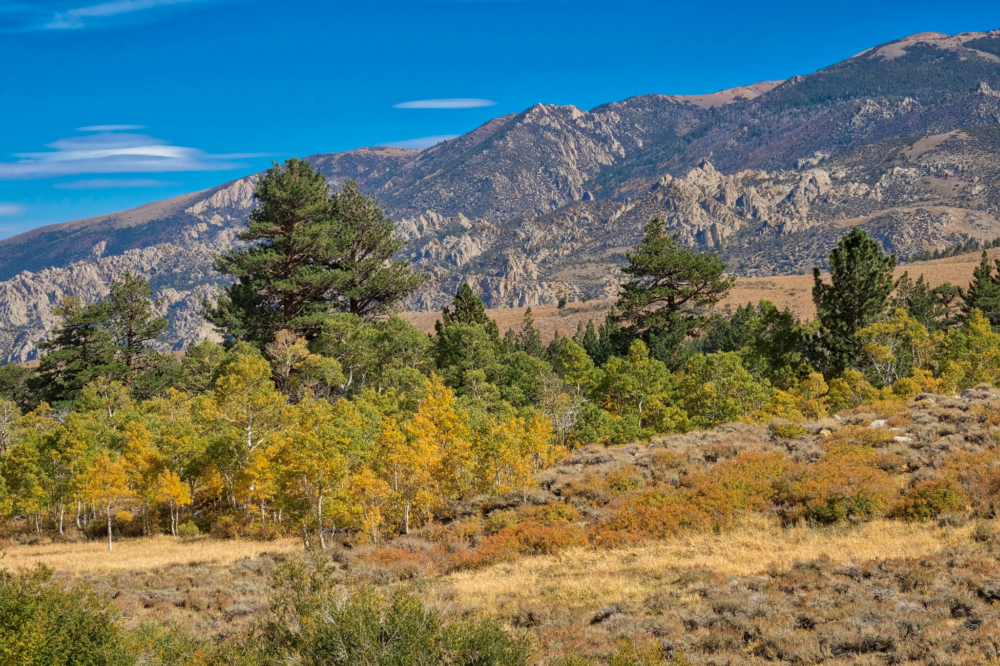 My aspen grove does not look very large from up here . . . I believe the tallest pine was next to my camper.
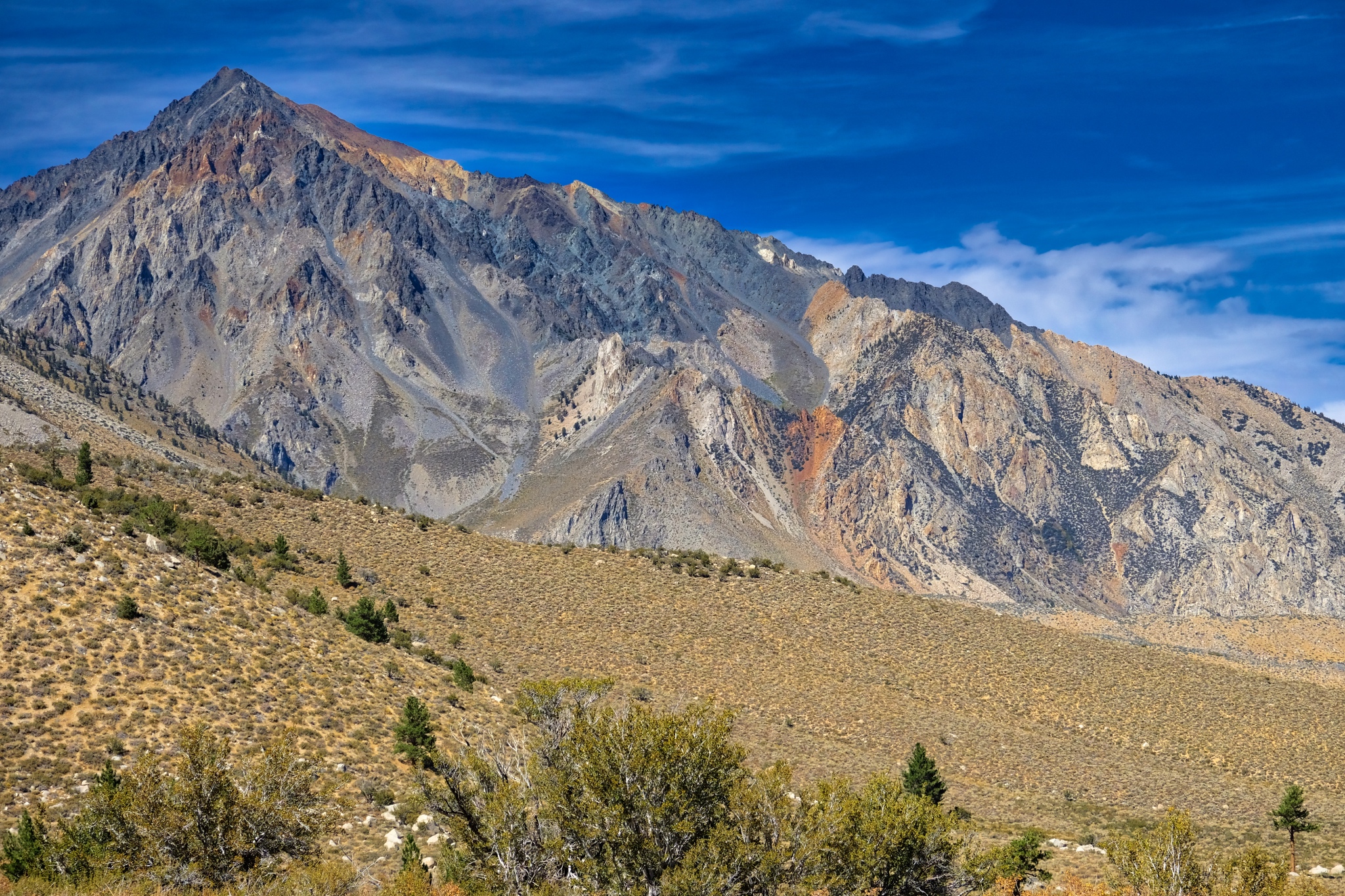 I enjoyed another view of Mount Tom on the way back down.
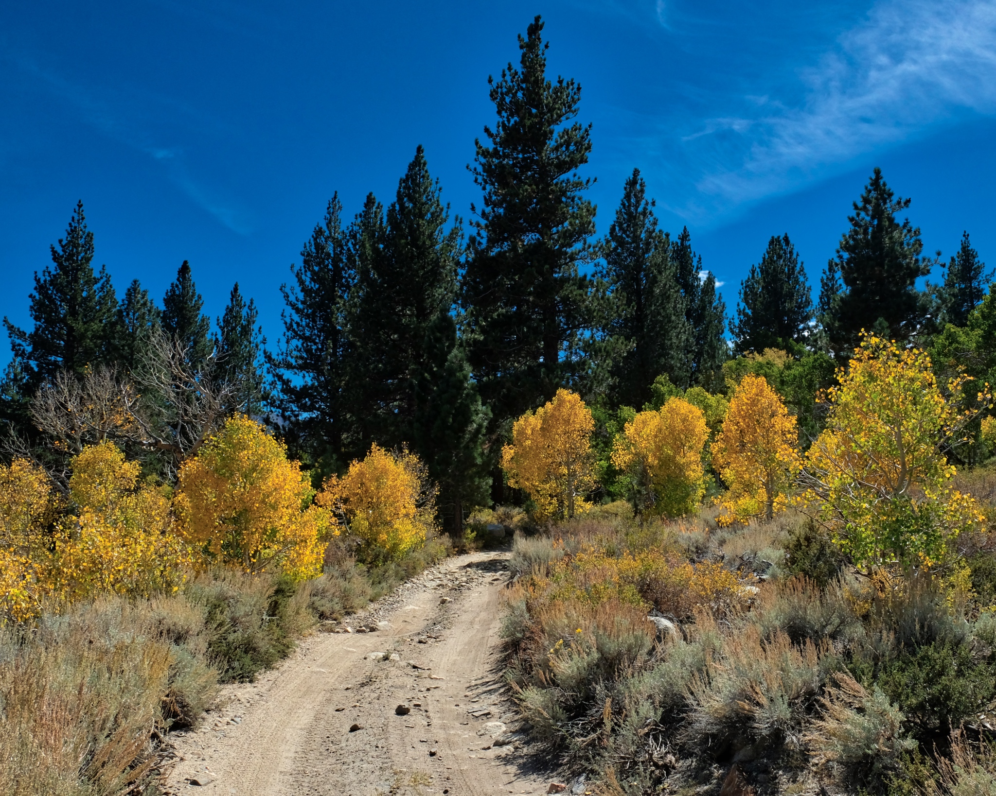 I walked back into the stand of aspens and my camp.
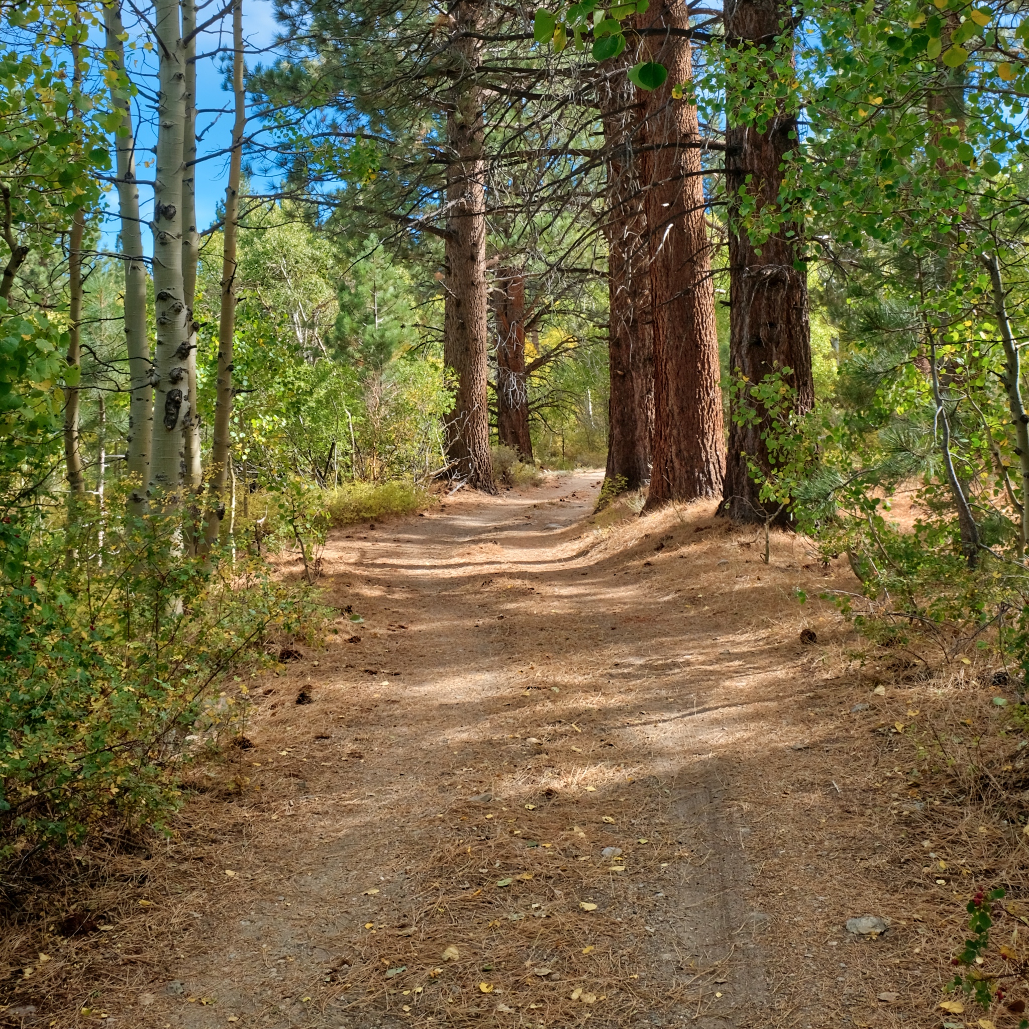 I took my time walking back in my woods.
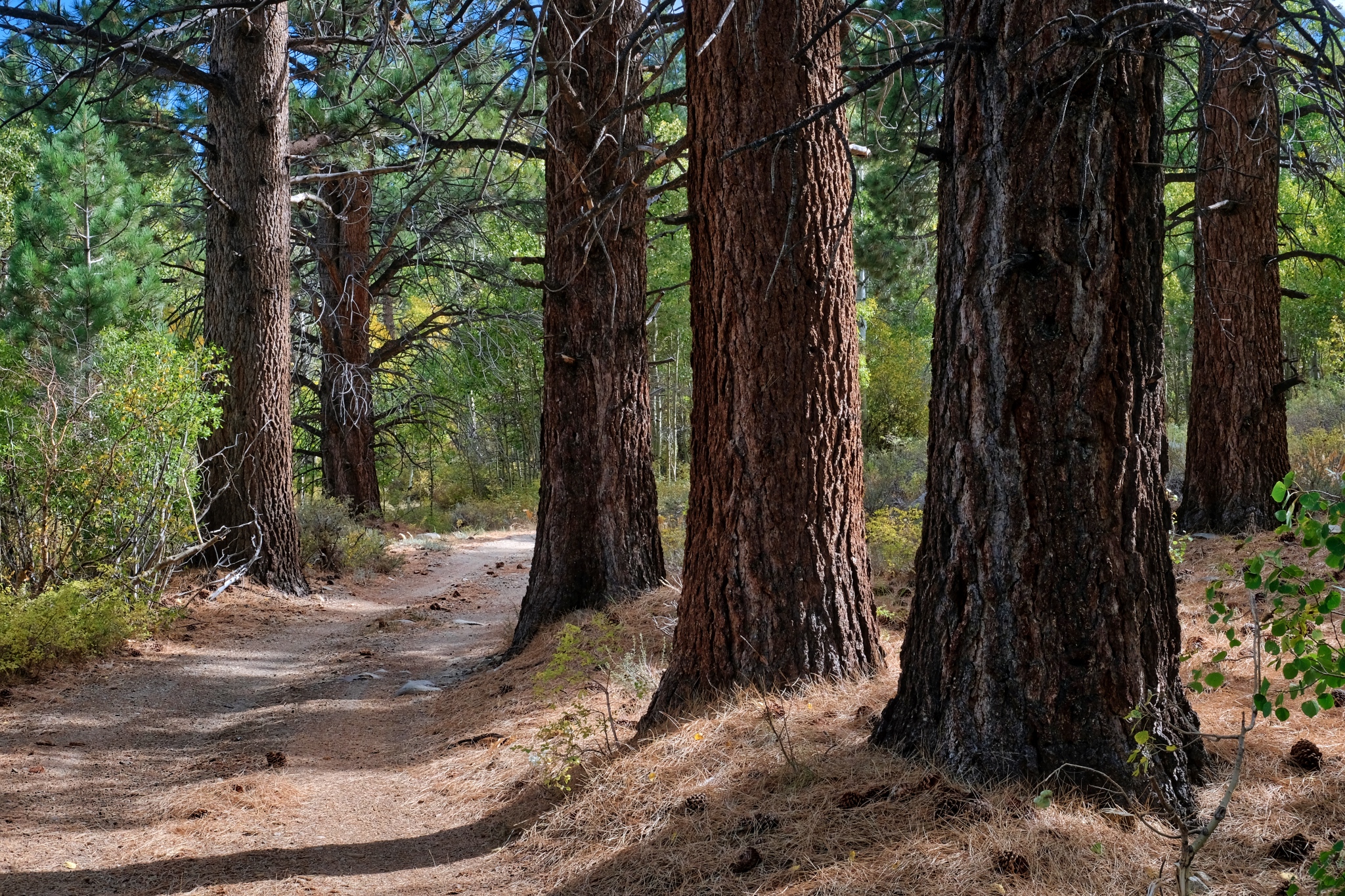 There were some large pines that surrounded the aspens.
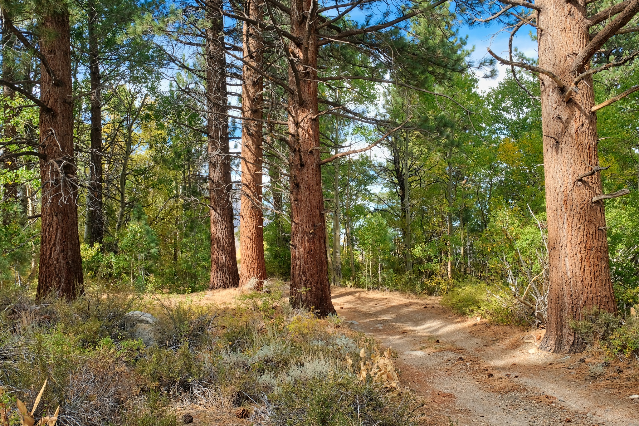 Another clear and bright day. Wonderful light!
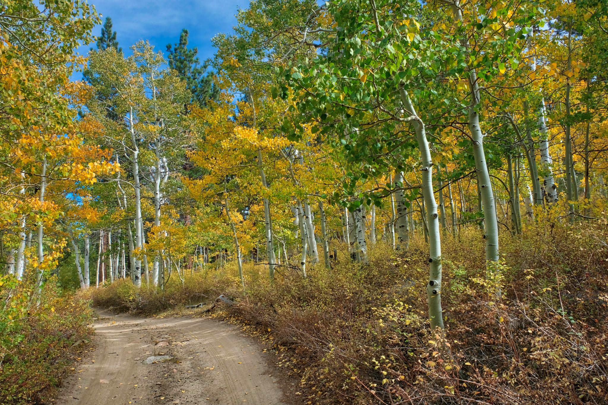 Beyond the pines and into the bright yellow aspens. Marvelous.
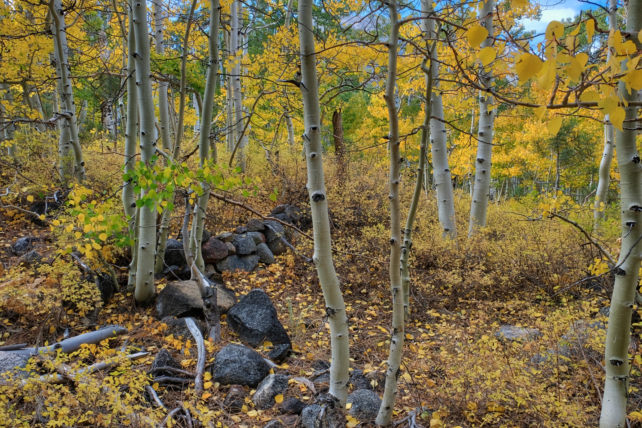 Not far from my camp I found the foundation stones for what must have been a settlers cabin or hunting lodge.
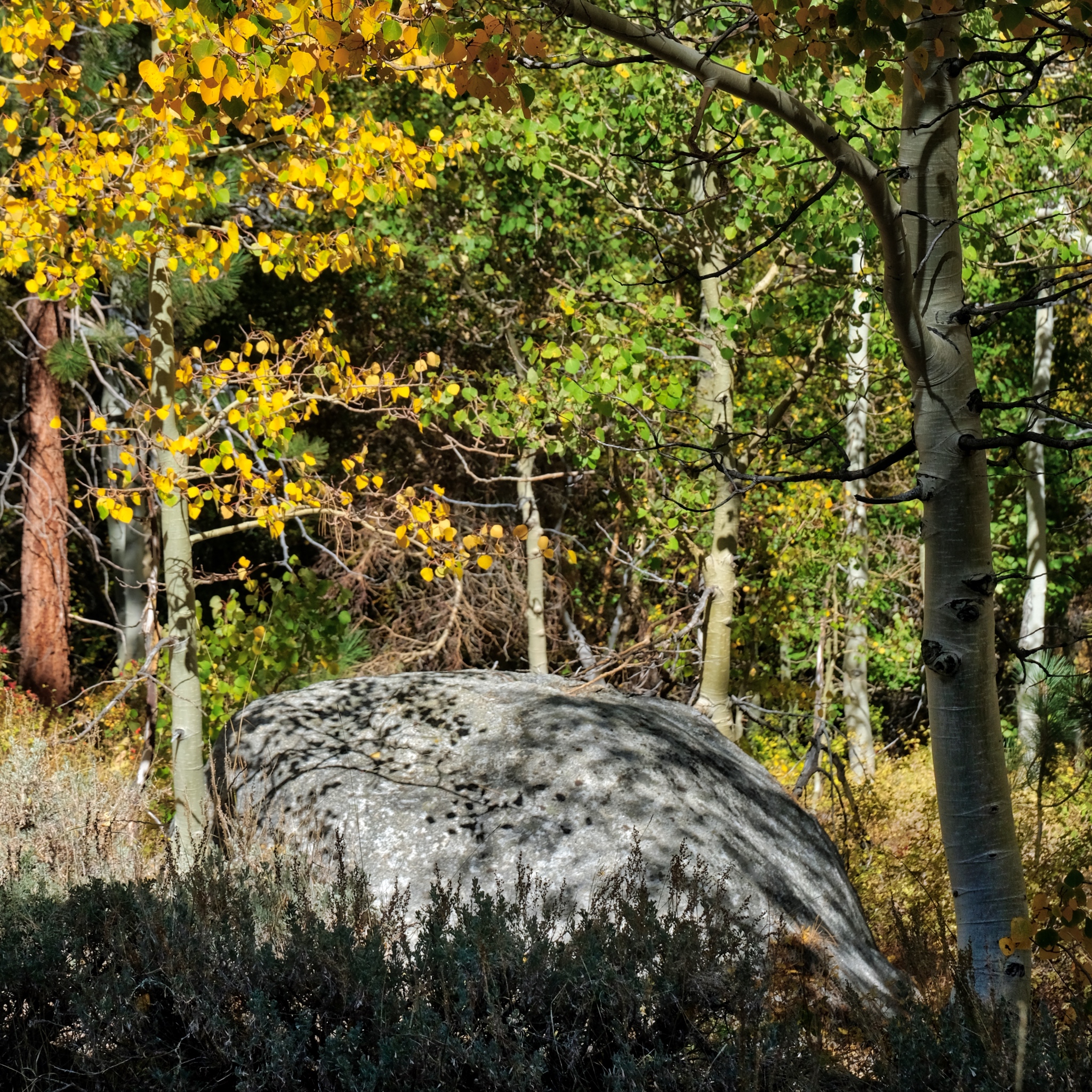 Nearing my campsite.
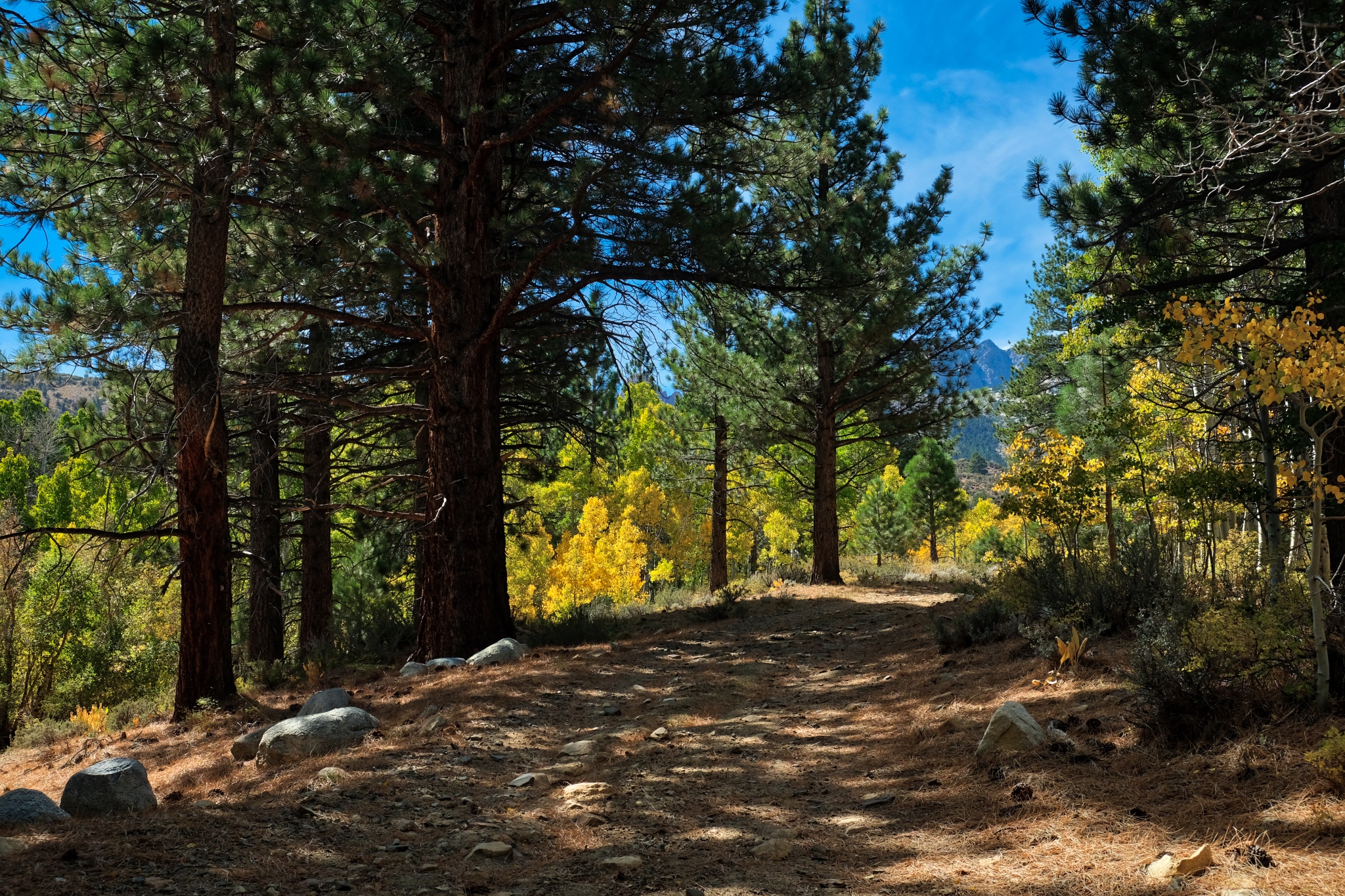 Up this obscured jeep track and then my camper . . . I was hungry!
________________________________
DAY FIVE: A LONG WALK DOWN A STREAM BED
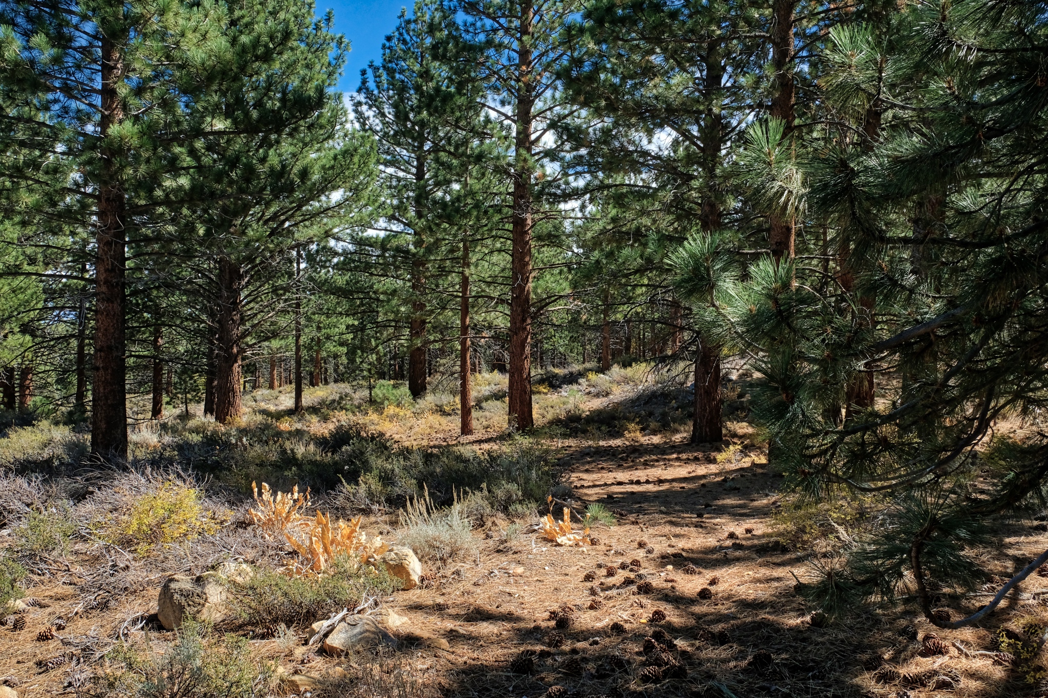 The hiker I encountered two days ago kindly gave me a NFS map of the area. I saw a small dotted line on the map and decided to see if I could find it . . . it appeared to lead to a stream and rock formations. I found the trail: an unused jeep track.
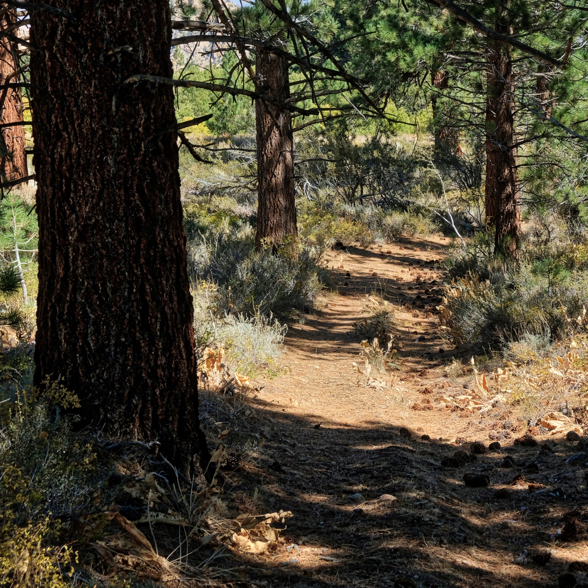 It was such a thrill to walk out this old disused track . . . where does it lead?
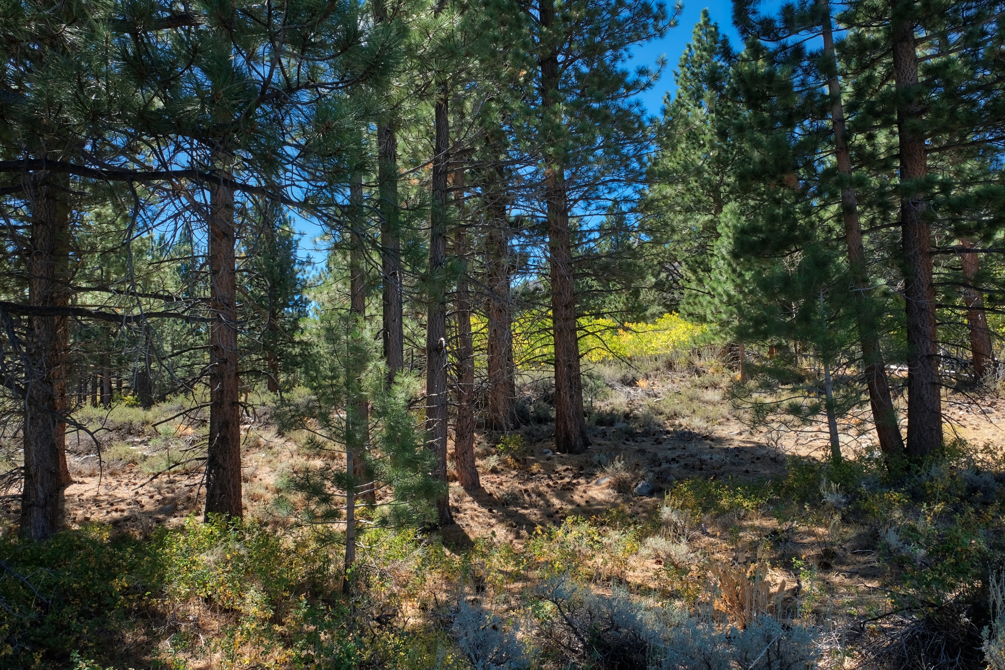 The old jeep track went through a dry pine forest . . . .
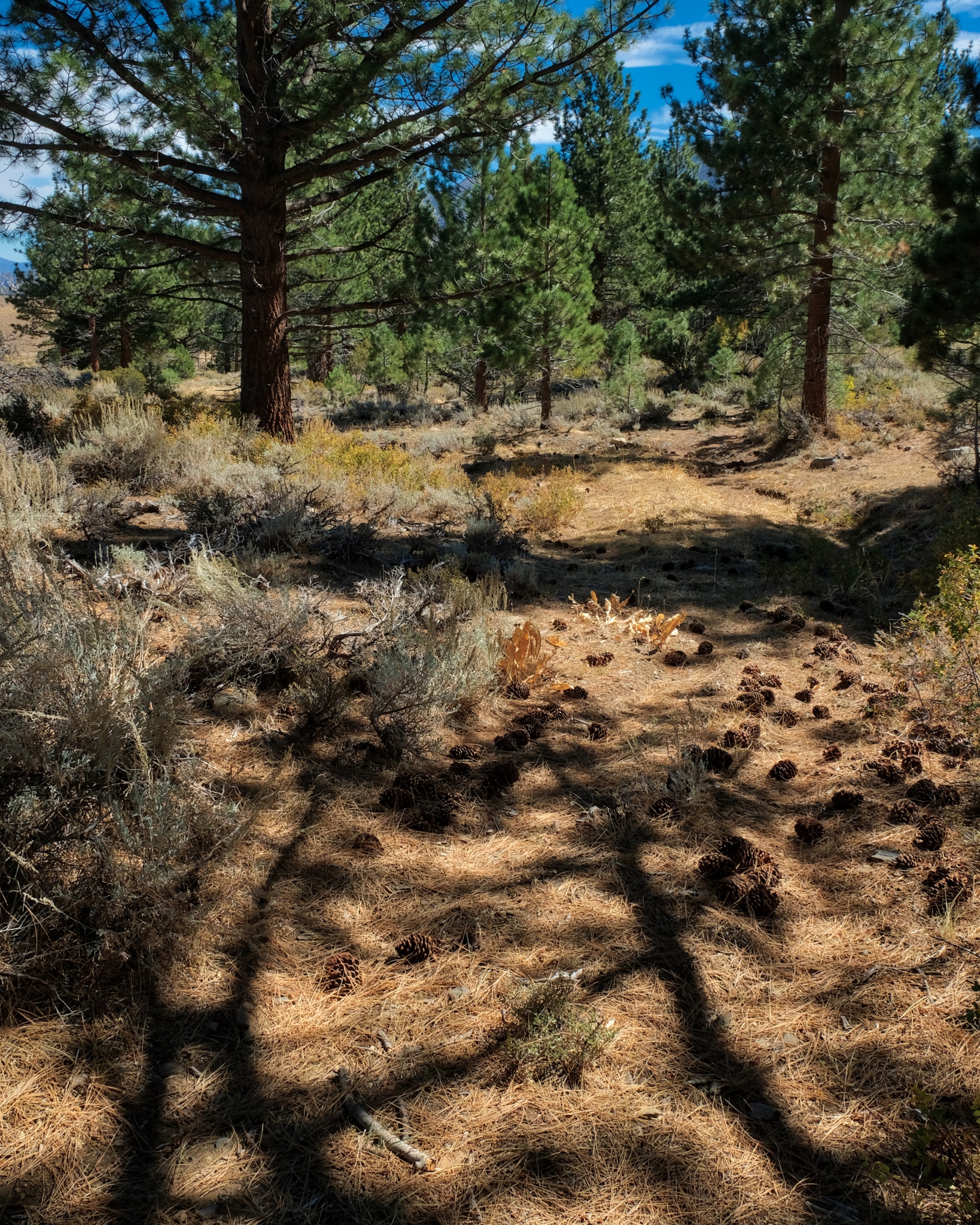 . . . through a carpet of pine needles and cones.
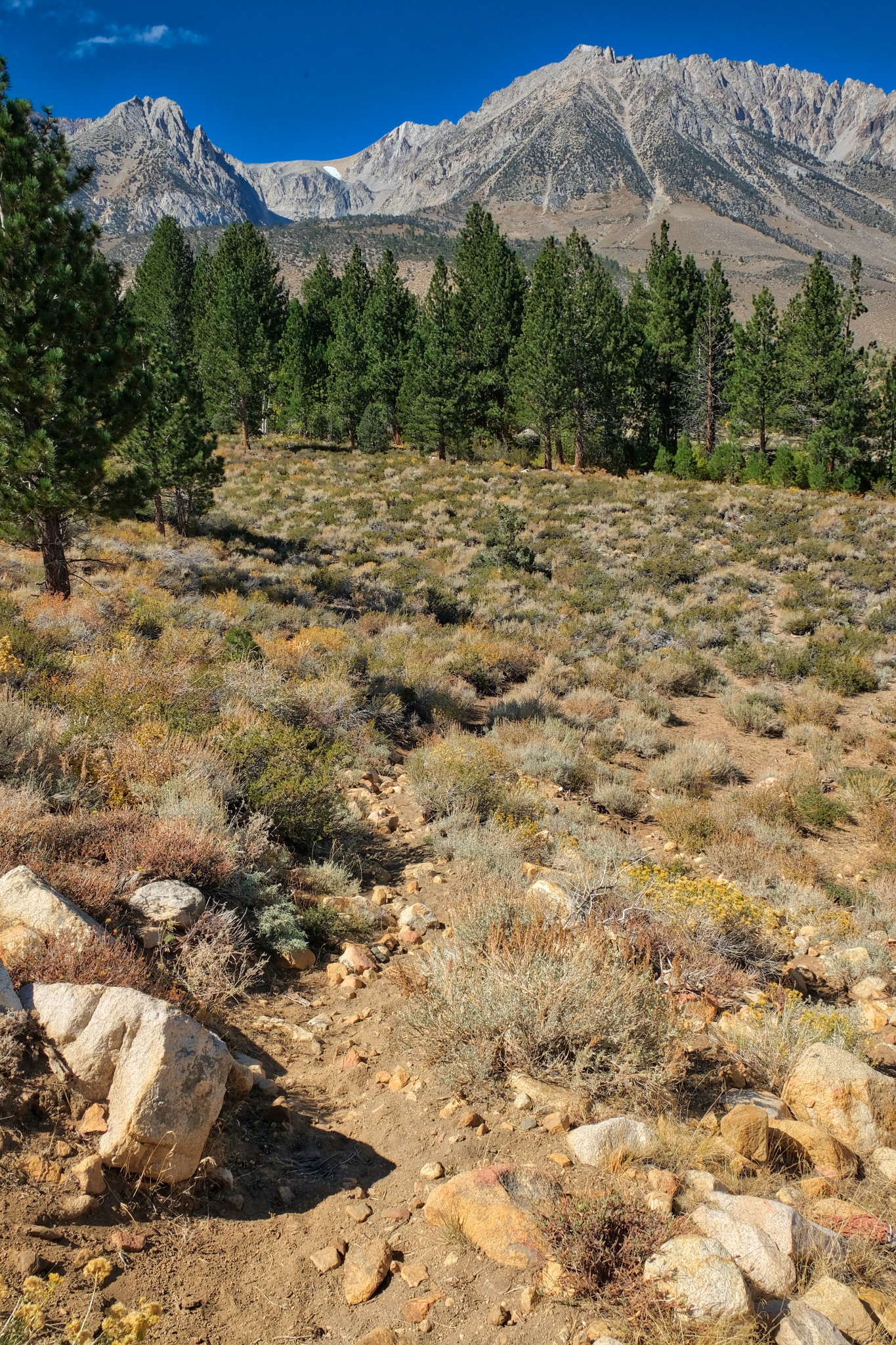 The track left the pine woods and I arrived in the arid scenery . . . and more views of the Sierra Nevadas.
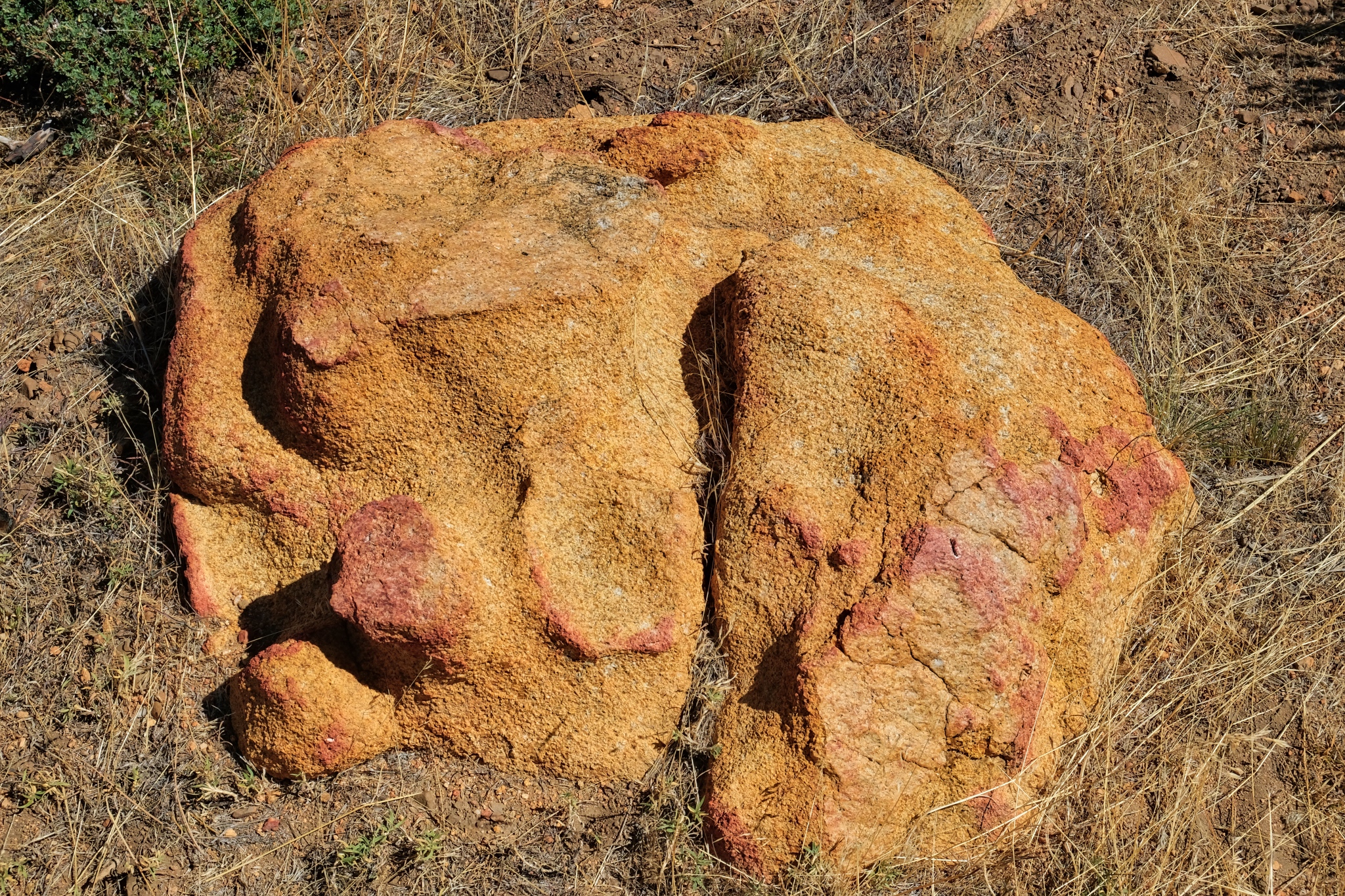 When you are rambling out n the drylands with no particular place to go, you sometimes stumble on interesting objects. This stone was like nothing else I saw in the area . . . just sitting there.
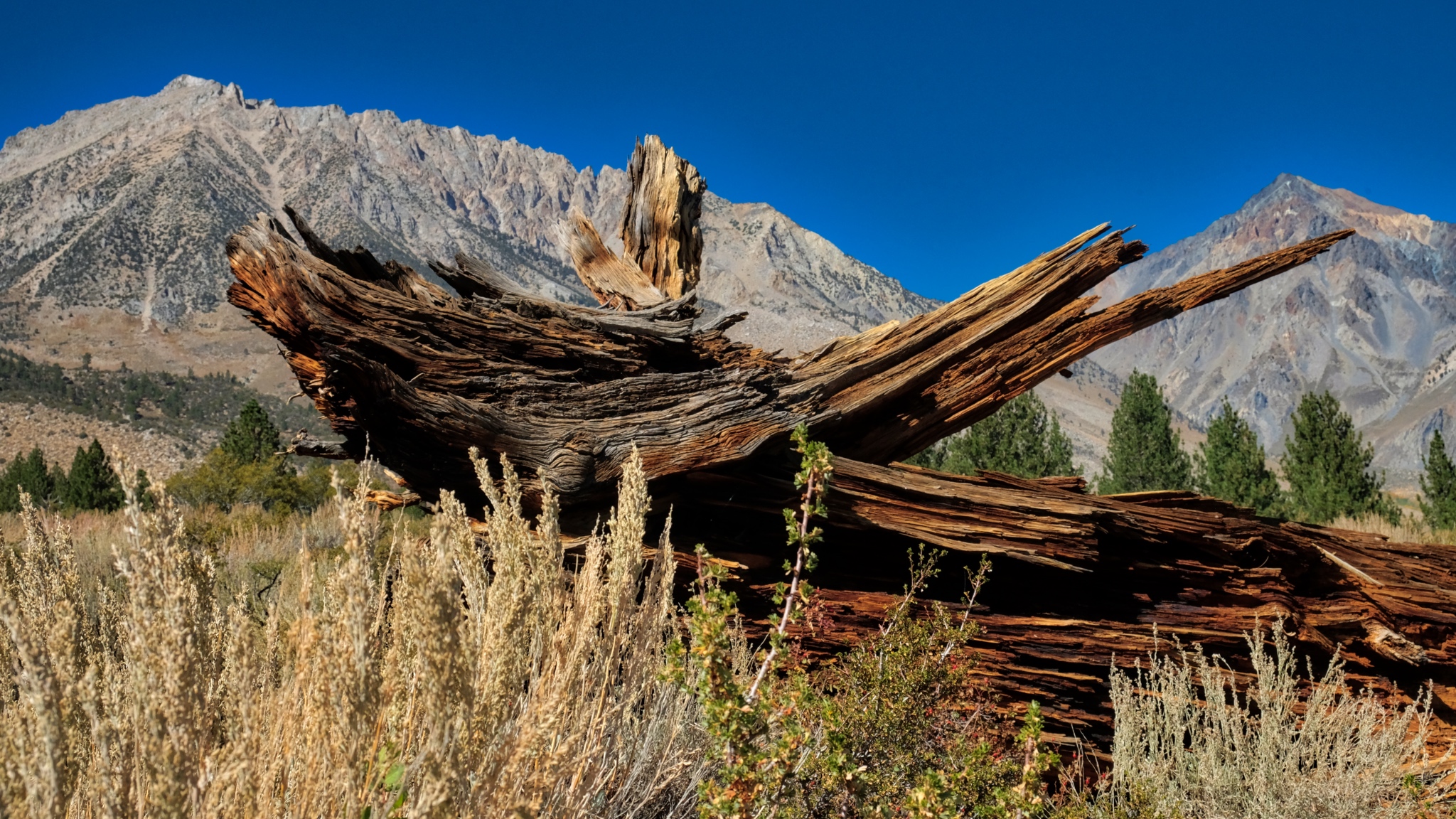 The snag of a burnt pine.
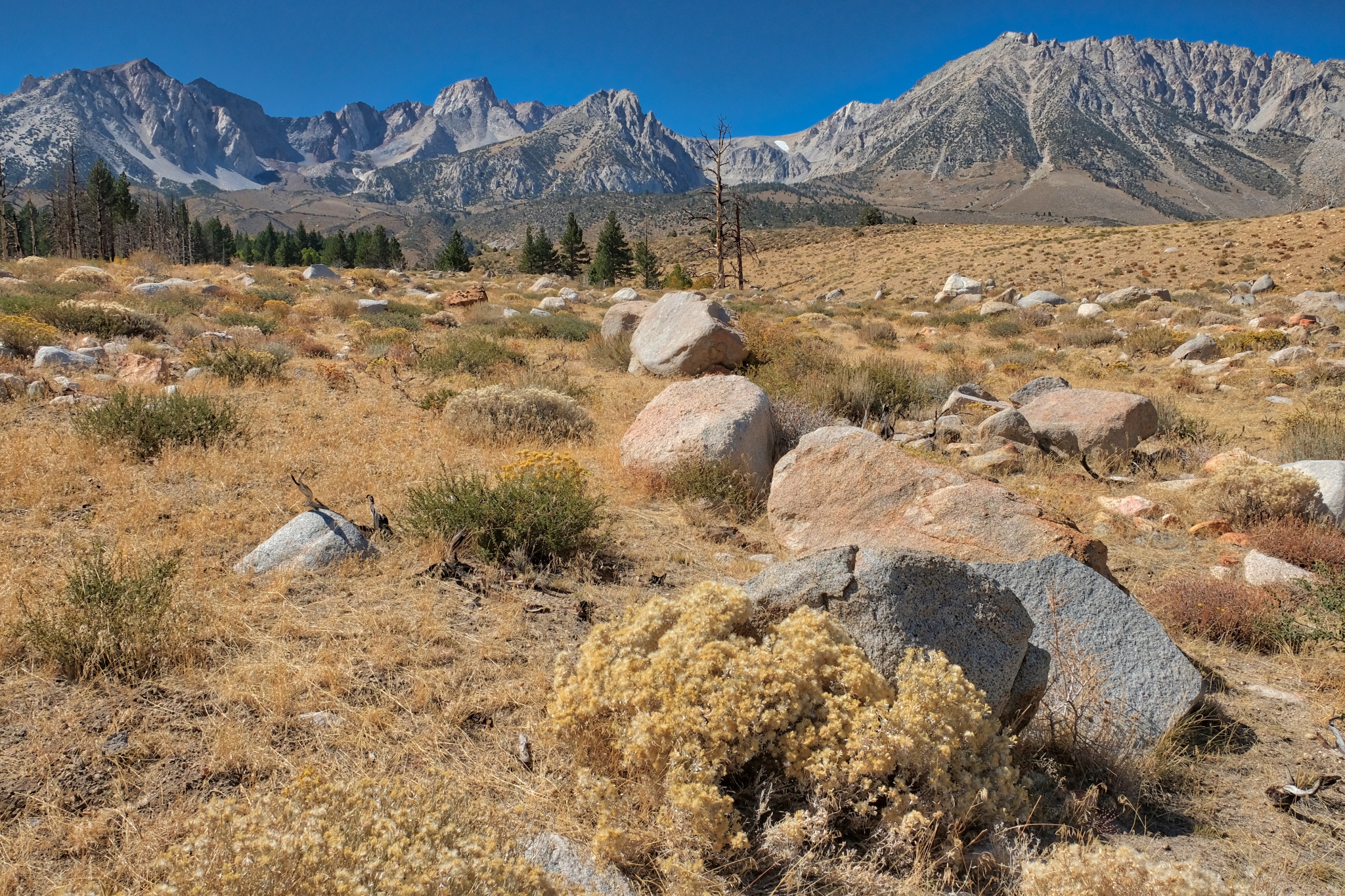 Eventually the trail disappeared and I was left to wander around among the stones. Wonderful. It was a clear day, but the temperature had fallen . . . to the low 50s(f) today.
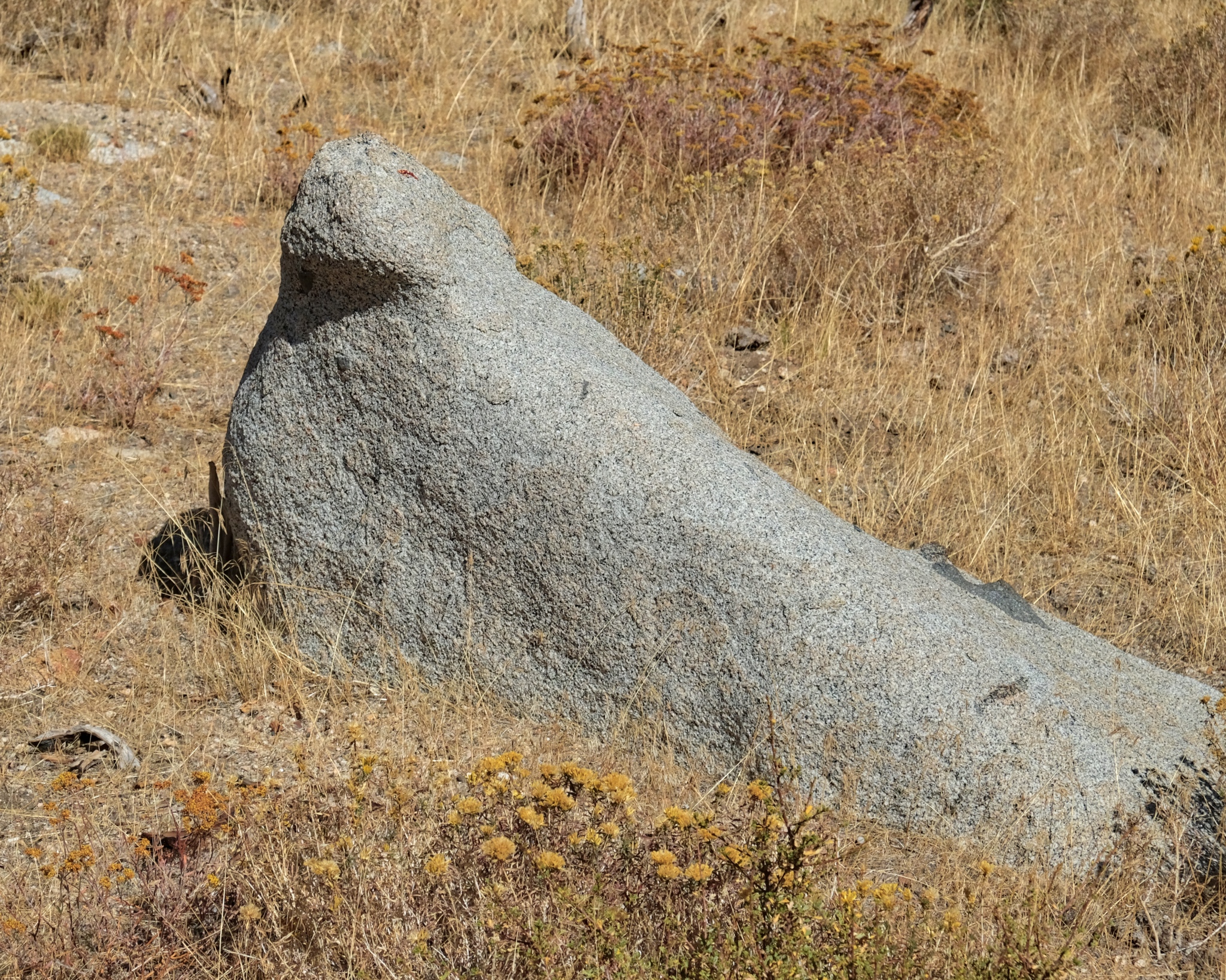 I enjoyed trying to suss out the geological processes that formed particular stones.
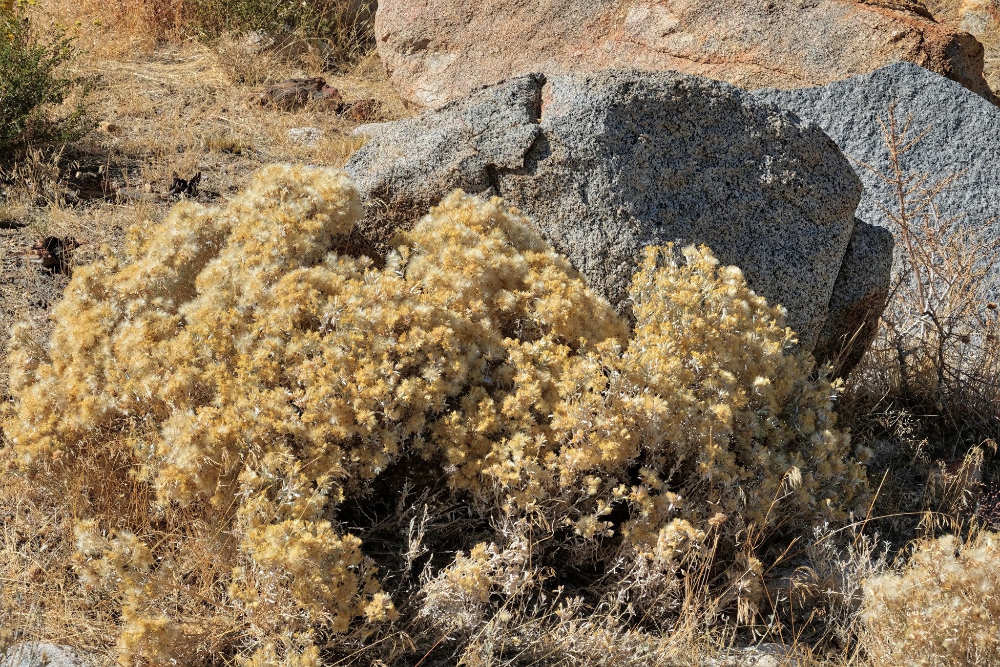 Some of the flora was different at this lower elevation and greater exposure.
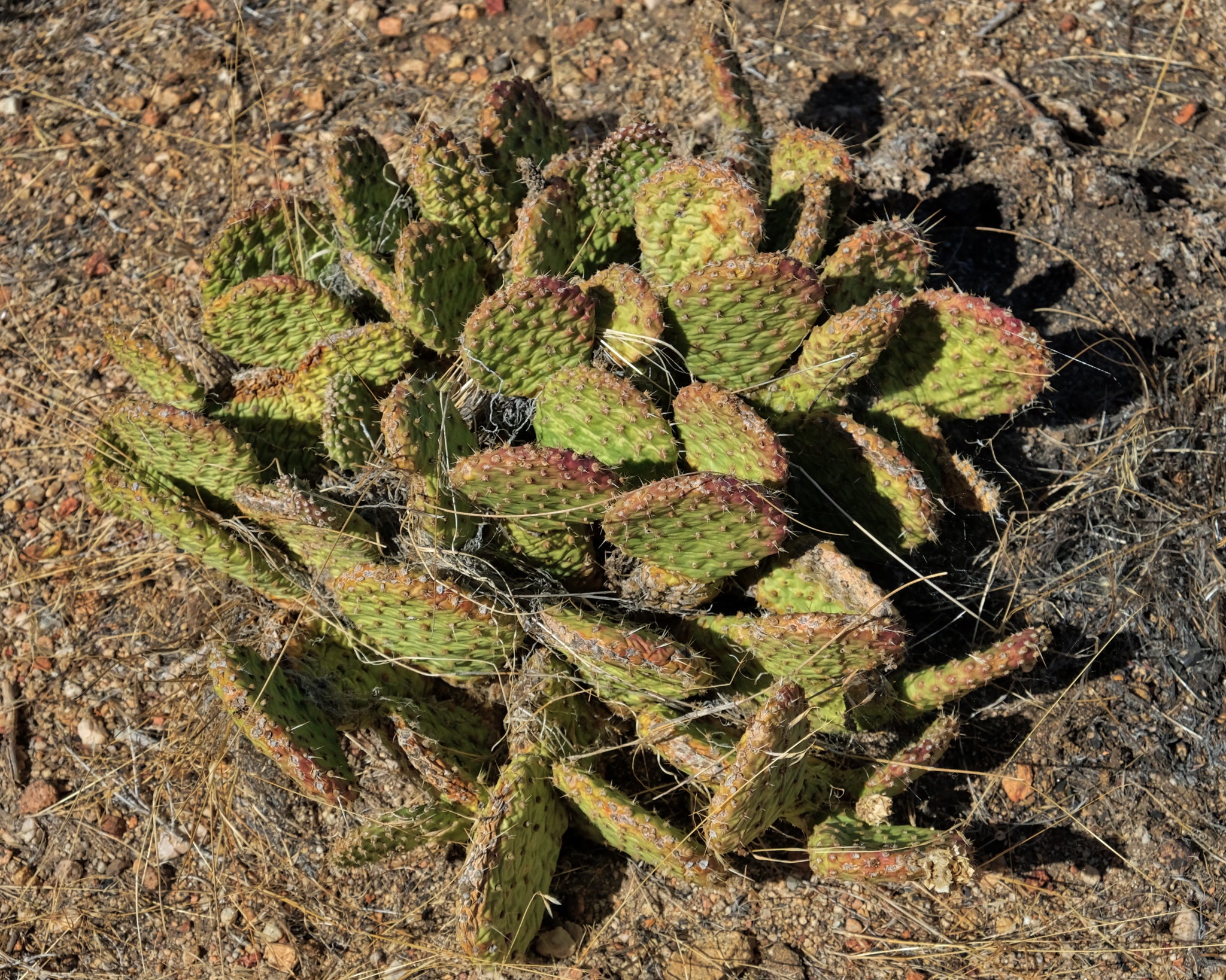 There were even a few cactus plants. This area is covered in deep snow for many months of the year, so this cactus species must be very well adapted.
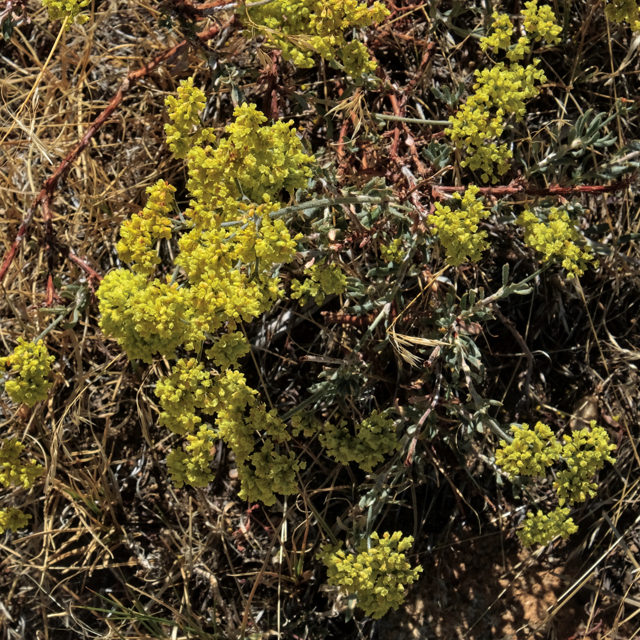 I found it remarkable that there were still flowers at this late date. Snow was expected here any day, ending the summer/fall season for good.
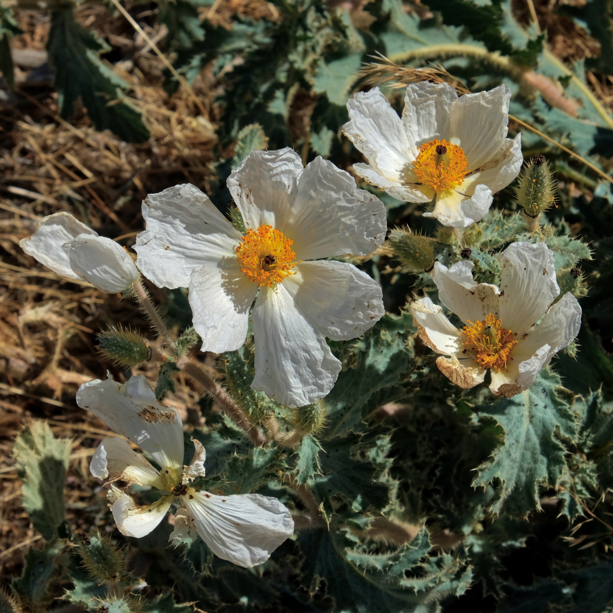 I expect these seeds are meant to last over the winter, under the snow, until the temperature, light, and moisture are right for their germination.
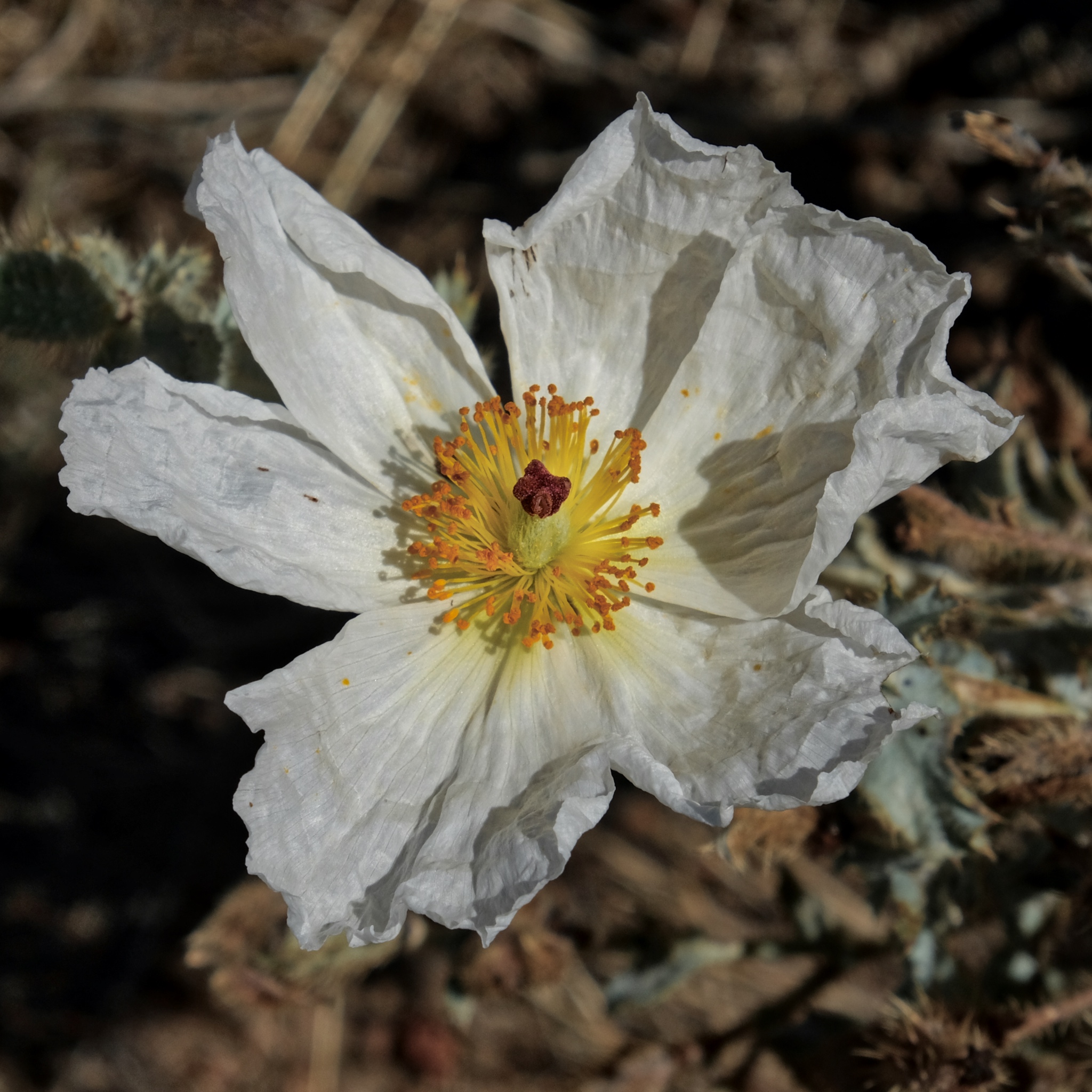 Absolutely beautiful.
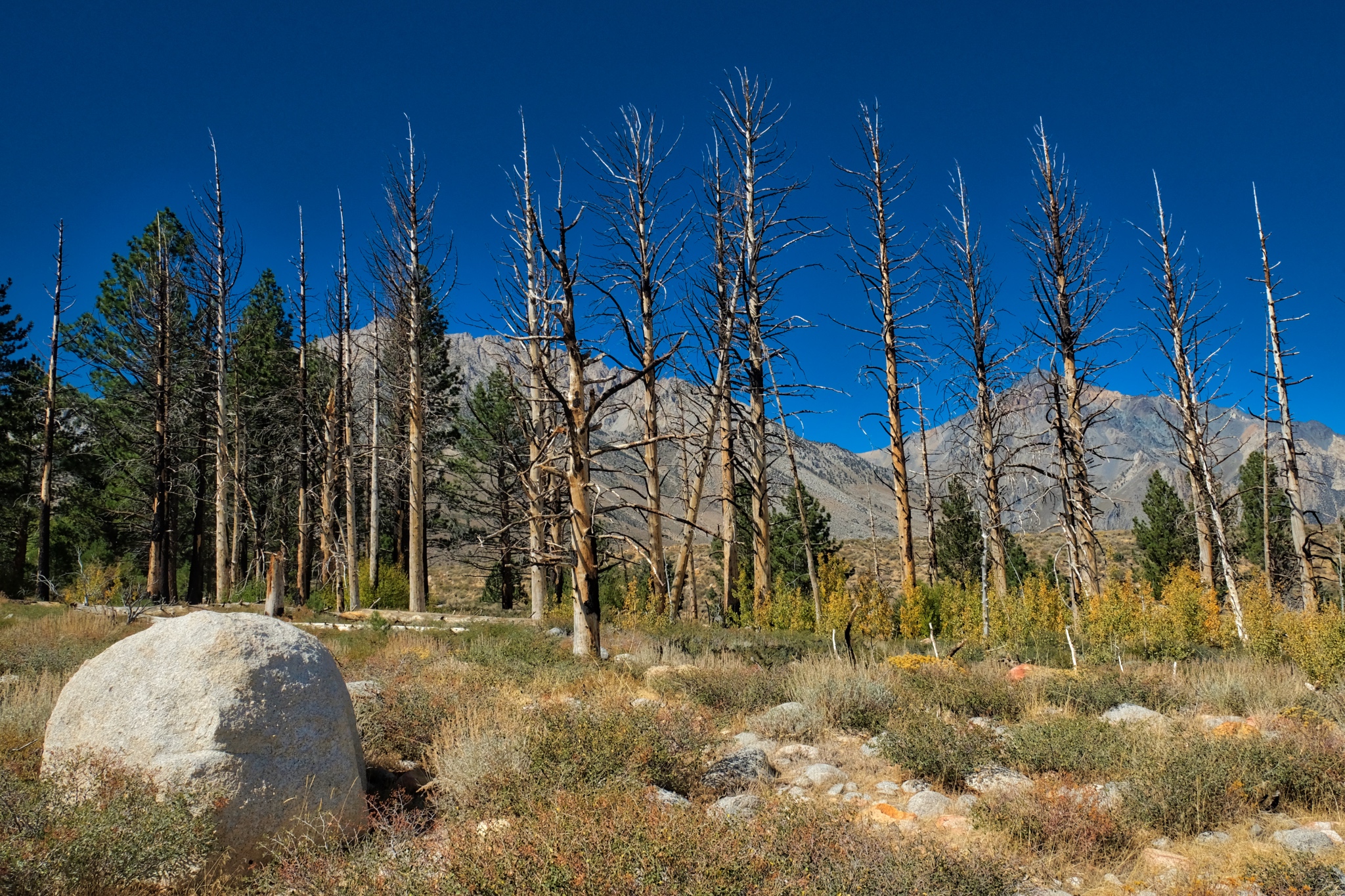 I followed my USFS map to where a stream was indicated and discovered there had been a fire in the recent past. This is the point the fire ended and the unburned trees resumed.
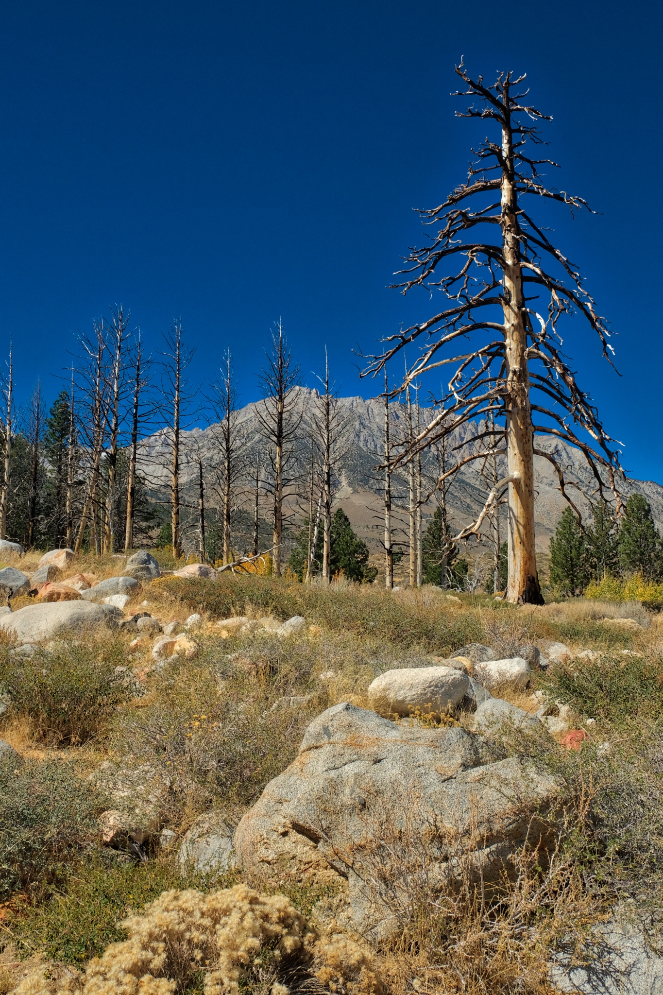 A giant burned snag towering over the arid scenery.
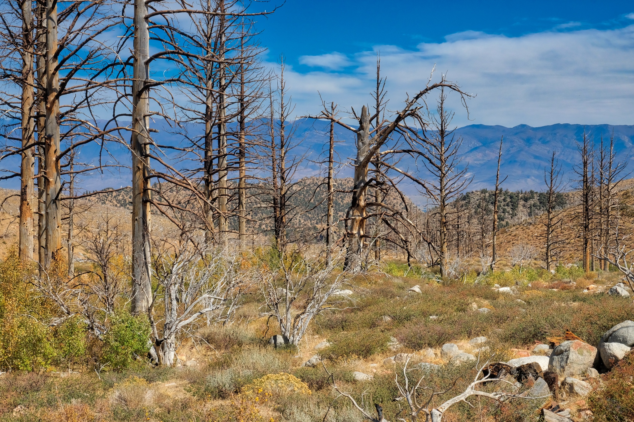 I continued to follow the burnt tree line down the valley. There was a small trickle of water in the streambed.
 A strange beauty permeates these old snags . . . perhaps it is the clarity of light that enhances a sense of connectedness to actuality.
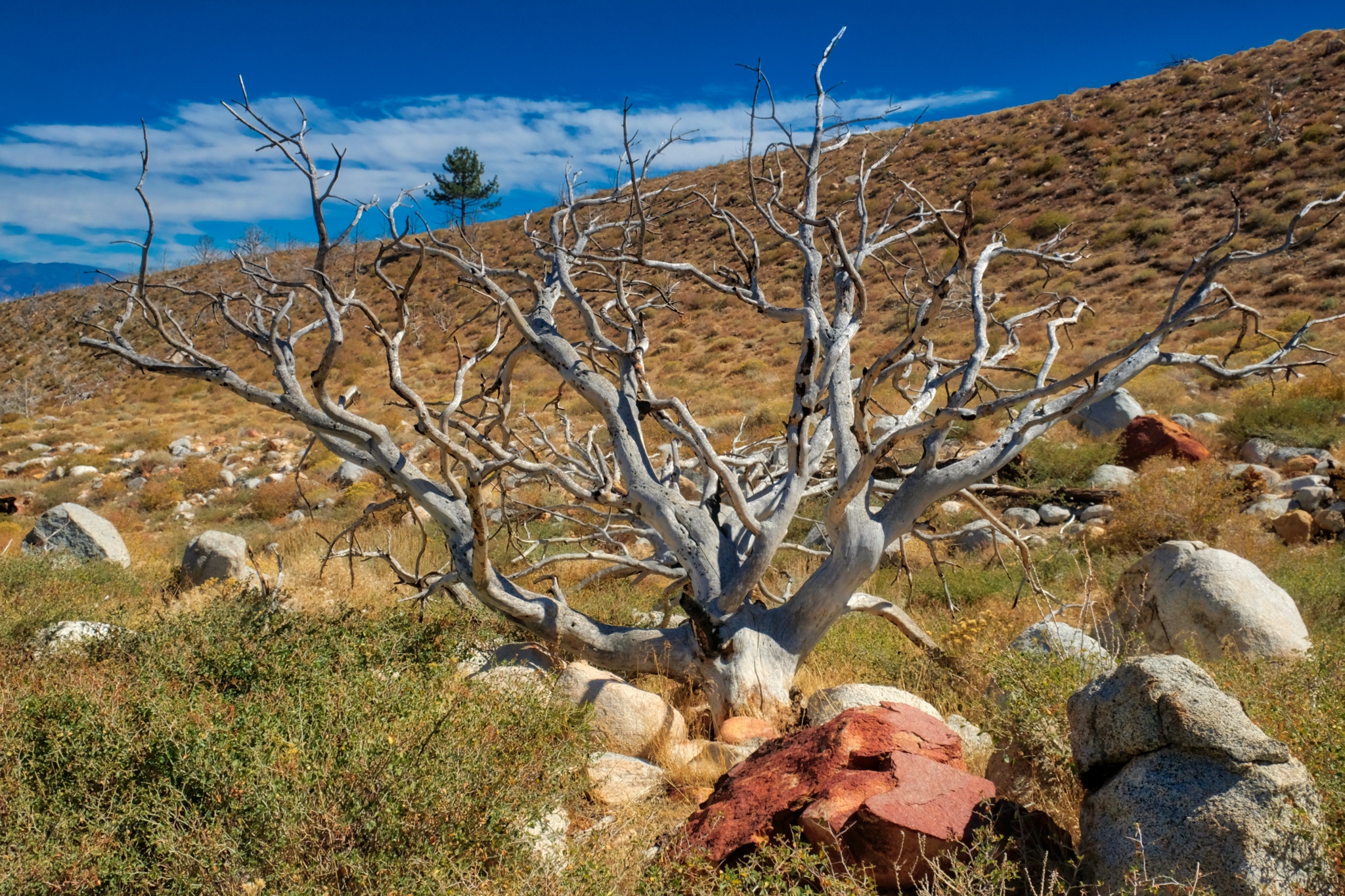 I walked all morning beside the stream amid the remnants of the old burn.
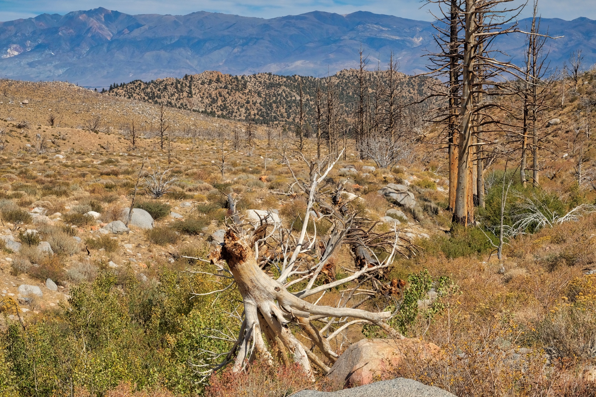 I crossed over the stream here.
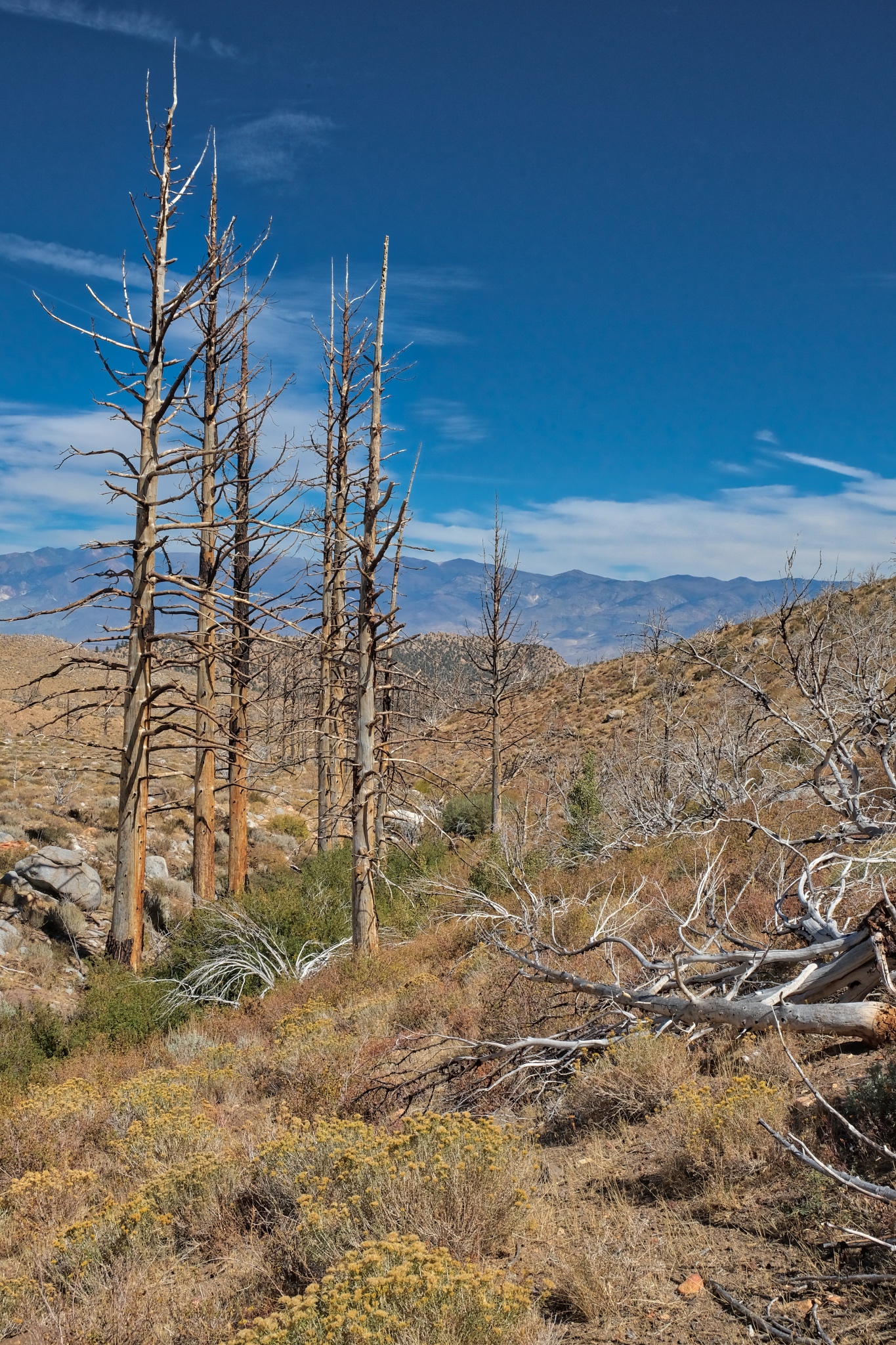 Another beautiful day.
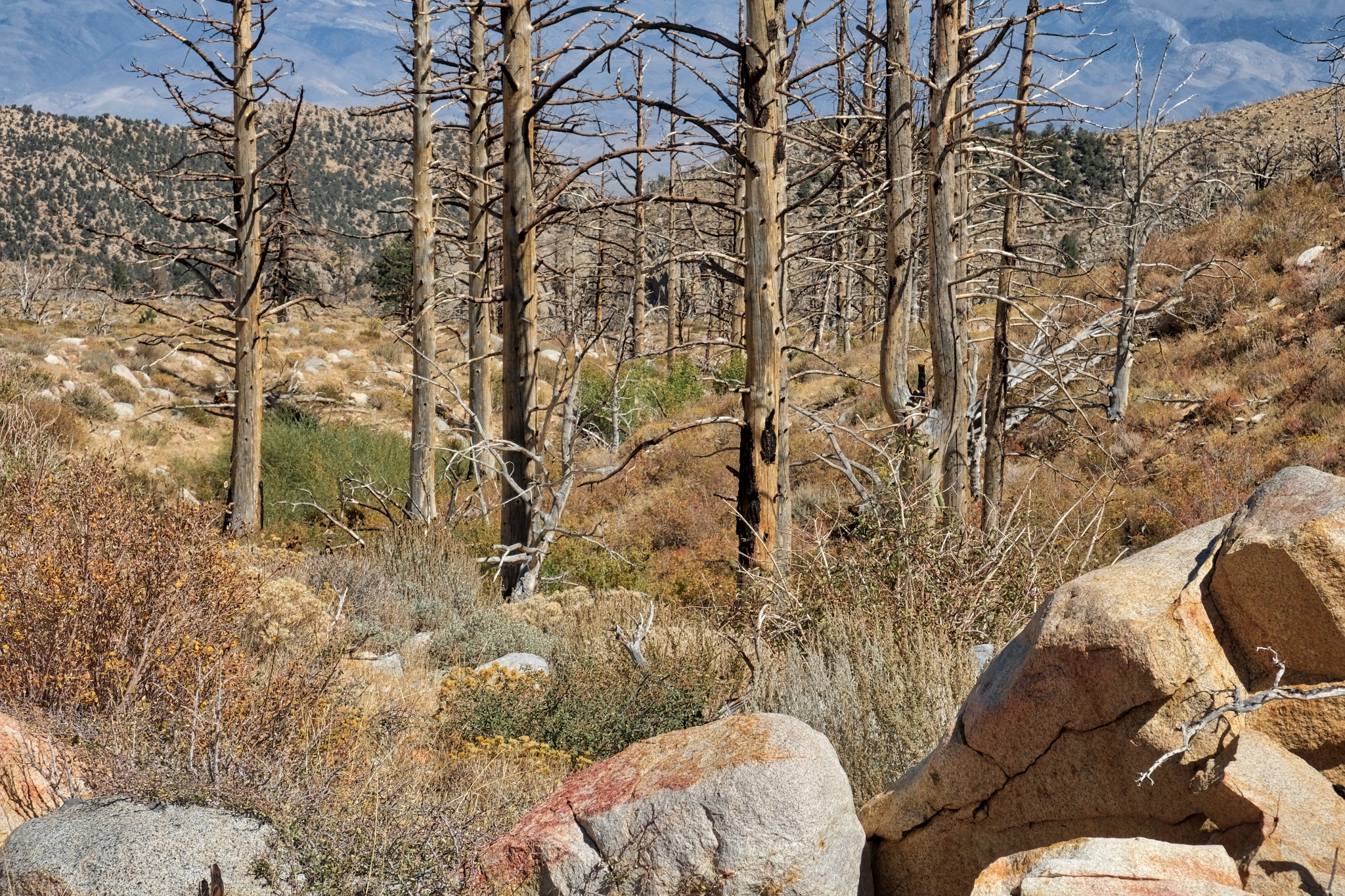 At this point I am just picking my way between the stones and the brush . . . there is no trail . . . but it is very beautiful.
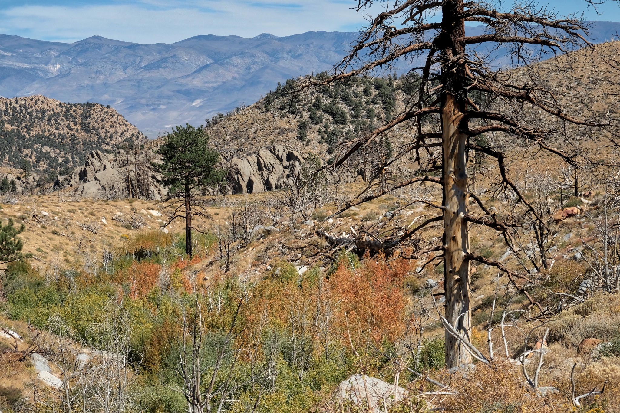 I made it this far down the valley. I had hoped to get to those large boulder formations in the distance, but I grossly miscalculated the distance and the time it would take.
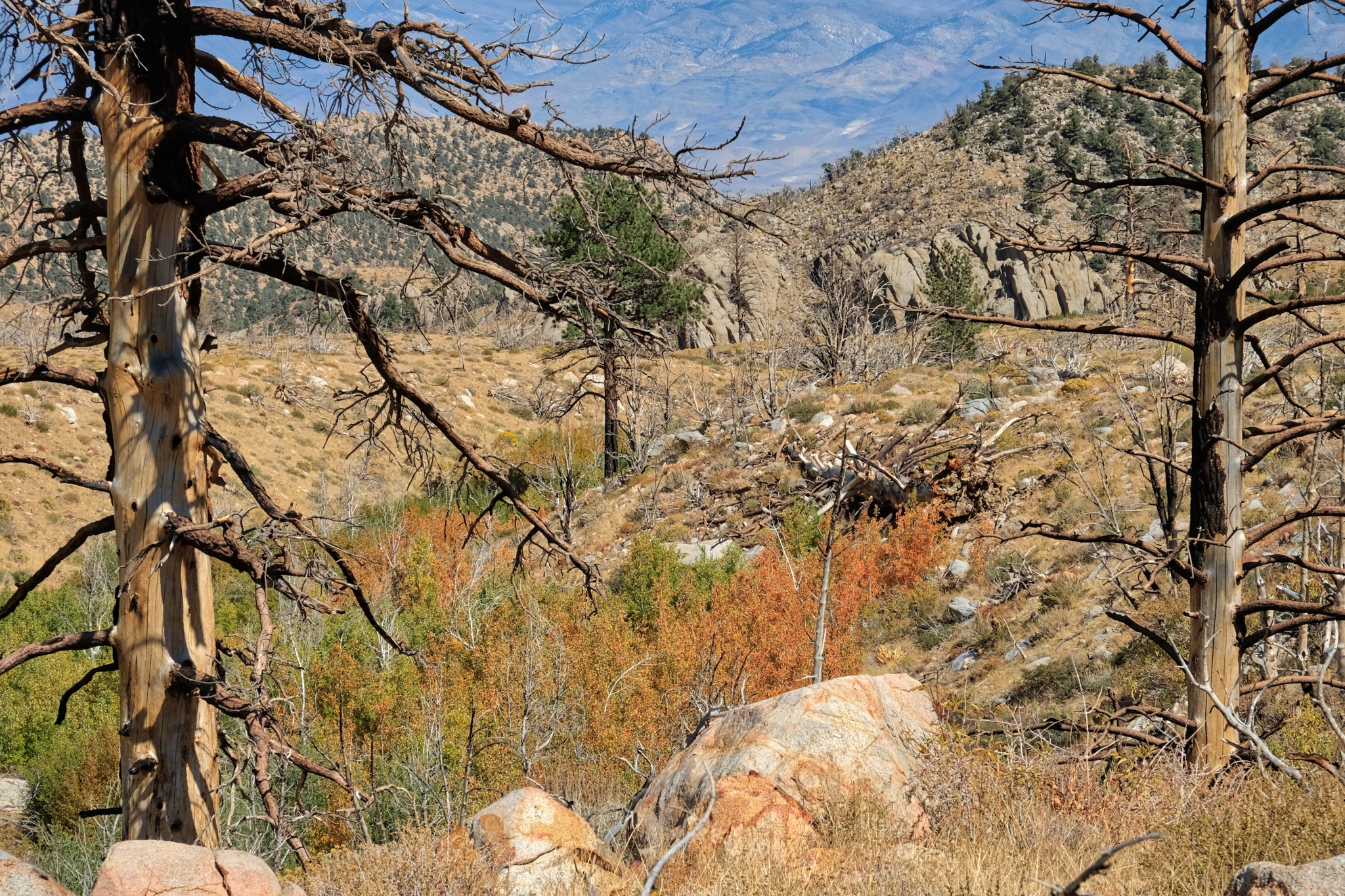 I sat here and ate my packed lunch and drank a bottle of tea. I was not disappointed I had not made it all the way to the boulder formation . . . there was no shortage of beauty right here.
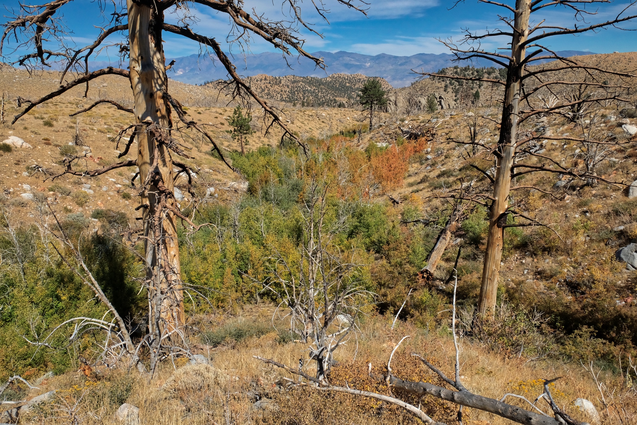 My last look down the valley streambed (I believe it to be 'Birch Creek' from the maps).
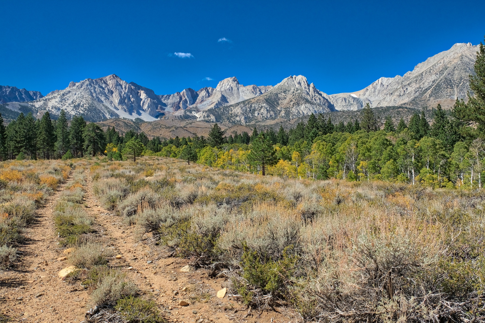 The walk back to camp on the abandoned jeep track was marvelous, with the grand mountain view always up ahead.
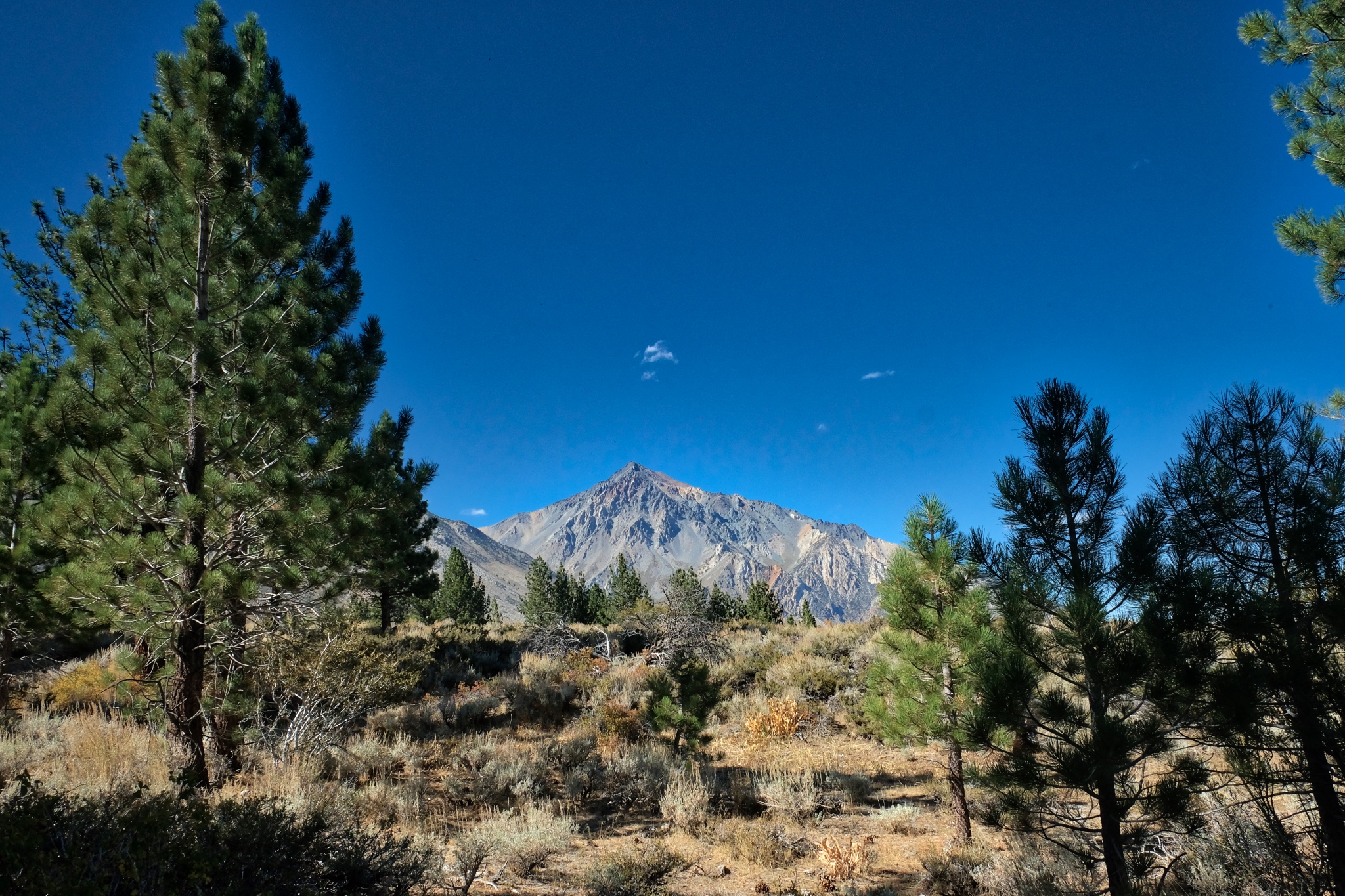 Although I have lived in the tropics for 30+ years, this is still my favorite countryside.
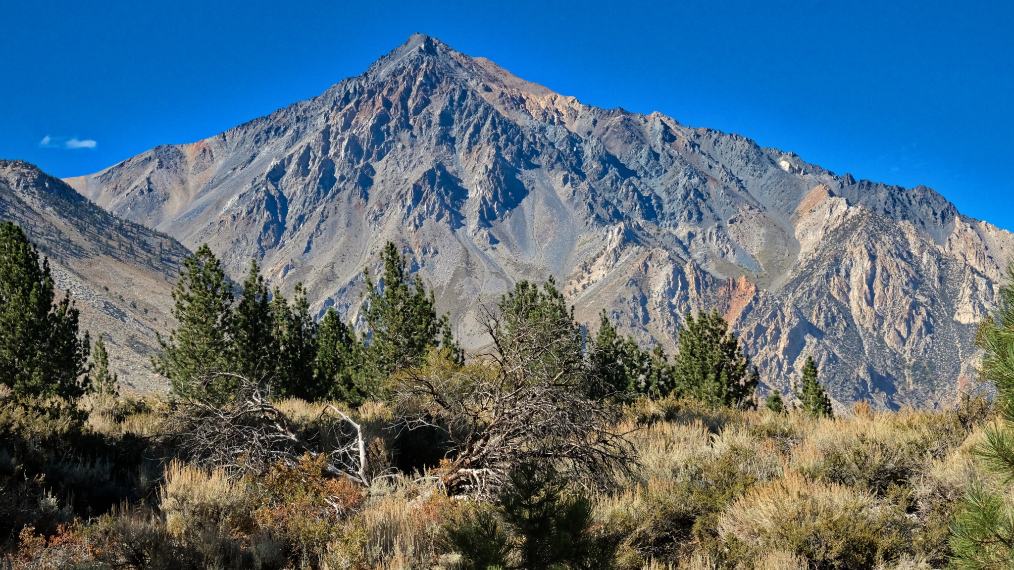 Mount Tom . . . always present in this stunningly clear air.
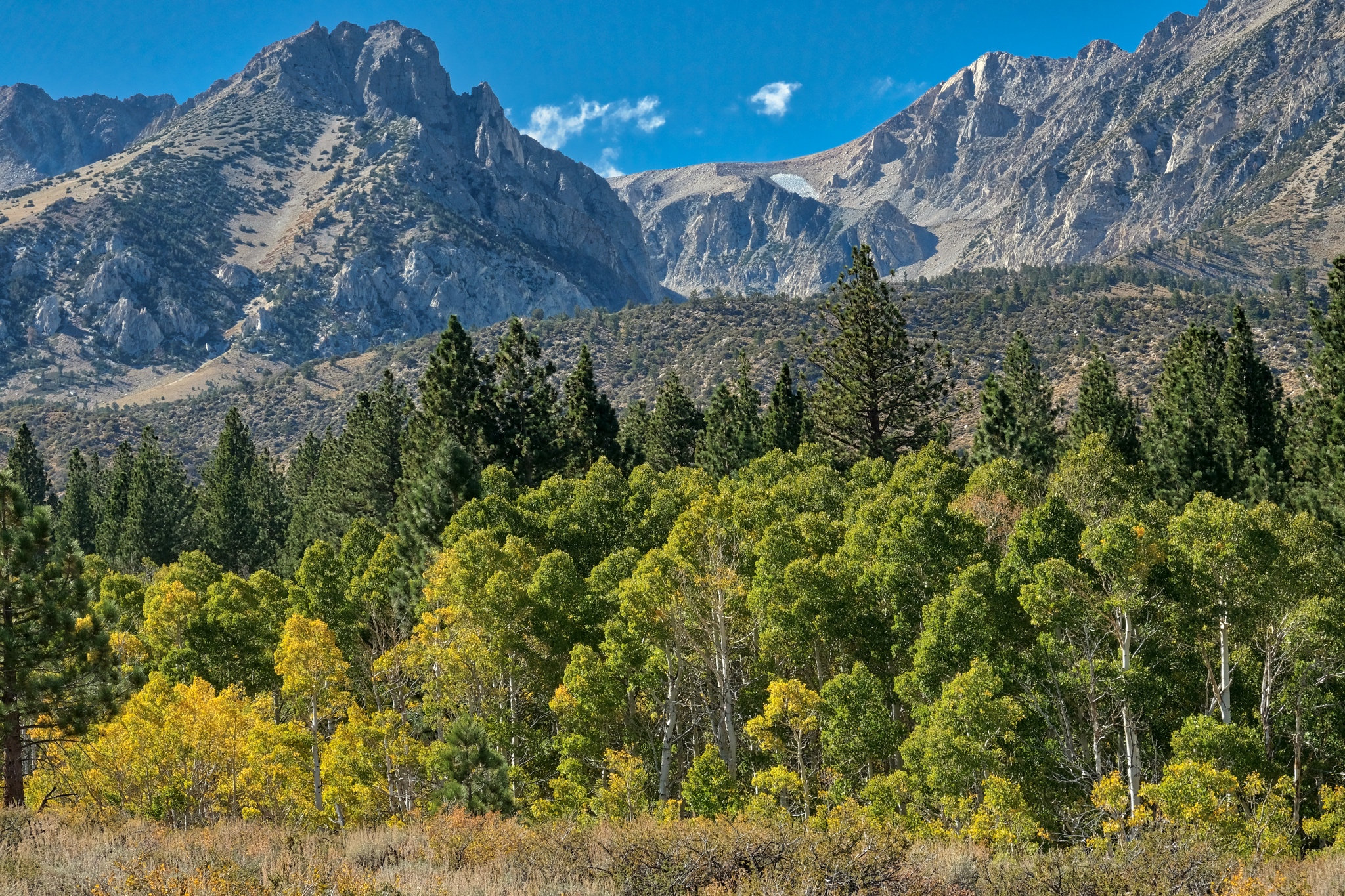 Nearing my camp in this stand of aspens.
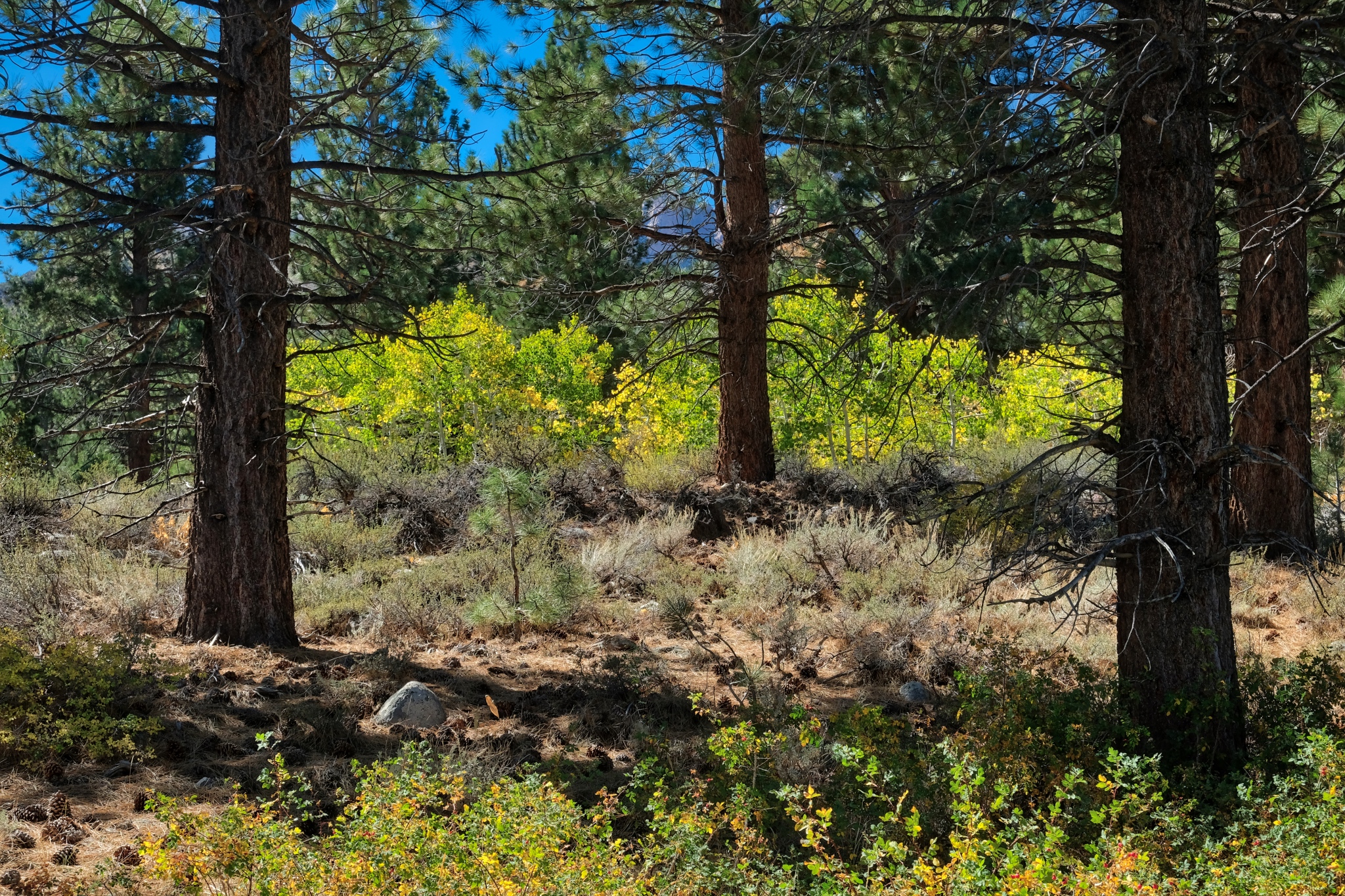 Back into my dry woods.
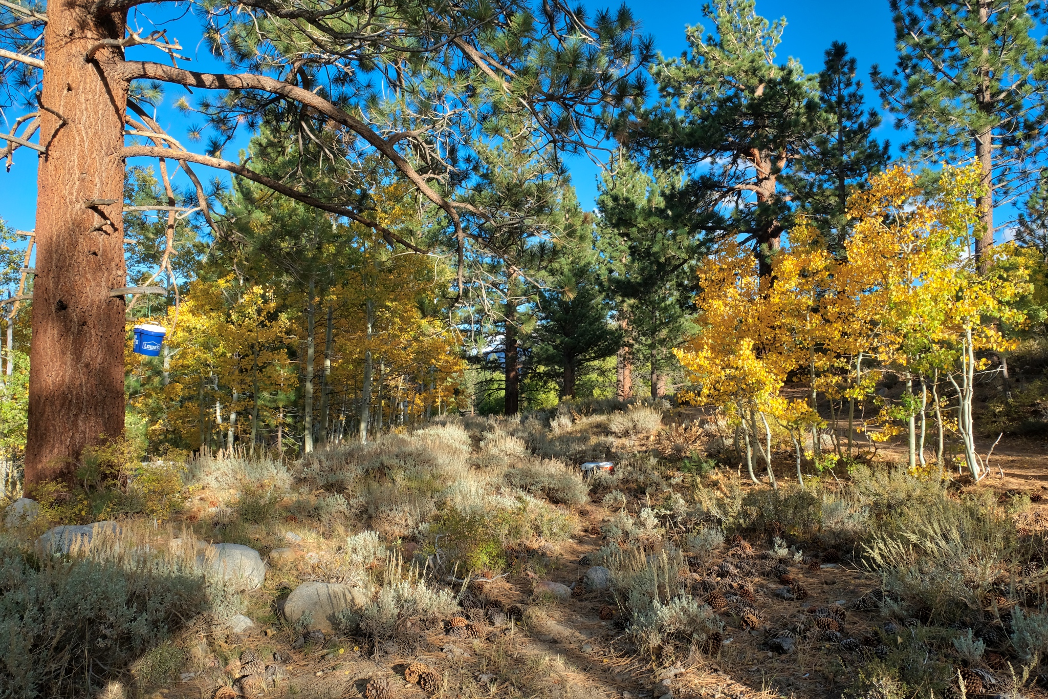 I was happy to be back in my camp. The weather report was for a big storm to blow in that night with strong winds and snow likely. I was a little concerned about driving down the mountain in the snow and ice . . . if it came.
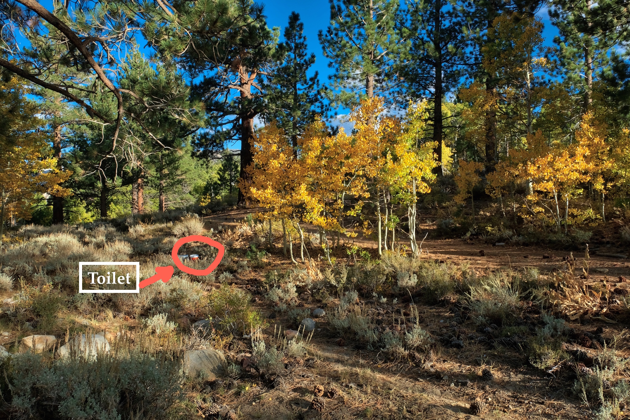 A magnificent place for a portable recycling throne!!!!
_________________________________________________
DAY SIX: DEPARTURE . . . BACK TO SWALL MEADOWS
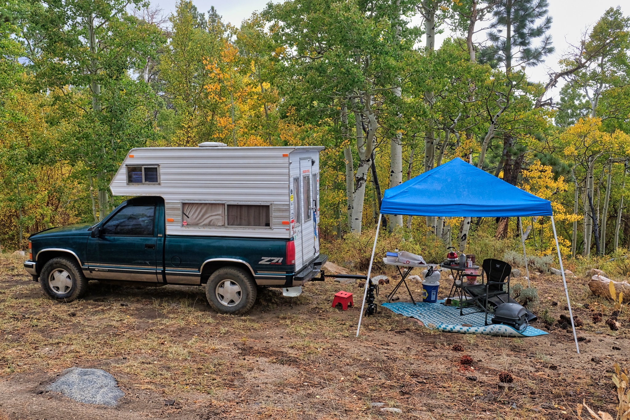 The morning of my departure was bitter cold (28f) with a mix of rain and sleet falling on my camp. I quickly packed it all back up into my camper.
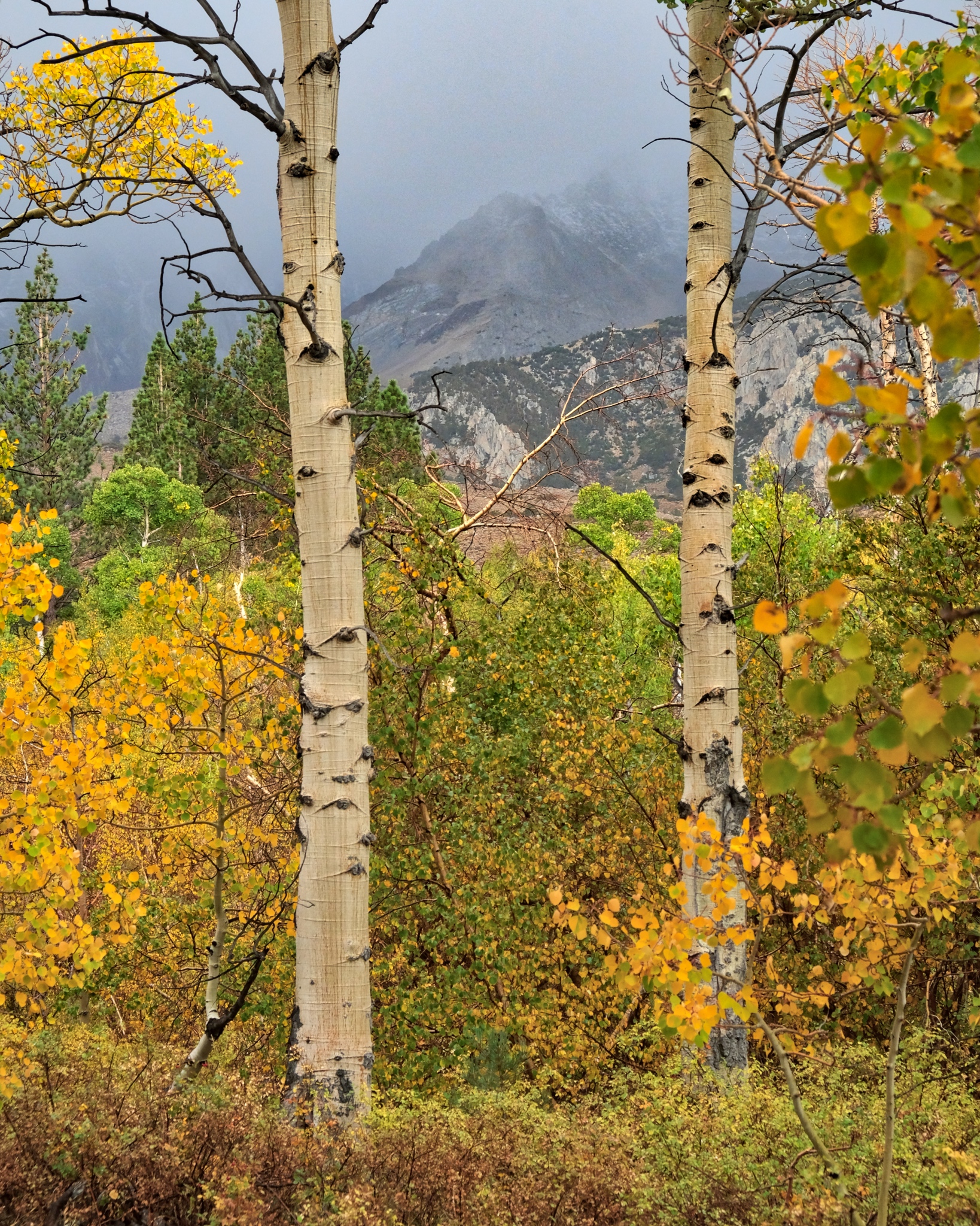 Wisps of snow on the high peaks.
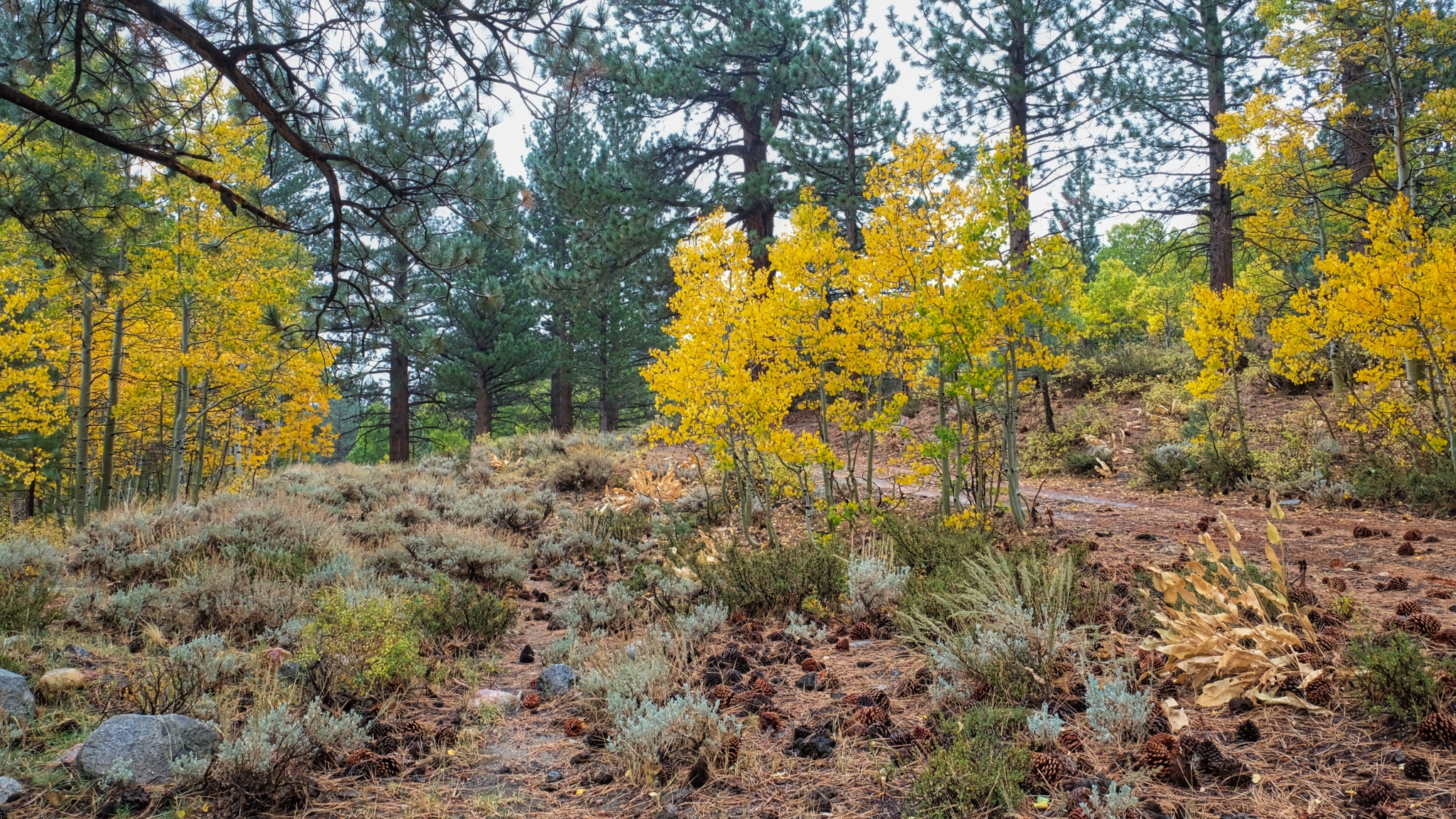 I left no trace at my campsite.
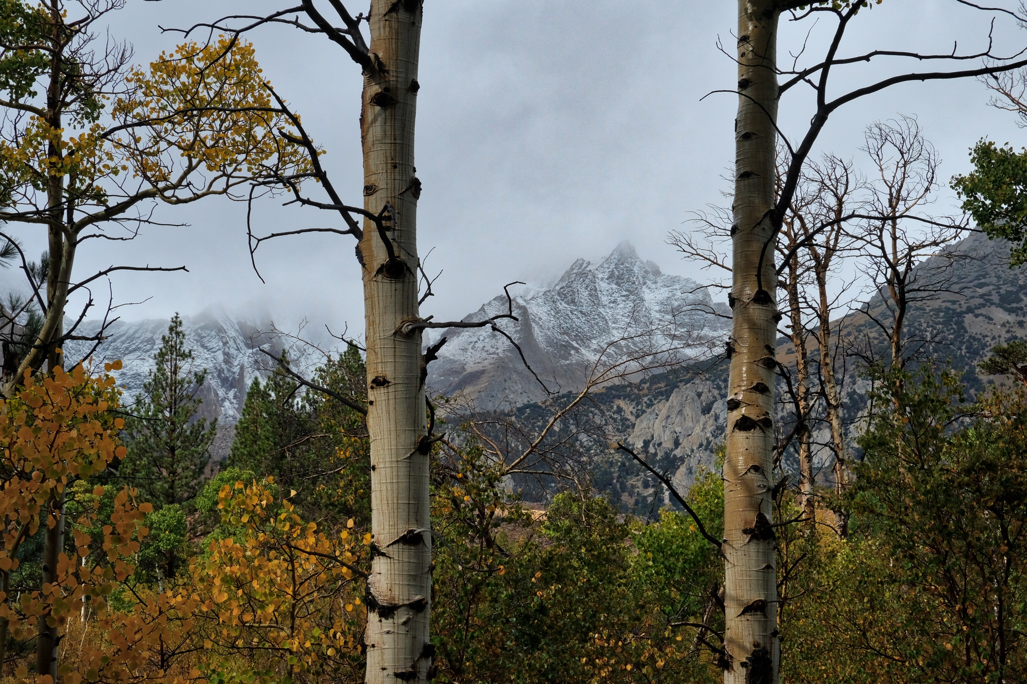 My last look up to the mountains before I drove out of The Buttermilk Country. The first snow . . .
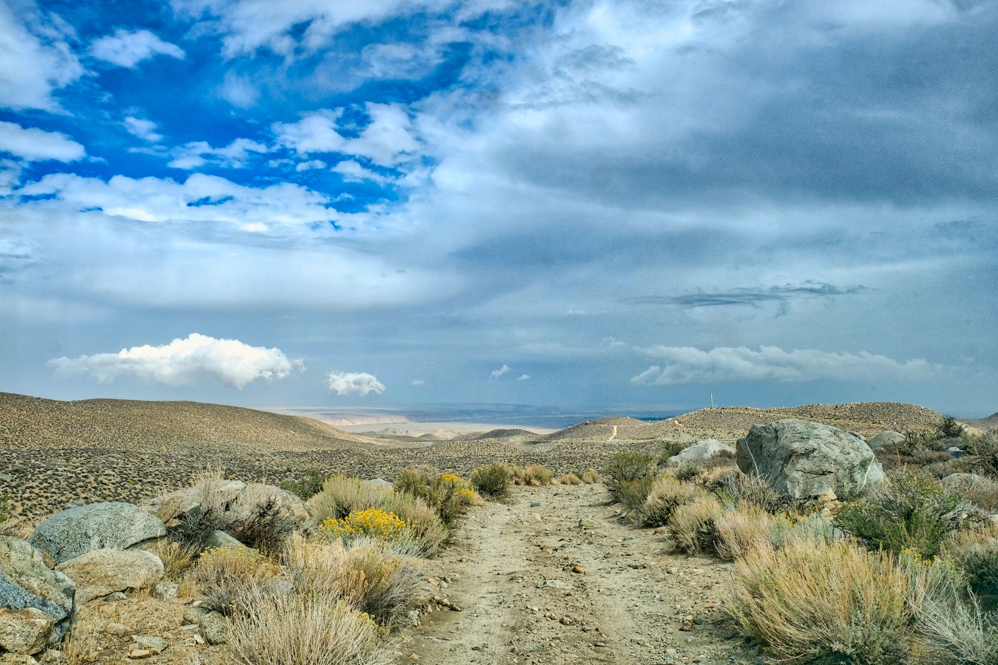 I took the southern route on the Buttermilk Country Loop down the mountain.
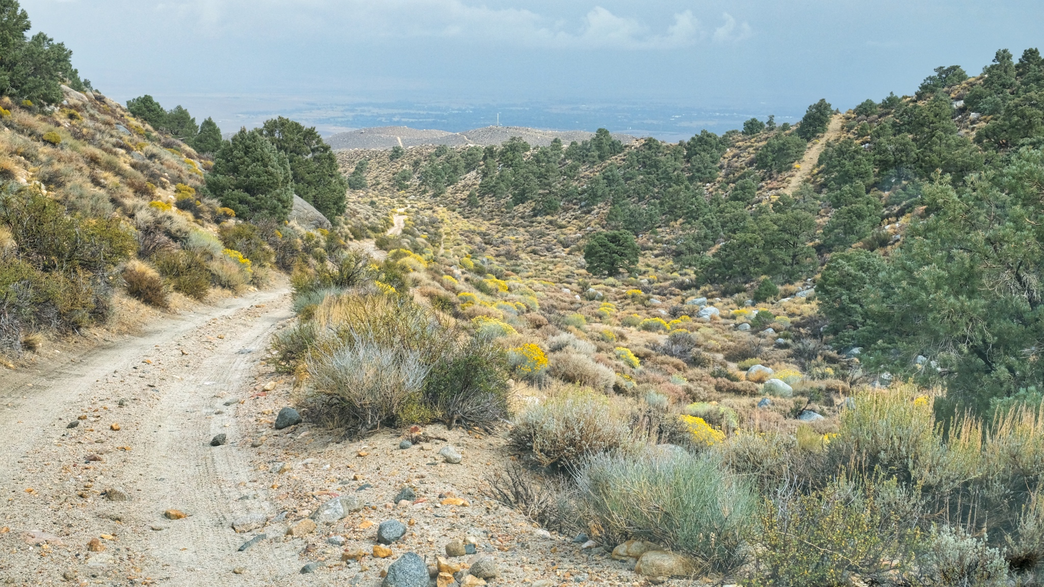 The road out was a little frightening in a few places.
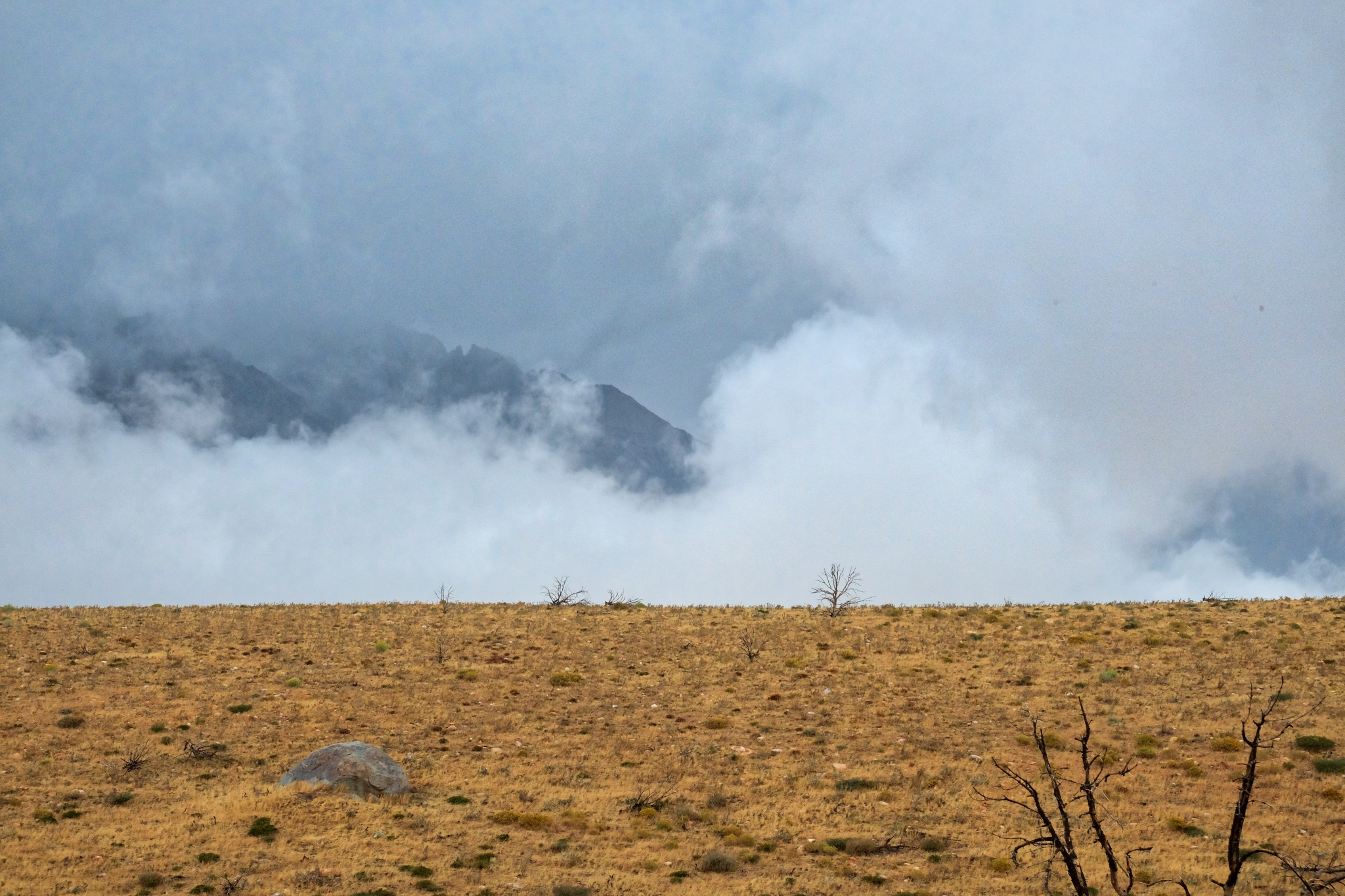 Looking toward Mount Tom, shrouded in clouds.
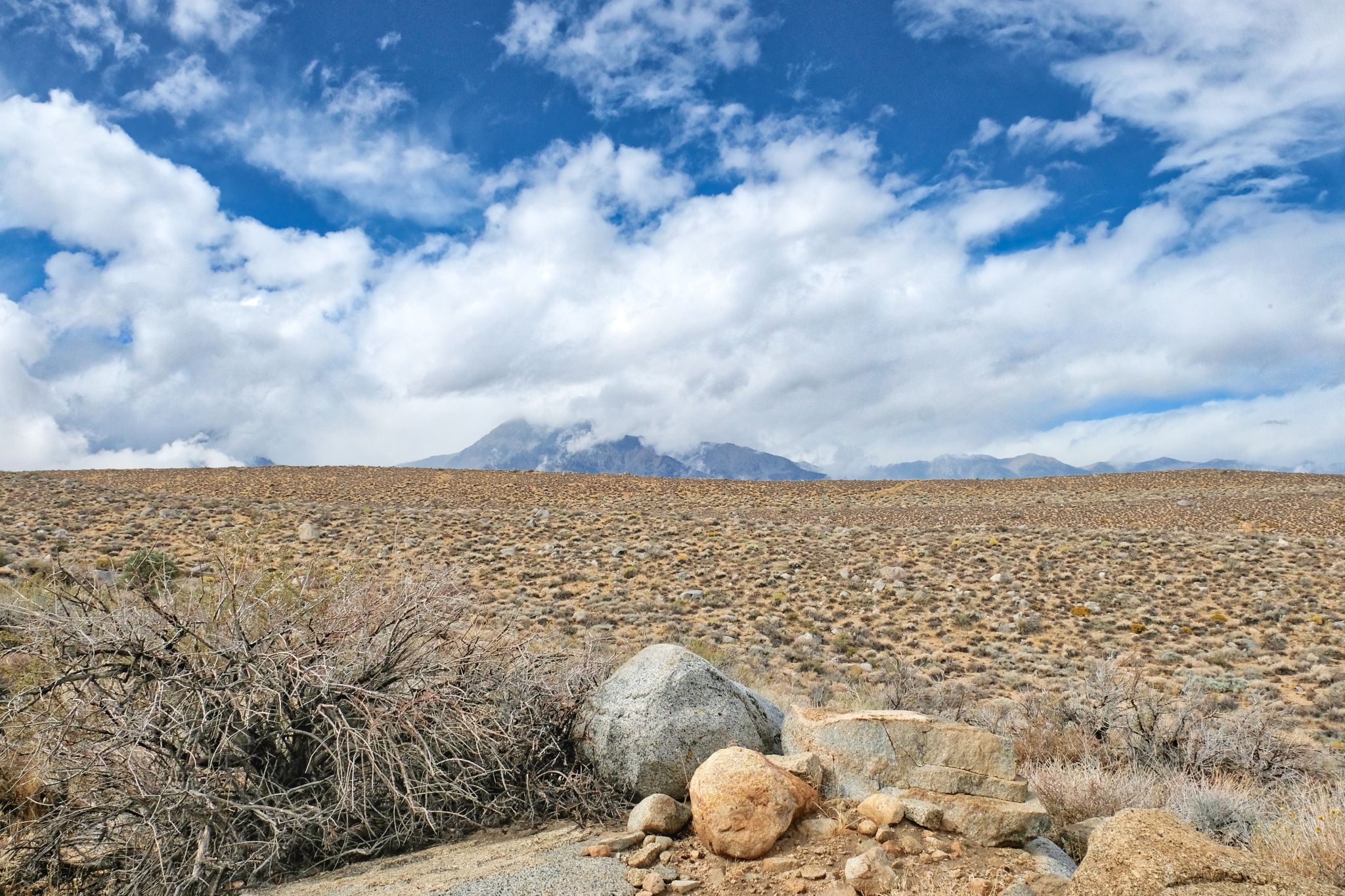 The 'back way' off the mountain goes across this dry plane.
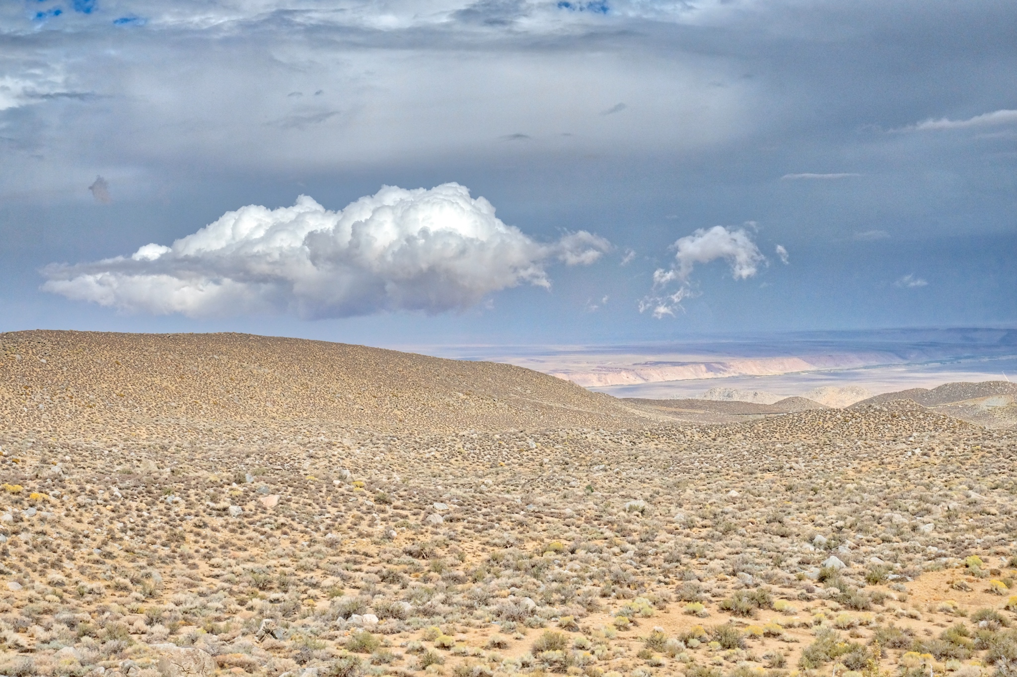 Beautiful clouds were hanging over Bishop, California.
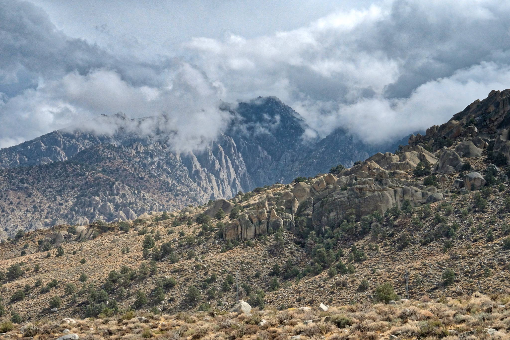 Nearing the paved road . . . I have been looking at these rocky hills from my camp for days and now I see them up close.
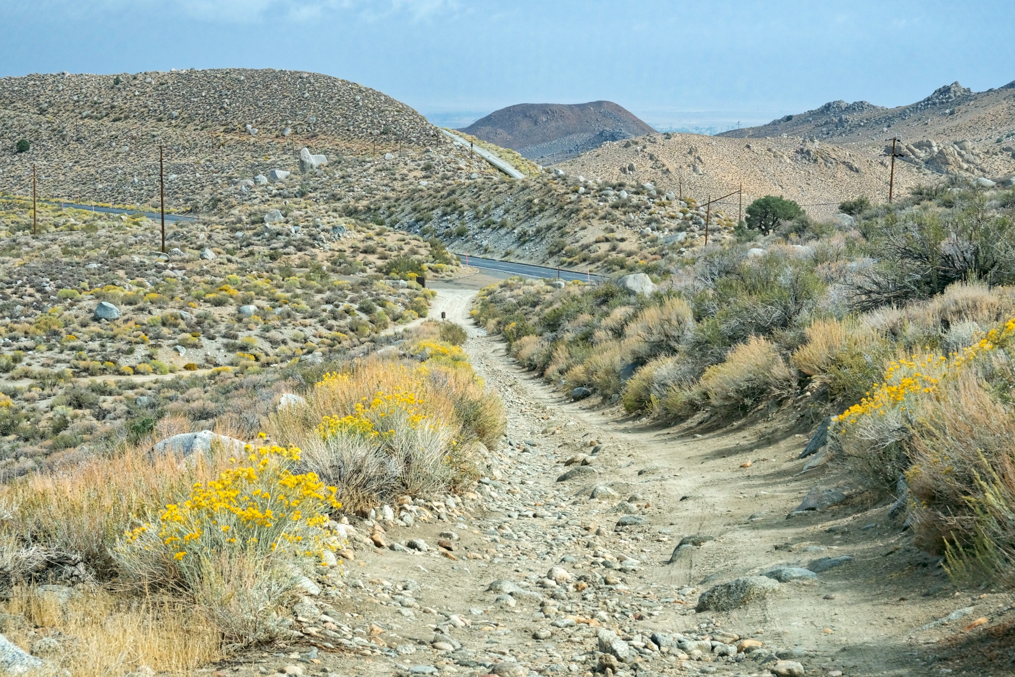 The last steep hill to the paved Route 168. Civilization at last.
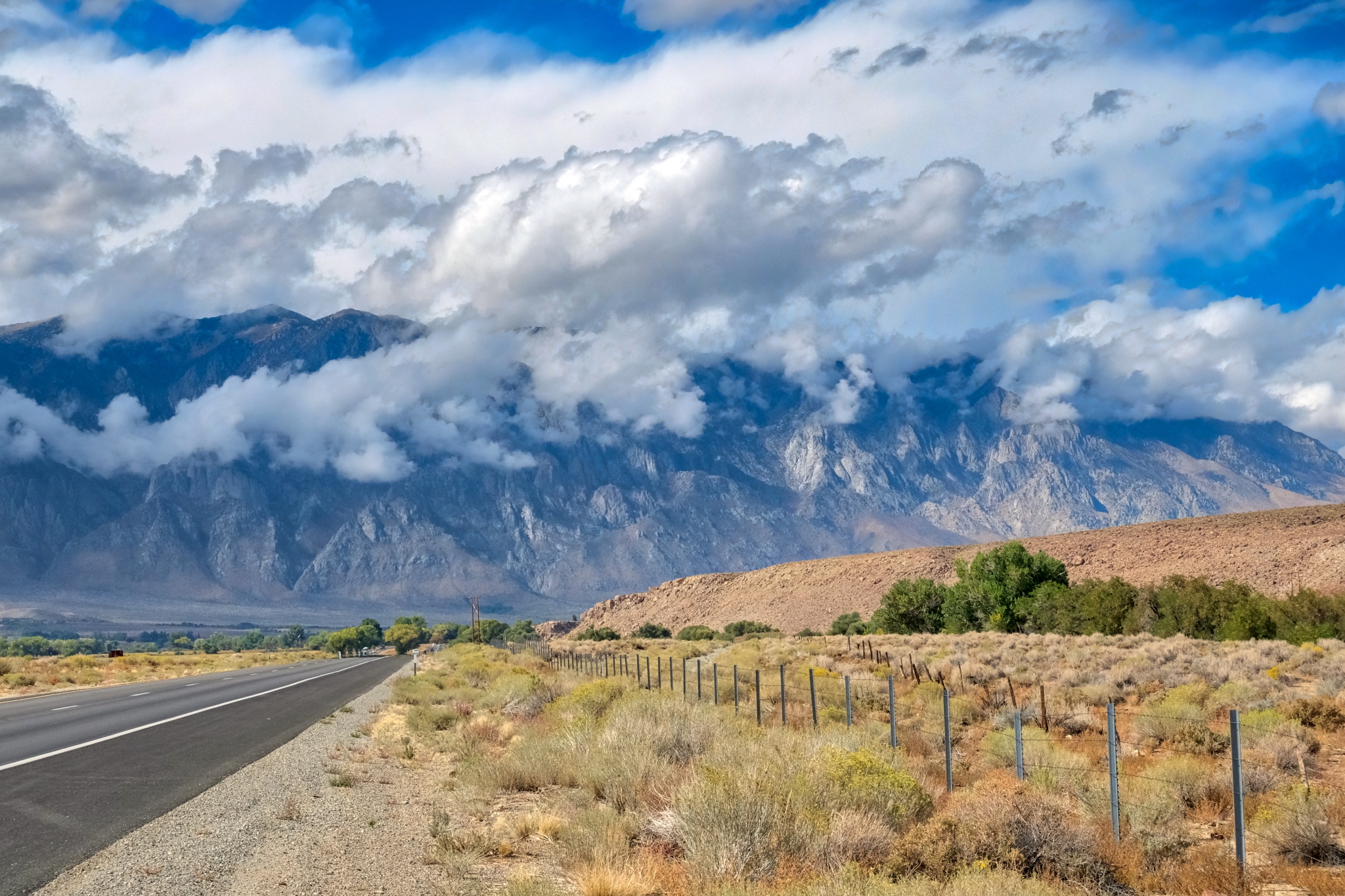 My drive north on US395 was unbelievably beautiful.
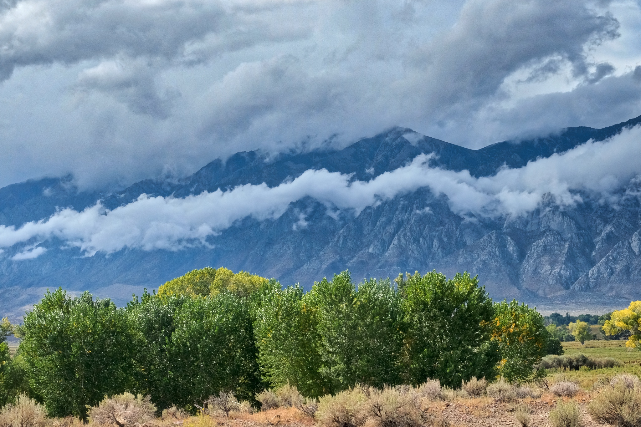 A ribbon of cloud dressed the front slope of the Eastern Sierra Nevada Moutains. WOW!
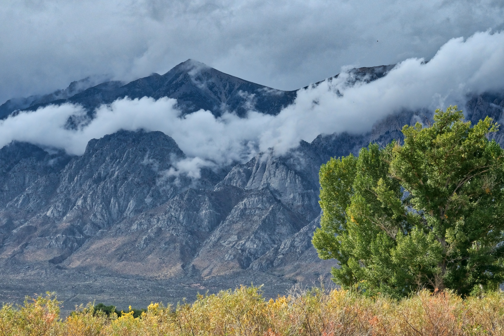 Incredible.
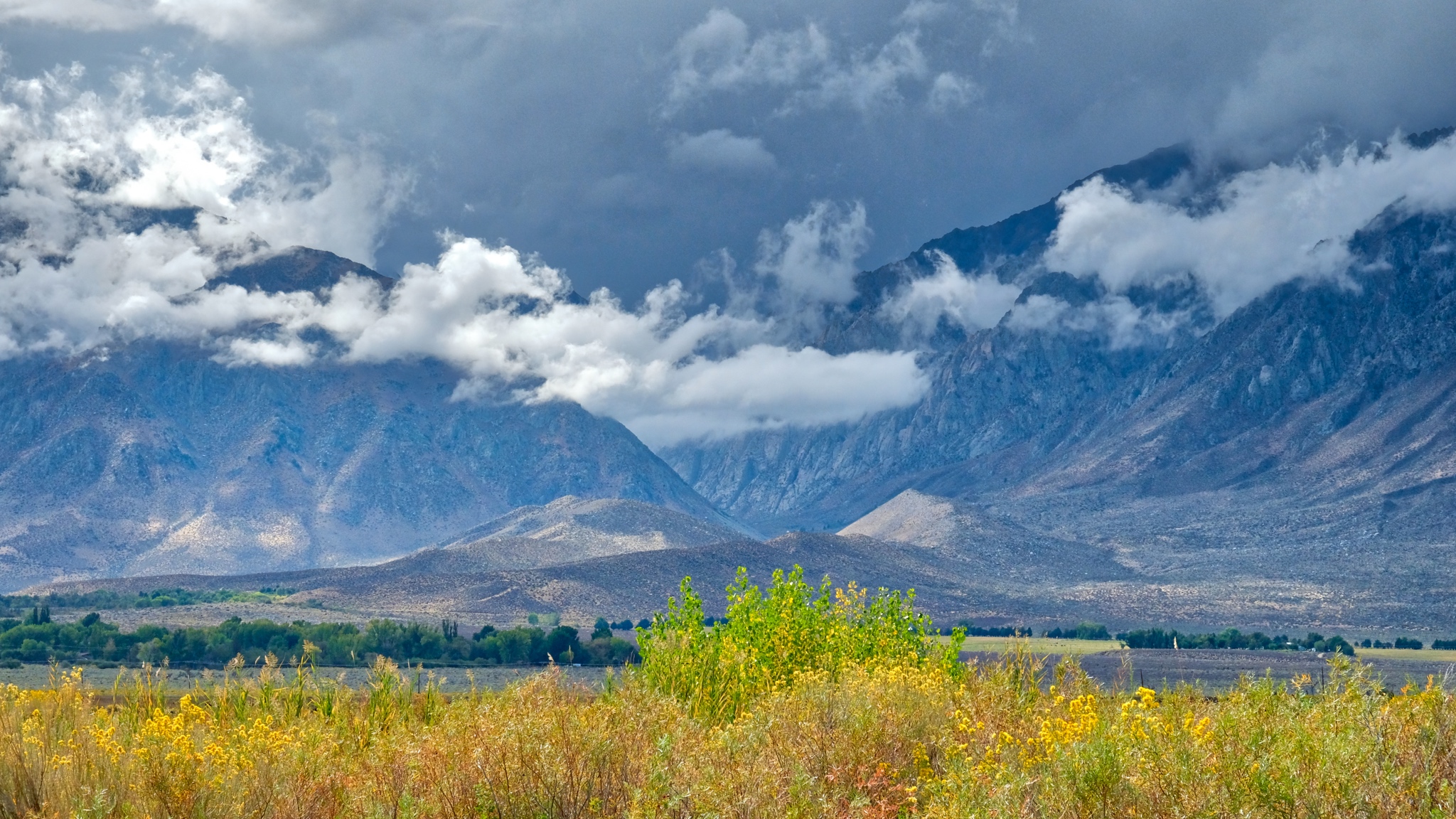 Back up the river canyons, the mountains in an early Autumn storm.
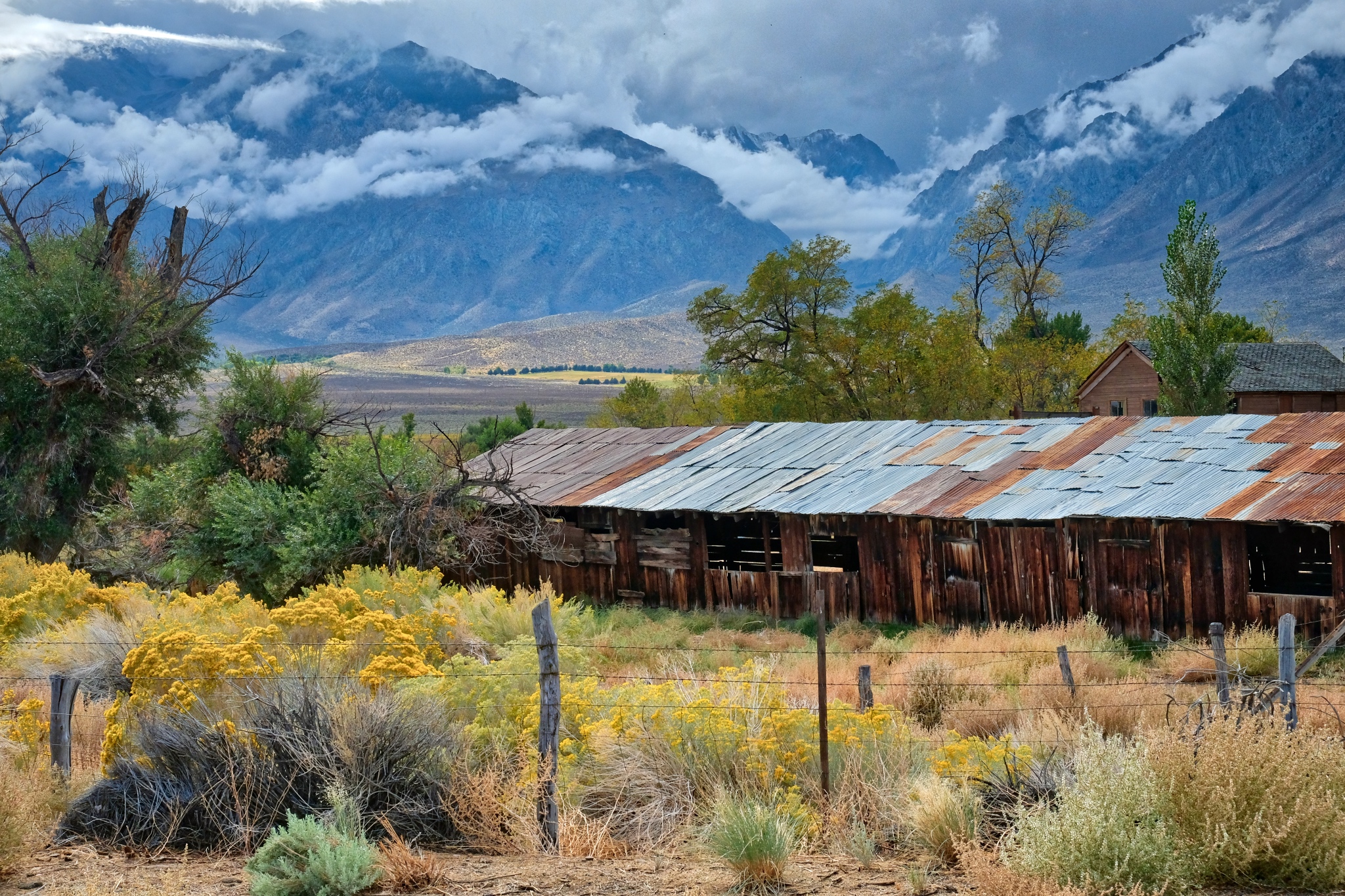 Part of a weathered old homestead on the valley floor.
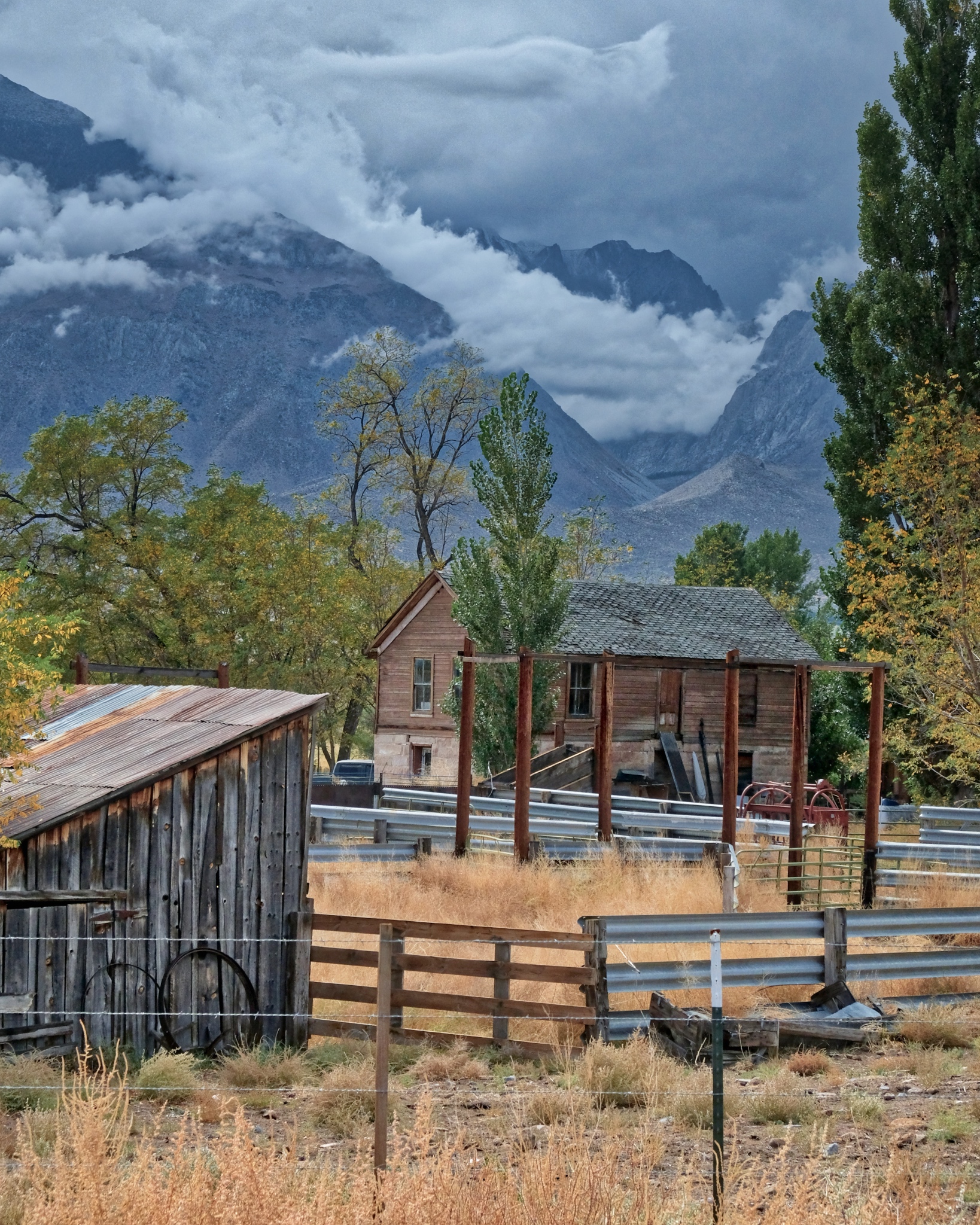 I could live here . . .
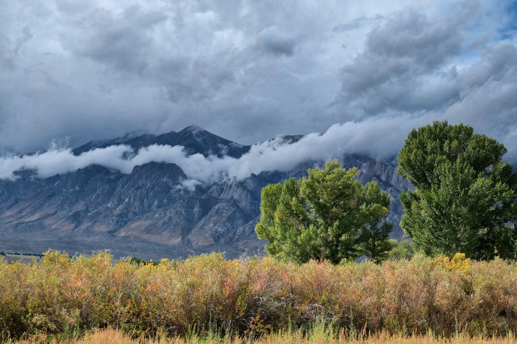 A painterly scene . . . glorious.
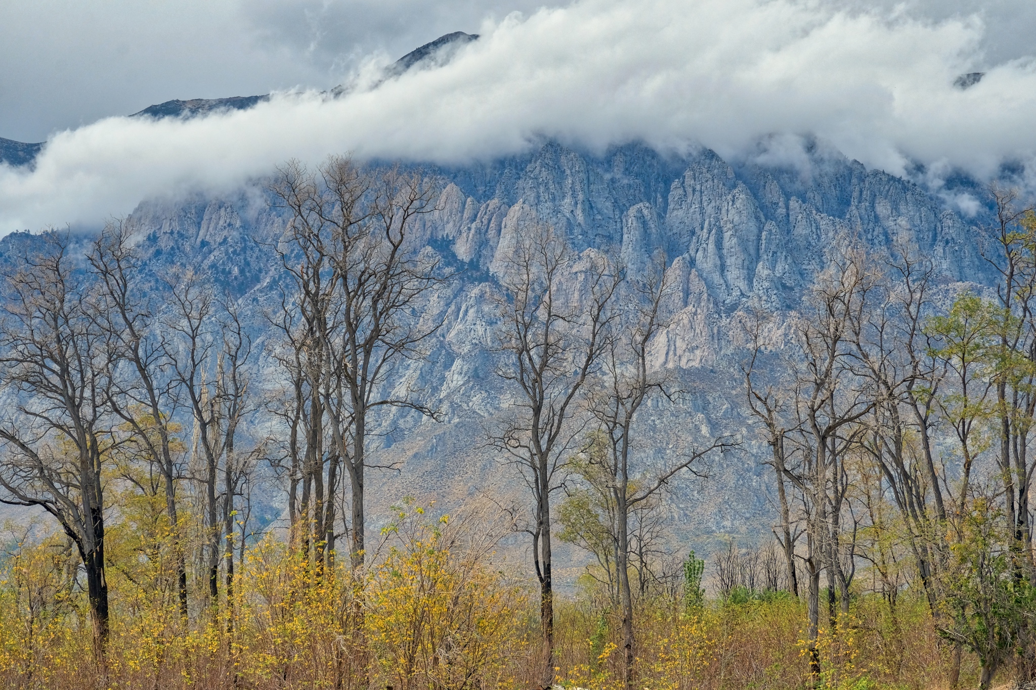 Stunning beauty. I must have stopped 10 times along the road back to Swall Meadows.
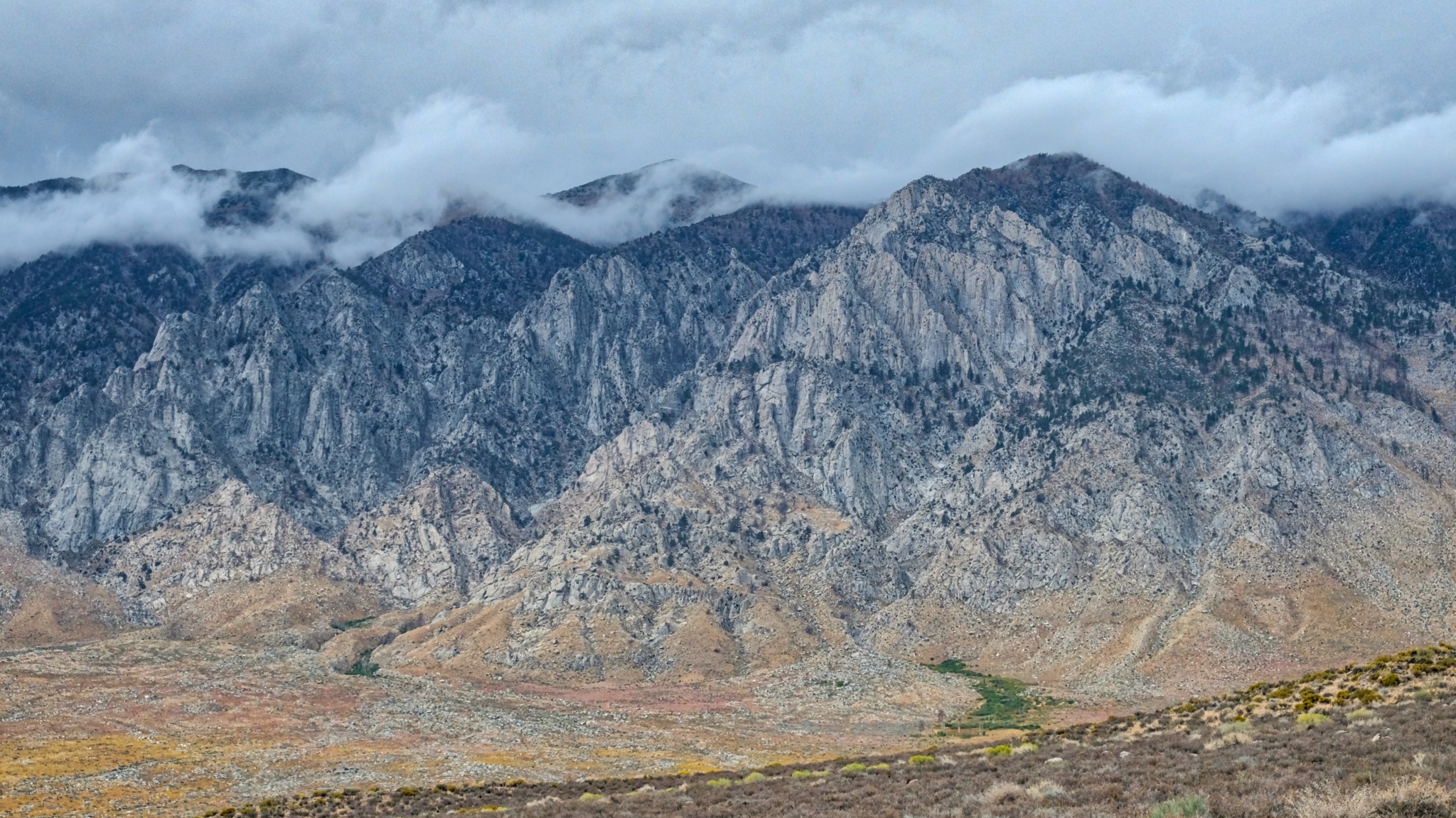 Nearing Swall Meadows.
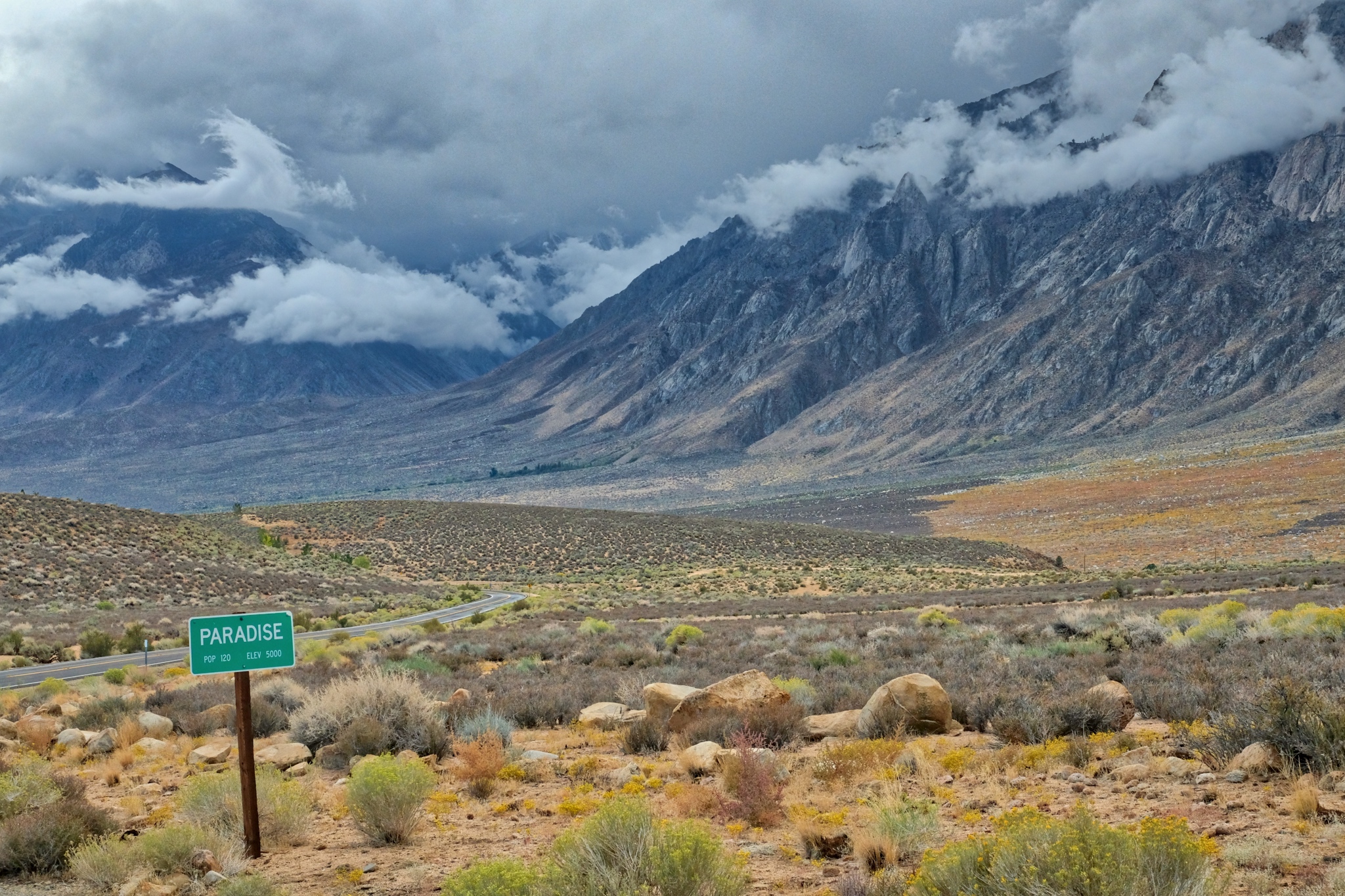 Looking back to from where I have come. I could not have waited an additional day to go camping here . . . I managed the last week of dry/warm camping in the mountains for the year. Yes Paradise!