My most current blog entry:
Entries by Dr. Jeff Harper (343)
Road Trip USA: Bonneville Salt Flats, Utah
 Friday, November 30, 2018 at 4:16AM
 World of Speed, September 14-17, 2018
 Out on the great Bonneville Salt Flats in Utah in mid-September to attend the World of Speed land speed record event. It was a great experience.
 This is what I came all this way to see . . . pure speed . . . and enough room to run flat out! Bonneville land speed racing is a very special and rarified form of mortorsport.
 American 'Hot Rods' have their roots on the dry desert lake beds of California and the salt flats of Utah. Early hot rodders would strip their cars down so they were as light as possible and modify their engines for maximum power and then take them out to the salt flats to "see what she'll do."
_______________________________
 The Bonneville Salt Flats have been used to set land speed records since 1896. I always wanted to go to the salt flats and my road trip offered me the chance to attend.
 I arrived at the race track in the late afternoon after having driven from Winnemucca, Nevada, just as they were closing the salt for the night. Only racers with race entered race cars are allowed to camp on the salt.
 The Bonneville Salt Flats are famous all over the world. A steady stream of cars would show up and people would get out and wander around on the salt.
 There was still quite a lot of action on the salt. Race cars were being towed to and from the starting line for some reason.
 The first actual race car I saw from behind the entry gate was this nice early 50s Chevrolet.
 I was getting excited. There are many, many different classes of land speed race cars . . . all the way from 100cc sidecar motorcycle to wheel-driven and jet powered 500++ mile per hour streamliners.
 There is a 'long course' and a 'short course.' The long course pits were about three miles from the starting line. A row of cars leaving the salt as it began to get dark.
 A strong wind came up out of nowhere as the sun set.
 I love desert sunsets, but this one was among the best I have seen.
 I stayed the night in my camper just outside of the entrance.
 I was awakened early by the sound of unmuffled race engines as racers were driving to the starting line in preparation for a day of speed. I loved this car: my very first car was a 1957 Chevrolet station wagon like this, but in all white.
 I drove across the salt to the pit area and set up camp for the day, offloaded my bicycle and rode it around the pits for a look see. I camped next to this big 4X4 truck owned by a Belgian family who were driving from Alaska to Patagonia!
 The pits were full of every kind of race car imaginable. From these 'antique' street roadsters to . . .
 . . . to futuristic, sophisticated land speed streamliners.
 Working on a B/Competition Coupe in the pits. Basic tools and a simple trailer. They could only muster a troubled 174mph run on a 265mph class record.
 This V4F/Competition Coupe did much better, setting a new record in their class of 159.5mph (bettering the old record of 156.5mph). The 'V4F' class designates a "Pre-1935 American made four cylinder flathead" engine. Fantastic performance for such an old engine technology.
 This race car would look right at home on a drag strip. But look closely and you can see that the chassis is much more sturdy than your typical 1/4 mile dragster. These cars have to run at top speed for three miles . . . and then another mile or two to shut down . . . and not always on a smooth salt flat (although this year it was 'perfect' according to the racers). However, this team experienced true heartbreak: Utilizing a 430 cubic inch HEMI on nitromethane, they ran a 359.11mph against a class record of 360.07mph!! They missed the record by less than 1 mile per hour!!!
 A streamliner team all the way from New Zealand with an F/Gas Streamliner (N/A 183ci, or 2.5L). They set a new class record at 304mph (the old record was 298mph). Congratulations Kiwis!
 Like drag racing, you can roam the pit area at a salt flats race and get up close to the race cars.
 I like to follow a few cars and teams across an event. These 'geezers' (like me!) were here with a brand new race car that looked like a very old 'belly tank' lakester. I can tell you from my own racing experience, having a race car and being on a race team is a HUGE and consuming drama . . . and a fantastic life experience.
 Being towed to the starting line staging area . . . hoping everything is just right for the perfect pass down the Long Course.
 Time to buckle in for the big event. This is an exciting moment for the whole crew. This is what you have lived for.
 After being pushed up to a speed that the first gear can handle, he is off down the track . . . WOW!
 After the thrill-of-a-lifetime run (a test pass) . . . towed back to the team pit for refinement, adjustment, maintenance, and readying for the next pass. The test pass netted them a troubled 116mph on a 279mph class record.
 The rules allow some pretty radical modification: look closely and you can see that this is a Ford Model T roadster . . . with a really, really long nose (and a supercharged engine). They ran 190.99 on Sunday.
 Special tires with low rolling resistance and capable of very high speeds.
 Some of these land speed race cars are really impressive. This one has an engine of just 1.65L (100 cubic inches) . . . supercharged on nitromethane fuel, and classified as a motorcycle with a side car (it has three wheels).
 The rear end final drive gearing is so 'steep' that the cars cannot move from a standing start; they require a push up to about 60 miles an hour to begin their timed run.
 Off on a timed run . . . through three timing intervals . . . at one, two and three miles! I am so impressed with this car . . to go 304 miles an hour (489.2 kph) on 100 cubic inches!!!!
 Raising your children the right way!!!
 Not something I expected to see out on the salt flats: a bicycle with unbelievably tall gearing.
 Yep, that's right, this woman will pedal her bicycle behind this land speed dragster to try and set the assisted bicycle land speed record.
 She will be pulled up to about 160mph while pedaling and then be cut loose to see if she can stay within the faring.
 It takes a very big fuel injected Chevy engine on methanol to get up to the speeds they will need to set the record.
 This is what she saw . . . . at 186 miles an hour . . . the record she set!
 A classic salt flats roadster. I loved this car.
 In the staging lanes. A V8? No, a 4 cylinder. Some of these land speed cars have been raced for many years, with many different engine combinations, and hold multiple records in multiple classes.
 The purple roadster had this 4 cylinder engine.
 Running in the G/FMR class (G= 93-122 cubic inches, FMR = Fuel Modified Roadster) it ran 181.8mph for a new class record (the previous record was 181.2mph).
I would love to make a high speed pass down the salt . . . but NOT in this race vehicle!
 Yes, a human being squeezes into this contraption HEAD FIRST, only inches from the hard salt surface.
 The driver, in fact, becomes part of his car: he is wearing a carbon fiber 'turtle shell' on his back which he will use to slide on in case the car tips upside down. Insane.
 Getting in involves first sticking your legs back into a pair of padded tubes on either side of the engine. No kidding.
 The next step is for you to duck your head into the front of the race car as your crew members push down on your back, forcing your head forward in the process. No kidding!
 Next, your crewman tightly straps you in so you cannot move an inch. You are now part of the car itself.
 You are now ready to go 130 miles an hour while peeking out of the front window, your chin almost resting on the salt. No thank you.
 Can you imagine this guy's excitement as his crew member guides him to the starting line! They snapped the top panel on and he was off. He set the 100cc sidecar record at 130 miles an hour. Impressive, to say the least.
 This healthy, turbo-charged, injected big block Corvette was trying for 300mph . . . . he went an impressive 294mph on a 264mph record on Saturday.
 A 'run-whatcha-brung' Buick V-6 powered Jaguar 4-door sedan. I was surprised when they joined the 200 Mile Per Hour Club with a run of 209mph (eclipsing the old record of 194mph). Class XX0/BGCC = "Speciality Cylinder Head", Blown Gas Competition Coupe. Congratulations to these guys!!!
 A vintage 'Lakester' class racer.
 They ran a 155mph on a tough to beat 221mph record. Some racers are not really going for the Land Speed Record, but for personal bests. A class I/Fuel Lakester can only have an engine up to 61 cubic inches.
 Readying for a record setting run?
 There were four 400mph-capable streamliners on the salt for the week-end. Unfortunately this AA/Blown Fuel Streamliner could not find the combination - it ran a respectable 303mph on a 417mph record.
 Off it went . . . .
 And away it went . . . faster and faster. This photo shows the mile marker orange cones (1, 2, and 3). It is very difficult to estimate distance on such a flat and white surface, but those orange mile markers are exactly one mile apart. I love this photo.
 Here is another streamliner, but at speed just past the finish line. This AA/Fuel Streamliner went 417 on this run against a 448mph record (which would be lowered soon after his run). One of the other 400mph-capable streamliner went 451mph, but I do not have a photo . . . I was wandering in the pits at the time.
 For me, and many others at the event, this Ford Galaxy was the star of the event. Owned and built by an 84 year old body shop owner from La Pine, Oregon (pop. 1,653), they won the hearts and minds of everyone there.
 The driver/builder's 84 year old wife buckled him in before the run.
 And his wife wished him luck.
 And off he went in his 472 cubic inch big block Ford . . . .
 A 147.9mph on a 226.3mph was not close, but I am sure he had a great time. I talked to him afterward and he said he could not find any traction on the salt . . . he lacked the technique . . . it was his very first time at the salt flats with a race car!!!
 Although there is a separate Bike Week for motorcycles, there were a few on hand . . . and I guess they let anybody run. This yellow BSA just missed the record with a 149.4mph against a 150.1mph record . . . just 1/2 mile per hour short of the record.
 A great variety of machines ran: this scratch-build turbo Harley had trouble and aborted his run early.
 This very professional streamlined motorcycle ran 169mph before mechanical problems set in.
 But the undisputed headliner of the meet was the Vesco Turbinator II streamliner.
 The press was everywhere around this car. There was great expectation that they were going to set the wheel-driven land speed record that day!
 Pre-staged . . . last minute instructions from the crew before starting the engine.
 The Turbinator II is powered by a turbojet helicopter engine driving a shaft through a rear end and, ultimately, through the pnumatic tires. It was loud and it gave off a lot of heat.
 And off it went in a great hurry . . . it vanished into a dot on the horizon in no time at all! They did it! 486mph average for a new wheel-driven land speed record . . . and I was there to see it.
 Two weeks at the same place the TeamVesco Turbinator II set the record again at 503mph. Amazing.
 There were so many cool race cars at Bonneville . . . and I took a million photos. I will leave a few more of my favorites:
 Competition Coupe.
 Yes, another modified T-bucket, but with rear engine and streamlining.
 With only 91 cubic inches, it ran 180 miles per hour against a very tough 201mph record!
 I will treasure my memories of this race forever . . . a 'Bucket List' checked off!
 This photo epitomises the essence of land speed record racing at the Bonneville Salt Flats.
Road Trip USA: Delaware Nature Walks - Chesapeake & Delaware Canal + Iron Hill Park
 Monday, November 19, 2018 at 9:47AM
 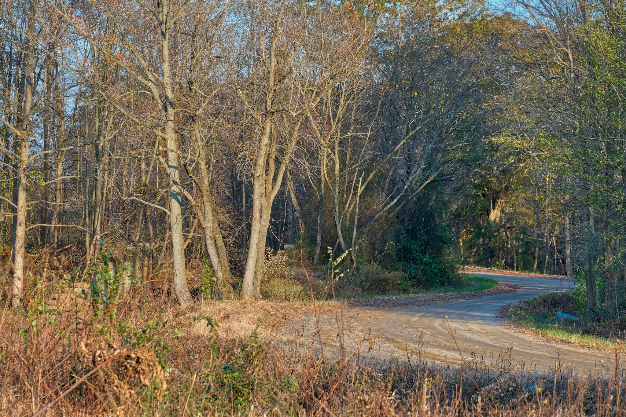 I am spending winter with my daughter and her family in the USA state of Delaware. Their house is only about a mile from the Chesapeake & Delaware Canal. I like to ride mt bicycle on bike paths, so I made an effort to get out and explore the area using my Google Maps. As it turned out, there is a very nice path alongside the canal . . . and a nice road through an Autumn forest to get there.
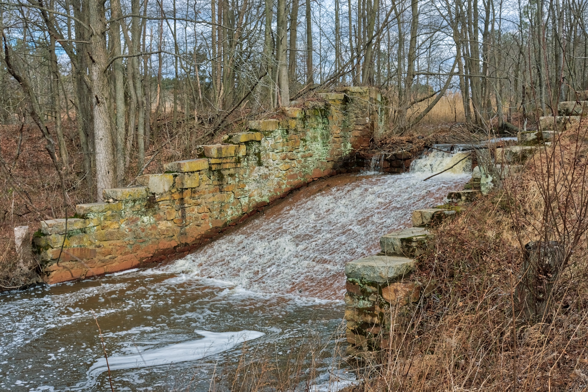 Old flood control structures near the canal.
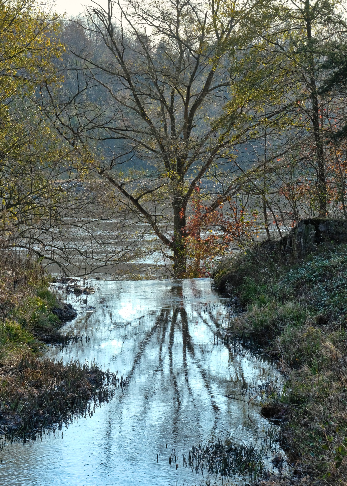 The path begins at a parking area next to a stream as it enters the canal.
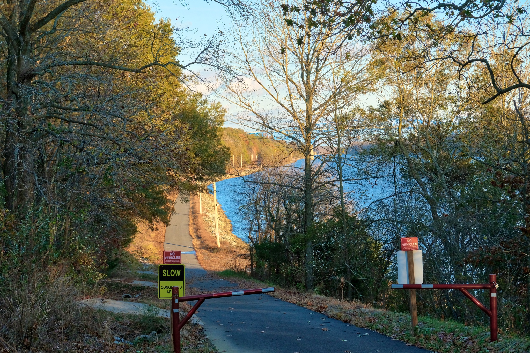 A very nice paved bike path runs alongside the canal.
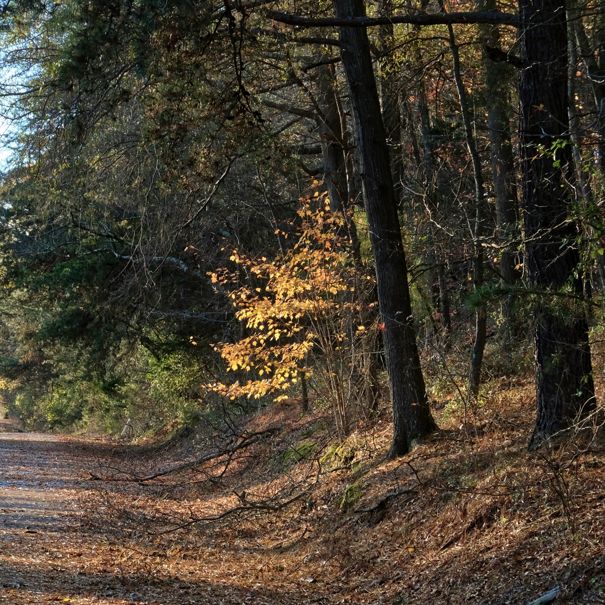 It was a clear and crisp autumn day. The Autumn colors were almost gone in some places.
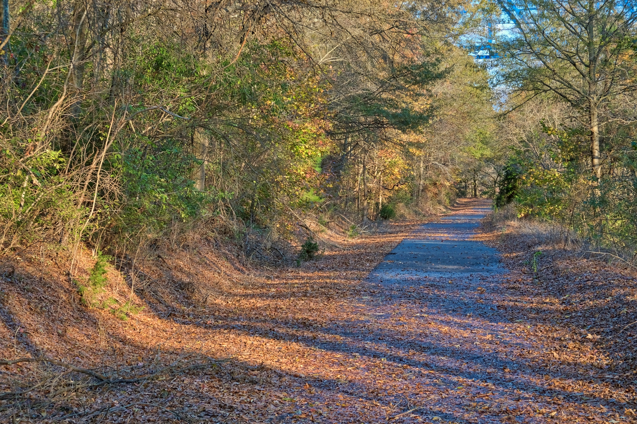 A big winter storm came through Delaware a few days earlier and blew most of the colored leaves off the trees.
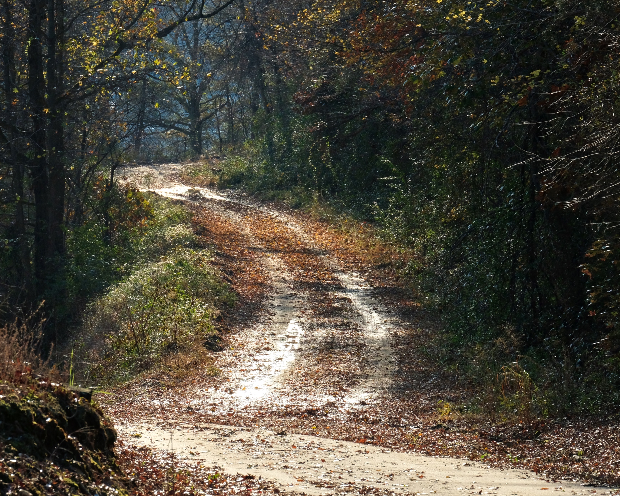 There is a bike path, and above it, an access/service road.
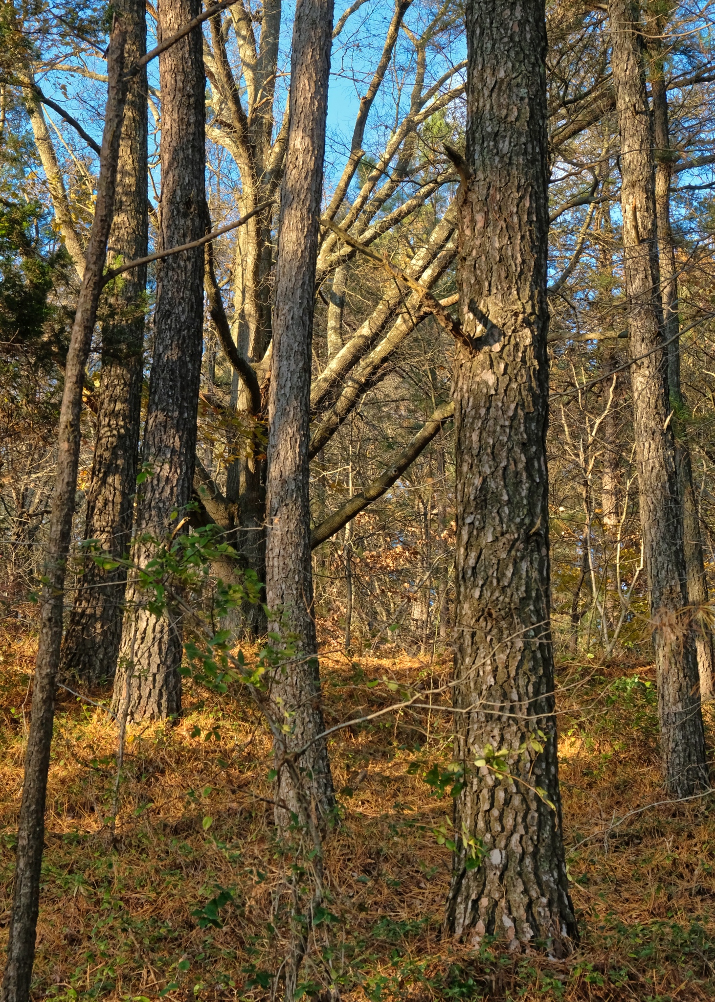 Ah! Autumn. I have seen the Fall from across the USA: from the High Sierra of California, through Utah and Colorado, to Texans and now into the Northeast.
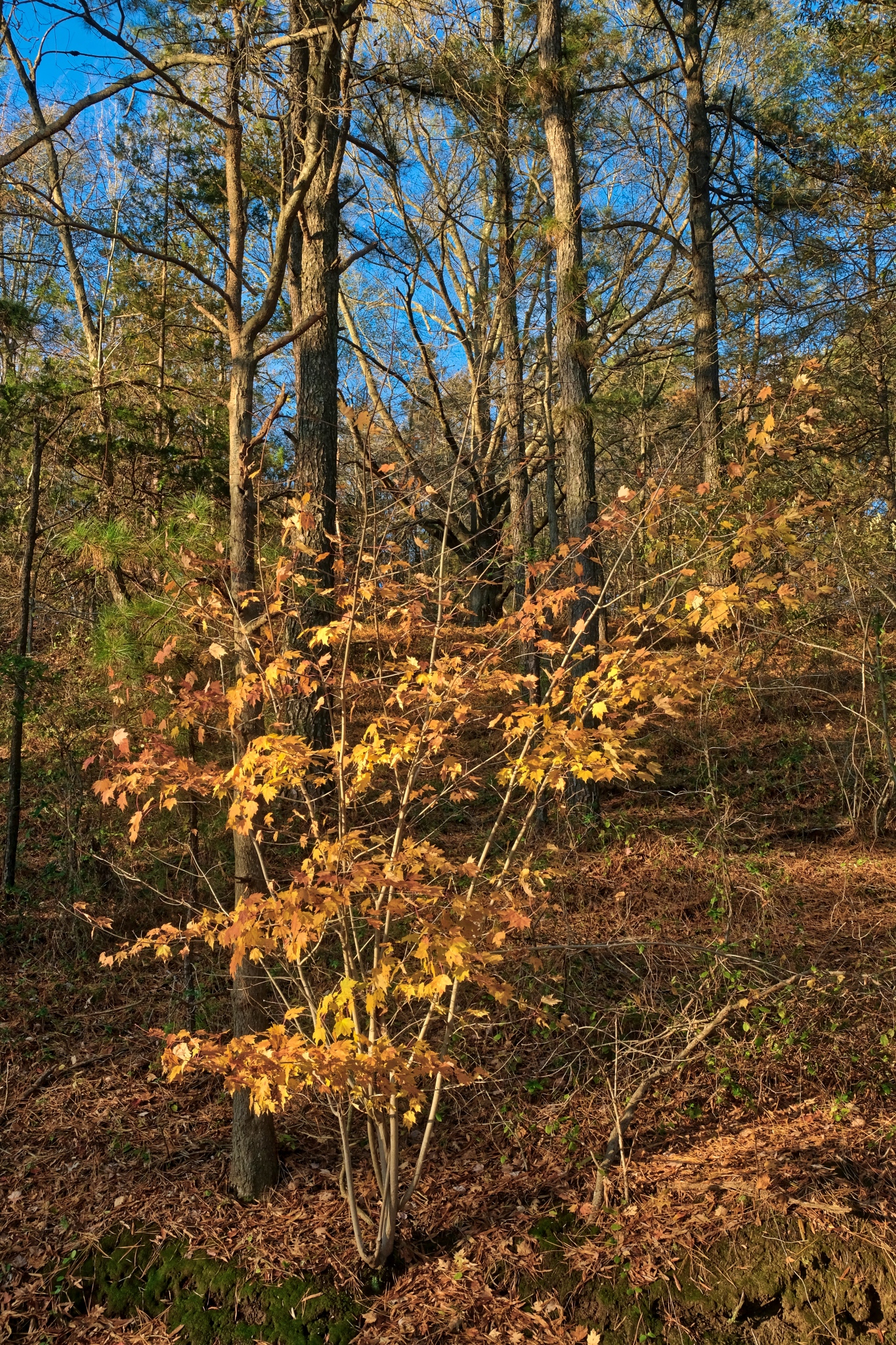 A beautiful Autumn day.
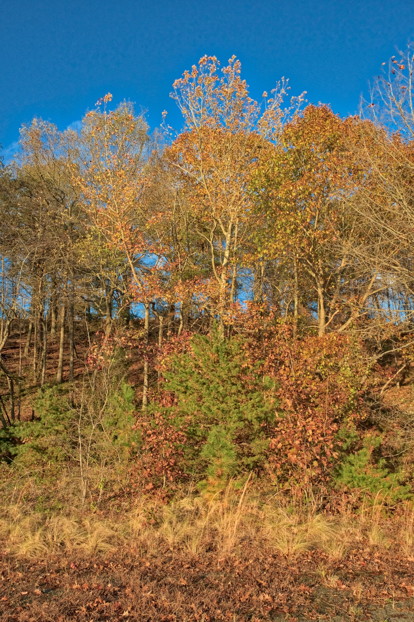 I miss these kinds of woods after so many years living in the tropics.
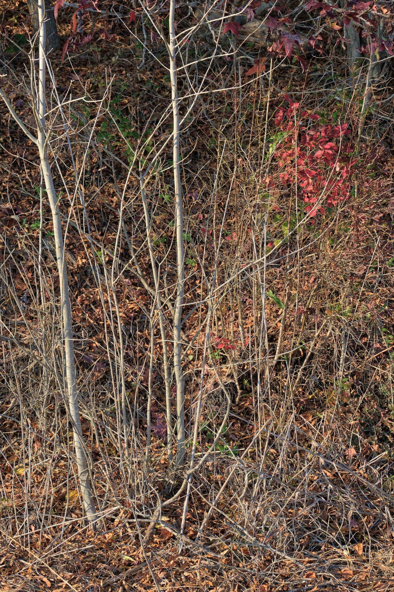 Such clear air and perfect light . . . these kinds of scenes can be very difficult to photograph.
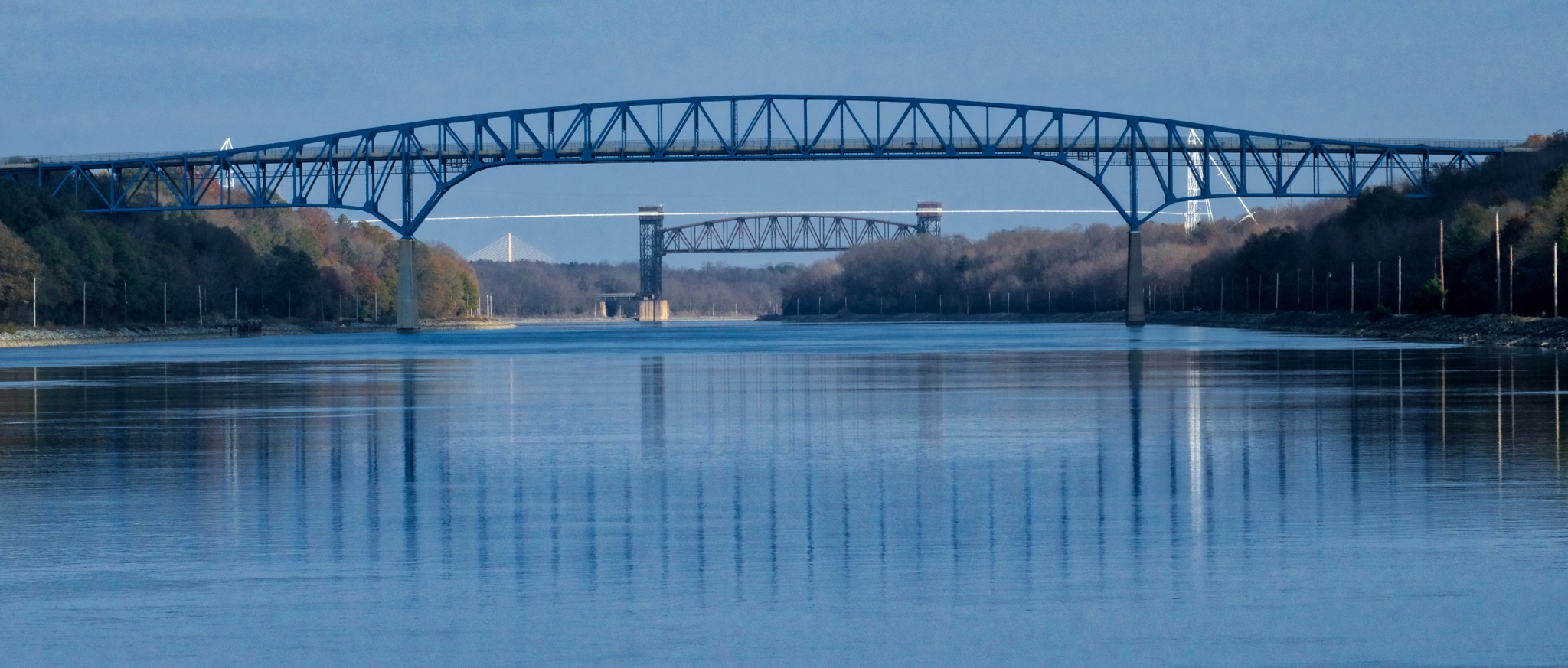 My first gimps of the Summit Bridge over the canal.
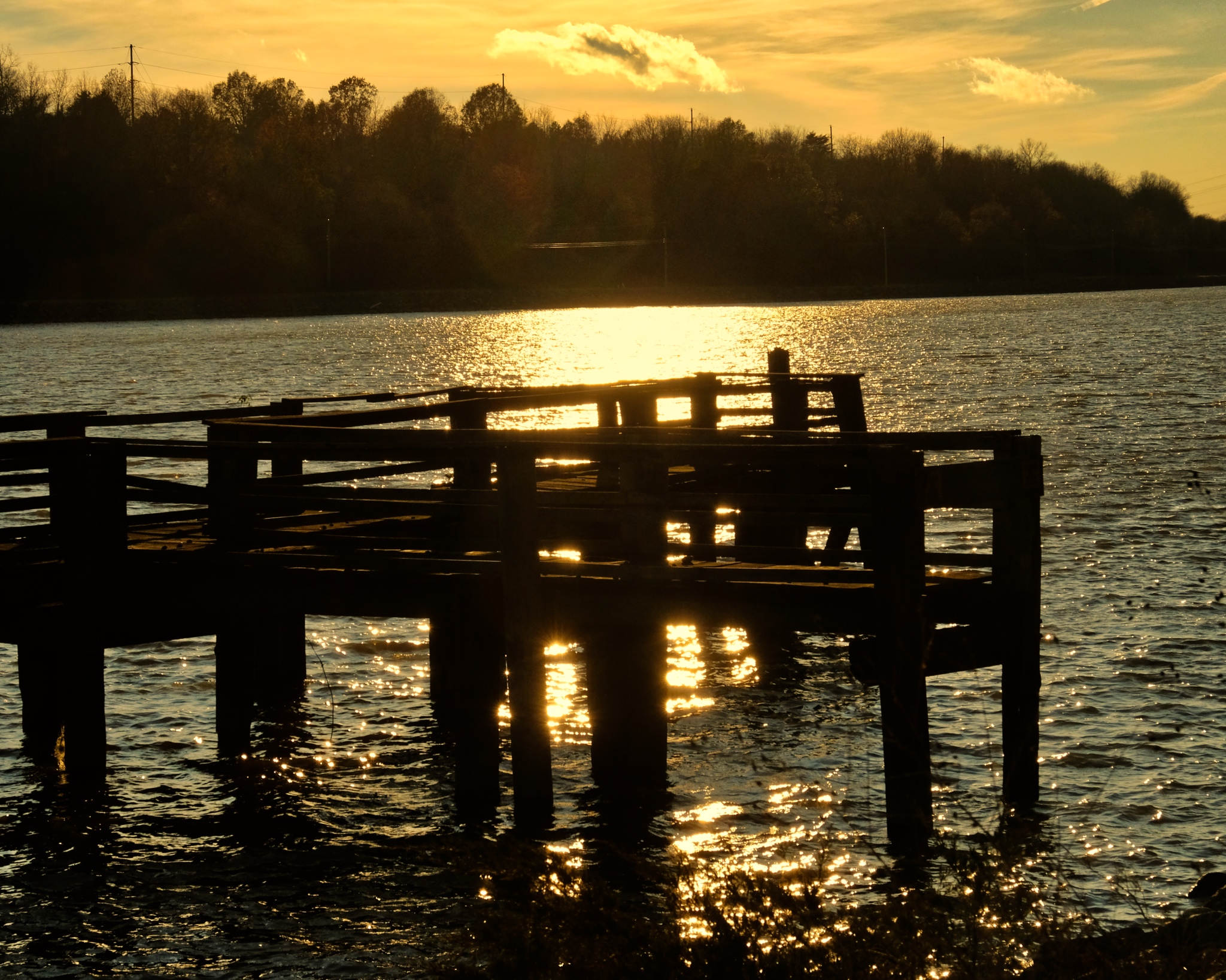
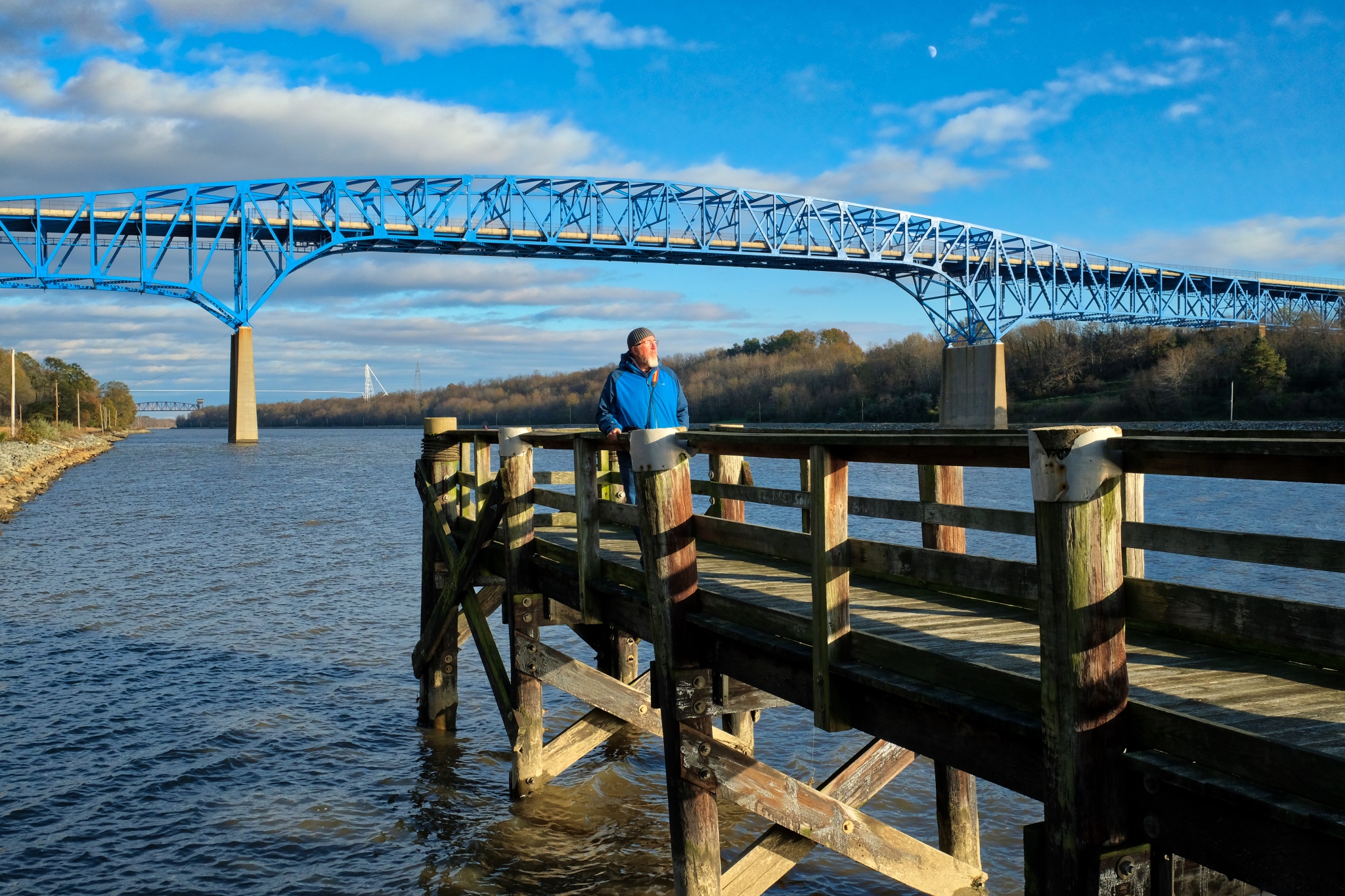 I took the opportunity of the railings on this old pier to take a few self portraits. Cold to the bone.
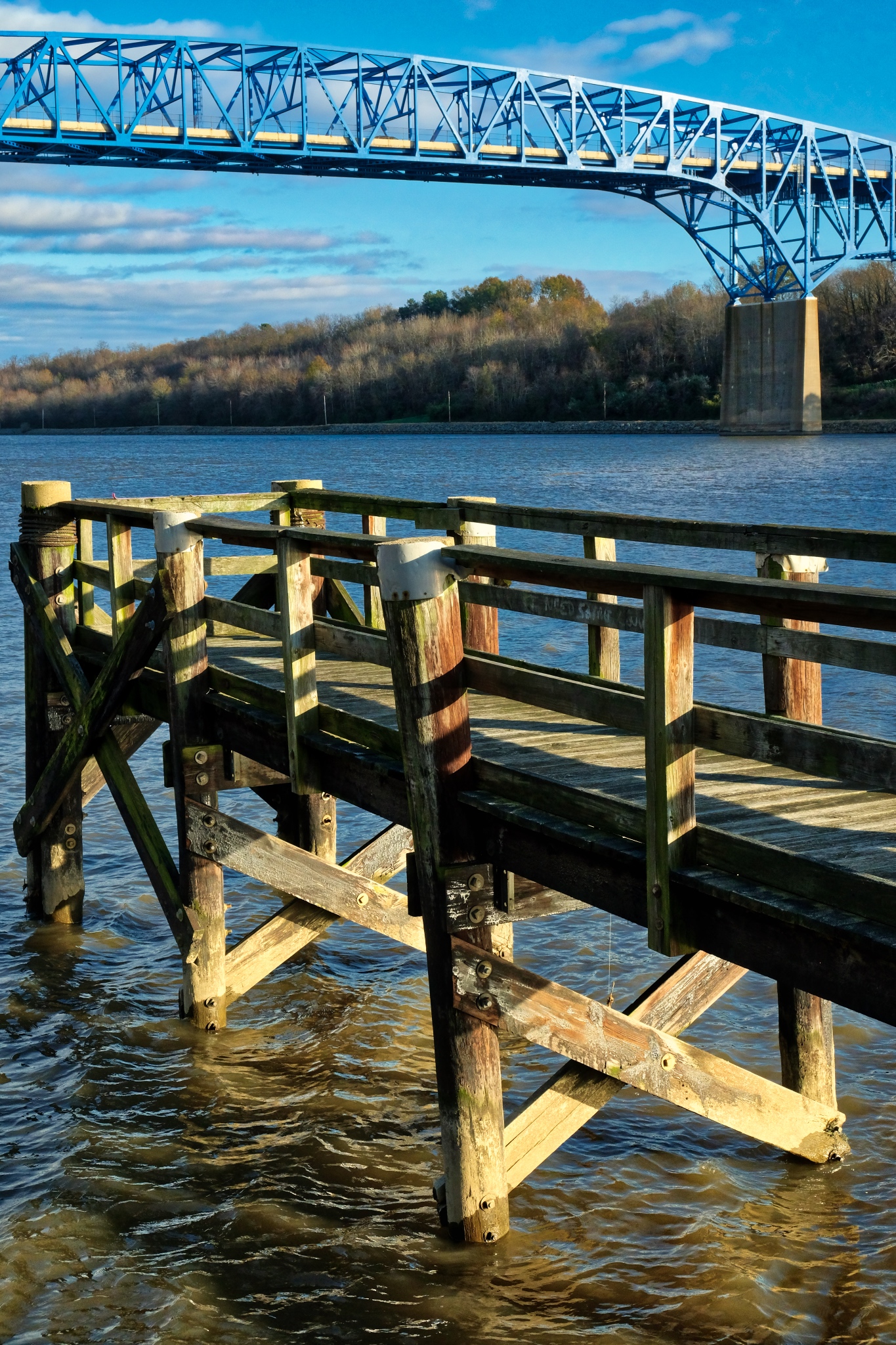 Such a photogenic scene.
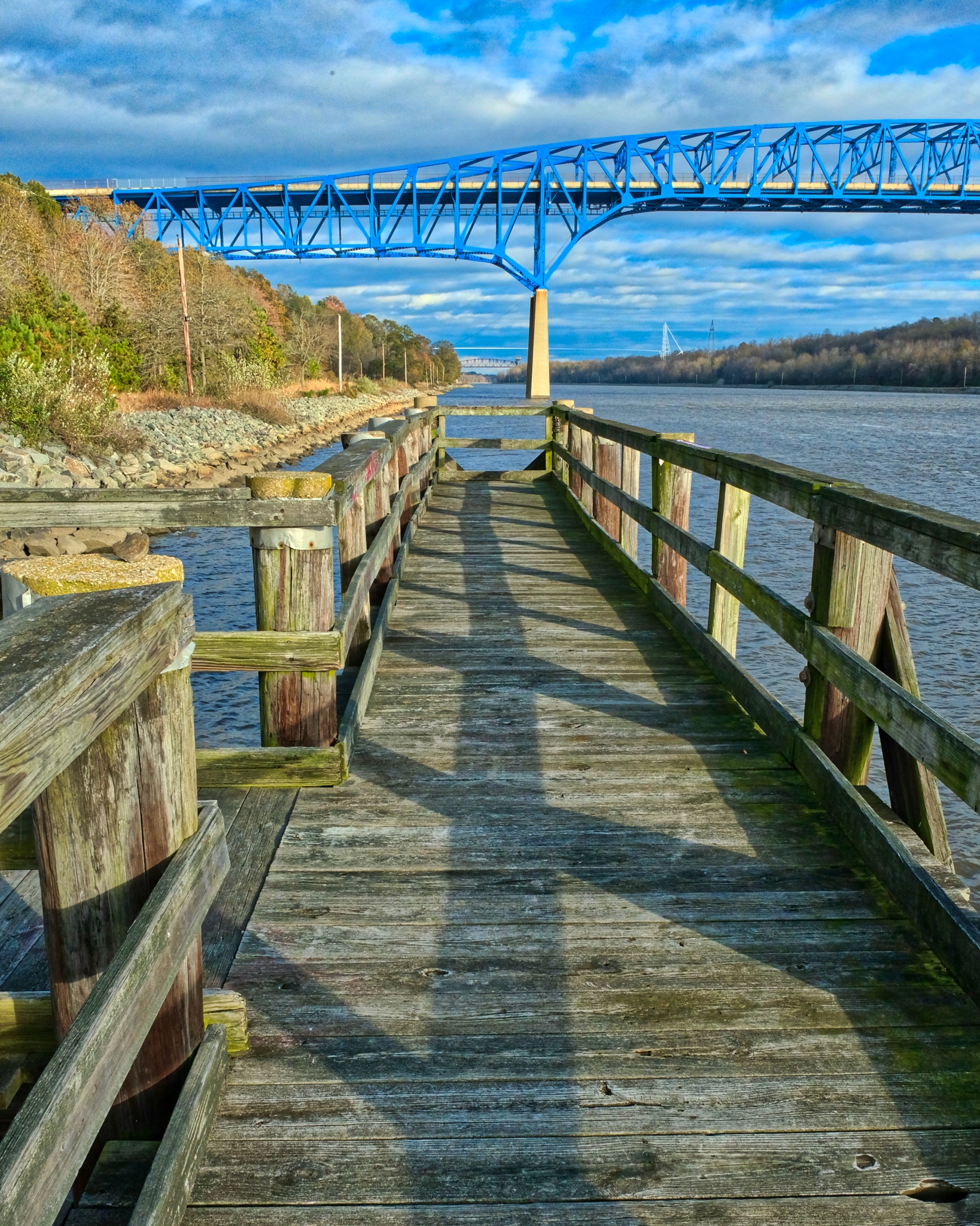 I had fun composing various shots and angles.
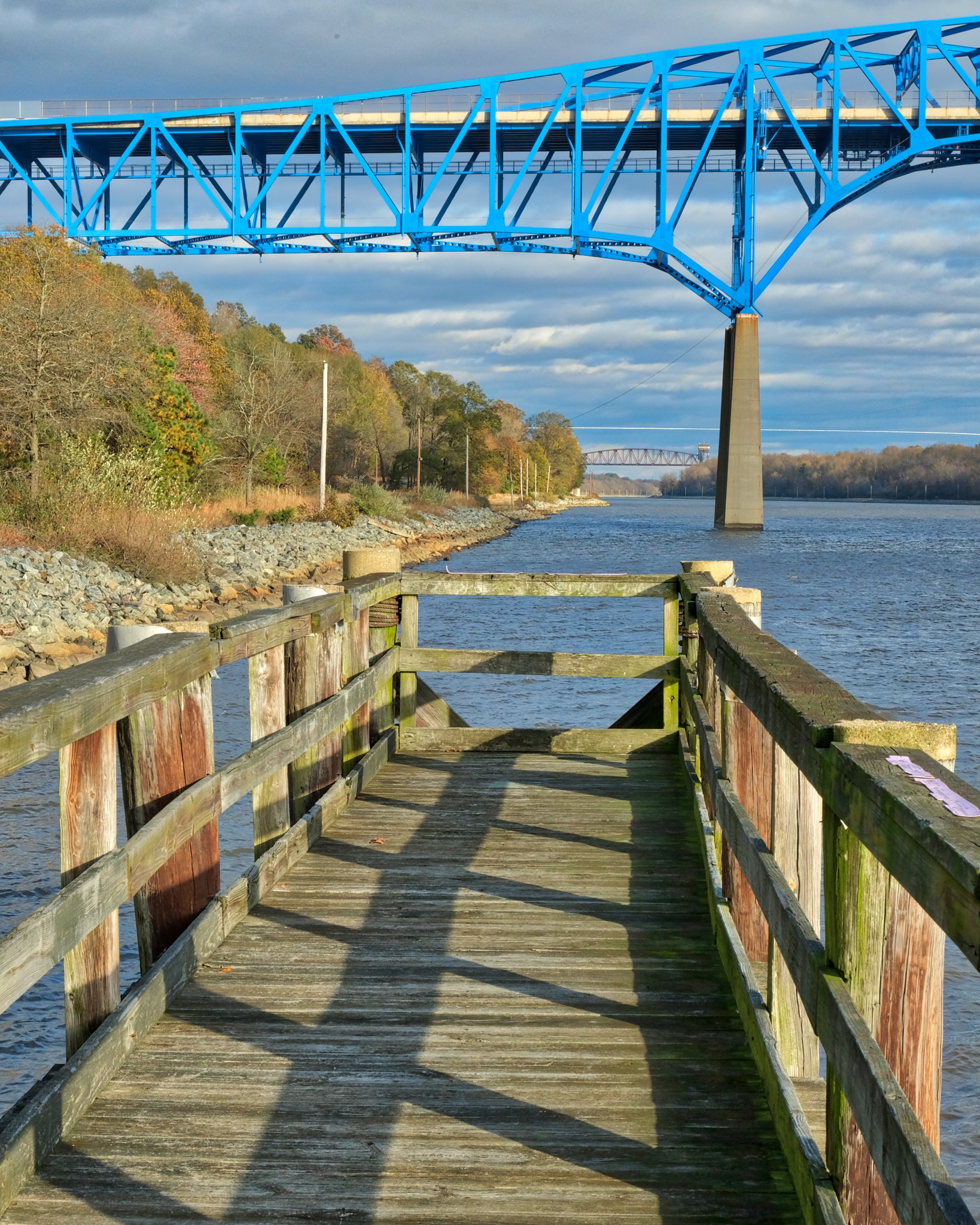 The sun came out from behind the high clouds at exactly the right moment.
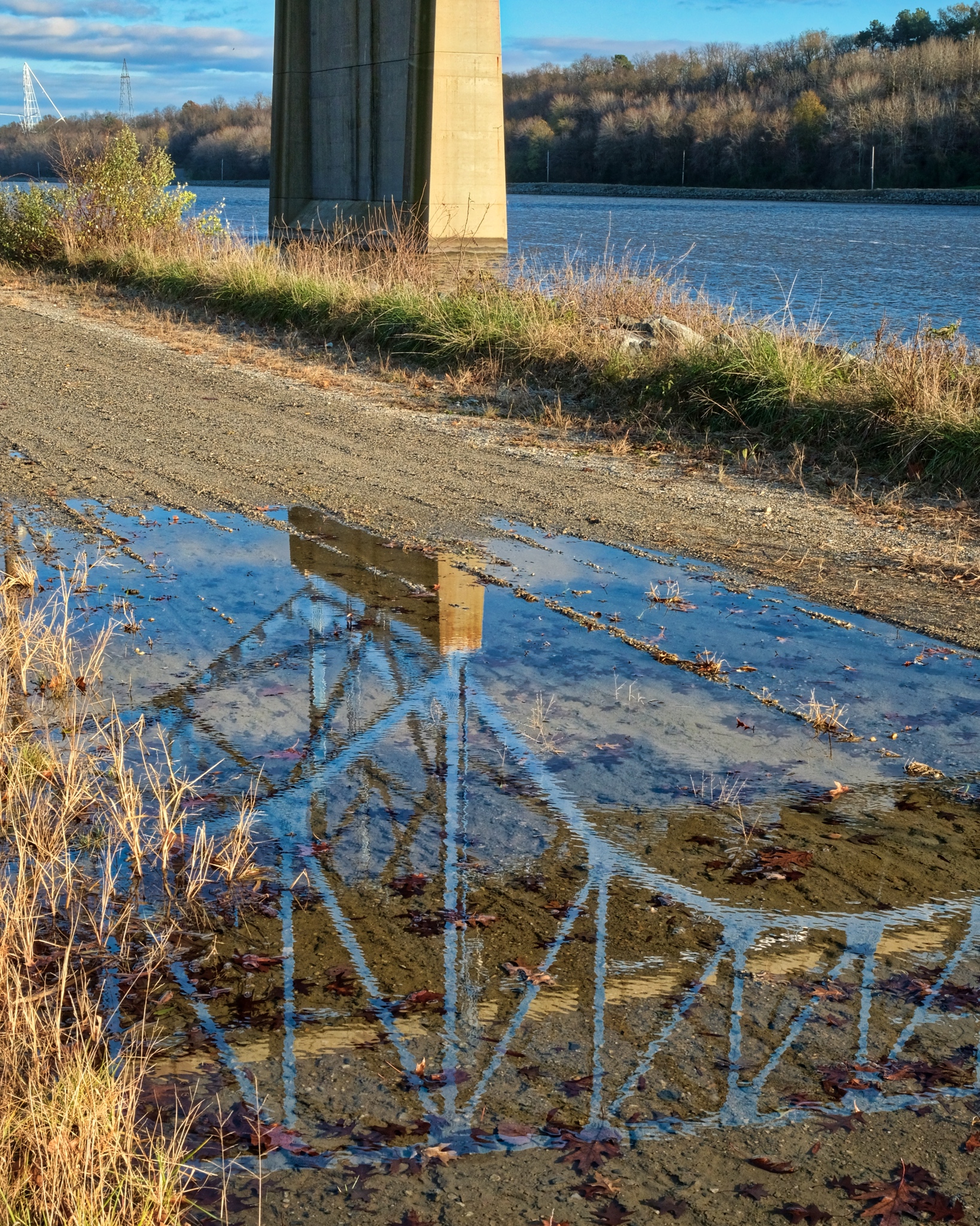
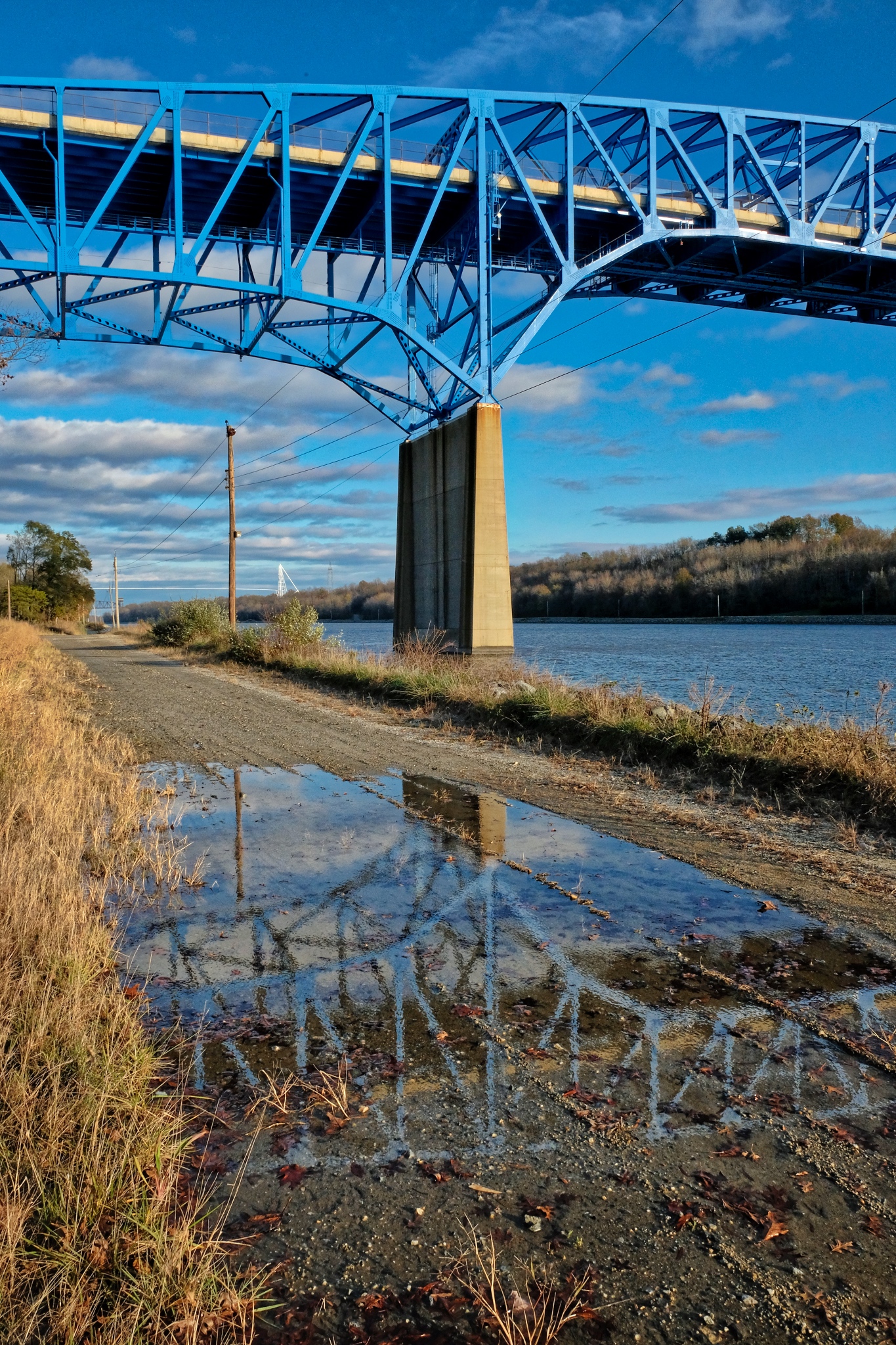 Standing water allowed a nice reflection.
 It is a strange experience standing under such a huge man-made structure while out in a natural setting. Like some other, and very large, creature has been here and built the thing.
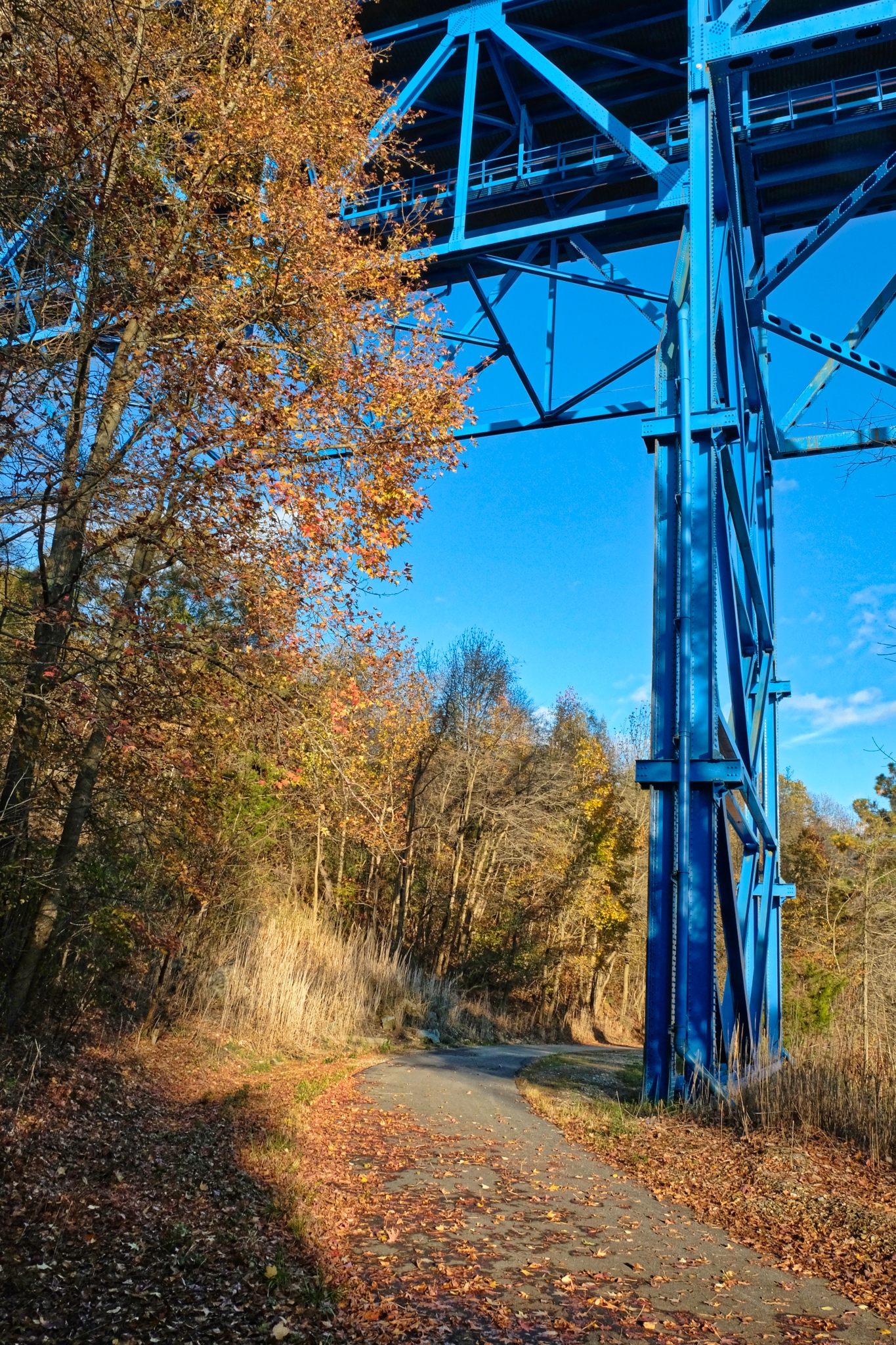 The bridge supports seemed too small . . . .
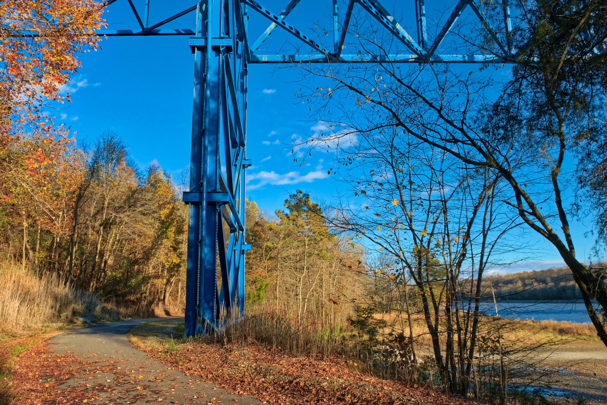 I will come back tomorrow with my bike and explore further up the path.
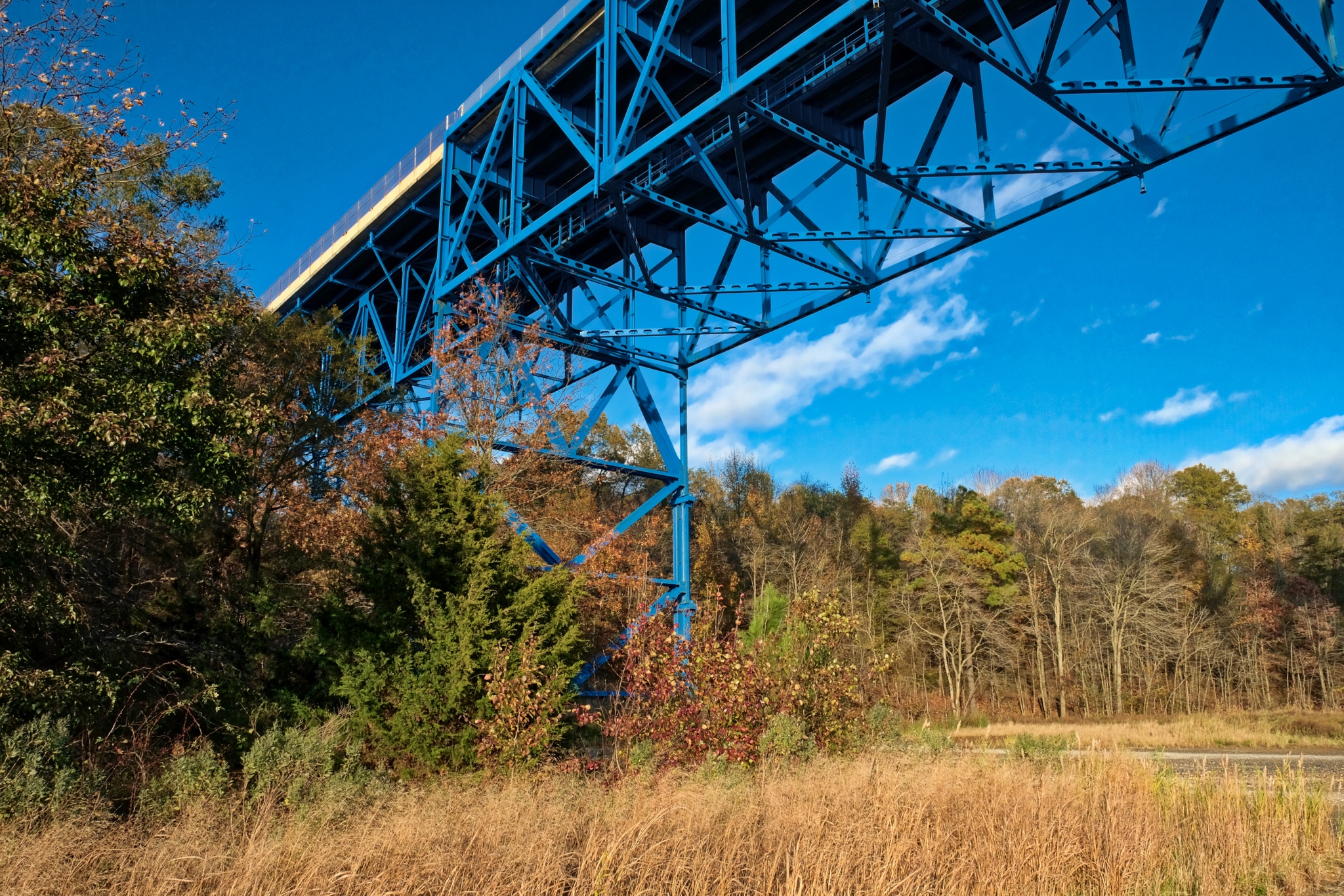 Surreal bridge rising above such a beautiful Autumn forest.
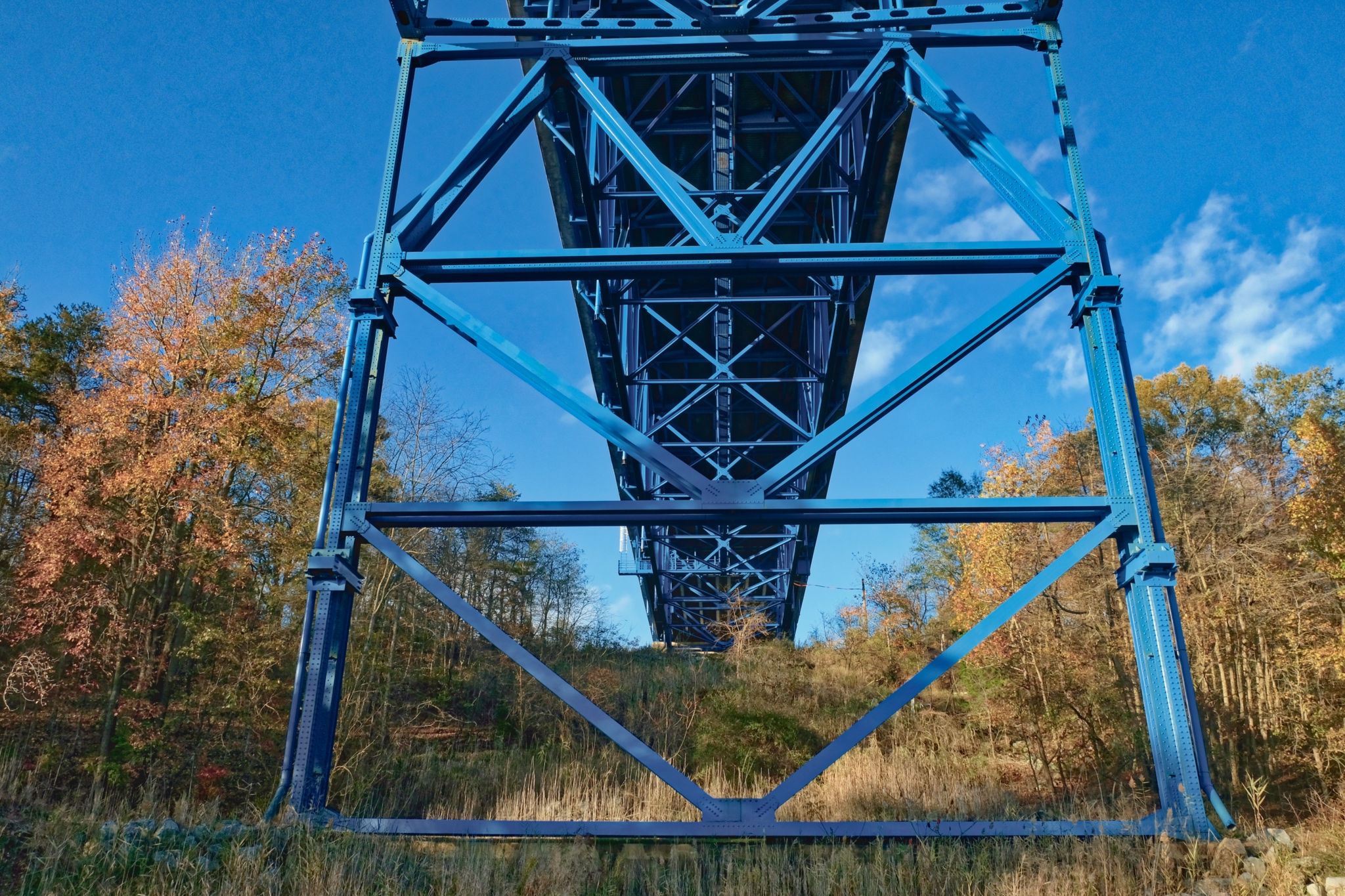 Directly under the bridge . . . I could hear the amplified noises of the cars and trucks speeding overhead. I turned around at this point and walked back into the sun.
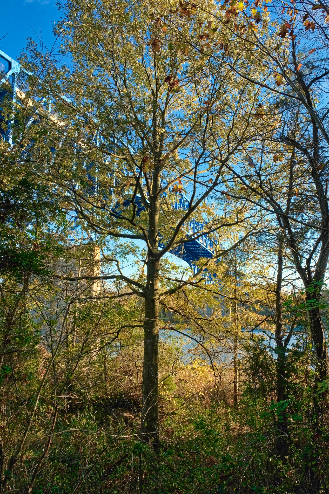 Such a marvelous spot.
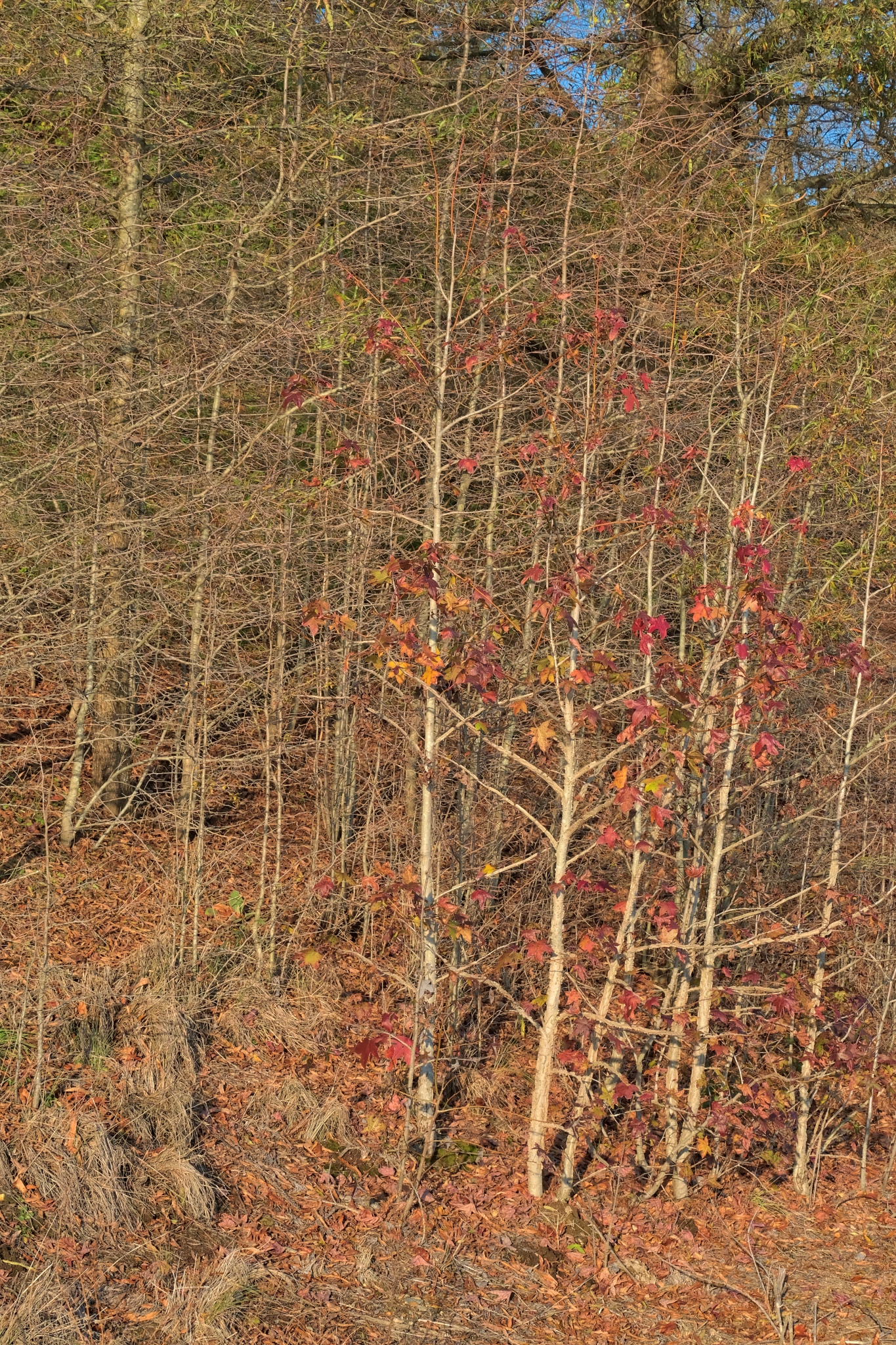 The underbrush was very dense in some places.
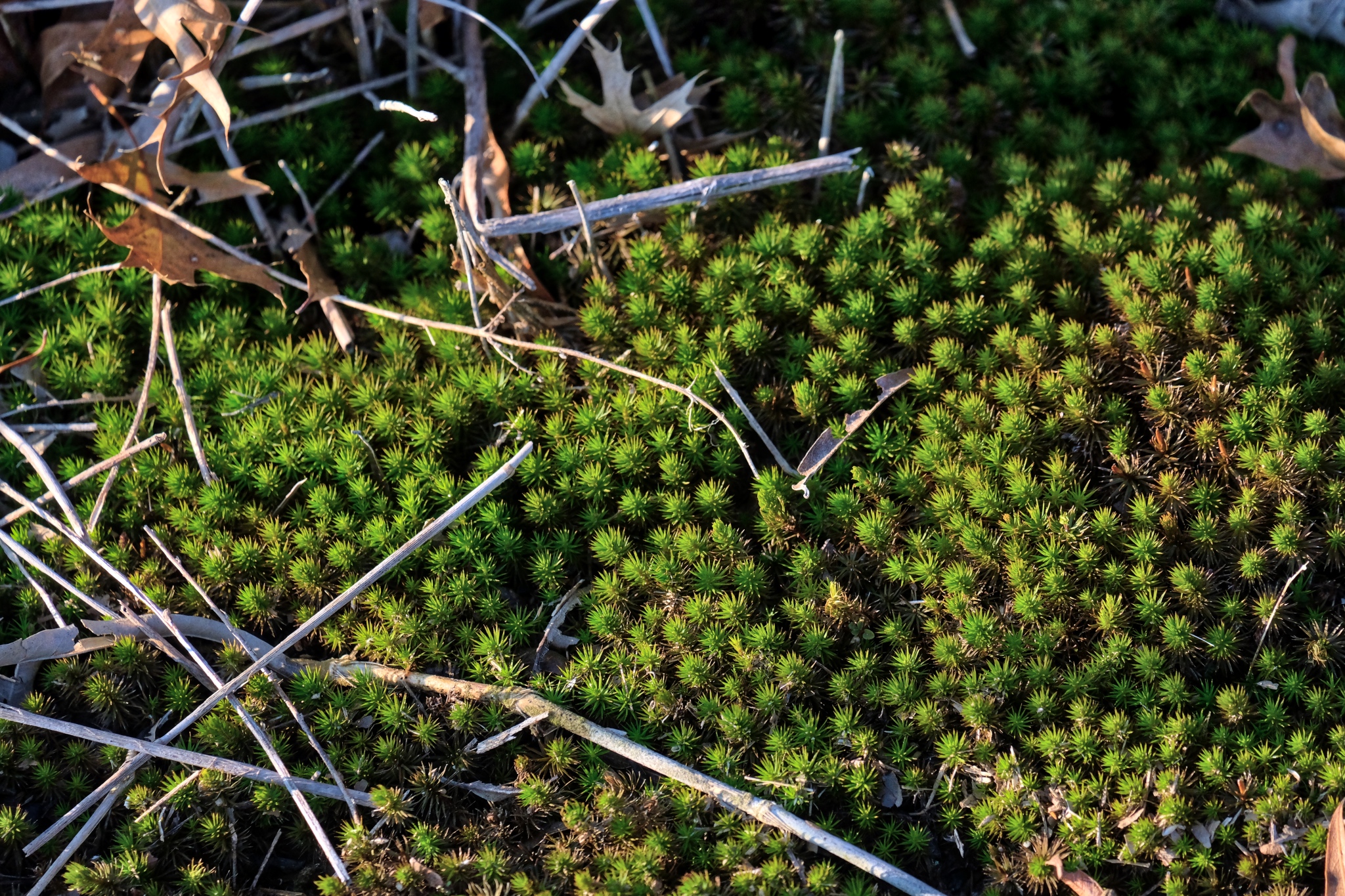 Plants employ different strategies for survival. These little green mosses are taking advantage of the lack of tree shade for a quick growth spurt before the frigid winter arrives.
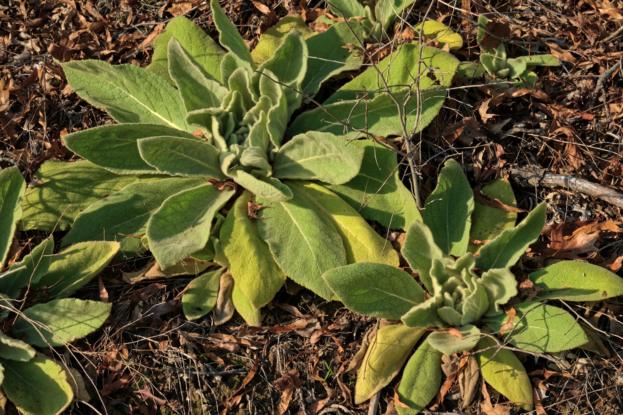 I cannot imagine these lush plants lasting the winter . . . but they are thriving now.
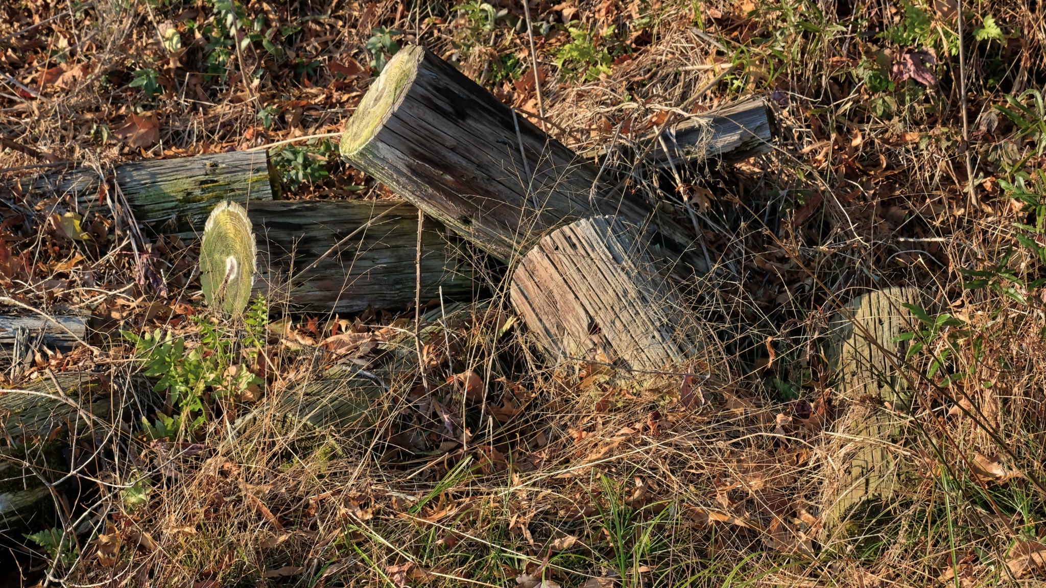 Cut and bucked . . . but left behind.
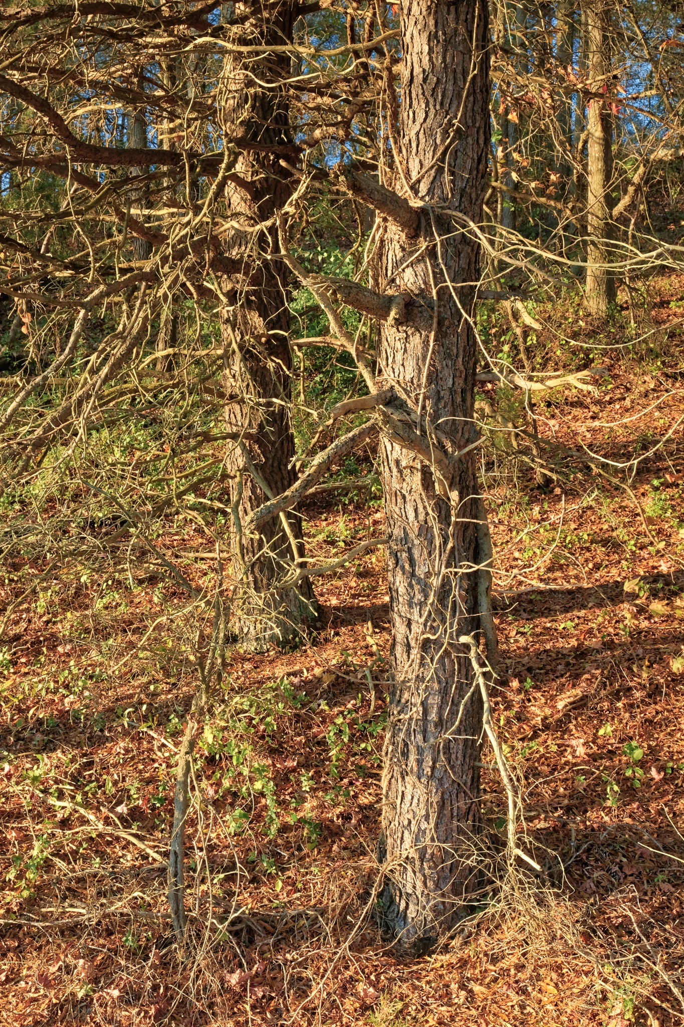 The 'magic hour' arrived . . . lovely honey colored light makes everything beautiful.
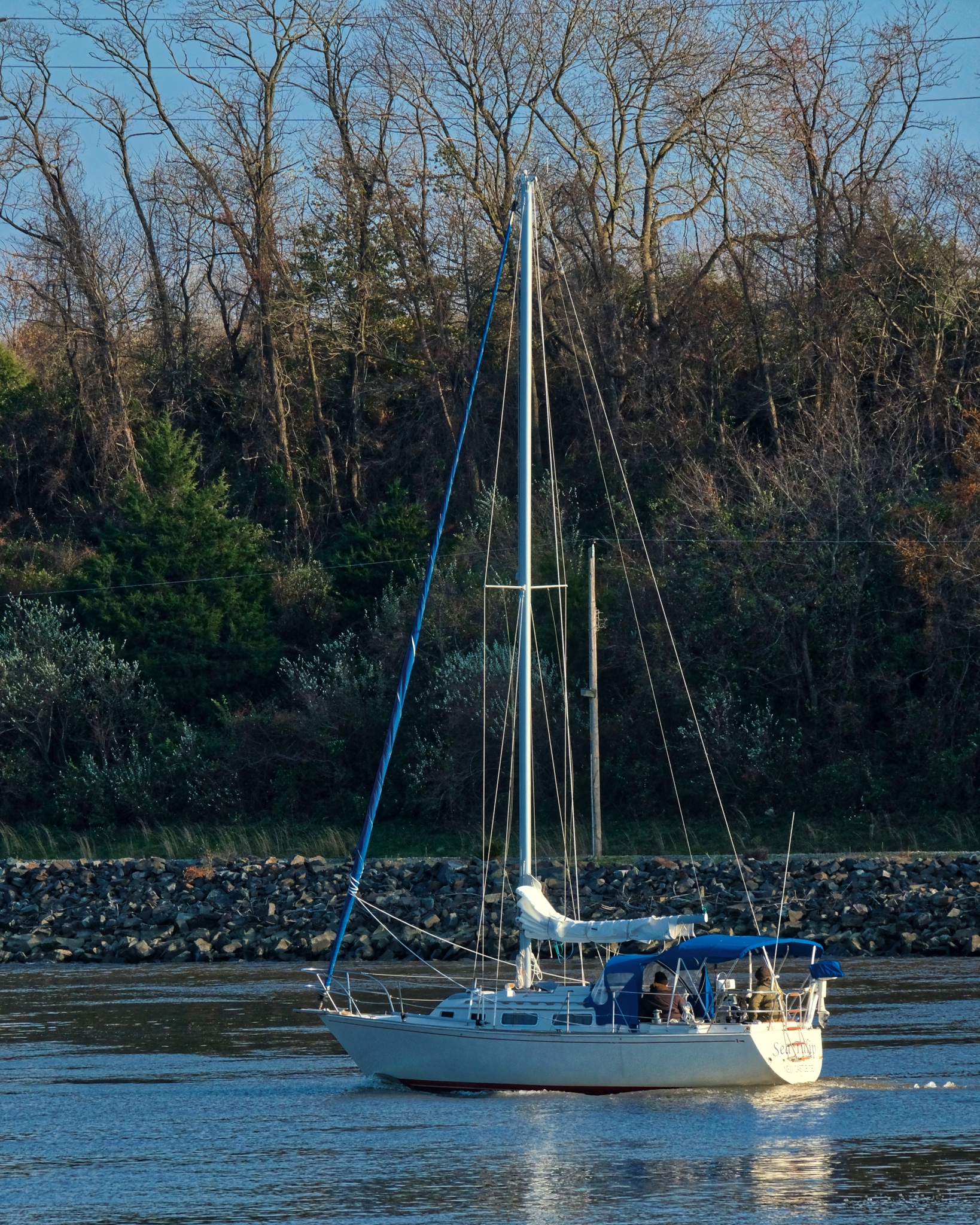 A few boats made their way back along the canal to their moorings.
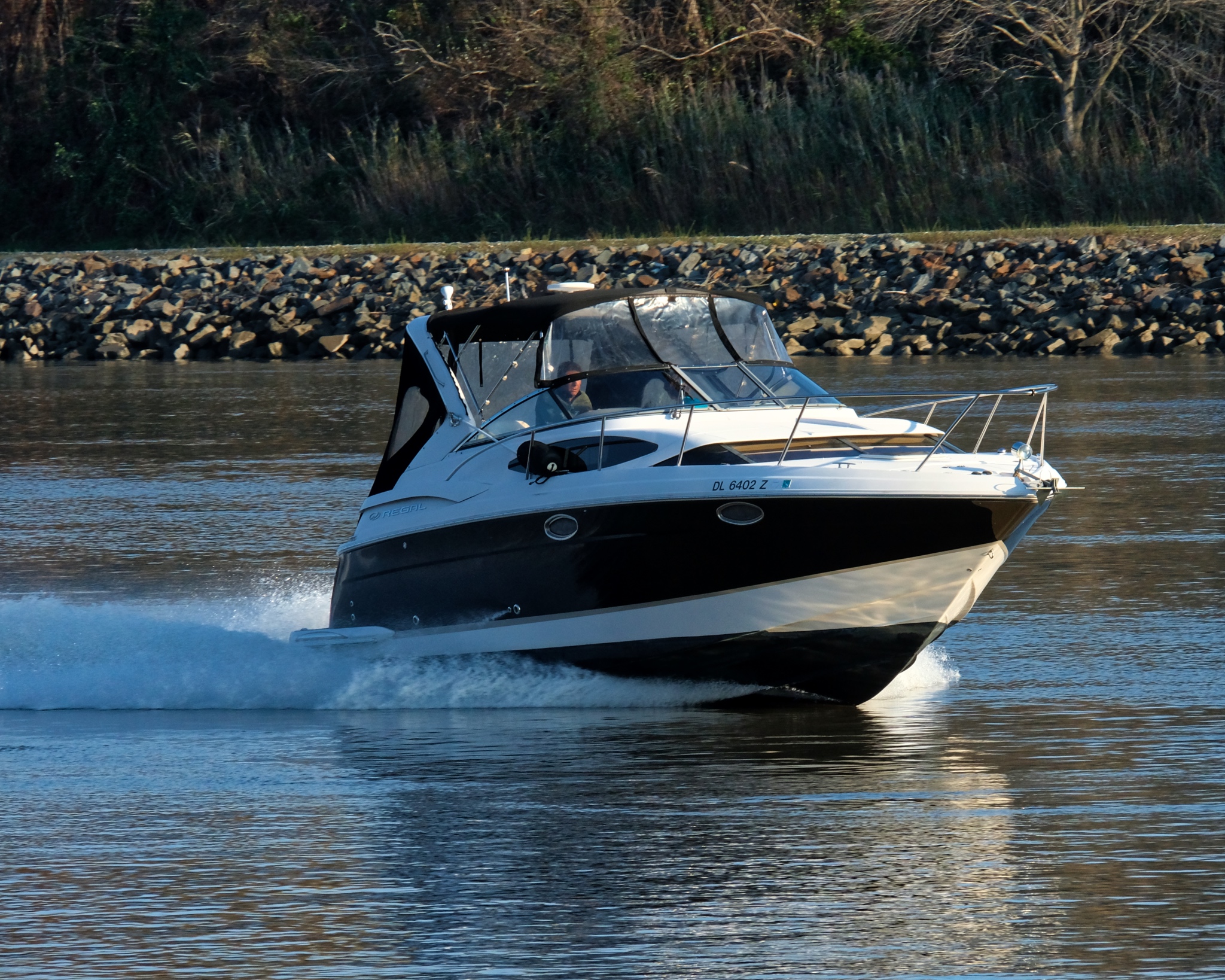 The canal was built in 1839 as a short-cut between the Chesapeake and Delaware Bays to shorten the time for ships and barges between Philadelphia and Washington, D.C. However, it is also used by pleasure craft and small fishing boats as well.
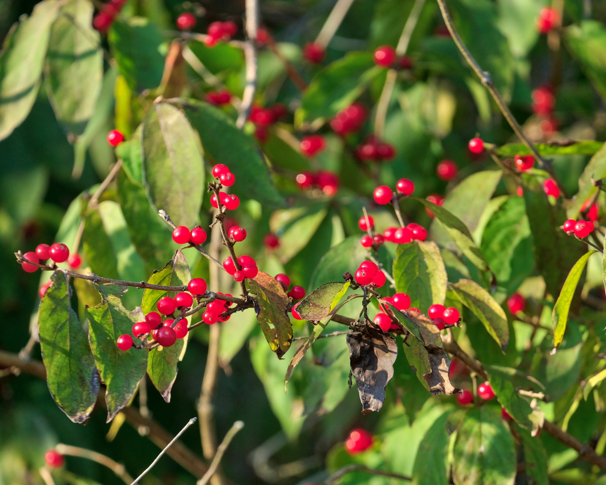 The last of the red berries . . .
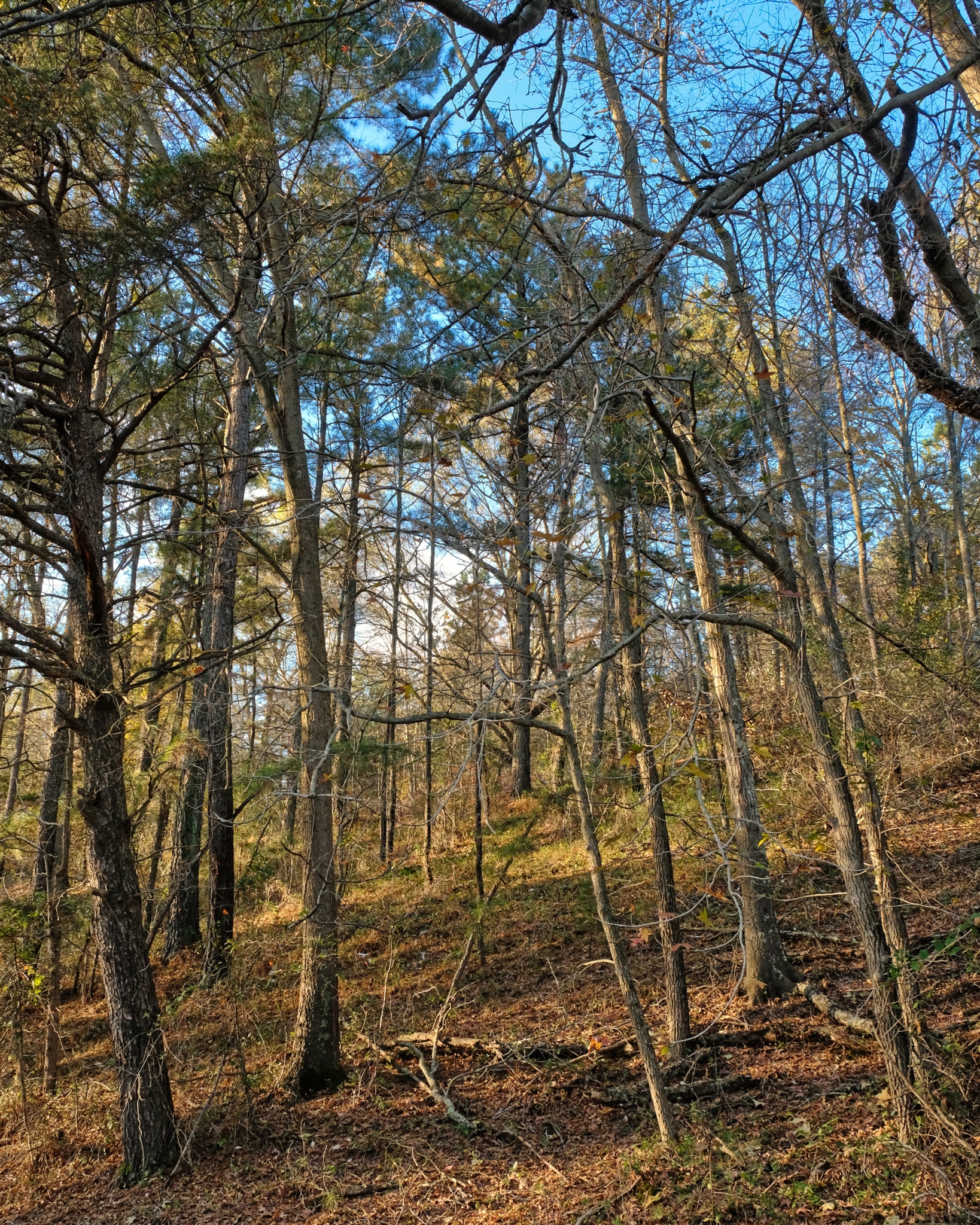 The Autumn forest . . . .
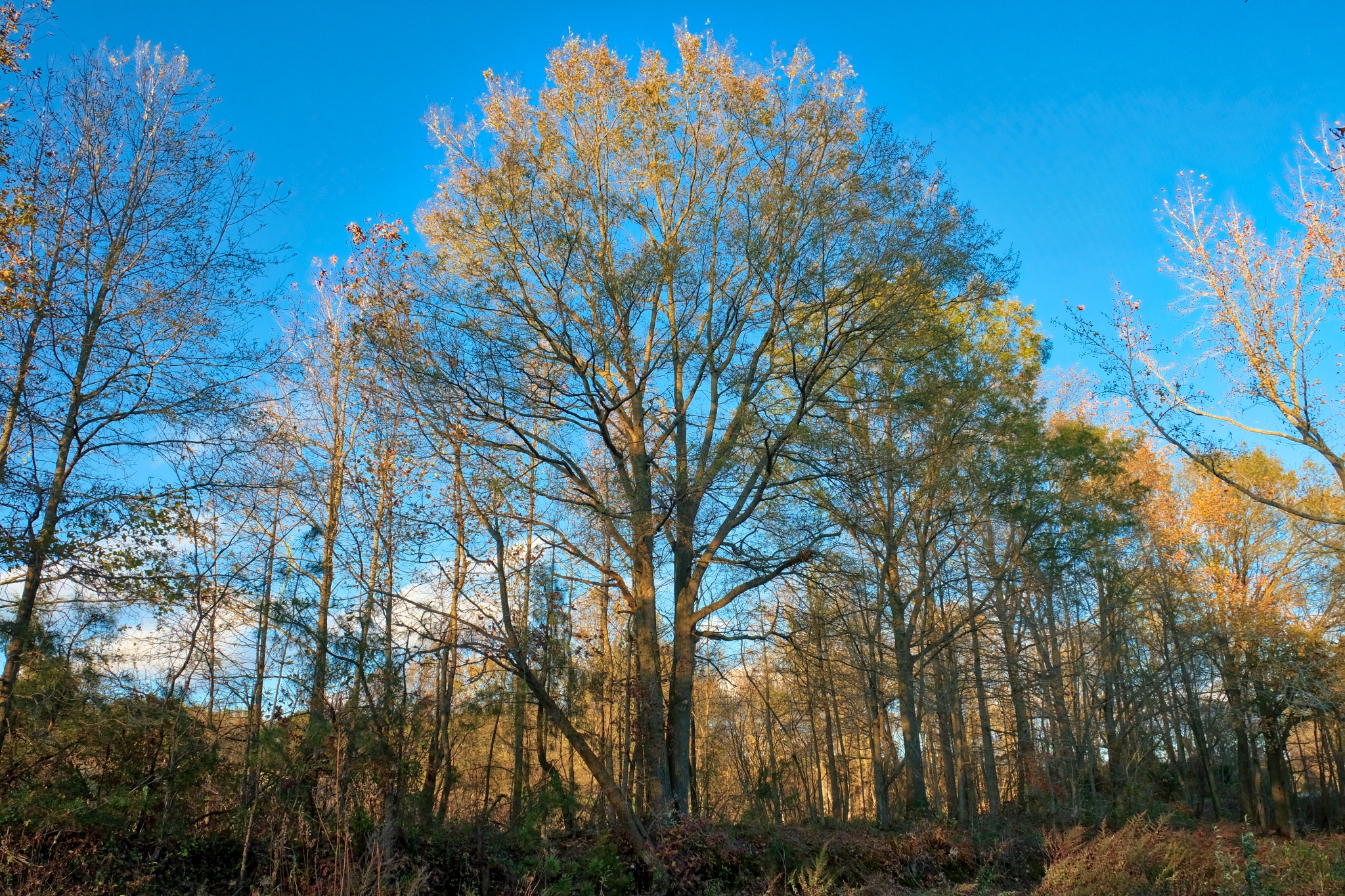 Nearing my camper the sky and trees stood out more sharply from each other.
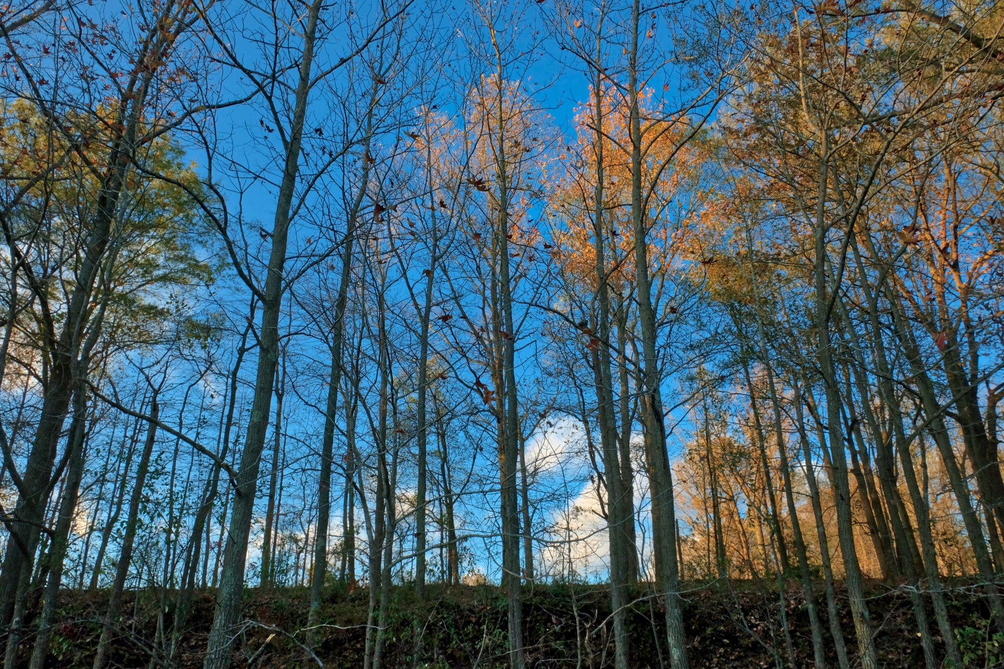 An Autumn hillside in late afternoon.
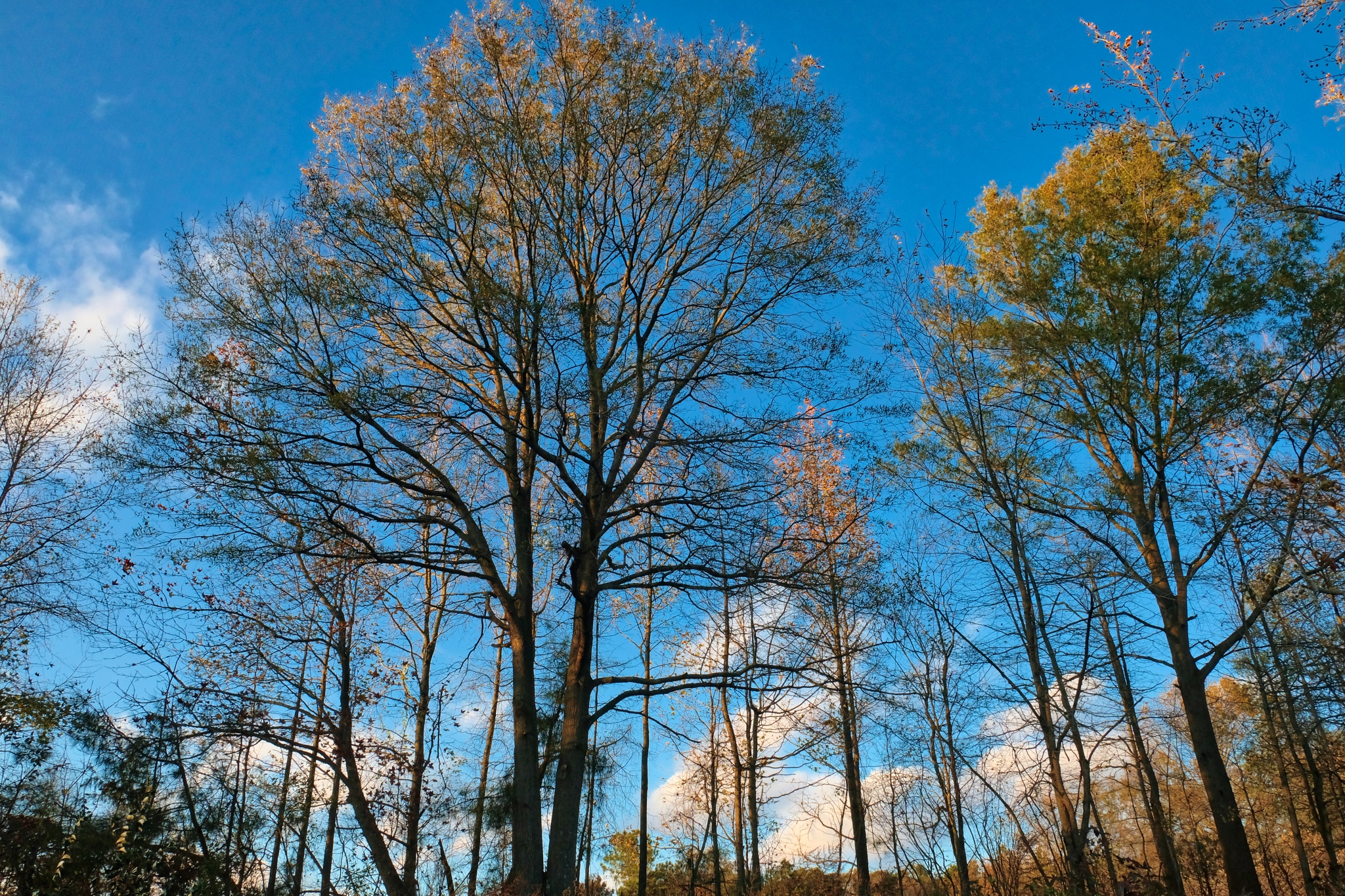 Yummie color!
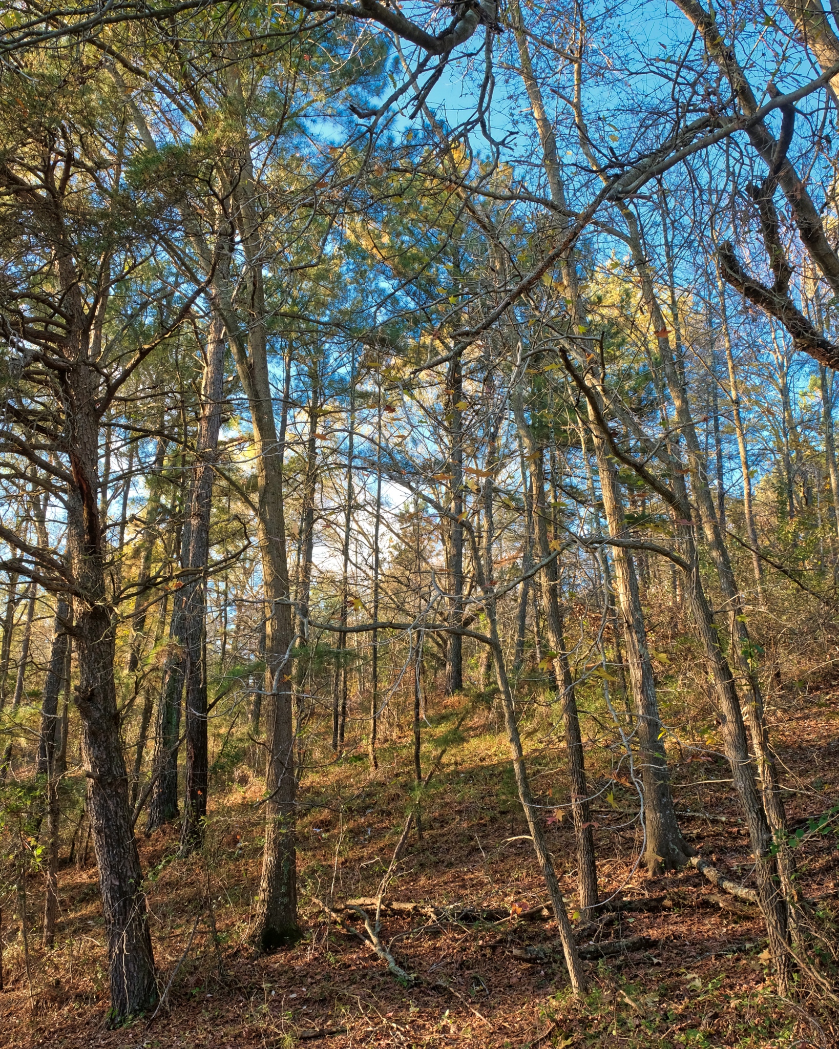 That sky!
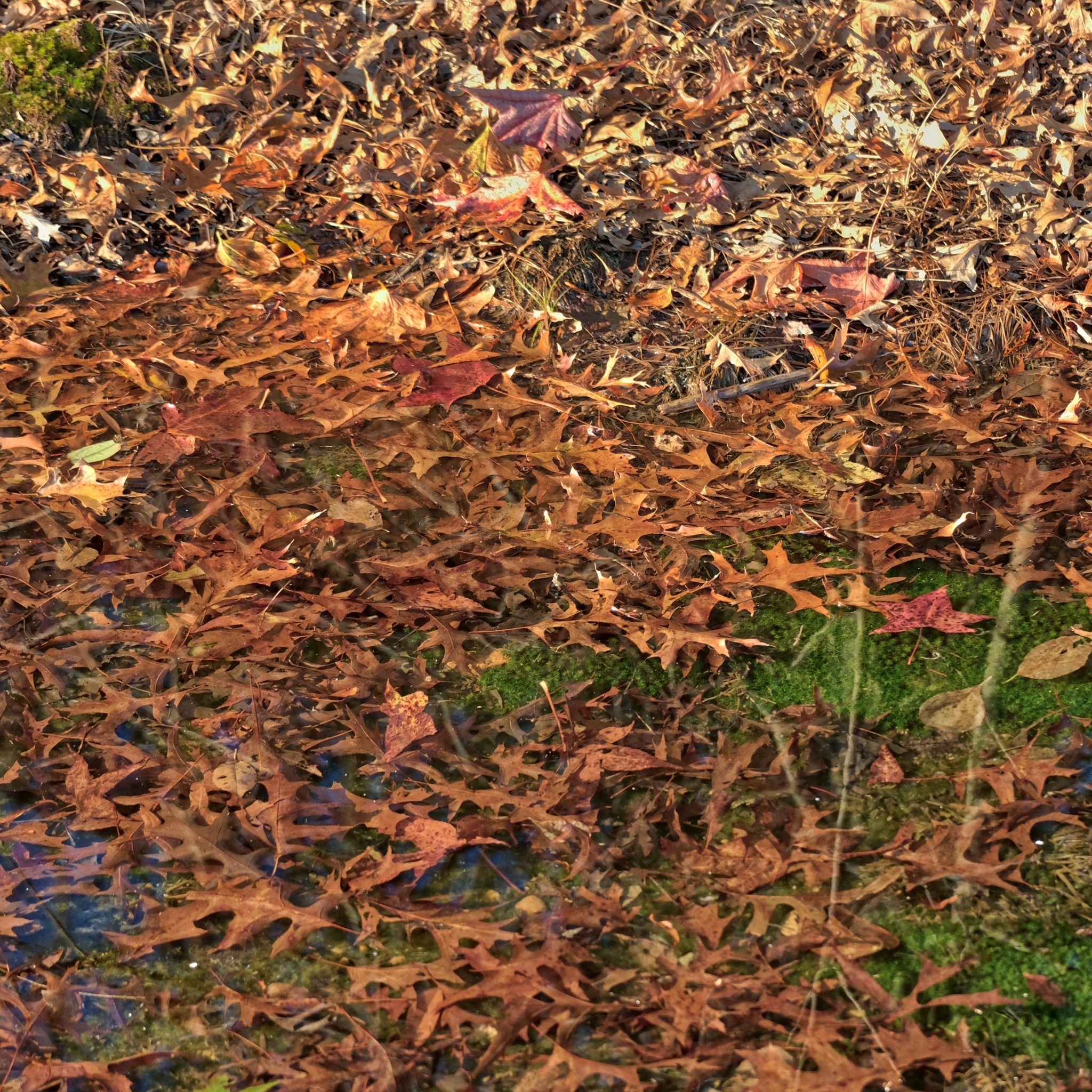 Autumn leaves . . . under water.
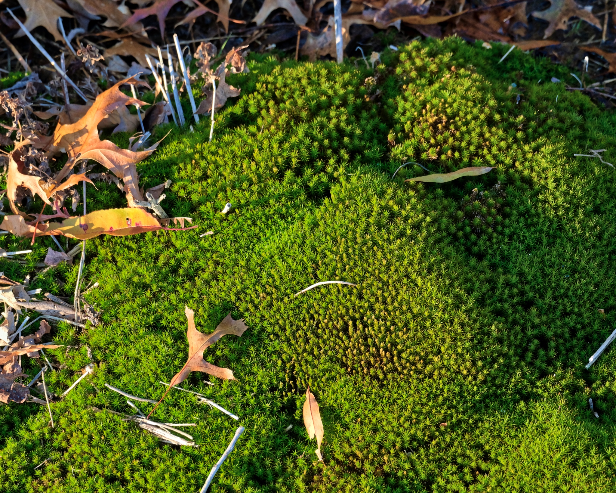 I love these winter green mosses.
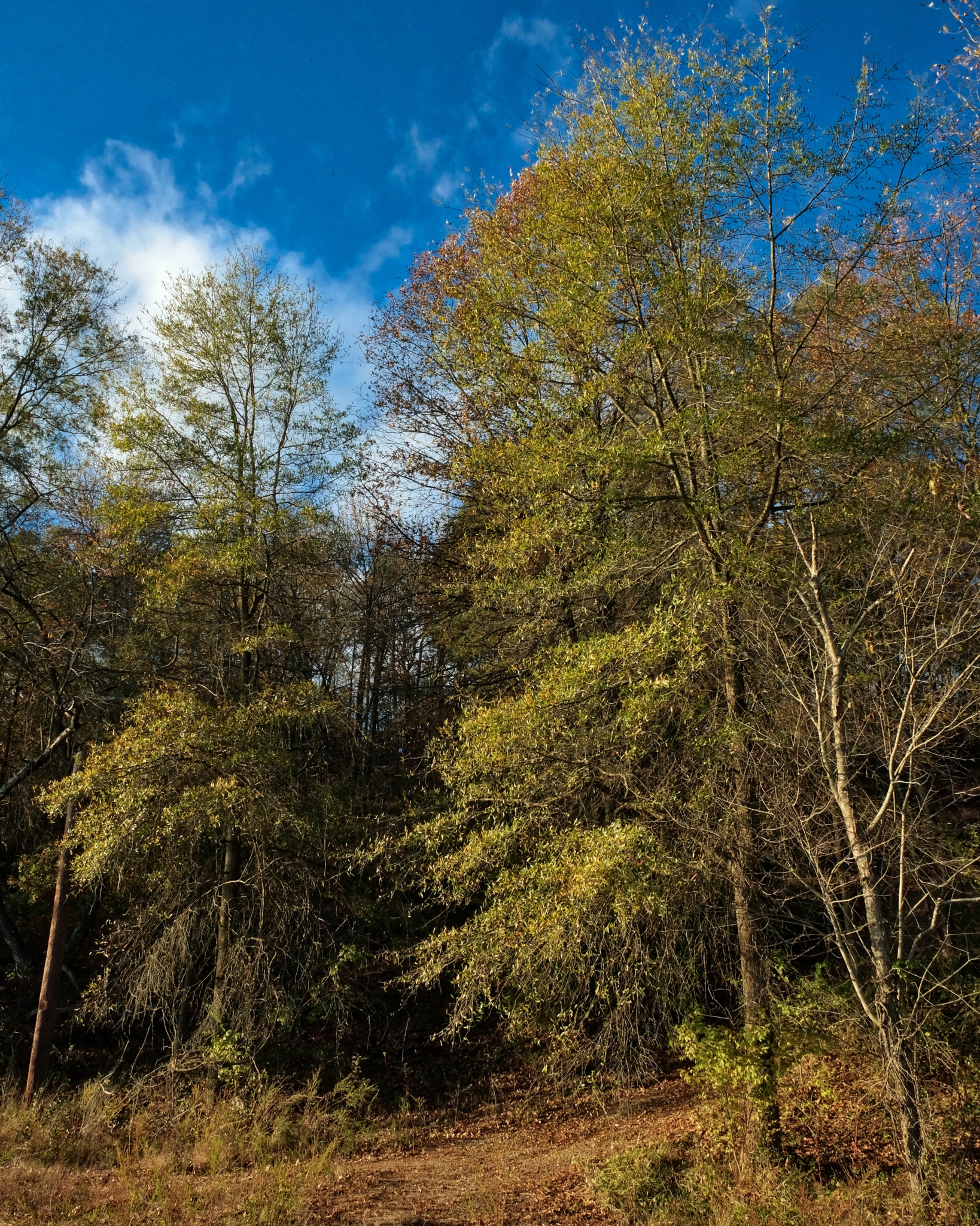 Autumn trees and sky.
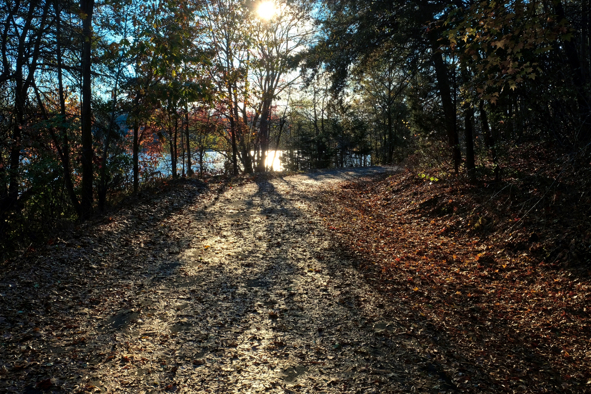 Such a fine Autumn day.
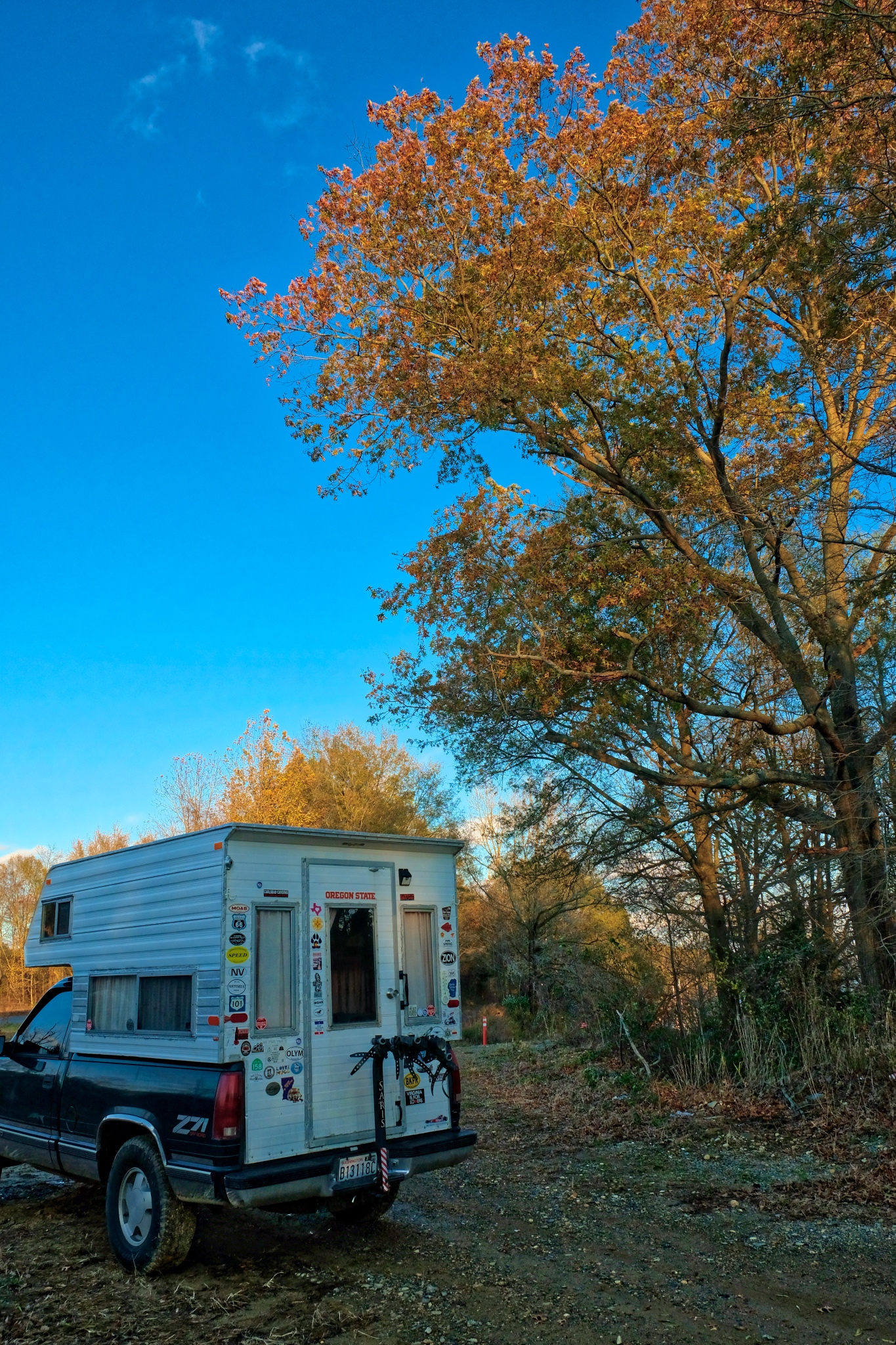 The old truck and camper have served me well.
 Dr. Jeff Harper
Bonus Photo: Your intrepid travelling photographer contemplating the absolute meaninglessness of existence.
 Dr. Jeff Harper
Iron Hill Park in Winter on Christmas Day 2018
 I had never been to Delaware before this winter . . . .
 The Delaware woods are unlike any forest I have ever seen.
 My daughter's family felt that after so much food and drink over the holidays, we needed a nice long walk.
 Iron Hill Park is not an especially large state park, but it is fabuluusly beautiul.
 The forest varies from widely spaced trees, to rather thick stands.
 And here an there a dense, impenetrable thicket of trees.
 The terrain is not flat . . . dips and hills describe the landscape. Nice for walking.
 Many trails crisscross the airy woods.
 Such a strange and beautifully spiritual place.
 A favorite summer swimming hole visible only in the winter.
 40(f), clear and calm. Such a pretty place.
 These are the places photographers die for!!!
 Only a few very large trees to be seen.
 We spent a fine couple of hours just wandering in the quiet beauty.
Road Trip USA: Chesapeake City, Maryland
 Friday, November 16, 2018 at 11:34PM
There is quaint and there is QUAINT! Chesapeake City, Maryland is the distillate of cute East coast seaport village.
Old wooden houses from America's past.

I love these old wooden houses . . .
 It is November, so the tourists have gone. Very colonial.
 Chesapeake City is an old town that was cut in half when the 1839 when the Chesapeake and Delaware Canal was built. A draw bridge was replaced with a bridge high enough to handle supertankers . . . high above the old village.
 The high bridge across the canal. The other half of Chesapeake City is on the other side.
 The bridge dominates the skyline from everywhere in the village.
 Chesapeake City is a pleasant place to stroll around on a chilly November afternoon.
 It was my daughter's birthday, so I took her and the granddaughter out for lunch in a sweet old canal side restaurant.
 Beautiful November light . . .
 We ate on the enclosed veranda of the old restaurant.
 We continued our walk around the tiny village where we discovered this tiniest of shops.
 Although tourist season was over, some of the gift and knickknack shops were open. I loved these table legs in a clothing shop.
 The next time I come to Delaware (just across the bridge) to visit my daughter, my wife and I may stay here.
 Autumnal crab pots. My daughter pointed out that I have many, many crab pot photos from around the world. True.
 Some of the summer tourist shops were closed, like this ice cream establishment . . . not needed on this very cold day.
 An idyllic American colonial village. Sweet.
 Beautiful autumnal/Halloween display.
 Such a nice afternoon spent. There were several of these old places for sale (hhmmmmm). We saw some of these being fixed up for AirBNB businesses.
 Dr. Jeff Harper
It snowed the very next day!

Snow on the Jack-O-Lantern.
 The weatherman really missed this one! It snowed all morning and with quite an accumulation.
 The old truck in the snow . . .
 I was very excited by the snow. So many years in the tropics will do that to you!
 Huge, we snowflakes!
 I went back outside later in the day . . . . the snow had really accumulated! I have taken my truck and camper from the hot and dry Black Rock Desert of Nevada to the snow of Delaware.
 Actual snow! I was soooo excited!
 Snow!
Snow!
 Out back of the house . . . a winter forest scene. Beautiful.
Road Trip USA: Steens Mountain, Oregon
 Saturday, November 3, 2018 at 10:48PM

 The road ahead . . . phone poles and mirages. (Color caste is from tinted front windshield.)
 A road to forever.
 To get to The Steens from my base in western Oregon (Keizer) meant I had to drive across the Eastern Oregon high desert.
 Eastern Oregon has a very special barren beauty. It is anything but empty.
 A failed homestead in Eastern Oregon.
 The further east and south I went in Oregon, the more mountainous the countryside became.
 The road to The Steens passed nearby the Malheur National Wildlife Refuge . . . a vast plain of colorful wetlands.
 I drove nearly all day under cloudy skies, but when I stopped to take photos of the Malheur Basin the sun shown through. Extraordinary color and pattern. This photo has not had the color bumped!
 The beauty of the Malheur Basin.
 I worried it might rain . . . it never did. The clouds and the wind blew away the wildfire smoke that pervaded the entire western third of the USA over the summer.
 At last I arrived in The Steens!
 The tiny old cowboy town of Frenchglen is the front door to the Steens Mountain Loop. The Frenchglen Hotel is a listed building that still operates as a hotel to this day - you will want to book well in advance. I went there for lunch one day (more on this later). My goal was the Jackman Park Campground up 20 miles of washboarded gravel road.
 The flora changed from high desert scrub . . . .
 . . . to sparse grasses and rocky soil.
 Driving up a lower section of the Steens Loop.
 I arrived here just before dark . . . my campground was down in that stand of aspen trees!
  I found this campsite and quickly unpacked the camper and made camp and went straight to sleep. I woke in the middle of the night, as old men do, to see more stars in the black sky than I have ever seen in my life!
 My campsite in the morning . . . very dry . . . and very quiet. There were only 8 camping spots in the campground . . . and only one other was occupied, although I never saw or heard them. The next two nights I was the only person there.
 With the help of my good friend, Jeff Milligan, I carefully selected my camp gear. This was my set-up everywhere I went (except sometimes I used my own table when there was none provided.) Coffee is very, very important.
 After breakfast I took a short walk in the aspen grove that surrounded the campground.
 I could not explain why these aspens were all twisted.
 After clean-up, I drove up the loop to near the edge of the East Rim . . . and Kiger Gorge.
 The Steens Mountain Loop road is normally closed due to deep snow from late November until late May. This is the very last bit of snow left on The Steens in early September 2018.
 I loved walking along the path on the edge of Kiger Gorge . . . looking down into amazing and grand scenes of Nature.
 It is nearly 4000 feet to the bottom of Kiger Gorge. An incredible view.
 Magnificent geology.
 Steens Mountain wild flower against Kiger Gorge.
 I left Kiger Gorge along the Loop Road, hugging the great escarpment. I love this road!
 There are several points along the Loop Road where you have a grand view of the Alvord Desert below. Unfortunately, the massive wildfires in the western USA left thick smoke at lower elevations, obscuring what is normally a panoramic view. It is, nevertheless, a wonderful sight.
 Craggy cliffs form the eastern edge of the great hinge fault that made Steens Mountain.
 Photographically, perhaps the wildfire smoke helps define the rows of sharp ridges . . . .
 This is why I came back to Steens Mountain: this is the view I had in my memory for 30 years . . . . now renewed.
 Driving along the Steens Loop Road toward Wildhorse Lake.
 The road to Wildhorse Lake had marvelous views of Lower Indian Creek Canyon.
 The view from the Wildhorse Lake parking area . . . .
 At the southwest point of the Loop Road is Wildhorse Lake (aka, Alvord Lake). Magnificent, smoke and all.
 Wildhorse Lake. If you look closely you can see a trail to the lake . . . and two small tents on the lakeshore.
 Again, the views from the Wildhorse Lake overlook down to the Alvord Desert were fantastic, in spite of the wildfire smoke.
 I sat here for quite awhile . . . enjoying the grandeur of this actuality.
 I walked out on the Jeep trail I came on . . . a road to the sky.
 Back in the camper and along the rim loop road . . . incredible views wherever I looked.
 At the southern end of the great Steens hinge fault the road begins to wind down the escarpment.
 More ancient, deep glacial valleys fell out of the high plateau on the south end of the Steens.
 I stopped often to take in the beautiful scenery more closely.
 Majestic.
 Ancient trees cling to life and the cliffs.
 I turned back to my campground at this point, knowing that I would be driving up from Frenchglen along the south section of the Loop Road the next day. I was hoping that tomorrow would be clearer . . . without the wildfire smoke.
 I was treated to a beautiful sunset that evening.
 The next morning I woke up to find a camper van had arrived in the campground. As luck would have it, he was a professional photographer from Portland, Oregon. We met and chatted and I took him to the twisted aspen grove for a morning of photography in amazing light.
 Scrumptious morning scenes.
 I finally figured out why these aspens were twisted: There must have been very deep and heavy snow covering them when there ere very small saplings.
 Snow-twisted aspen.
 Morning magic light in a grove of twisted aspen . . . magic indeed!
 Before heading into Frenchglen, I took a three mile walk to check out this stand of aspen trees.
 The grove was fed by a small spring coming out of the hillside.
 I had read that sometimes the early Basque shepherds would camp in these groves and carve their names and their home Basque village names on the aspens.
 Such a calm and peaceful aspen grove.
 I found an old cast iron stovetop among the aspens.
 I found the Basque shepherd tree carvings.
 These carvings are said to date from the 1870s . . . nearly 150 years old.
 There were many of these small isolated aspen groves - each a world of their own. I wanted to explore all of them . . . but couldn't.
 I drove down off the mountain to the little village of Frenchglen.
 The Frenchglen Hotel is run by the State of Oregon and is an old cowboy rest spot. I had delicious home made lunch here.
 When I was last here 30 years ago this was an old cowboy bar and provisions store.
 The Frenchglen Mercantile as it is today . . . a general store and souvenir store with a gas pump (thank goodness!).
 The interior of the Frenchglen Mercantile had been cleaned up and reorganized since I was here. A few dollar bills were still on the ceiling as a reminder of the drinking games the old cowboys liked to play when it was still a bar.
 It is still a very interesting old space . . .
 Out front of the Frnchglen Mercantile.
 An old shepherds chuckwagon stands near the Frenchglen Mercantile.
 Imagine the old time reality of these Basque shepherds.
 I grove out on the paved Oregon Route 205 to the southern entrance to Steens Mountain Loop Road. I love this high desert landscape.
 Although beautiful, the southern portion of the Loop Road had awful washboarding. I was reduced to 10mph for 10 miles of bone-shaking and teeth-chattering driving. Perhaps they only grade it a few times of the year. I would check before you attempted it.
 The road eventually smoothed out and began to wind up into the edges of Steens Mountain. This is Indian Creek. I stopped for a leg stretching.
 Such an idyllic mountain stream.
 The babbling stream echoed against the canyon walls.
 The road climbed back up onto the high Steens ridges. The light today was the best since I arrived . . . the wildfire smoke was beginning to dissipate.
 I stopped often to take in the grandeur.
 More glacial valleys to the left . . . . and to the right of the Loop Road:
 . . . Big Indian Gorge . . . a glacial valley and source of Indian Creek. Magnificent!
 In the late afternoon 'magic light' overlooking this glorious glacial gorge. Overwhelming beauty.
 These cliffs! This light!
 Yellow lichen growing on the sunny side of Big Indian Gorge walls.
 The geology here was fantastical!
 A rocky spine jutting out above the gorge . . . and a path to follow. This may be my favorite photo from my Steens Mountain experience.
 Approaching the spiny outcrop.
 I took this photo from a bench next to a sign that said, "A Good Place To Meditate." Gotta Love Oregon!
 Looking out to the opposite cliffs of Big Indian Gorge.
 I took the path out to the end of the outcrop . . . . stunning . . .
 Nearing the tip of the spiny outcrop. I was overwhelmed with the natural beauty.
 At the very end was this old scrub tree . . . hanging on.
 The view up Big Indian Gorge from the outcrop.
 The next outcrop to the south.
 I took my time walking back to the camper along this path . . . composing photographs to take advantage of the extraordinary light.
 As the sun dropped lower toward the horizon, the colors became richer and richer.
 I enjoy taking photos of my camper in these environments . . . it's like pinching myself to prove that it is real!
 I could walk on these wild high desert paths forever . . . .
 So much fascinating geology everywhere.
 Back on the Loop Road taking photos . . .
 These grouse stopped to pose for me among the dry bush.
 The scenes of vast landscapes of tufted grasses were lit in golden light.
 I find this complex scenery incredibly fascinating.
 The Loop Road ahead in magic evening light. I loved driving through this grand landscape.
 I arrived back on top of the East Rim as the last light was fading.
 Big Indian Gorge in amber shadow.
 I waited outside in the very cold evening until the red sun sank into the thick wildfire smoke . . . .
 My last sunset in The Steens. I left the next morning for Lake Tahoe and more adventures.
 I awoke on my last day to glorious light and color in my campground. I decided to take a short walk with my camera before I packed up and left.
 I walked out across the Loop Road and over this hill to see what I could see.
 What I found was this hidden little valley full of bright yellow aspens.
 I miss this place.
 Looking out and down the Steens hinge fault to the bank of wildfire smoke below.
 I stopped to study the interesting geology on the way back to the campground.
 These almost looked hand made!
 These appeared to be Scottish thistle, just as I have seen in my years in Scotland.
 Surprisingly, I saw very few insects during my entire stay.
 Steens wildflowers.
 I walked back down the hill to take a last look at my camper among the aspens.
 I took a shower at this hand pump every morning . . . there were no people around to see me.
 After packing the camper, I stopped to take a photo of my campground sign on the way out.
 And then I drove down the Loop Road to Frenchglen and a very long drive.
Road Trip USA: Standing On The Corner in Winslow Arizona
 Wednesday, October 31, 2018 at 11:30PM
  The 'Winslow corner' is, of course, a tourist trap loaded with tourist curios (I bought stickers, magnets and a t-shirt). But on this evening . . . t was Hot Rod Heaven!
 They painted that famous corner as a Route 66 sign . . .
 There were some world class hot rods present.
 I am a big fan of the early Willys gassers . . . there were two fantastic examples here: this red one . . . and . . .
 This orange Willys gasser was all steel . . . and perfect.
 Such a pretty shade of tangerine orange over gold metalflake . . .
 A sweet early Falcon (street driven) gasser.
 For me, the star of the show was the restored historic 70s rear-engine Dart funny car 'The Ol Whine Maker.'
 With the blown nitro HEMI started up on Main Street . . . a thrill of a lifetime . . . the RupRupRup bouncing off the buildings . . . WOW!
 My first car, at 16, was a '57 Chevy Wagon . . . I still have a soft spot for them. This one is a faux BelAir - they never made a 2-door BelAir Wagon.
 The '57 wagon had a very nice motor.
 There were also some nice trucks.
 Tri-Five Chevy pick-up. Perfect.
 All kinds of 'hot rods' . . .
 I spent a lot of time checking out the cars.
 There were some real beauties.
 The cars here rivaled the ones at the hot rod shows my brother and I entered in Washington State with his '55 Chevy.
 A very clean '56 Chevy and Fat Fendered Chevy 4-door. Nice.
 Very cool 'Other' hot rod.
 The variety and high standard of the displayed hot rods were extraordinary.
 I am a fan of the 'other' unusual makes and models of hot rod.
 Nicely done.
 As always, there are many Deuce Coupes.
 A sharp Deuce Hiboy . . . with top up.
 Super cool and understated . . . the way I like them.
 "Dare to be different!"
 Late 'Vette motor in an early 50s Chevy. Nice.
 Someone's pride and joy: a perfect '63 Corvette.
 Another favorite: Bad Boy T-Bird.
 Winslow Hot Rod Sunset.
 I had a fantastic time talking to the drag racers and hot rodders in Winslow. The cacklefest was a proper ending to the afternoon/evening. I left to find all the RV Parks full . . . no problem . . . I pulled into a well-lit motel parking lot and parked between two Mercedes and spent the night for free in my camper.