My most current blog entry:
Entries in Scotland Travels (36)
Scotland - Summer Visitors 2016, Part II
 Saturday, September 3, 2016 at 8:59PM
  I always enjoy visitors to my little corner of Scotland. It gives me an excuse to go out and see things I haven't already seen in this beautiful country. I wanted to check out the Crathes Castle Rail Station for a couple of years, and a visit by my buddy from Liverpool provided the excuse. This is the station master, not my visitor.
 The Royal Deeside Railway runs a summer steam train from Crathes to Banchory, only a couple of miles away.
 I love these old steam engines. The British and Scottish are great restorers and maintainers of these old treasures.
 All Aboard!
 We spent a lot of time wandering around the country roads of Aberdeenshire.
 Further up the River Dee are several Victorian-era suspension bridges . . . this one damaged by a huge flood last winter.
 Abergeldie Castle was nearly lost to the raging River Dee this year. (The castle is not actually leaning . . . it is a distortion caused by my 10mm lens.)
 Finding a gate house along the road usually means there is either a castle of grand manor house nearby.
 Not all country houses are grand . . . not every farmer 'makes it.'
 Lovely, bucolic rural Scotland on a rare perfect day.
 One of the sites I wanted to see was the Natural Burial Ground near Alford. Cothiemuir Hill Natural Burial Ground was quite fascinating. People had chosen to be buried not in church or public grounds, but in nature, under the trees. Stones here and there, rocks, and a few plaques marked the burials.
 The burial grounds were in an especially beautiful forest. I might like this as a burial option.
 It was interesting to walk among the ferns looking for markers . . . an exercise in reflecting on our mortality.
 It's also nice to have visitors so you can have a photograph of yourself once in awhile.
_______________________________________________________________________________________________________________
 The next day we headed south, along the old road along the North Sea to the famous fishing village of Arbroath.
 We walked around the village, ate a fine seafood dinner quay-side, and walked around the old harbour. The air was so still, the water so calm.
 I have been to Arbroath many times. I always make a point of taking visitors there . . . the sweet pastel buildings and harbour boats are extremely picturesque.
 Yes, it is a fishing village and they do have fishing trawlers based here. Those colors! Yes, the colors that day were intense.
 Never in my life have I seen such a dramatic sky reflected in the sea! Astonishing!
 The strong golden afternoon light played well on the moored fishing boats.
 Arbroath Harbour is a living, working harbour. We walked up to the harbour breakwater wall to see what was on the other side . . . .
 The view from the top of the harbour wall was up the coast of the North Sea to the Angus headlands. What magical light I had that day!
 As it was getting late, we decided to drive back to Aberdeen . . . the late afternoon light on the Angus fields were spectacular. We stopped many times to gape at the view and take photos.
 Wild flowers lined the fields and roads.
 Golden fields of grain fringed by clusters of wild flowers. Ah! Scotland!
 Late afternoon golden light, deep shadows.
 Lovely daises everywhere.
 Angus field.
 We drove past these scenes for an hour, completely in awe of the beauty.
MORE TO COME!
Under Construction
Scotland - Pitlochry, Moulin, and Highlands Road
 Friday, September 2, 2016 at 11:27PM
  As I often do, I tag along with my wife when she goes somewhere interesting to play in golf tournaments. This past week-end it was in the beautiful surrounds of central Scotland: Pitlochry and the tiny village of Moulin nearby. This is a quaint cottage in Moulin.
 The village of Mulin is build around a square with the church and graveyard on one side and the Moulin Hotel (c1665) facing it.
 Built on the site of the 1165 chapel, in 1873 the original church was gutted by fire and the present building was constructed. In 1989 the church was closed and became a community center.
 These old rural graveyards are very interesting to me. I find the old 'furniture' and features sad and enlightening.
 There are some fine, sweet cottage gardens in Moulin.
 A lush garden in late summer.
 The old hotel was dressed in beautiful flowers.
 I left the village to explore the country above the town of Pitlochery.
 Tree-lined country lanes . . . .
 I walked along a trail at the base of Craigower Hill with an eye to walking to the top. Some ladies at the golf course said there was a wonderful view from the summit.
 The trail began adjacent to the Pitlochery Golf Club.
 It was a perfect day for a trail walk - the warmest day of the year and clear sunshine!
 The trail began at a gradual incline . . .
 . . . and ran under varying stands of trees.
 But the trail became much steeper the closer to the summit I came. The trees thinned and the bugs increased. Unfortunately, I forgot to put on any repellant (SkinSoSoft). I got a number of midge bites here. Itchy!
 Nearing the top.
 The view back down the Tummel Valley, and the town of Pitlochery, from the summit.
 A panoramic view from the summit of Craigower Hill.
 There were some big patches of purple heather on the top.
 I walked back along a different trail to where I had parked the car, and drove up this avenue of trees to pick my wife up at the golf course.
 The village of Moulin through the trees across the field. After a delicious Sunday Carvery at the clubhouse, we took the long way home from Pitlochery to Aberdeen along the A93 up a Highlands pass on the Old Military Road.
__________________________________________________________________________________________
 The road from the Spittle of Glenshee to Braemar is a stunner.
 Fast moving clouds in the strong late afternoon light left constantly moving dark patches across the Highlands landscape.
 The heather was in full purple bloom up in the Highland passes.
 Sheep grazing in the summer light. This pass is deep with snow all winter.
 Scottish roads, a Wonder of Nature around every corner.
 The deep shadows of late afternoon along a Highlands road. Magnificent.
 Coming down from the summit of the pass we came onto small crofters patches.
 Picture perfect . . . a perfect day.
Scotland - Arbroath Abbey Ruins
 Sunday, June 12, 2016 at 10:57PM
  The ruins of Arbroath Abbey (c1178) is one of the most important historical sites in Scotland. The current fishing village of Arbroath has formed aroound the ruins.
 The Arbroath Abbey was the site of the signing of the Declaration of Arbroath (actual document HERE) the document proclaiming Scotland an independent nation, foreshadowing the US Declaration of `independence.
 Although the Arbroath Abbey was one of the richest, it was closed at the Reformation, and from 1590 on, it was robbed of its stones by local builders.
 The cathedral at the abbey was huge.
 Wonderful olde world passages and twisting stairwells.
 I would love to have seen the Abbey when it was in all its pristine beauty.
 The Abbey was constructed of red sandstone, a somewhat unique building material from the time.
 Not all of the structures were completely destroyed.
 The magnificent Abbots House, also of red sandstone - very red because of the rain. That door going under the house sure looks inviting . . .
 The vaults under the Abbots House . . . this tourist came in while I was shooting . . . and stayed very still.
 Some of the 'extra' archeological finds are displayed in the basement of the Abbots House.
 The ghostly green light, the other-worldly sounds, and the strange light emanating from behind this door were enough to inhibit further exploration . . . . so I left.
 There were several high vantage points to view the lay-out of the original Abbey. The main chapel must have been very grand, as the huge column bases indicate.
 I left my shoes in this photo . . . on the Stairwell Unto Hell . . .
 I'm a sucker for photos framed by arches. Guilty as charged . . .
 I also enjoy photographing doors . . . all over the world. They are the portals to an enclosure; an enclosure of that which is on the other side.
 I wandered into this chamber and discovered a very informative exhibit about the signing of the Declaration of Arbroath (document and translation HERE), signed on 6 April, 1320, which declared Scotland independence.
 Wonderful medieval atmosphere in here . . . the literal home of freedom.
 I enjoyed wandering around in these old spaces. I had the whole place to myself.
 . . . if these walls could talk . . .
 I was surprised to find this apparition had appeared on a photo I took under the Abbey . . . who is this guy?
 Fresh Spring grass, arches, and rooms to explore.
 Even though it was a murky day in northeast Scotland, I still managed some pretty good photos . . . and had a nice afternoon while my wife was playing in a golf tournament at Carnustie.
UNDER CONSTRUCTION !
Scotland - Outer Hebrides, Summer 2015
 Sunday, June 5, 2016 at 1:47AM
  Our explorations of the west of Scotland often begin in the port and ferry terminal city of Oban. It is a beautiful old town . . . and also has the best oysters in Scotland.
 I love the old fishing trawlers at the quay in Oban, mostly because I am rust obsessed.
 Working boats . . . working for our seafood.
 We took the ferry from Oban to the Outer Hebrides, a four hour trip.
 The ferry left Oban though the Sound of Mull. The view of the Isle of Mull was spectacular.
 We arrived on the Outer Hebrides on Barra island, in the town of Castlebay, named after the 16th century Kisimul Castle in the bay.
 Most of the Hebrides were depopulated in the 1950s. There were plenty of old abandoned buildings to photograph.
 The Outer Hebrides are very remote, one of the most remote places in Europe. We were here at the very beginning of the tourist season and not everything wad open yet . . . some for unforeseen circumstances.
 We drove north up the A888, a mostly one-lane road with passing pull-outs every now and then. The otherworldly rocky landscape was fascinating.
 A Barra beach.
 The chain of Islands are connected by a few bridges and several ferries. We left Barra for Eriskay (old Norse of "Eric's Island") and South Uist islands. In the 2011 census South Uist had a usually resident population of 1,754.
 Getting to the ferries early allows time for photography . . . and a cup of coffee in the tiny terminal.
 The ferry passage between islands under the leaden skies and misty sounds created a fine dark mood.
 South Uist island is home of the Askernish Golf Course, designed by Old Tom Morris (in 1891), the same course designer of the Old Course at St. Andrews. The Askernish Golf course was 'lost' for over 80 years until re-discovered and reopened in 2008.
 The fields of South Uist we all abloom in yellow flowers.
 From South Uist we passed over a causeway to Benbecula island and then across another causeway to North Uist Island. We followed this road to Lochmaddy, where the ferry to the Isle of Skye terminates.
 We had a fine lunch at the port of Lochmaddy and afterward I walked along the fishing pier at low tide to capture some still life photos.
 Grey rope and grey stone.
 I found a wad of bright orange kelp and took many photos. I use this (in full resolution) as a desktop photo. Fascinating.
 Although we had very little clear skies, we also had very little rain. A threatening storm approaches . . . then fizzled.
 To say that the Outer Hebrides is a wet and cloudy place is an understatement.
 Always wet, always damp, always rocky, always peaty.
 The Outer Hebrides is such a completely different environment from any I have ever seen.
 There is some agriculture and husbandry out on the Outer Hebrides. These are Highland cows.
 We made another small ferry passage from North Uist to the Isle of Harris, the home of the famous Harris Tweed.
 We made a beautiful landing on Harris.
 More beautiful fishing boats on Harris.

Nothing like the beach on a beautiful summer day in the tropics . . . but wait! This is the Isle of Harris in the Outer Hebrides, an island chain a hundred miles off the far northwest shores of Scotland!
 Being Scotland in the summer, we were just happy that it wasn't actually raining. The clouds are no problem. In fact, during the 10 days we spent on this trip to the Outer Hebrides from Aberdeen, we saw actual rain only once.
 Most of the roads we drove on the Hebridean Isles were one-lane. It seemed we were never more than a few hundred yards from the sea . . . and views of coves, beaches, and cliffs.
 Oh! The views!
 Brooks and streams pouring into the sea from every hill and mountain.
 The Isle of Harris and the Isle of Lewis are conjoined. Crossing them several times, we were taken with the grand views of this dramatic landscape. The stripes are the remnants of peat cutting, or harvesting.
 Peat (turf) is an accumulation of partially decayed vegetation or organic matter that is unique to natural areas called peatlands, bogs, or mires. The peat is cut off from banks and left to dry, or drain. Peat, when dry, is slow burning (and smelly!), and has been used to heat homes in remote Scotland for centuries.
 We saw many seals basking on the rocks from our several ferry trips, and abundant birds everywhere, but this rabbit was the only land mammal we saw.
 Only a few traditional old thatched houses remain on the Outer Hebrides.
 Old shepherd's sheds dotted the high bogs of Lewis.
 The Callinish Stones as we first saw them. There are many prehistoric sites all about the Outer Hebrides, but the Isles of Harris and Lewis have the most. Magnificent.
 Although this Neolithic site dates from before 3000 BC, the standing stones date from 2900-2600 BC. The Standing Stones of Callinish are a complex of neolithic structures, including a burial chamber (closed the day we were here).
 The light came and went all afternoon, creating a drama of different moods across the stone circle.
 The view from the mound of standing stones was inspirational.
MORE TO COME: STILL CONSTRUCTING THIS ENTRY.
 The Hebridean landscape lends itself to fancy photographic effects . . . .
Scotland - Fraserburgh
 Sunday, May 15, 2016 at 5:20AM
 It's nice when my wife has a golf tournament out of town . . . I get to drive here there and then explore the area around Fraserburgh.
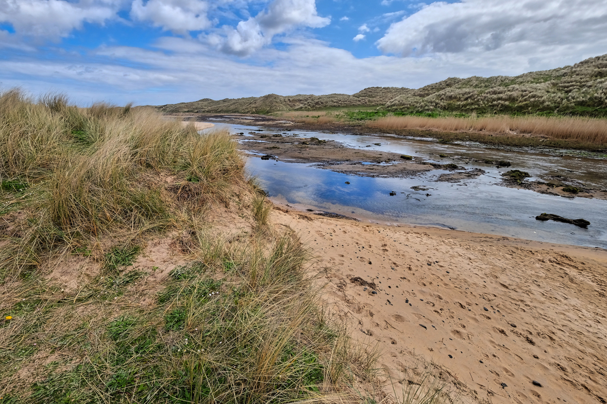 The Waters of Philorth.
 Fraserburgh Golf Club is the 7th oldest golf course in the world, having been founded in 1777. It sits among the dunes on the Scottish Aberdeenshire Coast.
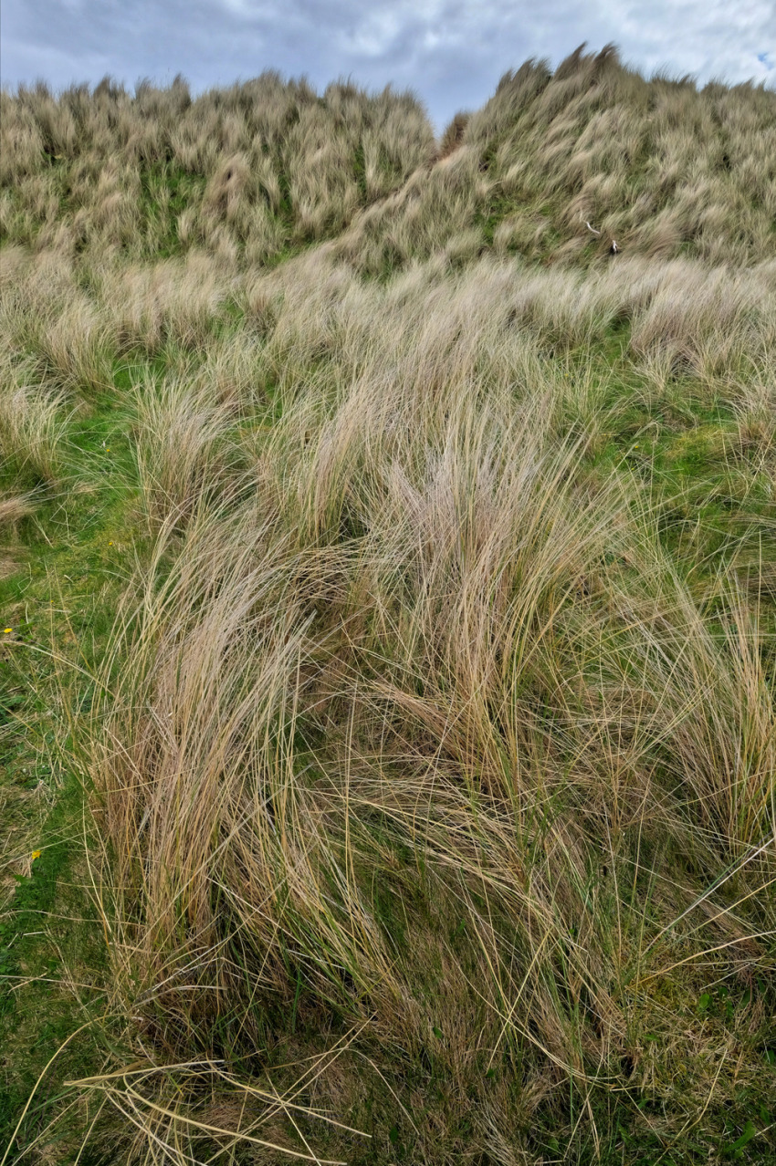 The sea breeze was strong along the tops of the dunes, but calm down in the deep sandy hollows.
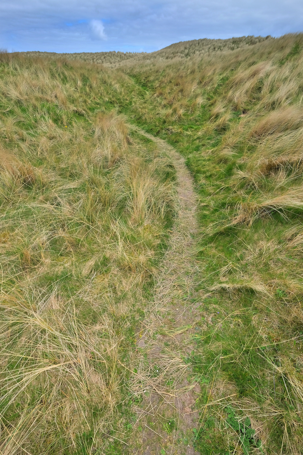
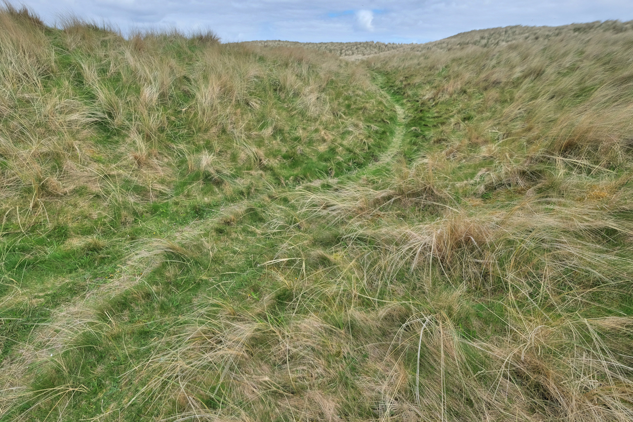 Walking the dune trails had a mystical quality to me . . .
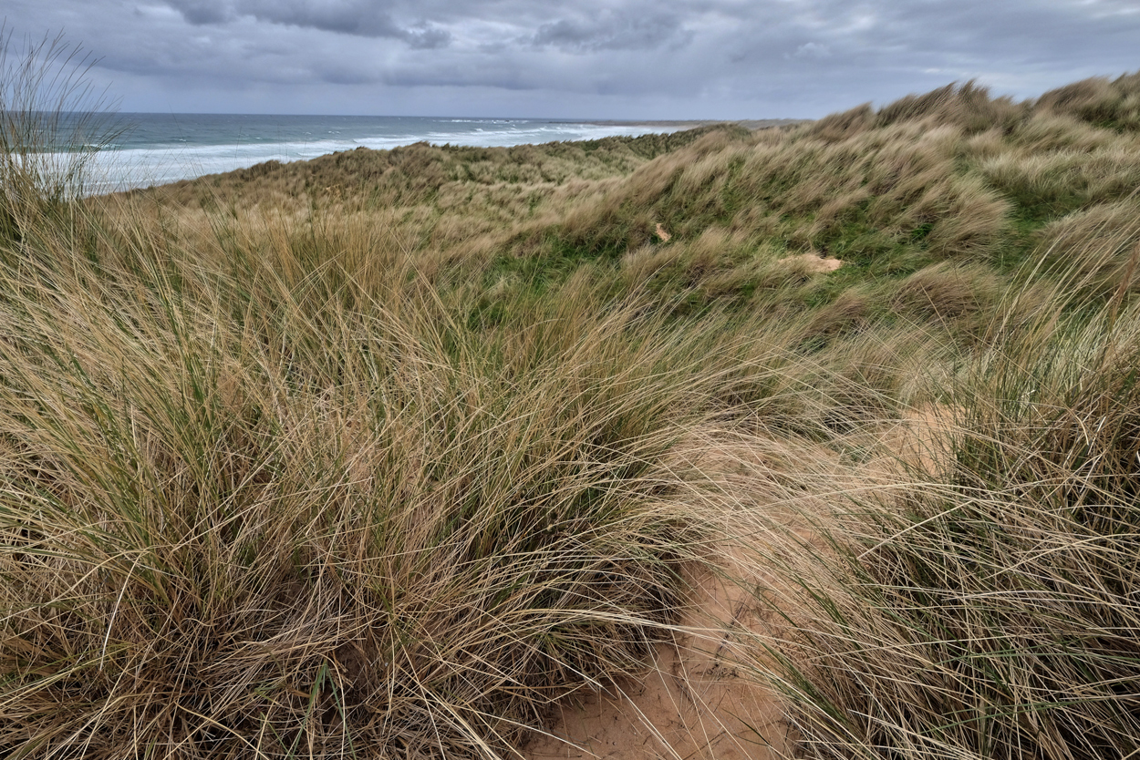 I crested a dune to find the North Sea . . . and miles of beach.
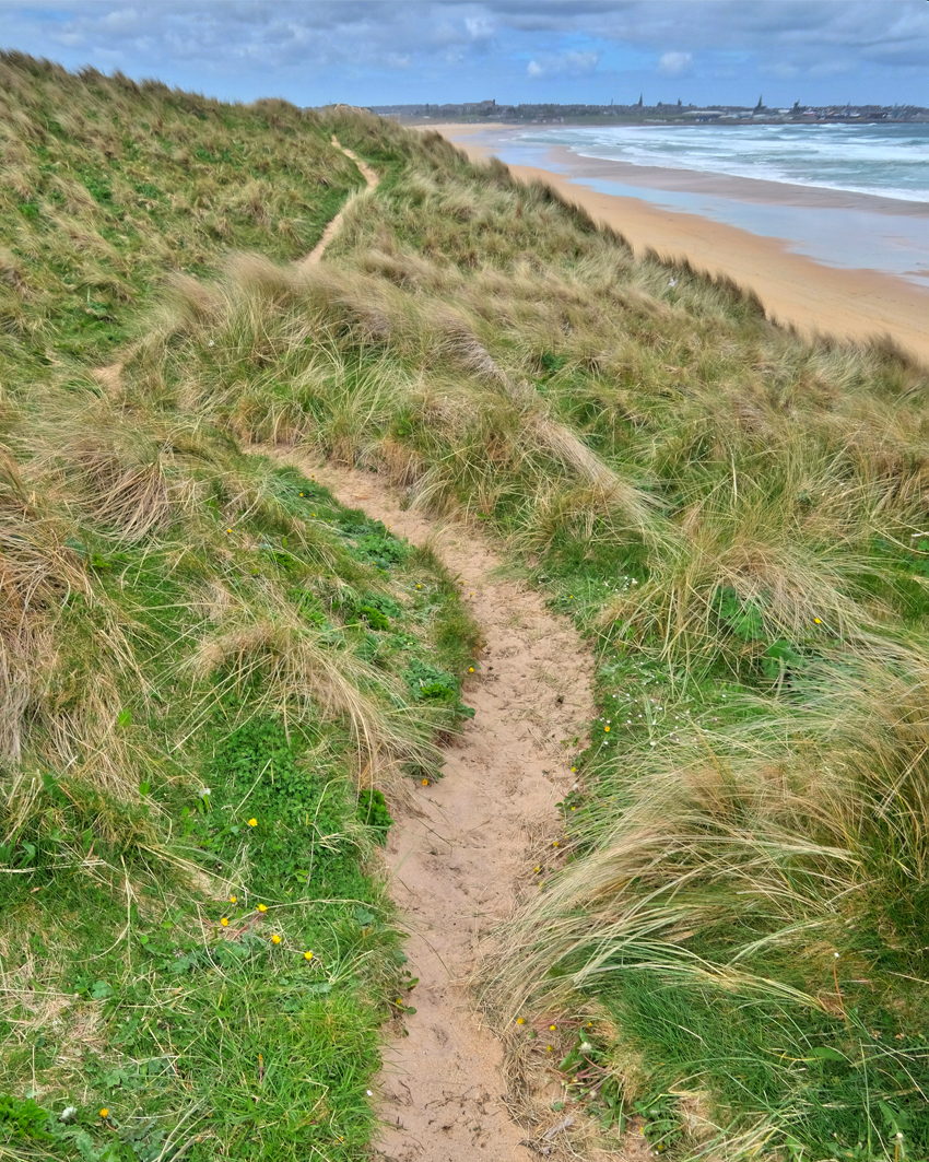 I looked left to the town of Fraserburgh, trying to decide which way to go . . .
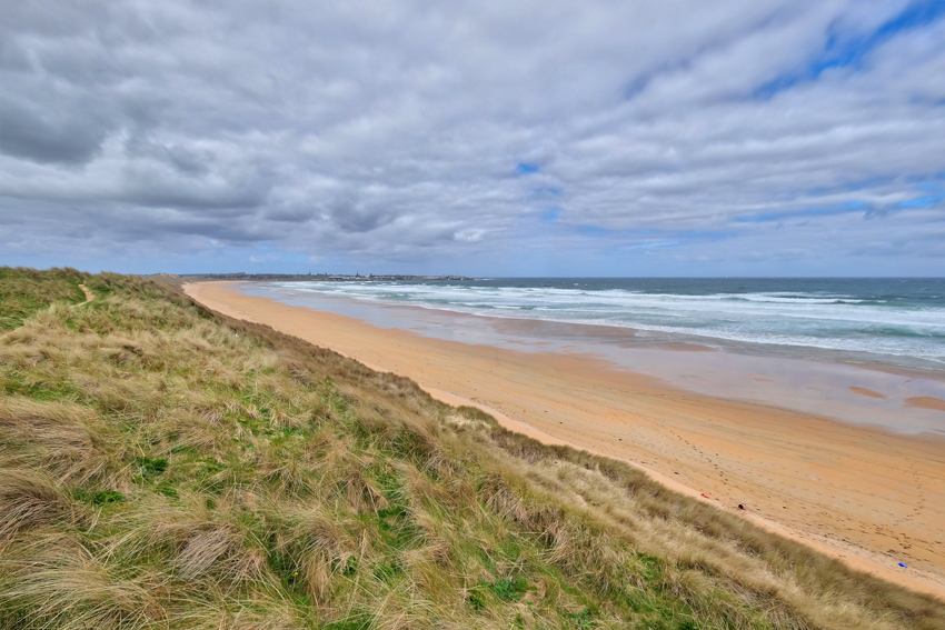 Although walking east toward Fraserburgh looked inviting . . .
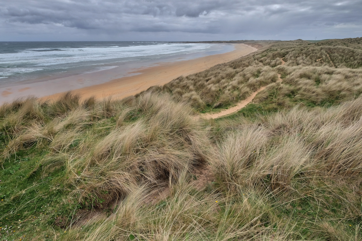 I decided to walk west toward the next village, Inverallochy, and what looked like a ship wreck. I wandered around in the web of sandy trails looking for a way down the embankments to the broad beach.
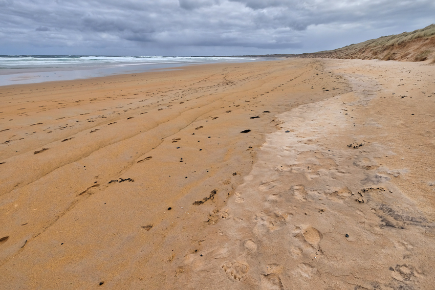 There were beachcombers on the broad Fraserburgh beach.
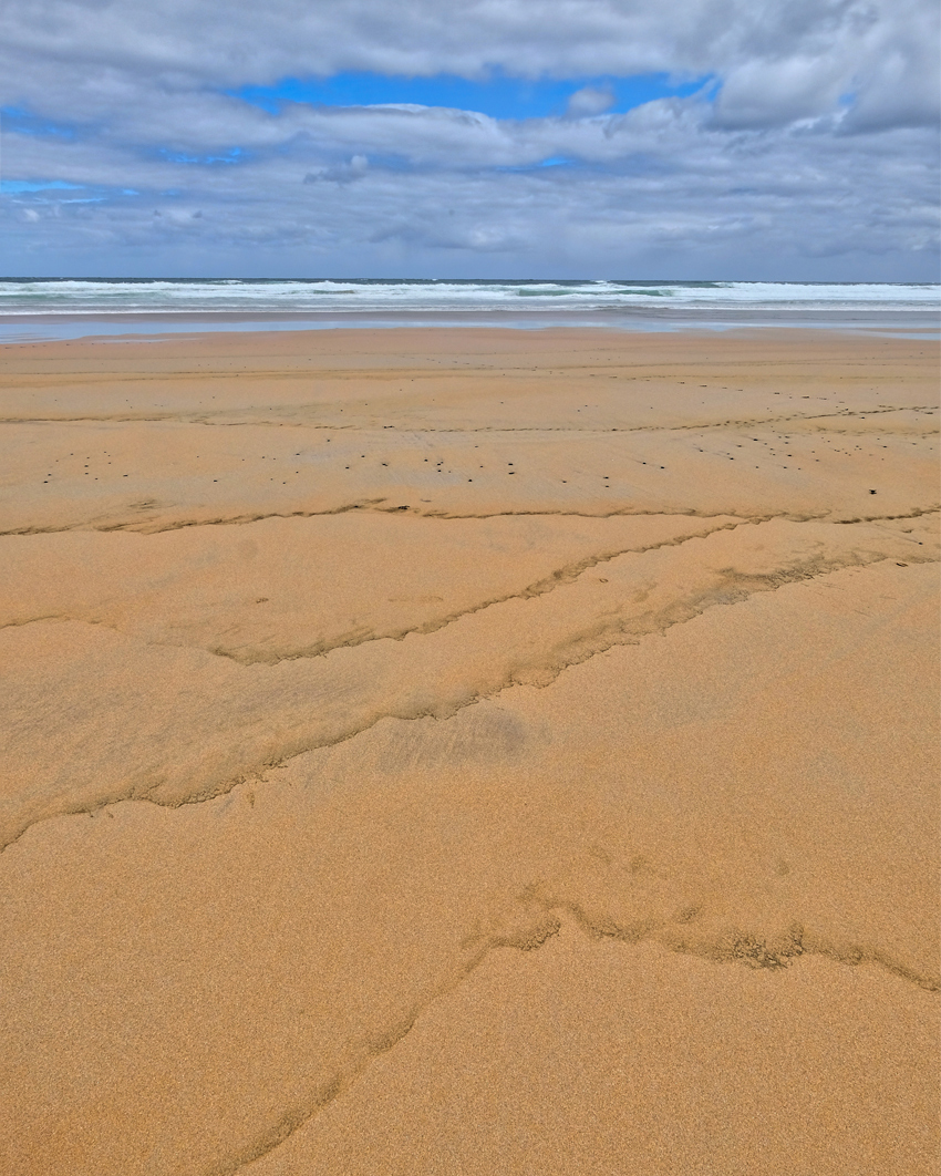 Fascinating patterns in the sand to look at.
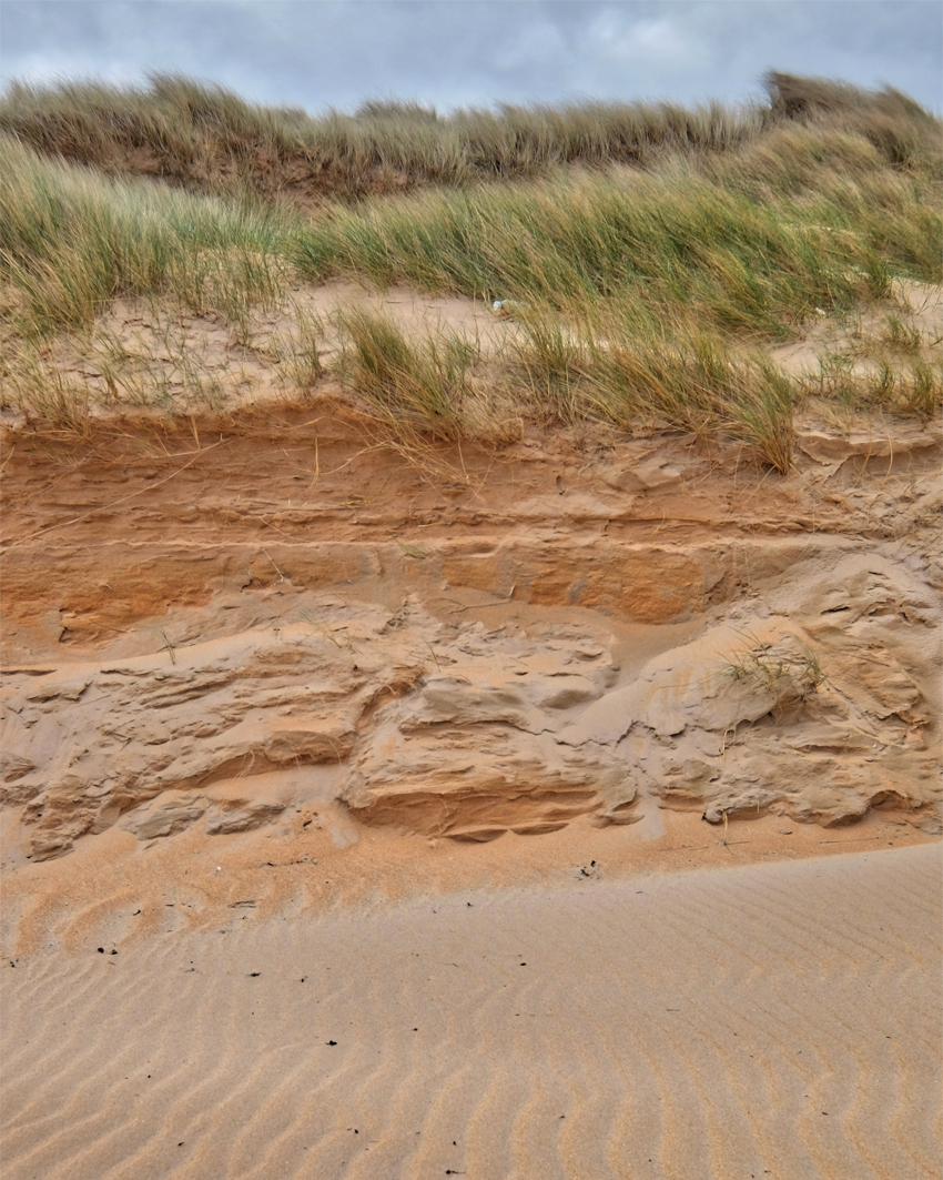 As sea level rises, the beach dunes are eroded.
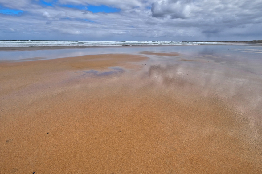 Beach, sea, sky . . . looking like a tropical paradise, but at 5c, not exactly tropical.
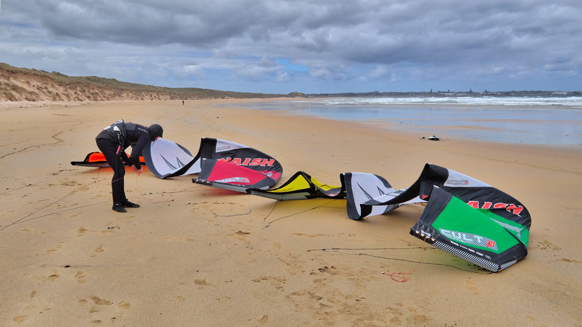 I wasn't the o nly person out on such a fine and windy day . . . these brave wind surfers were preparing for their brand of fun. I must add; the wind was very cold.
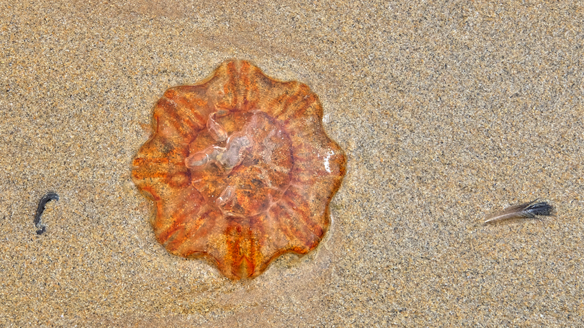 Jellyfish and feather.
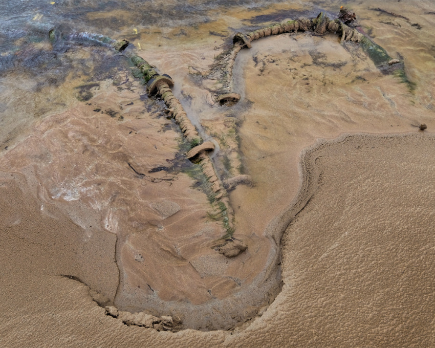 A beach combing find from somewhere far off in the North Sea.
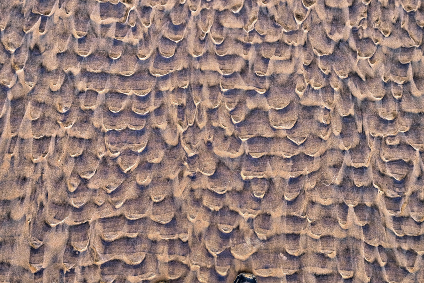 Such a broad beach creates wonderful patterns as the tide recedes.
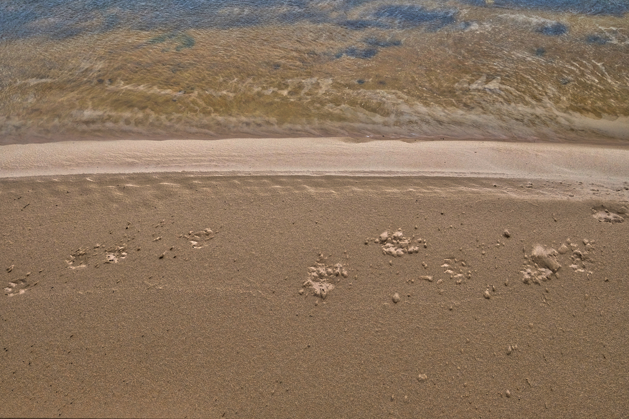 Where the beach met a fast moving burn, a set of contrasting shapes, textures, and colors met in a happy collision.
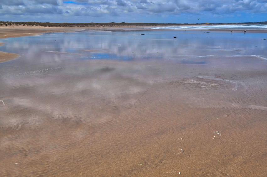 I walked all the way to the end of the beach . . .
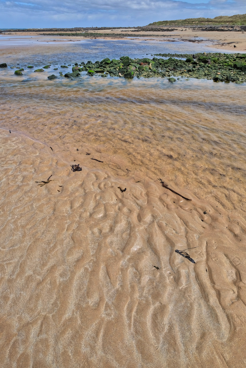 I arrived at the estuary of the Waters of Philorth, but could not find a way across the swift and deep waters without getting my feet wet.
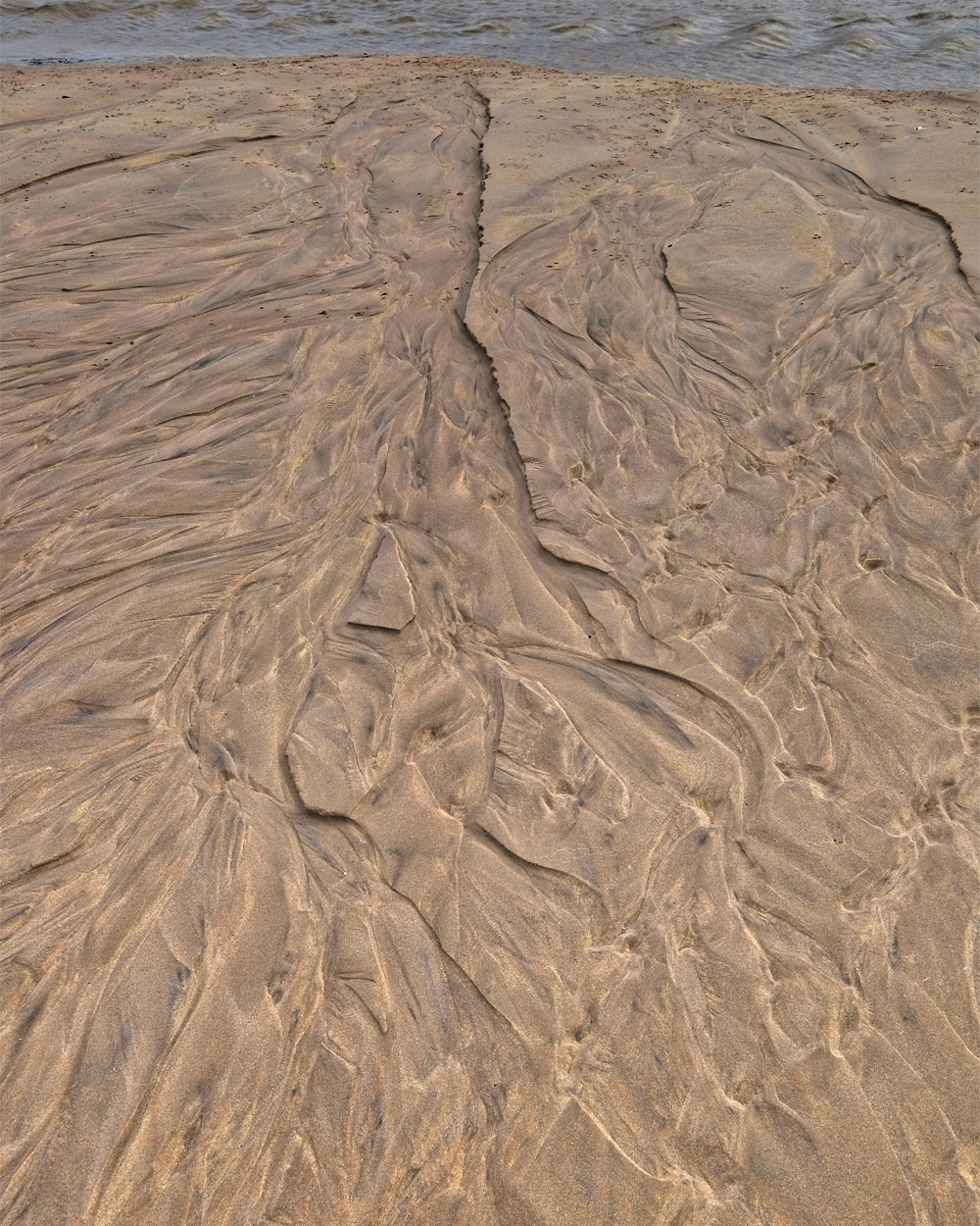 The last big wave drained into the burn this way.
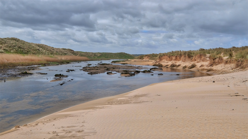 I didn't want to go back the way I came, so I walked inland along the stream knowing I would eventually run into the road.
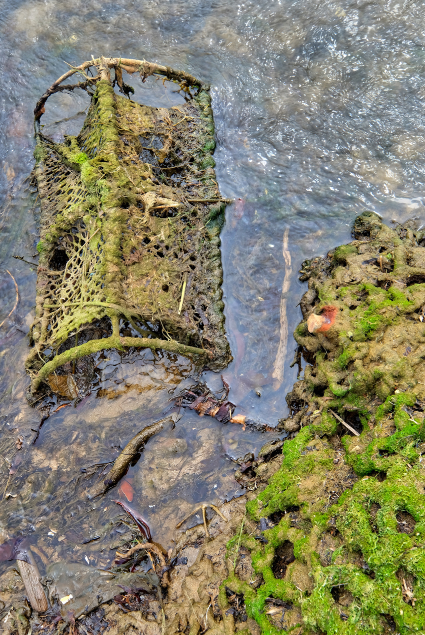 I could not find a way across the burn, The Waters of Philorth, so I followed it inland, stopping here and there to study scenes of beauty.
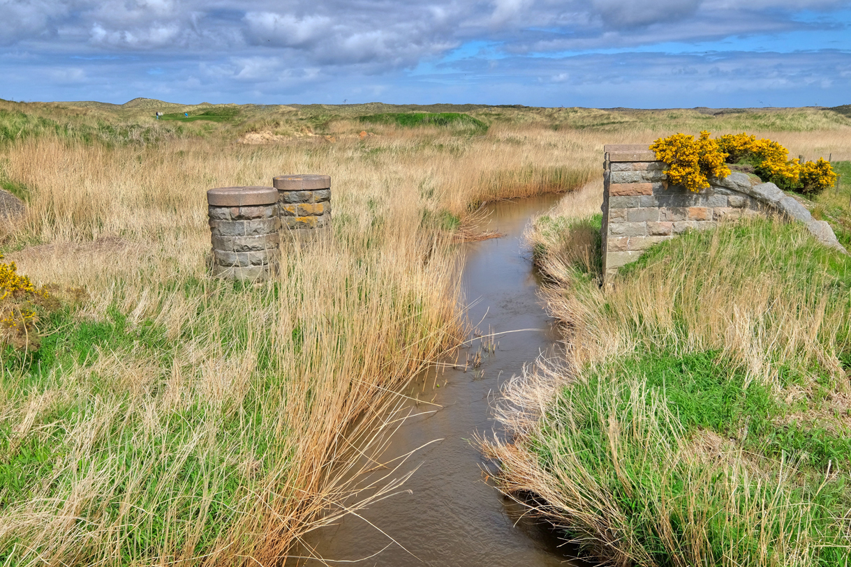 The Waters of Philorth eventually came to the highway and this old disassembled rail bridge.
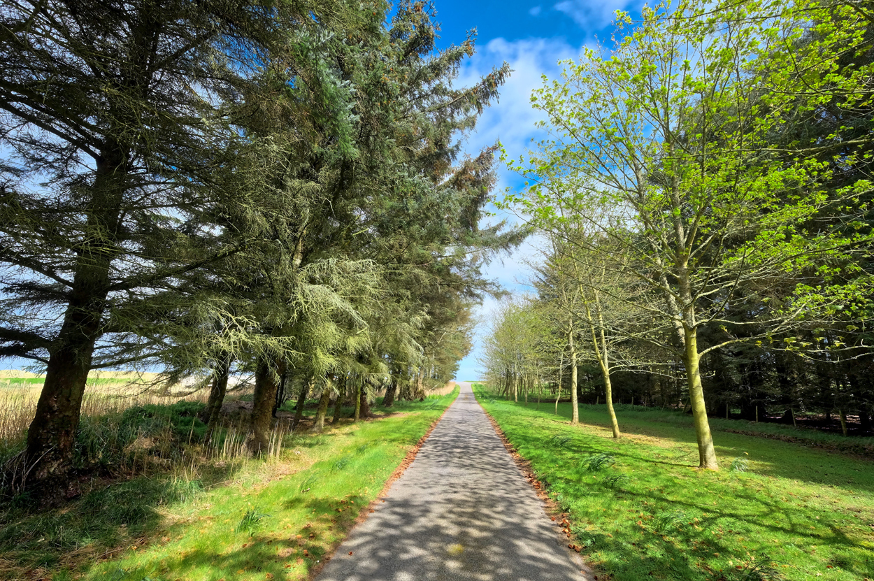 This inviting road stood in front of me, so I walked in until . . .
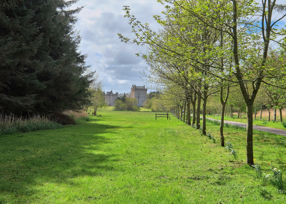 I walked up the road, which turned out to be the driveway of Castle Cairnbulg . . . and a 'Private Property' sign. Yes, this is not only a real castle, but it has been continuously occupied by the original Fraser family since 1308. Currently. Katharine Fraser, Mistress of Salton, resides within the 700 year old walls.
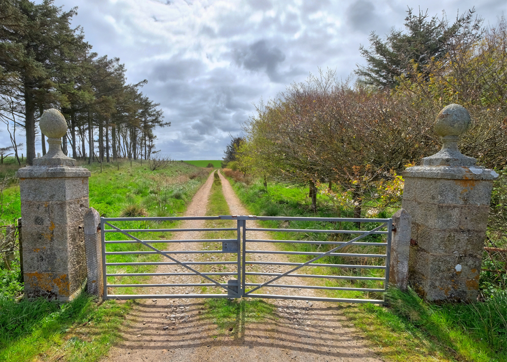 I considered jumping the estate gates and exploring the park-like grounds of the castle . . . but didn't.
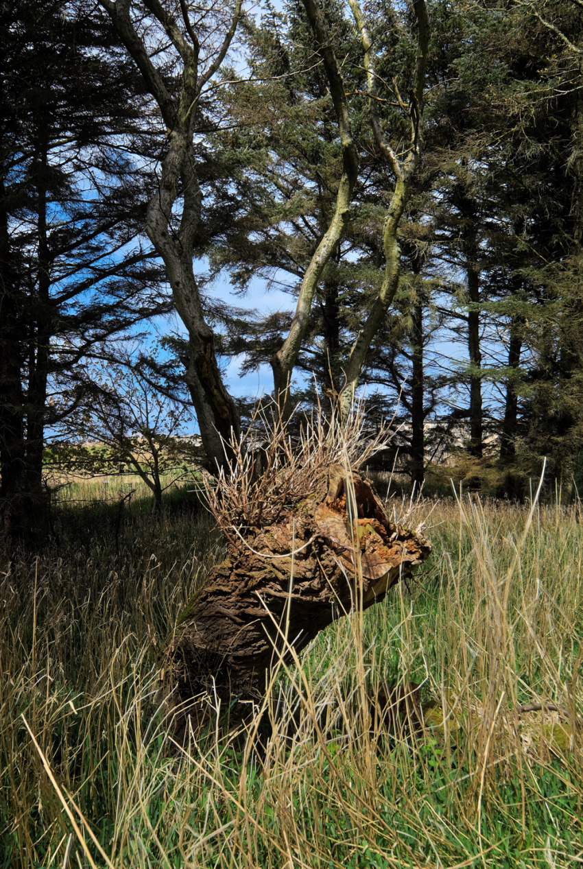 I took a shortcut though a small wood and found this striking stump.
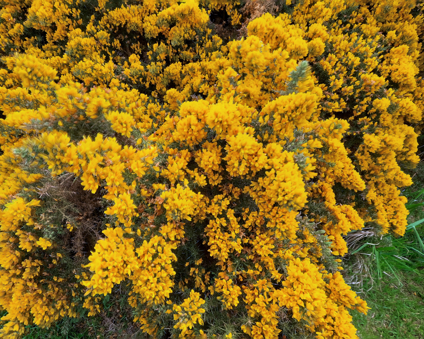 The gorse (ulex europaeus) was in full bloom.
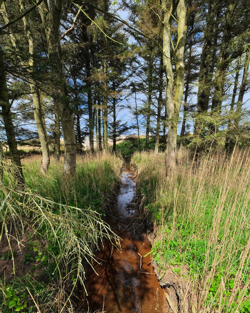 Boggy land draining.
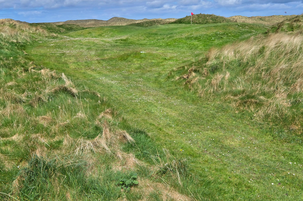 Of course, this trip was about my wife playing in a golf tournament. I walked back through the historic golf course to the Fraserburgh Golf Club, the 7th oldest golf course in the world. Although the golf club was officially established in 1777, golf has been recorded being played here since 1618 . . . 398 years!
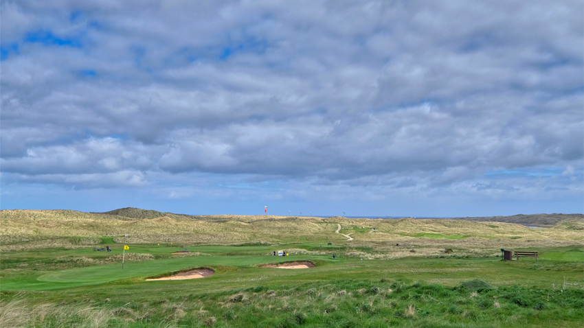 It is a beautiful course in a beautiful setting. It had been a fine day . . . with a five-mile walk.
